PART 17 - ENDANGERED AND THREATENED WILDLIFE AND PLANTS
Source:
40 FR 44415, Sept. 26, 1975, unless otherwise noted.
Source:
40 FR 44415, Sept. 26, 1975, unless otherwise noted. Redesignated at 85 FR 82388, Dec. 18, 2020.
Source:
40 FR 44415, Sept. 26, 1975. Redesignated at 85 FR 82388, Dec. 18, 2020.
Subpart A - Introduction and General Provisions
§ 17.1 Purpose of regulations.
(a) The regulations in this part implement the Endangered Species Act of 1973, 87 Stat. 884, 16 U.S.C. 1531-1543, except for those provisions in the Act concerning the Convention on International Trade in Endangered Species of Wild Fauna and Flora, for which regulations are provided in part 23 of this subchapter.
(b) The regulations identify those species of wildlife and plants determined by the Director to be endangered or threatened with extinction under section 4(a) of the Act and also carry over the species and subspecies of wildlife designated as endangered under the Endangered Species Conservation Act of 1969 (83 Stat. 275, 16 U.S.C. 668cc-1 to 6) which are deemed endangered species under section 4(c)(3) of the Act.
[40 FR 44415, Sept. 26, 1975, as amended at 42 FR 10465, Feb. 22, 1977]
§ 17.2 Scope of regulations.
(a) The regulations of this part apply only to endangered and threatened wildlife and plants.
(b) By agreement between the Service and the National Marine Fisheries Service, the jurisdiction of the Department of Commerce has been specifically defined to include certain species, while jurisdiction is shared in regard to certain other species. Such species are footnoted in subpart B of this part, and reference is given to special rules of the National Marine Fisheries Service for those species.
(c) The provisions in this part are in addition to, and are not in lieu of, other regulations of this subchapter B which may require a permit or prescribe additional restrictions or conditions for the importation, exportation, and interstate transportation of wildlife.
(d) The examples used in this part are provided solely for the convenience of the public, and to explain the intent and meaning of the regulation to which they refer. They have no legal significance.
(e) Certain of the wildlife and plants listed in §§ 17.11 and 17.12 as endangered or threatened are included in Appendix I, II or III to the Convention on International Trade in Endangered Species of Wild Fauna and Flora. The importation, exportation and reexportation of such species are subject to additional regulations provided in part 23 of this subchapter.
[40 FR 44415, Sept. 26, 1975, as amended at 42 FR 10465, Feb. 22, 1977]
§ 17.3 Definitions.
In addition to the definitions contained in part 10 of this subchapter, and unless the context otherwise requires, in this part 17:
Act means the Endangered Species Act of 1973 (16 U.S.C. 1531-1543; 87 Stat. 884);
Adequately covered means, with respect to species listed pursuant to section 4 of the ESA, that a proposed conservation plan has satisfied the permit issuance criteria under section 10(a)(2)(B) of the ESA for the species covered by the plan, and, with respect to unlisted species, that a proposed conservation plan has satisfied the permit issuance criteria under section 10(a)(2)(B) of the ESA that would otherwise apply if the unlisted species covered by the plan were actually listed. For the Services to cover a species under a conservation plan, it must be listed on the section 10(a)(1)(B) permit.
Alaskan Native means a person defined in the Alaska Native Claims Settlement Act (43 U.S.C. 1603(b) (85 Stat. 588)) as a citizen of the United States who is of one-fourth degree or more Alaska Indian (including Tsimshian Indians enrolled or not enrolled in the Metlaktla Indian Community), Eskimo, or Aleut blood, or combination thereof. The term includes any Native, as so defined, either or both of whose adoptive parents are not Natives. It also includes, in the absence of proof of a minimum blood quantum, any citizen of the United States who is regarded as an Alaska Native by the Native village or town of which he claims to be a member and whose father or mother is (or, if deceased, was) regarded as Native by any Native village or Native town. Any citizen enrolled by the Secretary pursuant to section 5 of the Alaska Native Claims Settlement Act shall be conclusively presumed to be an Alaskan Native for purposes of this part;
Authentic native articles of handicrafts and clothing means items made by an Indian, Aleut, or Eskimo that are composed wholly or in some significant respect of natural materials and are significantly altered from their natural form and are produced, decorated, or fashioned in the exercise of traditional native handicrafts without the use of pantographs, multiple carvers, or similar mass-copying devices. Improved methods of production utilizing modern implements such as sewing machines or modern techniques at a tannery registered pursuant to § 18.23(c) of this subchapter (in the case of marine mammals) may be used as long as no large-scale mass production industry results. Traditional native handicrafts include, but are not limited to, weaving, carving, stitching, sewing, lacing, beading, drawing, and painting. The formation of traditional native groups, such as cooperatives, is permitted as long as no large-scale mass production results;
Bred in captivity or captive-bred refers to wildlife, including eggs, born or otherwise produced in captivity from parents that mated or otherwise transferred gametes in captivity, if reproduction is sexual, or from parents that were in captivity when development of the progeny began, if development is asexual.
Captivity means that living wildlife is held in a controlled environment that is intensively manipulated by man for the purpose of producing wildlife of the selected species, and that has boundaries designed to prevent animal, eggs or gametes of the selected species from entering or leaving the controlled environment. General characteristics of captivity may include but are not limited to artificial housing, waste removal, health care, protection from predators, and artificially supplied food.
Changed circumstances means changes in circumstances affecting a species or geographic area covered by a conservation plan or agreement that can reasonably be anticipated by plan or agreement developers and the Service and that can be planned for (e.g., the listing of new species, or a fire or other natural catastrophic event in areas prone to such events).
Conservation plan means the plan required by section 10(a)(2)(A) of the ESA that an applicant must submit when applying for an incidental take permit. Conservation plans also are known as “habitat conservation plans” or “HCPs.”
Conserved habitat areas means areas explicitly designated for habitat restoration, acquisition, protection, or other conservation purposes under a conservation plan.
Convention means the Convention on International Trade in Endangered Species of Wild Fauna and Flora, TIAS 8249.
Enhance the propagation or survival, when used in reference to wildlife in captivity, includes but is not limited to the following activities when it can be shown that such activities would not be detrimental to the survival of wild or captive populations of the affected species:
(a) Provision of health care, management of populations by culling, contraception, euthanasia, grouping or handling of wildlife to control survivorship and reproduction, and similar normal practices of animal husbandry needed to maintain captive populations that are self-sustaining and that possess as much genetic vitality as possible;
(b) Accumulation and holding of living wildlife that is not immediately needed or suitable for propagative or scientific purposes, and the transfer of such wildlife between persons in order to relieve crowding or other problems hindering the propagation or survival of the captive population at the location from which the wildlife would be removed; and
(c) Exhibition of living wildlife in a manner designed to educate the public about the ecological role and conservation needs of the affected species.
Endangered means a species of wildlife listed in § 17.11 or a species of plant listed in § 17.12 and designated as endangered.
Harass in the definition of “take” in the Act means an intentional or negligent act or omission which creates the likelihood of injury to wildlife by annoying it to such an extent as to significantly disrupt normal behavioral patterns which include, but are not limited to, breeding, feeding, or sheltering. This definition, when applied to captive wildlife, does not include generally accepted:
(1) Animal husbandry practices that meet or exceed the minimum standards for facilities and care under the Animal Welfare Act,
(2) Breeding procedures, or
(3) Provisions of veterinary care for confining, tranquilizing, or anesthetizing, when such practices, procedures, or provisions are not likely to result in injury to the wildlife.
Harm in the definition of “take” in the Act means an act which actually kills or injures wildlife. Such act may include significant habitat modification or degradation where it actually kills or injures wildlife by significantly impairing essential behavioral patterns, including breeding, feeding or sheltering.
Incidental taking means any taking otherwise prohibited, if such taking is incidental to, and not the purpose of, the carrying out of an otherwise lawful activity.
Industry or trade in the definition of “commercial activity” in the Act means the actual or intended transfer of wildlife or plants from one person to another person in the pursuit of gain or profit;
Native village or town means any community, association, tribe, clan or group;
Operating conservation program means those conservation management activities which are expressly agreed upon and described in a conservation plan or its Implementing Agreement, if any, and which are to be undertaken for the affected species when implementing an approved conservation plan, including measures to respond to changed circumstances.
Population means a group of fish or wildlife in the same taxon below the subspecific level, in common spatial arrangement that interbreed when mature;
Properly implemented conservation plan means any conservation plan, Implementing Agreement and permit whose commitments and provisions have been or are being fully implemented by the permittee.
Property owner with respect to agreements outlined under §§ 17.22(c), 17.22(d), 17.32(c), and 17.32(d) means a person with a fee simple, leasehold, or other property interest (including owners of water or other natural resources), or any other entity that may have a property interest, sufficient to carry out the proposed management activities, subject to applicable State law, on non-Federal land.
Specimen means any animal or plant, or any part, product, egg, seed or root of any animal or plant;
Subsistence means the use of endangered or threatened wildlife for food, clothing, shelter, heating, transportation and other uses necessary to maintain the life of the taker of the wildlife, or those who depend upon the taker to provide them with such subsistence, and includes selling any edible portions of such wildlife in native villages and towns in Alaska for native consumption within native villages and towns;
Threatened means a species of wildlife listed in § 17.11 or plant listed in § 17.12 and designated as threatened.
Unforeseen circumstances means changes in circumstances affecting a species or geographic area covered by a conservation plan or agreement that could not reasonably have been anticipated by plan or agreement developers and the Service at the time of the conservation plan's or agreement's negotiation and development, and that result in a substantial and adverse change in the status of the covered species.
Wasteful manner means any taking or method of taking which is likely to result in the killing or injury of endangered or threatened wildlife beyond those needed for subsistence purposes, or which results in the waste of a substantial portion of the wildlife, and includes without limitation the employment of a method of taking which is not likely to assure the capture or killing of the wildlife, or which is not immediately followed by a reasonable effort to retrieve the wildlife.
[40 FR 44415, Sept. 26, 1975, as amended at 42 FR 28056, June 1, 1977; 44 FR 54006, Sept. 17, 1979; 46 FR 54750, Nov. 4, 1981; 47 FR 31387, July 20, 1982; 50 FR 39687, Sept. 30, 1985; 63 FR 8870, Feb. 23, 1998; 63 FR 48639, Sept. 11, 1998; 69 FR 24092, May 3, 2004; 71 FR 46870, Aug. 15, 2006]
§ 17.4 Pre-Act wildlife.
(a) The prohibitions defined in subparts C and D of this part 17 shall not apply to any activity involving endangered or threatened wildlife which was held in captivity or in a controlled environment on December 28, 1973: Provided,
(1) That the purposes of such holding were not contrary to the purposes of the Act; and
(2) That the wildlife was not held in the course of a commercial activity.
Example 1.
On January 25, 1974, a tourist buys a stuffed hawksbill turtle (an endangered species listed since June, 1970), in a foreign country. On December 28, 1973, the stuffed turtle had been on display for sale. The tourist imports the stuffed turtle into the United States on January 26, 1974. This is a violation of the Act since the stuffed turtle was held for commercial purposes on December 28, 1973.
Example 2.
On December 27, 1973 (or earlier), a tourist buys a leopard skin coat (the leopard has been listed as endangered since March 1972) for his wife in a foreign country. On January 5, he imports it into the United States. He has not committed a violation since on December 28, 1973, he was the owner of the coat, for personal purposes, and the chain of commerce had ended with the sale on the 27th. Even if he did not finish paying for the coat for another year, as long as he had possession of it, and he was not going to resell it, but was using it for personal purposes, the Act does not apply to that coat.
Example 3.
On or before December 28, 1973, a hunter kills a leopard legally in Africa. He has the leopard mounted and imports it into the United States in March 1974. The importation is not subject to the Act. The hunter has not engaged in a commercial activity, even though he bought the services of a guide, outfitters, and a taxidermist to help him take, preserve, and import the leopard. This applies even if the trophy was in the possession of the taxidermist on December 28, 1973.
Example 4.
On January 15, 1974, a hunter kills a leopard legally in Africa. He has the leopard mounted and imports it into the United States in June 1974. This importation is a violation of the Act since the leopard was not in captivity or a controlled environment on December 28, 1973.
(b) Service officers or Customs officers may refuse to clear endangered or threatened wildlife for importation into or exportation from the United States, pursuant to § 14.53 of this subchapter, until the importer or exporter can demonstrate that the exemption referred to in this section applies. Exempt status may be established by any sufficient evidence, including an affidavit containing the following:
(1) The affiant's name and address;
(2) Identification of the affiant;
(3) Identification of the endangered or threatened wildlife which is the subject of the affidavit;
(4) A statement by the affiant that to the best of his knowledge and belief, the endangered or threatened wildlife which is the subject of the affidavit was in captivity or in a controlled environment on December 28, 1973, and was not being held for purposes contrary to the Act or in the course of a commercial activity;
(5) A statement by the affiant in the following language:
The foregoing is principally based on the attached exhibits which, to the best of my knowledge and belief, are complete, true and correct. I understand that this affidavit is being submitted for the purpose of inducing the Federal Government to recognize an exempt status regarding (insert description of wildlife), under the Endangered Species Act of 1973 (16 U.S.C. 1531-1543), and regulations promulgated thereunder, and that any false statements may subject me to the criminal penalties of 18 U.S.C. 1001.
(6) As an attachment, records or other available evidence to show:
(i) That the wildlife in question was being held in captivity or in a controlled environment on December 28, 1973;
(ii) The purpose for which the wildlife was being held; and
(iii) The nature of such holding (to establish that no commercial activity was involved).
(c) This section applies only to wildlife born on or prior to December 28, 1973. It does not apply to the progeny of any such wildlife born after December 28, 1973.
§ 17.5 Alaska natives.
(a) The provisions of subpart C of this part relating to the importation or the taking of endangered wildlife, and any provision of subpart D of this part relating to the importation or the taking of threatened wildlife, shall not apply to:
(1) Any Indian, Aleut, or Eskimo who is an Alaskan native and who resides in Alaska; or
(2) Any non-native permanent resident of an Alaskan native village who is primarily dependent upon the taking of wildlife for consumption or for the creation and sale of authentic native articles of handicrafts and clothing:
If the taking is primarily for subsistence purposes, and is not accomplished in a wasteful manner.
(b) Edible portions of endangered or threatened wildlife taken or imported pursuant to paragraph (a) of this section may be sold in native villages or towns in Alaska for native consumption within native villages and towns in Alaska.
(c) Non-edible by-products of endangered or threatened wildlife taken or imported pursuant to paragraph (a) of this section may be sold in interstate commerce when made into authentic native articles of handicrafts and clothing.
§ 17.6 State cooperative agreements. [Reserved]
§ 17.7 Raptor exemption.
(a) The prohibitions found in §§ 17.21 and 17.31 do not apply to any raptor [a live migratory bird of the Order Falconiformes or the Order Strigiformes, other than a bald eagle (Haliaeetus leucocephalus) or a golden eagle (Aquila chrysaetos)] legally held in captivity or in a controlled environment on November 10, 1978, or to any of its progeny, which is:
(1) Possessed and banded in compliance with the terms of a valid permit issued under part 21 of this chapter; and
(2) Identified in the earliest applicable annual report required to be filed by a permittee under part 21 of this chapter as in a permittee's possession on November 10, 1978, or as the progeny of such a raptor.
(b) This section does not apply to any raptor intentionally returned to the wild.
[48 FR 31607, July 8, 1983]
§ 17.8 Import exemption for threatened, CITES Appendix-II wildlife.
(a) Except as provided in a special rule in §§ 17.40 through 17.48 or in paragraph (b) of this section, all provisions of §§ 17.31 and 17.32 apply to any specimen of a threatened species of wildlife that is listed in Appendix II of the Convention.
(b) Import. Except as provided in a special rule in §§ 17.40 through 17.48, any live or dead specimen of a fish and wildlife species listed as threatened under this part may be imported without a threatened species permit under § 17.32 provided all of the following conditions are met:
(1) The specimen was not acquired in foreign commerce or imported in the course of a commercial activity;
(2) The species is listed in Appendix II of the Convention.
(3) The specimen is imported and subsequently used in accordance with the requirements of part 23 of this subchapter, except as provided in paragraph (b)(4) of this section.
(4) Personal and household effects (see § 23.5) must be accompanied by a CITES document.
(5) At the time of import, the importer must provide to the FWS documentation that shows the specimen was not acquired in foreign commerce in the course of a commercial activity.
(6) All applicable requirements of part 14 of this subchapter are satisfied.
[72 FR 48446, Aug. 23, 2007]
§ 17.9 Permit applications and information collection requirements.
(a) Address permit applications for activities affecting species listed under the Endangered Species Act, as amended, as follows:
(1) Address activities affecting endangered and threatened species that are native to the United States to the Regional Director for the Region in which the activity is to take place. You can find addresses for the Regional Directors in 50 CFR 2.2. Send applications for interstate commerce in native endangered and threatened species to the Regional Director with lead responsibility for the species. To determine the appropriate region, call the nearest Regional Office:
Region 1 (Portland, OR): 503-231-6241
Region 2 (Albuquerque, NM): 505-248-6920
Region 3 (Twin Cities, MN): 612-713-5343
Region 4 (Atlanta, GA): 404-679-7313
Region 5 (Hadley, MA): 413-253-8628
Region 6 (Denver, CO): 303-236-8155, ext 263
Region 7 (Anchorage, AK): 907-786-3620
Headquarters (Washington, DC): 703-358-2106
(2) Submit permit applications for activities affecting native endangered and threatened species in international movement or commerce, and all activities affecting nonnative endangered and threatened species, to the attention of the Director, U.S. Fish and Wildlife Service, at the address listed for the Division of Management Authority at 50 CFR 2.1(b).
(b) The Office of Management and Budget approved the information collection requirements contained in this part 17 under 44 U.S.C. 3507 and assigned OMB Control Numbers 1018-0093 and 1018-0094. The Service may not conduct or sponsor, and you are not required to respond to, a collection of information unless it displays a currently valid OMB control number. We are collecting this information to provide information necessary to evaluate permit applications. We will use this information to review permit applications and make decisions, according to criteria established in various Federal wildlife conservation statutes and regulations, on the issuance, suspension, revocation, or denial of permits. You must respond to obtain or retain a permit. We estimate the public reporting burden for these reporting requirements to vary from 2 to 21⁄2 hours per response, including time for reviewing instructions, gathering and maintaining data, and completing and reviewing the forms. Direct comments regarding the burden estimate or any other aspect of these reporting requirements to the Service's Information Collection Clearance Officer at the address provided at 50 CFR 2.1(b).
[63 FR 52635, Oct. 1, 1998. Redesignated at 72 FR 48446, Aug. 23, 2007, as amended at 79 FR 30417, May 27, 2014; 79 FR 43964, July 29, 2014]
Subpart B - Lists
§ 17.11 Endangered and threatened wildlife.
(a) The list in paragraph (h) of this section contains the wildlife species determined by the Service or the National Marine Fisheries Service (NMFS) of the Department of Commerce's National Oceanic and Atmospheric Administration (hereafter in this section referred to as “the Services”) to be endangered species or threatened species. It also contains the wildlife species treated as endangered species or threatened species because they are similar in appearance to and may be confused with endangered or threatened species (see §§ 17.50 through 17.52). The “Common name,” “Scientific name,” “Where listed,” and “Status” columns provide regulatory information; together, they identify listed wildlife species within the meaning of the Act and describe where they are protected. When a taxon has more than one entry, the “Where listed” or “Status” column will identify its status in each relevant geographic area. The listing of a particular taxon includes all lower taxonomic units.
(b) “Common name” column. Although common names are included, they cannot be relied upon for identification of any specimen, since they may vary greatly in local usage. In cases where confusion might arise, one or more synonyms are provided in parentheses within the “Common name” column. If a species has been listed as an Evolutionarily Significant Unit (ESU) or a Distinct Vertebrate Population Segment (DPS), the ESU or DPS names will be provided in brackets “[ ]” following the common name.
(c) “Scientific name” column. The Services use the most recently accepted scientific name. In cases where confusion might arise, one or more synonyms are provided in parentheses within the “Scientific name” column. The Services rely, to the extent practicable, on the Integrated Taxonomic Information System (ITIS) to determine a species' scientific name. ITIS incorporates the naming principles established by the International Code of Zoological Nomenclature (see paragraph (g) of this section). If the scientific name in ITIS differs from the scientific name adopted for use under the Convention on International Trade in Endangered Species of Wild Fauna and Flora (CITES), the CITES nomenclature is provided in brackets “[ ]” within the “Scientific name” column following the ITIS nomenclature.
(d) “Where listed” column. The “Where listed” column sets forth the geographic area where the species is listed for purposes of the Act. Except when providing a geographic description of a DPS or ESU, or an experimental population designation, “Wherever found” will be used to indicate the Act's protections apply to all individuals of the species, wherever found.
(e) “Status” column. Within the “Status” column, the following abbreviations are used:
| Abbreviation | Regulatory status the abbreviation represents |
|---|---|
| E | Endangered species. |
| T | Threatened species. |
| E (S/A) | Endangered based on similarity of appearance to an existing listed species. |
| T (S/A) | Threatened based on similarity of appearance to an existing listed species. |
| XE | Essential experimental population (See subpart H of this part). |
| XN | Nonessential experimental population (See subpart H of this part). |
(f) “Listing Citations and Applicable Rules” column. The “Listing Citations and Applicable Rules” column is nonregulatory in nature and is provided for informational and navigational purposes only.
(1) Within the “Listing Citations and Applicable Rules” column, the following superscripts are used:
| Superscript | Description of citation or rule |
|---|---|
| N | NMFS listing citation (NMFS Lead). |
| J | Both FWS and NMFS listing citation (Joint Jurisdiction). |
| CH | Critical habitat rule. |
| 4d | Species-specific “4(d)” rule (a rule issued under the authority of section 4(d) of the Act). |
| 10j | Species-specific “10(j)” rule (a rule issued under the authority of section 10(j) of the Act). |
(2) Listing citations contain the volume, document starting page number, and publication date of the Federal Register publication(s) in which a species was given status, listed, or reclassified. At least since 1973, these documents have included a statement indicating the basis for the listing, as well as the effective date(s) of the listing or other rules that changed how the species was identified in the List in paragraph (h) of this section.
(3) “Critical habitat” and “Species-specific” rules superscripts provide cross-references to other sections in this part or part 222, 223, or 226 of chapter II of this title where critical habitat and species-specific rules are found. The species-specific superscripts also identify experimental populations. Experimental populations (superscript “10j”) are a separate citation, with one of the following symbols in the “Status” column: “XE” for an essential experimental population and “XN” for a nonessential experimental population.
(4) This column is for reference and navigational purposes only. All other appropriate rules in this part, parts 217 through 226 of chapter II of this title, and part 402 of chapter IV of this title apply, if no species-specific rules are referenced. In addition, other rules in this title could relate to such species (for example, port-of-entry requirements). The references in the “Listing Citations and Applicable Rules” column do not comprise a comprehensive list of all regulations that the Services might apply to the species or to the regulations of other Federal agencies or State or local governments.
(g) The Services will rely to the extent practicable on ITIS (http://www.itis.gov) and standard references adopted for CITES (http://cites.org).
(h) The “List of Endangered and Threatened Wildlife” is provided in the table in this paragraph (h):
| Common name | Scientific name | Where listed | Status | Listing citations and applicable rules | |
|---|---|---|---|---|---|
| Mammals | |||||
| Addax | Addax nasomaculatus | Wherever found | E | 70 FR 52319, 9/2/2005. | |
| Anoa, lowland | Bubalus depressicornis | Wherever found | E | 35 FR 8491, 6/2/1970. | |
| Anoa, mountain | Bubalus quarlesi | Wherever found | E | 41 FR 24061, 6/14/1976. | |
| Antelope, giant sable | Hippotragus niger variani | Wherever found | E | 41 FR 24061, 6/14/1976. | |
| Antelope, Tibetan | Panthalops hodgsonii | Wherever found | E | 71 FR 15620, 3/29/2006. | |
| Argali [All populations except Kyrgyzstan, Mongolia, and Tajikistan] | Ovis ammon | Wherever found except Kyrgyzstan, Mongolia, and Tajikistan | E | 41 FR 24061, 6/14/1976; 57 FR 28014, 6/23/1992. |
|
| Argali [Kyrgyzstan, Mongolia, and Tajikistan] | Ovis ammon | Kyrgyzstan, Mongolia, and Tajikistan | T | 41 FR 24061, 6/14/1976; 57 FR 28014, 6/23/1992; 50 CFR 17.40(j).4d |
|
| Armadillo, giant | Priodontes maximus | Wherever found | E | 41 FR 24061, 6/14/1976. | |
| Armadillo, pink fairy | Chlamyphorus truncatus | Wherever found | E | 35 FR 8491, 6/2/1970. | |
| Ass, African wild | Equus africanus | Wherever found | E | 35 FR 8491, 6/2/1970; 42 FR 15971, 3/24/1977. |
|
| Ass, Asian wild | Equus hemionus | Wherever found | E | 35 FR 8491, 6/2/1970. | |
| Avahi | Avahi laniger (=entire genus) | Wherever found | E | 35 FR 8491, 6/2/1970. | |
| Aye-aye | Daubentonia madagascariensis | Wherever found | E | 35 FR 8491, 6/2/1970. | |
| Babirusa | Babyrousa babyrussa | Wherever found | E | 41 FR 24061, 6/14/1976. | |
| Baboon, gelada | Theropithecus gelada | Wherever found | T | 41 FR 45990, 10/19/1976; 50 CFR 17.40(c).4d |
|
| Bandicoot, barred | Perameles bougainville | Wherever found | E | 35 FR 18319, 12/2/1970. | |
| Bandicoot, desert | Perameles eremiana | Wherever found | E | 38 FR 14678, 6/4/1973. | |
| Bandicoot, lesser rabbit | Macrotis leucura | Wherever found | E | 35 FR 18319, 12/2/1970. | |
| Bandicoot, pig-footed | Chaeropus ecaudatus | Wherever found | E | 35 FR 18319, 12/2/1970. | |
| Bandicoot, rabbit | Macrotis lagotis | Wherever found | E | 35 FR 18319, 12/2/1970. | |
| Banteng | Bos javanicus | Wherever found | E | 35 FR 8491, 6/2/1970. | |
| Bat, Bulmer's fruit (flying fox) | Aproteles bulmerae | Wherever found | E | 49 FR 2779, 1/23/1984. | |
| Bat, bumblebee | Craseonycteris thonglongyai | Wherever found | E | 49 FR 2779, 1/23/1984. | |
| Bat, Florida bonneted | Eumops floridanus | Wherever found | E | 78 FR 61003, 10/2/2013. | |
| Bat, gray | Myotis grisescens | Wherever found | E | 41 FR 17736, 4/28/1976. | |
| Bat, Hawaiian hoary | Lasiurus cinereus semotus | Wherever found | E | 35 FR 16047, 10/13/1970. | |
| Bat, Indiana | Myotis sodalis | Wherever found | E | 32 FR 4001, 3/11/1967; 50 CFR 17.95(a).CH |
|
| Bat, little Mariana fruit | Pteropus tokudae | Wherever found | E | 49 FR 33881, 8/27/1984. | |
| Fruit Bat, Mariana (=fanihi, Mariana flying fox) | Pteropus mariannus mariannus | Wherever found | T | 49 FR 33881, 8/27/1984; 70 FR 1190, 1/6/2005; 50 CFR 17.95(a).CH |
|
| Bat, Mexican long-nosed | Leptonycteris nivalis | Wherever found | E | 53 FR 38456, 9/30/1988. | |
| Bat, northern long-eared | Myotis septentrionalis | Wherever found | T | 80 FR 17973, 4/2/2015; 50 CFR 17.40(o).4d |
|
| Bat, Ozark big-eared | Corynorhinus (=Plecotus) townsendii ingens | Wherever found | E | 44 FR 69206, 11/30/1979. | |
| Bat, Pacific sheath-tailed (Mariana subspecies) (Payeyi, Paischeey) | Emballonura semicaudata rotensis | Wherever found | E | 80 FR 59423, 10/1/2015. | |
| Bat, Pacific sheath-tailed (South Pacific subspecies) (= peapea vai, American Samoa; = tagiti, Samoa; = beka beka, Fiji) | Emballonura semicaudata semicaudata | Wherever found | E | 81 FR 65466, 9/22/2016. | |
| Bat, Rodrigues fruit (flying fox) | Pteropus rodricensis | Wherever found | E | 49 FR 2779, 1/23/1984. | |
| Bat, Singapore roundleaf horseshoe | Hipposideros ridleyi | Wherever found | E | 49 FR 2779, 1/23/1984. | |
| Bat, Virginia big-eared | Corynorhinus (=Plecotus) townsendii virginianus | Wherever found | E | 44 FR 69206, 11/30/1979; 50 CFR 17.95(a).CH |
|
| Bear, Baluchistan | Ursus thibetanus gedrosianus | Wherever found | E | 51 FR 17977, 5/16/1986. | |
| Bear, brown [Italy] | Ursus arctos arctos | Italy | E | 41 FR 24062, 6/14/1976; 41 FR 26019, 6/24/1976. |
|
| Bear, brown | Ursus arctos pruinosus | Wherever found | E | 41 FR 24062, 6/14/1976. | |
| Bear, grizzly | Ursus arctos horribilis | U.S.A., conterminous (lower 48) States, except where listed as an experimental population | T | 32 FR 4001, 3/11/1967; 35 FR 16047, 10/13/1970; 40 FR 31734, 7/28/1975; 72 FR 14866, 3/29/2007; 75 FR 14496, 3/26/2010; 82 FR 30502, 6/30/2017; 84 FR 37144, 7/31/2019; 50 CFR 17.40(b).4d | |
| Bear, grizzly | Ursus arctos horribilis | U.S.A., (portions of ID and MT, see § 17.84(l)). | XN | 70 FR 69854; 11/17/2005, 50 CFR 17.84(l)10j. | |
| Bear, Mexican grizzly | Ursus arctos | Mexico | E | 35 FR 8491, 6/2/1970. | |
| Bear, polar | Ursus maritimus | Wherever found | T | 73 FR 28212, 5/15/2008; 50 CFR 17.40(q);4d 50 CFR 17.95(a).CH |
|
| Beaver (Mongolia) | Castor fiber birulai | Wherever found | E | 41 FR 24062, 6/14/1976. | |
| Bison, wood | Bison bison athabascae | Wherever found, except where listed as an experimental population | T | 35 FR 8491, 6/2/1970; 77 FR 26191, 5/3/2012. |
|
| Bison, wood | Bison bison athabascae | U.S.A. (Alaska) | XN | 79 FR 26175, 5/7/2014; 50 CFR 17.84(x).10j |
|
| Bobcat, Mexican | Lynx (=Felis) rufus escuinapae | Wherever found | E | 41 FR 24062, 6/14/1976. | |
| Bontebok (antelope) | Damaliscus pygarus (=dorcas) dorcas | Wherever found | E | 41 FR 24062, 6/14/1976. | |
| Camel, Bactrian | Camelus bactrianus | Wherever found | E | 41 FR 24062, 6/14/1976. | |
| Caribou, woodland [Southern Mountain DPS] | Rangifer tarandus caribou | U.S.A. (wherever found), Canada (southeastern British Columbia) | E | 48 FR 1722, 1/14/1983; 48 FR 49245, 10/25/1983; 49 FR 7390, 2/29/1984; 83 FR 52598, Oct. 2, 2019; 50 CFR 17.95(a).CH | |
| Cat, Andean | Felis jacobita | Wherever found | E | 41 FR 24062, 6/14/1976. | |
| Cat, Asian golden (=Temminck's) | Catopuma (=Felis) temminckii | Wherever found | E | 41 FR 24062, 6/14/1976. | |
| Cat, black-footed | Felis nigripes | Wherever found | E | 41 FR 24062, 6/14/1976. | |
| Cat, flat-headed | Prionailurus (=Felis) planiceps | Wherever found | E | 41 FR 24062, 6/14/1976. | |
| Cat, Iriomote | Prionailurus (=Felis) bengalensis iriomotensis | Wherever found | E | 44 FR 37124, 6/25/1979. | |
| Cat, leopard | Prionailurus (=Felis) bengalensis bengalensis | Wherever found | E | 41 FR 24062, 6/14/1976. | |
| Cat, marbled | Pardofelis (=Felis) marmorata | Wherever found | E | 41 FR 24062, 6/14/1976. | |
| Cat, Pakistan sand | Felis margarita scheffeli | Wherever found | E | 49 FR 2779, 1/23/1984. | |
| Cat, tiger | Leopardus (=Felis) tigrinus | Wherever found | E | 37 FR 6476, 3/30/1972. | |
| Chamois, Apennine | Rupicapra rupicapra ornata | Wherever found | E | 41 FR 24062, 6/14/1976. | |
| Cheetah | Acinonyx jubatus | Wherever found | E | 35 FR 8491, 6/2/1970; 37 FR 6476, 3/30/1972. |
|
| Chimpanzee | Pan troglodytes | Wherever found | E | 41 FR 45990, 10/19/1976; 55 FR 9129, 3/12/1990; 80 FR 34500, 6/16/2015. |
|
| Chimpanzee, pygmy | Pan paniscus | Wherever found | E | 41 FR 45990, 10/19/1976; 55 FR 9129, 3/12/1990. |
|
| Chinchilla | Chinchilla brevicaudata boliviana | Wherever found | E | 41 FR 24062, 6/14/1976. | |
| Civet, Malabar large-spotted | Viverra civettina (=megaspila c.) | Wherever found | E | 44 FR 37124, 6/25/1979. | |
| Deer, Bactrian | Cervus elaphus bactrianus | Wherever found | E | 44 FR 37124, 6/25/1979. | |
| Deer, Barbary | Cervus elaphus barbarus | Wherever found | E | 44 FR 37124, 6/25/1979. | |
| Deer, Calamianes (=Philippine) | Axis porcinus calamianensis | Wherever found | E | 41 FR 24062, 6/14/1976. | |
| Deer, Cedros Island mule | Odocoileus hemionus cedrosensis | Wherever found | E | 40 FR 44149, 9/25/1975. | |
| Deer, Columbian white-tailed [Columbia River DPS] | Odocoileus virginianus leucurus | Columbia River (Clark, Cowlitz, Pacific, Skamania, and Wahkiakum Counties, WA, and Clatsop, Columbia, and Multnomah Counties, OR) | T | 32 FR 4001, 3/11/1967; 68 FR 43647, 7/24/2003; 81 FR 71386, 10/17/2016; 50 CFR 17.40(i).4d |
|
| Deer, Corsican red | Cervus elaphus corsicanus | Wherever found | E | 44 FR 37124, 6/25/1979. | |
| Deer, Eld's brow-antlered | Cervus eldi | Wherever found | E | 35 FR 8491, 6/2/1970. | |
| Deer, Formosan sika | Cervus nippon taiouanus | Wherever found | E | 44 FR 37124, 6/25/1979. | |
| Deer, Indochina hog | Axis (=Cervus) porcinus annamiticus | Wherever found | E | 41 FR 24062, 6/14/1976. | |
| Deer, key | Odocoileus virginianus clavium | Wherever found | E | 32 FR 4001, 3/11/1967. | |
| Deer, Kuhl's (=Bawean) | Axis porcinus kuhli | Wherever found | E | 35 FR 8491, 6/2/1970. | |
| Deer, marsh | Blastocerus dichotomus | Wherever found | E | 35 FR 8491, 6/2/1970. | |
| Deer, McNeill's | Cervus elaphus macneilii | Wherever found | E | 35 FR 8491, 6/2/1970. | |
| Deer, musk | Moschus spp. (all species) | Afghanistan, Bhutan, Burma, China (Tibet, Yunnan), India, Nepal, Pakistan, Sikkim | E | 41 FR 24062, 6/14/1976. | |
| Deer, North China sika | Cervus nippon mandarinus | Wherever found | E | 44 FR 37124, 6/25/1979. | |
| Deer, pampas | Ozotoceros bezoarticus | Wherever found | E | 41 FR 24062, 6/14/1976. | |
| Deer, Persian fallow | Dama mesopotamica (=dama m.) | Wherever found | E | 35 FR 8491, 6/2/1970. | |
| Deer, Ryukyu sika | Cervus nippon keramae | Wherever found | E | 44 FR 37124, 6/25/1979. | |
| Deer, Shansi sika | Cervus nippon grassianus | Wherever found | E | 44 FR 37124, 6/25/1979. | |
| Deer, South China sika | Cervus nippon kopschi | Wherever found | E | 44 FR 37124, 6/25/1979. | |
| Deer, swamp | Cervus duvauceli | Wherever found | E | 35 FR 8491, 6/2/1970. | |
| Deer, Visayan | Cervus alfredi | Wherever found | E | 53 FR 33990, 9/1/1988. | |
| Deer, Yarkand | Cervus elaphus yarkandensis | Wherever found | E | 44 FR 37124, 6/25/1979. | |
| Dhole | Cuon alpinus | Wherever found | E | 35 FR 8491, 6/2/1970. | |
| Dibbler | Antechinus apicalis | Wherever found | E | 35 FR 18319, 12/2/1970. | |
| Dog, African wild | Lycaon pictus | Wherever found | E | 49 FR 2779, 1/23/1984. | |
| Dolphin, Chinese river | Lipotes vexillifer | Wherever found | E | 54 FR 22906, 5/30/1989;N 54 FR 22905, 5/30/1989. |
|
| Dolphin, Hector's | Cephalorhynchus hectori hectori | Wherever found | T | 82 FR 43701, 9/19/2017; N 84 FR 13809, 4/8/2019. | |
| Dolphin, Maui | Cephalorhynchus hectori maui | Wherever found | E | 82 FR 43701, 9/19/2017; N 84 FR 13809, 4/8/2019. | |
| Dolphin, South Asian River (Indus River subspecies) | Platanista gangetica minor | Wherever found | E | 55 FR 50835, 12/11/1990;N 56 FR 1463, 1/14/1991. |
|
| Dolphin, Taiwanese humpback | Sousa chinensis taiwanensis | Wherever found | E | 83 FR 21182, 5/9/2018; N 84 FR 13809, 4/8/2019. | |
| Drill | Mandrillus (=Papio) leucophaeus | Wherever found | E | 41 FR 45990, 10/19/1976. | |
| Dugong | Dugong dugon | Wherever found | E | 35 FR 18319, 12/2/1970; 68 FR 70185, 12/17/2003. |
|
| Duiker, Jentink's | Cephalophus jentinki | Wherever found | E | 44 FR 37124, 6/25/1979. | |
| Eland, western giant | Taurotragus derbianus derbianus | Wherever found | E | 44 FR 37124, 6/25/1979. | |
| Elephant, African | Loxodonta africana | Wherever found | T | 43 FR 20499, 5/12/1978; 50 CFR 17.40(e).4d |
|
| Elephant, Asian | Elephas maximus | Wherever found | E | 41 FR 24062, 6/14/1976. | |
| Ferret, black-footed | Mustela nigripes | Wherever found, except where listed as an experimental population | E | 32 FR 4001, 3/11/1967; 35 FR 8491, 6/2/1970; 56 FR 41473, 9/21/1979; 59 FR 42682, 8/18/1994; 59 FR 42696, 8/18/1994; 61 FR 11320, 3/20/1996; 63 FR 52824, 10/1/1998; 65 FR 60879, 10/13/2000; 68 FR 26498, 5/16/2003; 80 FR 66821, 10/30/2015. |
|
| Ferret, black-footed | Mustela nigripes | U.S.A. (WY and specified portions of AZ, CO, MT, SD, and UT, see § 17.84(g)(9)) | XN | 56 FR 41473, 8/21/1991; 59 FR 42682, 8/18/1994; 59 FR 42696, 8/18/1994; 61 FR 11320, 3/20/1996; 63 FR 52824, 10/1/1998; 65 FR 60879, 10/13/2000; 68 FR 26498, 5/16/2003; 80 FR 66821, 10/30/2015; 50 CFR 17.84(g).10j |
|
| Fisher (Southern Sierra Nevada DPS) | Pekania pennanti | U.S.A. (Southern Sierra Nevada, CA) | E | 85 FR 29532, 5/15/2020. | |
| Fox, northern swift | Vulpes velox hebes | Canada | E | 35 FR 8491, 6/2/1970. | |
| Fox, San Joaquin kit | Vulpes macrotis mutica | Wherever found | E | 32 FR 4001, 3/11/1967. | |
| Fox, Santa Catalina Island | Urocyon littoralis catalinae | Wherever found | T | 69 FR 10335, 3/5/2004; 81 FR 53515, 8/12/2016; 50 CFR 17.95(a).CH |
|
| Fox, Sierra Nevada red [Sierra Nevada DPS] | Vulpes vulpes necator | U.S.A. (CA) - Sierra Nevada | E | 86 FR 41743, 8/3/2021. | |
| Fox, Simien | Canis simensis | Wherever found | E | 44 FR 37124, 6/25/1979. | |
| Gazelle, Arabian | Gazella gazella | Wherever found | E | 44 FR 37124, 6/25/1979. | |
| Gazelle, Clark's | Ammodorcas clarkei | Wherever found | E | 35 FR 8491, 6/2/1970. | |
| Gazelle, dama | Gazella dama | Wherever found | E | 70 FR 52319, 9/2/2005; 35 FR 8491, 6/2/1970. |
|
| Gazelle, Moroccan | Gazella dorcas massaesyla | Wherever found | E | 35 FR 8491, 6/2/1970. | |
| Gazelle, mountain (=Cuvier's) | Gazella cuvieri | Wherever found | E | 35 FR 8491, 6/2/1970. | |
| Gazelle, Pelzeln's | Gazella dorcas pelzelni | Wherever found | E | 44 FR 37124, 6/25/1979. | |
| Gazelle, sand | Gazella subgutturosa marica | Wherever found | E | 44 FR 37124, 6/25/1979. | |
| Gazelle, Saudi Arabian | Gazella dorcas saudiya | Wherever found | E | 44 FR 37124, 6/25/1979. | |
| Gazelle, slender-horned | Gazella leptoceros | Wherever found | E | 35 FR 8491, 6/2/1970. | |
| Gibbons | Hylobates spp. (including Nomascus ) | Wherever found | E | 35 FR 8491, 6/2/1970; 41 FR 24062, 6/14/1976. |
|
| Goral | Nemorhaedus goral | Wherever found | E | 41 FR 24062, 6/14/1976. | |
| Gorilla | Gorilla gorilla | Wherever found | E | 35 FR 8491, 6/2/1970. | |
| Hare, hispid | Caprolagus hispidus | Wherever found | E | 41 FR 24062, 6/14/1976. | |
| Hartebeest, Swayne's | Alcelaphus buselaphus swaynei | Wherever found | E | 35 FR 8491, 6/2/1970; 41 FR 24062; 6/14/1976. |
|
| Hartebeest, Tora | Alcelaphus buselaphus tora | Wherever found | E | 41 FR 24062, 6/14/1976. | |
| Hog, pygmy | Sus salvanius | Wherever found | E | 35 FR 8491, 6/2/1970. | |
| Horse, Przewalski's | Equus przewalskii | Wherever found | E | 41 FR 24062, 6/14/1976. | |
| Huemul, north Andean | Hippocamelus antisensis | Wherever found | E | 41 FR 24062, 6/14/1976. | |
| Huemul, south Andean | Hippocamelus bisulcus | Wherever found | E | 41 FR 24062, 6/14/1976. | |
| Hutia, Cabrera's | Capromys angelcabrerai | Wherever found | E | 51 FR 17977, 5/16/1986. | |
| Hutia, dwarf | Capromys nana | Wherever found | E | 51 FR 17977, 5/16/1986. | |
| Hutia, large-eared | Capromys auritus | Wherever found | E | 51 FR 17977, 5/16/1986. | |
| Hutia, little earth | Capromys sanfelipensis | Wherever found | E | 51 FR 17977, 5/16/1986. | |
| Hyena, Barbary | Hyaena hyaena barbara | Wherever found | E | 35 FR 8491, 6/2/1970. | |
| Hyena, brown | Parahyaena (=Hyaena) brunnea | Wherever found | E | 35 FR 8491, 6/2/1970. | |
| Ibex, Pyrenean | Capra pyrenaica pyrenaica | Wherever found | E | 35 FR 8491, 6/2/1970. | |
| Ibex, Walia | Capra walie | Wherever found | E | 35 FR 8491, 6/2/1970. | |
| Impala, black-faced | Aepyceros melampus petersi | Wherever found | E | 35 FR 8491, 6/2/1970. | |
| Indri | Indri indri (=entire genus) | Wherever found | E | 35 FR 8491, 6/2/1970. | |
| Jaguar | Panthera onca | Wherever found | E | 37 FR 6476, 3/30/1972; 62 FR 39147, 7/22/1997; 50 CFR 17.95(a).CH |
|
| Jaguarundi, Guatemalan | Herpailurus (=Felis) yagouaroundi fossata | Wherever found | E | 41 FR 24062, 6/14/1976. | |
| Jaguarundi, Gulf Coast | Herpailurus (=Felis) yagouaroundi cacomitli | Wherever found | E | 41 FR 24062, 6/14/1976. | |
| Jaguarundi, Panamanian | Herpailurus (=Felis) yagouaroundi panamensis | Wherever found | E | 41 FR 24062, 6/14/1976. | |
| Jaguarundi, Sinaloan | Herpailurus (=Felis) yagouaroundi tolteca | Wherever found | E | 41 FR 24062, 6/14/1976. | |
| Kangaroo rat, Fresno | Dipodomys nitratoides exilis | Wherever found | E | 50 FR 4222, 1/30/1985; 50 CFR 17.95(a).CH |
|
| Kangaroo rat, giant | Dipodomys ingens | Wherever found | E | 52 FR 283, 1/5/1987. | |
| Kangaroo rat, Morro Bay | Dipodomys heermanni morroensis | Wherever found | E | 35 FR 16047, 10/13/1970; 50 CFR 17.95(a).CH |
|
| Kangaroo rat, San Bernardino Merriam's | Dipodomys merriami parvus | Wherever found | E | 63 FR 3835, 1/27/1988; 63 FR 51005, 9/24/1988; 50 CFR 17.95(a).CH |
|
| Kangaroo rat, Stephens' | Dipodomys stephensi (incl. D. cascus) | Wherever found | E | 53 FR 38465, 9/30/1988. | |
| Kangaroo rat, Tipton | Dipodomys nitratoides nitratoides | Wherever found | E | 53 FR 25608, 7/8/1988. | |
| Kangaroo, Tasmanian forester | Macropus giganteus tasmaniensis | Wherever found | E | 38 FR 14678, 6/4/1973. | |
| Koala | Phascolarctos cinereus | Australia | T | 65 FR 26762, 5/9/2000. | |
| Kouprey | Bos sauveli | Wherever found | E | 35 FR 8491, 6/2/1970. | |
| Langur, capped | Trachypithecus (=Presbytis) pileatus | Wherever found | E | 41 FR 24062, 6/14/1976. | |
| Langur, Douc | Pygathrix nemaeus | Wherever found | E | 35 FR 8491, 6/2/1970. | |
| Langur, Francois' | Trachypithecus (=Presbytis) francoisi | Wherever found | E | 41 FR 45990, 10/19/1976. | |
| Langur, golden | Trachypithecus (=Presbytis) geei | Wherever found | E | 41 FR 24062, 6/14/1976. | |
| Langur, gray (=entellus) | Semnopithecus (=Presbytis) entellus | Wherever found | E | 41 FR 24062, 6/14/1976. | |
| Langur, long-tailed | Presbytis potenziani | Wherever found | T | 41 FR 45990, 10/19/1976; 50 CFR 17.40(c).4d |
|
| Langur, Pagi Island | Nasalis concolor | Wherever found | E | 35 FR 8491, 6/2/1970. | |
| Langur, purple-faced | Presbytis senex | Wherever found | T | 41 FR 45990, 10/19/1976; 50 CFR 17.40(c).4d |
|
| Lechwe, red | Kobus leche | Wherever found | T | 35 FR 8491, 6/2/1970; 41 FR 24062, 6/14/1976; 45 FR 65132, 10/1/1980. |
|
| Lemurs | Lemuridae (incl. genera Lemur, Phaner, Hapalemur, Lepilemur, Microcebus, Allocebus, Cheirogaleus, Varecia ) | Wherever found | E | 35 FR 8491, 6/2/1970; 41 FR 24062, 6/14/1976; 41 FR 26019, 6/24/1976. |
|
| Leopard | Panthera pardus | Wherever found, except where it is listed as threatened | E | 35 FR 8491, 6/2/1970; 37 FR 6476, 3/30/1972; 47 FR 4204, 1/28/1982. |
|
| Leopard [Southern Africa populations] | Panthera pardus | In Africa, in the wild, south of, and including, the following countries: Gabon, Congo, Zaire, Uganda, Kenya | T | 35 FR 8491, 6/2/1970; 37 FR 6476, 3/30/1972; 47 FR 4204, 1/28/1982; 50 CFR 17.40(f).4d |
|
| Leopard, clouded | Neofelis nebulosa | Wherever found | E | 35 FR 8491, 6/2/1970; 41 FR 24062, 6/14/1976. |
|
| Leopard, snow | Uncia (=Panthera) uncia | Wherever found | E | 37 FR 6476, 3/30/1972. | |
| Linsang, spotted | Prionodon pardicolor | Wherever found | E | 41 FR 24062, 6/14/1976. | |
| Lion | Panthera leo leo | Wherever found | E | 80 FR 79999, 12/23/2015. | |
| Lion | Panthera leo melanochaita | Wherever found | T | 80 FR 79999, 12/23/2015; 50 CFR 17.40(r).4d |
|
| Loris, lesser slow | Nycticebus pygmaeus | Wherever found | T | 41 FR 45990, 10/19/1976; 50 CFR 17.40(c).4d |
|
| Lynx, Canada [Contiguous U.S. DPS] | Lynx canadensis | Where found within contiguous U.S.A. | T | 65 FR 16053, 3/24/2000; 50 CFR 17.40(k);4d 50 CFR 17.95(a).CH |
|
| Lynx, Spanish | Felis pardina | Wherever found | E | 35 FR 8491, 6/2/1970. | |
| Macaque, Formosan rock | Macaca cyclopis | Wherever found | T | 41 FR 45990, 10/19/1976; 50 CFR 17.40(c).4d |
|
| Macaque, Japanese | Macaca fuscata | Wherever found | T | 41 FR 45990, 10/19/1976; 50 CFR 17.40(c).4d |
|
| Macaque, lion-tailed | Macaca silenus | Wherever found | E | 35 FR 8491, 6/2/1970. | |
| Macaque, stump-tailed | Macaca arctoides | Wherever found | T | 41 FR 45990, 10/19/1976; 50 CFR 17.40(c).4d |
|
| Macaque, Toque | Macaca sinica | Wherever found | T | 41 FR 45990, 10/19/1976; 50 CFR 17.40(c).4d |
|
| Manatee, Amazonian | Trichechus inunguis | Wherever found | E | 35 FR 8491, 6/2/1970. | |
| Manatee, West African | Trichechus senegalensis | Wherever found | T | 44 FR 42910, 7/20/1979. | |
| Manatee, West Indian | Trichechus manatus | Wherever found | T | 32 FR 4001, 3/11/1967; 35 FR 8491, 6/2/1970; 82 FR 16668, 4/5/2017; 50 CFR 17.108(a); 50 CFR 17.95(a).CH |
|
| Mandrill | Mandrillus (=Papio) sphinx | Wherever found | E | 41 FR 45990, 10/19/1976. | |
| Mangabey, Tana River | Cercocebus galeritus galeritus | Wherever found | E | 35 FR 8491, 6/2/1970. | |
| Mangabey, white-collared | Cercocebus torquatus | Wherever found | E | 41 FR 45990, 10/19/1976. | |
| Margay | Leopardus (=Felis) wiedii | Mexico southward | E | 37 FR 6476, 3/30/1972. | |
| Markhor, chiltan (=wild goat) | Capra falconeri (=aegagrus) chiltanensis | Wherever found | E | 41 FR 24062, 6/14/1976. | |
| Markhor, straight-horned | Capra falconeri megaceros | Wherever found | T | 41 FR 24062, 6/14/1976; 79 FR 60365,10/7/2014; 50 CFR 17.40(d).4d |
|
| Marmoset, buff-headed | Callithrix flaviceps | Wherever found | E | 49 FR 2779, 1/23/1984. | |
| Marmoset, cotton-top | Saguinus oedipus | Wherever found | E | 41 FR 45990, 10/19/1976. | |
| Marmoset, Goeldi's | Callimico goeldii | Wherever found | E | 35 FR 8491, 6/2/1970. | |
| Marmoset, white-eared (=buffy tufted-ear) | Callithrix aurita (=jacchus a.) | Wherever found | E | 51 FR 17977, 5/16/1986. | |
| Marmot, Vancouver Island | Marmota vancouverensis | Wherever found | E | 49 FR 2779, 1/23/1984. | |
| Marsupial, eastern jerboa | Antechinomys laniger | Wherever found | E | 35 FR 18319, 6/2/1970. | |
| Marsupial-mouse, large desert | Sminthopsis psammophila | Wherever found | E | 35 FR 18319, 6/2/1970. | |
| Marsupial-mouse, long-tailed | Sminthopsis longicaudata | Wherever found | E | 35 FR 18319, 6/2/1970. | |
| Marten, Formosan yellow-throated | Martes flavigula chrysospila | Wherever found | E | 35 FR 8491, 6/2/1970. | |
| Marten, Pacific [Coastal DPS] | Martes caurina | U.S.A. (CA (northwestern), OR (southwestern)) | T | 85 FR 63806, 10/8/2020; 50 CFR 17.40(s).4d | |
| Monkey, black colobus | Colobus satanas | Wherever found | E | 41 FR 45990, 10/19/1976. | |
| Monkey, black howler | Alouatta pigra | Wherever found | T | 41 FR 45990, 10/19/1976; 50 CFR 17.40(c).4d |
|
| Monkey, Diana | Cercopithecus diana | Wherever found | E | 41 FR 45990, 10/19/1976. | |
| Monkey, Guizhou snub-nosed | Rhinopithecus brelichi | Wherever found | E | 55 FR 39414, 9/27/1990. | |
| Monkey, L'hoest's | Cercopithecus lhoesti | Wherever found | E | 41 FR 45990, 10/19/1976. | |
| Monkey, mantled howler | Alouatta palliata | Wherever found | E | 41 FR 24062, 6/14/1976. | |
| Monkey, Preuss' red colobus | Procolobus (=Colobus) preussi (=badius p.) | Wherever found | E | 49 FR 2779, 1/23/1984. | |
| Monkey, proboscis | Nasalis larvatus | Wherever found | E | 41 FR 24062, 6/14/1976. | |
| Monkey, red-backed squirrel | Saimiri oerstedii | Wherever found | E | 35 FR 8491, 6/2/1970. | |
| Monkey, red-bellied | Cercopithecus erythrogaster | Wherever found | E | 41 FR 45990, 10/19/1976. | |
| Monkey, red-eared nose-spotted | Cercopithecus erythrotis | Wherever found | E | 41 FR 45990, 10/19/1976. | |
| Monkey, Sichuan snub-nosed | Rhinopithecus roxellana | Wherever found | E | 55 FR 39414, 9/27/1990. | |
| Monkey, spider | Ateles geoffroyi frontatus | Wherever found | E | 35 FR 8491, 6/2/1970. | |
| Monkey, spider | Ateles geoffroyl panamensis | Wherever found | E | 35 FR 8491, 6/2/1970. | |
| Monkey, Tana River red colobus | Procolobus (=Colobus) rufomitratus (=badius r.) | Wherever found | E | 35 FR 8491, 6/2/1970. | |
| Monkey, Tonkin snub-nosed | Rhinopithecus avunculus | Wherever found | E | 41 FR 45990, 10/19/1976; 55 FR 39414, 9/27/1990. |
|
| Monkey, woolly spider | Brachyteles arachnoides | Wherever found | E | 35 FR 8491, 6/2/1970. | |
| Monkey, yellow-tailed woolly | Lagothrix flavicauda | Wherever found | E | 41 FR 45990, 10/19/1976. | |
| Monkey, Yunnan snub-nosed | Rhinopithecus bieti | Wherever found | E | 55 FR 39414, 9/27/1990. | |
| Monkey, Zanzibar red colobus | Procolobus (=Colobus) pennantii (=kirki) kirki | Wherever found | E | 35 FR 8491, 6/2/1970. | |
| Mountain beaver, Point Arena | Aplodontia rufa nigra | Wherever found | E | 56 FR 64716, 12/12/1991. | |
| Mouse, Alabama beach | Peromyscus polionotus ammobates | Wherever found | E | 50 FR 23872, 6/6/1985; 50 CFR 17.95(a).CH |
|
| Mouse, Anastasia Island beach | Peromyscus polionotus phasma | Wherever found | E | 54 FR 20598, 5/12/1989. | |
| Mouse, Australian native | Notomys aquilo | Wherever found | E | 41 FR 24062, 6/14/1976. | |
| Mouse, Australian native | Zyzomys pedunculatus | Wherever found | E | 41 FR 24062, 6/14/1976. | |
| Mouse, Choctawhatchee beach | Peromyscus polionotus allophrys | Wherever found | E | 50 FR 23872, 6/6/1985; 50 CFR 17.95(a).CH |
|
| Mouse, Field's | Pseudomys fieldi | Wherever found | E | 35 FR 18319, 12/2/1970. | |
| Mouse, Gould's | Pseudomys gouldii | Wherever found | E | 38 FR 14678, 6/4/1973. | |
| Mouse, Key Largo cotton | Peromyscus gossypinus allapaticola | Wherever found | E | 48 FR 43040, 9/21/1983; 49 FR 34504, 8/31/1984. |
|
| Mouse, New Holland | Pseudomys novaehollandiae | Wherever found | E | 35 FR 18319, 12/2/1970. | |
| Mouse, New Mexico meadow jumping | Zapus hudsonius luteus | Wherever found | E | 79 FR 33119, 6/10/2014; 50 CFR 17.95(a).CH |
|
| Mouse, Pacific pocket | Perognathus longimembris pacificus | Wherever found | E | 59 FR 5306, 2/3/1994; 59 FR 49752, 9/29/1994. |
|
| Mouse, Perdido Key beach | Peromyscus polionotus trissyllepsis | Wherever found | E | 50 FR 23872, 6/6/1985; 50 CFR 17.95(a).CH |
|
| Mouse, Preble's meadow jumping | Zapus hudsonius preblei | Wherever found | T | 63 FR 26517, 5/13/1998; 78 FR 31679, 5/24/2013; 50 CFR 17.40(l);4d 50 CFR 17.95(a).CH |
|
| Mouse, salt marsh harvest | Reithrodontomys raviventris | Wherever found | E | 35 FR 16047, 10/13/1970. | |
| Mouse, Shark Bay | Pseudomys praeconis | Wherever found | E | 35 FR 18319, 12/2/1970. | |
| Mouse, Shortridge's | Pseudomys shortridgei | Wherever found | E | 35 FR 18319, 12/2/1970. | |
| Mouse, smoky | Pseudomys fumeus | Wherever found | E | 35 FR 18319, 12/2/1970. | |
| Mouse, southeastern beach | Peromyscus polionotus niveiventris | Wherever found | T | 54 FR 20598, 5/12/1989. | |
| Mouse, St. Andrew beach | Peromyscus polionotus peninsularis | Wherever found | E | 63 FR 70053, 12/18/1998; 50 CFR 17.95(a).CH |
|
| Mouse, western | Pseudomys occidentalis | Wherever found | E | 35 FR 18319, 12/2/1970. | |
| Muntjac, Fea's | Muntiacus feae | Wherever found | E | 44 FR 37124, 6/25/1979. | |
| Native-cat, eastern | Dasyurus viverrinus | Wherever found | E | 38 FR 14678, 6/4/1973. | |
| Numbat | Myrmecobius fasciatus | Wherever found | E | 35 FR 18319, 12/2/1970; 38 FR 14678, 6/4/1973. |
|
| Ocelot | Leopardus (=Felis) pardalis | Wherever found | E | 37 FR 6476, 3/30/1972; 47 FR 31670, 7/21/1982. |
|
| Orangutan | Pongo abelii | Wherever found | E | 35 FR 8491, 6/2/1970; 83 FR 2085, 1/16/2018. | |
| Orangutan | Pongo pygmaeus | Wherever found | E | 35 FR 8491, 6/2/1970; 83 FR 2085, 1/16/2018. | |
| Oryx, Arabian | Oryx leucoryx | Wherever found | E | 35 FR 8491, 6/2/1970. | |
| Oryx, scimitar-horned | Oryx dammah | Wherever found | E | 70 FR 52319, 9/2/2005. | |
| Otter, Cameroon clawless | Aonyx congicus (=congica) microdon | Wherever found | E | 35 FR 8491, 6/2/1970. | |
| Otter, giant | Pteronura brasiliensis | Wherever found | E | 35 FR 8491, 6/2/1970. | |
| Otter, long-tailed | Lontra (=Lutra) longicaudis (incl. platensis ) | Wherever found | E | 35 FR 8491, 6/2/1970; 41 FR 24062, 6/24/1976. |
|
| Otter, marine | Lontra (=Lutra) felina | Wherever found | E | 41 FR 24062, 6/24/1976. | |
| Otter, northern sea [Southwest Alaska DPS] | Enhydra lutris kenyoni | Southwest Alaska, from Attu Island to Western Cook Inlet, including Bristol Bay, the Kodiak Archipelago, and the Barren Islands | T | 70 FR 46366, 8/9/2005; 50 CFR 17.40(p);4d 50 CFR 17.95(a).CH |
|
| Otter, southern river | Lontra (=Lutra) provocax | Wherever found | E | 41 FR 24062, 6/14/1976. | |
| Otter, southern sea | Enhydra lutris nereis | Wherever found | T | 42 FR 2965, 1/14/1977. | |
| Panda, giant | Ailuropoda melanoleuca | Wherever found | E | 49 FR 2779, 1/23/1984. | |
| Pangolin, Temnick's ground | Manis temmincki | Wherever found | E | 41 FR 24062, 6/14/1976. | |
| Panther, Florida | Puma (=Felis) concolor coryi | Wherever found | E | 32 FR 4001, 3/11/1967. | |
| Planigale, little | Planigale ingrami subtilissima | Wherever found | E | 35 FR 18319, 12/2/1970. | |
| Planigale, southern | Planigale tenuirostris | Wherever found | E | 35 FR 18319, 12/2/1970. | |
| Pocket gopher, Olympia | Thomomys mazama pugetensis | Wherever found | T | 79 FR 19759, 4/9/2014; 50 CFR 17.40(a);4d 50 CFR 17.95(a).CH |
|
| Pocket gopher, Roy Prairie | Thomomys mazama glacialis | Wherever found | T | 79 FR 19759, 4/9/2014; 50 CFR 17.40(a).4d |
|
| Pocket gopher, Tenino | Thomomys mazama tumuli | Wherever found | T | 79 FR 19759, 4/9/2014; 50 CFR 17.40(a);4d 50 CFR 17.95(a).CH |
|
| Pocket gopher, Yelm | Thomomys mazama yelmensis | Wherever found | T | 79 FR 19759, 4/9/2014; 50 CFR 17.40(a);4d 50 CFR 17.95(a).CH |
|
| Porcupine, thin-spined | Chaetomys subspinosus | Wherever found | E | 35 FR 8491, 6/2/1970. | |
| Porpoise, Gulf of California harbor (cochito, vaquita) | Phocoena sinus | Wherever found | E | 50 FR 1056, 1/9/1985;N 50 FR 1056, 1/9/1985. |
|
| Possum, Leadbeater's | Gymnobelideus leadbeateri | Wherever found | E | 51 FR 17977, 5/16/1986. | |
| Possum, mountain pygmy | Burramys parvus | Wherever found | E | 35 FR 18319, 12/2/1970. | |
| Possum, scaly-tailed | Wyulda squamicaudata | Wherever found | E | 35 FR 18319, 12/2/1970. | |
| Prairie dog, Mexican | Cynomys mexicanus | Wherever found | E | 35 FR 8491, 6/2/1970. | |
| Prairie dog, Utah | Cynomys parvidens | Wherever found | T | 38 FR 14678, 6/4/1973; 49 FR 22330, 5/29/1984; 50 CFR 17.40(g).4d |
|
| Pronghorn, peninsular | Antilocapra americana peninsularis | Wherever found | E | 40 FR 44149, 9/25/1975. | |
| Pronghorn, Sonoran | Antilocapra americana sonoriensis | Wherever found, except where listed as an experimental population | E | 32 FR 4001, 3/11/1967; 35 FR 8491, 6/2/1970. |
|
| Pronghorn, Sonoran | Antilocapra americana sonoriensis | In Arizona, an area north of Interstate 8 and south of Interstate 10, bounded by the Colorado River on the west and Interstate 10 on the east; and an area south of Interstate 8, bounded by Highway 85 on the west, Interstates 10 and 19 on the east, and the U.S.-Mexico border on the south | XN | 76 FR 25593, 5/5/2011; 50 CFR 17.84(v).10j |
|
| Pudu | Pudu pudu | Wherever found | E | 41 FR 24062, 6/14/1976. | |
| Puma (=mountain lion) | Puma (=Felis) concolor (all subsp. except coryi ) | U.S.A. (FL) | T(S/A) | 56 FR 40265, 8/14/1991; 50 CFR 17.40(h).4d |
|
| Puma, Costa Rican | Puma (=Felis) concolor costaricensis | Wherever found | E | 41 FR 24062, 6/14/1976. | |
| Quokka | Setonix brachyurus | Wherever found | E | 38 FR 14678, 6/4/1973. | |
| Rabbit, Columbia Basin pygmy [Columbia Basin DPS] | Brachylagus idahoensis | U.S.A. (WA - Douglas, Grant, Lincoln, Adams, Benton Counties) | E | 68 FR 10388, 3/5/2003. | |
| Rabbit, Lower Keys | Sylvilagus palustris hefneri | Wherever found | E | 55 FR 25588, 6/21/1990. | |
| Rabbit, riparian brush | Sylvilagus bachmani riparius | Wherever found | E | 65 FR 8881, 2/23/2000. | |
| Rabbit, Ryukyu | Pentalagus furnessi | Wherever found | E | 44 FR 37124, 6/25/1979. | |
| Rabbit, volcano | Romerolagus diazi | Wherever found | E | 35 FR 8491, 6/2/1970. | |
| Rat, false water | Xeromys myoides | Wherever found | E | 35 FR 18319, 12/2/1970. | |
| Rat, stick-nest | Leporillus conditor | Wherever found | E | 38 FR 14678, 6/4/1970. | |
| Rat-kangaroo, brush-tailed | Bettongia penicillata | Wherever found | E | 35 FR 18319, 12/2/1970. | |
| Rat-kangaroo, desert (=plain) | Caloprymnus campestris | Wherever found | E | 35 FR 18319, 12/2/1970. | |
| Rat-kangaroo, Gaimard's | Bettongia gaimardi | Wherever found | E | 38 FR 14678, 6/4/1970. | |
| Rat-kangaroo, Lesuer's | Bettongia lesueur | Wherever found | E | 35 FR 18319, 12/2/1970. | |
| Rat-kangaroo, Queensland | Bettongia tropica | Wherever found | E | 35 FR 18319, 12/2/1970. | |
| Rhinoceros, black | Diceros bicornis | Wherever found | E | 45 FR 47352, 7/14/1980. | |
| Rhinoceros, great Indian | Rhinoceros unicornis | Wherever found | E | 35 FR 18319, 12/2/1970. | |
| Rhinoceros, Javan | Rhinoceros sondaicus | Wherever found | E | 35 FR 8491, 6/2/1970. | |
| Rhinoceros, northern white | Ceratotherium simum cottoni | Wherever found | E | 35 FR 8491, 6/2/1970. | |
| Rhinoceros, southern white | Ceratotherium simum simum | Wherever found | T(S/A) | 79 FR 28847, 5/20/2014. | |
| Rhinoceros, Sumatran | Dicerorhinus sumatrensis | Wherever found | E | 35 FR 8491, 6/2/1970. | |
| Rice rat [Lower FL Keys DPS] | Oryzomys palustris natator | Lower FL Keys (west of Seven Mile Bridge) | E | 56 FR 19809, 4/30/1990; 50 CFR 17.95(a).CH |
|
| Saiga, Mongolian (antelope) | Saiga tatarica mongolica | Wherever found | E | 41 FR 24062, 6/14/1976. | |
| Saki, southern bearded | Chiropotes satanas satanas | Wherever found | E | 51 FR 17977, 5/16/1986. | |
| Saki, white-nosed | Chiropotes albinasus | Wherever found | E | 35 FR 8491, 6/2/1970. | |
| Sea lion, Steller [Western DPS] | Eumetopias jubatus | Western DPS - see 50 CFR 224.101 | E | 55 FR 13488, 4/10/1990; 55 FR 50005, 12/4/1990; 62 FR 24345, 5/5/1997;N 62 FR 30772, 6/5/1997; 50 CFR 226.202;CH 50 CFR 224.103. |
|
| Seal, bearded [Beringia DPS] | Erignathus barbatus nauticus | Beringia DPS - see 50 CFR 223.102 | T | 77 FR 76739, 12/28/2012;N 79 FR 42687, 7/23/2014. |
|
| Seal, bearded [Okhotsk DPS] | Erignathus barbatus nauticus | Okhotsk DPS - see 50 CFR 223.102 | T | 77 FR 76739, 12/28/2012;N 79 FR 42687, 7/23/2014. |
|
| Seal, Guadalupe fur | Arctocephalus townsendi | Wherever found | T | 32 FR 4001, 3/11/1967; 35 FR 16047, 10/13/1970; 50 FR 51251, 12/16/1985; 55 FR 14051, 3/23/1999;N 50 CFR 223.201.4d |
|
| Seal, Hawaiian monk | Neomonachus schauinslandi (=Monachus schauinslandi) | Wherever found | E | 41 FR 51611, 11/23/1976; 55 FR 14051, 3/23/1999;N 50 CFR 226.201.CH |
|
| Seal, Mediterranean monk | Monachus monachus | Wherever found | E | 35 FR 8491, 6/2/1970; 55 FR 14051, 3/23/1999.N |
|
| Seal, ringed (Arctic subspecies) | Phoca (=Pusa) hispida hispida | Wherever found | T | 77 FR 76705, 12/28/2012;N 79 FR 42687, 7/23/2014. |
|
| Seal, ringed (Baltic subspecies) | Phoca (=Pusa) hispida botnica | Wherever found | T | 77 FR 76705, 12/28/2012;N 79 FR 42687, 7/23/2014. |
|
| Seal, ringed (Ladoga subspecies) | Phoca (=Pusa) hispida ladogensis | Wherever found | E | 77 FR 76705, 12/28/2012;N 79 FR 42687, 7/23/2014. |
|
| Seal, ringed (Okhotsk subspecies) | Phoca (=Pusa) hispida ochotensis | Wherever found | T | 77 FR 76705, 12/28/2012;N 79 FR 42687, 7/23/2014. |
|
| Seal, ringed (Saimaa subspecies) | Phoca (=Pusa) hispida saimensis | Wherever found | E | 58 FR 26920, 5/6/1993; N 58 FR 40538, 7/28/1993. | |
| Seal, spotted [Southern DPS] | Phoca largha | Southern DPS - see 50 CFR 223.102 | T | 75 FR 65239, 10/22/2010;N 76 FR 20558, 4/13/2011; 79 FR 42687, 7/23/2014; 50 CFR 223.212.4d |
|
| Seledang | Bos gaurus | Wherever found | E | 35 FR 8491, 6/2/1970. | |
| Serow | Naemorhedus (=Capricornis) sumatraensis | Wherever found | E | 41 FR 26019, 6/24/1976. | |
| Serval, Barbary | Leptailurus (=Felis) serval constantina | Wherever found | E | 35 FR 8491, 6/2/1970. | |
| Shapo | Ovis vignei vignei | Wherever found | E | 41 FR 26019, 6/24/1976. | |
| Sheep, Peninsular bighorn [Peninsular CA DPS] | Ovis canadensis nelsoni | U.S.A. (CA) Peninsular Ranges | E | 63 FR 13134, 3/18/1998; 50 CFR 17.95(a).CH |
|
| Sheep, Sierra Nevada bighorn | Ovis canadensis sierrae | U.S.A. (CA) - Sierra Nevada | E | 64 FR 19300, 4/20/1999; 65 FR 20, 1/3/2000; 73 FR 45534, 8/5/2008; 50 CFR 17.95(a).CH |
|
| Shou | Cervus elaphus wallichi | Wherever found | E | 35 FR 8491, 6/2/1970. | |
| Shrew, Buena Vista Lake | Sorex ornatus relictus | Wherever found | E | 67 FR 10101, 3/6/2002; 50 CFR 17.95(a).CH |
|
| Siamang | Symphalangus syndactylus | Wherever found | E | 41 FR 24062, 6/14/1976. | |
| Sifakas | Propithecus spp. | Wherever found | E | 35 FR 18319, 12/2/1970. | |
| Sloth, Brazilian three-toed | Bradypus torquatus | Wherever found | E | 35 FR 8491, 6/2/1970. | |
| Solenodon, Cuban | Solenodon cubanus | Wherever found | E | 35 FR 8491, 6/2/1970. | |
| Solenodon, Haitian | Solenodon paradoxus | Wherever found | E | 35 FR 8491, 6/2/1970. | |
| Squirrel, Carolina northern flying | Glaucomys sabrinus coloratus | Wherever found | E | 50 FR 26999, 7/1/1985. | |
| Squirrel, Mount Graham red | Tamiasciurus hudsonicus grahamensis | Wherever found | E | 52 FR 20994, 6/3/1987; 50 CFR 17.95(a).CH |
|
| Squirrel, northern Idaho ground | Spermophilus brunneus brunneus | Wherever found | T | 65 FR 17780, 4/5/2000. | |
| Stag, Barbary | Cervus elaphus barbarus | Wherever found | E | 35 FR 8491, 6/2/1970. | |
| Stag, Kashmir | Cervus elaphus hanglu | Wherever found | E | 35 FR 8491, 6/2/1970. | |
| Suni, Zanzibar | Neotragus moschatus moschatus | Wherever found | E | 44 FR 37124, 6/25/1979. | |
| Tahr, Arabian | Hemitragus jayakari | Wherever found | E | 44 FR 37124, 6/25/1979. | |
| Tamaraw | Bubalus mindorensis | Wherever found | E | 35 FR 18319, 12/2/1970. | |
| Tamarin, golden-rumped | Leontopithecus spp. | Wherever found | E | 35 FR 8491, 6/2/1970. | |
| Tamarin, pied | Saguinus bicolor | Wherever found | E | 41 FR 45990, 10/19/1976. | |
| Tamarin, white-footed | Saguinus leucopus | Wherever found | T | 41 FR 45990, 10/19/1976; 50 CFR 17.40(c).4d |
|
| Tapir, Asian | Tapirus indicus | Wherever found | E | 41 FR 24062, 6/14/1976. | |
| Tapir, Central American | Tapirus bairdii | Wherever found | E | 35 FR 8491, 6/2/1970. | |
| Tapir, mountain | Tapirus pinchaque | Wherever found | E | 35 FR 8491, 6/2/1970. | |
| Tapir, South American (=Brazilian) | Tapirus terrestris | Wherever found | E | 35 FR 8491, 6/2/1970. | |
| Tarsier, Philippine | Tarsius syrichta | Wherever found | T | 41 FR 45990, 10/19/1976; 50 CFR 17.40(c).4d |
|
| Tiger | Panthera tigris | Wherever found | E | 35 FR 8491, 6/2/1970; 37 FR 6476, 3/30/1972. |
|
| Tiger, Tasmanian | Thylacinus cynocephalus | Wherever found | E | 35 FR 8491, 6/2/1970. | |
| Uakari (all species) | Cacajao spp. | Wherever found | E | 35 FR 8491, 6/2/1970. | |
| Urial | Ovis musimon ophion | Wherever found | E | 41 FR 24062, 6/14/1976. | |
| Vicuna [Argentina, Bolivia, Chile and Peru] | Vicugna vicugna | Wherever found, except Ecudator | T | 35 FR 8491, 6/2/1970; 67 FR 37695, 5/30/2002; 50 CFR 17.40(m).4d |
|
| Vicuna [Ecuador DPS] | Vicugna vicugna | Ecuador | E | 35 FR 8491, 6/2/1970; 67 FR 37695, 5/30/2002. |
|
| Vole, Amargosa | Microtus californicus scirpensis | Wherever found | E | 49 FR 45160, 11/15/1984; 50 CFR 17.95(a).CH |
|
| Vole, Florida salt marsh | Microtus pennsylvanicus dukecampbelli | Wherever found | E | 56 FR 1457, 1/14/1991. | |
| Wallaby, banded hare | Lagostrophus fasciatus | Wherever found | E | 35 FR 18319, 12/2/1970. | |
| Wallaby, brindled nail-tailed | Onychogalea fraenata | Wherever found | E | 35 FR 18319, 12/2/1970. | |
| Wallaby, crescent nail-tailed | Onychogalea lunata | Wherever found | E | 35 FR 18319, 12/2/1970. | |
| Wallaby, Parma | Macropus parma | Wherever found | E | 35 FR 18319, 12/2/1970. | |
| Wallaby, western hare | Lagorchestes hirsutus | Wherever found | E | 35 FR 18319, 12/2/1970. | |
| Wallaby, yellow-footed rock | Petrogale xanthopus | Wherever found | E | 38 FR 14678, 6/4/1973. | |
| Whale, beluga [Cook Inlet DPS] | Delphinapterus leucas | Cook Inlet DPS - see 50 CFR 224.101 | E | 73 FR 62919, 10/22/2008;N 76 FR 20558, 4/13/2011; 79 FR 42687, 7/23/2014; 50 CFR 226.220.CH |
|
| Whale, blue | Balaenoptera musculus | Wherever found | E | 35 FR 8491, 6/2/1970. | |
| Whale, bowhead | Balaena mysticetus | Wherever found | E | 35 FR 8491, 6/2/1970. | |
| Whale, false killer [Main Hawaiian Islands Insular DPS] | Pseudorca crassidens | Main Hawaiian Islands Insular DPS - see 50 CFR 224.101 |
E | 77 FR 70915, 11/28/2012; N 79 FR 42687, 7/23/2014; 50 CFR 226.226. CH | |
| Whale, finback | Balaenoptera physalus | Wherever found | E | 35 FR 8491, 6/2/1970. | |
| Whale, gray [Western North Pacific DPS] | Eschrichtius robustus | Western North Pacific DPS - see 50 CFR 224.101 | E | 35 FR 8491, 6/2/1970; 59 FR 31094, 6/16/1994;N 79 FR 42687, 7/23/2014. |
|
| Whale, humpback [Arabian Sea DPS] | Megaptera novaeangliae | Arabian Sea DPS - see 50 CFR 224.101 | E | 35 FR 8491, 6/2/1970; 35 FR 18319, 12/2/1970; 81 FR 62260, 9/8/2016N; 81 FR 93639, 12/21/2016. |
|
| Whale, humpback [Cape Verde Islands/Northwest Africa DPS] | Megaptera novaeangliae | Cape Verde Islands/Northwest Africa DPS - see 50 CFR 224.101 | E | 35 FR 8491, 6/0/1970; 35 FR 18319, 12/2/1970; 81 FR 62260, 9/8/2016N; 81 FR 93639, 12/21/2016. |
|
| Whale, humpback [Central America DPS] | Megaptera novaeangliae | Central America DPS - see 50 CFR 224.101 | E | 35 FR 8491, 6/2/1970; 35 FR 18319, 12/2/1970; 81 FR 62260, 9/8/2016N; 81 FR 93639, 12/21/2016. |
|
| Whale, humpback [Mexico DPS] | Megaptera novaeangliae | Mexico DPS - see 50 CFR 223.102 | T | 35 FR 8491, 6/2/1970; 35 FR 18319, 12/2/1970; 81 FR 62260, 9/8/2016N; 81 FR 93639, 12/21/2016; 50 CFR 223.213; 50 CFR 223.214. |
|
| Whale, humpback [Western North Pacific DPS] | Megaptera novaeangliae | Western North Pacific DPS - see 50 CFR 224.101 | E | 35 FR 8491, 6/2/1970; 35 FR 18319, 12/2/1970; 81 FR 62260, 9/8/2016N; 81 FR 93639, 12/21/2016; 50 CFR 224.103. |
|
| Whale, killer [Southern Resident DPS] | Orcinus orca | Southern Resident DPS - see 50 CFR 224.101 | E | 70 FR 69903, 11/18/2005;N 72 FR 16284, 4/4/2007; 76 FR 20558, 4/13/2011; 79 FR 42687, 7/23/2014; 80 CFR 7380, 2/10/2015;N 50 CFR 224.103; 50 CFR 226.206.CH |
|
| Whale, North Atlantic right | Eubalaena glacialis | Wherever found | E | 35 FR 8491, 6/2/1970; 73 FR 12024, 3/6/2008;N 76 FR 20558, 4/13/2011; 79 FR 42687, 7/23/2014; 50 CFR 224.103; 50 CFR 224.105; 50 CFR 226.203.CH |
|
| Whale, North Pacific right | Eubalaena japonica | Wherever found | E | 35 FR 8491, 6/2/1970; 73 FR 12024, 3/6/2008;N 76 FR 20558, 4/13/2011; 79 FR 42687, 7/23/2014; 50 CFR 226.215.CH |
|
| Whale, sei | Balaenoptera borealis | Wherever found | E | 35 FR 8491, 6/2/1970. | |
| Whale, Southern right | Eubalaena australis | Wherever found | E | 35 FR 8491, 6/2/1970; 73 FR 12024, 3/6/2008;N 76 FR 20558, 4/13/2011. |
|
| Whale, sperm | Physeter catodon (=macrocephalus) | Wherever found | E | 35 FR 8491, 6/2/1970. | |
| Wolf, maned | Chrysocyon brachyurus | Wherever found | E | 35 FR 18319, 12/2/1970. | |
| Wolf, Mexican | Canis lupus baileyi | Wherever found, except where included in an experimental population as set forth in § 17.84(k) | E | 40 FR 17590, 4/21/1975; 80 FR 2488, 1/16/2015. |
|
| Wolf, Mexican | Canis lupus baileyi | U.S.A. (portions of AZ and NM) - see § 17.84(k) | XN | 63 FR 1752, 1/12/1998; 80 FR 2512, 1/16/2015; 50 CFR 17.84(k).10j |
|
| Wolf, red | Canis rufus | Wherever found, except where listed as an experimental population | E | 32 FR 4001, 3/11/1967; 51 FR 41790, 11/19/1986; 56 FR 56325, 11/4/1991; 60 FR 18941, 4/13/1995. |
|
| Wolf, red | Canis rufus | U.S.A. (portions of NC and TN - see § 17.84(c)(9)) | XN | 51 FR 41790, 11/19/1986; 56 FR 56325, 11/4/1991; 60 FR 18941, 4/13/1995; 50 CFR 17.84(c).10j |
|
| Wombat, Queensland hairy-nosed (incl. Barnard's) | Lasiorhinus krefftii (formerly L. barnardi and L. gillespiei ) | Wherever found | E | 35 FR 18319, 12/2/1970; 38 FR 14678, 6/4/1973. |
|
| Woodrat, Key Largo | Neotoma floridana smalli | Wherever found | E | 48 FR 43040, 9/21/1983; 49 FR 34504, 8/31/1984. |
|
| Woodrat, riparian (San Joaquin Valley) | Neotoma fuscipes riparia | Wherever found | E | 65 FR 8881, 2/23/2000. | |
| Yak, wild | Bos mutus (=grunniens m.) | Wherever found | E | 35 FR 8491, 6/2/1970. | |
| Zebra, Grevy's | Equus grevyi | Wherever found | T | 44 FR 49218, 8/21/1979. | |
| Zebra, Hartmann's mountain | Equus zebra hartmannae | Wherever found | T | 44 FR 49218, 8/21/1979; 46 FR 11665, 2/10/1981. |
|
| Zebra, mountain | Equus zebra zebra | Wherever found | E | 41 FR 24062, 6/14/1976; 46 FR 11665, 2/10/1981. |
|
| Birds | |||||
| Adjutant, greater | Leptoptilos dubius | Wherever found | E | 76 FR 50052, 8/11/2011. | |
| Akekee (honeycreeper) | Loxops caeruleirostris | Wherever found | E | 75 FR 18960, 4/13/2010; 50 CFR 17.95(b).CH |
|
| Akepa, Hawaii | Loxops coccineus | Wherever found | E | 35 FR 16047, 10/13/1970. | |
| Akepa, Maui | Loxops ochraceus | Wherever found | E | 35 FR 16047, 10/13/1970. | |
| Akialoa, Kauai | Hemignathus stejnegeri | Wherever found | E | 32 FR 4001, 3/11/1967. | |
| Akiapolaau | Hemignathus wilsoni | Wherever found | E | 32 FR 4001, 3/11/1967. | |
| Akikiki (honeycreeper) | Oreomystis bairdi | Wherever found | E | 75 FR 18960, 4/13/2010; 50 CFR 17.95(b).CH |
|
| Albatross, Amsterdam | Diomedea amsterdamensis | Wherever found | E | 60 FR 2899, 1/12/1995. | |
| Albatross, short-tailed | Phoebastria (=Diomedea) albatrus | Wherever found | E | 35 FR 8491, 6/2/1970; 65 FR 46643, 7/31/2000. |
|
| Alethe, Thyolo | Alethe choloensis | Wherever found | E | 60 FR 2899, 1/12/1995. | |
| Antpitta, brown-banded | Grallaria milleri | Wherever found | E | 78 FR 64637, 10/29/2013. | |
| Antwren, black-hooded | Formicivora erythronotos | Wherever found | E | 75 FR 81794, 12/28/2010. | |
| Blackbird, yellow-shouldered | Agelaius xanthomus | Wherever found | E | 41 FR 51019, 11/19/1976; 50 CFR 17.95(b).CH |
|
| Bobwhite, masked (quail) | Colinus virginianus ridgwayi | Wherever found | E | 32 FR 4001, 3/11/1967; 35 FR 8491, 6/2/1970. |
|
| Booby, Abbott's | Papasula (=Sula) abbotti | Wherever found | E | 41 FR 24062, 6/14/1976. | |
| Bristlebird, western | Dasyornis longirostris (=brachypterus l.) | Wherever found | E | 35 FR 8491, 6/2/1970. | |
| Bristlebird, western rufous | Dasyornis broadbenti littoralis | Wherever found | E | 41 FR 24062, 6/14/1976. | |
| Bulbul, Mauritius olivaceous | Hypsipetes borbonicus olivaceus | Wherever found | E | 35 FR 8491, 6/2/1970. | |
| Bullfinch, Sao Miguel (finch) | Pyrrhula pyrrhula murina | Wherever found | E | 35 FR 8491, 6/2/1970. | |
| Bush-shrike, Ulugura | Malaconotus alius | Wherever found | T | 60 FR 2899, 1/12/1995. | |
| Bushwren, New Zealand | Xenicus longipes | Wherever found | E | 35 FR 8491, 6/2/1970. | |
| Bustard, great Indian | Ardeotis (=Choriotis) nigriceps | Wherever found | E | 35 FR 8491, 6/2/1970. | |
| Cahow | Pterodroma cahow | Wherever found | E | 35 FR 8491, 6/2/1970. | |
| Capercaillie, Cantabrian | Tetrao urogallus cantabricus | Wherever found | E | 76 FR 50052, 8/11/2011. | |
| Caracara, crested, (Audubon's) [FL DPS] | Polyborus plancus audubonii | U.S.A. (FL) | T | 52 FR 25229, 7/6/1987. | |
| Cinclodes, royal | Cinclodes aricomae | Wherever found | E | 77 FR 43434, 7/24/2012. | |
| Cockatoo, Philippine | Cacatua haematuropygia | Wherever found | E | 79 FR 35870, 6/24/2014. | |
| Cockatoo, salmon-crested | Cacatua moluccensis | Wherever found | T | 76 FR 30758, 5/26/2011; 50 CFR 17.41(c).4d |
|
| Cockatoo, white | Cacatua alba | Wherever found | T | 79 FR 35870, 6/24/2014; 50 CFR 17.41(c).4d |
|
| Cockatoo, yellow-crested | Cacatua sulphurea | Wherever found | E | 79 FR 35870, 6/24/2014. | |
| Condor, Andean | Vultur gryphus | Wherever found | E | 35 FR 18319, 12/2/1970. | |
| Condor, California | Gymnogyps californianus | U.S.A. only, except where listed as an experimental population | E | 32 FR 4001, 3/11/1967; 61 FR 54045, 10/16/1996; 50 CFR 17.95(b)CH. | |
| Condor, California | Gymnogyps californianus | U.S.A. (specific portions of Arizona, Nevada, and Utah) - see § 17.84(j) | XN | 61 FR 54045, 10/16/1996; 50 CFR 17.84(j)10j. | |
| Condor, California | Gymnogyps californianus | U.S.A. (Oregon, and specific portions of northern California and northwest Nevada) - see § 17.84(i) | XN | 86 FR 15602, 3/24/2021; 50 CFR 17.84(i)10j. | |
| Conure, golden, (=golden parakeet) | Guaruba guarouba | Wherever found | T | 41 FR 24062, 6/14/1976; 85 FR 22653, 4/23/2020; 50 CFR 17.41(c).4d |
|
| Coot, Hawaiian | Fulica americana alai | Wherever found | E | 35 FR 16047, 10/13/1970. | |
| Cotinga, banded | Cotinga maculata | Wherever found | E | 41 FR 24062, 6/14/1976. | |
| Cotinga, white-winged | Xipholena atropurpurea | Wherever found | E | 41 FR 24062, 6/14/1976. | |
| Courser, Jerdon's | Rhinoptilus bitorquatus | Wherever found | E | 76 FR 50052, 8/11/2011. | |
| Crane, black-necked | Grus nigricollis | Wherever found | E | 41 FR 24062, 6/14/1976. | |
| Crane, Cuba sandhill | Grus canadensis nesiotes | Wherever found | E | 41 FR 24062, 6/14/1976. | |
| Crane, hooded | Grus monacha | Wherever found | E | 35 FR 18319, 12/2/1970. | |
| Crane, Japanese | Grus japonensis | Wherever found | E | 35 FR 8491, 6/2/1970. | |
| Crane, Mississippi sandhill | Grus canadensis pulla | Wherever found | E | 38 FR 14678, 6/4/1973; 50 CFR 17.95(b).CH |
|
| Crane, Siberian white | Grus leucogeranus | Wherever found | E | 35 FR 18319, 12/2/1970. | |
| Crane, white-naped | Grus vipio | Wherever found | E | 41 FR 24062, 6/14/1976. | |
| Crane, whooping | Grus americana | Wherever found, except where listed as an experimental population | E | 32 FR 4001, 3/11/1967; 35 FR 8491, 3/9/1978; 50 CFR 17.95(b).CH |
|
| Crane, whooping | Grus americana | U.S.A. (AL, AR, CO, FL, GA, ID, IL, IN, IA, KY, LA, MI, MN, MS, MO, NC, NM, OH, SC, TN, UT, VA, WI, WV, western half of WY) | XN | 58 FR 5561, 1/22/1993; 62 FR 38932, 7/21/1997; 66 FR 33903, 6/26/2001; 76 FR 6066, 2/3/2011; 50 CFR 17.84(h).10j |
|
| Creeper, Hawaii | Oreomystis mana | Wherever found | E | 40 FR 44149, 9/25/1975. | |
| Creeper, Molokai | Paroreomyza flammea | Wherever found | E | 35 FR 16047, 10/13/1970. | |
| Creeper, Oahu | Paroreomyza maculata | Wherever found | E | 35 FR 16047, 10/13/1970. | |
| Crow, Hawaiian | Corvus hawaiiensis | Wherever found | E | 32 FR 4001, 3/11/1967. | |
| Crow, Mariana | Corvus kubaryi | Wherever found | E | 49 FR 33881, 8/27/1984; 50 CFR 17.95(b).CH |
|
| Crow, white-necked | Corvus leucognaphalus | Wherever found | E | 56 FR 13598, 4/3/1991. | |
| Cuckoo, yellow-billed [Western DPS] | Coccyzus americanus | U.S.A., Canada, Mexico, Central and South America | Western DPS: U.S.A. (AZ, CA, CO (western), ID, MT (western), NM (western), NV, OR, TX (western), UT, WA, WY (western)); Canada (British Columbia (southwestern); Mexico (Baja California, Baja California Sur, Chihuahua, Durango (western), Sinaloa, Sonora) | T | 79 FR 59991, 10/3/2014; 50 CFR 17.95(b).CH |
| Cuckoo-shrike, Mauritius | Coquus typicus | Wherever found | E | 35 FR 8491, 6/2/1970. | |
| Cuckoo-shrike, Reunion | Coquus newtoni | Wherever found | E | 35 FR 8491, 6/2/1970. | |
| Curassow, blue-billed | Crax alberti | Wherever found | E | 78 FR 64637, 10/29/2013. | |
| Curassow, razor-billed | Mitu mitu mitu | Wherever found | E | 41 FR 24062, 6/14/1976. | |
| Curassow, red-billed | Crax blumenbachii | Wherever found | E | 35 FR 18319, 12/2/1970. | |
| Curassow, Trinidad white-headed | Pipile pipile pipile | Wherever found | E | 35 FR 8491, 6/2/1970. | |
| Curlew, Eskimo | Numenius borealis | Wherever found | E | 32 FR 4001, 3/11/1967; 35 FR 8491, 6/2/1970. |
|
| Curlew, slender-billed | Numenius tenuirostris | Wherever found | E | 76 FR 50052, 8/11/2011. | |
| Dove, cloven-feathered | Drepanoptila holosericea | Wherever found | E | 35 FR 8491, 6/2/1970. | |
| Dove, Grenada gray-fronted | Leptotila rufaxilla wellsi | Wherever found | E | 35 FR 8491, 6/2/1970. | |
| Duck, Hawaiian | Anas wyvilliana | Wherever found | E | 32 FR 4001, 3/11/1967. | |
| Duck, Laysan | Anas laysanensis | Wherever found | E | 32 FR 4001, 3/11/1967. | |
| Duck, pink-headed | Rhodonessa caryophyllacea | Wherever found | E | 41 FR 24062, 6/14/1976. | |
| Duck, white-winged wood | Cairina scutulata | Wherever found | E | 35 FR 8491, 6/2/1970. | |
| Eagle, Greenland white-tailed | Haliaeetus albicilla groenlandicus | Wherever found | E | 41 FR 24062, 6/14/1976. | |
| Eagle, harpy | Harpia harpyja | Wherever found | E | 41 FR 24062, 6/14/1976. | |
| Eagle, Madagascar sea | Haliaeetus vociferoides | Wherever found | E | 60 FR 2899, 1/12/1995. | |
| Eagle, Madagascar serpent | Eutriorchis astur | Wherever found | E | 60 FR 2899, 1/12/1995. | |
| Eagle, Philippine | Pithecophaga jefferyi | Wherever found | E | 35 FR 8491, 6/2/1970. | |
| Eagle, Spanish imperial | Aquila heliaca adalberti | Wherever found | E | 35 FR 8491, 6/2/1970. | |
| Egret, Chinese | Egretta eulophotes | Wherever found | E | 35 FR 8491, 6/2/1970. | |
| Eider, spectacled | Somateria fischeri | Wherever found | T | 58 FR 27474, 5/10/1993; 50 CFR 17.95(b).CH |
|
| Eider, Steller's [AK Breeding DPS] | Polysticta stelleri | U.S.A. (AK breeding population only) | T | 62 FR 31748, 6/11/1997; 50 CFR 17.95(b).CH |
|
| Elepaio, Oahu | Chasiempis ibidis | Wherever found | E | 65 FR 20760, 4/18/2000; 50 CFR 17.95(b).CH |
|
| Falcon, Eurasian peregrine | Falco peregrinus peregrinus | Wherever found | E | 41 FR 24062, 6/14/1976. | |
| Falcon, northern aplomado | Falco femoralis septentrionalis | Wherever found, except where listed as an experimental population | E | 51 FR 6686, 2/25/1986. | |
| Falcon, northern aplomado | Falco femoralis septentrionalis | U.S.A. (AZ, NM) | XN | 71 FR 42298, 7/26/2006; 50 CFR 17.84(p).10j |
|
| Finch, Laysan (honeycreeper) | Telespyza cantans | Wherever found | E | 32 FR 4001, 3/11/1967. | |
| Finch, Nihoa (honeycreeper) | Telespyza ultima | Wherever found | E | 32 FR 4001, 3/11/1967. | |
| Fire-eye, fringed-backed | Pyriglena atra | Wherever found | E | 75 FR 81794, 12/28/2010. | |
| Flamingo, Andean | Phoenicoparrus andinus | Wherever found | E | 75 FR 50814, 8/17/2010. | |
| Flycatcher, Euler's | Empidonax euleri johnstonei | Wherever found | E | 35 FR 8491, 6/2/1970. | |
| Flycatcher, Seychelles paradise | Terpsiphone corvina | Wherever found | E | 35 FR 8491, 6/2/1970. | |
| Flycatcher, southwestern willow | Empidonax traillii extimus | Wherever found | E | 60 FR 10695, 2/27/1995; 50 CFR 17.95(b).CH |
|
| Flycatcher, Tahiti | Pomarea nigra | Wherever found | E | 35 FR 8491, 6/2/1970. | |
| Fody, Mauritius | Foudia rubra | Wherever found | E | 60 FR 2899, 1/12/1995. | |
| Fody, Rodrigues | Foudia flavicans | Wherever found | E | 60 FR 2899, 1/12/1995. | |
| Fody, Seychelles (weaver-finch) | Foudia sechellarum | Wherever found | E | 35 FR 8491, 6/2/1970. | |
| Francolin, Djibouti | Francolinus ochropectus | Wherever found | E | 60 FR 2899, 1/12/1995. | |
| Frigatebird, Andrew's | Fregata andrewsi | Wherever found | E | 41 FR 24062, 6/14/1976. | |
| Gallinule, Hawaiian common (Alae ula) | Gallinula chloropus (=galeata) sandvicensis | Wherever found | E | 32 FR 4001, 3/11/1967. | |
| Gnatcatcher, coastal California | Polioptila californica californica | Wherever found | T | 58 FR 16742, 3/30/1993; 50 CFR 17.41(b);4d 50 CFR 17.95(b).CH |
|
| Goose, Hawaiian (Nene) | Branta sandvicensis | Wherever found | T | 32 FR 4001, 3/11/1967; 84 FR 69918, 12/19/2019; 50 CFR 17.41(d)4d. | |
| Goshawk, Christmas Island | Accipiter fasciatus natalis | Wherever found | E | 35 FR 8491, 6/2/1970. | |
| Goshawk, Queen Charlotte [British Columbia DPS] | Accipiter gentilis laingi | British Columbia, Canada | T | 77 FR 45870, 8/1/2012. | |
| Grackle, slender-billed | Quisicalus palustris | Wherever found | E | 35 FR 8491, 6/2/1970. | |
| Grasswren, Eyrean (flycatcher) | Amytornis goyderi | Wherever found | E | 35 FR 8491, 6/2/1970. | |
| Grebe, Alaotra | Tachybaptus rufoflavatus | Wherever found | E | 60 FR 2899, 1/12/1995. | |
| Grebe, Atitlan | Podilymbus gigas | Wherever found | E | 35 FR 8491, 6/2/1970. | |
| Grebe, Junín | Podiceps taczanowskii | Wherever found | E | 77 FR 43434, 7/24/2012. | |
| Greenshank, Nordmann's | Tringa guttifer | Wherever found | E | 41 FR 24062, 6/14/1976. | |
| Ground-cuckoo, southeastern rufous-vented | Neomorphus geoffroyi dulcis | Wherever found | E | 75 FR 81794, 12/28/2010. | |
| Ground-dove, friendly (= tuaimeo) (American Samoa DPS) | Gallicolumba stairi | U.S.A. (AS) | E | 81 FR 65466, 9/22/2016. | |
| Guan, cauca | Penelope perspicax | Wherever found | E | 78 FR 64637, 10/29/2013. | |
| Guan, horned | Oreophasis derbianus | Wherever found | E | 35 FR 8491, 6/2/1970. | |
| Guan, white-winged | Penelope albipennis | Wherever found | E | 55 FR 39858, 9/28/1990. | |
| Guineafowl, white-breasted | Agelastes meleagrides | Wherever found | T | 60 FR 2899, 1/12/1995. | |
| Gull, Audouin's | Larus audouinii | Wherever found | E | 35 FR 8491, 6/2/1970. | |
| Gull, relict | Larus relictus | Wherever found | E | 41 FR 24062, 6/14/1976. | |
| Hawk, Galapagos | Buteo galapagoensis | Wherever found | E | 35 FR 8491, 6/2/1970. | |
| Hawk, Puerto Rican broad-winged | Buteo platypterus brunnescens | Wherever found | E | 59 FR 46710, 9/9/1994. | |
| Hawk, Puerto Rican sharp-shinned | Accipiter striatus venator | Wherever found | E | 59 FR 46710, 9/9/1994. | |
| Hermit, hook-billed (hummingbird) | Ramphodon (=Glaucis) dohrnii | Wherever found | E | 41 FR 24062, 6/14/1976. | |
| Hermit, Margaretta's | Phaethornis malaris margarettae | Wherever found | E | 75 FR 81794, 12/28/2010. | |
| Honeycreeper, crested (Akohekohe) | Palmeria dolei | Wherever found | E | 32 FR 4001, 3/11/1967; 50 CFR 17.95(b).CH |
|
| Honeyeater, helmeted | Lichenostomus melanops cassidix (=Meliphaga c.) | Wherever found | E | 35 FR 18319, 12/2/1970. | |
| Hornbill, helmeted | Buceros (=Rhinoplax) vigil | Wherever found | E | 41 FR 24062, 6/14/1976. | |
| Hummingbird, Honduran emerald | Amazilia luciae | Wherever found | E | 80 FR 45086, 7/29/2015. | |
| Ibis, giant | Pseudibis gigantea | Wherever found | E | 73 FR 3146, 1/16/2008. | |
| Ibis, Japanese crested | Nipponia nippon | Wherever found | E | 35 FR 8491, 6/2/1970. | |
| Ibis, northern bald | Geronticus eremita | Wherever found | E | 55 FR 39858, 9/28/1990. | |
| Iiwi (honeycreeper) | Drepanis coccinea | Wherever found | T | 82 FR 43873, 9/20/2017. | |
| Kagu | Rhynochetos jubatus | Wherever found | E | 35 FR 8491, 6/2/1970. | |
| Kakapo | Strigops habroptilus | Wherever found | E | 35 FR 8491, 6/2/1970. | |
| Kestrel, Mauritius | Falco punctatus | Wherever found | E | 35 FR 8491, 6/2/1970. | |
| Kestrel, Seychelles | Falco araea | Wherever found | E | 35 FR 8491, 6/2/1970. | |
| Kingfisher, Guam Micronesian | Halcyon cinnamomina cinnamomina | Wherever found | E | 49 FR 33881, 8/27/1984; 69 FR 62943, 10/28/2004; 50 CFR 17.95(b).CH |
|
| Kite, Cuba hook-billed | Chondrohierax uncinatus wilsonii | Wherever found | E | 35 FR 8491, 6/2/1970. | |
| Kite, Grenada hook-billed | Chondrohierax uncinatus mirus | Wherever found | E | 35 FR 8491, 6/2/1970. | |
| Kite, snail (Everglade) | Rostrhamus sociabilis plumbeus | U.S.A. (FL) | E | 32 FR 4001, 3/11/1967; 50 CFR 17.95(b).CH |
|
| Knot, rufa red | Calidris canutus rufa | Wherever found | T | 79 FR 73705, 12/11/2014. | |
| Kokako (wattlebird) | Callaeas cinerea | Wherever found | E | 35 FR 8491, 6/2/1970. | |
| Lark, Raso | Alauda razae | Wherever found | E | 60 FR 2899, 1/12/1995. | |
| Lark, streaked horned | Eremophila alpestris strigata | Wherever found | T | 78 FR 61451, 10/3/2013; 50 CFR 17.41(a);4d 50 CFR 17.95(b).CH |
|
| Macaw, blue-throated | Ara glaucogularis | Wherever found | E | 78 FR 61208, 10/3/2013. | |
| Macaw, glaucous | Anodorhynchus glaucus | Wherever found | E | 41 FR 24062, 6/14/1976. | |
| Macaw, great green | Ara ambiguus | Wherever found | E | 80 FR 59975, 10/2/2015. | |
| Macaw, hyacinth | Anodorhynchus hyacinthinus | Wherever found | T | 83 FR 39894, 8/13/2018; 50 CFR 17.41(c)4d. | |
| Macaw, indigo | Anodorhynchus leari | Wherever found | E | 41 FR 24062, 6/14/1976. | |
| Macaw, little blue | Cyanopsitta spixii | Wherever found | E | 41 FR 24062, 6/14/1976. | |
| Macaw, military | Ara militaris | Wherever found | E | 80 FR 59975, 10/2/2015. | |
| Macaw, scarlet | Ara macao cyanoptera | Wherever found | E | 84 FR 6278, 2/26/2019. | |
| Macaw, scarlet [Northern DPS] | Ara macao macao | Colombia (northwest of the Andes), Costa Rica (Pacific slope), Panama (mainland) | T | 84 FR 6278, 2/26/2019; 50 CFR 17.41(c).4d | |
| Macaw, scarlet [Southern DPS] | Ara macao macao | Bolivia, Brazil, Colombia (southeast of the Andes), Ecuador, French Guiana, Guyana, Peru, Suriname, Venezuela | T(S/A) | 84 FR 6278, 2/26/2019; 50 CFR 17.41(c).4d | |
| Macaw, scarlet [Subspecies crosses] | Ara macao macao X Ara macao cyanoptera | Costa Rica, Nicaragua (Atlantic slope border region) | T(S/A) | 84 FR 6278, 2/26/2019; 50 CFR 17.41(c).4d | |
| Magpie-robin, Seychelles (thrush) | Copsychus sechellarum | Wherever found | E | 35 FR 8491, 6/2/1970. | |
| Malimbe, Ibadan | Malimbus ibadanensis | Wherever found | E | 60 FR 2899, 1/12/1995. | |
| Malkoha, red-faced (cuckoo) | Phaenicophaeus pyrrhocephalus | Wherever found | E | 35 FR 8491, 6/2/1970. | |
| Mao (= maomao) (honeyeater) | Gymnomyza samoensis | Wherever found | E | 81 FR 65466, 9/22/2016. | |
| Megapode, Maleo | Macrocephalon maleo | Wherever found | E | 35 FR 8491, 6/2/1970. | |
| Megapode, Micronesian (=La Perouse's) | Megapodius laperouse | Wherever found | E | 35 FR 8491, 6/2/1970. | |
| Merganser, Brazilian | Mergus octosetaceus | Wherever found | E | 75 FR 81794, 12/28/2010. | |
| Millerbird, Nihoa (old world warbler) | Acrocephalus familiaris kingi | Wherever found | E | 32 FR 4001, 3/11/1967. | |
| Mockingbird, Socorro | Mimus Graysoni | Wherever found | E | 73 FR 3146, 1/16/2008. | |
| Moorhen, Mariana common | Gallinula chloropus guami | Wherever found | E | 49 FR 33881, 8/27/1984. | |
| Murrelet, marbled [CA, OR, WA DPS] | Brachyramphus marmoratus | U.S.A. (CA, OR, WA) | T | 57 FR 45337, 10/1/1992; 50 CFR 17.95(b).CH |
|
| Nightjar, Puerto Rican | Caprimulgus noctitherus | Wherever found | E | 38 FR 14678, 6/4/1973. | |
| Nukupuu, Kauai | Hemignathus hanapepe | Wherever found | E | 32 FR 4001, 3/11/1967; 35 FR 16047, 10/13/1970. |
|
| Nukupuu, Maui | Hemignathus affinis | Wherever found | E | 35 FR 16047, 10/13/1970. | |
| Nuthatch, Algerian | Sitta ledanti | Wherever found | E | 60 FR 2899, 1/12/1995. | |
| `O`o, Kauai (honeyeater) | Moho braccatus | Wherever found | E | 32 FR 4001, 3/11/1967. | |
| Ostrich, Arabian | Struthio camelus syriacus | Wherever found | E | 35 FR 8491, 6/2/1970. | |
| Ostrich, West African | Struthio camelus spatzi | Wherever found | E | 35 FR 8491, 6/2/1970. | |
| `O`u (honeycreeper) | Psittirostra psittacea | Wherever found | E | 32 FR 4001, 3/11/1967. | |
| Owl, Anjouan scops | Otus rutilus capnodes | Wherever found | E | 35 FR 8491, 6/2/1970. | |
| Owl, giant scops | Mimizuku (=Otus) gurneyi | Wherever found | E | 41 FR 24062, 6/14/1976. | |
| Owl, Madagascar red | Tyto soumagnei | Wherever found | E | 55 FR 39858, 9/28/1990. | |
| Owl, Mexican spotted | Strix occidentalis lucida | Wherever found | T | 58 FR 14248, 3/16/1993; 50 CFR 17.95(b).CH |
|
| Owl, northern spotted | Strix occidentalis caurina | Wherever found | T | 55 FR 26114, 6/26/1990; 50 CFR 17.95(b).CH |
|
| Owl, Seychelles scops | Otus magicus (=insularis) insularis | Wherever found | E | 35 FR 8491, 6/2/1970. | |
| Owlet, Morden's | Otus ireneae | Wherever found | E | 35 FR 8491, 6/2/1970. | |
| Oystercatcher, Canarian black | Haematopus meadewaldoi | Wherever found | E | 60 FR 2899, 1/12/1995. | |
| Palila (honeycreeper) | Loxioides bailleui | Wherever found | E | 32 FR 4001, 3/11/1967; 50 CFR 17.95(b).CH |
|
| Paradise-flycatcher, caerulean | Eutrichomyias rowleyi | Wherever found | E | 73 FR 3146, 1/16/2008. | |
| Parakeet, blue-throated (=ochre-marked) | Pyrrhura cruentata | Wherever found | E | 35 FR 8491, 6/2/1970. | |
| Parakeet, Forbes' | Cyanoramphus auriceps forbesi | Wherever found | E | 35 FR 8491, 6/2/1970. | |
| Parakeet, golden-shouldered | Psephotus chrysopterygius | Wherever found | E | 35 FR 8491, 6/2/1970. | |
| Parakeet, Mauritius | Psittacula echo | Wherever found | E | 35 FR 8491, 6/2/1970. | |
| Parakeet, Norfolk Island | Cyanoramphus cookii (=novaezelandiae c.) | Wherever found | E | 55 FR 39858, 9/28/1990. | |
| Parakeet, orange-bellied | Neophema chrysogaster | Wherever found | E | 35 FR 18319, 12/2/1970. | |
| Parakeet, paradise | Psephotus pulcherrimus | Wherever found | E | 35 FR 18319, 12/2/1970. | |
| Parrot, Bahaman or Cuban | Amazona leucocephala | Wherever found | E | 35 FR 8491, 6/2/1970; 41 FR 24062, 6/14/1976. |
|
| Parrot, ground | Pezoporus wallicus | Wherever found | E | 38 FR 14678, 6/4/1973. | |
| Parrot, imperial | Amazona imperialis | Wherever found | E | 35 FR 8491, 6/2/1970. | |
| Parrot, night (=Australian) | Geopsittacus occidentalis | Wherever found | E | 35 FR 8491, 6/2/1970. | |
| Parrot, Puerto Rican | Amazona vittata | Wherever found | E | 32 FR 4001, 3/11/1967. | |
| Parrot, red-browed | Amazona rhodocorytha | Wherever found | E | 35 FR 8491, 6/2/1970. | |
| Parrot, red-capped | Pionopsitta pileata | Wherever found | E | 41 FR 24062, 6/14/1976. | |
| Parrot, red-necked | Amazona arausiaca | Wherever found | E | 44 FR 37124, 6/25/1979. | |
| Parrot, red-spectacled | Amazona pretrei pretrei | Wherever found | E | 41 FR 24062, 6/14/1976. | |
| Parrot, red-tailed | Amazona brasiliensis | Wherever found | E | 55 FR 39858, 9/28/1990. | |
| Parrot, Seychelles lesser vasa | Coracopsis nigra barklyi | Wherever found | E | 60 FR 2899, 1/12/1995. | |
| Parrot, St. Vincent | Amazona guildingii | Wherever found | E | 35 FR 8491, 6/2/1970. | |
| Parrot, St. Lucia | Amazona versicolor | Wherever found | E | 35 FR 8491, 6/2/1970. | |
| Parrot, thick-billed | Rhynchopsitta pachyrhyncha | Mexico | E | 35 FR 8491, 6/2/1970. | |
| Parrot, vinaceous-breasted | Amazona vinacea | Wherever found | E | 41 FR 24062, 6/14/1976. | |
| Parrot, yellow-billed | Amazona collaria | Wherever found | T | 78 FR 15624, 3/12/2013; 50 CFR 17.41(c).4d |
|
| Parrotbill, Maui (Kiwikiu) | Pseudonestor xanthophrys | Wherever found | E | 32 FR 4001, 3/11/1967; 50 CFR 17.95(b).CH |
|
| Penguin, African | Spheniscus demersus | Wherever found | E | 75 FR 59645, 9/28/2010. | |
| Penguin, erect-crested | Eudyptes sclateri | Wherever found | T | 75 FR 45497, 8/3/2010. | |
| Penguin, Fiordland crested | Eudyptes pachyrhynchus | Wherever found | T | 75 FR 45497, 8/3/2010. | |
| Penguin, Galapagos | Spheniscus mendiculus | Wherever found | E | 35 FR 8491, 6/2/1970. | |
| Penguin, Humboldt | Spheniscus humboldti | Wherever found | T | 75 FR 45497, 8/3/2010. | |
| Penguin, southern rockhopper [New Zealand-Australia DPS] | Eudyptes chrysocome | New Zealand-Australia DPS, associated with the Campbell Plateau and Macquarie Island | T | 76 FR 9681, 2/22/2011. | |
| Penguin, white-flippered | Eudyptula minor albosignata | Wherever found | T | 75 FR 45497, 8/3/2010. | |
| Penguin, yellow-eyed | Megadyptes antipodes | Wherever found | T | 75 FR 45497, 8/3/2010. | |
| Petrel, Chatham | Pterodroma axillaris | Wherever found | E | 74 FR 46914, 9/14/2009. | |
| Petrel, Fiji | Pseudobulweria macgillivrayi | Wherever found | E | 74 FR 46914, 9/14/2009. | |
| Petrel, Galapagos | Pterodroma phaeopygia | Wherever found | T | 75 FR 235, 1/5/2010. | |
| Petrel, Hawaiian | Pterodroma sandwichensis | Wherever found | E | 32 FR 4001, 3/11/1967. | |
| Petrel, Madeira | Pterodroma madeira | Wherever found | E | 60 FR 2899, 1/12/1995. | |
| Petrel, magenta | Pterodroma magentae | Wherever found | E | 74 FR 46914, 9/14/2009. | |
| Petrel, Mascarene black | Pterodroma aterrima | Wherever found | E | 60 FR 2899, 1/12/1995. | |
| Pheasant, bar-tailed | Syrmaticus humaie | Wherever found | E | 35 FR 8491, 6/2/1970. | |
| Pheasant, Blyth's tragopan | Tragopan blythii | Wherever found | E | 35 FR 8491, 6/2/1970. | |
| Pheasant, brown eared | Crossoptilon mantchuricum | Wherever found | E | 35 FR 8491, 6/2/1970. | |
| Pheasant, Cabot's tragopan | Tragopan caboti | Wherever found | E | 35 FR 8491, 6/2/1970. | |
| Pheasant, cheer | Catreus wallichii | Wherever found | E | 55 FR 39858, 9/28/1990. | |
| Pheasant, Chinese monal | Lophophorus lhuysii | Wherever found | E | 35 FR 8491, 6/2/1970. | |
| Pheasant, Edward's | Lophura edwardsi | Wherever found | E | 35 FR 8491, 6/2/1970. | |
| Pheasant, Elliot's | Syrmaticus ellioti | Wherever found | E | 41 FR 24062, 6/14/1976. | |
| Pheasant, imperial | Lophura imperialis | Wherever found | E | 35 FR 8491, 6/2/1970. | |
| Pheasant, Mikado | Syrmaticus mikado | Wherever found | E | 35 FR 8491, 6/2/1970. | |
| Pheasant, Palawan peacock | Polyplectron emphanum | Wherever found | E | 35 FR 8491, 6/2/1970. | |
| Pheasant, Sclater's monal | Lophophorus sclateri | Wherever found | E | 35 FR 8491, 6/2/1970. | |
| Pheasant, Swinhoe's | Lophura swinhoii | Wherever found | E | 35 FR 8491, 6/2/1970. | |
| Pheasant, western tragopan | Tragopan melanocephalus | Wherever found | E | 35 FR 8491, 6/2/1970. | |
| Pheasant, white eared | Crossoptilon crossoptilon | Wherever found | E | 35 FR 18319, 12/2/1970. | |
| Pigeon, Azores wood | Columba palumbus azorica | Wherever found | E | 35 FR 8491, 6/2/1970. | |
| Pigeon, Chatham Island | Hemiphaga novaeseelandiae chathamensis | Wherever found | E | 35 FR 8491, 6/2/1970. | |
| Pigeon, Marquesan imperial | Ducula galeata | Wherever found | E | 76 FR 50052, 8/11/2011. | |
| Pigeon, Mindoro imperial (=zone-tailed) | Ducula mindorensis | Wherever found | E | 41 FR 24062, 6/14/1976. | |
| Pigeon, pink | Columba mayeri | Wherever found | E | 60 FR 2899, 1/12/1995. | |
| Pigeon, Puerto Rican plain | Columba inornata wetmorei | Wherever found | E | 35 FR 16047, 10/13/1970. | |
| Pigeon, white-tailed laurel | Columba junoniae | Wherever found | T | 60 FR 2899, 1/12/1995. | |
| Piping-guan, black-fronted | Pipile jacutinga | Wherever found | E | 41 FR 24062, 6/14/1976. | |
| Pitta, Gurney's | Pitta gurneyi | Wherever found | E | 73 FR 3146, 1/16/2008. | |
| Pitta, Koch's | Pitta kochi | Wherever found | E | 41 FR 24062, 6/14/1976. | |
| Plantcutter, Peruvian | Phytotoma raimondii | Wherever found | E | 77 FR 43434, 7/24/2012. | |
| Plover, New Zealand shore | Thinornis novaeseelandiae | Wherever found | E | 35 FR 8491, 6/2/1970. | |
| Plover, piping [Great Lakes watershed DPS] | Charadrius melodus | Great Lakes, watershed in States of IL, IN, MI, MN, NY, OH, PA, and WI and Canada (Ont.) | E | 50 FR 50726, 12/11/1985; 50 CFR 17.95(b).CH |
|
| Plover, piping [Atlantic Coast and Northern Great Plains populations] | Charadrius melodus | Wherever found, except those areas where listed as endangered | T | 50 FR 50726, 12/11/1985; 50 CFR 17.95(b).CH |
|
| Plover, western snowy [Pacific Coast population DPS] | Charadrius alexandrinus nivosus | Pacific Coast population DPS - U.S.A. (CA, OR, WA), Mexico (within 50 miles of Pacific coast) | T | 58 FR 12864, 3/5/1993; 50 CFR 17.95(b).CH |
|
| Pochard, Madagascar | Aythya innotata | Wherever found | E | 60 FR 2899, 1/12/1995. | |
| Po`ouli (honeycreeper) | Melamprosops phaeosoma | Wherever found | E | 40 FR 44149, 9/25/1975. | |
| Prairie-chicken, Attwater's greater | Tympanuchus cupido attwateri | Wherever found | E | 32 FR 4001, 3/11/1967. | |
| Puffleg, black-breasted | Eriocnemis nigrivestis | Wherever found | E | 75 FR 43844, 7/27/2010. | |
| Quail, Merriam's Montezuma | Cyrtonyx montezumae merriami | Wherever found | E | 41 FR 24062, 6/14/1976. | |
| Quetzel, resplendent | Pharomachrus mocinno | Wherever found | E | 41 FR 24062, 6/14/1976. | |
| Rail, Aukland Island | Rallus pectoralis muelleri | Wherever found | E | 35 FR 8491, 6/2/1970. | |
| Rail, California clapper | Rallus longirostris obsoletus | Wherever found | E | 35 FR 16047, 10/13/1970. | |
| Rail, eastern black | Laterallus jamaicensis jamaicensis | Wherever found | T | 85 FR 63734, 10/8/2020; 50 CFR 17.41(f).4d | |
| Rail, Guam | Rallus owstoni | Wherever found, except where listed as an experimental population | E | 49 FR 14354, 4/11/1984; 49 FR 33881, 8/27/1984; 54 FR 43966, 10/30/1989. |
|
| Rail, Guam | Rallus owstoni | Rota | XN | 54 FR 43966, 10/30/1989; 50 CFR 17.84(f).10j |
|
| Rail, Junín | Laterallus tuerosi | Wherever found | E | 77 FR 43434, 7/24/2012. | |
| Rail, light-footed clapper | Rallus longirostris levipes | U.S.A. only | E | 34 FR 5034, 3/8/1969; 35 FR 16047, 10/13/1970. |
|
| Rail, Lord Howe wood | Gallirallus (=Tricholimnas) sylvestris | Wherever found | E | 41 FR 24062, 6/14/1976. | |
| Rail, Yuma clapper | Rallus longirostris yumanensis | U.S.A. only | E | 32 FR 4001, 3/11/1967. | |
| Rhea, lesser (incl. Darwin's) | Rhea (=Pterocnemia) pennata | Wherever found | E | 35 FR 8491, 6/2/1970. | |
| Robin, Chatham Island | Petroica traversi | Wherever found | E | 35 FR 8491, 6/2/1970. | |
| Robin, dappled mountain | Arcanator orostruthus | Wherever found | T | 60 FR 2899, 1/12/1995. | |
| Robin, scarlet-breasted (flycatcher) | Petroica multicolor multicolor | Wherever found | E | 35 FR 8491, 6/2/1970. | |
| Rockfowl, grey-necked | Picathartes oreas | Wherever found | E | 35 FR 8491, 6/2/1970. | |
| Rockfowl, white-necked | Picathartes gymnocephalus | Wherever found | E | 35 FR 8491, 6/2/1970. | |
| Roller, long-tailed ground | Uratelornis chimaera | Wherever found | E | 35 FR 8491, 6/2/1970. | |
| Sage-grouse, Gunnison | Centrocercus minimus | Wherever found | T | 79 FR 69191, 11/20/2014; 50 CFR 17.95(b).CH |
|
| Scrub-bird, noisy | Atrichornis clamosus | Wherever found | E | 35 FR 8491, 6/2/1970. | |
| Scrub-jay, Florida | Aphelocoma coerulescens | Wherever found | T | 52 FR 20715, 6/3/1987. | |
| Shama, Cebu black (thrush) | Copsychus niger cebuensis | Wherever found | E | 35 FR 8491, 6/2/1970. | |
| Shearwater, Heinroth's | Puffinus heinrothi | Wherever found | T | 75 FR 235, 1/5/2010. | |
| Shearwater, Newell's Townsend's | Puffinus auricularis newelli | Wherever found | T | 40 FR 44149, 9/25/1975. | |
| Shrike, San Clemente loggerhead | Lanius ludovicianus mearnsi | Wherever found | E | 42 FR 40682, 8/11/1977. | |
| Siskin, red | Carduelis cucullata | Wherever found | E | 41 FR 24062, 6/14/1976. | |
| Sparrow, Cape Sable seaside | Ammodramus maritimus mirabilis | Wherever found | E | 32 FR 4001, 3/11/1967; 50 CFR 17.95(b).CH |
|
| Sparrow, Florida grasshopper | Ammodramus savannarum floridanus | Wherever found | E | 51 FR 27492, 7/31/1986. | |
| Sparrow, San Clemente sage | Amphispiza belli clementeae | Wherever found | T | 42 FR 40682, 8/11/1977. | |
| Sparrowhawk, Anjouan Island | Accipiter francesii pusillus | Wherever found | E | 35 FR 8491, 6/2/1970. | |
| Starling, Ponape mountain | Aplonis pelzelni | Wherever found | E | 35 FR 8491, 6/2/1970. | |
| Starling, Rothschild's (myna) | Leucopsar rothschildi | Wherever found | E | 35 FR 8491, 6/2/1970. | |
| Stilt, black | Himantopus novaezelandiae | Wherever found | E | 73 FR 3146, 1/16/2008. | |
| Stilt, Hawaiian | Himantopus mexicanus (=himantopus) knudseni | Wherever found | E | 35 FR 16047, 10/13/1970. | |
| Stork, oriental white | Ciconia boyciana (=ciconia b.) | Wherever found | E | 35 FR 8491, 6/2/1970. | |
| Stork, wood [Southeast U.S. DPS] | Mycteria americana | U.S.A. (AL, FL, GA, MS, NC, SC) | T | 49 FR 7332, 2/28/1984; 79 FR 37077, 6/30/2014. |
|
| Storm-petrel, band-rumped (Hawaii DPS) | Oceanodroma castro | U.S.A. (HI) | E | 81 FR 67786, 9/30/2016. | |
| Sunbird, Marungu | Nectarinia prigoginei | Wherever found | E | 60 FR 2899, 1/12/1995. | |
| Swiftlet, Mariana gray | Aerodramus vanikorensis bartschi | Wherever found | E | 49 FR 33881, 8/27/1984. | |
| Tanager, cherry-throated | Nemosia rourei | Wherever found | E | 75 FR 81794, 12/28/2010. | |
| Teal, Campbell Island flightless | Anas aucklandica nesiotis | Wherever found | E | 41 FR 24062, 6/14/1976. | |
| Tern, California least | Sterna antillarum browni | Wherever found | E | 35 FR 16047, 10/13/1970; 35 FR 8491, 6/2/1970. |
|
| Tern, roseate [Northeast U.S. nesting population DPS] | Sterna dougallii dougallii | U.S.A. (Atlantic Coast south to NC), Canada (Newf., N.S, Que.), Bermuda | E | 52 FR 42064, 11/2/1987. | |
| Tern, roseate [Western Hemisphere DPS] | Sterna dougallii dougallii | Western Hemisphere and adjacent oceans, incl. U.S.A. (FL, PR, VI), where not listed as endangered | T | 52 FR 42064, 11/2/1987. | |
| Thicketbird, long-legged | Trichocichla rufa | Wherever found | E | 73 FR 3146, 1/16/2008. | |
| Thrasher, white-breasted | Ramphocinclus brachyurus | Wherever found | E | 35 FR 8491, 6/2/1970. | |
| Thrush, large Kauai | Myadestes myadestinus | Wherever found | E | 35 FR 16047, 10/13/1970. | |
| Thrush, Molokai | Myadestes lanaiensis rutha | Wherever found | E | 35 FR 16047, 10/13/1970. | |
| Thrush, New Zealand (wattlebird) | Turnagra capensis | Wherever found | E | 35 FR 8491, 6/2/1970. | |
| Thrush, small Kauai | Myadestes palmeri | Wherever found | E | 32 FR 4001, 3/11/1967. | |
| Thrush, St. Lucia forest | Cichlherminia lherminieri sanctaeluciae | Wherever found | E | 75 FR 50814, 8/17/2010. | |
| Thrush, Taita | Turdus olivaceous helleri | Wherever found | E | 60 FR 2899, 1/12/1995. | |
| Tinamou, solitary | Tinamus solitarius | Wherever found | E | 41 FR 24062, 6/14/1976. | |
| Tit-spinetail, white-browed | Leptasthenura xenothorax | Wherever found | E | 77 FR 43434, 7/24/2012. | |
| Tit-tyrant, ash-breasted | Anairetes alpinus | Wherever found | E | 77 FR 43434, 7/24/2012. | |
| Tody-tyrant, Kaempfer's | Hemitriccus kaempferi | Wherever found | E | 75 FR 81794, 12/28/2010. | |
| Towhee, Inyo California | Pipilo crissalis eremophilus | Wherever found | T | 52 FR 28780, 8/3/1987; 50 CFR 17.95(b).CH |
|
| Tree-finch, medium | Camarhynchus pauper | Wherever found | E | 75 FR 43853, 7/27/2010. | |
| Trembler, Martinique (thrasher) | Cinclocerthia ruficauda gutturalis | Wherever found | E | 35 FR 8491, 6/2/1970. | |
| Turaco, Bannerman's | Tauraco bannermani | Wherever found | E | 60 FR 2899, 1/12/1995. | |
| Turtle-dove, Seychelles | Streptopelia picturata rostrata | Wherever found | E | 60 FR 2899, 1/12/1995. | |
| Vanga, Pollen's | Xenopirostris polleni | Wherever found | T | 60 FR 2899, 1/12/1995. | |
| Vanga, Van Dam's | Xenopirostris damii | Wherever found | T | 60 FR 2899, 1/12/1995. | |
| Vireo, least Bell's | Vireo bellii pusillus | Wherever found | E | 51 FR 16474, 5/2/1986; 50 CFR 17.95(b).CH |
|
| Wanderer, plain (collared-hemipode) | Pedionomous torquatus | Wherever found | E | 38 FR 14678, 6/4/1973. | |
| Warbler, Aldabra (old world warbler) | Nesillas aldabranus | Wherever found | E | 60 FR 2899, 1/12/1995. | |
| Warbler (wood), Bachman's | Vermivora bachmanii | Wherever found | E | 32 FR 4001, 3/11/1967; 35 FR 8491, 6/2/1970. |
|
| Warbler (wood), Barbados yellow | Dendroica petechia petechia | Wherever found | E | 35 FR 8491, 6/2/1970. | |
| Warbler, elfin-woods | Setophaga angelae | Wherever found | T | 81 FR 40534, 6/22/2016; 50 CFR 17.41(e);4d, 50 CFR 17.95(b).CH | |
| Warbler (wood), golden-cheeked | Dendroica chrysoparia | Wherever found | E | 55 FR 18844, 5/4/1990; 55 FR 53153, 12/27/1990. |
|
| Warbler, Eiao Marquesas reed- | Acrocephalus percernis aquilonis | Wherever found | E | 76 FR 50052, 8/11/2011. | |
| Warbler, nightingale reed, (old world warbler) | Acrocephalus luscinia | Wherever found | E | 35 FR 8491, 6/2/1970; 35 FR 18319, 12/2/1970. |
|
| Warbler, Rodrigues (old world warbler) | Bebrornis rodericanus | Wherever found | E | 35 FR 8491, 6/2/1970. | |
| Warbler (wood), Semper's | Leucopeza semperi | Wherever found | E | 35 FR 8491, 6/2/1970. | |
| Warbler, Seychelles (old world warbler) | Bebrornis sechellensis | Wherever found | E | 35 FR 8491, 6/2/1970. | |
| Wattle-eye, banded | Platysteira laticincta | Wherever found | E | 60 FR 2899, 1/12/1995. | |
| Weaver, Clarke's | Ploceus golandi | Wherever found | E | 60 FR 2899, 1/12/1995. | |
| Whipbird, western | Psophodes nigrogularis | Wherever found | E | 35 FR 8491, 6/2/1970. | |
| White-eye, bridled | Zosterops conspicillatus conspicillatus | Wherever found | E | 49 FR 33881, 8/27/1984. | |
| White-eye, Norfolk Island | Zosterops albogularis | Wherever found | E | 41 FR 24062, 6/14/1976. | |
| White-eye, Ponape greater | Rukia longirostra | Wherever found | E | 35 FR 8491, 6/2/1970. | |
| White-eye, Rota bridled | Zosterops rotensis | Wherever found | E | 69 FR 3022, 1/22/2004; 50 CFR 17.95(b).CH |
|
| White-eye, Seychelles | Zosterops modesta | Wherever found | E | 35 FR 8491, 6/2/1970. | |
| Woodpecker, imperial | Campephilus imperialis | Wherever found | E | 35 FR 8491, 6/2/1970. | |
| Woodpecker, ivory-billed | Campephilus principalis | Wherever found | E | 32 FR 4001, 3/11/1967; 35 FR 8491, 6/2/1970. |
|
| Woodpecker, red-cockaded | Picoides borealis | Wherever found | E | 35 FR 16047, 10/13/1970. | |
| Woodpecker, Tristam's | Dryocopus javensis richardsi | Wherever found | E | 35 FR 8491, 6/2/1970. | |
| Wood-quail, gorgeted | Odontophorus strophium | Wherever found | E | 78 FR 64637, 10/29/2013. | |
| Woodstar, Chilean | Eulidia yarrellii | Wherever found | E | 75 FR 50814, 8/17/2010. | |
| Woodstar, Esmeraldas | Chaetocercus berlepschi | Wherever found | E | 78 FR 64637, 10/29/2013. | |
| Wren, Guadeloupe house | Troglodytes aedon guadeloupensis | Wherever found | E | 35 FR 8491, 6/2/1970. | |
| Wren, St. Lucia house | Troglodytes aedon mesoleucus | Wherever found | E | 35 FR 8491, 6/2/1970. | |
| Reptiles | |||||
| Alligator, American | Alligator mississippiensis | Wherever found | T(S/A) | 32 FR 4001, 3/11/1967; 40 FR 44412, 9/26/1975; 42 FR 2071, 1/10/1977; 44 FR 37130, 6/25/1979; 44 FR 59080, 10/12/1979; 46 FR 40664, 8/10/1981; 48 FR 46332, 10/12/1983; 50 FR 25672, 6/20/1985; 52 FR 21059, 6/4/1987; 50 CFR 17.42(a).4d |
|
| Alligator, Chinese | Alligator sinensis | Wherever found | E | 41 FR 24062, 6/14/1976. | |
| Anole, Culebra Island giant | Anolis roosevelti | Wherever found | E | 42 FR 37371, 7/21/1977; 50 CFR 17.95(c).CH |
|
| Boa, Jamaican | Epicrates subflavus | Wherever found | E | 35 FR 8491, 6/2/1970. | |
| Boa, Mona | Epicrates monensis monensis | Wherever found | T | 43 FR 4618, 2/3/1978; 50 CFR 17.95(c).CH |
|
| Boa, Puerto Rican | Epicrates inornatus | Wherever found | E | 35 FR 16047, 10/13/1970. | |
| Boa, Round Island (unnamed) | Bolyeria multocarinata | Wherever found | E | 45 FR 18009, 3/20/1980. | |
| Boa, Round Island (unnamed) | Casarea dussumieri | Wherever found | E | 45 FR 18009, 3/20/1980. | |
| Boa, Virgin Islands tree | Epicrates monensis granti | Wherever found | E | 35 FR 16047, 10/13/1970; 44 FR 70677, 12/7/1979. |
|
| Caiman, Apaporis River | Caiman crocodilus apaporiensis | Wherever found | E | 41 FR 24062, 6/14/1976. | |
| Caiman, black | Melanosuchus niger | Wherever found | E | 41 FR 24062, 6/14/1976. | |
| Caiman, broad-snouted [Bolivia, Brazil, Paraguay, Uruguay DPS] | Caiman latirostris | Bolivia, Brazil, Paraguay, Uruguay | E | 41 FR 24062, 6/14/1976. | |
| Caiman, broad-snouted [Argentina DPS] | Caiman latirostris | Argentina | T | 78 FR 38162, 6/25/2013; 50 CFR 17.42(c).4d |
|
| Caiman, brown | Caiman crocodilus fuscus (includes Caiman crocodilus chiapasius ) | Wherever found | T(S/A) | 65 FR 25867, 5/4/2000; 50 CFR 17.42(c).4d |
|
| Caiman, common | Caiman crocodilus crocodilus | Wherever found | T(S/A) | 65 FR 25867, 5/4/2000; 50 CFR 17.42(c).4d |
|
| Caiman, yacare | Caiman yacare | Wherever found | T | 35 FR 8491, 6/2/1970; 65 FR 25867, 5/4/2000; 50 CFR 17.42(c).4d |
|
| Chuckwalla, San Esteban Island | Sauromalus varius | Wherever found | E | 45 FR 18009, 3/20/1980. | |
| Crocodile, African dwarf | Osteolaemus tetraspis tetraspis | Wherever found | E | 41 FR 24062, 6/14/1976. | |
| Crocodile, African slender-snouted | Crocodylus cataphractus | Wherever found | E | 37 FR 6476, 3/30/1972. | |
| Crocodile, American [Non-U.S. populations] | Crocodylus acutus | Wherever found, except in U.S.A. (FL) | E | 40 FR 44149, 9/25/1975; 44 FR 75074, 12/18/1979; 72 FR 13027, 3/20/2007. |
|
| Crocodile, American [FL DPS] | Crocodylus acutus | U.S.A. (FL) | T | 40 FR 44149, 9/25/1975; 72 FR 13027, 3/20/2007; 50 CFR 17.95(c).CH |
|
| Crocodile, Ceylon mugger | Crocodylus palustris kimbula | Wherever found | E | 41 FR 24062, 6/14/1976. | |
| Crocodile, Congo dwarf | Osteolaemus tetraspis osborni | Wherever found | E | 41 FR 24062, 6/14/1976. | |
| Crocodile, Cuban | Crocodylus rhombifer | Wherever found | E | 35 FR 8491, 6/2/1970. | |
| Crocodile, mugger | Crocodylus palustris palustris | Wherever found | E | 41 FR 24062, 6/14/1976. | |
| Crocodile, Nile | Crocodylus niloticus | Wherever found | T | 35 FR 8491, 6/2/1970; 52 FR 23148, 6/17/1987; 53 FR 38451, 9/30/1988; 58 FR 49870, 9/23/1993; 61 FR 32356, 6/24/1996; 50 CFR 17.42(c).4d |
|
| Crocodile, Orinoco | Crocodylus intermedius | Wherever found | E | 35 FR 8491, 6/2/1970. | |
| Crocodile, Philippine | Crocodylus novaeguineae mindorensis | Wherever found | E | 41 FR 24062, 6/14/1976. | |
| Crocodile, saltwater [All populations except Papua New Guinea and Australia] | Crocodylus porosus | Wherever found, except Papua New Guinea and Australia | E | 44 FR 75074, 12/18/1979; 61 FR 32356, 6/24/1996. |
|
| Crocodile, saltwater [Australia DPS] | Crocodylus porosus | Australia | T | 44 FR 75074, 12/18/1979; 61 FR 32356, 6/24/1996; 50 CFR 17.42(c).4d |
|
| Crocodile, Siamese | Crocodylus siamensis | Wherever found | E | 41 FR 24062, 6/4/1976. | |
| Gartersnake, narrow-headed | Thamnophis rufipunctatus | Wherever found | T | 79 FR 38677, 7/8/2014. | |
| Gartersnake, northern Mexican | Thamnophis eques megalops | Wherever found | T | 79 FR 38678, 7/8/2014; 50 CFR 17.42(g); 4d 50 CFR 17.95(c).CH | |
| Gavial | Gavialis gangeticus | Wherever found | E | 35 FR 8491, 6/2/1970. | |
| Gecko, day | Phelsuma edwardnewtoni | Wherever found | E | 35 FR 8491, 6/2/1970. | |
| Gecko, Round Island day | Phelsuma guentheri | Wherever found | E | 35 FR 8491, 6/2/1970. | |
| Gecko, Serpent Island | Cyrtodactylus serpensinsula | Wherever found | T | 48 FR 28460, 6/22/1983. | |
| Iguana, Acklins ground | Cyclura rileyi nuchalis | Wherever found | T | 48 FR 28460, 6/22/1983. | |
| Iguana, Allen's Cay | Cyclura cychlura inornata | Wherever found | T | 48 FR 28460, 6/22/1983. | |
| Iguana, Andros Island ground | Cyclura cychlura cychlura | Wherever found | T | 48 FR 28460, 6/22/1983. | |
| Iguana, Anegada ground | Cyclura pinguis | Wherever found | E | 35 FR 8491, 6/2/1970. | |
| Iguana, Barrington land | Conolophus pallidus | Wherever found | E | 35 FR 8491, 6/2/1970. | |
| Iguana, Cayman Brac ground | Cyclura nubila caymanensis | Wherever found | T | 48 FR 28460, 6/22/1983. | |
| Iguana, Cuban ground | Cyclura nubila nubila | Wherever found (exluding population introduced in Puerto Rico) | T | 48 FR 28460, 6/22/1983. | |
| Iguana, Exuma Island | Cyclura cychlura figginsi | Wherever found | T | 48 FR 28460, 6/22/1983. | |
| Iguana, Fiji banded | Brachylophus fasciatus | Wherever found | E | 45 FR 18009, 3/20/1980. | |
| Iguana, Fiji crested | Brachylophus vitiensis | Wherever found | E | 45 FR 18009, 3/20/1980. | |
| Iguana, Grand Cayman blue | Cyclura lewisi | Wherever found | E | 48 FR 28460, 6/22/1983. | |
| Iguana, Jamaican | Cyclura collei | Wherever found | E | 48 FR 28460, 6/22/1983. | |
| Iguana, Mayaguana | Cyclura carinata bartschi | Wherever found | T | 48 FR 28460, 6/22/1983. | |
| Iguana, Mona ground | Cyclura stejnegeri | Wherever found | T | 43 FR 4618, 2/3/1978; 50 CFR 17.95(c).CH |
|
| Iguana, Turks and Caicos | Cyclura carinata carinata | Wherever found | T | 48 FR 28460, 6/22/1983. | |
| Iguana, Watling Island ground | Cyclura rileyi rileyi | Wherever found | E | 48 FR 28460, 6/22/1983. | |
| Iguana, White Cay ground | Cyclura rileyi cristata | Wherever found | T | 48 FR 28460, 6/22/1983. | |
| Lizard, blunt-nosed leopard | Gambelia silus | Wherever found | E | 32 FR 4001, 3/11/1967. | |
| Lizard, Coachella Valley fringe-toed | Uma inornata | Wherever found | T | 45 FR 63812, 9/25/1980; 50 CFR 17.95(c).CH |
|
| Lizard, Hierro giant | Gallotia simonyi simonyi | Wherever found | E | 49 FR 7394, 2/29/1984. | |
| Lizard, Ibiza wall | Podarcis pityusensis | Wherever found | T | 49 FR 7394, 2/29/1984. | |
| Lizard, Maria Island ground | Cnemidophorus vanzoi | Wherever found | E | 56 FR 49469, 9/30/1991. | |
| Lizard, St. Croix ground | Ameiva polops | Wherever found | E | 42 FR 28543, 6/3/1977; 50 CFR 17.95(c).CH |
|
| Monitor, desert | Varanus griseus | Wherever found | E | 41 FR 24062, 6/14/1976. | |
| Monitor, Indian (=Bengal) | Varanus bengalensis | Wherever found | E | 41 FR 24062, 6/14/1976. | |
| Monitor, Komodo Island | Varanus komodoensis | Wherever found | E | 41 FR 24062, 6/14/1976. | |
| Monitor, yellow | Varanus flavescens | Wherever found | E | 41 FR 24062, 6/14/1976. | |
| Pinesnake, black | Pituophis melanoleucus lodingi | Wherever found | T | 80 FR 60468, 10/6/2015; 50 CFR 17.42(h)4d; 50 CFR 17.95(c).CH | |
| Pinesnake, Louisiana | Pituophis ruthveni | Wherever found | T | 83 FR 14958, April 6, 2018; 50 CFR 17.42(i).4d | |
| Python, Indian | Python molurus molurus | Wherever found | E | 41 FR 24062, 6/14/1976. | |
| Rattlesnake, Aruba Island | Crotalus unicolor | Wherever found | T | 48 FR 28460, 6/22/1983. | |
| Rattlesnake, eastern massasauga | Sistrurus catenatus | Wherever found | T | 81 FR 67193, 9/30/2016. | |
| Rattlesnake, New Mexican ridge-nosed | Crotalus willardi obscurus | Wherever found | T | 43 FR 34476, 8/4/1978; 50 CFR 17.95(c).CH |
|
| Sea snake, dusky | Aipysurus fuscus | Wherever found | E | 80 FR 60560, 10/7/2015; N 81 FR 76311, 11/2/2016. | |
| Sea turtle, green [Central North Pacific DPS] | Chelonia mydas | Green sea turtles originating from the Central North Pacific Ocean, bounded by the following coordinates: 41° N., 169° E. in the northwest; 41° N., 143° W. in the northeast; 9° N., 125° W. in the southeast; and 9° N., 175° W. in the southwest Pacific coast of Mexico | T | 81 FR 20057, 4/6/2016;J 50 CFR 223.205; 50 CFR 223.206; 50 CFR 223.207. |
|
| Sea turtle, green [Central South Pacific DPS] | Chelonia mydas | Green sea turtles originating from the Central South Pacific Ocean, bounded by the following coordinates: 9° N., 175° W. in the northwest; 9° N., 125° W. in the northeast; 40° S., 96° W. in the southeast; 40° S., 176° E. in the southwest; and 13° S., 171° E. in the west | E | 81 FR 20057, 4/6/2016;J 50 CFR 224.104. |
|
| Sea turtle, green [Central West Pacific DPS] | Chelonia mydas | Green sea turtles originating from the Central West Pacific Ocean, bounded by the following coordinates: 41° N., 146° E. in the northwest; 41° N., 169° E. in the northeast; 9° N., 175° W. in the east; 13° S., 171° E. in the southeast; along the northern coast of the island of New Guinea; and 4.5° N., 129° E. in the west | E | 81 FR 20057, 4/6/2016;J 50 CFR 224.104. |
|
| Sea turtle, green [East Indian - West Pacific DPS] | Chelonia mydas | Green sea turtles originating from the Eastern Indian and Western Pacific Oceans, bounded by the following lines and coordinates: 41° N. Lat. in the north, 41° N., 146° E. in the northeast; 4.5° N., 129° E. in the southeast; along the southern coast of the island of New Guinea; along the western coast of Australia (west of 142° E. Long.); 40° S. Lat. in the south; and 84° E. Long. in the east | T | 81 FR 20057, 4/6/2016;J 50 CFR 17.42(b);4d 50 CFR 223.205; 50 CFR 223.206; 50 CFR 223.207. |
|
| Sea turtle, green [East Pacific DPS] | Chelonia mydas | Green sea turtles originating from the East Pacific Ocean, bounded by the following lines and coordinates: 41° N., 143° W. in the northwest; 41° N. Lat. in the north; along the western coasts of the Americas; 40° S. Lat. in the south; and 40° S., 96° W. in the southwest | T | 81 FR 20057, 4/6/2016;J 50 CFR 17.42(b);4d 50 CFR 223.205; 50 CFR 223.206; 50 CFR 223.207. |
|
| Sea turtle, green [Mediterranean DPS] | Chelonia mydas | Green sea turtles originating from the Mediterranean Sea, bounded by 5.5° W. Long. in the west | E | 81 FR 20057, 4/6/2016;J 50 CFR 224.104. |
|
| Sea turtle, green [North Atlantic DPS] | Chelonia mydas | Green sea turtles originating from the North Atlantic Ocean, bounded by the following lines and coordinates: 48° N. Lat. in the north, along the western coasts of Europe and Africa (west of 5.5° W. Long.); north of 19° N. Lat. in the east; bounded by 19° N., 65.1° W. to 14° N., 65.1° W. then 14° N., 77° W. in the south and west; and along the eastern coasts of the Americas (north of 7.5° N., 77° W.) | T | 81 FR 20057, 4/6/2016;J 50 CFR 17.42(b);4d 50 CFR 223.205; 50 CFR 223.206; 50 CFR 223.207. |
|
| Sea turtle, green [North Indian DPS] | Chelonia mydas | Green sea turtles originating from the North Indian Ocean, bounded by: Africa and Asia in the west and north; 84° E. Long. in the east; and the equator in the south | T | 81 FR 20057, 4/6/2016;J 50 CFR 17.42(b);4d 50 CFR 223.205; 50 CFR 223.206; 50 CFR 223.207. |
|
| Sea turtle, green [South Atlantic DPS] | Chelonia mydas | Green sea turtles originating from the South Atlantic Ocean, bounded by the following lines and coordinates: along the northern and eastern coasts of South America (east of 7.5° N., 77° W.); 14° N., 77° W. to 14° N., 65.1° W. to 19° N., 65.1° W. in the north and west; 19° N. Lat. in the northeast; 40° S., 19° E. in the southeast; and 40° S. Lat. in the south | T | 81 FR 20057, 4/6/2016;J 50 CFR 17.42(b);4d 50 CFR 223.205; 50 CFR 223.206; 50 CFR 223.207. |
|
| Sea turtle, green [Southwest Indian DPS] | Chelonia mydas | Green sea turtles originating from the Southwest Indian Ocean, bounded by the following lines: the equator to the north; 84° E. Long. to the east; 40° S. Lat. to the south; and 19° E. Long (and along the eastern coast of Africa) in the west | T | 81 FR 20057, 4/6/2016;J 50 CFR 17.42(b);4d 50 CFR 223.205; 50 CFR 223.206; 50 CFR 223.207. |
|
| Sea turtle, green [Southwest Pacific DPS] | Chelonia mydas | Green sea turtles originating from the Southwest Pacific Ocean, bounded by the following lines and coordinates: along the southern coast of the island of New Guinea and the Torres Strait (east of 142° E Long.); 13° S., 171° E. in the northeast; 40° S., 176° E. in the southeast; and 40° S., 142° E. in the southwest | T | 81 FR 20057, 4/6/2016;J 50 CFR 17.42(b);4d 50 CFR 223.205; 50 CFR 223.206; 50 CFR 223.207. |
|
| Sea turtle, hawksbill | Eretmochelys imbricata | Wherever found | E | 35 FR 8491, 6/2/1970;J 50 CFR 224.104;4d 50 CFR 17.95(c);CH 50 CFR 226.209.CH |
|
| Sea turtle, Kemp's ridley | Lepidochelys kempii | Wherever found | E | 35 FR 18319, 12/2/1970;J 50 CFR 224.104.4d |
|
| Sea turtle, leatherback | Dermochelys coriacea | Wherever found | E | 35 FR 8491, 6/2/1970;J 50 CFR 224.104;4d 50 CFR 17.95(c);CH 50 CFR 226.207.CH |
|
| Sea turtle, loggerhead [Mediterranean Sea DPS] | Caretta caretta | Mediterranean Sea DPS - Loggerhead sea turtles originating from the Mediterranean Sea east of 5°36′ W. Long | E | 76 FR 58868, 9/22/2011;J 50 CFR 224.104.4d |
|
| Sea turtle, loggerhead [North Indian Ocean DPS] | Caretta caretta | North Indian Ocean DPS - Loggerhead sea turtles originating from the North Indian Ocean north of the equator and south of 30° N. Lat | E | 76 FR 58868, 9/22/2011;J 50 CFR 224.104.4d |
|
| Sea turtle, loggerhead [North Pacific Ocean DPS] | Caretta caretta | North Pacific Ocean DPS - Loggerhead sea turtles originating from the North Pacific north of the equator and south of 60° N. Lat | E | 76 FR 58868, 9/22/2011;J 50 CFR 224.104.4d |
|
| Sea turtle, loggerhead [Northeast Atlantic Ocean DPS] | Caretta caretta | Northeast Atlantic Ocean DPS - Loggerhead sea turtles originating from the Northeast Atlantic Ocean north of the equator, south of 60° N. Lat., and east of 40° W. Long., except in the vicinity of the Strait of Gibraltar where the eastern boundary is 5°36′ W. Long | E | 76 FR 58868, 9/22/2011;J 50 CFR 224.104.4d |
|
| Sea turtle, loggerhead [Northwest Atlantic Ocean DPS] | Caretta caretta | Northwest Atlantic Ocean DPS - Loggerhead sea turtles originating from the Northwest Atlantic Ocean north of the equator, south of 60° N. Lat., and west of 40° W. Long. | T | 76 FR 58868, 9/22/2011;J 50 CFR 223.205; 50 CFR 223.206; 50 CFR 223.207; 50 CFR 17.95(c);CH 50 CFR 226.223.CH |
|
| Sea turtle, loggerhead [South Atlantic Ocean DPS] | Caretta caretta | South Atlantic Ocean DPS - Loggerhead sea turtles originating from the South Atlantic Ocean south of the equator, north of 60° S. Lat., west of 20° E. Long., and east of 67° W. Long | T | 76 FR 58868, 9/22/2011;J 50 CFR 223.205; 50 CFR 223.206; 50 CFR 223.207. |
|
| Sea turtle, loggerhead [South Pacific Ocean DPS] | Caretta caretta | South Pacific Ocean DPS - Loggerhead sea turtles originating from the South Pacific south of the equator, north of 60° S. Lat., west of 67° W. Long., and east of 141° E. Long | E | 76 FR 58868, 9/22/2011;J 50 CFR 224.104.4d |
|
| Sea turtle, loggerhead [Southeast Indo-Pacific Ocean DPS] | Caretta caretta | Southeast Indo-Pacific Ocean DPS - Loggerhead sea turtles originating from the Southeast Indian Ocean south of the equator, north of 60° S. Lat., and east of 80° E. Long.; South Pacific Ocean south of the equator, north of 60° S. Lat., and west of 141° E. Long | T | 76 FR 58868, 9/22/2011;J 50 CFR 223.205; 50 CFR 223.206; 50 CFR 223.207. |
|
| Sea turtle, loggerhead [Southwest Indian Ocean DPS] | Caretta caretta | Southwest Indian Ocean DPS - Loggerhead sea turtles originating from the Southwest Indian Ocean north of the equator, south of 30° N. Lat., east of 20° E. Long., and west of 80° E. Long | T | 76 FR 58868, 9/22/2011;J 50 CFR 223.205; 50 CFR 223.206; 50 CFR 223.207. |
|
| Sea turtle, olive ridley [Pacific coast of Mexico breeding DPS] | Lepidochelys olivacea | Breeding colony populations on Pacific coast of Mexico | E | 43 FR 32800, 7/28/1978;J 50 CFR 224.104.4d |
|
| Sea turtle, olive ridley | Lepidochelys olivacea | Wherever found except when listed as endangered under 50 CFR 224.101 | T | 43 FR 32800, 7/28/1978;J 50 CFR 17.42(b);4d 50 CFR 223.205; 50 CFR 223.206; 50 CFR 223.207. |
|
| Skink, blue-tail mole | Eumeces egregius lividus | Wherever found | T | 52 FR 42658, 11/6/1987; 50 CFR 17.42(b).4d |
|
| Skink, Round Island | Leiolopisma telfairi | Wherever found | T | 48 FR 28460, 6/22/1983. | |
| Skink, sand | Neoseps reynoldsi | Wherever found | T | 52 FR 42658, 11/6/1987; 50 CFR 17.42(b).4d |
|
| Skink, Slevin's (Gualiik halumtanu, Gholuuf) | Emoia slevini | Wherever found | E | 80 FR 59423, 10/1/2015. | |
| Snake, Atlantic salt marsh | Nerodia clarkii taeniata | Wherever found | T | 42 FR 60743, 11/29/1977. | |
| Snake, copperbelly water [Northern DPS] | Nerodia erythrogaster neglecta | U.S.A. (IN north of 40° N. Lat., MI, OH) | T | 62 FR 4183, 1/29/1997. | |
| Snake, eastern indigo | Drymarchon corais couperi | Wherever found | T | 43 FR 4026, 1/31/1978. | |
| Snake, giant garter | Thamnophis gigas | Wherever found | T | 58 FR 54053, 10/20/1993. | |
| Snake, Maria Island | Liophus ornatus | Wherever found | E | 56 FR 49469, 9/30/1991. | |
| Snake, San Francisco garter | Thamnophis sirtalis tetrataenia | Wherever found | E | 32 FR 4001, 3/11/1967. | |
| Tartaruga | Podocnemis expansa | Wherever found | E | 35 FR 8491, 6/2/1970. | |
| Terrapin, river | Batagur baska | Wherever found | E | 35 FR 8491, 6/2/1970. | |
| Tomistoma | Tomistoma schlegelii | Wherever found | E | 41 FR 24062, 6/14/1976. | |
| Tortoise, angulated | Geochelone yniphora | Wherever found | E | 41 FR 24062, 6/14/1976. | |
| Tortoise, Bolson | Gopherus flavomarginatus | Wherever found | E | 44 FR 23062, 4/17/1979. | |
| Tortoise, desert [Mojave DPS] | Gopherus agassizii | Wherever found, except AZ south and east of Colorado R., and Mexico | T | 45 FR 55654, 8/20/1980; 54 FR 32326, 8/4/1989; 55 FR 12178, 4/2/1990; 50 CFR 17.95(c).CH |
|
| Tortoise, desert | Gopherus agassizii | AZ south and east of Colorado R., and Mexico, when found outside of Mexico or said range in AZ | T(S/A) | 55 FR 12178, 4/2/1990; 50 CFR 17.42(e).4d |
|
| Tortoise, Galapagos | Geochelone nigra (=elephantopus) | Wherever found | E | 35 FR 8491, 6/2/1970. | |
| Tortoise, gopher [West of Mobile and Tombigbee Rivers DPS] | Gopherus polyphemus | Wherever found west of Mobile and Tombigbee Rivers in AL, MS, and LA | T | 52 FR 25376, 7/7/1987. | |
| Tortoise, Madagascar radiated | Geochelone radiata | Wherever found | E | 35 FR 8491, 6/2/1970. | |
| Tracaja | Podocnemis unifilis | Wherever found | E | 35 FR 8491, 6/2/1970. | |
| Tuatara | Sphenodon punctatus | Wherever found | E | 35 FR 8491, 6/2/1970; 65 FR 16053, 3/24/2000. |
|
| Tuatara, Brother's Island | Sphenodon guntheri | Wherever found | E | 35 FR 8491, 6/2/1970; 65 FR 16053, 3/24/2000. |
|
| Turtle, Alabama redbellied | Pseudemys alabamensis | Wherever found | E | 52 FR 22939, 6/16/1987. | |
| Turtle, aquatic box | Terrapene coahuila | Wherever found | E | 38 FR 14678, 6/4/1973. | |
| Turtle, black softshell | Trionyx nigricans | Wherever found | E | 41 FR 24062, 6/14/1976. | |
| Turtle, bog (=Muhlenberg) [Northen DPS] | Clemmys muhlenbergii | Wherever found, except GA, NC, SC, TN, VA | T | 62 FR 59605, 11/4/1997. | |
| Turtle, bog (=Muhlenberg) | Clemmys muhlenbergii | U.S.A. (GA, NC, SC, TN, VA) | T(S/A) | 62 FR 59605, 11/4/1997; 50 CFR 17.42(f).4d |
|
| Turtle, Brazilian sideneck | Phrynops hogei | Wherever found | E | 56 FR 49469, 9/30/1991. | |
| Turtle, Burmese peacock | Morenia ocellata | Wherever found | E | 41 FR 24062, 6/14/1976. | |
| Turtle, Cat Island | Trachemys terrapen | Cat Island in the Bahamas | E | 56 FR 49469, 9/30/1991. | |
| Turtle, Central American river | Dermatemys mawii | Wherever found | E | 48 FR 28460, 6/22/1983. | |
| Turtle, Cuatro Cienegas softshell | Trionyx ater | Wherever found | E | 41 FR 24062, 6/14/1976. | |
| Turtle, flattened musk [Black Warrior River DPS] | Sternotherus depressus | Black Warrior R. system upstream from Bankhead Dam | T | 52 FR 22418, 6/11/1987. | |
| Turtle, geometric | Psammobates geometricus | Wherever found | E | 41 FR 24062, 6/14/1976. | |
| Turtle, Inagua Island | Trachemys stejnegeri malonei | Wherever found | E | 56 FR 49469, 9/30/1991. | |
| Turtle, Indian sawback | Kachuga tecta tecta | Wherever found | E | 41 FR 24062, 6/14/1976. | |
| Turtle, Indian softshell | Trionyx gangeticus | Wherever found | E | 41 FR 24062, 6/14/1976. | |
| Turtle, peacock softshell | Trionyx hurum | Wherever found | E | 41 FR 24062, 6/14/1976. | |
| Turtle, Plymouth redbelly | Pseudemys rubriventris bangsi | Wherever found | E | 45 FR 21828, 4/2/1980; 50 CFR 17.95(c).CH |
|
| Turtle, ringed map | Graptemys oculifera | Wherever found | T | 51 FR 45907, 12/23/1986. | |
| Turtle, short-necked or western swamp | Pseudemydura umbrina | Wherever found | E | 35 FR 8491, 6/2/1970. | |
| Turtle, Sonoyta mud | Kinosternon sonoriense longifemorale | Wherever found | E | 82 FR 43897, 9/20/2017; 50 CFR 17.95(c).CH | |
| Turtle, South American red-lined | Trachemys scripta callirostris | Wherever found | E | 56 FR 49469, 9/30/1991. | |
| Turtle, spotted pond | Geoclemys hamiltonii | Wherever found | E | 41 FR 24062, 6/14/1976. | |
| Turtle, three-keeled Asian | Melanochelys tricarinata | Wherever found | E | 41 FR 24062, 6/14/1976. | |
| Turtle, yellow-blotched map | Graptemys flavimaculata | Wherever found | T | 56 FR 1459, 1/14/1991. | |
| Viper, Lar Valley | Vipera latifii | Wherever found | E | 48 FR 28460, 6/22/1983. | |
| Whipsnake, Alameda (=striped racer) | Masticophis lateralis euryxanthus | Wherever found | T | 62 FR 64306, 12/5/1997; 50 CFR 17.95(c).CH |
|
| Amphibians | |||||
| Coqui, golden | Eleutherodactylus jasperi | Wherever found | T | 42 FR 58756, 11/11/1977; 50 CFR 17.95(d).CH |
|
| Coqui, llanero | Eleutherodactylus juanariveroi | Wherever found | E | 77 FR 60777, 10/4/2012; 50 CFR 17.95(d).CH |
|
| Frog, California red-legged | Rana draytonii | Wherever found | T | 61 FR 25813, 5/23/1996; 50 CFR 17.43(b);4d 50 CFR 17.95(d).CH |
|
| Frog, Chiricahua leopard | Rana chiricahuensis | Wherever found | T | 67 FR 40790, 6/13/2002; 50 CFR 17.43(b).4d |
|
| Frog, dusky gopher | Rana sevosa (= Lithobates sevosus) | Wherever found | E | 66 FR 63002, 12/4/2001; 50 CFR 17.95(d).CH |
|
| Frog, Goliath | Conraua goliath | Wherever found | T | 59 FR 63261, 12/8/1994. | |
| Frog, Israel painted | Discoglossus nigriventer | Wherever found | E | 35 FR 8491, 6/2/1970. | |
| Frog, mountain yellow-legged [Northern California DPS] | Rana muscosa | Northern California DPS - U.S.A., northern California | E | 79 FR 24255, 4/29/2014; 50 CFR 17.95(d).CH |
|
| Frog, mountain yellow-legged [Southern California DPS] | Rana muscosa | Southern California DPS - U.S.A., southern California | E | 67 FR 44382, 7/2/2002; 50 CFR 17.95(d).CH |
|
| Frog, Oregon spotted | Rana pretiosa | Wherever found | T | 79 FR 51657, 8/29/2014; 50 CFR 17.95(d).CH |
|
| Frog, Panamanian golden | Atelopus varius zeteki | Wherever found | E | 41 FR 24062, 6/14/1976. | |
| Frog, Sierra Nevada yellow-legged | Rana sierrae | Wherever found | E | 79 FR 24255, 4/29/2014; 50 CFR 17.95(d).CH |
|
| Frog, Stephen Island | Leiopelma hamiltoni | Wherever found | E | 35 FR 8491, 6/2/1970. | |
| Guajón | Eleutherodactylus cooki | Wherever found | T | 62 FR 31757, 6/11/1997; 50 CFR 17.95(d).CH |
|
| Hellbender, eastern [Missouri DPS] | Cryptobranchus alleganiensis alleganiensis | Missouri | E | 86 FR 13465; 3/9/2021 | |
| Hellbender, Ozark | Cryptobranchus alleganiensis bishopi | Wherever found | E | 76 FR 61956, 10/6/2011. | |
| Salamander, Austin blind | Eurycea waterlooensis | Wherever found | E | 78 FR 51277, 8/20/2013; 50 CFR 17.95(d).CH |
|
| Salamander, Barton Springs | Eurycea sosorum | Wherever found | E | 62 FR 23377, 4/30/1997. | |
| Salamander, California tiger [Santa Barbara County DPS] | Ambystoma californiense | Santa Barbara County DPS - U.S.A. (CA-Santa Barbara County) | E | 65 FR 3109, 1/19/2000; 65 FR 57242, 9/21/2000; 50 CFR 17.95(d).CH |
|
| Salamander, California tiger [Central California DPS] | Ambystoma californiense | Central California DPS - U.S.A. (CA-Central California) | T | 69 FR 47248, 8/4/2004; 50 CFR 17.43(c);4d 50 CFR 17.95(d).CH |
|
| Salamander, California tiger [Sonoma County DPS] | Ambystoma californiense | Sonoma County DPS - U.S.A. (CA-Sonoma County) | E | 67 FR 47739, 7/22/2002; 68 FR 13520, 3/19/2003; 50 CFR 17.95(d).CH |
|
| Salamander, Cheat Mountain | Plethodon nettingi | Wherever found | T | 54 FR 34464, 8/18/1989. | |
| Salamander, Chinese giant | Andrias davidianus (=davidianus d.) | Wherever found | E | 41 FR 24062, 6/14/1976. | |
| Salamander, desert slender | Batrachoseps aridus | Wherever found | E | 38 FR 14678, 6/4/1973. | |
| Salamander, frosted flatwoods | Ambystoma cingulatum | Wherever found | T | 64 FR 15691, 4/1/1999; 50 CFR 17.95(d).CH |
|
| Salamander, Georgetown | Eurycea naufragia | Wherever found | T | 79 FR 20107, 4/11/2014; 50 CFR 17.43(e).4d |
|
| Salamander, Japanese giant | Andrias japonicus (=davidianus j.) | Wherever found | E | 41 FR 24062, 6/14/1976. | |
| Salamander, Jemez Mountains | Plethodon neomexicanus | Wherever found | E | 78 FR 55599, 9/10/2013; 50 CFR 17.95(d).CH |
|
| Salamander, Jollyville Plateau | Eurycea tonkawae | Wherever found | T | 78 FR 51277, 8/20/2013; 50 CFR 17.95(d).CH |
|
| Salamander, Red Hills | Phaeognathus hubrichti | Wherever found | T | 41 FR 53032, 12/3/1976. | |
| Salamander, reticulated flatwoods | Ambystoma bishopi | Wherever found | E | 74 FR 6700, 2/10/2009; 50 CFR 17.95(d).CH |
|
| Salamander, Salado | Eurycea chisholmensis | Wherever found | T | 79 FR 20107, 4/11/2014. | |
| Salamander, San Marcos | Eurycea nana | Wherever found | T | 45 FR 47355, 7/14/1980; 50 CFR 17.43(a);4d 50 CFR 17.95(d).CH |
|
| Salamander, Santa Cruz long-toed | Ambystoma macrodactylum croceum | Wherever found | E | 32 FR 4001, 3/11/1967. | |
| Salamander, Shenandoah | Plethodon shenandoah | Wherever found | E | 54 FR 34464, 8/18/1989. | |
| Salamander, Sonoran tiger | Ambystoma tigrinum stebbinsi | Wherever found | E | 62 FR 665, 1/6/1997. | |
| Salamander, Texas blind | Typhlomolge rathbuni | Wherever found | E | 32 FR 4001, 3/11/1967. | |
| Toad, arroyo (=arroyo southwestern) | Anaxyrus californicus | Wherever found | E | 59 FR 64859, 12/16/1994; 50 CFR 17.95(d).CH |
|
| Toad, Cameroon | Bufo superciliaris | Wherever found | E | 41 FR 24062, 6/14/1976. | |
| Toad, Houston | Bufo houstonensis | Wherever found | E | 35 FR 16047, 10/13/1970; 50 CFR 17.95(d).CH |
|
| Toad, Monte Verde golden | Bufo periglenes | Wherever found | E | 41 FR 24062, 6/14/1976. | |
| Toad, Puerto Rican crested | Peltophryne lemur | Wherever found | T | 52 FR 28828, 8/4/1987. | |
| Toad, Wyoming | Bufo hemiophrys baxteri | Wherever found | E | 49 FR 1992, 1/17/1984. | |
| Toad, Yosemite | Anaxyrus canorus | Wherever found | T | 79 FR 24255, 4/29/2014; 50 CFR 17.95(d).CH |
|
| Toads, African viviparous | Nectophrynoides spp. | Wherever found | E | 41 FR 24062, 6/14/1976. | |
| Waterdog, Black Warrior | Necturus alabamensis | Wherever found | E | 83 FR 257, 1/3/2018. | |
| Waterdog, Neuse River | Necturus lewisi | Wherever found | T | 86 FR 30688, June 9, 2021; 50 CFR 17.43(f);4d 50 CFR 17.95(d).CH | |
| Fishes | |||||
| Ala Balik (trout) | Salmo platycephalus | Wherever found | E | 35 FR 8491, 6/2/1970. | |
| Angelshark, Argentine | Squatina argentina | Wherever found | E | 82 FR 21722, 5/10/2017; N 84 FR 13809, 4/8/2019. | |
| Angelshark, common | Squatina squatina | Wherever found | E | 81 FR 50394, 8/1/2016; N 81 FR 76311, 11/2/2016. | |
| Angelshark, sawback | Squatina aculeata | Wherever found | E | 81 FR 50394, 8/1/2016; N 81 FR 76311, 11/2/2016. | |
| Angelshark, smoothback | Squatina oculata | Wherever found | E | 81 FR 50394, 8/1/2016; N 81 FR 76311, 11/2/2016. | |
| Angelshark, spiny | Squatina guggenheim | Wherever found | E | 82 FR 21722, 5/10/2017; N 84 FR 13809, 4/8/2019. | |
| Ayumodoki (loach) | Hymenophysa curta | Wherever found | E | 35 FR 8491, 6/2/1970. | |
| Blindcat, Mexican (catfish) | Prietella phreatophila | Wherever found | E | 35 FR 8491, 6/2/1970. | |
| Bocaccio [Puget Sound-Georgia Basin DPS] | Sebastes paucispinis | Puget Sound-Georgia Basin DPS - see 50 CFR 224.101 | E | 75 FR 22276, 4/28/2010;N 76 FR 20558, 4/13/2011; 79 FR 42687, 7/23/2014; 50 CFR 226.224.CH |
|
| Bonytongue, Asian | Scleropages formosus | Wherever found | E | 41 FR 24062, 6/14/1976. | |
| Cardinalfish, Banggai | Pterapogon kauderni | Wherever found | T | 81 FR 3023, 1/20/2016; N 81 FR 76311, 11/2/2016. | |
| Catfish (Thailand) | Pangasius sanitwongsei | Wherever found | E | 35 FR 8491, 6/2/1970. | |
| Catfish, Thailand giant | Pangasianodon gigas | Wherever found | E | 35 FR 8491, 6/2/1970. | |
| Catfish, Yaqui | Ictalurus pricei | Wherever found | T | 49 FR 34490, 8/31/1984; 50 CFR 17.44(h);4d 50 CFR 17.95(e).CH |
|
| Cavefish, Alabama | Speoplatyrhinus poulsoni | Wherever found | E | 42 FR 45526, 9/9/1977; 53 FR 37968, 9/28/1988; 50 CFR 17.95(e).CH |
|
| Cavefish, Ozark | Amblyopsis rosae | Wherever found | T | 49 FR 43965, 11/1/1984. | |
| Chub, bonytail | Gila elegans | Wherever found | E | 45 FR 27710, 4/23/1980; 50 CFR 17.95(e).CH |
|
| Chub, Chihuahua | Gila nigrescens | Wherever found | T | 48 FR 46053, 10/11/1983; 50 CFR 17.44(g).4d |
|
| Chub, Gila | Gila intermedia | Wherever found | E | 70 FR 66664, 11/2/2005; 50 CFR 17.95(e).CH |
|
| Chub, humpback | Gila cypha | Wherever found | E | 32 FR 4001, 3/11/1967; 50 CFR 17.95(e).CH |
|
| Chub, Hutton tui | Gila bicolor ssp. | Wherever found | T | 50 FR 12302, 3/28/1985; 50 CFR 17.44(j).4d |
|
| Chub, Mohave tui | Gila bicolor mohavensis | Wherever found | E | 35 FR 16047, 10/13/1970. | |
| Chub, Owens tui | Gila bicolor snyderi | Wherever found | E | 50 FR 31592, 8/5/1985; 50 CFR 17.95(e).CH |
|
| Chub, Pahranagat roundtail | Gila robusta jordani | Wherever found | E | 35 FR 16047, 10/13/1970. | |
| Chub, slender | Erimystax cahni | Wherever found, except where listed as an experimental population | T | 42 FR 45526, 9/9/1977; 50 CFR 17.44(c);4d 50 CFR 17.95(e).CH |
|
| Chub, slender | Erimystax cahni | U.S.A. (TN - specified portions of the French Broad and Holston Rivers; see § 17.84(s)(1)(i)) | XN | 72 FR 52434, 9/13/2007; 50 CFR 17.84(sr).10j |
|
| Chub, Sonora | Gila ditaenia | Wherever found | T | 51 FR 16042, 4/30/1986; 50 CFR 17.44(o);4d 50 CFR 17.95(e).CH |
|
| Chub, spotfin | Erimonax monachus | Wherever found, except where listed as an experimental population | T | 42 FR 45526, 9/9/1977; 50 CFR 17.44(c);4d 50 CFR 17.95(e).CH |
|
| Chub, spotfin | Erimonax monachus | U.S.A. (TN - specified portions of the Tellico River; see § 17.84(m) (1)(i)) | XN | 67 FR 52420, 8/12/2002; 50 CFR 17.84(m).10j |
|
| Chub, spotfin | Erimonax monachus | U.S.A. (AL, TN - specified portions of Shoal Creek; see § 17.84(m)(1)(ii)) | XN | 70 FR 1286, 1/6/2005; 50 CFR 17.84(m).10j |
|
| Chub, spotfin | Erimonax monachus | U.S.A. (TN - specified portions of the French Broad and Holston Rivers; see § 17.84(m) (1)(iii)) | XN | 72 FR 52434, 9/13/2007; 50 CFR 17.84(m).10j |
|
| Chub, Virgin River | Gila robusta semidnuda | Wherever found | E | 54 FR 35305, 8/24/1989; 50 CFR 17.95(e).CH |
|
| Chub, Yaqui | Gila purpurea | Wherever found | E | 49 FR 34490, 8/31/1984; 50 CFR 17.95(e).CH |
|
| Cicek (minnow) | Acanthorutilus handlirschi | Wherever found | E | 35 FR 8491, 6/2/1970. | |
| Coelacanth, African [Tanzanian DPS] | Latimeria chalumnae | Tanzanian DPS - see 50 CFR 223.102 | T | 81 FR 17398, 3/29/2016; N 81 FR 76311, 11/2/2016. | |
| Cui-ui | Chasmistes cujus | Wherever found | E | 32 FR 4001, 3/11/1967. | |
| Dace, Ash Meadows speckled | Rhinichthys osculus nevadensis | Wherever found | E | 47 FR 19995, 5/10/1982; 48 FR 608, 1/5/1983; 48 FR 40178, 9/2/1983; 50 CFR 17.95(e).CH |
|
| Dace, blackside | Phoxinus (=Chrosomus), cumberlandensis | Wherever found | T | 52 FR 22580, 6/12/1987. | |
| Dace, Clover Valley speckled | Rhinichthys osculus oligoporus | Wherever found | E | 54 FR 41448, 10/10/1989. | |
| Dace, desert | Eremichthys acros | Wherever found | T | 32 FR 4001, 3/11/1967; 35 FR 16047, 10/13/1970; 50 FR 50304, 12/10/1985; 50 CFR 17.44(m);4d 50 CFR 17.95(e);CH |
|
| Dace, Independence Valley speckled | Rhinichthys osculus lethoporus | Wherever found | E | 54 FR 41448, 10/10//1989; 54 FR 47861, 11/17/1989. |
|
| Dace, Kendall Warm Springs | Rhinichthys osculus thermalis | Wherever found | E | 35 FR 16047, 10/13/1970. | |
| Dace, laurel | Chrosomus saylori | Wherever found | E | 76 FR 48722, 8/9/2011; 50 CFR 17.95(e).CH |
|
| Dace, Moapa | Moapa coriacea | Wherever found | E | 32 FR 4001, 3/11/1967. | |
| Darter, amber | Percina antesella | Wherever found | E | 50 FR 31597, 8/5/1985; 50 CFR 17.95(e).CH |
|
| Darter, bayou | Etheostoma rubrum | Wherever found | T | 40 FR 44149, 9/25/1975; 50 CFR 17.44(b).4d |
|
| Darter, bluemask | Etheostoma akatulo | Wherever found | E | 58 FR 68480, 12/27/1993. | |
| Darter, boulder | Etheostoma wapiti | Wherever found, except where listed as an experimental population | E | 53 FR 33996, 9/1/1988. | |
| Darter, boulder | Etheostoma wapiti | Shoal Creek (from Shoal Creek mile 41.7 (66.7 km)) at the mouth of Long Branch, Lawrence County, TN, downstream to the backwaters of Wilson Reservoir (Shoal Creek mile 14 (22 km)) at Goose Shoals, Lauderdale County, AL, including the lower 5 miles (8 km) of all tributaries that enter this reach | XN | 70 FR 1286, 1/6/2005; 50 CFR 17.84(o).10j |
|
| Darter, candy | Etheostoma osburni | Wherever found | E | 83 FR 58747, 11/21/2018; 50 CFR 17.95(e).CH |
|
| Darter, Cherokee | Etheostoma scotti | Wherever found | T | 59 FR 65505, 12/20/1994. | |
| Darter, Cumberland | Etheostoma susanae | Wherever found | E | 76 FR 48722, 8/9/2011; 50 CFR 17.95(e).CH |
|
| Darter, diamond | Crystallaria cincotta | Wherever found | E | 78 FR 45074, 7/26/2013; 50 CFR 17.95(e).CH |
|
| Darter, duskytail | Etheostoma percnurum | Wherever found, except where listed as an experimental population | E | 58 FR 25758, 4/27/1993. | |
| Darter, duskytail | Etheostoma percnurum | U.S.A. (TN - specified portions of the Tellico River; see § 17.84(p)(1)(i)) | XN | 67 FR 52420, 8/12/2002; 50 CFR 17.84(q).10j |
|
| Darter, duskytail | Etheostoma percnurum | U.S.A. (TN - specified portions of the French Broad and Holston Rivers; see § 17.84(q)(1)(ii)) | XN | 72 FR 52434, 9/13/2007; 50 CFR 17.84(q).10j |
|
| Darter, Etowah | Etheostoma etowahae | Wherever found | E | 59 FR 65505, 12/20/1994. | |
| Darter, fountain | Etheostoma fonticola | Wherever found | E | 35 FR 16047, 10/13/1970; 50 CFR 17.95(e).CH |
|
| Darter, goldline | Percina aurolineata | Wherever found | T | 57 FR 14786, 4/22/1992. | |
| Darter, Kentucky arrow | Etheostoma spilotum | Wherever found | T | 81 FR 68963, 10/5/2016; 50 CFR 17.44(p);4d 50 CFR 17.95(e).CH |
|
| Darter, leopard | Percina pantherina | Wherever found | T | 43 FR 3711, 1/27/1978; 50 CFR 17.44(d);4d 50 CFR 17.95(e).CH |
|
| Darter, Maryland | Etheostoma sellare | Wherever found | E | 32 FR 4001, 3/11/1967; 50 CFR 17.95(e).CH |
|
| Darter, Niangua | Etheostoma nianguae | Wherever found | T | 50 FR 24649, 6/12/1985; 50 CFR 17.44(k);4d 50 CFR 17.95(e).CH |
|
| Darter, Okaloosa | Etheostoma okaloosae | Wherever found | T | 38 FR 14678, 6/4/1973; 76 FR 18087, 4/1/2011; 50 CFR 17.44(bb).4d |
|
| Darter, Pearl | Percina aurora | Wherever found | T | 82 FR 43885, 9/20/2017. | |
| Darter, relict | Etheostoma chienense | Wherever found | E | 58 FR 68480, 12/27/1993. | |
| Darter, rush | Etheostoma phytophilum | Wherever found | E | 76 FR 48722, 8/9/2011; 50 CFR 17.95(e).CH |
|
| Darter, slackwater | Etheostoma boschungi | Wherever found | T | 42 FR 45526, 9/9/1977; 50 CFR 17.44(c);4d 50 CFR 17.95(e).CH |
|
| Darter, snail | Percina tanasi | Wherever found | T | 40 FR 47505, 10/9/1975; 49 FR 27510, 7/5/1984. |
|
| Darter, trispot | Etheostoma trisella | Wherever found | T | 83 FR 67131, 12/28/2018; 50 CFR 17.44(q);4d 50 CFR 17.95(e).CH | |
| Darter, vermilion | Etheostoma chermocki | Wherever found | E | 66 FR 59367, 11/28/2001; 50 CFR 17.95(e).CH |
|
| Darter, watercress | Etheostoma nuchale | Wherever found | E | 35 FR 16047, 10/13/1970. | |
| Darter, yellowcheek | Etheostoma moorei | Wherever found | E | 76 FR 48722, 8/9/2011; 50 CFR 17.95(e).CH |
|
| Eulachon [Southern DPS] | Thaleichthys pacificus | Southern DPS - see 50 CFR 223.102 | T | 75 FR 13012, 3/18/2010;N 76 FR 20558, 4/13/2011; 79 FR 42687, 7/23/2014; 50 CFR 226.222.CH |
|
| Gambusia, Big Bend | Gambusia gaigei | Wherever found | E | 32 FR 4001, 3/11/1967. | |
| Gambusia, Clear Creek | Gambusia heterochir | Wherever found | E | 32 FR 4001, 3/11/1967. | |
| Gambusia, Pecos | Gambusia nobilis | Wherever found | E | 35 FR 16047, 10/13/1970. | |
| Gambusia, San Marcos | Gambusia georgei | Wherever found | E | 45 FR 47355, 7/14/1980; 50 CFR 17.95(e).CH |
|
| Goby, tidewater | Eucyclogobius newberryi | Wherever found | E | 59 FR 5494, 2/4/1994; 50 CFR 17.95(e).CH |
|
| Grouper, gulf | Mycteroperca jordani | Wherever found | E | 81 FR 72545, 10/20/2016; N 84 FR 13809, 4/8/2019. | |
| Grouper, island | Mycteroperca fusca | Wherever found | T | 81 FR 72545, 10/20/2016; N 84 FR 13809, 4/8/2019. | |
| Grouper, Nassau | Epinephelus striatus | Wherever found | T | 81 FR 42268, 6/29/2016; N 81 FR 76311, 11/2/2016. | |
| Guitarfish, blackchin | Rhinobatos cemciculus | Wherever found | T | 82 FR 6309, 1/19/2017; N 84 FR 13809, 4/8/2019. | |
| Guitarfish, Brazilian | Rhinobatos horkelii | Wherever found | E | 82 FR 21722, 5/10/2017; N 84 FR 13809, 4/8/2019. | |
| Guitarfish, common | Rhinobatos rhinobatos | Wherever found | T | 82 FR 6309, 1/19/2017; N 84 FR 13809, 4/8/2019. | |
| Logperch, Conasauga | Percina jenkinsi | Wherever found | E | 50 FR 31597, 8/5/1985; 50 CFR 17.95(e).CH |
|
| Logperch, Roanoke | Percina rex | Wherever found | E | 54 FR 34468, 8/18/1989. | |
| Madtom, Carolina | Noturus furiosus | Wherever found | E | 86 FR 30688, June 9, 2021; 50 CFR 17.95(e).CH | |
| Madtom, Chucky | Noturus crypticus | Wherever found | E | 76 FR 48722, 8/9/2011; 50 CFR 17.95(e).CH |
|
| Madtom, Neosho | Noturus placidus | Wherever found | T | 55 FR 21148, 5/22/1990. | |
| Madtom, pygmy | Noturus stanauli | Wherever found, except where listed as an experimental population | E | 58 FR 25758, 4/27/1993. | |
| Madtom, pygmy | Noturus stanauli | U.S.A. (TN - specified portions of the French Broad and Holston Rivers; see § 17.84(t)(1)(i)) | XN | 72 FR 52434, 9/13/2007; 50 CFR 17.84(t).10j |
|
| Madtom, Scioto | Noturus trautmani | Wherever found | E | 40 FR 44149, 9/25/1975. | |
| Madtom, smoky | Noturus baileyi | Wherever found, except where listed as an experimental population | E | 49 FR 43065, 10/26/1984; 50 CFR 17.95(e).CH |
|
| Madtom, smoky | Noturus baileyi | U.S.A. (TN - specified portions of the Tellico River; see § 17.84(r)(1)(i)) | XN | 67 FR 52420, 8/12/2002; 50 CFR 17.84(r).10j |
|
| Madtom, yellowfin | Noturus flavipinnis | Wherever found, except where listed as an experimental population | T | 42 FR 45526, 9/9/1977; 50 CFR 17.44(c);4d 50 CFR 17.95(e).CH |
|
| Madtom, yellowfin | Noturus flavipinnis | U.S.A. (TN, VA - specified portions of the Holston River and watershed; see § 17.84(e)(1)(i)) | XN | 53 FR 29335, 8/4/1988; 50 CFR 17.84(e).10j |
|
| Madtom, yellowfin | Noturus flavipinnis | U.S.A. (TN - specified portions of the Tellico River; see § 17.84(e)(1)(ii)) | XN | 67 FR 52420, 8/12/2002; 50 CFR 17.84(e).10j |
|
| Madtom, yellowfin | Noturus flavipinnis | U.S.A. (TN - specified portions of the French Broad and Holston Rivers; see § 17.84(e)(1)(iii)) | XN | 72 FR 52434, 9/13/2007; 50 CFR 17.84(e).10j |
|
| Minnow, Devils River | Dionda diaboli | Wherever found | T | 64 FR 56596, 10/20/1999; 50 CFR 17.95(e).CH |
|
| Minnow, loach | Rhinichthys cobitis | Wherever found | E | 51 FR 39468, 10/28/1986; 77 FR 10810, 2/23/2012; 50 CFR 17.95(e).CH |
|
| Minnow, Rio Grande silvery | Hybognathus amarus | Wherever found, except where listed as an experimental population | E | 59 FR 36988, 7/20/1994; 50 CFR 17.95(e).CH |
|
| Minnow, Rio Grande silvery | Hybognathus amarus | Rio Grande, from Little Box Canyon (approximately 10.4 river miles downstream of Fort Quitman, TX) to Amistad Dam; and on the Pecos River, from its confluence with Independence Creek to its confluence with the Rio Grande | XN | 73 FR 74357, 12/8/2008; 50 CFR 17.84(u).10j |
|
| Nekogigi (catfish) | Coreobagrus ichikawai | Wherever found | E | 35 FR 8491, 6/2/1970. | |
| Pikeminnow, Colorado | Ptychocheilus lucius | Wherever found, except where listed as an experimental population | E | 32 FR 4001, 3/11/1967; 50 FR 30188, 7/24/1985; 50 CFR 17.95(e).CH |
|
| Pikeminnow, Colorado | Ptychocheilus lucius | Salt and Verde R. drainages, AZ | XN | 50 FR 30188, 7/24/1985; 50 CFR 17.84(b).10j |
|
| Poolfish, Pahrump | Empetrichthys latos | Wherever found | E | 32 FR 4001, 3/11/1967. | |
| Pupfish, Ash Meadows Amargosa | Cyprinodon nevadensis mionectes | Wherever found | E | 47 FR 19995, 5/10/1982; 48 FR 608, 1/5/1983; 48 FR 40178, 9/2/1983; 50 CFR 17.95(e).CH |
|
| Pupfish, Comanche Springs | Cyprinodon elegans | Wherever found | E | 32 FR 4001, 3/11/1967. | |
| Pupfish, desert | Cyprinodon macularius | Wherever found | E | 51 FR 10842, 3/31/1986; 50 CFR 17.95(e).CH |
|
| Pupfish, Devils Hole | Cyprinodon diabolis | Wherever found | E | 32 FR 4001, 3/11/1967. | |
| Pupfish, Leon Springs | Cyprinodon bovinus | Wherever found | E | 45 FR 54678, 8/15/1980; 50 CFR 17.95(e).CH |
|
| Pupfish, Owens | Cyprinodon radiosus | Wherever found | E | 32 FR 4001, 3/11/1967. | |
| Pupfish, Warm Springs | Cyprinodon nevadensis pectoralis | Wherever found | E | 35 FR 16047, 10/13/1970. | |
| Ray, giant manta | Manta birostris | Wherever found | T | 83 FR 2916, 1/22/2018; N 84 FR 13809, 4/8/2019. | |
| Rockfish, yelloweye [Puget Sound-Georgia Basin DPS] | Sebastes ruberrimus | Puget Sound-Georgia Basin DPS - see 50 CFR 223.102 | T | 75 FR 22276, 4/28/2010;N 76 FR 20558, 4/13/2011; 79 FR 42687, 7/23/2014; 50 CFR 226.224.CH |
|
| Salmon, Atlantic [Gulf of Maine DPS] | Salmo salar | Gulf of Maine DPS - see 50 CFR 224.101 | E | 65 FR 69459, 11/17/2000;J 74 FR 29344, 6/19/2009;J 76 FR 20558, 4/13/2011; 79 FR 42687, 7/23/2014; 50 CFR 226.217.CH |
|
| Salmon, Chinook [California Coastal ESU] | Oncorhynchus tshawytscha | California Coastal ESU - see 50 CFR 223.102 | T | 64 FR 50394, 9/16/1999;N 64 FR 72960, 12/29/1999; 70 FR 37160, 6/28/2005;N 76 FR 20558, 4/13/2011; 79 FR 42687, 7/23/2014; 50 CFR 223.203;4d 50 CFR 226.211.CH |
|
| Salmon, Chinook [Central Valley spring-run ESU] | Oncorhynchus tshawytscha | Central Valley spring-run ESU - see 50 CFR 223.102 | T | 64 FR 50394, 9/16/1999;N 64 FR 72960, 12/29/1999; 70 FR 37160, 6/28/2005;N 76 FR 20558, 4/13/2011; 79 FR 42687, 7/23/2014; 50 CFR 223.203;4d 50 CFR 226.211.CH |
|
| Salmon, Chinook [Central Valley spring-run ESU - XN] | Oncorhynchus tshawytscha | Central Valley spring-run ESU-XN - see 50 CFR 223.102 | XN | 78 FR 79622, 12/31/2013;N 79 FR 42687, 7/23/2014; 50 CFR 223.301.10j |
|
| Salmon, Chinook [Lower Columbia River ESU] | Oncorhynchus tshawytscha | Lower Columbia River ESU - see 50 CFR 223.102 | T | 64 FR 14308, 3/24/1999;N 64 FR 41835, 8/2/1999; 70 FR 37160, 6/28/2005;N 76 FR 20558, 4/13/2011; 79 FR 42687, 7/23/2014; 50 CFR 223.203;4d 50 CFR 226.212.CH |
|
| Salmon, Chinook [Puget Sound ESU] | Oncorhynchus tshawytscha | Puget Sound ESU - see 50 CFR 223.102 | T | 64 FR 14308, 3/24/1999;N 64 FR 41835, 8/2/1999; 70 FR 37160, 6/28/2005;N 76 FR 20558, 4/13/2011; 79 FR 42687, 7/23/2014; 50 CFR 223.203;4d 50 CFR 226.212.CH |
|
| Salmon, Chinook [Sacramento River winter-run ESU] | Oncorhynchus tshawytscha | Sacramento River winter-run ESU - see 50 CFR 224.101 | E | 55 FR 12191, 4/2/1990;N 55 FR 12831, 4/6/1990; 55 FR 46515, 11/4/1990;N 55 FR 49623, 11/30/1990; 59 FR 440, 1/4/1994;N 59 FR 13836, 3/23/1994; 70 FR 37160, 6/28/2005;N 76 FR 20558, 4/13/2011; 79 FR 42687, 7/23/2014; 50 CFR 226.204.CH |
|
| Salmon, Chinook [Snake River fall-run ESU] | Oncorhynchus tshawytscha | Snake River fall-run ESU - see 50 CFR 223.102 | T | 57 FR 14653, 4/22/1992;N 58 FR 49880, 9/23/1993; 59 FR 42529, 8/18/1994;N 59 FR 54840, 11/2/1994; 70 FR 37160, 6/28/2005;N 76 FR 20558, 4/13/2011; 79 FR 42687, 7/23/2014; 50 CFR 223.203;4d 50 CFR 226.205.CH |
|
| Salmon, Chinook [Snake River spring/summer-run ESU] | Oncorhynchus tshawytscha | Snake River spring/summer-run ESU - see 50 CFR 223.102 | T | 57 FR 14653, 4/22/1992;N 58 FR 49880, 9/23/1993; 59 FR 42529, 8/18/1994;N 59 FR 54840, 11/2/1994; 70 FR 37160, 6/28/2005;N 76 FR 20558, 4/13/2011; 79 FR 42687, 7/23/2014; 50 CFR 223.203;4d 50 CFR 226.205.CH |
|
| Salmon, Chinook [Upper Columbia River spring-run ESU] | Oncorhynchus tshawytscha | Upper Columbia River spring-run ESU - see 50 CFR 224.101 | E | 64 FR 14308, 3/24/1999;N 64 FR 41835, 8/2/1999; 70 FR 37160, 6/28/2005;N 76 FR 20558, 4/13/2011; 79 FR 42687, 7/23/2014; 50 CFR 226.212.CH |
|
| Salmon, Chinook [Upper Columbia River spring-run ESU-XN] | Oncorhynchus tshawytscha | Upper Columbia River spring-run ESU-XN - see 50 CFR 223.102 | XN | 79 FR 40004, 7/11/2014;N 79 FR 52576, 9/4/2014; 50 CFR 223.301.10j |
|
| Salmon, Chinook [Upper Willamette River ESU] | Oncorhynchus tshawytscha | Upper Willamette River ESU - see 50 CFR 223.102 | T | 64 FR 14308, 3/24/1999;N 64 FR 41835, 8/2/1999; 76 FR 20558, 4/13/2011; 79 FR 42687, 7/23/2014; 50 CFR 223.203;4d 50 CFR 226.212.CH |
|
| Salmon, chum [Columbia River ESU] | Oncorhynchus keta | Columbia River ESU - see 50 CFR 223.102 | T | 64 FR 14508, 3/25/1999;N 64 FR 41835, 8/2/1999; 70 FR 37160, 6/28/2005;N 76 FR 20558, 4/13/2011; 79 FR 42687, 7/23/2014; 50 CFR 223.203;4d 50 CFR 226.212.CH |
|
| Salmon, chum [Hood Canal summer-run ESU] | Oncorhynchus keta | Hood Canal summer-run ESU - see 50 CFR 223.102 | T | 64 FR 14508, 3/25/1999;N 64 FR 41835, 8/2/1999; 70 FR 37160, 6/28/2005;N 76 FR 20558, 4/13/2011; 79 FR 42687, 7/23/2014; 50 CFR 223.203;4d 50 CFR 226.212.CH |
|
| Salmon, coho [Central California Coast ESU] | Oncorhynchus kisutch | Central California Coast ESU - see 50 CFR 224.101 | E | 61 FR 56138, 10/31/1996;N 61 FR 59028, 11/20/1996; 70 FR 37160, 6/28/2005;N 77 FR 19552, 4/2/2012;N 76 FR 20558, 4/13/2011; 79 FR 42687, 7/23/2014; 50 CFR 226.210.CH |
|
| Salmon, coho [Lower Columbia River ESU] | Oncorhynchus kisutch | Lower Columbia River ESU - see 50 CFR 223.102 | T | 70 FR 37160, 6/28/2005;N 76 FR 20558, 4/13/2011; 79 FR 42687, 7/23/2014; 50 CFR 223.203;4d 50 CFR 226.212.CH |
|
| Salmon, coho [Oregon Coast ESU] | Oncorhynchus kisutch | Oregon Coast ESU - see 50 CFR 223.102 | T | 75 FR 29489, 5/26/2010;N 76 FR 20558, 4/13/2011; 76 FR 35755, 6/20/2011;N 79 FR 42687, 7/23/2014; 50 CFR 223.203;4d 50 CFR 226.212.CH |
|
| Salmon, coho [Southern Oregon-Northern California Coast ESU] | Oncorhynchus kisutch | Southern Oregon - Northern California Coast ESU - see 50 CFR 223.102 | T | 62 FR 24588, 5/6/1997;N 62 FR 33038, 6/18/1997; 70 FR 37160, 6/28/2005;N 76 FR 20558, 4/13/2011; 79 FR 42687, 7/23/2014; 50 CFR 223.203;4d 50 CFR 226.210.CH |
|
| Salmon, sockeye [Ozette Lake ESU] | Oncorhynchus nerka | Ozette Lake ESU - see 50 CFR 223.102 | T | 64 FR 14528, 3/25/1999;N 64 FR 41835, 8/2/1999; 70 FR 37160, 6/28/2005;N 76 FR 20558, 4/13/2011; 79 FR 42687, 7/23/2014; 50 CFR 223.203;4d 50 CFR 226.212.CH |
|
| Salmon, sockeye [Snake River ESU] | Oncorhynchus nerka | Snake River ESU - see 50 CFR 224.101 | E | 56 FR 58619, 11/20/1991;N 57 FR 212, 1/3/1992; 70 FR 37160, 6/28/2005;N 76 FR 20558, 4/13/2011; 79 FR 42687, 7/23/2014; 50 CFR 226.205.CH |
|
| Sawfish, dwarf | Pristis clavata | Wherever found | E | 79 FR 73978, 12/12/2014;N 79 FR 3914, 1/26/2015. |
|
| Sawfish, green | Pristis zijsron | Wherever found | E | 79 FR 73978, 12/12/2014;N 79 FR 3914, 1/26/2015. |
|
| Sawfish, largetooth | Pristis pristis (formerly Pristis perotteti, Pristis pristis, and Pristis microdon) | Wherever found | E | 76 FR 40822, 9/12/2011;N 79 FR 42687, 7/23/2014; 79 FR 73978, 12/12/2014;N 79 FR 3914, 1/26/2015. |
|
| Sawfish, narrow | Anoxypristis cuspidata | Wherever found | E | 79 FR 73978, 12/12/2014;N 79 FR 3914, 1/26/2015. |
|
| Sawfish, smalltooth [Non-U.S. DPS] | Pristis pectinata | Non-U.S. DPS - Smalltooth sawfish originating from non-U.S. waters | E | 79 FR 73978, 12/12/2014;N 79 FR 3914, 1/26/2015. |
|
| Sawfish, smalltooth [U.S. DPS] | Pristis pectinata | U.S. DPS - Smalltooth sawfish originating from U.S. waters | E | 68 FR 15674, 4/1/2003;N 70 FR 69464, 11/16/2005; 76 FR 20558, 4/13/2011; 79 FR 42687, 7/23/2014; 50 CFR 226.218.CH |
|
| Sculpin, grotto | Cottus specus | Wherever found | E | 78 FR 58938, 9/25/2013; 50 CFR 17.95(e).CH |
|
| Sculpin, pygmy | Cottus pygmaeus | Wherever found | T | 54 FR 39846, 9/28/1989; 50 CFR 17.44(u).4d |
|
| Shark, daggernose | Isogomphodon oxyrhynchus | Wherever found | E | 82 FR 21722, 5/10/2017; N 84 FR 13809, 4/8/2019. | |
| Shark, narrownose smoothhound | Mustelus schmitti | Wherever found | T | 82 FR 21722, 5/10/2017; N 84 FR 13809, 4/8/2019. | |
| Shark, oceanic whitetip | Carcharhinus longimanus | Wherever found | T | 83 FR 4153, 1/30/2018; N 84 FR 13809, 4/8/2019. | |
| Shark, scalloped hammerhead [Central & SW Atlantic DPS] | Sphyrna lewini | Central & SW Atlantic DPS - see 50 CFR 223.102 | T | 79 FR 38214, 7/3/2014;N 79 FR 52576, 9/4/2014. |
|
| Shark, scalloped hammerhead [Eastern Atlantic DPS] | Sphyrna lewini | Eastern Atlantic DPS - see 50 CFR 224.101 | E | 79 FR 38214, 7/3/2014;N 79 FR 52576, 9/4/2014. |
|
| Shark, scalloped hammerhead [Eastern Pacific DPS] | Sphyrna lewini | Eastern Pacific DPS - see 50 CFR 224.101 | E | 79 FR 38214, 7/3/2014;N 79 FR 52576, 9/4/2014. |
|
| Shark, scalloped hammerhead [Indo-West Pacific DPS] | Sphyrna lewini | Indo-West Pacific DPS - see 50 CFR 223.102 | T | 79 FR 38214, 7/3/2014;N 79 FR 52576, 9/4/2014. |
|
| Shark, striped smoothhound | Mustelus fasciatus | Wherever found | E | 82 FR 21722, 5/10/2017; N 84 FR 13809, 4/8/2019. | |
| Shiner, Arkansas River [Arkansas River Basin DPS] | Notropis girardi | Arkansas River Basin (AR, KS, NM, OK, TX) | T | 63 FR 64772, 11/23/1998; 50 CFR 17.95(e).CH |
|
| Shiner, beautiful | Cyprinella formosa | Wherever found | T | 49 FR 34490, 8/31/1984; 50 CFR 17.44(h);4d 50 CFR 17.95(e).CH |
|
| Shiner, blue | Cyprinella caerulea | Wherever found | T | 57 FR 14786, 4/22/1992. | |
| Shiner, Cahaba | Notropis cahabae | Wherever found | E | 55 FR 42961, 10/25/1990. | |
| Shiner, Cape Fear | Notropis mekistocholas | Wherever found | E | 52 FR 36034, 9/25/1987; 50 CFR 17.95(e).CH |
|
| Shiner, palezone | Notropis albizonatus. | Wherever found | E | 58 FR 25758, 4/27/1993. | |
| Shiner, Pecos bluntnose | Notropis simus pecosensis | Wherever found | T | 52 FR 5295, 2/20/1987; 50 CFR 17.44(r);4d 50 CFR 17.95(e).CH |
|
| Shiner, sharpnose | Notropis oxyrhynchus | Wherever found | E | 79 FR 45273, 8/4/2014; 50 CFR 17.95(e).CH |
|
| Shiner, smalleye | Notropis buccula | Wherever found | E | 79 FR 45273, 8/4/2014; 50 CFR 17.95(e).CH |
|
| Shiner, Topeka | Notropis topeka | Wherever found, except where listed as an experimental population | E | 63 FR 69008, 12/15/1998; 50 CFR 17.95(e).CH |
|
| Shiner, Topeka | Notropis topeka | U.S.A. (MO - specified portions of Little Creek, Big Muddy Creek, and Spring Creek watersheds in Adair, Gentry, Harrison, Putnam, Sullivan, and Worth Counties; see § 17.84(d)(1)(i)) | XN | 78 FR 42702, 7/17/2013; 50 CFR 17.84(d).10j |
|
| Silverside, Waccamaw | Menidia extensa | Wherever found | T | 52 FR 11277, 4/8/1987; 50 CFR 17.44(s);4d 50 CFR 17.95(e).CH |
|
| Smelt, delta | Hypomesus transpacificus | Wherever found | T | 58 FR 12854, 3/5/1993; 50 CFR 17.95(e).CH |
|
| Spikedace | Meda fulgida | Wherever found | E | 51 FR 23769, 7/1/1986; 77 FR 10810, 2/23/2012; 50 CFR 17.95(e).CH |
|
| Spinedace, Big Spring | Lepidomeda mollispinis pratensis | Wherever found | T | 50 FR 12298, 3/28/1985; 50 CFR 17.44(i);4d 50 CFR 17.95(e).CH |
|
| Spinedace, Little Colorado | Lepidomeda vittata | Wherever found | T | 32 FR 4001, 3/11/1967; 35 FR 16047, 10/13/1970; 52 FR 35034, 9/16/1987; 50 CFR 17.44(t);4d 50 CFR 17.95(e).CH |
|
| Spinedace, White River | Lepidomeda albivallis | Wherever found | E | 50 FR 37194, 9/12/1985; 50 CFR 17.95(e).CH |
|
| Springfish, Hiko White River | Crenichthys baileyi grandis | Wherever found | E | 50 FR 39123, 9/27/1985; 50 CFR 17.95(e).CH |
|
| Springfish, Railroad Valley | Crenichthys nevadae | Wherever found | T | 51 FR 10857, 3/31/1986; 50 CFR 17.44(n);4d 50 CFR 17.95(e).CH |
|
| Springfish, White River | Crenichthys baileyi baileyi | Wherever found | E | 50 FR 39123, 9/27/1985; 50 CFR 17.95(e).CH |
|
| Steelhead [California Central Valley DPS] | Oncorhynchus mykiss | California Central Valley DPS - see 50 CFR 223.102 | T | 63 FR 13347, 3/19/1998;N 63 FR 32996, 6/17/1998; 71 FR 834, 1/5/2006;N 76 FR 20558, 4/13/2011; 79 FR 42687, 7/23/2014; 50 CFR 223.203;4d 50 CFR 226.211.CH |
|
| Steelhead [Central California Coast DPS] | Oncorhynchus mykiss | Central California Coast DPS - see 50 CFR 223.102 | T | 62 FR 43937, 8/18/1997;N 63 FR 32996, 6/17/1998; 71 FR 834, 1/5/2006;N 76 FR 20558, 4/13/2011; 79 FR 42687, 7/23/2014; 50 CFR 223.203;4d 50 CFR 226.211.CH |
|
| Steelhead [Lower Columbia River DPS] | Oncorhynchus mykiss | Lower Columbia River DPS - see 50 CFR 223.102 | T | 63 FR 13347, 3/19/1998;N 63 FR 32996, 6/17/1998; 76 FR 20558, 4/13/2011; 79 FR 42687, 7/23/2014; 50 CFR 223.203;4d 50 CFR 226.212.CH |
|
| Steelhead [Middle Columbia River DPS] | Oncorhynchus mykiss | Middle Columbia River DPS - see 50 CFR 223.102 | T | 64 FR 14517, 3/25/1999;N 64 FR 41835, 8/2/1999; 71 FR 834, 1/5/2006;N 76 FR 20558, 4/13/2011; 79 FR 42687, 7/23/2014; 50 CFR 223.203;4d 50 CFR 226.212.CH |
|
| Steelhead [Middle Columbia River DPS - XN] | Oncorhynchus mykiss | Middle Columbia River DPS - XN - see 50 CFR 223.102 | XN | 78 FR 2893, 1/15/2013;N 79 FR 42687, 7/23/2014; 50 CFR 223.301.10j |
|
| Steelhead [Northern California DPS] | Oncorhynchus mykiss | Northern California DPS - see 50 CFR 223.102 | T | 65 FR 36075, 6/7/2000;N 65 FR 54177, 9/7/2000; 71 FR 834, 1/5/2006;N 76 FR 20558, 4/13/2011; 79 FR 42687, 7/23/2014; 50 CFR 223.203;4d 50 CFR 226.211.CH |
|
| Steelhead [Puget Sound DPS] | Oncorhynchus mykiss | Puget Sound DPS - see 50 CFR 223.102 | T | 72 FR 26722, 5/11/2007;N 76 FR 20558, 4/13/2011; 79 FR 42687, 7/23/2014; 50 CFR 223.203;4d 50 CFR 226.212.CH |
|
| Steelhead [Snake River Basin DPS] | Oncorhynchus mykiss | Snake River Basin DPS - see 50 CFR 223.102 | T | 62 FR 43937, 8/18/1997;N 63 FR 32996, 6/17/1998; 71 FR 834, 1/5/2006;N 76 FR 20558, 4/13/2011; 79 FR 42687, 7/23/2014; 50 CFR 223.203;4d 50 CFR 226.212.CH |
|
| Steelhead [South Central California Coast DPS] | Oncorhynchus mykiss | South-Central California Coast DPS - see 50 CFR 223.102 | T | 62 FR 43937, 8/18/1997;N 63 FR 32996, 6/17/1998; 71 FR 834, 1/5/2006;N 76 FR 20558, 4/13/2011; 79 FR 42687, 7/23/2014; 50 CFR 223.203;4d 50 CFR 226.211.CH |
|
| Steelhead [Southern California DPS] | Oncorhynchus mykiss | Southern California DPS - see 50 CFR 224.101 | E | 62 FR 43937, 8/18/1997;N 63 FR 32996, 6/17/1998; 71 FR 834, 1/5/2006;N 76 FR 20558, 4/13/2011; 79 FR 42687, 7/23/2014; 50 CFR 226.211.CH |
|
| Steelhead [Upper Columbia River DPS] | Oncorhynchus mykiss | Upper Columbia River DPS - see 50 CFR 223.102 | T | 62 FR 43937, 8/18/1997;N 63 FR 32996, 6/17/1998; 71 FR 834, 1/5/2006;N 76 FR 20558, 4/13/2011; 79 FR 42687, 7/23/2014; 50 CFR 223.203;4d 50 CFR 226.212.CH |
|
| Steelhead [Upper Willamette River DPS] | Oncorhynchus mykiss | Upper Willamette River DPS - see 50 CFR 223.102 | T | 64 FR 14517, 3/25/1999;N 64 FR 41835, 8/2/1999; 71 FR 834, 1/5/2006;N 76 FR 20558, 4/13/2011; 79 FR 42687, 7/23/2014; 50 CFR 223.203;4d 50 CFR 226.212.CH |
|
| Stickleback, unarmored threespine | Gasterosteus aculeatus williamsoni | Wherever found | E | 35 FR 16047, 10/13/1970. | |
| Sturgeon, Adriatic | Acipenser naccarii | Wherever found | E | 79 FR 31222, 6/2/2014;N 79 FR 52576, 9/4/2014. |
|
| Sturgeon, Alabama | Scaphirhynchus suttkusi | Wherever found | E | 65 FR 26438, 5/5/2000; 50 CFR 17.95(e).CH |
|
| Sturgeon, Atlantic (Atlantic subspecies) [Carolina DPS] | Acipenser oxyrinchus oxyrinchus | Carolina DPS - see 50 CFR 224.101 | E | 77 FR 5914, 2/6/2012; N 79 FR 42687, 7/23/2014; 50 CFR 226.225. CH | |
| Sturgeon, Atlantic (Atlantic subspecies)[Chesapeake Bay DPS] | Acipenser oxyrinchus oxyrinchus | Chesapeake Bay DPS - see 50 CFR 224.101 | E | 77 FR 5880, 2/6/2012; N 79 FR 42687, 7/23/2014; 50 CFR 226.225. CH | |
| Sturgeon, Atlantic (Atlantic subspecies)[Gulf of Maine DPS] | Acipenser oxyrinchus oxyrinchus | Gulf of Maine DPS - see 50 CFR 223.102 | T | 77 FR 5880, 2/6/2012; N 79 FR 42687, 7/23/2014; 50 CFR 223.211; 4d 50 CFR 226.225. CH | |
| Sturgeon, Atlantic (Atlantic subspecies)[New York Bight DPS] | Acipenser oxyrinchus oxyrinchus | New York Bight DPS - see 50 CFR 224.101 | E | 77 FR 5880, 2/6/2012; N 79 FR 42687, 7/23/2014; 50 CFR 226.225. CH | |
| Sturgeon, Atlantic (Atlantic subspecies)[South Atlantic DPS] | Acipenser oxyrinchus oxyrinchus | South Atlantic DPS - see 50 CFR 224.101 | E | 77 FR 5914, 2/6/2012; N 79 FR 42687, 7/23/2014; 50 CFR 226.225. CH | |
| Sturgeon, Atlantic (Gulf subspecies) | Acipenser oxyrinchus desotoi | Wherever found | T | 56 FR 49653, 9/30/1991;N 56 FR 49658, 9/30/1991; 50 CFR 17.44;4d 50 CFR 17.95(e);CH 50 CFR 226.214.CH |
|
| Sturgeon, beluga | Huso huso | Wherever found | T | 69 FR 18499, 4/8/2004; 50 CFR 17.44(y).4d |
|
| Sturgeon, Chinese | Acipenser sinensis | Wherever found | E | 79 FR 31222, 6/2/2014;N 79 FR 52576, 9/4/2014. |
|
| Sturgeon, European | Acipenser sturio | Wherever found | E | 79 FR 31222, 6/2/2014;N 79 FR 52576, 9/4/2014. |
|
| Sturgeon, green [Southern DPS] | Acipenser medirostris | Southern DPS - see 50 CFR 223.102 | T | 71 FR 26835, 5/9/2006; 76 FR 20558, 4/13/2011; 79 FR 42687, 7/23/2014; 50 CFR 223.210;4d 50 CFR 226.219.CH |
|
| Sturgeon, Kaluga | Huso dauricus | Wherever found | E | 79 FR 31222, 6/2/2014;N 79 FR 52576, 9/4/2014. |
|
| Sturgeon, pallid | Scaphirhynchus albus | Wherever found | E | 55 FR 36641, 9/6/1990. | |
| Sturgeon, Sakhalin | Acipenser mikadoi | Wherever found | E | 79 FR 31222, 6/2/2014;N 79 FR 52576, 9/4/2014. |
|
| Sturgeon, shortnose | Acipenser brevirostrum | Wherever found | E | 32 FR 4001, 3/11/1967. | |
| Sturgeon, shovelnose | Scaphirhynchus platorynchus | Wherever found | T (S/A) | 75 FR 53598, 9/1/2010; 50 CFR 17.44(aa).4d |
|
| Sturgeon, white [Kootenai River DPS] | Acipenser transmontanus | Kootenai River DPS - U.S.A. (ID, MT), Canada (BC), (Kootenai R. system) | E | 59 FR 45989, 9/6/1994; 50 CFR 17.95(e).CH |
|
| Sturgeon, Yangtze | Acipenser dabryanus | Wherever found | E | 86 FR 21950, 4/26/2021. | |
| Sucker, June | Chasmistes liorus | Wherever found | T | 51 FR 10851, 3/31/1986; 86 FR 192, 1/4/2021; 50 CFR 17.44(cc)4d; 50 CFR 17.95(e).CH | |
| Sucker, Lost River | Deltistes luxatus | Wherever found | E | 53 FR 27130, 7/18/1988; 50 CFR 17.95(e).CH |
|
| Sucker, razorback | Xyrauchen texanus | Wherever found | E | 56 FR 54957, 10/23/1991; 50 CFR 17.95(e).CH |
|
| Sucker, Santa Ana [Three CA river basins DPS] | Catostomus santaanae | Los Angeles River basin, San Gabriel River basin, Santa Ana River basin | T | 65 FR 19686, 4/12/2000; 50 CFR 17.95(e).CH |
|
| Sucker, shortnose | Chasmistes brevirostris | Wherever found | E | 53 FR 27130, 7/18/1988; 50 CFR 17.95(e).CH |
|
| Sucker, Warner | Catostomus warnerensis | Wherever found | T | 50 FR 39117, 9/27/1985; 50 CFR 17.44(l);4d 50 CFR 17.95(e).CH |
|
| Sucker, Zuni bluehead | Catostomus discobolus yarrowi | Wherever found | E | 79 FR 43131, 7/24/2014; 50 CFR 17.95(e).CH |
|
| Sunfish, spring pygmy | Elassoma alabamae | Wherever found | T | 78 FR 60766, 10/2/2013; 50 CFR 17.95(e).CH | |
| Tango, Miyako (Tokyo bitterling) | Tanakia tanago | Wherever found | E | 35 FR 8491, 6/2/1970. | |
| Temoleh, Ikan (minnow) | Probarbus jullieni | Wherever found | E | 41 FR 24062, 6/14/1976. | |
| Topminnow, Barrens | Fundulus julisia | Wherever found | E | 83 FR 56131, 10/21/2019. | |
| Topminnow, Gila (incl. Yaqui) | Poeciliopsis occidentalis | U.S.A. only | E | 32 FR 4001, 3/11/1967. | |
| Totoaba (seatrout or weakfish) | Cynoscion macdonaldi | Wherever found | E | 44 FR 29478, 5/21/1979. | |
| Trout, Apache | Oncorhynchus apache | Wherever found | T | 32 FR 4001, 3/11/1967; 40 FR 29863, 7/16/1975; 50 CFR 17.44(a).4d |
|
| Trout, bull [Lower 48 States DPS] | Salvelinus confluentus | U.S.A., coterminous (lower 48 states), except where listed as an experimental population | T | 63 FR 31647, 6/10/1998; 63 FR 42757, 8/11/1998; 64 FR 17110, 4/8/1999; 64 FR 58910, 11/1/1999; 50 CFR 17.44(w);4d 50 CFR 17.44(x);4d 50 CFR 17.95(e).CH |
|
| Trout, bull | Salvelinus confluentus | Clackamas River subbasin and the mainstem Willamette River, from Willamette Falls to its points of confluence with the Columbia River, including Multnomah Channel | XN | 76 FR 35979, 6/21/2011; 50 CFR 17.84(v).10j |
|
| Trout, Gila | Oncorhynchus gilae | Wherever found | T | 32 FR 4001, 3/11/1967; 71 FR 40657, 7/18/2006; 50 CFR 17.44(z).4d |
|
| Trout, greenback cutthroat | Oncorhynchus clarkii stomias | Wherever found | T | 32 FR 4001, 3/11/1967; 43 FR 16343, 4/18/1978; 50 CFR 17.44(f).4d |
|
| Trout, Lahontan cutthroat | Oncorhynchus clarkii henshawi | Wherever found | T | 35 FR 16047, 10/13/1970; 40 FR 29863, 7/16/1975; 50 CFR 17.44(a).4d |
|
| Trout, Little Kern golden | Oncorhynchus aguabonita whitei | Wherever found | T | 43 FR 15427, 4/13/1978; 50 CFR 17.44(e);4d 50 CFR 17.95(e).CH |
|
| Trout, Paiute cutthroat | Oncorhynchus clarkii seleniris | Wherever found | T | 32 FR 4001, 3/11/1967; 40 FR 29863, 7/16/1975; 50 CFR 17.44(a).4d |
|
| Woundfin | Plagopterus argentissimus | Wherever found, except where listed as an experimental population | E | 35 FR 16047, 10/13/1970; 50 FR 30188, 7/24/1985; 50 CFR 17.95(e).CH |
|
| Woundfin | Plagopterus argentissimus | Gila R. drainage, AZ, NM | XN | 50 FR 30188, 7/24/1985; 50 CFR 17.84(b).10j |
|
| Clams | |||||
| Acornshell, southern | Epioblasma othcaloogensis | Wherever found | E | 58 FR 14330, 3/17/1993; 50 CFR 17.95(f).CH |
|
| Bankclimber, purple | Elliptoideus sloatianus | Wherever found | T | 63 FR 12664, 3/16/1998; 50 CFR 17.95(f).CH |
|
| Bean, Choctaw | Villosa choctawensis | Wherever found | E | 77 FR 61663, 10/10/2012; 50 CFR 17.95(f).CH |
|
| Bean, Cumberland | Villosa trabalis | Wherever found, except where listed as an experimental population | E | 41 FR 24062, 6/14/1976. | |
| Bean, Cumberland | Villosa trabalis | U.S.A. (AL - specified portions of the Tennessee River; see § 17.85(a)(1)) | XN | 66 FR 32250, 6/14/2001; 50 CFR 17.85(a).10j |
|
| Bean, Cumberland | Villosa trabalis | U.S.A. (TN - specified portions of the French Broad and Holston Rivers; see § 17.85(b)(1)) | XN | 72 FR 52434, 9/13/2007; 50 CFR 17.85(b).10j |
|
| Bean, Purple | Villosa perpurpurea | Wherever found | E | 62 FR 1647, 1/10/1997; 50 CFR 17.95(f).CH |
|
| Blossom, green | Epioblasma torulosa gubernaculum | Wherever found | E | 41 FR 24062, 6/14/1976. | |
| Blossom, tubercled | Epioblasma torulosa torulosa | Wherever found, except where listed as an experimental population | E | 41 FR 24062, 6/14/1976. | |
| Blossom, tubercled | Epioblasma torulosa torulosa | U.S.A. (AL - specified portions of the Tennessee River; see § 17.85(a)(1)) | XN | 66 FR 32250, 6/14/2001; 50 CFR 17.85(a).10j |
|
| Blossom, turgid | Epioblasma turgidula | Wherever found, except where listed as an experimental population | E | 41 FR 24062, 6/14/1976. | |
| Blossom, turgid | Epioblasma turgidula | U.S.A. (AL - specified portions of the Tennessee River; see § 17.85(a)(1)) | XN | 66 FR 32250, 6/14/2001; 50 CFR 17.85(a).10j |
|
| Blossom, yellow | Epioblasma florentina florentina | Wherever found, except where listed as an experimental population | E | 41 FR 24062, 6/14/1976. | |
| Blossom, yellow | Epioblasma florentina florentina | U.S.A. (AL - specified portions of the Tennessee River; see § 17.85(a)(1)) | XN | 66 FR 32250, 6/14/2001; 50 CFR 17.85(a).10j |
|
| Purple cat's paw (pearlymussel) | Epioblasma obliquata obliquata | Wherever found, except where listed as an experimental population | E | 55 FR 28209, 7/10/1990. | |
| Purple cat's paw (pearlymussel) | Epioblasma obliquata obliquata | U.S.A. (AL - specified portions of the Tennessee River; see § 17.85(a)(1)) | XN | 66 FR 32250, 6/14/2001; 50 CFR 17.85(a).10j |
|
| Catspaw, white (pearlymussel) | Epioblasma obliquata perobliqua | Wherever found | E | 41 FR 24062, 6/14/1976. | |
| Clubshell | Pleurobema clava | Wherever found, except where listed as an experimental population | E | 58 FR 5638, 1/22/1993. | |
| Clubshell | Pleurobema clava | U.S.A. (AL - specified portions of the Tennessee River; see § 17.85(a)(1)) | XN | 66 FR 32250, 6/14/2001; 50 CFR 17.85(a).10j |
|
| Clubshell, black | Pleurobema curtum | Wherever found | E | 52 FR 11162, 4/7/1987. | |
| Clubshell, ovate | Pleurobema perovatum | Wherever found | E | 58 FR 14330, 3/17/1993; 50 CFR 17.95(f).CH |
|
| Clubshell, southern | Pleurobema decisum | Wherever found | E | 58 FR 14330, 3/17/1993; 50 CFR 17.95(f).CH |
|
| Combshell, Cumberlandian | Epioblasma brevidens | Wherever found, except where listed as an experimental population | E | 62 FR 1647, 1/10/1997; 50 CFR 17.95(f).CH |
|
| Combshell, Cumberlandian | Epioblasma brevidens | U.S.A. (AL - specified portions of the Tennessee River; see § 17.85(a)(1)) | XN | 66 FR 32250, 6/14/2001; 50 CFR 17.85(a).10j |
|
| Combshell, Cumberlandian | Epioblasma brevidens | U.S.A. (TN - specified portions of the French Broad and Holston Rivers; see § 17.85(b)(1) | XN | 72 FR 52434, 9/13/2007; 50 CFR 17.85(b).10j |
|
| Combshell, southern | Epioblasma (=Dysnomia) penita | Wherever found | E | 52 FR 11162, 4/7/1987. | |
| Combshell, upland | Epioblasma metastriata | Wherever found | E | 77 FR 61663, 10/10/2012; 50 CFR 17.95(f).CH |
|
| Ebonyshell, round | Fusconaia rotulata | Wherever found | E | 58 FR 14330, 3/17/1993; 50 CFR 17.95(f).CH |
|
| Elktoe, Appalachian | Alasmidonta raveneliana | Wherever found | E | 59 FR 60324, 11/23/1994; 50 CFR 17.95(f).CH |
|
| Elktoe, Cumberland | Alasmidonta atropurpurea | Wherever found | E | 62 FR 1647, 1/10/1997; 50 CFR 17.95(f).CH |
|
| Fanshell | Cyprogenia stegaria | Wherever found, except where listed as an experimental population | E | 55 FR 25591, 6/21/1990. | |
| Fanshell | Cyprogenia stegaria | U.S.A. (TN - specified portions of the French Broad and Holston Rivers; see § 17.85(b)(1)) | XN | 72 FR 52434, 9/13/2007; 50 CFR 17.85(b).10j |
|
| Fatmucket, Arkansas | Lampsilis powelli | Wherever found | T | 55 FR 12797, 4/5/1990. | |
| Heelsplitter, inflated | Potamilus inflatus | Wherever found | T | 55 FR 39868, 9/28/1990. | |
| Heelsplitter, Carolina | Lasmigona decorata | Wherever found | E | 58 FR 34926, 6/30/1993; 50 CFR 17.95(f).CH |
|
| Higgins eye (pearlymussel) | Lampsilis higginsii | Wherever found | E | 41 FR 24062, 6/14/1976. | |
| Hornshell, Texas | Popenaias popeii | Wherever found | E | 83 FR 5720, 2/9/2018. | |
| Kidneyshell, fluted | Ptychobranchus subtentus | Wherever found | E | 78 FR 59269, 9/26/2013; 50 CFR 17.95(f).CH |
|
| Kidneyshell, southern | Ptychobranchus jonesi | Wherever found | E | 77 FR 61663, 10/10/2012; 50 CFR 17.95(f).CH |
|
| Kidneyshell, triangular | Ptychobranchus greenii | Wherever found | E | 58 FR 14330, 3/17/1993; 50 CFR 17.95(f).CH |
|
| Lampmussel, Alabama | Lampsilis virescens | Wherever found, except where listed as an experimental population | E | 41 FR 24062, 6/14/1976. | |
| Lampmussel, Alabama | Lampsilis virescens | U.S.A. (AL - specified portions of the Tennessee River; see § 17.85(a)(1)) | XN | 66 FR 32250, 6/14/2001; 50 CFR 17.85(a).10j |
|
| Lance, yellow | Elliptio lanceolata | Wherever found | T | 83 FR 14189, 4/3/2018; 50 CFR 17.95(f).CH | |
| Lilliput, pale | Toxolasma cylindrellus | Wherever found | E | 41 FR 24062, 6/14/1976. | |
| Mapleleaf, winged (mussel) | Quadrula fragosa | Wherever found, except where listed as an experimental population | E | 56 FR 28345, 6/20/1991. | |
| Mapleleaf, winged (mussel) | Quadrula fragosa | U.S.A. (AL - specified portions of the Tennessee River; see § 17.85(a)(1)) | XN | 66 FR 32250, 6/14/2001; 50 CFR 17.85(a).10j |
|
| Moccasinshell, Alabama | Medionidus acutissimus | Wherever found | T | 58 FR 14330, 3/17/1993; 50 CFR 17.95(f).CH |
|
| Moccasinshell, Coosa | Medionidus parvulus | Wherever found | E | 58 FR 14330, 3/17/1993; 50 CFR 17.95(f).CH |
|
| Moccasinshell, Gulf | Medionidus penicillatus | Wherever found | E | 63 FR 12664, 3/16/1998; 50 CFR 17.95(f).CH |
|
| Moccasinshell, Ochlockonee | Medionidus simpsonianus | Wherever found | E | 63 FR 12664, 3/16/1998; 50 CFR 17.95(f).CH |
|
| Moccasinshell, Suwannee | Medionidus walkeri | Wherever found | T | 81 FR 69417, 10/6/2016; 50 CFR 17.95(f).CH | |
| Monkeyface, Appalachian (pearlymussel) | Quadrula sparsa | Wherever found, except where listed as an experimental population | E | 41 FR 24062, 6/14/1976. | |
| Monkeyface, Appalachian (pearlymussel) | Quadrula sparsa | U.S.A. (TN - specified portions of the French Broad and Holston Rivers; see § 17.85(b)(1)) | XN | 72 FR 52434, 9/13/2007; 50 CFR 17.85(b).10j |
|
| Monkeyface, Cumberland | Quadrula intermedia | Wherever found, except where listed as an experimental population | E | 41 FR 24062, 6/14/1976. | |
| Monkeyface, Cumberland | Quadrula intermedia | U.S.A. (AL - specified portions of the Tennessee River; see § 17.85(a)(1)) | XN | 66 FR 32250, 6/14/2001; 50 CFR 17.85(a).10j |
|
| Monkeyface, Cumberland | Quadrula intermedia | U.S.A. (TN - specified portions of the French Broad and Holston Rivers; see § 17.85(b)(1)) | XN | 72 FR 52434, 9/13/2007; 50 CFR 17.85(b).10j |
|
| Mucket, Neosho | Lampsilis rafinesqueana | Wherever found | E | 78 FR 57076, 9/17/2013; 50 CFR 17.95(f).CH |
|
| Mucket, orangenacre | Lampsilis perovalis | Wherever found | T | 58 FR 14330, 3/17/1993; 50 CFR 17.95(f).CH |
|
| Mucket, pink (pearlymussel) | Lampsilis abrupta | Wherever found | E | 41 FR 24062, 6/14/1976. | |
| Mussel, oyster | Epioblasma capsaeformis | Wherever found, except where listed as an experimental population | E | 62 FR 1647, 1/10/1997; 50 CFR 17.95(f).CH |
|
| Mussel, oyster | Epioblasma capsaeformis | U.S.A. (AL - specified portions of the Tennessee River; see § 17.85(a)(1)) | XN | 66 FR 32250, 6/14/2001; 50 CFR 17.85(a).10j |
|
| Mussel, oyster | Epioblasma capsaeformis | U.S.A. (TN - specified portions of the French Broad and Holston Rivers; see § 17.85(b)(1)) | XN | 72 FR 52434, 9/13/2007; 50 CFR 17.85(b).10j |
|
| Mussel, rayed bean | Villosa fabalis | Wherever found | E | 77 FR 8632, 2/14/2012. | |
| Mussel, scaleshell | Leptodea leptodon | Wherever found | E | 66 FR 51322, 10/9/2001. | |
| Pearlshell, Alabama | Margaritifera marrianae | Wherever found | E | 77 FR 61663, 10/10/2012; 50 CFR 17.95(f).CH |
|
| Pearlshell, Louisiana | Margaritifera hembeli | Wherever found | T | 53 FR 3567, 2/5/1988; 58 FR 49935, 9/24/1993. |
|
| Pearlymussel, birdwing | Lemiox rimosus | Wherever found, except where listed as an experimental population | E | 41 FR 24062, 6/14/1976. | |
| Pearlymussel, birdwing | Lemiox rimosus | U.S.A. (AL - specified portions of the Tennessee River; see § 17.85(a)(1)) | XN | 66 FR 32250, 6/14/2001; 50 CFR 17.85(a).10j |
|
| Pearlymussel, birdwing | Lemiox rimosus | U.S.A. (TN - specified portions of the French Broad and Holston Rivers; see § 17.85(b)(1)) | XN | 72 FR 52434, 9/13/2007; 50 CFR 17.85(b).10j |
|
| Pearlymussel, cracking | Hemistena lata | Wherever found, except where listed as an experimental population | E | 54 FR 39850, 9/28/1989. | |
| Pearlymussel, cracking | Hemistena lata | U.S.A. (AL - specified portions of the Tennessee River; see § 17.85(a)(1)) | XN | 66 FR 32250, 6/14/2001; 50 CFR 17.85(a).10j |
|
| Pearlymussel, cracking | Hemistena lata | U.S.A. (TN - specified portions of the French Broad and Holston Rivers; see § 17.85(b)(1)) | XN | 72 FR 52434, 9/13/2007; 50 CFR 17.85(b).10j |
|
| Pearlymussel, Curtis | Epioblasma florentina curtisii | Wherever found | E | 41 FR 24062, 6/14/1976. | |
| Pearlymussel, dromedary | Dromus dromas | Wherever found, except where listed as an experimental population | E | 41 FR 24062, 6/14/1976. | |
| Pearlymussel, dromedary | Dromus dromas | U.S.A. (AL - specified portions of the Tennessee River; see § 17.85(a)(1)) | XN | 66 FR 32250, 6/14/2001; 50 CFR 17.85(a).10j |
|
| Pearlymussel, dromedary | Dromus dromas | U.S.A. (TN - specified portions of the French Broad and Holston Rivers; see § 17.85(b)(1)) | XN | 72 FR 52434, 9/13/2007; 50 CFR 17.85(b).10j |
|
| Pearlymussel, littlewing | Pegias fabula | Wherever found | E | 53 FR 45861, 11/14/1988. | |
| Pearlymussel, Nicklin's | Megalonaias nicklineana | Wherever found | E | 41 FR 24062, 6/14/1976. | |
| Pearlymussel, slabside | Pleuronaia dolabelloides | Wherever found | E | 78 FR 59269, 9/26/2013; 50 CFR 17.95(f).CH |
|
| Pearlymussel, Tampico | Cyrtonaias tampicoensis tecomatensis | Wherever found | E | 41 FR 24062, 6/14/1976. | |
| Pigtoe, Cumberland | Pleurobema gibberum | Wherever found | E | 56 FR 21084, 5/7/1991. | |
| Pigtoe, dark | Pleurobema furvum | Wherever found | E | 58 FR 14330, 3/17/1993; 50 CFR 17.95(f).CH |
|
| Pigtoe, finerayed | Fusconaia cuneolus | Wherever found, except where listed as an experimental population | E | 41 FR 24062, 6/14/1976. | |
| Pigtoe, finerayed | Fusconaia cuneolus | U.S.A. (AL - specified portions of the Tennessee River; see § 17.85(a)(1)) | XN | 66 FR 32250, 6/14/2001; 50 CFR 17.85(a).10j |
|
| Pigtoe, finerayed | Fusconaia cuneolus | U.S.A. (TN - specified portions of the French Broad and Holston Rivers; see § 17.85(b)(1)) | XN | 72 FR 52434, 9/13/2007; 50 CFR 17.85(b).10j |
|
| Pigtoe, flat | Pleurobema marshalli | Wherever found | E | 52 FR 11162, 4/7/1987. | |
| Pigtoe, fuzzy | Pleurobema strodeanum | Wherever found | T | 77 FR 61663, 10/10/2012; 50 CFR 17.95(f).CH |
|
| Pigtoe, Georgia | Pleurobema hanleyianum | Wherever found | E | 75 FR 67512, 11/2/2010; 50 CFR 17.95(f).CH |
|
| Pigtoe, heavy | Pleurobema taitianum | Wherever found | E | 52 FR 11162, 4/7/1987. | |
| Pigtoe, narrow | Fusconaia escambia | Wherever found | T | 77 FR 61663, 10/10/2012; 50 CFR 17.95(f).CH |
|
| Pigtoe, oval | Pleurobema pyriforme | Wherever found | E | 63 FR 12664, 3/16/1998; 50 CFR 17.95(f).CH |
|
| Pigtoe, rough | Pleurobema plenum | Wherever found, except where listed as an experimental population | E | 41 FR 24062, 6/14/1976. | |
| Pigtoe, rough | Pleurobema plenum | U.S.A. (TN - specified portions of the French Broad and Holston Rivers; see § 17.85(b)(1)) | XN | 72 FR 52434, 9/13/2007; 50 CFR 17.85(b).10j |
|
| Pigtoe, shiny | Fusconaia cor | Wherever found, except where listed as an experimental population | E | 41 FR 24062, 6/14/1976. | |
| Pigtoe, shiny | Fusconaia cor | U.S.A. (AL - specified portions of the Tennessee River; see § 17.85(a)(1)) | XN | 66 FR 32250, 6/14/2001; 50 CFR 17.85(a).10j |
|
| Pigtoe, shiny | Fusconaia cor | U.S.A. (TN - specified portions of the French Broad and Holston Rivers; see § 17.85(b)(1)) | XN | 72 FR 52434, 9/13/2007; 50 CFR 17.85(b).10j |
|
| Pigtoe, southern | Pleurobema georgianum | Wherever found | E | 58 FR 14330, 3/17/1993; 50 CFR 17.95(f).CH |
|
| Pigtoe, tapered | Fusconaia burkei | Wherever found | T | 77 FR 61663, 10/10/2012; 50 CFR 17.95(f).CH |
|
| Pimpleback, orangefoot | Plethobasus cooperianus | Wherever found, except where listed as an experimental population | E | 41 FR 24062, 6/14/1976. | |
| Pimpleback, orangefoot | Plethobasus cooperianus | U.S.A. (TN - specified portions of the French Broad and Holston Rivers; see § 17.85(b)(1)) | XN | 72 FR 52434, 9/13/2007; 50 CFR 17.85(b).10j |
|
| Pink, ring | Obovaria retusa | Wherever found, except where listed as an experimental population | E | 54 FR 40109, 9/29/1989. | |
| Pink, ring | Obovaria retusa | U.S.A. (TN - specified portions of the French Broad and Holston Rivers; see § 17.85(b)(1)) | XN | 72 FR 52434, 9/13/2007; 50 CFR 17.85(b).10j |
|
| Pocketbook, fat | Potamilus capax | Wherever found | E | 41 FR 24062, 6/14/1976. | |
| Pocketbook, finelined | Lampsilis altilis | Wherever found | T | 58 FR 14330, 3/17/1993; 50 CFR 17.95(f).CH |
|
| Rock-pocketbook, Ouachita | Arkansia wheeleri | Wherever found | E | 56 FR 54950, 10/23/1991. | |
| Pocketbook, shinyrayed | Lampsilis subangulata | Wherever found | E | 63 FR 12664, 3/16/1998; 50 CFR 17.95(f).CH |
|
| Pocketbook, speckled | Lampsilis streckeri | Wherever found | E | 54 FR 8339, 2/28/1989. | |
| Rabbitsfoot | Quadrula cylindrica cylindrica | Wherever found | T | 78 FR 57076, 9/17/2013; 50 CFR 17.95(f).CH |
|
| Rabbitsfoot, rough | Quadrula cylindrica strigillata | Wherever found | E | 62 FR 1647, 1/10/1997; 50 CFR 17.95(f).CH |
|
| Riffleshell, northern | Epioblasma torulosa rangiana | Wherever found | E | 58 FR 5638, 1/22/1993. | |
| Riffleshell, tan | Epioblasma florentina walkeri (=E. walkeri) | Wherever found | E | 42 FR 42351, 8/23/1977. | |
| Sandshell, southern | Hamiota australis | Wherever found | T | 77 FR 61663, 10/10/2012; 50 CFR 17.95(f).CH |
|
| Sheepnose | Plethobasus cyphyus | Wherever found | E | 77 FR 14914, 3/13/2012. | |
| Slabshell, Chipola | Elliptio chipolaensis | Wherever found | T | 63 FR 12664, 3/16/1998; 50 CFR 17.95(f).CH |
|
| Snuffbox (mussel) | Epioblasma triquetra | Wherever found | E | 77 FR 8632, 2/14/2012. | |
| Spectaclecase | Cumberlandia monodonta | Wherever found | E | 77 FR 14914, 3/13/2012. | |
| Spinymussel, Altamaha | Elliptio spinosa | Wherever found | E | 76 FR 62928, 10/11/2011; 50 CFR 17.95(f).CH |
|
| Spinymussel, James | Pleurobema collina | Wherever found | E | 53 FR 27689, 7/22/1988. | |
| Spinymussel, Tar River | Elliptio steinstansana | Wherever found | E | 50 FR 26572, 6/27/1985. | |
| Stirrupshell | Quadrula stapes | Wherever found | E | 52 FR 11162, 4/7/1987. | |
| Threeridge, fat | Amblema neislerii | Wherever found | E | 63 FR 12664, 3/16/1998; 50 CFR 17.95(f).CH |
|
| Wartyback, white | Plethobasus cicatricosus | Wherever found, except where listed as an experimental population | E | 41 FR 24062, 6/14/1976. | |
| Wartyback, white | Plethobasus cicatricosus | U.S.A. (TN - specified portions of the French Broad and Holston Rivers; see § 17.85(b)(1)) | XN | 72 FR 52434, 9/13/2007; 50 CFR 17.85(b).10j |
|
| Wedgemussel, dwarf | Alasmidonta heterodon | Wherever found | E | 55 FR 9447, 3/14/1990. | |
| Snails | |||||
| Abalone, Black | Haliotis cracherodii | Wherever found | E | 74 FR 1937, 1/14/2009;N 76 FR 20558, 4/13/2011; 79 FR 42687, 7/23/2014; 50 CFR 226.221.CH |
|
| Abalone, white | Haliotis sorenseni | Wherever found | E | 66 FR 29054, 5/29/2001;N 70 FR 69464, 11/16/2005. |
|
| Campeloma, slender | Campeloma decampi | Wherever found | E | 65 FR 10033, 2/25/2000. | |
| Cavesnail, Tumbling Creek | Antrobia culveri | Wherever found | E | 67 FR 52879, 8/14/2002; 50 CFR 17.95(f).CH |
|
| Elimia, lacy | Elimia crenatella | Wherever found | T | 63 FR 57610, 10/28/1998. | |
| Hornsnail, rough | Pleurocera foremani | Wherever found | E | 75 FR 67512, 11/2/2010; 50 CFR 17.95(f).CH |
|
| Limpet, Banbury Springs | Lanx sp. | Wherever found | E | 57 FR 59244, 12/14/1992. | |
| Lioplax, cylindrical | Lioplax cyclostomaformis | Wherever found | E | 63 FR 57610, 10/28/1998. | |
| Marstonia, armored (snail) | Pyrgulopsis (=Marstonia) pachyta | Wherever found | E | 65 FR 10033, 2/25/2000. | |
| Marstonia, royal | Pyrgulopsis ogmorhaphe | Wherever found | E | 59 FR 17994, 4/15/1994. | |
| Pebblesnail, flat | Lepyrium showalteri | Wherever found | E | 63 FR 57610, 10/28/1998. | |
| Pecos assiminea | Assiminea pecos | Wherever found | E | 76 FR 33036, 6/7/2011; 50 CFR 17.95(f).CH |
|
| Riversnail, Anthony's | Athearnia anthonyi | Wherever found, except where listed as an experimental population | E | 59 FR 17994, 4/15/1994. | |
| Riversnail, Anthony's | Athearnia anthonyi | U.S.A. (AL - specified portions of the Tennessee River; see § 17.85(a)(1)) | XN | 66 FR 32250, 6/14/2001; 50 CFR 17.85(a).10j |
|
| Riversnail, Anthony's | Athearnia anthonyi | U.S.A. (TN - specified portions of the French Broad and Holston Rivers; see § 17.85(b)(1)) | XN | 72 FR 52434, 9/13/2007; 50 CFR 17.85(b).10j |
|
| Rocksnail, interrupted | Leptoxis foremani | Wherever found | E | 75 FR 67512, 11/2/2010; 50 CFR 17.95(f).CH |
|
| Rocksnail, painted | Leptoxis taeniata | Wherever found | T | 63 FR 57610, 10/28/1998. | |
| Rocksnail, plicate | Leptoxis plicata | Wherever found | E | 63 FR 57610, 10/28/1998. | |
| Rocksnail, round | Leptoxis ampla | Wherever found | T | 63 FR 57610, 10/28/1998. | |
| Snail, Bliss Rapids | Taylorconcha serpenticola | Wherever found | T | 57 FR 59244, 12/14/1992. | |
| Snail, Chittenango ovate amber | Succinea chittenangoensis | Wherever found | T | 43 FR 28932, 7/3/1978. | |
| Snail, flat-spired three-toothed | Triodopsis platysayoides | Wherever found | T | 43 FR 28932, 7/3/1978. | |
| Snail, fragile tree (Akaleha dogas, Denden) | Samoana fragilis | Wherever found | E | 80 FR 59423, 10/1/2015. | |
| Snail, Guam tree (Akaleha, Denden) | Partula radiolata | Wherever found | E | 80 FR 59423, 10/1/2015. | |
| Snail, humped tree (Akaleha, Denden) | Partula gibba | Wherever found | E | 80 FR 59423, 10/1/2015. | |
| Snail, Iowa Pleistocene | Discus macclintocki | Wherever found | E | 43 FR 28932, 7/3/1978. | |
| Snail, Lanai tree | Partulina semicarinata | Wherever found | E | 78 FR 32013, 5/28/2013. | |
| Snail, Lanai tree | Partulina variabilis | Wherever found | E | 78 FR 32013, 5/28/2013. | |
| Snail, Langford's tree (Akaleha, Denden) | Partula langfordi | Wherever found | E | 80 FR 59423, 10/1/2015. | |
| Snail, Manus Island tree | Papustyla pulcherrima | Wherever found | E | 35 FR 8491, 6/2/1970. | |
| Snail, Morro shoulderband (=Banded dune) | Helminthoglypta walkeriana | Wherever found | E | 59 FR 64613, 12/15/1994; 50 CFR 17.95(f).CH |
|
| Snail, Newcomb's | Erinna newcombi | Wherever found | T | 65 FR 4162, 1/26/2000; 50 CFR 17.95(f).CH |
|
| Snail, Newcomb's tree | Newcombia cumingi | Wherever found | E | 78 FR 32013, 5/28/2013; 50 CFR 17.95(f).CH |
|
| Snail [no common name] | Eua zebrina | Wherever found | E | 81 FR 65466, 9/22/2016. | |
| Snail [no common name] | Ostodes strigatus | Wherever found | E | 81 FR 65466, 9/22/2016. | |
| Snail, noonday | Mesodon clarki nantahala | Wherever found | T | 43 FR 28932, 7/3/1978. | |
| Snail, painted snake coiled forest | Anguispira picta | Wherever found | T | 43 FR 28932, 7/3/1978. | |
| Snail, Snake River physa | Physa natricina | Wherever found | E | 57 FR 59244, 12/14/1992. | |
| Snail, Stock Island tree | Orthalicus reses (not incl. nesodryas ) | Wherever found | T | 43 FR 28932, 7/3/1978. | |
| Snail, tulotoma | Tulotoma magnifica | Wherever found | T | 56 FR 797, 1/9/1991; 76 FR 31866, 6/2/2011. |
|
| Snail, Virginia fringed mountain | Polygyriscus virginianus | Wherever found | E | 43 FR 28932, 7/3/1978. | |
| Snails, Oahu tree | Achatinella spp. | Wherever found | E | 46 FR 3178, 1/13/1981; 46 FR 40025, 8/6/1981. |
|
| Springsnail, Alamosa | Tryonia alamosae | Wherever found | E | 56 FR 49646, 9/30/1991. | |
| Springsnail, Bruneau Hot | Pyrgulopsis bruneauensis | Wherever found | E | 58 FR 5938, 1/25/1993. | |
| Springsnail, Chupadera | Pyrgulopsis chupaderae | Wherever found | E | 77 FR 41088, 7/12/2012; 50 CFR 17.95(f).CH |
|
| Springsnail, Koster's | Juturnia kosteria | Wherever found | E | 76 FR 33036, 6/7/2011; 50 CFR 17.95(f).CH |
|
| Springsnail, Phantom | Pyrgulopsis texana | Wherever found | E | 78 FR 41227, 7/9/2013; 50 CFR 17.95(f).CH |
|
| Springsnail, Roswell | Pyrgulopsis roswellensis | Wherever found | E | 76 FR 33036, 6/7/2011; 50 CFR 17.95(f).CH |
|
| Springsnail, San Bernardino | Pyrgulopsis bernardina | Wherever found | T | 77 FR 23060, 4/17/2012; 50 CFR 17.95(f).CH |
|
| Springsnail, Socorro | Pyrgulopsis neomexicana | Wherever found | E | 56 FR 49646, 9/30/1991. | |
| Springsnail, Three Forks | Pyrgulopsis trivialis | Wherever found | E | 77 FR 23060, 4/17/2012; 50 CFR 17.95(f).CH |
|
| Tryonia, Diamond | Pseudotryonia adamantina | Wherever found | E | 78 FR 41227, 7/9/2013; 50 CFR 17.95(f).CH |
|
| Tryonia, Gonzales | Tryonia circumstriata | Wherever found | E | 78 FR 41227, 7/9/2013; 50 CFR 17.95(f).CH |
|
| Tryonia, Phantom | Tryonia cheatumi | Wherever found | E | 78 FR 41227, 7/9/2013; 50 CFR 17.95(f).CH |
|
| Insects | |||||
| Bee, bumble, rusty patched | Bombus affinis | Wherever found | E | 82 FR 3186, 1/11/2017. | |
| Bee, yellow-faced | Hylaeus anthracinus | Wherever found | E | 81 FR 67786, 9/30/2016. | |
| Bee, yellow-faced | Hylaeus assimulans | Wherever found | E | 81 FR 67786, 9/30/2016. | |
| Bee, yellow-faced | Hylaeus facilis | Wherever found | E | 81 FR 67786, 9/30/2016. | |
| Bee, yellow-faced | Hylaeus hilaris | Wherever found | E | 81 FR 67786, 9/30/2016. | |
| Bee, yellow-faced | Hylaeus kuakea | Wherever found | E | 81 FR 67786, 9/30/2016. | |
| Bee, yellow-faced | Hylaeus longiceps | Wherever found | E | 81 FR 67786, 9/30/2016. | |
| Bee, yellow-faced | Hylaeus mana | Wherever found | E | 81 FR 67786, 9/30/2016. | |
| Beetle, American burying | Nicrophorus americanus | Wherever found, except where listed as an experimental population | T | 54 FR 29652, 7/13/1989; 85 FR 65241, 10/15/2020; 50 CFR 17.47(d).4d | |
| Beetle, American burying | Nicrophorus americanus | In southwestern Missouri, the counties of Cedar, St. Clair, Bates, and Vernon | XN | 77 FR 16712, 3/22/2012; 50 CFR 17.85(c).10j | |
| Beetle, Casey's June | Dinacoma caseyi | Wherever found | E | 76 FR 58954, 9/22/2011; 50 CFR 17.95(i).CH |
|
| Beetle, Coffin Cave mold | Batrisodes texanus | Wherever found | E | 53 FR 36029, 9/16/1988; 58 FR 43818, 8/18/1993. |
|
| Beetle, Comal Springs dryopid | Stygoparnus comalensis | Wherever found | E | 62 FR 66295, 12/18/1997; 50 CFR 17.95(i).CH |
|
| Beetle, Comal Springs riffle | Heterelmis comalensis | Wherever found | E | 62 FR 66295, 12/18/1997; 50 CFR 17.95(i).CH |
|
| Beetle, delta green ground | Elaphrus viridis | Wherever found | T | 45 FR 52807, 8/8/1980; 50 CFR 17.95(i).CH |
|
| Beetle, Helotes mold | Batrisodes venyivi | Wherever found | E | 70 FR 69854, 11/17/2005; 50 CFR 17.95(i).CH |
|
| Beetle, Hungerford's crawling water | Brychius hungerfordi | Wherever found | E | 59 FR 10580, 3/7/1994. | |
| Beetle, Kretschmarr Cave mold | Texamaurops reddelli | Wherever found | E | 53 FR 36029, 9/16/1988; 58 FR 43818, 8/18/1993. |
|
| Beetle, Miami tiger | Cicindelidia floridana | U.S.A. (FL) | E | 81 FR 68985, 10/5/2016. | |
| Beetle, Mount Hermon June | Polyphylla barbata | Wherever found | E | 62 FR 3616, 1/24/1997. | |
| Beetle, (no common name) | Rhadine exilis | Wherever found | E | 70 FR 69854, 11/17/2005; 50 CFR 17.95(i).CH |
|
| Beetle, (no common name) | Rhadine infernalis | Wherever found | E | 70 FR 69854, 11/17/2005; 50 CFR 17.95(i).CH |
|
| Beetle, Northeastern beach tiger | Cicindela dorsalis dorsalis | Wherever found | T | 55 FR 32088, 8/7/1990. | |
| Beetle, Ohlone tiger | Cicindela ohlone | Wherever found | E | 66 FR 50340, 8/3/2001. | |
| Beetle, Puritan tiger | Cicindela puritana | Wherever found | T | 55 FR 32088, 8/7/1990. | |
| Beetle, Salt Creek tiger | Cicindela nevadica lincolniana | Wherever found | E | 70 FR 58335, 10/6/2005; 50 CFR 17.95(i).CH |
|
| Beetle, Tooth Cave ground | Rhadine persephone | Wherever found | E | 53 FR 36029, 9/16/1988. | |
| Beetle, valley elderberry longhorn | Desmocerus californicus dimorphus | Wherever found | T | 45 FR 52803, 8/8/1980; 50 CFR 17.95(i).CH |
|
| Butterfly, Bartram's scrub-hairstreak | Strymon acis bartrami | Wherever found | E | 79 FR 47221, 8/12/2014; 50 CFR 17.95(i).CH |
|
| Butterfly, bay checkerspot | Euphydryas editha bayensis | Wherever found | T | 52 FR 35366, 9/18/1987; 50 CFR 17.95(i).CH |
|
| Butterfly, Behren's silverspot | Speyeria zerene behrensii | Wherever found | E | 62 FR 64306, 12/5/1997. | |
| Butterfly, callippe silverspot | Speyeria callippe callippe | Wherever found | E | 62 FR 64306, 12/5/1997. | |
| Butterfly, cassius blue | Leptotes cassius theonus | Coastal south and central FL | T (S/A) | 77 FR 20948, 4/6/2012. | |
| Butterfly, ceraunus blue | Hemiargus ceraunus antibubastus | Coastal south and central FL | T (S/A) | 77 FR 20948, 4/6/2012. | |
| Butterfly, Corsican swallowtail | Papilio hospiton | Wherever found | E | 58 FR 4356, 1/14/1993. | |
| Butterfly, El Segundo blue | Euphilotes battoides allyni | Wherever found | E | 41 FR 22041, 6/14/1976. | |
| Butterfly, Fender's blue | Icaricia icarioides fenderi | Wherever found | E | 65 FR 3875, 1/25/2000; 50 CFR 17.95(i).CH |
|
| Butterfly, Florida leafwing | Anaea troglodyta floridalis | Wherever found | E | 79 FR 47221, 8/12/2014; 50 CFR 17.95(i).CH |
|
| Butterfly, Homerus swallowtail | Papilio homerus | Wherever found | E | 58 FR 4356, 1/14/1993. | |
| Butterfly, island marble | Euchloe ausonides insulanus | Wherever found | E | 85 FR 26786, 5/5/2020; 50 CFR 17.95(i).CH | |
| Butterfly, Karner blue | Lycaeides melissa samuelis | Wherever found | E | 57 FR 59236, 12/14/1992. | |
| Butterfly, Lange's metalmark | Apodemia mormo langei | Wherever found | E | 41 FR 22041, 6/14/1976. | |
| Butterfly, lotis blue | Lycaeides argyrognomon lotis | Wherever found | E | 41 FR 22041, 6/14/1976. | |
| Butterfly, Luzon peacock swallowtail | Papilio chikae | Wherever found | E | 58 FR 4356, 1/14/1993. | |
| Butterfly, Mariana eight-spot (Ababbang, Libweibwogh) | Hypolimnas octocula marianensis | Wherever found | E | 80 FR 59423, 10/1/2015. | |
| Butterfly, Mariana wandering (Ababbang, Libweibwogh) | Vagrans egistina | Wherever found | E | 80 FR 59423, 10/1/2015. | |
| Butterfly, Miami blue | Cyclargus thomasi bethunebakeri | Wherever found | E | 77 FR 20948, 4/6/2012. | |
| Butterfly, mission blue | Icaricia icarioides missionensis | Wherever found | E | 41 FR 22041, 6/14/1976. | |
| Butterfly, Mitchell's satyr | Neonympha mitchellii mitchellii | Wherever found | E | 56 FR 28825, 6/25/1991; 57 FR 21564, 5/20/1992. |
|
| Butterfly, Mount Charleston blue | Icaricia (Plebejus) shasta charlestonensis | Wherever found | E | 78 FR 57749, 9/19/2013; 50 CFR 17.95(i).CH |
|
| Butterfly, Myrtle's silverspot | Speyeria zerene myrtleae | Wherever found | E | 57 FR 27848, 6/22/1992. | |
| Butterfly, nickerbean blue | Cyclargus ammon | Coastal south and central FL | T (S/A) | 77 FR 20948, 4/6/2012; 50 CFR 17.47(a).4d |
|
| Butterfly, Oregon silverspot | Speyeria zerene hippolyta | Wherever found, except where listed as an experimental population | T | 45 FR 44935, 7/2/1980; 50 CFR 17.95(i).CH | |
| Butterfly, Oregon silverspot | Speyeria zerene hippolyta | U.S.A. (OR - specified portions of Clatsop and Tillamook Counties; see § 17.85(d)) | XN | 82 FR 28567; 06/23/2017. | |
| Butterfly, Palos Verdes blue | Glaucopsyche lygdamus palosverdesensis | Wherever found | E | 45 FR 44935, 7/2/1980; 50 CFR 17.95(i).CH |
|
| Butterfly, Queen Alexandra's birdwing | Troides alexandrae | Wherever found | E | 54 FR 38950, 9/21/1989. | |
| Butterfly, Quino checkerspot | Euphydryas editha quino | Wherever found | E | 62 FR 2313, 1/16/1997; 50 CFR 17.95(i).CH |
|
| Butterfly, Saint Francis' satyr | Neonympha mitchellii francisci | Wherever found | E | 59 FR 18324, 4/18/1994; 60 FR 5264, 1/26/1995. |
|
| Butterfly, San Bruno elfin | Callophrys mossii bayensis | Wherever found | E | 41 FR 22041, 6/14/1976. | |
| Butterfly, Schaus swallowtail | Heraclides aristodemus ponceanus | Wherever found | E | 41 FR 17736, 4/28/1976; 49 FR 34501, 8/31/1984. |
|
| Butterfly, Smith's blue | Euphilotes enoptes smithi | Wherever found | E | 41 FR 22041, 6/14/1976. | |
| Butterfly, Taylor's checkerspot | Euphydryas editha taylori | Wherever found | E | 78 FR 61451, 10/3/2013; 50 CFR 17.95(i).CH |
|
| Butterfly, Uncompahgre fritillary | Boloria acrocnema | Wherever found | E | 56 FR 28712, 6/24/1991. | |
| Damselfly, blackline Hawaiian | Megalagrion nigrohamatum nigrolineatum | Wherever found | E | 77 FR 57647, 9/18/2012; 50 CFR 17.95(i).CH |
|
| Damselfly, crimson Hawaiian | Megalagrion leptodemas | Wherever found | E | 77 FR 57647, 9/18/2012; 50 CFR 17.95(i).CH |
|
| Damselfly, flying earwig Hawaiian | Megalagrion nesiotes | Wherever found | E | 52 FR 21481, 6/5/1987; 50 CFR 17.95(i).CH |
|
| Damselfly, oceanic Hawaiian | Megalagrion oceanicum | Wherever found | E | 77 FR 57647, 9/18/2012; 50 CFR 17.95(i).CH |
|
| Damselfly, orangeblack Hawaiian | Megalagrion xanthomelas | Wherever found | E | 81 FR 67786, 9/30/2016. | |
| Damselfly, Pacific Hawaiian | Megalagrion pacificum | Wherever found | E | 52 FR 21481, 6/5/1987; 50 CFR 17.95(i).CH |
|
| Damselfly, Rota blue (Dulalas Luta, Dulalas Luuta) | Ischnura luta | Wherever found | E | 80 FR 59423, 10/1/2015. | |
| Dragonfly, Hine's emerald | Somatochlora hineana | Wherever found | E | 60 FR 5267, 1/26/1995; 50 CFR 17.95(i).CH |
|
| Fly, Delhi Sands flower-loving | Rhaphiomidas terminatus abdominalis | Wherever found | E | 58 FR 49881, 9/23/1993. | |
| Fly, Hawaiian picture-wing | Drosophila aglaia | Wherever found | E | 71 FR 26835, 5/9/2006; 50 CFR 17.95(i).CH |
|
| Fly, Hawaiian picture-wing | Drosophila differens | Wherever found | E | 71 FR 26835, 5/9/2006; 50 CFR 17.95(i).CH |
|
| Fly, Hawaiian picture-wing | Drosophila digressa | Wherever found | E | 78 FR 64637, 10/29/2013. | |
| Fly, Hawaiian picture-wing | Drosophila hemipeza | Wherever found | E | 71 FR 26835, 5/9/2006; 50 CFR 17.95(i).CH |
|
| Fly, Hawaiian picture-wing | Drosophila heteroneura | Wherever found | E | 71 FR 26835, 5/9/2006; 50 CFR 17.95(i).CH |
|
| Fly, Hawaiian picture-wing | Drosophila montgomeryi | Wherever found | E | 71 FR 26835, 5/9/2006; 50 CFR 17.95(i).CH |
|
| Fly, Hawaiian picture-wing | Drosophila mulli | Wherever found | T | 71 FR 26835, 5/9/2006; 50 CFR 17.95(i).CH |
|
| Fly, Hawaiian picture-wing | Drosophila musaphilia | Wherever found | E | 71 FR 26835, 5/9/2006; 50 CFR 17.95(i).CH |
|
| Fly, Hawaiian picture-wing | Drosophila neoclavisetae | Wherever found | E | 71 FR 26835, 5/9/2006; 50 CFR 17.95(i).CH |
|
| Fly, Hawaiian picture-wing | Drosophila obatai | Wherever found | E | 71 FR 26835, 5/9/2006; 50 CFR 17.95(i).CH |
|
| Fly, Hawaiian picture-wing | Drosophila ochrobasis | Wherever found | E | 71 FR 26835, 5/9/2006; 50 CFR 17.95(i).CH |
|
| Fly, Hawaiian picture-wing | Drosophila sharpi | Wherever found | E | 71 FR 26835, 5/9/2006; 50 CFR 17.95(i).CH |
|
| Fly, Hawaiian picture-wing | Drosophila substenoptera | Wherever found | E | 71 FR 26835, 5/9/2006; 50 CFR 17.95(i).CH |
|
| Fly, Hawaiian picture-wing | Drosophila tarphytrichia | Wherever found | E | 71 FR 26835, 5/9/2006; 50 CFR 17.95(i).CH |
|
| Grasshopper, Zayante band-winged | Trimerotropis infantilis | Wherever found | E | 62 FR 3616, 1/24/1997; 50 CFR 17.95(i).CH |
|
| Moth, Blackburn's sphinx | Manduca blackburni | Wherever found | E | 65 FR 4770, 2/1/2000; 50 CFR 17.95(i).CH |
|
| Moth, Kern primrose sphinx | Euproserpinus euterpe | Wherever found | T | 45 FR 24088, 4/8/1980. | |
| Naucorid, Ash Meadows | Ambrysus amargosus | Wherever found | T | 50 FR 20777, 5/20/1985; 50 CFR 17.95(i).CH |
|
| Skipper, Carson wandering | Pseudocopaeodes eunus obscurus | U.S.A., (Lassen County, CA; Washoe County, NV) | E | 67 FR 51116, 8/7/2002. | |
| Skipper, Dakota | Hesperia dacotae | Wherever found | T | 79 FR 63671, 10/24/2014; 50 CFR 17.95(i);CH 50 CFR 17.47(b).4d |
|
| Skipper, Laguna Mountains | Pyrgus ruralis lagunae | Wherever found | E | 62 FR 2313, 1/16/1997; 50 CFR 17.95(i).CH |
|
| Skipper, Pawnee montane | Hesperia leonardus montana | Wherever found | T | 52 FR 36176, 9/25/1987. | |
| Skipperling, Poweshiek | Oarisma poweshiek | Wherever found | E | 79 FR 63671, 10/24/2014; 50 CFR 17.95(i).CH |
|
| Stonefly, meltwater lednian | Lednia tumana | Wherever found | T | 84 FR 64210, 11/21/2019; 50 CFR 17.47(c).4d |
|
| Stonefly, western glacier | Zapada glacier | Wherever found | T | 84 FR 64210, 11/21/2019; 50 CFR 17.47(c).4d |
|
| Arachnids | |||||
| Harvestman, Bee Creek Cave | Texella reddelli | Wherever found | E | 53 FR 36029, 9/16/1988; 58 FR 43818, 8/18/1993. |
|
| Harvestman, Bone Cave | Texella reyesi | Wherever found | E | 53 FR 36029, 9/16/1988; 58 FR 43818, 8/18/1993. |
|
| Harvestman, Cokendolpher cave | Texella cokendolpheri | Wherever found | E | 65 FR 69624, 11/17/2000; 50 CFR 17.95(g).CH |
|
| Meshweaver, Braken Bat Cave | Circurina venii | Wherever found | E | 65 FR 69624, 11/17/2000; 50 CFR 17.95(g).CH |
|
| Meshweaver, Government Canyon Bat Cave | Circurina vespera | Wherever found | E | 65 FR 69624, 11/17/2000; 50 CFR 17.95(g).CH |
|
| Meshweaver, Madla Cave | Cicurina madla | Wherever found | E | 65 FR 69624, 11/17/2000; 50 CFR 17.95(g).CH |
|
| Meshweaver, Robber Baron Cave | Cicurina baronia | Wherever found | E | 65 FR 69624, 11/17/2000; 50 CFR 17.95(g).CH |
|
| Pseudoscorpion, Tooth Cave | Tartarocreagris texana | Wherever found | E | 53 FR 36029, 9/16/1988. | |
| Spider, Government Canyon Bat Cave | Neoleptoneta microps | Wherever found | E | 65 FR 69624, 11/17/2000; 50 CFR 17.95(g).CH |
|
| Spider, ivory ornamental tiger | Poecilotheria subfusca | Wherever found | E | 83 FR 36755, 7/31/2018. | |
| Spider, Kauai cave wolf | Adelocosa anops | Wherever found | E | 65 FR 2348, 1/14/2000; 50 CFR 17.95(g).CH |
|
| Spider, ornate tiger | Poecilotheria ornata | Wherever found | E | 83 FR 36755, 7/31/2018. | |
| Spider, Pedersen's tiger | Poecilotheria vittata | Wherever found | E | 83 FR 36755, 7/31/2018. | |
| Spider, Smith's tiger | Poecilotheria smithi | Wherever found | E | 83 FR 36755, 7/31/2018. | |
| Spider, spruce-fir moss | Microhexura montivaga | Wherever found | E | 60 FR 6968, 2/6/1995; 50 CFR 17.95(g).CH |
|
| Spider, Sri Lanka ornamental tiger | Poecilotheria fasciata | Wherever found | E | 83 FR 36755, 7/31/2018. | |
| Spider, Tooth Cave | Neoleptoneta myopica | Wherever found | E | 53 FR 36029, 9/16/1988. | |
| Crustaceans | |||||
| Amphipod, diminutive | Gammarus hyalleloides | Wherever found | E | 78 FR 41227, 7/9/2013; 50 CFR 17.95(h).CH |
|
| Amphipod, Hay's Spring | Stygobromus hayi | Wherever found | E | 47 FR 5425, 2/5/1982. | |
| Amphipod, Illinois Cave | Gammarus acherondytes | Wherever found | E | 63 FR 46900, 9/3/1998. | |
| Amphipod, Kauai cave | Spelaeorchestia koloana | Wherever found | E | 65 FR 2348, 1/14/2000; 50 CFR 17.95(h).CH |
|
| Amphipod, Noel's | Gammarus desperatus | Wherever found | E | 76 FR 33036, 6/7/2011; 50 CFR 17.95(h).CH |
|
| Amphipod, Peck's cave | Stygobromus (=Stygonectes) Pecki | Wherever found | E | 62 FR 66295, 12/18/1997; 50 CFR 17.95(h).CH |
|
| Amphipod, Pecos | Gammarus pecos | Wherever found | E | 78 FR 41227, 7/9/2013; 50 CFR 17.95(h).CH |
|
| Crayfish, Big Sandy | Cambarus callainus | Wherever found | T | 81 FR 20449, 4/7/2016. | |
| Crayfish, cave | Cambarus aculabrum | Wherever found | E | 58 FR 25742, 4/27/1993. | |
| Crayfish, cave | Cambarus zophonastes | Wherever found | E | 52 FR 11170, 4/7/1987. | |
| Crayfish, Guyandotte River | ambarus veteranus | Wherever found | E | 81 FR 20449, 4/7/2016. | |
| Crayfish, Nashville | Orconectes shoupi | Wherever found | E | 51 FR 34410, 9/3/1986. | |
| Crayfish, Shasta | Pacifastacus fortis | Wherever found | E | 53 FR 38460, 9/30/1988. | |
| Fairy shrimp, Conservancy | Branchinecta conservatio | Wherever found | E | 59 FR 48136, 9/19/1994; 50 CFR 17.95(h).CH |
|
| Fairy shrimp, longhorn | Branchinecta longiantenna | Wherever found | E | 59 FR 48136, 9/19/1994; 50 CFR 17.95(h).CH |
|
| Fairy shrimp, Riverside | Streptocephalus woottoni | Wherever found | E | 58 FR 41384, 8/3/1993; 50 CFR 17.95(h).CH |
|
| Fairy shrimp, San Diego | Branchinecta sandiegonensis | Wherever found | E | 62 FR 4925, 2/3/1997; 50 CFR 17.95(h).CH |
|
| Fairy shrimp, vernal pool | Branchinecta lynchi | Wherever found | E | 59 FR 48136, 9/19/1994; 50 CFR 17.95(h).CH |
|
| Isopod, Lee County cave | Lirceus usdagalun | Wherever found | E | 57 FR 54722, 11/20/1992. | |
| Isopod, Madison Cave | Antrolana lira | Wherever found | T | 47 FR 43699, 10/4/1982; 50 CFR 17.46(a).4d |
|
| Isopod, Socorro | Thermosphaeroma thermophilus | Wherever found | E | 43 FR 12690, 3/27/1978. | |
| Shrimp, Alabama cave | Palaemonias alabamae | Wherever found | E | 53 FR 34696, 9/7/1988. | |
| Shrimp, anchialine pool | Procaris hawaiana | Wherever found | E | 81 FR 67786, 9/30/2016. | |
| Shrimp, anchialine pool | Vetericaris chaceorum | Wherever found | E | 78 FR 64637, 10/29/2013. | |
| Shrimp, California freshwater | Syncaris pacifica | Wherever found | E | 53 FR 43884, 10/31/1988. | |
| Shrimp, Kentucky cave | Palaemonias ganteri | Wherever found | E | 48 FR 46337, 10/12/1983; 50 CFR 17.95(h).CH |
|
| Shrimp, Squirrel Chimney cave | Palaemonetes cummingi | Wherever found | T | 55 FR 25588, 6/21/1990. | |
| Tadpole shrimp, vernal pool | Lepidurus packardi | Wherever found | E | 59 FR 48136, 9/19/1994; 50 CFR 17.95(h).CH |
|
| Corals | |||||
| Coral, (no common name) | Acropora globiceps | Wherever found | T | 79 FR 53852, 9/10/2014;N 79 FR 67356, 11/13/2014. |
|
| Coral, (no common name) | Acropora jacquelineae | Wherever found | T | 79 FR 53852, 9/10/2014;N 79 FR 67356, 11/13/2014. |
|
| Coral, (no common name) | Acropora lokani | Wherever found | T | 79 FR 53852, 9/10/2014;N 79 FR 67356, 11/13/2014. |
|
| Coral, (no common name) | Acropora pharaonis | Wherever found | T | 79 FR 53852, 9/10/2014;N 79 FR 67356, 11/13/2014. |
|
| Coral, (no common name) | Acropora retusa | Wherever found | T | 79 FR 53852, 9/10/2014;N 79 FR 67356, 11/13/2014. |
|
| Coral, (no common name) | Acropora rudis | Wherever found | T | 79 FR 53852, 9/10/2014;N 79 FR 67356, 11/13/2014. |
|
| Coral, (no common name) | Acropora speciosa | Wherever found | T | 79 FR 53852, 9/10/2014;N 79 FR 67356, 11/13/2014. |
|
| Coral, (no common name) | Acropora tenella | Wherever found | T | 79 FR 53852, 9/10/2014;N 79 FR 67356, 11/13/2014. |
|
| Coral, (no common name) | Anacropora spinosa | Wherever found | T | 79 FR 53852, 9/10/2014;N 79 FR 67356, 11/13/2014. |
|
| Coral, (no common name) | Cantharellus noumeae | Wherever found | E | 80 FR 60560, 10/7/2015; N 81 FR 76311, 11/2/2016. | |
| Coral, (no common name) | Euphyllia paradivisa | Wherever found | T | 79 FR 53852, 9/10/2014;N 79 FR 67356, 11/13/2014. |
|
| Coral, (no common name) | Isopora crateriformis | Wherever found | T | 79 FR 53852, 9/10/2014;N 79 FR 67356, 11/13/2014. |
|
| Coral, (no common name) | Montipora australiensis | Wherever found | T | 79 FR 53852, 9/10/2014;N 79 FR 67356, 11/13/2014. |
|
| Coral, (no common name) | Pavona diffluens | Wherever found | T | 79 FR 53852, 9/10/2014;N 79 FR 67356, 11/13/2014. |
|
| Coral, (no common name) | Porites napopora | Wherever found | T | 79 FR 53852, 9/10/2014;N 79 FR 67356, 11/13/2014. |
|
| Coral, (no common name) | Seriatopora aculeata | Wherever found | T | 79 FR 53852, 9/10/2014;N 79 FR 67356, 11/13/2014. |
|
| Coral, (no common name) | Siderastrea glynni | Wherever found | E | 80 FR 60560, 10/7/2015; N 81 FR 76311, 11/2/2016. | |
| Coral, (no common name) | Tubastraea floreana | Wherever found | E | 80 FR 60560, 10/7/2015; N 81 FR 76311, 11/2/2016. | |
| Coral, boulder star | Orbicella franksi | Wherever found | T | 79 FR 53852, 9/10/2014;N 79 FR 67356, 11/13/2014. |
|
| Coral, elkhorn | Acropora palmata | Wherever found | T | 76 FR 20558, 4/13/2011; 79 FR 42687, 7/23/2014; 79 FR 53852, 9/10/2014;N 79 FR 67356, 11/13/2014; 50 CFR 223.208;4d 50 CFR 226.216.CH |
|
| Coral, lobed star | Orbicella annularis | Wherever found | T | 79 FR 53852, 9/10/2014;N 79 FR 67356, 11/13/2014. |
|
| Coral, mountainous star | Orbicella faveolata | Wherever found | T | 79 FR 53852, 9/10/2014;N 79 FR 67356, 11/13/2014. |
|
| Coral, pillar | Dendrogyra cylindrus | Wherever found | T | 79 FR 53852, 9/10/2014;N 79 FR 67356, 11/13/2014. |
|
| Coral, rough cactus | Mycetophyllia ferox | Wherever found | T | 79 FR 53852, 9/10/2014;N 79 FR 67356, 11/13/2014. |
|
| Coral, staghorn | Acropora cervicornis | Wherever found | T | 76 FR 20558, 4/13/2011; 79 FR 42687, 7/23/2014; 79 FR 53852, 9/10/2014;N 79 FR 67356, 11/13/2014; 50 CFR 223.208;4d 50 CFR 226.216.CH |
|
| Cephalopods | |||||
| Nautilus, chambered | Nautilus pompilius | Wherever found | T | 83 FR 48976, 9/28/2018; N 84 FR 13809, 4/8/2019. | |
[81 FR 51556, Aug. 4, 2016, as amended at 81 FR 53332, Aug. 12, 2016; 81 FR 59090, Aug. 26, 2016; 81 FR 62659, Sept. 12, 2016; 81 FR 65507, Sept. 22, 2016; 81 FR 67214, 67856, Sept. 30, 2016; 81 FR 68984, 69007, Oct. 5, 2016; 81 FR 69425, Oct. 6, 2016; 81 FR 76313, Nov. 2, 2016; 81 FR 93640, Dec. 21, 2016; 82 FR 3208, Jan 11, 2017; 82 FR 16540, 16704, Apr. 5, 2017; 82 FR 20284, May 1, 2017; 82 FR 28577, 28588, June 23, 2017; 82 FR 30632, June 30, 2017; 82 FR 43885, 43896, 43907, Sept. 20, 2017; 83 FR 278, Jan. 3, 2018; 83 FR 2087, Jan. 16, 2018; 83 FR 3099, Jan. 23, 2018; 83 FR 5735, Feb. 9, 2018; 83 FR 14198, Apr. 3, 2018; 83 FR 14982, Apr. 6, 2018; 83 FR 16242, Apr. 16, 2018; 83 FR 17110, Apr. 18, 2018; 83 FR 36772, July 31, 2018; 83 FR 39916, Aug. 13, 2018; 83 FR 58753, Nov. 21, 2018; 83 FR 67139, Dec. 28, 2018; 84 FR 6310, Feb. 26, 2019; 84 FR 13811, Apr. 8, 2019; 84 FR 25003, May 30, 2019; 84 FR 37145, July 31, 2019; 84 FR 48308, Sept. 13, 2019; 84 FR 52659, Oct. 2, 2019; 84 FR 52800, Oct. 3, 2019; 84 FR 54463, Oct. 9, 2019; 84 FR 56135, Oct. 21, 2019; 84 FR 64226, Nov. 21, 2019; 84 FR 69946, Dec. 19, 2019; 85 FR 189, Jan. 2, 2020; 85 FR 11262, Feb. 26, 2020; 85 FR 11305, Feb. 27, 2020; 85 FR 22663, Apr. 23, 2020; 85 FR 26818, May 5, 2020; 85 FR 29589, May 15, 2020; 85 FR 35594, June 11, 2020; 85 FR 37588, June 23, 2020; 85 FR 39090, June 30, 2020; 85 FR 61631, Sept. 30, 2020; 85 FR 63802, 63830, Oct. 8, 2020; 85 FR 65260, Oct. 15, 2020; 85 FR 69895, Nov. 3, 2020; 86 FR 211, Jan. 4, 2021; 86 FR 2581, Jan. 13, 2021; 86 FR 13475, Mar. 9, 2021; 86 FR 15620, Mar. 24, 2021; 86 FR 17970, Apr. 7, 2021; 86 FR 18202, Apr. 8, 2021; 86 FR 20939, Apr. 21, 2021; 86 FR 21961, Apr. 26, 2021; 86 FR 22570, Apr. 28, 2021; 86 FR 30728, June 9, 2021; 86 FR 33142, June 24, 2021; 86 FR 34994, July 1, 2021; 86 FR 41757, Aug. 3, 2021]
§ 17.12 Endangered and threatened plants.
(a) The list in paragraph (h) of this section contains the plant species determined by the Service or the National Marine Fisheries Service (NMFS) of the Department of Commerce's National Oceanic and Atmospheric Administration (hereafter in this section referred to as “the Services”) to be endangered species or threatened species. It also contains the plant species treated as endangered or threatened because they are similar in appearance to and may be confused with endangered or threatened species (see §§ 17.50 through 17.52). The “Common name,” “Scientific name,” “Where listed,” and “Status” columns provide regulatory information; together, they identify listed plant species within the meaning of the Act and describe where they are protected. When a taxon has more than one entry, the “Where listed” or “Status” column will identify its status in each relevant geographic area. The listing of a particular taxon includes all lower taxonomic units.
(b) “Scientific name” column. The Services use the most recently accepted scientific name. In cases where confusion might arise, one or more synonyms are provided in parentheses within the “Scientific name” column. The Services will rely to the extent practicable on the Integrated Taxonomic Information System (ITIS) to determine a species' scientific name. ITIS incorporates the naming principles established by the International Code of Nomenclature for algae, fungi, and plants (see paragraph (g) of this section). If the scientific name in ITIS differs from the scientific name adopted for use under the Convention on International Trade in Endangered Species of Wild Fauna and Flora (CITES), the CITES nomenclature will be provided in brackets “[ ]” within the “Scientific name” column following the ITIS nomenclature.
(c) “Common name” column. Although common names are included, they cannot be relied upon for identification of any specimen, since they may vary greatly in local usage. In cases where confusion might arise, one or more synonyms are provided in parentheses within the “Common name” column.
(d) “Where listed” column. The “Where listed” column sets forth the geographic area where the species is listed for purposes of the Act. Except when providing a geographic description of an experimental population designation, “Wherever found” will be used to indicate the Act's protections apply to all individuals of the species, wherever found.
(e) “Status” column. Within the “Status” column, the following abbreviations are used:
| Abbreviation | Regulatory status the abbreviation represents |
|---|---|
| E | Endangered species. |
| T | Threatened species. |
| E (S/A) | Endangered based on similarity of appearance to an existing listed species. |
| T (S/A) | Threatened based on similarity of appearance to an existing listed species. |
| XE | Essential experimental population (See subpart H of this part). |
| XN | Nonessential experimental population (See subpart H of this part). |
(f) “Listing Citations and Applicable Rules” column. The “Listing Citations and Applicable Rules” column is nonregulatory in nature and is provided for informational and navigational purposes only. Please note that the sections of part 17 that include designations of critical habitat for plants are organized by family name. A link to the Integrated Taxonomic Information System (ITIS), which displays the taxonomic hierarchy of a species, including its family name, is provided on each species' profile page accessible through the Service's Web site (http://www.fws.gov/endangered/) or information is available directly through the ITIS (http://www.itis.gov/).
(1) Within the “Listing Citations and Applicable Rules” column, the following superscripts are used:
| Superscript | Description of citation or rule |
|---|---|
| N | NMFS listing citation (NMFS Lead). |
| J | Both FWS and NMFS listing citation (Joint Jurisdiction). |
| CH | Critical habitat rule. |
| 4d | Species-specific “4(d)” rule (a rule issued under the authority of section 4(d) of the Act). |
| 10j | Species-specific “10(j)” rule (a rule issued under the authority of section 10(j) of the Act). |
(2) Listing citations contain the volume, document starting page number, and publication date of the Federal Register publication(s) in which a species' status was assessed. At least since 1973, these documents have included a statement indicating the basis for the listing or reclassification, as well as the effective date(s) of the listing or other rules that changed how the species was identified in the list in paragraph (h) of this section.
(3) “Critical habitat” and “Species-specific” rules superscripts provide cross-references to other sections in part 17 or part 222, 223, or 226 of chapter II of this title where critical habitat and species-specific rules are found. The species-specific superscripts also identify experimental populations. Experimental populations (superscript “10j”) are a separate citation, with one of the following symbols in the “Status” column: “XE” for an essential experimental population and “XN” for a nonessential experimental population.
(4) This column is for reference and navigational purposes only. All other appropriate rules in part 17, parts 217 through 226 of chapter II of this title, and part 402 of chapter IV of this title apply, if no species-specific rules are referenced. In addition, other rules in this title could relate to such species (for example, port-of-entry requirements). The references in the “Listing Citations and Applicable Rules” column do not comprise a comprehensive list of all regulations that the Services might apply to the species or to the regulations of other Federal agencies or State or local governments.
(g) The Services will rely to the extent practicable on ITIS (http://www.itis.gov) and standard references adopted for CITES (http://cites.org).
(h) The “List of Endangered and Threatened Plants” is provided in the table in this paragraph (h):
| Scientific name | Common name | Where listed | Status | Listing citations and applicable rules |
|---|---|---|---|---|
| Flowering Plants | ||||
| Abronia macrocarpa | Large-fruited sand-verbena | Wherever found | E | 53 FR 37975, 9/28/1988. |
| Abutilon eremitopetalum | No common name | Wherever found | E | 56 FR 47686, 9/20/1991. |
| Abutilon menziesii | Ko`oloa`ula | Wherever found | E | 51 FR 34412, 9/26/1986. |
| Abutilon sandwicense | No common name | Wherever found | E | 56 FR 55770, 10/29/1991; 50 CFR 17.99(i).CH |
| Acaena exigua | Liliwai | Wherever found | E | 57 FR 20772, 5/15/1992; 50 CFR 17.99(e)(1).CH |
| Acanthomintha ilicifolia | San Diego thornmint | Wherever found | T | 63 FR 54938, 10/13/1998; 50 CFR 17.96(a).CH |
| Acanthomintha obovata ssp. duttonii | San Mateo thornmint | Wherever found | E | 50 FR 37858, 9/18/1985. |
| Achyranthes mutica | No common name | Wherever found | E | 61 FR 53108, 10/10/1996; 50 CFR 17.99(k).CH |
| Achyranthes splendens var. rotundata | Round-leaved chaff-flower | Wherever found | E | 51 FR 10518, 3/26/1986; 50 CFR 17.99(i).CH |
| Acmispon dendroideus var. traskiae | San Clemente Island lotus | Wherever found | T | 42 FR 40685, 8/11/1977. |
| Aconitum noveboracense | Northern wild monkshood | Wherever found | T | 43 FR 17910, 4/26/1978. |
| Aeschynomene virginica | Sensitive joint-vetch | Wherever found | T | 57 FR 21569, 5/20/1992. |
| Agalinis acuta | Sandplain gerardia | Wherever found | E | 53 FR 34701, 9/7/1988. |
| Agave eggersiana | No common name | Wherever found | E | 79 FR 53303, 9/9/2014; 50 CFR 17.96(a).CH |
| Alectryon macrococcus | Mahoe | Wherever found | E | 57 FR 20772, 5/15/1992; 50 CFR 17.99(a)(1);CH 50 CFR 17.99(c) ;CH 50 CFR 17.99(e) );CH 50 CFR 17.99(i).CH |
| Allium munzii | Munz's onion | Wherever found | E | 63 FR 54975, 10/13/1998; 50 CFR 17.96(a).CH |
| Alopecurus aequalis var. sonomensis | Sonoma alopecurus | Wherever found | E | 62 FR 54791, 10/22/1997. |
| Amaranthus brownii | No common name | Wherever found | E | 61 FR 43178, 8/21/1996; 50 CFR 17.99(g).CH |
| Amaranthus pumilus | Seabeach amaranth | Wherever found | T | 58 FR 18035, 4/7/1993. |
| Ambrosia cheiranthifolia | South Texas ambrosia | Wherever found | E | 59 FR 43648, 8/24/1994. |
| Ambrosia pumila | San Diego ambrosia | Wherever found | E | 67 FR 44372, 7/2/2002; 50 CFR 17.96.CH |
| Amorpha crenulata | Crenulate lead-plant | Wherever found | E | 50 FR 29345, 7/18/1985. |
| Amphianthus pusillus | Little amphianthus | Wherever found | T | 53 FR 3560, 2/5/1988. |
| Amsinckia grandiflora | Large-flowered fiddleneck | Wherever found | E | 50 FR 19374, 5/8/1985; 50 CFR 17.96(a).CH |
| Amsonia kearneyana | Kearney's blue-star | Wherever found | E | 54 FR 2131, 1/19/1989. |
| Apios priceana | Price's potato-bean | Wherever found | T | 55 FR 429, 1/5/1990. |
| Arabis georgiana | Georgia rockcress | Wherever found | T | 79 FR 54627, 9/12/2014; 50 CFR 17.96(a).CH |
| Arabis hoffmannii | Hoffmann's rock-cress | Wherever found | E | 62 FR 40954, 7/31/1997. |
| Arabis mcdonaldiana | McDonald's rock-cress | Wherever found | E | 43 FR 44810, 9/28/1978. |
| Arabis (=Boechera) perstellata | Braun's Rock-cress | Wherever found | E | 60 FR 56, 1/3/1995; 50 CFR 17.96(a).CH |
| Arabis serotina | Shale barren rock-cress | Wherever found | E | 54 FR 29655, 7/13/1989. |
| Arctomecon humilis | Dwarf bear-poppy | Wherever found | E | 44 FR 64250, 11/6/1979. |
| Arctostaphylos confertiflora | Santa Rosa Island manzanita | Wherever found | E | 62 FR 40954, 7/31/1997. |
| Arctostaphylos franciscana | Franciscan manzanita | Wherever found | E | 77 FR 54434, 9/5/2012; 50 CFR 17.96(a).CH |
| Arctostaphylos glandulosa ssp. crassifolia | Del Mar manzanita | Wherever found | E | 61 FR 52370, 10/7/1996. |
| Arctostaphylos hookeri var. ravenii | Presidio manzanita | Wherever found | E | 44 FR 61910, 10/26/1979. |
| Arctostaphylos morroensis | Morro manzanita | Wherever found | T | 59 FR 64613, 12/15/1994. |
| Arctostaphylos myrtifolia | Ione manzanita | Wherever found | T | 64 FR 28403, 5/26/1999. |
| Arctostaphylos pallida | Pallid manzanita | Wherever found | T | 63 FR 19842, 4/22/1998. |
| Arenaria paludicola | Marsh sandwort | Wherever found | E | 58 FR 41378, 8/3/1993. |
| Arenaria ursina | Bear Valley sandwort | Wherever found | T | 63 FR 49006, 9/14/1998; 50 CFR 17.96(a).CH |
| Argemone pleiacantha ssp. pinnatisecta | Sacramento prickly-poppy | Wherever found | E | 54 FR 35302, 8/24/1989. |
| Argyroxiphium kauense | Mauna Loa silversword | Wherever found | E | 58 FR 18029, 4/7/1993; 50 CFR 17.99(k).CH |
| Argyroxiphium sandwicense ssp. macrocephalum | `Ahinahina | Wherever found | T | 57 FR 20772, 5/15/1992; 50 CFR 17.99(e)(1).CH |
| Argyroxiphium sandwicense ssp. sandwicense | `Ahinahina | Wherever found | E | 51 FR 9814, 3/1/1986. |
| Argythamnia blodgettii | Blodgett's silverbush | Wherever found | T | 81 FR 66842, 9/29/2016. |
| Aristida chaseae | No common name | Wherever found | E | 58 FR 25755, 4/27/1993. |
| Aristida portoricensis | Pelos del diablo | Wherever found | E | 55 FR 32255, 8/8/1990. |
| Asclepias meadii | Mead's milkweed | Wherever found | T | 53 FR 33992, 9/1/1988. |
| Asclepias welshii | Welsh's milkweed | Wherever found | T | 52 FR 41435, 10/28/1987; 50 CFR 17.96(a).CH |
| Asimina tetramera | Four-petal pawpaw | Wherever found | E | 51 FR 34415, 9/26/1986. |
| Astelia waialealae | Painiu | Wherever found | E | 75 FR 18960, 4/13/2010; 50 CFR 17.99(a).CH |
| Astragalus albens | Cushenbury milk-vetch | Wherever found | E | 59 FR 43652, 8/24/1994; 50 CFR 17.96(a).CH |
| Astragalus ampullarioides | Shivwits milkvetch | Wherever found | E | 66 FR 49560, 9/28/2001; 50 CFR 17.96(a).CH |
| Astragalus applegatei | Applegate's milk-vetch | Wherever found | E | 58 FR 40547, 7/28/1993. |
| Astragalus bibullatus | Guthrie's (=Pyne's) ground-plum | Wherever found | E | 56 FR 48748, 9/26/1991. |
| Astragalus brauntonii | Braunton's milk-vetch | Wherever found | E | 62 FR 4172, 1/29/1997; 50 CFR 17.96(a).CH |
| Astragalus clarianus | Clara Hunt's milk-vetch | Wherever found | E | 62 FR 54791, 10/22/1997. |
| Astragalus cremnophylax var. cremnophylax | Sentry milk-vetch | Wherever found | E | 55 FR 50184, 12/5/1990. |
| Astragalus holmgreniorum | Holmgren milkvetch | Wherever found | E | 66 FR 49560, 9/28/2001; 50 CFR 17.96(a).CH |
| Astragalus humillimus | Mancos milk-vetch | Wherever found | E | 50 FR 26568, 6/27/1985. |
| Astragalus jaegerianus | Lane Mountain milk-vetch | Wherever found | E | 63 FR 53596, 10/6/1998; 50 CFR 17.96(a).CH |
| Astragalus lentiginosus var. coachellae | Coachella Valley milk-vetch | Wherever found | E | 63 FR 53596, 10/6/1998; 50 CFR 17.96(a).CH |
| Astragalus lentiginosus var. piscinensis | Fish Slough milk-vetch | Wherever found | T | 63 FR 53596, 10/6/1998; 50 CFR 17.96(a).CH |
| Astragalus magdalenae var. peirsonii | Peirson's milk-vetch | Wherever found | T | 63 FR 53596, 10/6/1998; 50 CFR 17.96(a).CH |
| Astragalus montii | Heliotrope milkvetch | Wherever found | T | 52 FR 42652, 11/6/1987; 50 CFR 17.96(a).CH |
| Astragalus osterhoutii | Kremmling Osterhout milkvetch | Wherever found | E | 54 FR 29658, 7/13/1989. |
| Astragalus phoenix | Ash Meadows milk-vetch | Wherever found | T | 50 FR 20777, 5/20/1985; 50 CFR 17.96(a).CH |
| Astragalus pycnostachyus var. lanosissimus | Ventura Marsh milk-vetch | Wherever found | E | 66 FR 27901, 5/21/2001; 50 CFR 17.96(a).CH |
| Astragalus robbinsii var. jesupi | Jesup's milk-vetch | Wherever found | E | 52 FR 21481, 6/5/1987. |
| Astragalus tener var. titi | Coastal dunes milk-vetch | Wherever found | E | 63 FR 43100, 8/12/1998. |
| Astragalus tricarinatus | Triple-ribbed milk-vetch | Wherever found | E | 63 FR 53596, 10/6/1998. |
| Astrophytum asterias | Star cactus | Wherever found | E | 58 FR 53804, 10/18/1993. |
| Atriplex coronata var. notatior | San Jacinto Valley crownscale | Wherever found | E | 63 FR 54975, 10/13/1998; 50 CFR 17.96(a).CH |
| Auerodendron pauciflorum | No common name | Wherever found | E | 59 FR 9935, 3/2/1994. |
| Ayenia limitaris | Tamaulipan Kidneypetal | Wherever found | E | 59 FR 43648, 8/24/1994. |
| Baccharis vanessae | Encinitas baccharis | Wherever found | T | 61 FR 52370, 10/7/1996. |
| Banara vanderbiltii | Palo de Ramón | Wherever found | E | 52 FR 1459, 1/14/1987. |
| Baptisia arachnifera | Hairy rattleweed | Wherever found | E | 43 FR 17910, 4/26/1978. |
| Berberis nevinii | Nevin's barberry | Wherever found | E | 63 FR 54956, 10/13/1998; 50 CFR 17.96(a).CH |
| Berberis pinnata ssp. insularis | Island barberry | Wherever found | E | 62 FR 40954, 7/31/1997. |
| Betula uber | Virginia round-leaf birch | Wherever found | T | 43 FR 17910, 4/26/1978; 59 FR 59173, 11/16/1994. |
| Bidens amplectens | Kookoolau | Wherever found | E | 77 FR 57647, 9/18/2012; 50 CFR 17.99(i).CH |
| Bidens campylotheca ssp. pentamera | Kookoolau | Wherever found | E | 78 FR 32013, 5/28/2013; 50 CFR 17.99(e)(1).CH |
| Bidens campylotheca ssp. waihoiensis | Kookoolau | Wherever found | E | 78 FR 32013, 5/28/2013; 50 CFR 17.99(e)(1).CH |
| Bidens conjuncta | Kookoolau | Wherever found | E | 78 FR 32013, 5/28/2013; 50 CFR 17.99(e)(1).CH |
| Bidens hillebrandiana ssp. hillebrandiana | Kookoolau | Wherever found | E | 78 FR 32013, 5/28/2013. |
| Bidens micrantha ssp. ctenophylla | Kookoolau | Wherever found | E | 78 FR 64637, 10/29/2013. |
| Bidens micrantha ssp. kalealaha | Kookoolau | Wherever found | E | 57 FR 20772, 5/15/1992; 50 CFR 17.99(e)(1).CH |
| Bidens wiebkei | Kookoolau | Wherever found | E | 57 FR 46325, 10/8/1992; 50 CFR 17.99(c).CH |
| Blennosperma bakeri | Sonoma sunshine | Wherever found | E | 56 FR 61173, 12/2/1991. |
| Boltonia decurrens | Decurrent false aster | Wherever found | T | 53 FR 45858, 11/14/1988. |
| Bonamia grandiflora | Florida bonamia | Wherever found | T | 52 FR 42068, 11/2/1987. |
| Bonamia menziesii | No common name | Wherever found | E | 59 FR 56333, 11/10/1994; 50 CFR 17.99(a)(1);CH 50 CFR 17.99(k);CH 50 CFR 17.99(e)(1);CH 50 CFR 17.99(i);CH 50 CFR 17.99(c).CH |
| Brickellia mosieri | Florida Brickell-bush | Wherever found | 79 FR 52567, 9/4/2014; 50 CFR 17.96(a).CH |
|
| Brighamia insignis | Olulu | Wherever found | E | 59 FR 9304, 2/25/1994; 50 CFR 17.99(a)(1);CH 50 CFR 17.99(a)(2).CH |
| Brighamia rockii | Pua ala | Wherever found | E | 57 FR 46325, 10/8/1992; 50 CFR 17.99(c);CH 50 CFR 17.99(e)(1).CH |
| Brodiaea filifolia | Thread-leaved brodiaea | Wherever found | T | 63 FR 54975, 10/13/1998; 50 CFR 17.96(a).CH |
| Brodiaea pallida | Chinese Camp brodiaea | Wherever found | T | 63 FR 49022, 9/14/1998. |
| Bulbophyllum guamense | Siboyas halumtanu, Siboyan halom tano | Wherever found | T | 80 FR 59423, 10/1/2015. |
| Buxus vahlii | Vahl's boxwood | Wherever found | E | 50 FR 32572, 8/13/1985. |
| Calamagrostis hillebrandii | No common name | Wherever found | E | 78 FR 32013, 5/28/2013; 50 CFR 17.99(e)(1).CH |
| Callicarpa ampla | Capá rosa | Wherever found | E | 57 FR 14782, 4/22/1992. |
| Callirhoe scabriuscula | Texas poppy-mallow | Wherever found | E | 46 FR 3184, 1/13/1981; 46 FR 40025, 8/6/1981. |
| Calochortus tiburonensis | Tiburon mariposa lily | Wherever found | T | 60 FR 6671, 2/3/1995. |
| Calyptranthes thomasiana | No common name | Wherever found | E | 59 FR 8138, 2/18/1994. |
| Calyptridium pulchellum | Mariposa pussypaws | Wherever found | T | 63 FR 49022, 9/14/1998. |
| Calyptronoma rivalis | Palma de manaca | Wherever found | T | 55 FR 4157, 2/6/1990. |
| Calystegia stebbinsii | Stebbins' morning-glory | Wherever found | E | 61 FR 54346, 10/18/1996. |
| Camissonia benitensis | San Benito evening-primrose | Wherever found | T | 50 FR 5755, 2/12/1985. |
| Campanula robinsiae | Brooksville bellflower | Wherever found | E | 54 FR 31190, 7/27/1989. |
| Canavalia molokaiensis | Awikiwiki | Wherever found | E | 57 FR 46325, 10/8/1992; 50 CFR 17.99(c).CH |
| Canavalia napaliensis | Awikiwiki | Wherever found | E | 76 FR 15609, 5/5/2011; 50 CFR 17.99(a).CH |
| Canavalia pubescens | Awikiwiki | Wherever found | E | 78 FR 32013, 5/28/2013; 50 CFR 17.99(e)(1).CH |
| Calamagrostis expansa | Maui reedgrass | Wherever found | E | 81 FR 67786, 9/30/2016. |
| Cardamine micranthera | Small-anthered bittercress | Wherever found | E | 54 FR 38947, 9/21/1989. |
| Carex albida | White sedge | Wherever found | E | 62 FR 54791, 10/22/1997. |
| Carex lutea | Golden sedge | Wherever found | E | 67 FR 3120, 1/23/2002; 50 CFR 17.96(a).CH |
| Carex specuicola | Navajo sedge | Wherever found | T | 50 FR 19370, 5/8/1985; 50 CFR 17.96(a).CH |
| Castilleja affinis ssp. neglecta | Tiburon paintbrush | Wherever found | E | 60 FR 6671, 2/3/1995. |
| Castilleja campestris ssp. succulenta | Fleshy owl's-clover | Wherever found | T | 62 FR 14338, 3/26/1997; 50 CFR 17.96(a).CH |
| Castilleja cinerea | Ash-gray Indian paintbrush | Wherever found | T | 63 FR 49006, 9/14/1998; 50 CFR 17.96(a).CH |
| Castilleja grisea | San Clemente Island paintbrush | Wherever found | E | 42 FR 40682, 8/11/1977. |
| Castilleja levisecta | Golden paintbrush | Wherever found | T | 62 FR 31740, 6/11/1997. |
| Castilleja mollis | Soft-leaved paintbrush | Wherever found | E | 62 FR 40954, 7/31/1997. |
| Catesbaea melanocarpa | No common name | Wherever found | E | 64 FR 13116, 3/17/1999; 50 CFR 17.96(a).CH |
| Caulanthus californicus | California jewelflower | Wherever found | E | 55 FR 29361, 7/19/1990. |
| Ceanothus ferrisae | Coyote ceanothus | Wherever found | E | 60 FR 6671, 2/3/1995. |
| Ceanothus ophiochilus | Vail Lake ceanothus | Wherever found | T | 63 FR 54956, 10/13/1998; 50 CFR 17.96(a).CH |
| Ceanothus roderickii | Pine Hill ceanothus | Wherever found | E | 61 FR 54346, 10/18/1996. |
| Cenchrus agrimonioides | Kamanomano | Wherever found | E | 61 FR 53108, 10/10/1996; 50 CFR 17.99(e)(1);CH 50 CFR 17.99(i).CH |
| Centaurium namophilum | Spring-loving centaury | Wherever found | T | 50 FR 20777, 5/20/1985; 50 CFR 17.96(a).CH |
| Cercocarpus traskiae | Catalina Island mountain-mahogany | Wherever found | E | 62 FR 42692, 8/8/1997. |
| Cereus eriophorus var. fragrans | Fragrant prickly-apple | Wherever found | E | 50 FR 45618, 11/1/1985. |
| Chamaecrista glandulosa var. mirabilis | No common name | Wherever found | E | 55 FR 12788, 4/5/1990. |
| Chamaecrista lineata var. keyensis | Big Pine partridge pea | Wherever found | E | 81 FR 66842, 9/29/2016. |
| Chamaesyce deltoidea ssp. deltoidea | Deltoid spurge | Wherever found | E | 50 FR 29345, 7/18/1985. |
| Chamaesyce deltoidea ssp. pinetorum | Pineland sandmat | Wherever found | T | 82 FR 46691, 10/06/2017. |
| Chamaesyce deltoidea ssp. serpyllum | Wedge spurge | Wherever found | E | 81 FR 66842, 9/29/2016. |
| Chamaesyce garberi | Garber's spurge | Wherever found | T | 50 FR 29345, 7/18/1985. |
| Chamaesyce hooveri | Hoover's spurge | Wherever found | T | 62 FR 14338, 3/26/1997; 50 CFR 17.96(a).CH |
| Chamaesyce skottsbergii var. skottsbergii | Akoko (Ewa Plains akoko) | Wherever found | E | 47 FR 36846, 8/24/1982; 77 FR 57647, 9/18/2012; 50 CFR 17.99(i).CH |
| Charpentiera densiflora | Papala | Wherever found | E | 76 FR 15609, 5/5/2011; 50 CFR 17.99(a).CH |
| Chionanthus pygmaeus | Pygmy fringe-tree | Wherever found | E | 52 FR 2227, 1/21/1987. |
| Chlorogalum purpureum | Purple amole (Camatta Canyon amole) | Wherever found | T | 65 FR 14878, 3/20/2000; 50 CFR 17.96(a).CH |
| Chorizanthe howellii | Howell's spineflower | Wherever found | E | 57 FR 27848, 6/22/1992. |
| Chorizanthe orcuttiana | Orcutt's spineflower | Wherever found | E | 61 FR 52370, 10/7/1996. |
| Chorizanthe pungens var. hartwegiana | Ben Lomond spineflower | Wherever found | E | 59 FR 5499, 2/4/1994. |
| Chorizanthe pungens var. pungens | Monterey spineflower | Wherever found | T | 59 FR 5499, 2/4/1994; 50 CFR 17.96(a).CH |
| Chorizanthe robusta var. hartwegii | Scotts Valley spineflower | Wherever found | E | 59 FR 5499, 2/4/1994; 50 CFR 17.96(a).CH |
| Chorizanthe robusta var. robusta | Robust spineflower | Wherever found | E | 59 FR 5499, 2/4/1994; 50 CFR 17.96(b).CH |
| Chorizanthe valida | Sonoma spineflower | Wherever found | E | 57 FR 27848, 6/22/1992. |
| Chromolaena frustrata | Cape Sable thoroughwort | Wherever found | E | 78 FR 63795, 10/24/2013; 50 CFR 17.96(a);CH 50 CFR 17.96(h).CH |
| Chrysopsis floridana | Florida golden aster | Wherever found | E | 51 FR 17974, 5/16/1986. |
| Cirsium fontinale var. fontinale | Fountain thistle | Wherever found | E | 60 FR 6671, 2/3/1995. |
| Cirsium fontinale var. obispoense | Chorro Creek bog thistle | Wherever found | E | 59 FR 64613, 12/15/1994. |
| Cirsium hydrophilum var. hydrophilum | Suisun thistle | Wherever found | E | 62 FR 61916, 11/20/1997; 50 CFR 17.96(a).CH |
| Cirsium loncholepis | La Graciosa thistle | Wherever found | E | 65 FR 14888, 3/20/2000; 50 CFR 17.96(a).CH |
| Cirsium pitcheri | Pitcher's thistle | Wherever found | T | 53 FR 27137, 7/18/1988. |
| Cirsium vinaceum | Sacramento Mountains thistle | Wherever found | T | 52 FR 22933, 6/16/1987. |
| Clarkia franciscana | Presidio clarkia | Wherever found | E | 60 FR 6671, 2/3/1995. |
| Clarkia imbricata | Vine Hill clarkia | Wherever found | E | 62 FR 54791, 10/22/1997. |
| Clarkia speciosa ssp. immaculata | Pismo clarkia | Wherever found | E | 59 FR 64613, 12/15/1994. |
| Clarkia springvillensis | Springville clarkia | Wherever found | T | 63 FR 49022, 9/14/1998. |
| Clematis morefieldii | Morefield's leather-flower | Wherever found | E | 57 FR 21562, 5/20/1992. |
| Clematis socialis | Alabama leather-flower | Wherever found | E | 51 FR 34420, 9/26/1986. |
| Clermontia drepanomorpha | Oha wai | Wherever found | E | 61 FR 53137, 10/10/1996; 50 CFR 17.99(k).CH |
| Clermontia lindseyana | Oha wai | Wherever found | E | 59 FR 10305, 3/4/1994; 50 CFR 17.99(e)(1);CH 50 CFR 17.99(k).CH |
| Clermontia oblongifolia ssp. brevipes | Oha wai | Wherever found | E | 57 FR 46325, 10/8/1992; 50 CFR 17.99(c).CH |
| Clermontia oblongifolia ssp. mauiensis | Oha wai | Wherever found | E | 57 FR 20772, 5/15/1992; 50 CFR 17.99(e)(1).CH |
| Clermontia peleana | Oha wai | Wherever found | E | 59 FR 10305, 3/4/1994; 50 CFR 17.99(e)(1);CH 50 CFR 17.99(k).CH |
| Clermontia pyrularia | Oha wai | Wherever found | E | 59 FR 10305, 3/4/1994; 50 CFR 17.99(k).CH |
| Clermontia samuelii | Oha wai | Wherever found | E | 64 FR 48307, 9/3/1999; 50 CFR 17.99(e)(1).CH |
| Clitoria fragrans | Pigeon wings | Wherever found | T | 58 FR 25746, 4/27/1993. |
| Colubrina oppositifolia | Kauila | Wherever found | E | 59 FR 10305, 3/4/1994; 50 CFR 17.99(e)(1);CH 50 CFR 17.99(i);CH 50 CFR 17.99(k).CH |
| Conradina brevifolia | Short-leaved rosemary | Wherever found | E | 58 FR 37432, 7/12/1993. |
| Conradina etonia | Etonia rosemary | Wherever found | E | 58 FR 37432, 7/12/1993. |
| Conradina glabra | Apalachicola rosemary | Wherever found | E | 58 FR 37432, 7/12/1993. |
| Conradina verticillata | Cumberland rosemary | Wherever found | T | 56 FR 60937, 11/29/1991. |
| Consolea corallicola | Cactus, Florida semaphore | Wherever found | E | 78 FR 63795, 10/24/2013; 50 CFR 17.96(a).CH |
| Cordia bellonis | No common name | Wherever found | E | 62 FR 1645, 1/10/1997. |
| Cordylanthus maritimus ssp. maritimus | Salt marsh bird's-beak | Wherever found | E | 43 FR 44810, 9/28/1978. |
| Cordylanthus mollis ssp. mollis | Soft bird's-beak | Wherever found | E | 62 FR 61916, 11/20/1997; 50 CFR 17.96(a).CH |
| Cordylanthus palmatus | Palmate-bracted bird's-beak | Wherever found | E | 51 FR 23765, 7/1/1986. |
| Cordylanthus tenuis ssp. capillaris | Pennell's bird's-beak | Wherever found | E | 60 FR 6671, 2/3/1995. |
| Cornutia obovata | Palo de nigua | Wherever found | E | 53 FR 11610, 4/7/1988. |
| Coryphantha minima | Nellie's cory cactus | Wherever found | E | 44 FR 64738, 11/7/1979. |
| Coryphantha ramillosa | Bunched cory cactus | Wherever found | T | 44 FR 64247, 11/6/1979. |
| Coryphantha robbinsorum | Cochise pincushion cactus | Wherever found | T | 51 FR 952, 1/9/1986. |
| Coryphantha scheeri var. robustispina | Pima pineapple cactus | Wherever found | E | 58 FR 49875, 9/23/1993. |
| Coryphantha sneedii var. leei | Lee pincushion cactus | Wherever found | T | 44 FR 61554, 10/25/1979. |
| Coryphantha sneedii var. sneedii | Sneed pincushion cactus | Wherever found | E | 44 FR 64741, 11/7/1979. |
| Cranichis ricartii | None | Wherever found | E | 56 FR 60933, 11/29/1991. |
| Crescentia portoricensis | Higuero de Sierra | Wherever found | E | 52 FR 46085, 12/4/1987. |
| Crotalaria avonensis | Avon Park harebells | Wherever found | E | 58 FR 25746, 4/27/1993. |
| Cryptantha crassipes | Terlingua Creek cats-eye | Wherever found | E | 56 FR 49634, 9/30/1991. |
| Cucurbita okeechobeensis ssp. okeechobeensis | Okeechobee gourd | Wherever found | E | 58 FR 37432, 7/12/1993. |
| Cyanea acuminata | Haha | Wherever found | E | 61 FR 53089, 10/10/1996; 50 CFR 17.99(i).CH |
| Cyanea asarifolia | Haha | Wherever found | E | 59 FR 9304, 2/25/1994; 50 CFR 17.99(a)(1).CH |
| Cyanea asplenifolia | Haha | Wherever found | E | 78 FR 32013, 5/28/2013; 50 CFR 17.99(e)(1).CH |
| Cyanea calycina | Haha | Wherever found | E | 77 FR 57647, 9/18/2012; 50 CFR 17.99(i).CH |
| Cyanea copelandii ssp. copelandii | Haha | Wherever found | E | 59 FR 10305, 3/4/1994. |
| Cyanea copelandii ssp. haleakalaensis | Haha | Wherever found | E | 64 FR 48307, 9/3/1999; 50 CFR 17.99(e)(1).CH |
| Cyanea crispa | Haha | Wherever found | E | 59 FR 14482, 3/28/1994; 50 CFR 17.99(i).CH |
| Cyanea dolichopoda | Haha | Wherever found | E | 76 FR 15609, 5/5/2011; 50 CFR 17.99(a).CH |
| Cyanea dunbariae | Haha | Wherever found | E | 61 FR 53130, 10/10/1996; 50 CFR 17.99(c).CH |
| Cyanea duvalliorum | Haha | Wherever found | E | 78 FR 32013, 5/28/2013; 50 CFR 17.99(e)(1).CH |
| Cyanea eleeleensis | Haha | Wherever found | E | 76 FR 15609, 5/5/2011; 50 CFR 17.99(a).CH |
| Cyanea gibsonii | No common name | Wherever found | E | 56 FR 47686, 9/20/1991. |
| Cyanea glabra | Haha | Wherever found | E | 64 FR 48307, 9/3/1999; 50 CFR 17.99(e)(1).CH |
| Cyanea grimesiana ssp. grimesiana | Haha | Wherever found | E | 61 FR 53108, 10/10/1996; 50 CFR 17.99(c);CH 50 CFR 17.99(i).CH |
| Cyanea grimesiana ssp. obatae | Haha | Wherever found | E | 59 FR 32932, 6/27/1994; 78 FR 32013, 5/28/2013; 50 CFR 17.99(i).CH |
| Cyanea hamatiflora ssp. carlsonii | Haha | Wherever found | E | 59 FR 10305, 3/4/1994; 50 CFR 17.99(k).CH |
| Cyanea hamatiflora ssp. hamatiflora | Haha | Wherever found | E | 64 FR 48307, 9/3/1999; 50 CFR 17.99(e)(1).CH |
| Cyanea horrida | Haha nui | Wherever found | E | 78 FR 32013, 5/28/2013; 50 CFR 17.99(e)(1).CH |
| Cyanea humboltiana | Haha | Wherever found | E | 61 FR 53089, 10/10/1996; 50 CFR 17.99(i).CH |
| Cyanea kauaulaensis | No common name | Wherever found | E | 81 FR 67786, 9/30/2016. |
| Cyanea kolekoleensis | Haha | Wherever found | E | 76 FR 15609, 5/5/2011; 50 CFR 17.99(a).CH |
| Cyanea koolauensis | Haha | Wherever found | E | 61 FR 53089, 10/10/1996; 50 CFR 17.99(i).CH |
| Cyanea kuhihewa | Haha | Wherever found | E | 76 FR 15609, 5/5/2011; 50 CFR 17.99(a).CH |
| Cyanea kunthiana | Haha | Wherever found | E | 78 FR 32013, 5/28/2013; 50 CFR 17.99(e)(1).CH |
| Cyanea lanceolata | Haha | Wherever found | E | 77 FR 57647, 9/18/2012; 50 CFR 17.99(i).CH |
| Cyanea lobata | Haha | Wherever found | E | 57 FR 20772, 5/15/1992; 50 CFR 17.99(e)(1).CH |
| Cyanea longiflora | Haha | Wherever found | E | 61 FR 53089, 10/10/1996; 50 CFR 17.99(i).CH |
| Cyanea magnicalyx | Haha | Wherever found | E | 78 FR 32013, 5/28/2013; 50 CFR 17.99(e)(1).CH |
| Cyanea mannii | Haha | Wherever found | E | 57 FR 46325, 10/8/1992; 50 CFR 17.99(c).CH |
| Cyanea maritae | Haha | Wherever found | E | 78 FR 32013, 5/28/2013; 50 CFR 17.99(e)(1).CH |
| Cyanea marksii | Haha | Wherever found | E | 78 FR 64637, 10/29/2013. |
| Cyanea mauiensis | Haha | Wherever found | E | 78 FR 32013, 5/28/2013. |
| Cyanea mceldowneyi | Haha | Wherever found | E | 57 FR 20772, 5/15/1992; 50 CFR 17.99(e)(1).CH |
| Cyanea munroi | Haha | Wherever found | E | 78 FR 32013, 5/28/2013; 50 CFR 17.99(c).CH |
| Cyanea obtusa | Haha | Wherever found | E | 78 FR 32013, 5/28/2013; 50 CFR 17.99(e)(1).CH |
| Cyanea pinnatifida | Haha | Wherever found | E | 56 FR 55770, 10/29/1991; 50 CFR 17.99(i).CH |
| Cyanea platyphylla | Haha | Wherever found | E | 61 FR 53137, 10/10/1996; 50 CFR 17.99(k).CH |
| Cyanea procera | Haha | Wherever found | E | 57 FR 46325, 10/8/1992; 50 CFR 17.99(c).CH |
| Cyanea profuga | Haha | Wherever found | E | 78 FR 32013, 5/28/2013; 50 CFR 17.99(c).CH |
| Cyanea purpurellifolia | Haha | Wherever found | E | 77 FR 57647, 9/18/2012. |
| Cyanea recta | Haha | Wherever found | T | 61 FR 53070, 10/10/1996; 50 CFR 17.99(a)(1).CH |
| Cyanea remyi | Haha | Wherever found | E | 61 FR 53070, 10/10/1996; 50 CFR 17.99(a)(1).CH |
| Cyanea shipmanii | Haha | Wherever found | E | 59 FR 10305, 3/4/1994; 50 CFR 17.99(k).CH |
| Cyanea solanacea | Popolo | Wherever found | E | 78 FR 32013, 5/28/2013; 50 CFR 17.99(c).CH |
| Cyanea st.-johnii | Haha | Wherever found | E | 61 FR 53089, 10/10/1996; 50 CFR 17.99(i).CH |
| Cyanea stictophylla | Haha | Wherever found | E | 59 FR 10305, 3/4/1994; 50 CFR 17.99(k).CH |
| Cyanea superba | No common name | Wherever found | E | 56 FR 46235, 9/11/1991; 50 CFR 17.99(i).CH |
| Cyanea tritomantha | Aku | Wherever found | E | 78 FR 64637, 10/29/2013. |
| Cyanea truncata | Haha | Wherever found | E | 59 FR 14482, 3/28/1994; 50 CFR 17.99(i).CH |
| Cyanea undulata | No common name | Wherever found | E | 56 FR 47695, 9/20/1991; 50 CFR 17.99(a)(1).CH |
| Cycladenia humilis var. jonesii | Jones cycladenia | Wherever found | T | 51 FR 16526, 5/5/1986. |
| Cycas micronesica | Fadang, Faadang | Wherever found | T | 80 FR 59423, 10/1/2015. |
| Cyperus fauriei | No common name | Wherever found | E | 59 FR 10305, 3/4/1994; 50 CFR 17.99(c);CH 50 CFR 17.99(k).CH |
| Cyperus neokunthianus | No common name | Wherever found | E | 81 FR 67786, 9/30/2016. |
| Cyperus pennatiformis | No common name | Wherever found | E | 59 FR 56333, 11/10/1994; 50 CFR 17.99(a)(1);CH 50 CFR 17.99(e)(1);CH 50 CFR 17.99(g);CH 50 CFR 17.99(i).CH |
| Cyperus trachysanthos | Puukaa | Wherever found | E | 61 FR 53108, 10/10/1996; 50 CFR 17.99(a)(1);CH 50 CFR 17.99(i);CH 50 CFR 17.99(c).CH |
| Cyrtandra crenata | Ha`iwale | Wherever found | E | 59 FR 14482, 3/28/1994. |
| Cyrtandra cyaneoides | Mapele | Wherever found | E | 61 FR 53070, 10/10/1996; 50 CFR 17.99(a)(1).CH |
| Cyrtandra dentata | Haiwale | Wherever found | E | 61 FR 53089, 10/10/1996; 50 CFR 17.99(i).CH |
| Cyrtandra ferripilosa | Haiwale | Wherever found | E | 78 FR 32013, 5/28/2013; 50 CFR 17.99(e)(1).CH |
| Cyrtandra filipes | Haiwale | Wherever found | E | 78 FR 32013, 5/28/2013; 50 CFR 17.99(c);CH 50 CFR 17.99(e)(1).CH |
| Cyrtandra giffardii | Haiwale | Wherever found | E | 59 FR 10305, 3/4/1994; 50 CFR 17.99(k).CH |
| Cyrtandra gracilis | Haiwale | Wherever found | E | 77 FR 57647, 9/18/2012; 50 CFR 17.99(i).CH |
| Cyrtandra hematos | Haiwale | Wherever found | E | 81 FR 67786, 9/30/2016. |
| Cyrtandra kaulantha | Haiwale | Wherever found | E | 77 FR 57647, 9/18/2012; 50 CFR 17.99(i).CH |
| Cyrtandra limahuliensis | Haiwale | Wherever found | T | 59 FR 9304, 2/25/1994; 50 CFR 17.99(a)(1).CH |
| Cyrtandra munroi | Haiwale | Wherever found | E | 57 FR 20772, 5/15/1992; 50 CFR 17.99(e)(1).CH |
| Cyrtandra nanawaleensis | Haiwale | Wherever found | E | 78 FR 64637, 10/29/2013. |
| Cyrtandra oenobarba | Haiwale | Wherever found | E | 75 FR 18960, 4/13/2010; 50 CFR 17.99(a).CH |
| Cyrtandra oxybapha | Haiwale | Wherever found | E | 78 FR 32013, 5/28/2013; 50 CFR 17.99(e)(1).CH |
| Cyrtandra paliku | Haiwale | Wherever found | E | 75 FR 18960, 4/13/2010; 50 CFR 17.99(a).CH |
| Cyrtandra polyantha | Haiwale | Wherever found | E | 59 FR 14482, 3/28/1994; 50 CFR 17.99(i).CH |
| Cyrtandra sessilis | Haiwale | Wherever found | E | 77 FR 57647, 9/18/2012; 50 CFR 17.99(i).CH |
| Cyrtandra subumbellata | Haiwale | Wherever found | E | 61 FR 53089, 10/10/1996; 50 CFR 17.99(i).CH |
| Cyrtandra tintinnabula | Haiwale | Wherever found | E | 59 FR 10305, 3/4/1994; 50 CFR 17.99(k).CH |
| Cyrtandra viridiflora | Haiwale | Wherever found | E | 61 FR 53089, 10/10/1996; 50 CFR 17.99(i).CH |
| Cyrtandra wagneri | Haiwale | Wherever found | E | 78 FR 64637, 10/29/2013. |
| Cyrtandra waiolani | Haiwale | Wherever found | E | 77 FR 57647, 9/18/2012; 50 CFR 17.99(i).CH |
| Dalea carthagenensis var. floridana | Florida prairie-clover | Wherever found | E | 82 FR 46691, 10/06/2017. |
| Dalea foliosa | Leafy prairie-clover | Wherever found | E | 56 FR 19953, 5/1/1991. |
| Daphnopsis hellerana | No common name | Wherever found | E | 53 FR 23740, 6/23/1988. |
| Deeringothamnus pulchellus | Beautiful pawpaw | Wherever found | E | 51 FR 34415, 9/26/1986. |
| Deeringothamnus rugelii | Rugel's pawpaw | Wherever found | E | 51 FR 34415, 9/26/1986. |
| Deinandra (= Hemizonia) conjugens | Otay tarplant | Wherever found | T | 63 FR 54938, 10/13/1998; 50 CFR 17.96(a).CH |
| Deinandra increscens ssp. villosa | Gaviota tarplant | Wherever found | E | 65 FR 14888, 3/20/2000; 50 CFR 17.96(a).CH |
| Delissea rhytidosperma | No common name | Wherever found | E | 59 FR 9304, 2/25/1994; 50 CFR 17.99(a)(1).CH |
| Delissea rivularis | Haha | Wherever found | E | 61 FR 53070, 10/10/1996; 68 FR 9115, 2/27/2003; 50 CFR 17.99(a)(1).CH |
| Delissea subcordata | Oha | Wherever found | E | 61 FR 53089, 10/10/1996; 50 CFR 17.99(i).CH |
| Delissea undulata | No common name | Wherever found | E | 61 FR 53124, 10/10/1996; 50 CFR 17.99(a)(1);CH 50 CFR 17.99(k).CH |
| Delphinium bakeri | Baker's larkspur | Wherever found | E | 65 FR 4156, 1/26/2000; 50 CFR 17.96(a).CH |
| Delphinium luteum | Yellow larkspur | Wherever found | E | 65 FR 4156, 1/26/2000; 50 CFR 17.96(a).CH |
| Delphinium variegatum ssp. kinkiense | San Clemente Island larkspur | Wherever found | E | 42 FR 40682, 8/11/1977. |
| Dendrobium guamense | No common name | Wherever found | T | 80 FR 59423, 10/1/2015. |
| Dicerandra christmanii | Garrett's mint | Wherever found | E | 50 FR 45621, 11/1/1985; 54 FR 38946, 9/21/1989. |
| Dicerandra cornutissima | Longspurred mint | Wherever found | E | 50 FR 45621, 11/1/1985. |
| Dicerandra frutescens | Scrub mint | Wherever found | E | 50 FR 45621, 11/1/1985; 54 FR 38946, 9/21/1989. |
| Dicerandra immaculata | Lakela's mint | Wherever found | E | 50 FR 20212, 5/15/1985. |
| Digitaria pauciflora | Florida crabgrass | Wherever found | T | 82 FR 46691, 10/06/2017. |
| Diplacus vandenbergensis | Vandenberg monkeyflower | Wherever found | E | 79 FR 50844, 8/26/2014; 50 CFR 17.96(a).CH |
| Dodecahema leptoceras | Slender-horned spineflower | Wherever found | E | 52 FR 36265, 9/28/1987. |
| Dubautia herbstobatae | Naenae | Wherever found | E | 56 FR 55770, 10/29/1991; 50 CFR 17.99(i).CH |
| Dubautia imbricata ssp. imbricata | Naenae | Wherever found | E | 75 FR 18960, 4/13/2010; 50 CFR 17.99(a).CH |
| Dubautia kalalauensis | Naenae | Wherever found | E | 75 FR 18960, 4/13/2010; 50 CFR 17.99(a).CH |
| Dubautia kenwoodii | Naenae | Wherever found | E | 75 FR 18960, 4/13/2010; 50 CFR 17.99(a).CH |
| Dubautia latifolia | Koholapehu | Wherever found | E | 57 FR 20580, 5/13/1992; 50 CFR 17.99(a)(1).CH |
| Dubautia pauciflorula | Naenae | Wherever found | E | 56 FR 47695, 9/20/1991; 50 CFR 17.99(a)(1).CH |
| Dubautia plantaginea ssp. humilis | Naenae | Wherever found | E | 64 FR 48307, 9/3/1999; 50 CFR 17.99(e)(1).CH |
| Dubautia plantaginea ssp. magnifolia | Naenae | Wherever found | E | 75 FR 18960, 4/13/2010; 50 CFR 17.99(a).CH |
| Dubautia waialealae | Naenae | Wherever found | E | 75 FR 18960, 4/13/2010; 50 CFR 17.99(a).CH |
| Dudleya abramsii ssp. parva | Conejo dudleya | Wherever found | T | 62 FR 4172, 1/29/1997. |
| Dudleya cymosa ssp. marcescens | Marcescent dudleya | Wherever found | T | 62 FR 4172, 1/29/1997. |
| Dudleya cymosa ssp. ovatifolia | Santa Monica Mountains dudleya | Wherever found | T | 62 FR 4172, 1/29/1997. |
| Dudleya nesiotica | Santa Cruz Island dudleya | Wherever found | T | 62 FR 40954, 7/31/1997. |
| Dudleya setchellii | Santa Clara Valley dudleya | Wherever found | E | 60 FR 6671, 2/3/1995. |
| Dudleya stolonifera | Laguna Beach liveforever | Wherever found | T | 63 FR 54938, 10/13/1998. |
| Dudleya traskiae | Santa Barbara Island liveforever | Wherever found | E | 43 FR 17910, 4/26/1978. |
| Dudleya verityi | Verity's dudleya | Wherever found | T | 62 FR 4172, 1/29/1997. |
| Echinacea laevigata | Smooth coneflower | Wherever found | E | 57 FR 46340, 10/8/1992. |
| Echinocactus horizonthalonius var. nicholii | Nichol's Turk's head cactus | Wherever found | E | 44 FR 61927, 10/26/1979. |
| Echinocereus chisoensis var. chisoensis | Chisos hedgehog cactus | Wherever found | T | 53 FR 38453, 9/30/1988. |
| Echinocereus fendleri var. kuenzleri | Kuenzler hedgehog cactus | Wherever found | T | 44 FR 61924, 10/26/1979; 83 FR 21928, 5/11/2018. |
| Echinocereus reichenbachii var. albertii | Black lace cactus | Wherever found | E | 44 FR 61918, 10/26/1979. |
| Echinocereus triglochidiatus var. arizonicus | Arizona hedgehog cactus | Wherever found | E | 44 FR 61556, 10/25/1979. |
| Echinocereus viridiflorus var. davisii | Davis's green pitaya | Wherever found | E | 44 FR 64738, 11/7/1979. |
| Echinomastus erectocentrus var. acunensis | Acuña cactus | Wherever found | E | 78 FR 60607, 10/1/2013; 50 CFR 17.96(a).CH |
| Echinomastus mariposensis | Lloyd's Mariposa cactus | Wherever found | T | 44 FR 64247, 11/6/1979. |
| Enceliopsis nudicaulis var. corrugata | Ash Meadows sunray | Wherever found | T | 50 FR 20777, 5/20/1985; 50 CFR 17.96(a).CH |
| Eragrostis fosbergii | Fosberg's love grass | Wherever found | E | 61 FR 53089, 10/10/1996; 50 CFR 17.99(i).CH |
| Eremalche kernensis | Kern mallow | Wherever found | E | 55 FR 29361, 7/19/1990. |
| Eriastrum densifolium ssp. sanctorum | Santa Ana River woolly-star | Wherever found | E | 52 FR 36265, 9/28/1987. |
| Erigeron decumbens | Willamette daisy | Wherever found | E | 65 FR 3875, 1/25/2000; 50 CFR 17.96.CH |
| Erigeron parishii | Parish's daisy | Wherever found | T | 59 FR 43652, 8/24/1994; 50 CFR 17.96(a).CH |
| Erigeron rhizomatus | Zuni fleabane | Wherever found | T | 50 FR 16680, 4/26/1985. |
| Eriodictyon altissimum | Indian Knob mountain balm | Wherever found | E | 59 FR 64613, 12/15/1994. |
| Eriodictyon capitatum | Lompoc yerba santa | Wherever found | E | 65 FR 14888, 3/20/2000; 50 CFR 17.96(a).CH |
| Eriogonum apricum (incl. var. prostratum) | Ione (incl. Irish Hill) buckwheat | Wherever found | E | 64 FR 28403, 5/26/1999. |
| Eriogonum codium | Umtanum desert buckwheat | Wherever found | T | 78 FR 23983, 4/23/2013; 50 CFR 17.96(a).CH |
| Eriogonum gypsophilum | Gypsum wild-buckwheat | Wherever found | T | 46 FR 5730, 1/19/1981; 46 FR 40025, 8/6/1981; 50 CFR 17.96(a).CH |
| Eriogonum kennedyi var. austromontanum | Southern mountain wild-buckwheat | Wherever found | T | 63 FR 49006, 9/14/1998; 50 CFR 17.96(a).CH |
| Eriogonum longifolium var. gnaphalifolium | Scrub buckwheat | Wherever found | T | 58 FR 25746, 4/27/1993. |
| Eriogonum ovalifolium var. vineum | Cushenbury buckwheat | Wherever found | E | 59 FR 43652, 8/24/1994; 50 CFR 17.96(a).CH |
| Eriogonum ovalifolium var. williamsiae | Steamboat buckwheat | Wherever found | E | 51 FR 24669, 7/8/1986. |
| Eriogonum pelinophilum | Clay-loving wild buckwheat | Wherever found | E | 49 FR 28562, 7/13/1984; 50 CFR 17.96(a).CH |
| Eriophyllum latilobum | San Mateo woolly sunflower | Wherever found | E | 60 FR 6671, 2/3/1995. |
| Eryngium aristulatum var. parishii | San Diego button-celery | Wherever found | E | 58 FR 41384, 8/3/1993. |
| Eryngium constancei | Loch Lomond coyote-thistle | Wherever found | E | 50 FR 31187, 8/1/1985; 51 FR 45904, 12/23/1986. |
| Eryngium cuneifolium | Snakeroot | Wherever found | E | 52 FR 2227, 1/21/1987. |
| Erysimum capitatum var. angustatum | Contra Costa wallflower | Wherever found | E | 43 FR 17910, 4/26/1978; 50 CFR 17.96(a).CH |
| Erysimum menziesii | Menzies' wallflower | Wherever found | E | 57 FR 27848, 6/22/1992. |
| Erysimum teretifolium | Ben Lomond wallflower | Wherever found | E | 59 FR 5499, 2/4/1994. |
| Erythronium propullans | Minnesota dwarf trout lily | Wherever found | E | 51 FR 10521, 3/26/1986. |
| Eugenia bryanii | No common name | Wherever found | E | 80 FR 59423, 10/1/2015. |
| Eugenia haematocarpa | Uvillo | Wherever found | E | 59 FR 60565, 11/25/1994. |
| Eugenia koolauensis | Nioi | Wherever found | E | 59 FR 14482, 3/28/1994; 50 CFR 17.99(c);CH 50 CFR 17.99(i).CH |
| Eugenia woodburyana | No common name | Wherever found | E | 59 FR 46715, 9/9/1994. |
| Euphorbia (=Chamaesyce) celastroides var. kaenana | Akoko | Wherever found | E | 56 FR 55770, 10/29/1991; 77 FR 57647, 9/18/2012; 50 CFR 17.99(i).CH |
| Euphorbia (=Chamaesyce) deppeana | Akoko | Wherever found | E | 59 FR 14482, 3/28/1994; 77 FR 57647, 9/18/2012; 50 CFR 17.99(i).CH |
| Euphorbia (=Chamaesyce) eleanoriae | Akoko | Wherever found | E | 75 FR 18960, 4/13/2010; 50 CFR 17.99(a).CH |
| Euphorbia haeleeleana | Akoko | Wherever found | E | 61 FR 53108, 10/10/1996; 50 CFR 17.99(a)(1);CH 50 CFR 17.99(i).CH |
| Euphorbia (=Chamaesyce) halemanui | Akoko | Wherever found | E | 57 FR 20580, 5/13/1992; 50 CFR 17.99(a)(1).CH |
| Euphorbia (=Chamaesyce) herbstii | Akoko | Wherever found | E | 61 FR 53089, 10/10/1996; 77 FR 57647, 9/18/2012; 50 CFR 17.99(i).CH |
| Euphorbia (=Chamaesyce) kuwaleana | Akoko | Wherever found | E | 56 FR 55770, 10/29/1991; 77 FR 57647, 9/18/2012; 50 CFR 17.99(i).CH |
| Euphorbia (=Chamaesyce) remyi var . kauaiensis | Akoko | Wherever found | E | 76 FR 15609, 5/5/2011; 50 CFR 17.99(a).CH |
| Euphorbia (=Chamaesyce) remyi var . remyi | Akoko | Wherever found | E | 76 FR 15609, 5/5/2011; 50 CFR 17.99(a).CH |
| Euphorbia (=Chamaesyce) rockii | Akoko | Wherever found | E | 61 FR 53089, 10/10/1996; 77 FR 57647, 9/18/2012; 50 CFR 17.99(i).CH |
| Euphorbia telephioides | Telephus spurge | Wherever found | T | 57 FR 19813, 5/8/1992. |
| Eutrema penlandii | Mosquito Range mustard | Wherever found | T | 58 FR 40539, 7/28/1993. |
| Exocarpos luteolus | Heau | Wherever found | E | 59 FR 9304, 2/25/1994; 50 CFR 17.99(a)(1).CH |
| Exocarpos menziesii | Heau | Wherever found | E | 81 FR 67786, 9/30/2016. |
| Festuca hawaiiensis | No common name | Wherever found | E | 81 FR 67786, 9/30/2016. |
| Festuca ligulata | Guadalupe fescue | Wherever found | E | 82 FR 42245, 9/7/2017. |
| Festuca molokaiensis | No common name | Wherever found | E | 78 FR 32013, 5/28/2013; 50 CFR 17.99(c).CH |
| Flueggea neowawraea | Mehamehame | Wherever found | E | 59 FR 56333, 11/10/1994; 50 CFR 17.99(a)(1);CH 50 CFR 17.99(c);CH 50 CFR 17.99(e)(1);CH 50 CFR 17.99(i);CH 50 CFR 17.99(k).CH |
| Fremontodendron californicum ssp. decumbens | Pine Hill flannelbush | Wherever found | E | 61 FR 54346, 10/18/1996. |
| Fremontodendron mexicanum | Mexican flannelbush | Wherever found | E | 63 FR 54956, 10/13/1998; 50 CFR 17.96(a).CH |
| Fritillaria gentneri | Gentner's fritillary | Wherever found | E | 64 FR 69195, 12/10/1999. |
| Galactia smallii | Small's milkpea | Wherever found | E | 50 FR 29345, 7/18/1985. |
| Galium buxifolium | Island bedstraw | Wherever found | E | 62 FR 40954, 7/31/1997. |
| Galium californicum ssp. sierrae | El Dorado bedstraw | Wherever found | E | 61 FR 54346, 10/18/1996. |
| Gardenia brighamii | Hawaiian gardenia (Na`u) | Wherever found | E | 50 FR 33728, 8/21/1985. |
| Gardenia mannii | Nanu | Wherever found | E | 61 FR 53089, 10/10/1996; 50 CFR 17.99(i).CH |
| Gardenia remyi | Nanu | Wherever found | E | 81 FR 67786, 9/30/2016. |
| Geocarpon minimum | No common name | Wherever found | T | 52 FR 22930, 6/16/1987. |
| Geranium arboreum | Nohoanu | Wherever found | E | 57 FR 20589, 5/13/1992; 50 CFR 17.99(e)(1).CH |
| Geranium hanaense | Nohoanu | Wherever found | E | 78 FR 32013, 5/28/2013; 50 CFR 17.99(e)(1).CH |
| Geranium hillebrandii | Nohoanu | Wherever found | E | 78 FR 32013, 5/28/2013; 50 CFR 17.99(e)(1).CH |
| Geranium kauaiense | Nohoanu | Wherever found | E | 75 FR 18960, 4/13/2010; 50 CFR 17.99(a).CH |
| Geranium multiflorum | Nohoanu | Wherever found | E | 57 FR 20772, 5/15/1992; 50 CFR 17.99(e)(1).CH |
| Gesneria pauciflora | No common name | Wherever found | T | 60 FR 12483, 3/7/1995. |
| Geum radiatum | Spreading avens | Wherever found | E | 55 FR 12793, 4/5/1990. |
| Gilia tenuiflora ssp. arenaria | Monterey gilia | Wherever found | E | 57 FR 27848, 6/22/1992. |
| Gilia tenuiflora ssp. hoffmannii | Hoffmann's slender-flowered gilia | Wherever found | E | 62 FR 40954, 7/31/1997. |
| Goetzea elegans | Beautiful goetzea or matabuey | Wherever found | E | 50 FR 15564, 4/19/1985. |
| Gonocalyx concolor | No common name | Wherever found | E | 79 FR 53303, 9/9/2014; 50 CFR 17.96(a).CH |
| Gouania hillebrandii | No common name | Wherever found | E | 49 FR 44753, 11/19/1984; 50 CFR 17.99(e)(1);CH 50 CFR 17.99(e)(2);CH 50 CFR 17.96(a).CH |
| Gouania meyenii | No common name | Wherever found | E | 56 FR 55770, 10/29/1991; 50 CFR 17.99(a)(1);CH 50 CFR 17.99(i).CH |
| Gouania vitifolia | No common name | Wherever found | E | 59 FR 32932, 6/27/1994; 50 CFR 17.99(e)(1);CH 50 CFR 17.99(k).CH |
| Grindelia fraxino-pratensis | Ash Meadows gumplant | Wherever found | T | 50 FR 20777, 5/20/1985; 50 CFR 17.96(a).CH |
| Hackelia venusta | Showy stickseed | Wherever found | E | 67 FR 5515, 2/6/2002. |
| Halophila johnsonii | Johnson's seagrass | Wherever found | T | 63 FR 49035, 9/14/1998;N 64 FR 28392, 5/26/1999; 50 CFR 226.213.CH |
| Haplostachys haplostachya | No common name | Wherever found | E | 44 FR 62468, 10/30/1979. |
| Harperocallis flava | Harper's beauty | Wherever found | E | 44 FR 56862, 10/2/1979. |
| Harrisia aboriginum | Prickly-apple, aboriginal | Wherever found | E | 78 FR 63795, 10/24/2013; 50 CFR 17.96(a).CH |
| Harrisia portoricensis | Higo chumbo | Wherever found | T | 55 FR 32252, 8/8/1990. |
| Hedeoma todsenii | Todsen's pennyroyal | Wherever found | E | 46 FR 5730, 1/19/1981; 46 FR 40025, 8/6/1981; 50 CFR 17.96(a).CH |
| Hedyotis cookiana | Awiwi | Wherever found | E | 59 FR 9304, 2/25/1994; 50 CFR 17.99(a)(1).CH |
| Hedyotis megalantha | Pau dedu, Pao doodu | Wherever found | E | 80 FR 59423, 10/1/2015. |
| Hedyotis purpurea var. montana | Roan Mountain bluet | Wherever found | E | 55 FR 12793, 4/5/1990. |
| Helenium virginicum | Virginia sneezeweed | Wherever found | T | 63 FR 59239, 11/3/1998. |
| Helianthemum greenei | Island rush-rose | Wherever found | T | 62 FR 40954, 7/31/1997. |
| Helianthus paradoxus | Pecos (=puzzle, =paradox) sunflower | Wherever found | T | 64 FR 56583, 10/20/1999; 50 CFR 17.96(a).CH |
| Helianthus schweinitzii | Schweinitz's sunflower | Wherever found | E | 56 FR 21087, 5/7/1991. |
| Helianthus verticillatus | Whorled sunflower | Wherever found | E | 79 FR 44712, 8/1/2014. |
| Helonias bullata | Swamp pink | Wherever found | T | 53 FR 35076, 9/9/1988. |
| Heritiera longipetiolata | Ufa halumtanu, Ufa halom tano | Wherever found | E | 80 FR 59423, 10/1/2015. |
| Hesperolinon congestum | Marin dwarf-flax | Wherever found | T | 60 FR 6671, 2/3/1995. |
| Hesperomannia arborescens | No common name | Wherever found | E | 59 FR 14482, 3/28/1994; 50 CFR 17.99(e)(1);CH 50 CFR 17.99(c);CH 50 CFR 17.99(i).CH |
| Hesperomannia arbuscula | No common name | Wherever found | E | 56 FR 55770, 10/29/1991; 50 CFR 17.99(e)(1);CH 50 CFR 17.99(i).CH |
| Hesperomannia lydgatei | No common name | Wherever found | E | 56 FR 47695, 9/20/1991; 50 CFR 17.99(a)(1).CH |
| Hexastylis naniflora | Dwarf-flowered heartleaf | Wherever found | T | 54 FR 14964, 4/14/1989. |
| Hibiscadelphus distans | Kauai hau kuahiwi | Wherever found | E | 51 FR 15903; 4/29/1986. |
| Hibiscadelphus giffardianus | Hau kuahiwi | Wherever found | E | 61 FR 53137, 10/10/1996; 50 CFR 17.99(k).CH |
| Hibiscadelphus hualalaiensis | Hau kuahiwi | Wherever found | E | 61 FR 53137, 10/10/1996; 50 CFR 17.99(k).CH |
| Hibiscadelphus woodii | Hau kuahiwi | Wherever found | E | 61 FR 53070, 10/10/1996; 50 CFR 17.99(a)(1).CH |
| Hibiscus arnottianus ssp. immaculatus | Kokio keokeo | Wherever found | E | 57 FR 46325, 10/8/1992; 50 CFR 17.99(c).CH |
| Hibiscus brackenridgei | Mao hau hele | Wherever found | E | 59 FR 5633, 11/11/1994; 50 CFR 17.99(c);CH 50 CFR 17.99(e)(1);CH 50 CFR 17.99(e)(2);CH 50 CFR 17.99(i);CH 50 CFR 17.99(k).CH |
| Hibiscus clayi | Clay's hibiscus | Wherever found | E | 59 FR 9304, 2/25/1994; 50 CFR 17.99(a)(1).CH |
| Hibiscus dasycalyx | Neches River rose-mallow | Wherever found | T | 78 FR 56025, 9/11/2013; 50 CFR 17.96(a).CH |
| Hibiscus waimeae ssp. hannerae | Kokio keokeo | Wherever found | E | 61 FR 53070, 10/10/1996; 50 CFR 17.99(a)(1).CH |
| Hoffmannseggia tenella | Slender rush-pea | Wherever found | E | 50 FR 45621, 11/1/1985. |
| Holocarpha macradenia | Santa Cruz tarplant | Wherever found | T | 65 FR 14898, 3/20/2000; 50 CFR 17.96(a).CH |
| Hudsonia montana | Mountain golden heather | Wherever found | T | 45 FR 69360, 10/20/1980; 50 CFR 17.96(a).CH |
| Hymenoxys herbacea | Lakeside daisy | Wherever found | T | 53 FR 23742, 6/23/1988. |
| Hymenoxys texana | Texas prairie dawn-flower | Wherever found | E | 51 FR 8681, 3/13/1986. |
| Hypericum cumulicola | Highlands scrub hypericum | Wherever found | E | 52 FR 2227, 1/21/1987. |
| Ilex cookii | Cook's holly | Wherever found | E | 52 FR 22936, 6/16/1986. |
| Ilex sintenisii | None | Wherever found | E | 57 FR 14782, 4/22/1992. |
| Iliamna corei | Peter's Mountain mallow | Wherever found | E | 51 FR 17343, 5/12/1986. |
| Ipomopsis polyantha | Pagosa skyrocket | Wherever found | E | 76 FR 45053, 7/27/2011; 50 CFR 17.96(a).CH |
| Ipomopsis sancti-spiritus | Holy Ghost ipomopsis | Wherever found | E | 59 FR 13836, 3/23/1994. |
| Iris lacustris | Dwarf lake iris | Wherever found | T | 53 FR 37972, 9/28/1988. |
| Ischaemum byrone | Hilo ischaemum | Wherever found | E | 59 FR 10305, 3/4/1994; 50 CFR 17.99(a)(1);CH 50 CFR 17.99(c);CH 50 CFR 17.99(e)(1);CH 50 CFR 17.99(k).CH |
| Isodendrion hosakae | Aupaka | Wherever found | T | 56 FR 1454, 1/14/1991; 50 CFR 17.99(k).CH |
| Isodendrion laurifolium | Aupaka | Wherever found | E | 61 FR 53108, 10/10/1996; 50 CFR 17.99(a)(1);CH 50 CFR 17.99(i).CH |
| Isodendrion longifolium | Aupaka | Wherever found | T | 61 FR 53108, 10/10/1996; 50 CFR 17.99(a)(1);CH 50 CFR 17.99(i).CH |
| Isodendrion pyrifolium | Wahine noho kula | Wherever found | E | 59 FR 10305, 3/4/1994; 50 CFR 17.99(c);CH 50 CFR 17.99(e)(1);CH 50 CFR 17.99(i).CH |
| Isotria medeoloides | Small whorled pogonia | Wherever found | T | 47 FR 39827, 9/9/1982; 59 FR 50852, 10/6/1994. |
| Ivesia kingii var. eremica | Ash Meadows ivesia | Wherever found | T | 50 FR 20777, 5/20/1985; 50 CFR 17.96(a).CH |
| Ivesia webberi | Webber's ivesia | Wherever found | T | 79 FR 31878, 6/3/2014; 50 CFR 17.96(a).CH |
| Jacquemontia reclinata | Beach jacquemontia | Wherever found | E | 58 FR 62046, 11/24/1993. |
| Jatropha costaricensis | Costa Rican jatropha | Wherever found | E | 49 FR 30199, 7/27/1984. |
| Joinvillea ascendens ssp. ascendens | Ohe | Wherever found | E | 81 FR 67786, 9/30/2016. |
| Juglans jamaicensis | Nogal or West Indian walnut | Wherever found | E | 62 FR 1691, 1/13/1997. |
| Justicia cooleyi | Cooley's water-willow | Wherever found | E | 54 FR 31190, 7/27/1989. |
| Kadua cordata ssp. remyi | Kopa | Wherever found | E | 64 FR 48307, 9/3/1999. |
| Kadua coriacea | Kioele | Wherever found | E | 57 FR 20772, 5/15/1992; 50 CFR 17.99(e)(1);CH 50 CFR 17.99(i).CH |
| Kadua degeneri | No common name | Wherever found | E | 56 FR 55770, 10/29/1991; 50 CFR 17.99(i).CH |
| Kadua fluviatilis | Kamapuaa | Wherever found | E | 81 FR 67786, 9/30/2016. |
| Kadua haupuensis | No common name | Wherever found | E | 81 FR 67786, 9/30/2016. |
| Kadua laxiflora | Pilo | Wherever found | E | 57 FR 46325, 10/8/1992; 50 CFR 17.99(c);CH 50 CFR 17.99(e)(1).CH |
| Kadua parvula | No common name | Wherever found | E | 56 FR 55770, 10/29/1991; 50 CFR 17.99(i).CH |
| Kadua (=Hedyotis) st.-johnii | No common name | Wherever found | E | 56 FR 49639, 9/30/1991; 50 CFR 17.99(a)(1).CH |
| Kanaloa kahoolawensis | Kohe malama malama o kanaloa | Wherever found | E | 64 FR 48307, 9/3/1999; 50 CFR 17.99(e)(2).CH |
| Keysseria erici | No common name | Wherever found | E | 75 FR 18960, 4/13/2010; 50 CFR 17.99(a).CH |
| Keysseria helenae | No common name | Wherever found | E | 75 FR 18960, 4/13/2010; 50 CFR 17.99(a).CH |
| Kokia cookei | Cooke's koki`o | Wherever found | E | 44 FR 62470, 10/30/1979; 50 CFR 17.99(c).CH |
| Kokia drynarioides | Koki`o | Wherever found | E | 49 FR 47397, 12/4/1984; 50 CFR 17.96(a).CH |
| Kokia kauaiensis | Koki`o | Wherever found | E | 61 FR 53070, 10/10/1996; 50 CFR 17.99(a)(1).CH |
| Korthalsella degeneri | Hulumoa | Wherever found | E | 77 FR 57647, 9/18/2012; 50 CFR 17.99(i).CH |
| Labordia cyrtandrae | Kamakahala | Wherever found | E | 61 FR 53089, 10/10/1996; 50 CFR 17.99(i).CH |
| Labordia helleri | Kamakahala | Wherever found | E | 75 FR 18960, 4/13/2010; 50 CFR 17.99(a).CH |
| Labordia lydgatei | Kamakahala | Wherever found | E | 56 FR 47695, 9/20/1991; 50 CFR 17.99(a)(1).CH |
| Labordia pumila | Kamakahala | Wherever found | E | 75 FR 18960, 4/13/2010; 50 CFR 17.99(a).CH |
| Labordia tinifolia var. lanaiensis | Kamakahala | Wherever found | E | 64 FR 48307, 9/3/1999. |
| Labordia lorenciana | No common name | Wherever found | E | 81 FR 67786, 9/30/2016. |
| Labordia tinifolia var. wahiawaensis | Kamakahala | Wherever found | E | 61 FR 53070, 10/10/1996; 50 CFR 17.99(a)(1).CH |
| Labordia triflora | Kamakahala | Wherever found | E | 64 FR 48307, 9/3/1999; 50 CFR 17.99(c).CH |
| Lasthenia burkei | Burke's goldfields | Wherever found | E | 56 FR 61173, 12/2/1991. |
| Lasthenia conjugens | Contra Costa goldfields | Wherever found | E | 62 FR 33029, 6/18/1997; 50 CFR 17.96(a).CH |
| Layia carnosa | Beach layia | Wherever found | E | 57 FR 27848, 6/22/1992. |
| Leavenworthia crassa | fleshy-fruit gladecress | Wherever found | E | 79 FR 44712, 8/1/2014. |
| Leavenworthia exigua var.laciniata | Kentucky glade cress | Wherever found | T | 79 FR 25683, 5/6/2014; 50 CFR 17.96(a).CH |
| Leavenworthia texana | Texas golden gladecress | Wherever found | E | 78 FR 56025, 9/11/2013; 50 CFR 17.96(a).CH |
| Lembertia congdonii | San Joaquin wooly-threads | Wherever found | E | 55 FR 29361, 7/19/1990. |
| Lepidium arbuscula | Anaunau | Wherever found | E | 61 FR 53089, 10/10/1996; 50 CFR 17.99(i).CH |
| Lepidium barnebyanum | Barneby ridge-cress | Wherever found | E | 55 FR 39860, 9/28/1990. |
| Lepidium papilliferum | Slickspot peppergrass | Wherever found | T | 74 FR 52013, 10/8/2009; 81 FR 55058, 8/17/2016. |
| Lepidium orbiculare | Anaunau | Wherever found | E | 81 FR 67786, 9/30/2016. |
| Leptocereus grantianus | No common name | Wherever found | E | 58 FR 11550, 2/26/1993. |
| Lespedeza leptostachya | Prairie bush-clover | Wherever found | T | 52 FR 781, 1/9/1987. |
| Lesquerella congesta | Dudley Bluffs bladderpod | Wherever found | T | 55 FR 4152, 2/6/1990. |
| Lesquerella kingii ssp. bernardina | San Bernardino Mountains bladderpod | Wherever found | E | 59 FR 43652, 8/24/1994; 50 CFR 17.96(a).CH |
| Lesquerella lyrata | Lyrate bladderpod | Wherever found | T | 55 FR 39864, 9/28/1990. |
| Lesquerella pallida | White bladderpod | Wherever found | E | 52 FR 7424, 3/11/1987. |
| Lesquerella perforata | Spring Creek bladderpod | Wherever found | E | 61 FR 67493, 12/23/1996. |
| Lesquerella thamnophila | Zapata bladderpod | Wherever found | E | 64 FR 63745, 11/22/1999; 50 CFR 17.96(a).CH |
| Lesquerella tumulosa | Kodachrome bladderpod | Wherever found | E | 58 FR 52027, 10/6/1993. |
| Lessingia germanorum (=L. g. var. germanorum) | San Francisco lessingia | Wherever found | E | 62 FR 33368, 6/19/1997. |
| Liatris helleri | Heller's blazingstar | Wherever found | T | 52 FR 44397, 11/19/1987. |
| Liatris ohlingerae | Scrub blazingstar | Wherever found | E | 54 FR 31190, 7/27/1989. |
| Lilaeopsis schaffneriana var. recurva | Huachuca water-umbel | Wherever found | E | 62 FR 665, 1/6/1997; 50 CFR 17.96(a).CH |
| Lilium occidentale | Western lily | Wherever found | E | 59 FR 42171, 8/17/1994. |
| Lilium pardalinum ssp. pitkinense | Pitkin Marsh lily | Wherever found | E | 62 FR 54791, 10/22/1997. |
| Limnanthes floccosa ssp. californica | Butte County meadowfoam | Wherever found | E | 57 FR 24192, 6/8/1992; 50 CFR 17.96(a).CH |
| Limnanthes floccosa ssp. grandiflora | large-flowered woolly meadowfoam | Wherever found | E | 67 FR 68004, 11/7/2002; 50 CFR 17.96(a).CH |
| Limnanthes vinculans | Sebastopol meadowfoam | Wherever found | E | 56 FR 61173, 12/2/1991. |
| Lindera melissifolia | Pondberry | Wherever found | E | 51 FR 27495, 7/31/1986. |
| Linum arenicola | Sand flax | Wherever found | E | 81 FR 66842, 9/29/2016. |
| Linum carteri var. carteri | Carter's small-flowered flax | Wherever found | E | 79 FR 52567, 9/4/2014; 50 CFR 17.96(a).CH |
| Lipochaeta fauriei | Nehe | Wherever found | E | 59 FR 9304, 2/25/1994; 50 CFR 17.99(a)(1).CH |
| Lipochaeta lobata var. leptophylla | Nehe | Wherever found | E | 56 FR 55770, 10/29/1991; 50 CFR 17.99(i).CH |
| Lipochaeta micrantha | Nehe | Wherever found | E | 59 FR 9304, 2/25/1994; 50 CFR 17.99(a)(1).CH |
| Lipochaeta venosa | No common name | Wherever found | E | 44 FR 62468, 10/30/1979. |
| Lipochaeta waimeaensis | Nehe | Wherever found | E | 59 FR 9304, 2/25/1994; 50 CFR 17.99(a)(1).CH |
| Lithophragma maximum | San Clemente Island woodland-star | Wherever found | E | 62 FR 42692, 8/8/1997. |
| Lobelia (gaudichaudii ssp.) koolauensis | No common name | Wherever found | E | 61 FR 53089, 10/10/1996; 77 FR 57647, 9/18/2012; 50 CFR 17.99(i).CH |
| Lobelia monostachya | No common name | Wherever found | E | 61 FR 53089, 10/10/1996; 50 CFR 17.99(i).CH |
| Lobelia niihauensis | No common name | Wherever found | E | 56 FR 55770, 10/29/1991; 50 CFR 17.99(i).CH |
| Lobelia oahuensis | No common name | Wherever found | E | 59 FR 14482, 3/28/1994; 50 CFR 17.99(i).CH |
| Lomatium cookii | Cook's lomatium (Cook's desert parsley) | Wherever found | E | 67 FR 68004, 11/7/2002; 50 CFR 17.96(a).CH |
| Lupinus aridorum | Scrub lupine | Wherever found | E | 52 FR 11172, 4/7/1987. |
| Lupinus nipomensis | Nipomo Mesa lupine | Wherever found | E | 65 FR 14888, 3/20/2000. |
| Lupinus sulphureus ssp. kincaidii | Kincaid's lupine | Wherever found | T | 65 FR 3875, 3/25/2000; 50 CFR 17.96.CH |
| Lupinus tidestromii | Clover lupine | Wherever found | E | 57 FR 27848, 6/22/1992. |
| Lyonia truncata var. proctorii | No common name | Wherever found | E | 58 FR 25755, 4/27/1993. |
| Lysimachia asperulaefolia | Rough-leaved loosestrife | Wherever found | E | 52 FR 22585, 6/12/1987. |
| Lysimachia daphnoides | Lehua makanoe | Wherever found | E | 75 FR 18960, 4/13/2010; 50 CFR 17.99(a).CH |
| Lysimachia filifolia | No common name | Wherever found | E | 59 FR 9304, 2/25/1994; 50 CFR 17.99(a)(1);CH 50 CFR 17.99(i).CH |
| Lysimachia iniki | No common name | Wherever found | E | 75 FR 18960, 4/13/2010; 50 CFR 17.99(a).CH |
| Lysimachia lydgatei | No common name | Wherever found | E | 57 FR 20772, 5/15/1992; 50 CFR 17.99(e)(1).CH |
| Lysimachia maxima | No common name | Wherever found | E | 61 FR 53130, 10/10/1996; 50 CFR 17.99(c).CH |
| Lysimachia pendens | No common name | Wherever found | E | 75 FR 18960, 4/13/2010; 50 CFR 17.99(a).CH |
| Lysimachia scopulensis | No common name | Wherever found | E | 75 FR 18960, 4/13/2010; 50 CFR 17.99(a).CH |
| Lysimachia venosa | No common name | Wherever found | E | 75 FR 18960, 4/13/2010; 50 CFR 17.99(a).CH |
| Macbridea alba | White birds-in-a-nest | Wherever found | T | 57 FR 19813, 5/8/1992. |
| Maesa walkeri | No common name | Wherever found | T | 80 FR 59423, 10/1/2015. |
| Malacothamnus clementinus | San Clemente Island bush-mallow | Wherever found | E | 42 FR 40682, 8/11/1977. |
| Malacothamnus fasciculatus var. nesioticus | Santa Cruz Island bushmallow | Wherever found | E | 62 FR 40954, 7/31/1997. |
| Malacothrix indecora | Santa Cruz Island malacothrix | Wherever found | E | 62 FR 40954, 7/31/1997. |
| Malacothrix squalida | Island malacothrix | Wherever found | E | 62 FR 40954, 7/31/1997. |
| Manihot walkerae | Walker's manioc | Wherever found | E | 56 FR 49850, 10/2/1991. |
| Marshallia mohrii | Mohr's Barbara's buttons | Wherever found | T | 53 FR 34698, 9/7/1988. |
| Melanthera kamolensis | Nehe | Wherever found | E | 57 FR 20772, 5/15/1992; 50 CFR 17.99(e)(1).CH |
| Melanthera tenuifolia | Nehe | Wherever found | E | 56 FR 55770, 10/29/1991; 50 CFR 17.99(i).CH |
| Melicope adscendens | Alani | Wherever found | E | 59 FR 62346, 12/5/1994; 50 CFR 17.99(e)(1).CH |
| Melicope balloui | Alani | Wherever found | E | 59 FR 62346, 12/5/1994; 50 CFR 17.99(e)(1).CH |
| Melicope christophersenii | Alani | Wherever found | E | 77 FR 57647, 9/18/2012; 50 CFR 17.99(i).CH |
| Melicope degeneri | Alani | Wherever found | E | 75 FR 18960, 4/13/2010; 50 CFR 17.99(a).CH |
| Melicope haupuensis | Alani | Wherever found | E | 59 FR 9304, 2/25/1994; 50 CFR 17.99(a)(1).CH |
| Melicope hiiakae | Alani | Wherever found | E | 77 FR 57647, 9/18/2012; 50 CFR 17.99(i).CH |
| Melicope knudsenii | Alani | Wherever found | E | 59 FR 9304, 2/25/1994; 50 CFR 17.99(a)(1);CH 50 CFR 17.99(e)(1).CH |
| Melicope lydgatei | Alani | Wherever found | E | 59 FR 14482, 3/28/1994; 50 CFR 17.99(i).CH |
| Melicope makahae | Alani | Wherever found | E | 77 FR 57647, 9/18/2012; 50 CFR 17.99(i).CH |
| Melicope mucronulata | Alani | Wherever found | E | 57 FR 20772, 5/15/1992; 50 CFR 17.99(c);CH 50 CFR 17.99(e)(1).CH |
| Melicope munroi | Alani | Wherever found | E | 64 FR 48307, 9/3/1999; 50 CFR 17.99(c).CH |
| Melicope ovalis | Alani | Wherever found | E | 59 FR 62346, 12/5/1994; 50 CFR 17.99(e)(1).CH |
| Melicope pallida | Alani | Wherever found | E | 59 FR 9304, 2/25/1994; 50 CFR 17.99(a)(1);CH 50 CFR 17.99(i).CH |
| Melicope paniculata | Alani | Wherever found | E | 75 FR 18960, 4/13/2010; 50 CFR 17.99(a).CH |
| Melicope puberula | Alani | Wherever found | E | 75 FR 18960, 4/13/2010; 50 CFR 17.99(a).CH |
| Melicope quadrangularis | Alani | Wherever found | E | 59 FR 9304, 2/25/1994. |
| Melicope reflexa | Alani | Wherever found | E | 57 FR 46325, 10/8/1992; 50 CFR 17.99(c).CH |
| Melicope saint-johnii | Alani | Wherever found | E | 61 FR 53089, 10/10/1996; 50 CFR 17.99(i).CH |
| Melicope zahlbruckneri | Alani | Wherever found | E | 61 FR 53137, 10/10/1996; 50 CFR 17.99(k).CH |
| Mentzelia leucophylla | Ash Meadows blazing-star | Wherever found | T | 50 FR 20777, 5/20/1985; 50 CFR 17.96(a).CH |
| Mezoneuron kavaiense | Uhi uhi | Wherever found | E | 51 FR 24672, 7/8/1986. |
| Mimulus michiganensis (=Mimulus glabratus var. michiganensis ) | Michigan monkey-flower | Wherever found | E | 55 FR 25596, 6/21/1990; 75 FR 55686, 9/14/2010. |
| Mirabilis macfarlanei | MacFarlane's four-o'clock | Wherever found | T | 44 FR 61912, 10/26/1979; 61 FR 10693, 3/15/1996. |
| Mitracarpus maxwelliae | No common name | Wherever found | E | 59 FR 46715, 9/9/1994. |
| Mitracarpus polycladus | No common name | Wherever found | E | 59 FR 46715, 9/9/1994. |
| Monardella viminea | Willowy monardella | Wherever found | E | 63 FR 54938, 10/13/1998; 50 CFR 17.96(a).CH |
| Mucuna sloanei var.persericea | Sea bean | Wherever found | E | 78 FR 32013, 5/28/2013; 50 CFR 17.99(e)(1).CH |
| Myrcia paganii | No common name | Wherever found | E | 59 FR 8138, 2/18/1994. |
| Myrsine fosbergii | Kolea | Wherever found | E | 81 FR 67786, 9/30/2016. |
| Myrsine juddii | Kolea | Wherever found | E | 61 FR 53089, 10/10/1996; 50 CFR 17.99(i).CH |
| Myrsine knudsenii | Kolea | Wherever found | E | 75 FR 18960, 4/13/2010; 50 CFR 17.99(a).CH |
| Myrsine linearifolia | Kolea | Wherever found | T | 61 FR 53070, 10/10/1996; 50 CFR 17.99(a)(1).CH |
| Myrsine mezii | Kolea | Wherever found | E | 75 FR 18960, 4/13/2010; 50 CFR 17.99(a).CH |
| Myrsine vaccinioides | Kolea | Wherever found | E | 78 FR 32013, 5/28/2013; 50 CFR 17.99(e)(1).CH |
| Navarretia fossalis | Spreading navarretia | Wherever found | T | 63 FR 54975, 10/13/1998; 50 CFR 17.96(a).CH |
| Navarretia leucocephala ssp. pauciflora (=N. pauciflora) | Few-flowered navarretia | Wherever found | E | 62 FR 33029, 6/18/1997. |
| Navarretia leucocephala ssp. plieantha | Many-flowered navarretia | Wherever found | E | 62 FR 33029, 6/18/1997. |
| Neostapfia colusana | Colusa grass | Wherever found | T | 62 FR 14338, 3/26/1997; 50 CFR 17.96(a).CH |
| Neraudia angulata | No common name | Wherever found | E | 56 FR 55770, 10/29/1991; 50 CFR 17.99(i).CH |
| Neraudia ovata | No common name | Wherever found | E | 61 FR 53137, 10/10/1996; 50 CFR 17.99(k).CH |
| Neraudia sericea | No common name | Wherever found | E | 59 FR 56333, 11/10/1994; 50 CFR 17.99(c);CH 50 CFR 17.99(e)(1);CH 50 CFR 17.99(e)(2).CH |
| Nervilia jacksoniae | No common name | Wherever found | T | 80 FR 59423, 10/1/2015. |
| Nesogenes rotensis | No common name | Wherever found | E | 69 FR 10335, 3/5/2004. |
| Nitrophila mohavensis | Amargosa niterwort | Wherever found | E | 50 FR 20777, 5/20/1985; 50 CFR 17.96(a).CH |
| Nolina brittoniana | Britton's beargrass | Wherever found | E | 58 FR 25746, 4/27/1993. |
| Nothocestrum breviflorum | Aiea | Wherever found | E | 59 FR 10305, 3/4/1994; 50 CFR 17.99(k).CH |
| Nothocestrum latifolium | Aiea | Wherever found | E | 81 FR 67786, 9/30/2016. |
| Nothocestrum peltatum | Aiea | Wherever found | E | 59 FR 9304, 2/25/1994; 50 CFR 17.99(a)(1).CH |
| Nototrichium humile | Kului | Wherever found | E | 56 FR 55770, 10/29/1991; 50 CFR 17.99(e)(1);CH 50 CFR 17.99(i).CH |
| Ochrosia haleakalae | Holei | Wherever found | E | 81 FR 67786, 9/30/2016. |
| Ochrosia kilaueaensis | Holei | Wherever found | E | 59 FR 10305, 3/4/1994. |
| Oenothera deltoides ssp. howellii | Antioch Dunes evening-primrose | Wherever found | E | 43 FR 17910, 4/26/1978; 50 CFR 17.96(a).CH |
| Opuntia treleasei | Bakersfield cactus | Wherever found | E | 55 FR 29361, 7/19/1990. |
| Orcuttia californica | California Orcutt grass | Wherever found | E | 58 FR 41384, 8/3/1993. |
| Orcuttia inaequalis | San Joaquin Valley Orcutt grass | Wherever found | T | 62 FR 14338, 3/26/1997; 50 CFR 17.96(a).CH |
| Orcuttia pilosa | Hairy Orcutt grass | Wherever found | T | 62 FR 14338, 3/26/1997; 50 CFR 17.96(a).CH |
| Orcuttia tenuis | Slender Orcutt grass | Wherever found | T | 62 FR 14338, 3/26/1997; 50 CFR 17.96(a).CH |
| Orcuttia viscida | Sacramento Orcutt grass | Wherever found | T | 62 FR 14338, 3/26/1997; 50 CFR 17.96(a).CH |
| Osmoxylon mariannense | No common name | Wherever found | E | 69 FR 10335, 3/5/2004. |
| Ottoschulzia rhodoxylon | Palo de rosa | Wherever found | E | 55 FR 13488, 4/10/1990. |
| Oxypolis canbyi | Canby's dropwort | Wherever found | E | 51 FR 6690, 2/25/1986. |
| Oxytheca parishii var. goodmaniana | Cushenbury oxytheca | Wherever found | E | 59 FR 43652, 8/24/1994; 50 CFR 17.96(a).CH |
| Oxytropis campestris var. chartacea | Fassett's locoweed | Wherever found | T | 53 FR 37970, 9/28/1988. |
| Panicum fauriei var. carteri | Carter's panicgrass | Wherever found | E | 48 FR 46328, 10/12/1983; 50 CFR 17.96(a).CH |
| Panicum niihauense | Lau ehu | Wherever found | E | 61 FR 53108, 10/10/1996; 50 CFR 17.99(a)(1).CH |
| Paronychia chartacea | Papery whitlow-wort | Wherever found | T | 52 FR 2227, 1/21/1987. |
| Parvisedum leiocarpum | Lake County stonecrop | Wherever found | E | 62 FR 33029, 6/18/1997. |
| Pectis imberbis | Beardless chinchweed | Wherever found | E | 86 FR 31830, June 15, 2021; 50 CFR 17.96(a).CH |
| Pedicularis furbishiae | Furbish lousewort | Wherever found | E | 43 FR 17910, 4/26/1978. |
| Pediocactus bradyi | Brady pincushion cactus | Wherever found | E | 44 FR 61784, 10/26/1979. |
| Pediocactus despainii | San Rafael cactus | Wherever found | E | 52 FR 34914, 9/16/1987. |
| Pediocactus knowltonii | Knowlton cactus | Wherever found | E | 44 FR 62244, 10/29/1979. |
| Pediocactus peeblesianus var. fickeiseniae | Fickeisen plains cactus | Wherever found | E | 78 FR 60607, 10/1/2013. |
| Pediocactus peeblesianus var. fickeiseniae | Fickeisen plains cactus | Wherever found | E | 78 FR 60607, 10/1/2013; 50 CFR 17.96(a).CH |
| Pediocactus sileri | Siler pincushion cactus | Wherever found | T | 44 FR 61786, 10/26/1979; 58 FR 68476, 12/27/1993. |
| Pediocactus winkleri | Winkler cactus | Wherever found | T | 63 FR 44587, 8/20/1998. |
| Penstemon debilis | Parachute beardtongue | Wherever found | T | 76 FR 45053, 7/27/2011; 50 CFR 17.96(a).CH |
| Penstemon haydenii | Blowout penstemon | Wherever found | E | 52 FR 32926, 9/1/1987. |
| Penstemon penlandii | Kremmling beardtongue | Wherever found | E | 54 FR 29658, 7/13/1989. |
| Pentachaeta bellidiflora | White-rayed pentachaeta | Wherever found | E | 60 FR 6671, 2/3/1995. |
| Pentachaeta lyonii | Lyon's pentachaeta | Wherever found | E | 62 FR 4172, 1/29/1997; 50 CFR 17.96(a).CH |
| Peperomia subpetiolata | Alaala wai nui | Wherever found | E | 78 FR 32013, 5/28/2013; 50 CFR 17.99(e)(1).CH |
| Peperomia wheeleri | Wheeler's peperomia | Wherever found | E | 52 FR 1459, 1/14/1987. |
| Peucedanum sandwicense | Makou | Wherever found | T | 59 FR 9304, 2/25/1994; 50 CFR 17.99(a)(1);CH 50 CFR 17.99(c);CH 50 CFR 17.99(e)(1);CH 50 CFR 17.99(i).CH |
| Phacelia argillacea | Clay phacelia | Wherever found | E | 43 FR 44810, 9/28/1978. |
| Phacelia formosula | North Park phacelia | Wherever found | E | 47 FR 38540, 9/1/1982. |
| Phacelia insularis ssp. insularis | Island phacelia | Wherever found | E | 62 FR 40954, 7/31/1997. |
| Phacelia submutica | DeBeque phacelia | Wherever found | T | 76 FR 45053, 7/27/2011; 50 CFR 17.96(a).CH |
| Phlox hirsuta | Yreka phlox | Wherever found | E | 65 FR 5268, 2/3/2000. |
| Phlox nivalis ssp. texensis | Texas trailing phlox | Wherever found | E | 56 FR 49636, 9/30/1991. |
| Phyllanthus saffordii | No common name | Wherever found | E | 80 FR 59423, 10/1/2015. |
| Phyllostegia bracteata | No common name | Wherever found | E | 78 FR 32013, 5/28/2013; 50 CFR 17.99(e)(1).CH |
| Phyllostegia brevidens | No common name | Wherever found | E | 81 FR 67786, 9/30/2016. |
| Phyllostegia floribunda | No common name | Wherever found | E | 78 FR 64637, 10/29/2013. |
| Phyllostegia glabra var. lanaiensis | No common name | Wherever found | E | 56 FR 47686, 9/20/1991. |
| Phyllostegia haliakalae | No common name | Wherever found | E | 78 FR 32013, 5/28/2013; 50 CFR 17.99(c);CH 50 CFR 17.99(e)(1).CH |
| Phyllostegia helleri | No common name | Wherever found | E | 81 FR 67786, 9/30/2016. |
| Phyllostegia hirsuta | No common name | Wherever found | E | 61 FR 53089, 10/10/1996; 50 CFR 17.99(i).CH |
| Phyllostegia hispida | No common name | Wherever found | E | 74 FR 11319, 3/17/2009; 50 CFR 17.99(c).CH |
| Phyllostegia kaalaensis | No common name | Wherever found | E | 61 FR 53089, 10/10/1996; 50 CFR 17.99(i).CH |
| Phyllostegia knudsenii | No common name | Wherever found | E | 61 FR 53070, 10/10/1996; 50 CFR 17.99(a)(1).CH |
| Phyllostegia mannii | No common name | Wherever found | E | 57 FR 46325, 10/8/1992; 50 CFR 17.99(c);CH 50 CFR 17.99(e)(1).CH |
| Phyllostegia mollis | No common name | Wherever found | E | 56 FR 55770, 10/29/1991; 50 CFR 17.99(e)(1)CH; 50 CFR 17.99(i).CH |
| Phyllostegia parviflora | No common name | Wherever found | E | 61 FR 53108, 10/10/1996; 50 CFR 17.99(i).CH |
| Phyllostegia pilosa | No common name | Wherever found | E | 78 FR 32013, 5/28/2013; 50 CFR 17.99(c);CH 50 CFR 17.99(e)(1).CH |
| Phyllostegia racemosa | Kiponapona | Wherever found | E | 61 FR 53137, 10/10/1996; 50 CFR 17.99(k).CH |
| Phyllostegia renovans | No common name | Wherever found | E | 75 FR 18960, 4/13/2010; 50 CFR 17.99(a).CH |
| Phyllostegia stachyoides | No common name | Wherever found | E | 81 FR 67786, 9/30/2016. |
| Phyllostegia velutina | No common name | Wherever found | E | 61 FR 53137, 10/10/1996; 50 CFR 17.99(k).CH |
| Phyllostegia waimeae | No common name | Wherever found | E | 59 FR 9304, 2/25/1994; 50 CFR 17.99(a)(1).CH |
| Phyllostegia warshaueri | No common name | Wherever found | E | 61 FR 53137, 10/10/1996; 50 CFR 17.99(k).CH |
| Phyllostegia wawrana | No common name | Wherever found | E | 61 FR 53070, 10/10/1996; 50 CFR 17.99(a)(1).CH |
| Physaria douglasii subsp. tuplashensis | White Bluffs bladderpod | Wherever found | T | 78 FR 23983, 4/23/2013; 50 CFR 17.96(a).CH |
| Physaria filiformis (= Lesquerella f.) | Missouri bladderpod | Wherever found | T | 52 FR 679, 1/8/1987; 68 FR 59337, 10/15/2003; 75 FR 55686, 9/14/2010. |
| Physaria globosa | Short's bladderpod | Wherever found | E | 79 FR 44712, 8/1/2014. |
| Physaria obcordata | Dudley Bluffs twinpod | Wherever found | T | 55 FR 4152, 2/6/1990. |
| Pilosocereus robinii | Key tree-cactus | Wherever found | E | 49 FR 29234, 7/19/1984. |
| Pinguicula ionantha | Godfrey's butterwort | Wherever found | T | 58 FR 37432, 7/12/1993. |
| Piperia yadonii | Yadon's piperia | Wherever found | E | 63 FR 43100, 8/12/1998; 50 CFR 17.96(a).CH |
| Pittosporum halophilum | Hoawa | Wherever found | E | 78 FR 32013, 5/28/2013; 50 CFR 17.99(c).CH |
| Pittosporum hawaiiense | Hoawa, haawa | Wherever found | E | 78 FR 64637, 10/29/2013. |
| Pittosporum napaliense | Hoawa | Wherever found | E | 75 FR 18960, 4/13/2010; 50 CFR 17.99(a).CH |
| Pityopsis ruthii | Ruth's golden aster | Wherever found | E | 50 FR 29341, 7/18/1985. |
| Plagiobothrys hirtus | Rough popcornflower | Wherever found | E | 65 FR 3866, 1/25/2000. |
| Plagiobothrys strictus | Calistoga allocarya | Wherever found | E | 62 FR 54791, 10/22/1997. |
| Plantago hawaienis | Laukahi kuahiwi | Wherever found | E | 59 FR 10305, 3/4/1994; 50 CFR 17.99(k).CH |
| Plantago princeps | Laukahi kuahiwi | Wherever found | E | 59 FR 56333, 11/10/1994; 50 CFR 17.99(a)(1);CH 50 CFR 17.99(c);CH 50 CFR 17.99(e)(1);CH 50 CFR 17.99(i).CH |
| Platanthera holochila | No common name | Wherever found | E | 61 FR 53108, 10/10/1996; 50 CFR 17.99(c);CH 50 CFR 17.99(a)(1);CH 50 CFR 17.99(e)(1);CH 50 CFR 17.99(i).CH |
| Platanthera integrilabia | White fringeless orchid | Wherever found | T | 81 FR 62826, 9/13/16. |
| Platanthera leucophaea | Eastern prairie fringed orchid | Wherever found | T | 54 FR 39857, 9/28/1989. |
| Platanthera praeclara | Western prairie fringed orchid | Wherever found | T | 54 FR 39857, 9/28/1989. |
| Platydesma cornuta var. cornuta | No common name | Wherever found | E | 77 FR 57647, 9/18/2012; 50 CFR 17.99(i).CH |
| Platydesma cornuta var. decurrens | No common name | Wherever found | E | 77 FR 57647, 9/18/2012; 50 CFR 17.99(i).CH |
| Platydesma remyi | No common name | Wherever found | E | 78 FR 64637, 10/29/2013. |
| Platydesma rostrata | Pilo kea lau lii | Wherever found | E | 75 FR 18960, 4/13/2010; 50 CFR 17.99(a).CH |
| Pleodendron macranthum | Chupacallos | Wherever found | E | 59 FR 60565, 11/25/1994. |
| Pleomele fernaldii | Hala pepe | Wherever found | E | 78 FR 32013, 5/28/2013. |
| Pleomele forbesii | Hala pepe | Wherever found | E | 77 FR 57647, 9/18/2012; 50 CFR 17.99(i).CH |
| Pleomele hawaiiensis | Hala pepe | Wherever found | E | 61 FR 53137, 10/10/1996; 50 CFR 17.99(k).CH |
| Poa atropurpurea | San Bernardino bluegrass | Wherever found | E | 63 FR 49006, 9/14/1998; 50 CFR 17.96(a).CH |
| Poa mannii | Mann's bluegrass | Wherever found | E | 59 FR 56330, 11/10/1994; 50 CFR 17.99(a)(1).CH |
| Poa napensis | Napa bluegrass | Wherever found | E | 62 FR 54791, 10/22/1997. |
| Poa sandvicensis | Hawaiian bluegrass | Wherever found | E | 57 FR 20580, 5/13/1992; 50 CFR 17.99(a)(1).CH |
| Poa siphonoglossa | No common name | Wherever found | E | 57 FR 20580, 5/13/1992; 50 CFR 17.99(a)(1).CH |
| Pogogyne abramsii | San Diego mesa mint | Wherever found | E | 43 FR 44810, 9/28/1978. |
| Pogogyne nudiuscula | Otay mesa mint | Wherever found | E | 58 FR 41384, 8/3/1993. |
| Polygala lewtonii | Lewton's polygala | Wherever found | E | 58 FR 25746, 4/27/1993. |
| Polygala smallii | Tiny polygala | Wherever found | E | 50 FR 29345, 7/18/1985. |
| Polygonella basiramia | Wireweed | Wherever found | E | 52 FR 2227, 1/21/1987. |
| Polygonella myriophylla | Sandlace | Wherever found | E | 58 FR 25746, 4/27/1993. |
| Polygonum hickmanii | Scotts Valley polygonum | Wherever found | E | 68 FR 16979, 4/8/2003; 50 CFR 17.96(a).CH |
| Polyscias (=Tetraplasandra) bisattenuata | No common name | Wherever found | E | 75 FR 18960, 4/13/2010; 50 CFR 17.99(a).CH |
| Polyscias (=Tetraplasandra) flynnii | No common name | Wherever found | E | 75 FR 18960, 4/13/2010; 50 CFR 17.99(a).CH |
| Polyscias (=Tetraplasandra) gymnocarpa | Oheohe | Wherever found | E | 59 FR 14482, 3/28/1994; 50 CFR 17.99(i).CH |
| Polyscias (=Tetraplasandra) lydgatei | No common name | Wherever found | E | 77 FR 57647, 9/18/2012; 50 CFR 17.99(i).CH |
| Polyscias (=Munroidendron) racemosa (=racemosum) | No common name | Wherever found | E | 59 FR 9304, 2/25/1994; 50 CFR 17.99(a)(1).CH |
| Portulaca sclerocarpa | Poe | Wherever found | E | 59 FR 10305, 3/4/1994; 50 CFR 17.99(k).CH |
| Portulaca villosa | Ihi | Wherever found | E | 81 FR 67786, 9/30/2016. |
| Potamogeton clystocarpus | Little Aguja pondweed | Wherever found | E | 56 FR 57844, 11/14/1991. |
| Potentilla hickmanii | Hickman's potentilla | Wherever found | E | 63 FR 43100, 8/12/1998. |
| Primula maguirei | Maguire primrose | Wherever found | T | 50 FR 33731, 8/21/1985. |
| Pritchardia affinis | Loulu | Wherever found | E | 59 FR 10305, 3/4/1994. |
| Pritchardia aylmer-robinsonii | Wahane | Wherever found | E | 61 FR 41020, 8/7/1996. |
| Pritchardia bakeri | Baker's loulu | Wherever found | E | 81 FR 67786, 9/30/2016. |
| Pritchardia hardyi | Loulu | Wherever found | E | 75 FR 18960, 4/13/2010. |
| Pritchardia kaalae | Loulu | Wherever found | E | 61 FR 53089, 10/10/1996. |
| Pritchardia lanigera | Loulu | Wherever found | E | 78 FR 64637, 10/29/2013. |
| Pritchardia maideniana | Loulu | Wherever found | E | 59 FR 10305, 3/4/1994. |
| Pritchardia munroi | Loulu | Wherever found | E | 57 FR 46325, 10/8/1992. |
| Pritchardia napaliensis | Loulu | Wherever found | E | 61 FR 53070, 10/10/1996. |
| Pritchardia remota | Loulu | Wherever found | E | 61 FR 43178, 8/21/1996; 50 CFR 17.99(g).CH |
| Pritchardia schattaueri | Loulu | Wherever found | E | 61 FR 53137, 10/10/1996. |
| Pritchardia viscosa | Loulu | Wherever found | E | 61 FR 53070, 10/10/1996. |
| Prunus geniculata | Scrub plum | Wherever found | E | 52 FR 2227, 1/21/1987. |
| Pseudobahia bahiifolia | Hartweg's golden sunburst | Wherever found | E | 62 FR 5542, 2/6/1997. |
| Pseudobahia | San Joaquin adobe sunburst | Wherever found | T | 62 FR 5542, 2/6/1997. |
| Pseudognaphalium sandwicensium var. molokaiense | Enaena | Wherever found | E | 81 FR 67786, 9/30/2016. |
| Psychotria grandiflora | Kopiko | Wherever found | E | 75 FR 18960, 4/13/2010; 50 CFR 17.99(a).CH |
| Psychotria hexandra ssp. oahuensis | Kopiko | Wherever found | E | 77 FR 57647, 9/18/2012; 50 CFR 17.99(i).CH |
| Psychotria hobdyi | Kopiko | Wherever found | E | 75 FR 18960, 4/13/2010; 50 CFR 17.99(a).CH |
| Psychotria malaspinae | Aplokating palaoan | Wherever found | E | 80 FR 59423, 10/1/2015. |
| Pteralyxia kauaiensis | Kaulu | Wherever found | E | 59 FR 9304, 2/25/1994; 50 CFR 17.99(a)(1).CH |
| Pteralyxia macrocarpa | Kaulu | Wherever found | E | 77 FR 57647, 9/18/2012; 50 CFR 17.99(i).CH |
| Ptilimnium nodosum | Harperella | Wherever found | E | 53 FR 37978, 9/28/1988. |
| Purshia subintegra | Arizona cliffrose | Wherever found | E | 49 FR 22326, 5/29/1984. |
| Quercus hinckleyi | Hinckley's oak | Wherever found | T | 53 FR 32824, 8/26/1988. |
| Ranunculus acriformis var. aestivalis | Autumn buttercup | Wherever found | E | 54 FR 30550, 7/21/1989. |
| Ranunculus hawaiensis | Makou | Wherever found | E | 81 FR 67786, 9/30/2016. |
| Ranunculus mauiensis | Makou | Wherever found | E | 81 FR 67786, 9/30/2016. |
| Remya kauaiensis | No common name | Wherever found | E | 56 FR 1450, 1/14/1991; 50 CFR 17.99(a)(1).CH |
| Remya mauiensis | Maui remya | Wherever found | E | 56 FR 1450, 1/14/1991; 50 CFR 17.99(e)(1).CH |
| Remya montgomeryi | No common name | Wherever found | E | 56 FR 1450, 1/14/1991; 50 CFR 17.99(a)(1).CH |
| Rhodiola integrifolia ssp. leedyi (= Sedum integrifolium ssp. l. ) | Leedy's roseroot | Wherever found | T | 57 FR 14649, 4/22/1992; 75 FR 55686, 9/14/2010. |
| Rhododendron chapmanii | Chapman rhododendron | Wherever found | E | 44 FR 24248, 4/24/1979. |
| Rhus michauxii | Michaux's sumac | Wherever found | E | 54 FR 39850, 9/28/1989. |
| Rhynchospora knieskernii | Knieskern's beaked-rush | Wherever found | T | 56 FR 32978, 7/18/1991. |
| Ribes echinellum | Miccosukee gooseberry | Wherever found | T | 50 FR 29338, 7/18/1985. |
| Rorippa gambellii | Gambel's watercress | Wherever found | E | 58 FR 41378, 8/3/1993. |
| Sagittaria fasciculata | Bunched arrowhead | Wherever found | E | 44 FR 43700, 7/25/1979. |
| Sagittaria secundifolia | Kral's water-plantain | Wherever found | T | 55 FR 13907, 4/13/1990. |
| Sanicula mariversa | No common name | Wherever found | E | 56 FR 55770, 10/29/1991; 50 CFR 17.99(i).CH |
| Sanicula purpurea | No common name | Wherever found | E | 61 FR 53108, 10/10/1996; 50 CFR 17.99(e)(1);CH 50 CFR 17.99(i).CH |
| Sanicula sandwicensis | No common name | Wherever found | E | 81 FR 67786, 9/30/2016. |
| Santalum haleakalae var.lanaiense | Lanai sandalwood or iliahi | Wherever found | E | 51 FR 3182, 1/24/1986; 78 FR 32013, 5/28/2013; 50 CFR 17.99(e)(1);CH 50 CFR 17.99(c).CH |
| Santalum involutum | Iliahi | Wherever found | E | 81 FR 67786, 9/30/2016. |
| Sarracenia oreophila | Green pitcher-plant | Wherever found | E | 44 FR 54922, 9/21/1979; 45 FR 18929, 3/24/1980. |
| Sarracenia rubra ssp. alabamensis | Alabama canebrake pitcher-plant | Wherever found | E | 54 FR 10150, 3/10/1989. |
| Sarracenia rubra ssp. jonesii | Mountain sweet pitcher-plant | Wherever found | E | 53 FR 38470, 9/30/1988. |
| Scaevola coriacea | Dwarf naupaka | Wherever found | E | 51 FR 17971, 5/16/1986. |
| Schenkia sebaeoides | Awiwi | Wherever found | E | 56 FR 55770, 10/29/1991; 50 CFR 17.99(a)(1);CH 50 CFR 17.99(c);CH 50 CFR 17.99(e)(1);CH 50 CFR 17.99(i).CH |
| Schiedea adamantis | Diamond Head schiedea | Wherever found | E | 49 FR 6099, 2/17/1984. |
| Schiedea apokremnos | Maolioli | Wherever found | E | 56 FR 49639, 9/30/1991; 50 CFR 17.99(a)(1).CH |
| Schiedea attenuata | No common name | Wherever found | E | 75 FR 18960, 4/13/2010; 50 CFR 17.99(a).CH |
| Schiedea diffusa ssp. diffusa | No common name | Wherever found | E | 81 FR 67786, 9/30/2016. |
| Schiedea diffusa ssp.macraei | No common name | Wherever found | E | 78 FR 64637, 10/29/2013. |
| Schiedea haleakalensis | No common name | Wherever found | E | 57 FR 20772, 5/15/1992; 50 CFR 17.99(e)(1).CH |
| Schiedea hawaiiensis | No common name | Wherever found | E | 78 FR 64637, 10/29/2013. |
| Schiedea helleri | No common name | Wherever found | E | 61 FR 53070, 10/10/1996; 50 CFR 17.99(a)(1).CH |
| Schiedea hookeri | No common name | Wherever found | E | 61 FR 53108, 10/10/1996; 50 CFR 17.99(i).CH |
| Schiedea jacobii | No common name | Wherever found | E | 78 FR 32013, 5/28/2013; 50 CFR 17.99(e)(1).CH |
| Schiedea kaalae | No common name | Wherever found | E | 56 FR 55770, 10/29/1991; 50 CFR 17.99(i).CH |
| Schiedea kauaiensis | No common name | Wherever found | E | 61 FR 53108, 10/10/1996; 50 CFR 17.99(a)(1).CH |
| Schiedea kealiae | Maolioli | Wherever found | E | 61 FR 53089, 10/10/1996; 50 CFR 17.99(i).CH |
| Schiedea laui | No common name | Wherever found | E | 78 FR 32013, 5/28/2013; 50 CFR 17.99(c).CH |
| Schiedea (=Alsinidendron) lychnoides | Kuawawaenohu | Wherever found | E | 61 FR 53070, 10/10/1996; 50 CFR 17.99(a)(1).CH |
| Schiedea lydgatei | No common name | Wherever found | E | 57 FR 46325, 10/8/1992; 50 CFR 17.99(c).CH |
| Schiedea membranacea | No common name | Wherever found | E | 61 FR 53070, 10/10/1996; 50 CFR 17.99(a)(1).CH |
| Schiedea nuttallii | No common name | Wherever found | E | 61 FR 53108, 10/10/1996; 50 CFR 17.99(a)(1);CH 50 CFR 17.99(c);CH 50 CFR 17.99(i).CH |
| Schiedea obovata | No common name | Wherever found | E | 56 FR 55770, 10/29/1991; 77 FR 57647, 9/18/2012; 50 CFR 17.99(i).CH |
| Schiedea pubescens | Maolioli | Wherever found | E | 81 FR 67786, 9/30/2016. |
| Schiedea salicaria | No common name | Wherever found | E | 78 FR 32013, 5/28/2013; 50 CFR 17.99(e)(1).CH |
| Schiedea sarmentosa | No common name | Wherever found | E | 61 FR 53130, 10/10/1996; 50 CFR 17.99(c).CH |
| Schiedea spergulina var. leiopoda | No common name | Wherever found | E | 59 FR 9304, 2/25/1994; 50 CFR 17.99(a)(1).CH |
| Schiedea spergulina var. spergulina | No common name | Wherever found | T | 59 FR 9304, 2/25/1994; 50 CFR 17.99(a)(1).CH |
| Schiedea stellarioides | Laulihilihi (=Maolioli) | Wherever found | E | 61 FR 53070, 10/10/1996; 50 CFR 17.99(a)(1).CH |
| Schiedea trinervis | No common name | Wherever found | E | 56 FR 55770, 10/29/1991; 50 CFR 17.99(i).CH |
| Schiedea verticillata | No common name | Wherever found | E | 61 FR 43178, 8/21/1996; 50 CFR 17.99(g).CH |
| Schiedea (=Alsinidendron) viscosa (=viscosum) | No common name | Wherever found | E | 61 FR 53070, 10/10/1996; 50 CFR 17.99(a)(1).CH |
| Schoenocrambe argillacea | Clay reed-mustard | Wherever found | T | 57 FR 1398, 1/14/1992. |
| Schoenocrambe barnebyi | Barneby reed-mustard | Wherever found | E | 57 FR 1398, 1/14/1992. |
| Schoenocrambe suffrutescens | Shrubby reed-mustard | Wherever found | E | 52 FR 37416, 10/6/1987. |
| Schoepfia arenaria | None | Wherever found | T | 56 FR 16021, 4/19/1991. |
| Schwalbea americana | American chaffseed | Wherever found | E | 57 FR 44703, 9/29/1992. |
| Scirpus ancistrochaetus | Northeastern bulrush | Wherever found | E | 56 FR 21091, 5/7/1991. |
| Sclerocactus brevihamatus ssp. tobuschii | Tobusch fishhook cactus | Wherever found | T | 44 FR 64736, 11/7/1979; 83 FR 22392, 5/15/2018. |
| Sclerocactus brevispinus | Pariette cactus | Wherever found | T | 44 FR 58868, 10/11/1979; 74 FR 47112, 9/15/2009. |
| Sclerocactus glaucus | Colorado hookless cactus | Wherever found | T | 44 FR 58868, 10/11/1979; 74 FR 47112, 9/15/2009. |
| Sclerocactus mesae-verdae | Mesa Verde cactus | Wherever found | T | 44 FR 62471, 10/30/1979. |
| Sclerocactus wetlandicus | Uinta Basin hookless cactus | Wherever found | T | 44 FR 58868, 10/11/1979; 74 FR 47112, 9/15/2009. |
| Sclerocactus wrightiae | Wright fishhook cactus | Wherever found | E | 44 FR 58866, 10/11/1979. |
| Scutellaria floridana | Florida skullcap | Wherever found | T | 57 FR 19813, 5/8/1992. |
| Scutellaria montana | Large-flowered skullcap | Wherever found | T | 51 FR 22521, 6/20/1986; 67 FR 1662, 1/14/2002. |
| Senecio franciscanus | San Francisco Peaks ragwort | Wherever found | T | 48 FR 52743, 11/22/1983; 50 CFR 17.96(a).CH |
| Senecio layneae | Layne's butterweed | Wherever found | T | 61 FR 54346, 10/18/1996. |
| Serianthes nelsonii | Hayun lagu (Guam), Tronkon guafi (Rota) | Wherever found | E | 52 FR 4907, 2/18/1987; 52 FR 6651, 5/4/1987. |
| Sesbania tomentosa | Ohai | Wherever found | E | 59 FR 56333, 11/10/1994; 50 CFR 17.99(a)(1);CH 50 CFR 17.99(c);CH 50 CFR 17.99(e)(1);CH 50 CFR 17.99(g);CH 50 CFR 17.99(i);CH 50 CFR 17.99(k).CH |
| Sibara filifolia | Santa Cruz Island rock-cress | Wherever found | E | 62 FR 42692, 8/8/1997. |
| Sicyos albus (=alba) | Anunu | Wherever found | E | 61 FR 53137, 10/10/1996, 50 CFR 17.99(k).CH |
| Sicyos lanceoloideus | Anunu | Wherever found | E | 81 FR 67786, 9/30/2016. |
| Sicyos macrophyllus | Anunu | Wherever found | E | 81 FR 67786, 9/30/2016. |
| Sidalcea keckii | Keck's checkermallow | Wherever found | E | 65 FR 7757, 2/16/2000; 50 CFR 17.96(a).CH |
| Sidalcea nelsoniana | Nelson's checker-mallow | Wherever found | T | 58 FR 8235, 2/12/1993. |
| Sidalcea oregana var. calva | Wenatchee Mountains checker-mallow | Wherever found | E | 64 FR 71680, 12/22/1999; 50 CFR 17.96(a).CH |
| Sidalcea oregana ssp. valida | Kenwood Marsh checker-mallow | Wherever found | E | 62 FR 54791, 10/22/1997. |
| Sidalcea pedata | Pedate checker-mallow | Wherever found | E | 49 FR 34497, 8/31/1984. |
| Sideroxylon reclinatum ssp. austrofloridense | Everglades bully | Wherever found | T | 82 FR 46691, 10/06/2017. |
| Silene alexandri | No common name | Wherever found | E | 57 FR 46325, 10/8/1992; 50 CFR 17.99(c).CH |
| Silene hawaiiensis | No common name | Wherever found | T | 59 FR 10305, 3/4/1994; 50 CFR 17.99(k).CH |
| Silene lanceolata | No common name | Wherever found | E | 57 FR 46325, 10/8/1992; 50 CFR 17.99(c);CH 50 CFR 17.99(i).CH |
| Silene perlmanii | No common name | Wherever found | E | 56 FR 55770, 10/29/1991; 50 CFR 17.99(i).CH |
| Silene polypetala | Fringed campion | Wherever found | E | 56 FR 1932, 1/18/1991. |
| Silene spaldingii | Spalding's catchfly | Wherever found | T | 66 FR 51597, 10/10/2001. |
| Sisyrinchium dichotomum | White irisette | Wherever found | E | 56 FR 48752, 9/26/1991. |
| Solanum drymophilum | Erubia | Wherever found | E | 53 FR 32827, 8/26/1988. |
| Solanum guamense | Biringenas halumtanu, Birengenas halom tano | Wherever found | E | 80 FR 59423, 10/1/2015. |
| Solanum incompletum | Popolo ku mai | Wherever found | E | 59 FR 56333, 10/10/1994; 50 CFR 17.99(e)(1);CH 50 CFR 17.99(k).CH |
| Solanum nelsonii | Popolo | Wherever found | E | 81 FR 67786, 9/30/2016. |
| Solanum sandwicense | Aiakeakua, popolo | Wherever found | E | 59 FR 9304, 2/25/1994; 50 CFR 17.99(a)(1);CH 50 CFR 17.99(i).CH |
| Solidago houghtonii | Houghton's goldenrod | Wherever found | T | 53 FR 27134, 7/18/1988. |
| Solidago shortii | Short's goldenrod | Wherever found | E | 50 FR 36085, 9/5/1985. |
| Solidago spithamaea | Blue Ridge goldenrod | Wherever found | T | 50 FR 12306, 3/28/1985. |
| Spermolepis hawaiiensis | No common name | Wherever found | E | 59 FR 56333, 11/10/1994; 50 CFR 17.99(a)(1);CH 50 CFR 17.99(c)CH; 50 CFR 17.99(e)(1);CH 50 CFR 17.99(i).CH |
| Sphaeralcea gierischii | Gierisch mallow | Wherever found | E | 78 FR 49149, 8/13/2013. |
| Spigelia gentianoides | Gentian pinkroot | Wherever found | E | 55 FR 49046, 11/26/1990. |
| Spiraea virginiana | Virginia spiraea | Wherever found | T | 55 FR 24241, 6/15/1990. |
| Spiranthes delitescens | Canelo Hills ladies'-tresses | Wherever found | E | 62 FR 665, 1/6/1997. |
| Spiranthes diluvialis | Ute ladies'-tresses | Wherever found | T | 57 FR 2048, 1/17/1992. |
| Spiranthes parksii | Navasota ladies'-tresses | Wherever found | E | 47 FR 19539, 5/6/1982. |
| Stahlia monosperma | Cóbana negra | Wherever found | T | 55 FR 12790, 4/5/1990. |
| Stenogyne angustifolia var. angustifolia | No common name | Wherever found | E | 44 FR 62468, 10/30/1979. |
| Stenogyne bifida | No common name | Wherever found | E | 57 FR 46325, 10/8/1992; 50 CFR 17.99(c).CH |
| Stenogyne campanulata | No common name | Wherever found | E | 57 FR 20580, 5/13/1992; 50 CFR 17.99(a)(1).CH |
| Stenogyne cranwelliae | No common name | Wherever found | E | 78 FR 64637, 10/29/2013. |
| Stenogyne kaalae ssp. sherffii | No common name | Wherever found | E | 81 FR 67786, 9/30/2016. |
| Stenogyne kanehoana | No common name | Wherever found | E | 57 FR 20592, 5/13/1992; 50 CFR 17.99(i).CH |
| Stenogyne kauaulaensis | No common name | Wherever found | E | 78 FR 32013, 5/28/2013; 50 CFR 17.99(e)(1).CH |
| Stenogyne kealiae | No common name | Wherever found | E | 75 FR 18960, 4/13/2010; 50 CFR 17.99(a).CH |
| Stephanomeria malheurensis | Malheur wire-lettuce | Wherever found | E | 47 FR 50881, 11/10/1982; 50 CFR 17.96(a).CH |
| Streptanthus albidus ssp. albidus | Metcalf Canyon jewelflower | Wherever found | E | 60 FR 6671, 2/3/1995. |
| Streptanthus niger | Tiburon jewelflower | Wherever found | E | 60 FR 6671, 2/3/1995. |
| Styrax portoricensis | Palo de jazmfn | Wherever found | E | 57 FR 14782, 4/22/1992. |
| Styrax texanus | Texas snowbells | Wherever found | E | 49 FR 40035, 10/12/1984. |
| Suaeda californica | Sea-blite, California | Wherever found | E | 59 FR 64613, 12/15/1994. |
| Swallenia alexandrae | Eureka dune grass, Eureka Valley dune grass, or Eureka dunegrass | Wherever found | T | 83 FR 8576, 2/27/18. |
| Tabernaemontana rotensis | No common name | Wherever found | T | 80 FR 59423, 10/1/2015. |
| Taraxacum californicum | California taraxacum | Wherever found | E | 63 FR 49006, 9/14/1988; 50 CFR 17.96(a).CH |
| Ternstroemia luquillensis | Palo colorado | Wherever found | E | 57 FR 14782, 4/22/1992. |
| Ternstroemia subsessilis | No common name | Wherever found | E | 57 FR 14782, 4/22/1992. |
| Tetramolopium arenarium | No common name | Wherever found | E | 59 FR 10305, 3/4/1994. |
| Tetramolopium capillare | Pamakani | Wherever found | E | 59 FR 49860, 9/30/1994; 50 CFR 17.99(e)(1).CH |
| Tetramolopium filiforme | No common name | Wherever found | E | 56 FR 55770, 10/29/1991; 50 CFR 17.99(i).CH |
| Tetramolopium lepidotum ssp. lepidotum | No common name | Wherever found | E | 56 FR 55770, 10/29/1991; 50 CFR 17.99(i).CH |
| Tetramolopium remyi | No common name | Wherever found | E | 56 FR 47686, 9/20/1991; 50 CFR 17.99(e)(1).CH |
| Tetramolopium rockii | No common name | Wherever found | T | 57 FR 46325, 10/8/1992; 50 CFR 17.99(c).CH |
| Thalictrum cooleyi | Cooley's meadowrue | Wherever found | E | 54 FR 5935, 2/7/1989. |
| Thelypodium howellii ssp. spectabilis | Howell's spectacular thelypody | Wherever found | T | 64 FR 28393, 5/26/1999. |
| Thelypodium stenopetalum | Slender-petaled mustard | Wherever found | E | 49 FR 34497, 8/31/1984. |
| Thlaspi californicum | Kneeland Prairie penny-cress | Wherever found | E | 65 FR 6332, 2/9/2000; 50 CFR 17.96(a).CH |
| Thymophylla tephroleuca | Ashy dogweed | Wherever found | E | 49 FR 29232, 7/19/1984. |
| Thysanocarpus conchuliferus | Santa Cruz Island fringepod | Wherever found | E | 62 FR 40954, 7/31/1997. |
| Tinospora homosepala | No common name | Wherever found | E | 80 FR 59423, 10/1/2015. |
| Townsendia aprica | Last Chance townsendia | Wherever found | T | 50 FR 33734, 8/21/1985. |
| Trematolobelia singularis | No common name | Wherever found | E | 61 FR 53089, 10/10/1996; 50 CFR 17.99(i).CH |
| Trichilia triacantha | Bariaco | Wherever found | E | 53 FR 3565, 2/5/1988. |
| Trifolium amoenum | Showy Indian clover | Wherever found | E | 62 FR 54791, 10/22/1997. |
| Trifolium trichocalyx | Monterey clover | Wherever found | E | 63 FR 43100, 8/12/1998. |
| Trillium persistens | Persistent trillium | Wherever found | E | 43 FR 17910, 4/26/1978. |
| Trillium reliquum | Relict trillium | Wherever found | E | 53 FR 10879, 4/4/1988. |
| Tuberolabium guamense | No common name | Wherever found | T | 80 FR 59423, 10/1/2015. |
| Tuctoria greenei | Greene's tuctoria | Wherever found | T | 62 FR 14338, 3/26/1997; 50 CFR 17.96(a).CH |
| Tuctoria mucronata | Solano grass | Wherever found | T | 43 FR 44810, 9/28/1978; 50 CFR 17.96(a).CH |
| Urera kaalae | Opuhe | Wherever found | E | 56 FR 55770, 10/29/1991; 50 CFR 17.99(i).CH |
| Varronia rupicola | No common name | Wherever found | T | 79 FR 53303, 9/9/2014; 50 CFR 17.96(a).CH |
| Verbena californica | Red Hills vervain | Wherever found | T | 63 FR 49006, 9/14/1998. |
| Verbesina dissita | Big-leaved crownbeard | Wherever found | T | 61 FR 52370, 10/7/1996. |
| Vernonia proctorii | No common name | Wherever found | E | 58 FR 25755, 4/27/1993. |
| Vicia menziesii | Hawaiian vetch | Wherever found | E | 43 FR 17910, 4/26/1978. |
| Vigna o-wahuensis | No common name | Wherever found | E | 59 FR 56333, 11/10/1994; 50 CFR 17.99(e)(1);CH 50 CFR 17.99(e)(2);CH 50 CFR 17.99(i);CH 50 CFR 17.99(c);CH 50 CFR 17.99(k).CH |
| Viola chamissoniana ssp. chamissoniana | Pamakani | Wherever found | E | 56 FR 55770, 10/29/1991; 50 CFR 17.99(i).CH |
| Viola helenae | No common name | Wherever found | E | 56 FR 47695, 9/20/1991; 50 CFR 17.99(a)(1).CH |
| Viola kauaiensis var. wahiawaensis | Nani waialeale | Wherever found | E | 61 FR 53070, 10/10/1996; 50 CFR 17.99(a)(1).CH |
| Viola lanaiensis | No common name | Wherever found | E | 56 FR 47686, 9/20/1991. |
| Viola oahuensis | No common name | Wherever found | E | 61 FR 53089, 10/10/1996; 50 CFR 17.99(i).CH |
| Warea amplexifolia | Wide-leaf warea | Wherever found | E | 52 FR 15501, 4/29/1987. |
| Warea carteri | Carter's mustard | Wherever found | E | 52 FR 2227, 1/21/1987. |
| Wikstroemia skottsbergiana | Akia | Wherever found | E | 81 FR 67786, 9/30/2016. |
| Wikstroemia villosa | Akia | Wherever found | E | 78 FR 32013, 5/28/2013; 50 CFR 17.99(e)(1).CH |
| Wilkesia hobdyi | Dwarfiliau | Wherever found | E | 57 FR 27859, 6/22/1992; 50 CFR 17.99(a)(1).CH |
| Xylosma crenatum | No common name | Wherever found | E | 57 FR 20580, 5/13/1992; 50 CFR 17.99(a)(1).CH |
| Xyris tennesseensis | Tennessee yellow-eyed grass | Wherever found | E | 56 FR 34151, 7/26/1991. |
| Yermo xanthocephalus | Desert yellowhead | Wherever found | T | 67 FR 11442, 3/14/2002; 50 CFR 17.96(a).CH |
| Zanthoxylum dipetalum var. tomentosum | Ae | Wherever found | E | 61 FR 53137, 10/10/1996; 50 CFR 17.99(k).CH |
| Zanthoxylum hawaiiense | Ae | Wherever found | E | 59 FR 10305, 3/4/1994; 50 CFR 17.99(a)(1);CH 50 CFR 17.99(c);CH 50 CFR 17.99(e)(1).CH |
| Zanthoxylum oahuense | Ae | Wherever found | E | 77 FR 57647, 9/18/2012; 50 CFR 17.99(i).CH |
| Zanthoxylum thomasianum | St. Thomas prickly-ash | Wherever found | E | 50 FR 51867, 12/20/1985. |
| Zizania texana | Texas wild-rice | Wherever found | E | 43 FR 17910, 4/26/1978; 50 CFR 17.96(a).CH |
| Ziziphus celata | Florida ziziphus | Wherever found | E | 54 FR 31190, 7/27/1989. |
| Conifers | ||||
| Abies guatemalensis | Guatemalan fir (=pinabete) | Wherever found | T | 44 FR 65002, 11/8/1979. |
| Cupressus goveniana ssp. goveniana | Gowen cypress | Wherever found | T | 63 FR 43100, 8/12/1998. |
| Fitzroya cupressoides | Alerce or Chilean false larch | Wherever found | T | 44 FR 64730, 11/7/1979. |
| Hesperocyparis abramsiana | Santa Cruz cypress | Wherever found | T | 52 FR 675, 1/8/1987; 81 FR 8408, 2/19/2016. |
| Torreya taxifolia | Florida torreya | Wherever found | E | 49 FR 2783, 1/23/1984. |
| Ferns and Allies | ||||
| Adenophorus periens | Pendent kihi fern | Wherever found | E | 59 FR 56333, 11/10/1994; 50 CFR 17.99(e)(1);CH 50 CFR 17.99(a)(1);CH 50 CFR 17.99(i);CH 50 CFR 17.99(k).CH |
| Adiantum vivesii | No common name | Wherever found | E | 58 FR 32308, 6/9/1993. |
| Asplenium dielerectum | Asplenium-leaved diellia | Wherever found | E | 59 FR 56333, 11/10/1994; 50 CFR 17.99(a)(1);CH 50 CFR 17.99(c);CH 50 CFR 17.99(e)(1);CH 50 CFR 17.99(i);CH 50 CFR 17.99(k).CH |
| Asplenium diellaciniatum | No common name | Wherever found | E | 81 FR 67786, 9/30/2016. |
| Asplenium (=Diellia) dielfalcatum (=falcate) | No common name | Wherever found | E | 56 FR 55770, 10/29/1991; 50 CFR 17.99(i).CH |
| Asplenium (=Diellia) dielmannii (=mannii) | No common name | Wherever found | E | 75 FR 18960, 4/13/2010; 50 CFR 17.99(a).CH |
| Asplenium (=Diellia) dielpallicum (=pallida) | No common name | Wherever found | E | 59 FR 9304, 2/25/1994; 50 CFR 17.99(a)(1).CH |
| Asplenium peruvianum var. insulare | No common name | Wherever found | E | 59 FR 49025, 9/26/1994; 50 CFR 17.99(e)(1);CH 50 CFR 17.99(k).CH |
| Asplenium scolopendrium var. americanum | American hart's-tongue fern | Wherever found | T | 54 FR 29726, 7/14/1989. |
| Asplenium (=Diellia) unisorum (=unisora) | No common name | Wherever found | E | 59 FR 32932, 6/27/1994; 50 CFR 17.99(i).CH |
| Ctenitis squamigera | Pauoa | Wherever found | E | 59 FR 49025, 9/26/1994; 50 CFR 17.99(a)(1);CH 50 CFR 17.99(c);CH 50 CFR 17.99(e)(1);CH 50 CFR 17.99(i).CH |
| Cyathea dryopteroides | Elfin tree fern | Wherever found | E | 52 FR 22936, 6/16/1987. |
| Cyclosorus boydiae | Kupukupu makalii | Wherever found | E | 81 FR 67786, 9/30/2016. |
| Deparia kaalaana | No common name | Wherever found | E | 81 FR 67786, 9/30/2016. |
| Diplazium molokaiense | No common name | Wherever found | E | 59 FR 49025, 9/26/1994; 50 CFR 17.99(a)(1);CH 50 CFR 17.99(c);CH 50 CFR 17.99(e)(1);CH 50 CFR 17.99(i).CH |
| Doryopteris angelica | No common name | Wherever found | E | 75 FR 18960, 4/13/2010; 50 CFR 17.99(a).CH |
| Doryopteris takeuchii | No common name | Wherever found | E | 77 FR 57647, 9/18/2012; 50 CFR 17.99(i).CH |
| Dryopteris glabra var. pusilla | Hohiu | Wherever found | E | 81 FR 67786, 9/30/2016. |
| Dryopteris crinalis var. podosorus | Palapalai aumakua | Wherever found | E | 75 FR 18960, 4/13/2010; 50 CFR 17.99(a).CH |
| Elaphoglossum serpens | None | Wherever found | E | 58 FR 32308, 6/9/1993. |
| Huperzia mannii | Wawae`iole | Wherever found | E | 57 FR 20772, 5/15/1992; 50 CFR 17.99(e)(1).CH |
| Huperzia nutans | Wawaeiole | Wherever found | E | 57 FR 20772, 5/15/1992; 50 CFR 17.99(e)(1);CH 50 CFR 17.99(i).CH |
| Huperzia stemmermanniae | No common name | Wherever found | E | 81 FR 67786, 9/30/2016. |
| Hypolepis hawaiiensis var. mauiensis | Olua | Wherever found | E | 81 FR 67786, 9/30/2016. |
| Isoetes louisianensis | Louisiana quillwort | Wherever found | E | 57 FR 48741, 10/28/1992. |
| Isoetes melanospora | Black-spored quillwort | Wherever found | E | 53 FR 3560, 2/5/1988. |
| Isoetes tegetiformans | Mat-forming quillwort | Wherever found | E | 53 FR 3560, 2/5/1988. |
| Marsilea villosa | Ihiihi | Wherever found | E | 57 FR 27863, 6/22/1992; 50 CFR 17.99(c);CH 50 CFR 17.99(i).CH |
| Microlepia strigosa var. mauiensis | No common name | Wherever found | E | 81 FR 67786, 9/30/2016. |
| Polystichum aleuticum | Aleutian shield-fern | Wherever found | E | 53 FR 4626, 2/17/1988. |
| Polystichum calderonense | No common name | Wherever found | E | 58 FR 32308, 6/9/1993. |
| Pteris lidgatei | No common name | Wherever found | E | 59 FR 49025, 9/26/1994; 50 CFR 17.99(e)(1);CH 50 CFR 17.99(i);CH 50 CFR 17.99(c).CH |
| Tectaria estremerana | No common name | Wherever found | E | 58 FR 32308, 6/9/1993. |
| Thelypteris inabonensis | No common name | Wherever found | E | 58 FR 35887, 7/2/1993. |
| Thelypteris pilosa var. alabamensis | Alabama streak-sorus fern | Wherever found | T | 57 FR 30164, 7/8/1992. |
| Thelypteris verecunda | No common name | Wherever found | E | 58 FR 35887, 7/2/1993. |
| Thelypteris yaucoensis | No common name | Wherever found | E | 58 FR 35887, 7/2/1993. |
| Trichomanes punctatumssp. floridanum | Florida bristle fern | Wherever found | E | 80 FR 60439, 10/6/2015. |
| Lichens | ||||
| Cladonia perforata | Florida perforate cladonia | Wherever found | E | 58 FR 25746, 4/27/1993. |
| Gymnoderma lineare | Rock gnome lichen | Wherever found | E | 60 FR 3557, 1/18/1995. |
[81 FR 51583, Aug. 4, 2016, as amended at 81 FR 55301, Aug. 18, 2016; 81 FR 62832, Sept. 13, 2016; 81 FR 66864, Sept. 29, 2016; 81 FR 67857, Sept. 30, 2016; 81 FR 70059, Oct. 11, 2016; 82 FR 42259, Sept. 7, 2017; 82 FR 46715, Oct. 6, 2017; 83 FR 8603, Feb. 27, 2018; 83 FR 21936, May 11, 2018; 83 FR 22401, May 15, 2018; 83 FR 25404, June 1, 2018; 83 FR 52786, Oct. 18, 2018; 84 FR 59587, Nov. 5, 2019; 86 FR 13215, Mar. 8, 2021; 86 FR 31858, June 15, 2021; 86 FR 31972, 31986, June 16, 2021; 86 FR 43117, Aug. 6, 2021; 86 FR 45698, Aug. 16, 2021]
Subpart C - Endangered Wildlife
§ 17.21 Prohibitions.
(a) Except as provided in subpart A of this part, or under permits issued pursuant to § 17.22 or § 17.23, it is unlawful for any person subject to the jurisdiction of the United States to commit, to attempt to commit, to solicit another to commit or to cause to be committed, any of the acts described in paragraphs (b) through (f) of this section in regard to any endangered wildlife.
(b) Import or export. It is unlawful to import or to export any endangered wildlife. Any shipment in transit through the United States is an importation and an exportation, whether or not it has entered the country for customs purposes.
(c) Take.
(1) It is unlawful to take endangered wildlife within the United States, within the territorial sea of the United States, or upon the high seas. The high seas shall be all waters seaward of the territorial sea of the United States, except waters officially recognized by the United States as the territorial sea of another country, under international law.
(2) Notwithstanding paragraph (c)(1) of this section, any person may take endangered wildlife in defense of his own life or the lives of others.
(3) Notwithstanding paragraph (c)(1) of this section, any employee or agent of the Service, any other Federal land management agency, the National Marine Fisheries Service, or a State conservation agency, who is designated by his agency for such purposes, may, when acting in the course of his official duties, take endangered wildlife without a permit if such action is necessary to:
(i) Aid a sick, injured or orphaned specimen; or
(ii) Dispose of a dead specimen; or
(iii) Salvage a dead specimen which may be useful for scientific study; or
(iv) Remove specimens which constitute a demonstrable but nonimmediate threat to human safety, provided that the taking is done in a humane manner; the taking may involve killing or injuring only if it has not been reasonably possible to eliminate such threat by live-capturing and releasing the specimen unharmed, in a remote area.
(4) Any taking under paragraphs (c)(2) and (3) of this section must be reported in writing to the Office of Law Enforcement, at the address provided at 50 CFR 2.1(b), within 5 days. The specimen may only be retained, disposed of, or salvaged under directions from the Office of Law Enforcement.
(5) Notwithstanding paragraph (c)(1) of this section, any qualified employee or agent of a State Conservation Agency which is a party to a Cooperative Agreement with the Service in accordance with section 6(c) of the Act, who is designated by his agency for such purposes, may, when acting in the course of his official duties take those endangered species which are covered by an approved cooperative agreement for conservation programs in accordance with the Cooperative Agreement, provided that such taking is not reasonably anticipated to result in:
(i) The death or permanent disabling of the specimen;
(ii) The removal of the specimen from the State where the taking occurred;
(iii) The introduction of the specimen so taken, or of any progeny derived from such a specimen, into an area beyond the historical range of the species; or
(iv) The holding of the specimen in captivity for a period of more than 45 consecutive days.
(6) Notwithstanding paragraph (c)(1) of this section, any person acting under a valid migratory bird rehabilitation permit issued pursuant to § 21.31 of this subchapter may take endangered migratory birds without an endangered species permit if such action is necessary to aid a sick, injured, or orphaned endangered migratory bird, provided the permittee:
(i) Notifies the issuing Migratory Bird Permit Office immediately upon receipt of such bird (contact information for your issuing office is listed on your permit and on the Internet at http://offices.fws.gov); and
(ii) Disposes of or transfers such birds, or their parts or feathers, as directed by the Migratory Bird Permit Office.
(7) Notwithstanding paragraph (c)(1) of this section, persons exempt from the permit requirements of § 21.12(c) and (d) of this subchapter may take sick and injured endangered migratory birds without an endangered species permit in performing the activities authorized under § 21.12(c) and (d).
(d) Possession and other acts with unlawfully taken wildlife.
(1) It is unlawful to possess, sell, deliver, carry, transport, or ship, by any means whatsoever, any endangered wildlife which was taken in violation of paragraph (c) of this section.
Example.
A person captures a whooping crane in Texas and gives it to a second person, who puts it in a closed van and drives thirty miles, to another location in Texas. The second person then gives the whooping crane to a third person, who is apprehended with the bird in his possession. All three have violated the law - the first by illegally taking the whooping crane; the second by transporting an illegally taken whooping crane; and the third by possessing an illegally taken whooping crane.
(2) Notwithstanding paragraph (d)(1) of this section, Federal and State law enforcement officers may possess, deliver, carry, transport or ship any endangered wildlife taken in violation of the Act as necessary in performing their official duties.
(3) Notwithstanding paragraph (d)(1) of this section, any person acting under a valid migratory bird rehabilitation permit issued pursuant to § 21.31 of this subchapter may possess and transport endangered migratory birds without an endangered species permit when such action is necessary to aid a sick, injured, or orphaned endangered migratory bird, provided the permittee:
(i) Notifies the issuing Migratory Bird Permit Office immediately upon receipt of such bird (contact information for your issuing office is listed on your permit and on the Internet at http://offices.fws.gov); and
(ii) Disposes of or transfers such birds, or their parts or feathers, as directed by the Migratory Bird Permit Office.
(4) Notwithstanding paragraph (d)(1) of this section, persons exempt from the permit requirements of § 21.12(c) and (d) of this subchapter may possess and transport sick and injured endangered migratory bird species without an endangered species permit in performing the activities authorized under § 21.12(c) and (d).
(e) Interstate or foreign commerce. It is unlawful to deliver, receive, carry transport, or ship in interstate or foreign commerce, by any means whatsoever, and in the course of a commercial activity, any endangered wildlife.
(f) Sale or offer for sale.
(1) It is unlawful to sell or to offer for sale in interstate or foreign commerce any endangered wildlife.
(2) An advertisement for the sale of endangered wildlife which carries a warning to the effect that no sale may be consummated until a permit has been obtained from the U.S. Fish and Wildlife Service shall not be considered an offer for sale within the meaning of this section.
(g) Captive-bred wildlife.
(1) Notwithstanding paragraphs (b), (c), (e) and (f) of this section, any person may take; export or re-import; deliver, receive, carry, transport or ship in interstate or foreign commerce, in the course of a commercial activity; or sell or offer for sale in interstate or foreign commerce any endangered wildlife that is bred in captivity in the United States provided either that the wildlife is of a taxon listed in paragraph (g)(6) of this section, or that the following conditions are met:
(i) The wildlife is of a species having a natural geographic distribution not including any part of the United States, or the wildlife is of a species that the Director has determined to be eligible in accordance with paragraph (g)(5) of this section;
(ii) The purpose of such activity is to enhance the propagation or survival of the affected species;
(iii) Such activity does not involve interstate or foreign commerce, in the course of a commercial activity, with respect to non-living wildlife;
(iv) Each specimen of wildlife to be re-imported is uniquely identified by a band, tattoo or other means that was reported in writing to an official of the Service at a port of export prior to export from the United States; and
(v) Any person subject to the jurisdiction of the United States who engages in any of the activities authorized by this paragraph does so in accordance with paragraphs (g) (2), (3) and (4) of this section, and with all other applicable regulations in this Subchapter B.
(2) Any person subject to the jurisdiction of the United States seeking to engage in any of the activities authorized by this paragraph must first register with the Service's Division of Management Authority at the address provided at 50 CFR 2.1(b). Requests for registration must be submitted on an official application form (Form 3-200-41) provided by the Service, and must include the following information:
(i) The types of wildlife sought to be covered by the registration, identified by common and scientific name to the taxonomic level of family, genus or species;
(ii) A description of the applicant's experience in maintaining and propagating the types of wildlife sought to be covered by the registration, and when appropriate, in conducting research directly related to maintaining and propagating such wildlife;
(iii) Photograph(s) or other evidence clearly depicting the facilities where such wildlife will be maintained; and
(iv) a copy of the applicant's license or registration, if any, under the animal welfare regulations of the U.S. Department of Agriculture (9 CFR part 2).
(3) Upon receipt of a complete application for registration, or the renewal or amendment of an existing registration, under this section, the Service will publish notice of the application in the Federal Register. Each notice will invite the submission from interested parties, within 30 days after the date of the notice, of written data, views, or arguments with respect to the application. All information received as part of each application will be made available to the public, upon request, as a matter of public record at every stage of the proceeding, including, but not limited to, information needed to assess the eligibility of the applicant, such as the original application, materials, any intervening renewal applications documenting a change in location or personnel, and the most recent annual report.
(i) At the completion of this comment period, the Director will decide whether to approve the registration. In making this decision, the Director will consider, in addition to the general criteria in § 13.21(b) of this subchapter, whether the expertise, facilities, or other resources available to the applicant appear adequate to enhance the propagation or survival of the affected wildlife. Public education activities may not be the sole basis to justify issuance of a registration or to otherwise establish eligibility for the exception granted in paragraph (g)(1) of this section.
(ii) If the Director approves the registration, the Service will publish notice of the decision in the Federal Register that the registration was applied for in good faith, that issuing the registration will not operate to the disadvantage of the species for which registration was sought, and that issuing the registration will be consistent with the purposes and policy set forth in section 2 of the Act.
(iii) Each person so registered must maintain accurate written records of activities conducted under the registration and allow reasonable access to Service agents for inspection purposes as set forth in §§ 13.46 and 13.47 of this chapter. Each person so registered must also submit to the Director an individual written annual report of activities, including all births, deaths, and transfers of any type.
(4) Any person subject to the jurisdiction of the United States seeking to export or conduct foreign commerce in captive-bred endangered wildlife that will not remain under the care of that person must first obtain approval by providing written evidence to satisfy the Director that the proposed recipient of the wildlife has expertise, facilities or other resources adequate to enhance the propagation or survival of such wildlife and that the proposed recipient will use such wildlife for purposes of enhancing the propagation or survival of the affected species.
(5)
(i) The Director will use the following criteria to determine if wildlife of any species having a natural geographic distribution that includes any part of the United States is eligible for the provisions of this paragraph:
(A) Whether there is a low demand for taking of the species from wild populations, either because of the success of captive breeding or because of other reasons, and
(B) Whether the wild populations of the species are effectively protected from unauthorized taking as a result of the inaccessibility of their habitat to humans or as a result of the effectiveness of law enforcement.
(ii) The Director will follow the procedures set forth in the Act and in the regulations thereunder with respect to petitions and notification of the public and governors of affected States when determining the eligibility of species for purposes of this paragraph.
(iii) In accordance with the criteria in paragraph (g)(5)(i) of this section, the Director has determined the following species to be eligible for the provisions of this paragraph:
Laysan duck (Anas laysanensis).
(6) Exemption from registration requirement.
(i) If the conditions in paragraph (g)(6)(ii) of this section are met, then any person subject to the jurisdiction of the United States seeking to engage in any of the activities authorized by paragraph (g)(1) of this section may do so without first registering with the Service with respect to the following species:
(A) The bar-tailed pheasant (Syrmaticus humiae), Elliot's pheasant (S. ellioti), Mikado pheasant (S. mikado), brown eared pheasant (Crossoptilon mantchuricum), white eared pheasant (C. crossoptilon), cheer pheasant (Catreus wallichii), Edward's pheasant (Lophura edwardsi), Swinhoe's pheasant (L. swinhoii), Chinese monal (Lophophorus lhuysii), and Palawan peacock pheasant (Polyplectron emphanum);
(B) Parakeets of the species Neophema pulchella and N. splendida;
(C) The Laysan duck (Anas laysanensis); and
(D) The white-winged wood duck (Cairina scutulata).
(ii) Conditions for exemption to register. The following conditions must exist for persons dealing with the species listed in paragraph (g)(6)(i) of this section to be eligible for exemption from the requirement to register with the Service:
(A) The purpose of the activity is to enhance the propagation or survival of the affected exempted species.
(B) Such activity does not involve interstate or foreign commerce, in the course of a commercial activity, with respect to nonliving wildlife.
(C) Each specimen to be reimported is uniquely identified by a band, tattoo, or other means that was reported in writing to an official of the Service at a port of export prior to export of the specimen from the United States.
(D) No specimens of the taxa in paragraph (g)(6)(i) of this section that were taken from the wild may be imported for breeding purposes absent a definitive showing that the need for new bloodlines can be met only by wild specimens, that suitable foreign-bred, captive individuals are unavailable, and that wild populations can sustain limited taking. In addition, an import permit must be issued under § 17.22.
(E) Any permanent exports of such specimens meet the requirements of paragraph (g)(4) of this section.
(F) Each person claiming the benefit of the exception in paragraph (g)(1) of this section must maintain accurate written records of activities, including births, deaths, and transfers of specimens, and make those records accessible to Service agents for inspection at reasonable hours as set forth in §§ 13.46 and 13.47 of this chapter.
(h) U.S. captive-bred scimitar-horned oryx, addax, and dama gazelle. Notwithstanding paragraphs (b), (c), (e), and (f) of this section, any person subject to the jurisdiction of the United States may take; export or re-import; deliver, receive, carry, transport or ship in interstate or foreign commerce, in the course of a commercial activity; or sell or offer for sale in interstate or foreign commerce live wildlife, including embryos and gametes, and sport-hunted trophies of scimitar-horned oryx (Oryx dammah), addax (Addax nasomaculatus), and dama gazelle (Gazella dama) provided:
(1) The purpose of such activity is associated with the management or transfer of live wildlife, including embryos and gametes, or sport hunting in a manner that contributes to increasing or sustaining captive numbers or to potential reintroduction to range countries;
(2) The specimen was captive-bred, in accordance with § 17.3, within the United States;
(3) All live specimens of that species held by the captive-breeding operation are managed in a manner that prevents hybridization of the species or subspecies;
(4) All live specimens of that species held by the captive-breeding operation are managed in a manner that maintains genetic diversity;
(5) Any export of or foreign commerce in a specimen meets the requirements of paragraph (g)(4) of this section, as well as parts 13, 14, and 23 of this chapter;
(6) Each specimen to be re-imported is uniquely identified by a tattoo or other means that is reported on the documentation required under paragraph (h)(5) of this section; and
(7) Each person claiming the benefit of the exception of this paragraph (h) must maintain accurate written records of activities, including births, deaths, and transfers of specimens, and make those records accessible to Service officials for inspection at reasonable hours set forth in §§ 13.46 and 13.47 of this chapter.
(8) The sport-hunted trophy consists of raw or tanned parts, such as bones, hair, head, hide, hooves, horns, meat, skull, rug, taxidermied head, shoulder, or full body mount, of a specimen that was taken by the hunter during a sport hunt for personal use. It does not include articles made from a trophy, such as worked, manufactured, or handicraft items for use as clothing, curios, ornamentation, jewelry, or other utilitarian items for commercial purposes.
[40 FR 44415, Sept. 26, 1975, as amended at 40 FR 53400, Nov. 18, 1975; 41 FR 19226, May 11, 1976; 44 FR 31580, May 31, 1979; 44 FR 54007, Sept. 17, 1979; 58 FR 68325, Dec. 27, 1993; 63 FR 48640, Sept. 11, 1998; 68 FR 2919, Jan. 22, 2003; 68 FR 61136, Oct. 27, 2003; 70 FR 52318, Sept. 2, 2005; 77 FR 438, Jan. 5, 2012; 77 FR 43175, July 24, 2012; 79 FR 15252, Mar. 19, 2014; 79 FR 30418, May 27, 2014; 79 FR 43965, July 29, 2014; 81 FR 19930, Apr. 6, 2016]
§ 17.22 Permits for scientific purposes, enhancement of propagation or survival, or for incidental taking.
Upon receipt of a complete application, the Director may issue a permit authorizing any activity otherwise prohibited by § 17.21, in accordance with the issuance criteria of this section, for scientific purposes, for enhancing the propagation or survival, or for the incidental taking of endangered wildlife. Such permits may authorize a single transaction, a series of transactions, or a number of activities over a specific period of time. (See § 17.32 for permits for threatened species.) The Director shall publish notice in the Federal Register of each application for a permit that is made under this section. Each notice shall invite the submission from interested parties, within 30 days after the date of the notice, of written data, views, or arguments with respect to the application. The 30-day period may be waived by the Director in an emergency situation where the life or health of an endangered animal is threatened and no reasonable alternative is available to the applicant. Notice of any such waiver shall be published in the Federal Register within 10 days following issuance of the permit.
(a)
(1) Application requirements for permits for scientific purposes or for the enhancement of propagation or survival. A person wishing to get a permit for an activity prohibited by § 17.21 submits an application for activities under this paragraph. The Service provides Form 3-200 for the application to which all of the following must be attained:
(i) The common and scientific names of the species sought to the covered by the permit, as well as the number, age, and sex of such species, and the activity sought to be authorized (such as taking, exporting, selling in interstate commerce);
(ii) A statement as to whether, at the time of application, the wildlife sought to be covered by the permit
(A) is still in the wild,
(B) has already been removed from the wild, or
(C) was born in captivity;
(iii) A resume of the applicant's attempts to obtain the wildlife sought to be covered by the permit in a manner which would not cause the death or removal from the wild of such wildlife;
(iv) If the wildlife sought to be covered by the permit has already been removed from the wild, the country and place where such removal occurred; if the wildlife sought to be covered by the permit was born in captivity, the country and place where such wildlife was born;
(v) A complete description and address of the institution or other facility where the wildlife sought to be covered by the permit will be used, displayed, or maintained;
(vi) If the applicant seeks to have live wildlife covered by the permit, a complete description, including photographs or diagrams, of the facilities to house and/or care for the wildlife and a resume of the experience of those person who will be caring for the wildlife;
(vii) A full statement of the reasons why the applicant is justified in obtaining a permit including the details of the activities sought to be authorized by the permit;
(viii) If the application is for the purpose of enhancement of propagation, a statement of the applicant's willingness to participate in a cooperative breeding program and to maintain or contribute data to a studbook;
(2) Issuance criteria. Upon receiving an application completed in accordance with paragraph (a)(1) of this section, the Director will decide whether or not a permit should be issued. In making this decision, the Director shall consider, in addition to the general criteria in § 13.21(b) of this subchapter, the following factors:
(i) Whether the purpose for which the permit is required is adequate to justify removing from the wild or otherwise changing the status of the wildlife sought to be covered by the permit;
(ii) The probable direct and indirect effect which issuing the permit would have on the wild populations of the wildlife sought to be covered by the permit;
(iii) Whether the permit, if issued, would in any way, directly or indirectly, conflict with any known program intended to enhance the survival probabilities of the population from which the wildlife sought to be covered by the permit was or would be removed;
(iv) Whether the purpose for which the permit is required would be likely to reduce the threat of extinction facing the species of wildlife sought to be covered by the permit;
(v) The opinions or views of scientists or other persons or organizations having expertise concerning the wildlife or other matters germane to the application; and
(vi) Whether the expertise, facilities, or other resources available to the applicant appear adequate to successfully accomplish the objectives stated in the application.
(3) Permit conditions. In addition to the general conditions set forth in part 13 of this subchapter, every permit issued under this paragraph shall be subject to the special condition that the escape of living wildlife covered by the permit shall be immediately reported to the Service office designated in the permit.
(4) Duration of permits. The duration of permits issued under this paragraph shall be designated on the face of the permit.
(b)
(1) Application requirements for permits for incidental taking. A person wishing to get a permit for an activity prohibited by § 17.21(c) submits an application for activities under this paragraph. The Service provides Form 3-200 for the application to which all of the following must be attached:
(i) A complete description of the activity sought to be authorized;
(ii) The common and scientific names of the species sought to be covered by the permit, as well as the number, age, and sex of such species, if known;
(iii) A conservation plan that specifies:
(A) The impact that will likely result from such taking;
(B) What steps the applicant will take to monitor, minimize, and mitigate such impacts, the funding that will be available to implement such steps, and the procedures to be used to deal with unforeseen circumstances;
(C) What alternative actions to such taking the applicant considered and the reasons why such alternatives are not proposed to be utilized; and
(D) Such other measures that the Director may require as being necessary or appropriate for purposes of the plan;
(2) Issuance criteria.
(i) Upon receiving an application completed in accordance with paragraph (b)(1) of this section, the Director will decide whether or not a permit should be issued. The Director shall consider the general issuance criteria in § 13.21(b) of this subchapter, except for § 13.21(b)(4), and shall issue the permit if he or she finds that:
(A) The taking will be incidental;
(B) The applicant will, to the maximum extent practicable, minimize and mitigate the impacts of such takings;
(C) The applicant will ensure that adequate funding for the conservation plan and procedures to deal with unforeseen circumstances will be provided;
(D) The taking will not appreciably reduce the likelihood of the survival and recovery of the species in the wild;
(E) The measures, if any, required under paragraph (b)(1)(iii)(D) of this section will be met; and
(F) He or she has received such other assurances as he or she may require that the plan will be implemented.
(ii) In making his or her decision, the Director shall also consider the anticipated duration and geographic scope of the applicant's planned activities, including the amount of listed species habitat that is involved and the degree to which listed species and their habitats are affected.
(3) Permit conditions. In addition to the general conditions set forth in part 13 of this subchapter, every permit issued under this paragraph shall contain such terms and conditions as the Director deems necessary or appropriate to carry out the purposes of the permit and the conservation plan including, but not limited to, monitoring and reporting requirements deemed necessary for determining whether such terms and conditions are being complied with. The Director shall rely upon existing reporting requirements to the maximum extent practicable.
(4) Duration of permits. The duration of permits issued under this paragraph shall be sufficient to provide adequate assurances to the permittee to commit funding necessary for the activities authorized by the permit, including conservation activities and land use restrictions. In determining the duration of a permit, the Director shall consider the duration of the planned activities, as well as the possible positive and negative effects associated with permits of the proposed duration on listed species, including the extent to which the conservation plan will enhance the habitat of listed species and increase the long-term survivability of such species.
(5) Assurances provided to permittee in case of changed or unforeseen circumstances. The assurances in this paragraph (b)(5) apply only to incidental take permits issued in accordance with paragraph (b)(2) of this section where the conservation plan is being properly implemented, and apply only with respect to species adequately covered by the conservation plan. These assurances cannot be provided to Federal agencies. This rule does not apply to incidental take permits issued prior to March 25, 1998. The assurances provided in incidental take permits issued prior to March 25, 1998 remain in effect, and those permits will not be revised as a result of this rulemaking.
(i) Changed circumstances provided for in the plan. If additional conservation and mitigation measures are deemed necessary to respond to changed circumstances and were provided for in the plan's operating conservation program, the permittee will implement the measures specified in the plan.
(ii) Changed circumstances not provided for in the plan. If additional conservation and mitigation measures are deemed necessary to respond to changed circumstances and such measures were not provided for in the plan's operating conservation program, the Director will not require any conservation and mitigation measures in addition to those provided for in the plan without the consent of the permittee, provided the plan is being properly implemented.
(iii) Unforeseen circumstances.
(A) In negotiating unforeseen circumstances, the Director will not require the commitment of additional land, water, or financial compensation or additional restrictions on the use of land, water, or other natural resources beyond the level otherwise agreed upon for the species covered by the conservation plan without the consent of the permittee.
(B) If additional conservation and mitigation measures are deemed necessary to respond to unforeseen circumstances, the Director may require additional measures of the permittee where the conservation plan is being properly implemented, but only if such measures are limited to modifications within conserved habitat areas, if any, or to the conservation plan's operating conservation program for the affected species, and maintain the original terms of the conservation plan to the maximum extent possible. Additional conservation and mitigation measures will not involve the commitment of additional land, water or financial compensation or additional restrictions on the use of land, water, or other natural resources otherwise available for development or use under the original terms of the conservation plan without the consent of the permittee.
(C) The Director will have the burden of demonstrating that unforeseen circumstances exist, using the best scientific and commercial data available. These findings must be clearly documented and based upon reliable technical information regarding the status and habitat requirements of the affected species. The Director will consider, but not be limited to, the following factors:
(1) Size of the current range of the affected species;
(2) Percentage of range adversely affected by the conservation plan;
(3) Percentage of range conserved by the conservation plan;
(4) Ecological significance of that portion of the range affected by the conservation plan;
(5) Level of knowledge about the affected species and the degree of specificity of the species' conservation program under the conservation plan; and
(6) Whether failure to adopt additional conservation measures would appreciably reduce the likelihood of survival and recovery of the affected species in the wild.
(6) Nothing in this rule will be construed to limit or constrain the Director, any Federal, State, local, or Tribal government agency, or a private entity, from taking additional actions at its own expense to protect or conserve a species included in a conservation plan.
(7) Discontinuance of permit activity. Notwithstanding the provisions of § 13.26 of this subchapter, a permittee under this paragraph (b) remains responsible for any outstanding minimization and mitigation measures required under the terms of the permit for take that occurs prior to surrender of the permit and such minimization and mitigation measures as may be required pursuant to the termination provisions of an implementing agreement, habitat conservation plan, or permit even after surrendering the permit to the Service pursuant to § 13.26 of this subchapter. The permit shall be deemed canceled only upon a determination by the Service that such minimization and mitigation measures have been implemented. Upon surrender of the permit, no further take shall be authorized under the terms of the surrendered permit.
(8) Criteria for revocation. A permit issued under paragraph (b) of this section may not be revoked for any reason except those set forth in § 13.28(a)(1) through (4) of this subchapter or unless continuation of the permitted activity would be inconsistent with the criterion set forth in 16 U.S.C. 1539(a)(2)(B)(iv) and the inconsistency has not been remedied.
(c)
(1) Application requirements for permits for the enhancement of survival through Safe Harbor Agreements. The applicant must submit an application for a permit under this paragraph (c) to the appropriate Regional Director, U.S. Fish and Wildlife Service, for the Region where the applicant resides or where the proposed activity is to occur (for appropriate addresses, see 50 CFR 10.22), if the applicant wishes to engage in any activity prohibited by § 17.21. The applicant must submit an official Service application form (3-200.54) that includes the following information:
(i) The common and scientific names of the listed species for which the applicant requests incidental take authorization;
(ii) A description of how incidental take of the listed species pursuant to the Safe Harbor Agreement is likely to occur, both as a result of management activities and as a result of the return to baseline; and
(iii) A Safe Harbor Agreement that complies with the requirements of the Safe Harbor policy available from the Service.
(2) Issuance criteria. Upon receiving an application completed in accordance with paragraph (c)(1) of this section, the Director will decide whether or not to issue a permit. The Director shall consider the general issuance criteria in § 13.21(b) of this subchapter, except for § 13.21(b)(4), and may issue the permit if he or she finds:
(i) The take will be incidental to an otherwise lawful activity and will be in accordance with the terms of the Safe Harbor Agreement;
(ii) The implementation of the terms of the Safe Harbor Agreement is reasonably expected to provide a net conservation benefit to the affected listed species by contributing to the recovery of listed species included in the permit, and the Safe Harbor Agreement otherwise complies with the Safe Harbor policy available from the Service;
(iii) The probable direct and indirect effects of any authorized take will not appreciably reduce the likelihood of survival and recovery in the wild of any listed species;
(iv) Implementation of the terms of the Safe Harbor Agreement is consistent with applicable Federal, State, and Tribal laws and regulations;
(v) Implementation of the terms of the Safe Harbor Agreement will not be in conflict with any ongoing conservation or recovery programs for listed species covered by the permit; and
(vi) The applicant has shown capability for and commitment to implementing all of the terms of the Safe Harbor Agreement.
(3) Permit conditions. In addition to any applicable general permit conditions set forth in part 13 of this subchapter, every permit issued under this paragraph (c) is subject to the following special conditions:
(i) A requirement for the participating property owner to notify the Service of any transfer of lands subject to a Safe Harbor Agreement;
(ii) When appropriate, a requirement for the permittee to give the Service reasonable advance notice (generally at least 30 days) of when he or she expects to incidentally take any listed species covered under the permit. Such notification will provide the Service with an opportunity to relocate affected individuals of the species, if possible and appropriate; and
(iii) Any additional requirements or conditions the Director deems necessary or appropriate to carry out the purposes of the permit and the Safe Harbor Agreement.
(4) Permit effective date. Permits issued under this paragraph (c) become effective the day of issuance for species covered by the Safe Harbor Agreement.
(5) Assurances provided to permittee.
(i) The assurances in paragraph (c)(5) (ii) of this section (c)(5) apply only to Safe Harbor permits issued in accordance with paragraph (c)(2) of this section where the Safe Harbor Agreement is being properly implemented, and apply only with respect to species covered by the Agreement and permit. These assurances cannot be provided to Federal agencies. The assurances provided in this section apply only to Safe Harbor permits issued after July 19, 1999.
(ii) The Director and the permittee may agree to revise or modify the management measures set forth in a Safe Harbor Agreement if the Director determines that such revisions or modifications do not change the Director's prior determination that the Safe Harbor Agreement is reasonably expected to provide a net conservation benefit to the listed species. However, the Director may not require additional or different management activities to be undertaken by a permittee without the consent of the permittee.
(6) Additional actions. Nothing in this rule will be construed to limit or constrain the Director, any Federal, State, local or Tribal government agency, or a private entity, from taking additional actions at its own expense to protect or conserve a species included in a Safe Harbor Agreement.
(7) Criteria for revocation. The Director may not revoke a permit issued under paragraph (c) of this section except as provided in this paragraph. The Director may revoke a permit for any reason set forth in § 13.28(a)(1) through (4) of this subchapter. The Director may revoke a permit if continuation of the permitted activity would either appreciably reduce the likelihood of survival and recovery in the wild of any listed species or directly or indirectly alter designated critical habitat such that it appreciably diminishes the value of that critical habitat for both the survival and recovery of a listed species. Before revoking a permit for either of the latter two reasons, the Director, with the consent of the permittee, will pursue all appropriate options to avoid permit revocation. These options may include, but are not limited to: extending or modifying the existing permit, capturing and relocating the species, compensating the landowner to forgo the activity, purchasing an easement or fee simple interest in the property, or arranging for a third-party acquisition of an interest in the property.
(8) Duration of permits. The duration of permits issued under this paragraph (c) must be sufficient to provide a net conservation benefit to species covered in the enhancement of survival permit. In determining the duration of a permit, the Director will consider the duration of the planned activities, as well as the positive and negative effects associated with permits of the proposed duration on covered species, including the extent to which the conservation activities included in the Safe Harbor Agreement will enhance the survival and contribute to the recovery of listed species included in the permit.
(d)
(1) Application requirements for permits for the enhancement of survival through Candidate Conservation Agreements with Assurances (CCAAs). The applicant must submit an application for a permit under this paragraph (d) to the appropriate Regional Director, U.S. Fish and Wildlife Service, for the Region where the applicant resides or where the proposed activity is to occur (for appropriate addresses, see 50 CFR 10.22). When a species covered by a (CCAA) is listed as endangered and the applicant wishes to engage in activities identified in the Agreement and otherwise prohibited by § 17.31, the applicant must apply for an enhancement of survival permit for species covered by the Agreement. The permit will become valid if and when covered proposed, candidate or other unlisted species is listed as an endangered species. The applicant must submit an official Service application form (3-200.54) that includes the following information:
(i) The common and scientific names of the species for which the applicant requests incidental take authorization;
(ii) A description of the land use or water management activity for which the applicant requests incidental take authorization; and
(iii) A CCAA that complies with the requirements of the CCAA with Assurances policy available from the Service.
(2) Issuance criteria. Upon receiving an application completed in accordance with paragraph (d)(1) of this section, the Director will decide whether or not to issue a permit. The Director shall consider the general issuance criteria in § 13.21(b) of this subchapter, except for § 13.21(b)(4), and may issue the permit if he or she finds:
(i) The take will be incidental to an otherwise lawful activity and will be in accordance with the terms of the CCAA;
(ii) The implementation of the terms of the CCAA is reasonably expected to provide a net conservation benefit to the affected covered species by contributing to the conservation of the species included in the permit, and the CCAA otherwise complies with the Candidate Conservation Agreement with Assurances policy available from the Service;
(iii) The probable direct and indirect effects of any authorized take will not appreciably reduce the likelihood of survival and recovery in the wild of any species;
(iv) Implementation of the terms of the CCAA is consistent with applicable Federal, State, and Tribal laws and regulations;
(v) Implementation of the terms of the CCAA will not be in conflict with any ongoing conservation programs for species covered by the permit; and
(vi) The applicant has shown capability for and commitment to implementing all of the terms of the CCAA.
(3) Permit conditions. In addition to any applicable general permit conditions set forth in part 13 of this subchapter, every permit issued under this paragraph (d) is subject to the following special conditions:
(i) A requirement for the property owner to notify the Service of any transfer of lands subject to a CCAA;
(ii) When appropriate, a requirement for the permittee to give the Service reasonable advance notice (generally at least 30 days) of when he or she expects to incidentally take any listed species covered under the permit. Such notification will provide the Service with an opportunity to relocate affected individuals of the species, if possible and appropriate; and
(iii) Any additional requirements or conditions the Director deems necessary or appropriate to carry out the purposes of the permit and the CCAA.
(4) Permit effective date. Permits issued under this paragraph (d) become effective for a species covered by a CCAA on the effective date of a final rule that lists a covered species as endangered.
(5) Assurances provided to permittee in case of changed or unforeseen circumstances. The assurances in this paragraph (d)(5) apply only to permits issued in accordance with paragraph (d)(2) where the (CCAA) is being properly implemented, and apply only with respect to species adequately covered by the CCAA. These assurances cannot be provided to Federal agencies.
(i) Changed circumstances provided for in the Agreement. If the Director determines that additional conservation measures are necessary to respond to changed circumstances and these measures were set forth in the Agreement, the permittee will implement the measures specified in the Agreement.
(ii) Changed circumstances not provided for in the Agreement. If the Director determines that additional conservation measures not provided for in the Agreement are necessary to respond to changed circumstances, the Director will not require any conservation measures in addition to those provided for in the Agreement without the consent of the permittee, provided the Agreement is being properly implemented.
(iii) Unforeseen circumstances.
(A) In negotiating unforeseen circumstances, the Director will not require the commitment of additional land, water, or financial compensation or additional restrictions on the use of land, water, or other natural resources beyond the level otherwise agreed upon for the species covered by the Agreement without the consent of the permittee.
(B) If the Director determines additional conservation measures are necessary to respond to unforeseen circumstances, the Director may require additional measures of the permittee where the Agreement is being properly implemented, but only if such measures maintain the original terms of the Agreement to the maximum extent possible. Additional conservation measures will not involve the commitment of additional land, water, or financial compensation or additional restrictions on the use of land, water, or other natural resources otherwise available for development or use under the original terms of the Agreement without the consent of the permittee.
(C) The Director will have the burden of demonstrating that unforeseen circumstances exist, using the best scientific and commercial data available. These findings must be clearly documented and based upon reliable technical information regarding the status and habitat requirements of the affected species. The Director will consider, but not be limited to, the following factors:
(1) Size of the current range of the affected species;
(2) Percentage of range adversely affected by the Agreement;
(3) Percentage of range conserved by the Agreement;
(4) Ecological significance of that portion of the range affected by the Agreement;
(5) Level of knowledge about the affected species and the degree of specificity of the species' conservation program under the Agreement; and
(6) Whether failure to adopt additional conservation measures would appreciably reduce the likelihood of survival and recovery of the affected species in the wild.
(6) Additional actions. Nothing in this rule will be construed to limit or constrain the Director, any Federal, State, local or Tribal government agency, or a private entity, from taking additional actions at its own expense to protect or conserve a species included in a CCAA.
(7) Criteria for revocation. The Director may not revoke a permit issued under paragraph (d) of this section except as provided in this paragraph. The Director may revoke a permit for any reason set forth in § 13.28(a)(1) through (4) of this subchapter. The Director may revoke a permit if continuation of the permitted activity would either appreciably reduce the likelihood of survival and recovery in the wild of any listed species or directly or indirectly alter designated critical habitat such that it appreciably diminishes the value of that critical habitat for both the survival and recovery of a listed species. Before revoking a permit for either of the latter two reasons, the Director, with the consent of the permittee, will pursue all appropriate options to avoid permit revocation. These options may include, but are not limited to: extending or modifying the existing permit, capturing and relocating the species, compensating the landowner to forgo the activity, purchasing an easement or fee simple interest in the property, or arranging for a third-party acquisition of an interest in the property.
(8) Duration. The duration of a CCAA covered by a permit issued under this paragraph (d) must be sufficient to achieve a net conservation benefit to the species covered by the permit and the Agreement and otherwise comply with the Candidate Conservation Agreement with Assurances policy available from the Service.
(e) Objection to permit issuance.
(1) In regard to any notice of a permit application published in the Federal Register, any interested party that objects to the issuance of a permit, in whole or in part, may, during the comment period specified in the notice, request notification of the final action to be taken on the application. A separate written request shall be made for each permit application. Such a request shall specify the Service's permit application number and state the reasons why that party believes the applicant does not meet the issuance criteria contained in §§ 13.21 and 17.22 of this subchapter or other reasons why the permit should not be issued.
(2) If the Service decides to issue a permit contrary to objections received pursuant to paragraph (c)(1) of this section, then the Service shall, at least ten days prior to issuance of the permit, make reasonable efforts to contact by telephone or other expedient means, any party who has made a request pursuant to paragraph (c)(1) of this section and inform that party of the issuance of the permit. However, the Service may reduce the time period or dispense with such notice if it determines that time is of the essence and that delay in issuance of the permit would:
(i) Harm the specimen or population involved; or
(ii) unduly hinder the actions authorized under the permit.
(3) The Service will notify any party filing an objection and request for notice under paragraph (c)(1) of this section of the final action taken on the application, in writing. If the Service has reduced or dispensed with the notice period referred to in paragraph (c)(2) of this section, it will include its reasons therefore in such written notice.
[50 FR 39687, Sept. 30, 1985, as amended at 63 FR 8871, Feb. 23, 1998; 63 FR 52635, Oct. 1, 1998; 64 FR 32711, June 17, 1999; 64 FR 52676, Sept. 30, 1999; 69 FR 24092, May 3, 2004; 69 FR 29670, May 25, 2004; 69 FR 71731, Dec. 10, 2004; 81 FR 95055, Dec. 27, 2016]
§ 17.23 Economic hardship permits.
Upon receipt of a complete application, the Director may issue a permit authorizing any activity otherwise prohibited by § 17.21, in accordance with the issuance criteria of this section in order to prevent undue economic hardship. The Director shall publish notice in the Federal Register of each application for a permit that is made under this section. Each notice shall invite the submission from interested parties, within 30 days after the date of the notice, of written data, views, or arguments with respect to the application. The 30-day period may be waived by the Director in an emergency situation where the life or health of an endangered animal is threatened and no reasonable alternative is available to the applicant. Notice of any such waiver shall be published in the Federal Register within 10 days following issuance of the permit.
(a) Application requirements. Applications for permits under this section must be submitted to the Director by the person allegedly suffering undue economic hardship because his desired activity is prohibited by § 17.21. Each application must be submitted on an official application form (Form 3-200) provided by the Service, and must include, as an attachment, all of the information required in § 17.22 plus the following additional information:
(1) The possible legal, economic or subsistence alternatives to the activity sought to be authorized by the permit;
(2) A full statement, accompanied by copies of all relevant contracts and correspondence, showing the appli- cant's involvement with the wildlife sought to be covered by the permit (as well as his involvement with similar wildlife), including, where applicable, that portion of applicant's income derived from the taking of such wildlife, or the subsistence use of such wildlife, during the calendar year immediately preceding either the notice in the Federal Register of review of the status of the species or of the proposal to list such wildlife as endangered, whichever is earliest;
(3) Where applicable, proof of a contract or other binding legal obligation which:
(i) Deals specifically with the wildlife sought to be covered by the permit;
(ii) Became binding prior to the date when the notice of a review of the status of the species or the notice of proposed rulemaking proposing to list such wildlife as endangered was published in the Federal Register, whichever is earlier; and
(iii) Will cause monetary loss of a given dollar amount if the permit sought under this section is not granted.
(b) Issuance criteria. Upon receiving an application completed in accordance with paragraph (a) of this section, the Director will decide whether or not a permit should be issued under any of the three categories of economic hardship, as defined in section 10(b)(2) of the Act. In making his decisions, the Director shall consider, in addition to the general criteria in § 13.21(b) of this subchapter, the following factors:
(1) Whether the purpose for which the permit is being requested is adequate to justify removing from the wild or otherwise changing the status of the wildlife sought to be covered by the permit;
(2) The probable direct and indirect effect which issuing the permit would have on the wild populations of the wildlife sought to be covered by the permit;
(3) The economic, legal, subsistence, or other alternatives or relief available to the applicant;
(4) The amount of evidence that the applicant was in fact party to a contract or other binding legal obligation which;
(i) Deals specifically with the wildlife sought to be covered by the permit; and
(ii) Became binding prior to the date when the notice of a review of the status of the species or the notice of proposed rulemaking proposing to list such wildlife as endangered was published in the Federal Register, whichever is earlier.
(5) The severity of economic hardship which the contract or other binding legal obligation referred to in paragraph (b)(4) of this section would cause if the permit were denied;
(6) Where applicable, the portion of the applicant's income which would be lost if the permit were denied, and the relationship of that portion to the balance of his income;
(7) Where applicable, the nature and extent of subsistence taking generally by the applicant; and
(8) The likelihood that applicant can reasonably carry out his desired activity within one year from the date a notice is published in the Federal Register to review status of such wildlife, or to list such wildlife as endangered, whichever is earlier.
(c) Permit conditions. In addition to the general conditions set forth in part 13 of this subchapter, every permit issued under this section shall be subject to the following special conditions:
(1) In addition to any reporting requirements contained in the permit itself, the permittee shall also submit to the Director a written report of his activities pursuant to the permit. Such report must be postmarked or actually delivered no later than 10 days after completion of the activity.
(2) The death or escape of all living wildlife covered by the permit shall be immediately reported to the Service's office designated in the permit.
(d) Duration of permits issued under this section shall be designated on the face of the permit. No permit issued under this section, however, shall be valid for more than one year from the date a notice is published in the Federal Register to review status of such wildlife, or to list such wildlife as endangered, whichever is earlier.
[40 FR 44415, Sept. 26, 1975, as amended at 40 FR 53400, Nov. 18, 1975; 40 FR 58307, Dec. 16, 1975; 50 FR 39688, Sept. 30, 1985]
Subpart D - Threatened Wildlife
§ 17.31 Prohibitions.
(a) Except as provided in §§ 17.4 through 17.8, or in a permit issued under this subpart, all of the provisions of § 17.21, except § 17.21(c)(5), shall apply to threatened species of wildlife that were added to the List of Endangered and Threatened Wildlife in § 17.11(h) on or prior to September 26, 2019, unless the Secretary has promulgated species-specific provisions (see paragraph (c) of this section).
(b) In addition to any other provisions of this part, any employee or agent of the Service, of the National Marine Fisheries Service, or of a State conservation agency that is operating a conservation program pursuant to the terms of a cooperative agreement with the Service in accordance with section 6(c) of the Act, who is designated by that agency for such purposes, may, when acting in the course of official duties, take those threatened species of wildlife that are covered by an approved cooperative agreement to carry out conservation programs.
(c) Whenever a species-specific rule in §§ 17.40 through 17.48 applies to a threatened species, none of the provisions of paragraphs (a) and (b) of this section will apply. The species-specific rule will contain all the applicable prohibitions and exceptions.
[84 FR 44760, Aug. 27, 2019]
§ 17.32 Permits—general.
Upon receipt of a complete application the Director may issue a permit for any activity otherwise prohibited with regard to threatened wildlife. Such permit shall be governed by the provisions of this section unless a special rule applicable to the wildlife, appearing in §§ 17.40 to 17.48, of this part provides otherwise. Permits issued under this section must be for one of the following purposes: Scientific purposes, or the enhancement of propagation or survival, or economic hardship, or zoological exhibition, or educational purposes, or incidental taking, or special purposes consistent with the purposes of the Act. Such permits may authorize a single transaction, a series of transactions, or a number of activities over a specific period of time.
(a)
(1) Application requirements for permits for scientific purposes, or the enhancement of propagation or survival, or economic hardship, or zoological exhibition, or educational purposes, or special purposes consistent with the purposes of the Act. A person wishing to get a permit for an activity prohibited by § 17.31 submits an application for activities under this paragraph. The Service provides Form 3-200 for the application to which as much of the following information relating to the purpose of the permit must be attached:
(i) The Common and scientific names of the species sought to be covered by the permit, as well as the number, age, and sex of such species, and the activity sought to be authorized (such as taking, exporting, selling in interstate commerce);
(ii) A statement as to whether, at the time of application, the wildlife sought to be covered by the permit
(A) is still in the wild,
(B) has already been removed from the wild, or
(C) was born in captivity;
(iii) A resume of the applicant's attempts to obtain the wildlife sought to be covered by the permit in a manner which would not cause the death or removal from the wild of such wildlife;
(iv) If the wildlife sought to be covered by the permit has already been removed from the wild, the country and place where such removal occurred; if the wildlife sought to be covered by permit was born in captivity, the country and place where such wildlife was born;
(v) A complete description and address of the institution or other facility where the wildlife sought to be covered by the permit will be used, displayed, or maintained;
(vi) If the applicant seeks to have live wildlife covered by the permit, a complete description, including photographs or diagrams, of the facilities to house and/or care for the wildlife and a resume of the experience of those persons who will be caring for the wildlife;
(vii) A full statement of the reasons why the applicant is justified in obtaining a permit including the details of the activities sought to be authorized by the permit;
(viii) If the application is for the purpose of enhancement of propagation, a statement of the applicant's willingness to participate in a cooperative breeding program and to maintain or contribute data to a studbook;
(2) Issuance criteria. Upon receiving an application completed in accordance with paragraph (a)(1) of this section, the Director will decide whether or not a permit should be issued. In making this decision, the Director shall consider, in addition to the general criteria in § 13.21(b) of this subchapter, the following factors:
(i) Whether the purpose for which the permit is required is adequate to justify removing from the wild or otherwise changing the status of the wildlife sought to be covered by the permit;
(ii) The probable direct and indirect effect which issuing the permit would have on the wild populations of the wildlife sought to be covered by the permit;
(iii) Whether the permit, if issued, would in any way, directly or indirectly, conflict with any known program intended to enhance the survival probabilities of the population from which the wildlife sought to be covered by the permit was or would be removed;
(iv) Whether the purpose for which the permit is required would be likely to reduce the threat of extinction facing the species of wildlife sought to be covered by the permit;
(v) The opinions or views of scientists or other persons or organizations having expertise concerning the wildlife or other matters germane to the application; and
(vi) Whether the expertise, facilities, or other resources available to the applicant appear adequate to successfully accomplish the objectives stated in the application.
(3) Permit conditions. In addition to the general conditions set forth in part 13 of this subchapter, every permit issued under this paragraph shall be subject to the special condition that the escape of living wildlife covered by the permit shall be immediately reported to the Service office designated in the permit.
(4) Duration of permits. The duration of permits issued under this paragraph shall be designated on the face of the permit.
(b)
(1) Application requirements for permits for incidental taking.
(i) A person wishing to get a permit for an activity prohibited by § 17.31 submits an application for activities under this paragraph.
(ii) The director shall publish notice in the Federal Register of each application for a permit that is made under this section. Each notice shall invite the submission from interested parties, within 30 days after the date of the notice, of written data, views, or arguments with respect to the application.
(iii) Each application must be submitted on an official application (Form 3-200) provided by the Service, and must include as an attachment, all of the following information:
(A) A complete description of the activity sought to be authorized;
(B) The common and scientific names of the species sought to be covered by the permit, as well as the number, age, and sex of such species, if known;
(C) A conservation plan that specifies:
(1) The impact that will likely result from such taking;
(2) What steps the applicant will take to monitor, minimize, and mitigate such impacts, the funding that will be available to implement such steps, and the procedures to be used to deal with unforeseen circumstances;
(3) What alternative actions to such taking the applicant considered and the reasons why such alternatives are not proposed to be utilized; and
(4) Such other measures that the Director may require as being necessary or appropriate for purposes of the plan.
(2) Issuance criteria.
(i) Upon receiving an application completed in accordance with paragraph (b)(1) of this section, the Director will decide whether or not a permit should be issued. The Director shall consider the general issuance criteria in 13.21(b) of this subchapter, except for 13.21(b)(4), and shall issue the permit if he or she finds that:
(A) The taking will be incidental;
(B) The applicant will, to the maximum extent practicable, minimize and mitigate the impacts of such takings;
(C) The applicant will ensure that adequate funding for the conservation plan and procedures to deal with unforeseen circumstances will be provided;
(D) The taking will not appreciably reduce the likelihood of the survival and recovery of the species in the wild;
(E) The measures, if any, required under paragraph (b)(1)(iii)(D) of this section will be met; and
(F) He or she has received such other assurances as he or she may require that the plan will be implemented.
(ii) In making his or her decision, the Director shall also consider the anticipated duration and geographic scope of the applicant's planned activities, including the amount of listed species habitat that is involved and the degree to which listed species and their habitats are affected.
(3) Permit conditions. In addition to the general conditions set forth in part 13 of this subchapter, every permit issued under this paragraph shall contain such terms and conditions as the Director deems necessary or appropriate to carry out the purposes of the permit and the conservation plan including, but not limited to, monitoring and reporting requirements deemed necessary for determining whether such terms and conditions are being complied with. The Director shall rely upon existing reporting requirements to the maximum extent practicable.
(4) Duration of permits. The duration of permits issued under this paragraph shall be sufficient to provide adequate assurances to the permittee to commit funding necessary for the activities authorized by the permit, including conservation activities and land use restrictions. In determining the duration of a permit, the Director shall consider the duration of the planned activities, as well as the possible positive and negative effects associated with permits of the proposed duration on listed species, including the extent to which the conservation plan will enhance the habitat of listed species and increase the long-term survivability of such species.
(5) Assurances provided to permittee in case of changed or unforeseen circumstances. The assurances in this paragraph (b)(5) apply only to incidental take permits issued in accordance with paragraph (b)(2) of this section where the conservation plan is being properly implemented, and apply only with respect to species adequately covered by the conservation plan. These assurances cannot be provided to Federal agencies. This rule does not apply to incidental take permits issued prior to March 25, 1998. The assurances provided in incidental take permits issued prior to March 25, 1998 remain in effect, and those permits will not be revised as a result of this rulemaking.
(i) Changed circumstances provided for in the plan. If additional conservation and mitigation measures are deemed necessary to respond to changed circumstances and were provided for in the plan's operating conservation program, the permittee will implement the measures specified in the plan.
(ii) Changed circumstances not provided for in the plan. If additional conservation and mitigation measures are deemed necessary to respond to changed circumstances and such measures were not provided for in the plan's operating conservation program, the Director will not require any conservation and mitigation measures in addition to those provided for in the plan without the consent of the permittee, provided the plan is being properly implemented.
(iii) Unforeseen circumstances.
(A) In negotiating unforeseen circumstances, the Director will not require the commitment of additional land, water, or financial compensation or additional restrictions on the use of land, water, or other natural resources beyond the level otherwise agreed upon for the species covered by the conservation plan without the consent of the permittee.
(B) If additional conservation and mitigation measures are deemed necessary to respond to unforeseen circumstances, the Director may require additional measures of the permittee where the conservation plan is being properly implemented, but only if such measures are limited to modifications within conserved habitat areas, if any, or to the conservation plan's operating conservation program for the affected species, and maintain the original terms of the conservation plan to the maximum extent possible. Additional conservation and mitigation measures will not involve the commitment of additional land, water or financial compensation or additional restrictions on the use of land, water, or other natural resources otherwise available for development or use under the original terms of the conservation plan without the consent of the permittee.
(C) The Director will have the burden of demonstrating that such unforeseen circumstances exist, using the best scientific and commercial data available. These findings must be clearly documented and based upon reliable technical information regarding the status and habitat requirements of the affected species. The Director will consider, but not be limited to, the following factors:
(1) Size of the current range of the affected species;
(2) Percentage of range adversely affected by the conservation plan;
(3) Percentage of range conserved by the conservation plan;
(4) Ecological significance of that portion of the range affected by the conservation plan;
(5) Level of knowledge about the affected species and the degree of specificity of the species' conservation program under the conservation plan; and
(6) Whether failure to adopt additional conservation measures would appreciably reduce the likelihood of survival and recovery of the affected species in the wild.
(6) Nothing in this rule will be construed to limit or constrain the Director, any Federal, State, local, or Tribal government agency, or a private entity, from taking additional actions at its own expense to protect or conserve a species included in a conservation plan.
(7) Discontinuance of permit activity. Notwithstanding the provisions of § 13.26 of this subchapter, a permittee under this paragraph (b) remains responsible for any outstanding minimization and mitigation measures required under the terms of the permit for take that occurs prior to surrender of the permit and such minimization and mitigation measures as may be required pursuant to the termination provisions of an implementing agreement, habitat conservation plan, or permit even after surrendering the permit to the Service pursuant to § 13.26 of this subchapter. The permit shall be deemed canceled only upon a determination by the Service that such minimization and mitigation measures have been implemented. Upon surrender of the permit, no further take shall be authorized under the terms of the surrendered permit.
(8) Criteria for revocation. A permit issued under paragraph (b) of this section may not be revoked for any reason except those set forth in § 13.28(a)(1) through (4) of this subchapter or unless continuation of the permitted activity would be inconsistent with the criterion set forth in 16 U.S.C. 1539(a)(2)(B)(iv) and the inconsistency has not been remedied.
(c)
(1) Application requirements for permits for the enhancement of survival through Safe Harbor Agreements. The applicant must submit an application for a permit under this paragraph (c) to the appropriate Regional Director, U.S. Fish and Wildlife Service, for the Region where the applicant resides or where the proposed action is to occur (for appropriate addresses, see 50 CFR 10.22), if the applicant wishes to engage in any activity prohibited by § 17.31. The applicant must submit an official Service application form (3-200.54) that includes the following information:
(i) The common and scientific names of the listed species for which the applicant requests incidental take authorization;
(ii) A description of how incidental take of the covered species pursuant to the Safe Harbor Agreement is likely to occur, both as a result of management activities and as a result of the return to baseline;
(iii) A Safe Harbor Agreement that complies with the requirements of the Safe Harbor policy available from the Service; and
(iv) The Director must publish notice in the Federal Register of each application for a permit that is made under this paragraph (c). Each notice must invite the submission from interested parties within 30 days after the date of the notice of written data, views, or arguments with respect to the application. The procedures included in § 17.22(e) for permit objection apply to any notice published by the Director under this paragraph (c).
(2) Issuance criteria. Upon receiving an application completed in accordance with paragraph (c)(1) of this section, the Director will decide whether or not to issue a permit. The Director shall consider the general issuance criteria in § 13.21(b) of this subchapter, except for § 13.21(b)(4), and may issue the permit if he or she finds:
(i) The take will be incidental to an otherwise lawful activity and will be in accordance with the terms of the Safe Harbor Agreement;
(ii) The implementation of the terms of the Safe Harbor Agreement is reasonably expected to provide a net conservation benefit to the affected listed species by contributing to the recovery of listed species included in the permit, and the Safe Harbor Agreement otherwise complies with the Safe Harbor policy available from the Service;
(iii) The probable direct and indirect effects of any authorized take will not appreciably reduce the likelihood of survival and recovery in the wild of any listed species;
(iv) Implementation of the terms of the Safe Harbor Agreement is consistent with applicable Federal, State, and Tribal laws and regulations;
(v) Implementation of the terms of the Safe Harbor Agreement will not be in conflict with any ongoing conservation or recovery programs for listed species covered by the permit; and
(vi) The applicant has shown capability for and commitment to implementing all of the terms of the Safe Harbor Agreement.
(3) Permit conditions. In addition to any applicable general permit conditions set forth in part 13 of this subchapter, every permit issued under this paragraph (c) is subject to the following special conditions:
(i) A requirement for the participating property owner to notify the Service of any transfer of lands subject to a Safe Harbor Agreement;
(ii) When appropriate, a requirement for the permittee to give the Service reasonable advance notice (generally at least 30 days) of when he or she expects to incidentally take any listed species covered under the permit. Such notification will provide the Service with an opportunity to relocate affected individuals of the species, if possible and appropriate; and
(iii) Any additional requirements or conditions the Director deems necessary or appropriate to carry out the purposes of the permit and the Safe Harbor Agreement.
(4) Permit effective date. Permits issued under this paragraph (c) become effective the day of issuance for species covered by the Safe Harbor Agreement.
(5) Assurances provided to permittee.
(i) The assurances in subparagraph (ii) of this paragraph (c)(5) apply only to Safe Harbor permits issued in accordance with paragraph (c)(2) of this section where the Safe Harbor Agreement is being properly implemented, and apply only with respect to species covered by the Agreement and permit. These assurances cannot be provided to Federal agencies. The assurances provided in this section apply only to Safe Harbor permits issued after July 19, 1999.
(ii) The Director and the permittee may agree to revise or modify the management measures set forth in a Safe Harbor Agreement if the Director determines that such revisions or modifications do not change the Director's prior determination that the Safe Harbor Agreement is reasonably expected to provide a net conservation benefit to the listed species. However, the Director may not require additional or different management activities to be undertaken by a permittee without the consent of the permittee.
(6) Additional actions. Nothing in this rule will be construed to limit or constrain the Director, any Federal, State, local or Tribal government agency, or a private entity, from taking additional actions at its own expense to protect or conserve a species included in a Safe Harbor Agreement.
(7) Criteria for revocation. The Director may not revoke a permit issued under paragraph (c) of this section except as provided in this paragraph. The Director may revoke a permit for any reason set forth in § 13.28(a)(1) through (4) of this subchapter. The Director may revoke a permit if continuation of the permitted activity would either appreciably reduce the likelihood of survival and recovery in the wild of any listed species or directly or indirectly alter designated critical habitat such that it appreciably diminishes the value of that critical habitat for both the survival and recovery of a listed species. Before revoking a permit for either of the latter two reasons, the Director, with the consent of the permittee, will pursue all appropriate options to avoid permit revocation. These options may include, but are not limited to: extending or modifying the existing permit, capturing and relocating the species, compensating the landowner to forgo the activity, purchasing an easement or fee simple interest in the property, or arranging for a third-party acquisition of an interest in the property.
(8) Duration of permits. The duration of permits issued under this paragraph (c) must be sufficient to provide a net conservation benefit to species covered in the enhancement of survival permit. In determining the duration of a permit, the Director will consider the duration of the planned activities, as well as the positive and negative effects associated with permits of the proposed duration on covered species, including the extent to which the conservation activities included in the Safe Harbor Agreement will enhance the survival and contribute to the recovery of listed species included in the permit.
(d)
(1) Application requirements for permits for the enhancement of survival through Candidate Conservation Agreements with Assurances (CCAAs). The applicant must submit an application for a permit under this paragraph (d) to the appropriate Regional Director, U.S. Fish and Wildlife Service, for the Region where the applicant resides or where the proposed activity is to occur (for appropriate addresses, see 50 CFR 10.22). When a species covered by a CCAA is listed as threatened and the applicant wishes to engage in activities identified in the Agreement and otherwise prohibited by § 17.31, the applicant must apply for an enhancement of survival permit for species covered by the Agreement. The permit will become valid if and when covered proposed, candidate or other unlisted species is listed as a threatened species. The applicant must submit an official Service application form (3-200.54) that includes the following information:
(i) The common and scientific names of the species for which the applicant requests incidental take authorization;
(ii) A description of the land use or water management activity for which the applicant requests incidental take authorization; and
(iii) A CCAA that complies with the requirements of the Candidate Conservation Agreement with Assurances policy available from the Service.
(iv) The Director must publish notice in the Federal Register of each application for a permit that is made under this paragraph (d). Each notice must invite the submission from interested parties within 30 days after the date of the notice of written data, views, or arguments with respect to the application. The procedures included in § 17.22(e) for permit objection apply to any notice published by the Director under this paragraph (d).
(2) Issuance criteria. Upon receiving an application completed in accordance with paragraph (d)(1) of this section, the Director will decide whether or not to issue a permit. The Director shall consider the general issuance criteria in § 13.21(b) of this subchapter, except for § 13.21(b)(4), and may issue the permit if he or she finds:
(i) The take will be incidental to an otherwise lawful activity and will be in accordance with the terms of the CCAA;
(ii) The implementation of the terms of the CCAA is reasonably expected to provide a net conservation benefit to the affected covered species by contributing to the conservation of the species included in the permit, and the CCAA otherwise complies with the Candidate Conservation Agreement with Assurances policy available from the Service;
(iii) The probable direct and indirect effects of any authorized take will not appreciably reduce the likelihood of survival and recovery in the wild of any species;
(iv) Implementation of the terms of the CCAA is consistent with applicable Federal, State, and Tribal laws and regulations;
(v) Implementation of the terms of the CCAA will not be in conflict with any ongoing conservation programs for species covered by the permit; and
(vi) The applicant has shown capability for and commitment to implementing all of the terms of the Candidate Conservation Agreement.
(3) Permit conditions. In addition to any applicable general permit conditions set forth in part 13 of this subchapter, every permit issued under this paragraph (d) is subject to the following special conditions:
(i) A requirement for the property owner to notify the Service of any transfer of lands subject to a CCAA;
(ii) When appropriate, a requirement for the permittee to give the Service reasonable advance notice (generally at least 30 days) of when he or she expects to incidentally take any listed species covered under the permit. Such notification will provide the Service with an opportunity to relocate affected individuals of the species, if possible and appropriate; and
(iii) Any additional requirements or conditions the Director deems necessary or appropriate to carry out the purposes of the permit and the CCAA.
(4) Permit effective date. Permits issued under this paragraph (d) become effective for a species covered by a CCAA on the effective date of a final rule that lists a covered species as threatened.
(5) Assurances provided to permittee in case of changed or unforeseen circumstances. The assurances in this paragraph (d)(5) apply only to permits issued in accordance with paragraph (d)(2) where the CCAA is being properly implemented, and apply only with respect to species adequately covered by the CCAA. These assurances cannot be provided to Federal agencies.
(i) Changed circumstances provided for in the Agreement. If the Director determines that additional conservation measures are necessary to respond to changed circumstances and these measures were set forth in the Agreement, the permittee will implement the measures specified in the Agreement.
(ii) Changed circumstances not provided for in the Agreement. If the Director determines that additional conservation measures not provided for in the Agreement are necessary to respond to changed circumstances, the Director will not require any conservation measures in addition to those provided for in the Agreement without the consent of the permittee, provided the Agreement is being properly implemented.
(iii) Unforeseen circumstances.
(A) In negotiating unforeseen circumstances, the Director will not require the commitment of additional land, water, or financial compensation or additional restrictions on the use of land, water, or other natural resources beyond the level otherwise agreed upon for the species covered by the Agreement without the consent of the permittee.
(B) If the Director determines additional conservation measures are necessary to respond to unforeseen circumstances, the Director may require additional measures of the permittee where the Agreement is being properly implemented, but only if such measures maintain the original terms of the Agreement to the maximum extent possible. Additional conservation measures will not involve the commitment of additional land, water, or financial compensation or additional restrictions on the use of land, water, or other natural resources otherwise available for development or use under the original terms of the Agreement without the consent of the permittee.
(C) The Director will have the burden of demonstrating that unforeseen circumstances exist, using the best scientific and commercial data available. These findings must be clearly documented and based upon reliable technical information regarding the status and habitat requirements of the affected species. The Director will consider, but not be limited to, the following factors:
(1) Size of the current range of the affected species;
(2) Percentage of range adversely affected by the Agreement;
(3) Percentage of range conserved by the Agreement;
(4) Ecological significance of that portion of the range affected by the Agreement;
(5) Level of knowledge about the affected species and the degree of specificity of the species' conservation program under the Agreement; and
(6) Whether failure to adopt additional conservation measures would appreciably reduce the likelihood of survival and recovery of the affected species in the wild.
(6) Additional actions. Nothing in this rule will be construed to limit or constrain the Director, any Federal, State, local or Tribal government agency, or a private entity, from taking additional actions at its own expense to protect or conserve a species included in a CCAA.
(7) Criteria for revocation. The Director may not revoke a permit issued under paragraph (d) of this section except as provided in this paragraph. The Director may revoke a permit for any reason set forth in § 13.28(a)(1) through (4) of this subchapter. The Director may revoke a permit if continuation of the permitted activity would either appreciably reduce the likelihood of survival and recovery in the wild of any listed species or directly or indirectly alter designated critical habitat such that it appreciably diminishes the value of that critical habitat for both the survival and recovery of a listed species. Before revoking a permit for either of the latter two reasons, the Director, with the consent of the permittee, will pursue all appropriate options to avoid permit revocation. These options may include, but are not limited to: extending or modifying the existing permit, capturing and relocating the species, compensating the landowner to forgo the activity, purchasing an easement or fee simple interest in the property, or arranging for a third-party acquisition of an interest in the property.
(8) Duration. The duration of a CCAA covered by a permit issued under this paragraph (d) must be sufficient to achieve a net conservation benefit to the species covered by the permit and the Agreement and otherwise comply with the Candidate Conservation Agreement with Assurances policy available from the Service.
[50 FR 39689, Sept. 30, 1985, as amended at 63 FR 8871, Feb. 23, 1998; 63 FR 52635, Oct. 1, 1998; 64 FR 32714, June 17, 1999; 64 FR 52676, Sept. 30, 1999; 69 FR 24093, May 3, 2004; 69 FR 29670, May 25, 2004; 69 FR 71731, Dec. 10, 2004; 81 FR 95055, Dec. 27, 2016]
§ 17.40 Special rules - mammals.
(a) Mazama pocket gophers (Olympia, Roy Prairie, Tenino, and Yelm) (Thomomys mazama pugetensis, glacialis, tumuli, and yelmensis) -
(1) Which populations of the Mazama pocket gopher are covered by this special rule? This special rule covers the four Thurston/Pierce subspecies of the Mazama pocket gopher (Olympia, Roy Prairie, Tenino, and Yelm) (Thomomys mazama pugetensis, glacialis, tumuli, and yelmensis) wherever they occur.
(2) What activities are prohibited? Except as noted in paragraphs (a)(3) through (7) of this section, all prohibitions of § 17.31 apply to the Olympia, Roy Prairie, Tenino, and Yelm pocket gophers.
(3) What activities are allowed on civilian airports? Incidental take of the Olympia, Roy Prairie, Tenino, and Yelm pocket gophers will not be a violation of section 9 of the Act, if the incidental take results from non-Federal routine maintenance activities in or adjacent to Mazama pocket gopher habitat and associated with airport operations on civilian airports. Routine maintenance activities include the following:
(i) Routine management, repair, and maintenance of runways, roads, and taxiways (does not include upgrades, or construction of new runways, roads, or taxiways, or new development at airports);
(ii) Hazing of hazardous wildlife;
(iii) Management of forage, water, and shelter to reduce the attractiveness of the area around airports for hazardous wildlife; and
(iv) Control or other management of noxious weeds and invasive plants through mowing, discing, herbicide and fungicide application, fumigation, or burning. Use of herbicides, fungicides, fumigation, and burning must occur in such a way that nontarget plants are avoided to the maximum extent practicable.
(4) What agricultural activities are allowed on non-Federal lands? Incidental take of the Olympia, Roy Prairie, Tenino, and Yelm pocket gophers will not be a violation of section 9 of the Act, if the incidental take results from agricultural or horticultural (farming) practices implemented on such lands consistent with State laws on non-Federal lands. For the purposes of this special rule, farm means any facility, including land, buildings, watercourses, and appurtenances, used in the commercial production of crops, nursery or orchard stock, the propagation and raising of nursery or orchard stock, livestock or poultry, or livestock or poultry products.
(i) For the purposes of this special rule, an agricultural (farming) practice means a mode of operation on a farm that:
(A) Is or may be used on a farm of a similar nature;
(B) Is a generally accepted, reasonable, and prudent method for the operation of the farm to obtain a profit in money;
(C) Is or may become a generally accepted, reasonable, and prudent method in conjunction with farm use;
(D) Complies with applicable State laws;
(E) Is done in a reasonable and prudent manner.
(ii) Accepted agricultural or horticultural (farming) practices include:
(A) Grazing;
(B) Routine installation, management, and maintenance of stock water facilities such as stock ponds, berms, troughs, and tanks, pipelines and watering systems to maintain water supplies;
(C) Routine maintenance or construction of fencing;
(D) Planting, harvest, fertilization, harrowing, tilling, or rotation of crops (Disturbance to the soils shall not exceed a 12-inch (30.5-cm) depth. All activities that do not disturb the soil surface are also allowed, such as haying, baling, some orchard and berry plant management activities, etc.);
(E) Maintenance of livestock management facilities such as corrals, sheds, and other ranch outbuildings;
(F) Repair and maintenance of unimproved agricultural roads (This exemption does not include improvement, upgrade, or construction of new roads.);
(G) Placement of mineral supplements, plant nutrients, or soil amendments;
(H) Harvest, control, or other management of noxious weeds and invasive plants through mowing, discing, herbicide and fungicide application, fumigation, or burning (Use of herbicides, fungicides, fumigation, and burning must occur in such a way that nontarget plants are avoided to the maximum extent practicable.); and
(I) Deep tillage (usually at depths of 18-36 inches (45.7-91.4 cm), for compaction reduction purposes) occurring between September 1 and February 28, no more often than once in 10 years.
(5) What noncommercial activities are allowed on single-family residential private land? Incidental take of the Olympia, Roy Prairie, Tenino, and Yelm pocket gophers will not be a violation of section 9 of the Act, if the incidental take results from noncommercial activities that occur in or adjacent to Mazama pocket gopher habitat on existing single-family residential properties. These activities include the following:
(i) Harvest, control, or other management of noxious weeds and invasive plants through mowing, herbicide and fungicide application, fumigation, or burning. Use of herbicides, fungicides, fumigation, and burning must occur in such a way that nontarget plants are avoided to the maximum extent practicable;
(ii) Construction and placement of fencing, garden plots, or play equipment; and
(iii) Construction and placement of dog kennels, carports, or storage sheds less than 120 ft2 (11.15 m2) in size.
(6) What noxious weed and invasive plant control activities are allowed on non-Federal lands? Incidental take of the Olympia, Roy Prairie, Tenino, and Yelm pocket gophers will not be a violation of section 9 of the Act, if the incidental take results from routine removal or other management of noxious weeds and invasive plants. Routine removal or other management of noxious weeds and invasive plants are limited to the following, and must be conducted in a way that impacts to nontarget plants are avoided to the maximum extent practicable:
(i) Mowing;
(ii) Discing;
(iii) Herbicide and fungicide application;
(iv) Fumigation; and
(v) Burning.
(7) What roadside right-of-way maintenance activities are allowed on Federal and non-Federal lands? Incidental take of the Olympia, Roy Prairie, Tenino, and Yelm pocket gophers will not be a violation of section 9 of the Act, if the incidental take results from routine maintenance of roadside rights-of-way on Federal and non-Federal lands. Routine maintenance activities of roadside rights-of-way of highways and roads are limited to the following, and must be conducted in a way that impacts to nontarget plants are avoided to the maximum extent practicable:
(i) Mowing;
(ii) Mechanical removal of noxious weeds or invasive plants;
(iii) Selective application of herbicides for removal of noxious weeds or invasive plants; and
(iv) Repair or maintenance of fences.
(b) Grizzly bear (Ursus arctos horribilis) -
(1) Prohibitions. The following prohibitions apply to the grizzly bear:
(i) Taking.
(A) Except as provided in paragraphs (b)(1)(i)(B) through (F) of this section, no person shall take any grizzly bear in the 48 conterminous states of the United States.
(B) Grizzly bears may be taken in self-defense or in defense of others, but such taking shall be reported by the individual who has taken the bear or his designee within 5 days of occurrence to the Resident Agent in Charge, Office of Law Enforcement, U.S. Fish and Wildlife Service, 2900 4th Avenue North, Suite 301, Billings, MT 59101 (406-247-7355), if occurring in Montana or Wyoming, or the Special Agent in Charge, Office of Law Enforcement, U.S. Fish and Wildlife Service, P.O. Box 9, Sherwood, OR 97140 (503-521-5300), if occurring in Idaho or Washington, and to appropriate State and Tribal authorities. Grizzly bears taken in self-defense or in defense of others, including the parts of such bears, shall not be possessed, delivered, carried, transported, shipped, exported, received, or sold, except by Federal, State, or Tribal authorities.
(C) Removal of nuisance bears. A grizzly bear consituting a demonstrable but non immediate threat to human safety or committing significant depredations to lawfully present livestock, crops, or beehives may be taken, but only if:
(1) It has not been reasonably possible to eliminate such threat or depredation by live-capturing and releasing unharmed in a remote area the grizzly bear involved; and
(2) The taking is done in a humane manner by authorized Federal, State, or Tribal authorities, and in accordance with current interagency guidelines covering the taking of such nuisance bears; and
(3) The taking is reported within 5 days of occurrence to the appropriate U.S. Fish and Wildlife Service law enforcement office, as indicated in paragraph (b)(1)(i)(B) of this section, and to appropriate State and Tribal authorities.
(D) Federal, State, or Tribal scientific or research activities. Federal, State, or Tribal authorities may take grizzly bears for scientific or research purposes, but only if such taking does not result in death or permanent injury to the bears involved. Such taking must be reported within 5 days of occurrence to the appropriate U.S. Fish and Wildlife Service law enforcement office, as indicated in paragraph (b)(1)(i)(B) of this section, and to appropriate State and Tribal authorities.
(E) [Reserved]
(F) National Parks. The regulations of the National Park Service shall govern all taking of grizzly bears in National Parks.
(ii) Unlawfully taken grizzly bears.
(A) Except as provided in paragraphs (b)(1)(ii)(B) and (iv) of this section, no person shall possess, deliver, carry, transport, ship, export, receive, or sell any unlawfully taken grizzly bear. Any unlawful taking of a grizzly bear shall be reported within 5 days of occurrence to the appropriate U.S. Fish and Wildlife Service law enforcement office, as indicated in paragraph (b)(1)(i)(B) of this section, and to appropriate State and Tribal authorities.
(B) Authorized Federal, State, or Tribal employees, when acting in the course of their official duties, may, for scientific or research purposes, possess, deliver, carry, transport, ship, export, or receive unlawfully taken grizzly bears.
(iii) Import or export. Except as provided in paragraphs (b)(1)(iii) (A) and (B) and (iv) of this section, no person shall import any grizzly bear into the United States.
(A) Federal, State, or Tribal scientific or research activities. Federal, State, or Tribal authorities may import grizzly bears into the United States for scientific or research purposes.
(B) Public zoological institution. Public zoological institutions (see 50 CFR 10.12) may import grizzly bears into the United States.
(iv) Commercial transactions.
(A) Except as provided in paragraph (b)(1)(iv)(B) of this section, no person shall, in the course of commercial activity, deliver, receive, carry, transport, or ship in interstate or foreign commerce any grizzly bear.
(B) A public zoological institution (see 50 CFR 10.12) dealing with other public zoological institutions may sell grizzly bears or offer them for sale in interstate or foreign commerce, and may, in the course of commercial activity, deliver, receive, carry, transport, or ship grizzly bears in interstate or foreign commerce.
(v) Other violations. No person shall attempt to commit, cause to be committed, or solicit another to commit any act prohibited by paragraph (b)(1) of this section.
(2) Definitions. As used in paragraph (b) of this section:
Grizzly bear means any member of the species Ursus arctos horribilis of the 48 conterminous States of the United States, including any part, offspring, dead body, part of a dead body, or product of such species.
Grizzly bear accompanied by young means any grizzly bear having offspring, including one or more cubs, yearlings, or 2-year-olds, in its immediate vicinity.
Identified means permanently marked or documented so as to be identifiable by law enforcement officials at a subsequent date.
Young grizzly bear means a cub, yearling, or 2-year-old grizzly bear.

(c) Primates.
(1) Except as noted in paragraph (c)(2) of this section, all provisions of § 17.31 apply to the lesser slow loris (Nycticebus pygmaeus); Philippine tarsier (Tarsius syrichta); white-footed tamarin (Saguinus leucopus); black howler monkey (Alouatta pigra); stump-tailed macaque (Macaca arctoides); gelada baboon (Theropithecus gelada); Formosan rock macaque (Macaca cyclopis); Japanese macaque (Macaca fuscata); Toque macaque (Macaca sinica); long-tailed langur (Presbytis potenziani); and purple-faced langur (Presbytis senex).
(2) The prohibitions referred to above do not apply to any live member of such species held in captivity in the United States on the effective date of the final rulemaking, or to the progeny of such animals, or to the progeny of animals legally imported into the United States after the effective date of the final rulemaking, Provided, That the person wishing to engage in any activity which would otherwise be prohibited must be able to show satisfactory documentary or other evidence as to the captive status of the particular member of the species on the effective date of this rulemaking or that the particular member of the species was born in captivity in the United States after the effective date of this rulemaking. Identification of the particular member to a record in the International Species Inventory System (ISIS), or to a Federal, State or local government permit, shall be deemed to be satisfactory evidence. Records in the form of studbooks or inventories, kept in the normal course of business, shall be acceptable as evidence, provided that a notarized statement is inserted in such record to the effect that:
(i) The records were kept in the normal course of business prior to November 18, 1976, and accurately identify (by use of markers, tags, or other acceptable marking devices) individual animals; or
(ii) That the individual animal identified by the records was born in captivity on ____(Date).
The notarized statement in paragraph (c)(2)(i) of this section, shall be acceptable only if the notarization is dated on or before January 3, 1977. The notarized statement in paragraph (c)(2)(ii), of this section, shall be acceptable only if the notarization is dated within 15 days of the date of birth of the animal.
(d) [Reserved]
(e) African elephant (Loxodonta africana). This paragraph (e) applies to any specimen of the species Loxodonta africana whether live or dead, including any part or product thereof. The African Elephant Conservation Act (16 U.S.C. 4201 et. seq.), and any moratorium under that act, also applies. Except as provided in paragraphs (e)(2) through (9) of this section, all of the prohibitions and exceptions in §§ 17.31 and 17.32 apply to the African elephant. Persons seeking to benefit from the exceptions provided in this paragraph (e) must demonstrate that they meet the criteria to qualify for the exceptions.
(1) Definitions. In this paragraph (e), antique means any item that meets all four criteria under section 10(h) of the Endangered Species Act (16 U.S.C. 1539(h)). Ivory means any African elephant tusk and any piece of an African elephant tusk. Raw ivory means any African elephant tusk, and any piece thereof, the surface of which, polished or unpolished, is unaltered or minimally carved. Worked ivory means any African elephant tusk, and any piece thereof, that is not raw ivory.
(2) Live animals and parts and products other than ivory and sport-hunted trophies. Live African elephants and African elephant parts and products other than ivory and sport-hunted trophies may be imported into or exported from the United States; sold or offered for sale in interstate or foreign commerce; and delivered, received, carried, transported, or shipped in interstate or foreign commerce in the course of a commercial activity without a threatened species permit issued under § 17.32, provided the requirements in 50 CFR parts 13, 14, and 23 have been met.
(3) Interstate and foreign commerce of ivory. Except for antiques and certain manufactured or handcrafted items containing de minimis quantities of ivory, sale or offer for sale of ivory in interstate or foreign commerce and delivery, receipt, carrying, transport, or shipment of ivory in interstate or foreign commerce in the course of a commercial activity is prohibited. Except as provided in paragraphs (e)(5)(iii) and (e)(6) through (8) of this section, manufactured or handcrafted items containing de minimis quantities of ivory may be sold or offered for sale in interstate or foreign commerce and delivered, received, carried, transported, or shipped in interstate or foreign commerce in the course of a commercial activity without a threatened species permit issued under § 17.32, provided they meet all of the following criteria:
(i) If the item is located within the United States, the ivory was imported into the United States prior to January 18, 1990, or was imported into the United States under a Convention on International Trade in Endangered Species of Wild Fauna and Flora (CITES) pre-Convention certificate with no limitation on its commercial use;
(ii) If the item is located outside the United States, the ivory was removed from the wild prior to February 26, 1976;
(iii) The ivory is a fixed or integral component or components of a larger manufactured or handcrafted item and is not in its current form the primary source of the value of the item, that is, the ivory does not account for more than 50 percent of the value of the item;
(iv) The ivory is not raw;
(v) The manufactured or handcrafted item is not made wholly or primarily of ivory, that is, the ivory component or components do not account for more than 50 percent of the item by volume;
(vi) The total weight of the ivory component or components is less than 200 grams; and
(vii) The item was manufactured or handcrafted before July 6, 2016.
(4) Import/export of raw ivory. Except as provided in paragraphs (e)(6) through (9) of this section, raw ivory may not be imported into or exported from the United States.
(5) Import/export of worked ivory. Except as provided in paragraphs (e)(6) through (9) of this section, worked ivory may not be imported into or exported from the United States unless it is contained in a musical instrument, or is part of a traveling exhibition, household move, or inheritance, and meets the following criteria:
(i) Musical instrument. Musical instruments that contain worked ivory may be imported into and exported from the United States without a threatened species permit issued under § 17.32 of this part provided:
(A) The ivory was legally acquired prior to February 26, 1976;
(B) The instrument containing worked ivory is accompanied by a valid CITES musical instrument certificate or equivalent CITES document;
(C) The instrument is securely marked or uniquely identified so that authorities can verify that the certificate corresponds to the musical instrument in question; and
(D) The instrument is not sold, traded, or otherwise disposed of while outside the certificate holder's country of usual residence.
(ii) Traveling exhibition. Worked ivory that is part of a traveling exhibition may be imported into and exported from the United States without a threatened species permit issued under § 17.32 provided:
(A) The ivory was legally acquired prior to February 26, 1976;
(B) The item containing worked ivory is accompanied by a valid CITES traveling exhibition certificate (see the requirements for traveling exhibition certificates at 50 CFR 23.49) or equivalent CITES document;
(C) The item containing ivory is securely marked or uniquely identified so that authorities can verify that the certificate corresponds to the item in question; and
(D) The item containing worked ivory is not sold, traded, or otherwise disposed of while outside the certificate holder's country of usual residence.
(iii) Household move or inheritance. Worked ivory may be imported into or exported from the United States without a threatened species permit issued under § 17.32 for personal use as part of a household move or as part of an inheritance if the ivory was legally acquired prior to February 26, 1976, and the item is accompanied by a valid CITES pre-Convention certificate. It is unlawful to sell or offer for sale in interstate or foreign commerce or to deliver, receive, carry, transport, or ship in interstate or foreign commerce and in the course of a commercial activity any African elephant ivory imported into the United States as part of a household move or inheritance. The exception in paragraph (e)(3) of this section regarding manufactured or handcrafted items containing de minimis quantities of ivory does not apply to items imported or exported under this paragraph (e)(5)(iii) as part of a household move or inheritance.
(6) Sport-hunted trophies.
(i) African elephant sport-hunted trophies may be imported into the United States provided:
(A) The trophy was legally taken in an African elephant range country that declared an ivory export quota to the CITES Secretariat for the year in which the trophy animal was killed;
(B) A determination is made that the killing of the trophy animal will enhance the survival of the species and the trophy is accompanied by a threatened species permit issued under § 17.32;
(C) The trophy is legibly marked in accordance with 50 CFR part 23;
(D) The requirements in 50 CFR parts 13, 14, and 23 have been met; and
(E) No more than two African elephant sport-hunted trophies are imported by any hunter in a calendar year.
(ii) It is unlawful to sell or offer for sale in interstate or foreign commerce or to deliver, receive, carry, transport, or ship in interstate or foreign commerce and in the course of a commercial activity any sport-hunted African elephant trophy. The exception in paragraph (e)(3) of this section regarding manufactured or handcrafted items containing de minimis quantities of ivory does not apply to ivory imported or exported under this paragraph (e)(6) as part of a sport-hunted trophy.
(iii) Except as provided in paragraph (e)(9) of this section, raw ivory that was imported as part of a sport-hunted trophy may not be exported from the United States. Except as provided in paragraphs (e)(5), (e)(7), (e)(8), and (e)(9) of this section, worked ivory imported as a sport-hunted trophy may not be exported from the United States. Parts of a sport-hunted trophy other than ivory may be exported from the United States without a threatened species permit issued under § 17.32, provided the requirements of 50 CFR parts 13, 14, and 23 have been met.
(7) Import/export of ivory for law enforcement purposes. Raw or worked ivory may be imported into and worked ivory may be exported from the United States by an employee or agent of a Federal, State, or tribal government agency for law enforcement purposes, without a threatened species permit issued under § 17.32, provided the requirements of 50 CFR parts 13, 14, and 23 have been met. It is unlawful to sell or offer for sale in interstate or foreign commerce and to deliver, receive, carry, transport, or ship in interstate or foreign commerce and in the course of a commercial activity any African elephant ivory that was imported into or exported from the United States for law enforcement purposes. The exception in paragraph (e)(3) of this section regarding manufactured or handcrafted items containing de minimis quantities of ivory does not apply to ivory imported or exported under this paragraph (e)(7) for law enforcement purposes.
(8) Import/export of ivory for genuine scientific purposes.
(i) Raw or worked ivory may be imported into and worked ivory may be exported from the United States for genuine scientific purposes that will contribute to the conservation of the African elephant, provided:
(A) It is accompanied by a threatened species permit issued under § 17.32; and
(B) The requirements of 50 CFR parts 13, 14, and 23 have been met.
(ii) It is unlawful to sell or offer for sale in interstate or foreign commerce and to deliver, receive, carry, transport, or ship in interstate or foreign commerce and in the course of a commercial activity any African elephant ivory that was imported into or exported from the United States for genuine scientific purposes. The exception in paragraph (e)(3) of this section regarding manufactured or handcrafted items containing de minimis quantities of ivory does not apply to ivory imported or exported under this paragraph (e)(8) for genuine scientific purposes.
(9) Antique ivory. Antiques (as defined in paragraph (e)(1) of this section) are not subject to the provisions of this rule. Antiques containing or consisting of ivory may, therefore, be imported into or exported from the United States without a threatened species permit issued under § 17.32, provided the requirements of 50 CFR parts 13, 14, and 23 have been met. Nevertheless, nothing in this rule interprets or changes any provisions or prohibitions that may apply under the African Elephant Conservation Act (16 U.S.C. 4201 et seq.), regardless of the age of the item. Antiques that consist of or contain raw or worked ivory may similarly be sold or offered for sale in interstate or foreign commerce and delivered, received, carried, transported, or shipped in interstate or foreign commerce in the course of a commercial activity without a threatened species permit issued under § 17.32.
(f) Leopard (Panthera pardus)
(1) Except as noted in paragraph (f)(2) of this section, all prohibitions of § 17.31 of this part and exemptions of § 17.32 of this part shall apply to the leopard populations occurring in southern Africa to the south of a line running along the borders of the following countries: Gabon/Rio Muni; Gabon/Cameroon; Congo/Cameroon; Congo/Central African Republic; Zaire/Central African Republic; Zaire/Sudan; Uganda/Sudan; Kenya/Sudan; Kenya/Ethiopia; Kenya/Somalia.
(2) A sport-hunted leopard trophy legally taken after the effective date of this rulemaking, from the area south of the line delineated above, may be imported into the United States without a Threatened Species permit pursuant to § 17.32 of this part, provided that the applicable provisions of 50 CFR part 23 have been met.
(g) Utah prairie dog (Cynomys parvidens).
(1) Except as noted in paragraphs (g)(2) through (g)(6) of this section, all prohibitions of § 17.31(a) and (b) and exemptions of § 17.32 apply to the Utah prairie dog.
(2) A Utah prairie dog may be directly or intentionally taken as described in paragraphs (g)(3) and (4) of this section on agricultural lands, properties within 0.8 kilometers (km) (0.5 miles (mi)) of conservation lands, and areas where prairie dogs create serious human safety hazards or disturb the sanctity of significant human cultural or human burial sites.
(3) Agricultural lands and properties near conservation lands. When permitted by the Utah Division of Wildlife Resources (UDWR), or other parties as authorized in writing by the Service, direct or intentional take is allowed on private properties that are located within 0.8 km (0.5 mi) of conservation land, and on agricultural land. Records on permitted take will be maintained by the State (or other parties as authorized in writing by the Service), and made available to the Service upon request.
(i) Agricultural land.
(A) Take may be permitted only on agricultural land being physically or economically affected by Utah prairie dogs, and only when the spring count on the agricultural lands is seven or more individuals, and only during the period of June 15 to December 31; and
(B) The land must:
(1) Meet the general classification of irrigated, dryland, grazing land, orchard, or meadow;
(2) Be capable of producing crops or forage;
(3) Be at least 2 contiguous hectares (5 contiguous acres) in area (smaller parcels may qualify where devoted to agricultural use in conjunction with other eligible acreage under identical legal ownership);
(4) Be managed in such a way that there is a reasonable expectation of profit;
(5) Have been devoted to agricultural use for at least 2 successive years immediately preceding the year in which application is made; and
(6) Meet State average annual (per-acre) production requirements.
(ii) Private property near conservation land.
(A) Take may be permitted on private properties within 0.8 km (0.5 mi) of Utah prairie dog conservation land during the period of June 15 to December 31.
(B) Conservation lands are defined as non-Federal areas set aside for the preservation of Utah prairie dogs and are managed specifically or primarily toward that purpose. Conservation lands may include, but are not limited to, properties set aside as conservation banks, fee-title purchased properties, properties under conservation easements, and properties subject to a safe harbor agreement (see § 17.22). Conservation lands do not include Federal lands.
(iii) Amount of permitted take on agricultural lands and private property near conservation land.
(A) The UDWR, or other parties as authorized in writing by the Service, will ensure that permitted take on agricultural lands and properties within 0.8 km (0.5 mi) of conservation lands does not exceed 10 percent of the estimated rangewide population annually.
(B) On agricultural lands, the UDWR, or other parties as authorized in writing by the Service, will limit permitted take to 7 percent of the estimated annual rangewide population and will limit within-colony take to one-half of a colony's estimated annual production. The UDWR, or other parties as authorized in writing by the Service, will spatially distribute the 7 percent allowed take on agricultural lands across the three Recovery Units, based on the distribution of the total annual population estimate within each Recovery Unit.
(C) In setting take limits on properties within 0.8 km (0.5 mi) of conservation lands, the UDWR, or other parties as authorized in writing by the Service, will consider the amount of take that occurs on agricultural lands. The State, or other parties as authorized in writing by the Service, will restrict the remaining permitted take (the amount that would bring the total take up to 10 percent of the estimated annual rangewide population) on properties within 0.8 km (0.5 mi) of conservation lands to animals in excess of the baseline population. The baseline population of these lands is determined in accordance with paragraph (g)(3)(iii)(D) of this section.
(D) Take on properties within 0.8 km (0.5 mi) of conservation lands is restricted to prairie dogs in excess of the baseline population. The baseline population is the highest estimated total (summer) population size on that property during the 5 years prior to the establishment of the conservation property, except that if no UDWR surveys to determine population size on a property were conducted during such 5-year period, the baseline population is the estimated total (summer) population size on that property as determined in the first survey conducted after the establishment of the conservation property. The baseline population will be established by the UDWR, or other parties as authorized in writing by the Service.
(E) Translocated Utah prairie dogs will count toward the take limits in paragraphs (g)(3)(iii)(A) through (D) of this section.
(iv) Methods of allowed direct take on agricultural lands and private properties near conservation land. Methods for controlling Utah prairie dogs on agricultural lands and properties within 0.8 km (0.5 mi) of conservation lands are limited to activities associated with translocation efforts by trained and permitted individuals complying with current Service-approved guidance, trapping intended for lethal removal, and shooting. Actions intended to drown or poison Utah prairie dogs and the use of gas cartridges, anticoagulants, and explosive devices are prohibited.
(4) Human safety hazards and significant human cultural or human burial sites.
(i) Nonlethal take is allowed where Utah prairie dogs create serious human safety hazards or disturb the sanctity of significant human cultural or human burial sites, if approved in writing by the Service. To reduce hazards, prairie dog burrows may be filled with dirt if they are directly creating human hazards or disturbing the sanctity of significant human cultural or human burial sites. Utah prairie dogs also may be translocated from these sites to approved translocation sites by properly trained personnel using Service-approved translocation protocols.
(ii) Direct or intentional lethal take is allowed where Utah prairie dogs create serious human safety hazards or disturb the sanctity of significant human cultural or human burial sites, but only after all practicable measures to resolve the conflict are implemented, and only as approved in writing by the Service. A permit is not required to allow take under these conditions.
(A) All practicable measures means, with respect to these situations:
(1) Construction of prairie-dog-proof fence, above and below grade to specifications approved by the Service, around the area in which there is concern.
(2) Translocation of Utah prairie dogs out of the fenced area in which there is a concern must be conducted prior to allowing lethal take. Lethal take is allowed only to remove prairie dogs that remain in these areas after the measures to fence and translocate are successfully carried out.
(3) Continued maintenance or modification of the fence as needed to preclude Utah prairie dogs from entering the fenced sites.
(B) There are no restrictions on the amount, timing, or methods of lethal take allowed on lands where Utah prairie dogs create serious human safety hazards or disturb the sanctity of significant human cultural or human burial sites, as long as all qualifications in paragraphs (g)(4)(ii)(A)(1)through (3) of this section are met.
(C) The amount of take in areas where Utah prairie dogs create serious human safety hazards or disturb the sanctity of significant human cultural or human burial sites does not contribute to the upper permitted take limits described above for agricultural lands and private properties within 0.8 km (0.5 mi) of conservation lands.
(5) Incidental take associated with agriculture. Utah prairie dogs may be taken when take is incidental to otherwise-legal activities associated with legal and standard agricultural practices on legitimately operating agricultural lands. Acceptable practices include plowing to depths that do not exceed 46 cm (18 in.), discing, harrowing, irrigating crops, mowing, harvesting, and bailing, as long as the activities are not intended to eradicate Utah prairie dogs. There is no numeric limit established for incidental take associated with standard agricultural practices. Incidental take is in addition to, and does not contribute to, the take limits described in paragraphs (g)(2) through (4) of this section. A permit is not required for incidental take associated with agricultural practices.
(6) If the Service receives evidence that take pursuant to paragraphs (g)(2) through (5) of this section is having an effect that is inconsistent with the conservation of the Utah prairie dog, the Service may immediately prohibit or restrict such take as appropriate for the conservation of the species. The Service will notify the permitting entities in writing if take restrictions are necessary.
(h) Mountain lion (Felis concolor).
(1) Except as allowed in paragraphs (h)(2), (h)(3), and (h)(4) of this section, no person shall take any free-living mountain lion (Felis concolor) in Florida.
(2) A mountain lion (Felis concolor) may be taken in this area under a valid threatened species permit issued pursuant to 50 CFR 17.52.
(3) A mountain lion (Felis concolor) may be taken in Florida by an employee or designated agent of the Service or the Florida Game and Fresh Water Fish Commission for taxonomic identification or other reasons consistent with the conservation of the endangered Florida panther (Felis concolor coryi). When it has been established by the Service, in consultation with the State, that an animal in question is not a Florida panther (Felis concolor coryi) or an eastern cougar (Felis concolor couguar), such animals may be removed from the wild. The disposition of animals so taken shall be at the discretion of the Florida Game and Fresh Water Fish Commission, with the concurrence of the Fish and Wildlife Service.
(4) Take for reasons of human safety is allowed as specified under 50 CFR 17.21(c)(2) and 17.21(c)(3)(iv).
(5) Any take pursuant to paragraph (h)(4) of this section must be reported in writing to the U.S. Fish and Wildlife Service, Office of Law Enforcement, 4401 N. Fairfax Drive, LE-3000, Arlington, VA 22203, within 5 days. The specimen may only be retained, disposed of, or salvaged in accordance with directions from the Service.
(i) Columbian white-tailed deer (Odocoileus virginianus leucurus) (CWTD), the Columbia River distinct population segment.
(1) General requirements. Other than as expressly provided at paragraph (i)(3) of this section, the provisions of § 17.31(a) apply to the CWTD.
(2) Definitions. For the purposes of this entry:
(i) CWTD means the Columbia River distinct population segment (DPS) of Columbian white-tailed deer or individual specimens of CWTD.
(ii) Intentional harassment means an intentional act which creates the likelihood of injury to wildlife by annoying it to such an extent as to significantly disrupt normal behavior patterns which include, but are not limited to, breeding, feeding, or sheltering. Intentional harassment may include prior purposeful actions to attract, track, wait for, or search out CWTD, or purposeful actions to deter CWTD.
(iii) Problem CWTD means an individual specimen of CWTD that has been identified in writing by a State conservation agency or the Service as meeting the following criteria:
(A) The CWTD is causing more than de minimus negative economic impact to a commercial crop;
(B) Previous efforts to alleviate the damage through nonlethal methods have been ineffective; and
(C) There is a reasonable certainty that additional property losses will occur in the near future if a lethal control action is not implemented.
(iv) Commercial crop means commercially raised horticultural, agricultural, or forest products.
(v) State conservation agency means the State agency in Oregon or Washington operating a conservation program for CWTD pursuant to the terms of a cooperative agreement with the Service in accordance with section 6(c) of the Endangered Species Act.
(3) Allowable forms of take of CWTD. Take of CWTD resulting from the following legally conducted activities is allowed:
(i) Intentional harassment not likely to cause mortality. A State conservation agency may issue permits to landowners or their agents to harass CWTD on lands they own, rent, or lease if the State conservation agency determines in writing that such action is not likely to cause mortality of CWTD. The techniques employed in this harassment must occur only as specifically directed or restricted by the State permit in order to avoid causing CWTD mortality.
(ii) Take of problem CWTD resulting in mortality. Take of problem CWTD is authorized under the following circumstances:
(A) Any employee or agent of the Service or the State conservation agency, who is designated by their agency for such purposes, may, when acting in the course of their official duties, take problem CWTD. This take must occur in compliance with all other applicable Federal, State, and local laws and regulations.
(B) The State conservation agency may issue a permit to landowners or their agents to take problem CWTD on lands they own, rent, or lease. Such take must be implemented only as directed and allowed in the permit obtained from the State conservation agency.
(iii) Accidental take of CWTD when carrying out State-permitted black-tailed deer damage control. Take of CWTD in the course of carrying out black-tailed deer damage control will be a violation of this rule unless the taking was accidental; reasonable care was practiced to avoid such taking; and the person causing the take was in possession of a valid black-tailed deer damage control permit from a State conservation agency. When issuing black-tailed deer damage control permits, the State conservation agency will provide education regarding identification of target species. The exercise of reasonable care includes, but is not limited to, the review of the educational material provided by the State conservation agency and identification of the target before shooting.
(iv) Accidental take of CWTD when carrying out State-permitted black-tailed deer hunting. Take of CWTD in the course of hunting black-tailed deer will be a violation of this rule unless the take was accidental; the take was in the course of hunting black-tailed deer under a lawful State permit; and reasonable due care was exercised to avoid such taking. The State conservation agency will provide educational material to hunters regarding identification of target species when issuing hunting permits. The exercise of reasonable care includes, but is not limited to, the review of the educational materials provided by the State conservation agency and identification of the target before shooting.
(4) Take limits. The amount of take of CWTD allowed for the activities in paragraphs (i)(3)(ii), (iii), and (iv) of this section will not exceed 5 percent of the CWTD population during any calendar year, as determined by the Service. By December 31 of each year, the Service will use the most current annual DPS population estimate to set the maximum allowable take for these activities for the following calendar year. If take exceeds 2 percent of the DPS population in a given calendar year, the Service will convene a meeting with the Oregon Department of Fish and Wildlife and the Washington Department of Fish and Wildlife to discuss CWTD management and strategies to minimize further take from these activities for the rest of the year. If take exceeds 5 percent of the CWTD population in any given calendar year, no further take under paragraphs (i)(3)(ii), (iii), and (iv) will be allowed during that year and any further take that does occur may be subject to prosecution under the Endangered Species Act.
(5) Reporting and disposal requirements. Any injury or mortality of CWTD associated with the actions authorized under paragraphs (i)(3), (6), and (7) of this section must be reported to the Service within 72 hours, and specimens may be disposed of only in accordance with directions from the Service. Reports should be made to the Service's Law Enforcement Office at (503) 231-6125, or the Service's Oregon Fish and Wildlife Office at (503) 231-6179. The Service may allow additional reasonable time for reporting if access to these offices is limited due to closure.
(6) Additional taking authorizations for Tribal employees, State and local law enforcement officers, and State-licensed wildlife rehabilitation facilities.
(i) Tribal employees and State and local government law enforcement officers. When acting in the course of their official duties, both Tribal employees designated by the Tribe for such purposes, and State and local government law enforcement officers working in the States of Oregon or Washington, may take CWTD for the following purposes:
(A) Aiding or euthanizing sick, injured, or orphaned CWTD;
(B) Disposing of a dead specimen; and
(C) Salvaging a dead specimen that may be used for scientific study.
(ii) Such take must be reported to the Service within 72 hours, and specimens may be disposed of only in accordance with directions from the Service.
(7) Wildlife rehabilitation facilities licensed by the States of Oregon or Washington. When acting in the course of their official duties, a State-licensed wildlife rehabilitation facility may take CWTD for the purpose of aiding or euthanizing sick, injured, or orphaned CWTD. Such take must be reported to the Service within 72 hours as required by paragraph (i)(5) of this section, and specimens may be retained and disposed of only in accordance with directions from the Service.
(8) Take authorized by permits. Any person with a valid permit issued by the Service under § 17.32 may take CWTD, pursuant to the special terms and conditions of the permit.
(j) Argali (Ovis ammon) in Kyrgyzstan, Mongolia, and Tajikistan.
(1) Except as noted in paragraph (j)(2) of this section, all prohibitions of § 17.31 of this part and exemptions of § 17.32 of this part shall apply to this species in Kyrgyzstan, Mongolia, and Tajikistan
In all other parts of its range the argali is classified as endangered and covered by § 17.21).
(2) Upon receiving from the governments of Kyrgyzstan, Mongolia, and Tajikistan properly documented and verifiable certification that
(i) argali populations in those countries are sufficiently large to sustain sport hunting,
(ii) regulating authorities have the capacity to obtain sound data on these populations,
(iii) regulating authorities recognize these populations as a valuable resource and have the legal and practical capacity to manage them as such,
(iv) the habitat of these populations is secure,
(v) regulating authorities can ensure that the involved trophies have in fact been legally taken from the specified populations, and
(vi) funds derived from the involved sport hunting are applied primarily to argali conservation, the Director may, consistent with the purposes of the Act, authorize by publication of a notice in the Federal Register the importation of personal sport-hunted argali trophies, taken legally in Kyrgyzstan, Mongolia, and Tajikistan after the date of such notice, without a Threatened Species permit pursuant to § 17.32 of this part, provided that the applicable provisions of 50 CFR part 23 have been met.
(k) Canada lynx (Lynx canadensis).
(1) What lynx does this special rule apply to? The regulations in this paragraph (k) apply to all wild and captive lynx in the contiguous United States.
(2) What activities are prohibited for wild lynx? All prohibitions and provisions of 50 CFR 17.31 and 17.32 apply to wild lynx found in the contiguous United States.
(3) What is considered a captive lynx?
(i) For purposes of this paragraph (k), captive lynx means lynx, whether alive or dead, and any part or product, if the specimen was in captivity at the time of the listing, born in captivity, or lawfully imported or transported into the contiguous United States.
(ii) Lynx that were either born or held in captivity and then released into the wild are considered wild.
(4) What activities are allowed for captive lynx?
(i) Take. You may take lawfully obtained captive lynx without a permit.
(ii) Import and export. You may export captive live lynx, parts or products of captive lynx provided the specimens are tagged with Convention on International Trade in Endangered Species of Wild Fauna and Flora (CITES) export tags and/or accompanied by a valid CITES export permit. You may import lawfully obtained lynx that originated outside the United States when you follow the requirements of CITES.
(iii) Interstate commerce. You may deliver, receive, carry, transport, ship, sell, offer to sell, purchase, or offer to purchase in interstate commerce captive lynx and captive lynx parts and products in accordance with State or tribal laws and regulations. In addition, lynx pelts that are properly tagged with valid CITES export tags also qualify for this exemption on interstate commerce.
(5) Are any activities not allowed or restricted for captive lynx? You must comply with all applicable State and tribal laws and regulations. Violation of State or tribal law will also be a violation of the Act.
(l) Preble's meadow jumping mouse (Zapus hudsonius preblei).
(1) What is the definition of take? To harass, harm, pursue, hunt, shoot, wound, trap, kill, or collect; or attempt to engage in any such conduct. Incidental take is that which occurs when it is incidental to and not the purpose of an otherwise lawful activity. Any take that is not authorized by permit provided through section 7 or section 10 of the Act or that is not covered by the exemptions described below is considered illegal take.
(2) When is take of Preble's meadow jumping mice allowed? Take of Preble's meadow jumping mice resulting from the following legally conducted activities, in certain circumstances as described below, is allowed:
(i) Take under permits. Any person with a valid permit issued by the Service under § 17.32 may take Preble's meadow jumping mice pursuant to the terms of the permit.
(ii) Rodent control. Preble's meadow jumping mice may be taken incidental to rodent control undertaken within 10 feet of or inside any structure. “Rodent control” includes control of mice and rats by trapping, capturing, or otherwise physically capturing or killing, or poisoning by any substance registered with the Environmental Protection Agency as required by the Federal Insecticide, Fungicide, and Rodenticide Act (7 U.S.C. 136) and applied consistent with its labeling. “Structure” includes but is not limited to any building, stable, grain silo, corral, barn, shed, water or sewage treatment equipment or facility, enclosed parking structure, shelter, gazebo, bandshell, or restroom complex.
(iii) Established, ongoing agricultural activities. Preble's meadow jumping mice may be taken incidental to agricultural activities, including grazing, plowing, seeding, cultivating, minor drainage, burning, mowing, and harvesting, as long as these activities are established, ongoing activities and do not increase impacts to or further encroach upon the Preble's meadow jumping mouse or its habitat. New agricultural activities or those that expand the footprint or intensity of the activity are not considered to be established, ongoing activities.
(iv) Maintenance and replacement of existing landscaping. Preble's meadow jumping mice may be taken incidental to the maintenance and replacement of any landscaping and related structures and improvements, as long as they are currently in place and no increase in impervious surfaces would result from their maintenance and improvement. Construction of new structures or improvements or expansion of the landscaping in a manner that increases impervious surfaces would not be considered maintenance and replacement of existing landscaping.
(v) Existing uses of water. Preble's meadow jumping mice may be taken incidentally as a result of existing uses of water associated with the exercise of perfected water rights pursuant to State law and interstate compacts and decrees. (A “perfected water right” is a right that has been put to beneficial use and has been permitted, decreed, or adjudicated pursuant to State law.) Increasing the use or altering the location of use of an existing water right would not be considered an existing use of water.
(vi) Noxious weed control. Preble's meadow jumping mice may be taken incidental to noxious weed control that is conducted in accordance with:
(A) Federal law, including Environmental Protection Agency label restrictions;
(B) Applicable State laws for noxious weed control;
(C) Applicable county bulletins;
(D) Herbicide application guidelines as prescribed by herbicide manufacturers; and
(E) Any future revisions to the authorities listed in paragraphs (l)(2)(vi)(A) through (D) of this section that apply to the herbicides proposed for use within the species' range.
(vii) Ditch maintenance activities. Preble's meadow jumping mice may be taken incidental to normal and customary ditch maintenance activities only if the activities:
(A) Result in the annual loss of no more than 1⁄4 mile of riparian shrub habitat per linear mile of ditch, including burning of ditches that results in the annual loss of no more than 1⁄4 mile of riparian shrub habitat per linear mile of ditch.
(B) Are performed within the historic footprint of the surface disturbance associated with ditches and related infrastructure, and
(C) Follow the Best Management Practices described in paragraphs (l)(2)(vii)(C)(1) through (3) of this section.
(1) Persons engaged in ditch maintenance activities shall avoid, to the maximum extent practicable, impacts to shrub vegetation. For example, if accessing the ditch for maintenance or repair activities from an area containing no shrubs is possible, then damage to adjacent shrub vegetation shall be avoided.
(2) Persons engaged in placement or sidecasting of silt and debris removed during ditch cleaning, vegetation or mulch from mowing or cutting, and other material from ditch maintenance shall, to the maximum extent practicable, avoid shrub habitat and at no time disturb more than 1⁄4 mile of riparian shrub habitat per linear mile of ditch within any calendar year.
(3) To the maximum extent practicable, all ditch maintenance activities should be carried out during the Preble's hibernation season, November through April.
(D) All ditch maintenance activities carried out during the Preble's active season, May through October, should be conducted during daylight hours only.
(E) Ditch maintenance activities that would result in permanent or long-term loss of potential habitat that would not be considered normal or customary include replacement of existing infrastructure with components of substantially different materials and design, such as replacement of open ditches with pipeline or concrete-lined ditches, replacement of an existing gravel access road with a permanently paved road, or replacement of an earthen diversion structure with a rip-rap and concrete structure, and construction of new infrastructure or the movement of existing infrastructure to new locations, such as realignment of a ditch, building a new access road, or installation of new diversion works where none previously existed.
(3) When is take of Preble's not allowed?
(i) Any manner of take not described under paragraph (l)(2) of this section.
(ii) No person may import or export, ship in interstate commerce in the course of commercial activity, or sell or offer for sale in interstate or foreign commerce any Preble's meadow jumping mice.
(iii) No person, except for an authorized person, may possess, sell, deliver, carry, transport, or ship any Preble's meadow jumping mice that have been taken illegally.
(4) Where does this rule apply? The take exemptions provided by this rule are applicable within the entire range of the Preble's meadow jumping mouse.
(m) Vicuña (Vicugna vicugna) -
(1) What activities involving vicuña are prohibited by this rule?
(i) Appendix I populations. All provisions of § 17.31 (a) and (b) and § 17.32 apply to vicuña and vicuña parts and products originating from populations currently listed in Appendix I of the Convention on International Trade in Endangered Species of Wild Fauna and Flora (CITES).
(ii) Import, export, and re-export. Except as provided in paragraph (m)(2) of this section, it is unlawful to import, export, or re-export, or present for export or re-export without valid permits as required under parts 17 and 23 of this subchapter, any vicuña or vicuña parts and products. For import of embryos, blood, other tissue samples, or live vicuña, permits required under § 17.32 and part 23 will be issued only for bona fide scientific research contributing to the conservation of the species in the wild.
(iii) Other activities. Except as provided in paragraph (m)(2) of this section, it is unlawful to sell or offer for sale, deliver, receive, carry, transport, or ship in interstate or foreign commerce and in the course of a commercial activity any vicuña or vicuña parts and products.
(iv) It is unlawful for any person subject to the jurisdiction of the United States to commit, attempt to commit, solicit to commit, or cause to be committed any acts described in paragraphs (m)(1)(ii)-(iii) of this section.
(2) What activities involving vicuña are allowed by this rule? You may import, export, or re-export, or conduct interstate or foreign commerce in raw wool sheared from live vicuñas, cloth made from such wool, or manufactured or handicraft products and articles made from or consisting of such wool or cloth without a threatened species permit issued according to § 17.32 only when the following provisions have been met:
(i) The specimens originated from a population listed in CITES Appendix II.
(ii) The provisions in parts 13, 14, and 23 of this subchapter are met, including the specific labeling provisions in part 23.
(iii) Personal and household effects. Under the provisions of this special rule, raw wool sheared from live vicuñas, cloth made from such wool, or manufactured or handicraft products and articles made from or consisting of such wool or cloth are not granted the personal or household effects exemption described in part 23 of this subchapter. In addition to the provisions of this paragraph (m)(2), such specimens may only be imported, exported, or re-exported when accompanied by a valid CITES document.
(iv) Labeling of wool sheared from live vicuñas. Any shipment of raw wool sheared from live vicuñas must be sealed with a tamper-proof seal and have the following:
(A) An identification tag with a code identifying the country of origin of the raw vicuña wool and the CITES export permit number; and
(B) The vicuña logotype as defined in 50 CFR part 23 and the words “VICUÑA - COUNTRY OF ORIGIN”, where country of origin is the name of the country from which the raw vicuña wool was first exported.
(v) At the time of import, the country of origin and each country of re-export involved in the trade of a particular shipment have not been identified by the CITES Conference of the Parties, the CITES Standing Committee, or in a Notification from the CITES Secretariat as a country from which Parties should not accept permits.
(3) When and how will the Service inform the public of additional restrictions in trade of vicuña? Except in rare cases involving extenuating circumstances that do not adversely affect the conservation of the species, we will issue a public bulletin that identifies a restriction on trade in specimens of vicuña addressed in this paragraph (m) if any of the following criteria are met:
(i) The country is identified in any action adopted by the Conference of the Parties to the Convention, the Convention's Standing Committee, or in a Notification issued by the CITES Secretariat, whereby Parties are asked not to accept shipments of specimens of any CITES-listed species from the country in question.
(ii) The Service's Division of Scientific Authority administratively determines that the conservation or management status of threatened vicuña populations in a range country has changed, such that continued recovery of the vicuña population in that country may be compromised, as a result of one or more of the following factors:
(A) A change in range country laws or regulations that lessens protection for vicuña;
(B) A change in range country management programs that lessens protection for vicuña;
(C) A documented decline in wild vicuña population numbers;
(D) A documented increase in poaching of vicuña;
(E) A documented decline in vicuña habitat quality or quantity; or
(F) Other natural or man-made factors affecting the species' recovery.
(4) What must vicuña range countries do in order to be authorized under the special rule to export to the United States? -
(i) Annual Report. Range country governments (Argentina, Bolivia, Chile, and Peru) wishing to export specimens of vicuña to the United States will need to provide an annual report containing the most recent information available on the status of the species, following the information guidelines specified below. The first submission of a status report will be required as of July 1, 2003, and every year thereafter on the anniversary of that date. For each range country, the following information should be provided in the annual report:
(A) A description of any revisions to the management program, especially any changes in management approaches or emphasis;
(B) New information obtained in the last year on vicuña distribution, population status, or population trends, for the country as a whole or for specific protected areas, and a detailed description of the methodology used to obtain such information;
(C) Results of any research projects concluded in the last year on the biology of vicuña in the wild, particularly its population biology, habitat use, and genetics, and a description of any new research projects undertaken on the biology of vicuña in the wild, particularly its population biology, habitat use, and genetics;
(D) A description of any changes to national and/or provincial laws and programs relating to vicuña conservation, in particular those laws and regulations related to harvest and use of the vicuña, and export of vicuña parts and products;
(E) A description of any changes in the number or size of natural reserves or national parks that provide protected habitat for the vicuña;
(F) A summary of law enforcement activities undertaken in the last year, and a description of any changes in programs to prevent poaching, smuggling, and illegal commercialization of the vicuña;
(G) A description of the current management and harvest (or “sustainable use”) programs for wild populations of the vicuña, including: any changes in the location and population size of wild populations being managed for sustainable use; any changes in the harvest management practices being used for each population; any changes in current harvest quotas for wild populations, if any; any changes in protocols for translocations undertaken as part of the use program; a summary of the specific financial costs of and revenues generated by the sustainable use program over the last year; and a summary of documented conservation benefits resulting from the sustainable use program over the last year;
(H) A description of current management and harvest (or “sustainable use”) programs for captive and so-called “semi-captive” populations of the vicuña, including: any changes in the number and location of all captive and “semi-captive” populations; any changes in the size (ha) of each captive enclosure and the number of vicuña maintained therein; any changes in protocols for translocations undertaken as part of the use program; a summary of the financial costs of and revenues generated by the sustainable use program over the last year; and documented conservation benefits resulting from the sustainable use program over the last year (information on captive and “semi-captive” populations must be separate from that provided for wild populations); and
(I) Export data for the last year.
(ii) The Service's Division of Scientific Authority will conduct a review every 2 years, using information in the annual reports, to determine whether range country management programs are effectively achieving conservation benefits for the vicuña. Failure to submit an annual report could result in a restriction on trade in specimens of vicuña as addressed in paragraph (m)(3) of this section. Based on information contained in the annual reports and any other pertinent information it has available, the Service may restrict trade from a range country, as addressed in paragraph (m)(3) of this section, if it determines that the conservation or management status of threatened vicuña populations in a range country has changed, such that continued recovery of the vicuña population in that country may be compromised. Trade restrictions may result from one or more of the following factors:
(A) A change in range country laws or regulations that lessens protection for vicuña;
(B) A change in range country management programs that lessens protection for vicuña;
(C) A documented decline in wild vicuña population numbers;
(D) A documented increase in poaching of vicuña;
(E) A documented decline in vicuña habitat quality or quantity; or
(F) Other natural or man-made factors affecting the species' recovery.
(n) Straight-horned markhor (Capra falconeri megaceros).
(1) General requirements. Except as noted in paragraph (n)(2) of this section, all prohibitions of § 17.31 and exemptions of § 17.32 apply to this subspecies.
(2) What are the criteria under which a personal sport-hunted trophy may qualify for import without a permit under § 17.32? The Director may, consistent with the purposes of the Act, authorize by publication of a notice in the Federal Register the importation, without a threatened species permit issued under § 17.32, of personal sport-hunted straight-horned markhor from an established conservation program that meets the following criteria:
(i) The markhor was taken legally from the established program after the date of the Federal Register notice;
(ii) The applicable provisions of 50 CFR parts 13, 14, 17, and 23 have been met; and
(iii) The Director has received the following information regarding the established conservation program for straight-horned markhor:
(A) Populations of straight-horned markhor within the conservation program's areas can be shown to be sufficiently large to sustain sport hunting and are stable or increasing.
(B) Regulatory authorities have the capacity to obtain sound data on populations.
(C) The conservation program can demonstrate a benefit to both the communities surrounding or within the area managed by the conservation program and the species, and the funds derived from sport hunting are applied toward benefits to the community and the species.
(D) Regulatory authorities have the legal and practical capacity to provide for the long-term survival of the populations.
(E) Regulatory authorities can determine that the sport-hunted trophies have in fact been legally taken from the populations under an established conservation program.
(o) Northern long-eared bat (Myotis septentrionalis). The provisions of this rule are based upon the occurrence of white-nose syndrome (WNS), a disease affecting many U.S. bat populations. The term “WNS zone” identifies the set of counties within the range of the northern long-eared bat within 150 miles of the boundaries of U.S. counties or Canadian districts where the fungus Pseudogymnoascus destructans (Pd) or WNS has been detected. For current information regarding the WNS zone, contact your local Service ecological services field office. Field office contact information may be obtained from the Service regional offices, the addresses of which are listed in 50 CFR 2.2.
(1) Prohibitions. The following prohibitions apply to the northern long-eared bat:
(i) Purposeful take of northern long-eared bat, including capture, handling, or other activities.
(ii) Within the WNS zone:
(A) Actions that result in the incidental take of northern long-eared bats in known hibernacula.
(B) Actions that result in the incidental take of northern long-eared bats by altering a known hibernaculum's entrance or interior environment if it impairs an essential behavioral pattern, including sheltering northern long-eared bats.
(C) Tree-removal activities that result in the incidental take of northern long-eared bats when the activity:
(1) Occurs within 0.25 mile (0.4 kilometer) of a known hibernaculum; or
(2) Cuts or destroys known occupied maternity roost trees, or any other trees within a 150-foot (45-meter) radius from the maternity roost tree, during the pup season (June 1 through July 31).
(iii) Possession and other acts with unlawfully taken northern long-eared bats. It is unlawful to possess, sell, deliver, carry, transport, or ship, by any means whatsoever, any northern long-eared bat that was taken in violation of this section or State laws.
(iv) Import and export.
(2) Exceptions from prohibitions.
(i) Any person may take a northern long-eared bat in defense of his own life or the lives of others, including for public health monitoring purposes.
(ii) Any person may take a northern long-eared bat that results from the removal of hazardous trees for the protection of human life and property.
(iii) Any person may take a northern long-eared bat by removing it from human structures, but only if the actions comply with all applicable State regulations.
(iv) Purposeful take that results from actions relating to capture, handling, and related activities for northern long-eared bats by individuals permitted to conduct these same activities for other species of bat until May 3, 2016.
(v) All of the provisions of § 17.32 apply to the northern long-eared bat.
(vi) Any employee or agent of the Service, of the National Marine Fisheries Service, or of a State conservation agency that is operating a conservation program pursuant to the terms of a cooperative agreement with the Service in accordance with section 6(c) of the Act, who is designated by his agency for such purposes, may, when acting in the course of his official duties, take northern long-eared bats covered by an approved cooperative agreement to carry out conservation programs.
(p) Northern sea otter (Enhydra lutris kenyoni).
(1) To what population of sea otter does this special rule apply? The regulations in paragraph (p) of this section apply to the southwest Alaska distinct population segment (DPS) of the northern sea otter as set forth at § 17.11(h) of this part.
(2) What provisions apply to this DPS? Except as noted in paragraph (p)(3) of this section, all prohibitions and provisions of §§ 17.31 and 17.32 of this part apply to the southwest Alaska DPS of the northern sea otter.
(3) What additional activities are allowed for this DPS? In addition to the activities authorized under paragraph (p)(2) of this section, you may conduct any activity authorized or exempted under the Marine Mammal Protection Act (16 U.S.C. 1361 et seq.) with a part or product of a southwest Alaska DPS northern sea otter, provided that:
(i) The product qualifies as an authentic native article of handicrafts or clothing as defined in § 17.3 of this part; and
(A) It was created by an Indian, Aleut, or Eskimo who is an Alaskan
Native, and
(B) It is not being exported or imported for commercial purposes; or
(ii) The part or product is owned by an Indian, Aleut, or Eskimo who is an Alaskan Native and resides in Alaska, or by a Native inhabitant of Russia, Canada, or Greenland, and is part of a cultural exchange; or
(iii) The product is owned by a Native inhabitant of Russia, Canada, or Greenland, and is in conjunction with travel for noncommercial purposes; or
(iv) The part or product has been received or acquired by a person registered as an agent or tannery under § 18.23 of this subchapter.
(4) What other wildlife regulations may apply? All applicable provisions of 50 CFR parts 14, 18, and 23 must be met.
(q) Polar bear (Ursus maritimus).
(1) Except as noted in paragraphs (q)(2) and (4) of this section, all prohibitions and provisions of §§ 17.31 and 17.32 of this part apply to the polar bear.
(2) None of the prohibitions in § 17.31 of this part apply to any activity that is authorized or exempted under the Marine Mammal Protection Act (MMPA) (16 U.S.C. 1361 et seq.), the Convention on International Trade in Endangered Species of Wild Fauna and Flora (CITES) (27 U.S.T. 1087), or both, provided that the person carrying out the activity has complied with all terms and conditions that apply to that activity under the provisions of the MMPA and CITES and their implementing regulations.
(3) All applicable provisions of 50 CFR parts 14, 18, and 23 must be met.
(4) None of the prohibitions in § 17.31of this part apply to any taking of polar bears that is incidental to, but not the purpose of, carrying out an otherwise lawful activity within the United States, except for any incidental taking caused by activities in areas subject to the jurisdiction or sovereign rights of the United States within the current range of the polar bear.
(r) Lion (Panthera leo melanochaita).
(1) General requirements. All prohibitions and provisions of §§ 17.31 and 17.32 apply to this subspecies.
(2) The import exemption found in § 17.8 for threatened wildlife listed in Appendix II of the Convention on International Trade in Endangered Species of Wild Fauna and Flora (CITES) does not apply to this subspecies. A threatened species import permit under § 17.32 is required for the importation of all specimens of Panthera leo melanochaita.
(3) All applicable provisions of 50 CFR parts 13, 14, 17, and 23 must be met.
(s) Pacific marten (Martes caurina), Coastal DPS.
(1) Prohibitions. Except as provided in paragraph (s)(2) of this section, all prohibitions and provisions of section 9(a)(1) of the Act apply to the Coastal DPS of the Pacific marten.
(2) Exceptions from prohibitions. In regard to the Coastal DPS of the Pacific marten (“coastal marten”), you may:
(i) Conduct activities as authorized by a permit under § 17.32.
(ii) Take as set forth at § 17.21(c)(2) through (c)(4) for endangered wildlife.
(iii) Take as set forth at § 17.31(b).
(iv) Conduct forest management activities for the purposes of reducing the risk or severity of wildfire, which include fuels reduction projects, firebreaks, and wildfire firefighting activities. More specifically, forest management practices such as those that treat vertical and horizontal (ladder) fuels in an effort to reduce continuity between understory and the overstory vegetation and the potential for crown fires, remove fuels within 150 feet of legally permitted structures and within 300 feet of habitable structures, or implement Fuelbreak/Defensible Space Prescriptions that allow for removal of trees or other vegetation to create a shaded fuelbreak along roads or other natural features, or create defensible space.
(v) Conduct forestry management activities included in a plan or agreement for lands covered by a Natural Communities Conservation Plan or State Safe Harbor Agreement that addresses and authorizes State take of coastal marten as a covered species and is approved by the California Department of Fish and Wildlife under the authority of the California Endangered Species Act.
(vi) Conduct forestry management activities consistent with the conservation needs of the coastal marten (e.g., activities that promote, retain, or restore suitable coastal marten habitat that increase percent canopy cover, percent ericaceous shrub cover, and denning and resting structures). These include activities consistent with finalized conservation plans or strategies, such as plans and documents that include coastal marten conservation prescriptions or compliance, and for which the Service has determined that meeting such plans or strategies, or portions thereof, would be consistent with conservation strategies for coastal marten.
(vii) Conduct activities to remove toxicants and other chemicals consistent with conservation strategies for coastal marten. Such activities include management or cleanup activities that remove toxicants and other chemicals from forested areas, for which the Service has determined that such activities to remove toxicants and other chemicals would be consistent with conservation strategies for coastal marten. Cleanup of these sites may involve activities that may cause localized, short-term disturbance to coastal martens, as well as require limited removal of some habitat structures valuable to coastal martens (e.g., hazard trees that may be a suitable den site).
[40 FR 44415, Sept. 26, 1975]
§ 17.41 Special rules - birds.
(a) Streaked horned lark (Eremophila alpestris strigata).
(1) Which populations of the streaked horned lark are covered by this special rule? The components of this special rule that apply to airport management and noxious weed control cover the rangewide distribution of this bird; the agricultural component applies only to the Willamette Valley in Oregon.
(2) What activities are prohibited? Except as noted in paragraphs (a)(3), (4), and (5) of this section, all prohibitions of § 17.31 apply to the streaked horned lark.
(3) What activities are allowed on airports on non-Federal lands?
(i) Incidental take of the streaked horned lark will not be a violation of section 9 of the Act, if the incidental take results from routine management activities associated with airport operations to minimize hazardous wildlife, consistent with regulations at 14 CFR 139.337.
(ii) Hazardous wildlife is defined by the Federal Aviation Administration as species of wildlife, including feral animals and domesticated animals not under control, that are associated with aircraft strike problems, are capable of causing structural damage to airport facilities, or act as attractants to other wildlife that pose a strike hazard. Routine management activities include, but are not limited to, the following:
(A) Routine management, repair, and maintenance of roads and runways (does not include upgrades or construction of new roads or runways);
(B) Control and management of vegetation (grass, weeds, shrubs, and trees) through mowing, discing, herbicide application, or burning;
(C) Hazing of hazardous wildlife; and
(D) Habitat modification and management of sources of forage, water, and shelter to reduce the attractiveness of the area around the airport for hazardous wildlife.
(iii) Incidental take of larks caused by accidental aircraft strikes at airports on non-Federal lands is also exempted from the prohibitions of section 9 of the Act.
(4) What agricultural activities are allowed on non-Federal land in the Willamette Valley in Oregon? Incidental take of streaked horned lark will not be a violation of section 9 of the Act, if the incidental take results from accepted agricultural (farming) practices implemented on farms consistent with State laws on non-Federal lands.
(i) For the purposes of this special rule, farm means any facility, including land, buildings, watercourses and appurtenances, used in the commercial production of crops, nursery stock, livestock, poultry, livestock products, poultry products, vermiculture products, or the propagation and raising of nursery stock.
(ii) For the purposes of this special rule, an agricultural (farming) practice means a mode of operation on a farm that:
(A) Is or may be used on a farm of a similar nature;
(B) Is a generally accepted, reasonable, and prudent method for the operation of the farm to obtain a profit in money;
(C) Is or may become a generally accepted, reasonable, and prudent method in conjunction with farm use;
(D) Complies with applicable State laws; and
(E) Is done in a reasonable and prudent manner.
(iii) Accepted agricultural (farming) practices include, but are not limited to, the following activities:
(A) Planting, harvesting, rotation, mowing, tilling, discing, burning, and herbicide application to crops;
(B) Normal transportation activities, and repair and maintenance of unimproved farm roads (this exemption does not include improvement or construction of new roads) and graveled margins of rural roads;
(C) Livestock grazing according to normally acceptable and established levels;
(D) Hazing of geese or predators; and
(E) Maintenance of irrigation and drainage systems.
(5) What noxious weed control activities are allowed on non-Federal lands? Incidental take of streaked horned lark will not be a violation of section 9 of the Act, if the incidental take results from routine removal or other management of noxious weeds. Routine removal or other management of noxious weeds are limited to the following, and must be conducted in such a way that impacts to non-target plants are avoided to the maximum extent practicable:
(i) Mowing;
(ii) Herbicide and fungicide application;
(iii) Fumigation; and
(iv) Burning.
(b) Coastal California gnatcatcher (Polioptila californica californica).
(1) Except as noted in paragraphs (b)(2) and (3) of this section, all prohibitions of § 17.31(a) and (b) shall apply to the coastal California gnatcatcher.
(2) Incidental take of the coastal California gnatcatcher will not be considered a violation of section 9 of the Endangered Species Act of 1973, as amended (Act), if it results from activities conducted pursuant to the State of California's Natural Community Conservation Planning Act of 1991 (NCCP), and in accordance with a NCCP plan for the protection of coastal sage scrub habitat, prepared consistent with the State's NCCP Conservation and Process Guidelines, provided that:
(i) The NCCP plan has been prepared, approved, and implemented pursuant to California Fish and Game Code sections 2800-2840; and
(ii) The Fish and Wildlife Service (Service) has issued written concurrence that the NCCP plan meets the standards set forth in 50 CFR 17.32(b)(2). The Service shall issue its concurrence pursuant to the provisions of the Memorandum of Understanding (MOU), dated December 4, 1991, between the California Department of Fish and Game and the Service regarding coastal sage scrub natural community conservation planning in southern California. (Copies of the State's NCCP Conservation and Process Guidelines and the MOU are available from the U.S. Fish and Wildlife Service, Carlsbad Field Office, 2730 Loker Avenue West, Carlsbad, CA 92008.) The Service shall monitor the implementation of the NCCP plan and may revoke its concurrence under this paragraph (b)(2)(ii) if the NCCP plan, as implemented, fails to adhere to the standards set forth in 50 CFR 17.32(b)(2).
(3) During the period that a NCCP plan referred to in paragraph (b)(2) of this section is being prepared, incidental take of the coastal California gnatcatcher will not be a violation of section 9 of the Act if such take occurs within an area under the jurisdiction of a local government agency that is enrolled and actively engaged in the preparation of such a plan and such take results from activities conducted in accordance with the NCCP Conservation Guidelines and Process Guidelines.
(4) The Service will monitor the implementation of the NCCP Conservation and Process Guidelines as a whole, and will conduct a review every 6 months to determine whether the guidelines, as implemented, are effective in progressing toward or meeting regional and subregional conservation objectives during the interim planning period. If the Service determines that the guidelines are not effecting adequate progress toward or meeting regional and subregional conservation objectives, the Service will consult with the California Department of Fish and Game pursuant to the MOU to seek appropriate modification of the guidelines or their application as defined therein. If appropriate modification of the guidelines or their application as defined therein does not occur, the Service may revoke the interim take provisions of this special rule on a subregional or subarea basis. The Service will publish the findings for revocation in the Federal Register and provide for a 30-day public comment period prior to the effective date for revoking the provisions of the special rule in a particular area. Revocation would result in the reinstatement of the take prohibitions set forth under 50 CFR 17.31(a) and (b) in the affected NCCP area.
(c) The following species in the parrot family: Salmon-crested cockatoo (Cacatua moluccensis), yellow-billed parrot (Amazona collaria), white cockatoo (Cacatua alba), hyacinth macaw (Anodorhynchus hyacinthinus), scarlet macaw (Ara macao macao and scarlet macaw subspecies crosses (Ara macao macao and Ara macao cyanoptera)), and golden conure (Guaruba guarouba).
(1) Except as noted in paragraphs (c)(2) and (c)(3) of this section, all prohibitions and provisions of §§ 17.31 and 17.32 of this part apply to these species.
(2) Import and export. You may import or export a specimen without a permit issued under § 17.32 of this part only when the provisions of parts 13, 14, 15, and 23 of this chapter have been met and you meet the following requirements:
(i) Captive-bred specimens: The source code on the Convention on International Trade in Endangered Species of Wild Fauna and Flora (CITES) document accompanying the specimen must be “F” (captive born), “C” (bred in captivity), or “D” (bred in captivity for commercial purposes) (see 50 CFR 23.24); or
(ii) Specimens held in captivity prior to certain dates: You must provide documentation to demonstrate that the specimen was held in captivity prior to the applicable date specified in paragraph (c)(2)(ii)(A), (B), (C), (D), (E), or (F) of this section. Such documentation may include copies of receipts, accession or veterinary records, CITES documents, or wildlife declaration forms, which must be dated prior to the specified dates.
(A) For salmon-crested cockatoos: January 18, 1990 (the date this species was transferred to CITES Appendix I).
(B) For yellow-billed parrots: April 11, 2013 (the date this species was listed under the Endangered Species Act of 1973, as amended (Act) (16 U.S.C. 1531 et seq.)).
(C) For white cockatoos: July 24, 2014 (the date this species was listed under the Endangered Species Act of 1973, as amended (Act) (16 U.S.C. 1531 et seq.)).
(D) For hyacinth macaws: September 12, 2018 (the date this species was listed under the Endangered Species Act of 1973, as amended (Act) (16 U.S.C. 1531 et seq.)).
(E) For scarlet macaws: March 28, 2019 (the date this species was listed under the Endangered Species Act of 1973, as amended (Act) (16 U.S.C. 1531 et seq.)).
(F) For golden conures: July 1, 1975 (the date CITES entered into force with the “golden parakeet” (i.e., the golden conure) listed in Appendix I of the Convention).
(3) Interstate commerce. Except where use after import is restricted under § 23.55 of this chapter, you may deliver, receive, carry, transport, or ship in interstate commerce and in the course of a commercial activity, or sell or offer to sell, in interstate commerce the species listed in this paragraph (c) without a permit under the Act.
(d) Hawaiian goose (Branta sandvicensis) (nene).
(1) Definitions. For the purposes of this paragraph (d):
(i) Nene means the Hawaiian goose (Branta sandvicensis).
(ii) Intentional harassment means an intentional act that creates the likelihood of injury to wildlife by annoying it to such an extent as to significantly disrupt normal behavior patterns, which include, but are not limited to, breeding, feeding, or sheltering. Intentional harassment may include prior purposeful actions to attract, track, wait for, or search out nene, or purposeful actions to deter nene.
(iii) Person means a person as defined by section 3(13) of the Act.
(iv) Qualified biologist means an individual with a combination of academic training in the area of wildlife biology or related discipline and demonstrated field experience in the identification and life history of nene.
(2) Prohibitions. The following prohibitions apply to the nene except as provided under paragraph (d)(3) of this section and §§ 17.4 through 17.6:
(i) Import or export as provided in § 17.21(b).
(ii) Take as provided in § 17.21(c)(1).
(iii) Possession and other acts with unlawfully taken specimens as provided in § 17.21(d)(1).
(iv) Interstate or foreign commerce in the course of commercial activity as provided in § 17.21(e).
(v) Sale or offer for sale as provided in § 17.21(f).
(vi) Attempt to commit, solicit another to commit, or to cause to be committed, any of the acts described in paragraphs (d)(2)(i) through (v) of this section.
(3) Exceptions from prohibitions. The following exceptions from prohibitions apply to the nene:
(i) Authorization provided under § 17.32.
(ii) Take as provided in § 17.21(c)(2) through (7). However, § 17.21(c)(5)(i) through (iv) does not apply.
(iii) Take incidental to an otherwise lawful activity caused by:
(A) Intentional harassment of nene that is not likely to cause direct injury or mortality. A person may harass nene on lands they own, rent, or lease, if the action is not likely to cause direct injury or mortality of nene. Techniques for such harassment may include the use of predator effigies (including raptor kites, predator replicas, etc.), commercial chemical bird repellents, ultrasonic repellers, audio deterrents (noisemakers, pyrotechnics, etc.), herding or harassing with trained or tethered dogs, or access control (including netting, fencing, etc.). Nene may also be harassed in the course of surveys that benefit and further the recovery of nene. Such harassment techniques must avoid causing direct injury or mortality to nene. Before implementation of any such intentional harassment activities during the nene breeding season (September through April), a qualified biologist knowledgeable about the nesting behavior of nene must survey in and around the area to determine whether a nest or goslings are present. If a nest is discovered, the Service and authorized State wildlife officials must be notified within 72 hours (see paragraph (d)(4) of this section for contact information) and the following measures implemented to avoid disturbance of nests and broods:
(1) No disruptive activities may occur within a 100-foot (30-meter) buffer around all active nests and broods until the goslings have fledged;
(2) Brooding adults (i.e., adults with an active nest or goslings) or adults in molt may not be subject to intentional harassment at any time; and
(3) The landowner must arrange follow-up surveys of the property by qualified biologists to assess the status of birds present.
(B) Nonnative predator control or habitat management activities. A person may incidentally take nene in the course of carrying out nonnative predator control or habitat management activities for nene conservation purposes if reasonable care is practiced to minimize effects to the nene.
(1) Nonnative predator control activities for the conservation of nene include use of fencing, trapping, shooting, and toxicants to control predators, and related activities such as performing efficacy surveys, trap checks, and maintenance duties. Reasonable care for predator control activities may include, but is not limited to, procuring and implementing technical assistance from a qualified biologist on predator control methods and protocols prior to application of methods; compliance with all State and Federal regulations and guidelines for application of predator control methods; and judicious use of methods and tool adaptations to reduce the likelihood of nene ingesting bait, interacting with mechanical devices, or being injured or dying from interaction with mechanical devices.
(2) Habitat management activities for the conservation of nene include: Mowing, weeding, fertilizing, herbicide application, and irrigating existing pasture areas for conservation purposes; planting native food resources; providing watering areas, such as water units or ponds or catchments, designed to be safe for goslings and flightless/molting adults; providing temporary supplemental feeding and watering stations when appropriate, such as under poor quality forage or extreme conditions (e.g., drought or fire); if mechanical mowing of pastures for conservation management purposes is not feasible, alternate methods of keeping grass short, such as grazing; and large-scale restoration of native habitat (e.g., feral ungulate control, fencing). Reasonable care for habitat management may include, but is not limited to, procuring and implementing technical assistance from a qualified biologist on habitat management activities, and best efforts to minimize nene exposure to hazards (e.g., predation, habituation to feeding, entanglement, and vehicle collisions).
(C) Actions carried out by law enforcement officers in the course of official law enforcement duties. When acting in the course of their official duties, State and local government law enforcement officers, working in conjunction with authorized wildlife biologists and wildlife rehabilitators in the State of Hawaii, may take nene for the following purposes:
(1) Aiding or euthanizing sick, injured, or orphaned nene;
(2) Disposing of a dead specimen; or
(3) Salvaging a dead specimen that may be used for scientific study; or
(4) Possession and other acts with unlawfully taken specimens as provided in § 17.21(d)(2) through (4)).
(4) Reporting and disposal requirements. Any injury or mortality of nene associated with the actions excepted under paragraphs (d)(3)(iii)(A) through (C) of this section must be reported to the Service and authorized State wildlife officials within 72 hours, and specimens may be disposed of only in accordance with directions from the Service. Reports should be made to the Service's Office of Law Enforcement at (808) 861-8525, or the Service's Pacific Islands Fish and Wildlife Office at (808) 792-9400. The State of Hawaii Department of Land and Natural Resources, Division of Forestry and Wildlife may be contacted at (808) 587-0166. The Service may allow additional reasonable time for reporting if access to these offices is limited due to closure.
(e) Elfin-woods warbler (Setophaga angelae).
(1) Prohibitions. Except as noted in paragraph (e)(2) of this section, all prohibitions and provisions of 50 CFR 17.31 and 17.32 apply to the elfin-woods warbler.
(2) Exemptions from prohibitions. Incidental take of the elfin-woods warbler will not be considered a violation of section 9 of the Act if the take results from any of the following when conducted within habitats currently occupied by the elfin-woods warbler provided these activities abide by the conservation measures set forth in this paragraph (e) and are conducted in accordance with applicable State, Federal, and local laws and regulations:
(i) The conversion of sun-grown coffee to shade-grown coffee plantations by the restoration and maintenance (i.e., removal of invasive, exotic, and feral species; shade and coffee tree seasonal pruning; shade and coffee tree planting and replacement; coffee bean harvest by hands-on methods; and the use of standard pest control methods and fertilizers within the plantations) of shade-grown coffee plantations and native forests associated with this type of crop. To minimize disturbance to the elfin-woods warbler, shade and coffee tree seasonal pruning must be conducted between September 1 and February 28, which is the time period outside the peak of the elfin-woods warbler's breeding season. The Service considers the use of pest control methods (e.g., pesticides, herbicides) and fertilizers “standard” when it is used only twice a year during the establishment period of shade and coffee trees (i.e., the first 2 years). Once the shade-grown coffee system reaches its functionality and structure (i.e., 3 to 4 years), little or no chemical fertilizers, herbicides, or pesticides may be used.
(ii) Riparian buffer establishment though the planting of native vegetation and selective removal of exotic species.
(iii) Reforestation and forested habitat enhancement projects within secondary forests (i.e., young and mature) that promote the establishment or improvement of habitat conditions for the species by the planting of native trees, selective removal of native and exotic trees, seasonal pruning of native and exotic trees, or a combination of these.
(f) Eastern black rail (Laterallus jamaicensis jamaicensis).
(1) Prohibitions. The following activities with the eastern black rail are prohibited:
(i) Purposeful take, including capture, handling, or other activities.
(ii) Incidental take resulting from the following activities:
(A) Prescribed burn activities, unless best management practices that minimize negative effects of the prescribed burn on the eastern black rail are employed. Best management practices include:
(1) Regardless of the size of the area under management with prescribed fire, a broad range of habitat conditions should be maintained by burning on a rotational basis, which supports black rail population maintenance and growth. In any given calendar year, at least 50 percent of the eastern black rail habitat within the management boundary should be maintained in order to provide the dense overhead cover required by the subspecies. Management boundaries can include individual landholdings, e.g., a National Wildlife Refuge boundary, or be formed through landscape-level agreements across landholdings of different but contiguous ownerships. This percentage does not apply to landholdings smaller than 640 acres.
(2) Where eastern black rail are present, the application of prescribed fire uses tactics that provide unburned refugia allowing birds to survive a fire (e.g., using short flanking, backing fires, or similar approaches). Prescribed fire is applied under fuel and weather conditions (e.g., soil moisture and/or relative humidity) that are most likely to result in patchy persistence of unburned habitat to serve as refugia from fire and predators.
(3) Ignition tactics, rates of spread, and flame lengths should allow for wildlife escape routes to avoid trapping birds in a fire. The application of prescribed fire should avoid fires, such as ring and strip head fires, that have long, unbroken boundaries and/or that come together in a short period of time and that consume essentially all vegetation and prevent black rails from escaping a fire. If aerial ignition is the chosen tool, ignitions should be conducted in such a way that large, fast-moving fires are avoided.
(B) Mowing, haying, and other mechanical treatment activities in persistent emergent wetlands when the activity occurs during the nesting or brooding periods, except in accordance with paragraph (f)(2)(iii) of this section.
(C) Grazing activities on public lands that occur on eastern black rail habitat and, that individually or cumulatively with other land management practices, do not maintain at least 50 percent of eastern black rail habitat, i.e., dense overhead cover, in any given calendar year within a management boundary.
(D) Long-term or permanent damage, fragmentation, or conversion of persistent emergent wetlands and the contiguous wetland-upland transition zone to other habitat types (such as open water) or land uses that do not support eastern black rail.
(iii) Possession and other acts with unlawfully taken eastern black rails. It is unlawful to possess, sell, deliver, carry, transport, or ship, by any means whatsoever, any eastern black rail that was taken in violation of section 9(a)(1)(B) and (C) of the Act or State laws.
(iv) Import or export, as set forth at § 17.21(b) for endangered wildlife.
(v) Possess and conduct other acts with unlawfully taken specimens, as set forth at § 17.21(d)(1) for endangered wildlife.
(vi) Engage in interstate or foreign commerce in the course of commercial activity, as set forth at § 17.21(e) for endangered wildlife.
(vii) Sell or offer for sale, as set forth at § 17.21(f) for endangered wildlife.
(2) Exceptions from prohibitions.
(i) All of the provisions of § 17.32 apply to the eastern black rail.
(ii) Any employee or agent of the Service, of the National Marine Fisheries Service, or of a State conservation agency that is operating a conservation program for the eastern black rail pursuant to the terms of a cooperative agreement with the Service in accordance with section 6(c) of the Act, who is designated by his agency for such purposes, may, when acting in the course of his official duties, take eastern black rails.
(iii) Incidental take resulting from haying, mowing, or other mechanical treatment activities in persistent emergent wetlands that occur during the nesting and brooding periods is allowed if those activities:
(A) Are maintenance requirements to ensure safety and operational needs, including maintaining existing infrastructure such as firebreaks, roads, rights-of-way, levees, dikes, fence lines, airfields, and surface water irrigation infrastructure (e.g., head gates, ditches, canals, water control structures, and culverts); or
(B) Occur during the control of woody encroachment and other invasive plant species to restore degraded habitat.
(iv) Incidental take resulting from actions taken to control wildfires is allowed.
(v) Incidental take resulting from the establishment of new firebreaks (for example, to protect wildlands or manmade infrastructure) and new fence lines is allowed.
(vi) Incidental take resulting from prescribed burns, grazing, and mowing or other mechanical treatment activities in existing moist soil management units or prior converted croplands (e.g., impoundments for rice or other cereal grain production) is allowed.
[43 FR 6233, Feb. 14, 1978, as amended at 58 FR 65095, Dec. 10, 1993; 60 FR 36010, July 12, 1995; 72 FR 37372, July 9, 2007; 73 FR 23970, May 1, 2008; 76 FR 30780, May 26, 2011; 76 FR 54713, Sept. 2, 2011; 78 FR 15641, Mar. 12, 2013; 78 FR 61502, Oct. 3, 2013; 79 FR 20084, Apr. 10, 2014; 79 FR 35900, June 24, 2014; 81 FR 47048, July 20, 2016; 81 FR 40547, June 22, 2016; 83 FR 39916, Aug. 13, 2018; 84 FR 6311, Feb. 26, 2019; 84 FR 69946, Dec. 19, 2019; 85 FR 22663, Apr. 23, 2020; 85 FR 63830, Oct. 8, 2020]
§ 17.42 Special rules - reptiles.
(a) American alligator (Alligator mississippiensis) -
(1) Definitions. For purposes of this paragraph (a) the following definitions apply:
(i) American alligator means any specimen of the species Alligator mississippiensis, whether alive or dead, including any skin, part, product, egg, or offspring thereof held in captivity or from the wild.
(ii) The definitions of crocodilian skins and crocodilian parts in § 23.70(b) of this subchapter apply to this paragraph (a).
(2) Taking. No person may take any American alligator, except:
(i) Any employee or agent of the Service, any other Federal land management agency, or a State conservation agency, who is designated by the agency for such purposes, may, when acting in the course of official duties, take an American alligator.
(ii) Any person may take an American alligator in the wild, or one which was born in captivity or lawfully placed in captivity, and may deliver, receive, carry, transport, ship, sell, offer to sell, purchase, or offer to purchase such alligator in interstate or foreign commerce, by any means whatsoever and in the course of a commercial activity in accordance with the laws and regulations of the State of taking subject to the following conditions:
(A) Any skin of an American alligator may be sold or otherwise transferred only if the State or Tribe of taking requires skins to be tagged by State or tribal officials or under State or tribal supervision with a Service-approved tag in accordance with the requirements in part 23 of this subchapter; and
(B) Any American alligator specimen may be sold or otherwise transferred only in accordance with the laws and regulations of the State or Tribe in which the taking occurs and the State or Tribe in which the sale or transfer occurs.
(3) Import and export. Any person may import or export an American alligator specimen provided that it is in accordance with part 23 of this subchapter.
(4) Recordkeeping.
(i) Any person not holding an import/export license issued by the Service under part 14 of this subchapter and who imports, exports, or obtains permits under part 23 of this subchapter for the import or export of American alligator shall keep such records as are otherwise required to be maintained by all import/export licensees under part 14 of this subchapter. Such records shall be maintained as in the normal course of business, reproducible in the English language, and retained for 5 years from the date of each transaction.
(ii) Subject to applicable limitations of law, duly authorized officers at all reasonable times shall, upon notice, be afforded access to examine such records required to be kept under paragraph (a)(4)(i) of this section, and an opportunity to copy such records.
(b) Green sea turtle (Chelonia mydas), loggerhead sea turtle (Caretta caretta), olive ridley sea turtle (Lepidochelys olivacea) (these do not include the populations listed as endangered in § 17.11).
(1) Prohibitions. Subject to the permits allowable under the following paragraph (b)(2) of this section, all of the provisions set forth in § 17.31 (which incorporate portions of § 17.21) shall apply to this wildlife with the following exceptions:
(i) Section 17.21(c)(2) (self-defense) is not applicable.
(ii) In § 17.21(c)(3)(i), the word “orphaned” is replaced by the word “stranded.”
(iii) Delete § 17.21(c)(3)(iv) (Wildlife threatening human safety).
(iv) [Reserved]
(v) The prohibition against taking shall not apply to incidental catches, as specified in 50 CFR 227.72(e).
(vi) The prohibition against taking within the United States or the territorial sea of the United States shall not apply to subsistence taking, as specified in 50 CFR 227.72(f).
(2) Permits.
(i) For those activities which come under the jurisdiction of the Service, only permits for scientific purposes, enhancement of propagation or survival, zoological exhibition or educational purposes, are available under § 17.32. Procedures for issuance of permits are found in § 17.32 and, for those activities which come under the jurisdiction of the National Marine Fisheries Service, subpart E of part 220. All the provisions of § 17.32 apply to permits issued by the Service.
(c) Threatened crocodilians -
(1) What are the definitions of terms used in this paragraph (c)?
(i) Threatened crocodilian means any live or dead specimen of the following species:
(A) Broad-snouted caiman (Caiman latirostris) originating in Argentina;
(B) Brown caiman (Caiman crocodilus fuscus, including Caiman crocodilus chiapasius);
(C) Common caiman (Caiman crocodilus crocodilus);
(D) Yacare caiman (Caiman yacare);
(E) Nile crocodile (Crocodylus niloticus); and
(F) Saltwater crocodile (Crocodylus porosus) originating in Australia (also referred to as Australian saltwater crocodile).
(ii) The definitions of crocodilian skins and crocodilian parts in § 23.70(b) and re-export in § 23.5 of this subchapter apply to this paragraph (c).
(2) What activities involving threatened crocodilians are prohibited by this rule?
(i) All provisions of §§ 17.31 and 17.32 apply to live specimens, including viable eggs, of all threatened crocodilians and to any specimen of the Appendix-I Nile crocodile.
(ii) Except as provided in paragraph (c)(2)(i) of this section, the following prohibitions apply to threatened crocodilians.
(A) Import, export, and re-export. Except as provided in paragraph (c)(3) of this section, it is unlawful to import, export, or re-export, or attempt to import, export, or re-export without valid permits as required under parts 17 and 23 of this subchapter any threatened crocodilians, including their skins, parts, and products.
(B) Commercial activity. Except as provided in paragraph (c)(3) of this section, it is unlawful, in the course of a commercial activity, to sell or offer for sale, deliver, receive, carry, transport, or ship in interstate or foreign commerce any threatened crocodilians, including their skins, parts, and products.
(C) It is unlawful for any person subject to the jurisdiction of the United States to commit, attempt to commit, solicit to commit, or cause to be committed any acts described in paragraphs (c)(2)(i) and (c)(2)(ii)(A) and (B) of this section.
(3) What activities involving threatened crocodilians are allowed by this rule? Except as provided in (c)(2)(i), you may import, export, or re-export, or sell or offer for sale, deliver, receive, carry, transport, or ship in interstate or foreign commerce and in the course of a commercial activity, threatened crocodilian skins, parts, and products without a threatened species permit otherwise required under § 17.32 provided the requirements of parts 13, 14, and 23 of this subchapter and the requirements of paragraphs (c)(3) and (4) of this section have been met.
(i) Skins and parts. Except as provided in (c)(3)(ii) of this section, the import, export, or re-export of threatened crocodilian skins and crocodilian parts is allowed provided the following conditions are met:
(A) Each crocodilian skin and crocodilian part imported, exported, or re-exported must be tagged or labeled in accordance with § 23.70 of this subchapter.
(B) Any countries re-exporting crocodilian skins or parts must have implemented an administrative system for the effective matching of imports and re-exports.
(C) If a shipment contains more than 25 percent replacement tags, the U.S. Management Authority will consult with the Management Authority of the re-exporting country before clearing the shipment. Such shipments may be seized if we determine that the requirements of the Convention have not been met.
(D) The country of origin and any intermediary country(s) must be effectively implementing the Convention. If we receive persuasive information from the CITES Secretariat or other reliable sources that a specific country is not effectively implementing the Convention, we will prohibit or restrict imports from such country(s) as appropriate for the conservation of the species.
(ii) Meat, skulls, scientific specimens, products, and noncommercial personal or household effects. The tagging requirements in paragraph (c)(3)(i) of this section for skins and parts do not apply to the import, export, or re-export of threatened crocodilian meat, skulls, scientific specimens, or products or to the noncommercial import, export, or re-export of personal effects in accompanying baggage or household effects.
(4) When and how will the Service inform the public of additional restrictions in trade of threatened crocodilians? Except in rare cases involving extenuating circumstances that do not adversely affect the conservation of the species, the Service will issue an information bulletin (posted on our websites, http://www.fws.gov/le and http://www.fws.gov/international) announcing additional restrictions on trade of specimens of threatened crocodilians if any of the following criteria are met:
(i) The country is listed in a Notification to the Parties by the CITES Secretariat as not having designated Management and Scientific Authorities.
(ii) The country is identified in any action adopted by the Conference of the Parties to the Convention, the Standing Committee, or in a Notification issued by the CITES Secretariat, whereby Parties are asked not to accept shipments of specimens of any CITES species from the country in question or of any crocodilian species listed in the CITES Appendices.
(iii) We determine, based on information from the CITES Secretariat or other reliable sources, that the country is not effectively implementing the provisions of the Convention.
(5) Reporting requirements for yacare caiman range countries -
(i) Biennial reports. Range countries (Argentina, Bolivia, Brazil, and Paraguay) wishing to export specimens of yacare caiman to the United States for commercial purposes must provide a biennial report containing the most recent information available on the status of the species. The first submission of a status report will be required as of December 31, 2001, and every 2 years thereafter on the anniversary of that date. For each range country, all of the following information must be included in the report.
(A) Recent distribution and population data, and a description of the methodology used to obtain such estimates.
(B) Description of research projects currently being conducted related to the biology of the species in the wild, particularly reproductive biology (for example, age or size when animals become sexually mature, number of clutches per season, number of eggs per clutch, survival of eggs, survival of hatchlings).
(C) Description of laws and programs regulating harvest, including approximate acreage of land set aside as natural reserves or national parks that provide protected habitat for yacare caiman.
(D) Description of current sustainable harvest programs, including ranching (captive rearing of specimens collected from the wild as eggs or juveniles) and farming (captive-breeding) programs.
(E) Current harvest quotas for wild populations.
(F) Export data for the last 2 years. Information should be organized according to the source of specimens such as wild-caught, captive-reared, or captive-bred.
(ii) Review and restrictions. The U.S. Scientific Authority will conduct a review every 2 years, using information in the biennial reports and other available information, to determine whether range country management programs are effectively achieving conservation benefits for the yacare caiman. Based on the best available information, we may restrict trade from a range country if we determine that the conservation or management status of threatened yacare caiman populations has changed, such that continued recovery of the population in that country may be compromised. Trade restrictions, as addressed in paragraph (c)(4) of this section, may be implemented based on one or more of the following factors:
(A) Failure to submit the reports described above, or failure to respond to requests for additional information.
(B) A change in range country laws or regulations that lessens protection for yacare caiman.
(C) A change in range country management programs that lessens protection for the species.
(D) A documented decline in wild population numbers.
(E) A documented increase in poaching.
(F) A documented decline in habitat quality or quantity.
(G) Other natural or manmade factors affecting the species' recovery.
(d) Blue-tailed mole skink (Eumeces egregius lividus) and sand skink (Neoseps reynoldsi).
(1) No person shall take these species, except in accordance with applicable State fish and wildlife conservation laws and regulations for educational purposes, scientific purposes, the enhancement or survival of the species, zoological exhibition, and other conservation purposes consistent with the Act.
(2) Any violation of applicable State fish and wildlife conservation laws or regulations with respect to taking of these species is also a violation of the Endangered Species Act.
(3) No person shall possess, sell, deliver, carry, transport, ship, import, or export, by any means whatever, any such species taken in violation of applicable State fish and wildlife conservation laws or regulations.
(4) It is unlawful for any person to attempt to commit, solicit another to commit, or cause to be committed, any offense defined in paragraph (c) (1) through (3) of this section.
(5) Taking of these species for purposes other than those described in paragraph (c)(1) of this section, including taking incidental to carrying out otherwise lawful activities, is prohibited except when permitted under §§ 17.23 and 17.32.
(e) Desert tortoise (Gopherus agassizii) -
(1) Definition. For the purposes of this paragraph (e) “desert tortoise” shall mean any member of the species Gopherus agassizii, whether alive or dead, and any part, product, egg, or offspring thereof, found outside of Arizona (south and east of the Colorado River) and Mexico, regardless of natal origin or place of removal from the wild.
(2) Applicable provisions. The provisions of § 17.31-17.32 shall apply to any desert tortoise subject to this paragraph (e).
(f) Bog turtle (Clemmys muhlenbergii), southern population -
(1) Definitions of terms. For the purposes of this paragraph (f): Bog turtle of the southern population means any member of the species Clemmys muhlenbergii, within Georgia, North Carolina, South Carolina, Tennessee and Virginia, regardless of whether in the wild or captivity, and also applies to the progeny of any such turtle.
(2) Prohibitions. Except as provided in paragraph (f)(3) of this section, the provisions of Sec. 17.31 (a) and (b) of this part applies to bog turtles of the southern population (see also 50 CFR part 23).
(3) Take. Incidental take, that is, take that results from, but is not the purpose of, carrying out an otherwise lawful activity, does not apply to bog turtles of the southern population.
(g) Northern Mexican gartersnake (Thamnophis eques megalops) -
(1) Prohibitions. Except as noted in paragraph (g)(2) of this section, all prohibitions and provisions of §§ 17.31 and 17.32 apply to the northern Mexican gartersnake.
(2) Exemptions from prohibitions. Incidental take of the northern Mexican gartersnake will not be considered a violation of section 9 of the Act if the take occurs on non-Federal land and is incidental to activities pertaining to construction, continued use, and maintenance of stock tanks. A stock tank is an existing or future impoundment in an ephemeral drainage or upland site constructed primarily as a watering site for livestock.
(h) Black pinesnake (Pituophis melanoleucus lodingi).
(1) Prohibitions. Except as noted in paragraph (h)(2) of this section, all prohibitions and provisions of §§ 17.31 and 17.32 apply to the black pinesnake.
(2) Exemptions from prohibitions. Incidental take of the black pinesnake will not be considered a violation of section 9 of the Act if the take results from:
(i) Prescribed burning, including all fire break establishment and maintenance actions, as well as actions taken to control wildfires.
(ii) Herbicide application for invasive plant species control, site-preparation, and mid-story and understory woody vegetation control. All exempted herbicide applications must be conducted in a manner consistent with Federal law, including Environmental Protection Agency label restrictions; applicable State laws; and herbicide application guidelines as prescribed by herbicide manufacturers.
(iii) All forest management activities that maintain lands in a forested condition, except for:
(A) Conversion of longleaf-pine-dominated forests (>51 percent longleaf in the overstory) to other forest cover types or land uses; and
(B) Those activities causing significant subsurface disturbance, including, but not limited to, shearing, wind-rowing, stumping, disking (except during fire break creation or maintenance), root-raking, and bedding.
(i) Louisiana pinesnake (Pituophuis ruthveni) -
(1) Definitions. The following definitions apply only to terms used in this paragraph (i) for activities affecting the Louisiana pinesnake.
(i) Estimated occupied habitat area (EOHA). Areas of land where occurrences of Louisiana pinesnakes have been recorded and that are considered by the Service to be occupied by the species. For current information regarding the EOHAs, contact your local Service Ecological Services office. Field office contact information may be obtained from the Service regional offices, the addresses of which are listed in 50 CFR 2.2.
(ii) Suitable or preferable soils. Those soils in Louisiana and Texas that generally have high sand content and a low water table and that have been shown to be selected by Louisiana pinesnakes (Natural Resources Conservation Service soil survey hydrologic group, Categories A and B).
(2) Prohibitions. The following prohibitions that apply to endangered wildlife also apply to the Louisiana pinesnake. Except as provided at paragraph (i)(3) of this section and § 17.4, it is unlawful for any person subject to the jurisdiction of the United States to commit, to attempt to commit, to solicit another to commit, or cause to be committed, any of the following acts in regard to this species:
(i) Import or export, as set forth for endangered wildlife at § 17.21(b).
(ii) Take, as set forth for endangered wildlife at § 17.21(c)(1).
(iii) Possession and other acts with unlawfully taken specimens, as set forth for endangered wildlife at § 17.21(d)(1).
(iv) Interstate or foreign commerce in the course of commercial activity, as set forth for endangered wildlife at § 17.21(e).
(v) Sale or offer for sale, as set forth for endangered wildlife at § 17.21(f).
(3) Exceptions from the prohibitions. In regard to this species, you may:
(i) Conduct activities as authorized by a permit issued under § 17.32.
(ii) Take, as set forth for endangered wildlife at § 17.21(c)(2) through (c)(4).
(iii) Take, as set forth at § 17.31(b).
(iv) Possess and engage in other acts with unlawfully taken Louisiana pinesnakes, as set forth for endangered wildlife at § 17.21(d)(2).
(v) Take incidental to an otherwise lawful activity caused by:
(A) Outside any known EOHAs - Activities that maintain existing forest lands in forest land use and that, when conducted in areas within the range of the Louisiana pinesnake, on preferred or suitable soils, result in the establishment and maintenance of open-canopy pine-dominated forest stands over time across the landscape. These activities include:
(1) Tree thinning, tree harvest (including clearcutting), and planting and replanting pines (by hand or by machine).
(2) Prescribed burning, including all firebreak establishment and maintenance actions, as well as actions taken to control wildfires.
(3) Herbicide application that is generally targeted for invasive plant species control and midstory and understory woody vegetation control, but is also used for site preparation when applied in a manner that minimizes long-term impact to noninvasive herbaceous vegetation. These provisions include only herbicide applications conducted in a manner consistent with Federal and applicable State laws, including Environmental Protection Agency label restrictions and herbicide application guidelines as prescribed by manufacturers.
(4) Skidding logs and use of loading decks that avoid mound complexes of Baird's pocket gophers (Geomys breviceps).
(5) Maintenance of existing substandard (dirt, unsurfaced) forest roads and trails used for access to timber being managed.
(6) Implementation of mandated and State-recommended forestry best management practices, including, but not limited to, those necessary to protect riparian (e.g., streamside management zone) and other habitats from erosional sediment deposition, and prevent washout of forest roads and impacts to vegetation.
(7) Food plot establishment for game animals, when it does not destroy existing native herbaceous vegetation, avoids Baird's pocket gopher mound complexes, and does not exceed 1 acre in size.
(B) Within any known EOHAs where Baird's pocket gopher mounds are present or on lands that have suitable or preferable soils and that are forested, undeveloped, or non-farmed (i.e., not cultivated on an annual basis) and adjacent to forested lands - Activities described in paragraphs (i)(3)(v)(A)(1) through (7) of this section provided that those activities do not:
(1) Cause subsurface disturbance, including, but not limited to, wind-rowing, stumping, disking (except during firebreak creation or maintenance), root-raking, drum chopping (except for single pass with the lightest possible weighted drums and only when the soil is not wet, when used to control hardwoods and woody shrub species detrimental to establishment of pine-forested land), shearing that penetrates the soil surface, ripping (except when restoring pine forest in compacted soil areas such as former pastures), bedding, new road construction, and commercial or residential development. Machine-planting, using the shallowest depth possible, would be allowed in areas where pocket gophers are not present and only for planting pine tree species. In former pastures or highly degraded areas with no herbaceous vegetation and poor planting conditions, subsurface disturbance will be allowed only for activities that contribute to reforestation that is consistent with the conservation of the species.
(2) Inhibit the persistence of suitable Baird's pocket gopher and Louisiana pinesnake habitat, which consists of open-canopy forest situated on well-drained sandy soils with an abundant herbaceous plant community, a nonexistent or sparse midstory, and a low pine basal area.
(3) Involve the use of plastic mesh in erosion control and stabilization devices, mats, blankets, or channel protection.
[42 FR 2076, Jan. 10, 1977, as amended at 43 FR 32809, July 28, 1978; 44 FR 59084, Oct. 12, 1979; 45 FR 17589, Mar. 19, 1980; 45 FR 78154, Nov. 25, 1980; 48 FR 46336, Oct. 12, 1983; 50 FR 25678, June 20, 1985; 50 FR 45409, Oct. 31, 1985; 52 FR 21063, June 4, 1987; 52 FR 42662, Nov. 6, 1987; 55 FR 12191, Apr. 2, 1990; 61 FR 32366, June 24, 1996; 62 FR 59622, Nov. 4, 1997; 65 FR 25879, May 4, 2000; 72 FR 48446, Aug. 23, 2007; 78 FR 38190, June 25, 2013; 79 FR 38746, July 8, 2014; 80 FR 60489, Oct. 6, 2015; 85 FR 11306, Feb. 27, 2020]
§ 17.43 Special rules—amphibians.
(a) San Marcos salamander (Eurycea nana).
(1) All provisions of § 17.31 apply to this species, except that it may be taken in accordance with applicable State law.
(2) Any violation of State law will also be a violation of the Act.
(b) Chiricahua leopard frog (Lithobates chiricahuensis).
(1) What activities are prohibited? Except as noted in paragraph (b)(2) of this section, all prohibitions of § 17.31 will apply to the Chiricahua leopard frog.
(2) What activities are allowed on private, State, or Tribal land? Incidental take of the Chiricahua leopard frog will not be considered a violation of section 9 of the Act, if the take results from livestock use at or maintenance activities of livestock tanks located on private, State, or Tribal lands. A livestock tank is defined as an existing or future impoundment in an ephemeral drainage or upland site constructed primarily as a watering site for livestock.
(c) California tiger salamander (Ambystoma californiense).
(1) Which populations of the California tiger salamander are covered by this special rule? This rule covers the California tiger salamander (Ambystoma californiense) rangewide.
(2) What activities are prohibited? Except as noted in paragraph (c)(3) of this section, all prohibitions of § 17.31 will apply to the California tiger salamander.
(3) What activities are allowed on private or Tribal land? Incidental take of the California tiger salamander will not be a violation of section 9 of the Act, if the incidental take results from routine ranching activities located on private or Tribal lands. Routine ranching activities include, but are not limited to, the following:
(i) Livestock grazing according to normally acceptable and established levels of intensity in terms of the number of head of livestock per acre of rangeland;
(ii) Control of ground-burrowing rodents using poisonous grain according to the labeled directions and local, State, and Federal regulations and guidelines (The use of toxic or suffocating gases is not exempt from the prohibitions due to their nontarget-specific mode of action.);
(iii) Control and management of burrow complexes using discing and grading to destroy burrows and fill openings;
(iv) Routine management and maintenance of stock ponds and berms to maintain livestock water supplies (This exemption does not include the intentional introduction of species into a stock pond that may prey on California tiger salamander adults, larvae, or eggs.);
(v) Routine maintenance or construction of fences for grazing management;
(vi) Planting, harvest, or rotation of unirrigated forage crops as part of a rangeland livestock operation;
(vii) Maintenance and construction of livestock management facilities such as corrals, sheds, and other ranch outbuildings;
(viii) Repair and maintenance of unimproved ranch roads (This exemption does not include improvement, upgrade, or construction of new roads.);
(ix) Discing of fencelines or perimeter areas for fire prevention control;
(x) Placement of mineral supplements; and
(xi) Control and management of noxious weeds.
(d) California red-legged frog (Rana aurora draytonii)—
(1) Which populations of the California red-legged frog are covered by this special rule? This rule covers the California red-legged frog (Rana aurora draytonii) rangewide.
(2) What activities are prohibited? Except as noted in paragraph (d)(3) of this section, all prohibitions of § 17.31 will apply to the California red-legged frog.
(3) What activities are allowed on private or Tribal land? Incidental take of the California red-legged frog will not be a violation of section 9 of the Act, if the incidental take results from routine ranching activities located on private or Tribal lands. Routine ranching activities include, but are not limited to, the following:
(i) Livestock grazing according to normally acceptable and established levels of intensity in terms of the number of head of livestock per acre of rangeland;
(ii) Control of ground-burrowing rodents using poisonous grain according to the labeled directions and local, State, and Federal regulations and guidelines (In areas where California red-legged frogs and California tiger salamanders coexist, the use of toxic or suffocating gases is not exempt from the prohibitions due to their nontarget-specific mode of action.);
(iii) Control and management of burrow complexes using discing and grading to destroy burrows and fill openings (This exemption does not apply to areas within 0.7 mi (1.2 km) of known or potential California red-legged frog breeding ponds.);
(iv) Routine management and maintenance of stock ponds and berms to maintain livestock water supplies (This exemption does not include the intentional introduction of species into a stock pond (including non-native fish and bullfrogs) that may prey on California red-legged frog adults, larvae, or eggs.);
(v) Routine maintenance or construction of fences for grazing management;
(vi) Planting, harvest, or rotation of unirrigated forage crops as part of a rangeland livestock operation;
(vii) Maintenance and construction of livestock management facilities such as corrals, sheds, and other ranch outbuildings;
(viii) Repair and maintenance of unimproved ranch roads (This exemption does not include improvement, upgrade, or construction of new roads.);
(ix) Discing of fencelines or perimeter areas for fire prevention control;
(x) Placement of mineral supplements; and
(xi) Control and management of noxious weeds.
(e) Georgetown salamander (Eurycea naufragia.)
(1) Prohibitions. Except as noted in paragraph (e)(2) of this section, all prohibitions and provisions of §§ 17.31 and 17.32 apply to the Georgetown salamander.
(2) Exemptions from prohibitions. Incidental take of the Georgetown salamander will not be considered a violation of section 9 of the Act if the take occurs on non-Federal land from regulated activities that are conducted consistent with the water quality protection measures contained in chapter 11.07 and Appendix A of the City of Georgetown (Texas) Unified Development Code (UDC), as endorsed by the U.S. Fish and Wildlife Service.
(f) Neuse River waterdog (Necturus lewisi).
(1) Prohibitions. The following prohibitions that apply to endangered wildlife also apply to the Neuse River waterdog. Except as provided under paragraph (f)(2) of this section and §§ 17.4 and 17.5, it is unlawful for any person subject to the jurisdiction of the United States to commit, to attempt to commit, to solicit another to commit, or cause to be committed, any of the following acts in regard to this species:
(i) Import or export, as set forth at § 17.21(b) for endangered wildlife.
(ii) Take, as set forth at § 17.21(c)(1) for endangered wildlife.
(iii) Possession and other acts with unlawfully taken specimens, as set forth at § 17.21(d)(1) for endangered wildlife.
(iv) Interstate or foreign commerce in the course of commercial activity, as set forth at § 17.21(e) for endangered wildlife.
(v) Sale or offer for sale, as set forth at § 17.21(f) for endangered wildlife.
(2) Exceptions from prohibitions. In regard to this species, you may:
(i) Conduct activities as authorized by a permit under § 17.32.
(ii) Take, as set forth at § 17.21(c)(2) through (c)(4) for endangered wildlife.
(iii) Take, as set forth at § 17.31(b).
(iv) Take incidental to an otherwise lawful activity caused by:
(A) Species restoration efforts by State wildlife agencies, including collection of broodstock, tissue collection for genetic analysis, captive propagation, and subsequent stocking into currently occupied and unoccupied areas within the historical range of the species, and follow-up monitoring.
(B) Channel restoration projects that create natural, physically stable, ecologically functioning streams (or stream and wetland systems) that are reconnected with their groundwater aquifers. These projects can be accomplished using a variety of methods, but the desired outcome is a natural channel with low shear stress (force of water moving against the channel); bank heights that enable reconnection to the floodplain; a reconnection of surface and groundwater systems, resulting in perennial flows in the channel; riffles and pools composed of existing soil, rock, and wood instead of large imported materials; low compaction of soils within adjacent riparian areas; and inclusion of riparian wetlands. Second- to third-order, headwater streams reconstructed in this way offer suitable habitats for the Neuse River waterdog and contain stable channel features, such as pools, glides, runs, and riffles, which could be used by the species for spawning, rearing, growth, feeding, migration, and other normal behaviors. Prior to restoration action, surveys to determine presence of Neuse River waterdog must be performed, and if located, waterdogs must be relocated prior to project implementation.
(C) Bank stabilization projects that use bioengineering methods to replace pre-existing, bare, eroding stream banks with vegetated, stable stream banks, thereby reducing bank erosion and instream sedimentation and improving habitat conditions for the species. Following these bioengineering methods, stream banks may be stabilized using native species live stakes (live, vegetative cuttings inserted or tamped into the ground in a manner that allows the stake to take root and grow), native species live fascines (live branch cuttings, usually willows, bound together into long, cigar shaped bundles), or native species brush layering (cuttings or branches of easily rooted tree species layered between successive lifts of soil fill). Native species vegetation includes woody and herbaceous species appropriate for the region and habitat conditions. These methods will not include the sole use of quarried rock (rip-rap) or the use of rock baskets or gabion structures.
(D) Forestry-related activities, including silvicultural practices, forest management work, and fire control tactics, that implement State-approved best management practices. In order for this exception to apply to forestry-related activities, these best management practices must achieve all of the following:
(1) Establish a streamside management zone alongside the margins of each waterway.
(2) Restrain visible sedimentation caused by the forestry-related activity from entering the waterway.
(3) Maintain native groundcover within the streamside management zone of the waterway, and promptly re-establish native groundcover if disturbed.
(4) Limit installation of vehicle or equipment crossings of the waterway to only where necessary for the forestry-related activity. Such crossings must:
(i) Have erosion and sedimentation control measures installed to divert surface runoff away and restrain visible sediment from entering the waterway;
(ii) Allow for movement of aquatic organisms within the waterway; and
(iii) Have native groundcover applied and maintained through completion of the forestry-related activity.
(5) Prohibit the use of tracked or wheeled vehicles for reforestation site preparation within the streamside management zone of the waterway.
(6) Prohibit locating log decks, skid trails, new roads, and portable mill sites in the streamside management zone of the waterway.
(7) Prohibit obstruction and impediment of the flow of water within the waterway, caused by direct deposition of debris or soil by the forestry-related activity.
(8) Maintain shade over the waterway similar to that observed prior to the forestry-related activity.
(9) Prohibit discharge of any solid waste, petroleum, pesticide, fertilizer, or other chemical into the waterway.
(v) Possess and engage in other acts with unlawfully taken wildlife, as set forth at § 17.21(d)(2) for endangered wildlife.
[40 FR 44415, Sept. 26, 1975, as amended at 45 FR 47363, July 14, 1980; 67 FR 40811, June 13, 2002; 69 FR 47248, Aug. 4, 2004; 71 FR 19293, Apr. 13, 2006; 77 FR 16375, Mar. 20, 2012; 80 FR 47428, Aug. 7, 2015; 86 FR 30728, June 9, 2021]
§ 17.44 Special rules - fishes.
(a) Lahontan cutthroat trout, Paiute cutthroat trout, and Arizona trout (Salmo clarki henshawi, Salmo clarki seleniris, and Salmo apache).
(1) All the provisions of § 17.31 apply to these species, except that they may be taken in accordance with applicable State law.
(2) Violation of State law will also be a violation of the Act.
(b) Bayou darter (Etheostoma rubrum).
(1) All the provisions of § 17.31 apply to this species, except that they may be taken in accordance with applicable State law.
(2) Any violation of State law will also be a violation of the Act.
(c) Slender chub (Hybopsis cahni), spotfin chub (Erimonax monachus), slackwater darter (Etheostoma boschungi), and yellowfin madtom (Noturus flavipinnis).
(1) All the provisions of § 17.31 apply to these species, except that they may be taken in accordance with applicable State law.
(2) Any violation of State law will also be a violation of the Act.
(d) Leopard darter (Percina pantherina).
(1) All provisions of § 17.31 apply to this species, except that it may be taken in accordance with applicable State law.
(2) Any violation of State law will also be a violation of the Act.
(e) Little Kern golden trout (Salmo aguabonita whitei).
(1) All provisions of § 17.31 apply to this species, except that it may be taken in accordance with applicable State law.
(2) Any violation of State law will also be a violation of the Act.
(f) Greenback cutthroat trout (Salmo clarki stomias).
(1) All provisions of § 17.31 apply to this species, except that it may be taken in accordance with applicable State law.
(2) Any violation of State law will also be a violation of the Act.
(g) Chihuahua chub (Gila nigrescens).
(1) All provisions of § 17.31 apply to this species, except that it may be taken in accordance with applicable State law.
(2) Any violation of State law will also be a violation of the Endangered Species Act.
(h) Yaqui catfish (Ictalurus pricei) and beautiful shiner (Notropis formosus).
(1) All provisions of § 17.31 apply to these species, except that they may be taken for educational, scientific, or conservation purposes in accordance with applicable Arizona State laws and regulations.
(2) Any violation of State law will also be a violation of the Endangered Species Act.
(i) Big Spring spinedace (Lepidomeda mollispinis pratensis).
(1) All the provisions of § 17.31 apply to this species, except that it may be taken in accordance with applicable State fish and wildlife conservation laws and regulations in the following instances: educational purposes, scientific purposes, the enhancement of propagation or survival of the species, zoological exhibition, and other conservation purposes consistent with the Act.
(2) Any violation of applicable State fish and wildlife conservation laws or regulations with respect to this species will also be a violation of the Endangered Species Act.
(j) Hutton tui chub (Gila bicolor subspecies).
(1) No person shall take this species, except in accordance with applicable State fish and wildlife conservation laws and regulations in the following instances: for educational purposes, scientific purposes, the enhancement of propagation or survival of the species, zoological exhibition, and other conservation purposes consistent with the Act.
(2) Any violation of applicable State fish and wildlife conservation laws or regulations with respect to the taking of this species will also be a violation of the Endangered Species Act.
(3) No person shall possess, sell, deliver, carry, transport, ship, import, or export, by any means whatsoever, any such species taken in violation of these regulations or in violation of applicable State fish and wildlife conservation laws or regulations.
(4) It is unlawful for any person to attempt to commit, solicit another to commit, or cause to be committed, any offense defined in paragraphs (j) (1) through (3) of this section.
(k) Niangua darter, Etheostoma nianguae.
(1) No person shall take the species, except in accordance with applicable State fish and wildlife conservation laws and regulations in the following instances: educational purposes, scientific purposes, the enhancement of propagation or survival of the species, zoological exhibition, and other conservation purposes consistent with the Act.
(2) Any violation of applicable State fish and wildlife conservation laws or regulations with respect to the taking of this species will also be a violation of the Endangered Species Act.
(3) No person shall possess, sell, deliver, carry, transport, ship, import, or export, by any means whatsoever, any such species taken in violation of these regulations or in violation of applicable State fish and wildlife conservation laws or regulations.
(4) It is unlawful for any person to attempt to commit, solicit another to commit, or cause to be committed, any offense defined in paragraphs (k) (1) through (3) of this section.
(l) Warner sucker (Catostomus warnerensis).
(1) No person shall take the species, except in accordance with applicable State fish and wildlife conservation laws and regulations in the following instances:
(i) For educational purposes, scientific purposes, the enhancement of propagation or survival of the species, zoological exhibition, and other conservation purposes consistent with the Act;
(ii) Incidental to State-permitted recreational fishing activities, provided that the individual fish taken is immediately returned to its habitat.
(2) Any violation of applicable State fish and wildlife conservation laws or regulations with respect to the taking of this species will also be a violation of the Endangered Species Act.
(3) No person shall possess, sell, deliver, carry, transport, ship, import, or export, by any means whatsoever, any such species taken in violation of these regulations or in violation of applicable State fish and wildlife laws or regulations.
(4) It is unlawful for any person to attempt to commit, solicit another to commit, or cause to be committed, any offense defined in paragraphs (l) (1) through (3) of this section.
(m) Desert dace (Eremichthys acros).
(1) No person shall take the species, except in accordance with applicable State fish and wildlife conservation laws and regulations in the following instances: For educational purposes, scientific purposes, the enhancement of propagation or survival of the species, zoological exhibition, and other conservation purposes consistent with the Act.
(2) Any violation of applicable State fish and wildlife conservation laws or regulations with respect to the taking of this species will also be a violation of the Endangered Species Act.
(3) No person shall possess, sell, deliver, carry, transport, ship, import, or export, by any means whatsoever, any such species taken in violation of applicable State fish and wildlife conservation laws or regulations.
(4) It is unlawful for any person to attempt to commit, solicit another to commit, or cause to be committed, any offense defined in paragraphs (m) (1) through (3) of this section.
(n) Railroad Valley springfish (Crenichthys nevadae).
(1) No person shall take the species, except in accordance with applicable State fish and wildlife conservation laws and regulations in the following instances: for educational purposes, scientific purposes, the enhancement of propagation or survival of the species, zoological exhibition, and other conservation purposes consistent with the Act.
(2) Any violation of applicable State fish and wildlife conservation laws or regulations with respect to the taking of this species will also be a violation of the Endangered Species Act.
(3) No person shall possess, sell, deliver, carry, transport, ship, import, or export, by any means whatsoever, any such species taken in violation of these regulations or in violation of applicable State fish and wildlife conservation laws or regulations.
(4) It is unlawful for any person to attempt to commit, solicit another to commit, or cause to be committed, any offense defined in paragraphs (n) (1) through (3) of this section.
(o) Sonora chub (Gila ditaenia).
(1) No person shall take the species, except in accordance with applicable State fish and wildlife conservation laws and regulations in the following instances:
(i) For educational purposes, scientific purposes, the enhancement of propagation or survival of the species, zoological exhibition, and other conservation purposes consistent with the Act; or,
(ii) Incidental to State-permitted recreational fishing activities, provided that the individual fish taken is immediately returned to its habitat.
(2) Any violation of applicable State fish and wildlife conservation laws or regulations with respect to the taking of this species will also be a violation of the Endangered Species Act.
(3) No person shall possess, sell, deliver, carry, transport, ship, import, or export, by any means whatsoever, any such species taken in violation of these regulations or in violation of applicable State fish and wildlife conservation laws or regulations.
(4) It is unlawful for any person to attempt to commit, solicit another to commit, or cause to be committed, any offense defined in paragraphs (o) (1) through (3) of this section.
(p) Kentucky arrow darter (Etheostoma spilotum).
(1) Prohibitions. Except as noted in paragraph (p)(2) of this section, all prohibitions and provisions of 50 CFR 17.31 and 17.32 apply to the Kentucky arrow darter.
(2) Exceptions from prohibitions.
(i) All of the activities listed in paragraph (p)(2)(ii) of this section must be conducted in a manner that:
(A) Maintains connectivity of suitable Kentucky arrow darter habitats, allowing for dispersal between streams;
(B) Minimizes instream disturbance by occurring during low-flow periods when possible; and
(C) Maximizes the amount of instream cover that is available for the species.
(ii) Incidental take of the Kentucky arrow darter will not be considered a violation of section 9 of the Act if the take results from any of the following when conducted within habitats currently occupied by the Kentucky arrow darter:
(A) Channel reconfiguration or restoration projects that create natural, physically stable, ecologically functioning streams (or stream and wetland systems) that are reconnected with their groundwater aquifers. These projects can be accomplished using a variety of methods, but the desired outcome is a natural, sinuous channel with low shear stress (force of water moving against the channel); low bank heights and reconnection to the floodplain; a reconnection of surface and groundwater systems, resulting in perennial flows in the channel; riffles and pools composed of existing soil, rock, and wood instead of large imported materials; low compaction of soils within adjacent riparian areas; and inclusion of riparian wetlands. First- to third-order headwater streams reconstructed in this way would offer suitable habitats for the Kentucky arrow darter and contain stable channel features, such as pools, glides, runs, and riffles, which could be used by the species for spawning, rearing, growth, feeding, migration, and other normal behaviors.
(B) Bank stabilization projects that use State-approved bioengineering methods (specified by the Kentucky Energy and Environment Cabinet and the Kentucky Transportation Cabinet) to replace preexisting, bare, eroding stream banks with vegetated, stable stream banks, thereby reducing bank erosion and instream sedimentation and improving habitat conditions for the species. Following these methods, stream banks may be stabilized using live stakes (live, vegetative cuttings inserted or tamped into the ground in a manner that allows the stake to take root and grow), live fascines (live branch cuttings, usually willows, bound together into long, cigar-shaped bundles), or brush layering (cuttings or branches of easily rooted tree species layered between successive lifts of soil fill). These methods would not include the sole use of quarried rock (rip-rap) or the use of rock baskets or gabion structures.
(C) Bridge and culvert replacement/removal projects that remove migration barriers (e.g., collapsing, blocked, or perched culverts) or generally allow for improved upstream and downstream movements of Kentucky arrow darters while maintaining normal stream flows, preventing bed and bank erosion, and improving habitat conditions for the species.
(D) Repair and maintenance of U.S. Forest Service concrete plank stream crossings on the Daniel Boone National Forest (DBNF) that allow for safe vehicle passage while maintaining instream habitats, reducing bank and stream bed erosion and instream sedimentation, and improving habitat conditions for the species. These concrete plank crossings have been an effective stream crossing structure on the DBNF and have been used for decades. Over time, the planks can be buried by sediment, undercut during storm events, or simply break down and decay. If these situations occur, the DBNF must make repairs or replace the affected plank.
(q) Trispot darter (Etheostoma trisella).
(1) Prohibitions. The following prohibitions that apply to endangered wildlife also apply to the trispot darter. Except as provided under paragraph (q)(2) of this section and §§ 17.4 and 17.5, it is unlawful for any person subject to the jurisdiction of the United States to commit, to attempt to commit, to solicit another to commit, or cause to be committed, any of the following acts in regard to the trispot darter:
(i) Import or export, as set forth at § 17.21(b) for endangered wildlife.
(ii) Take, as set forth at § 17.21(c)(1) for endangered wildlife.
(iii) Possession and other acts with unlawfully taken specimens, as set forth at § 17.21(d)(1) for endangered wildlife.
(iv) Interstate or foreign commerce in the course of commercial activity, as set forth at § 17.21(e) for endangered wildlife.
(v) Sale or offer for sale, as set forth at § 17.21(f) for endangered wildlife.
(2) Exceptions from prohibitions. In regard to this species, you may:
(i) Conduct activities as authorized by a permit issued under § 17.32.
(ii) Take, as set forth at § 17.21(c)(2) through (c)(4) for endangered wildlife.
(iii) Take, as set forth at § 17.31(b).
(iv) Take incidental to an otherwise lawful activity caused by:
(A) Species restoration efforts by State wildlife agencies, including collection of broodstock, tissue collection for genetic analysis, captive propagation, and subsequent stocking into currently occupied and unoccupied areas within the historical range of the species.
(B) Channel restoration projects that create natural, physically stable, ecologically functioning streams (or stream and wetland systems) that are reconnected with their groundwater aquifers and, if the projects involve known trispot darter spawning habitat, that take place between May 1 and December 31. These projects can be accomplished using a variety of methods, but the desired outcome is a natural channel with low shear stress (force of water moving against the channel); bank heights that enable reconnection to the floodplain; a reconnection of surface and groundwater systems, resulting in perennial flows in the channel; riffles and pools comprised of existing soil, rock, and wood instead of large imported materials; low compaction of soils within adjacent riparian areas; and inclusion of riparian wetlands.
(C) Streambank stabilization projects that utilize bioengineering methods to replace pre-existing, bare, eroding stream banks with vegetated, stable stream banks, thereby reducing bank erosion and instream sedimentation and improving habitat conditions for the species. Stream banks may be stabilized using live stakes (live, vegetative cuttings inserted or tamped into the ground in a manner that allows the stake to take root and grow), live fascines (live branch cuttings, usually willows, bound together into long, cigar-shaped bundles), or brush layering (cuttings or branches of easily rooted tree species layered between successive lifts of soil fill). Stream banks must not be stabilized solely through the use of quarried rock (rip-rap) or the use of rock baskets or gabion structures.
(D) Silviculture practices and forest management activities that:
(1) Implement State best management practices, particularly for streamside management zones, for stream crossings, for forest roads, for erosion control, and to maintain stable channel morphology; or
(2) Remove logging debris or any other large material placed within natural or artificial wet weather conveyances or ephemeral, intermittent, or perennial stream channels; and
(3) When such activities involve trispot darter spawning habitat, are carried out between May 1 and December 31.
(E) Transportation projects that provide for fish passage at stream crossings that are performed between May 1 and December 31 to avoid the time period when the trispot darter will be found within spawning habitat, if such habitat is affected by the activity.
(F) Projects carried out in the species' range under the Working Lands for Wildlife program of the Natural Resources Conservation Service, U.S. Department of Agriculture, that:
(1) Do not alter habitats known to be used by the trispot darter beyond the fish's tolerances; and
(2) Are performed between May 1 and December 31 to avoid the time period when the trispot darter will be found within its spawning habitat, if such habitat is affected by the activity.
(v) Possess and engage in other acts with unlawfully taken wildlife, as set forth at § 17.21(d)(2) for endangered wildlife.
(r) Pecos bluntnose shiner (Notropis simus pecosensis).
(1) No person shall take the species, except in accordance with applicable State fish and wildlife conservation laws and regulations in the following instances:
(i) For educational purposes, scientific purposes, the enhancement of propagation or survival of the species, zoological exhibition, and other conservation purposes consistent with the Act; or,
(ii) Incidental to State permitted recreational fishing activities, provided that the individual fish taken is immediately returned to its habitat.
(2) Any violation of applicable State fish and wildlife conservation laws or regulations with respect to taking of this species will also be a violation of the Endangered Species Act.
(3) No person shall possess, sell, deliver, carry, transport, ship, import, or export, by any means whatsoever any such species taken in violation of these regulations or in violation of applicable State fish and wildlife conservation laws or regulations.
(4) It is unlawful for any person to attempt to commit, solicit another to commit, or cause to be committed, any offense defined in paragraphs (r) (1) through (3) of this section.
(s) Waccamaw Silverside (Menidia extensa).
(1) No person shall take the species, except in accordance with applicable State fish and wildlife conservation laws and regulations.
(2) Any violation of applicable State fish and wildlife conservation laws or regulations with respect to the taking of this species will also be a violation of the Endangered Species Act.
(3) No person shall possess, sell, deliver, carry, transport, ship, import, or export, by any means whatsoever, any such species taken in violation of these regulations or in violation of applicable State fish and wildlife conservation laws or regulations.
(4) It is unlawful for any person to attempt to commit, solicit another to commit, or cause to be committed, any offense defined in paragraphs (s) (1) through (3) of this section.
(t) Little Colorado spinedace (Lepidomeda vittata).
(1) No person shall take this species, except in accordance with applicable State Fish and Wildlife conservation laws and regulations in the following instances: for educational purposes, scientific purposes, the enhancement of propagation or survival of the species, zoological exhibition, and other conservation purposes consistent with the Act.
(2) Any violation of applicable State fish and wildlife conservation laws or regulations with respect to the taking of this species is also a violation of the Endangered Species Act.
(3) No person shall possess, sell, deliver, carry, transport, ship, import, or export, by any means whatsoever, any such species taken in violation of these regulations or in violation of applicable State fish and wildlife conservation laws or regulations.
(4) It is unlawful for any person to attempt to commit, solicit another to commit, or cause to be committed, any offense defined in paragraphs (t) (1) through (3) of this section.
(u) Pygmy sculpin (Cottus pygmaeus). The City of Anniston Water Works and Sewer Board will continue to use Coldwater Spring as a municipal water supply. Pumpage may remove all spring flow in excess of 3 cubic feet per second (1,938,000 gallons per day).
(v) Gulf sturgeon (Acipenser oxyrhynchus desotoi).
(1) No person shall take this species, except in accordance with applicable State fish and wildlife conservation laws and regulations for educational purposes, scientific purposes, the enhancement of propagation or survival of the species, zoological exhibition, or other conservation purposes consistent with the Act.
(2) Any violation of applicable State fish and wildlife conservation laws or regulations with respect to taking of this species is also a violation of the Endangered Species Act.
(3) No person shall possess, sell, deliver, carry, transport, ship, import, or export, by any means whatever, any of this species taken in violation of applicable State fish and wildlife conservation laws or regulations.
(4) It is unlawful for any person to attempt to commit, solicit another to commit, or cause to be committed, any offense defined in paragraphs (v)(1) through (3) of this section.
(5) Taking of this species for purposes other than those described in paragraph (v)(1) of this section, including taking incidental to otherwise lawful activities, is prohibited except when permitted under 50 CFR 17.32.
(w) What species are covered by this special rule? Bull trout (Salvelinus confluentus), wherever found in the coterminous lower 48 States, except in the Jarbidge River Basin in Nevada and Idaho (see 50 CFR 17.44(x)).
(1) What activities do we prohibit? Except as noted in paragraph (w)(2) of this section, all prohibitions of 50 CFR 17.31 and exemptions of 50 CFR 17.32 shall apply to the bull trout in the coterminous United States as defined in paragraph (w) of this section.
(i) No person may possess, sell, deliver, carry, transport, ship, import, or export, by any means whatsoever, any such species taken in violation of this section or in violation of applicable State, National Park Service, and Native American Tribal fish and conservation laws and regulations.
(ii) It is unlawful for any person to attempt to commit, solicit another to commit, or cause to be committed, any offense listed in this special rule.
(2) What activities do we allow? In the following instances you may take this species in accordance with applicable State, National Park Service, and Native American Tribal fish and wildlife conservation laws and regulations, as constituted in all respects relevant to protection of bull trout in effect on November 1, 1999:
(i) Educational purposes, scientific purposes, the enhancement of propagation or survival of the species, zoological exhibition, and other conservation purposes consistent with the Act; or
(ii) Fishing activities authorized under State, National Park Service, or Native American Tribal laws and regulations;
(3) How does this rule relate to State protective regulations? Any violation of applicable State, National Park Service, or Native American Tribal fish and wildlife conservation laws or regulations with respect to the taking of this species is also a violation of the Endangered Species Act.
(x) Bull trout (Salvelinus confluentus), Jarbidge River population segment.
(1) Prohibitions. Except as noted in paragraph (x)(2) of this section, all prohibitions of 50 CFR 17.31 and exemptions of 50 CFR 17.32 apply to the bull trout in the Jarbidge River population segment within the United States.
(2) Exceptions. No person may take this species, except in the following instances in accordance with applicable State fish and wildlife conservation laws and regulations relevant to protection of bull trout in effect on April 8, 1999.
(i) For educational purposes, scientific purposes, the enhancement of propagation or survival of the species, zoological exhibition, and other conservation purposes consistent with the Act;
(ii) Incidental to State-permitted recreational fishing activities, provided that any bull trout caught are immediately returned to the stream.
(iii) The exceptions in paragraphs (x)(2) (i) and (ii) of this section will be in effect until April 9, 2001. At that time, all take prohibitions of the Act will be reinstated for the Jarbidge River population segment unless exceptions to take prohibitions are otherwise provided through a subsequent special rule.
(3) Any violation of applicable State fish and wildlife conservation laws or regulations with respect to the taking of this species is also a violation of the Endangered Species Act.
(4) No person may possess, sell, deliver, carry, transport, ship, import, or export, any means whatsoever, any such species taken in violation of this section or in violation of applicable State fish and conservation laws and regulations.
(5) It is unlawful for any person to attempt to commit, solicit another to commit, or cause to be committed, any offense defined in paragraphs (x)(2) through (4) of this section.
(y) Beluga sturgeon (Huso huso)
(1) How are various terms defined in this special rule? In addition to the definitions specified in § 10.12 of subchapter B of this chapter, we define certain terms that specifically apply to beluga sturgeon trade and this special rule as follows:
Aquacultured beluga sturgeon products. Eggs, larvae, fingerlings, or other products derived from Huso huso captive-bred or grown in captivity for commercial purposes starting at least at the F1 generation in captivity (i.e., captive-bred for at least one generation).
Beluga caviar. Processed unfertilized eggs from female Huso huso intended for human consumption, including products containing such eggs (e.g., cosmetics).
Beluga meat. Excised muscle tissue of Huso huso destined for human consumption.
Black Sea. The contiguous waters of the Black Sea and the Sea of Azov.
CITES. The Convention on International Trade in Endangered Species of Wild Fauna and Flora.
Export. The transport of a beluga sturgeon specimen out of its country of origin.
Hatchery-origin beluga sturgeon. Specimens of Huso huso captive-bred solely in the littoral states, primarily for reintroduction and stock enhancement purposes. Such specimens can occur in the natural marine environment of the littoral states.
Live or living beluga sturgeon. Any living specimen of Huso huso, including viable unfertilized or fertilized eggs, larvae, fingerlings, juveniles, and adults.
Littoral states. Azerbaijan, Bulgaria, Georgia, Islamic Republic of Iran, Kazakhstan, Romania, Russian Federation, Serbia and Montenegro, Turkey, Turkmenistan, and Ukraine.
Re-export. Export of beluga sturgeon specimens that were previously imported.
Wild beluga sturgeon. Specimens of Huso huso born and reared in the natural marine environment within the current or former geographic range of the species.
(2) What activities involving beluga sturgeon are affected by this rule?
(i) International trade in beluga sturgeon. Except as provided in paragraphs (y)(3) and (y)(5) of this section, all prohibitions and provisions of §§ 17.31(a) and 17.32 apply to the international trade in beluga sturgeon, including its parts and derivatives. Live beluga sturgeon remain subject to all the prohibitions and provisions of §§ 17.31(a) and 17.32.
(ii) Trade without CITES documents. Except as provided in paragraph (y)(3) of this section, you may not import, export, or re-export, or present for export or re-export, beluga sturgeon or beluga sturgeon products without valid CITES permits and other permits and licenses issued under parts 13, 17, and 23 of this chapter.
(iii) Commercial activity. Except as provided in paragraphs (y)(3) and (5) of this section and § 17.32, you may not sell or offer for sale, deliver, receive, carry, transport, or ship in interstate or foreign commerce in the course of a commercial activity any beluga sturgeon or beluga sturgeon products.
(iv) It is unlawful for any person subject to the jurisdiction of the United States to commit, attempt to commit, solicit to commit, or cause to be committed any acts described in paragraphs (y)(2)(ii) and (iii) of this section.
(3) What activities are exempted from threatened species permits by this rule?
(i) Import, export or re-export, and interstate and foreign commerce involving certain caviar and meat obtained from beluga sturgeon. You may import, export or re-export, or conduct interstate or foreign commerce in beluga sturgeon caviar and meat without a threatened species permit issued according to § 17.32 only if the caviar and meat are derived from wild or hatchery-origin beluga sturgeon that were caught and processed in the littoral states, or the caviar and meat are exempt from permits because they originate from qualifying aquaculture facilities outside of littoral states (see paragraph (y)(5) of this section). Also, the provisions in parts 13, 14, and 23 of this chapter and the following requirements must be met:
(A) Beluga sturgeon caviar, including beluga sturgeon caviar in interstate commerce in the United States, must be labeled in accordance with the CITES labeling requirements in 50 CFR part 23.
(B) The shipment must be accompanied by a valid CITES permit or certificate upon import, export, or re-export.
(C) For each shipment covered by this exemption, the country of origin and each country of re-export, and the country of import involved in the trade of a particular shipment, must have designated both a CITES Management Authority and Scientific Authority, and have not been identified by the CITES Conference of the Parties, the CITES Standing Committee, or in a Notification from the CITES Secretariat as a country from which Parties should not accept permits for beluga sturgeon or all CITES-listed species in general.
(D) The littoral state from which the beluga sturgeon caviar or meat originated has complied with all of the requirements shown in paragraph (y)(4) of this section, and none of the exporting, importing, or re-exporting countries involved in the commercial activity has been subject to an administrative trade restriction or suspension as outlined in paragraphs (y)(6) and (7) of this section.
(E) Any relevant aquaculture facility located outside of a littoral state has complied with all of the requirements shown in paragraph (y)(5) of this section.
(ii) Personal and household effects. You may import, export, or re-export, or conduct interstate or foreign commerce in beluga sturgeon specimens that qualify as personal or household effects under 50 CFR part 23 without a threatened species permit otherwise required under § 17.32. Trade suspensions or trade restrictions administratively imposed by the Service under paragraphs (y)(6) or (y)(7) of this section may also apply to personal and household effects of beluga sturgeon caviar.
(4) What must beluga sturgeon littoral states do to be authorized under the special rule to export to the United States? The following requirements apply to the littoral states wishing to export beluga caviar or beluga meat to the United States without the need for a threatened species permit issued under § 17.32. These requirements apply to all shipments of beluga caviar and beluga meat that originate in the littoral states, even if the shipments are re-exported to the United States via an intermediary country. (See paragraph (y)(7) of this section for more information on the Service's biennial reviews under the special rule.)
(i) Basin-wide beluga sturgeon management plans. By September 6, 2005, each littoral state wishing to export beluga caviar or beluga meat to the United States without the need for a threatened species permit issued under § 17.32 must submit to the Service's Division of Scientific Authority a copy of a cooperative management plan for its respective basin (i.e., Black Sea or Caspian Sea) that addresses Huso huso conservation. Each of these two basin-wide management plans must be agreed to by all of the littoral states (not just exporting nations) in the Black Sea or the Caspian Sea, as appropriate. Upon receipt, the Division of Scientific Authority will review these basin-wide management plans within 90 days for completeness and clarity. If any elements of the management plans are missing or unclear, we will ask the appropriate littoral states to provide additional information within 60 days of the date we contact them. If the littoral states fail to respond or fail to submit basin-wide management plans by the specified deadline, or if we are unable to confirm that all littoral states are signatories to those plans, we will immediately suspend trade with all littoral states in the given basin (Caspian Sea or Black Sea) until we are satisfied that such management plans exist. Submission of documents in English may help expedite the Service's review. These cooperative management plans must contain the following elements:
(A) A clear statement of the recovery and management objectives of the plan, including a specification of the stock(s) concerned, a definition of what constitutes over-fishing for that stock, and a rebuilding objective and schedule for that stock;
(B) A statement of standard regulations and habitat improvement strategies (e.g., size limits, target harvest rates, quotas, seasons, fishing gear, effort caps, fish passage improvement, water quality controls) to be utilized by the nations involved;
(C) A complete statement of the specific regulatory, monitoring, and research requirements that each cooperating nation must implement to be in compliance with the management plan;
(D) A complete description of how stock survey data and fisheries data are used to establish annual catch and export quotas, including a full explanation of any models used and the assumptions underlying those models;
(E) Procedures under which the nations may implement and enforce alternative management measures that achieve the same conservation benefits for beluga sturgeon as the standards mentioned in paragraph (y)(4)(i)(B) of this section; and
(F) A complete schedule by which nations must take particular actions to be in compliance with the plan.
(ii) National regulations. By September 6, 2005, each littoral state wishing to export beluga caviar or beluga meat to the United States under this special rule must provide the Service's Division of Scientific Authority with copies of national legislation and regulations that implement the basin-wide cooperative management plan described in paragraph (y)(4)(i) of this section, including regulations pertaining to the harvest, trade, aquaculture, restocking, and processing of beluga sturgeon. Upon receipt, the Division of Scientific Authority will review these national laws and regulations within 90 days for completeness and clarity. If any elements of the national legislation or national fishery regulations are missing or unclear, we will ask the appropriate littoral states to provide additional information within 60 days of the date we contact them. If the littoral states fail to respond or fail to submit copies of national laws and regulations by the specified deadline, we will immediately suspend trade with the given littoral states until we are satisfied that such laws and regulations are in effect. Submission of documents in English may help expedite the Service's review.
(iii) CITES compliance. Trade in beluga sturgeon specimens must comply with CITES requirements in 50 CFR part 23. Except for specimens that qualify as personal or household effects under 50 CFR part 23, all beluga sturgeon specimens, including those exempted from threatened species permits under this special rule, must be accompanied by valid CITES documents upon import, export, or re-export. Beluga sturgeon caviar, including beluga sturgeon caviar in interstate commerce in the United States, must be labeled in accordance with the CITES labeling requirements in 50 CFR part 23.
(iv) Initial reporting period. Until September 6, 2005, no threatened species permits will be required for the import, export, re-export, or interstate or foreign commerce of beluga sturgeon caviar and meat that originated in the littoral states, in order to provide the littoral states time to submit the required documentation. After this 6-month period, the exemption from threatened species permits will continue only while the Service reviews littoral state compliance with paragraphs (y)(4)(i) through (iv) of this section. If this review demonstrates that the provisions of this special rule are not met, the Service will announce and institute trade restrictions or suspensions in beluga sturgeon caviar or meat with one or more littoral states as per paragraph (y)(7) of this section.
(v) Biennial reports. Littoral state governments wishing to export specimens of beluga sturgeon caviar or meat to the United States under this special rule must provide to the Service's Division of Scientific Authority reports containing the most recent information available on the status of the species, following the information guidelines specified below. The Service must receive the first report no later than December 1, 2005, and every 2 years thereafter on the anniversary of that date. Starting in December 2005, and thereafter on a biennial basis, the Service will review the national reports within 90 days of receiving them and any other pertinent information on wild beluga sturgeon conservation. If any elements of the biennial reports are missing or unclear, the Service will ask the appropriate littoral states to provide additional information within 60 days of the date we contact them. If the littoral states fail to respond or fail to submit biennial reports by the specified deadline, we will immediately suspend trade with the given littoral states (see paragraph (y)(7) of this section for details on how such a suspension would be instituted and announced). Submission of documents in English may help expedite the Service's review. We propose to use these reviews to determine whether littoral state management programs are leading to recovery of wild beluga sturgeon stocks. For each littoral state, the following information must be provided in the biennial reports:
(A) A description of the specific fishery regulations that affect the harvest of Huso huso in the respective littoral state, with any changes from the previous report highlighted;
(B) A description of any revisions to the cooperative management program mentioned in paragraph (y)(4)(i) of this section, including any new models, assumptions, or equations used to set harvest and export quotas;
(C) New information obtained in the last 2 years on beluga sturgeon distribution, stock size, models used for quota-setting, spawning activity, habitat use, hatchery programs and results, or other relevant subjects;
(D) A summary of law enforcement activities undertaken in the last 2 years, and a description of any changes in programs to prevent poaching and smuggling, including indicators of their effectiveness;
(E) A summary of the revenues generated by the commercial exploitation of beluga sturgeon in the respective littoral state, and a summary of any documented conservation benefits resulting from the commercial harvest program in that country (e.g., revenues allocated to hatchery and restocking programs or research programs); and
(F) Export data for the previous two calendar years.
(5) Can aquacultured beluga sturgeon products be exempt from threatened species permits if the products originate outside the littoral states? We will consider exemptions from threatened species permits for beluga caviar and meat obtained from aquaculture facilities outside the littoral states. These exemptions will be for individual facilities, and would allow aquacultured beluga caviar and meat originating from these facilities to be imported, exported, re-exported, or traded in interstate and foreign commerce without threatened species permits issued under Section 10 of the Act. Aquaculture facilities within the United States could also be exempt from prohibitions against take for purposes of harvesting caviar or meat (i.e., killing of beluga sturgeon), or for conducting activities involving research to enhance the survival or propagation of the species. Facilities outside the littoral states wishing to obtain such exemptions must submit a written request to the Division of Management Authority at the address provided at 50 CFR 2.1(b) and provide information that shows, at a minimum, all of the following:
(i) The facility in question is using best management practices to prevent the escape of beluga sturgeon and disease pathogens into local ecosystems, as certified by the relevant regulatory agency. In the case of the United States, the relevant regulatory authority will be the state agency with jurisdiction over aquaculture. In the case of foreign aquaculture facilities outside the littoral states, the relevant regulatory agency will be the designated CITES Management Authority with jurisdiction over sturgeon. Best management practices that affect the applicant's facility must be part of the application and available for Service review.
(ii) The facility in question has entered into a formal agreement with one or more littoral states to study, protect, or otherwise enhance the survival of wild beluga sturgeon. Copies of such agreements must be provided.
(iii) The facility in question does not rely on wild beluga sturgeon for broodstock. Proof of broodstock origin, including relevant CITES permits that accompanied broodstock specimens upon import into the United States, must be part of the application.
(iv) Exemptions granted under paragraph (y)(5) of this section shall not apply to trade (import, export, re-export, or interstate and foreign commerce) in live beluga sturgeon, and may be revoked at any time if the Service determines that any of the criteria shown in paragraphs (y)(5)(i) through (iii) of this section are not met by the facility. Applicants will be required to submit biennial reports on their compliance with paragraphs (y)(5)(i) through (iii) of this section, starting on the second anniversary of any programmatic exemption granted to the applicants. These biennial reports must show that exempted facilities have actively cooperated with one or more littoral states in a meaningful way to support beluga sturgeon conservation. Any beluga caviar originating from aquaculture facilities outside the littoral states must comply with CITES caviar-labeling requirements, even in interstate commerce within the United States. We will publish an information notice if the Service grants a programmatic exemption to any aquaculture facility outside the littoral states, and announce such actions through our website and posting notices at our wildlife ports of entry. We will follow the provisions of paragraph (y)(7) of this section to announce restrictions or revocations of such programmatic exemptions, based on our review of facilities' biennial reports.
(6) How will the Service inform the public of CITES restrictions on trade in beluga sturgeon? We will issue a public bulletin that identifies a restriction or suspension of trade in specimens of beluga sturgeon and post it on our websites (http://le.fws.gov and http://international.fws.gov) and at our staffed wildlife ports of entry if any criterion in paragraphs (y)(6)(i) or (ii) of this section is met:
(i) The country is lacking a designated Management Authority or Scientific Authority for the issuance of valid CITES documents or their equivalent for beluga sturgeon.
(ii) The country is identified in any action adopted by the CITES Conference of the Parties, the CITES Standing Committee, or in a Notification to the Parties issued by the CITES Secretariat as a country from which Parties are asked not to accept shipments of specimens of beluga sturgeon or all CITES-listed species.
A listing of all countries that have not designated either a Management Authority or Scientific Authority, or that have been identified as countries from which Parties should not accept permits, is available by writing to the Division of Management Authority at the address provided at 50 CFR 2.1(b).
(7) How will the Service set trade restrictions or prohibitions under the special rule? The Service's Division of Scientific Authority will conduct a biennial review of beluga sturgeon conservation based on information in the cooperative basin-wide management plans, national regulations and laws, and biennial reports (submitted as per paragraph (y)(4) of this section, and, for aquaculture facilities, as per paragraph (y)(5)(iv) of this section). We will combine that review with a review of other relevant information (e.g., scientific literature, law enforcement data, government-to-government consultations) to determine whether littoral state management programs and aquaculture operations are effectively achieving conservation benefits for beluga sturgeon. Based on this information, or the failure to obtain it, the Service may restrict or prohibit trade from a littoral state, a re-exporting intermediary country, or an entire basin (i.e., the Caspian Sea or Black Sea) or a specific aquaculture facility outside the littoral states if we determine that the conservation or management status of beluga sturgeon has been adversely affected and the continued recovery of beluga sturgeon may be compromised. The decision to restrict or prohibit trade in beluga sturgeon products on a national, basin, or region-wide scale will depend on the scope of the problem observed, the magnitude of the threat to wild beluga sturgeon, and whether remedial action is necessary at a national, basin, or region-wide scale.
(i) Trade restrictions or suspensions will result basin-wide, for specific littoral states, or for non-littoral state aquaculture facilities under one or more of the following scenarios:
(A) Failure to submit any of the reports, legislation, and management plans described in paragraph (y)(4) of this section, or failure to respond to requests for additional information;
(B) A change in regional cooperative management that threatens the recovery of wild beluga sturgeon;
(C) A change in littoral state laws or regulations that compromises beluga sturgeon recovery or survival in the wild;
(D) Adoption of scientifically unsound hatchery practices or restocking programs for beluga sturgeon;
(E) A decline in wild Huso huso populations, as documented in national reports outlined above or the scientific literature, that goes unaddressed by regional or national management programs;
(F) Failure to address poaching or smuggling in beluga sturgeon, their parts, or products in the littoral states or re-exporting countries, as documented in national reports described above or other law enforcement sources;
(G) Failure of the littoral states to address the loss of beluga sturgeon habitat quality or quantity;
(H) Failure of the littoral states or re-exporting countries to follow the caviar-labeling recommendations of the CITES Parties (currently embodied in Resolution Conf. 12.7);
(I) Recommendations from the CITES Standing Committee to suspend trade in beluga sturgeon from one or more countries; or
(J) An aquaculture facility outside the littoral states has been issued a programmatic exemption from threatened species permits under paragraph (y)(5) of this section, but is not abiding by the provisions of paragraphs (y)(5)(i) through (iii) of this section, or, based on the biennial reports required under paragraph (y)(5) of this section, has not actively cooperated with one or more littoral states in a meaningful way to support beluga sturgeon conservation.
(K) Any other natural or human-induced phenomenon that threatens the survival or recovery of beluga sturgeon.
(ii) We will publish an information notice in the Federal Register, as well as on our Web site and at our wildlife ports of entry, if the Service's Division of Scientific Authority administratively suspends or restricts trade in beluga sturgeon products after determining that wild beluga sturgeon stock status worsens or threats to the species increase. This information notice will provide:
(A) The problem(s) identified in the biennial reports or other salient documents.
(B) The scope of the problem and the number of nations involved.
(C) The scope of the trade restriction or suspension we are imposing, including products covered, duration of the restriction or suspension, and criteria for lifting it and reinstating any exemption to threatened species permits.
(D) How the public can provide input, make comments, and recommend remedial action to withdraw the trade measures imposed.
(z) Gila trout (Oncorhynchus gilae).
(1) Except as noted in paragraph (z)(2) of this section, all prohibitions of 50 CFR 17.31 and exemptions of 50 CFR 17.32 apply to the Gila trout.
(i) No person may possess, sell, deliver, carry, transport, ship, import, or export, by any means whatsoever, any such species taken in violation of this section or in violation of applicable fish and conservation laws and regulations promulgated by the States of New Mexico or Arizona.
(ii) It is unlawful for any person to attempt to commit, solicit another to commit, or cause to be committed any offense listed in paragraph (z)(1)(i) of this section.
(2) In the following instances you may take Gila trout in accordance with applicable State fish and wildlife conservation laws and regulations to protect this species in the States of New Mexico or Arizona:
(i) Fishing activities authorized under New Mexico or Arizona laws and regulations; and
(ii) Educational purposes, scientific purposes, the enhancement of propagation or survival of the species, zoological exhibition, and other conservation purposes consistent with the Endangered Species Act.
(3) The four relict populations of Gila trout (Main Diamond Creek, South Diamond Creek, Spruce Creek, and Whiskey Creek) will not be opened to fishing.
(4) Any changes to State recreational fishing regulations will be made by the States in collaboration with the Service.
(5) Any violation of State applicable fish and wildlife conservation laws or regulations with respect to the taking of this species is also a violation of the Endangered Species Act of 1973, as amended.
(aa) Shovelnose sturgeon (Scaphirhynchus platorynchus).
(1) Within the geographic areas set forth in paragraph (aa)(2) of this section, except as expressly noted in this paragraph, take of any shovelnose sturgeon, shovelnose-pallid sturgeon hybrids, or their roe associated with or related to a commercial fishing activity is prohibited. Capture of shovelnose sturgeon or shovelnose-pallid sturgeon hybrids in commercial fishing gear is not prohibited if it is accidental or incidental to otherwise legal commercial fishing activities, such as commercial fishing targeting nonsturgeon species, provided the animal is released immediately upon discovery, with all roe intact, at the point of capture.
(2) The shovelnose and shovelnose-pallid sturgeon hybrid populations covered by this special rule occur in portions of Arkansas, Iowa, Illinois, Kansas, Kentucky, Louisiana, Missouri, Mississippi, Montana, North Dakota, Nebraska, South Dakota, and Tennessee. The specific areas are:
(i) The portion of the Missouri River in Iowa, Kansas, Missouri, Montana, North Dakota, Nebraska, and South Dakota;
(ii) The portion of the Mississippi River downstream from the Melvin Price Locks and Dam (Lock and Dam 26) in Arkansas, Illinois, Kentucky, Louisiana, Missouri, Mississippi, and Tennessee;
(iii) The Platte River downstream of the Elkhorn River confluence in Nebraska;
(iv) The portion of the Kansas River downstream from the Bowersock Dam in Kansas;
(v) The Yellowstone River downstream of the Bighorn River confluence in North Dakota and Montana; and
(vi) The Atchafalaya River in Louisiana.
(3) A map showing the area covered by this special rule (the area of shared habitat between shovelnose and pallid sturgeon) follows:

(bb) Okaloosa darter (Etheostoma okaloosae).
(1) Except as noted in paragraphs (bb)(2) and (bb)(3) of this section, all prohibitions of 50 CFR 17.31 and exemptions of 50 CFR 17.32 apply to the Okaloosa darter.
(i) No person may possess, sell, deliver, carry, transport, ship, import, or export, by any means whatsoever, any Okaloosa darters taken in violation of this section or in violation of applicable State fish and wildlife conservation laws or regulations.
(ii) It is unlawful for any person to attempt to commit, solicit another to commit, or cause to be committed, any offense listed in this special rule.
(2) The following activities, which may result in incidental take of the Okaloosa darter, are allowed on Eglin Air Force Base (AFB), provided that the activities occur in accordance with applicable Federal, State, and local laws, and are consistent with a Service-approved Integrated Natural Resources Management Plan by Eglin AFB and with Eglin AFB's Threatened and Endangered Species Component Plan:
(i) Prescribed fire for land management to promote a healthy ecosystem;
(ii) Instream habitat restoration;
(iii) Unpaved range road stabilization; and
(iv) Removal or replacement of culverts for the purpose of road decommissioning, improving fish passage, or enhancing stream habitat.
(3) Scientific research and monitoring activities that may result in incidental take of the Okaloosa darter are allowed, provided these activities are consistent with a Service-approved Okaloosa darter recovery plan, or otherwise approved by the Service, whether those activities occur on or off of Eglin AFB.
(4) Take caused by any activities not listed in paragraph (bb)(2) and (bb)(3) of this section is prohibited.
(cc) June sucker (Chasmistes liorus).
(1) Prohibitions. The following prohibitions that apply to endangered wildlife also apply to the June sucker. Except as provided under paragraph (cc)(2) of this section and §§ 17.4 and 17.5, it is unlawful for any person subject to the jurisdiction of the United States to commit, to attempt to commit, to solicit another to commit, or cause to be committed, any of the following acts in regard to this species:
(i) Import or export, as set forth at § 17.21(b) for endangered wildlife.
(ii) Take, as set forth at § 17.21(c)(1) for endangered wildlife.
(iii) Possession and other acts with unlawfully taken specimens, as set forth at § 17.21(d)(1) for endangered wildlife.
(iv) Interstate or foreign commerce in the course of commercial activity, as set forth at § 17.21(e) for endangered wildlife.
(v) Sale or offer for sale, as set forth at § 17.21(f) for endangered wildlife.
(2) Exceptions from prohibitions. In regard to this species, you may:
(i) Conduct activities as authorized by an existing permit under § 17.32.
(ii) Conduct activities as authorized by a permit issued prior to February 3, 2021 under § 17.22 for the duration of the permit.
(iii) Take, as set forth at § 17.21(c)(2) through (c)(4) for endangered wildlife.
(iv) Take, as set forth at § 17.31(b).
(v) Take June suckers while carrying out the following legally conducted activities in accordance with this paragraph (cc)(2)(iv):
(A) Definitions. For the purposes of this paragraph (cc)(2)(iv):
(1) Qualified biologist means a full-time fish biologist or aquatic resources manager employed by Utah Division of Wildlife Resources, a Department of the Interior agency, or fish biologist or aquatic resource manager employed by a private consulting firm that has been approved by the Service in writing (by letter or email), the designated recovery program (e.g., June Sucker Recovery Implementation Program), or the Utah Division of Wildlife Resources.
(2) Reasonable care means limiting the impacts to June sucker individuals and populations by complying with all applicable Federal, State, and Tribal regulations for the activity in question; using methods and techniques that result in the least harm, injury, or death, as feasible; undertaking activities at the least impactful times and locations, as feasible; procuring and implementing technical assistance from a qualified biologist on projects regarding all methods prior to the implementation of those methods; ensuring the number of individuals removed or sampled minimally impacts the existing wild population; ensuring no disease or parasites are introduced into the existing June sucker population; and preserving the genetic diversity of wild populations.
(B) Allowable forms of take of June suckers. Take of June suckers as a result of the following legally conducted activities is allowed, provided that the activity is approved by the Service in writing (by letter or email), in coordination with any existing designated recovery program, for the purpose of the conservation or recovery of the June sucker, and that reasonable care is practiced to minimize the impact of such activities.
(1) Nonnative fish removal. Take of June suckers as a result of any action with the primary or secondary purpose of removing from Utah Lake and its tributaries nonnative fish that compete with, predate upon, or degrade the habitat of the June sucker is allowed. Allowable methods of removal may include, but are not limited to, mechanical removal, chemical treatments, or biological controls. Whenever possible, June suckers that are caught alive as part of nonnative fish removal should be returned to their source as quickly as possible.
(2) Habitat restoration and improvement of instream flows. Take of June suckers as a result of any action with the primary or secondary purpose of improving habitat conditions in Utah Lake and its tributaries or improving water delivery and available in-stream flows in spawning tributaries is allowed.
(3) Monitoring. Take of June suckers as a result of any method that is used to detect June suckers in the wild to better understand population numbers, trends, or response to stressors, and that is not intended to be destructive but that may unintentionally cause harm or death, is allowed.
(4) Recreational fisheries management. Take of June suckers as a result of any activity by the State, or its designated agent, that is necessary to manage or monitor recreational fisheries in Utah Lake and its tributaries is allowed, provided the management practices do not contradict June sucker recovery objectives and that the activities are not intended to cause harm or death to June suckers.
(5) Research. Take of June suckers as a result of any activity undertaken for the purposes of increasing scientific understanding of June sucker biology, ecology, or recovery needs under the auspices of the designated recovery program, a recognized academic institution, or a qualified scientific contractor is allowed. Incidental and direct take resulting from such approved research to benefit the June sucker is allowed.
(6) Education and outreach. Take of June suckers as a result of any activity undertaken under the auspices of the designated recovery program for the purposes of increasing public awareness of June sucker biology, ecology, or recovery needs and June sucker recovery benefits for Utah Lake, its tributaries, and the surrounding communities is allowed. Incidental and direct take resulting from such educational or outreach efforts to benefit the June sucker is allowed.
(7) Refuges and stocking. Take of June suckers as a result of activities undertaken for the long-term maintenance of June suckers at Service-approved facilities outside of Utah Lake and its tributaries or for the production of June suckers for stocking in Utah Lake is allowed.
(vi) Possess and engage in other acts with unlawfully taken endangered wildlife, as set forth at § 17.21(d)(2).
[40 FR 44415, Sept. 26, 1975]
§ 17.45 Special rules - snails and clams. [Reserved]
§ 17.46 Special rules - crustaceans.
(a) Madison Cave isopod (Antrolana lira). (1) All provisions of § 17.31 (a) and (b) apply to this species except that it may be taken for scientific purposes without Federal permits issued pursuant to these regulations: Provided, that all other Federal, State, or local laws, regulations, ordinances or other restrictions or limitations have been complied with.
(b) [Reserved]
[47 FR 43701, Oct. 4, 1982]
§ 17.47 Special rules - insects.
(a) Cassius blue butterfly (Leptotes cassius theonus), Ceraunus blue butterfly (Hemiargus ceraunus antibubastus), and Nickerbean blue butterfly (Cyclargus ammon).
(1) The provisions of § 17.31(c) apply to these species (cassius blue butterfly, ceraunus blue butterfly, nickerbean blue butterfly), regardless of whether in the wild or in captivity, and also apply to the progeny of any such butterfly.
(2) Any violation of State law will also be a violation of the Act.
(3) Incidental take, that is, take that results from, but is not the purpose of, carrying out an otherwise lawful activity, will not apply to the cassius blue butterfly, ceraunus blue butterfly, and nickerbean blue butterfly.
(4) Collection of the cassius blue butterfly, ceraunus blue butterfly, and nickerbean blue butterfly is prohibited in coastal counties south of Interstate 4 and extending to the boundaries of the State of Florida at the endpoints of Interstate 4 at Tampa and Daytona Beach. Specifically, such activities are prohibited in the following counties: Brevard, Broward, Charlotte, Collier, De Soto, Hillsborough, Indian River, Lee, Manatee, Pinellas, Sarasota, St. Lucie, Martin, Miami-Dade, Monroe, Palm Beach, and Volusia.
(b) Dakota skipper (Hesperia dacotae).
(1) Which populations of the Dakota skipper are covered by this special rule? This rule covers the distribution of Dakota skipper in the United States.
(2) Prohibitions. Except as noted in paragraph (b)(3) of this section, all prohibitions and provisions of §§ 17.31 and 17.32 apply to the Dakota skipper.
(3) Exemptions from prohibitions. Incidental take of Dakota skipper will not be a violation of section 9 of the Act if it occurs as a result of the following activities (except where explicitly stated otherwise, these activities must be associated with livestock ranching):
(i) Fence construction and maintenance.
(ii) Livestock gathering and management. The installation and maintenance of corrals, loading chutes, and other livestock working facilities must be carefully sited with respect to the location and distribution of important Dakota skipper habitat.
(iii) Development and maintenance of livestock watering facilities.
(iv) Noxious weed control. Incidental take of Dakota skipper that results from spraying of herbicides is not a violation of section 9 of the Act, except such take that results from broadcast spraying, which is the application of herbicides evenly across the entire application area. Incidental take that results from mowing to control one or more noxious weed species would also not be a violation of section 9 of the Act.
(v) Haying. For the purposes of this rule, native haylands do not include lands that had previously been plowed and were then replanted to native or nonnative vegetation, but native haylands do include areas within transportation (e.g., road, highway, railroad) rights-of-ways and corridors where native grasses are mowed for hay. Haying of native haylands no earlier than July 16 (after July 15) would not be a violation of section 9 of the Act. Mowing of replanted grasslands (grasslands replanted on formerly plowed or cultivated lands) or tame haylands or grasslands (planted hayland or grassland comprising primarily nonnative grass species, such as smooth brome (Bromus inermis inermis)) would also not be a violation of section 9 of the Act at any time of the year.
(vi) Mowing section line rights-of-way and recreational trails. Mowing of section line rights-of-way (typically disturbed soil that has been contoured for a roadway) would not be a violation of section 9 of the Act. Mowing of recreational trails (travelways established either through construction or use that are intended for and passable by foot traffic, bicycles, in-line skates, wheelchairs, or cross-country skis) would not be a violation of section 9 of the Act, regardless of whether the trails are associated with livestock ranching.
(vii) Livestock (cattle, bison, or horse) grazing on private, State, or tribal land.
(c) Western glacier stonefly (Zapada glacier) and meltwater lednian stonefly (Lednia tumana) -
(1) Prohibitions. The following prohibitions that apply to endangered wildlife also apply to western glacier stonefly and meltwater lednian stonefly except as provided under paragraph (c)(2) of this section and §§ 17.4 and 17.5. It is unlawful for any person subject to the jurisdiction of the United States to commit, to attempt to commit, to solicit another to commit, or cause to be committed, any of the following acts in regard to these species:
(i) Import or export, as set forth at § 17.21(b).
(ii) Take, as set forth at § 17.21(c)(1).
(iii) Possession and other acts with unlawfully taken specimens, as set forth at § 17.21(d)(1).
(iv) Interstate or foreign commerce in the course of commercial activity, as set forth at § 17.21(e).
(v) Sale or offer for sale, as set forth at § 17.21(f).
(2) Exception s from prohibitions. In regard to this species, you may:
(i) Conduct activities as authorized by a permit under § 17.32.
(ii) Take, as set forth at § 17.21(c)(3) and (4) for endangered wildlife.
(iii) Possess and engage in other acts, as set forth at § 17.21(d)(2) for endangered wildlife.
(iv) In addition to any other provisions of this part, any employee or agent of the Service, of the National Marine Fisheries Service, or of a State conservation agency that is operating a conservation program pursuant to the terms of a cooperative agreement with the Service in accordance with section 6(c) of the Act, who is designated by that agency for such purposes, may, when acting in the course of official duties, take those threatened species of wildlife that are covered by an approved cooperative agreement to carry out conservation programs.
(d) American burying beetle (Nicrophorus americanus) -
(1) Prohibitions. The following prohibitions apply to the American burying beetle:
(i) Take of the American burying beetle. Take of the American burying beetle, except that take that is incidental to otherwise lawful activity (incidental take) is prohibited only when the take occurs on suitable American burying beetle habitat:
(A) In the New England and Northern Plains Analysis Areas where the incidental take results from soil disturbance; or
(B) In the Southern Plains Analysis Areas where the incidental take occurs on defined conservation lands, except where incidental take is in compliance with a Service-approved conservation plan.
(ii) Possession and other acts with unlawfully taken American burying beetles. It is unlawful to possess, sell, deliver, carry, transport, or ship, by any means whatsoever, any American burying beetle that was taken in violation of paragraph (d)(1)(i) of this section or State law. Notwithstanding the preceding sentence, Federal and State law enforcement officers may possess, deliver, carry, transport, or ship any American burying beetle taken in violation of the Act as necessary in performing their official duties.
(iii) Import and export of the American burying beetle. It is unlawful to import or export the American burying beetle.
(iv) Interstate or foreign commerce. It is unlawful to deliver, receive, carry, transport, or ship in interstate or foreign commerce, by any means whatsoever, and in the course of a commercial activity, the American burying beetle.
(v) Sale or offer for sale. It is unlawful to sell or to offer for sale in interstate or foreign commerce any American burying beetle.
(2) Exceptions from prohibitions.
(i) Any employee or agent of the Service or of a State conservation agency that is operating a conservation program pursuant to the terms of a cooperative agreement with the Service in accordance with section 6(c) of the Act, who is designated by his or her agency for such purposes, may, when acting in the course of his or her official duties, take American burying beetles, provided that, for State conservation agencies, the American burying beetle is covered by an approved cooperative agreement to carry out conservation programs.
(ii) Federal or State government agencies may incidentally take American burying beetles when conducting wildlife management activities in the Northern Plains Analysis Areas.
(iii) Incidental take of American burying beetles resulting from ranching and grazing activities is allowed.
(3) Definitions. For the purposes of this paragraph (d), we define the following terms:
(i) Conservation lands means lands included within the existing boundaries:
(A) In Arkansas, of Fort Chaffee (approximately 64,000 acres); and
(B) In Oklahoma, of McAlester Army Ammunition Plant (approximately 45,000 acres) and Camp Gruber/Cherokee Wildlife Management Area (approximately 64,000 acres).
(ii) New England Analysis Area means Block Island in Rhode Island and Nantucket Island in Massachusetts.
(iii) Northern Plains Analysis Areas means portions of Nebraska and South Dakota, as presented in the map at paragraph (d)(4) of this section, to initially include an 18.6-mile buffer around each capture location to determine the outside boundaries of the analysis area. For specific information regarding whether a parcel of land is inside the Northern Plains Analysis Areas, contact your local Service ecological services field office. Field office contact information may be obtained from the Service regional offices, the addresses of which are listed at 50 CFR 2.2.
(iv) Ranching and grazing means activities involved in grazing livestock (e.g., cattle, bison, horse, sheep, goats, or other grazing animals) such as: Gathering of livestock; construction and maintenance of fences associated with livestock grazing; installation and maintenance of corrals, loading chutes, and other livestock working facilities; development and maintenance of livestock watering facilities; placement of supplements such as salt blocks for grazing livestock; and, when associated with livestock grazing, the control of noxious weeds, haying, mowing, and prescribed burning. Ranching and grazing does not include any form of farming, conversion of grassland to cropland, or management of cropland.
(v) Soil disturbance means movement or alteration of soil. Soil disturbance includes actions such as grading, filling, soil excavating, or topsoil stripping. Soil disturbance also includes non-physical alterations such as chemical treatment.
(vi) Southern Plains Analysis Areas means portions of Arkansas, Kansas, Oklahoma, and Texas, as presented in the map at paragraph (d)(4) of this section, to initially include an 18.6-mile buffer around each capture location to determine the outside boundaries of the analysis area. For specific information regarding whether a parcel of land is inside the Southern Plains Analysis Areas, contact your local Service ecological services field office. Field office contact information may be obtained from the Service regional offices, the addresses of which are listed at 50 CFR 2.2.
(4) Map of American Burying Beetle Analysis Areas.

[77 FR 20986, Apr. 6, 2012, as amended at 79 FR 67348, Oct. 24, 2014; 84 FR 64227, Nov. 21, 2019; 85 FR 65260, Oct. 15, 2020]
§ 17.48 Special rules—common sponges and other forms. [Reserved]
Subpart E - Similarity of Appearance
Source:
42 FR 32377, June 24, 1977, unless otherwise noted.
§ 17.50 General.
(a) Whenever a species which is not Endangered or Threatened closely resembles an Endangered or Threatened species, such species may be treated as either Endangered or Threatened if the director makes such determination in accordance with section 4(e) of the Act and the criteria of paragraph (b) of this section. After the Director has made such determination in accordance with the notification procedures specified in the Act, such species shall appear in the list in § 17.11 (Wildlife) or § 17.12 (Plants) with the notation “(S/A)” (similarity of appearance) in the “Status” column, following either a letter “E” or a letter “T” to indicate whether the species is being treated as Endangered or Threatened.
(b) In determining whether to treat a species as Endangered or Threatened due to similarity of appearance, the Director shall consider the criteria in section 4(e) of the Act, as indicated below:
(1) The degree of difficulty enforcement personnel would have in distinguishing the species, at the point in question, from an Endangered or Threatened species (including those cases where the criteria for recognition of a species are based on geographical boundaries);
(2) The additional threat posed to the Endangered or Threatened species by the loss of control occasioned because of the similarity of appearance; and
(3) The probability that so designating a similar species will substantially facilitate enforcement and further the purposes and policy of the Act.
[42 FR 32377, June 24, 1977, as amended at 81 FR 51605, Aug. 4, 2016]
§ 17.51 Treatment as endangered or threatened.
(a) Any species listed in § 17.11 or § 17.12, pursuant to § 17.50, shall be treated as Endangered or Threatened, as indicated in the “Status” column.
(b) All of the provisions of subparts C (Endangered Wildlife), D (Threatened Wildlife), F (Endangered Plants) or G (Threatened Plants), as appropriate, shall apply to any such species.
§ 17.52 Permits—similarity of appearance.
Upon receipt of a complete application and unless otherwise indicated in a rule found at §§ 17.40 through 17.48, §§ 17.73 through 17.78, or §§ 17.84 through 17.86, the Director may issue permits for any activity otherwise prohibited with a species designated as endangered or threatened due to its similarity of appearance. Such a permit may authorize a single transaction, a series of transactions, or a number of activities over a specified period of time.
(a) Application requirements. An application for a permit under this section must be submitted to the Director by the person who wishes to engage in the prohibited activity. The permit for activities involving interstate commerce of plants must be obtained by the seller; in the case of wildlife, the permit must be obtained by the buyer. The application must be submitted on an official application form (Form 3-200) provided by the Service, or must contain the general information and certification required by § 13.12(a) of this subchapter. It must include, as an attachment, all of the following information: Documentary evidence, sworn affidavits, or other information to show species identification and the origin of the wildlife or plant in question. This information may be in the form of hunting licenses, hide seals, official stamps, export documents, bills of sales, certification, expert opinion, or other appropriate information.
(b) Issuance criteria. Upon receiving an application completed in accordance with paragraph (a) of this section, the Director will decide whether or not a permit should be issued. In making his decision, the Director shall consider, in addition to the general criteria, in § 13.21(b) of this subchapter, the following factors:
(1) Whether the information submitted by the applicant appears reliable;
(2) Whether the information submitted by the applicant adequately identifies the wildlife or plant in question so as to distinguish it from any Endangered or Threatened wildlife or plant.
(c) Permit conditions. In addition to the general conditions set forth in part 13 of this subchapter, every permit issued under this section shall be subject to the following special conditions:
(1) If indicated in the permit, a special mark, to be specified in the permit, must be applied to the wildlife or plant, and remain for the time designated in the permit;
(2) A copy of the permit or an identification label, which includes the scientific name and the permit number, must accompany the wildlife or plant or its container during the course of any activity subject to these regulations.
(d) Duration of permits. The duration of a permit issued under this section shall be designated on the face of the permit.
[42 FR 32377, June 24, 1977, as amended at 81 FR 51605, Aug. 4, 2016]
Subpart F - Endangered Plants
§ 17.61 Prohibitions.
(a) Except as provided in a permit issued pursuant to § 17.62 or § 17.63, it is unlawful for any person subject to the jurisdiction of the United States to commit, to attempt to commit, to solicit another to commit, or to cause to be committed, any of the acts described in paragraphs (b) through (e) of this section in regard to any Endangered plant.
(b) Import or export. It is unlawful to import or to export any Endangered plant. Any shipment in transit through the United States is an importation and an exportation, whether or not it has entered the country for customs purposes.
(c) Remove and reduce to possession.
(1) It is unlawful to remove and reduce to possession any endangered plant from an area under Federal jurisdiction.
(2) Notwithstanding paragraph (c)(1) of this section, any employee or agent of the Service, any other Federal land management agency, or a State conservation agency, who is designated by that agency for such purposes, may, when acting in the course of official duties, remove and reduce to possession endangered plants from areas under Federal jurisdiction without a permit if such action is necessary to:
(i) Care for a damaged or diseased specimen;
(ii) Dispose of a dead specimen; or
(iii) Salvage a dead specimen which may be useful for scientific study.
(3) Any removal and reduction to possession pursuant to paragraph (c)(2) of this section must be reported in writing to the U.S. Fish and Wildlife Service, Division of Law Enforcement, P.O. Box 28006, Washington, DC 20005, within 5 days. The specimen may only be retained, disposed of, or salvaged in accordance with written directions from the Service.
(4) Notwithstanding paragraph (c)(1) of this section, any qualified employee or agent of a State conservation agency which is a party to a Cooperative Agreement with the Service in accordance with section 6(c) of the Act, who is designated by that agency for such purposes, may, when acting in the course of official duties, remove and reduce to possession from areas under Federal jurisdiction those endangered plants which are covered by an approved cooperative agreement for conservation programs in accordance with the Cooperative Agreement, provided that such removal is not reasonably anticipated to result in:
(i) The death or permanent damage of the specimens;
(ii) The removal of the specimen from the State where the removal occurred; or
(iii) The introduction of the specimen so removed, or of any propagules derived from such a specimen, into an area beyond the historical range of the species.
(d) Interstate or foreign commerce. It is unlawful to deliver, receive, carry, transport, or ship in interstate or foreign commerce, by any means whatsoever, and in the course of a commercial activity, an endangered plant.
(e) Sale or offer for sale.
(1) It is unlawful to sell or to offer for sale in interstate or foreign commerce any endangered plant.
(2) An advertisement for the sale of any endangered plant which carries a warning to the effect that no sale may be consummated until a permit has been obtained from the Service, shall not be considered an offer for sale within the meaning of this paragraph.
[44 FR 54060, Sept. 18, 1979, as amended at 50 FR 39690, Sept. 30, 1985]
§ 17.62 Permits for scientific purposes or for the enhancement of propagation or survival.
Upon receipt of a complete application the Director may issue a permit authorizing any activity otherwise prohibited by § 17.61, in accordance with the issuance criteria of this section, for scientific purposes or for enhancing the propagation or survival of endangered plants. (See § 17.72 for permits for threatened plants.) Such a permit may authorize a single transaction, a series of transactions, or a number of activities over a specified period of time.
(a) Application requirements. A person wishing to get a permit for an activity prohibited by § 17.61 submits an application to conduct activities under this paragraph. For interstate commerce activities the seller gets the permit for plants coming from cultivated stock and the buyer gets the permit if the plants are taken from the wild. The Service provides application Form 3-200, or you may submit the general information and certification required by § 13.12(a) of this subchapter. Application requirements differ for permits issued for plants taken from the wild (excluding seeds), seeds and cultivated plants, or herbarium specimens. You must attach the following information and any other information requested by the Director.
(1) For activities involving plants obtained from the wild (excluding seeds), provide the following information:
(i) The scientific names of the plants sought to be covered by the permit;
(ii) The estimated number of specimens sought to be covered by the permit;
(iii) The year, country, and approximate place where taking occurred or will occur;
(iv) If the activities would involve removal and reduction to possession of a plant from an area under Federal jurisdiction, the year, State, county, or any other description such as place name, township, and range designation that will precisely place the location where the proposed removal and reduction to possession will occur, the name of the Federal entity having jurisdiction over the area, and the name, title, address, and phone number of the person in charge of the area.
(v) The name and address of the institution or other facility where the plant sought to be covered by the permit will be used or maintained;
(vi) A brief description of the applicant's expertise and facilities as related to the proposed activity;
(vii) A statement of the applicant's willingness to participate in a cooperative propagation program, and to maintain or contribute data relating to such efforts; and
(viii) A statement of the reasons why the applicant is justified in obtaining the permit, including:
(A) The activities sought to be authorized by the permit and the relationship of such activities to scientific purposes or enhancing the propagation or survival of the species; and
(B) The planned disposition of such plant upon termination of the activities sought to be authorized.
(2) For activities involving seeds and cultivated plants, provide the following information:
(i) The scientific names of the plants sought to be covered by the permit;
(ii) A statement of the applicant's willingness to participate in a cooperative propagation program, and to maintain or contribute data relating to the success of such efforts;
(iii) A justification of the activities sought to be authorized by the permit and the relationship of such activities to scientific purposes or enhancing the propagation or survival of the species; and
(iv) If the activities would involve seeds obtained from the wild, additional information to evaluate the effects of such taking upon the reproductive potential of the species where the taking will occur.
(v) If the activities would involve removal and reduction to possession of seeds from an area under Federal jurisdiction, the year, State, county or any other description such as place name, township, and range designation that will precisely place the location where the proposed removal and reduction to possession will occur, the name of the Federal entity having jurisdiction over the area and the name, title, address, and phone number of the person in charge of the area.
(3) For importation or exportation involving the non-commercial loan, exchange, or donation of herbarium or other preserved, dried, or embedded museum specimens of any endangered species between scientists or scientific institutions, provide the following information:
(i) The name and address of the institution or other facility where the plants sought to be covered by the permit will be used or maintained; and
(ii) A justification of the activities sought to be authorized by the permit and the relationship of such activities to scientific purposes or enhancing the propagation or survival of the species.
(4) When the activity applied for involves a species also regulated by the Convention on International Trade in Endangered Species of Wild Fauna and Flora, additional requirements in part 23 of this subchapter must be met.
(b) Issuance criteria. Upon receiving an application completed in accordance with paragraph (a) of this section, the Director will decide whether or not a permit should be issued. In making his decision, the Director shall consider, in addition to the general criteria in § 13.21(b) of this subchapter, the following factors:
(1) Whether the purpose for which the permit is requested will enhance the survival of the species in the wild;
(2) Whether the purpose for which the permit is requested will enhance the propagation of the species;
(3) The opinions or views of scientists or other persons or organizations having expertise concerning the plant or other matters germane to the application; and
(4) Whether the expertise, facilities, or other resources available to the applicant appear adequate to successfully accomplish the objectives stated in the application.
(c) Permit conditions. In addition to the general conditions set forth in part 13 of this subchapter, every permit issued under this section shall be subject to the following special conditions:
(1) If requested, the permittee shall submit to the Director a written report of the activities authorized by the permit. Such report must be postmarked by the date specified in the permit or otherwise requested by the Director.
(2) A copy of the permit or an identification label, which includes the scientific name, the permit number, and a statement that the plant is of “wild origin” or “cultivated origin” must accompany the plant or its container during the course of any activity subject to these regulations, unless the specimens meet the special conditions referred to in paragraph (c)(3) of this section.
(3) In the case of plants that are herbarium specimens, or other preserved, dried or embedded museum specimens to be imported or exported as a noncommercial loan, exchange or donation between scientists or scientific institutions, the names and addresses of the consignor and consignee must be on each package or container. A description such as “herbarium specimens” and the code letters assigned by the Service to the scientists or scientific institution must be entered on the Customs declaration form affixed to each package or container. If the specimens are of taxa also regulated by the Convention on International Trade in Endangered Species of Wild Fauna and Flora, specific information must be entered on the Customs declaration label affixed to the outside of each shipping container or package. See part 23 of this subchapter for requirements for trade in CITES specimens between registered scientific institutions.
(d) Duration of permit. The duration of a permit issued under this section shall be designated on the face of the permit.
[44 FR 54060, Sept. 18, 1979, as amended at 50 FR 39690, Sept. 30, 1985; 63 FR 52635, Oct. 1, 1998; 79 FR 30419, May 27, 2014]
§ 17.63 Economic hardship permits.
Upon receipt of a complete application, the Director may issue a permit authorizing any activity otherwise prohibited by § 17.61, in accordance with Section 10(b) of the Act and the issuance criteria of this section, in order to prevent undue economic hardship. No such exemption may be granted for the importation or exportation of a species also listed in Appendix I of the Convention on International Trade in endangered Species of Wild Fauna and Flora, if the specimen would be used in a commercial activity.
(a) Application requirements. An application for a permit under this section must be submitted to the Director by the person allegedly suffering undue economic hardship because his desired activity is prohibited. The application must be submitted on an official application form (Form 3-200) provided by the Service, or must contain the general information and certification required by § 13.12(a) of this subchapter. It must include, as an attachment, all of the information required in § 17.62 plus the following additional information.
(1) The possible legal or economic alternatives to the activity sought to be authorized by the permit.
(2) A full statement, accompanied by copies of all relevant correspondence, showing the applicant's involvement with the plant sought to be covered by the permit (as well as his involvement with similar plants). The applicant should include information on that portion of his income derived from activities involving such plants in relation to the balance of his income during the calendar year immediately preceding either the Federal Register notice of review of the status of the species or proposed rulemaking to list the species as Endangered, whichever is earlier.
(3) Where applicable, proof of a contract or other binding legal obligation which:
(i) Deals specifically with the plant sought to be covered by the permit;
(ii) Became binding prior to the date of the Federal Register notice of review of the status of the species or proposed rulemaking to list the species as endangered, whichever is earlier; and
(iii) Will cause monetary loss of a given dollar amount if the permit sought under this section is not granted.
(b) Issuance criteria. Upon receiving an application completed in accordance with paragraph (a) of this section, the Director will decide whether or not a permit should be issued for economic hardship, as defined in section 10(b) of the Act. In making his decision, the Director shall consider, in addition to the general criteria in § 13.21(b) of this subchapter, the following factors:
(1) Whether the purpose for which the permit is requested will significantly affect the survival of the species in the wild;
(2) The economic, legal, or other alternatives or relief available to the applicant;
(3) The amount of evidence that the applicant was in fact party to a contract or other binding legal obligation which:
(i) Deals specifically with the plant sought to be covered by the permit; and
(ii) Became binding prior to the date of the Federal Register notice of review of the status of the species or proposed rulemaking to list the species as endangered, whichever is earlier;
(4) The severity of economic hardship which the contract or other binding legal obligation referred to in paragraph (b)(3) of this section would cause if the permit were denied;
(5) Where applicable, the portion of the applicant's income which would be lost if the permit were denied, and the relationship of that portion to the balance of his income.
(c) Permit conditions. In addition to the general conditions set forth in part 13 of this subchapter, every permit issued under this section may be subject to any of the following special conditions:
(1) If requested, the permittee shall submit to the Director a written report of the activities authorized by the permit. Such report must be postmarked by the date specified in the permit or otherwise requested by the Director.
(2) If requested, the permittee shall report to the Service's office designated in the permit the death, destruction or loss of all living plants covered by the permit. Such report must be postmarked by the date specified in the permit or otherwise requested by the Director.
(d) Duration of permit. The duration of a permit issued under this section shall be designated on the face of the permit. No permit issued under this section shall be valid for more than one year from the date of a Federal Register notice of review of the status of the species or proposed rulemaking to list the species as endangered, whichever is earlier.
[44 FR 54060, Sept. 18, 1979]
Subpart G - Threatened Plants
§ 17.71 Prohibitions.
(a) Except as provided in a permit issued under this subpart, all of the provisions of § 17.61 shall apply to threatened species of plants that were added to the List of Endangered and Threatened Plants in § 17.12(h) on or prior to September 26, 2019, with the following exception: Seeds of cultivated specimens of species treated as threatened shall be exempt from all the provisions of § 17.61, provided that a statement that the seeds are of “cultivated origin” accompanies the seeds or their container during the course of any activity otherwise subject to the regulations in this subpart.
(b) In addition to any provisions of this part, any employee or agent of the Service or of a State conservation agency that is operating a conservation program pursuant to the terms of a cooperative agreement with the Service in accordance with section 6(c) of the Act, who is designated by that agency for such purposes, may, when acting in the course of official duties, remove and reduce to possession from areas under Federal jurisdiction those threatened species of plants that are covered by an approved cooperative agreement to carry out conservation programs.
(c) Whenever a species-specific rule in §§ 17.73 through 17.78 applies to a threatened species, the species-specific rule will contain all the applicable prohibitions and exceptions.
[84 FR 44760, Aug. 27, 2019]
§ 17.72 Permits—general.
Upon receipt of a complete application, the Director may issue a permit authorizing any activity otherwise prohibited with regard to threatened plants. The permit shall be governed by the provisions of this section unless a special rule applicable to the plant is provided in §§ 17.73 to 17.78. A permit issued under this section must be for one of the following: scientific purposes, the enhancement of the propagation or survival of threatened species, economic hardship, botanical or horticultural exhibition, educational purposes, or other activities consistent with the purposes and policy of the Act. Such a permit may authorize a single transaction, a series of transactions, or a number of activities over a specified period of time.
(a) Application requirements. A person wishing to get a permit for an activity prohibited by § 17.71 submits an application to conduct activities under this paragraph. For interstate commerce activities the seller gets the permit for plants coming from cultivated stock and the buyer gets the permit if the plants are taken from the wild. The Service provides Form 3-200 for the application or you may submit the general information and certification required by § 13.12(a) of this subchapter. Application requirements differ for permits issued for plants taken from the wild (excluding seeds), seeds and cultivated plants, or herbarium specimens. You must attach the following information and any other information requested by the Director.
(1) For activities involving plants obtained from the wild (excluding seeds), provide the following information:
(i) The scientific names of the plants sought to be covered by the permit;
(ii) The estimated number of specimens sought to be covered by the permit;
(iii) The year, country, and approximate place where taking occurred or will occur;
(iv) If the activities would involve removal and reduction to possession of a plant from an area under Federal jurisdiction, the year, State, county or any other description such as place name, township, and range designation that will precisely place the location where the proposed removal and reduction to possession will occur, the name of the Federal entity having jurisdiction over the area and the name, title, address, and phone number of the person in charge of the area.
(v) A brief description of the applicant's expertise and facilities as related to the proposed activity;
(vi) A justification of the activities sought to be authorized by the permit and the relationship of such activities to scientific purposes, enhancing the propagation or survival of the species, or other objectives consistent with the purposes and policy of the Act; and
(vii) A statement of the applicant's willingness to participate in a cooperative propagation program, and to maintain or contribute data relating to such efforts.
(2) For activities involving seeds obtained from the wild and cultivated plants, provide the following information:
(i) The scientific names of the plants sought to be covered by the permit;
(ii) A statement of the applicant's willingness to participate in a cooperative propagation program, and to maintain or contribute data relating to the success of such efforts; and
(iii) A justification of the activities sought to be authorized by the permit and the relationship of such activities to scientific purposes, enhancing the propagation or survival of the species, or other objectives consistent with the purposes and policy of the Act.
(iv) If the activities would involve removal and reduction to possession of seeds from an area under Federal jurisdiction, the year, State, county, or any other description such as place name, township, and range designation that will precisely place the location where the proposed removal and reduction to possession will occur, the name of the Federal entity having jurisdiction over the area and the name, title, address, and phone number of the person in charge of the area.
(3) For importation or exportation involving the non-commercial loan, exchange or donation of herbarium or other preserved, dried or embedded museum specimens of all threatened species between scientists or scientific institutions, provide the following information:
(i) The name and address of the institution or other facility where the plants sought to be covered by the permit will be used or maintained; and
(ii) A justification of the activities sought to be authorized by the permit and the relationship of such activities to scientific purposes, enhancing the propagation or survival of the species, or other objectives consistent with the purposes and policy of the Act.
(4) When the activity applied for involves a species also regulated by the Convention on International Trade in Endangered Species of Wild Fauna and Flora, additional requirements in part 23 of this subchapter must be met.
(b) Issuance criteria. Upon receiving an application completed in accordance with paragraph (a) of this section, the Director will decide whether or not a permit should be issued. In making his decision, the Director shall consider, in addition to the general criteria in § 13.21(b) of this subchapter, the following factors:
(1) Whether the purpose for which the permit is requested will enhance the survival of the species in the wild;
(2) Whether the purpose for which the permit is requested will enhance the propagation of the species;
(3) The opinions or views of scientists or other persons or organizations having expertise concerning the plant or other matters germane to the application; and
(4) Whether the expertise, facilities, or other resources available to the applicant appear adequate to successfully accomplish the objectives stated in the application.
(c) Permit conditions. In addition to the general conditions set forth in part 13 of this subchapter, every permit issued under this section shall be subject to the following special conditions:
(1) If requested, the permittee shall submit to the Director a written report of the activities authorized by the permit. Such report must be postmarked by the date specified in the permit or otherwise requested by the Director.
(2) A copy of the permit or an identification label, which includes the scientific name, the permit number, and a statement that the plant is of “wild orgin” or “cultivated origin” must accompany the plant or its container during the course of any activity subject to these regulations, unless the specimens meet the special conditions referred to in paragraph (c)(3) of this section.
(3) In the case of plants that are herbarium specimens, or other preserved, dried, or embedded museum specimens to be imported or exported as a noncommercial loan exchange or donation between scientists or scientific institutions, the names and addresses of the consignor and consignee must be on each package or container. A description such as “herbarium specimens” and the code letters assigned by the Service to the scientist or scientific institution must be entered on the Customs declaration form affixed to each package or container. If the specimens are of taxa also regulated by the Convention on International Trade in Endangered Species of Wild Fauna and Flora, specific information must be entered on the Customs declaration label affixed to the outside of each shipping container or package. See part 23 of this subchapter for requirements for trade in CITES specimens between registered scientific institutions.
(d) Duration of permit. The duration of a permit issued under this section shall be designated on the face of the permit.
[42 FR 32380, June 24, 1977, as amended at 50 FR 39691, Sept. 30, 1985; 63 FR 52636, Oct. 1, 1998; 79 FR 30419, May 27, 2014]
§ 17.73 xxx
§§ 17.74-17.78 [Reserved]
Subpart H - Experimental Populations
Source:
49 FR 33893, Aug. 27, 1984, unless otherwise noted.
§ 17.80 Definitions.
(a) The term experimental population means an introduced and/or designated population (including any off-spring arising solely therefrom) that has been so designated in accordance with the procedures of this subpart but only when, and at such times as the population is wholly separate geographically from nonexperimental populations of the same species. Where part of an experimental population overlaps with natural populations of the same species on a particular occasion, but is wholly separate at other times, specimens of the experimental population will not be recognized as such while in the area of overlap. That is, experimental status will only be recognized outside the areas of overlap. Thus, such a population shall be treated as experimental only when the times of geographic separation are reasonably predictable; e.g., fixed migration patterns, natural or man-made barriers. A population is not treated as experimental if total separation will occur solely as a result of random and unpredictable events.
(b) The term essential experimental population means an experimental population whose loss would be likely to appreciably reduce the likelihood of the survival of the species in the wild. All other experimental populations are to be classified as nonessential.
§ 17.81 Listing.
(a) The Secretary may designate as an experimental population a population of endangered or threatened species that has been or will be released into suitable natural habitat outside the species' current natural range (but within its probable historic range, absent a finding by the Director in the extreme case that the primary habitat of the species has been unsuitably and irreversibly altered or destroyed), subject to the further conditions specified in this section; provided, that all designations of experimental populations must proceed by regulation adopted in accordance with 5 U.S.C. 553 and the requirements of this subpart.
(b) Before authorizing the release as an experimental population of any population (including eggs, propagules, or individuals) of an endangered or threatened species, and before authorizing any necessary transportation to conduct the release, the Secretary must find by regulation that such release will further the conservation of the species. In making such a finding the Secretary shall utilize the best scientific and commercial data available to consider:
(1) Any possible adverse effects on extant populations of a species as a result of removal of individuals, eggs, or propagules for introduction elsewhere;
(2) The likelihood that any such experimental population will become established and survive in the foreseeable future;
(3) The relative effects that establishment of an experimental population will have on the recovery of the species; and
(4) The extent to which the introduced population may be affected by existing or anticipated Federal or State actions or private activities within or adjacent to the experimental population area.
The Secretary may issue a permit under section 10(a)(1)(A) of the Act, if appropriate under the standards set out in subsections 10(d) and (j) of the Act, to allow acts necessary for the establishment and maintenance of an experimental population.
(c) Any regulation promulgated under paragraph (a) of this section shall provide:
(1) Appropriate means to identify the experimental population, including, but not limited to, its actual or proposed location, actual or anticipated migration, number of specimens released or to be released, and other criteria appropriate to identify the experimental population(s);
(2) A finding, based solely on the best scientific and commercial data available, and the supporting factual basis, on whether the experimental population is, or is not, essential to the continued existence of the species in the wild;
(3) Management restrictions, protective measures, or other special management concerns of that population, which may include but are not limited to, measures to isolate and/or contain the experimental population designated in the regulation from natural populations; and
(4) A process for periodic review and evaluation of the success or failure of the release and the effect of the release on the conservation and recovery of the species.
(d) The Fish and Wildlife Service shall consult with appropriate State fish and wildlife agencies, local governmental entities, affected Federal agencies, and affected private landowners in developing and implementing experimental population rules. When appropriate, a public meeting will be conducted with interested members of the public. Any regulation promulgated pursuant to this section shall, to the maximum extent practicable, represent an agreement between the Fish and Wildlife Service, the affected State and Federal agencies and persons holding any interest in land which may be affected by the establishment of an experimental population.
(e) Any population of an endangered species or a threatened species determined by the Secretary to be an experimental population in accordance with this subpart shall be identified by special rule in §§ 17.84-17.86 as appropriate and separately listed in § 17.11(h) (wildlife) or § 17.12(h) (plants) as appropriate.
(f) The Secretary may designate critical habitat as defined in section (3)(5)(A) of the Act for an essential experimental population as determined pursuant to paragraph (c)(2) of this section. Any designation of critical habitat for an essential experimental population will be made in accordance with section 4 of the Act. No designation of critical habitat will be made for nonessential populations. In those situations where a portion or all of an essential experimental population overlaps with a natural population of the species during certain periods of the year, no critical habitat shall be designated for the area of overlap unless implemented as a revision to critical habitat of the natural population for reasons unrelated to the overlap itself.
§ 17.82 Prohibitions.
Any population determined by the Secretary to be an experimental population shall be treated as if it were listed as a threatened species for purposes of establishing protective regulations under section 4(d) of the Act with respect to such population. The Special rules (protective regulations) adopted for an experimental population under § 17.81 will contain applicable prohibitions, as appropriate, and exceptions for that population.
§ 17.83 Interagency cooperation.
(a) Any experimental population designated for a listed species
(1) determined pursuant to § 17.81(c)(2) of this subpart not to be essential to the survival of that species and
(2) not occurring within the National Park System or the National Wildlife Refuge System, shall be treated for purposes of section 7 (other than subsection (a)(1) thereof) as a species proposed to be listed under the Act as a threatened species.
(b) Any experimental population designated for a listed species that either
(1) has been determined pursuant to § 17.81(c)(2) of this subpart to be essential to the survival of that species, of
(2) occurs within the National Park System or the National Wildlife Refuge System as now or hereafter constituted, shall be treated for purposes of section 7 of the Act as a threatened species. Notwithstanding the foregoing, any biological opinion prepared pursuant to section 7(b) of the Act and any agency determination made pursuant to section 7(a) of the Act shall consider any experimental and nonexperimental populations to constitute a single listed species for the purposes of conducting the analyses under such sections.
§ 17.84 Special rules - vertebrates.
(a) [Reserved]
(b) Colorado squawfish (Ptychocheilus lucius) and woundfin (Plagopterus argentissimus).
(1) The Colorado squawfish and woundfin populations identified in paragraph (b)(6) of this section, are experimental, nonessential populations.
(2) No person shall take the species, except in accordance with applicable State or Tribal fish and wildlife conservation laws and regulations in the following instances:
(i) For educational purposes, scientific purposes, the enhancement of propagation or survival of the species, zoological exhibition, and other conservation purposes consistent with the Act; or
(ii) Incidental to otherwise lawful activities, provided that the individual fish taken, if still alive, is immediately returned to its habitat.
(3) Any violation of applicable State or Tribal fish and wildlife conservation laws or regulations with respect to the taking of this species (other than incidental taking as described in paragraph (b)(2)(ii) of this section) will also be a violation of the Endangered Species Act.
(4) No person shall possess, sell, deliver, carry, transport, ship, import, or export, by any means whatsoever, any such species taken in violation of these regulations or in violation of applicable State or Tribal fish and wildlife laws or regulations.
(5) It is unlawful for any person to attempt to commit, solicit another to commit, or cause to be committed, any offense defined in paragraphs (b) (2) through (4) of this section.
(6) All of the sites for reintroduction of Colorado squawfish and woundfin are totally isolated from existing populations of these species. The nearest population of Colorado squawfish is above Lake Powell in the Green and Colorado Rivers, an upstream distance of at least 800 miles including 6 mainstream dams, and 200 miles of dry riverbed. Woundfin are similarly isolated (450 miles distant, 200 miles of dry streambed and 5 mainstream dams). All reintroduction sites are within the probable historic range of these species and are as follows:
Colorado Squawfish
(i) Arizona: Gila County. Salt River from Roosevelt Dam upstream to U.S Highway 60 bridge.
(ii) Arizona: Gila and Yavapai Counties. Verde River from Horseshoe Dam upstream to Perkinsville.
The lower segments of large streams which flow into these two sections of river may, from time to time, be inhabited by Colorado squawfish. Downstream movement of squawfish in these areas will be restricted by dams and upstream movement is limited by lack of suitable habitat.
Woundfin
(i) Arizona: Gila and Yavapai Counties. Verde River from backwaters of Horseshoe Reservoir upstream to Perkinsville.
(ii) Arizona: Graham and Greenlee Counties. Gila River from backwaters of San Carlos Reservoir upstream to Arizona/New Mexico State line.
(iii) Arizona: Greenlee County. San Francisco River from its junction with the Gila River upstream to the Arizona/New Mexico State line.
(iv) Arizona: Gila County. Tonto Creek, from Punkin Center upstream to Gisela.
(v) Arizona: Yavapai County. Hassayampa River, from Red Cliff upstream to Wagoner.
The movement of woundfin beyond these areas will be limited to the lower portion of larger tributaries where suitable habitat exists. Downstream movement is limited by dams, reservoirs, and dry streambed. Upstream movement from these areas is restricted due to the absence of habitat. Upstream areas are too cold and the gradient is too steep to support populations of woundfin.
(7) The reintroduced populations will be checked annually to determine their condition. A seining survey will be used to determine population expansion or contraction, reproduction success, and general health condition of the fish.
(c) Red wolf (Canis rufus).
(1) The red wolf populations identified in paragraphs (c)(9)(i) and (c)(9)(ii) of this section are nonessential experimental populations.
(2) No person may take this species, except as provided in paragraphs (c)(3) through (5) and (10) of this section.
(3) Any person with a valid permit issued by the Service under § 17.32 may take red wolves for educational purposes, scientific purposes, the enhancement of propagation or survival of the species, zoological exhibition, and other conservation purposes consistent with the Act and in accordance with applicable State fish and wildlife conservation laws and regulations;
(4)
(i) Any person may take red wolves found on private land in the areas defined in paragraphs (c)(9) (i) and (ii) of this section, Provided that such taking is not intentional or willful, or is in defense of that person's own life or the lives of others; and that such taking is reported within 24 hours to the refuge manager (for the red wolf population defined in paragraph (c)(9)(i) of this section), the Park superintendent (for the red wolf population defined in paragraph (c)(9)(ii) of this section), or the State wildlife enforcement officer for investigation.
(ii) Any person may take red wolves found on lands owned or managed by Federal, State, or local government agencies in the areas defined in paragraphs (c)(9) (i) and (ii) of this section, Provided that such taking is incidental to lawful activities, is unavoidable, unintentional, and not exhibiting a lack of reasonable due care, or is in defense of that person's own life or the lives of others, and that such taking is reported within 24 hours to the refuge manager (for the red wolf population defined in paragraph (c)(9)(i) of this section), the Park superintendent (for the red wolf population defined in paragraph (c)(9)(ii) of this section), or the State wildlife enforcement officer for investigation.
(iii) Any private landowner, or any other individual having his or her permission, may take red wolves found on his or her property in the areas defined in paragraphs (c)(9) (i) and (ii) of this section when the wolves are in the act of killing livestock or pets, Provided that freshly wounded or killed livestock or pets are evident and that all such taking shall be reported within 24 hours to the refuge manager (for the red wolf population defined in paragraph (c)(9)(i) of this section), the Park superintendent (for the red wolf population defined in paragraph (c)(9)(ii) of this section), or the State wildlife enforcement officer for investigation.
(iv) Any private landowner, or any other individual having his or her permission, may harass red wolves found on his or her property in the areas defined in paragraphs (c)(9) (i) and (ii) of this section, Provided that all such harassment is by methods that are not lethal or physically injurious to the red wolf and is reported within 24 hours to the refuge manager (for the red wolf population defined in paragraph (c)(9)(i) of this section), the Park superintendent (for the red wolf population defined in paragraph (c)(9)(ii) of this section), or the State wildlife enforcement officer, as noted in paragraph (c)(6) of this section for investigation.
(v) Any private landowner may take red wolves found on his or her property in the areas defined in paragraphs (c)(9) (i) and (ii) of this section after efforts by project personnel to capture such animals have been abandoned, Provided that the Service project leader or biologist has approved such actions in writing and all such taking shall be reported within 24 hours to the Service project leader or biologist, the refuge manager (for the red wolf population defined in paragraph (c)(9)(i) of this section), the Park superintendent (for the red wolf population defined in paragraph (c)(9)(ii) of this section), or the State wildlife enforcement officer for investigation.
(vi) The provisions of paragraphs (4) (i) through (v) of this section apply to red wolves found in areas outside the areas defined in paragraphs (c)(9) (i) and (ii) of this section, with the exception that reporting of taking or harassment to the refuge manager, Park superintendent, or State wildlife enforcement officer, while encouraged, is not required.
(5) Any employee or agent of the Service or State conservation agency who is designated for such purposes, when acting in the course of official duties, may take a red wolf if such action is necessary to:
(i) Aid a sick, injured, or orphaned specimen;
(ii) Dispose of a dead specimen, or salvage a dead specimen which may be useful for scientific study;
(iii) Take an animal that constitutes a demonstrable but non-immediate threat to human safety or that is responsible for depredations to lawfully present domestic animals or other personal property, if it has not been possible to otherwise eliminate such depredation or loss of personal property, Provided That such taking must be done in a humane manner, and may involve killing or injuring the animal only if it has not been possible to eliminate such threat by live capturing and releasing the specimen unharmed on the refuge or Park;
(iv) Move an animal for genetic purposes.
(6) Any taking pursuant to paragraphs (c) (3) through (5) of this section must be immediately reported to either the Refuge Manager, Alligator River National Wildlife Refuge, Manteo, North Carolina, telephone 919/473-1131, or the Superintendent, Great Smoky Mountains National Park, Gatlinburg, Tennessee, telephone 615/436-1294. Either of these persons will determine disposition of any live or dead specimens.
(7) No person shall possess, sell, deliver, carry, transport, ship, import, or export by any means whatsoever, any such species taken in violation of these regulations or in violation of applicable State fish and wildlife laws or regulations or the Endangered Species Act.
(8) It is unlawful for any person to attempt to commit, solicit another to commit, or cause to be committed, any offense defined in paragraphs (c) (2) through (7) of this section.
(9)
(i) The Alligator River reintroduction site is within the historic range of the species in North Carolina, in Dare, Hyde, Tyrrell, and Washington Counties; because of its proximity and potential conservation value, Beaufort County is also included in the experimental population designation.
(ii) The red wolf also historically occurred on lands that now comprise the Great Smoky Mountains National Park. The Park encompasses properties within Haywood and Swain Counties in North Carolina, and Blount, Cocke, and Sevier Counties in Tennessee. Graham, Jackson, and Madison Counties in North Carolina, and Monroe County in Tennessee, are also included in the experimental designation because of the close proximity of these counties to the Park boundary.
(iii) Except for the three island propagation projects and these small reintroduced populations, the red wolf is extirpated from the wild. Therefore, there are no other extant populations with which the refuge or Park experimental populations could come into contact.
(10) The reintroduced populations will be monitored closely for the duration of the project, generally using radio telemetry as appropriate. All animals released or captured will be vaccinated against diseases prevalent in canids prior to release. Any animal that is determined to be in need of special care or that moves onto lands where the landowner requests their removal will be recaptured, if possible, by Service and/or Park Service and/or designated State wildlife agency personnel and will be given appropriate care. Such animals will be released back into the wild as soon as possible, unless physical or behavioral problems make it necessary to return the animals to a captive-breeding facility.
(11) The status of the Alligator River National Wildlife Refuge project will be reevaluated by October 1, 1992, to determine future management status and needs. This review will take into account the reproductive success of the mated pairs, movement patterns of individual animals, food habits, and overall health of the population. The duration of the first phase of the Park project is estimated to be 10 to 12 months. After that period, an assessment of the reintroduction potential of the Park for red wolves will be made. If a second phase of reintroduction is attempted, the duration of that phase will be better defined during the assessment. However, it is presently thought that a second phase would last for 3 years, after which time the red wolf would be treated as a resident species within the Park. Throughout these periods, the experimental and nonessential designation of the animals will remain in effect.
(d) Topeka shiner (Notropis topeka).
(1) Where is the Topeka shiner designated as a nonessential experimental population (NEP)?
(i) The NEP area for the Topeka shiner is within the species' historical range and includes those waters within the Missouri counties of Adair, Gentry, Harrison, Putnam, Sullivan, and Worth identified below in paragraph (d)(5) of this section.
(ii) The Topeka shiner is not known to currently exist in Adair, Gentry, Putnam, Sullivan, and Worth Counties in Missouri, or in those portions of Harrison County, Missouri, where the NEP is being designated. Based on its habitat requirements and potential predation by other fish predators, we do not expect this species to become established outside this NEP area, although there is a remote chance it may.
(iii) We will not change the NEP designations to “essential experimental,” “threatened,” or “endangered” within the NEP area without a public rulemaking. Additionally, we will not designate critical habitat for this NEP, as provided by 16 U.S.C. 1539(j)(2)(C)(ii).
(2) What activities are not allowed in the NEP area?
(i) Except as expressly allowed in paragraph (d)(3) of this section, all the prohibitions of § 17.21 apply to the Topeka shiner NEP.
(ii) Any manner of take not described under paragraph (d)(3) of this section is prohibited in the NEP area.
(iii) You may not possess, sell, deliver, carry, transport, ship, import, or export by any means, Topeka shiners, or parts thereof, that are taken or possessed in violation of paragraph (d)(3) of this section or in violation of the applicable State fish and wildlife laws or regulations or the Act.
(iv) You may not attempt to commit, solicit another to commit, or cause to be committed any offense defined in paragraph (d)(2)(iii) of this section.
(3) What take is allowed in the NEP area? Take of this species that is incidental to an otherwise legal activity, such as agriculture, forestry and wildlife management, land development, recreation, and other activities, is allowed provided that the activity is not in violation of any applicable State fish and wildlife laws or regulations.
(4) How will the effectiveness of these reintroductions be monitored? We will monitor reintroduction efforts to assess changes in distribution within each watershed by sampling ponds and streams where releases occur for 10 years after reintroduction. Streams will be sampled annually, and ponds will be sampled annually for the first 3 years and biennially thereafter.
(5) Note: Map of the NEP areas [Big Muddy Creek (Gentry, Harrison, and Worth Counties), Little Creek (Harrison County), and Spring Creek (Adair, Putnam, and Sullivan Counties)] for the Topeka shiner, follows:

(6) Note: Map of the NEP area for the Topeka shiner in Little Creek watershed, Harrison County, follows:

(7) Note: Map of the NEP area for the Topeka shiner in Big Muddy Creek watershed, Gentry, Harrison, and Worth Counties, follows:

(8) Note: Map of the NEP area for the Topeka shiner in Spring Creek watershed, Adair, Putnam, and Sullivan Counties, follows:

(e) Yellowfin madtom (Noturus flavipinnis).
(1) Where is the yellowfin madtom designated as a nonessential experimental population (NEP)? We have designated three populations of this species as NEPs: the North Fork Holston River Watershed NEP, the Tellico River NEP, and the French Broad River and Holston River NEP.
(i) The North Fork Holston River Watershed NEP area is within the species' historic range and is defined as follows: The North Fork Holston River watershed, Washington, Smyth, and Scott Counties, Virginia; South Fork Holston River watershed upstream to Ft. Patrick Henry Dam, Sullivan County, Tennessee; and the Holston River from the confluence of the North and South Forks downstream to the John Sevier Detention Lake Dam, Hawkins County, Tennessee. This site is totally isolated from existing populations of this species by large Tennessee River tributaries and reservoirs. As the species is not known to inhabit reservoirs and because individuals of the species are not likely to move 100 river miles through these large reservoirs, the possibility that this population could come in contact with extant wild populations is unlikely.
(ii) The Tellico River NEP area is within the species' historic range and is defined as follows: The Tellico River, between the backwaters of the Tellico Reservoir (approximately Tellico River mile 19 (30.4 kilometers) and Tellico River mile 33 (52.8 kilometers), near the Tellico Ranger Station, Monroe County, Tennessee. This species is not currently known to exist in the Tellico River or its tributaries. Based on its habitat requirements, we do not expect this species to become established outside this NEP area. However, if individuals of this population move upstream or downstream or into tributaries outside the designated NEP area, we would presume that they came from the reintroduced population. We would then amend this regulation to enlarge the boundaries of the NEP area to include the entire range of the expanded population.
(iii) The French Broad River and Holston River NEP area is within the species' historic range and is defined as follows: the French Broad River, Knox and Sevier Counties, Tennessee, from the base of Douglas Dam (river mile (RM) 32.3 (51.7 km)) downstream to the confluence with the Holston River; then up the Holston River, Knox, Grainger, and Jefferson Counties, Tennessee, to the base of Cherokee Dam (RM 52.3 (83.7 km)); and the lower 5 RM (8 km) of all tributaries that enter these river reaches. This species is not known to exist in any of the tributaries to the free-flowing reaches of the French Broad River below Douglas Dam, Knox and Sevier Counties, Tennessee, or of the Holston River below the Cherokee Dam, Knox, Grainger, and Jefferson Counties, Tennessee. Based on its habitat requirements, we do not expect this species to become established outside this NEP area. However, if individuals of this population move upstream or downstream or into tributaries outside the designated NEP area, we would presume that they came from the reintroduced population. We would then amend this regulation to enlarge the boundaries of the NEP area to include the entire range of the expanded population.
(iv) We do not intend to change the NEP designations to “essential experimental,” “threatened,” or “endangered” within the NEP areas. Additionally, we will not designate critical habitat for these NEPs, as provided by 16 U.S.C. 1539(j)(2)(C)(ii).
(2) What activities are not allowed in the NEP areas?
(i) Except as expressly allowed in paragraph (e)(3) of this section, all the prohibitions of § 17.31(a) and (b) apply to the yellowfin madtom.
(ii) Any manner of take not described under paragraph (e)(3) of this section is prohibited in the NEP area. We may refer unauthorized take of this species to the appropriate authorities for prosecution.
(iii) You may not possess, sell, deliver, carry, transport, ship, import, or export by any means whatsoever any of the identified fishes, or parts thereof, that are taken or possessed in violation of paragraph (e)(2) of this section or in violation of the applicable State fish and wildlife laws or regulations or the Act.
(iv) You may not attempt to commit, solicit another to commit, or cause to be committed any offense defined in paragraph (e)(2) of this section.
(3) What take is allowed in the NEP area? Take of this species that is accidental and incidental to an otherwise legal activity, such as recreation (e.g., fishing, boating, wading, trapping, or swimming), forestry, agriculture, and other activities that are in accordance with Federal, State, and local laws and regulations, is allowed.
(4) How will the effectiveness of these reintroductions be monitored? We will prepare periodic progress reports and fully evaluate these reintroduction efforts after 5 and 10 years to determine whether to continue or terminate the reintroduction efforts.
(5) Note: Map of the NEP area for the yellowfin madtom in the Tellico River, Tennessee, appears immediately following paragraph (m)(5) of this section.
(6) Note: Map of the NEP area for the yellowfin madtom in the French Broad River and Holston River, Tennessee, appears immediately following paragraph (m)(7) of this section.
(f) Guam rail (Rallus owstoni).
(1) The Guam rail population identified in paragraph (f)(7) of this section is a nonessential experimental population.
(2) No person shall take this species, except:
(i) In accordance with a valid permit issued by the Service under § 17.32 for educational purposes, scientific purposes, the enhancement of propagation or survival of the species, zoological exhibition, and other conservation purposes consistent with the Act; or
(ii) As authorized by the laws and regulations of the Commonwealth of the Northern Mariana Islands, after the Service has made the determination that the experimental population has become well established and occupies all suitable habitat island-wide.
(3) Any employee of the Service, the Commonwealth of the Northern Mariana Islands Division of Fish and Wildlife, or the Guam Division of Aquatic and Wildlife Resources who is designated for such purposes, may, when acting in the course of official duties, take a Guam rail without a permit if such action is necessary to:
(i) Aid a sick, injured, or orphaned specimen;
(ii) Dispose of a dead specimen;
(iii) Salvage a dead specimen that may be useful for scientific study; or
(iv) Take an animal that is responsible for depredations to personal property if it has not been possible to otherwise eliminate such depredations and/or loss of personal property, provided that such taking must be done in a humane manner and may involve injuring or killing the bird only if it has not been possible to eliminate depredations by live capturing and releasing the specimen unharmed in other suitable habitats.
(4) Any violation of applicable commonwealth of the Northern Mariana Islands fish and wildlife conservation laws or regulations with respect to the taking of this species (other than taking as described in paragraph (f)(2)(ii) of this section) will also be a violation of the Endangered Species Act.
(5) No person shall possess, sell, deliver, carry, transport, ship, import, or export by any means whatsoever, any such species taken in violation of these regulations or in violation of applicable Commonwealth of the Northern Mariana Islands fish and wildlife laws or regulations or the Endangered Species Act.
(6) It is unlawful for any person to attempt to commit, solicit another to commit, or cause to be committed, any offense defined in paragraphs (f) (2) through (5) of this section.
(7) The sites for introduction of Guam rails on Rota, Commonwealth of the Northern Mariana Islands, are on an island separated from Guam by 50 kilometers of ocean. The last known observation of an individual of this species occurred near the northern tip of Guam, which is closest to the island of Rota. No intermingling of these populations will occur since this species has been extirpated in the wild on Guam. The Rota release sites are of necessity outside the historic range of the Guam rail, as described in this regulation, because its primary range has been unsuitably and irreversibly destroyed by the brown tree snake.
(8) The nonessential experimental population on Rota will be checked periodically by staff of the Commonwealth of the Northern Mariana Islands Division of Fish and Wildlife and cooperating staff from the University of Tennessee to determine dispersal patterns, mortality, and reproductive success. The overall success of the releases and general health of the population will also be assessed.
(g) Black-footed ferret (Mustela nigripes).
(1) The black-footed ferret populations identified in paragraphs (g)(9)(i) through (viii) of this section are nonessential experimental populations. We will manage each of these populations, and each reintroduction site within the Wyoming Experimental Population Area, in accordance with their respective management plans.
(2) No person may take this species in the wild in the experimental population area, except as provided in paragraphs (g)(3), (4), (5), and (10) of this section.
(3) Any person with a valid permit issued by the U.S. Fish and Wildlife Service (Service) under section 17.32 may take black-footed ferrets in the wild in the experimental population areas.
(4) Any employee or agent of the Service or appropriate State wildlife agency designated for such purposes, acting in the course of official duties, may take a black-footed ferret in the wild in the experimental population areas if such action is necessary:
(i) For scientific purposes;
(ii) To relocate a ferret to avoid conflict with human activities;
(iii) To relocate a ferret that has moved outside the Little Snake Black-footed Ferret Management Area/Coyote Basin Primary Management Zone or the Rosebud Sioux Reservation Experimental Population Area when that relocation is necessary to protect the ferret or is requested by an affected landowner or land manager, or whose removal is requested pursuant to paragraph (g)(12) of this section.
(iv) To relocate ferrets within the experimental population area to improve ferret survival and recovery prospects;
(v) To relocate ferrets from the experimental population areas into other ferret reintroduction areas or captivity;
(vi) To aid a sick, injured, or orphaned animal; or
(vii) To salvage a dead specimen for scientific purposes.
(5) A person may take a ferret in the wild within the experimental population areas, provided such take is incidental to and not the purpose of, the carrying out of an otherwise lawful activity and if such ferret injury or mortality was unavoidable, unintentional, and did not result from negligent conduct. Such conduct is not considered intentional or “knowing take” for the purposes of this regulation, and the Service will not take legal action for such conduct. However, we will refer cases of knowing take to the appropriate authorities for prosecution.
(6) You must report any taking pursuant to paragraphs (g)(3), (4)(vi) and (vii), and (5) of this section to the appropriate Service Field Supervisor, who will determine the disposition of any live or dead specimens.
(i) Report such taking in Wyoming, including the Shirley Basin/Medicine Bow experimental population area, to the Field Supervisor, Ecological Services, Fish and Wildlife Service, Cheyenne, Wyoming (telephone: 307/772-2374).
(ii) Report such taking in the Conata Basin/Badlands experimental population area to the Field Supervisor, Ecological Services, Fish and Wildlife Service, Pierre, South Dakota (telephone: 605/224-8693).
(iii) Report such taking in the northcentral Montana experimental population area to the Field Supervisor, Ecological Services, Fish and Wildlife Service, Helena, Montana (telephone: 406/449-5225).
(iv) Report such taking in the Aubrey Valley experimental population area to the Field Supervisor, Ecological Services, Fish and Wildlife Service, Phoenix, Arizona (telephone: 602/640-2720).
(v) Report such taking in the northwestern Colorado/northeastern Utah experimental population area to the appropriate Field Supervisor, Ecological Services, U.S. Fish and Wildlife Service, Lakewood, Colorado (telephone: 303/275-2370), or Salt Lake City, Utah (telephone: 801/524-5001).
(vi) Report such taking in the Cheyenne River Sioux Tribe Experimental Population Area to the Field Supervisor, Ecological Services, U.S. Fish and Wildlife Service, Pierre, South Dakota (telephone 605/224-8693).
(vii) Report such taking in the Rosebud Sioux Reservation Experimental Population Area to the Field Supervisor, Ecological Services, U.S. Fish and Wildlife Service, Pierre, South Dakota (telephone 605/224-8693).
(7) No person shall possess, sell, deliver, carry, transport, ship, import, or export by any means whatsoever, any ferret or part thereof from the experimental populations taken in violation of these regulations or in violation of applicable State fish and wildlife laws or regulations or the Endangered Species Act.
(8) It is unlawful for any person to attempt to commit, solicit another to commit, or cause to commit, any offense defined in paragraphs (g)(2) and (7) of this section.
(9) The sites for reintroduction of black-footed ferrets are within the historical range of the species.
(i) We consider the Shirley Basin/Medicine Bow Management Area on the attached map of Wyoming to be the core recovery area for this species in southeastern Wyoming. The boundaries of the nonessential experimental population are that part of Wyoming south and east of the North Platte River within Natrona, Carbon, and Albany Counties (see Wyoming map). All marked ferrets found in the wild within these boundaries prior to the first breeding season following the first year of releases constituted the nonessential experimental population during this period. All ferrets found in the wild within these boundaries during and after the first breeding season following the first year of releases comprise the nonessential experimental population, thereafter.
(ii) We consider the Conata Basin/Badlands Reintroduction Area on the attached map for South Dakota to be the core recovery area for this species in southwestern South Dakota. The boundaries of the nonessential experimental population area occur north of State Highway 44 and BIA Highway 2 east of the Cheyenne River and BIA Highway 41, south of I-90, and west of State Highway 73 within Pennington, Shannon, and Jackson Counties, South Dakota. Any black-footed ferret found in the wild within these boundaries is part of the nonessential experimental population after the first breeding season following the first year of releases of black-footed ferret in the Reintroduction Area. A black-footed ferret occurring outside the experimental population area in South Dakota is considered as endangered but may be captured for genetic testing. We will dispose of the captured animal in one of the following ways if necessary:
(A) We may return an animal genetically related to the experimental population to the Reintroduction Area or to a captive facility.
(B) Under an existing contingency plan, we will use up to nine black-footed ferrets genetically unrelated to the experimental population in the captive-breeding program. If a landowner outside the experimental population area wishes to retain black-footed ferrets on his property, we will develop a conservation agreement or easement with the landowner.
(iii) We consider the Northcentral Montana Reintroduction Area shown on the attached map for Montana to be the core recovery area for this species in northcentral Montana. The boundaries of the nonessential experimental population are those parts of Phillips and Blaine Counties, Montana, described as the area bounded on the north beginning at the northwest corner of the Fort Belknap Indian Reservation on the Milk River; east following the Milk River to the east Phillips County line; then south along said line to the Missouri River; then west along the Missouri River to the west boundary of Phillips County; then north along said county line to the west boundary of Fort Belknap Indian Reservation; then further north along said boundary to the point of origin at the Milk River. All marked ferrets found in the wild within these boundaries prior to the first breeding season following the first year of releases constituted the nonessential experimental population during this period. All ferrets found in the wild within these boundaries during and after the first breeding season following the first year of releases comprise the nonessential experimental population thereafter. A black-footed ferret occurring outside the experimental area in Montana is initially considered as endangered but may be captured for genetic testing. We will dispose of the captured animal in one of the following ways if necessary:
(A) We may return an animal genetically related to the experimental population to the reintroduction area or to a captive facility.
(B) Under an existing contingency plan, we will use up to nine black-footed ferrets genetically unrelated to the experimental population in the captive-breeding program. If a landowner outside the experimental population area wishes to retain black-footed ferrets on his property, we will develop a conservation agreement or easement with the landowner.
(iv) We consider the Aubrey Valley Experimental Population Area shown on the attached map for Arizona to be the core recovery area for this species in northwestern Arizona. The boundary of the nonessential experimental population area is those parts of Coconino, Mohave, and Yavapai Counties that include the Aubrey Valley west of the Aubrey Cliffs, starting from Chino Point, north along the crest of the Aubrey cliffs to the Supai Road (State Route 18), southwest along the Supai Road to Township 26 North, then west to Range 11 West, then south to the Hualapai Indian Reservation boundary, then east and northeast along the Hualapai Indian Reservation boundary to U.S. Highway Route 66; then southeast along Route 66 for approximately 6 km (2.3 miles) to a point intercepting the east boundary of section 27, Township 25 North, Range 9 West; then south along a line to where the Atchison-Topeka Railroad enters Yampa Divide Canyon; then southeast along the Atchison-Topeka Railroad alignment to the intersection of the Range 9 West/Range 8 West boundary; then south to the SE corner of section 12, Township 24 North, Range 9 West; then southeast to SE corner section 20, Township 24 West, Range 8 West; then south to the SE corner section 29, Township 24 North, Range 8 West; then southeast to the half section point on the east boundary line of section 33, Township 24 North, Range 8 West; then northeast to the SE corner of section 27, Township 24 North, Range 8 West; then southeast to the SE corner Section 35, Township 24 North, Range 8 West; then southeast to the half section point on the east boundary line of section 12, Township 23 North, Range 8 West; then southeast to the SE corner of section 8, Township 23 North, Range 7 West; then southeast to the SE corner of section 16, Township 23 North, Range 7 West; then east to the half section point of the north boundary line of section 14, Township 23 North, Range 7 West; then south to the half section point on the north boundary line of section 26, Township 23 North, Range 7 West; then east along section line to route 66; then southeast along route 66 to the point of origin at Chino Point. Any black-footed ferrets found in the wild within these boundaries is part of the nonessential experimental population after the first breeding season following the first year of releases of ferrets into the reintroduction area. A black-footed ferret occurring outside the experimental area in Arizona is initially considered as endangered but may be captured for genetic testing. We will dispose of the captured animal in one of the following ways if necessary:
(A) We may return an animal genetically related to the experimental population to the reintroduction area or to a captive facility. If a landowner outside the experimental population area wishes to retain black-footed ferrets on his property, we will develop a conservation agreement or easement with the landowner.
(B) Under an existing contingency plan, we will use up to nine black-footed ferrets genetically unrelated to the experimental population in the captive-breeding program. If a landowner outside the experimental population area wishes to retain black-footed ferrets on his property, we will develop a conservation agreement or easement with the landowner.
(v) We consider the Little Snake Black-footed Ferret Management Area in Colorado and the Coyote Basin Black-footed Ferret Primary Management Zone in Utah as the initial recovery sites for this species within the Northwestern Colorado/Northeastern Utah Experimental Population Area (see Colorado/Utah map). The boundaries of the nonessential Experimental Population Area will be all of Moffat and Rio Blanco Counties in Colorado west of Colorado State Highway 13; all of Uintah and Duchesne Counties in Utah; and in Sweetwater County, Wyoming, the line between Range 96 and 97 West (eastern edge), Range 102 and 103 West (western edge), and Township 14 and 15 North (northern edge). All marked ferrets found in the wild within these boundaries prior to the first breeding season following the first year of release will constitute the nonessential experimental population during this period. All ferrets found in the wild within these boundaries during and after the first breeding season following the first year of releases of ferrets into the reintroduction area will comprise the nonessential experimental population thereafter. A black-footed ferret occurring outside the Experimental Population Area is initially considered as endangered but may be captured for genetic testing. We will dispose of the captured animal in one of the following ways if necessary:
(A) We may return an animal genetically related to the experimental population to the Reintroduction Area or to a captive facility.
(B) Under an existing contingency plan, we will use up to nine black-footed ferrets genetically unrelated to the experimental population in the captive-breeding program. If a landowner outside the experimental population area wishes to retain black-footed ferrets on his property, we will develop a conservation agreement or easement with the landowner.
(vi) The Cheyenne River Sioux Tribe Reintroduction Area is shown on the map of north-central South Dakota at the end of paragraph (g) of this section. The boundaries of the nonessential experimental population area are the exterior boundaries of the Cheyenne River Sioux Reservation which includes all of Dewey and Ziebach Counties, South Dakota. Any black-footed ferret found in the wild within these counties will be considered part of the nonessential experimental population after the first breeding season following the first year of black-footed ferret release. A black-footed ferret occurring outside the Experimental Population Area in north-central South Dakota would initially be considered as endangered but may be captured for genetic testing. When a ferret is found outside the Experimental Population Area, the following may occur:
(A) If an animal is genetically determined to have originated from the experimental population, we may return it to the reintroduction area or to a captive-breeding facility.
(B) If an animal is determined to be genetically unrelated to the experimental population, we will place it in captivity under an existing contingency plan. Up to nine black-footed ferrets may be taken for use in the captive-breeding program.
(vii) The Rosebud Sioux Reservation Experimental Population Area is shown on the map of south-central South Dakota at the end of paragraph (g) of this section. The boundaries of the nonessential experimental population area include all of Gregory, Mellette, Todd, and Tripp Counties in South Dakota. Any black-footed ferret found within these four counties will be considered part of the nonessential experimental population after the first breeding season following the first year of black-footed ferret release. A black-footed ferret occurring outside the nonessential experimental population area in south-central South Dakota will initially be considered as endangered but may be captured for genetic testing. If necessary, disposition of the captured animal may occur in the following ways:
(A) If an animal is genetically determined to have originated from the experimental population, we may return it to the reintroduction area or to a captive-breeding facility.
(B) If an animal is determined to be genetically unrelated to the experimental population, we will place it in captivity under an existing contingency plan. Up to nine black-footed ferrets may be taken for use in the captive-breeding program.
(viii) The Wyoming Experimental Population Area encompasses most of the State of Wyoming. The boundaries of the nonessential experimental population include all areas in the State of Wyoming outside of the Shirley Basin/Medicine Bow Management Area (see paragraph (g)(9)(i) of this section) and the small portion of Wyoming included as part of the Northwestern Colorado/Northeastern Utah Experimental Population Area (see paragraph (g)(9)(v) of this section). Collectively, however, these three 10(j) areas cover the entire State of Wyoming. Any black-footed ferret found within the Wyoming NEP Experimental Population Area will be considered part of a nonessential experimental population. A black-footed ferret that disperses beyond the boundaries of the nonessential experimental population area takes on the status of that area (endangered, unless within another nonessential experimental population area). Such animals may be captured for genetic testing and relocation. If necessary, disposition of the captured animal may occur in the following ways:
(A) If an animal is genetically determined to have originated from the experimental population, we may return it to the reintroduction area or to a captive-breeding facility.
(B) If an animal is determined to be genetically unrelated to the experimental population, we will place it in captivity under an existing contingency plan.
(10) Monitoring the reintroduced populations will occur continually during the life of the project, including the use of radio telemetry and other remote sensing devices, as appropriate. Vaccination of all released animals will occur prior to release, as appropriate, to prevent diseases prevalent in mustelids. Any animal that is sick, injured, or otherwise in need of special care may be captured by authorized personnel of the Service or appropriate State wildlife agency or their agents and given appropriate care. Such an animal may be released back to its appropriate reintroduction area or another authorized site as soon as possible, unless physical or behavioral problems make it necessary to return the animal to captivity.
(11) We will reevaluate the status of the experimental population within the first five years after the first year of release of black-footed ferrets to determine future management needs. This review will take into account the reproductive success and movement patterns of the individuals released into the area, as well as the overall health of the experimental population and the prairie dog ecosystem in the above described areas. We will propose reclassification of the black-footed ferret when we meet the appropriate recovery objectives for the species.
(12) We will not include a reevaluation of the “nonessential experimental” designation for these populations during our review of the initial five year reintroduction program. We do not foresee any likely situation justifying alteration of the nonessential experimental status of these populations. Should any such alteration prove necessary and it results in a substantial modification to black-footed ferret management on non-Federal lands, any private landowner who consented to the introduction of black-footed ferrets on their lands may rescind their consent, and at their request, we will relocate the ferrets pursuant to paragraph (g)(4)(iii) of this section.


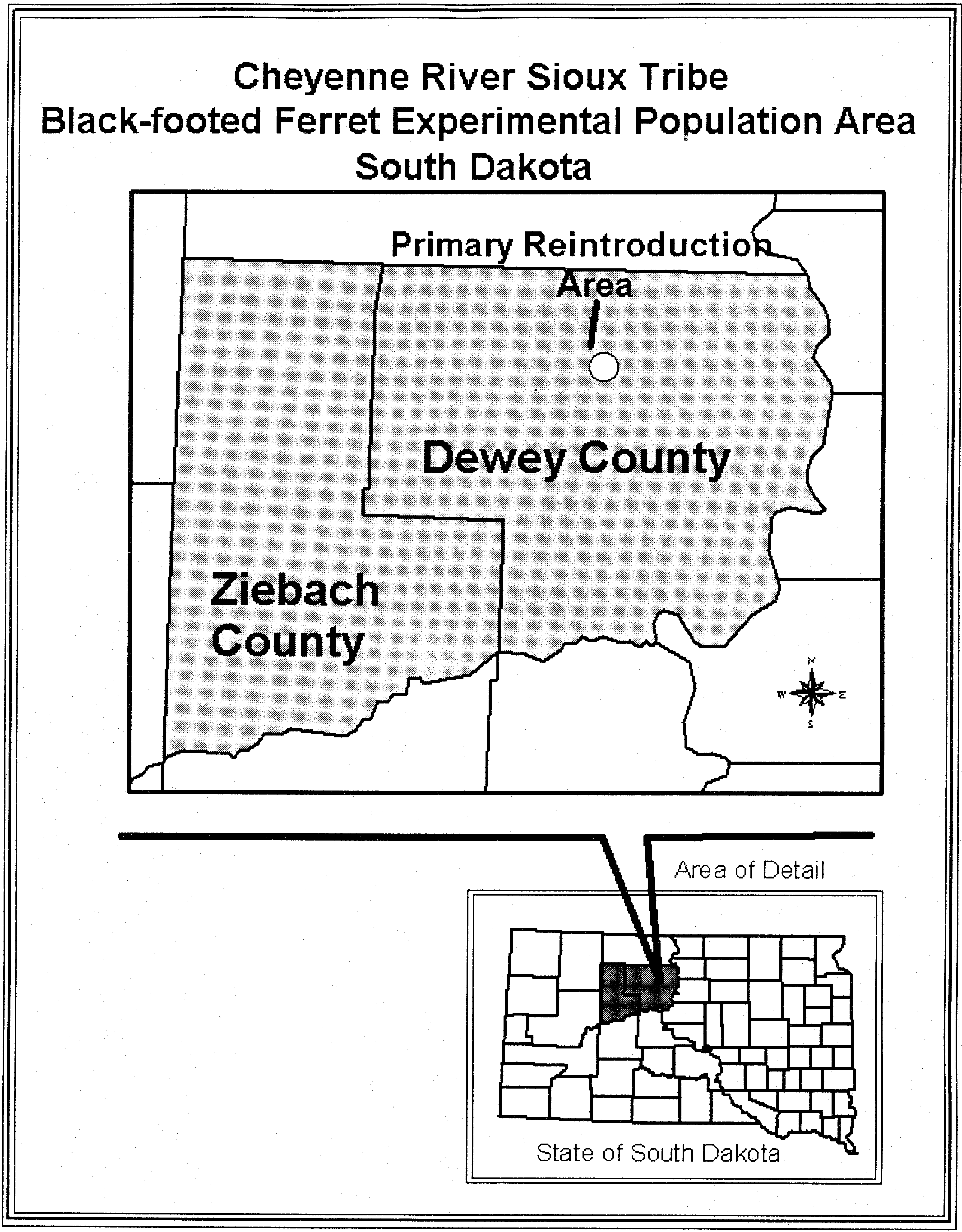


(h) Whooping crane (Grus americana). (1) The whooping crane populations identified in paragraphs (h)(9)(i) through (iv) of this section are nonessential experimental populations (NEPs) as defined in § 17.80.
(i) The only natural extant population of whooping cranes, known as the Aransas/Wood Buffalo National Park population, occurs well west of the Mississippi River. This population nests in the Northwest Territories and adjacent areas of Alberta, Canada, primarily within the boundaries of the Wood Buffalo National Park, and winters along the Central Texas Gulf of Mexico coast at Aransas National Wildlife Refuge.
(ii) No natural populations of whooping cranes are likely to come into contact with the NEPs set forth in paragraphs (h)(9)(i) through (iv) of this section. Whooping cranes adhere to ancestral breeding grounds, leaving little possibility that individuals from the extant Aransas/Wood Buffalo National Park population will stray into the NEPs. Studies of whooping cranes have shown that migration is a learned rather than an innate behavior.
(2) No person may take this species in the wild in the experimental population areas, except when such take is accidental and incidental to an otherwise lawful activity, or as provided in paragraphs (h)(3) and (4) of this section. Examples of otherwise lawful activities include, but are not limited to, oil and gas exploration and extraction, aquacultural practices, agricultural practices, pesticide application, water management, construction, recreation, trapping, or hunting, when such activities are in full compliance with all applicable laws and regulations.
(3) Any person with a valid permit issued by the Fish and Wildlife Service (Service) under § 17.32 may take whooping cranes in the wild in the experimental population areas for educational purposes, scientific purposes, the enhancement of propagation or survival of the species, and other conservation purposes consistent with the ESA and in accordance with applicable State fish and wildlife conservation laws and regulations.
(4) Any employee or agent of the Service or State wildlife agency who is designated for such purposes, when acting in the course of official duties, may take a whooping crane in the wild in the experimental population areas if such action is necessary to:
(i) Relocate a whooping crane to avoid conflict with human activities;
(ii) Relocate a whooping crane that has moved outside any of the areas identified in paragraphs (h)(9)(i) through (iv) of this section, when removal is necessary or requested and is authorized by a valid permit under § 17.22;
(iii) Relocate whooping cranes within the experimental population areas to improve survival and recovery prospects;
(iv) Relocate whooping cranes from the experimental population areas into captivity;
(v) Aid a sick, injured, or orphaned whooping crane; or
(vi) Dispose of a dead specimen or salvage a dead specimen that may be useful for scientific study.
(5) Any taking pursuant to paragraphs (h)(3) and (4) of this section must be immediately reported to the National Whooping Crane Coordinator, U.S. Fish and Wildlife Service, P.O. Box 100, Austwell, TX 77950 (Phone: 361-286-3559), who, in conjunction with his counterpart in the Canadian Wildlife Service, will determine the disposition of any live or dead specimens.
(6) No person shall possess, sell, deliver, carry, transport, ship, import, or export by any means whatsoever, any such species from the experimental populations taken in violation of these regulations or in violation of applicable State fish and wildlife laws or regulations or the Endangered Species Act.
(7) It is unlawful for any person to attempt to commit, solicit another to commit, or cause to be committed any offense defined in paragraphs (h)(2) through (6) of this section.
(8) The Service will not mandate any closure of areas, including National Wildlife Refuges, during hunting or conservation order seasons, or closure or modification of hunting or conservation order seasons, in the following situations:
(i) For the purpose of avoiding take of whooping cranes in the NEPs identified in paragraphs (h)(9)(i) through (iv) of this section;
(ii) If a clearly marked whooping crane from the NEPs identified in paragraphs (h)(9)(i) through (iv) of this section wanders outside the designated NEP areas. In this situation, the Service will attempt to capture the stray bird and return it to the appropriate area if removal is requested by the State.
(9) All whooping cranes found in the wild within the boundaries listed in paragraphs (h)(9)(i) through (iv) of this section will be considered nonessential experimental animals. Geographic areas the nonessential experimental populations may inhabit are within the historic range of the whooping crane in the United States and include the following:
(i) The entire State of Florida (the Kissimmee Prairie NEP). The reintroduction site is the Kissimmee Prairie portions of Polk, Osceola, Highlands, and Okeechobee Counties. The experimental population released at Kissimmee Prairie is expected to remain mostly within the prairie region of central Florida.
(ii) The States of Colorado, Idaho, New Mexico, and Utah, and the western half of the State of Wyoming (the Rocky Mountain NEP).
(iii) That portion of the eastern contiguous United States that includes the States of Alabama, Arkansas, Florida, Georgia, Illinois, Indiana, Iowa, Kentucky, Louisiana, Michigan, Minnesota, Mississippi, Missouri, North Carolina, Ohio, South Carolina, Tennessee, Virginia, West Virginia, and Wisconsin (the Eastern Migratory NEP). Whooping cranes within this population are expected to occur mostly within the States of Wisconsin, Illinois, Indiana, Kentucky, Tennessee, Georgia, and Florida. The additional States included within the experimental population area are those expected to receive occasional use by the cranes, or which may be used as breeding or wintering areas in the event of future population expansion.
(iv) The entire State of Louisiana (the Louisiana Nonmigratory NEP). The reintroduction site is the White Lake Wetlands Conservation Area of southwestern Louisiana in Vermilion Parish. Current information indicates that White Lake is the historic location of a resident nonmigratory population of whooping cranes that bred and reared young in Louisiana. Whooping cranes within this nonmigratory population are expected to occur mostly within the White Lake Wetlands Conservation Area and the nearby wetlands in Vermilion Parish. The marshes and wetlands of southwestern Louisiana are expected to receive occasional use by the cranes and may be used in the event of future population expansion.
(v) A map of all NEP areas in the United States for whooping cranes follows:

(10) The reintroduced populations will be monitored during the duration of the projects by the use of radio telemetry and other appropriate measures. Any animal that is determined to be sick, injured, or otherwise in need of special care will be recaptured to the extent possible by Service and/or State wildlife personnel or their designated agent and given appropriate care. Such animals will be released back to the wild as soon as possible, unless physical or behavioral problems make it necessary to return them to a captive-breeding facility.
(11) The Service will reevaluate the status of the experimental populations periodically to determine future management needs. This review will take into account the reproductive success and movement patterns of the individuals released within the experimental population areas.
(i) California condor (Gymnogyps californianus). (1) Where is the California condor designated as a nonessential experimental population (NEP)? The NEP area for the California condor is within the species' historical range in northern California, northwestern Nevada, and Oregon.
(i) The western boundary of the NEP is the Submerged Lands Act boundary line along the Pacific coast. The southern boundary of the NEP is formed by: An east-west line from California's Submerged Lands Act boundary to Hare Creek; Hare Creek from the Pacific Ocean to its junction with California State Route 1; north to the junction of State Route 1 and State Route 20; east along California State Route 20 to where it meets Interstate 80; and Interstate 80 from its intersection with California State Route 20 to U.S. Route 95 in Nevada. The eastern boundary of the NEP is U.S. Route 95 in Nevada to the State boundary of Oregon and then east and north along Oregon's southern and eastern boundaries, respectively. The northern boundary of the NEP is the State boundary between Oregon and Washington. All highway boundaries are inclusive of the entire highway right of way.
(ii) Map follows:

(iii) We are designating the experimental population area to accommodate the potential future movements of a wild population of California condors. The released population is expected to remain in the experimental area for the foreseeable future (approximately 20 years) due to the geographic extent of the designation.
(iv) We do not intend to change the status of this nonessential population unless:
(A) The California condor is recovered and subsequently removed from the list in § 17.11(h) in accordance with the Act; or
(B) The reintroduction is not successful and the regulations in this paragraph (i) are revoked.
(v) Legal actions or other circumstances may compel a change in this nonessential experimental population's legal status to essential, threatened, or endangered, or compel the Service to designate critical habitat for the California condors within the experimental population area defined in this rule. If this happens, all California condors will be removed from the area and this experimental population rule will be withdrawn, unless the participating parties in the reintroduction effort agree that the condors should remain in the wild. Changes in the legal status and/or removal of this population of California condors will be made in compliance with any applicable Federal rulemaking and other procedures.
(vi) We will not designate critical habitat for this NEP, as provided by 16 U.S.C. 1539(j)(2)(C)(ii).
(2) What take of the California condor is allowed in the NEP area? (i) Throughout the California condor NEP, you will not be in violation of the Act if you unavoidably and unintentionally take a California condor (except as noted in paragraph (i)(3)(ii) of this section), provided such take is non-negligent, incidental to a lawful activity (i.e., not done on purpose), and you report the take as soon as possible as provided under paragraph (i)(2)(iii) of this section. The phrase “unavoidably and unintentionally” means take that occurs despite the exertion of reasonable care to avoid take. Examples of activities that will not violate the take prohibitions of this section include, but are not limited to: Legal hunting of species other than condors; recreational shooting; ranching; farming; existing authorized uses of private and public lands; driving; recreational activities; and administrative and emergency functions carried out by local, State, or Federal government agencies.
(ii) Any person with a valid permit issued by the Service under § 17.32 may take California condors in the wild in the experimental population area, pursuant to the terms of the permit. Additionally, any employee or agent of the Service, National Park Service, Yurok Tribe Natural Resource Division, California Department of Parks and Recreation, California Department of Fish and Wildlife, Nevada Department of Wildlife, or Oregon Department of Fish and Wildlife who is designated and trained for such purposes, when acting in the course of official duties, may take a California condor within the NEP area if such action is necessary:
(A) For scientific purposes;
(B) To relocate or haze California condors within the experimental population area to improve California condor survival or recovery;
(C) To relocate California condors that have moved outside the experimental population area;
(D) To transport California condors to and from veterinary facilities or captive-breeding facilities;
(E) To address conflicts with ongoing or proposed activities in an attempt to improve California condor survival;
(F) To aid a sick, injured, or orphaned California condor;
(G) To salvage a dead specimen that may be useful for scientific study;
(H) To dispose of a dead specimen; or
(I) To aid in law enforcement investigations involving the California condor.
(iii) Any take pursuant to paragraphs (i)(2)(i), (i)(2)(ii)(F), (i)(2)(ii)(G), or (i)(2)(ii)(H) of this section must be reported as soon as possible to the California Condor Field Coordinator, California Condor Recovery Office, 2493 Portola Road, Suite A, Ventura, California 93003, (805/644-5185), who will determine the disposition of any live or dead specimens.
(3) What take of the California condor is not allowed in the NEP area? For the purposes of this rule, an occupied California condor nest is defined as a nest that is attended by a breeding pair of condors, occupied by a condor egg, or occupied or attended by a condor less than 1 year of age.
(i) Except as expressly allowed in paragraph (i)(2) of this section, all of the provisions of § 17.31(a) and (b) apply to the California condor in areas identified in paragraph (i)(1) of this section, and any manner of take not described under paragraph (i)(2) of this section is prohibited in the NEP.
(ii) Habitat alteration (e.g., removing trees, erecting structures, altering the nest structure or perches near the nest) within 656 ft (200 m) of an occupied nest is prohibited, except for emergency fuels treatment activities by Federal, State, Tribal, or local government agencies to reduce the risk of catastrophic wildfire or during responses to wildfire or other emergencies.
(iii) Significant visual or noise disturbance (e.g., tree felling, chainsaws, helicopter overflights, concrete cutters, fireworks, explosives) within 656 ft (200 m) of an occupied nest is prohibited, except for emergency fuels treatment activities by Federal, State, Tribal, or local government agencies to reduce the risk of catastrophic wildfire or during responses to wildfire or other emergencies. Activities such as ranching and use of existing roads and trails would not be considered a significant visual or noise disturbance.
(iv) You must not possess, sell, deliver, carry, transport, ship, import, or export, by any means whatsoever, any California condor or part thereof from the experimental population taken in violation of this paragraph (i) or in violation of applicable tribal or State laws or regulations or the Act.
(v) It is unlawful for you to attempt to commit, solicit another to commit, or cause to be committed, any take of the California condor, except as expressly allowed in paragraph (i)(2) of this section.
(4) How will the effectiveness of this reintroduction be monitored? The status of the reintroduction project will receive an informal review on an annual basis, and we will evaluate the reintroduction program to determine whether to continue or terminate reintroductions every 5 years as part of our 5-year status review for the species.
(i) This evaluation will include, but will not be limited to: A review of management issues; California condor movements and post-release behavior; assessment of food resources and dependence of California condors on supplemental food; fecundity of the population; causes and rates of mortality; project costs; public acceptance; and progress toward establishing a self-sustaining population.
(ii) If a formal evaluation indicates the project is experiencing a 40 percent or greater mortality rate over multiple years or released California condors are not finding food on their own, serious consideration will be given to terminating the project.
(j) California condor (Gymnogyps californianus).
(1) The California condor (Gymnogyps californianus) population identified in paragraph (j)(8) of this section is a nonessential experimental population, and the release of such population will further the conservation of the species.
(2) You must not take any California condor in the wild in the experimental population area except as provided by this rule:
(i) Throughout the entire California condor experimental population area, you will not be in violation of the Endangered Species Act (Act) if you unavoidably and unintentionally take (including killing or injuring) a California condor, provided such take is non-negligent and incidental to a lawful activity, such as hunting, driving, or recreational activities, and you report the take as soon as possible as provided under paragraph 5 below.
(ii) [Reserved]
(3) If you have a valid permit issued by the Service under § 17.32, you may take California condors in the wild in the experimental population area, pursuant to the terms of the permit.
(4) Any employee or agent of the Fish and Wildlife Service (Service), Bureau of Land Management or appropriate State wildlife agency, who is designated for such purposes, when acting in the course of official duties, may take a California condor from the wild in the experimental population area and vicinity if such action is necessary:
(i) For scientific purposes;
(ii) To relocate California condors within the experimental population area to improve condor survival, and to address conflicts with ongoing or proposed activities, or with private landowners, when removal is necessary to protect the condor, or is requested by an adversely affected landowner or land manager, or other adversely affected party. Adverse effects and requests for condor relocation will be documented, reported and resolved in as an expedient manner as appropriate to the specific situation to protect condors and avoid conflicts. Prior to any efforts to relocate condors, the Service will obtain permission from the appropriate landowner(s);
(iii) To relocate California condors that have moved outside the experimental population area, by returning the condor to the experimental population area or moving it to a captive breeding facility. All captures and relocations from outside the experimental population area will be coordinated with Service Cooperators, and conducted with the permission of the landowner(s) or appropriate land management agency(s).
(iv) To aid a sick, injured, or orphaned California condor;
(v) To salvage a dead specimen that may be useful for scientific study; or
(vi) To dispose of a dead specimen.
(5) Any taking pursuant to paragraphs (j)(2), (j)(4)(iv), (j)(4)(v), and (j)(4)(vi), of this section must be reported as soon as possible to the Field Supervisor, U.S. Fish and Wildlife Service, Ecological Services, Arizona Field Office, Phoenix, 2321 W. Royal Palm Road, Suite 103, Arizona (telephone 602/640-2720) who will determine the disposition of any live or dead specimens.
(6) You must not possess, sell, deliver, carry, transport, ship, import, or export by any means whatsoever, any California condor or part thereof from the experimental population taken in violation of this paragraph (j) or in violation of applicable State or Tribal laws or regulations or the Act.
(7) It is unlawful for you to attempt to commit, solicit another to commit, or cause to be committed, any offense defined in paragraphs (j)(2) and (j)(6) of this section.
(8) The designated experimental population area of the California condor includes portions of three states - Arizona, Nevada, and Utah. The southern boundary is Interstate Highway 40 in Arizona from its junction with Highway 191 west across Arizona to Kingman; the western boundary starts at Kingman, goes northwest on Highway 93 to Interstate Highway 15, continues northeasterly on Interstate Highway 15 in Nevada and Utah, to Interstate Highway 70 in Utah; where the northern boundary starts and goes across Utah to Highway 191; where the eastern boundary starts and goes south through Utah until Highway 191 meets Interstate Highway 40 in Arizona (See map at end of this paragraph (j)).
(i) All California condors released into the experimental population area, and their offspring, are to be marked and visually identifiable by colored and coded patagial wing markers.
(ii) The Service has designated the experimental population area to accommodate the potential future movements of a wild population of condors. All released condors and their progeny are expected to remain in the experimental area due to the geographic extent of the designation.
(9) The nonessential experimental population area includes the entire highway rights-of-way of the highways in paragraph (j)(8) of this section that constitute the perimeter boundary. All California condors found in the wild within these boundaries will comprise the experimental population.
(i) The experimental population is to be monitored during the reintroduction project. All California condors are to be given physical examinations before being released.
(ii) If there is any evidence that the condor is in poor health or diseased, it will not be released to the wild.
(iii) Any condor that displays signs of illness, is injured, or otherwise needs special care may be captured by authorized personnel of the Service, Bureau of Land Management, or appropriate State wildlife agency or their agents, and given the appropriate care. These condors are to be re-released into the reintroduction area as soon as possible, unless physical or behavioral problems make it necessary to keep them in captivity for an extended period of time, or permanently.
(10) The status of the reintroduction project is to receive an informal review on an annual basis and a formal evaluation within the first 5 years after the initial release, and every 5 years thereafter. This evaluation will include, but not be limited to: a review of management issues; compliance with agreements; assessment of available carrion; dependence of older condors on supplemental food sources; post release behavior; causes and rates of mortality; alternative release sites; project costs; public acceptance; and accomplishment of recovery tasks prescribed in California Condor Recovery Plan. The number of variables that could affect this reintroduction project make it difficult to develop criteria for success or failure after 5 years. However, if after 5 years the project is experiencing a 40 percent or greater mortality rate or released condors are not finding food on their own, serious consideration will be given to terminating the project.
(11) The Service does not intend to pursue a change in the nonessential experimental population designation to experimental essential, threatened, or endangered, or modify the experimental population area boundaries without consulting with and obtaining the full cooperation of affected parties located within the experimental population area, the reintroduction program cooperators identified in the memorandum of understanding (MOU) for this program, and the cooperators identified in the agreement for this program.
(i) The Service does not intend to change the status of this nonessential population until the California condor is recovered and delisted in accordance with the Act or if the reintroduction is not successful and the rule is revoked. No designation of critical habitat will be made for nonessential populations (16 U.S.C. § 1539(j)(2)(C)(ii).
(ii) Legal actions or other circumstances may compel a change in this nonessential experimental population's legal status to essential, threatened, or endangered, or compel the Service to designate critical habitat for the California condors within the experimental population area defined in this rule. If this happens, all California condors will be removed from the area and this experimental population rule will be revoked, unless the parties to the MOU and agreement existing at that time agree that the birds should remain in the wild. Changes in the legal status and/or removal of this population of California condors will be made in compliance with any applicable Federal rulemaking and other procedures.

(k) Mexican wolf (Canis lupus baileyi). This paragraph (k) sets forth the provisions of a rule to establish an experimental population of Mexican wolves.
(1) Purpose of the rule. The U.S. Fish and Wildlife Service (Service) finds that reestablishment of an experimental population of Mexican wolves into the subspecies' probable historical range will further the conservation of the Mexican wolf subspecies. The Service found that the experimental population was not essential under § 17.81(c)(2).
(2) Determinations. The Mexican wolf population reestablished in the Mexican Wolf Experimental Population Area (MWEPA), identified in paragraph (k)(4) of this section, is one nonessential experimental population. This nonessential experimental population will be managed according to the provisions of this rule. The Service does not intend to change the nonessential experimental designation to essential experimental, threatened, or endangered. Critical habitat cannot be designated under the nonessential experimental classification, 16 U.S.C. 1539(j)(2)(C)(ii).
(3) Definitions. Key terms used in this rule have the following definitions:
Active den means a den or a specific site above or below ground that is used by Mexican wolves on a daily basis to bear and raise pups, typically between approximately April 1 and July 31. More than one den site may be used in a single season.
Cross-foster means the removal of offspring from their biological parents and placement with surrogate parents.
Depredation means the confirmed killing or wounding of lawfully present domestic animals by one or more Mexican wolves. The Service, Wildlife Services, or other Service-designated agencies will confirm cases of wolf depredation on lawfully present domestic animals. Cattle trespassing on Federal lands are not considered lawfully present domestic animals.
Designated agency means a Federal, State, or tribal agency designated by the Service to assist in implementing this rule, all or in part, consistent with a Service-approved management plan, special management measure, conference opinion pursuant to section 7(a)(4) of the Act, section 6 of the Act as described in § 17.31 for State game and fish agencies with authority to manage Mexican wolves, or a valid permit issued by the Service through § 17.32.
Disturbance-causing land-use activity means any activity on Federal lands within a 1-mi (1.6-km) radius around release pens when Mexican wolves are in them, around active dens between April 1 and July 31, and around active Mexican wolf rendezvous sites between June 1 and September 30, which the Service determines could adversely affect reproductive success, natural behavior, or persistence of Mexican wolves. Such activities may include, but are not limited to, timber or wood harvesting, prescribed fire, mining or mine development, camping outside designated campgrounds, livestock husbandry activities (e.g., livestock drives, roundups, branding, vaccinating, etc.), off-road vehicle use, hunting, and any other use or activity with the potential to disturb wolves. The following activities are specifically excluded from this definition:
(A) Lawfully present livestock and use of water sources by livestock;
(B) Livestock drives if no reasonable alternative route or timing exists;
(C) Vehicle access over established roads to non-Federal land where legally permitted activities are ongoing if no reasonable alternative route exists;
(D) Use of lands within the National Park or National Wildlife Refuge Systems as safety buffer zones for military activities and Department of Homeland Security border security activities;
(E) Fire-fighting activities associated with wildfires; and
(F) Any authorized, specific land use that was active and ongoing at the time Mexican wolves chose to locate a den or rendezvous site nearby.
Domestic animal means livestock as defined in this paragraph (k)(3) and non-feral dogs.
Federal land means land owned and under the administration of Federal agencies including, but not limited to, the Service, National Park Service, Bureau of Land Management, U.S. Forest Service, Department of Energy, or Department of Defense.
Feral dog means any dog (Canis familiaris) or wolf-dog hybrid that, because of absence of physical restraint or conspicuous means of identifying it at a distance as non-feral, is reasonably thought to range freely without discernible, proximate control by any person. Feral dogs do not include domestic dogs that are penned, leashed, or otherwise restrained (e.g., by shock collar) or which are working livestock or being lawfully used to trail or locate wildlife.
Harass means intentional or negligent actions or omissions that create the likelihood of injury to wildlife by annoying it to such an extent as to significantly disrupt normal behavioral patterns, which include, but are not limited to, breeding, feeding, or sheltering.
In the act of biting, killing, or wounding means grasping, biting, wounding, or feeding upon a live domestic animal on non-Federal land or live livestock on Federal land. The term does not include feeding on an animal carcass.
Initial release means the release of Mexican wolves to the wild within Zone 1, as defined in this paragraph (k)(3), or in accordance with tribal or private land agreements in Zone 2, as defined in this paragraph (k)(3), that have never been in the wild, or releasing pups that have never been in the wild and are less than 5 months old within Zones 1 or 2. The initial release of pups less than 5 months old into Zone 2 allows for the cross-fostering of pups from the captive population into the wild, as well as enables translocation-eligible adults to be re-released in Zone 2 with pups born in captivity.
Intentional harassment means deliberate, preplanned harassment of Mexican wolves, including by less-than-lethal means (such as 12-gauge shotgun rubber-bullets and bean-bag shells) designed to cause physical discomfort and temporary physical injury, but not death. Intentional harassment includes situations where the Mexican wolf or wolves may have been unintentionally attracted - or intentionally tracked, waited for, chased, or searched out - and then harassed. Intentional harassment of Mexican wolves is only allowed under a permit issued by the Service or its designated agency.
Livestock means domestic alpacas, bison, burros (donkeys), cattle, goats, horses, llamas, mules, and sheep, or other domestic animals defined as livestock in Service-approved State and tribal Mexican wolf management plans. Poultry is not considered livestock under this rule.
Mexican Wolf Experimental Population Area (MWEPA) means an area in Arizona and New Mexico including Zones 1, 2, and 3, as defined in this paragraph (k)(3), that lies south of Interstate Highway 40 to the international border with Mexico.
Non-Federal land means any private, State-owned, or tribal trust land.
Occupied Mexican wolf range means an area of confirmed presence of Mexican wolves based on the most recent map of occupied range posted on the Service's Mexican Wolf Recovery Program Web site at http://www.fws.gov/southwest/es/mexicanwolf/. Specific to the prohibitions at paragraphs (k)(5)(iii) and (k)(5)(vii)(D) of this section, Zone 3, as defined in this paragraph (k)(3), and tribal trust lands are not considered occupied range.
Opportunistic harassment means scaring any Mexican wolf from the immediate area by taking actions such as discharging firearms or other projectile-launching devices in proximity to, but not in the direction of, the wolf, throwing objects at it, or making loud noise in proximity to it. Such harassment might cause temporary, non-debilitating physical injury, but is not reasonably anticipated to cause permanent physical injury or death. Opportunistic harassment of Mexican wolves can occur without a permit issued by the Service or its designated agency.
Problem wolves mean Mexican wolves that, for purposes of management and control by the Service or its designated agent(s), are:
(A) Individuals or members of a group or pack (including adults, yearlings, and pups greater than 4 months of age) that were involved in a depredation on lawfully present domestic animals;
(B) Habituated to humans, human residences, or other facilities regularly occupied by humans; or
(C) Aggressive when unprovoked toward humans.
Rendezvous site means a gathering and activity area regularly used by Mexican wolf pups after they have emerged from the den. Typically, these sites are used for a period ranging from about 1 week to 1 month in the first summer after birth during the period from June 1 to September 30. Several rendezvous sites may be used in succession within a single season.
Service-approved management plan means management plans approved by the Regional Director or Director of the Service through which Federal, State, or tribal agencies may become a designated agency. The management plan must address how Mexican wolves will be managed to achieve conservation goals in compliance with the Act, this experimental population rule, and other Service policies. If a Federal, State, or tribal agency becomes a designated agency through a Service-approved management plan, the Service will help coordinate their activities while retaining authority for program direction, oversight, guidance, and authorization of Mexican wolf removals.
Take means to harass, harm, pursue, hunt, shoot, wound, kill, trap, capture, or collect, or to attempt to engage in any such conduct (16 U.S.C. 1532(19)).
Translocate means the release of Mexican wolves into the wild that have previously been in the wild. In the MWEPA, translocations will occur only in Zones 1 and 2, as defined in this paragraph (k)(3).
Tribal trust land means any lands title to which is either: Held in trust by the United States for the benefit of any Indian tribe or individual; or held by any Indian tribe or individual subject to restrictions by the United States against alienation. For purposes of this rule, tribal trust land does not include land purchased in fee title by a tribe. We consider fee simple land purchased by tribes to be private land.
Unacceptable impact to a wild ungulate herd will be determined by a State game and fish agency based upon ungulate management goals, or a 15 percent decline in an ungulate herd as documented by a State game and fish agency, using their preferred methodology, based on the preponderance of evidence from bull to cow ratios, cow to calf ratios, hunter days, and/or elk population estimates.
Unintentional take means the take of a Mexican wolf by any person if the take is unintentional and occurs while engaging in an otherwise lawful activity, occurs despite the use of due care, is coincidental to an otherwise lawful activity, and is not done on purpose. Taking a Mexican wolf by poisoning or shooting will not be considered unintentional take.
Wild ungulate herd means an assemblage of wild ungulates (bighorn sheep, bison, deer, elk, or pronghorn) living in a given area.
Wildlife Services means the U.S. Department of Agriculture, Animal and Plant Health Inspection Service, Wildlife Services.
Wounded means exhibiting scraped or torn hide or flesh, bleeding, or other evidence of physical damage caused by a Mexican wolf bite.
Zone 1 means an area within the MWEPA in Arizona and New Mexico into which Mexican wolves will be allowed to naturally disperse and occupy and where Mexican wolves may be initially released from captivity or translocated. Zone 1 includes all of the Apache, Gila, and Sitgreaves National Forests; the Payson, Pleasant Valley, and Tonto Basin Ranger Districts of the Tonto National Forest; and the Magdalena Ranger District of the Cibola National Forest.
Zone 2 is an area within the MWEPA into which Mexican wolves will be allowed to naturally disperse and occupy, and where Mexican wolves may be translocated.
(A) On Federal land in Zone 2, initial releases of Mexican wolves are limited to pups less than 5 months old, which allows for the cross-fostering of pups from the captive population into the wild, as well as enables translocation-eligible adults to be re-released with pups born in captivity. On private and tribal land in Zone 2, Mexican wolves of any age, including adults, can also be initially released under a Service- and State-approved management agreement with private landowners or a Service-approved management agreement with tribal agencies.
(B) The northern boundary of Zone 2 is Interstate Highway 40; the western boundary extends south from Interstate Highway 40 and follows Arizona State Highway 93, Arizona State Highway 89/60, Interstate Highway 10, and Interstate Highway 19 to the United States-Mexico international border; the southern boundary is the United States-Mexico international border heading east, then follows New Mexico State Highway 81/146 north to Interstate Highway 10, then along New Mexico State Highway 26 to Interstate Highway 25; the boundary continues along New Mexico State Highway 70/54/506/24; the eastern boundary follows the eastern edge of Otero County, New Mexico, to the north and then along the southern and then eastern edge of Lincoln County, New Mexico, until it intersects with New Mexico State Hwy 285 and follows New Mexico State Highway 285 north to the northern boundary of Interstate Highway 40. Zone 2 excludes the area in Zone 1, as defined in this paragraph (k)(3).
Zone 3 means an area within the MWEPA into which Mexican wolves will be allowed to disperse and occupy, but neither initial releases nor translocations will occur there.
(A) Zone 3 is an area of less suitable Mexican wolf habitat where Mexican wolves will be more actively managed under the authorities of this rule to reduce human conflict. We expect Mexican wolves to occupy areas of suitable habitat where ungulate populations are adequate to support them and conflict with humans and their livestock is low. If Mexican wolves move outside of areas of suitable habitat, they will be more actively managed.
(B) Zone 3 is two separate geographic areas on the eastern and western sides of the MWEPA. One area of Zone 3 is in western Arizona, and the other is in eastern New Mexico. In Arizona, the northern boundary of Zone 3 is Interstate Highway 40; the eastern boundary extends south from Interstate Highway 40 and follows State Highway 93, State Highway 89/60, Interstate Highway 10, and Interstate Highway 19 to the United States-Mexico international border; the southern boundary is the United States-Mexico international border; the western boundary is the Arizona-California State border. In New Mexico, the northern boundary of Zone 3 is Interstate Highway 40; the eastern boundary is the New Mexico-Texas State border; the southern boundary is the United States-Mexico international border heading west, then follows State Highway 81/146 north to Interstate Highway 10, then along State Highway 26 to Interstate Highway 25, the southern boundary continues along State Highway 70/54/506/24; the western boundary follows the eastern edge of Otero County to the north and then along the southern and then eastern edge of Lincoln County until it follows State Highway 285 north to the northern boundary of Interstate Highway 40.
(4) Designated area. The designated experimental population area for Mexican wolves classified as a nonessential experimental population by this rule is within the subspecies' probable historical range and is wholly separate geographically from the current range of any known Mexican wolves. The boundaries of the MWEPA are the portions of Arizona and New Mexico that are south of Interstate Highway 40 to the international border with Mexico. A map of the MWEPA follows:
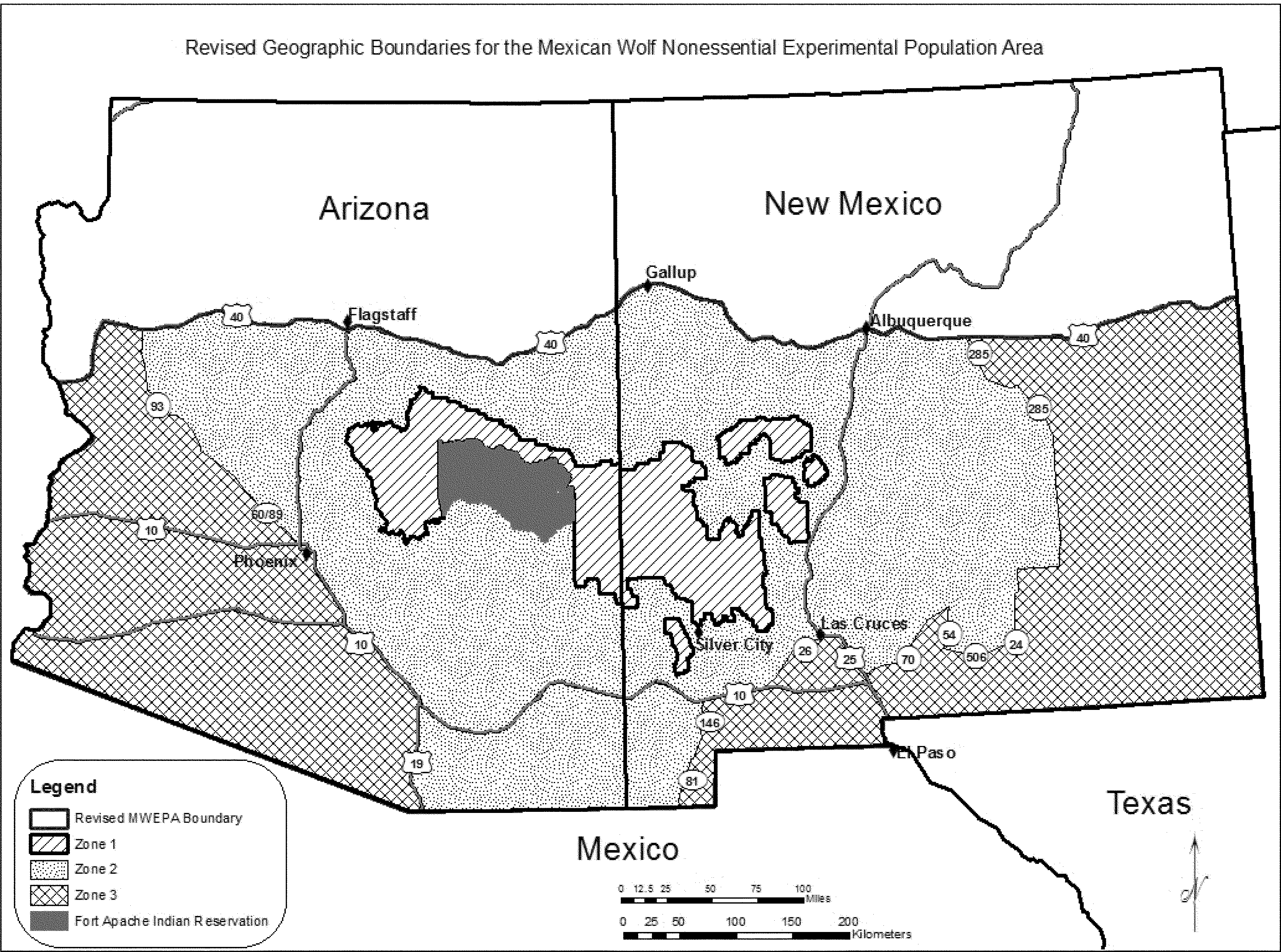
(5) Prohibitions. Take of any Mexican wolf in the experimental population is prohibited, except as provided in paragraph (k)(7) of this section. Specifically, the following actions are prohibited by this rule:
(i) No person may possess, sell, deliver, carry, transport, ship, import, or export by any means whatsoever any Mexican wolf or wolf part from the experimental population except as authorized in this rule or by a valid permit issued by the Service under § 17.32. If a person kills or injures a Mexican wolf or finds a dead or injured wolf or wolf parts, the person must not disturb them (unless instructed to do so by the Service or a designated agency), must minimize disturbance of the area around them, and must report the incident to the Service's Mexican Wolf Recovery Coordinator or a designated agency of the Service within 24 hours as described in paragraph (k)(6) of this section.
(ii) No person may attempt to commit, solicit another to commit, or cause to be committed, any offense defined in this rule.
(iii) Taking a Mexican wolf with a trap, snare, or other type of capture device within occupied Mexican wolf range is prohibited (except as authorized in paragraph (k)(7)(iv) of this section) and will not be considered unintentional take, unless due care was exercised to avoid injury or death to a wolf. With regard to trapping activities, due care includes:
(A) Following the regulations, proclamations, recommendations, guidelines, and/or laws within the State or tribal trust lands where the trapping takes place.
(B) Modifying or using appropriately sized traps, chains, drags, and stakes that provide a reasonable expectation that the wolf will be prevented from either breaking the chain or escaping with the trap on the wolf, or using sufficiently small traps (less than or equal to a Victor #2 trap) that allow a reasonable expectation that the wolf will either immediately pull free from the trap or span the jaw spread when stepping on the trap.
(C) Not taking a Mexican wolf using neck snares.
(D) Reporting the capture of a Mexican wolf (even if the wolf has pulled free) within 24 hours to the Service as described in paragraph (k)(6) of this section.
(E) If a Mexican wolf is captured, trappers can call the Interagency Field Team (1-888-459-WOLF [9653]) as soon as possible to arrange for radio-collaring and releasing of the wolf. Per State regulations for releasing nontarget animals, trappers may also choose to release the animal alive and subsequently contact the Service or Interagency Field Team.
(6) Reporting requirements. Unless otherwise specified in this rule or in a permit, any take of a Mexican wolf must be reported to the Service or a designated agency within 24 hours. We will allow additional reasonable time if access to the site is limited. Report any take of Mexican wolves, including opportunistic harassment, to the Mexican Wolf Recovery Program, U.S. Fish and Wildlife Service, New Mexico Ecological Services Field Office, 2105 Osuna Road, NE., Albuquerque, NM 87113; by telephone 505-761-4704; or by facsimile 505-346-2542. Additional contact information can also be found on the Mexican Wolf Recovery Program's Web site at http://www.fws.gov/southwest/es/mexicanwolf/. Unless otherwise specified in a permit, any wolf or wolf part taken legally must be turned over to the Service, which will determine the disposition of any live or dead wolves.
(7) Allowable forms of take of Mexican wolves. Take of Mexican wolves in the experimental population is allowed as follows:
(i) Take in defense of human life. Under section 11(a)(3) of the Act and § 17.21(c)(2), any person may take (which includes killing as well as nonlethal actions such as harassing or harming) a Mexican wolf in self-defense or defense of the lives of others. This take must be reported as specified in accordance with paragraph (k)(6) of this section. If the Service or a designated agency determines that a Mexican wolf presents a threat to human life or safety, the Service or the designated agency may kill the wolf or place it in captivity.
(ii) Opportunistic harassment. Anyone may conduct opportunistic harassment of any Mexican wolf at any time provided that Mexican wolves are not purposefully attracted, tracked, searched out, or chased and then harassed. Such harassment of Mexican wolves might cause temporary, non-debilitating physical injury, but is not reasonably anticipated to cause permanent physical injury or death. Any form of opportunistic harassment must be reported as specified in accordance with paragraph (k)(6) of this section.
(iii) Intentional harassment. After the Service or its designated agency has confirmed Mexican wolf presence on any land within the MWEPA, the Service or its designated agency may issue permits valid for not longer than 1 year, with appropriate stipulations or conditions, to allow intentional harassment of Mexican wolves. The harassment must occur in the area and under the conditions specifically identified in the permit. Permittees must report this take as specified in accordance with paragraph (k)(6) of this section.
(iv) Take on non-Federal lands.
(A) On non-Federal lands anywhere within the MWEPA, domestic animal owners or their agents may take (including kill or injure) any Mexican wolf that is in the act of biting, killing, or wounding a domestic animal, as defined in paragraph (k)(3) of this section. After the take of a Mexican wolf, the Service must be provided evidence that the wolf was in the act of biting, killing, or wounding a domestic animal at the time of take, such as evidence of freshly wounded or killed domestic animals. This take must be reported as specified in accordance with paragraph (k)(6) of this section. The take of any Mexican wolf without evidence of biting, killing, or wounding domestic animals may be referred to the appropriate authorities for investigation.
(B) Take of Mexican wolves by livestock guarding dogs, when used to protect livestock on non-Federal lands, is allowed. If such take by a guard dog occurs, it must be reported as specified in accordance with paragraph (k)(6) of this section.
(C) Based on the Service's or a designated agency's discretion and in conjunction with a removal action authorized by the Service, the Service or designated agency may issue permits to domestic animal owners or their agents (e.g., employees, land manager, local officials) to take (including intentional harassment or killing) any Mexican wolf that is present on non-Federal land where specified in the permit. Permits issued under this provision will specify the number of days for which the permit is valid and the maximum number of Mexican wolves for which take is allowed. Take by permittees under this provision will assist the Service or designated agency in completing control actions. Domestic animal owners or their agents must report this take as specified in accordance with paragraph (k)(6) of this section.
(v) Take on Federal land.
(A) Based on the Service's or a designated agency's discretion and in conjunction with a removal action authorized by the Service, the Service may issue permits to livestock owners or their agents (e.g., employees, land manager, local officials) to take (including intentional harassment or killing) any Mexican wolf that is in the act of biting, killing, or wounding livestock on Federal land where specified in the permit.
(1) Permits issued under this provision will specify the number of days for which the permit is valid and the maximum number of Mexican wolves for which take is allowed. Take by permittees under this provision will assist the Service or designated agency in completing control actions. Livestock owners or their agents must report this take as specified in accordance with paragraph (k)(6) of this section.
(2) After the take of a Mexican wolf, the Service must be provided evidence that the wolf was in the act of biting, killing, or wounding livestock at the time of take, such as evidence of freshly wounded or killed livestock. The take of any Mexican wolf without evidence of biting, killing, or wounding domestic animals may be referred to the appropriate authorities for investigation.
(B) Take of Mexican wolves by livestock guarding dogs, when used to protect livestock on Federal lands, is allowed. If such take by a guard dog occurs, it must be reported as specified in accordance with paragraph (k)(6) of this section.
(C) This provision for take on Federal land does not exempt Federal agencies and their contractors from complying with sections 7(a)(1) and 7(a)(4) of the Act, the latter of which requires a conference with the Service if they propose an action that is likely to jeopardize the continued existence of the Mexican wolf. In areas within the National Park System and National Wildlife Refuge System, Federal agencies must treat Mexican wolves as a threatened species for purposes of complying with section 7 of the Act.
(vi) Take in response to unacceptable impacts to a wild ungulate herd. If the Arizona or New Mexico game and fish agency determines that Mexican wolf predation is having an unacceptable impact to a wild ungulate herd, as defined in paragraph (k)(3) of this section, the respective State game and fish agency may request approval from the Service that Mexican wolves be removed from the area of the impacted wild ungulate herd. Upon written approval from the Service, the State (Arizona or New Mexico) or any designated agency may be authorized to remove (capture and translocate in the MWEPA, move to captivity, transfer to Mexico, or lethally take) Mexican wolves. These management actions must occur in accordance with the following provisions:
(A) The Arizona or New Mexico game and fish agency must prepare a science-based document that:
(1) Describes what data indicate that the wild ungulate herd is below management objectives, what data indicate that the impact on the wild ungulate herd is influenced by Mexican wolf predation, why Mexican wolf removal is a warranted solution to help restore the wild ungulate herd to State game and fish agency management objectives, the type (level and duration) of Mexican wolf removal management action being proposed, and how wild ungulate herd response to wolf removal will be measured and control actions adjusted for effectiveness;
(2) Demonstrates that attempts were and are being made to identify other causes of wild ungulate herd declines and possible remedies or conservation measures in addition to wolf removal;
(3) If appropriate, identifies areas of suitable habitat for Mexican wolf translocation; and
(4) Has been subjected to peer review and public comment prior to its submittal to the Service for written concurrence. In order to comply with this requirement, the State game and fish agency must:
(i) Conduct the peer review process in conformance with the Office of Management and Budget's most recent Final Information and Quality Bulletin for Peer Review and include in their proposal an explanation of how the bulletin's standards were considered and satisfied; and
(ii) Obtain at least three independent peer reviews from individuals with relevant expertise other than staff employed by the State (Arizona or New Mexico) requesting approval from the Service that Mexican wolves be removed from the area of the affected wild ungulate herd.
(B) Before the Service will allow Mexican wolf removal in response to impacts to wild ungulates, the Service will evaluate the information provided by the requesting State (Arizona or New Mexico) and provide a written determination to the requesting State game and fish agency on whether such actions are scientifically based and warranted.
(C) If all of the provisions above are met, the Service will, to the maximum extent allowable under the Act, make a determination providing for Mexican wolf removal. If the request is approved, the Service will include in the written determination which management action (capture and translocate in MWEPA, move to captivity, transfer to Mexico, lethally take, or no action) is most appropriate for the conservation of the Mexican wolf subspecies.
(D) Because tribes are able to request the capture and removal of Mexican wolves from tribal trust lands at any time, take in response to impacts to wild ungulate herds is not applicable on tribal trust lands.
(vii) Take by Service personnel or a designated agency. The Service or a designated agency may take any Mexican wolf in the experimental population in a manner consistent with a Service-approved management plan, special management measure, biological opinion pursuant to section 7(a)(2) of the Act, conference opinion pursuant to section 7(a)(4) of the Act, section 6 of the Act as described in § 17.31 for State game and fish agencies with authority to manage Mexican wolves, or a valid permit issued by the Service through § 17.32.
(A) The Service or designated agency may use leg-hold traps and any other effective device or method for capturing or killing Mexican wolves to carry out any measure that is a part of a Service-approved management plan, special management measure, or valid permit issued by the Service under § 17.32, regardless of State law. The disposition of all Mexican wolves (live or dead) or their parts taken as part of a Service-approved management activity must follow provisions in Service-approved management plans or interagency agreements or procedures approved by the Service on a case-by-case basis.
(B) The Service or designated agency may capture; kill; subject to genetic testing; place in captivity; or euthanize any feral wolf-like animal or feral wolf hybrid found within the MWEPA that shows physical or behavioral evidence of: Hybridization with other canids, such as domestic dogs or coyotes; being a wolf-like animal raised in captivity, other than as part of a Service-approved wolf recovery program; or being socialized or habituated to humans. If determined to be a pure Mexican wolf, the wolf may be returned to the wild.
(C) The Service or designated agency may carry out intentional or opportunistic harassment, nonlethal control measures, translocation, placement in captivity, or lethal control of problem wolves. To determine the presence of problem wolves, the Service will consider all of the following:
(1) Evidence of wounded domestic animal(s) or remains of domestic animal(s) that show that the injury or death was caused by Mexican wolves;
(2) The likelihood that additional Mexican wolf-caused depredations or attacks of domestic animals may occur if no harassment, nonlethal control, translocation, placement in captivity, or lethal control is taken;
(3) Evidence of attractants or intentional feeding (baiting) of Mexican wolves; and
(4) Evidence that Mexican wolves are habituated to humans, human residences, or other facilities regularly occupied by humans, or evidence that Mexican wolves have exhibited unprovoked and aggressive behavior toward humans.
(D) Wildlife Services will not use M-44's and choking-type snares in occupied Mexican wolf range. Wildlife Services may restrict or modify other predator control activities pursuant to a Service-approved management agreement or a conference opinion between Wildlife Services and the Service.
(viii) Unintentional take.
(A) Take of a Mexican wolf by any person is allowed if the take is unintentional and occurs while engaging in an otherwise lawful activity. Such take must be reported as specified in accordance with paragraph (k)(6) of this section. Hunters and other shooters have the responsibility to identify their quarry or target before shooting; therefore, shooting a Mexican wolf as a result of mistaking it for another species will not be considered unintentional take. Take by poisoning will not be considered unintentional take.
(B) Federal, State, or tribal agency employees or their contractors may take a Mexican wolf or wolf-like animal if the take is unintentional and occurs while engaging in the course of their official duties. This includes, but is not limited to, military training and testing and Department of Homeland Security border security activities. Take of Mexican wolves by Federal, State, or tribal agencies must be reported as specified in accordance with paragraph (k)(6) of this section.
(C) Take of Mexican wolves by Wildlife Services employees while conducting official duties associated with predator damage management activities for species other than Mexican wolves may be considered unintentional if it is coincidental to a legal activity and the Wildlife Services employees have adhered to all applicable Wildlife Services' policies, Mexican wolf standard operating procedures, and reasonable and prudent measures or recommendations contained in Wildlife Service's biological and conference opinions.
(ix) Take for research purposes. The Service may issue permits under § 17.32, and designated agencies may issue permits under State and Federal laws and regulations, for individuals to take Mexican wolves pursuant to scientific study proposals approved by the agency or agencies with jurisdiction for Mexican wolves and for the area in which the study will occur. Such take should lead to management recommendations for, and thus provide for the conservation of, the Mexican wolf.
(8) Disturbance-causing land-use activities. For any activity on Federal lands that the Service determines could adversely affect reproductive success, natural behavior, or persistence of Mexican wolves, the Service will work with Federal agencies to use their authorities to temporarily restrict human access and disturbance-causing land-use activities within a 1-mi (1.6-km) radius around release pens when Mexican wolves are in them, around active dens between approximately April 1 and July 31, and around active Mexican wolf rendezvous sites between approximately June 1 and September 30, as necessary.
(9) Management.
(i) On private land within Zones 1 and 2, as defined in paragraph (k)(3) of this section, of the MWEPA, the Service or designated agency may develop and implement management actions to benefit Mexican wolf recovery in cooperation with willing private landowners, including initial release and translocation of Mexican wolves onto such lands in Zones 1 or 2 if requested by the landowner and with the concurrence of the State game and fish agency.
(ii) On tribal trust land within Zones 1 and 2, as defined in paragraph (k)(3) of this section, of the MWEPA, the Service or a designated agency may develop and implement management actions in cooperation with willing tribal governments, including: occupancy by natural dispersal, initial release, and translocation of Mexican wolves onto such lands. No agreement between the Service and a Tribe is necessary for the capture and removal of Mexican wolves from tribal trust lands if requested by the tribal government.
(iii) Based on end-of-year counts, we will manage for a population objective of 300 to 325 Mexican wolves in the MWEPA in Arizona and New Mexico. So as not to exceed this population objective, we will exercise all management options with preference for translocation to other Mexican wolf populations to further the conservation of the subspecies. The Service may change this provision as necessary to accommodate a new recovery plan.
(iv) We are implementing a phased approach to Mexican wolf management within the MWEPA in western Arizona as follows:
(A) Phase 1 will be implemented for the first 5 years following February 17, 2015. During this phase, initial releases and translocation of Mexican wolves can occur throughout Zone 1 with the exception of the area west of State Highway 87 in Arizona. No translocations can be conducted west of State Highway 87 in Arizona in Zone 2. Mexican wolves can disperse naturally from Zones 1 and 2 into, and occupy, the MWEPA (Zones 1, 2, and 3, as defined in paragraph (k)(3) of this section). However, during Phase 1, dispersal and occupancy in Zone 2 west of State Highway 87 will be limited to the area north of State Highway 260 and west to Interstate 17. A map of Phase 1 follows:
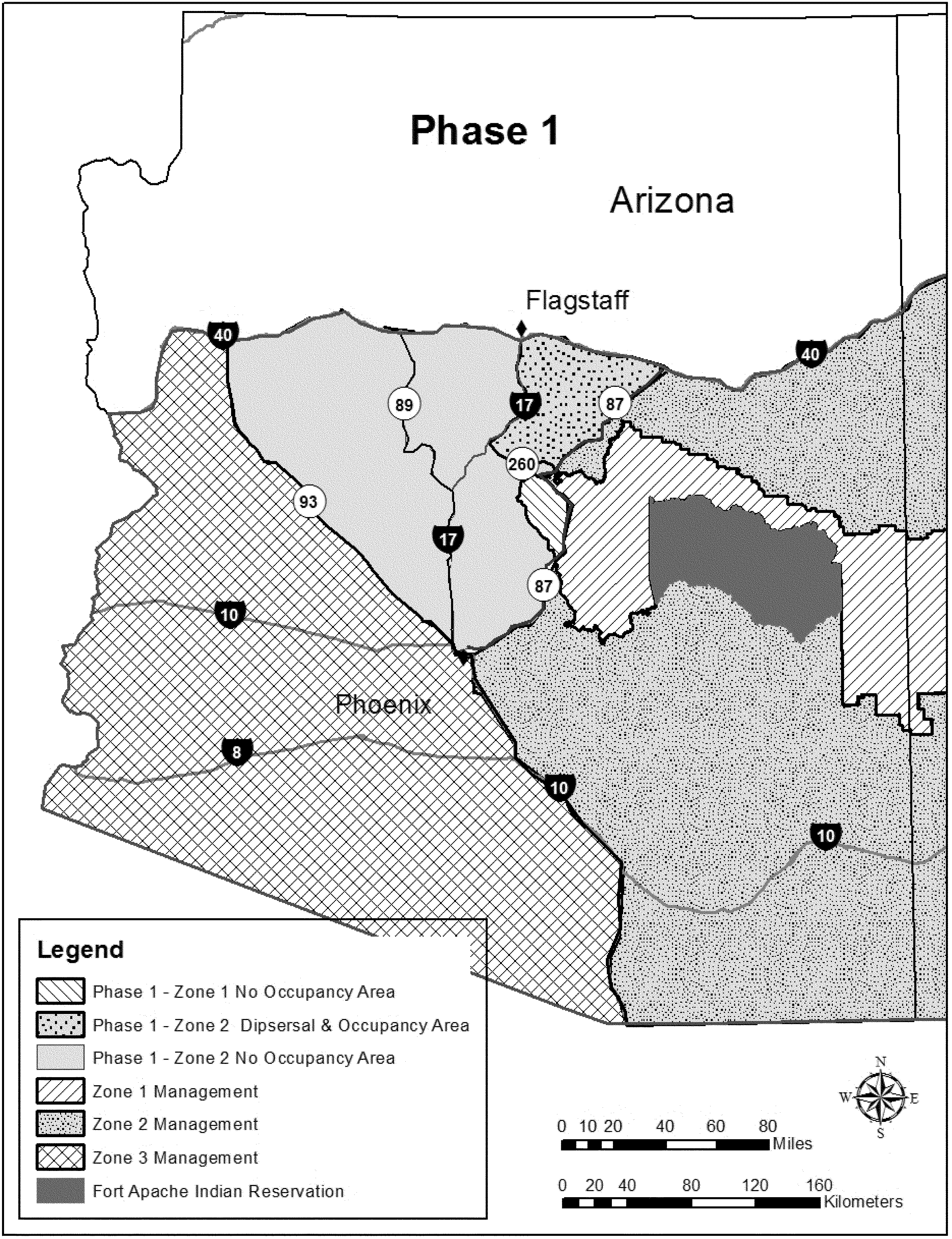
(B) In Phase 2, initial releases and translocation of Mexican wolves can occur throughout Zone 1 including the area west of State Highway 87 in Arizona. No translocations can be conducted west of Interstate Highway 17 in Arizona. Mexican wolves can disperse naturally from Zones 1 and 2 into, and occupy, the MWEPA (Zones 1, 2, and 3, as defined in paragraph (k)(3) of this section). However, during Phase 2, dispersal and occupancy west of Interstate Highway 17 will be limited to the area east of Highway 89 in Arizona. A map of Phase 2 follows:
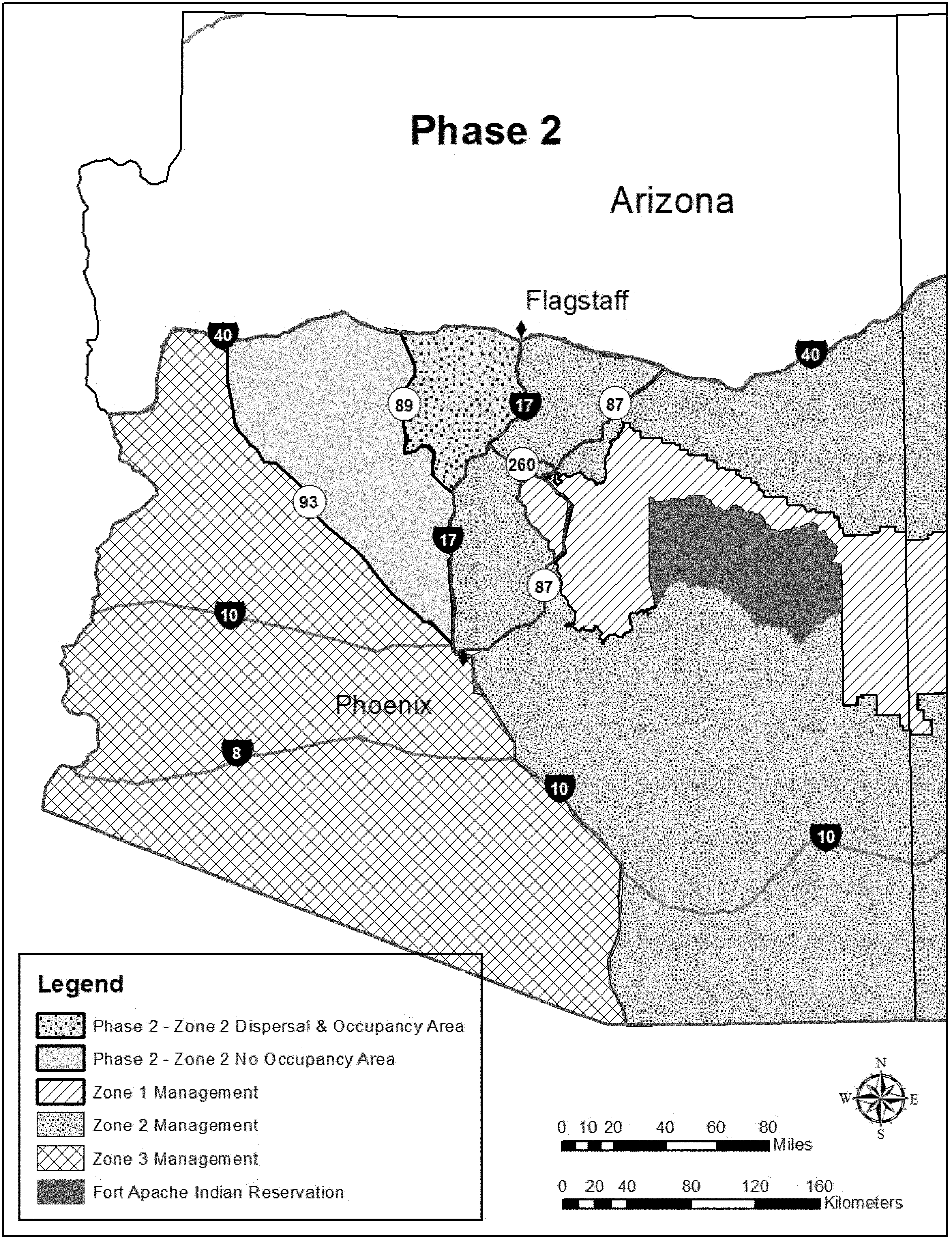
(C) In Phase 3, initial release and translocation of Mexican wolves can occur throughout Zone 1. No translocations can be conducted west of State Highway 89 in Arizona. Mexican wolves can disperse naturally from Zones 1 and 2 into, and occupy, the MWEPA (Zones 1, 2, and 3, as defined in paragraph (k)(3) of this section). A map of Phase 3 follows:

(D) While implementing this phased approach, two evaluations will be conducted: The first evaluation will cover the first 5 years and the second evaluation will cover the first 8 years after February 17, 2015 in order to determine if we will move forward with the next phase.
(1) Each phase evaluation will consider adverse human interactions with Mexican wolves, impacts to wild ungulate herds, and whether or not the Mexican wolf population in the MWEPA is achieving a population number consistent with a 10 percent annual growth rate based on end-of-year counts, such that 5 years after February 17, 2015, the population of Mexican wolves in the wild is at least 150, and 8 years after February 17, 2015, the population of Mexican wolves in the wild is at least 200.
(2) If we have not achieved this population growth, we will move forward to the next phase. Regardless of the outcome of the two evaluations, by the beginning of year 12 from February 17, 2015, we will move to full implementation of this rule throughout the MWEPA, and the phased management approach will no longer apply.
(E) The phasing may be expedited with the concurrence of participating State game and fish agencies.
(10) Evaluation. The Service will evaluate Mexican wolf reestablishment progress and prepare periodic progress reports and detailed annual reports. In addition, approximately 5 years after February 17, 2015, the Service will prepare a one-time overall evaluation of the experimental population program that focuses on modifications needed to improve the efficacy of this rule, reestablishment of Mexican wolves to the wild, and the contribution the experimental population is making to the recovery of the Mexican wolf.
(l) Grizzly bear (Ursus arctos horribilis).
(1) Where does this special rule apply? The special rule in this paragraph (l) applies to the designated Bitterroot Grizzly Bear Experimental Population Area (Experimental Population Area), which is found within the species' historic range and is defined as follows:
The boundaries of the Experimental Population Area are delineated by U.S. 93 from its junction with the Bitterroot River near Missoula, Montana, to Challis, Idaho; Idaho 75 from Challis to Stanley, Idaho; Idaho 21 from Stanley to Lowman, Idaho; State Highway 17 from Lowman to Banks, Idaho; Idaho 55 from Banks to New Meadows, Idaho; U.S. 95 from New Meadows to Coeur d'Alene, Idaho; Interstate 90 from Coeur d'Alene, Idaho, to its junction with the Clark Fork River near St. Regis, Montana; the Clark Fork River from its junction with Interstate 90 near St. Regis to its confluence with the Bitterroot River near Missoula, Montana; and the Bitterroot River from its confluence with the Clark Fork River to its junction with U.S. Highway 93, near Missoula, Montana (See map at the end of this paragraph (l)).
(2) What is the legal status of the grizzly bear?
(i) The grizzly bear is listed as “threatened” in § 17.11 (h) and protected under this part. However, the grizzly bear population to which this paragraph (l) applies is considered a nonessential experimental population in accordance with section 10(j) of the Act.
(ii) We have determined that, as of December 18, 2000, no grizzly bear population exists in the Experimental Population Area. We find, in accordance with § 17.81 (b), that the reintroduction of grizzly bears as a nonessential experimental population, as defined in § 17.81 (b), will further the conservation of the species and will be consistent with provisions of section 10(j) of the Act, which requires that an experimental population be geographically separate from other nonexperimental populations of the same species. We also find, in accordance with § 17.81 (c)(2), that the experimental population of grizzly bears in the Experimental Population Area is not essential to the survival of the species in the wild.
(iii) Grizzly bears within the Experimental Population Area and the Recovery Area will be accommodated through management provisions provided for in this paragraph (l) and through management plans and policies developed by the Citizen Management Committee (Committee; see paragraph (l)(6) of this section). After reintroduction, every grizzly bear found within the Experimental Population Area will be considered a member of the nonessential experimental population.
(iv) In the conterminous United States, a grizzly bear that is outside the Experimental Population Area identified in paragraph (l)(1) of this section will be considered as threatened.
(3) Where will grizzly bears be released, and where will recovery be emphasized? The Bitterroot Grizzly Bear Recovery Area identifies the area of recovery emphasis within the Experimental Population Area. The Recovery Area consists of the Selway-Bitterroot Wilderness and the Frank Church-River of No Return Wilderness (See map at the end of paragraph (l) of this section). All reintroductions will take place in the Selway-Bitterroot Wilderness unless it is later determined that reintroduction in the Frank Church-River of No Return Wilderness is appropriate. If, in the future, new wilderness areas are designated adjacent to the Recovery Area, the Committee may recommend to the Secretary their addition to the Recovery Area. The Secretary would have to amend this paragraph (l) to change the definition of the Recovery Area.
(4) What activities are prohibited in the Experimental Population Area?
(i) You may not take (see definition in § 10.12 of this subchapter) any grizzly bear in the Experimental Population Area, except as provided in this paragraph (l). We may refer unauthorized take of grizzly bears to the appropriate authorities for prosecution.
(ii) You may not possess, sell, deliver, carry, transport, ship, import, or export by any means whatsoever any grizzly bear or parts thereof that are taken from the Experimental Population Area or possessed in violation of the regulations in this paragraph (l) or in violation of applicable State wildlife conservation laws or regulations or the Act.
(iii) You may not attempt to commit, solicit another to commit, or cause to be committed, any offense defined in this paragraph (l).
(5) What activities are allowed in the Experimental Population Area?
(i) For purposes of this paragraph (l), except for persons engaged in hunting or shooting activities, you will not be in violation of the Act for “unavoidable and unintentional take” (see definition in paragraph (l)(16) of this section) of grizzly bears within the Experimental Population Area when such take is incidental to a legal activity and is not a result of negligent conduct lacking reasonable due care, and when due care was exercised to avoid the taking. Any taking must be reported within 24 hours to appropriate authorities as listed in paragraph (l)(5)(iii) of this section. Persons lawfully engaged in hunting or shooting activities must correctly identify their target before shooting in order to avoid illegally shooting a grizzly bear. Shooting a grizzly bear as a result of mistaking it for another species is considered a lack of reasonable due care. The act of taking a grizzly bear that is wrongly identified as another species may be referred to appropriate authorities for prosecution.
(ii) Any person with a valid permit issued by us may take grizzly bears in the Experimental Population Area for scientific purposes, the enhancement of propagation or survival of the species, zoological exhibition, and other conservation purposes. Such permits must be consistent with the Act, with management plans adopted for the nonessential experimental population, and with applicable State wildlife conservation laws and regulations.
(iii) You may take grizzly bears in the Experimental Population Area in self-defense or in defense of the lives of others. Such taking must be reported within 24 hours as to date, exact location, and circumstances to the Grizzly Bear Recovery Coordinator, University Hall, Room 309, University of Montana, Missoula, Montana 59812 (406-243-4903); or the Assistant Regional Director for Law Enforcement, Eastside Federal Complex, 911 NE 11th Avenue, Portland, Oregon 97232-4181 (503-231-6125); or the Assistant Regional Director for Law Enforcement, P.O. Box 25486, DFC, Denver, Colorado 80225 (303-236-7540); and either the Idaho Department of Fish and Game, P.O. Box 25, Boise Idaho 83707 (208-334-3700); or the Montana Department of Fish, Wildlife and Parks, 1420 E. Sixth Avenue, Helena, Montana 59620 (406-444-2535); and Nez Perce Tribal authorities (208-843-2253) (as appropriate).
(iv) Livestock owners may obtain a permit from the Service, and the Idaho Department of Fish and Game, the Montana Department of Fish, Wildlife and Parks, or appropriate Tribal authorities to harass (see definition in § 17.3) grizzly bears found in the Experimental Population Area that are actually pursuing or killing livestock (to include permitting the use of livestock guard dogs around livestock to harass such grizzly bears). Prior to issuance of such a permit, authorized State, Federal, or Tribal officials must document pursuit or killing of livestock. All such harassment must be accomplished by an opportunistic, noninjurious method (see definition of “opportunistic, noninjurious harassment” in paragraph (l)(16) of this section) to the grizzly bear, and such harassment must be reported within 24 hours as to date, exact location, and circumstances to the authorities listed under paragraph (l)(5)(iii) of this section.
(v) Livestock owners may obtain a permit from the Service, and the Idaho Department of Fish and Game, the Montana Department of Fish, Wildlife and Parks or appropriate Tribal authorities to take grizzly bears on private lands found in the Experimental Population Area in a manner other than harassment as defined in this paragraph (l), in order to protect livestock actually pursued or being killed on private property. Prior to issuance of such a permit, authorized State, Federal, or Tribal officials must document pursuit or killing of livestock. Any response protocol established by the Committee must have been satisfied and efforts to capture depredating grizzly bears by Service or State or Tribal wildlife agency personnel must have proven unsuccessful. All such taking must be reported as to date, exact location, and circumstances within 24 hours to the authorities listed under paragraph (l)(5)(iii) of this section.
(vi) Any authorized employee or agent of the Service or appropriate State wildlife agency or Nez Perce Tribe who is lawfully designated for such purposes, when acting in the course of official duties, may take a grizzly bear from the wild in the Experimental Population Area if such action is necessary to:
(A) Aid a sick, injured, or orphaned grizzly bear;
(B) Dispose of a dead grizzly bear, or salvage a dead grizzly bear that may be useful for scientific study;
(C) Take a grizzly bear that constitutes a demonstrable but nonimmediate threat to human safety or that is responsible for depredations to lawfully present domestic animals or other personal property, if otherwise eliminating such depredation or loss of personal property has not been possible, and after eliminating such threat by live-capturing and releasing the grizzly bear unharmed in the area defined in paragraph (l)(2) of this section or other areas approved by the Committee has been demonstrated not to be possible;
(D) Move a grizzly bear for genetic management purposes;
(E) Relocate grizzly bears within the Experimental Population Area to improve grizzly bear survival and recovery prospects; or
(F) Relocate a grizzly bear to avoid conflict with human activities. However, grizzly bears in the Experimental Population Area will not be disturbed unless they demonstrate a real and imminent threat to human safety, livestock, or bees. Unless the Committee determines otherwise, this rule provides that on private lands outside the national forest boundary in the Bitterroot Valley, Montana (exclusion area), any human/grizzly conflicts will be considered unacceptable. Grizzly bear occupancy will be discouraged in the exclusion area, and grizzly bears found there will be captured and returned to the Recovery Area, or placed in captivity, or destroyed, depending on the history of each bear. If a grizzly bear enters the exclusion area, State and Federal wildlife management agencies will attempt to capture it immediately and notify the public of its presence as soon as possible. The public will be kept updated until the bear is caught. Further, any grizzly bear that occupies inhabited human settlement areas on private land within the Experimental Population Area that, in the judgment of the management agencies or Committee, presents a clear threat to human safety or whose behavior indicates that it may become habituated to humans, will be relocated or destroyed by management agencies.
(6) How will local citizens be involved in the management of the Bitterroot nonessential experimental grizzly bear population?
(i) The Secretary will establish a Citizen Management Committee for the Bitterroot grizzly bear experimental population and will authorize management implementation responsibility as described in paragraph (l)(9) of this section, in consultation with the Governors of Idaho and Montana. As soon as possible after the effective date of this rule, the Secretary will organize the Committee by requesting nominations of citizen members from the Governors of Idaho and Montana and the Nez Perce Tribe and nominations of agency members by represented agencies.
(ii) The Committee will be composed of 15 members serving 6-year terms. Appointments may initially be of lesser terms to ensure staggered replacement.
(A) Membership will consist of seven individuals appointed by the Secretary based upon the recommendations of the Governor of Idaho, five members appointed by the Secretary based upon the recommendations of the Governor of Montana, one member representing the Nez Perce Tribe appointed by the Secretary based on the recommendation of the Nez Perce Tribe, one member representing the Forest Service appointed by the Secretary of Agriculture, and one member representing the Fish and Wildlife Service appointed by the Secretary. Members recommended by the Governors of Idaho and Montana will be based on the recommendations of interested parties and will include at least one representative each from the appropriate State wildlife agencies. If either Governor or the Tribe fails to make recommendations within 60 days, the Secretary (or his/her designee) will accept recommendations from interested parties, and will make the appointments.
(B) The Committee will consist of a cross-section of interests reflecting a balance of viewpoints, and members are to be selected for their diversity of knowledge and experience in natural resource issues, and for their commitment to collaborative decision-making. In their recommendations to the Secretary, the Governors of Idaho and Montana will attach written documentation of the qualifications of those nominated relating to their knowledge of, and experience in, natural resource issues and their commitment to collaborative decision-making.
(C) Except for the representatives from Federal agencies, the Committee will be selected from communities within and adjacent to the Recovery and Experimental Population Areas.
(D) The Secretary will fill vacancies as they occur with the appropriate members based on the recommendation of the appropriate Governor, the Nez Perce Tribe, or agency.
(7) Will independent scientific information be readily available to the Committee? The Secretary will appoint two scientific advisors to the Committee as nonvoting members to attend all meetings of the Committee and to provide scientific expertise to the Committee. These scientific advisors will not be employed by Federal agencies involved in grizzly bear recovery. The Secretary will contact the Wildlife Society Chapters in Idaho and Montana and the Universities of Idaho and Montana for nominations and will select one wildlife scientist representing each State and appoint them as advisors to the Committee.
(8) What is the overall mission of the Committee, and how will it operate?
(i) The mission of the Committee is to facilitate recovery of the grizzly bear in the Bitterroot ecosystem by assisting in implementing the Bitterroot ecosystem chapter of the recovery plan (Bitterroot Ecosystem Recovery Plan Chapter - Supplement to the Grizzly Bear Recovery Plan, U.S. Fish and Wildlife Service, Missoula, Montana, 1996). The Committee will make recommendations to land and wildlife management agencies that it believes will lead to recovery of the grizzly bear. Decisions on, and implementation of, these recommendations are the responsibility of the land and wildlife management agencies.
(ii) The Committee will meet a minimum of two times per year. These meetings will be open to the public. Additionally, the committee will provide reasonable public notice of meetings, produce and provide written minutes of meetings to interested persons, and involve the public in its decision-making process. This public participation process will allow members of the public and/or special interest groups to have input to Committee decisions and management actions.
(9) What authority will the Committee have, and what will be its primary tasks? The Committee will have the authority and the responsibility to carry out the following functions:
(i) Developing a process for obtaining the best biological, social, and economic data. This process will include an explicit mechanism for soliciting peer-reviewed, scientific articles on grizzly bears and their management, and holding periodic public meetings not less than every 2 years, in which qualified scientists may submit comments to and be questioned by the Committee. The two scientific advisors will lead this process. The Committee will base its decisions upon the best scientific and commercial data available. All decisions of the Committee, including components of its management plans, must lead toward recovery of the grizzly bear in the Bitterroot ecosystem and minimize social and economic impacts to the extent practicable within the context of the existing recovery goals for the species.
(ii) Soliciting technical advice and guidance from outside experts. The scientific advisors will lead the development of an ongoing process to provide the Committee with the best scientific and commercial data available. The scientific advisors will provide this information in the form of peer-reviewed scientific articles on grizzly bears and their management, Committee meetings with presentations by scientific experts, and requests to State and Federal management agencies and the private sector for scientific expertise and advice.
(iii) Implementing the Bitterroot Ecosystem Chapter of the Grizzly Bear Recovery Plan consistent with this paragraph (l). The Committee will develop recommendations on existing management plans and policies of land and wildlife management agencies, as necessary, for the management of grizzly bears in the Experimental Population Area. The Committee will make recommendations to land and wildlife management agencies regarding changes to plans and policies, but the final decision on implementation of those recommendations will be made by those agencies. If Committee recommendations require significant changes to existing plans and policy, and the agencies tentatively agree to accept those recommendations, then the requirements of the National Environmental Policy Act may apply. Such management plans and policies will be in accordance with applicable State and Federal laws. The Committee will give full consideration to Service comments and opinions and those of the Forest Service, Idaho Department of Fish and Game, the Montana Department of Fish, Wildlife and Parks, and the Nez Perce Tribe.
(iv) Providing means by which the public may participate in, review, and comment on the decisions of the Committee. The Committee must thoroughly consider and respond to public input prior to making decisions.
(v) Developing its internal processes, where appropriate, such as governance, decision-making, quorum, terms of members, officers, meeting schedules and location, public notice of meetings, and minutes.
(vi) Requesting staff support from the Service, the Idaho Department of Fish and Game, Montana Department of Fish, Wildlife and Parks, Forest Service, other affected Federal agencies, and the Nez Perce Tribe, when necessary to perform administrative functions, and requesting reimbursement from us for non-Federal Committee members for costs associated with travel, lodging, and incidentals.
(vii) Reviewing existing grizzly bear standards and guidelines used by the Forest Service and other agencies and landowners. The Committee will perform an annual review of grizzly bear mortalities and the number and location of bear/human conflicts. This review will be the primary mechanism to assess the adequacy of existing management techniques and standards. If the Committee deems such standards and guidelines inadequate for recovery of grizzly bears, the Committee may recommend changes to the Forest Service and other agencies and landowners.
(viii) Developing grizzly bear guidance for proper camping and sanitation within the Experimental Population Area and making recommendations to land management agencies for adoption of such guidelines. Existing camping and sanitation procedures developed in other ecosystems with grizzly bears will serve as a basis for such guidelines.
(ix) Developing a protocol for responding to grizzly/human encounters, livestock depredations, damage to lawfully present property, and other grizzly/human conflicts within the Experimental Population Area. Any response protocol developed by the Committee will have to undergo public comment and be revised as appropriate based on comments received. Any conflicts or mortalities associated with these activities will result in review by the Committee to determine what the Committee may do to help prevent future conflicts or mortalities. The Committee will recommend, as necessary, policy changes on trail restrictions for human safety to appropriate wildlife and land management agencies.
(x) Recommending to the Service changes to recovery criteria, including mortality limits, population determinations, and other criteria for recovery as appropriate.
(xi) Reviewing all human-caused grizzly bear mortalities to determine whether new measures for avoiding future occurrences are required and make recommendations on such measures to appropriate land and wildlife management agencies. If grizzly bear mortalities occur as a result of black bear hunting, the Committee will work with the State Fish and Game Departments in both Idaho and Montana to develop solutions to minimize the effects on grizzly bears of black bear hunting.
(xii) Developing strategies to emphasize recovery inside the Recovery Area and to accommodate grizzly bears inside other areas of the Experimental Population Area.
(A) Grizzly bears may range outside the Recovery Area because grizzly bear habitat exists throughout the Experimental Population Area. The Committee will not recommend that bears be disturbed or moved unless conflicts are both significant and cannot be corrected as determined by the Committee. This provision includes conflicts associated with livestock, for which the Committee will develop strategies to discourage grizzly bear occupancy in portions of the Experimental Population Area outside of the Recovery Area.
(B) Unless the Committee determines otherwise, this rule provides that private land outside the national forest boundary in the Bitterroot Valley, Montana (exclusion area), is an area where any human/grizzly conflicts will be considered unacceptable. Grizzly bear occupancy will be discouraged in these areas, and grizzly bears will be captured and returned to the Recovery Area. If a grizzly bear enters the exclusion area, State and Federal wildlife management agencies will attempt to capture it immediately and notify the public of its presence as soon as possible. The public will be kept updated until the bear is caught. Further, any grizzly bear that occupies the exclusion area or other inhabited human settlement areas on private land within the Experimental Population Area that, in the judgment of the management agencies or Committee, presents a clear threat to human safety or whose behavior indicates that it may become habituated to humans, will be relocated or destroyed by management agencies.
(xiii) Establishing standards for determining whether the experimental reintroduction has been successful and making recommendations on the inclusion of such standards in the Grizzly Bear Recovery Plan. These standards will be based on the best scientific and commercial information available and will reflect that, absent extraordinary circumstances, the success or failure of the program cannot be measured in fewer than 20 years. General guidelines for the standards by which failure will be measured include, but are not limited to, one or more of the following conditions:
(A) If, within the number of years established by the Committee following initial reintroduction, no relocated grizzly bear remains within the Experimental Population Area and the reasons for emigration or mortality cannot be identified and/or remedied; or
(B) If, within the number of years established by the Committee following initial reintroduction, no cubs of the year or yearlings exist and the relocated bears are not showing signs of successful reproduction as evidenced by no cubs of the year or yearlings.
(xiv) Developing procedures for the expeditious issuance of permits described in paragraphs (l)(5)(iv) and (l)(5)(v) of this section, and making recommendations on such procedures to appropriate agencies.
(xv) Developing 2-year work plans for the recovery effort for submittal to the Secretary pursuant to paragraph (l)(11)(i) of this section.
(xvi) Establishing, based on the best available science, a refined interim recovery goal for the Bitterroot Ecosystem Chapter of the Grizzly Bear Recovery Plan and a final recovery goal when sufficient information is available and after grizzly bears are reintroduced and occupy suitable habitats in the Experimental Population Area. As this information becomes available, the Committee may recommend the recovery goal to the Secretary along with procedures for determining how this goal will be measured. The recovery goal for the Bitterroot grizzly bear population will be consistent with the habitat available within the Recovery Area. Additional adjacent areas of public land can be considered for contribution of suitable habitat when setting the recovery goal if additional land is shown to be necessary by the best scientific and commercial data available. Any recommendations for revised recovery goals developed by the Committee will require public review and our approval as appropriate prior to revision of any recovery plan. Grizzly bears outside the Recovery Area and within the Experimental Population Area can contribute to meeting the recovery goal if their long-term occupancy in such habitats outside the Recovery Area is reasonably certain.
(10) What agencies will be responsible for day-to-day management activities? The Idaho Department of Fish and Game, the Montana Department of Fish, Wildlife and Parks, the Nez Perce Tribe, and the Forest Service, in coordination with us, will exercise day-to-day management responsibility within the Experimental Population Area in accordance with this paragaraph (l). The Service and these cooperating agencies will share management responsibility as per agreements with, and in consideration of, recommendations from the Committee.
(11) How will progress of the Committee be monitored; and what process will be followed by the Secretary to resolve disputes over whether Committee actions are leading to recovery?
(i) The Secretary or our representative on the Committee will review the Committee's 2-year work plans (see paragraph (l)(9)(xv) of this section). If the Secretary determines, through our representative on the Committee, that the Committee's decisions, work plans, or the implementation of those plans are not leading to the recovery of the grizzly bear within the Experimental Population Area or are not in compliance with this paragraph (l), our representative will ask the Committee to determine whether such a decision, plan, or implementation of a plan is leading to recovery and is in compliance with this paragraph (l). The Secretary, who retains final responsibility and authority for implementation of the Act, will review the Committee's determination, as provided in paragraphs (l)(11)(ii) through (iv) of this section, and then make a final determination. Should the Secretary find that a decision, work plan, or implementation of a plan by the Committee is inadequate for recovery of the grizzly bear or is not in compliance with this paragraph (l), the Secretary may assume lead management responsibility.
(ii) The Service representative will consider Committee input before making any determination that Committee actions are not leading to recovery or are not in compliance with this paragraph (l). In the event that our representative on the Committee determines that the actions of the Committee are not leading to recovery of the Bitterroot grizzly bear population or are not in compliance with this paragraph (l), he or she will recommend to the Committee, based on the best scientific and commercial data available, alternative or corrective actions and provide 6 months for the Committee to accomplish those actions. Should the Committee reject these corrective actions, our representative will convene a Scientific Review Panel of three and will submit to the panel for review those Committee actions or decisions that he or she has determined are not leading to recovery or are not in compliance with this paragrpah (l). The Service representative will consider the views of all Committee members prior to convening a Scientific Review Panel.
(iii) Members of the Scientific Review Panel will be professional scientists who have had no involvement with the Committee and are not employed by Federal agencies responsible for grizzly bear recovery efforts. The Secretary will select one member of the panel, and the Governors of Idaho and Montana in consultation with the Universities of Idaho and Montana (respectively), will select one panel member each. The Scientific Review Panel will review Committee actions or decisions, solicit additional information if necessary and, using the best scientific and commercial data available, make timely recommendations to the Committee as to whether Committee actions will lead to recovery of the grizzly bear in the Bitterroot ecosystem and are in compliance with paragraph (l). Examples of Committee actions, decisions, or lack of actions that can be submitted to the Scientific Review Panel include, but are not limited to, the following: sufficiency of public involvement in Committee activities; decisions involving sanitation and outreach activities; management of nuisance bears; adequacy of recommendations to land and wildlife management agencies; adequacy of Committee actions in addressing issues such as excessive human-caused grizzly bear mortality; and other actions important to recovery of the grizzly bear in the Bitterroot ecosystem. Committee compliance with paragraph (l) provides the basis for the recommendations of the Scientific Review Panel.
(iv) If, after timely review, the Committee rejects the recommendations of the Scientific Review Panel, and our representative determines that Committee actions are not leading to recovery of the Bitterroot population, he or she will notify the Secretary. The Secretary will review the Panel's recommendations and determine the disposition of the Committee.
(A) If the Secretary determines that the Committee should maintain lead management responsibility, the Committee will continue to operate according to the provisions of this paragraph (l) until the recovery objectives under paragraph (l)(9)(xvi) of this section or the Bitterroot Ecosystem Chapter of the Recovery Plan have been met and the Secretary has completed delisting.
(B) If the Secretary decides to assume lead management responsibility, the Secretary will consult with the Governors of Idaho and Montana regarding that decision and further attempt to resolve the disagreement. If, after such consultation, the Secretary assumes lead management responsibility, the Secretary will publish a notice in the Federal Register explaining the rationale for the determination and notify the Governors of Idaho and Montana. The Committee will disband, and all requirements identified in this paragraph (l) regarding the Committee will be nullified.
(12) How will the Bitterroot grizzly bear population be monitored? The reintroduced population will be monitored closely by Federal and State agencies in cooperation with the Committee for the duration of the recovery process, generally by use of radio telemetry as appropriate.
(13) How will success or failure of the project be evaluated? The status of Bitterroot grizzly bear recovery will be reevaluated separately by the Committee and by the Secretary at 5-year intervals. This review will take into account the reproductive success of the grizzly bears released, human-caused mortality, movement patterns of individual bears, food habits, and overall health of the population and will recommend changes and improvements in the recovery program. Evaluating these parameters will assist in determining success or failure of the restoration.
(14) What process will be followed if the Secretary determines the project has failed?
(i) If, based on the criteria established by the Committee, the Secretary, after consultation with the Committee, the Governors of Idaho and Montana, the Idaho Department of Fish and Game, the Montana Department of Fish, Wildlife and Parks, and the Nez Perce Tribe, determines that the reintroduction has failed to produce a self-sustaining population, this paragraph (l) will not be used to reintroduce additional bears. Any remaining bears will retain their experimental status.
(ii) Prior to declaring the experimental reintroduction a failure, we will investigate the probable causes of the failure. If the causes can be determined, and legal and reasonable remedial measures identified and implemented, we will consider continuing the recovery effort and maintaining the relocated population. If such reasonable measures cannot be identified and implemented, we will publish the results of our evaluation in the Federal Register in a proposed rulemaking to terminate the authority for additional experimental grizzly bear reintroductions in the Bitterroot ecosystem.
(15) Will the legal status of grizzly bears in the Experimental Population Area change? We do not intend to change the “nonessential experimental” designation to “essential experimental,” “threatened,” or “endangered” and foresee no likely situation that would result in such changes. Critical habitat cannot be designated under the nonessential experimental classification, 16 U.S.C. 1539(j)(2)(C)(ii).
(16) What are the definitions of key terms used in the special rule in this paragraph (l)? In addition to terms defined in § 10.12 and 17.3 of this subchapter, the following terms apply to this paragraph (l):
Accommodate means allowing grizzly bears that move outside the Recovery Area onto public land in the Experimental Population Area to remain undisturbed unless they demonstrate a real and imminent threat to human safety or livestock.
Citizen Management Committee (Committee) means that Committee described in paragraph (l)(6) of this section.
Current range means the area inside or within 10 miles of the recovery zone line of currently occupied grizzly bear recovery zones or any area where there is a grizzly bear population, as defined in this paragraph (l)(16).
Exclusion area (Bitterroot Valley) means those private lands in Montana lying within the Bitterroot Experimental Population Area in the Bitterroot Valley outside the Bitterroot National Forest boundary south of U.S. Highway 12 to Lost Trail Pass and west of Highway 93.
Experimental Population Area (Bitterroot Grizzly Bear Experimental Population Area) means that area delineated in paragraph (l)(1) of this section within which management plans developed as part of the Committee described in paragraph (l)(9) of this section will be in effect. This area includes the Recovery Area. The Experimental Population Area is within the historic range of the grizzly bear, but geographically separate from the current range of the grizzly bear.
Geographically separate means separated by more than 10 miles. The term refers to “wholly separate geographically” in section 10(j)(2) of the Act. The Experimental Population Area and the recovery zone boundary of any existing grizzly bear population must be geographically separate.
Grizzly bear population is defined by verified evidence within the previous 6 years which consists of photos within the area, verified tracks, or sightings by reputable scientists or agency personnel of at least two different female grizzly bears with young or one female with different litters in 2 different years in an area geographically separate from other grizzly bear populations. Verifiable evidence of females with young, to be geographically separate, would have to occur greater than 10 miles from the nearest nonexperimental grizzly bear population recovery zone boundary.
Opportunistic, noninjurious harassment means harassment (see definition of “harass” in § 17.3) that occurs when the grizzly bear presents itself (for example, the bear travels onto and is observed on private land or near livestock). This paragraph (l) permits only this type of harassment. You cannot track, attract, search out, or chase a grizzly bear and then harass it. Any harassment must not cause bodily injury or death to the grizzly bear. The intent of harassment permitted by this definition is to scare bears away from the immediate area.
Recovery Area (Bitterroot Grizzly Bear Recovery Area) means the area of recovery emphasis within the Experimental Population Area, and is delineated in paragraph (l)(2) of this section. This area consists of the Selway-Bitterroot and Frank Church-River of No Return Wilderness areas. The Recovery Area is within the historic range of the species.
Recovery emphasis means grizzly bear management decisions in the Recovery Area will favor bear recovery so that this area can serve as core habitat for survival, reproduction, and dispersal of the recovering population. Reintroduction of grizzly bears is planned to occur within the Selway-Bitterroot Wilderness portion of the Recovery Area unless it is later determined that reintroduction in the Frank Church-River of No Return Wilderness is appropriate.
Unavoidable and unintentional take means accidental, unintentional take (see definition of take in § 10.12 of this subchapter) that occurs despite reasonable care, is incidental to an otherwise lawful activity, and is not done on purpose. An example would be striking a grizzly bear with an automobile. Taking a grizzly bear by shooting will not be considered unavoidable and unintentional take. Shooters have the responsibility to be sure of their targets.

(m) Spotfin chub (=turquoise shiner) (Erimonax monachus) -
(1) Where is the spotfin chub designated as a nonessential experimental population (NEP)? We have designated three populations of this species as NEPs: the Tellico River NEP, the Shoal Creek NEP, and the French Broad River and Holston River NEP. This species is not currently known to exist in the Tellico River or its tributaries, the Shoal Creek or its tributaries, or any of the tributaries to the free-flowing reaches of the French Broad River below Douglas Dam, Knox and Sevier Counties, Tennessee, or of the Holston River below the Cherokee Dam, Knox, Grainger, and Jefferson Counties, Tennessee. Based on its habitat requirements, we do not expect this species to become established outside the NEP areas. However, if individuals move upstream or downstream or into tributaries outside any of the designated NEP areas, we would presume that those individuals came from the closest reintroduced population. We would then amend this regulation and enlarge the boundaries of the NEP area to include the entire range of the expanded population.
(i) The Tellico River NEP area is within the species' probable historic range and is defined as follows: The Tellico River, between the backwaters of the Tellico Reservoir (approximately Tellico River mile 19 (30.4 kilometers (km)) and Tellico River mile 33 (52.8 km), near the Tellico Ranger Station, Monroe County, Tennessee.
(ii) The Shoal Creek NEP area is within the species' historic range and is defined as follows: Shoal Creek (from Shoal Creek mile 41.7 (66.7 km)) at the mouth of Long Branch, Lawrence County, TN, downstream to the backwaters of Wilson Reservoir (Shoal Creek mile 14 (22 km)) at Goose Shoals, Lauderdale County, AL, including the lower 5 miles (8 km) of all tributaries that enter this reach.
(iii) The French Broad River and Holston River NEP area is within the species' historic range and is defined as follows: the French Broad River, Knox and Sevier Counties, Tennessee, from the base of Douglas Dam (river mile (RM) 32.3 (51.7 km)) downstream to the confluence with the Holston River; then up the Holston River, Knox, Grainger, and Jefferson Counties, Tennessee, to the base of Cherokee Dam (RM 52.3 (83.7 km)); and the lower 5 RM (8 km) of all tributaries that enter these river reaches.
(iv) We do not intend to change the NEP designations to “essential experimental,” “threatened,” or “endangered” within the NEP area. Additionally, we will not designate critical habitat for these NEPs, as provided by 16 U.S.C. 1539(j)(2)(C)(ii).
(2) What activities are not allowed in the NEP area?
(i) Except as expressly allowed in paragraph (m)(3) of this section, all the provisions of § 17.31(a) and (b) apply to the spotfin chub.
(ii) Any manner of take not described under paragraph (m)(3) of this section is prohibited in the NEP area. We may refer unauthorized take of this species to the appropriate authorities for prosecution.
(iii) You may not possess, sell, deliver, carry, transport, ship, import, or export by any means whatsoever any of the identified fishes, or parts thereof, that are taken or possessed in violation of paragraph (m)(2) of this section or in violation of the applicable State fish and wildlife laws or regulations or the Act.
(iv) You may not attempt to commit, solicit another to commit, or cause to be committed any offense defined in paragraph (m)(2) of this section.
(3) What take is allowed in the NEP area? Take of this species that is accidental and incidental to an otherwise legal activity, such as recreation (e.g., fishing, boating, wading, trapping, or swimming), forestry, agriculture, and other activities that are in accordance with Federal, State, and local laws and regulations, is allowed.
(4) How will the effectiveness of these reintroductions be monitored?
(i) In the Tellico River NEP area, we will prepare periodic progress reports and fully evaluate these reintroduction efforts after 5 and 10 years to determine whether to continue or terminate the reintroduction efforts.
(ii) In the Shoal Creek NEP area, after the initial stocking of fish, we will monitor annually their presence or absence and document any spawning behavior or young-of-the-year fish that might be present. This monitoring will be conducted primarily by snorkeling or seining and will be accomplished by contracting with the appropriate species experts. We will produce annual reports detailing the stocking rates and monitoring activities that took place during the previous year. We will also fully evaluate these reintroduction efforts after 5 and 10 years to determine whether to continue or terminate the reintroduction efforts.
(iii) In the Lower French Broad and Lower Holston Rivers NEP area , after the initial stocking of these species, we will monitor annually their presence or absence and document any spawning behavior or young-of-the-year that might be present. This monitoring will be conducted primarily by snorkeling or seining and will be accomplished by contracting with the appropriate species experts. Annual reports will be produced detailing the stocking rates and monitoring activities that took place during the previous year. We will also fully evaluate these reintroduction efforts after 5 and 10 years to determine whether to continue or terminate the reintroduction efforts.
(5) Note: Map of the Tellico River NEP area for spotfin chub, dusky darter, smoky madtom, and yellowfin madtom in Tennessee follows:

(6) Note: Map of the Shoal Creek NEP area for spotfin chub and boulder darter in Tennessee and Alabama follows:

(7) Note: Map of the French Broad River and Holston River NEP area for spotfin chub, slender chub, duskytail darter, pygmy madtom, and yellowtail madtom in Tennessee follows:

(n) [Reserved]
(o) Boulder darter (Etheostoma wapiti).
(1) Where is the boulder darter designated as a nonessential experimental population (NEP)?
(i) The NEP area for the boulder darter is within the species' historic range and is defined as follows: Shoal Creek (from Shoal Creek mile 41.7 (66.7 km)) at the mouth of Long Branch, Lawrence County, TN, downstream to the backwaters of Wilson Reservoir (Shoal Creek mile 14 (22 km)) at Goose Shoals, Lauderdale County, AL, including the lower 5 miles (8 km) of all tributaries that enter this reach.
(ii) The boulder darter is not currently known to exist in Shoal Creek or its tributaries. Based on the habitat requirements of this fish, we do not expect it to become established outside the NEP area. However, if any individuals of the species move upstream or downstream or into tributaries outside the designated NEP area, we would presume that they came from the reintroduced population. We would then amend this rule through our normal rulemaking process in order to enlarge the boundaries of the NEP area to include the entire range of the expanded population.
(iii) We do not intend to change the NEP designations to “essential experimental,” “threatened,” or “endangered” within the NEP area. Additionally, we will not designate critical habitat for these NEPs, as provided by 16 U.S.C. 1539(j)(2)(C)(ii).
(2) What activities are not allowed in the NEP area?
(i) Except as expressly allowed in paragraph (o)(3) of this section, all the provisions of § 17.31(a) and (b) apply to the boulder darter.
(ii) Any manner of take not described under paragraph (o)(3) of this section is prohibited in the NEP area. We may refer unauthorized take of these species to the appropriate authorities for prosecution.
(iii) You may not possess, sell, deliver, carry, transport, ship, import, or export by any means whatsoever any of the identified fishes, or parts thereof, that are taken or possessed in violation of paragraph (o)(2) of this section or in violation of the applicable State fish and wildlife laws or regulations or the Act.
(iv) You may not attempt to commit, solicit another to commit, or cause to be committed any offense defined in paragraph (o)(2) of this section.
(3) What take is allowed in the NEP area? Take of this species that is accidental and incidental to an otherwise legal activity, such as recreation (e.g., fishing, boating, wading, trapping, or swimming), forestry, agriculture, and other activities that are in accordance with Federal, State, and local laws and regulations, is allowed.
(4) How will the effectiveness of these reintroductions be monitored? After the initial stocking of fish, we will monitor annually their presence or absence and document any spawning behavior or young-of-the-year fish that might be present. This monitoring will be conducted primarily by snorkeling or seining and will be accomplished by contracting with the appropriate species experts. We will produce annual reports detailing the stocking rates and monitoring activities that took place during the previous year. We will also fully evaluate these reintroduction efforts after 5 and 10 years to determine whether to continue or terminate the reintroduction efforts.
(5) Note: Map of the NEP area for the boulder darter in the Shoal Creek, Tennessee and Alabama, appears immediately following paragraph (m)(6) of this section.
(p) Northern aplomado falcon (Falco femoralis septentrionalis).
(1) The northern aplomado falcon (Falco femoralis septentrionalis) (falcon) population identified in paragraph (p)(9)(i) of this section is a nonessential experimental population (NEP).
(2) No person may take this species, except as provided in paragraphs (p)(3) through (5) and (p)(10) of this section.
(3) Any person with a valid permit issued by the U.S. Fish and Wildlife Service (Service) under § 17.32 may take falcons for educational purposes, scientific purposes, the enhancement of propagation or survival of the species, zoological exhibition, and other conservation purposes consistent with the Endangered Species Act (Act);
(4) A falcon may be taken within the NEP area, provided that such take is not willful, knowing, or due to negligence, or is incidental to and not the purpose of the carrying out of an otherwise lawful activity; and that such taking is reported within 24 hours, as provided under paragraph (p)(6) of this section.
(5) Any employee of the Service, New Mexico Department of Game and Fish, or Arizona Game and Fish Department, who is designated for such purpose, or any person with a valid permit issued by the Service under 50 CFR 17.32, may, when acting in the course of official duties, take a falcon if such action is necessary to:
(i) Aid a sick, injured, or orphaned specimen;
(ii) Dispose of a dead specimen, or salvage a dead specimen that may be useful for scientific study;
(iii) Move a bird within the NEP area for genetic purposes or to improve the health of the population;
(iv) Relocate falcons that have moved outside the NEP area, by returning the falcon to the NEP area or moving it to a captive breeding facility. All captures and relocations from outside the NEP area will be conducted with the permission of the landowner(s) or appropriate land management agencies; or
(v) Collect nesting data or band individuals.
(6) Any taking pursuant to paragraphs (p)(3) through (5) of this section must be reported within 24 hours by contacting the U.S. Fish and Wildlife Service, New Mexico Ecological Services Field Office, 2105 Osuna NE, Albuquerque, NM 87113; (505) 346-2525. Upon contact, a determination will be made as to the disposition of any live or dead specimens.
(7) No person shall possess, sell, deliver, carry, transport, ship, import, or export by any means whatsoever, any such species taken in violation of these regulations.
(8) It is unlawful for any person to attempt to commit, solicit another to commit, or cause to be committed, any offense defined in paragraphs (p)(2) and (p)(7) of this section.
(9)
(i) The boundaries of the designated NEP area are based on county borders and include the entire States of New Mexico and Arizona. The reintroduction area is within the historical range of the species in New Mexico.
(ii) All falcons found in the wild within the boundaries of the NEP area after the first releases will be considered members of the NEP. A falcon occurring outside of the NEP area is considered endangered under the Act unless it is marked or otherwise known to be a member of the NEP.
(iii) The Service has designated the NEP area to accommodate the potential future movements of a wild population of falcons. All released birds and their progeny are expected to remain in the NEP area due to the geographic extent of the designation.
(10) The NEP will be monitored closely for the duration of the reintroduction program. Any bird that is determined to be sick, injured, or otherwise in need of special care will be recaptured to the extent possible by Service and/or State or permitted Tribal wildlife personnel and given appropriate care. Such birds will be released back to the wild as soon as possible, unless physical or behavioral problems make it necessary to return them to a captive-breeding facility or they are euthanized if treatment would be unlikely to be effective.
(11) The Service plans to evaluate the status of the NEP every 5 years to determine future management status and needs, with the first evaluation expected to be not more than 5 years after the first release of birds into the NEP area. All reviews will take into account the reproductive success and movement patterns of individuals released, food habits, and overall health of the population. This evaluation will include a progress report.
(q) Duskytail darter (Etheostoma percnurum).
(1) Where is the duskytail darter designated as a nonessential experimental population (NEP)? We have designated two populations of this species as NEPs: The Tellico River NEP and the French Broad River and Holston River NEP. This species is not currently known to exist in the Tellico River or its tributaries or in any of the tributaries to the free-flowing reaches of the French Broad River below Douglas Dam, Knox and Sevier Counties, Tennessee, or of the Holston River below the Cherokee Dam, Knox, Grainger, and Jefferson Counties, Tennessee. Based on its habitat requirements, we do not expect this species to become established outside these NEP areas. However, if individuals move upstream or downstream or into tributaries outside either of the designated NEP areas, we would presume that these individuals came from the reintroduced population. We would then amend this rule and enlarge the boundaries of the NEP area to include the entire range of the expanded population.
(i) The Tellico River NEP area is within the species' historic range and is defined as follows: The Tellico River, between the backwaters of the Tellico Reservoir (approximately Tellico River mile 19 (30.4 kilometers) and Tellico River mile 33 (52.8 kilometers), near the Tellico Ranger Station, Monroe County, Tennessee.
(ii) The French Broad River and Holston River NEP area is within the species' historic range and is defined as follows: the French Broad River, Knox and Sevier Counties, Tennessee, from the base of Douglas Dam (river mile (RM) 32.3 (51.7 km)) downstream to the confluence with the Holston River; then up the Holston River, Knox, Grainger, and Jefferson Counties, Tennessee, to the base of Cherokee Dam (RM 52.3 (83.7 km)); and the lower 5 RM (8 km) of all tributaries that enter these river reaches.
(iii) We do not intend to change the NEP designations to “essential experimental,” “threatened,” or “endangered” within the NEP area. Additionally, we will not designate critical habitat for these NEPs, as provided by 16 U.S.C. 1539(j)(2)(C)(ii).
(2) What activities are not allowed in the NEP area?
(i) Except as expressly allowed in paragraph (q)(3) of this section, all the prohibitions of § 17.31(a) and (b) apply to the duskytail darter.
(ii) Any manner of take not described under paragraph (q)(3) of this section is prohibited in the NEP area. We may refer unauthorized take of this species to the appropriate authorities for prosecution.
(iii) You may not possess, sell, deliver, carry, transport, ship, import, or export by any means whatsoever any of the identified fishes, or parts thereof, that are taken or possessed in violation of paragraph (q)(2) of this section or in violation of the applicable State fish and wildlife laws or regulations or the Act.
(iv) You may not attempt to commit, solicit another to commit, or cause to be committed any offense defined in paragraph (q)(2) of this section.
(3) What take is allowed in the NEP area? Take of this species that is accidental and incidental to an otherwise legal activity, such as recreation (e.g., fishing, boating, wading, trapping, or swimming), forestry, agriculture, and other activities that are in accordance with Federal, State, and local laws and regulations, is allowed.
(4) How will the effectiveness of these reintroductions be monitored? We will prepare periodic progress reports and fully evaluate these reintroduction efforts after 5 and 10 years to determine whether to continue or terminate the reintroduction efforts.
(5) Note: Map of the NEP area for the duskytail darter in the Tellico River, Tennessee, appears immediately following paragraph (m)(5) of this section.
(6) Note: Map of the NEP area for the duskytail darter in the French Broad River and Holston River, Tennessee, appears immediately following paragraph (m)(7) of this section.
(r) Smoky madtom (Noturus baileyi).
(1) Where is the smoky madtom designated as a nonessential experimental population (NEP)?
(i) The NEP area for the smoky madtom is within the species' probable historic range and is defined as follows: The Tellico River, between the backwaters of the Tellico Reservoir (approximately Tellico River mile 19 (30.4 kilometers) and Tellico River mile 33 (52.8 kilometers), near the Tellico Ranger Station, Monroe County, Tennessee.
(ii) The smoky madtom is not currently known to exist in the Tellico River or its tributaries. Based on the habitat requirements of this fish, we do not expect it to become established outside the NEP area. However, if any individuals of the species move upstream or downstream or into tributaries outside the designated NEP area, we would presume that they came from the reintroduced population. We would then amend paragraph (r)(1)(i) of this section and enlarge the boundaries of the NEP area to include the entire range of the expanded population.
(iii) We do not intend to change the NEP designations to “essential experimental,” “threatened,” or “endangered” within the NEP area. Additionally, we will not designate critical habitat for this NEP, as provided by 16 U.S.C. 1539(j)(2)(C)(ii).
(2) What activities are not allowed in the NEP area?
(i) Except as expressly allowed in paragraph (r)(3) of this section, all the prohibitions of § 17.31(a) and (b) apply to the smoky madtom.
(ii) Any manner of take not described under paragraph (r)(3) of this section is prohibited in the NEP area. We may refer unauthorized take of this species to the appropriate authorities for prosecution.
(iii) You may not possess, sell, deliver, carry, transport, ship, import, or export by any means whatsoever any of the identified fishes, or parts thereof, that are taken or possessed in violation of paragraph (r)(2) of this section or in violation of the applicable State fish and wildlife laws or regulations or the Act.
(iv) You may not attempt to commit, solicit another to commit, or cause to be committed any offense defined in paragraph (r)(2) of this section.
(3) What take is allowed in the NEP area? Take of this species that is accidental and incidental to an otherwise legal activity, such as recreation (e.g., fishing, boating, wading, trapping, or swimming), forestry, agriculture, and other activities that are in accordance with Federal, State, and local laws and regulations, is allowed.
(4) How will the effectiveness of these reintroductions be monitored? We will prepare periodic progress reports and fully evaluate these reintroduction efforts after 5 and 10 years to determine whether to continue or terminate the reintroduction efforts.
(5) Note: Map of the NEP area for the smoky madtom in the Tellico River, Tennessee, appears immediately following paragraph (m)(6) of this section.
(s) Slender chub (Erimystax cahni).
(1) Where is the slender chub designated as a nonessential experimental population (NEP)?
(i) The NEP area for the slender chub is within the species' historic range and is defined as follows: the French Broad River, Knox and Sevier Counties, Tennessee, from the base of Douglas Dam (river mile (RM) 32.3 (51.7 km)) downstream to the confluence with the Holston River; then up the Holston River, Knox, Grainger, and Jefferson Counties, Tennessee, to the base of Cherokee Dam (RM 52.3 (83.7 km)); and the lower 5 RM (8 km) of all tributaries that enter these river reaches.
(ii) The slender chub is not known to exist in any of the tributaries to the free-flowing reaches of the French Broad River below Douglas Dam, Knox and Sevier Counties, Tennessee, or of the Holston River below the Cherokee Dam, Knox, Grainger, and Jefferson Counties, Tennessee. Based on its habitat requirements, we do not expect this species to become established outside this NEP area. However, if individuals of this population move upstream or downstream or into tributaries outside the designated NEP area, we would presume that they came from the reintroduced population. We would then amend this regulation to enlarge the boundaries of the NEP area to include the entire range of the expanded population.
(iii) We do not intend to change the NEP designations to “essential experimental,” “threatened,” or “endangered” within the NEP area. Additionally, we will not designate critical habitat for this NEP, as provided by 16 U.S.C. 1539(j)(2)(C)(ii).
(2) What activities are not allowed in the NEP area?
(i) Except as expressly allowed in paragraph (s)(3) of this section, all the prohibitions of § 17.31(a) and (b) apply to the slender chub.
(ii) Any manner of take not described under paragraph (s)(3) of this section is prohibited in the NEP area. We may refer unauthorized take of this species to the appropriate authorities for prosecution.
(iii) You may not possess, sell, deliver, carry, transport, ship, import, or export by any means whatsoever any of the identified fishes, or parts thereof, that are taken or possessed in violation of paragraph (s)(2) of this section or in violation of the applicable State fish and wildlife laws or regulations or the Act.
(iv) You may not attempt to commit, solicit another to commit, or cause to be committed any offense defined in paragraph (s)(2) of this section.
(3) What take is allowed in the NEP area? Take of this species that is accidental and incidental to an otherwise legal activity, such as recreation (e.g., fishing, boating, wading, trapping, or swimming), forestry, agriculture, and other activities that are in accordance with Federal, State, and local laws and regulations, is allowed.
(4) How will the effectiveness of these reintroductions be monitored? We will prepare periodic progress reports and fully evaluate these reintroduction efforts after 5 and 10 years to determine whether to continue or terminate the reintroduction efforts.
(5) Note: Map of the NEP area for the slender chub in the French Broad River and Holston River, Tennessee, appears immediately following paragraph (m)(7) of this section.
(t) Pygmy madtom (Noturus stanauli).
(1) Where is the pygmy madtom designated as a nonessential experimental population (NEP)?
(i) The NEP area for the pygmy madtom is within the species' historic range and is defined as follows: the French Broad River, Knox and Sevier Counties, Tennessee, from the base of Douglas Dam (river mile (RM) 32.3 (51.7 km)) downstream to the confluence with the Holston River; then up the Holston River, Knox, Grainger, and Jefferson Counties, Tennessee, to the base of Cherokee Dam (RM 52.3 (83.7 km)); and the lower 5 RM (8 km) of all tributaries that enter these river reaches.
(ii) The pygmy madtom is not known to exist in any of the tributaries to the free-flowing reaches of the French Broad River below Douglas Dam, Knox and Sevier Counties, Tennessee, or of the Holston River below the Cherokee Dam, Knox, Grainger, and Jefferson Counties, Tennessee. Based on its habitat requirements, we do not expect this species to become established outside this NEP area. However, if individuals of this population move upstream or downstream or into tributaries outside the designated NEP area, we would presume that they came from the reintroduced population. We would then amend this regulation to enlarge the boundaries of the NEP area to include the entire range of the expanded population.
(iii) We do not intend to change the NEP designations to “essential experimental,” “threatened,” or “endangered” within the NEP area. Additionally, we will not designate critical habitat for this NEP, as provided by 16 U.S.C. 1539(j)(2)(C)(ii).
(2) What activities are not allowed in the NEP area?
(i) Except as expressly allowed in paragraph (t)(3) of this section, all the prohibitions of § 17.31(a) and (b) apply to the pygmy madtom.
(ii) Any manner of take not described under paragraph (t)(3) of this section is prohibited in the NEP area. We may refer unauthorized take of this species to the appropriate authorities for prosecution.
(iii) You may not possess, sell, deliver, carry, transport, ship, import, or export by any means whatsoever any of the identified fishes, or parts thereof, that are taken or possessed in violation of paragraph (t)(2) of this section or in violation of the applicable State fish and wildlife laws or regulations or the Act.
(iv) You may not attempt to commit, solicit another to commit, or cause to be committed any offense defined in paragraph (t)(2) of this section.
(3) What take is allowed in the NEP area? Take of this species that is accidental and incidental to an otherwise legal activity, such as recreation (e.g., fishing, boating, wading, trapping, or swimming), forestry, agriculture, and other activities that are in accordance with Federal, State, and local laws and regulations, is allowed.
(4) How will the effectiveness of these reintroductions be monitored? We will prepare periodic progress reports and fully evaluate these reintroduction efforts after 5 and 10 years to determine whether to continue or terminate the reintroduction efforts.
(5) Note: Map of the NEP area for the pygmy madtom in the French Broad River and Holston River, Tennessee, appears immediately following paragraph (m)(7) of this section.
(u) Rio Grande silvery minnow (Hybognathus amarus) -
(1) Where are populations of this fish designated as nonessential experimental populations (NEP)?
(i) The NEP area for the Rio Grande silvery minnow is within the species' historical range and is defined as follows: Rio Grande, from Little Box Canyon downstream of Fort Quitman, Hudspeth County, Texas, through Big Bend National Park and the Rio Grande Wild and Scenic River, to Amistad Dam; and on the Pecos River, from its confluence with Independence Creek to its confluence with the Rio Grande.
(ii) The Rio Grande silvery minnow is not currently known to exist in the Rio Grande or Pecos River in Texas. Based on the habitat requirements of this fish, we do not expect it to become established outside the NEP area. However, if any individuals of this species move upstream or downstream or into tributaries outside the designated NEP area, we would presume that they came from the reestablished populations. We would then amend paragraph (u)(1)(i) of this section to enlarge the boundaries of the NEP to include the entire range of the expanded population.
(iii) We do not intend to change the NEP designation to “essential experimental,” “threatened,” or “endangered” within the NEP area. Additionally, we will not designate critical habitat for this NEP, as provided by 16 U.S.C. 1539(j)(2)(C)(ii).
(2) What take is allowed of this species in the NEP area?
(i) A Rio Grande silvery minnow may be taken within the NEP area, provided that such take is either not willful, knowing, or due to negligence, or is incidental to and not the purpose of the carrying out of an otherwise lawful activity, such as recreation (e.g., fishing, boating, wading, trapping, or swimming), agriculture, and other activities that are in accordance with Federal, State, and local laws and regulations. However, Federal agencies, must consult under section 7 of the Act on their activities that may affect the Rio Grande silvery minnow within Big Bend National Park or the Wild and Scenic River.
(ii) Any person with a valid permit issued by the U.S. Fish and Wildlife Service (Service) under 50 CFR 17.32 may take Rio Grande silvery minnows for educational purposes, scientific purposes, the enhancement of propagation or survival of the species, zoological exhibition, and other conservation purposes consistent with the Act;
(iii) Any taking pursuant to paragraph (u)(2)(i) of this section must be reported within 7 days by contacting the Service, Austin Ecological Services Field Office, 107011 Burnet Road, Suite 200, Austin, TX 78758; (512) 490-0057. Once the Service is contacted, a determination will be made as to the disposition of any live or dead specimens. Reporting requirements for take pursuant to paragraph (u)(2)(ii) of this section will be specifically defined in the permit issued by the Service.
(3) What take of this species is not allowed in the NEP area?
(i) Except as expressly allowed in paragraph (u)(2) of this section, all the provisions of 50 CFR 17.31(a) and (b) apply to the fish identified in paragraph (u)(1) of this section.
(ii) Any manner of take not described under paragraph (u)(2) of this section is prohibited in the NEP area.
(iii) You may not possess, sell, deliver, carry, transport, ship, import, or export by any means whatsoever any of the identified fishes, or parts thereof, that are taken or possessed in violation of paragraph (u)(3) of this section or in violation of the applicable State or local fish and wildlife laws or regulations or the Act.
(iv) You may not attempt to commit, solicit another to commit, or cause to be committed any offense defined in paragraph (u)(3) of this section.
(4) How will the effectiveness of the reestablishment be monitored?
(i) After the initial stocking of this fish, we will monitor their presence or absence at least annually and document any spawning behavior or young-of-year fish that might be present. Depending on available resources, monitoring may occur more frequently, especially during the first few years of reestablishment efforts. This monitoring will be conducted primarily by seining and will be accomplished by Service, National Park Service, or State employees or by contracting with the appropriate species experts. Annual reports will be produced detailing stocking and monitoring activities that took place during the previous year.
(ii) The Service will fully evaluate these reestablishment efforts every 5 years to determine whether to continue or terminate them.
(iii) Note: Map of the NEP area for the Rio Grande silvery minnow in Texas follows:

(v) Sonoran pronghorn (Antilocapra americana sonoriensis).
(1) The Sonoran pronghorn (Antilocapra americana sonoriensis) population identified in paragraph (v)(12) of this section is a nonessential experimental population (NEP).
(2) No person may take this species, except as provided in paragraphs (v)(3) through (v)(6) of this section.
(3) Any person with a valid permit issued by the U.S. Fish and Wildlife Service under § 17.32 may take pronghorn within the NEP area for scientific purposes, the enhancement of propagation or survival of the species, and other conservation purposes consistent with the Endangered Species Act.
(4) A Sonoran pronghorn may be taken within the boundaries of Yuma Proving Grounds; Barry M. Goldwater Range; lands of the Arizona State Land Department; Bureau of Land Management lands; privately owned lands; and lands of the Tohono O'odham Nation, Colorado River Indian Tribes, Gila River Indian Reservation, Ak-Chin Indian Reservation, Pascua Yaqui Indian Reservation, and San Xavier Reservation within the NEP area, provided that such take is incidental to, and not the purpose of, carrying out any otherwise lawful activity; and provided that such taking is reported as soon as possible in accordance with paragraph (v)(6) of this section. Otherwise lawful activities are any activities in compliance with applicable land management regulations, hunting regulations, tribal law, and all other applicable law and regulations, and include, but are not limited to, military training and testing, border security and enforcement carried out by Federal law enforcement officials (e.g., U.S. Customs and Border Protection), agriculture, rural and urban development, livestock grazing, camping, hiking, hunting, recreational vehicle use, sightseeing, nature or scientific study, rockhounding, and geocaching, where such activities are permitted.
(5) Any employee or agent of the U.S. Fish and Wildlife Service, the Arizona Department of Game and Fish, and the tribes listed in paragraph (v)(4) of this section, who is designated for such purpose may, when acting in the course of official duties, take a Sonoran pronghorn if such action is necessary to:
(i) Aid a sick, injured, or orphaned Sonoran pronghorn, including rescuing such animals from canals;
(ii) Dispose of a dead Sonoran pronghorn specimen, or salvage a dead specimen that may be useful for scientific study;
(iii) Move a Sonoran pronghorn for genetic purposes or to improve the health of the population; or
(iv) Capture and release a Sonoran pronghorn for relocation, to collect biological data, or to attach, service, or detach radio-telemetry equipment.
(6) Any taking pursuant to paragraphs (v)(3) through (v)(5) of this section must be reported as soon as possible by calling the U.S. Fish and Wildlife Service, Arizona Ecological Services Office, 201 N Bonita Avenue, Suite 141, Tucson, AZ 85745 (520/670-6150), or the Cabeza Prieta National Wildlife Refuge, 1611 North Second Avenue, Ajo, AZ 85321 (520/387-6483). Upon contact, a determination will be made as to the disposition of any live or dead specimens.
(7) No person may possess, sell, deliver, carry, transport, ship, import, or export by any means whatsoever, any Sonoran pronghorn or Sonoran pronghorn parts taken in violation of these regulations.
(8) It is unlawful for any person to attempt to commit, solicit another to commit, or cause to be committed, any offense defined in paragraphs (v)(2) and (7) of this section.
(9) The boundaries of the designated NEP area are based on the maximum estimated range of pronghorn that are released in and become established within the NEP area. These boundaries are physical barriers to movements, including major freeways and highways, and the Colorado River. All release sites will be within the NEP area.
(i) All Sonoran pronghorn found in the wild within the boundaries of the NEP area will be considered members of the NEP. Any Sonoran pronghorn occurring outside of the NEP area are considered endangered under the Act.
(ii) The Service has designated the NEP area to accommodate the potential future movements of wild Sonoran pronghorn. All released Sonoran pronghorn and their progeny are expected to remain in the NEP area due to the geographical extent of the designation and substantial barriers to movement that form the boundaries of the NEP.
(10) The NEP will be monitored closely for the duration of the program. Any pronghorn that is determined to be sick, injured, or otherwise in need of special care will be recaptured to the extent possible by Service and/or State or Tribal wildlife personnel or their designated agent and given appropriate care. Such pronghorn will be released back to the wild as soon as possible, unless physical or behavioral problems make it necessary to return them to a captive-breeding facility.
(11) The Service plans to evaluate the status of the NEP every 5 years to determine future management status and needs, with the first evaluation occurring not more than 5 years after the first release of pronghorn into the NEP area. All reviews will take into account the reproductive success and movement patterns of individuals released, food habits, and overall health of the population. This evaluation will include a progress report.
(12) The areas covered by this proposed nonessential experimental population designation are in Arizona. They include the area north of Interstate 8 and south of Interstate 10, bounded by the Colorado River on the west and Interstate 10 on the east, and an area south of Interstate 8, bounded by Highway 85 on the west, Interstates 10 and 19 on the east, and the U.S.-Mexico border on the south.
(13) Note: Map of the NEP area for the Sonoran pronghorn in southwestern Arizona follows:

(w) Bull Trout (Salvelinus confluentus) -
(1) Where are populations of this fish designated as nonessential experimental populations (NEPs)?
(i) The NEP area for the bull trout is within the species' historical range and is defined as follows: the entire Clackamas River subbasin as well as the mainstem Willamette River, from Willamette Falls to its points of confluence with the Columbia River, including Multnomah Channel.
(ii) Bull trout are not currently known to exist in the Clackamas River subbasin or the mainstem Willamette River, from Willamette Falls to its points of confluence with the Columbia River, including Multnomah Channel, in Oregon. Should any bull trout be found in the Willamette River within the NEP boundary, the U.S. Fish and Wildlife Service (Service) will assume the fish to be part of the reintroduced population, unless the fish is tagged or otherwise known to be from another population. Given the presence of suitable overwintering and forage habitat in the upper portion of the Clackamas River, as well as the geographic distance from spawning and rearing habitat in the upper Clackamas River to any overwintering and foraging habitat in the lower Clackamas and Willamette Rivers, we do not expect the reintroduced fish to become established outside the NEP. Bull trout found outside of the NEP boundary, but known to be part of the NEP, will assume the status of bull trout within the geographic area in which they are found.
(iii) We do not intend to change the NEP designation to “essential experimental,” “threatened,” or “endangered” within the NEP area. Additionally, we will not designate critical habitat for the NEP, as provided by 16 U.S.C. 1539(j)(2)(C)(ii).
(2) What take is allowed of this species in the NEP area?
(i) Bull trout may be taken within the NEP area, provided that such take is:
(A) Not willful, knowing, or due to negligence.
(B) Incidental to and not the purpose of carrying out an otherwise lawful activity, such as recreation (e.g., fishing, boating, wading, trapping, or swimming), agriculture, hydroelectric power generation, and other activities that are in accordance with Federal, State, Tribal, and local laws and regulations.
(C) Consistent with Oregon Department of Fish and Wildlife (ODFW) fishing regulations that have been coordinated with the Service, if due to fishing.
(D) Incidental to any activities related to or associated with the operation and maintenance of the Clackamas River Hydroelectric Project (FERC Project No. 2195) by Portland General Electric (PGE) as administered under a license issued by FERC. Acceptable forms of taking of bull trout include, but are not limited to, mortality, stranding, injury, impingement and entrainment at project facilities, or delay in up- or downstream passage associated with or caused by any of the following activities. Activities related to the operation and maintenance of Project 2195 include, but are not limited to:
(1) Hydroelectric generation at any project facility;
(2) Maintenance of project facilities;
(3) Provision of upstream and downstream fish passage, whether through fish passage facilities, powerhouses, bypass facilities, bypass reaches, or spillways;
(4) Fish handling at fish separation and counting facilities;
(5) Fish removal from fish passage facilities and areas critical to downstream migrant passage testing at the time of testing (Bull trout removed for this testing do not need to be returned to the Clackamas River subbasin.);
(6) Fish conservation activities;
(7) Fish handling, tagging, and sampling in connection with FERC-approved studies; and
(8) Approved resource protection, mitigation, and enhancement measures.
(E) Consistent with the adaptive management process identified for this project including:
(1) The targeted relocation or possible removal of bull trout by the Service or our project partners, if bull trout are documented staging at the entrance to, within, or below, juvenile fish passage facilities within the Clackamas Hydroelectric Project; and
(2) Discontinuation of the reintroduction project and complete removal of bull trout from the Clackamas River if the Service determines, in consultation and coordination with the State of Oregon, NMFS, and other project partners, and based on project monitoring and evaluation, that the reintroduction efforts cannot be carried out in a manner consistent with the recovery of threatened salmon and steelhead.
(ii) Any person with a valid permit issued by the Service under § 17.32 and a valid State permit issued by ODFW may take bull trout for educational purposes, scientific purposes, the enhancement of propagation or survival of the species, zoological exhibition, and other conservation purposes consistent with the Act.
(3) What take of this species is not allowed in the NEP area?
(i) Except as expressly allowed in paragraph (w)(2) of this section, all the provisions of § 17.31(a) and (b) apply to the fish identified in paragraph (w)(1) of this section.
(ii) Any manner of take not described under paragraph (w)(2) of this section or Oregon Revised Statute (ORS) 498.002 and Oregon Angling Regulations pursuant to ORS 498.002 is prohibited in the NEP area. Should State statutes or regulations change, take prohibitions will change accordingly. Any changes to State recreational fishing regulations pertaining to the experimental population of bull trout in the Clackamas River subbasin will be made by the State in collaboration with the Service. We may refer unauthorized take of this species to ODFW law enforcement authorities or Service law enforcement authorities for prosecution.
(iii) A person may not possess, sell, deliver, carry, transport, ship, import, or export by any means whatsoever any of the identified fishes, or parts thereof, that are taken or possessed in a manner not expressly allowed in paragraph (w)(2) of this section, or in violation of the applicable State fish and wildlife laws or regulations or the Act.
(iv) A person may not attempt to commit, solicit another to commit, or cause to be committed any offense except the take expressly allowed in paragraph (w)(2) of this section.
(4) How will the effectiveness of the reestablishment be monitored?
(i) Effectiveness monitoring of the project will be conducted jointly by the Service and ODFW, with assistance from the U.S. Forest Service (USFS) and PGE.
(ii) We will monitor the effectiveness of the reintroduction during phase 1 of the project (2011-2017) by annually assessing: Distribution and movement, relative survival of translocated bull trout via presence and absence surveys, occurrence of spawning and reproduction, and genetic health, as measured against the donor population. These monitoring objectives will be accomplished by methodologies that include Passive Integrated Transponder (PIT) tagging of all fish translocated to the Clackamas River, radio tagging of the adult and subadult life stages, snorkel surveys, redd surveys, and minnow trapping.
(iii) If successful reproduction of reintroduced bull trout is detected, we will incorporate monitoring to assess the distribution, movement, growth, and survival of the initial cohorts of naturally produced bull trout.
(iv) Monitoring activities in phase 2 (2018-2024) and phase 3 (2025-2030) will be informed by phase 1 monitoring and evaluation.
(v) Annual reports that summarize the implementation and monitoring activities that occurred the previous year will be collaboratively developed by the Service, ODFW, and USFS.
(vi) We will evaluate the implementation strategy annually, and we will evaluate the reestablishment effort at the completion of phase 1 to determine whether to continue translocation of bull trout in phase 2.
(5) What safeguards are in place to ensure the protection of Federally listed salmon and steelhead in the NEP area?
(i) In consultation and coordination with the National Marine Fisheries Service (NMFS) and other project partners, we have developed a plan to facilitate management decisions associated with potential impacts from the bull trout reintroduction on listed anadromous salmonids. If specific bull trout and/or anadromous salmonid thresholds are triggered, we will follow the planned management actions to minimize impacts to salmon and steelhead from the reintroduction of bull trout in the Clackamas River.
(ii) Our management actions implemented and the frequency of those actions, will be informed by:
(A) The reintroduction project's monitoring and evaluation program, jointly implemented by the Service, ODFW, and USFS; and
(B) The conservation status of the listed Clackamas River anadromous salmonid populations.
(iii) Because we cannot predict all likely impact scenarios and appropriate management responses, we will modify our plan as necessary, in consultation and coordination with NMFS, ODFW, and other project partners, consistent with the overall adaptive management of the project.
(iv) Although our analysis indicates a low likelihood for population-level impacts to Federally listed salmon and steelhead populations, if the Service determines, in consultation and coordination with the State of Oregon, NMFS, and other project partners, and based on project monitoring and evaluation, that the reintroduction efforts are not consistent with the recovery of salmon or steelhead, the reintroduction program will be discontinued and bull trout will be removed from the experimental population area.
(v) Prior to releasing bull trout into the Clackamas River, the Service will complete any required interagency cooperation with NMFS pursuant to section 7(a)(2) of the Act.
(6) Note: Map of the NEP area for bull trout in Oregon follows:

(x) Wood bison (Bison bison athabascae).
(1) Wood bison within the area identified in paragraph (x)(2)(i) of this section are members of a nonessential experimental population (NEP) and will be managed primarily by the State of Alaska (State), through its Department of Fish and Game (ADF&G), in cooperation with the Service, in accordance with this rule and the respective management plans.
(2) Where are wood bison in Alaska designated as an NEP?
(i) The boundaries of the NEP area encompass the Yukon, Tanana, and Kuskokwim River drainages in Alaska (Figure 1). The NEP area includes much of the wood bison's historical range in Alaska, and the release sites are within the species' historical range. The NEP area is defined as follows: the Yukon River drainage from the United States-Canada border downstream to its mouth; the Tanana River drainage from the United States-Canada border downstream to its confluence with the Yukon River; and the Kuskokwim River drainage from its headwaters downstream to its mouth at the Bering Sea.

(ii) Any wood bison found within the Alaska wood bison NEP area will be considered part of the NEP. The bison will be managed by the State to prevent establishment of any population outside the NEP area.
(3) Under what circumstances might an Alaska wood bison NEP be eliminated?
(i) We do not anticipate eliminating all individuals within an Alaska wood bison NEP unless:
(A) The State deems the reintroduction efforts a failure or most members of reintroduced populations have disappeared for any reason;
(B) Monitoring of wood bison in Alaska indicates appreciable harm to other native wildlife, such as the introduction of disease or other unanticipated environmental consequences associated with their presence; or
(C) Legal or statutory changes reduce or eliminate the State's ability to complete the restoration effort as designed and intended in its management plans, with the management flexibility and protection of other land uses (including other resource development) provided in this NEP designation.
(ii) If any of the circumstances listed in paragraph (x)(3)(i) of this section occur, some or all wood bison may be removed from the wild in Alaska by any method deemed practicable by the State, including lethal removal. If the reintroduction of wood bison under this nonessential experimental designation is discontinued for any reason and no action is taken by the Service and the State to change the designation, all remaining wood bison in Alaska will retain their NEP status.
(4) Which agency is the management lead for wood bison in Alaska? The Alaska Department of Fish and Game will have primary responsibility for leading and implementing the wood bison restoration effort, in cooperation with the Service, and will keep the Service apprised of the status of the effort on an ongoing basis. The Service will retain responsibility for ensuring compliance with all provisions of the Endangered Species Act of 1973, as amended (ESA; 16 U.S.C. 1531 et seq.), including compliance with section 7 for actions occurring on National Wildlife Refuge and National Park Service lands.
(5) What take of wood bison is allowed in the NEP area? In the following instances, wood bison may be taken in accordance with applicable State fish and wildlife conservation laws and regulations:
(i) Hunting will be an allowed take based on sustained yield principles as established by ADF&G.
(ii) A wood bison may be taken within the NEP area, provided that such take is not willful, knowing, or due to negligence, or is incidental to and not the purpose of the carrying out of an otherwise lawful activity, including but not limited to recreation (e.g., trapping, hiking, camping, or shooting activities); forestry; agriculture; oil and gas exploration and development and associated activities; construction and maintenance of roads or railroads, buildings, facilities, energy projects, pipelines, and transmission lines of any kind; mining; mineral exploration; travel by any means, including vehicles, watercraft, snow machines, or aircraft; tourism; and other activities that are in accordance with Federal, State, and local laws and regulations and specific authorizations. Such conduct is not considered intentional or “knowing take” for purposes of this regulation, and neither the Service nor the State will take legal action for such conduct. Any cases of “knowing take” will be referred to the appropriate authorities for prosecution.
(iii) Any person with a valid permit issued by the Service under 50 CFR 17.32 or by ADF&G may take wood bison for educational purposes, scientific purposes, the enhancement of propagation or survival of the species, zoological exhibition, and other conservation purposes consistent with the ESA. Additionally, any employee or agent of the Service or ADF&G designated for such purposes, acting in the course of official duties, may take a wood bison if such action is necessary:
(A) For scientific purposes;
(B) To relocate a wood bison to avoid conflict with human activities;
(C) To relocate a wood bison if necessary to protect the wood bison;
(D) To relocate wood bison within the NEP area to improve wood bison survival and recovery prospects or for genetic purposes;
(E) To relocate wood bison from one population in the NEP area into another, or into captivity;
(F) To relocate wood bison that have moved outside the NEP area back into the NEP area or remove them;
(G) To aid or euthanize a sick, injured, or orphaned wood bison;
(H) To dispose of a dead wood bison, or salvage a dead wood bison for scientific purposes; or
(I) To aid in law enforcement investigations involving wood bison.
(iv) Any person may take a wood bison in defense of the individual's life or the life of another person. The Service, the State, or our designated agent(s) may also promptly remove any wood bison that the Service, the State, or our designated agent(s) determine to be a threat to human life or safety. Any such taking must be reported within 24 hours to the location identified in paragraph (x)(5)(vi) of this section.
(v) In connection with otherwise lawful activities, including but not limited to the use and development of land, provided at paragraph (x)(5)(ii) of this section, the Federal Government, the State, municipalities of the State, other local governments, Native American Tribal Governments, and all landowners and their employees or authorized agents, tenants, or designees may harass wood bison in the areas defined in paragraph (x)(2)(i) of this section, provided that all such harassment is by methods that are not lethal or physically injurious to wood bison and is reported within 24 hours to the location identified in paragraph (x)(5)(vi) of this section.
(vi) Any taking pursuant to paragraph (x)(5)(ii) of this section must be reported within 14 days by contacting the Alaska Department of Fish and Game, 1300 College Road, Fairbanks, AK 99701; (907) 459-7206. ADF&G will determine the most appropriate course of action regarding any live or dead specimens.
(6) What take of wood bison is not allowed in the NEP area?
(i) Except as expressly allowed in paragraph (x)(5) of this section, all the provisions of 50 CFR 17.31(a) and (b) apply to the wood bison identified in paragraph (x)(1) of this section.
(ii) Any manner of take not described under paragraph (x)(5) of this section is prohibited in the NEP area.
(iii) A person may not possess, sell, deliver, carry, transport, ship, import, or export by any means whatsoever any of the identified wood bison, or parts thereof, that are taken or possessed in a manner not expressly allowed in paragraph (x)(5) of this section or in violation of the applicable State or local fish and wildlife laws or regulations or the ESA.
(iv) A person may not attempt to commit, solicit another to commit, or cause to be committed any take of wood bison, except that take expressly allowed in paragraph (x)(5) of this section.
(7) How will the effectiveness of the wood bison reintroduction be monitored? ADF&G will monitor the population status of reintroduced bison herds at least annually and will document productivity, survival, and population size. The Service or other Federal agencies may also be involved in population monitoring, particularly where National Wildlife Refuge System or Bureau of Land Management lands are involved. Tribal governments or other organizations may also participate in population monitoring and other management activities. Depending on available resources, monitoring may occur more frequently, especially during the first few years of reestablishment efforts. This monitoring will be conducted primarily through aerial surveys and will be accomplished by State or Service employees, through cooperative efforts with local governments, or by contracting with other appropriate species experts.
(8) What other provisions apply to this special rule?
If any particular provision of this rule or the application of any particular provision to any entity or circumstance is held invalid, the remainder of this finding and rule and the application of such provisions to other entities or circumstances shall not be affected by such holding.
[49 FR 35954, Sept. 13, 1984; 50 FR 30194, July 24, 1985]
§ 17.85 Special rules - invertebrates.
(a) Seventeen mollusks in the Tennessee River. The species in the following table comprise nonessential experimental populations (NEPs):
| Common name | Scientific name |
|---|---|
| Cumberland bean (pearlymussel) | Villosa trabalis |
| tubercled blossom (pearlymussel) | Epioblasma torulosa torulosa |
| turgid blossom (pearlymussel) | Epioblasma turgidula |
| yellow blossom (pearlymussel) | Epioblasma florentina florentina |
| catspaw (purple cat's paw pearlymussel) | Epioblasma obliquata obliquata |
| clubshell | Pleurobema clava |
| Cumberlandian combshell | Epioblasma brevidens |
| Alabama lampmussel | Lampsilis virescens |
| winged mapleleaf (mussel) | Quadrula fragosa |
| Cumberland monkeyface (pearlymussel) | Quadrula intermedia |
| oyster mussel | Epioblasma capsaeformis |
| birdwing pearlymussel | Lemiox rimosus |
| cracking pearlymussel | Hemistena lata |
| dromedary pearlymussel | Dromus dromas |
| fine-rayed pigtoe | Fusconaia cuneolus |
| shiny pigtoe | Fusconaia cor |
| Anthony's riversnail | Athearnia anthonyi |
(1) Where are these mollusks designated as nonessential experimental populations (NEPs)?
(i) The NEP Area for these 17 mollusks is within the species' historic ranges, and is defined as follows: The free-flowing reach of the Tennessee River from the base of Wilson Dam downstream to the backwaters of Pickwick Reservoir (river mile (RM) 259.4 [414.0 km] to RM 246.0 [393.6 km] and includes the lower 5 RM (8 km) of all tributaries to this reach in Colbert and Lauderdale Counties, Alabama.
(ii) None of the identified species are known to exist in any of the tributaries to the free-flowing reach of the Tennessee River below Wilson Dam or from below the backwaters of Pickwick Reservoir, Colbert and Lauderdale Counties, Alabama. In the future, if any of the 17 mollusks are found upstream of the lower 5 RM (8 km) of these tributaries or downstream into Pickwick Reservoir, we will presume the animals came from the reintroduced NEP, and we will amend this rule and enlarge the boundaries of the NEP Area to include the entire range of the expanded population.
(iii) We do not intend to change the NEP designations to “essential experimental,” “threatened,” or “endangered” within the NEP Area. Additionally, we will not designate critical habitat for these NEPs, as provided by 16 U.S.C. 1539(j)(2)(C)(ii).
(2) What activities are not allowed in the NEP Area?
(i) Except as expressly allowed in this rule, all the prohibitions of 17.31(a) and (b) apply to the mollusks identified in this special rule.
(ii) Any manner of take not described under paragraph (a)(3) of this section will not be allowed in the NEP Area. We may refer the unauthorized take of these species to the appropriate authorities for prosecution.
(iii) You may not possess, sell, deliver, carry, transport, ship, import, or export by any means whatsoever any of the identified 17 mollusks, or parts thereof, that are taken or possessed in violation of these regulations or in violation of the applicable State fish and wildlife laws or regulations or the Act.
(iv) You may not attempt to commit, solicit another to commit, or cause to be committed any offense defined in this paragraph (a).
(3) What take is allowed in the NEP Area?
(i) Take of these species that is accidental and incidental to an otherwise lawful activity such as fishing, boating, commercial navigation, trapping, wading, or mussel harvesting, is allowed.
(ii) Any individual collecting or harvesting mussels must check their collection prior to leaving the immediate area and return any NEP mussels to the site where they were obtained.
(4) How will the effectiveness of these reintroductions be monitored? We will prepare periodic progress reports and fully evaluate these reintroduction efforts after 5 and 10 years to determine whether to continue or terminate the reintroduction efforts.
(b) Sixteen mollusks in the French Broad and Holston Rivers. The species in the following table comprise nonessential experimental populations (NEP):
| Common name | Scientific name |
|---|---|
| Cumberland bean (pearlymussel) | Villosa trabalis |
| Cumberlandian combshell | Epioblasma brevidens |
| fanshell | Cyprogenia stegaria |
| Appalachian monkeyface (pearlymussel) | Quadrula sparsa |
| Cumberland monkeyface (pearlymussel) | Quadrula intermedia |
| oyster mussel | Epioblasma capsaeformis |
| birdwing pearlymussel | Lemiox rimosus |
| cracking pearlymussel | Hemistena lata |
| dromedary pearlymussel | Dromus dromas |
| fine-rayed pigtoe | Fusconaia cuneolus |
| rough pigtoe | Pleurobema plenum |
| shiny pigtoe | Fusconaia cor |
| orange-foot pimpleback (pearlymussel) | Plethobasus cooperianus |
| ring pink (mussel) | Obovaria retusa |
| white wartyback (pearlymussel) | Plethobasus cicatricosus |
| Anthony's riversnail | Athearnia anthonyi |
(1) Where are these mollusks designated as NEPs?
(i) The NEP area for these mollusks is within the species' historical range and is defined as follows: The French Broad River, Knox and Sevier Counties, Tennessee, from the base of Douglas Dam (river mile (RM) 32.3 (51.7 kilometers (km)) downstream to the confluence with the Holston River; then up the Holston River, Knox, Grainger, and Jefferson Counties, Tennessee, to the base of Cherokee Dam (RM 52.3 (83.7 km)); and the lower 5 RM (8 km) of all tributaries that enter these river reaches. None of the species identified in paragraph (b) are known to exist in any of the tributaries to the free-flowing reaches of the French Broad River below Douglas Dam, Knox and Sevier Counties, Tennessee, or of the Holston River below the Cherokee Dam, Knox, Grainger, and Jefferson Counties, Tennessee. Based on their habitat requirements, we do not expect these species to become established outside this NEP area. However, if any individuals are found upstream or downstream or into tributaries outside the designated NEP area, we would presume that they came from the reintroduced populations. We would then amend paragraph (b)(1)(i) of this section to enlarge the boundaries of the NEP area to include the entire range of the expanded population.
(ii) Another NEP area for 10 of these mollusks (Cumberland bean, Cumberlandian combshell, Cumberland monkeyface, oyster mussel, birdwing pearlymussel, cracking pearlymussel, dromedary pearlymussel, fine-rayed pigtoe, shiny pigtoe, and Anthony's riversnail) is provided in paragraph (a) of this section.
(iii) We do not intend to change the NEP designations to “essential experimental,” “threatened,” or “endangered” within the NEP area. Additionally, we will not designate critical habitat for these NEPs, as provided by 16 U.S.C. 1539(j)(2)(C)(ii).
(2) What activities are not allowed in the NEP area?
(i) Except as expressly allowed in paragraph (b)(3) of this section, all the prohibitions of § 17.31(a) and (b) apply to the mollusks identified in paragraph (b) of this section.
(ii) Any manner of take not described under paragraph (b)(3) of this section will not be allowed in the NEP area. We may refer the unauthorized take of these species to the appropriate authorities for prosecution.
(iii) You may not possess, sell, deliver, carry, transport, ship, import, or export by any means whatsoever any of the identified mollusks, or parts thereof, that are taken or possessed in violation of paragraph (b)(2) of this section or in violation of the applicable State fish and wildlife laws or regulations or the Act.
(iv) You may not attempt to commit, solicit another to commit, or cause to be committed any offense defined in paragraph (b)(2) of this section.
(3) What take is allowed in the NEP area? Take of these species that is accidental and incidental to an otherwise legal activity, such as recreation (e.g., fishing, boating, wading, trapping, or swimming), forestry, agriculture, and other activities that are in accordance with Federal, State, and local laws and regulations, is allowed.
(4) How will the effectiveness of these reintroductions be monitored? We will prepare periodic progress reports and fully evaluate these reintroduction efforts after 5 and 10 years to determine whether to continue or terminate the reintroduction efforts.
(5) Note: Map of the NEP area in Tennessee for the 16 mollusks listed in paragraph (b) of this section follows:

(c) American Burying Beetle (Nicrophorus americanus).
(1) Where is the American burying beetle designated as a nonessential experimental population (NEP)?
(i) The NEP area for the American burying beetle is within the species' historical range and is defined as follows: The Missouri Counties of Cedar, St. Clair, Bates, and Vernon.
(ii) The American burying beetle is not known to exist in Cedar, St. Clair, Bates, or Vernon Counties in Missouri, as of the date of enacting this regulation. Based on its habitat requirements and movement patterns, we do not expect this species to become established outside this NEP area.
(2) What activities are not allowed in the NEP area?
(i) You may not possess, sell, deliver, carry, transport, ship, import, or export by any means, American burying beetles, or parts thereof, that are taken or possessed in violation of paragraph (c)(3) of this section or in violation of applicable State fish and wildlife laws or regulations or the Act.
(ii) You may not attempt to commit, solicit another to commit, or cause to be committed any offense defined in paragraph (c)(2)(i) of this section.
(3) What take is allowed in the NEP area? Take of this species that is accidental and incidental to an otherwise legal activity, such as agriculture, forestry and wildlife management, land development, recreation, and other activities, is allowed.
(4) How will the effectiveness of these reintroductions be monitored? We will prepare periodic progress reports and fully evaluate these reintroduction efforts after 5 years to determine whether to continue or terminate the reintroduction efforts.
(5) Note: Map of the NEP area for the American burying beetle follows:

(d) Oregon Silverspot Butterfly (Speyeria zerene hippolyta).
(1) Where is the Oregon silverspot butterfly designated as a nonessential experimental population (NEP)?
(i) The NEP areas for the Oregon silverspot butterfly are within the subspecies' historical range in Tillamook and Clatsop Counties, Oregon. The boundary of the NEP includes those Public Land Survey System sections intersecting with a 4.25-mile (6.8-kilometer) radius around the release locations. This boundary was selected to encompass all likely movements of Oregon silverspot butterflies away from the release areas while maintaining geographic separation from existing populations.
(A) The Nestucca Bay NEP area, centered on the coastal prairie habitat on the Cannery Hill Unit of the Nestucca Bay National Wildlife Refuge (Nestucca Bay NEP area), includes Township 4 South, Range 10 West, Sections 15 through 36; Township 4 South, Range 11 West, Sections 13, 24, 25, and 36; Township 5 South, Range 10 West, Sections 2 through 11, 14 through 23, 27 through 30; and Township 5 South, Range 11 West, Sections 12, 13, 24, and 25.
(B) The Saddle Mountain NEP area, centered on the coastal prairie habitat on top of Saddle Mountain State Natural Area (Saddle Mountain NEP area), includes Township 6 North, Range 7 West, Sections 7, 17 through 20, 29 through 32; Township 6 North, Range 8 West, Sections 1 through 36; Township 6 North, Range 9 West, Sections 1, 11 through 14, 23 through 26, 35, and 36; Township 5 North, Range 7 West, Sections 5 through 8, 17, 18, and 19; Township 5 North, Range 8 West, Sections 1 through 24; and Township 5 North, Range 9 West, Sections 1, 2, 3, 11, 12, 13, and 14.
(ii) The nearest known extant population to the Nestucca Bay NEP area is 8 miles (13 kilometers) to the south, beyond the longest known flight distance of the butterfly (4.1 miles (6.6 kilometers)) and with little or no suitable habitat between them. The nearest known extant population to the Saddle Mountain NEP area is 50 miles (80 kilometers) to the south, well beyond the longest known flight distance of the butterfly (4.1 miles (6.6 kilometers)). Given its habitat requirements, movement patterns, and distance from extant populations, the NEP is wholly separate from extant populations, and we do not expect the reintroduced Oregon silverspot butterflies to become established outside the NEP areas. Oregon silverspot butterflies outside of the NEP boundaries will assume the status of Oregon silverspot butterflies within the geographic area in which they are found.
(iii) We will not change the NEP designations to “essential experimental,” “threatened,” or “endangered” within the NEP areas without engaging in notice-and-comment rulemaking. Additionally, we will not designate critical habitat for this NEP, as provided by 16 U.S.C. 1539(j)(2)(C)(ii).
(2) What take of the Oregon silverspot butterfly is allowed in the NEP areas?
(i) Oregon silverspot butterflies may be taken within the NEP area, provided that such take is not willful, knowing, or due to negligence, and is incidental to carrying out an otherwise lawful activity, such as agriculture, forestry and wildlife management, land development, recreation, and other activities that are in accordance with Federal, State, Tribal, and local laws and regulations.
(ii) Any person with a valid permit issued by the Service under 50 CFR 17.32 may take the Oregon silverspot butterfly for educational purposes, scientific purposes, the enhancement of propagation or survival of the species, zoological exhibition, and other conservation purposes consistent with the Act. Additionally, any employee or agent of the Service, any other Federal land management agency, or a State conservation agency, who is designated by the agency for such purposes, may, when acting in the course of official duties, take an Oregon silverspot butterfly in the wild in the NEP area if such action is necessary:
(A) For scientific purposes;
(B) To relocate Oregon silverspot butterflies to avoid conflict with human activities;
(C) To relocate Oregon silverspot butterflies within the NEP area to improve Oregon silverspot butterfly survival and recovery prospects or for genetic purposes;
(D) To relocate Oregon silverspot butterflies from one population in the NEP into another in the NEP, or into captivity;
(E) To euthanize an injured Oregon silverspot butterfly;
(F) To dispose of a dead Oregon silverspot butterfly, or salvage a dead Oregon silverspot butterfly for scientific purposes;
(G) To relocate an Oregon silverspot butterfly that has moved outside the NEP area back into the NEP area; or
(H) To aid in law enforcement investigations involving the Oregon silverspot butterfly.
(3) What take of Oregon silverspot butterfly is not allowed in the NEP area?
(i) Except as expressly allowed in paragraph (d)(2) of this section, all of the provisions of 50 CFR 17.31(a) and (b) apply to the Oregon silverspot butterfly in areas identified in paragraph (d)(1) of this section.
(ii) A person may not possess, sell, deliver, carry, transport, ship, import, or export by any means, Oregon silverspot butterflies, or parts thereof, that are taken or possessed in a manner not expressly allowed in paragraph (d)(2) of this section or in violation of applicable State fish and wildlife laws or regulations or the Act.
(iii) Any manner of take not described under paragraph (d)(2) of this section is prohibited in the NEP areas.
(iv) A person may not attempt to commit, solicit another to commit, or cause to be committed any take of the Oregon silverspot butterfly, except as expressly allowed in paragraph (d)(2) of this section.
(4) How will the effectiveness of these reintroductions be monitored? We will monitor populations annually for trends in abundance in cooperation with partners, monitor habitat quality, and prepare annual progress reports. We will fully evaluate reintroduction efforts after 5 years to determine whether to continue or terminate the reintroduction efforts.
(5) Maps of the NEP areas for the Oregon silverspot butterfly in Northwest Oregon.
(i) Note: Map of the Oregon silverspot butterfly NEP follows:

(ii) Note: Map of Nestucca Bay NEP area for the Oregon silverspot butterfly follows:

(iii) Note: Map of Saddle Mountain NEP area for the Oregon silverspot butterfly follows:
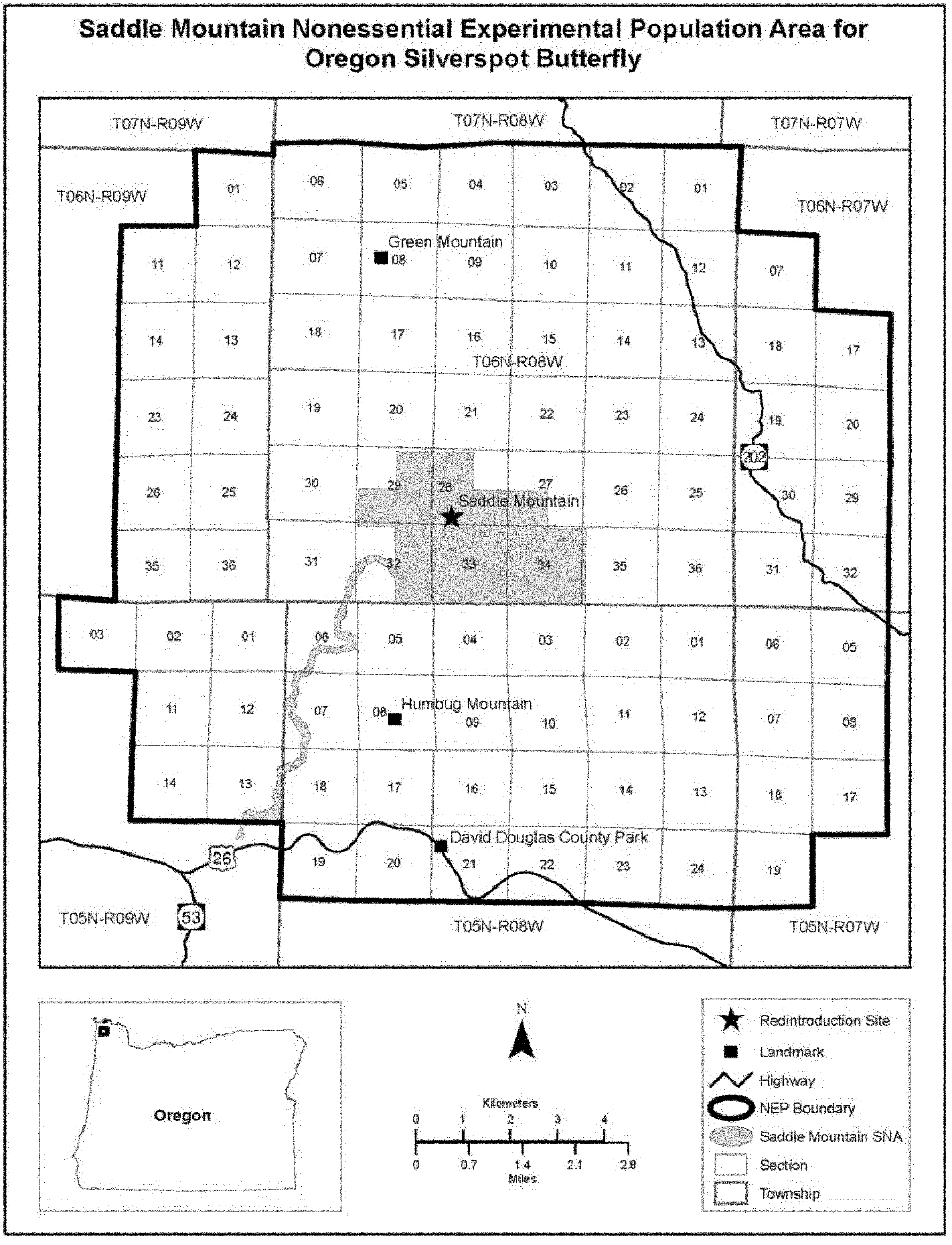
[66 FR 32263, June 14, 2001, as amended at 72 FR 52459, Sept. 13, 2007; 77 FR 16717, Mar. 22, 2012; 82 FR 28578, June 23, 2017]
§ 17.86 Special rules—plants. [Reserved]
Subpart I - Considerations of Impacts and Exclusions From Critical Habitat
Source:
85 FR 82388, Dec. 18, 2020, unless otherwise noted.
§ 17.90 Impact analysis and exclusions from critical habitat.
(a) At the time of publication of a proposed rule to designate critical habitat, the Secretary will make available for public comment the draft economic analysis of the designation. The draft economic analysis will be summarized in the Federal Register notice of the proposed designation of critical habitat. The Secretary will also identify any national security or other relevant impacts that the Secretary determines are contained in a particular area of proposed designation. Based on the best information available regarding economic, national security, and other relevant impacts, the proposed designation of critical habitat will identify the areas that the Secretary has reason to consider for exclusion and explain why. The identification of areas in the proposed rule that the Secretary has reason to consider for exclusion is neither binding nor exhaustive. “Economic impacts” may include, but are not limited to, the economy of a particular area, productivity, jobs, and any opportunity costs arising from the critical habitat designation (such as those anticipated from reasonable and prudent alternatives that may be identified through a section 7 consultation) as well as possible benefits and transfers (such as outdoor recreation and ecosystem services). “Other relevant impacts” may include, but are not limited to, impacts to Tribes, States, local governments, public health and safety, community interests, the environment (such as increased risk of wildfire or pest and invasive species management), Federal lands, and conservation plans, agreements, or partnerships. The Secretary will consider impacts at a scale that the Secretary determines to be appropriate and will compare the impacts with and without the designation. Impacts may be qualitatively or quantitatively described.
(b) Prior to finalizing the designation of critical habitat, the Secretary will consider the probable economic, national security, and other relevant impacts of the designation upon proposed or ongoing activities.
(c)
(1) Subject to paragraph (c)(2) of this section, the Secretary has discretion as to whether to conduct an exclusion analysis under 16 U.S.C. 1533(b)(2).
(2) The Secretary will conduct an exclusion analysis when:
(i) The proponent of excluding a particular area (including but not limited to permittees, lessees or others with a permit, lease, or contract on federally managed lands) has presented credible information regarding the existence of a meaningful economic or other relevant impact supporting a benefit of exclusion for that particular area; or
(ii) The Secretary otherwise decides to exercise discretion to evaluate any particular area for possible exclusion.
(d) When the Secretary conducts a discretionary exclusion analysis pursuant to paragraph (c) of this section, the Secretary shall weigh the benefits of including or excluding particular areas in the designation of critical habitat, according to the following principles:
(1) When analyzing the benefits of including or excluding any particular area based on impacts identified by experts in, or by sources with firsthand knowledge of, areas that are outside the scope of the Service's expertise, the Secretary will give weight to those benefits consistent with the expert or firsthand information, unless the Secretary has knowledge or material evidence that rebuts that information. Impacts that are outside the scope of the Service's expertise include, but are not limited to:
(i) Nonbiological impacts identified by federally recognized Indian Tribes, consistent with all applicable Executive and Secretarial orders;
(ii) Nonbiological impacts identified by State or local governments;
(iii) Impacts based on national security or homeland security implications identified by the Department of Defense, Department of Homeland Security, or any other Federal agency responsible for national security or homeland security; and
(iv) Nonbiological impacts identified by a permittee, lessee, or contractor applicant for a permit, lease, or contract on Federal lands.
(2) When analyzing the benefit of including or excluding any particular area based on economic impacts or other relevant impacts described in paragraph (b) of this section, the Secretary will weigh such impacts relative to the conservation value of that particular area. For benefits of inclusion or exclusion based on impacts that fall within the scope of the Service's expertise, the Secretary will give weight to those benefits in light of the Service's expertise.
(3) When analyzing the benefits of including or excluding particular areas covered by conservation plans, agreements, or partnerships that have been authorized by a permit under section 10 of the Act, the Secretary will consider the following factors:
(i) Whether the permittee is properly implementing the conservation plan or agreement;
(ii) Whether the species for which critical habitat is being designated is a covered species in the conservation plan or agreement; and
(iii) Whether the conservation plan or agreement specifically addresses the habitat of the species for which critical habitat is being designated and meets the conservation needs of the species in the planning area.
(4) When analyzing the benefits of including or excluding particular areas covered by conservation plans, agreements, or partnerships that have not been authorized by a permit under section 10 of the Act, factors that the Secretary may consider include, but are not limited to:
(i) The degree to which the record of the plan, or information provided by proponents of an exclusion, supports a conclusion that a critical habitat designation would impair the realization of the benefits expected from the plan, agreement, or partnership.
(ii) The extent of public participation in the development of the conservation plan.
(iii) The degree to which agency review and required determinations (e.g., State regulatory requirements) have been completed, as necessary and appropriate.
(iv) Whether National Environmental Policy Act (NEPA; 42 U.S.C. 4321 et seq.) reviews or similar reviews occurred, and the nature of any such reviews.
(v) The demonstrated implementation and success of the chosen mechanism.
(vi) The degree to which the plan or agreement provides for the conservation of the physical or biological features that are essential to the conservation of the species.
(vii) Whether there is a reasonable expectation that the conservation management strategies and actions contained in a management plan or agreement will be implemented.
(viii) Whether the plan or agreement contains a monitoring program and adaptive management to ensure that the conservation measures are effective and can be modified in the future in response to new information.
(e) If the Secretary conducts an exclusion analysis under paragraph (c) of this section, and if the Secretary determines that the benefits of excluding a particular area from critical habitat outweigh the benefits of specifying that area as part of the critical habitat, then the Secretary shall exclude that area, unless the Secretary determines, based on the best scientific and commercial data available, that the failure to designate that area as critical habitat will result in the extinction of the species concerned.
Subpart J - Interagency Cooperation
Source:
42 FR 47840, Sept. 22, 1977. Redesignated at 85 FR 82388, Dec. 18, 2020
§ 17.94 Critical habitats.
(a) The areas listed in § 17.95 (fish and wildlife), § 17.96 (plants), and § 17.99 (plants on the Hawaiian Islands) and referred to in the lists at §§ 17.11 and 17.12 have been determined by the Director to be critical habitat. All Federal agencies must insure that any action authorized, funded, or carried out by them is not likely to result in the destruction or adverse modification of the constituent elements essential to the conservation of the listed species within these defined critical habitats. (See part 402 for rules concerning this prohibition; see also part 424 for rules concerning the determination of critical habitat).
(b) Maps.
| If the critical habitat map appears in . . . | Then . . . |
|---|---|
| (1) A critical habitat designation in § 17.95(a), (b), (d), (e), (f), (g), (h), or (i), or in § 17.96(a), and the designation does not state that the map(s) is for informational purposes only, or (2) A critical habitat designation in § 17.99, or (3) A critical habitat designation published and effective after May 31, 2012, |
The map provided by the Secretary of the Interior, as clarified or refined by any textual language within the rule, constitutes the definition of the boundaries of a critical habitat. Each critical habitat area will be shown on a map, with more-detailed information discussed in the preamble of the rulemaking documents published in the Federal Register and made available from the lead field office of the Service responsible for such designation. Each area will be referenced to the State(s), county(ies), or other local government units within which all or part of the critical habitat is located. General descriptions of the location and boundaries of each area may be provided to clarify or refine what is included within the boundaries depicted on the map, or to explain the exclusion of sites (e.g., paved roads, buildings) within the mapped area. Unless otherwise indicated within the critical habitat descriptions, the names of the State(s) and county(ies) are provided for informational purposes only and do not constitute the boundaries of the area. |
| (4) A critical habitat designation that states that the map(s) is for informational purposes only, or (5) A critical habitat designation published and effective on or prior to May 31, 2012, that is set forth at § 17.95(c), |
The map provided by the Secretary of the Interior is for reference purposes to guide Federal agencies and other interested parties in locating the general boundaries of the critical habitat. The map does not, unless otherwise indicated, constitute the definition of the boundaries of a critical habitat. Critical habitats are described by reference to surveyable landmarks found on standard topographic maps of the area and to the States and county(ies) within which all or part of the critical habitat is located. Unless otherwise indicated within the critical habitat description, the State and county(ies) names are provided for informational purposes only. |
[82 FR 49755, Oct. 27, 2017, as amended at 83 FR 18702, Apr. 27, 2018; 86 FR 38576, July 22, 2021]
§ 17.95 Critical habitat - fish and wildlife.
(a) Mammals.
Indiana Bat (Myotis sodalis)
Illinois. The Blackball Mine, La Salle County.
Indiana. Big Wyandotte Cave, Crawford County; Ray's Cave, Greene County.
Kentucky. Bat Cave, Carter County; Coach Cave, Edmonson County.
Missouri. Cave 021, Crawford County; Cave 009, Franklin County; Cave 017, Franklin County; Pilot Knob Mine, Iron County; Bat Cave, Shannon County; Cave 029, Washington County (numbers assigned by Division of Ecological Services, U.S. Fish and Wildlife Service, Region 6).
Tennessee. White Oak Blowhole Cave, Blount county.
West Virginia. Hellhole Cave, Pendleton County.
No map.
Mariana Fruit Bat (Pteropus mariannus mariannus)
(1) The critical habitat unit for the Mariana fruit bat is depicted for the Territory of Guam on the maps below.
(2) Within this area, the primary constituent elements required by the Mariana fruit bat for the biological needs of foraging, sheltering, roosting, and rearing of young are found in areas supporting limestone, secondary, ravine, swamp, agricultural, and coastal forests composed of native or introduced plant species. These forest types provide the primary constituent elements of:
(i) Plant species used for foraging, such as Artocarpus sp. (breadfruit), Carica papaya (papaya), Cycas circinalis (fadang), Ficus spp. (fig), Pandanus tectorius (kafu), Cocos nucifera (coconut palm), and Terminalia catappa (talisai); and
(ii) Remote locations, often within 328 ft (100 m) of clifflines that are 260 to 590 ft (80 to 100 m) tall, with limited exposure to human disturbance; land that contains mature fig, Mammea odorata (chopak), Casuarina equisetifolia (gago), Macaranga thompsonii (pengua), Guettarda speciosa (panao), Neisosperma oppositifolia (fagot), and other tree species that are used for roosting and breeding.
(3) Critical habitat does not include existing features and structures within the boundaries of the mapped units, such as buildings, roads, aqueducts, antennas, water tanks, agricultural fields, paved areas, lawns, and other urban landscaped areas not containing one or more of the primary constituent elements.
(4) The critical habitat unit is described below. Coordinates are in UTM Zone 55 with units in meters using North American Datum of 1983 (NAD83)/World Geodetic System 1984 (WGS 84).
(i) Note: Map 1 - General Location of the Mariana Fruit Bat Unit follows:

(ii) Guam, Mariana fruit bat (376 ac; 152 ha).
(A) [Reserved]
(B) Map 2 showing Mariana Fruit Bat Unit follows:
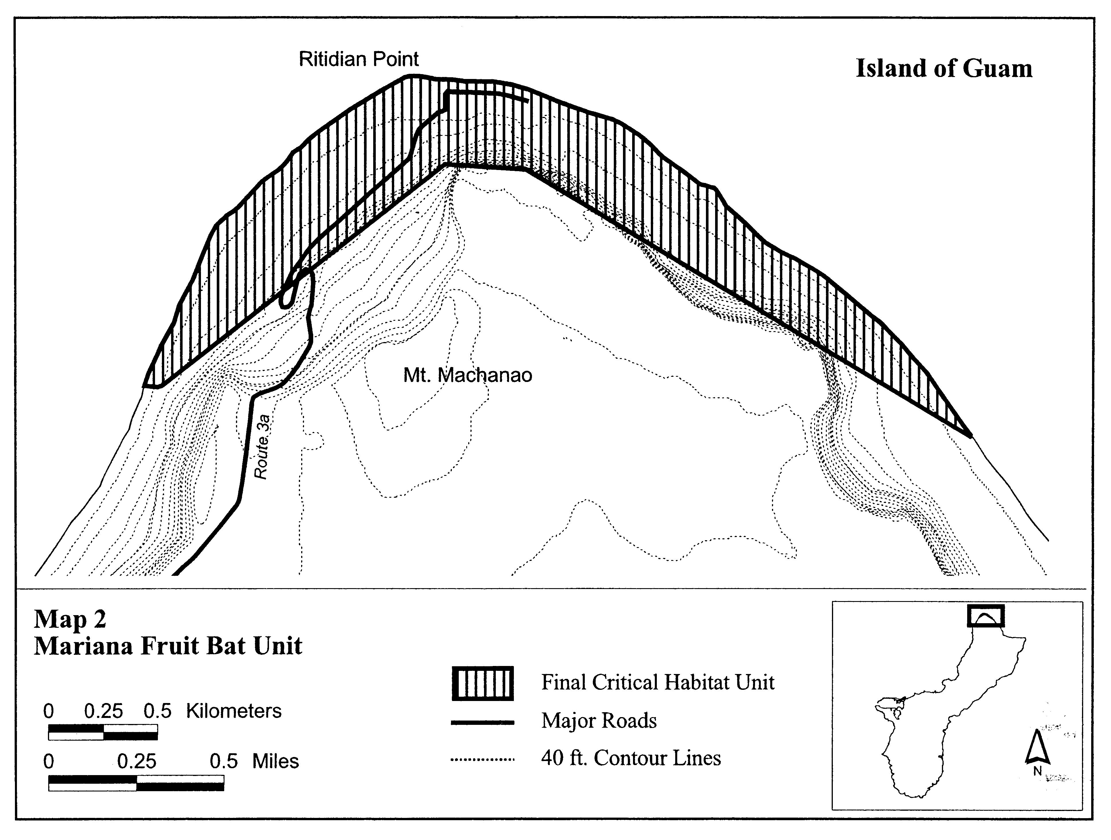
Virginia Big-eared Bat (Plecotus townsendii virginianus)
West Virginia. Cave Mountain Cave, Hellhole Cave, Hoffman School Cave, and Sinnit Cave, each in Pendleton County; Cave Hollow Cave, Tucker County.
The map provided is for informational purposes only. Map follows:

Polar Bear (Ursus maritimus) in the United States
(1) Critical habitat areas are in the State of Alaska, and adjacent territorial and U.S. waters, as described below.
(2) The primary constituent elements of critical habitat for the polar bear in the United States are:
(i) Sea-ice habitat used for feeding, breeding, denning, and movements, which is sea ice over waters 300 m (984.2 ft) or less in depth that occurs over the continental shelf with adequate prey resources (primarily ringed and bearded seals) to support polar bears.
(ii) Terrestrial denning habitat, which includes topographic features, such as coastal bluffs and river banks, with the following suitable macrohabitat characteristics:
(A) Steep, stable slopes (range 15.5-50.0°), with heights ranging from 1.3 to 34 m (4.3 to 111.6 ft), and with water or relatively level ground below the slope and relatively flat terrain above the slope;
(B) Unobstructed, undisturbed access between den sites and the coast;
(C) Sea ice in proximity to terrestrial denning habitat prior to the onset of denning during the fall to provide access to terrestrial den sites; and
(D) The absence of disturbance from humans and human activities that might attract other polar bears.
(iii) Barrier island habitat used for denning, refuge from human disturbance, and movements along the coast to access maternal den and optimal feeding habitat, which includes all barrier islands along the Alaska coast and their associated spits, within the range of the polar bear in the United States, and the water, ice, and terrestrial habitat within 1.6 km (1 mi) of these islands (no-disturbance zone).
(3) Critical habitat does not include manmade structures (e.g., houses, gravel roads, generator plants, sewage treatment plants, hotels, docks, seawalls, pipelines) and the land on which they are located existing within the boundaries of designated critical habitat on the effective date of this rule.
(4) Critical habitat map units. Boundaries were derived from GIS data layers of the 1:63,360 scale digital coastline of the State of Alaska, created by the Alaska Department of Natural Resources from U.S. Geological Survey inch-to-the-mile topographic quadrangles. The International Bathymetric Chart of the Arctic Ocean, version 2.3, was used for the bathymetric data. The maritime boundaries to generate the 3-mile nautical line, U.S. territorial boundary, and Exclusive Economic Zone were from the National Oceanic and Atmospheric Administration's Office of Coast Survey Web site. The land status and ownership information at the section level scale was from the Alaska Department of Natural Resources, and was obtained from the Alaska State Office of the Bureau of Land Management. The detailed parcel-level land status was created by the U.S. Fish and Wildlife Service, Division of the Realty, by digitizing U.S. Bureau of Land Management Master Title Plots. The detailed denning habitat maps and the internal boundaries for the terrestrial denning habitat were provided by the U.S. Geological Survey, Alaska Science Center. The data were projected into Alaska Standard Albers Conical Equal Area using the North American Datum of 1983 to estimate the area of each critical habitat unit and determine overlap with land and water ownership.
(5) Unit 1: Sea-ice habitat.
(i) The critical sea-ice habitat area includes all the contiguous waters from the mean high tide line of the mainland coast of Alaska to the 300-m (984.2-ft) bathymetry contour. The critical sea-ice habitat is bounded on the east by the United States-Canada border (69.64892° N, 141.00533° W) and extends along the coastline to a point southwest of Hooper Bay (61.52859° N, 166.15476° W) on the western coast of Alaska. The eastern boundary extends offshore approximately 85 km (136 mi) from the coast (70.41526° N, 141.0076° W) at the United States-Canada border and then follows the 300-m (984.2-ft) bathymetry contour northwest until it intersects with the U.S. 200-nautical-mile EEZ (74.01403° N, 163.52341° W). The boundary then follows the EEZ boundary southwest to the intersection with the United States-Russian boundary (72.78333° N, 168.97694° W). From this point, the boundary follows the United States-Russia boundary south and southwest to the intersection with the southern boundary of the Chukchi-Bering Seas population southwest of Gambell, St Lawrence Island (62.55482° N, 173.68023° W). From this point, the boundary extends southeast to the coast of Alaska (61.52859° N, 166.15476° W).
(ii) The map of Unit 1, sea-ice habitat, follows:

(6) Unit 2: Terrestrial denning habitat.
(i) The critical terrestrial denning habitat area extends from the mainland coast of Alaska 32 kilometers (20 mi) landward (primarily south) from the United States-Canada border to the Kavik River to the west. From the Kavik River to Barrow, the critical terrestrial denning habitat extends landward 8 kilometers (5 mi) south from the mainland coast of Alaska.
(ii) The village district of Barrow is excluded from the critical terrestrial denning habitat area. The excluded area is delineated as follows: Beginning at the southeast corner of the northeast 1⁄4 of Section 29, Unsurveyed T22N, R18W, Umiat Meridian, Alaska; thence North to the southeast corner of the northeast 1⁄4 of Section 17, Unsurveyed T22N, R18W; thence East to the southeast corner of the northeast 1⁄4 of Section 16, Unsurveyed T22N, R18W, Umiat Meridian, Alaska; thence North to the northeast corner of Section 16, Unsurveyed T22N, R18W; thence East to the southeast corner of southwest 1⁄4 of Section 10, Unsurveyed T22N, R18W; thence North to the northwest corner of the southwest 1⁄4 of northeast 1⁄4 of Section 34, Unsurveyed T23N, R18W; thence East to the southeast corner of the northeast 1⁄4 of the northeast 1⁄4 of Section 34, Unsurveyed T23N, R18W; thence North to the point where the section line common to Sections 14 and 15, Unsurveyed T23N, R18W; intersects the mean low water line of the Chukchi Sea; thence in a southwesterly direction along the mean low water line of the Chukchi Sea to the point where the mean low water line of the Chukchi Sea intersects the east-west center line of Section 27, Unsurveyed T22N, R19W; thence East to the point of beginning, containing 21 square miles, more or less. You can view legal descriptions and detailed, colored maps of the exclusions in this final rule at http://alaska.fws.gov/fisheries/mmm/polarbear/criticalhabitat.htm.
(iii) The village district of Kaktovik is excluded from the critical terrestrial denning habitat area. The excluded area is delineated as follows: From the P.O.B. (which is also the point of beginning for the U.S. Survey No. 4234) at approximately 2,828 feet distant on a bearing of N 01° 40′ E from Tri. Sta. U. S. C. and G. S. “Barter Astro”; the boundary thence shall run West for approximately 325′; thence South approximately 600′; thence West approximately 500′; thence South approximately 100′; thence West approximately 4,000′; thence South approximately 3,550′; thence East approximately 4,000′; thence in a northeasterly direction approximately 3,225′ to a point on the mean high water line of the Kaktovik Lagoon which is approximately 2,478′ distant on a bearing S 78 53′ E from Tri. Sta. U. S. C. and G. S. “Barter Astro”; thence northerly along the meandering mean high water line of the Kaktovik Lagoon, around Pipsuk Point, and westerly continuing on the meandering mean high water line to a point on the mean high water line of the Kaktovik Lagoon which is approximately 477′ distant on a bearing of N 88 58′ E from another point which is approximately 1,503′ distant on a bearing of N 01 24′ W from the point of beginning; thence approximately 477′ in a westerly direction, a bearing of S 88; 58′ W; thence approximately 1,503′ in a southerly direction on a bearing of S 01 24′ E to the point of beginning, containing one square mile, more or less. You can view legal descriptions and detailed, colored maps of the exclusions in this final rule at http://alaska.fws.gov/fisheries/mmm/polarbear/criticalhabitat.htm.
(iv) The maps of Unit 2 (east and west), terrestrial denning habitat, follow:


(7) Unit 3: Barrier island habitat.
(i) The critical barrier island habitat includes off-shore islands offset from the mainland coast of Alaska starting at the United States-Canada border westward to Barrow, southwest to Cape Lisburne, south to Point Hope, southwest to Wales, southeast to Nome, and ending at Hooper Bay, AK, and water, sea ice, and land habitat within 1.6 kilometers (1 mile) of the barrier islands (no-disturbance zone).
(ii) The map of Unit 3, barrier island habitat, follows:

Woodland Caribou (Rangifer tarandus caribou), Southern Mountain Distinct Population Segment (DPS)
(1) A critical habitat unit is depicted for Boundary County, Idaho, and Pend Oreille County, Washington, on the map below.
(2) Within this area, the primary constituent elements of the physical and biological features essential to the conservation of the southern mountain caribou DPS consist of five components:
(i) Mature to old-growth western hemlock (Tsuga heterophylla)/western red cedar (Thuja plicata) climax forest, and subalpine fir (Abies lasiocarpa)/Engelmann spruce (Picea engelmanni) climax forest at least 5,000 ft (1,520 m) in elevation; these habitats typically have 26-50 percent or greater canopy closure.
(ii) Ridge tops and high elevation basins that are generally 6,000 ft (1,830 m) in elevation or higher, associated with mature to old stands of subalpine fir (Abies lasiocarpa)/Engelmann spruce (Picea engelmanni) climax forest, with relatively open canopy.
(iii) Presence of arboreal hair lichens.
(iv) High-elevation benches and shallow slopes, secondary stream bottoms, riparian areas, seeps, and subalpine meadows with succulent forbs and grasses, flowering plants, horsetails, willow, huckleberry, dwarf birch, sedges, and lichens. The southern mountain caribou DPS, including pregnant females, uses these areas for feeding during the spring and summer seasons.
(v) Corridors/Transition zones that connect the habitats described above. If human activities occur, they are such that they do not impair the ability of caribou to use these areas.
(3) Critical habitat does not include manmade structures (such as buildings, roads, and other paved areas) and the land on which they are located existing within the legal boundaries on December 28, 2012.
(4) Critical habitat map unit. Data layers defining the map unit were created using a 5,000-ft (1,520-m) elevation layer derived from 30m USGS DEM plus migration-corridor polygons, and units were then mapped using Universal Transverse Mercator (UTM) Zone 11N coordinates. The map in this entry establishes the boundaries of the critical habitat designation. The coordinates or plot points or both on which the map is based are available to the public at the field office Internet site (http://www.fws.gov/idaho), at http://www.regulations.gov at Docket No. FWS-R1-ES-2011-0096, and at the Service's Idaho Fish and Wildlife Office. You may obtain field office location information by contacting one of the Service regional offices, the addresses of which are listed at 50 CFR 2.2.
(5) Unit 1: Boundary County, Idaho, and Pend Oreille County, Washington. The map of the critical habitat unit follows:

Santa Catalina Island Fox (Urocyon littoralis catalinae)
We have determined that no areas meet the definition of critical habitat under section 3(5)(A) of the Act for Santa Catalina Island fox. Therefore, no specific areas are designated as critical habitat for this subspecies.
Jaguar (Panthera onca)
(1) Critical habitat units are depicted for Pima, Santa Cruz, and Cochise Counties, Arizona, on the maps below.
(2) Within these areas, the primary constituent elements of the physical or biological feature essential to the conservation of jaguar consists of expansive open spaces in the southwestern United States of at least 100 km2 (32 to 38.6 mi2) in size which:
(i) Provide connectivity to Mexico;
(ii) Contain adequate levels of native prey species, including deer and javelina, as well as medium-sized prey such as coatis, skunks, raccoons, or jackrabbits;
(iii) Include surface water sources available within 20 km (12.4 mi) of each other;
(iv) Contain greater than 1 to 50 percent canopy cover within Madrean evergreen woodland, generally recognized by a mixture of oak (Quercus spp.), juniper (Juniperus spp.), and pine (Pinus spp.) trees on the landscape, or semidesert grassland vegetation communities, usually characterized by Pleuraphis mutica (tobosagrass) or Bouteloua eriopoda (black grama) along with other grasses;
(v) Are characterized by intermediately, moderately, or highly rugged terrain;
(vi) Are below 2,000 m (6,562 feet) in elevation; and
(vii) Are characterized by minimal to no human population density, no major roads, or no stable nighttime lighting over any 1-km2 (0.4-mi2) area.
(3) Critical habitat does not include manmade structures (such as buildings, aqueducts, runways, roads, and other paved areas) and the land on which they are located existing within the legal boundaries on April 4, 2014.
(4) Critical habitat map units. Data layers defining map units were created using hydrography data, vegetation biomes, tree cover, terrain ruggedness, elevation, Human Influence Index, and undisputed Class I jaguar records from 1962 to September 11, 2013, and were then mapped using Universal Transverse Mercator (UTM) coordinates.
(5) Note: Index map follows:

(6) Units 1, 2, 3, and 4: Baboquivari, Atascosa, Patagonia, and Whetstone Units, Pima, Santa Cruz, and Cochise Counties, Arizona. Map of Units 1, 2, 3, and 4 follows:

(7) Unit 5: Peloncillo Unit, Cochise County, Arizona. Map of Unit 5 follows:
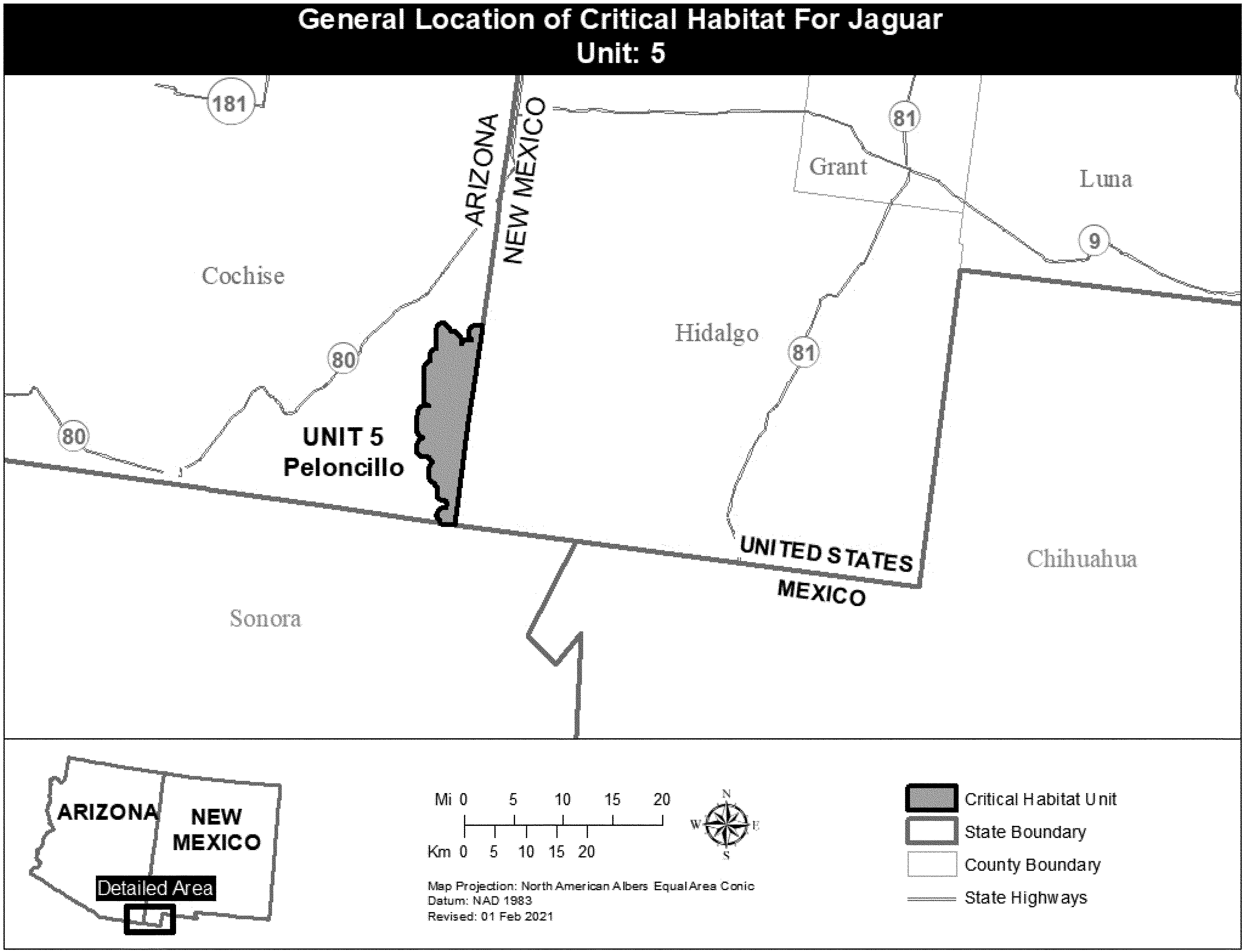
Fresno Kangaroo Rat (Dipodomys nitratoides exilis)
California. An area of land, water, and airspace in Fresno County, with the following components (Mt. Diablo Base Meridian): T14S R15E, E 1⁄2 NW 1⁄4 and NE 1⁄4 Sec. 11, that part of W 1⁄2 Sec. 12 north of the Southern Pacific Railroad, E 1⁄2 Sec. 12; T14S R16E, that part of Sec. 7 south of the Southern Pacific Railroad.
Within this area, the major constituent elements that are known to require special management considerations or protection are the hummocks and substrate that provide sites for burrow construction, and the natural alkali sink-open grassland vegetation that provides food and escape cover.
The map provided is for informational purposes only. Map follows:

Morro Bay Kangaroo Rat (Dipodomys heermanni morroensis)
California. An area of land, water, and airspace in San Luis Obispo County, with the following components (Mt. Diablo Meridian): T30S R10E S 1⁄2 Sec. 14, those portions of Sec. 23-24 west of Pecho Valley Road.
The map provided is for informational purposes only. Map follows:

San Bernardino Kangaroo Rat (Dipodomys merriami parvus)
(1) Critical habitat units are depicted for San Bernardino and Riverside Counties, California, on the maps below.
(2) The PCEs of critical habitat for the San Bernardino kangaroo rat are the habitat components that provide:
(i) Alluvial fans, washes, and associated floodplain areas containing soils consisting predominately of sand, loamy sand, sandy loam, and loam, which provide burrowing habitat necessary for sheltering and rearing offspring, storing food in surface caches, and movement between occupied patches;
(ii) Upland areas adjacent to alluvial fans, washes, and associated floodplain areas containing alluvial sage scrub habitat and associated vegetation, such as coastal sage scrub and chamise chaparral, with up to approximately 50 percent canopy cover providing protection from predators, while leaving bare ground and open areas necessary for foraging and movement of this subspecies; and
(iii) Upland areas adjacent to alluvial fans, washes, and associated floodplain areas, which may include marginal habitat such as alluvial sage scrub with greater than 50 percent canopy cover with patches of suitable soils that support individuals for re-population of wash areas following flood events. These areas may include agricultural lands, areas of inactive aggregate mining activities, and urban/wildland interfaces.
(3) Critical habitat does not include manmade structures (such as buildings, aqueducts, airports, roads, other paved areas, and the land on which such structures are located) existing on the effective date of this rule and not containing one or more of the PCEs.
(4) Data layers defining map units were created on a base of NAIP (USDA) 1:24,000 maps, and critical habitat units were then mapped using Universal Transverse Mercator (UTM) coordinates.
(5) Note: Index map of critical habitat units for the San Bernardino kangaroo rat follows:

(6) Unit 1: Santa Ana River Wash, San Bernardino County, California. From USGS 1:24,000 quadrangles San Bernardino North and Devore.
(i) Unit 1 is shown on the map in paragraph (6)(ii) of this entry, excluding lands bounded by the following Universal Transverse Mercator (UTM) North American Datum of 1983 (NAD83) coordinates (E, N):
(A) 487253, 3772752; 487254, 3772752; 487290, 3772752; 487290, 3772752; 487290, 3772752; 487589, 3772747; 487589, 3772747; 487778, 3772648; 487787, 3772643; 487790, 3772642; 487808, 3772632; 487808, 3772632; 487808, 3772632; 487808, 3772632; 487838, 3772617; 487842, 3772614; 487978, 3772543; 487996, 3772533; 488008, 3772533; 488010, 3772533; 488122, 3772533; 488122, 3772533; 488230, 3772532; 488230, 3772532; 488351, 3772531; 488390, 3772530; 488404, 3772530; 488405, 3772530; 488471, 3772529; 488608, 3772528; 488608, 3772528; 488812, 3772526; 488812, 3772526; 488812, 3772447; 488811, 3772326; 488811, 3772326; 488803, 3772326; 488614, 3772329; 488614, 3772329; 488614, 3772329; 488614, 3772329; 488607, 3772329; 488409, 3772332; 488403, 3772332; 488403, 3772332; 488144, 3772336; 488139, 3772336; 488140, 3772340; 488139, 3772336; 488139, 3772336; 487995, 3772338; 487995, 3772338; 487849, 3772340; 487849, 3772340; 487828, 3772341; 487806, 3772341; 487790, 3772341; 487775, 3772341; 487768, 3772342; 487763, 3772342; 487758, 3772342; 487726, 3772342; 487674, 3772343; 487586, 3772344; 487310, 3772348; 487309, 3772348; 487303, 3772349; 487303, 3772349; 487302, 3772349; 487233, 3772350; 487232, 3772350; 487229, 3772350; 487229, 3772350; 487227, 3772350; 487226, 3772350; 487223, 3772350; 487214, 3772350; 487213, 3772350; 487178, 3772350; 487178, 3772350; 487177, 3772350; 487173, 3772350; 487167, 3772350; 487117, 3772350; 487117, 3772350; 487118, 3772293; 487118, 3772179; 487119, 3772154; 487032, 3772153; 486981, 3772152; 486935, 3772151; 486896, 3772151; 486587, 3772146; 486580, 3772146; 486556, 3772146; 486534, 3772145; 486434, 3772144; 486380, 3772143; 486380, 3772143; 485983, 3772032; 485982, 3772032; 485983, 3771987; 485983, 3771961; 485983, 3771945; 485983, 3771941; 485983, 3771941; 485653, 3771939; 485651, 3771939; 485650, 3771939; 485594, 3771939; 485585, 3771939; 485586, 3771875; 485595, 3771841; 485595, 3771840; 485595, 3771822; 485595, 3771821; 485595, 3771821; 485577, 3771821; 485334, 3771821; 485184, 3771821; 485184, 3771821; 484918, 3771821; 484852, 3771821; 484782, 3771821; 484782, 3771821; 484693, 3771820; 484693, 3771820; 484482, 3771819; 484482, 3771819; 484383, 3771819; 484381, 3771819; 484381, 3771824; 484381, 3771875; 484381, 3771879; 484381, 3771881; 484381, 3771882; 484381, 3771943; 484381, 3771943; 484381, 3771996; 484445, 3771996; 484782, 3771994; 484782, 3771992; 484782, 3771945; 484782, 3771941; 484909, 3771941; 485184, 3771940; 485184, 3771944; 485184, 3771948; 485183, 3771998; 485182, 3772335; 485573, 3772333; 485582, 3772333; 485582, 3772333; 485981, 3772338; 485981, 3772338; 485980, 3772361; 485976, 3772665; 485975, 3772732; 485975, 3772734; 486377, 3772741; 486380, 3772362; 486380, 3772342; 486463, 3772343; 486779, 3772346; 486778, 3772618; 486778, 3772747; 486778, 3772747; 486887, 3772749; 486908, 3772749; 486925, 3772750; 487178, 3772754; 487178, 3772754; 487184, 3772754; 487184, 3772754; 487202, 3772753; 487205, 3772753; 487209, 3772753; 487213, 3772753 ; thence returning to 487253, 3772752;
(B) 482603, 3772347; 482603, 3772347; 482602, 3772348; 483160, 3772346; 483160, 3772089; 483160, 3772072; 483160, 3771972; 483160, 3771893; 483159, 3771893; 483159, 3771893; 483071, 3771893; 483032, 3771892; 483032, 3771892; 483032, 3771892; 482989, 3771930; 482972, 3771945; 482972, 3771945; 482644, 3772097; 482622, 3772108; 482537, 3772147; 482377, 3772221; 482368, 3772227; 482368, 3772227; 482368, 3772227; 482368, 3772263; 482367, 3772336; 482367, 3772348; 482367, 3772348; 482376, 3772348; 482385, 3772348; 482394, 3772348; thence returning to 482603, 3772347; and
(C) 483188, 3772080; 483211, 3772076; 483211, 3772346; 483211, 3772346; 483374, 3772346; 483600, 3772345; 483969, 3772344; 483970, 3772008; 483970, 3771985; 483971, 3771945; 483971, 3771945; 483914, 3771945; 483913, 3771945; 483902, 3771945; 483848, 3771945; 483409, 3771944; 483272, 3771944; 483215, 3771944; 483210, 3771944; 483210, 3771944; 483210, 3771944; 483210, 3771944; 483200, 3771933; 483200, 3771933; 483200, 3771933; 483187, 3771946; 483185, 3771948; thence returning to 483188, 3772080.
(ii) Map of Unit 1 - Santa Ana River Wash follows:

(7) Unit 2: Lytle/Cajon Creek Wash, San Bernardino County, California. From USGS 1:24,000 quadrangles San Bernardino South, Redlands, Yucaipa, and Harrison Mountain.
(i) [Reserved]
(ii) Map of Unit 2 - Lytle/Cajon Creek Wash follows:

(8) Unit 3: San Jacinto River Wash, Riverside County, California. From USGS 1:24,000 quadrangles San Jacinto, Lake Fulmor, and Blackburn Canyon.
(i) Unit 3 is shown on the map in paragraph (8)(ii) of this entry, excluding lands bounded by the following Universal Transverse Mercator (UTM) North American Datum of 1983 (NAD83) coordinates (E, N):
(A) 506793, 3736955; 506803, 3736965; 506858, 3736912; 506834, 3736888; 506826, 3736879; 506771, 3736932; thence returning to 506793, 3736955;
(B) 506995, 3736726; 507035, 3736768; 507090, 3736715; 507050, 3736673; thence returning to 506995, 3736726;
(C) 507212, 3736516; 507248, 3736554; 507295, 3736509; 507260, 3736471; thence returning to 507212, 3736516; and
(D) 512090, 3734474; 512104, 3734481; 512118, 3734488; 512130, 3734464; 512130, 3734464; 512113, 3734456; 512104, 3734464; 512093, 3734472; thence returning to 512090, 3734474.
(ii) Map of Unit 3 - San Jacinto River Wash follows:

(9) Unit 4: Cable Creek Wash, San Bernardino County, California. From USGS 1:24,000 quadrangles San Bernardino South, Redlands, Yucaipa, and Harrison Mountain.
(i) [Reserved]
(ii) Map of Unit 4 - Cable Creek Wash follows:

(10) Unit 5: Bautista Creek, Riverside County, California. From USGS 1:24,000 quadrangle Blackburn Canyon.
(i) [Reserved]
(ii) Map of Unit 5 - Bautista Creek follows:

Canada Lynx (Lynx canadensis)
(1) Critical habitat units are depicted on the maps below for the following States and counties:
(i) Idaho: Boundary County;
(ii) Maine: Aroostook, Franklin, Penobscot, Piscataquis, and Somerset Counties;
(iii) Minnesota: Cook, Koochiching, Lake, and St. Louis Counties;
(iv) Montana: Carbon, Flathead, Gallatin, Glacier, Granite, Lake, Lewis and Clark, Lincoln, Missoula, Park, Pondera, Powell, Stillwater, Sweetgrass, and Teton Counties;
(v) Washington: Chelan and Okanogan Counties; and
(vi) Wyoming: Fremont, Lincoln, Park, Sublette, and Teton Counties.
(2) Within these areas the primary constituent element for the Canada lynx is boreal forest landscapes supporting a mosaic of differing successional forest stages and containing:
(i) Presence of snowshoe hares and their preferred habitat conditions, which include dense understories of young trees, shrubs or overhanging boughs that protrude above the snow, and mature multistoried stands with conifer boughs touching the snow surface;
(ii) Winter conditions that provide and maintain deep fluffy snow for extended periods of time;
(iii) Sites for denning that have abundant coarse woody debris, such as downed trees and root wads; and
(iv) Matrix habitat (e.g., hardwood forest, dry forest, non-forest, or other habitat types that do not support snowshoe hares) that occurs between patches of boreal forest in close juxtaposition (at the scale of a lynx home range) such that lynx are likely to travel through such habitat while accessing patches of boreal forest within a home range.
(3) Critical habitat does not include manmade structures (such as buildings, aqueducts, runways, roads, and other paved areas) and the land on which they are located existing within the legal boundaries on October 14, 2014.
(4) Critical habitat map units. Data layers defining map units were created using a USA Contiguous Albers Equal Area Conic projection. The maps in this entry establish the boundaries of the critical habitat designation. The coordinates or plot points or both on which each map is based are available to the public at the Service's internet site, http://www.fws.gov/montanafieldoffice/, at http://www.regulations.gov at Docket No. FWS-R6-ES-2013-0101, and at the field office responsible for this designation. You may obtain field office location information by contacting one of the Service regional offices, the addresses of which are listed at 50 CFR 2.2.
(5) Note: Index map follows:

(6) Unit 1: Maine - Aroostook, Franklin, Penobscot, Piscataquis, and Somerset Counties, ME. Map of Unit 1, Maine, follows:

(7) Unit 2: Minnesota - Cook, Koochiching, Lake, and St. Louis Counties, MN.
Map of Unit 2, Minnesota, follows:

(8) Unit 3: Northern Rockies - Boundary County, ID, and Flathead, Glacier, Granite, Lake, Lewis and Clark, Lincoln, Missoula, Pondera, Powell and Teton Counties, MT. Map of Unit 3, Northern Rockies, follows:

(9) Unit 4: North Cascades - Chelan and Okanogan Counties, WA. Map of Unit 4, North Cascades, follows:

(10) Unit 5: Greater Yellowstone Area - Carbon, Gallatin, Park, Stillwater, and Sweetgrass Counties, MT, and Fremont, Lincoln, Park, Sublette, and Teton Counties, WY. Map of Unit 5, Greater Yellowstone Area, follows:

Florida Manatee (Trichechus manatus)
Florida. Crystal River and its headwaters known as King's Bay, Citrus County; the Little Manatee River downstream from the U.S. Highway 301 bridge, Hillsborough County; the Manatee River downstream from the Lake Manatee Dam, Manatee County; the Myakka River downstream from Myakka River State Park, Sarasota and Charlotte Counties; the Peace River downstream from the Florida State Highway 760 bridge, De Soto and Charlotte Counties; Charlotte Harbor north of the Charlotte-Lee County line, Charlotte County; Caloosahatchee River downstream from the Florida State Highway 31 bridge, Lee County; all U.S. territorial waters adjoining the coast and islands of Lee County; all U.S. territorial waters adjoining the coast and islands and all connected bays, estuaries, and rivers from Gordon's Pass, near Naples, Collier County, southward to and including Whitewater Bay, Monroe County; all waters of Card, Barnes, Blackwater, Little Blackwater, Manatee, and Buttonwood Sounds between Key Largo, Monroe County, and the mainland of Dade County; Biscayne Bay, and all adjoining and connected lakes, rivers, canals, and waterways from the southern tip of Key Biscayne northward to and including Maule Lake, Dade County; all of Lake Worth, from its northernmost point immediately south of the intersection of U.S. Highway 1 and Florida State Highway A1A southward to its southernmost point immediately north of the town of Boynton Beach, Palm Beach County; the Loxahatchee River and its headwaters, Martin and West Palm Beach Counties; that section of the intracoastal waterway from the town of Seawalls Point, Martin County to Jupiter Inlet, Palm Beach County; the entire inland section of water known as the Indian River, from its northernmost point immediately south of the intersection of U.S. Highway 1 and Florida State Highway 3, Volusia County, southward to its southernmost point near the town of Seawalls Point, Martin County, and the entire inland section of water known as the Banana River and all waterways between Indian and Banana Rivers, Brevard County; the St. Johns River including Lake George, and including Blue Springs and Silver Glen Springs from their points of origin to their confluences with the St. Johns River; that section of the Intracoastal Waterway from its confluences with the St. Marys River on the Georgia-Florida border to the Florida State Highway A1A bridge south of Coastal City, Nassau and Duval Counties.
No map.
Alabama Beach Mouse (Peromyscus polionotus ammobates)
(1) Critical habitat units are depicted for Baldwin County, Alabama, on the maps below. The maps provided are for informational purposes only.
(2) The primary constituent elements of critical habitat for the Alabama Beach Mouse are the habitat components that provide:
(i) A contiguous mosaic of primary, secondary, and scrub vegetation and dune structure, with a balanced level of competition and predation and few or no competitive or predaceous nonnative species present, that collectively provide foraging opportunities, cover, and burrow sites.
(ii) Primary and secondary dunes, generally dominated by sea oats (Uniola paniculata), that despite occasional temporary impacts and reconfiguration from tropical storms and hurricanes, provide abundant food resources, burrow sites, and protection from predators.
(iii) Scrub dunes, generally dominated by scrub oaks (Quercus spp.), that provide food resources and burrow sites, and provide elevated refugia during and after intense flooding due to rainfall and/or hurricane-induced storm surge.
(iv) Unobstructed habitat connections that facilitate genetic exchange, dispersal, natural exploratory movements, and recolonization of locally extirpated areas.
(v) A natural light regime within the coastal dune ecosystem, compatible with the nocturnal activity of beach mice, necessary for normal behavior, growth, and viability of all life stages.
(3) Critical habitat does not include manmade structures (such as buildings, aqueducts, airport runways, roads, other paved areas, and piers) and the land on which they are located existing within the legal boundaries on the effective date of this rule.
(4) Critical habitat map units. Data layers defining map units were created by delineating habitats that contained one or more of the PCEs defined in paragraph (2) of this entry, over 2005 Baldwin County, Alabama color photography (UTM 16, NAD 83).
(5) Note: Index Map (Map 1) follows:

(6) Unit 1: Fort Morgan, Baldwin County, Alabama.
(i) General Description: Unit 1 consists of 446 ac (180 ha) at the extreme western tip of the Fort Morgan Peninsula in Baldwin County, Alabama. This unit encompasses essential features of Alabama beach mouse habitat within the boundary of the Fort Morgan State Historic Site and adjacent properties west of the Bay to Breakers development. The southern and western extents are the mean high water level (MHWL). The unit extends northward to either the seaward extent of maritime forest, developed features associated with the Fort Morgan State Historic Site, or Ft. Morgan Parkway.
(ii) Coordinates: From the Fort Morgan and Saint Andrews Bay USGS 1:24,000 quadrangle maps, Alabama, land bounded by the following UTM 16 NAD 83 coordinates (E, N): 401473.62, 3344763.21; 401547.57, 3344692.62; 401513.96, 3344669.09; 01503.87, 3344514.47; 401369.42, 3344440.53; 401577.82, 3344356.49; 402008.06, 3344443.89; 402169.41, 3344622.04; 402525.70, 3344682.54; 403820.62, 3344782.93; 404628.95, 3344823.00; 404623.54, 3344330.64; 404288.09, 3344287.36; 403970.48, 3344745.87; 403970.48, 3344230.37; 403292.55, 3344087.17; 402583.77, 3343995.19; 401269.00, 3343995.19; 400971.42, 3344125.04; 400976.83, 3344206.20; 401301.47, 3344628.22; 404286.32, 3344756.22; 402854.33, 3344659.30; 402903.74, 3344669.55; 402929.27, 3344691.88; 403288.24, 3344682.82; 403627.98, 3344721.72; 403654.87, 3344714.12; 403590.33, 3344665.04; 403546.85, 3344641.30; 403501.91, 3344628.03; 403337.34, 3344622.77; 403056.19, 3344638.97
(iii) Note: Map of Unit 1, Fort Morgan (Map 2), follows:

(7) Unit 2: Little Point Clear, Baldwin County, Alabama.
(i) General Description: Unit 2 consists of 268 ac (108 ha) on the Fort Morgan Peninsula in Baldwin County, Alabama. This unit encompasses essential features of Alabama beach mouse habitat north of the mean high water line (MHWL) and south of the Alabama Department of Environmental Management Coastal Construction Control Line (as defined in Alabama Administrative Code of Regulations 335-8-2-0.8) from the eastern property boundary of Bay to Breakers eastward to the western boundary of the Surfside Shores subdivision. This unit also includes essential features of Alabama beach mouse habitat 160 ft south (except where otherwise noted) of the centerline of Fort Morgan Parkway, from the eastern boundary of Bay to Breakers east to the western boundary of the Surfside Shores subdivision, and associated areas as depicted on Map 3 in paragraph (7)(iii) of this entry and in the coordinates provided in paragraph (7)(ii) of this entry.
(ii) Coordinates: From the Saint Andrews Bay USGS 1:24,000 quadrangle map, Alabama, land bounded by the following UTM 16 NAD 83 coordinates (E, N), except those areas covered by incidental take permits shown in the maps: 408673.97, 3345088.73; 408690.96, 3345050.98; 408964.63, 3345069.85; 408992.95, 3345115.15; 409098.64, 3345124.59; 409260.96, 3345071.74; 409306.26, 3345047.20; 409421.39, 3345039.65; 409421.39, 3345018.89; 409839.57, 3345038.68; 410450.38, 3345133.36; 410638.20, 3345180.70; 411632.04, 3345331.96; 411819.06, 3345348.96; 411819.06, 3345276.71; 411455.65, 3345227.83; 411423.77, 3345234.20; 411115.62, 3345195.95; 410735.21, 3345138.57; 410735.21, 3345117.32; 410129.52, 3345030.18; 405929.15, 3344870.87; 406790.26, 3344915.69; 406790.26, 3344944.50; 406889.49, 3344986.11; 406915.10, 3344986.11; 406947.11, 3344973.31; 406972.72, 3344998.92; 406998.33, 3344960.50; 407039.95, 3344973.31; 407065.56, 3344950.90; 407148.55, 3344960.50; 407232.02, 3345008.52; 407238.42, 3345034.13; 407289.64, 3344954.10; 407918.85, 3345054.48; 408411.28, 3345026.14; 408414.83, 3345068.65; 408687.61, 3345125.34; 408723.04, 3345107.62; 406397.69, 3344654.51; 408502.15, 3344816.39; 408502.15, 3344974.12; 408369.32, 3344978.29; 408074.61, 3345003.18; 407842.17, 3344994.88; 407194.65, 3344878.65; 406327.13, 3344837.15; 406318.83, 3344720.92; 406181.85, 3344716.77; 406165.25, 3344837.15; 404625.30, 3344770.73; 408639.12, 3344982.42; 408850.81, 3345011.48; 408626.67, 3344828.84; 408904.77, 3345015.63; 409021.00, 3345003.18; 409033.45, 3344837.15; 410127.40, 3344881.42; 409942.50, 3345003.19; 409321.94, 3344964.94; 409122.17, 3344994.69; 409122.17, 3344839.55; 411303.93, 3344704.32; 410054.54, 3344754.13; 410029.64, 3344741.68; 409992.28, 3344745.83; 409963.23, 3344758.28; 408879.87, 3344720.92; 407157.29, 3344642.06; 406011.67, 3344509.23; 405044.53, 3344417.91; 404700.02, 3344343.20; 404624.32, 3344815.46; 404709.17, 3344488.16; 405203.36, 3344433.41; 405813.57, 3344509.70; 406027.79, 3344616.83; 406662.44, 3344675.99; 406677.12, 3344600.23; 407261.66, 3344729.73; 407664.18, 3344758.57; 407637.12, 3344658.32; 408856.44, 3344833.42; 408903.73, 3344832.33; 409944.78, 3344975.70; 409961.53, 3344931.31; 409960.68, 3344885.70; 409940.98, 3344852.55; 410474.83, 3344831.25; 411896.05, 3344778.56; 411897.06, 3344677.82; 411898.98, 3345357.59; 411899.47, 3345349.16; 411899.92, 3345333.36; 411898.69, 3345292.29
(iii) Note: Map of Unit 2, Little Point Clear (Map 3), follows:

(8) Unit 3: Gulf Highlands, Baldwin County, Alabama.
(i) General Description: Unit 3 consists of 275 ac (111 ha) on the Fort Morgan Peninsula in Baldwin County, Alabama. This unit encompasses essential features of Alabama beach mouse habitat north of the mean high water line (MHWL) to the seaward extent of interdunal wetlands as depicted on Map 4 in paragraph (8)(iii) of this entry and in the coordinates in paragraph (8)(ii) of this entry. This unit also includes essential features of Alabama beach mouse habitat 160 ft south of the centerline of Fort Morgan Parkway (except some areas to the north as noted in paragraphs (8)(ii) and (8)(iii) of this entry). Unit 3 is bounded to the west by the eastern property line of the Morgantown subdivision and to the east by the western property line of Martinique on the Gulf.
(ii) Coordinates: From the Pine Beach and Saint Andrews Bay USGS 1:24,000 quadrangle maps, Alabama, land bounded by the following UTM 16 NAD 83 coordinates (E, N), except those areas covered by incidental take permits shown in the maps:
(A) Surfside Shores - 412122.39, 3344896.76; 412230.61, 3344952.19; 412407.44, 3344970.66; 412407.44, 3344997.06; 413286.34, 3345139.58; 413283.70, 3344598.52; 411897.20, 3344677.62; 411896.72, 3344778.70; 411901.40, 3344895.52; 412585.68, 3344637.82; 413286.36, 3345090.20; 413224.06, 3345080.28; 413224.52, 3344927.47; 413284.56, 3344937.39
(B) Gulf Highlands - 414393.00, 3344536.62; 414393.00, 3344732.11; 414676.12, 3344736.60; 415529.98, 3344440.00; 414671.87, 3344524.00; 414736.29, 3344520.49; 414736.41, 3344546.27; 415324.89, 3344541.53; 415326.46, 3344653.21; 415533.04, 3344653.83; 415290.55, 3345011.54; 415327.74, 3345011.79; 415327.61, 3344980.39; 415290.42, 3344981.38; 415308.84, 3344940.80; 415327.02, 3344940.72; 415327.30, 3344910.13; 415308.70, 3344910.21; 415358.01, 3344940.99; 415376.61, 3344940.91; 415376.48, 3344910.33; 415357.88, 3344910.41; 415291.27, 3345081.38; 415309.04, 3345081.30; 415309.47, 3345085.02; 415291.28, 3345084.28; 415326.74, 3345051.69; 415326.74, 3345039.99; 415181.66, 3345041.16; 415184.00, 3345052.86; 415174.64, 3345051.69; 415174.64, 3345041.16; 414954.68, 3345042.33; 414954.68, 3344655.06; 414920.74, 3344656.23; 414920.74, 3344761.53; 414735.88, 3344762.70; 414735.88, 3344773.23; 414921.91, 3344772.06; 414921.91, 3344831.73; 414737.05, 3344832.90; 414737.05, 3344843.43; 414921.91, 3344842.26; 414923.08, 3344903.10; 414735.88, 3344903.10; 414735.88, 3344915.97; 414924.25, 3344913.63; 414921.91, 3344972.13; 414738.22, 3344974.47; 414738.22, 3344983.83; 414921.91, 3344982.66; 414923.08, 3345043.50; 414738.22, 3345043.50; 414738.22, 3345054.03; 414921.91, 3345054.03; 414921.91, 3345071.59; 414953.51, 3345073.93; 414953.51, 3345052.86; 414953.51, 3344876.19;
(C) Gulf Shores Plantation - 414204.25, 3344552.35; 414204.25, 3344725.37; 414343.57, 3344754.58; 414341.32, 3344543.36
(D) Cabana Beach - 415938.37, 3344420.63; 416333.53, 3344954.65; 416756.08, 3344395.60; 416750.70, 3344919.13; 415945.72, 3344968.29
(E) ROW - 413472.87, 3345602.80; 413767.66, 3345609.58; 413781.21, 3345585.86; 414496.15, 3345582.47; 414760.44, 3345545.20; 414973.90, 3345460.49; 415278.85, 3345487.60; 416224.19, 3345470.66; 415654.96, 3345426.61; 414973.90, 3345402.89; 414533.42, 3345521.48; 413621.96, 3345538.42; 411899.45, 3345292.57; 411899.63, 3345333.23; 411898.97, 3345349.21; 411898.28, 3345357.92; 416599.61, 3345528.80; 416603.89, 3345480.95
(iii) Note: Map of Unit 3, Gulf Highlands (Map 4), follows:

(9) Unit 4: Pine Beach, Baldwin County, Alabama.
(i) General Description: Unit 4 consists of 30 ac (12 ha) on 27 inholdings within the Perdue Unit of the Bon Secour National Wildlife Refuge as depicted on Map 5 in paragraph (9)(iii) of this entry and in the coordinates in paragraph (9)(ii) of this entry.
(ii) Coordinates: From the Pine Beach USGS 1:24,000 quadrangle map, Alabama, land bounded by the following UTM 16 NAD 83 coordinates (E, N), except those areas covered by incidental take permits shown on the map in paragraph (9)(iii) of this entry: 419890.08, 3344529.29; 419946.90, 3344389.62; 420406.15, 3344394.35; 420401.42, 3344342.27; 419587.07, 3344320.96; 419589.44, 3344384.88; 419658.09, 3344384.88; 419655.72, 3344503.25; 419636.78, 3344503.25; 419639.15, 3344534.02; 419783.19, 3344531.65; 419783.55, 3344384.88; 419803.49, 3344384.88; 421930.69, 3344448.80; 421895.18, 3344446.43; 422030.12, 3344465.37; 419842.74, 3344635.81; 419797.76, 3344640.55; 419688.86, 3344841.77; 419740.94, 3344841.77; 419688.86, 3344645.28; 419743.31, 3344642.92; 419740.94, 3344593.20; 419688.86, 3344595.57; 420294.50, 3345060.66; 420306.84, 3345060.44; 420306.62, 3345022.12; 420294.28, 3345022.34; 420148.12, 3344725.77; 420190.73, 3344725.77; 420188.36, 3344633.45; 420150.49, 3344633.45; 420046.32, 3344728.14; 420098.40, 3344728.14; 420098.40, 3344635.81; 420046.32, 3344635.81; 420046.32, 3344567.16; 420058.16, 3344567.16; 420058.16, 3344545.86; 420003.71, 3344545.86; 420003.71, 3344638.18; 419906.65, 3344638.18; 419927.96, 3344638.18; 419927.96, 3344545.86; 419906.65, 3344548.22; 419690.90, 3344778.02; 419740.44, 3344772.85; 419801.19, 3344677.57; 419842.01, 3344675.40; 421902.16, 3344854.73; 421932.71, 3344858.24; 421999.30, 3344843.90; 422029.66, 3344830.25; 421996.44, 3344462.00
(iii) Note: Map of Unit 4, Pine Beach (Map 5), follows:

(10) Unit 5: Gulf State Park, Baldwin County, Alabama.
(i) General Description: Unit 5 consists of 192 ac (78 ha) in Gulf State Park east of the City of Gulf Shores in Baldwin County, Alabama. This unit encompasses essential features of Alabama beach mouse habitat north of the mean high water line (MHWL) to the seaward extent of either coastal wetlands, maritime forest, or Alabama beach mouse habitat managed under the 2004 Gulf State Park habitat conservation plan. Exact boundaries are depicted on Map 6 in paragraph (10)(iii) of this entry and in the coordinates in paragraph (10)(ii) of this entry.
(ii) Coordinates: From the Gulf Shores USGS 1:24,000 quadrangle map, Alabama, land bounded by the following UTM 16 NAD 83 coordinates (E, N), except those areas identified as developable in the current incidental take permit for the Alabama Department of Conservation and Natural Resources: 438247.09, 3347462.61; 438384.26, 3347485.47; 438504.29, 3347456.89; 438738.63, 3347479.75; 438738.63, 3347411.17; 438681.48, 3347405.45; 438675.76, 3347193.97; 437681.24, 3346988.21; 436938.21, 3346702.43; 436349.50, 3346599.55; 435377.85, 3346548.11; 435160.66, 3346490.95; 435166.37, 3346736.72; 435606.47, 3346856.75; 436572.41, 3346828.17; 36572.41, 3346913.91; 436881.06, 3347033.94; 436909.64, 3347068.23; 437612.66, 3347325.43; 437818.42, 3347319.72; 437829.85, 3347251.13; 438035.61, 3347308.29; 438041.33, 3347394.02; 435699.17, 3346883.42; 435754.39, 3346634.94; 435940.75, 3346652.19; 436154.72, 3346638.39; 436368.69, 3346683.25; 436368.69, 3346790.24
(iii) Note: Map of Unit 5, Gulf State Park (Map 6), follows:

Choctawhatcee Beach Mouse (Peromyscus polionotus allophrys)
(1) Critical habitat units are depicted for Okaloosa, Walton, and Bay Counties, Florida, on the maps below.
(2) The primary constituent elements of critical habitat for the Choctawhatchee beach mouse are the habitat components that provide:
(i) A contiguous mosaic of primary, secondary, and scrub vegetation and dune structure, with a balanced level of competition and predation and few or no competitive or predaceous nonnative species present, that collectively provide foraging opportunities, cover, and burrow sites;
(ii) Primary and secondary dunes, generally dominated by sea oats (Uniola paniculata), that despite occasional temporary impacts and reconfiguration from tropical storms and hurricanes, provide abundant food resources, burrow sites, and protection from predators;
(iii) Scrub dunes, generally dominated by scrub oaks (Quercus spp.), that provide food resources and burrow sites, and provide elevated refugia during and after intense flooding due to rainfall and/or hurricane-induced storm surge;
(iv) Functional, unobstructed habitat connections that facilitate genetic exchange, dispersal, natural exploratory movements, and re-colonization of locally extirpated areas; and
(v) A natural light regime within the coastal dune ecosystem, compatible with the nocturnal activity of beach mice, necessary for normal behavior, growth, and viability of all life stages.
(3) Critical habitat does not include man-made structures existing on the effective date of this rule and not containing one or more of the primary constituent elements, such as buildings, aqueducts, airports, driveways, and roads, and the land on which such structures are located.
(4) Critical Habitat Map Units. Data layers defining map units were created by delineating habitats that contained one or more of the primary constituent elements defined in paragraph (2) of this entry over 1999 and 2004 digital ortho photography at a scale of at least 1:4000.
(5) Note: Map 1, Index Map of Critical Habitat Units for the Choctawhatchee beach mouse, follows:

(6) CBM - Unit 1: Henderson Beach Unit, Okaloosa County, Florida.
(i) General Description: This unit encompasses essential features of beach mouse habitat within the boundary of Henderson Beach State Park from 0.5 mi (0.8 km) east of the intersection of Highway 98 and Scenic Highway 98 to 0.25 mi (0.4 km) west of Matthew Boulevard and the area from the mean high water level (MHWL) north to the seaward extent of the maritime forest.
(ii) Map of Unit CBM - Unit 1 is provided at paragraph (7)(ii) of this entry.
(7) CBM - Unit 2: Topsail Hill Unit, Walton County, Florida.
(i) General Description: This unit encompasses essential features of beach mouse habitat within the boundary of Topsail Hill Preserve State Park, as well as adjacent private lands from 0.1 mi (0.2 km) east of Gulf Pines 0.6 mi (1 km) west of the inlet of Oyster Lake and the area from the MHWL north to the seaward extent of human development or maritime forest.
(ii) Map 2, Units 1 and 2 of Choctowhatchee beach mouse, follows:

(8) CBM - Unit 3: Grayton Beach Unit, Walton County, Florida.
(i) General Description: This unit encompasses essential features of beach mouse habitat within the boundary of Grayton Beach State Park, as well as adjacent private lands and inholdings, from 0.3 mi west of the inlet of Alligator Lake east to 0.8 mi west of Seagrove Beach and the area from the MHWL north to the seaward extent of human development or maritime forest.
(ii) Map of Unit CBM - Unit 3 is provided at paragraph (9)(ii) of this entry.
(9) CBM - Unit 4: Deer Lake Unit, Walton County, Florida.
(i) General Description: This unit encompasses essential features of beach mouse habitat within the boundary of Deer Lake State Park as well as adjacent private lands from approximately 1 mi east of the Camp Creek Lake inlet west to approximately 0.5 mi west of the inlet of Deer Lake and the area from the MHWL north to the seaward extent of maritime forest or human development. The area excluded within this unit is 0.5 mi west of the Camp Creek Lake inlet, to 0.5 mi east of the Camp Creek Lake inlet.
(ii) Map 3, Units 3 and 4 of Choctowhatchee beach mouse, follows:

(10) CBM - Unit 5: West Crooked Island/Shell Island Unit, Bay County, Florida.
(i) General Description: This unit encompasses essential features of beach mouse habitat within the boundaries of St. Andrew State Park mainland from 0.1 mi (0.2 km) east of trailer park road east to the entrance channel of St. Andrew Sound, Shell Island east of the entrance of St. Andrew Sound east to East Pass, and West Crooked Island southwest of East Bay and east of the entrance channel of St. Andrew Sound, and areas from the MHWL north to the seaward extent of the maritime forest. Shell Island consists of State lands, Tyndall Air Force Base lands, as well as small private inholdings.
(ii) Map 4, Unit 5 of Choctowhatchee beach mouse, follows:

New Mexico Meadow Jumping Mouse (Zapus hudsonius luteus)
(1) Critical habitat units are depicted for Colfax, Mora, Otero, Sandoval, and Socorro Counties in New Mexico; Las Animas, Archuleta, and La Plata Counties in Colorado; and Greenlee and Apache Counties in Arizona on the maps below.
(2) Within these areas, the primary constituent elements of the physical or biological features essential to the conservation of the New Mexico meadow jumping mouse consist of the following:
(i) Riparian communities along rivers and streams, springs and wetlands, or canals and ditches that contain:
(A) Persistent emergent herbaceous wetlands especially characterized by presence of primarily forbs and sedges (Carex spp. or Schoenoplectus pungens); or
(B) Scrub-shrub riparian areas that are dominated by willows (Salix spp.) or alders (Alnus spp.) with an understory of primarily forbs and sedges; and
(ii) Flowing water that provides saturated soils throughout the New Mexico meadow jumping mouse's active season that supports tall (average stubble height of herbaceous vegetation of at least 61 centimeters (24 inches)) and dense herbaceous riparian vegetation composed primarily of sedges (Carex spp. or Schoenoplectus pungens) and forbs, including, but not limited to, one or more of the following associated species: Spikerush (Eleocharis macrostachya), beaked sedge (Carex rostrata), rushes (Juncus spp. and Scirpus spp.), and numerous species of grasses such as bluegrass (Poa spp.), slender wheatgrass (Elymus trachycaulus), brome (Bromus spp.), foxtail barley (Hordeum jubatum), or Japanese brome (Bromus japonicas), and forbs such as water hemlock (Circuta douglasii), field mint (Mentha arvense), asters (Aster spp.), or cutleaf coneflower (Rudbeckia laciniata); and
(iii) Sufficient areas of 9 to 24 kilometers (5.6 to 15 miles) along a stream, ditch, or canal that contain suitable or restorable habitat to support movements of individual New Mexico meadow jumping mice; and
(iv) Adjacent floodplain and upland areas extending approximately 100 meters (330 feet) outward from the boundary between the active water channel and the floodplain (as defined by the bankfull stage of streams) or from the top edge of the ditch or canal.
(3) Critical habitat does not include manmade structures (such as buildings, fire lookout stations, runways, roads, and other paved areas) and the land on which they are located existing within the legal boundaries on April 15, 2016.
(4) Critical habitat map units. Data layers defining map units were created using the USA Contiguous Albers Equal Area Conic USGS version projection. The maps in this entry, as modified by any accompanying regulatory text, establish the boundaries of the critical habitat designation. The coordinates or plot points or both on which each map is based are available to the public at the Service's internet site http://www.fws.gov/southwest/es/NewMexico/, at http://www.regulations.gov at Docket No. FWS-R2-ES-2013-0014, and at the New Mexico Ecological Services Field Office. You may obtain field office location information by contacting one of the Service regional offices, the addresses of which are listed at 50 CFR 2.2.
(5) Note: General Locations of Critical Habitat for the New Mexico Meadow Jumping Mouse - Overview, follows:

(6) Unit 1 - Sugarite Canyon. Map follows:

(7) Unit 2 - Coyote Creek. Map follows:

(8) Unit 3 - Jemez Mountains. Map follows:

(9) Unit 4 - Sacramento Mountains. Map follows:

(10) Unit 5 - White Mountains. Map follows:

(11) Unit 6 - Bosque del Apache National Wildlife Refuge (NWR). Map follows:

(12) Unit 7 - Florida River. Map follows:

(13) Unit 8 - Sambrito Creek. Map follows:

Perdido Key Beach Mouse (Peromyscus polionotus trissyllepsis)
(1) Critical habitat units are depicted for Escambia County, Florida, and Baldwin County, Alabama, on the maps below. The maps provided are for informational purposes only.
(2) The primary constituent elements of critical habitat for the Perdido Key beach mouse are the habitat components that provide:
(i) A contiguous mosaic of primary, secondary, and scrub vegetation and dune structure, with a balanced level of competition and predation and few or no competitive or predaceous nonnative species present, that collectively provide foraging opportunities, cover, and burrow sites;
(ii) Primary and secondary dunes, generally dominated by sea oats (Uniola paniculata), that despite occasional temporary impacts and reconfiguration from tropical storms and hurricanes, provide abundant food resources, burrow sites, and protection from predators;
(iii) Scrub dunes, generally dominated by scrub oaks (Quercus spp.), that provide food resources and burrow sites, and provide elevated refugia during and after intense flooding due to rainfall and/or hurricane-induced storm surge;
(iv) Functional, unobstructed habitat connections that facilitate genetic exchange, dispersal, natural exploratory movements, and re-colonization of locally extirpated areas; and
(v) A natural light regime within the coastal dune ecosystem, compatible with the nocturnal activity of beach mice, necessary for normal behavior, growth, and viability of all life stages.
(3) Critical habitat does not include man-made structures existing on the effective date of this rule and not containing one or more of the primary constituent elements, such as buildings, aqueducts, airports, driveways, and roads, and the land on which such structures are located.
(4) Critical Habitat Map Units. Data layers defining map units were created by delineating habitats that contained one or more of the primary constituent elements defined in paragraph (2) of this entry over 1999 and 2004 digital ortho photography at a scale of at least 1:4000.
(5) Note: Map 1 Index of Critical Habitat Units for the Perdido Key beach mouse, follows:

(6) PKBM - Unit 1: Gulf State Park Unit, Baldwin County, Alabama.
(i) General Description: This unit encompasses essential features of beach mouse habitat within the boundary of Gulf State Park from the west tip of Perdido Key at Perdido Pass east to approximately 1 mile (mi) (1.6 kilometers (km)) west of where the Alabama-Florida State line bisects Perdido Key and the area from the mean high water line (MHWL) north to the seaward extent of the maritime forest.
(ii) Coordinates: From USGS 1:24,000 quadrangle map Orange Beach, Alabama, land bounded by the following UTM 16 NAD 83 coordinates (E, N): 447646.90, 3349472.01; 447492.27, 3349555.80; 447493.46, 3349550.54; 447492.60, 3349542.06; 447487.33, 3349540.88; 447466.10, 3349542.49; 447426.82, 3349545.78; 447375.87, 3349549.84; 447340.75, 3349556.40; 447277.86, 3349571.81; 447233.09, 3349583.43; 447195.90, 3349587.83; 447123.74, 3349592.44; 447082.29, 3349597.80; 447078.83, 3349609.34; 447082.64, 3349627.40; 447085.56, 3349638.04; 447109.06, 3349630.15; 447163.55, 3349611.36; 447228.62, 3349592.84; 447286.11, 3349581.52; 447357.41, 3349568.43; 447388.22, 3349564.94; 447403.20, 3349558.95; 447426.52, 3349558.45; 447454.05, 3349559.11; 447492.27, 3349555.80; 447753.29, 3349711.25; 447760.77, 3349736.04; 447763.66, 3349748.00; 447753.63, 3349752.12; 447755.48, 3349774.36; 447753.59, 3349787.00; 447754.47, 3349799.71; 447754.38, 3349820.32; 447753.74, 3349830.21; 447759.54, 3349836.69; 447811.82, 3349827.24; 447838.09, 3349825.09; 447856.72, 3349827.12; 447881.09, 3349821.36; 447907.36, 3349819.61; 447927.64, 3349818.91; 447956.65, 3349818.81; 447976.22, 3349830.77; 447992.63, 3349834.16; 448018.40, 3349831.12; 448037.09, 3349811.22; 448055.79, 3349802.71; 448074.40, 3349792.17; 448096.41, 3349792.70; 448114.76, 3349793.13; 448137.03, 3349782.68; 448148.04, 3349782.94; 448177.22, 3349790.96; 448191.45, 3349809.62; 448209.62, 3349817.37; 448223.94, 3349832.37; 448249.45, 3349840.30; 448279.80, 3349846.35; 448291.40, 3349859.70; 448311.29, 3349863.75; 448329.64, 3349864.19; 448368.33, 3349865.90; 448395.77, 3349862.11; 448408.04, 3349866.45; 448418.04, 3349851.65; 448427.89, 3349850.68; 448440.83, 3349857.72; 448448.65, 3349863.06; 448458.22, 3349861.71; 448474.31, 3349870.02; 448470.39, 3349848.77; 448469.37, 3349841.61; 448469.94, 3349834.09; 448470.06, 3349746.49; 448388.10, 3349722.76; 448274.81, 3349701.74; 448066.73, 3349652.82; 447964.62, 3349624.75; 447754.92, 3349599.15; 447753.29, 3349711.25; 446828.18, 3349177.08; 446788.74, 3349181.69; 446769.28, 3349208.86; 446767.28, 3349247.92; 446775.25, 3349280.06; 446782.18, 3349322.24; 446795.01, 3349350.69; 446801.51, 3349377.80; 446802.73, 3349409.54; 446811.99, 3349454.15; 446837.56, 3349514.61; 446896.76, 3349564.39; 446887.98, 3349582.41; 446896.11, 3349607.97; 446929.73, 3349630.57; 446953.02, 3349637.08; 446969.73, 3349626.62; 446984.14, 3349637.95; 446975.34, 3349650.69; 447000.06, 3349663.57; 447022.45, 3349657.76; 446993.88, 3349639.64; 446978.89, 3349585.37; 447068.47, 3349561.35; 447073.43, 3349586.44; 447084.44, 3349589.07; 447091.86, 3349585.59; 447128.34, 3349583.00; 447157.81, 3349580.13; 447188.50, 3349576.11; 447214.39, 3349573.56; 447263.87, 3349564.83; 447299.49, 3349553.79; 447327.56, 3349543.36; 447355.96, 3349535.32; 447401.54, 3349530.72; 447419.98, 3349527.50; 447464.09, 3349524.89; 447482.44, 3349525.33; 447508.12, 3349525.95; 447511.26, 3349547.99; 447515.63, 3349553.80; 447584.64, 3349549.75; 447669.02, 3349551.76; 447727.64, 3349556.83; 447771.68, 3349563.09; 447773.34, 3349543.71; 447819.71, 3349544.38; 447859.81, 3349556.32; 447908.03, 3349560.00; 447904.75, 3349580.93; 448004.65, 3349606.71; 448136.88, 3349636.19; 448391.19, 3349691.65; 448518.76, 3349723.23; 448524.37, 3349644.98; 448526.52, 3349626.07; 448221.97, 3349557.49; 447946.22, 3349481.14; 447525.39, 3349356.93; 447160.19, 3349255.19; 446914.86, 3349191.20; 446828.18, 3349177.08.
(7) PKBM - Unit 2: West Perdido Key Unit, Escambia County, Florida and Baldwin County, Alabama.
(i) General Description: This unit encompasses essential features of beach mouse habitat from approximately 1 mi (1.6 km) west of where the Alabama-Florida State line bisects Perdido Key east to 2 mi (3.2 km) east of the State line and areas from the MHWL north to the seaward extent of human development or maritime forest.
(ii) Coordinates: From USGS 1:24,000 quadrangle maps Orange Beach, Alabama, and Perdido Bay, Florida, land bounded by the following UTM 16 NAD 83 coordinates (E, N): 449337.40, 3349820.75; 450150.23, 3349948.99; 450150.07, 3349948.96; 450110.12, 3349941.87; 450036.74, 3349928.41; 449865.78, 3349900.01; 449835.15, 3349896.11; 449690.43, 3349877.85; 449581.98, 3349849.89; 449474.18, 3349830.25; 449291.67, 3349805.96; 449065.07, 3349756.15; 448929.16, 3349724.36; 448875.44, 3349711.41; 448743.75, 3349669.31; 448625.71, 3349643.24; 448526.52, 3349626.07; 448524.37, 3349644.98; 448582.14, 3349648.54; 448616.00, 3349650.40; 448613.50, 3349666.20; 448653.71, 3349668.22; 448707.46, 3349680.07; 448743.29, 3349688.33; 448749.74, 3349684.25; 448769.63, 3349694.24; 448784.54, 3349701.88; 448869.86, 3349722.95; 448909.84, 3349734.47; 448934.12, 3349738.22; 449040.54, 3349762.96; 449044.67, 3349767.29; 449126.91, 3349784.05; 449134.20, 3349789.51; 449165.89, 3349793.44; 449202.65, 3349802.14; 449234.33, 3349810.93; 449243.92, 3349809.05; 449309.24, 3349824.35; 449309.24, 3349824.35; 449309.03, 3349832.80; 449303.36, 3349848.52; 449299.95, 3349857.95; 449300.81, 3349866.43; 449296.47, 3349870.55; 449289.06, 3349870.38; 449288.58, 3349890.45; 449323.34, 3349898.68; 449326.60, 3349895.58; 449326.77, 3349888.19; 449328.04, 3349879.76; 449327.05, 3349876.57; 449322.97, 3349870.13; 449323.12, 3349863.79; 449324.31, 3349858.53; 449326.55, 3349853.30; 449327.79, 3349845.93; 449327.99, 3349837.48; 449328.02, 3349827.71; 449349.32, 3349831.65; 449351.57, 3349826.42; 449405.37, 3349835.22; 449424.38, 3349838.73; 449471.57, 3349851.46; 449471.73, 3349857.40; 449598.16, 3349884.71; 449597.83, 3349942.84; 449467.18, 3349912.24; 449415.42, 3349902.99; 449412.39, 3349896.58; 449407.02, 3349899.62; 449400.21, 3349918.48; 449467.76, 3349932.33; 449630.01, 3349967.31; 449632.67, 3349947.90; 449633.28, 3349922.55; 449635.69, 3349907.20; 449651.69, 3349906.08; 449655.72, 3349914.63; 449657.84, 3349914.68; 449659.22, 3349900.97; 449671.93, 3349901.28; 449704.63, 3349909.34; 449701.77, 3349935.20; 449697.15, 3349950.95; 449693.77, 3349959.32; 449695.36, 3349981.56; 449749.08, 3349994.47; 449749.23, 3349988.13; 449750.02, 3349955.38; 449752.10, 3349914.61; 449752.10, 3349914.61; 449784.74, 3349920.41; 449810.13, 3349923.00; 449829.12, 3349929.34; 449908.19, 3349946.03; 449906.59, 3349965.47; 449916.14, 3349964.64; 449939.36, 3349968.36; 449973.07, 3349976.57; 449987.92, 3349975.87; 449997.55, 3349971.87; 450020.80, 3349974.54; 450046.16, 3349979.98; 450059.87, 3349979.70; 450073.54, 3349984.26; 450083.98, 3349993.57; 450150.23, 3350009.73; 450150.42, 3350009.76; 450150.23, 3349948.99; 449645.50, 3350072.32; 449649.58, 3350078.76; 449664.33, 3350082.29; 449686.52, 3350084.93; 449692.67, 3350093.53; 449689.18, 3350106.13; 449699.78, 3350109.11; 449698.49, 3350118.59; 449711.15, 3350121.01; 449718.69, 3350115.91; 449720.88, 3350112.79; 449727.18, 3350115.05; 449729.43, 3350109.82; 449734.72, 3350109.95; 449734.85, 3350104.67; 449741.20, 3350104.82; 449747.35, 3350110.70; 449746.11, 3350118.07; 449753.17, 3350133.03; 449766.51, 3350154.04; 449770.74, 3350154.14; 449780.27, 3350154.37; 449784.41, 3350158.70; 449796.06, 3350158.98; 449800.19, 3350163.30; 449820.20, 3350165.29; 449836.95, 3350176.87; 449846.83, 3350162.31; 449864.86, 3350161.68; 449863.00, 3350151.07; 449862.95, 3350106.06; 449864.06, 3350059.58; 449858.12, 3350045.25; 449809.57, 3350037.75; 449792.67, 3350035.23; 449777.98, 3350029.59; 449740.99, 3350025.54; 449731.61, 3350018.97; 449682.10, 3350007.22; 449656.73, 3350001.77; 449645.50, 3350072.32; 449183.65, 3349894.89; 449180.35, 3349900.10; 449183.30, 3349909.68; 449185.19, 3349919.24; 449179.33, 3349942.35; 449179.68, 3349971.96; 449179.67, 3350016.35; 449190.00, 3350024.44; 449202.63, 3350027.92; 449213.17, 3350030.28; 449223.76, 3350030.53; 449233.19, 3350034.99; 449238.23, 3350045.68; 449241.18, 3350057.99; 449257.92, 3350066.84; 449259.39, 3350049.96; 449254.17, 3350046.67; 449254.54, 3350028.10; 449267.25, 3350028.40; 449268.11, 3350039.60; 449263.72, 3350045.84; 449259.99, 3350069.00; 449277.86, 3350074.72; 449287.31, 3350075.39; 449288.07, 3350043.70; 449290.42, 3350034.24; 449299.15, 3350026.60; 449319.22, 3350029.20; 449321.96, 3350044.51; 449322.67, 3350062.05; 449322.39, 3350073.67; 449345.66, 3350075.28; 449348.49, 3350001.36; 449370.76, 3350000.83; 449371.24, 3349980.76; 449347.99, 3349978.09; 449347.49, 3349954.83; 449369.78, 3349953.25; 449376.54, 3349936.50; 449337.51, 3349929.22; 449285.77, 3349918.92; 449284.24, 3350026.69; 449282.88, 3350039.35; 449277.26, 3350052.95; 449273.32, 3350040.17; 449280.01, 3350026.59; 449280.53, 3349916.68; 449270.02, 3349913.26; 449264.66, 3350004.03; 449267.50, 3350017.84; 449259.94, 3350024.00; 449254.80, 3350017.54; 449259.36, 3350003.90; 449263.66, 3349913.10; 449247.89, 3349911.22; 449183.65, 3349894.89; 448986.63, 3349848.96; 448984.08, 3349866.87; 449010.37, 3349874.89; 449009.13, 3349882.33; 449009.48, 3349911.87; 449010.16, 3349938.64; 449016.10, 3349942.07; 449029.89, 3349941.34; 449042.45, 3349947.98; 449046.24, 3349955.61; 449053.79, 3349960.94; 449059.04, 3349963.18; 449067.58, 3349960.21; 449076.03, 3349961.47; 449077.94, 3349969.97; 449069.29, 3349977.16; 449064.14, 3349984.23; 449069.97, 3349993.03; 449086.10, 3350002.68; 449090.98, 3350014.29; 449118.25, 3350020.49; 449121.70, 3349992.83; 449110.55, 3349982.99; 449119.27, 3349972.63; 449113.69, 3349962.12; 449144.10, 3349936.68; 449142.83, 3349923.57; 449123.43, 3349920.73; 449110.13, 3349912.16; 449097.12, 3349924.53; 449083.32, 3349919.77; 449081.13, 3349911.79; 449094.43, 3349903.79; 449091.08, 3349894.59; 449091.44, 3349879.54; 449082.50, 3349871.33; 448986.63, 3349848.96; 449534.56, 3349974.10; 449526.69, 3349990.21; 449526.10, 3350014.51; 449526.92, 3350027.82; 449526.03, 3350064.79; 449532.28, 3350069.17; 449536.21, 3350081.95; 449540.37, 3350085.22; 449542.44, 3350087.38; 449541.22, 3350093.70; 449560.26, 3350095.21; 449570.72, 3350100.74; 449573.97, 3350097.65; 449581.27, 3350058.71; 449605.57, 3350061.41; 449606.37, 3350069.27; 449620.16, 3350068.55; 449629.69, 3350068.78; 449639.30, 3350065.83; 449648.06, 3350010.02; 449650.38, 3350001.62; 449644.16, 3349998.91; 449534.56, 3349974.10; 449635.33, 3349966.38; 449660.57, 3349974.38; 449661.78, 3349968.07; 449662.01, 3349958.56; 449658.02, 3349947.90; 449656.26, 3349933.06; 449654.53, 3349917.16; 449647.99, 3349924.40; 449646.35, 3349948.68; 449638.84, 3349952.72; 449635.33, 3349966.38; 449152.59, 3349861.83; 449172.61, 3349866.53; 449175.94, 3349860.27; 449177.25, 3349849.73; 449179.67, 3349837.11; 449177.68, 3349831.78; 449172.41, 3349830.59; 449166.16, 3349826.22; 449167.32, 3349822.01; 449163.16, 3349818.74; 449158.75, 3349826.04; 449156.37, 3349836.55; 449152.87, 3349850.21; 449151.63, 3349857.58; 449152.59, 3349861.83; 449086.18, 3349847.56; 449106.25, 3349850.15; 449110.69, 3349841.80; 449110.92, 3349832.29; 449108.17, 3349814.26; 449107.32, 3349805.78; 449103.21, 3349800.40; 449098.97, 3349800.30; 449097.74, 3349807.67; 449093.37, 3349812.85; 449089.01, 3349818.03; 449086.18, 3349847.56; 448967.14, 3349819.34; 448986.09, 3349824.03; 448991.44, 3349822.04; 448991.67, 3349812.53; 448992.93, 3349804.11; 448994.24, 3349793.57; 448994.50, 3349783.00; 448988.25, 3349778.63; 448983.71, 3349791.20; 448981.41, 3349798.55; 448972.66, 3349809.96; 448967.14, 3349819.34; 449331.74, 3349902.05; 449345.48, 3349903.43; 449351.21, 3349885.60; 449348.28, 3349874.96; 449350.63, 3349865.50; 449353.86, 3349863.47; 449355.04, 3349858.21; 449346.57, 3349858.01; 449343.11, 3349869.55; 449341.95, 3349873.75; 449334.54, 3349873.58; 449331.74, 3349902.05; 448994.54, 3349825.28; 449008.23, 3349828.78; 449012.67, 3349820.43; 449016.15, 3349807.83; 449018.52, 3349797.32; 449015.60, 3349786.68; 449008.21, 3349785.45; 449003.80, 3349792.74; 448998.33, 3349800.01; 448995.85, 3349814.75; 448994.54, 3349825.28; 449019.80, 3349832.23; 449034.60, 3349833.64; 449036.95, 3349824.18; 449039.24, 3349816.84; 449035.13, 3349811.46; 449032.11, 3349805.04; 449032.24, 3349799.76; 449037.81, 3349788.27; 449031.48, 3349787.06; 449023.79, 3349798.50; 449018.22, 3349810.00; 449017.96, 3349820.56; 449019.80, 3349832.23; 449133.68, 3349855.03; 449137.84, 3349858.31; 449145.35, 3349854.26; 449148.66, 3349849.05; 449152.06, 3349839.62; 449154.38, 3349831.22; 449153.50, 3349823.80; 449150.50, 3349816.33; 449146.40, 3349810.94; 449139.99, 3349812.91; 449141.83, 3349824.58; 449141.68, 3349830.91; 449139.48, 3349834.03; 449137.21, 3349840.32; 449134.89, 3349848.72; 449133.68, 3349855.03; 449369.71, 3349909.30; 449383.37, 3349913.85; 449387.96, 3349899.16; 449388.27, 3349886.49; 449389.53, 3349878.06; 449383.33, 3349871.57; 449383.51, 3349864.18; 449379.27, 3349864.08; 449378.01, 3349872.50; 449382.09, 3349878.94; 449377.73, 3349884.12; 449372.26, 3349891.39; 449369.71, 3349909.30; 449115.70, 3349853.55; 449123.12, 3349853.73; 449128.59, 3349846.46; 449135.12, 3349839.21; 449135.27, 3349832.88; 449135.40, 3349827.59; 449129.12, 3349824.27; 449124.89, 3349824.17; 449120.73, 3349820.90; 449124.06, 3349814.64; 449124.18, 3349809.36; 449117.83, 3349809.21; 449115.51, 3349817.61; 449115.41, 3349821.83; 449118.48, 3349826.13; 449117.27, 3349832.45; 449117.07, 3349840.90; 449115.70, 3349853.55; 449350.70, 3349906.73; 449360.15, 3349910.13; 449360.38, 3349900.62; 449362.65, 3349894.33; 449368.02, 3349891.29; 449367.14, 3349883.87; 449366.13, 3349881.73; 449370.80, 3349863.87; 449365.50, 3349863.75; 449363.01, 3349879.54; 449356.60, 3349881.50; 449354.36, 3349886.73; 449350.70, 3349906.73; 449065.16, 3349840.71; 449077.79, 3349844.19; 449082.30, 3349832.67; 449084.73, 3349820.04; 449082.81, 3349811.54; 449081.93, 3349804.12; 449082.08, 3349797.78; 449076.79, 3349797.65; 449074.49, 3349805.00; 449069.02, 3349812.27; 449067.86, 3349816.47; 449065.39, 3349831.21; 449065.16, 3349840.71; 449043.05, 3349834.90; 449054.59, 3349839.40; 449060.12, 3349830.02; 449061.38, 3349821.60; 449061.66, 3349809.98; 449057.55, 3349804.59; 449057.83, 3349792.97; 449055.71, 3349792.92; 449053.26, 3349806.61; 449049.96, 3349811.81; 449045.67, 3349813.82; 449043.28, 3349825.39; 449043.05, 3349834.90; 449264.32, 3349885.64; 449272.72, 3349889.01; 449282.27, 3349888.18; 449282.35, 3349885.01; 449284.67, 3349876.61; 449284.77, 3349872.39; 449281.67, 3349869.14; 449278.60, 3349864.84; 449279.78, 3349859.58; 449281.00, 3349853.27; 449281.10, 3349849.04; 449276.78, 3349852.11; 449272.45, 3349856.24; 449267.98, 3349865.64; 449264.50, 3349878.24; 449264.32, 3349885.64; 448931.31, 3349811.09; 448937.61, 3349813.35; 448944.04, 3349810.34; 448946.26, 3349806.16; 448950.70, 3349797.81; 448950.93, 3349788.30; 448951.16, 3349778.80; 448942.76, 3349775.43; 448935.25, 3349779.47; 448931.82, 3349789.96; 448929.40, 3349802.59; 448931.31, 3349811.09; 449671.10, 3349976.75; 449686.94, 3349979.24; 449687.39, 3349960.23; 449680.41, 3349942.09; 449675.35, 3349932.46; 449672.70, 3349954.59; 449671.10, 3349976.75; 448952.46, 3349812.65; 448956.65, 3349814.87; 448959.83, 3349814.94; 448969.56, 3349806.72; 448975.03, 3349799.45; 448976.19, 3349795.25; 448975.34, 3349786.77; 448966.92, 3349784.46; 448959.35, 3349790.62; 448952.77, 3349799.98; 448952.46, 3349812.65; 449216.88, 3349876.05; 449226.36, 3349878.39; 449229.96, 3349860.51; 449231.33, 3349847.86; 449234.76, 3349837.37; 449229.46, 3349837.24; 449230.47, 3349839.38; 449227.04, 3349849.87; 449222.76, 3349851.88; 449220.36, 3349863.45; 449216.88, 3349876.05; 449197.94, 3349870.31; 449206.34, 3349873.68; 449208.53, 3349870.56; 449213.83, 3349870.69; 449215.27, 3349854.87; 449215.52, 3349844.31; 449214.69, 3349834.77; 449209.40, 3349834.65; 449208.26, 3349837.79; 449206.87, 3349851.50; 449198.35, 3349853.41; 449197.94, 3349870.31; 448919.34, 3349780.15; 448913.94, 3349784.25; 448910.54, 3349793.68; 448910.31, 3349803.19; 448913.36, 3349808.55; 448922.89, 3349808.77; 448925.21, 3349800.37; 448927.74, 3349783.52; 448927.84, 3349779.30; 448919.34, 3349780.15; 449181.03, 3349868.85; 449188.39, 3349871.14; 449192.10, 3349849.03; 449187.86, 3349848.93; 449188.37, 3349827.80; 449185.19, 3349827.73; 449181.03, 3349868.85; 449249.53, 3349884.23; 449259.06, 3349884.46; 449260.29, 3349877.09; 449262.56, 3349870.80; 449262.71, 3349864.46; 449261.83, 3349857.04; 449259.89, 3349849.60; 449256.62, 3349853.74; 449251.07, 3349864.18; 449250.84, 3349873.69; 449249.53, 3349884.23; 448901.31, 3349780.78; 448893.77, 3349785.88; 448891.45, 3349794.28; 448891.28, 3349801.68; 448896.47, 3349806.03; 448903.93, 3349804.09; 448906.25, 3349795.69; 448906.53, 3349784.07; 448901.31, 3349780.78; 449233.74, 3349879.62; 449242.16, 3349881.94; 449244.41, 3349876.71; 449246.73, 3349868.31; 449240.53, 3349861.82; 449234.12, 3349863.78; 449231.80, 3349872.18; 449233.74, 3349879.62; 451993.83, 3350371.03; 452703.05, 3350634.99; 452704.03, 3350638.18; 452710.36, 3350639.39; 452712.53, 3350637.33; 452713.66, 3350634.18; 452713.79, 3350628.90; 452714.04, 3350618.34; 452713.24, 3350607.75; 452706.89, 3350607.60; 452702.62, 3350608.55; 452703.05, 3350634.99; 453782.71, 3350897.59; 453793.28, 3350898.90; 453796.56, 3350894.75; 453795.98, 3350874.65; 453797.45, 3350857.78; 453794.37, 3350853.47; 453785.62, 3350864.89; 453784.28, 3350876.49; 453782.71, 3350897.59; 450607.54, 3350204.19; 450615.96, 3350206.51; 450619.29, 3350200.25; 450619.64, 3350185.46; 450620.07, 3350167.50; 450618.16, 3350159.00; 450611.83, 3350157.79; 450608.58, 3350160.88; 450606.26, 3350169.28; 450608.12, 3350179.90; 450608.93, 3350190.49; 450608.77, 3350196.82; 450607.54, 3350204.19; 451881.55, 3350474.76; 451896.33, 3350477.22; 451896.60, 3350465.60; 451895.88, 3350451.84; 451894.09, 3350438.06; 451890.91, 3350437.98; 451891.01, 3350433.76; 451890.13, 3350426.34; 451883.80, 3350425.13; 451884.13, 3350455.79; 451882.76, 3350468.44; 451881.55, 3350474.76; 450624.43, 3350206.71; 450631.79, 3350209.00; 450631.94, 3350202.66; 450633.10, 3350198.46; 450633.38, 3350186.84; 450633.56, 3350179.45; 450632.65, 3350173.08; 450635.96, 3350167.88; 450645.46, 3350169.16; 450645.64, 3350161.77; 450640.50, 3350155.30; 450635.23, 3350154.12; 450629.86, 3350157.16; 450624.41, 3350163.37; 450622.51, 3350198.21; 450624.43, 3350206.71; 451488.80, 3350547.04; 451486.14, 3350528.67; 451481.23, 3350526.18; 451480.66, 3350531.56; 451479.21, 3350574.06; 451443.72, 3350573.86; 451444.14, 3350574.42; 451446.66, 3350577.81; 451450.92, 3350580.50; 451452.58, 3350585.93; 451485.88, 3350587.38; 451486.86, 3350582.65; 451496.61, 3350582.02; 451499.58, 3350575.62; 451488.80, 3350547.04; 450383.09, 3350287.25; 450382.53, 3350310.49; 450397.20, 3350317.18; 450408.85, 3350317.46; 450423.63, 3350319.93; 450436.31, 3350321.29; 450455.24, 3350327.02; 450458.47, 3350324.99; 450459.75, 3350315.50; 450444.98, 3350313.04; 450440.75, 3350312.94; 450440.97, 3350303.43; 450399.93, 3350291.88; 450383.09, 3350287.25; 453015.92, 3350797.85; 453023.26, 3350800.16; 453023.39, 3350794.88; 453031.86, 3350795.08; 453034.25, 3350783.51; 453044.87, 3350783.75; 453046.03, 3350735.15; 453019.66, 3350730.29; 453015.92, 3350797.85; 450422.77, 3350179.33; 450422.23, 3350201.51; 450422.66, 3350227.94; 450422.12, 3350250.13; 450427.19, 3350259.76; 450432.21, 3350271.51; 450430.89, 3350282.05; 450439.29, 3350285.42; 450443.57, 3350283.41; 450440.36, 3350196.66; 450435.07, 3350196.53; 450435.42, 3350181.74; 450422.77, 3350179.33; 451937.55, 3350481.38; 451958.60, 3350487.17; 451971.25, 3350489.58; 451970.75, 3350466.32; 451969.27, 3350439.86; 451966.58, 3350419.71; 451956.01, 3350418.40; 451947.52, 3350419.26; 451944.19, 3350425.52; 451942.98, 3350431.83; 451943.55, 3350451.93; 451942.21, 3350463.52; 451937.55, 3350481.38; 451666.83, 3350567.39; 451674.24, 3350567.57; 451679.69, 3350561.36; 451689.19, 3350562.64; 451695.14, 3350580.68; 451703.51, 3350585.10; 451713.63, 3350561.04; 451713.17, 3350534.68; 451713.83, 3350507.21; 451703.07, 3350515.33; 451696.06, 3350522.11; 451685.44, 3350522.91; 451684.18, 3350531.34; 451680.27, 3350538.04; 451669.53, 3350543.15; 451666.83, 3350567.39; 451405.16, 3350583.71; 451417.86, 3350584.41; 451419.36, 3350571.37; 451417.02, 3350536.43; 451418.01, 3350478.98; 451411.54, 3350466.94; 451392.65, 3350470.91; 451392.01, 3350497.32; 451394.32, 3350532.34; 451403.43, 3350540.07; 451403.22, 3350548.79; 451400.78, 3350551.11; 451403.84, 3350555.94; 451403.19, 3350561.01; 451395.73, 3350562.95; 451394.72, 3350571.57; 451403.42, 3350573.37; 451405.16, 3350583.71; 451930.48, 3350526.11; 451932.49, 3350530.13; 451942.72, 3350534.34; 451947.14, 3350537.71; 451946.11, 3350546.44; 451943.92, 3350552.70; 451936.14, 3350553.73; 451932.25, 3350554.05; 451930.93, 3350558.29; 451936.10, 3350561.93; 451943.31, 3350559.33; 451940.80, 3350564.42; 451940.69, 3350569.17; 451944.88, 3350576.41; 451940.48, 3350576.85; 451941.12, 3350584.24; 451944.29, 3350584.72; 451943.23, 3350589.74; 451940.89, 3350593.75; 451944.82, 3350595.43; 451948.30, 3350599.48; 451947.29, 3350607.76; 451951.96, 3350612.65; 451952.18, 3350620.18; 451954.10, 3350622.61; 451959.36, 3350618.77; 451956.28, 3350614.73; 451957.21, 3350609.20; 451960.13, 3350608.47; 451963.53, 3350610.54; 451964.55, 3350617.70; 451969.34, 3350617.03; 451970.22, 3350613.48; 451967.17, 3350607.86; 451973.20, 3350605.23; 451977.53, 3350606.92; 451977.63, 3350602.56; 451977.04, 3350594.22; 451976.76, 3350589.06; 451972.82, 3350581.69; 451966.97, 3350578.91; 451971.96, 3350573.88; 451971.11, 3350567.81; 451966.44, 3350566.68; 451962.15, 3350567.19; 451955.89, 3350564.78; 451956.52, 3350555.28; 451959.38, 3350551.78; 451966.62, 3350548.39; 451969.80, 3350554.34; 451973.17, 3350556.87; 451979.53, 3350556.62; 451980.50, 3350549.12; 451976.29, 3350542.67; 451970.01, 3350539.35; 451965.40, 3350532.90; 451963.55, 3350527.31; 451959.28, 3350525.17; 451952.32, 3350526.02; 451952.14, 3350533.35; 451948.67, 3350533.47; 451948.85, 3350527.35; 451944.13, 3350525.26; 451941.54, 3350524.34; 451937.84, 3350522.33; 451928.95, 3350521.59; 451930.48, 3350526.11; 453147.41, 3350803.69; 453142.42, 3350788.61; 453137.09, 3350787.42; 453139.57, 3350854.72; 453138.43, 3350865.43; 453144.36, 3350874.24; 453150.85, 3350885.10; 453157.00, 3350893.57; 453164.77, 3350900.89; 453169.90, 3350902.60; 453170.14, 3350892.69; 453168.94, 3350876.41; 453167.40, 3350857.75; 453168.67, 3350805.06; 453167.49, 3350795.14; 453158.12, 3350801.82; 453147.41, 3350803.69; 452001.33, 3350604.46; 452004.74, 3350595.03; 452006.03, 3350585.55; 452002.95, 3350581.24; 451999.85, 3350578.00; 452003.10, 3350574.91; 452007.24, 3350579.23; 452013.64, 3350577.27; 452021.08, 3350576.39; 452025.34, 3350575.44; 452029.68, 3350571.31; 452028.77, 3350564.95; 452031.97, 3350563.97; 452032.08, 3350559.74; 452033.39, 3350549.21; 452033.57, 3350541.81; 452035.68, 3350541.86; 452038.78, 3350545.11; 452035.33, 3350556.65; 452036.18, 3350565.13; 452033.84, 3350574.58; 452036.86, 3350581.00; 452042.13, 3350582.18; 452049.59, 3350580.25; 452053.85, 3350579.29; 452054.03, 3350571.90; 452054.21, 3350564.50; 452050.08, 3350560.17; 452050.20, 3350554.89; 452052.47, 3350548.61; 452052.75, 3350536.99; 452049.73, 3350530.57; 452041.26, 3350530.37; 452030.82, 3350523.78; 452027.42, 3350533.21; 452022.93, 3350543.67; 452011.30, 3350542.34; 452011.46, 3350536.00; 452020.00, 3350533.03; 452024.29, 3350531.02; 452023.38, 3350524.66; 452016.07, 3350520.25; 452009.77, 3350517.99; 452002.36, 3350517.81; 451994.97, 3350516.58; 451985.44, 3350516.35; 451983.98, 3350533.23; 451982.76, 3350583.93; 451982.38, 3350599.78; 451992.91, 3350602.14; 452001.33, 3350604.46; 450499.59, 3350334.35; 450512.17, 3350339.93; 450518.65, 3350334.80; 450527.20, 3350331.83; 450534.43, 3350339.41; 450544.01, 3350336.54; 450543.28, 3350322.79; 450545.04, 3350205.50; 450514.49, 3350199.41; 450515.08, 3350262.84; 450515.68, 3350326.27; 450502.94, 3350327.03; 450499.59, 3350334.35; 451834.39, 3350514.14; 451832.67, 3350519.45; 451838.51, 3350522.33; 451843.31, 3350521.26; 451842.63, 3350526.22; 451845.91, 3350528.85; 451852.11, 3350528.03; 451855.80, 3350530.28; 451855.17, 3350524.74; 451859.95, 3350523.86; 451862.44, 3350519.17; 451869.59, 3350518.95; 451868.38, 3350528.22; 451862.42, 3350528.47; 451860.99, 3350530.02; 451864.40, 3350536.64; 451868.09, 3350540.29; 451870.15, 3350545.29; 451873.10, 3350546.15; 451871.53, 3350537.20; 451875.72, 3350536.51; 451879.49, 3350536.21; 451881.87, 3350536.46; 451885.51, 3350541.70; 451892.21, 3350543.64; 451892.29, 3350548.59; 451891.79, 3350553.73; 451884.93, 3350558.33; 451877.73, 3350560.13; 451873.56, 3350560.02; 451872.89, 3350569.53; 451866.85, 3350566.33; 451862.15, 3350566.63; 451862.53, 3350576.21; 451863.56, 3350584.17; 451860.26, 3350594.07; 451865.05, 3350598.66; 451867.19, 3350602.99; 451869.47, 3350606.31; 451869.79, 3350609.49; 451865.78, 3350610.90; 451864.82, 3350618.09; 451863.90, 3350623.22; 451866.58, 3350627.25; 451870.94, 3350627.75; 451876.22, 3350623.12; 451882.58, 3350622.88; 451885.86, 3350618.60; 451888.63, 3350619.06; 451893.39, 3350619.57; 451895.77, 3350619.76; 451898.84, 3350619.22; 451902.86, 3350622.17; 451906.52, 3350618.69; 451912.14, 3350616.45; 451919.16, 3350621.77; 451921.66, 3350617.07; 451918.37, 3350613.58; 451919.30, 3350600.37; 451915.40, 3350601.29; 451914.63, 3350595.50; 451917.50, 3350591.61; 451925.21, 3350592.37; 451925.74, 3350587.29; 451924.27, 3350580.33; 451921.16, 3350573.94; 451919.29, 3350566.97; 451913.66, 3350569.71; 451908.32, 3350560.47; 451912.40, 3350555.81; 451912.92, 3350550.67; 451913.87, 3350544.35; 451911.04, 3350536.37; 451906.11, 3350536.63; 451903.04, 3350538.75; 451899.67, 3350538.87; 451898.42, 3350541.41; 451888.52, 3350540.38; 451889.01, 3350536.43; 451884.88, 3350535.15; 451885.38, 3350522.29; 451880.28, 3350520.16; 451876.73, 3350519.28; 451877.23, 3350514.94; 451871.13, 3350512.65; 451865.71, 3350515.29; 451866.05, 3350509.36; 451857.34, 3350508.36; 451857.81, 3350513.72; 451855.05, 3350513.06; 451854.13, 3350518.38; 451849.84, 3350515.31; 451845.06, 3350514.56; 451839.94, 3350514.08; 451834.39, 3350514.14; 452962.77, 3350805.04; 452964.66, 3350813.56; 452970.74, 3350825.33; 452974.90, 3350828.60; 452982.44, 3350823.50; 452984.73, 3350816.15; 452995.45, 3350811.12; 453004.98, 3350811.35; 453013.47, 3350811.53; 453014.37, 3350730.17; 452985.98, 3350721.03; 452963.85, 3350716.27; 452962.77, 3350805.04; 450352.08, 3350300.17; 450360.45, 3350303.62; 450368.97, 3350302.68; 450368.35, 3350284.70; 450380.02, 3350283.92; 450383.57, 3350267.18; 450398.82, 3350269.80; 450396.94, 3350240.01; 450396.42, 3350173.41; 450390.95, 3350180.68; 450384.57, 3350181.58; 450358.25, 3350174.61; 450355.43, 3350205.12; 450381.72, 3350213.14; 450376.82, 3350240.51; 450355.80, 3350233.66; 450354.46, 3350245.26; 450359.58, 3350252.78; 450358.29, 3350262.26; 450345.53, 3350264.07; 450341.58, 3350252.35; 450350.25, 3350244.10; 450351.70, 3350183.89; 450345.34, 3350183.74; 450344.01, 3350195.33; 450345.31, 3350229.19; 450323.18, 3350224.43; 450323.73, 3350245.58; 450325.41, 3350263.59; 450351.68, 3350272.67; 450352.08, 3350300.17; 452961.76, 3350715.17; 452944.84, 3350712.67; 452926.94, 3350708.01; 452896.41, 3350700.92; 452897.21, 3350711.51; 452900.22, 3350717.94; 452898.39, 3350749.61; 452897.86, 3350771.79; 452904.06, 3350778.28; 452916.67, 3350782.81; 452916.57, 3350787.04; 452927.13, 3350788.35; 452927.96, 3350797.88; 452936.43, 3350798.08; 452947.02, 3350798.34; 452952.14, 3350805.86; 452959.70, 3350800.73; 452960.37, 3350728.87; 452961.76, 3350715.17; 452779.43, 3350674.87; 452757.35, 3350668.00; 452750.92, 3350671.01; 452746.48, 3350679.36; 452744.77, 3350706.28; 452754.34, 3350710.66; 452782.86, 3350717.62; 452805.09, 3350724.81; 452810.67, 3350737.88; 452807.62, 3350780.18; 452803.63, 3350813.91; 452808.72, 3350822.49; 452806.34, 3350847.86; 452821.98, 3350851.37; 452825.42, 3350838.90; 452840.06, 3350840.30; 452840.17, 3350792.59; 452811.60, 3350790.85; 452811.91, 3350778.17; 452840.55, 3350776.53; 452839.30, 3350740.78; 452816.00, 3350740.22; 452816.84, 3350726.27; 452830.71, 3350721.50; 452839.75, 3350721.76; 452842.48, 3350696.46; 452838.42, 3350688.96; 452779.43, 3350674.87; 450547.49, 3350324.92; 450561.28, 3350324.19; 450566.35, 3350333.83; 450559.77, 3350343.18; 450586.16, 3350346.99; 450591.84, 3350331.27; 450603.49, 3350331.54; 450615.34, 3350323.37; 450615.63, 3350222.97; 450549.48, 3350207.56; 450548.25, 3350292.25; 450547.49, 3350324.92; 452716.99, 3350739.66; 452724.84, 3350716.41; 452763.08, 3350728.01; 452752.89, 3350753.28; 452761.35, 3350755.60; 452758.35, 3350791.67; 452779.52, 3350797.50; 452790.15, 3350798.81; 452799.96, 3350789.48; 452801.09, 3350742.74; 452798.15, 3350732.04; 452719.99, 3350707.38; 452701.88, 3350703.16; 452660.61, 3350691.54; 452642.40, 3350689.56; 452628.63, 3350691.84; 452622.04, 3350700.19; 452618.44, 3350717.11; 452617.14, 3350726.64; 452634.16, 3350728.11; 452635.45, 3350718.58; 452640.83, 3350716.58; 452646.20, 3350714.58; 452648.23, 3350718.88; 452654.44, 3350726.47; 452656.34, 3350736.08; 452659.46, 3350739.35; 452663.64, 3350742.64; 452659.25, 3350747.85; 452653.93, 3350747.72; 452650.61, 3350752.95; 452642.21, 3350747.44; 452639.02, 3350747.36; 452639.88, 3350755.89; 452669.47, 3350766.16; 452680.06, 3350768.54; 452683.59, 3350754.81; 452689.43, 3350733.69; 452707.40, 3350739.43; 452697.00, 3350773.20; 452712.87, 3350777.83; 452713.10, 3350768.27; 452709.93, 3350767.13; 452710.19, 3350756.51; 452710.37, 3350749.07; 452716.76, 3350749.22; 452721.12, 3350745.07; 452716.99, 3350739.66; 450916.02, 3350287.31; 450857.03, 3350273.21; 450851.53, 3350281.54; 450849.99, 3350301.58; 450848.47, 3350320.57; 450849.20, 3350334.33; 450849.95, 3350347.03; 450856.83, 3350369.39; 450857.69, 3350377.87; 450866.13, 3350379.13; 450865.98, 3350385.47; 450872.18, 3350391.96; 450873.04, 3350400.43; 450872.61, 3350418.39; 450876.38, 3350437.51; 450883.57, 3350447.19; 450882.98, 3350471.49; 450892.51, 3350471.72; 450897.66, 3350478.18; 450912.48, 3350478.54; 450918.94, 3350474.46; 450918.41, 3350452.25; 450918.62, 3350399.41; 450915.85, 3350382.43; 450916.88, 3350295.78; 450916.02, 3350287.31; 451489.88, 3350479.66; 451489.12, 3350511.35; 451491.85, 3350531.09; 451498.62, 3350557.03; 451504.59, 3350573.03; 451504.26, 3350586.76; 451500.73, 3350601.47; 451503.67, 3350611.06; 451513.82, 3350608.51; 451509.96, 3350554.51; 451505.70, 3350533.40; 451506.09, 3350517.16; 451511.66, 3350500.25; 451521.25, 3350498.10; 451535.17, 3350497.24; 451552.25, 3350497.65; 451568.31, 3350507.15; 451567.25, 3350523.71; 451565.79, 3350540.59; 451565.33, 3350559.60; 451552.29, 3350573.03; 451553.02, 3350586.79; 451555.49, 3350610.69; 451564.55, 3350613.69; 451562.37, 3350605.31; 451569.15, 3350599.87; 451569.42, 3350593.19; 451575.11, 3350593.66; 451579.21, 3350599.04; 451585.03, 3350604.66; 451593.34, 3350606.45; 451603.14, 3350595.19; 451612.97, 3350599.39; 451622.58, 3350602.19; 451631.30, 3350591.83; 451630.60, 3350577.02; 451632.22, 3350553.80; 451647.07, 3350552.64; 451662.92, 3350553.56; 451660.12, 3350449.91; 451629.43, 3350443.61; 451623.63, 3350486.67; 451613.70, 3350486.77; 451596.78, 3350484.33; 451594.84, 3350477.66; 451585.77, 3350475.07; 451583.88, 3350471.06; 451588.07, 3350462.04; 451596.77, 3350463.83; 451604.77, 3350461.25; 451620.99, 3350464.41; 451623.87, 3350443.48; 451598.21, 3350436.92; 451579.63, 3350432.90; 451566.31, 3350429.70; 451553.50, 3350433.62; 451553.32, 3350441.01; 451551.00, 3350449.41; 451545.01, 3350451.50; 451546.65, 3350466.20; 451545.85, 3350482.83; 451539.55, 3350485.08; 451531.06, 3350486.44; 451526.70, 3350485.94; 451518.35, 3350485.63; 451502.99, 3350480.62; 451489.88, 3350479.66; 452229.34, 3350643.46; 452234.37, 3350649.13; 452230.66, 3350671.24; 452227.35, 3350692.96; 452235.69, 3350693.16; 452242.42, 3350694.11; 452241.52, 3350698.45; 452248.23, 3350700.59; 452249.21, 3350692.69; 452255.99, 3350691.66; 452259.76, 3350700.08; 452264.13, 3350700.18; 452271.74, 3350697.59; 452276.79, 3350702.47; 452282.03, 3350699.42; 452291.58, 3350698.46; 452297.38, 3350705.34; 452300.04, 3350710.16; 452305.96, 3350711.88; 452319.45, 3350712.60; 452324.50, 3350717.48; 452332.33, 3350722.42; 452338.68, 3350722.58; 452344.12, 3350727.86; 452352.47, 3350727.27; 452362.30, 3350731.86; 452364.38, 3350727.95; 452359.27, 3350725.45; 452358.68, 3350717.11; 452365.13, 3350696.65; 452365.14, 3350679.61; 452369.46, 3350665.44; 452376.54, 3350651.74; 452382.49, 3350652.28; 452384.51, 3350584.54; 452340.63, 3350575.57; 452342.86, 3350581.96; 452347.58, 3350584.06; 452357.92, 3350583.51; 452364.95, 3350588.44; 452364.02, 3350594.36; 452367.99, 3350600.57; 452362.22, 3350603.04; 452357.33, 3350603.48; 452350.95, 3350604.39; 452343.51, 3350605.27; 452337.22, 3350601.65; 452332.63, 3350594.40; 452329.59, 3350588.38; 452334.89, 3350582.96; 452331.48, 3350576.14; 452319.56, 3350575.86; 452319.86, 3350580.22; 452316.52, 3350586.88; 452310.50, 3350589.12; 452304.52, 3350590.16; 452304.80, 3350594.93; 452295.15, 3350599.85; 452289.63, 3350598.13; 452292.17, 3350591.45; 452295.42, 3350588.76; 452299.46, 3350585.68; 452297.98, 3350581.29; 452304.47, 3350575.50; 452302.20, 3350571.08; 452291.83, 3350572.81; 452288.98, 3350575.52; 452290.43, 3350581.11; 452292.30, 3350586.30; 452282.99, 3350593.21; 452282.31, 3350588.44; 452278.69, 3350590.34; 452274.27, 3350592.21; 452276.44, 3350584.73; 452280.54, 3350579.68; 452283.48, 3350573.01; 452279.52, 3350572.52; 452275.79, 3350578.77; 452271.61, 3350587.39; 452267.97, 3350590.08; 452263.72, 3350585.22; 452257.50, 3350579.52; 452252.02, 3350575.83; 452251.77, 3350569.87; 452247.42, 3350568.98; 452245.16, 3350580.42; 452238.88, 3350593.74; 452229.73, 3350593.92; 452229.99, 3350616.13; 452229.14, 3350635.13; 452229.34, 3350643.46; 452586.29, 3350643.82; 452589.65, 3350636.50; 452594.03, 3350630.27; 452575.48, 3350623.60; 452472.77, 3350598.94; 452465.48, 3350600.76; 452465.76, 3350609.48; 452459.58, 3350625.99; 452456.15, 3350636.48; 452453.40, 3350660.71; 452448.52, 3350689.15; 452449.15, 3350707.13; 452452.10, 3350716.71; 452460.15, 3350710.42; 452462.86, 3350713.65; 452459.90, 3350721.11; 452456.92, 3350729.37; 452459.55, 3350735.38; 452467.52, 3350734.38; 452477.42, 3350735.80; 452484.12, 3350738.34; 452486.13, 3350754.54; 452485.52, 3350762.55; 452492.62, 3350764.71; 452500.13, 3350782.72; 452517.41, 3350791.06; 452522.81, 3350771.28; 452537.48, 3350779.01; 452545.98, 3350778.15; 452548.31, 3350767.56; 452548.13, 3350752.95; 452574.51, 3350746.45; 452575.13, 3350755.60; 452599.62, 3350759.73; 452612.16, 3350757.54; 452610.95, 3350750.89; 452611.29, 3350705.72; 452617.09, 3350684.72; 452624.66, 3350678.56; 452657.41, 3350682.52; 452719.50, 3350699.86; 452729.03, 3350700.09; 452733.47, 3350691.74; 452738.03, 3350678.10; 452739.35, 3350667.57; 452734.15, 3350663.21; 452644.50, 3350646.27; 452636.89, 3350654.54; 452632.17, 3350674.51; 452618.56, 3350667.85; 452618.76, 3350659.40; 452606.10, 3350656.98; 452594.43, 3350657.76; 452585.70, 3350652.75; 452586.29, 3350643.82; 451758.79, 3350379.88; 451764.08, 3350380.01; 451766.61, 3350363.16; 451795.10, 3350368.07; 451792.78, 3350376.47; 451824.52, 3350378.28; 451822.41, 3350465.96; 451871.90, 3350475.19; 451877.52, 3350466.20; 451879.70, 3350419.75; 451869.39, 3350407.87; 451854.66, 3350403.29; 451858.30, 3350384.35; 451875.21, 3350385.82; 451877.08, 3350396.43; 451912.02, 3350397.27; 451911.49, 3350419.45; 451903.95, 3350424.56; 451898.40, 3350434.99; 451901.04, 3350457.25; 451902.65, 3350478.43; 451930.13, 3350481.20; 451934.70, 3350467.57; 451936.09, 3350453.86; 451936.55, 3350434.85; 451923.99, 3350428.21; 451919.98, 3350418.60; 451921.45, 3350401.72; 451941.62, 3350400.09; 451968.07, 3350401.78; 451988.21, 3350401.20; 452030.44, 3350407.50; 452034.35, 3350421.33; 452034.13, 3350474.18; 452045.53, 3350485.02; 452060.02, 3350499.11; 452061.44, 3350484.34; 452056.34, 3350475.77; 452050.14, 3350469.28; 452039.07, 3350467.98; 452039.83, 3350457.40; 452049.39, 3350456.57; 452049.72, 3350442.84; 452046.67, 3350437.48; 452041.63, 3350426.79; 452049.30, 3350416.41; 452062.96, 3350420.96; 452063.59, 3350438.94; 452059.25, 3350443.07; 452057.68, 3350464.17; 452064.82, 3350475.97; 452068.70, 3350490.86; 452070.25, 3350426.42; 452073.58, 3350420.16; 452123.19, 3350427.69; 452122.89, 3350440.36; 452129.37, 3350435.23; 452127.40, 3350428.84; 452149.54, 3350432.56; 452173.79, 3350437.37; 452189.57, 3350441.98; 452218.09, 3350445.83; 452224.29, 3350453.36; 452243.37, 3350451.72; 452270.83, 3350455.55; 452279.25, 3350458.90; 452288.80, 3350457.04; 452293.17, 3350451.86; 452305.72, 3350458.50; 452305.59, 3350463.78; 452327.68, 3350470.65; 452348.90, 3350470.08; 452358.61, 3350462.91; 452401.75, 3350474.54; 452427.06, 3350480.41; 452449.20, 3350484.13; 452469.34, 3350484.59; 452485.20, 3350486.02; 452494.60, 3350490.50; 452513.66, 3350490.95; 452510.99, 3350514.14; 452498.28, 3350513.84; 452490.63, 3350524.21; 452492.26, 3350588.72; 452567.58, 3350605.87; 452565.91, 3350566.17; 452547.96, 3350563.63; 452546.24, 3350523.97; 452558.92, 3350525.33; 452555.02, 3350511.50; 452563.51, 3350510.64; 452565.25, 3350526.54; 452574.73, 3350528.88; 452574.97, 3350607.10; 452607.72, 3350611.06; 452607.38, 3350537.06; 452598.96, 3350534.75; 452601.14, 3350510.99; 452637.56, 3350515.59; 452632.35, 3350535.00; 452613.94, 3350551.47; 452610.58, 3350603.18; 452612.94, 3350614.35; 452637.14, 3350621.28; 452642.65, 3350591.26; 452635.96, 3350582.14; 452636.85, 3350567.87; 452634.79, 3350565.71; 452636.75, 3350549.39; 452643.25, 3350543.20; 452661.13, 3350548.92; 452658.26, 3350558.87; 452654.83, 3350569.36; 452651.87, 3350581.46; 452649.40, 3350596.20; 452643.44, 3350623.54; 452667.64, 3350630.46; 452668.07, 3350612.50; 452682.20, 3350598.04; 452671.42, 3350584.55; 452664.70, 3350576.48; 452666.27, 3350555.38; 452687.37, 3350559.06; 452686.89, 3350579.13; 452689.29, 3350590.26; 452688.50, 3350600.31; 452675.49, 3350612.68; 452672.94, 3350630.59; 452696.08, 3350637.48; 452696.40, 3350603.12; 452692.37, 3350594.57; 452693.00, 3350568.16; 452722.70, 3350566.75; 452724.13, 3350595.33; 452719.62, 3350606.84; 452720.90, 3350641.76; 452763.54, 3350651.78; 452766.63, 3350634.39; 452768.10, 3350617.52; 452766.80, 3350604.30; 452756.34, 3350598.76; 452754.92, 3350592.89; 452748.20, 3350584.82; 452749.59, 3350571.12; 452763.46, 3350567.22; 452769.01, 3350579.49; 452768.63, 3350595.33; 452775.05, 3350614.01; 452773.53, 3350633.00; 452768.81, 3350652.97; 452858.34, 3350675.19; 452861.94, 3350657.31; 452862.83, 3350620.33; 452843.48, 3350610.87; 452842.27, 3350594.47; 452845.72, 3350582.93; 452867.88, 3350586.63; 452866.09, 3350617.24; 452865.45, 3350643.65; 452862.60, 3350674.23; 452872.52, 3350680.29; 452875.35, 3350650.76; 452883.89, 3350647.79; 452887.27, 3350639.42; 452889.11, 3350651.09; 452893.30, 3350653.30; 452888.68, 3350669.05; 452881.27, 3350668.87; 452876.78, 3350679.33; 452983.11, 3350707.24; 452985.16, 3350667.10; 452982.59, 3350641.68; 452970.19, 3350628.70; 452971.71, 3350608.67; 452984.44, 3350607.92; 452989.59, 3350614.38; 452985.97, 3350633.30; 452986.86, 3350640.72; 452988.41, 3350664.01; 452986.29, 3350707.32; 453028.42, 3350717.84; 453029.65, 3350711.51; 453017.07, 3350705.92; 453018.54, 3350689.04; 453017.89, 3350671.08; 453019.41, 3350652.09; 453022.84, 3350641.60; 453026.29, 3350631.09; 453046.26, 3350637.91; 453075.85, 3350640.74; 453078.12, 3350634.45; 453086.59, 3350634.65; 453105.50, 3350641.45; 453133.94, 3350648.47; 453148.74, 3350649.88; 453170.85, 3350655.69; 453184.49, 3350661.30; 453193.86, 3350667.87; 453218.14, 3350671.62; 453257.02, 3350685.24; 453273.86, 3350689.87; 453287.65, 3350689.14; 453293.90, 3350693.52; 453323.40, 3350700.57; 453326.65, 3350697.47; 453344.60, 3350700.02; 453353.98, 3350706.58; 453364.98, 3350710.57; 453370.49, 3350724.95; 453369.72, 3350733.93; 453362.64, 3350742.73; 453365.98, 3350757.10; 453359.38, 3350767.51; 453351.14, 3350780.50; 453343.50, 3350789.83; 453350.24, 3350794.77; 453463.37, 3350827.58; 453465.69, 3350796.48; 453445.20, 3350790.15; 453455.89, 3350763.48; 453479.06, 3350769.32; 453468.42, 3350793.88; 453469.16, 3350828.27; 453512.42, 3350835.65; 453516.18, 3350811.43; 453526.07, 3350796.87; 453521.86, 3350795.71; 453522.93, 3350774.05; 453538.28, 3350773.91; 453535.57, 3350798.15; 453529.22, 3350798.00; 453517.17, 3350814.62; 453515.57, 3350836.78; 453528.23, 3350839.20; 453532.90, 3350821.34; 453537.39, 3350810.88; 453543.87, 3350805.75; 453547.65, 3350780.47; 453558.34, 3350776.50; 453568.36, 3350779.36; 453568.37, 3350799.99; 453562.38, 3350807.76; 453555.49, 3350807.08; 453541.57, 3350813.09; 453531.41, 3350839.27; 453565.80, 3350848.41; 453584.46, 3350853.19; 453586.35, 3350834.15; 453590.14, 3350819.13; 453585.65, 3350809.37; 453583.15, 3350800.73; 453573.20, 3350798.78; 453572.24, 3350794.25; 453575.98, 3350771.09; 453588.66, 3350772.45; 453585.93, 3350797.75; 453591.00, 3350807.38; 453593.88, 3350818.08; 453590.49, 3350828.51; 453588.47, 3350853.01; 453590.71, 3350854.77; 453594.50, 3350838.12; 453602.99, 3350814.56; 453610.55, 3350808.40; 453610.78, 3350798.89; 453605.46, 3350799.82; 453607.05, 3350777.67; 453617.62, 3350778.97; 453620.87, 3350775.88; 453625.08, 3350777.04; 453624.95, 3350782.32; 453632.80, 3350787.24; 453627.23, 3350798.74; 453623.31, 3350806.59; 453610.40, 3350814.74; 453603.77, 3350826.21; 453594.06, 3350856.08; 453664.14, 3350870.99; 453667.03, 3350861.02; 453671.52, 3350850.55; 453672.96, 3350834.73; 453673.19, 3350825.23; 453664.82, 3350820.80; 453666.03, 3350814.49; 453660.84, 3350810.13; 453666.54, 3350793.36; 453671.93, 3350789.26; 453683.56, 3350790.59; 453689.65, 3350802.35; 453681.86, 3350816.98; 453678.46, 3350826.41; 453674.64, 3350852.74; 453668.89, 3350871.63; 453735.29, 3350886.94; 453747.12, 3350878.79; 453747.28, 3350872.45; 453748.74, 3350855.57; 453768.76, 3350860.28; 453763.99, 3350882.36; 453759.70, 3350884.38; 453760.58, 3350891.80; 453776.39, 3350896.38; 453781.44, 3350862.68; 453775.26, 3350854.09; 453775.82, 3350831.89; 453795.89, 3350834.48; 453804.44, 3350830.48; 453822.44, 3350830.91; 453826.52, 3350837.35; 453826.34, 3350845.78; 453830.32, 3350856.45; 453829.97, 3350871.24; 453826.44, 3350884.92; 453824.97, 3350901.79; 453835.77, 3350905.26; 453837.42, 3350781.57; 453760.40, 3350768.10; 453697.23, 3350751.79; 453582.57, 3350717.34; 453497.31, 3350694.16; 453375.32, 3350656.36; 453257.43, 3350623.94; 453175.30, 3350602.95; 453083.60, 3350582.79; 452998.22, 3350564.89; 452884.39, 3350539.97; 452754.93, 3350504.10; 452628.45, 3350476.77; 452524.18, 3350451.02; 452447.21, 3350435.44; 452351.28, 3350415.17; 452237.43, 3350391.31; 452155.65, 3350375.09; 452081.85, 3350359.58; 451991.22, 3350339.44; 451924.69, 3350330.45; 451859.24, 3350320.43; 451769.41, 3350310.89; 451769.41, 3350310.89; 451649.99, 3350298.52; 451523.50, 3350271.18; 451402.47, 3350237.63; 451202.24, 3350192.68; 451034.69, 3350153.10; 450914.58, 3350124.86; 450834.59, 3350102.87; 450737.55, 3350084.69; 450597.48, 3350049.63; 450480.68, 3350016.19; 450366.83, 3349992.32; 450291.95, 3349977.85; 450240.94, 3349965.09; 450150.23, 3349948.99; 450150.42, 3350009.76; 450160.82, 3350011.71; 450213.79, 3350011.92; 450212.02, 3350044.20; 450231.06, 3350045.71; 450230.37, 3350074.23; 450244.09, 3350076.67; 450240.20, 3350106.18; 450247.36, 3350116.92; 450266.24, 3350124.77; 450282.07, 3350127.26; 450349.44, 3350145.78; 450349.94, 3350124.65; 450321.38, 3350122.91; 450318.74, 3350100.65; 450352.57, 3350103.58; 450353.33, 3350071.89; 450317.30, 3350072.08; 450319.85, 3350054.17; 450344.08, 3350060.04; 450345.52, 3350044.22; 450376.28, 3350042.84; 450380.23, 3350051.84; 450380.96, 3350065.59; 450381.85, 3350075.74; 450378.61, 3350122.17; 450370.04, 3350126.19; 450367.33, 3350147.71; 450381.02, 3350151.21; 450380.31, 3350136.40; 450386.58, 3350099.11; 450391.90, 3350098.18; 450393.09, 3350092.92; 450420.41, 3350102.03; 450426.92, 3350095.84; 450415.35, 3350092.39; 450417.70, 3350082.94; 450442.02, 3350081.85; 450486.37, 3350090.92; 450492.42, 3350103.75; 450495.37, 3350113.33; 450519.54, 3350118.59; 450514.22, 3350166.63; 450525.68, 3350171.58; 450527.36, 3350148.98; 450525.82, 3350121.91; 450529.25, 3350111.42; 450571.24, 3350108.28; 450587.05, 3350111.83; 450590.47, 3350145.73; 450587.98, 3350180.47; 450584.60, 3350188.85; 450584.92, 3350200.56; 450601.29, 3350199.82; 450604.72, 3350189.33; 450601.97, 3350171.29; 450603.62, 3350147.02; 450605.28, 3350121.69; 450617.61, 3350118.90; 450625.82, 3350129.66; 450640.65, 3350130.02; 450641.91, 3350121.59; 450671.24, 3350129.95; 450688.61, 3350137.43; 450710.18, 3350146.48; 450735.11, 3350149.57; 450770.80, 3350158.05; 450801.85, 3350167.70; 450804.14, 3350160.35; 450813.67, 3350160.58; 450812.44, 3350167.95; 450850.68, 3350163.58; 450878.14, 3350167.41; 450877.83, 3350180.08; 450901.10, 3350181.70; 450898.37, 3350251.39; 450886.67, 3350253.23; 450878.10, 3350257.25; 450878.95, 3350265.73; 450948.43, 3350284.30; 450951.01, 3350265.34; 450941.45, 3350266.16; 450941.03, 3350239.73; 450947.41, 3350238.83; 450947.62, 3350206.67; 450940.31, 3350202.27; 450942.64, 3350193.87; 450952.29, 3350188.82; 450961.67, 3350195.38; 450959.40, 3350201.67; 450968.31, 3350206.56; 450968.92, 3350225.60; 450996.08, 3350219.38; 451013.00, 3350219.86; 451010.90, 3350264.13; 451005.95, 3350292.64; 451032.32, 3350297.49; 451038.64, 3350211.94; 451066.12, 3350214.71; 451089.29, 3350220.55; 451122.95, 3350230.87; 451138.73, 3350235.47; 451152.52, 3350233.77; 451169.43, 3350238.11; 451176.54, 3350248.08; 451231.43, 3350256.80; 451237.34, 3350254.21; 451250.54, 3350255.14; 451253.56, 3350261.55; 451279.91, 3350267.47; 451314.65, 3350276.75; 451333.31, 3350276.86; 451359.54, 3350283.56; 451376.77, 3350293.04; 451403.31, 3350290.50; 451431.19, 3350300.07; 451482.79, 3350312.93; 451488.83, 3350303.12; 451500.40, 3350306.57; 451505.39, 3350319.37; 451563.40, 3350330.27; 451586.37, 3350345.54; 451591.77, 3350341.44; 451617.05, 3350346.35; 451616.42, 3350373.74; 451604.75, 3350374.51; 451600.33, 3350381.81; 451597.00, 3350388.07; 451601.24, 3350388.17; 451598.87, 3350398.68; 451597.66, 3350405.00; 451595.38, 3350411.29; 451595.16, 3350420.79; 451717.43, 3350446.97; 451723.73, 3350449.24; 451724.67, 3350410.15; 451701.63, 3350399.03; 451699.79, 3350387.36; 451699.16, 3350369.37; 451704.59, 3350364.22; 451736.02, 3350378.71; 451758.79, 3350379.88; 450912.08, 3350186.80; 450914.09, 3350170.38; 450944.72, 3350174.28; 450941.70, 3350188.56; 450912.08, 3350186.80
(8) PKBM - Unit 3: Perdido Key State Park Unit, Escambia County, Florida.
(i) General Description: This unit encompasses essential features of beach mouse habitat within the boundary of Perdido Key State Park from approximately 2 mi (3.2 km) east of the Alabama-Florida State line to 4 mi (6.4 km) east of the State line and the area from the MHWL north to the seaward extent of the maritime forest.
(ii) Coordinates: From USGS 1:24,000 quadrangle map Perdido Bay, Florida, land bounded by the following UTM 16 NAD 83 coordinates (E,N): 455621.62, 3351458.88; 453257.58, 3350904.44; 453254.26, 3350917.23; 453243.75, 3350913.81; 453240.29, 3350925.36; 453247.80, 3350930.76; 453266.31, 3350945.01; 453287.10, 3350948.75; 453293.56, 3350957.28; 453304.30, 3350951.20; 453307.22, 3350961.84; 453312.72, 3350973.93; 453318.59, 3350973.74; 453318.26, 3350987.47; 453306.46, 3350993.53; 453320.42, 3351005.30; 453354.81, 3351009.49; 453352.19, 3351030.56; 453343.44, 3351041.98; 453350.93, 3351069.98; 453334.30, 3351069.24; 453335.11, 3351079.83; 453352.32, 3351078.33; 453351.11, 3351095.75; 453383.68, 3351130.67; 453392.08, 3351134.05; 453401.76, 3351127.94; 453398.49, 3351117.04; 453399.11, 3351091.42; 453407.07, 3351065.97; 453425.39, 3351063.44; 453442.62, 3351059.15; 453457.24, 3351067.96; 453455.20, 3351048.81; 453459.35, 3351038.88; 453458.55, 3351022.61; 453468.79, 3351028.07; 453479.38, 3351028.32; 453481.65, 3351022.03; 453488.13, 3351016.90; 453496.35, 3351016.84; 453509.90, 3351018.69; 453515.14, 3350998.97; 453518.96, 3350988.78; 453513.14, 3350983.09; 453523.52, 3350964.71; 453521.52, 3350950.06; 453530.87, 3350939.91; 453531.03, 3350916.53; 453541.83, 3350896.97; 453550.25, 3350901.06; 453554.18, 3350913.84; 453550.50, 3350934.89; 453541.67, 3350949.48; 453545.40, 3350970.71; 453555.76, 3350988.96; 453555.40, 3351003.60; 453550.66, 3351016.29; 453543.61, 3351036.28; 453531.06, 3351038.01; 453520.97, 3351061.03; 453519.56, 3351075.79; 453527.61, 3351090.83; 453541.93, 3351105.82; 453530.48, 3351123.86; 453526.55, 3351134.75; 453515.81, 3351123.51; 453508.38, 3351126.99; 453502.88, 3351152.55; 453502.62, 3351163.12; 453509.93, 3351167.52; 453529.60, 3351160.46; 453537.21, 3351149.66; 453541.05, 3351142.42; 453555.99, 3351131.79; 453560.54, 3351133.85; 453567.88, 3351137.20; 453589.10, 3351128.92; 453600.02, 3351132.85; 453599.58, 3351151.15; 453581.16, 3351157.60; 453569.70, 3351172.41; 453595.20, 3351180.34; 453606.30, 3351176.95; 453610.23, 3351166.05; 453610.41, 3351158.73; 453614.52, 3351140.52; 453613.04, 3351109.74; 453630.16, 3351100.61; 453637.50, 3351100.78; 453652.55, 3351096.94; 453659.33, 3351079.14; 453667.99, 3351053.90; 453666.63, 3351040.20; 453680.62, 3351031.02; 453689.01, 3351038.43; 453705.94, 3351037.47; 453716.32, 3351044.56; 453726.05, 3351036.34; 453744.28, 3351036.58; 453737.36, 3351059.80; 453729.59, 3351085.78; 453723.99, 3351103.88; 453714.19, 3351117.27; 453702.83, 3351131.65; 453698.82, 3351155.13; 453697.00, 3351186.79; 453705.00, 3351193.96; 453720.92, 3351198.14; 453727.28, 3351183.50; 453732.16, 3351177.00; 453729.16, 3351169.40; 453732.67, 3351156.01; 453739.08, 3351150.82; 453757.95, 3351129.30; 453780.31, 3351124.25; 453779.80, 3351112.35; 453789.19, 3351101.87; 453798.84, 3351108.31; 453806.26, 3351104.82; 453810.87, 3351092.48; 453826.85, 3351088.90; 453838.67, 3351076.50; 453847.06, 3351087.49; 453860.52, 3351083.95; 453858.95, 3351105.05; 453870.87, 3351108.98; 453912.75, 3351114.80; 453908.35, 3351122.11; 453893.36, 3351128.07; 453878.61, 3351134.13; 453875.18, 3351139.43; 453873.64, 3351155.08; 453865.09, 3351158.05; 453859.60, 3351166.37; 453867.71, 3351181.37; 453877.22, 3351182.65; 453877.26, 3351205.40; 453866.08, 3351212.46; 453862.15, 3351223.35; 453843.89, 3351219.25; 453840.40, 3351211.85; 453851.93, 3351190.15; 453852.20, 3351179.17; 453843.66, 3351168.11; 453830.93, 3351168.86; 453821.56, 3351176.77; 453816.10, 3351168.50; 453829.12, 3351156.13; 453821.78, 3351152.79; 453813.14, 3351163.48; 453812.54, 3351148.92; 453820.93, 3351144.31; 453816.89, 3351135.76; 453804.14, 3351137.56; 453789.16, 3351143.55; 453783.69, 3351150.82; 453777.03, 3351163.34; 453786.25, 3351173.93; 453786.07, 3351183.64; 453797.70, 3351184.98; 453796.18, 3351203.97; 453810.99, 3351203.47; 453815.94, 3351219.24; 453818.03, 3351225.96; 453838.68, 3351224.74; 453858.30, 3351230.59; 453880.40, 3351227.45; 453906.17, 3351224.41; 453918.44, 3351229.03; 453924.78, 3351213.87; 453926.60, 3351203.46; 453937.24, 3351197.83; 453941.20, 3351209.55; 453950.55, 3351210.82; 453969.07, 3351203.94; 453976.58, 3351196.79; 453980.43, 3351189.56; 453991.70, 3351178.84; 454005.42, 3351182.55; 454020.68, 3351179.16; 454018.85, 3351196.61; 454026.94, 3351212.66; 454038.78, 3351205.61; 454035.25, 3351190.08; 454039.40, 3351179.99; 454047.26, 3351158.20; 454055.13, 3351136.41; 454077.14, 3351136.94; 454088.15, 3351137.21; 454093.16, 3351146.60; 454102.56, 3351152.11; 454117.23, 3351148.89; 454122.61, 3351155.76; 454122.33, 3351167.38; 454135.89, 3351176.16; 454147.64, 3351172.21; 454163.34, 3351179.99; 454152.50, 3351190.30; 454150.08, 3351202.92; 454153.96, 3351217.81; 454149.39, 3351231.44; 454155.90, 3351252.61; 454151.83, 3351262.16; 454158.44, 3351267.07; 454166.31, 3351245.28; 454177.05, 3351226.82; 454185.36, 3351216.44; 454205.74, 3351223.28; 454218.29, 3351220.89; 454229.12, 3351228.47; 454257.45, 3351231.92; 454269.47, 3351229.44; 454276.90, 3351225.96; 454279.11, 3351212.35; 454273.94, 3351196.59; 454268.17, 3351182.50; 454256.12, 3351174.19; 454248.56, 3351160.89; 454260.23, 3351155.97; 454269.01, 3351147.63; 454275.54, 3351140.39; 454289.93, 3351142.03; 454308.10, 3351149.79; 454346.78, 3351173.81; 454344.52, 3351161.65; 454337.54, 3351146.84; 454356.24, 3351132.64; 454370.91, 3351132.99; 454383.06, 3351133.93; 454393.16, 3351050.13; 454259.82, 3351020.46; 454175.97, 3350996.48; 454062.76, 3350971.79; 453927.63, 3350942.92; 453734.15, 3350898.01; 453573.51, 3350861.20; 453456.55, 3350840.09; 453351.02, 3350814.91; 453319.38, 3350808.87; 453284.61, 3350800.63; 453255.17, 3350791.47; 453239.41, 3350785.81; 453240.65, 3350795.13; 453252.80, 3350801.99; 453252.19, 3350827.34; 453240.34, 3350835.51; 453238.90, 3350851.33; 453247.19, 3350858.93; 453257.58, 3350904.44; 453835.77, 3350905.26; 453973.20, 3350936.55; 453981.82, 3350930.42; 453994.73, 3350922.27; 454014.14, 3350907.94; 454040.57, 3350910.68; 454051.65, 3350905.08; 454070.27, 3350909.28; 454079.54, 3350920.07; 454108.94, 3350931.35; 454122.42, 3350943.30; 454130.49, 3350960.40; 454001.89, 3350933.01; 453991.09, 3350941.21; 454110.19, 3350967.31; 454139.71, 3350968.58; 454304.13, 3351008.95; 454388.27, 3351027.14; 454389.15, 3351007.34; 454409.63, 3350998.21; 454434.55, 3351002.88; 454465.72, 3351007.08; 454486.75, 3351012.85; 454489.63, 3351020.21; 454486.81, 3351034.46; 454498.15, 3351051.17; 454742.76, 3351106.18; 454998.00, 3351165.40; 455197.31, 3351203.86; 455211.78, 3351197.08; 455217.88, 3351175.24; 455229.15, 3351164.52; 455243.92, 3351161.21; 455269.42, 3351169.15; 455309.60, 3351177.43; 455316.76, 3351184.93; 455316.78, 3351209.13; 455308.03, 3351220.55; 455302.53, 3351228.87; 455310.51, 3351234.93; 455322.87, 3351236.35; 455704.01, 3351319.87; 456148.85, 3351387.97; 456419.46, 3351431.07; 456428.30, 3351369.03; 456430.63, 3351362.78; 456430.02, 3351338.59; 456424.48, 3351321.01; 456352.66, 3351308.62; 456246.79, 3351284.11; 456176.58, 3351274.11; 456062.92, 3351258.68; 455970.76, 3351241.70; 455830.67, 3351207.69; 455644.19, 3351164.12; 455466.91, 3351134.51; 455231.29, 3351063.33; 455133.43, 3351035.62; 455048.06, 3351016.67; 454963.71, 3350999.85; 454885.53, 3350990.58; 454798.88, 3350981.10; 454731.47, 3350964.69; 454634.86, 3350928.56; 454546.66, 3350917.56; 454464.36, 3350903.31; 454383.22, 3350890.27; 454306.59, 3350877.36; 454225.36, 3350862.73; 454123.01, 3350845.48; 454027.13, 3350823.11; 453939.68, 3350803.05; 453837.42, 3350781.57; 453835.77, 3350905.26; 455298.31, 3351139.98; 455302.68, 3351134.80; 455308.98, 3351137.07; 455304.59, 3351143.30; 455298.31, 3351139.98; 454143.72, 3350909.40; 454135.25, 3350909.20; 454136.48, 3350901.83; 454142.84, 3350901.98; 454143.72, 3350909.40; 454089.94, 3350898.60; 454082.53, 3350898.42; 454083.79, 3350890.00; 454091.18, 3350891.23; 454089.94, 3350898.60; 454036.17, 3350887.80; 454037.38, 3350881.49; 454045.80, 3350883.80; 454044.59, 3350890.12; 454036.12, 3350889.91; 454036.17, 3350887.80; 455261.41, 3351132.76; 455266.83, 3351127.60; 455275.22, 3351130.97; 455267.66, 3351137.14; 455261.41, 3351132.76; 455206.47, 3351126.16; 455206.62, 3351119.82; 455215.17, 3351116.85; 455217.16, 3351122.19; 455211.77, 3351126.28; 455206.47, 3351126.16; 455354.16, 3351152.95; 455359.63, 3351145.68; 455367.97, 3351151.16; 455360.41, 3351157.33; 455354.16, 3351152.95; 453996.99, 3350886.86; 453998.28, 3350877.38; 454008.84, 3350878.69; 454005.41, 3350889.18; 453996.99, 3350886.86; 454871.49, 3351419.62; 454871.23, 3351430.31; 454866.49, 3351437.83; 454884.66, 3351445.59; 454891.91, 3351449.43; 454906.50, 3351453.44; 454924.84, 3351453.88; 454939.60, 3351450.57; 454959.51, 3351443.92; 454978.23, 3351441.60; 454985.01, 3351424.32; 454974.36, 3351420.89; 454980.23, 3351399.31; 454980.01, 3351384.16; 454998.49, 3351389.18; 455013.87, 3351380.62; 455030.67, 3351375.86; 455041.91, 3351371.38; 455040.94, 3351385.97; 455028.71, 3351409.99; 455015.52, 3351429.75; 455003.62, 3351440.04; 455009.77, 3351448.64; 455031.95, 3351451.29; 455026.99, 3351437.43; 455036.80, 3351418.42; 455052.70, 3351418.01; 455050.39, 3351433.76; 455084.74, 3351458.89; 455103.91, 3351455.12; 455114.32, 3351462.77; 455158.84, 3351465.34; 455173.59, 3351465.25; 455199.83, 3351467.79; 455236.04, 3351467.80; 455243.51, 3351463.97; 455258.60, 3351463.77; 455273.98, 3351476.11; 455293.04, 3351485.60; 455297.90, 3351465.10; 455306.20, 3351457.85; 455313.44, 3351465.43; 455310.96, 3351480.16; 455321.35, 3351488.87; 455333.40, 3351472.25; 455347.56, 3351481.75; 455363.81, 3351485.66; 455371.95, 3351499.59; 455374.84, 3351511.29; 455387.35, 3351520.05; 455381.77, 3351531.54; 455383.56, 3351545.32; 455404.70, 3351550.90; 455428.85, 3351561.17; 455466.42, 3351561.49; 455495.81, 3351562.20; 455522.36, 3351564.82; 455557.30, 3351560.53; 455569.73, 3351572.45; 455582.60, 3351587.66; 455658.10, 3351603.74; 455665.53, 3351608.67; 455688.10, 3351618.65; 455720.85, 3351630.42; 455742.69, 3351638.26; 455771.95, 3351642.63; 455793.33, 3351647.01; 455819.65, 3351643.77; 455863.85, 3351637.50; 455887.99, 3351626.69; 455912.77, 3351620.54; 455970.60, 3351611.22; 456003.79, 3351618.88; 456021.77, 3351616.63; 456037.84, 3351623.93; 456051.55, 3351612.05; 456081.88, 3351628.64; 456112.16, 3351639.19; 456131.26, 3351645.67; 456148.88, 3351661.95; 456164.07, 3351670.33; 456178.33, 3351671.11; 456188.89, 3351672.42; 456185.02, 3351649.65; 456188.42, 3351648.10; 456198.90, 3351652.58; 456209.29, 3351648.25; 456220.35, 3351650.90; 456229.21, 3351663.48; 456248.37, 3351658.70; 456258.91, 3351649.84; 456290.20, 3351653.76; 456294.75, 3351676.01; 456313.24, 3351670.56; 456317.05, 3351660.74; 456316.66, 3351644.09; 456317.97, 3351622.71; 456316.08, 3351608.05; 456303.01, 3351596.94; 456301.10, 3351580.69; 456291.11, 3351578.15; 456287.70, 3351567.08; 456295.39, 3351552.62; 456308.39, 3351549.50; 456313.71, 3351548.57; 456329.65, 3351546.84; 456343.53, 3351535.46; 456358.64, 3351517.51; 456374.60, 3351527.83; 456380.04, 3351543.66; 456370.71, 3351557.34; 456357.63, 3351572.88; 456343.61, 3351583.11; 456345.16, 3351606.40; 456341.53, 3351625.34; 456345.28, 3351645.51; 456358.87, 3351660.35; 456358.70, 3351667.67; 456384.38, 3351668.28; 456424.33, 3351669.24; 456426.04, 3351448.96; 456375.17, 3351441.00; 456269.04, 3351427.47; 456027.69, 3351388.73; 455710.94, 3351340.12; 455524.33, 3351301.83; 455128.77, 3351217.05; 454948.99, 3351174.89; 454904.66, 3351164.38; 454896.40, 3351199.07; 454891.99, 3351206.36; 454884.50, 3351209.35; 454868.67, 3351206.86; 454862.99, 3351222.58; 454819.83, 3351210.97; 454820.30, 3351367.66; 454817.20, 3351408.57; 454826.14, 3351416.45; 454856.73, 3351425.89; 454871.49, 3351419.62
(iii) Note: Map 2, Units 1, 2, and 3 of Perdido Key beach mouse, follows:

(9) PKBM - Unit 4: Gulf Beach Unit, Escambia County, Florida.
(i) General Description: This unit includes essential features of beach mouse habitat between Gulf Islands National Seashore and Perdido Key State Park from approximately 4 mi (3.2 km) east of the Alabama-Florida State line to 6 mi (9.6 km) east of the State line and areas from the MHWL north to the seaward extent of human development or maritime forest.
(ii) Coordinates: From USGS 1:24,000 quadrangle map Perdido Bay, Florida, land bounded by the following UTM 16 NAD 83 coordinates (E, N): 457418.45, 3351766.05; 456424.33, 3351669.24; 456454.09, 3351669.95; 456460.85, 3351674.93; 456491.64, 3351678.43; 456523.29, 3351684.34; 456532.43, 3351694.62; 456550.37, 3351698.07; 456566.16, 3351685.76; 456578.84, 3351687.26; 456601.78, 3351691.77; 456612.31, 3351687.85; 456622.42, 3351676.01; 456635.18, 3351673.94; 456644.26, 3351676.53; 456637.88, 3351682.12; 456636.62, 3351690.54; 456647.33, 3351685.52; 456648.56, 3351695.66; 456653.70, 3351696.98; 456671.96, 3351681.16; 456634.44, 3351637.87; 456593.26, 3351588.26; 456571.55, 3351609.94; 456551.71, 3351597.83; 456536.99, 3351593.25; 456516.87, 3351592.77; 456495.54, 3351598.60; 456490.42, 3351591.08; 456473.22, 3351601.24; 456469.17, 3351593.74; 456464.83, 3351597.87; 456459.69, 3351591.40; 456455.40, 3351593.41; 456439.82, 3351580.36; 456444.21, 3351574.12; 456438.99, 3351570.82; 456444.42, 3351565.67; 456432.95, 3351557.99; 456440.54, 3351550.78; 456451.40, 3351547.34; 456442.96, 3351538.15; 456459.10, 3351527.97; 456472.74, 3351533.58; 456496.11, 3351530.97; 456563.03, 3351479.72; 456565.81, 3351469.33; 456524.65, 3351462.80; 456454.15, 3351450.94; 456426.04, 3351448.96; 456424.33, 3351669.24; 456424.48, 3351321.01; 456430.02, 3351338.59; 456430.63, 3351362.78; 456564.50, 3351385.46; 456586.64, 3351390.22; 456587.35, 3351393.63; 456614.78, 3351398.52; 456620.28, 3351390.19; 456648.03, 3351392.74; 456700.47, 3351403.74; 456698.05, 3351416.37; 456719.20, 3351417.93; 456731.86, 3351420.35; 456735.26, 3351410.91; 456769.12, 3351412.78; 456764.43, 3351431.70; 456792.99, 3351433.44; 456800.36, 3351435.73; 456803.68, 3351429.47; 456817.40, 3351431.91; 456821.51, 3351437.29; 456819.91, 3351459.45; 456816.56, 3351466.77; 456807.81, 3351478.19; 456802.34, 3351485.45; 456822.35, 3351490.16; 456824.95, 3351470.14; 456825.56, 3351444.79; 456829.07, 3351431.13; 456847.12, 3351429.45; 456871.67, 3351432.98; 456926.58, 3351440.64; 456935.89, 3351438.97; 456993.19, 3351446.46; 457036.45, 3351453.84; 457029.58, 3351519.21; 457058.09, 3351523.07; 457062.16, 3351486.17; 457070.75, 3351481.09; 457071.02, 3351459.12; 457090.30, 3351461.47; 457117.56, 3351462.35; 457118.42, 3351470.83; 457156.38, 3351478.08; 457159.02, 3351467.35; 457184.62, 3351466.08; 457211.91, 3351471.07; 457248.66, 3351473.95; 457246.95, 3351489.05; 457264.52, 3351491.54; 457266.87, 3351480.21; 457284.42, 3351483.74; 457291.68, 3351483.91; 457294.59, 3351492.26; 457302.89, 3351492.46; 457305.08, 3351487.34; 457316.46, 3351488.64; 457313.72, 3351499.82; 457314.58, 3351508.30; 457335.68, 3351511.97; 457334.42, 3351520.40; 457340.82, 3351518.44; 457358.23, 3351520.69; 457357.79, 3351495.84; 457374.33, 3351498.31; 457365.85, 3351534.89; 457357.33, 3351536.80; 457356.06, 3351556.63; 457352.57, 3351569.23; 457366.02, 3351571.89; 457374.68, 3351520.31; 457378.89, 3351521.46; 457371.32, 3351572.02; 457390.27, 3351576.70; 457392.90, 3351555.62; 457384.51, 3351552.25; 457386.00, 3351534.32; 457427.14, 3351541.65; 457419.82, 3351581.64; 457503.24, 3351593.15; 457502.54, 3351578.33; 457493.19, 3351570.71; 457489.28, 3351556.88; 457496.90, 3351548.60; 457490.70, 3351542.11; 457494.15, 3351530.57; 457516.29, 3351535.33; 457522.54, 3351539.70; 457550.02, 3351542.48; 457561.82, 3351536.42; 457569.00, 3351546.10; 457585.95, 3351546.51; 457608.18, 3351547.04; 457616.73, 3351544.07; 457628.28, 3351548.58; 457709.53, 3351562.15; 457727.48, 3351564.70; 457727.15, 3351578.43; 457725.96, 3351583.69; 457755.51, 3351588.62; 457753.46, 3351629.80; 457764.00, 3351632.16; 457766.35, 3351578.31; 457755.81, 3351575.95; 457758.24, 3351563.32; 457770.94, 3351563.62; 457769.22, 3351591.06; 457783.04, 3351589.28; 457786.39, 3351581.96; 457793.86, 3351580.03; 457799.23, 3351576.99; 457802.28, 3351582.34; 457810.33, 3351577.46; 457814.88, 3351586.87; 457823.48, 3351581.79; 457830.71, 3351589.37; 457845.54, 3351589.72; 457848.64, 3351592.97; 457860.21, 3351596.42; 457863.51, 3351591.21; 457872.99, 3351593.55; 457870.52, 3351608.29; 457869.13, 3351622.00; 457865.32, 3351648.33; 457872.70, 3351649.57; 457874.60, 3351614.73; 457878.39, 3351589.45; 457895.26, 3351593.03; 457911.06, 3351596.58; 457907.40, 3351616.57; 457903.44, 3351649.24; 457909.69, 3351653.62; 457963.51, 3351662.31; 457967.26, 3351616.41; 457969.22, 3351601.14; 458060.19, 3351607.55; 458063.47, 3351597.71; 458097.45, 3351599.99; 458086.80, 3351646.24; 458133.51, 3351653.48; 458139.17, 3351627.41; 458146.71, 3351622.31; 458155.10, 3351625.68; 458187.98, 3351624.35; 458210.11, 3351629.11; 458212.93, 3351643.98; 458210.46, 3351658.72; 458241.12, 3351661.56; 458247.49, 3351660.66; 458260.18, 3351662.02; 458273.89, 3351664.46; 458303.41, 3351670.46; 458301.06, 3351646.92; 458325.37, 3351649.62; 458340.85, 3351655.50; 458353.41, 3351662.14; 458367.17, 3351662.47; 458376.80, 3351658.47; 458389.46, 3351660.89; 458391.78, 3351652.49; 458403.35, 3351655.94; 458406.35, 3351663.41; 458434.76, 3351671.49; 458437.74, 3351680.02; 458479.08, 3351678.89; 458516.02, 3351685.06; 458529.55, 3351694.90; 458538.02, 3351695.11; 458546.60, 3351691.08; 458576.44, 3351694.74; 458581.31, 3351701.43; 458589.58, 3351710.08; 458637.43, 3351709.74; 458676.63, 3351711.18; 458739.60, 3351712.15; 458741.86, 3351730.19; 458756.78, 3351731.19; 458774.55, 3351725.40; 458787.91, 3351730.90; 458801.31, 3351734.33; 458804.24, 3351741.64; 458811.62, 3351745.25; 458821.07, 3351748.65; 458835.16, 3351749.33; 458843.17, 3351754.73; 458850.74, 3351762.39; 458853.87, 3351772.42; 458862.55, 3351776.16; 458874.82, 3351776.89; 458884.32, 3351778.31; 458896.58, 3351780.58; 458902.29, 3351774.38; 458911.71, 3351779.36; 458911.75, 3351794.03; 458909.02, 3351808.63; 458907.68, 3351817.66; 458910.73, 3351823.02; 458921.35, 3351824.38; 458928.70, 3351824.51; 458931.50, 3351815.51; 458934.42, 3351763.34; 458954.48, 3351765.94; 458958.85, 3351760.76; 458989.40, 3351767.83; 459010.48, 3351772.56; 459015.02, 3351759.99; 459080.48, 3351773.10; 459120.76, 3351780.28; 459145.81, 3351784.26; 459188.94, 3351792.26; 459218.91, 3351797.12; 459236.51, 3351798.58; 459235.30, 3351805.79; 459244.63, 3351806.02; 459245.24, 3351823.63; 459268.75, 3351826.32; 459293.03, 3351832.50; 459313.02, 3351835.84; 459337.20, 3351839.28; 459331.34, 3351866.93; 459352.08, 3351871.97; 459360.89, 3351846.06; 459379.43, 3351851.68; 459373.67, 3351875.35; 459398.83, 3351880.17; 459402.12, 3351857.40; 459421.77, 3351859.94; 459427.96, 3351861.13; 459445.51, 3351864.65; 459441.85, 3351887.33; 459466.59, 3351894.14; 459470.25, 3351871.45; 459491.87, 3351878.18; 459494.07, 3351873.06; 459514.71, 3351877.69; 459511.99, 3351861.07; 459522.41, 3351859.25; 459537.96, 3351859.62; 459545.22, 3351859.80; 459572.33, 3351854.24; 459589.44, 3351851.93; 459605.58, 3351851.93; 459622.15, 3351853.36; 459635.52, 3351857.82; 459645.87, 3351859.10; 459651.96, 3351864.43; 459657.25, 3351880.07; 459658.58, 3351848.02; 459574.09, 3351824.26; 459385.17, 3351785.58; 459270.46, 3351767.31; 459167.89, 3351749.83; 459032.84, 3351726.42; 458956.05, 3351714.64; 458903.74, 3351702.63; 458835.68, 3351685.47; 458781.01, 3351679.79; 458679.09, 3351666.62; 458544.51, 3351645.58; 458415.74, 3351625.58; 458289.18, 3351601.41; 458088.68, 3351568.07; 457983.13, 3351551.80; 457839.55, 3351530.39; 457720.33, 3351509.56; 457584.17, 3351488.33; 457400.43, 3351462.79; 457164.03, 3351424.36; 457037.43, 3351402.30; 456936.11, 3351386.13; 456862.21, 3351374.85; 456750.30, 3351358.43; 456606.63, 3351341.24; 456424.48, 3351321.01; 456567.34, 3351537.94; 456569.21, 3351542.74; 456569.90, 3351547.12; 456572.61, 3351549.96; 456620.68, 3351604.45; 456671.15, 3351662.58; 456680.02, 3351659.95; 456681.47, 3351665.53; 456689.38, 3351666.91; 456696.94, 3351666.70; 456704.21, 3351661.72; 456709.69, 3351665.02; 456715.11, 3351671.10; 456737.47, 3351683.13; 456736.02, 3351693.79; 456726.44, 3351700.09; 456724.07, 3351711.35; 456735.32, 3351706.07; 456740.43, 3351714.96; 456739.22, 3351722.17; 456744.31, 3351726.44; 456743.15, 3351731.58; 456732.78, 3351731.33; 456737.79, 3351738.70; 456750.30, 3351735.89; 456754.15, 3351748.41; 456772.82, 3351754.06; 456784.31, 3351760.67; 456799.27, 3351770.19; 456792.35, 3351785.63; 456775.66, 3351788.32; 456801.19, 3351816.68; 456835.61, 3351855.95; 456879.65, 3351907.74; 456882.22, 3351901.55; 456899.30, 3351900.29; 456910.25, 3351891.04; 456923.48, 3351895.22; 456920.88, 3351915.24; 456926.37, 3351920.20; 456939.85, 3351920.52; 456950.24, 3351925.63; 456969.26, 3351932.09; 456991.95, 3351911.66; 457010.15, 3351903.64; 457031.15, 3351911.54; 457040.91, 3351902.26; 457047.30, 3351908.03; 457056.45, 3351903.65; 457068.67, 3351913.26; 457078.01, 3351907.32; 457136.99, 3351916.19; 457160.11, 3351924.15; 457208.74, 3351928.48; 457223.55, 3351929.13; 457254.30, 3351928.52; 457286.00, 3351930.26; 457302.42, 3351929.17; 457368.29, 3351934.61; 457422.58, 3351935.78; 457432.26, 3351929.61; 457449.05, 3351936.35; 457492.39, 3351940.56; 457522.11, 3351938.10; 457548.46, 3351944.02; 457576.65, 3351949.09; 457602.53, 3351945.84; 457609.72, 3351951.83; 457622.55, 3351946.85; 457643.68, 3351949.47; 457653.32, 3351960.86; 457675.77, 3351952.68; 457691.95, 3351957.03; 457704.42, 3351950.99; 457729.54, 3351947.23; 457742.88, 3351937.64; 457756.86, 3351934.41; 457770.55, 3351942.85; 457784.73, 3351931.90; 457793.32, 3351938.45; 457798.29, 3351946.50; 457816.18, 3351939.72; 457831.16, 3351933.73; 457836.20, 3351944.42; 457847.96, 3351946.10; 457860.03, 3351940.05; 457875.85, 3351942.81; 457883.56, 3351936.25; 457898.14, 3351938.36; 457910.91, 3351932.37; 457927.28, 3351934.02; 457937.42, 3351932.38; 457951.32, 3351931.45; 457965.86, 3351930.54; 457978.43, 3351932.73; 457985.49, 3351927.86; 457997.42, 3351930.67; 458014.36, 3351934.85; 458029.83, 3351944.00; 458239.05, 3351933.99; 458242.51, 3351790.33; 458263.59, 3351795.06; 458267.45, 3351766.61; 458254.77, 3351765.25; 458259.54, 3351743.17; 458264.91, 3351740.13; 458269.56, 3351723.33; 458128.10, 3351701.97; 458129.91, 3351714.69; 458129.71, 3351723.15; 458126.33, 3351731.52; 458121.03, 3351731.39; 458116.59, 3351739.74; 458115.41, 3351745.00; 458117.37, 3351751.39; 458117.22, 3351757.73; 458107.65, 3351762.21; 458095.18, 3351762.94; 458075.53, 3351762.24; 458064.97, 3351760.93; 458063.00, 3351754.54; 458055.64, 3351752.25; 458038.85, 3351745.51; 458037.56, 3351754.99; 458040.57, 3351772.80; 458051.11, 3351775.17; 458050.96, 3351781.51; 458040.34, 3351782.31; 458040.06, 3351793.93; 458034.43, 3351823.08; 458026.43, 3351821.31; 458000.03, 3351822.42; 458000.51, 3351828.73; 458021.51, 3351847.49; 458018.93, 3351849.95; 457997.25, 3351833.06; 457983.94, 3351835.26; 457980.63, 3351841.48; 457968.03, 3351840.55; 457967.64, 3351830.46; 457953.15, 3351829.48; 457953.00, 3351809.33; 457944.96, 3351802.84; 457929.08, 3351806.87; 457914.74, 3351806.78; 457849.67, 3351813.90; 457836.04, 3351808.29; 457838.81, 3351780.88; 457838.29, 3351758.67; 457836.60, 3351725.78; 457844.56, 3351659.38; 457813.95, 3351654.42; 457807.99, 3351681.76; 457805.60, 3351693.33; 457796.04, 3351694.16; 457798.99, 3351703.74; 457796.64, 3351713.20; 457780.78, 3351711.76; 457779.15, 3351691.64; 457782.71, 3351675.87; 457787.58, 3351649.56; 457696.16, 3351638.68; 457687.30, 3351704.09; 457655.01, 3351699.24; 457661.93, 3351631.75; 457602.81, 3351622.94; 457592.79, 3351687.17; 457513.60, 3351675.76; 457512.90, 3351660.95; 457476.02, 3351652.67; 457475.68, 3351633.03; 457481.49, 3351627.28; 457484.69, 3351605.11; 457384.89, 3351592.01; 457387.79, 3351603.58; 457382.07, 3351610.18; 457373.34, 3351609.57; 457367.91, 3351604.29; 457370.05, 3351597.60; 457375.76, 3351591.79; 457349.25, 3351587.20; 457286.76, 3351575.39; 457234.66, 3351568.45; 457231.91, 3351596.33; 457228.01, 3351629.35; 457226.08, 3351636.57; 457216.42, 3351635.73; 457203.02, 3351632.89; 457193.63, 3351614.04; 457180.74, 3351610.62; 457183.31, 3351589.99; 457198.81, 3351592.43; 457203.61, 3351565.63; 457160.31, 3351554.25; 457159.05, 3351563.53; 457119.80, 3351556.38; 457114.27, 3351570.74; 457111.72, 3351590.34; 457092.07, 3351587.80; 457082.71, 3351588.61; 457052.79, 3351581.68; 457053.19, 3351565.13; 457063.54, 3351566.42; 457067.22, 3351542.70; 456989.71, 3351530.49; 456978.83, 3351594.40; 456927.16, 3351585.92; 456933.74, 3351528.12; 456879.98, 3351520.62; 456872.46, 3351574.26; 456849.58, 3351576.82; 456828.87, 3351575.29; 456812.35, 3351571.78; 456779.25, 3351567.89; 456751.30, 3351565.15; 456715.12, 3351560.14; 456726.09, 3351492.10; 456701.28, 3351488.40; 456689.39, 3351551.24; 456669.60, 3351554.91; 456657.20, 3351552.54; 456642.81, 3351547.02; 456622.15, 3351543.42; 456631.53, 3351479.23; 456578.06, 3351472.40; 456569.40, 3351518.17; 456567.50, 3351531.21; 456567.34, 3351537.94; 456750.73, 3351718.31; 456750.35, 3351709.20; 456757.50, 3351692.72; 456761.31, 3351682.91; 456770.19, 3351685.66; 456775.57, 3351677.51; 456790.51, 3351674.88; 456802.70, 3351663.29; 456818.67, 3351660.10; 456827.69, 3351667.37; 456832.70, 3351674.73; 456829.46, 3351679.83; 456813.93, 3351678.42; 456810.60, 3351687.66; 456812.50, 3351694.95; 456815.43, 3351702.27; 456804.97, 3351706.15; 456798.50, 3351716.35; 456807.60, 3351725.88; 456814.89, 3351725.02; 456830.51, 3351722.29; 456842.09, 3351715.32; 456854.66, 3351710.45; 456849.60, 3351705.15; 456858.08, 3351689.98; 456863.42, 3351699.22; 456871.60, 3351689.51; 456887.38, 3351694.25; 456887.23, 3351700.59; 456897.06, 3351704.79; 456909.63, 3351710.64; 456917.29, 3351706.06; 456922.98, 3351700.65; 456929.11, 3351693.66; 456942.06, 3351700.32; 456958.19, 3351707.04; 456998.17, 3351713.15; 457019.55, 3351716.44; 457011.86, 3351730.78; 457009.53, 3351741.07; 457015.20, 3351755.81; 457015.23, 3351762.94; 457005.70, 3351770.99; 457003.35, 3351782.32; 456998.81, 3351793.67; 456982.29, 3351795.27; 456976.37, 3351782.71; 456957.72, 3351775.40; 456957.51, 3351783.85; 456949.04, 3351783.64; 456946.07, 3351775.12; 456940.49, 3351774.04; 456926.23, 3351772.11; 456912.86, 3351766.24; 456903.25, 3351760.26; 456891.75, 3351764.12; 456884.20, 3351768.72; 456873.96, 3351764.91; 456858.79, 3351767.72; 456846.32, 3351757.51; 456821.16, 3351763.25; 456815.80, 3351754.80; 456804.99, 3351758.11; 456792.61, 3351745.19; 456781.13, 3351748.02; 456770.10, 3351746.80; 456765.68, 3351743.51; 456764.74, 3351739.35; 456757.64, 3351732.97; 456750.73, 3351718.31; 457025.35, 3351773.53; 457022.49, 3351763.11; 457022.71, 3351753.80; 457028.48, 3351741.23; 457036.59, 3351729.87; 457053.45, 3351733.45; 457058.67, 3351736.74; 457058.39, 3351748.36; 457064.69, 3351750.63; 457065.91, 3351744.31; 457075.49, 3351742.43; 457077.43, 3351749.87; 457084.99, 3351743.71; 457090.29, 3351743.84; 457091.17, 3351751.26; 457100.77, 3351748.32; 457109.29, 3351746.41; 457110.20, 3351752.77; 457117.71, 3351748.73; 457116.71, 3351746.59; 457128.40, 3351744.75; 457132.46, 3351752.25; 457139.02, 3351743.95; 457137.03, 3351738.62; 457146.63, 3351735.68; 457157.27, 3351733.82; 457163.48, 3351740.31; 457177.11, 3351745.92; 457200.20, 3351737.81; 457216.70, 3351729.96; 457227.49, 3351721.76; 457238.28, 3351713.56; 457244.61, 3351714.77; 457247.43, 3351729.64; 457259.35, 3351744.57; 457272.94, 3351752.30; 457282.32, 3351758.86; 457286.27, 3351770.58; 457280.17, 3351777.99; 457283.82, 3351784.27; 457291.03, 3351792.89; 457292.13, 3351799.60; 457278.53, 3351802.26; 457273.99, 3351814.83; 457264.53, 3351811.43; 457256.06, 3351811.23; 457256.24, 3351803.84; 457269.37, 3351796.09; 457247.19, 3351783.54; 457239.65, 3351788.64; 457223.74, 3351789.32; 457216.43, 3351784.91; 457211.34, 3351776.34; 457204.76, 3351785.69; 457196.26, 3351786.55; 457189.13, 3351774.75; 457204.08, 3351769.82; 457217.95, 3351765.92; 457222.36, 3351758.63; 457224.66, 3351751.29; 457199.98, 3351764.44; 457192.67, 3351760.03; 457179.83, 3351765.01; 457170.25, 3351766.90; 457180.56, 3351778.77; 457177.08, 3351791.37; 457171.91, 3351785.96; 457160.11, 3351792.02; 457142.19, 3351788.42; 457123.08, 3351790.08; 457108.35, 3351785.50; 457091.39, 3351786.15; 457072.30, 3351786.75; 457067.49, 3351796.11; 457053.59, 3351795.77; 457041.84, 3351788.75; 457029.00, 3351777.74; 457025.35, 3351773.53; 457066.77, 3351698.78; 457062.96, 3351690.78; 457066.12, 3351683.93; 457073.17, 3351682.12; 457081.08, 3351686.15; 457084.84, 3351696.25; 457088.74, 3351700.30; 457093.70, 3351702.39; 457098.55, 3351708.44; 457093.12, 3351714.31; 457083.56, 3351715.14; 457072.51, 3351709.80; 457066.58, 3351706.69; 457066.77, 3351698.78; 457186.40, 3351712.32; 457184.48, 3351703.82; 457185.80, 3351693.28; 457192.25, 3351689.21; 457204.83, 3351694.79; 457215.24, 3351702.44; 457219.38, 3351706.77; 457218.16, 3351713.08; 457210.63, 3351718.18; 457202.08, 3351721.15; 457193.63, 3351719.89; 457193.76, 3351714.61; 457186.40, 3351712.32; 457724.53, 3351847.82; 457722.64, 3351838.27; 457728.19, 3351827.83; 457743.49, 3351834.39; 457761.49, 3351834.82; 457770.53, 3351844.78; 457781.14, 3351843.97; 457792.33, 3351848.39; 457813.45, 3351851.01; 457817.84, 3351844.77; 457803.19, 3351837.03; 457789.18, 3351837.21; 457784.18, 3351834.46; 457793.57, 3351830.51; 457806.60, 3351827.59; 457823.59, 3351825.89; 457834.99, 3351836.73; 457843.30, 3351843.27; 457836.90, 3351845.23; 457832.66, 3351845.13; 457836.75, 3351851.57; 457849.48, 3351850.82; 457855.58, 3351861.53; 457853.03, 3351879.44; 457850.38, 3351895.03; 457846.85, 3351898.17; 457833.05, 3351898.90; 457828.90, 3351895.63; 457821.44, 3351892.75; 457816.62, 3351894.62; 457812.23, 3351901.72; 457807.94, 3351903.73; 457800.43, 3351890.66; 457793.20, 3351893.66; 457786.09, 3351887.35; 457778.12, 3351892.30; 457770.56, 3351893.51; 457761.61, 3351892.05; 457760.70, 3351885.69; 457754.53, 3351878.14; 457743.21, 3351864.13; 457734.81, 3351860.75; 457724.53, 3351847.82; 457941.53, 3351871.07; 457936.47, 3351861.44; 457939.85, 3351853.06; 457948.32, 3351853.26; 457954.54, 3351858.70; 457965.26, 3351853.67; 457969.65, 3351847.43; 457981.29, 3351847.71; 457987.67, 3351846.81; 457987.47, 3351855.26; 457987.29, 3351862.65; 457984.94, 3351872.11; 457983.71, 3351879.48; 457979.27, 3351887.83; 457972.81, 3351891.90; 457967.60, 3351888.61; 457970.87, 3351884.46; 457967.88, 3351876.99; 457963.59, 3351879.00; 457963.36, 3351888.50; 457959.12, 3351888.40; 457957.13, 3351883.07; 457958.40, 3351874.64; 457961.73, 3351868.38; 457959.68, 3351865.16; 457950.13, 3351865.99; 457941.53, 3351871.07; 458438.95, 3351948.30; 458477.07, 3351949.21; 458477.25, 3351941.82; 458466.13, 3351919.35; 458537.67, 3351929.75; 458533.96, 3351819.73; 458490.00, 3351797.54; 458444.87, 3351779.55; 458442.47, 3351890.25; 458438.95, 3351948.30; 458928.83, 3352050.66; 458933.02, 3352052.88; 458937.36, 3352048.76; 458941.57, 3352049.91; 458947.01, 3352043.70; 458953.37, 3352043.85; 458959.85, 3352038.72; 458965.09, 3352040.96; 458965.04, 3352043.08; 458964.94, 3352047.30; 458969.07, 3352051.63; 458977.59, 3352049.72; 458983.92, 3352050.93; 458988.16, 3352051.03; 458993.45, 3352051.16; 458996.53, 3352055.46; 458999.78, 3352052.37; 459006.13, 3352052.52; 459013.52, 3352053.75; 459020.96, 3352052.87; 459021.06, 3352048.65; 459025.40, 3352044.52; 459031.70, 3352046.79; 459030.43, 3352055.21; 459034.67, 3352055.32; 459040.97, 3352057.58; 459040.82, 3352063.92; 459032.22, 3352069.00; 459023.65, 3352073.02; 459017.32, 3352071.81; 459010.94, 3352072.72; 459006.60, 3352076.84; 459003.35, 3352079.93; 458996.97, 3352080.84; 458989.54, 3352081.72; 458983.26, 3352078.39; 458975.74, 3352082.44; 458971.56, 3352080.23; 458965.31, 3352075.85; 458968.51, 3352074.87; 458970.73, 3352070.70; 458962.26, 3352070.49; 458959.06, 3352071.47; 458954.80, 3352072.43; 458947.38, 3352072.25; 458944.28, 3352069.00; 458936.80, 3352072.00; 458932.53, 3352072.95; 458931.17, 3352085.60; 458938.48, 3352090.01; 458944.88, 3352088.04; 458952.35, 3352086.11; 458959.73, 3352087.34; 458961.73, 3352092.68; 458963.74, 3352096.95; 458966.92, 3352097.03; 458973.40, 3352091.90; 458978.72, 3352090.97; 458983.99, 3352092.15; 458991.50, 3352088.10; 458994.65, 3352089.24; 459000.90, 3352093.62; 459010.46, 3352092.79; 459019.96, 3352094.07; 459021.12, 3352089.87; 459021.20, 3352086.70; 459027.45, 3352091.08; 459034.91, 3352089.15; 459040.31, 3352085.05; 459049.97, 3352079.99; 459056.30, 3352081.20; 459062.52, 3352086.64; 459068.77, 3352091.01; 459075.36, 3352081.66; 459083.83, 3352081.86; 459094.47, 3352080.00; 459107.12, 3352082.42; 459112.44, 3352081.49; 459126.16, 3352083.93; 459129.28, 3352086.12; 459130.19, 3352092.49; 459137.52, 3352095.83; 459143.77, 3352100.21; 459145.71, 3352107.66; 459157.39, 3352106.88; 459168.00, 3352106.08; 459173.22, 3352109.37; 459179.65, 3352106.36; 459192.36, 3352106.66; 459208.29, 3352104.93; 459225.15, 3352108.50; 459239.90, 3352112.03; 459241.87, 3352118.42; 459244.97, 3352121.66; 459255.28, 3352133.54; 459250.89, 3352139.77; 459247.53, 3352147.09; 459233.74, 3352147.82; 459210.40, 3352149.37; 459148.88, 3352152.13; 459134.06, 3352151.77; 459123.42, 3352153.63; 459111.74, 3352154.41; 459103.20, 3352157.37; 459095.76, 3352158.25; 459087.26, 3352159.11; 459073.42, 3352161.94; 459063.84, 3352163.83; 459062.60, 3352171.20; 459069.73, 3352183.00; 459067.49, 3352188.23; 459058.94, 3352191.19; 459057.45, 3352209.13; 459062.52, 3352218.76; 459062.29, 3352228.27; 459055.81, 3352233.40; 459053.13, 3352256.59; 459074.25, 3352259.21; 459084.82, 3352260.52; 459084.03, 3352293.27; 459082.79, 3352300.64; 459089.14, 3352300.79; 459096.58, 3352299.91; 459105.10, 3352298.00; 459110.42, 3352297.07; 459121.99, 3352300.52; 459129.43, 3352299.64; 459132.74, 3352294.43; 459144.46, 3352291.54; 459155.05, 3352291.80; 459163.49, 3352293.06; 459166.82, 3352199.06; 459167.15, 3352185.33; 459179.91, 3352183.52; 459194.73, 3352183.88; 459209.66, 3352180.01; 459223.42, 3352180.34; 459237.09, 3352184.89; 459255.01, 3352188.49; 459266.74, 3352185.60; 459280.55, 3352183.82; 459291.89, 3352196.78; 459548.55, 3352186.02; 459549.82, 3352220.93; 459630.30, 3352222.86; 459651.00, 3352185.21; 459649.57, 3352006.10; 459637.64, 3352006.35; 459626.47, 3352019.28; 459619.86, 3352029.70; 459617.49, 3352040.21; 459630.95, 3352053.22; 459630.59, 3352068.00; 459630.18, 3352084.91; 459621.51, 3352093.15; 459612.84, 3352101.40; 459611.50, 3352113.00; 459619.71, 3352123.76; 459622.38, 3352144.97; 459613.65, 3352155.33; 459622.80, 3352171.40; 459623.48, 3352187.27; 459625.56, 3352199.49; 459615.83, 3352207.91; 459558.63, 3352207.40; 459557.30, 3352174.60; 459486.30, 3352175.01; 459487.23, 3352180.32; 459374.79, 3352186.08; 459295.35, 3352185.23; 459290.23, 3352177.71; 459287.34, 3352166.02; 459295.83, 3352165.16; 459295.08, 3352152.46; 459279.22, 3352151.02; 459279.50, 3352139.40; 459259.36, 3352139.98; 459259.46, 3352135.75; 459258.13, 3352102.95; 459238.04, 3352101.41; 459224.38, 3352096.86; 459186.21, 3352098.06; 459153.30, 3352100.44; 459150.28, 3352094.03; 459149.65, 3352076.04; 459144.49, 3352070.63; 459133.82, 3352073.55; 459124.27, 3352074.38; 459115.97, 3352066.78; 459105.28, 3352070.75; 459099.03, 3352066.37; 459100.27, 3352059.00; 459103.47, 3352058.02; 459103.55, 3352054.85; 459107.89, 3352050.73; 459100.50, 3352049.49; 459103.80, 3352044.29; 459091.07, 3352045.04; 459092.77, 3352018.66; 459091.83, 3352013.35; 459071.72, 3352012.87; 459052.66, 3352012.41; 459053.64, 3352015.60; 459036.67, 3352016.25; 459027.12, 3352017.08; 459006.90, 3352020.83; 459003.77, 3352018.64; 458997.37, 3352020.60; 458989.95, 3352020.42; 458985.77, 3352018.21; 458983.73, 3352014.99; 458981.61, 3352014.94; 458979.36, 3352020.17; 458964.54, 3352019.81; 458963.33, 3352026.12; 458960.20, 3352023.93; 458959.25, 3352019.68; 458952.84, 3352021.64; 458945.25, 3352028.86; 458933.32, 3352040.20; 458928.83, 3352050.66
(10) PKBM - Unit 5: Gulf Islands National Seashore, Escambia County, Florida.
(i) General Description: This unit encompasses essential features of beach mouse habitat within the boundary of Gulf Islands National Seashore-Perdido Key Area (also referred to as Johnson Beach) from approximately 6 mi (9.6 km) east of the Alabama-Florida State line to the eastern tip of Perdido Key at Pensacola Bay and the area from the MHWL north to the seaward extent of the maritime forest.
(ii) Coordinates: From USGS 1:24,000 quadrangle map Perdido Bay, and Fort Barrancas, Florida, land bounded by the following UTM 16 NAD 83 coordinates (E, N): 464806.54, 3353248.09; 460167.32, 3352161.40; 460112.98, 3352141.46; 460076.54, 3352115.69; 460062.15, 3352097.38; 460032.76, 3352041.24; 460015.51, 3352024.29; 459999.54, 3352012.96; 459981.75, 3352007.62; 459961.62, 3352003.59; 459912.92, 3352002.90; 459885.33, 3352003.88; 459852.28, 3352012.60; 459823.72, 3352011.33; 459799.52, 3352004.41; 459708.84, 3352005.84; 459649.57, 3352006.10; 459651.00, 3352185.21; 459662.18, 3352177.93; 459676.32, 3352192.77; 459689.75, 3352206.83; 459690.56, 3352217.42; 459692.37, 3352230.15; 459701.27, 3352237.54; 459706.13, 3352230.01; 459707.87, 3352201.51; 459715.92, 3352173.67; 459726.90, 3352160.16; 459735.50, 3352155.08; 459753.65, 3352157.93; 459766.21, 3352155.82; 459768.17, 3352162.20; 459764.82, 3352169.52; 459771.02, 3352176.01; 459828.76, 3352173.60; 459847.49, 3352187.53; 459859.01, 3352171.16; 459890.74, 3352190.15; 459920.71, 3352199.20; 459961.02, 3352208.09; 459971.68, 3352244.02; 459986.72, 3352263.01; 459997.45, 3352279.12; 460011.09, 3352290.15; 460029.75, 3352290.60; 460041.81, 3352284.94; 460057.73, 3352267.49; 460066.23, 3352260.95; 460062.89, 3352234.71; 460077.34, 3352228.32; 460081.35, 3352243.48; 460099.25, 3352242.72; 460115.14, 3352209.80; 460127.02, 3352244.18; 460142.28, 3352237.41; 460142.29, 3352204.11; 460168.97, 3352186.72; 460167.32, 3352161.40; 464469.51, 3353268.58; 464465.93, 3353285.40; 464478.53, 3353289.94; 464496.58, 3353288.25; 464510.32, 3353289.64; 464517.47, 3353298.91; 464527.19, 3353293.22; 464538.68, 3353299.84; 464546.16, 3353303.93; 464551.08, 3353312.82; 464565.02, 3353310.56; 464583.88, 3353314.66; 464589.59, 3353306.59; 464608.58, 3353309.82; 464615.42, 3353324.93; 464620.04, 3353309.19; 464628.67, 3353300.39; 464636.93, 3353311.71; 464636.67, 3353322.27; 464655.48, 3353333.29; 464659.38, 3353347.13; 464669.74, 3353356.89; 464682.24, 3353365.65; 464695.60, 3353375.33; 464707.71, 3353364.14; 464724.85, 3353364.93; 464739.01, 3353370.82; 464756.44, 3353364.26; 464776.94, 3353348.89; 464801.65, 3353334.69; 464829.75, 3353355.45; 464822.89, 3353376.42; 464829.74, 3353397.97; 464852.31, 3353417.54; 464891.50, 3353430.92; 464926.62, 3353424.36; 464974.63, 3353410.72; 464999.13, 3353408.38; 465012.11, 3353413.85; 465010.83, 3353420.05; 465000.19, 3353421.91; 464993.74, 3353425.98; 464995.65, 3353434.49; 465008.36, 3353434.79; 465021.06, 3353435.10; 465024.37, 3353429.89; 465041.54, 3353420.79; 465063.75, 3353422.38; 465082.96, 3353416.50; 465106.39, 3353425.23; 465141.26, 3353442.20; 465160.15, 3353448.04; 465168.69, 3353447.09; 465177.29, 3353442.01; 465185.03, 3353428.46; 465205.15, 3353428.94; 465204.97, 3353436.33; 465190.44, 3353465.70; 465196.28, 3353470.59; 465200.62, 3353488.14; 465210.45, 3353476.09; 465228.25, 3353481.29; 465248.17, 3353476.99; 465264.92, 3353474.62; 465275.80, 3353483.04; 465282.37, 3353492.08; 465273.30, 3353505.74; 465268.06, 3353517.13; 465275.24, 3353526.82; 465280.25, 3353538.57; 465288.65, 3353541.94; 465301.66, 3353529.57; 465291.53, 3353510.30; 465320.61, 3353504.50; 465337.73, 3353507.58; 465349.22, 3353520.64; 465369.60, 3353515.98; 465371.35, 3353493.03; 465389.63, 3353492.68; 465403.76, 3353478.50; 465410.11, 3353483.66; 465424.43, 3353499.46; 465432.40, 3353517.01; 465421.97, 3353554.02; 465446.44, 3353560.55; 465460.12, 3353553.75; 465473.41, 3353546.14; 465472.56, 3353531.85; 465491.26, 3353530.71; 465488.14, 3353544.91; 465502.26, 3353552.38; 465526.05, 3353554.54; 465528.75, 3353541.35; 465539.57, 3353532.10; 465549.66, 3353530.93; 465562.07, 3353543.51; 465577.77, 3353553.20; 465591.54, 3353573.52; 465614.86, 3353573.02; 465627.17, 3353545.83; 465643.21, 3353539.88; 465664.99, 3353559.42; 465683.61, 3353577.84; 465708.18, 3353596.97; 465732.10, 3353610.22; 465732.23, 3353626.57; 465741.66, 3353631.03; 465751.75, 3353619.02; 465770.44, 3353618.28; 465776.68, 3353628.70; 465775.84, 3353641.40; 465782.27, 3353654.63; 465791.78, 3353639.40; 465791.73, 3353619.55; 465797.08, 3353617.56; 465812.32, 3353628.01; 465834.71, 3353638.55; 465850.03, 3353645.96; 465870.63, 3353642.58; 465891.18, 3353652.89; 465915.82, 3353652.29; 465926.83, 3353640.76; 465938.27, 3353649.49; 465952.32, 3353638.20; 465959.91, 3353630.99; 465971.40, 3353637.60; 465981.19, 3353627.27; 465991.98, 3353619.07; 466001.48, 3353620.36; 466013.65, 3353632.05; 466014.52, 3353645.55; 466008.11, 3353647.77; 466012.96, 3353660.57; 466023.78, 3353662.12; 466032.18, 3353654.30; 466049.93, 3353659.88; 466081.23, 3353663.75; 466073.30, 3353673.88; 466063.96, 3353670.91; 466058.29, 3353680.91; 466061.86, 3353692.27; 466079.49, 3353702.60; 466101.59, 3353708.68; 466113.75, 3353698.67; 466108.16, 3353677.88; 466115.68, 3353673.84; 466130.29, 3353682.64; 466142.19, 3353672.79; 466154.68, 3353681.81; 466168.50, 3353685.32; 466175.14, 3353690.23; 466187.37, 3353693.70; 466193.66, 3353696.62; 466206.88, 3353694.52; 466214.87, 3353690.00; 466229.18, 3353706.20; 466236.97, 3353696.47; 466248.32, 3353703.49; 466260.66, 3353685.95; 466272.51, 3353689.00; 466272.56, 3353703.28; 466262.24, 3353703.03; 466265.84, 3353718.18; 466285.27, 3353703.58; 466310.61, 3353706.96; 466322.11, 3353708.03; 466344.53, 3353717.39; 466365.55, 3353724.23; 466379.16, 3353730.90; 466388.19, 3353735.39; 466401.99, 3353739.68; 466415.82, 3353742.79; 466441.50, 3353748.95; 466459.61, 3353755.73; 466476.89, 3353747.82; 466486.47, 3353762.32; 466506.51, 3353771.52; 466523.62, 3353770.35; 466537.41, 3353775.04; 466553.99, 3353774.21; 466566.44, 3353785.08; 466570.39, 3353796.80; 466573.45, 3353812.77; 466555.69, 3353824.23; 466556.65, 3353833.77; 466584.79, 3353836.82; 466621.82, 3353817.07; 466637.08, 3353799.46; 466652.64, 3353807.54; 466666.74, 3353799.55; 466687.81, 3353798.87; 466702.66, 3353792.88; 466718.72, 3353802.39; 466731.07, 3353800.70; 466746.08, 3353804.63; 466752.40, 3353822.62; 466746.46, 3353832.74; 466752.45, 3353847.69; 466761.52, 3353866.93; 466775.13, 3353873.60; 466794.22, 3353873.00; 466814.64, 3353860.81; 466830.53, 3353861.19; 466836.34, 3353883.70; 466843.21, 3353878.71; 466860.23, 3353898.14; 466867.04, 3353928.66; 466921.24, 3353921.50; 466966.67, 3353926.82; 467017.94, 3353915.01; 467055.12, 3353905.70; 467090.79, 3353909.23; 467133.09, 3353917.78; 467175.98, 3353918.81; 467205.17, 3353921.99; 467242.29, 3353936.66; 467308.25, 3353952.91; 467315.54, 3353947.14; 467320.22, 3353950.82; 467328.57, 3353950.22; 467341.04, 3353954.85; 467352.74, 3353953.18; 467357.99, 3353955.25; 467369.04, 3353952.78; 467372.51, 3353957.23; 467379.38, 3353957.35; 467380.74, 3353961.78; 467402.21, 3353961.11; 467409.47, 3353956.53; 467419.58, 3353949.34; 467432.16, 3353954.92; 467426.07, 3353960.10; 467428.75, 3353964.13; 467437.54, 3353963.70; 467441.28, 3353972.05; 467448.27, 3353978.47; 467471.81, 3353974.67; 467488.90, 3353974.26; 467497.75, 3353958.61; 467509.87, 3353957.77; 467514.46, 3353968.53; 467515.35, 3353975.95; 467533.32, 3353977.44; 467554.45, 3353980.06; 467575.50, 3353985.85; 467605.55, 3353994.38; 467635.64, 3353998.67; 467647.94, 3353999.37; 467651.35, 3353989.54; 467656.15, 3353980.39; 467666.84, 3353976.42; 467682.94, 3353981.18; 467689.99, 3353985.31; 467694.01, 3353991.87; 467693.88, 3354005.23; 467700.36, 3354016.88; 467710.43, 3354027.43; 467725.79, 3354032.95; 467735.60, 3354037.94; 467744.23, 3354042.51; 467756.80, 3354048.76; 467770.28, 3354049.87; 467787.64, 3354054.65; 467800.89, 3354049.02; 467814.96, 3354058.87; 467830.07, 3354058.05; 467842.99, 3354065.89; 467859.98, 3354050.82; 467875.68, 3354044.87; 467893.20, 3354043.31; 467912.55, 3354048.14; 467927.72, 3354053.51; 467939.14, 3354063.29; 467950.58, 3354072.03; 467965.25, 3354078.72; 467972.74, 3354075.73; 467984.77, 3354068.50; 467990.07, 3354062.69; 467996.75, 3354046.71; 467996.95, 3354038.26; 468004.42, 3354036.32; 468020.25, 3354038.82; 468035.00, 3354042.34; 468047.73, 3354041.59; 468051.86, 3354045.92; 468049.51, 3354055.38; 468034.46, 3354064.53; 468024.60, 3354078.03; 468037.18, 3354083.62; 468051.98, 3354085.03; 468062.44, 3354090.57; 468078.14, 3354098.35; 468085.58, 3354097.47; 468099.47, 3354092.52; 468094.41, 3354082.88; 468100.91, 3354076.70; 468117.62, 3354086.61; 468118.45, 3354096.14; 468113.73, 3354116.11; 468126.34, 3354120.64; 468131.43, 3354129.22; 468137.55, 3354138.88; 468153.23, 3354147.72; 468159.35, 3354160.30; 468172.08, 3354156.63; 468173.97, 3354166.18; 468168.47, 3354174.51; 468183.85, 3354196.02; 468188.63, 3354217.27; 468194.55, 3354235.38; 468200.62, 3354247.16; 468218.65, 3354246.53; 468226.91, 3354257.85; 468238.85, 3354256.95; 468252.50, 3354248.40; 468274.48, 3354259.50; 468281.66, 3354277.40; 468268.60, 3354283.67; 468277.90, 3354293.41; 468287.30, 3354298.92; 468294.45, 3354266.32; 468288.45, 3354251.38; 468262.21, 3354241.24; 468263.40, 3354227.81; 468263.99, 3354211.69; 468248.19, 3354166.40; 468240.30, 3354163.51; 468244.56, 3354152.44; 468239.20, 3354141.33; 468226.19, 3354153.70; 468213.61, 3354148.11; 468207.46, 3354139.51; 468202.39, 3354129.87; 468198.46, 3354120.02; 468204.61, 3354112.24; 468213.51, 3354105.32; 468222.88, 3354112.28; 468225.47, 3354103.62; 468236.36, 3354097.15; 468239.74, 3354105.15; 468248.38, 3354111.95; 468256.13, 3354117.44; 468259.25, 3354100.59; 468269.02, 3354094.61; 468278.44, 3354095.76; 468301.92, 3354063.84; 468321.70, 3354067.49; 468347.45, 3354070.48; 468361.44, 3354066.86; 468374.81, 3354053.68; 468386.26, 3354059.13; 468404.33, 3354051.24; 468421.34, 3354054.42; 468437.05, 3354045.68; 468449.06, 3354058.26; 468471.13, 3354065.53; 468498.47, 3354068.29; 468495.38, 3354081.57; 468512.31, 3354071.28; 468524.93, 3354058.90; 468537.49, 3354065.14; 468542.53, 3354086.67; 468531.56, 3354099.73; 468524.54, 3354127.05; 468531.54, 3354144.13; 468549.35, 3354149.86; 468572.46, 3354146.84; 468588.95, 3354135.99; 468600.60, 3354136.27; 468613.51, 3354128.13; 468612.91, 3354109.09; 468613.24, 3354095.35; 468630.16, 3354096.82; 468645.89, 3354103.54; 468662.85, 3354102.89; 468674.58, 3354100.00; 468668.98, 3354112.55; 468664.41, 3354126.18; 468669.00, 3354147.18; 468677.00, 3354161.25; 468696.91, 3354143.10; 468724.84, 3354124.46; 468752.54, 3354126.20; 468769.17, 3354128.58; 468760.28, 3354148.57; 468763.49, 3354166.50; 468788.18, 3354177.78; 468806.69, 3354157.08; 468804.05, 3354134.82; 468806.94, 3354120.40; 468858.31, 3354139.05; 468886.53, 3354138.54; 468908.54, 3354151.08; 468950.68, 3354204.94; 469007.06, 3354239.06; 469083.64, 3354270.50; 469094.91, 3354294.57; 469127.14, 3354309.22; 469182.44, 3354339.09; 469230.84, 3354358.09; 469236.13, 3354336.42; 469230.78, 3354319.49; 469221.75, 3354307.13; 469218.74, 3354291.72; 469220.19, 3354273.01; 469263.53, 3354271.28; 469288.14, 3354288.91; 469322.59, 3354294.10; 469323.99, 3354301.27; 469295.51, 3354312.47; 469293.37, 3354335.41; 469274.36, 3354357.53; 469262.31, 3354374.16; 469252.55, 3354383.43; 469267.32, 3354385.90; 469269.61, 3354397.87; 469276.22, 3354420.22; 469277.46, 3354434.92; 469288.73, 3354464.64; 469289.30, 3354484.73; 469300.64, 3354494.93; 469319.24, 3354514.41; 469342.46, 3354507.04; 469367.89, 3354539.29; 469372.40, 3354553.32; 469363.99, 3354569.79; 469379.12, 3354582.02; 469388.80, 3354594.96; 469392.50, 3354606.54; 469404.13, 3354602.06; 469412.16, 3354617.70; 469406.56, 3354630.25; 469408.38, 3354639.82; 469425.75, 3354625.43; 469436.13, 3354634.13; 469449.79, 3354638.69; 469455.79, 3354653.63; 469473.81, 3354653.01; 469475.58, 3354637.47; 469489.98, 3354633.46; 469499.33, 3354608.32; 469518.74, 3354594.12; 469524.10, 3354602.57; 469540.31, 3354638.63; 469552.16, 3354641.30; 469569.41, 3354634.58; 469576.15, 3354651.78; 469574.95, 3354668.40; 469582.96, 3354682.07; 469577.81, 3354698.20; 469574.56, 3354717.55; 469578.40, 3354722.79; 469570.96, 3354731.94; 469576.44, 3354746.38; 469593.23, 3354753.12; 469585.37, 3354727.78; 469586.72, 3354723.78; 469602.61, 3354707.52; 469616.52, 3354707.46; 469631.22, 3354756.56; 469659.32, 3354761.20; 469681.48, 3354748.26; 469727.71, 3354742.24; 469732.26, 3354751.46; 469735.29, 3354757.48; 469738.78, 3354777.38; 469719.71, 3354767.20; 469702.04, 3354766.31; 469694.77, 3354773.55; 469708.24, 3354808.36; 469726.98, 3354821.89; 469734.90, 3354839.52; 469754.09, 3354850.69; 469775.73, 3354876.18; 469799.89, 3354881.76; 469803.86, 3354895.88; 469812.25, 3354926.60; 469803.70, 3354951.77; 469790.50, 3354971.66; 469762.33, 3354970.19; 469741.15, 3354975.23; 469733.88, 3354996.46; 469725.95, 3355012.52; 469710.58, 3355023.65; 469705.12, 3355035.81; 469686.34, 3355040.11; 469669.18, 3355027.01; 469658.96, 3355022.41; 469637.52, 3355024.78; 469638.67, 3355007.25; 469650.65, 3354988.12; 469664.12, 3354990.03; 469691.40, 3354962.54; 469670.80, 3354960.07; 469660.41, 3354945.94; 469656.15, 3354925.23; 469637.58, 3354920.82; 469632.08, 3354901.66; 469639.97, 3354887.58; 469619.02, 3354866.86; 469605.25, 3354877.63; 469586.08, 3354865.28; 469586.47, 3354849.43; 469573.47, 3354844.76; 469562.36, 3354827.84; 469551.80, 3354820.85; 469540.97, 3354808.70; 469529.48, 3354804.44; 469512.83, 3354801.34; 469494.50, 3354807.98; 469475.07, 3354820.04; 469461.16, 3354826.05; 469448.63, 3354818.35; 469450.07, 3354802.53; 469463.13, 3354790.97; 469447.30, 3354785.55; 469424.68, 3354800.86; 469417.03, 3354824.35; 469408.76, 3354843.72; 469396.91, 3354851.21; 469386.06, 3354856.50; 469370.44, 3354845.03; 469359.71, 3354845.17; 469355.50, 3354838.72; 469336.96, 3354833.12; 469311.96, 3354832.13; 469305.78, 3354841.09; 469291.25, 3354834.01; 469274.13, 3354818.93; 469259.29, 3354808.27; 469234.18, 3354811.63; 469211.29, 3354821.78; 469186.50, 3354828.32; 469156.59, 3354833.15; 469138.40, 3354845.79; 469124.34, 3354852.19; 469099.52, 3354843.67; 469085.32, 3354839.36; 469076.92, 3354825.29; 469067.68, 3354799.68; 469056.51, 3354779.33; 469049.56, 3354760.13; 469047.78, 3354746.35; 469046.14, 3354726.23; 469034.13, 3354697.40; 469029.55, 3354667.69; 469018.33, 3354649.45; 469000.84, 3354627.89; 468989.70, 3354620.64; 468971.40, 3354618.73; 468952.71, 3354605.88; 468937.30, 3354602.33; 468922.08, 3354607.12; 468906.29, 3354603.17; 468898.58, 3354609.73; 468891.12, 3354605.98; 468877.19, 3354615.41; 468873.84, 3354622.72; 468863.14, 3354626.70; 468848.35, 3354625.28; 468840.85, 3354631.33; 468836.68, 3354639.55; 468830.30, 3354640.19; 468821.96, 3354640.39; 468812.80, 3354641.36; 468806.96, 3354652.71; 468794.41, 3354662.32; 468793.07, 3354668.63; 468787.37, 3354674.04; 468777.68, 3354680.55; 468765.74, 3354681.45; 468758.67, 3354678.11; 468757.53, 3354676.10; 468749.31, 3354670.75; 468747.53, 3354662.38; 468748.51, 3354654.48; 468751.45, 3354648.21; 468754.04, 3354639.55; 468753.03, 3354631.99; 468750.03, 3354624.79; 468742.07, 3354624.99; 468734.46, 3354627.58; 468731.10, 3354635.43; 468725.86, 3354638.47; 468715.01, 3354643.37; 468707.32, 3354649.13; 468702.77, 3354656.95; 468693.23, 3354657.11; 468687.94, 3354662.14; 468681.46, 3354667.14; 468673.28, 3354676.85; 468668.41, 3354681.09; 468658.77, 3354685.62; 468649.48, 3354691.73; 468642.16, 3354698.69; 468632.26, 3354713.91; 468622.51, 3354722.80; 468617.59, 3354729.02; 468616.66, 3354734.55; 468608.91, 3354743.08; 468602.64, 3354756.01; 468600.49, 3354764.78; 468595.52, 3354770.90; 468585.96, 3354785.98; 468580.33, 3354799.59; 468576.92, 3354809.02; 468588.09, 3354815.51; 468597.69, 3354829.22; 468611.00, 3354837.47; 468621.10, 3354846.83; 468637.14, 3354860.15; 468649.56, 3354872.07; 468659.67, 3354879.82; 468678.80, 3354889.69; 468701.42, 3354904.61; 468715.25, 3354915.93; 468741.88, 3354929.01; 468758.78, 3354933.89; 468783.27, 3354942.29; 468802.70, 3354945.31; 468828.46, 3354946.55; 468847.12, 3354947.39; 468867.41, 3354945.90; 468886.73, 3354952.31; 468913.66, 3354955.73; 468953.96, 3354965.03; 468994.70, 3354972.35; 469018.38, 3354978.86; 469042.85, 3354985.79; 469073.96, 3354997.24; 469111.42, 3355008.85; 469132.66, 3355017.68; 469143.73, 3355019.93; 469153.98, 3355023.35; 469181.61, 3355014.50; 469210.14, 3355017.56; 469244.21, 3355021.55; 469263.69, 3355020.83; 469280.00, 3355020.03; 469303.90, 3355017.44; 469322.77, 3355009.17; 469340.76, 3355004.85; 469356.72, 3355002.06; 469399.53, 3354989.61; 469416.96, 3354988.83; 469456.69, 3354975.13; 469477.70, 3354974.43; 469497.54, 3354986.54; 469502.42, 3355003.57; 469497.60, 3355027.76; 469496.96, 3355054.17; 469515.23, 3355087.38; 469575.70, 3355127.94; 469624.95, 3355150.27; 469686.69, 3355190.35; 469709.06, 3355220.99; 469717.07, 3355240.21; 469733.10, 3355275.50; 469745.05, 3355309.59; 469745.37, 3355340.25; 469747.26, 3355349.81; 469758.98, 3355346.92; 469768.90, 3355331.31; 469771.55, 3355309.17; 469777.79, 3355270.21; 469796.74, 3355231.56; 469816.48, 3355203.49; 469825.30, 3355175.84; 469828.22, 3355137.07; 469829.31, 3355108.56; 469835.40, 3355086.51; 469840.15, 3355057.14; 469846.26, 3355023.46; 469862.73, 3354999.55; 469888.76, 3354974.80; 469906.83, 3354972.07; 469937.15, 3354969.64; 469964.79, 3354927.50; 469967.32, 3354904.97; 469963.31, 3354873.55; 469957.47, 3354852.41; 469919.14, 3354712.36; 469904.41, 3354590.43; 469887.91, 3354527.67; 469882.16, 3354458.82; 469879.36, 3354399.56; 469875.67, 3354332.88; 469852.24, 3354294.27; 469829.53, 3354269.41; 469798.15, 3354252.80; 469758.27, 3354237.04; 469620.05, 3354213.64; 469413.30, 3354175.90; 469150.72, 3354125.19; 468897.75, 3354071.54; 468705.93, 3354029.93; 468472.95, 3353982.05; 468354.85, 3353959.13; 468089.73, 3353898.86; 467876.76, 3353855.69; 467795.37, 3353833.66; 467704.10, 3353810.31; 467589.00, 3353794.86; 467465.82, 3353762.31; 467307.82, 3353723.79; 467132.79, 3353689.83; 466939.05, 3353639.72; 466650.36, 3353573.59; 466448.08, 3353526.45; 466253.99, 3353491.14; 466104.53, 3353450.55; 465894.68, 3353409.20; 465744.99, 3353378.49; 465607.97, 3353348.78; 465461.41, 3353319.89; 465387.62, 3353304.37; 465298.13, 3353281.09; 465146.47, 3353243.62; 464951.75, 3353190.32; 464766.29, 3353148.87; 464622.88, 3353112.37; 464474.67, 3353072.11; 464304.10, 3353027.85; 464172.41, 3352997.20; 463970.02, 3352954.29; 463779.90, 3352910.99; 463553.34, 3352865.91; 463397.79, 3352827.46; 463298.84, 3352800.77; 463136.67, 3352759.88; 462972.38, 3352718.94; 462823.02, 3352674.14; 462717.79, 3352644.13; 462580.14, 3352610.68; 462480.38, 3352579.35; 462257.48, 3352514.15; 462033.58, 3352440.60; 461803.27, 3352369.67; 461642.05, 3352322.13; 461476.44, 3352278.22; 461256.30, 3352224.32; 460978.37, 3352151.06; 460797.21, 3352106.55; 460554.30, 3352055.44; 460349.93, 3352012.49; 460270.17, 3351994.55; 460194.24, 3351980.05; 460146.84, 3351968.34; 460060.54, 3351952.83; 459965.56, 3351929.11; 459844.14, 3351898.10; 459658.58, 3351848.02; 459657.25, 3351880.07; 459656.77, 3351891.62; 459649.88, 3351907.84; 459646.27, 3351928.46; 459645.76, 3351992.61; 459728.73, 3351993.57; 459793.00, 3351992.40; 459817.11, 3351985.34; 459838.96, 3351982.76; 459858.63, 3351984.26; 459885.56, 3351992.63; 459928.03, 3351991.63; 459975.63, 3351993.75; 459990.40, 3351997.36; 460025.26, 3352015.41; 460048.20, 3352036.57; 460059.52, 3352061.02; 460075.51, 3352089.94; 460099.95, 3352114.71; 460122.78, 3352131.60; 460144.84, 3352139.53; 460162.73, 3352144.18; 460170.30, 3352138.02; 460169.55, 3352125.32; 460148.36, 3352124.34; 460145.56, 3352108.42; 460131.90, 3352103.86; 460136.52, 3352088.12; 460151.32, 3352089.53; 460155.56, 3352082.35; 460079.80, 3352067.73; 460091.79, 3352009.89; 460131.28, 3352017.95; 460155.04, 3352023.03; 460158.61, 3352007.73; 460163.10, 3351997.27; 460181.15, 3351995.59; 460197.14, 3352005.26; 460198.41, 3352026.66; 460251.63, 3352035.90; 460296.49, 3352044.39; 460288.14, 3352083.30; 460305.65, 3352085.95; 460311.02, 3352094.00; 460297.05, 3352153.28; 460182.10, 3352131.96; 460182.80, 3352146.78; 460221.78, 3352156.17; 460298.91, 3352167.83; 460344.83, 3352174.88; 460383.64, 3352179.78; 460428.92, 3352180.46; 460479.10, 3352175.33; 460548.64, 3352158.36; 460630.44, 3352144.07; 460697.24, 3352141.71; 460781.60, 3352152.85; 460965.17, 3352201.65; 461189.40, 3352261.33; 461407.76, 3352317.30; 461553.98, 3352356.77; 461664.40, 3352391.13; 461861.00, 3352453.98; 462029.11, 3352510.65; 462254.21, 3352583.83; 462475.35, 3352656.12; 462677.24, 3352719.63; 462783.53, 3352756.69; 462837.25, 3352773.02; 462926.04, 3352798.14; 463123.85, 3352849.66; 463248.68, 3352883.47; 463325.01, 3352901.81; 463336.94, 3352890.47; 463354.48, 3352893.00; 463364.47, 3352904.98; 463363.75, 3352920.71; 463356.68, 3352931.35; 463341.11, 3352934.55; 463328.97, 3352927.12; 463321.53, 3352914.41; 463244.68, 3352894.16; 463042.95, 3352843.36; 462928.44, 3352814.05; 462787.39, 3352772.63; 462592.90, 3352707.70; 462371.16, 3352634.75; 462206.12, 3352581.11; 461994.86, 3352510.51; 461849.15, 3352462.15; 461673.57, 3352406.15; 461567.39, 3352371.89; 461476.12, 3352349.07; 461234.72, 3352283.58; 461016.73, 3352228.67; 460873.60, 3352189.30; 460789.34, 3352168.25; 460738.18, 3352157.36; 460687.97, 3352154.19; 460638.87, 3352156.96; 460555.48, 3352171.61; 460497.07, 3352188.04; 460429.47, 3352197.67; 460363.46, 3352193.16; 460287.88, 3352180.25; 460179.52, 3352162.14; 460176.23, 3352185.99; 460256.99, 3352192.59; 460290.69, 3352197.99; 460295.71, 3352209.74; 460302.09, 3352208.83; 460313.58, 3352215.45; 460322.36, 3352202.98; 460343.44, 3352199.42; 460368.30, 3352206.36; 460399.68, 3352223.36; 460420.70, 3352241.31; 460464.71, 3352245.14; 460499.09, 3352252.70; 460530.31, 3352233.92; 460568.66, 3352225.32; 460599.66, 3352234.11; 460631.81, 3352235.27; 460698.45, 3352223.40; 460832.72, 3352240.49; 460886.11, 3352267.14; 460935.43, 3352298.05; 460953.45, 3352292.14; 460971.62, 3352296.54; 460991.32, 3352303.35; 460998.97, 3352315.82; 461013.75, 3352352.27; 461027.32, 3352361.05; 461059.45, 3352390.36; 461104.38, 3352425.77; 461124.79, 3352419.92; 461160.99, 3352385.11; 461228.42, 3352356.60; 461266.85, 3352344.45; 461344.18, 3352350.66; 461395.97, 3352377.67; 461429.40, 3352408.20; 461463.94, 3352442.32; 461495.04, 3352487.07; 461538.56, 3352560.65; 461564.62, 3352567.61; 461587.53, 3352556.67; 461598.67, 3352522.85; 461602.69, 3352488.06; 461618.62, 3352488.80; 461666.99, 3352501.39; 461677.48, 3352507.71; 461693.44, 3352504.92; 461700.76, 3352509.80; 461698.46, 3352517.14; 461681.16, 3352529.19; 461659.67, 3352543.22; 461646.82, 3352549.73; 461639.28, 3352554.83; 461628.23, 3352556.97; 461607.31, 3352562.52; 461601.84, 3352569.79; 461593.14, 3352579.09; 461577.18, 3352581.88; 461567.75, 3352577.43; 461566.49, 3352585.85; 461567.34, 3352594.33; 461573.42, 3352606.10; 461583.90, 3352610.58; 461594.64, 3352604.50; 461610.81, 3352593.26; 461632.44, 3352574.75; 461647.50, 3352565.60; 461665.74, 3352555.00; 461750.00, 3352531.65; 461815.91, 3352522.66; 461852.67, 3352519.78; 461875.97, 3352520.34; 461903.37, 3352526.28; 461933.92, 3352533.35; 461950.64, 3352543.27; 461969.21, 3352563.80; 461990.63, 3352574.34; 462032.13, 3352616.16; 462038.52, 3352633.11; 462051.05, 3352640.81; 462080.11, 3352652.98; 462130.66, 3352665.69; 462173.37, 3352673.85; 462253.74, 3352671.04; 462268.49, 3352674.56; 462304.81, 3352676.61; 462331.23, 3352687.89; 462351.40, 3352707.21; 462371.66, 3352705.16; 462429.54, 3352743.42; 462496.70, 3352759.30; 462548.97, 3352782.75; 462583.14, 3352799.42; 462614.41, 3352804.14; 462649.32, 3352822.81; 462684.81, 3352852.62; 462694.32, 3352862.31; 462705.52, 3352872.14; 462748.01, 3352867.87; 462794.95, 3352854.20; 462845.98, 3352846.97; 462869.17, 3352851.76; 462890.20, 3352858.60; 462901.72, 3352864.16; 462925.87, 3352869.45; 462947.98, 3352879.02; 462973.42, 3352878.57; 463031.07, 3352891.03; 463095.07, 3352922.69; 463217.57, 3352966.46; 463242.04, 3352986.49; 463261.52, 3353013.38; 463286.70, 3353023.50; 463311.13, 3353020.91; 463330.19, 3353021.37; 463358.81, 3353021.00; 463386.51, 3353014.27; 463404.46, 3353016.81; 463430.71, 3353026.95; 463457.66, 3353027.32; 463483.85, 3353019.77; 463510.32, 3353018.67; 463547.36, 3353022.36; 463594.78, 3353033.01; 463638.89, 3353048.86; 463673.30, 3353064.21; 463710.70, 3353078.58; 463743.11, 3353085.70; 463792.29, 3353102.23; 463820.79, 3353109.76; 463853.28, 3353113.71; 463911.48, 3353124.11; 463951.50, 3353126.38; 463988.78, 3353144.01; 464040.73, 3353168.44; 464097.09, 3353203.62; 464114.81, 3353215.67; 464144.60, 3353241.21; 464170.01, 3353241.82; 464189.81, 3353224.87; 464210.38, 3353215.44; 464222.11, 3353190.35; 464232.25, 3353178.32; 464239.58, 3353190.77; 464248.10, 3353184.96; 464247.80, 3353192.44; 464260.56, 3353190.63; 464272.28, 3353193.83; 464278.18, 3353206.91; 464289.53, 3353211.79; 464299.84, 3353212.83; 464308.88, 3353207.64; 464333.68, 3353226.32; 464347.53, 3353230.77; 464339.66, 3353249.61; 464323.77, 3353249.22; 464324.60, 3353258.76; 464334.08, 3353261.10; 464348.96, 3353259.34; 464353.52, 3353242.87; 464357.06, 3353231.00; 464366.51, 3353234.40; 464370.36, 3353250.34; 464375.68, 3353249.41; 464377.07, 3353235.71; 464390.68, 3353234.83; 464401.20, 3353245.80; 464418.06, 3353249.37; 464418.37, 3353236.70; 464427.80, 3353241.15; 464433.62, 3353250.13; 464449.50, 3353250.51; 464463.82, 3353240.96; 464476.00, 3353239.25; 464484.85, 3353247.81; 464473.12, 3353250.70; 464462.46, 3353253.61; 464469.51, 3353268.58; 469439.91, 3354872.05; 469431.24, 3354880.30; 469419.59, 3354880.02; 469413.17, 3354869.04; 469407.35, 3354860.70; 469412.90, 3354850.26; 469425.73, 3354845.28; 469436.72, 3354850.83; 469445.09, 3354863.47; 469439.91, 3354872.05; 469523.43, 3354844.93; 469510.70, 3354845.68; 469498.89, 3354842.81; 469495.01, 3354827.92; 469508.89, 3354810.76; 469526.05, 3354814.93; 469534.24, 3354826.75; 469531.87, 3354837.27; 469523.43, 3354844.93; 466190.53, 3354051.39; 465789.50, 3353888.05; 465774.93, 3353906.49; 465797.81, 3353933.65; 465835.46, 3353937.23; 465867.28, 3353944.38; 465901.69, 3353950.31; 465937.29, 3353960.10; 465969.02, 3353971.08; 466018.28, 3353997.80; 466056.00, 3354025.52; 466094.75, 3354063.47; 466127.55, 3354083.41; 466164.05, 3354108.55; 466186.52, 3354132.07; 466348.00, 3354151.94; 466376.57, 3354104.72; 466418.82, 3354050.83; 466470.73, 3354007.74; 466545.90, 3353928.76; 466605.94, 3353880.41; 466606.12, 3353859.14; 466597.09, 3353843.27; 466568.86, 3353842.59; 466560.42, 3353867.44; 466541.00, 3353892.02; 466504.78, 3353897.41; 466485.35, 3353921.99; 466479.78, 3353957.86; 466444.79, 3353977.37; 466412.75, 3353984.29; 466373.20, 3353979.51; 466323.72, 3353961.73; 466278.86, 3353964.48; 466259.34, 3353978.06; 466199.44, 3353967.68; 466178.83, 3353973.57; 466147.44, 3353948.56; 466125.00, 3353923.76; 466116.54, 3353903.13; 466078.02, 3353908.59; 466024.61, 3353894.54; 465973.36, 3353897.13; 465967.66, 3353909.76; 465939.48, 3353915.14; 465907.95, 3353903.22; 465904.48, 3353887.82; 465878.81, 3353891.03; 465841.94, 3353881.21; 465816.50, 3353874.61; 465789.50, 3353888.05; 465163.51, 3353601.02; 465084.34, 3353682.31; 465112.50, 3353722.06; 465126.95, 3353747.45; 465147.68, 3353804.05; 465160.91, 3353838.44; 465181.85, 3353886.03; 465199.16, 3353900.09; 465228.18, 3353922.21; 465307.99, 3353944.16; 465348.23, 3353941.12; 465378.48, 3353935.84; 465419.06, 3353918.78; 465387.24, 3353905.99; 465346.47, 3353888.98; 465311.40, 3353886.13; 465305.83, 3353866.96; 465294.78, 3353825.62; 465269.69, 3353741.86; 465283.78, 3353699.12; 465281.10, 3353685.03; 465269.01, 3353686.74; 465247.37, 3353668.19; 465241.83, 3353648.02; 465229.74, 3353649.73; 465210.17, 3353628.22; 465217.51, 3353615.37; 465188.51, 3353568.59; 465146.26, 3353571.58; 465158.47, 3353606.94; 465165.65, 3353642.18; 465177.04, 3353669.50; 465168.94, 3353672.31; 465145.38, 3353649.71; 465118.92, 3353664.10; 465085.74, 3353624.23; 465102.02, 3353615.60; 465111.37, 3353602.80; 465106.57, 3353593.67; 465081.96, 3353573.04; 465056.13, 3353561.40; 464968.37, 3353536.25; 464942.78, 3353514.60; 464907.95, 3353542.82; 464910.63, 3353556.91; 464923.31, 3353572.24; 464940.99, 3353588.69; 464978.60, 3353611.64; 465020.27, 3353632.68; 465063.72, 3353662.78; 465084.34, 3353682.31
(iii) Note: Map 3, Units 4 and 5 of Perdido Key beach mouse, follows:

Preble's Meadow Jumping Mouse (Zapus hudsonius preblei)
(1) Critical habitat units are depicted for Boulder, Broomfield, Douglas, El Paso, Jefferson, Larimer, and Teller Counties in Colorado on the maps below. The maps provided are for informational purposes only.
(2) The primary constituent elements of critical habitat for the Preble's meadow jumping mouse are:
(i) Riparian corridors:
(A) Formed and maintained by normal, dynamic, geomorphological, and hydrological processes that create and maintain river and stream channels, floodplains, and floodplain benches and that promote patterns of vegetation favorable to the Preble's meadow jumping mouse;
(B) Containing dense, riparian vegetation consisting of grasses, forbs, or shrubs, or any combination thereof, in areas along rivers and streams that normally provide open water through the Preble's meadow jumping mouse's active season; and
(C) Including specific movement corridors that provide connectivity between and within populations. This may include river and stream reaches with minimal vegetative cover or that are armored for erosion control; travel ways beneath bridges, through culverts, along canals and ditches; and other areas that have experienced substantial human alteration or disturbance.
(ii) Additional adjacent floodplain and upland habitat with limited human disturbance (including hayed fields, grazed pasture, other agricultural lands that are not plowed or disked regularly, areas that have been restored after past aggregate extraction, areas supporting recreational trails, and urban-wildland interfaces).
(3) Critical habitat does not include buildings, roads, parking lots, other paved areas, lawns, other urban and suburban landscaped areas, regularly plowed or disked agricultural areas, and the land on which they are located existing within the legal boundaries on the effective date of this rule.
(4) Critical habitat map units. Data layers defining map units were created on a base of USGS digital ortho-photo quarter-quadrangles, and critical habitat units were then mapped using Universal Transverse Mercator (UTM) Zone 15N coordinates.
(5) Note: Index map of critical habitat for the Preble's meadow jumping mouse follows:
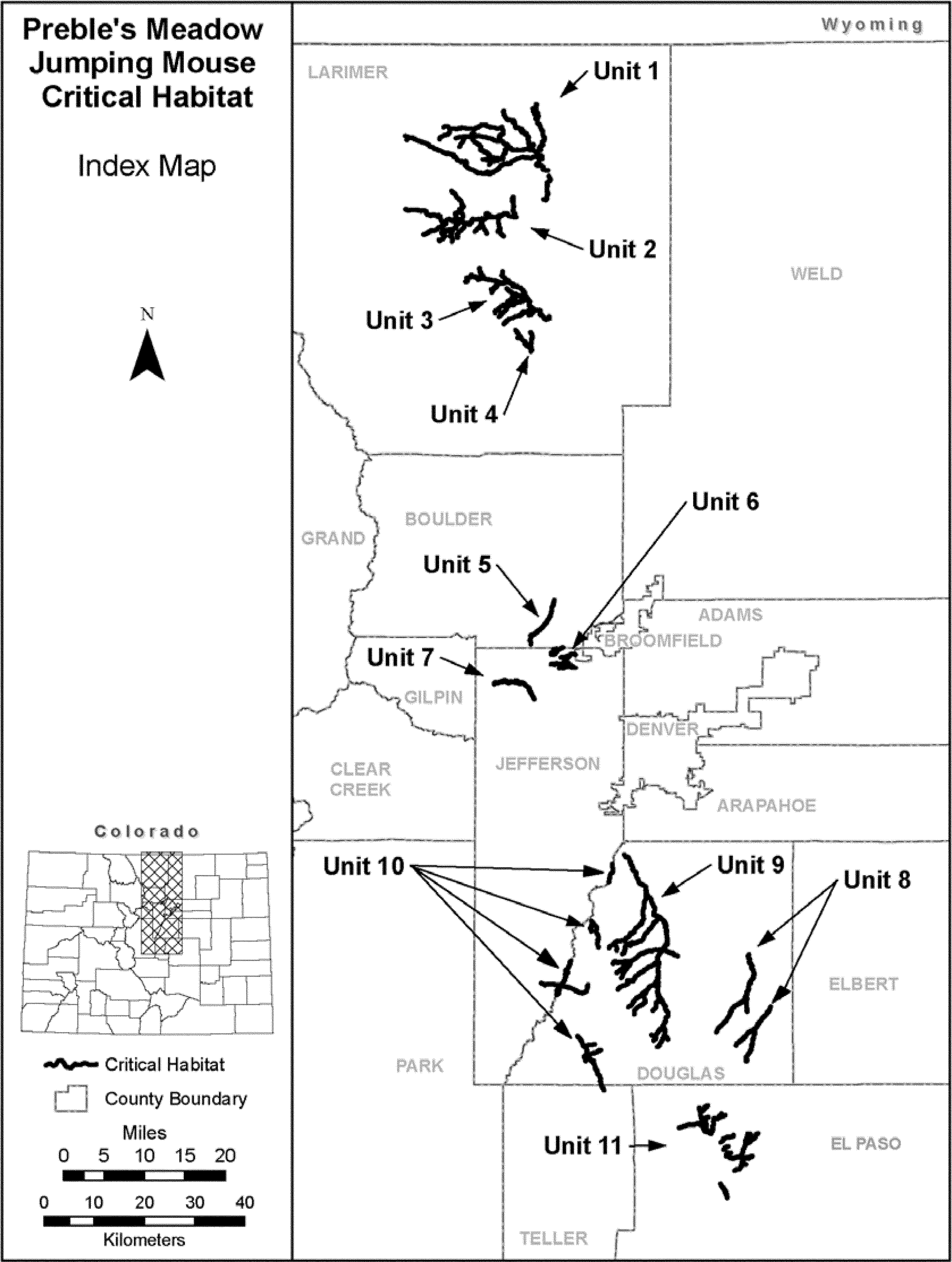
(6) Unit 1: North Fork Cache la Poudre River, Larimer County, Colorado.
(i) This unit consists of 87.2 mi (140.4 km) of streams and rivers. North Fork Cache la Poudre River from Seaman Reservoir (40 43 7N 105 14 32W, T.9N., R.70W., Sec. 28) upstream to Halligan Reservoir spillway (40 52 44N 105 20 15W, T.11N., R.71W., Sec. 34) excluding 1.06 mi (1.71 km) of the North Fork Cache la Poudre River within the Eagles Nest Open Space (from 40 45 44N 105 13 50W, T. 9N, R.70W., Sec. 9 to 40 46 17N 105 13 59W, T. 9N, R.70W., Sec. 4). Includes Lone Pine Creek from its confluence North Fork Cache la Poudre River (40 47 54N 105 15 30W, T.10N., R.70W., Sec. 32) upstream and continuing upstream into North Lone Pine Creek to 7,600 ft (2,317 m) elevation (40 49 58N 105 34 09W, T.10N., R.73W., Sec. 15). Includes Columbine Canyon from its confluence with North Lone Pine Creek (40 49 47N 105 33 31W, T.10N., R.73W., Sec. 15) upstream to 7,600 ft (2,317 m) elevation (40 49 32N 105 33 58W, T.10N., R.73W., Sec. 15). Also includes Stonewall Creek from its confluence with North Fork Cache la Poudre River (40 48 19N 105 15 21W, T.10N., R.70W., Sec. 29) upstream to (40 53 26N 105 15 40W, T.11N., R.70W., Sec. 29). Includes Tenmile Creek from its confluence with Stonewall Creek (40 51 49N 105 15 32W, T.10N., R.70W., Sec. 5) upstream to Red Mountain Road (40 53 00N 105 16 09W, T.11N., R.70W., Sec. 31). Also includes Rabbit Creek from its confluence with North Fork Cache la Poudre River (40 48 30N 105 16 07W, T.10N., R.70W., Sec. 30) upstream to the confluence with North and Middle Forks of Rabbit Creek (40 49 34N 105 20 49W, T.10N., R 71W., Sec. 21). Also includes South Fork Rabbit Creek from its confluence with Rabbit Creek (40 48 39N 105 19 45W, T.10N., R.71W., Sec. 27) upstream to (40 49 39N 105 24 40W, T.10N., R.72W., north boundary Sec. 24). Includes an unnamed tributary from its confluence with South Fork Rabbit Creek (40 47 28N 105 20 47W, T.10N., R.71W., Sec. 33) upstream to (40 47 28N 105 23 12W, T.10N., R.71W., Sec. 31). Which in turn has an unnamed tributary from their confluence at (40 47 17N 105 21 48W, T.10N., R.71W., east boundary Sec. 32) upstream to (40 46 55N 105 22 16W, T.9N., R.71W., Sec. 5). Also includes Middle Fork Rabbit Creek from its confluence with Rabbit Creek (40 49 34N 105 20 49W, T.10N., R 71W., Sec. 21) upstream to 7,600 ft (2,317 m) elevation (40 49 46N 105 26 59W, T.10N., R.72W., Sec. 15). This includes an unnamed tributary from its confluence with Middle Fork Rabbit Creek (40 49 56N 105 25 51W, T.10N., R.72W., Sec. 14) upstream to 7,600 ft (2,317 m) elevation (40 48 48N 105 26 29W, T.10N., R.72W., Sec. 23). This unit includes North Fork Rabbit Creek from its confluence with Rabbit Creek (40 49 34N 105 20 49W, T.10N., R.71W., Sec. 21) upstream to 7,600 ft (2,317 m) elevation (40 49 38N 105 29 19W, T.10N., R.72W., Sec. 17). Includes an unnamed tributary from its confluence with North Fork Rabbit Creek (40 50 45N 105 27 44W, T.10N., R.72W., Sec. 9) upstream to 7,600 ft (2,317 m) elevation (40 50 57N 105 28 46W, T.10N., R.72W., Sec. 9).
(ii) Note: Map of Unit 1 follows:

(7) Unit 2: Cache la Poudre River, Larimer County, Colorado.
(i) This unit consists of 50.8 mi (81.7 km) of streams and rivers. Cache la Poudre River from Poudre Park (40 41 16N 10 18 2W, T.8N., R.71W., Sec. 2) upstream to (40 42 02N 105 34 04W, T.9N., R.73W., west boundary Sec. 34). Includes Hewlett Gulch from its confluence with Cache la Poudre River (40 41 16N 105 18 24W, T.8N., R.71W., Sec. 2) upstream to the boundary of Arapahoe-Roosevelt National Forest (40 43 29N 105 18 51W, T.9N., R.71W., Sec. 23). Also includes Young Gulch from its confluence with Cache la Poudre River (40 41 25N 105 20 57W, T.8N., R.71W., Sec. 4) upstream to (40 39 14N 105 20 13W, T.8N., R.71W., south boundary Sec. 15). Also includes an unnamed tributary from its confluence with Cache la Poudre River at Stove Prairie Landing (40 40 58N 105 23 23W, T.8N., R.71W., Sec. 6) upstream to (40 39 31N 105 22 34W, T.8N., R.71W., Sec. 17). Includes Skin Gulch from its confluence with the aforementioned unnamed tributary at (40 40 33N 105 23 16W, T.8N., R.71W., Sec. 7) upstream to (40 39 40N 105 24 16W, T.8N., R.72W., Sec. 13). Unit 2 also includes Poverty Gulch from its confluence with Cache la Poudre River (40 40 28N 105 25 44W, T.8N., R.72W., Sec. 11) upstream to 7,600 ft (2,317 m) elevation (40 39 01N 105 26 40W, T.8N., R.72W., Sec. 22). Also includes Elkhorn Creek from its confluence with Cache la Poudre River (40 41 50N 105 26 24W, T.9N., R.72W., Sec. 34) upstream to (40 44 03N 105 27 34W, T.9N., R.72W., Sec. 21). Also includes South Fork Cache la Poudre River from its confluence with Cache la Poudre River (40 41 11N 105 26 50W, T.8N., R.72W., Sec. 3) upstream to 7,600 ft (2,317 m) elevation (40 38 48N 105 29 22W, T.8N., R.72W., Sec. 20). Includes Pendergrass Creek from its confluence with South Fork Cache la Poudre River (40 39 56N 105 27 30W, T.8N., R.72W., Sec. 15) upstream to 7,600 ft (2,317 m) elevation (40 38 34N 105 27 28W, T.8N., R.72W., Sec. 22). Also included in the unit is Bennett Creek from its confluence with Cache la Poudre River (40 40 26N 105 28 41W, T.8N., R.72W., Sec. 9) upstream to 7,600 ft (2,317 m) elevation (40 39 19N 105 31 29W, T.8N., R.73W., Sec. 13).
(ii) Note: Map of Unit 2 follows:

(8) Unit 3: Buckhorn Creek, Larimer County, Colorado.
(i) This unit consists of 45.5 mi (73.2 km) of streams. Buckhorn Creek from (40 30 20N 105 13 39W, T.6N., R.70W., east boundary Sec. 9) upstream to 7,600 ft (2,317 m) elevation (40 34 17N 105 25 31W, T.7N., R.72W., Sec. 14). Includes Little Bear Gulch from its confluence with Buckhorn Creek (40 31 17N 105 15 33W, T.6N., R.70W., Sec. 5) upstream to (40 30 43N 105 16 35W, T.6N., R.70W., Sec. 6). Also includes Bear Gulch from its confluence with Buckhorn Creek (40 31 16N 105 15 52W, T.6N., R.70W., Sec. 5) upstream to 7,600 ft (2,317 m) elevation (40 29 45N 105 20 4W, T.6N., R.71W., Sec. 10). Also includes Stringtown Gulch from its confluence with Buckhorn Creek (40 32 21N 105 16 42W, T.7N., R.70W., Sec. 30) upstream to 7,600 ft (2,317 m) elevation (40 30 30N 105 20 50W, T.6N., R.71W., Sec. 4). Also includes Fish Creek from its confluence with Buckhorn Creek (40 32 48N 105 18 20W, T.7N., R.70W., Sec. 30) upstream to 7,600 ft (2,317 m) elevation (40 30 56N 105 21 20W, T.6N., R.71W., Sec. 4). Includes North Fork Fish Creek from its confluence with Fish Creek (40 32 48N 105 18 20W, T.7N., R.71W., west boundary Sec. 25) upstream and following the first unnamed tributary northwest to (40 33 34N 105 19 45W, T.7N., R.71W., Sec. 22). Also includes Stove Prairie Creek from its confluence with Buckhorn Creek (40 34 16N 105 19 48W, T.7N., R.71W., Sec. 15) upstream to the dirt road crossing at (40 35 22N 105 20 17W, T.7N., R.71W., Sec. 10). Also includes Sheep Creek from its confluence with Buckhorn Creek (40 34 15N 105 20 53W, T.7N., R.71W., Sec. 16) upstream to 7,600 ft (2,317 m) elevation (40 33 08N 105 21 47W, T.7N., R.71W., Sec. 20). Also includes Twin Cabin Gulch from its confluence with Buckhorn Creek (40 34 38N 105 23 13W, T.7N., R.71W., Sec. 18) upstream to 7,600 ft (2,317 m) elevation (40 35 45N 105 23 36W, T.7N., R.71W., Sec. 6).
(ii) Note: Map of Units 3 and 4 follows:

(9) Unit 4: Cedar Creek, Larimer County, Colorado.
(i) This unit consists of 7.5 mi (12.1 km) of streams. Cedar Creek from the boundary of Federal land (40 26 46N 105 16 17W, T.6N., R.70W., Sec. 31) upstream to the boundary of Federal land (40 28 15N 105 18 11W, T.6N., R.71W., Sec. 24). Includes Dry Creek from its confluence with Cedar Creek (40 27 07N 105 16 16W, T.6N., R.70W., Sec. 30) upstream to the boundary of Federal land (40 28 52N 105 16 21W, T.6N., R.70W., Sec. 18). Also includes Jug Gulch from its confluence with Cedar Creek (40 28 15N 105 17 41W, T.6N., R.71W., Sec. 24) upstream to the boundary of Federal land (40 29 07N 105 18 28W, T.6N., R.71W., Sec. 14).
(ii) Note: Map of Unit 4 appears at paragraph (8)(ii) of this entry.
(10) Unit 5: South Boulder Creek, Boulder County, Colorado.
(i) This unit consists of 7.6 mi (12.2 km) of streams. Including South Boulder Creek from Baseline Road (40 0 0N 105 12 55W, T.1S., R.70W., Sec. 3) upstream to near Eldorado Springs, Colorado (39 56 7N 105 16 16W, T.1S., R.70W., Sec. 30). Unit 5 also includes Spring Brook from the Community Ditch near Eldorado Springs (39 55 59N 105 16 10W, T.1S., R.70W., Sec. 30) upstream to the Denver Water boundary at the South Boulder Diversion Canal (39 55 13N 105 16 12W, T.1S., R.70W., Sec. 31).
(ii) Note: Map of Units 5, 6, and 7 follows:

(11) Unit 6: Rocky Flats Site, Jefferson County and Broomfield Counties, Colorado.
(i) This unit consists of three subunits including 12.5 mi (20.1 km) of streams as follows:
(A) The Woman Creek Subunit from Indiana Street (39 52 40N 105 9 55W, T.2S., R.70W., east boundary Sec. 13) upstream to (39 53 3N 105 13 20W, T.2S., R.70W., west boundary Sec. 15). Includes unnamed tributary from confluence with Woman Creek (39 52 43N 105 10 11W, T.2S., R.70W., Sec. 13) upstream to (39 52 39N 105 12 11W, T.2S., R.70W., west boundary Sec. 14).
(B) The Walnut Creek Subunit from Indiana Street (39 54 5N 105 9 55W, T.2S., R.70W., east boundary Sec. 1) upstream to (39 53 49N 105 11 59W, T.2S., R.70W., Sec. 11). Includes unnamed tributary from its confluence with Walnut Creek (39 54 6N 105 10 42W, T.2S., R.70W., Sec. 1) upstream to (39 53 35N 105 11 29W, T.2S., R.70W., Sec. 11).
(C) The Rock Creek Subunit from State Highway 128 (39 54 53N 105 11 40W, T.1S., R.70W., Sec. 35) upstream to (39 54 17N 105 13 20W, T.2S., R.70W., west boundary Sec. 3). Includes an unnamed tributary from its confluence with Rock Creek (39 54 40N 105 12 11W, T.2S., R.70W., east boundary Sec. 3) upstream to (39 54 42 N 105 13 00W, T.2S., R.70W., Sec. 3). Also includes an unnamed tributary from its confluence with Rock Creek at (39 54 26N 105 12 34W, T.2S., R.70W., Sec. 3) upstream to (39 54 7N 105 12 52W, T.2S., R.70W., Sec. 3). Includes another unnamed tributary from its confluence with Rock Creek at (39 54 23N 105 12 56W, T.2S., R.70W., Sec. 3) upstream to (39 54 8N 105 13 20W, T.2S., R.70W., west boundary Sec. 3. Includes another unnamed tributary from its confluence with Rock Creek at (39 54 15N 105 13 5W, T.2S., R.70W., Sec. 3) upstream to (39 54 08N 105 13 09W, T.2S., R.70W., Sec. 3).
(ii) Note: Map of Unit 6 appears at paragraph (10)(ii) of this entry.
(12) Unit 7: Ralston Creek, Jefferson County, Colorado.
(i) This unit consists of 8.5 mi (13.7 km) of streams. Ralston Creek from 6,065 ft (1,849 m) elevation at the northern edge of Denver Water property just upstream of Ralston Reservoir (39 49 12N 105 15 35W, T.3S., R.70W., Sec. 6) upstream into Golden Gate Canyon State Park to 7,600 ft (2,300 m) elevation (39 50 53 105 21 16W, T.2S., R.71W., Sec. 29).
(ii) Note: Map of Unit 7 appears at paragraph (10)(ii) of this entry.
(13) Unit 8: Cherry Creek, Douglas County, Colorado.
(i) This unit consists of two subunits including 29.8 mi (47.9 km) of streams as follows:
(A) The Lake Gulch Subunit including Cherry Creek from the northern boundary of Castlewood Canyon State Recreation Area (39 21 44N 104 45 39W, T.8S., R.66W., south boundary Sec. 10) upstream to the confluence with Lake Gulch (39 20 24N 104 45 36W, T.8S., R.66W., Sec. 23). Lake Gulch from the aforementioned confluence upstream to (39 15 37N 104 46 05W, T.9S., R.66W., south boundary Sec. 15). Includes Upper Lake Gulch from its confluence with Lake Gulch (39 17 24N 104 46 11W, T.9S., R.66W., Sec. 3) upstream to (39 13 24N 104 50 21W, T.9S., R.67W., mid-point Sec. 36).
(B) The Antelope Creek Subunit from its confluence with West Cherry Creek (39 16 11N 104 42 49W, T.9S R.65W., S18) upstream to the Franktown Parker Reservoir (39 10 20N 104 46 16W, T.10S R.66W., S22). It also includes Haskel Creek from its confluence with Antelope Creek (39 13 43N, 104 45 5W, T.9S R.66W., S35) upstream to the Haskel Creek Spring Pond at 7,000 ft (2,134 m) elevation (39 11 60N 104 47 40N, T.10S R.66W., S8).
(ii) Note: Map of Unit 8 follows:

(14) Unit 9: West Plum Creek, Douglas County, Colorado.
(i) This unit consists of 90.3 mi (145.3 km) of streams. Plum Creek from Chatfield Lake (39 32 35N 105 03 07W, T.6S., R.68W., Sec. 7) upstream to its confluence with West Plum Creek and East Plum Creek (39 25 49N 104 58 8W, T.7S., R.68W., Sec. 23), excluding 0.14 mi (0.23 km) of Plum Creek owned by Denver Water at the Highline Canal crossing (excluding from 39 30 44N 105 01 41W, T.6S., R.68W., Sec. 20 downstream to 39 30 41N 105 01 32W, T.6S., R.68W., Sec. 20). West Plum Creek from the aforementioned confluence (39 25 49N 104 58 8W, T.7S., R.68W., Sec. 23) upstream to the boundary of Pike-San Isabel National Forest and 7,600 ft (2,317 m) elevation (39 13 07N 104 59 20W, T.9S., R.68W., Sec. 34). Includes Indian Creek from its confluence with Plum Creek (39 28 22N 104 59 57W, T.7S., R.68W., Sec. 4) upstream to Silver State Youth Camp (39 22 24N 105 05 13W, T.8S., R.69W., Sec. 11). Indian Creek includes an unnamed tributary from its confluence with Indian Creek at Pine Nook (39 23 01N 105 04 24W, T.8S., R.69W., Sec. 2) upstream to (39 22 10N 105 04 08W, T.8S., R.69W., Sec. 12). Also includes Jarre Creek from its confluence with Plum Creek (39 25 50N 104 58 15W, T.7S., R.68W., Sec. 23) upstream to 7,600 ft (2,317 m) elevation (39 21 50N 105 03 20W, T.8S., R.69W., Sec. 12). Jarre Creek includes an unnamed tributary from its confluence with Jarre Creek (39 22 58N 105 01 52W, T.8S., R.68W., Sec. 5) upstream to (39 22 44N 105 02 14W, T.8S., R.68W., Sec. 8). Also includes an unnamed tributary from its confluence with West Plum Creek (39 22 20N 104 57 39W, T.8S., R.68W., Sec. 11) upstream to (39 21 36N 104 55 40W, T.8S, R67W., Sec.18). Unit 9 also includes Garber Creek from its confluence with Plum Creek (39 22 10N 104 57 49W, T.8S., R.68W., Sec. 11) upstream to its confluence with South Garber Creek and Middle Garber Creek (39 21 02N 105 02 13W, T.8S., R.68W., Sec. 18). Including South Garber Creek from its confluence with Garber Creek (39 21 02N 105 02 13W, T.8S., R.68W., Sec. 18) upstream to 7,600 ft (2,317 m) elevation (39 19 14N 105 03 13W, T.8S., R.69W., Sec. 25). Including Middle Garber Creek from its confluence with Garber Creek (39 20 55N 105 02 35W, T.8S., R.68W., Sec. 18) upstream to (39 19 48N 105 04 09W, T.8S., R.69W., west boundary Sec. 25). Including North Garber Creek from its confluence with Middle Garber Creek (39 20 55N 105 02 35W, T.8S., R.68W., Sec. 18) upstream to 7,600 ft (2,317 m) elevation (39 20 47N 105 04 37W, T.8S., R.69W., Sec. 23). Includes Jackson Creek from its confluence with Plum Creek (39 21 02N 104 58 30W, T.8S., R.68W., Sec. 14) upstream to 7,600 ft (2,317 m) elevation (39 17 59N 105 03 57W, T.9S., R.69W., Sec. 1). Includes Spring Creek from its confluence with West Plum Creek at (39 19 04N 104 58 26W, T.8S., R.68W., Sec. 35) upstream to (39 15 21N 105 01 40W, T.9S., R.68W., Sec. 20). Including Dry Gulch from its confluence with Spring Creek (39 17 54N 104 59 58W, T.9S., R.68W., Sec. 4) upstream to 7,600 ft (2,317 m) elevation (39 16 07N 105 02 33W, T.9S., R.68W., Sec. 18). Including Bear Creek from its confluence with West Plum Creek (39 17 30N 104 58 25W, T.9S., R.68W., Sec. 2) upstream to the base of the Waconda Lake dam (39 15 43 N, 104 59 09 W, T.9S, R.68W, Sec.15). Including Gove Creek from its confluence with West Plum Creek (39 14 07N 104 57 42W, T.9S., R.68W., Sec. 26) upstream to 7,600 ft (2,317 m) elevation (39 11 50N 104 58 32W, T.10S., R.68W., Sec. 11). Includes Merz Canyon stream from its confluence with Gove Creek (39 13 05N 104 57 33W, T.9S., R.68W., Sec. 36) upstream to (39 12 39N 104 57 04 W, T.10S., R.68W., Sec.1). Includes Starr Canyon stream from its confluence with West Plum Creek (39 13 07N 104 58 41W, T.9S., R.68W., Sec. 35) upstream to 7,600 ft (2,317 m) elevation (39 12 32N 104 59 01W, T.10S., R.68W., Sec. 3).
(ii) Note: Map of Unit 9 follows:

(15) Unit 10: Upper South Platte River, Douglas, Jefferson, and Teller Counties, Colorado.
(i) This unit consists of four subunits including 33.6 mi (54.1 km) of rivers and streams as follows:
(A) The Chatfield Subunit, on the border of Jefferson County and Douglas County entirely within Chatfield State Park from Chatfield Lake (39 31 32N 105 04 45W, T.6S., R.69W., Sec. 14) upstream to the northern boundary of the Kassler Center land owned by Denver Water (39 29 35N 105 05 14W, T.6S., R.69W., Sec. 26).
(B) The Bear Creek Subunit, Douglas County from Pike-San Isabel National Forest boundary (39 25 27N 105 07 40W, T.7S., R.69W., west boundary Sec. 21) upstream to (39 22 32N 105 06 40W, T.8S., R.69W., south boundary Sec. 4). Includes West Bear Creek from its confluence with Bear Creek (39 25 15N 105 07 30W, T.7S., R.69W., Sec. 21) upstream to a confluence with an unnamed tributary (39 24 17N 105 07 38W, T.7S., R.69W., Sec. 33).
(C) The South Platte River Subunit, on the border of Jefferson County and Douglas County from the southern boundary of Denver Water land near Nighthawk (39 21 04N 105 10 28W, T.8S., R.70W., Sec. 13) upstream to the north eastern boundary of Denver Water land at (39 18 47N 105 11 33W, T.8S., R.70W., Sec. 35), excluding Denver Water lands along this stretch (39 19 10N 105 11 17W, T.8S., R.70W., Sec. 26), and utilizing the Douglas County Riparian Conservation Zones on non-Federal lands. Also included in this subunit from the southwestern boundary of Denver Water property at (39 18 04N 105 12 03W, T.9S., R.70W., Sec. 2) to the north eastern boundary of Denver Water property at (39 17 27N 105 12 24W, T.9S., R.70W., Sec. 3). Includes Sugar Creek, within Douglas County from the eastern boundary of Denver Water land near Oxyoke (39 18 24N 105 11 32W, T.8S., R.70W., Sec. 35) upstream to 7,600 ft (2,317 m) elevation (39 18 31N 105 08 09W, T.8S., R.69W., Sec. 32). Includes Gunbarrel Creek, within Jefferson County from the western boundary of Denver Water land near Oxyoke (39 18 27N 105 12 06W, T.8S., R.70W., Sec. 34) upstream to (39 18 41N 105 14 36W, T.8S., R.70W., Sec. 32).
(D) The Trout Creek Subunit, Douglas County upstream into Teller County from (39 13 02N 105 09 31W, T.9S., R.69W., Sec. 31) upstream to 7,600 ft (2,317 m) elevation which is 0.8 mi (1.3 km) into Teller County (39 07 13N 105 05 49W, T.11S., R.69W., Sec. 3). Includes Eagle Creek from its confluence with Trout Creek (39 11 52N 105 08 27W, T.10S., R.69W., Sec. 8) upstream to 7,600 ft (2,317 m) elevation (39 12 06N 105 07 12W, T.10S., R.69W., Sec. 9). Also including an unnamed tributary from its confluence with Trout Creek (39 11 07N 105 08 05W, T.10S., R.69W., Sec. 17) upstream to (39 10 18N 105 08 23W, T.10S., R.69W., Sec. 20). Also including Long Hollow from its confluence with Trout Creek (39 10 56N 105 08 01W, T.10S., R.69W., Sec. 17) upstream to 7,600 ft (2,317 m) elevation (39 11 30N 105 06 19W, T.10S., R.69W., Sec. 10).
(ii) Note: Map of Unit 10 follows:

(16) Unit 11: Monument Creek, El Paso County, Colorado.
(i) This unit consists of 38.0 mi (61.1 km) of streams. Monument Creek from its confluence with Cottonwood Creek (38 55 36N 104 48 55W, T.13S., R66W., Sec. 7) upstream to the southern property boundary of the U.S. Air Force Academy (38 57 08N 104 49 49W, T.13S., R.66W., Sec. 6), excluding 0.82 ac (0.33 ha) on the Dahle property (38 56 56N 104 49 39W, T.13S., R66W., Sec. 6). Then Monument Creek from the northern property boundary of the U.S. Air Force Academy (39 02 31N 104 51 05W, T.12S., R.67W., north boundary Sec. 2) upstream to Monument Lake (39 05 19N 104 52 43W, T.11S., R.67W., Sec. 15). Includes Kettle Creek from the property boundary of the U.S. Air Force Academy (38 58 33N 104 47 55W, T.12S., R.66W., Sec. 29) upstream to its intersection with a road at (39 00 07N 104 45 24W, T.12S., R.66W., east boundary Sec. 15). Which includes an unnamed tributary from its confluence with Kettle Creek (38 59 06N 104 46 55W, T.12S., R.66W., Sec. 21) upstream to (38 59 14N 104 46 19W, T.12S., R.66W., Sec. 22). Also includes Black Squirrel Creek from the property boundary of the U.S. Air Force Academy (39 00 06N 104 49 00W, T.12S., R.66W., Sec. 18) upstream to (39 02 30N 104 44 38W, T.12S., R.66W., north boundary Sec. 2). Including an unnamed tributary from its confluence with Black Squirrel Creek (39 01 19N 104 46 21W, T.12S., R.66W., Sec. 10) upstream to (39 02 30N 104 45 42W, T.12S., R.66W., north boundary Sec. 3). Which includes another unnamed tributary from (39 01 50N 104 46 20W, T.12S., R.66W., Sec. 3) upstream to (39 02 30N 104 46 03W, T.12S., R.66W., north boundary Sec. 3), excluding approximately 5 ac (2 ha) on the Lefever property (39 00 57N 104 46 33W, T.12S., R.66W., Sec. 9). Also includes an unnamed tributary from the property boundary of the U.S. Air Force Academy (39 00 14N 104 49 3W, T.12S., R.66W., Sec. 18) upstream to 6,700 ft (2,043 m) elevation (39 0 29N 104 48 24W, T.12S., R.66W., Sec. 17). Including an unnamed tributary from (39 0 19N 104 48 55W, T. 12S., R.66W., Sec. 18) upstream to (39 0 30N 104 48 48N, T. 12S., R.66W., Sec. 18). Unit 11 also includes Monument Branch from the property boundary of the U.S. Air Force Academy (39 00 50N 104 49 24W, T.12S., R.66W., Sec. 7) upstream to (39 01 10N 104 48 45W, T.12S., R.66W., east boundary Sec. 7). Also includes Smith Creek from the property boundary of the U.S. Air Force Academy (39 01 36N 104 49 46W, T.12S., R.66W., Sec. 7) upstream to (39 02 24N 104 48 00W, T.12S., R.66W., Sec. 5). Also includes Jackson Creek from its confluence with Monument Creek (39 02 33N 104 51 13W, T.11S., R.67W., Sec. 35) upstream to (39 04 30N 104 49 10W, T.11S., R.66W., Sec. 19). Includes an unnamed tributary from its confluence with Jackson Creek (39 04 12N 104 50 05W, T.11S., R.67W., Sec. 25) upstream to Higby Road (39 04 42N 104 49 40W, T.11S., R.66W., Sec. 19). Also includes Beaver Creek from its confluence with Monument Creek (39 02 52N 104 52 02W, T.11S., R.67W., Sec. 35) upstream to 7,600 ft (2,317 m) elevation (39 03 08N 104 55 32W, T.11S., R.67W., Sec. 31). Also includes Teachout Creek from its confluence with Monument Creek (39 03 44N 104 51 53W, T.11S., R.67W., Sec. 26) upstream to Interstate 25 (39 04 19N 104 51 29W, T.11S., R.67W., Sec. 23). Also includes Dirty Woman Creek from its confluence with Monument Creek (39 04 55N 104 52 34W, T.11S., R.67W., Sec. 22) upstream to Highway 105 (39 05 35N 104 51 28 W, T.11S., R.67W., Sec. 14).
(ii) Note: Map of Unit 11 follows:

St. Andrew Beach Mouse (Peromyscus polionotus peninsularis)
(1) Critical habitat units are depicted for Bay and Gulf Counties, Florida, on the maps below.
(2) The primary constituent elements of critical habitat for the St. Andrew beach mouse are the habitat components that provide:
(i) A contiguous mosaic of primary, secondary, and scrub vegetation and dune structure, with a balanced level of competition and predation and few or no competitive or predaceous nonnative species present, that collectively provide foraging opportunities, cover, and burrow sites;
(ii) Primary and secondary dunes, generally dominated by sea oats (Uniola paniculata), that despite occasional temporary impacts and reconfiguration from tropical storms and hurricanes, provide abundant food resources, burrow sites, and protection from predators;
(iii) Scrub dunes, generally dominated by scrub oaks (Quercus spp.), that provide food resources and burrow sites, and provide elevated refugia during and after intense flooding due to rainfall and/or hurricane-induced storm surge;
(iv) Functional, unobstructed habitat connections that facilitate genetic exchange, dispersal, natural exploratory movements, and re-colonization of locally extirpated areas; and
(v) A natural light regime within the coastal dune ecosystem, compatible with the nocturnal activity of beach mice, necessary for normal behavior, growth, and viability of all life stages.
(3) Critical habitat does not include man-made structures existing on the effective date of this rule and not containing one or more of the primary constituent elements, such as buildings, aqueducts, airports, driveways, and roads, and the land on which such structures are located.
(4) Critical Habitat Map Units. Data layers defining map units were created by delineating habitats that contained one or more of the primary constituent elements defined in paragraph (2) of this entry over 1999 and 2004 digital ortho photography at a scale of at least 1:4000.
(5) Note: Map 1, Index Map of Critical Habitat Units for the St. Andrew beach mouse, follows:

(6) SABM - Unit 1: East Crooked Island, Gulf County, Florida.
(i) General Description: This unit encompasses essential features of beach mouse habitat on East Crooked Island from the entrance of St. Andrew Sound to 1 mi west of Mexico Beach, not including Raffield Peninsula, and the area from the mean high water level (MHWL) to the seaward extent of the maritime forest.
(ii) Map 2, Unit 1 of St. Andrew beach mouse, follows:

(7) SABM - Unit 2: Palm Point Unit, Gulf County, Florida.
(i) General Description: This unit encompasses habitat from Palm Point 1.25 mi northwest of the inlet of the Gulf County Canal to St. Joe Beach and the area from the MHWL to the seaward extent of the maritime forest.
(ii) Map of SABM - Unit 2 is provided at paragraph (8)(ii) of this entry.
(8) SABM - Unit 3: St. Joseph Peninsula, Gulf County, Florida.
(i) General Description: This unit encompasses essential features of beach mouse habitat within the boundary of St. Joseph Peninsula State Park (Park) as well as south of the Park to the peninsula's constriction north of Cape San Blas (also known as the “stumphole” region) and area from the MHWL to the seaward extent of the maritime forest.
(ii) Map 3, Units 2 and 3 of St. Andrew beach mouse, follows:

Northern Sea Otter (Enhydra lutris kenyoni), Southwest Alaska Distinct Population Segment:
(1) Critical habitat units are in Alaska, as described below. The index map provided is for informational purposes only.
(2) The primary constituent elements of critical habitat for the southwest Alaska distinct population segment (DPS) of the northern sea otter are:
(i) Shallow, rocky areas where marine predators are less likely to forage, which are in waters less than 2 m (6.6 ft) in depth;
(ii) Nearshore waters within 100 m (328.1 ft) from the mean high tide line;
(iii) Kelp forests, which occur in waters less than 20 m (65.6 ft) in depth; and
(iv) Prey resources within the areas identified in paragraphs (2)(i), (2)(ii), and (2)(iii) of this entry that are present in sufficient quantity and quality to support the energetic requirements of the species.
(3) Critical habitat does not include manmade structures (including, but not limited to, docks, seawalls, pipelines, or other structures) and the land on which they are located existing within the boundaries on the effective date of this rule.
(4) Critical habitat map units. Boundaries of critical habitat were derived from GIS data layers of hydrographic survey data developed by the National Oceanic and Atmospheric Administration. To estimate the size of each critical habitat unit, the data were projected into Alaska Standard Albers Conical Equal Area on the North American Datum of 1983. Given the large geographic range of this DPS, some two-dimensional areas appear as one-dimensional features at these map scales.
(5) Note: Index map of critical habitat for the southwest Alaska DPS of the northern sea otter follows:

(6) Unit 1: Western Aleutian. All contiguous waters from the mean high tide line to the 20-m (65.6-ft) depth contour as well as waters within 100 m (328.1 ft) of the mean high tide line that occur adjacent to the following islands: Adak, Agattu, Alaid, Amatignak, Amchitka, Amlia, Amukta, Anagaksik, Asuksak, Atka, Attu, Aziak, Bobrof, Buldir, Carlisle, Chagula, Chuginadak, Chugul, Crone, Davidof, Elf, Gareloi, Great Sitkin, Herbert, Igitkin, Ilak, Kagalaska, Kagamil, Kanaga, Kanu, Kasatochi, Kavalga, Khvostof, Kiska, Koniuji, Little Kiska, Little Sitkin, Little Tanaga, Nizki, Ogliuga, Oglodak, Rat, Sadatanak, Sagchudak, Salt, Seguam, Segula, Semisopochnoi, Shemya, Skagul, Tagadak, Tagalak, Tanaga, Tanaklak, and Ulak.
(7) Unit 2: Eastern Aleutian. All contiguous waters from the mean high tide line to the 20-m (65.6-ft) depth contour as well as waters within 100 m (328.1 ft) of the mean high tide line that occur adjacent to the following islands: Aiktak, Akutan, Amaknak, Arangula, Atka, Avatanak, Baby Islands, Bogoslof, Egg, Hog, Kaligagan, Rootok, Samalga, Sedanka, Tigalda, Ugamak, Umnak, Unalaska, Unalga, and Vsevidof.
(8) Unit 3: South Alaska Peninsula. All contiguous waters from the mean high tide line to the 20-m (65.6-ft) depth contour as well as waters within 100 m (328.1 ft) of the mean high tide line that occur adjacent to the Alaska Peninsula from False Pass (54.242° N, 163.363° W) to Castle Cape (56.242° N, 158.117° W), and adjacent to the following islands: Andronica, Atkins, Big Koniuji, Bird, Brother, Caton, Chankliut, Chernabura, Cherni, Chiachi, Deer, Dolgoi, Egg, Goloi, Guillemot, Inner Iliask, Jacob, Karpof, Korovin, Little Koniuji, Mitrofania, Nagai, Near, Outer Iliask, Paul, Peninsula, Pinusuk, Poperechnoi, Popof, Road, Sanak, Shapka, Simeonof, Spectacle, Spitz, Turner, Ukolnoi, Ukolnoi, Unga, and Unimak Island from Scotch Cap (54.390° N, 164.745° W) to False Pass.
(9) Unit 4: Bristol Bay. This unit contains three subunits:
(i) Subunit 4a: Amak Island. All contiguous waters from the mean high tide line to the 20-m (65.6-ft) depth contour as well as waters within 100 m (328.1 ft) of the mean high tide line that occur adjacent to Amak Island.
(ii) Subunit 4b: Izembek Lagoon. All waters from mean high tide line that occur within the polygon bounded by Glen, Operl, and Neumann Islands to the north and the Alaska Peninsula to the south, and further defined by the following latitude/longitude coordinates: 55.249° N, 162.990° W; 55.255° N, 162.984° W from Cape Glazenap to Glen Island; 55.324° N, 162.901° W; 55.333° N, 162.888° W from Glen Island to Operl Island; 55.409° N, 162.683° W; 55.408° N, 162.621° W from Operl Island to Neumann Island; and 55.447° N, 162.582° W; 55.447° N, 162.577° W from Neumann Island to Moffet Point.
(iii) Subunit 4c: Port Moller/Herendeen Bay. All waters from mean high tide line that occur within the polygon bounded by Walrus Island to the north and the Alaska Peninsula to the south, and further defined by the following latitude/longitude coordinates: 56.000° N, 160.877° W; 56.020° N, 160.854° W from Point Edward to Walrus Island; and 56.020° N, 160.805° W; 55.979° N, 160.584° W from Wolf Point to Entrance Point.
(10) Unit 5: Kodiak, Kamishak, Alaska Peninsula. All contiguous waters from the mean high tide line to the 20-m (65.6-ft) depth contour as well as waters within 100 m (328.1 ft) of the mean high tide line that occur adjacent to the Alaska Peninsula from Castle Cape (56° 14.5' N, 158° 7.0' W) eastward to Cape Douglas (58.852° N, 153.250° W), and northward in Cook Inlet to Redoubt Point (60.285° N, 152.417° W), and adjacent to the following islands: Afognak, Aghik, Aghiyuk, Aiaktalik, Akhiok, Aliksemit, Amook, Anowik, Ashiak, Atkulik, Augustine, Ban, Bare, Bear, Central, Chirikof, Chisik, Chowiet, Dark, David, Derickson, Dry Spruce, Eagle, East Amatuli, East Channel, Garden, Geese, Hartman, Harvester, Hydra, Kak, Kateekuk, Kiliktagik, Kiukpalik, Kodiak, Kumlik, Long, Marmot, Miller, Nakchamik, Ninagiak, Nord, Nordyke, Poltava, Raspberry, Sally, Shaw, Shuyak, Sitkalidak, Sitkanak, Spruce, Sud, Sugarloaf, Suklik, Sundstrom, Sutwick, Takli, Terrace, Tugidak, Twoheaded, Ugak, Ugalushik, Uganik, Unavikshak, Ushagat, West Amatuli, West Augustine, West Channel, Whale, and Woody.
Olympia pocket gopher (Thomomys mazama pugetensis)
(1) Critical habitat for the Olympia pocket gopher in Thurston County, Washington, is depicted on the map below.
(2) Within this area, the primary constituent elements of the physical or biological features essential to the conservation of the Olympia pocket gopher consist of two components:
(i) Friable, loamy, and deep soils, some with relatively greater content of sand, gravel, or silt, all generally on slopes less than 15 percent in the following soil series or soil series complex:
(A) Alderwood;
(B) Cagey;
(C) Everett;
(D) Godfrey;
(E) Indianola;
(F) Kapowsin;
(G) McKenna;
(H) Nisqually;
(I) Norma;
(J) Spana;
(K) Spanaway;
(L) Spanaway-Nisqually complex; and
(M) Yelm.
(ii) Areas equal to or larger than 50 ac (20 ha) in size that provide for breeding, foraging, and dispersal activities, found in the soil series listed in paragraph (2)(i) of this entry that have:
(A) Less than 10 percent woody vegetation cover;
(B) Vegetative cover suitable for foraging by gophers. Pocket gophers' diets include a wide variety of plant material, including leafy vegetation, succulent roots, shoots, tubers, and grasses. Forbs and grasses that Mazama pocket gophers eat are known to include, but are not limited to: Achillea millefolium (common yarrow), Agoseris spp. (agoseris), Cirsium spp. (thistle), Bromus spp. (brome), Camassia spp. (camas), Collomia linearis (tiny trumpet), Epilobium spp. (several willowherb spp.), Eriophyllum lanatum (woolly sunflower), Gayophytum diffusum (groundsmoke), Hypochaeris radicata (hairy cat's ear), Lathyrus spp. (peavine), Lupinus spp. (lupine), Microsteris gracilis (slender phlox), Penstemon spp. (penstemon), Perideridia gairdneri (Gairdner's yampah), Phacelia heterophylla (varileaf phacelia), Polygonum douglasii (knotweed), Potentilla spp. (cinquefoil), Pteridium aquilinum (bracken fern), Taraxacum officinale (common dandelion), Trifolium spp. (clover), and Viola spp. (violet); and
(C) Few, if any, barriers to dispersal. Barriers to dispersal may include, but are not limited to, forest edges, roads (paved and unpaved), abrupt elevation changes, Scot's broom thickets, highly cultivated lawns, inhospitable soil types or substrates, development and buildings, slopes greater than 35 percent, and open water.
(3) Critical habitat does not include manmade structures (such as buildings, aqueducts, runways, roads, railroad tracks, and other paved areas) and the land on which they are located existing within the legal boundaries on May 9, 2014.
(4) Critical habitat map unit. Data layers defining map units were created on 2010 aerial photography from U.S. Department of Agriculture, National Agriculture Imagery Program base maps using ArcMap (Environmental Systems Research Institute, Inc.), a computer geographic information system (GIS) program. The map in this entry, as modified by any accompanying regulatory text, establishes the boundaries of the critical habitat designation. The coordinates or plot points or both on which the map is based are available to the public at the Service's Internet site at http://www.fws.gov/wafwo/mpg.html, at http://www.regulations.gov (Docket No. FWS-R1-ES-2013-0021), and at the field office responsible for this designation. You may obtain field office location information by contacting one of the Service regional offices, the addresses of which are listed at 50 CFR 2.2.
(5) Olympia Airport Unit, Thurston County, Washington. Map follows:

Tenino Pocket Gopher (Thomomys mazama tumuli)
(1) Critical habitat for the Tenino pocket gopher in Thurston County, Washington, is depicted on the map below.
(2) Within this area, the primary constituent elements of the physical or biological features essential to the conservation of Tenino pocket gopher consist of two components:
(i) Friable, loamy, and deep soils, some with relatively greater content of sand, gravel, or silt, all generally on slopes less than 15 percent in the following soil series or soil series complex:
(A) Alderwood;
(B) Cagey;
(C) Everett;
(D) Indianola;
(E) Kapowsin;
(F) Nisqually;
(G) Norma;
(H) Spanaway;
(I) Spanaway-Nisqually complex; and
(J) Yelm.
(ii) Areas equal to or larger than 50 ac (20 ha) in size that provide for breeding, foraging, and dispersal activities, found in the soil series listed in paragraph (2)(i) of this entry that have:
(A) Less than 10 percent woody vegetation cover;
(B) Vegetative cover suitable for foraging by gophers. Pocket gophers' diets include a wide variety of plant material, including leafy vegetation, succulent roots, shoots, tubers, and grasses. Forbs and grasses that Mazama pocket gophers are known to eat include, but are not limited to: Achillea millefolium (common yarrow), Agoseris spp. (agoseris), Cirsium spp. (thistle), Bromus spp. (brome), Camassia spp. (camas), Collomia linearis (tiny trumpet), Epilobium spp. (several willowherb spp.), Eriophyllum lanatum (woolly sunflower), Gayophytum diffusum (groundsmoke), Hypochaeris radicata (hairy cat's ear), Lathyrus spp. (peavine), Lupinus spp. (lupine), Microsteris gracilis (slender phlox), Penstemon spp. (penstemon), Perideridia gairdneri (Gairdner's yampah), Phacelia heterophylla (varileaf phacelia), Polygonum douglasii (knotweed), Potentilla spp. (cinquefoil), Pteridium aquilinum (bracken fern), Taraxacum officinale (common dandelion), Trifolium spp. (clover), and Viola spp. (violet); and
(C) Few, if any, barriers to dispersal. Barriers to dispersal may include, but are not limited to, forest edges, roads (paved and unpaved), abrupt elevation changes, Scot's broom thickets, highly cultivated lawns, inhospitable soil types or substrates, development and buildings, slopes greater than 35 percent, and open water.
(3) Critical habitat does not include manmade structures (such as buildings, aqueducts, runways, roads, and other paved areas) and the land on which they are located existing within the legal boundaries on May 9, 2014.
(4) Critical habitat map unit. Data layers defining the map unit were created on 2010 aerial photography from U.S. Department of Agriculture, National Agriculture Imagery Program base maps using ArcMap (Environmental Systems Research Institute, Inc.), a computer geographic information system (GIS) program. The map in this entry establishes the boundaries of the critical habitat designation. The coordinates or plot points or both on which the map is based are available to the public at the Service's Internet site at http://www.fws.gov/wafwo/, at http://www.regulations.gov (Docket No. FWS-R1-ES-2013-0021), and at the field office responsible for this designation. You may obtain field office location information by contacting one of the Service regional offices, the addresses of which are listed at 50 CFR 2.2.
(5) Rocky Prairie Unit, Thurston County, Washington. Map follows:

Yelm Pocket Gopher (Thomomys mazama yelmensis)
(1) Critical habitat for the Yelm pocket gopher in Thurston County, Washington, is depicted on the map below.
(2) Within these areas, the primary constituent elements of the physical or biological features essential to the conservation of the Yelm pocket gopher consist of two components:
(i) Friable, loamy, and deep soils, some with relatively greater content of sand, gravel, or silt, all generally on slopes less than 15 percent in the following soil series or soils series complex:
(A) Alderwood;
(B) Cagey;
(C) Everett;
(D) Godfrey;
(E) Indianola;
(F) Kapowsin;
(G) McKenna;
(H) Nisqually;
(I) Norma;
(J) Spanaway;
(K) Spanaway-Nisqually complex; and
(L) Yelm.
(ii) Areas equal to or larger than 50 ac (20 ha) in size that provide for breeding, foraging, and dispersal activities, found in the soil series listed in paragraph (2)(i) of this entry that have:
(A) Less than 10 percent woody vegetation cover;
(B) Vegetative cover suitable for foraging by gophers. Pocket gophers' diets include a wide variety of plant material, including leafy vegetation, succulent roots, shoots, tubers, and grasses. Forbs and grasses that Mazama pocket gophers are known to eat include, but are not limited to: Achillea millefolium (common yarrow), Agoseris spp. (agoseris), Cirsium spp. (thistle), Bromus spp. (brome), Camassia spp. (camas), Collomia linearis (tiny trumpet), Epilobium spp. (several willowherb spp.), Eriophyllum lanatum (woolly sunflower), Gayophytum diffusum (groundsmoke), Hypochaeris radicata (hairy cat's ear), Lathyrus spp. (peavine), Lupinus spp. (lupine), Microsteris gracilis (slender phlox), Penstemon spp. (penstemon), Perideridia gairdneri (Gairdner's yampah), Phacelia heterophylla (varileaf phacelia), Polygonum douglasii (knotweed), Potentilla spp. (cinquefoil), Pteridium aquilinum (bracken fern), Taraxacum officinale (common dandelion), Trifolium spp. (clover), and Viola spp. (violet); and
(C) Few, if any, barriers to dispersal. Barriers to dispersal may include, but are not limited to, forest edges, roads (paved and unpaved), abrupt elevation changes, Scot's broom thickets, highly cultivated lawns, inhospitable soil types or substrates, development and buildings, slopes greater than 35 percent, and open water.
(3) Critical habitat does not include manmade structures (such as buildings, aqueducts, runways, roads, and other paved areas) and the land on which they are located existing within the legal boundaries on May 9, 2014.
(4) Critical habitat map units. Data layers defining the map units were created on 2010 aerial photography from U.S. Department of Agriculture, National Agriculture Imagery Program base maps using ArcMap (Environmental Systems Research Institute, Inc.), a computer geographic information system (GIS) program. The map in this entry establishes the boundaries of the critical habitat designation. The coordinates or plot points or both on which the map is based are available to the public at the Service's Internet site at http://www.fws.gov/wafwo/, at http://www.regulations.gov (Docket No. FWS-R1-ES-2013-0021), and at the field office responsible for this designation. You may obtain field office location information by contacting one of the Service regional offices, the addresses of which are listed at 50 CFR 2.2.
(5) Tenalquot Prairie and Rock Prairie Subunits, Thurston County, Washington.
Map follows:

Silver Rice Rat (Oryzomys palustris natator (=O. argentatus)).
Monroe County, Florida: Little Pine Key, Water Keys, Big Torch Key, Middle Torch Key, Summerland Key north of U.S. Highway 1, Cudjoe Key north of U.S. Highway 1, Johnston Key, Raccoon Key, and Lower Saddlebunch Keys, south of U.S. Highway 1 but not including lands in T. 67 S., R. 27 E., Section 8 and north 1⁄5 of Section 17. Included are all lands and waters above mean low tide.
Within these areas the major constituent elements that are known to require special management considerations or protection are mangrove swamps containing red (Rhizophora mangle), black (Avicennia germinans), and white (Laguncularia racemosa) mangroves, and buttonwood (Conocarpus erectus); salt marshes, swales, and adjacent transitional wetlands containing saltwort (Batis maritima), perennial glasswort (Salicornia virginica), saltgrass (Distichlis spicata), sea ox-eye (Borrichia frutescens), keygrass (Monanthochloe littoralis), and coastal dropseed (Sporobolus virginicus); and fresh water marshes containing cattails (Typha domingensis), saw-grass (Cladium jamaicense), and cordgrass (Spartina spp.).
The map provided is for informational purposes only. Map follows:

(critical habitat map)
Peninsular Bighorn Sheep, a Distinct Population Segment of Desert Bighorn Sheep (Ovis canadensis nelsoni)
(1) Critical habitat units are depicted for Riverside, San Diego, and Imperial Counties, California, on the maps below.
(2) The primary constituent elements of critical habitat for the Peninsular bighorn sheep are:
(i) Moderate to steep, open slopes (20 to 60 percent) and canyons, with canopy cover of 30 percent or less (below 4,600 ft (1,402 m) elevation in Peninsular Ranges) that provide space for sheltering, predator detection, rearing of young, foraging and watering, mating, and movement within and between ewe groups;
(ii) Presence of a variety of forage plants, indicated by the presence of shrubs (e.g., Ambrosia spp., Caesalpinia spp., Hyptis spp., Sphaeralcea spp., Simmondsia spp.), that provide a primary food source year round, grasses (e.g., Aristida spp., Bromus spp.) and cacti (e.g., Opuntia spp.) that provide a source of forage in the fall, and forbs (e.g., Plantago spp., Ditaxis spp.) that provide a source of forage in the spring;
(iii) Steep, rugged slopes (60 percent slope or greater) (below 4,600 ft (1,402 m) elevation in Peninsular Ranges) that provide secluded space for lambing and terrain for predator evasion;
(iv) Alluvial fans, washes, and valley bottoms that provide important foraging areas where nutritious and digestible plants can be more readily found during times of drought and lactation, and that provide and maintain habitat connectivity by serving as travel routes between and within ewe groups, adjacent mountain ranges, and important resource areas (e.g., foraging areas and escape terrain); and
(v) Intermittent and permanent water sources that are available during extended dry periods and provide relatively nutritious plants and drinking water.
(3) Critical habitat does not include manmade structures (such as buildings, aqueducts, roads, and other paved areas) and the land on which they are located existing within the legal boundaries on the effective date of this rule.
(4) Critical habitat map units. Data layers defining map units were created on a base of USGS 1:24,000 maps, and critical habitat units were then mapped using Universal Transverse Mercator (UTM) coordinates.
(5) Note: Index map of critical habitat units for the Peninsular bighorn sheep follows:

(6) Unit 1: San Jacinto Mountains, Riverside County, California.
(i) [Reserved]
(ii) Map of Unit 1, San Jacinto Mountains (Map 2) follows:

(7) Unit 2A: North Santa Rosa Mountains, Riverside County, California.
(i) [Reserved]
(ii) Map of Unit 2A, North Santa Rosa Mountains follows:

(8) Unit 2B: South Santa Rosa Mountains south to Vallecito Mountains, Riverside, San Diego, and Imperial Counties, California.
(i) [Reserved]
(ii) Map of Unit 2B, South Santa Rosa Mountains south to Vallecito Mountains follows:

(9) Unit 3: Carrizo Canyon, San Diego and Imperial Counties, California.
(i) [Reserved]
(ii) Map of Unit 3, Carrizo Canyon follows:

Sierra Nevada Bighorn Sheep (Ovis canadensis sierrae)
(1) Critical habitat units are depicted for Mono, Fresno, Inyo, Tulare, and Tuolumne Counties, California, on the maps below.
(2) The primary constituent elements of critical habitat for the Sierra Nevada bighorn sheep are the habitat components that provide:
(i) Non-forested habitats or forest openings within the Sierra Nevada from 4,000 ft (1,219 m) to 14,500 ft (4,420 m) in elevation with steep (greater than or equal to 60 percent slope), rocky slopes that provide for foraging, mating, lambing, predator avoidance, and bedding and that allow for seasonal elevational movements between these areas.
(ii) Presence of a variety of forage plants as indicated by the presence of grasses (e.g., Achnanthera spp.; Elymus spp.) and browse (e.g., Ribes spp.; Artemisia spp., Purshia spp.) in winter, and grasses, browse, sedges (e.g., Carex spp.) and forbs (e.g., Eriogonum spp.) in summer.
(iii) Presence of granite outcroppings containing minerals such as sodium, calcium, iron, and phosphorus that could be used as mineral licks in order to meet nutritional needs.
(3) Critical habitat does not include manmade structures, such as buildings, aqueducts, airports, roads, and other paved areas, and the land on which they are located, existing on the effective date of this rule and not containing one or more of the primary constituent elements.
(4) Critical Habitat Map Units - Boundaries of designated critical habitat were derived from Sierra Nevada Bighorn Sheep Herd Units developed by the California Department of Fish and Game for the final Sierra Nevada Bighorn Sheep recovery plan. The designated critical habitat unit boundaries differ from Sierra Nevada bighorn sheep Herd Unit polygons by the removal of developed areas and private parcels that are unlikely to contain the primary constituent elements. The data were projected to Universal Transverse Mercator (UTM), zone 11, on the North American Datum of 1983.
(5) Note: Index map of Sierra Nevada bighorn sheep critical habitat follows:
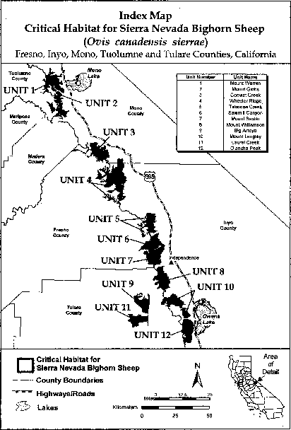
(6) Unit 1 (Mount Warren); Mono and Tuolumne Counties, California.
(i) Unit 1 is shown on the map in paragraph (6)(ii) of this entry, excluding land bounded by 304870, 4211718; 304755, 4211663; 304590, 4211666; 304426, 4211699; 304273, 4211615; 304237, 4211614; 304100, 4211575; 304119, 4211576; 304068, 4211562; 304036, 4211567; 303925, 4211593; 303824, 4211552; 303714, 4211495; 303668, 4211501; 303558, 4211486; 303473, 4211423; 303421, 4211366; 303381, 4211308; 303223, 4211322; 303176, 4211295; 303181, 4211202; 303103, 4211161; 303208, 4210962; 303418, 4211073; 303481, 4211022; 303500, 4211020; 303617, 4211098; 303675, 4211109; 303894, 4211096; 303983, 4211127; 304053, 4211125; 304053, 4211124; 304106, 4211121; 304460, 4211207; 304518, 4211250; 304590, 4211261; 304644, 4211303; 304747, 4211336; 304863, 4211395; 304882, 4211457; 305018, 4211524; 305128, 4211543; 305289, 4211677; 305397, 4211739; 305477, 4211807; 305515, 4211863; 305405, 4211903; 305374, 4211907; 305176, 4211813; 305029, 4211770; returning to 304870, 4211718.
(ii) Map of Unit 1 Mount Warren for Sierra Nevada bighorn sheep follows:

(7) Unit 2 (Mount Gibbs); Mono and Tuolumne Counties, California.
(i) [Reserved]
(ii) Map of Unit 2 (Mount Gibbs) for Sierra Nevada bighorn sheep follows:

(8) Unit 3 (Convict Creek); Fresno and Mono Counties, California.
(i) [Reserved]
(ii) Map of Unit 3 (Convict Creek) for Sierra Nevada bighorn sheep follows:

(9) Unit 4 (Wheeler Ridge); Fresno, Inyo and Mono Counties, California.
(i) Unit 4 is shown on the map in paragraph (9)(ii) of this entry, excluding
(A) Land bounded by 352666, 4139452; 352330, 4139197; 352261, 4139018; 352280, 4139004; 352300, 4138988; 352332, 4138964; 352634, 4139235; 352732, 4139417; 352718, 4139424; 352718, 4139425; 352694, 4139437; 352694, 4139437; 352690, 4139439; 352687, 4139441; 352687, 4139441; returning to 352666, 4139452;
(B) Land bounded by 350254, 4136280; 350216, 4136187; 350216, 4136187; 350178, 4136094; 350363, 4136018; 350402, 4136111; 350402, 4136111; 350440, 4136204; 350478, 4136296; 350305, 4136368; 350300, 4136361; 350295, 4136351; 350293, 4136348; 350287, 4136341; 350283, 4136338; 350280, 4136335; 350276, 4136333; 350276, 4136333; returning to 350254, 4136280; and
(C) Land bounded by 349527, 4136002; 349500, 4136201; 349450, 4136194; 349408, 4136200; 349404, 4136201; 349391, 4136206; 349321, 4136238; 349317, 4136223; 349126, 4136278; 349099, 4136181; 349045, 4135990; 349139, 4135963; 349138, 4135962; 349235, 4135934; 349212, 4135851; 349308, 4135823; 349406, 4135799; 349478, 4135988; 349478, 4135995; returning to 349527, 4136002.
(ii) Map of Unit 4 (Wheeler Ridge) for Sierra Nevada bighorn sheep follows:

(10) Unit 5 (Taboose Creek); Fresno and Inyo Counties, California.
(i) [Reserved]
(ii) Map of Unit 5 (Taboose Creek) for Sierra Nevada bighorn sheep follows:

(11) Unit 6 (Sawmill Canyon); Fresno and Inyo Counties, California.
(i) [Reserved]
(ii) Map of Unit 6 (Sawmill Canyon) for Sierra Nevada bighorn sheep follows:

(12) Unit 7 (Mount Baxter); Fresno and Inyo Counties, California.
(i) [Reserved]
(ii) Map of Unit 7 (Mount Baxter) for Sierra Nevada bighorn sheep follows:

(13) Unit 8 (Mount Williamson); Inyo and Tulare Counties, California.
(i) [Reserved]
(ii) Map of Unit 8 (Mount Williamson) for Sierra Nevada bighorn sheep follows:

(14) Unit 9 (Big Arroyo); Tulare County, California.
(i) [Reserved]
(ii) Map of Unit 9 (Big Arroyo) for Sierra Nevada bighorn sheep follows:

(15) Unit 10 (Mount Langley); Inyo and Tulare Counties, California.
(i) [Reserved]
(ii) Map of Unit 10 (Mount Langley) for Sierra Nevada bighorn sheep follows:

(16) Unit 11 (Laurel Creek); Tulare County, California.
(i) [Reserved]
(ii) Map of Unit 11 (Laurel Creek) for Sierra Nevada bighorn sheep follows:

(17) Unit 12 (Olancha Peak); Inyo and Tulare Counties, California.
(i) [Reserved]
(ii) Map of Unit 12 (Olancha Peak) for Sierra Nevada bighorn sheep follows:

Buena Vista Lake Shrew (Sorex ornatus relictus)
(1) Critical habitat units are depicted for Kings and Kern Counties, California, on the maps below.
(2) Within these areas, the primary constituent elements of the physical or biological features essential to the conservation of the Buena Vista Lake shrew consist of permanent and intermittent riparian or wetland communities that contain:
(i) A complex vegetative structure with a thick cover of leaf litter or dense mats of low-lying vegetation. Associated plant species can include, but are not limited to, Fremont cottonwoods, willows, glasswort, wild-rye grass, and rush grass. Although moist soil in areas with an overstory of willows or cottonwoods appears to be favored, such overstory may not be essential.
(ii) Suitable moisture supplied by a shallow water table, irrigation, or proximity to permanent or semipermanent water.
(iii) A consistent and diverse supply of prey. Although the specific prey species used by the Buena Vista Lake shrew have not been identified, ornate shrews are known to eat a variety of terrestrial and aquatic invertebrates, including amphipods, slugs, and insects.
(3) Critical habitat does not include manmade structures (such as buildings, aqueducts, runways, roads, and other paved areas) and the land on which they are located existing within the legal boundaries on the effective date of this rule.
(4) Critical habitat map units. Data layers defining map units were created on a base of USGS 7.5′ quadrangles, and critical habitat units were then mapped using Universal Transverse Mercator (UTM) coordinates. The maps in this entry, as modified by any accompanying regulatory text, establish the boundaries of the critical habitat designation. The coordinates or plot points or both on which each map is based are available to the public at http://criticalhabitat.fws.gov/crithab/, and at http://www.regulations.gov at Docket No. FWS-R8-ES-2009-0062, and at the field office responsible for this designation. You may obtain field office location information by contacting one of our regional offices, the addresses of which are listed at 50 CFR 2.2.
(5) Index map of Buena Vista Lake shrew critical habitat units follows:

(6) Unit 1: Kern National Wildlife Refuge Unit, Kern County, California. Note: Map of Unit 1, Kern National Wildlife Refuge Unit, follows:
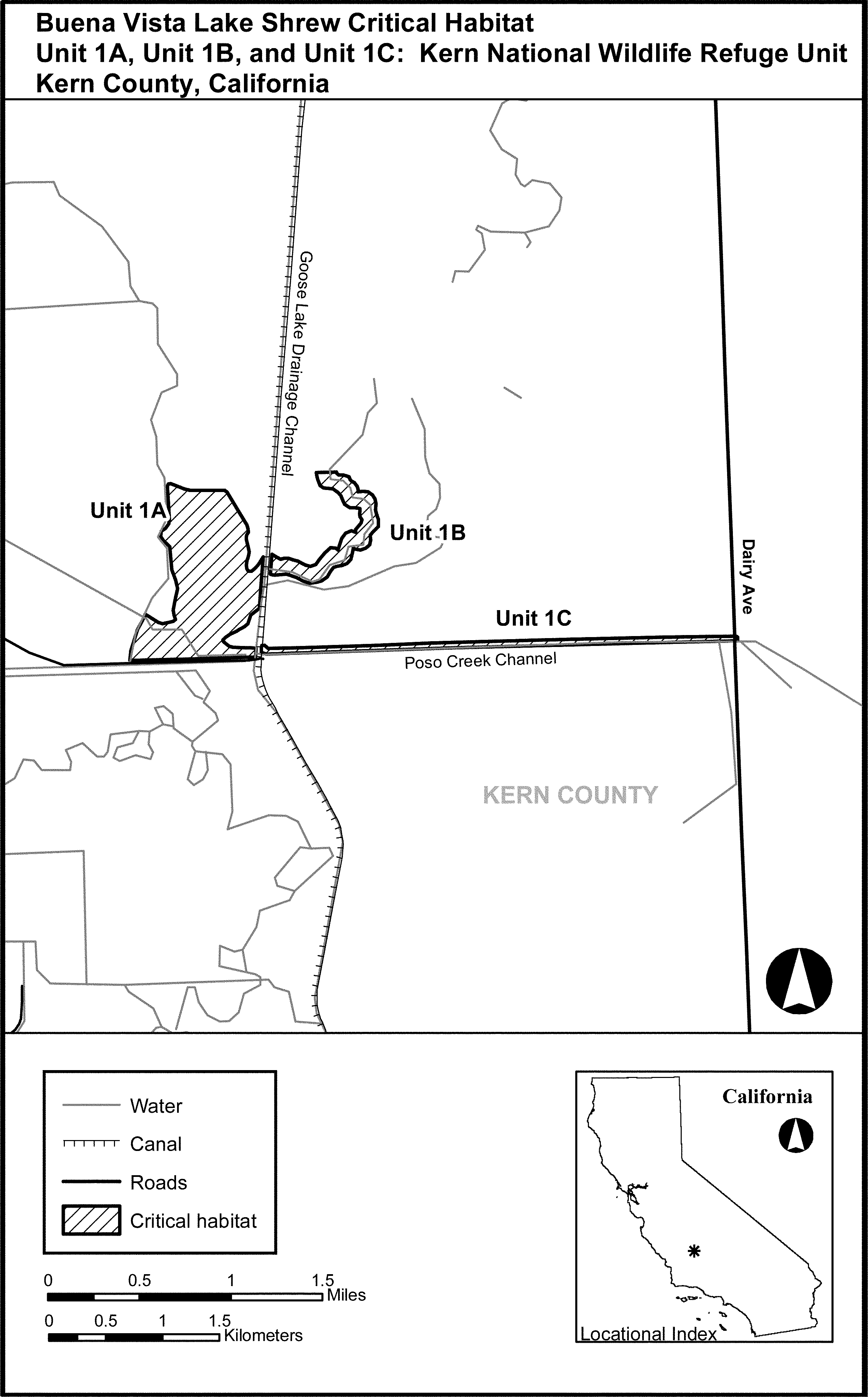
(7) Unit 2: Goose Lake Unit, Kern County, California. Note: Map of Unit 2, Goose Lake Unit, follows:

(8) Unit 4: Coles Levee Unit, Kern County, California. Note: Map of Unit 4, Coles Levee Unit, follows:
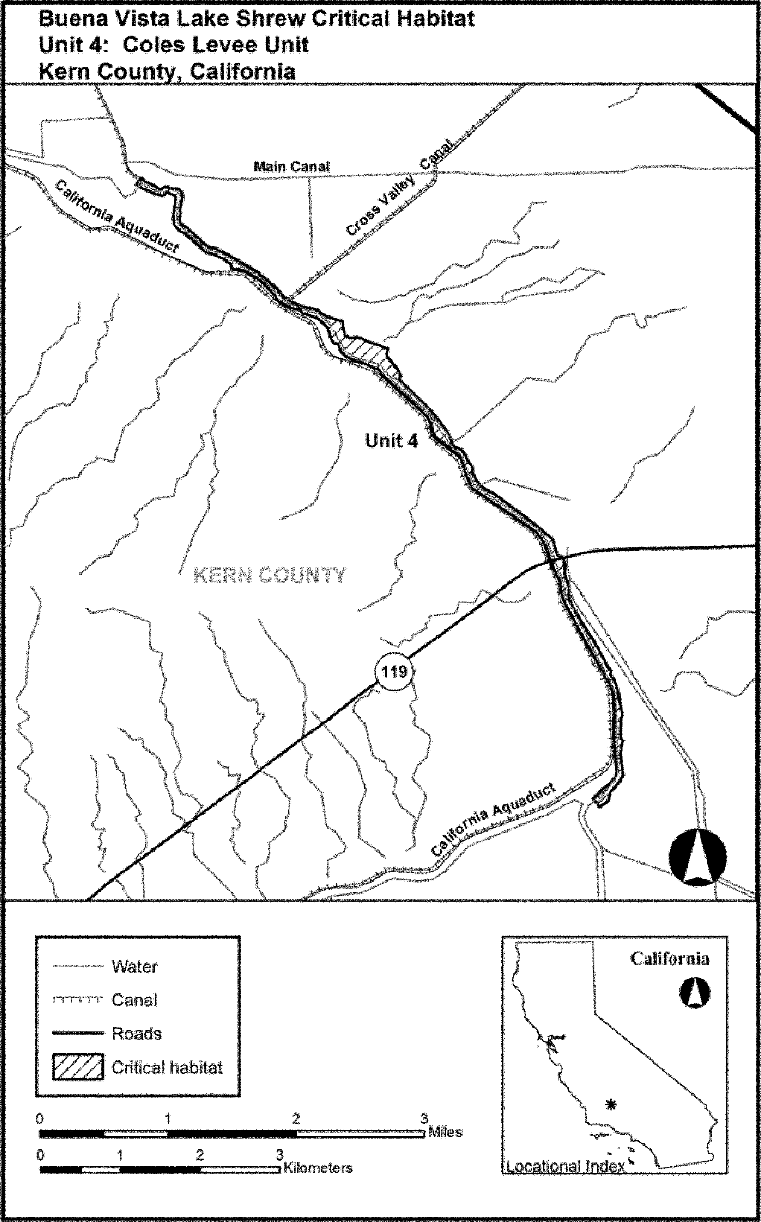
(9) Unit 5: Kern Lake Unit, Kern County, California. Note: Map of Unit 5, Kern Lake Unit, follows:
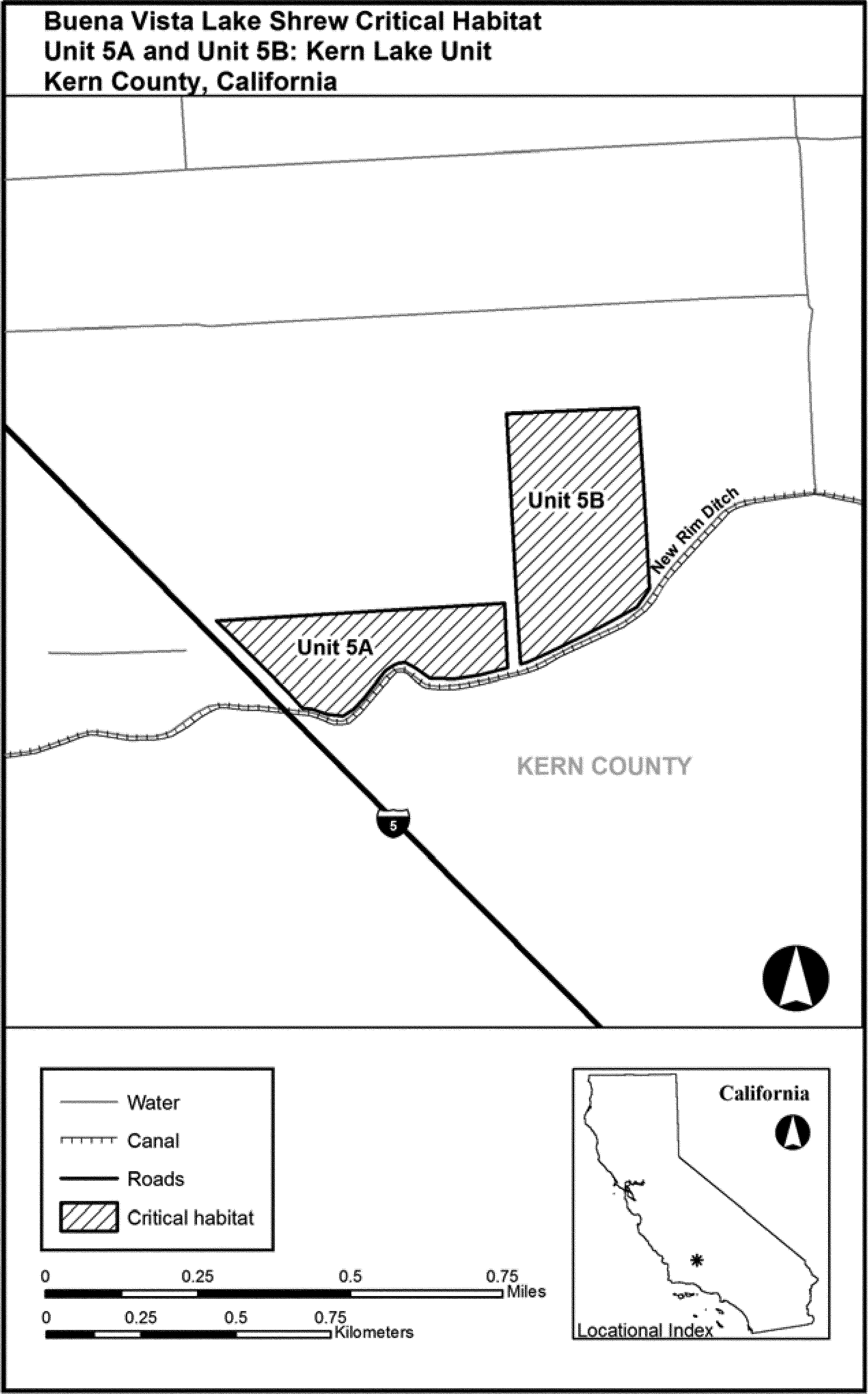
(10) Unit 6: Semitropic Ecological Reserve Unit, Kern County, California. Note: Map of Unit 6, Semitropic Ecological Reserve Unit, follows:
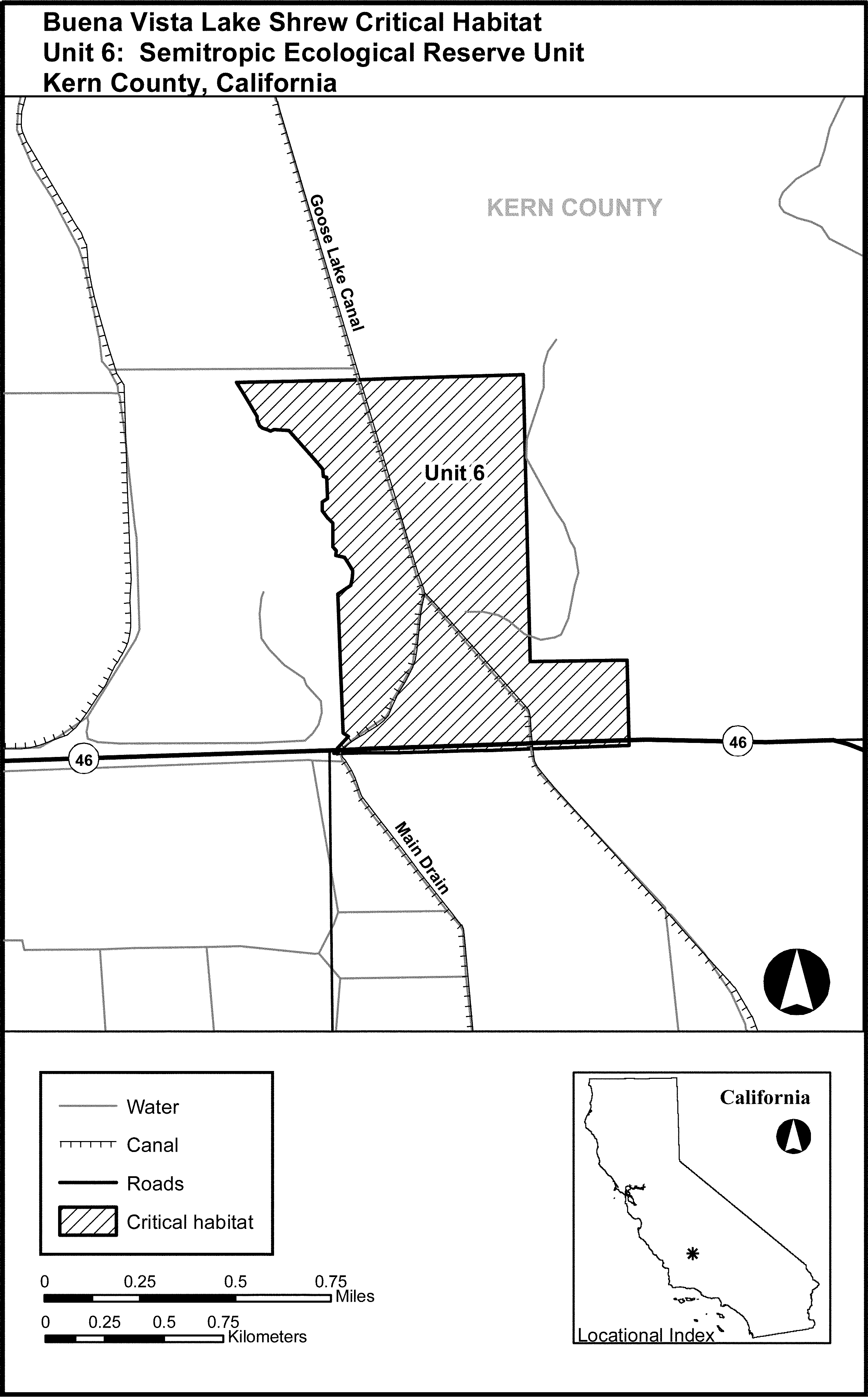
(11) Unit 7: Lemoore Wetland Reserve Unit, Kings County, California. Note: Map of Unit 7, Lemoore Wetland Reserve Unit, follows:
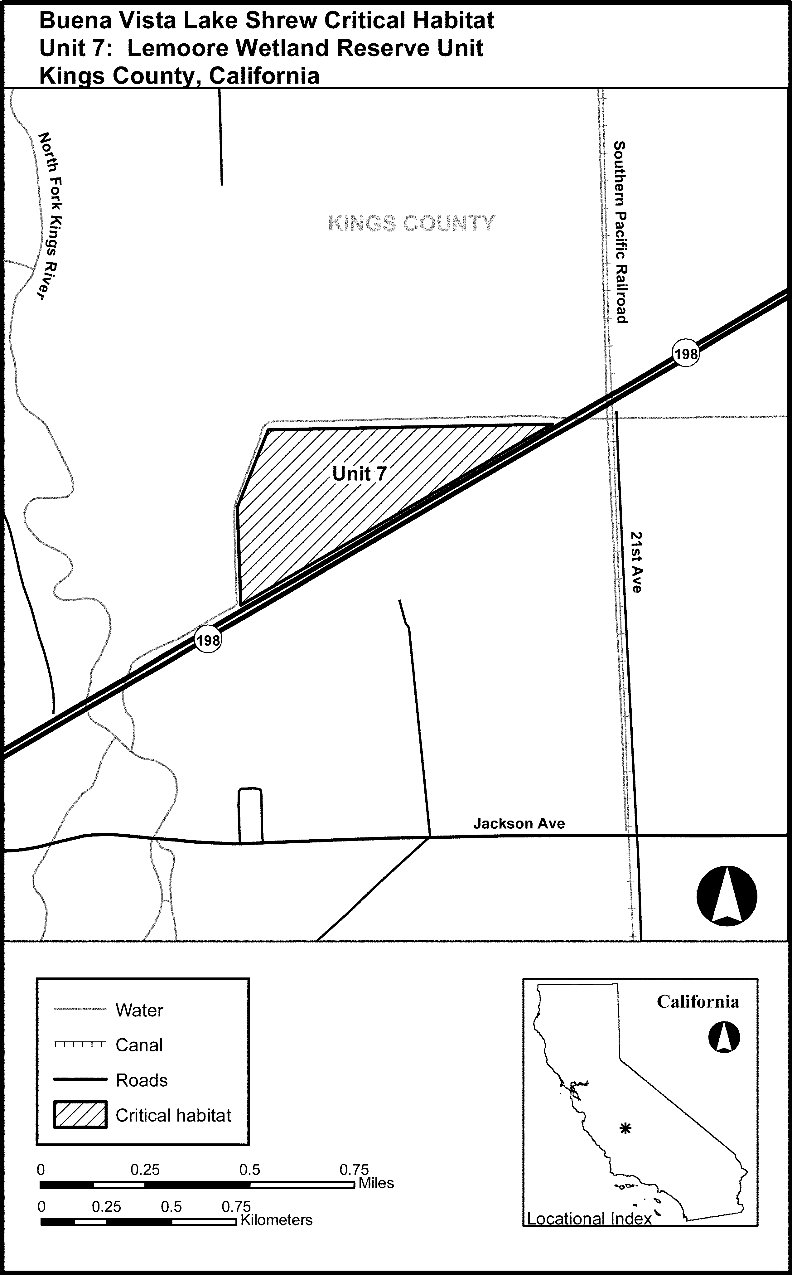
Mount Graham Red Squirrel (Tamiasciurus hudsonicus grahamensis)
Arizona. Areas of land, water, and airspace in the Coronado National Forest, T. 8 S., R. 24 E., and T. 9 S., R. 24 E. (Gila and Salt River Meridian), Graham County, with the following components:
1. Hawk Peak-Mount Graham Area. The area above the 10,000-foot (3,048-meter) contour surrounding Hawk Peak and Plain View Peak, plus the area above the 9,800-foot (2,987-meter) contour that is south of lines extending from the highest point of Plain View Peak eastward at 90° (from true north) and southwestward at 225° (from true north).
2. Heliograph Peak Area. The area on the north-facing slope of Heliograph Peak that is above the 9,200-foot (2,804-meter) contour surrounding Heliograph Peak and that is between a line extending at 15° (from true north) from a point 160 feet (49 meters) due south of the horizontal control station on Heliograph Peak and a line extending northwestward at 300° (from true north) from that same point.
3. Webb Peak Area. The area on the east-facing slope of Webb Peak that is above the 9,700-foot (2,957-meter) contour surrounding Webb Peak and that is east of a line extending due north and south through a point 160 feet (49 meters) due west of the horizontal control station on Webb Peak.
The major constituent element is dense stands of mature spruce-fir forest.
The map provided is for informational purposes only. Map follows:

Amargosa Vole (Microtus californicus scirpensis)
California. Marshes and associated land and water in the following areas of Inyo County (San Bernardino Meridian): T20N R7E Sec. 4, 5, N 1⁄2 and SE 1⁄4 Sec. 9, NW 1⁄4 Sec. 10, SW 1⁄4SW 1⁄4 Sec. 15, E 1⁄2 Sec. 16, NW 1⁄4 Sec. 22; T21N R7E S 1⁄2 Sec. 28, S 1⁄2 and NW 1⁄4 Sec. 29, Sec. 32, 33.
Within these areas, the major constituent elements that are known to require special management considerations or protection are marsh vegetation (primarily bulrushes of the genus Scirpus), springs, and some open water along the Amargosa River, which provide escape cover and an adequate food supply.
The map provided is for informational purposes only. Map follows:

(b) Birds.
Akekee (Loxops caeruleirostris)
(1) Critical habitat units are depicted for Kauai County, Hawaii, on the maps below. The maps provided are for informational purposes only.
(2) Primary constituent elements.
(i) In units 1, 2, and 3, the primary constituent elements of critical habitat for Akekee (Loxops caeruleirostris) are:
(A) Elevation: 3,000 to 5,243 ft (914 to 1,598 m).
(B) Annual precipitation: 50 to 75 inches (127 to 190 centimeters).
(C) Substrate: Weathered aa lava flows, rocky mucks, thin silty loams, deep volcanic ash soils.
(D) Canopy: Acacia, Metrosideros, Psychotria, Tetraplasandra, Zanthoxylum.
(E) Subcanopy: Cheirodendron, Coprosma, Kadua, Ilex, Myoporum, Myrsine.
(F) Understory: Bidens, Dryopteris, Leptecophylla, Poa, Scaevola, Sophora.
(G) Arthropod prey.
(ii) In units 4, 5, and 6, the primary constituent elements of critical habitat for Akekee (Loxops caeruleirostris) are:
(A) Elevation: 3,000 to 5,243 ft (914 to 1,598 m).
(B) Annual precipitation: Greater than 75 inches (190 centimeters).
(C) Substrate: Well-developed soils, montane bogs.
(D) Canopy: Acacia, Charpentiera, Cheirodendron, Metrosideros.
(E) Subcanopy: Broussaisia, Cibotium, Eurya, Ilex, Myrsine.
(F) Understory: Ferns, Carex, Coprosma, Leptecophylla, Oreobolus, Rhynchospora, Vaccinium.
(G) Arthropod prey.
(3) Manmade features and structures, such as buildings, roads, railroads, airports, runways, other paved areas, lawns, and other urban landscaped areas, existing on the effective date of this rule do not contain one or more of the primary constituent elements.
(4) Critical habitat maps. Maps were created in GIS, with coordinates in UTM Zone 4, units in meters using North American datum of 1983 (NAD 83).
(5) Index map of critical habitat units for Akekee (Loxops caeruleirostris) follows:

(6) Unit 1-Montane Mesic, Kauai County, Hawaii.
(i) Unit 1-Montane Mesic consists of 2,422.6 ac (980.4 ha) and includes land bounded by the following UTM Zone 4, NAD 83 coordinates (E, N): 430107, 2447429; 430242, 2447664; 430073, 2447126; 430793, 2448310; 430124, 2446907; 430393, 2447748; 430690, 2447765; 430671, 2447997; 430764, 2448188; 430886, 2448507; 430903, 2448664; 430985, 2448705; 431560, 2448675; 431414, 2448890; 430291, 2446570; 431058, 2446300; 431200, 2449070; 431362, 2449169; 431171, 2448699; 430854, 2445930; 432530, 2450196; 431391, 2449273; 431323, 2447013; 431211, 2446394; 431101, 2446447; 431112, 2446394; 431069, 2446331; 431007, 2446203; 430944, 2446145; 430902, 2445976; 430191, 2446386; 430826, 2445805; 430857, 2445727; 430824, 2445631; 430442, 2445640; 430323, 2445779; 430204, 2445809; 430191, 2445898; 429898, 2446100; 429871, 2446234; 430939, 2446061; 432796, 2450365; 432504, 2449961; 432579, 2450036; 432552, 2450080; 432551, 2450083; 432001, 2447726; 432534, 2450174; 431629, 2448739; 432565, 2450262; 432531, 2450116; 432740, 2450249; 432441, 2449848; 432808, 2450383; 432882, 2450351; 432904, 2450341; 432827, 2447751; 432932, 2447668; 433014, 2447717; 433109, 2447775; 433094, 2447922; 432560, 2450267; 431875, 2449780; 431322, 2449418; 431403, 2449436; 431727, 2449372; 431769, 2449447; 431705, 2449569; 431720, 2449620; 431805, 2449591; 431919, 2449578; 432498, 2449952; 431904, 2449665; 432486, 2449909; 432046, 2449781; 432052, 2449783; 432113, 2449740; 432217, 2449712; 432251, 2449685; 432259, 2449679; 432344, 2449744; 432419, 2449806; 431322, 2449372; 431905, 2449660; 434486, 2447126; 434073, 2448685; 434228, 2448620; 434292, 2448479; 434318, 2448298; 434279, 2447951; 434163, 2447783; 434086, 2447693; 434073, 2447500; 434623, 2446526; 434357, 2447229; 433545, 2449136; 434627, 2447088; 434686, 2447020; 434682, 2447017; 434657, 2446977; 434652, 2446933; 434612, 2446807; 434641, 2446663; 434631, 2446528; 434202, 2447345; 433399, 2449709; 431205, 2448983; 432073, 2447674; 433046, 2450280; 433196, 2450196; 433287, 2450063; 433353, 2449880; 433467, 2449787; 433429, 2449741; 433880, 2448827; 433407, 2449708; 433725, 2448994; 433401, 2449697; 433339, 2449600; 433313, 2449484; 433339, 2449381; 433368, 2449293; 433368, 2449292; 433369, 2449255; 433389, 2449256; 434254, 2447886; 433408, 2449708; 433527, 2447856; 434086, 2446095; 433862, 2446165; 433606, 2446193; 433449, 2446235; 433397, 2446440; 433257, 2446958; 433577, 2447086; 433706, 2447138; 434090, 2446098; 433562, 2447841; 432639, 2447624; 432918, 2447407; 432672, 2447598; 434620, 2446512; 432609, 2447647; 434318, 2448182; 432195, 2447587; 432136, 2447629; 432133, 2447631; 432081, 2447668; 433746, 2447766; 434500, 2446448; 432320, 2447497; 434103, 2446297; 434618, 2446459; 434582, 2446443; 434558, 2446439; 434514, 2446449; 434471, 2446422; 434457, 2446416; 434447, 2446420; 434392, 2446421; 434423, 2446441; 434416, 2446441; 434625, 2446467; 434201, 2446573; 434403, 2446435; 434628, 2446479; 434400, 2446429; 434434, 2446428; 434386, 2446429; 434533, 2446441.
(ii) Map of Unit 1-Montane Mesic for Akekee (Loxops caeruleirostris) follows:

(7) Unit 2-Montane Mesic, Kauai County, Hawaii.
(i) Montane Mesic -Unit 2 consists of 375.6 ac (152.0 ha) and includes land bounded by the following UTM Zone 4, NAD 83 coordinates (E, N): 431975, 2446280; 432559, 2446255; 432659, 2446240; 432948, 2446150; 433067, 2445928; 432758, 2445304; 432001, 2445941; 431873, 2444849; 432912, 2445580; 432674, 2444970; 431626, 2445435; 431730, 2445114; 431950, 2444792; 432135, 2444807; 432377, 2444722; 432548, 2444752; 431645, 2445326; 431736, 2445617.
(ii) Map of Unit 2-Montane Mesic for Akekee (Loxops caeruleirostris) follows:

(8) Unit 3-Montane Mesic, Kauai County, Hawaii.
(i) Unit 3-Montane Mesic consists of 138.5 ac (56.0 ha) and includes land bounded by the following UTM Zone 4, NAD 83 coordinates (E, N): 438012, 2440389; 438014, 2440437; 438023, 2440484; 438111, 2440652; 438112, 2440588; 437817, 2440071; 438028, 2440577; 437922, 2440355; 437336, 2440335; 437912, 2440201; 437827, 2440132; 437785, 2440013; 437687, 2439960; 437636, 2439819; 437870, 2440140; 437545, 2439761; 438149, 2440714; 437529, 2439721; 437987, 2441027; 437450, 2440047; 437335, 2440180; 437335, 2440329; 438159, 2440914; 438249, 2440857; 438253, 2440854; 438243, 2440830; 438287, 2440738; 437602, 2440771; 438227, 2440730; 437586, 2439743.
(ii) Map of Unit 3-Montane Mesic for Akekee (Loxops caeruleirostris) follows:

(9) Unit 4-Montane Wet, Kauai County, Hawaii.
(i) Montane Wet-Unit 1 consists of 13,055.0 ac (5,283.2 ha) and includes land bounded by the following UTM Zone 4, NAD 83 coordinates (E,N): 448638, 2440764; 448601, 2440679; 448606, 2440704; 448612, 2440722; 448615, 2440731; 448619, 2440740; 448630, 2440759; 448650, 2440769; 448600, 2440668; 448622, 2440749; 448599, 2440647; 448601, 2440652; 448678, 2440741; 448777, 2440842; 448663, 2440773; 449006, 2441012; 448764, 2440857; 449068, 2441051; 449121, 2441114; 449121, 2441114; 448887, 2440934; 448811, 2440896; 448954, 2441097; 448943, 2441063; 448943, 2441053; 448943, 2441044; 448941, 2441024; 448940, 2441006; 448918, 2440982; 448877, 2440939; 448861, 2440927; 448735, 2440829; 448837, 2440912; 448678, 2440780; 448802, 2440889; 448788, 2440878; 449115, 2442038; 448745, 2440841; 449111, 2441196; 448727, 2440820; 448720, 2440813; 448711, 2440806; 448691, 2440790; 448841, 2440914; 447374, 2443275; 449244, 2441819; 447623, 2443445; 447616, 2443588; 447603, 2443646; 447556, 2443686; 447325, 2443651; 447295, 2443639; 447247, 2443586; 448634, 2443800; 447287, 2443339; 448657, 2443629; 447481, 2443262; 447636, 2443160; 447645, 2443143; 447645, 2443146; 447894, 2443371; 447865, 2443358; 447712, 2443351; 447631, 2443389; 448948, 2441084; 447249, 2443451; 448917, 2442504; 449106, 2441435; 449173, 2441529; 449201, 2441638; 449249, 2441697; 449275, 2441773; 449148, 2441893; 449090, 2442135; 449064, 2442221; 448614, 2443950; 448983, 2442384; 449078, 2441297; 448880, 2442563; 448861, 2442593; 448805, 2442677; 448765, 2442787; 448696, 2442955; 448653, 2443075; 448651, 2443187; 448674, 2443301; 448669, 2443477; 449024, 2442290; 444824, 2443350; 444161, 2444181; 445808, 2442898; 445681, 2442977; 445559, 2443010; 445437, 2443077; 446100, 2442628; 445045, 2443240; 446256, 2442602; 444659, 2443447; 444532, 2443516; 444456, 2443572; 444423, 2443638; 444334, 2443811; 446499, 2441271; 445254, 2443156; 446686, 2441764; 441856, 2446328; 446673, 2441408; 446651, 2441424; 446641, 2441436; 446587, 2441501; 445966, 2442725; 446640, 2441627; 444075, 2444349; 446694, 2442007; 446591, 2442195; 446650, 2442430; 446675, 2442432; 446482, 2442513; 446373, 2442574; 446587, 2441543; 443497, 2444548; 444237, 2444013; 443579, 2444514; 443571, 2444521; 443557, 2444532; 443553, 2444537; 443610, 2444483; 443516, 2444546; 443617, 2444477; 443483, 2444551; 443478, 2444555; 443464, 2444570; 443459, 2444579; 443452, 2444591; 443447, 2444608; 443534, 2444543; 443722, 2444464; 444016, 2444444; 443984, 2444419; 443985, 2444416; 443769, 2444440; 443760, 2444446; 443598, 2444493; 443732, 2444458; 446375, 2441172; 443703, 2444469; 443685, 2444463; 443677, 2444459; 443666, 2444456; 443647, 2444460; 443628, 2444469; 443740, 2444454; 441656, 2441573; 442568, 2441274; 440114, 2440528; 440464, 2440832; 440528, 2440844; 440586, 2440905; 440110, 2440524; 441650, 2441573; 440014, 2440441; 441659, 2441579; 441727, 2441586; 441774, 2441575; 441900, 2441576; 441968, 2441515; 446610, 2441349; 441637, 2441552; 439096, 2441847; 438866, 2442347; 438934, 2442351; 438960, 2442270; 438967, 2442246; 438976, 2442220; 440113, 2440527; 439088, 2441871; 442723, 2441295; 439491, 2440617; 439551, 2440431; 439556, 2440414; 439832, 2440430; 439931, 2440426; 440002, 2440430; 439037, 2442031; 445551, 2441162; 442287, 2441225; 445235, 2441328; 445344, 2441376; 445380, 2441414; 445392, 2441392; 444560, 2441032; 445510, 2441194; 444480, 2440997; 445886, 2441308; 446122, 2441415; 446214, 2441291; 448944, 2441075; 446300, 2441227; 446357, 2441185; 445395, 2441389; 443889, 2441172; 442843, 2441314; 442924, 2441340; 442982, 2441350; 442977, 2441356; 443016, 2441342; 445124, 2441205; 443707, 2441132; 443440, 2444655; 444062, 2441230; 444083, 2441215; 444109, 2441224; 444113, 2441221; 444124, 2441223; 444455, 2440990; 443023, 2441344; 442711, 2445664; 442430, 2445827; 442668, 2445560; 442666, 2445576; 442668, 2445590; 442674, 2445604; 442672, 2445510; 442713, 2445661; 442668, 2445494; 442501, 2445803; 442492, 2445803; 442467, 2445799; 442448, 2445805; 442444, 2445807; 443444, 2444627; 442710, 2445647; 442709, 2445399; 442804, 2445357; 442798, 2445359; 442785, 2445364; 442765, 2445370; 442747, 2445377; 442673, 2445515; 442727, 2445386; 442430, 2445830; 442694, 2445414; 442689, 2445419; 442682, 2445433; 442675, 2445453; 442671, 2445471; 442667, 2445490; 442743, 2445378; 441897, 2446273; 442435, 2445813; 442019, 2446165; 442005, 2446171; 441982, 2446194; 441963, 2446219; 442059, 2446159; 441929, 2446268; 442071, 2446146; 441879, 2446263; 441852, 2446219; 441838, 2446221; 441834, 2446230; 441848, 2446265; 441855, 2446295; 441943, 2446256; 442202, 2445986; 442428, 2445851; 442381, 2445882; 442372, 2445885; 442317, 2445917; 442301, 2445924; 442039, 2446165; 442261, 2445949; 442858, 2445342; 442175, 2445995; 442100, 2446007; 442082, 2446029; 442072, 2446052; 442067, 2446082; 442073, 2446121; 442273, 2445945; 443240, 2444927; 442821, 2445353; 443294, 2444870; 443290, 2444876; 443281, 2444890; 443271, 2444898; 443307, 2444833; 443252, 2444914; 443309, 2444829; 443234, 2444932; 443215, 2444938; 443196, 2444944; 443193, 2444946; 443177, 2444962; 443175, 2444965; 443260, 2444907; 443352, 2444721; 438757, 2442331; 443435, 2444664; 443423, 2444686; 443403, 2444695; 443385, 2444699; 443301, 2444851; 443366, 2444706; 443156, 2445003; 443346, 2444728; 443341, 2444740; 443333, 2444758; 443327, 2444778; 443320, 2444796; 443313, 2444815; 443373, 2444702; 442952, 2445303; 443029, 2445263; 443009, 2445266; 443006, 2445268; 442990, 2445276; 442981, 2445284; 443163, 2444984; 442956, 2445301; 443068, 2445227; 442934, 2445314; 442915, 2445323; 442898, 2445330; 442877, 2445336; 442862, 2445341; 443443, 2444647; 442972, 2445292; 443122, 2445132; 442842, 2445347; 443153, 2445020; 443153, 2445040; 443152, 2445059; 443150, 2445078; 443144, 2445096; 443047, 2445260; 443135, 2445115; 443065, 2445247; 443103, 2445152; 443083, 2445171; 443066, 2445190; 443066, 2445209; 443067, 2445215; 443158, 2444995; 443140, 2445105; 440025, 2445056; 439668, 2444981; 440214, 2445151; 440216, 2445150; 440347, 2445106; 440289, 2445097; 440078, 2445204; 440124, 2445056; 439994, 2445245; 439910, 2445087; 439796, 2445123; 439719, 2445133; 439696, 2445110; 439681, 2445072; 439364, 2444192; 440216, 2445076; 439480, 2445095; 438927, 2444790; 438982, 2444746; 439037, 2444786; 439157, 2444829; 439238, 2444846; 440165, 2445166; 439434, 2444999; 439643, 2444902; 439484, 2445120; 439501, 2445220; 439598, 2445317; 439699, 2445360; 439794, 2445352; 439883, 2445309; 439360, 2444907; 439945, 2444540; 439673, 2445011; 439890, 2444912; 439948, 2444922; 439994, 2444883; 440052, 2444784; 439859, 2444782; 439996, 2444642; 439859, 2444723; 439876, 2444423; 439825, 2444344; 439759, 2444342; 439685, 2444334; 439583, 2444266; 438838, 2442340; 440032, 2444731; 439254, 2444472; 439571, 2444823; 439485, 2444800; 439386, 2444762; 439258, 2444658; 439172, 2444564; 439864, 2444845; 439156, 2444527; 438580, 2444854; 439413, 2444371; 439522, 2444418; 439617, 2444459; 439747, 2444522; 439800, 2444594; 439843, 2444655; 439145, 2444538; 435698, 2452376; 438807, 2444845; 436003, 2452334; 435955, 2452326; 435902, 2452378; 435838, 2452443; 436579, 2452559; 435719, 2452378; 436804, 2452559; 435477, 2452358; 435478, 2452345; 435479, 2452304; 435517, 2452192; 435519, 2452190; 435540, 2452168; 435810, 2452427; 438006, 2453313; 438476, 2452702; 438465, 2452788; 438430, 2452817; 438386, 2452854; 438269, 2452930; 436189, 2452365; 438110, 2453148; 435895, 2451700; 437935, 2453510; 437933, 2453512; 437797, 2453318; 437592, 2453026; 437202, 2452948; 437201, 2452932; 438116, 2453088; 438263, 2444805; 436811, 2449026; 437237, 2447714; 437230, 2447713; 437248, 2447657; 437232, 2447645; 435631, 2452072; 438179, 2444732; 436566, 2449559; 438343, 2444896; 438406, 2444952; 438475, 2444955; 438523, 2444886; 438536, 2444858; 439298, 2444154; 438168, 2444734; 436235, 2450550; 438677, 2444833; 435961, 2451591; 436027, 2451466; 436103, 2451262; 436162, 2451016; 436212, 2450766; 436739, 2449180; 436234, 2450558; 436706, 2449252; 436250, 2450410; 436234, 2450237; 436386, 2449952; 436472, 2449769; 436566, 2449560; 435779, 2451881; 436230, 2450590; 438030, 2442243; 438130, 2442234; 437996, 2442188; 437998, 2442202; 437998, 2442205; 437999, 2442211; 437973, 2442147; 438012, 2442229; 437954, 2442136; 438049, 2442246; 438065, 2442246; 438088, 2442240; 438095, 2442238; 438098, 2442237; 439456, 2444205; 438000, 2442216; 437826, 2442106; 437754, 2441991; 437758, 2441998; 437766, 2442017; 437777, 2442052; 437791, 2442074; 437984, 2442167; 437806, 2442092; 438157, 2442234; 437839, 2442110; 437873, 2442121; 437887, 2442121; 437912, 2442123; 437926, 2442125; 437939, 2442128; 437799, 2442084; 438656, 2442321; 438114, 2442232; 438535, 2442314; 438536, 2442314; 438561, 2442316; 438577, 2442315; 438517, 2442310; 438626, 2442315; 438496, 2442310; 438668, 2442322; 438679, 2442324; 438694, 2442327; 438704, 2442326; 438721, 2442329; 446348, 2441177; 438609, 2442314; 438392, 2442294; 438219, 2442244; 438238, 2442248; 438254, 2442248; 438305, 2442256; 438355, 2442265; 438523, 2442310; 438376, 2442278; 437745, 2441950; 438418, 2442311; 438433, 2442319; 438436, 2442321; 438453, 2442321; 438453, 2442321; 438460, 2442320; 438373, 2442277; 437363, 2443282; 437751, 2441981; 437981, 2443476; 437808, 2443397; 437928, 2443310; 437950, 2443233; 438143, 2443587; 437364, 2443298; 438183, 2443628; 437277, 2443228; 437144, 2443208; 437065, 2443211; 437060, 2443212; 436974, 2443182; 436997, 2443061; 437657, 2443231; 438835, 2443883; 439282, 2444110; 439268, 2444068; 439181, 2444032; 439094, 2444009; 439048, 2443913; 438208, 2443477; 438964, 2443837; 437226, 2442709; 438723, 2443923; 438608, 2443916; 438453, 2443825; 438438, 2443814; 438318, 2443723; 438201, 2443629; 439043, 2443859; 437697, 2441878; 437601, 2441867; 437602, 2441867; 437617, 2441866; 437635, 2441866; 437647, 2441866; 437052, 2442940; 437689, 2441877; 437522, 2441879; 437705, 2441878; 437711, 2441887; 437717, 2441899; 437736, 2441928; 437740, 2441938; 438821, 2442339; 437674, 2441875; 437294, 2442356; 437747, 2441961; 437088, 2442647; 437103, 2442643; 437156, 2442615; 437159, 2442579; 437120, 2442503; 437566, 2441876; 437174, 2442422; 437532, 2441880; 437425, 2442191; 437307, 2442101; 437476, 2442051; 437493, 2441868; 437495, 2441869; 437182, 2442830; 437105, 2442445; 448431, 2442766; 448447, 2442675; 448469, 2442871; 448462, 2442858; 448442, 2442821; 448437, 2442805; 448481, 2442894; 448432, 2442775; 448486, 2442910; 448428, 2442750; 448428, 2442738; 448432, 2442727; 448437, 2442711; 448443, 2442699; 448671, 2442369; 448435, 2442791; 448579, 2443112; 448582, 2443190; 448582, 2443172; 448582, 2443162; 448583, 2443151; 448585, 2443140; 448477, 2442887; 448585, 2443122; 448447, 2442663; 448562, 2443086; 448545, 2443051; 448529, 2443019; 448507, 2442976; 448498, 2442952; 448490, 2442930; 448586, 2443129; 448642, 2442440; 448447, 2442688; 448602, 2442477; 448615, 2442472; 448623, 2442466; 448634, 2442459; 448566, 2442503; 448640, 2442451; 448550, 2442513; 448642, 2442430; 448642, 2442419; 448643, 2442410; 448648, 2442399; 448657, 2442387; 447996, 2444312; 448637, 2442455; 448464, 2442531; 448443, 2442636; 448443, 2442627; 448440, 2442604; 448438, 2442565; 448441, 2442549; 448587, 2442486; 448455, 2442534; 448589, 2443224; 448474, 2442530; 448488, 2442531; 448505, 2442534; 448515, 2442533; 448530, 2442527; 448536, 2442523; 448449, 2442536; 448502, 2443743; 448586, 2443203; 448512, 2443792; 448512, 2443783; 448513, 2443779; 448513, 2443769; 448473, 2443878; 448504, 2443752; 448470, 2443888; 448504, 2443735; 448507, 2443727; 448522, 2443706; 448538, 2443682; 448546, 2443665; 448552, 2443643; 448509, 2443760; 447932, 2443750; 447925, 2444320; 447843, 2444325; 447864, 2444277; 447942, 2444178; 448003, 2444015; 448500, 2443823; 447967, 2443867; 448549, 2443613; 447904, 2443646; 447921, 2443582; 447949, 2443460; 447939, 2443412; 448458, 2443882; 448470, 2443889; 448008, 2443903; 448590, 2443306; 448578, 2443441; 448572, 2443417; 448576, 2443405; 448584, 2443388; 448590, 2443369; 448552, 2443630; 448593, 2443325; 448591, 2443484; 448591, 2443291; 448592, 2443277; 448592, 2443261; 448592, 2443254; 448591, 2443241; 448673, 2442365; 448595, 2443352; 448553, 2443539; 448587, 2443214; 448544, 2443601; 448533, 2443587; 448527, 2443576; 448523, 2443570; 448518, 2443559; 448585, 2443461; 448528, 2443546; 448588, 2443466; 448560, 2443535; 448569, 2443527; 448577, 2443516; 448582, 2443508; 448589, 2443493; 448551, 2443621; 448518, 2443552; 449003, 2441449; 448936, 2441403; 449064, 2441492; 449060, 2441481; 449053, 2441472; 449049, 2441471; 449066, 2441511; 449032, 2441461; 449061, 2441528; 448971, 2441443; 448964, 2441441; 448952, 2441427; 448948, 2441420; 448945, 2441411; 448665, 2442379; 449040, 2441466; 449012, 2441616; 448972, 2441689; 446228, 2441279; 448995, 2441668; 449000, 2441660; 449004, 2441650; 449065, 2441502; 449009, 2441625; 448930, 2441400; 449017, 2441611; 449030, 2441595; 449037, 2441588; 449043, 2441578; 449046, 2441569; 449050, 2441561; 449006, 2441639; 448967, 2441159; 448940, 2441404; 448926, 2441212; 448930, 2441194; 448933, 2441184; 448941, 2441177; 448940, 2441238; 448961, 2441163; 448944, 2441250; 448972, 2441150; 448973, 2441143; 448972, 2441136; 448971, 2441119; 448969, 2441116; 448964, 2441109; 448949, 2441170; 448928, 2441313; 448922, 2441392; 448918, 2441381; 448916, 2441369; 448917, 2441357; 448919, 2441341; 448934, 2441230; 448925, 2441322; 448933, 2441715; 448935, 2441302; 448944, 2441291; 448948, 2441281; 448948, 2441273; 448948, 2441264; 448946, 2441259; 448920, 2441333; 448677, 2442140; 441868, 2446401; 448673, 2442209; 448671, 2442202; 448674, 2442187; 448680, 2442169; 448684, 2442226; 448682, 2442148; 448692, 2442233; 448675, 2442123; 448677, 2442115; 448683, 2442101; 448694, 2442089; 448710, 2442077; 448718, 2442069; 448684, 2442157; 448722, 2442303; 448677, 2442356; 448682, 2442350; 448697, 2442342; 448711, 2442341; 448721, 2442331; 448678, 2442221; 448723, 2442309; 448736, 2442055; 448718, 2442295; 448712, 2442283; 448707, 2442267; 448706, 2442257; 448705, 2442250; 448699, 2442238; 448724, 2442320; 448915, 2441796; 448850, 2441844; 448877, 2441825; 448884, 2441820; 448890, 2441818; 448892, 2441817; 448723, 2442061; 448910, 2441807; 448820, 2441871; 448913, 2441774; 448914, 2441760; 448913, 2441753; 448915, 2441738; 448925, 2441722; 448957, 2441700; 448900, 2441814; 448787, 2441967; 448939, 2441710; 448746, 2442051; 448755, 2442041; 448764, 2442029; 448768, 2442019; 448773, 2442013; 448840, 2441852; 448781, 2441990; 448831, 2441859; 448789, 2441938; 448803, 2441914; 448813, 2441900; 448814, 2441894; 448817, 2441884; 448728, 2442058; 448777, 2442002; 440375, 2448361; 440198, 2448467; 440421, 2448239; 440415, 2448290; 440416, 2448314; 440411, 2448336; 440401, 2448191; 440391, 2448353; 440384, 2448138; 440350, 2448395; 440331, 2448411; 440307, 2448418; 440254, 2448428; 440237, 2448434; 439526, 2448944; 440402, 2448352; 440409, 2447991; 440377, 2447819; 440378, 2447845; 440384, 2447871; 440395, 2447896; 440436, 2447941; 440413, 2448216; 440426, 2447974; 440190, 2448485; 440343, 2448005; 440329, 2448016; 440325, 2448033; 440331, 2448061; 440341, 2448084; 440374, 2448123; 440435, 2447959; 439678, 2448950; 440218, 2448446; 439853, 2448941; 439830, 2448945; 439788, 2448929; 439761, 2448926; 439900, 2448928; 439697, 2448941; 439922, 2448928; 439656, 2448949; 439633, 2448940; 439611, 2448928; 439578, 2448906; 439553, 2448909; 439539, 2448922; 439733, 2448930; 440089, 2448747; 440179, 2448496; 440157, 2448511; 440136, 2448537; 440120, 2448633; 440125, 2448690; 439875, 2448932; 440112, 2448732; 440451, 2447620; 440073, 2448762; 440036, 2448815; 440000, 2448878; 439982, 2448899; 439961, 2448915; 439941, 2448924; 440121, 2448718; 441363, 2447030; 440383, 2447794; 441405, 2446869; 441402, 2446899; 441403, 2446972; 441399, 2446995; 441455, 2446804; 441373, 2447026; 441476, 2446797; 441317, 2447043; 441283, 2447083; 441268, 2447104; 441240, 2447171; 441231, 2447186; 441219, 2447195; 441398, 2446997; 441674, 2446682; 448141, 2444294; 448986, 2441677; 441864, 2446424; 441847, 2446451; 441836, 2446475; 441434, 2446820; 441829, 2446505; 441148, 2447188; 441648, 2446705; 441620, 2446723; 441584, 2446741; 441549, 2446752; 441532, 2446763; 441521, 2446777; 441829, 2446501; 440674, 2447485; 440710, 2447368; 440699, 2447389; 440693, 2447407; 440695, 2447430; 440703, 2447452; 441201, 2447195; 440693, 2447475; 440800, 2447339; 440599, 2447501; 440579, 2447511; 440540, 2447539; 440487, 2447571; 440468, 2447593; 440124, 2448663; 440703, 2447461; 440941, 2447230; 440413, 2447711; 441133, 2447183; 441113, 2447170; 441095, 2447154; 441083, 2447147; 441058, 2447153; 440722, 2447354; 440969, 2447210; 440740, 2447346; 440888, 2447250; 440873, 2447265; 440865, 2447286; 440858, 2447311; 440842, 2447328; 441172, 2447190; 441039, 2447168; 438599, 2451708; 438434, 2451069; 438440, 2451600; 438425, 2451652; 438429, 2451670; 438442, 2451682; 438419, 2451509; 438529, 2451692; 438410, 2451464; 438657, 2451738; 439516, 2448971; 438675, 2451766; 440125, 2448578; 438680, 2451858; 438715, 2451908; 438484, 2451690; 438467, 2451228; 438455, 2451089; 438463, 2451098; 438475, 2451113; 438484, 2451141; 438486, 2451163; 438435, 2451571; 438472, 2451209; 438888, 2452163; 438472, 2451261; 438481, 2451287; 438485, 2451346; 438478, 2451359; 438454, 2451380; 438422, 2451414; 438481, 2451188; 448609, 2443974; 438669, 2452384; 438605, 2452379; 438540, 2452374; 438510, 2452340; 438449, 2452330; 438761, 2452013; 438490, 2452605; 438816, 2452396; 448591, 2444072; 448566, 2444172; 448548, 2444233; 448510, 2444279; 448464, 2444284; 448299, 2444289; 438431, 2452414; 439138, 2452428; 438670, 2451754; 438936, 2452213; 438977, 2452232; 438979, 2452233; 439031, 2452285; 439037, 2452297; 438716, 2452393; 439083, 2452342; 438779, 2452391; 439171, 2452514; 439201, 2452565; 439114, 2452513; 438954, 2452430; 438851, 2452395; 438833, 2452090; 439061, 2452327; 439044, 2449631; 438944, 2449813; 439167, 2449414; 439146, 2449435; 439114, 2449463; 439102, 2449480; 439220, 2449318; 439065, 2449586; 439230, 2449287; 439037, 2449642; 439025, 2449671; 439016, 2449687; 438999, 2449702; 438974, 2449738; 438965, 2449767; 439076, 2449548; 439382, 2449107; 439508, 2448984; 439451, 2449000; 439437, 2449023; 438680, 2451783; 439433, 2449078; 439200, 2449362; 439399, 2449097; 439421, 2449088; 439361, 2449126; 439330, 2449145; 439307, 2449169; 439277, 2449220; 439260, 2449242; 439244, 2449261; 438425, 2451047; 438554, 2450559; 438737, 2450311; 438736, 2450325; 438731, 2450342; 438715, 2450373; 438690, 2450392; 438621, 2450415; 438732, 2450286; 438578, 2450438; 438501, 2450796; 438488, 2450686; 438472, 2450910; 438435, 2450985; 438427, 2450964; 438919, 2449853; 439437, 2449066; 438581, 2450423; 438816, 2450028; 438717, 2450241; 438894, 2449879; 438884, 2449918; 438904, 2449863; 438831, 2450010; 438850, 2449982; 438791, 2450036; 438765, 2450051; 438744, 2450081; 438730, 2450109; 438717, 2450158; 438716, 2450162; 438713, 2450206.
(ii) Map of Unit 4-Montane Wet for Akekee (Loxops caeruleirostris) follows:

(10) Unit 5-Montane Wet, Kauai County, Hawaii.
(i) Unit 5-Montane Wet consists of 789.9 ac (319.7 ha) and includes land bounded by the following UTM Zone 4, NAD83 coordinates (E, N): 433436, 2449707; 433445, 2449707; 433444, 2449707; 433443, 2449707; 433458, 2449707; 433436, 2449707; 433426, 2449707; 433408, 2449708; 433429, 2449741; 433493, 2449765; 433633, 2449724; 433742, 2449724; 433467, 2449787; 433460, 2449707; 433468, 2449706; 433484, 2449694; 433414, 2449628; 433461, 2449623; 433457, 2449622; 433339, 2449600; 433440, 2449604; 433437, 2449592; 433426, 2449556; 433419, 2449599; 433831, 2449767; 434991, 2449344; 433401, 2449697; 433480, 2449629; 434938, 2449321; 433313, 2449484; 433455, 2449620; 434842, 2449253; 434839, 2449258; 434834, 2449277; 434833, 2449278; 434833, 2449278; 434833, 2449280; 434833, 2449281; 434872, 2449294; 434881, 2449297; 434884, 2449298; 435010, 2449343; 434899, 2449305; 433903, 2449882; 435011, 2449352; 435010, 2449343; 435005, 2449310; 434948, 2449300; 434908, 2449290; 434908, 2449290; 434890, 2449251; 434872, 2449246; 434848, 2449239; 434844, 2449248; 434034, 2449950; 434026, 2449951; 433969, 2449958; 434898, 2449304; 435183, 2449401; 434713, 2447038; 434738, 2447045; 434738, 2447030; 434795, 2447069; 434994, 2447085; 435093, 2447245; 435290, 2447449; 435295, 2447440; 435360, 2447538; 435282, 2448685; 435266, 2448909; 435236, 2449351; 434686, 2447020; 435232, 2449399; 435272, 2448835; 435080, 2449407; 434920, 2449394; 434752, 2449405; 434498, 2449522; 434338, 2449660; 434208, 2449767; 434141, 2449863; 434137, 2449869; 434124, 2449948; 434074, 2449972; 433461, 2449623; 433339, 2449381; 435234, 2449384; 433589, 2449323; 433725, 2448994; 433545, 2449136; 433389, 2449256; 433567, 2449260; 433588, 2449244; 433880, 2448827; 433612, 2449262; 433525, 2449415; 433567, 2449398; 433546, 2449412; 434627, 2447088; 433448, 2449426; 435236, 2449347; 433368, 2449293; 433599, 2449252; 434202, 2447345; 433367, 2449352; 434073, 2448685; 434357, 2447229; 434073, 2447500; 434086, 2447693; 434163, 2447783; 434254, 2447886; 434318, 2448182; 434318, 2448298; 434292, 2448479; 434279, 2447951; 434486, 2447126; 434228, 2448620.
(ii) Map of Unit 5-Montane Wet for Akekee (Loxops caeruleirostris) follows:

(11) Unit 6-Montane Wet, Kauai County, Hawaii.
(i) Unit 6-Montane Wet consists of 413.5 ac (167.3 ha) and includes land bounded by the following UTM Zone 4, NAD83 coordinates (E, N): 448516, 2447525; 447976, 2448470; 448042, 2448338; 448133, 2448200; 448235, 2448042; 448834, 2447273; 448288, 2447915; 448412, 2447653; 448669, 2447406; 447943, 2448562; 448763, 2447342; 448059, 2449434; 448321, 2447795; 447961, 2448628; 448037, 2448780; 448088, 2448897; 448122, 2449037; 448119, 2449134; 448056, 2449368; 448099, 2449454; 448242, 2449457; 448328, 2449449; 448440, 2449296; 448382, 2449406; 448887, 2447191; 448091, 2449266; 448610, 2449255; 448931, 2447092; 448511, 2449199; 448623, 2449141; 448641, 2449184; 448593, 2449298; 448613, 2449357; 448702, 2449395; 448812, 2449420; 448906, 2449440; 448959, 2449443; 448964, 2449425; 448952, 2449316; 448954, 2449143; 448881, 2447609; 448987, 2448959; 448980, 2446980; 448979, 2446983; 448577, 2449143; 448980, 2446982; 448981, 2446981; 449105, 2447827; 449087, 2447916; 449044, 2448132; 449032, 2448326; 449045, 2448506; 449040, 2448659; 449012, 2448822.
(ii) Map of Unit 6-Montane Wet for Akekee (Loxops caeruleirostris) follows:

Akikiki (Oreomystis bairdi)
(1) Critical habitat units are depicted for Kauai County, Hawaii, on the map below. The maps provided are for informational purposes only.
(2) Primary constituent elements.
(i) In units 1, 2, and 3, the primary constituent elements of critical habitat for Akikiki (Oreomystis bairdi) are:
(A) Elevation: 3,000 to 5,243 ft (914 to 1,598 m).
(B) Annual precipitation: 50 to 75 inches (127 to 190 centimeters).
(C) Substrate: Weathered aa lava flows, rocky mucks, thin silty loams, deep volcanic ash soils.
(D) Canopy: Acacia, Metrosideros, Psychotria, Tetraplasandra, Zanthoxylum.
(E) Subcanopy: Cheirodendron, Coprosma, Kadua, Ilex, Myoporum, Myrsine.
(F) Understory: Bidens, Dryopteris, Leptecophylla, Poa, Scaevola, Sophora.
(G) Arthropod prey.
(ii) In units 4, 5, and 6, the primary constituent elements of critical habitat for Akikiki (Oreomystis bairdi) are:
(A) Elevation: 3,000 to 5,243 ft (914 to 1,598 m).
(B) Annual precipitation: Greater than 75 inches (190 centimeters).
(C) Substrate: Well-developed soils, montane bogs.
(D) Canopy: Acacia, Charpentiera, Cheirodendron, Metrosideros.
(E) Subcanopy: Broussaisia, Cibotium, Eurya, Ilex, Myrsine.
(F) Understory: Ferns, Carex, Coprosma, Leptecophylla, Oreobolus, Rhynchospora, Vaccinium.
(G) Arthropod prey.
(3) Manmade features and structures, such as buildings, roads, railroads, airports, runways, other paved areas, lawns, and other urban landscaped areas, existing on the effective date of this rule do not contain one or more of the primary constituent elements.
(4) Critical habitat maps. Maps were created in GIS, with coordinates in UTM Zone 4, units in meters using North American datum of 1983 (NAD 83).
(5) Index map of critical habitat units for Akikiki (Oreomystis bairdi) follows:

(6) Unit 1-Montane Mesic, Kauai County, Hawaii.
(i) Unit 1-Montane Mesic consists of 2,422.6 ac (980.4 ha) and includes land bounded by the following UTM Zone 4, NAD 83 coordinates (E,N): 430107, 2447429; 430242, 2447664; 430073, 2447126; 430793, 2448310; 430124, 2446907; 430393, 2447748; 430690, 2447765; 430671, 2447997; 430764, 2448188; 430886, 2448507; 430903, 2448664; 430985, 2448705; 431560, 2448675; 431414, 2448890; 430291, 2446570; 431058, 2446300; 431200, 2449070; 431362, 2449169; 431171, 2448699; 430854, 2445930; 432530, 2450196; 431391, 2449273; 431323, 2447013; 431211, 2446394; 431101, 2446447; 431112, 2446394; 431069, 2446331; 431007, 2446203; 430944, 2446145; 430902, 2445976; 430191, 2446386; 430826, 2445805; 430857, 2445727; 430824, 2445631; 430442, 2445640; 430323, 2445779; 430204, 2445809; 430191, 2445898; 429898, 2446100; 429871, 2446234; 430939, 2446061; 432796, 2450365; 432504, 2449961; 432579, 2450036; 432552, 2450080; 432551, 2450083; 432001, 2447726; 432534, 2450174; 431629, 2448739; 432565, 2450262; 432531, 2450116; 432740, 2450249; 432441, 2449848; 432808, 2450383; 432882, 2450351; 432904, 2450341; 432827, 2447751; 432932, 2447668; 433014, 2447717; 433109, 2447775; 433094, 2447922; 432560, 2450267; 431875, 2449780; 431322, 2449418; 431403, 2449436; 431727, 2449372; 431769, 2449447; 431705, 2449569; 431720, 2449620; 431805, 2449591; 431919, 2449578; 432498, 2449952; 431904, 2449665; 432486, 2449909; 432046, 2449781; 432052, 2449783; 432113, 2449740; 432217, 2449712; 432251, 2449685; 432259, 2449679; 432344, 2449744; 432419, 2449806; 431322, 2449372; 431905, 2449660; 434486, 2447126; 434073, 2448685; 434228, 2448620; 434292, 2448479; 434318, 2448298; 434279, 2447951; 434163, 2447783; 434086, 2447693; 434073, 2447500; 434623, 2446526; 434357, 2447229; 433545, 2449136; 434627, 2447088; 434686, 2447020; 434682, 2447017; 434657, 2446977; 434652, 2446933; 434612, 2446807; 434641, 2446663; 434631, 2446528; 434202, 2447345; 433399, 2449709; 431205, 2448983; 432073, 2447674; 433046, 2450280; 433196, 2450196; 433287, 2450063; 433353, 2449880; 433467, 2449787; 433429, 2449741; 433880, 2448827; 433407, 2449708; 433725, 2448994; 433401, 2449697; 433339, 2449600; 433313, 2449484; 433339, 2449381; 433368, 2449293; 433368, 2449292; 433369, 2449255; 433389, 2449256; 434254, 2447886; 433408, 2449708; 433527, 2447856; 434086, 2446095; 433862, 2446165; 433606, 2446193; 433449, 2446235; 433397, 2446440; 433257, 2446958; 433577, 2447086; 433706, 2447138; 434090, 2446098; 433562, 2447841; 432639, 2447624; 432918, 2447407; 432672, 2447598; 434620, 2446512; 432609, 2447647; 434318, 2448182; 432195, 2447587; 432136, 2447629; 432133, 2447631; 432081, 2447668; 433746, 2447766; 434500, 2446448; 432320, 2447497; 434103, 2446297; 434618, 2446459; 434582, 2446443; 434558, 2446439; 434514, 2446449; 434471, 2446422; 434457, 2446416; 434447, 2446420; 434392, 2446421; 434423, 2446441; 434416, 2446441; 434625, 2446467; 434201, 2446573; 434403, 2446435; 434628, 2446479; 434400, 2446429; 434434, 2446428; 434386, 2446429; 434533, 2446441.
(ii) Map of Unit 1-Montane Mesic for Akikiki (Oreomystis bairdi) follows:

(7) Unit 2-Montane Mesic, Kauai County, Hawaii.
(i) Unit 2-Montane Mesic consists of 375.6 ac (152.0 ha) and includes land bounded by the following UTM Zone 4, NAD 83 coordinates (E, N): 431975, 2446280; 432559, 2446255; 432659, 2446240; 432948, 2446150; 433067, 2445928; 432758, 2445304; 432001, 2445941; 431873, 2444849; 432912, 2445580; 432674, 2444970; 431626, 2445435; 431730, 2445114; 431950, 2444792; 432135, 2444807; 432377, 2444722; 432548, 2444752; 431645, 2445326; 431736, 2445617.
(ii) Map of Unit 2-Montane Mesic for Akikiki (Oreomystis bairdi) follows:

(8) Unit 3-Montane Mesic, Kauai County, Hawaii.
(i) Unit 3-Montane Mesic consists of 138.5 ac (56.0 ha) and includes land bounded by the following UTM Zone 4, NAD 83 coordinates (E, N): 438012, 2440389; 438014, 2440437; 438023, 2440484; 438111, 2440652; 438112, 2440588; 437817, 2440071; 438028, 2440577; 437922, 2440355; 437336, 2440335; 437912, 2440201; 437827, 2440132; 437785, 2440013; 437687, 2439960; 437636, 2439819; 437870, 2440140; 437545, 2439761; 438149, 2440714; 437529, 2439721; 437987, 2441027; 437450, 2440047; 437335, 2440180; 437335, 2440329; 438159, 2440914; 438249, 2440857; 438253, 2440854; 438243, 2440830; 438287, 2440738; 437602, 2440771; 438227, 2440730; 437586, 2439743.
(ii) Map of Unit 3-Montane Mesic for Akikiki (Oreomystis bairdi) follows:

(9) Unit 4-Montane Wet, Kauai County, Hawaii.
(i) Unit 4-Montane Wet consists of 13,055.0 ac (5,283.2 ha) and includes land bounded by the following UTM Zone 4, NAD 83 coordinates (E, N): 448638, 2440764; 448601, 2440679; 448606, 2440704; 448612, 2440722; 448615, 2440731; 448619, 2440740; 448630, 2440759; 448650, 2440769; 448600, 2440668; 448622, 2440749; 448599, 2440647; 448601, 2440652; 448678, 2440741; 448777, 2440842; 448663, 2440773; 449006, 2441012; 448764, 2440857; 449068, 2441051; 449121, 2441114; 449121, 2441114; 448887, 2440934; 448811, 2440896; 448954, 2441097; 448943, 2441063; 448943, 2441053; 448943, 2441044; 448941, 2441024; 448940, 2441006; 448918, 2440982; 448877, 2440939; 448861, 2440927; 448735, 2440829; 448837, 2440912; 448678, 2440780; 448802, 2440889; 448788, 2440878; 449115, 2442038; 448745, 2440841; 449111, 2441196; 448727, 2440820; 448720, 2440813; 448711, 2440806; 448691, 2440790; 448841, 2440914; 447374, 2443275; 449244, 2441819; 447623, 2443445; 447616, 2443588; 447603, 2443646; 447556, 2443686; 447325, 2443651; 447295, 2443639; 447247, 2443586; 448634, 2443800; 447287, 2443339; 448657, 2443629; 447481, 2443262; 447636, 2443160; 447645, 2443143; 447645, 2443146; 447894, 2443371; 447865, 2443358; 447712, 2443351; 447631, 2443389; 448948, 2441084; 447249, 2443451; 448917, 2442504; 449106, 2441435; 449173, 2441529; 449201, 2441638; 449249, 2441697; 449275, 2441773; 449148, 2441893; 449090, 2442135; 449064, 2442221; 448614, 2443950; 448983, 2442384; 449078, 2441297; 448880, 2442563; 448861, 2442593; 448805, 2442677; 448765, 2442787; 448696, 2442955; 448653, 2443075; 448651, 2443187; 448674, 2443301; 448669, 2443477; 449024, 2442290; 444824, 2443350; 444161, 2444181; 445808, 2442898; 445681, 2442977; 445559, 2443010; 445437, 2443077; 446100, 2442628; 445045, 2443240; 446256, 2442602; 444659, 2443447; 444532, 2443516; 444456, 2443572; 444423, 2443638; 444334, 2443811; 446499, 2441271; 445254, 2443156; 446686, 2441764; 441856, 2446328; 446673, 2441408; 446651, 2441424; 446641, 2441436; 446587, 2441501; 445966, 2442725; 446640, 2441627; 444075, 2444349; 446694, 2442007; 446591, 2442195; 446650, 2442430; 446675, 2442432; 446482, 2442513; 446373, 2442574; 446587, 2441543; 443497, 2444548; 444237, 2444013; 443579, 2444514; 443571, 2444521; 443557, 2444532; 443553, 2444537; 443610, 2444483; 443516, 2444546; 443617, 2444477; 443483, 2444551; 443478, 2444555; 443464, 2444570; 443459, 2444579; 443452, 2444591; 443447, 2444608; 443534, 2444543; 443722, 2444464; 444016, 2444444; 443984, 2444419; 443985, 2444416; 443769, 2444440; 443760, 2444446; 443598, 2444493; 443732, 2444458; 446375, 2441172; 443703, 2444469; 443685, 2444463; 443677, 2444459; 443666, 2444456; 443647, 2444460; 443628, 2444469; 443740, 2444454; 441656, 2441573; 442568, 2441274; 440114, 2440528; 440464, 2440832; 440528, 2440844; 440586, 2440905; 440110, 2440524; 441650, 2441573; 440014, 2440441; 441659, 2441579; 441727, 2441586; 441774, 2441575; 441900, 2441576; 441968, 2441515; 446610, 2441349; 441637, 2441552; 439096, 2441847; 438866, 2442347; 438934, 2442351; 438960, 2442270; 438967, 2442246; 438976, 2442220; 440113, 2440527; 439088, 2441871; 442723, 2441295; 439491, 2440617; 439551, 2440431; 439556, 2440414; 439832, 2440430; 439931, 2440426; 440002, 2440430; 439037, 2442031; 445551, 2441162; 442287, 2441225; 445235, 2441328; 445344, 2441376; 445380, 2441414; 445392, 2441392; 444560, 2441032; 445510, 2441194; 444480, 2440997; 445886, 2441308; 446122, 2441415; 446214, 2441291; 448944, 2441075; 446300, 2441227; 446357, 2441185; 445395, 2441389; 443889, 2441172; 442843, 2441314; 442924, 2441340; 442982, 2441350; 442977, 2441356; 443016, 2441342; 445124, 2441205; 443707, 2441132; 443440, 2444655; 444062, 2441230; 444083, 2441215; 444109, 2441224; 444113, 2441221; 444124, 2441223; 444455, 2440990; 443023, 2441344; 442711, 2445664; 442430, 2445827; 442668, 2445560; 442666, 2445576; 442668, 2445590; 442674, 2445604; 442672, 2445510; 442713, 2445661; 442668, 2445494; 442501, 2445803; 442492, 2445803; 442467, 2445799; 442448, 2445805; 442444, 2445807; 443444, 2444627; 442710, 2445647; 442709, 2445399; 442804, 2445357; 442798, 2445359; 442785, 2445364; 442765, 2445370; 442747, 2445377; 442673, 2445515; 442727, 2445386; 442430, 2445830; 442694, 2445414; 442689, 2445419; 442682, 2445433; 442675, 2445453; 442671, 2445471; 442667, 2445490; 442743, 2445378; 441897, 2446273; 442435, 2445813; 442019, 2446165; 442005, 2446171; 441982, 2446194; 441963, 2446219; 442059, 2446159; 441929, 2446268; 442071, 2446146; 441879, 2446263; 441852, 2446219; 441838, 2446221; 441834, 2446230; 441848, 2446265; 441855, 2446295; 441943, 2446256; 442202, 2445986; 442428, 2445851; 442381, 2445882; 442372, 2445885; 442317, 2445917; 442301, 2445924; 442039, 2446165; 442261, 2445949; 442858, 2445342; 442175, 2445995; 442100, 2446007; 442082, 2446029; 442072, 2446052; 442067, 2446082; 442073, 2446121; 442273, 2445945; 443240, 2444927; 442821, 2445353; 443294, 2444870; 443290, 2444876; 443281, 2444890; 443271, 2444898; 443307, 2444833; 443252, 2444914; 443309, 2444829; 443234, 2444932; 443215, 2444938; 443196, 2444944; 443193, 2444946; 443177, 2444962; 443175, 2444965; 443260, 2444907; 443352, 2444721; 438757, 2442331; 443435, 2444664; 443423, 2444686; 443403, 2444695; 443385, 2444699; 443301, 2444851; 443366, 2444706; 443156, 2445003; 443346, 2444728; 443341, 2444740; 443333, 2444758; 443327, 2444778; 443320, 2444796; 443313, 2444815; 443373, 2444702; 442952, 2445303; 443029, 2445263; 443009, 2445266; 443006, 2445268; 442990, 2445276; 442981, 2445284; 443163, 2444984; 442956, 2445301; 443068, 2445227; 442934, 2445314; 442915, 2445323; 442898, 2445330; 442877, 2445336; 442862, 2445341; 443443, 2444647; 442972, 2445292; 443122, 2445132; 442842, 2445347; 443153, 2445020; 443153, 2445040; 443152, 2445059; 443150, 2445078; 443144, 2445096; 443047, 2445260; 443135, 2445115; 443065, 2445247; 443103, 2445152; 443083, 2445171; 443066, 2445190; 443066, 2445209; 443067, 2445215; 443158, 2444995; 443140, 2445105; 440025, 2445056; 439668, 2444981; 440214, 2445151; 440216, 2445150; 440347, 2445106; 440289, 2445097; 440078, 2445204; 440124, 2445056; 439994, 2445245; 439910, 2445087; 439796, 2445123; 439719, 2445133; 439696, 2445110; 439681, 2445072; 439364, 2444192; 440216, 2445076; 439480, 2445095; 438927, 2444790; 438982, 2444746; 439037, 2444786; 439157, 2444829; 439238, 2444846; 440165, 2445166; 439434, 2444999; 439643, 2444902; 439484, 2445120; 439501, 2445220; 439598, 2445317; 439699, 2445360; 439794, 2445352; 439883, 2445309; 439360, 2444907; 439945, 2444540; 439673, 2445011; 439890, 2444912; 439948, 2444922; 439994, 2444883; 440052, 2444784; 439859, 2444782; 439996, 2444642; 439859, 2444723; 439876, 2444423; 439825, 2444344; 439759, 2444342; 439685, 2444334; 439583, 2444266; 438838, 2442340; 440032, 2444731; 439254, 2444472; 439571, 2444823; 439485, 2444800; 439386, 2444762; 439258, 2444658; 439172, 2444564; 439864, 2444845; 439156, 2444527; 438580, 2444854; 439413, 2444371; 439522, 2444418; 439617, 2444459; 439747, 2444522; 439800, 2444594; 439843, 2444655; 439145, 2444538; 435698, 2452376; 438807, 2444845; 436003, 2452334; 435955, 2452326; 435902, 2452378; 435838, 2452443; 436579, 2452559; 435719, 2452378; 436804, 2452559; 435477, 2452358; 435478, 2452345; 435479, 2452304; 435517, 2452192; 435519, 2452190; 435540, 2452168; 435810, 2452427; 438006, 2453313; 438476, 2452702; 438465, 2452788; 438430, 2452817; 438386, 2452854; 438269, 2452930; 436189, 2452365; 438110, 2453148; 435895, 2451700; 437935, 2453510; 437933, 2453512; 437797, 2453318; 437592, 2453026; 437202, 2452948; 437201, 2452932; 438116, 2453088; 438263, 2444805; 436811, 2449026; 437237, 2447714; 437230, 2447713; 437248, 2447657; 437232, 2447645; 435631, 2452072; 438179, 2444732; 436566, 2449559; 438343, 2444896; 438406, 2444952; 438475, 2444955; 438523, 2444886; 438536, 2444858; 439298, 2444154; 438168, 2444734; 436235, 2450550; 438677, 2444833; 435961, 2451591; 436027, 2451466; 436103, 2451262; 436162, 2451016; 436212, 2450766; 436739, 2449180; 436234, 2450558; 436706, 2449252; 436250, 2450410; 436234, 2450237; 436386, 2449952; 436472, 2449769; 436566, 2449560; 435779, 2451881; 436230, 2450590; 438030, 2442243; 438130, 2442234; 437996, 2442188; 437998, 2442202; 437998, 2442205; 437999, 2442211; 437973, 2442147; 438012, 2442229; 437954, 2442136; 438049, 2442246; 438065, 2442246; 438088, 2442240; 438095, 2442238; 438098, 2442237; 439456, 2444205; 438000, 2442216; 437826, 2442106; 437754, 2441991; 437758, 2441998; 437766, 2442017; 437777, 2442052; 437791, 2442074; 437984, 2442167; 437806, 2442092; 438157, 2442234; 437839, 2442110; 437873, 2442121; 437887, 2442121; 437912, 2442123; 437926, 2442125; 437939, 2442128; 437799, 2442084; 438656, 2442321; 438114, 2442232; 438535, 2442314; 438536, 2442314; 438561, 2442316; 438577, 2442315; 438517, 2442310; 438626, 2442315; 438496, 2442310; 438668, 2442322; 438679, 2442324; 438694, 2442327; 438704, 2442326; 438721, 2442329; 446348, 2441177; 438609, 2442314; 438392, 2442294; 438219, 2442244; 438238, 2442248; 438254, 2442248; 438305, 2442256; 438355, 2442265; 438523, 2442310; 438376, 2442278; 437745, 2441950; 438418, 2442311; 438433, 2442319; 438436, 2442321; 438453, 2442321; 438453, 2442321; 438460, 2442320; 438373, 2442277; 437363, 2443282; 437751, 2441981; 437981, 2443476; 437808, 2443397; 437928, 2443310; 437950, 2443233; 438143, 2443587; 437364, 2443298; 438183, 2443628; 437277, 2443228; 437144, 2443208; 437065, 2443211; 437060, 2443212; 436974, 2443182; 436997, 2443061; 437657, 2443231; 438835, 2443883; 439282, 2444110; 439268, 2444068; 439181, 2444032; 439094, 2444009; 439048, 2443913; 438208, 2443477; 438964, 2443837; 437226, 2442709; 438723, 2443923; 438608, 2443916; 438453, 2443825; 438438, 2443814; 438318, 2443723; 438201, 2443629; 439043, 2443859; 437697, 2441878; 437601, 2441867; 437602, 2441867; 437617, 2441866; 437635, 2441866; 437647, 2441866; 437052, 2442940; 437689, 2441877; 437522, 2441879; 437705, 2441878; 437711, 2441887; 437717, 2441899; 437736, 2441928; 437740, 2441938; 438821, 2442339; 437674, 2441875; 437294, 2442356; 437747, 2441961; 437088, 2442647; 437103, 2442643; 437156, 2442615; 437159, 2442579; 437120, 2442503; 437566, 2441876; 437174, 2442422; 437532, 2441880; 437425, 2442191; 437307, 2442101; 437476, 2442051; 437493, 2441868; 437495, 2441869; 437182, 2442830; 437105, 2442445; 448431, 2442766; 448447, 2442675; 448469, 2442871; 448462, 2442858; 448442, 2442821; 448437, 2442805; 448481, 2442894; 448432, 2442775; 448486, 2442910; 448428, 2442750; 448428, 2442738; 448432, 2442727; 448437, 2442711; 448443, 2442699; 448671, 2442369; 448435, 2442791; 448579, 2443112; 448582, 2443190; 448582, 2443172; 448582, 2443162; 448583, 2443151; 448585, 2443140; 448477, 2442887; 448585, 2443122; 448447, 2442663; 448562, 2443086; 448545, 2443051; 448529, 2443019; 448507, 2442976; 448498, 2442952; 448490, 2442930; 448586, 2443129; 448642, 2442440; 448447, 2442688; 448602, 2442477; 448615, 2442472; 448623, 2442466; 448634, 2442459; 448566, 2442503; 448640, 2442451; 448550, 2442513; 448642, 2442430; 448642, 2442419; 448643, 2442410; 448648, 2442399; 448657, 2442387; 447996, 2444312; 448637, 2442455; 448464, 2442531; 448443, 2442636; 448443, 2442627; 448440, 2442604; 448438, 2442565; 448441, 2442549; 448587, 2442486; 448455, 2442534; 448589, 2443224; 448474, 2442530; 448488, 2442531; 448505, 2442534; 448515, 2442533; 448530, 2442527; 448536, 2442523; 448449, 2442536; 448502, 2443743; 448586, 2443203; 448512, 2443792; 448512, 2443783; 448513, 2443779; 448513, 2443769; 448473, 2443878; 448504, 2443752; 448470, 2443888; 448504, 2443735; 448507, 2443727; 448522, 2443706; 448538, 2443682; 448546, 2443665; 448552, 2443643; 448509, 2443760; 447932, 2443750; 447925, 2444320; 447843, 2444325; 447864, 2444277; 447942, 2444178; 448003, 2444015; 448500, 2443823; 447967, 2443867; 448549, 2443613; 447904, 2443646; 447921, 2443582; 447949, 2443460; 447939, 2443412; 448458, 2443882; 448470, 2443889; 448008, 2443903; 448590, 2443306; 448578, 2443441; 448572, 2443417; 448576, 2443405; 448584, 2443388; 448590, 2443369; 448552, 2443630; 448593, 2443325; 448591, 2443484; 448591, 2443291; 448592, 2443277; 448592, 2443261; 448592, 2443254; 448591, 2443241; 448673, 2442365; 448595, 2443352; 448553, 2443539; 448587, 2443214; 448544, 2443601; 448533, 2443587; 448527, 2443576; 448523, 2443570; 448518, 2443559; 448585, 2443461; 448528, 2443546; 448588, 2443466; 448560, 2443535; 448569, 2443527; 448577, 2443516; 448582, 2443508; 448589, 2443493; 448551, 2443621; 448518, 2443552; 449003, 2441449; 448936, 2441403; 449064, 2441492; 449060, 2441481; 449053, 2441472; 449049, 2441471; 449066, 2441511; 449032, 2441461; 449061, 2441528; 448971, 2441443; 448964, 2441441; 448952, 2441427; 448948, 2441420; 448945, 2441411; 448665, 2442379; 449040, 2441466; 449012, 2441616; 448972, 2441689; 446228, 2441279; 448995, 2441668; 449000, 2441660; 449004, 2441650; 449065, 2441502; 449009, 2441625; 448930, 2441400; 449017, 2441611; 449030, 2441595; 449037, 2441588; 449043, 2441578; 449046, 2441569; 449050, 2441561; 449006, 2441639; 448967, 2441159; 448940, 2441404; 448926, 2441212; 448930, 2441194; 448933, 2441184; 448941, 2441177; 448940, 2441238; 448961, 2441163; 448944, 2441250; 448972, 2441150; 448973, 2441143; 448972, 2441136; 448971, 2441119; 448969, 2441116; 448964, 2441109; 448949, 2441170; 448928, 2441313; 448922, 2441392; 448918, 2441381; 448916, 2441369; 448917, 2441357; 448919, 2441341; 448934, 2441230; 448925, 2441322; 448933, 2441715; 448935, 2441302; 448944, 2441291; 448948, 2441281; 448948, 2441273; 448948, 2441264; 448946, 2441259; 448920, 2441333; 448677, 2442140; 441868, 2446401; 448673, 2442209; 448671, 2442202; 448674, 2442187; 448680, 2442169; 448684, 2442226; 448682, 2442148; 448692, 2442233; 448675, 2442123; 448677, 2442115; 448683, 2442101; 448694, 2442089; 448710, 2442077; 448718, 2442069; 448684, 2442157; 448722, 2442303; 448677, 2442356; 448682, 2442350; 448697, 2442342; 448711, 2442341; 448721, 2442331; 448678, 2442221; 448723, 2442309; 448736, 2442055; 448718, 2442295; 448712, 2442283; 448707, 2442267; 448706, 2442257; 448705, 2442250; 448699, 2442238; 448724, 2442320; 448915, 2441796; 448850, 2441844; 448877, 2441825; 448884, 2441820; 448890, 2441818; 448892, 2441817; 448723, 2442061; 448910, 2441807; 448820, 2441871; 448913, 2441774; 448914, 2441760; 448913, 2441753; 448915, 2441738; 448925, 2441722; 448957, 2441700; 448900, 2441814; 448787, 2441967; 448939, 2441710; 448746, 2442051; 448755, 2442041; 448764, 2442029; 448768, 2442019; 448773, 2442013; 448840, 2441852; 448781, 2441990; 448831, 2441859; 448789, 2441938; 448803, 2441914; 448813, 2441900; 448814, 2441894; 448817, 2441884; 448728, 2442058; 448777, 2442002; 440375, 2448361; 440198, 2448467; 440421, 2448239; 440415, 2448290; 440416, 2448314; 440411, 2448336; 440401, 2448191; 440391, 2448353; 440384, 2448138; 440350, 2448395; 440331, 2448411; 440307, 2448418; 440254, 2448428; 440237, 2448434; 439526, 2448944; 440402, 2448352; 440409, 2447991; 440377, 2447819; 440378, 2447845; 440384, 2447871; 440395, 2447896; 440436, 2447941; 440413, 2448216; 440426, 2447974; 440190, 2448485; 440343, 2448005; 440329, 2448016; 440325, 2448033; 440331, 2448061; 440341, 2448084; 440374, 2448123; 440435, 2447959; 439678, 2448950; 440218, 2448446; 439853, 2448941; 439830, 2448945; 439788, 2448929; 439761, 2448926; 439900, 2448928; 439697, 2448941; 439922, 2448928; 439656, 2448949; 439633, 2448940; 439611, 2448928; 439578, 2448906; 439553, 2448909; 439539, 2448922; 439733, 2448930; 440089, 2448747; 440179, 2448496; 440157, 2448511; 440136, 2448537; 440120, 2448633; 440125, 2448690; 439875, 2448932; 440112, 2448732; 440451, 2447620; 440073, 2448762; 440036, 2448815; 440000, 2448878; 439982, 2448899; 439961, 2448915; 439941, 2448924; 440121, 2448718; 441363, 2447030; 440383, 2447794; 441405, 2446869; 441402, 2446899; 441403, 2446972; 441399, 2446995; 441455, 2446804; 441373, 2447026; 441476, 2446797; 441317, 2447043; 441283, 2447083; 441268, 2447104; 441240, 2447171; 441231, 2447186; 441219, 2447195; 441398, 2446997; 441674, 2446682; 448141, 2444294; 448986, 2441677; 441864, 2446424; 441847, 2446451; 441836, 2446475; 441434, 2446820; 441829, 2446505; 441148, 2447188; 441648, 2446705; 441620, 2446723; 441584, 2446741; 441549, 2446752; 441532, 2446763; 441521, 2446777; 441829, 2446501; 440674, 2447485; 440710, 2447368; 440699, 2447389; 440693, 2447407; 440695, 2447430; 440703, 2447452; 441201, 2447195; 440693, 2447475; 440800, 2447339; 440599, 2447501; 440579, 2447511; 440540, 2447539; 440487, 2447571; 440468, 2447593; 440124, 2448663; 440703, 2447461; 440941, 2447230; 440413, 2447711; 441133, 2447183; 441113, 2447170; 441095, 2447154; 441083, 2447147; 441058, 2447153; 440722, 2447354; 440969, 2447210; 440740, 2447346; 440888, 2447250; 440873, 2447265; 440865, 2447286; 440858, 2447311; 440842, 2447328; 441172, 2447190; 441039, 2447168; 438599, 2451708; 438434, 2451069; 438440, 2451600; 438425, 2451652; 438429, 2451670; 438442, 2451682; 438419, 2451509; 438529, 2451692; 438410, 2451464; 438657, 2451738; 439516, 2448971; 438675, 2451766; 440125, 2448578; 438680, 2451858; 438715, 2451908; 438484, 2451690; 438467, 2451228; 438455, 2451089; 438463, 2451098; 438475, 2451113; 438484, 2451141; 438486, 2451163; 438435, 2451571; 438472, 2451209; 438888, 2452163; 438472, 2451261; 438481, 2451287; 438485, 2451346; 438478, 2451359; 438454, 2451380; 438422, 2451414; 438481, 2451188; 448609, 2443974; 438669, 2452384; 438605, 2452379; 438540, 2452374; 438510, 2452340; 438449, 2452330; 438761, 2452013; 438490, 2452605; 438816, 2452396; 448591, 2444072; 448566, 2444172; 448548, 2444233; 448510, 2444279; 448464, 2444284; 448299, 2444289; 438431, 2452414; 439138, 2452428; 438670, 2451754; 438936, 2452213; 438977, 2452232; 438979, 2452233; 439031, 2452285; 439037, 2452297; 438716, 2452393; 439083, 2452342; 438779, 2452391; 439171, 2452514; 439201, 2452565; 439114, 2452513; 438954, 2452430; 438851, 2452395; 438833, 2452090; 439061, 2452327; 439044, 2449631; 438944, 2449813; 439167, 2449414; 439146, 2449435; 439114, 2449463; 439102, 2449480; 439220, 2449318; 439065, 2449586; 439230, 2449287; 439037, 2449642; 439025, 2449671; 439016, 2449687; 438999, 2449702; 438974, 2449738; 438965, 2449767; 439076, 2449548; 439382, 2449107; 439508, 2448984; 439451, 2449000; 439437, 2449023; 438680, 2451783; 439433, 2449078; 439200, 2449362; 439399, 2449097; 439421, 2449088; 439361, 2449126; 439330, 2449145; 439307, 2449169; 439277, 2449220; 439260, 2449242; 439244, 2449261; 438425, 2451047; 438554, 2450559; 438737, 2450311; 438736, 2450325; 438731, 2450342; 438715, 2450373; 438690, 2450392; 438621, 2450415; 438732, 2450286; 438578, 2450438; 438501, 2450796; 438488, 2450686; 438472, 2450910; 438435, 2450985; 438427, 2450964; 438919, 2449853; 439437, 2449066; 438581, 2450423; 438816, 2450028; 438717, 2450241; 438894, 2449879; 438884, 2449918; 438904, 2449863; 438831, 2450010; 438850, 2449982; 438791, 2450036; 438765, 2450051; 438744, 2450081; 438730, 2450109; 438717, 2450158; 438716, 2450162; 438713, 2450206.
(ii) Map of Unit 4-Montane Wet for Akikiki (Oreomystis bairdi) follows:

(10) Unit 5-Montane Wet, Kauai County, Hawaii.
(i) Unit 5-Montane Wet consists of 789.9 ac (319.7 ha) and includes land bounded by the following UTM Zone 4, NAD 83 coordinates (E, N): 433436, 2449707; 433445, 2449707; 433444, 2449707; 433443, 2449707; 433458, 2449707; 433436, 2449707; 433426, 2449707; 433408, 2449708; 433429, 2449741; 433493, 2449765; 433633, 2449724; 433742, 2449724; 433467, 2449787; 433460, 2449707; 433468, 2449706; 433484, 2449694; 433414, 2449628; 433461, 2449623; 433457, 2449622; 433339, 2449600; 433440, 2449604; 433437, 2449592; 433426, 2449556; 433419, 2449599; 433831, 2449767; 434991, 2449344; 433401, 2449697; 433480, 2449629; 434938, 2449321; 433313, 2449484; 433455, 2449620; 434842, 2449253; 434839, 2449258; 434834, 2449277; 434833, 2449278; 434833, 2449278; 434833, 2449280; 434833, 2449281; 434872, 2449294; 434881, 2449297; 434884, 2449298; 435010, 2449343; 434899, 2449305; 433903, 2449882; 435011, 2449352; 435010, 2449343; 435005, 2449310; 434948, 2449300; 434908, 2449290; 434908, 2449290; 434890, 2449251; 434872, 2449246; 434848, 2449239; 434844, 2449248; 434034, 2449950; 434026, 2449951; 433969, 2449958; 434898, 2449304; 435183, 2449401; 434713, 2447038; 434738, 2447045; 434738, 2447030; 434795, 2447069; 434994, 2447085; 435093, 2447245; 435290, 2447449; 435295, 2447440; 435360, 2447538; 435282, 2448685; 435266, 2448909; 435236, 2449351; 434686, 2447020; 435232, 2449399; 435272, 2448835; 435080, 2449407; 434920, 2449394; 434752, 2449405; 434498, 2449522; 434338, 2449660; 434208, 2449767; 434141, 2449863; 434137, 2449869; 434124, 2449948; 434074, 2449972; 433461, 2449623; 433339, 2449381; 435234, 2449384; 433589, 2449323; 433725, 2448994; 433545, 2449136; 433389, 2449256; 433567, 2449260; 433588, 2449244; 433880, 2448827; 433612, 2449262; 433525, 2449415; 433567, 2449398; 433546, 2449412; 434627, 2447088; 433448, 2449426; 435236, 2449347; 433368, 2449293; 433599, 2449252; 434202, 2447345; 433367, 2449352; 434073, 2448685; 434357, 2447229; 434073, 2447500; 434086, 2447693; 434163, 2447783; 434254, 2447886; 434318, 2448182; 434318, 2448298; 434292, 2448479; 434279, 2447951; 434486, 2447126; 434228, 2448620.
(ii) Map of Unit 5-Montane Wet for Akikiki (Oreomystis bairdi) follows:

(11) Unit 6-Montane Wet, Kauai County, Hawaii.
(i) Unit 6-Montane Wet consists of 413.5 ac (167.3 ha) and includes land bounded by the following UTM Zone 4, NAD 83 coordinates (E, N): 448516, 2447525; 447976, 2448470; 448042, 2448338; 448133, 2448200; 448235, 2448042; 448834, 2447273; 448288, 2447915; 448412, 2447653; 448669, 2447406; 447943, 2448562; 448763, 2447342; 448059, 2449434; 448321, 2447795; 447961, 2448628; 448037, 2448780; 448088, 2448897; 448122, 2449037; 448119, 2449134; 448056, 2449368; 448099, 2449454; 448242, 2449457; 448328, 2449449; 448440, 2449296; 448382, 2449406; 448887, 2447191; 448091, 2449266; 448610, 2449255; 448931, 2447092; 448511, 2449199; 448623, 2449141; 448641, 2449184; 448593, 2449298; 448613, 2449357; 448702, 2449395; 448812, 2449420; 448906, 2449440; 448959, 2449443; 448964, 2449425; 448952, 2449316; 448954, 2449143; 448881, 2447609; 448987, 2448959; 448980, 2446980; 448979, 2446983; 448577, 2449143; 448980, 2446982; 448981, 2446981; 449105, 2447827; 449087, 2447916; 449044, 2448132; 449032, 2448326; 449045, 2448506; 449040, 2448659; 449012, 2448822.
(ii) Map of Unit 6-Montane Wet for Akikiki (Oreomystis bairdi) follows:

Yellow-Shouldered Blackbird (Agelaius xanthomus)
Puerto Rico. Areas of land, water, and airspace with the following components: (1) All of Mona Island; (2) that portion of the main island of Puerto Rico within the following boundary: Beginning at a point where the Quebrada Boqueron joins the Bahia de Boqueron, thence proceeding southwesterly along coast to Cabo Rojo, thence eastward along the coast, including offshore cays, to the point where Highway 332 meets the Bahia de Guanica, thence northward on Highway 332 to its junction with Highway 116, thence westward on Highway 116 to its junction with Highway 305, thence westward on Highway 305 to its junction with Highway 303, thence northward on Highway 303 to its junction with Highway 101, thence westward on Highway 101 to the point where it crosses Quebrada Boqueron, thence along the Quebrada Boqueron to the point where it joins the Bahia de Boqueron; (3) a circular portion of the main island of Puerto Rico with a one mile radius, the center being the junction of Highways 360 and 102 in the town of San German; (4) Roosevelt Roads Naval Station, southeast of Ceiba.
No map.
California Condor (Gymnogyps californianus)
California. Sespe-Piru Condor Area: an area of land, water, and airspace to an elevation of not less than 3,000 feet above the terrain, in Ventura and Los Angeles Counties, with the following components (San Bernardino Meridian): Sespe Condor Sanctuary, as delineated by Public Land Order 695 (January 1951); T4N R20W Sec. 2, 5-10, N 1⁄2 Sec. 11; T4N R21W Sec. 1-3, 10-12, N 1⁄4 Sec 13, N 1⁄4 Sec. 14, N 1⁄4 Sec. 15; T5N R18W Sec. 4-9, 18, 19, 30, 31, N 1⁄2 Sec. 3, N 1⁄2 Sec. 17; T5N R21W Sec. 1-4, 9-16, 21-28, 33-36; T6N R18W Sec. 7-11, 14-23, 26-35; T6N R19W Sec. 7-36; T6N R20W Sec. 8-36; T6N R21W Sec. 13-36; T6N R22W Sec. 3-26, 35, 36; T6N R23W Sec. 1-3, 10-14, 24, N 1⁄2 Sec. 23; T7N R22W Sec. 31; T7N R23W Sec. 34-36.
Matilija Condor Area: An area of land, water, and airspace to an elevation of not less than 3,000 feet above the terrain, in Ventura and Santa Barbara Counties, with the following components (San Bernardino Meridian): T5N R24W W 1⁄2 Sec. 3, Sec. 4-11, 14, 15, N 1⁄2 Sec. 16, N 1⁄4 Sec. 17; T5N R25W E 1⁄2 Sec. 1, NE 1⁄4 Sec. 12; T51⁄2N R24W Sec. 31-34; T6N R24W S 1⁄2 Sec. 32, S 1⁄2 Sec. 33, S 1⁄2 Sec. 34.
Sisquoc-San Rafael Condor Area: An area of land, water, and airspace to an elevation of not less than 3,000 feet above the terrain, Santa Barbara County, with the following components (San Bernardino Meridian): T6N R26W Sec. 5, 6; T6N R27W Sec. 1, 2; T7N R26W Sec. 5-8, 17-20, 29-32; T7N R27W Sec. 1-14, 23-26, 35, 36; T7N R28W Sec. 1, 2, 11, 12; T8N R26W Sec. 19-22, 27-34; T8N R27W Sec. 19-36.
Hi Mountain-Beartrap Condor Areas: Areas of land, water, and airspace to an elevation of not less than 3,000 feet above the terrain in San Luis Obispo County, with the following components (Mt. Diablo Meridian): T30S R16E Sec. 13, 14, 23-26, SE 1⁄4 Sec. 11, S 1⁄2 Sec. 12; T30S R17E Sec. 17-20, 29, 30; T31S R14E Sec. 1, 2, 11, 12, E 1⁄2 Sec. 3, E 1⁄2 Sec. 10, N 1⁄2 Sec. 14, N 1⁄2 Sec. 13; T31S R15E W 1⁄2 Sec. 6, W 1⁄2 Sec. 7, NW 1⁄4 Sec. 18.
Mt. Pinos Condor Area: An area of land, water, and airspace in Ventura and Kern Counties, with the following components (San Bernardino Meridian): T8N R21W W 1⁄2 Sec. 5, Sec. 6 N 1⁄2 Sec. 7, NW 1⁄4 Sec. 8; T8N R22W Sec. 1, 2, E 1⁄2 Sec. 3, NE 1⁄4 Sec. 10, N 1⁄2 Sec. 11, N 1⁄2 Sec. 12; T9N R21W Sec. 31, 32, W 1⁄2 Sec. 33; T9N R22W E 1⁄2 Sec. 35, Sec. 36.
Blue Ridge Condor Area: An area of land, water, and airspace in Tulare County, with the following components (Mt. Diablo Meridian): T19S R29E Sec. 5-9, 15-22, 27-30.
Tejon Ranch: An area of land, water, and airspace in Kern County, with the following components (San Bernardino Meridian): R16W, T10N, R17W T10N, R17W T11N, R18W T9N, R18W T10N, R19W T10N.
Kern County rangelands: An area of land, water, and airspace in Kern County between California State Highway 65 and the western boundary of Sequoia National Forest, with the following components (Mt. Diablo Meridian): R29E T25S, R29E T26S, R30E T25S, R30E T26S.
Tulare County rangelands: An area of land, water, and airspace in Tulare County between California State Highway 65, State Highway 198, and the western boundary of Sequoia National Forest, with the following components (Mt. Diablo Meridian): R28E T18S (all sections); R28E T19S (all sections); R28E T20S (all sections); R28E T21S Sec. 1-18; R29E T20S (all sections); R29E T21S Sec. 1-18.
No map.
Mississippi Sandhill Crane (Grus canadensis pulla).
Mississippi. Areas of land, water, and airspace in Jackson County, with the following components (St. Stephens Base Meridian): T6S R6W Sec. 31; T6S R7W E 1⁄2 of E 1⁄2 Sec. 34, Sec. 35-36, S 1⁄2 Sec. 38; T6S R8W Sec. 27, those portions of Sec. 28-31 south of Seaman Road, Sec. 32-34; T7S R6W N 1⁄2 of N 1⁄2 Sec. 3, Sec. 6; T7S R7W Sec. 2-11, Sec. 13-16, Sec. 20-22, W 1⁄2 Sec. 23, W 1⁄2 of E 1⁄2 Sec. 23, NE 1⁄4 of NE 1⁄4 Sec. 23, N 1⁄2 of N 1⁄2 Sec. 24, that portion of the SW 1⁄4 of SW 1⁄4 Sec. 30 south of the Louisville and Nashville Railroad, W 1⁄2 of W 1⁄2 Sec. 31, W 1⁄2 Sec. 37, that portion of the E 1⁄2 Sec. 37 north of U.S. Interstate Highway 10; T7S R8W Sec. 1-3, that portion of Sec. 4 north of U.S. Interstate Highway 10, Sec. 5-6, those portions of Sec. 7-8 north of U.S. Interstate Highway 10, Sec. 10-12, W 1⁄2 of W 1⁄2 Sec. 14, Sec. 15, that portion of Sec. 25 south of the Louisville and Nashville Railroad, that portion of the SE 1⁄4 of Sec. 26 south of the Louisville and Nashville Railroad and southeast of Davis Bayou, N 1⁄2 of NE 1⁄4 Sec. 35, Sec. 36.
No map.
Whooping Crane (Grus americana)
Kansas. Areas of land, water, and airspace with the following components: (1) Quivira National Wildlife Refuge in Stafford, Reno, and Rice Counties; and (2) Cheyenne Bottoms State Waterfowl Management Area in Barton County.
The map provided is for informational purposes only. Map follows:

Nebraska. An area of land, water, and airspace in Dawson, Buffalo, Hall, Phelps, Kearny, and Adams Counties with the following boundaries: Platte River bottoms - a strip of river bottom with a north-south width 3 miles, a south boundary paralleling Interstate 80, beginning at the junction of U.S. Highway 283 and Interstate 80 near Lexington, and extending eastward along Interstate 80 to the interchange for Shelton and Dehman, Nebr. near the Buffalo-Hall County line.
The map provided is for informational purposes only. Map follows:

Oklahoma. An area of land, water, and airspace in Alfalfa County with the following component: Salt Plains National Wildlife Refuge.
The map provided is for informational purposes only. Map follows:

Texas. An area of land, water, and airspace in Aransas, Calhoun, and Refugio Counties with the following boundaries: Beginning at the point where the north boundary of the Aransas National Wildlife Refuge intersects the shore of San Antonio Bay at Webb Point; thence, from this point along a straight line across San Antonio Bay through the westernmost tip of Mosquito Point and inland to a point of intersection with metal surfaced road; thence eastward along a straight line across Espiritu Santo Bay to the intersection of the bay shore and a road at the east end of Pringle Lake on Matagorda Island; thence south along this road to the intersection with the main Matagorda Island road; southwestward along this main road to Cedar Bayou at latitude 28°04′10″ N.; thence due west across Cedar Bayou, Vinson Slough, and Isla San Jose to Gulf Intracoastal Waterway platform channel marker No. 25; thence north to the southwest corner of the proclamation boundary, just south of Blackjack Point; thence north along the proclamation boundary into St. Charles Bay to a line drawn as an eastward extension of Twelfth Street on Lamar Peninsula; thence westward along this line to intersection with Palmetto Avenue; thence northward along a straight line to the southwest corner of the Aransas National Wildlife Refuge at Texas State Highway 35 and the north shore of Cavasso Creek; thence northeast on a straight line to the corner of the Aransas National Wildlife Refuge north boundary adjacent to triangulation station “Twin”; thence along the north boundary of said refuge to the starting point at Webb Point.
The map provided is for informational purposes only. Map follows:

Mariana Crow (Corvus kubaryi)
(1) Critical habitat units for the Mariana crow are depicted for the Territory of Guam and the island of Rota, Commonwealth of the Northern Mariana Islands, on the maps below.
(2) The primary constituent elements required by the Mariana crow for the biological needs of foraging, sheltering, roosting, nesting, and rearing of young are found in areas that support limestone, secondary, ravine, swamp, agricultural, and coastal forests composed of native and introduced plant species. These forest types provide the primary constituent elements of:
(i) Emergent trees and subcanopy trees with dense cover for breeding, such as Neisosperma oppositifolia (fagot), Macaranga thompsonii (pengua), Intsia bijuga (ifit), Premna obtusifolia (ahgao), Eugenia reinwardtiana (aabang), Ficus spp. (fig), Elaeocarpus joga (yoga), and Tristiropsis obtusangula (faniok);
(ii) Sufficient area of predominantly native forest to allow nesting at least 950 ft (290 m) from the nearest road and 203 ft (62 m) from the nearest forest edge and to support Mariana crow breeding territories (approximately 30 to 91 ac (12 to 37 ha)) and foraging areas for nonbreeding juvenile crows; and
(iii) Standing dead trees and plant species for foraging such as Aglaia mariannensis (maypunayo), Artocarpus spp. (breadfruit), Cocos nucifera (coconut palm), fagot, Hibiscus tiliaceus (pago), ifit, Leucaena spp. (tangantangan), Ochrosia mariannensis (langiti), Pandanus tectorius (kafu), ahgao, fig, and joga.
(3) Critical habitat does not include existing features and structures within the boundaries of the mapped units, such as buildings, roads, aqueducts, antennas, water tanks, agricultural fields, paved areas, lawns, and other urban landscaped areas not containing one or more of the primary constituent elements.
(4) Critical habitat units are described below. Coordinates are in UTM Zone 55 with units in meters using North American Datum of 1983 (NAD83)/World Geodetic System 1984 (WGS 84).
(i) Note: Map 1 - General Locations of Units for the Mariana Crow follows:

(ii) Guam, Mariana crow - Unit A (376 ac; 152 ha):
(A) [Reserved]
(B) Map 2 showing Unit A for Mariana crow follows:

(iii) Rota, Mariana crow - Unit B (6,033 ac; 2,442 ha):
(A) Subunit B-1 excludes seven areas:
(1) Bounded by the following five points (7 ac; 3 ha): 309786, 1569596; 309800, 1569484; 310060, 1569596; 310059, 1569695; 310055, 1569695.
(2) Bounded by the following four points (13 ac; 5 ha): 310365, 1569567; 310716, 1569564; 310716, 1569718; 310366, 1569717.
(3) Bounded by the following 53 points (46 ac; 19 ha): 308686, 1564398; 308762, 1564422; 308791, 1564444; 308793, 1564466; 308784, 1564497; 308797, 1564525; 308821, 1564528; 308848, 1564503; 308874, 1564514; 308905, 1564532; 308955, 1564666; 308979, 1564736; 308994, 1564814; 309056, 1564845; 309090, 1564889; 309126, 1564869; 309248, 1564976; 309277, 1565027; 309288, 1565060; 309280, 1565083; 309271, 1565117; 309213, 1565113; 309170, 1565106; 309132, 1565058; 309100, 1565068; 309047, 1565112; 308992, 1565145; 308979, 1565217; 308948, 1565228; 308887, 1565176; 308883, 1565150; 308900, 1565075; 308876, 1564990; 308839, 1564994; 308821, 1564996; 308791, 1564924; 308813, 1564898; 308839, 1564906; 308870, 1564928; 308878, 1564915; 308808, 1564760; 308756, 1564683; 308703, 1564628; 308672, 1564595; 308668, 1564571; 308677, 1564563; 308716, 1564574; 308718, 1564560; 308673, 1564489; 308647, 1564459; 308607, 1564406; 308654, 1564386; 308671, 1564401.
(4) Bounded by the following 80 points (84 ac; 34 ha): 307624, 1562456; 307687, 1562504; 307700, 1562504; 307723, 1562493; 307768, 1562521; 307804, 1562511; 307827, 1562494; 307871, 1562552; 307897, 1562565; 307928, 1562565; 307943, 1562545; 307959, 1562519; 307976, 1562515; 308031, 1562572; 307996, 1562594; 307980, 1562618; 307978, 1562640; 307930, 1562655; 307908, 1562675; 307891, 1562697; 307891, 1562743; 307856, 1562771; 307851, 1562810; 307902, 1562852; 308068, 1562957; 308134, 1562964; 308164, 1562997; 308173, 1563049; 308204, 1563115; 308197, 1563150; 308171, 1563159; 308149, 1563172; 308158, 1563220; 308153, 1563290; 308153, 1563334; 308184, 1563347; 308234, 1563340; 308316, 1563418; 308398, 1563405; 308418, 1563437; 308367, 1563499; 308373, 1563676; 308215, 1563726; 308158, 1563576; 308126, 1563534; 308091, 1563547; 308052, 1563487; 308025, 1563486; 307965, 1563436; 307886, 1563373; 307872, 1563313; 307872, 1563199; 307896, 1563181; 307911, 1563141; 307871, 1563095; 307869, 1563073; 307904, 1563069; 307880, 1563003; 307862, 1563010; 307849, 1563025; 307803, 1563019; 307807, 1562964; 307792, 1562951; 307753, 1562946; 307713, 1562935; 307700, 1562911; 307704, 1562881; 307753, 1562828; 307768, 1562797; 307733, 1562745; 307731, 1562727; 307781, 1562683; 307729, 1562598; 307713, 1562633; 307689, 1562635; 307646, 1562613; 307495, 1562647; 307488, 1562556; 307488, 1562533; 307495, 1562490.
(5) Bounded by the following seven points (9 ac; 3 ha): 308109, 1562663; 308114, 1562663; 308280, 1562825; 308197, 1562937; 308066, 1562859; 308074, 1562799; 308043, 1562743.
(6) Bounded by the following 225 points (4,517 ac; 1,828 ha): 304411, 1562555; 304424, 1562519; 304395, 1562481; 304302, 1562446; 304273, 1562406; 304249, 1562358; 304254, 1562282; 304261, 1562234; 304267, 1562190; 304322, 1562154; 304363, 1562125; 304393, 1562154; 304450, 1562187; 304496, 1562219; 304553, 1562195; 304591, 1562252; 304677, 1562222; 304751, 1562222; 304756, 1562184; 304707, 1562097; 304732, 1562065; 304778, 1562078; 304848, 1562116; 304883, 1562133; 304897, 1562100; 304919, 1562054; 304965, 1562055; 305014, 1562130; 305027, 1562070; 305087, 1562070; 305138, 1562106; 305178, 1562184; 305273, 1562139; 305332, 1562082; 305502, 1562089; 305578, 1562186; 305634, 1562202; 305663, 1562153; 305654, 1562055; 305625, 1562051; 305559, 1561906; 305499, 1561766; 305502, 1561677; 305536, 1561661; 305583, 1561645; 305628, 1561651; 305657, 1561733; 305750, 1562039; 305797, 1562046; 305851, 1562027; 305884, 1561946; 305962, 1561919; 306000, 1561908; 306049, 1561932; 306083, 1561909; 306124, 1561894; 306125, 1561840; 306152, 1561740; 306149, 1561664; 306171, 1561612; 306196, 1561564; 306331, 1561523; 306475, 1561523; 306637, 1561536; 306678, 1561599; 306697, 1561618; 306795, 1561601; 306862, 1561696; 306865, 1561764; 306854, 1561781; 306837, 1561785; 306821, 1561831; 306726, 1561820; 306597, 1561737; 306383, 1561737; 306312, 1561775; 306280, 1561824; 306280, 1561867; 306328, 1561986; 306326, 1562043; 306369, 1562146; 306348, 1562193; 306359, 1562248; 306396, 1562413; 306211, 1562495; 306212, 1562642; 306491, 1562590; 306893, 1562575; 307497, 1563122; 307570, 1563395; 307632, 1563500; 307765, 1563576; 307881, 1563606; 307963, 1563657; 308014, 1563772; 308065, 1564029; 308062, 1564310; 308088, 1564565; 308044, 1564754; 307833, 1564944; 307768, 1565047; 307819, 1565112; 307805, 1565168; 307749, 1565378; 307765, 1565443; 307822, 1565486; 307811, 1565570; 307779, 1565654; 307817, 1565697; 307825, 1565828; 307842, 1565852; 307741, 1565909; 307639, 1565920; 307442, 1565987; 307386, 1566039; 307223, 1566107; 307152, 1566137; 307112, 1566137; 307082, 1566183; 307047, 1566199; 306955, 1566199; 306887, 1566191; 306824, 1566142; 306643, 1566020; 306544, 1565957; 306401, 1565931; 306247, 1565886; 306225, 1565841; 306113, 1565820; 306065, 1565846; 305956, 1565740; 305864, 1565621; 305851, 1565381; 305732, 1565386; 305724, 1565275; 305583, 1565276; 305305, 1565376; 305244, 1565424; 305104, 1565593; 304938, 1565657; 304768, 1565694; 304538, 1565717; 304173, 1565710; 304059, 1565694; 303985, 1565704; 303930, 1565725; 303903, 1565726; 303881, 1565697; 303879, 1565686; 303866, 1565617; 303819, 1565548; 303760, 1565524; 303670, 1565498; 303545, 1565484; 303504, 1565453; 303445, 1565416; 303355, 1565352; 303191, 1565289; 303022, 1565141; 302927, 1565120; 302874, 1565088; 302601, 1565117; 302527, 1565140; 302218, 1565153; 302086, 1565142; 301948, 1565092; 301810, 1565044; 301728, 1565024; 301675, 1565037; 301588, 1565018; 301416, 1565032; 301326, 1565030; 301284, 1565055; 301215, 1564939; 301207, 1564880; 301178, 1564669; 301199, 1564611; 301215, 1564529; 301236, 1564468; 301284, 1564460; 301363, 1564476; 301459, 1564476; 301604, 1564444; 301705, 1564365; 301734, 1564277; 301781, 1564145; 301827, 1564059; 301898, 1564026; 301972, 1563986; 302078, 1563923; 302144, 1563891; 302215, 1563817; 302318, 1563661; 302371, 1563526; 302605, 1563264; 302705, 1563179; 302736, 1563065; 302743, 1562848; 302859, 1562481; 302916, 1562366; 302961, 1562293; 302983, 1562274; 303027, 1562300; 303093, 1562406; 303115, 1562459; 303159, 1562565; 303190, 1562612; 303214, 1562638; 303250, 1562687; 303323, 1562713; 303478, 1562733; 303626, 1562749; 303778, 1562811; 303847, 1562837; 303900, 1562902; 303986, 1562937; 304081, 1562943; 304196, 1562928; 304284, 1562884; 304280, 1562804; 304302, 1562749; 304315, 1562704; 304363, 1562636; 304368, 1562613; 304379, 1562567.
(7) Bounded by the following nine points (9 ac; 3 ha): 303885, 1562540; 303916, 1562411; 303966, 1562370; 304088, 1562398; 304081, 1562449; 304077, 1562587; 304072, 1562590; 303992, 1562579; 303895, 1562564.
(B) Map 3 showing Unit B for Mariana crow follows:
Yellow-Billed Cuckoo (Coccyzus americanus), Western DPS
(1) Critical habitat units are depicted for Arizona, California, Colorado, Idaho, New Mexico, Texas, and Utah, on the maps in this entry.
(2) Within these areas, the specific physical or biological features essential to the conservation of western yellow-billed cuckoo consist of three components:
(i) Rangewide breeding habitat. Riparian woodlands across the Distinct Population Segment (DPS); Southwestern breeding habitat, primarily in Arizona and New Mexico: Drainages with varying combinations of riparian, xeroriparian, and/or nonriparian trees and large shrubs. This physical or biological feature includes breeding habitat found throughout the DPS range as well as additional breeding habitat characteristics unique to the Southwest.
(A) Rangewide breeding habitat (including areas in the Southwest). Rangewide breeding habitat is composed of riparian woodlands within floodplains or in upland areas or terraces often greater than 325 ft (100 m) in width and 200 ac (81 ha) or more in extent with an overstory and understory vegetation component in contiguous or nearly contiguous patches adjacent to intermittent or perennial watercourses. The slope of the watercourses is generally less than 3 percent but may be greater in some instances. Nesting sites within the habitat have an above-average canopy closure (greater than 70 percent), and have a cooler, more humid environment than the surrounding riparian and upland habitats. Rangewide breeding habitat is composed of varying combinations of riparian species including the following nest trees: Cottonwood, willow, ash, sycamore, boxelder, alder, and walnut.
(B) Southwestern breeding habitat. Southwestern breeding habitat, found primarily in Arizona and New Mexico, is more variable than rangewide breeding habitat. Southwestern breeding habitat occurs within or along perennial, intermittent, and ephemeral drainages in montane canyons, foothills, desert floodplains, and arroyos. It may include woody side drainages, terraces, and hillsides immediately adjacent to the main drainage bottom. Drainages intersect a variety of habitat types including, but not limited to, desert scrub, desert grassland, and Madrean evergreen woodlands (presence of oak). Southwestern breeding habitat is composed of varying combinations of riparian, xeroriparian, and/or nonriparian tree and large shrub species including, but not limited to, the following nest trees: Cottonwood, willow, mesquite, ash, hackberry, sycamore, walnut, desert willow, soapberry, tamarisk, Russian olive, juniper, acacia, and/or oak. In perennial and intermittent drainages, Southwestern riparian breeding habitat is often narrower, patchier, and/or sparser than rangewide riparian breeding habitat and may contain a greater proportion of xeroriparian trees and large shrub species. Although some cottonwood and willow may be present in Southwestern riparian habitat, xeroriparian species may be more prevalent. Mesquite woodland may be present within the riparian floodplain, flanking the outer edges of wetter riparian habitat, or scattered on the adjacent hillsides. The more arid the drainage, the greater the likelihood that it will be dominated by xeroriparian and nonriparian nest tree species. Arid ephemeral drainages in southeastern Arizona receive summer humidity and rainfall from the North American Monsoon, with a pronounced green-up of grasses and forbs. These arid ephemeral drainages often contain xeroriparian species like hackberry or nonriparian species associated with the adjacent habitat type like oak, mesquite, acacia, mimosa, greythorn, and juniper. In southeastern Arizona mountains, breeding habitat is typically below pine woodlands (∼6,000 ft (1,829 m)).
(ii) Adequate prey base. Presence of prey base consisting of large insect fauna (for example, cicadas, caterpillars, katydids, grasshoppers, large beetles, dragonflies, moth larvae, spiders), lizards, or frogs for adults and young in breeding areas during the nesting season and in post-breeding dispersal areas.
(iii) Hydrologic processes. The movement of water and sediment in natural or altered systems that maintains and regenerates breeding habitat. This physical or biological feature includes hydrologic processes found in rangewide breeding habitat as well as additional hydrologic processes unique to the Southwest in southwestern breeding habitat:
(A) Rangewide breeding habitat hydrologic processes (including the Southwest). Hydrologic processes (either natural or managed) in river and reservoir systems that encourage sediment movement and deposits and promote riparian tree seedling germination and plant growth, maintenance, health, and vigor (e.g., lower-gradient streams and broad floodplains, elevated subsurface groundwater table, and perennial rivers and streams). In some areas where habitat is being restored, such as on terraced slopes above the floodplain, this may include managed irrigated systems that may not naturally flood due to their elevation above the floodplain.
(B) Southwestern breeding habitat hydrologic processes. In southwestern breeding habitat, elevated summer humidity and runoff resulting from seasonal water management practices or weather patterns and precipitation (typically from North American Monsoon or other tropical weather events) provide suitable conditions for prey species production and vegetation regeneration and growth. Elevated humidity is especially important in southeastern Arizona, where cuckoos breed in intermittent and ephemeral drainages.
(3) Critical habitat does not include humanmade structures (such as buildings, aqueducts, runways, roads, bridges, and other paved or hardened areas as a result of development) and the land on which they are located existing within the legal boundaries of the critical habitat units designated for the species on May 21, 2021. Due to the scale on which the critical habitat boundaries are developed, some areas within these legal boundaries may not contain the physical or biological features and therefore are not considered critical habitat.
(4) Data layers defining map units were created on a base of the Natural Resources Conservation Service National Agriculture Imagery Program (NAIP 2011), and critical habitat was then mapped using North American Datum (NAD) 83, Universal Transverse Mercator Zone 10N coordinates. The maps in this entry, as modified by any accompanying regulatory text, establish the boundaries of the critical habitat designation. The coordinates or plot points or both on which each map is based are available to the public at the Service's Sacramento Fish and Wildlife Office's internet site at http://www.fws.gov/sacramento, or on http://www.regulations.gov at Docket No. FWS-R8-ES-2013-0011. You may obtain field office location information by contacting one of the Service regional offices, the addresses of which are listed at 50 CFR 2.2.
(5) Unit 1: CA/AZ-1, Colorado River 1; Imperial, Riverside, and San Bernardino Counties, California, and Yuma and La Paz Counties, Arizona. This unit was excluded from the designation pursuant to section 4(b)(2) of the Act.
(6) Unit 2: CA/AZ-2, Colorado River 2; San Bernardino County, California, and Mohave County, Arizona. This unit was excluded from the designation pursuant to section 4(b)(2) of the Act.
(7) Unit 3: AZ-1, Bill Williams River; Mohave and La Paz Counties, Arizona. This unit was excluded from the designation pursuant to section 4(b)(2) of the Act.
(8) Unit 4: AZ-2, Alamo Lake, Mohave and La Paz Counties, Arizona. This unit was excluded from the designation pursuant to section 4(b)(2) of the Act.
(9) Unit 5: AZ-3, Hassayampa River; Maricopa County, Arizona. Map of Unit 5 follows:

(10) Unit 6: AZ-4, Agua Fria River; Yavapai County, Arizona. Map of Unit 6 follows:

(11) Unit 7: AZ-5, Upper Verde River; Yavapai County, Arizona. Map of Unit 7 follows:

(12) Unit 8: AZ-6, Oak Creek; Yavapai and Coconino Counties, Arizona. Map of Unit 8 follows:

(13) Unit 9: AZ-7, Beaver Creek; Yavapai County, Arizona. Map of Unit 9 follows:

(14) Unit 10: AZ-8, Lower Verde River and West Clear Creek; Yavapai County, Arizona. Map of Unit 10 follows:

(15) Unit 11: AZ-9A and AZ-9B, Horseshoe Dam; Gila, Maricopa, and Yavapai Counties, Arizona. Maps of Unit 11 follow:
(i) Map of Unit 11: AZ-9A, Horseshoe Dam.
(ii) Map of Unit 11: AZ-9B, Horseshoe Dam.

(16) Unit 12: AZ-10, Tonto Creek; Gila County, Arizona. Map of Unit 12 follows:

(17) Unit 13: AZ-11, Pinal Creek; Gila County, Arizona. This unit was excluded from the designation pursuant to section 4(b)(2) of the Act.
(18) Unit 14: AZ-12, Bonita Creek; Graham County, Arizona. Map of Unit 14 follows:

(19) Unit 15: AZ-13, San Francisco River; Greenlee County, Arizona. Map of Unit 15 follows:

(20) Unit 16: AZ-14, Upper San Pedro River; Cochise County, Arizona. Map of Unit 16 follows:

(21) Unit 17: AZ-15, Lower San Pedro River and Gila River; Pima, Pinal, and Gila Counties, Arizona. Map of Unit 17 follows:

(22) Unit 18: AZ-16, Sonoita Creek; Santa Cruz County, Arizona. Map of Unit 18 follows:

(23) Unit 19: AZ-17, Upper Cienega Creek; Pima County, Arizona. Map of Unit 19 follows:
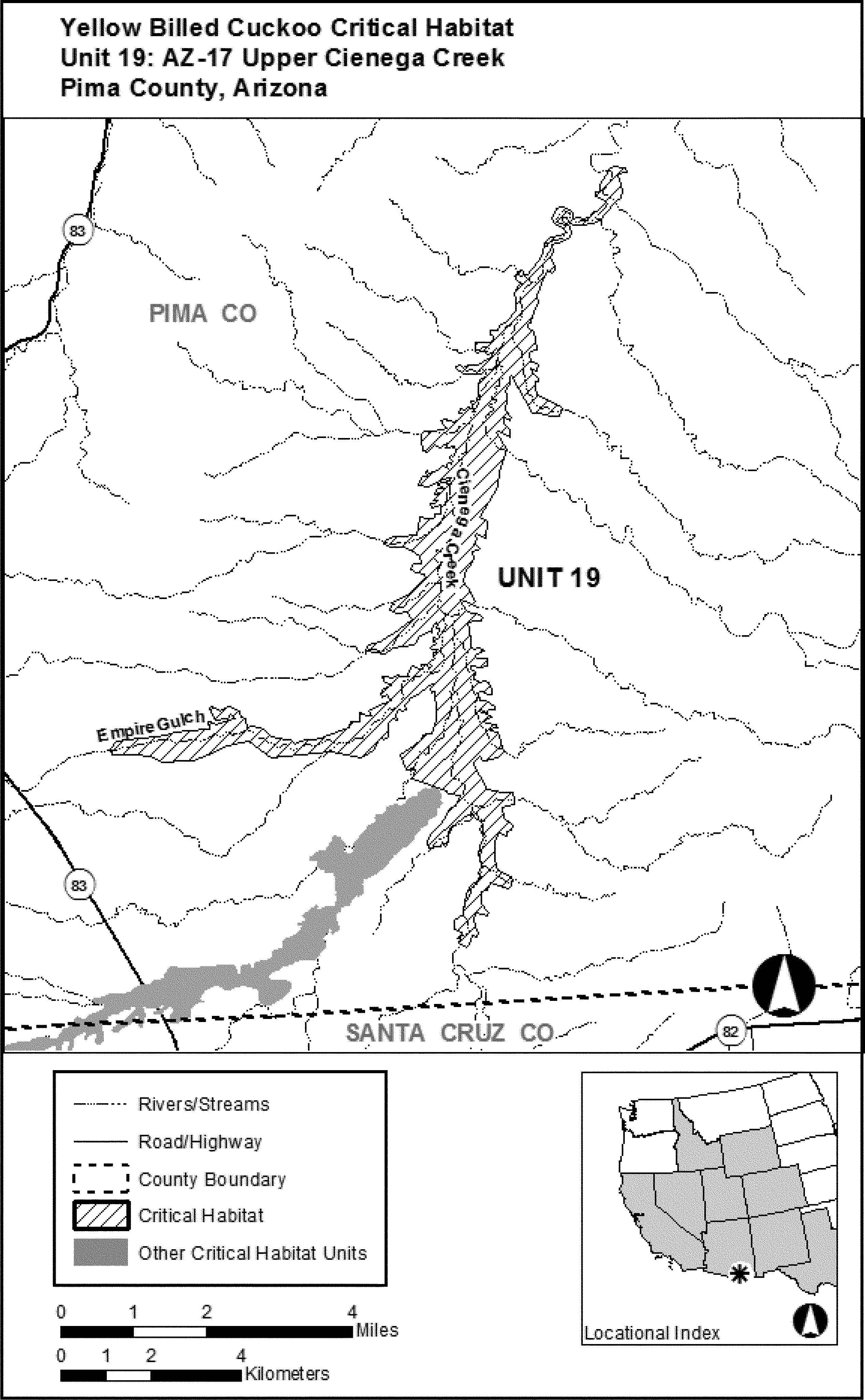
(24) Unit 20: AZ-18, Santa Cruz River; Santa Cruz County, Arizona. Map of Unit 20 follows:

(25) Unit 21: AZ-19, Black Draw; Cochise County, Arizona. Map of Unit 21 follows:

(26) Unit 22: AZ-20, Gila River 1; Graham County, Arizona. Map of Unit 22 follows:

(27) Unit 23: AZ-21, Salt River; Gila County, Arizona. Map of Unit 23 follows:

(28) Unit 24: AZ-22, Lower Cienega Creek; Pima County, Arizona. Map of Unit 24 follows:

(29) Unit 25: AZ-23, Blue River; Greenlee County, Arizona. Map of Unit 25 follows:

(30) Unit 26: AZ-24, Pinto Creek South; Gila and Pinal Counties, Arizona. Map of Unit 26 follows:

(31) Unit 27: AZ-25, Aravaipa Creek; Pinal and Graham Counties, Arizona. Map of Unit 27 follows:

(32) Unit 28: AZ-26, Gila River 2; Graham and Greenlee Counties, Arizona. Map of Unit 28 follows:

(33) Unit 29: AZ-27, Pinto Creek North; Gila County, Arizona. Map of Unit 29 follows:

(34) Unit 30: AZ-28, Mineral Creek; Pinal and Gila Counties, Arizona. Map of Unit 30 follows:

(35) Unit 31: AZ-29, Big Sandy River; Mohave County, Arizona. Map of Unit 31 follows:

(36) Unit 32: NM-1, San Francisco River; Catron County, New Mexico. Map of Unit 32 follows:

(37) Unit 33: NM-2, Gila River; Grant County, New Mexico. Map of Unit 33 follows:

(38) Unit 34: NM-3A and NM-3B, Mimbres River; Grant County, New Mexico. Maps of Unit 34 follow:
(i) Map of Unit 34: NM-3A, Mimbres River.

(ii) Map of Unit 34: NM-3B, Mimbres River.

(39) Unit 35: NM-4, Upper Rio Grande 1; Rio Arriba County, New Mexico. Map of Unit 35 follows:

(40) Unit 36: NM-5, Upper Rio Grande 2; Santa Fe and Rio Arriba Counties, New Mexico. This unit was excluded from the designation pursuant to section 4(b)(2) of the Act.
(41) Unit 37: NM-6A and NM-6B, Middle Rio Grande; Sierra, Socorro, Valencia and Bernalillo Counties, New Mexico. Unit 37: NM-6A was excluded from the designation pursuant to section 4(b)(2) of the Act. Map of Unit 37: NM-6B, Middle Rio Grande, follows:

(42) Unit 38: NM-7, Upper Gila River; Grant and Hidalgo Counties, New Mexico. Map of Unit 38 follows:

(43) Unit 39: NM-8A, Caballo Delta North and NM-8B, Caballo Delta South; Sierra County, New Mexico. This unit was excluded from the designation pursuant to section 4(b)(2) of the Act.
(44) Unit 40: NM-9, Animas; Sierra County, New Mexico. This unit was excluded from the designation pursuant to section 4(b)(2) of the Act.
(45) Unit 41: NM-10, Selden Canyon and Radium Springs; Doña Ana County, New Mexico. This unit was excluded from the designation pursuant to section 4(b)(2) of the Act.
(46) Unit 42: AZ-30, Arivaca Wash and San Luis Wash; Pima County, Arizona. Map of Unit 42 follows:

(47) Unit 43: AZ-31, Florida Wash; Pima and Santa Cruz Counties, Arizona. Map of Unit 43 follows:

(48) Unit 44: AZ-32, California Gulch; Santa Cruz County, Arizona. Map of Unit 44 follows:

(49) Unit 45: AZ-33, Sycamore Canyon; Santa Cruz County, Arizona. Map of Unit 45 follows:

(50) Unit 46: AZ-34, Madera Canyon; Pima and Santa Cruz Counties, Arizona. Map of Unit 46 follows:

(51) Unit 47: AZ-35, Montosa Canyon; Santa Cruz County, Arizona. Map of Unit 47 follows:

(52) Unit 48: AZ-36, Patagonia Mountains; Santa Cruz County, Arizona. Map of Unit 48 follows:

(53) Unit 49: AZ-37, Canelo Hills; Santa Cruz County, Arizona. Map of Unit 49 follows:

(54) Unit 50: AZ-38, Arivaca Lake; Pima and Santa Cruz Counties, Arizona. Map of Unit 50 follows:

(55) Unit 51: AZ-39, Peppersauce Canyon; Pinal County, Arizona. Map of Unit 51 follows:

(56) Unit 52: AZ-40, Pena Blanca Canyon; Santa Cruz County, Arizona. Map of Unit 52 follows:

(57) Unit 53: AZ-41, Box Canyon; Pima County, Arizona. Map of Unit 53 follows:

(58) Unit 54: AZ-42, Rock Corral Canyon; Santa Cruz County, Arizona. Map of Unit 54 follows:

(59) Unit 55: AZ-43, Lyle Canyon; Santa Cruz and Cochise Counties, Arizona. Map of Unit 55 follows:

(60) Unit 56: AZ-44, Parker Canyon Lake; Santa Cruz and Cochise Counties, Arizona. Map of Unit 56 follows:

(61) Unit 57: AZ-45, Barrel Canyon; Pima County, Arizona. Map of Unit 57 follows:

(62) Unit 58: AZ-46, Gardner Canyon; Pima and Santa Cruz Counties, Arizona. Map of Unit 58 follows:

(63) Unit 59: AZ-47, Brown Canyon; Pima County, Arizona. Map of Unit 59 follows:

(64) Unit 60: AZ-48, Sycamore Canyon; Santa Cruz County, Arizona. Map of Unit 60 follows:

(65) Unit 61: AZ-49, Washington Gulch; Santa Cruz County, Arizona. Map of Unit 61 follows:

(66) Unit 62: AZ-50, Paymaster Spring and Mowry Wash; Santa Cruz County, Arizona. Map of Unit 62 follows:

(67) Unit 63: CA-1, Sacramento River, Colusa, Glenn, Butte, and Tehama Counties, California. Map of Unit 63 follows:

(68) Unit 64: CA-2, South Fork Kern River Valley; Kern County, California. Map of Unit 64 follows:

(69) Unit 65: ID-1, Snake River 1; Bannock and Bingham Counties, Idaho. Map of Unit 65 follows:

(70) Unit 66: ID-2, Snake River 2; Bonneville, Madison, and Jefferson Counties, Idaho. Map of Unit 66 follows:

(71) Unit 67: ID-3, Henry's Fork and Teton Rivers; Madison and Fremont Counties, Idaho. Map of Unit 67 follows:

(72) Unit 68: CO-1, Colorado River; Mesa County, Colorado. Map of Unit 68 follows:

(73) Unit 69: CO-2, North Fork Gunnison River; Delta County, Colorado. Map of Unit 69 follows:

(74) Unit 70: UT-1, Green River 1; Uintah and Duchesne Counties, Utah. Map of Unit 70 follows:

(75) Unit 71: UT-2, Green River 2; Emery and Grand Counties, Utah. Map of Unit 71 follows:

(76) Unit 72: TX-1, Terlingua Creek and Rio Grande; Brewster County, Texas. Map of Unit 72 follows:

Spectacled Eider (Somateria fischeri)
1. Critical habitat units are depicted for Unit 1 (Central Yukon-Kuskokwim Delta), Unit 2 (South Y-K Delta Unit), Unit 3 (Norton Sound), Unit 4 (Ledyard Bay), and Unit 5 (the Wintering Unit in the Bering Sea between St. Lawrence and St. Matthew Islands) for reference only. The maps provided are for informational purposes only.
2. Within these areas, the primary constituent elements are those habitat components that are essential for the primary biological needs of feeding, nesting, brood rearing, roosting, molting, migrating and wintering. The primary constituent elements for Units 1 and 2 (the Y-K Delta units) include the vegetated intertidal zone and all open water inclusions within this zone. Primary constituent elements for the Norton Sound Unit (Unit 3) and the Ledyard Bay Unit (Unit 4) include all marine waters greater than 5 m (16.4 ft) in depth and less than or equal to 25 m (82.0 ft) in depth, along with associated marine aquatic flora and fauna in the water column, and the underlying marine benthic community. Primary constituent elements for the Wintering Unit (Unit 5) include all marine waters less than or equal to 75 m (246.1 ft) in depth, along with associated marine aquatic flora and fauna in the water column, and the underlying marine benthic community. Critical habitat does not include those areas within the boundary of any unit that do not fit the description of primary constituent elements for that unit.
3. Critical habitat does not include existing features and structures, such as buildings, roads, pipelines, utility corridors, airports, other paved areas, and other developed areas.
4. This final rule designating critical habitat for the spectacled eider uses published coordinates of prominent landmarks, when appropriate, obtained from the Dictionary of Alaska Place Names.

Unit 1. Central Y-K Delta Unit
Seward Meridian: T19N, R91W, Sections 24, 25, 26, 33, 34, 35, 36; T19N, R90W, Sections 13, 14, 17, 18, 19-36; T18N, R90W, Sections 1-24, 26-33; T18N, R91W, Sections 1-5, 7-28, 33-36; T18N, R92W, Sections 10-30; T18N, R93W, Sections 21-27; T16N, R91W, Sections 1-36; T16N, R92W, Sections 1-4, 10-15, 21-36; T16N, R93W, Section 36;T15N, R89W, Sections 1-36; T15N, R90W, Sections 1-36; T15N, R91W, Sections 1-36; T15N, R92W, Sections 1-36; T15N, R93W, Sections 1,2, 11-14, 23-26, 36; T14N, R89W, Sections 1-36; T14N, R90W, Sections 1-36; T14N, R91W, Sections 1-29, 32-36; T14N, R92W, Sections 1-18, 24; T14N, R93W, Sections 1, 12; T13N, R87W, Sections 1-36; T13N, R88W, Sections 1-36; T13N, R89W, Sections 1-36; T13N, R90W, Sections 1-36; T13N, R91W, Sections 1-5, 8-17, 20-29, 32-36; T12N, R87W, Sections 1-36; T12N, R88W, Sections 1-29, 31-36; T12N, R89W, Sections 1-35; T12N, R90W, Sections 1-4, 9-14, 23-25; T12N, R91W, Sections 1-36; T12N, R92W, Sections 1-4, 9-16, 21-28, 34-36; T11N, R87W, Sections 1-36; T11N, R88W, Sections 1-36, T11N, R89W, Sections 1-6, 9-12, 25-36; T11N, R91W, Sections 1-6; T10N, R88W, Sections 1-26, 29-33, 35, 36; T10N, R89W, Sections 1-35; T10N, R90W, Sections 1, 2, 11-14, 24, 25; T9N, R87W, Sections 1-35; T9N, R88W, Sections 1, 4-10, 13-36; T9N, R89W, Sections 13, 14, 23-26, 35, 36; T8N, R89W, Sections 1-5, 7-24, 26-34; T8N, R90W, Sections 1-2, 11, 13, 14, 23-26, 36;
Unit 2. South Y-K Delta Unit
Seward Meridian: T4N, R90W, Sections 30-32; T4N, R91W, Sections 1-3, 8-17, 20-28, 34-36; T3N, R89W, Section 19; T3N, R90W, Sections 4-11, 13-28, 34-36; T3N, R91W, Sections 1-3, 11-13; T2N, R88W, Sections 4-9, 16-22, 26-30, 32-36; T2N, R89W, Sections 1-6, 12, 13, 24; T1N, R88W, Sections 1-4, 11-14, 24-25.

Unit 3. Norton Sound Unit
The area bound by the following description: From Cape Darby (64°19′00″ N × 162°47′00″ W) south along the line of longitude 162°47′00″ W to the opposite shore of Norton Sound (63°12′51″ N × 162°47′00″ W), thence along the mean low tide line of the Alaska coast north and east to Point Dexter (64°32′00″ N × 161°23′00″ W), thence along the great circle route to the southern bank of the mouth of Quiktalik Creek (64°36′00″ N × 162°18′00″ W), and from that point along the mean low tide line of the Alaska coast south and west to Cape Darby (64°19′00″ N × 162°47′00″ W). The lands of Stuart Island are excluded from Unit 3.

Unit 4. Ledyard Bay Unit
The area bound by the following description: from the point 1 nm true north of Cape Lisburne (68°54′00″ N × 166°13′00″ W), remaining 1.0 nm offshore of the mean low tide line (maintaining a 1.0 nm buffer from the mean low tide line) of the Alaska coast north and east to 70°20′00″ N × 161°56′11″ W (1 nm offshore of Icy Cape); thence west along the line of latitude 70°20′00″ N to the point 70°20′00″ N × 164°00′00″ W; thence along a great circle route to 69°12′00″ N × 166°13′00″ W; thence due south to the point of origin1 nm true north of Cape Lisburne (68°54′00″ N × 166°13′00″ W).
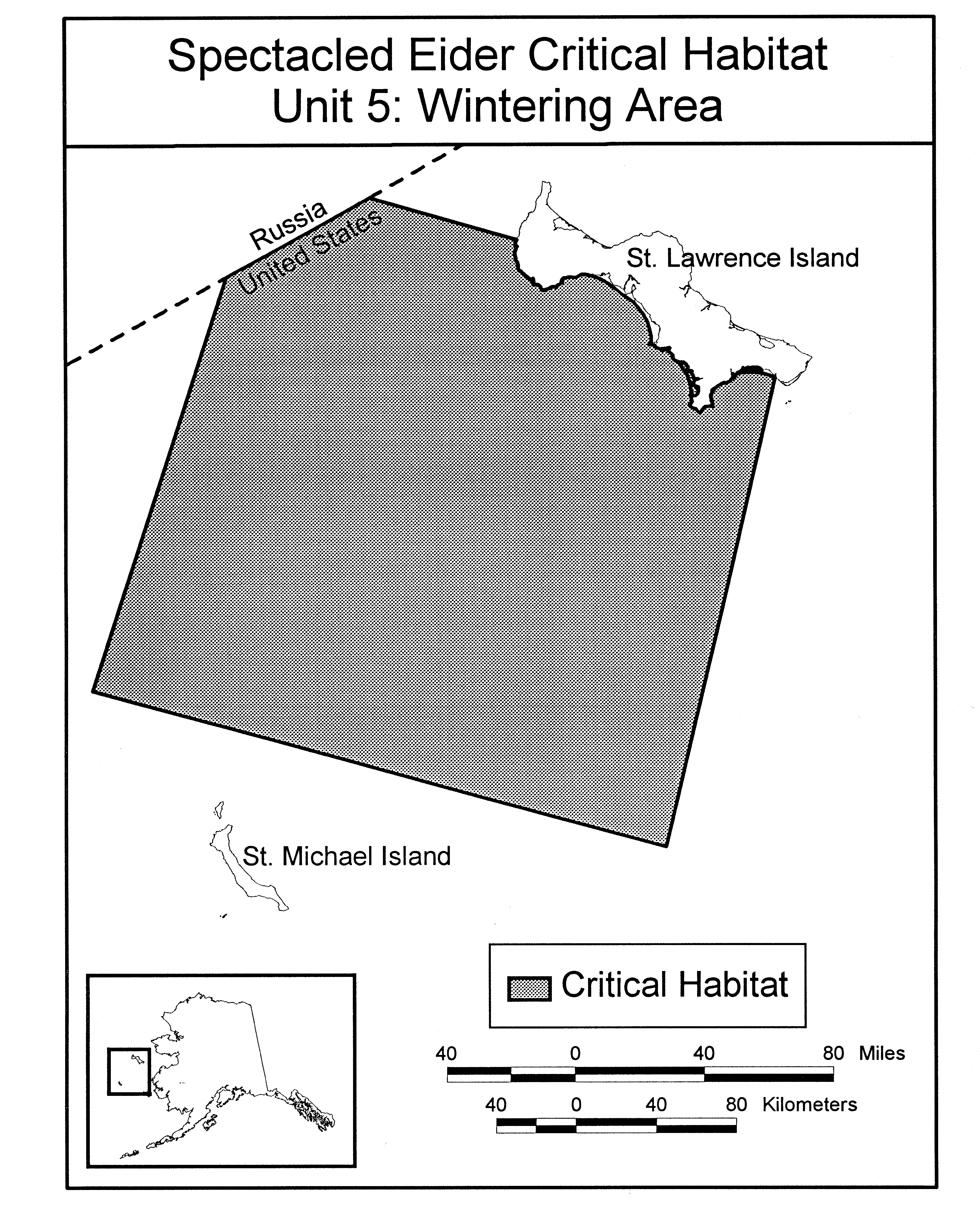
Unit 5. Wintering Area Unit
The area bound by the following description: from 61°00′00″ N × 174°30′00″ W east along that latitude to 61°00′00″ N × 169°00′00″ W, north along 169°00′00″ W longitude to the south shore of St. Lawrence Island (at 63°10′18″ N × 169°00′00″ W; thence west and north along the mean low tide line of the south shore of St. Lawrence Island to 63°30′00″ N × 171°50′13″ W, west to the U.S.-Russia border at 63°30′00″ N × 173°22′45″ N, southwest along the U.S.-Russia Border to 62°58′10″ N × 174°30′00″ W, south along 174°30′00″ W to 61°00′00″ N × 174°30′00″ W.
Steller's Eider (Polysticta stelleri)
1. Critical habitat units are depicted for the Yukon - Kuskokwim Delta (Unit 1), Kuskokwim Shoals (Unit 2), Seal Islands (Unit 3), Nelson Lagoon (Unit 4), and Izembek Lagoon (Unit 5) on the maps below. The maps provided are for informational purposes only; the areas in critical habitat are legally described below.
2. Within these areas, the primary constituent elements are those habitat components that are essential for the primary biological needs of feeding, roosting, molting, and wintering. The primary constituent elements for Unit 1 include the vegetated intertidal zone and all open water inclusions within this zone. The primary constituent elements for Units 2, 3, 4, and 5 are marine waters up to 9 m (30 feet) deep and the underlying substrate, the associated invertebrate fauna in the water column, the underlying marine benthic community, and where present, eelgrass beds and associated flora and fauna. Critical habitat does not include those areas within the boundary of any unit that do not fit the description of primary constituent elements for that unit.
3. Critical habitat does not include existing human structures, such as buildings, roads, pipelines, utility corridors, airports, other paved areas, docks, wharves, buoys, or other developed areas.
4. In the following maps and legal descriptions, all geographic coordinates are in North American Datum 1927.


Unit 1. Yukon - Kuskokwim Delta
Seward Meridian: T19N, R91W, Sections 24, 25, 26, 33, 34, 35, 36; T19N, R90W, Sections 13, 14, 17, 18, 19-36; T18N, R90W, Sections 1-24, 26-33; T18N, R91W, Sections 1-5, 7-28, 33-36; T18N, R92W, Sections 10-30; T18N, R93W, Sections 21-27; T16N, R91W, Sections 1-36; T16N, R92W, Sections 1-4, 10-15, 21-36; T16N, R93W, Section 36; T15N, R89W, Sections 1-36; T15N, R90W, Sections 1-36; T15N, R91W, Sections 1-36; T15N, R92W, Sections 1-36; T15N, R93W, Sections 1,2, 11-14, 23-26, 36; T14N, R89W, Sections 1-36; T14N, R90W, Sections 1-36; T14N, R91W, Sections 1-29, 32-36; T14N, R92W, Sections 1-18, 24; T14N, R93W, Sections 1, 12; T13N, R87W, Sections 1-36; T13N, R88W, Sections 1-36; T13N, R89W, Sections 1-36; T13N, R90W, Sections 1-36; T13N, R91W, Sections 1-5, 8-17, 20-29, 32-36; T12N, R87W, Sections 1-36; T12N, R88W, Sections 1-29, 31-36; T12N, R89W, Sections 1-35; T12N, R90W, Sections 1-4, 9-14, 23-25; T12N, R91W, Sections 1-36; T12N, R92W, Sections 1-4, 9-16, 21-28, 34-36; T11N, R87W, Sections 1-36; T11N, R88W, Sections 1-36, T11N, R89W, Sections 1-6, 9-12, 25-36; T11N, R91W, Sections 1-6; T10N, R88W, Sections 1-26, 29-33, 35, 36; T10N, R89W, Sections 1-35; T10N, R90W, Sections 1, 2, 11-14, 24, 25; T9N, R87W, Sections 1-35; T9N, R88W, Sections 1, 4-10, 13-36; T9N, R89W, Sections 13, 14, 23-26, 35, 36; T8N, R89W, Sections 1-5, 7-24, 26-34; T8N, R90W, Sections 1-2, 11, 13, 14, 23-26, 36.

Unit 2. Kuskokwim Shoals Unit
Beginning at a point of land on the line of mean high tide of Etolin Strait of the Bering Sea at latitude 60°15′ North, approximately 2.5 kilometers (1.6 miles) south of the mouth of the Kolavinarak River, and the true point of beginning of the lands to be described.
Thence southeasterly and easterly with the line of mean high tide of the Bering Sea, common with the boundary of the Yukon Delta and Alaska Maritime National Wildlife Refuges as established by the Alaska National Interest Lands Conservation Act (Public Law 96-487) on December 2, 1980, approximately 149 kilometers (93 miles), to a point on the line of mean high tide at longitude 163°00′ West, approximately 8 kilometers (5 miles) east of the Kwigillingok River mouth;
Thence south along the line of longitude 163°00′ West, approximately 43 km (27 miles), to the point in the waters of Kuskokwim Bay, Bering Sea, at latitude 59°30′ North, longitude 163°00′ West;
Thence west along the line of latitude 59°30′ North, approximately 56 kilometers (35 miles), to a point in the waters of Kuskokwim Bay, Bering Sea, at latitude 59°30′ North, longitude 164°00′ West;
Thence northwesterly, approximately 86 kilometers (54 miles), to a point in the waters of Etolin Strait, Bering Sea, at latitude 60°05′ North, longitude 165°00′ West;
Thence northeasterly, approximately 27 kilometers (17 miles), to the line of mean high tide of Etolin Strait at latitude 60°15” North, and the true point of beginning.

Unit 3. Seal Islands Unit
Beginning at a point of land on the Alaska Peninsula on the line of mean high tide of Bristol Bay of the Bering Sea at longitude 159°12′ West, and the True Point of Beginning of the lands to be described.
Thence southwesterly, northeasterly, and southwesterly, with the line of mean high tide of Bristol Bay, common with the boundary of the Alaska Maritime National Wildlife Refuge as established by the Alaska National Interest Lands Conservation Act (Public Law 96-487) on December 2, 1980, to encompass the Seal Islands lagoon and closing the mouth of the Ilnik River, approximately 52 kilometers (32 miles);
Thence northwest with the line of mean high tide of Bristol Bay, common with said refuge boundary approximately 14 kilometers (9 miles) to a point at the entrance to Seal Island lagoon at approximate longitude 159°23′ West;
Thence southwest, with the line of mean high tide of Bristol Bay, common with said refuge boundary, approximately 16 kilometers (10 miles) to a point at longitude 159°36′ West:
Thence north with the line of longitude 159°36′ West to a point in the waters of Bristol Bay at a distance of 400 meters (1⁄4 mile) perpendicular to the line of mean high tide;
Thence in a northeasterly direction, parallel to the coastline of Bristol Bay and the ocean side of the Seal islands, closing the entrances to Seal Island lagoon, for approximately 30 kilometers (19 miles) to a point in Bristol Bay at longitude 159°12′ West, and at a distance of 400 meters (1⁄4 mile) perpendicular to the line of mean high tide;
Thence south with the line of longitude 159°12′ West, to the line of mean high tide of Bristol Bay, and the True Point of Beginning.

Unit 4. Nelson Lagoon Unit
Beginning at a point of land on the Alaska Peninsula on the line of mean high tide of Bristol Bay of the Bering Sea, approximately 5.5 kilometers (3.4 miles) north of Harbor Point, on Moller Spit, at longitude 160°32′ West, and the True Point of Beginning of the lands to be described.
Thence southwesterly and northeasterly, with the line of mean high tide of Bristol Bay, common with the boundary of the Alaska Maritime National Wildlife Refuge as established by the Alaska National Interest Lands Conservation Act (Public Law 96-487) on December 2, 1980, approximately 10 kilometers (6.2 miles) to a point at longitude160°32′ West;
Thence south with the line of longitude 160°32′ West, crossing Port Moller, approximately 9 kilometers (5.6 miles) to a point at the mean high tide line on the south shore of Port Moller;
Thence westerly and southerly with the line of mean high tide of Port Moller and Herendeen Bay common with said refuge boundary approximately 24 kilometers (15 miles) to a point at latitude 55°51′ North;
Thence west with the line of latitude 55°51′ North, crossing Herendeen Bay approximately 11.7 kilometers (7.3 miles) to a point at the mean high tide line on the west shore of Herendeen Bay;
Thence northerly, westerly, and northeasterly with the line of mean high tide of Herendeen Bay and Nelson Lagoon, common with said refuge boundary; approximately 94 kilometers (58 miles) to Lagoon Point, within Section 22 of Township 48 South, Range 76 West;
Thence southwesterly with the line of mean high tide of the Bering Sea, common with said refuge boundary, approximately 20 kilometers (12 miles) to a point at longitude 161°24′ West;
Thence north along the line of longitude 161°24′ West to a point in the waters of Bristol Bay at a distance of 400 meters (1⁄4 mile) perpendicular to the line of mean high tide;
Thence in a northeasterly direction, parallel to the coastline of Bristol Bay and the ocean side of the Kudobin Islands, approximately 40 kilometers (25 miles) to a point at longitude160°48′ West, at a distance of 400 meters (1⁄4 mile) offshore Wolf Point on Walrus island;
Thence southeast, approximately 18 kilometers (11.1 miles), closing the entrance to the Hague Channel to a point at the mean high tide line of Port Moller at 160°32′ West, the True Point of Beginning.

Unit 5. Izembek Lagoon Unit
Beginning at a point of land on the Alaska Peninsula on the line of mean high tide of Bristol Bay of the Bering Sea at longitude 162°30′ W and the True Point of Beginning of the lands to be described.
Thence southwesterly, with the line of mean high tide of Bristol Bay, common with the boundary of the Alaska Maritime National Wildlife Refuge as established by the Alaska National Interest Lands Conservation Act (Public Law 96-487) on December 2, 1980, approximately 9 kilometers (5.6 miles) to Moffet Point located at approximately 55°27′ N, 162°37′ W;
Thence continuing with the line of mean high tide, inside the boundary of the Izembek National Wildlife Refuge, northeasterly, southwesterly, and northeasterly to encompass Moffett and Izembek Lagoons, Applegate Cove, and Norma Bay, approximately 55 miles to Cape Glazenap, at approximately 55°15′ N, 163°00′ W;
Thence southwest with the line of mean high tide of Bristol Bay, common to the Alaska Maritime refuge boundary, approximately 177 kilometers (110 miles) to a point at longitude 163°15′ W;
Thence north along the line of longitude 163°15′ W to a point in the waters of Bristol Bay at a distance of 400 meters (1⁄4 mile) perpendicular to the line of mean high tide;
Thence in a northeasterly direction, parallel to the coastline of Bristol Bay and the ocean side of the Kudiakof Islands, closing the entrances to Izembek Lagoon, for approximately 64 kilometers (40 miles) to a point in the waters of Bristol Bay at longitude 162°30′ W, and at a distance of 400 meters (1⁄4 mile) perpendicular to the line of mean high tide;
Thence south along the line of longitude 162°30′ W, to the line of mean high tide and the True Point of Beginning.
Oahu elepaio (Chasiempis ibidis)
(1) Critical Habitat Units are depicted for the City and County of Honolulu on the maps below. The maps provided are for informational purposes only.
(2)(i) Within these areas, the primary constituent elements required by the Oahu elepaio are those habitat components that are essential for the biological needs of foraging, sheltering, roosting, nesting, and rearing of young. These primary constituent elements are undeveloped wet, mesic, and dry forest habitats with a generally continuous canopy and a dense understory and that are composed of native and/or introduced plant species. Such forests are found in valleys and on mountain slopes and ridges. The primary constituent elements associated with the biological needs of dispersal and genetic exchange are undeveloped wet or dry shrub land and wet or dry cliff habitats composed of native and/or introduced plant species that separate elepaio populations. Elepaio may not establish territories in shrub or cliff habitats and may use them only transiently, but undeveloped areas containing these habitats are important for linking populations by providing dispersal corridors and promoting genetic exchange among populations.
(ii) Within the forests and shrub lands providing the primary constituent elements, plant species composition varies with rainfall, elevation, and degree of habitat disturbance, and plant species occur in a variety of assemblages. Common native and introduced species within these plant assemblages include, but are not limited to, ohia (Metrosideros polymorpha), koa (Acacia koa), papala kepau (Pisonia umbellifera), lama (Diospyros sandwicensis), mamaki (Pipturus albidus), kaulu (Sapindus oahuensis), hame (Antidesma platyphyllum), alaa (Pouteria sandwicensis), aalii (Dodonaea viscosa), naupaka kuahiwi (Scaevola spp.), pukiawe (Styphelia tameiameiae), uluhe (Dicranopteris linearis), guava (Psidium guajava), strawberry guava (P. cattleianum), mango (Mangifera indica), kukui (Aleurites moluccana), christmasberry (Schinus terebinthifolius), ti (Cordyline terminalis), rose apple (Syzygium jambos), mountain apple (S. malaccense), and Java plum (S. cumini).
(3) Existing developed features and structures, such as buildings, roads, aqueducts, antennas, water tanks, agricultural fields, paved areas, lawns, and other urban landscaped areas, that do not contain one or more of the primary constituent elements, are not included as critical habitat.
(4) Map of critical habitat units for the Oahu elepaio follows.

(5) Unit 1 (4,454 ha; 11,005 ac)
(i) Unit 1 consists of 94 boundary points with the following coordinates in UTM Zone 4 with the units in meters using North American Datum of 1983 (NAD83): 588465, 2375750; 587846, 2376228; 587213, 2376416; 586946, 2376176; 586675, 2376658; 586672, 2377028; 586468, 2377154; 586672, 2377219; 586430, 2377462; 586532, 2377741; 586464, 2377863; 586261, 2377727; 585895, 2377915; 585242, 2377801; 584907, 2377864; 584433, 2377671; 584139, 2377961; 583974, 2378388; 584099, 2378414; 584016, 2378599; 584207, 2378563; 583425, 2379849; 583801, 2379814; 583831, 2380171; 584075, 2380122; 584324, 2379841; 584526, 2380031; 584181, 2381150; 584078, 2381295; 583938, 2381385; 583738, 2381388; 583402, 2381505; 583315, 2381668; 582998, 2381518; 582785, 2381368; 582566, 2381369; 582561, 2381485; 582694, 2381702; 582685, 2381865; 582566, 2382005; 582651, 2382112; 583122, 2382432; 582768, 2382529; 582445, 2382889; 581998, 2383075; 581881, 2383019; 581546, 2383276; 581387, 2383071; 581221, 2383069; 581023, 2383019; 580811, 2382809; 580192, 2382557; 580070, 2382662; 579894, 2382772; 580060, 2383144; 580151, 2383425; 580526, 2383690; 580750, 2383802; 581314, 2383901; 581353, 2383719; 587168, 2382252; 586876, 2381574; 587645, 2381564; 587539, 2382159; 590187, 2381495; 590131, 2381324; 590955, 2381123; 591864, 2379621; 591408, 2379439; 591501, 2379125; 591510, 2378867; 591393, 2378631; 591229, 2378138; 591294, 2377905; 590979, 2377773; 590984, 2377387; 590770, 2377109; 590760, 2377063; 590999, 2376896; 590945, 2376772; 591176, 2376297; 591268, 2376320; 591426, 2376305; 591624, 2376158; 591620, 2375793; 591334, 2375340; 590950, 2375570; 590580, 2375400; 589956, 2375632; 589799, 2375555; 589539, 2375014; 589285, 2375190; 588919, 2375824; 588465, 2375750.
(ii) Map of Unit 1 follows.

(6) Unit 2 (2,422 ha; 5,985 ac)
(i) Unit 2 consists of 78 boundary points with the following coordinates in UTM Zone 4 with the units in meters using North American Datum of 1983 (NAD83): 592645, 2367498; 591970, 2368628; 592530, 2369066; 592575, 2369415; 593190, 2369759; 593231, 2369971; 592864, 2370362; 593156, 2370385; 593368, 2370513; 593249, 2370991; 592348, 2370899; 592469, 2371381; 592374, 2371861; 592582, 2372284; 592295, 2372774; 592100, 2373836; 591816, 2374384; 592053, 2374764; 592045, 2375115; 592504, 2375529; 593245, 2375497; 594056, 2374659; 594299, 2374644; 594081, 2374253; 593970, 2373860; 594207, 2373793; 594437, 2374070; 594578, 2374412; 594867, 2374406; 594965, 2374331; 594978, 2374067; 595140, 2374463; 595431, 2374602; 595604, 2374352; 595772, 2374351; 595782, 2374020; 596005, 2373471; 595754, 2373256; 595960, 2372960; 595678, 2372709; 595531, 2372434; 595485, 2371908; 595272, 2371337; 595489, 2370340; 595296, 2369703; 595561, 2369694; 595565, 2369178; 595390, 2368213; 595117, 2368245; 594830, 2366778; 594015, 2366560; 593884, 2366525; 593756, 2366491; 593635, 2366570; 593574, 2366695; 593629, 2366713; 593594, 2366869; 593651, 2366917; 593639, 2367019; 593682, 2367104; 593591, 2367228; 593472, 2367265; 593388, 2367176; 593425, 2367112; 593379, 2367045; 593395, 2367010; 593413, 2366861; 593391, 2366809; 593307, 2366826; 593203, 2366792; 593207, 2366684; 593121, 2366632; 593137, 2366521; 593030, 2366348; 592668, 2366451; 592945, 2366998; 592852, 2367332; 592645, 2367498.
(ii) Map of Unit 2 follows.

(7) Unit 3 (14,801 ha; 36,573 ac)
(i) Unit 3 consists of 108 boundary points with the following coordinates in UTM Zone 4 with the units in meters using North American Datum of 1983 (NAD83): 615481, 2366443; 614313, 2366190; 614232, 2366761; 613262, 2366836; 612845, 2367394; 612829, 2367639; 612488, 2368140; 611561, 2368027; 611448, 2368566; 611117, 2369088; 610523, 2369387; 610693, 2369643; 610226, 2370083; 611040, 2370565; 609681, 2371985; 609025, 2371951; 609034, 2373100; 608391, 2373401; 608469, 2373609; 608065, 2373567; 607941, 2373859; 608199, 2373978; 608109, 2374925; 607637, 2375635; 607869, 2375817; 607456, 2375780; 607136, 2375598; 607046, 2375977; 607565, 2376766; 606428, 2378568; 605381, 2378725; 606026, 2379972; 604900, 2380551; 605708, 2381032; 607698, 2381439; 609468, 2381214; 610319, 2381573; 611728, 2381425; 611797, 2380904; 612201, 2380506; 613364, 2381362; 615459, 2380980; 616152, 2380161; 616780, 2378903; 616513, 2378013; 616873, 2376632; 616699, 2375737; 617180, 2375933; 617356, 2375158; 617664, 2375259; 617994, 2375029; 617757, 2373739; 618311, 2372859; 618082, 2372506; 618563, 2371385; 617894, 2370668; 618022, 2370181; 618247, 2370148; 618043, 2370014; 619043, 2369685; 618878, 2369509; 619381, 2369376; 619182, 2369040; 619525, 2368805; 619611, 2368922; 619747, 2368829; 619588, 2368664; 619928, 2368585; 619650, 2368496; 619614, 2368284; 620097, 2368401; 619967, 2368174; 620164, 2368022; 620005, 2367870; 620257, 2367795; 619954, 2367590; 620341, 2367572; 620055, 2367214; 621150, 2366779; 621549, 2366388; 621302, 2366064; 621511, 2365913; 621381, 2365424; 621553, 2365265; 621489, 2364827; 620880, 2364530; 620469, 2364040; 619115, 2363338; 617176, 2363590; 616868, 2363761; 616638, 2364642; 615913, 2365439; 615777, 2365575; 615420, 2365753; 615767, 2365918; 615684, 2366361; 616156, 2366495; 616990, 2367187; 617469, 2367398; 618312, 2367466; 619282, 2367250; 619336, 2367460; 618293, 2367672; 617426, 2367594; 616876, 2367352; 616189, 2366748; 615713, 2366555; 615481, 2366443.
(ii) Map of Unit 3 follows.

(8) Unit 4 (804 ha; 1,987 ac)
(i) Unit 4 consists of 35 boundary points with the following coordinates in UTM Zone 4 with the units in meters using North American Datum of 1983 (NAD83): 619449, 2361897; 619967, 2362184; 619999, 2362473; 620286, 2362404; 620537, 2362773; 621409, 2363520; 621660, 2363584; 622719, 2364191; 622901, 2364348; 623091, 2364242; 623209, 2363699; 623046, 2363507; 623201, 2363403; 623106, 2363264; 623391, 2363271; 623404, 2363073; 623634, 2363216; 623976, 2362864; 623238, 2362105; 621688, 2361633; 621467, 2361418; 621345, 2361518; 620954, 2360860; 620598, 2360514; 620700, 2360831; 620572, 2360908; 619869, 2360908; 619670, 2360852; 619064, 2360661; 618935, 2360886; 619170, 2361072; 619199, 2361402; 619163, 2361470; 618977, 2361595; 619449, 2361897.
(ii) Map of Unit 4 follows.

(9) Unit 5 (4,180 ha; 10,329 ac)
(i) Unit 5 consists of 78 boundary points with the following coordinates in UTM Zone 4 with the units in meters using North American Datum of 1983 (NAD83): 626915, 2356759; 626560, 2357502; 626675, 2357669; 626333, 2357906; 626359, 2358234; 626110, 2358313; 626031, 2357725; 625623, 2357254; 625538, 2357354; 625351, 2357186; 625091, 2357420; 625118, 2357617; 625085, 2358039; 624568, 2358236; 624821, 2358624; 624612, 2358850; 625059, 2359019; 625083, 2359182; 624571, 2359489; 624430, 2359798; 624013, 2359828; 623768, 2359261; 623004, 2359366; 622941, 2359584; 622499, 2359435; 621968, 2359088; 621864, 2359256; 621335, 2359722; 622127, 2360488; 621920, 2360603; 623746, 2361359; 625281, 2363179; 625896, 2363475; 626109, 2363219; 626146, 2363135; 626234, 2362910; 626392, 2362857; 626871, 2362399; 626986, 2361859; 627500, 2361686; 626946, 2361095; 627268, 2360638; 627548, 2360727; 627690, 2360077; 628361, 2360895; 628839, 2360922; 629079, 2360676; 629519, 2360722; 629341, 2360070; 630776, 2359069; 631754, 2358982; 632440, 2358108; 632959, 2357815; 633019, 2357425; 632769, 2356517; 632191, 2356385; 630620, 2355286; 630491, 2355266; 630104, 2355644; 630041, 2355624; 629732, 2355117; 629510, 2355214; 629279, 2356032; 629033, 2356130; 628836, 2356015; 628378, 2356236; 628317, 2355841; 628209, 2355703; 627673, 2354542; 627125, 2354591; 627125, 2355143; 627381, 2355990; 627200, 2356033; 626832, 2355846; 626399, 2355498; 626215, 2355823; 626806, 2356493; 626915, 2356759.
(ii) Map of Unit 5 follows.

Southwestern Willow Flycatcher (Empidonax traillii extimus)
(1) Critical habitat units are depicted for Inyo, Kern, Los Angeles, Riverside, Santa Barbara, San Bernardino, San Diego, and Ventura Counties in California; Clark, Lincoln, and Nye Counties in southern Nevada; Kane, San Juan, and Washington Counties in southern Utah; Alamosa, Conejos, Costilla, and La Plata Counties in southern Colorado; Apache, Cochise, Gila, Graham, Greenlee, La Paz, Maricopa, Mohave, Pima, Pinal, Santa Cruz, and Yavapai Counties in Arizona; and Catron, Grant, Hidalgo, Mora, Rio Arriba, Socorro, Taos, and Valencia Counties in New Mexico on the maps and as described below.
(2) Within these areas, the primary constituent elements of the physical and biological features essential to the conservation of the southwestern willow flycatcher consist of two components:
(i) Riparian vegetation. Riparian habitat along a dynamic river or lakeside, in a natural or manmade successional environment (for nesting, foraging, migration, dispersal, and shelter) that is comprised of trees and shrubs (that can include Gooddings willow, coyote willow, Geyer's willow, arroyo willow, red willow, yewleaf willow, pacific willow, boxelder, tamarisk, Russian olive, buttonbush, cottonwood, stinging nettle, alder, velvet ash, poison hemlock, blackberry, seep willow, oak, rose, sycamore, false indigo, Pacific poison ivy, grape, Virginia creeper, Siberian elm, and walnut) and some combination of:
(A) Dense riparian vegetation with thickets of trees and shrubs that can range in height from about 2 meters (m) to 30 m (about 6 feet (ft) to 98 ft). Lower-stature thickets (2 to 4 m or 6 to 13 ft tall) are found at higher elevation riparian forests, and tall-stature thickets are found at middle- and lower-elevation riparian forests;
(B) Areas of dense riparian foliage at least from the ground level up to approximately 4 m (13 ft) above ground or dense foliage only at the shrub or tree level as a low, dense canopy;
(C) Sites for nesting that contain a dense (about 50 percent to 100 percent) tree or shrub (or both) canopy (the amount of cover provided by tree and shrub branches measured from the ground);
(D) Dense patches of riparian forests that are interspersed with small openings of open water or marsh or areas with shorter and sparser vegetation that creates a variety of habitat that is not uniformly dense. Patch size may be as small as 0.1 hectare (ha) (0.25 acre (ac)) or as large as 70 ha (175 ac).
(ii) Insect prey populations. A variety of insect prey populations found within or adjacent to riparian floodplains or moist environments, which can include: flying ants, wasps, and bees (Hymenoptera); dragonflies (Odonata); flies (Diptera); true bugs (Hemiptera); beetles (Coleoptera); butterflies, moths, and caterpillars (Lepidoptera); and spittlebugs (Homoptera).
(3) Critical habitat does not include manmade structures (such as buildings, aqueducts, runways, roads, and other paved areas) and the land on which they are located existing within the legal boundaries on February 4, 2013.
(4) Critical habitat map units. Data layers defining map units were created in two steps. First, the linear segments were mapped from the National Hydrologic Dataset using USA Contiguous Equidistant Conic (North American Datum 1983) coordinates. Next, the lateral extents were digitized over the most recent available aerial photography using Albers Equal Area Conic (North American Datum 1983) coordinates. The maps in this entry, as modified by any accompanying regulatory text, establish the boundaries of the critical habitat designation. The coordinates or plot points or both on which each map is based are available to the public at the field office internet site (http://www.fws.gov/southwest/es/arizona/), http://www.regulations.gov at Docket No. FWS-R2-ES-2011-0053, and at the Arizona Ecological Services Office. The textual description for each critical habitat unit below includes the Universal Transverse Mercator (UTM) zone and UTM easting (E) and northing (N) coordinate pairs for the starting and ending points.
(5) Index map of southwestern willow flycatcher critical habitat units follows:

(6) Santa Ynez Management Unit.
(i)
| Stream segment | Start: UTM Zone, E, N | End: UTM Zone, E, N |
|---|---|---|
| Santa Ynez River (east) | 11, 259890, 3821926 | 11, 255550, 3823716. |
| Santa Ynez River (middle) | 11, 253343, 3823606 | 11, 249967, 3824847. |
| Santa Ynez River (west) | 10, 759116, 3832075 | 10, 732972, 3839168. |
| Mono Creek | 11, 258529, 3824766 | 11, 258310, 3822974. |
(ii) Map of Santa Ynez Management Unit follows:

(7) Santa Clara Management Unit.
(i)
| Stream segment | Start: UTM Zone, E, N | End: UTM Zone, E, N |
|---|---|---|
| Ventura River | 11, 287996, 3818329 | 11, 287559, 3794961. |
| Santa Clara River | 11, 354467, 3810419 | 11, 291354, 3790556. |
| Piru Creek | 11, 339998, 3831805 | 11, 335776, 3807951. |
| Castaic Creek | 11, 351629, 3813373 | 11, 350055, 3809756. |
| Big Tujunga Canyon Creek | 11, 376326, 3792941 | 11, 372432, 3792049. |
| San Gabriel River | 11, 418737, 3781999 | 11, 410558, 3775011. |
(ii) Map of Santa Clara Management Unit follows:

(8) Santa Ana Management Unit.
(i)
| Stream segment | Start: UTM Zone, E, N | End: UTM Zone, E, N |
|---|---|---|
| Santa Ana River (east) | 11, 524293, 3778965 | 11, 491603, 3775416. |
| Santa Ana River (middle) | 11, 476054, 3771257 | 11, 465807, 3764349. |
| Santa Ana River (west) | 11, 446395, 3755315 | 11, 445684, 3754790. |
| Santa Ana River (west) | 11, 445183, 3754633 | 11, 444806, 3753995. |
| Waterman Creek (left fork) | 11, 473453, 3785826 | 11, 473755, 3785448. |
| Waterman Creek (right fork) | 11, 474240, 3786803 | 11, 473755, 3785448. |
| Waterman Creek | 11, 474905, 3782822 | 11, 473755, 3785448. |
| Bear Creek | 11, 502121, 3788996 | 11, 498606, 3779948. |
| Mill Creek | 11, 513502, 3770687 | 11, 496356, 3772092. |
| Oak Glen Creek | 11, 505534, 3767595 | 11, 501351, 3768018. |
| San Timoteo Creek | 11, 484708, 3762642 | 11, 481625, 3764986. |
| Bautista Creek (east) | 11, 528791, 3720143 | 11, 527304, 3719071. |
| Bautista Creek (middle) | 11, 526904, 3718922 | 11, 518771, 3721743. |
| Bautista Creek (west) | 11, 517140, 3723124 | 11, 514531, 3727407. |
(ii) Map of Santa Ana Management Unit follows:

(9) San Diego Management Unit.
(i)
| Stream segment | Start: UTM Zone, E, N | End: UTM Zone, E, N |
|---|---|---|
| DeLuz Creek | 11, 469888, 3700258 | 11, 470085, 3697512. |
| Santa Margarita River | 11, 481662, 3699235 | 11, 476206, 3695949. |
| Temecula Creek | 11, 517749, 3695379 | 11, 514170, 3698604. |
| Pilgrim Creek | 11, 471495, 3681452 | 11, 468703, 3677979. |
| San Luis Rey (a) | 11, 521911, 3678001 | 11, 515935, 3681292. |
| San Luis Rey (b) | 11, 511327, 3681486 | 11, 510983, 3681512. |
| San Luis Rey (c) | 11, 509443, 3679678 | 11, 508633, 3679673. |
| San Luis Rey (d) | 11, 503450, 3681703 | 11, 502102, 3684334. |
| San Luis Rey (e) | 11, 500948, 3684975 | 11, 497954, 3689280. |
| San Luis Rey (f) | 11, 497754, 3689394 | 11, 497376, 3690144. |
| San Luis Rey (g) | 11, 497295, 3690329 | 11, 496153, 3690759. |
| San Luis Rey (h) | 11, 496081, 3690813 | 11, 495783, 3690993. |
| San Luis Rey (i) | 11, 489568, 3690435 | 11, 485862, 3687887. |
| San Luis Rey (j) | 11, 485350, 3687335 | 11, 463676, 3673857. |
| Agua Hedionda Creek (right fork) | 11, 478544, 3668255 | 11, 478368, 3668540. |
| Agua Hedionda Creek (left fork) | 11, 479102, 3668675 | 11, 478368, 3668540. |
| Agua Hedionda Creek (east) | 11, 478368, 3668540 | 11, 477313, 3668413. |
| Agua Hedionda Creek (west) | 11, 477300, 3668395 | 11, 476338, 3667736. |
| Santa Ysabel River | 11, 510002, 3661282 | 11, 513775, 3664649. |
| San Diego River (north) | 11, 524742, 3650609 | 11, 524200, 3648866. |
| San Diego River (south) | 11, 524334, 3648051 | 11, 521806, 3645774. |
| Sweetwater River (east) | 11, 506745, 3622685 | 11, 505588, 3621746. |
| Sweetwater River (west) | 11, 505445, 3621626 | 11, 503989, 3619356. |
(ii) Map of San Diego Management Unit follows:

(10) Kern Management Unit.
(i)
| Stream segment | Start: UTM Zone, E, N | End: UTM Zone, E, N |
|---|---|---|
| South Fork Kern River (east) | 11, 393579, 3955510 | 11, 380211, 3948598. |
| South Fork Kern River (west) | 11, 379924, 3948465 | 11, 375779, 3947268. |
| Canebrake Creek | 11, 395263, 3954472 | 11, 393671, 3954409. |
(ii) Map of Kern Management Unit follows:

(11) Mojave Management Unit.
(i)
| Stream segment | Start: UTM Zone, E, N | End: UTM Zone, E, N |
|---|---|---|
| Mojave River | 11, 469646, 3844680 | 11, 476583, 3814381. |
| Holcomb Creek | 11, 503127, 3796007 | 11, 488326, 3794046. |
| Deep Creek | 11, 488326, 3794046 | 11, 478190, 3800025. |
| West Fork Mojave River | 11, 478190, 3800025 | 11, 469339, 3796375. |
(ii) Map of Mojave Management Unit follows:

(12) Salton Management Unit.
(i)
| Stream segment | Start: UTM Zone, E, N | End: UTM Zone, E, N |
|---|---|---|
| San Felipe Creek | 11, 549258, 3662280 | 11, 535835, 3672883. |
| Mill Creek | 11, 514349, 3770661 | 11, 513502, 3770687. |
(ii) Map of Salton Management Unit follows:

(13) Amargosa Management Unit.
(i)
| Stream segment | Start: UTM Zone, E, N | End: UTM Zone, E, N |
|---|---|---|
| Amargosa River | 11, 569473, 3967513 | 11, 570730, 3958035. |
| Willow Creek | 11, 574000, 3962736 | 11, 572077, 3960419. |
| Soda Springs - Ash Meadows NWR | 11, 559404, 4038346 | 11, 559130, 4038028. |
| Lower Fairbanks - Ash Meadows NWR | 11, 557831, 4036089 | 11, 557907, 4035290. |
| Crystal Reservoir-Ash Meadows NWR | 11, 561026, 4028705 | 11, 561308, 4028268. |
| North Tubbs - Ash Meadows NWR | 11, 562783, 4025401 | 11, 562971, 4025329. |
| South Tubbs - Ash Meadows NWR | 11, 563507, 4025681 | 11, 563484, 4025649. |
(ii) Map of Amargosa Management Unit follows:

(14) Little Colorado Management Unit.
(i)
| Stream segment | Start: UTM Zone, E, N | End: UTM Zone, E, N |
|---|---|---|
| West Fork Little Colorado River | 12, 636971, 3758442 | 12, 642537, 3763668. |
| Little Colorado River | 12, 642537, 3763668 | 12, 647842, 3773009. |
(ii) Map of Little Colorado Management Unit follows:

(15) Virgin Management Unit.
(i)
| Stream segment | Start: UTM Zone, E, N | End: UTM Zone, E, N |
|---|---|---|
| Virgin River | 12, 288341, 4116050 | 12, 201782, 4048748. |
(ii) Map of Virgin Management Unit follows:

(16) Pahranagat Management Unit.
(i)
| Stream segment | Start: UTM Zone, E, N | End: UTM Zone, E, N |
|---|---|---|
| Pahranagat River | 11, 666731, 4128006 | 11, 665370, 4131144. |
(ii) Map of Pahranagat Management Unit follows:

(17) Bill Williams Management Unit.
(i)
| Stream segment | Start: UTM Zone, E, N | End: UTM Zone, E, N |
|---|---|---|
| Big Sandy River | 12, 261621, 3843406 | 12, 259631, 3818574. |
| Big Sandy River (Alamo Lake) | 12, 266124, 3806764 | 12, 267166, 3799203. |
| Santa Maria River (Alamo Lake) | 12, 274410, 3798130 | 12, 267166, 3799203. |
| Bill Williams River (Alamo Lake) | 12, 263610, 3795533 | 12, 267166, 3799203. |
| Bill Williams River (middle) | 12, 254565, 3788878 | 12, 240599, 3791815. |
| Bill Williams River (west) | 12, 229050, 3794316 | 11, 219463, 3796378. |
(ii) Map of Bill Williams Management Unit follows:
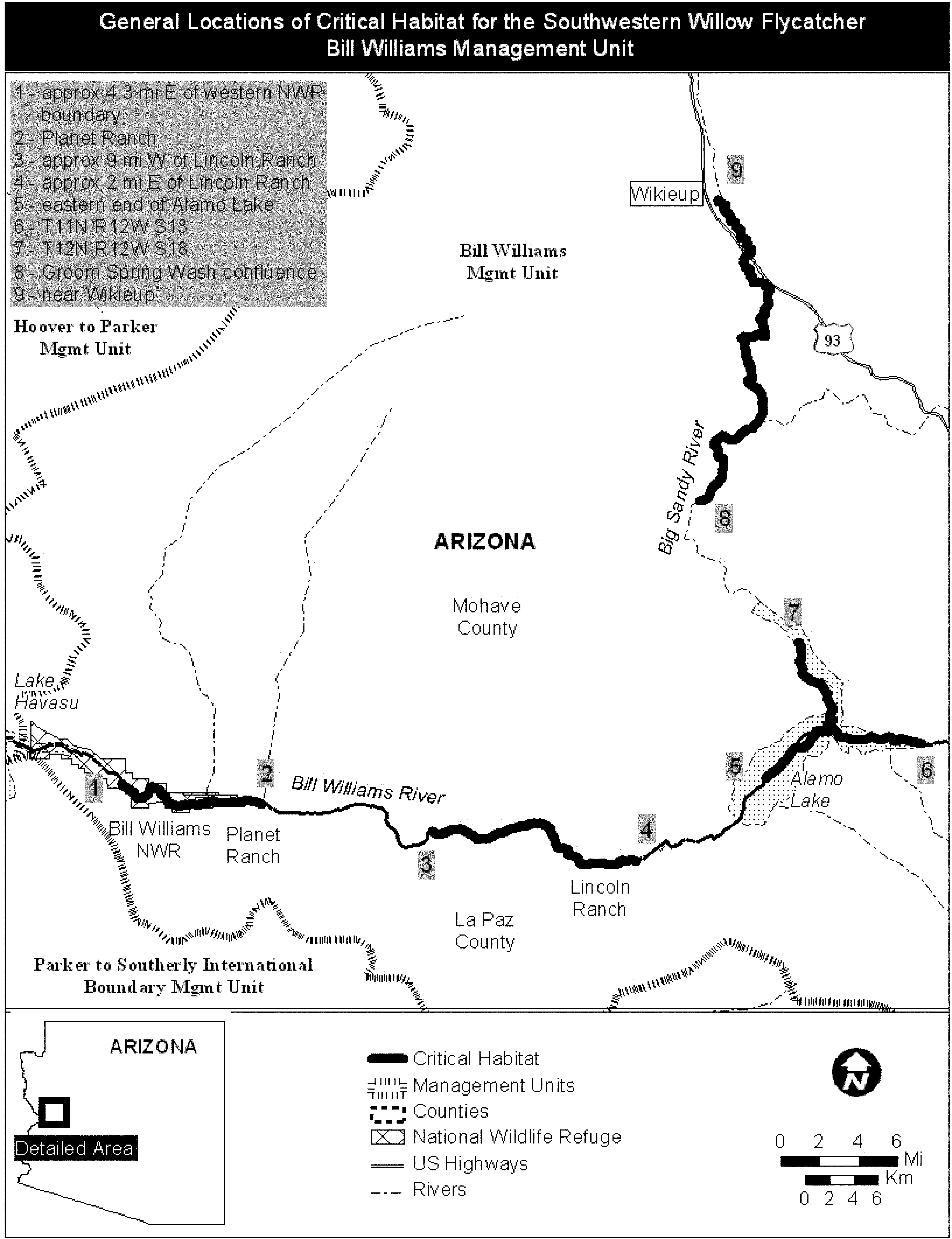
(18) San Juan Management Unit.
(i)
| Stream segment | Start: UTM Zone, E, N | End: UTM Zone, E, N |
|---|---|---|
| Los Pinos River | 13, 270002, 4121643 | 13, 269247, 4127372. |
| San Juan River (north bank) (a) | 12, 645196, 4125489 | 12, 644259, 4125816. |
| San Juan River (north bank) (b) | 12, 643496, 4126221 | 12, 643087, 4126308. |
| San Juan River (north bank) (c) | 12, 642048, 4126642 | 12, 641584, 4126669. |
| San Juan River (north bank) (d) | 12, 639237, 4127496 | 12, 638861, 4126738. |
| San Juan River (north bank) (e) | 12, 638284, 4126485 | 12, 637792, 4126469. |
| San Juan River (north bank) (f) | 12, 637202, 4126657 | 12, 637106, 4126797. |
| San Juan River (north bank) (g) | 12, 636634, 4127216 | 12, 634726, 4127362. |
| San Juan River (north bank) (h) | 12, 629380, 4126564 | 12, 629093, 4126125. |
| San Juan River (north bank) (i) | 12, 625734, 4125285 | 12, 625705, 4125263. |
| San Juan River (north bank) (j) | 12, 623718, 4124823 | 12, 622438, 4124358. |
| San Juan River (north bank) (k) | 12, 622161, 4123347 | 12, 622295, 4122911. |
| San Juan River (north bank) (l) | 12, 622386, 4122629 | 12, 622370, 4122575. |
| San Juan River (north bank) (m) | 12, 617636, 4121043 | 12, 617515, 4120863. |
| San Juan River (north bank) (n) | 12, 614411, 4119430 | 12, 614122, 4118982. |
| San Juan River (north bank) (o) | 12, 614014, 4118335 | 12, 613916, 4117990. |
(ii) Map of San Juan Management Unit follows:

(19) Powell Management Unit.
(i)
| Stream segment | Start: UTM Zone, E, N | End: UTM Zone, E, N |
|---|---|---|
| Paria River | 12, 417429, 4120619 | 12, 419459, 4107235. |
(ii) Map of Powell Management Unit follows:

(20) Verde Management Unit.
(i)
| Stream segment | Start: UTM Zone, E, N | End: UTM Zone, E, N |
|---|---|---|
| Verde River (north) (a) | 12, 402583, 3854022 | 12, 417654, 3832237. |
| Verde River (north) (b) | 12, 417505, 3832092 | 12, 417501, 3831831. |
| Verde River (north) (c) | 12, 417492, 3831154 | 12, 417486, 3830684. |
| Verde River (north) (d) | 12, 418260, 3830003 | 12, 420778, 3821249. |
| Verde River (north) (e) | 12, 420842, 3821249 | 12, 420946, 3821249. |
| Verde River (north) (f) | 12, 421564, 3821197 | 12, 428120, 3814335. |
| Verde River (middle) | 12, 438102, 3793821 | 12, 432660, 3767298. |
| Verde River (south) | 12, 434407, 3760594 | 12, 436961, 3756352. |
(ii) Map of Verde Management Unit follows:

(21) Roosevelt Management Unit.
(i)
| Stream segment | Start: UTM Zone, E, N | End: UTM Zone, E, N |
|---|---|---|
| Tonto Creek | 12, 477856, 3734906 | 12, 474349, 3773074. |
| Salt River | 12, 500594, 3724174 | 12, 518565, 3725825. |
(ii) Map of Roosevelt Management Unit follows:

(22) Middle Gila and San Pedro Management Unit.
(i)
| Stream segment | Start: UTM Zone, E, N | End: UTM Zone, E, N |
|---|---|---|
| Gila River | 12, 527193, 3660545 | 12, 476979, 3662407. |
| San Pedro River (d) | 12, 566945, 3554766 | 12, 525343, 3640631. |
| San Pedro River (c) | 12, 525384, 3640762 | 12, 525584, 3641024. |
| San Pedro River (b) | 12, 525629, 3641438 | 12, 525358, 3641744. |
| San Pedro River (a) | 12, 525001, 3641712 | 12, 520287, 3649594. |
(ii) Map of Middle Gila and San Pedro Management Unit follows:

(23) Upper Gila Management Unit.
(i)
| Stream segment | Start: UTM Zone, E, N | End: UTM Zone, E, N |
|---|---|---|
| Gila River (east) (a) | 12, 734274, 3662473 | 12, 728739, 3655290. |
| Gila River (east) (b) | 12, 728580, 3655097 | 12, 728537, 3655057. |
| Gila River (east) (c) | 12, 728427, 3654997 | 12, 728137, 3654656. |
| Gila River (east) (d) | 12, 728113, 3654588 | 12, 727938, 3654314. |
| Gila River (east) (e) | 12, 727498, 3653376 | 12, 727395, 3653367. |
| Gila River (east) (f) | 12, 727387, 3653367 | 12, 727033, 3652562. |
| Gila River (east) (g) | 12, 726825, 3652154 | 12, 726768, 3652095. |
| Gila River (east) (h) | 12, 726395, 3651745 | 12, 726361, 3651686. |
| Gila River (east) (i) | 12, 724538, 3649297 | 12, 724416, 3649186. |
| Gila River (east) (j) | 12, 723879, 3648880 | 12, 723637, 3648711. |
| Gila River (east) (k) | 12, 723626, 3648220 | 12, 723707, 3648074. |
| Gila River (east) (l) | 12, 723726, 3647982 | 12, 723726, 3647894. |
| Gila River (east) (m) | 12, 723769, 3647188 | 12, 725465, 3644450. |
| Gila River (east) (n) | 12, 724871, 3643867 | 12, 724533, 3643574. |
| Gila River (east) (o) | 12, 724794, 3642783 | 12, 724788, 3641978. |
| Gila River (east) (p) | 12, 724913, 3640498 | 12, 724873, 3640376. |
| Gila River (east) (q) | 12, 725055, 3639520 | 12, 724887, 3639586. |
| Gila River (east) (r) | 12, 725319, 3639100 | 12, 725232, 3639274. |
| Gila River (east) (s) | 12, 725376, 3638811 | 12, 724678, 3636350. |
| Gila River (east) (t) | 12, 724616, 3636306 | 12, 723917, 3635619. |
| Gila River (east) (u) | 12, 724979, 3631107 | 12, 723787, 3635503. |
| Gila River (middle) | 12, 717951, 3623479 | 12, 675537, 3624185. |
| Gila River (west) | 12, 639563, 3639230 | 12, 588063, 3662184. |
(ii) Map of Upper Gila Management Unit follows:

(24) Santa Cruz Management Unit.
(i)
| Stream segment | Start: UTM Zone, E, N | End: UTM Zone, E, N |
|---|---|---|
| Santa Cruz River | 12, 502742, 3480432 | 12, 495504, 3501179. |
| Cienega Creek | 12, 543034, 3528728 | 12, 538757, 3515860. |
| Empire Gulch (west) | 12, 534569, 3516911 | 12, 534222, 3516970. |
| Empire Gulch (confluence with Cienega Creek) | 12, 538826, 3519337 | 12, 538662, 3518116. |
(ii) Map of Santa Cruz Management Unit follows:

(25) San Francisco Management Unit.
(i)
| Stream segment | Start: UTM Zone, E, N | End: UTM Zone, E, N |
|---|---|---|
| San Francisco River (north) (west segment) | 12, 666982, 3748335 | 12, 675606, 3745177. |
| San Francisco River (north) (east segment) | 12, 678191, 3744748 | 12, 699562, 3745269. |
| San Francisco River (middle) (New Mexico) | 12, 693857, 3703486 | 12, 697331, 3680357. |
| San Francisco River (south) (Arizona) | 12, 661571, 3670502 | 12, 681790, 3679428. |
(ii) Map of San Francisco Management Unit follows:

(26) Hassayampa and Agua Fria Management Unit.
(i)
| Stream segment | Start: UTM Zone, E, N | End: UTM Zone, E, N |
|---|---|---|
| Hassayampa River | 12, 342308, 3757092 | 12, 345848, 3751261. |
(ii) Map of Hassayampa and Agua Fria Management Unit follows:

(27) San Luis Valley Management Unit.
(i)
| Stream segment | Start: UTM Zone, E, N | End: UTM Zone, E, N |
|---|---|---|
| Conejos River (a) | 13, 429852, 4128272 | 13, 430156, 4128249. |
| Conejos River (b) | 13, 428787, 4127864 | 13, 429759, 4128320. |
| Conejos River (c) | 13, 426944, 4126743 | 13, 428019, 4127483. |
| Conejos River (d) | 13, 426839, 4126661 | 13, 426944, 4126712. |
| Rio Grande Alamosa NWR (a) | 13, 425015, 4146872 | 13, 424689, 4146861. |
| Rio Grande Alamosa NWR (b) | 13, 425325, 4145894 | 13, 425218, 4146803. |
| Rio Grande Alamosa NWR (c) | 13, 425993, 4145065 | 13, 425968, 4145195. |
| Rio Grande Alamosa NWR (d) | 13, 426007, 4144674 | 13, 425947, 4144875. |
| Rio Grande Alamosa NWR (e) | 13, 426375, 4144517 | 13, 426158, 4144551. |
| Rio Grande Alamosa NWR (f) | 13, 426597, 4144617 | 13, 426539, 4144526. |
| Rio Grande Alamosa NWR (g) | 13, 426772, 4144724 | 13, 427043, 4144549. |
| Rio Grande Alamosa NWR (h) | 13, 427054, 4144318 | 13, 427082, 4144368. |
| Rio Grande Alamosa NWR (i) | 13, 426927, 4144080 | 13, 426966, 4144240. |
| Rio Grande Alamosa NWR (j) | 13, 427035, 4143868 | 13, 426910, 4143984. |
| Rio Grande Alamosa NWR (k) | 13, 427220, 4143816 | 13, 427093, 4143789. |
| Rio Grande Alamosa NWR (l) | 13, 427393, 4143996 | 13, 427293, 4143901. |
| Rio Grande Alamosa NWR (m) | 13, 427666, 4143776 | 13, 427440, 4144028. |
| Rio Grande Alamosa NWR (n) | 13, 427915, 4143464 | 13, 427792, 4143694. |
| Rio Grande Alamosa NWR (o) | 13, 428181, 4143345 | 13, 427986, 4143362. |
| Rio Grande Alamosa NWR (p) | 13, 428459, 4143470 | 13, 428228, 4143377. |
| Rio Grande Alamosa NWR (q) | 13, 428708, 4143582 | 13, 428673, 4143555. |
| Rio Grande Alamosa NWR (r) | 13, 429166, 4143276 | 13, 428800, 4143661. |
| Rio Grande Alamosa NWR (s) | 13, 430052, 4142873 | 13, 429858, 4142950. |
| Rio Grande Alamosa NWR (t) | 13, 430498, 4142399 | 13, 430209, 4142812. |
| Rio Grande Alamosa NWR (u) | 13, 430614, 4138902 | 13, 430557, 4142367. |
| Rio Grande Alamosa NWR (v) | 13, 431001, 4137666 | 13, 430612, 4138731. |
| Rio Grande Alamosa NWR (w) | 13, 432176, 4135160 | 13, 431001, 4137611. |
| Rio Grande Alamosa NWR (x) | 13, 432643, 4134711 | 13, 432171, 4134988. |
| Rio Grande Alamosa NWR (y) | 13, 432779, 4134527 | 13, 432715, 4134634. |
| Rio Grande Alamosa NWR (z) | 13, 432856, 4134398 | 13, 432802, 4134495. |
| Rio Grande Alamosa NWR (aa) | 13, 432979, 4134165 | 13, 432938, 4134250. |
| Rio Grande Alamosa NWR (bb) | 13, 433594, 4133899 | 13, 433579, 4134077. |
| Rio Grande (south) | 13, 434064, 41120967 | 13, 432747, 4103848. |
(ii) Map of San Luis Valley Management Unit follows:

(28) Upper Rio Grande Management Unit.
(i)
| Stream segment | Start: UTM Zone, E, N | End: UTM Zone, E, N |
|---|---|---|
| Rio Grande (north) | 13, 434154, 4021496 | 13, 404034, 3994489. |
| Rio Grande (south) | 13, 403328, 3985181 | 13, 403319, 3986279. |
| Coyote Creek | 13, 479246, 4005468 | 13, 480419, 3997620. |
| Rio Grande del Rancho | 13, 447971, 4012369 | 13, 446044, 4021640. |
| Rio Fernando | 13, 447152, 4028423 | 13, 446856, 4028320. |
(ii) Map of Upper Rio Grande Management Unit follows:

(29) Middle Rio Grande Management Unit.
(i)
| Stream segment | Start: UTM Zone, E, N | End: UTM Zone, E, N |
|---|---|---|
| Rio Grande | 13, 343067, 3856213 | 13, 298922, 3683834. |
(ii) Map of Middle Rio Grande Management Unit follows:

Coastal California Gnatcatcher (Polioptila californica californica)
(1) Critical habitat units are depicted for Los Angeles, Orange, Riverside, San Bernardino, San Diego, and Ventura Counties, California, on the maps below.
(2) The primary constituent elements (PCEs) of critical habitat for coastal California gnatcatcher are:
(i) Dynamic and successional sage scrub habitats: Venturan coastal sage scrub, Diegan coastal sage scrub, Riversidean sage scrub, maritime succulent scrub, Riversidean alluvial fan scrub, southern coastal bluff scrub, and coastal sage-chaparral scrub in Ventura, Los Angeles, Orange, Riverside, San Bernardino, and San Diego Counties that provide space for individual and population growth, normal behavior, breeding, reproduction, nesting, dispersal and foraging; and
(ii) Non-sage scrub habitats such as chaparral, grassland, riparian areas, in proximity to sage scrub habitats as described for PCE 1 above that provide space for dispersal, foraging, and nesting.
(3) Critical habitat does not include manmade structures (such as buildings, aqueducts, airports, roads, and other paved areas) and the land on which they are located existing on the effective date of this rule and not containing one or more of the PCEs.
(4) Critical habitat map units. Data layers defining map units were created on a base of USGS 1:24,0000 maps, and critical habitat units were then mapped using Universal Transverse Mercator (UTM) coordinates.
(5) Note: Index map of critical habitat units for the coastal California gnatcatcher (Map 1) follows:

(6) Unit 1: South San Diego County, San Diego County, California.
(i) Unit 1 excludes land bounded by the following UTM NAD27 coordinates (E, N):
(A) 502178, 3637276; 502177, 3637276; 501978, 3637278; 501980, 3637232; 501981, 3637232; 501994, 3637232; 502031, 3637232; 502061, 3637232; 502114, 3637232; 502146, 3637232; 502181, 3637232; 502184, 3637232; 502201, 3637232; 502221, 3637232; 502240, 3637232; 502260, 3637231; 502280, 3637231; 502300, 3637231; 502321, 3637230; 502338, 3637230; 502366, 3637229; 502365, 3637274; 502184, 3637276.
(B) 510284, 3634915; 510296, 3634942; 510326, 3634956; 510366, 3634970; 510406, 3634967; 510441, 3634947; 510476, 3634940; 510494, 3634910; 510509, 3634845; 510477, 3634753; 510510, 3634757; 510534, 3634749; 510554, 3634730; 510577, 3634712; 510604, 3634705; 510627, 3634714; 510623, 3634743; 510621, 3634777; 510627, 3634803; 510633, 3634847; 510656, 3634854; 510663, 3634868; 510681, 3634891; 510708, 3634903; 510727, 3634910; 510748, 3634933; 510791, 3634964; 510774, 3634965; 510746, 3634975; 510703, 3634974; 510677, 3634985; 510657, 3634996; 510644, 3635018; 510627, 3635037; 510617, 3635064; 510615, 3635089; 510621, 3635119; 510632, 3635145; 510650, 3635170; 510671, 3635183; 510692, 3635189; 510715, 3635194; 510791, 3635240; 510785, 3635318; 510808, 3635363; 510842, 3635380; 510879, 3635382; 510902, 3635382; 510933, 3635386; 510961, 3635384; 510982, 3635375; 510989, 3635365; 511006, 3635353; 511030, 3635355; 511055, 3635355; 511078, 3635373; 511112, 3635388; 511146, 3635410; 511189, 3635416; 511244, 3635406; 511265, 3635408; 511274, 3635433; 511290, 3635439; 511293, 3635465; 511315, 3635504; 511337, 3635539; 511354, 3635548; 511388, 3635619; 511350, 3635596; 511323, 3635588; 511308, 3635560; 511277, 3635527; 511231, 3635506; 511202, 3635490; 511169, 3635485; 511132, 3635496; 511064, 3635529; 511042, 3635544; 511015, 3635556; 510984, 3635553; 510963, 3635566; 510952, 3635592; 510949, 3635623; 510960, 3635651; 510962, 3635677; 510956, 3635703; 510962, 3635727; 510974, 3635756; 510959, 3635776; 510908, 3635689; 510875, 3635617; 510850, 3635584; 510829, 3635568; 510798, 3635566; 510782, 3635582; 510775, 3635597; 510766, 3635606; 510742, 3635580; 510723, 3635567; 510713, 3635567; 510713, 3635592; 510719, 3635624; 510719, 3635652; 510698, 3635701; 510689, 3635746; 510677, 3635848; 510685, 3635890; 510710, 3635923; 510736, 3635949; 510737, 3635965; 510756, 3635991; 510770, 3636004; 510793, 3635998; 510791, 3636004; 510793, 3636035; 510823, 3636097; 510791, 3636074; 510770, 3636048; 510741, 3636025; 510712, 3636012; 510687, 3635991; 510646, 3635988; 510622, 3636004; 510620, 3636032; 510597, 3636027; 510589, 3636056; 510556, 3636014; 510563, 3636005; 510573, 3635986; 510567, 3635955; 510570, 3635920; 510557, 3635885; 510552, 3635858; 510563, 3635825; 510573, 3635790; 510541, 3635700; 510505, 3635663; 510531, 3635631; 510548, 3635599; 510559, 3635560; 510559, 3635522; 510556, 3635465; 510539, 3635419; 510458, 3635380; 510429, 3635421; 510425, 3635473; 510399, 3635546; 510388, 3635583; 510358, 3635543; 510274, 3635591; 510238, 3635591; 510215, 3635557; 510188, 3635298; 510173, 3635207; 510161, 3635114; 510159, 3635019; 510159, 3634911; 510187, 3634878; 510273, 3634898.
(C) 506682, 3621550; 506686, 3621550; 506686, 3621550; 506687, 3621529; 506808, 3621536; 506800, 3621660; 506794, 3621660; 506792, 3621686; 506671, 3621673.
(D) 506187, 3621805; 506178, 3621773; 506176, 3621764; 506176, 3621764; 506185, 3621761; 506184, 3621757; 506234, 3621742; 506247, 3621782; 506236, 3621786; 506238, 3621791; 506220, 3621796.
(E) 505512, 3621342; 505467, 3621263; 505439, 3621174; 505417, 3621134; 505381, 3621102; 505331, 3621007; 505327, 3620957; 505289, 3620909; 505307, 3620898; 505324, 3620919; 505332, 3620915; 505345, 3620930; 505362, 3620948; 505394, 3621024; 505408, 3621058; 505429, 3621087; 505463, 3621131; 505485, 3621161; 505485, 3621161; 505477, 3621165; 505477, 3621165; 505561, 3621314; 505520, 3621338.
(F) 504820, 3615789; 504819, 3615718; 504819, 3615670; 505229, 3615660; 505228, 3615602; 505227, 3615537; 505225, 3615435; 505325, 3615434; 505324, 3615404; 505325, 3615404; 505326, 3615444; 505226, 3615445; 505230, 3615681; 505230, 3615681; 504832, 3615678; 504831, 3615789.
(ii) Map of Unit 1 - South San Diego County (Map 2) follows:

(7) Unit 2: Upper San Diego River and El Capitan Linkage, San Diego County, California.
(i) [Reserved]
(ii) Map of Unit 2 - Upper San Diego River and El Capitan Linkage (Map 3) follows:

(8) Unit 3: North San Diego County Multiple Habitat Conservation Plan (MHCP), San Diego County, California.
(i) Unit 3 excludes land bounded by the following UTM NAD27 coordinates (E, N):
(A) 466299, 3675700; 466168, 3675903; 466115, 3675831; 466043, 3675831; 466043, 3675721; 466024, 3675695; 465956, 3675698; 465960, 3675608; 466005, 3675596; 466047, 3675623; 466066, 3675540; 465998, 3675479; 465930, 3675479; 465899, 3675453; 465778, 3675347; 465778, 3675044; 465779, 3675036; 466150, 3675053; 466364, 3675147; 466394, 3675211; 466424, 3675305; 466510, 3675361; 466529, 3675389; 466538, 3675422; 466493, 3675460; 466489, 3675385; 466308, 3675358; 466225, 3675464; 466342, 3675634; 466300, 3675699; 466300, 3675700.
(B) 468627, 3675422; 468626, 3675421; 468624, 3675421; 468623, 3675420; 468622, 3675419; 468620, 3675418; 468619, 3675417; 468618, 3675417; 468617, 3675416; 468615, 3675415; 468614, 3675414; 468613, 3675413; 468612, 3675412; 468611, 3675411; 468576, 3675383; 468585, 3675358; 468592, 3675340; 468598, 3675322; 468605, 3675303; 468611, 3675286; 468618, 3675267; 468625, 3675249; 468632, 3675230; 468639, 3675211; 468646, 3675190; 468655, 3675166; 468659, 3675153; 468671, 3675120; 468672, 3675122; 468672, 3675123; 468672, 3675125; 468672, 3675126; 468672, 3675128; 468672, 3675129; 468673, 3675131; 468673, 3675132; 468673, 3675134; 468674, 3675135; 468674, 3675136; 468675, 3675138; 468675, 3675139; 468676, 3675141; 468676, 3675142; 468677, 3675144; 468677, 3675145; 468678, 3675146; 468679, 3675148; 468680, 3675149; 468680, 3675150; 468681, 3675152; 468682, 3675153; 468683, 3675154; 468684, 3675155; 468685, 3675157; 468686, 3675158; 468687, 3675159; 468688, 3675160; 468689, 3675161; 468690, 3675162; 468691, 3675163; 468692, 3675164; 468693, 3675165; 468695, 3675166; 468696, 3675167; 468697, 3675168; 468698, 3675169; 468700, 3675170; 468701, 3675170; 468702, 3675171; 468703, 3675172; 468705, 3675173; 468706, 3675174; 468707, 3675175; 468708, 3675176; 468709, 3675178; 468710, 3675179; 468711, 3675180; 468712, 3675181; 468713, 3675182; 468698, 3675223; 468690, 3675248; 468683, 3675267; 468676, 3675285; 468669, 3675305; 468662, 3675324; 468656, 3675343; 468649, 3675361; 468642, 3675381; 468635, 3675400.
(C) 468576, 3675565; 468544, 3675538; 468526, 3675523; 468559, 3675431; 468570, 3675402; 468599, 3675425; 468600, 3675426; 468601, 3675427; 468603, 3675428; 468604, 3675429; 468605, 3675430; 468606, 3675431; 468607, 3675431; 468609, 3675432; 468610, 3675433; 468611, 3675434; 468613, 3675435; 468614, 3675435; 468615, 3675436; 468617, 3675437; 468618, 3675438; 468619, 3675438; 468621, 3675439; 468621, 3675439; 468610, 3675472.
(D) 497956, 3669589; 498160, 3669567; 498162, 3669567; 498240, 3669558; 498258, 3669556; 498250, 3669607; 498283, 3669607; 498283, 3669643; 498250, 3669640; 498247, 3669670; 498202, 3669670; 498187, 3669703; 498164, 3669709; 498161, 3669732; 498134, 3669735; 498128, 3669768; 497999, 3669762; 498005, 3669694; 497961, 3669697; 497961, 3669697; 497956, 3669697.
(E) 496241, 3669292; 496264, 3669299; 496298, 3669307; 496321, 3669326; 496324, 3669349; 496319, 3669376; 496322, 3669391; 496339, 3669432; 496380, 3669467; 496399, 3669480; 496427, 3669501; 496445, 3669531; 496448, 3669556; 496413, 3669573; 496344, 3669572; 496289, 3669563; 496231, 3669553; 496216, 3669543; 496220, 3669289.
(F) 497814, 3670051; 497691, 3669856; 497574, 3669769; 497592, 3669667; 497628, 3669659; 497650, 3669648; 497659, 3669675; 497731, 3669769; 497793, 3669800; 497858, 3669818; 497858, 3669842; 497855, 3669873; 497957, 3669924; 497957, 3669847; 497999, 3669852; 497999, 3669825; 498071, 3669828; 498062, 3669947; 498035, 3669947; 498032, 3669980; 497979, 3669980; 497979, 3670034; 497955, 3670040; 497955, 3670058; 497817, 3670061; 497813, 3670051.
(G) 490504, 3670067; 490502, 3670067; 490501, 3670068; 490500, 3670069; 490499, 3670070; 490497, 3670070; 490496, 3670071; 490495, 3670072; 490493, 3670073; 490492, 3670073; 490491, 3670074; 490489, 3670075; 490488, 3670076; 490487, 3670077; 490485, 3670077; 490484, 3670078; 490484, 3670078; 490482, 3670079; 490481, 3670079; 490479, 3670079; 490478, 3670079; 490476, 3670078; 490475, 3670077; 490474, 3670076; 490474, 3670076; 490456, 3670049; 490460, 3670049; 490508, 3670048; 490504, 3670066.
(H) 490396, 3670451; 490431, 3670451; 490464, 3670452; 490512, 3670631; 490521, 3670668; 490533, 3670711; 490544, 3670754; 490563, 3670826; 490563, 3670826; 490563, 3670826; 490576, 3670875; 490589, 3670923; 490613, 3671012; 490624, 3671056; 490635, 3671098; 490577, 3671114; 490562, 3671118; 490547, 3671122; 490546, 3671117; 490518, 3671012; 490510, 3670983; 490485, 3670888; 490477, 3670856; 490474, 3670848; 490430, 3670681; 490401, 3670571; 490382, 3670576; 490380, 3670568; 490344, 3670450.
(I) 478427, 3664552; 478445, 3664555; 478472, 3664560; 478500, 3664570; 478514, 3664586; 478514, 3664605; 478503, 3664621; 478505, 3664643; 478520, 3664661; 478534, 3664676; 478539, 3664707; 478534, 3664727; 478508, 3664749; 478484, 3664765; 478475, 3664786; 478470, 3664815; 478478, 3664905; 478489, 3664950; 478499, 3664972; 478514, 3664990; 478534, 3665004; 478544, 3665029; 478549, 3665061; 478541, 3665100; 478521, 3665136; 478514, 3665144; 478503, 3665143; 478493, 3665132; 478477, 3665113; 478429, 3665019; 478397, 3664972; 478387, 3664934; 478385, 3664897; 478386, 3664848; 478370, 3664805; 478364, 3664762; 478364, 3664707; 478336, 3664649; 478332, 3664620; 478352, 3664588; 478388, 3664559; 478417, 3664551.
(J) 481458, 3661671; 481178, 3661673; 481159, 3661674; 481159, 3661673; 481137, 3661659; 481167, 3661658; 481477, 3661655; 481477, 3661671.
(K) 481109, 3661659; 481131, 3661674; 481109, 3661674; 481078, 3661674; 481077, 3661674; 481075, 3661674; 480911, 3661676; 480895, 3661676; 480711, 3661678; 480721, 3661667; 480727, 3661661; 480727, 3661661; 480728, 3661660; 480729, 3661659; 480730, 3661658; 480731, 3661656; 480732, 3661655; 480733, 3661654; 480734, 3661653; 480735, 3661652; 480736, 3661651; 480771, 3661606; 480772, 3661605; 480773, 3661604; 480774, 3661603; 480775, 3661602; 480776, 3661601; 480777, 3661600; 480778, 3661599; 480779, 3661598; 480781, 3661597; 480782, 3661596; 480783, 3661595; 480784, 3661594; 480786, 3661594; 480787, 3661593; 480788, 3661592; 480790, 3661591; 480791, 3661591; 480793, 3661590; 480793, 3661590; 480794, 3661590; 480843, 3661567; 480845, 3661571; 480899, 3661545; 480903, 3661543; 480907, 3661542; 480914, 3661541; 480920, 3661541; 480925, 3661541; 480933, 3661543; 480938, 3661545; 480942, 3661546; 480946, 3661548; 480964, 3661560; 480969, 3661564; 480973, 3661567; 481075, 3661642; 481075, 3661659.
(L) 482060, 3660866; 482119, 3661074; 482021, 3661208; 481862, 3661306; 481672, 3661355; 481427, 3661377; 481422, 3661445; 481251, 3661481; 481066, 3661377; 481068, 3661064; 481093, 3660981; 481093, 3660893; 481200, 3660849; 481261, 3660763; 481388, 3660671; 481532, 3660663; 481691, 3660710; 481811, 3660680; 481838, 3660624; 481921, 3660585; 482009, 3660673; 482065, 3660776.
(M) 482222, 3659770; 482283, 3659774; 482483, 3659767; 482510, 3659640; 482610, 3659643; 482613, 3659873; 482719, 3659883; 482707, 3659955; 482731, 3660034; 482779, 3659995; 482816, 3659910; 482831, 3659843; 482788, 3659761; 482752, 3659698; 482716, 3659634; 482649, 3659595; 482607, 3659510; 482604, 3659468; 482667, 3659371; 482601, 3659374; 482616, 3659198; 482722, 3659155; 482776, 3659116; 482843, 3659149; 482967, 3659162; 483164, 3659165; 483245, 3659150; 483247, 3659152; 483297, 3659146; 483397, 3659083; 483455, 3659071; 483437, 3659131; 483397, 3659262; 483428, 3659343; 483449, 3659443; 483516, 3659504; 483516, 3659561; 483519, 3659792; 483631, 3659795; 483628, 3659577; 483822, 3659568; 483809, 3659207; 483991, 3659201; 484037, 3659192; 484115, 3659131; 484185, 3659122; 484206, 3659575; 483922, 3659589; 483922, 3659604; 483837, 3659613; 483831, 3659986; 483900, 3660004; 483900, 3660058; 483931, 3660073; 483925, 3660146; 483806, 3660146; 483746, 3660152; 483722, 3660183; 483706, 3660267; 483609, 3660355; 483613, 3660410; 483491, 3660419; 483470, 3660067; 483461, 3660092; 483428, 3660128; 483364, 3660152; 483349, 3660179; 483304, 3660189; 483294, 3660237; 483279, 3660255; 483270, 3660295; 483182, 3660298; 483176, 3660337; 483143, 3660361; 483155, 3660482; 483097, 3660495; 483013, 3660434; 482976, 3660325; 482876, 3660414; 482871, 3660414; 482685, 3660734; 482698, 3660828; 482940, 3660852; 482907, 3660910; 482910, 3661043; 482885, 3661043; 482788, 3660888; 482792, 3661046; 482907, 3661146; 482904, 3661191; 482737, 3661200; 482731, 3661116; 482707, 3661116; 482704, 3661013; 482579, 3661022; 482579, 3661043; 482610, 3661055; 482607, 3661073; 482579, 3661079; 482579, 3661134; 482604, 3661143; 482637, 3661170; 482640, 3661225; 482292, 3661222; 482291, 3661178; 482291, 3661140; 482296, 3660467; 482280, 3660467; 482280, 3660461; 482283, 3660213; 482398, 3660222; 482452, 3660170; 482507, 3660113; 482640, 3660010; 482271, 3660030; 482204, 3660034; 482205, 3660014.
(N) 484270, 3659831; 484228, 3659834; 484234, 3659574; 484223, 3659574; 484331, 3659349; 484312, 3659334; 484270, 3659301; 484273, 3659255; 484315, 3659228; 484394, 3659219; 484473, 3659043; 484512, 3659028; 484576, 3659013; 484622, 3658986; 484611, 3659016; 484685, 3659025; 484740, 3659083; 484749, 3659165; 484779, 3659259; 484883, 3659366; 484964, 3659449; 484982, 3659513; 485045, 3659598; 485121, 3659616; 485221, 3659655; 485224, 3659698; 485079, 3659922; 485073, 3659989; 484685, 3659976; 484727, 3659828; 484636, 3659798; 484603, 3659783; 484582, 3659813; 484537, 3659780; 484506, 3659722; 484437, 3659677; 484385, 3659616; 484337, 3659652; 484312, 3659677; 484337, 3659731; 484473, 3659822; 484467, 3659998; 484355, 3660001; 484331, 3659961; 484309, 3659937; 484270, 3659937.
(O) 480469, 3662072; 480641, 3661757; 480663, 3661718; 480664, 3661716; 480663, 3661812; 480521, 3662072.
(ii) Map of Unit 3 - North San Diego County Multiple Habitat Conservation Plan (MHCP) (Map 4) follows:

(9) Unit 5: North County Subarea of the Multiple Species Conservation Program (MSCP) for Unincorporated San Diego County, San Diego County, California.
(i) Unit 5 excludes land bounded by the following UTM NAD27 coordinates (E, N):
(A) 483452, 3697555; 483350, 3697542; 483196, 3697434; 483371, 3697277; 483411, 3697277; 483568, 3697188; 483677, 3697243; 483765, 3697290; 483935, 3697195; 483969, 3697243; 484064, 3697460; 484254, 3697487; 484342, 3697535; 484512, 3697705; 484500, 3698094; 484500, 3698100; 484500, 3698100; 484499, 3698133; 484669, 3698303; 484669, 3698833; 484560, 3698860; 484553, 3699026; 484553, 3699030; 484539, 3699026; 484376, 3698982; 484376, 3698799; 484342, 3698785; 484139, 3698656; 484003, 3698595; 483955, 3698432; 483880, 3698445; 483826, 3698391; 483826, 3698323; 483704, 3698316; 483697, 3698146; 483609, 3697949; 483547, 3697630.
(B) 481384, 3696569; 481521, 3696524; 481560, 3696502; 481592, 3696518; 481614, 3696896; 481653, 3696995; 481685, 3697030; 481755, 3696905; 481807, 3696921; 481819, 3697203; 481723, 3697184; 481765, 3697293; 481781, 3697418; 481903, 3697425; 481903, 3697389; 482040, 3697405; 482121, 3697380; 482242, 3697405; 482387, 3697466; 482364, 3697527; 482252, 3697527; 482249, 3697630; 482105, 3697524; 482063, 3697598; 482098, 3697684; 482137, 3697690; 482137, 3697755; 481989, 3697729; 481989, 3697620; 481829, 3697604; 481688, 3697652; 481563, 3697697; 481500, 3697699; 481500, 3697700; 481483, 3697700; 481403, 3697703; 481246, 3697723; 481102, 3697716; 481092, 3697607; 481191, 3697575; 481230, 3697575; 481230, 3697562; 481066, 3697540; 481118, 3697466; 481073, 3697431; 480980, 3697396; 480980, 3697306; 480980, 3697072; 481124, 3697104; 481179, 3697072; 481236, 3696998; 481294, 3696970; 481387, 3696979; 481483, 3697037; 481457, 3696966; 481409, 3696915; 481118, 3696912; 481118, 3696825; 481130, 3696726; 481060, 3696704; 481073, 3696806; 480999, 3696912; 480964, 3696941; 480970, 3697072; 480845, 3697046; 480839, 3696899; 480954, 3696902; 480964, 3696639; 481006, 3696588; 480970, 3696531; 481002, 3696460; 481114, 3696476; 481175, 3696434; 481206, 3696404; 481225, 3696399; 481371, 3696409.
(C) 484902, 3696525; 484974, 3696633; 485107, 3696822; 485079, 3696845; 484977, 3696836; 484965, 3696892; 485085, 3697047; 485032, 3697150; 484921, 3697142; 484907, 3697064; 484860, 3697028; 484777, 3697031; 484663, 3696958; 484518, 3696747; 484393, 3696658; 484388, 3696564; 484274, 3696575; 484213, 3696395; 484124, 3696386; 484121, 3696309; 484193, 3696275; 484324, 3696331; 484510, 3696386; 484610, 3696459.
(D) 484190, 3695014; 484183, 3695013; 484145, 3694889; 484187, 3694904.
(E) 481586, 3699023; 481398, 3699023; 481024, 3699021; 480874, 3699020; 480839, 3699020; 480777, 3699021; 480771, 3699020; 480765, 3699020; 480606, 3699020; 480605, 3699020; 480443, 3699019; 480341, 3699018; 480334, 3699018; 480329, 3699018; 480316, 3699018; 480293, 3699017; 480190, 3699016; 480181, 3699016; 480173, 3699016; 480044, 3699017; 480017, 3699017; 480013, 3699017; 479816, 3699016; 479742, 3699016; 479725, 3699015; 479703, 3699015; 479652, 3699015; 479359, 3699013; 479359, 3698985; 479358, 3698949; 479671, 3698952; 479683, 3698887; 479690, 3698889; 479691, 3698884; 479733, 3698896; 479768, 3698890; 479811, 3698903; 479812, 3698904; 479813, 3698905; 479815, 3698906; 479816, 3698907; 479817, 3698907; 479818, 3698908; 479820, 3698909; 479839, 3698953; 479888, 3698952; 479921, 3698953; 480180, 3698954; 480211, 3698955; 480224, 3698955; 480250, 3698955; 480264, 3698955; 480309, 3698955; 480324, 3698955; 480429, 3698956; 480434, 3698956; 480442, 3698956; 480444, 3698956; 480603, 3698957; 481022, 3698957; 481398, 3698958; 481416, 3698958; 481581, 3698957; 481656, 3698957; 481868, 3698957; 481871, 3699025; 481660, 3699024.
(F) 487429, 3690440; 487459, 3690484; 487495, 3690333; 487491, 3690321; 487463, 3690185; 487469, 3689913; 487474, 3689613; 487395, 3689573; 487384, 3689499; 487446, 3689398; 487486, 3689392; 487520, 3689364; 487622, 3689205; 487695, 3689120; 487707, 3689035; 487701, 3688900; 487700, 3688900; 487700, 3688884; 487678, 3688389; 487823, 3688217; 488066, 3688110; 488154, 3688208; 488313, 3688225; 488364, 3688372; 488415, 3688355; 488550, 3688276; 488584, 3688146; 488675, 3688135; 488675, 3688401; 488760, 3688440; 488811, 3688474; 488811, 3688548; 488794, 3688588; 488743, 3688559; 488675, 3688571; 488664, 3688644; 488709, 3688760; 488680, 3688792; 488377, 3689129; 488252, 3689267; 488250, 3689267; 488143, 3689488; 488131, 3689601; 488109, 3689896; 488086, 3689970; 488046, 3690066; 488041, 3690207; 488080, 3690275; 488154, 3690264; 488177, 3690156; 488205, 3690117; 488250, 3690111; 488262, 3690315; 488284, 3690360; 488284, 3690508; 488046, 3690508; 488029, 3690530; 487944, 3690549; 487932, 3690630; 487967, 3690666; 487882, 3690745; 487848, 3690853; 487854, 3690932; 487888, 3690995; 487882, 3691080; 487656, 3691068; 487610, 3691029; 487571, 3690802; 487469, 3690802; 487406, 3690519.
(G) 486340, 3685163; 486663, 3685169; 486674, 3684932; 486542, 3684892; 486357, 3684731; 486311, 3684511; 486294, 3684264; 486346, 3683820; 486340, 3683381; 486366, 3683305; 486422, 3683338; 486787, 3683310; 486984, 3683254; 487013, 3683224; 487121, 3683287; 487123, 3683308; 487128, 3683311; 487130, 3683358; 487376, 3683604; 487475, 3683660; 487531, 3683857; 487755, 3683857; 487853, 3684067; 487841, 3684086; 487713, 3684278; 487475, 3684292; 487432, 3684081; 487432, 3683885; 487194, 3683787; 487096, 3684334; 487026, 3684628; 487306, 3684628; 487475, 3684572; 487797, 3684600; 487895, 3684755; 487811, 3684839; 487531, 3684853; 487208, 3684783; 486998, 3684881; 486871, 3685119; 486871, 3685386; 487012, 3685596; 487137, 3686264; 487217, 3686264; 487228, 3686236; 487335, 3686222; 487347, 3686199; 487372, 3686194; 487372, 3686169; 487349, 3686169; 487354, 3686132; 487368, 3686122; 487395, 3686104; 487402, 3686053; 487430, 3686039; 487440, 3685988; 487502, 3685979; 487507, 3686027; 487625, 3686153; 487648, 3686157; 487676, 3686171; 487704, 3686166; 487804, 3686162; 487804, 3686306; 487834, 3686338; 487862, 3686361; 487857, 3686739; 487806, 3686749; 487797, 3686784; 487586, 3686784; 487586, 3686726; 487551, 3686719; 487400, 3686723; 487393, 3686774; 487375, 3686781; 487372, 3686814; 487273, 3686816; 487279, 3686862; 487163, 3686867; 487163, 3686837; 487076, 3686825; 486998, 3687139; 486731, 3687139; 486661, 3687420; 486633, 3687855; 486815, 3688079; 487096, 3688500; 487180, 3688640; 487180, 3688837; 486927, 3688837; 486647, 3688584; 486380, 3688556; 486226, 3688795; 486228, 3689035; 486254, 3689286; 486438, 3689516; 487038, 3689239; 487027, 3689652; 486874, 3689692; 486773, 3689875; 486759, 3690085; 486619, 3690212; 486493, 3690352; 486493, 3690534; 486450, 3690618; 486268, 3690450; 486212, 3690310; 486142, 3690155; 485917, 3690001; 485861, 3689566; 486072, 3689244; 486156, 3688444; 485356, 3687953; 485244, 3687616; 485245, 3687612; 485250, 3687593; 485300, 3687402; 485300, 3687400; 485300, 3687400; 485403, 3687007; 485412, 3687002; 485483, 3687027; 485570, 3686920; 485889, 3686331; 486038, 3686253; 486200, 3686201; 486200, 3686200; 486203, 3686200; 486279, 3686175; 486357, 3685977; 486357, 3685867; 486318, 3685750; 486227, 3685643; 486239, 3685532; 486248, 3685521; 486237, 3685509; 486254, 3685221; 486268, 3685221; 486277, 3685221; 486326, 3685176.
(H) 485279, 3680882; 485306, 3680969; 485337, 3681064; 485371, 3681151; 485371, 3681152; 485255, 3681155; 485246, 3681121; 485192, 3681123; 485192, 3681095; 485163, 3681095; 485160, 3681066; 485195, 3681064; 485194, 3680817; 485061, 3680816; 485064, 3680788; 485131, 3680789; 485131, 3680763; 485213, 3680759; 485223, 3680725; 485246, 3680729.
(I) 480199, 3680423; 480069, 3680417; 479977, 3680531; 479815, 3680347; 480196, 3680357; 480345, 3680576; 480409, 3680569; 480419, 3680668; 480203, 3680658.
(J) 480496, 3680485; 480449, 3680438; 480443, 3680331; 480442, 3680318; 480626, 3680088; 480573, 3680054; 480376, 3680044; 480386, 3679944; 480747, 3679947; 480797, 3680124; 480934, 3679977; 480964, 3679950; 480934, 3679954; 480937, 3679931; 480985, 3679932; 480997, 3679921; 480994, 3679533; 481388, 3679547; 481391, 3679941; 481017, 3679932; 481010, 3679944; 481010, 3680234; 480990, 3680236; 481012, 3680492; 480927, 3680555; 480848, 3680567; 480768, 3680633; 480646, 3680698; 480587, 3680717; 480557, 3680738; 480498, 3680659.
(K) 481186, 3678938; 481307, 3678984; 481438, 3678919; 481494, 3678667; 481624, 3678555; 481811, 3678481; 481913, 3678499; 482091, 3678285; 482259, 3678052; 482417, 3677865; 482455, 3677650; 482585, 3677445; 482734, 3677343; 482987, 3677334; 482948, 3677417; 482940, 3677520; 482800, 3677622; 482744, 3677772; 482594, 3677940; 482473, 3678098; 482501, 3678201; 482408, 3678322; 482221, 3678378; 482119, 3678518; 482025, 3678565; 481969, 3678611; 481960, 3678677; 481792, 3678723; 481755, 3678891; 481764, 3679087; 481186, 3679162.
(L) 486761, 3676144; 486926, 3675728; 486943, 3675686; 486957, 3675650; 486955, 3675649; 487099, 3675368; 487138, 3675426; 487319, 3675757; 487348, 3676085; 487320, 3676632; 487208, 3677502; 487110, 3677432; 486885, 3677390; 486661, 3677530; 486605, 3677713; 486352, 3677713; 486548, 3676944; 486550, 3676942.
(ii) Map of Unit 5 - North County Subarea of the MSCP for Unincorporated San Diego County (Map 5) follows:

(10) Unit 6: Southern Natural Communities Conservation Program (NCCP) Subregion of Orange County, Orange County, California.
(i) [Reserved]
(ii) Map of Unit 6 - Southern NCCP Subregion of Orange County (Map 6) follows:

(11) Unit 7: Central-Coastal NCCP Subregions of Orange County (Central-Coastal NCCP), Orange County, California.
(i) Unit 7 excludes land bounded by the following UTM NAD27 coordinates (E, N):
(A) 427280, 3738801; 427329, 3738859; 427365, 3738879; 427333, 3738938; 427232, 3738884; 427235, 3738870; 427240, 3738856; 427231, 3738844; 427235, 3738831; 427255, 3738801.
(B) 426475, 3738412; 426469, 3738431; 426463, 3738449; 426464, 3738471; 426464, 3738488; 426456, 3738499; 426454, 3738515; 426462, 3738526; 426479, 3738537; 426480, 3738529; 426488, 3738522; 426502, 3738525; 426518, 3738537; 426538, 3738545; 426542, 3738538; 426542, 3738525; 426540, 3738505; 426533, 3738484; 426526, 3738459; 426519, 3738432; 426511, 3738411; 426491, 3738405.
(ii) Map of Unit 7 - Central - Coastal NCCP Subregions of Orange County (Central - Coastal NCCP) (Map 7) follows:

(12) Unit 8: Palos Verdes Peninsula Subregion, Los Angeles County, Los Angeles County, California.
(i) Unit 8 excludes land bounded by the following UTM NAD27 coordinates (E, N):
(A) 374717, 3735861; 374771, 3735963; 374736, 3736039; 374714, 3736090; 374758, 3736109; 374768, 3736141; 374717, 3736236; 374739, 3736287; 374714, 3736379; 374663, 3736436; 374717, 3736496; 374800, 3736433; 374860, 3736452; 374822, 3736591; 374715, 3736627; 374685, 3736563; 374688, 3736531; 374558, 3736537; 374533, 3736468; 374606, 3736391; 374593, 3736372; 374571, 3736350; 374593, 3736293; 374622, 3736293; 374650, 3736268; 374622, 3736236; 374622, 3736195; 374644, 3736175; 374631, 3736106; 374666, 3736042; 374622, 3735975; 374641, 3735883; 374707, 3735848.
(B) 375495, 3735728; 375546, 3735807; 375603, 3735864; 375616, 3735921; 375555, 3735909; 375479, 3735848; 375463, 3735893; 375530, 3735960; 375584, 3736001; 375625, 3736061; 375708, 3736093; 375777, 3736137; 375787, 3736175; 375692, 3736172; 375603, 3736185; 375596, 3736214; 375606, 3736283; 375593, 3736315; 375536, 3736315; 375523, 3736351; 375476, 3736331; 375473, 3736268; 375479, 3736210; 375485, 3736141; 375454, 3736172; 375390, 3736191; 375352, 3736128; 375352, 3736058; 375339, 3735982; 375317, 3735858; 375362, 3735823; 375365, 3735725; 375438, 3735677.
(C) 375847, 3735410; 375898, 3735445; 375924, 3735477; 375936, 3735534; 375965, 3735534; 375987, 3735566; 375955, 3735607; 375885, 3735626; 375854, 3735661; 375889, 3735702; 376022, 3735652; 376076, 3735744; 376111, 3735756; 376171, 3735807; 376165, 3735861; 376149, 3735915; 376162, 3735966; 376203, 3735972; 376219, 3736010; 376225, 3736087; 376238, 3736137; 376251, 3736214; 376308, 3736207; 376326, 3736273; 376279, 3736283; 376162, 3736341; 376108, 3736318; 376070, 3736315; 376047, 3736341; 376073, 3736385; 376019, 3736423; 375958, 3736458; 375857, 3736388; 375847, 3736334; 375860, 3736283; 375898, 3736245; 375936, 3736248; 375949, 3736207; 376006, 3736153; 376038, 3736106; 376022, 3736023; 376016, 3735969; 375971, 3735982; 375936, 3736017; 375904, 3736064; 375822, 3736058; 375771, 3736039; 375774, 3735925; 375749, 3735934; 375717, 3735909; 375692, 3735848; 375670, 3735788; 375692, 3735763; 375698, 3735740; 375673, 3735702; 375660, 3735648; 375663, 3735623; 375644, 3735591; 375660, 3735556; 375685, 3735521; 375701, 3735493; 375749, 3735452; 375739, 3735410; 375739, 3735363; 375835, 3735353.
(D) 374869, 3735734; 374809, 3735760; 374720, 3735782; 374628, 3735785; 374584, 3735772; 374542, 3735702; 374568, 3735642; 374603, 3735607; 374705, 3735626; 374718, 3735518; 374610, 3735467; 374582, 3735456; 374565, 3735426; 374561, 3735391; 374568, 3735337; 374590, 3735309; 374682, 3735325; 374746, 3735318; 374765, 3735302; 374838, 3735312; 374876, 3735366; 374930, 3735423; 374946, 3735493; 374949, 3735556; 374933, 3735620; 374908, 3735655; 374935, 3735694.
(E) 375263, 3736252; 375269, 3736309; 375285, 3736366; 375308, 3736407; 375339, 3736445; 375377, 3736487; 375428, 3736522; 375514, 3736576; 375577, 3736550; 375625, 3736560; 375692, 3736677; 375638, 3736703; 375508, 3736604; 375431, 3736636; 375352, 3736604; 375346, 3736509; 375260, 3736496; 375228, 3736534; 375158, 3736544; 375092, 3736455; 375098, 3736356; 375114, 3736287; 375120, 3736220; 375122, 3736219.
(F) 375590, 3735321; 375501, 3735340; 375438, 3735366; 375377, 3735398; 375269, 3735525; 375187, 3735585; 375203, 3735677; 375279, 3735680; 375273, 3735756; 375228, 3735810; 375209, 3735893; 375146, 3735928; 375088, 3735852; 375063, 3735779; 375054, 3735737; 375114, 3735687; 375085, 3735626; 375082, 3735579; 375098, 3735521; 375006, 3735442; 374993, 3735340; 374965, 3735283; 374908, 3735232; 374819, 3735172; 374761, 3735163; 374714, 3735128; 374695, 3735086; 374650, 3735017; 374698, 3734966; 374673, 3734858; 374704, 3734829; 374730, 3734788; 374755, 3734731; 374723, 3734686; 374755, 3734645; 374812, 3734686; 374854, 3734683; 374923, 3734642; 374974, 3734683; 374949, 3734721; 374961, 3734766; 374987, 3734817; 374974, 3734845; 374923, 3734845; 374869, 3734877; 374812, 3734893; 374777, 3734918; 374736, 3734940; 374755, 3734978; 374777, 3735004; 374828, 3735061; 374869, 3735118; 374984, 3735163; 375019, 3735232; 375066, 3735290; 375146, 3735337; 375209, 3735252; 375273, 3735315; 375416, 3735242; 375412, 3735220; 375422, 3735156; 375498, 3735061; 375536, 3735112; 375577, 3735175; 375609, 3735258; 375623, 3735294.
(G) 375644, 3734531; 375644, 3734578; 375638, 3734613; 375609, 3734648; 375552, 3734683; 375504, 3734683; 375539, 3734712; 375568, 3734747; 375571, 3734798; 375568, 3734832; 375558, 3734883; 375543, 3734915; 375489, 3734893; 375419, 3734848; 375377, 3734810; 375339, 3734782; 375349, 3734699; 375381, 3734636; 375403, 3734597; 375485, 3734566; 375549, 3734499; 375620, 3734474.
(H) 375374, 3734293; 375381, 3734340; 375365, 3734378; 375336, 3734407; 375298, 3734455; 375292, 3734531; 375241, 3734585; 375177, 3734607; 375127, 3734607; 375108, 3734628; 375082, 3734601; 375025, 3734547; 375028, 3734521; 375050, 3734490; 375123, 3734448; 375193, 3734477; 375215, 3734394; 375273, 3734369; 375292, 3734328; 375317, 3734274.
(I) 372554, 3735106; 372468, 3735135; 372392, 3735150; 372332, 3735096; 372310, 3735030; 372316, 3734960; 372354, 3734912; 372430, 3734855; 372564, 3734734; 372665, 3734674; 372621, 3734601; 372541, 3734525; 372475, 3734519; 372465, 3734468; 372437, 3734430; 372399, 3734395; 372386, 3734353; 372370, 3734343; 372386, 3734334; 372433, 3734312; 372551, 3734299; 372621, 3734271; 372672, 3734242; 372726, 3734198; 372770, 3734157; 372853, 3734096; 372888, 3734125; 372921, 3734182; 372918, 3734230; 372918, 3734255; 372932, 3734265; 372957, 3734242; 372970, 3734230; 372989, 3734236; 373008, 3734258; 373015, 3734287; 373011, 3734331; 373049, 3734598; 373043, 3734785; 373053, 3734830; 373116, 3734792; 373124, 3734781; 373142, 3734754; 373142, 3734749; 373161, 3734668; 373170, 3734560; 373142, 3734461; 373113, 3734366; 373084, 3734319; 373075, 3734284; 373119, 3734246; 373170, 3734246; 373256, 3734252; 373264, 3734251; 373280, 3734234; 373300, 3734168; 373339, 3734141; 373342, 3734138; 373343, 3734138; 373363, 3734125; 373409, 3734151; 373419, 3734201; 373427, 3734201; 373434, 3734185; 373443, 3734172; 373462, 3734163; 373484, 3734166; 373494, 3734182; 373507, 3734182; 373510, 3734181; 373526, 3734176; 373545, 3734157; 373554, 3734157; 373570, 3734157; 373596, 3734166; 373602, 3734192; 373646, 3734195; 373665, 3734157; 373678, 3734144; 373686, 3734142; 373710, 3734138; 373723, 3734134; 373738, 3734138; 373780, 3734303; 373783, 3734372; 373757, 3734468; 373748, 3734531; 373773, 3734582; 373789, 3734607; 373792, 3734658; 373767, 3734706; 373742, 3734719; 373704, 3734719; 373653, 3734677; 373630, 3734658; 373608, 3734639; 373538, 3734709; 373599, 3734769; 373605, 3734807; 373332, 3734903; 373345, 3735014; 373338, 3735049; 373272, 3735071; 373262, 3735115; 373275, 3735176; 373249, 3735217; 373116, 3735296; 373024, 3735315; 373024, 3735582; 372964, 3735576; 372922, 3735554; 372884, 3735449; 372878, 3735357; 372872, 3735309; 372859, 3735281; 372884, 3735242; 372919, 3735227; 372961, 3735198; 372989, 3735150; 373015, 3735112; 373015, 3735100; 372983, 3735090; 372932, 3735112; 372853, 3735087; 372776, 3735074; 372729, 3735049; 372735, 3735011; 372741, 3734985; 372751, 3734969; 372618, 3734954; 372551, 3734944; 372551, 3734998; 372583, 3735033; 372586, 3735065; 372578, 3735075; 372578, 3735078; 372576, 3735078.
(J) 374061, 3737786; 374013, 3737868; 373975, 3737938; 373972, 3737989; 374000, 3738087; 373975, 3738125; 373956, 3738170; 373937, 3738214; 373959, 3738240; 374004, 3738268; 374064, 3738278; 374124, 3738259; 374178, 3738221; 374219, 3738195; 374254, 3738154; 374267, 3738132; 374258, 3738100; 374216, 3738055; 374181, 3738011; 374159, 3737957; 374153, 3737903; 374145, 3737858; 374137, 3737846; 374115, 3737808; 374099, 3737786.
(ii) Map of Unit 8 - Palos Verdes Peninsula Subregion, Los Angeles County (Map 8) follows:

(13) Unit 9: East Los Angeles County - Matrix NCCP Subregion of Orange County, Los Angeles, San Bernardino, and Orange Counties, California.
(i) Unit 9 excludes land bounded by the following UTM NAD27 coordinates (E, N): 418541, 3755066; 418231, 3755073; 418244, 3755423; 418551, 3755416.
(ii) Map of Unit 9 - East Los Angeles County - Matrix NCCP Subregion of Orange County (Map 9) follows:

(14) Unit 10: Western Riverside County Multiple Species Habitat Conservation Plan, San Bernardino and Riverside Counties, California.
(i) Unit 10 excludes land bounded by the following UTM NAD27 coordinates (E, N):
(A) 497619, 3716257; 497604, 3716268; 497581, 3716300; 497571, 3716311; 497557, 3716324; 497542, 3716337; 497528, 3716347; 497513, 3716355; 497500, 3716364; 497491, 3716373; 497484, 3716384; 497484, 3716395; 497492, 3716404; 497507, 3716411; 497522, 3716414; 497549, 3716413; 497559, 3716418; 497572, 3716422; 497588, 3716426; 497608, 3716426; 497622, 3716419; 497635, 3716410; 497649, 3716399; 497668, 3716410; 497682, 3716417; 497694, 3716419; 497712, 3716414; 497728, 3716405; 497744, 3716395; 497754, 3716385; 497761, 3716375; 497766, 3716364; 497769, 3716349; 497767, 3716339; 497761, 3716329; 497749, 3716320; 497728, 3716313; 497718, 3716312; 497704, 3716308; 497691, 3716301; 497681, 3716294; 497672, 3716286; 497658, 3716270; 497648, 3716258; 497633, 3716254.
(B) 496452, 3715265; 496460, 3715297; 496475, 3715302; 496490, 3715304; 496500, 3715306; 496517, 3715306; 496538, 3715300; 496557, 3715294; 496580, 3715281; 496592, 3715277; 496611, 3715258; 496666, 3715222; 496692, 3715219; 496719, 3715219; 496745, 3715228; 496769, 3715253; 496779, 3715290; 496805, 3715302; 496828, 3715311; 496854, 3715317; 496872, 3715322; 496889, 3715320; 496897, 3715320; 496915, 3715314; 496937, 3715303; 496956, 3715297; 496977, 3715291; 496988, 3715285; 496989, 3715272; 497001, 3715130; 497015, 3714996; 497022, 3714929; 497015, 3714716; 497010, 3714699; 496997, 3714671; 496977, 3714642; 496959, 3714621; 496944, 3714618; 496918, 3714616; 496678, 3714617; 496660, 3714616; 496641, 3714625; 496620, 3714633; 496603, 3714639; 496586, 3714655; 496569, 3714669; 496550, 3714691; 496527, 3714712; 496499, 3714746; 496474, 3714778; 496468, 3714793; 496461, 3714801; 496455, 3714810; 496454, 3714991.
(ii) Map of Unit 10 - Western Riverside County Multiple Species Habitat Conservation Plan (Map 10) follows:

(15) Unit 12: East Los Angeles County, Los Angeles County, California.
(i) Unit 12 excludes land bounded by the following UTM NAD27 coordinates (E, N): 427036, 3771756; 427083, 3771721; 427106, 3771719; 427131, 3771702; 427144, 3771670; 427169, 3771658; 427210, 3771664; 427271, 3771661; 427318, 3771654; 427363, 3771670; 427379, 3771708; 427382, 3771740; 427350, 3771727; 427344, 3771715; 427274, 3771727; 427252, 3771756; 427236, 3771794; 427137, 3771769; 427099, 3771797; 427074, 3771807; 427042, 3771819; 427017, 3771794; 427026, 3771775.
(ii) Map of Unit 12 - East Los Angeles County (Map 11) follows:

(16) Unit 13: Western Los Angeles and Ventura Counties, Ventura and Los Angeles Counties, California.
(i) Unit 13 excludes land bounded by the following UTM NAD27 coordinates (E, N):
(A) 349305, 3798421; 349605, 3798121; 349805, 3798021; 349905, 3797921; 350005, 3797921; 350005, 3798221; 349905, 3798321; 349705, 3798421; 349605, 3798521; 349305, 3798521.
(B) 349005, 3797921; 349005, 3798221; 348805, 3798421; 348505, 3798521; 348293, 3798521; 348005, 3798521; 347705, 3798421; 347705, 3798221; 347305, 3798121; 347305, 3798021; 347805, 3798021; 348005, 3798121; 348405, 3797921; 348526, 3797921.
(C) 348405, 3796321; 348205, 3796221; 348205, 3796121; 348405, 3795921; 348605, 3795621; 348705, 3795521; 348905, 3795421; 349005, 3795321; 349405, 3795321; 349466, 3795382; 349505, 3795421; 349505, 3795621; 349407, 3795646; 349105, 3795721; 349105, 3796121; 349005, 3796221; 348905, 3796421; 349050, 3796567; 349105, 3796621; 349105, 3796721; 348978, 3796753; 348705, 3796821; 348505, 3796921; 348405, 3796921.
(D) 342505, 3798721; 342705, 3798821; 342805, 3798921; 343105, 3799021; 343105, 3799421; 343805, 3799421; 343905, 3799621; 343905, 3799721; 343605, 3799721; 343505, 3799821; 343605, 3799921; 343705, 3800121; 343705, 3800721; 343605, 3801021; 342705, 3801021; 342505, 3800921; 342405, 3800821; 342105, 3800821; 341905, 3800921; 341505, 3800921; 341305, 3800821; 341205, 3800721; 340705, 3800621; 340405, 3800521; 340005, 3800421; 339805, 3800321; 339605, 3800221; 339505, 3800121; 339505, 3799621; 339605, 3799521; 340005, 3799521; 340105, 3799721; 340305, 3799921; 341605, 3800021; 341605, 3799821; 341705, 3799621; 341805, 3799321; 342005, 3799321; 342605, 3799921; 342805, 3799821; 342805, 3799521; 342605, 3799221; 342305, 3799121; 342105, 3799021; 342005, 3798921; 341905, 3798721; 341905, 3798521; 342005, 3798421; 342205, 3798421.
(ii) Map of Unit 13 - Western Los Angeles and Ventura Counties (Map 12) follows:

Crested Honeycreeper (Akohekohe) (Palmeria dolei),
(1) Critical habitat units are depicted for Maui County, Hawaii, on the maps below.
(2) Primary constituent elements. (i) In units 1 and 37, the primary constituent elements of critical habitat for the Akohekohe are:
(A) Elevation: Less than 3,300 ft (1,000 m).
(B) Annual precipitation: 50 to 75 in (130 to 190 cm).
(C) Substrate: Shallow soils, little to no herbaceous layer.
(D) Canopy: Acacia, Diospyros, Metrosideros, Myrsine, Pouteria, Santalum.
(E) Subcanopy: Dodonaea, Freycinetia, Leptecophylla, Melanthera, Osteomeles, Pleomele, Psydrax.
(F) Understory: Carex, Dicranopteris,Diplazium, Elaphoglossum,Peperomia.
(ii) In units 2, 3, 4, 5, 6, 7, 8, 9, 38, and 39, the primary constituent elements of critical habitat for the Akohekohe are:
(A) Elevation: Less than 3,300 ft (1,000 m).
(B) Annual precipitation: Greater than 75 in (190 cm).
(C) Substrate: Clays; ashbeds; deep, well-drained soils; lowland bogs.
(D) Canopy: Antidesma, Metrosideros,Myrsine, Pisonia,Psychotria.
(E) Subcanopy: Cibotium, Claoxylon,Kadua, Melicope.
(F) Understory: Alyxia, Cyrtandra,Dicranopteris, Diplazium, Machaerina, Microlepia.
(iii) In units 10, 11, 12, 13, 14, 15, 16, 40, and 41, the primary constituent elements of critical habitat for the Akohekohe are:
(A) Elevation: Between 3,300 and 6,500 ft (1,000 and 2,000 m)
(B) Annual precipitation: Greater than 75 in (190 cm).
(C) Substrate: Well-developed soils, montane bogs.
(D) Canopy: Acacia, Charpentiera,Cheirodendron, Metrosideros.
(E) Subcanopy: Broussaisia, Cibotium,Eurya, Ilex,Myrsine.
(F) Understory: Ferns, Carex, Coprosma,Leptecophylla, Oreobolus, Rhynchospora, Vaccinium.
(iv) In units 18, 19, 20, 21, 22, and 42, the primary constituent elements of critical habitat for the Akohekohe are:
(A) Elevation: Between 3,300 and 6,500 ft (1,000 and 2,000 m).
(B) Annual precipitation: Between 50 and 75 in (130 and 190 cm).
(C) Substrate: Deep ash deposits, thin silty loams.
(D) Canopy: Acacia, Ilex,Metrosideros, Myrsine,Nestegis, Nothocestrum,Pisonia, Pittosporum,Psychotria, Sophora,Zanthoxylum.
(E) Subcanopy: Alyxia, Charpentiera,Coprosma, Dodonaea,Kadua, Labordia,Leptecophylla, Phyllostegia, Vaccinium.
(F) Understory: Ferns, Carex, Peperomia.
(v) In units 24 and 25, the primary constituent elements of critical habitat for the Akohekohe are:
(A) Elevation: Between 6,500 and 9,800 ft (2,000 and 3,000 m).
(B) Annual precipitation: Between 15 and 40 in (38 and 100 cm).
(C) Substrate: Dry ash; sandy loam; rocky, undeveloped soils; weathered lava.
(D) Canopy: Chamaesyce, Chenopodium,Metrosideros, Myoporum,Santalum, Sophora.
(E) Subcanopy: Coprosma, Dodonaea, Dubautia, Geranium, Leptecophylla, Vaccinium, Wikstroemia.
(F) Understory: Ferns, Bidens, Carex,Deschampsia, Eragrostis,Gahnia, Luzula,Panicum, Pseudognaphalium,Sicyos, Tetramolopium.
(vi) In units 26, 27, 28, and 29, the primary constituent elements of critical habitat for the Akohekohe are:
(A) Elevation: Unrestricted.
(B) Annual precipitation: Less than 75 in (190 cm).
(C) Substrate: Greater than 65 degree slope, rocky talus.
(D) Canopy: None.
(E) Subcanopy: Antidesma, Chamaesyce,Diospyros, Dodonaea.
(F) Understory: Bidens, Eragrostis,Melanthera, Schiedea.
(vii) In units 30, 31, 32, 33, 35, 36, 43, and 44, the primary constituent elements of critical habitat for the Akohekohe are:
(A) Elevation: Unrestricted.
(B) Annual precipitation: Greater than 75 in (190 cm).
(C) Substrate: Greater than 65 degree slope, shallow soils, weathered lava.
(D) Canopy: None.
(E) Subcanopy: Broussaisia, Cheirodendron,Leptecophylla, Metrosideros.
(F) Understory: Bryophytes, ferns, Coprosma, Dubautia,Kadua, Peperomia.
(3) Existing manmade features and structures, such as buildings, roads, railroads, airports, runways, other paved areas, lawns, and other urban landscaped areas, do not contain one or more of the physical or biological features. Federal actions limited to those areas, therefore, would not trigger a consultation under section 7 of the Act unless they may affect the species or physical or biological features in adjacent critical habitat.
(4) Critical habitat maps. Maps were created in GIS, with coordinates in UTM Zone 4, units in meters using North American datum of 1983 (NAD 83).
(5) Index maps of critical habitat units for the Akohekohe follow:


(6) Palmeria dolei - Unit 1 - Lowland Mesic-Maui, Maui County, Hawaii (477 ac; 193 ha). This unit is critical habitat for the Akohekohe, Palmeria dolei. Map of Palmeria dolei - Unit 1 - Lowland Mesic-Maui follows:

(7) Palmeria dolei--Unit 2--Lowland Wet-Maui, Maui County, Hawaii (16,079 ac, 6,507 ha). This unit is critical habitat for the Akohekohe, Palmeria dolei. Map of Palmeria dolei--Unit 2--Lowland Wet-Maui follows:

(8) Palmeria dolei--Unit 3--Lowland Wet-Maui, Maui County, Hawaii (65 ac, 26 ha); Palmeria dolei--Unit 4--Lowland Wet-Maui, Maui County, Hawaii (1,247 ac, 505 ha); Palmeria dolei--Unit 5--Lowland Wet-Maui, Maui County, Hawaii (864 ac, 350 ha); and Palmeria dolei--Unit 7--Lowland Wet-Maui, Maui County, Hawaii (136 ac, 55 ha). These units are critical habitat for the Akohekohe, Palmeria dolei. Map of Palmeria dolei--Unit 3 - Lowland Wet-Maui, Palmeria dolei--Unit 4--Lowland Wet 4-Maui, Palmeria dolei--Unit 5--Lowland Wet-Maui, and Palmeria dolei--Unit 7--Lowland Wet-Maui follows:

(9) Palmeria dolei--Unit 6--Lowland Wet-Maui, Maui County, Hawaii (30 ac, 12 ha); Palmeria dolei--Unit 8--Lowland Wet-Maui, Maui County, Hawaii (898 ac, 364 ha); and Palmeria dolei--Unit 9--Lowland Wet-Maui, Maui County, Hawaii (230 ac, 93 ha). These units are critical habitat for the Akohekohe, Palmeria dolei. Map of Palmeria dolei--Unit 6--Lowland Wet-Maui, Palmeria dolei--Unit 8--Lowland Wet-Maui, and Palmeria dolei--Unit 9--Lowland Wet-Maui follows:

(10) Palmeria dolei--Unit 10--Montane Wet-Maui, Maui County, Hawaii (2,110 ac, 854 ha); Palmeria dolei--Unit 11--Montane Wet-Maui, Maui County, Hawaii (14,583 ac, 5,901 ha); Palmeria dolei--Unit 12--Montane Wet-Maui, Maui County, Hawaii (2,228 ac, 902 ha); Palmeria dolei--Unit 13--Montane Wet-Maui, Maui County, Hawaii (1,833 ac, 742 ha); and Palmeria dolei--Unit 14--Montane Wet-Maui, Maui County, Hawaii (387 ac, 156 ha). These units are critical habitat for the Akohekohe, Palmeria dolei. Map of Palmeria dolei--Unit 10--Montane Wet-Maui, Palmeria dolei--Unit 11--Montane Wet-Maui, Palmeria dolei--Unit 12--Montane Wet-Maui, Palmeria dolei--Unit 13--Montane Wet-Maui, and Palmeria dolei--Unit 14--Montane Wet-Maui follows:

(11) Palmeria dolei - Unit 15 - Montaine Wet-Maui, Maui County, Hawaii (1,399 ac, 566 ha), and Palmeria dolei - Unit 16 - Montane Wet-Maui, Maui County, Hawaii (80 ac, 32 ha). These units are critical habitat for the Akohekohe, Palmeria dolei. Map of Palmeria dolei - Unit 15 - Montane Wet-Maui, and Palmeria dolei - Unit 16 - Montane Wet-Maui follows:

(12) [Reserved]
(13) Palmeria dolei - Unit 18--Montane Mesic-Maui, Maui County, Hawaii (10,972 ac, 4,440 ha). This unit is critical habitat for the Akohekohe, Palmeria dolei. Map of Palmeria dolei - Unit 18--Montane Mesic-Maui follows:

(14) Palmeria dolei--Unit 19--Montane Mesic-Maui, Maui County, Hawaii (124 ac, 50 ha); Palmeria dolei - Unit 20--Montane Mesic-Maui, Maui County, Hawaii (174 ac, 70 ha); Palmeria dolei--Unit 21--Montane Mesic-Maui, Maui County, Hawaii (72 ac, 29 ha); and Palmeria dolei--Unit 22--Montane Mesic-Maui, Maui County, Hawaii (170 ac, 69 ha). These units are critical habitat for the Akohekohe, Palmeria dolei. Map of Palmeria dolei--Unit 19--Montane Mesic-Maui, Palmeria dolei - Unit 20--Montane Mesic-Maui, Palmeria dolei--Unit 21--Montane Mesic-Maui, and Palmeria dolei--Unit 22--Montane Mesic-Maui follows:

(15) [Reserved]
(16) Palmeria dolei--Unit 24--Subalpine-Maui, Maui County, Hawaii (15,975 ac, 6,465 ha), and Palmeria dolei--Unit 25--Subalpine-Maui, Maui County, Hawaii (9,886 ac, 4,001 ha). These units are critical habitat for the Akohekohe, Palmeria dolei. Map of Palmeria dolei--Unit 24--Subalpine-Maui and Palmeria dolei--Unit 25--Subalpine-Maui follows:

(17) Palmeria dolei--Unit 26--Dry Cliff-Maui, Maui County, Hawaii (755 ac, 305 ha); Palmeria dolei--Unit 27--Dry Cliff-Maui, Maui County, Hawaii (200 ac, 81 ha); and Palmeria dolei--Unit 28--Dry Cliff-Maui, Maui County, Hawaii (315 ac, 127 ha). These units are critical habitat for the Akohekohe, Palmeria dolei. Map of Palmeria dolei - Unit 26--Dry Cliff-Maui, Palmeria dolei--Unit 27--Dry Cliff-Maui, and Palmeria dolei--Unit 28--Dry Cliff-Maui follows:

(18) Palmeria dolei--Unit 29--Dry Cliff-Maui, Maui County, Hawaii (1,298 ac, 525 ha). This unit is critical habitat for the Akohekohe, Palmeria dolei. Map of Palmeria dolei--Unit 29--Dry Cliff-Maui follows:

(19) Palmeria dolei--Unit 30--Wet Cliff-Maui, Maui County, Hawaii (290 ac, 117 ha). This unit is critical habitat for the Akohekohe, Palmeria dolei. Map of Palmeria dolei--Unit 30--Wet Cliff-Maui follows:

(20) Palmeria dolei--Unit 31--Wet Cliff-Maui, Maui County, Hawaii (1,407 ac, 569 ha); Palmeria dolei--Unit 32--Wet Cliff-Maui, Maui County, Hawaii (438 ac, 177 ha); and Palmeria dolei--Unit 33--Wet Cliff-Maui, Maui County, Hawaii (184 ac, 75 ha). These units are critical habitat for the Akohekohe, Palmeria dolei. Map of Palmeria dolei - Unit 31 - Wet Cliff-Maui, Palmeria dolei--Unit 32--Wet Cliff-Maui, and Palmeria dolei--Unit 33--Wet Cliff-Maui follows:

(21) [Reserved]
(22) Palmeria dolei--Unit 35--Wet Cliff-Maui, Maui County, Hawaii (2,110 ac, 854 ha), and Palmeria dolei--Unit 36--Wet Cliff-Maui, Maui County, Hawaii (556 ac, 225 ha). These units are critical habitat for the Akohekohe, Palmeria dolei. Map of Palmeria dolei - Unit 35 - Wet Cliff-Maui, and Palmeria dolei--Unit 36--Wet Cliff-Maui follows:

(23) Palmeria dolei--Unit 37--Lowland Mesic-Molokai, Maui County, Hawaii (8,770 ac, 3,549 ha). This unit is critical habitat for the Akohekohe, Palmeria dolei. Map of Palmeria dolei - Unit 37--Lowland Mesic-Molokai follows:

(24) Palmeria dolei - Unit 38--Lowland Wet-Molokai, Maui County, Hawaii (2,949 ac, 1,193 ha), and Palmeria dolei--Unit 39--Lowland Wet-Molokai, Maui County, Hawaii (1,950 ac, 789 ha). These units are critical habitat for the Akohekohe, Palmeria dolei. Map of Palmeria dolei - Unit 38--Lowland Wet-Molokai and Palmeria dolei--Unit 39--Lowland Wet-Molokai follows:

(25) Palmeria dolei - Unit 40 - Montane Wet-Molokai, Maui County, Hawaii (3,397 ac, 1,375 ha), and Palmeria dolei - Unit 41 - Montane Wet-Molokai, Maui County, Hawaii (910 ac, 368 ha). These units are critical habitat for the Akohekohe, Palmeria dolei. Map of Palmeria dolei - Unit 40 - Montane Wet-Molokai and Palmeria dolei - Unit 41 - Montane Wet-Molokai follows:

(26) Palmeria dolei - Unit 42 - Montane Mesic-Molokai, Maui County, Hawaii (816 ac, 330 ha). This unit is critical habitat for the Akohekohe, Palmeria dolei. Map of Palmeria dolei - Unit 42 - Montane Mesic-Molokai follows:

(27) Palmeria dolei - Unit 43 - Wet Cliff-Molokai, Maui County, Hawaii (1,607 ac, 651 ha), and Palmeria dolei - Unit 44 - Wet Cliff-Molokai, Maui County, Hawaii (1,268 ac, 513 ha). These units are critical habitat for the Akohekohe, Palmeria dolei. Map of Palmeria dolei - Unit 43 - Wet Cliff-Molokai and Palmeria dolei - Unit 44 - Wet Cliff-Molokai follows:

Guam Micronesian Kingfisher (Halcyon cinnamomina cinnamomina)
(1) The critical habitat unit for the Guam Micronesian kingfisher is depicted for the Territory of Guam on the maps below.
(2) The primary constituent elements required by the Guam Micronesian kingfisher for the biological needs of foraging, sheltering, roosting, nesting, and rearing of young are found in areas that support limestone, secondary, ravine, swamp, agricultural, and coastal forests composed of native and introduced plant species. These forest types include the primary constituent elements of:
(i) Closed canopy and well-developed understory vegetation; large (approximately 43 cm (17 in) diameter at breast height), standing dead trees (especially Tristiropsis obtusangula (faniok), Pisonia grandis (umumu), Artocarpus spp. (breadfruit), Ficus spp. (fig), and Cocos nucifera (coconut palm)); mud nests of Nasutitermes spp. termites; and root masses of epiphytic ferns for breeding;
(ii) Sufficiently diverse structure to provide exposed perches and ground surfaces, leaf litter, and other substrates that support a wide range of vertebrate and invertebrate prey species for foraging kingfishers; and
(iii) Sufficient overall breeding and foraging area to support kingfisher territories of approximately 25 ac (10 ha) each.
(3) Critical habitat does not include existing features and structures within the boundaries of the mapped units, such as buildings, roads, aqueducts, antennas, water tanks, agricultural fields, paved areas, lawns, and other urban landscaped areas not containing one or more of the primary constituent elements.
(4) The critical habitat unit is described below. Coordinates are in UTM Zone 55 with units in meters using North American Datum of 1983 (NAD83) / World Geodetic System 1984 (WGS 84).
(i) Note: Map 1 - General Location of the Guam Micronesian Kingfisher Unit - follows:

(ii) Guam, Guam Micronesian kingfisher (376 ac; 152 ha):
(A) [Reserved]
(B) Map 2 showing Guam Micronesian Kingfisher Unit follows:

Everglade Snail Kite (Rostrhamus sociabilis plumbeus)
Florida. Areas of land (predominantly marsh), water, and airspace, with the following components (Tallahassee Meridian): (1) St. Johns Reservoir, Indian River County: T33S R37E SW 1⁄4 Sec. 6, W 1⁄2 Sec. 7, Sec. 18, Sec. 19; (2) Cloud Lake Reservoir, St. Lucie County; T34S R38E S 1⁄2 Sec. 16, N 1⁄2 Sec. 21; (3) Strazzulla Reservoir, St. Lucie County: T34S R38E SW 1⁄4 Sec. 21; (4) western parts of Lake Okeechobee, Glades and Hendry Counties, extending along the western shore to the east of the levee system and the undiked high ground at Fisheating Creek, and from the Hurricane Gate at Clewiston northward to the mouth of the Kissimmee River, including all the Eleocharis flats of Moonshine Bay, Monkey Box, and Observation Shoal, but excluding the open water north and west of the northern tip of Observation Shoal, north of Monkey Box, and east of Fisheating Bay; (5) Loxahatchee National Wildlife Refuge (Central and Southern Florida Flood Control District Water Conservation Area 1), Palm Beach County, including Refuge Management Compartments A, B, C, and D, and all of the main portion of the Refuge as bounded by Levees L-7, L-39, and L-40; (6) Central and Southern Florida Flood Control District Water Conservation Area 2A, Palm Beach and Broward Counties, as bounded by Levees L-6, L-35B, L-36, L-38, and L-39; (7) Central and Southern Florida Flood Control District Water Conservation Area 2B, Broward County, as bounded by Levees L-35, L-35B, L-36, and L-38; (8) Central and Southern Florida Flood Control District Water Conservation Area 3A, Broward and Dade Counties, as bounded by Florida Highway 84. Levees L-68A, L-67A (north of Miami Canal), L-67C (south of Miami Canal). L-29, and L-28, and a line along the undiked northerwestern portion of the Area; (9) that portion of Everglades National Park, Dade County, within the following boundary: Beginning at the point where the Park boundary meets Florida Highway 94 in T54S R35E Sec. 20, thence eastward and southwest along the Park boundary to the southwest corner of Sec. 31 in T7S R37E, thence southwestward along a straight line to the southwest corner of Sec. 2 in T58S R35E, thence westward along the south sides of Sec. 3, 4, 5, and 6 in T58S R35E to the Dade-Monroe county line, thence northward along the Dade-Monroe county line to the Park boundary, thence eastward and northward along the Park boundary to the point of beginning.
The map provided is for informational purposes only. Map follows:

Streaked horned lark (Eremophila alpestris strigata)
(1) Critical habitat units are depicted for Grays Harbor, Pacific, and Wahkiakum Counties in Washington, and Clatsop, Columbia, Marion, Polk, and Benton Counties in Oregon, on the maps below.
(2) Within these areas, the primary constituent elements of the physical or biological features essential to the conservation of the streaked horned lark consist of areas having a minimum of 16 percent bare ground that have sparse, low-stature vegetation composed primarily of grasses and forbs less than 13 inches (33 centimeters) in height found in:
(i) Large (300-acre (120-hectare)), flat (0-5 percent slope) areas within a landscape context that provides visual access to open areas such as open water or fields; or
(ii) Areas smaller than described in paragraph (2)(i) of this entry, but that provide visual access to open areas such as open water or fields.
(3) Critical habitat does not include manmade structures (such as buildings, aqueducts, runways, roads, and other paved areas) and the land on which they are located existing within the legal boundaries on November 4, 2013.
(4) Critical habitat map units. Data layers defining map units were created on 2010 aerial photography from U.S. Department of Agriculture, National Agriculture Imagery Program base maps using ArcMap (Environmental Systems Research Institute, Inc.), a computer geographic information system (GIS) program. The maps in this entry, as modified by any accompanying regulatory text, establish the boundaries of the critical habitat designation. The coordinates or plot points or both on which each map is based are available to the public at the Service's Internet site (http://www.fws.gov/wafwo), at http://www.regulations.gov at Docket No. FWS-R1-ES-2013-0009, and by appointment at the Service's Washington Fish and Wildlife Office. You may obtain field office location information by contacting one of the Service regional offices, the addresses of which are listed at 50 CFR 2.2.
(5) Index map of critical habitat units for the streaked horned lark follows:

(6) Unit 3 - Washington Coast and Columbia River Islands, Washington and Oregon.
(i) Subunit 3-A: Damon Point/Oyhut, Washington. Map of Subunit 3-A follows:

(ii) Subunit 3-B: Midway Beach, Washington. Map of Subunit 3-B follows:

(iii) Subunit 3-C: Shoalwater, Washington. Map of Subunit 3-C follows:

(iv) Subunit 3-D: Leadbetter Point, Washington. Map of Subunit 3-D follows:

(v) Subunit 3-E: Rice Island, Oregon/Washington. Map of Subunit 3-E follows:

(vi) Subunit 3-F: Miller Sands, Oregon. Map of Subunit 3-F follows:

(vii) Subunit 3-G: Pillar Rock/Jim Crow Sands, Oregon. Map of Subunit 3-G follows:

(viii) Subunit 3-H: Welch Island, Oregon. Map of Subunit 3-H follows:

(ix) Subunit 3-I: Tenasillahe Island, Oregon. Map of Subunit 3-I follows:

(x) Subunit 3-J: Whites/Brown Island, Washington. Map of Subunit 3-J follows:

(xi) Subunit 3-K: Wallace Island, Oregon. Map of Subunit 3-K follows:

(xii) Subunit 3-L: Crims Island, Oregon. Map of Subunit 3-L follows:

(xiii) Subunit 3-M: Sandy Island, Oregon. Map of Subunit 3-M follows:

(7) Unit 4 - Willamette Valley, Oregon.
(i) Subunit 4-A: Baskett Slough NWR, Oregon. Map of Subunit 4-A follows:

(ii) Subunit 4-B: Ankeny NWR, Oregon. Map of Subunit 4-B follows:

(iii) Subunit 4-C: William L. Finley NWR, Oregon. Map of Subunit 4-C follows:

Marbled Murrelet (Brachyramphus marmoratus)
1. Critical habitat units are depicted for the States of Washington, Oregon, and California on the maps below. The maps provided are for informational purposes only.
2. The primary constituent elements: individual trees with potential nest platforms and forest lands of at least one half site-potential tree height regardless of contiguity within 0.8 kilometers (0.5 miles) of individual trees with potential nesting platforms and that are used or potentially used by the marbled murrelet for nesting or roosting.
3. A description of the critical habitat units follows. Where a critical habitat unit includes Federal lands within the boundaries of a Late Successional Reserve (LSR) established by the Northwest Forest Plan, the areas included within the LSR boundaries as they existed on May 24, 1996, remain designated as critical habitat. Critical habitat units do not include non-Federal lands covered by a legally operative incidental take permit for marbled murrelets issued under section 10(a) of the Act.


Map and description of WA-01-a taken from United States Fish and Wildlife Service 1:100,000 map; Cape Flattery, Forks, and Port Angeles, Washington; 1995.
Critical Habitat includes only Federal lands designated as Late Successional Reserves described within the following areas:
T.28N., R.10W. Willamette Meridian: W 1⁄2 W 1⁄2 Section 1; Sections 2-8; NW 1⁄4, N 1⁄2 SW 1⁄4, N 1⁄2 NE 1⁄4, SW 1⁄4 NE 1⁄4 Section 9; N 1⁄2 NW 1⁄4, NE 1⁄4 Section 10; W 1⁄2 NW 1⁄4, NE 1⁄4 NW 1⁄4, N 1⁄2 NE 1⁄4 Section 11; NW 1⁄4 NW 1⁄4 Section 12.
T.28N., R.11W. Willamette Meridian: Sections 1-5; S 1⁄2 SW 1⁄4, SE 1⁄4, S 1⁄2 NE 1⁄4, NE 1⁄4 NE 1⁄4 Section 6; Sections 7-12; N 1⁄2 NW 1⁄4 Section 13; N 1⁄2 Section 14; N 1⁄2 N 1⁄2 Section 15; N 1⁄2 Section 16; N 1⁄2, N 1⁄2 SW 1⁄4 Section 17; N 1⁄2 N 1⁄2 Section 18.
T.28N., R.12W. Willamette Meridian: SW 1⁄4 SW 1⁄4 Section 1; SW 1⁄4, S 1⁄2 SE 1⁄4 Section 2; S 1⁄2 SW 1⁄4, SE 1⁄4 Section 3; N 1⁄2 N 1⁄2 Section 10; N 1⁄2 Section 11; Section 12 except SW 1⁄4 SW 1⁄4, N 1⁄2 NE 1⁄4 Section 13.
T.29N., R.10W. Willamette Meridian: SW 1⁄4 NW 1⁄4, W 1⁄2 SW 1⁄4, SE 1⁄4 SW 1⁄4 Section 1; Section 2 except N 1⁄2 NE 1⁄4; Section 3 except N 1⁄2 NE 1⁄4; Sections 4-5; SE 1⁄4 NW 1⁄4, SW 1⁄4 SW 1⁄4, E 1⁄2 Section 6; Sections 7-24; Section 25 except SE 1⁄4 SE 1⁄4; Sections 26-35; NW 1⁄4, N 1⁄2 SW 1⁄4, SW 1⁄4 SW 1⁄4, W 1⁄2 NE 1⁄4 Section 36.
T.29N., R.11W. Willamette Meridian: SE 1⁄4 SW 1⁄4, SE 1⁄4, SE 1⁄4 NE 1⁄4 Section 12; Section 13; N 1⁄2, N 1⁄2 SW 1⁄4, SE 1⁄4 Section 14; E 1⁄2 SE 1⁄4 Section 22; S 1⁄2, NE 1⁄4 Section 23; Sections 24-27; S 1⁄2, S 1⁄2 NE 1⁄4 Section 28; SE 1⁄4 Section 29; SE 1⁄4 SE 1⁄4 Section 31; S 1⁄2 SW 1⁄4, NE 1⁄4 SW 1⁄4, SE 1⁄4, S 1⁄2 NE 1⁄4, NE 1⁄4 NE 1⁄4 Section 32; Sections 33-36.
T.30N., R.09W. Willamette Meridian: S 1⁄2 SW 1⁄4 Section 18; N 1⁄2 NW 1⁄4 Section 19.
T.30N., R.10W. Willamette Meridian: E 1⁄2 NW 1⁄4, E 1⁄2 SW 1⁄4, SW 1⁄4 SW 1⁄4, SE 1⁄4, SW 1⁄4 NE 1⁄4 Section 1; S 1⁄2 SW 1⁄4, SW 1⁄4 SE 1⁄4 Section 2; Section 3 except NE 1⁄4; Section 4; E 1⁄2 NW 1⁄4, S 1⁄2 SW 1⁄4, NE 1⁄4 SW 1⁄4, E 1⁄2 Section 5; S 1⁄2 Section 6; Sections 7-12; Section 13 except SW 1⁄4 SW 1⁄4; NW 1⁄4 NW 1⁄4, NE 1⁄4 Section 14; Section 15; N 1⁄2, N 1⁄2 SE 1⁄4 Section 16; N 1⁄2 Section 17; Section 18 except S 1⁄2 SE 1⁄4; NW 1⁄4 NW 1⁄4 Section 19; SW 1⁄4 SW 1⁄4 Section 35.
T.30N., R.11W. Willamette Meridian: Sections 1-2; Section 3 except S 1⁄2 SW 1⁄4, SW 1⁄4 SE 1⁄4; Section 4 except S 1⁄2 SW 1⁄4, SW 1⁄4 SE 1⁄4; NE 1⁄4 NE 1⁄4 Section 10; N 1⁄2 NW 1⁄4, SE 1⁄4 SE 1⁄4, W 1⁄2 NE 1⁄4, NE 1⁄4 NE 1⁄4 Section 11; NW 1⁄4 NW 1⁄4, S 1⁄2, E 1⁄2 NE 1⁄4 Section 12; Sections 13-14; S 1⁄2, S 1⁄2 NE 1⁄4 Section 15; S 1⁄2 Section 17; SE 1⁄4 Section 18; N 1⁄2 NW 1⁄4, SE 1⁄4 NW 1⁄4, NE 1⁄4 Section 20; N 1⁄2, N 1⁄2 SE 1⁄4 Section 21; N 1⁄2, N 1⁄2 S 1⁄2 Section 22; N 1⁄2, N 1⁄2 SW 1⁄4 Section 23; NW 1⁄4, W 1⁄2 NE 1⁄4, NE 1⁄4 NE 1⁄4 Section 24.
T.30N., R.12W. Willamette Meridian: NW 1⁄4 NW 1⁄4 Section 2; W 1⁄2, N 1⁄2 NE 1⁄4 Section 3; Section 4-5; Section 6 except W 1⁄2 NW 1⁄4, NW 1⁄4, N 1⁄2 SE 1⁄4, NE 1⁄4 Section 7; Section 8 except SW 1⁄4 SW 1⁄4; N 1⁄2 N 1⁄2, SE 1⁄4 SE 1⁄4 Section 9; S 1⁄2 Section 10; S 1⁄2 SW 1⁄4, SW 1⁄4 SE 1⁄4 Section 11; W 1⁄2 NW 1⁄4 Section 13; N 1⁄2, N 1⁄2 SW 1⁄4 Section 14; N 1⁄2, NE 1⁄4 SE 1⁄4 Section 15; Section 17 except NW 1⁄4 NW 1⁄4, SE 1⁄4 SE 1⁄4.
T.31N., R.12W. Willamette Meridian: Section 30 except NE 1⁄4; Section 31; Section 32 except NE 1⁄4; S 1⁄2 SW 1⁄4 Section 33.
Critical Habitat includes only State or County lands described within the following areas:
T.30N., R.12W. Willamette Meridian: N 1⁄2 Section 16.

Map and description of WA-01-b taken from United States Fish and Wildlife Service 1:100,000 map; Port Angeles, Washington; 1995.
Critical Habitat includes only Federal lands designated as Late Successional Reserves described within the following areas:
T.29N., R.07W. Willamette Meridian: N 1⁄2 NW 1⁄4 Section 1; NE 1⁄4 Section 2.
T.30N., R.07W. Willamette Meridian: NW 1⁄4 SW 1⁄4, SW 1⁄4 SE 1⁄4, SW 1⁄4 NE 1⁄4 Section 26; S 1⁄2 SW 1⁄4 Section 29; Section 30 except SE 1⁄4 NE 1⁄4, N 1⁄2 NE 1⁄4; Section 31 except SW 1⁄4 SW 1⁄4; W 1⁄2 W 1⁄2, NE 1⁄4 NW 1⁄4 Section 32; W 1⁄2 NW 1⁄4, N 1⁄2 SW 1⁄4, SE 1⁄4 SW 1⁄4, N 1⁄2 SE 1⁄4, S 1⁄2 NE 1⁄4, NE 1⁄4 NE 1⁄4 Section 33; NW 1⁄4, N 1⁄2 SE 1⁄4, W 1⁄2 NE 1⁄4, SE 1⁄4 NE 1⁄4 Section 34; Sections 35-36.
T.30N., R.08W. Willamette Meridian: Section 25; Section 26 except NW 1⁄4 NE 1⁄4; Sections 27-29; N 1⁄2 N 1⁄2 Section 32; N 1⁄2, NE 1⁄4 SE 1⁄4 Section 33; N 1⁄2, N 1⁄2 SW 1⁄4, SE 1⁄4 Section 34; N 1⁄2, W 1⁄2 SW 1⁄4, NE 1⁄4 SW 1⁄4, N 1⁄2 SE 1⁄4 Section 35; N 1⁄2, N 1⁄2 S 1⁄2 Section 36.
Critical Habitat includes only State or County lands described within the following areas:
T.30N., R.06W. Willamette Meridian: N 1⁄2 SW 1⁄4, NW 1⁄4 SE 1⁄4 Section 18; NW 1⁄4 NW 1⁄4, SW 1⁄4, W 1⁄2 SE 1⁄4 Section 19; SW 1⁄4 SW 1⁄4 Section 20; SW 1⁄4 SW 1⁄4, E 1⁄2 SW 1⁄4 Section 21; SE 1⁄4 SE 1⁄4 Section 23; NW 1⁄4 NW 1⁄4, W 1⁄2 SW 1⁄4, SE 1⁄4 SW 1⁄4 Section 25; E 1⁄2 Section 26; SE 1⁄4 NW 1⁄4, S 1⁄2 Section 27; Section 28 except SE 1⁄4 SW 1⁄4, NE 1⁄4 NE 1⁄4; Section 29; Section 30 except S 1⁄2 SW 1⁄4; Sections 31-34; W 1⁄2 W 1⁄2, E 1⁄2 E 1⁄2 Section 35; Section 36.
T.30N., R.07W. Willamette Meridian: SE 1⁄4 SE 1⁄4 Section 9; S 1⁄2 SW 1⁄4 Section 10; S 1⁄2 S 1⁄2, NE 1⁄4 SE 1⁄4 Section 13; SE 1⁄4 SW 1⁄4, SE 1⁄4, SE 1⁄4 NE 1⁄4 Section 14; SW 1⁄4 NW 1⁄4, NE 1⁄4 NW 1⁄4, NW 1⁄4 SW 1⁄4, SE 1⁄4 SE 1⁄4 Section 15; SW 1⁄4, S 1⁄2 SE 1⁄4, NE 1⁄4 SE 1⁄4, S 1⁄2 NE 1⁄4 Section 16; S 1⁄2, S 1⁄2 N 1⁄2, NW 1⁄4 NE 1⁄4 Section 17; NW 1⁄4 NW 1⁄4, S 1⁄2, E 1⁄2 NE 1⁄4 Section 18; W 1⁄2 NW 1⁄4, SE 1⁄4 NW 1⁄4, SW 1⁄4, N 1⁄2 SE 1⁄4 Section 19; SW 1⁄4, SW 1⁄4 SE 1⁄4, E 1⁄2 NE 1⁄4 Section 20; NW 1⁄4, SW 1⁄4 SW 1⁄4, NW 1⁄4 NE 1⁄4 Section 21; SE 1⁄4 SW 1⁄4, E 1⁄2 E 1⁄2 Section 22; S 1⁄2 NW 1⁄4, NE 1⁄4 NW 1⁄4, SE 1⁄4, SE 1⁄4 SE 1⁄4, W 1⁄2 NE 1⁄4, NE 1⁄4 NE 1⁄4 Section 23; N 1⁄2, NW 1⁄4 SW 1⁄4, N 1⁄2 SE 1⁄4, SE 1⁄4 SE 1⁄4 Section 24; S 1⁄2 NW 1⁄4, NE 1⁄4 Section 25; N 1⁄2, NW 1⁄4 SE 1⁄4 Section 27.
T.30N., R.08W. Willamette Meridian: S 1⁄2 SW 1⁄4 Section 4; Section 5 except E 1⁄2 NE 1⁄4; Section 6 except NW 1⁄4 NW 1⁄4; Section 7 except S 1⁄2 SW 1⁄4; Section 8; Section 9 except NW 1⁄4 NE 1⁄4; SW 1⁄4 SW 1⁄4, SE 1⁄4 Section 10; W 1⁄2 SW 1⁄4, SE 1⁄4 SW 1⁄4, SE 1⁄4, SE 1⁄4 NE 1⁄4 Section 11; SW 1⁄4 NW 1⁄4, N 1⁄2 S 1⁄2, SE 1⁄4 SE 1⁄4, S 1⁄2 NE 1⁄4 Section 12; NW 1⁄4 NW 1⁄4, W 1⁄2 SW 1⁄4, SE 1⁄4 SW 1⁄4, SE 1⁄4 SE 1⁄4, NE 1⁄4 NE 1⁄4 Section 13; Section 14; Section 15 except N 1⁄2 SE 1⁄4, S 1⁄2 NE 1⁄4; Section 16 except SW 1⁄4 SE 1⁄4; E 1⁄2 NW 1⁄4, NW 1⁄4 NW 1⁄4, NE 1⁄4 Section 17; NE 1⁄4 NW 1⁄4, N 1⁄2 NE 1⁄4, SW 1⁄4 NE 1⁄4 Section 20; N 1⁄2 NW 1⁄4, SE 1⁄4 NW 1⁄4, SW 1⁄4 SE 1⁄4, E 1⁄2 SW 1⁄4, NE 1⁄4 Section 22; W 1⁄2, N 1⁄2 SE 1⁄4, SW 1⁄4 NE 1⁄4 Section 23; SW 1⁄4 NW 1⁄4, NE 1⁄4 NW 1⁄4, N 1⁄2 S 1⁄2, N 1⁄2 NE 1⁄4 Section 24.
T.31N., R.08W. Willamette Meridian: E 1⁄2 SE 1⁄4 Section 31; W 1⁄2 SW 1⁄4, SE 1⁄4 SW 1⁄4, SW 1⁄4 SE 1⁄4 Section 32.

Map and description of WA-02-a taken from United States Fish and Wildlife Service 1:100,000 map; Cape Flattery and Forks, Washington; 1995.
Critical Habitat includes only Federal lands designated as Late Successional Reserves described within the following areas:
T.28N., R.12W Willamette Meridian: S 1⁄2, S 1⁄2 N 1⁄2 Section 4; S 1⁄2, S 1⁄2 N 1⁄2 Section 5; S 1⁄2, NW 1⁄4, S 1⁄2 NE 1⁄4, Section 6; Sections 7-9; Sections 16-21; Sections 28-33.
T.29N., R.12W. Willamette Meridian: S 1⁄2 Section 7; SW 1⁄4, SW 1⁄4 SE 1⁄4 Section 8; S 1⁄2 SW 1⁄4, SW 1⁄4 SE 1⁄4 Section 9; NW 1⁄4, W 1⁄2 SW 1⁄4, W 1⁄2 NE 1⁄4 Section 16; Section 17 except SE 1⁄4 SW 1⁄4, SW 1⁄4 SE 1⁄4; Section 18; Section 19 except W 1⁄2 SE 1⁄4; W 1⁄2 W 1⁄2 Section 20; W 1⁄2 Section 30.
T.29N., R.13W. Willamette Meridian: S 1⁄2 S 1⁄2, NE 1⁄4 NE 1⁄4 Section 13; Section 23 except SW 1⁄4 SW 1⁄4; Sections 24-25; N 1⁄2, N 1⁄2 S 1⁄2, SE 1⁄4 SE 1⁄4 Section 26, N 1⁄2 N 1⁄2 Section 36.
Critical Habitat includes only State or County lands described within the following areas:
T.27N., R.13W. Willamette Meridian: W 1⁄2 NW 1⁄4, SE 1⁄4 NW 1⁄4, SW 1⁄4 Section 2; Sections 3-11; Sections 14-18; N 1⁄2, NE 1⁄4 SW 1⁄4, NW 1⁄4 SE 1⁄4 Section 19; Sections 20-23; Sections 26-28; N 1⁄2, W 1⁄2 SW 1⁄4, E 1⁄2 SE 1⁄4 Section 29.
T.28N., R.13W. Willamette Meridian: Sections 22-25; W 1⁄2 NW 1⁄4, S 1⁄2, E 1⁄2 NE 1⁄4 Section 26; N 1⁄2, N 1⁄2 SE 1⁄4 Section 27; SW 1⁄4 SW 1⁄4 Section 28; Sections 31-32; W 1⁄2 W 1⁄2 Section 33; E 1⁄2 E 1⁄2, W 1⁄2 SE1/4 Section 35; Section 36.
T.28N., R.14W. Willamette Meridian: E 1⁄2 Section 36.

Map and description of WA-02-b taken from United States Fish and Wildlife Service 1:100,000 map; Forks and Mt Olympus, Washington; 1995.
Critical Habitat includes only Federal lands designated as Late Successional Reserves described within the following areas:
T.25N., R.10W. Willamette Meridian: Sections 29-30; Section 31 except SE 1⁄4 SE 1⁄4; N 1⁄2 NW 1⁄4, SW 1⁄4 NW 1⁄4 Section 32.
Critical Habitat includes only State or County lands described within the following areas:
T.24N., R.11W. Willamette Meridian: N 1⁄2 N 1⁄2 Section 1; N 1⁄2, N 1⁄2 SW 1⁄4 Section 2; Sections 3-8; Section 9 except SE 1⁄4; N 1⁄2 NW 1⁄4 Section 10; NW 1⁄4 Section 16; NW 1⁄4, NW 1⁄4 SW 1⁄4, W 1⁄2 NE 1⁄4 Section 17; Section 18 except SE 1⁄4 SE 1⁄4; NW 1⁄4 NW 1⁄4 Section 19.
T.24N., R.12W. Willamette Meridian: NW 1⁄4 NW 1⁄4, S 1⁄2 NW 1⁄4, SW 1⁄4, W 1⁄2 SE 1⁄4, SE 1⁄4 SE 1⁄4, SW 1⁄4 NE 1⁄4 Section 1; SE 1⁄4, NW 1⁄4 NE 1⁄4, E 1⁄2 NE 1⁄4 Section 2; W 1⁄2 SE 1⁄4, NE 1⁄4 SE 1⁄4, S 1⁄2 NE 1⁄4 Section 10; Section 11; Section 12 except NE 1⁄4 SE 1⁄4; W 1⁄2, W 1⁄2 NE 1⁄4, NE 1⁄4 NE 1⁄4 Section 13; N 1⁄2, S 1⁄2 SE 1⁄4, NE 1⁄4 SE 1⁄4 Section 14; NE 1⁄4 NW 1⁄4, N 1⁄2 SE 1⁄4, NE 1⁄4 Section 23; N 1⁄2, N 1⁄2 SW 1⁄4 Section 24.
T.25N., R.09W. Willamette Meridian: NW 1⁄4, W 1⁄2 SW 1⁄4, N 1⁄2 NE 1⁄4, SW 1⁄4 NE 1⁄4 Section 6.
T.25N., R.10W. Willamette Meridian: Sections 1-11; W 1⁄2 NW 1⁄4, NE 1⁄4 NW 1⁄4 Section 12; NW 1⁄4, N 1⁄2 SW 1⁄4, N 1⁄2 NE 1⁄4, NE 1⁄4 NE 1⁄4 Section 14; Section 15 except SE 1⁄4 SW 1⁄4, S 1⁄2 SE 1⁄4; Sections 16-20; N 1⁄2 Section 21.
T.25N., R.11W. Willamette Meridian: Section 1-19; Section 20 except NE 1⁄4 NW 1⁄4; Sections 21-36.
T.25N., R.12W. Willamette Meridian: Section 1 except N 1⁄2 N 1⁄2; Section 2 except NE 1⁄4 NE 1⁄4; Section 3 except NE 1⁄4 NW 1⁄4; E 1⁄2 Section 4; SE 1⁄4 Section 5; SE 1⁄4 SW 1⁄4 Section 6; Section 7; N 1⁄2 Section 8; Section 9; Section 10 except NE 1⁄4 NE 1⁄4; SE 1⁄4 NW 1⁄4, S 1⁄2 Section 11; Section 12; Section 13 except S 1⁄2 SW 1⁄4; W 1⁄2 W 1⁄2, E 1⁄2 Section 14; Sections 15-16; W 1⁄2 W 1⁄2, SE 1⁄4 SW 1⁄4, S 1⁄2 SE 1⁄4, NE 1⁄4 SE 1⁄4 Section 17; Section 18; E 1⁄2 NW 1⁄4, N 1⁄2 NE 1⁄4, SW 1⁄4 NE 1⁄4 Section 19; N 1⁄2 N 1⁄2 Section 20; N 1⁄2 N 1⁄2 Section 21; N 1⁄2 N 1⁄2 Section 22; NW 1⁄4 NW 1⁄4, NE 1⁄4 NE 1⁄4 Section 23; NE 1⁄4 NW 1⁄4, E 1⁄2 SW 1⁄4, NE 1⁄4 Section 24; Section 25; Section 26 except W 1⁄2 NW 1⁄4, NE 1⁄4 NW 1⁄4, NW 1⁄4 NE 1⁄4; Sections 35-36.
T.25N., R.13W. Willamette Meridian: Section 1 except NE 1⁄4 SE 1⁄4, N 1⁄2 NE 1⁄4, SE 1⁄4 NE 1⁄4; Section 2 except NW 1⁄4; NE 1⁄4 NW 1⁄4, S 1⁄2 S 1⁄2, N 1⁄2 NE 1⁄4, SE 1⁄4 NE 1⁄4 Section 11; Section 12; Section 13 except SW 1⁄4 SW 1⁄4; Section 14; N 1⁄2 NW 1⁄4 Section 23; NE 1⁄4 NW 1⁄4, NW 1⁄4 NE 1⁄4 Section 24.
T.26N., R.09W. Willamette Meridian: S 1⁄2 NW 1⁄4, SW 1⁄4, W 1⁄2 SE 1⁄4, SE 1⁄4 SE 1⁄4, SW 1⁄4 NE 1⁄4 Section 19; W 1⁄2 Section 29; Sections 30-31; W 1⁄2 W 1⁄2 Section 32.
T.26N., R.10W. Willamette Meridian: Sections 2-11; W 1⁄2 SW 1⁄4, SE 1⁄4 SW 1⁄4, SW 1⁄4 SE 1⁄4 Section 13; Sections 14-36.
T.26N., R.11W. Willamette Meridian: Sections 1-36.
T.26N., R.12W. Willamette Meridian: Section 36.
T. 27N., R. 10W. Willamette Meridian:
S 1⁄2 Section 31; S 1⁄2 Section 32; S 1⁄2 Section 33; S 1⁄2 Section 34; S 1⁄2 Section 35.
T. 27N., R. 11W. Willamette Meridian: SE 1⁄4 Section 35; S 1⁄2 Section 36.

Map and description of WA-02-c taken from United States Fish and Wildlife Service 1:100,000 map; Forks and Mt Olympus, Washington; 1995.
Critical Habitat includes only Federal lands designated as Late Successional Reserves described within the following areas:
T. 23N., R. 9W. Willamette Meridian: NW 1⁄4, NW 1⁄4 SW 1⁄4, NW 1⁄4 NE 1⁄4 Section 6.
T. 23N., R. 10W. Willamette Meridian: N 1⁄2, N 1⁄2 SW 1⁄4, SW 1⁄4 SW 1⁄4, N 1⁄2 SE 1⁄4 Section 1; N 1⁄2 N 1⁄2, SE 1⁄4 NE 1⁄4 Section 2; NW 1⁄4, N 1⁄2 NE 1⁄4, SW 1⁄4 NE 1⁄4 Section 3; E 1⁄2 NW 1⁄4, NE 1⁄4 Section 4; N 1⁄2, SW 1⁄4 SW 1⁄4, NE 1⁄4 SW 1⁄4, SE 1⁄4 SE 1⁄4, NE 1⁄4 SE 1⁄4 Section 15; S 1⁄2 NW 1⁄4, NE 1⁄4 SW 1⁄4, SE 1⁄4, NW 1⁄4 NE 1⁄4, S 1⁄2 NE 1⁄4 Section 16; NE 1⁄4 NE 1⁄4 Section 22.
T. 23N., R. 11W. Willamette Meridian: E 1⁄2 NW 1⁄4, N 1⁄2 SE 1⁄4, NE 1⁄4 Section 1.
T. 24N., R. 09W. Willamette Meridian: S 1⁄2 N 1⁄2, S 1⁄2 Section 3; Sections 4-10; Section 15 except SE 1⁄4 SE 1⁄4, NE 1⁄4 NE 1⁄4; Sections 16-21; Sections 28-33.
T. 24N., R. 10W. Willamette Meridian: Sections 1-3; S 1⁄2, NE 1⁄4 Section 4; S 1⁄2 Section 5; S 1⁄2 Section 6; Sections 7-30; N 1⁄2, N 1⁄2 S 1⁄2, SE 1⁄4 SE 1⁄4 Section 31; Sections 32-36.
T. 24N., R. 101⁄2W. Willamette Meridian: S 1⁄2 SE 1⁄4 Section 1; Section 12 except W 1⁄2 W 1⁄2; Section 13; Section 14 except NW 1⁄4 NW 1⁄4; Sections 23-26; NW 1⁄4, N 1⁄2 SW 1⁄4, N 1⁄2 NE 1⁄4, SW 1⁄4 NE 1⁄4 Section 35; N 1⁄2 NW 1⁄4, NE 1⁄4 Section 36.
T. 25N., R. 09W. Willamette Meridian: S 1⁄2, SE 1⁄4 NW 1⁄4, S 1⁄2 NE 1⁄4 Section 31; NW 1⁄4 SW 1⁄4, S 1⁄2 SW 1⁄4 Section 32.
T. 25N., R. 10W. Willamette Meridian: S 1⁄2 SE 1⁄4 Section 36.
Critical Habitat includes only State or County lands described within the following areas:
T. 24N., R. 11W. Willamette Meridian: S 1⁄2 SW 1⁄4, NE 1⁄4 SW 1⁄4, SE 1⁄4 Section 12; Sections 13-14; SE 1⁄4 SE 1⁄4 Section 15; S 1⁄2 S 1⁄2 Section 20; S 1⁄2 Section 21; E 1⁄2 NE 1⁄4, S 1⁄2 Section 22; Sections 23-29; Sections 32-36.

Map and description of WA-02-d taken from United States Fish and Wildlife Service 1:100,000 map; Forks, Washington; 1995.
Critical Habitat includes only Federal lands designated as Late Successional Reserves described within the following areas:
T.27N., R.11W. Willamette Meridian: N 1⁄2 SW 1⁄4, SE 1⁄4 SW 1⁄4, SW 1⁄4 SE 1⁄4 Section 27; S 1⁄2 NW 1⁄4, N 1⁄2 SW 1⁄4, SW 1⁄4 SW 1⁄4, SE 1⁄4 Section 28; NE 1⁄4 SE 1⁄4, SE 1⁄4 NE 1⁄4 Section 29; SW 1⁄4 NE 1⁄4 Section 34.
Critical Habitat includes only State or County lands described within the following areas:
T.27N., R.10W. Willamette Meridian: Section 19.
T.27N., R.11W. Willamette Meridian: S 1⁄2 Section 14; S 1⁄2 Section 15; S 1⁄2 Section 16; S 1⁄2 Section 17; Sections 18-24; S 1⁄2 SW 1⁄4 Section 27; N 1⁄2 NW 1⁄4, NE 1⁄4 SW 1⁄4, NW 1⁄4 SE 1⁄4 Section 28; N 1⁄2 N 1⁄2 Section 29; NE 1⁄4 NE 1⁄4 Section 30.
T.27N., R.12W. Willamette Meridian: S 1⁄2 Section 10; SW 1⁄4 Section 11; Sections 13-15; Section 22; Section 23 except SE 1⁄4 SE 1⁄4; Section 24; NE 1⁄4 NW 1⁄4, N 1⁄2 NE 1⁄4 Section 25; N 1⁄2 NW 1⁄4 Section 26; Section 27 except E 1⁄2 SE 1⁄4.

Map and description of WA-03-a taken from United States Fish and Wildlife Service 1:100,000 map; Mt Olympus and Shelton, Washington; 1995.
Critical Habitat includes only Federal lands designated as Late Successional Reserves described within the following areas:
T.21N., R.07W. Willamette Meridian: N 1⁄2 NW 1⁄4, SE 1⁄4 NW 1⁄4, NE 1⁄4 SW 1⁄4, W 1⁄2 SE 1⁄4 Section 3.
T.21N., R.08W. Willamette Meridian: Sections 4-9; N 1⁄2, SW 1⁄4, NW 1⁄4 SE 1⁄4 Section 16; Sections 17-18; NW 1⁄4 NW 1⁄4 Section 21.
T.21N., R.09W. Willamette Meridian: Section 1; Section 2 except NW 1⁄4 NW 1⁄4; Section 3 except SE 1⁄4, S 1⁄2 NE 1⁄4, NE 1⁄4 NE 1⁄4; Section 4; E 1⁄2 Section 5; N 1⁄2 Section 6.
T.22N., R.07W. Willamette Meridian: Section 1; NE 1⁄4 NW 1⁄4, E 1⁄2 SE 1⁄4, NW 1⁄4 SE 1⁄4, NE 1⁄4 Section 2; W 1⁄2 Section 3; Sections 4-5; SE 1⁄4 NW 1⁄4, S 1⁄2 SW 1⁄4, NE 1⁄4 SW 1⁄4, E 1⁄2 Section 6; NW 1⁄4, N 1⁄2 NE 1⁄4 Section 7; SE 1⁄4 NW 1⁄4, NE 1⁄4 SW 1⁄4, S 1⁄2 SE 1⁄4, NE 1⁄4 SE 1⁄4, NW 1⁄4 NE 1⁄4, E 1⁄2 NE 1⁄4 Section 8; Section 9; W 1⁄2, W 1⁄2 SE 1⁄4, SE 1⁄4 SE 1⁄4 Section 10; NE 1⁄4 SE 1⁄4, NE 1⁄4 Section 11; NW 1⁄4 NW 1⁄4, S 1⁄2 NW 1⁄4, SW 1⁄4, W 1⁄2 SE 1⁄4 Section 12; N 1⁄2 NW 1⁄4, S 1⁄2 SW 1⁄4, W 1⁄2 SE 1⁄4, NE 1⁄4 SE 1⁄4, W 1⁄2 NE 1⁄4 Section 13; SW 1⁄4 NW 1⁄4, SW 1⁄4, SW 1⁄4 SE 1⁄4 Section 14; Section 15 except SE 1⁄4 NW 1⁄4, NE 1⁄4 SW 1⁄4, SW 1⁄4 NE 1⁄4; Section 16; Section 17 except W 1⁄2 NW 1⁄4, NE 1⁄4 NW 1⁄4; SW 1⁄4, E 1⁄2 SE 1⁄4, NE1/4 NE1/4 Section 19; Section 20 except SE1/4; Section 21 except SE 1⁄4 SE 1⁄4; N 1⁄2 Section 22; N 1⁄2, E 1⁄2 SW 1⁄4, W 1⁄2 SE 1⁄4, NE 1⁄4 SE 1⁄4 Section 23; W 1⁄2 NW 1⁄4, NE 1⁄4 NW 1⁄4 Section 24; NW 1⁄4 Section 26; S 1⁄2 NW 1⁄4, SW 1⁄4, N 1⁄2 SE 1⁄4, NE 1⁄4 Section 27; N 1⁄2 NW 1⁄4 Section 28; NW 1⁄4, N 1⁄2 NE 1⁄4 Section 29; SW 1⁄4 SW 1⁄4 Section 30; W 1⁄2, N 1⁄2 SE 1⁄4, W 1⁄2 NE 1⁄4 Section 31; W 1⁄2 Section 34.
T.22N., R.08W. Willamette Meridian: E 1⁄2 SE 1⁄4 Section 1; N 1⁄2 NW 1⁄4, W 1⁄2 SW 1⁄4, NW 1⁄4 NE 1⁄4 Section 2; Sections 3-9; W 1⁄2, W 1⁄2 NE 1⁄4, NE 1⁄4 NE 1⁄4 Section 10; SE 1⁄4 NW 1⁄4, S 1⁄2, S 1⁄2 NE 1⁄4 Section 11; W 1⁄2 SW 1⁄4, NE 1⁄4 NE 1⁄4 Section 12; NW 1⁄4 NW 1⁄4, SW 1⁄4 SE 1⁄4 Section 13; NE 1⁄4 NW 1⁄4, N 1⁄2 NE 1⁄4 Section 14; Section 15 except E 1⁄2 SE 1⁄4, NE 1⁄4; Sections 16-21; Section 22 except E 1⁄2 SE 1⁄4, NE 1⁄4; E 1⁄2 SE 1⁄4, NW 1⁄4 SE 1⁄4, NE 1⁄4 Section 24; SE 1⁄4 SE 1⁄4, NE 1⁄4 NE 1⁄4 Section 25; Section 27 except E 1⁄2 E 1⁄2; Sections 28-33; N 1⁄2 NW 1⁄4, SW 1⁄4 NW 1⁄4, SE 1⁄4 SW 1⁄4, E 1⁄2 SE 1⁄4, SW 1⁄4 SE 1⁄4, W 1⁄2 NE 1⁄4 Section 34; Section 35 except NW 1⁄4 NW 1⁄4; SE 1⁄4 SW 1⁄4, S 1⁄2 SE 1⁄4, NE 1⁄4 SE 1⁄4, NE 1⁄4 Section 36.
T.22N., R.09N. Willamette Meridian: Sections 1-5; E 1⁄2, E 1⁄2 W 1⁄2 Section 6; E 1⁄2, E 1⁄2 W 1⁄2 Section 7; Sections 8-25; Section 26 except SW 1⁄4; Sections 27-33; Section 34 except S 1⁄2 SE 1⁄4; Section 35 except N 1⁄2 NW 1⁄4, W 1⁄2 SW 1⁄4.
T.22N., R.10W. Willamette Meridian: SE 1⁄4 Section 13; SE 1⁄4 NW 1⁄4, SW 1⁄4 SW 1⁄4, E 1⁄2 SW 1⁄4, SE 1⁄4, E 1⁄2 NE 1⁄4 Section 24; SE 1⁄4 NW 1⁄4, SW 1⁄4, E 1⁄2 Section 25; W 1⁄2 SW 1⁄4, SE 1⁄4 SE 1⁄4 Section 27; S 1⁄2 SE 1⁄4, NE 1⁄4 SE 1⁄4 Section 31; SW 1⁄4 NW 1⁄4, E 1⁄2 NW 1⁄4, S 1⁄2, S 1⁄2 NE 1⁄4 Section 32; NW 1⁄4 NW 1⁄4, S 1⁄2 SW 1⁄4, SW 1⁄4 SE 1⁄4, NE 1⁄4 SE 1⁄4 Section 33; W 1⁄2 NW 1⁄4, N 1⁄2 SW 1⁄4, NW 1⁄4 SE 1⁄4, SE 1⁄4 SE 1⁄4, NE 1⁄4 NE 1⁄4 Section 34; Section 35 except SW 1⁄4 SW 1⁄4; Section 36.
T.23N., R.07W. Willamette Meridian: Sections 1-3; S 1⁄2, S 1⁄2 NE 1⁄4, NE 1⁄4 NE 1⁄4 Section 4; SW 1⁄4 SW 1⁄4 Section 7; SE 1⁄4 SW 1⁄4, SE 1⁄4, SE 1⁄4 NE 1⁄4 Section 8; Sections 9-17; Section 18 except N 1⁄2 NE 1⁄4; Sections 19-30; N 1⁄2, N 1⁄2 SW 1⁄4, SE 1⁄4 Section 31; Section 32-33; Section 34 except S 1⁄2 SE 1⁄4; Sections 35-36.
T.23N., R.08W. Willamette Meridian: S 1⁄2 NW 1⁄4, N 1⁄2 SW 1⁄4, SE 1⁄4 SW 1⁄4, SE 1⁄4, S 1⁄2 NE 1⁄4 Section 11; Section 12 except N 1⁄2 N 1⁄2; Sections 13-14; S 1⁄2, NE 1⁄4 Section 15; S 1⁄2 SE 1⁄4, NE 1⁄4 SE 1⁄4 Section 16; SE 1⁄4 SE 1⁄4 Section 20; S 1⁄2, NE 1⁄4 Section 21; Sections 22-29; W 1⁄2 NW 1⁄4, SE 1⁄4 NW 1⁄4, S 1⁄2, SE 1⁄4 NE 1⁄4 Section 30; Sections 31-34; Section 35 except E 1⁄2 SE 1⁄4; N 1⁄2, NE 1⁄4 SE 1⁄4 Section 36.
T.23N., R.09W. Willamette Meridian: E 1⁄2 NW 1⁄4, SW 1⁄4, SW 1⁄4 SE 1⁄4, W 1⁄2 NE 1⁄4 Section 15; S 1⁄2 SE 1⁄4, NE 1⁄4 SE 1⁄4 Section 16; SE 1⁄4 SE 1⁄4 Section 19; S 1⁄2, S 1⁄2 NE 1⁄4, NE 1⁄4 NE 1⁄4 Section 20; Sections 21-22; W 1⁄2 NW 1⁄4, SW 1⁄4, W 1⁄2 SE 1⁄4, SE 1⁄4 SE 1⁄4 Section 23; SW 1⁄4 SW 1⁄4 Section 24; Sections 25-29; SW 1⁄4, SW 1⁄4, E 1⁄2 SW 1⁄4, SE 1⁄4, S 1⁄2 NE 1⁄4 NE 1⁄4 NE 1⁄4 Section 30; E 1⁄2 W 1⁄2, E 1⁄2 Section 31; Sections 32-36.

Map and description of WA-03-b taken from United States Fish and Wildlife Service 1:100,000 map; Mt Olympus and Shelton, Washington; 1995.
Critical Habitat includes only Federal lands designated as Late Successional Reserves described within the following areas:
T.21N., R.06W. Willamette Meridian: W 1⁄2, NW1/4 NE 1⁄4 Section 3; Sections 4-8; E 1⁄2, NE 1⁄4 Section 9; N 1⁄2 NW 1⁄4 Section 10.
T.22N., R.05W. Willamette Meridian: Sections 1-4; S 1⁄2, SW 1⁄4 NW 1⁄4, E 1⁄2 NW 1⁄4, NE 1⁄4 Section 5; Sections 6-10; Section 11 except SE 1⁄4 SE 1⁄4; W 1⁄2 Section 14; N 1⁄2 NW 1⁄4, W 1⁄2 SW 1⁄4 Section 15; Sections 16-18; N 1⁄2, W 1⁄2 SW 1⁄4, N 1⁄2 SE 1⁄4, SE 1⁄4 SE 1⁄4 Section 19; Sections 20-22; Section 26; Section 28 except SW 1⁄4 SW 1⁄4; N 1⁄2 NW 1⁄4, NE 1⁄4 SE 1⁄4, N 1⁄2 NE 1⁄4, SE 1⁄4 NE 1⁄4 Section 29; NW 1⁄4 NW 1⁄4, S 1⁄2 SW 1⁄4, NE 1⁄4 SW 1⁄4, W 1⁄2 SE 1⁄4, NE 1⁄4 SE 1⁄4, S 1⁄2 NE 1⁄4 Section 30; N 1⁄2 NW 1⁄4, SE 1⁄4 NW 1⁄4, N 1⁄2 SE 1⁄4, SE 1⁄4 SE 1⁄4, NE 1⁄4 Section 31; W 1⁄2, SE 1⁄4, S 1⁄2 NE 1⁄4 Section 32; W 1⁄2 SW 1⁄4, SE 1⁄4 SW 1⁄4 Section 33; NE 1⁄4 Section 34; W 1⁄2 W 1⁄2, NE 1⁄4 SW 1⁄4 Section 36.
T.22N., R.06W. Willamette Meridian: N 1⁄2, E 1⁄2 SE 1⁄4 Section 1; NW 1⁄4, N 1⁄2 NE 1⁄4, SE 1⁄4 NE 1⁄4 Section 2; N 1⁄2 NE 1⁄4 Section 3; NW 1⁄4, W 1⁄2 SW 1⁄4, NE 1⁄4 SW 1⁄4, NW 1⁄4 SE 1⁄4, W 1⁄2 NE 1⁄4, NE 1⁄4 NE 1⁄4 Section 5; Section 6 except S 1⁄2 SE 1⁄4; N 1⁄2 NW 1⁄4, S 1⁄2 SE 1⁄4, NE 1⁄4 SE 1⁄4 Section 8; S 1⁄2 Section 9; S 1⁄2 NW 1⁄4, NE 1⁄4 NW 1⁄4, S 1⁄2, W 1⁄2 NE 1⁄4, SE 1⁄4 NE 1⁄4 Section 10; SW 1⁄4, SW 1⁄4 SE 1⁄4 Section 11; NE 1⁄4 SE 1⁄4, S 1⁄2 SE 1⁄4 Section 12; Section 13; NW 1⁄4, N 1⁄2 SW 1⁄4 Section 14; Sections 15-16; E 1⁄2 Section 17; N 1⁄2 SE 1⁄4, SE 1⁄4 SE 1⁄4, S 1⁄2 NE 1⁄4, NW 1⁄4 NE 1⁄4 Section 19; Sections 20-21; W 1⁄2 NW 1⁄4, NE 1⁄4 NW 1⁄4, W 1⁄2 SW 1⁄4, E 1⁄2 SE 1⁄4 Section 22; S 1⁄2, SW 1⁄4 NE 1⁄4 Section 23; NE 1⁄4 NW 1⁄4, W 1⁄2 SW 1⁄4, E 1⁄2 SE 1⁄4, N 1⁄2 NE 1⁄4, SE 1⁄4 NE 1⁄4 Section 24; S 1⁄2 N 1⁄2, NW 1⁄4 NW 1⁄4, N 1⁄2 S 1⁄2, SE 1⁄4 SE 1⁄4, NE 1⁄4 NE 1⁄4 Section 25; N 1⁄2, SW 1⁄4 SW 1⁄4, NE 1⁄4 SE 1⁄4 Section 26; Section 27 except NW 1⁄4 NE 1⁄4; Sections 28-29; E 1⁄2 Section 30; Section 31 except W 1⁄2 NW 1⁄4; Sections 32-34; NW 1⁄4 Section 35.
T.23N., R.05W. Willamette Meridian: W 1⁄2 W 1⁄2 Section 4; S 1⁄2 N 1⁄2, S 1⁄2 Section 5; S 1⁄2 N 1⁄2, S 1⁄2 Section 6; Sections 7-9; W 1⁄2 SW 1⁄4 Section 10; S 1⁄2 SW 1⁄4, SW 1⁄4 SE 1⁄4 Section 14; NW 1⁄4, NW 1⁄4 SW 1⁄4, S 1⁄2 SW 1⁄4, S 1⁄2 SE 1⁄4 Section 15; Sections 16-22; Section 23 except SE 1⁄4 NE 1⁄4, N 1⁄2 NE 1⁄4; NW 1⁄4 SW 1⁄4, S 1⁄2 SW 1⁄4 Section 24; W 1⁄2 Section 25; Sections 26-35; Section 36 except NE 1⁄4.
T.23N., R.06W. Willamette Meridian: SE 1⁄4 NW 1⁄4, S 1⁄2, S 1⁄2 NE 1⁄4 Section 1; E 1⁄2 SE 1⁄4 Section 2; SW 1⁄4 NW 1⁄4, SW 1⁄4, W 1⁄2 SE 1⁄4, SE 1⁄4 SE 1⁄4 Section 4; Sections 5-9; NW 1⁄4 NW 1⁄4, S 1⁄2 N 1⁄2, S 1⁄2 Section 10; Sections 11-32; Section 33 except SE 1⁄4 SE 1⁄4; Section 34 except SW 1⁄4; Sections 35-36.

Map and description of WA-04-a taken from United States Fish and Wildlife Service 1:100,000 map; Shelton and Chehalis River, Washington; 1995.
Critical Habitat includes only State or County lands described within the following areas:
T.16N., R.03W. Willamette Meridian: NW 1⁄4, W 1⁄2 SW 1⁄4, W 1⁄2 NE 1⁄4 Section 4; Sections 5-7; NW 1⁄4, W 1⁄2 SW 1⁄4, W 1⁄2 NE 1⁄4, NE 1⁄4 NE 1⁄4 Section 8; NW 1⁄4 NW 1⁄4; NW 1⁄4 NW 1⁄4 Section 16; W 1⁄2, NE 1⁄4 Section 17; Section 18; Section 19 except S 1⁄2 SE 1⁄4.
T.16N., R.04W. Willamette Meridian: Sections 1-17; Section 18 except SW 1⁄4; NE 1⁄4 Section 19; Section 20 except W 1⁄2 SW 1⁄4; Sections 21-23; N 1⁄2 NW 1⁄4 Section 26; Section 27 except E 1⁄2 SE 1⁄4; N 1⁄2 NW 1⁄4, S 1⁄2 SE 1⁄4, NE 1⁄4 SE 1⁄4, NE 1⁄4 Section 28; N 1⁄2 NW 1⁄4, W 1⁄2 NE 1⁄4 Section 33.
T.16N., R.05W. Willamette Meridian: S 1⁄2 SW 1⁄4, SE 1⁄4 Section 1; S 1⁄2 SE 1⁄4, NE 1⁄4 SE 1⁄4 Section 2; N 1⁄2, SW 1⁄4, NW 1⁄4 SE 1⁄4 Section 11; N 1⁄2 Section 12; Section 13 except N 1⁄2 NW 1⁄4, NW 1⁄4 NE 1⁄4.
T.17N., R.03W. Willamette Meridian: Section 19; Sections 30-32; Section 33 except SE 1⁄4 SE 1⁄4.
T.17N., R.04W. Willamette Meridian: Sections 14-36.
T.17N., R.05W. Willamette Meridian: Section 13; E 1⁄2 Section 14; S 1⁄2, NE 1⁄4 Section 23; Sections 24-25; NW 1⁄4 SW 1⁄4, S 1⁄2 S 1⁄2 Section 26; S 1⁄2 SE 1⁄4, NE 1⁄4 SE 1⁄4, SE 1⁄4 NE 1⁄4 Section 27; Sections 35-36.

Map and description of WA-05-a taken from United States Fish and Wildlife Service 1:100,000 map; Chehalis River, Washington; 1995.
Critical Habitat includes only State or County lands described within the following areas:
T.12N., R.08W. Willamette Meridian: Section 2 except NE 1⁄4 NE 1⁄4; Sections 3-5; Section 9; Section 10 except NW 1⁄4 NW 1⁄4; W 1⁄2, N 1⁄2 NE 1⁄4, SW 1⁄4 NE 1⁄4 Section 11; W 1⁄2, W 1⁄2 NE 1⁄4 Section 14; Sections 15-16.
T.12N., R.09W. Willamette Meridian: N 1⁄2, N 1⁄2 SE 1⁄4, SE 1⁄4 SE 1⁄4 Section 1.
T.13N., R.08W. Willamette Meridian: SW 1⁄4 SW 1⁄4 Section 4; Section 5 except N 1⁄2 NW 1⁄4, NW 1⁄4 NE 1⁄4; SE 1⁄4 NW 1⁄4, S 1⁄2 SE 1⁄4, NE 1⁄4 SE 1⁄4, S 1⁄2 NE 1⁄4 Section 6; Section 7 except SE 1⁄4 NW 1⁄4; NW 1⁄4 NW 1⁄4, W 1⁄2 SW 1⁄4, W 1⁄2 NE 1⁄4, NE 1⁄4 NE 1⁄4 Section 8; SW 1⁄4 Section 14; NE 1⁄4 SW 1⁄4, SE 1⁄4 Section 15; Sections 16-20; N 1⁄2 Section 21; SW 1⁄4 NW 1⁄4, S 1⁄2, S 1⁄2 NE 1⁄4, NE 1⁄4 NE 1⁄4 Section 22; W 1⁄2 NW 1⁄4, SE 1⁄4 NW 1⁄4, SW 1⁄4 Section 23; Section 28-29; Section 30 except N 1⁄2 N 1⁄2; Sections 32-33.
T.13N., R.09W. Willamette Meridian: Section 16; S 1⁄2 N 1⁄2, S 1⁄2, NE 1⁄4 NE 1⁄4 Section 24; E 1⁄2 NW 1⁄4, NW 1⁄4 SE 1⁄4, E 1⁄2 SE 1⁄4, NE 1⁄4 Section 25; Section 36 except N 1⁄2 NW 1⁄4.
T.14N., R.09W. Willamette Meridian: Section 36 except NE 1⁄4 NE 1⁄4.
T.14N., R.10W. Willamette Meridian: S 1⁄2, S 1⁄2 NE 1⁄4 Section 25; S 1⁄2 Section 26; SE 1⁄4 Section 27; Section 34 except NW 1⁄4 NW 1⁄4; Section 35 except NW 1⁄4 NE 1⁄4, SE 1⁄4 NE 1⁄4; Section 36.

Map and description of WA-05-b taken from United States Fish and Wildlife Service 1:100,000 map; Astoria, Oregon-Washington; 1995.
Critical Habitat includes only State or County lands described within the following areas:
T.10N., R.09W. Willamette Meridian: N 1⁄2, N 1⁄2 SE 1⁄4, NE 1⁄4 SW 1⁄4 Section 3; N 1⁄2 NE 1⁄4 Section 4.
T.11N., R.09W. Willamette Meridian: Sections 4-10; W 1⁄2 Section 14; Sections 15-18; Section 19 except SW 1⁄4 SW 1⁄4; Sections 20-22; Sections 27-29; NW 1⁄4, E 1⁄2 Section 33; Section 34 except SW 1⁄4.
T.11N., R.10W. Willamette Meridian: Section 1; E 1⁄2 NW 1⁄4, E 1⁄2 Section 2; E 1⁄2 E 1⁄2 Section 11; Section 12; N 1⁄2 NW 1⁄4, SE 1⁄4 NW 1⁄4, NW 1⁄4 SE 1⁄4, E 1⁄2 SE 1⁄4, NE 1⁄4 Section 13; Section 36 except E 1⁄2 NE 1⁄4.
T.12N., R.10W. Willamette Meridian: NW 1⁄4, E 1⁄2 NE 1⁄4 Section 34; Section 36.
Critical Habitat includes only Private lands described within the following areas:
T.11N., R.10W. Willamette Meridian: S 1⁄2 NW 1⁄4, N 1⁄2 SW 1⁄4, SW 1⁄4 SW 1⁄4, that portion of the SE 1⁄4 SW 1⁄4 west of Ellsworth Creek, NW 1⁄4 SE 1⁄4, SW 1⁄4 NE 1⁄4 Section 35.
T.10N., R.10W. Willamette Meridian: NW 1⁄4 NW 1⁄4, NW 1⁄4 NE 1⁄4 Section 2; NE 1⁄4 NE 1⁄4 Section 3.

Map and description of WA-05-c taken from United States Fish and Wildlife Service 1:100,000 map; Astoria, Oregon-Washington; 1995.
Critical Habitat includes only State or County lands described within the following areas:
T.10N., R.10W. Willamette Meridian: Section 36.
Critical Habitat includes only Private lands described within the following areas:
T.09N., R.09W. Willamette Meridian: NW1/4, W1/2 NE1/4 Section 5.
T.10N., R.09W. Willamette Meridian: That portion of the S1/2 SW1/4 Section 32 south of Bean Creek.

Map and description of WA-05-d taken from United States Fish and Wildlife Service 1:100,000 map; Cape Flattery, Washington; Astoria, Oregon-Washington; 1995.
Critical Habitat includes only State or County lands described within the following areas:
T. 10N., R. 06W. Willamette Meridian: Sections 2-5; N 1⁄2 Section 6; S 1⁄2 SE 1⁄4, NE 1⁄4 SE 1⁄4, N 1⁄2 NE 1⁄4, SE 1⁄4 NE 1⁄4 Section 7; Sections 8-10; Sections 14-17; E 1⁄2 Section 18; Section 19; SW 1⁄4 NW 1⁄4, SW 1⁄4, W 1⁄2 NE 1⁄4, NE 1⁄4 NE 1⁄4 Section 20; Section 21-27; S 1⁄2 NW 1⁄4, S 1⁄2 Section 28; NE 1⁄4 Section 29; NW 1⁄4, W 1⁄2 NE 1⁄4 Section 30; N 1⁄2, N 1⁄2 SW 1⁄4 Section 33; N 1⁄2, W 1⁄2 SE 1⁄4 Section 34; N 1⁄2, SW 1⁄4, NW 1⁄4 SE 1⁄4 Section 35; N 1⁄2, NW 1⁄4 SW 1⁄4, S 1⁄2 SE 1⁄4, NE 1⁄4 SE 1⁄4 Section 36.
T. 10N., R. 08W. Willamette Meridian: N 1⁄2 NW 1⁄4, NW 1⁄4 NE 1⁄4 Section 1; Section 2; NW 1⁄4 Section 10; E 1⁄2 NW 1⁄4, N 1⁄2 SE 1⁄4, NE 1⁄4 Section 11; W 1⁄2 NW 1⁄4, SE 1⁄4 NW 1⁄4, SW 1⁄4 NE 1⁄4 Section 12.
T. 11N., R. 07W. Willamette Meridian: N 1⁄2, SW 1⁄4, W 1⁄2 SE 1⁄4 Section 8; Section 16 except SE 1⁄4 SE 1⁄4; Sections 17-20; W 1⁄2, SW 1⁄4 SE 1⁄4 Section 21; N 1⁄2 Section 29; N 1⁄2, SW 1⁄4 Section 30; N 1⁄2 NW 1⁄4 Section 31; Section 36.
T. 11N., R. 08W. Willamette Meridian: S 1⁄2, S 1⁄2 NE 1⁄4 Section 21; NW 1⁄4 NW 1⁄4, S 1⁄2 NW 1⁄4, SE 1⁄4 Section 22; Sections 24-28; E 1⁄2 SE 1⁄4, NE 1⁄4 Section 33; N 1⁄2, SE 1⁄4 Section 34; Sections 35-36.
Critical Habitat includes only Private lands described within the following areas:
T. 10N., R. 07W. Willamette Meridian: N 1⁄2 NW 1⁄4, SW 1⁄4 NW 1⁄4 Section 2; NE 1⁄4 Section 3.
T. 11N., R. 07W. Willamette Meridian: S 1⁄2 SW 1⁄4 Section 35.

Map and description of WA-05-e taken from United States Fish and Wildlife Service 1:100,000 map; Astoria, Oregon-Washington; 1995.
Critical Habitat includes only State or County lands described within the following areas:
T. 08N., R. 04W. Willamette Meridian: S 1⁄2 Section 6; N 1⁄2 Section 7.
T. 08N., R. 05W. Willamette Meridian: Section 1; NE 1⁄4 Section 2; E 1⁄2, W 1⁄2 NE 1⁄4 Section 3; Section 4; N 1⁄2 SE 1⁄4, SE 1⁄4 SE 1⁄4 Section 5; NW 1⁄4, SE 1⁄4, N 1⁄2 NE 1⁄4 Section 9; SW 1⁄4 Section 10; NE 1⁄4 Section 12; Section 16; N 1⁄2, N 1⁄2 SE 1⁄4 Section 21.
T. 09N., R. 04W. Willamette Meridian: Section 3; SE 1⁄4 Section 7; Sections 18-19; Sections 30-31.
T. 09N., R. 05W. Willamette Meridian: Section 1; N 1⁄2 SE 1⁄4, SE 1⁄4 SE 1⁄4, N 1⁄2 NE 1⁄4, SE 1⁄4 NE 1⁄4 Section 2; SW 1⁄4 SE 1⁄4, E 1⁄2 SE 1⁄4 Section 10; Section 11 except N 1⁄2 NW 1⁄4; Sections 12-14; Section 15 except N 1⁄2 NW 1⁄4; S 1⁄2 SE 1⁄4 Section 16; SE 1⁄4, SE 1⁄4 NE 1⁄4 Section 21; Sections 22-28; SE 1⁄4 SE 1⁄4 Section 29; W 1⁄2 NW 1⁄4, SW 1⁄4, W 1⁄2 SE 1⁄4 SE 1⁄4 SE 1⁄4, E 1⁄2 NE 1⁄4 Section 33; Section 34 except NW 1⁄4; Sections 35-36.
T.10N., R.04W. Willamette Meridian: Section 28 except NE 1⁄4 NE 1⁄4; W 1⁄2, NE 1⁄4 Section 32; Section 34.

Map and description of WA-05-f taken from United States Fish and Wildlife Service 1:100,000 map; Astoria, Oregon-Washington; 1995.
Critical Habitat includes only Private lands described within the following areas:
T.11N., R.05W. Willamette Meridian: E 1⁄2 NW 1⁄4, that portion of the NE 1⁄4 west of the East Fork Chehalis River Section 15.

Map and description of WA-05-g taken from United States Fish and Wildlife Service 1:100,000 map; Astoria, Oregon-Washington; 1995.
Critical Habitat includes only Private lands described within the following areas:
T.11N., R.06W. Willamette Meridian: N 1⁄2 NW 1⁄4, SW 1⁄4 NW 1⁄4 Section 5; SE 1⁄4 NE 1⁄4 Section 6.
T.12N., R.07W. Willamette Meridian: N 1⁄2 SW 1⁄4 Section 28.

Map and description of WA-05-h taken from United States Fish and Wildlife Service 1:100,000 map; Chehalis River, Washington; 1995.
Critical Habitat includes only State or County lands described within the following areas:
T.12N, R.05W. Willamette Meridian: NW 1⁄4 Section 6.
T.12N, R.06W. Willamette Meridian: NE 1⁄4 Section 1; N 1⁄2, N 1⁄2 S 1⁄2 Section 3; N 1⁄2 N 1⁄2 Section 6.
T.12N, R.07W. Willamette Meridian: N 1⁄2, N 1⁄2 SW 1⁄4 Section 1; N 1⁄2, N 1⁄2 S 1⁄2 Section 2, NE 1⁄4 Section 3.
T.12N, R.08W. Willamette Meridian: NE 1⁄4 Section 1.
T.13N, R.05W. Willamette Meridian: S 1⁄2 S 1⁄2 Section 7; NE 1⁄4 SW 1⁄4, S 1⁄2 SW 1⁄4, SE 1⁄4 Section 8; S 1⁄2 SW 1⁄4, NE 1⁄4 SW 1⁄4 Section 9; S 1⁄2 Section 10; Sections 15-21; Section 22 except SE 1⁄4 SW 1⁄4, SW 1⁄4 SE 1⁄4, E 1⁄2 E 1⁄2; N 1⁄2 NW 1⁄4, SW 1⁄4 NW 1⁄4 Section 27; NE 1⁄4 Section 28; Section 29-31; Section 32 except W 1⁄2 SW 1⁄4.
T.13N, R.06W. Willamette Meridian: NW 1⁄4, W 1⁄2 SW 1⁄4, NE 1⁄4 SW 1⁄4, W 1⁄2 NE 1⁄4 Section 5; Sections 6-7; W 1⁄2 NW 1⁄4 Section 8; S 1⁄2 SE 1⁄4 Section 10; S 1⁄2 SW 1⁄4, SE 1⁄4 Section 11; S 1⁄2 Section 12; Sections 13-15; SE 1⁄4 Section 16; Sections 18-33; Section 34 except SW 1⁄4 SW 1⁄4; Section 35; N 1⁄2, SW 1⁄4 NW 1⁄4, SW 1⁄4 SW 1⁄4, E 1⁄2 SE 1⁄4 Section 36.
T.13N, R.07W. Willamette Meridian: Sections 1-2; Section 3 except N 1⁄2 NW 1⁄4; N 1⁄2, W 1⁄2 SW 1⁄4 Section 6; W 1⁄2, SW 1⁄4 SE 1⁄4 Section 7; SE 1⁄4 NE 1⁄4, NE 1⁄4 SE 1⁄4 Section 9; Section 10 except NE 1⁄4; Sections 11-16; W 1⁄2 SW 1⁄4, SE 1⁄4 SW 1⁄4, S 1⁄2 SE 1⁄4, NE 1⁄4 SE 1⁄4, NE 1⁄4 Section 17; NW 1⁄4, E 1⁄2 Section 18; S 1⁄2 NW 1⁄4, S 1⁄2, E 1⁄2 NE 1⁄4 Section 19; N 1⁄2, SE 1⁄4 Section 20; Sections 21-24; Section 27; Section 29 except W 1⁄2 NW 1⁄4; S 1⁄2 Section 30; W 1⁄2 Section 31; NW 1⁄4, NW 1⁄4 NE 1⁄4, Section 32; Section 36.
T.13N, R.08W. Willamette Meridian: S 1⁄2 Section 1; S 1⁄2 SE 1⁄4 Section 2; N 1⁄2 NW 1⁄4, SE 1⁄4 SW 1⁄4, E 1⁄2 Section 12.
T.14N, R.06W. Willamette Meridian: SW 1⁄4 NW 1⁄4, W 1⁄2 SW 1⁄4 Section 31.
T.14N, R.07W. Willamette Meridian: SE 1⁄4 SE 1⁄4 Section 34; SW 1⁄4 SW 1⁄4, SE 1⁄4 SE 1⁄4 Section 35; Section 36.

Map and description of WA-06-a taken from United States Fish and Wildlife Service 1:100,000 map; Port Angeles, Mt Olympus and Seattle, Washington; 1995.
Critical Habitat includes only Federal lands designated as Late Successional Reserves described within the following areas:
T.26N., R.02W. Willamette Meridian: W 1⁄2 SW 1⁄4, NE 1⁄4 SE 1⁄4, NE 1⁄4 Section 2; Section 3 except E 1⁄2 NE 1⁄4; NW 1⁄4, E 1⁄2 Section 4; W 1⁄2, W 1⁄2 SE 1⁄4, N 1⁄2 NE 1⁄4 Section 5; Sections 6-7; W 1⁄2, S 1⁄2 SE 1⁄4 Section 8; S 1⁄2 S 1⁄2, NE 1⁄4 NE 1⁄4 Section 9; Section 10 except SW 1⁄4 NW 1⁄4; Section 14 except E 1⁄2 SE 1⁄4; N 1⁄2 NW 1⁄4, S 1⁄2 SW 1⁄4, NE 1⁄4 SE 1⁄4, E 1⁄2 NE 1⁄4, NW 1⁄4 NE 1⁄4 Section 15; Section 16-21; W 1⁄2, SW 1⁄4 SE 1⁄4 Section 22; Section 27 except NE 1⁄4 NE 1⁄4.
T.26N., R.03W. Willamette Meridian: Sections 1-3; E 1⁄2, E 1⁄2 W 1⁄2 Section 10; Sections 11-13; Section 14 except the SW 1⁄4 SW 1⁄4; S 1⁄2 NW 1⁄4, NE 1⁄4 NW 1⁄4, SW 1⁄4, SW 1⁄4 SE 1⁄4, NE 1⁄4 Section 15; S 1⁄2 Section 16; SE 1⁄4 SE 1⁄4 Section 17; S 1⁄2 N 1⁄2, N 1⁄2 S 1⁄2 Section 19; S 1⁄2 NW 1⁄4, NE 1⁄4 NW 1⁄4, N 1⁄2 SW 1⁄4, NE 1⁄4 Section 20; NE 1⁄4 Section 21; N 1⁄2 NW 1⁄4, N 1⁄2 SE 1⁄4, NE 1⁄4 Section 22; Section 23 except SW 1⁄4 SW 1⁄4, NE 1⁄4 SE 1⁄4; Section 24 except N 1⁄2 SW 1⁄4.
T.26N., R.04W. Willamette Meridian: E 1⁄2 NW 1⁄4, NE 1⁄4 SW 1⁄4, NE 1⁄4 Section 24.
T.27N., R.02W. Willamette Meridian: SW 1⁄4 SW 1⁄4 Section 5; Section 6 except NE 1⁄4 NE 1⁄4; Section 7; W 1⁄2 W 1⁄2 Section 8; W 1⁄2, W 1⁄2 SE 1⁄4 Section 17; Sections 18-19; Section 20 except the NE 1⁄4 NE 1⁄4; S 1⁄2 NW 1⁄4, SW 1⁄4 Section 28; Sections 29-33; W 1⁄2, N 1⁄2 NE 1⁄4 Section 34; N 1⁄2 NW 1⁄4, E 1⁄2 Section 35.
T.27N., R.03W. Willamette Meridian: Sections 1-2; N 1⁄2 SE 1⁄4, SE 1⁄4 SE 1⁄4, NE 1⁄4 Section 3; Section 11-13; Section 14 except SW 1⁄4 NW 1⁄4; SE 1⁄4 Section 15; E 1⁄2, SE 1⁄4 SW 1⁄4 Section 22; Sections 23-26; Section 27 except NW 1⁄4 NW 1⁄4; S 1⁄2 Section 28; E 1⁄2 NW 1⁄4, NE 1⁄4 Section 33; N 1⁄2 NW 1⁄4, SE 1⁄4 NW 1⁄4, S 1⁄2 SW 1⁄4, NE 1⁄4 SW 1⁄4, E 1⁄2 Section 34; Sections 35-36.
T.28N., R.02W. Willamette Meridian: N 1⁄2 N 1⁄2, SW 1⁄4 NE 1⁄4 Section 5; SW 1⁄4 SW 1⁄4 Section 7; S 1⁄2 SW 1⁄4 Section 8; N 1⁄2 NW 1⁄4, NW 1⁄4 SE 1⁄4, S 1⁄2 SE 1⁄4 Section 17; NW 1⁄4, S 1⁄2 NE 1⁄4 Section 18; NW 1⁄4, S 1⁄2 SW 1⁄4 Section 20; SW 1⁄4 Section 28; NW 1⁄4, W 1⁄2 NE 1⁄4 Section 29; SE 1⁄4 SW 1⁄4, S 1⁄2 SE 1⁄4 Section 30; S 1⁄2 NW 1⁄4, SW 1⁄4, W 1⁄2 SE 1⁄4, N 1⁄2 NE 1⁄4 Section 31.
T.28N., R.03W. Willamette Meridian: N 1⁄2, W 1⁄2 SE 1⁄4, NE 1⁄4 SE 1⁄4 Section 1; W 1⁄2, SW 1⁄4 SE 1⁄4, NE 1⁄4 Section 2; Sections 3-10; W 1⁄2, NW 1⁄4 SE 1⁄4, S 1⁄2 SE 1⁄4 Section 11; S 1⁄2 SW 1⁄4, NE 1⁄4 SW 1⁄4, SE 1⁄4, SE 1⁄4 NE 1⁄4 Section 12; Sections 13-23; N 1⁄2, NW 1⁄4 SW 1⁄4, NE 1⁄4 SE 1⁄4 Section 24; N 1⁄2 SW 1⁄4, W 1⁄2 NW 1⁄4 Section 25; Sections 26-29; N 1⁄2, N 1⁄2 SW 1⁄4, SW 1⁄4 SW 1⁄4, N 1⁄2 SE 1⁄4 Section 30; NE 1⁄4 NW 1⁄4, E 1⁄2 Section 32; Section 33 except S 1⁄2 SW 1⁄4, SW 1⁄4 SE 1⁄4; Section 34; Section 35 except NE 1⁄4 SE 1⁄4, SE 1⁄4 NE 1⁄4; SE 1⁄4 Section 36.
T.28N., R.04W. Willamette Meridian: NE 1⁄4 NE 1⁄4 Section 1; SE 1⁄4 SE 1⁄4, SE 1⁄4 NE 1⁄4 Section 12; S 1⁄2 SW 1⁄4, NE 1⁄4 SW 1⁄4, SE 1⁄4, SW 1⁄4 NE 1⁄4, E 1⁄2 NE 1⁄4 Section 13; E 1⁄2 SE 1⁄4, SE 1⁄4 NE 1⁄4 Section 23; Sections 24-25; SE 1⁄4 SW 1⁄4, S 1⁄2 SE 1⁄4, NE 1⁄4 SE 1⁄4, E 1⁄2 NE 1⁄4 Section 26; E 1⁄2 W 1⁄2, E 1⁄2 Section 35; NW 1⁄4, N 1⁄2 SW 1⁄4, SW 1⁄4 SW 1⁄4, N 1⁄2 NE 1⁄4, SW 1⁄4 NE 1⁄4 Section 36.
T.29N., R.02W. Willamette Meridian: W 1⁄2 NW 1⁄4, SE 1⁄4 NW 1⁄4, S 1⁄2, S 1⁄2 NE 1⁄4 Section 30; SW 1⁄4 NW 1⁄4, W 1⁄2 SW 1⁄4, NE 1⁄4 SE 1⁄4 Section 31; W 1⁄2 NW 1⁄4, SE 1⁄4 NW 1⁄4, SW 1⁄4, W 1⁄2 SE 1⁄4 Section 32.
T.29N., R.03W. Willamette Meridian: Section 19; NW 1⁄4, W 1⁄2 SW 1⁄4 Section 20; SE 1⁄4 SE 1⁄4 Section 22; SE 1⁄4 NW 1⁄4, S 1⁄2, SW 1⁄4 NE 1⁄4, E 1⁄2 NE 1⁄4 Section 23; Section 24 except NE 1⁄4 SE 1⁄4, SE 1⁄4 NE 1⁄4; Section 25; N 1⁄2, N 1⁄2 SW 1⁄4, E 1⁄2 SE 1⁄4 Section 26; S 1⁄2, SW 1⁄4 NE 1⁄4, E 1⁄2 NE 1⁄4 Section 27; SE 1⁄4 NW 1⁄4, SW 1⁄4 Section 28; Section 29 except NE 1⁄4 NE 1⁄4; Sections 30-34; S 1⁄2, SW 1⁄4 NW 1⁄4, NE 1⁄4 NE 1⁄4 Section 35; Section 36.
T.29N., R.04W. Willamette Meridian: S 1⁄2, S 1⁄2 NW 1⁄4, NW 1⁄4 NW 1⁄4, SW 1⁄4 NE 1⁄4 Section 19; S 1⁄2 Section 20; S 1⁄2 Section 21; E 1⁄2 W 1⁄2, SW 1⁄4 SW 1⁄4, W 1⁄2 SE 1⁄4, NE 1⁄4 Section 22; E 1⁄2 SW 1⁄4, NW 1⁄4 SW 1⁄4, E 1⁄2, NW 1⁄4 NW 1⁄4 Section 23; Section 24; Section 25 except NW 1⁄4 NW 1⁄4; W 1⁄2 NW 1⁄4, NE 1⁄4 SW 1⁄4, E 1⁄2 Section 26; N 1⁄2, N 1⁄2 SE 1⁄4 Section 27; Sections 28-30; N 1⁄2 Section 32; N 1⁄2 NW 1⁄4, SW 1⁄4 NW 1⁄4, NW 1⁄4 NE 1⁄4 Section 33; E 1⁄2 NE 1⁄4, SW 1⁄4 NE 1⁄4, NE 1⁄4 SW 1⁄4 Section 34; W 1⁄2 NW 1⁄4, SE 1⁄4 NW 1⁄4, N 1⁄2 SW 1⁄4, NE 1⁄4 SW 1⁄4, N 1⁄2 SE 1⁄4, S 1⁄2 NE 1⁄4, NE 1⁄4 NE 1⁄4 Section 35; Section 36 except SW 1⁄4 SW 1⁄4.
Critical Habitat includes only State or County lands described within the following areas:
T.29N., R.03W. Willamette Meridian: W 1⁄2 SW 1⁄4, SE 1⁄4 SW 1⁄4, SW 1⁄4 SE 1⁄4 Section 4; S 1⁄2 SW 1⁄4, SE 1⁄4, SW 1⁄4 NE 1⁄4 Section 5; SW 1⁄4 NW 1⁄4, W 1⁄2 SW 1⁄4, S 1⁄2 SE 1⁄4 Section 6; Section 7 except E 1⁄2 NW 1⁄4; Sections 8-9; W 1⁄2 NW 1⁄4, SE 1⁄4 NW 1⁄4, SW 1⁄4, NW 1⁄4 SE 1⁄4, NE 1⁄4 Section 10; NW 1⁄4, E 1⁄2 SW 1⁄4, SE 1⁄4, SE 1⁄4 NE 1⁄4 Section 11; NW 1⁄4, E 1⁄2 SW 1⁄4 Section 13; Section 14 except W 1⁄2 NW 1⁄4, SE 1⁄4 NW 1⁄4; N 1⁄2 NW 1⁄4 Section 15; W 1⁄2, NW 1⁄4 NE 1⁄4, NW 1⁄4 SE 1⁄4 Section 16; Section 17; NW 1⁄4 NW 1⁄4, E 1⁄2 NW 1⁄4, NE 1⁄4 SW 1⁄4, E 1⁄2 Section 18; S 1⁄2 NW 1⁄4, NE 1⁄4 SE 1⁄4, NE 1⁄4 Section 21; NE 1⁄4 NE 1⁄4 Section 28.
T.29N, R.04W. Willamette Meridian: E 1⁄2 SE 1⁄4, SW 1⁄4 SE 1⁄4 Section 1; E 1⁄2, SE 1⁄4 SW 1⁄4 Section 12; E 1⁄2 NW 1⁄4, NE 1⁄4 SW 1⁄4, N 1⁄2 SE 1⁄4, SW 1⁄4 SE 1⁄4, NE 1⁄4 Section 18.

Map and description of WA-06-b taken from United States Fish and Wildlife Service 1:100,000 map; Mt Olympus and Shelton, Washington; 1995.
Critical Habitat includes only Federal lands designated as Late Successional Reserves described within the following areas:
T.23N., R.04W. Willamette Meridian: NW 1⁄4, N 1⁄2 NE 1⁄4 Section 3; Section 4 except SE 1⁄4 SE 1⁄4; Sections 5-6; N 1⁄2 Section 7; N 1⁄2 Section 8; NW 1⁄4 Section 9.
T.23N., R.05W. Willamette Meridian: E 1⁄2 SW 1⁄4, SE 1⁄4 Section 3; NE 1⁄4 NW 1⁄4, NE 1⁄4 SE 1⁄4, NE 1⁄4 Section 10; S 1⁄2 N 1⁄2, N 1⁄2 S 1⁄2 Section 11; S 1⁄2 NW 1⁄4, NE 1⁄4 NW 1⁄4, NE 1⁄4 Section 12.
T.24N., R.03W. Willamette Meridian: Sections 5-6; NW 1⁄4, NW 1⁄4 NE 1⁄4 Section 7.
T.24N., R.04W. Willamette Meridian: Sections 1-5; E 1⁄2 E 1⁄2 Section 6; Section 7 except NW 1⁄4 NW 1⁄4, SE 1⁄4 SE 1⁄4; Sections 8-16; SE 1⁄4 SW 1⁄4, E 1⁄2 Section 17; N 1⁄2 NW 1⁄4 Section 18; N 1⁄2 SE 1⁄4, SE 1⁄4 SE 1⁄4, S 1⁄2 NE 1⁄4, NE 1⁄4 NE 1⁄4 Section 19; Sections 20-24; Section 25 except SE 1⁄4 SE 1⁄4; Sections 26-29; SE 1⁄4, S 1⁄2 NE 1⁄4, NE 1⁄4 NE 1⁄4 Section 30; Section 31 except NW 1⁄4 NW 1⁄4; Sections 32-35; N 1⁄2 NW 1⁄4 Section 36.
T.24N., R.05W. Willamette Meridian: SE 1⁄4 SE 1⁄4 Section 12; N 1⁄2 NW 1⁄4, NE 1⁄4 Section 13.
T.25N., R.03W. Willamette Meridian: Section 1 except E 1⁄2 SW 1⁄4, W 1⁄2 SE 1⁄4; Sections 2-3; E 1⁄2 E 1⁄2 Section 4; E 1⁄2 E 1⁄2 Section 9; Sections 10-12; N 1⁄2, N 1⁄2 SE 1⁄4, SE 1⁄4 SE 1⁄4 Section 13; Sections 14-15; Section 16 except NW 1⁄4 NW 1⁄4; SE 1⁄4 NW 1⁄4, S 1⁄2, S 1⁄2 NE 1⁄4 Section 17; SE 1⁄4 SE 1⁄4 Section 18; E 1⁄2 NW 1⁄4, S 1⁄2 SW 1⁄4, NE 1⁄4 SW 1⁄4, E 1⁄2 Section 19; Sections 20-21; Section 22 except S 1⁄2 SE 1⁄4; SE 1⁄4 Section 23; S 1⁄2 NW 1⁄4, S 1⁄2 Section 24; Section 25; S 1⁄2 NW 1⁄4, SW 1⁄4, E 1⁄2 SE 1⁄4, SW 1⁄4 NE 1⁄4 Section 26; NW 1⁄4, N 1⁄2 S 1⁄2, S 1⁄2 NE 1⁄4 Section 27; Sections 28-32; Section 33 except E 1⁄2 E 1⁄2, SW 1⁄4 SE 1⁄4; SE 1⁄4 NW 1⁄4, E 1⁄2 SW 1⁄4; NW 1⁄4 SE 1⁄4, NE 1⁄4 Section 36.
T.25N., R.04W. Willamette Meridian: E 1⁄2 E 1⁄2, SW 1⁄4 SE 1⁄4 Section 25; SW 1⁄4 Section 26; S 1⁄2, S 1⁄2 NE 1⁄4 Section 27; S 1⁄2, NE 1⁄4 Section 33; Sections 34-36.
T.26N., R.02W. Willamette Meridian: Section 31.
T.26N., R.03W. Willamette Meridian: Section 25; E 1⁄2 Section 26; S 1⁄2 Section 34; Section 35 except W 1⁄2 NW 1⁄4; Section 36.

Map and description of WA-07-a taken from United States Fish and Wildlife Service 1:100,000 map; Bellingham and Mt. Baker, Washington; 1995.
Critical Habitat includes only Federal lands designated as Late Successional Reserves described within the following areas:
T.37N., R.06E. Willamette Meridian: NE 1⁄4 Section 1.
T.37N., R.07E. Willamette Meridian: W 1⁄2, W 1⁄2 E 1⁄2 Section 3; Sections 4-5; N 1⁄2, N 1⁄2 SE 1⁄4 Section 6; NE 1⁄4 NW 1⁄4, N 1⁄2 NE 1⁄4 Section 8; NE 1⁄4 NW 1⁄4, NW 1⁄4 NE 1⁄4 Section 10.
T.38N., R.06E. Willamette Meridian: Section 1; Sections 12-13; E 1⁄2, E 1⁄2 W 1⁄2 Section 36.
T.38N., R.07E. Willamette Meridian: NW 1⁄4, N 1⁄2 SW 1⁄4, SW 1⁄4 SW 1⁄4 Section 3; Sections 4-8; Section 9 except S 1⁄2 SE 1⁄4; W 1⁄2 NW 1⁄4 Section 10; NW 1⁄4 Section 16; Section 17 except E 1⁄2 SE 1⁄4; Sections 18-19; NW 1⁄4, W 1⁄2 NE 1⁄4, NW 1⁄4 SW 1⁄4 Section 20; SW 1⁄4, W 1⁄2 SE 1⁄4 Section 27; E 1⁄2 SE 1⁄4 Section 28; SW 1⁄4 SW 1⁄4 Section 29; Section 30 except NE 1⁄4 SE 1⁄4; Sections 31-33; W 1⁄2 Section 34.
T.39N., R.06E. Willamette Meridian: Section 25; Section 36.
T.39N., R.07E. Willamette Meridian: Sections 1-4; Section 5 except SW 1⁄4 SW 1⁄4, SE 1⁄4 SE 1⁄4; E 1⁄2 Section 8; Sections 9-12; Sections 14-15; N 1⁄2, SE 1⁄4 Section 16; NE 1⁄4 Section 17; Section 21 except NW 1⁄4; W 1⁄2 Section 22; NE 1⁄4 NW 1⁄4, N 1⁄2 NE 1⁄4 Section 23; W 1⁄2, SW 1⁄4 NE 1⁄4 Section 27; Section 28; W 1⁄2 SW 1⁄4 Section 30; Sections 31-33; W 1⁄2 Section 34.
T.39N., R.08E. Willamette Meridian: Sections 1-12; W 1⁄2 Section 15; Sections 16-17; SE 1⁄4 SW 1⁄4, SE 1⁄4, S 1⁄2 NE 1⁄4, NE 1⁄4 NE 1⁄4 Section 19; Sections 20-21; W 1⁄2 Section 22.
T.39N., R.09E. Willamette Meridian: N 1⁄2 NW 1⁄4, SW 1⁄4 NW 1⁄4, NW 1⁄4 SW 1⁄4, S 1⁄2 SW 1⁄4, N 1⁄2 NE 1⁄4 Section 3; Sections 4-8; Section 9 except SW 1⁄4 SE 1⁄4; Section 10 except E 1⁄2 E 1⁄2; SW 1⁄4 NW 1⁄4, NW 1⁄4 SW 1⁄4 Section 14; NE 1⁄4 NW 1⁄4, NE 1⁄4 SE 1⁄4, NE 1⁄4 Section 15; W 1⁄2 Section 16; Section 17; NE 1⁄4, N 1⁄2 SE 1⁄4, SE 1⁄4 SE 1⁄4 Section 18; NE 1⁄4 NW 1⁄4, NE 1⁄4 Section 20; NW 1⁄4, N 1⁄2 SW 1⁄4, W 1⁄2 NE 1⁄4 Section 21.
T.40N., R.07E. Willamette Meridian: Sections 1-4; E 1⁄2, E 1⁄2 W 1⁄2 Section 5; E 1⁄2 NW 1⁄4, N 1⁄2 SE 1⁄4, NE 1⁄4 Section 8; Section 9 except SW 1⁄4 SW 1⁄4; Sections 10-15; E 1⁄2 NW 1⁄4, E 1⁄2 Section 16; SE 1⁄4, E 1⁄2 SW 1⁄4 Section 20; SW 1⁄4, E 1⁄2 Section 21; Sections 22-28; E 1⁄2 W 1⁄2, E 1⁄2 Section 29; Sections 32-36.
T.40N., R.08E. Willamette Meridian: Section 2 except NE 1⁄4, NE 1⁄4 NW 1⁄4, NE 1⁄4 SE 1⁄4; Sections 3-10; Section 11 except S 1⁄2 SE 1⁄4; NW 1⁄4 Section 12; NW 1⁄4, N 1⁄2 SW 1⁄4, NW 1⁄4 SE 1⁄4, NE 1⁄4 Section 15; Sections 16-20; NW 1⁄4, W 1⁄2 SW 1⁄4, NW 1⁄4 NE 1⁄4 Section 29; Sections 30-31; S 1⁄2, W 1⁄2 NW 1⁄4, S 1⁄2 NE 1⁄4 Section 32; Section 33 except NW 1⁄4 NW 1⁄4; Sections 34-36.
T.40N., R.09E. Willamette Meridian: SE 1⁄4 SE 1⁄4 Section 19; S 1⁄2 NW 1⁄4, SW 1⁄4, W 1⁄2 E 1⁄2 Section 20; Section 29 except E 1⁄2 SE 1⁄4, SE 1⁄4 NE 1⁄4; S 1⁄2 SW 1⁄4, NE 1⁄4 SW 1⁄4, S 1⁄2 SE 1⁄4, NE 1⁄4 SE 1⁄4, E 1⁄2 NE 1⁄4 Section 30; Sections 31-32; S 1⁄2 S 1⁄2, N 1⁄2 SE 1⁄4 Section 33; Section 34 except N 1⁄2 N 1⁄2; S 1⁄2 N 1⁄2, SW 1⁄4, N 1⁄2 SE 1⁄4, SW 1⁄4 SE 1⁄4 Section 35.
T.41N., R.07E. Willamette Meridian: Sections 32-36.
T.41N., R.08E. Willamette Meridian: Sections 31-34, W 1⁄2 SW 1⁄4 Section 35.

Map and description of WA-07-b taken from United States Fish and Wildlife Service 1:100,000 map; Bellingham, Washington; 1995.
Critical Habitat includes only State or County lands described within the following areas:
T.37N., R.06E. Willamette Meridian: SW 1⁄4 SW 1⁄4 Section 20; NE 1⁄4 NE 1⁄4 Section 28.
Critical Habitat includes only Private lands described within the following areas:
T.37N., R.06E. Willamette Meridian: N 1⁄2 SW 1⁄4, SE 1⁄4 SW 1⁄4, SE 1⁄4 Section 20; SW 1⁄4 Section 21; Section 28 except NE 1⁄4; N 1⁄2 NE 1⁄4 Section 29; N 1⁄2 NW 1⁄4 Section 33.

Map and description of WA-07-c taken from United States Fish and Wildlife Service 1:100,000 map; Mt Baker and Sauk River, Washington; 1995.
Critical Habitat includes only Federal lands designated as Late Successional Reserves described within the following areas:
T.35N., R.09E. Willamette Meridian: Sections 1-2; E 1⁄2 W 1⁄2, E 1⁄2 Section 11; Section 12; NE 1⁄4 NE 1⁄4 Section 13; NE 1⁄4 NW 1⁄4, N 1⁄2 NE 1⁄4 Section 14.
T.35N., R.10E. Willamette Meridian: W 1⁄2 NW 1⁄4, SE 1⁄4 NW 1⁄4, SW 1⁄4, S 1⁄2 SE 1⁄4 Section 6; Section 7; Section 8 except N 1⁄2 NE 1⁄4; W 1⁄2 SW 1⁄4 Section 9; N 1⁄2 NW 1⁄4 Section 17; N 1⁄2 NE 1⁄4, NW 1⁄4 Section 18.
T.36N., R.07E. Willamette Meridian: Section 1; E 1⁄2 SE 1⁄4, NE 1⁄4 Section 2; Section 3; E 1⁄2 E 1⁄2 Section 4.
T.36N., R.08E. Willamette Meridian: Section 5; W 1⁄2 W 1⁄2 Section 6.
T.36N., R.09E. Willamette Meridian: Sections 1-4; E 1⁄2 Section 5; Section 8 except S 1⁄2 SE1/4; W 1⁄2 NW 1⁄4, NW 1⁄4 SW 1⁄4, NE 1⁄4 NE 1⁄4 Section 9; N 1⁄2 NW 1⁄4, N 1⁄2 SE 1⁄4, SE 1⁄4 SE 1⁄4, NW 1⁄4 NE 1⁄4 Section 10; Section 11 except S 1⁄2 NW 1⁄4, NE 1⁄4 NW 1⁄4; Sections 12-15; Sections 21-24; S 1⁄2 NW 1⁄4 Section 26; Section 27 except SW 1⁄4 SW 1⁄4; Section 28 except SE 1⁄4 SE 1⁄4; S 1⁄2, S 1⁄2 NE 1⁄4, SE 1⁄4 NW 1⁄4 Section 33.
T.36N., R.10E. Willamette Meridian: SW 1⁄4 SW 1⁄4 Section 5; S 1⁄2 S 1⁄2 Section 6; Section 7; W 1⁄2 W 1⁄2 Section 8; W 1⁄2, W 1⁄2 SE 1⁄4 Section 17; Sections 18-20; SW 1⁄4 Section 21; W 1⁄2 Section 28; Sections 29-30; N 1⁄2, SW 1⁄4 Section 31; N 1⁄2 N 1⁄2 Section 32; N 1⁄2 NW 1⁄4 Section 33.
T.37N., R.07E. Willamette Meridian: S 1⁄2 SE 1⁄4 Section 9; S 1⁄2, S 1⁄2 NE 1⁄4 Section 10; S 1⁄2, NE 1⁄4 Section 11; SW 1⁄4 NW 1⁄4, NW 1⁄4 SW 1⁄4 Section 12; W 1⁄2 NW 1⁄4, W 1⁄2 SW 1⁄4, SE 1⁄4 SW 1⁄4, S 1⁄2 SE 1⁄4 Section 13; Sections 14-15; Section 16 except NW 1⁄4 NW 1⁄4; E 1⁄2 SE 1⁄4 Section 17; NE 1⁄4 NE 1⁄4 Section 20; Sections 21-27; Section 28 except E 1⁄2 E 1⁄2, SE 1⁄4 SW 1⁄4; E 1⁄2, NE 1⁄4 NW 1⁄4 Section 33; Sections 34-36.
T.37N., R.08E. Willamette Meridian: Sections 1-3; N 1⁄2 NW 1⁄4, SE 1⁄4 NW 1⁄4, N 1⁄2 SE 1⁄4 SE 1⁄4 SE 1⁄4, NE 1⁄4 Section 4; NE 1⁄4 SW 1⁄4, SE 1⁄4, S 1⁄2 NE 1⁄4 Section 7; S 1⁄2 Section 8; Section 9 except N 1⁄2 NW 1⁄4; Sections 10-16; N 1⁄2, N 1⁄2 SE 1⁄4 Section 17; SW 1⁄4 SW 1⁄4, NE 1⁄4 NE 1⁄4 Section 18; Section 19; Section 20 except NE 1⁄4 NE 1⁄4; Section 21 except NW 1⁄4 NW 1⁄4; Sections 22-36.
T.37N., R.09E. Willamette Meridian: Sections 1-10; N 1⁄2 N 1⁄2, SW 1⁄4 NW 1⁄4, W 1⁄2 SW 1⁄4, SE 1⁄4 SW 1⁄4 Section 11; NE 1⁄4 NE 1⁄4 Section 12; N 1⁄2 NW 1⁄4, W 1⁄2 SW 1⁄4 Section 14; Sections 15-22; W 1⁄2 W 1⁄2, SE 1⁄4 SW 1⁄4 Section 23; SW 1⁄4 SW 1⁄4 Section 25; W 1⁄2, SE 1⁄4 Section 26; Sections 27-29; Section 30 except SW 1⁄4 SW 1⁄4; Section 31 except NW 1⁄4 NW 1⁄4, S 1⁄2 NW 1⁄4, SW 1⁄4 SW 1⁄4; Sections 32-35; W 1⁄2 Section 36.
T.37N., R.10E. Willamette Meridian: Section 6; N 1⁄2 NW 1⁄4, NW 1⁄4 NE 1⁄4 Section 7.
T.38N., R.08E. Willamette Meridian: E 1⁄2 SE 1⁄4 Section 23; S 1⁄2, S 1⁄2 NE 1⁄4 Section 24; Section 25; E 1⁄2, E 1⁄2 SW 1⁄4 Section 26; S 1⁄2 SW 1⁄4 Section 33; S 1⁄2 S 1⁄2 Section 34; Section 35 except W 1⁄2 NW 1⁄4; Section 36.
T.38N., R.09E. Willamette Meridian: Sections 13-15; Section 16 except W 1⁄2 NW 1⁄4; S 1⁄2 SE 1⁄4 Section 17; Section 19 except N 1⁄2 N 1⁄2; Section 20 except N 1⁄2 NW 1⁄4; Sections 21-31; Section 32 except NW 1⁄4; Sections 33-36.
T.38N., R.10E. Willamette Meridian: Section 18 except N 1⁄2 NE 1⁄4; Section 19; Sections 30-31.

Map and description of WA-07-d taken from United States Fish and Wildlife Service 1:100,000 map; Cape Flattery, Mt Baker and Sauk River, Washington; 1995.
Critical Habitat includes only Federal lands designated as Late Successional Reserves described within the following areas:
T.34N, R.12E. Willamette Meridian: Sections 1-3; NE 1⁄4 NW 1⁄4, N 1⁄2 NE 1⁄4 Section 10; N 1⁄2 N 1⁄2 Section 11; N 1⁄2 NW 1⁄4, NW 1⁄4 NE 1⁄4 Section 12.
T.34N, R.13E. Willamette Meridian: W 1⁄2 Section 4; Sections 5-6; N 1⁄2 NW 1⁄4, N 1⁄2 NE 1⁄4, SE 1⁄4 NE 1⁄4, NE 1⁄4 SE 1⁄4 Section 8; NW 1⁄4, W 1⁄2 NE 1⁄4 Section 9.
T.35N, R.11E. Willamette Meridian: N 1⁄2, N 1⁄2 SE 1⁄4 Section 1; N 1⁄2, NW 1⁄4 SW 1⁄4 Section 2; N 1⁄2, N 1⁄2 SW 1⁄4, SW 1⁄4 SW 1⁄4 Section 3; Section 4.
T.35N, R.12E. Willamette Meridian: S 1⁄2 SW 1⁄4, NW 1⁄4 SW 1⁄4 Section 5; W 1⁄2, SE 1⁄4, S 1⁄2 NE 1⁄4 Section 6; Sections 7-8; Section 9 except NE 1⁄4, NE 1⁄4 SE 1⁄4, NE 1⁄4 NW 1⁄4; SW 1⁄4 SW 1⁄4 Section 10; N 1⁄2 NW 1⁄4, SW 1⁄4 NW 1⁄4 Section 13; Section 14 except S 1⁄2 SE 1⁄4; Sections 15-18; Section 19 except SW 1⁄4 NW 1⁄4, W 1⁄2 SW 1⁄4; Sections 20-22; NW 1⁄4, N 1⁄2 SW 1⁄4, SW 1⁄4 SW 1⁄4 Section 23; S 1⁄2, S 1⁄2 N 1⁄2 Section 25; S 1⁄2, S 1⁄2 N 1⁄2, NW 1⁄4 NW 1⁄4 Section 26; Sections 27-29; NE 1⁄4, E 1⁄2 SE 1⁄4 Section 30; NE 1⁄4 NW 1⁄4 Section 31; Sections 32-36.
T.35N, R.13E. Willamette Meridian: SW 1⁄4, SW 1⁄4 SE 1⁄4 Section 30; Section 31 except NE 1⁄4 NE 1⁄4; SW 1⁄4, S 1⁄2 SE 1⁄4 Section 32; S 1⁄2 SW 1⁄4 Section 33.
T.36N, R.11E. Willamette Meridian: SE 1⁄4 SW 1⁄4, SE 1⁄4 Section 23; SW 1⁄4 SW 1⁄4 Section 24; W 1⁄2 Section 25; Section 26; Section 27 except N 1⁄2 NW 1⁄4, NW 1⁄4 NE 1⁄4; E 1⁄2 SE 1⁄4 Section 28; Sections 33-35; Section 36 except E 1⁄2 NE 1⁄4.

Map and description of WA-08-a taken from United States Fish and Wildlife Service 1:100,000 map; Bellingham, Mt. Baker and Sauk River, Washington; 1995.
Critical Habitat includes only Federal lands designated as Late Successional Reserves described within the following areas:
T.32N., R.08E. Willamette Meridian: N 1⁄2 Section 1; N 1⁄2 Section 3; NW 1⁄4 NW 1⁄4, S 1⁄2 NW 1⁄4, NE 1⁄4 Section 4; N 1⁄2 Section 5; N 1⁄2 Section 6.
T.33N., R.08E. Willamette Meridian: Sections 1-30; Section 31 except S 1⁄2 SE 1⁄4; Section 32; Section 33 except S 1⁄2 SE 1⁄4; Section 34 except SE 1⁄4 SW 1⁄4; Section 35; Section 36 except N 1⁄2 SE 1⁄4, SE 1⁄4 NE 1⁄4.
T.33N., R.09E. Willamette Meridian: W 1⁄2, W 1⁄2 E 1⁄2 Section 2; Section 3 except S 1⁄2 SW 1⁄4; Sections 4-8; Section 9 except E 1⁄2 SE 1⁄4, SE 1⁄4 NE 1⁄4; E 1⁄2 E 1⁄2, NW 1⁄4 NE 1⁄4 Section 10; W 1⁄2, NW 1⁄4 SE 1⁄4, W 1⁄2 NE 1⁄4 Section 11; NW 1⁄4 NW 1⁄4 Section 14; NE 1⁄4 NE 1⁄4 Section 15; W 1⁄2 Section 16; Sections 17-20; Section 21 except NE 1⁄4; S 1⁄2 SW 1⁄4 Section 22; N 1⁄2 NW 1⁄4 Section 29; NW 1⁄4, W 1⁄2 SW 1⁄4, N 1⁄2 NE 1⁄4 Section 30.
T.34N., R.07E. Willamette Meridian: Sections 1-6; Section 7 except N 1⁄2 SE 1⁄4, SE 1⁄4 SE 1⁄4; Section 8 except SW 1⁄4 SW 1⁄4; Sections 9-15; Section 16 except W 1⁄2 E 1⁄2; Sections 17-21; Section 22 except SW 1⁄4; Sections 23-26; S 1⁄2 Section 27; Sections 28-29; N 1⁄2 NW 1⁄4, S 1⁄2, NW 1⁄4 NE 1⁄4 Section 32; Section 33; Section 34 except SW 1⁄4 NE 1⁄4.
T.34N., R.08E. Willamette Meridian: Sections 2-11; Section 12 except N 1⁄2 NW1/4; Sections 13-28; Section 29 except S 1⁄2 NW 1⁄4, N 1⁄2 SW 1⁄4; Section 30 except SE 1⁄4 NW 1⁄4, N 1⁄2 SW 1⁄4, SW 1⁄4 NE 1⁄4; Sections 31-36.
T.34N., R.09E. Willamette Meridian: Sections 19-22; Sections 27-34.
T.35N., R.07E. Willamette Meridian: S 1⁄2 SW 1⁄4, NE 1⁄4 SW 1⁄4 Section 27; S 1⁄2 Section 28; Section 29 except NW 1⁄4 NW 1⁄4, NE 1⁄4; SE 1⁄4 SW 1⁄4, SE 1⁄4 Section 30; Sections 31-34; S 1⁄2 Section 35.

Map and description of WA-08-b taken from United States Fish and Wildlife Service 1:100,000 map; Sauk River, Washington; 1995.
Critical Habitat includes only Federal lands designated as Late Successional Reserves described within the following areas:
T.33N., R.10E. Willamette Meridian: Section 1.
T.33N., R.11E. Willamette Meridian: Section 5 except E 1⁄2 SE 1⁄4; Section 6.
T.34N., R.10E. Willamette Meridian: SE 1⁄4 NW 1⁄4, NE 1⁄4 SW 1⁄4, E 1⁄2 Section 10; Sections 11-14; NW 1⁄4 NE 1⁄4, E 1⁄2 E 1⁄2 Section 15; E 1⁄2 SE 1⁄4 Section 21; Section 22 except NW 1⁄4, NW 1⁄4 NE 1⁄4; Sections 23-27; NW 1⁄4 NE 1⁄4, E 1⁄2 E 1⁄2 Section 28; NE 1⁄4 SE 1⁄4, E 1⁄2 NE 1⁄4 Section 33; Sections 34-36.
T.34N., R.11E. Willamette Meridian: Section 5 except N 1⁄2 NE 1⁄4, NE 1⁄4 NW 1⁄4; Sections 6-8; W 1⁄2 SW 1⁄4 Section 9; S 1⁄2 SE 1⁄4, SE 1⁄4 SW 1⁄4 Section 10; SW 1⁄4 SW 1⁄4 Section 11; W 1⁄2 W 1⁄2 Section 14; Section 15 except NW 1⁄4 NW 1⁄4; Section 16 except N 1⁄2 NE 1⁄4; Sections 17-22; W 1⁄2 W 1⁄2 Section 23; W 1⁄2 W 1⁄2 Sections 26-27 except W 1⁄2 SW 1⁄4; N 1⁄2 Section 28; W 1⁄2, N 1⁄2 NE 1⁄4, SE 1⁄4 NE 1⁄4, W 1⁄2 SE 1⁄4 Section 29; Sections 30-31; Section 32 except NE 1⁄4 NE 1⁄4; NE 1⁄4 NW 1⁄4, N 1⁄2 NE 1⁄4 Section 34; NW 1⁄4 NW 1⁄4 Section 35.

Map and description of WA-09-a taken from United States Fish and Wildlife Service 1:100,000 map; Sauk River, Washington; 1995.
Critical Habitat includes only Federal lands described within the following areas:
T.31N., R.07E. Willamette Meridian: W 1⁄2, W 1⁄2 NE 1⁄4 Section 5; E 1⁄2 E 1⁄2 Section 6; SE 1⁄4, S 1⁄2 NE 1⁄4, NE 1⁄4 NE 1⁄4 Section 7; W 1⁄2 Section 8; W 1⁄2 Section 17; E 1⁄2 E 1⁄2 Section 18.
T.32N., R.07E. Willamette Meridian: SW 1⁄4, SW 1⁄4 SE 1⁄4 Section 32.

Map and description of WA-09-b taken from United States Fish and Wildlife Service 1:100,000 map; Sauk River, Washington; 1995.
Critical Habitat includes only Federal lands designated as Late Successional Reserves described within the following areas:
T.29N., R.09E. Willamette Meridian: Section 1; N 1⁄2 Section 2; Sections 3-6; N 1⁄2 Section 7; N 1⁄2 Section 8; N 1⁄2 Section 9; NW 1⁄4 Section 10.
T.29N., R.10E. Willamette Meridian: Sections 1-3; W 1⁄2 Section 6; Sections 11-13.
T.29N., R.11E. Willamette Meridian: W 1⁄2 NW 1⁄4 Section 2; NE 1⁄4, NE 1⁄4 NW 1⁄4 Section 3; NW 1⁄4 NW 1⁄4 Section 5; Sections 6-7; W 1⁄2 NW 1⁄4, SW 1⁄4, S 1⁄2 SE 1⁄4, NW 1⁄4 SE 1⁄4 Section 17; Section 18; N 1⁄2 NW 1⁄4, SE 1⁄4 NW 1⁄4, NE 1⁄4, N 1⁄2 SE 1⁄4 Section 19; N 1⁄2, N 1⁄2 SW 1⁄4, NW 1⁄4 SE 1⁄4 Section 20.
T.30N., R.08E. Willamette Meridian: Sections 1-3; N 1⁄2 Section 4; N 1⁄2 Section 5; N 1⁄2, SE 1⁄4 Section 11; Sections 12-13; E 1⁄2 Section 14; SW 1⁄4 Section 15; Sections 16-17; Section 18 except S 1⁄2 NW 1⁄4, N 1⁄2 SW 1⁄4; Sections 19-26; N 1⁄2 Section 27; N 1⁄2 Section 28; N 1⁄2, SE 1⁄4 Section 35.
T.30N., R.09E. Willamette Meridian: NW 1⁄4, SE 1⁄4, N 1⁄2 NE 1⁄4, SW 1⁄4 NE 1⁄4 Section 1; E 1⁄2 NE 1⁄4 Section 2; W 1⁄2, SW 1⁄4 SE 1⁄4, N 1⁄2 NE 1⁄4 Section 6; Section 7; S 1⁄2 NW 1⁄4, S 1⁄2, SW 1⁄4 NE 1⁄4 Section 8; S 1⁄2 SE 1⁄4 Section 9; S 1⁄2 SW 1⁄4 Section 10; E 1⁄2 NW 1⁄4, NE 1⁄4 Section 12; S 1⁄2 NW 1⁄4, SW 1⁄4, W 1⁄2 SE 1⁄4 Section 14; Section 15; Section 16 except NW 1⁄4 NW 1⁄4; SE 1⁄4, S 1⁄2 NE 1⁄4 Section 17; W 1⁄2 Section 18; Section 19 except W 1⁄2 NE 1⁄4; Section 20 except NE 1⁄4 NW 1⁄4, SW 1⁄4; Sections 21-22; Section 23 except NE 1⁄4 NE 1⁄4; S 1⁄2 NW 1⁄4, S 1⁄2, SE 1⁄4 NE 1⁄4 Section 24; Sections 25-36.
T.30N., R.10E. Willamette Meridian: Sections 1-6; N 1⁄2, NE 1⁄4 SE 1⁄4 Section 7; Sections 8-17; E 1⁄2 Section 18; Sections 19-28; N 1⁄2, N 1⁄2 SE 1⁄4 Section 29; Section 30 except SE 1⁄4 SE 1⁄4; Section 31 except N 1⁄2 NE 1⁄4; SW 1⁄4 NW 1⁄4, NW 1⁄4 SW 1⁄4 Section 32; NE 1⁄4, E 1⁄2 NW 1⁄4, N 1⁄2 SE 1⁄4, SE 1⁄4 SE 1⁄4 Section 33; Sections 34-36.
T.30N., R.11E. Willamette Meridian: SW 1⁄4 SE 1⁄4, S 1⁄2 NW 1⁄4, SW 1⁄4 Section 5; Sections 6-8; SW 1⁄4 NW 1⁄4, NE 1⁄4 SW 1⁄4, SE 1⁄4 Section 9; Section 10 except N 1⁄2 NW 1⁄4, SW 1⁄4 NW 1⁄4, NW 1⁄4 NE 1⁄4; Section 15 except SE 1⁄4 SE 1⁄4; Sections 16-22; NW 1⁄4 NW 1⁄4 Section 27; Section 28 except E 1⁄2 SE 1⁄4, SE 1⁄4 NE 1⁄4; Sections 29-31; Section 32 except SE 1⁄4; Section 33 except SW 1⁄4 SW 1⁄4; Section 34 except NE 1⁄4, N 1⁄2 NW 1⁄4, SE 1⁄4 NW 1⁄4, NE 1⁄4 SE 1⁄4.
T.31N., R.07E. Willamette Meridian: S 1⁄2 SW 1⁄4, SW 1⁄4 SE 1⁄4 Section 1; Sections 12-13.
T.31N., R.08E. Willamette Meridian: W 1⁄2 SW 1⁄4 Section 3; S 1⁄2 Section 4; S 1⁄2 Section 5; SE 1⁄4 SE 1⁄4 Section 6; Section 7; Section 8 except S 1⁄2 SE 1⁄4; N 1⁄2, NW 1⁄4 SW 1⁄4 Section 9; W 1⁄2 NW 1⁄4 Section 10; W 1⁄2, W 1⁄2 SE 1⁄4 Section 17; Sections 18-21; Section 22 except NE 1⁄4 NE 1⁄4; S 1⁄2 NW 1⁄4, SW 1⁄4, W 1⁄2 SE 1⁄4 Section 23; Section 25 except N 1⁄2 NE 1⁄4, SE 1⁄4 NE 1⁄4; Sections 26-36.
T.31N., R.09E. Willamette Meridian: Section 1; E 1⁄2 E 1⁄2, NW 1⁄4 NE 1⁄4 Section 2; E 1⁄2, E 1⁄2 SW 1⁄4 Section 3; E 1⁄2 NW 1⁄4, NE 1⁄4 SW 1⁄4, W 1⁄2 NE 1⁄4 Section 10; NE 1⁄4 NW 1⁄4, SE 1⁄4 SW 1⁄4, E 1⁄2 Section 12; Section 13 except W 1⁄2 NW 1⁄4; Section 23 except N 1⁄2 NW 1⁄4; Sections 24-26; S 1⁄2 Section 27; N 1⁄2 SE 1⁄4, SE 1⁄4 SE 1⁄4, S 1⁄2 NE 1⁄4 Section 28; W 1⁄2, SW 1⁄4 SE 1⁄4 Section 31; N 1⁄2 NW 1⁄4, E 1⁄2 Section 35; Section 36.
T.31N., R.10E. Willamette Meridian: Section 6 except E 1⁄2 E 1⁄2; Sections 7-8; W 1⁄2 NW 1⁄4, SW 1⁄4, W 1⁄2 SE 1⁄4 Section 9; SE 1⁄4 SW 1⁄4, SW 1⁄4 SE 1⁄4 Section 10; Section 15 except E 1⁄2 E 1⁄2; NW 1⁄4, S 1⁄2 SE 1⁄4, NE 1⁄4 SE 1⁄4 Section 16; Sections 17-21; Section 22 except E 1⁄2 NE 1⁄2; SW 1⁄4 SW 1⁄4 Section 23; SW 1⁄4, S 1⁄2 SE 1⁄4, SW 1⁄4 NW 1⁄4 Section 25; Section 26 except NE 1⁄4 NE 1⁄4; Sections 27-36.
T.31N., R.11E. Willamette Meridian: W 1⁄2 NW 1⁄4, SW 1⁄4 Section 31.
T.32N., R.08E. Willamette Meridian: SW 1⁄4 Section 14; S 1⁄2 Section 15; E 1⁄2 NE 1⁄4 Section 21; N 1⁄2, N 1⁄2 SW 1⁄4, SE 1⁄4 Section 22; Section 23 except NE 1⁄4 NE 1⁄4; W 1⁄2 SW 1⁄4, NW 1⁄4 SE 1⁄4, SW 1⁄4 NE 1⁄4 Section 24; W 1⁄2 NW 1⁄4 Section 25; N 1⁄2 N 1⁄2 Section 26.
T.32N., R.09E. Willamette Meridian: S 1⁄2 Section 26; N 1⁄2 SW 1⁄4, SE 1⁄4 SW 1⁄4, SE 1⁄4 Section 27; N 1⁄2 SE 1⁄4 Section 28; E 1⁄2 Section 34; E 1⁄2, N 1⁄2 NW 1⁄4, SE 1⁄4 NW 1⁄4, NE 1⁄4 SW 1⁄4 Section 35; Section 36 except NE 1⁄4, NE 1⁄4 SE 1⁄4.
T.32N., R.10E. Willamette Meridian: Section 31 except E 1⁄2 E 1⁄2, NW 1⁄4 NE 1⁄4, NE 1⁄4 NW 1⁄4.

Map and description of WA-09-c taken from United States Fish and Wildlife Service 1:100,000 map; Sauk River and Skykomish River, Washington; 1995.
Critical Habitat includes only Federal lands designated as Late Successional Reserves described within the following areas:
T.27N., R.09E. Willamette Meridian: E 1⁄2 NW 1⁄4, NE 1⁄4 Section 1.
T.27N., R.10E. Willamette Meridian: N 1⁄2 N 1⁄2 Section 6.
T.28N., R.09E. Willamette Meridian: S 1⁄2 S 1⁄2 Section 23; S 1⁄2 SW 1⁄4 Section 24; Section 25; Section 26 except N 1⁄2, SW 1⁄4 SW 1⁄4; SE 1⁄4 SW 1⁄4, S 1⁄2 SE 1⁄4, NE 1⁄4 SE 1⁄4, NE 1⁄4 NE 1⁄4 Section 36.
T.28N., R.10E. Willamette Meridian: S 1⁄2 Section 19; Section 20 except NW 1⁄4 NW 1⁄4; SW 1⁄4 NW 1⁄4, W 1⁄2 SW 1⁄4 Section 21; SE 1⁄4 SE 1⁄4 Section 23; S 1⁄2 SW 1⁄4 Section 24; NW 1⁄4, N 1⁄2 SW 1⁄4, W 1⁄2 NE 1⁄4 Section 25; S 1⁄2 NW 1⁄4, SW 1⁄4, W 1⁄2 SE 1⁄4, NE 1⁄4 SE 1⁄4, NE 1⁄4 Section 26; S 1⁄2 Section 27; NW 1⁄4, NW 1⁄4 NE 1⁄4 Section 29; N 1⁄2, SW 1⁄4 Section 30; Section 31 except SW 1⁄4 NW 1⁄4; Section 32 except E 1⁄2 E 1⁄2.
T.29N., R.08E. Willamette Meridian: SE 1⁄4 SW 1⁄4, SW 1⁄4 SE 1⁄4 Section 22; NE 1⁄4 SE 1⁄4 Section 25; NW 1⁄4, N 1⁄2 NE 1⁄4 Section 27; E 1⁄2 NE 1⁄4 Section 28.
T.29N., R.09E. Willamette Meridian: Section 30 except N 1⁄2 N 1⁄2.
Critical Habitat includes only State or County lands described within the following areas:
T.27N., R.09E. Willamette Meridian: NW 1⁄4 NW 1⁄4, SW 1⁄4 Section 2; N 1⁄2, NE 1⁄4 SW 1⁄4, SE 1⁄4 Section 3; NE 1⁄4 NE 1⁄4 Section 4; N 1⁄2 NE 1⁄4, SE 1⁄4 NE 1⁄4 Section 10; NW 1⁄4, S 1⁄2 SW 1⁄4, SE 1⁄4, S 1⁄2 NE 1⁄4 Section 11; Section 12; Section 13 except SE 1⁄4 SE 1⁄4; N 1⁄2 NW 1⁄4, N 1⁄2 SE 1⁄4, NE 1⁄4 Section 14.
T.27N., R.10E. Willamette Meridian: Section 7; S 1⁄2 Section 8; Section 9 except N 1⁄2 NW 1⁄4; NW 1⁄4, N 1⁄2 SW 1⁄4, SW 1⁄4 SW 1⁄4 Section 10; N 1⁄2 NW 1⁄4 Section 16; N 1⁄2, NW 1⁄4 SW 1⁄4 Section 17; Section 18 except W 1⁄2 SW 1⁄4, SE 1⁄4 SE 1⁄4.
T.28N., R.08E. Willamette Meridian: Sections 1-2; Section 3 except N 1⁄2 NW 1⁄4; Sections 4-5; W 1⁄2 SW 1⁄4, SE 1⁄4 SW 1⁄4 Section 6; Section 7; E 1⁄2 SE 1⁄4, NE 1⁄4 Section 8; SE 1⁄4 SW 1⁄4, E 1⁄2 E 1⁄2, SW 1⁄4 SE 1⁄4, NW 1⁄4 NE 1⁄4 Section 9; Sections 10-12; N 1⁄2 N 1⁄2, NW 1⁄4 SE 1⁄4, S 1⁄2 NE 1⁄4 Section 13; N 1⁄2 Section 14; Section 15; S 1⁄2 S 1⁄2, E 1⁄2 NE 1⁄4, NE 1⁄4 SE 1⁄4 Section 16; Section 17 except NW 1⁄4 SW 1⁄4, NW 1⁄4; Section 18 except SW 1⁄4; W 1⁄2 Section 20; N 1⁄2 NW 1⁄4 Section 21; NE 1⁄4 NW 1⁄4, NE 1⁄4 Section 36.
T.28N., R.09E. Willamette Meridian: Sections 1-4; S 1⁄2 Section 5; N 1⁄2, SW 1⁄4 Section 6; W 1⁄2, W 1⁄2 E 1⁄2 Section 7; NE 1⁄4 Section 8; Sections 9-11; Section 12 except S 1⁄2 SE 1⁄4; S 1⁄2 S 1⁄2, NE 1⁄4 SE 1⁄4 Section 13; Sections 14-16; N1/2 NW 1⁄4, SE 1⁄4 NW 1⁄4, E 1⁄2 Section 17; SW 1⁄4, W 1⁄2 SE 1⁄4, SE 1⁄4 SE 1⁄4 Section 20; Section 21; Section 27; Section 28 except E 1⁄2 SW 1⁄4; Section 29 except NW 1⁄4; N 1⁄2 NW 1⁄4, N 1⁄2 SE 1⁄4, NE 1⁄4 Section 31; N 1⁄2 N 1⁄2, S 1⁄2 NW 1⁄4 Section 32; N 1⁄2 NW 1⁄4, S 1⁄2 Section 33; Section 34 except NE 1⁄4 SE 1⁄4; SW 1⁄4 Section 35.
T.28N., R.10E. Willamette Meridian: W 1⁄2 Section 2; Section 3; Section 4 except N 1⁄2 NE 1⁄4, SW 1⁄4 NE 1⁄4; Sections 5-6; NW 1⁄4 Section 7.
T.29N., R.08E. Willamette Meridian: Sections 1-21; Section 22 except SE 1⁄4 SW 1⁄4, S 1⁄2 SE 1⁄4; Section 23 except SW 1⁄4 SW 1⁄4; Section 24; N 1⁄2 NW 1⁄4, SE 1⁄4 NW 1⁄4, NE 1⁄4, S 1⁄2 S 1⁄2 Section 25; SW 1⁄4 NW 1⁄4, SW 1⁄4, S 1⁄2 SE 1⁄4, N 1⁄2 NE 1⁄4 Section 26; Section 27 except NW 1⁄4, N 1⁄2 NE 1⁄4; N 1⁄2 NW 1⁄4, SE 1⁄4 Section 28; Sections 29-30; Sections 32-34; Section 35 except S 1⁄2 SW 1⁄4; Section 36.
T.29N., R.09E. Willamette Meridian: S 1⁄2 Section 2; S 1⁄2 Section 7; S 1⁄2 Section 8; S 1⁄2 Section 9; S 1⁄2, NE 1⁄4 Section 10; Sections 11-12; W 1⁄2 NW 1⁄4, SE 1⁄4 SW 1⁄4, SE 1⁄4, E 1⁄2 NE 1⁄4 Section 13; Sections 14-19; Section 20 except S 1⁄2 SW 1⁄4; Section 21; Section 22 except S 1⁄2 S 1⁄2; Section 23 except S 1⁄2 S 1⁄2; NE 1⁄4 Section 24; Section 25; Section 26 except NW 1⁄4, N 1⁄2 NE 1⁄4; SE 1⁄4 SW 1⁄4, S 1⁄2 SE 1⁄4 Section 27; S 1⁄2 SW 1⁄4, SW 1⁄4 SE 1⁄4 Section 29; N 1⁄2 N 1⁄2 Section 30; W 1⁄2, NW 1⁄4 SE 1⁄4, W 1⁄2 NE 1⁄4, NE 1⁄4 NE 1⁄4 Section 31; Section 32 except W 1⁄2 NW 1⁄4, NW 1⁄4 SW 1⁄4; Section 33 except NE 1⁄4 NW 1⁄4, N 1⁄2 NE 1⁄4; Section 34 except SW 1⁄4 NW 1⁄4, SW 1⁄4 SE 1⁄4; Sections 35-36.
T.29N., R.10E. Willamette Meridian: Section 4 except W 1⁄2 SW 1⁄4; SE 1⁄4 SW 1⁄4, S 1⁄2 SE 1⁄4, NE 1⁄4 SE 1⁄4 Section 6; Sections 7-8; S 1⁄2 SW 1⁄4, SW 1⁄4 SE 1⁄4 Section 9; Section 10 except SE 1⁄4 SW 1⁄4; Section 14; Section 15 except N 1⁄2 NW 1⁄4, NW 1⁄4 NE 1⁄4; Sections 16-24; Section 25 except SE 1⁄4 SE 1⁄4; Section 26 except NW 1⁄4 SW 1⁄4; Sections 28-33; SW 1⁄4 NW 1⁄4, W 1⁄2 SW 1⁄4, SE 1⁄4 SW 1⁄4, S 1⁄2 SE 1⁄4 Section 34; Section 36.
T.30N., R.10E. Willamette Meridian: S 1⁄2 Section 27; S 1⁄2 Section 28; Sections 29-34; SW 1⁄4 Section 35; Section 36.

Map and description of WA-09-d taken from United States Fish and Wildlife Service 1:100,000 map; Sauk River, Washington; 1995.
Critical Habitat includes only Federal lands designated as Late Successional Reserves described within the following areas:
T.29N., R.12E. Willamette Meridian: SW 1⁄4 Section 3; Section 4 except N 1⁄2 NE 1⁄4; Section 5; Sections 8-10; SW 1⁄4, SW 1⁄4 SE 1⁄4 Section 11; Section 13 except E 1⁄2, SE 1⁄4 SW 1⁄4; Sections 14-17; NE 1⁄4 SE 1⁄4 Section 18; NE 1⁄4 Section 20; N 1⁄2, N 1⁄2 N 1⁄2 Section 21; N 1⁄2, N 1⁄2 SW 1⁄4 Section 22; N 1⁄2 Section 23; NW 1⁄4 NW 1⁄4 Section 24.
T.30N., R.11E. Willamette Meridian: S 1⁄2 SW 1⁄4, SE 1⁄4 Section 1; S 1⁄2 S 1⁄2 Section 2; Sections 11-12; N 1⁄2 Section 13; N 1⁄2 Section 14.
T.30N., R.12E. Willamette Meridian: S 1⁄2 Section 6; Section 7; SW 1⁄4 NW 1⁄4, SW 1⁄4, SW 1⁄4 SE 1⁄4 Section 8; SW 1⁄4 NW 1⁄4, SW 1⁄4 Section 16; Sections 17-18; N 1⁄2 NW 1⁄4, E 1⁄2, SE 1⁄4 NW 1⁄4, NE 1⁄4 SW 1⁄4 Section 19; Section 20; NW 1⁄4, NW 1⁄4 SW 1⁄4, W 1⁄2 NE 1⁄4 Section 21; Section 29 except E 1⁄2 NE 1⁄4; N 1⁄2 NW 1⁄4, E 1⁄2 SW 1⁄4, E 1⁄2 Section 32; W 1⁄2 SW 1⁄4, SE 1⁄4 SW 1⁄4 Section 33.

Map and description of WA-09-e taken from United States Fish and Wildlife Service 1:100,000 map; Sauk River, Washington; 1995.
Critical Habitat includes only Federal lands designated as Late Successional Reserves described within the following areas:
T.31N., R.11E. Willamette Meridian: N 1⁄2 Section 1; N 1⁄2 NW 1⁄4, SW 1⁄4 NW 1⁄4, SW 1⁄4, N 1⁄2 NE 1⁄4 Section 2; Section 3; Section 4 except SE 1⁄4 SE 1⁄4; E 1⁄2 NW 1⁄4, E 1⁄2 Section 5; N 1⁄2 NW 1⁄4, W 1⁄2 NE 1⁄4 Section 9; E 1⁄2 NW 1⁄4, E 1⁄2 Section 10; W 1⁄2, W 1⁄2 SE 1⁄4 Section 11; W 1⁄2, W 1⁄2 NE 1⁄4, SE 1⁄4 Section 14; E 1⁄2 SW 1⁄4, E 1⁄2 Section 15; E 1⁄2 NW 1⁄4, NE 1⁄4 Section 22; N 1⁄2 N 1⁄2 Section 23.
T.31N., R.12E. Willamette Meridian: N 1⁄2 NE 1⁄4 Section 4; NW 1⁄4, W 1⁄2 NE 1⁄4 Section 5; N 1⁄2, N 1⁄2 SE 1⁄4 Section 6.
T.32N., R.10E. Willamette Meridian: Sections 1-3; Sections 10-14; N 1⁄2 N 1⁄2, SE 1⁄4 NE 1⁄4 Section 15; Sections 23-25; N 1⁄2, SE 1⁄4 Section 26; N 1⁄2 NE 1⁄4 Section 36.
T.32N., R.11E. Willamette Meridian: NW 1⁄4 NW 1⁄4 Section 1; Section 2; E 1⁄2 W 1⁄2, E 1⁄2 Section 3; Sections 5-8; W 1⁄2 NW 1⁄4, S 1⁄2 Section 9; Section 10 except NW 1⁄4 NW 1⁄4; Section 11; W 1⁄2 NW 1⁄4, SE 1⁄4 SW 1⁄4, S 1⁄2 SE 1⁄4 Section 12; Sections 13-30; N 1⁄2, NE 1⁄4 SW 1⁄4, SE 1⁄4 Section 31; Section 32-36.
T.32N., R.12E. Willamette Meridian: S 1⁄2 S 1⁄2, NE 1⁄4 SE 1⁄4 Section 7; S 1⁄2, S 1⁄2 NE 1⁄4 Section 8; Section 9 except N 1⁄2 N 1⁄2; SW 1⁄4, S 1⁄2 SE 1⁄4, NW 1⁄4 SE 1⁄4 Section 10; S 1⁄2 SW 1⁄4 Section 13; W 1⁄2, S 1⁄2 SE 1⁄4 Section 14; Sections 15-16; Section 17 except SE 1⁄4 SE 1⁄4; Sections 18-19; Section 20 except NE 1⁄4 NE 1⁄4; Sections 21-23; Section 24 except NE 1⁄4 NE 1⁄4; NW 1⁄4, NW 1⁄4 SW 1⁄4, NW 1⁄4 NE 1⁄4 Section 25; Sections 26-33; N 1⁄2, W 1⁄2 SW 1⁄4, NE 1⁄4 SW 1⁄4 Section 34; N 1⁄2 NW 1⁄4, SW 1⁄4 NW 1⁄4 Section 35.
T.33N., R.11E. Willamette Meridian: S 1⁄2 SW 1⁄4, SW 1⁄4 SE 1⁄4 Section 15; E 1⁄2 SW 1⁄4, SE 1⁄4 Section 16; Sections 21-22; S 1⁄2 NW 1⁄4, SW 1⁄4, NW 1⁄4 SE 1⁄4, SW 1⁄4 NE 1⁄4 Section 23; W 1⁄2, W 1⁄2 E 1⁄2 Section 25; Section 26 except NE 1⁄4 NE 1⁄4; Section 27; E 1⁄2 NW 1⁄4, E 1⁄2 SE 1⁄4, NE 1⁄4 Section 28; Section 34 except W 1⁄2 SW 1⁄4; Section 35; NW 1⁄4, W 1⁄2 SW 1⁄4 Section 36.

Map and description of WA-10-a taken from United States Fish and Wildlife Service 1:100,000 map; Skykomish River, Washington; 1995.
Critical Habitat includes only Federal lands designated as Late Successional Reserves described within the following areas:
T.26N., R.10E. Willamette Meridian: W 1⁄2 W 1⁄2 Section 4; NW 1⁄4 NW 1⁄4, E 1⁄2 NW 1⁄4, N 1⁄2 SE 1⁄4, NE 1⁄4 Section 5; Section 7 except NE 1⁄4 NE 1⁄4; S 1⁄2 SW 1⁄4, SE 1⁄4 Section 8; Section 9 except N 1⁄2 N 1⁄2; W 1⁄2 W 1⁄2, SE 1⁄4 SW 1⁄4, S 1⁄2 SE 1⁄4 Section 10; S 1⁄2 SW 1⁄4 Section 11; S 1⁄2 Section 13; Section 14 except N 1⁄2 NE 1⁄4; Sections 15-19; N 1⁄2 NW 1⁄4, E 1⁄2 Section 20; Sections 21-23; Section 24 except E 1⁄2 NW 1⁄4, NW 1⁄4 SW 1⁄4, NW 1⁄4 NE 1⁄4; N 1⁄2 N 1⁄2 Section 25; N 1⁄2 N 1⁄2 Section 26; N 1⁄2 Section 27; N 1⁄2 Section 28; N 1⁄2 NE 1⁄4 Section 29; W 1⁄2, W 1⁄2 NE 1⁄4, NE 1⁄4 NE 1⁄4 Section 30.
T.26N., R.11E. Willamette Meridian: Section 2; Sections 4-7; NW 1⁄4, W 1⁄2 SW 1⁄4, NE 1⁄4 SW 1⁄4, NW 1⁄4 NE 1⁄4 Section 8; NW 1⁄4, N 1⁄2 SW 1⁄4, SE 1⁄4 SW 1⁄4, N 1⁄2 NE 1⁄4 Section 18; E 1⁄2 Section 19; SW 1⁄4 NW 1⁄4, W 1⁄2 SW 1⁄4 Section 20; NW 1⁄4 NW 1⁄4 Section 29; N 1⁄2 N 1⁄2 Section 30.
T.27N., R.09E. Willamette Meridian: S 1⁄2 SE 1⁄4 Section 19; Section 30 except NW 1⁄4 NW 1⁄4; Section 31; W 1⁄2, NW 1⁄4 SE 1⁄4, W 1⁄2 NE 1⁄4 Section 32.
T.27N., R.10E. Willamette Meridian: Section 1 except NW 1⁄4 NW 1⁄4; E 1⁄2 SE 1⁄4, SW 1⁄4 SE 1⁄4 Section 2; E 1⁄2, E 1⁄2 SW 1⁄4 Section 11; Sections 12-13; Section 14 except SW 1⁄4; E 1⁄2 SE 1⁄4 Section 15; NE 1⁄4 NE 1⁄4 Section 22; N 1⁄2, N 1⁄2 SW 1⁄4, SE 1⁄4 Section 23; Section 24; N 1⁄2 N 1⁄2, SE 1⁄4 NE 1⁄4 Section 25; SW 1⁄4 SW 1⁄4, E 1⁄2 SW 1⁄4, E 1⁄2 Section 26; E 1⁄2 NW 1⁄4, NE 1⁄4 SW 1⁄4, E 1⁄2 Section 31; Section 32; Sections 35-36.
T.27N., R.11E. Willamette Meridian: Sections 1-20; W 1⁄2 NW 1⁄4, N 1⁄2 SW 1⁄4, SE 1⁄4 Section 21; Sections 22-36.
T.27N., R.12E. Willamette Meridian: SW 1⁄4 SW 1⁄4 Section 2; Section 3 except N 1⁄2 NE 1⁄4; Sections 4-10; W 1⁄2 W 1⁄2, NW 1⁄4 SW 1⁄4 Section 11; N 1⁄2 N 1⁄2 Section 15; N 1⁄2, W 1⁄2 SW 1⁄4, NE 1⁄4 SW 1⁄4, NW 1⁄4 SE 1⁄4 Section 16; Sections 17-19; W 1⁄2 Section 20; W 1⁄2 Section 29; Sections 30-31; NW 1⁄4, N 1⁄2 SW 1⁄4, SW 1⁄4 SW 1⁄4 Section 32.
T.28N., R.10E. Willamette Meridian: SW 1⁄4 SE 1⁄4, E 1⁄2 SE 1⁄4 Section 36.
T.28N., R.11E. Willamette Meridian: S 1⁄2 SW 1⁄4, SW 1⁄4 SE 1⁄4 Section 10; E 1⁄2 SW 1⁄4, SE 1⁄4 Section 12; Section 13 except W 1⁄2 W 1⁄2; Section 15 except NE 1⁄4 NE 1⁄4; Section 16; S 1⁄2, SE 1⁄4 NW 1⁄4, S 1⁄2 NE 1⁄4 Section 17; E 1⁄2 SE 1⁄4 Section 18; E 1⁄2 E 1⁄2, SW 1⁄4 SE 1⁄4 Section 19; Sections 20-29; E 1⁄2 Section 30; Section 31 except NW 1⁄4 NW 1⁄4; Sections 32-36.
T.28N., R.12E. Willamette Meridian: S 1⁄2 NW 1⁄4, SW 1⁄4, SW 1⁄4 SE 1⁄4 Section 3; SW 1⁄4 SE 1⁄4, E 1⁄2 SE 1⁄4 Section 4; Section 7 except N 1⁄2 N 1⁄2; SW 1⁄4, W 1⁄2 SE 1⁄4, SE 1⁄4 SE 1⁄4 Section 8; Section 9 except NW 1⁄4 NW 1⁄4; Section 10; SW 1⁄4 SW 1⁄4 Section 11; W 1⁄2, W 1⁄2 SE 1⁄4 Section 14; Sections 15-23; SW 1⁄4 NW 1⁄4 Section 25; N 1⁄2 Section 26; N 1⁄2 Section 27; W 1⁄2, NE 1⁄4, SW 1⁄4 SE 1⁄4 Section 28; Sections 29-32; W 1⁄2, W 1⁄2 E 1⁄2 Section 33.

Map and description of WA-10-b taken from United States Fish and Wildlife Service 1:100,000 map; Skykomish River, Washington; 1995.
Critical Habitat includes only Federal lands designated as Late Successional Reserves described within the following areas:
T.25N., R.10E. Willamette Meridian: Sections 3-5; S 1⁄2, SE 1⁄4 NE 1⁄4 Section 6; Sections 7-8; W 1⁄2, W 1⁄2 SE 1⁄4 Section 9; NE 1⁄4 Section 10; W 1⁄2, S 1⁄2 SE 1⁄4 Section 16; Section 17; N 1⁄2, SE 1⁄4, NE 1⁄4 SW 1⁄4 Section 18; NE 1⁄4 Section 20; N 1⁄2, N 1⁄2 SE 1⁄4 Section 21; W 1⁄2 NW 1⁄4, SE 1⁄4 NW 1⁄4, S 1⁄2 Section 22; SW 1⁄4 SW 1⁄4 Section 23; W 1⁄2 SW 1⁄4, SE 1⁄4 SW 1⁄4 Section 25; NW 1⁄4, N 1⁄2 SW 1⁄4, SE 1⁄4 SW 1⁄4, SE 1⁄4, S 1⁄2 NE 1⁄4, NW 1⁄4 NE 1⁄4 Section 26; NE 1⁄4 NW 1⁄4, N 1⁄2 SE 1⁄4, NE 1⁄4 Section 27.
T.25N., R.11E. Willamette Meridian: Sections 1-4; Sections 9-12; N 1⁄2, N 1⁄2 S 1⁄2 Section 13; N 1⁄2, N 1⁄2 S 1⁄2 Section 14; Section 15; N 1⁄2, SW 1⁄4, N 1⁄2 SE 1⁄4, SE 1⁄4 SE 1⁄4 Section 16; SE 1⁄4, SE 1⁄4 SW 1⁄4 Section 17; SE 1⁄4, S 1⁄2 NE 1⁄4 Section 19; NW 1⁄4, NW 1⁄4 SW 1⁄4, N 1⁄2 NE 1⁄4 Section 20; Section 22 except SW 1⁄4 SW 1⁄4; W 1⁄2 W 1⁄2 Section 23; NE 1⁄4 SW 1⁄4, NE 1⁄4 SE 1⁄4, N 1⁄2 NE 1⁄4, SW 1⁄4 NE 1⁄4 Section 27.
T.25N., R.12E. Willamette Meridian: Sections 1-5; W 1⁄2 Section 6; Section 7; Section 8 except NE 1⁄4 NW 1⁄4; Sections 9-13; N 1⁄2 NW 1⁄4, N 1⁄2 SE 1⁄4, NE 1⁄4 Section 14; Sections 16-20; NW 1⁄4, W 1⁄2 SW 1⁄4, NE 1⁄4 SW 1⁄4, W 1⁄2 NE 1⁄4, NE 1⁄4 NE 1⁄4 Section 21; W 1⁄2 NW 1⁄4, NW 1⁄4 SW 1⁄4 Section 28; N 1⁄2, N 1⁄2 S 1⁄2 Section 29; NE 1⁄4 SE 1⁄4, NE 1⁄4 Section 30.
T.25N., R.13E. Willamette Meridian: W 1⁄2 W 1⁄2 Section 6; W 1⁄2 Section 7; W 1⁄2, W 1⁄2 SE 1⁄4, SW 1⁄4 NE 1⁄4 Section 18; W 1⁄2 Section 19.
T.26N., R.11E. Willamette Meridian: S 1⁄2 SW 1⁄4 Section 27; SE 1⁄4 SE 1⁄4 Section 28; S 1⁄2 SW 1⁄4, E 1⁄2 Section 32; N 1⁄2 SW 1⁄4, NE 1⁄4 Section 33; Sections 34-35; S 1⁄2 Section 36.
T.26N., R.12E. Willamette Meridian: Section 1; NW 1⁄4, E 1⁄2 Section 2; N 1⁄2 NE 1⁄4 Section 3; E 1⁄2 E 1⁄2 Section 11; Sections 12-13; E 1⁄2 E 1⁄2, NW 1⁄4 SE 1⁄4 Section 24; N 1⁄2, N 1⁄2 S 1⁄2 Section 25; S 1⁄2 NE 1⁄4 Section 34; Sections 35-36
T.26N., R.13E. Willamette Meridian: S 1⁄2 S 1⁄2, NE 1⁄4 SE 1⁄4 Section 6; Section 8; S 1⁄2 Section 10; Sections 18-19; W 1⁄2 W 1⁄2, SE 1⁄4 SW 1⁄4, SW 1⁄4 SE 1⁄4, E 1⁄2 SE 1⁄4 Section 20; S 1⁄2, SE 1⁄4 NW 1⁄4, SW 1⁄4 NE 1⁄4 Section 21; W 1⁄2 SW 1⁄4 Section 22; W 1⁄2 Section 27; Section 28 except SW 1⁄4 SE 1⁄4; N 1⁄2, NW 1⁄4 SW 1⁄4, S 1⁄2 S 1⁄2 Section 29; N 1⁄2, SW 1⁄4 Section 30; E 1⁄2 NE 1⁄4, NW 1⁄4 NE 1⁄4, NE 1⁄4 SE 1⁄4 Section 31; N 1⁄2, N 1⁄2 SW 1⁄4 Section 32.
T.27N., R.12E. Willamette Meridian: S 1⁄2 S 1⁄2 Section 13; NE 1⁄4 SW 1⁄4, S 1⁄2 SW 1⁄4, SE 1⁄4 Section 22; Section 23 except NW 1⁄4 NW 1⁄4; Sections 24-27; Section 34 except SW 1⁄4 SW 1⁄4; Sections 35-36.
T.27N., R.13E. Willamette Meridian: SW 1⁄4 SW 1⁄4 Section 18; W 1⁄2 Section 19; NW 1⁄4, W 1⁄2 SW 1⁄4 Section 30.

Map and description of WA-10-c taken from United States Fish and Wildlife Service 1:100,000 map; Cape Flattery, Skykomish River and Snoqualmie Pass, Washington; 1995.
Critical Habitat includes only Federal lands designated as Late Successional Reserves described within the following areas:
T.20N., R.10E. Willamette Meridian: S 1⁄2 N 1⁄2, S 1⁄2 Section 2.
T.21N., R.10E. Willamette Meridian: NE 1⁄4 NW 1⁄4, N 1⁄2 NE 1⁄4 Section 36.
T.22N., R.09E. Willamette Meridian: S 1⁄2 S 1⁄2 Section 2; N 1⁄2 NW 1⁄4, SE 1⁄4 NW 1⁄4, NE 1⁄4 Section 11; W 1⁄2 NW 1⁄4, S 1⁄2, NE 1⁄4 NW 1⁄4, SE 1⁄4 NE 1⁄4 Section 12.
T.22N., R.10E. Willamette Meridian: S 1⁄2, NE 1⁄4, S 1⁄2 NW 1⁄4 Section 13; S 1⁄2, SE 1⁄4 NE 1⁄4 Section 14; W 1⁄2, SE 1⁄4 Section 18; Section 20; S 1⁄2 SE 1⁄4, NE 1⁄4 SE 1⁄4, E 1⁄2 NE 1⁄4 Section 22; Sections 23-26; SE 1⁄4 Section 28; NE 1⁄4 NE 1⁄4 Section 34; N 1⁄2 NW 1⁄4, NW 1⁄4 NE 1⁄4 Section 35; N 1⁄2 N 1⁄2 Section 36.
T.22N., R.11E. Willamette Meridian: S 1⁄2 SW 1⁄4, SE 1⁄4 Section 18; W 1⁄2 W 1⁄2, NE 1⁄4 NW 1⁄4, SE 1⁄4 SW 1⁄4 Section 20.
T.23N., R.10E. Willamette Meridian: NW 1⁄4 NW 1⁄4 Section 2; W 1⁄2, N 1⁄2 NE 1⁄4, SW 1⁄4 NE 1⁄4 Section 3; Sections 4-9; W 1⁄2, SW 1⁄4 SE 1⁄4 Section 10; W 1⁄2, W 1⁄2 E 1⁄2 Section 15; Sections 16-21; Section 22 except NE 1⁄4 SE 1⁄4, E 1⁄2 NE 1⁄4; Section 27; NW 1⁄4 NW 1⁄4, E 1⁄2 SE 1⁄4, NE 1⁄4 Section 28; N 1⁄2 N 1⁄2 Section 29.
T.23N., R.11E. Willamette Meridian: Section 6 except E 1⁄2 NE 1⁄4, NE 1⁄4 SE 1⁄4; Section 7; SW 1⁄4 Section 8; W 1⁄2 NW 1⁄4 Section 17; N 1⁄2 NE 1⁄4, SE 1⁄4 NE 1⁄4 Section 18.
T.24N., R.10E. Willamette Meridian: S 1⁄2 SE 1⁄4, NE 1⁄4 SE 1⁄4, E 1⁄2 NE 1⁄4 Section 9; N 1⁄2, N 1⁄2 SW 1⁄4, SE 1⁄4 Section 10; SW 1⁄4, SW 1⁄4 NW 1⁄4, SW 1⁄4 SE 1⁄4 Section 11; W 1⁄2 W 1⁄2, SE 1⁄4 SW 1⁄4, SW 1⁄4 SE 1⁄4, NE 1⁄4 NE 1⁄4 Section 15; N 1⁄2, N 1⁄2 SW 1⁄4, SE 1⁄4 Section 16; E 1⁄2 NE 1⁄4, NE 1⁄4 SE 1⁄4 Section 17; SE 1⁄4 SW 1⁄4, SE 1⁄4 Section 21; Section 22 except NE 1⁄4 NE 1⁄4; SW 1⁄4, SW 1⁄4 NW 1⁄4, S 1⁄2 SE 1⁄4 Section 23; SW 1⁄4 SW 1⁄4 Section 24; Section 25 except E 1⁄2 SE 1⁄4, NE 1⁄4; NE 1⁄4 NW 1⁄4, S 1⁄2, NE 1⁄4 Section 26; Section 27; Section 28 except NW 1⁄4; Section 29 except NW 1⁄4 NW 1⁄4; Sections 31-36.
T.24N., R.11E. Willamette Meridian: W 1⁄2 SW 1⁄4, SE 1⁄4 SW 1⁄4, SW 1⁄4 SE 1⁄4 Section 31.

Map and description of WA-11-a taken from United States Fish and Wildlife Service 1:100,000 map; Snoqualmie Pass and Mt Rainier, Washington; 1995.
Critical Habitat includes only Federal lands designated as Late Successional Reserves described within the following areas:
T.17N., R.10E. Willamette Meridian: Sections 1-3; E 1⁄2 E 1⁄2 Section 4.
T.17N., R.11E. Willamette Meridian: W 1⁄2 SW 1⁄4, SE 1⁄4 SW 1⁄4 Section 6; NE 1⁄4 NW 1⁄4 Section 7.
T.18N., R.08E. Willamette Meridian: Sections 1-2; NW 1⁄4, E 1⁄2 Section 3; N 1⁄2 Section 4; N 1⁄2 NE 1⁄4, SE 1⁄4 NE 1⁄4 Section 10; Section 11 except S 1⁄2 SW 1⁄4; Sections 12-13; S 1⁄2 SW 1⁄4, NE 1⁄4 SW 1⁄4, E 1⁄2 Section 14; E 1⁄2 E 1⁄2 Section 22; Sections 23-25; N 1⁄2, N 1⁄2 SE 1⁄4 Section 26; E 1⁄2 NE 1⁄4 Section 27; SE 1⁄4 SW 1⁄4, SE 1⁄4 Section 36.
T.18N., R.09E. Willamette Meridian: Sections 1-30; Section 31 except NW 1⁄4 NW 1⁄4; Sections 32-36.
T.18N., R.10E. Willamette Meridian: Sections 1-12; NW 1⁄4, N 1⁄2 SW 1⁄4, SW 1⁄4 SW 1⁄4, N 1⁄2 NE 1⁄4, SW 1⁄4 NE 1⁄4 Section 13; Sections 14-23; SW 1⁄4 NW 1⁄4, NW 1⁄4 SW 1⁄4, S 1⁄2 S 1⁄2 Section 24; Sections 25-35; Section 36 except SE 1⁄4 NE 1⁄4.
T.18N., R.11E. Willamette Meridian: NW 1⁄4 NW 1⁄4 Section 2; N 1⁄2 N 1⁄2 Section 3; N 1⁄2 NW 1⁄4 Section 4; N 1⁄2 NE 1⁄4, SW 1⁄4 NW 1⁄4 Section 5; Section 6; NW 1⁄4, N 1⁄2 SW 1⁄4, W 1⁄2 NE 1⁄4 Section 7; W 1⁄2 Section 30; N 1⁄2 NW 1⁄4 Section 31.
T.19N., R.10E. Willamette Meridian: Section 4; Section 6; Section 8; W 1⁄2, S 1⁄2 SE 1⁄4 Section 10; S 1⁄2 SW 1⁄4, SE 1⁄4 Section 12; Section 14; Section 16; Section 18; Section 20; Section 22; Sections 24-26; Section 28; W 1⁄2, SE 1⁄4 Section 30; Section 32; W 1⁄2, SE 1⁄4 Section 34; Section 36.
T.19N., R.11E. Willamette Meridian: W 1⁄2, SE 1⁄4 Section 18; Section 20; Section 28; Sections 30-32, Section 34 except NW 1⁄4 NE 1⁄4.
T.20N., R.10E. Willamette Meridian: W 1⁄2 SE 1⁄4, SE 1⁄4 SE 1⁄4 Section 28; Section 30; Section 32 except NW 1⁄4 SE 1⁄4, SW 1⁄4 NE 1⁄4, N 1⁄2 NE 1⁄4; Section 34 except SE 1⁄4 SE 1⁄4.

Map and description of WA-11-b taken from United States Fish and Wildlife Service 1:100,000 map; Snoqualmie Pass and Mt Rainier, Washington; 1995.
Critical Habitat includes only Federal lands designated as Late Successional Reserves described within the following areas:
T.17N, R.07E. Willamette Meridian: S 1⁄2 N 1⁄2, S 1⁄2, NE 1⁄4 NE/14 Section 4; E 1⁄2 SE 1⁄4 Section 5; Section 8 except W 1⁄2 NW 1⁄4; Section 9; Sections 16-21; Section 28; N 1⁄2 N 1⁄2 Section 29; Section 30.
T.18N, R.07E. Willamette Meridian: SW 1⁄4, SW 1⁄4 SE 1⁄4 Section 12; NW 1⁄4, W 1⁄2 NE 1⁄4 Section 13; SE 1⁄4 NW 1⁄4, SW 1⁄4, N 1⁄2 SE 1⁄4, NE 1⁄4 Section 14; E 1⁄2 NW 1⁄4, NE 1⁄4 SW 1⁄4, NW 1⁄4 SE 1⁄4, NE 1⁄4 Section 22; NW 1⁄4 NW 1⁄4 Section 23; Section 36 except W 1⁄2 NW 1⁄4, NE 1⁄4 NW 1⁄4.
T.18N, R.08E. Willamette Meridian: SW 1⁄4 Section 20; S 1⁄2 SW 1⁄4, SE 1⁄4 SW 1⁄4 Section 28; Section 29 except NE 1⁄4; S 1⁄2 SW 1⁄4, NE 1⁄4 SW 1⁄4, SE 1⁄4 Section 30; Sections 31-34; SW 1⁄4 NW 1⁄4, W 1⁄2 SW 1⁄4, SE 1⁄4 SW 1⁄4 Section 35.

Map and description of WA-11-c taken from United States Fish and Wildlife Service 1:100,000 map; Tacoma and Centralia, Washington; 1995.
Critical Habitat includes only Federal lands designated as Late Successional Reserves described within the following areas:
T.13N., R.03E. Willamette Meridian: Section 2; Section 4; Section 8; Section 10; Section 12; Section 14; Section 16; N 1⁄2 NW 1⁄4, SE 1⁄4 NW 1⁄4, NE 1⁄4 Section 22; Section 24.
T.13N., R.04E. Willamette Meridian: NE 1⁄4 Section 2; Sections 4-8; Section 16; Section 18; N 1⁄2, SE 1⁄4 Section 20; N 1⁄2 SE 1⁄4, SE 1⁄4 SE 1⁄4, NE 1⁄4 Section 28.
T.14N., R.03E. Willamette Meridian: Section 22; Section 24; Section 26; Section 28; Section 30; Section 32; Section 34; Section 36.
T.14N., R.04E. Willamette Meridian: Sections 2-5; SE 1⁄4 Section 6; Sections 8-10; W 1⁄2 Section 11; W 1⁄2 SE 1⁄4, SE 1⁄4 SE 1⁄4 Section 12; Sections 13-23; Section 24 except NW 1⁄4; Section 25 except SW 1⁄4; N 1⁄2 N 1⁄2 Section 26; Sections 27-32; E 1⁄2 SW 1⁄4, E 1⁄2 Section 36.
T.15N., R.04E. Willamette Meridian: S 1⁄2 Section 21; S 1⁄2 Section 22; NW 1⁄4 NW 1⁄4, S 1⁄2 NW 1⁄4, SW 1⁄4 Section 26; Sections 27-28; E 1⁄2 E 1⁄2 Section 29; E1/2 Section 32; Sections 33-34; W 1⁄2 Section 35.

Map and description of WA-11-d taken from United States Fish and Wildlife Service 1:100,000 map; Mt. Rainier, Washington; 1995.
Critical Habitat includes only Federal lands designated as Late Successional Reserves described within the following areas:
T.13N., R.07E. Willamette Meridian: Section 10; Section 12; Section 14; Section 22.
T.13N., R.08E. Willamette Meridian: Sections 1-8; Section 9 except SE 1⁄4 SE 1⁄4; N 1⁄2 N 1⁄2 Section 10; N 1⁄2 NW 1⁄4 NE 1⁄4 SE 1⁄4, NE 1⁄4 Section 11; N 1⁄2, NW 1⁄4 SW 1⁄4 Section 12; W 1⁄2, NW 1⁄4 SE 1⁄4 Section 16; Section 17; Section 18 except S 1⁄2 S 1⁄2; N 1⁄2 NW 1⁄4, SE 1⁄4 NW 1⁄4, N 1⁄2 SE 1⁄4, NE 1⁄4 Section 20; NW 1⁄4, N 1⁄2 SW 1⁄4 Section 21.
T.13N., R.09E. Willamette Meridian: NW 1⁄4 NW 1⁄4 Section 3; Section 4 except S 1⁄2 SE 1⁄4; Sections 5-6; N 1⁄2, N 1⁄2 S 1⁄2 Section 7; N 1⁄2, N 1⁄2 SW 1⁄4 Section 8; N 1⁄2 NW 1⁄4 Section 9.
T.14N., R.07E. Willamette Meridian: SW 1⁄4 NW 1⁄4, S 1⁄2 Section 1; Section 2 except N 1⁄2 NE 1⁄4; Section 3; S 1⁄2 SW 1⁄4, SE 1⁄4 Section 4; E 1⁄2 SE 1⁄4 Section 7; S 1⁄2, S 1⁄2 N 1⁄2 Section 8; Sections 9-17; N 1⁄2 NE 1⁄4, SE 1⁄4 NE 1⁄4 Section 18; Section 20 except SW 1⁄4, S 1⁄2 SE 1⁄4; N 1⁄2, N 1⁄2 SW 1⁄4, SE 1⁄4 Section 21; Sections 22-24; Section 25 except SW 1⁄4 SW 1⁄4; Section 26 except S 1⁄2 S 1⁄2; N 1⁄2, N 1⁄2 SE 1⁄4 Section 27; NE 1⁄4 NE 1⁄4 Section 28; NE 1⁄4 SE 1⁄4, NE 1⁄4 NE 1⁄4 Section 36.
T.14N., R.08E. Willamette Meridian: S 1⁄2 SE 1⁄4 Section 2; SW 1⁄4, W 1⁄2 SE 1⁄4 Section 3; Section 4; Section 5 except NW 1⁄4 NW 1⁄4; SW 1⁄4 NW 1⁄4, S 1⁄2 Section 6; Sections 7-36.
T.14N., R.09E. Willamette Meridian: Section 7; W 1⁄2 W 1⁄2 Section 8; W 1⁄2, SW 1⁄4 SE 1⁄4 Section 17; Sections 18-19; Section 20 except NE 1⁄4 NE 1⁄4; W 1⁄2 SW 1⁄4 Section 21; W 1⁄2, W 1⁄2 SE 1⁄4 Section 28; Section 29-32; Section 33 except NE 1⁄4 NE 1⁄4; SW 1⁄4 SW 1⁄4 Section 34.
T.15N., R.07E. Willamette Meridian: W 1⁄2, W 1⁄2 SE 1⁄4 Section 5; E 1⁄2 E 1⁄2 Section 6; E 1⁄2 E 1⁄2 Section 7; W 1⁄2, W 1⁄2 E 1⁄2 Section 8; SW 1⁄4 SW 1⁄4 Section 16; N 1⁄2 NW 1⁄4, NW 1⁄4 NE 1⁄4, E 1⁄2 SE 1⁄4 Section 17; S 1⁄2 NW 1⁄4, N 1⁄2 SW 1⁄4, SE 1⁄4 SW 1⁄4, E 1⁄2 Section 20; W 1⁄2 W 1⁄2, SE 1⁄4 SW 1⁄4 Section 21; S 1⁄2 S 1⁄2 Section 34.
T.16N., R.07E. Willamette Meridian: Section 32.

Map and description of OR-01-a taken from United States Fish and Wildlife Service 1:100,000 map; Astoria, Nehalem River, Oregon; 1995.
Critical Habitat includes only Federal lands designated as Late Successional Reserves described within the following areas:
T.05N., R.07W. Willamette Meridian: S 1⁄2 SE 1⁄4 Section 3; N 1⁄2 NE 1⁄4 Section 10.
Critical Habitat includes only State lands described within the following areas:
T.08N., R.06W. Willamette Meridian: W 1⁄2 SW 1⁄4, SW 1⁄4 NW 1⁄4 Section 17; Section 18 except NE 1⁄4 NE 1⁄4; Section 19; W 1⁄2 W 1⁄2 Section 20; W 1⁄2 Section 28; E 1⁄2 Section 29; NW 1⁄4, N 1⁄2 SW 1⁄4 Section 30; W 1⁄2 SW 1⁄4, SE 1⁄4 SW 1⁄4 Section 31; E 1⁄2 Section 32; W 1⁄2 Section 33.
T.08N., R.07W. Willamette Meridian: Section 13; E 1⁄2 Section 14; Section 23 except NW 1⁄4; Section 24-26; Section 36.
T.07N., R.06W. Willamette Meridian: N 1⁄2 SW 1⁄4, SE 1⁄4 SW 1⁄4 Section 2; W 1⁄2 W 1⁄2, SE 1⁄4 SW 1⁄4 Section 3; Section 4; Sections 9-11; Sections 13-14; Section 16; Sections 25-36.
T.07N., R.07W. Willamette Meridian: Sections 30-31; NW 1⁄4, S 1⁄2 SW 1⁄4 Section 32.
T.07N., R.08W. Willamette Meridian: Section 22 except N 1⁄2 N 1⁄2; Section 23 except N 1⁄2 NW 1⁄4; Section 24 except NE 1⁄4; Section 25; Section 26 except S 1⁄2 SW 1⁄4; N 1⁄2, N 1⁄2 SW 1⁄4, SE 1⁄4 SW 1⁄4 Section 27; NE 1⁄4 Section 28; S 1⁄2, NE 1⁄4 NW 1⁄4 Section 35; Section 36.
T.06N., R.06W. Willamette Meridian: Section 1 except N 1⁄2 NE 1⁄4; Sections 2-6; NE 1⁄4 NE 1⁄4 Section 7; Sections 8-10; S 1⁄2, NW 1⁄4 NW 1⁄4, S 1⁄2 NW 1⁄4 Section 11; W 1⁄2 SW 1⁄4 Section 12; Section 13 except SW 1⁄4, NE 1⁄4 NE 1⁄4; Section 14 except S 1⁄2 SE 1⁄4, NW 1⁄4 SE 1⁄4; Section 15; Section 16 except SW 1⁄4 SE 1⁄4, SE 1⁄4 SW 1⁄4; Section 17 except N 1⁄2 NW 1⁄4; SE 1⁄4 NE 1⁄4 Section 18; S 1⁄2 SE 1⁄4, NE 1⁄4 SE 1⁄4, S 1⁄2 SW 1⁄4 Section 19; E 1⁄2 NE 1⁄4 Section 21; N 1⁄2 N 1⁄2 Section 22; N 1⁄2 NW 1⁄4 Section 23; NE 1⁄4 NW 1⁄4, E 1⁄2 Section 24; W 1⁄2 Section 28; SW 1⁄4, W 1⁄2 NW 1⁄4, E 1⁄2 NE 1⁄4, SW 1⁄4 SE 1⁄4 Section 29; Sections 30-32; S 1⁄2 NW 1⁄4, W 1⁄2 SW 1⁄4, SW 1⁄4 NE 1⁄4 Section 33.
T.06N., R.07W. Willamette Meridian: Sections 1-3; N 1⁄2 NE 1⁄4, NE 1⁄4 NW 1⁄4 Section 4; NW 1⁄4 NW 1⁄4 Section 5; N 1⁄2 NE 1⁄4 Section 6; E 1⁄2 SE 1⁄4 Section 9; Sections 10-15; NE 1⁄4 NE 1⁄4, S 1⁄2 SW 1⁄4 Section 16; S 1⁄2 S 1⁄2 Section 17; W 1⁄2 Section 18; S 1⁄2, W 1⁄2 NW 1⁄4 Section 19; Sections 20-23; W 1⁄2 SW 1⁄4 Section 24; W 1⁄2 NW 1⁄4, NW 1⁄4 SW 1⁄4, SE 1⁄4 SE 1⁄4 Section 25; Sections 26-28; S 1⁄2, W 1⁄2 NW 1⁄4 Section 29; Section 30; NE 1⁄4, N 1⁄2 NW 1⁄4 Section 31; E 1⁄2 SE 1⁄4, N 1⁄2 Section 32; Section 33; NE 1⁄4, S 1⁄2 SW 1⁄4, SE 1⁄4 SE 1⁄4 Section 34; N 1⁄2 NE 1⁄4, SW 1⁄4 NE 1⁄4, E 1⁄2 SW 1⁄4, SW 1⁄4 SW 1⁄4 Section 35; E 1⁄2, SW 1⁄4 SW 1⁄4, E 1⁄2 SW 1⁄4 Section 36.
T.06N., R.08W. Willamette Meridian: NE 1⁄4 Section 13; SE 1⁄4, E 1⁄2 SW 1⁄4, S 1⁄2 NE1/4 Section 24; E 1⁄2 Section 25; SW 1⁄4 Section 27; Section 28 except NE 1⁄4; Section 29 except NW 1⁄4; E 1⁄2 Section 32; Sections 33-34.
T.05N., R.06W. Willamette Meridian: N 1⁄2 NW 1⁄4, SW 1⁄4 NW 1⁄4, NW 1⁄4 SW 1⁄4, NE 1⁄4 SW 1⁄4 Section 6.
T.05N., R.07W. Willamette Meridian: E 1⁄2 NW 1⁄4, NW 1⁄4 NW 1⁄4, NE 1⁄4, N 1⁄2 SE 1⁄4 Section 1; N 1⁄2 NW 1⁄4 Section 3; NE 1⁄4 NE 1⁄4 Section 4.

Map and description of OR-01-b taken from United States Fish and Wildlife Service 1:100,000 map; Nehalem River, Oregon; 1995.
Critical Habitat includes only State lands described within the following areas:
T.03N., R.08W. Willamette Meridian: Sections 6-7; Sections 16-17; Section 18 south of Foss River; Sections 19-21; Sections 27-28.
T.03N., R.09W. Willamette Meridian: Section 1 except W 1⁄2 NW 1⁄4; SE 1⁄4 SW 1⁄4, SE 1⁄4 Section 2; NW 1⁄4, W 1⁄2 SW 1⁄4 Section 3; E 1⁄2, S 1⁄2 SW 1⁄4, NE 1⁄4 NW 1⁄4 Section 4; Section 5 except W 1⁄2 NW 1⁄4; Section 8 except SW 1⁄4 NW 1⁄4, NW 1⁄4 SW 1⁄4; Sections 9-16; Section 21 except W 1⁄2 NW 1⁄4, SE 1⁄4 NW 1⁄4; Section 23 lying N of Foss River; E 1⁄2, NW 1⁄4 Section 24 lying N of Foss River; Section 28.
T.03N., R.10W. Willamette Meridian: W1/2 Section 1; Section 2 except NW 1⁄4; SW 1⁄4, S 1⁄2 SE 1⁄4 Section 5; Section 6 except NW 1⁄4 NW 1⁄4, NE 1⁄4 NE 1⁄4; Section 7; N 1⁄2 NE 1⁄4, SE 1⁄4 NE 1⁄4, NW 1⁄4 NW 1⁄4 Section 8; W 1⁄2 NE 1⁄4 Section 11; Section 12 except E 1⁄2 E 1⁄2, W 1⁄2 SW 1⁄4; NW 1⁄4 NE 1⁄4 Section 13; S 1⁄2, E 1⁄2 NE 1⁄4 Section 17; Section 18 except N 1⁄2 NE 1⁄4, SE 1⁄4 NE 1⁄4.
T.03N., R.11W. Willamette Meridian: S1/2 Section 1; Section 12.
T.04N., R. 08W. Willamette Meridian: SW 1⁄4, S 1⁄2 NW 1⁄4, NW 1⁄4 SE 1⁄4, S 1⁄2 SE 1⁄4 Section 8; SE 1⁄4 Section 10; S 1⁄2 S 1⁄2, W 1⁄2 NW 1⁄4, SE 1⁄4 NW 1⁄4 Section 14; Section 15 except NW 1⁄4; Section 17 except NW 1⁄4 SW 1⁄4; Sections 19-20; Section 21 except N 1⁄2 NW 1⁄4; Section 22 except S 1⁄2 NE 1⁄4, NW 1⁄4 NE 1⁄4; E 1⁄2 NW 1⁄4, NW 1⁄4 NW 1⁄4, W 1⁄2 NE 1⁄4 Section 23; Section 27-29; SE 1⁄4, N 1⁄2 NE 1⁄4, SE 1⁄4 NE 1⁄4, NE 1⁄4 NW 1⁄4, E 1⁄2 SW 1⁄4, SW 1⁄4 SW 1⁄4 Section 31; Sections 32-34.
T.04N., R.09W. Willamette Meridian Section 10 except NW1/4; SW 1⁄4 Section 11; Sections 13-14; NE 1⁄4, S 1⁄2 SE 1⁄4, NE 1⁄4 SE 1⁄4 Section 15; NE 1⁄4, NW 1⁄4 SE 1⁄4 Section 22; Section 23 except S 1⁄2 SE 1⁄4, NW 1⁄4 SE 1⁄4; N 1⁄2, NW 1⁄4 SW 1⁄4, NW 1⁄4 SE 1⁄4 Section 24; SW 1⁄4 SW 1⁄4 Section 28; Section 32 except W 1⁄2 W 1⁄2, NE 1⁄4 NW 1⁄4; W 1⁄2 W 1⁄2, S 1⁄2 SE 1⁄4, SE 1⁄4 SW 1⁄4 Section 33; Section 34 except N 1⁄2, NE 1⁄4 SW 1⁄4; SW 1⁄4 SW 1⁄4 Section 35.
T.04N., R.10W. Willamette Meridian: S 1⁄2 SW 1⁄4, SW 1⁄4 SE 1⁄4, SE 1⁄4 SE 1⁄4 Section 30; E 1⁄2 W 1⁄2, NW 1⁄4 NW 1⁄4, W 1⁄2 SW 1⁄4 Section 31.

Map and description of OR-01-c taken from United States Fish and Wildlife Service 1:100,000 map; Nehalem River and Yamhill River, Oregon; 1995.
Critical Habitat includes only Federal lands designated as Late Successional Reserves described within the following areas:
T.01N., R.09W. Willamette Meridian: W 1⁄2 SW 1⁄4, SE 1⁄4 SW 1⁄4, SW 1⁄4 NW 1⁄4 Section 25; SE 1⁄4, SE 1⁄4 SW 1⁄4, SE 1⁄4 NE 1⁄4 Section 26; E 1⁄2 SE 1⁄4, SE 1⁄4 NE 1⁄4 Section 34; Section 35 except SW 1⁄4.
T.01S., R.08W. Willamette Meridian: Section 7 except E 1⁄2 NE 1⁄4, SE 1⁄4; S 1⁄2 Section 17; S 1⁄2, SE 1⁄4 NE 1⁄4 Section 18; N 1⁄2 N 1⁄2, SW 1⁄4 NE 1⁄4, SE 1⁄4 NW 1⁄4, SE 1⁄4 SE 1⁄4 Section 19; N 1⁄2 N 1⁄2, NE 1⁄4 SW 1⁄4, SW 1⁄4 SW 1⁄4 Section 20; Section 21 except N 1⁄2 NE 1⁄4, S 1⁄2 SW 1⁄4; W 1⁄2 Section 22; S 1⁄2 SW 1⁄4, SE 1⁄4 NW 1⁄4, NE 1⁄4 SW 1⁄4, SW 1⁄4 NE 1⁄4, W 1⁄2 SE 1⁄4 Section 27; S 1⁄2 NW 1⁄4, S 1⁄2 SE 1⁄4, N 1⁄2 SW 1⁄4, SE 1⁄4 SW 1⁄4 Section 28; S 1⁄2 NE 1⁄4, N 1⁄2 SE 1⁄4, S 1⁄2 SW 1⁄4, NE 1⁄4 SW 1⁄4 Section 29; NE 1⁄4, N 1⁄2 NW 1⁄4, SW 1⁄4 NW 1⁄4, SE 1⁄4 SE 1⁄4 Section 30; N 1⁄2 NE 1⁄4 Section 31.
T.01S., R.09W. Willamette Meridian: Section 1 except E 1⁄2 E 1⁄2; E 1⁄2 E 1⁄2, NW 1⁄4 NE 1⁄4 Section 2; N 1⁄2 SW 1⁄4 Section 3; Section 4 except SE 1⁄4 SE 1⁄4; NE 1⁄4, N 1⁄2 SE 1⁄4, E 1⁄2 NW 1⁄4 Section 5; S 1⁄2 NE 1⁄4, NW 1⁄4 NE 1⁄4, N 1⁄2 NW 1⁄4, SE 1⁄4 NW 1⁄4, E 1⁄2 SW 1⁄4, E 1⁄2 SE 1⁄4 Section 9; S 1⁄2, S 1⁄2 NW 1⁄4, SW 1⁄4 NE 1⁄4 Section 10; Section 11 except N 1⁄2 NE 1⁄4; NW 1⁄4, W 1⁄2 SW 1⁄4, E 1⁄2 NE 1⁄4, Section 12; E 1⁄2 NW 1⁄4, SW 1⁄4 NE 1⁄4 Section 13; W 1⁄2 NE 1⁄4, NW 1⁄4, NE 1⁄4 SW 1⁄4, SW 1⁄4 SW 1⁄4 Section 14; N 1⁄2 NW 1⁄4, NE 1⁄4 NE 1⁄4 Section 15.
T.01S., R.11W. Willamette Meridian: SE 1⁄4 SE 1⁄4 Section 13.
Critical Habitat includes only State lands described within the following areas:
T.02N., R.09W. Willamette Meridian: Section 3; E 1⁄2, NW 1⁄4 Section 7; S 1⁄2 Section 16; Section 18 except SW 1⁄4 NW 1⁄4, N 1⁄2 NW 1⁄4; Sections 19-22; Sections 29-32.
T.02N., R.10W. Willamette Meridian: E 1⁄2 E 1⁄2, NW 1⁄4 SE 1⁄4 Section 24; S 1⁄2 SE 1⁄4 Section 25; Section 36 except NW 1⁄4 NW 1⁄4, NW 1⁄4 SW 1⁄4.
T.01N., R.09W. Willamette Meridian: Section 9; Section 16 except SW 1⁄4; SW 1⁄4, E 1⁄2 SE 1⁄4 Section 19; Section 20 except NE 1⁄4 NE 1⁄4; S 1⁄2 SW 1⁄4, NW 1⁄4 SW 1⁄4 Section 21; Section 26 except SE 1⁄4, SE 1⁄4 SW 1⁄4, SE 1⁄4 NE 1⁄4; Section 27; W 1⁄2 Section 28; Section 29 except NW 1⁄4; Section 30; NE 1⁄4, N 1⁄2 NW 1⁄4, NE 1⁄4 SE 1⁄4 Section 31; N 1⁄2, S 1⁄2 SE 1⁄4, NE 1⁄4 SE 1⁄4 Section 32; S 1⁄2 SW 1⁄4, SE 1⁄4, N 1⁄2 NW 1⁄4, SW 1⁄4 NW 1⁄4, NW 1⁄4 SW 1⁄4 Section 33; Section 34 except E 1⁄2 SE 1⁄4, SE 1⁄4 NE 1⁄4, S 1⁄2 SW 1⁄4, NW 1⁄4 SW 1⁄4, SW 1⁄4 NW 1⁄4; NW 1⁄4 NW 1⁄4 Section 35; Section 36.
T.01N., R.10W. Willamette Meridian: N 1⁄2 NE 1⁄4 Section 1; SW 1⁄4 SW 1⁄4 Section 2; SE 1⁄4 SE 1⁄4 Section 3; E 1⁄2 NE 1⁄4, NE 1⁄4 SE 1⁄4 Section 10; W 1⁄2, SE 1⁄4 SE 1⁄4 Section 11; Section 13 except N 1⁄2 NE 1⁄4; S 1⁄2 SE 1⁄4 Section 14; SE 1⁄4, SE 1⁄4 NW 1⁄4, NE 1⁄4 SW 1⁄4 Section 22; Section 23 except W 1⁄2 NW 1⁄4; Sections 24-26; E 1⁄2, NW 1⁄4, E 1⁄2 SW 1⁄4 Section 27; N 1⁄2 NE 1⁄4 Section 34; NE 1⁄4, N 1⁄2 SE 1⁄4 Section 35; NE 1⁄4 Section 36.
T.01S., R.08W. Willamette Meridian: N 1⁄2 Section 6; SE 1⁄4 Section 7; SW 1⁄4 Section 16; N 1⁄2 S 1⁄2, SE 1⁄4 NW 1⁄4 Section 17; NW 1⁄4 NW 1⁄4, SE 1⁄4 NW 1⁄4, SW 1⁄4 NE 1⁄4, NW 1⁄4 SE 1⁄4 Section 18; Section 19 except SW 1⁄4, SW 1⁄4 NW 1⁄4, SE 1⁄4 NE 1⁄4, N 1⁄2 SE 1⁄4, SW 1⁄4 SE 1⁄4; Section 20 except S 1⁄2 S 1⁄2, N 1⁄2 N 1⁄2, NE 1⁄4 SW 1⁄4; S 1⁄2 SW 1⁄4, Section 21; N 1⁄2 N 1⁄2, SW 1⁄4 NE 1⁄4 Section 28.
T.01S., R.09W. Willamette Meridian: E 1⁄2 E 1⁄2 Section 1; Section 3 except N 1⁄2 SW 1⁄4; SE 1⁄4 SE 1⁄4 Section 4; S 1⁄2 SE 1⁄4, NE 1⁄4 SE 1⁄4, SE 1⁄4 SW 1⁄4 Section 7; E 1⁄2 SE 1⁄4 Section 8; W 1⁄2 SW 1⁄4, W 1⁄2 SE 1⁄4 Section 9; Section 13 except N 1⁄2 NW 1⁄4, SE 1⁄4 NW 1⁄4, SW 1⁄4 NE 1⁄4; S 1⁄2 SE 1⁄4, SE 1⁄4 SW 1⁄4 Section 14; N 1⁄2 NE 1⁄4, NW 1⁄4 Section 16; N 1⁄2, N 1⁄2 SE 1⁄4 Section 17; NE 1⁄4, E 1⁄2 NW 1⁄4 Section 18; NW 1⁄4, W 1⁄2 NE 1⁄4 Section 23; S 1⁄2 SW 1⁄4, NE 1⁄4 SE 1⁄4, S 1⁄2 SE 1⁄4 Section 24; Section 25; NE 1⁄4, E 1⁄2 NW 1⁄4, N 1⁄2 SE 1⁄4 Section 36.
Critical Habitat includes only State owned and State managed lands described within the following areas:
NE 1⁄4, N 1⁄2 SE 1⁄4, NW 1⁄4 SE 1⁄4, E 1⁄2 NW 1⁄4 Section 13.
Critical Habitat includes only County lands described within the following areas:
T.01N., R.09W. Willamette Meridian: SW 1⁄4 Section 16; N 1⁄2, SE 1⁄4, NE 1⁄4 SW 1⁄4 Section 21; E 1⁄2 Section 28; NE 1⁄4 Section 33.

Map and description of OR-01-d taken from United States Fish and Wildlife Service 1:100,000 map; Nehalem River, Oregon; 1995.
Critical Habitat includes only State lands described within the following areas:
T.04N., R.06W. Willamette Meridian: W 1⁄2 NW 1⁄4, NE 1⁄4 NW 1⁄4, NW 1⁄4 NE 1⁄4 Section 4; Section 5 except SW 1⁄4; Section 30 except NE 1⁄4; N 1⁄2 NW 1⁄4, SW 1⁄4 NW 1⁄4, NW 1⁄4 NE 1⁄4 Section 31.
T.04N., R.07W. Willamette Meridian: SW 1⁄4, S 1⁄2 NW 1⁄4 Section 1; Section 2 except NE 1⁄4, SW 1⁄4 NW 1⁄4; N 1⁄2 N 1⁄2, SE 1⁄4 NE 1⁄4, S 1⁄2 NE 1⁄4 Section 3; SE 1⁄4, S 1⁄2 NE 1⁄4, NW 1⁄4 SW 1⁄4 Section 9; N 1⁄2 N 1⁄2, S 1⁄2 SW 1⁄4, SE 1⁄4 NE 1⁄4, SE 1⁄4 SE 1⁄4 Section 10; Section 11 except N 1⁄2 NE 1⁄4, SE 1⁄4 NE 1⁄4, SW 1⁄4 SE 1⁄4, NW 1⁄4 SW 1⁄4; Section 13 except NW 1⁄4 NE 1⁄4, SE 1⁄4 SE 1⁄4; Section 14 except NW 1⁄4 NE 1⁄4; Section 15; Section 16 except E 1⁄2 NE 1⁄4, NE 1⁄4 SE 1⁄4; Sections 21-22; Section 23 except S 1⁄2 SE 1⁄4; Section 24 except E 1⁄2 NE 1⁄4, SW 1⁄4 SW 1⁄4; NE 1⁄4, E 1⁄2 NW 1⁄4, E 1⁄2 SE 1⁄4 Section 25.
T.05N., R.06W. Willamette Meridian: Section 1 except NE 1⁄4; Sections 2-3; SE 1⁄4, S 1⁄2 SW 1⁄4, S 1⁄2 NE 1⁄4 Section 7; Sections 8-18; Section 19 except E 1⁄2 NE 1⁄4; Section 20 except N 1⁄2 NW 1⁄4; Sections 21-22; Section 23 except SE 1⁄4 SE 1⁄4; Section 24; E 1⁄2 NE 1⁄4, NW 1⁄4 NE 1⁄4 Section 25; Sections 27-30; Section 31 except W 1⁄2 W 1⁄2; Sections 32-33; Section 34 except SE 1⁄4.
T.05N., R.07W. Willamette Meridian: E 1⁄2 E 1⁄2, SW 1⁄4 SE 1⁄4, SE 1⁄4 SW 1⁄4 Section 13; Section 22 except S 1⁄2 S 1⁄2; N 1⁄2 SW 1⁄4 Section 23; Section 24 except NE 1⁄4, NW 1⁄4 NW 1⁄4; Sections 25-26; E 1⁄2 SE 1⁄4, SE 1⁄4 NE 1⁄4 Section 27; SE 1⁄4 Section 33; E 1⁄2 Section 34; Section 35 except N 1⁄2 NE 1⁄4, NE 1⁄4 NW 1⁄4; N 1⁄2 Section 36.
T.05N., R.08W. Willamette Meridian: S 1⁄2 NW 1⁄4 Section 25; SE 1⁄4 NE 1⁄4 Section 26.
T.06N., R.06W. Willamette Meridian: S 1⁄2 SW 1⁄4, SW 1⁄4 SE 1⁄4 Section 23; Section 26 except NE 1⁄4; Section 35 except SW 1⁄4 NE 1⁄4; Section 36 except N 1⁄2 NW 1⁄4, SE 1⁄4 NW 1⁄4.

Map and description of OR-02-a taken from United States Fish and Wildlife Service 1:100,000 map; Yamhill River, Oregon; 1995.
Critical Habitat includes only State lands described within the following areas:
T.02S., R.09W. Willamette Meridian: Section 22 except SW 1⁄4, S 1⁄2 NW 1⁄4, S 1⁄2 NE 1⁄4, SW 1⁄4 SE 1⁄4; Sections 23-25; N 1⁄2 Section 26; E 1⁄2 NE 1⁄4, SW 1⁄4 NE 1⁄4 Section 27.
T.02S., R.08W. Willamette Meridian: SW 1⁄4 Section 19; N 1⁄2 SW 1⁄4, NW 1⁄4 Section 29; Section 30.

Map and description of OR-02-b taken from United States Fish and Wildlife Service 1:100,000 map; Yamhill River, Oregon; 1995.
Critical Habitat includes only Federal lands designated as Late Successional Reserves described within the following areas:
T.03S., R.09W. Willamette Meridian: SW 1⁄4, W 1⁄2 SE 1⁄4, SW 1⁄4 NW 1⁄4 Section 3; S 1⁄2, SW 1⁄4 NW 1⁄4, SE 1⁄4 NE 1⁄4, W 1⁄2 NE 1⁄4; Section 4; E 1⁄2 SE 1⁄4 Section 8; Section 9; Section 10 except N 1⁄2 SE 1⁄4; NW 1⁄4 Section 15; N 1⁄2 Section 16; S 1⁄2 NW 1⁄4, N 1⁄2 SW 1⁄4 Section 19; S 1⁄2 SW 1⁄4 Section 32.
T.03S., R.10W. Willamette Meridian: SE 1⁄4, E 1⁄2 SW 1⁄4, S 1⁄2 NE 1⁄4 Section 22; Section 23 except N 1⁄2 NW 1⁄4; S 1⁄2, E 1⁄2 NE 1⁄4, SW 1⁄4 NW 1⁄4 Section 24; W 1⁄2 NW 1⁄4 Section 25; Section 26; Section 27 except SW 1⁄4 NE 1⁄4; E 1⁄2, E 1⁄2 W 1⁄2 Section 28; Section 32 except N 1⁄2 N 1⁄2, W 1⁄2 SW 1⁄4; Section 33; N 1⁄2 NE 1⁄4, W 1⁄2 SW 1⁄4, NW 1⁄4 Section 34; Section 35 except S 1⁄2 S 1⁄2, NW 1⁄4 SW 1⁄4.
T.04S., R.09W. Willamette Meridian: S 1⁄2 SW 1⁄4, SW 1⁄4 SE 1⁄4 Section 4; W 1⁄2, W 1⁄2 E 1⁄2, SE 1⁄4 SE 1⁄4 Section 5; Section 6 except W 1⁄2 W 1⁄2; Section 7 except W 1⁄2 NW 1⁄4; Sections 8-9; SW 1⁄4, SW 1⁄4 SE 1⁄4, S 1⁄2 NW 1⁄4 Section 10; NW 1⁄4, W 1⁄2 NE 1⁄4 Section 15; N 1⁄2, SE 1⁄4 Section 16; N 1⁄2 Section 17; N 1⁄2 Section 18.
T.04S., R.10W. Willamette Meridian: SW 1⁄4, S 1⁄2 NW 1⁄4, NW 1⁄4 NW 1⁄4, W 1⁄2 E 1⁄2 Section 3; E 1⁄2, N 1⁄2 NW 1⁄4, SE 1⁄4 NW 1⁄4, SE 1⁄4 Section 4; N 1⁄2, SW 1⁄4, W 1⁄2 SE 1⁄4 Section 5; E 1⁄2 SW 1⁄4, E 1⁄2 Section 6; N 1⁄2 NE 1⁄4, NE 1⁄4 NW 1⁄4 Section 7; NE 1⁄4 Section 9.
T.05S., R.09W. Willamette Meridian: SW 1⁄4 Section 5; SE 1⁄4, SW 1⁄4 NE 1⁄4, E 1⁄2 SW 1⁄4 Section 6; Section 7; W 1⁄2, S 1⁄2 SE 1⁄4, NW 1⁄4 SE 1⁄4 Section 8; NW 1⁄4, SE 1⁄4 SW 1⁄4, W 1⁄2 NE 1⁄4, N 1⁄2 SW 1⁄4 Section 17; Section 18; N 1⁄2 Section 19; NW 1⁄4 NW 1⁄4 Section 20.
T.05S., R.10W. Willamette Meridian: Section 1; Section 2 except S 1⁄2 S 1⁄2, NE 1⁄4 NE 1⁄4; NE 1⁄4, E 1⁄2 NW 1⁄4, SE 1⁄4 SW 1⁄4, SW 1⁄4 NW 1⁄4, SW 1⁄4 SE 1⁄4, NE 1⁄4 SW 1⁄4 Section 3; S 1⁄2 NE 1⁄4 Section 4; N 1⁄2 NE 1⁄4, E 1⁄2 NW 1⁄4, NW 1⁄4 NW 1⁄4, SW 1⁄4 SE 1⁄4, SE 1⁄4 SW 1⁄4 Section 10; NW 1⁄4 NW 1⁄4, SE 1⁄4 NW 1⁄4, NW 1⁄4 SW 1⁄4 Section 11; E 1⁄2, E 1⁄2 NW 1⁄4, SW 1⁄4 NW 1⁄4, NE 1⁄4 SW 1⁄4 Section 12; NE 1⁄4 NW 1⁄4, E 1⁄2 Section 13; SW 1⁄4 Section 14; SW 1⁄4, SW 1⁄4 NW 1⁄4 Section 17; Section 20 except W 1⁄2 W 1⁄2, SE 1⁄4 NE 1⁄4; NW 1⁄4, E 1⁄2 SE 1⁄4 Section 22; SE 1⁄4 NW 1⁄4, NW 1⁄4 SE 1⁄4, SW 1⁄4 NE 1⁄4, SW 1⁄4 SW 1⁄4, SE 1⁄4 SE 1⁄4, NW 1⁄4 SE 1⁄4, N 1⁄2 N 1⁄2 Section 23; NW 1⁄4 NE 1⁄4, E 1⁄2 NW 1⁄4 Section 24; N 1⁄2 N 1⁄2 Section 26; S 1⁄2 Section 32; S 1⁄2 S 1⁄2, NE 1⁄4 SE 1⁄4, NW 1⁄4 SW 1⁄4, SW 1⁄4 NW 1⁄4, SE 1⁄4 NE 1⁄4 Section 33; W 1⁄2 SE 1⁄4 Section 34.
T.06S., R.10W. Willamette Meridian: Section 2; W 1⁄2 W 1⁄2, SE 1⁄4 SE 1⁄4, NE 1⁄4 SW 1⁄4 Section 3; Section 4; N 1⁄2 S 1⁄2, N 1⁄2 Section 5; W 1⁄2 W 1⁄2, E 1⁄2 SW 1⁄4, E 1⁄2 SE 1⁄4 Section 6; Section 7; Section 8 except N 1⁄2 NE 1⁄4; Section 9 except NW 1⁄4 NW 1⁄4, SE 1⁄4 SW 1⁄4, S 1⁄2 SE 1⁄4; Section 10; Section 11 except NE 1⁄4, SE 1⁄4 SE 1⁄4; SW 1⁄4 Section 12; S 1⁄2, NW 1⁄4 NE 1⁄4 Section 14; W 1⁄2, SE 1⁄4 Section 15; Section 16 except N 1⁄2 NE 1⁄4; Section 17-18; NW 1⁄4, W 1⁄2 SW 1⁄4, W 1⁄2 E 1⁄2 Section 19; W 1⁄2 NE 1⁄4, E 1⁄2 NW 1⁄4 Section 20; Sections 21-22; W 1⁄2, W 1⁄2 E 1⁄2 Section 23; S 1⁄2 NW 1⁄4, S 1⁄2 SW 1⁄4 Section 26; W 1⁄2 W 1⁄2, NE 1⁄4, NE 1⁄4 NW 1⁄4, SE 1⁄4 SE 1⁄4 Section 27; Section 28 except SW 1⁄4 NW 1⁄4; NE 1⁄4, NW 1⁄4 SE 1⁄4 Section 30.
T.06S., R.11W. Willamette Meridian: Section 1-2; Section 11; Section 12; Section 13 except SE 1⁄4 NW 1⁄4, SW 1⁄4 NE 1⁄4; NE 1⁄4, N 1⁄2 SE 1⁄4 Section 14; Section 24 except SE 1⁄4 SE 1⁄4, N 1⁄2 NW 1⁄4.
Critical Habitat includes only State lands described within the following areas:
T.05S., R.10W. Willamette Meridian: S 1⁄2 NE 1⁄4, E 1⁄2 SE 1⁄4 Section 10; E 1⁄2 SE 1⁄4, SE 1⁄4 NE 1⁄4 Section 11.

Map and description of OR-02-c taken from United States Fish and Wildlife Service 1:100,000 map; Yamhill River and Corvallis, Oregon; 1995.
Critical Habitat includes only Federal lands designated as Late Successional Reserves described within the following areas:
T.06S., R.10W. Willamette Meridian: SE 1⁄4 Section 32.
T.07S., R.09W. Willamette Meridian: SW 1⁄4, W 1⁄2 NW 1⁄4, SE 1⁄4 NW 1⁄4, SW 1⁄4 SE 1⁄4 Section 3; SE 1⁄4, E 1⁄2 NE 1⁄4, SW 1⁄4 NE 1⁄4, NE 1⁄4 SW 1⁄4 Section 4; W 1⁄2 NW 1⁄4 Section 5; Section 8 except S 1⁄2 SW 1⁄4 SW 1⁄4 SE 1⁄4; Section 9 except N 1⁄2 NE 1⁄4, SE 1⁄4 NE 1⁄4, NE 1⁄4 NW 1⁄4, SW 1⁄4 SE 1⁄4, SE 1⁄4 SW 1⁄4; Section 16 except E 1⁄2 E 1⁄2, NE 1⁄4 NW 1⁄4; S 1⁄2, E 1⁄2 NE 1⁄4 Section 17; Section 18 except NE 1⁄4 NE 1⁄4; SW 1⁄4, S 1⁄2 NW 1⁄4 Section 19; NE 1⁄4, NW 1⁄4 SE 1⁄4 Section 20; W 1⁄2 NW 1⁄4, NE 1⁄4 NW 1⁄4, S 1⁄2 SW 1⁄4 Section 21; N 1⁄2 NW 1⁄4, SW 1⁄4 NW 1⁄4 Section 28; SE 1⁄4 NE 1⁄4 Section 29; N 1⁄2 NW 1⁄4 Section 30.
T.07S., R.10W. Willamette Meridian: SW 1⁄4, NW 1⁄4 SE 1⁄4 Section 3; Section 4 except E 1⁄2 NE 1⁄4; Section 5; Sections 7-9; Section 10 except E 1⁄2 NW 1⁄4, NE 1⁄4; N 1⁄2 S 1⁄2, E 1⁄2 NE 1⁄4, SW 1⁄4 SE 1⁄4, SE 1⁄4 NE 1⁄4 Section 11; Section 12 except S 1⁄2 NW 1⁄4, N 1⁄2 SW 1⁄4, E 1⁄2 NE 1⁄4; Section 13; Section 14 except N 1⁄2 NW 1⁄4, SW 1⁄4 NW 1⁄4, W 1⁄2 SW 1⁄4, NE 1⁄4 NE 1⁄4; Section 15 except S 1⁄2 S 1⁄2; Section 16 except SE 1⁄4 SE 1⁄4; Section 17; N 1⁄2 Section 18; S 1⁄2 S 1⁄2 Section 20; NE 1⁄4, SW 1⁄4 Section 21; Sections 22-23; Section 24 except NW 1⁄4 SE 1⁄4, SW 1⁄4 NE 1⁄4, NE 1⁄4 SW 1⁄4; Section 25 except NW 1⁄4; Section 26 except NW 1⁄4; Sections 27-29; Section 31 except N 1⁄2 NW 1⁄4, NW 1⁄4 NE 1⁄4; Sections 32-35.
T.08S., R.10W. Willamette Meridian: Sections 1-5; Section 6 except NW 1⁄4 SW 1⁄4, SW 1⁄4 NW 1⁄4; Section 7 except NW 1⁄4 SW 1⁄4, S 1⁄2 SW 1⁄4, S 1⁄2 SE 1⁄4 S 1⁄2 NE 1⁄4; Section 8 except S 1⁄2 S 1⁄2; Sections 9-14; Section 15 except SE 1⁄4 SE 1⁄4; E 1⁄2 E 1⁄2, NW 1⁄4 NE 1⁄4, SW 1⁄4 SE 1⁄4 Section 16; SW 1⁄4 SE 1⁄4 Section 22; Sections 23 except SW 1⁄4 NW 1⁄4, NW 1⁄4 SW 1⁄4; Section 24 except SE 1⁄4 SE 1⁄4; NE 1⁄4 NW 1⁄4, NW 1⁄4 NE 1⁄4 Section 25; Section 26 except SE 1⁄4, E 1⁄2 NE 1⁄4; W 1⁄2 NE 1⁄4 Section 28.

Map and description of OR-02-d taken from United States Fish and Wildlife Service 1:100,000 map; Corvallis, Oregon; 1995.
Critical Habitat includes only Federal lands designated as Late Successional Reserves described within the following areas:
T.07S., R.06W. Willamette Meridian: SW 1⁄4 Section 4; Section 5 except N 1⁄2 NE 1⁄4, NW 1⁄4 NW 1⁄4; Section 6 except NE 1⁄4, N 1⁄2 NW 1⁄4, NW 1⁄4 SE 1⁄4; Section 7; S 1⁄2 S 1⁄2, NE 1⁄4 SW 1⁄4, N 1⁄2 SE 1⁄4, SE 1⁄4 NE 1⁄4 Section 9; Section 17 except NW 1⁄4, W 1⁄2 NE 1⁄4, NW 1⁄4 SW 1⁄4.
T.07S., R.07W. Willamette Meridian: Section 1 except N 1⁄2 NE 1⁄4; Sections 2-3; Section 4 except N 1⁄2 NW 1⁄4, NW 1⁄4 NE 1⁄4; Section 5; Section 7; N 1⁄2 Section 8; Section 9; Section 11 except SE 1⁄4 SW 1⁄4, SW 1⁄4 SE 1⁄4; Section 13 except NE 1⁄4 SE 1⁄4; Section 15; Section 17; N 1⁄2 Section 18; Section 19; Section 21; Section 23; N 1⁄2 Section 25; N 1⁄2 Section 26; Section 27; Section 29; Section 31; Section 33; NW 1⁄4 Section 34.
T.07S., R.08W. Willamette Meridian: Section 1; SE 1⁄4 Section 12; Section 13; S 1⁄2, S 1⁄2 N 1⁄2 Section 14; Section 15 except W 1⁄2 W 1⁄2; Section 17; Section 18 except W 1⁄2 W 1⁄2; Section 19 except W 1⁄2 W 1⁄2; W 1⁄2 Section 20; Section 23; Section 25; Section 27; Section 28 except E 1⁄2 SW 1⁄4, S 1⁄2 NW 1⁄4; Section 29 except SE 1⁄4; Section 30 except W 1⁄2 W 1⁄2; Section 31 except W 1⁄2 W 1⁄2, E 1⁄2 SE 1⁄4; Section 32 except NE 1⁄4; N 1⁄2, N 1⁄2 SW 1⁄4, NW 1⁄4 SE 1⁄4 Section 33; Section 35.
T.08S., R.07W. Willamette Meridian: NE 1⁄4 Section 3; SW 1⁄4 SE 1⁄4, N 1⁄2 SW 1⁄4, SE 1⁄4 SW 1⁄4 Section 4; Section 5; NE 1⁄4 NE 1⁄4 Section 17.
T.08S., R.08W. Willamette Meridian: Section 1 except SE 1⁄4; Section 3 except W 1⁄2 W 1⁄2.
Description of Lands Using Protracted Public Land Survey Lines
Critical Habitat includes only Federal lands designated as Late Successional Reserves described within the following areas:
T.07S., R.06W. Willamette Meridian: SE 1⁄4 SW 1⁄4, SW 1⁄4 SE 1⁄4 Section 4; E 1⁄2 NW 1⁄4 Section 9.

Map and description of OR-02-e taken from United States Fish and Wildlife Service 1:100,000 map; Yamhill River, Oregon; 1995.
Critical Habitat includes only Federal lands designated as Late Successional Reserves described within the following areas:
T.01S., R.05W. Willamette Meridian: Section 19 except NW 1⁄4.
T.02S., R.05W. Willamette Meridian: N 1⁄2 N 1⁄2 Section 3; SW 1⁄4 NE 1⁄4 Section 5; SW 1⁄4 SE 1⁄4, SE 1⁄4 NE 1⁄4 Section 7.
T.02S., R.06W. Willamette Meridian: S 1⁄2 NW 1⁄4 Section 25; S 1⁄2 NW 1⁄4, NE 1⁄4, S 1⁄2 S 1⁄2 Section 26; Section 35.
T.02S., R.08W. Willamette Meridian: Section 31 except W 1⁄2 NW 1⁄4, E 1⁄2 SE 1⁄4; NW 1⁄4, SW 1⁄4 NE 1⁄4, SE 1⁄4, N 1⁄2 SW 1⁄4 Section 32; Section 33 except NW 1⁄4 NW 1⁄4; W 1⁄2 NW 1⁄4, NW 1⁄4 SW 1⁄4 Section 34.
T.03S., R.06W. Willamette Meridian: N 1⁄2 NW 1⁄4 Section 1; Section 7; SE 1⁄4, NE 1⁄4 SW 1⁄4 Section 13; S 1⁄2 SW 1⁄4 Section 16; Sections 17-20; W 1⁄2, W 1⁄2 E 1⁄2 Section 21; SE 1⁄4 SE 1⁄4 Section 27; SW 1⁄4, S 1⁄2 NW 1⁄4, NW 1⁄4 SE 1⁄4, SW 1⁄4 NE 1⁄4 Section 28; Section 29; Section 30 except NE 1⁄4; Section 31; W 1⁄2 Section 32; Section 33 except SW 1⁄4; SE 1⁄4 Section 36.
T.03S., R.07W. Willamette Meridian: S 1⁄2 Section 5; Section 7; S 1⁄2 NE 1⁄4, W 1⁄2 NW 1⁄4, N 1⁄2 SW 1⁄4, N 1⁄2 SE 1⁄4, SE 1⁄4 SE 1⁄4 Section 8; Section 9; Section 10 except N 1⁄2 NE 1⁄4, NW 1⁄4 NW 1⁄4; Section 11; Section 12 except E 1⁄2 E 1⁄2, SW 1⁄4 NE 1⁄4; Sections 13-15; S 1⁄2 Section 16; Section 17; SW 1⁄4, N 1⁄2 NE 1⁄4, W 1⁄2 NW 1⁄4 Section 18; Section 19; Section 20 except W 1⁄2 W 1⁄2, SE 1⁄4 SW 1⁄4; Sections 21-25; E 1⁄2 Section 26; Sections 27-29; E 1⁄2 Section 30; Section 31; Section 32 except S 1⁄2 SE 1⁄4, NE 1⁄4 SE 1⁄4; Section 33 except NW 1⁄4 NW 1⁄4, SW 1⁄4 SW 1⁄4; N 1⁄2, SE 1⁄4 Section 34; Section 35; W 1⁄2 Section 36.
T.03S., R.08W. Willamette Meridian: SW 1⁄4, S 1⁄2 SE 1⁄4 Section 1; SW 1⁄4 SE 1⁄4 Section 2; Section 3; NW 1⁄4, S 1⁄2 SE 1⁄4, W 1⁄2 SW 1⁄4, SE 1⁄4 SW 1⁄4 Section 4; Section 5 except NW 1⁄4, SW 1⁄4 NE 1⁄4; N 1⁄2 NW 1⁄4, SE 1⁄4 Section 6; Section 7 except N 1⁄2 NE 1⁄4, SW 1⁄4 NE 1⁄4, E 1⁄2 NW 1⁄4; Section 8 except S 1⁄2 SE 1⁄4; Section 9; Section 10 except N 1⁄2 NW 1⁄4, NW 1⁄4 NE 1⁄4; Section 11; Section 13; NE 1⁄4, N 1⁄2 NW 1⁄4, SE 1⁄4 SW 1⁄4 Section 14; Section 15 except SW 1⁄4; W 1⁄2 SW 1⁄4 Section 16; SW 1⁄4 SE 1⁄4, NW 1⁄4 NW 1⁄4 Section 17; Section 18 except S 1⁄2 SE 1⁄4; Section 19 except N 1⁄2 NE 1⁄4; NE 1⁄4 Section 20; Section 21 except NW 1⁄4, N 1⁄2 NE 1⁄4; Section 22 except SW 1⁄4 NE 1⁄4, SE 1⁄4 NW 1⁄4; Section 23; Section 24 except N 1⁄2 NE 1⁄4, SE 1⁄4 NE 1⁄4; Section 25 except NE 1⁄4 SW 1⁄4, SW 1⁄4 NE 1⁄4, NW 1⁄4 SE 1⁄4, SE 1⁄4 NW 1⁄4; N 1⁄2 NE 1⁄4, NW 1⁄4 NW 1⁄4, SE 1⁄4 SE 1⁄4; Section 26; Section 27 except NE 1⁄4 SW 1⁄4, SW 1⁄4 NE 1⁄4, NW 1⁄4 SE 1⁄4, SE 1⁄4 NW 1⁄4; S 1⁄2 S 1⁄2, NW 1⁄4 NW 1⁄4 Section 29; S 1⁄2, W 1⁄2 NW 1⁄4 Section 31; Section 32 except SW 1⁄4, SW 1⁄4 NW 1⁄4, W 1⁄2 SE 1⁄4; Sections 33-34; S 1⁄2 Section 35; W 1⁄2 NE 1⁄4 Section 36.
T.03S., R.09W. Willamette Meridian: Section 1 except S 1⁄2 SE 1⁄4, NE 1⁄4 SE 1⁄4, SW 1⁄4 NW 1⁄4; SE 1⁄4 SE 1⁄4 Section 2; SE 1⁄4 SE 1⁄4 Section 10; Section 11 except NW 1⁄4; Section 12 except NE 1⁄4 NE 1⁄4; Section 13 except W 1⁄2 NW 1⁄4, E 1⁄2 NE 1⁄4; Section 14 except SW 1⁄4; NE 1⁄4 NE 1⁄4 Section 15; NE 1⁄4 Section 23; E 1⁄2 NW 1⁄4, NE 1⁄4 Section 24.
T.04S., R05W. Willamette Meridian: NW 1⁄4 SE 1⁄4 Section 19.
T.04S., R.06W. Willamette Meridian: Section 5 except E 1⁄2 E 1⁄2, SW 1⁄4 SE 1⁄4; Sections 6-7; S 1⁄2 SW 1⁄4, W 1⁄2 SE 1⁄4 Section 18.
T.04S., R.07W. Willamette Meridian: Section 1 except NE 1⁄4; W 1⁄2, N 1⁄2 NE 1⁄4 Section 2; Section 3 except NW 1⁄4; E 1⁄2 E 1⁄2, NW 1⁄4 NE 1⁄4, NE 1⁄4 NW 1⁄4, SE 1⁄4 SW 1⁄4, SW 1⁄4 SE 1⁄4 Section 4; N 1⁄2, E 1⁄2 SE 1⁄4, SW 1⁄4 SW 1⁄4 Section 5; Section 6 except NE 1⁄4, W 1⁄2 SE 1⁄4; Section 7; SW 1⁄4, NE 1⁄4 SE 1⁄4 Section 8; Section 9; N 1⁄2 Section 10; Section 11; Section 12 except SE 1⁄4 SW 1⁄4; Section 13; Section 14 except N 1⁄2 NW 1⁄4, S 1⁄2 NE 1⁄4, E 1⁄2 SE 1⁄4; Section 15 except SW 1⁄4 SW 1⁄4; E 1⁄2 E 1⁄2, NW 1⁄4 NE 1⁄4 Section 16; Section 17 except N 1⁄2 S 1⁄2; Section 18 except NW 1⁄4.
T.04S., R.08W. Willamette Meridian: SE 1⁄4 NE 1⁄4, SE 1⁄4, Section 1; NW 1⁄4 NE 1⁄4, N 1⁄2 NW 1⁄4, E 1⁄2 SW 1⁄4, SE 1⁄4 Section 2; N 1⁄2 N 1⁄2, S 1⁄2 S 1⁄2 Section 3; Section 4 except S 1⁄2 SE 1⁄4, NE 1⁄4 SE 1⁄4, SE 1⁄4 SW 1⁄4; Sections 5-8; Section 9 except NW 1⁄4 NE 1⁄4, NE 1⁄4 NW1/4; Section 10; Section 11 except SE 1⁄4 NE 1⁄4, NE 1⁄4 SE 1⁄4; Section 12 except NE 1⁄4 SE 1⁄4, E 1⁄2 NE 1⁄4; Sections 13-14; Section 15 except N 1⁄2 NE 1⁄4; Section 16; Sections 17-25; Section 26 except W 1⁄2 SW 1⁄4; Section 27 except E 1⁄2 SE 1⁄4; Section 28-35; N 1⁄2 Section 36.
T.04S., R.09W. Willamette Meridian: SE 1⁄4, SE 1⁄4 NE 1⁄4 Section 1; SE 1⁄4, E 1⁄2 SW 1⁄4 Section 11; Section 12 except NW 1⁄4; Section 13; E 1⁄2, E 1⁄2 NW 1⁄4 Section 14; SE 1⁄4 SE 1⁄4 Section 22; Section 23 except N 1⁄2 NW 1⁄4, SW 1⁄4 NW 1⁄4; Sections 24-26; SE 1⁄4, E 1⁄2 NE 1⁄4, SW 1⁄4 NE 1⁄4, SE 1⁄4 NW 1⁄4 Section 27; NE 1⁄4, SE 1⁄4 SE 1⁄4 Section 34; N 1⁄2 N 1⁄2, S 1⁄2 S 1⁄2, SW 1⁄4 NW 1⁄4, SE 1⁄4 NE 1⁄4, NE 1⁄4 SE 1⁄4 Section 35; Section 36.
T.05S., R.09W. Willamette Meridian: Sections 1-2; NE 1⁄4 NE 1⁄4, SW 1⁄4, SE 1⁄4, SW 1⁄4 NW 1⁄4 Section 3; Section 4 except N 1⁄2 N 1⁄2, SW 1⁄4 NW 1⁄4, W 1⁄2 SW 1⁄4; W 1⁄2, NE 1⁄4 NW 1⁄4 Section 9; Section 10-15; Section 16 except W 1⁄2 W 1⁄2, NE 1⁄4 NW 1⁄4; Section 21 except W 1⁄2 W 1⁄2, SE 1⁄4 SW 1⁄41⁄4; Section 22; Section 23 except SE 1⁄4, SW 1⁄4 NW 1⁄4; Section 24 except SW 1⁄4; NE 1⁄4 NE 1⁄4 Section 25; Section 26 except E 1⁄2 E 1⁄2; Section 27 except E 1⁄2 NE 1⁄4, SW 1⁄4, NW 1⁄4 NW 1⁄4; Section 31 except N 1⁄2 NW 1⁄4; Section 32; Section 33 except E 1⁄2 E 1⁄2; Section 34 except W 1⁄2; Section 35.
T.06S., R.09W. Willamette Meridian: N 1⁄2 SW 1⁄4, NW 1⁄4 NE 1⁄4, NW 1⁄4 Section 2; N 1⁄2, N 1⁄2 SW 1⁄4, SW 1⁄4 SW 1⁄4 Section 3; Section 4 except SE 1⁄4 SE 1⁄4, SW 1⁄4 NW 1⁄4, W 1⁄2 SW 1⁄4; N 1⁄2 Section 5; N 1⁄2 N 1⁄2 Section 6; NE 1⁄4, E 1⁄2 NW 1⁄4 Section 9.
Critical Habitat includes only State lands described within the following areas:
T.03S., R.07W. Willamette Meridian: N 1⁄2 Section 16.

Map and description of OR-02-f taken from United States Fish and Wildlife Service 1:100,000 map; Yamhill River, Oregon; 1995.
Critical Habitat includes only State lands described within the following areas:
T.06S., R.09W. Willamette Meridian: E 1⁄2 SE 1⁄4 Section 11; N 1⁄2 SW 1⁄4, SW 1⁄4 SW 1⁄4 Section 12; NW 1⁄4 NW 1⁄4 Section 13; N 1⁄2 NE 1⁄4, NW 1⁄4 Section 14; S 1⁄2 NE 1⁄4, S 1⁄2 NW 1⁄4, N 1⁄2 SW 1⁄4, NE 1⁄4 NE 1⁄4, SW 1⁄4 SW 1⁄4 Section 15; S 1⁄2 SW 1⁄4, SE 1⁄4, NE 1⁄4 SW 1⁄4 Section 16; E 1⁄2 NE 1⁄4, SW 1⁄4 NE 1⁄4, SE 1⁄4, SE 1⁄4 SW 1⁄4 Section 20; W 1⁄2 NW 1⁄4, NE 1⁄4 NW 1⁄4 Section 21; W 1⁄2 NE 1⁄4, E 1⁄2 NW 1⁄4 Section 29.

Map and description of OR-03-a taken from United States Fish and Wildlife Service 1:100,000 map; Corvallis, Oregon; 1995.
Critical Habitat includes only Federal lands designated as Late Successional Reserves described within the following areas:
T.09S., R.09W. Willamette Meridian: SE 1⁄4 SE 1⁄4 Section 33; SW 1⁄4 SW 1⁄4 Section 34.
T.10S., R.10W. Willamette Meridian: NW 1⁄4 SE 1⁄4 Section 2.
Critical Habitat includes only State lands described within the following areas:
T.09S., R.09W. Willamette Meridian: E 1⁄2 SW 1⁄4, W 1⁄2 SE 1⁄4, NE 1⁄4 SE 1⁄4 Section 34.
T.10S., R.09W. Willamette Meridian: NW 1⁄4, W 1⁄2 NE 1⁄4 Section 16; N 1⁄2 NE 1⁄4, NE 1⁄4 NW 1⁄4 Section 17.
Critical Habitat includes only County lands described within the following areas:
T.10S., R.10W. Willamette Meridian:SW 1⁄4 SE 1⁄4 Section 2.
Critical Habitat includes only Private lands described within the following areas:
T.09S., R.09W. Willamette Meridian: S 1⁄2 SE 1⁄4, NE 1⁄4 SE 1⁄4 Section 23; W 1⁄2 NW 1⁄4, NW 1⁄4 SW 1⁄4 Section 25; NE 1⁄4 Section 26; W 1⁄2 SW 1⁄4 Section 34.
T.10S., R.09W. Willamette Meridian: SW 1⁄4 Section 15.
T.10S., R.10W. Willamette Meridian: SE 1⁄4 Section 14.

Map and description of OR-03-b taken from United States Fish and Wildlife Service 1:100,000 map; Corvallis, Oregon; 1995.
Critical Habitat includes only State lands described within the following areas:
T.10S., R.06W. Willamette Meridian: W 1⁄2 SW 1⁄4 Section 30.
T.10S., R.07W. Willamette Meridian: S 1⁄2 Section 25; N 1⁄2 Section 36.
T.11S., R.07W. Willamette Meridian: S 1⁄2 N 1⁄2, SE 1⁄4 Section 16; N 1⁄2 Section 21; S 1⁄2, NW 1⁄4 Section 29; Section 31; Section 32 except E 1⁄2 SE 1⁄4, NE 1⁄4 SE 1⁄4.
T.11S., R.08W. Willamette Meridian: W 1⁄2 SW 1⁄4 Section 14; Section 15 except N 1⁄2 NE 1⁄4; Section 16 except S 1⁄2 SW 1⁄4; SW 1⁄4, W 1⁄2 SE 1⁄4 Section 17; S 1⁄2 SE 1⁄4, E 1⁄2 SW 1⁄4 Section 18; Sections 19-21; W 1⁄2, S 1⁄2 SE 1⁄4, NE 1⁄4 SE 1⁄4, NE 1⁄4 NE 1⁄4 Section 22; SW 1⁄4, NW 1⁄4 NW 1⁄4 Section 23; SW 1⁄4, NW 1⁄4 SE 1⁄4, S 1⁄2 N 1⁄2 Section 26; Section 27 except SW 1⁄4, NE 1⁄4 NE 1⁄4; N 1⁄2 NW 1⁄4 Section 28; Sections 29-31; Section 32 except SE 1⁄4; N 1⁄2 NW 1⁄4 Section 35.
T.11S., R.09W. Willamette Meridian: S 1⁄2 Section 7; NW 1⁄4 NW 1⁄4 Section 17; SE 1⁄4, S 1⁄2 NE 1⁄4, NE 1⁄4 NE 1⁄4, SE 1⁄4 NW 1⁄4 Section 18; Section 23 except NW 1⁄4; S 1⁄2, NW 1⁄4 NW 1⁄4 Section 24; Section 25; Section 26 except S 1⁄2 NW 1⁄4, N 1⁄2 SW 1⁄4; NE 1⁄4 Section 27; E 1⁄2 SE 1⁄4, SE 1⁄4 NE 1⁄4 Section 34; Section 35.
T.12S., R.07W. Willamette Meridian: Section 5 except S 1⁄2, SW 1⁄4 NW 1⁄4.
T.12S., R.08W. Willamette Meridian: NW 1⁄4 Section 5; E 1⁄2 E 1⁄2, SW 1⁄4 NE 1⁄4 Section 6.
T.12S., R.09W. Willamette Meridian S 1⁄2 SW 1⁄4, N 1⁄2 NW 1⁄4, SE 1⁄4 NW 1⁄4, NW 1⁄4 NE 1⁄4 Section 1; E 1⁄2, E 1⁄2 NW 1⁄4 Section 2.

Map and description of OR-03-c taken from United States Fish and Wildlife Service 1:100,000 map; Corvallis, Oregon; 1995.
Critical Habitat includes only Federal lands designated as Late Successional Reserves described within the following areas:
T.08S., R.06W. Willamette Meridian: SE 1⁄4 NE 1⁄4, NE 1⁄4 NE 1⁄4, SW 1⁄4 NE 1⁄4, S 1⁄2 NW 1⁄4, NW 1⁄4 NW 1⁄4, S 1⁄2 SE 1⁄4, SW 1⁄4 Section 31; W 1⁄2 NW 1⁄4 Section 33.
T.08S., R.07W. Willamette Meridian: Section 31 except S 1⁄2 SE 1⁄4.
T.09S., R.06W. Willamette Meridian: N 1⁄2 NE 1⁄4, NW 1⁄4 Section 5; NE 1⁄4, NW 1⁄4, N 1⁄2 SE 1⁄4 Section 7.
T.09S., R.07W. Willamette Meridian: Section 1 except NW 1⁄4 NW 1⁄4; Section 3 except NE 1⁄4; Section 9 except SE 1⁄4 SE 1⁄4; Section 11; Section 13; W 1⁄2, W 1⁄2 NE 1⁄4, NW 1⁄4 SE 1⁄4 Section 15; SE 1⁄4, E 1⁄2 SW 1⁄4 Section 17; NW 1⁄4, NW 1⁄4 SW 1⁄4 Section 21; E 1⁄2 NE 1⁄4, NE 1⁄4 SE 1⁄4 Section 23; Section 29 except SE 1⁄4; Section 31; S 1⁄2, SE 1⁄4 NW 1⁄4 Section 33; W 1⁄2 W 1⁄2, NE 1⁄4 NE 1⁄4 Section 35.
T.09S., R.08W. Willamette Meridian: N 1⁄2 NW 1⁄4, SW 1⁄4 NW 1⁄4, W 1⁄2 SW 1⁄4 Section 11; Section 27 except N 1⁄2 NE 1⁄4; Section 35.
T.10S., R.05W. Willamette Meridian: SW 1⁄4 NE 1⁄4, W 1⁄2 SE 1⁄4, SW 1⁄4, SE 1⁄4 NW 1⁄4 Section 29.
T.10S., R.07W. Willamette Meridian: N 1⁄2 Section 1; W 1⁄2 NW 1⁄4 Section 4; N 1⁄2 Section 5.
Critical Habitat includes only State lands described within the following areas:
T.08S., R.07W. Willamette Meridian: SE 1⁄4 Section 11; SE 1⁄41⁄4 Section 12; N 1⁄2, N 1⁄2 SE 1⁄4 Section 13; E 1⁄2, SW 1⁄4 Section 14.
T.09S., R.08W. Willamette Meridian: Section 28 except N 1⁄2 N 1⁄2; S 1⁄2, NW 1⁄4, S 1⁄2 NE 1⁄4 Section 29; SE 1⁄4 Section 32; NE 1⁄4 Section 33; Section 34 except NW 1⁄4; Section 36 except N 1⁄2 N 1⁄2.
T.10S., R.07W. Willamette Meridian: Section 6; N 1⁄2 N 1⁄2 Section 7; NW 1⁄4, SW 1⁄4, SE 1⁄4 SE 1⁄4, NW 1⁄4 NE 1⁄4 Section 18; Section 19 except W 1⁄2 SW 1⁄4.
T.10S., R.08W. Willamette Meridian: Section 1 except SE 1⁄4; Section 2; NE 1⁄4, NW 1⁄4, NW 1⁄4 SW11⁄4, SW 1⁄4 SW 1⁄4, NE 1⁄4 SE 1⁄4, NW 1⁄4 SE 1⁄4 Section 3; Section 4 except SW 1⁄4 SE 1⁄4, SE 1⁄4 SW 1⁄4; Section 5; E 1⁄2 Section 6; NE 1⁄4 Section 7; NE 1⁄4, E 1⁄2 NW 1⁄4, NW 1⁄4 NW 1⁄4 Section 8; NW 1⁄4, NE 1⁄4 NE 1⁄4 Section 9; NW 1⁄4, NE 1⁄4 Section 10; N 1⁄2 N 1⁄2 Section 11; Section 12; Section 13 except S 1⁄2 SW 1⁄4, SW 1⁄4 SE 1⁄4; Section 19; E 1⁄2 NE 1⁄4, N 1⁄2 SE 1⁄4 Section 24.
Critical Habitat includes only Private lands described within the following areas:
T.09S., R.08W. Willamette Meridian: S 1⁄2 SW 1⁄4 Section 29.

Map and description of OR-04-a taken from United States Fish and Wildlife Service 1:100,000 map; Corvallis, Waldport and Eugene, Oregon; 1995.
Critical Habitat includes only Federal lands designated as Late Successional Reserves described within the following areas:
T.11S., R.10W. Willamette Meridian: SE 1⁄4 SE 1⁄4 Section 35.
T.12S., R.09W. Willamette Meridian: N 1⁄2 N 1⁄2 Section 6; Section 7 except NW 1⁄4 NE 1⁄4; Section 8 except NE 1⁄4 NW 1⁄4, W 1⁄2 NE 1⁄4, NE 1⁄4 NE 1⁄4; SE 1⁄4 SE 1⁄4 Section 14; S 1⁄2 NW 1⁄4, SW 1⁄4, W 1⁄2 SE 1⁄4 Section 15; S 1⁄2, S 1⁄2 N 1⁄2 Section 16; Sections 17-18; Section 19 except W 1⁄2 W 1⁄2, NE 1⁄4 NE 1⁄4, SE 1⁄4 SW 1⁄4; Section 20 except SE 1⁄4 NW 1⁄4, S 1⁄2 NE 1⁄4; Section 21; Section 22 except NE 1⁄4 NE 1⁄4; Section 23 except NW 1⁄4 NW 1⁄4; Section 26 except NE 1⁄4 NE 1⁄4, SE 1⁄4 SE 1⁄4; Sections 27-28; N 1⁄2 NW 1⁄4, NW 1⁄4 NE 1⁄4 Section 29; W 1⁄2 Section 33.
T.12S., R.10W. Willamette Meridian: Sections 1-2; Section 3 except E 1⁄2 NW 1⁄4, S 1⁄2 NE 1⁄4; Section 4; S 1⁄2, E 1⁄2 NE 1⁄4, SW 1⁄4 NW 1⁄4 Section 5; SE 1⁄4 SE 1⁄4 Section 6; Sections 7-8; N 1⁄2, N 1⁄2 SE 1⁄4 Section 9; N11⁄2 Section 10; Section 11 except SW 1⁄4 SW 1⁄4; Section 12; W 1⁄2 NE 1⁄4, E 1⁄2 NW 1⁄4, NE 1⁄4 NE 1⁄4 Section 13; Sections 16-17; Section 18; Sections 19-21; Section 25 except S 1⁄2 S 1⁄2, N 1⁄2 NW 1⁄4; S 1⁄2 SE 1⁄4 Section 26; Section 28; Section 29 except SW 1⁄4, NW 1⁄4 SE 1⁄4; Section 30 except S 1⁄2 S 1⁄2; E 1⁄2 SE 1⁄4 Section 31; Section 32 except W 1⁄2 NW 1⁄4; Section 33 except SW 1⁄4 SE 1⁄4; N 1⁄2 SE 1⁄4, NE 1⁄4 Section 35.
T.12S., R.11W. Willamette Meridian: S 1⁄2 NW 1⁄4, S 1⁄2 SW 1⁄4, NE 1⁄4 SW 1⁄4, W 1⁄2 SE 1⁄4, SW 1⁄4 NE 1⁄4 Section 9; SE 1⁄4, S 1⁄2 SW 1⁄4, SW 1⁄4 SW 1⁄4 Section 11; S 1⁄2 Section 12; Section 13 except S 1⁄2 S 1⁄2; Section 14 except N 1⁄2 SW 1⁄4, N 1⁄2 SE 1⁄4, SE 1⁄4 SE 1⁄4; NE 1⁄4 Section 22; Sections 23-24; Section 25 except W 1⁄2 SW 1⁄4, SW 1⁄4 NW 1⁄4; Section 26 except SE 1⁄4 NE 1⁄4; E 1⁄2 Section 27; Section 35; Section 36 except E 1⁄2 SE 1⁄4, SE 1⁄4 NE 1⁄4.
T.13S., R.09W. Willamette Meridian: Section 2 except SE 1⁄4; NE 1⁄4 Section 4; SW 1⁄4 Section 5; Section 6-7; W 1⁄2 Section 8; Sections 18-19; N 1⁄2 SW 1⁄4, E 1⁄2 SE 1⁄4, NW 1⁄4 SE 1⁄4 Section 20; SW 1⁄4 SW 1⁄4 Section 21; Section 28 except N 1⁄2 NE 1⁄4, NE 1⁄4 NW 1⁄4; Section 29 except NW 1⁄4 SW 1⁄4; Section 30; Section 31 except N 1⁄2 SW 1⁄4, S 1⁄2 NW 1⁄4; Section 32-33; W 1⁄2 W 1⁄2, E 1⁄2 SW 1⁄4, SE 1⁄4 Section 34; SW 1⁄4 SE 1⁄4, SE 1⁄4 SW 1⁄4 Section 35.
T.13S., R.10W. Willamette Meridian: Section 1; Section 2; E 1⁄2 E 1⁄2 Section 3; S 1⁄2 SW 1⁄4, SW 1⁄4 NE 1⁄4, W 1⁄2 SE 1⁄4 Section 7; E 1⁄2 SE 1⁄4 Section 9; Section 10 except SW 1⁄4 NW 1⁄4; Sections 11-15; Section 16 except N 1⁄2 NW 1⁄4; Section 17 except N 1⁄2, NW 1⁄4 SW 1⁄4; Section 18; Sections 19-25; Section 26 except SW 1⁄4 SW 1⁄4, SE 1⁄4 SE 1⁄4; N 1⁄2 NE 1⁄4, SE 1⁄4 NE 1⁄4, Section 27; SE 1⁄4 SW 1⁄4, NW 1⁄4 Section 28; Section 29; N 1⁄2, N 1⁄2 SE 1⁄4, NE 1⁄4 SW 1⁄4, SW 1⁄4 SW 1⁄4 Section 30; S 1⁄2, E 1⁄2 NE 1⁄4 Section 31; E 1⁄2 SE 1⁄4, S 1⁄2 SW 1⁄4, NW 1⁄4 SW 1⁄4, NW 1⁄4, NW 1⁄4 NE 1⁄4 Section 32; W 1⁄2 Section 33; E 1⁄2 SE 1⁄4, NE 1⁄4 SE 1⁄4, NE 1⁄4 NE 1⁄4 Section 34; Section 35 except SE 1⁄4 NE 1⁄4, NE 1⁄4 NW 1⁄4.
T.13S., R.11W. Willamette Meridian: Section 1 except SE 1⁄4 SE 1⁄4; Section 2; Section 11 except W 1⁄2 SW 1⁄4, SE 1⁄4 SW 1⁄4; NW 1⁄4, W 1⁄2 NE 1⁄4, W 1⁄2 SW 1⁄4, SE 1⁄4 SE 1⁄4 Section 12; Section 13 except W 1⁄2 W 1⁄2, NE 1⁄4 NW 1⁄4, S 1⁄2 SE 1⁄4; N 1⁄2 N 1⁄2, SW 1⁄4 NW 1⁄4, S 1⁄2 SW 1⁄4, SW 1⁄4 SE 1⁄4, SE 1⁄4 SW 1⁄4 Section 14; Section 15 except N 1⁄2 NW 1⁄4, SW 1⁄4 NW 1⁄4, NW 1⁄4 SW 1⁄4; NE 1⁄4 NW 1⁄4, N 1⁄2 NE 1⁄4 Section 22; NW 1⁄4, SW 1⁄4 NE 1⁄4 Section 23; S 1⁄2 NE 1⁄4, S 1⁄2, NW 1⁄4 NW 1⁄4 Section 24; Section 25 except S 1⁄2 N 1⁄2, N 1⁄2 SE 1⁄4; S 1⁄2 SW 1⁄4, NW 1⁄4 SW 1⁄4, SE 1⁄4 Section 26; E 1⁄2, E 1⁄2 W 1⁄2 Section 34; Section 35; Section 36 except SE 1⁄4, E 1⁄2 NE 1⁄4.
T.14S., R.09W. Willamette Meridian: Section 2 except NE 1⁄4 NE 1⁄4, S 1⁄2 S 1⁄2; Section 3 except S 1⁄2 S 1⁄2, N 1⁄2 SW 1⁄4; Section 4 except S 1⁄2 S 1⁄2, N 1⁄2 SE 1⁄4; Section 5 except S 1⁄2 SE 1⁄4, N 1⁄2 SW 1⁄4, SE 1⁄4 SW 1⁄4, NW 1⁄4 SE 1⁄4; E 1⁄2, S 1⁄2 SW 1⁄4 Section 6; Section 7 except S 1⁄2 SW 1⁄4, NW 1⁄4 SE 1⁄4, NE 1⁄4 SW 1⁄4; N 1⁄2 NW 1⁄4, SE 1⁄4, S 1⁄2 SW 1⁄4, SE 1⁄4 NE 1⁄4 Section 8; Section 9 except NW 1⁄4 NW 1⁄4; Section 10 except N 1⁄2 NE 1⁄4; Section 11 except N 1⁄2 NW 1⁄4, NE 1⁄4, N 1⁄2 SE 1⁄4, SW 1⁄4 SE 1⁄4; S 1⁄2 S 1⁄2 Section 12; SW 1⁄4, S 1⁄2 SE 1⁄4, N 1⁄2 NW 1⁄4, NW 1⁄4 NE 1⁄4 Section 13; Sections 14 except NW 1⁄4 NE 1⁄4, SE 1⁄4 NW 1⁄4, N 1⁄2 SW 1⁄4, SE 1⁄4 SW 1⁄4; Sections 15-16; S 1⁄2 NE 1⁄4, N 1⁄2 SW 1⁄4, SE 1⁄4 NW 1⁄4, SW 1⁄4 SW 1⁄4 Section 18; N 1⁄2 NW 1⁄4, NE 1⁄4, SW 1⁄4 NW 1⁄4, NE 1⁄4 SE 1⁄4, SE 1⁄4 SW 1⁄4 Section 19; S 1⁄2 NW 1⁄4, NW 1⁄4 SW 1⁄4 Section 20; N 1⁄2 NE 1⁄4, NE 1⁄4 NW 1⁄4 Section 21; NW 1⁄4 NW 1⁄4 Section 22; E 1⁄2, E 1⁄2 NW 1⁄4 Section 23; W 1⁄2 W 1⁄2 Section 24; W 1⁄2, W 1⁄2 E 1⁄2 Section 25; E 1⁄2 Section 26; S 1⁄2 NW 1⁄4, NW 1⁄4 NW 1⁄4 Section 36.
T.14S., R.10W. Willamette Meridian: Section 1 except N 1⁄2 SE 1⁄4, E 1⁄2 NE 1⁄4; Section 2; Section 3 except SW 1⁄4; Section 4; Section 5 except W 1⁄2 NE 1⁄4, SE 1⁄4 NW 1⁄4; Section 6; N 1⁄2 Section 7; Section 8 except SW 1⁄4; Section 9 except S 1⁄2 SW 1⁄4; Sections 10-13; Section 14; Section 15; N 1⁄2, N 1⁄2 SE 1⁄4, SE 1⁄4 SE 1⁄4, NE 1⁄4 SW 1⁄4 Section 16; Section 17 except N 1⁄2 NW 1⁄4; N 1⁄2 Section 20; E 1⁄2, E 1⁄2 NW 1⁄4, NW 1⁄4 SW 1⁄4 Section 23; Section 24 except E 1⁄2 NE 1⁄4, NE 1⁄4 SE 1⁄4; NW 1⁄4 Section 25.
T.14S., R.11W. Willamette Meridian: Sections 1-2; SE 1⁄4 NW 1⁄4, SW 1⁄4 SE 1⁄4; Section 3; N 1⁄2 NE 1⁄4, NE 1⁄4 NW 1⁄4, W 1⁄2 NW 1⁄4 Section 4; S 1⁄2 NW 1⁄4, NW 1⁄4 NW 1⁄4, SW 1⁄4 SE 1⁄4, NE 1⁄4, S 1⁄2 SW 1⁄4 Section 5; NE 1⁄4, SE 1⁄4 NW 1⁄4 Section 6; Section 7; Section 8 except NE 1⁄4 NE 1⁄4; S 1⁄2 SE 1⁄4, NE 1⁄4 SE 1⁄4, SW 1⁄4 NW 1⁄4, W 1⁄2 SW 1⁄4 Section 9; Section 10 except W 1⁄2 W 1⁄2, NE 1⁄4 NW 1⁄4, NE 1⁄4 SW 1⁄4, NE 1⁄4 NE 1⁄4; Section 11; W 1⁄2, NW 1⁄4 NE 1⁄4 Section 12; W 1⁄2 W 1⁄2, NE 1⁄4 NW 1⁄4 Section 13; Section 14; Section 15 except NE 1⁄4 SE 1⁄4; Section 16 except NW 1⁄4 NW 1⁄4; Section 17 except SE 1⁄4 NE 1⁄4; Sections 18-21; Section 22 except S 1⁄2 N 1⁄2, N 1⁄2 SW 1⁄4, N 1⁄2 NE 1⁄4; Section 23; Section 24 except NE 1⁄4; Section 25 except W 1⁄2 NW 1⁄4; Section 26 except NE 1⁄4 NE 1⁄4, S 1⁄2 SE 1⁄4, NE 1⁄4 SW 1⁄4; Sections 27-30; N 1⁄2, NE 1⁄4 SW 1⁄4 Section 31; NW 1⁄4, N 1⁄2 NE 1⁄4, N 1⁄2 SW 1⁄4 Section 32; N 1⁄2 Section 33; N 1⁄2 N 1⁄2, SW 1⁄4 NW 1⁄4 Section 34; N 1⁄2 NW 1⁄4 Section 35.
T.14S., R.12W. Willamette Meridian: S 1⁄2 SE 1⁄4, SE 1⁄4 SW 1⁄4 Section 1; Section 12 except W 1⁄2 W 1⁄2; Section 13 except NW 1⁄4 NW 1⁄4; E 1⁄2 SE 1⁄4, SE 1⁄4 NE 1⁄4 Section 14; SE 1⁄4, E 1⁄2 NE 1⁄4, W 1⁄2 SW 1⁄4 Section 23; Sections 24-25.
Description of Lands Using Protracted Public Land Survey Lines
Critical Habitat includes only Federal lands designated as Late Successional Reserves described within the following areas:
T.14S., R.09W. Willamette Meridian: E 1⁄2 NW 1⁄4, W 1⁄2 NE 1⁄4 Section 8.

Map and description of OR-04-b taken from United States Fish and Wildlife Service 1:100,000 map; Waldport, Eugene, Oregon; 1995.
Critical Habitat includes only Federal lands designated as Late Successional Reserves described within the following areas:
T.14S., R.09W. Willamette Meridian: SE 1⁄4, S 1⁄2 SW 1⁄4, NW 1⁄4 SW 1⁄4, SW 1⁄4 NW 1⁄4 Section 28; Section 29 except N 1⁄2 NE 1⁄4; S 1⁄2, S 1⁄2 N 1⁄2 Section 30; Section 31; Section 32; Section 33 except SE 1⁄4 NE 1⁄4, NE 1⁄4 SW 1⁄4; Section 34 except W 1⁄2 NW 1⁄4, W 1⁄2 NE 1⁄4; S 1⁄2 S 1⁄2, SW 1⁄4 NW 1⁄4, E 1⁄2 NW 1⁄4, N 1⁄2 SW 1⁄4 Section 35.
T.14S., R.10W. Willamette Meridian: SE 1⁄4 NE 1⁄4, E 1⁄2 SE 1⁄4 Section 25; Section 29 except NE 1⁄4 NE 1⁄4; Sections 30-32.
T.14S., R.11W. Willamette Meridian: SE 1⁄4, S 1⁄2 SW 1⁄4 Section 35; Section 36 except NW 1⁄4, N 1⁄2 NE 1⁄4.
T.15S., R.09W. Willamette Meridian: W 1⁄2 W 1⁄2 Section 1; Sections 2-5; Section 6 except S 1⁄2 SW 1⁄4, SW 1⁄4 SE 1⁄4; E 1⁄2 NE 1⁄4, SW 1⁄4 NE 1⁄4, SW 1⁄4, W 1⁄2 SE 1⁄4, W 1⁄2 NW 1⁄4 Section 7; N 1⁄2 NW 1⁄4, NW 1⁄4 NE 1⁄4, E 1⁄2 SE 1⁄4, SW 1⁄4 SE 1⁄4, SE 1⁄4 SW 1⁄4 Section 8; Section 9 except S 1⁄2 SW 1⁄4; Section 10 except SE 1⁄4; Section 11; N 1⁄2 SW 1⁄4, S 1⁄2 NW 1⁄4, NW 1⁄4 NW 1⁄4 Section 12; E 1⁄2, E 1⁄2 SW 1⁄4, SW 1⁄4 SW 1⁄4, NW 1⁄4 NW 1⁄4, SE 1⁄4 NW 1⁄4 Section 13; Section 14 except NE 1⁄4 SE 1⁄4; Section 15; E 1⁄2 NE 1⁄4, SW 1⁄4 NE 1⁄4, S 1⁄2 NW 1⁄4, NW 1⁄4 NW 1⁄4, SE 1⁄4, E 1⁄2 SW 1⁄4 Section 16; E 1⁄2 NE 1⁄4, SW 1⁄4 NE 1⁄4, W 1⁄2 SW 1⁄4 Section 17; Section 18 except NE 1⁄4 NE 1⁄4; Section 19; SE 1⁄4, NW 1⁄4 NW 1⁄4, S 1⁄2 NE 1⁄4 Section 20; Section 21; Section 22 except E 1⁄2 SW 1⁄4; Sections 23-26; E 1⁄2, E 1⁄2 SW 1⁄4, SW 1⁄4 SW 1⁄4, SE 1⁄4 NW 1⁄4 Section 27; Section 28; E 1⁄2, E 1⁄2 NW 1⁄4, SE 1⁄4 SW 1⁄4 Section 29; N 1⁄2 NW 1⁄4, NW 1⁄4 NE 1⁄4 Section 30; Section 32 except W 1⁄2 NW 1⁄4, NW 1⁄4 SW 1⁄4; Sections 33-36.
T.15S., R.10W. Willamette Meridian: Section 1 except N 1⁄2 NW 1⁄4, SE 1⁄4 NW 1⁄4, NW 1⁄4 NE 1⁄4, SE 1⁄4; E 1⁄2 SE 1⁄4 Section 2; W 1⁄2 SW 1⁄4, SE 1⁄4 SW 1⁄4 Section 4; Sections 5-8; W 1⁄2, W 1⁄2 SE 1⁄4, SW 1⁄4 NE 1⁄4 Section 9; NE 1⁄4 NE 1⁄4 Section 11; NW 1⁄4, E 1⁄2 Section 12; E 1⁄2 NE 1⁄4, NW 1⁄4 NE 1⁄4, S 1⁄2 SW 1⁄4 Section 13; SW 1⁄4, SW 1⁄4 NW 1⁄4, SE 1⁄4 SE 1⁄4 Section 14; SW 1⁄4 SW 1⁄4, E 1⁄2 SW 1⁄4, E 1⁄2 NW 1⁄4, E 1⁄2 Section 15; S 1⁄2 S 1⁄2 Section 16; Sections 17-22; E 1⁄2, SE 1⁄4 SW 1⁄4, NW 1⁄4 NW 1⁄4 Section 23; Section 24 except NE 1⁄4 NE 1⁄4, SW 1⁄4 SE 1⁄4; SW 1⁄4 Section 25; Section 26 except NE 1⁄4; Sections 27-34; E 1⁄2, N 1⁄2 NW 1⁄4, SE 1⁄4 NW 1⁄4, NE 1⁄4 SW 1⁄4 Section 35; NE 1⁄4 NW 1⁄4 Section 36.
T.15S., R.11W. Willamette Meridian: Section 1; N 1⁄2 N 1⁄2, SE 1⁄4 NE 1⁄4, SW 1⁄4 SW 1⁄4, SE 1⁄4 SE 1⁄4 Section 2; E 1⁄2 SE 1⁄4, SW 1⁄4 SE 1⁄4, S 1⁄2 SW 1⁄4 Section 3; Section 4 except N 1⁄2 NW 1⁄4; NW 1⁄4 SW 1⁄4, SW 1⁄4 NW 1⁄4 Section 5; SW 1⁄4, W 1⁄2 NW 1⁄4, SE 1⁄4 NW 1⁄4, S 1⁄2 NE 1⁄4, SE 1⁄4 Section 6; W 1⁄2 Section 7; NE 1⁄4, S 1⁄2 NW 1⁄4, NE 1⁄4 SW 1⁄4, N 1⁄2 SE 1⁄4, NE 1⁄4 NW 1⁄4 Section 8; Section 9 except SW 1⁄4 SW 1⁄4, NW 1⁄4 NE 1⁄4, NE 1⁄4 NW 1⁄4; Section 10-11; Section 12 except SE 1⁄4 SW 1⁄4; Section 13 except N 1⁄2 NW 1⁄4, SE 1⁄4 NW 1⁄4; Section 14; Section 15 except SW 1⁄4; NE 1⁄4 NE 1⁄4 Section 16; E 1⁄2 SE 1⁄4 Section 21; E 1⁄2 E 1⁄2, W 1⁄2 SE 1⁄4, SW 1⁄4 Section 22; Sections 23-27; Section 28 except N 1⁄2 N 1⁄2; S 1⁄2, SE 1⁄4 NE 1⁄4 Section 29; S 1⁄2, S 1⁄2 NW 1⁄4, SW 1⁄4 NE 1⁄4 Section 30; Section 31 except N 1⁄2 NW 1⁄4, NW 1⁄4 NE 1⁄4, SE 1⁄4 NE 1⁄4; Section 32 except S 1⁄2 N 1⁄2, NE 1⁄4 SE 1⁄4; Section 33 except S 1⁄2 SE 1⁄4; Section 34 except S 1⁄2 S 1⁄2, NE 1⁄4 SE 1⁄4, SE 1⁄4 NE 1⁄4; Section 35 except SW 1⁄4 NW 1⁄4, NW 1⁄4 NE 1⁄4, NW 1⁄4 SW 1⁄4, S 1⁄2 SW 1⁄4; Section 36.
T.15S., R.12W. Willamette Meridian: Section 1 except NW 1⁄4; Section 2; E 1⁄2, E 1⁄2 NW 1⁄4 Section 3; N 1⁄2 NE 1⁄4, SE 1⁄4 NE 1⁄4, NE 1⁄4 NW 1⁄4 Section 10; Section 11 except SE 1⁄4 SE 1⁄4; Section 12 except S 1⁄2 S 1⁄2; SE 1⁄4 Section 22; Section 25 except NE 1⁄4 NE 1⁄4; S 1⁄2, NE 1⁄4, S 1⁄2 NW 1⁄4 Section 26; E 1⁄2 E 1⁄2 Section 27; E 1⁄2 Section 34; Section 35; Section 36 except N 1⁄2 N 1⁄2.
T.16S., R.09W. Willamette Meridian: Section 1 except N 1⁄2 S 1⁄2, SE 1⁄4 SE 1⁄4; Section 2 except E 1⁄2 SE 1⁄4; Sections 3-5; Section 6 except N 1⁄2 N 1⁄2, SW 1⁄4 NE 1⁄4; Section 7 except E 1⁄2 NE 1⁄4; Sections 8-15; Section 16 except SE 1⁄4; Section 17; Section 18 except SW 1⁄4 SW 1⁄4; Section 19; NW 1⁄4 NW 1⁄4, NW 1⁄4 SW 1⁄4, N 1⁄2 NE 1⁄4 Section 20; Section 21 except SW 1⁄4 SW 1⁄4; Sections 22-24; N 1⁄2 NW 1⁄4, NW 1⁄4 SW 1⁄4, W 1⁄2 NE 1⁄4, SW 1⁄4 NW 1⁄4 Section 25; Section 26 except S 1⁄2 SE 1⁄4; Sections 27-28; Section 29 except N 1⁄2 NW 1⁄4, NW 1⁄4 NE 1⁄4; Section 30; W 1⁄2 Section 31; Sections 32-34; Section 35 except NE 1⁄4, S 1⁄2 SW 1⁄4, E 1⁄2 NW 1⁄4.
T.16S., R.10W. Willamette Meridian: SE 1⁄4, S 1⁄2 NE 1⁄4 Section 1; SW 1⁄4 SE 1⁄4, SW 1⁄4 Section 2; Section 3 except E 1⁄2 NE 1⁄4, NE 1⁄4 SE 1⁄4, NW 1⁄4 SW 1⁄4; SW 1⁄4, NW 1⁄4 NW 1⁄4, S 1⁄2 SE 1⁄4, NE 1⁄4 NE 1⁄4 Section 4; Section 5 except SE 1⁄4 NE 1⁄4; Sections 6-9; Section 10 except SE 1⁄4 NE 1⁄4, SW 1⁄4 SW 1⁄4; N 1⁄2, NW 1⁄4 SE 1⁄4, NE 1⁄4 SE 1⁄4, SW 1⁄4 SW 1⁄4 Section 11; Section 12 except SW 1⁄4 NE 1⁄4, NW 1⁄4; Section 13 except S 1⁄2 SE 1⁄4, SE 1⁄4 SW 1⁄4; Section 14; Section 15 except W 1⁄2 W 1⁄2, SE 1⁄4 SW 1⁄4, NE 1⁄4 NW 1⁄4; Section 16 except N 1⁄2 NE 1⁄4, S 1⁄2 SE 1⁄4; Section 17-21; Section 22 except W 1⁄2 E 1⁄2, NE 1⁄4 NE 1⁄4; Section 23; Section 24 except NW 1⁄4 NE 1⁄4, E 1⁄2 NW 1⁄4, NE 1⁄4 SW 1⁄4; N 1⁄2 NW 1⁄4, NE 1⁄4 NE 1⁄4, E 1⁄2 SE 1⁄4, W 1⁄2 SW 1⁄4 Section 25; Section 26 except S 1⁄2 SW 1⁄4, NW 1⁄4 SW 1⁄4; Section 27 except S 1⁄2 NE 1⁄4, E 1⁄2 SE 1⁄4, NW 1⁄4 SE 1⁄4; Section 28; Section 29 except SW 1⁄4 SE 1⁄4, SE 1⁄4 SW 1⁄4; Section 30 except NW 1⁄4 SE 1⁄4, NE 1⁄4 SW 1⁄4; Section 31; Section 32 except N 1⁄2 N 1⁄2; Section 33 except W 1⁄2 NW 1⁄4, SE 1⁄4 NW 1⁄4, E 1⁄2 NE 1⁄4, SW 1⁄4 NE 1⁄4; NW 1⁄4 NE 1⁄4, NW 1⁄4, W 1⁄2 SW 1⁄4 Section 34; NE1/4 Section 35.
T.16S., R.11W. Willamette Meridian: E 1⁄2, E 1⁄2 NW 1⁄4 Section 1; Section 2 except SW 1⁄4 NW 1⁄4; W 1⁄2 Section 3; Section 4-6; N 1⁄2 N 1⁄2, S 1⁄2 NE 1⁄4 Section 8; N 1⁄2 Section 9; Section 10 except SE 1⁄4 SE 1⁄4; Section 11 except S 1⁄2 SW 1⁄4, SW 1⁄4 SE 1⁄4; Section 12 except NE 1⁄4 NW 1⁄4; Section 13; Section 14 except N 1⁄2 NW 1⁄4; S 1⁄2 NE 1⁄4, SE 1⁄4 Section 15; Section 19 except N 1⁄2 N 1⁄2, SE 1⁄4 NE 1⁄4, NE 1⁄4 SE 1⁄4; S 1⁄2 SW 1⁄4, NE 1⁄4 SE 1⁄4, W 1⁄2 SE 1⁄4 Section 20; S 1⁄2 SE 1⁄4, SW 1⁄4 Section 21; Section 22 except NW 1⁄4 NW 1⁄4; Sections 23-27; Section 28 except NW 1⁄4 NW 1⁄4; Section 29 except NE 1⁄4 NE 1⁄4; Sections 30-36.
T.16S., R.12W. Willamette Meridian: Sections 1 except S 1⁄2 S 1⁄2; Section 2; E 1⁄2 Section 3; NE 1⁄4, N 1⁄2 SE 1⁄4, SW 1⁄4 SE 1⁄4, E 1⁄2 SW 1⁄4 Section 10; N 1⁄2 Section 11; S 1⁄2 S 1⁄2 Section 14; W 1⁄2, SE 1⁄4 SE 1⁄4 Section 15; N 1⁄2 NE 1⁄4 Section 22; Section 23 except N 1⁄2 NE 1⁄4; Sections 24-26; Sections 35-36.
T.17S., R.08W. Willamette Meridian: N 1⁄2 SE 1⁄4 Section 18.
T.17S., R.09W. Willamette Meridian: Section 1 except E 1⁄2 SE 1⁄4, SW 1⁄4 SE 1⁄4; Section 2 except E 1⁄2 W 1⁄2, S 1⁄2 NE 1⁄4; Section 3 except S 1⁄2 SE 1⁄4, NE 1⁄4 SE 1⁄4, SE 1⁄4 NE 1⁄4; Section 4 except S 1⁄2 SW 1⁄4, SW 1⁄4 SE 1⁄4; Section 5; Section 6 except NW 1⁄4; Section 7; Section 8; W 1⁄2 Section 9; N 1⁄2 NW 1⁄4, NW 1⁄4 NE 1⁄4 Section 10; W 1⁄2 NE 1⁄4, E 1⁄2 NW 1⁄4, NE 1⁄4 NE 1⁄4, S 1⁄2 SW 1⁄4 Section 11; SE 1⁄4 SE 1⁄4 Section 14; W 1⁄2 W 1⁄2 Section 16; Section 17 except W 1⁄2 SE 1⁄4, SE 1⁄4 SW 1⁄4; Sections 18-19; Section 20 except E 1⁄2 E 1⁄2, NW 1⁄4 NE 1⁄4; NW 1⁄4 NW 1⁄4 Section 21; S 1⁄2 SW 1⁄4 Section 25; S 1⁄2 SE 1⁄4 Section 26; W 1⁄2 NW 1⁄4 Section 28; N 1⁄2 Section 29; N 1⁄2 N 1⁄2, W 1⁄2 SW 1⁄4, SW 1⁄4 NW 1⁄4, SE 1⁄4 SW 1⁄4 Section 30; Section 31 except S 1⁄2 NE 1⁄4, NE 1⁄4 SE 1⁄4; E 1⁄2 NE 1⁄4, NW 1⁄4 NE 1⁄4, S 1⁄2 SE 1⁄4, SW 1⁄4 NW 1⁄4 Section 32; S 1⁄2 SE 1⁄4 Section 33; S 1⁄2 S 1⁄2, N 1⁄2 SE 1⁄4 Section 34; S 1⁄2 SE 1⁄4, SE 1⁄4 SW 1⁄4 Section 35.
T.17S., R.10W. Willamette Meridian: SE 1⁄4 SE 1⁄4 Section 1; Section 3 except E 1⁄2, NE 1⁄4 NW 1⁄4; Section 4; Section 5 except SW 1⁄4 NW 1⁄4; Section 6 except S 1⁄2 NE 1⁄4, NW 1⁄4 SE 1⁄4; Section 7-9; N 1⁄2, NW 1⁄4 SE 1⁄4, W 1⁄2 SW 1⁄4 Section 10; SW 1⁄4 NW 1⁄4 Section 11; E 1⁄2 E 1⁄2, NE 1⁄4 NW 1⁄4, NW 1⁄4 NE 1⁄4, SW 1⁄4 SE 1⁄4, S 1⁄2 SW 1⁄4 Section 12; Section 13; S 1⁄2, SE 1⁄4 NE 1⁄4, SW 1⁄4 NW 1⁄4 Section 14; SE 1⁄4, NW 1⁄4 NW 1⁄4, SE 1⁄4 NE 1⁄4 Section 15; Section 16 except W 1⁄2 NE 1⁄4, NE 1⁄4 SE 1⁄4; Sections 17-18; Section 19 except SW 1⁄4 NW 1⁄4, SW 1⁄4 SE 1⁄4, S 1⁄2 SW 1⁄4; Section 20-21; Section 22 except N 1⁄2 NW 1⁄4; Section 23 except N 1⁄2 SW 1⁄4, S 1⁄2 SE 1⁄4; NW 1⁄4, N 1⁄2 NE 1⁄4, N 1⁄2 SW 1⁄4 Section 24; Section 25 except N 1⁄2 NE 1⁄4; Section 26; Section 27 except SW 1⁄4 SW 1⁄4, SW 1⁄4 NW 1⁄4, NE 1⁄4 NW 1⁄4; Section 28 except SE 1⁄4 SE 1⁄4; Section 29 except S 1⁄2 SW 1⁄4; Sections 30-31; Section 32 except N 1⁄2 NW 1⁄4, NE 1⁄4 NW 1⁄4 ; Section 33 except NE 1⁄4 NE 1⁄4; NE 1⁄4, SW 1⁄4, SW 1⁄4 NW 1⁄4, SW 1⁄4 SE 1⁄4, NE 1⁄4 SE 1⁄4, NE 1⁄4 NW 1⁄4 Section 34; Section 35 except SW 1⁄4 SW 1⁄4, SW 1⁄4 SE 1⁄4.
T.17S., R.11W. Willamette Meridian: Section 1 except SE 1⁄4 SW 1⁄4, S 1⁄2 SE 1⁄4; Section 2; S 1⁄2, E 1⁄2 NE 1⁄4, NW 1⁄4 NW 1⁄4, S 1⁄2 NW 1⁄4 Section 3; Sections 4-5; Section 6 except S 1⁄2 SE 1⁄4; S 1⁄2 NE 1⁄4, S 1⁄2, NE 1⁄4 NW 1⁄4, S 1⁄2 NW 1⁄4 Section 7; Sections 8-9; NW 1⁄4, NW 1⁄4 SW 1⁄4 Section 10; Section 11 except SE 1⁄4 NW 1⁄4, W 1⁄2 NW 1⁄4, SW 1⁄4; Section 12; SE 1⁄4 NE 1⁄4, N 1⁄2 N 1⁄2 Section 13; NE 1⁄4 NE 1⁄4, SW 1⁄4 SE 1⁄4, E 1⁄2 SW 1⁄4 Section 14; Section 16 except E 1⁄2 E 1⁄2; W 1⁄2, S 1⁄2 SE 1⁄4, NW 1⁄4 SE 1⁄4 Section 17; Section 18; Section 19 except NW 1⁄4 NW 1⁄4, SW 1⁄4 SW 1⁄4; Section 20; W 1⁄2, SW 1⁄4 NE 1⁄4, NW 1⁄4 SE 1⁄4 Section 21; E 1⁄2 NE 1⁄4 Section 22; NW 1⁄4, W 1⁄2 NE 1⁄4, N 1⁄2 S 1⁄2 Section 23; SE 1⁄4 SE 1⁄4 Section 24; Section 25 except N 1⁄2 NW 1⁄4; E 1⁄2 SE 1⁄4 Section 26; W 1⁄2 Section 28; Section 29; S 1⁄2 NW 1⁄4, NE 1⁄4, N 1⁄2 SE 1⁄4, E 1⁄2 SW 1⁄4, NE 1⁄4 NW 1⁄4 Section 30; Section 31 except NW 1⁄4, NW 1⁄4 NE 1⁄4, NW 1⁄4 SW 1⁄4; Section 32; W 1⁄2 Section 33; SE 1⁄4, SE 1⁄4 NE 1⁄4 Section 34; Section 35 except N 1⁄2 NW 1⁄4, NW 1⁄4 NE 1⁄4; Section 36.
T.17S., R.12W. Willamette Meridian: Section 1; Section 2 except W 1⁄2 NW 1⁄4; SE 1⁄4, NE 1⁄4 SW 1⁄4 Section 3; NE 1⁄4, NE 1⁄4 SE 1⁄4 Section 10; N 1⁄2 Section 11; Section 12 except S 1⁄2 SW 1⁄4, NW 1⁄4 SW 1⁄4; E 1⁄2 Section 13; E 1⁄2 NE 1⁄4, E 1⁄2 SE 1⁄4, NW 1⁄4 SE 1⁄4 Section 24.
T.18S., R.09W. Willamette Meridian: W 1⁄2 NE 1⁄4, E 1⁄2 NW 1⁄4, NW 1⁄4 NW 1⁄4 Section 1; Section 2 except S 1⁄2 SE 1⁄4, NE 1⁄4 SE 1⁄4, SE 1⁄4 NE 1⁄4; Section 3; Section 4 except W 1⁄2 SW 1⁄4; N 1⁄2 NE 1⁄4 Section 5; N 1⁄2 NE 1⁄4, NE 1⁄4 SE 1⁄4, SE 1⁄4 NE 1⁄4 Section 7; Section 8 except S 1⁄2 S 1⁄2, N 1⁄2 NW 1⁄4; N 1⁄2 N 1⁄2, SW 1⁄4 NE 1⁄4 Section 9; E 1⁄2 NE 1⁄4, SW 1⁄4 NE 1⁄4 Section 10; NE 1⁄4 NW 1⁄4 Section 11.
T.18S., R.10W. Willamette Meridian: N 1⁄2 NE 1⁄4, SW 1⁄4 NE 1⁄4, NE 1⁄4 NW 1⁄4 Section 4; N 1⁄2 NE 1⁄4, NW 1⁄4, W 1⁄2 SW 1⁄4 Section 5; Section 6; N 1⁄2 NE 1⁄4 Section 7; NW 1⁄4 NW 1⁄4 Section 8.
T.18S., R.11W. Willamette Meridian: Section 1 except SW 1⁄4 SW 1⁄4, SE 1⁄4 SE 1⁄4; N 1⁄2, NW 1⁄4 SE 1⁄4 Section 2; NE 1⁄4, N 1⁄2 SE 1⁄4, SE 1⁄4 SE 1⁄4 Section 3; NW 1⁄4 NW 1⁄4 Section 4; W 1⁄2 NW 1⁄4, NE 1⁄4 NE 1⁄4, NE 1⁄4 NW 1⁄4 Section 5; Section 6 except SW 1⁄4 SW 1⁄4.
Critical Habitat includes only State lands described within the following areas:
T.17., R.08W. Willamette Meridian: S 1⁄2 SE 1⁄4, NE 1⁄4 SE 1⁄4 Section 18; NE 1⁄4, NW 1⁄4 SE 1⁄4 Section 19.
T.17., R.09W. Willamette Meridian: N 1⁄2 SW 1⁄4, SW 1⁄4 NE 1⁄4, S 1⁄2 NW 1⁄4 Section 25; SE 1⁄4 NE 1⁄4, N 1⁄2 SE 1⁄4 Section 26; Section 32 except N 1⁄2 S 1⁄2, E 1⁄2 NE 1⁄4, SW 1⁄4 NW 1⁄4; S 1⁄2 NW 1⁄4, NE 1⁄4 NW 1⁄4, NW 1⁄4 NE 1⁄4, NE 1⁄4 SW 1⁄4, S 1⁄2 SW 1⁄4 Section 33.
T.18S., R.09W. Willamette Meridian: W 1⁄2 SW 1⁄4 Section 4; SE 1⁄4, S 1⁄2 NE 1⁄4, N 1⁄2 NW 1⁄4 Section 5; N 1⁄2 SE 1⁄4, SE 1⁄4 NE 1⁄4 Section 9.

Map and description of OR-04-c taken from United States Fish and Wildlife Service 1:100,000 map; Reedsport, Eugene and Cottage Grove, Oregon; 1995.
Critical Habitat includes only Federal lands designated as Late Successional Reserves described within the following areas:
T.18S., R.09W. Willamette Meridian: SE 1⁄4 Section 23; Section 25; S 1⁄2 SW 1⁄4, NW 1⁄4 SW 1⁄4, SW 1⁄4 SE 1⁄4 Section 26; Section 27 except N 1⁄2, NW 1⁄4 SW 1⁄4; S 1⁄2 SE 1⁄4 Section 28; S 1⁄2 Section 32; Section 33 except NW 1⁄4 NW 1⁄4; Sections 34-36.
T.18S., R.10W. Willamette Meridian: SE 1⁄4 SE 1⁄4 Section 8; Section 9 except NE 1⁄4 SE 1⁄4, N 1⁄2; NW 1⁄4 NW 1⁄4 Section 10; Section 15 except N1/2 NE 1⁄4, SE 1⁄4 NE 1⁄4; SW 1⁄4 SW 1⁄4 Section 16; Section 17 except NE1/4 NE 1⁄4; Section 18; Sections 19-20; E 1⁄2 NE 1⁄4, SW 1⁄4 NW 1⁄4 Section 21; Section 22 except E 1⁄2 NE 1⁄4, NW 1⁄4 NE 1⁄4, NE 1⁄4 SE 1⁄4; Section 23 except NE 1⁄4, N 1⁄2 NW 1⁄4, NW 1⁄4 SE 1⁄4; Section 25; Section 26; Section 27 except SE 1⁄4 SW 1⁄4, N 1⁄2 SW 1⁄4; W 1⁄2 W 1⁄2, E 1⁄2 E 1⁄2 Section 28; Section 29-32; Section 33 except E 1⁄2 W 1⁄2, NW 1⁄4 SW 1⁄4, SW 1⁄4 SE 1⁄4; Section 34 except SW 1⁄4, NE 1⁄4 NW 1⁄4, S 1⁄2 NW 1⁄4, NW 1⁄4 SE 1⁄4; Section 35 except NE 1⁄4 NW 1⁄4.
T.18S., R.11W. Willamette Meridian: S 1⁄2 S 1⁄2 Section 11; S 1⁄2 S 1⁄2 Section 12; Section 13; Section 14 except NW 1⁄4 NW 1⁄4; Section 22 except N 1⁄2 NW 1⁄4, SW 1⁄4 SW 1⁄4; Sections 23-26; E 1⁄2, E 1⁄2 NW 1⁄4 Section 27; S 1⁄2 SW 1⁄4, W 1⁄2 SE 1⁄4 Section 28; SE 1⁄4, NE 1⁄4 NE 1⁄4, S 1⁄2 NE 1⁄4 Section 29; NE 1⁄4 NE 1⁄4 Section 32; Section 33-36.
T.19S., R.09W. Willamette Meridian: Sections 1-2; Section 3 except S 1⁄2 SW 1⁄4, NW 1⁄4 SW 1⁄4; Section 4; Section 5 except NE 1⁄4 SW 1⁄4; Section 6 except N 1⁄2 NW 1⁄4, E 1⁄2 SE 1⁄4, S 1⁄2 SW 1⁄4; Section 7 except N 1⁄2 NE 1⁄4, SE 1⁄4 NE 1⁄4, W 1⁄2 SW 1⁄4; Sections 8-9; E 1⁄2 Section 11; E 1⁄2 NW 1⁄4, NE 1⁄4 Section 12; Section 13; Section 15; Section 17; Section 18 except W 1⁄2 SW 1⁄4; Sections 19-23; Section 24 except S 1⁄2 SE 1⁄4, NE 1⁄4 SE 1⁄4, SE 1⁄4 NE 1⁄4; Section 25; N1/2 N1/2, SW 1⁄4 NW 1⁄4, W 1⁄2 SW 1⁄4, S 1⁄2 SE 1⁄4 Section 26; Sections 27-33; N 1⁄2 NE 1⁄4, W 1⁄2 W 1⁄2 Section 34; Section 35; Section 36 except E 1⁄2 NW 1⁄4, W 1⁄2 NE 1⁄4, NE 1⁄4 SW 1⁄4.
T.19S., R.10W. Willamette Meridian: Section 1; Section 2 except W 1⁄2 SE 1⁄4, SE 1⁄4 NE 1⁄4; Section 3; Section 4 except S 1⁄2 SE 1⁄4; Sections 5-8; Section 9 except E 1⁄2 NE 1⁄4; Section 10 except N 1⁄2 N 1⁄2, SW 1⁄4 NW 1⁄4, SE 1⁄4 NE 1⁄4; Section 11 except N 1⁄2 N 1⁄2, SW 1⁄4 NW 1⁄4; Section 12 except E 1⁄2 SE 1⁄4; Section 13 except S 1⁄2 SE 1⁄4, NE 1⁄4 SE 1⁄4; Sections 14-23; Section 24 except N 1⁄2 NE 1⁄4, NE 1⁄4 NW 1⁄4; Sections 25-26; Section 27 except SE 1⁄4 SE 1⁄4; Section 28; Section 29 except W 1⁄2 SW 1⁄4; N 1⁄2 Section 30; E 1⁄2 SE 1⁄4 Section 31; Section 32 except S 1⁄2 SE 1⁄4, SE 1⁄4 SW 1⁄4; Section 33-36.
T.19S., R.11W. Willamette Meridian: Section 1; N 1⁄2 N 1⁄2, W 1⁄2 SW 1⁄4, SW 1⁄4 NW 1⁄4 Section 2; Section 3 except SW 1⁄4 SW 1⁄4; Section 4; Section 9 except E 1⁄2 NE 1⁄4, S 1⁄2 SW 1⁄4, NW 1⁄4 SW 1⁄4, SE 1⁄4, SE 1⁄4 SE 1⁄4; Section 10 except S 1⁄2, W 1⁄2 NW 1⁄4; Section 12 except N 1⁄2 SW 1⁄4, SW 1⁄4 SW 1⁄4; Section 13; E 1⁄2 SE 1⁄4, SW 1⁄4 SE 1⁄4 Section 14; SW 1⁄4 SE 1⁄4, SW 1⁄4 Section 15; SE 1⁄4 SE 1⁄4 Section 16; Section 21 except N 1⁄2 NW 1⁄4; Section 22 except E 1⁄2 NE 1⁄4; Section 23 except S1/2 SW 1⁄4; Section 24; NE 1⁄4, N 1⁄2 NW 1⁄4 Section 25; NE 1⁄4 NE 1⁄4 Section 26; N 1⁄2, W 1⁄2 SW 1⁄4 Section 27; Section 28 except NE 1⁄4 SW 1⁄4; N 1⁄2 NE 1⁄4, SE 1⁄4 NW 1⁄4, SW 1⁄4 NE 1⁄4, NW 1⁄4 SE 1⁄4, NE 1⁄4 SW 1⁄4 Section 33.
T.20S., R.09W. Willamette Meridian: Section 1 except SE 1⁄4 SW 1⁄4; Section 2 except SW 1⁄4 SW 1⁄4; Section 3 except S 1⁄2 SE 1⁄4; Sections 4-6; Section 7 except W 1⁄2 W 1⁄2; Section 8; Section 9 except SE 1⁄4 SE 1⁄4; SE 1⁄4, S 1⁄2 NW 1⁄4 Section 10; Section 11 except NW 1⁄4 NW 1⁄4; Section 12 except NE 1⁄4 NW 1⁄4, NW 1⁄4 SW 1⁄4; N 1⁄2 NW 1⁄4, NW 1⁄4 NE 1⁄4 Section 13; NE 1⁄4 NW 1⁄4, N 1⁄2 NE 1⁄4 Section 14.
T.20S., R.10W. Willamette Meridian: N 1⁄2 Section 1; N 1⁄2 NW 1⁄4 Section 5; Section 6 except NW 1⁄4 NW 1⁄4; W 1⁄2, N 1⁄2 NE 1⁄4, NW 1⁄4 SE 1⁄4, S 1⁄2 SE 1⁄4 Section 7; Section 18 except SE 1⁄4 SW 1⁄4, E 1⁄2 SE 1⁄4; SW 1⁄4, NW 1⁄4 SE 1⁄4, W 1⁄2 NW 1⁄4, SE 1⁄4 NW 1⁄4, SW 1⁄4 NE 1⁄4 Section 19; W 1⁄2 Section 30.
T.20S., R.11W. Willamette Meridian: Section 10 except S 1⁄2 SW 1⁄4, NW 1⁄4 SW 1⁄4; Sections 11-14; E 1⁄2 Section 15; NE 1⁄4 Section 22; Section 23 except SW 1⁄4; Section 24-25; NE 1⁄4, E 1⁄2 SE 1⁄4 Section 26; N 1⁄2 SE 1⁄4, S 1⁄2 NE 1⁄4 Section 35; NW 1⁄4, N 1⁄2 NW 1⁄4, N 1⁄2 NE 1⁄4 Section 36.

Map and description of OR-04-d taken from United States Fish and Wildlife Service 1:100,000 map; Reedsport and Cottage Grove, Oregon; 1995.
Critical Habitat includes only Federal lands designated as Late Successional Reserves described within the following areas:
T.20S., R.10W. Willamette Meridian: S 1⁄2 Section 11; W 1⁄2 SW 1⁄4 Section 12; NW 1⁄4 SW 1⁄4 Section 13; NE 1⁄4, N 1⁄2 SE 1⁄4, N 1⁄2 NW 1⁄4 Section 14; SE 1⁄4 SE 1⁄4 Section 22; W 1⁄2, S 1⁄2 SE 1⁄4, NW 1⁄4 SE 1⁄4, W 1⁄2 NE 1⁄4 Section 23; SW 1⁄4 NW 1⁄4 Section 25; Section 26; Section 27 except W 1⁄2 W 1⁄2, E 1⁄2 SW 1⁄4; NE 1⁄4 Section 34; Section 35.
T.21S., R.09W. Willamette Meridian: S 1⁄2 SW 1⁄4, NE 1⁄4 SW 1⁄4 Section 2; Section 3 except NW 1⁄4 NE 1⁄4; E 1⁄2 E 1⁄2, NE 1⁄4 SW 1⁄4, SW 1⁄4 SW 1⁄4 Section 5; SE 1⁄4, SW 1⁄4 NE 1⁄4, E 1⁄2 SW 1⁄4, SE 1⁄4 NW 1⁄4 Section 6; Sections 7-8; Section 9 except S 1⁄2 NE 1⁄4; SW 1⁄4, SE 1⁄4 NW 1⁄4 Section 10; Section 11; Section 14 except E 1⁄2 E 1⁄2; Section 15; Sections 17-19; NW 1⁄4 Section 20; Section 21; W 1⁄2 NE 1⁄4 Section 22; Section 23; Section 29; Sections 31-33.
T.21S., R.10W. Willamette Meridian: Section 2-3; NE 1⁄4 NE 1⁄4 Section 4; SW 1⁄4, S 1⁄2 SE 1⁄4, S 1⁄2 NW 1⁄4 Section 6; Section 7; Section 8 except NE 1⁄4; W 1⁄2 SW 1⁄4 Section 9; N 1⁄2 E 1⁄2 Section 10; Sections 11-14; Section 15 except W 1⁄2 NW 1⁄4; NW 1⁄4 NW 1⁄4 Section 16; Sections 17-21; Section 22 except NW 1⁄4; Sections 23-35.
T.21S., R.11W. Willamette Meridian: SE 1⁄4 SE 1⁄4 Section 1; E 1⁄2 NE 1⁄4 Section 12; S 1⁄2 NE 1⁄4, S 1⁄2 SW 1⁄4, NW 1⁄4, S 1⁄2 SE 1⁄4, NE 1⁄4 SE 1⁄4 Section 23; Sections 24-25; Section 26 except N 1⁄2 NW 1⁄4; Section 27 except N 1⁄2 N 1⁄2; Section 28 except N 1⁄2 N 1⁄2, N 1⁄2 SW 1⁄4; NW 1⁄4, N 1⁄2 NE 1⁄4, SW 1⁄4 NE 1⁄4 Section 33; N 1⁄2, N 1⁄2 SE 1⁄4 Section 34; Section 35 except S 1⁄2 NW 1⁄4, SW 1⁄4, S 1⁄2 SE 1⁄4; Section 36 except SW 1⁄4 SW 1⁄4.
T.22S., R.09W. Willamette Meridian: NE 1⁄4 NE 1⁄4, N 1⁄2 NW 1⁄4, SW 1⁄4 NW 1⁄4, SW 1⁄4 Section 4; Section 5 except SW 1⁄4, S 1⁄2 NW 1⁄4; Section 6 except SE 1⁄4, S 1⁄2 NE 1⁄4; Section 7 except E 1⁄2 SE 1⁄4; Section 9 W 1⁄2 SW 1⁄4; NW 1⁄4 SW 1⁄4, NW 1⁄4 NW 1⁄4 Section 17.
T.22S., R.10W. Willamette Meridian: Sections 1-5; E 1⁄2 Section 6; Section 8 except W 1⁄2 W 1⁄2; Sections 9-12; N 1⁄2 Section 13; N 1⁄2 N 1⁄2, SE 1⁄4 NE 1⁄4, SW 1⁄4 NW 1⁄4, NE 1⁄4 SE 1⁄4 Section 14; NW 1⁄4, W 1⁄2 NE 1⁄4, NW 1⁄4 SW 1⁄4 Section 15; NE 1⁄4 Section 17.
T.22S., R.11W. Willamette Meridian: NE 1⁄4 Section 1.
Description of Lands Using Protracted Public Land Survey Lines
Critical Habitat includes only Federal lands designated as Late Successional Reserves described within the following areas:
T.22S., R.11W. Willamette Meridian: SE 1⁄4 NE 1⁄4 Section 1.

Map and description of OR-04-e taken from United States Fish and Wildlife Service 1:100,000 map; Cottage Grove and Roseburg, Oregon; 1995.
Critical Habitat includes only Federal lands designated as Late Successional Reserves described within the following areas:
T.23S., R.08W. Willamette Meridian: Section 3 except NW 1⁄4 NW 1⁄4; Section 5; S 1⁄2, SE 1⁄4 NE 1⁄4, SW 1⁄4 NW 1⁄4 Section 6; Section 7; Section 9; NW 1⁄4, S 1⁄2 S 1⁄2, NW 1⁄4 SW 1⁄4 Section 11; Section 13 except N 1⁄2 NE 1⁄4; Section 14 except N 1⁄2 NE 1⁄4, NE 1⁄4 NW 1⁄4, W 1⁄2 SW 1⁄4, SE 1⁄4 SW 1⁄4, S 1⁄2 SE 1⁄4; Section 15; Section 17-19; Section 20 except N 1⁄2 NE 1⁄4, SE 1⁄4 NE 1⁄4, NE 1⁄4 SE 1⁄4; Section 21; Section 23 except S 1⁄2 NE 1⁄4, SW 1⁄4 NW 1⁄4; Section 27; Section 28 except N 1⁄2 NE 1⁄4, SE 1⁄4 NE 1⁄4, NE 1⁄4 NW 1⁄4; Sections 29-33; Section 35 except E 1⁄2 NE 1⁄4.
T.23S., R.09W. Willamette Meridian: Section 3 except NE 1⁄4; Sections 7-8; Section 13 except NE 1⁄4 SW 1⁄4, NW 1⁄4 SE 1⁄4; Sections 14-17; Section 20 except S 1⁄2 N 1⁄2; Sections 21-22; N 1⁄2 Section 23; Sections 24-25; Section 26 except NW 1⁄4; Section 27; Section 28 except E 1⁄2 SE 1⁄4; Section 29.
T.23S., R.10W. Willamette Meridian: Section 1.
T.24S., R.07W. Willamette Meridian: SE 1⁄4 NW 1⁄4 Section 6; Section 7; E 1⁄2 Section 18; Section 19 except E 1⁄2 E 1⁄2, SW 1⁄4 SE 1⁄4.
T.24S., R.08W. Willamette Meridian: Section 1; Section 3; E 1⁄2, E 1⁄2 SW 1⁄4 Section 9; Sections 10-11; Section 13; Section 15; SW 1⁄4 NE 1⁄4, SE 1⁄4 Section 17; Section 20 except NW 1⁄4; Section 21; SE 1⁄4 Section 22; Section 23; Section 25; Sections 27-29; Section 33; Section 35.
T.25S., R.07W. Willamette Meridian: S 1⁄2 S 1⁄2, NW 1⁄4 SE 1⁄4 Section 6; S 1⁄2 S 1⁄2 Section 7; S 1⁄2 SW 1⁄4 Section 9; NW 1⁄4 NW 1⁄4 Section 15; Section 17; Section 18 except W 1⁄2 W 1⁄2; Section 19; NE 1⁄4 NW 1⁄4 Section 20; S 1⁄2 S 1⁄2, NW 1⁄4 SE 1⁄4 NE 1⁄4 SW 1⁄4 Section 21; Section 27 except NE 1⁄4 NE 1⁄4, E 1⁄2 SE 1⁄4; SW 1⁄4 Section 28; SE 1⁄4, S 1⁄2 NE 1⁄4, NE 1⁄4 NE 1⁄4, E 1⁄2 SW 1⁄4 Section 29; NW 1⁄4 NW 1⁄4 Section 30; E 1⁄2, E 1⁄2 SW 1⁄4 Section 31; W 1⁄2 Section 32; W 1⁄2, W 1⁄2 NE 1⁄4, NE 1⁄4 NE 1⁄4, NW 1⁄4 SE 1⁄4 Section 33; NW 1⁄4 NW 1⁄4 Section 34.
T.25S., R.08W. Willamette Meridian: Section 1; Sections 3-4; E 1⁄2 E 1⁄2 Section 5; Section 8 except W 1⁄2; Section 9; N 1⁄2 NE 1⁄4, NE 1⁄4 NW 1⁄4, NW 1⁄4 SW 1⁄4 Section 10; Section 11; NE 1⁄4 NE 1⁄4 Section 12; Section 13; S 1⁄2 SW 1⁄4, NE 1⁄4 NW 1⁄4 Section 14; N 1⁄2 N 1⁄2, SW 1⁄4, SW 1⁄4 NW 1⁄4, SE 1⁄4 SE 1⁄4 Section 15; Section 20; Section 23; Section 24 except SE 1⁄4, W 1⁄2 NW 1⁄4; Section 25; Section 30 except SW 1⁄4, W 1⁄2 NW 1⁄4; Section 32 except SE 1⁄4.
T.26S., R.07W. Willamette Meridian: Section 5; Section 6 except NW 1⁄4; Section 7 except NW 1⁄4 SW 1⁄4, SW 1⁄4 NW 1⁄4; N 1⁄2 NE 1⁄4, SE 1⁄4 NE 1⁄4, E 1⁄2 SE 1⁄4, N 1⁄2 SW 1⁄4, NW 1⁄4 NW 1⁄4 Section 8; Section 9 except N 1⁄2 NW 1⁄4.
T.26S., R.08W. Willamette Meridian: W 1⁄2, E 1⁄2 SE 1⁄4, SE 1⁄4 NE 1⁄4 Section 1; NW 1⁄4 SE 1⁄4, SE 1⁄4 NW 1⁄4 Section 12.

Map and description of OR-04-f taken from United States Fish and Wildlife Service 1:100,000 map; Cottage Grove and Roseburg, Oregon; 1995.
Critical Habitat includes only Federal lands designated as Late Successional Reserves described within the following areas:
T.22S., R.06W. Willamette Meridian: S 1⁄2, S 1⁄2 NE 1⁄4 Section 17; Section 19; Section 21; Section 29; Section 30 except W 1⁄2 NW 1⁄4, SE 1⁄4 NW 1⁄4, NW 1⁄4 SW 1⁄4; Section 31; NW 1⁄4 NE 1⁄4, NE 1⁄4 NW 1⁄4 Section 32.
T.23S., R.06W. Willamette Meridian: W 1⁄2 W 1⁄2 Section 4; Section 5; N 1⁄2 NE 1⁄4, NE 1⁄4 NW 1⁄4 Section 8; NW 1⁄4 NW 1⁄4 Section 9; Section 19; Section 31; W 1⁄2 NW 1⁄4, NW 1⁄4 SW 1⁄4 Section 32.
T.23S., R.07W. Willamette Meridian: N 1⁄2 NW 1⁄4, S 1⁄2 NE 1⁄4, N 1⁄2 SW 1⁄4, NW 1⁄4 SE 1⁄4 Section 3; NE 1⁄4 NE 1⁄4 Section 4; SE 1⁄4 SE 1⁄4 Section 14; E 1⁄2 NW 1⁄4, S 1⁄2 NE 1⁄4, NE 1⁄4 SE 1⁄4 Section 15; Section 23 except N 1⁄2 NW 1⁄4, SE 1⁄4 NW 1⁄4, W 1⁄2 NE 1⁄4, SW 1⁄4 SW 1⁄4; Section 25; S 1⁄2 S 1⁄2 Section 27; S 1⁄2 S 1⁄2 Section 33.
T.24S., R.07W. Willamette Meridian: N 1⁄2 NW 1⁄4 Section 2; S 1⁄2 SW 1⁄4, NW 1⁄4 SW 1⁄4, SW 1⁄4 SE 1⁄4, SE 1⁄4 NE 1⁄4 Section 3; Section 11 except NE 1⁄4, NE 1⁄4 NW 1⁄4; N 1⁄2 N 1⁄2, W 1⁄2 SW 1⁄4, SW 1⁄4 NW 1⁄4 Section 15; E 1⁄2 SE 1⁄4, SE 1⁄4 NE 1⁄4, SW 1⁄4 SW 1⁄4 Section 21; Section 23; Section 25; Section 27 except SW 1⁄4, S 1⁄2 NW 1⁄4; SE 1⁄4 SW 1⁄4, NW 1⁄4 SW 1⁄4, SW 1⁄4 NW 1⁄4 Section 28; Section 35.
T.25S., R.07W. Willamette Meridian: Section 1; NE 1⁄4 Section 2; Section 3; Section 11 except N 1⁄2 NW 1⁄4; NW 1⁄4 SW 1⁄4 Section 12.

Map and description of OR-04-g taken from United States Fish and Wildlife Service 1:100,000 map; Cottage Grove, Oregon; 1995.
Critical Habitat includes only Federal lands designated as Late Successional Reserves described within the following areas:
T.21S., R.06W. Willamette Meridian: Section 31.
T.21S., R.07W. Willamette Meridian: W 1⁄2 Section 7; Section 16 except NW 1⁄4; Section 17; N 1⁄2 Section 18; Section 19; NW 1⁄4, N 1⁄2 NE 1⁄4, SW 1⁄4 NE 1⁄4, NE 1⁄4 SW 1⁄4, NW 1⁄4 SE 1⁄4 Section 20; Section 21; Section 25; NE 1⁄4 Section 28; Section 29; N 1⁄2, N 1⁄2 SW 1⁄4, SW 1⁄4 SW 1⁄4, NE 1⁄4 SE 1⁄4 Section 30; Section 31; Section 33; Section 35.
T.21S., R.08W. Willamette Meridian: Section 1; Section 2 except W 1⁄2 SW 1⁄4; Section 10 except N 1⁄2 NE 1⁄4; Section 11; Section 12 except S 1⁄2 SW 1⁄4, NE 1⁄4 NE 1⁄4; Section 13; Section 23; E 1⁄2 Section 24; Section 25; N 1⁄2 N 1⁄2 Section 26; Section 35 except SW 1⁄4 NW 1⁄4, E 1⁄2 NE 1⁄4, SE 1⁄4 SE 1⁄4, NW 1⁄4 SW 1⁄4.
T.22S., R.06W. Willamette Meridian: Section 5; NW 1⁄4, N 1⁄2 NE 1⁄4, N 1⁄2 SW 1⁄4 Section 7.
T.22S., R.07W. Willamette Meridian: Section 1; W 1⁄2 Section 6; Section 7 except W 1⁄2 NW 1⁄4; Section 11 except NW 1⁄4; NW 1⁄4, N 1⁄2 NE 1⁄4, SW 1⁄4 NE 1⁄4, NE 1⁄4 SW 1⁄4 Section 15.
T.22S., R.08W. Willamette Meridian: Section 1; NE 1⁄4, S 1⁄2 NW 1⁄4, N 1⁄2 SW 1⁄4, SW 1⁄4 SW 1⁄4 Section 5; NE 1⁄4 SE 1⁄4 Section 12.

Map and description of OR-04-i taken from United States Fish and Wildlife Service 1:100,000 map; Eugene and Cottage Grove, Oregon; 1995.
Critical Habitat includes only Federal lands designated as Late Successional Reserves described within the following areas:
T.17S., R.06W. Willamette Meridian: SE 1⁄4 SE 1⁄4 Section 35; SW 1⁄4 SW 1⁄4 Section 36.
T.17S., R.07W. Willamette Meridian: Section 11; S 1⁄2, SW 1⁄4 NW 1⁄4 Section 13; Section 15; NW 1⁄4, S 1⁄2 S 1⁄2, NW 1⁄4 NE 1⁄4 Section 19; SE 1⁄4 Section 25; Section 29 except E 1⁄2 W 1⁄2, W 1⁄2 NE 1⁄4.
T.17S., R.08W. Willamette Meridian: Section 13 except N 1⁄2 NW 1⁄4; Section 17 except SW 1⁄4, NE1/ 4 NE 1⁄4, NW 1⁄4 NW 1⁄4; Section 21; S 1⁄2 SW 1⁄4, NW 1⁄4 NW 1⁄4 Section 22; Section 23; Section 25; Section 27; NE 1⁄4 SW 1⁄4 Section 28; E 1⁄2 E 1⁄2 Section 33; Section 35.
T.18S., R.06W. Willamette Meridian: Section 5 except SW 1⁄4 SW 1⁄4; SE 1⁄4 Section 11; Section 19; Section 21 except E 1⁄2 SE 1⁄4, SE 1⁄4 NE 1⁄4; SW 1⁄4 Section 23; Section 27 except S 1⁄2 NE 1⁄4; Section 31; NE 1⁄4, W 1⁄2 SE 1⁄4, E 1⁄2 SW 1⁄4 Section 35.
T.18S., R.07W. Willamette Meridian: Section 1; N 1⁄2 Section 7; Section 17 except SE 1⁄4 SW 1⁄4, NW 1⁄4 SW 1⁄4; Section 19; Section 21; Section 25; Section 27; Section 29; Section 31; Section 33 except NE 1⁄4 SW 1⁄4, NW 1⁄4 SE 1⁄4; Section 35.
T.18S., R.08W. Willamette Meridian: E 1⁄2 NW 1⁄4, NW 1⁄4 NE 1⁄4 Section 1; E 1⁄2 NE 1⁄4 Section 2; Section 3; Section 4 except NE 1⁄4, NW 1⁄4 NW 1⁄4, N 1⁄2 SE 1⁄4, SE 1⁄4 SE 1⁄4; Section 9; Section 11 except E 1⁄2 SE 1⁄4, SW 1⁄4 SE 1⁄4, SE 1⁄4 SW 1⁄4; Section 13 except N 1⁄2 NE 1⁄4, E 1⁄2 NW 1⁄4, W 1⁄2 SW 1⁄4; N 1⁄2 N 1⁄2, S 1⁄2 SW 1⁄4, NE 1⁄4 SE 1⁄4, SE 1⁄4 NE 1⁄4, SW 1⁄4 NW 1⁄4 Section 15; Section 19; Section 21 except E 1⁄2 NW 1⁄4, NW 1⁄4 SE 1⁄4; S 1⁄2, SE 1⁄4 NE 1⁄4, SW 1⁄4 NW 1⁄4 Section 23; Section 25; Section 27; SE 1⁄4 Section 28; Section 29 except E 1⁄2 NE 1⁄4; Section 31; NW 1⁄4 NE 1⁄4 Section 32; Section 33 except NE 1⁄4; Section 35 except S 1⁄2 SW 1⁄4, SW 1⁄4 SE 1⁄4.
T.19S., R.06W. Willamette Meridian: Section 1 except N 1⁄2 NW 1⁄4, SW 1⁄4 NW 1⁄4; Section 3; Section 5; Section 7 except N 1⁄2 NE 1⁄4; NW 1⁄4 SW 1⁄4, W 1⁄2 NW 1⁄4 Section 8; E 1⁄2, S 1⁄2 SW 1⁄4, SE 1⁄4 NW 1⁄4 Section 15; Section 17 except NE 1⁄4 NE 1⁄4, SW 1⁄4 NW 1⁄4; Section 19 except SE 1⁄4 SE 1⁄4; E 1⁄2 NW 1⁄4, SW 1⁄4 NE 1⁄4 Section 20; Section 21; Section 23; Section 25; Section 27; Section 29; Section 31; Section 33; SE 1⁄4 NE 1⁄4 Section 34; Section 35.
T.19S., R.07W. Willamette Meridian: Section 1 except S 1⁄2 SE 1⁄4, SE 1⁄4 SW 1⁄4; Section 3 except SW 1⁄4 SE 1⁄4, SW 1⁄4 SW 1⁄4; S 1⁄2, E 1⁄2 NE 1⁄4, NW 1⁄4 NW 1⁄4 Section 5; Section 7; Section 9 except N 1⁄2 NW 1⁄4, SW 1⁄4 NW 1⁄4; Section 11 except N 1⁄2 N 1⁄2, SE 1⁄4 NW 1⁄4, SW 1⁄4 NE 1⁄4; Section 13; Section 15; Section 17; Section 19 except N 1⁄2 SW 1⁄4; Section 21; Section 23; N 1⁄2 NE 1⁄4, S 1⁄2 SE 1⁄4 Section 25; Section 27; Section 29; S 1⁄2, W 1⁄2 NW 1⁄4 Section 30; Section 31; W 1⁄2 NW 1⁄4 Section 32; Section 33; Section 35 except NW 1⁄4 NE 1⁄4.
T.19S., R.08W. Willamette Meridian: Section 1; Section 5; N 1⁄2 NW 1⁄4 Section 6; Section 7; SW 1⁄4, W 1⁄2 SE 1⁄4 Section 8; W 1⁄2 Section 9; NE 1⁄4, E 1⁄2 NW 1⁄4, NW 1⁄4 NW 1⁄4, NE 1⁄4 SE 1⁄4 Section 13; Section 17; N 1⁄2 S 1⁄2, SE 1⁄4 NE 1⁄4, NW 1⁄4 NW 1⁄4 Section 18; Section 19; Section 21; SE 1⁄4 SE 1⁄4 Section 22; Section 23; SE 1⁄4 SE 1⁄4 Section 24; Section 25; NW 1⁄4 Section 26; Section 27; SE 1⁄4 SE 1⁄4 Section 28; Section 29; SE 1⁄4, SW 1⁄4 SW 1⁄4 Section 30; Section 31; W 1⁄2 W 1⁄2 Section 32; Section 33; Section 35.
T.20S., R.06W. Willamette Meridian: Section 1 except S 1⁄2 SW 1⁄4; Section 3 except E 1⁄2 SW 1⁄4, SW 1⁄4 SW 1⁄4; SE 1⁄4 NE 1⁄4 Section 4; Section 5; S 1⁄2 S 1⁄2 Section 6; Section 7; Section 9; Section 11 except W 1⁄2 NW 1⁄4, NW 1⁄4 SW 1⁄4, SE 1⁄4 NE 1⁄4; Section 13; Section 15; Section 17; W 1⁄2 W 1⁄2, E 1⁄2 SE 1⁄4 Section 18; Section 19; Section 21; Section 23; N 1⁄2 SE 1⁄4, SW 1⁄4 SE 1⁄4 Section 26; Section 27; Section 29; Section 31; E 1⁄2 NE 1⁄4 Section 32; SE 1⁄4, NW 1⁄4, NW 1⁄4 NE 1⁄4, S 1⁄2 NE 1⁄4, SE 1⁄4 SW 1⁄4 Section 33; Section 35 except S 1⁄2 SW 1⁄4.
T.20S., R.07W. Willamette Meridian: Section 1; E 1⁄2 E 1⁄2 Section 2; Section 3 except NE 1⁄4 NW 1⁄4; Section 5; Section 6 except N 1⁄2 N 1⁄2; N 1⁄2 N 1⁄2 Section 7; Section 11; Section 12 except E 1⁄2 E 1⁄2, NW 1⁄4 SE 1⁄4, SW 1⁄4 NE 1⁄4; Section 13-15; Section 21; Section 22 except SE 1⁄4, SE 1⁄4 NE 1⁄4; Section 23 except W 1⁄2 SW 1⁄4, SW 1⁄4 NW 1⁄4; Section 33 except E 1⁄2 NE 1⁄4; SW 1⁄4 Section 34.
T.20S. R.08W. Willamette Meridian: Section 1; SW 1⁄4 Section 2; Section 3; SE 1⁄4 SE 1⁄4 Section 4; N 1⁄2 NE 1⁄4 Section 6; E 1⁄2 E 1⁄2 Section 8; Section 9; Section 11; W 1⁄2 W 1⁄2 Section 12.
T.21S., R.06W. Willamette Meridian: Section 3; Section 5; W 1⁄2 SW 1⁄4, SW 1⁄4 NW 1⁄4, SE 1⁄4 SW 1⁄4 Section 6; Section 7; Section 8 except SE 1⁄4; Section 9; Section 11; Section 14 except NE 1⁄4; Sections 15-17; Section 18 except NW 1⁄4 NW 1⁄4, S 1⁄2 NW 1⁄4, NE 1⁄4, NW 1⁄4 SE 1⁄4, E 1⁄2 SW 1⁄4, SW 1⁄4 SW 1⁄4; Section 19; NW 1⁄4 NE 1⁄4 Section 20; Section 21; S 1⁄2 NE 1⁄4, N 1⁄2 SE 1⁄4 Section 22; Section 23; Section 27.
Critical Habitat includes only State lands described within the following areas:
T.17S., R.08W. Willamette Meridian: SE 1⁄4 NW 1⁄4 Section 28.

Map and description of OR-04-j objective taken from United States Fish and Wildlife Service 1:100,000 map; Eugene, Oregon; 1995.
Critical Habitat includes only Federal lands designated as Late Successional Reserves described within the following areas:
T.13S., R.06W. Willamette Meridian: S 1⁄2 Section 31.
T.14S., R.06W. Willamette Meridian: NW 1⁄4, W 1⁄2 SW 1⁄4 Section 6; Section 7; W 1⁄2 W 1⁄2 Section 18; W 1⁄2 W 1⁄2 Section 19; W 1⁄2 W 1⁄2 Section 30; Section 31.
T.14S., R.07W. Willamette Meridian: Section 1; Section 9; Section 11 except E 1⁄2 SE 1⁄4; Section 12 except S 1⁄2 SW 1⁄4; Section 13 except SW 1⁄4, SW 1⁄4 SE 1⁄4; SE 1⁄4 SW 1⁄4 Section 14; Section 17; Section 19; Section 20 except NW 1⁄4 NW 1⁄4, E 1⁄2 NW 1⁄4, NE 1⁄4, E 1⁄2 SE 1⁄4; Section 21 except W 1⁄2 NW 1⁄4, NE 1⁄4 NW 1⁄4; Section 23 except SW 1⁄4 SE 1⁄4; S 1⁄2 SE 1⁄4, NE 1⁄4 SE 1⁄4, SE 1⁄4 NE 1⁄4 Section 24; Section 25; Section 26 except N 1⁄2 N 1⁄2, SE 1⁄4 SW 1⁄4; Section 27; S 1⁄2 Section 28; Sections 29-34.
T.14S., R.08W. Willamette Meridian: Section 19 except N 1⁄2 N 1⁄2, SW 1⁄4 NE 1⁄4, NW 1⁄4 SE 1⁄4; E 1⁄2 SE 1⁄4 Section 20; S 1⁄2 SE 1⁄4, SW 1⁄4 Section 21; S 1⁄2 SW 1⁄4, W 1⁄2 SE 1⁄4 Section 22; S 1⁄2 SW 1⁄4 Section 23; E 1⁄2 SE 1⁄4, NE 1⁄4 Section 25; NW 1⁄4 Section 26; Section 27; E 1⁄2 SW 1⁄4 Section 28; Section 29 except N 1⁄2 N 1⁄2; Section 30 except N 1⁄2 NE 1⁄4, SE 1⁄4 NE 1⁄4, SE 1⁄4, NE 1⁄4 NW 1⁄4; Section 31 except N 1⁄2 S 1⁄2; Section 32; Section 33 except S 1⁄2 S 1⁄2; NW 1⁄4, N 1⁄2 NE 1⁄4, NW 1⁄4 SW 1⁄4 Section 34.
T.15S., R.06W. Willamette Meridian: Section 29; Section 31; Section 33 except NE 1⁄4, E 1⁄2 SE 1⁄4, SW 1⁄4 NW 1⁄4; SE 1⁄4 SE 1⁄4 Section 34; SW 1⁄4 SW 1⁄4 Section 35.
T.15S., R.07W. Willamette Meridian: Section 3 except SW 1⁄4 SW 1⁄4; Section 4 except E 1⁄2 NE 1⁄4, N 1⁄2 SE 1⁄4; Sections 5-6; Section 7 except S 1⁄2 SW 1⁄4, N 1⁄2 SE 1⁄4; NW 1⁄4 NE 1⁄4 Section 8; Sections 18-21; Section 25 except SE 1⁄4 NE 1⁄4; Section 27; Section 29; Section 31; Section 33 except NE 1⁄4; SE 1⁄4 NW 1⁄4, SE 1⁄4 NE 1⁄4, NE 1⁄4 SE 1⁄4, SW 1⁄4 SE 1⁄4 Section 35.
T.15S., R.08W. Willamette Meridian: Section 1; S 1⁄2, NE 1⁄4 NE 1⁄4 Section 2; S 1⁄2 SE 1⁄4 Section 3; SW 1⁄4 SW 1⁄4 Section 4; Section 5 except S 1⁄2 NE 1⁄4, SE 1⁄4 NW 1⁄4, SW 1⁄4, N 1⁄2 SE 1⁄4; Section 6 except SE 1⁄4 NW 1⁄4, S 1⁄2 SW 1⁄4, SW 1⁄4 NE 1⁄4, SE 1⁄4; Section 7 except N 1⁄2 N 1⁄2, SE 1⁄4 NE 1⁄4; Section 9 except E 1⁄2 E 1⁄2, SW 1⁄4 SE 1⁄4; Section 11; Sections 13-14; Section 15 except NW 1⁄4 NW 1⁄4; Sections 16-20; Section 21 except SW 1⁄4 NW 1⁄4; Sections 22-27; N 1⁄2 Section 28; Sections 29-31; N 1⁄2, W 1⁄2 SW 1⁄4 Section 32; Section 33; Section 35; W 1⁄2 Section 36.
T.16S., R.06W. Willamette Meridian: SE 1⁄4, E 1⁄2 SW 1⁄4, NW 1⁄4 SW 1⁄4, SW 1⁄4 NW 1⁄4 Section 3; Section 5 except S 1⁄2 SW 1⁄4, NW 1⁄4 SW 1⁄4, SW 1⁄4 NW 1⁄4; Section 7 except S 1⁄2 SE 1⁄4, NE 1⁄4 SE 1⁄4; Section 9; SW 1⁄4 NE 1⁄4, NE 1⁄4 NW 1⁄4 Section 12; NW 1⁄4, N 1⁄2 NE 1⁄4, W 1⁄2 SE 1⁄4, SW 1⁄4 SW 1⁄4 Section 17; S 1⁄2 S 1⁄2 Section 33.
T.16S., R.07W. Willamette Meridian: Section 1; Section 3 except S 1⁄2 SW 1⁄4; Section 5 except W 1⁄2 SW 1⁄4; S 1⁄2 SW 1⁄4 Section 6; Section 7 except NE 1⁄4, S 1⁄2 NW 1⁄4, NE 1⁄4 SE 1⁄4; NE 1⁄4, N 1⁄2 SE 1⁄4, SE 1⁄4 NW 1⁄4 Section 11; Section 13; E 1⁄2, SW 1⁄4 Section 15; W 1⁄2 NW 1⁄4 Section 18; S 1⁄2 Section 19; Section 21.
T.16S., R.08W. Willamette Meridian: Section 1; Sections 3-4; Section 5 except S 1⁄2 NW 1⁄4, SW 1⁄4 NE 1⁄4, NW 1⁄4 SW 1⁄4; NW 1⁄4, N 1⁄2 SW 1⁄4, SW 1⁄4 SW 1⁄4, NW 1⁄4 NE 1⁄4 Section 6; Section 7 except W 1⁄2, S 1⁄2 NE 1⁄4, N 1⁄2 SE 1⁄4; Sections 8-9; W 1⁄2 W 1⁄2 Section 10; Section 11; Section 13 except S 1⁄2 SE 1⁄4; Section 15; Section 17 except SW 1⁄4 NW 1⁄4; Section 18 except NW 1⁄4, W 1⁄2 E 1⁄2, NE 1⁄4 NE 1⁄4, SE 1⁄4 SW 1⁄4; Section 19 except E 1⁄2 SW 1⁄4, S 1⁄2 NE 1⁄4, NW 1⁄4 NE 1⁄4, SE 1⁄4 NW 1⁄4; Section 20 except W 1⁄2 SE 1⁄4, S 1⁄2 SW 1⁄4; Sections 21-23; SW 1⁄4 SW 1⁄4, SW 1⁄4 SE 1⁄4 Section 24; Section 25; N 1⁄2 Section 26; Section 27; Section 28 except S 1⁄2 SE 1⁄4; Section 29 except NW 1⁄4 NW 1⁄4; S 1⁄2 SE 1⁄4, SE 1⁄4 NE 1⁄4 Section 30; Section 31 except N 1⁄2 NW 1⁄4; Section 32 except SE 1⁄4, Section 33; S 1⁄2 Section 34; N 1⁄2, NW 1⁄4 SE 1⁄4 Section 35.
T.17S., R.08W. Willamette Meridian: Section 5; N 1⁄2 NE 1⁄4 Section 6.

Map and description of OR-04-k taken from United States Fish and Wildlife Service 1:100,000 map; Corvallis, Eugene, Oregon; 1995.
Critical Habitat includes only Federal lands designated as Late Successional Reserves described within the following areas:
T.12S., R.07W. Willamette Meridian: SE 1⁄4, S 1⁄2 SW 1⁄4, S 1⁄2 NE 1⁄4 Section 10; Section 11 except N 1⁄2 N 1⁄2; W 1⁄2 W 1⁄2 Section 13; Sections 14-15; Section 16 except NW 1⁄4 NW 1⁄4; Section 19 except N 1⁄2 N 1⁄2; Section 20 except SW 1⁄4 SW 1⁄4; Sections 21-23; W 1⁄2, S 1⁄2 SE 1⁄4 Section 24; Section 25; Section 26 except SW 1⁄4; Section 27; Section 28 except NE 1⁄4 NW 1⁄4; Sections 29-31; Section 32 except NW 1⁄4, NW 1⁄4 NE 1⁄4; Sections 33-35; W 1⁄2 W 1⁄2, NE 1⁄4 NW 1⁄4 Section 36.
T.12S., R.08W. Willamette Meridian: SW 1⁄4, SW 1⁄4 NW 1⁄4, S 1⁄2 SE 1⁄4 Section 3; NE 1⁄4, N 1⁄2 SW 1⁄4, S 1⁄2 SE 1⁄4 Section 5; N 1⁄2 SE 1⁄4 Section 8; Section 9 except NE 1⁄4 NE 1⁄4, W 1⁄2 SW 1⁄4, SE 1⁄4 SW 1⁄4, W 1⁄2 SE 1⁄4; SE 1⁄4, NE 1⁄4 NE 1⁄4 Section 10; Section 11 except N 1⁄2 NE 1⁄4, SE 1⁄4 SE 1⁄4; S 1⁄2 Section 12; E 1⁄2, E 1⁄2 SW 1⁄4 Section 13; N 1⁄2 NW 1⁄4, NE 1⁄4, SE 1⁄4 SW 1⁄4 Section 15; N 1⁄2 NE 1⁄4 Section 16; Section 17 except NW 1⁄4, NW 1⁄4 NE 1⁄4; SW 1⁄4, W 1⁄2 SE 1⁄4, SW 1⁄4 NW 1⁄4 Section 18; W 1⁄2, SW 1⁄4 SE 1⁄4 Section 19; S 1⁄2 NE 1⁄4 Section 20; Section 21; Section 22 except NW 1⁄4 NW 1⁄4; SE 1⁄4, S 1⁄2 SW 1⁄4 Section 23; W 1⁄2 W 1⁄2 Section 24; Section 25; N 1⁄2 Section 26; Section 27; Section 29 except NE 1⁄4; W 1⁄2 SW 1⁄4, N 1⁄2 NW 1⁄4, NW 1⁄4 NE 1⁄4, NE 1⁄4 SE 1⁄4 Section 30; Section 31; Section 33 except SE 1⁄4, W 1⁄2 NE 1⁄4; Section 35 except SW 1⁄4 NW 1⁄4, NW 1⁄4 SW 1⁄4.
T.12S., R.09W. Willamette Meridian: SE 1⁄4 SE 1⁄4 Section 13; E 1⁄2 E 1⁄2 Section 24.
T.13S., R.07W. Willamette Meridian: Section 2 except N 1⁄2 NE 1⁄4, NE 1⁄4 NW 1⁄4, SE 1⁄4 NE 1⁄4, NE 1⁄4 SE 1⁄4; Section 3; Section 5; W 1⁄2 Section 6; Section 7; Section 9; N 1⁄2 NW 1⁄4, SW 1⁄4 NW 1⁄4 Section 15; Section 17; SW 1⁄4 SW 1⁄4 Section 18; Section 19 except NE 1⁄4 SE 1⁄4; E 1⁄2 NW 1⁄4, NE 1⁄4 SW 1⁄4, W 1⁄2 NE 1⁄4 Section 21; S 1⁄2 SE 1⁄4 Section 23; SW 1⁄4, W 1⁄2 SE 1⁄4, SW 1⁄4 NW 1⁄4 Section 27; N 1⁄2 SE 1⁄4, SE 1⁄4 NE 1⁄4, NW 1⁄4 NE 1⁄4, E 1⁄2 NW 1⁄4 Section 35.
T.13S., R.08W. Willamette Meridian: Section 1; NE 1⁄4 Section 2; Section 3 except N 1⁄2 NE 1⁄4, SW 1⁄4 NE 1⁄4; Section 5; S 1⁄2 Section 6; Section 7; E 1⁄2 SE 1⁄4 Section 8; Section 9 except NW 1⁄4 NE 1⁄4; Section 11; W 1⁄2 NW 1⁄4, SE 1⁄4 NW 1⁄4, E 1⁄2 SE 1⁄4, NW 1⁄4 SE 1⁄4, SE 1⁄4 NE 1⁄4, NE 1⁄4 SW 1⁄4 Section 12; Section 13; E 1⁄2, NE 1⁄4 SW 1⁄4 Section 14; Section 15; Section 17; Sections 19-21; Section 23; W 1⁄2 W 1⁄2, SE 1⁄4 NW 1⁄4, SE 1⁄4 NE 1⁄4 Section 24; Section 25; W 1⁄2 SE 1⁄4, E 1⁄2 SW 1⁄4, SW 1⁄4 SW 1⁄4 Section 26; Section 27; Section 29; NW 1⁄4, SW 1⁄4 SE 1⁄4 Section 30; Section 31; SE 1⁄4 SE 1⁄4, SW 1⁄4 NW 1⁄4 Section 32; Section 33; SW 1⁄4 NW 1⁄4 Section 34; Section 35 except E 1⁄2 SE 1⁄4, SW 1⁄4 SE 1⁄4.
T.13S., R.09W. Willamette Meridian: E 1⁄2 E 1⁄2 Section 25.
T.14S., R.07W. Willamette Meridian: SW 1⁄4 SW 1⁄4 Section 5; NE 1⁄4 NE 1⁄4 Section 7.
T.14S., R.08W. Willamette Meridian: N 1⁄2 NE 1⁄4, NE 1⁄4 NW 1⁄4 Section 3; Section 5 except S 1⁄2 SE 1⁄4; Section 7 except W 1⁄2 W 1⁄2, NE 1⁄4 NW 1⁄4, NE 1⁄4 NE 1⁄4; Section 11 except NW 1⁄4, NW 1⁄4 NE 1⁄4, N 1⁄2 SW 1⁄4; N 1⁄2 SW 1⁄4, W 1⁄2 NW 1⁄4 Section 15.

Map and description of OR-06-a taken from United States Fish and Wildlife Service 1:100,000 map; Coos Bay, Oregon; 1995.
Critical Habitat includes only Federal lands designated as Late Successional Reserves described within the following areas:
T.25S., R.12W. Willamette Meridian: SE 1⁄4 SE 1⁄4 Section 35.

Map and description of OR-06-b taken from United States Fish and Wildlife Service 1:100,000 map; Roseburg, Oregon; 1995.
Critical Habitat includes only Federal lands designated as Late Successional Reserves described within the following areas:
T.25S., R.10W. Willamette Meridian: Section 31; Section 33.
T.26S., R.09W. Willamette Meridian: SE 1⁄4, E 1⁄2 SW 1⁄4 Section 9; Section 10 except NE 1⁄4; Section 17; S 1⁄2 S 1⁄2 Section 18; Section 19; SW 1⁄4 Section 20; Section 21; N 1⁄2 N 1⁄2, S 1⁄2 S 1⁄2 Section 28; Section 29; Section 31 except N 1⁄2 SW 1⁄4, SW 1⁄4 SW 1⁄4; SW 1⁄4, W 1⁄2 SE 1⁄4, SE 1⁄4 NW 1⁄4 Section 32; Section 33.
T.26S., R.10W. Willamette Meridian: Sections 3-5; E 1⁄2, SE 1⁄4 NW 1⁄4 Section 6; Section 7; SW 1⁄4, S 1⁄2 NE 1⁄4 Section 8; Section 9; Section 11; Section 13; N 1⁄2 Section 14; Sections 15-17; Section 19; SE 1⁄4 Section 20; N 1⁄2 Section 21; W 1⁄2 Section 22; Section 23; N 1⁄2 N 1⁄2, N 1⁄2 S 1⁄2 Section 24; Section 25; Section 27; NE 1⁄4 Section 28; Sections 29-31; E 1⁄2 Section 32; Section 33; Section 35 except SE 1⁄4.
T.27S., R.09W. Willamette Meridian: Sections 4-5; SE 1⁄4, NE 1⁄4 NE 1⁄4, SE 1⁄4 SW 1⁄4 Section 6; Section 7 except NW 1⁄4 SW 1⁄4; N 1⁄2 NW 1⁄4, W 1⁄2 SW 1⁄4 Section 8; Section 9; Section 17; Section 18 except SW 1⁄4, SE 1⁄4 SE 1⁄4; Sections 19-21; Sections 29-31; E 1⁄2 SE 1⁄4, SW 1⁄4 SE 1⁄4 Section 33.
T.27S., R.10W. Willamette Meridian: E 1⁄2 E 1⁄2, W 1⁄2 SE 1⁄4 Section 1; Section 3; W 1⁄2 SW 1⁄4, SW 1⁄4 NW 1⁄4 Section 4; Section 5; S 1⁄2 SE 1⁄4 Section 6; Sections 7-9; NE 1⁄4, SE 1⁄4 SE 1⁄4 Section 10; Section 11; S 1⁄2 NW 1⁄4, W 1⁄2 SW 1⁄4, SE 1⁄4 SE 1⁄4 Section 12; Sections 13-15; N 1⁄2 Section 16; Sections 17-20; Sections 21-23; W 1⁄2 NW 1⁄4, NW 1⁄4 SW 1⁄4 Section 24; Sections 25-29; NE 1⁄4, SW 1⁄4 SW 1⁄4 Section 30; Section 31; W 1⁄2 W 1⁄2, SE 1⁄4 NW 1⁄4, NE 1⁄4 SW 1⁄4 Section 32; Section 33; SW 1⁄4 NW 1⁄4 Section 34; Section 35.
T.28S., R.09W. Willamette Meridian: SE 1⁄4 SW 1⁄4 Section 4; Section 5; Section 7; Section 9.
T.28S., R.10W. Willamette Meridian: Section 1; Section 3 except E 1⁄2 SE 1⁄4; N 1⁄2 SE 1⁄4 Section 4; Section 5; N 1⁄2 NE 1⁄4, NE 1⁄4 NW 1⁄4, SE 1⁄4 SE 1⁄4 Section 6; Section 7 except W 1⁄2 NW 1⁄4, NW 1⁄4 SW 1⁄4; S 1⁄2 N 1⁄2, NE 1⁄4 NW 1⁄4 Section 8; Section 9 except NE 1⁄4; N 1⁄2 NE 1⁄4, E 1⁄2 NW 1⁄4, E 1⁄2 SE 1⁄4 Section 11; NW 1⁄4 NW 1⁄4 Section 12.

Map and description of OR-06-c taken from United States Fish and Wildlife Service 1:100,000 map; Roseburg and Canyonville, Oregon; 1995.
Critical Habitat includes only Federal lands designated as Late Successional Reserves described within the following areas:
T.29S., R.10W. Willamette Meridian: S 1⁄2 SE 1⁄4, W 1⁄2 SW 1⁄4 Section 11; SW 1⁄4 NW 1⁄4, W 1⁄2 SW 1⁄4, SE 1⁄4 SW 1⁄4 Section 12; Section 13; E 1⁄2 W 1⁄2, E 1⁄2 Section 14; NE 1⁄4 NE 1⁄4 Section 20; Section 21; E 1⁄2, W 1⁄2 SW 1⁄4 Section 23; Section 31.
T.30S., R.11W. Willamette Meridian: E 1⁄2, SE 1⁄4 SW 1⁄4 Section 1; E 1⁄2 Section 12; E 1⁄2, NW 1⁄4 Section 13; N 1⁄2 SE 1⁄4, S 1⁄2 NE 1⁄4, NE 1⁄4 NE 1⁄4, NE 1⁄4 SW 1⁄4, SE 1⁄4 NW 1⁄4 Section 35.
T.31S., R.11W. Willamette Meridian: SW 1⁄4 Section 2.

Map and description of OR-06-d taken from United States Fish and Wildlife Service 1:100,000 map; Roseburg, Oregon; 1995.
Critical Habitat includes only Federal lands designated as Late Successional Reserves described within the following areas:
T.28S., R.08W. Willamette Meridian: Section 3; Section 5; NE 1⁄4 Section 8; Section 9; N 1⁄2 NW 1⁄4 Section 10; NW 1⁄4 NW 1⁄4 Section 11; N 1⁄2 NW 1⁄4, W 1⁄2 NE 1⁄4, W 1⁄2 SW 1⁄4 Section 15; Section 17; Section 27; Section 33.
T.28S., R.09W. Willamette Meridian: Section 19; Section 21; SW 1⁄4 Section 22; Section 23; Section 25; Section 27; Section 29; Section 31; Section 33; Section 35.
T.28S., R.10W. Willamette Meridian: NE 1⁄4 Section 24.
T.29S., R.08W. Willamette Meridian: Section 5.
T.29S., R.09W. Willamette Meridian: Section 1 except SE 1⁄4; Section 3; Section 5; Section 11 except N 1⁄2 NE 1⁄4; Section 15; Section 23 except S 1⁄2 SE 1⁄4, NE 1⁄4 SE 1⁄4, SE 1⁄4 NE 1⁄4; Section 27 except S 1⁄2 SE 1⁄4.

Map and description of OR-07-a taken from United States Fish and Wildlife Service 1:100,000 map; Port Orford, Oregon; 1995.
Critical Habitat includes only Federal lands designated as Late Successional Reserves described within the following areas:
T.31S., R.12W. Willamette Meridian: N 1⁄2 NW 1⁄4, SW 1⁄4 NW 1⁄4 Section 5; SE 1⁄4, E 1⁄2 SW 1⁄4, SW 1⁄4 SW 1⁄4, NE 1⁄4 NW 1⁄4 Section 15; Section 21; Section 22 except SE 1⁄4; Section 23 except E 1⁄2 NE 1⁄4, SW 1⁄4 NE 1⁄4; W 1⁄2 NW 1⁄4 Section 25; Section 27.
T.32S., R.10W. Willamette Meridian: Section 2 except E 1⁄2 E 1⁄2; Section 3 except E 1⁄2 NE 1⁄4, SW 1⁄4 NE 1⁄4, SW 1⁄4 SW 1⁄4; E 1⁄2 SE 1⁄4, SE 1⁄4 NE 1⁄4 Section 4; S 1⁄2 Section 7; SW 1⁄4 SW 1⁄4, E 1⁄2 SE 1⁄4, NE 1⁄4 NE 1⁄4, S 1⁄2 NE 1⁄4 Section 8; Section 9 except SE 1⁄4, S 1⁄2 NE 1⁄4; Section 10; Section 11 except E 1⁄2 E 1⁄2, W 1⁄2 SE 1⁄4, E 1⁄2 SW 1⁄4; N 1⁄2 NW 1⁄4, W 1⁄2 SW 1⁄4, SW 1⁄4 NW 1⁄4 Section 15; Sections 16-17; Section 18 except E 1⁄2 SE 1⁄4, SE 1⁄4 NE 1⁄4; Section 19 except S 1⁄2 NW 1⁄4, NE 1⁄4 NW 1⁄4, NW 1⁄4 NE 1⁄4, E 1⁄2 SE 1⁄4, SW 1⁄4 SE 1⁄4; Section 20-21; W 1⁄2 NW 1⁄4 Section 22.
T.32S., R.11W. Willamette Meridian: SE 1⁄4 Section 1; N 1⁄2 N 1⁄2, SW 1⁄4 NW 1⁄4 Section 4; Section 5; N 1⁄2, NE 1⁄4 SE 1⁄4 Section 6; NE 1⁄4 SE 1⁄4 Section 7; Section 8 except SW 1⁄4 NW 1⁄4; W 1⁄2 Section 9; Section 12 except SW 1⁄4 SW 1⁄4; Section 13; SE 1⁄4, E 1⁄2 SW 1⁄4 Section 14; W 1⁄2 Section 16; Section 17; Section 18 except N 1⁄2 NW 1⁄4, E 1⁄2 SW 1⁄4, NW 1⁄4 SE 1⁄4; Section 19; Section 20 except S 1⁄2 SE 1⁄4; SE 1⁄4 Section 22; Section 23 except SE 1⁄4 NE 1⁄4, NW 1⁄4 NW 1⁄4; Section 24 except S 1⁄2 NW 1⁄4, N 1⁄2 SW 1⁄4; Section 25 except E 1⁄2 E 1⁄2; Section 26; NE 1⁄4 Section 27; E 1⁄2, NE 1⁄4 SW 1⁄4, S 1⁄2 SW 1⁄4 Section 28; S 1⁄2 S 1⁄2, NW 1⁄4 NW 1⁄4, NW 1⁄4 SW 1⁄4 Section 29; Sections 30-34; Section 35 except NE 1⁄4 NE 1⁄4; W 1⁄2 W 1⁄2 Section 36.
T.32S., R.12W. Willamette Meridian: E 1⁄2 NE 1⁄4, N 1⁄2 SE 1⁄4, SW 1⁄4 SE 1⁄4 Section 1; W 1⁄2 NW 1⁄4 Section 2; Section 3; Section 10; E 1⁄2 SE 1⁄4, SE 1⁄4 NE 1⁄4 Section 13; W 1⁄2, NW 1⁄4 NE 1⁄4 Section 15; Sections 19-20; W 1⁄2, W 1⁄2 NE 1⁄4 Section 21; SE 1⁄4 SE 1⁄4 Section 23; E 1⁄2 E 1⁄2, S 1⁄2 SW 1⁄4 Section 24; Section 25; Section 26 except N 1⁄2 NW 1⁄4; S 1⁄2 S 1⁄2, NE 1⁄4 SW 1⁄4 Section 27; SE 1⁄4 SE 1⁄4 Section 28; N 1⁄2 NW 1⁄4, SW 1⁄4 NW 1⁄4 Section 29; Section 30 except SE 1⁄4 SE 1⁄4; W 1⁄2, W 1⁄2 E 1⁄2, S 1⁄2 SE 1⁄4 Section 31; E 1⁄2, E 1⁄2 SW 1⁄4 Section 33; Sections 34-36.
T.32S., R.13W. Willamette Meridian: Section 4 except N 1⁄2 N 1⁄2; S 1⁄2 Section 5; S 1⁄2, SE 1⁄4 NE 1⁄4 Section 6; N 1⁄2 N 1⁄2, SE 1⁄4 NE 1⁄4, S 1⁄2 S 1⁄2, NE 1⁄4 SE 1⁄4 Section 7; Section 8; Sections 22-23; S 1⁄2, S 1⁄2 N 1⁄2 Section 24; Sections 25-27; E 1⁄2 NE 1⁄4, NE 1⁄4 SE 1⁄4 Section 31; Sections 32-36.
T.32S., R.14W. Willamette Meridian: N 1⁄2 Section 17; W 1⁄2 SW 1⁄4, SE 1⁄4 SW 1⁄4 Section 19; NE 1⁄4, N 1⁄2 SE 1⁄4 Section 22; Section 23 except S 1⁄2 S 1⁄2, NE 1⁄4 SE 1⁄4; Section 24 except W 1⁄2 SW 1⁄4, NW 1⁄4 NE 1⁄4, NE 1⁄4 NW 1⁄4; E 1⁄2 NE 1⁄4, NW 1⁄4 NE 1⁄4, NE 1⁄4 SE 1⁄4 Section 25; S 1⁄2 Section 29; SE 1⁄4, SE 1⁄4 SW 1⁄4, SE 1⁄4 NE 1⁄4, NW 1⁄4 NW 1⁄4 Section 30; Section 31 except W 1⁄2 W 1⁄2, NE 1⁄4 SW 1⁄4, E 1⁄2 NW 1⁄4; Section 32 except SE 1⁄4 SE 1⁄4.
T.33S., R.11W. Willamette Meridian: Sections 7-8; Section 9 except E 1⁄2 NW 1⁄4, W 1⁄2 NE 1⁄4; Sections 10-11; W 1⁄2 Section 12; N 1⁄2 NE 1⁄4 Section 13; Section 14 except SE 1⁄4, SE 1⁄4 SW 1⁄4; Sections 15-20; Section 21 except SE 1⁄4; Section 22 except SE 1⁄4 SE 1⁄4; W 1⁄2 NW 1⁄4, NW 1⁄4 SW 1⁄4 Section 23; N 1⁄2 NW 1⁄4, SW 1⁄4 NW 1⁄4 Section 27; S 1⁄2 NE 1⁄4, N 1⁄2 SE 1⁄4, SE 1⁄4 SW 1⁄4 Section 28; W 1⁄2, N 1⁄2 NE 1⁄4 Section 29; Sections 30-31; Section 32 except N 1⁄2 NE 1⁄4; NW 1⁄4 NW 1⁄4 Section 33.
T.33S., R.12W. Willamette Meridian: Section 7 except W 1⁄2 SW 1⁄4; Section 8; W 1⁄2 SW 1⁄4, SE 1⁄4, W 1⁄2 NW 1⁄4 Section 9; Section 10 except N 1⁄2 NW 1⁄4; Sections 11-32; Section 33 except E 1⁄2 SE 1⁄4; Section 34 except N 1⁄2 SW 1⁄4; Sections 35-36.
T.33S., R.13W. Willamette Meridian: E 1⁄2 Section 8; Sections 9-11; Section 12 except SE 1⁄4 SE 1⁄4; Section 13 except N 1⁄2 NE 1⁄4, NE 1⁄4 NW 1⁄4, SW 1⁄4 NW 1⁄4, NW 1⁄4 SW 1⁄4; Section 14 except S 1⁄2 S 1⁄2, NE 1⁄4 SW 1⁄4; SW 1⁄4, E 1⁄2 NE 1⁄4, NW 1⁄4 NW 1⁄4 Section 15; S 1⁄2, S 1⁄2 NW 1⁄4 Section 16; SE 1⁄4, SE 1⁄4 NE 1⁄4 Section 17; Sections 19-20; Section 21 except SE 1⁄4; E 1⁄2 NE 1⁄4 Section 22; Section 23 except SW 1⁄4 SW 1⁄4, N 1⁄2 NW 1⁄4, NW 1⁄4 NE 1⁄4; Sections 24-25; S 1⁄2 SE 1⁄4, SE 1⁄4 SW 1⁄4 Section 26; NW 1⁄4 Section 28; Section 29 except S 1⁄2 SW 1⁄4, SE 1⁄4; Section 30 except S 1⁄2 SE 1⁄4; NW 1⁄4, N 1⁄2 SW 1⁄4 Section 31; E 1⁄2 NE 1⁄4, SE 1⁄4 Section 34; Sections 35-36.
T.33S., R.14W. Willamette Meridian: Section 7 except N 1⁄2 N 1⁄2, S 1⁄2 NE 1⁄4, E 1⁄2 SE 1⁄4, NW 1⁄4 SW 1⁄4, SW 1⁄4 NW 1⁄4; S 1⁄2 SE 1⁄4 Section 13; SW 1⁄4 SW 1⁄4 Section 15; S 1⁄2 SE 1⁄4, NW 1⁄4, NW 1⁄4 SW 1⁄4, NW 1⁄4 SE 1⁄4 Section 17; SE 1⁄4 Section 18; NW 1⁄4, N 1⁄2 NE 1⁄4, SE 1⁄4 NE 1⁄4 Section 20; Section 21 except NW 1⁄4 NW 1⁄4, SW 1⁄4; Section 22 except SW 1⁄4, E 1⁄2 NE 1⁄4; Section 23 except N 1⁄2 N 1⁄2, SW 1⁄2 NE 1⁄4; Sections 24-28; Section 29 except NW 1⁄4; Sections 32-35; Section 36 except NW 1⁄4, E 1⁄2 SE 1⁄4.
T.34S., R.11W. Willamette Meridian: NW 1⁄4, NW 1⁄4 NE 1⁄4 Section 4; Sections 5-6; Section 7 except NE 1⁄4 SE 1⁄4; NW 1⁄4 NW 1⁄4, E 1⁄2 NE 1⁄4, SW 1⁄4 NE 1⁄4 Section 8; W 1⁄2 NW 1⁄4 Section 9; NE 1⁄4 Section 18; N 1⁄2 NW 1⁄4, SW 1⁄4 NW 1⁄4, NW 1⁄4 SW 1⁄4, SE 1⁄4 Section 19; NE 1⁄4, E 1⁄2 NW 1⁄4 Section 30; W 1⁄2 SW 1⁄4, SW 1⁄4 NW 1⁄4 Section 31.
T.34S., R.12W. Willamette Meridian: Sections 1-3; Section 4 except W 1⁄2 SW 1⁄4; Section 5 except S 1⁄2 S 1⁄2; Section 6 except N 1⁄2 NE 1⁄4; Section 7 except E 1⁄2 NE 1⁄4, SE 1⁄4; SE 1⁄4 Section 8; Sections 9-36.
T.34S., R.13W. Willamette Meridian: Sections 1-2; NE 1⁄4, N 1⁄2 SE 1⁄4, E 1⁄2 NW 1⁄4 Section 3; Sections 11-14; E 1⁄2 Section 15; SW 1⁄4, W 1⁄2 SE 1⁄4 Section 17; Section 20 except NW 1⁄4 SW 1⁄4, S 1⁄2 SW 1⁄4; Section 21 except NW 1⁄4 NW 1⁄4; Section 22 except NW 1⁄4 NE 1⁄4; Section 23 except NW 1⁄4 NW 1⁄4; Sections 24-26; N 1⁄2, NE 1⁄4 SE 1⁄4 Section 27.
T.35S., R.11W. Willamette Meridian: SW 1⁄4, W 1⁄2 NW 1⁄4 Section 6; NW 1⁄4 Section 7; S 1⁄2 SW 1⁄4 Section 18; N 1⁄2 NW 1⁄4, NE 1⁄4 SW 1⁄4 Section 19; Section 31; W 1⁄2 Section 32.
T.35S., R.12W. Willamette Meridian: Sections 1-4; Section 5 except SW 1⁄4 SW 1⁄4, NE 1⁄4 SW 1⁄4; Section 6 except SE 1⁄4 SE 1⁄4, SW 1⁄4 SW 1⁄4; SE 1⁄4 SW 1⁄4, E 1⁄2 Section 7; Sections 8-9; N 1⁄2, NW 1⁄4 SW 1⁄4 Section 10; N 1⁄2 N 1⁄2, SW 1⁄4 NW 1⁄4, SW 1⁄4 SE 1⁄4 Section 11; NE 1⁄4 NE 1⁄4 Section 12; Section 13 except SE 1⁄4 NE 1⁄4, NE 1⁄4 SE 1⁄4, N 1⁄2 N 1⁄2; Section 14; Section 15 except NW 1⁄4; SE 1⁄4 SE 1⁄4, W 1⁄2 NE 1⁄4, NW 1⁄4, N 1⁄2 SW 1⁄4 Section 16; Sections 17-19; Section 20 except E 1⁄2 NE 1⁄4, N 1⁄2 SE 1⁄4; Section 21 except NW 1⁄4, NW 1⁄4 NE 1⁄4, NW 1⁄4 SW 1⁄4; Sections 22-28; Section 29 except N 1⁄2 NW 1⁄4, SW 1⁄4 NW 1⁄4, W 1⁄2 NE 1⁄4; Section 30 except SE 1⁄4 NE 1⁄4, SE 1⁄4, SE 1⁄4 SW 1⁄4; Section 32 except SW 1⁄4 SW 1⁄4; Sections 33-36.
Description of Lands Using Protracted Public Land Survey Lines
Critical Habitat includes only Federal lands designated as Late Successional Reserves described within the following areas:
T.32S., R.13W. Willamette Meridian: Sections 18-21; Sections 28-29; N 1⁄2, NW 1⁄4 SW 1⁄4 Section 30.

Map and description of OR-07-b taken from United States Fish and Wildlife Service 1:100,000 map; Port Orford and Gold Beach, Oregon; 1995.
Critical Habitat includes only Federal lands designated as Late Successional Reserves described within the following areas:
T.35S., R.12W. Willamette Meridian: Section 31 except E 1⁄2 E 1⁄2, N 1⁄2 N 1⁄2, SW 1⁄4 NW 1⁄4.
T.35S., R.13W. Willamette Meridian: NW 1⁄4, N 1⁄2 NE 1⁄4, S 1⁄2 SE 1⁄4, S 1⁄2 SW 1⁄4, NW 1⁄4 SW 1⁄4 Section 31; N 1⁄2 N 1⁄2 Section 32; N 1⁄2 Section 33; N 1⁄2, NE 1⁄4 SE 1⁄4 Section 34; Section 35; W 1⁄2, NW 1⁄4 NE 1⁄4 Section 36.
T.36S., R.12W. Willamette Meridian: Sections 1-4; NE 1⁄4, E 1⁄2 SE 1⁄4, SE 1⁄4 NW 1⁄4, N 1⁄2 NW 1⁄4, NW 1⁄4 SE 1⁄4 Section 5; E 1⁄2 E 1⁄2, W 1⁄2 SE 1⁄4, SW 1⁄4 NE 1⁄4 Section 8; Sections 9-17; S 1⁄2 SE 1⁄4 Section 18; NE 1⁄4, E 1⁄2 SE 1⁄4 Section 19; Sections 20-23; Section 24 except SE 1⁄4 SE 1⁄4; N 1⁄2 NW 1⁄4 Section 25; Section 26 except N1/2 SE1/4; Sections 27-29; NE 1⁄4, E 1⁄2 SE 1⁄4, NW 1⁄4 SE 1⁄4, E 1⁄2 NW 1⁄4 Section 30; SE 1⁄4, E 1⁄2 SW 1⁄4, E 1⁄2 NE 1⁄4, SW 1⁄4 SW 1⁄4 Section 31; Sections 32-35; SW 1⁄4, W 1⁄2 NW 1⁄4 Section 36.
T.36S., R.13W. Willamette Meridian: S 1⁄2 S 1⁄2, E 1⁄2 NE 1⁄4, NE 1⁄4 SE 1⁄4, N 1⁄2 NW 1⁄4 Section 1; SW 1⁄4, S 1⁄2 SE 1⁄4, NE 1⁄4 NE 1⁄4 Section 2; Section 3; NE 1⁄4, N 1⁄2 SE 1⁄4, N 1⁄2 NW 1⁄4 Section 4; Section 5; NW 1⁄4, SE 1⁄4, NE 1⁄4 SW 1⁄4, E 1⁄2 NE 1⁄4, SW 1⁄4 NE 1⁄4 Section 6; N 1⁄2, SW 1⁄4 SE 1⁄4, NW 1⁄4 SW 1⁄4 Section 7; Section 8 except SE 1⁄4 NE 1⁄4, NE 1⁄4 SE 1⁄4; Section 9 except NW 1⁄4 NE 1⁄4, NE 1⁄4 NW 1⁄4, SW 1⁄4 NW 1⁄4, NW 1⁄4 SW 1⁄4; Sections 10-11; Section 12 except E 1⁄2 SE 1⁄4, SE 1⁄4 NE 1⁄4; Section 13 except SE 1⁄4, E 1⁄2 SW 1⁄4; Section 14 except SW 1⁄4; Section 15 except W 1⁄2 NW 1⁄4, NW 1⁄4 SW 1⁄4; N 1⁄2 NE 1⁄4, SW 1⁄4, S 1⁄2 SE 1⁄4 Section 17; E 1⁄2, E 1⁄2 SW 1⁄4 Section 18; E 1⁄2 SE 1⁄4, NE 1⁄4, S 1⁄2 SW 1⁄4, NE 1⁄4 NW 1⁄4 Section 19; NW 1⁄4, SW 1⁄4 NE 1⁄4 Section 20; E 1⁄2, NE 1⁄4 SW 1⁄4 Section 22; Section 23; Section 24 except NE 1⁄4; Sections 25-26; Section 27 except N 1⁄2 NW 1⁄4, SW 1⁄4 NW 1⁄4; SE 1⁄4 SE 1⁄4, NW 1⁄4 NW 1⁄4 Section 28; Sections 29-32; W 1⁄2 W 1⁄2, E 1⁄2 E 1⁄2 Section 33; Section 34; N 1⁄2, W 1⁄2 SW 1⁄4 Section 35; N 1⁄2 N 1⁄2 Section 36.
T.36S., R.121⁄2W. Willamette Meridian: Section 1 except SE 1⁄4 NE 1⁄4, SE 1⁄4; S 1⁄2, NW 1⁄4 Section 12; NW 1⁄4, N 1⁄2 NE 1⁄4 Section 13; W 1⁄2 Section 24; W 1⁄2 Section 25; W 1⁄2 NW 1⁄4 Section 36.
T.37S., R.12W. Willamette Meridian: NW 1⁄4 NW 1⁄4 Section 1; Section 2 except SE 1⁄4, SE 1⁄4 SW 1⁄4; Section 3 except NW 1⁄4 SW 1⁄4; Section 4 except NE 1⁄4 SE 1⁄4; N 1⁄2 N 1⁄2, S 1⁄2 NW 1⁄4 Section 5; Section 6 except S 1⁄2, SE 1⁄4 NW 1⁄4; NE 1⁄4, E 1⁄2 SE 1⁄4, N 1⁄2 NW 1⁄4 Section 9; W 1⁄2, NW 1⁄4 NE 1⁄4 Section 10.
T.37S., R.13W. Willamette Meridian: W 1⁄2, N 1⁄2 NE 1⁄4 Section 5; Sections 6-8; W 1⁄2 W 1⁄2, NE 1⁄4 SW 1⁄4, SE 1⁄4 NW 1⁄4 Section 9; W 1⁄2, W 1⁄2 NE 1⁄4, NE 1⁄4 NE 1⁄4 Section 17; Section 18; N 1⁄2 NE 1⁄4, NW 1⁄4, W 1⁄2 SW 1⁄4 Section 19; NW 1⁄4 NW 1⁄4 Section 20; NW 1⁄4 NW 1⁄4 Section 30.
T.37S., R.14W. Willamette Meridian: Section 1 except SW 1⁄4 SW 1⁄4; E 1⁄2 SE 1⁄4, NE 1⁄4 Section 2; E 1⁄2 Section 11; Section 12 except W 1⁄2 NW 1⁄4, N 1⁄2 SW 1⁄4; SE 1⁄4, N 1⁄2 N 1⁄2 Section 13; Section 24 except NW 1⁄4 NE 1⁄4.
T.37S., R.121⁄2W. Willamette Meridian: Section 1 except N 1⁄2 NW 1⁄4, S 1⁄2 SW 1⁄4.

Map and description of OR-07-c taken from United States Fish and Wildlife Service 1:100,000 map; Gold Beach, Oregon; 1995.
Critical Habitat includes only Federal lands designated as Late Successional Reserves described within the following areas:
T.37S., R.12W. Willamette Meridian: E 1⁄2 SW 1⁄4, W 1⁄2 SE 1⁄4, SE 1⁄4 SE 1⁄4 Section 17; SE 1⁄4 SE 1⁄4 Section 18; Section 19 except N 1⁄2 NW 1⁄4; Section 20; W 1⁄2 W 1⁄2 Section 21; S 1⁄2 SE 1⁄4, SW 1⁄4, NW 1⁄4, NW 1⁄4 SE 1⁄4 Section 28; Sections 29-33; W 1⁄2, NW 1⁄4 SE 1⁄4, SW 1⁄4 NE 1⁄4 Section 34; S 1⁄2 SE 1⁄4, SE 1⁄4 SW 1⁄4 Section 35.
T.37S., R.13W. Willamette Meridian: SE 1⁄4, E 1⁄2 SW 1⁄4, S 1⁄2 NE 1⁄4 Section 24; Section 25; Section 26 except NE 1⁄4 NW 1⁄4, NW 1⁄4 NE 1⁄4; E 1⁄2 E 1⁄2 Section 27; SE 1⁄4, E 1⁄2 NE 1⁄4, E 1⁄2 SW 1⁄4 Section 34; Sections 35-36.
T.37S., R.121⁄2W. Willamette Meridian: Section 24 except NW 1⁄4 NW 1⁄4; Sections 24-25; Section 36.
T.371⁄2S. R.11W. Willamette Meridian: W 1⁄2 SW 1⁄4, SW 1⁄4 NW 1⁄4 Section 31.
T.371⁄2S. R.12.W. Willamette Meridian: Section 25 except E 1⁄2; Section 26 except E 1⁄2 NW 1⁄4; Sections 27-32; Section 33 except S 1⁄2 SW 1⁄4; Sections 34-35; Section 36 except N 1⁄2 NE 1⁄4.
T.38S., R.11W. Willamette Meridian: Section 6 except N 1⁄2 NE 1⁄4, S 1⁄2 SE 1⁄4, NE 1⁄4 SE 1⁄4; W 1⁄2, W 1⁄2 SE 1⁄4, Section 7; NW 1⁄4, W 1⁄2 SW 1⁄4, NW 1⁄4 NE 1⁄4 Section 18.
T.38S., R.12W. Willamette Meridian: Sections 1-2; Section 3 except W 1⁄2 SW 1⁄4, SE 1⁄4 SW 1⁄4; NE 1⁄4 NE 1⁄4 Section 4; NW 1⁄4, W 1⁄2 NE 1⁄4 Section 5; Section 6; N 1⁄2 NW 1⁄4 Section 7; S 1⁄2 S 1⁄2, NE 1⁄4, N 1⁄2 SE 1⁄4, NE 1⁄4 SW 1⁄4 Section 9; Sections 10-12; N 1⁄2 N 1⁄2, S 1⁄2 NE 1⁄4, NW 1⁄4 SE 1⁄4 Section 13; N 1⁄2, N 1⁄2 S 1⁄2 Section 14; Sections 15-16; E 1⁄2 SE 1⁄4 Section 17; E 1⁄2 E 1⁄2 Section 20; Section 21; W 1⁄2 W 1⁄2, NE 1⁄4 NW 1⁄4, NW 1⁄4 NE 1⁄4 Section 22; W 1⁄2 Section 27; Section 28; Section 29 except NW 1⁄4 NW 1⁄4; S 1⁄2 SE 1⁄4 Section 30; N 1⁄2 NE 1⁄4 Section 31; Section 32; Section 33 except S 1⁄2 SE 1⁄4; W 1⁄2 NW 1⁄4, NW 1⁄4 SW 1⁄4 Section 34.
T.38S., R.13W. Willamette Meridian: Sections 1-2; SE 1⁄4 SE 1⁄4 Section 3; E 1⁄2 E 1⁄2, SW 1⁄4 SE 1⁄4 Section 10; Sections 11-13; Section 14 except S 1⁄2 SW 1⁄4, SW 1⁄4 SE 1⁄4; NE 1⁄4 Section 15; N 1⁄2 N 1⁄2 Section 24.
T.39S., R.12W. Willamette Meridian: N 1⁄2 NW 1⁄4, SE 1⁄4 NW 1⁄4, NE 1⁄4 SW 1⁄4, NE 1⁄4 NE 1⁄4 Section 5.

Unit OR-07-d: Curry and Josephine Counties, Oregon. From United States Fish and Wildlife Service 1:100,000 map; Gold Beach and Grants Pass, Oregon; 1995.
Critical habitat includes only Federal lands designated as Late Successional Reserves described within the following areas:
T.38S., R.11W. Willamette Meridian: S 1⁄2 SE 1⁄4, NE 1⁄4 SE 1⁄4, SE 1⁄4 NE 1⁄4 Section 31.
T.39S., R.11W. Willamette Meridian: SW 1⁄4, SW 1⁄4 SE 1⁄4 Section 4; S 1⁄2, 1⁄2 NW 1⁄4 Section 5; E 1⁄2, E 1⁄2 W 1⁄2 Section 6; Section 7 except NW 1⁄4 NW 1⁄4; Section 8 except SW 1⁄4 SW 1⁄4; Section 9; W 1⁄2 W 1⁄2, E 1⁄2 SW 1⁄4 Section 10; NW 1⁄4, SW 1⁄4 SW 1⁄4 Section 15; Section 16 except NW 1⁄4 SW 1⁄4, SW 1⁄4 NW 1⁄4; N 1⁄2 NE 1⁄4, SE 1⁄4 SW 1⁄4, S 1⁄2 SE 1⁄4 Section 17; Section 18 except N 1⁄2 NE 1⁄4; Sections 19-20; Section 21 except SE 1⁄4 SE 1⁄4; W 1⁄2 NW 1⁄4 Section 22; NW 1⁄4 NW 1⁄4, W 1⁄2 SW 1⁄4, SE 1⁄4 SW 1⁄4, SW 1⁄4 SE 1⁄4 Section 29; Sections 30-32; SW 1⁄4, S 1⁄2 NW 1⁄4, W 1⁄2 SE 1⁄4 Section 33.
T.39S., R.12W. Willamette Meridian: S 1⁄2 S 1⁄2 Section 1; S 1⁄2 S 1⁄2, N 1⁄2 SE 1⁄4 Section 2; S 1⁄2 Section 3; Section 10 except SE 1⁄4 SE 1⁄4; Section 11 except S 1⁄2 SW 1⁄4; Section 12; Section 13 except SW 1⁄4, SW 1⁄4 NW 1⁄4; NE 1⁄4 NE 1⁄4 Section 14; W 1⁄2, W 1⁄2 E 1⁄2, E 1⁄2 SE 1⁄4 Section 19; S 1⁄2, E 1⁄2 NE 1⁄4 Section 20; Section 21; S 1⁄2 S 1⁄2, NW 1⁄4 SW 1⁄4, W 1⁄2 NW 1⁄4, NE 1⁄4 SE 1⁄4 Section 22; S 1⁄2, S 1⁄2 N 1⁄2 Section 23; Sections 24-36.
T.39S., R.13W. Willamette Meridian: Section 33.
T.40S., R.10W. Willamette Meridian: SE 1⁄4, S 1⁄2 SW 1⁄4, E 1⁄2 NE 1⁄4 Section 2; S 1⁄2 SW 1⁄4 Section 3; SE 1⁄4 SE 1⁄4 Section 4; SE 1⁄4, S 1⁄2 NE 1⁄4 Section 8; Section 9 except N 1⁄2 NW 1⁄4; Section 10; Section 11 except E 1⁄2 NW 1⁄4, NE 1⁄4 SE 1⁄4, S 1⁄2 SE 1⁄4; NW 1⁄4 NW 1⁄4 Section 14; Section 15 except SE 1⁄4 SE 1⁄4; Section 16; Section 17 except N 1⁄2 NW 1⁄4, SW 1⁄4 NW 1⁄4; Section 19 except NW 1⁄4, NW 1⁄4 SW 1⁄4, NW 1⁄4 NE 1⁄4; Section 20; Section 21 except SE 1⁄4 SE 1⁄4; N 1⁄2 NW 1⁄4, SW 1⁄4 NW 1⁄4 Section 22; N 1⁄2 NW 1⁄4, SW 1⁄4 NW 1⁄4 Section 28; Section 29; Sections 30-31; Section 32 except SE 1⁄4 SE 1⁄4.
T.40S., R.11W. Willamette Meridian: N 1⁄2 NW 1⁄4, SW 1⁄4 NW 1⁄4, NW 1⁄4 NE 1⁄4 Section 4; Sections 5-8; W 1⁄2 NW 1⁄4, S 1⁄2 SE 1⁄4, SW 1⁄4 Section 9; Section 16 except E 1⁄2 E 1⁄2; Sections 17-21; E 1⁄2 SE 1⁄4, SW 1⁄4 SE 1⁄4 Section 25; Section 27 except E 1⁄2, NE 1⁄4 NW 1⁄4; Sections 28-33; W 1⁄2 Section 34; SE 1⁄4 SE 1⁄4, SE 1⁄4 NE 1⁄4 Section 35; Section 36.
T.40S., R.12W. Willamette Meridian: Sections 1-30; Section 31 except W 1⁄2 SW 1⁄4, SW 1⁄4 NW 1⁄4; Sections 32-36.
T.40S., R.13W. Willamette Meridian: Section 4 except SE 1⁄4 SE 1⁄4; W 1⁄2, NW 1⁄4 NE 1⁄4, S 1⁄2 SE 1⁄4, NE 1⁄4 SE 1⁄4 Section 9; W 1⁄2, NE 1⁄4 Section 10; SE 1⁄4 SW 1⁄4 Section 12; N 1⁄2 NW 1⁄4 Section 13.
T.41S., R.10W. Willamette Meridian: Section 5 except E 1⁄2 E 1⁄2; Sections 6-7; Section 8 except E 1⁄2 E 1⁄2; Section 17 except E 1⁄2 E 1⁄2; Section 18.
T.41S., R.11W. Willamette Meridian: Section 1; Section 2 except NW 1⁄4 NE 1⁄4, NE 1⁄4 NW 1⁄4; Sections 3-15; Sections 17-18.
T.41S., R.12W. Willamette Meridian: Sections 1-4; Section 5 except W 1⁄2, SW 1⁄4 SE 1⁄4; Section 7 except NW 1⁄4, W 1⁄2 SW 1⁄4, NW 1⁄4 NE 1⁄4; W 1⁄2, S 1⁄2 SE 1⁄4 Section 8; Section 9 except S 1⁄2 S 1⁄2, NW 1⁄4 SW 1⁄4; Section 10; Section 11 except SE 1⁄4 SW 1⁄4, W 1⁄2 SW 1⁄4; Sections 12-13; Section 14 except NE 1⁄4 NW 1⁄4, NW 1⁄4 NE 1⁄4; Section 15; Section 17; Section 18 except W 1⁄2 W 1⁄2.

Unit OR-07-f: Curry and Josephine Counties, Oregon. From United States Fish and Wildlife Service 1:100,000 map; Port Orford, Canyonville, Gold Beach and Grants Pass, Oregon; 1995.
Critical habitat includes only Federal lands designated as Late Successional Reserves described within the following areas:
T.32S., R.09W. Willamette Meridian: Section 34.
T.32S., R.10W. Willamette Meridian: Section 25; E 1⁄2, NE 1⁄4 NW 1⁄4, SE 1⁄4 SW 1⁄4 Section 26; Section 35 except W 1⁄2 NW 1⁄4; Section 36 except SE 1⁄4 SW 1⁄4, SW 1⁄4 SE 1⁄4.
T.33S., R.09W. Willamette Meridian: NW 1⁄4 SW 1⁄4 Section 2; Sections 3-4; Section 5 except SE 1⁄4 NW 1⁄4, E 1⁄2 SW 1⁄4; Section 6 except SE 1⁄4; Section 7 except E 1⁄2 NW 1⁄4, W 1⁄2 NE 1⁄4; Section 8 except NE 1⁄4 NW 1⁄4; Section 9 except S 1⁄2 SE 1⁄4; NW 1⁄4 NE 1⁄4, N 1⁄2 NW 1⁄4, SW 1⁄4 NW 1⁄4 Section 10; NW 1⁄4, N 1⁄2 NE 1⁄4, SW 1⁄4 NE 1⁄4, N 1⁄2 SW 1⁄4 Section 17; Section 18; NW 1⁄4 NE 1⁄4, N 1⁄2 NW 1⁄4, SW 1⁄4 NW 1⁄4 Section 19.
T.33S., R.10W. Willamette Meridian: Section 1 except NE 1⁄4, N 1⁄2 SW 1⁄4, S 1⁄2 NW 1⁄4; Section 2 except NE 1⁄4 SE 1⁄4; Section 3 except NW 1⁄4, N 1⁄2 NE 1⁄4, SW 1⁄4 SW 1⁄4, N 1⁄2 SW 1⁄4; Section 9 except W 1⁄2, N 1⁄2 NE 1⁄4, SW 1⁄4 SE 1⁄4; Section 10; Section 11 except NE 1⁄4 NW 1⁄4; Section 12 except NW 1⁄4, SE 1⁄4 NE 1⁄4; Sections 13-14; Section 15 except W 1⁄2 SW 1⁄4; Section 21 except W 1⁄2; Sections 22-23; Section 24 except S 1⁄2 SE 1⁄4, SE 1⁄4 SW 1⁄4; Section 26 except SE 1⁄4, E 1⁄2 NE 1⁄4, SE 1⁄4 SW 1⁄4; Section 27; Section 28 except N 1⁄2 NW 1⁄4; Section 29 except NW 1⁄4 SW 1⁄4; SE 1⁄4 SE 1⁄4 Section 30; Section 31 except W 1⁄2, W 1⁄2 SE 1⁄4; Sections 32-33; Section 34 except SE 1⁄4, SE 1⁄4 NE 1⁄4, SE 1⁄4 SW 1⁄4.
T.34S., R.10W. Willamette Meridian: NW 1⁄4, NW 1⁄4 NE 1⁄4, NW 1⁄4 SW 1⁄4 Section 4; Section 5; Section 6 except NW 1⁄4 NE 1⁄4, N 1⁄2 NW 1⁄4, SW 1⁄4 NW 1⁄4; Section 7; NW 1⁄4, NW 1⁄4 NE 1⁄4, NW 1⁄4 SW 1⁄4 Section 8; N 1⁄2 NW 1⁄4, NW 1⁄4 NE 1⁄4, SW 1⁄4 NW 1⁄4 Section 18.
T.34S., R.101⁄2 W. Willamette Meridian: S 1⁄2 Section 7; Section 18 except NW 1⁄4 NW 1⁄4; Section 19; N 1⁄2 NW 1⁄4, W 1⁄2 SW 1⁄4 Section 30; W 1⁄2 NW 1⁄4, SW 1⁄4 Section 31.
T.34S., R.11W. Willamette Meridian: E 1⁄2 SE 1⁄4, SE 1⁄4 NE 1⁄4 Section 11; Section 12 except E 1⁄4; Section 13 except NE 1⁄4; E 1⁄2 E 1⁄2, SW 1⁄4 SW 1⁄4 Section 14; SE 1⁄4 SE 1⁄4 Section 15; Section 21 except N 1⁄2, E 1⁄2 SE 1⁄4, NW 1⁄4 SW 1⁄4; Section 22 except NW 1⁄4, W 1⁄2 NE 1⁄4, NW 1⁄4 SE 1⁄4, N 1⁄2 SW 1⁄4, SW 1⁄4 SW 1⁄4; Section 23 except NE 1⁄4 NW 1⁄4, NW 1⁄4 NE 1⁄4; Sections 24-28; S 1⁄2 NE 1⁄4, SE 1⁄4 Section 31; Section 32 except N 1⁄2 NW 1⁄4; Sections 33-36.
T.35S., R.101⁄2 W. Willamette Meridian: Section 6 except E 1⁄2 E 1⁄2; Section 7 except E 1⁄2 E 1⁄2, W 1⁄2 SE 1⁄4, NE 1⁄4 SW 1⁄4; Section 18 except E 1⁄2, E 1⁄2 SW 1⁄4; NW 1⁄4, W 1⁄2 SW 1⁄4, NW 1⁄4 NE 1⁄4 Section 19; W 1⁄2 SW 1⁄4 Section 30.
T.35S., R.11W. Willamette Meridian: Sections 1-4; Section 5 except SW 1⁄4 SW 1⁄4; E 1⁄2 NE 1⁄4 Section 6; E 1⁄2 E 1⁄2 Section 7; Sections 8-15; Section 17; E 1⁄2 NE 1⁄4, NW 1⁄4 NE 1⁄4 Section 18; Section 20 except SW 1⁄4 NW 1⁄4, W 1⁄2 SW 1⁄4; Section 21 except SW 1⁄4 NE 1⁄4; Sections 22-28; NE 1⁄4 NW 1⁄4, E 1⁄2 E 1⁄2 Section 29; Section 33 except W 1⁄2 SW 1⁄4; Section 34-36.
T.36S., R.11W. Willamette Meridian: NW 1⁄4, NW 1⁄4 NE 1⁄4, N 1⁄2 SW 1⁄4, SW 1⁄4 SW 1⁄4 Section 2; Section 3; N 1⁄2 N 1⁄2, SE 1⁄4 NE 1⁄4, E 1⁄2 SE 1⁄4 Section 4; NE 1⁄4 NW 1⁄4, N 1⁄2 NE 1⁄4 Section 5; E 1⁄2 E 1⁄2 Section 9; Section 10 except S 1⁄2 SE 1⁄4, NE 1⁄4 SE 1⁄4; NW 1⁄4 NW 1⁄4 Section 11; NW 1⁄4 NW 1⁄4 Section 15; E 1⁄2 NE 1⁄4 Section 16.

Map and description of OR-07-g taken from United States Fish and Wildlife Service 1:100,000 map; Canyonville, Oregon; 1995.
Critical Habitat includes only Federal lands designated as Late Successional Reserves described within the following areas:
T.31S., R.09W. Willamette Meridian: Section 19 except NW 1⁄4 NW 1⁄4, SW 1⁄4 SW 1⁄4, SW 1⁄4 SE 1⁄4; Section 29; Section 31; Section 33 except NE 1⁄4 NE 1⁄4.

Map and description of CA-01-a taken from United States Fish and Wildlife Service 1:100,000 map; Grants Pass, Oregon; Crescent City and Happy Camp, California; 1995.
Critical Habitat includes only Federal lands designated as Late Successional Reserves described within the following areas:
T.18N., R.01E. Humboldt Meridian: NW 1⁄4 NW 1⁄4 Section 1; W 1⁄2, NE 1⁄4, NW 1⁄4 SE 1⁄4 Section 2; Section 3; E 1⁄2 Section 4; NE 1⁄4, E 1⁄2 SE 1⁄4 Section 9; Section 10; W 1⁄2 NE 1⁄4, NW 1⁄4, SW 1⁄4, Section 11; W 1⁄2 Section 14; Section 15; NE 1⁄4 NE 1⁄4 Section 16; Section 22; NW 1⁄4, NW 1⁄4 SW 1⁄4 Section 23; N 1⁄2, N 1⁄2 SW 1⁄4, NW 1⁄4 SE 1⁄4 Section 27.
T.19N., R.01E. Humboldt Meridian: Section 33 except W 1⁄2 SW 1⁄4; Sections 34-35; Section 36 except SE 1⁄4 SE 1⁄4.

Map and description of CA-01-b taken from United States Fish and Wildlife Service 1:100,000 map; Crescent City and Happy Camp, California; 1995.
Critical Habitat includes only Federal lands designated as Late Successional Reserves described within the following areas:
T.17N., R.02E. Humboldt Meridian: SW 1⁄4 SE 1⁄4, SE 1⁄4 SW 1⁄4 Section 29; Section 31 except N 1⁄2 NW 1⁄4, SW 1⁄4 NW 1⁄4; W 1⁄2, W 1⁄2 NE 1⁄4 Section 32.
T.17N., R.01E. Humboldt Meridian: S 1⁄2 SW 1⁄4 Section 35; SE 1⁄4, SE 1⁄4 SW 1⁄4 Section 36.
T.16N., R.03E. Humboldt Meridian: S 1⁄2 SW 1⁄4, NW 1⁄4 SW 1⁄4, SW 1⁄4 SE 1⁄4 Section 17; SE 1⁄4, E 1⁄2 SW 1⁄4, SW 1⁄4 SW 1⁄4, S 1⁄2 NE 1⁄4, SE 1⁄4 NW 1⁄4 Section 18; Sections 19-20; SW 1⁄4, S 1⁄2 NW 1⁄4, Section 21; W 1⁄2 SW 1⁄4, SW 1⁄4 NW 1⁄4 Section 27; Section 28 except NE 1⁄4 NE 1⁄4; Sections 29-33; S 1⁄2 NW 1⁄4, SW 1⁄4, W 1⁄2 SE 1⁄4, SE 1⁄4 SE 1⁄4 Section 34.
T.16N., R.02E. Humboldt Meridian: W 1⁄2, SW 1⁄4 SE 1⁄4 Section 5; Sections 6-8; W 1⁄2 Section 9; W 1⁄2 NW 1⁄4, SW 1⁄4, S 1⁄2 SE 1⁄4 Section 16; Section 17; Section 18 except W 1⁄2 NW 1⁄4, SE 1⁄4 NW 1⁄4; Sections 19-21; Section 22 except N 1⁄2 NE 1⁄4, SE 1⁄4 NE 1⁄4; SW 1⁄4 SW 1⁄4 Section 23; S 1⁄2, S 1⁄2 NE 1⁄4, NE 1⁄4 NE 1⁄4 Section 25; Section 26 except NE 1⁄4 NE 1⁄4; Sections 27-29; N 1⁄2 N 1⁄2, SE 1⁄4 NE 1⁄4 Section 30; Section 32 except SW 1⁄4; Sections 33-36.
T.16N., R.01E. Humboldt Meridian: Sections 1-2; SE 1⁄4, E 1⁄2 NE 1⁄4 Section 3; NE 1⁄4, SW 1⁄4 NW 1⁄4, NE 1⁄4 NW 1⁄4 Section 10; N 1⁄2, SE 1⁄2 SE 1⁄4, N 1⁄2 S 1⁄2 Section 11; Section 12; S 1⁄2 SE 1⁄4 Section 13; NE 1⁄4 Section 24.
T.15N., R.03E. Humboldt Meridian: Sections 2-6; N 1⁄2, N 1⁄2 SW 1⁄4 Section 7; SE 1⁄4, S 1⁄2 SW 1⁄4, NE 1⁄4 SW 1⁄4 Section 8; Sections 9-10; W 1⁄2, W 1⁄2 NE 1⁄4 Section 11; SW 1⁄4 SW 1⁄4 Section 13; Section 14 except N 1⁄2 NE 1⁄4, SE 1⁄4 NE 1⁄4; Sections 15-17; Section 18 except NW 1⁄4, NW 1⁄4 SW 1⁄4; NE 1⁄4, NE 1⁄4 NW 1⁄4 Section 19; Section 20 except SW 1⁄4; Sections 21-23; W 1⁄2 NW 1⁄4, NW 1⁄4 SW 1⁄4 Section 24; Section 27 except E 1⁄2 E 1⁄2, SW 1⁄4 SW 1⁄4; Section 28 except S 1⁄2, SW 1⁄4 NE 1⁄4, SE 1⁄4 NW 1⁄4; NE 1⁄4, NW 1⁄4 SE 1⁄4, NE 1⁄4 SW 1⁄4, E 1⁄2 NW 1⁄4 Section 29.
T.15N., R.02E. Humboldt Meridian: Sections 1-3; N 1⁄2 NW 1⁄4, NE 1⁄4, E 1⁄2 SE 1⁄4 Section 4; NE 1⁄4 NE 1⁄4 Section 5; Section 10 except W 1⁄2 SW 1⁄4; Sections 11-12; Section 13 except E 1⁄2 NE 1⁄4, SE 1⁄4; Section 14; NE 1⁄4, E 1⁄2 SE 1⁄4, NW 1⁄4 SE 1⁄4 Section 15; E 1⁄2 SE 1⁄4 Section 22; Section 23 except SE 1⁄4 NE 1⁄4, SW 1⁄4 SE 1⁄4; SW 1⁄4 Section 24; Section 25 except E 1⁄2 NE 1⁄4; Section 26 except NE 1⁄4 NE 1⁄4; S 1⁄2, S 1⁄2 N 1⁄2 Section 27; SE 1⁄4, SE 1⁄4 SW 1⁄4, S 1⁄2 NE 1⁄4 Section 28; Section 33-34; Section 35 except E 1⁄2 E 1⁄2.
T.14N., R.02E. Humboldt Meridian: N 1⁄2 NW 1⁄4, W 1⁄2 W 1⁄2, NW 1⁄4 NE 1⁄4 Section 2; Section 3; N 1⁄2 N 1⁄2, E 1⁄2 E 1⁄2 Section 4; E 1⁄2 E 1⁄2 Section 9; Section 10; NW 1⁄4, N 1⁄2 SW 1⁄4, W 1⁄2 NE 1⁄4, NW 1⁄4 SE 1⁄4 Section 11; NW 1⁄4 NW 1⁄4 Section 14; N 1⁄2 N 1⁄2 Section 15.
Description of Lands Using Protracted Public Land Survey Lines
Critical Habitat includes only Federal lands designated as Late Successional Reserves described within the following areas:
T.14N., R.03E. Humboldt Meridian: SE 1⁄4 SE 1⁄4 Section 21; SW 1⁄4 SW 1⁄4 Section 22; W 1⁄2 SW 1⁄4, W 1⁄2 NE 1⁄4, NW 1⁄4 Section 27; Section 28 except NW 1⁄4; SE 1⁄4 SE 1⁄4 Section 29; E 1⁄2 Section 33 except W 1⁄2 W 1⁄2, E 1⁄2 SW 1⁄4, SW 1⁄4 SE 1⁄4; W 1⁄2 W 1⁄2 Section 34.
T.13N., R.03E. Humboldt Meridian: NW 1⁄4 NW 1⁄4 Section 3.

Map and description of CA-01-c taken from United States Fish and Wildlife Service 1:100,000 map; Happy Camp and Hoopa, California; 1995.
Critical Habitat includes only Federal lands designated as Late Successional Reserves described within the following areas:
T. 11N., R.06E. Humboldt Meridian: N 1⁄2 NW 1⁄4, SW 1⁄4 NW 1⁄4, W 1⁄2 SW 1⁄4 Section 30.
T. 11N., R.05E. Humboldt Meridian: W 1⁄2 NE 1⁄4, NW 1⁄4, E 1⁄2 SW 1⁄4, W 1⁄2 SE 1⁄4 Section 36.
Description of Lands Using Protracted Public Land Survey Lines
Critical Habitat includes only Federal lands designated as Late Successional Reserves described within the following areas:
T. 14N., R.05E. Humboldt Meridian: S 1⁄2 Section 7; Section 18 except E 1⁄2 SE 1⁄4, SE 1⁄4 NE 1⁄4; W 1⁄2, NW 1⁄4 NE 1⁄4 Section 19; W 1⁄2 SW 1⁄4, NW 1⁄4 NW 1⁄4 Section 30; Section 31 except NE 1⁄4, NE 1⁄4 NW 1⁄4; SW 1⁄4 SW 1⁄4 Section 32.
T. 14N., R.04E. Humboldt Meridian: SE 1⁄4, SE 1⁄4 SW 1⁄4 Section 12; Section 13 except W 1⁄2 W 1⁄2, Sections 24-25; E 1⁄2 NE 1⁄4 Section 26; SE 1⁄4, E 1⁄2 NE 1⁄4 Section 35; Section 36.
T. 13N., R.05E. Humboldt Meridian: SW 1⁄4, W 1⁄2 NW 1⁄4, NE 1⁄4 NW 1⁄4, W 1⁄2 SE 1⁄4 Section 5; Sections 6-7; Section 8 except NE 1⁄4, NE 1⁄4 SE 1⁄4; S 1⁄2 S 1⁄2 Section 9; E 1⁄2 SW 1⁄4, SW 1⁄4 SW 1⁄4, W 1⁄2 SE 1⁄4 Section 10; NW 1⁄4, N 1⁄2 SW 1⁄4, W 1⁄2 NE 1⁄4, NW 1⁄4 SE 1⁄4, SE 1⁄4 SE 1⁄4 Section 15; Section 16 except SE 1⁄4 SE 1⁄4; Sections 17-21; Section 22 except SE 1⁄4 SE 1⁄4; N 1⁄2 NW 1⁄4 Section 27; N 1⁄2 NW 1⁄4, NW 1⁄4 NE 1⁄4 Section 28; Section 29 except E 1⁄2 SE 1⁄4; Sections 30-31, Section 32 except E 1⁄2 NE 1⁄4; S 1⁄2 SE 1⁄4 Section 35; SW 1⁄4, W 1⁄2 SE 1⁄4, SE 1⁄4 SE 1⁄4 Section 36.
T. 13N., R.04E. Humboldt Meridian: Section 1; Section 2 except NW 1⁄4; S 1⁄2 SE 1⁄4 Section 3; SE 1⁄4 SE 1⁄4 Section 9; Section 10 except NW 1⁄4 NW 1⁄4; Sections 11-15; E 1⁄2 E 1⁄2 Section 16; SE 1⁄4, S 1⁄2 NE 1⁄4, NE 1⁄4 NE 1⁄4, S 1⁄2 SW 1⁄4 Section 21; Sections 22-28; Section 29 except N 1⁄2 N 1⁄2; Section 30 except N 1⁄2 N 1⁄2; Sections 31-36.
T. 13N., R.03E. Humboldt Meridian: S 1⁄2 Section 25; S 1⁄2 SE 1⁄4 Section 26; Section 35 except W 1⁄2 NW 1⁄4; Section 36.
T. 12N., R.06E. Humboldt Meridian: W1/2 SW 1⁄4 Section 6; SW 1⁄4 Section 7; W 1⁄2, W 1⁄2 SE 1⁄4 Section 18; N 1⁄2 NW 1⁄4, NW 1⁄4 NE 1⁄4 Section 19.
T. 12N., R.05E. Humboldt Meridian: Section 1; Section 2 except NW 1⁄4, NW 1⁄4 SW 1⁄4; S 1⁄2 S 1⁄2, NW 1⁄4 SW 1⁄4 Section 3; Section 4 except N 1⁄2 NE 1⁄4, SE 1⁄4 NE 1⁄4; Sections 5-11; Section 12 except S 1⁄2 NE 1⁄4; Sections 13-23; Section 24 except E 1⁄2 SE 1⁄4, SE 1⁄4 NE 1⁄4; Section 25 except E 1⁄2 NE 1⁄4; Sections 26-36.
T. 12N., R.04E. Humboldt Meridian: Sections 1-36.
T. 12N., R.03E. Humboldt Meridian: Sections 1-2; Section 3 except NW 1⁄4, W 1⁄2 SW 1⁄4, W 1⁄2 NE 1⁄4, NE 1⁄4 NE 1⁄4; Section 10 except W 1⁄2 W 1⁄2, NE 1⁄4 NW 1⁄4; Sections 11-14, Section 15 except W 1⁄2 W 1⁄2, SE 1⁄4 SW 1⁄4, SW 1⁄4 SE 1⁄4; SW 1⁄4 SE 1⁄4 Section 22; Section 23 except SW 1⁄4 SW 1⁄4; Section 24; Section 25 except SW 1⁄4 SE 1⁄4; N 1⁄2 NE 1⁄4, SE 1⁄4 NE 1⁄4 Section 26.
T. 11N., R.06E. Humboldt Meridian: SW 1⁄4, W 1⁄2 NW 1⁄4, Section 6; W 1⁄2 Section 7; NW 1⁄4 NW 1⁄4 Section 18; SW 1⁄4, SW 1⁄4 NW 1⁄4 Section 19.
T. 11N., R.05E. Humboldt Meridian: Sections 1-25; Section 26 except SW 1⁄4, SW 1⁄4 SE 1⁄4; NE 1⁄4 NE 1⁄4, Section 27; Section 28 except SE 1⁄4 SE 1⁄4; Sections 29-32; Section 33 except NE 1⁄4, E 1⁄2 NW 1⁄4; W 1⁄2 SW 1⁄4 Section 34.
T. 11N., R.04E. Humboldt Meridian: Sections 1-30, Section 31 except SW 1⁄4, S 1⁄2 NW 1⁄4; Sections 32-36.
T. 10N., R.05E. Humboldt Meridian: W 1⁄2 SW 1⁄4 Section 2; Section 3 except NE 1⁄4, Sections 4-9, Section 10 except S 1⁄2, SW 1⁄4 NW 1⁄4; N 1⁄2 NW 1⁄4 Section 11; Section 16 except SE 1⁄4, SE 1⁄4 SW 1⁄4; Section 17-18; Section 19 except SE 1⁄4, SE 1⁄4 SW 1⁄4, SE 1⁄4 NE 1⁄4; N 1⁄2 NW 1⁄4 Section 20; W 1⁄2 W 1⁄2, SE 1⁄4 SW 1⁄4 Section 30.
T. 10N., R.04E. Humboldt Meridian: Sections 1-3; Sections 10-15; Sections 22-27.

Unit CA-01-d: Siskiyou County, California. From United States Fish and Wildlife Service 1:100,000 map; Happy Camp California; 1995.
Critical habitat includes only Federal lands designated as Late Successional Reserves described within the following areas:
T.18N., R.04E. Humboldt Meridian: SE 1⁄4 SW 1⁄4, SW 1⁄4 SE 1⁄4 Section 33; E 1⁄2 SE 1⁄4 Section 35; SW 1⁄4, SW 1⁄4 SE 1⁄4, S 1⁄2 NW 1⁄4 Section 36.
T.18N., R. 05E. Humboldt Meridian: S 1⁄2 SW 1⁄4 Section 31.
T.17N., R.03E. Humboldt Meridian: NE 1⁄4, E 1⁄2 SE 1⁄4 Section 24; E 1⁄2 NE 1⁄4, SE 1⁄4, Section 25; N 1⁄2, E 1⁄2 SE 1⁄4 Section 36.
T.17N., R.04E. Humboldt Meridian: Section 1 except SW 1⁄4, SW 1⁄4 NW 1⁄4; Section 2 except NE 1⁄4 NE 1⁄4, N 1⁄2 NW 1⁄4, E 1⁄2 SE 1⁄4; Section 3 except N 1⁄2 N 1⁄2; Section 4; SE 1⁄4 NE 1⁄4, SE 1⁄4 Section 5; Section 8 except NW 1⁄4; Sections 9-10; NE 1⁄4, NW 1⁄4, NW 1⁄4 SW 1⁄4 Section 11; NE 1⁄4 Section 12; Sections 16-17; W 1⁄2, W 1⁄2 E 1⁄2 Section 20; SE 1⁄4, NE 1⁄4 SW 1⁄4 Section 21; S 1⁄2, S 1⁄2 N 1⁄2 Section 22; S 1⁄2, S 1⁄2 N 1⁄2 Section 23; W 1⁄2 SW 1⁄4 Section 24; W 1⁄2 NW 1⁄4, NW 1⁄4 SW 1⁄4 Section 25; Section 26; Section 27 except SW 1⁄4; NE 1⁄4, SW 1⁄4, SW 1⁄4 SE 1⁄4 Section 28; Section 29 except E 1⁄2 NE 1⁄4; SW 1⁄4, W 1⁄2 SE 1⁄4 Section 32; Section 33; N 1⁄2 NE 1⁄4, SW 1⁄4, SE 1⁄4 Section 34; N 1⁄2, N 1⁄2 SE 1⁄4, SW 1⁄4 SW 1⁄4 Section 35.
T.17N., R.05E. Humboldt Meridian: W 1⁄2 except NE 1⁄4 NE 1⁄4 Section 4; Section 5; Section 6 except NE 1⁄4 NE 1⁄4; Sections 7-8; W 1⁄2 NW 1⁄4 Section 9.
T.16N., R.03E. Humboldt Meridian: S 1⁄2 SW 1⁄4, SE 1⁄4, NE 1⁄4 SW 1⁄4 Section 1; E 1⁄2 E 1⁄2 Section 11; Section 12; Section 13 except W 1⁄2 SW 1⁄4, SW 1⁄4 NW 1⁄4; NE 1⁄4, E 1⁄2 NW 1⁄4, E 1⁄2 SE 1⁄4 Section 24; SE 1⁄4, SE 1⁄4 NE 1⁄4 Section 25; Section 36 except SW 1⁄4, NW 1⁄4 NW 1⁄4, W 1⁄2 SE 1⁄4.
T.16N., R.04E. Humboldt Meridian: S 1⁄2 SW 1⁄4, W 1⁄2 SE 1⁄4 Section 1; Section 2 except NE 1⁄4; Sections 3-4; Section 5 except N 1⁄2 NW 1⁄4; Section 8; W 1⁄2 W 1⁄2, NE 1⁄4 NE 1⁄4 Section 9; Section 10 except W 1⁄2 SW 1⁄4; Section 11 except SE 1⁄4, S 1⁄2 SW 1⁄4; S 1⁄2 Section 12; E 1⁄2 E 1⁄2 Section 17; E 1⁄2 E 1⁄2 Section 20; Section 29 except SE 1⁄4, E 1⁄2 NE 1⁄4; W 1⁄2 Section 32.
T.15N., R.03E. Humboldt Meridian: E 1⁄2 E 1⁄2 Section 1; E 1⁄2, SE 1⁄4 Section 12.
T.15N., R.04E. Humboldt Meridian: W 1⁄2 Section 6; W 1⁄2 NW 1⁄4 Section 7.

Unit CA-01-e: Del Norte County, California. From United States Fish and Wildlife Service 1:100,000 map; Grants Pass, Oregon; Happy Camp, California; 1995.
Critical habitat includes only Federal lands designated as Late Successional Reserves described within the following areas:
T.18N., R.03E. Humboldt Meridian: W 1⁄4 Section 1; SE 1⁄4, E 1⁄2 NE 1⁄4, NE 1⁄4 NE 1⁄4, SE 1⁄4 SW 1⁄4 Section 2; SE 1⁄4 SE 1⁄4 Section 10; Section 11 except NW 1⁄4 NW 1⁄4; W 1⁄2 NW 1⁄4; NW 1⁄4 SW 1⁄4 Section 12; W 1⁄2 NW 1⁄4 Section 14; E 1⁄2, E 1⁄2 SW 1⁄4 Section 15; W 1⁄2, NW 1⁄4 SE 1⁄4, N 1⁄2 NE 1⁄4, SW 1⁄4 NE 1⁄4 Section 22; W 1⁄2 Section 27; SE 1⁄4, S 1⁄2 NE 1⁄4, NE 1⁄4 NE 1⁄4, E 1⁄2 SW 1⁄4 Section 28; E 1⁄2 SE 1⁄4, SE 1⁄4 NE 1⁄4 Section 32; Section 33; W 1⁄2 Section 34.
T.17N., R.03E. Humboldt Meridian: NW 1⁄4, NW 1⁄4 SW 1⁄4 Section 3; Section 4 except S 1⁄2 S 1⁄2, NW 1⁄4 SW 1⁄4; NE 1⁄4 NE 1⁄4 Section 5.

Map and description of CA-02-a taken from United States Fish and Wildlife Service 1:100,000 map; Crescent City, California; 1995.
Critical Habitat includes only Federal lands designated as Late Successional Reserves described within the following areas:
T.14N., R.01E. Humboldt Meridian: S 1⁄2 NE 1⁄4, S 1⁄2, SE 1⁄4 NW 1⁄4 Section 21; W 1⁄2 SW 1⁄4, SE 1⁄4 SW 1⁄4 Section 22; NW 1⁄4, NW 1⁄4, NW 1⁄4 SW 1⁄4 Section 27; Section 28 except W 1⁄2 SW 1⁄4, SE 1⁄4 SW 1⁄4, S 1⁄2 SE 1⁄4.
T.17N., R.01E. Humboldt Meridian: SW 1⁄4 SW 1⁄4 Section 21; W 1⁄2 NW 1⁄4, NW 1⁄4 SW 1⁄4 Section 28; E 1⁄2 NE 1⁄4 Section 29.
Critical Habitat includes only State lands described within the following areas:
T.14N., R.01W. Humboldt Meridian: Section 1 above Mean High Water (MHW).
T.14N., R.01E. Humboldt Meridian: W 1⁄2 Section 6; W 1⁄2 Section 7; Sections 18-19 above MHW.
T.15N., R.01E. Humboldt Meridian: S 1⁄2 Section 7; W 1⁄2 Section 8; NW 1⁄4, W 1⁄2 NE 1⁄4 Section 17; Sections 18-19; W 1⁄2, N 1⁄2 NE 1⁄4 Section 30; W 1⁄2 Section 31.
T.15N., R.01W. Humboldt Meridian: SE 1⁄4, S 1⁄2 SW 1⁄4 Section 1; Section 12 except W 1⁄2 NE 1⁄4; S 1⁄2, NE 1⁄4, NE 1⁄4 NW 1⁄4 Section 13; Section 23 above MHW, Section 24, Sections 25-26 above MHW; Section 36 above MHW.
T.16N., R.01E. Humboldt Meridian: NW 1⁄4 Section 4; Sections 5-7; Section 8 except NE 1⁄4 SE 1⁄4; SW 1⁄4 NW 1⁄4 NW 1⁄4 SW 1⁄4 Section 9; NW 1⁄4 Section 15; W 1⁄2, NE 1⁄4 Section 16; Sections 17-20; W 1⁄2, W 1⁄2 SE 1⁄4 Section 21.
T.16N., R.01W. Humboldt Meridian: Section 1; SE 1⁄4 SE 1⁄4 Section 2; E 1⁄2 NE 1⁄4 Section 11; Sections 12-13; E 1⁄2 E 1⁄2 Section 14; SE 1⁄4, E 1⁄2 NE 1⁄4, SW 1⁄4 NE 1⁄4, S 1⁄2 NW 1⁄4 Section 23; Section 24.
T.17N., R.01E. Humboldt Meridian: SW 1⁄4, W 1⁄2 SE 1⁄4 Section 30, Section 31 except E 1⁄2 NE 1⁄4, NE 1⁄4 SE 1⁄4.
T.17N., R.01W. Humboldt Meridian: SE 1⁄4 SE 1⁄4 Section 25; S 1⁄2, E 1⁄2 NE 1⁄4 Section 36.

Map and description of CA-02-b taken from United States Fish and Wildlife Service 1:100,000 map; Orick and Hoopa, California; 1995.
Critical Habitat includes only State lands described within the following areas:
T.11N., R.01E. Humboldt Meridian: Sections 1-2 N 1⁄2 N 1⁄2 Section 3; Section 4 except E 1⁄2 SE 1⁄4; Section 9 except E 1⁄2 E 1⁄2, SW 1⁄4 SW 1⁄4; N 1⁄2 NE 1⁄4, SW 1⁄4 NE 1⁄4, E 1⁄2 NW 1⁄4 Section 11; NW 1⁄4 NW 1⁄4 Section 12.
T.12N., R.01E. Humboldt Meridian: W 1⁄2 NW 1⁄4, NE 1⁄4 NW 1⁄4, S 1⁄2 Section 3; Section 4 above MHW; Section 9 above MHW; Section 10 except SE 1⁄4 NW 1⁄4; S 1⁄2 NW 1⁄4, SW 1⁄4 Section 11; W 1⁄2, NW 1⁄4 SE 1⁄4, S 1⁄2 SE 1⁄4 Section 14; Section 15; Section 16 above MHW; Section 21 above MHW; Sections 22-23; SW 1⁄4 Section 24; Sections 25-27; Section 28 above MHW; Section 33 above MHW; Section 34-36.
T.13N., R.01E. Humboldt Meridian: SW 1⁄4, E 1⁄2 SE 1⁄4 Section 33; SW 1⁄4 SW 1⁄4 Section 34.

Map and description of CA-02-c taken from United States Fish and Wildlife Service 1:100,000 map; Orick, California; 1995.
Critical Habitat includes only State lands described within the following areas:
T.09N., R.01W. Humboldt Meridian: Section 23 above Mean High Water (MHW); Section 26 except SE 1⁄4, SE 1⁄4 SW 1⁄4; Section 27 above MHW; NE 1⁄4 Section 34; NW 1⁄4 NW 1⁄4 Section 35.
T.09N., R.01E. Humboldt Meridian: E 1⁄2 NW 1⁄4, E 1⁄2 SW 1⁄4, W 1⁄2 SE 1⁄4 Section 6; W 1⁄2 NE 1⁄4, E 1⁄2 NW 1⁄4, W 1⁄2 SE 1⁄4, SE 1⁄4 SE 1⁄4 Section 7; E 1⁄2 NE 1⁄4, NE 1⁄4 SE 1⁄4 Section 18.
T.10N., R.01E. Humboldt Meridian: SW 1⁄4 SE 1⁄4, SE 1⁄4 SW 1⁄4 Section 8; W 1⁄2 Section 17; Section 19 above MHW; E 1⁄2 W 1⁄2 W 1⁄2 Section 20; Section 29 except SE 1⁄4, SW 1⁄4 NE 1⁄4, E 1⁄2 SW 1⁄4, SW 1⁄4 SW 1⁄4; Section 30 above MHW; W 1⁄2, N 1⁄2 NE 1⁄4, E 1⁄2 SW 1⁄4, SE 1⁄4 NW 1⁄4 Section 31.

Map and description of CA-03-a taken from United States Fish and Wildlife Service 1:100,000 map; Eureka and Hayfork, California; 1995.
Critical Habitat includes only Private lands described within the following areas:
T.02N., R.01E. Humboldt Meridian: Section 1-3; N 1⁄2 Section 10; Section 11-12.
T.02N., R.02E. Humboldt Meridian: Section 3; W 1⁄2 Section 4; Section 5-6; N 1⁄2 Section 7; N 1⁄2 Section 8; Section 9-11; Section 14; Section 15 except SW 1⁄4; N 1⁄2 Section 16; N 1⁄2 Section 22; N 1⁄2 Section 23.
T.03N., R.01E. Humboldt Meridian: S 1⁄2 Section 3; Section 4-10; W 1⁄2 Section 11; Section 13-18; W 1⁄2 Section 19; Section 20-26; E 1⁄2 Section 27; W 1⁄2 Section 28; Section 29-35; Section 36 except NE 1⁄4.
T.03N., R.02E. Humboldt Meridian: Section 3 except NE 1⁄4; Section 4; SE 1⁄4 Section 5; S 1⁄2 Section 6; Section 7; Section 9; Section 10; W 1⁄2 Section 16; Section 18-20; Section 21 except NE 1⁄4; SW 1⁄4 Section 22; W 1⁄2 Section 27; Section 28 except SW 1⁄4; Section 29-30; Section 31 except SW 1⁄4; Section 32; Section 33 except NW 1⁄4.
T.04N., R.02E. Humboldt Meridian: S 1⁄2 S 1⁄2 Section 33; SW 1⁄4 Section 34.

Map and description of CA-04-a taken from United States Fish and Wildlife Service 1:100,000 map; Cape Mendocino and Garberville, California; 1995.
Critical Habitat includes only State lands described within the following areas:
T.01N., R.01E. Humboldt Meridian: SW 1⁄4 Section 23; S 1⁄2 Section 24; SW 1⁄4 NW 1⁄4, N 1⁄2 N 1⁄2 Section 25; NE 1⁄4, E 1⁄2 NW 1⁄4 Section 26.
T.01N., R.02E. Humboldt Meridian: E 1⁄2 NE 1⁄4, NE 1⁄4 SE 1⁄4 Section 11; NW 1⁄4 Section 12; S 1⁄2 Section 19; W 1⁄2 W 1⁄2 Section 29; N 1⁄2, N 1⁄2 SE 1⁄4, NE 1⁄4 SW 1⁄4 Section 30; NW 1⁄4 NW 1⁄4, S 1⁄2 SE 1⁄4, E 1⁄2 SW 1⁄4 Section 32.
T.01S., R.01E. Humboldt Meridian: S 1⁄2 S 1⁄2 Section 13; S 1⁄2 NW 1⁄4, S 1⁄2 Section 14; E 1⁄2 SE 1⁄4 Section 15; E 1⁄2 E 1⁄2, SW 1⁄4 SE 1⁄4 Section 22; Sections 23-27; Section 28 except W 1⁄2 NW 1⁄4; Section 33 except SW 1⁄4 NW 1⁄4, SW 1⁄4; Sections 34-36.
T.01S., R.02E. Humboldt Meridian: S 1⁄2 NW 1⁄4, NW 1⁄4 SW 1⁄4, S 1⁄2 SW 1⁄4, SW 1⁄4 SE 1⁄4 Section 3; Section 4 except SW 1⁄4 NW 1⁄4; NE 1⁄4 NE 1⁄4 Section 9; NW 1⁄4, W 1⁄2 NE 1⁄4, E 1⁄2 SE 1⁄4 Section 10; SW 1⁄4 SW 1⁄4 Section 11; W 1⁄2 Section 14; SE 1⁄4, SW 1⁄4 SW 1⁄4 Section 15; S 1⁄2 NW 1⁄4, SW 1⁄4, S 1⁄2 SE 1⁄4 Section 16; S 1⁄2, SE 1⁄4 NE 1⁄4 Section 17; S 1⁄2 S 1⁄2 Section 18; Sections 19-22; W 1⁄2 Section 23; W 1⁄2, SW 1⁄4 SE 1⁄4 Section 26; Sections 27-34; W 1⁄2 NW 1⁄4, SE 1⁄4 NW 1⁄4, N 1⁄2 SW 1⁄4, SW 1⁄4 SW 1⁄4, SW 1⁄4 NE 1⁄4, S 1⁄2 SE 1⁄4, NW 1⁄4 SE 1⁄4 Section 35.
T.02S., R.01E. Humboldt Meridian: Sections 1-3; E 1⁄2 E 1⁄2 Section 4; E 1⁄2 E 1⁄2 Section 9; Sections 10-14; Section 15 except W 1⁄2 SW 1⁄4, SW 1⁄4 NW 1⁄4; Section 22 except SW 1⁄4, W 1⁄2 NW 1⁄4; Sections 23-25; Section 26 except, SW 1⁄4, S 1⁄2 NW 1⁄4, SW 1⁄4 NE 1⁄4.
T.02S., R.02E. Humboldt Meridian: SW 1⁄4 Section 1; Section 2 except NE 1⁄4, E 1⁄2 NW 1⁄4, NE 1⁄4 SE 1⁄4; Sections 3-24; Section 25 except SW 1⁄4 SW 1⁄4; N 1⁄2 Section 26; Section 27 except S 1⁄2 S 1⁄2; Section 28 except S 1⁄2 S 1⁄2, NW 1⁄4 SW 1⁄4; Section 29 except NE 1⁄4 SE 1⁄4, S 1⁄2 SE 1⁄4; Section 30 except S 1⁄2 SW 1⁄4; NE 1⁄4 NW 1⁄4, N 1⁄2 NE 1⁄4 Section 36.
T.02S., R.03E. Humboldt Meridian: Section 7 except N 1⁄2; SW 1⁄4 SW 1⁄4 Section 8; Section 17 except NE 1⁄4, E 1⁄2 SE 1⁄4; Sections 18-20; Section 21 except NW 1⁄4 NE 1⁄4, SE 1⁄4 NE 1⁄4, N 1⁄2 SE 1⁄4, SE 1⁄4 SE 1⁄4; S 1⁄2 S 1⁄2, NW 1⁄4 SW 1⁄4, SW 1⁄4 NW 1⁄4 Section 27; Section 28 except NE 1⁄4 NE 1⁄4; Section 29 except W 1⁄2 NW 1⁄4; Section 30 except SE 1⁄4 NE 1⁄4, NE 1⁄4 SE 1⁄4; Section 31 except S 1⁄2 S 1⁄2, NW 1⁄4 SE 1⁄4; Section 32 except SE 1⁄4 NE 1⁄4, S 1⁄2; N 1⁄2 NE 1⁄4, NE 1⁄4 NW 1⁄4 Section 33; E 1⁄2, NW 1⁄4 Section 34; SE 1⁄4 NW 1⁄4, NW 1⁄4 NW 1⁄4 Section 35.
T.03S., R.03E. Humboldt Meridian: NW 1⁄4 Section 3; E 1⁄2 NE 1⁄4 Section 11; N 1⁄2, NW 1⁄4 SW 1⁄4, SE 1⁄4 Section 12; SE 1⁄4 SE 1⁄4, Section 13.
T.03S., R.04E. Humboldt Meridian: SW 1⁄4 SW 1⁄4 Section 18; NW 1⁄4, NW 1⁄4 SW 1⁄4 Section 30.

Map and description of CA-04-b taken from United States Fish and Wildlife Service 1:100,000 map; Garberville, California; 1995.
Critical Habitat includes only State lands described within the following areas:
T.04S., R.03E. Humboldt Meridian: SE 1⁄4 SW 1⁄4, S 1⁄2 SE 1⁄4 Section 2; S 1⁄2 SE 1⁄4 Section 9; SW 1⁄4, NW 1⁄4 SE 1⁄4 Section 10; E 1⁄2 NW 1⁄4, SW 1⁄4 NE 1⁄4, N 1⁄2 NE 1⁄4 Section 11.

Map and description of CA-05-a taken from United States Fish and Wildlife Service 1:100,000 map; Cape Mendocino, Garberville and Covelo, California; 1995.
Critical Habitat includes only Federal lands designated as Late Successional Reserves described within the following areas:
T.02S., R.02E. Humboldt Meridian: SE 1⁄4 SE 1⁄4 Section 31; S 1⁄2 SW 1⁄4, SW 1⁄4 SE 1⁄4 Section 32.
T.03S., R.02W. Humboldt Meridian: SE 1⁄4 NW 1⁄4, E 1⁄2 SW 1⁄4, S 1⁄2 SE 1⁄4, NW 1⁄4 SE 1⁄4 Section 12; Sections 13-14; Section 15-16 East of Mean High Water (MHW); Section 22-23 East of MHW; Section 24 except SE 1⁄4; N 1⁄2 NE 1⁄4 Section 26 East of MHW.
T.03S., R.01W. Humboldt Meridian: SW 1⁄4 SW 1⁄4 Section 9; NE 1⁄4 SE 1⁄4 Section 10; S 1⁄2, SE 1⁄4 NE 1⁄4 Section 11; SW 1⁄4 NW 1⁄4, S 1⁄2 Section 12; Sections 13-18; N 1⁄2 NW 1⁄4, SW 1⁄4 NW 1⁄4 Section 19; N 1⁄2 NW 1⁄4, SE 1⁄4 NW 1⁄4, NE 1⁄4, N 1⁄2 SE 1⁄4, Section 20; Sections 21-26; N 1⁄2, E 1⁄2 SE 1⁄4 Section 27; N 1⁄2 NE 1⁄4 Section 28; NE 1⁄4 NW 1⁄4, NW 1⁄4 NE 1⁄4 Section 35; N 1⁄2 NW 1⁄4, NE 1⁄4, E 1⁄2 SW 1⁄4 Section 36.
T.03S., R.01E. Humboldt Meridian: N 1⁄2 SE 1⁄4, SE 1⁄4 SE 1⁄4, NE 1⁄4 SW 1⁄4 Section 12; N 1⁄2 SE 1⁄4, SE 1⁄4 SE 1⁄4, SE 1⁄4 NE 1⁄4 Section 13; SW 1⁄4 NW 1⁄4, W 1⁄2 SW 1⁄4 Section 18; W 1⁄2 NW 1⁄4, SW 1⁄4, W 1⁄2 SE 1⁄4 Section 19; SE 1⁄4 NE 1⁄4, NE 1⁄4 SE 1⁄4 Section 24; W 1⁄2 SW 1⁄4 Section 29; Section 30 except NE 1⁄4 NE 1⁄4; Section 31; W 1⁄2 W 1⁄2, NE 1⁄4 NW 1⁄4, NE 1⁄4 SW 1⁄4 Section 32.
T.03S., R.02E. Humboldt Meridian: W 1⁄2 SW 1⁄4, NW 1⁄4, SE 1⁄4 NE 1⁄4, SW 1⁄4 SE 1⁄4 Section 5; E 1⁄2 SE 1⁄4, SW 1⁄4 SE 1⁄4 Section 6; Section 7 except SW 1⁄4 NW 1⁄4, SE 1⁄4 SE 1⁄4; W 1⁄2 W 1⁄2, SE 1⁄4 NW 1⁄4, SW 1⁄4, W 1⁄2 NE 1⁄4, W 1⁄2 SE 1⁄4, SE 1⁄4 SE 1⁄4 Section 8; S 1⁄2 SW 1⁄4 Section 9; E 1⁄2 SW 1⁄4 Section 18; NE 1⁄4 NW 1⁄4, SE 1⁄4 SW 1⁄4, SW 1⁄4 SE 1⁄4 Section 19; SE 1⁄4 NE 1⁄4 Section 20; NW 1⁄4 NE 1⁄4 Section 22; NW 1⁄4 NW 1⁄4 Section 28; NW 1⁄4 NE 1⁄4 Section 30.
T.04S., R.01W. Humboldt Meridian: S 1⁄2 S 1⁄2, Section 1; SE 1⁄4 SE 1⁄4 Section 2; SE 1⁄4 SE 1⁄4 Section 10; S 1⁄2, NE 1⁄4 Section 11; N 1⁄2, W 1⁄2 SW 1⁄4 Section 12; Section 14 east of MHW.
T.04S., R.01E. Humboldt Meridian: SW 1⁄4, W 1⁄2 SE 1⁄4, SE 1⁄4 SE 1⁄4, S 1⁄2 NE 1⁄4 Section 4; Section 5; Section 6 except S 1⁄2 SW 1⁄4; NE 1⁄4, E 1⁄2 NW 1⁄4, NE 1⁄4 SE 1⁄4 Section 7; N 1⁄2 Section 8; Section 9 except N 1⁄2 NW 1⁄4, NE 1⁄4 NE 1⁄4; S 1⁄2, E 1⁄2 NE 1⁄4 Section 10; SW 1⁄4, SW 1⁄4 NW 1⁄4 Section 11; Section 15; Section 16 except SW 1⁄4 SW 1⁄4; S 1⁄2 SW 1⁄4 Section 20; E 1⁄2, S 1⁄2 SW 1⁄4 Section 21; Sections 22-23; S 1⁄2 NW 1⁄4, NW 1⁄4 NW 1⁄4, SW 1⁄4 Section 24; W 1⁄2 Section 25; Section 26-27; Section 28 except NW 1⁄4 NW 1⁄4; N 1⁄2, SE 1⁄4 SE 1⁄4 Section 29; N 1⁄2 N 1⁄2 Section 33; E 1⁄2 Section 34; Section 35; W 1⁄2 Section 36.
T.04S., R.02E. Humboldt Meridian: S 1⁄2 SW 1⁄4, NE 1⁄4 SW 1⁄4, NW 1⁄4 SE 1⁄4 Section 31.
T.05S., R.01E. Humboldt Meridian: Section 1; Section 2 except N 1⁄2 SW 1⁄4; E 1⁄2 NE 1⁄4, SW 1⁄4 NE 1⁄4 Section 3; NE 1⁄4, S 1⁄2 SE 1⁄4, NE 1⁄4 NW 1⁄4 Section 11; Section 12 except N 1⁄2 NW 1⁄4, NE 1⁄4 SW 1⁄4; Section 13 except W 1⁄2 NE 1⁄4, SE 1⁄4 NE 1⁄4, NE 1⁄4 SE 1⁄4; E 1⁄2 Section 14; Section 23 East of MHW; Section 24; Section 25 East of MHW.
Description of Lands Using Protracted Public Land Survey Lines
Critical Habitat includes only Federal lands designated as Late Successional Reserves described within the following areas:
T.05S., R.02E. Humboldt Meridian: Western 1⁄2 of the Western 1⁄2 of the Township T.05S., R.02E.

Map and description of CA-05-b taken from United States Fish and Wildlife Service 1:100,000 map; Covelo, California; 1995.
Critical Habitat includes only State lands described within the following areas:
T.24N., R.19W. Mt. Diablo Meridian: W 1⁄2 W 1⁄2 Section 2; Section 3 except E 1⁄2 NW 1⁄4; Section 4 except NE 1⁄4 NE 1⁄4; Section 5; Section 9 above MHW; Section 10; W 1⁄2 W 1⁄2, SE 1⁄4 SW 1⁄4 Section 11; W 1⁄2 Section 14; Section 15 above MHW; Section 22 above MHW; Section 23 except NE 1⁄4, NE 1⁄4 SE 1⁄4; Section 24 except NE 1⁄4 NW 1⁄4, N 1⁄2 NE 1⁄4; Section 25 except SW 1⁄4 SW 1⁄4; Section 26 above MHW; Section 36 above MHW.
T.24N., R.18W. Mt. Diablo Meridian: SW 1⁄4 NW 1⁄4, SE 1⁄4 SW 1⁄4, W 1⁄2 SW 1⁄4 Section 31.
T.23N., R.19W. Mt. Diablo Meridian: Section 1 above MHW.
T.23N., R.18W. Mt. Diablo Meridian: Section 5; Section 6 except E 1⁄2 NE 1⁄4 ; Section 7 above MHW; Section 8 except N 1⁄2 NE 1⁄4, SE 1⁄4 NE 1⁄4, NE 1⁄4 SE 1⁄4; W 1⁄2 SW 1⁄4, S 1⁄2 SE 1⁄4 Section 15; Section 16 except NE 1⁄4 NW 1⁄4, NE 1⁄4, Section 21 above MHW; N 1⁄2 Section 22.
T.05S., R.02E. Humboldt Meridian: NW 1⁄4 NW 1⁄4, SE 1⁄4 NW 1⁄4 Section 22; NE 1⁄4 Section 27.

Map and description of CA-06-a taken from United States Fish and Wildlife Service 1:100,000 map; Garberville and Covelo, California; 1995.
Critical Habitat includes only State lands described within the following areas:
T.05S., R.03E. Humboldt Meridian: SE 1⁄4 SE 1⁄4 Section 10; SW 1⁄4 SW 1⁄4 Section 11; Section 13 except NE 1⁄4; Section 14 except NW 1⁄4 NE 1⁄4; Section 15 except SW 1⁄4; NW 1⁄4 NE 1⁄4, NE 1⁄4 NW 1⁄4 Section 24.
Critical Habitat includes only Federal lands designated as Late Successional Reserves described within the following areas:
T.24N., R.15W. Mt. Diablo Meridian: SW 1⁄4 NW 1⁄4, W 1⁄2 SE 1⁄4, SW 1⁄4 Section 4; Section 5 except W 1⁄2 SW 1⁄4; S 1⁄2 NE 1⁄4 Section 6.
T.24N., R.16W. Mt. Diablo Meridian: N 1⁄2 NE 1⁄4, NE 1⁄4 NW 1⁄4 Section 3; W 1⁄2 NW 1⁄4, NW 1⁄4 SE 1⁄4, NE 1⁄4 NW 1⁄4, S 1⁄2 SE 1⁄4, Section 5; SE 1⁄4 NE 1⁄4, N 1⁄2 NW 1⁄4, Section 6; W 1⁄2 SE 1⁄4 Section 7; SE 1⁄4 SW 1⁄4, W 1⁄2 SE 1⁄4, SE 1⁄4 SE 1⁄4 Section 9; S 1⁄2 SW 1⁄4 Section 10.
T.24N., R.17W. Mt. Diablo Meridian: Section 1 except S 1⁄2 NE 1⁄4, NW 1⁄4 NW 1⁄4, SE 1⁄4 SE 1⁄4; Section 2 except SE 1⁄4 SW 1⁄4; S 1⁄2 S 1⁄2, NE 1⁄4 SE 1⁄4, S 1⁄2 N 1⁄2, NE 1⁄4 NE 1⁄4 Section 3; SE 1⁄4 SE 1⁄4, NW 1⁄4 SE 1⁄4 Section 4; W 1⁄2 NW 1⁄4 Section 10; NW 1⁄4 NE 1⁄4, W 1⁄2 NW 1⁄4 Section 11.
T.05S., R.05E. Humboldt Meridian: N 1⁄2 NW 1⁄4 Section 2; N 1⁄2 N 1⁄2, SW 1⁄4 NW 1⁄4 Section 3; E 1⁄2 NE 1⁄4 Section 4; SE 1⁄4 SE 1⁄4 Section 7; SW 1⁄4 SW 1⁄4 Section 8; SW 1⁄4 NW 1⁄4, N 1⁄2 SW 1⁄4, SE 1⁄4 SW 1⁄4, NE 1⁄4 SE 1⁄4, Section 15; NW 1⁄4 SW 1⁄4 Section 17; E 1⁄2 E 1⁄2 Section 18; NE 1⁄4 NE 1⁄4, SE 1⁄4 SE 1⁄4 Section 19; NW 1⁄4 SW 1⁄4 Section 20; W 1⁄2 NE 1⁄4, SE 1⁄4 NW 1⁄4, NE 1⁄4 SW 1⁄4, N 1⁄2 SE 1⁄4, SW 1⁄4 SE 1⁄4 Section 22; NW 1⁄4 SW 1⁄4 Section 23; S 1⁄2 NW 1⁄4, N 1⁄2 SW 1⁄4, S 1⁄2 SE 1⁄4, NW 1⁄4 SE 1⁄4 Section 25; NE 1⁄4 NW 1⁄4, NE 1⁄4 SW 1⁄4, W 1⁄2 NE 1⁄4, SE 1⁄4 NE 1⁄4 Section 26; W 1⁄2 W 1⁄2, NE 1⁄4 SW 1⁄4 Section 28; S 1⁄2 N 1⁄2, E 1⁄2 SW 1⁄4, N 1⁄2 SE 1⁄4 Section 29; NE 1⁄4, NE 1⁄4 NW 1⁄4 Section 32; NW 1⁄4 NE 1⁄4, S 1⁄2 NE 1⁄4, NW 1⁄4, NE 1⁄4 SW 1⁄4, SE 1⁄4 Section 33; SW 1⁄4 NW 1⁄4, N 1⁄2 SW 1⁄4, SW 1⁄4 SW 1⁄4 Section 34; NE 1⁄4 NE 1⁄4 Section 36.
T.05S., R.06E. Humboldt Meridian: S 1⁄2 NW 1⁄4, SW 1⁄4 Section 30; Section 31 except NE 1⁄4 NW 1⁄4, N 1⁄2 NE 1⁄4, SE 1⁄4 NE 1⁄4.
T.04S., R.05E. Humboldt Meridian: SE 1⁄4 SW 1⁄4 Section 15; NW 1⁄4, W 1⁄2 NE 1⁄4, NE 1⁄4 SW 1⁄4 Section 22; SE 1⁄4 Section 33; W 1⁄2 W 1⁄2, SE 1⁄4 SW 1⁄4 Section 34.

Map and description of CA-06-b taken from United States Fish and Wildlife Service 1:100,000 map; Covelo, California; 1995.
Critical Habitat includes only Federal lands designated as Late Successional Reserves described within the following areas:
T.21N., R.15W. Mt. Diablo Meridian: W 1⁄2 NW 1⁄4 Section 5; Sections 6-7; NW 1⁄4 NE 1⁄4, N 1⁄2 NW 1⁄4, SW 1⁄4 NW 1⁄4, N 1⁄2 S 1⁄2, SW 1⁄4 SW 1⁄4 Section 8; W 1⁄2 W 1⁄2, SE 1⁄4 SW 1⁄4, S 1⁄2 SE 1⁄4 Section 17; Section 18.
T.21N., R.16W. Mt. Diablo Meridian: Section 1; N 1⁄2 NE 1⁄4, NE 1⁄4 NW 1⁄4, SE 1⁄4 SE 1⁄4 Section 2; E 1⁄2 NE 1⁄4 Section 11; Section 12 except NW 1⁄4 SW 1⁄4 and S 1⁄2 SW 1⁄4; NE 1⁄4, NE 1⁄4 SE 1⁄4 Section 13.
T.22N., R.14W. Mt. Diablo Meridian: NW 1⁄4 SW 1⁄4, S 1⁄2 SW 1⁄4 Section 6; Section 7; Section 18 except E 1⁄2 SE 1⁄4; ; SE 1⁄4 SE 1⁄4 Section 20; SW 1⁄4 SW 1⁄4, NE 1⁄4 SE 1⁄4 Section 21; E 1⁄2 NE 1⁄4, W 1⁄2 NW 1⁄4, NE 1⁄4 SE 1⁄4 Section 28; NE 1⁄4, NE 1⁄4 NW 1⁄4, S 1⁄2 NW 1⁄4, SW 1⁄4, NW 1⁄4 SE 1⁄4 Section 29; S 1⁄2 NE 1⁄4, N 1⁄2 NW 1⁄4, N 1⁄2 SE 1⁄4 Section 32.
T.22N., R.15W. Mt. Diablo Meridian: SW 1⁄4 NE 1⁄4, S 1⁄2 Section 1; N 1⁄2 Section 12; E 1⁄2 Section 13; NE 1⁄4 SW 1⁄4, S 1⁄2 SW 1⁄4, W 1⁄2 SE 1⁄4 Section 19; NW 1⁄4 NE 1⁄4 Section 24; SW 1⁄4 NE 1⁄4, W 1⁄2 NW 1⁄4, SW 1⁄4, W 1⁄2 SE 1⁄4 Section 30; SW 1⁄4 NE 1⁄4, NW 1⁄4 NW 1⁄4, S 1⁄2 NW 1⁄4, S 1⁄2 Section 31.
T.22N., R.16W. Mt. Diablo Meridian: SW 1⁄4, SW 1⁄4 NW 1⁄4, W 1⁄2 W 1⁄2 Section 3; Section 4; Section 5 except S 1⁄2 SE 1⁄4, NE 1⁄4 SE 1⁄4, SE 1⁄4 NE 1⁄4; E 1⁄2, E 1⁄2 W 1⁄2, S 1⁄2 SW 1⁄4, NE 1⁄4 NW 1⁄4 Section 6; E 1⁄2 NE 1⁄4, N 1⁄2 NW 1⁄4, SE 1⁄4 SW 1⁄4, SE 1⁄4 Section 7; N 1⁄2 NE 1⁄4, E 1⁄2 W 1⁄2, S 1⁄2 SE 1⁄4, SW 1⁄4 SW 1⁄4 Section 8; Section 9 except N 1⁄2 NW 1⁄4 and SE 1⁄4 NW 1⁄4; SW 1⁄4 NE 1⁄4, W 1⁄2, NW 1⁄4 SE 1⁄4, S 1⁄2 SE 1⁄4 Section 10; W 1⁄2 Section 17; Section 18 except N 1⁄2 NW 1⁄4, W 1⁄2 SW 1⁄4; S 1⁄2 NE 1⁄4, NW 1⁄4 NE 1⁄4 Section 19; NW 1⁄4 SW 1⁄4 Section 20; SE 1⁄4 SE 1⁄4 Section 21; S 1⁄2 SW 1⁄4, SW 1⁄4 SE 1⁄4 Section 22; SE 1⁄4 SE 1⁄4 Section 23; Section 26; Section 27 except NE 1⁄4 NE 1⁄4, W 1⁄2 SW 1⁄4, S 1⁄2 SE 1⁄4, SE 1⁄4 SW 1⁄4; SE 1⁄4 Section 34; Section 35.
T.22N., R.17W. Mt. Diablo Meridian: NE 1⁄4 NE 1⁄4, SW 1⁄4 NE 1⁄4, SE 1⁄4 NW 1⁄4, NE 1⁄4 SW 1⁄4, W 1⁄2 SE 1⁄4 Section 12; S 1⁄2 SE 1⁄4 Section 13; N 1⁄2 NE 1⁄4 Section 24.
T.23N., R.16W. Mt. Diablo Meridian: W 1⁄2 NW 1⁄4 Section 3; NE 1⁄4 NE 1⁄4 Section 4; SE 1⁄4 SW 1⁄4, E 1⁄2 NE 1⁄4, NW 1⁄4 SE 1⁄4 Section 5; W 1⁄2 W 1⁄2 Section 6; Section 7 except NW 1⁄4; NE 1⁄4 NW 1⁄4, SW 1⁄4 NW 1⁄4, SW 1⁄4 SW 1⁄4 Section 8; W 1⁄2 Section 17; Section 18 except, N 1⁄2 NW 1⁄4, SW 1⁄4 NW 1⁄4, W 1⁄2 SW 1⁄4, SE 1⁄4 SW 1⁄4; S 1⁄2 SE 1⁄4, S 1⁄2 SW 1⁄4, NE 1⁄4 SE 1⁄4 Section 19; S 1⁄2 SW 1⁄4, NE 1⁄4 SW 1⁄4, N 1⁄2 SE 1⁄4, SE 1⁄4 SE 1⁄4 Section 20; NW 1⁄4 NW 1⁄4, S 1⁄2 NW 1⁄4, SW 1⁄4, SW 1⁄4 SE 1⁄4 Section 28; Section 29; Section 30 except NW 1⁄4 NW 1⁄4; Section 31 except SW 1⁄4 SW 1⁄4; Section 32 except SE 1⁄4 NE 1⁄4, SW 1⁄4 SE 1⁄4, E 1⁄2 SE 1⁄4; Section 33 except NE 1⁄4 NE 1⁄4, S 1⁄2 NW 1⁄4; S 1⁄2 NW 1⁄4, N 1⁄2 SW 1⁄4 Section 34.
T.23N., R.17W. Mt. Diablo Meridian: Section 1 except S 1⁄2 SW 1⁄4; NE 1⁄4 SE 1⁄4 Section 2.
T.24N., R.16W. Mt. Diablo Meridian: SE 1⁄4 NE 1⁄4, SE 1⁄4 NW 1⁄4, NW 1⁄4 SW 1⁄4, SE 1⁄4 SW 1⁄4, NE 1⁄4 SE 1⁄4 Section 17; W 1⁄2 SE 1⁄4, E 1⁄2 SW 1⁄4 Section 18; Section 19 except SW 1⁄4 SE 1⁄4; W 1⁄2 NE 1⁄4, E 1⁄2 NW 1⁄4 Section 20; S 1⁄2 NW 1⁄4, SW 1⁄4 Section 27; Section 28 except N 1⁄2 N 1⁄2 and SE 1⁄4 SW 1⁄4; Section 29 except N 1⁄2 NE 1⁄4, NW 1⁄4 NW 1⁄4; Section 30 except N 1⁄2 NE 1⁄4; Section 31; Section 32 except SE 1⁄4 NE 1⁄4 and E 1⁄2 SE 1⁄4; N 1⁄2 NE 1⁄4, NW 1⁄4 NW 1⁄4 Section 33; NW 1⁄4 Section 34.
T.24N., R.17W. Mt. Diablo Meridian: NE 1⁄4 NE 1⁄4 Section 23; Section 24 except NE 1⁄4 NW 1⁄4, NW 1⁄4 NE 1⁄4; E 1⁄2, E 1⁄2 NW 1⁄4, NW 1⁄4 NW 1⁄4, SW 1⁄4 SW 1⁄4 Section 25, N 1⁄2 SE 1⁄4 Section 26, Section 36.
Critical Habitat includes only State lands described within the following areas:
T.21N., R.16W. Mt. Diablo Meridian: SW 1⁄4 NE 1⁄4, S 1⁄2 NW 1⁄4 Section 26.
T.23N., R.17W. Mt. Diablo Meridian: N 1⁄2 SW 1⁄4, S 1⁄2 NW 1⁄4 Section 2; Section 3 except NE 1⁄4, S 1⁄2 SE 1⁄4; E 1⁄2 NW 1⁄4, SW 1⁄4 NW 1⁄4, NE 1⁄4 SE 1⁄4, NE 1⁄4 Section 4.
T.24N., R.17W. Mt. Diablo Meridian: Section 28 except SW 1⁄4 SW 1⁄4; NW 1⁄4 Section 27; W 1⁄2 Section 33; SE 1⁄4 SW 1⁄4 Section 34.

Map and description of CA-07-a taken from United States Fish and Wildlife Service 1:100,000 map; Ukiah, California; 1995.
Critical Habitat includes only State lands described within the following areas:
T.17N., R.14W. Mt. Diablo Meridian: W 1⁄2 SW 1⁄4, NE 1⁄4 SW 1⁄4 Section 6; W 1⁄2 NW 1⁄4, NW 1⁄4 SW 1⁄4 Section 7.
T.17N., R.15W. Mt. Diablo Meridian: W 1⁄2, SE 1⁄4 Section 2; Sections 3-8; Section 9 except SE 1⁄4 SE 1⁄4 ; Section 10 except S 1⁄2 S 1⁄2; Section 11; Section 12 except SW 1⁄4 SE 1⁄4; N 1⁄2 NE 1⁄4 Section 14; Section 18 except SE 1⁄4, W 1⁄2 SW 1⁄4.
T.17N., R.16W. Mt. Diablo Meridian: N 1⁄2 N 1⁄2 Section 1; Section 3 except W 1⁄2 W 1⁄2; Sections 4-6; NE 1⁄4, SW 1⁄4 Section 7; N 1⁄2, N 1⁄2 SW 1⁄4 Section 8; N 1⁄2, N 1⁄2 SE 1⁄4, SE 1⁄4 SE 1⁄4 Section 9; Section 10 except NE 1⁄4 NE 1⁄4; Section 18 except SE 1⁄4 SE 1⁄4; NW 1⁄4, W 1⁄2 SW 1⁄4 Section 19; W 1⁄2 NW 1⁄4 Section 30.
T.17N., R.17W. Mt. Diablo Meridian: Sections 1-3; NE 1⁄4, SW 1⁄4 NW 1⁄4, S 1⁄2 Section 4; NE 1⁄4, N 1⁄2 NW 1⁄4, SE 1⁄4 NW 1⁄4, NE 1⁄4 SE 1⁄4, S 1⁄2 S 1⁄2 Section 5; N 1⁄2 NE 1⁄4 Section 6; Section 8 except W 1⁄2 SW 1⁄4, SE 1⁄4 SW 1⁄4, SW 1⁄4 SE 1⁄4; Sections 9-15; SE 1⁄4 NE 1⁄4, N 1⁄2 NE 1⁄4, NE 1⁄4 NW 1⁄4, S 1⁄2 Section 16; S 1⁄2 Section 17; S 1⁄2, S 1⁄2 NE 1⁄4 Section 18; NW 1⁄4 Section 19; N 1⁄2 NE 1⁄4 Section 20; Section 21 except SE 1⁄4 SW 1⁄4; Section 22 except E 1⁄2 SW 1⁄4 ; Section 23 except NW 1⁄4 SW 1⁄4; Section 24; NE 1⁄4 NW 1⁄4, NW 1⁄4 SW 1⁄4 Section 26; Section 27 except SW 1⁄4 NW 1⁄4, SE 1⁄4 SE 1⁄4, N 1⁄2 NE 1⁄4; Section 28 except NE 1⁄4 NE 1⁄4, SW 1⁄4, S 1⁄2 SE 1⁄4, W 1⁄2 NW 1⁄4.
T.17N., R.18W. Mt. Diablo Meridian: SE 1⁄4 SE 1⁄4 Section 13.
T.18N., R.15W. Mt. Diablo Meridian: SW 1⁄4 Section 18; Section 19; SE 1⁄4 NE 1⁄4, NE 1⁄4 SW 1⁄4, S 1⁄2 SW 1⁄4, SE 1⁄4 Section 20; Section 21; Section 22 except NE 1⁄4; Section 23 except N 1⁄2 NW 1⁄4; W 1⁄2 W 1⁄2, SE 1⁄4 SW 1⁄4 Section 24; W 1⁄2 Section 25; Section 26 except E 1⁄2 E 1⁄2; Sections 27-34; Section 35 except NE 1⁄4 SE 1⁄4.
T.18N., R.16W. Mt. Diablo Meridian: S 1⁄2 Section 13; SE 1⁄4 Section 14; SW 1⁄4, W 1⁄2 SE 1⁄4 Section 15; S 1⁄2 N 1⁄2, NW 1⁄4 NW 1⁄4, S 1⁄2 Section 16; Section 17 except NW 1⁄4 NW 1⁄4; S 1⁄2 Section 18; Sections 19-33; Section 34 except E 1⁄2 SE 1⁄4; Section 35 except W 1⁄2 SW 1⁄4, SE 1⁄4 SW 1⁄4; Section 36.
T.18N., R.17W. Mt. Diablo Meridian: Section 20 except N 1⁄2 N 1⁄2, SW 1⁄4 SW 1⁄4; Section 21 except NW 1⁄4 NE 1⁄4, N 1⁄2 NW 1⁄4; NE 1⁄4, NE 1⁄4 SE 1⁄4, SW 1⁄4 SE 1⁄4 Section 23; Section 24; Section 25 except S 1⁄2 S 1⁄2, N 1⁄2 SE 1⁄4 ; Section 26 except NW 1⁄4 NW 1⁄4; Section 27; NE 1⁄4 NE 1⁄4 Section 28; N 1⁄2 NW 1⁄4, SW 1⁄4 NW 1⁄4 Section 29; NW 1⁄4 SW 1⁄4, NE 1⁄4 SE 1⁄4, S 1⁄2 S 1⁄2 Section 31; S 1⁄2 NE 1⁄4, S 1⁄2 Section 32; S 1⁄2 N 1⁄2, N 1⁄2 S 1⁄2, SE 1⁄4 SE 1⁄4 Section 33; Sections 34-36.
T.18N., R.18W. Mt. Diablo Meridian: SW 1⁄4 Section 25; W 1⁄2, SE 1⁄4 Section 36.

Map and description of CA-07-b taken from United States Fish and Wildlife Service 1:100,000 map; Ukiah, California; 1995.
Critical Habitat includes only State lands described within the following areas:
T.14N., R.15W. Mt. Diablo Meridian: E 1⁄2 SW 1⁄4, SW 1⁄4 SE 1⁄4, SE 1⁄4 NW 1⁄4 Section 11; Section 13 except E 1⁄2 E 1⁄2, NE 1⁄4 NW 1⁄4, NW 1⁄4 NE 1⁄4; E 1⁄2 E 1⁄2, NE 1⁄4, NW 1⁄4, NW 1⁄4 NE 1⁄4 Section 14; NE 1⁄4, NE 1⁄4 NW 1⁄4, N 1⁄2 SE 1⁄4 Section 24.

Map and description of CA-07-c taken from United States Fish and Wildlife Service 1:100,000 map; Point Arena, California; 1995.
Critical Habitat includes only State lands described within the following areas:
T.12N., R.13W. Mt. Diablo Meridian: S 1⁄2 NW 1⁄4, SW 1⁄4, N 1⁄2 SE 1⁄4, SW 1⁄4 SE 1⁄4, S 1⁄2 NE 1⁄4 Section 8.

Map and description of CA-07-d taken from United States Fish and Wildlife Service 1:100,000 map; Ukiah, California; 1995.
Critical Habitat includes only State lands described within the following areas:
T.16N., R.14W. Mt. Diablo Meridian: S 1⁄2 S 1⁄2 Section 14; E 1⁄2 SE 1⁄4, SE 1⁄4 NE 1⁄4 Section 15; E 1⁄2 Section 22; Section 23 except E 1⁄2 NE 1⁄4; W 1⁄2 NW 1⁄4, SE 1⁄4 NW 1⁄4, NE 1⁄4 SW 1⁄4 Section 25; E 1⁄2 NE 1⁄4 Section 26.

Map and description of CA-08-a taken from United States Fish and Wildlife Service 1:100,000 map; Point Arena, California; 1995.
Critical Habitat includes only State lands described within areas bounded by the following descriptions:
(a) Starting at Station H-34 on the easterly line of the German Rancho, South 33°50′ West for 3,200 feet, South 86°20′ West for 1,927 feet, North 53° West for 1,372 feet, North 37° West for 1,550.5 feet, North 48° East for 1,720 feet, South 86°45′ East for 2,203.5 feet, North 55° East for 1,110.1 feet, South 8°50′ East for 653 feet; and (b) starting at the westernmost point of Kruse Rhododendron State Reserve proceeding North 48° East along the Kruse Rhododendron State Reserve boundary to the intersection with Kruse Ranch Road, west on Kruse Ranch Road to the intersection with State Highway 1, north on State Highway 1 to Cannon Gulch, northeast along Cannon Gulch to the Rancho de German Spanish Land Grant boundary, northwest along the Rancho de German Spanish Land Grant boundary to the western edge of Range 13 West, South 29°30″ from this point to Mean High Water (MHW), southwest along the shoreline at MHW to the south boundary of the Rancho de German Spanish Land Grant, east along the Spanish Land Grant boundary to the southeast corner of the land grant, north on the eastern boundary of the land grant to the eastern corner of the Kruse Rhododendron State Reserve, south along the Kruse Rhododendron State Reserve boundary to the westernmost point of the reserve.
Critical Habitat includes only State lands described within the following areas:
T.09N., R.13W. Mt. Diablo Meridian: SW 1⁄4, SW 1⁄4 NW 1⁄4, SW 1⁄4 SE 1⁄4 Section 18; NW 1⁄4 Section 19.

Map and description of CA-08-b taken from United States Fish and Wildlife Service 1:100,000 map; Point Arena and Healdsburg, California; 1995.
Critical Habitat includes only State lands described within the following areas:
T.08N., R.10W. Mt. Diablo Meridian: NW 1⁄4, S 1⁄2 SW 1⁄4 Section 5; Section 6 except N 1⁄2 SE 1⁄4; Section 7 except W 1⁄2 W 1⁄2; W 1⁄2 W 1⁄2 Section 8; W 1⁄2 W 1⁄2 Section 17; Section 18 except W 1⁄2 SW 1⁄4.
T.08N., R.11W. Mt. Diablo Meridian: Section 1 except N 1⁄2 NE 1⁄4; Section 2 except SW 1⁄4 SE 1⁄4; Section 3 except S 1⁄2 NW 1⁄4, SW 1⁄4 NE 1⁄4; NE 1⁄4, N 1⁄2 SE 1⁄4, E 1⁄2 NW 1⁄4, NE 1⁄4 SW 1⁄4 Section 10; NW 1⁄4, N 1⁄2 SW 1⁄4 Section 11; N 1⁄2 NE 1⁄4, SW 1⁄4 NE 1⁄4 Section 13; NW 1⁄4 NW 1⁄4 Section 15.
T.09N., R.11W. Mt. Diablo Meridian: SW 1⁄4 SW 1⁄4 Section 27; SE 1⁄4 SE 1⁄4 Section 28; E 1⁄2 E 1⁄2 Section 33; Section 34; SW 1⁄4, S 1⁄2 SE 1⁄4 Section 35.
T.09N., R.10W. Mt. Diablo Meridian: SW 1⁄4, S 1⁄2 SE 1⁄4 Section 31; SW 1⁄4 Section 32.

Map and description of CA-09-a taken from United States Fish and Wildlife Service 1:100,000 map; Napa, California; 1995.
Critical Habitat includes only State lands bounded by the following descriptions:
(a) On the west by Point Reyes National Seashore, on the east by the shoreline of Tomales Bay at Mean High Water (MHW), on the south by a line beginning at the intersection of Pierce Point Road with Sir Francis Drake Highway proceeding North 75°07′03″ East for 4,734.31 feet to the shoreline of Tomales Bay at MHW; (b) on the east and north by Sir Francis Highway, on the west by Point Reyes National Seashore, on the south by the southern boundary of the Punta De Los Reyes (Randall) Spanish Land Grant; (c) State lands within the Nicasio (Halleck) Spanish Land Grant west of State Highway 1 and east of the shoreline of Tomales Bay at MHW; and (d) State lands within the Nicasio (Frink and Reynolds) Spanish Land Grant.

Map and description of CA-09-b taken from United States Fish and Wildlife Service 1:100,000 map; Napa and San Francisco, California; 1995.
Critical Habitat includes only State lands bounded by the following descriptions: (a) portions of Ranchos Nicasio, San Geronimo, and Tomales Y Baulines Spanish Land Grants bounded on the north, west, and south by Golden Gate National Recreation Area and on the east by a line 122°41′33″ West; and (b) portions of Ranchos Tomales Y Bolinas, Las Baulines, and Sausalito Spanish Land Grants bounded by a line starting at the intersection of the Rancho Las Baulines Spanish Land Grant boundary line with McKinnan Gulch, west along McKinnan Gulch to the Pacific Ocean, south east along the Pacific Ocean at Mean High Water (MHW) to the intersection with Cold Stream, east along Cold Stream to the intersection with State Highway 1, south on State Highway 1 to the intersection with the south end of the Panoramic Highway, following the Panoramic Highway to the intersection with Rattlesnake Creek, north along Rattlesnake Creek to the intersection with the Rancho Sausalito Spanish Land Grant line, southwest along the Spanish Land Grant boundary to the intersection with the Rancho Las Baulines Spanish Land Grant line, north along the Rancho Las Baulines Spanish Land Grant boundary to the intersection with McKinnan Gulch.

Map and description of CA-11-a taken from United States Fish and Wildlife Service 1:100,000 map; Hoopa and Hayfork, California; 1995.
Critical Habitat includes only Federal lands designated as Late Successional Reserves described within the following areas:
T.07N., R.03E. Humboldt Meridian: E 1⁄2 SE 1⁄4, W 1⁄2 SW 1⁄4, SE 1⁄4 NW 1⁄4, SW 1⁄4 NE 1⁄4 Section 1; E 1⁄2 NE 1⁄4, N 1⁄2 NW 1⁄4, SE 1⁄4 Section 2; N 1⁄2 NE 1⁄4, SW 1⁄4 NE 1⁄4 Section 3; SW 1⁄4 SE 1⁄4 Section 4; SE 1⁄4 NE 1⁄4 Section 5; NE 1⁄4 NE 1⁄4 Section 8; W 1⁄2 NW 1⁄4, NE 1⁄4 NW 1⁄4, NW 1⁄4 NE 1⁄4, SE 1⁄4 NE 1⁄4 Section 9; SE 1⁄4 NW 1⁄4 Section 10; E 1⁄2 E 1⁄2, NW 1⁄4 NE 1⁄4, SW 1⁄4 SE 1⁄4 Section 11; W 1⁄2 W 1⁄2, E 1⁄2 E 1⁄2, SW 1⁄4 SE 1⁄4 Section 12; W 1⁄2 SW 1⁄4 Section 13; E 1⁄2 W 1⁄2, W 1⁄2 E 1⁄2, NE 1⁄4 NE 1⁄4, SE 1⁄4 SE 1⁄4 Section 14; W 1⁄2 NW 1⁄4 Section 24.
Description of Lands Using Protracted Public Land Survey Lines
Critical Habitat includes only Federal lands designated as Late Successional Reserves described within the following areas:
T.08N., R.03E. Humboldt Meridian: SE 1⁄4, S 1⁄2 NE 1⁄4, SE 1⁄4 NW 1⁄4, S 1⁄2 SW 1⁄4, NE 1⁄4 SW 1⁄4 Section 22; SW 1⁄4, SW 1⁄4 NW 1⁄4, E 1⁄2 SE 1⁄4 Section 23; W 1⁄2, E 1⁄2 SE 1⁄4 Section 26; NE 1⁄4 NW 1⁄4, N 1⁄2 NE 1⁄4, SE 1⁄4 NE 1⁄4 Section 27; NW 1⁄4 SW 1⁄4 Section 33; SE 1⁄4 NE 1⁄4, SE 1⁄4 SE 1⁄4, Section 34; Section 35.

Unit CA-11-b: Humboldt County, California. From United States Fish and Wildlife Service 1:100,000 map; Hayfork, California; 1995.
Critical habitat includes only Federal lands designated as Late Successional Reserves described within the following areas:
T.03N., R.02E. Humboldt Meridian: SE 1⁄4 NE 1⁄4, SW 1⁄4 NW 1⁄4, N 1⁄2 N 1⁄2 Section 1; NE 1⁄4, E 1⁄2 NW 1⁄4, N 1⁄2 SE 1⁄4 Section 2.
T.03N., R.03E. Humboldt Meridian: N 1⁄2 NE 1⁄4, SE 1⁄4 NW 1⁄4, NE 1⁄4 SW 1⁄4, W 1⁄2 SE 1⁄4, Section 6.
T.03N., R.04E. Humboldt Meridian: W 1⁄2 NE 1⁄4, NW 1⁄4 Section 1; Section 2 except SE 1⁄4 SE 1⁄4; E 1⁄2 NE 1⁄4, SE 1⁄4 SW 1⁄4, SE 1⁄4 Section 3; W 1⁄2 NE 1⁄4, NW 1⁄4 Section 5; E 1⁄2 NE 1⁄4 Section 6.
T.03N., R.05E. Humboldt Meridian: NE 1⁄4, N 1⁄2 SE 1⁄4 Section 6; SW 1⁄4 NW 1⁄4, N 1⁄2 SW 1⁄4, SW 1⁄4 SW 1⁄4 Section 7; NW 1⁄4 NW 1⁄4 Section 18.
T.04N., R.02E. Humboldt Meridian: S 1⁄2 SE 1⁄4 Section 25.
T.04N., R.03E. Humboldt Meridian: S 1⁄2 NW 1⁄4, NW 1⁄4 SE 1⁄4, SE 1⁄4 SE 1⁄4 Section 31.
T.04N., R.04E. Humboldt Meridian: NE 1⁄4 Section 1; E 1⁄2 E 1⁄2 Section 12; S 1⁄2 Section 25; SE 1⁄4 NW 1⁄4, NW 1⁄4 SW 1⁄4, SE 1⁄4 Section 26; S 1⁄2 NE 1⁄4, NW 1⁄4, N 1⁄2 SE 1⁄4 Section 27; N 1⁄2, S 1⁄2 S 1⁄2, NE 1⁄4 SW 1⁄4, NE 1⁄4 SE 1⁄4 Section 28; SW 1⁄4 NW 1⁄4 Section 29; S 1⁄2 NE 1⁄4, SW 1⁄4, W 1⁄2 SE 1⁄4 Section 30; W 1⁄2 NE 1⁄4, NW 1⁄4, N 1⁄2 SE 1⁄4, NW 1⁄4 SW 1⁄4 Section 31; SE 1⁄4 NW 1⁄4, SW 1⁄4 Section 32; N 1⁄2 N 1⁄2, SE 1⁄4 NE 1⁄4, SE 1⁄4 NW 1⁄4, NE 1⁄4 SE 1⁄4 Section 33; Section 34 except N 1⁄2 NE 1⁄4, S 1⁄2 SW 1⁄4; Section 35 except N 1⁄2 N 1⁄2.
T.04N., R.05E. Humboldt Meridian: NW 1⁄4, W 1⁄2 SW 1⁄4, NE 1⁄4 SW 1⁄4, Section 3; Sections 4-7; S 1⁄2 S 1⁄2 Section 8; Section 9; W 1⁄2 NW 1⁄4, NW 1⁄4 SW 1⁄4, Section 10; NE 1⁄4 NW 1⁄4, NW 1⁄4 NE 1⁄4 Section 16; NW 1⁄4 SW 1⁄4 Section 17; N 1⁄2, N 1⁄2 SE 1⁄4 Section 18; Section 19 except W 1⁄2 W 1⁄2; Section 20; NE 1⁄4 NW 1⁄4, SW 1⁄4 Section 21; NW 1⁄4 NW 1⁄4 Section 28; Section 29 except S 1⁄2 NE 1⁄4, N 1⁄2 SE 1⁄4, SE 1⁄4 SE 1⁄4; Section 30; Section 31 except SW 1⁄4 SW 1⁄4; NW 1⁄4, W 1⁄2 SW 1⁄4 Section 32.
T.05N., R.04E. Humboldt Meridian: Sections 1-3; E 1⁄2 NE 1⁄4 Section 4; NE 1⁄4, N 1⁄2 NW 1⁄4, E 1⁄2 E 1⁄2 Section 10; Sections 11-13; Section 14 except SW 1⁄4, SW 1⁄4 NW 1⁄4; Section 23 except W 1⁄2 SW 1⁄4, W 1⁄2 SE 1⁄4; Section 24; N 1⁄2 NW 1⁄4, S 1⁄2 SE 1⁄4 Section 25; E 1⁄2 NW 1⁄4 Section 26.
T.05N., R.05E. Humboldt Meridian: Section 4 except E 1⁄2; Sections 5-8; Section 9 except E 1⁄2; Section 16 except E 1⁄2 E 1⁄2; Sections 17-20; Section 21 except E 1⁄2 NE 1⁄4; W 1⁄2 SW 1⁄4 Section 22; Section 27, except NE 1⁄4 NE 1⁄4, E 1⁄2 SE 1⁄4; Sections 28-33; Section 34 except E 1⁄4.
T.06N., R.04E. Humboldt Meridian: Sections 13-15; Sections 21-27; Section 28 except SW 1⁄4 NW 1⁄4, NW 1⁄4 SW 1⁄4; Section 33 except W 1⁄2 NW 1⁄4, SW 1⁄4; Sections 34-35.
T.06N., R.05E. Humboldt Meridian: W 1⁄2, W 1⁄2 SE 1⁄4 Section 18; Section 19 except E 1⁄2 NE 1⁄4; SW 1⁄4 SW 1⁄4 Section 29; Sections 30-31; Section 32 except NE 1⁄4, NE 1⁄4 SE 1⁄4, NE 1⁄4 NW 1⁄4

Map and description of CA-12 taken from United States Fish and Wildlife Service 1:100,000 map; California; 1995.
Critical Habitat includes only City lands described within the following areas:
T.04S., R.05W. Mount Diablo Meridian: N 1⁄2 SE 1⁄4 Section 32; S 1⁄2 NW 1⁄4, SE 1⁄4, SW 1⁄4 NE 1⁄4, N 1⁄2 SW 1⁄4, SE 1⁄4 SW 1⁄4 Section 33; SW 1⁄4 SW 1⁄4 Section 34.
T.05S., R.05W. Mount Diablo Meridian: NW 1⁄4, NW 1⁄4 SW 1⁄4 Section 3; SE 1⁄4 NE 1⁄4, N 1⁄2 N 1⁄2, NE 1⁄4 SE 1⁄4 Section 4.

Map and description of CA-13 taken from United States Fish and Wildlife Service 1:100,000 map; California; 1995.
Critical Habitat includes only County lands bounded by the following description within Spanish Land Grant Canada de Raymundo:
Starting at the intersection of West Union Creek with the San Francisco State Fish and Game Refuge boundary, west along the San Francisco State Fish and Game Refuge boundary to the intersection with State Highway 35, southeast on State Highway 35 to the intersection with the San Francisco State Fish and Game Refuge boundary, southeast along the San Francisco State Fish and Game Refuge boundary to Woodside City boundary, northeast along Woodside City boundary to the intersection with Greer Road, northwest on Greer Road to the intersection with West Union Creek, north along West Union Creek to the intersection with the San Francisco State Fish and Game Refuge boundary.

Map and description of CA-14-a taken from United States Fish and Wildlife Service 1:100,000 map; California; 1995.
Critical Habitat includes only County lands described within the following areas:
T.07S., R.03W. Mount Diablo Meridian: S 1⁄2, SE 1⁄4 NE 1⁄4 Section 31; W 1⁄2 SW 1⁄4, SW 1⁄4 NW 1⁄4 Section 32.
T.07S., R.04W. Mount Diablo Meridian: S 1⁄2 NE 1⁄4, SE 1⁄4 Section 22; S 1⁄2 SW 1⁄4, NW 1⁄4 SW 1⁄4 Section 23; SW 1⁄4, W 1⁄2 SE 1⁄4, S 1⁄2 NW 1⁄4, SW 1⁄4 NE 1⁄4 Section 25; Section 26 except SW 1⁄4, NE 1⁄4 NE 1⁄4, S 1⁄2 SE 1⁄4, W 1⁄2 NW 1⁄4; E 1⁄2, SE 1⁄4 NW 1⁄4 Section 33; S 1⁄2, SW 1⁄4 NW 1⁄4 Section 34; Section 35 except N 1⁄2 N 1⁄2; Section 36 except E 1⁄2 NE 1⁄4.
T.08S., R.03W. Mount Diablo Meridian: Sections 6-7; S 1⁄2 S 1⁄2 Section 8; SW 1⁄4 SW 1⁄4 Section 9; NW 1⁄4 Section 16; N 1⁄2 N 1⁄2, SW 1⁄4 NW 1⁄4 Section 17; N 1⁄2, N 1⁄2 SE 1⁄4 Section 18.
T.08S., R.04W. Mount Diablo Meridian: Sections 1-2; SE 1⁄4 Section 3; NE 1⁄4 NE 1⁄4, N 1⁄2 NW 1⁄4 Section 10; NE 1⁄4, N 1⁄2 NW 1⁄4 Section 11; Section 12 except SW 1⁄4 SW 1⁄4.
Critical Habitat includes only Private lands described within the following areas:
T.07S., R.04W. Mount Diablo Meridian: N 1⁄2 NE 1⁄4 Section 35.
T.08S., R.04W. Mount Diablo Meridian: S 1⁄2 Section 4; SE 1⁄4 Section 5; Sections 7-8; N 1⁄2 Section 9; Section 16-18; Section 20 except NW 1⁄4, SE 1⁄4 SE 1⁄4; NW 1⁄4 Section 21.
Description of Lands Using Protracted Public Land Survey Lines
Critical Habitat includes only State lands described within the following areas:
T.07S., R03W. Mount Diablo Meridian: W 1⁄2 SE 1⁄4, SW 1⁄4, SE 1⁄4 NW 1⁄4, SW 1⁄4 NE 1⁄4 Section 33.
T.08S., R03W. Mount Diablo Meridian: N 1⁄2 SW 1⁄4 Section 2; S 1⁄2 Section 3; E 1⁄2 Section 4; S 1⁄2 NW 1⁄4, NW 1⁄4 NW 1⁄4, SW 1⁄4, W 1⁄2 SE 1⁄4 Section 5; Section 8 except SW 1⁄4 SW 1⁄4; Section 9 except S 1⁄2 SE 1⁄4, NE 1⁄4 SE 1⁄4, SE 1⁄4 NE 1⁄4; NW 1⁄4 Section 10.
T.08S., R04W. Mount Diablo Meridian: Section 19; S 1⁄2 SE 1⁄4 Section 20; Section 21 except NW 1⁄4; Section 22 except SE 1⁄4, E 1⁄2 SW 1⁄4; Section 23 except S 1⁄2 S 1⁄2; W 1⁄2 SW 1⁄4 Section 24; NW 1⁄4, NW 1⁄4 NE 1⁄4 Section 28; Sections 29-30; N 1⁄2 Section 32.
Critical Habitat includes only State lands within Rancho Punta del Ano Nuevo Spanish Land Grant bounded by the following description:
Starting at the intersection of Butano Park Road with Cloverdale Road, south along Cloverdale Road to the intersection with Gazos Creek Road, east along Gazos Creek Road to the intersection with Punta del Ano Nuevo Spanish Land Grant boundary, north along the Punta del Ano Nuevo Spanish Land Grant boundary to the intersection with Butano Park Road, west along Butano Park Road to the intersection of Butano Park Road with Cloverdale Road.

Map and description of CA-14-b taken from United States Fish and Wildlife Service 1:100,000 map; California; 1995.
Description of Lands Using Protracted Public Land Survey Lines
Critical Habitat includes only State lands described within the following areas:
T.08S., R.03W. Mount Diablo Meridian: SE 1⁄4 SW 1⁄4, S 1⁄2 SE 1⁄4 Section 19; S 1⁄2 SW 1⁄4 Section 20; NE 1⁄4 NE 1⁄4, SW 1⁄4 SE 1⁄4 Section 26, Section 29 ; Section 30 except NW 1⁄4 NW 1⁄4; Sections 31-33.
T.08S., R.04W. Mount Diablo Meridian: SE 1⁄4, S 1⁄2 SW 1⁄4 Section 25; S 1⁄2 Section 35; Section 36.
T.09S., R.03W. Mount Diablo Meridian: NW 1⁄4 Section 3; Sections 4-8; SE 1⁄4 NW 1⁄4, SW 1⁄4, N 1⁄2 NE 1⁄4, SE 1⁄4 NE 1⁄4, N 1⁄2 SE 1⁄4, SE 1⁄4 SE 1⁄4 Section 9; S 1⁄2 SW 1⁄4, NW 1⁄4 SW 1⁄4, Section 10; NW 1⁄4 Section 15; NE 1⁄4, N 1⁄2 SE 1⁄4 Section 16; W 1⁄2 NW 1⁄4 Section 17; Section 18; N 1⁄2 NW 1⁄4, SE 1⁄4 NW 1⁄4, N 1⁄2 SW 1⁄4 Section 19; S 1⁄2 NE 1⁄4, NW 1⁄4 SE 1⁄4, SE 1⁄4 SE 1⁄4 Section 30; S 1⁄2 N 1⁄2, NE 1⁄4 NE 1⁄4 Section 31.
T.09S., R.04W. Mount Diablo Meridian: Sections 1-2; Section 3 except N 1⁄2 NW 1⁄4, E 1⁄2 SW 1⁄4; NW 1⁄4 NE 1⁄4, SE 1⁄4 NE 1⁄4 Section 4; SE 1⁄4, S 1⁄2 SW 1⁄4, NE 1⁄4 SW 1⁄4, S 1⁄2 NE 1⁄4 Section 9; Section 10 except NW 1⁄4; Sections 11-12; Section 13 except SW 1⁄4 SE 1⁄4; Section 14; Section 15 except SE 1⁄4 SE 1⁄4; Section 16; NE 1⁄4 NE 1⁄4 Section 21; Section 22 except SW 1⁄4 SE 1⁄4, SE 1⁄4 SW 1⁄4; Section 23; Section 24; N 1⁄2 NW 1⁄4, SE 1⁄4 SE 1⁄4, SE 1⁄4 SW 1⁄4 Section 25; W 1⁄2, W 1⁄2 E 1⁄2 Section 26; Section 27 except NW 1⁄4 NW 1⁄4; Section 34; NE 1⁄4 NW 1⁄4, W 1⁄2 W 1⁄2 SE 1⁄4 SW 1⁄4 Section 35.
T.10S., R.04W. Mount Diablo Meridian: Sections 2-3.
Critical Habitat includes only Private lands described within the following areas:
T.09S., R.04W. Mount Diablo Meridian: Section 16; Section 21 except S 1⁄2, E 1⁄2 NE 1⁄4.
Critical Habitat includes only State lands bounded by the following description within Spanish Land Grant Punta de Ano Nuevo:
Starting at the intersection of the Spanish Land Grant boundary with Green Oaks Creek, north along the Spanish Land Grant boundary to the intersection with Gazos Creek, west along Gazos Creek to the intersection with State Highway 1, south on State Highway 1 to the intersection with Green Oaks Creek, and east along Green Oaks Creek to the Spanish Land Grant boundary.

Map and description of CA-14-c taken from United States Fish and Wildlife Service 1:100,000 map; California; 1995.
Critical Habitat includes only State lands described within the following areas:
T.08S., R.02W. Mount Diablo Meridian: SW 1⁄4, S 1⁄2 SE 1⁄4 Section 17; S 1⁄2 Section 18; Section 19 except S 1⁄2 SW 1⁄4, NW 1⁄4 SW 1⁄4; Section 20 except SE 1⁄4 SE 1⁄4; N 1⁄2 Section 29.

Map and description of CA-15 taken from United States Fish and Wildlife Service 1:100,000 map; California; 1995.
Critical Habitat includes only State lands described within the following areas:
T.10S., R.02W. Mount Diablo Meridian: S 1⁄2 S 1⁄2, NW 1⁄4 SW 1⁄4 Section 6; Section 7 except S 1⁄2 SW 1⁄4, ; SW 1⁄4, S 1⁄2 NW 1⁄4, SW 1⁄4 SE 1⁄4, NW 1⁄4 NW 1⁄4 Section 8; SW 1⁄4, S 1⁄2 NW 1⁄4, NW 1⁄4 NW 1⁄4, S 1⁄2 SE 1⁄4, NW 1⁄4 SE 1⁄4 Section 16; Section 17 except SW 1⁄4 SW 1⁄4; SE 1⁄4 NE 1⁄4, NE 1⁄4 SE 1⁄4 Section 18; N 1⁄2 NW 1⁄4 Section 20; NE 1⁄4, E 1⁄2 NW 1⁄4 Section 21.
Critical Habitat includes only State lands within the following area:
Spanish Land Grant Canada del Rincon en el Rio de San Lorenzo de Santa Cruz west of Graham Hill Road.
Critical Habitat includes only State lands bounded by the following description within Spanish Land Grant Rancho Refugio:
Starting at the intersection of State Highway 1 with the western boundary of the Rancho Refugio Spanish Land Grant, proceeding east on State Highway 1 to its intersection with Moore Creek, north along Moore Creek to the intersection with Empire Grade Road, northwest on Empire Grade Road to the intersection with the eastern boundary of the Rancho Refugio Spanish Land Grant, west and then southwest along the Rancho Refugio Spanish Land Grant boundary to the intersection with State Highway 1.

Mexican Spotted Owl (Strix occidentalis lucida)
(1) Critical habitat units for the States of Arizona, Colorado, New Mexico, and Utah are depicted on the maps below. Larger maps and digital files for all four States and maps of critical habitat units in the State of New Mexico are available at the New Mexico Ecological Services Field Office, 2105 Osuna N.E., Albuquerque, New Mexico 87113, telephone (505) 346-2525. For the States of Arizona, Colorado, and Utah, maps of the critical habitat units specific to each State are available at the following Service offices - Arizona Ecological Services Field Office, 2321 West Royal Palm Road, Suite 103, Phoenix, Arizona 85021, telephone (602) 640-2720; Colorado State Sub-Office, 764 Horizon Drive South, Annex A, Grand Junction, Colorado 81506, telephone (970) 243-2778; and Utah Ecological Services Field Office, Lincoln Plaza, 145 East 1300 South, Suite 404, Salt Lake City, Utah 84115, telephone (801) 524-5001.
(2) Critical habitat units are designated in portions of McKinley, Rio Arriba, Sandoval, and Socorro Counties in New Mexico; Apache, Cochise, Coconino, Graham, and Pima Counties in Arizona; Carbon, Emery, Garfield, Grand, Iron, Kane, Washington, and Wayne Counties in Utah; and Custer, Douglas, El Paso, Fremont, Huerfano, Jefferson, Pueblo, and Teller Counties in Colorado.
(3)(i) The primary constituent elements essential to the conservation of the owl include those physical and biological features that support nesting, roosting, and foraging. These elements were determined from studies of owl behavior and habitat use throughout the range of the owl. Although the vegetative communities and structural attributes used by the owl vary across the range of the subspecies, they consist primarily of mixed conifer forests or canyons. The mixed-conifer, pine-oak communities and canyon habitat appear to be the most frequently used community throughout most portions of the subspecies' range (Skaggs and Raitt 1988; Ganey and Balda 1989, 1994; Gutierrez and Rinkevich 1991, Service 1995). Although the structural characteristics of owl habitat vary depending on uses of the habitat (e.g., nesting, roosting, foraging) and variations in the plant communities over the range of the subspecies, some general attributes are common to the subspecies' life-history requirements throughout its range.
(ii) Protected and restricted habitat are two of the three types of owl habitat discussed in the Recovery Plan and are used as the basis for defining critical habitat. Protected areas include known owl sites (PACs), areas in mixed-conifer and pine-oak types with greater than 40 percent slopes where timber harvest has not occurred in the past 20 years and administratively reserved lands, such as Wilderness Areas or Research Natural Areas. Restricted habitat includes mixed-conifer forest, pine-oak forest, and riparian areas outside of protected areas. This final rule does not include all areas that meet the definition of protected and restricted habitat.
(iii) Canyon habitats used for nesting and roosting are typically characterized by cooler conditions found in steep, narrow canyons, often containing crevices, ledges, and/or caves. These canyons frequently contain small clumps or stringers of ponderosa pine, Douglas-fir, white fir, and/or pinyon-juniper. Deciduous riparian and upland tree species may also be present. Adjacent uplands are usually vegetated by a variety of plant associations including pinyon-juniper woodland, desert scrub vegetation, ponderosa pine-Gamble oak, ponderosa pine, or mixed-conifer. Owl habitat may also exhibit a combination of attributes between the forested and canyon types.
(iv) The primary constituent elements for the Mexican spotted owl are:
(A) Primary constituent elements related to forest structure:
(1) A range of tree species, including mixed conifer, pine-oak, and riparian forest types, composed of different tree sizes reflecting different ages of trees, 30 percent to 45 percent of which are large trees with a trunk diameter of 12 inches (0.3 meters) or more when measured at 4.5 feet (1.4 meters) from the ground;
(2) A shade canopy created by the tree branches covering 40 percent or more of the ground; and
(3) Large dead trees (snags) with a trunk diameter of at least 12 inches (0.3 meters) when measured at 4.5 feet (1.4 meters) from the ground.
(B) Primary constituent elements related to maintenance of adequate prey species:
(1) High volumes of fallen trees and other woody debris;
(2) A wide range of tree and plant species, including hardwoods; and
(3) Adequate levels of residual plant cover to maintain fruits, seeds, and allow plant regeneration.
(C) Primary constituent elements related to canyon habitat include one or more of the following:
(1) Presence of water (often providing cooler and often higher humidity than the surrounding areas);
(2) Clumps or stringers of mixed-conifer, pine-oak, pinyon-juniper, and/or riparian vegetation;
(3) Canyon wall containing crevices, ledges, or caves; and
(4) High percent of ground litter and woody debris.
(4) Lands located within the mapped boundaries of the critical habitat designation that are not included in this designation, and are therefore excluded by definition, include: State and private lands, 157 wildland urban interface projects and the Penasco WUI project area that contain owls or habitat on Forest Service lands that are identified in the Wildland Urban Interface database located at http://www.fs.fed.us/r3/wui/ and addressed in the April 10, 2001, final biological opinion on the Forest Service's proposed wildland urban interface fuel treatments in New Mexico and Arizona and the September 27, 2002, final biological opinion on the Rio Penasco II Non-Programmatic Vegetation Management Project and Forest Plan Amendment. The final biological opinions are available from the New Mexico Ecological Services Field Office, 2105 Osuna Road NE, Albuquerque, NM 87113.
(5) Critical habitat is defined as those areas within the mapped boundaries. Federal actions within the mapped boundaries would not trigger a section 7 consultation unless they may affect the owl or affect protected or restricted habitat, which includes canyon habitat, and one or more of the primary constituent elements.
(6) The minimum mapping unit for this designation does not exclude all developed areas, such as buildings, roads, bridges, parking lots, railroad tracks, other paved areas, the lands that support these features, and other lands unlikely to contain the primary constituent elements. Federal actions limited to these areas would not trigger a section 7 consultation, unless they affect protected or restricted habitat and one or more of the primary constituent elements in adjacent critical habitat.
(7) Overview map of general locations of critical habitat for the Mexican spotted owl follows:

(8) Unit CP-11: Iron, Kane, and Washington Counties, Utah. The map of Unit CP-11 is provided at paragraph (11) of this entry.
(9) Unit CP-12: Garfield and Kane Counties, Utah. The map of Unit CP-12 is provided at paragraph (11) of this entry.
(10) Unit CP-13: Garfield, Kane, San Juan, and Wayne Counties, Utah. The map of Unit CP-13 is provided at paragraph (11) of this entry.
(11) Map 1 of Units CP 11, 12, and 13 follows:

(12) Unit CP-14: Garfield, Grand, San Juan, and Wayne Counties, Utah. The map of Unit CP-14 is provided at paragraph (14) of this entry.
(13) Unit CP-15: Carbon and Emery Counties, Utah. The map of Unit CP-15 is provided at paragraph (14) of this entry.
(14) Map 2 of Units CP14 and 15 follows:

(15) Unit SRM-C-1a: El Paso, Fremont, and Teller Counties, Colorado. The map of Unit SRM-C-1a is provided at paragraph (18) of this entry.
(16) Unit SRM-C-1b: Custer, Fremont, Huerfano, and Pueblo Counties, Colorado. The map of Unit SRM-C-1b is provided at paragraph (18) of this entry.
(17) Unit SRM-C-2: Douglas and Jefferson Counties, Colorado. The map of Unit SRM-C-2 is provided at paragraph (18) of this entry.
(18) Map 3 of Units SRM-C-1a, SRM-C-1b, SRM-C-2 follows:

(19) Unit CP-10: Coconino and Mohave Counties, Arizona. The map of Unit CP-10 is provided at paragraph (20) of this entry.
(20) Map 4 of Unit CP-10 follows:

(21) Unit UGM-11: Coconino County, Arizona. The map of Unit UGM-11 is provided at paragraph (27) of this entry.
(22) Unit UGM-12: Coconino County, Arizona. The map of Unit UGM-12 is provided at paragraph (27) of this entry.
(23) Unit UGM-13: Coconino and Yavapai Counties, Arizona. The map of Unit UGM-13 is provided at paragraph (27) of this entry.
(24) Unit UGM-14: Coconino County, Arizona. The map of Unit UGM-14 is provided at paragraph (27) of this entry.
(25) Unit UGM-15: Coconino County, Arizona. The map of Unit UGM-15 is provided at paragraph (27) of this entry.
(26) Unit UGM-17: Coconino County, Arizona. The map of Unit UGM-17 is provided at paragraph (27) of this entry.
(27) Map 5 of Units UGM-11, UGM-12, UGM-13, UGM-14, UGM-15, UGM-17 follows:

(28) Unit BR-W-2: Yavapai County, Arizona. The map of Unit BR-W-2 is provided at paragraph (33) of this entry.
(29) Unit BR-W-3: Yavapai County, Arizona. The map of Unit BR-W-3 is provided at paragraph (33) of this entry.
(30) Unit BR-W-4: Gila, Maricopa, and Yavapai Counties, Arizona. The map of Unit BR-W-4 is provided at paragraph (33) of this entry.
(31) Unit BR-W-5: Gila County, Arizona. The map of Unit BR-W-5 is provided at paragraph (33) of this entry.
(32) Unit UGM-10: Coconino, Gila, and Navajo Counties, Arizona. The map of Unit UGM-10 is provided at paragraph (33) of this entry.
(33) Map 6 of Units UGM-10, UGM-11, BR-W-2, BR-W-3, BR-W-4, BR-W-5 follows:

(34) Unit BR-W-6: Gila County, Arizona. The map of Unit BR-W-6 is provided at paragraph (40) of this entry.
(35) Unit BR-W-7: Graham County, Arizona. The map of Unit BR-W-7 is provided at paragraph (40) of this entry.
(36) Unit BR-W-8: Graham County, Arizona. The map of Unit BR-W-8 is provided at paragraph (40) of this entry.
(37) Unit BR-W-9: Graham County, Arizona. The map of Unit BR-W-9 is provided at paragraph (40) of this entry.
(38) Unit BR-W-10: Cochise County, Arizona. The map of Unit BR-W-10 is provided at paragraph (40) of this entry.
(39) Unit BR-W-11: Pima and Pinal Counties, Arizona. The map of Unit BR-W-11 is provided at paragraph (40) of this entry.
(40) Map 7 of Units BR-W-6, BR-W-7, BR-W-8, BR-W-9, BR-W-10, BR-W-11 follows:

(41) Unit BR-W-12: Pima and Santa Cruz Counties, Arizona. The map of Unit BR-W-12 is provided at paragraph (46) of this entry.
(42) Unit BR-W-13: Santa Cruz County, Arizona. The map of Unit BR-W-13 is provided at paragraph (46) of this entry.
(43) Unit BR-W-14: Santa Cruz County, Arizona. The map of Unit BR-W-14 is provided at paragraph (46) of this entry.
(44) Unit BR-W-15: Cochise County, Arizona. The map of Unit BR-W-15 is provided at paragraph (46) of this entry.
(45) Unit BR-W-16: Cochise County, Arizona. The map of Unit BR-W-16 is provided at paragraph (46) of this entry.
(46) Map 8 of Units BR-W-12, BR-W-13, BR-W-14, BR-W-15, BR-W-16 follows:

(47) Unit BR-W-18: Cochise County, Arizona. The map of Unit BR-W-18 is provided at paragraph (48) of this entry.
(48) Map 9 of Unit BR-W-18 follows:

(49) Unit UGM-2: Socorro County, New Mexico. The map of Unit UGM-2 is provided at paragraph (55) of this entry.
(50) Unit UGM-3: Socorro County, New Mexico. The map of Unit UGM-3 is provided at paragraph (55) of this entry.
(51) Unit UGM-5a: Catron and Grant Counties, New Mexico. The map of Unit UGM-5a is provided at paragraph (55) of this entry.
(52) Unit UGM-5b: Catron, Grant, and Sierra Counties, New Mexico. The map of Unit UGM-5b is provided at paragraph (55) of this entry.
(53) Unit UGM-6: Catron County, New Mexico. The map of Unit UGM-6 is provided at paragraph (55) of this entry.
(54) Unit UGM-7: Apache and Greenlee Counties, Arizona, and Catron County, New Mexico. The map of Unit UGM-7 is provided at paragraph (55) of this entry.
(55) Map 10 of Units UGM-2, UGM-3, UGM-5a, UGM-5b, UGM-6, UGM-7 follows:

(56) Unit SRM-NM-1: Los Alamos County, New Mexico. The map of Unit SRM-NM-1 is provided at paragraph (62) of this entry.
(57) Unit SRM-NM-4: Los Alamos County, New Mexico. The map of Unit SRM-NM-4 is provided at paragraph (62) of this entry.
(58) Unit SRM-NM-5a: San Miguel and Santa Fe Counties, New Mexico. The map of Unit SRM-NM-5a is provided at paragraph (62) of this entry.
(59) Unit SRM-NM-5b: Mora and San Miguel Counties, New Mexico. The map of Unit SRM-NM-5b is provided at paragraph (62) of this entry.
(60) Unit SRM-NM-11: Rio Arriba County, New Mexico. The map of Unit SRM-NM-11 is provided at paragraph (62) of this entry.
(61) Unit SRM-M-12: Rio Arriba County, New Mexico. The map of Unit SRM-NM-12 is provided at paragraph (62) of this entry.
(62) Map 11 of Units SRM-NM-1, SRM-NM-4, SRM-NM-5a, SRM-NM-5b, SRM-NM-11; SRM-NM-12 follows:

(63) Unit BR-E-5: Torrance and Valencia Counties, New Mexico. The map of Unit BR-E-5 is provided at paragraph (67) of this entry.
(64) Unit BR-E-7: Bernalillo and Sandoval Counties, New Mexico. The map of Unit BR-E-7 is provided at paragraph (67) of this entry.
(65) Unit CP-1: Cibola and McKinley Counties, New Mexico. The map of Unit CP-1 is provided at paragraph (67) of this entry.
(66) Unit CP-2: Cibola and McKinley Counties, New Mexico. The map of Unit CP-2 is provided at paragraph (67) of this entry.
(67) Map 12 of Units CP-1, CP-2, BR-E-5, BR-E-7 follows:

(68) Unit BR-E-1a: Lincoln County, New Mexico. The map of Unit BR-E-1a is provided at paragraph (72) of this entry.
(69) Unit BR-E-1b: Otero County, New Mexico. The map of Unit BR-E-1b is provided at paragraph (72) of this entry.
(70) Unit BR-E-3: Lincoln County, New Mexico. The map of Unit BR-E-3 is provided at paragraph (72) of this entry.
(71) Unit BR-E-4: Lincoln County, New Mexico. The map of Unit BR-E-4 is provided at paragraph (72) of this entry.
(72) Map 13 of Units BR-E-1a, BR-E-1b, BR-E-3, BR-E-4 follows:

Northern Spotted Owl (Strix occidentalis caurina)
(1) Critical habitat units are depicted for the States of Washington, Oregon, and California on the maps below.
(2) Critical habitat for the northern spotted owl includes the following four primary constituent elements set forth in paragraph (2)(i) (primary constituent element 1) through paragraph (2)(iv) (primary constituent element 4) of this entry. Each critical habitat unit must include primary constituent element 1 and primary constituent element 2, 3, or 4:
(i) Primary constituent element 1: Forest types that may be in early-, mid-, or late-seral stages and that support the northern spotted owl across its geographical range. These forest types are primarily:
(A) Sitka spruce;
(B) Western hemlock;
(C) Mixed conifer and mixed evergreen;
(D) Grand fir;
(E) Pacific silver fir;
(F) Douglas-fir;
(G) White fir;
(H) Shasta red fir;
(I) Redwood/Douglas-fir (in coastal California and southwestern Oregon); and
(J) The moist end of the ponderosa pine coniferous forest zones at elevations up to approximately 3,000 ft (900 m) near the northern edge of the range and up to approximately 6,000 ft (1,800 m) at the southern edge.
(ii) Primary constituent element 2: Habitat that provides for nesting and roosting. In many cases the same habitat also provides for foraging (primary constituent element (3)). Nesting and roosting habitat provides structural features for nesting, protection from adverse weather conditions, and cover to reduce predation risks for adults and young. This primary constituent element is found throughout the geographical range of the northern spotted owl, because stand structures at nest sites tend to vary little across the northern spotted owl's range. These habitats must provide:
(A) Sufficient foraging habitat to meet the home range needs of territorial pairs of northern spotted owls throughout the year; and
(B) Stands for nesting and roosting that are generally characterized by:
(1) Moderate to high canopy cover (60 to over 80 percent).
(2) Multilayered, multispecies canopies with large (20-30 inches (in) (51-76 centimeters (cm)) or greater diameter at breast height (dbh)) overstory trees.
(3) High basal area (greater than 240 ft2/acre; 55 m2/ha).
(4) High diversity of different diameters of trees.
(5) High incidence of large live trees with various deformities (e.g., large cavities, broken tops, mistletoe infections, and other evidence of decadence).
(6) Large snags and large accumulations of fallen trees and other woody debris on the ground.
(7) Sufficient open space below the canopy for northern spotted owls to fly.
(iii) Primary constituent element 3: Habitat that provides for foraging, which varies widely across the northern spotted owl's range, in accordance with ecological conditions and disturbance regimes that influence vegetation structure and prey species distributions. Across most of the owl's range, nesting and roosting habitat is also foraging habitat, but in some regions northern spotted owls may additionally use other habitat types for foraging as well. The foraging habitat PCEs for the four ecological zones within the geographical range of the northern spotted owl are generally the following:
(A) West Cascades/Coast Ranges of Oregon and Washington.
(1) Stands of nesting and roosting habitat; additionally, owls may use younger forests with some structural characteristics (legacy features) of old forests, hardwood forest patches, and edges between old forest and hardwoods.
(2) Moderate to high canopy cover (60 to over 80 percent).
(3) A diversity of tree diameters and heights.
(4) Increasing density of trees greater than or equal to 31 in (80 cm) dbh increases foraging habitat quality (especially above 12 trees per ac (30 trees per ha)).
(5) Increasing density of trees 20 to 31 in (51 to 80 cm) dbh increases foraging habitat quality (especially above 24 trees per ac (60 trees per ha)).
(6) Increasing snag basal area, snag volume (the product of snag diameter, height, estimated top diameter, and including a taper function), and density of snags greater than 20 in (50 cm) dbh all contribute to increasing foraging habitat quality, especially above 10 snags/ha.
(7) Large accumulations of fallen trees and other woody debris on the ground.
(8) Sufficient open space below the canopy for northern spotted owls to fly.
(B) East Cascades.
(1) Stands of nesting and roosting habitat.
(2) Stands composed of Douglas-fir and white fir/Douglas-fir mix.
(3) Mean tree size (quadratic mean diameter greater than 16.5 in (42 cm)).
(4) Increasing density of large trees (greater than 26 in (66 cm)) and increasing basal area (the cross-sectional area of tree boles measured at breast height), which increases foraging habitat quality.
(5) Large accumulations of fallen trees and other woody debris on the ground.
(6) Sufficient open space below the canopy for northern spotted owls to fly.
(C) Klamath and Northern California Interior Coast Ranges.
(1) Stands of nesting and roosting habitat; in addition, other forest types with mature and old-forest characteristics.
(2) Presence of conifer species such as incense-cedar, sugar pine, and Douglas-fir and hardwood species such as bigleaf maple, black oak, live oaks, and madrone, as well as shrubs.
(3) Forest patches within riparian zones of low-order streams and edges between conifer and hardwood forest stands.
(4) Brushy openings and dense young stands or low-density forest patches within a mosaic of mature and older forest habitat.
(5) High canopy cover (87 percent at frequently used sites).
(6) Multiple canopy layers.
(7) Mean stand diameter greater than 21 in (52.5 cm).
(8) Increasing mean stand diameter and densities of trees greater than 26 in (66 cm) increases foraging habitat quality.
(9) Large accumulations of fallen trees and other woody debris on the ground.
(10) Sufficient open space below the canopy for northern spotted owls to fly.
(D) Redwood Coast.
(1) Nesting and roosting habitat; in addition, stands composed of hardwood tree species, particularly tanoak.
(2) Early-seral habitats 6 to 20 years old with dense shrub and hardwood cover and abundant woody debris; these habitats produce prey, and must occur in conjunction with nesting, roosting, or foraging habitat.
(3) Increasing density of small-to-medium sized trees (10 to 22 in; 25 to 56 cm), which increases foraging habitat quality.
(4) Trees greater than 26 in (66 cm) in diameter or greater than 41 years of age.
(5) Sufficient open space below the canopy for northern spotted owls to fly.
(iv) Primary constituent element 4: Habitat to support the transience and colonization phases of dispersal, which in all cases would optimally be composed of nesting, roosting, or foraging habitat (PCEs 2 or 3), but which may also be composed of other forest types that occur between larger blocks of nesting, roosting, and foraging habitat. In cases where nesting, roosting, or foraging habitats are insufficient to provide for dispersing or nonbreeding owls, the specific dispersal habitat PCEs for the northern spotted owl may be provided by the following:
(A) Habitat supporting the transience phase of dispersal, which includes:
(1) Stands with adequate tree size and canopy cover to provide protection from avian predators and minimal foraging opportunities; in general this may include, but is not limited to, trees with at least 11 in (28 cm) dbh and a minimum 40 percent canopy cover; and
(2) Younger and less diverse forest stands than foraging habitat, such as even-aged, pole-sized stands, if such stands contain some roosting structures and foraging habitat to allow for temporary resting and feeding during the transience phase.
(B) Habitat supporting the colonization phase of dispersal, which is generally equivalent to nesting, roosting and foraging habitat as described in PCEs 2 and 3, but may be smaller in area than that needed to support nesting pairs.
(3) Critical habitat does not include:
(i) manmade structures (such as buildings, aqueducts, runways, roads, other paved areas, or surface mine sites) and the land on which they are located; and
(ii) meadows, grasslands, oak woodlands, or aspen woodlands as described below existing on January 3, 2013 and not containing primary constituent elements 1 and 2, 3, or 4 as described in paragraph (2) of this entry.
(A) Meadows and grasslands include: dry, upland prairies and savannas in valleys and foothills of western Washington, Oregon, and northwest California; subalpine meadows; and grass and forb dominated cliffs, bluffs and grass balds found throughout these same areas. These areas are dominated by native grasses and diverse forbs, and may include a minor savanna component of Oregon white oak, Douglas-fir, or Ponderosa pine.
(B) Oak woodlands are characterized by an open canopy dominated by Oregon white oak. These areas may also include ponderosa pine, California black oak, Douglas-fir, or canyon live oak. The understory is relatively open with shrubs, grasses and wildflowers. Oak woodlands are typically found in drier landscapes and on south-facing slopes. This exception for oak woodlands does not include tanoak (Notholithocarpus densiflorus) stands, closed-canopy live oak (Quercus agrifolia) woodlands and open-canopied valley oak (Quercus lobata) and mixed-oak woodlands in subunits ICC-6 and RDC-5 in Napa, Sonoma, and Marin Counties, California.
(C) Aspen (Populus spp.) woodlands are dominated by aspen trees with a forb, grass or shrub understory and are typically found on mountain slopes, rock outcrops and talus slopes, canyon walls, and some seeps and stream corridors. This forest type also can occur in riparian areas or in moist microsites within drier landscapes.
(4) We have determined that the physical and biological features in habitat occupied by the species at the time it was listed, as represented by the primary constituent elements, may require special management considerations or protection as required by 16 U.S.C. 1532(5)(A). However, nothing in this rule requires land managers to implement, or precludes land managers from implementing, special management or protection measures.
(5) Critical habitat map units. The designated critical habitat units for the northern spotted owl are depicted on the maps below. The coordinates or plot points or both on which each map is based are available at the field office Internet site (http://www.fws.gov/oregonfwo), http://www.regulations.gov at Docket No. FWS-R1-ES-2011-0112, and at the Service's Oregon Fish and Wildlife Office. You may obtain field office location information by contacting one of the Service regional offices, the addresses of which are listed at 50 CFR 2.2.
(6) Note: Index map of critical habitat units for the northern spotted owl in the State of Washington follows:

(7) Note: Index map of critical habitat units for the northern spotted owl in the State of Oregon follows:

(8) Note: Index map of critical habitat units for the northern spotted owl in the State of California follows:

(9) Unit 1: North Coast Ranges and Olympic Peninsula, Oregon and Washington. Maps of Unit 1: North Coast Ranges and Olympic Peninsula, Oregon and Washington, follow:


(10) Unit 2: Oregon Coast Ranges, Oregon. Map of Unit 2, Oregon Coast Ranges, Oregon, follows:
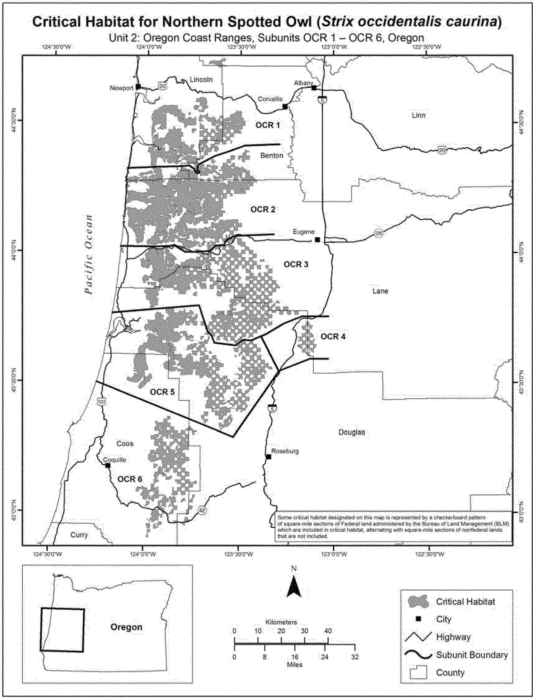
(11) Unit 3: Redwood Coast, Oregon and California. Map of Unit 3, Redwood Coast, Oregon and California, follows:

(12) Unit 4: West Cascades North, Washington. Map of Unit 4, West Cascades North, Washington, follows:

(13) Unit 5: West Cascades Central, Washington. Map of Unit 5, West Cascades Central, Washington, follows:

(14) Unit 6: West Cascades South, Washington. Map of Unit 6, West Cascades South, Washington, follows:

(15) Unit 7: East Cascades North, Washington and Oregon. Maps of Unit 7, East Cascades North, Washington and Oregon, follow:


(16) Unit 8: East Cascades South, California and Oregon. Map of Unit 8, East Cascades South, California and Oregon, follows:

(17) Unit 9: Klamath West, Oregon and California. Map of Unit 9: Klamath West, Oregon and California, follows:

(18) Unit 10: Klamath East, California. Map of Unit 10: Klamath East, California, follows:

(19) Unit 11: Interior California Coast, California. Map of Unit 11: Interior California Coast, California, follows:

Palila (Psittirostra bailleui)
Hawaii. An area of land, water, and airspace on the island of Hawaii, Hawaii County, with the following components: (1) The State of Hawaii Mauna Kea Forest Reserve, except (a) that portion above the 10,000 foot contour line, (b) that portion south of the Saddle Road (State Highway 20), (c) lands owned by the United States in the Pohakuloa Training Area north of the Saddle Road (State Highway 20) established by Executive Order 1719 (Parcel 6, State of Hawaii Tax Map Key 4-4-16, Third Division). (d) that portion (Parcel 10, Kaohe IV, State of Hawaii Tax Map Key 4-4-16, Third Division) lying north of the Saddle Road (State Highway 20) and south of the Power Line Road; (2) that portion of the State of Hawaii Kaohe Game Management Area (Parcel 4, State of Hawaii Tax Map Key 4-4-15, Third Division) to the north and east of the Saddle Road (State Highway 20); (3) that portion of the Upper Waikii Paddock (Parcel 2, State of Hawaii Tax Map Key 4-4-15, Third Division) northeast of the Saddle Road (State Highway 20); (4) that portion of the lands of Humuula between Puu Kahinahina and Kole lying southeast of the Mauna Kea Forest Reserve fence (portions of Parcels 2, 3, and 7, State of Hawaii Tax Map Key 3-8-1, Third Division) which are included in the State conservation district.
The map provided is for informational purposes only. Map follows:

Maui Parrotbill (Kiwikiu) (Pseudonestor xanthophrys)
(1) Critical habitat units are depicted for Maui County, Hawaii, on the maps below.
(2) Primary constituent elements. (i) In units 1 and 37, the primary constituent elements of critical habitat for the Kiwikiu are:
(A) Elevation: Less than 3,300 ft (1,000 m).
(B) Annual precipitation: 50 to 75 in (130 to 190 cm).
(C) Substrate: Shallow soils, little to no herbaceous layer.
(D) Canopy: Acacia, Diospyros,Metrosideros, Myrsine,Pouteria, Santalum.
(E) Subcanopy: Dodonaea, Freycinetia,Leptecophylla, Melanthera,Osteomeles, Pleomele, Psydrax.
(F) Understory: Carex, Dicranopteris,Diplazium, Elaphoglossum,Peperomia.
(ii) In units 2, 3, 4, 5, 6, 7, 8, 9, 38, and 39, the primary constituent elements of critical habitat for the Kiwikiu are:
(A) Elevation: Less than 3,300 ft (1,000 m).
(B) Annual precipitation: Greater than 75 in (190 cm).
(C) Substrate: Clays; ashbeds; deep, well-drained soils; lowland bogs.
(D) Canopy: Antidesma, Metrosideros,Myrsine, Pisonia,Psychotria.
(E) Subcanopy: Cibotium, Claoxylon,Kadua, Melicope.
(F) Understory: Alyxia, Cyrtandra,Dicranopteris, Diplazium, Machaerina, Microlepia.
(iii) In units 10, 11, 12, 13, 14, 15, 16, 40, and 41, the primary constituent elements of critical habitat for the Kiwikiu are:
(A) Elevation: Between 3,300 and 6,500 ft (1,000 and 2,000 m)
(B) Annual precipitation: Greater than 75 in (190 cm).
(C) Substrate: Well-developed soils, montane bogs.
(D) Canopy: Acacia, Charpentiera,Cheirodendron, Metrosideros.
(E) Subcanopy: Broussaisia, Cibotium,Eurya, Ilex,Myrsine.
(F) Understory: Ferns, Carex, Coprosma,Leptecophylla, Oreobolus, Rhynchospora, Vaccinium.
(iv) In units 18, 19, 20, 21, 22, and 42, the primary constituent elements of critical habitat for the Kiwikiu are:
(A) Elevation: Between 3,300 and 6,500 ft (1,000 and 2,000 m).
(B) Annual precipitation: Between 50 and 75 in (130 and 190 cm).
(C) Substrate: Deep ash deposits, thin silty loams.
(D) Canopy: Acacia, Ilex,Metrosideros, Myrsine,Nestegis, Nothocestrum,Pisonia, Pittosporum,Psychotria, Sophora,Zanthoxylum.
(E) Subcanopy: Alyxia, Charpentiera,Coprosma, Dodonaea,Kadua, Labordia,Leptecophylla, Phyllostegia, Vaccinium.
(F) Understory: Ferns, Carex, Peperomia.
(v) In units 24 and 25, the primary constituent elements of critical habitat for the Kiwikiu are:
(A) Elevation: Between 6,500 and 9,800 ft (2,000 and 3,000 m).
(B) Annual precipitation: Between 15 and 40 in (38 and 100 cm).
(C) Substrate: Dry ash; sandy loam; rocky, undeveloped soils; weathered lava.
(D) Canopy: Chamaesyce, Chenopodium,Metrosideros, Myoporum,Santalum, Sophora.
(E) Subcanopy: Coprosma, Dodonaea,Dubautia, Geranium,Leptecophylla, Vaccinium, Wikstroemia.
(F) Understory: Ferns, Bidens, Carex,Deschampsia, Eragrostis,Gahnia, Luzula,Panicum, Pseudognaphalium,Sicyos, Tetramolopium.
(vi) In units 26, 27, 28, and 29, the primary constituent elements of critical habitat for the Kiwikiu are:
(A) Elevation: Unrestricted.
(B) Annual precipitation: Less than 75 in (190 cm).
(C) Substrate: Greater than 65 degree slope, rocky talus.
(D) Canopy: None.
(E) Subcanopy: Antidesma, Chamaesyce,Diospyros, Dodonaea.
(F) Understory: Bidens, Eragrostis,Melanthera, Schiedea.
(vii) In units 30, 31, 32, 33, 35, 36, 43, and 44, the primary constituent elements of critical habitat for the Kiwikiu are:
(A) Elevation: Unrestricted.
(B) Annual precipitation: Greater than 75 in (190 cm).
(C) Substrate: Greater than 65 degree slope, shallow soils, weathered lava.
(D) Canopy: None.
(E) Subcanopy: Broussaisia, Cheirodendron,Leptecophylla, Metrosideros.
(F) Understory: Bryophytes, ferns, Coprosma, Dubautia,Kadua, Peperomia.
(3) Existing manmade features and structures, such as buildings, roads, railroads, airports, runways, other paved areas, lawns, and other urban landscaped areas, do not contain one or more of the physical or biological features. Federal actions limited to those areas, therefore, would not trigger a consultation under section 7 of the Act unless they may affect the species or physical or biological features in adjacent critical habitat.
(4) Critical habitat maps. Maps were created in GIS, with coordinates in UTM Zone 4, units in meters using North American datum of 1983 (NAD 83).
(5) Index maps of critical habitat units for the Kiwikiu follow:


(6) Pseudonestor xanthophrys - Unit 1 - Lowland Mesic-Maui, Maui County, Hawaii (477 ac; 193 ha). This unit is critical habitat for the Kiwikiu, Pseudonestor xanthophrys. Map of Pseudonestor xanthophrys - Unit 1 - Lowland Mesic-Maui follows:

(7) Pseudonestor xanthophrys - Unit 2 - Lowland Wet-Maui, Maui County, Hawaii (16,079 ac, 6,507 ha). This unit is critical habitat for the Kiwikiu, Pseudonestor xanthophrys. Map of Pseudonestor xanthophrys - Unit 2 - Lowland Wet-Maui follows:

(8) Pseudonestor xanthophrys - Unit 3 - Lowland Wet-Maui, Maui County, Hawaii (65 ac, 26 ha); Pseudonestor xanthophrys - Unit 4 - Lowland Wet-Maui, Maui County, Hawaii (1,247 ac, 505 ha); Pseudonestor xanthophrys - Unit 5 - Lowland Wet-Maui, Maui County, Hawaii (864 ac, 350 ha); and Pseudonestor xanthophrys - Unit 7 - Lowland Wet-Maui, Maui County, Hawaii (136 ac, 55 ha). These units are critical habitat for the Kiwikiu, Pseudonestor xanthophrys. Map of Pseudonestor xanthophrys - Unit 3 - Lowland Wet-Maui, Pseudonestor xanthophrys - Unit 4 - Lowland Wet 4-Maui, Pseudonestor xanthophrys - Unit 5 - Lowland Wet-Maui, and Pseudonestor xanthophrys - Unit 7 - Lowland Wet-Maui follows:

(9) Pseudonestor xanthophrys - Unit 6 - Lowland Wet-Maui, Maui County, Hawaii (30 ac, 12 ha); Pseudonestor xanthophrys - Unit 8 - Lowland Wet-Maui, Maui County, Hawaii (898 ac, 364 ha); and Pseudonestor xanthophrys - Unit 9 - Lowland Wet-Maui, Maui County, Hawaii (230 ac, 93 ha). These units are critical habitat for the Kiwikiu, Pseudonestor xanthophrys. Map of Pseudonestor xanthophrys - Unit 6 - Lowland Wet-Maui, Pseudonestor xanthophrys - Unit 8 - Lowland Wet-Maui, and Pseudonestor xanthophrys - Unit 9 - Lowland Wet-Maui follows:

(10) Pseudonestor xanthophrys - Unit 10 - Montane Wet-Maui, Maui County, Hawaii (2,110 ac, 854 ha); Pseudonestor xanthophrys - Unit 11 - Montane Wet-Maui, Maui County, Hawaii (14,583 ac, 5,901 ha); Pseudonestor xanthophrys - Unit 12 - Montane Wet-Maui, Maui County, Hawaii (2,228 ac, 902 ha); Pseudonestor xanthophrys - Unit 13 - Montane Wet-Maui, Maui County, Hawaii (1,833 ac, 742 ha); and Pseudonestor xanthophrys - Unit 14 - Montane Wet-Maui, Maui County, Hawaii (387 ac, 156 ha). These units are critical habitat for the Kiwikiu, Pseudonestor xanthophrys. Map of Pseudonestor xanthophrys - Unit 10 - Montane Wet-Maui, Pseudonestor xanthophrys - Unit 11 - Montane Wet-Maui, Pseudonestor xanthophrys - Unit 12 - Montane Wet-Maui, Pseudonestor xanthophrys - Unit 13 - Montane Wet-Maui, and Pseudonestor xanthophrys - Unit 14 - Montane Wet-Maui follows:

(11) Pseudonestor xanthophrys - Unit 15 - Montane Wet-Maui, Maui County, Hawaii (1,399 ac, 566 ha), and Pseudonestor xanthophrys - Unit 16 - Montane Wet-Maui, Maui County, Hawaii (80 ac, 32 ha). These units are critical habitat for the Kiwikiu, Pseudonestor xanthophrys. Map of Pseudonestor xanthophrys - Unit 15 - Montane Wet-Maui, and Pseudonestor xanthophrys - Unit 16 - Montane Wet-Maui follows:

(12) [Reserved]
(13) Pseudonestor xanthophrys - Unit 18 - Montane Mesic-Maui, Maui County, Hawaii (10,972 ac, 4,440 ha). This unit is critical habitat for the Kiwikiu, Pseudonestor xanthophrys. Map of Pseudonestor xanthophrys - Unit 18 - Montane Mesic-Maui follows:

(14) Pseudonestor xanthophrys - Unit 19 - Montane Mesic-Maui, Maui County, Hawaii (124 ac, 50 ha); Pseudonestor xanthophrys - Unit 20 - Montane Mesic-Maui, Maui County, Hawaii (174 ac, 70 ha); Pseudonestor xanthophrys - Unit 21 - Montane Mesic-Maui, Maui County, Hawaii (72 ac, 29 ha); and Pseudonestor xanthophrys - Unit 22 - Montane Mesic-Maui, Maui County, Hawaii (170 ac, 69 ha). These units are critical habitat for the Kiwikiu, Pseudonestor xanthophrys. Map of Pseudonestor xanthophrys - Unit 19 - Montane Mesic-Maui, Pseudonestor xanthophrys - Unit 20 - Montane Mesic-Maui, Pseudonestor xanthophrys - Unit 21 - Montane Mesic, and Pseudonestor xanthophrys - Unit 22 - Montane Mesic-Maui follows:

(15) [Reserved]
(16) Pseudonestor xanthophrys - Unit 24 - Subalpine-Maui, Maui County, Hawaii (15,975 ac, 6,465 ha), and Pseudonestor xanthophrys - Unit 25 - Subalpine-Maui, Maui County, Hawaii (9,886 ac, 4,001 ha). These units are critical habitat for the Kiwikiu, Pseudonestor xanthophrys. Map of Pseudonestor xanthophrys - Unit 24 - Subalpine-Maui and Pseudonestor xanthophrys - Unit 25 - Subalpine-Maui follows:

(17) Pseudonestor xanthophrys - Unit 26 - Dry Cliff-Maui, Maui County, Hawaii (755 ac, 305 ha); Pseudonestor xanthophrys - Unit 27 - Dry Cliff-Maui, Maui County, Hawaii (200 ac, 81 ha); and Pseudonestor xanthophrys - Unit 28 - Dry Cliff-Maui, Maui County, Hawaii (315 ac, 127 ha). These units are critical habitat for the Kiwikiu, Pseudonestor xanthophrys. Map of Pseudonestor xanthophrys - Unit 26 - Dry Cliff-Maui, Pseudonestor xanthophrys - Unit 27 - Dry Cliff-Maui, and Pseudonestor xanthophrys - Unit 28 - Dry Cliff-Maui follows:

(18) Pseudonestor xanthophrys - Unit 29 - Dry Cliff-Maui, Maui County, Hawaii (1,298 ac, 525 ha). This unit is critical habitat for the Kiwikiu, Pseudonestor xanthophrys. Map of Pseudonestor xanthophrys - Unit 29 - Dry Cliff-Maui follows:

(19) Pseudonestor xanthophrys - Unit 30 - Wet Cliff-Maui, Maui County, Hawaii (290 ac, 117 ha). This unit is critical habitat for the Kiwikiu, Pseudonestor xanthophrys. Map of Pseudonestor xanthophrys - Unit 30 - Wet Cliff-Maui follows:

(20) Pseudonestor xanthophrys - Unit 31 - Wet Cliff-Maui, Maui County, Hawaii (1,407 ac, 569 ha); Pseudonestor xanthophrys - Unit 32 - Wet Cliff-Maui, Maui County, Hawaii (438 ac, 177 ha); and Pseudonestor xanthophrys - Unit 33 - Wet Cliff-Maui, Maui County, Hawaii (184 ac, 75 ha). These units are critical habitat for the Kiwikiu, Pseudonestor xanthophrys. Map of Pseudonestor xanthophrys - Unit 31 - Wet Cliff-Maui, Pseudonestor xanthophrys - Unit 32 - Wet Cliff-Maui, and Pseudonestor xanthophrys - Unit 33 - Wet Cliff-Maui follows:

(21) [Reserved]
(22) Pseudonestor xanthophrys - Unit 35 - Wet Cliff-Maui, Maui County, Hawaii (2,110 ac, 854 ha), and Pseudonestor xanthophrys - Unit 36 - Wet Cliff-Maui, Maui County, Hawaii (556 ac, 225 ha). These units are critical habitat for the Kiwikiu, Pseudonestor xanthophrys. Map of Pseudonestor xanthophrys - Unit 35 - Wet Cliff-Maui, and Pseudonestor xanthophrys - Unit 36 - Wet Cliff-Maui follows:

(23) Pseudonestor xanthophrys - Unit 37 - Lowland Mesic-Molokai, Maui County, Hawaii (8,770 ac, 3,549 ha). This unit is critical habitat for the Kiwikiu, Pseudonestor xanthophrys. Map of Pseudonestor xanthophrys - Unit 37 - Lowland Mesic-Molokai follows:

(24) Pseudonestor xanthophrys - Unit 38 - Lowland Wet-Molokai, Maui County, Hawaii (2,949 ac, 1,193 ha), and Pseudonestor xanthophrys - Unit 39 - Lowland Wet-Molokai, Maui County, Hawaii (1,950 ac, 790 ha). These units are critical habitat for the Kiwikiu, Pseudonestor xanthophrys. Map of Pseudonestor xanthophrys - Unit 38 - Lowland Wet-Molokai and Pseudonestor xanthophrys - Unit 39 - Lowland Wet-Molokai follows:

(25) Pseudonestor xanthophrys - Unit 40 - Montane Wet-Molokai, Maui County, Hawaii (3,397 ac, 1,375 ha), and Pseudonestor xanthophrys - Unit 41 - Montane Wet-Molokai, Maui County, Hawaii (910 ac, 368 ha). These units are critical habitat for the Kiwikiu, Pseudonestor xanthophrys. Map of Pseudonestor xanthophrys - Unit 40 - Montane Wet-Molokai and Pseudonestor xanthophrys - Unit 41 - Montane Wet-Molokai follows:

(26) Pseudonestor xanthophrys - Unit 42 - Montane Mesic-Molokai, Maui County, Hawaii (816 ac, 330 ha). This unit is critical habitat for the Kiwikiu, Pseudonestor xanthophrys. Map of Pseudonestor xanthophrys - Unit 42 - Montane Mesic-Molokai follows:

(27) Pseudonestor xanthophrys - Unit 43 - Wet Cliff-Molokai, Maui County, Hawaii (1,607 ac, 651 ha), and Pseudonestor xanthophrys - Unit 44 - Wet Cliff-Molokai, Maui County, Hawaii (1,268 ac, 513 ha). These units are critical habitat for the Kiwikiu, Pseudonestor xanthophrys. Map of Pseudonestor xanthophrys - Unit 43 - Wet Cliff-Molokai and Pseudonestor xanthophrys - Unit 44 - Wet Cliff-Molokai follows:

Piping Plover (Charadrius melodus) - Great Lakes Breeding Population
1. Critical habitat units are depicted for St. Louis County, Minnesota; Douglas, Ashland, Marinette, and Manitowoc Counties, Wisconsin; Lake County, Illinois; Porter County, Indiana; Erie and Lake Counties, Ohio; Erie County, Pennsylvania; Oswego and Jefferson Counties, New York; and Alger, Schoolcraft, Luce, Mackinac, Chippewa, Iosco, Presque Isle, Cheboygan, Emmet, Charlevoix, Leelanau, Benzie, Mason, and Muskegon Counties, Michigan, on the maps below. The maps provided are for informational purposes only.
2. i. The primary constituent elements required to sustain the Great Lakes breeding population of the piping plover are found on Great Lakes islands and mainland shorelines that support open, sparsely vegetated sandy habitats, such as sand spits or sand beaches, that are associated with wide, unforested systems of dunes and inter-dune wetlands. In order for habitat to be physically and biologically suitable for piping plovers, it must have a total shoreline length of at least 0.2 km (0.12 mi) of gently sloping, sparsely vegetated (less than 50 percent herbaceous and low woody cover) sand beach with a total beach area of at least 2 hectares (ha) (5 acres (ac)) and a low level of disturbance from human activities and from domestic animals. As the nesting season progresses, the level of disturbance tolerated by piping plovers increases. A lower level of disturbance is required at the beginning of the nesting period during nest site selection, egg laying, and incubation. Beach activities that may be associated with a high level of disturbance include, but are not limited to, walking pets off leash, loud noise, driving ATVs, or significantly increased human presence. The level of disturbance is relative to the proximity to the nest, intensity, and frequency of these and other similar activities.
ii. Appropriately sized sites must also have areas of at least 50 meters (m) (164 feet (ft)) in length where the beach width is more than 7 m (23 ft), there is protective cover for nests and chicks, and the distance to the treeline (from the normal high water line to where the forest begins) is more than 50 m (164 ft). Beach width is defined as the distance from the normal high water line to the foredune (a low barrier dune ridge immediately inland from the beach) edge, or to the sand/vegetation boundary in areas where the foredune is absent. The beach width may be narrower than 7 m (23 ft) if appropriate sand and cobble areas of at least 7 m (23 ft) exist between the dune and the treeline. Protective cover for nests and chicks consists of small patches of herbaceous vegetation, cobble (stones larger than 1 cm (0.4 inches (in)) diameter), gravel (stones smaller than 1 cm (0.4 in) diameter), or debris such as driftwood, wrack, root masses, or dead shrubs.
iii. The dynamic ecological processes that create and maintain piping plover habitat are also important primary constituent elements. These geologically dynamic lakeside regions are controlled by processes of erosion, accretion, plant succession, and lake-level fluctuations. The integrity of the habitat components depends upon regular sediment transport processes, as well as episodic, high-magnitude storm events. By their nature, Great Lakes shorelines are in a constant state of change; habitat features may disappear, or be created nearby. The critical habitat boundaries reflect these natural processes and the dynamic character of Great Lakes shorelines.
3. Critical habitat does not include existing features and structures, such as buildings, marinas, paved areas, boat ramps, piers, bridges, lighthouses, and similar structures not containing one or more of the primary constituent elements.
Maps follows:

Map of Units MN/WI-1, WI-1, WI-2, and WI-3
MN/WI-1: St Louis County, Minnesota. From USGS 1:24,000 quadrangle map West Duluth, Minnesota (1953, photorevised 1969). Lands 500 m (1640 feet) inland from normal high water line on Interstate Island in T49N R14W S10
WI-1: Douglas County, Wisconsin. From USGS 1:24,000 quadrangle maps Parkland, Wisconsin (1954, photorevised 1975) and Superior, Wisconsin (1954, photorevised 1983). Lands 500 meters (1640 feet) inland from normal high water line from the mouth of Dutchman Creek west-northwestward along the Lake Superior shoreline to the breakwall forming the Superior Front Channel opening to Lake Superior at the Douglas and St. Louis County line.
WI-2: Ashland County, Wisconsin. From USGS 1:24,000 quadrangle maps Cedar, Wisconsin (1964, photorevised 1975); Chequamegon Point, Wisconsin (1964, photorevised 1975); and Long Island, Wisconsin (1964). Lands 500 meters (1640 feet) inland from normal high water line from the southern boundary of T48N R3W, section 1 northwestward along the Lake Superior shoreline to Chequamegon Point Light.
WI-3: Ashland County, Wisconsin. From USGS 1:24,000 quadrangle map Michigan Island, Wisconsin (1963). Lands 500 meters (1640 feet) inland from normal high water line on Michigan Island within T51N R1W sections 28, 20, and 21.
Map follows:

Map of Units WI-4 and WI-5
WI-4: Marinette County, Wisconsin. From USGS 1:24,000 quadrangle map Marinette East, Wisconsin (1963, photorevised 1969). Lands 500 m (1640 ft) inland from normal high water line from the end of Leonard Street at Red Arrow Park in T30N R24E section 9 south-southeastward to the south end of Seagull Bar including nearshore sand bars.
WI-5: Manitowoc County, Wisconsin. From USGS 1:24,000 quadrangle map Two Rivers, Wisconsin (1978). Lands 500 m (1640 ft) inland from normal high water line from the southwest property boundary of Point Beach State Forest near Neshotah Park in the city of Twin Rivers (T20N R25E section 31) northwestward along the Lake Michigan shoreline to the south boundary of section 9, T20N R25E, at Rawley Point.
Map follows:

Map of Units IL-1 and IN-1
IL-1: Lake County, Illinois. From USGS 1:24,000 quadrangle maps Zion, Illinois (1993) and Waukegan, Illinois (1993). Lands 500 m (1640 ft) inland from normal high water line from 17th Street and the Lake Michigan shoreline in Illinois Beach State Park T46N R12E section 14 (Zion, Ill. quad) southward along the Lake Michigan shoreline (excluding the portion of Lake Michigan shoreline from dividing line of T46N R12E sections 23 and 26 to 500 m (1,640 ft) south of the Illinois Beach State Park Lodge and Conference Center) to the Waukegan Beach breakwall at North Beach Park T45N R12E section 22 (Waukegan quad).
IN-1: Porter County, Indiana. From USGS 1:24,000 quadrangle maps Ogden Dunes, Indiana (1991) and Dune Acres, Indiana (1991). Lands 500 m (1640 ft) inland from normal high water line from the western boundary of the Cowels Bog/Dune Acres Unit, (located east of the Port of Indiana and the NIPSCO Baily Generating Station) east-northeastward along the Indiana Dunes State Park to Kemil Road at Beverly Shores.
Map follows:

Map of Units MI-1 through MI-23
MI-1: Chippewa, Luce, and Alger Counties, Michigan. From USGS 1:24,000 quadrangle maps Whitefish Point, Michigan (1951); Vermilion, Michigan (1951); Betsy Lake North, Michigan (1968); Muskallonge Lake East, Michigan (1968); Muskallonge Lake West, Michigan (1968); and Grand Marais, Michigan (1968). Lands 500 m (1640 ft) inland from normal high water line within the junction of the southern boundary of T50N R5W section 6 (Whitefish Point quad) and including the shore of Lake Superior following the shoreline northeast to Whitefish Point, then following the Lake Superior shoreline westward around the point(Vermilion SE, Vermilion quads), crossing the Luce County line and continuing westward (Betsy Lake North, Betsy Lake Northwest) across the Alger County line (Grand Marais East) to Lonesome Point and the East Bay of the Sucker River (Grand Marais quad) and following the shoreline along the inner bay of Grand Marais Harbor past Carpenter Creek and ending at the shoreline north of the east end of the private road originating at the junction of Highway 58, Morris Road, and Veteran Road. The unit then continues from the breakwall north of the harbor, along the Lake Superior shoreline of Grand Marais near the former Coast Guard station (Grand Marais quad) westward along the Lake Superior shoreline to the Pictured Rocks National Lakeshore property boundary in T49N R14W section 1.
MI-2: Mackinac County, Michigan. From USGS 1:24,000 quadrangle map Pointe Aux Chenes, Michigan (1964, photorevised 1975). Lands 500 m (1640 ft) inland from normal high water line from the mouth of the Pointe Aux Chenes river following the Lake Michigan shoreline northwestward to the Hiawatha National Forest property boundary at the junction of T41N R5W sections 23 and 26.
MI-3: Schoolcraft and Mackinac Counties, Michigan. From USGS 1:24,000 quadrangle map Hughes Point, Michigan (1972). Lands 500 m (1640 ft) inland from normal high water line from the westernmost breakwall at the Port Inland Gaging Station following the Lake Michigan shoreline eastward along Hughes Point to the mouth of Swan Creek.
MI-4: Emmet County, Michigan. From USGS 1:24,000 quadrangle maps Big Stone Bay, Michigan (1964, photoinspected 1975); Waugoshance Island, Michigan (provisonal 1982); Bliss, Michigan (1982); Cross Village, Michigan (1982). Lands 500 m (1640 ft) inland from normal high water line from the junction of the northeast corner of T39N R5W section 28 (Big Stone Bay quad) and Lake Michigan shoreline westward along the shoreline around and including Temperance and Waugoshance islands and any nearshore sandbars (Waugoshance Island quad), along the southern side of Waugoshance Point following the shoreline southeastward to Big Sucker Creek, continuing southward and southwestward along Sturgeon Bay Point (Bliss quad) and continuing southward along the Lake Michigan shoreline to the southwest boundary of T37N R6W section 5.
MI-5: Emmet County, Michigan. From USGS 1:24,000 quadrangle map Forest Beach, Michigan. Lands 500 m (1640 ft) inland from normal high water line from the junction of Lake Michigan shoreline and the northwest boundary of T36N R6W section 30 south-southeastward along Lake Michigan shoreline to the junction of the shoreline and the southeast corner of T35N R6W section 9.
MI-6: Emmet County, Michigan. From USGS 1:24,000 quadrangle map Harbor Springs, Michigan. Lands 500 m (1640 ft) inland from normal high water line from the mouth of Tannery Creek north along Lake Michigan shoreline of Little Traverse Bay crossing the northern property boundary of Petoskey State Park to include the shoreline of Mononaqua Beach within T35N R5W sections 22 and 21.
MI-7: Charlevoix County, Michigan. From USGS 1:24,000 quadrangle maps Ironton, Michigan (1983) and Charlevoix, Michigan (1983). Lands 500 m (1640 ft) inland from normal high water line within T34N R8W section 14.
MI-8: Charlevoix County, Michigan. From USGS 1:24,000 quadrangle map Charlevoix, Michigan (1983). Lands 500 m (1640 ft) inland from normal high water line from the junction of the line separating T34N R8W section 31 and T33N R8W section 6 with the Lake Michigan shore then extends southwestward along the shoreline and including Fisherman's Island to the Fisherman's Island State Park property boundary at the end of Lakeshore Drive where it meets the line between T33N R9W sections 12 and 1.
MI-9: Charlevoix County, Michigan. From USGS 1:24,000 quadrangle maps Garden Island West, Michigan (1980) and Beaver Island North (1986). Lands 500 m (1640 ft) inland from normal high water line from Indian Point (Garden Island West quad) T39N R10W section 20 southward along the west Lake Michigan shoreline of Beaver Island including Donegal Bay and McCauley Point and ending at the junction of the dividing line of T39 N R10W and T38N R10W and the Lake Michigan shoreline (Beaver Island North quad).
MI-10: Charlevoix County, Michigan. From USGS 1:24,000 quadrangle map Beaver Island North (1986). Lands 500 m (1640 ft) inland from normal high water line from the junction of Lake Michigan and the northwest corner of T38N R11W section 25 southward along the Lake Michigan shoreline to the junction of the Lake Michigan shoreline and the dividing line between T39N and T38N R11W.
MI-11: Charlevoix County, Michigan. From USGS 1:24,000 quadrangle map High Island(1986). Lands 500 m (1640 ft) inland from normal high water line within T39N R11W sections 27 and 32 and T38N R11W section 5.
MI-12: Leelanau County, Michigan. From USGS 1:24,000 quadrangle maps Northport, Michigan (provisional 1983)and Northport NW, Michigan (provisional 1983). Lands 500 m (1640 ft) inland from normal high water line from the intersection of the Lake Michigan shoreline and the line between T32N R11W section 12 and T32N R10W section 7 - excluding lands covered by the Magic Carpet Woods Association HCP, approximately 2,600 feet of frontage on Cathead Bay within the east half of the southwest quarter and the west half of the southeast quarter of Section 14, T32N, R11W in Leelanau Township - then following the shoreline southwestward and past Cathead Point in T32N R11W section 15 (Northport quad) southwestward along the Lake Michigan shoreline to the intersection of the shoreline with the southern boundary of T32N R11W section 16 north of Christmas Cove (Northport NW quad).
MI-13: Leelanau County, Michigan. From USGS 1:24,000 quadrangle map South Fox Island (provisional 1986). Lands 500 m (1640 ft) inland from normal high water line within T34N R13W sections 15, 16, and 21 and T35R13W section 30.
MI-14: Leelanau County, Michigan. From USGS 1:24,000 quadrangle map North Manitou Island (provisional 1983). Lands 500 m (1640 ft) inland from normal high water line within T31N R14W sections 22, 23, 27 and 28 on North Manitou Island.
MI-15: Leelanau County, Michigan. From USGS 1:24,000 quadrangle maps Glen Arbor, Michigan (1983); Glen Haven, Michigan (1983); and Empire, Michigan (1983). Lands 500 m (1640 ft) inland from normal high water line from Crystal Run in T29N R14W section 14 (Glen Arbor quad) south-southwestward and westward along the Lake Michigan shoreline, then west-northwestward to Sleeping Bear Point (Glen Haven quad) and southwestward and south to the southern Sleeping Bear Dunes National Lakeshore property boundary in T28N R15W section 13 (Empire quad).
MI-16: Benzie County, Michigan. From USGS 1:24,000 quadrangle maps Empire, Michigan (1983); Beulah, Michigan (provisional 1983); and Frankfort, Michigan (1983). Lands 500 m (1640 ft) inland from normal high water line from Esch Road in T27N R15W section 1 (Empire quad) south-southwestward along the shoreline of Lake Michigan at Platte Bay (Beulah quad), then westward along the shoreline of Lake Michigan to Platte River Point (Frankfort quad) continuing west-southwestward to the Sleeping Bear Dunes National Lakeshore property boundary at Sutter Road in T27N R16Wsection 26. Continuing from the junction of Lake Michigan shoreline and Point Betsie Natural Area property boundary in T27N R16W section 33 southward along the Lake Michigan shoreline to include all shoreline within T26N16W section 4.
MI-17: Mason County, Michigan. From USGS 1:24,000 quadrangle maps Manistee NW, Michigan (provisional 1923) and Hamlin Lake, Michigan (1982). Lands 500 m (1640 ft) inland from normal high water line from the mouth of Cooper Creek T20N R18W section 13 (Manistee NW quad) south-southwestward following the Lake Michigan shoreline along Big Sable Point (Hamlin Lake quad) to the mouth of the Big Sable River T19N R18W section 19.
MI-18: Muskegon County, Michigan. From USGS 1:24,000 quadrangle map Muskegon West (1972, photoinspected 1980) and Dalton (1983). Lands 500 m (1640 ft) inland from normal high water line from the north breakwall of the canal joining Muskegon Lake and Lake Michigan (Muskegon West quad) north along the Lake Michigan shoreline to the northern Muskegon State Park property boundary at the shoreline (Dalton quad).
MI-19: Chippewa County, Michigan. From USGS 1:24,000 quadrangle maps Albany Island, Michigan (1964, photoinspected 1976) and DeTour Village, Michigan (1964). Lands 500 m (1640 ft) inland from normal high water line from the State Forest boundary in T41N R3E section 11 (Albany Island quad) and follows the Lake Huron shoreline east south eastward around and including St. Vital Point and then north to the mouth of Joe Straw Creek in T41N R3E section 12(De Tour Village quad).
MI-20: Cheboygan County, Michigan. From USGS 1:24,000 quadrangle maps Cheboygan, Michigan (1982) and Cordwood Point, Michigan (1982). Lands 500 m (1640 ft) inland from normal high water line from the junction of the Lake Huron shoreline and the western boundary of T38N R1W section 22 (Cheboygan quad) eastward along the Lake Huron shoreline of Grass Bay, continuing to the western boundary of T38N R1E section 20 (Cordwood Point quad).
MI-21: Presque Isle County, Michigan. From USGS 1:24,000 quadrangle maps Roger's City, Michigan (1971) and Moltke, Michigan (1971). Lands 500 m (1640 ft) inland from normal high water line within T35N R5E section 6 and T36N R5E section 31 (Roger's City quad) continuing northwestward to the junction of Nagel Rd and Forty Mile Road at the junction of T36N R4E section 25 and T36N R5E section 30 (Moltke quad).
MI-22: Presque Isle County, Michigan. From USGS 1:24,000 quadrangle map Thompson's Harbor, Michigan (1971). Lands 500 m (1640 ft) inland from normal high water line from Black Point to Grand Lake Outlet including shoreline within T34N R7E sections 10, 11, 14, and 15.
MI-23: Iosco County, Michigan. From USGS 1:24,000 quadrangle map East Tawas, Michigan (1989). Lands 500 m (1640 ft) inland from normal high water line from the Tawas Sate Park boundary at the U.S. Coast Guard Station on the east side of Tawas Point southward along the Lake Huron shoreline including offshore sand spits and along the tip of the point and northeastward including all shoreline in T22N R8E section 34.
Map follows:

Map of Units OH-1 and OH-2
OH-1: Erie County, Ohio. From USGS 1:24,000 quadrangle maps Huron, Ohio (1969) and Sandusky, Ohio (1969, photorevised 1975). Lands 500 m (1640 ft) inland from normal high water line from the mouth of Sawmill Creek (Huron quad) northwestward along the Lake Erie shoreline to the western property boundary of Sheldon Marsh State Natural Area in T6N R23W (Sandusky quad) at the point where the Cedar Point causeway turns west and south toward Sandusky.
OH-2: Lake County, Ohio. From USGS 1:24,000 quadrangle map Mentor, Ohio (1963, revised 1992). Lands 500 m (1640 ft) inland from normal high water line from the eastern boundary line Headland Dunes Nature Preserve westward along the Lake Erie shoreline to the western boundary of the Nature Preserve and Headland Dunes State Park.
Map follows:

Map of Unit PA-1
PA-1: Erie County, Pennsylvania. From USGS 1:24,000 quadrangle map Erie North, Pennsylvania (1957, revised 1969 and 1975, photoinspected 1977). Lands 500 m (1640 ft) inland from normal high water line from the lighthouse north of Peninsula Drive on the north side of Presque Isle (located at approximately 042 degrees 09′57.41″ N and 080 degrees 06′57.57″ W) eastward along the Lake Erie shoreline around the tip of Presque Isle peninsula to the southern terminus of the hiking trail on the southeast side of Gull Point (located at approximately 042 degrees 10′3.13″ N and 080 degrees 04′29.56″ W). It includes any new beach habitat that may accrete along the present shoreline portion of the unit.
Map follows:

Map of Unit NY-1
NY-1: Oswego County, New York. From USGS 1:24,000 quadrangle maps Pulaski, New York (1956), Ellisburg, New York (1958), and Henderson, New York (1959). Lands 500 m (1640 ft) inland from normal high water line from the mouth of the Salmon River (Pulaski quad) northward along the Lake Ontario shoreline to the Oswego County-Jefferson County line (Ellisburg quad) and northward to the Eldorado Road (Henderson quad).
Map follows:

Piping Plover (Charadrius melodus) Wintering Habitat
1. The primary constituent elements of critical habitat for the wintering population of the piping plover are the habitat components that support foraging, roosting, and sheltering and the physical features necessary for maintaining the natural processes that support these habitat components. The primary constituent elements are:
(1) Intertidal sand beaches (including sand flats) or mud flats (between the mean lower low water line and annual high tide) with no or very sparse emergent vegetation for feeding. In some cases, these flats may be covered or partially covered by a mat of blue-green algae.
(2) Unvegetated or sparsely vegetated sand, mud, or algal flats above annual high tide for roosting. Such sites may have debris or detritus and may have micro-topographic relief (less than 20 in (50 cm) above substrate surface) offering refuge from high winds and cold weather.
(3) Surf-cast algae for feeding.
(4) Sparsely vegetated backbeach, which is the beach area above mean high tide seaward of the dune line, or in cases where no dunes exist, seaward of a delineating feature such as a vegetation line, structure, or road. Backbeach is used by plovers for roosting and refuge during storms.
(5) Spits, especially sand, running into water for foraging and roosting.
(6) Salterns, or bare sand flats in the center of mangrove ecosystems that are found above mean high water and are only irregularly flushed with sea water.
(7) Unvegetated washover areas with little or no topographic relief for feeding and roosting. Washover areas are formed and maintained by the action of hurricanes, storm surges, or other extreme wave actions.
(8) Natural conditions of sparse vegetation and little or no topographic relief mimicked in artificial habitat types (e.g., dredge spoil sites).
2. Critical habitat does not include manmade structures (such as buildings, aqueducts, runways, roads, and other paved areas) and the land on which they are located existing within the legal boundaries on the effective date of this rule.
3. Below, we describe each unit in terms of its location, size, and ownership. These textual unit descriptions are the definitive source for determining the critical habitat boundaries. The maps provided are for informational purposes only. All distances and areas provided here are approximated.
North Carolina (Data layers defining map units 1, 2, 4, and 5 were created from GPS data collected in the field in May and June of 2005, and modified to fit the 1:100,000 scale North Carolina county boundary with shoreline (cb100sl) data layer from the BasinPro 8 data set published by the North Carolina Center for Geographic Information and Analysis, which was compiled in 1990. Other map units were digitized using 1993 DOQQs, except NC-3 which utilized 1993 DRG.)
Unit NC-1: Oregon Inlet, 485.4 ac (196.4 ha) in Dare County, North Carolina
This unit extends from the southern portion of Bodie Island through Oregon Inlet to the northern portion of Pea Island. It begins at Ramp 4 near the Oregon Inlet Fishing Center on Bodie Island and extends approximately 4.7 mi (7.6 km) south to the intersection of NC Highway 12 and Salt Flats Wildlife Trail (near Mile Marker 30, NC Highway 12), approximately 2.9 mi (4.8 km) from the groin, on Pea Island. The unit is bounded by the Atlantic Ocean on the east and Pamlico Sound on the west and includes lands from the MLLW (mean lower low water) on the Atlantic Ocean shoreline to the line of stable, densely vegetated dune habitat (which is not used by piping plovers and where PCEs do not occur) and from the MLLW on the Pamlico Sound side to the line of stable, densely vegetated habitat, or (where a line of stable, densely vegetated dune habitat does not exist) lands from MLLW on the Atlantic Ocean shoreline to the MLLW on the Pamlico Sound side. Any emergent sandbars south and west of Oregon Inlet, including Green Island and lands owned by the State of North Carolina, such as island DR-005-05 and DR-005-06, are included (not shown on map). This unit does not include the Oregon Inlet Fishing Center, NC Highway 12 and the Bonner Bridge or its associated structures, the terminal groin, or the historic Pea Island Life-Saving Station, or any of their ancillary facilities (e.g., parking lots, out buildings).
Unit NC-2: Cape Hatteras Point, 645.8 ac (261.4 ha) in Dare County, North Carolina
This unit is entirely within Cape Hatteras National Seashore and encompasses the point of Cape Hatteras (Cape Point). The unit extends south approximately 4.5 km (2.8 miles) from the ocean groin near the old location of the Cape Hatteras Lighthouse to the point of Cape Hatteras, and then extends west 7.6 km (4.7 miles) (straight-line distances) along Hatteras Cove shoreline (South Beach) to the edge of Ramp 49 near the Frisco Campground. The unit includes lands from the MLLW on the Atlantic Ocean to the line of stable, densely vegetated dune habitat (which is not used by the piping plover and where PCEs do not occur). This unit does not include the ocean groin.
Unit NC-3: Clam Shoals. 28 ha (70 ac) in Dare County
The entire unit is owned by the State. This unit includes several islands in Pamlico Sound known as Bird Islands. This unit includes lands on all islands to the MLLW.
Unit NC-4: Hatteras Inlet, 410.0 ac (165.9 ha) in Dare and Hyde Counties, North Carolina
This unit extends from the western end of Hatteras Island to the eastern end of Ocracoke Island. The unit extends approximately 7.6 km (4.7 mi) southwest from the first beach access point at the edge of Ramp 55 at the end of NC Highway 12 near the Graveyard of the Atlantic Museum on the western end of Hatteras Island to the edge of the beach access at the ocean-side parking lot (approximately 0.1 mi south of Ramp 59) on NC Highway 12, approximately 1.25 km (0.78 mi) southwest (straightline distance) of the ferry terminal on the northeastern end of Ocracoke Island. The unit includes lands from the MLLW on the Atlantic Ocean shoreline to the line of stable, densely vegetated dune habitat (which is not used by the piping plover and where PCEs do not occur) and from the MLLW on the Pamlico Sound side to the line of stable, densely vegetated habitat, or (where a line of stable, densely vegetated dune habitat does not exist) lands from MLLW on the Atlantic Ocean shoreline to the MLLW on the Pamlico Sound side. All emergent sandbars within Hatteras Inlet between Hatteras Island and Ocracoke Island, including lands owned by the State of North Carolina such as Island DR-009-03/04 (not shown on map), are included. The unit is adjacent to but does not include the Graveyard of the Atlantic Museum, the ferry terminal, the groin on Ocracoke Island, NC Highway 12, or their ancillary facilities (e.g., parking lots, out buildings).
Unit NC-5: Ocracoke Island, 501.8 ac (203.0 ha) in Hyde County, North Carolina
This unit is entirely within Cape Hatteras National Seashore and includes the western portion of Ocracoke Island beginning at the beach access point at the edge of Ramp 72 (South Point Road), extending west approximately 3.4 km (2.1 mi) to Ocracoke Inlet, and then back east on the Pamlico Sound side to a point where stable, densely-vegetated dune habitat meets the water. This unit includes lands from the MLLW on the Atlantic Ocean shoreline to the line of stable, densely-vegetated dune habitat (which is not used by the piping plover and where PCEs do not occur) and from the MLLW on the Pamlico Sound side to the line of stable, densely vegetated habitat, or (where a line of stable, densely vegetated dune habitat does not exist) lands from MLLW on the Atlantic Ocean shoreline to the MLLW on the Pamlico Sound side. All emergent sandbars within Ocracoke Inlet are also included. This unit does not include any portion of the maintained South Point Road, NC Highway 12, or any of their ancillary facilities.
Unit NC-6: Portsmouth Island-Cape Lookout. 3187 ha (7873 ac) in Carteret County
The entire unit is within Cape Lookout National Seashore. This unit includes all land to MLLW on Atlantic Ocean to MLLW on Pamlico Sound, from Ocracoke Inlet extending west to the western end of Pilontary Islands. This unit includes the islands of Casey, Sheep, Evergreen, Portsmouth, Whalebone, Kathryne Jane, and Merkle Hammock. This unit also extends west from the eastern side of Old Drum Inlet to 1.6 km (1.0 mi) west of New Drum Inlet and includes all lands from MLLW on Atlantic Ocean to MLLW on Core Sound.
Unit NC-7: South Core Banks. 552 ha (1364 ac) in Carteret County
The entire unit is within Cape Lookout National Seashore. This unit extends south from Cape Lookout Lighthouse, along Cape Lookout, to Cape Point and northwest to the northwestern peninsula. All lands from MLLW on the Atlantic Ocean, Onslow Bay, and Lookout Bight up to where densely vegetated habitat, not used by the piping plover, begins and the constituent elements no longer occur are included.
Unit NC-8: Shackleford Banks. 716 ha (1769 ac) in Carteret County
The entire unit is within Cape Lookout National Seashore. This unit is in two parts: (1) The eastern end of Shackleford Banks from MLLW of Barden Inlet extending west 2.4 km (1.5 mi), including Diamond City Hills, Great Marsh Island, and Blinds Hammock; and, (2) The western end of Shackleford Banks from MLLW extending east 3.2 km (2.0 mi) from Beaufort Inlet. The unit includes all land from MLLW to where densely vegetated habitat, not used by the piping plover, begins and where the constituent elements no longer occur and any emergent sandbars within Beaufort Inlet. This unit is bordered by Onslow Bay, Shackleford Slue, and Back Sound.
Unit NC-9: Rachel Carson. 445 ha (1100 ac) in Carteret County
The entire unit is within the Rachel Carson National Estuarine Research Reserve. This unit includes islands south of Beaufort including Horse Island, Carrot Island, and Lennox Point. This unit includes entire islands to MLLW.
Unit NC-10: Bogue Inlet. 143 ha (354 ac) in Carteret and Onslow Counties
The majority of the unit is privately owned, with the remainder falling within Hammocks Beach State Park. This unit includes contiguous land south, west, and north of Bogue Court to MLLW line of Bogue Inlet on the western end of Bogue Banks. It includes the sandy shoals north and adjacent to Bogue Banks and the land on Atlantic Ocean side to MLLW. This unit also extends 1.3 km (0.8 mi) west from MLLW of Bogue Inlet on the eastern portion of Bear Island.
Unit NC-11: Topsail. 451 ha (1114 ac) in Pender County and Hanover County
The entire area is privately owned. This unit extends southwest from 1.0 km (0.65 mi) northeast of MLLW of New Topsail Inlet on Topsail Island to 0.53 km (0.33 mi) southwest of MLLW of Rich Inlet on Figure Eight Island. It includes both Rich Inlet and New Topsail Inlet and the former Old Topsail Inlet. All land, including emergent sandbars, from MLLW on Atlantic Ocean and sound side to where densely vegetated habitat, not used by the piping plover, begins and where the constituent elements no longer occur. In Topsail Sound, the unit stops as the entrance to tidal creeks become narrow and channelized.
Unit NC-12: Figure Eight Island. 134 ha (331 ac) in New Hanover County
The majority of the unit is privately owned. This unit extends south from the western end of Beach Road on Figure Eight Island to the northern end of Highway 74 on Wrightsville Beach. The unit includes Mason Inlet and the sand and mudflats northwest of the inlet from MLLW on Atlantic Ocean to where densely vegetated habitat, not used by the piping plover, begins and where the constituent elements no longer occur.
Unit NC-13: Masonboro. 61 ha (150 ac) in New Hanover County
The entire unit is within the North Carolina National Estuarine Research Reserve. This unit extends 1.1 km (0.70 mi) south from the MLLW of Masonboro Inlet on Masonboro Island. This unit includes all lands along the Atlantic Ocean, Masonboro Inlet, and Masonboro Sound from MLLW to where densely vegetated habitat, not used by the piping plover, begins and where the constituent elements no longer occur.
Unit NC-14: Carolina Beach Inlet. 374 ha (924 ac) in New Hanover County
The majority of the unit is within Myrtle Grove Sound on Masonboro Island and is owned by the North Carolina National Estuarine Research Reserve. It extends 1.80 km (1.12 mi) west along the south shoreline of Wolf Island from the mouth of the Altamaja sound. This unit extends south from 3.2 km (2.0 mi) north of MLLW at Carolina Beach Inlet on Masonboro Island to 1.1 km (0.70 mi) south of MLLW at Carolina Beach Inlet on Carolina Beach. It includes land from MLLW on Atlantic Ocean across and including lands to MLLW on the western side of Masonboro Island, excluding existing dredge spoil piles. Emergent sand bars within Carolina Beach Inlet are also included.
Unit NC-15: Ft. Fisher. 790 ha (1951 ac) in New Hanover and Brunswick Counties
This unit is within Ft. Fisher State Recreation Area and Zeke's Island Estuarine Reserve. This unit extends south from Ft. Fisher Islands (from the rocks), south of the ferry terminal, to approximately 0.8 km (0.5 mi) south of MLLW at Corn Cake Inlet on Smith Island. It includes all land (including Zeke's Island) from MLLW on Atlantic Ocean across to MLLW on the eastern side of the Cape Fear River.
Unit NC-16: Lockwood Folly Inlet. 36 ha (90 ac) in Brunswick County
The entire unit is on Oak Island (formerly known as the Town of Long Beach) and is privately owned. This unit extends from the end of West Beach Drive, west to MLLW at Lockwood Folly Inlet, including emergent sandbars south and adjacent to the island. This unit is includes land from MLLW on Atlantic Ocean across to MLLW adjacent to the Eastern Channel and the Intracoastal Waterway.
Unit NC-17: Shallotte Inlet. 120 ha (296 ac) in Brunswick County
The entire unit is privately owned. This unit begins just west of Skimmer Court on the western end of Holden Beach. It includes land south of SR 1116, to where densely vegetated habitat, not used by the piping plover, begins and where the constituent elements no longer occur to the MLLW along the Atlantic Ocean. It includes the contiguous shoreline from MLLW to where densely vegetated habitat, not used by the piping plover, begins and where the constituent elements no longer occur along the Atlantic Ocean, Shallotte Inlet, and Intracoastal Waterway stopping north of Skimmer Court Road. The unnamed island and emergent sandbars to MLLW within Shallotte Inlet are also included.
Unit NC-18: Mad Inlet. 112 ha (278 ac) in Brunswick County
The entire unit is privately owned. This unit extends west 1.2 km (0.75 mi) from the end of Main Street (SR 1177) on western Sunset Beach to the eastern portion of Bird Island and includes the marsh areas north of western Sunset Beach shoreline. The shoreline area begins at MLLW on the Atlantic Ocean and continues landward to where densely vegetated habitat, not used by the piping plover, begins and where the constituent elements no longer occur.


South Carolina (Maps were digitized using 1994 DOQQs)
Unit SC-1: Waites Island-North. 75 ha (186 ac) in Horry County
This unit includes the northern tip of Waites Island from the MLLW at Little River Inlet and runs west along the Atlantic Ocean shoreline 2.0 km (1.25 mi) and includes land from the MLLW to where densely vegetated habitat, not used by the piping plover, begins and where the constituent elements no longer occur. The unit continues north and west of Little River Inlet stopping at Sheephead Creek, including land from MLLW to dense vegetation line. The majority of the unit is privately owned.
Unit SC-2: Waites Island-South. 58 ha (142 ac) in Horry County
This unit includes the southern tip of Waites Island from the MLLW at Hog Inlet and runs east along the Atlantic Ocean shoreline 0.80 km (0.50 mi) and includes MLLW to where densely vegetated habitat, not used by the piping plover, begins and where the constituent elements no longer occur. It continues north and west of the Hog Inlet, stopping at the first major tributary. Critical habitat includes from MLLW to where densely vegetated habitat, not used by the piping plover, begins and where the constituent elements no longer occur. Emerging sandbars within Hog Inlet and adjacent to the tip if eastern Cherry Grove Beach are also included from MLLW to where densely vegetated habitat or developed structures, not used by the piping plover, begins and where the constituent elements no longer occur. The majority of this unit is privately owned.
Unit SC-3: Murrells Inlet/Huntington Beach. 135 ha (334 ac) in Georgetown County
The majority of the unit is within Huntington Beach State Park. This unit extends from the southern tip of Garden City Beach, just south of the groins (a rigid structure or structures built out from a shore to protect the shore from erosion or to trap sand) north of Murrells Inlet from MLLW to where densely vegetated habitat or developed structures, not used by the piping plover, begins and where the constituent elements no longer occur stopping perpendicular with the southern end of Inlet Point Drive. It includes from MLLW south of Murrells Inlet to the northern edge of North Litchfield Beach approximately 4.5 km (3.0 mi). The unit includes the MLLW from the Atlantic Ocean up to where densely vegetated habitat, not used by the piping plover, begins and where the constituent elements no longer occur. The lagoon at the north end of Huntington Beach State Park is also included.
Unit SC-4: Litchfield. 11 ha (28 ac) in Georgetown County
This unit includes the southern tip of Litchfield Beach beginning 0.50 km (0.30 mi) north of Midway Inlet and stopping at the MLLW at Midway Inlet. It includes from the MLLW on the Atlantic Ocean shoreline across and including land to the MLLW on the back bayside. This unit is mostly privately owned.
Unit SC-5: North Inlet. 99 ha (245 ac) in Georgetown County
The majority of the unit is within Tom Yawley Wildlife Center Heritage Preserve. This unit extends from MLLW to 1.0 km (.62 mi) north of North Inlet on Debidue Beach. It includes shoreline on the Atlantic Ocean from MLLW to the MLLW on the western side of the peninsula. This unit also includes from the MLLW south of North Inlet 1.6 km (1.0 mi). It includes the shoreline on the Atlantic Ocean from MLLW to where densely vegetated habitat, not used by the piping plover, begins and where the constituent elements no longer occur. It includes shoreline running south and west of the inlet from the MLLW stopping at the MLLW at the first large tributary (no name).
Unit SC-6: North Santee Bay Inlet. 305 ha (753 ac) in Georgetown County
The majority of the unit is within the Tom Yawley Wildlife Center Heritage Preserve and the Santee-Delta Wildlife Management Area. This unit is at the North Santee Bay inlet and includes lands of South Island, Santee Point, Cedar Island, and all of North Santee Sandbar. This unit includes from MLLW at North Santee Bay Inlet running north along the Atlantic Ocean side of South Island 7.2 km (4.5 mi), stopping 0.60 km (0.4 mi) north of an unnamed inlet. It includes areas from MLLW to where densely vegetated habitat, not used by the piping plover, begins and where the constituent elements no longer occur. This unit includes the eastern side of Cedar Island adjacent to the North Santee Bay Inlet from MLLW to where densely vegetated habitat, not used by the piping plover, begins and where the constituent elements no longer occur. All of North Santee Sandbar to MLLW is included.
Unit SC-7: Cape Romain. 315 ha (777 ac) in Charleston County
The majority of the unit is within Cape Romain National Wildlife Refuge. This unit includes the MLLW to where densely vegetated habitat, not used by the piping plover, begins and where the constituent elements no longer occur on the southern and southeastern most 1.9 km (1.2 mi) portion of Cape Island, the southernmost portion of Lighthouse Island from MLLW to where densely vegetated habitat, not used by the piping plover, begins and where the constituent elements no longer occur, all of Lighthouse Island South to MLLW, and the southern side of the far eastern tip of Raccoon Key from MLLW to where densely vegetated habitat, not used by the piping plover, begins and where the constituent elements no longer occur.
Unit SC-8: Bull Island. 134 ha (332 ac) in Charleston County
The majority of the unit is within Cape Romain National Wildlife Refuge and land owned by the South Carolina Department of Natural Resources. This unit includes from Schooner Creek on north and south of the river to north of Price's Inlet on the southern portion of Bull Island along the Atlantic Ocean 1.6 km (1.0 mi) and south of Price's Inlet on the northeast tip of Capers Island Heritage Preserve 1.4 km (.86 mi) along the Atlantic Ocean. All areas begin at MLLW and extend to where densely vegetated habitat, not used by the piping plover, begins and where the constituent elements no longer occur.
Unit SC-9: Stono Inlet. 495 ha (1223 ac) in Charleston County
Most of this unit is privately owned. It includes the eastern end of Kiawah Island (approximately 4.0 km (2.5 mi)) from MLLW on Atlantic Ocean running north to MLLW on first large tributary connecting east of Bass Creek running northeast into Stono River. It includes MLLW up to where densely vegetated habitat, not used by the piping plover, begins and where the constituent elements no longer occur along Stono Inlet and River. All of Bird Key-Stono Heritage Preserve and all of Skimmer Flats to MLLW are included. The Golf course and densely vegetated areas are not included.
Unit SC-10: Seabrook Island. 117 ha (290 ac) in Charleston County
This unit runs from just 0.16 km (0.10 mi) north of Captain Sams Inlet to the southwest approximately 3.4 km (2.1 mi) along the Atlantic Ocean shoreline. It includes land areas from the MLLW on the Atlantic Ocean to where densely vegetated habitat, not used by the piping plover, begins and where the constituent elements no longer occur. Most of this unit is privately owned.
Unit SC-11: Deveaux Bank. 130 ha (322 ac) in Charleston County
The entire unit is within Deveaux Bank Heritage Preserve. This unit includes all of Deveaux Island to the MLLW and is State-owned.
Unit SC-12: Otter Island. 68 ha (169 ac) in Colleton County
The majority of the unit is within St. Helena Sound Heritage Preserve. This unit includes the southern portion of Otter Island to the eastern mouth of Otter Creek. It includes the MLLW to where densely vegetated habitat, not used by the piping plover, begins and where the constituent elements no longer occur. The entire unit is State-owned.
Unit SC-13: Harbor Island. 50 ha (122 ac) in Beaufort County
The majority of the unit is State-owned. This unit extends from the northeastern tip of Harbor Island and includes all of Harbor Spit. It begins at the shoreline east of Cedar Reef Drive running south, stopping at the mouth of Johnson Creek. It includes the MLLW on the Atlantic Ocean and St. Helena Sound to where densely vegetated habitat, not used by the piping plover, begins and where the constituent elements no longer occur. All of Harber Spit to MLLW is included.
Unit SC-14: Caper's Island. 238 ha (589 ac) in Beaufort County
Most of this unit is privately owned. This unit includes the southern-most 4.5 km (2.8 mi) along the Atlantic Coast shoreline of Little Caper's Island beginning at MLLW on south side of the inlet (un-named). It includes the MLLW on the Atlantic Ocean shoreline to where densely vegetated habitat, not used by the piping plover, begins and where the constituent elements no longer occur.
Unit SC-15: Hilton Head. 43 ha (106 ac) in Beaufort County
The majority of this unit is State-owned. This unit includes the northeastern tip (Atlantic Ocean side) of Hilton Head Island and all of Joiner Bank. It begins at the shoreline east of northern Planters Row and ends at the shoreline east of Donax Road. It includes the MLLW of Port Royal Sound and the Atlantic Ocean to where densely vegetated habitat, not used by the piping plover, begins and where the constituent elements no longer occur. All of Joiner Bank to MLLW is included.


Georgia (Maps were digitized using 1993-94 DOQQs)
Unit GA-1: Tybee Island. 37 ha (91 ac) in Chatham County
The majority of the unit is privately owned. This unit extends along the northern tip of Tybee Island starting from 0.8 km (0.5 mi) northeast from the intersection of Crab Creek and Highway 80 to 0.7 km (0.41 mi) northeast from the intersection of Highway 80 and Horse Pen Creek. The unit includes MLLW on Savannah River and Atlantic Ocean to where densely vegetated habitat or developed structures, not used by the piping plover, begin and where the constituent elements no longer occur.
Unit GA-2: Little Tybee Island. 719 ha (1776 ac) in Chatham County
The majority of the unit is within Little Tybee Island State Heritage Preserve. This unit extends just south of the first inlet to Wassaw Sound along the Atlantic Ocean coastline, extending north along the sound 1.7 km (1.1 mi). It includes habitat from MLLW to where densely vegetated habitat, not used by the piping plover, begins and where the constituent elements no longer occur.
Unit GA-3: North Wassaw Island. 108 ha (267 ac) in Chatham County
The entire unit is within Wassaw National Wildlife Refuge. This unit includes the north-east tip of Wassaw Sound, 1.6 km (1.0 mi) along the inlet side and extending south along the Atlantic Ocean shoreline for 1.6 km (1.0 mi). It includes land from MLLW to where densely vegetated habitat, not used by the piping plover, begins and where the constituent elements no longer occur.
Unit GA-4: South Wassaw Island. 61 ha (151 ac) in Chatham County
The entire unit is within Wassaw National Wildlife Refuge. This unit extends from the last southern 1.6 km (1.0 mi.) on Atlantic Ocean side, around the southern tip of Wassaw Island, up to mouth of Odingsell River. It includes land from MLLW to where densely vegetated habitat, not used by the piping plover, begins and where the constituent elements no longer occur.
Unit GA-5: Ossabaw Island. 434 ha (1072 ac) in Chatham County
The entire unit is within Ossabaw Island State Heritage Preserve. This unit includes the northeastern tip from the mouth of the Bradley River east and 12 km (7.5 mi) south along the Atlantic Ocean shoreline to a point 0.4 km (0.25 mi) past the south-center inlet. It includes land from MLLW to where densely vegetated habitat, not used by the piping plover, begins and where the constituent elements no longer occur.
Unit GA-6: St. Catherine's Island Bar. 54 ha (135 ac) in Liberty County
The entire unit is State owned and located east-northeast of St. Catherine's Island. This unit includes the entire St. Catherine's Island Bar to MLLW.
Unit GA-7: McQueen's Inlet. 215 ha (532 ac) in Liberty County
The majority of the unit is private land along the eastern-central coastline on St. Catherine's Island. This unit extends from McQueen's Inlet north approximately 3.5 km (2.2 mi) and south approximately 1.8 km (1.1 mi). It includes land from MLLW to where densely vegetated habitat, not used by the piping plover, begins and where the constituent elements no longer occur.
Unit GA-8: St. Catherine's Island. 60 ha (147 ac) in Liberty County
The majority of the unit is private land on the southern tip of St. Catherine's Island. This unit starts 1.2 km (0.75 mi) north of Sapelo Sound (along Atlantic Ocean shoreline) and stops inland at Brunsen Creek. It includes land from MLLW to where densely vegetated habitat, not used by the piping plover, begins and where the constituent elements no longer occur.
Unit GA-9: Blackbeard Island. 129 ha (319 ac) in McIntosh County
The entire unit is within the Blackbeard Island National Wildlife Refuge. This unit includes the northeastern portion of the island beginning just east of the mouth of the confluence of McCloy Creek and Blackbeard Creek and continuing east and running south along the Atlantic Ocean shoreline for 1.4 km (.90 mi). It includes land from MLLW to where densely vegetated habitat, not used by the piping plover, begins and where the constituent elements no longer occur.
Unit GA-10: Sapelo Island. 85 ha (210 ac) in McIntosh County
The entire unit is State-owned and within Sapelo Island. The unit extends south of Cabretta Tip approximately 0.2 km (0.13 mi) and north of Cabretta Tip 1.6 km (1.0 mi). It includes land from MLLW to where densely vegetated habitat, not used by the piping plover, begins and where the constituent elements no longer occur.
Unit GA-11: Wolf Island. 238 ha (590 ac) in McIntosh County
The majority of the unit is within Wolf Island National Wildlife Refuge and private lands just north of the Refuge. This unit includes the southeastern tip of Queen's island adjacent to the Doboy Sound and includes the eastern shoreline of Wolf Island. It includes land from MLLW to where densely vegetated habitat, not used by the piping plover, begins and where the constituent elements no longer occur.
Unit GA-12: Egg Island Bar. 61 ha (151 ac) in McIntosh County
This unit is State owned and includes all of Egg Island Bar to the MLLW.
Unit GA-13: Little St. Simon's Island. 609 ha (1505 ac) in Glynn County
The majority of the unit is private land on Little St. Simon's Island. This unit includes the entire eastern coastline along Little St. Simon's Island. It begins 1.1 km (.70 mi) west of the northeast tip of Little St. Simon's Island and runs east and then south along the Atlantic Ocean shoreline stopping at the minor tributary (no name) on the southeast tip of Little St. Simon's Island north of Hampton Creek. It includes land from MLLW to where densely vegetated habitat, not used by the piping plover, begins and where the constituent elements no longer occur. All of Pelican Spit to MLLW is included when this sand bar is emergent.
Unit GA-14: Sea/St. Simon's Island. 191 ha (471 ac) in Glynn County
The majority of the unit is private land on the south tip of Sea Island and on the east beach of St. Simons Island. This unit extends north of Gould's Inlet (Sea Island) 2.5 km (1.54 mi) starting just south of the groin and extends south of Gould's Inlet (St. Simons Island) 1.6 km (1.0 mi). It includes land from MLLW to where densely vegetated habitat, not used by the piping plover, begins and where the constituent elements no longer occur.
Unit GA-15: Jekyll Island. 49 ha (121 ac) in Glynn County
The majority of the unit is within State lands on Jekyll Island. This unit includes the southern region of Jekyll Island beginning at the mouth of Beach Creek, running towards the tip of Jekyll Island and includes the shoreline running north along the Atlantic Ocean shoreline 1.9 km (1.20 mi) from the southern tip of Jekyll Island. It includes land from MLLW to where densely vegetated habitat, not used by the piping plover, begins and where the constituent elements no longer occur.
Unit GA-16: Cumberland Island. 1454 ha (3591 ac) in Camden County
The majority of the unit is along Cumberland Island Wilderness Area and Cumberland Island National Seashore. This unit includes the majority of the eastern Atlantic Ocean shoreline of Cumberland Island. It begins .50 km (.31 mi) north of the inlet at Long Point, continues south along the Atlantic Ocean shoreline stopping 1.8 km (1.1 mi) west of the southern tip of Cumberland Island National Seashore. It includes land from MLLW to where densely vegetated habitat, not used by the piping plover, begins and where the constituent elements no longer occur.


Florida (Maps were digitized using 1994-95 DOQQs)
Unit FL-1: Big Lagoon. 8 ha (19 ac) in Escambia County
The majority of the unit is within Big Lagoon State Recreation Area. This unit includes the peninsula and emerging sand and mudflats between 0.33 km (0.21 mi) west of the lookout tower along the shoreline and 0.24 km (0.15 mi) east of the lookout tower along the shoreline. Land along the shoreline from MLLW to where densely vegetated habitat, not used by the piping plover, begins and where the constituent elements no longer occur. All emerging sandbars to MLLW are included.
Unit FL-2: Big Sabine. 182 ha (450 ac) in Escambia County
The majority of the unit is owned by the University of West Florida. This unit includes areas adjacent to Santa Rosa Sound of Big Sabine Point and adjacent embayment between 8.0 km (5.0 mi) and 11.6 (7.2 mi) east of the Bob Sike's Bridge. It begins 0.10 km (.06 mi) north of SR 399 to MLLW on the Santa Rosa Sound.
Unit FL-3: Navarre Beach. 48 ha (118 ac) in Escambia and Santa Rosa Counties
The majority of the unit is owned by Eglin Air Force Base and Santa Rosa Island Authority. This unit includes lands on Santa Rosa Island Sound side, between 0.09 and 0.76 mi east of the eastern end of SR 399 to MLLW on Santa Rosa Sound side.
Unit FL-5: Shell/Crooked Islands. 1789 ha (4419 ac) in Bay County
The majority of the unit is within Tyndall Air Force Base and St. Andrews State Recreation Area. This unit includes all of Shell Island, Crooked Island West, and Crooked Island East from MLLW to where densely vegetated habitat, not used by the piping plover, begins and where the constituent elements no longer occur.
Unit FL-6: Upper St. Joe Peninsula. 182 ha (449 ac) in Gulf County
The majority of the unit is within St. Joseph State Park. This unit includes the northern portion of the peninsula from the tip to 8.0 km (5.0 mi) south along the Gulf of Mexico from MLLW to where densely vegetated habitat, not used by the piping plover, begins and where the constituent elements no longer occur.
Unit FL-7: Cape San Blas. 158 ha (390 ac) in Gulf County
The entire unit is within Eglin Air Force Base. This unit includes the area known as the Cape between the eastern boundary of Eglin and mile marker 2.1, including the peninsula and all emerging sandbars. It includes land from MLLW to where densely vegetated habitat, not used by the piping plover, begins and where the constituent elements no longer occur.
Unit FL-8: St. Vincent Island. 146 ha (361 ac) in Franklin County
The majority of the unit is within St. Vincent National Wildlife Refuge. This unit includes the western tip of St. Vincent Island that is adjacent to Indian Pass (0.80 km (0.50 mi) east of tip along Indian Pass, and 1.9 km (1.2 mi) from tip southeast along Gulf of Mexico). The unit also includes St. Vincent Point from the inlet at Sheepshead Bayou east 1.6 km (1.0 mi) to include emerging oysters shoals and sand bars and extends south 0.21 km (0.13 mi) of St. Vincent Point. The unit includes the southeastern tip of St. Vincent Island extending north 1.4 km (0.90 mi) and south and west 2.1 km (1.3 mi). The western tip of Little St. George Island 0.80 km (0.50 mi) from West Pass is included (state owned lands). All sections of this unit include land from MLLW to where densely vegetated habitat, not used by the piping plover, begins and where the constituent elements no longer occur.
Unit FL-9: East St. George Island. 1433 ha (3540 ac) in Franklin County
The majority of the unit is within St. George State Park. This unit begins 5.3 km (3.3 mi) east of the bridge and extends to East Pass. Shell Point, Rattlesnake Cove, Goose Island, East Cove, Gap Point, and Marsh Island are included. This unit includes land from MLLW to where densely vegetated habitat, not used by the piping plover, begins and where the constituent elements no longer occur on the Gulf of Mexico, East Pass and St. George Sound.
Unit FL-10: Yent Bayou. 153 ha (378 ac) in Franklin County
The majority of the unit is State owned. This unit is adjacent to the area known as Royal Bluff. It includes the St. George Sound shoreline between 5.9 km (3.7 mi) and 9.5 km (5.9mi) east of SR 65. It includes from MLLW to where densely vegetated habitat or developed structures such as SR 65, not used by the piping plover, begin and where the constituent elements no longer occur.
Unit FL-11: Carabelle Beach. 56 ha (139 ac) in Franklin County
The area within this unit is privately owned. This unit is the peninsula created by Boggy Jordan Bayou. It includes St. George Sound shoreline (south of US 98) 1.6 km (1.0 mi) southwest along US 98 from the Carrabelle River Bridge and extends 1.9 km (1.2 mi) east along the St. George Sound shoreline. It includes from MLLW to where densely vegetated habitat or developed structures such as US 98, not used by the piping plover, begin and where the constituent elements no longer occur.
Unit FL-12: Lanark Reef. 260 ha (643 ac) in Franklin County
The entire unit is State owned. This unit includes the entire island and emerging sandbars to MLLW.
Unit FL-13: Phipps Preserve. 42 ha (104 ac) in Franklin County
This unit includes all of Phipps Preserve (owned by The Nature Conservancy) and any emerging sandbars from MLLW to where densely vegetated habitat, not used by the piping plover, begins and where the constituent elements no longer occur.
Unit FL-14: Hagens Cove. 486 ha (1200 ac) in Taylor County
The majority of the unit is within Big Bend Wildlife Management Area. This unit includes all of Hagens Cove and extends from MLLW on north side of Sponge Point to MLLW on south side of Piney Point. The eastern boundary of this unit ends (0.20 mi) west of SR 361. It includes from MLLW to where densely vegetated habitat, not used by the piping plover, begins and where the constituent elements no longer occur.
Unit FL-15: Anclote Key and North Anclote Bar. 146 ha (360 ac) in Pasco and Pinellas Counties
The majority of the unit is within Anclote Key State Preserve. This unit includes all of North Anclote Bar to the MLLW and the north, south and western sides of Anclote Key from MLLW to where densely vegetated habitat, not used by the piping plover, begins and where the constituent elements no longer occur.
Unit FL-16: Three Rooker Bar Island. 76 ha (188 ac) in Pinellas County
The majority of the unit is within Pinellas County Aquatic Preserve. This unit includes all the islands and emerging sandbars of this complex to MLLW.
Unit FL-17: North Honeymoon Island. 45 ha (112 ac) in Pinellas County
The majority of the unit is within Honeymoon Island State Recreation Area. This unit includes from Pelican Cove north to the far northern tip of Honeymoon Island. It includes the western shoreline from MLLW to where densely vegetated habitat, not used by the piping plover, begins and where the constituent elements no longer occur or the MLLW on the eastern shoreline.
Unit FL-18: South Honeymoon Island. 28 ha (70 ac) in Pinellas County
The majority of the unit is private land. This unit includes the southern end (southern-most 0.32 km (0.20 mi) on western side) of Honeymoon Island and encompasses the far southeastern tip and includes any emerging islands or sandbars to Hurricane Pass. It includes from MLLW to where densely vegetated habitat, not used by the piping plover, begins and where the constituent elements no longer occur.
Unit FL-19: Caladesi Island. 120 ha (296 ac) in Pinellas County
The majority of the unit is within Caladesi Island State Park. This unit extends from Hurricane Pass to Dunedin Pass on the Gulf of Mexico side. It includes from MLLW to where densely vegetated habitat, not used by the piping plover, begins and where the constituent elements no longer occur.
Unit FL-20: Shell Key and Mullet Key. 190 ha (470 ac) in Pinellas County
The majority of the unit is within Fort Desoto Park. This unit includes the Shell Key island complex. It also includes the northwest portion of Mullet Key including the western shorelines from Bunces Pass extending south, stopping 1.4 km (.86 mi) north of Ft. Desoto County Park pier. It includes from MLLW to where densely vegetated habitat or developed structures, not used by the piping plover, begin and where the constituent elements no longer occur.
Unit FL-21: Egmont Key. 153 ha (377 ac) Hillsborough County
The majority of the unit is within Egmont Key National Wildlife Refuge. This unit includes the entire island to MLLW.
Unit FL-22: Cayo Costa. 175 ha (432 ac) in Lee County
The majority of the unit, including its northern and southern boundaries, is within Cayo Costa State Park, and nearly all of the remaining area is in the Cayo Costa Florida Conservation and Recreation Lands (CARL) acquisition project. This unit begins at the northern limit of sandy beaches at the northern end of the island, extends through Murdock Point, which at present has a sandbar and lagoon system, and ends at the former entrance to Murdock Bayou. It includes land from MLLW to where densely vegetated habitat, not used by the piping plover, begins and where the constituent elements no longer occur.
Unit FL-23: North Captiva Island. 36 ha (88 ac) in Lee County
The unit is within the Cayo Costa CARL land purchase project. This unit includes the western shoreline extending from 0.80 km (0.50 mi) south of Captiva Pass to approximately Foster Bay. It includes land from MLLW to where densely vegetated habitat, not used by the piping plover, begins and where the constituent elements no longer occur.
Unit FL-25: Bunche Beach. 187 ha (461 ac) in Lee County
This unit is mostly within a CARL Estero Bay acquisition project. Bunche Beach (also spelled Bunch) lies along San Carlos Bay, on the mainland between Sanibel Island and Estero Island (Fort Myers Beach), extending east from the Sanibel Causeway past the end of John Morris Road to a canal serving a residential subdivision. The unit also includes the western tip of Estero Island (Bodwitch Point, also spelled Bowditch Point), including Bowditch Regional Park, operated by Lee County and, on the southwest side of the island facing the Gulf, the beach south nearly to the northwesterly intersection of Estero Boulevard and Carlos Circle. It includes land from MLLW to where densely vegetated habitat or developed structures, not used by the piping plover, begin and where the constituent elements no longer occur or, along the developed portion of Estero Island.
Unit FL-26: Estero Island. 86 ha (211 ac) in Lee County
The majority of the unit is privately owned. The unit consists of approximately the southern third of the island's Gulf-facing shoreline starting near Avenida Pescadora to near Redfish Road. The unit excludes south-facing shoreline at the south end of the island that faces Big Carlos Pass rather than the Gulf. It includes land from MLLW to where densely vegetated habitat (including grass or lawns) or developed structures, not used by the piping plover, begin and where the constituent elements no longer occur.
Unit FL-27: Marco Island. 245 ha (606 ac) in Collier County
Most of the unit is at the Tigertail Beach County Park. The unit's northern border is on the north side of Big Marco Pass, including Coconut Island and all emerging sand bars. On the south side of Big Marco Pass, the boundary starts at the north boundary of Tigertail Beach County Park and extends to just south of the fourth condominium tower south of the County Park. The placement of the southern boundary assures that the unit includes all of Sand Dollar Island, the changeable sandbar off Tigertail Beach. The western boundary includes all the sand bars in Big Marco Pass but excludes Hideaway Beach. It includes land from MLLW to where densely vegetated habitat (including grass or lawns) or developed structures, not used by the piping plover, begin and where the constituent elements no longer occur.
Unit FL-28: Marquesas Keys. 2937 ha (7256 ac) in Monroe County
The unit comprises the roughly circular atoll that encloses Mooney Harbor, including Gull Keys and Mooney Harbor Key. The entire unit is within Key West National Wildlife Refuge. It includes land from MLLW to where densely vegetated habitat, not used by the piping plover, begins and where the constituent elements no longer occur.
Unit FL-29: Boca Grande/Woman/Ballast Keys. 56 ha (138 ac) in Monroe County
These Keys are east of the Marquesas Keys and west of Key West. Boca Grande and Woman Keys are within Key West National Wildlife Refuge. Ballast Key is privately owned. This unit consists only of sandy beaches and flats between the MLLW and to where densely vegetated habitat or developed structures, not used by the piping plover, begin and where the constituent elements no longer occur.
Unit FL-30: Bahia Honda/Ohio Keys. 372 ha (918 ac) in Monroe County
This unit comprises Bahia Honda Key (including a small island off its southwest shore), which is almost entirely owned by Bahia Honda State Park, plus Ohio Key, which is privately owned. It includes land from MLLW to where densely vegetated habitat (including grass or lawns) or developed structures, not used by the piping plover, begin and where the constituent elements no longer occur.
Unit FL-31: Lower Matecumbe Key. 19 ha (48 ac) in Monroe County
Part of the unit is at Anne's Beach park, an Islamorada village park. The remaining parts are at Sunset Drive (Lower Matecumbe Beach) and at Costa Bravo Drive (Port Antiqua Homeowners Beach) on the Florida Bay side of the island. It includes land from MLLW to where densely vegetated habitat (including grass or lawns) or developed structures, not used by the piping plover, begin and where the constituent elements no longer occur.
Unit FL-32: Sandy Key/Carl Ross Key. 67 ha (165 ac) in Monroe County
This unit consists of two adjoining islands in Florida Bay, roughly south of Flamingo in Everglades National Park. The entire area is owned and managed by the National Park Service. It includes land from MLLW to where densely vegetated habitat (including grass or lawns) or developed structures, not used by the piping plover, begin and where the constituent elements no longer occur.
Unit FL-33: St. Lucie Inlet. 114 ha (282 ac) in Martin County
The unit includes a small area south of the jetty on the north shore of St. Lucie Inlet, from the jetty west 0.42 km (0.26 mi). While the two sides of the inlet are privately owned, the great majority of the unit is on public land in the Saint Lucie Inlet State Preserve, administered by Jonathan Dickinson State Park. It begins on the sandy shoreline south of Saint Lucie Inlet and extends along the Atlantic Ocean shoreline 2.6 km (1.6 mi). It includes land from MLLW to where densely vegetated habitat (including grass or lawns) or developed structures, not used by the piping plover, begin and where the constituent elements no longer occur. The unit does not include sandbars within the inlet.
Unit FL-34: Ponce de Leon Inlet. 68 ha (168 ac) in Volusia County
The majority of the unit is within Smyrna Dunes Park and Lighthouse Point Park. This unit includes shoreline extending from the jetty north of Ponce de Leon Inlet west to the Halifax River and Inlet junction. It includes shoreline south of Ponce de Leon Inlet from the inlet and Halifax River junction, extending east and south along the Atlantic Ocean shoreline 1.2 km (.70 mi). It includes land from MLLW to where densely vegetated habitat (including grass or lawns) or developed structures, not used by the piping plover, begin and where the constituent elements no longer occur.
Unit FL-35: Nassau Sound-Huguenot. 950 ha (2347 ac) in Duval County
The majority of the unit is within Big Talbot Island State Park, Little Talbot Island State Park, and the Timucuan Ecological and Historical Preserve. This unit includes all emergent shoals and shoreline east of Nassau River bridge and extends to the inlet of the St. John's River. Amelia Island and the northern 2.7 km (1.7 mi) shoreline along Talbot Island are not included. It includes land from MLLW to where densely vegetated habitat (including grass or lawns) or developed structures, not used by the piping plover, begin and where the constituent elements no longer occur.
Unit FL-36: Tiger Islands. 53 ha (130 ac) in Nassau County
This unit is privately owned. This unit extends from the mouth of Tiger Creek and runs north along Tiger Island 0.8 km (0.5 mi) and south along Little Tiger Island 1.4 km (0.9 mi). It includes land from MLLW to where densely vegetated habitat (including grass or lawns) or developed structures, not used by the piping plover, begin and where the constituent elements no longer occur. Emerging sandbars to MLLW are also included.


Alabama (Maps were digitized using 1992 DOQQs)
Unit AL-1: Isle Aux Herbes. 227 ha (561 ac) in Mobile County
This unit includes the entire Isle Aux Herbes island where primary constituent elements occur to MLLW and is State-owned.
Unit AL-2: Dauphin, Little Dauphin, and Pelican Islands. 880 ha (2,174 ac) in Mobile County
This unit includes all of Dauphin Island where primary constituent elements occur from St. Stephens Street approximately 17.6 km (10.9 mi) west to the western tip of the island to MLLW and all of Little Dauphin and Pelican Islands to MLLW. The area is mostly privately owned but includes State and Federal lands.
Unit AL-3: Fort Morgan. 67 ha (166 ac) in Baldwin County
This area includes Mobile Bay and Gulf of Mexico shorelines within Bon Secour National Wildlife Refuge, Fort Morgan Unit. This unit extends from the west side of the pier on the northwest point of the peninsula, following the shoreline approximately 2.8 km (1.74 mi) southwest around the tip of the peninsula, then east to the terminus of the beach access road and is bounded on the seaward side by MLLW and on the landward side to where densely vegetated habitat, not used by the piping plover, begins and where the constituent elements no longer occur. The area is State-owned but is leased by the Federal Government.

Mississippi (Maps were digitized using 1992 and 1997 DOQQs)
Unit MS-1: Lakeshore through Bay St. Louis. 41 ha (101 ac) in Hancock County
This unit extends from the north side of Bryan Bayou outlet and includes the shore of the Mississippi Sound following the shoreline northeast approximately 15.0 km (9.3 mi) and ending at the southeast side of the Bay Waveland Yacht Club. The landward boundary of this unit follows the Gulf side of South and North Beach Boulevard and the seaward boundary is MLLW. The shoreline of this unit is privately owned.
Unit MS-2: Henderson Point. 34 ha (84 ac) in Harrison County
This unit extends from 0.2 km (0.12 mi) west of the intersection of 3rd Avenue and Front Street and includes the shore of the Mississippi Sound following the shoreline northeast approximately 4.4 km (2.7 mi) to the west side of Pass Christian Harbor. The landward boundary of this unit follows the Gulf side of U.S. Highway 90 and the seaward boundary is MLLW. The shoreline of this unit is privately owned.
Unit MS-3: Pass Christian. 77 ha (190 ac) in Harrison County
This unit extends from the east side of Pass Christian Harbor and includes the shore of the Mississippi Sound following the shoreline northeast approximately 10.5 km (6.5 mi) to the west side of Long Beach Pier and Harbor. The landward boundary of this unit follows the Gulf side of U.S. Highway 90 and the seaward boundary is MLLW. The shoreline of this unit is privately owned.
Unit MS-4: Long Beach. 38 ha (94 ac) in Harrison County
This unit extends from the east side of Long Beach Pier and Harbor and includes the shore of the Mississippi Sound following the shoreline northeast approximately 4.4 km (2.7 mi) to the west side of Gulfport Harbor. The landward boundary of this unit follows the Gulf side of U.S. Highway 90 and the seaward boundary is MLLW. The shoreline of this unit is privately owned.
Unit MS-5: Gulfport. 39 ha (96 ac) in Harrison County
This unit extends from the east side of Gulfport Harbor and includes the shore of the Mississippi Sound following the shoreline northeast approximately 4.8 km (3.0 mi) to the west side of the groin at the southern terminus of Courthouse Road, Mississippi City, MS. The landward boundary of this unit follows the Gulf side of U.S. Highway 90 and the seaward boundary is MLLW. The shoreline of this unit is privately owned.
Unit MS-6: Mississippi City. 62 ha (153 ac) in Harrison County
This unit extends from the east side of the groin at the southern terminus of Courthouse Road, Mississippi City, MS, and includes the shore of the Mississippi Sound following the shoreline northeast approximately 7.9 km (4.9 mi) to the west side of President Casino. The landward boundary of this unit follows the Gulf side of U.S. Highway 90 and the seaward boundary is MLLW. The shoreline of this unit is privately owned.
Unit MS-10: Ocean Springs West. 11 ha (27 ac) in Jackson County
This unit extends from U.S. 90 and includes the shore of Biloxi Bay following the shoreline southeast approximately 1.9 km (1.2 mi) to the Ocean Springs Harbor inlet. The landward boundary of this unit follows the Bay side of Front Beach Drive and the seaward boundary is MLLW. The shoreline of this unit is privately owned.
Unit MS-11: Ocean Springs East. 7 ha (17 ac) in Jackson County
This unit extends from the east side of Weeks Bayou and includes the shore of Biloxi Bay following the shoreline southeast approximately 1.8 km (1.1 mi) to Halstead Bayou. The landward boundary of this unit follows the Bay side of East Beach Drive and the seaward boundary is MLLW. The shoreline of this unit is privately owned.
Unit MS-12: Deer Island. 194 ha (479 ac) in Harrison County
This unit includes all of Deer Island, where primary constituent elements occur to the MLWW. Deer Island is privately owned.
Unit MS-13: Round Island. 27 ha (67 ac) in Jackson County
This unit includes all of Round Island to the MLWW and is privately owned
Unit MS-14: Mississippi Barrier Islands. 3,168 ha (7,828 ac) in Harrison and Jackson Counties.
This unit includes all of Cat, East and West Ship, Horn, Spoil, and Petit Bois Islands where primary constituent elements occur to MLLW. Cat Island is privately owned, and the remaining islands are part of the Gulf Islands National Seashore.
Unit MS-15: North and South Rigolets. 159 ha (393 ac) in Jackson County, MS, and 12 ha (30 ac) in Mobile County, AL
This unit extends from the southwestern tip of South Rigolets Island and includes the shore of Point Aux Chenes Bay, the Mississippi Sound, and Grand Bay following the shoreline east around the western tip, then north to the south side of South Rigolets Bayou; then from the north side of South Rigolets Bayou (the southeastern corner of North Rigolets Island) north to the northeastern most point of North Rigolets Island. This shoreline is bounded on the seaward side by MLLW and on the landward side to where densely vegetated habitat, not used by the piping plover, begins and where the constituent elements no longer occur. Approximately 4.4 km (2.7 mi) are in Mississippi and 2.9 km (1.8 mi) are in Alabama. Almost half the Mississippi shoreline length is in the Grand Bay National Wildlife Refuge.


Louisiana (Maps were digitized using 1998 DOQQs)
Unit LA-1: Texas/Louisiana border to Cheniere au Tigre. 2,650 ha (6,548 ac) in Cameron and Vermilion Parishes
This unit extends from the east side of Sabine Pass (Texas/Louisiana border) and includes the shore of the Gulf of Mexico from the MLLW following the shoreline east 25.7 km (16.0 mi) to the west end of Constance Beach [approximately 2 km (1.2 mi) east of the intersection of Parish Road 528 and the beach]; it extends from the east end of the town of Holly Beach [0.25 km (0.16 mi) east of the intersection of Baritarick Boulevard and the beach] following the shoreline approximately 97 km (60.3 mi) east to the eastern boundary line of Rockefeller Wildlife Refuge [3.4 km (2.1 mi) east of Rollover Bayou]; and it extends from the east side of Freshwater Bayou Canal following the shoreline east for approximately 15 km (9.3 mi) to 1.3 km (0.81 mi) east of where the boundary of Paul J. Rainey Wildlife Sanctuary (National Audubon Society) meets the shoreline. All three sections of this unit include the land from the seaward boundary of MLLW to where densely vegetated habitat, not used by the piping plover, begins and where the constituent elements no longer occur. The shoreline in this unit is both state and privately owned.
Unit LA-2: Atchafalaya River Delta. 921 ha (2,276 ac) in St. Mary Parish, LA
This unit is located in the eastern portion of the State-owned Atchafalaya Delta Wildlife Management Area (WMA) and includes all exposed land and islands where primary constituent elements occur east and southeast of the main navigation channel of the Atchafalaya River to the MLLW. The islands located south and southeast of the deltaic splay, Donna, T-Pat, and Skimmer Islands and the un-named bird island, are also included in this unit. This unit includes the entire islands where primary constituent elements occur to the MLLW.
Unit LA-3: Point Au Fer Island. 195 ha (482 ac) in Terrebonne Parish.
This unit includes the entire small island at the northwest tip of Point Au Fer Island to MLLW, then extends from the northwest tip of Point Au Fer Island following the shoreline southeast approximately 7.7 km (4.8 mi) to the point where the un-named oil and gas canal extending southeast from Locust Bayou meets the shoreline [0.8 km (0.5 mi) southeast from Locust Bayou]. This shoreline is bounded on the seaward side by MLLW and on the landward side to where densely vegetated habitat, not used by the piping plover, begins and where the constituent elements no longer occur. This entire unit is privately owned.
Unit LA-4: Isles Dernieres. 795 ha (1,964 ac) in Terrebonne Parish
This unit includes the State-owned Isles Dernieres chain, including Raccoon, Whiskey, Trinity and East Islands. This unit includes the entire islands where primary constituent elements occur to the MLLW.
Unit LA-5: Timbalier Island to East Grand Terre Island. 2,321 ha (5,735 ac) in Terrebonne, Lafourche, Jefferson, and Plaquemines Parishes
This unit includes: all of Timbalier Island where primary constituent elements occur to the MLLW, all of Belle Pass West [the “peninsula” extending north/northwest approximately 4.8 km (3.0 mi) from the west side of Belle Pass] where primary constituent elements occur to MLLW; the Gulf shoreline extending approximately 11 km (6.8 mi) east from the east side of Belle Pass bounded on the seaward side by MLLW and on the landward side to where densely vegetated habitat, not used by the piping plover, begins and where the constituent elements no longer occur; all of Elmers Island peninsula where primary constituent elements occur to MLLW and the Gulf shoreline from Elmers Island to approximately 0.9 km (0.56 mi) west of Bayou Thunder Von Tranc bounded on the seaward side by MLLW and on the landward side to where densely vegetated habitat, not used by the piping plover, begins and where the constituent elements no longer occur; the Gulf shoreline of Grand Isle from the Gulf side of the hurricane protection levee to MLLW; and all of East Grand Terre Island where primary constituent elements occur to the MLLW.
Unit LA-6: Mississippi River Delta. 105 ha (259 ac) in Plaquemines Parish, LA
This unit is part of the State-owned Pass a Loutre Wildlife Management Area and includes un-named sand (spoil) islands off South Pass of the Mississippi River near Port Eads. The entire islands to MLLW are included in this unit.
Unit LA-7: Breton Islands and Chandeleur Island Chain. 3,116 ha (7,700 ac) in Plaquemines and St. Bernard Parishes, LA
This unit includes Breton, Grand Gosier, and Curlew Islands and the Chandeleur Island chain. Those islands are part of the Breton National Wildlife Refuge or are state owned. The entire islands where primary constituent elements occur to MLLW are included in this unit.


Texas (Data layers defining map units 1, 2, 5, 6, 11, 12, 13, 20, 21, 24, 25, 26, 29, 30, 34, 35, 36, and 37 were digitized using 1995 and 1996 DOQQs and National Oceanic and Atmospheric Administration's (NOAA) Medium Resolution Digital Vector Shoreline. Data layers defining map units 3, 4, 7, 8, 9, 10, 14, 15, 16, 18, 19, 22, 23, 27, 28, 31, 32, and 33 were created using 1992 National Wetlands Inventory data (except for Unit TX-22, which had 2001 data available) and/or digitized using 2005 National Agriculture Imagery Program data and NOAA mean lower low water vector data).
Unit TX-1: South Bay and Boca Chica. 2,920 ha (7,217 ac) in Cameron County
The boundaries of the unit are: starting at the Loma Ochoa, following the Brownsville Ship Channel to the northeast out into the Gulf of Mexico to MLLW, then south along a line describing MLLW to the mouth of the Rio Grande, proceeding up the Rio Grande to Loma de Las Vacas, then from that point along a straight line north to Loma Ochoa. The unit does not include densely vegetated habitat within those boundaries. It includes wind tidal flats that are infrequently inundated by seasonal winds, and includes the tidal flats area known as South Bay. Beaches within the unit reach from the mouth of the Rio Grande northward to Brazos Santiago Pass, south of South Padre Island. The southern and western boundaries follow the change in habitat from wind tidal flat, preferred by the piping plover, to where densely vegetated habitat, not used by the piping plover, begins and where the constituent elements no longer occur. The upland areas extend to where densely vegetated habitat, not used by the piping plover, begins and where the constituent elements no longer occur and include areas used for roosting by the piping plover. Portions of this unit are owned and managed by the Lower Rio Grande Valley National Wildlife Refuge, the South Bay Coastal Preserve, Boca Chica State Park, and private citizens.
Unit TX-2: Queen Isabella Causeway. 2 ha (6 ac) in Cameron County
The area extends along the Laguna Madre west of the city of South Padre Island. The southern boundary is the Queen Isabella State Fishing Pier, and the northern boundary is at the shoreline due west of the end of Sunny Isles Street. The Queen Isabella causeway bisects this shore but is not included within critical habitat. The eastern boundary is where developed areas and/or dense vegetation begins, and the western boundary is MLLW. This unit contains lands known as wind tidal flats that are infrequently inundated by seasonal winds.
Unit TX-3: Padre Island. This unit consists of five subunits:
(1) Subunit TX-3A: South Padre Island - Gulf of Mexico Shoreline: 1,170 hectares (2,891 acres) in Cameron and Willacy Counties, Texas.
(i) Unit TX-3, Subunit A, in Cameron County, Texas. Coordinates are in UTM Zone 14N North American Datum 1983 (meters E, meters N):
677316, 2921614; 677420, 2921300; 677477, 2921036; 677576, 2920752; 677587, 2920643; 677639, 2920497; 677730, 2920091; 677915, 2919428; 678126, 2918581; 678368, 2917507; 678413, 2917409; 678588, 2916617; 678758, 2916031; 679074, 2914695; 679149, 2914477; 679434, 2913339; 679449, 2913232; 679565, 2912851; 679651, 2912493; 679808, 2911764; 679987, 2911020; 680041, 2910701; 680141, 2910358; 680324, 2909490; 680408, 2909179; 680458, 2908905; 680484, 2908841; 680527, 2908625; 680552, 2908572; 680703, 2907730; 680721, 2907693; 680803, 2907240; 680895, 2906845; 680906, 2906733; 680996, 2906347; 681070, 2905861; 681196, 2905325; 681322, 2904670; 681350, 2904592; 681380, 2904382; 681413, 2904290; 681435, 2904108; 681552, 2903585; 681563, 2903476; 681729, 2902633; 681973, 2901088; 682003, 2900981; 682087, 2900472; 682464, 2897457; 682604, 2896539; 682634, 2896212; 682700, 2895830; 682880, 2894451; 682909, 2894346; 682968, 2893886; 683014, 2893686; 683098, 2892852; 683180, 2892260; 683097, 2892260; 683047, 2892488; 682998, 2892495; 682995, 2892510; 683027, 2892531; 683041, 2892592; 683027, 2892699; 683007, 2892723; 682971, 2892712; 682968, 2892722; 682999, 2892739; 683016, 2892786; 682985, 2893058; 682935, 2893060; 682934, 2893107; 682861, 2893152; 682769, 2893152; 682768, 2893221; 682883, 2893220; 682868, 2893341; 682876, 2893381; 682853, 2893557; 682804, 2893691; 682806, 2893754; 682701, 2893949; 682710, 2894040; 682740, 2894055; 682689, 2894104; 682681, 2894156; 682713, 2894193; 682726, 2894288; 682687, 2894331; 682627, 2894337; 682623, 2894365; 682728, 2894369; 682721, 2894449; 682708, 2894473; 682691, 2894464; 682690, 2894488; 682755, 2894666; 682721, 2894686; 682706, 2894773; 682643, 2894808; 682688, 2894824; 682707, 2894860; 682704, 2894904; 682637, 2894954; 682603, 2895002; 682559, 2895114; 682550, 2895203; 682672, 2895199; 682668, 2895297; 682578, 2895296; 682617, 2895448; 682574, 2895521; 682575, 2895612; 682551, 2895712; 682520, 2895722; 682522, 2895767; 682493, 2895885; 682483, 2896037; 682497, 2896084; 682454, 2896117; 682465, 2896163; 682380, 2896601; 682346, 2896608; 682227, 2897577; 682182, 2898085; 682201, 2898109; 682180, 2898259; 682201, 2898280; 682178, 2898328; 682186, 2898401; 682174, 2898430; 682231, 2898459; 682244, 2898483; 682235, 2898579; 682213, 2898593; 682185, 2898577; 682197, 2898640; 682217, 2898666; 682213, 2898767; 682176, 2898760; 682166, 2898847; 682126, 2898937; 682073, 2898932; 682066, 2898960; 682092, 2898953; 682111, 2898973; 682100, 2899003; 682118, 2899078; 682082, 2899308; 682032, 2899467; 682011, 2899621; 682025, 2899646; 682013, 2899740; 681989, 2899755; 681987, 2899797; 682021, 2899806; 682009, 2899832; 681985, 2899842; 681981, 2899913; 681935, 2899934; 681807, 2900673; 681858, 2900716; 681839, 2900788; 681864, 2900849; 681852, 2900916; 681836, 2900967; 681756, 2901060; 681717, 2901187; 681460, 2902658; 681505, 2902676; 681511, 2902716; 681434, 2902756; 681214, 2903993; 681155, 2904075; 681119, 2904071; 681012, 2904606; 681029, 2904710; 680978, 2904773; 680977, 2904828; 680896, 2905004; 680880, 2905243; 680932, 2905337; 680901, 2905436; 680924, 2905565; 680947, 2905707; 680915, 2905794; 680816, 2905965; 680846, 2906102; 680842, 2906220; 680767, 2906374; 680767, 2906423; 680804, 2906481; 680779, 2906658; 680788, 2906703; 680737, 2906768; 680667, 2906952; 680666, 2906992; 680637, 2907074; 680652, 2907167; 680696, 2907184; 680694, 2907237; 680652, 2907317; 680578, 2907558; 680544, 2907670; 680559, 2907720; 680528, 2907739; 680491, 2907864; 680442, 2907915; 680377, 2908122; 680303, 2908195; 680245, 2908202; 680225, 2908246; 680239, 2908288; 680224, 2908356; 680262, 2908544; 680236, 2908558; 680241, 2908624; 680205, 2908642; 680204, 2908680; 680263, 2908669; 680284, 2908705; 680284, 2908759; 680262, 2908811; 680173, 2908905; 680152, 2909076; 680166, 2909101; 680118, 2909145; 680068, 2909267; 680089, 2909331; 680063, 2909415; 680076, 2909447; 680059, 2909475; 680051, 2909591; 680027, 2909638; 680022, 2909735; 680005, 2909791; 680010, 2909840; 680087, 2909853; 680077, 2909974; 680049, 2910008; 680028, 2910124; 680081, 2910106; 680063, 2910178; 679976, 2910342; 679926, 2910373; 679850, 2910377; 679637, 2911203; 679584, 2911291; 679575, 2911306; 679594, 2911313; 679580, 2911343; 679587, 2911379; 679554, 2911406; 679546, 2911472; 679523, 2911497; 679500, 2911656; 679447, 2911720; 679428, 2911781; 679430, 2911820; 679449, 2911838; 679419, 2911972; 679418, 2912005; 679448, 2912044; 679430, 2912069; 679444, 2912114; 679429, 2912120; 679416, 2912125; 679404, 2912129; 679378, 2912134; 679333, 2912282; 679389, 2912300; 679436, 2912370; 679409, 2912405; 679385, 2912404; 679334, 2912489; 679323, 2912553; 679348, 2912594; 679349, 2912650; 679329, 2912674; 679303, 2912701; 679266, 2912689; 679240, 2912735; 679298, 2912774; 679366, 2912980; 679337, 2913029; 679274, 2913079; 679279, 2913096; 679310, 2913097; 679322, 2913129; 679299, 2913214; 679308, 2913226; 679300, 2913296; 679281, 2913301; 679262, 2913455; 679229, 2913506; 679230, 2913560; 679171, 2913739; 679148, 2913866; 679035, 2913910; 679014, 2913950; 678918, 2914258; 678930, 2914427; 678912, 2914449; 678818, 2914489; 678799, 2914476; 678779, 2914534; 678648, 2914626; 678647, 2914726; 678683, 2914728; 678749, 2914616; 678776, 2914596; 678862, 2914530; 678907, 2914471; 678951, 2914472; 678975, 2914538; 678919, 2914568; 678923, 2914627; 678943, 2914643; 678900, 2914740; 678860, 2914786; 678789, 2914810; 678726, 2914797; 678647, 2914746; 678642, 2915013; 678709, 2915037; 678709, 2915064; 678747, 2915105; 678767, 2915178; 678767, 2915235; 678732, 2915305; 678742, 2915344; 678710, 2915351; 678711, 2915414; 678663, 2915442; 678608, 2915441; 678586, 2915441; 678565, 2915417; 678517, 2915416; 678516, 2915531; 678585, 2915523; 678615, 2915565; 678623, 2915654; 678578, 2915669; 678574, 2915772; 678545, 2915799; 678540, 2915839; 678501, 2915893; 678498, 2915947; 678462, 2915996; 678472, 2916058; 678458, 2916100; 678485, 2916113; 678489, 2916149; 678473, 2916236; 678406, 2916274; 678401, 2916290; 678334, 2916527; 678321, 2916600; 678333, 2916633; 678321, 2916674; 678299, 2916690; 678304, 2916732; 678279, 2916818; 678259, 2916834; 678227, 2916859; 678036, 2917661; 678105, 2917700; 678133, 2917697; 678210, 2917802; 678197, 2917910; 678143, 2918074; 678048, 2918578; 677986, 2918793; 677992, 2918821; 677898, 2919216; 677865, 2919279; 677853, 2919380; 677727, 2919847; 677698, 2919914; 677606, 2920288; 677565, 2920303; 677571, 2920317; 677597, 2920317; 677475, 2920746; 677458, 2920783; 677396, 2920843; 677398, 2920906; 677353, 2920884; 677338, 2920954; 677371, 2921010; 677375, 2921085; 677284, 2921309; 677253, 2921300; 677235, 2921331; 677248, 2921413; 677236, 2921421; 677222, 2921521; 677254, 2921543; 677218, 2921575; 677193, 2921569; 677181, 2921621; 677205, 2921622; 677204, 2921639; 677144, 2921773; 677065, 2921866; 677005, 2921912; 676980, 2921957; 676947, 2921969; 676868, 2922311; 676880, 2922371; 676872, 2922412; 676896, 2922472; 676897, 2922475; 677102, 2922481; Thence returning to 677316, 2921614.
Excluding:
Unit TX-3 Subunit A, Cameron County, Texas. Coordinates are in UTM Zone 14N, North American Datum 1983 (meters E, meters N):
675897, 2922460; 676718, 2922470; 676897, 2922475; 676896, 2922472; 676837, 2922377; 676776, 2922314; 676569, 2922172; 676466, 2922133; 676432, 2922145; 676422, 2922172; 676495, 2922208; 676488, 2922231; 676393, 2922213; 676277, 2922154; 676106, 2922206; 676075, 2922227; 675990, 2922374; Thence returning to 675897, 2922460.
675842, 2922460; 675938, 2922385; 675980, 2922268; 676037, 2922167; 676062, 2922153; 676234, 2922141; 676273, 2922087; 676323, 2922055; 676330, 2922028; 676320, 2921969; 676257, 2921890; 676221, 2921857; 676136, 2921833; 676093, 2921734; 676041, 2921668; 675958, 2921626; 675863, 2921676; 675826, 2921733; 675802, 2921806; 675798, 2921937; 675846, 2921972; 676059, 2921967; 676049, 2922021; 676024, 2922007; 675910, 2922008; 675799, 2922038; 675783, 2921989; 675732, 2921941; 675726, 2921854; 675703, 2921803; 675651, 2921772; 675572, 2921776; 675544, 2921783; 675492, 2921838; 675334, 2922069; 675325, 2922126; 675337, 2922256; 675370, 2922340; 675484, 2922385; 675626, 2922347; 675639, 2922323; 675687, 2922316; 675683, 2922387; 675625, 2922369; 675530, 2922399; 675525, 2922427; 675579, 2922437; 675583, 2922457; Thence returning to 675842, 2922460.
677065, 2921866; 677144, 2921773; 677204, 2921639; 677205, 2921622; 677181, 2921621; 677193, 2921569; 677218, 2921575; 677254, 2921543; 677222, 2921521; 677236, 2921421; 677248, 2921413; 677235, 2921331; 677253, 2921300; 677284, 2921309; 677375, 2921085; 677371, 2921010; 677338, 2920954; 677353, 2920884; 677398, 2920906; 677396, 2920843; 677458, 2920783; 677475, 2920746; 677597, 2920317; 677571, 2920317; 677565, 2920303; 677606, 2920288; 677698, 2919914; 677727, 2919847; 677853, 2919380; 677865, 2919279; 677898, 2919216; 677992, 2918821; 677986, 2918793; 678048, 2918578; 678143, 2918074; 678197, 2917910; 678210, 2917802; 678133, 2917697; 678105, 2917700; 678030, 2917774; 677989, 2917790; 677957, 2917842; 677970, 2917929; 677943, 2917993; 677962, 2918037; 677913, 2918039; 677893, 2918072; 677887, 2918111; 677921, 2918133; 677921, 2918154; 677859, 2918163; 677844, 2918182; 677847, 2918198; 677877, 2918201; 677869, 2918249; 677891, 2918292; 677824, 2918326; 677861, 2918375; 677848, 2918382; 677755, 2918349; 677637, 2918282; 677620, 2918300; 677628, 2918328; 677661, 2918337; 677630, 2918442; 677645, 2918466; 677720, 2918490; 677715, 2918533; 677742, 2918561; 677742, 2918603; 677774, 2918642; 677770, 2918676; 677719, 2918650; 677702, 2918699; 677676, 2918577; 677587, 2918524; 677535, 2918462; 677508, 2918471; 677510, 2918521; 677571, 2918614; 677593, 2918697; 677569, 2918683; 677480, 2918519; 677447, 2918535; 677415, 2918591; 677423, 2918674; 677396, 2918755; 677408, 2918799; 677440, 2918826; 677483, 2918827; 677523, 2918854; 677621, 2918830; 677598, 2918887; 677525, 2918876; 677511, 2918903; 677537, 2918955; 677586, 2918925; 677614, 2919047; 677608, 2919056; 677573, 2919034; 677571, 2919078; 677598, 2919174; 677586, 2919181; 677562, 2919137; 677548, 2919140; 677543, 2919259; 677523, 2919250; 677525, 2919100; 677504, 2919023; 677385, 2918950; 677359, 2918976; 677351, 2919023; 677335, 2919018; 677330, 2919059; 677312, 2918949; 677288, 2918940; 677214, 2919030; 677195, 2919135; 677208, 2919167; 677273, 2919206; 677293, 2919185; 677307, 2919115; 677345, 2919149; 677347, 2919213; 677379, 2919231; 677396, 2919281; 677381, 2919297; 677356, 2919267; 677340, 2919286; 677345, 2919308; 677378, 2919333; 677356, 2919407; 677342, 2919411; 677334, 2919328; 677285, 2919229; 677216, 2919207; 677192, 2919173; 677175, 2919172; 677154, 2919205; 677151, 2919242; 677168, 2919334; 677195, 2919378; 677177, 2919385; 677154, 2919370; 677133, 2919303; 677133, 2919249; 677109, 2919229; 677085, 2919300; 677000, 2919391; 676980, 2919437; 676977, 2919509; 676996, 2919597; 677062, 2919613; 677097, 2919598; 677126, 2919637; 677197, 2919663; 677189, 2919737; 677158, 2919684; 677100, 2919655; 677084, 2919661; 677064, 2919712; 677024, 2919678; 676997, 2919707; 676967, 2919698; 676952, 2919712; 676949, 2919740; 677020, 2919786; 677040, 2919867; 677070, 2919896; 677072, 2919952; 677103, 2919978; 677149, 2919978; 677204, 2920014; 677207, 2920025; 677182, 2920036; 677238, 2920056; 677275, 2920102; 677300, 2920098; 677336, 2920051; 677432, 2919992; 677471, 2920027; 677455, 2920044; 677400, 2920043; 677363, 2920070; 677356, 2920100; 677398, 2920098; 677370, 2920134; 677250, 2920123; 677217, 2920075; 677189, 2920080; 677163, 2920110; 677147, 2920170; 677177, 2920169; 677182, 2920200; 677207, 2920206; 677170, 2920235; 677134, 2920308; 677095, 2920335; 677101, 2920397; 677051, 2920401; 677037, 2920547; 677006, 2920568; 677055, 2920712; 677001, 2920662; 676952, 2920514; 676892, 2920485; 676827, 2920511; 676769, 2920393; 676687, 2920335; 676639, 2920342; 676631, 2920393; 676653, 2920447; 676675, 2920456; 676709, 2920410; 676710, 2920472; 676755, 2920515; 676742, 2920532; 676688, 2920521; 676683, 2920544; 676711, 2920552; 676734, 2920598; 676736, 2920651; 676825, 2920726; 676795, 2920737; 676736, 2920690; 676673, 2920687; 676674, 2920708; 676737, 2920744; 676716, 2920812; 676683, 2920816; 676754, 2920823; 676820, 2920773; 676868, 2920788; 676917, 2920776; 676926, 2920789; 676891, 2920819; 676817, 2920812; 676796, 2920861; 676764, 2920880; 676680, 2920850; 676607, 2920760; 676558, 2920727; 676517, 2920730; 676484, 2920762; 676371, 2920814; 676353, 2920838; 676358, 2920892; 676373, 2920933; 676400, 2920951; 676432, 2920934; 676472, 2920882; 676456, 2920802; 676485, 2920807; 676505, 2920836; 676518, 2920929; 676489, 2920944; 676496, 2921004; 676478, 2921031; 676513, 2921113; 676515, 2921173; 676495, 2921163; 676476, 2921066; 676441, 2921043; 676395, 2921043; 676306, 2921100; 676300, 2921005; 676365, 2921006; 676378, 2920987; 676337, 2920907; 676283, 2920891; 676223, 2920901; 676166, 2920941; 676135, 2920978; 676134, 2921021; 676072, 2921101; 676086, 2921164; 676235, 2921286; 676382, 2921381; 676448, 2921390; 676516, 2921625; 676600, 2921746; 676705, 2921832; 676774, 2921819; 676854, 2921900; 676980, 2921957; 677005, 2921912; 677065, 2921866; 677320, 2919502; 677342, 2919499; 677347, 2919529; 677326, 2919534; Thence returning to 677320, 2919502.
676628, 2920575; 676622, 2920538; 676592, 2920545; 676574, 2920570; 676588, 2920595; 676610, 2920596; Thence returning to 676628, 2920575.
676998, 2920436; 677019, 2920398; 676973, 2920378; 676946, 2920418; 676910, 2920423; 676894, 2920389; 676865, 2920433; 676873, 2920449; 676947, 2920457; 676990, 2920505; Thence returning to 676998, 2920436.
676962, 2920360; 676961, 2920312; 676983, 2920315; 676988, 2920273; 677036, 2920260; 677068, 2920280; 677105, 2920275; 677121, 2920220; 677125, 2920089; 677116, 2920053; 677074, 2920030; 677029, 2919953; 676907, 2919811; 676862, 2919799; 676836, 2919851; 676842, 2919898; 676899, 2919943; 676927, 2919940; 676904, 2920009; 676943, 2920057; 676976, 2920070; 676996, 2920107; 676985, 2920178; 676961, 2920198; 676950, 2920093; 676889, 2920034; 676828, 2920141; 676827, 2920172; 676846, 2920195; 676922, 2920201; 676905, 2920276; 676925, 2920287; 676906, 2920366; 676944, 2920375; Thence returning to 676962, 2920360.
676884, 2920255; 676828, 2920214; 676798, 2920238; 676774, 2920310; 676829, 2920341; Thence returning to 676884, 2920255.
676806, 2920167; 676820, 2920060; 676802, 2920050; 676779, 2920078; 676771, 2920052; 676843, 2920024; 676852, 2919980; 676843, 2919931; 676817, 2919890; 676722, 2920040; 676716, 2920088; 676736, 2920127; 676717, 2920166; 676747, 2920193; 676716, 2920225; 676725, 2920267; 676766, 2920254; Thence returning to 676806, 2920167.
674796, 2919758; 674769, 2919739; 674754, 2919768; 674763, 2919805; 674794, 2919785; Thence returning to 674796, 2919758.
674502, 2919598; 674466, 2919597; 674408, 2919704; 674424, 2919719; 674500, 2919730; 674523, 2919693; 674526, 2919651; Thence returning to 674502, 2919598.
674843, 2919519; 674816, 2919498; 674788, 2919525; 674757, 2919597; 674760, 2919647; 674787, 2919678; 674824, 2919644; 674846, 2919595; Thence returning to 674843, 2919519.
674103, 2919412; 674060, 2919387; 674026, 2919451; 674025, 2919516; 674049, 2919537; 674069, 2919531; 674103, 2919486; Thence returning to 674103, 2919412.
674392, 2919304; 674370, 2919280; 674348, 2919291; 674320, 2919336; 674330, 2919373; 674364, 2919378; 674399, 2919358; Thence returning to 674392, 2919304.
673649, 2919176; 673619, 2919168; 673588, 2919240; 673660, 2919258; 673665, 2919208; Thence returning to 673649, 2919176.
673977, 2919125; 673949, 2919090; 673917, 2919102; 673917, 2919139; 673935, 2919157; 673967, 2919157; Thence returning to 673977, 2919125.
673162, 2919009; 673159, 2918948; 673137, 2918949; 673123, 2919016; 673152, 2919023; Thence returning to 673162, 2919009.
673541, 2918884; 673514, 2918871; 673484, 2918895; 673472, 2918924; 673479, 2918953; 673559, 2918939; Thence returning to 673541, 2918884.
672938, 2918854; 672929, 2918828; 672893, 2918852; 672896, 2918914; 672926, 2918897; Thence returning to 672938, 2918854.
677390, 2918871; 677361, 2918862; 677343, 2918881; 677333, 2918915; 677342, 2918937; 677387, 2918893; Thence returning to 677390, 2918871.
672511, 2918627; 672499, 2918608; 672465, 2918613; 672452, 2918630; 672463, 2918696; 672506, 2918661; Thence returning to 672511, 2918627.
672835, 2918538; 672812, 2918538; 672798, 2918562; 672796, 2918603; 672812, 2918621; 672849, 2918576; Thence returning to 672835, 2918538.
674094, 2918377; 674057, 2918370; 673997, 2918415; 673985, 2918505; 673993, 2918537; 674012, 2918550; 674061, 2918545; 674117, 2918509; 674114, 2918403; Thence returning to 674094, 2918377.
672391, 2918347; 672371, 2918338; 672345, 2918392; 672374, 2918398; Thence returning to 672391, 2918347.
674619, 2918263; 674652, 2918152; 674671, 2917896; 674657, 2917815; 674635, 2917780; 674593, 2917751; 674483, 2917748; 674449, 2917799; 674445, 2917873; 674467, 2917919; 674467, 2917965; 674517, 2918041; 674443, 2918002; 674398, 2917884; 674357, 2917910; 674318, 2918011; 674330, 2918043; 674323, 2918082; 674298, 2918076; 674289, 2918091; 674310, 2918166; 674293, 2918181; 674270, 2918167; 674259, 2918182; 674235, 2918257; 674238, 2918325; 674265, 2918365; 674313, 2918392; 674473, 2918383; 674587, 2918313; Thence returning to 674619, 2918263.
677821, 2918281; 677827, 2918244; 677761, 2918124; 677742, 2918124; 677711, 2918178; 677670, 2918202; 677661, 2918237; 677708, 2918270; 677775, 2918256; 677782, 2918281; 677783, 2918312; 677795, 2918313; Thence returning to 677821, 2918281.
675106, 2917763; 675054, 2917735; 674977, 2917743; 674927, 2917810; 674891, 2917968; 674853, 2918050; 674857, 2918097; 674919, 2918165; 674956, 2918173; 674987, 2918161; 675128, 2918060; 675145, 2917940; 675140, 2917829; Thence returning to 675106, 2917763.
677711, 2918024; 677689, 2917970; 677650, 2918011; 677638, 2918175; 677690, 2918158; 677701, 2918118; 677729, 2918107; Thence returning to 677711, 2918024.
677846, 2918106; 677919, 2917928; 677915, 2917887; 677882, 2917862; 677805, 2917881; 677721, 2917948; 677745, 2918027; 677779, 2918001; 677812, 2918007; 677780, 2918054; 677813, 2918132; 677825, 2918137; Thence returning to 677846, 2918106.
677449, 2917826; 677435, 2917722; 677403, 2917728; 677228, 2917851; 677193, 2917908; 677216, 2918001; 677351, 2917989; 677425, 2917936; Thence returning to 677449, 2917826.
677940, 2917676; 677934, 2917647; 677915, 2917629; 677823, 2917619; 677742, 2917619; 677692, 2917675; 677695, 2917708; 677714, 2917733; 677742, 2917738; 677806, 2917665; 677819, 2917759; 677845, 2917788; 677896, 2917787; 677932, 2917744; 677924, 2917706; Thence returning to 677940, 2917676.
677379, 2917524; 677525, 2917473; 677559, 2917478; 677614, 2917448; 677636, 2917417; 677628, 2917378; 677603, 2917359; 677472, 2917350; 677399, 2917298; 677327, 2917285; 677286, 2917371; 677280, 2917413; 677314, 2917471; Thence returning to 677379, 2917524.
677213, 2917015; 677176, 2917007; 677130, 2917018; 677106, 2917047; 677108, 2917123; 677151, 2917157; 677210, 2917159; 677258, 2917138; 677272, 2917092; 677264, 2917054; Thence returning to 677213, 2917015.
677020, 2916880; 677006, 2916865; 676952, 2916871; 676942, 2916768; 676880, 2916735; 676840, 2916761; 676837, 2916815; 676909, 2916913; 676909, 2916978; 676991, 2916972; 676996, 2916942; 677030, 2916918; Thence returning to 677020, 2916880.
678321, 2916600; 678334, 2916527; 678191, 2916490; 677943, 2916356; 677711, 2916046; 677641, 2916007; 677608, 2916007; 677586, 2916031; 677584, 2916073; 677644, 2916101; 677638, 2916118; 677592, 2916133; 677620, 2916223; 677701, 2916222; 677697, 2916241; 677649, 2916268; 677651, 2916319; 677690, 2916354; 677767, 2916347; 677774, 2916430; 677823, 2916465; 677800, 2916531; 677843, 2916605; 677931, 2916663; 678026, 2916664; 678067, 2916638; 678107, 2916571; 678213, 2916564; 678220, 2916605; 678131, 2916622; 678110, 2916640; 678099, 2916709; 678132, 2916785; 678191, 2916829; 678259, 2916834; 678279, 2916818; 678304, 2916732; 678299, 2916690; 678321, 2916674; 678333, 2916633; Thence returning to 678321, 2916600.
678623, 2915654; 678615, 2915565; 678531, 2915575; 678460, 2915619; 678398, 2915698; 678372, 2915767; 678379, 2915807; 678353, 2915849; 678345, 2915900; 678415, 2916015; 678336, 2916035; 678303, 2916129; 678304, 2916161; 678341, 2916239; 678401, 2916290; 678406, 2916274; 678473, 2916236; 678489, 2916149; 678485, 2916113; 678458, 2916100; 678472, 2916058; 678462, 2915996; 678498, 2915947; 678501, 2915893; 678540, 2915839; 678545, 2915799; 678574, 2915772; 678578, 2915669; Thence returning to 678623, 2915654.
677592, 2915929; 677567, 2915885; 677534, 2915894; 677517, 2915944; 677528, 2915995; 677555, 2915997; 677585, 2915966; Thence returning to 677592, 2915929.
678066, 2915758; 677950, 2915688; 677945, 2915740; 678045, 2915950; 678109, 2915997; 678181, 2916006; 678282, 2915988; 678283, 2915933; 678240, 2915845; 678163, 2915793; Thence returning to 678066, 2915758.
678390, 2915482; 678012, 2915454; 677984, 2915461; 677992, 2915485; 678118, 2915566; 678316, 2915582; 678398, 2915567; 678428, 2915538; 678425, 2915507; Thence returning to 678390, 2915482.
678732, 2915305; 678767, 2915235; 678767, 2915178; 678696, 2915102; 678658, 2915096; 678615, 2915134; 678573, 2915247; 678545, 2915245; 678509, 2915214; 678492, 2915224; 678520, 2915312; 678575, 2915316; 678583, 2915329; 678608, 2915441; 678663, 2915442; 678711, 2915414; 678710, 2915351; 678742, 2915344; Thence returning to 678732, 2915305.
678118, 2915227; 678068, 2915211; 678053, 2915244; 678068, 2915312; 678093, 2915322; 678115, 2915300; Thence returning to 678118, 2915227.
678260, 2915087; 678065, 2915039; 678036, 2915051; 678048, 2915078; 678308, 2915255; 678426, 2915310; 678467, 2915296; 678447, 2915237; 678391, 2915168; Thence returning to 678260, 2915087.
678975, 2914538; 678951, 2914472; 678870, 2914524; 678854, 2914564; 678776, 2914596; 678741, 2914635; 678726, 2914729; 678789, 2914810; 678860, 2914786; 678900, 2914740; 678943, 2914643; 678923, 2914627; 678919, 2914568; Thence returning to 678975, 2914538.
674234, 2914449; 674140, 2914411; 674088, 2914418; 674041, 2914450; 674035, 2914487; 674008, 2914515; 674003, 2914558; 674027, 2914586; 674037, 2914676; 674081, 2914679; 674125, 2914662; 674252, 2914552; 674265, 2914504; Thence returning to 674234, 2914449.
678039, 2914582; 678020, 2914552; 677995, 2914583; 678017, 2914613; Thence returning to 678039, 2914582.
678779, 2914534; 678799, 2914476; 678818, 2914489; 678912, 2914449; 678930, 2914427; 678918, 2914258; 679014, 2913950; 679035, 2913910; 679148, 2913866; 679171, 2913739; 679230, 2913560; 679229, 2913506; 679262, 2913455; 679281, 2913301; 679300, 2913296; 679308, 2913226; 679299, 2913214; 679322, 2913129; 679310, 2913097; 679279, 2913096; 679274, 2913079; 679337, 2913029; 679366, 2912980; 679298, 2912774; 679225, 2912762; 679071, 2912690; 678929, 2912659; 678838, 2912667; 678767, 2912733; 678750, 2912775; 678748, 2912875; 678772, 2912944; 678854, 2913010; 678739, 2912977; 678730, 2912994; 678761, 2913023; 678665, 2913036; 678627, 2913112; 678627, 2913184; 678701, 2913245; 678757, 2913203; 678773, 2913205; 678724, 2913278; 678725, 2913303; 678748, 2913333; 678735, 2913345; 678750, 2913386; 678842, 2913506; 678962, 2913595; 678973, 2913690; 678961, 2913704; 678927, 2913690; 678867, 2913598; 678805, 2913568; 678756, 2913519; 678737, 2913517; 678697, 2913576; 678693, 2913498; 678718, 2913485; 678725, 2913443; 678660, 2913335; 678616, 2913329; 678596, 2913346; 678585, 2913428; 678531, 2913525; 678563, 2913585; 678652, 2913604; 678614, 2913656; 678539, 2913666; 678504, 2913764; 678518, 2913774; 678611, 2913758; 678631, 2913786; 678651, 2913880; 678623, 2913870; 678599, 2913814; 678574, 2913799; 678544, 2913801; 678557, 2913864; 678498, 2913822; 678454, 2913818; 678408, 2913875; 678374, 2913962; 678348, 2914070; 678344, 2914171; 678363, 2914252; 678398, 2914311; 678459, 2914373; 678517, 2914405; 678613, 2914397; 678597, 2914469; 678666, 2914549; 678721, 2914552; Thence returning to 678779, 2914534.
677755, 2913348; 677703, 2913326; 677661, 2913364; 677644, 2913425; 677620, 2913451; 677624, 2913504; 677643, 2913528; 677680, 2913520; 677716, 2913486; 677766, 2913392; Thence returning to 677755, 2913348.
678025, 2912460; 678000, 2912455; 677978, 2912470; 677914, 2912585; 677913, 2912634; 677937, 2912665; 678004, 2912660; 678065, 2912596; 678070, 2912542; 678057, 2912498; Thence returning to 678025, 2912460.
679334, 2912489; 679385, 2912404; 679409, 2912405; 679436, 2912370; 679389, 2912300; 679269, 2912341; 679228, 2912390; 679235, 2912500; 679299, 2912575; 679273, 2912633; 679329, 2912674; 679349, 2912650; 679348, 2912594; 679323, 2912553; Thence returning to 679334, 2912489.
679404, 2912129; 679416, 2912125; 679378, 2912134; Thence returning to 679404, 2912129.
679419, 2911972; 679449, 2911838; 679430, 2911820; 679428, 2911781; 679447, 2911720; 679500, 2911656; 679523, 2911497; 679546, 2911472; 679554, 2911406; 679587, 2911379; 679580, 2911343; 679594, 2911313; 679574, 2911306; 679542, 2911357; 679438, 2911733; 679415, 2911725; 679389, 2911665; 679340, 2911657; 679260, 2911812; 679258, 2911882; 679299, 2911941; 679350, 2911955; 679372, 2911906; 679395, 2911913; 679404, 2912052; 679429, 2912120; 679444, 2912114; 679430, 2912069; 679448, 2912044; 679418, 2912005; Thence returning to 679419, 2911972.
678585, 2910694; 678497, 2910655; 678443, 2910668; 678410, 2910702; 678396, 2910772; 678401, 2910844; 678396, 2910881; 678336, 2910899; 678318, 2910940; 678273, 2910985; 678264, 2911037; 678273, 2911087; 678318, 2911138; 678391, 2911178; 678527, 2911160; 678595, 2911093; 678651, 2910996; 678690, 2910902; 678682, 2910824; Thence returning to 678585, 2910694.
678197, 2910749; 678170, 2910707; 678161, 2910738; 678172, 2910816; 678202, 2910837; Thence returning to 678197, 2910749.
680063, 2910178; 680081, 2910106; 680028, 2910124; 680049, 2910008; 680077, 2909974; 680087, 2909853; 680010, 2909840; 680005, 2909791; 680022, 2909735; 680027, 2909638; 680051, 2909591; 680059, 2909475; 680076, 2909447; 680063, 2909415; 680089, 2909331; 680068, 2909267; 680118, 2909145; 680166, 2909101; 680152, 2909076; 680173, 2908905; 680262, 2908811; 680284, 2908759; 680284, 2908705; 680263, 2908669; 680204, 2908680; 680205, 2908642; 680241, 2908624; 680236, 2908558; 680262, 2908544; 680224, 2908356; 680239, 2908288; 680225, 2908246; 680245, 2908202; 680303, 2908195; 680377, 2908122; 680442, 2907915; 680491, 2907864; 680528, 2907739; 680559, 2907720; 680544, 2907670; 680578, 2907558; 680527, 2907539; 680445, 2907624; 680368, 2907680; 680358, 2907727; 680316, 2907683; 680256, 2907698; 680229, 2907756; 680258, 2907859; 680253, 2907892; 680192, 2907808; 680137, 2907840; 680095, 2907775; 680061, 2907750; 679986, 2907745; 679938, 2907771; 679832, 2907987; 679790, 2908286; 679803, 2908348; 679885, 2908381; 679893, 2908397; 679780, 2908459; 679756, 2908517; 679772, 2908584; 679761, 2908622; 679712, 2908589; 679658, 2908627; 679590, 2908715; 679547, 2908808; 679537, 2908947; 679551, 2909021; 679576, 2909063; 679633, 2909096; 679750, 2909076; 679756, 2909102; 679802, 2909085; 679790, 2909111; 679718, 2909161; 679712, 2909186; 679729, 2909196; 679779, 2909180; 679738, 2909220; 679744, 2909251; 679840, 2909338; 679820, 2909368; 679837, 2909389; 679870, 2909397; 679929, 2909443; 679908, 2909477; 679855, 2909466; 679810, 2909429; 679796, 2909439; 679865, 2909558; 679942, 2909615; 679955, 2909644; 679934, 2909660; 679972, 2909711; 679939, 2909720; 679871, 2909685; 679858, 2909694; 679983, 2909783; 679924, 2909777; 679841, 2909729; 679803, 2909663; 679805, 2909560; 679771, 2909525; 679739, 2909523; 679680, 2909548; 679649, 2909596; 679657, 2909684; 679714, 2909827; 679690, 2909863; 679610, 2909791; 679504, 2909655; 679462, 2909658; 679427, 2909682; 679391, 2909727; 679377, 2909781; 679534, 2910097; 679695, 2910266; 679850, 2910377; 679926, 2910373; 679976, 2910342; Thence returning to 680063, 2910178.
680779, 2906658; 680804, 2906481; 680767, 2906423; 680767, 2906374; 680842, 2906220; 680846, 2906102; 680816, 2905965; 680915, 2905794; 680947, 2905707; 680924, 2905565; 680891, 2905543; 680831, 2905546; 680773, 2905595; 680616, 2905623; 680430, 2905692; 680387, 2905725; 680363, 2905787; 680309, 2905822; 680274, 2905879; 680174, 2905972; 680104, 2906090; 680082, 2906167; 680081, 2906266; 680156, 2906410; 680221, 2906458; 680325, 2906478; 680395, 2906468; 680491, 2906425; 680669, 2906224; 680815, 2906189; 680703, 2906261; 680553, 2906462; 680495, 2906518; 680474, 2906559; 680466, 2906627; 680418, 2906598; 680391, 2906601; 680375, 2906656; 680432, 2906678; 680363, 2906724; 680336, 2906873; 680305, 2906942; 680319, 2907075; 680355, 2907121; 680422, 2907176; 680515, 2907211; 680598, 2907304; 680652, 2907317; 680694, 2907237; 680696, 2907184; 680652, 2907167; 680637, 2907074; 680666, 2906992; 680667, 2906952; 680737, 2906768; 680788, 2906703; Thence returning to 680779, 2906658.
680121, 2905844; 680193, 2905744; 680191, 2905628; 680128, 2905541; 680037, 2905473; 680040, 2905445; 680076, 2905412; 680076, 2905383; 680027, 2905312; 679978, 2905284; 679887, 2905296; 679855, 2905340; 679860, 2905424; 679949, 2905432; 679985, 2905470; 679872, 2905471; 679834, 2905503; 679867, 2905523; 679874, 2905559; 679929, 2905596; 679986, 2905667; 679901, 2905635; 679832, 2905755; 679784, 2905748; 679799, 2905769; 679862, 2905797; 679976, 2905779; 680037, 2905809; 680086, 2905847; Thence returning to 680121, 2905844.
679857, 2905645; 679835, 2905634; 679793, 2905669; 679793, 2905708; 679847, 2905696; 679861, 2905676; Thence returning to 679857, 2905645.
679759, 2905583; 679744, 2905578; 679741, 2905615; 679758, 2905600; Thence returning to 679759, 2905583.
679820, 2905609; 679815, 2905590; 679795, 2905597; 679792, 2905613; Thence returning to 679820, 2905609.
679875, 2905606; 679864, 2905587; 679843, 2905596; Thence returning to 679875, 2905606.
679709, 2905550; 679685, 2905550; 679689, 2905590; Thence returning to 679709, 2905550.
679822, 2905544; 679776, 2905507; 679757, 2905525; 679771, 2905547; Thence returning to 679822, 2905544.
680595, 2905401; 680702, 2905386; 680760, 2905366; 680769, 2905344; 680662, 2905214; 680571, 2905158; 680534, 2905175; 680510, 2905241; 680509, 2905297; 680481, 2905317; 680471, 2905298; 680485, 2905163; 680455, 2905071; 680418, 2905022; 680403, 2905034; 680385, 2905127; 680341, 2905176; 680316, 2905235; 680327, 2905356; 680360, 2905393; 680505, 2905387; Thence returning to 680595, 2905401.
680168, 2905118; 680156, 2905093; 680104, 2905113; 680117, 2905143; 680148, 2905145; Thence returning to 680168, 2905118.
680498, 2903991; 680481, 2903954; 680448, 2903978; 680437, 2904057; 680459, 2904068; 680493, 2904051; Thence returning to 680498, 2903991.
680848, 2903565; 680779, 2903520; 680758, 2903571; 680785, 2903678; 680759, 2903726; 680761, 2903755; 680802, 2903790; 680838, 2903791; 680909, 2903741; 680937, 2903700; 680938, 2903671; Thence returning to 680848, 2903565.
681496, 2899317; 681471, 2899278; 681432, 2899286; 681387, 2899341; 681395, 2899368; 681413, 2899375; 681452, 2899362; Thence returning to 681496, 2899317.
681581, 2898687; 681519, 2898591; 681434, 2898621; 681399, 2898675; 681440, 2898762; 681498, 2898805; 681543, 2898783; 681586, 2898730; Thence returning to 681581, 2898687.
681715, 2898240; 681725, 2898120; 681710, 2898011; 681688, 2897981; 681608, 2897964; 681557, 2897985; 681489, 2898060; 681458, 2898201; 681474, 2898228; 681548, 2898229; 681583, 2898260; 681594, 2898205; 681629, 2898217; 681646, 2898193; 681655, 2898201; 681641, 2898236; 681649, 2898260; 681625, 2898276; 681627, 2898304; 681604, 2898333; 681641, 2898355; 681606, 2898385; 681592, 2898426; 681553, 2898447; 681541, 2898478; 681579, 2898521; 681581, 2898616; 681596, 2898651; 681647, 2898678; 681704, 2898665; 681766, 2898597; 681773, 2898497; 681718, 2898356; 681742, 2898338; 681743, 2898313; 681738, 2898266; Thence returning to 681715, 2898240.
681540, 2898317; 681550, 2898292; 681542, 2898265; 681490, 2898302; 681466, 2898287; 681447, 2898294; 681437, 2898407; 681392, 2898474; 681396, 2898524; 681412, 2898545; 681499, 2898519; 681469, 2898414; 681520, 2898363; 681560, 2898353; 681574, 2898324; Thence returning to 681540, 2898317.
681847, 2898080; 681817, 2897992; 681792, 2897999; 681772, 2898099; 681793, 2898135; 681820, 2898142; 681851, 2898116; Thence returning to 681847, 2898080.
681414, 2897609; 681390, 2897603; 681344, 2897652; 681304, 2897723; 681287, 2897815; 681305, 2897857; 681345, 2897878; 681391, 2897861; 681433, 2897803; 681455, 2897758; 681463, 2897694; 681450, 2897642; Thence returning to 681414, 2897609.
681818, 2896556; 681777, 2896553; 681727, 2896612; 681705, 2896784; 681716, 2896907; 681816, 2897021; 681906, 2897018; 681998, 2896959; 682018, 2896929; 682013, 2896888; 681872, 2896747; 681844, 2896663; 681857, 2896585; Thence returning to 681818, 2896556.
681983, 2896617; 681918, 2896556; 681873, 2896586; 681870, 2896666; 681882, 2896714; 681941, 2896774; 682022, 2896820; 682036, 2896786; 682017, 2896693; Thence returning to 681983, 2896617.
682121, 2896235; 682088, 2896234; 682042, 2896270; 682039, 2896325; 682053, 2896345; 682097, 2896346; 682118, 2896331; Thence returning to 682121, 2896235.
682093, 2895544; 682058, 2895483; 682035, 2895491; 682023, 2895521; 681965, 2895560; 681964, 2895602; 681986, 2895644; 682052, 2895667; 682119, 2895664; 682209, 2895597; 682198, 2895577; Thence returning to 682093, 2895544.
682189, 2894963; 682111, 2894916; 682097, 2894933; 682106, 2894990; 682149, 2895000; 682188, 2895043; 682220, 2895040; 682223, 2895018; Thence returning to 682189, 2894963.
681991, 2894763; 681996, 2894687; 681940, 2894696; 681947, 2894758; Thence returning to 681991, 2894763.
682449, 2894721; 682376, 2894660; 682251, 2894619; 682237, 2894638; 682249, 2894674; 682259, 2894690; 682302, 2894684; 682306, 2894703; 682289, 2894719; 682296, 2894729; Thence returning to 682449, 2894721.
(ii) Unit TX-3, Subunit A, Willacy County, Texas. Coordinates are in UTM Zone 14N, North American Datum 1983 (meters E, meters N):
672377, 2939107; 672358, 2939033; 672349, 2938817; 672371, 2938573; 672462, 2938034; 672615, 2937365; 672731, 2937001; 672904, 2936341; 672951, 2936233; 673054, 2935821; 673261, 2935201; 673393, 2934726; 673470, 2934511; 673512, 2934325; 673552, 2934246; 673790, 2933481; 673817, 2933347; 673964, 2932913; 674031, 2932607; 674274, 2931854; 674329, 2931635; 674350, 2931604; 674458, 2931184; 674555, 2930940; 674696, 2930494; 674730, 2930344; 674939, 2929739; 675106, 2929161; 675278, 2928649; 675309, 2928493; 675498, 2927859; 675626, 2927479; 675713, 2927142; 675832, 2926800; 675893, 2926536; 676043, 2926099; 676084, 2925915; 676158, 2925718; 676196, 2925519; 676285, 2925283; 676304, 2925175; 676370, 2925004; 676491, 2924560; 676608, 2924248; 676668, 2924035; 676716, 2923791; 677102, 2922481; 676897, 2922475; 676918, 2922541; 676897, 2922580; 676920, 2922628; 676885, 2922640; 676886, 2922693; 676924, 2922732; 676911, 2922766; 676888, 2922781; 676873, 2922968; 676761, 2923318; 676641, 2923450; 676658, 2923598; 676624, 2923639; 676546, 2923681; 676546, 2923714; 676572, 2923712; 676564, 2923747; 676471, 2923834; 676447, 2923920; 676409, 2923949; 676380, 2924026; 676338, 2924038; 676317, 2924071; 676300, 2924148; 676275, 2924155; 676273, 2924235; 676197, 2924264; 676189, 2924309; 676165, 2924363; 676155, 2924493; 676171, 2924561; 676152, 2924580; 676152, 2924601; 676163, 2924620; 676150, 2924652; 676102, 2924727; 676080, 2924860; 676088, 2924884; 676059, 2924966; 676031, 2924996; 676029, 2925044; 675995, 2925128; 676000, 2925172; 675970, 2925303; 675993, 2925360; 675981, 2925445; 676014, 2925477; 676061, 2925459; 676070, 2925494; 676029, 2925521; 676013, 2925565; 676002, 2925571; 676006, 2925600; 675986, 2925619; 675915, 2925612; 675855, 2925625; 675740, 2925707; 675745, 2925796; 675690, 2925916; 675681, 2926024; 675629, 2926091; 675601, 2926092; 675514, 2926299; 675509, 2926386; 675487, 2926431; 675495, 2926506; 675520, 2926542; 675535, 2926541; 675653, 2926506; 675700, 2926534; 675665, 2926668; 675602, 2926666; 675548, 2926693; 675527, 2926772; 675537, 2926824; 675569, 2926855; 675550, 2926901; 675532, 2926909; 675575, 2927027; 675531, 2927078; 675451, 2927115; 675453, 2927169; 675438, 2927208; 675425, 2927210; 675388, 2927214; 675355, 2927252; 675401, 2927267; 675421, 2927292; 675429, 2927302; 675401, 2927333; 675408, 2927367; 675451, 2927413; 675467, 2927452; 675441, 2927466; 675469, 2927484; 675444, 2927510; 675435, 2927589; 675407, 2927594; 675418, 2927645; 675377, 2927674; 675349, 2927741; 675346, 2927817; 675370, 2927850; 675274, 2927945; 675300, 2927960; 675292, 2928000; 675306, 2928025; 675297, 2928060; 675268, 2928084; 675276, 2928125; 675227, 2928195; 675239, 2928228; 675270, 2928251; 675267, 2928281; 675236, 2928298; 675208, 2928395; 675171, 2928454; 675120, 2928488; 675108, 2928526; 675080, 2928553; 675020, 2928538; 674974, 2928549; 674898, 2928593; 674841, 2928600; 674713, 2928698; 674703, 2928705; 674729, 2928796; 674711, 2928876; 674730, 2928906; 674729, 2928930; 674724, 2929000; 674694, 2929075; 674689, 2929155; 674701, 2929181; 674719, 2929190; 674713, 2929207; 674612, 2929219; 674621, 2929255; 674635, 2929272; 674696, 2929253; 674632, 2929352; 674644, 2929395; 674633, 2929418; 674628, 2929450; 674654, 2929445; 674664, 2929458; 674627, 2929521; 674634, 2929572; 674665, 2929580; 674695, 2929641; 674728, 2929632; 674757, 2929595; 674773, 2929600; 674763, 2929643; 674797, 2929671; 674815, 2929719; 674791, 2929737; 674788, 2929784; 674753, 2929818; 674679, 2929853; 674598, 2929932; 674542, 2929931; 674499, 2929958; 674475, 2929972; 674440, 2930048; 674521, 2930081; 674526, 2930100; 674553, 2930252; 674537, 2930315; 674544, 2930369; 674498, 2930404; 674418, 2930500; 674432, 2930531; 674402, 2930563; 674375, 2930639; 674352, 2930779; 674334, 2930801; 674300, 2930772; 674263, 2930766; 674238, 2930763; 674182, 2930854; 674180, 2930859; 674146, 2930955; 674146, 2930966; 674097, 2931110; 674089, 2931134; 674087, 2931139; 674078, 2931154; 674067, 2931175; 674027, 2931260; 674020, 2931312; 673996, 2931328; 673940, 2931426; 673939, 2931442; 673966, 2931463; 673937, 2931530; 673915, 2931530; 673905, 2931605; 673871, 2931631; 673866, 2931659; 673841, 2931663; 673773, 2931772; 673761, 2931972; 673712, 2932081; 673696, 2932107; 673715, 2932121; 673747, 2932206; 673762, 2932245; 673790, 2932261; 673831, 2932283; 673908, 2932343; 673951, 2932386; 673967, 2932429; 673978, 2932468; 673964, 2932514; 673941, 2932549; 673902, 2932566; 673870, 2932560; 673864, 2932647; 673836, 2932674; 673859, 2932714; 673861, 2932761; 673832, 2932836; 673728, 2932906; 673688, 2933008; 673659, 2933024; 673635, 2933017; 673631, 2933030; 673625, 2933052; 673605, 2933059; 673558, 2933097; 673591, 2933130; 673628, 2933129; 673649, 2933146; 673648, 2933199; 673645, 2933294; 673594, 2933248; 673484, 2933201; 673446, 2933214; 673408, 2933316; 673342, 2933336; 673310, 2933376; 673303, 2933411; 673318, 2933411; 673318, 2933494; 673290, 2933536; 673293, 2933570; 673260, 2933556; 673211, 2933608; 673208, 2933641; 673176, 2933671; 673176, 2933725; 673131, 2933778; 673123, 2933801; 673143, 2933812; 673128, 2933846; 673100, 2933883; 673055, 2933993; 673069, 2934010; 673054, 2934074; 673034, 2934079; 673016, 2934142; 673046, 2934210; 673117, 2934302; 673090, 2934319; 673075, 2934361; 673102, 2934385; 673136, 2934483; 673208, 2934542; 673184, 2934598; 673146, 2934625; 673150, 2934658; 673123, 2934670; 673114, 2934778; 673082, 2934916; 673028, 2934915; 673006, 2934906; 672962, 2934880; 672907, 2934846; 672854, 2934870; 672821, 2934908; 672772, 2935019; 672719, 2935154; 672694, 2935347; 672653, 2935425; 672639, 2935445; 672593, 2935510; 672575, 2935581; 672484, 2935804; 672469, 2935819; 672428, 2935863; 672417, 2935874; 672421, 2935918; 672450, 2935983; 672521, 2936035; 672591, 2936049; 672611, 2936077; 672595, 2936168; 672679, 2936198; 672719, 2936294; 672675, 2936344; 672666, 2936379; 672626, 2936602; 672626, 2936671; 672583, 2936669; 672561, 2936686; 672555, 2936725; 672571, 2936766; 672545, 2936782; 672504, 2936852; 672474, 2936988; 672495, 2937082; 672458, 2937104; 672461, 2937142; 672409, 2937264; 672362, 2937299; 672310, 2937307; 672369, 2937354; 672356, 2937399; 672332, 2937418; 672349, 2937463; 672225, 2937605; 672221, 2937610; 672270, 2937626; 672285, 2937663; 672240, 2937712; 672237, 2937756; 672269, 2937834; 672221, 2937894; 672238, 2937948; 672204, 2938255; 672135, 2938543; 672133, 2938638; 672150, 2938697; 672133, 2938731; 672099, 2938943; 672066, 2939019; 672029, 2939067; 671919, 2939080; 671920, 2939105; 672382, 2939136; Thence returning to 672377, 2939107.
Excluding:
Unit TX-3 Subunit A, Willacy County, Texas. Coordinates are in UTM Zone 14N, North American Datum 1983 (meters E, meters N):
670308, 2938922; 670266, 2938896; 670266, 2938944; 670298, 2938959; Thence returning to 670308, 2938922.
664147, 2938654; 664188, 2938639; 664246, 2938654; 664286, 2938615; 664321, 2938634; 664395, 2938421; 664290, 2938374; 664242, 2938297; 664223, 2938295; 664134, 2938303; 664011, 2938460; 663991, 2938458; 664023, 2938388; 664012, 2938371; 663964, 2938435; 663969, 2938476; 664001, 2938530; 664099, 2938633; Thence returning to 664147, 2938654.
665325, 2938543; 665337, 2938487; 665316, 2938500; 665313, 2938539; Thence returning to 665325, 2938543.
670176, 2938554; 670275, 2938515; 670181, 2938502; 670178, 2938485; 670227, 2938451; 670177, 2938421; 670105, 2938453; 670101, 2938478; 670129, 2938496; 670118, 2938512; 670061, 2938522; 669996, 2938506; 669978, 2938525; 669987, 2938560; 670018, 2938572; Thence returning to 670176, 2938554.
666246, 2938378; 666222, 2938375; 666170, 2938419; 666152, 2938521; 666239, 2938399; Thence returning to 666246, 2938378.
669961, 2938415; 669951, 2938390; 669841, 2938432; 669815, 2938500; 669826, 2938516; 669910, 2938522; 669923, 2938488; Thence returning to 669961, 2938415.
666005, 2938398; 666043, 2938123; 666019, 2938124; 666000, 2938190; 665988, 2938334; Thence returning to 666005, 2938398.
665928, 2938293; 665892, 2938262; 665884, 2938295; 665902, 2938357; Thence returning to 665928, 2938293.
669107, 2938109; 669076, 2938097; 669038, 2938141; 669083, 2938163; 669106, 2938141; Thence returning to 669107, 2938109.
668922, 2938132; 669028, 2938067; 669078, 2938079; 669125, 2938043; 669157, 2938040; 669183, 2938012; 669254, 2938007; 669263, 2937981; 669212, 2937968; 669210, 2937939; 669318, 2937867; 669331, 2937856; 669325, 2937835; 669176, 2937902; 669121, 2937894; 669078, 2937915; 669077, 2937932; 669149, 2937935; 669159, 2937962; 669130, 2937985; 669059, 2938003; 668933, 2938018; 668880, 2938061; 668860, 2938106; Thence returning to 668922, 2938132.
671738, 2938092; 671717, 2938054; 671656, 2938087; 671655, 2938113; Thence returning to 671738, 2938092.
669920, 2937911; 669889, 2937892; 669852, 2937917; 669847, 2937938; 669884, 2937945; Thence returning to 669920, 2937911.
670110, 2937852; 670192, 2937808; 670107, 2937749; 670067, 2937797; 670024, 2937800; 669992, 2937830; 670012, 2937846; 670060, 2937839; Thence returning to 670110, 2937852.
670246, 2937808; 670310, 2937781; 670342, 2937790; 670363, 2937772; 670412, 2937766; 670348, 2937721; 670294, 2937707; 670256, 2937675; 670232, 2937676; 670176, 2937713; 670268, 2937731; 670269, 2937762; 670241, 2937796; Thence returning to 670246, 2937808.
671097, 2937743; 671164, 2937692; 671160, 2937671; 671096, 2937695; 671068, 2937675; 671004, 2937687; 671036, 2937734; Thence returning to 671097, 2937743.
672409, 2937264; 672461, 2937142; 672458, 2937104; 672495, 2937082; 672474, 2936988; 672504, 2936852; 672545, 2936782; 672571, 2936766; 672555, 2936725; 672561, 2936686; 672583, 2936669; 672626, 2936671; 672626, 2936602; 672666, 2936379; 672675, 2936344; 672719, 2936294; 672679, 2936198; 672595, 2936168; 672611, 2936077; 672591, 2936049; 672521, 2936035; 672466, 2936060; 672436, 2936094; 672406, 2936073; 672347, 2936077; 672251, 2936047; 672201, 2936068; 672098, 2936058; 672071, 2936088; 672066, 2936112; 672092, 2936183; 672166, 2936275; 672149, 2936304; 672174, 2936334; 672171, 2936399; 672193, 2936457; 672297, 2936570; 672495, 2936639; 672533, 2936667; 672505, 2936678; 672365, 2936640; 672236, 2936690; 672191, 2936717; 672174, 2936750; 672138, 2936755; 672147, 2936790; 672192, 2936814; 672186, 2936846; 672202, 2936872; 672130, 2936877; 672072, 2936902; 672100, 2936943; 672094, 2936965; 672074, 2936973; 672024, 2936944; 672007, 2936998; 671989, 2937004; 671972, 2936990; 671965, 2936946; 671931, 2936945; 671920, 2937006; 671952, 2937078; 672088, 2937114; 672079, 2937130; 672003, 2937138; 672084, 2937216; 672067, 2937256; 672011, 2937257; 671926, 2937202; 671885, 2937157; 671867, 2937077; 671706, 2936970; 671640, 2936978; 671608, 2937051; 671607, 2937119; 671639, 2937182; 671688, 2937219; 671739, 2937232; 671957, 2937443; 672135, 2937489; 672225, 2937605; 672349, 2937463; 672332, 2937418; 672356, 2937399; 672369, 2937354; 672310, 2937307; 672362, 2937299; Thence returning to 672409, 2937264.
671787, 2937518; 671852, 2937488; 671759, 2937493; 671761, 2937511; Thence returning to 671787, 2937518.
671766, 2937310; 671605, 2937204; 671585, 2937207; 671582, 2937266; 671609, 2937327; 671766, 2937430; 671826, 2937445; 671871, 2937428; 671877, 2937409; Thence returning to 671766, 2937310.
669370, 2937355; 669412, 2937306; 669425, 2937338; 669453, 2937336; 669470, 2937317; 669487, 2937327; 669515, 2937286; 669532, 2937311; 669516, 2937353; 669536, 2937356; 669598, 2937275; 669590, 2937242; 669528, 2937219; 669459, 2937253; 669460, 2937207; 669436, 2937193; 669378, 2937263; Thence returning to 669370, 2937355.
669874, 2937134; 669909, 2937069; 669883, 2937056; 669858, 2937094; 669847, 2937045; 669830, 2937041; 669825, 2937077; 669843, 2937117; Thence returning to 669874, 2937134.
669687, 2937121; 669727, 2937078; 669748, 2937101; 669770, 2937087; 669779, 2937034; 669762, 2936967; 669737, 2937017; 669705, 2937043; 669681, 2937098; Thence returning to 669687, 2937121.
669674, 2937030; 669723, 2936973; 669743, 2936913; 669687, 2936968; 669641, 2936932; 669646, 2936904; 669615, 2936915; 669611, 2936985; 669639, 2937005; 669659, 2936997; Thence returning to 669674, 2937030.
671433, 2936638; 671451, 2936561; 671562, 2936508; 671591, 2936457; 671592, 2936419; 671575, 2936388; 671487, 2936378; 671475, 2936390; 671489, 2936422; 671471, 2936427; 671439, 2936413; 671429, 2936386; 671366, 2936374; 671172, 2936490; 671147, 2936522; 671203, 2936603; 671222, 2936547; 671275, 2936529; 671298, 2936538; 671273, 2936573; 671282, 2936590; 671371, 2936573; 671391, 2936592; 671378, 2936630; 671309, 2936671; 671297, 2936745; 671265, 2936776; 671257, 2936824; 671300, 2936854; 671350, 2936817; 671337, 2936752; 671444, 2936704; 671449, 2936680; Thence returning to 671433, 2936638.
671863, 2936665; 671816, 2936624; 671798, 2936625; 671778, 2936721; 671795, 2936772; 671830, 2936788; 671848, 2936767; Thence returning to 671863, 2936665.
670928, 2936625; 670913, 2936623; 670907, 2936639; 671007, 2936735; 671149, 2936749; 671217, 2936735; Thence returning to 670928, 2936625.
671681, 2936715; 671713, 2936648; 671803, 2936577; 671915, 2936676; 671907, 2936590; 671935, 2936578; 671983, 2936652; 672029, 2936662; 672051, 2936696; 672085, 2936713; 672271, 2936642; 672274, 2936603; 672171, 2936496; 672139, 2936476; 672071, 2936475; 671996, 2936369; 671941, 2936361; 671877, 2936400; 671855, 2936389; 671899, 2936335; 671998, 2936335; 672045, 2936322; 672066, 2936298; 672064, 2936216; 672019, 2936092; 671933, 2936073; 671874, 2936158; 671838, 2936180; 671830, 2936235; 671807, 2936276; 671714, 2936362; 671730, 2936491; 671721, 2936552; 671696, 2936565; 671669, 2936557; 671612, 2936513; 671477, 2936571; 671462, 2936594; 671464, 2936636; 671517, 2936697; 671545, 2936712; 671584, 2936700; Thence returning to 671681, 2936715.
671263, 2936335; 671142, 2936330; 671133, 2936348; 671167, 2936364; 671123, 2936409; 671122, 2936443; 671138, 2936459; 671229, 2936429; 671236, 2936389; 671264, 2936369; 671269, 2936348; Thence returning to 671263, 2936335.
671262, 2936305; 671354, 2936274; 671365, 2936291; 671328, 2936331; 671355, 2936335; 671491, 2936273; 671594, 2936199; 671588, 2936182; 671529, 2936192; 671507, 2936178; 671495, 2936158; 671503, 2936098; 671489, 2936083; 671457, 2936100; 671420, 2936185; 671367, 2936182; 671318, 2936230; 671302, 2936210; 671352, 2936136; 671347, 2936115; 671311, 2936147; 671271, 2936115; 671218, 2936126; 671171, 2936189; 671086, 2936216; 671050, 2936252; 671041, 2936289; 671055, 2936360; 671082, 2936372; 671083, 2936319; 671096, 2936304; Thence returning to 671262, 2936305.
671704, 2935988; 671678, 2935982; 671600, 2936002; 671569, 2936042; 671532, 2936049; 671543, 2936066; 671605, 2936083; 671662, 2936059; 671711, 2936025; Thence returning to 671704, 2935988.
671909, 2936007; 671893, 2935990; 671822, 2936050; 671867, 2936058; Thence returning to 671909, 2936007.
671461, 2935998; 671491, 2935949; 671525, 2935955; 671546, 2935931; 671560, 2935896; 671548, 2935854; 671456, 2935864; 671416, 2935841; 671358, 2935841; 671332, 2935907; 671345, 2935924; 671413, 2935906; 671437, 2935920; 671445, 2936001; Thence returning to 671461, 2935998.
672068, 2935683; 671863, 2935580; 671807, 2935591; 671723, 2935573; 671682, 2935571; 671659, 2935597; 671654, 2935689; 671688, 2935780; 671761, 2935858; 671839, 2935899; 671935, 2935922; 672017, 2935914; 672073, 2935870; 672080, 2935819; 672047, 2935748; 672075, 2935704; Thence returning to 672068, 2935683.
672428, 2935863; 672387, 2935857; 672379, 2935869; 672421, 2935918; 672417, 2935874; Thence returning to 672428, 2935863.
672349, 2935807; 672318, 2935788; 672308, 2935823; 672343, 2935838; Thence returning to 672349, 2935807.
672421, 2935710; 672392, 2935701; 672342, 2935713; 672358, 2935752; 672411, 2935757; 672469, 2935819; 672484, 2935804; 672486, 2935768; Thence returning to 672421, 2935710.
672194, 2935704; 672144, 2935672; 672133, 2935694; 672194, 2935729; Thence returning to 672194, 2935704.
672391, 2935609; 672525, 2935560; 672575, 2935581; 672593, 2935510; 672580, 2935471; 672653, 2935425; 672694, 2935347; 672719, 2935154; 672681, 2935108; 672652, 2935133; 672646, 2935079; 672694, 2935004; 672723, 2935055; 672772, 2935019; 672821, 2934908; 672752, 2934785; 672629, 2934793; 672565, 2934815; 672414, 2934793; 672378, 2934775; 672303, 2934792; 672286, 2934783; 672283, 2934730; 672341, 2934752; 672371, 2934699; 672369, 2934672; 672335, 2934645; 672348, 2934606; 672337, 2934564; 672345, 2934528; 672383, 2934513; 672405, 2934531; 672388, 2934599; 672391, 2934633; 672408, 2934646; 672452, 2934620; 672429, 2934584; 672441, 2934549; 672464, 2934551; 672490, 2934581; 672530, 2934554; 672537, 2934486; 672519, 2934444; 672442, 2934417; 672376, 2934436; 672294, 2934499; 672282, 2934545; 672307, 2934551; 672310, 2934568; 672281, 2934589; 672275, 2934632; 672243, 2934646; 672233, 2934690; 672186, 2934727; 672161, 2934783; 671900, 2934890; 671632, 2934946; 671563, 2934983; 671536, 2935014; 671540, 2935049; 671572, 2935063; 671926, 2935040; 671992, 2935076; 672075, 2935062; 672062, 2935089; 671989, 2935108; 671911, 2935184; 671910, 2935219; 671933, 2935225; 671978, 2935187; 672027, 2935179; 672026, 2935196; 671991, 2935214; 671968, 2935253; 671905, 2935274; 671752, 2935245; 671736, 2935260; 671740, 2935306; 671787, 2935291; 671819, 2935323; 671851, 2935310; 671855, 2935388; 671920, 2935372; 671921, 2935399; 671877, 2935445; 671926, 2935463; 671974, 2935405; 671999, 2935406; 672034, 2935437; 672066, 2935427; 672103, 2935364; 672132, 2935346; 672102, 2935314; 672108, 2935299; 672138, 2935300; 672171, 2935339; 672208, 2935310; 672229, 2935314; 672214, 2935352; 672161, 2935392; 672164, 2935409; 672240, 2935371; 672263, 2935322; 672312, 2935274; 672282, 2935242; 672351, 2935236; 672412, 2935114; 672369, 2935058; 672332, 2935050; 672336, 2935033; 672472, 2934907; 672553, 2934881; 672565, 2934892; 672554, 2934916; 672490, 2934930; 672446, 2934967; 672449, 2935092; 672509, 2935102; 672528, 2935132; 672467, 2935169; 672376, 2935261; 672298, 2935391; 672317, 2935402; 672417, 2935302; 672408, 2935364; 672419, 2935387; 672392, 2935416; 672215, 2935435; 672191, 2935470; 672121, 2935480; 672110, 2935494; 672257, 2935556; 672316, 2935539; 672324, 2935575; Thence returning to 672391, 2935609.
672434, 2935167; 672427, 2935152; 672410, 2935168; 672414, 2935183; Thence returning to 672434, 2935167.
673150, 2934658; 673146, 2934625; 673184, 2934598; 673208, 2934542; 673136, 2934483; 673102, 2934385; 673075, 2934361; 673090, 2934319; 673117, 2934302; 673046, 2934210; 673016, 2934142; 673034, 2934079; 673054, 2934074; 673069, 2934010; 673055, 2933993; 673100, 2933883; 673016, 2933901; 672953, 2933950; 672939, 2933993; 672977, 2933993; 672996, 2934061; 672949, 2934089; 672925, 2934155; 672931, 2934235; 673053, 2934490; 673087, 2934524; 673116, 2934608; 673116, 2934640; 673095, 2934649; 673016, 2934597; 672972, 2934592; 672943, 2934612; 672921, 2934662; 672921, 2934762; 672969, 2934819; 673029, 2934837; 673009, 2934874; 673028, 2934915; 673082, 2934916; 673114, 2934778; 673123, 2934670; Thence returning to 673150, 2934658.
672986, 2934889; 672962, 2934880; 673006, 2934906; Thence returning to 672986, 2934889.
672141, 2934717; 672098, 2934715; 672001, 2934732; 671998, 2934798; 672034, 2934796; 672062, 2934748; 672141, 2934736; Thence returning to 672141, 2934717.
672634, 2934737; 672680, 2934643; 672740, 2934698; 672788, 2934691; 672801, 2934670; 672796, 2934620; 672770, 2934603; 672722, 2934605; 672710, 2934576; 672693, 2934552; 672646, 2934546; 672564, 2934566; 672548, 2934582; 672561, 2934617; 672521, 2934627; 672505, 2934667; 672450, 2934675; 672440, 2934713; 672483, 2934748; 672580, 2934771; Thence returning to 672634, 2934737.
671827, 2934739; 671879, 2934700; 671896, 2934654; 671824, 2934557; 671743, 2934567; 671693, 2934609; 671690, 2934629; 671705, 2934638; 671754, 2934605; 671773, 2934607; 671797, 2934663; 671826, 2934671; 671819, 2934708; 671769, 2934707; 671771, 2934757; Thence returning to 671827, 2934739.
672963, 2934409; 672836, 2934147; 672785, 2934153; 672683, 2934209; 672674, 2934238; 672688, 2934247; 672759, 2934251; 672691, 2934304; 672669, 2934262; 672557, 2934280; 672552, 2934319; 672609, 2934314; 672626, 2934330; 672627, 2934350; 672590, 2934390; 672641, 2934454; 672658, 2934504; 672749, 2934525; 672922, 2934495; 672961, 2934466; Thence returning to 672963, 2934409.
672709, 2933975; 672650, 2933956; 672625, 2933971; 672643, 2934001; 672689, 2934020; 672724, 2934013; Thence returning to 672709, 2933975.
672608, 2933880; 672637, 2933871; 672694, 2933938; 672735, 2933950; 672738, 2933899; 672795, 2933817; 672754, 2933718; 672651, 2933745; 672590, 2933716; 672501, 2933711; 672467, 2933708; 672443, 2933724; 672469, 2933793; 672392, 2933835; 672382, 2933889; 672476, 2933936; 672542, 2933948; 672619, 2933917; Thence returning to 672608, 2933880.
672971, 2933881; 672992, 2933789; 673025, 2933868; 673076, 2933866; 673076, 2933830; 673028, 2933792; 673053, 2933747; 673049, 2933730; 673010, 2933724; 672987, 2933743; 672905, 2933759; 672890, 2933776; 672891, 2933838; 672936, 2933848; 672924, 2933910; Thence returning to 672971, 2933881.
673176, 2933671; 673208, 2933641; 673211, 2933608; 673260, 2933556; 673293, 2933570; 673290, 2933536; 673318, 2933494; 673318, 2933411; 673303, 2933411; 673310, 2933376; 673342, 2933336; 673408, 2933316; 673446, 2933214; 673373, 2933211; 673366, 2933194; 673276, 2933210; 673251, 2933230; 673257, 2933258; 673177, 2933265; 673137, 2933299; 673132, 2933353; 673217, 2933429; 673249, 2933416; 673251, 2933484; 673200, 2933539; 673169, 2933543; 673167, 2933629; 673131, 2933576; 673111, 2933576; 673036, 2933591; 672972, 2933648; 672986, 2933674; 673054, 2933669; 673128, 2933846; 673143, 2933812; 673123, 2933801; 673131, 2933778; 673176, 2933725; Thence returning to 673176, 2933671.
672387, 2933810; 672393, 2933758; 672360, 2933725; 672255, 2933724; 672208, 2933760; 672211, 2933785; 672234, 2933807; 672303, 2933767; 672341, 2933784; 672351, 2933820; Thence returning to 672387, 2933810.
672947, 2933661; 672911, 2933602; 672890, 2933605; 672873, 2933660; 672843, 2933684; 672820, 2933732; 672862, 2933755; 672896, 2933737; Thence returning to 672947, 2933661.
672804, 2933543; 672777, 2933531; 672747, 2933533; 672729, 2933554; 672729, 2933584; 672761, 2933655; 672775, 2933678; 672801, 2933687; 672841, 2933648; 672841, 2933595; Thence returning to 672804, 2933543.
672620, 2933653; 672598, 2933635; 672544, 2933641; 672547, 2933665; 672611, 2933682; Thence returning to 672620, 2933653.
672255, 2933659; 672277, 2933644; 672314, 2933658; 672368, 2933620; 672460, 2933517; 672438, 2933502; 672355, 2933502; 672354, 2933544; 672277, 2933545; 672230, 2933612; 672229, 2933643; Thence returning to 672255, 2933659.
672324, 2933508; 672324, 2933493; 672179, 2933505; 672155, 2933531; 672151, 2933593; 672170, 2933615; 672183, 2933610; 672215, 2933588; 672245, 2933535; Thence returning to 672324, 2933508.
672633, 2933549; 672619, 2933509; 672499, 2933527; 672439, 2933614; 672472, 2933618; 672589, 2933572; Thence returning to 672633, 2933549.
673025, 2933520; 673013, 2933456; 673054, 2933423; 673055, 2933399; 673035, 2933325; 673012, 2933316; 672981, 2933329; 672924, 2933270; 672875, 2933282; 672783, 2933354; 672753, 2933395; 672752, 2933442; 672777, 2933485; 672893, 2933475; 672934, 2933568; 672993, 2933580; Thence returning to 673025, 2933520.
672519, 2933368; 672397, 2933333; 672374, 2933335; 672367, 2933350; 672380, 2933425; 672522, 2933404; 672539, 2933395; Thence returning to 672519, 2933368.
673645, 2933294; 673648, 2933199; 673607, 2933207; 673530, 2933181; 673484, 2933201; 673594, 2933248; Thence returning to 673645, 2933294.
672357, 2933108; 672306, 2933101; 672284, 2933126; 672309, 2933242; 672333, 2933249; 672442, 2933222; 672447, 2933204; 672418, 2933177; 672416, 2933147; Thence returning to 672357, 2933108.
672765, 2933197; 672699, 2933132; 672637, 2933145; 672622, 2933199; 672651, 2933240; 672694, 2933249; 672737, 2933236; Thence returning to 672765, 2933197.
673167, 2933192; 673336, 2933161; 673410, 2933186; 673460, 2933179; 673439, 2933152; 673123, 2933067; 672938, 2933048; 672707, 2932993; 672648, 2933000; 672777, 2933138; 672851, 2933178; 672887, 2933185; 672988, 2933162; 673061, 2933186; Thence returning to 673167, 2933192.
673605, 2933059; 673621, 2933022; 673631, 2933030; 673635, 2933017; 673659, 2933024; 673688, 2933008; 673728, 2932906; 673832, 2932836; 673861, 2932761; 673859, 2932714; 673836, 2932674; 673864, 2932647; 673870, 2932560; 673902, 2932566; 673941, 2932549; 673964, 2932514; 673978, 2932468; 673967, 2932429; 673951, 2932386; 673908, 2932343; 673868, 2932348; 673761, 2932297; 673665, 2932279; 673616, 2932313; 673417, 2932326; 673359, 2932386; 673309, 2932493; 673345, 2932537; 673396, 2932540; 673417, 2932588; 673364, 2932603; 673299, 2932551; 673270, 2932570; 673273, 2932602; 673306, 2932625; 673307, 2932659; 673280, 2932657; 673270, 2932678; 673304, 2932785; 673504, 2932999; 673585, 2933022; Thence returning to 673605, 2933059.
672635, 2932916; 672541, 2932858; 672513, 2932866; 672519, 2932887; 672576, 2932939; 672626, 2932964; 672644, 2932957; Thence returning to 672635, 2932916.
672885, 2932427; 672815, 2932413; 672798, 2932461; 672816, 2932491; 672928, 2932555; 673050, 2932677; 673167, 2932722; 673167, 2932674; 673123, 2932585; Thence returning to 672885, 2932427.
673330, 2932364; 673320, 2932258; 673244, 2932222; 673182, 2932241; 673120, 2932305; 673050, 2932302; 673035, 2932339; 673085, 2932391; 673111, 2932394; 673139, 2932399; 673167, 2932328; 673207, 2932401; 673289, 2932390; Thence returning to 673330, 2932364.
673831, 2932283; 673790, 2932261; 673813, 2932282; Thence returning to 673831, 2932283.
673747, 2932206; 673715, 2932121; 673698, 2932164; Thence returning to 673747, 2932206.
673905, 2931605; 673915, 2931530; 673937, 2931530; 673966, 2931463; 673939, 2931442; 673940, 2931426; 673996, 2931328; 674020, 2931312; 674027, 2931260; 674067, 2931175; 673988, 2931314; 673966, 2931298; 673962, 2931246; 673945, 2931243; 673879, 2931317; 673812, 2931445; 673833, 2931509; 673825, 2931544; 673771, 2931500; 673718, 2931361; 673638, 2931328; 673573, 2931353; 673421, 2931542; 673417, 2931588; 673443, 2931621; 673477, 2931620; 673528, 2931592; 673642, 2931618; 673720, 2931569; 673758, 2931573; 673733, 2931616; 673608, 2931746; 673604, 2931864; 673617, 2931882; 673677, 2931901; 673682, 2931925; 673579, 2931955; 673560, 2932032; 673618, 2932085; 673712, 2932081; 673761, 2931972; 673773, 2931772; 673841, 2931663; 673866, 2931659; 673871, 2931631; Thence returning to 673905, 2931605.
673615, 2931173; 673609, 2931120; 673575, 2931125; 673524, 2931194; 673528, 2931313; 673572, 2931295; Thence returning to 673615, 2931173.
674034, 2931170; 674057, 2931106; 674097, 2931110; 674146, 2930966; 674141, 2930965; 674146, 2930955; 674180, 2930859; 674187, 2930793; 674162, 2930705; 674175, 2930662; 674191, 2930660; 674234, 2930696; 674263, 2930766; 674300, 2930772; 674334, 2930801; 674352, 2930779; 674375, 2930639; 674402, 2930563; 674432, 2930531; 674418, 2930500; 674498, 2930404; 674544, 2930369; 674537, 2930315; 674553, 2930252; 674526, 2930100; 674350, 2930093; 674285, 2930056; 674249, 2930072; 674048, 2930257; 674038, 2930346; 674007, 2930417; 673933, 2930450; 673921, 2930522; 673965, 2930562; 673950, 2930627; 673915, 2930635; 673881, 2930673; 673842, 2930644; 673782, 2930705; 673793, 2930751; 673773, 2930818; 673825, 2930789; 673837, 2930814; 673801, 2930870; 673749, 2930904; 673747, 2930983; 673692, 2931030; 673695, 2931081; 673717, 2931090; 673763, 2931061; 673767, 2931086; 673801, 2931108; 673801, 2931176; 673846, 2931175; 673868, 2931134; 673866, 2931068; 673796, 2930998; 673817, 2930974; 673898, 2930953; 673957, 2930904; 673969, 2930929; 673955, 2930962; 673886, 2931030; 673910, 2931126; 673927, 2931134; 673952, 2931094; 673978, 2931086; 674007, 2931024; 674016, 2931056; 673975, 2931151; 673982, 2931189; 674000, 2931197; Thence returning to 674034, 2931170.
674087, 2931139; 674089, 2931134; 674086, 2931136; 674078, 2931154; Thence returning to 674087, 2931139.
674136, 2929978; 674091, 2929953; 674049, 2929955; 673956, 2929997; 673916, 2930035; 673906, 2930106; 673967, 2930158; 673967, 2930178; 673956, 2930208; 673999, 2930218; 674108, 2930192; 674172, 2930104; 674150, 2930071; Thence returning to 674136, 2929978.
673611, 2929430; 673566, 2929413; 673495, 2929477; 673469, 2929547; 673383, 2929609; 673305, 2929701; 673258, 2929838; 673251, 2929956; 673294, 2930011; 673356, 2930058; 673556, 2930150; 673654, 2930170; 673758, 2930158; 673839, 2930137; 673868, 2930102; 673874, 2930062; 673838, 2930027; 673750, 2930002; 673692, 2929951; 673634, 2929866; 673586, 2929711; 673638, 2929478; Thence returning to 673611, 2929430.
674634, 2929572; 674652, 2929596; 674645, 2929609; 674578, 2929580; 674492, 2929465; 674406, 2929456; 674290, 2929410; 674279, 2929431; 674282, 2929481; 674330, 2929539; 674310, 2929577; 674317, 2929631; 674294, 2929718; 674394, 2929802; 674526, 2929855; 674533, 2929885; 674486, 2929929; 674499, 2929958; 674542, 2929931; 674598, 2929932; 674679, 2929853; 674753, 2929818; 674788, 2929784; 674791, 2929737; 674815, 2929719; 674797, 2929671; 674763, 2929643; 674773, 2929600; 674757, 2929595; 674728, 2929632; 674695, 2929641; 674665, 2929580; Thence returning to 674634, 2929572.
674634, 2929572; 674627, 2929521; 674664, 2929458; 674626, 2929466; 674610, 2929494; 674613, 2929539; Thence returning to 674634, 2929572.
674632, 2929352; 674696, 2929253; 674635, 2929272; 674621, 2929255; 674544, 2929284; 674504, 2929269; 674470, 2929236; 674432, 2929122; 674395, 2929137; 674384, 2929257; 674397, 2929279; 674452, 2929300; 674499, 2929362; 674565, 2929390; 674550, 2929466; 674587, 2929461; 674633, 2929418; 674644, 2929395; Thence returning to 674632, 2929352.
674729, 2928930; 674651, 2928913; 674578, 2928952; 674524, 2929045; 674533, 2929085; 674570, 2929127; 674520, 2929199; 674523, 2929222; 674546, 2929225; 674588, 2929187; 674701, 2929181; 674689, 2929155; 674694, 2929075; 674724, 2929000; Thence returning to 674729, 2928930.
674349, 2929068; 674434, 2929033; 674445, 2929000; 674524, 2928974; 674575, 2928912; 674684, 2928880; 674718, 2928841; 674729, 2928796; 674703, 2928705; 674713, 2928698; 674706, 2928653; 674730, 2928585; 674707, 2928497; 674767, 2928449; 674813, 2928432; 674854, 2928442; 674923, 2928491; 674968, 2928499; 674982, 2928523; 674974, 2928549; 675020, 2928538; 675080, 2928553; 675108, 2928526; 675120, 2928488; 675171, 2928454; 675208, 2928395; 675236, 2928298; 675267, 2928281; 675270, 2928251; 675239, 2928228; 675227, 2928195; 675276, 2928125; 675268, 2928084; 675297, 2928060; 675306, 2928025; 675292, 2928000; 675300, 2927960; 675274, 2927945; 675370, 2927850; 675346, 2927817; 675349, 2927741; 675377, 2927674; 675418, 2927645; 675407, 2927594; 675435, 2927589; 675444, 2927510; 675469, 2927484; 675441, 2927466; 675467, 2927452; 675451, 2927413; 675408, 2927367; 675401, 2927333; 675429, 2927302; 675421, 2927292; 675292, 2927248; 675243, 2927263; 675099, 2927186; 675019, 2927174; 674914, 2927185; 674812, 2927256; 674809, 2927309; 674746, 2927373; 674744, 2927398; 674803, 2927424; 674934, 2927435; 675002, 2927420; 675106, 2927351; 675202, 2927357; 675173, 2927377; 675082, 2927391; 675063, 2927431; 675107, 2927457; 675030, 2927475; 675053, 2927514; 675026, 2927552; 675033, 2927599; 675107, 2927626; 675111, 2927641; 675014, 2927626; 674896, 2927577; 674835, 2927575; 674800, 2927551; 674757, 2927572; 674728, 2927547; 674705, 2927548; 674632, 2927585; 674641, 2927604; 674747, 2927655; 674808, 2927653; 674888, 2927694; 674927, 2927767; 674997, 2927796; 674992, 2927848; 675003, 2927865; 675098, 2927938; 675049, 2927971; 675057, 2928014; 675183, 2928126; 675030, 2928069; 674944, 2928001; 674847, 2927998; 674838, 2928021; 674859, 2928075; 674917, 2928123; 674950, 2928131; 674974, 2928168; 675019, 2928168; 675028, 2928226; 674922, 2928246; 674880, 2928195; 674821, 2928046; 674788, 2928007; 674705, 2927981; 674580, 2928015; 674583, 2927994; 674644, 2927934; 674636, 2927912; 674600, 2927917; 674571, 2927946; 674481, 2927948; 674394, 2927975; 674335, 2927977; 674308, 2927958; 674216, 2928031; 674181, 2928009; 674178, 2927934; 674138, 2927928; 674079, 2927938; 674039, 2927968; 674037, 2928050; 674074, 2928050; 674078, 2928072; 673974, 2928139; 673884, 2928286; 673879, 2928309; 673897, 2928323; 674016, 2928222; 674042, 2928214; 674045, 2928254; 673956, 2928380; 673982, 2928421; 674029, 2928450; 674198, 2928458; 674380, 2928390; 674468, 2928388; 674536, 2928407; 674605, 2928385; 674539, 2928467; 674494, 2928487; 674464, 2928521; 674404, 2928534; 674370, 2928511; 674324, 2928513; 674290, 2928485; 674203, 2928519; 674094, 2928500; 673952, 2928536; 673864, 2928587; 673842, 2928637; 673878, 2928732; 673861, 2928801; 673893, 2928848; 674012, 2928927; 674074, 2929042; 674136, 2929060; 674276, 2929045; Thence returning to 674349, 2929068.
674898, 2928593; 674863, 2928580; 674841, 2928600; Thence returning to 674898, 2928593.
674453, 2927519; 674409, 2927515; 674386, 2927544; 674399, 2927580; 674503, 2927620; 674546, 2927622; 674562, 2927608; 674567, 2927583; 674537, 2927558; Thence returning to 674453, 2927519.
674754, 2927297; 674807, 2927146; 674782, 2927109; 674727, 2927082; 674719, 2926984; 674616, 2926979; 674594, 2927000; 674571, 2926937; 674507, 2926930; 674637, 2926873; 674617, 2926853; 674463, 2926864; 674444, 2926804; 674482, 2926764; 674525, 2926758; 675035, 2926886; 675204, 2926986; 675246, 2927034; 675299, 2927042; 675345, 2927070; 675382, 2927124; 675367, 2927175; 675425, 2927210; 675438, 2927208; 675453, 2927169; 675451, 2927115; 675531, 2927078; 675575, 2927027; 675532, 2926909; 675518, 2926903; 675503, 2926936; 675461, 2926946; 675477, 2927015; 675456, 2927023; 675217, 2926891; 674894, 2926764; 674646, 2926635; 674610, 2926627; 674597, 2926646; 674270, 2926581; 674149, 2926596; 674109, 2926638; 674099, 2926701; 674116, 2926755; 674211, 2926871; 674438, 2927090; 674581, 2927190; 674609, 2927170; 674700, 2927199; 674714, 2927247; 674662, 2927261; 674635, 2927291; 674692, 2927340; 674720, 2927335; Thence returning to 674754, 2927297.
675415, 2926892; 675321, 2926860; 675300, 2926878; 675310, 2926897; 675394, 2926931; 675426, 2926919; Thence returning to 675415, 2926892.
675548, 2926693; 675602, 2926666; 675665, 2926668; 675700, 2926534; 675653, 2926506; 675535, 2926541; 675535, 2926605; 675503, 2926648; 675463, 2926645; 675414, 2926669; 675368, 2926717; 675363, 2926770; 675376, 2926801; 675420, 2926836; 675545, 2926842; 675550, 2926901; 675569, 2926855; 675537, 2926824; 675527, 2926772; Thence returning to 675548, 2926693.
675263, 2926837; 675245, 2926822; 675241, 2926853; 675252, 2926859; Thence returning to 675263, 2926837.
675339, 2926678; 675328, 2926668; 675277, 2926678; 675268, 2926609; 675352, 2926538; 675372, 2926459; 675386, 2926460; 675395, 2926494; 675408, 2926483; 675415, 2926428; 675404, 2926396; 675442, 2926334; 675491, 2926295; 675514, 2926299; 675601, 2926092; 675629, 2926091; 675681, 2926024; 675690, 2925916; 675745, 2925796; 675740, 2925707; 675855, 2925625; 675915, 2925612; 675986, 2925619; 676006, 2925600; 676002, 2925571; 675897, 2925539; 675805, 2925555; 675761, 2925547; 675711, 2925485; 675652, 2925365; 675557, 2925258; 675415, 2925167; 675338, 2925143; 675308, 2925105; 675281, 2925103; 675218, 2925128; 675042, 2925290; 674996, 2925394; 674900, 2925484; 674876, 2925576; 674809, 2925560; 674754, 2925569; 674684, 2925537; 674619, 2925557; 674612, 2925607; 674630, 2925633; 674739, 2925626; 674758, 2925639; 674733, 2925665; 674666, 2925670; 674679, 2925719; 674722, 2925717; 674867, 2925661; 674921, 2925574; 674968, 2925569; 674979, 2925506; 675006, 2925460; 675037, 2925470; 675043, 2925504; 675007, 2925588; 675052, 2925560; 675070, 2925622; 675119, 2925602; 675152, 2925611; 675139, 2925677; 675057, 2925660; 675048, 2925688; 675011, 2925704; 674866, 2925706; 674725, 2925803; 674627, 2925819; 674523, 2925923; 674541, 2925971; 674582, 2925991; 674562, 2926021; 674584, 2926062; 674637, 2926049; 674683, 2926102; 674785, 2926146; 674792, 2926170; 674827, 2926198; 674854, 2926200; 674900, 2926176; 674906, 2926200; 674872, 2926231; 674901, 2926249; 674949, 2926242; 674999, 2926177; 675047, 2926182; 675047, 2926213; 674952, 2926283; 674944, 2926326; 674980, 2926350; 675011, 2926347; 675067, 2926309; 675081, 2926274; 675114, 2926259; 675143, 2926183; 675167, 2926177; 675173, 2926203; 675152, 2926293; 675097, 2926402; 675105, 2926464; 675044, 2926523; 675069, 2926609; 675123, 2926659; 675137, 2926699; 675334, 2926768; Thence returning to 675339, 2926678.
676152, 2924580; 676145, 2924599; 676118, 2924615; 676069, 2924555; 676032, 2924557; 675992, 2924517; 675938, 2924521; 675899, 2924500; 675845, 2924508; 675857, 2924544; 675916, 2924593; 675879, 2924691; 675842, 2924695; 675825, 2924713; 675818, 2924776; 675851, 2924760; 675865, 2924777; 675815, 2924848; 675721, 2924869; 675713, 2924892; 675727, 2924943; 675698, 2924980; 675705, 2925009; 675735, 2925033; 675888, 2925042; 675870, 2925080; 675882, 2925117; 675848, 2925133; 675864, 2925190; 675841, 2925228; 675847, 2925331; 675977, 2925456; 676011, 2925515; 676013, 2925565; 676029, 2925521; 676070, 2925494; 676061, 2925459; 676014, 2925477; 675981, 2925445; 675993, 2925360; 675970, 2925303; 676000, 2925172; 675995, 2925128; 676029, 2925044; 676031, 2924996; 676059, 2924966; 676088, 2924884; 676080, 2924860; 676102, 2924727; 676150, 2924652; 676163, 2924620; 676152, 2924601; Thence returning to 676152, 2924580.
674856, 2925501; 674806, 2925404; 674679, 2925395; 674636, 2925422; 674669, 2925489; 674789, 2925481; 674815, 2925502; 674831, 2925515; Thence returning to 674856, 2925501.
674477, 2925330; 674376, 2925307; 674334, 2925352; 674361, 2925387; 674503, 2925415; 674523, 2925397; 674525, 2925360; Thence returning to 674477, 2925330.
675045, 2924812; 675008, 2924798; 674950, 2924832; 674781, 2924844; 674686, 2924868; 674652, 2924941; 674688, 2925024; 674770, 2925149; 674866, 2925246; 674899, 2925267; 674935, 2925266; 674946, 2925186; 674963, 2925167; 675081, 2925156; 675121, 2925136; 675124, 2925112; 675056, 2925019; 675036, 2924968; 675036, 2924933; 675086, 2924876; Thence returning to 675045, 2924812.
675747, 2925099; 675566, 2924938; 675589, 2924890; 675572, 2924834; 675489, 2924828; 675444, 2924878; 675453, 2924910; 675524, 2924929; 675532, 2924948; 675337, 2924927; 675315, 2924939; 675330, 2924987; 675407, 2925021; 675689, 2925168; 675743, 2925214; 675783, 2925223; 675791, 2925211; Thence returning to 675747, 2925099.
675399, 2924872; 675415, 2924818; 675340, 2924813; 675271, 2924776; 675211, 2924788; 675202, 2924802; 675207, 2924829; 675283, 2924824; 675312, 2924871; 675346, 2924875; Thence returning to 675399, 2924872.
675665, 2924708; 675684, 2924625; 675734, 2924532; 675751, 2924510; 675858, 2924474; 675884, 2924452; 675898, 2924414; 675885, 2924391; 675777, 2924323; 675723, 2924325; 675616, 2924369; 675580, 2924316; 675545, 2924319; 675525, 2924282; 675481, 2924268; 675430, 2924341; 675375, 2924378; 675380, 2924427; 675348, 2924483; 675402, 2924481; 675454, 2924430; 675497, 2924459; 675583, 2924407; 675624, 2924443; 675617, 2924500; 675549, 2924549; 675516, 2924547; 675473, 2924569; 675445, 2924557; 675443, 2924508; 675430, 2924501; 675251, 2924549; 675104, 2924613; 675071, 2924663; 675132, 2924693; 675307, 2924667; 675440, 2924688; 675585, 2924663; 675591, 2924703; 675582, 2924740; 675603, 2924751; Thence returning to 675665, 2924708.
675824, 2924547; 675804, 2924545; 675772, 2924557; 675719, 2924622; 675720, 2924653; 675741, 2924689; 675815, 2924682; 675887, 2924621; 675888, 2924600; Thence returning to 675824, 2924547.
676152, 2924580; 676171, 2924561; 676154, 2924572; Thence returning to 676152, 2924580.
675204, 2924489; 675204, 2924463; 675184, 2924465; 675107, 2924497; 675090, 2924524; 675116, 2924545; 675147, 2924537; Thence returning to 675204, 2924489.
675113, 2924332; 675091, 2924329; 675049, 2924378; 675039, 2924444; 675050, 2924467; 675091, 2924424; 675115, 2924365; Thence returning to 675113, 2924332.
676897, 2922475; 676718, 2922470; 675897, 2922460; 675833, 2922494; 675772, 2922576; 675772, 2922620; 675845, 2922634; 675843, 2922702; 675804, 2922770; 675764, 2922778; 675723, 2922826; 675692, 2922828; 675685, 2922809; 675723, 2922780; 675740, 2922729; 675616, 2922763; 675644, 2922811; 675625, 2922848; 675541, 2922780; 675473, 2922818; 675349, 2922835; 675306, 2922855; 675225, 2922844; 675055, 2922878; 674981, 2922927; 674966, 2922964; 675009, 2922979; 675127, 2922950; 675242, 2922963; 675397, 2922871; 675565, 2922872; 675550, 2922900; 675481, 2922928; 675435, 2922933; 675426, 2922914; 675387, 2922916; 675377, 2922946; 675424, 2922977; 675511, 2922933; 675587, 2922934; 675749, 2922850; 675827, 2922849; 675857, 2922828; 675885, 2922776; 675938, 2922760; 675975, 2922722; 675999, 2922727; 675970, 2922808; 675918, 2922808; 675914, 2922828; 675893, 2922834; 675903, 2922860; 675993, 2922861; 675993, 2922887; 675965, 2922902; 675940, 2922978; 675947, 2922997; 676001, 2923014; 675951, 2923054; 675936, 2923087; 675936, 2923104; 675962, 2923102; 675968, 2923114; 675943, 2923190; 675922, 2923190; 675884, 2923236; 675892, 2923262; 675934, 2923285; 675954, 2923325; 676001, 2923361; 675965, 2923392; 675939, 2923441; 675965, 2923473; 675883, 2923498; 675852, 2923538; 675777, 2923537; 675751, 2923584; 675724, 2923573; 675696, 2923525; 675667, 2923537; 675697, 2923614; 675771, 2923623; 675824, 2923582; 675857, 2923620; 675839, 2923649; 675773, 2923679; 675770, 2923727; 675691, 2923771; 675676, 2923816; 675705, 2923847; 675783, 2923856; 675854, 2923888; 675878, 2923882; 675928, 2923811; 675964, 2923815; 675964, 2923835; 675888, 2923919; 675843, 2924007; 675787, 2924033; 675726, 2924037; 675715, 2924055; 675745, 2924087; 675845, 2924107; 675777, 2924215; 675768, 2924261; 675785, 2924288; 675848, 2924306; 675924, 2924264; 675949, 2924336; 676008, 2924328; 676001, 2924353; 675942, 2924412; 675948, 2924459; 675992, 2924474; 676033, 2924458; 676067, 2924378; 676054, 2924290; 676078, 2924258; 676115, 2924259; 676189, 2924309; 676197, 2924264; 676273, 2924235; 676275, 2924155; 676300, 2924148; 676317, 2924071; 676338, 2924038; 676380, 2924026; 676409, 2923949; 676447, 2923920; 676471, 2923834; 676564, 2923747; 676572, 2923712; 676546, 2923714; 676546, 2923681; 676624, 2923639; 676658, 2923598; 676641, 2923450; 676761, 2923318; 676873, 2922968; 676888, 2922781; 676911, 2922766; 676924, 2922732; 676886, 2922693; 676885, 2922640; 676920, 2922628; 676897, 2922580; 676918, 2922541; Thence returning to 676897, 2922475.
675324, 2924320; 675344, 2924291; 675338, 2924263; 675301, 2924314; 675280, 2924306; 675268, 2924328; 675275, 2924372; 675254, 2924413; 675271, 2924438; 675285, 2924431; 675320, 2924404; 675336, 2924349; Thence returning to 675324, 2924320.
675238, 2924309; 675224, 2924281; 675156, 2924291; 675152, 2924358; 675113, 2924416; 675124, 2924431; 675194, 2924408; 675182, 2924383; 675217, 2924353; Thence returning to 675238, 2924309.
674429, 2923904; 674508, 2923674; 674548, 2923451; 674561, 2923173; 674511, 2922951; 674421, 2922805; 674364, 2922763; 674333, 2922759; 674205, 2922774; 674118, 2922809; 674083, 2922834; 674043, 2922899; 674001, 2923012; 674031, 2923149; 674001, 2923184; 674013, 2923114; 673991, 2923102; 673912, 2923232; 673875, 2923405; 673872, 2923543; 673910, 2923637; 673958, 2923624; 674008, 2923582; 673949, 2923502; 673969, 2923381; 673990, 2923356; 673997, 2923283; 674011, 2923268; 674018, 2923334; 674046, 2923308; 674064, 2923310; 674091, 2923395; 674151, 2923459; 674136, 2923595; 674105, 2923643; 673967, 2923705; 673940, 2923744; 673920, 2923710; 673900, 2923705; 673850, 2923817; 673766, 2923880; 673717, 2923983; 673700, 2924055; 673762, 2924219; 673813, 2924279; 673883, 2924326; 674117, 2924327; 674182, 2924306; 674256, 2924257; 674380, 2924077; 674417, 2923983; Thence returning to 674429, 2923904.
675760, 2924167; 675757, 2924134; 675738, 2924127; 675692, 2924165; 675616, 2924146; 675570, 2924156; 675487, 2924143; 675484, 2924126; 675527, 2924094; 675532, 2924074; 675505, 2924060; 675437, 2924097; 675413, 2924088; 675439, 2924046; 675410, 2924014; 675421, 2923958; 675398, 2923935; 675385, 2923883; 675343, 2923901; 675353, 2923975; 675315, 2924008; 675299, 2924009; 675294, 2923992; 675326, 2923935; 675272, 2923906; 675161, 2923913; 675087, 2923968; 675091, 2923986; 675187, 2923999; 675142, 2924033; 675155, 2924065; 675258, 2924029; 675248, 2924065; 675174, 2924117; 675181, 2924151; 675271, 2924156; 675333, 2924181; 675370, 2924160; 675383, 2924193; 675424, 2924217; 675563, 2924234; 675744, 2924182; Thence returning to 675760, 2924167.
675747, 2923959; 675784, 2923926; 675795, 2923895; 675749, 2923891; 675662, 2923943; 675640, 2923897; 675603, 2923976; 675653, 2923987; Thence returning to 675747, 2923959.
675337, 2923864; 675333, 2923842; 675231, 2923845; 675214, 2923861; 675318, 2923877; Thence returning to 675337, 2923864.
675246, 2923800; 675301, 2923746; 675448, 2923747; 675504, 2923731; 675609, 2923751; 675674, 2923647; 675640, 2923642; 675573, 2923684; 675308, 2923679; 675224, 2923724; 675256, 2923690; 675248, 2923676; 675187, 2923707; 675073, 2923690; 675059, 2923647; 675081, 2923631; 675101, 2923630; 675139, 2923674; 675172, 2923651; 675171, 2923637; 675127, 2923617; 675126, 2923564; 675152, 2923570; 675227, 2923515; 675225, 2923487; 675201, 2923477; 675134, 2923495; 675097, 2923483; 675067, 2923500; 675042, 2923528; 675054, 2923563; 674992, 2923640; 674948, 2923639; 674920, 2923617; 674934, 2923591; 674983, 2923588; 674973, 2923555; 674985, 2923533; 674966, 2923518; 674886, 2923540; 674826, 2923612; 674842, 2923671; 674905, 2923704; 674971, 2923779; 675051, 2923794; 675086, 2923831; 675100, 2923808; 675095, 2923771; 675112, 2923749; 675135, 2923747; 675172, 2923781; 675119, 2923827; 675128, 2923857; 675151, 2923861; 675201, 2923817; Thence returning to 675246, 2923800.
675525, 2923793; 675373, 2923780; 675340, 2923805; 675356, 2923828; 675418, 2923844; 675509, 2923841; Thence returning to 675525, 2923793.
675650, 2923583; 675632, 2923553; 675572, 2923527; 675429, 2923575; 675212, 2923547; 675194, 2923572; 675203, 2923615; 675260, 2923638; 675487, 2923643; 675621, 2923629; 675646, 2923608; Thence returning to 675650, 2923583.
674115, 2923584; 674125, 2923472; 674085, 2923434; 674054, 2923434; 674015, 2923406; 674010, 2923427; 674043, 2923515; 674081, 2923488; 674093, 2923497; 674082, 2923534; 674072, 2923569; 674079, 2923602; 674095, 2923612; Thence returning to 674115, 2923584.
674000, 2923514; 673975, 2923464; 673972, 2923499; 673990, 2923522; Thence returning to 674000, 2923514.
675817, 2923474; 675823, 2923433; 675707, 2923454; 675670, 2923436; 675783, 2923409; 675877, 2923423; 675915, 2923412; 675919, 2923391; 675894, 2923356; 675815, 2923333; 675581, 2923354; 675535, 2923373; 675429, 2923372; 675331, 2923404; 675202, 2923396; 675240, 2923338; 675212, 2923332; 674952, 2923417; 674894, 2923470; 674979, 2923476; 675177, 2923447; 675322, 2923490; 675430, 2923447; 675597, 2923495; 675634, 2923513; 675770, 2923505; Thence returning to 675817, 2923474.
675037, 2923329; 675229, 2923303; 675318, 2923326; 675439, 2923310; 675516, 2923291; 675617, 2923213; 675544, 2923173; 675487, 2923178; 675422, 2923212; 675400, 2923207; 675379, 2923172; 675356, 2923198; 675336, 2923169; 675347, 2923131; 675338, 2923108; 675309, 2923132; 675316, 2923151; 675275, 2923214; 675217, 2923255; 675122, 2923249; 674935, 2923302; 674903, 2923328; 674784, 2923373; 674766, 2923396; 674765, 2923428; 674824, 2923441; 674896, 2923426; 674937, 2923396; 674970, 2923340; Thence returning to 675037, 2923329.
675261, 2923142; 675258, 2923126; 675096, 2923125; 674963, 2923145; 674831, 2923210; 674791, 2923263; 674809, 2923281; 674859, 2923287; 675028, 2923240; 675194, 2923201; Thence returning to 675261, 2923142.
675671, 2923115; 675593, 2923098; 675573, 2923125; 675610, 2923147; 675659, 2923139; Thence returning to 675671, 2923115.
675275, 2923073; 675316, 2923041; 675293, 2923034; 675249, 2923050; 675241, 2923031; 675260, 2923012; 675311, 2922989; 675334, 2923022; 675356, 2923008; 675352, 2922961; 675300, 2922961; 675200, 2923016; 675149, 2923064; 675155, 2923081; 675224, 2923086; Thence returning to 675275, 2923073.
675755, 2923015; 675645, 2922991; 675608, 2923002; 675597, 2923023; Thence returning to 675755, 2923015.
675480, 2922706; 675503, 2922644; 675448, 2922712; 675330, 2922760; 675369, 2922781; 675434, 2922785; 675472, 2922778; 675489, 2922759; Thence returning to 675480, 2922706.
675185, 2922737; 675212, 2922667; 675235, 2922690; 675264, 2922693; 675315, 2922646; 675313, 2922623; 675195, 2922655; 675171, 2922683; 675166, 2922738; Thence returning to 675185, 2922737.
675290, 2922594; 675330, 2922561; 675367, 2922585; 675408, 2922579; 675452, 2922555; 675479, 2922520; 675398, 2922544; 675365, 2922521; 675313, 2922529; 675264, 2922584; Thence returning to 675290, 2922594.
675842, 2922460; 675583, 2922457; 675580, 2922490; 675633, 2922473; 675617, 2922548; 675646, 2922533; 675698, 2922459; 675751, 2922476; 675722, 2922520; 675721, 2922537; 675735, 2922544; 675799, 2922511; Thence returning to 675842, 2922460.
(2) Subunit TX-3B: South Padre Island - Laguna Madre side: 17,862 hectares (44,137 acres) in Cameron and Willacy Counties, Texas.
(i) Unit TX-3, Subunit B, Cameron County, Texas. Coordinates are in UTM Zone 14N, North American Datum 1983 (meters E, meters N):
680954, 2904601; 680932, 2904612; 680932, 2904755; 680956, 2904703; Thence returning to 680954, 2904601.
678776, 2914596; 678854, 2914564; 678870, 2914524; 678951, 2914472; 678907, 2914471; 678862, 2914530; Thence returning to 678776, 2914596.
677342, 2919499; 677320, 2919502; 677326, 2919534; 677347, 2919529; Thence returning to 677342, 2919499.
678776, 2914596; 678749, 2914616; 678683, 2914728; 678647, 2914726; 678648, 2914626; 678779, 2914534; 678721, 2914552; 678666, 2914549; 678597, 2914469; 678613, 2914397; 678517, 2914405; 678459, 2914373; 678398, 2914311; 678363, 2914252; 678344, 2914171; 678348, 2914070; 678374, 2913962; 678408, 2913875; 678454, 2913818; 678498, 2913822; 678557, 2913864; 678544, 2913801; 678574, 2913799; 678599, 2913814; 678623, 2913870; 678651, 2913880; 678631, 2913786; 678611, 2913758; 678518, 2913774; 678504, 2913764; 678539, 2913666; 678614, 2913656; 678652, 2913604; 678563, 2913585; 678531, 2913525; 678585, 2913428; 678596, 2913346; 678616, 2913329; 678660, 2913335; 678725, 2913443; 678718, 2913485; 678693, 2913498; 678697, 2913576; 678737, 2913517; 678756, 2913519; 678805, 2913568; 678867, 2913598; 678927, 2913690; 678961, 2913704; 678973, 2913690; 678962, 2913595; 678842, 2913506; 678750, 2913386; 678735, 2913345; 678748, 2913333; 678725, 2913303; 678724, 2913278; 678773, 2913205; 678757, 2913203; 678701, 2913245; 678627, 2913184; 678627, 2913112; 678665, 2913036; 678761, 2913023; 678730, 2912994; 678739, 2912977; 678854, 2913010; 678772, 2912944; 678748, 2912875; 678750, 2912775; 678767, 2912733; 678838, 2912667; 678929, 2912659; 679071, 2912690; 679225, 2912762; 679298, 2912774; 679240, 2912735; 679266, 2912689; 679303, 2912701; 679329, 2912674; 679273, 2912633; 679299, 2912575; 679235, 2912500; 679228, 2912390; 679269, 2912341; 679389, 2912300; 679333, 2912282; 679378, 2912134; 679416, 2912125; 679429, 2912120; 679404, 2912052; 679395, 2911913; 679372, 2911906; 679350, 2911955; 679299, 2911941; 679258, 2911882; 679260, 2911812; 679340, 2911657; 679389, 2911665; 679415, 2911725; 679438, 2911733; 679542, 2911357; 679584, 2911291; 679637, 2911203; 679850, 2910377; 679695, 2910266; 679534, 2910097; 679377, 2909781; 679391, 2909727; 679427, 2909682; 679462, 2909658; 679504, 2909655; 679610, 2909791; 679690, 2909863; 679714, 2909827; 679657, 2909684; 679649, 2909596; 679680, 2909548; 679739, 2909523; 679771, 2909525; 679805, 2909560; 679803, 2909663; 679841, 2909729; 679924, 2909777; 679983, 2909783; 679858, 2909694; 679871, 2909685; 679939, 2909720; 679972, 2909711; 679934, 2909660; 679955, 2909644; 679942, 2909615; 679865, 2909558; 679796, 2909439; 679810, 2909429; 679855, 2909466; 679908, 2909477; 679929, 2909443; 679870, 2909397; 679837, 2909389; 679820, 2909368; 679840, 2909338; 679744, 2909251; 679738, 2909220; 679779, 2909180; 679729, 2909196; 679712, 2909186; 679718, 2909161; 679790, 2909111; 679802, 2909085; 679756, 2909102; 679750, 2909076; 679633, 2909096; 679576, 2909063; 679551, 2909021; 679537, 2908947; 679547, 2908808; 679590, 2908715; 679658, 2908627; 679712, 2908589; 679761, 2908622; 679772, 2908584; 679756, 2908517; 679780, 2908459; 679893, 2908397; 679885, 2908381; 679803, 2908348; 679790, 2908286; 679832, 2907987; 679938, 2907771; 679986, 2907745; 680061, 2907750; 680095, 2907775; 680137, 2907840; 680192, 2907808; 680253, 2907892; 680258, 2907859; 680229, 2907756; 680256, 2907698; 680316, 2907683; 680358, 2907727; 680368, 2907680; 680445, 2907624; 680527, 2907539; 680578, 2907558; 680652, 2907317; 680598, 2907304; 680515, 2907211; 680422, 2907176; 680355, 2907121; 680319, 2907075; 680305, 2906942; 680336, 2906873; 680363, 2906724; 680432, 2906678; 680375, 2906656; 680391, 2906601; 680418, 2906598; 680466, 2906627; 680474, 2906559; 680495, 2906518; 680553, 2906462; 680703, 2906261; 680815, 2906189; 680669, 2906224; 680491, 2906425; 680395, 2906468; 680325, 2906478; 680221, 2906458; 680156, 2906410; 680081, 2906266; 680082, 2906167; 680104, 2906090; 680174, 2905972; 680274, 2905879; 680309, 2905822; 680363, 2905787; 680387, 2905725; 680430, 2905692; 680616, 2905623; 680773, 2905595; 680831, 2905546; 680891, 2905543; 680924, 2905565; 680901, 2905436; 680932, 2905337; 680863, 2905328; 680802, 2905273; 680766, 2905178; 680722, 2905159; 680692, 2905074; 680628, 2904997; 680618, 2904904; 680587, 2904893; 680552, 2904849; 680504, 2904737; 680796, 2904478; 680680, 2904507; 680570, 2904590; 680538, 2904568; 680463, 2904579; 680389, 2904569; 680360, 2904561; 680324, 2904517; 680326, 2904411; 680346, 2904313; 680389, 2904271; 680380, 2904252; 680358, 2904249; 680361, 2904218; 680455, 2904096; 680487, 2904102; 680496, 2904130; 680512, 2904128; 680528, 2903991; 680568, 2904014; 680560, 2904079; 680577, 2904103; 680570, 2904140; 680632, 2904133; 680595, 2903982; 680564, 2903964; 680516, 2903963; 680534, 2903931; 680517, 2903914; 680525, 2903902; 680602, 2903869; 680644, 2903874; 680705, 2903956; 680670, 2904166; 680629, 2904287; 680651, 2904306; 680711, 2904200; 680814, 2904152; 680819, 2904132; 680761, 2904090; 680759, 2903957; 680768, 2903915; 680793, 2903893; 680859, 2903888; 680930, 2903926; 680961, 2903962; 680978, 2904129; 681032, 2904217; 681023, 2904313; 681005, 2904323; 680987, 2904297; 680960, 2904309; 680966, 2904369; 680975, 2904378; 681035, 2904346; 681054, 2904222; 681000, 2904061; 680997, 2903945; 681019, 2903891; 681076, 2903860; 681083, 2903801; 681117, 2903753; 681088, 2903701; 681116, 2903671; 681092, 2903639; 680994, 2903656; 680923, 2903609; 680855, 2903522; 680844, 2903457; 680819, 2903408; 680863, 2903351; 680839, 2903309; 680853, 2903290; 680890, 2903283; 680917, 2903240; 681000, 2903209; 681032, 2903238; 681046, 2903233; 681035, 2903150; 680855, 2903207; 680811, 2903183; 680810, 2903119; 680838, 2903055; 680890, 2903045; 680875, 2902998; 680890, 2902971; 680965, 2902952; 680944, 2902914; 680894, 2902903; 680884, 2902882; 680903, 2902816; 680971, 2902720; 681099, 2902690; 681357, 2902703; 681376, 2902619; 681398, 2902628; 681417, 2902611; 681417, 2902581; 681352, 2902540; 681370, 2902480; 681360, 2902453; 681249, 2902442; 681165, 2902451; 681096, 2902428; 681022, 2902375; 680965, 2902269; 680963, 2902143; 680992, 2902079; 681065, 2902060; 681075, 2902042; 681078, 2902005; 681021, 2902014; 680997, 2902002; 680995, 2901976; 681022, 2901914; 681117, 2901766; 681201, 2901696; 681259, 2901684; 681312, 2901704; 681400, 2901779; 681441, 2901835; 681457, 2901833; 681382, 2901624; 681329, 2901552; 681325, 2901488; 681356, 2901422; 681390, 2901391; 681511, 2901394; 681513, 2901304; 681576, 2901235; 681547, 2901196; 681526, 2901191; 681467, 2901249; 681447, 2901335; 681372, 2901338; 681265, 2901376; 681168, 2901366; 681106, 2901309; 681127, 2901180; 681178, 2901116; 681144, 2901082; 681150, 2901056; 681171, 2901028; 681233, 2901002; 681257, 2900965; 681270, 2900967; 681283, 2901001; 681307, 2900995; 681327, 2900954; 681269, 2900936; 681205, 2900854; 681203, 2900816; 681224, 2900742; 681285, 2900676; 681359, 2900628; 681429, 2900619; 681467, 2900631; 681500, 2900662; 681519, 2900710; 681521, 2900820; 681547, 2900907; 681585, 2900953; 681663, 2900980; 681644, 2900895; 681602, 2900891; 681565, 2900840; 681548, 2900751; 681560, 2900666; 681581, 2900618; 681644, 2900632; 681654, 2900562; 681697, 2900546; 681773, 2900560; 681787, 2900543; 681761, 2900501; 681691, 2900488; 681636, 2900444; 681598, 2900334; 681617, 2900226; 681687, 2900193; 681686, 2900168; 681641, 2900186; 681615, 2900171; 681647, 2900029; 681676, 2899987; 681776, 2899905; 681747, 2899898; 681656, 2899932; 681498, 2899956; 681465, 2899919; 681460, 2899847; 681516, 2899723; 681592, 2899644; 681617, 2899593; 681687, 2899570; 681741, 2899495; 681822, 2899438; 681817, 2899424; 681782, 2899418; 681694, 2899450; 681565, 2899450; 681573, 2899258; 681627, 2899198; 681687, 2899073; 681726, 2899028; 681769, 2899008; 681836, 2899005; 681876, 2899033; 681899, 2899077; 681924, 2899078; 681952, 2899053; 681941, 2898984; 681996, 2898931; 681987, 2898896; 681827, 2898869; 681747, 2898962; 681736, 2898957; 681734, 2898906; 681623, 2898859; 681632, 2898794; 681656, 2898755; 681714, 2898745; 681770, 2898666; 681832, 2898613; 681831, 2898563; 681803, 2898534; 681808, 2898424; 681766, 2898271; 681824, 2898211; 681877, 2898268; 681874, 2898196; 681950, 2898201; 681940, 2898151; 681869, 2898146; 681932, 2898072; 681860, 2898028; 681849, 2897959; 681933, 2897910; 682056, 2897949; 682079, 2897944; 682048, 2897907; 681929, 2897830; 681884, 2897772; 681848, 2897627; 681875, 2897512; 681918, 2897453; 681922, 2897401; 681957, 2897369; 682044, 2897377; 682129, 2897424; 682144, 2897407; 682175, 2897408; 682202, 2897359; 682180, 2897309; 682210, 2897271; 682211, 2897242; 682172, 2897207; 682163, 2897137; 682213, 2897086; 682211, 2897053; 682077, 2897081; 682038, 2897039; 682028, 2896987; 682042, 2896942; 682108, 2896886; 682176, 2896790; 682230, 2896752; 682272, 2896743; 682280, 2896709; 682249, 2896708; 682124, 2896789; 682097, 2896786; 682059, 2896717; 682048, 2896537; 682064, 2896426; 682095, 2896365; 682141, 2896345; 682253, 2896376; 682278, 2896370; 682293, 2896314; 682246, 2896250; 682254, 2896214; 682187, 2896241; 682159, 2896236; 682142, 2896213; 682170, 2896189; 682284, 2896165; 682301, 2896141; 682162, 2896132; 682098, 2896164; 682012, 2896257; 681964, 2896265; 681941, 2896241; 681930, 2896200; 681946, 2896047; 681987, 2896048; 682031, 2896105; 682046, 2896106; 682075, 2896081; 682060, 2896032; 682098, 2896005; 682088, 2895976; 682141, 2895954; 682128, 2895937; 682083, 2895944; 682060, 2895922; 681991, 2895958; 681981, 2896007; 681943, 2896024; 681935, 2895958; 681946, 2895936; 681981, 2895932; 681984, 2895913; 682022, 2895911; 682031, 2895896; 682039, 2895832; 681988, 2895863; 681964, 2895858; 681959, 2895833; 681982, 2895804; 681980, 2895776; 682026, 2895737; 682085, 2895739; 682140, 2895716; 682206, 2895640; 682213, 2895665; 682180, 2895708; 682212, 2895720; 682307, 2895852; 682288, 2895772; 682313, 2895770; 682333, 2895698; 682288, 2895670; 682300, 2895596; 682337, 2895549; 682473, 2895464; 682460, 2895449; 682400, 2895487; 682375, 2895483; 682300, 2895550; 682270, 2895557; 682137, 2895461; 682134, 2895443; 682170, 2895420; 682121, 2895379; 682174, 2895346; 682172, 2895329; 682141, 2895324; 682139, 2895307; 682188, 2895284; 682232, 2895281; 682287, 2895308; 682344, 2895278; 682455, 2895322; 682486, 2895307; 682477, 2895287; 682398, 2895263; 682379, 2895226; 682390, 2895216; 682488, 2895227; 682510, 2895097; 682463, 2895096; 682388, 2895067; 682325, 2895073; 682294, 2895055; 682242, 2894950; 682230, 2894853; 682250, 2894831; 682286, 2894835; 682290, 2894814; 682257, 2894810; 682254, 2894794; 682297, 2894777; 682343, 2894790; 682404, 2894768; 682469, 2894773; 682514, 2894824; 682559, 2894691; 682470, 2894682; 682411, 2894624; 682349, 2894600; 682339, 2894560; 682288, 2894585; 682213, 2894577; 682125, 2894524; 682103, 2894468; 682145, 2894412; 682253, 2894358; 682371, 2894378; 682489, 2894473; 682562, 2894455; 682595, 2894329; 682576, 2894297; 682489, 2894269; 682470, 2894240; 682461, 2894177; 681328, 2894161; 681333, 2894208; 681374, 2894258; 681473, 2894316; 681624, 2894355; 681691, 2894394; 681700, 2894436; 681642, 2894494; 681649, 2894542; 681710, 2894574; 681740, 2894647; 681831, 2894707; 681822, 2894756; 681664, 2894872; 681654, 2894990; 681562, 2895123; 681512, 2895309; 681550, 2895424; 681550, 2895478; 681538, 2895512; 681476, 2895577; 681467, 2895641; 681471, 2895712; 681490, 2895757; 681634, 2895854; 681697, 2895915; 681724, 2895984; 681739, 2896089; 681655, 2896278; 681631, 2896461; 681597, 2896523; 681580, 2896603; 681556, 2896647; 681454, 2896754; 681197, 2896978; 681151, 2897250; 681014, 2897452; 681000, 2897495; 680986, 2897652; 680996, 2897663; 681045, 2897634; 681065, 2897641; 681067, 2897844; 680994, 2898096; 680952, 2898435; 680904, 2898623; 680904, 2898739; 680868, 2898954; 680896, 2899046; 680954, 2899120; 681023, 2899147; 681029, 2899199; 680980, 2899270; 680898, 2899269; 680912, 2899404; 680844, 2899610; 680878, 2899717; 680866, 2899796; 680731, 2900078; 680635, 2900334; 680565, 2900722; 680437, 2900933; 680353, 2901121; 680282, 2901383; 680217, 2901761; 680022, 2902538; 679991, 2902760; 679987, 2902988; 680068, 2903310; 680091, 2903460; 680060, 2904027; 680014, 2904325; 679906, 2904654; 679871, 2904715; 679778, 2904816; 679599, 2904914; 679560, 2905114; 679570, 2905287; 679498, 2905448; 679390, 2905612; 679239, 2905770; 679169, 2905877; 679024, 2906510; 678975, 2906632; 678795, 2906944; 678731, 2907106; 678568, 2907765; 678400, 2908369; 678248, 2908787; 677974, 2909373; 677707, 2909802; 677579, 2910076; 677531, 2910232; 677433, 2910391; 677376, 2910555; 677183, 2911256; 677139, 2911355; 676990, 2911571; 676986, 2911619; 677015, 2911639; 676954, 2911726; 676851, 2911821; 676727, 2911983; 676617, 2912025; 676571, 2912082; 676439, 2912158; 676385, 2912262; 676311, 2912325; 676262, 2912348; 676244, 2912286; 676174, 2912293; 676088, 2912353; 676073, 2912443; 676000, 2912467; 675948, 2912529; 675809, 2912645; 675672, 2912697; 675659, 2912727; 675660, 2912881; 675636, 2912886; 675624, 2912822; 675587, 2912810; 675526, 2912905; 675397, 2912950; 675380, 2912985; 675347, 2912971; 675306, 2912984; 675260, 2913064; 675216, 2913048; 675157, 2913084; 675128, 2913192; 675087, 2913181; 675039, 2913204; 674992, 2913277; 674914, 2913283; 674870, 2913339; 674720, 2913470; 674625, 2913537; 674533, 2913574; 674467, 2913632; 674412, 2913697; 674148, 2914161; 674103, 2914186; 674059, 2914300; 673973, 2914370; 673909, 2914448; 673744, 2914689; 673660, 2914843; 673507, 2915017; 673460, 2915126; 673400, 2915204; 673355, 2915313; 673331, 2915436; 673249, 2915621; 673207, 2915685; 673089, 2915799; 673067, 2916014; 673040, 2916090; 673004, 2916137; 672931, 2916170; 672897, 2916260; 672851, 2916549; 672709, 2916798; 672649, 2916937; 672610, 2917093; 672600, 2917250; 672558, 2917365; 672421, 2917586; 672344, 2917747; 672240, 2918076; 672151, 2918280; 672117, 2918345; 672046, 2918422; 672045, 2918438; 672080, 2918449; 672074, 2918490; 672050, 2918522; 672026, 2918519; 672019, 2918585; 671983, 2918656; 671872, 2918983; 671697, 2919584; 671672, 2919637; 671617, 2919686; 671583, 2919743; 671559, 2919881; 671494, 2920028; 671496, 2920121; 671438, 2920221; 671402, 2920374; 671301, 2920641; 671225, 2920907; 671166, 2921020; 671139, 2921143; 670999, 2921469; 670674, 2922383; 675583, 2922457; 675579, 2922437; 675525, 2922427; 675530, 2922399; 675625, 2922369; 675683, 2922387; 675687, 2922316; 675639, 2922323; 675626, 2922347; 675484, 2922385; 675370, 2922340; 675337, 2922256; 675325, 2922126; 675334, 2922069; 675492, 2921838; 675544, 2921783; 675572, 2921776; 675651, 2921772; 675703, 2921803; 675726, 2921854; 675732, 2921941; 675783, 2921989; 675799, 2922038; 675910, 2922008; 676024, 2922007; 676049, 2922021; 676059, 2921967; 675846, 2921972; 675798, 2921937; 675802, 2921806; 675826, 2921733; 675863, 2921676; 675958, 2921626; 676041, 2921668; 676093, 2921734; 676136, 2921833; 676221, 2921857; 676257, 2921890; 676320, 2921969; 676330, 2922028; 676323, 2922055; 676273, 2922087; 676234, 2922141; 676062, 2922153; 676037, 2922167; 675980, 2922268; 675938, 2922385; 675842, 2922459; 675897, 2922460; 675990, 2922374; 676075, 2922227; 676106, 2922206; 676277, 2922154; 676393, 2922213; 676488, 2922231; 676495, 2922208; 676422, 2922172; 676432, 2922145; 676466, 2922133; 676569, 2922172; 676776, 2922314; 676837, 2922377; 676896, 2922472; 676872, 2922412; 676880, 2922371; 676868, 2922311; 676947, 2921969; 676980, 2921957; 676854, 2921900; 676774, 2921819; 676705, 2921832; 676600, 2921746; 676516, 2921625; 676448, 2921390; 676382, 2921381; 676235, 2921286; 676086, 2921164; 676072, 2921101; 676134, 2921021; 676135, 2920978; 676166, 2920941; 676223, 2920901; 676283, 2920891; 676337, 2920907; 676378, 2920987; 676365, 2921006; 676300, 2921005; 676306, 2921100; 676395, 2921043; 676441, 2921043; 676476, 2921066; 676495, 2921163; 676515, 2921173; 676513, 2921113; 676478, 2921031; 676496, 2921004; 676489, 2920944; 676518, 2920929; 676505, 2920836; 676485, 2920807; 676456, 2920802; 676472, 2920882; 676432, 2920934; 676400, 2920951; 676373, 2920933; 676358, 2920892; 676353, 2920838; 676371, 2920814; 676484, 2920762; 676517, 2920730; 676558, 2920727; 676607, 2920760; 676680, 2920850; 676764, 2920880; 676796, 2920861; 676817, 2920812; 676891, 2920819; 676926, 2920789; 676917, 2920776; 676868, 2920788; 676820, 2920773; 676754, 2920823; 676683, 2920816; 676716, 2920812; 676737, 2920744; 676674, 2920708; 676673, 2920687; 676736, 2920690; 676795, 2920737; 676825, 2920726; 676736, 2920651; 676734, 2920598; 676711, 2920552; 676683, 2920544; 676688, 2920521; 676742, 2920532; 676755, 2920515; 676710, 2920472; 676709, 2920410; 676675, 2920456; 676653, 2920447; 676631, 2920393; 676639, 2920342; 676687, 2920335; 676769, 2920393; 676827, 2920511; 676892, 2920485; 676952, 2920514; 677001, 2920662; 677055, 2920712; 677006, 2920568; 677037, 2920547; 677051, 2920401; 677101, 2920397; 677095, 2920335; 677134, 2920308; 677170, 2920235; 677207, 2920206; 677182, 2920200; 677177, 2920169; 677147, 2920170; 677163, 2920110; 677189, 2920080; 677217, 2920075; 677250, 2920123; 677370, 2920134; 677398, 2920098; 677356, 2920100; 677363, 2920070; 677400, 2920043; 677455, 2920044; 677471, 2920027; 677432, 2919992; 677336, 2920051; 677300, 2920098; 677275, 2920102; 677238, 2920056; 677182, 2920036; 677207, 2920025; 677204, 2920014; 677149, 2919978; 677103, 2919978; 677072, 2919952; 677070, 2919896; 677040, 2919867; 677020, 2919786; 676949, 2919740; 676952, 2919712; 676967, 2919698; 676997, 2919707; 677024, 2919678; 677064, 2919712; 677084, 2919661; 677100, 2919655; 677158, 2919684; 677189, 2919737; 677197, 2919663; 677126, 2919637; 677097, 2919598; 677062, 2919613; 676996, 2919597; 676977, 2919509; 676980, 2919437; 677000, 2919391; 677085, 2919300; 677109, 2919229; 677133, 2919249; 677133, 2919303; 677154, 2919370; 677177, 2919385; 677195, 2919378; 677168, 2919334; 677151, 2919242; 677154, 2919205; 677175, 2919172; 677192, 2919173; 677216, 2919207; 677285, 2919229; 677334, 2919328; 677342, 2919411; 677356, 2919407; 677378, 2919333; 677345, 2919308; 677340, 2919286; 677356, 2919267; 677381, 2919297; 677396, 2919281; 677379, 2919231; 677347, 2919213; 677345, 2919149; 677307, 2919115; 677293, 2919185; 677273, 2919206; 677208, 2919167; 677195, 2919135; 677214, 2919030; 677288, 2918940; 677312, 2918949; 677330, 2919059; 677335, 2919018; 677351, 2919023; 677359, 2918976; 677385, 2918950; 677504, 2919023; 677525, 2919100; 677523, 2919250; 677543, 2919259; 677548, 2919140; 677562, 2919137; 677586, 2919181; 677598, 2919174; 677571, 2919078; 677573, 2919034; 677608, 2919056; 677614, 2919047; 677586, 2918925; 677537, 2918955; 677511, 2918903; 677525, 2918876; 677598, 2918887; 677621, 2918830; 677523, 2918854; 677483, 2918827; 677440, 2918826; 677408, 2918799; 677396, 2918755; 677423, 2918674; 677415, 2918591; 677447, 2918535; 677480, 2918519; 677569, 2918683; 677593, 2918697; 677571, 2918614; 677510, 2918521; 677508, 2918471; 677535, 2918462; 677587, 2918524; 677676, 2918577; 677702, 2918699; 677719, 2918650; 677770, 2918676; 677774, 2918642; 677742, 2918603; 677742, 2918561; 677715, 2918533; 677720, 2918490; 677645, 2918466; 677630, 2918442; 677661, 2918337; 677628, 2918328; 677620, 2918300; 677637, 2918282; 677755, 2918349; 677848, 2918382; 677861, 2918375; 677824, 2918326; 677891, 2918292; 677869, 2918249; 677877, 2918201; 677847, 2918198; 677844, 2918182; 677859, 2918163; 677921, 2918154; 677921, 2918133; 677887, 2918111; 677893, 2918072; 677913, 2918039; 677962, 2918037; 677943, 2917993; 677970, 2917929; 677957, 2917842; 677989, 2917790; 678030, 2917774; 678105, 2917700; 678036, 2917661; 678227, 2916859; 678259, 2916834; 678191, 2916829; 678132, 2916785; 678099, 2916709; 678110, 2916640; 678131, 2916622; 678220, 2916605; 678213, 2916564; 678107, 2916571; 678067, 2916638; 678026, 2916664; 677931, 2916663; 677843, 2916605; 677800, 2916531; 677823, 2916465; 677774, 2916430; 677767, 2916347; 677690, 2916354; 677651, 2916319; 677649, 2916268; 677697, 2916241; 677701, 2916222; 677620, 2916223; 677592, 2916133; 677638, 2916118; 677644, 2916101; 677584, 2916073; 677586, 2916031; 677608, 2916007; 677641, 2916007; 677711, 2916046; 677943, 2916356; 678191, 2916490; 678334, 2916527; 678401, 2916290; 678341, 2916239; 678304, 2916161; 678303, 2916129; 678336, 2916035; 678415, 2916015; 678345, 2915900; 678353, 2915849; 678379, 2915807; 678372, 2915767; 678398, 2915698; 678460, 2915619; 678531, 2915575; 678615, 2915565; 678585, 2915523; 678516, 2915531; 678517, 2915416; 678565, 2915417; 678586, 2915441; 678608, 2915441; 678583, 2915329; 678575, 2915316; 678520, 2915312; 678492, 2915224; 678509, 2915214; 678545, 2915245; 678573, 2915247; 678615, 2915134; 678658, 2915096; 678696, 2915102; 678767, 2915178; 678747, 2915105; 678709, 2915064; 678709, 2915037; 678642, 2915013; 678647, 2914746; 678726, 2914797; 678789, 2914810; 678726, 2914729; 678741, 2914635; 678776, 2914596; 674081, 2914679; 674037, 2914676; 674027, 2914586; 674003, 2914558; 674008, 2914515; 674035, 2914487; 674041, 2914450; 674088, 2914418; 674140, 2914411; 674234, 2914449; 674265, 2914504; 674252, 2914552; 674125, 2914662; 674081, 2914679; 678020, 2914552; 678039, 2914582; 678017, 2914613; 677995, 2914583; 678020, 2914552; 678260, 2915087; 678391, 2915168; 678447, 2915237; 678467, 2915296; 678426, 2915310; 678308, 2915255; 678048, 2915078; 678036, 2915051; 678065, 2915039; 678260, 2915087; 678115, 2915300; 678093, 2915322; 678068, 2915312; 678053, 2915244; 678068, 2915211; 678118, 2915227; 678115, 2915300; 678012, 2915454; 678390, 2915482; 678425, 2915507; 678428, 2915538; 678398, 2915567; 678316, 2915582; 678118, 2915566; 677992, 2915485; 677984, 2915461; 678012, 2915454; 678181, 2916006; 678109, 2915997; 678045, 2915950; 677945, 2915740; 677950, 2915688; 678066, 2915758; 678163, 2915793; 678240, 2915845; 678283, 2915933; 678282, 2915988; 678181, 2916006; 677555, 2915997; 677528, 2915995; 677517, 2915944; 677534, 2915894; 677567, 2915885; 677592, 2915929; 677585, 2915966; 677555, 2915997; 676880, 2916735; 676942, 2916768; 676952, 2916871; 677006, 2916865; 677020, 2916880; 677030, 2916918; 676996, 2916942; 676991, 2916972; 676909, 2916978; 676909, 2916913; 676837, 2916815; 676840, 2916761; 676880, 2916735; 677176, 2917007; 677213, 2917015; 677264, 2917054; 677272, 2917092; 677258, 2917138; 677210, 2917159; 677151, 2917157; 677108, 2917123; 677106, 2917047; 677130, 2917018; 677176, 2917007; 677327, 2917285; 677399, 2917298; 677472, 2917350; 677603, 2917359; 677628, 2917378; 677636, 2917417; 677614, 2917448; 677559, 2917478; 677525, 2917473; 677379, 2917524; 677314, 2917471; 677280, 2917413; 677286, 2917371; 677327, 2917285; 677823, 2917619; 677915, 2917629; 677934, 2917647; 677940, 2917676; 677924, 2917706; 677932, 2917744; 677896, 2917787; 677845, 2917788; 677819, 2917759; 677806, 2917665; 677742, 2917738; 677714, 2917733; 677695, 2917708; 677692, 2917675; 677742, 2917619; 677823, 2917619; 677435, 2917722; 677449, 2917826; 677425, 2917936; 677351, 2917989; 677216, 2918001; 677193, 2917908; 677228, 2917851; 677403, 2917728; 677435, 2917722; 675145, 2917940; 675128, 2918060; 674987, 2918161; 674956, 2918173; 674919, 2918165; 674857, 2918097; 674853, 2918050; 674891, 2917968; 674927, 2917810; 674977, 2917743; 675054, 2917735; 675106, 2917763; 675140, 2917829; 675145, 2917940; 674652, 2918152; 674619, 2918263; 674587, 2918313; 674473, 2918383; 674313, 2918392; 674265, 2918365; 674238, 2918325; 674235, 2918257; 674259, 2918182; 674270, 2918167; 674293, 2918181; 674310, 2918166; 674289, 2918091; 674298, 2918076; 674323, 2918082; 674330, 2918043; 674318, 2918011; 674357, 2917910; 674398, 2917884; 674443, 2918002; 674517, 2918041; 674467, 2917965; 674467, 2917919; 674445, 2917873; 674449, 2917799; 674483, 2917748; 674593, 2917751; 674635, 2917780; 674657, 2917815; 674671, 2917896; 674652, 2918152; 672391, 2918347; 672374, 2918398; 672345, 2918392; 672371, 2918338; 672391, 2918347; 674057, 2918370; 674094, 2918377; 674114, 2918403; 674117, 2918509; 674061, 2918545; 674012, 2918550; 673993, 2918537; 673985, 2918505; 673997, 2918415; 674057, 2918370; 677782, 2918281; 677775, 2918256; 677708, 2918270; 677661, 2918237; 677670, 2918202; 677711, 2918178; 677742, 2918124; 677761, 2918124; 677827, 2918244; 677821, 2918281; 677795, 2918313; 677783, 2918312; 677782, 2918281; 677813, 2918132; 677780, 2918054; 677812, 2918007; 677779, 2918001; 677745, 2918027; 677721, 2917948; 677805, 2917881; 677882, 2917862; 677915, 2917887; 677919, 2917928; 677846, 2918106; 677825, 2918137; 677813, 2918132; 677711, 2918024; 677729, 2918107; 677701, 2918118; 677690, 2918158; 677638, 2918175; 677650, 2918011; 677689, 2917970; 677711, 2918024; 672812, 2918621; 672796, 2918603; 672798, 2918562; 672812, 2918538; 672835, 2918538; 672849, 2918576; 672812, 2918621; 672499, 2918608; 672511, 2918627; 672506, 2918661; 672463, 2918696; 672452, 2918630; 672465, 2918613; 672499, 2918608; 677390, 2918871; 677387, 2918893; 677342, 2918937; 677333, 2918915; 677343, 2918881; 677361, 2918862; 677390, 2918871; 672938, 2918854; 672926, 2918897; 672896, 2918914; 672893, 2918852; 672929, 2918828; 672938, 2918854; 673514, 2918871; 673541, 2918884; 673559, 2918939; 673479, 2918953; 673472, 2918924; 673484, 2918895; 673514, 2918871; 673159, 2918948; 673162, 2919009; 673152, 2919023; 673123, 2919016; 673137, 2918949; 673159, 2918948; 673977, 2919125; 673967, 2919157; 673935, 2919157; 673917, 2919139; 673917, 2919102; 673949, 2919090; 673977, 2919125; 673649, 2919176; 673665, 2919208; 673660, 2919258; 673588, 2919240; 673619, 2919168; 673649, 2919176; 674364, 2919378; 674330, 2919373; 674320, 2919336; 674348, 2919291; 674370, 2919280; 674392, 2919304; 674399, 2919358; 674364, 2919378; 674103, 2919486; 674069, 2919531; 674049, 2919537; 674025, 2919516; 674026, 2919451; 674060, 2919387; 674103, 2919412; 674103, 2919486; 674816, 2919498; 674843, 2919519; 674846, 2919595; 674824, 2919644; 674787, 2919678; 674760, 2919647; 674757, 2919597; 674788, 2919525; 674816, 2919498; 674526, 2919651; 674523, 2919693; 674500, 2919730; 674424, 2919719; 674408, 2919704; 674466, 2919597; 674502, 2919598; 674526, 2919651; 674796, 2919758; 674794, 2919785; 674763, 2919805; 674754, 2919768; 674769, 2919739; 674796, 2919758; 676862, 2919799; 676907, 2919811; 677029, 2919953; 677074, 2920030; 677116, 2920053; 677125, 2920089; 677121, 2920220; 677105, 2920275; 677068, 2920280; 677036, 2920260; 676988, 2920273; 676983, 2920315; 676961, 2920312; 676962, 2920360; 676944, 2920375; 676906, 2920366; 676925, 2920287; 676905, 2920276; 676922, 2920201; 676846, 2920195; 676827, 2920172; 676828, 2920141; 676889, 2920034; 676950, 2920093; 676961, 2920198; 676985, 2920178; 676996, 2920107; 676976, 2920070; 676943, 2920057; 676904, 2920009; 676927, 2919940; 676899, 2919943; 676842, 2919898; 676836, 2919851; 676862, 2919799; 676843, 2919931; 676852, 2919980; 676843, 2920024; 676771, 2920052; 676779, 2920078; 676802, 2920050; 676820, 2920060; 676806, 2920167; 676766, 2920254; 676725, 2920267; 676716, 2920225; 676747, 2920193; 676717, 2920166; 676736, 2920127; 676716, 2920088; 676722, 2920040; 676817, 2919890; 676843, 2919931; 676828, 2920214; 676884, 2920255; 676829, 2920341; 676774, 2920310; 676798, 2920238; 676828, 2920214; 677019, 2920398; 676998, 2920436; 676990, 2920505; 676947, 2920457; 676873, 2920449; 676865, 2920433; 676894, 2920389; 676910, 2920423; 676946, 2920418; 676973, 2920378; 677019, 2920398; 676610, 2920596; 676588, 2920595; 676574, 2920570; 676592, 2920545; 676622, 2920538; 676628, 2920575; 676610, 2920596; 677703, 2913326; 677755, 2913348; 677766, 2913392; 677716, 2913486; 677680, 2913520; 677643, 2913528; 677624, 2913504; 677620, 2913451; 677644, 2913425; 677661, 2913364; 677703, 2913326; 678000, 2912455; 678025, 2912460; 678057, 2912498; 678070, 2912542; 678065, 2912596; 678004, 2912660; 677937, 2912665; 677913, 2912634; 677914, 2912585; 677978, 2912470; 678000, 2912455; 678401, 2910844; 678396, 2910772; 678410, 2910702; 678443, 2910668; 678497, 2910655; 678585, 2910694; 678682, 2910824; 678690, 2910902; 678651, 2910996; 678595, 2911093; 678527, 2911160; 678391, 2911178; 678318, 2911138; 678273, 2911087; 678264, 2911037; 678273, 2910985; 678318, 2910940; 678336, 2910899; 678396, 2910881; 678401, 2910844; 678202, 2910837; 678172, 2910816; 678161, 2910738; 678170, 2910707; 678197, 2910749; 678202, 2910837; 680037, 2905809; 679976, 2905779; 679862, 2905797; 679799, 2905769; 679784, 2905748; 679832, 2905755; 679901, 2905635; 679986, 2905667; 679929, 2905596; 679874, 2905559; 679867, 2905523; 679834, 2905503; 679872, 2905471; 679985, 2905470; 679949, 2905432; 679860, 2905424; 679855, 2905340; 679887, 2905296; 679978, 2905284; 680027, 2905312; 680076, 2905383; 680076, 2905412; 680040, 2905445; 680037, 2905473; 680128, 2905541; 680191, 2905628; 680193, 2905744; 680121, 2905844; 680086, 2905847; 680037, 2905809; 680595, 2905401; 680505, 2905387; 680360, 2905393; 680327, 2905356; 680316, 2905235; 680341, 2905176; 680385, 2905127; 680403, 2905034; 680418, 2905022; 680455, 2905071; 680485, 2905163; 680471, 2905298; 680481, 2905317; 680509, 2905297; 680510, 2905241; 680534, 2905175; 680571, 2905158; 680662, 2905214; 680769, 2905344; 680760, 2905366; 680702, 2905386; 680595, 2905401; 680148, 2905145; 680117, 2905143; 680104, 2905113; 680156, 2905093; 680168, 2905118; 680148, 2905145; 679822, 2905544; 679771, 2905547; 679757, 2905525; 679776, 2905507; 679822, 2905544; 679709, 2905550; 679689, 2905590; 679685, 2905550; 679709, 2905550; 679744, 2905578; 679759, 2905583; 679758, 2905600; 679741, 2905615; 679744, 2905578; 679815, 2905590; 679820, 2905609; 679792, 2905613; 679795, 2905597; 679815, 2905590; 679843, 2905596; 679864, 2905587; 679875, 2905606; 679843, 2905596; 679835, 2905634; 679857, 2905645; 679861, 2905676; 679847, 2905696; 679793, 2905708; 679793, 2905669; 679835, 2905634; 680459, 2904068; 680437, 2904057; 680448, 2903978; 680481, 2903954; 680498, 2903991; 680493, 2904051; 680459, 2904068; 680838, 2903791; 680802, 2903790; 680761, 2903755; 680759, 2903726; 680785, 2903678; 680758, 2903571; 680779, 2903520; 680848, 2903565; 680938, 2903671; 680937, 2903700; 680909, 2903741; 680838, 2903791; 681432, 2899286; 681471, 2899278; 681496, 2899317; 681452, 2899362; 681413, 2899375; 681395, 2899368; 681387, 2899341; 681432, 2899286; 681519, 2898591; 681581, 2898687; 681586, 2898730; 681543, 2898783; 681498, 2898805; 681440, 2898762; 681399, 2898675; 681434, 2898621; 681519, 2898591; 681647, 2898678; 681596, 2898651; 681581, 2898616; 681579, 2898521; 681541, 2898478; 681553, 2898447; 681592, 2898426; 681606, 2898385; 681641, 2898355; 681604, 2898333; 681627, 2898304; 681625, 2898276; 681649, 2898260; 681641, 2898236; 681655, 2898201; 681646, 2898193; 681629, 2898217; 681594, 2898205; 681583, 2898260; 681548, 2898229; 681474, 2898228; 681458, 2898201; 681489, 2898060; 681557, 2897985; 681608, 2897964; 681688, 2897981; 681710, 2898011; 681725, 2898120; 681715, 2898240; 681738, 2898266; 681743, 2898313; 681742, 2898338; 681718, 2898356; 681773, 2898497; 681766, 2898597; 681704, 2898665; 681647, 2898678; 681792, 2897999; 681817, 2897992; 681847, 2898080; 681851, 2898116; 681820, 2898142; 681793, 2898135; 681772, 2898099; 681792, 2897999; 681540, 2898317; 681574, 2898324; 681560, 2898353; 681520, 2898363; 681469, 2898414; 681499, 2898519; 681412, 2898545; 681396, 2898524; 681392, 2898474; 681437, 2898407; 681447, 2898294; 681466, 2898287; 681490, 2898302; 681542, 2898265; 681550, 2898292; 681540, 2898317; 681344, 2897652; 681390, 2897603; 681414, 2897609; 681450, 2897642; 681463, 2897694; 681455, 2897758; 681433, 2897803; 681391, 2897861; 681345, 2897878; 681305, 2897857; 681287, 2897815; 681304, 2897723; 681344, 2897652; 681777, 2896553; 681818, 2896556; 681857, 2896585; 681844, 2896663; 681872, 2896747; 682013, 2896888; 682018, 2896929; 681998, 2896959; 681906, 2897018; 681816, 2897021; 681716, 2896907; 681705, 2896784; 681727, 2896612; 681777, 2896553; 681918, 2896556; 681983, 2896617; 682017, 2896693; 682036, 2896786; 682022, 2896820; 681941, 2896774; 681882, 2896714; 681870, 2896666; 681873, 2896586; 681918, 2896556; 682042, 2896270; 682088, 2896234; 682121, 2896235; 682118, 2896331; 682097, 2896346; 682053, 2896345; 682039, 2896325; 682042, 2896270; 682035, 2895491; 682058, 2895483; 682093, 2895544; 682198, 2895577; 682209, 2895597; 682119, 2895664; 682052, 2895667; 681986, 2895644; 681964, 2895602; 681965, 2895560; 682023, 2895521; 682035, 2895491; 682111, 2894916; 682189, 2894963; 682223, 2895018; 682220, 2895040; 682188, 2895043; 682149, 2895000; 682106, 2894990; 682097, 2894933; 682111, 2894916; 681940, 2894696; 681996, 2894687; 681991, 2894763; 681947, 2894758; 681940, 2894696; 682306, 2894703; 682302, 2894684; 682259, 2894690; 682249, 2894674; 682237, 2894638; 682251, 2894619; 682376, 2894660; 682449, 2894721; 682296, 2894729; 682289, 2894719; Thence returning to 682306, 2894703.
(ii) Unit TX-3, Subunit B, Willacy County, Texas. Coordinates are in UTM Zone 14N, North American Datum 1983 (meters E, meters N):
674863, 2928580; 674898, 2928593; 674974, 2928549; 674982, 2928523; 674968, 2928499; 674923, 2928491; 674854, 2928442; 674813, 2928432; 674767, 2928449; 674707, 2928497; 674730, 2928585; 674706, 2928653; 674713, 2928698; 674841, 2928600; Thence returning to 674863, 2928580.
674182, 2930854; 674238, 2930763; 674263, 2930766; 674234, 2930696; 674191, 2930660; 674175, 2930662; 674162, 2930705; 674187, 2930793; 674180, 2930859; Thence returning to 674182, 2930854.
674146, 2930966; 674146, 2930955; 674141, 2930965; Thence returning to 674146, 2930966.
673605, 2933059; 673625, 2933052; 673631, 2933030; 673621, 2933022; Thence returning to 673605, 2933059.
672719, 2935154; 672772, 2935019; 672723, 2935055; 672694, 2935004; 672646, 2935079; 672652, 2935133; 672681, 2935108; Thence returning to 672719, 2935154.
672639, 2935445; 672653, 2935425; 672580, 2935471; 672593, 2935510; Thence returning to 672639, 2935445.
671473, 2938015; 671498, 2938008; 671524, 2938035; 671560, 2938032; 671635, 2938013; 671657, 2937975; 671623, 2937966; 671617, 2937928; 671596, 2937991; 671540, 2937980; 671552, 2937938; 671525, 2937925; 671593, 2937890; 671575, 2937859; 671553, 2937855; 671520, 2937865; 671505, 2937918; 671476, 2937898; 671448, 2937904; 671403, 2937991; 671418, 2938062; 671438, 2938060; Thence returning to 671473, 2938015.
671754, 2938202; 671772, 2938118; 671766, 2938079; 671791, 2938053; 671802, 2938004; 671768, 2937987; 671763, 2937950; 671794, 2937911; 671787, 2937819; 671705, 2937894; 671719, 2937955; 671655, 2938036; 671618, 2938063; 671586, 2938044; 671549, 2938081; 671521, 2938084; 671514, 2938128; 671459, 2938116; 671543, 2938162; 671547, 2938194; 671583, 2938203; 671677, 2938272; 671731, 2938336; 671752, 2938318; 671754, 2938202; 671656, 2938087; 671717, 2938054; 671738, 2938092; 671655, 2938113; Thence returning to 671656, 2938087.
663458, 2938608; 663397, 2938598; 663367, 2938569; 663357, 2938599; 663423, 2938637; Thence returning to 663458, 2938608.
669112, 2938701; 669101, 2938699; 669087, 2938727; 669020, 2938958; 668990, 2939018; 669017, 2939020; 669074, 2938881; Thence returning to 669112, 2938701.
671897, 2938877; 671827, 2938745; 671750, 2938687; 671701, 2938564; 671683, 2938558; 671658, 2938519; 671683, 2938514; 671731, 2938533; 671724, 2938482; 671708, 2938494; 671669, 2938456; 671639, 2938472; 671611, 2938458; 671613, 2938507; 671648, 2938592; 671617, 2938625; 671845, 2938838; 671848, 2938862; 671828, 2938868; 671842, 2938927; 671831, 2939009; 671789, 2939053; 671853, 2939060; 671871, 2939046; 671901, 2938921; Thence returning to 671897, 2938877.
673605, 2933059; 673585, 2933022; 673504, 2932999; 673304, 2932785; 673270, 2932678; 673280, 2932657; 673307, 2932659; 673306, 2932625; 673273, 2932602; 673270, 2932570; 673299, 2932551; 673364, 2932603; 673417, 2932588; 673396, 2932540; 673345, 2932537; 673309, 2932493; 673359, 2932386; 673417, 2932326; 673616, 2932313; 673665, 2932279; 673761, 2932297; 673868, 2932348; 673908, 2932343; 673831, 2932283; 673813, 2932282; 673790, 2932261; 673762, 2932245; 673747, 2932206; 673698, 2932164; 673715, 2932121; 673696, 2932107; 673712, 2932081; 673618, 2932085; 673560, 2932032; 673579, 2931955; 673682, 2931925; 673677, 2931901; 673617, 2931882; 673604, 2931864; 673608, 2931746; 673733, 2931616; 673758, 2931573; 673720, 2931569; 673642, 2931618; 673528, 2931592; 673477, 2931620; 673443, 2931621; 673417, 2931588; 673421, 2931542; 673573, 2931353; 673638, 2931328; 673718, 2931361; 673771, 2931500; 673825, 2931544; 673833, 2931509; 673812, 2931445; 673879, 2931317; 673945, 2931243; 673962, 2931246; 673966, 2931298; 673988, 2931314; 674067, 2931175; 674078, 2931154; 674086, 2931136; 674089, 2931134; 674097, 2931110; 674057, 2931106; 674034, 2931170; 674000, 2931197; 673982, 2931189; 673975, 2931151; 674016, 2931056; 674007, 2931024; 673978, 2931086; 673952, 2931094; 673927, 2931134; 673910, 2931126; 673886, 2931030; 673955, 2930962; 673969, 2930929; 673957, 2930904; 673898, 2930953; 673817, 2930974; 673796, 2930998; 673866, 2931068; 673868, 2931134; 673846, 2931175; 673801, 2931176; 673801, 2931108; 673767, 2931086; 673763, 2931061; 673717, 2931090; 673695, 2931081; 673692, 2931030; 673747, 2930983; 673749, 2930904; 673801, 2930870; 673837, 2930814; 673825, 2930789; 673773, 2930818; 673793, 2930751; 673782, 2930705; 673842, 2930644; 673881, 2930673; 673915, 2930635; 673950, 2930627; 673965, 2930562; 673921, 2930522; 673933, 2930450; 674007, 2930417; 674038, 2930346; 674048, 2930257; 674249, 2930072; 674285, 2930056; 674350, 2930093; 674526, 2930100; 674521, 2930081; 674440, 2930048; 674475, 2929972; 674499, 2929958; 674486, 2929929; 674533, 2929885; 674526, 2929855; 674394, 2929802; 674294, 2929718; 674317, 2929631; 674310, 2929577; 674330, 2929539; 674282, 2929481; 674279, 2929431; 674290, 2929410; 674406, 2929456; 674492, 2929465; 674578, 2929580; 674645, 2929609; 674652, 2929596; 674634, 2929572; 674613, 2929539; 674610, 2929494; 674626, 2929466; 674664, 2929458; 674654, 2929445; 674628, 2929450; 674633, 2929418; 674587, 2929461; 674550, 2929466; 674565, 2929390; 674499, 2929362; 674452, 2929300; 674397, 2929279; 674384, 2929257; 674395, 2929137; 674432, 2929122; 674470, 2929236; 674504, 2929269; 674544, 2929284; 674621, 2929255; 674612, 2929219; 674713, 2929207; 674719, 2929190; 674701, 2929181; 674588, 2929187; 674546, 2929225; 674523, 2929222; 674520, 2929199; 674570, 2929127; 674533, 2929085; 674524, 2929045; 674578, 2928952; 674651, 2928913; 674729, 2928930; 674730, 2928906; 674711, 2928876; 674729, 2928796; 674718, 2928841; 674684, 2928880; 674575, 2928912; 674524, 2928974; 674445, 2929000; 674434, 2929033; 674349, 2929068; 674276, 2929045; 674136, 2929060; 674074, 2929042; 674012, 2928927; 673893, 2928848; 673861, 2928801; 673878, 2928732; 673842, 2928637; 673864, 2928587; 673952, 2928536; 674094, 2928500; 674203, 2928519; 674290, 2928485; 674324, 2928513; 674370, 2928511; 674404, 2928534; 674464, 2928521; 674494, 2928487; 674539, 2928467; 674605, 2928385; 674536, 2928407; 674468, 2928388; 674380, 2928390; 674198, 2928458; 674029, 2928450; 673982, 2928421; 673956, 2928380; 674045, 2928254; 674042, 2928214; 674016, 2928222; 673897, 2928323; 673879, 2928309; 673884, 2928286; 673974, 2928139; 674078, 2928072; 674074, 2928050; 674037, 2928050; 674039, 2927968; 674079, 2927938; 674138, 2927928; 674178, 2927934; 674181, 2928009; 674216, 2928031; 674308, 2927958; 674335, 2927977; 674394, 2927975; 674481, 2927948; 674571, 2927946; 674600, 2927917; 674636, 2927912; 674644, 2927934; 674583, 2927994; 674580, 2928015; 674705, 2927981; 674788, 2928007; 674821, 2928046; 674880, 2928195; 674922, 2928246; 675028, 2928226; 675019, 2928168; 674974, 2928168; 674950, 2928131; 674917, 2928123; 674859, 2928075; 674838, 2928021; 674847, 2927998; 674944, 2928001; 675030, 2928069; 675183, 2928126; 675057, 2928014; 675049, 2927971; 675098, 2927938; 675003, 2927865; 674992, 2927848; 674997, 2927796; 674927, 2927767; 674888, 2927694; 674808, 2927653; 674747, 2927655; 674641, 2927604; 674632, 2927585; 674705, 2927548; 674728, 2927547; 674757, 2927572; 674800, 2927551; 674835, 2927575; 674896, 2927577; 675014, 2927626; 675111, 2927641; 675107, 2927626; 675033, 2927599; 675026, 2927552; 675053, 2927514; 675030, 2927475; 675107, 2927457; 675063, 2927431; 675082, 2927391; 675173, 2927377; 675202, 2927357; 675106, 2927351; 675002, 2927420; 674934, 2927435; 674803, 2927424; 674744, 2927398; 674746, 2927373; 674809, 2927309; 674812, 2927256; 674914, 2927185; 675019, 2927174; 675099, 2927186; 675243, 2927263; 675292, 2927248; 675421, 2927292; 675401, 2927267; 675355, 2927252; 675388, 2927214; 675425, 2927210; 675367, 2927175; 675382, 2927124; 675345, 2927070; 675299, 2927042; 675246, 2927034; 675204, 2926986; 675035, 2926886; 674525, 2926758; 674482, 2926764; 674444, 2926804; 674463, 2926864; 674617, 2926853; 674637, 2926873; 674507, 2926930; 674571, 2926937; 674594, 2927000; 674616, 2926979; 674719, 2926984; 674727, 2927082; 674782, 2927109; 674807, 2927146; 674754, 2927297; 674720, 2927335; 674692, 2927340; 674635, 2927291; 674662, 2927261; 674714, 2927247; 674700, 2927199; 674609, 2927170; 674581, 2927190; 674438, 2927090; 674211, 2926871; 674116, 2926755; 674099, 2926701; 674109, 2926638; 674149, 2926596; 674270, 2926581; 674597, 2926646; 674610, 2926627; 674646, 2926635; 674894, 2926764; 675217, 2926891; 675456, 2927023; 675477, 2927015; 675461, 2926946; 675503, 2926936; 675518, 2926903; 675532, 2926909; 675550, 2926901; 675545, 2926842; 675420, 2926836; 675376, 2926801; 675363, 2926770; 675368, 2926717; 675414, 2926669; 675463, 2926645; 675503, 2926648; 675535, 2926605; 675535, 2926541; 675520, 2926542; 675495, 2926506; 675487, 2926431; 675509, 2926386; 675514, 2926299; 675491, 2926295; 675442, 2926334; 675404, 2926396; 675415, 2926428; 675408, 2926483; 675395, 2926494; 675386, 2926460; 675372, 2926459; 675352, 2926538; 675268, 2926609; 675277, 2926678; 675328, 2926668; 675339, 2926678; 675334, 2926768; 675137, 2926699; 675123, 2926659; 675069, 2926609; 675044, 2926523; 675105, 2926464; 675097, 2926402; 675152, 2926293; 675173, 2926203; 675167, 2926177; 675143, 2926183; 675114, 2926259; 675081, 2926274; 675067, 2926309; 675011, 2926347; 674980, 2926350; 674944, 2926326; 674952, 2926283; 675047, 2926213; 675047, 2926182; 674999, 2926177; 674949, 2926242; 674901, 2926249; 674872, 2926231; 674906, 2926200; 674900, 2926176; 674854, 2926200; 674827, 2926198; 674792, 2926170; 674785, 2926146; 674683, 2926102; 674637, 2926049; 674584, 2926062; 674562, 2926021; 674582, 2925991; 674541, 2925971; 674523, 2925923; 674627, 2925819; 674725, 2925803; 674866, 2925706; 675011, 2925704; 675048, 2925688; 675057, 2925660; 675139, 2925677; 675152, 2925611; 675119, 2925602; 675070, 2925622; 675052, 2925560; 675007, 2925588; 675043, 2925504; 675037, 2925470; 675006, 2925460; 674979, 2925506; 674968, 2925569; 674921, 2925574; 674867, 2925661; 674722, 2925717; 674679, 2925719; 674666, 2925670; 674733, 2925665; 674758, 2925639; 674739, 2925626; 674630, 2925633; 674612, 2925607; 674619, 2925557; 674684, 2925537; 674754, 2925569; 674809, 2925560; 674876, 2925576; 674900, 2925484; 674996, 2925394; 675042, 2925290; 675218, 2925128; 675281, 2925103; 675308, 2925105; 675338, 2925143; 675415, 2925167; 675557, 2925258; 675652, 2925365; 675711, 2925485; 675761, 2925547; 675805, 2925555; 675897, 2925539; 676002, 2925571; 676013, 2925565; 676011, 2925515; 675977, 2925456; 675847, 2925331; 675841, 2925228; 675864, 2925190; 675848, 2925133; 675882, 2925117; 675870, 2925080; 675888, 2925042; 675735, 2925033; 675705, 2925009; 675698, 2924980; 675727, 2924943; 675713, 2924892; 675721, 2924869; 675815, 2924848; 675865, 2924777; 675851, 2924760; 675818, 2924776; 675825, 2924713; 675842, 2924695; 675879, 2924691; 675916, 2924593; 675857, 2924544; 675845, 2924508; 675899, 2924500; 675938, 2924521; 675992, 2924517; 676032, 2924557; 676069, 2924555; 676118, 2924615; 676145, 2924599; 676154, 2924572; 676171, 2924561; 676155, 2924493; 676165, 2924363; 676189, 2924309; 676115, 2924259; 676078, 2924258; 676054, 2924290; 676067, 2924378; 676033, 2924458; 675992, 2924474; 675948, 2924459; 675942, 2924412; 676001, 2924353; 676008, 2924328; 675949, 2924336; 675924, 2924264; 675848, 2924306; 675785, 2924288; 675768, 2924261; 675777, 2924215; 675845, 2924107; 675745, 2924087; 675715, 2924055; 675726, 2924037; 675787, 2924033; 675843, 2924007; 675888, 2923919; 675964, 2923835; 675964, 2923815; 675928, 2923811; 675878, 2923882; 675854, 2923888; 675783, 2923856; 675705, 2923847; 675676, 2923816; 675691, 2923771; 675770, 2923727; 675773, 2923679; 675839, 2923649; 675857, 2923620; 675824, 2923582; 675771, 2923623; 675697, 2923614; 675667, 2923537; 675696, 2923525; 675724, 2923573; 675751, 2923584; 675777, 2923537; 675852, 2923538; 675883, 2923498; 675965, 2923473; 675939, 2923441; 675965, 2923392; 676001, 2923361; 675954, 2923325; 675934, 2923285; 675892, 2923262; 675884, 2923236; 675922, 2923190; 675943, 2923190; 675968, 2923114; 675962, 2923102; 675936, 2923104; 675936, 2923087; 675951, 2923054; 676001, 2923014; 675947, 2922997; 675940, 2922978; 675965, 2922902; 675993, 2922887; 675993, 2922861; 675903, 2922860; 675893, 2922834; 675914, 2922828; 675918, 2922808; 675970, 2922808; 675999, 2922727; 675975, 2922722; 675938, 2922760; 675885, 2922776; 675857, 2922828; 675827, 2922849; 675749, 2922850; 675587, 2922934; 675511, 2922933; 675424, 2922977; 675377, 2922946; 675387, 2922916; 675426, 2922914; 675435, 2922933; 675481, 2922928; 675550, 2922900; 675565, 2922872; 675397, 2922871; 675242, 2922963; 675127, 2922950; 675009, 2922979; 674966, 2922964; 674981, 2922927; 675055, 2922878; 675225, 2922844; 675306, 2922855; 675349, 2922835; 675473, 2922818; 675541, 2922780; 675625, 2922848; 675644, 2922811; 675616, 2922763; 675740, 2922729; 675723, 2922780; 675685, 2922809; 675692, 2922828; 675723, 2922826; 675764, 2922778; 675804, 2922770; 675843, 2922702; 675845, 2922634; 675772, 2922620; 675772, 2922576; 675833, 2922494; 675897, 2922460; 675842, 2922459; 675799, 2922511; 675735, 2922544; 675721, 2922537; 675722, 2922520; 675751, 2922476; 675698, 2922459; 675646, 2922533; 675617, 2922548; 675633, 2922473; 675580, 2922490; 675583, 2922457; 670674, 2922383; 670499, 2922927; 670441, 2923229; 670342, 2923589; 670250, 2923851; 670118, 2924365; 669980, 2924797; 669886, 2925022; 669734, 2925199; 669450, 2925611; 669154, 2925969; 668970, 2926128; 668810, 2926192; 668578, 2926384; 668366, 2926713; 667971, 2927255; 667821, 2927489; 667671, 2927676; 667594, 2927801; 667340, 2928315; 667108, 2928935; 666973, 2929408; 666887, 2929673; 666746, 2930025; 666482, 2930893; 666237, 2931520; 666185, 2931706; 666155, 2931887; 666094, 2932032; 666030, 2932248; 665748, 2932685; 665584, 2933032; 665462, 2933165; 665367, 2933308; 665084, 2933904; 664781, 2934778; 664589, 2935830; 664551, 2936146; 664560, 2936739; 664641, 2937161; 664656, 2937318; 664753, 2937646; 664754, 2937757; 664726, 2937854; 664691, 2937905; 664619, 2937933; 664531, 2937862; 664497, 2937855; 664387, 2937928; 664328, 2938007; 664304, 2938018; 664191, 2937966; 664134, 2938028; 664097, 2937946; 664051, 2937953; 664026, 2937991; 664025, 2938103; 664010, 2938134; 663985, 2938166; 663923, 2938190; 663883, 2938229; 663823, 2938344; 663809, 2938425; 663887, 2938608; 663865, 2938653; 663817, 2938660; 663776, 2938637; 663730, 2938486; 663739, 2938256; 663703, 2938002; 663754, 2937830; 663738, 2937792; 663700, 2937797; 663648, 2937856; 663621, 2937952; 663572, 2938002; 663562, 2938102; 663518, 2938148; 663496, 2938210; 663549, 2938233; 663527, 2938256; 663483, 2938249; 663460, 2938311; 663558, 2938290; 663583, 2938301; 663658, 2938263; 663644, 2938109; 663630, 2938131; 663622, 2938227; 663606, 2938223; 663602, 2938084; 663618, 2938060; 663646, 2938065; 663695, 2938237; 663700, 2938372; 663667, 2938566; 663603, 2938658; 663576, 2938635; 663630, 2938583; 663621, 2938550; 663506, 2938587; 663466, 2938658; 663416, 2938663; 663343, 2938634; 663322, 2938691; 663735, 2938721; 663808, 2938707; 664358, 2938763; 665030, 2938809; 665086, 2938788; 665098, 2938768; 665106, 2938623; 665027, 2938755; 664819, 2938765; 664789, 2938750; 664744, 2938690; 664627, 2938690; 664574, 2938665; 664501, 2938665; 664447, 2938587; 664432, 2938499; 664522, 2938342; 664534, 2938343; 664534, 2938360; 664499, 2938434; 664573, 2938434; 664598, 2938399; 664660, 2938381; 664664, 2938325; 664688, 2938305; 664718, 2938307; 664950, 2938409; 664976, 2938461; 665001, 2938436; 665063, 2938438; 665106, 2938609; 665116, 2938495; 665102, 2938389; 665154, 2938307; 665162, 2938327; 665137, 2938396; 665138, 2938436; 665211, 2938513; 665215, 2938613; 665237, 2938691; 665307, 2938759; 665346, 2938768; 665283, 2938684; 665318, 2938668; 665325, 2938625; 665365, 2938545; 665461, 2938422; 665581, 2938387; 665655, 2938397; 665703, 2938590; 665701, 2938670; 665646, 2938759; 665532, 2938819; 665618, 2938803; 665732, 2938808; 665703, 2938745; 665735, 2938661; 665737, 2938593; 665810, 2938534; 665810, 2938497; 665830, 2938469; 665877, 2938457; 665907, 2938419; 665968, 2938418; 666006, 2938434; 666028, 2938633; 666047, 2938551; 666053, 2938386; 666068, 2938368; 666132, 2938468; 666089, 2938626; 666081, 2938728; 666106, 2938790; 666136, 2938808; 666148, 2938809; 666129, 2938742; 666134, 2938638; 666157, 2938620; 666214, 2938613; 666271, 2938548; 666360, 2938504; 666562, 2938451; 666678, 2938446; 666751, 2938501; 666793, 2938615; 666948, 2938478; 667080, 2938432; 667167, 2938443; 667227, 2938480; 667286, 2938485; 667325, 2938509; 667402, 2938484; 667550, 2938477; 667619, 2938452; 667673, 2938498; 667731, 2938520; 667960, 2938492; 668026, 2938498; 668077, 2938519; 668127, 2938572; 668198, 2938712; 668318, 2938572; 668454, 2938575; 668489, 2938640; 668520, 2938659; 668528, 2938734; 668564, 2938785; 668593, 2938796; 668603, 2938827; 668632, 2938738; 668674, 2938704; 668711, 2938634; 668786, 2938570; 668912, 2938497; 669030, 2938472; 669095, 2938505; 669126, 2938560; 669181, 2938518; 669246, 2938499; 669344, 2938521; 669408, 2938565; 669478, 2938643; 669498, 2938707; 669477, 2938762; 669465, 2938969; 669485, 2938999; 669461, 2939024; 669517, 2939033; 669535, 2938937; 669577, 2938885; 669577, 2938805; 669539, 2938859; 669521, 2938857; 669560, 2938618; 669505, 2938572; 669509, 2938523; 669451, 2938504; 669435, 2938469; 669499, 2938487; 669538, 2938476; 669559, 2938513; 669607, 2938484; 669635, 2938507; 669694, 2938502; 669724, 2938472; 669640, 2938463; 669588, 2938377; 669569, 2938376; 669534, 2938410; 669519, 2938353; 669564, 2938355; 669567, 2938343; 669529, 2938317; 669453, 2938335; 669436, 2938380; 669395, 2938369; 669399, 2938428; 669351, 2938428; 669327, 2938480; 669306, 2938455; 669278, 2938452; 669139, 2938471; 669114, 2938407; 669076, 2938430; 668953, 2938447; 668921, 2938446; 668900, 2938426; 668979, 2938327; 669025, 2938226; 669136, 2938175; 669320, 2938016; 669434, 2938032; 669470, 2937979; 669503, 2937965; 669543, 2938000; 669538, 2938030; 669441, 2938105; 669355, 2938249; 669333, 2938261; 669291, 2938240; 669262, 2938249; 669273, 2938282; 669301, 2938298; 669355, 2938286; 669475, 2938149; 669564, 2938073; 669612, 2938061; 669654, 2938103; 669676, 2938102; 669765, 2938011; 669844, 2937990; 669910, 2938011; 669926, 2938110; 670075, 2938050; 670191, 2938047; 670244, 2938090; 670223, 2938114; 670160, 2938116; 670162, 2938138; 670188, 2938150; 670244, 2938138; 670334, 2938058; 670403, 2938067; 670393, 2938008; 670472, 2937943; 670509, 2937975; 670490, 2938036; 670579, 2938066; 670587, 2938120; 670620, 2938141; 670676, 2938149; 670767, 2938112; 670830, 2938067; 670866, 2938065; 670875, 2938080; 670858, 2938104; 670932, 2938126; 670990, 2938106; 670985, 2938088; 670930, 2938073; 670951, 2938024; 670940, 2937997; 670917, 2938018; 670788, 2938007; 670813, 2937978; 670885, 2937966; 670869, 2937919; 670832, 2937929; 670825, 2937951; 670776, 2937940; 670758, 2937990; 670707, 2937954; 670685, 2937967; 670681, 2937991; 670758, 2938021; 670783, 2938040; 670778, 2938050; 670673, 2938087; 670621, 2938072; 670601, 2938042; 670604, 2937998; 670554, 2937981; 670477, 2937868; 670492, 2937823; 670466, 2937775; 670464, 2937720; 670491, 2937664; 670470, 2937621; 670531, 2937606; 670591, 2937655; 670688, 2937685; 670757, 2937728; 670813, 2937724; 670920, 2937800; 670971, 2937878; 671028, 2937886; 671028, 2937903; 670969, 2937919; 670970, 2937961; 671013, 2937988; 671038, 2937975; 671081, 2937993; 671121, 2938047; 671103, 2938089; 671149, 2938114; 671146, 2938137; 671216, 2938180; 671247, 2938143; 671267, 2938140; 671281, 2938098; 671321, 2938055; 671360, 2938036; 671356, 2937989; 671295, 2938025; 671202, 2938005; 671199, 2938024; 671217, 2938048; 671269, 2938061; 671215, 2938107; 671193, 2938059; 671167, 2938044; 671150, 2937994; 671182, 2937986; 671183, 2937957; 671146, 2937960; 671142, 2937933; 671073, 2937923; 671063, 2937910; 671070, 2937888; 671136, 2937898; 671156, 2937885; 671098, 2937858; 671041, 2937854; 671037, 2937837; 671089, 2937810; 671139, 2937840; 671221, 2937826; 671238, 2937841; 671231, 2937887; 671269, 2937900; 671287, 2937851; 671280, 2937827; 671297, 2937780; 671318, 2937762; 671271, 2937719; 671281, 2937671; 671220, 2937637; 671141, 2937550; 671119, 2937550; 671070, 2937593; 670890, 2937619; 670844, 2937589; 670767, 2937602; 670762, 2937572; 670805, 2937552; 670817, 2937531; 670759, 2937472; 670742, 2937427; 670749, 2937392; 670772, 2937370; 670918, 2937342; 671001, 2937351; 671097, 2937443; 671089, 2937474; 671065, 2937448; 671025, 2937444; 671060, 2937501; 671169, 2937506; 671206, 2937551; 671359, 2937653; 671472, 2937667; 671485, 2937684; 671483, 2937726; 671510, 2937698; 671539, 2937700; 671533, 2937757; 671549, 2937776; 671505, 2937788; 671499, 2937829; 671574, 2937806; 671654, 2937855; 671686, 2937835; 671688, 2937814; 671638, 2937791; 671646, 2937730; 671586, 2937727; 671568, 2937697; 671582, 2937677; 671651, 2937676; 671621, 2937626; 671628, 2937594; 671546, 2937584; 671475, 2937539; 671417, 2937537; 671326, 2937489; 671270, 2937493; 671258, 2937476; 671262, 2937433; 671210, 2937399; 671158, 2937336; 671152, 2937243; 671177, 2937215; 671217, 2937209; 671264, 2937174; 671277, 2937137; 671159, 2937158; 671096, 2937201; 670994, 2937205; 670977, 2937136; 671009, 2937088; 670977, 2937098; 670951, 2937085; 670957, 2937023; 670899, 2936943; 670958, 2936878; 671018, 2936877; 671112, 2936976; 671246, 2937015; 671324, 2937083; 671342, 2937135; 671513, 2937254; 671579, 2937380; 671684, 2937474; 671712, 2937521; 671716, 2937603; 671734, 2937661; 671731, 2937681; 671705, 2937702; 671721, 2937723; 671751, 2937732; 671788, 2937718; 671820, 2937563; 671858, 2937527; 671979, 2937531; 672037, 2937566; 672221, 2937610; 672225, 2937605; 672135, 2937489; 671957, 2937443; 671739, 2937232; 671688, 2937219; 671639, 2937182; 671607, 2937119; 671608, 2937051; 671640, 2936978; 671706, 2936970; 671867, 2937077; 671885, 2937157; 671926, 2937202; 672011, 2937257; 672067, 2937256; 672084, 2937216; 672003, 2937138; 672079, 2937130; 672088, 2937114; 671952, 2937078; 671920, 2937006; 671931, 2936945; 671965, 2936946; 671972, 2936990; 671989, 2937004; 672007, 2936998; 672024, 2936944; 672074, 2936973; 672094, 2936965; 672100, 2936943; 672072, 2936902; 672130, 2936877; 672202, 2936872; 672186, 2936846; 672192, 2936814; 672147, 2936790; 672138, 2936755; 672174, 2936750; 672191, 2936717; 672236, 2936690; 672365, 2936640; 672505, 2936678; 672533, 2936667; 672495, 2936639; 672297, 2936570; 672193, 2936457; 672171, 2936399; 672174, 2936334; 672149, 2936304; 672166, 2936275; 672092, 2936183; 672066, 2936112; 672071, 2936088; 672098, 2936058; 672201, 2936068; 672251, 2936047; 672347, 2936077; 672406, 2936073; 672436, 2936094; 672466, 2936060; 672521, 2936035; 672450, 2935983; 672421, 2935918; 672379, 2935869; 672387, 2935857; 672428, 2935863; 672469, 2935819; 672411, 2935757; 672358, 2935752; 672342, 2935713; 672392, 2935701; 672421, 2935710; 672486, 2935768; 672484, 2935804; 672575, 2935581; 672525, 2935560; 672391, 2935609; 672324, 2935575; 672316, 2935539; 672257, 2935556; 672110, 2935494; 672121, 2935480; 672191, 2935470; 672215, 2935435; 672392, 2935416; 672419, 2935387; 672408, 2935364; 672417, 2935302; 672317, 2935402; 672298, 2935391; 672376, 2935261; 672467, 2935169; 672528, 2935132; 672509, 2935102; 672449, 2935092; 672446, 2934967; 672490, 2934930; 672554, 2934916; 672565, 2934892; 672553, 2934881; 672472, 2934907; 672336, 2935033; 672332, 2935050; 672369, 2935058; 672412, 2935114; 672351, 2935236; 672282, 2935242; 672312, 2935274; 672263, 2935322; 672240, 2935371; 672164, 2935409; 672161, 2935392; 672214, 2935352; 672229, 2935314; 672208, 2935310; 672171, 2935339; 672138, 2935300; 672108, 2935299; 672102, 2935314; 672132, 2935346; 672103, 2935364; 672066, 2935427; 672034, 2935437; 671999, 2935406; 671974, 2935405; 671926, 2935463; 671877, 2935445; 671921, 2935399; 671920, 2935372; 671855, 2935388; 671851, 2935310; 671819, 2935323; 671787, 2935291; 671740, 2935306; 671736, 2935260; 671752, 2935245; 671905, 2935274; 671968, 2935253; 671991, 2935214; 672026, 2935196; 672027, 2935179; 671978, 2935187; 671933, 2935225; 671910, 2935219; 671911, 2935184; 671989, 2935108; 672062, 2935089; 672075, 2935062; 671992, 2935076; 671926, 2935040; 671572, 2935063; 671540, 2935049; 671536, 2935014; 671563, 2934983; 671632, 2934946; 671900, 2934890; 672161, 2934783; 672186, 2934727; 672233, 2934690; 672243, 2934646; 672275, 2934632; 672281, 2934589; 672310, 2934568; 672307, 2934551; 672282, 2934545; 672294, 2934499; 672376, 2934436; 672442, 2934417; 672519, 2934444; 672537, 2934486; 672530, 2934554; 672490, 2934581; 672464, 2934551; 672441, 2934549; 672429, 2934584; 672452, 2934620; 672408, 2934646; 672391, 2934633; 672388, 2934599; 672405, 2934531; 672383, 2934513; 672345, 2934528; 672337, 2934564; 672348, 2934606; 672335, 2934645; 672369, 2934672; 672371, 2934699; 672341, 2934752; 672283, 2934730; 672286, 2934783; 672303, 2934792; 672378, 2934775; 672414, 2934793; 672565, 2934815; 672629, 2934793; 672752, 2934785; 672821, 2934908; 672854, 2934870; 672907, 2934846; 672962, 2934880; 672986, 2934889; 673006, 2934906; 673028, 2934915; 673009, 2934874; 673029, 2934837; 672969, 2934819; 672921, 2934762; 672921, 2934662; 672943, 2934612; 672972, 2934592; 673016, 2934597; 673095, 2934649; 673116, 2934640; 673116, 2934608; 673087, 2934524; 673053, 2934490; 672931, 2934235; 672925, 2934155; 672949, 2934089; 672996, 2934061; 672977, 2933993; 672939, 2933993; 672953, 2933950; 673016, 2933901; 673100, 2933883; 673128, 2933846; 673054, 2933669; 672986, 2933674; 672972, 2933648; 673036, 2933591; 673111, 2933576; 673131, 2933576; 673167, 2933629; 673169, 2933543; 673200, 2933539; 673251, 2933484; 673249, 2933416; 673217, 2933429; 673132, 2933353; 673137, 2933299; 673177, 2933265; 673257, 2933258; 673251, 2933230; 673276, 2933210; 673366, 2933194; 673373, 2933211; 673446, 2933214; 673484, 2933201; 673530, 2933181; 673607, 2933207; 673648, 2933199; 673649, 2933146; 673628, 2933129; 673591, 2933130; 673558, 2933097; 673605, 2933059; 673460, 2933179; 673410, 2933186; 673336, 2933161; 673167, 2933192; 673061, 2933186; 672988, 2933162; 672887, 2933185; 672851, 2933178; 672777, 2933138; 672648, 2933000; 672707, 2932993; 672938, 2933048; 673123, 2933067; 673439, 2933152; 673460, 2933179; 672357, 2933108; 672416, 2933147; 672418, 2933177; 672447, 2933204; 672442, 2933222; 672333, 2933249; 672309, 2933242; 672284, 2933126; 672306, 2933101; 672357, 2933108; 672651, 2933240; 672622, 2933199; 672637, 2933145; 672699, 2933132; 672765, 2933197; 672737, 2933236; 672694, 2933249; 672651, 2933240; 672924, 2933270; 672981, 2933329; 673012, 2933316; 673035, 2933325; 673055, 2933399; 673054, 2933423; 673013, 2933456; 673025, 2933520; 672993, 2933580; 672934, 2933568; 672893, 2933475; 672777, 2933485; 672752, 2933442; 672753, 2933395; 672783, 2933354; 672875, 2933282; 672924, 2933270; 672522, 2933404; 672380, 2933425; 672367, 2933350; 672374, 2933335; 672397, 2933333; 672519, 2933368; 672539, 2933395; 672522, 2933404; 672324, 2933493; 672324, 2933508; 672245, 2933535; 672215, 2933588; 672183, 2933610; 672170, 2933615; 672151, 2933593; 672155, 2933531; 672179, 2933505; 672324, 2933493; 672277, 2933545; 672354, 2933544; 672355, 2933502; 672438, 2933502; 672460, 2933517; 672368, 2933620; 672314, 2933658; 672277, 2933644; 672255, 2933659; 672229, 2933643; 672230, 2933612; 672277, 2933545; 672547, 2933665; 672544, 2933641; 672598, 2933635; 672620, 2933653; 672611, 2933682; 672547, 2933665; 672761, 2933655; 672729, 2933584; 672729, 2933554; 672747, 2933533; 672777, 2933531; 672804, 2933543; 672841, 2933595; 672841, 2933648; 672801, 2933687; 672775, 2933678; 672761, 2933655; 672843, 2933684; 672873, 2933660; 672890, 2933605; 672911, 2933602; 672947, 2933661; 672896, 2933737; 672862, 2933755; 672820, 2933732; 672843, 2933684; 672501, 2933711; 672590, 2933716; 672651, 2933745; 672754, 2933718; 672795, 2933817; 672738, 2933899; 672735, 2933950; 672694, 2933938; 672637, 2933871; 672608, 2933880; 672619, 2933917; 672542, 2933948; 672476, 2933936; 672382, 2933889; 672392, 2933835; 672469, 2933793; 672443, 2933724; 672467, 2933708; 672501, 2933711; 672387, 2933810; 672351, 2933820; 672341, 2933784; 672303, 2933767; 672234, 2933807; 672211, 2933785; 672208, 2933760; 672255, 2933724; 672360, 2933725; 672393, 2933758; 672387, 2933810; 672936, 2933848; 672891, 2933838; 672890, 2933776; 672905, 2933759; 672987, 2933743; 673010, 2933724; 673049, 2933730; 673053, 2933747; 673028, 2933792; 673076, 2933830; 673076, 2933866; 673025, 2933868; 672992, 2933789; 672971, 2933881; 672924, 2933910; 672936, 2933848; 672589, 2933572; 672472, 2933618; 672439, 2933614; 672499, 2933527; 672619, 2933509; 672633, 2933549; 672589, 2933572; 672650, 2933956; 672709, 2933975; 672724, 2934013; 672689, 2934020; 672643, 2934001; 672625, 2933971; 672650, 2933956; 672922, 2934495; 672749, 2934525; 672658, 2934504; 672641, 2934454; 672590, 2934390; 672627, 2934350; 672626, 2934330; 672609, 2934314; 672552, 2934319; 672557, 2934280; 672669, 2934262; 672691, 2934304; 672759, 2934251; 672688, 2934247; 672674, 2934238; 672683, 2934209; 672785, 2934153; 672836, 2934147; 672963, 2934409; 672961, 2934466; 672922, 2934495; 672710, 2934576; 672722, 2934605; 672770, 2934603; 672796, 2934620; 672801, 2934670; 672788, 2934691; 672740, 2934698; 672680, 2934643; 672634, 2934737; 672580, 2934771; 672483, 2934748; 672440, 2934713; 672450, 2934675; 672505, 2934667; 672521, 2934627; 672561, 2934617; 672548, 2934582; 672564, 2934566; 672646, 2934546; 672693, 2934552; 672710, 2934576; 671879, 2934700; 671827, 2934739; 671771, 2934757; 671769, 2934707; 671819, 2934708; 671826, 2934671; 671797, 2934663; 671773, 2934607; 671754, 2934605; 671705, 2934638; 671690, 2934629; 671693, 2934609; 671743, 2934567; 671824, 2934557; 671896, 2934654; 671879, 2934700; 672098, 2934715; 672141, 2934717; 672141, 2934736; 672062, 2934748; 672034, 2934796; 671998, 2934798; 672001, 2934732; 672098, 2934715; 672427, 2935152; 672434, 2935167; 672414, 2935183; 672410, 2935168; 672427, 2935152; 671723, 2935573; 671807, 2935591; 671863, 2935580; 672068, 2935683; 672075, 2935704; 672047, 2935748; 672080, 2935819; 672073, 2935870; 672017, 2935914; 671935, 2935922; 671839, 2935899; 671761, 2935858; 671688, 2935780; 671654, 2935689; 671659, 2935597; 671682, 2935571; 671723, 2935573; 671416, 2935841; 671456, 2935864; 671548, 2935854; 671560, 2935896; 671546, 2935931; 671525, 2935955; 671491, 2935949; 671461, 2935998; 671445, 2936001; 671437, 2935920; 671413, 2935906; 671345, 2935924; 671332, 2935907; 671358, 2935841; 671416, 2935841; 671678, 2935982; 671704, 2935988; 671711, 2936025; 671662, 2936059; 671605, 2936083; 671543, 2936066; 671532, 2936049; 671569, 2936042; 671600, 2936002; 671678, 2935982; 671933, 2936073; 672019, 2936092; 672064, 2936216; 672066, 2936298; 672045, 2936322; 671998, 2936335; 671899, 2936335; 671855, 2936389; 671877, 2936400; 671941, 2936361; 671996, 2936369; 672071, 2936475; 672139, 2936476; 672171, 2936496; 672274, 2936603; 672271, 2936642; 672085, 2936713; 672051, 2936696; 672029, 2936662; 671983, 2936652; 671935, 2936578; 671907, 2936590; 671915, 2936676; 671803, 2936577; 671713, 2936648; 671681, 2936715; 671584, 2936700; 671545, 2936712; 671517, 2936697; 671464, 2936636; 671462, 2936594; 671477, 2936571; 671612, 2936513; 671669, 2936557; 671696, 2936565; 671721, 2936552; 671730, 2936491; 671714, 2936362; 671807, 2936276; 671830, 2936235; 671838, 2936180; 671874, 2936158; 671933, 2936073; 671507, 2936178; 671529, 2936192; 671588, 2936182; 671594, 2936199; 671491, 2936273; 671355, 2936335; 671328, 2936331; 671365, 2936291; 671354, 2936274; 671262, 2936305; 671096, 2936304; 671083, 2936319; 671082, 2936372; 671055, 2936360; 671041, 2936289; 671050, 2936252; 671086, 2936216; 671171, 2936189; 671218, 2936126; 671271, 2936115; 671311, 2936147; 671347, 2936115; 671352, 2936136; 671302, 2936210; 671318, 2936230; 671367, 2936182; 671420, 2936185; 671457, 2936100; 671489, 2936083; 671503, 2936098; 671495, 2936158; 671507, 2936178; 671142, 2936330; 671263, 2936335; 671269, 2936348; 671264, 2936369; 671236, 2936389; 671229, 2936429; 671138, 2936459; 671122, 2936443; 671123, 2936409; 671167, 2936364; 671133, 2936348; 671142, 2936330; 671366, 2936374; 671429, 2936386; 671439, 2936413; 671471, 2936427; 671489, 2936422; 671475, 2936390; 671487, 2936378; 671575, 2936388; 671592, 2936419; 671591, 2936457; 671562, 2936508; 671451, 2936561; 671433, 2936638; 671449, 2936680; 671444, 2936704; 671337, 2936752; 671350, 2936817; 671300, 2936854; 671257, 2936824; 671265, 2936776; 671297, 2936745; 671309, 2936671; 671378, 2936630; 671391, 2936592; 671371, 2936573; 671282, 2936590; 671273, 2936573; 671298, 2936538; 671275, 2936529; 671222, 2936547; 671203, 2936603; 671147, 2936522; 671172, 2936490; 671366, 2936374; 670928, 2936625; 671217, 2936735; 671149, 2936749; 671007, 2936735; 670907, 2936639; 670913, 2936623; 670928, 2936625; 671778, 2936721; 671798, 2936625; 671816, 2936624; 671863, 2936665; 671848, 2936767; 671830, 2936788; 671795, 2936772; 671778, 2936721; 671893, 2935990; 671909, 2936007; 671867, 2936058; 671822, 2936050; 671893, 2935990; 672318, 2935788; 672349, 2935807; 672343, 2935838; 672308, 2935823; 672318, 2935788; 672144, 2935672; 672194, 2935704; 672194, 2935729; 672133, 2935694; 672144, 2935672; 671826, 2937445; 671766, 2937430; 671609, 2937327; 671582, 2937266; 671585, 2937207; 671605, 2937204; 671766, 2937310; 671877, 2937409; 671871, 2937428; 671826, 2937445; 671787, 2937518; 671761, 2937511; 671759, 2937493; 671852, 2937488; 671787, 2937518; 669646, 2936904; 669641, 2936932; 669687, 2936968; 669743, 2936913; 669723, 2936973; 669674, 2937030; 669659, 2936997; 669639, 2937005; 669611, 2936985; 669615, 2936915; 669646, 2936904; 669762, 2936967; 669779, 2937034; 669770, 2937087; 669748, 2937101; 669727, 2937078; 669687, 2937121; 669681, 2937098; 669705, 2937043; 669737, 2937017; 669762, 2936967; 669843, 2937117; 669825, 2937077; 669830, 2937041; 669847, 2937045; 669858, 2937094; 669883, 2937056; 669909, 2937069; 669874, 2937134; 669843, 2937117; 669460, 2937207; 669459, 2937253; 669528, 2937219; 669590, 2937242; 669598, 2937275; 669536, 2937356; 669516, 2937353; 669532, 2937311; 669515, 2937286; 669487, 2937327; 669470, 2937317; 669453, 2937336; 669425, 2937338; 669412, 2937306; 669370, 2937355; 669378, 2937263; 669436, 2937193; 669460, 2937207; 671097, 2937743; 671036, 2937734; 671004, 2937687; 671068, 2937675; 671096, 2937695; 671160, 2937671; 671164, 2937692; 671097, 2937743; 670294, 2937707; 670348, 2937721; 670412, 2937766; 670363, 2937772; 670342, 2937790; 670310, 2937781; 670246, 2937808; 670241, 2937796; 670269, 2937762; 670268, 2937731; 670176, 2937713; 670232, 2937676; 670256, 2937675; 670294, 2937707; 670192, 2937808; 670110, 2937852; 670060, 2937839; 670012, 2937846; 669992, 2937830; 670024, 2937800; 670067, 2937797; 670107, 2937749; 670192, 2937808; 669325, 2937835; 669331, 2937856; 669318, 2937867; 669210, 2937939; 669212, 2937968; 669263, 2937981; 669254, 2938007; 669183, 2938012; 669157, 2938040; 669125, 2938043; 669078, 2938079; 669028, 2938067; 668922, 2938132; 668860, 2938106; 668880, 2938061; 668933, 2938018; 669059, 2938003; 669130, 2937985; 669159, 2937962; 669149, 2937935; 669077, 2937932; 669078, 2937915; 669121, 2937894; 669176, 2937902; 669325, 2937835; 669076, 2938097; 669107, 2938109; 669106, 2938141; 669083, 2938163; 669038, 2938141; 669076, 2938097; 666043, 2938123; 666005, 2938398; 665988, 2938334; 666000, 2938190; 666019, 2938124; 666043, 2938123; 665902, 2938357; 665884, 2938295; 665892, 2938262; 665928, 2938293; 665902, 2938357; 664223, 2938295; 664242, 2938297; 664290, 2938374; 664395, 2938421; 664321, 2938634; 664286, 2938615; 664246, 2938654; 664188, 2938639; 664147, 2938654; 664099, 2938633; 664001, 2938530; 663969, 2938476; 663964, 2938435; 664012, 2938371; 664023, 2938388; 663991, 2938458; 664011, 2938460; 664134, 2938303; 664223, 2938295; 669889, 2937892; 669920, 2937911; 669884, 2937945; 669847, 2937938; 669852, 2937917; 669889, 2937892; 666239, 2938399; 666152, 2938521; 666170, 2938419; 666222, 2938375; 666246, 2938378; 666239, 2938399; 665325, 2938543; 665313, 2938539; 665316, 2938500; 665337, 2938487; 665325, 2938543; 672626, 2932964; 672576, 2932939; 672519, 2932887; 672513, 2932866; 672541, 2932858; 672635, 2932916; 672644, 2932957; 672626, 2932964; 672815, 2932413; 672885, 2932427; 673123, 2932585; 673167, 2932674; 673167, 2932722; 673050, 2932677; 672928, 2932555; 672816, 2932491; 672798, 2932461; 672815, 2932413; 673111, 2932394; 673085, 2932391; 673035, 2932339; 673050, 2932302; 673120, 2932305; 673182, 2932241; 673244, 2932222; 673320, 2932258; 673330, 2932364; 673289, 2932390; 673207, 2932401; 673167, 2932328; 673139, 2932399; 673111, 2932394; 673575, 2931125; 673609, 2931120; 673615, 2931173; 673572, 2931295; 673528, 2931313; 673524, 2931194; 673575, 2931125; 673967, 2930178; 673967, 2930158; 673906, 2930106; 673916, 2930035; 673956, 2929997; 674049, 2929955; 674091, 2929953; 674136, 2929978; 674150, 2930071; 674172, 2930104; 674108, 2930192; 673999, 2930218; 673956, 2930208; 673967, 2930178; 673758, 2930158; 673654, 2930170; 673556, 2930150; 673356, 2930058; 673294, 2930011; 673251, 2929956; 673258, 2929838; 673305, 2929701; 673383, 2929609; 673469, 2929547; 673495, 2929477; 673566, 2929413; 673611, 2929430; 673638, 2929478; 673586, 2929711; 673634, 2929866; 673692, 2929951; 673750, 2930002; 673838, 2930027; 673874, 2930062; 673868, 2930102; 673839, 2930137; 673758, 2930158; 674409, 2927515; 674453, 2927519; 674537, 2927558; 674567, 2927583; 674562, 2927608; 674546, 2927622; 674503, 2927620; 674399, 2927580; 674386, 2927544; 674409, 2927515; 674815, 2925502; 674789, 2925481; 674669, 2925489; 674636, 2925422; 674679, 2925395; 674806, 2925404; 674856, 2925501; 674831, 2925515; 674815, 2925502; 674503, 2925415; 674361, 2925387; 674334, 2925352; 674376, 2925307; 674477, 2925330; 674525, 2925360; 674523, 2925397; 674503, 2925415; 674781, 2924844; 674950, 2924832; 675008, 2924798; 675045, 2924812; 675086, 2924876; 675036, 2924933; 675036, 2924968; 675056, 2925019; 675124, 2925112; 675121, 2925136; 675081, 2925156; 674963, 2925167; 674946, 2925186; 674935, 2925266; 674899, 2925267; 674866, 2925246; 674770, 2925149; 674688, 2925024; 674652, 2924941; 674686, 2924868; 674781, 2924844; 675407, 2925021; 675330, 2924987; 675315, 2924939; 675337, 2924927; 675532, 2924948; 675524, 2924929; 675453, 2924910; 675444, 2924878; 675489, 2924828; 675572, 2924834; 675589, 2924890; 675566, 2924938; 675747, 2925099; 675791, 2925211; 675783, 2925223; 675743, 2925214; 675689, 2925168; 675407, 2925021; 675346, 2924875; 675312, 2924871; 675283, 2924824; 675207, 2924829; 675202, 2924802; 675211, 2924788; 675271, 2924776; 675340, 2924813; 675415, 2924818; 675399, 2924872; 675346, 2924875; 675591, 2924703; 675585, 2924663; 675440, 2924688; 675307, 2924667; 675132, 2924693; 675071, 2924663; 675104, 2924613; 675251, 2924549; 675430, 2924501; 675443, 2924508; 675445, 2924557; 675473, 2924569; 675516, 2924547; 675549, 2924549; 675617, 2924500; 675624, 2924443; 675583, 2924407; 675497, 2924459; 675454, 2924430; 675402, 2924481; 675348, 2924483; 675380, 2924427; 675375, 2924378; 675430, 2924341; 675481, 2924268; 675525, 2924282; 675545, 2924319; 675580, 2924316; 675616, 2924369; 675723, 2924325; 675777, 2924323; 675885, 2924391; 675898, 2924414; 675884, 2924452; 675858, 2924474; 675751, 2924510; 675734, 2924532; 675684, 2924625; 675665, 2924708; 675603, 2924751; 675582, 2924740; 675591, 2924703; 675804, 2924545; 675824, 2924547; 675888, 2924600; 675887, 2924621; 675815, 2924682; 675741, 2924689; 675720, 2924653; 675719, 2924622; 675772, 2924557; 675804, 2924545; 675285, 2924431; 675271, 2924438; 675254, 2924413; 675275, 2924372; 675268, 2924328; 675280, 2924306; 675301, 2924314; 675338, 2924263; 675344, 2924291; 675324, 2924320; 675336, 2924349; 675320, 2924404; 675285, 2924431; 674256, 2924257; 674182, 2924306; 674117, 2924327; 673883, 2924326; 673813, 2924279; 673762, 2924219; 673700, 2924055; 673717, 2923983; 673766, 2923880; 673850, 2923817; 673900, 2923705; 673920, 2923710; 673940, 2923744; 673967, 2923705; 674105, 2923643; 674136, 2923595; 674151, 2923459; 674091, 2923395; 674064, 2923310; 674046, 2923308; 674018, 2923334; 674011, 2923268; 673997, 2923283; 673990, 2923356; 673969, 2923381; 673949, 2923502; 674008, 2923582; 673958, 2923624; 673910, 2923637; 673872, 2923543; 673875, 2923405; 673912, 2923232; 673991, 2923102; 674013, 2923114; 674001, 2923184; 674031, 2923149; 674001, 2923012; 674043, 2922899; 674083, 2922834; 674118, 2922809; 674205, 2922774; 674333, 2922759; 674364, 2922763; 674421, 2922805; 674511, 2922951; 674561, 2923173; 674548, 2923451; 674508, 2923674; 674429, 2923904; 674417, 2923983; 674380, 2924077; 674256, 2924257; 675563, 2924234; 675424, 2924217; 675383, 2924193; 675370, 2924160; 675333, 2924181; 675271, 2924156; 675181, 2924151; 675174, 2924117; 675248, 2924065; 675258, 2924029; 675155, 2924065; 675142, 2924033; 675187, 2923999; 675091, 2923986; 675087, 2923968; 675161, 2923913; 675272, 2923906; 675326, 2923935; 675294, 2923992; 675299, 2924009; 675315, 2924008; 675353, 2923975; 675343, 2923901; 675385, 2923883; 675398, 2923935; 675421, 2923958; 675410, 2924014; 675439, 2924046; 675413, 2924088; 675437, 2924097; 675505, 2924060; 675532, 2924074; 675527, 2924094; 675484, 2924126; 675487, 2924143; 675570, 2924156; 675616, 2924146; 675692, 2924165; 675738, 2924127; 675757, 2924134; 675760, 2924167; 675744, 2924182; 675563, 2924234; 675653, 2923987; 675603, 2923976; 675640, 2923897; 675662, 2923943; 675749, 2923891; 675795, 2923895; 675784, 2923926; 675747, 2923959; 675653, 2923987; 675318, 2923877; 675214, 2923861; 675231, 2923845; 675333, 2923842; 675337, 2923864; 675318, 2923877; 675418, 2923844; 675356, 2923828; 675340, 2923805; 675373, 2923780; 675525, 2923793; 675509, 2923841; 675418, 2923844; 675201, 2923817; 675151, 2923861; 675128, 2923857; 675119, 2923827; 675172, 2923781; 675135, 2923747; 675112, 2923749; 675095, 2923771; 675100, 2923808; 675086, 2923831; 675051, 2923794; 674971, 2923779; 674905, 2923704; 674842, 2923671; 674826, 2923612; 674886, 2923540; 674966, 2923518; 674985, 2923533; 674973, 2923555; 674983, 2923588; 674934, 2923591; 674920, 2923617; 674948, 2923639; 674992, 2923640; 675054, 2923563; 675042, 2923528; 675067, 2923500; 675097, 2923483; 675134, 2923495; 675201, 2923477; 675225, 2923487; 675227, 2923515; 675152, 2923570; 675126, 2923564; 675127, 2923617; 675171, 2923637; 675172, 2923651; 675139, 2923674; 675101, 2923630; 675081, 2923631; 675059, 2923647; 675073, 2923690; 675187, 2923707; 675248, 2923676; 675256, 2923690; 675224, 2923724; 675308, 2923679; 675573, 2923684; 675640, 2923642; 675674, 2923647; 675609, 2923751; 675504, 2923731; 675448, 2923747; 675301, 2923746; 675246, 2923800; 675201, 2923817; 675487, 2923643; 675260, 2923638; 675203, 2923615; 675194, 2923572; 675212, 2923547; 675429, 2923575; 675572, 2923527; 675632, 2923553; 675650, 2923583; 675646, 2923608; 675621, 2923629; 675487, 2923643; 675597, 2923495; 675430, 2923447; 675322, 2923490; 675177, 2923447; 674979, 2923476; 674894, 2923470; 674952, 2923417; 675212, 2923332; 675240, 2923338; 675202, 2923396; 675331, 2923404; 675429, 2923372; 675535, 2923373; 675581, 2923354; 675815, 2923333; 675894, 2923356; 675919, 2923391; 675915, 2923412; 675877, 2923423; 675783, 2923409; 675670, 2923436; 675707, 2923454; 675823, 2923433; 675817, 2923474; 675770, 2923505; 675634, 2923513; 675597, 2923495; 675037, 2923329; 674970, 2923340; 674937, 2923396; 674896, 2923426; 674824, 2923441; 674765, 2923428; 674766, 2923396; 674784, 2923373; 674903, 2923328; 674935, 2923302; 675122, 2923249; 675217, 2923255; 675275, 2923214; 675316, 2923151; 675309, 2923132; 675338, 2923108; 675347, 2923131; 675336, 2923169; 675356, 2923198; 675379, 2923172; 675400, 2923207; 675422, 2923212; 675487, 2923178; 675544, 2923173; 675617, 2923213; 675516, 2923291; 675439, 2923310; 675318, 2923326; 675229, 2923303; 675037, 2923329; 675573, 2923125; 675593, 2923098; 675671, 2923115; 675659, 2923139; 675610, 2923147; 675573, 2923125; 675028, 2923240; 674859, 2923287; 674809, 2923281; 674791, 2923263; 674831, 2923210; 674963, 2923145; 675096, 2923125; 675258, 2923126; 675261, 2923142; 675194, 2923201; 675028, 2923240; 675224, 2923086; 675155, 2923081; 675149, 2923064; 675200, 2923016; 675300, 2922961; 675352, 2922961; 675356, 2923008; 675334, 2923022; 675311, 2922989; 675260, 2923012; 675241, 2923031; 675249, 2923050; 675293, 2923034; 675316, 2923041; 675275, 2923073; 675224, 2923086; 675645, 2922991; 675755, 2923015; 675597, 2923023; 675608, 2923002; 675645, 2922991; 675434, 2922785; 675369, 2922781; 675330, 2922760; 675448, 2922712; 675503, 2922644; 675480, 2922706; 675489, 2922759; 675472, 2922778; 675434, 2922785; 675264, 2922693; 675235, 2922690; 675212, 2922667; 675185, 2922737; 675166, 2922738; 675171, 2922683; 675195, 2922655; 675313, 2922623; 675315, 2922646; 675264, 2922693; 674082, 2923534; 674093, 2923497; 674081, 2923488; 674043, 2923515; 674010, 2923427; 674015, 2923406; 674054, 2923434; 674085, 2923434; 674125, 2923472; 674115, 2923584; 674095, 2923612; 674079, 2923602; 674072, 2923569; 674082, 2923534; 674000, 2923514; 673990, 2923522; 673972, 2923499; 673975, 2923464; 674000, 2923514; 675091, 2924329; 675113, 2924332; 675115, 2924365; 675091, 2924424; 675050, 2924467; 675039, 2924444; 675049, 2924378; 675091, 2924329; 675184, 2924465; 675204, 2924463; 675204, 2924489; 675147, 2924537; 675116, 2924545; 675090, 2924524; 675107, 2924497; 675184, 2924465; 675152, 2924358; 675156, 2924291; 675224, 2924281; 675238, 2924309; 675217, 2924353; 675182, 2924383; 675194, 2924408; 675124, 2924431; 675113, 2924416; 675152, 2924358; 675313, 2922529; 675365, 2922521; 675398, 2922544; 675479, 2922520; 675452, 2922555; 675408, 2922579; 675367, 2922585; 675330, 2922561; 675290, 2922594; 675264, 2922584; 675313, 2922529; 675263, 2926837; 675252, 2926859; 675241, 2926853; 675245, 2926822; 675263, 2926837; 675321, 2926860; 675415, 2926892; 675426, 2926919; 675394, 2926931; 675310, 2926897; 675300, 2926878; Thence returning to 675321, 2926860.
670292, 2939096; 670453, 2939096; 670388, 2939036; 670368, 2938988; 670383, 2938890; 670446, 2938757; 670451, 2938689; 670490, 2938666; 670458, 2938644; 670462, 2938623; 670473, 2938608; 670545, 2938634; 670571, 2938624; 670494, 2938581; 670503, 2938558; 670536, 2938551; 670574, 2938499; 670596, 2938499; 670638, 2938536; 670673, 2938522; 670718, 2938532; 670782, 2938502; 670751, 2938475; 670757, 2938466; 670838, 2938477; 670868, 2938497; 670951, 2938475; 670961, 2938447; 670913, 2938449; 670877, 2938428; 670723, 2938424; 670684, 2938411; 670658, 2938372; 670587, 2938382; 670579, 2938455; 670562, 2938473; 670517, 2938483; 670491, 2938459; 670437, 2938450; 670419, 2938461; 670423, 2938479; 670453, 2938503; 670457, 2938526; 670421, 2938549; 670399, 2938527; 670341, 2938579; 670354, 2938596; 670431, 2938611; 670377, 2938811; 670320, 2938767; 670318, 2938793; 670294, 2938789; 670276, 2938826; 670260, 2938831; 670249, 2938749; 670208, 2938704; 670191, 2938715; 670177, 2938703; 670175, 2938672; 670201, 2938648; 670171, 2938641; 670171, 2938623; 670264, 2938618; 670265, 2938602; 670231, 2938580; 670238, 2938553; 670340, 2938535; 670306, 2938511; 670305, 2938471; 670250, 2938451; 670329, 2938410; 670342, 2938377; 670310, 2938343; 670321, 2938326; 670347, 2938335; 670362, 2938276; 670289, 2938281; 670287, 2938322; 670231, 2938363; 670174, 2938354; 670157, 2938322; 670124, 2938341; 670078, 2938319; 670085, 2938344; 670138, 2938390; 670043, 2938437; 670031, 2938391; 669984, 2938351; 670032, 2938302; 670028, 2938280; 669975, 2938290; 669946, 2938328; 669909, 2938323; 669890, 2938301; 669856, 2938317; 669830, 2938271; 669801, 2938273; 669732, 2938207; 669712, 2938245; 669744, 2938277; 669767, 2938278; 669773, 2938309; 669812, 2938316; 669815, 2938334; 669757, 2938352; 669752, 2938402; 669785, 2938421; 669787, 2938437; 669770, 2938469; 669768, 2938530; 669721, 2938565; 669717, 2938596; 669742, 2938669; 669752, 2938679; 669789, 2938656; 669866, 2938667; 669953, 2938610; 670118, 2938641; 670267, 2938981; 670258, 2939060; 670232, 2939093; 670292, 2939096; 670298, 2938959; 670266, 2938944; 670266, 2938896; 670308, 2938922; 670298, 2938959; 669978, 2938525; 669996, 2938506; 670061, 2938522; 670118, 2938512; 670129, 2938496; 670101, 2938478; 670105, 2938453; 670177, 2938421; 670227, 2938451; 670178, 2938485; 670181, 2938502; 670275, 2938515; 670176, 2938554; 670018, 2938572; 669987, 2938560; 669978, 2938525; 669923, 2938488; 669910, 2938522; 669826, 2938516; 669815, 2938500; 669841, 2938432; 669951, 2938390; 669961, 2938415; Thence returning to 669923, 2938488.
671655, 2939193; 671708, 2939112; 671753, 2939073; 671727, 2939041; 671707, 2939065; 671674, 2939069; 671600, 2939146; 671544, 2939134; 671398, 2939183; 671522, 2939177; 671643, 2939211; Thence returning to 671655, 2939193.
(3) Subunit TX-3C: North Padre Island - Laguna Madre side: 20,597 hectares (50,897 acres) in Kenedy and Willacy Counties, Texas.
(i) Unit TX-3, Subunit C, Kenedy County, Texas. Coordinates are in UTM Zone 14N, North American Datum 1983 (meters E, meters N):
660914, 2947345; 660934, 2947241; 660920, 2947191; 660895, 2947165; 660772, 2947115; 660622, 2947094; 660587, 2947103; 660593, 2947133; 660741, 2947150; 660798, 2947189; 660819, 2947229; 660807, 2947283; 660773, 2947304; 660789, 2947339; Thence returning to 660914, 2947345.
660051, 2949154; 660103, 2949103; 660106, 2949060; 660078, 2949027; 659924, 2948973; 659877, 2948976; 659862, 2948996; 659865, 2949061; 659943, 2949148; 660002, 2949170; 660051, 2949154; 659957, 2949071; 659982, 2949083; 659967, 2949125; 659937, 2949107; Thence returning to 659957, 2949071.
659652, 2949142; 659607, 2949254; 659659, 2949276; 659742, 2949271; 659769, 2949218; 659768, 2949190; Thence returning to 659652, 2949142.
660301, 2949538; 660304, 2949471; 660019, 2949291; 659955, 2949340; 659933, 2949382; 659935, 2949490; 659970, 2949553; 659990, 2949479; 660009, 2949455; 660038, 2949449; 660080, 2949493; 660078, 2949521; 660043, 2949555; 660061, 2949560; 660083, 2949599; 660120, 2949593; 660142, 2949503; 660177, 2949480; 660210, 2949479; 660231, 2949529; 660232, 2949568; 660198, 2949614; 660246, 2949628; 660272, 2949618; Thence returning to 660301, 2949538.
656609, 2958744; 656633, 2958611; 656677, 2958721; 656706, 2958761; 656710, 2958746; 656652, 2958558; 656617, 2958506; 656550, 2958469; 656507, 2958490; 656450, 2958437; 656242, 2958394; 656160, 2958619; 656247, 2958542; 656278, 2958553; 656295, 2958622; 656290, 2958683; 656272, 2958728; 656236, 2958734; 656255, 2958820; 656307, 2958889; 656483, 2958989; 656506, 2959047; 656475, 2959277; 656334, 2959842; 656322, 2959969; 656379, 2959910; 656417, 2959755; 656504, 2959529; 656668, 2958951; 656592, 2958788; Thence returning to 656609, 2958744.
659878, 2964500; 659901, 2964501; 659936, 2964352; 659858, 2964408; 659790, 2964426; 659781, 2964445; 659788, 2964474; 659826, 2964514; 659861, 2964517; Thence returning to 659878, 2964500.
659647, 2965594; 659583, 2965611; 659559, 2965654; 659623, 2965655; Thence returning to 659647, 2965594.
652509, 2965602; 652511, 2965589; 652465, 2965601; 652500, 2965613; Thence returning to 652509, 2965602.
652343, 2965960; 652461, 2965920; 652553, 2965834; 652601, 2965742; 652614, 2965560; 652556, 2965575; 652569, 2965695; 652520, 2965734; 652509, 2965792; 652458, 2965844; 652440, 2965847; 652430, 2965827; 652481, 2965764; 652478, 2965747; 652452, 2965753; 652350, 2965857; 652306, 2965863; 652255, 2965842; 652207, 2965794; 652197, 2965763; 652207, 2965717; 652192, 2965677; 652100, 2965703; 652131, 2965787; 652106, 2965932; 652133, 2965949; Thence returning to 652343, 2965960.
656908, 2967435; 656905, 2967423; 656889, 2967433; 656891, 2967455; 656930, 2967563; 656943, 2967563; 656953, 2967536; Thence returning to 656908, 2967435.
655691, 2967939; 655653, 2967993; 655663, 2968033; 655711, 2967969; Thence returning to 655691, 2967939.
655662, 2968288; 655652, 2968212; 655615, 2968189; 655592, 2968091; 655551, 2968094; 655577, 2968220; 655571, 2968278; 655616, 2968281; 655639, 2968299; Thence returning to 655662, 2968288.
652426, 2968918; 652397, 2968620; 652376, 2968527; 652374, 2968421; 652350, 2968320; 652385, 2968199; 652353, 2968143; 652289, 2968178; 652267, 2968298; 652313, 2968791; 652335, 2968893; 652363, 2968886; Thence returning to 652426, 2968918.
652691, 2970473; 652580, 2970463; 652553, 2970435; 652547, 2970287; 652653, 2970224; 652621, 2970186; 652514, 2970123; 652502, 2970042; 652551, 2969930; 652502, 2969845; 652616, 2969737; 652623, 2969713; 652533, 2969703; 652494, 2969591; 652492, 2969431; 652464, 2969374; 652452, 2969295; 652419, 2969232; 652444, 2969173; 652430, 2968980; 652392, 2969038; 652396, 2969251; 652425, 2969507; 652415, 2969537; 652388, 2969547; 652395, 2969675; 652410, 2969698; 652418, 2969786; 652414, 2969824; 652391, 2969852; 652391, 2969891; 652424, 2969919; 652447, 2970200; 652425, 2970283; 652456, 2970519; 652489, 2970566; 652521, 2970750; 652522, 2970771; 652496, 2970787; 652505, 2970820; 652616, 2970735; 652596, 2970719; 652580, 2970667; 652576, 2970573; 652615, 2970519; 652702, 2970501; Thence returning to 652691, 2970473.
652808, 2973503; 652775, 2973493; 652796, 2973411; 652787, 2973299; 652771, 2973276; 652727, 2973274; 652746, 2973235; 652747, 2973191; 652790, 2973173; 652775, 2973127; 652802, 2973093; 652775, 2973064; 652732, 2973062; 652719, 2973045; 652737, 2972959; 652740, 2972774; 652712, 2972690; 652709, 2972615; 652732, 2972527; 652694, 2972416; 652717, 2972315; 652687, 2972301; 652673, 2972254; 652639, 2972280; 652629, 2972222; 652643, 2972186; 652703, 2972160; 652743, 2972103; 652743, 2972084; 652710, 2972034; 652626, 2972017; 652628, 2971964; 652665, 2971931; 652668, 2971896; 652650, 2971833; 652619, 2971860; 652609, 2971842; 652636, 2971746; 652699, 2971698; 652676, 2971668; 652697, 2971651; 652666, 2971629; 652647, 2971580; 652643, 2971489; 652662, 2971435; 652625, 2971320; 652624, 2971248; 652633, 2971234; 652758, 2971208; 652670, 2971193; 652596, 2971199; 652590, 2971182; 652620, 2971144; 652585, 2971050; 652568, 2971040; 652555, 2971064; 652553, 2971159; 652532, 2971145; 652522, 2971070; 652535, 2971004; 652610, 2970949; 652599, 2970897; 652633, 2970798; 652617, 2970796; 652582, 2970807; 652546, 2970858; 652506, 2970962; 652493, 2971056; 652709, 2973646; 652745, 2973552; Thence returning to 652808, 2973503.
652819, 2973816; 652805, 2973798; 652758, 2973798; 652745, 2973677; 652709, 2973667; 652741, 2973944; 652815, 2973951; 652829, 2973939; Thence returning to 652819, 2973816.
652879, 2974857; 652822, 2974867; 652850, 2975178; 652896, 2975144; 652930, 2975066; 652926, 2974967; Thence returning to 652879, 2974857.
652917, 2975240; 652860, 2975260; 652905, 2975605; 652939, 2975563; 652946, 2975528; 652941, 2975458; 652905, 2975386; 652928, 2975257; Thence returning to 652917, 2975240.
652980, 2975864; 652950, 2975874; 652917, 2975931; 652935, 2975979; 652921, 2976041; 652949, 2976067; 653031, 2976042; 652994, 2975989; Thence returning to 652980, 2975864.
653022, 2976085; 652970, 2976096; 652934, 2976134; 652980, 2976633; 653025, 2976562; 653039, 2976480; 653043, 2976287; 653009, 2976163; Thence returning to 653022, 2976085.
653101, 2977340; 653118, 2977339; 653116, 2977301; 653085, 2977167; 653072, 2977006; 653153, 2976920; 653156, 2976895; 653112, 2976898; 653059, 2976782; 652992, 2976745; 653070, 2977462; 653095, 2977448; Thence returning to 653101, 2977340.
653331, 2979122; 653388, 2979092; 653405, 2979060; 653291, 2979066; 653255, 2979016; 653220, 2978697; 653224, 2978516; 653193, 2978472; 653195, 2978251; 653216, 2978221; 653172, 2978156; 653193, 2978126; 653194, 2978098; 653173, 2978041; 653141, 2978002; 653138, 2977958; 653171, 2977790; 653162, 2977524; 653115, 2977518; 653075, 2977530; 653065, 2977557; 653093, 2977951; 653115, 2978231; 653144, 2978230; 653153, 2978245; 653148, 2978267; 653121, 2978276; 653228, 2979410; 653234, 2979447; 653258, 2979465; 653326, 2979464; 653287, 2979177; 653295, 2979146; Thence returning to 653331, 2979122.
653717, 2984000; 653721, 2983967; 653696, 2983967; 653637, 2984002; 653627, 2984037; 653658, 2984423; 653718, 2984289; Thence returning to 653717, 2984000.
653921, 2985522; 653942, 2985475; 653856, 2985426; 653832, 2985340; 653773, 2985283; 653768, 2985239; 653800, 2985075; 653751, 2985006; 653753, 2984627; 653733, 2984521; 653708, 2984490; 653663, 2984482; 653753, 2985509; Thence returning to 653921, 2985522.
653820, 2985843; 653852, 2985833; 653851, 2985618; 653780, 2985606; 653750, 2985637; 653782, 2985934; Thence returning to 653820, 2985843.
654156, 2987655; 654078, 2987652; 654057, 2987637; 654026, 2987423; 654003, 2987373; 654010, 2987344; 653991, 2987325; 653991, 2987260; 653948, 2987216; 653938, 2987185; 653947, 2987143; 653975, 2987105; 653964, 2986950; 653923, 2986956; 653888, 2986988; 653902, 2987200; 653952, 2987486; 654008, 2988708; 654065, 2988699; 654067, 2988606; 654098, 2988573; 654140, 2988481; 654107, 2988461; 654105, 2988428; 654074, 2988387; 654078, 2988327; 654110, 2988278; 654059, 2988238; 654052, 2988167; 654060, 2988133; 654094, 2988110; 654049, 2988050; 654031, 2987947; 654036, 2987894; 654066, 2987855; 654050, 2987802; 654068, 2987711; 654092, 2987679; Thence returning to 654156, 2987655.
654117, 2989518; 654087, 2989514; 654066, 2989491; 654080, 2989465; 654069, 2989193; 654098, 2989188; 654110, 2989126; 654172, 2989054; 654176, 2989029; 654137, 2988984; 654105, 2988892; 654103, 2988802; 654132, 2988763; 654010, 2988754; 654014, 2989477; 654050, 2989982; 654114, 2989925; 654131, 2989881; 654074, 2989760; 654126, 2989542; Thence returning to 654117, 2989518.
654117, 2990187; 654092, 2990177; 654115, 2990101; 654057, 2990070; 654088, 2990429; 654216, 2990421; 654224, 2990414; 654177, 2990369; 654156, 2990257; 654132, 2990238; Thence returning to 654117, 2990187.
654992, 2995294; 654963, 2995187; 654879, 2995101; 654810, 2995080; 654748, 2995137; 654727, 2995135; 654764, 2995035; 654770, 2994686; 654749, 2994576; 654686, 2994526; 654712, 2994658; 654663, 2994833; 654726, 2994981; 654697, 2995109; 654710, 2995243; 654822, 2995257; 654873, 2995291; Thence returning to 654992, 2995294.
654681, 2995683; 654969, 2995678; 655002, 2995603; 655045, 2995584; 655082, 2995585; 655117, 2995639; 655147, 2995658; 655391, 2995643; 655426, 2995595; 655476, 2995588; 655480, 2995326; 655444, 2995313; 654699, 2995346; 654703, 2995359; 654884, 2995377; 654897, 2995432; 654845, 2995610; 654643, 2995654; 654646, 2995682; 654681, 2995683; 655148, 2995350; 655218, 2995368; 655223, 2995457; 655158, 2995520; 655088, 2995523; 655040, 2995478; 655022, 2995390; 655038, 2995371; Thence returning to 655148, 2995350.
655715, 2995699; 656069, 2995689; 656090, 2995611; 656118, 2995576; 656172, 2995563; 656268, 2995597; 656353, 2995550; 656369, 2995518; 656429, 2995499; 656447, 2995464; 656386, 2995486; 656344, 2995470; 656327, 2995451; 656313, 2995387; 656324, 2995280; 656211, 2995261; 656181, 2995198; 656181, 2994979; 656122, 2994520; 656125, 2993886; 656050, 2993369; 656054, 2992806; 656035, 2992513; 655881, 2991789; 655840, 2991351; 655758, 2990749; 655715, 2990538; 655714, 2989926; 655752, 2989578; 655648, 2989345; 655619, 2989231; 655621, 2989142; 655665, 2988979; 655878, 2988710; 655911, 2988599; 655901, 2988444; 655816, 2988269; 655786, 2988145; 655848, 2987418; 655787, 2987029; 655800, 2986727; 655777, 2986323; 655774, 2985731; 655824, 2985524; 655907, 2985356; 655972, 2985281; 656065, 2985244; 656118, 2985263; 656212, 2985384; 656282, 2985376; 656347, 2985324; 656412, 2985319; 656504, 2985336; 656688, 2985408; 656808, 2985504; 656893, 2985696; 657072, 2982990; 657158, 2982025; 657146, 2981981; 657165, 2981946; 657350, 2979856; 657584, 2977814; 657963, 2974916; 658327, 2972579; 658578, 2971325; 658518, 2970975; 658636, 2970315; 659620, 2965718; 659575, 2965754; 659546, 2965748; 659519, 2965714; 659522, 2965663; 659496, 2965639; 659472, 2965566; 659382, 2965551; 659252, 2965417; 659260, 2965387; 659233, 2965357; 659236, 2965335; 659266, 2965328; 659312, 2965350; 659336, 2965339; 659303, 2965274; 659310, 2965229; 659273, 2965229; 659168, 2965318; 659146, 2965320; 659136, 2965294; 659174, 2965240; 659129, 2965211; 659163, 2965170; 659262, 2965133; 659200, 2965062; 659240, 2964978; 659320, 2964911; 659434, 2964857; 659412, 2964837; 659330, 2964841; 659270, 2964774; 659245, 2964705; 659276, 2964654; 659264, 2964612; 659275, 2964590; 659496, 2964420; 659506, 2964378; 659455, 2964381; 659390, 2964449; 659342, 2964422; 659346, 2964393; 659470, 2964235; 659524, 2964234; 659575, 2964198; 659628, 2964201; 659673, 2964266; 659723, 2964293; 659835, 2964268; 659964, 2964194; 659999, 2964078; 659987, 2964045; 660017, 2963998; 660048, 2963860; 659994, 2963870; 659912, 2963925; 659855, 2963943; 659672, 2963963; 659565, 2964051; 659444, 2964122; 659351, 2964218; 659271, 2964217; 659266, 2964202; 659300, 2964168; 659354, 2964157; 659381, 2964124; 659389, 2964060; 659403, 2964045; 659446, 2964035; 659528, 2963977; 659809, 2963864; 659829, 2963827; 659783, 2963808; 659896, 2963694; 659930, 2963697; 659926, 2963748; 659951, 2963769; 660008, 2963764; 660036, 2963746; 660065, 2963613; 660001, 2963655; 659898, 2963622; 659795, 2963727; 659619, 2963808; 659593, 2963801; 659692, 2963688; 659845, 2963573; 659780, 2963551; 659843, 2963472; 659873, 2963470; 659875, 2963517; 659909, 2963530; 660064, 2963481; 660131, 2963496; 660995, 2959816; 660945, 2959849; 660921, 2959842; 660913, 2959819; 660954, 2959731; 661044, 2959642; 661081, 2959519; 661009, 2959529; 660895, 2959620; 660876, 2959607; 660874, 2959561; 660895, 2959522; 660996, 2959458; 661022, 2959424; 661020, 2959396; 660974, 2959334; 661069, 2959215; 661078, 2959182; 661048, 2959124; 661056, 2959104; 661251, 2958918; 661279, 2958825; 661265, 2958801; 661233, 2958798; 661237, 2958760; 661275, 2958734; 661300, 2958753; 661700, 2957337; 661660, 2957341; 661653, 2957320; 661726, 2957246; 661877, 2956717; 661864, 2956686; 661893, 2956662; 661936, 2956510; 662262, 2955095; 662670, 2953561; 662990, 2952482; 663607, 2950522; 664017, 2949309; 664025, 2949204; 664064, 2949169; 664131, 2948964; 664117, 2948918; 664156, 2948886; 665019, 2946195; 666036, 2943243; 663031, 2943195; 662824, 2943523; 662721, 2943714; 662605, 2943993; 662473, 2944464; 662347, 2944996; 662146, 2945640; 662106, 2945810; 662091, 2945972; 661970, 2946234; 661813, 2946490; 661734, 2946674; 661668, 2946744; 661523, 2947009; 660839, 2948516; 660605, 2948909; 660496, 2949172; 660421, 2949308; 660408, 2949415; 660421, 2949424; 660473, 2949362; 660509, 2949357; 660535, 2949377; 660547, 2949408; 660535, 2949475; 660466, 2949555; 660388, 2949585; 660114, 2949935; 659963, 2950018; 659887, 2950081; 659741, 2950248; 659514, 2950556; 659168, 2951187; 659034, 2951656; 658929, 2952149; 658913, 2952492; 658939, 2953346; 658842, 2954016; 658686, 2954325; 658342, 2954785; 658048, 2955253; 657842, 2955714; 657734, 2955915; 657568, 2956355; 657339, 2956702; 657168, 2956998; 657080, 2957206; 656948, 2957442; 656876, 2957613; 656734, 2958020; 656699, 2958075; 656688, 2958072; 656682, 2958016; 656654, 2958038; 656611, 2958223; 656590, 2958424; 656677, 2958493; 656724, 2958637; 656775, 2958721; 656786, 2958683; 656836, 2958641; 657001, 2958643; 657170, 2958583; 657174, 2958637; 657190, 2958650; 657427, 2958645; 657503, 2958665; 657517, 2958700; 657517, 2958852; 657506, 2958867; 657121, 2958864; 657067, 2958884; 657028, 2958915; 657019, 2958940; 657088, 2958995; 657111, 2959052; 656890, 2958912; 656838, 2959002; 656736, 2958984; 656717, 2959010; 656549, 2959538; 656463, 2959760; 656412, 2960106; 656330, 2960484; 656337, 2960809; 656294, 2961073; 656276, 2961315; 656238, 2961513; 656137, 2961870; 656064, 2962209; 655930, 2962555; 655841, 2962851; 655714, 2963158; 655485, 2963498; 655317, 2963684; 655049, 2963887; 654527, 2964162; 654261, 2964387; 654114, 2964485; 653936, 2964698; 653732, 2964835; 653580, 2964996; 653222, 2965327; 652911, 2965660; 652628, 2966003; 652441, 2966065; 652268, 2966158; 652194, 2966222; 652084, 2966370; 652127, 2966830; 652176, 2966947; 652193, 2966959; 652269, 2966928; 652424, 2966909; 652454, 2966917; 652468, 2966939; 652485, 2967031; 652504, 2967023; 652509, 2967002; 652465, 2966714; 652461, 2966507; 652452, 2966501; 652405, 2966564; 652336, 2966588; 652342, 2966607; 652426, 2966663; 652441, 2966726; 652433, 2966765; 652380, 2966815; 652230, 2966836; 652205, 2966783; 652162, 2966760; 652158, 2966731; 652200, 2966695; 652207, 2966656; 652258, 2966632; 652267, 2966601; 652248, 2966583; 652161, 2966567; 652130, 2966496; 652131, 2966467; 652195, 2966398; 652171, 2966318; 652237, 2966272; 652290, 2966257; 652344, 2966256; 652386, 2966284; 652436, 2966438; 652482, 2966466; 652497, 2966762; 652530, 2966928; 652532, 2967034; 652417, 2967131; 652228, 2967168; 652158, 2967200; 652165, 2967274; 652213, 2967275; 652268, 2967232; 652358, 2967201; 652425, 2967214; 652455, 2967237; 652449, 2967315; 652412, 2967372; 652359, 2967404; 652182, 2967459; 652190, 2967544; 652294, 2967496; 652438, 2967462; 652496, 2967464; 652526, 2967486; 652537, 2967511; 652529, 2967595; 652483, 2967680; 652407, 2967712; 652258, 2967688; 652256, 2967733; 652278, 2967759; 652270, 2967811; 652282, 2967823; 652320, 2967822; 652306, 2967773; 652316, 2967765; 652463, 2967734; 652526, 2967757; 652552, 2967855; 652519, 2967933; 652567, 2967922; 652606, 2967941; 652613, 2967972; 652597, 2968041; 652630, 2968041; 652651, 2967971; 652685, 2967922; 652724, 2967929; 652743, 2967985; 652764, 2967996; 652842, 2967916; 652898, 2967935; 652963, 2967923; 652974, 2967966; 652966, 2968043; 653006, 2968043; 653024, 2967974; 653063, 2967924; 653153, 2967943; 653177, 2967916; 653240, 2967912; 653376, 2967831; 653432, 2967819; 653608, 2967938; 653633, 2968028; 653674, 2968035; 653673, 2967949; 653644, 2967916; 653672, 2967850; 653692, 2967843; 653733, 2967870; 653764, 2968073; 653776, 2968077; 653776, 2967971; 653804, 2967943; 653835, 2967939; 653867, 2967973; 653879, 2968066; 653928, 2968058; 653921, 2967986; 653952, 2967952; 653976, 2967951; 653990, 2967969; 653996, 2968047; 654034, 2968043; 654050, 2967952; 654074, 2967918; 654173, 2967878; 654307, 2967866; 654323, 2967842; 654303, 2967777; 654313, 2967715; 654350, 2967745; 654380, 2967795; 654393, 2967860; 654435, 2967889; 654445, 2967919; 654419, 2968080; 654427, 2968090; 654405, 2968102; 654403, 2968206; 654305, 2968374; 654199, 2968483; 654173, 2968473; 654174, 2968437; 654141, 2968428; 654129, 2968383; 654276, 2968286; 654291, 2968158; 654280, 2968097; 654254, 2968104; 654247, 2968223; 654219, 2968299; 654198, 2968274; 654217, 2968164; 654209, 2968115; 654178, 2968104; 654162, 2968117; 654160, 2968236; 654137, 2968281; 654098, 2968271; 654021, 2968294; 653992, 2968286; 653972, 2968253; 653991, 2968177; 654056, 2968122; 654123, 2968165; 654097, 2968108; 654042, 2968079; 653981, 2968098; 653899, 2968100; 653829, 2968131; 653766, 2968125; 653753, 2968187; 653727, 2968191; 653730, 2968381; 653765, 2968380; 653785, 2968421; 653758, 2968506; 653730, 2968529; 653705, 2968503; 653729, 2968461; 653708, 2968398; 653672, 2968395; 653627, 2968367; 653623, 2968255; 653603, 2968270; 653600, 2968333; 653576, 2968341; 653558, 2968385; 653552, 2968319; 653515, 2968316; 653464, 2968397; 653449, 2968370; 653465, 2968280; 653451, 2968231; 653357, 2968276; 653293, 2968269; 653244, 2968287; 653141, 2968264; 653120, 2968289; 653077, 2968440; 653062, 2968411; 653064, 2968313; 653026, 2968357; 652970, 2968299; 652933, 2968415; 652893, 2968407; 652865, 2968448; 652818, 2968473; 652812, 2968537; 652785, 2968565; 652780, 2968659; 652721, 2968764; 652732, 2968816; 652800, 2968906; 652786, 2968946; 652709, 2969047; 652716, 2969160; 652696, 2969224; 652760, 2969307; 652757, 2969396; 652783, 2969456; 652790, 2969525; 652742, 2969684; 652776, 2969705; 652778, 2969733; 652710, 2969750; 652789, 2969803; 652860, 2969922; 652886, 2970016; 652883, 2970166; 652870, 2970212; 652826, 2970258; 652867, 2970322; 652870, 2970406; 652823, 2970485; 652924, 2970550; 652945, 2970608; 652924, 2970667; 652879, 2970732; 652752, 2970740; 652766, 2970779; 652925, 2970857; 652997, 2970938; 653004, 2970976; 652979, 2971051; 652975, 2971132; 652905, 2971200; 653013, 2971238; 653064, 2971324; 653053, 2971437; 653014, 2971496; 652986, 2971577; 652959, 2971613; 652859, 2971653; 652863, 2971686; 652928, 2971691; 653003, 2971649; 653038, 2971647; 653077, 2971681; 653091, 2971724; 653095, 2971824; 653068, 2971964; 653098, 2972022; 653040, 2972124; 653027, 2972256; 653047, 2972301; 653143, 2972397; 653162, 2972443; 653164, 2972548; 653116, 2972643; 653166, 2972830; 653201, 2973078; 653160, 2973311; 653164, 2973440; 653187, 2973529; 653276, 2973636; 653290, 2973676; 653301, 2973840; 653287, 2973878; 653247, 2973915; 653377, 2973910; 653379, 2973927; 653379, 2973944; 653204, 2973959; 653125, 2973987; 653161, 2974003; 653242, 2973994; 653394, 2973950; 653434, 2973977; 653451, 2974039; 653445, 2974075; 653404, 2974122; 653316, 2974157; 653292, 2974227; 653253, 2974277; 653281, 2974462; 653229, 2974609; 653184, 2974699; 653150, 2974729; 652934, 2974724; 652882, 2974713; 652861, 2974689; 652858, 2974511; 652820, 2974453; 652842, 2974408; 652829, 2974186; 652844, 2974042; 652775, 2974044; 652761, 2974063; 652758, 2974280; 652797, 2974668; 652831, 2974757; 652818, 2974804; 652885, 2974769; 652969, 2974788; 653069, 2974767; 653178, 2974766; 653252, 2974742; 653360, 2974865; 653375, 2975004; 653306, 2975130; 653301, 2975163; 653311, 2975198; 653362, 2975217; 653361, 2975266; 653406, 2975365; 653402, 2975448; 653345, 2975553; 653350, 2975590; 653326, 2975622; 653362, 2975706; 653376, 2975793; 653353, 2975989; 653377, 2976052; 653473, 2976115; 653487, 2976149; 653467, 2976276; 653389, 2976369; 653365, 2976498; 653463, 2976683; 653496, 2976890; 653541, 2976970; 653556, 2977035; 653539, 2977153; 653468, 2977270; 653464, 2977316; 653480, 2977354; 653472, 2977395; 653574, 2977466; 653562, 2977516; 653586, 2977575; 653799, 2977624; 653820, 2977645; 653820, 2977696; 653844, 2977677; 653867, 2977626; 653919, 2977655; 653930, 2977706; 653979, 2977701; 653987, 2977629; 654030, 2977616; 654063, 2977656; 654082, 2977728; 654111, 2977720; 654141, 2977743; 654193, 2977739; 654138, 2978017; 654116, 2978061; 654043, 2978088; 654081, 2977834; 654077, 2977790; 654028, 2977818; 653990, 2977793; 653947, 2978100; 653925, 2978125; 653904, 2978118; 653924, 2977819; 653919, 2977807; 653890, 2977817; 653860, 2977752; 653849, 2977947; 653810, 2978071; 653779, 2978093; 653805, 2977809; 653766, 2977843; 653679, 2977868; 653640, 2977896; 653604, 2977961; 653588, 2978062; 653536, 2978126; 653586, 2978359; 653587, 2978564; 653626, 2978721; 653601, 2978856; 653603, 2978978; 653622, 2979012; 653693, 2979061; 653727, 2979179; 653719, 2979298; 653673, 2979356; 653668, 2979391; 653632, 2979402; 653620, 2979439; 653715, 2979451; 653797, 2979394; 653763, 2979460; 653696, 2979521; 653755, 2979561; 653791, 2979787; 653773, 2979842; 653710, 2979829; 653701, 2979845; 653750, 2980094; 653723, 2980262; 653683, 2980348; 653655, 2980375; 653556, 2980371; 653423, 2980341; 653402, 2980322; 653397, 2980285; 653421, 2980222; 653363, 2980185; 653375, 2980104; 653348, 2980087; 653338, 2980060; 653345, 2980001; 653395, 2979944; 653362, 2979921; 653360, 2979860; 653322, 2979734; 653324, 2979635; 653349, 2979563; 653252, 2979580; 653242, 2979602; 653302, 2980451; 653476, 2982413; 653645, 2982410; 653628, 2982370; 653599, 2982383; 653586, 2982369; 653586, 2982318; 653604, 2982272; 653593, 2982228; 653545, 2982168; 653536, 2982099; 653541, 2982068; 653581, 2982043; 653560, 2981994; 653567, 2981963; 653633, 2981905; 653785, 2981926; 653824, 2981989; 653972, 2982010; 654035, 2982068; 654054, 2982127; 654052, 2982287; 654004, 2982507; 654011, 2982524; 654046, 2982527; 654050, 2982547; 654035, 2982574; 653992, 2982591; 653984, 2982634; 653991, 2982697; 654067, 2982930; 654060, 2983047; 654043, 2983107; 654015, 2983145; 653974, 2983155; 653781, 2983125; 653654, 2983090; 653635, 2983071; 653618, 2983019; 653626, 2982969; 653580, 2982938; 653581, 2982836; 653607, 2982787; 653606, 2982657; 653574, 2982613; 653575, 2982566; 653536, 2982555; 653554, 2982503; 653596, 2982510; 653651, 2982443; 653521, 2982449; 653484, 2982475; 653609, 2983886; 653678, 2983880; 653698, 2983860; 653707, 2983673; 653656, 2983483; 653657, 2983336; 653635, 2983341; 653611, 2983373; 653597, 2983365; 653598, 2983300; 653631, 2983233; 653621, 2983215; 653593, 2983211; 653592, 2983196; 653613, 2983178; 653647, 2983180; 653663, 2983135; 653698, 2983161; 653738, 2983150; 653819, 2983175; 653884, 2983174; 653921, 2983219; 653978, 2983231; 654007, 2983233; 653994, 2983193; 654005, 2983189; 654110, 2983316; 654109, 2983331; 654066, 2983349; 654068, 2983454; 654115, 2983550; 654105, 2983631; 654125, 2983787; 654056, 2983859; 654096, 2983866; 654107, 2983891; 654169, 2983911; 654197, 2983942; 654193, 2984213; 654174, 2984253; 654229, 2984386; 654238, 2984536; 654228, 2984672; 654203, 2984755; 654270, 2984972; 654236, 2985173; 654189, 2985343; 654069, 2985523; 654293, 2985535; 654319, 2985163; 654336, 2985131; 654346, 2985320; 654389, 2985297; 654458, 2985224; 654527, 2985214; 654628, 2985288; 654656, 2985400; 654650, 2985465; 654623, 2985493; 654458, 2985513; 654423, 2985487; 654411, 2985370; 654391, 2985351; 654373, 2985366; 654376, 2985480; 654355, 2985514; 654365, 2985528; 654559, 2985550; 654684, 2985539; 654716, 2985518; 654744, 2985537; 654730, 2985558; 654580, 2985637; 654639, 2985711; 654634, 2985770; 654613, 2985801; 654398, 2985892; 654343, 2985938; 654336, 2985963; 654354, 2986091; 654296, 2986206; 654301, 2986317; 654365, 2986382; 654382, 2986439; 654368, 2986642; 654331, 2986772; 654380, 2986752; 654384, 2986844; 654369, 2986859; 654324, 2986852; 654313, 2986876; 654373, 2987024; 654381, 2987213; 654403, 2987223; 654385, 2987269; 654416, 2987373; 654495, 2987413; 654510, 2987466; 654506, 2987524; 654449, 2987634; 654473, 2987806; 654462, 2988082; 654491, 2988273; 654524, 2988383; 654516, 2988470; 654563, 2988471; 654574, 2988526; 654548, 2988607; 654502, 2988629; 654481, 2988656; 654533, 2988680; 654521, 2988782; 654544, 2988856; 654531, 2988908; 654459, 2988960; 654326, 2988996; 654232, 2989000; 654210, 2989023; 654209, 2989053; 654399, 2989078; 654493, 2989140; 654518, 2989205; 654524, 2989299; 654517, 2989376; 654486, 2989435; 654559, 2989496; 654584, 2989563; 654573, 2989632; 654506, 2989727; 654523, 2989839; 654494, 2989953; 654387, 2989982; 654356, 2990015; 654424, 2990029; 654475, 2990063; 654506, 2990109; 654517, 2990172; 654515, 2990237; 654490, 2990310; 654459, 2990347; 654386, 2990389; 654376, 2990432; 654430, 2990456; 654586, 2990471; 654596, 2990506; 654555, 2990492; 654546, 2990509; 654600, 2990580; 654635, 2990670; 654634, 2990820; 654576, 2990930; 654623, 2991064; 654634, 2991192; 654628, 2991238; 654563, 2991304; 654599, 2991658; 654573, 2991728; 654519, 2991765; 654528, 2991795; 654517, 2991814; 654612, 2991851; 654633, 2991873; 654656, 2991941; 654671, 2992096; 654651, 2992157; 654577, 2992255; 654609, 2992446; 654615, 2992628; 654604, 2992707; 654566, 2992763; 654601, 2992857; 654613, 2992975; 654572, 2993045; 654460, 2993068; 654396, 2993116; 654387, 2993063; 654319, 2993042; 654283, 2992986; 654296, 2992845; 654343, 2992710; 654336, 2992615; 654289, 2992577; 654263, 2992514; 654272, 2992329; 654291, 2992274; 654266, 2992246; 654240, 2992035; 654254, 2991939; 654300, 2991845; 654366, 2991824; 654437, 2991847; 654487, 2991822; 654486, 2991776; 654462, 2991750; 654323, 2991714; 654306, 2991725; 654295, 2991767; 654269, 2991777; 654273, 2991703; 654231, 2991644; 654209, 2991582; 654203, 2991498; 654238, 2991393; 654206, 2991303; 654198, 2991225; 654156, 2991196; 654151, 2991130; 654157, 2991058; 654209, 2990976; 654213, 2990804; 654173, 2990823; 654160, 2990799; 654142, 2990809; 654134, 2990797; 654137, 2990756; 654154, 2990739; 654150, 2990691; 654187, 2990654; 654203, 2990463; 654151, 2990468; 654118, 2990506; 654101, 2990553; 654101, 2990674; 654144, 2991885; 654221, 2993252; 654247, 2994103; 654279, 2994101; 654325, 2994037; 654380, 2994014; 654574, 2994024; 654664, 2994059; 654691, 2994085; 654726, 2994197; 654803, 2994210; 654836, 2994336; 654856, 2994483; 654853, 2994513; 654808, 2994555; 654818, 2994639; 654856, 2994665; 654926, 2994654; 654969, 2994699; 654964, 2994848; 655000, 2995022; 655007, 2995209; 655059, 2995207; 655112, 2995118; 655150, 2995096; 655177, 2995108; 655224, 2995206; 655270, 2995257; 655385, 2995260; 655401, 2995230; 655395, 2995163; 655434, 2995137; 655481, 2995138; 655546, 2995180; 655585, 2995231; 655577, 2995279; 655593, 2995453; 655568, 2995549; 655515, 2995591; 655516, 2995706; 655715, 2995699; 655895, 2995154; 655959, 2995124; 656033, 2995138; 656116, 2995243; 656123, 2995312; 656093, 2995423; 656034, 2995535; 655925, 2995587; 655847, 2995656; 655840, 2995631; 655900, 2995551; 655804, 2995407; 655857, 2995200; 655895, 2995154; 654397, 2993609; 654475, 2993632; 654580, 2993629; 654613, 2993648; 654628, 2993678; 654648, 2993733; 654645, 2993780; 654591, 2993855; 654523, 2993913; 654379, 2993923; 654346, 2993894; 654315, 2993767; 654319, 2993684; 654350, 2993634; 654397, 2993609; 654422, 2993124; 654501, 2993099; 654595, 2993104; 654699, 2993185; 654715, 2993247; 654698, 2993375; 654665, 2993430; 654586, 2993473; 654455, 2993470; 654440, 2993487; 654432, 2993557; 654419, 2993568; 654406, 2993551; 654408, 2993467; 654341, 2993442; 654309, 2993403; 654297, 2993361; 654323, 2993211; 654363, 2993164; 654422, 2993124; 654719, 2988627; 654731, 2988544; 654754, 2988521; 654774, 2988559; 654773, 2988594; 654739, 2988642; 654719, 2988627; 655131, 2988623; 655110, 2988569; 655110, 2988538; 655123, 2988529; 655139, 2988537; 655155, 2988600; 655154, 2988615; 655131, 2988623; 655367, 2988563; 655376, 2988509; 655399, 2988513; 655412, 2988537; 655407, 2988605; 655384, 2988608; 655367, 2988563; 654912, 2988510; 654907, 2988602; 654880, 2988614; 654861, 2988566; 654859, 2988493; 654884, 2988480; 654903, 2988486; 654912, 2988510; 654658, 2988517; 654659, 2988601; 654633, 2988613; 654611, 2988603; 654616, 2988496; 654644, 2988495; 654658, 2988517; 655027, 2988542; 655041, 2988554; 655044, 2988604; 655022, 2988622; 655010, 2988583; 655027, 2988542; 654678, 2986173; 654650, 2986140; 654621, 2986165; 654573, 2986157; 654527, 2986096; 654526, 2986075; 654541, 2986065; 654594, 2986132; 654643, 2986099; 654675, 2986102; 654708, 2986159; 654692, 2986292; 654663, 2986281; 654673, 2986228; 654662, 2986188; 654678, 2986173; 654589, 2986069; 654594, 2986042; 654619, 2986058; 654613, 2986079; 654589, 2986069; 654511, 2985922; 654536, 2985933; 654535, 2985980; 654516, 2985990; 654511, 2985922; 654818, 2985934; 654797, 2985854; 654830, 2985884; 654835, 2985930; 654818, 2985934; 654555, 2985890; 654540, 2985885; 654550, 2985864; 654587, 2985860; 654555, 2985890; 654210, 2983742; 654227, 2983749; 654226, 2983782; 654213, 2983829; 654197, 2983839; 654186, 2983770; 654210, 2983742; 655089, 2983850; 655072, 2983748; 655078, 2983692; 655094, 2983682; 655151, 2983819; 655126, 2983844; 655089, 2983850; 654733, 2983711; 654759, 2983821; 654733, 2983841; 654689, 2983840; 654676, 2983822; 654668, 2983751; 654681, 2983666; 654695, 2983659; 654733, 2983711; 654463, 2983813; 654448, 2983804; 654461, 2983757; 654473, 2983766; 654463, 2983813; 654306, 2983769; 654307, 2983803; 654287, 2983801; 654288, 2983759; 654306, 2983769; 654868, 2983726; 654891, 2983749; 654902, 2983798; 654866, 2983801; 654859, 2983787; 654868, 2983726; 653719, 2981878; 653579, 2981866; 653519, 2981816; 653520, 2981755; 653483, 2981608; 653495, 2981453; 653454, 2981420; 653453, 2981400; 653483, 2981265; 653554, 2981232; 653567, 2981201; 653466, 2981123; 653431, 2980918; 653447, 2980781; 653381, 2980729; 653428, 2980697; 653433, 2980670; 653417, 2980533; 653386, 2980434; 653404, 2980395; 653494, 2980405; 653720, 2980395; 653801, 2980424; 653827, 2980488; 653823, 2980571; 653774, 2980604; 653768, 2980631; 653798, 2980667; 653817, 2980787; 653874, 2980973; 653853, 2981116; 653883, 2981174; 653878, 2981273; 653900, 2981430; 653828, 2981824; 653791, 2981873; 653719, 2981878; 654384, 2977921; 654381, 2977793; 654345, 2977815; 654312, 2977875; 654305, 2977807; 654271, 2977783; 654269, 2977902; 654260, 2977917; 654247, 2977911; 654222, 2977712; 654270, 2977677; 654283, 2977612; 654323, 2977607; 654360, 2977628; 654399, 2977720; 654464, 2977697; 654472, 2977643; 654492, 2977631; 654531, 2977689; 654535, 2977742; 654618, 2977695; 654618, 2977633; 654656, 2977605; 654701, 2977631; 654730, 2977716; 654790, 2977684; 654796, 2977624; 654846, 2977649; 654873, 2977725; 654918, 2977694; 654998, 2977670; 655009, 2977591; 655024, 2977575; 655069, 2977594; 655111, 2977659; 655124, 2977738; 655106, 2977822; 655092, 2977834; 655049, 2977831; 654994, 2977804; 654930, 2977905; 654900, 2977908; 654878, 2977890; 654864, 2977762; 654811, 2977805; 654793, 2977734; 654768, 2977957; 654748, 2977992; 654720, 2977988; 654705, 2977942; 654722, 2977763; 654653, 2977820; 654627, 2977755; 654591, 2977973; 654554, 2978011; 654529, 2978002; 654526, 2977756; 654471, 2977765; 654461, 2978008; 654437, 2978050; 654389, 2978025; 654384, 2977921; 653916, 2974225; 653888, 2974181; 653932, 2974035; 653955, 2974000; 654012, 2973999; 654087, 2974152; 654091, 2974205; 654018, 2974262; 653992, 2974313; 653968, 2974299; 653959, 2974257; 653916, 2974225; 654737, 2974234; 654692, 2974216; 654645, 2974224; 654606, 2974172; 654641, 2974142; 654628, 2974078; 654725, 2973972; 654748, 2973979; 654775, 2974019; 654819, 2974159; 654814, 2974196; 654781, 2974229; 654737, 2974234; 655287, 2974083; 655241, 2974076; 655237, 2974050; 655243, 2974022; 655287, 2973971; 655374, 2973938; 655413, 2973937; 655444, 2973959; 655473, 2974064; 655446, 2974120; 655408, 2974153; 655378, 2974156; 655345, 2974139; 655326, 2974163; 655287, 2974157; 655276, 2974141; 655287, 2974083; 656174, 2974108; 656097, 2974094; 656079, 2974019; 656044, 2973971; 656057, 2973923; 656116, 2973868; 656081, 2973812; 656108, 2973791; 656146, 2973797; 656183, 2973862; 656245, 2973880; 656290, 2973951; 656288, 2973995; 656266, 2974031; 656174, 2974108; 656665, 2973908; 656725, 2973842; 656745, 2973837; 656803, 2973832; 656865, 2973847; 656892, 2973819; 656941, 2973863; 656939, 2973893; 656909, 2973915; 656889, 2974024; 656867, 2974051; 656796, 2974084; 656749, 2974080; 656710, 2974055; 656701, 2973987; 656661, 2973952; 656665, 2973908; 657154, 2974021; 657190, 2974023; 657194, 2974010; 657137, 2973956; 657083, 2973930; 657121, 2973916; 657099, 2973878; 657103, 2973840; 657126, 2973816; 657176, 2973804; 657205, 2973769; 657240, 2973770; 657320, 2973845; 657308, 2973947; 657284, 2973989; 657232, 2974034; 657170, 2974049; 657143, 2974031; 657154, 2974021; 657413, 2973821; 657430, 2973831; 657439, 2973872; 657414, 2973891; 657396, 2973867; 657413, 2973821; 657565, 2973839; 657580, 2973860; 657562, 2973869; 657565, 2973839; 657679, 2973849; 657689, 2973804; 657708, 2973796; 657717, 2973819; 657705, 2973854; 657682, 2973862; 657679, 2973849; 657637, 2973827; 657612, 2973823; 657607, 2973738; 657651, 2973741; 657681, 2973706; 657664, 2973631; 657630, 2973622; 657614, 2973633; 657601, 2973687; 657564, 2973669; 657543, 2973676; 657499, 2973650; 657474, 2973710; 657501, 2973806; 657479, 2973807; 657456, 2973783; 657434, 2973620; 657418, 2973617; 657334, 2973663; 657284, 2973647; 657103, 2973670; 657068, 2973687; 657068, 2973720; 657093, 2973725; 657184, 2973690; 657297, 2973685; 657326, 2973725; 657125, 2973766; 657052, 2973746; 657028, 2973717; 656999, 2973722; 656997, 2973783; 656973, 2973807; 656969, 2973715; 656936, 2973714; 656912, 2973685; 656725, 2973708; 656719, 2973720; 656755, 2973731; 656858, 2973735; 656865, 2973783; 656846, 2973798; 656672, 2973804; 656638, 2973791; 656624, 2973763; 656591, 2973762; 656582, 2973823; 656555, 2973817; 656548, 2973794; 656575, 2973752; 656578, 2973701; 656610, 2973672; 656634, 2973564; 656730, 2973496; 656883, 2973437; 657016, 2973430; 657144, 2973393; 657363, 2973372; 657455, 2973383; 657510, 2973428; 657527, 2973463; 657526, 2973576; 657556, 2973575; 657584, 2973535; 657630, 2973521; 657651, 2973536; 657708, 2973534; 657745, 2973558; 657799, 2973559; 657758, 2973604; 657788, 2973688; 657756, 2973720; 657731, 2973663; 657707, 2973658; 657710, 2973743; 657666, 2973773; 657637, 2973827; 657843, 2973567; 657840, 2973549; 657796, 2973530; 657795, 2973476; 657799, 2973459; 657852, 2973438; 657890, 2973467; 657912, 2973563; 657901, 2973605; 657872, 2973626; 657834, 2973604; 657843, 2973567; 657757, 2973474; 657734, 2973463; 657744, 2973406; 657677, 2973423; 657676, 2973359; 657634, 2973324; 657635, 2973301; 657656, 2973276; 657704, 2973248; 657794, 2973255; 657823, 2973323; 657819, 2973389; 657757, 2973474; 656601, 2973360; 656599, 2973491; 656547, 2973560; 656520, 2973664; 656475, 2973685; 656511, 2973764; 656508, 2973796; 656475, 2973827; 656460, 2973878; 656442, 2973826; 656418, 2973826; 656388, 2973849; 656378, 2973896; 656338, 2973810; 656326, 2973820; 656247, 2973758; 656065, 2973770; 656039, 2973783; 655993, 2973848; 655988, 2973821; 656042, 2973726; 656059, 2973590; 656097, 2973563; 656211, 2973570; 656253, 2973686; 656304, 2973673; 656324, 2973698; 656463, 2973676; 656445, 2973654; 656447, 2973608; 656487, 2973551; 656419, 2973545; 656396, 2973529; 656378, 2973480; 656393, 2973416; 656337, 2973445; 656304, 2973442; 656347, 2973355; 656404, 2973303; 656500, 2973279; 656570, 2973315; 656601, 2973360; 655854, 2973427; 655855, 2973587; 655887, 2973660; 655945, 2973718; 655880, 2973771; 655856, 2973868; 655763, 2973872; 655739, 2973913; 655685, 2973816; 655620, 2973814; 655608, 2973839; 655656, 2973862; 655688, 2973920; 655644, 2973914; 655605, 2973881; 655600, 2974022; 655581, 2974056; 655551, 2974025; 655530, 2973848; 655468, 2973837; 655470, 2973795; 655431, 2973784; 655418, 2973794; 655437, 2973877; 655365, 2973911; 655346, 2973891; 655391, 2973859; 655388, 2973816; 655374, 2973800; 655317, 2973804; 655316, 2973822; 655357, 2973841; 655347, 2973858; 655263, 2973833; 655247, 2973871; 655225, 2973837; 655150, 2973848; 655133, 2973836; 655142, 2973738; 655163, 2973721; 655200, 2973728; 655187, 2973815; 655222, 2973805; 655247, 2973739; 655294, 2973696; 655465, 2973723; 655506, 2973787; 655567, 2973768; 655600, 2973699; 655618, 2973711; 655646, 2973699; 655670, 2973738; 655680, 2973709; 655715, 2973711; 655791, 2973675; 655796, 2973654; 655772, 2973633; 655781, 2973603; 655736, 2973576; 655665, 2973564; 655668, 2973513; 655618, 2973500; 655608, 2973475; 655724, 2973346; 655824, 2973375; 655854, 2973427; 655112, 2973498; 655127, 2973533; 655118, 2973577; 655080, 2973657; 655041, 2973700; 654987, 2973702; 654891, 2973659; 654864, 2973547; 654895, 2973504; 654996, 2973472; 655080, 2973479; 655112, 2973498; 654347, 2973690; 654291, 2973731; 654206, 2973708; 654124, 2973726; 654103, 2973712; 654142, 2973646; 654158, 2973578; 654226, 2973543; 654284, 2973546; 654325, 2973579; 654353, 2973639; 654347, 2973690; 653630, 2973716; 653660, 2973814; 653578, 2973934; 653450, 2973893; 653406, 2973898; 653412, 2973830; 653471, 2973771; 653468, 2973757; 653441, 2973753; 653432, 2973728; 653470, 2973614; 653516, 2973561; 653587, 2973561; 653621, 2973617; 653630, 2973716; 654260, 2973940; 654268, 2973913; 654414, 2973888; 654459, 2973906; 654545, 2973901; 654529, 2973928; 654497, 2973944; 654406, 2973952; 654383, 2973991; 654351, 2973983; 654342, 2973956; 654260, 2973940; 653559, 2973965; 653541, 2974020; 653515, 2974025; 653498, 2973974; 653559, 2973965; 653610, 2973987; 653624, 2973988; 653624, 2974003; 653605, 2974024; 653596, 2974007; 653610, 2973987; 654223, 2973996; 654231, 2973977; 654260, 2973984; 654223, 2973996; 654991, 2973943; 654953, 2973921; 654939, 2973863; 654897, 2973874; 654887, 2973935; 654867, 2973933; 654816, 2973880; 654778, 2973899; 654769, 2973867; 654807, 2973832; 654805, 2973764; 654866, 2973791; 654907, 2973765; 655059, 2973733; 655072, 2973789; 655057, 2973820; 654970, 2973815; 654960, 2973851; 655009, 2973920; 654991, 2973943; 655073, 2973872; 655091, 2973891; 655073, 2973926; 655057, 2973889; 655073, 2973872; 655121, 2973876; 655144, 2973883; 655132, 2973907; 655119, 2973905; 655121, 2973876; 655167, 2973879; 655186, 2973875; 655192, 2973896; 655172, 2973906; 655167, 2973879; 654626, 2973745; 654642, 2973797; 654646, 2973894; 654603, 2973935; 654577, 2973846; 654473, 2973864; 654440, 2973852; 654435, 2973829; 654457, 2973806; 654538, 2973799; 654599, 2973738; 654626, 2973745; 654310, 2973816; 654278, 2973873; 654178, 2973852; 654184, 2973816; 654288, 2973798; 654310, 2973816; 654359, 2973831; 654378, 2973841; 654347, 2973871; 654359, 2973831; 653781, 2973876; 653800, 2973899; 653790, 2973924; 653768, 2973928; 653747, 2973896; 653781, 2973876; 654693, 2973779; 654709, 2973789; 654730, 2973869; 654696, 2973890; 654681, 2973880; 654675, 2973834; 654677, 2973793; 654693, 2973779; 656026, 2973885; 656020, 2973856; 656038, 2973842; 656064, 2973881; 656026, 2973885; 655918, 2973848; 655904, 2973847; 655903, 2973799; 655923, 2973818; 655918, 2973848; 655957, 2973802; 655961, 2973781; 655981, 2973787; 655975, 2973817; 655960, 2973823; 655957, 2973802; 656213, 2973779; 656234, 2973779; 656281, 2973813; 656308, 2973853; 656287, 2973863; 656182, 2973811; 656213, 2973779; 656903, 2973756; 656936, 2973763; 656938, 2973776; 656912, 2973789; 656903, 2973756; 657385, 2973747; 657355, 2973698; 657367, 2973672; 657418, 2973695; 657414, 2973762; 657401, 2973767; 657385, 2973747; 657551, 2973777; 657567, 2973771; 657562, 2973810; 657551, 2973808; 657551, 2973777; 653821, 2974117; 653806, 2974096; 653833, 2974077; 653838, 2974093; 653821, 2974117; 653727, 2974211; 653711, 2974205; 653706, 2974184; 653737, 2974154; 653740, 2974189; 653727, 2974211; 653238, 2969995; 653263, 2969994; 653251, 2970052; 653221, 2970069; 653207, 2970049; 653238, 2969995; 653421, 2969995; 653403, 2969963; 653418, 2969903; 653453, 2969939; 653482, 2969919; 653510, 2969932; 653459, 2969991; 653421, 2969995; 653395, 2969796; 653421, 2969797; 653456, 2969845; 653404, 2969868; 653383, 2969815; 653395, 2969796; 653445, 2969653; 653345, 2969645; 653368, 2969556; 653357, 2969499; 653439, 2969414; 653567, 2969386; 653545, 2969439; 653569, 2969461; 653479, 2969519; 653469, 2969559; 653523, 2969550; 653609, 2969487; 653678, 2969500; 653722, 2969467; 653762, 2969466; 653728, 2969557; 653779, 2969575; 653779, 2969592; 653717, 2969663; 653699, 2969662; 653680, 2969634; 653631, 2969658; 653575, 2969654; 653513, 2969715; 653462, 2969729; 653452, 2969715; 653460, 2969674; 653445, 2969653; 653419, 2968605; 653456, 2968616; 653469, 2968696; 653537, 2968682; 653542, 2968731; 653495, 2968872; 653415, 2968971; 653342, 2969126; 653314, 2969143; 653302, 2969123; 653309, 2969088; 653371, 2968940; 653332, 2968922; 653341, 2968671; 653366, 2968630; 653419, 2968605; 653973, 2968979; 654057, 2968997; 654072, 2969031; 654035, 2969057; 653950, 2969049; 653936, 2969023; 653973, 2968979; 654247, 2968998; 654229, 2968956; 654294, 2968937; 654315, 2968869; 654339, 2968860; 654360, 2968902; 654344, 2968996; 654296, 2969017; 654247, 2968998; 654482, 2968785; 654503, 2968712; 654537, 2968694; 654554, 2968591; 654513, 2968504; 654533, 2968491; 654552, 2968525; 654574, 2968523; 654603, 2968555; 654648, 2968544; 654662, 2968505; 654618, 2968500; 654609, 2968468; 654636, 2968390; 654684, 2968349; 654751, 2968493; 654737, 2968593; 654708, 2968632; 654607, 2968681; 654540, 2968777; 654482, 2968785; 655021, 2968577; 655048, 2968461; 655025, 2968413; 655015, 2968434; 654973, 2968419; 654936, 2968453; 654920, 2968386; 654879, 2968404; 654846, 2968392; 654847, 2968355; 654892, 2968303; 654898, 2968194; 654931, 2968156; 654956, 2968156; 654994, 2968222; 655038, 2968180; 655063, 2968178; 655123, 2968035; 655153, 2968031; 655197, 2968061; 655332, 2968011; 655368, 2968077; 655381, 2968079; 655413, 2968042; 655457, 2968067; 655466, 2968013; 655513, 2968036; 655512, 2967912; 655445, 2967893; 655430, 2967832; 655480, 2967739; 655560, 2967685; 655648, 2967679; 655685, 2967709; 655731, 2967957; 655776, 2967931; 655830, 2967816; 655895, 2967757; 656358, 2967515; 656475, 2967438; 656941, 2967211; 657304, 2966934; 657347, 2966921; 657419, 2966937; 657470, 2966984; 657522, 2967005; 657561, 2966958; 657589, 2966953; 657634, 2966995; 657649, 2967064; 657634, 2967210; 657607, 2967286; 657553, 2967360; 657357, 2967451; 657247, 2967523; 657189, 2967509; 657127, 2967630; 657057, 2967677; 657038, 2967668; 657023, 2967633; 657007, 2967632; 656962, 2967670; 656792, 2967733; 656654, 2967762; 656640, 2967779; 656648, 2967808; 656631, 2967860; 656653, 2967873; 656679, 2967827; 656711, 2967831; 656723, 2967918; 656710, 2967941; 656582, 2967970; 656562, 2967933; 656598, 2967897; 656557, 2967877; 656545, 2967845; 656587, 2967841; 656597, 2967799; 656484, 2967789; 656486, 2967854; 656515, 2967871; 656511, 2967936; 656498, 2967951; 656442, 2967935; 656397, 2967877; 656356, 2967764; 656344, 2967765; 656369, 2967939; 656354, 2967997; 656307, 2968027; 656268, 2968104; 656254, 2968107; 656214, 2968060; 656192, 2968055; 656137, 2968093; 656090, 2968150; 656026, 2968170; 655962, 2968279; 655923, 2968305; 655907, 2968270; 655911, 2968198; 655879, 2968188; 655882, 2968143; 655854, 2968138; 655818, 2968096; 655800, 2967963; 655787, 2967964; 655770, 2967979; 655763, 2968016; 655779, 2968033; 655799, 2968141; 655784, 2968211; 655820, 2968218; 655823, 2968244; 655816, 2968264; 655778, 2968281; 655728, 2968161; 655698, 2968214; 655711, 2968286; 655700, 2968379; 655721, 2968454; 655699, 2968519; 655674, 2968515; 655653, 2968424; 655620, 2968408; 655592, 2968356; 655554, 2968361; 655524, 2968299; 655475, 2968298; 655460, 2968352; 655468, 2968403; 655432, 2968455; 655411, 2968445; 655409, 2968372; 655361, 2968373; 655338, 2968329; 655312, 2968340; 655285, 2968324; 655228, 2968402; 655221, 2968444; 655257, 2968476; 655265, 2968529; 655311, 2968591; 655282, 2968640; 655247, 2968648; 655238, 2968636; 655223, 2968562; 655204, 2968568; 655198, 2968603; 655173, 2968613; 655128, 2968538; 655128, 2968465; 655167, 2968420; 655184, 2968339; 655156, 2968341; 655141, 2968409; 655122, 2968364; 655079, 2968444; 655090, 2968591; 655043, 2968654; 655010, 2968639; 655021, 2968577; 655478, 2968461; 655488, 2968399; 655503, 2968394; 655522, 2968471; 655487, 2968487; 655478, 2968461; 656137, 2968166; 656173, 2968142; 656186, 2968179; 656144, 2968204; 656132, 2968194; 656137, 2968166; 655333, 2967908; 655272, 2967882; 655256, 2967857; 655284, 2967822; 655350, 2967807; 655361, 2967847; 655333, 2967908; 654600, 2967898; 654649, 2967979; 654704, 2967980; 654710, 2968049; 654694, 2968091; 654680, 2968089; 654660, 2968038; 654622, 2968099; 654466, 2968025; 654487, 2967955; 654521, 2967908; 654554, 2967884; 654600, 2967898; 654884, 2968098; 654860, 2968060; 654865, 2968029; 654910, 2968006; 654936, 2968009; 654945, 2968054; 654934, 2968083; 654914, 2968102; 654884, 2968098; 654791, 2968393; 654764, 2968423; 654744, 2968422; 654746, 2968338; 654802, 2968194; 654859, 2968170; 654863, 2968203; 654824, 2968365; 654813, 2968390; 654791, 2968393; 654568, 2968346; 654475, 2968463; 654445, 2968608; 654410, 2968660; 654416, 2968680; 654459, 2968690; 654446, 2968745; 654426, 2968759; 654417, 2968720; 654362, 2968679; 654359, 2968642; 654415, 2968508; 654398, 2968401; 654436, 2968320; 654496, 2968280; 654511, 2968239; 654570, 2968262; 654579, 2968240; 654568, 2968211; 654604, 2968201; 654627, 2968219; 654623, 2968254; 654568, 2968346; 654298, 2968754; 654255, 2968776; 654241, 2968743; 654290, 2968714; 654298, 2968754; 654847, 2968425; 654863, 2968434; 654862, 2968505; 654848, 2968547; 654829, 2968559; 654823, 2968486; 654847, 2968425; 653797, 2968199; 653801, 2968175; 653820, 2968169; 653903, 2968164; 653914, 2968175; 653923, 2968208; 653898, 2968227; 653902, 2968315; 653853, 2968318; 653822, 2968347; 653803, 2968340; 653797, 2968199; 652169, 2966665; 652140, 2966660; 652145, 2966621; 652176, 2966624; 652169, 2966665; 657636, 2959603; 657682, 2959612; 657736, 2959651; 657768, 2959717; 657784, 2959834; 657756, 2959900; 657715, 2959903; 657668, 2959877; 657610, 2959792; 657607, 2959632; 657636, 2959603; 661745, 2954982; 661741, 2954950; 661657, 2954966; 661640, 2954923; 661678, 2954843; 661748, 2954792; 661782, 2954778; 661833, 2954786; 661869, 2954812; 661879, 2954857; 661921, 2954875; 661899, 2954916; 661817, 2954973; 661777, 2954990; 661745, 2954982; 661944, 2954563; 661982, 2954574; 662013, 2954609; 662019, 2954643; 662001, 2954686; 661954, 2954713; 661820, 2954714; 661808, 2954694; 661829, 2954659; 661944, 2954563; 660448, 2949592; 660500, 2949583; 660556, 2949639; 660576, 2949675; 660579, 2949727; 660546, 2949808; 660493, 2949865; 660413, 2949899; 660358, 2949856; 660355, 2949835; 660393, 2949679; 660415, 2949627; 660448, 2949592; 660918, 2949766; 660952, 2949643; 660984, 2949597; 661066, 2949585; 661092, 2949601; 661102, 2949729; 661083, 2949813; 661018, 2949828; 660986, 2949884; 660955, 2949881; 660929, 2949852; 660918, 2949766; 660792, 2949760; 660765, 2949756; 660770, 2949618; 660796, 2949596; 660823, 2949596; 660832, 2949631; 660792, 2949760; 660724, 2949738; 660708, 2949743; 660693, 2949727; 660694, 2949686; 660706, 2949674; 660741, 2949679; 660724, 2949738; 663237, 2946471; 663288, 2946483; 663314, 2946513; 663300, 2946588; 663182, 2946769; 663061, 2947011; 663001, 2947060; 662917, 2947043; 662900, 2946969; 662912, 2946910; 663026, 2946760; 663181, 2946502; Thence returning to 663237, 2946471.
Excluding:
Unit TX-3 Subunit C, Kenedy County, Texas. Coordinates are in UTM Zone 14N, North American Datum 1983 (meters E, meters N):
656033, 2995138; 655959, 2995124; 655895, 2995154; 655857, 2995200; 655804, 2995407; 655900, 2995551; 655840, 2995631; 655847, 2995656; 655925, 2995587; 656034, 2995535; 656093, 2995423; 656123, 2995312; 656116, 2995243; Thence returning to 656033, 2995138.
655218, 2995368; 655148, 2995350; 655038, 2995371; 655022, 2995390; 655040, 2995478; 655088, 2995523; 655158, 2995520; 655223, 2995457; Thence returning to 655218, 2995368.
654613, 2993648; 654580, 2993629; 654475, 2993632; 654397, 2993609; 654350, 2993634; 654319, 2993684; 654315, 2993767; 654346, 2993894; 654379, 2993923; 654523, 2993913; 654591, 2993855; 654645, 2993780; 654648, 2993733; 654628, 2993678; Thence returning to 654613, 2993648.
654440, 2993487; 654455, 2993470; 654586, 2993473; 654665, 2993430; 654698, 2993375; 654715, 2993247; 654699, 2993185; 654595, 2993104; 654501, 2993099; 654422, 2993124; 654363, 2993164; 654323, 2993211; 654297, 2993361; 654309, 2993403; 654341, 2993442; 654408, 2993467; 654406, 2993551; 654419, 2993568; 654432, 2993557; Thence returning to 654440, 2993487.
654774, 2988559; 654754, 2988521; 654731, 2988544; 654719, 2988627; 654739, 2988642; 654773, 2988594; Thence returning to 654774, 2988559.
655139, 2988537; 655123, 2988529; 655110, 2988538; 655110, 2988569; 655131, 2988623; 655154, 2988615; 655155, 2988600; Thence returning to 655139, 2988537.
655041, 2988554; 655027, 2988542; 655010, 2988583; 655022, 2988622; 655044, 2988604; Thence returning to 655041, 2988554.
654658, 2988517; 654644, 2988495; 654616, 2988496; 654611, 2988603; 654633, 2988613; 654659, 2988601; Thence returning to 654658, 2988517.
654903, 2988486; 654884, 2988480; 654859, 2988493; 654861, 2988566; 654880, 2988614; 654907, 2988602; 654912, 2988510; Thence returning to 654903, 2988486.
655399, 2988513; 655376, 2988509; 655367, 2988563; 655384, 2988608; 655407, 2988605; 655412, 2988537; Thence returning to 655399, 2988513.
654708, 2986159; 654675, 2986102; 654643, 2986099; 654594, 2986132; 654541, 2986065; 654526, 2986075; 654527, 2986096; 654573, 2986157; 654621, 2986165; 654650, 2986140; 654678, 2986173; 654662, 2986188; 654673, 2986228; 654663, 2986281; 654692, 2986292; Thence returning to 654708, 2986159.
654619, 2986058; 654594, 2986042; 654589, 2986069; 654613, 2986079; Thence returning to 654619, 2986058.
654536, 2985933; 654511, 2985922; 654516, 2985990; 654535, 2985980; Thence returning to 654536, 2985933.
654830, 2985884; 654797, 2985854; 654818, 2985934; 654835, 2985930; Thence returning to 654830, 2985884.
654555, 2985890; 654587, 2985860; 654550, 2985864; 654540, 2985885; Thence returning to 654555, 2985890.
655151, 2983819; 655094, 2983682; 655078, 2983692; 655072, 2983748; 655089, 2983850; 655126, 2983844; Thence returning to 655151, 2983819.
654227, 2983749; 654210, 2983742; 654186, 2983770; 654197, 2983839; 654213, 2983829; 654226, 2983782; Thence returning to 654227, 2983749.
654733, 2983711; 654695, 2983659; 654681, 2983666; 654668, 2983751; 654676, 2983822; 654689, 2983840; 654733, 2983841; 654759, 2983821; Thence returning to 654733, 2983711.
654473, 2983766; 654461, 2983757; 654448, 2983804; 654463, 2983813; Thence returning to 654473, 2983766.
654306, 2983769; 654288, 2983759; 654287, 2983801; 654307, 2983803; Thence returning to 654306, 2983769.
654891, 2983749; 654868, 2983726; 654859, 2983787; 654866, 2983801; 654902, 2983798; Thence returning to 654891, 2983749.
653801, 2980424; 653720, 2980395; 653494, 2980405; 653404, 2980395; 653386, 2980434; 653417, 2980533; 653433, 2980670; 653428, 2980697; 653381, 2980729; 653447, 2980781; 653431, 2980918; 653466, 2981123; 653567, 2981201; 653554, 2981232; 653483, 2981265; 653453, 2981400; 653454, 2981420; 653495, 2981453; 653483, 2981608; 653520, 2981755; 653519, 2981816; 653579, 2981866; 653719, 2981878; 653791, 2981873; 653828, 2981824; 653900, 2981430; 653878, 2981273; 653883, 2981174; 653853, 2981116; 653874, 2980973; 653817, 2980787; 653798, 2980667; 653768, 2980631; 653774, 2980604; 653823, 2980571; 653827, 2980488; Thence returning to 653801, 2980424.
654461, 2978008; 654471, 2977765; 654526, 2977756; 654529, 2978002; 654554, 2978011; 654591, 2977973; 654627, 2977755; 654653, 2977820; 654722, 2977763; 654705, 2977942; 654720, 2977988; 654748, 2977992; 654768, 2977957; 654793, 2977734; 654811, 2977805; 654864, 2977762; 654878, 2977890; 654900, 2977908; 654930, 2977905; 654994, 2977804; 655049, 2977831; 655092, 2977834; 655106, 2977822; 655124, 2977738; 655111, 2977659; 655069, 2977594; 655024, 2977575; 655009, 2977591; 654998, 2977670; 654918, 2977694; 654873, 2977725; 654846, 2977649; 654796, 2977624; 654790, 2977684; 654730, 2977716; 654701, 2977631; 654656, 2977605; 654618, 2977633; 654618, 2977695; 654535, 2977742; 654531, 2977689; 654492, 2977631; 654472, 2977643; 654464, 2977697; 654399, 2977720; 654360, 2977628; 654323, 2977607; 654283, 2977612; 654270, 2977677; 654222, 2977712; 654247, 2977911; 654260, 2977917; 654269, 2977902; 654271, 2977783; 654305, 2977807; 654312, 2977875; 654345, 2977815; 654381, 2977793; 654384, 2977921; 654389, 2978025; 654437, 2978050; Thence returning to 654461, 2978008.
654087, 2974152; 654012, 2973999; 653955, 2974000; 653932, 2974035; 653888, 2974181; 653916, 2974225; 653959, 2974257; 653968, 2974299; 653992, 2974313; 654018, 2974262; 654091, 2974205; Thence returning to 654087, 2974152.
654781, 2974229; 654814, 2974196; 654819, 2974159; 654775, 2974019; 654748, 2973979; 654725, 2973972; 654628, 2974078; 654641, 2974142; 654606, 2974172; 654645, 2974224; 654692, 2974216; 654737, 2974234; Thence returning to 654781, 2974229.
653740, 2974189; 653737, 2974154; 653706, 2974184; 653711, 2974205; 653727, 2974211; Thence returning to 653740, 2974189.
655326, 2974163; 655345, 2974139; 655378, 2974156; 655408, 2974153; 655446, 2974120; 655473, 2974064; 655444, 2973959; 655413, 2973937; 655374, 2973938; 655287, 2973971; 655243, 2974022; 655237, 2974050; 655241, 2974076; 655287, 2974083; 655276, 2974141; 655287, 2974157; Thence returning to 655326, 2974163.
653838, 2974093; 653833, 2974077; 653806, 2974096; 653821, 2974117; Thence returning to 653838, 2974093.
656146, 2973797; 656108, 2973791; 656081, 2973812; 656116, 2973868; 656057, 2973923; 656044, 2973971; 656079, 2974019; 656097, 2974094; 656174, 2974108; 656266, 2974031; 656288, 2973995; 656290, 2973951; 656245, 2973880; 656183, 2973862; Thence returning to 656146, 2973797.
656941, 2973863; 656892, 2973819; 656865, 2973847; 656803, 2973832; 656745, 2973837; 656725, 2973842; 656665, 2973908; 656661, 2973952; 656701, 2973987; 656710, 2974055; 656749, 2974080; 656796, 2974084; 656867, 2974051; 656889, 2974024; 656909, 2973915; 656939, 2973893; Thence returning to 656941, 2973863.
655600, 2974022; 655605, 2973881; 655644, 2973914; 655688, 2973920; 655656, 2973862; 655608, 2973839; 655620, 2973814; 655685, 2973816; 655739, 2973913; 655763, 2973872; 655856, 2973868; 655880, 2973771; 655945, 2973718; 655887, 2973660; 655855, 2973587; 655854, 2973427; 655824, 2973375; 655724, 2973346; 655608, 2973475; 655618, 2973500; 655668, 2973513; 655665, 2973564; 655736, 2973576; 655781, 2973603; 655772, 2973633; 655796, 2973654; 655791, 2973675; 655715, 2973711; 655680, 2973709; 655670, 2973738; 655646, 2973699; 655618, 2973711; 655600, 2973699; 655567, 2973768; 655506, 2973787; 655465, 2973723; 655294, 2973696; 655247, 2973739; 655222, 2973805; 655187, 2973815; 655200, 2973728; 655163, 2973721; 655142, 2973738; 655133, 2973836; 655150, 2973848; 655225, 2973837; 655247, 2973871; 655263, 2973833; 655347, 2973858; 655357, 2973841; 655316, 2973822; 655317, 2973804; 655374, 2973800; 655388, 2973816; 655391, 2973859; 655346, 2973891; 655365, 2973911; 655437, 2973877; 655418, 2973794; 655431, 2973784; 655470, 2973795; 655468, 2973837; 655530, 2973848; 655551, 2974025; 655581, 2974056; Thence returning to 655600, 2974022.
653541, 2974020; 653559, 2973965; 653498, 2973974; 653515, 2974025; Thence returning to 653541, 2974020.
653624, 2973988; 653610, 2973987; 653596, 2974007; 653605, 2974024; 653624, 2974003; Thence returning to 653624, 2973988.
657232, 2974034; 657284, 2973989; 657308, 2973947; 657320, 2973845; 657240, 2973770; 657205, 2973769; 657176, 2973804; 657126, 2973816; 657103, 2973840; 657099, 2973878; 657121, 2973916; 657083, 2973930; 657137, 2973956; 657194, 2974010; 657190, 2974023; 657154, 2974021; 657143, 2974031; 657170, 2974049; Thence returning to 657232, 2974034.
654260, 2973984; 654231, 2973977; 654223, 2973996; Thence returning to 654260, 2973984.
654529, 2973928; 654545, 2973901; 654459, 2973906; 654414, 2973888; 654268, 2973913; 654260, 2973940; 654342, 2973956; 654351, 2973983; 654383, 2973991; 654406, 2973952; 654497, 2973944; Thence returning to 654529, 2973928.
653578, 2973934; 653660, 2973814; 653630, 2973716; 653621, 2973617; 653587, 2973561; 653516, 2973561; 653470, 2973614; 653432, 2973728; 653441, 2973753; 653468, 2973757; 653471, 2973771; 653412, 2973830; 653406, 2973898; 653450, 2973893; Thence returning to 653578, 2973934.
655009, 2973920; 654960, 2973851; 654970, 2973815; 655057, 2973820; 655072, 2973789; 655059, 2973733; 654907, 2973765; 654866, 2973791; 654805, 2973764; 654807, 2973832; 654769, 2973867; 654778, 2973899; 654816, 2973880; 654867, 2973933; 654887, 2973935; 654897, 2973874; 654939, 2973863; 654953, 2973921; 654991, 2973943; Thence returning to 655009, 2973920.
653800, 2973899; 653781, 2973876; 653747, 2973896; 653768, 2973928; 653790, 2973924; Thence returning to 653800, 2973899.
654646, 2973894; 654642, 2973797; 654626, 2973745; 654599, 2973738; 654538, 2973799; 654457, 2973806; 654435, 2973829; 654440, 2973852; 654473, 2973864; 654577, 2973846; 654603, 2973935; Thence returning to 654646, 2973894.
655091, 2973891; 655073, 2973872; 655057, 2973889; 655073, 2973926; Thence returning to 655091, 2973891.
655144, 2973883; 655121, 2973876; 655119, 2973905; 655132, 2973907; Thence returning to 655144, 2973883.
655192, 2973896; 655186, 2973875; 655167, 2973879; 655172, 2973906; Thence returning to 655192, 2973896.
654709, 2973789; 654693, 2973779; 654677, 2973793; 654675, 2973834; 654681, 2973880; 654696, 2973890; 654730, 2973869; Thence returning to 654709, 2973789.
654310, 2973816; 654288, 2973798; 654184, 2973816; 654178, 2973852; 654278, 2973873; Thence returning to 654310, 2973816.
654378, 2973841; 654359, 2973831; 654347, 2973871; Thence returning to 654378, 2973841.
656418, 2973826; 656442, 2973826; 656460, 2973878; 656475, 2973827; 656508, 2973796; 656511, 2973764; 656475, 2973685; 656520, 2973664; 656547, 2973560; 656599, 2973491; 656601, 2973360; 656570, 2973315; 656500, 2973279; 656404, 2973303; 656347, 2973355; 656304, 2973442; 656337, 2973445; 656393, 2973416; 656378, 2973480; 656396, 2973529; 656419, 2973545; 656487, 2973551; 656447, 2973608; 656445, 2973654; 656463, 2973676; 656324, 2973698; 656304, 2973673; 656253, 2973686; 656211, 2973570; 656097, 2973563; 656059, 2973590; 656042, 2973726; 655988, 2973821; 655993, 2973848; 656039, 2973783; 656065, 2973770; 656247, 2973758; 656326, 2973820; 656338, 2973810; 656378, 2973896; 656388, 2973849; Thence returning to 656418, 2973826.
656064, 2973881; 656038, 2973842; 656020, 2973856; 656026, 2973885; Thence returning to 656064, 2973881.
657430, 2973831; 657413, 2973821; 657396, 2973867; 657414, 2973891; 657439, 2973872; Thence returning to 657430, 2973831.
656281, 2973813; 656234, 2973779; 656213, 2973779; 656182, 2973811; 656287, 2973863; 656308, 2973853; Thence returning to 656281, 2973813.
657580, 2973860; 657565, 2973839; 657562, 2973869; Thence returning to 657580, 2973860.
655923, 2973818; 655903, 2973799; 655904, 2973847; 655918, 2973848; Thence returning to 655923, 2973818.
657717, 2973819; 657708, 2973796; 657689, 2973804; 657679, 2973849; 657682, 2973862; 657705, 2973854; Thence returning to 657717, 2973819.
655981, 2973787; 655961, 2973781; 655957, 2973802; 655960, 2973823; 655975, 2973817; Thence returning to 655981, 2973787.
656582, 2973823; 656591, 2973762; 656624, 2973763; 656638, 2973791; 656672, 2973804; 656846, 2973798; 656865, 2973783; 656858, 2973735; 656755, 2973731; 656719, 2973720; 656725, 2973708; 656912, 2973685; 656936, 2973714; 656969, 2973715; 656973, 2973807; 656997, 2973783; 656999, 2973722; 657028, 2973717; 657052, 2973746; 657125, 2973766; 657326, 2973725; 657297, 2973685; 657184, 2973690; 657093, 2973725; 657068, 2973720; 657068, 2973687; 657103, 2973670; 657284, 2973647; 657334, 2973663; 657418, 2973617; 657434, 2973620; 657456, 2973783; 657479, 2973807; 657501, 2973806; 657474, 2973710; 657499, 2973650; 657543, 2973676; 657564, 2973669; 657601, 2973687; 657614, 2973633; 657630, 2973622; 657664, 2973631; 657681, 2973706; 657651, 2973741; 657607, 2973738; 657612, 2973823; 657637, 2973827; 657666, 2973773; 657710, 2973743; 657707, 2973658; 657731, 2973663; 657756, 2973720; 657788, 2973688; 657758, 2973604; 657799, 2973559; 657745, 2973558; 657708, 2973534; 657651, 2973536; 657630, 2973521; 657584, 2973535; 657556, 2973575; 657526, 2973576; 657527, 2973463; 657510, 2973428; 657455, 2973383; 657363, 2973372; 657144, 2973393; 657016, 2973430; 656883, 2973437; 656730, 2973496; 656634, 2973564; 656610, 2973672; 656578, 2973701; 656575, 2973752; 656548, 2973794; 656555, 2973817; Thence returning to 656582, 2973823.
657562, 2973810; 657567, 2973771; 657551, 2973777; 657551, 2973808; Thence returning to 657562, 2973810.
656936, 2973763; 656903, 2973756; 656912, 2973789; 656938, 2973776; Thence returning to 656936, 2973763.
654291, 2973731; 654347, 2973690; 654353, 2973639; 654325, 2973579; 654284, 2973546; 654226, 2973543; 654158, 2973578; 654142, 2973646; 654103, 2973712; 654124, 2973726; 654206, 2973708; Thence returning to 654291, 2973731.
657418, 2973695; 657367, 2973672; 657355, 2973698; 657385, 2973747; 657401, 2973767; 657414, 2973762; Thence returning to 657418, 2973695.
655080, 2973479; 654996, 2973472; 654895, 2973504; 654864, 2973547; 654891, 2973659; 654987, 2973702; 655041, 2973700; 655080, 2973657; 655118, 2973577; 655127, 2973533; 655112, 2973498; Thence returning to 655080, 2973479.
657890, 2973467; 657852, 2973438; 657799, 2973459; 657795, 2973476; 657796, 2973530; 657840, 2973549; 657843, 2973567; 657834, 2973604; 657872, 2973626; 657901, 2973605; 657912, 2973563; Thence returning to 657890, 2973467.
657757, 2973474; 657819, 2973389; 657823, 2973323; 657794, 2973255; 657704, 2973248; 657656, 2973276; 657635, 2973301; 657634, 2973324; 657676, 2973359; 657677, 2973423; 657744, 2973406; 657734, 2973463; Thence returning to 657757, 2973474.
653251, 2970052; 653263, 2969994; 653238, 2969995; 653207, 2970049; 653221, 2970069; Thence returning to 653251, 2970052.
653459, 2969991; 653510, 2969932; 653482, 2969919; 653453, 2969939; 653418, 2969903; 653403, 2969963; 653421, 2969995; Thence returning to 653459, 2969991.
653421, 2969797; 653395, 2969796; 653383, 2969815; 653404, 2969868; 653456, 2969845; Thence returning to 653421, 2969797.
653513, 2969715; 653575, 2969654; 653631, 2969658; 653680, 2969634; 653699, 2969662; 653717, 2969663; 653779, 2969592; 653779, 2969575; 653728, 2969557; 653762, 2969466; 653722, 2969467; 653678, 2969500; 653609, 2969487; 653523, 2969550; 653469, 2969559; 653479, 2969519; 653569, 2969461; 653545, 2969439; 653567, 2969386; 653439, 2969414; 653357, 2969499; 653368, 2969556; 653345, 2969645; 653445, 2969653; 653460, 2969674; 653452, 2969715; 653462, 2969729; Thence returning to 653513, 2969715.
653542, 2968731; 653537, 2968682; 653469, 2968696; 653456, 2968616; 653419, 2968605; 653366, 2968630; 653341, 2968671; 653332, 2968922; 653371, 2968940; 653309, 2969088; 653302, 2969123; 653314, 2969143; 653342, 2969126; 653415, 2968971; 653495, 2968872; Thence returning to 653542, 2968731.
654057, 2968997; 653973, 2968979; 653936, 2969023; 653950, 2969049; 654035, 2969057; 654072, 2969031; Thence returning to 654057, 2968997.
654360, 2968902; 654339, 2968860; 654315, 2968869; 654294, 2968937; 654229, 2968956; 654247, 2968998; 654296, 2969017; 654344, 2968996; Thence returning to 654360, 2968902.
654737, 2968593; 654751, 2968493; 654684, 2968349; 654636, 2968390; 654609, 2968468; 654618, 2968500; 654662, 2968505; 654648, 2968544; 654603, 2968555; 654574, 2968523; 654552, 2968525; 654533, 2968491; 654513, 2968504; 654554, 2968591; 654537, 2968694; 654503, 2968712; 654482, 2968785; 654540, 2968777; 654607, 2968681; 654708, 2968632; Thence returning to 654737, 2968593.
654298, 2968754; 654290, 2968714; 654241, 2968743; 654255, 2968776; Thence returning to 654298, 2968754.
654568, 2968346; 654623, 2968254; 654627, 2968219; 654604, 2968201; 654568, 2968211; 654579, 2968240; 654570, 2968262; 654511, 2968239; 654496, 2968280; 654436, 2968320; 654398, 2968401; 654415, 2968508; 654359, 2968642; 654362, 2968679; 654417, 2968720; 654426, 2968759; 654446, 2968745; 654459, 2968690; 654416, 2968680; 654410, 2968660; 654445, 2968608; 654475, 2968463; Thence returning to 654568, 2968346.
655079, 2968444; 655122, 2968364; 655141, 2968409; 655156, 2968341; 655184, 2968339; 655167, 2968420; 655128, 2968465; 655128, 2968538; 655173, 2968613; 655198, 2968603; 655204, 2968568; 655223, 2968562; 655238, 2968636; 655247, 2968648; 655282, 2968640; 655311, 2968591; 655265, 2968529; 655257, 2968476; 655221, 2968444; 655228, 2968402; 655285, 2968324; 655312, 2968340; 655338, 2968329; 655361, 2968373; 655409, 2968372; 655411, 2968445; 655432, 2968455; 655468, 2968403; 655460, 2968352; 655475, 2968298; 655524, 2968299; 655554, 2968361; 655592, 2968356; 655620, 2968408; 655653, 2968424; 655674, 2968515; 655699, 2968519; 655721, 2968454; 655700, 2968379; 655711, 2968286; 655698, 2968214; 655728, 2968161; 655778, 2968281; 655816, 2968264; 655823, 2968244; 655820, 2968218; 655784, 2968211; 655799, 2968141; 655779, 2968033; 655763, 2968016; 655770, 2967979; 655787, 2967964; 655800, 2967963; 655818, 2968096; 655854, 2968138; 655882, 2968143; 655879, 2968188; 655911, 2968198; 655907, 2968270; 655923, 2968305; 655962, 2968279; 656026, 2968170; 656090, 2968150; 656137, 2968093; 656192, 2968055; 656214, 2968060; 656254, 2968107; 656268, 2968104; 656307, 2968027; 656354, 2967997; 656369, 2967939; 656344, 2967765; 656356, 2967764; 656397, 2967877; 656442, 2967935; 656498, 2967951; 656511, 2967936; 656515, 2967871; 656486, 2967854; 656484, 2967789; 656597, 2967799; 656587, 2967841; 656545, 2967845; 656557, 2967877; 656598, 2967897; 656562, 2967933; 656582, 2967970; 656710, 2967941; 656723, 2967918; 656711, 2967831; 656679, 2967827; 656653, 2967873; 656631, 2967860; 656648, 2967808; 656640, 2967779; 656654, 2967762; 656792, 2967733; 656962, 2967670; 657007, 2967632; 657023, 2967633; 657038, 2967668; 657057, 2967677; 657127, 2967630; 657189, 2967509; 657247, 2967523; 657357, 2967451; 657553, 2967360; 657607, 2967286; 657634, 2967210; 657649, 2967064; 657634, 2966995; 657589, 2966953; 657561, 2966958; 657522, 2967005; 657470, 2966984; 657419, 2966937; 657347, 2966921; 657304, 2966934; 656941, 2967211; 656475, 2967438; 656358, 2967515; 655895, 2967757; 655830, 2967816; 655776, 2967931; 655731, 2967957; 655685, 2967709; 655648, 2967679; 655560, 2967685; 655480, 2967739; 655430, 2967832; 655445, 2967893; 655512, 2967912; 655513, 2968036; 655466, 2968013; 655457, 2968067; 655413, 2968042; 655381, 2968079; 655368, 2968077; 655332, 2968011; 655197, 2968061; 655153, 2968031; 655123, 2968035; 655063, 2968178; 655038, 2968180; 654994, 2968222; 654956, 2968156; 654931, 2968156; 654898, 2968194; 654892, 2968303; 654847, 2968355; 654846, 2968392; 654879, 2968404; 654920, 2968386; 654936, 2968453; 654973, 2968419; 655015, 2968434; 655025, 2968413; 655048, 2968461; 655021, 2968577; 655010, 2968639; 655043, 2968654; 655090, 2968591; 655079, 2968444; 655571, 2968278; 655577, 2968220; 655551, 2968094; 655592, 2968091; 655615, 2968189; 655652, 2968212; 655662, 2968288; 655639, 2968299; 655616, 2968281; 655571, 2968278; 655653, 2967993; 655691, 2967939; 655711, 2967969; 655663, 2968033; 655653, 2967993; 656889, 2967433; 656905, 2967423; 656908, 2967435; 656953, 2967536; 656943, 2967563; 656930, 2967563; 656891, 2967455; Thence returning to 656889, 2967433.
654863, 2968434; 654847, 2968425; 654823, 2968486; 654829, 2968559; 654848, 2968547; 654862, 2968505; Thence returning to 654863, 2968434.
655522, 2968471; 655503, 2968394; 655488, 2968399; 655478, 2968461; 655487, 2968487; Thence returning to 655522, 2968471.
654863, 2968203; 654859, 2968170; 654802, 2968194; 654746, 2968338; 654744, 2968422; 654764, 2968423; 654791, 2968393; 654813, 2968390; 654824, 2968365; Thence returning to 654863, 2968203.
653914, 2968175; 653903, 2968164; 653820, 2968169; 653801, 2968175; 653797, 2968199; 653803, 2968340; 653822, 2968347; 653853, 2968318; 653902, 2968315; 653898, 2968227; 653923, 2968208; Thence returning to 653914, 2968175.
656186, 2968179; 656173, 2968142; 656137, 2968166; 656132, 2968194; 656144, 2968204; Thence returning to 656186, 2968179.
654622, 2968099; 654660, 2968038; 654680, 2968089; 654694, 2968091; 654710, 2968049; 654704, 2967980; 654649, 2967979; 654600, 2967898; 654554, 2967884; 654521, 2967908; 654487, 2967955; 654466, 2968025; Thence returning to 654622, 2968099.
654936, 2968009; 654910, 2968006; 654865, 2968029; 654860, 2968060; 654884, 2968098; 654914, 2968102; 654934, 2968083; 654945, 2968054; Thence returning to 654936, 2968009.
655361, 2967847; 655350, 2967807; 655284, 2967822; 655256, 2967857; 655272, 2967882; 655333, 2967908; Thence returning to 655361, 2967847.
652176, 2966624; 652145, 2966621; 652140, 2966660; 652169, 2966665; Thence returning to 652176, 2966624.
657682, 2959612; 657636, 2959603; 657607, 2959632; 657610, 2959792; 657668, 2959877; 657715, 2959903; 657756, 2959900; 657784, 2959834; 657768, 2959717; 657736, 2959651; Thence returning to 657682, 2959612.
661817, 2954973; 661899, 2954916; 661921, 2954875; 661879, 2954857; 661869, 2954812; 661833, 2954786; 661782, 2954778; 661748, 2954792; 661678, 2954843; 661640, 2954923; 661657, 2954966; 661741, 2954950; 661745, 2954982; 661777, 2954990; Thence returning to 661817, 2954973.
661982, 2954574; 661944, 2954563; 661829, 2954659; 661808, 2954694; 661820, 2954714; 661954, 2954713; 662001, 2954686; 662019, 2954643; 662013, 2954609; Thence returning to 661982, 2954574.
660556, 2949639; 660500, 2949583; 660448, 2949592; 660415, 2949627; 660393, 2949679; 660355, 2949835; 660358, 2949856; 660413, 2949899; 660493, 2949865; 660546, 2949808; 660579, 2949727; 660576, 2949675; Thence returning to 660556, 2949639.
661092, 2949601; 661066, 2949585; 660984, 2949597; 660952, 2949643; 660918, 2949766; 660929, 2949852; 660955, 2949881; 660986, 2949884; 661018, 2949828; 661083, 2949813; 661102, 2949729; Thence returning to 661092, 2949601.
660832, 2949631; 660823, 2949596; 660796, 2949596; 660770, 2949618; 660765, 2949756; 660792, 2949760; Thence returning to 660832, 2949631.
660741, 2949679; 660706, 2949674; 660694, 2949686; 660693, 2949727; 660708, 2949743; 660724, 2949738; Thence returning to 660741, 2949679.
659982, 2949083; 659957, 2949071; 659937, 2949107; 659967, 2949125; Thence returning to 659982, 2949083.
663288, 2946483; 663237, 2946471; 663181, 2946502; 663026, 2946760; 662912, 2946910; 662900, 2946969; 662917, 2947043; 663001, 2947060; 663061, 2947011; 663182, 2946769; 663300, 2946588; 663314, 2946513; Thence returning to 663288, 2946483.
(ii) Unit TX-3, Subunit C, Willacy County, Texas. Coordinates are in UTM Zone 14N, North American Datum 1983 (meters E, meters N):
667115, 2940198; 667414, 2939295; 667380, 2939298; 667306, 2939259; 667098, 2939258; 666957, 2939228; 666889, 2939171; 666865, 2939110; 666824, 2939105; 666835, 2939178; 666807, 2939224; 666790, 2939224; 666750, 2939165; 666709, 2939207; 666670, 2939223; 666538, 2939217; 666415, 2939236; 666405, 2939215; 666426, 2939165; 666384, 2939127; 666383, 2939079; 666355, 2939076; 666339, 2939076; 666355, 2939098; 666338, 2939223; 666294, 2939272; 666286, 2939231; 666311, 2939183; 666287, 2939074; 666254, 2939074; 666256, 2939121; 666177, 2939154; 666136, 2939198; 666113, 2939253; 666081, 2939276; 665931, 2939330; 665871, 2939300; 665844, 2939343; 665810, 2939364; 665789, 2939436; 665704, 2939541; 665767, 2939197; 665816, 2939088; 665827, 2939078; 665868, 2939095; 665920, 2939141; 665925, 2939170; 665896, 2939203; 665910, 2939216; 666070, 2939160; 666124, 2939118; 666134, 2939092; 665981, 2939137; 665915, 2939058; 665712, 2939052; 665623, 2939094; 665585, 2939060; 665492, 2939042; 665447, 2939113; 665533, 2939090; 665593, 2939127; 665637, 2939184; 665669, 2939153; 665690, 2939094; 665728, 2939077; 665744, 2939093; 665692, 2939270; 665618, 2939447; 665585, 2939501; 665566, 2939507; 665527, 2939411; 665446, 2939327; 665449, 2939139; 665439, 2939130; 665412, 2939152; 665455, 2939044; 665429, 2939028; 665321, 2939039; 665270, 2939024; 665207, 2939067; 665117, 2939071; 665062, 2939016; 664889, 2938974; 664382, 2938994; 664122, 2938932; 663761, 2938924; 663293, 2938881; 663284, 2938908; 663323, 2938909; 663353, 2938931; 663518, 2938929; 663751, 2938982; 664155, 2938975; 664252, 2939008; 664300, 2939053; 664340, 2939122; 664446, 2939115; 664600, 2939021; 664814, 2939019; 664843, 2939047; 664906, 2939257; 664980, 2939393; 665008, 2939542; 664994, 2939626; 664773, 2940159; 664477, 2940663; 664241, 2941138; 664002, 2941544; 663831, 2941796; 663561, 2942341; 663289, 2942843; 663170, 2943023; 663031, 2943195; 666036, 2943243; 667115, 2940198; 665283, 2939163; 665290, 2939105; 665263, 2939147; 665246, 2939131; 665270, 2939070; 665292, 2939052; 665319, 2939060; 665329, 2939080; 665266, 2939244; 665283, 2939163; 664422, 2939083; 664407, 2939077; 664410, 2939055; 664449, 2939014; 664473, 2939016; 664480, 2939046; Thence returning to 664422, 2939083.
Excluding:
Unit TX-3 Subunit C, Willacy County, Texas. Coordinates are in UTM Zone 14N, North American Datum 1983 (meters E, meters N):
665266, 2939244; 665329, 2939080; 665319, 2939060; 665292, 2939052; 665270, 2939070; 665246, 2939131; 665263, 2939147; 665290, 2939105; 665283, 2939163; Thence returning to 665266, 2939244.
664473, 2939016; 664449, 2939014; 664410, 2939055; 664407, 2939077; 664422, 2939083; 664480, 2939046; Thence returning to 664473, 2939016.
(4) Subunit TX-3D: North Padre Island - Gulf of Mexico: 109 hectares (270 acres) in Kleberg County, Texas.
(i) Unit TX-3, Subunit TX-3, Subunit D, Kleberg County, Texas. Coordinates are in UTM Zone 14N, North American Datum 1983 (meters E, meters N):
673980, 3048165; 672224, 3044203; 671961, 3043590; 671894, 3043382; 671360, 3042145; 671223, 3042143; 671722, 3043337; 671910, 3043749; 671949, 3043864; 672116, 3044204; 672647, 3045437; 673307, 3046888; 673312, 3046935; 673493, 3047302; 673797, 3048007; 673831, 3048053; 673837, 3048092; 673814, 3048097; 673763, 3048071; 673739, 3048085; 673760, 3048085; 673778, 3048107; 673700, 3048191; 673694, 3048228; 673705, 3048240; 673770, 3048233; 673845, 3048110; 674208, 3048945; 674402, 3049344; 675090, 3050888; 675202, 3051105; 675253, 3051246; 675356, 3051449; 675444, 3051401; 674870, 3050176; Thence returning to 673980, 3048165.
(5) Subunit TX-3E: North Padre Island - Mesquite Rincon: 3,894 hectares (9,623 acres) in Kenedy County, Texas.
(i) Unit TX-3, Subunit E, Kenedy County, Texas. Coordinates are in UTM Zone 14N, North American Datum 1983 (meters E, meters N):
650814, 2961209; 650823, 2961183; 650791, 2961109; 650638, 2961142; 650589, 2961194; 650675, 2961175; Thence returning to 650814, 2961209.
651785, 2961238; 651751, 2961241; 651762, 2961261; 651740, 2961323; 651773, 2961292; Thence returning to 651785, 2961238.
650761, 2961323; 650734, 2961295; 650667, 2961282; 650585, 2961234; 650614, 2961300; 650665, 2961316; 650688, 2961355; 650765, 2961393; 650772, 2961351; Thence returning to 650761, 2961323.
651683, 2961584; 651713, 2961529; 651693, 2961499; 651636, 2961522; 651571, 2961521; 651500, 2961593; 651613, 2961576; 651663, 2961599; Thence returning to 651683, 2961584.
651837, 2961624; 651826, 2961501; 651807, 2961455; 651762, 2961429; 651688, 2961455; 651684, 2961465; 651734, 2961457; 651811, 2961514; 651810, 2961542; 651743, 2961601; 651757, 2961615; 651796, 2961589; 651770, 2961689; 651817, 2961671; Thence returning to 651837, 2961624.
650466, 2961772; 650487, 2961782; 650506, 2961823; 650557, 2961795; 650596, 2961829; 650625, 2961813; 650678, 2961843; 650694, 2961836; 650691, 2961749; 650681, 2961742; 650648, 2961782; 650627, 2961782; 650555, 2961719; 650570, 2961663; 650518, 2961649; 650490, 2961613; 650500, 2961564; 650524, 2961541; 650612, 2961519; 650605, 2961469; 650556, 2961470; 650515, 2961506; 650479, 2961497; 650417, 2961630; 650419, 2961703; 650399, 2961734; 650369, 2961721; 650358, 2961652; 650306, 2961691; 650357, 2961761; 650345, 2961829; 650363, 2961851; 650419, 2961852; Thence returning to 650466, 2961772.
651280, 2962209; 651300, 2962168; 651254, 2962201; 651247, 2962177; 651214, 2962177; 651199, 2962158; 651160, 2962208; 651153, 2962260; 651166, 2962276; 651197, 2962271; Thence returning to 651280, 2962209.
650062, 2962315; 650040, 2962320; 650019, 2962365; 650051, 2962417; 650076, 2962352; Thence returning to 650062, 2962315.
648564, 2964157; 648625, 2964160; 648625, 2964137; 648540, 2964071; 648524, 2964074; 648524, 2964090; 648549, 2964120; 648544, 2964133; 648467, 2964120; 648451, 2964139; 648459, 2964164; 648491, 2964173; Thence returning to 648564, 2964157.
648452, 2964382; 648500, 2964334; 648552, 2964380; 648595, 2964342; 648554, 2964312; 648496, 2964306; 648418, 2964360; Thence returning to 648452, 2964382.
651440, 2963757; 651430, 2963690; 651405, 2963688; 651448, 2963473; 651401, 2963529; 651361, 2963535; 651337, 2963610; 651338, 2963715; 651355, 2963796; 651409, 2963932; 651367, 2964078; 651356, 2964342; 651239, 2964820; 651261, 2965050; 651284, 2965028; 651294, 2964988; 651273, 2964804; 651310, 2964728; 651312, 2964631; 651397, 2964348; 651434, 2964023; 651457, 2963925; Thence returning to 651440, 2963757.
651156, 2965918; 651274, 2965651; 651283, 2965548; 651243, 2965412; 651215, 2965422; 651186, 2965466; 651196, 2965660; 651178, 2965668; 651152, 2965596; 651144, 2965679; 651103, 2965724; 651090, 2965822; 651042, 2965864; 651040, 2965889; 651060, 2965900; 650997, 2966041; 650995, 2966117; Thence returning to 651156, 2965918.
650968, 2966016; 650980, 2965986; 650956, 2965941; 651002, 2965841; 650983, 2965839; 650848, 2965956; 650776, 2965969; 650795, 2965991; 650733, 2966003; 650710, 2965971; 650852, 2965929; 650927, 2965868; 650976, 2965795; 650983, 2965700; 651061, 2965587; 651072, 2965434; 651104, 2965346; 651104, 2965227; 651147, 2965165; 651180, 2965037; 651220, 2964986; 651216, 2964965; 651186, 2964951; 651184, 2964841; 651298, 2964465; 651286, 2964459; 651261, 2964489; 651253, 2964482; 651248, 2964395; 651285, 2964289; 651286, 2964241; 651245, 2964203; 651224, 2964087; 651203, 2964145; 651186, 2964139; 651175, 2963537; 651190, 2963416; 651255, 2963358; 651257, 2963282; 651348, 2962961; 651413, 2962600; 651390, 2962573; 651380, 2962698; 651364, 2962713; 651355, 2962591; 651375, 2962527; 651410, 2962502; 651432, 2962462; 651450, 2962321; 651425, 2962306; 651330, 2962397; 651311, 2962404; 651308, 2962379; 651393, 2962292; 651441, 2962280; 651468, 2962139; 651533, 2962068; 651529, 2961982; 651558, 2961931; 651544, 2961863; 651470, 2961700; 651470, 2961760; 651505, 2961852; 651508, 2961904; 651490, 2962043; 651426, 2962145; 651403, 2962251; 651359, 2962280; 651263, 2962308; 651190, 2962427; 651137, 2962484; 651128, 2962588; 651143, 2962654; 651249, 2962695; 651324, 2962807; 651334, 2962886; 651263, 2963199; 651180, 2963372; 651144, 2963490; 651147, 2964059; 651099, 2964120; 650941, 2964170; 650899, 2964175; 650842, 2964143; 650799, 2964143; 650754, 2964210; 650712, 2964339; 650711, 2964381; 650733, 2964447; 650952, 2964747; 651025, 2964883; 651051, 2964966; 651035, 2965040; 650944, 2965164; 650896, 2965272; 650767, 2965437; 650757, 2965549; 650738, 2965593; 650609, 2965696; 650549, 2965788; 650463, 2965877; 650476, 2965899; 650586, 2965924; 650836, 2965692; 650883, 2965691; 650866, 2965727; 650641, 2965951; 650535, 2966089; 650514, 2966222; 650558, 2966357; 650571, 2966500; 650612, 2966512; 650696, 2966468; 650696, 2966436; 650818, 2966325; 650872, 2966239; 650922, 2966196; 650914, 2966134; 650895, 2966102; 650968, 2966016; 650685, 2965800; 650612, 2965826; 650604, 2965802; 650623, 2965781; 650695, 2965756; 650778, 2965675; 650785, 2965654; 650765, 2965649; 650684, 2965709; 650642, 2965717; 650791, 2965575; 650797, 2965442; 650815, 2965408; 650829, 2965412; 650828, 2965489; 650885, 2965370; 650931, 2965340; 650857, 2965532; 650842, 2965628; 650770, 2965728; 650685, 2965800; 651078, 2965041; 651097, 2965049; 651083, 2965097; 651011, 2965208; 650946, 2965263; 650951, 2965231; 651044, 2965062; 651078, 2965041; 651130, 2964669; 651132, 2964562; 651153, 2964521; 651158, 2964599; 651182, 2964642; 651168, 2964715; 651146, 2964707; 651130, 2964669; 651058, 2964567; 650987, 2964508; 650994, 2964492; 651072, 2964516; 651058, 2964567; 651173, 2964496; 651166, 2964448; 651192, 2964393; 651220, 2964376; 651188, 2964484; 651173, 2964496; 651027, 2964464; 650900, 2964424; 650934, 2964384; 650970, 2964384; 651023, 2964427; 651027, 2964464; 650984, 2964565; 650993, 2964592; 650952, 2964631; 650949, 2964585; 650958, 2964568; 650984, 2964565; 651104, 2964308; 651024, 2964299; 650984, 2964271; 650999, 2964254; 651137, 2964243; 651149, 2964261; 651137, 2964326; 651117, 2964341; 651104, 2964308; 651238, 2964269; 651266, 2964279; 651250, 2964325; 651234, 2964331; 651221, 2964315; Thence returning to 651238, 2964269.
643228, 2969265; 643183, 2969264; 643204, 2969297; 643250, 2969279; Thence returning to 643228, 2969265.
643320, 2969309; 643242, 2969330; 643329, 2969360; Thence returning to 643320, 2969309.
643548, 2969627; 643538, 2969653; 643552, 2969641; Thence returning to 643548, 2969627.
651837, 2971038; 651862, 2971038; 651910, 2970985; 651922, 2970930; 651907, 2970924; 651797, 2970998; 651803, 2971104; Thence returning to 651837, 2971038.
648563, 2971240; 648641, 2971259; 648653, 2971303; 648645, 2971323; 648816, 2971323; 648895, 2971266; 648961, 2971241; 648992, 2971251; 648986, 2971323; 649001, 2971322; 649044, 2971306; 649049, 2971276; 649036, 2971265; 649045, 2971242; 649122, 2971215; 649213, 2971230; 649214, 2971265; 649323, 2971262; 649367, 2971280; 649358, 2971295; 649282, 2971294; 649189, 2971321; 649781, 2971320; 649762, 2971266; 649775, 2971249; 649805, 2971279; 649806, 2971320; 650076, 2971320; 650124, 2971294; 650139, 2971295; 650145, 2971319; 650572, 2971317; 650606, 2971302; 650645, 2971258; 650675, 2971250; 650695, 2971260; 650702, 2971311; 650729, 2971287; 650732, 2971251; 650814, 2971297; 650814, 2971318; 651048, 2971316; 651063, 2971298; 651137, 2971316; 651551, 2971315; 651546, 2971277; 651484, 2971309; 651463, 2971302; 651474, 2971250; 651529, 2971223; 651626, 2971237; 651641, 2971289; 651666, 2971316; 651852, 2971315; 651850, 2971300; 651814, 2971299; 651806, 2971285; 651816, 2971240; 651846, 2971257; 651866, 2971245; 651870, 2971129; 651854, 2971125; 651814, 2971158; 651710, 2971126; 651729, 2971066; 651669, 2970918; 651653, 2970984; 651683, 2971083; 651631, 2971179; 651503, 2971196; 651490, 2971176; 651491, 2971140; 651462, 2971113; 651475, 2971075; 651553, 2971047; 651547, 2971022; 651487, 2970985; 651479, 2970948; 651492, 2970877; 651523, 2970820; 651575, 2970789; 651528, 2970767; 651507, 2970712; 651549, 2970608; 651527, 2970605; 651475, 2970642; 651451, 2970624; 651451, 2970552; 651484, 2970402; 651555, 2970332; 651674, 2970298; 651814, 2970327; 651916, 2970369; 652036, 2970456; 652177, 2970597; 652217, 2970695; 652245, 2970850; 652255, 2971087; 652230, 2971314; 652346, 2971314; 652364, 2971274; 652396, 2971302; 652400, 2971147; 652362, 2970872; 652356, 2970582; 652352, 2970568; 652303, 2970786; 652294, 2970693; 652309, 2970450; 652252, 2970047; 652236, 2969825; 652203, 2969669; 652127, 2969669; 652120, 2969680; 652119, 2969708; 652168, 2969757; 652186, 2969801; 652201, 2969887; 652188, 2969906; 652152, 2969791; 652062, 2969723; 652076, 2969669; 649970, 2969655; 649097, 2970549; 648696, 2970993; 648376, 2971322; 648507, 2971324; 648507, 2971277; 648563, 2971240; 649568, 2971221; 649583, 2971226; 649585, 2971251; 649566, 2971247; 649568, 2971221; 650286, 2971242; 650297, 2971210; 650338, 2971193; 650363, 2971115; 650259, 2971207; 650237, 2971210; 650219, 2971180; 650334, 2971027; 650369, 2970934; 650402, 2970903; 650459, 2970894; 650533, 2970852; 650655, 2970867; 650743, 2970839; 650766, 2970851; 650772, 2970915; 650811, 2970980; 650882, 2971000; 650882, 2971088; 650861, 2971127; 650876, 2971179; 650781, 2971171; 650756, 2971134; 650766, 2971099; 650741, 2971083; 650679, 2971124; 650605, 2971114; 650588, 2971048; 650594, 2970981; 650613, 2970946; 650584, 2970938; 650477, 2971119; 650453, 2971232; 650420, 2971300; 650321, 2971292; 650289, 2971263; 650286, 2971242; 651045, 2971205; 650994, 2971133; 650992, 2971088; 650923, 2971080; 650903, 2970962; 650831, 2970940; 650812, 2970916; 650813, 2970847; 650854, 2970809; 650849, 2970751; 650876, 2970727; 651012, 2970717; 651068, 2970738; 651093, 2970766; 651112, 2971205; 651092, 2971229; 651045, 2971205; 651664, 2971202; 651688, 2971166; 651746, 2971164; 651771, 2971214; 651765, 2971276; 651746, 2971286; 651687, 2971262; 651688, 2971220; 651664, 2971202; 651378, 2970814; 651454, 2970826; 651468, 2970851; 651448, 2970932; 651379, 2971046; 651366, 2971044; 651348, 2970985; 651312, 2970947; 651308, 2970901; 651330, 2970833; 651378, 2970814; 650249, 2970738; 650175, 2970748; 650215, 2970697; 650280, 2970687; 650261, 2970652; 650292, 2970645; 650242, 2970589; 650162, 2970564; 650022, 2970612; 649959, 2970593; 649948, 2970523; 649899, 2970626; 649805, 2970616; 649714, 2970655; 649678, 2970725; 649636, 2970743; 649598, 2970745; 649578, 2970727; 649599, 2970677; 649644, 2970636; 649535, 2970666; 649500, 2970652; 649570, 2970571; 649699, 2970537; 649771, 2970498; 649960, 2970476; 650224, 2970398; 650314, 2970394; 650368, 2970420; 650393, 2970455; 650408, 2970508; 650402, 2970586; 650359, 2970687; 650249, 2970738; 650570, 2970402; 650602, 2970336; 650696, 2970273; 650829, 2970272; 650869, 2970286; 650955, 2970356; 650971, 2970504; 650932, 2970578; 650850, 2970622; 650791, 2970615; 650734, 2970569; 650639, 2970615; 650566, 2970621; 650553, 2970577; 650570, 2970402; 649731, 2970330; 649695, 2970332; 649654, 2970284; 649604, 2970290; 649582, 2970246; 649374, 2970371; 649410, 2970294; 649478, 2970212; 649532, 2970176; 649646, 2970138; 649756, 2970146; 649806, 2970187; 649805, 2970248; 649781, 2970289; 649731, 2970330; 649460, 2970359; 649473, 2970359; 649479, 2970379; 649455, 2970392; 649460, 2970359; 649569, 2970322; 649584, 2970340; 649564, 2970351; 649558, 2970337; 649569, 2970322; 649525, 2970737; 649542, 2970793; 649488, 2970805; 649481, 2970755; 649459, 2970732; 649494, 2970718; 649525, 2970737; 649012, 2970794; 649056, 2970826; 649058, 2970882; 648996, 2970946; 648962, 2970920; 648947, 2970867; 648968, 2970824; 649012, 2970794; 649361, 2970898; 649409, 2970903; 649414, 2970883; 649386, 2970863; 649418, 2970852; 649503, 2970875; 649531, 2970896; 649531, 2970913; 649433, 2970944; 649343, 2970994; 649254, 2970996; 649293, 2970929; 649361, 2970898; 649427, 2970985; 649444, 2970987; 649439, 2971018; 649422, 2971016; 649427, 2970985; 649889, 2971009; 649985, 2971023; 650021, 2971008; 650044, 2971024; 650026, 2971044; 649886, 2971069; 649865, 2971053; 649889, 2971009; 649588, 2970868; 649645, 2970842; 649656, 2970864; 649641, 2970898; 649591, 2970925; 649588, 2970868; 649739, 2970864; 649764, 2970811; 649901, 2970759; 649995, 2970695; 650026, 2970705; 649933, 2970818; 649823, 2970865; 649748, 2970878; 649739, 2970864; 650081, 2970792; 650123, 2970802; 650142, 2970823; 650094, 2970874; 650072, 2970853; 650068, 2970817; 650081, 2970792; 650200, 2970664; 650212, 2970649; 650224, 2970668; 650205, 2970681; 650200, 2970664; 650084, 2970658; 650067, 2970659; 650062, 2970639; 650155, 2970591; 650178, 2970599; 650166, 2970629; 650084, 2970658; 650974, 2971173; 650960, 2971163; 650967, 2971137; 650982, 2971143; 650974, 2971173; 650594, 2971192; 650504, 2971178; 650523, 2971116; 650540, 2971108; 650563, 2971141; 650606, 2971159; 650594, 2971192; 649409, 2971192; 649403, 2971216; 649316, 2971215; 649285, 2971111; 649314, 2971082; 649345, 2971094; 649395, 2971141; 649409, 2971192; 649726, 2969962; 649814, 2969966; 649836, 2969990; 649835, 2970011; 649804, 2970049; 649689, 2970069; 649672, 2970040; 649680, 2969986; 649726, 2969962; 650185, 2969704; 650210, 2969714; 650204, 2969732; 650139, 2969735; 650140, 2969711; 650185, 2969704; 651781, 2969746; 651602, 2969729; 650650, 2969704; 651763, 2969697; 651802, 2969718; 651781, 2969746; 650427, 2969700; 650485, 2969701; 650493, 2969719; 650409, 2969727; 650405, 2969700; 650427, 2969700; 650579, 2969730; 650557, 2969716; 650608, 2969708; Thence returning to 650579, 2969730.
643804, 2971301; 643840, 2971284; 643847, 2971312; 643836, 2971336; 643860, 2971338; 644510, 2971334; 644636, 2971282; 644671, 2971333; 644729, 2971334; 644687, 2971300; 644684, 2971282; 644709, 2971274; 644773, 2971333; 644879, 2971333; 644818, 2971303; 644802, 2971275; 644833, 2971267; 644936, 2971301; 645010, 2971301; 645033, 2971296; 645036, 2971268; 645128, 2971279; 645153, 2971260; 645154, 2971237; 645136, 2971215; 644958, 2971151; 644912, 2971150; 644898, 2971213; 644791, 2971188; 644733, 2971139; 644763, 2971120; 644853, 2971117; 644961, 2971089; 645051, 2971108; 645224, 2971216; 645349, 2971257; 645384, 2971292; 645398, 2971332; 648329, 2971324; 648612, 2971033; 649168, 2970415; 649921, 2969645; 649864, 2969620; 649893, 2969537; 649918, 2969523; 649938, 2969532; 649945, 2969635; 649969, 2969637; 649982, 2969577; 649974, 2969490; 650004, 2969439; 650085, 2969428; 650112, 2969445; 650109, 2969505; 650065, 2969576; 650053, 2969639; 650081, 2969639; 650117, 2969554; 650157, 2969532; 650169, 2969548; 650169, 2969639; 650210, 2969638; 650219, 2969458; 650266, 2969415; 650322, 2969415; 650348, 2969450; 650308, 2969606; 650304, 2969638; 650325, 2969639; 650387, 2969489; 650415, 2969460; 650503, 2969417; 650741, 2969389; 650779, 2969362; 650942, 2969399; 650977, 2969335; 651080, 2969330; 651111, 2969407; 651204, 2969435; 651247, 2969407; 651265, 2969334; 651320, 2969324; 651420, 2969360; 651436, 2969405; 651488, 2969418; 651537, 2969418; 651578, 2969397; 651617, 2969409; 651644, 2969395; 651684, 2969432; 651767, 2969439; 651987, 2969393; 652084, 2969401; 652131, 2969432; 652149, 2969476; 652149, 2969556; 652128, 2969620; 652248, 2969608; 652262, 2969578; 652261, 2969522; 652228, 2969523; 652200, 2969109; 652096, 2968267; 652107, 2968233; 652124, 2968227; 652129, 2968182; 652110, 2968152; 652013, 2967221; 651935, 2967167; 651903, 2967112; 651916, 2967099; 651957, 2967139; 652038, 2967174; 652002, 2966815; 651873, 2966851; 651748, 2966944; 651571, 2967033; 651349, 2967113; 651257, 2967126; 651200, 2967161; 651077, 2967177; 651000, 2967217; 650736, 2967240; 650456, 2967303; 649908, 2967283; 649673, 2967259; 649593, 2967222; 649199, 2967132; 649146, 2967112; 649114, 2967061; 649053, 2967033; 648970, 2967044; 648906, 2967015; 648738, 2967014; 648647, 2966991; 648533, 2967021; 648522, 2967005; 648547, 2966927; 648531, 2966890; 648357, 2966792; 648272, 2966716; 648157, 2966665; 648088, 2966605; 648017, 2966575; 647899, 2966583; 647878, 2966563; 647921, 2966485; 647993, 2966428; 648002, 2966362; 648249, 2966122; 648393, 2966035; 648747, 2965936; 648896, 2965933; 649067, 2965966; 649326, 2965978; 649649, 2965936; 649808, 2965866; 649941, 2965767; 649956, 2965751; 649943, 2965739; 649997, 2965677; 649984, 2965628; 649955, 2965593; 649885, 2965540; 649819, 2965519; 649855, 2965508; 649923, 2965536; 650011, 2965620; 650023, 2965611; 649992, 2965544; 650039, 2965526; 650075, 2965487; 650084, 2965446; 650059, 2965454; 650055, 2965439; 650092, 2965354; 650160, 2965266; 650186, 2965283; 650154, 2965377; 650250, 2965358; 650301, 2965363; 650200, 2965495; 650183, 2965639; 650217, 2965763; 650309, 2965844; 650317, 2965880; 650388, 2965887; 650419, 2965844; 650470, 2965818; 650648, 2965609; 650712, 2965579; 650727, 2965395; 650708, 2965346; 650660, 2965315; 650655, 2965279; 650827, 2965099; 650906, 2964911; 650908, 2964808; 650862, 2964683; 650696, 2964483; 650661, 2964320; 650621, 2964296; 650533, 2964333; 650498, 2964323; 650509, 2964288; 650619, 2964159; 650657, 2964077; 650754, 2963661; 650751, 2963590; 650668, 2963407; 650658, 2963339; 650681, 2963308; 650814, 2963246; 650892, 2963186; 650969, 2963069; 650956, 2962962; 650908, 2962852; 650865, 2962797; 650836, 2962808; 650784, 2962735; 650726, 2962691; 650713, 2962668; 650718, 2962627; 650733, 2962598; 650764, 2962604; 650845, 2962483; 650923, 2962443; 651063, 2962283; 651116, 2962206; 651126, 2962164; 651276, 2962031; 651293, 2961967; 651316, 2961618; 651390, 2961373; 651545, 2961099; 651561, 2961101; 651558, 2961136; 651506, 2961271; 651464, 2961323; 651464, 2961365; 651497, 2961378; 651569, 2961330; 651563, 2961307; 651520, 2961315; 651550, 2961286; 651667, 2961236; 651675, 2961173; 651664, 2961163; 651586, 2961239; 651545, 2961253; 651624, 2961147; 651679, 2961111; 651702, 2961074; 651796, 2961024; 651807, 2960988; 651794, 2960912; 651778, 2960876; 651756, 2960882; 651757, 2960826; 651770, 2960808; 651824, 2960823; 651802, 2960766; 651855, 2960759; 651884, 2960716; 651945, 2960834; 651922, 2961087; 651892, 2961172; 651909, 2961174; 651934, 2961138; 651981, 2960873; 651984, 2960832; 651966, 2960809; 651979, 2960688; 651937, 2960717; 651917, 2960679; 651882, 2960659; 651884, 2960630; 651803, 2960625; 651795, 2960606; 651870, 2960563; 651903, 2960522; 651934, 2960420; 651904, 2960404; 651935, 2960340; 651904, 2960290; 651872, 2960290; 651820, 2960348; 651810, 2960319; 651823, 2960287; 651870, 2960255; 651995, 2960261; 652009, 2960241; 651994, 2960131; 652013, 2960032; 651976, 2960041; 651972, 2960018; 652036, 2959947; 651984, 2959954; 651974, 2959940; 652020, 2959874; 652011, 2959813; 652045, 2959759; 652008, 2959662; 651977, 2959644; 651949, 2959604; 651949, 2959475; 651906, 2959421; 651800, 2959493; 651666, 2959497; 651560, 2959543; 651482, 2959655; 651417, 2959714; 651438, 2959806; 651428, 2959899; 651506, 2959806; 651510, 2959768; 651562, 2959771; 651575, 2959707; 651603, 2959699; 651670, 2959754; 651684, 2959837; 651740, 2959936; 651764, 2959952; 651848, 2959939; 651868, 2959974; 651855, 2959990; 651803, 2960000; 651806, 2960040; 651791, 2960052; 651720, 2959997; 651646, 2960021; 651646, 2959957; 651613, 2959953; 651590, 2960011; 651568, 2960007; 651534, 2960047; 651669, 2960078; 651699, 2960102; 651699, 2960120; 651663, 2960157; 651575, 2960110; 651542, 2960114; 651546, 2960138; 651600, 2960198; 651523, 2960272; 651436, 2960242; 651368, 2960247; 651356, 2960230; 651332, 2960233; 651313, 2960194; 651295, 2960202; 651184, 2960471; 651301, 2960642; 651263, 2960667; 651156, 2960617; 651097, 2960640; 651037, 2960615; 651015, 2960631; 650979, 2960563; 650924, 2960639; 650846, 2960814; 650874, 2960826; 650952, 2960792; 650977, 2960746; 650927, 2960746; 650915, 2960726; 650936, 2960698; 650985, 2960683; 651031, 2960706; 651063, 2960690; 651132, 2960731; 651120, 2960756; 651045, 2960755; 651038, 2960772; 651049, 2960782; 651189, 2960799; 651236, 2960825; 651364, 2960755; 651382, 2960719; 651395, 2960719; 651418, 2960781; 651392, 2960796; 651389, 2960859; 651460, 2960864; 651503, 2960927; 651488, 2960963; 651425, 2960920; 651368, 2960939; 651368, 2960960; 651434, 2960957; 651463, 2960980; 651453, 2961061; 651428, 2961084; 651444, 2961149; 651411, 2961170; 651386, 2961125; 651338, 2961088; 651355, 2961059; 651302, 2961059; 651276, 2961044; 651285, 2961028; 651339, 2961014; 651275, 2960996; 651289, 2960888; 651287, 2960875; 651268, 2960877; 651238, 2960968; 651254, 2961037; 651221, 2961061; 651223, 2961081; 651256, 2961097; 651255, 2961132; 651274, 2961162; 651156, 2961189; 651132, 2961161; 651027, 2961240; 651024, 2961282; 651040, 2961315; 651001, 2961342; 651021, 2961379; 651013, 2961403; 650957, 2961411; 650963, 2961453; 650988, 2961445; 651014, 2961465; 651012, 2961495; 650952, 2961541; 650897, 2961560; 650895, 2961595; 650854, 2961613; 650871, 2961651; 650848, 2961678; 650863, 2961716; 650952, 2961704; 651044, 2961737; 651012, 2961834; 650952, 2961840; 650889, 2961872; 650917, 2961944; 650935, 2961892; 650977, 2961904; 650971, 2961957; 650939, 2962004; 650807, 2962010; 650730, 2961966; 650715, 2961998; 650726, 2962035; 650785, 2962072; 650798, 2962102; 650838, 2962101; 650830, 2962068; 650840, 2962054; 650909, 2962050; 650937, 2962067; 650950, 2962149; 650815, 2962167; 650842, 2962195; 650913, 2962201; 650911, 2962315; 650880, 2962336; 650836, 2962290; 650850, 2962262; 650835, 2962236; 650752, 2962250; 650693, 2962197; 650679, 2962147; 650598, 2962115; 650580, 2962057; 650642, 2962056; 650594, 2962012; 650593, 2961973; 650604, 2961961; 650632, 2961972; 650653, 2961934; 650606, 2961877; 650571, 2961898; 650561, 2961921; 650521, 2961900; 650515, 2961926; 650534, 2961978; 650515, 2962009; 650483, 2962020; 650437, 2961984; 650411, 2962027; 650310, 2962013; 650289, 2962034; 650389, 2962075; 650448, 2962046; 650460, 2962133; 650423, 2962149; 650423, 2962161; 650580, 2962320; 650557, 2962350; 650483, 2962351; 650396, 2962284; 650354, 2962298; 650345, 2962329; 650382, 2962358; 650406, 2962330; 650420, 2962332; 650537, 2962415; 650563, 2962385; 650615, 2962429; 650569, 2962435; 650573, 2962472; 650559, 2962485; 650484, 2962430; 650462, 2962444; 650467, 2962480; 650514, 2962513; 650550, 2962514; 650577, 2962563; 650606, 2962568; 650598, 2962592; 650575, 2962601; 650536, 2962566; 650524, 2962572; 650537, 2962651; 650513, 2962677; 650519, 2962736; 650498, 2962771; 650438, 2962743; 650463, 2962707; 650424, 2962669; 650387, 2962769; 650364, 2962758; 650361, 2962738; 650342, 2962735; 650328, 2962754; 650318, 2962822; 650294, 2962811; 650290, 2962772; 650272, 2962768; 650261, 2962801; 650176, 2962798; 650159, 2962828; 650139, 2962832; 650116, 2962817; 650106, 2962788; 650025, 2962768; 649993, 2962791; 649924, 2962768; 649914, 2962751; 649945, 2962726; 649930, 2962714; 649924, 2962667; 649831, 2962604; 649747, 2962580; 649720, 2962602; 649727, 2962621; 649764, 2962636; 649850, 2962626; 649881, 2962649; 649872, 2962688; 649768, 2962750; 649715, 2962690; 649708, 2962658; 649676, 2962650; 649666, 2962713; 649680, 2962739; 649605, 2962773; 649528, 2962882; 649471, 2962891; 649400, 2962963; 649345, 2962960; 649324, 2962987; 649291, 2962982; 649282, 2963047; 649260, 2963072; 649266, 2963103; 649329, 2963094; 649376, 2963118; 649486, 2963104; 649644, 2962985; 649721, 2962891; 649736, 2962851; 649900, 2962858; 649898, 2962928; 649939, 2962956; 649966, 2962937; 649958, 2962855; 649975, 2962853; 650003, 2962906; 650020, 2963022; 650001, 2963022; 649973, 2962978; 649918, 2962989; 649863, 2962954; 649857, 2962972; 649899, 2963036; 649888, 2963073; 649843, 2963034; 649808, 2963029; 649726, 2963107; 649659, 2963138; 649598, 2963226; 649532, 2963226; 649463, 2963269; 649462, 2963287; 649492, 2963321; 649492, 2963381; 649476, 2963406; 649491, 2963453; 649393, 2963453; 649380, 2963466; 649523, 2963511; 649549, 2963548; 649573, 2963648; 649551, 2963653; 649526, 2963613; 649476, 2963597; 649501, 2963573; 649438, 2963546; 649435, 2963506; 649361, 2963520; 649354, 2963534; 649384, 2963568; 649338, 2963580; 649374, 2963600; 649354, 2963630; 649400, 2963636; 649444, 2963683; 649446, 2963723; 649472, 2963764; 649425, 2963757; 649377, 2963713; 649279, 2963674; 649255, 2963687; 649263, 2963728; 649235, 2963739; 649259, 2963773; 649169, 2963798; 649257, 2963832; 649278, 2963804; 649296, 2963804; 649360, 2963887; 649351, 2963906; 649284, 2963880; 649248, 2963892; 649204, 2963869; 649151, 2963880; 649138, 2963843; 649097, 2963861; 649028, 2963841; 649035, 2963736; 649059, 2963670; 649115, 2963627; 649127, 2963534; 649192, 2963426; 649195, 2963370; 649227, 2963298; 649209, 2963183; 649176, 2963155; 649097, 2963209; 649084, 2963245; 649084, 2963311; 649126, 2963385; 649106, 2963444; 649072, 2963465; 649082, 2963499; 649066, 2963524; 649029, 2963519; 649015, 2963547; 648960, 2963538; 648893, 2963560; 648828, 2963615; 648779, 2963706; 648652, 2963799; 648653, 2963896; 648679, 2963911; 648669, 2963953; 648716, 2963966; 648723, 2963989; 648644, 2963994; 648657, 2964033; 648599, 2964051; 648832, 2964128; 648828, 2964220; 648808, 2964208; 648775, 2964223; 648762, 2964173; 648743, 2964162; 648705, 2964179; 648750, 2964238; 648762, 2964287; 648850, 2964304; 648879, 2964361; 648877, 2964417; 648866, 2964425; 648841, 2964344; 648743, 2964326; 648739, 2964361; 648686, 2964408; 648718, 2964417; 648770, 2964404; 648857, 2964493; 648947, 2964521; 648938, 2964547; 648865, 2964534; 648851, 2964546; 648905, 2964580; 648901, 2964606; 648839, 2964588; 648720, 2964590; 648685, 2964608; 648730, 2964620; 648721, 2964649; 648615, 2964659; 648619, 2964674; 648681, 2964697; 648700, 2964734; 648693, 2964750; 648655, 2964733; 648614, 2964755; 648626, 2964813; 648730, 2964834; 648764, 2964857; 648766, 2964874; 648749, 2964901; 648685, 2964874; 648659, 2964842; 648629, 2964893; 648626, 2965027; 648651, 2965056; 648637, 2965075; 648598, 2965083; 648601, 2965110; 648609, 2965127; 648691, 2965092; 648755, 2965103; 648787, 2965140; 648789, 2965207; 648765, 2965221; 648691, 2965159; 648684, 2965198; 648654, 2965206;
648615, 2965253; 648616, 2965286; 648578, 2965297; 648537, 2965392; 648487, 2965413; 648340, 2965382; 648380, 2965416; 648381, 2965447; 648340, 2965448; 648211, 2965505; 648104, 2965484; 648086, 2965458; 647964, 2965433; 647890, 2965439; 647759, 2965526; 647709, 2965611; 647662, 2965643; 647637, 2965699; 647651, 2965758; 647596, 2965720; 647564, 2965715; 647518, 2965764; 647500, 2965801; 647505, 2965828; 647560, 2965864; 647643, 2965879; 647672, 2965908; 647660, 2965940; 647598, 2965967; 647686, 2965961; 647774, 2965885; 647839, 2965885; 647743, 2965817; 647751, 2965786; 647795, 2965765; 647862, 2965781; 647979, 2965872; 648142, 2965946; 648162, 2965998; 648144, 2966020; 648047, 2965938; 647966, 2965950; 647994, 2965983; 647988, 2966049; 648081, 2966055; 648089, 2966087; 648068, 2966102; 647974, 2966068; 647941, 2966107; 647972, 2966132; 647919, 2966135; 647875, 2966185; 648000, 2966156; 648009, 2966186; 647993, 2966206; 647968, 2966222; 647742, 2966268; 647725, 2966259; 647746, 2966237; 647681, 2966249; 647690, 2966266; 647682, 2966304; 647579, 2966321; 647390, 2966404; 647351, 2966354; 647361, 2966326; 647435, 2966325; 647581, 2966263; 647501, 2966260; 647474, 2966239; 647450, 2966265; 647416, 2966244; 647422, 2966217; 647407, 2966208; 647265, 2966251; 647215, 2966233; 647186, 2966243; 647172, 2966259; 647178, 2966293; 647226, 2966331; 647252, 2966329; 647278, 2966280; 647272, 2966352; 647253, 2966377; 647255, 2966496; 647235, 2966506; 647236, 2966452; 647215, 2966437; 647105, 2966465; 647082, 2966479; 647082, 2966509; 647024, 2966506; 647039, 2966539; 647078, 2966534; 647094, 2966573; 647068, 2966589; 647058, 2966632; 647028, 2966604; 646987, 2966604; 647011, 2966667; 646985, 2966661; 646971, 2966709; 646918, 2966706; 646940, 2966745; 646938, 2966783; 646891, 2966777; 646878, 2966790; 646897, 2966835; 646887, 2966872; 646867, 2966861; 646814, 2966769; 646687, 2966797; 646683, 2966816; 646713, 2966841; 646710, 2966891; 646745, 2966929; 646739, 2966992; 646756, 2967023; 646739, 2967047; 646696, 2967038; 646691, 2967050; 646777, 2967076; 646787, 2967096; 646777, 2967119; 646700, 2967127; 646644, 2967179; 646567, 2967184; 646557, 2967171; 646573, 2967135; 646572, 2967084; 646615, 2967083; 646617, 2967065; 646520, 2966999; 646507, 2967019; 646532, 2967057; 646494, 2967063; 646483, 2967082; 646489, 2967096; 646525, 2967096; 646509, 2967199; 646473, 2967180; 646444, 2967185; 646430, 2967200; 646444, 2967227; 646422, 2967243; 646411, 2967212; 646373, 2967236; 646320, 2967235; 646310, 2967215; 646352, 2967209; 646350, 2967181; 646386, 2967175; 646392, 2967148; 646316, 2967150; 646258, 2967201; 646246, 2967241; 646236, 2967212; 646139, 2967255; 646201, 2967289; 646192, 2967310; 646161, 2967322; 646112, 2967271; 645891, 2967428; 645889, 2967459; 645865, 2967471; 645856, 2967513; 645824, 2967552; 645840, 2967616; 645826, 2967615; 645805, 2967574; 645770, 2967618; 645764, 2967651; 645797, 2967689; 645831, 2967670; 645865, 2967680; 645882, 2967742; 645865, 2967745; 645836, 2967713; 645777, 2967729; 645764, 2967715; 645764, 2967775; 645742, 2967848; 645771, 2967890; 645775, 2967949; 645747, 2967998; 645693, 2968030; 645654, 2968036; 645642, 2968020; 645752, 2967942; 645749, 2967905; 645729, 2967875; 645708, 2967927; 645669, 2967966; 645529, 2967955; 645489, 2967969; 645575, 2967987; 645579, 2968004; 645556, 2968025; 645496, 2968041; 645473, 2968009; 645477, 2967981; 645440, 2968014; 645384, 2968031; 645277, 2968031; 645190, 2967931; 645137, 2967919; 645120, 2967897; 645135, 2967880; 645190, 2967873; 645198, 2967862; 645176, 2967810; 645228, 2967786; 645203, 2967758; 645208, 2967743; 645262, 2967724; 645224, 2967664; 645131, 2967633; 645033, 2967696; 644977, 2967792; 644913, 2967831; 644875, 2967813; 644854, 2967762; 644808, 2967736; 644801, 2967760; 644760, 2967726; 644727, 2967742; 644760, 2967786; 644781, 2967852; 644777, 2967936; 644752, 2967971; 644665, 2967930; 644680, 2967917; 644736, 2967925; 644726, 2967894; 644741, 2967825; 644697, 2967787; 644678, 2967819; 644684, 2967858; 644623, 2967952; 644592, 2967975; 644539, 2967978; 644591, 2967933; 644564, 2967930; 644477, 2967962; 644389, 2967929; 644373, 2967934; 644381, 2967971; 644342, 2967949; 644328, 2967958; 644296, 2968036; 644333, 2968033; 644357, 2968063; 644294, 2968053; 644244, 2968174; 644260, 2968220; 644302, 2968263; 644388, 2968300; 644388, 2968355; 644357, 2968375; 644293, 2968368; 644313, 2968319; 644242, 2968282; 644221, 2968192; 644190, 2968199; 644139, 2968177; 644126, 2968200; 644097, 2968193; 644130, 2968166; 644118, 2968126; 644136, 2968017; 644129, 2967984; 644103, 2967993; 644085, 2967967; 644150, 2967886; 644169, 2967845; 644173, 2967780; 644155, 2967734; 644122, 2967717; 644111, 2967802; 644026, 2967734; 643992, 2967801; 644015, 2967831; 644068, 2967856; 644072, 2967878; 643980, 2967850; 643955, 2967877; 643961, 2967893; 644047, 2967925; 644054, 2968054; 644070, 2968094; 644059, 2968127; 644011, 2968144; 644009, 2968205; 643991, 2968236; 643978, 2968237; 643967, 2968214; 643951, 2968137; 643889, 2968086; 643867, 2968029; 643822, 2968014; 643778, 2967975; 643717, 2968031; 643628, 2968044; 643618, 2968089; 643742, 2968068; 643785, 2968077; 643824, 2968110; 643824, 2968172; 643772, 2968236; 643684, 2968252; 643588, 2968330; 643538, 2968305; 643487, 2968307; 643422, 2968285; 643383, 2968302; 643339, 2968298; 643314, 2968240; 643263, 2968219; 643227, 2968243; 643261, 2968244; 643263, 2968270; 643216, 2968281; 643162, 2968258; 643129, 2968223; 643116, 2968229; 643123, 2968262; 643101, 2968276; 643116, 2968294; 643185, 2968317; 643271, 2968300; 643289, 2968325; 643296, 2968375; 643317, 2968398; 643337, 2968395; 643352, 2968368; 643441, 2968365; 643612, 2968399; 643796, 2968382; 643774, 2968433; 643737, 2968422; 643697, 2968437; 643727, 2968453; 643732, 2968477; 643765, 2968500; 643764, 2968518; 643702, 2968498; 643693, 2968525; 643704, 2968558; 643770, 2968598; 643830, 2968661; 643843, 2968694; 643812, 2968695; 643745, 2968661; 643691, 2968584; 643690, 2968626; 643725, 2968717; 643699, 2968788; 643662, 2968809; 643548, 2968824; 643544, 2968837; 643387, 2968836; 643368, 2968873; 643356, 2968861; 643336, 2968890; 643335, 2968936; 643401, 2969010; 643401, 2969064; 643439, 2969115; 643384, 2969089; 643310, 2969110; 643318, 2969123; 643302, 2969131; 643260, 2969117; 643230, 2969142; 643243, 2969164; 643237, 2969192; 643182, 2969169; 643165, 2969201; 643173, 2969237; 643313, 2969238; 643345, 2969260; 643359, 2969292; 643343, 2969362; 643426, 2969353; 643394, 2969333; 643392, 2969320; 643418, 2969308; 643459, 2969346; 643533, 2969352; 643570, 2969377; 643591, 2969423; 643633, 2969455; 643582, 2969466; 643568, 2969499; 643580, 2969526; 643557, 2969529; 643552, 2969548; 643547, 2969596; 643597, 2969583; 643608, 2969593; 643604, 2969664; 643595, 2969678; 643517, 2969682; 643367, 2969730; 643028, 2969725; 642973, 2969748; 642969, 2969728; 642870, 2969767; 642867, 2969788; 642846, 2969785; 642826, 2969805; 642855, 2969824; 642851, 2969846; 642759, 2969997; 642680, 2970039; 642581, 2970118; 642454, 2970257; 642414, 2970263; 642368, 2970298; 642353, 2970276; 641988, 2970445; 641963, 2970481; 641963, 2970527; 641994, 2970557; 642011, 2970546; 642024, 2970563; 642070, 2970565; 642054, 2970527; 642064, 2970513; 642169, 2970516; 642183, 2970491; 642165, 2970477; 642172, 2970457; 642283, 2970467; 642292, 2970454; 642270, 2970433; 642274, 2970410; 642355, 2970410; 642443, 2970358; 642454, 2970378; 642435, 2970472; 642469, 2970450; 642474, 2970422; 642518, 2970406; 642519, 2970389; 642487, 2970362; 642500, 2970332; 642527, 2970327; 642572, 2970347; 642587, 2970325; 642578, 2970288; 642590, 2970275; 642630, 2970298; 642648, 2970260; 642754, 2970213; 642658, 2970214; 642714, 2970168; 642745, 2970120; 642795, 2970094; 642817, 2970117; 642785, 2970156; 642804, 2970183; 642852, 2970137; 642830, 2970110; 642836, 2970096; 642875, 2970114; 642901, 2970090; 642884, 2970066; 642892, 2970042; 642934, 2970057; 642955, 2970036; 642925, 2970014; 642925, 2969992; 642980, 2970012; 643055, 2969984; 643027, 2969962; 643036, 2969951; 643069, 2969964; 643068, 2969983; 643157, 2969989; 643275, 2970070; 643310, 2970072; 643326, 2970101; 643228, 2970257; 643239, 2970324; 643455, 2970386; 643614, 2970537; 643631, 2970568; 643697, 2970592; 643712, 2970653; 643700, 2970671; 643663, 2970662; 643628, 2970617; 643612, 2970653; 643670, 2970696; 643761, 2970725; 643758, 2970755; 643713, 2970744; 643731, 2970774; 643721, 2970812; 643670, 2970806; 643763, 2970869; 643783, 2970926; 643826, 2970913; 643806, 2970891; 643846, 2970828; 643835, 2970798; 643845, 2970774; 643951, 2970702; 643980, 2970716; 643990, 2970741; 643986, 2970798; 643939, 2970868; 643851, 2970937; 643809, 2970958; 643772, 2970958; 643737, 2970990; 643741, 2971022; 643717, 2971043; 643650, 2971047; 643594, 2971083; 643623, 2971142; 643620, 2971212; 643591, 2971296; 643576, 2971296; 643570, 2971274; 643600, 2971192; 643585, 2971176; 643546, 2971174; 643503, 2971228; 643390, 2971269; 643387, 2971289; 643336, 2971337; 643788, 2971337; 643804, 2971301; 644388, 2971235; 644415, 2971239; 644401, 2971277; 644307, 2971299; 644327, 2971267; 644388, 2971235; 645326, 2971076; 645367, 2971014; 645218, 2970969; 645209, 2970954; 645232, 2970924; 645318, 2970922; 645372, 2970942; 645416, 2970981; 645428, 2971052; 645395, 2971107; 645375, 2971123; 645350, 2971121; 645326, 2971076; 646107, 2970947; 646171, 2970961; 646219, 2971007; 646239, 2971044; 646234, 2971106; 646091, 2971179; 646023, 2971184; 645934, 2971226; 645925, 2971204; 645941, 2971148; 646022, 2971105; 646020, 2971092; 645990, 2971089; 645998, 2971065; 646073, 2971053; 646077, 2970999; 646091, 2970989; 646084, 2970960; 646107, 2970947; 646349, 2970968; 646403, 2970956; 646396, 2970934; 646417, 2970915; 646475, 2970908; 646490, 2970976; 646482, 2971067; 646406, 2971118; 646331, 2971133; 646318, 2971023; 646349, 2970968; 647153, 2970921; 647247, 2970903; 647344, 2970930; 647386, 2970932; 647404, 2970918; 647397, 2970886; 647354, 2970851; 647285, 2970854; 647316, 2970802; 647308, 2970787; 647195, 2970835; 647140, 2970805; 647103, 2970811; 647113, 2970764; 647181, 2970657; 647230, 2970635; 647284, 2970650; 647352, 2970768; 647420, 2970835; 647444, 2970905; 647433, 2970972; 647413, 2970987; 647241, 2971041; 647053, 2971061; 647043, 2971047; 647056, 2971005; 647153, 2970921; 647626, 2970841; 647593, 2970835; 647589, 2970816; 647643, 2970775; 647678, 2970776; 647663, 2970903; 647647, 2970926; 647529, 2970971; 647517, 2970947; 647528, 2970902; 647558, 2970877; 647618, 2970868; 647626, 2970841; 648562, 2970934; 648549, 2970886; 648487, 2970884; 648477, 2970862; 648560, 2970766; 648602, 2970752; 648622, 2970799; 648616, 2970842; 648588, 2970916; 648562, 2970934; 648144, 2970878; 648050, 2970902; 647808, 2970924; 647785, 2970885; 647791, 2970857; 647825, 2970828; 647901, 2970817; 647910, 2970787; 647859, 2970796; 647675, 2970730; 647588, 2970732; 647550, 2970712; 647518, 2970669; 647474, 2970687; 647461, 2970672; 647509, 2970643; 647547, 2970642; 647723, 2970667; 647838, 2970724; 647932, 2970740; 647957, 2970732; 647956, 2970720; 647813, 2970670; 647799, 2970639; 647819, 2970618; 647852, 2970614; 647932, 2970650; 648008, 2970586; 648072, 2970575; 648168, 2970589; 648225, 2970557; 648212, 2970532; 648240, 2970519; 648305, 2970512; 648375, 2970544; 648398, 2970575; 648410, 2970630; 648402, 2970685; 648370, 2970747; 648262, 2970838; 648144, 2970878; 647790, 2970562; 647747, 2970568; 647717, 2970544; 647608, 2970538; 647631, 2970510; 647797, 2970449; 647913, 2970483; 647936, 2970508; 647926, 2970531; 647790, 2970562; 648924, 2970465; 648907, 2970435; 648940, 2970376; 649027, 2970350; 649036, 2970419; 649006, 2970495; 648942, 2970499; 648924, 2970465; 647452, 2970436; 647341, 2970509; 647350, 2970279; 647368, 2970199; 647348, 2969821; 647337, 2969773; 647314, 2969748; 647304, 2969798; 647332, 2969940; 647338, 2970095; 647291, 2970124; 647268, 2970401; 647295, 2970514; 647266, 2970551; 647241, 2970553; 647205, 2970525; 647201, 2970461; 647173, 2970387; 647183, 2970339; 647227, 2970305; 647219, 2969673; 647187, 2969637; 647005, 2969637; 646995, 2969653; 646996, 2969766; 646943, 2969771; 646933, 2969725; 646955, 2969593; 646948, 2969546; 646969, 2969488; 646994, 2969463; 647068, 2969428; 647201, 2969397; 647402, 2969380; 647998, 2969390; 648224, 2969424; 648285, 2969405; 648339, 2969433; 648448, 2969423; 648483, 2969446; 648497, 2969535; 648485, 2969575; 648445, 2969649; 648409, 2969682; 648370, 2969685; 648294, 2969642; 648256, 2969644; 648228, 2969609; 647721, 2969601; 647715, 2969628; 647554, 2969636; 647564, 2969694; 647529, 2969724; 647515, 2969797; 647458, 2969863; 647461, 2969876; 647503, 2969881; 647516, 2969907; 647515, 2969962; 647470, 2970013; 647476, 2970097; 647445, 2970175; 647477, 2970233; 647478, 2970269; 647453, 2970324; 647485, 2970373; 647452, 2970436; 649383, 2969956; 649441, 2969975; 649446, 2970043; 649422, 2970078; 649358, 2970076; 649314, 2970023; 649340, 2969968; 649383, 2969956; 649577, 2969745; 649588, 2969709; 649545, 2969705; 649505, 2969678; 649434, 2969721; 649177, 2969725; 649047, 2969707; 648998, 2969639; 648981, 2969636; 648910, 2969686; 648807, 2969696; 648680, 2969673; 648530, 2969689; 648518, 2969682; 648520, 2969651; 648541, 2969551; 648600, 2969425; 648619, 2969403; 648668, 2969397; 649026, 2969417; 649058, 2969476; 649065, 2969438; 649117, 2969436; 649349, 2969462; 649418, 2969493; 649491, 2969491; 649514, 2969519; 649515, 2969619; 649557, 2969528; 649586, 2969504; 649618, 2969521; 649627, 2969599; 649696, 2969517; 649720, 2969531; 649724, 2969592; 649743, 2969604; 649778, 2969548; 649814, 2969523; 649824, 2969592; 649768, 2969742; 649620, 2969795; 649552, 2969890; 649538, 2969843; 649549, 2969803; 649580, 2969767; 649577, 2969745; 643946, 2969337; 643968, 2969410; 643941, 2969427; 643897, 2969405; 643875, 2969344; 643901, 2969312; 643946, 2969337; 643707, 2969395; 643674, 2969412; 643701, 2969326; 643737, 2969331; 643752, 2969314; 643718, 2969283; 643734, 2969271; 643788, 2969288; 643789, 2969329; 643707, 2969395; 643632, 2969317; 643623, 2969334; 643562, 2969328; 643540, 2969349; 643490, 2969326; 643490, 2969302; 643531, 2969297; 643502, 2969259; 643501, 2969220; 643550, 2969236; 643632, 2969317; 643655, 2969499; 643678, 2969585; 643660, 2969605; 643620, 2969532; 643627, 2969493; 643655, 2969499; 646890, 2969546; 646913, 2969549; 646902, 2969658; 646915, 2969804; 646904, 2969820; 646835, 2969762; 646815, 2969711; 646808, 2969600; 646825, 2969566; 646890, 2969546; 643192, 2969879; 643295, 2969916; 643347, 2969952; 643371, 2969983; 643371, 2970012; 643282, 2969962; 643270, 2969972; 643293, 2970007; 643284, 2970026; 643180, 2969929; 643089, 2969901; 643010, 2969908; 642987, 2969888; 643048, 2969860; 643192, 2969879; 643608, 2970112; 643568, 2970114; 643559, 2970089; 643613, 2970041; 643644, 2970048; 643658, 2970087; 643608, 2970112; 643488, 2970103; 643481, 2970149; 643463, 2970166; 643373, 2970115; 643364, 2970087; 643447, 2970054; 643470, 2970059; 643488, 2970103; 646452, 2970364; 646428, 2970408; 646328, 2970426; 646307, 2970487; 646286, 2970462; 646257, 2970465; 646291, 2970403; 646408, 2970354; 646481, 2970300; 646579, 2970262; 646614, 2970269; 646624, 2970287; 646611, 2970321; 646452, 2970364; 643306, 2970243; 643360, 2970321; 643360, 2970346; 643297, 2970322; 643273, 2970252; 643287, 2970238; 643306, 2970243; 643364, 2970249; 643397, 2970249; 643481, 2970322; 643501, 2970319; 643503, 2970284; 643523, 2970269; 643586, 2970295; 643687, 2970434; 643701, 2970509; 643688, 2970546; 643664, 2970547; 643551, 2970409; 643431, 2970357; 643361, 2970266; 643364, 2970249; 643911, 2970344; 643986, 2970370; 644032, 2970449; 644019, 2970509; 643969, 2970561; 643945, 2970557; 643972, 2970513; 643962, 2970490; 643901, 2970504; 643843, 2970555; 643845, 2970489; 643754, 2970444; 643760, 2970419; 643796, 2970388; 643911, 2970344; 646293, 2970571; 646392, 2970590; 646434, 2970650; 646411, 2970659; 646336, 2970624; 646170, 2970662; 646176, 2970625; 646207, 2970591; 646293, 2970571; 643784, 2970628; 643762, 2970624; 643742, 2970579; 643788, 2970608; 643784, 2970628; 646613, 2970666; 646555, 2970599; 646496, 2970556; 646528, 2970526; 646616, 2970549; 646629, 2970519; 646619, 2970485; 646530, 2970447; 646521, 2970428; 646545, 2970411; 646608, 2970406; 646628, 2970376; 646646, 2970372; 646669, 2970398; 646677, 2970437; 646668, 2970618; 646652, 2970665; 646638, 2970677; 646613, 2970666; 645603, 2970515; 645529, 2970559; 645552, 2970519; 645634, 2970462; 645673, 2970468; 645663, 2970493; 645603, 2970515; 645779, 2970697; 645681, 2970780; 645666, 2970776; 645691, 2970720; 645772, 2970681; 645779, 2970697; 644101, 2970758; 644087, 2970781; 644060, 2970775; 644083, 2970730; 644097, 2970731; 644101, 2970758; 646154, 2970788; 646190, 2970734; 646219, 2970721; 646245, 2970775; 646202, 2970822; 646274, 2970829; 646290, 2970888; 646280, 2970906; 646125, 2970888; 646126, 2970840; 646154, 2970788; 644757, 2970819; 644785, 2970852; 644792, 2970898; 644766, 2970963; 644737, 2970992; 644612, 2970956; 644581, 2970927; 644589, 2970877; 644672, 2970799; 644716, 2970798; 644757, 2970819; 645327, 2970827; 645356, 2970829; 645365, 2970855; 645314, 2970857; 645327, 2970827; 646389, 2970828; 646475, 2970839; 646481, 2970817; 646451, 2970808; 646404, 2970735; 646428, 2970709; 646468, 2970711; 646511, 2970794; 646511, 2970865; 646380, 2970880; 646368, 2970843; 646389, 2970828; 647163, 2970885; 647162, 2970856; 647187, 2970858; 647183, 2970877; 647163, 2970885; 646337, 2970748; 646323, 2970749; 646314, 2970726; 646353, 2970715; 646358, 2970733; 646337, 2970748; 646351, 2970801; 646330, 2970797; 646343, 2970775; 646361, 2970776; 646351, 2970801; 644671, 2971051; 644642, 2971030; 644656, 2971007; 644686, 2971024; 644671, 2971051; 643631, 2969201; 643629, 2969182; 643659, 2969165; 643660, 2969189; 643631, 2969201; 643840, 2969192; 643743, 2969125; 643776, 2969087; 643766, 2969064; 643776, 2969043; 643761, 2969025; 643699, 2969024; 643721, 2968992; 643785, 2968976; 643809, 2968991; 643824, 2969104; 643860, 2969171; 643858, 2969189; 643840, 2969192; 643858, 2969062; 643922, 2969117; 643942, 2969160; 643932, 2969180; 643902, 2969172; 643863, 2969123; 643858, 2969062; 645498, 2969088; 645627, 2968969; 645645, 2968977; 645645, 2969006; 645601, 2969086; 645515, 2969130; 645496, 2969110; 645498, 2969088; 644106, 2969049; 644083, 2969053; 644066, 2969036; 644091, 2968944; 644015, 2968943; 643999, 2968921; 644069, 2968883;
644114, 2968891; 644137, 2968965; 644106, 2969049; 644498, 2968888; 644443, 2968857; 644381, 2968847; 644382, 2968804; 644411, 2968779; 644459, 2968774; 644560, 2968804; 644576, 2968827; 644567, 2968875; 644498, 2968888; 644655, 2968844; 644615, 2968772; 644619, 2968758; 644696, 2968788; 644731, 2968854; 644720, 2968872; 644693, 2968873; 644655, 2968844; 644105, 2968761; 644124, 2968817; 644110, 2968861; 644075, 2968846; 644020, 2968782; 643957, 2968770; 643989, 2968724; 644029, 2968715; 644077, 2968731; 644105, 2968761; 644210, 2968721; 644224, 2968553; 644265, 2968522; 644308, 2968523; 644323, 2968573; 644280, 2968704; 644248, 2968746; 644224, 2968746; 644210, 2968721; 644656, 2968532; 644603, 2968513; 644593, 2968493; 644671, 2968479; 644684, 2968447; 644625, 2968437; 644530, 2968454; 644519, 2968443; 644525, 2968417; 644570, 2968391; 644674, 2968413; 644762, 2968392; 644730, 2968438; 644753, 2968538; 644743, 2968608; 644714, 2968604; 644656, 2968532; 645196, 2968406; 645234, 2968378; 645272, 2968375; 645219, 2968427; 645196, 2968425; 645196, 2968406; 644914, 2968363; 644891, 2968371; 644872, 2968349; 644817, 2968343; 644809, 2968327; 644828, 2968316; 644878, 2968325; 644885, 2968283; 644936, 2968260; 644936, 2968171; 644827, 2968226; 644767, 2968291; 644732, 2968295; 644654, 2968348; 644556, 2968342; 644534, 2968306; 644637, 2968231; 644585, 2968225; 644575, 2968212; 644587, 2968200; 644731, 2968127; 644880, 2968085; 644935, 2968038; 645031, 2968043; 645093, 2968085; 645097, 2968146; 645128, 2968220; 645126, 2968275; 645087, 2968312; 644967, 2968318; 644914, 2968363; 645377, 2968324; 645426, 2968303; 645443, 2968325; 645427, 2968342; 645373, 2968348; 645377, 2968324; 645775, 2968321; 645859, 2968250; 645905, 2968233; 645921, 2968249; 645921, 2968271; 645897, 2968296; 645797, 2968333; 645775, 2968321; 645502, 2968304; 645477, 2968300; 645474, 2968275; 645569, 2968196; 645600, 2968190; 645605, 2968235; 645502, 2968304; 651749, 2968273; 651730, 2968241; 651754, 2968193; 651715, 2968200; 651711, 2968183; 651728, 2968139; 651727, 2968093; 651752, 2968079; 651817, 2968174; 651888, 2968237; 651895, 2968262; 651869, 2968284; 651802, 2968296; 651749, 2968273; 646044, 2968074; 646032, 2968074; 646032, 2968052; 646083, 2967996; 646119, 2967973; 646148, 2967987; 646136, 2968026; 646044, 2968074; 645151, 2968040; 645138, 2968053; 645077, 2968000; 645013, 2967987; 644996, 2967963; 645045, 2967939; 645136, 2967976; 645157, 2968008; 645151, 2968040; 644689, 2968012; 644659, 2968037; 644650, 2968013; 644662, 2967990; 644688, 2967983; 644701, 2967988; 644689, 2968012; 644507, 2968004; 644496, 2967993; 644508, 2967965; 644519, 2967973; 644507, 2968004; 644475, 2967993; 644471, 2968012; 644450, 2968010; 644461, 2967981; 644475, 2967993; 644406, 2968009; 644383, 2968026; 644388, 2967994; 644407, 2967990; 644406, 2968009; 644527, 2968030; 644562, 2968021; 644577, 2968099; 644563, 2968125; 644528, 2968139; 644477, 2968104; 644466, 2968077; 644507, 2968064; 644527, 2968030; 644326, 2968132; 644371, 2968177; 644428, 2968195; 644437, 2968222; 644419, 2968233; 644338, 2968195; 644307, 2968152; 644301, 2968087; 644316, 2968092; 644326, 2968132; 645345, 2968054; 645371, 2968063; 645352, 2968093; 645311, 2968069; 645345, 2968054; 645236, 2968082; 645305, 2968128; 645297, 2968158; 645213, 2968108; 645205, 2968077; 645236, 2968082; 645231, 2968183; 645232, 2968209; 645186, 2968218; 645200, 2968193; 645231, 2968183; 644746, 2968327; 644774, 2968339; 644761, 2968366; 644739, 2968355; 644746, 2968327; 644210, 2968378; 644216, 2968416; 644171, 2968472; 644074, 2968406; 644049, 2968336; 644079, 2968326; 644106, 2968371; 644129, 2968353; 644160, 2968375; 644210, 2968378; 643967, 2968377; 644040, 2968578; 644030, 2968615; 643992, 2968639; 643964, 2968626; 644002, 2968576; 644001, 2968546; 643971, 2968519; 643959, 2968480; 643941, 2968517; 643914, 2968474; 643875, 2968492; 643860, 2968478; 643901, 2968449; 643878, 2968437; 643885, 2968423; 643949, 2968444; 643946, 2968404; 643904, 2968367; 643835, 2968367; 643824, 2968353; 643832, 2968303; 643872, 2968272; 643908, 2968281; 643938, 2968312; 643967, 2968377; 644072, 2968276; 644056, 2968255; 644063, 2968221; 644097, 2968232; 644111, 2968264; 644072, 2968276; 643833, 2968421; 643807, 2968463; 643813, 2968427; 643833, 2968421; 643931, 2968597; 643889, 2968598; 643878, 2968581; 643934, 2968554; 643945, 2968582; 643931, 2968597; 643757, 2968703; 643744, 2968723; 643738, 2968702; 643757, 2968703; 643825, 2968775; 643782, 2968735; 643822, 2968749; 643825, 2968775; 643770, 2968772; 643808, 2968798; 643799, 2968815; 643727, 2968779; 643733, 2968763; 643770, 2968772; 643952, 2968853; 643945, 2968883; 643898, 2968873; 643905, 2968841; 643952, 2968853; 643926, 2968939; 643914, 2968974; 643848, 2968956; 643884, 2968916; 643926, 2968939; 643570, 2968935; 643562, 2969117; 643542, 2969136; 643479, 2969135; 643468, 2969109; 643526, 2969087; 643522, 2969063; 643482, 2969042; 643514, 2968973; 643451, 2968964; 643434, 2968945; 643462, 2968926; 643561, 2968915; 643570, 2968935; 643692, 2969086; 643714, 2969096; 643711, 2969126; 643687, 2969147; 643676, 2969124; 643692, 2969086; 643721, 2969186; 643702, 2969182; 643712, 2969159; 643727, 2969165; 643721, 2969186; 644867, 2967876; 644882, 2967879; 644879, 2967897; 644859, 2967915; 644851, 2967896; 644867, 2967876; 644905, 2967883; 644912, 2967862; 644931, 2967867; 644925, 2967896; 644905, 2967883; 644963, 2967873; 644976, 2967819; 645033, 2967784; 645066, 2967719; 645089, 2967731; 645110, 2967772; 645104, 2967808; 644994, 2967888; 644963, 2967873; 646146, 2967912; 646157, 2967882; 646178, 2967890; 646170, 2967919; 646146, 2967912; 645825, 2967896; 645808, 2967897; 645803, 2967871; 645825, 2967839; 645808, 2967751; 645826, 2967742; 645855, 2967849; 645825, 2967896; 646212, 2967752; 646277, 2967714; 646312, 2967729; 646289, 2967789; 646263, 2967797; 646190, 2967796; 646212, 2967752; 645929, 2967671; 645900, 2967643; 645912, 2967616; 645961, 2967634; 645953, 2967675; 645929, 2967671; 646423, 2967624; 646437, 2967632; 646426, 2967647; 646400, 2967650; 646423, 2967624; 645984, 2967554; 645967, 2967537; 645976, 2967494; 645930, 2967457; 645933, 2967430; 646002, 2967442; 646056, 2967541; 646052, 2967565; 645984, 2967554; 646141, 2967429; 646148, 2967387; 646164, 2967376; 646207, 2967453; 646138, 2967485; 646127, 2967460; 646141, 2967429;
645908, 2967545; 645881, 2967546; 645872, 2967522; 645910, 2967514; 645919, 2967529; 645908, 2967545; 646269, 2967353; 646257, 2967333; 646298, 2967269; 646373, 2967294; 646385, 2967311; 646371, 2967338; 646269, 2967353; 646112, 2967343; 646079, 2967328; 646074, 2967309; 646112, 2967313; 646112, 2967343; 648173, 2967050; 648121, 2967029; 648087, 2966989; 648060, 2966995; 648012, 2966975; 648039, 2966916; 648031, 2966905; 647990, 2966911; 647999, 2966851; 647977, 2966828; 647939, 2966872; 647903, 2966869; 647862, 2966902; 647795, 2966868; 647801, 2966840; 647776, 2966825; 647788, 2966803; 647781, 2966772; 647761, 2966763; 647709, 2966757; 647661, 2966820; 647619, 2966816; 647569, 2966836; 647542, 2966818; 647575, 2966786; 647661, 2966765; 647724, 2966725; 647775, 2966719; 647879, 2966790; 647871, 2966807; 647836, 2966805; 647826, 2966819; 647836, 2966863; 647954, 2966806; 648015, 2966794; 648002, 2966769; 647936, 2966756; 647905, 2966726; 647873, 2966719; 647847, 2966680; 647780, 2966671; 647799, 2966646; 647880, 2966641; 647909, 2966678; 647943, 2966687; 647945, 2966721; 648000, 2966718; 648046, 2966746; 648064, 2966837; 648059, 2966879; 648084, 2966953; 648115, 2966957; 648139, 2966993; 648185, 2966997; 648212, 2967018; 648210, 2967057; 648173, 2967050; 647486, 2966632; 647313, 2966721; 647281, 2966705; 647315, 2966598; 647333, 2966579; 647390, 2966594; 647486, 2966588; 647497, 2966618; 647486, 2966632; 647196, 2966577; 647162, 2966563; 647157, 2966537; 647186, 2966484; 647205, 2966482; 647214, 2966522; 647196, 2966577; 647165, 2966683; 647158, 2966724; 647116, 2966779; 647053, 2966743; 647055, 2966687; 647097, 2966664; 647106, 2966615; 647139, 2966586; 647161, 2966612; 647165, 2966683; 646983, 2966771; 647005, 2966812; 647071, 2966844; 647026, 2966928; 646990, 2966954; 646976, 2966937; 647023, 2966886; 646978, 2966879; 646938, 2966900; 646922, 2966899; 646916, 2966877; 646919, 2966837; 646963, 2966821; 646967, 2966776; 646983, 2966771; 646827, 2966897; 646804, 2966883; 646809, 2966864; 646832, 2966869; 646827, 2966897; 646872, 2966899; 646899, 2966907; 646895, 2966942; 646857, 2966917; 646872, 2966899; 646843, 2966949; 646867, 2966964; 646867, 2966982; 646825, 2966963; 646827, 2966949; 646843, 2966949; 646809, 2966983; 646824, 2967030; 646762, 2966960; 646790, 2966959; 646809, 2966983; 646919, 2966953; 646946, 2966967; 646939, 2966982; 646915, 2966977; 646919, 2966953; 647301, 2966344; 647329, 2966359; 647335, 2966403; 647293, 2966464; 647287, 2966445; 647307, 2966406; 647290, 2966370; 647301, 2966344; 648264, 2965886; 648313, 2965863; 648296, 2965834; 648314, 2965813; 648340, 2965807; 648364, 2965823; 648388, 2965790; 648388, 2965780; 648341, 2965776; 648355, 2965754; 648420, 2965729; 648453, 2965745; 648475, 2965708; 648507, 2965713; 648523, 2965735; 648537, 2965787; 648511, 2965829; 648457, 2965823; 648433, 2965854; 648283, 2965916; 648264, 2965903; 648264, 2965886; 649220, 2965842; 649170, 2965810; 649167, 2965777; 649204, 2965760; 649279, 2965762; 649324, 2965782; 649338, 2965808; 649310, 2965842; 649270, 2965852; 649220, 2965842; 649432, 2965763; 649516, 2965686; 649534, 2965700; 649525, 2965753; 649472, 2965823; 649439, 2965834; 649384, 2965821; 649378, 2965799; 649432, 2965763; 649633, 2965722; 649592, 2965721; 649575, 2965672; 649641, 2965671; 649694, 2965697; 649680, 2965728; 649633, 2965722; 649880, 2965673; 649834, 2965651; 649631, 2965637; 649714, 2965596; 649838, 2965572; 649901, 2965597; 649967, 2965659; 649967, 2965678; 649938, 2965703; 649880, 2965673; 649178, 2965633; 649049, 2965624; 649046, 2965551; 649071, 2965516; 649095, 2965520; 649114, 2965497; 649166, 2965498; 649213, 2965570; 649211, 2965600; 649178, 2965633; 649215, 2965494; 649254, 2965504; 649255, 2965546; 649210, 2965513; 649215, 2965494; 649297, 2965497; 649331, 2965475; 649263, 2965445; 649258, 2965418; 649286, 2965408; 649342, 2965440; 649404, 2965384; 649312, 2965342; 649301, 2965307; 649371, 2965288; 649444, 2965335; 649504, 2965303; 649555, 2965333; 649530, 2965371; 649408, 2965430; 649347, 2965519; 649295, 2965522; 649297, 2965497; 648759, 2965336; 648736, 2965328; 648745, 2965301; 648763, 2965310; 648759, 2965336; 648670, 2965335; 648696, 2965388; 648654, 2965399; 648638, 2965484; 648686, 2965503; 648660, 2965551; 648734, 2965602; 648733, 2965642; 648703, 2965665; 648697, 2965621; 648655, 2965586; 648602, 2965657; 648547, 2965660; 648521, 2965638; 648531, 2965620; 648514, 2965590; 648458, 2965545; 648463, 2965520; 648498, 2965477; 648528, 2965470; 648543, 2965398; 648602, 2965371; 648624, 2965308; 648670, 2965335; 648438, 2965656; 648411, 2965623; 648336, 2965614; 648302, 2965642; 648344, 2965651; 648352, 2965670; 648310, 2965678; 648307, 2965716; 648180, 2965657; 648168, 2965632; 648199, 2965597; 648264, 2965581; 648347, 2965584; 648356, 2965552; 648393, 2965538; 648448, 2965585; 648438, 2965656; 647792, 2965614; 647782, 2965677; 647725, 2965637; 647743, 2965610; 647792, 2965614; 647914, 2965620; 647973, 2965624; 647991, 2965645; 647966, 2965671; 647902, 2965696; 647858, 2965655; 647914, 2965620; 648685, 2965436; 648720, 2965451; 648727, 2965483; 648692, 2965477; 648676, 2965454; 648685, 2965436; 649196, 2965372; 649235, 2965385; 649219, 2965416; 649166, 2965407; 649196, 2965372; 649460, 2965234; 649450, 2965207; 649501, 2965211; 649551, 2965267; 649551, 2965288; 649460, 2965234; 649765, 2965212; 649784, 2965177; 649760, 2965153; 649704, 2965175; 649535, 2965143; 649534, 2965072; 649587, 2965064; 649609, 2965036; 649650, 2965028; 649655, 2965003; 649506, 2964998; 649484, 2964979; 649474, 2964934; 649569, 2964906; 649648, 2964917; 649718, 2964947; 649796, 2965015; 649823, 2965016; 649865, 2964969; 649787, 2964908; 649783, 2964894; 649800, 2964889; 649903, 2964923; 649962, 2964963; 649992, 2965005; 650035, 2964961; 650029, 2964925; 649808, 2964793; 649768, 2964795; 649730, 2964833; 649710, 2964832; 649703, 2964768
649761, 2964727; 649812, 2964727; 649865, 2964747; 649887, 2964778; 649903, 2964663; 649927, 2964629; 649974, 2964601; 650019, 2964600; 650109, 2964697; 650111, 2964783; 650091, 2964798; 649977, 2964761; 649980, 2964802; 649951, 2964805; 649943, 2964826; 650086, 2964854; 650099, 2964893; 650069, 2964992; 650029, 2965065; 649906, 2965181; 649800, 2965248; 649769, 2965240; 649765, 2965212; 650499, 2965136; 650546, 2965151; 650608, 2965146; 650623, 2965178; 650577, 2965203; 650503, 2965168; 650489, 2965151; 650499, 2965136; 650650, 2965149; 650658, 2965104; 650712, 2965069; 650758, 2965002; 650789, 2965014; 650715, 2965124; 650666, 2965168; 650650, 2965149; 650636, 2965054; 650591, 2965057; 650504, 2965013; 650535, 2964975; 650538, 2964938; 650566, 2964932; 650600, 2964966; 650639, 2964940; 650627, 2964916; 650636, 2964905; 650709, 2964923; 650726, 2964959; 650687, 2964972; 650636, 2965054; 650364, 2964927; 650330, 2964968; 650344, 2964983; 650334, 2964997; 650271, 2965007; 650281, 2964934; 650310, 2964924; 650283, 2964870; 650313, 2964845; 650327, 2964779; 650389, 2964789; 650424, 2964699; 650554, 2964708; 650577, 2964682; 650566, 2964637; 650651, 2964637; 650668, 2964625; 650664, 2964608; 650607, 2964540; 650513, 2964497; 650456, 2964490; 650418, 2964506; 650391, 2964543; 650393, 2964572; 650453, 2964631; 650450, 2964656; 650327, 2964612; 650218, 2964655; 650213, 2964626; 650256, 2964554; 650373, 2964491; 650480, 2964467; 650653, 2964533; 650711, 2964628; 650780, 2964789; 650765, 2964837; 650711, 2964844; 650614, 2964766; 650649, 2964750; 650678, 2964775; 650695, 2964767; 650685, 2964731; 650698, 2964701; 650651, 2964689; 650589, 2964725; 650499, 2964741; 650475, 2964759; 650416, 2964899; 650364, 2964927; 650018, 2964556; 649958, 2964529; 649891, 2964542; 649805, 2964514; 649997, 2964434; 650041, 2964437; 650062, 2964457; 650055, 2964476; 649994, 2964505; 649997, 2964522; 650032, 2964527; 650018, 2964556; 649257, 2964488; 649180, 2964432; 649210, 2964378; 649244, 2964385; 649284, 2964420; 649257, 2964488; 649024, 2964421; 648980, 2964414; 648971, 2964393; 648995, 2964375; 649018, 2964380; 649033, 2964401; 649024, 2964421; 649215, 2964526; 649216, 2964563; 649176, 2964541; 649174, 2964522; 649186, 2964510; 649215, 2964526; 649694, 2964543; 649742, 2964556; 649785, 2964590; 649814, 2964647; 649810, 2964681; 649666, 2964677; 649670, 2964626; 649722, 2964601; 649675, 2964568; 649694, 2964543; 649564, 2964680; 649617, 2964773; 649613, 2964806; 649507, 2964787; 649424, 2964805; 649380, 2964765; 649335, 2964751; 649371, 2964699; 649449, 2964647; 649493, 2964645; 649564, 2964680; 648854, 2964708; 648811, 2964709; 648783, 2964675; 648855, 2964674; 648854, 2964708; 648737, 2964725; 648766, 2964787; 648761, 2964803; 648738, 2964798; 648725, 2964774; 648721, 2964725; 648737, 2964725; 649056, 2964803; 649088, 2964813; 649116, 2964786; 649128, 2964810; 649107, 2964833; 649124, 2964855; 649201, 2964861; 649236, 2964880; 649243, 2964946; 649228, 2965005; 649206, 2965019; 649192, 2965006; 649209, 2964938; 649190, 2964905; 649072, 2964883; 649064, 2964845; 649047, 2964832; 649056, 2964803; 649309, 2964984; 649333, 2964988; 649321, 2965050; 649293, 2965036; 649309, 2964984; 649198, 2964794; 649193, 2964766; 649232, 2964743; 649244, 2964766; 649236, 2964802; 649198, 2964794; 650449, 2964538; 650537, 2964552; 650541, 2964569; 650512, 2964590; 650452, 2964566; 650449, 2964538; 650342, 2964697; 650297, 2964713; 650296, 2964667; 650342, 2964667; 650342, 2964697; 650450, 2965004; 650546, 2965077; 650421, 2965072; 650432, 2965019; 650450, 2965004; 649052, 2964363; 649018, 2964348; 648984, 2964354; 648983, 2964284; 649006, 2964281; 649059, 2964313; 649067, 2964346; 649052, 2964363; 650263, 2964333; 650308, 2964307; 650315, 2964281; 650243, 2964285; 650224, 2964265; 650227, 2964234; 650310, 2964233; 650346, 2964202; 650324, 2964183; 650247, 2964186; 650243, 2964161; 650299, 2964142; 650353, 2964152; 650398, 2964134; 650454, 2964158; 650467, 2964113; 650366, 2964045; 650291, 2964029; 650245, 2964042; 650220, 2964073; 650176, 2964064; 650162, 2964135; 650125, 2964146; 650111, 2964124; 650144, 2964059; 650209, 2964000; 650312, 2963977; 650369, 2963987; 650414, 2964012; 650506, 2964105; 650496, 2964151; 650419, 2964194; 650388, 2964256; 650476, 2964230; 650516, 2964200; 650588, 2964098; 650618, 2964006; 650637, 2963801; 650680, 2963621; 650696, 2963607; 650702, 2963644; 650626, 2964057; 650563, 2964179; 650487, 2964251; 650269, 2964364; 650263, 2964333; 650450, 2963604; 650403, 2963584; 650411, 2963561; 650443, 2963564; 650450, 2963604; 650608, 2963584; 650564, 2963569; 650506, 2963582; 650488, 2963567; 650478, 2963503; 650523, 2963472; 650526, 2963432; 650490, 2963395; 650438, 2963390; 650433, 2963357; 650472, 2963343; 650518, 2963359; 650600, 2963441; 650658, 2963539; 650648, 2963602; 650608, 2963584; 649818, 2963341; 649827, 2963355; 649799, 2963367; 649729, 2963350; 649694, 2963365; 649679, 2963410; 649715, 2963463; 649704, 2963480; 649604, 2963487; 649581, 2963511; 649539, 2963476; 649554, 2963456; 649591, 2963466; 649609, 2963416; 649659, 2963440; 649662, 2963415; 649621, 2963358; 649624, 2963323; 649670, 2963278; 649725, 2963275; 649760, 2963185; 649772, 2963253; 649856, 2963238; 649892, 2963267; 649873, 2963306; 649783, 2963302; 649781, 2963325; 649818, 2963341; 650071, 2963311; 650045, 2963288; 650056, 2963262; 650138, 2963252; 650148, 2963263; 650146, 2963285; 650071, 2963311; 650213, 2963262; 650164, 2963205; 650182, 2963172; 650267, 2963167; 650358, 2963228; 650346, 2963258; 650267, 2963238; 650239, 2963263; 650213, 2963262; 650434, 2963212; 650498, 2963164; 650543, 2963182; 650529, 2963222; 650449, 2963253; 650422, 2963246; 650434, 2963212; 650394, 2963191; 650356, 2963184; 650345, 2963162; 650403, 2963163; 650394, 2963191; 649948, 2963154; 649981, 2963172; 650071, 2963183; 650075, 2963198; 650063, 2963214; 649969, 2963205; 649934, 2963219; 649889, 2963147; 649871, 2963190; 649852, 2963198; 649805, 2963189; 649792, 2963147; 649824, 2963152; 649837, 2963136; 649830, 2963096; 649851, 2963092; 649948, 2963154; 650041, 2963100; 649943, 2963063; 649929, 2963044; 649945, 2963032; 650075, 2963070; 650102, 2963092; 650108, 2963137; 650093, 2963149; 650041, 2963100; 650805, 2963057; 650750, 2963029; 650707, 2963029; 650688, 2962996; 650700, 2962980; 650845, 2962980; 650841, 2963037; 650822, 2963060; 650805, 2963057; 650574, 2962957; 650596, 2962998; 650641, 2963029; 650631, 2963051; 650601, 2963051; 650566, 2963025; 650541, 2962957; 650486, 2962925; 650454, 2962874; 650403, 2962845; 650417, 2962825; 650474, 2962827; 650512, 2962802; 650566, 2962698; 650587, 2962685; 650603, 2962719; 650597, 2962760; 650526, 2962867; 650565, 2962913; 650574, 2962957; 650647, 2962704; 650675, 2962630; 650842, 2962899; 650828, 2962931; 650716, 2962942; 650613, 2962871; 650604, 2962843; 650647, 2962704; 650415, 2962980; 650389, 2962970; 650397, 2962947; 650458, 2962941; 650460, 2962953; 650415, 2962980; 650230, 2962965; 650159, 2962973; 650113, 2963032; 650082, 2963019; 650159, 2962942; 650211, 2962940; 650230, 2962965; 650217, 2963005; 650327, 2963010; 650310, 2963039; 650280, 2963049; 650195, 2963033; 650217, 2963005; 649704, 2963181; 649717, 2963190; 649712, 2963207; 649573, 2963325; 649567, 2963391; 649550, 2963397; 649529, 2963378; 649544, 2963305; 649519, 2963292; 649514, 2963266; 649579, 2963272; 649678, 2963186; 649704, 2963181; 649907, 2963468; 649835, 2963448; 649830, 2963434; 649879, 2963417; 649947, 2963422; 649923, 2963382; 649944, 2963344; 649970, 2963350; 650016, 2963402; 650020, 2963430; 649986, 2963468; 649907, 2963468; 650285, 2963351; 650329, 2963372; 650338, 2963436; 650245, 2963380; 650285, 2963351; 649743, 2963397; 649771, 2963427; 649772, 2963457; 649759, 2963464; 649718, 2963407; 649719, 2963393; 649743, 2963397; 650196, 2963541; 650205, 2963575; 650139, 2963623; 650146, 2963540; 650172, 2963529; 650196, 2963541; 649632, 2963595; 649697, 2963618; 649672, 2963668; 649642, 2963667; 649620, 2963637; 649608, 2963603; 649632, 2963595; 649939, 2963623; 650026, 2963606; 650089, 2963633; 650092, 2963659; 650075, 2963673; 650021, 2963670; 649967, 2963711; 649928, 2963721; 649897, 2963702; 649898, 2963675; 649939, 2963623; 649567, 2963716; 649604, 2963729; 649658, 2963721; 649657, 2963787; 649636, 2963794; 649601, 2963778; 649575, 2963796; 649516, 2963750; 649526, 2963712; 649567, 2963716; 650125, 2963815; 650157, 2963778; 650204, 2963774; 650228, 2963811; 650231, 2963891; 650154, 2963945; 650130, 2963891; 650125, 2963815; 649536, 2963813; 649586, 2963840; 649581, 2963885; 649521, 2963846; 649517, 2963819; 649536, 2963813; 649370, 2963841; 649354, 2963857; 649336, 2963824; 649363, 2963813; 649370, 2963841; 649391, 2963856; 649457, 2963854; 649557, 2963921; 649678, 2963951; 649721, 2963998; 649735, 2964066; 649726, 2964103; 649676, 2964104; 649561, 2964039; 649554, 2964016; 649566, 2964009; 649659, 2964048; 649680, 2964040; 649645, 2964001; 649554, 2963977; 649467, 2963915; 649402, 2963896; 649391, 2963856; 649022, 2963898; 649021, 2963916; 648984, 2963899; 648943, 2963915; 648891, 2963867; 648832, 2963852; 648825, 2963826; 648969, 2963810; 649022, 2963898; 648769, 2963901; 648749, 2963912; 648708, 2963847; 648665, 2963815; 648699, 2963795; 648765, 2963801; 648778, 2963811; 648769, 2963901; 649076, 2963949; 649105, 2963966; 649206, 2963982; 649216, 2964012; 649192, 2964029; 649212, 2964065; 649129, 2964034; 649033, 2963973; 649045, 2963953; 649076, 2963949; 649115, 2964061; 649124, 2964081; 649103, 2964104; 649108, 2964123; 649158, 2964115; 649155, 2964090; 649167, 2964084; 649185, 2964108; 649195, 2964162; 649144, 2964249; 649076, 2964279; 649049, 2964244; 649018, 2964231; 648879, 2964239; 648872, 2964206; 648898, 2964161; 648896, 2964123; 648911, 2964114; 648944, 2964131; 648968, 2964106; 648965, 2964082; 648928, 2964086; 648919, 2964072; 648983, 2963992; 649090, 2964030; 649115, 2964061; 649321, 2964238; 649339, 2964236; 649377, 2964278; 649345, 2964276; 649321, 2964238; 649533, 2964273; 649563, 2964220; 649584, 2964235; 649635, 2964234; 649655, 2964270; 649561, 2964321; 649536, 2964310; 649533, 2964273; 649427, 2964240; 649396, 2964214; 649450, 2964206; 649451, 2964221; 649427, 2964240; 649721, 2964212; 649672, 2964162; 649678, 2964135; 649740, 2964162; 649739, 2964203; 649721, 2964212; 649426, 2964178; 649379, 2964189; 649319, 2964159; 649288, 2964118; 649316, 2964099; 649366, 2964135; 649385, 2964090; 649446, 2964104; 649436, 2964131; 649472, 2964149; 649454, 2964176; 649426, 2964178; 649349, 2964080; 649318, 2964045; 649274, 2964051; 649257, 2964033; 649257, 2963996; 649276, 2963967; 649339, 2963981; 649376, 2964030; 649483, 2964036; 649468, 2964060; 649349, 2964080; 649849, 2964031; 649865, 2964032; 649866, 2964063; 649838, 2964097; 649822, 2964069; 649849, 2964031; 650511, 2963961; 650552, 2963969; 650554, 2963934; 650522, 2963886; 650561, 2963885; 650558, 2963868; 650448, 2963810; 650413, 2963735; 650337, 2963692; 650348, 2963669; 650390, 2963648; 650444, 2963656; 650581, 2963755; 650608, 2963853; 650573, 2964072; 650523, 2964029; 650505, 2963988; 650511, 2963961; 649891, 2963902; 649851, 2963871; 649877, 2963845; 649966, 2963821; 650060, 2963835; 650083, 2963855; 650082, 2963891; 650048, 2963928; 649959, 2963937; 649891, 2963902; 649850, 2962784; 649885, 2962795; 649883, 2962822; 649803, 2962820; 649815, 2962794; 649850, 2962784; 650628, 2962358; 650595, 2962237; 650640, 2962280; 650650, 2962251; 650633, 2962211; 650582, 2962169; 650581, 2962145; 650650, 2962179; 650695, 2962252; 650761, 2962307; 650727, 2962355; 650628, 2962358; 651007, 2962196; 651009, 2962109; 651042, 2962137; 651037, 2962191; 650994, 2962276; 650954, 2962295; 650942, 2962262; 650989, 2962228; 651007, 2962196; 651058, 2962119; 651053, 2962060; 651041, 2962047; 651023, 2962073; 651004, 2962072; 650959, 2962016; 650969, 2961999; 651016, 2962006; 651033, 2961989; 651089, 2962033; 651097, 2961981; 651068, 2961970; 651073, 2961944; 651145, 2961894; 651186, 2961643; 651202, 2961599; 651249, 2961585; 651258, 2961614; 651241, 2961784; 651251, 2961901; 651220, 2962041; 651191, 2962066; 651189, 2962000; 651172, 2961984; 651147, 2962040; 651072, 2962137; 651058, 2962119; 651086, 2961324; 651126, 2961328; 651133, 2961359; 651075, 2961391; 651070, 2961354; 651086, 2961324; 651199, 2961326; 651222, 2961300; 651283, 2961302; 651305, 2961283; 651325, 2961202; 651316, 2961123; 651333, 2961119; 651382, 2961174; 651388, 2961204; 651383, 2961226; 651349, 2961245; 651327, 2961315; 651313, 2961332; 651250, 2961336; 651215, 2961367; 651192, 2961355; 651199, 2961326; 651278, 2961271; 651236, 2961232; 651236, 2961199; 651271, 2961191; 651290, 2961211; 651291, 2961250; 651278, 2961271; 651083, 2961267; 651066, 2961290; 651051, 2961261; 651070, 2961247; 651083, 2961267; 651531, 2960725; 651596, 2960685; 651620, 2960698; 651605, 2960745; 651569, 2960777; 651530, 2960773; 651531, 2960725; 651252, 2960700; 651244, 2960743; 651223, 2960757; 651190, 2960737; 651174, 2960700; 651252, 2960700; 651441, 2960533; 651474, 2960533; 651471, 2960560; 651448, 2960588; 651421, 2960588; 651441, 2960533; 651678, 2960574; 651653, 2960553; 651656, 2960505; 651503, 2960497; 651397, 2960515; 651329, 2960493; 651310, 2960471; 651319, 2960408; 651308, 2960374; 651418, 2960385; 651462, 2960358; 651678, 2960384; 651738, 2960411; 651786, 2960465; 651803, 2960525; 651796, 2960557; 651678, 2960574; 651558, 2960567; 651520, 2960562; 651518, 2960548; 651545, 2960522; 651598, 2960529; 651589, 2960555; 651558, 2960567; 651881, 2959896; 651785, 2959890; 651757, 2959862; 651843, 2959804; 651903, 2959857; 651901, 2959887; 651881, 2959896; 651497, 2959735; 651466, 2959738; 651476, 2959689; 651530, 2959678; 651524, 2959720; 651497, 2959735; 651758, 2959653; 651712, 2959628; 651668, 2959633; 651656, 2959599; 651695, 2959583; 651729, 2959535; 651741, 2959536; 651741, 2959570; 651761, 2959571; 651843, 2959529; 651869, 2959540; 651866, 2959576; 651804, 2959584; 651779, 2959604; 651784, 2959620; 651835, 2959627; 651833, 2959641; 651804, 2959662; 651758, 2959653; 651898, 2959626; 651905, 2959594; 651924, 2959599; 651923, 2959648; 651898, 2959626; 650436, 2965438; 650529, 2965494; 650553, 2965585; 650539, 2965591; 650498, 2965563; 650481, 2965519; 650458, 2965504; 650329, 2965504; 650336, 2965467; 650369, 2965431; 650409, 2965423; 650436, 2965438; 650488, 2965579; 650500, 2965619; 650485, 2965637; 650385, 2965688; 650350, 2965686; 650364, 2965656; 650409, 2965629; 650382, 2965587; 650404, 2965582; 650455, 2965607; 650459, 2965573; 650488, 2965579; 650662, 2965462; 650686, 2965477; 650696, 2965510; 650681, 2965560; 650665, 2965559; 650647, 2965516; Thence returning to 650662, 2965462.
Excluding:
Unit TX-3 Subunit E, Kenedy County, Texas. Coordinates are in UTM Zone 14N, North American Datum 1983 (meters E, meters N):
644415, 2971239; 644388, 2971235; 644327, 2971267; 644307, 2971299; 644401, 2971277; Thence returning to 644415, 2971239.
650477, 2971119; 650584, 2970938; 650613, 2970946; 650594, 2970981; 650588, 2971048; 650605, 2971114; 650679, 2971124; 650741, 2971083; 650766, 2971099; 650756, 2971134; 650781, 2971171; 650876, 2971179; 650861, 2971127; 650882, 2971088; 650882, 2971000; 650811, 2970980; 650772, 2970915; 650766, 2970851; 650743, 2970839; 650655, 2970867; 650533, 2970852; 650459, 2970894; 650402, 2970903; 650369, 2970934; 650334, 2971027; 650219, 2971180; 650237, 2971210; 650259, 2971207; 650363, 2971115; 650338, 2971193; 650297, 2971210; 650286, 2971242; 650289, 2971263; 650321, 2971292; 650420, 2971300; 650453, 2971232; Thence returning to 650477, 2971119.
646171, 2970961; 646107, 2970947; 646084, 2970960; 646091, 2970989; 646077, 2970999; 646073, 2971053; 645998, 2971065; 645990, 2971089; 646020, 2971092; 646022, 2971105; 645941, 2971148; 645925, 2971204; 645934, 2971226; 646023, 2971184; 646091, 2971179; 646234, 2971106; 646239, 2971044; 646219, 2971007; Thence returning to 646171, 2970961.
651771, 2971214; 651746, 2971164; 651688, 2971166; 651664, 2971202; 651688, 2971220; 651687, 2971262; 651746, 2971286; 651765, 2971276; Thence returning to 651771, 2971214.
649583, 2971226; 649568, 2971221; 649566, 2971247; 649585, 2971251; Thence returning to 649583, 2971226.
649345, 2971094; 649314, 2971082; 649285, 2971111; 649316, 2971215; 649403, 2971216; 649409, 2971192; 649395, 2971141; Thence returning to 649345, 2971094.
651068, 2970738; 651012, 2970717; 650876, 2970727; 650849, 2970751; 650854, 2970809; 650813, 2970847; 650812, 2970916; 650831, 2970940; 650903, 2970962; 650923, 2971080; 650992, 2971088; 650994, 2971133; 651045, 2971205; 651092, 2971229; 651112, 2971205; 651093, 2970766; Thence returning to 651068, 2970738.
650563, 2971141; 650540, 2971108; 650523, 2971116; 650504, 2971178; 650594, 2971192; 650606, 2971159; Thence returning to 650563, 2971141.
645372, 2970942; 645318, 2970922; 645232, 2970924; 645209, 2970954; 645218, 2970969; 645367, 2971014; 645326, 2971076; 645350, 2971121; 645375, 2971123; 645395, 2971107; 645428, 2971052; 645416, 2970981; Thence returning to 645372, 2970942.
646490, 2970976; 646475, 2970908; 646417, 2970915; 646396, 2970934; 646403, 2970956; 646349, 2970968; 646318, 2971023; 646331, 2971133; 646406, 2971118; 646482, 2971067; Thence returning to 646490, 2970976.
650982, 2971143; 650967, 2971137; 650960, 2971163; 650974, 2971173; Thence returning to 650982, 2971143.
644686, 2971024; 644656, 2971007; 644642, 2971030; 644671, 2971051; Thence returning to 644686, 2971024.
647433, 2970972; 647444, 2970905; 647420, 2970835; 647352, 2970768; 647284, 2970650; 647230, 2970635; 647181, 2970657; 647113, 2970764; 647103, 2970811; 647140, 2970805; 647195, 2970835; 647308, 2970787; 647316, 2970802; 647285, 2970854; 647354, 2970851; 647397, 2970886; 647404, 2970918; 647386, 2970932; 647344, 2970930; 647247, 2970903; 647153, 2970921; 647056, 2971005; 647043, 2971047; 647053, 2971061; 647241, 2971041; 647413, 2970987; Thence returning to 647433, 2970972.
650044, 2971024; 650021, 2971008; 649985, 2971023; 649889, 2971009; 649865, 2971053; 649886, 2971069; 650026, 2971044; Thence returning to 650044, 2971024.
644757, 2970819; 644716, 2970798; 644672, 2970799; 644589, 2970877; 644581, 2970927; 644612, 2970956; 644737, 2970992; 644766, 2970963; 644792, 2970898; 644785, 2970852; Thence returning to 644757, 2970819.
651454, 2970826; 651378, 2970814; 651330, 2970833; 651308, 2970901; 651312, 2970947; 651348, 2970985; 651366, 2971044; 651379, 2971046; 651448, 2970932; 651468, 2970851; Thence returning to 651454, 2970826.
649444, 2970987; 649427, 2970985; 649422, 2971016; 649439, 2971018; Thence returning to 649444, 2970987.
649531, 2970913; 649531, 2970896; 649503, 2970875; 649418, 2970852; 649386, 2970863; 649414, 2970883; 649409, 2970903; 649361, 2970898; 649293, 2970929; 649254, 2970996; 649343, 2970994; 649433, 2970944; Thence returning to 649531, 2970913.
647678, 2970776; 647643, 2970775; 647589, 2970816; 647593, 2970835; 647626, 2970841; 647618, 2970868; 647558, 2970877; 647528, 2970902; 647517, 2970947; 647529, 2970971; 647647, 2970926; 647663, 2970903; Thence returning to 647678, 2970776.
649056, 2970826; 649012, 2970794; 648968, 2970824; 648947, 2970867; 648962, 2970920; 648996, 2970946; 649058, 2970882; Thence returning to 649056, 2970826.
648622, 2970799; 648602, 2970752; 648560, 2970766; 648477, 2970862; 648487, 2970884; 648549, 2970886; 648562, 2970934; 648588, 2970916; 648616, 2970842; Thence returning to 648622, 2970799.
646245, 2970775; 646219, 2970721; 646190, 2970734; 646154, 2970788; 646126, 2970840; 646125, 2970888; 646280, 2970906; 646290, 2970888; 646274, 2970829; 646202, 2970822; Thence returning to 646245, 2970775.
648262, 2970838; 648370, 2970747; 648402, 2970685; 648410, 2970630; 648398, 2970575; 648375, 2970544; 648305, 2970512; 648240, 2970519; 648212, 2970532; 648225, 2970557; 648168, 2970589; 648072, 2970575; 648008, 2970586; 647932, 2970650; 647852, 2970614; 647819, 2970618; 647799, 2970639; 647813, 2970670; 647956, 2970720; 647957, 2970732; 647932, 2970740; 647838, 2970724; 647723, 2970667; 647547, 2970642; 647509, 2970643; 647461, 2970672; 647474, 2970687; 647518, 2970669; 647550, 2970712; 647588, 2970732; 647675, 2970730; 647859, 2970796; 647910, 2970787; 647901, 2970817; 647825, 2970828; 647791, 2970857; 647785, 2970885; 647808, 2970924; 648050, 2970902; 648144, 2970878; Thence returning to 648262, 2970838.
649656, 2970864; 649645, 2970842; 649588, 2970868; 649591, 2970925; 649641, 2970898; Thence returning to 649656, 2970864.
646511, 2970865; 646511, 2970794; 646468, 2970711; 646428, 2970709; 646404, 2970735; 646451, 2970808; 646481, 2970817; 646475, 2970839; 646389, 2970828; 646368, 2970843; 646380, 2970880; Thence returning to 646511, 2970865.
647187, 2970858; 647162, 2970856; 647163, 2970885; 647183, 2970877; Thence returning to 647187, 2970858.
645356, 2970829; 645327, 2970827; 645314, 2970857; 645365, 2970855; Thence returning to 645356, 2970829.
650026, 2970705; 649995, 2970695; 649901, 2970759; 649764, 2970811; 649739, 2970864; 649748, 2970878; 649823, 2970865; 649933, 2970818; Thence returning to 650026, 2970705.
650123, 2970802; 650081, 2970792; 650068, 2970817; 650072, 2970853; 650094, 2970874; 650142, 2970823; Thence returning to 650123, 2970802.
644097, 2970731; 644083, 2970730; 644060, 2970775; 644087, 2970781; 644101, 2970758; Thence returning to 644097, 2970731.
646361, 2970776; 646343, 2970775; 646330, 2970797; 646351, 2970801; Thence returning to 646361, 2970776.
645779, 2970697; 645772, 2970681; 645691, 2970720; 645666, 2970776; 645681, 2970780; Thence returning to 645779, 2970697.
649525, 2970737; 649494, 2970718; 649459, 2970732; 649481, 2970755; 649488, 2970805; 649542, 2970793; Thence returning to 649525, 2970737.
646358, 2970733; 646353, 2970715; 646314, 2970726; 646323, 2970749; 646337, 2970748; Thence returning to 646358, 2970733.
649714, 2970655; 649805, 2970616; 649899, 2970626; 649948, 2970523; 649959, 2970593; 650022, 2970612; 650162, 2970564; 650242, 2970589; 650292, 2970645; 650261, 2970652; 650280, 2970687; 650215, 2970697; 650175, 2970748; 650249, 2970738; 650359, 2970687; 650402, 2970586; 650408, 2970508; 650393, 2970455; 650368, 2970420; 650314, 2970394; 650224, 2970398; 649960, 2970476; 649771, 2970498; 649699, 2970537; 649570, 2970571; 649500, 2970652; 649535, 2970666; 649644, 2970636; 649599, 2970677; 649578, 2970727; 649598, 2970745; 649636, 2970743; 649678, 2970725; Thence returning to 649714, 2970655.
646668, 2970618; 646677, 2970437; 646669, 2970398; 646646, 2970372; 646628, 2970376; 646608, 2970406; 646545, 2970411; 646521, 2970428; 646530, 2970447; 646619, 2970485; 646629, 2970519; 646616, 2970549; 646528, 2970526; 646496, 2970556; 646555, 2970599; 646613, 2970666; 646638, 2970677; 646652, 2970665; Thence returning to 646668, 2970618.
646170, 2970662; 646336, 2970624; 646411, 2970659; 646434, 2970650; 646392, 2970590; 646293, 2970571; 646207, 2970591; 646176, 2970625; Thence returning to 646170, 2970662.
643788, 2970608; 643742, 2970579; 643762, 2970624; 643784, 2970628; Thence returning to 643788, 2970608.
650224, 2970668; 650212, 2970649; 650200, 2970664; 650205, 2970681; Thence returning to 650224, 2970668.
650178, 2970599; 650155, 2970591; 650062, 2970639; 650067, 2970659; 650084, 2970658; 650166, 2970629; Thence returning to 650178, 2970599.
644019, 2970509; 644032, 2970449; 643986, 2970370; 643911, 2970344; 643796, 2970388; 643760, 2970419; 643754, 2970444; 643845, 2970489; 643843, 2970555; 643901, 2970504; 643962, 2970490; 643972, 2970513; 643945, 2970557; 643969, 2970561; Thence returning to 644019, 2970509.
643687, 2970434; 643586, 2970295; 643523, 2970269; 643503, 2970284; 643501, 2970319; 643481, 2970322; 643397, 2970249; 643364, 2970249; 643361, 2970266; 643431, 2970357; 643551, 2970409; 643664, 2970547; 643688, 2970546; 643701, 2970509; Thence returning to 643687, 2970434.
650639, 2970615; 650734, 2970569; 650791, 2970615; 650850, 2970622; 650932, 2970578; 650971, 2970504; 650955, 2970356; 650869, 2970286; 650829, 2970272; 650696, 2970273; 650602, 2970336; 650570, 2970402; 650553, 2970577; 650566, 2970621; Thence returning to 650639, 2970615.
645673, 2970468; 645634, 2970462; 645552, 2970519; 645529, 2970559; 645603, 2970515; 645663, 2970493; Thence returning to 645673, 2970468.
647913, 2970483; 647797, 2970449; 647631, 2970510; 647608, 2970538; 647717, 2970544; 647747, 2970568; 647790, 2970562; 647926, 2970531; 647936, 2970508; Thence returning to 647913, 2970483.
647304, 2969798; 647314, 2969748; 647337, 2969773; 647348, 2969821; 647368, 2970199; 647350, 2970279; 647341, 2970509; 647452, 2970436; 647485, 2970373; 647453, 2970324; 647478, 2970269; 647477, 2970233; 647445, 2970175; 647476, 2970097; 647470, 2970013; 647515, 2969962; 647516, 2969907; 647503, 2969881; 647461, 2969876; 647458, 2969863; 647515, 2969797; 647529, 2969724; 647564, 2969694; 647554, 2969636; 647715, 2969628; 647721, 2969601; 648228, 2969609; 648256, 2969644; 648294, 2969642; 648370, 2969685; 648409, 2969682; 648445, 2969649; 648485, 2969575; 648497, 2969535; 648483, 2969446; 648448, 2969423; 648339, 2969433; 648285, 2969405; 648224, 2969424; 647998, 2969390; 647402, 2969380; 647201, 2969397; 647068, 2969428; 646994, 2969463; 646969, 2969488; 646948, 2969546; 646955, 2969593; 646933, 2969725; 646943, 2969771; 646996, 2969766; 646995, 2969653; 647005, 2969637; 647187, 2969637; 647219, 2969673; 647227, 2970305; 647183, 2970339; 647173, 2970387; 647201, 2970461; 647205, 2970525; 647241, 2970553; 647266, 2970551; 647295, 2970514; 647268, 2970401; 647291, 2970124; 647338, 2970095; 647332, 2969940; Thence returning to 647304, 2969798.
646307, 2970487; 646328, 2970426; 646428, 2970408; 646452, 2970364; 646611, 2970321; 646624, 2970287; 646614, 2970269; 646579, 2970262; 646481, 2970300; 646408, 2970354; 646291, 2970403; 646257, 2970465; 646286, 2970462; Thence returning to 646307, 2970487.
649036, 2970419; 649027, 2970350; 648940, 2970376; 648907, 2970435; 648924, 2970465; 648942, 2970499; 649006, 2970495; Thence returning to 649036, 2970419.
643306, 2970243; 643287, 2970238; 643273, 2970252; 643297, 2970322; 643360, 2970346; 643360, 2970321; Thence returning to 643306, 2970243.
649479, 2970379; 649473, 2970359; 649460, 2970359; 649455, 2970392; Thence returning to 649479, 2970379
649374, 2970371; 649582, 2970246; 649604, 2970290; 649654, 2970284; 649695, 2970332; 649731, 2970330; 649781, 2970289; 649805, 2970248; 649806, 2970187; 649756, 2970146; 649646, 2970138; 649532, 2970176; 649478, 2970212; 649410, 2970294; Thence returning to 649374, 2970371.
649584, 2970340; 649569, 2970322; 649558, 2970337; 649564, 2970351; Thence returning to 649584, 2970340.
643470, 2970059; 643447, 2970054; 643364, 2970087; 643373, 2970115; 643463, 2970166; 643481, 2970149; 643488, 2970103; Thence returning to 643470, 2970059.
643644, 2970048; 643613, 2970041; 643559, 2970089; 643568, 2970114; 643608, 2970112; 643658, 2970087; Thence returning to 643644, 2970048
643270, 2969972; 643282, 2969962; 643371, 2970012; 643371, 2969983; 643347, 2969952; 643295, 2969916; 643192, 2969879; 643048, 2969860; 642987, 2969888; 643010, 2969908; 643089, 2969901; 643180, 2969929; 643284, 2970026; 643293, 2970007; Thence returning to 643270, 2969972.
649441, 2969975; 649383, 2969956; 649340, 2969968; 649314, 2970023; 649358, 2970076; 649422, 2970078; 649446, 2970043; Thence returning to 649441, 2969975.
649814, 2969966; 649726, 2969962; 649680, 2969986; 649672, 2970040; 649689, 2970069; 649804, 2970049; 649835, 2970011; 649836, 2969990; Thence returning to 649814, 2969966.
649768, 2969742; 649824, 2969592; 649814, 2969523; 649778, 2969548; 649743, 2969604; 649724, 2969592; 649720, 2969531; 649696, 2969517; 649627, 2969599; 649618, 2969521; 649586, 2969504; 649557, 2969528; 649515, 2969619; 649514, 2969519; 649491, 2969491; 649418, 2969493; 649349, 2969462; 649117, 2969436; 649065, 2969438; 649058, 2969476; 649026, 2969417; 648668, 2969397; 648619, 2969403; 648600, 2969425; 648541, 2969551; 648520, 2969651; 648518, 2969682; 648530, 2969689; 648680, 2969673; 648807, 2969696; 648910, 2969686; 648981, 2969636; 648998, 2969639; 649047, 2969707; 649177, 2969725; 649434, 2969721; 649505, 2969678; 649545, 2969705; 649588, 2969709; 649577, 2969745; 649580, 2969767; 649549, 2969803; 649538, 2969843; 649552, 2969890; 649620, 2969795; Thence returning to 649768, 2969742.
646913, 2969549; 646890, 2969546; 646825, 2969566; 646808, 2969600; 646815, 2969711; 646835, 2969762; 646904, 2969820; 646915, 2969804; 646902, 2969658; Thence returning to 646913, 2969549.
650210, 2969714; 650185, 2969704; 650140, 2969711; 650139, 2969735; 650204, 2969732; Thence returning to 650210, 2969714.
651802, 2969718; 651763, 2969697; 650650, 2969704; 651602, 2969729; 651781, 2969746; Thence returning to 651802, 2969718.
650579, 2969730; 650608, 2969708; 650557, 2969716; Thence returning to 650579, 2969730.
650485, 2969701; 650427, 2969700; 650405, 2969700; 650409, 2969727; 650493, 2969719; Thence returning to 650485, 2969701.
643655, 2969499; 643627, 2969493; 643620, 2969532; 643660, 2969605; 643678, 2969585; Thence returning to 643655, 2969499.
643946, 2969337; 643901, 2969312; 643875, 2969344; 643897, 2969405; 643941, 2969427; 643968, 2969410; Thence returning to 643946, 2969337.
643707, 2969395; 643789, 2969329; 643788, 2969288; 643734, 2969271; 643718, 2969283; 643752, 2969314; 643737, 2969331; 643701, 2969326; 643674, 2969412; Thence returning to 643707, 2969395.
643540, 2969349; 643562, 2969328; 643623, 2969334; 643632, 2969317; 643550, 2969236; 643501, 2969220; 643502, 2969259; 643531, 2969297; 643490, 2969302; 643490, 2969326; Thence returning to 643540, 2969349.
643660, 2969189; 643659, 2969165; 643629, 2969182; 643631, 2969201; Thence returning to 643660, 2969189.
643809, 2968991; 643785, 2968976; 643721, 2968992; 643699, 2969024; 643761, 2969025; 643776, 2969043; 643766, 2969064; 643776, 2969087; 643743, 2969125; 643840, 2969192; 643858, 2969189; 643860, 2969171; 643824, 2969104; Thence returning to 643809, 2968991.
643727, 2969165; 643712, 2969159; 643702, 2969182; 643721, 2969186; Thence returning to 643727, 2969165.
643922, 2969117; 643858, 2969062; 643863, 2969123; 643902, 2969172; 643932, 2969180; 643942, 2969160; Thence returning to 643922, 2969117.
643714, 2969096; 643692, 2969086; 643676, 2969124; 643687, 2969147; 643711, 2969126; Thence returning to 643714, 2969096.
643570, 2968935; 643561, 2968915; 643462, 2968926; 643434, 2968945; 643451, 2968964; 643514, 2968973; 643482, 2969042; 643522, 2969063; 643526, 2969087; 643468, 2969109; 643479, 2969135; 643542, 2969136; 643562, 2969117; Thence returning to 643570, 2968935.
645645, 2968977; 645627, 2968969; 645498, 2969088; 645496, 2969110; 645515, 2969130; 645601, 2969086; 645645, 2969006; Thence returning to 645645, 2968977.
644114, 2968891; 644069, 2968883; 643999, 2968921; 644015, 2968943; 644091, 2968944; 644066, 2969036; 644083, 2969053; 644106, 2969049; 644137, 2968965; Thence returning to 644114, 2968891.
643926, 2968939; 643884, 2968916; 643848, 2968956; 643914, 2968974; Thence returning to 643926, 2968939.
643952, 2968853; 643905, 2968841; 643898, 2968873; 643945, 2968883; Thence returning to 643952, 2968853.
644560, 2968804; 644459, 2968774; 644411, 2968779; 644382, 2968804; 644381, 2968847; 644443, 2968857; 644498, 2968888; 644567, 2968875; 644576, 2968827; Thence returning to 644560, 2968804.
644696, 2968788; 644619, 2968758; 644615, 2968772; 644655, 2968844; 644693, 2968873; 644720, 2968872; 644731, 2968854; Thence returning to 644696, 2968788.
644077, 2968731; 644029, 2968715; 643989, 2968724; 643957, 2968770; 644020, 2968782; 644075, 2968846; 644110, 2968861; 644124, 2968817; 644105, 2968761; Thence returning to 644077, 2968731.
643770, 2968772; 643733, 2968763; 643727, 2968779; 643799, 2968815; 643808, 2968798; Thence returning to 643770, 2968772.
643822, 2968749; 643782, 2968735; 643825, 2968775; Thence returning to 643822, 2968749.
644308, 2968523; 644265, 2968522; 644224, 2968553; 644210, 2968721; 644224, 2968746; 644248, 2968746; 644280, 2968704; 644323, 2968573; Thence returning to 644308, 2968523.
643757, 2968703; 643738, 2968702; 643744, 2968723; Thence returning to 643757, 2968703.
644040, 2968578; 643967, 2968377; 643938, 2968312; 643908, 2968281; 643872, 2968272; 643832, 2968303; 643824, 2968353; 643835, 2968367; 643904, 2968367; 643946, 2968404; 643949, 2968444; 643885, 2968423; 643878, 2968437; 643901, 2968449; 643860, 2968478; 643875, 2968492; 643914, 2968474; 643941, 2968517; 643959, 2968480; 643971, 2968519; 644001, 2968546; 644002, 2968576; 643964, 2968626; 643992, 2968639; 644030, 2968615; Thence returning to 644040, 2968578.
644753, 2968538; 644730, 2968438; 644762, 2968392; 644674, 2968413; 644570, 2968391; 644525, 2968417; 644519, 2968443; 644530, 2968454; 644625, 2968437; 644684, 2968447; 644671, 2968479; 644593, 2968493; 644603, 2968513; 644656, 2968532; 644714, 2968604; 644743, 2968608; Thence returning to 644753, 2968538.
643945, 2968582; 643934, 2968554; 643878, 2968581; 643889, 2968598; 643931, 2968597; Thence returning to 643945, 2968582.
644160, 2968375; 644129, 2968353; 644106, 2968371; 644079, 2968326; 644049, 2968336; 644074, 2968406; 644171, 2968472; 644216, 2968416; 644210, 2968378; Thence returning to 644160, 2968375.
643807, 2968463; 643833, 2968421; 643813, 2968427; Thence returning to 643807, 2968463.
645219, 2968427; 645272, 2968375; 645234, 2968378; 645196, 2968406; 645196, 2968425; Thence returning to 645219, 2968427.
644914, 2968363; 644967, 2968318; 645087, 2968312; 645126, 2968275; 645128, 2968220; 645097, 2968146; 645093, 2968085; 645031, 2968043; 644935, 2968038; 644880, 2968085; 644731, 2968127; 644587, 2968200; 644575, 2968212; 644585, 2968225; 644637, 2968231; 644534, 2968306; 644556, 2968342; 644654, 2968348; 644732, 2968295; 644767, 2968291; 644827, 2968226; 644936, 2968171; 644936, 2968260; 644885, 2968283; 644878, 2968325; 644828, 2968316; 644809, 2968327; 644817, 2968343; 644872, 2968349; 644891, 2968371; Thence returning to 644914, 2968363.
644774, 2968339; 644746, 2968327; 644739, 2968355; 644761, 2968366; Thence returning to 644774, 2968339.
645443, 2968325; 645426, 2968303; 645377, 2968324; 645373, 2968348; 645427, 2968342; Thence returning to 645443, 2968325.
645921, 2968249; 645905, 2968233; 645859, 2968250; 645775, 2968321; 645797, 2968333; 645897, 2968296; 645921, 2968271; Thence returning to 645921, 2968249
645605, 2968235; 645600, 2968190; 645569, 2968196; 645474, 2968275; 645477, 2968300; 645502, 2968304; Thence returning to 645605, 2968235.
644097, 2968232; 644063, 2968221; 644056, 2968255; 644072, 2968276; 644111, 2968264; Thence returning to 644097, 2968232.
644316, 2968092; 644301, 2968087; 644307, 2968152; 644338, 2968195; 644419, 2968233; 644437, 2968222; 644428, 2968195; 644371, 2968177; 644326, 2968132; Thence returning to 644316, 2968092.
651888, 2968237; 651817, 2968174; 651752, 2968079; 651727, 2968093; 651728, 2968139; 651711, 2968183; 651715, 2968200; 651754, 2968193; 651730, 2968241; 651749, 2968273; 651802, 2968296; 651869, 2968284; 651895, 2968262; Thence returning to 651888, 2968237.
645232, 2968209; 645231, 2968183; 645200, 2968193; 645186, 2968218; Thence returning to 645232, 2968209.
645236, 2968082; 645205, 2968077; 645213, 2968108; 645297, 2968158; 645305, 2968128; Thence returning to 645236, 2968082.
644577, 2968099; 644562, 2968021; 644527, 2968030; 644507, 2968064; 644466, 2968077; 644477, 2968104; 644528, 2968139; 644563, 2968125; Thence returning to 644577, 2968099.
645371, 2968063; 645345, 2968054; 645311, 2968069; 645352, 2968093; Thence returning to 645371, 2968063.
646148, 2967987; 646119, 2967973; 646083, 2967996; 646032, 2968052; 646032, 2968074; 646044, 2968074; 646136, 2968026; Thence returning to 646148, 2967987.
645136, 2967976; 645045, 2967939; 644996, 2967963; 645013, 2967987; 645077, 2968000; 645138, 2968053; 645151, 2968040; 645157, 2968008; Thence returning to 645136, 2967976..
644701, 2967988; 644688, 2967983; 644662, 2967990; 644650, 2968013; 644659, 2968037; 644689, 2968012; Thence returning to 644701, 2967988.
644406, 2968009; 644407, 2967990; 644388, 2967994; 644383, 2968026; Thence returning to 644406, 2968009.
644475, 2967993; 644461, 2967981; 644450, 2968010; 644471, 2968012; Thence returning to 644475, 2967993.
644519, 2967973; 644508, 2967965; 644496, 2967993; 644507, 2968004; Thence returning to 644519, 2967973.
644882, 2967879; 644867, 2967876; 644851, 2967896; 644859, 2967915; 644879, 2967897; Thence returning to 644882, 2967879.
646178, 2967890; 646157, 2967882; 646146, 2967912; 646170, 2967919; Thence returning to 646178, 2967890.
644931, 2967867; 644912, 2967862; 644905, 2967883; 644925, 2967896; Thence returning to 644931, 2967867.
645089, 2967731; 645066, 2967719; 645033, 2967784; 644976, 2967819; 644963, 2967873; 644994, 2967888; 645104, 2967808; 645110, 2967772; Thence returning to 645089, 2967731.
645855, 2967849; 645826, 2967742; 645808, 2967751; 645825, 2967839; 645803, 2967871; 645808, 2967897; 645825, 2967896; Thence returning to 645855, 2967849.
646312, 2967729; 646277, 2967714; 646212, 2967752; 646190, 2967796; 646263, 2967797; 646289, 2967789; Thence returning to 646312, 2967729.
645961, 2967634; 645912, 2967616; 645900, 2967643; 645929, 2967671; 645953, 2967675; Thence returning to 645961, 2967634.
646437, 2967632; 646423, 2967624; 646400, 2967650; 646426, 2967647; Thence returning to 646437, 2967632.
646002, 2967442; 645933, 2967430; 645930, 2967457; 645976, 2967494; 645967, 2967537; 645984, 2967554; 646052, 2967565; 646056, 2967541; Thence returning to 646002, 2967442.
645919, 2967529; 645910, 2967514; 645872, 2967522; 645881, 2967546; 645908, 2967545; Thence returning to 645919, 2967529.
646207, 2967453; 646164, 2967376; 646148, 2967387; 646141, 2967429; 646127, 2967460; 646138, 2967485; Thence returning to 646207, 2967453.
646373, 2967294; 646298, 2967269; 646257, 2967333; 646269, 2967353; 646371, 2967338; 646385, 2967311; Thence returning to 646373, 2967294.
646112, 2967313; 646074, 2967309; 646079, 2967328; 646112, 2967343; Thence returning to 646112, 2967313.
648139, 2966993; 648115, 2966957; 648084, 2966953; 648059, 2966879; 648064, 2966837; 648046, 2966746; 648000, 2966718; 647945, 2966721; 647943, 2966687; 647909, 2966678; 647880, 2966641; 647799, 2966646; 647780, 2966671; 647847, 2966680; 647873, 2966719; 647905, 2966726; 647936, 2966756; 648002, 2966769; 648015, 2966794; 647954, 2966806; 647836, 2966863; 647826, 2966819; 647836, 2966805; 647871, 2966807; 647879, 2966790; 647775, 2966719; 647724, 2966725; 647661, 2966765; 647575, 2966786; 647542, 2966818; 647569, 2966836; 647619, 2966816; 647661, 2966820; 647709, 2966757; 647761, 2966763; 647781, 2966772; 647788, 2966803; 647776, 2966825; 647801, 2966840; 647795, 2966868; 647862, 2966902; 647903, 2966869; 647939, 2966872; 647977, 2966828; 647999, 2966851; 647990, 2966911; 648031, 2966905; 648039, 2966916; 648012, 2966975; 648060, 2966995; 648087, 2966989; 648121, 2967029; 648173, 2967050; 648210, 2967057; 648212, 2967018; 648185, 2966997; Thence returning to 648139, 2966993.
646809, 2966983; 646790, 2966959; 646762, 2966960; 646824, 2967030; Thence returning to 646809, 2966983.
646867, 2966964; 646843, 2966949; 646827, 2966949; 646825, 2966963; 646867, 2966982; Thence returning to 646867, 2966964.
646946, 2966967; 646919, 2966953; 646915, 2966977; 646939, 2966982; Thence returning to 646946, 2966967.
647026, 2966928; 647071, 2966844; 647005, 2966812; 646983, 2966771; 646967, 2966776; 646963, 2966821; 646919, 2966837; 646916, 2966877; 646922, 2966899; 646938, 2966900; 646978, 2966879; 647023, 2966886; 646976, 2966937; 646990, 2966954; Thence returning to 647026, 2966928.
646899, 2966907; 646872, 2966899; 646857, 2966917; 646895, 2966942; Thence returning to 646899, 2966907.
646832, 2966869; 646809, 2966864; 646804, 2966883; 646827, 2966897; Thence returning to 646832, 2966869.
647161, 2966612; 647139, 2966586; 647106, 2966615; 647097, 2966664; 647055, 2966687; 647053, 2966743; 647116, 2966779; 647158, 2966724; 647165, 2966683; Thence returning to 647161, 2966612.
647497, 2966618; 647486, 2966588; 647390, 2966594; 647333, 2966579; 647315, 2966598; 647281, 2966705; 647313, 2966721; 647486, 2966632; Thence returning to 647497, 2966618.
647214, 2966522; 647205, 2966482; 647186, 2966484; 647157, 2966537; 647162, 2966563; 647196, 2966577; Thence returning to 647214, 2966522.
647329, 2966359; 647301, 2966344; 647290, 2966370; 647307, 2966406; 647287, 2966445; 647293, 2966464; 647335, 2966403; Thence returning to 647329, 2966359.
648433, 2965854; 648457, 2965823; 648511, 2965829; 648537, 2965787; 648523, 2965735; 648507, 2965713; 648475, 2965708; 648453, 2965745; 648420, 2965729; 648355, 2965754; 648341, 2965776; 648388, 2965780; 648388, 2965790; 648364, 2965823; 648340, 2965807; 648314, 2965813; 648296, 2965834; 648313, 2965863; 648264, 2965886; 648264, 2965903; 648283, 2965916; Thence returning to 648433, 2965854.
649279, 2965762; 649204, 2965760; 649167, 2965777; 649170, 2965810; 649220, 2965842; 649270, 2965852; 649310, 2965842; 649338, 2965808; 649324, 2965782; Thence returning to 649279, 2965762.
649534, 2965700; 649516, 2965686; 649432, 2965763; 649378, 2965799; 649384, 2965821; 649439, 2965834; 649472, 2965823; 649525, 2965753; Thence returning to 649534, 2965700.
650770, 2965728; 650842, 2965628; 650857, 2965532; 650931, 2965340; 650885, 2965370; 650828, 2965489; 650829, 2965412; 650815, 2965408; 650797, 2965442; 650791, 2965575; 650642, 2965717; 650684, 2965709; 650765, 2965649; 650785, 2965654; 650778, 2965675; 650695, 2965756; 650623, 2965781; 650604, 2965802; 650612, 2965826; 650685, 2965800; Thence returning to 650770, 2965728.
648302, 2965642; 648336, 2965614; 648411, 2965623; 648438, 2965656; 648448, 2965585; 648393, 2965538; 648356, 2965552; 648347, 2965584; 648264, 2965581; 648199, 2965597; 648168, 2965632; 648180, 2965657; 648307, 2965716; 648310, 2965678; 648352, 2965670; 648344, 2965651; Thence returning to 648302, 2965642.
649694, 2965697; 649641, 2965671; 649575, 2965672; 649592, 2965721; 649633, 2965722; 649680, 2965728; Thence returning to 649694, 2965697.
647973, 2965624; 647914, 2965620; 647858, 2965655; 647902, 2965696; 647966, 2965671; 647991, 2965645; Thence returning to 647973, 2965624.
649901, 2965597; 649838, 2965572; 649714, 2965596; 649631, 2965637; 649834, 2965651; 649880, 2965673; 649938, 2965703; 649967, 2965678; 649967, 2965659; Thence returning to 649901, 2965597.
647792, 2965614; 647743, 2965610; 647725, 2965637; 647782, 2965677; Thence returning to 647792, 2965614.
650500, 2965619; 650488, 2965579; 650459, 2965573; 650455, 2965607; 650404, 2965582; 650382, 2965587; 650409, 2965629; 650364, 2965656; 650350, 2965686; 650385, 2965688; 650485, 2965637; Thence returning to 650500, 2965619.
648734, 2965602; 648660, 2965551; 648686, 2965503; 648638, 2965484; 648654, 2965399; 648696, 2965388; 648670, 2965335; 648624, 2965308; 648602, 2965371; 648543, 2965398; 648528, 2965470; 648498, 2965477; 648463, 2965520; 648458, 2965545; 648514, 2965590; 648531, 2965620; 648521, 2965638; 648547, 2965660; 648602, 2965657; 648655, 2965586; 648697, 2965621; 648703, 2965665; 648733, 2965642; Thence returning to 648734, 2965602.
649213, 2965570; 649166, 2965498; 649114, 2965497; 649095, 2965520; 649071, 2965516; 649046, 2965551; 649049, 2965624; 649178, 2965633; 649211, 2965600; Thence returning to 649213, 2965570.
650553, 2965585; 650529, 2965494; 650436, 2965438; 650409, 2965423; 650369, 2965431; 650336, 2965467; 650329, 2965504; 650458, 2965504; 650481, 2965519; 650498, 2965563; 650539, 2965591; Thence returning to 650553, 2965585.
649254, 2965504; 649215, 2965494; 649210, 2965513; 649255, 2965546; Thence returning to 649254, 2965504.
650686, 2965477; 650662, 2965462; 650647, 2965516; 650665, 2965559; 650681, 2965560; 650696, 2965510; Thence returning to 650686, 2965477.
649347, 2965519; 649408, 2965430; 649530, 2965371; 649555, 2965333; 649504, 2965303; 649444, 2965335; 649371, 2965288; 649301, 2965307; 649312, 2965342; 649404, 2965384; 649342, 2965440; 649286, 2965408; 649258, 2965418; 649263, 2965445; 649331, 2965475; 649297, 2965497; 649295, 2965522; Thence returning to 649347, 2965519.
648720, 2965451; 648685, 2965436; 648676, 2965454; 648692, 2965477; 648727, 2965483; Thence returning to 648720, 2965451.
649235, 2965385; 649196, 2965372; 649166, 2965407; 649219, 2965416; Thence returning to 649235, 2965385.
648763, 2965310; 648745, 2965301; 648736, 2965328; 648759, 2965336; Thence returning to 648763, 2965310.
649501, 2965211; 649450, 2965207; 649460, 2965234; 649551, 2965288; 649551, 2965267; Thence returning to 649501, 2965211.
651097, 2965049; 651078, 2965041; 651044, 2965062; 650951, 2965231; 650946, 2965263; 651011, 2965208; 651083, 2965097; Thence returning to 651097, 2965049.
649906, 2965181; 650029, 2965065; 650069, 2964992; 650099, 2964893; 650086, 2964854; 649943, 2964826; 649951, 2964805; 649980, 2964802; 649977, 2964761; 650091, 2964798; 650111, 2964783; 650109, 2964697; 650019, 2964600; 649974, 2964601; 649927, 2964629; 649903, 2964663; 649887, 2964778; 649865, 2964747; 649812, 2964727; 649761, 2964727; 649703, 2964768; 649710, 2964832; 649730, 2964833; 649768, 2964795; 649808, 2964793; 650029, 2964925; 650035, 2964961; 649992, 2965005; 649962, 2964963; 649903, 2964923; 649800, 2964889; 649783, 2964894; 649787, 2964908; 649865, 2964969; 649823, 2965016; 649796, 2965015; 649718, 2964947; 649648, 2964917; 649569, 2964906; 649474, 2964934; 649484, 2964979; 649506, 2964998; 649655, 2965003; 649650, 2965028; 649609, 2965036; 649587, 2965064; 649534, 2965072; 649535, 2965143; 649704, 2965175; 649760, 2965153; 649784, 2965177; 649765, 2965212; 649769, 2965240; 649800, 2965248; Thence returning to 649906, 2965181.
650623, 2965178; 650608, 2965146; 650546, 2965151; 650499, 2965136; 650489, 2965151; 650503, 2965168; 650577, 2965203; Thence returning to 650623, 2965178.
650789, 2965014; 650758, 2965002; 650712, 2965069; 650658, 2965104; 650650, 2965149; 650666, 2965168; 650715, 2965124; Thence returning to 650789, 2965014.
650546, 2965077; 650450, 2965004; 650432, 2965019; 650421, 2965072; Thence returning to 650546, 2965077.
649333, 2964988; 649309, 2964984; 649293, 2965036; 649321, 2965050; Thence returning to 649333, 2964988.
650687, 2964972; 650726, 2964959; 650709, 2964923; 650636, 2964905; 650627, 2964916; 650639, 2964940; 650600, 2964966; 650566, 2964932; 650538, 2964938; 650535, 2964975; 650504, 2965013; 650591, 2965057; 650636, 2965054; Thence returning to 650687, 2964972.
649107, 2964833; 649128, 2964810; 649116, 2964786; 649088, 2964813; 649056, 2964803; 649047, 2964832; 649064, 2964845; 649072, 2964883; 649190, 2964905; 649209, 2964938; 649192, 2965006; 649206, 2965019; 649228, 2965005; 649243, 2964946; 649236, 2964880; 649201, 2964861; 649124, 2964855; Thence returning to 649107, 2964833.
650416, 2964899; 650475, 2964759; 650499, 2964741; 650589, 2964725; 650651, 2964689; 650698, 2964701; 650685, 2964731; 650695, 2964767; 650678, 2964775; 650649, 2964750; 650614, 2964766; 650711, 2964844; 650765, 2964837; 650780, 2964789; 650711, 2964628; 650653, 2964533; 650480, 2964467; 650373, 2964491; 650256, 2964554; 650213, 2964626; 650218, 2964655; 650327, 2964612; 650450, 2964656; 650453, 2964631; 650393, 2964572; 650391, 2964543; 650418, 2964506; 650456, 2964490; 650513, 2964497; 650607, 2964540; 650664, 2964608; 650668, 2964625; 650651, 2964637; 650566, 2964637; 650577, 2964682; 650554, 2964708; 650424, 2964699; 650389, 2964789; 650327, 2964779; 650313, 2964845; 650283, 2964870; 650310, 2964924; 650281, 2964934; 650271, 2965007; 650334, 2964997; 650344, 2964983; 650330, 2964968; 650364, 2964927; Thence returning to 650416, 2964899.
648737, 2964725; 648721, 2964725; 648725, 2964774; 648738, 2964798; 648761, 2964803; 648766, 2964787; Thence returning to 648737, 2964725.
649424, 2964805; 649507, 2964787; 649613, 2964806; 649617, 2964773; 649564, 2964680; 649493, 2964645; 649449, 2964647; 649371, 2964699; 649335, 2964751; 649380, 2964765; Thence returning to 649424, 2964805.
649244, 2964766; 649232, 2964743; 649193, 2964766; 649198, 2964794; 649236, 2964802; Thence returning to 649244, 2964766.
648854, 2964708; 648855, 2964674; 648783, 2964675; 648811, 2964709; Thence returning to 648854, 2964708.
650342, 2964697; 650342, 2964667; 650296, 2964667; 650297, 2964713; Thence returning to 650342, 2964697.
651158, 2964599; 651153, 2964521; 651132, 2964562; 651130, 2964669; 651146, 2964707; 651168, 2964715; 651182, 2964642; Thence returning to 651158, 2964599.
649742, 2964556; 649694, 2964543; 649675, 2964568; 649722, 2964601; 649670, 2964626; 649666, 2964677; 649810, 2964681; 649814, 2964647; 649785, 2964590; Thence returning to 649742, 2964556.
650993, 2964592; 650984, 2964565; 650958, 2964568; 650949, 2964585; 650952, 2964631; Thence returning to 650993, 2964592.
650537, 2964552; 650449, 2964538; 650452, 2964566; 650512, 2964590; 650541, 2964569; Thence returning to 650537, 2964552.
649215, 2964526; 649186, 2964510; 649174, 2964522; 649176, 2964541; 649216, 2964563; Thence returning to 649215, 2964526.
650018, 2964556; 650032, 2964527; 649997, 2964522; 649994, 2964505; 650055, 2964476; 650062, 2964457; 650041, 2964437; 649997, 2964434; 649805, 2964514; 649891, 2964542; 649958, 2964529; Thence returning to 650018, 2964556.
651072, 2964516; 650994, 2964492; 650987, 2964508; 651058, 2964567; Thence returning to 651072, 2964516.
649244, 2964385; 649210, 2964378; 649180, 2964432; 649257, 2964488; 649284, 2964420; Thence returning to 649244, 2964385.
651188, 2964484; 651220, 2964376; 651192, 2964393; 651166, 2964448; 651173, 2964496; Thence returning to 651188, 2964484.
651023, 2964427; 650970, 2964384; 650934, 2964384; 650900, 2964424; 651027, 2964464; Thence returning to 651023, 2964427.
649018, 2964380; 648995, 2964375; 648971, 2964393; 648980, 2964414; 649024, 2964421; 649033, 2964401; Thence returning to 649018, 2964380.
649052, 2964363; 649067, 2964346; 649059, 2964313; 649006, 2964281; 648983, 2964284; 648984, 2964354; 649018, 2964348; Thence returning to 649052, 2964363.
650269, 2964364; 650487, 2964251; 650563, 2964179; 650626, 2964057; 650702, 2963644; 650696, 2963607; 650680, 2963621; 650637, 2963801; 650618, 2964006; 650588, 2964098; 650516, 2964200; 650476, 2964230; 650388, 2964256; 650419, 2964194; 650496, 2964151; 650506, 2964105; 650414, 2964012; 650369, 2963987; 650312, 2963977; 650209, 2964000; 650144, 2964059; 650111, 2964124; 650125, 2964146; 650162, 2964135; 650176, 2964064; 650220, 2964073; 650245, 2964042; 650291, 2964029; 650366, 2964045; 650467, 2964113; 650454, 2964158; 650398, 2964134; 650353, 2964152; 650299, 2964142; 650243, 2964161; 650247, 2964186; 650324, 2964183; 650346, 2964202; 650310, 2964233; 650227, 2964234; 650224, 2964265; 650243, 2964285; 650315, 2964281; 650308, 2964307; 650263, 2964333; Thence returning to 650269, 2964364.
651149, 2964261; 651137, 2964243; 650999, 2964254; 650984, 2964271; 651024, 2964299; 651104, 2964308; 651117, 2964341; 651137, 2964326; Thence returning to 651149, 2964261.
649655, 2964270; 649635, 2964234; 649584, 2964235; 649563, 2964220; 649533, 2964273; 649536, 2964310; 649561, 2964321; Thence returning to 649655, 2964270.
651266, 2964279; 651238, 2964269; 651221, 2964315; 651234, 2964331; 651250, 2964325; Thence returning to 651266, 2964279.
649144, 2964249; 649195, 2964162; 649185, 2964108; 649167, 2964084; 649155, 2964090; 649158, 2964115; 649108, 2964123; 649103, 2964104; 649124, 2964081; 649115, 2964061; 649090, 2964030; 648983, 2963992; 648919, 2964072; 648928, 2964086; 648965, 2964082; 648968, 2964106; 648944, 2964131; 648911, 2964114; 648896, 2964123; 648898, 2964161; 648872, 2964206; 648879, 2964239; 649018, 2964231; 649049, 2964244; 649076, 2964279; Thence returning to 649144, 2964249.
649377, 2964278; 649339, 2964236; 649321, 2964238; 649345, 2964276; Thence returning to 649377, 2964278.
649451, 2964221; 649450, 2964206; 649396, 2964214; 649427, 2964240; Thence returning to 649451, 2964221.
649740, 2964162; 649678, 2964135; 649672, 2964162; 649721, 2964212; 649739, 2964203; Thence returning to 649740, 2964162.
649472, 2964149; 649436, 2964131; 649446, 2964104; 649385, 2964090; 649366, 2964135; 649316, 2964099; 649288, 2964118; 649319, 2964159; 649379, 2964189; 649426, 2964178; 649454, 2964176; Thence returning to 649472, 2964149.
649735, 2964066; 649721, 2963998; 649678, 2963951; 649557, 2963921; 649457, 2963854; 649391, 2963856; 649402, 2963896; 649467, 2963915; 649554, 2963977; 649645, 2964001; 649680, 2964040; 649659, 2964048; 649566, 2964009; 649554, 2964016; 649561, 2964039; 649676, 2964104; 649726, 2964103; Thence returning to 649735, 2964066.
649865, 2964032; 649849, 2964031; 649822, 2964069; 649838, 2964097; 649866, 2964063; Thence returning to 649865, 2964032.
649468, 2964060; 649483, 2964036; 649376, 2964030; 649339, 2963981; 649276, 2963967; 649257, 2963996; 649257, 2964033; 649274, 2964051; 649318, 2964045; 649349, 2964080; Thence returning to 649468, 2964060.
649105, 2963966; 649076, 2963949; 649045, 2963953; 649033, 2963973; 649129, 2964034; 649212, 2964065; 649192, 2964029; 649216, 2964012; 649206, 2963982; Thence returning to 649105, 2963966.
650573, 2964072; 650608, 2963853; 650581, 2963755; 650444, 2963656; 650390, 2963648; 650348, 2963669; 650337, 2963692; 650413, 2963735; 650448, 2963810; 650558, 2963868; 650561, 2963885; 650522, 2963886; 650554, 2963934; 650552, 2963969; 650511, 2963961; 650505, 2963988; 650523, 2964029; Thence returning to 650573, 2964072.
650228, 2963811; 650204, 2963774; 650157, 2963778; 650125, 2963815; 650130, 2963891; 650154, 2963945; 650231, 2963891; Thence returning to 650228, 2963811.
650060, 2963835; 649966, 2963821; 649877, 2963845; 649851, 2963871; 649891, 2963902; 649959, 2963937; 650048, 2963928; 650082, 2963891; 650083, 2963855; Thence returning to 650060, 2963835
648943, 2963915; 648984, 2963899; 649021, 2963916; 649022, 2963898; 648969, 2963810; 648825, 2963826; 648832, 2963852; 648891, 2963867; Thence returning to 648943, 2963915.
648765, 2963801; 648699, 2963795; 648665, 2963815; 648708, 2963847; 648749, 2963912; 648769, 2963901; 648778, 2963811; Thence returning to 648765, 2963801.
649586, 2963840; 649536, 2963813; 649517, 2963819; 649521, 2963846; 649581, 2963885; Thence returning to 649586, 2963840.
649370, 2963841; 649363, 2963813; 649336, 2963824; 649354, 2963857; Thence returning to 649370, 2963841.
649575, 2963796; 649601, 2963778; 649636, 2963794; 649657, 2963787; 649658, 2963721; 649604, 2963729; 649567, 2963716; 649526, 2963712; 649516, 2963750; Thence returning to 649575, 2963796.
649967, 2963711; 650021, 2963670; 650075, 2963673; 650092, 2963659; 650089, 2963633; 650026, 2963606; 649939, 2963623; 649898, 2963675; 649897, 2963702; 649928, 2963721; Thence returning to 649967, 2963711.
649697, 2963618; 649632, 2963595; 649608, 2963603; 649620, 2963637; 649642, 2963667; 649672, 2963668; Thence returning to 649697, 2963618.
650196, 2963541; 650172, 2963529; 650146, 2963540; 650139, 2963623; 650205, 2963575; Thence returning to 650196, 2963541.
650443, 2963564; 650411, 2963561; 650403, 2963584; 650450, 2963604; Thence returning to 650443, 2963564.
650648, 2963602; 650658, 2963539; 650600, 2963441; 650518, 2963359; 650472, 2963343; 650433, 2963357; 650438, 2963390; 650490, 2963395; 650526, 2963432; 650523, 2963472; 650478, 2963503; 650488, 2963567; 650506, 2963582; 650564, 2963569; 650608, 2963584; Thence returning to 650648, 2963602.
649704, 2963480; 649715, 2963463; 649679, 2963410; 649694, 2963365; 649729, 2963350; 649799, 2963367; 649827, 2963355; 649818, 2963341; 649781, 2963325; 649783, 2963302; 649873, 2963306; 649892, 2963267; 649856, 2963238; 649772, 2963253; 649760, 2963185; 649725, 2963275; 649670, 2963278; 649624, 2963323; 649621, 2963358; 649662, 2963415; 649659, 2963440; 649609, 2963416; 649591, 2963466; 649554, 2963456; 649539, 2963476; 649581, 2963511; 649604, 2963487; Thence returning to 649704, 2963480.
650020, 2963430; 650016, 2963402; 649970, 2963350; 649944, 2963344; 649923, 2963382; 649947, 2963422; 649879, 2963417; 649830, 2963434; 649835, 2963448; 649907, 2963468; 649986, 2963468; Thence returning to 650020, 2963430.
649743, 2963397; 649719, 2963393; 649718, 2963407; 649759, 2963464; 649772, 2963457; 649771, 2963427; Thence returning to 649743, 2963397.
650329, 2963372; 650285, 2963351; 650245, 2963380; 650338, 2963436; Thence returning to 650329, 2963372.
649573, 2963325; 649712, 2963207; 649717, 2963190; 649704, 2963181; 649678, 2963186; 649579, 2963272; 649514, 2963266; 649519, 2963292; 649544, 2963305; 649529, 2963378; 649550, 2963397; 649567, 2963391; Thence returning to 649573, 2963325.
650148, 2963263; 650138, 2963252; 650056, 2963262; 650045, 2963288; 650071, 2963311; 650146, 2963285; Thence returning to 650148, 2963263.
650239, 2963263; 650267, 2963238; 650346, 2963258; 650358, 2963228; 650267, 2963167; 650182, 2963172; 650164, 2963205; 650213, 2963262; Thence returning to 650239, 2963263.
650543, 2963182; 650498, 2963164; 650434, 2963212; 650422, 2963246; 650449, 2963253; 650529, 2963222; Thence returning to 650543, 2963182.
649934, 2963219; 649969, 2963205; 650063, 2963214; 650075, 2963198; 650071, 2963183; 649981, 2963172; 649948, 2963154; 649851, 2963092; 649830, 2963096; 649837, 2963136; 649824, 2963152; 649792, 2963147; 649805, 2963189; 649852, 2963198; 649871, 2963190; 649889, 2963147; Thence returning to 649934, 2963219.
650394, 2963191; 650403, 2963163; 650345, 2963162; 650356, 2963184; Thence returning to 650394, 2963191.
650075, 2963070; 649945, 2963032; 649929, 2963044; 649943, 2963063; 650041, 2963100; 650093, 2963149; 650108, 2963137; 650102, 2963092; Thence returning to 650075, 2963070.
650841, 2963037; 650845, 2962980; 650700, 2962980; 650688, 2962996; 650707, 2963029; 650750, 2963029; 650805, 2963057; 650822, 2963060; Thence returning to 650841, 2963037.
650327, 2963010; 650217, 2963005; 650195, 2963033; 650280, 2963049; 650310, 2963039; Thence returning to 650327, 2963010.
650526, 2962867; 650597, 2962760; 650603, 2962719; 650587, 2962685; 650566, 2962698; 650512, 2962802; 650474, 2962827; 650417, 2962825; 650403, 2962845; 650454, 2962874; 650486, 2962925; 650541, 2962957; 650566, 2963025; 650601, 2963051; 650631, 2963051; 650641, 2963029; 650596, 2962998; 650574, 2962957; 650565, 2962913; Thence returning to 650526, 2962867.
650230, 2962965; 650211, 2962940; 650159, 2962942; 650082, 2963019; 650113, 2963032; 650159, 2962973; Thence returning to 650230, 2962965.
650460, 2962953; 650458, 2962941; 650397, 2962947; 650389, 2962970; 650415, 2962980; Thence returning to 650460, 2962953.
650842, 2962899; 650675, 2962630; 650647, 2962704; 650604, 2962843; 650613, 2962871; 650716, 2962942; 650828, 2962931; Thence returning to 650842, 2962899.
649885, 2962795; 649850, 2962784; 649815, 2962794; 649803, 2962820; 649883, 2962822; Thence returning to 649885, 2962795.
650761, 2962307; 650695, 2962252; 650650, 2962179; 650581, 2962145; 650582, 2962169; 650633, 2962211; 650650, 2962251; 650640, 2962280; 650595, 2962237; 650628, 2962358; 650727, 2962355; Thence returning to 650761, 2962307.
651042, 2962137; 651009, 2962109; 651007, 2962196; 650989, 2962228; 650942, 2962262; 650954, 2962295; 650994, 2962276; 651037, 2962191; Thence returning to 651042, 2962137.
651072, 2962137; 651147, 2962040; 651172, 2961984; 651189, 2962000; 651191, 2962066; 651220, 2962041; 651251, 2961901; 651241, 2961784; 651258, 2961614; 651249, 2961585; 651202, 2961599; 651186, 2961643; 651145, 2961894; 651073, 2961944; 651068, 2961970; 651097, 2961981; 651089, 2962033; 651033, 2961989; 651016, 2962006; 650969, 2961999; 650959, 2962016; 651004, 2962072; 651023, 2962073; 651041, 2962047; 651053, 2962060; 651058, 2962119; Thence returning to 651072, 2962137.
651126, 2961328; 651086, 2961324; 651070, 2961354; 651075, 2961391; 651133, 2961359; Thence returning to 651126, 2961328.
651327, 2961315; 651349, 2961245; 651383, 2961226; 651388, 2961204; 651382, 2961174; 651333, 2961119; 651316, 2961123; 651325, 2961202; 651305, 2961283; 651283, 2961302; 651222, 2961300; 651199, 2961326; 651192, 2961355; 651215, 2961367; 651250, 2961336; 651313, 2961332; Thence returning to 651327, 2961315.
651083, 2961267; 651070, 2961247; 651051, 2961261; 651066, 2961290; Thence returning to 651083, 2961267.
651290, 2961211; 651271, 2961191; 651236, 2961199; 651236, 2961232; 651278, 2961271; 651291, 2961250; Thence returning to 651290, 2961211.
651620, 2960698; 651596, 2960685; 651531, 2960725; 651530, 2960773; 651569, 2960777; 651605, 2960745; Thence returning to 651620, 2960698.
651244, 2960743; 651252, 2960700; 651174, 2960700; 651190, 2960737; 651223, 2960757; Thence returning to 651244, 2960743.
651471, 2960560; 651474, 2960533; 651441, 2960533; 651421, 2960588; 651448, 2960588; Thence returning to 651471, 2960560.
651803, 2960525; 651786, 2960465; 651738, 2960411; 651678, 2960384; 651462, 2960358; 651418, 2960385; 651308, 2960374; 651319, 2960408; 651310, 2960471; 651329, 2960493; 651397, 2960515; 651503, 2960497; 651656, 2960505; 651653, 2960553; 651678, 2960574; 651796, 2960557; Thence returning to 651803, 2960525.
651598, 2960529; 651545, 2960522; 651518, 2960548; 651520, 2960562; 651558, 2960567; 651589, 2960555; Thence returning to 651598, 2960529.
651903, 2959857; 651843, 2959804; 651757, 2959862; 651785, 2959890; 651881, 2959896; 651901, 2959887; Thence returning to 651903, 2959857.
651524, 2959720; 651530, 2959678; 651476, 2959689; 651466, 2959738; 651497, 2959735; Thence returning to 651524, 2959720.
651833, 2959641; 651835, 2959627; 651784, 2959620; 651779, 2959604; 651804, 2959584; 651866, 2959576; 651869, 2959540; 651843, 2959529; 651761, 2959571; 651741, 2959570; 651741, 2959536; 651729, 2959535; 651695, 2959583; 651656, 2959599; 651668, 2959633; 651712, 2959628; 651758, 2959653; 651804, 2959662; Thence returning to 651833, 2959641.
651924, 2959599; 651905, 2959594; 651898, 2959626; 651923, 2959648; Thence returning to 651924, 2959599.
Unit TX-4: Lower Laguna Madre Mainland: 6,970 hectares (17,223 acres) in Cameron and Willacy Counties, Texas.
(1) Unit TX-4, Cameron County, Texas. Coordinates are in UTM Zone 14N, North American Datum 1983 (meters E, meters N):
669971, 2904321; 669974, 2904185; 669933, 2904077; 669841, 2903994; 669765, 2903995; 669735, 2904053; 669734, 2904090; 669753, 2904111; 669839, 2904140; 669866, 2904170; 669910, 2904262; 669921, 2904388; 669951, 2904381; 669971, 2904321; 669864, 2904093; 669831, 2904091; 669798, 2904059; 669761, 2904065; 669757, 2904052; 669785, 2904014; 669799, 2904014; 669906, 2904097; 669939, 2904163; 669957, 2904250; 669946, 2904318; 669912, 2904166; Thence returning to 669864, 2904093.
671690, 2904370; 671743, 2904369; 671803, 2904404; 671808, 2904393; 671803, 2904269; 671838, 2904226; 671847, 2904184; 671831, 2904163; 671776, 2904158; 671767, 2904115; 671790, 2904040; 671723, 2904039; 671694, 2904121; 671695, 2904212; 671752, 2904248; 671759, 2904269; 671703, 2904274; 671670, 2904307; 671627, 2904320; 671610, 2904341; 671593, 2904434; 671632, 2904547; 671690, 2904601; 671747, 2904582; 671761, 2904561; 671760, 2904536; 671736, 2904511; 671657, 2904493; 671630, 2904463; 671635, 2904410; 671656, 2904381; Thence returning to 671690, 2904370.
671681, 2904742; 671670, 2904712; 671639, 2904690; 671596, 2904705; 671599, 2904736; 671651, 2904764; 671681, 2904742; 671650, 2904715; 671663, 2904718; 671659, 2904740; 671646, 2904734; Thence returning to 671650, 2904715.
669205, 2904387; 668894, 2904153; 668918, 2904152; 669008, 2904200; 669068, 2904161; 669190, 2904186; 669321, 2904133; 669395, 2904147; 669491, 2904209; 669517, 2904277; 669517, 2904307; 669493, 2904342; 669514, 2904379; 669555, 2904381; 669594, 2904335; 669608, 2904219; 669522, 2903987; 667612, 2903941; 667652, 2904001; 667724, 2904056; 667895, 2904137; 667956, 2904150; 668086, 2904166; 668164, 2904159; 668217, 2904136; 668210, 2904084; 668238, 2904057; 668300, 2904060; 668399, 2904141; 668447, 2904224; 668509, 2904378; 668576, 2904474; 668639, 2904531; 668689, 2904553; 668762, 2904564; 668866, 2904548; 668877, 2904446; 668919, 2904398; 668984, 2904375; 669053, 2904399; 669222, 2904499; 669369, 2904615; 669635, 2904768; 669823, 2904899; 669987, 2905025; 670263, 2905290; 670218, 2905194; 670168, 2905140; 669884, 2904905; 669554, 2904689; 669440, 2904636; 669329, 2904551; 669275, 2904501; 669299, 2904491; Thence returning to 669205, 2904387.
671481, 2905309; 671507, 2905280; 671485, 2905258; 671443, 2905270; 671430, 2905246; 671439, 2905184; 671466, 2905128; 671527, 2905082; 671604, 2905126; 671607, 2905007; 671560, 2905024; 671534, 2905016; 671516, 2904986; 671531, 2904933; 671484, 2904905; 671486, 2904882; 671548, 2904798; 671508, 2904737; 671480, 2904740; 671464, 2904761; 671459, 2904880; 671471, 2904955; 671491, 2904981; 671489, 2905015; 671510, 2905047; 671396, 2905174; 671377, 2905266; 671387, 2905302; Thence returning to 671481, 2905309.
670387, 2905615; 670371, 2905624; 670381, 2905656; Thence returning to 670387, 2905615.
670606, 2905679; 670589, 2905687; 670597, 2905707; 670614, 2905698; Thence returning to 670606, 2905679.
670758, 2905763; 670743, 2905761; 670737, 2905788; 670763, 2905781; Thence returning to 670758, 2905763.
671311, 2905651; 671442, 2905679; 671421, 2905646; 671380, 2905631; 671211, 2905649; 671152, 2905683; 671141, 2905798; 671199, 2905828; 671198, 2905757; 671260, 2905675; Thence returning to 671311, 2905651.
670901, 2905833; 670887, 2905833; 670884, 2905849; 670906, 2905863; 670914, 2905843; Thence returning to 670901, 2905833.
671087, 2906124; 671163, 2906134; 671212, 2906180; 671227, 2906159; 671221, 2906126; 671236, 2906070; 671203, 2906033; 671197, 2905999; 671219, 2905982; 671253, 2905992; 671258, 2905954; 671250, 2905921; 671227, 2905909; 671226, 2905873; 671175, 2905850; 671117, 2905907; 671109, 2905954; 671141, 2905965; 671126, 2906014; 671020, 2906016; 671010, 2906069; 670965, 2906076; 670981, 2906279; 671046, 2906441; 671112, 2906480; 671123, 2906471; 671115, 2906425; 671130, 2906343; 671036, 2906287; 671067, 2906143; Thence returning to 671087, 2906124.
671081, 2906870; 671111, 2906837; 671113, 2906814; 671079, 2906699; 671048, 2906701; 671004, 2906664; 670950, 2906679; 670920, 2906644; 670877, 2906658; 670850, 2906643; 670862, 2906613; 670931, 2906607; 670965, 2906554; 671048, 2906551; 671064, 2906532; 671058, 2906500; 671019, 2906479; 670889, 2906515; 670834, 2906601; 670774, 2906643; 670746, 2906692; 670724, 2906799; 670741, 2906868; 670778, 2906893; 670974, 2906918; 671017, 2906955; 671081, 2906870; 670944, 2906857; 670862, 2906855; 670778, 2906806; 670784, 2906746; 670809, 2906697; 670867, 2906678; 670904, 2906728; 670980, 2906780; 671081, 2906789; 671067, 2906834; 671035, 2906826; Thence returning to 671034, 2906775.
670909, 2907018; 670833, 2907024; 670831, 2907068; 670867, 2907085; 670938, 2907075; 670946, 2907062; Thence returning to 670909, 2907018.
669390, 2906709; 669280, 2906532; 669233, 2906645; 669206, 2906650; 669167, 2906616; 669101, 2906778; 669068, 2906919; 669050, 2907032; 669065, 2907110; 669090, 2907119; 669163, 2907105; 669304, 2907060; 669525, 2906870; 669539, 2906840; 669436, 2906769; Thence returning to 669390, 2906709.
670613, 2907683; 670604, 2907563; 670660, 2907541; 670738, 2907564; 670752, 2907509; 670688, 2907516; 670637, 2907501; 670607, 2907466; 670623, 2907364; 670672, 2907331; 670723, 2907328; 670783, 2907349; 670806, 2907382; 670837, 2907298; 670839, 2907287; 670735, 2907277; 670705, 2907249; 670737, 2907185; 670696, 2907194; 670523, 2907479; 670498, 2907464; 670457, 2907290; 670398, 2907220; 670336, 2907248; 670197, 2907412; 670219, 2907445; 670244, 2907582; 670278, 2907620; 670339, 2907635; 670488, 2907616; 70522, 2907573; 670543, 2907572; 670578, 2907653; Thence returning to 670613, 2907683.
670613, 2907683; 670640, 2907770; 670669, 2907818; 670711, 2907717; Thence returning to 670613, 2907683.
670627, 2907882; 670607, 2907880; 670586, 2907931; 670601, 2907954; Thence returning to 670627, 2907882.
670563, 2908020; 670525, 2908053; 670529, 2908108; 670560, 2908080; 670572, 2908043; Thence returning to 670563, 2908020.
670502, 2908149; 670462, 2908183; 670441, 2908256; 670402, 2908316; 670391, 2908364; 670403, 2908393; 670443, 2908369; 670473, 2908275; 670502, 2908249; 670513, 2908201; Thence returning to 670502, 2908149.
669241, 2908300; 669268, 2908300; 669286, 2908346; 669322, 2908378; 669334, 2908420; 669697, 2908252; 669799, 2908233; 669867, 2908271; 669897, 2908268; 670465, 2907992; 670501, 2907938; 670453, 2907916; 670289, 2907898; 670244, 2907869; 670148, 2907655; 670123, 2907475; 670102, 2907444; 670078, 2907482; 670078, 2907612; 670048, 2907631; 669989, 2907622; 669945, 2907651; 669842, 2907754; 669813, 2907834; 669786, 2907827; 669739, 2907774; 669648, 2907788; 669610, 2907836; 669541, 2907839; 669526, 2907829; 669537, 2907790; 669512, 2907784; 669295, 2907929; 669239, 2907929; 669165, 2908027; 669175, 2908049; 669159, 2908107; 669174, 2908143; 669135, 2908128; 669128, 2908139; 669089, 2908278; 669094, 2908331; 669127, 2908362; 669144, 2908330; 669147, 2908256; 669183, 2908238; 669205, 2908183; 669244, 2908188; 669273, 2908218; 669273, 2908257; 669181, 2908278; 669181, 2908360; 669161, 2908397; 669247, 2908431; 669250, 2908385; 669231, 2908319; Thence returning to 669241, 2908300.
670383, 2908443; 670362, 2908443; 670325, 2908492; 670312, 2908547; 670270, 2908608; 670218, 2908770; 670222, 2908844; 670303, 2908729; 670382, 2908508; Thence returning to 670383, 2908443.
669501, 2908473; 669407, 2908486; 669319, 2908557; 669649, 2908903; 669709, 2908948; 669664, 2908771; 669658, 2908680; 669633, 2908639; 669642, 2908600; 669580, 2908515; Thence returning to 669501, 2908473.
669390, 2908912; 669333, 2908789; 669287, 2908626; 669238, 2908666; 669201, 2908661; 669142, 2908685; 669128, 2908717; 669063, 2908654; 669046, 2908653; 669039, 2908674; 669057, 2908719; 669012, 2908711; 668998, 2908722; 668988, 2908779; 669002, 2908814; 668980, 2908822; 668973, 2908853; 668920, 2908880; 668917, 2908904; 668926, 2908924; 668943, 2908925; 668994, 2908875; 669026, 2908880; 669049, 2908856; 669108, 2908901; 669148, 2908828; 669169, 2908815; 669251, 2908846; 669318, 2908935; 669348, 2908908; 669392, 2908944; Thence returning to 669390, 2908912.
670181, 2908829; 670151, 2908841; 670116, 2908904; 670077, 2909045; 670092, 2909104; 670144, 2909063; 670192, 2908951; 670198, 2908859; Thence returning to 670181, 2908829.
670069, 2909125; 670049, 2909126; 670037, 2909157; 670042, 2909234; 670057, 2909241; 670086, 2909182; Thence returning to 670069, 2909125.
669767, 2909072; 669742, 2909047; 669735, 2909236; 669752, 2909294; 669793, 2909343; 669816, 2909285; 669815, 2909230; Thence returning to 669767, 2909072.
669525, 2910375; 669483, 2910370; 669471, 2910322; 669434, 2910332; 669317, 2910549; 669316, 2910588; 669332, 2910617; 669390, 2910660; 669420, 2910657; 669477, 2910589; 669540, 2910545; 669549, 2910416; Thence returning to 669525, 2910375.
669206, 2911038; 669265, 2911046; 669309, 2911000; 669303, 2910984; 669229, 2910946; 669216, 2910920; 669222, 2910886; 669257, 2910853; 669351, 2910838; 669355, 2910817; 669329, 2910783; 669262, 2910744; 669220, 2910771; 669176, 2910851; 669161, 2911025; 669179, 2911055; Thence returning to 669206, 2911038.
668071, 2911125; 668044, 2911139; 668036, 2911163; 668029, 2911340; 668040, 2911359; 668058, 2911356; 668088, 2911310; 668074, 2911272; 668093, 2911146; Thence returning to 668071, 2911125.
668954, 2911508; 668978, 2911513; 669033, 2911588; 669082, 2911533; 669102, 2911531; 669113, 2911504; 669070, 2911465; 669028, 2911468; 669004, 2911427; 669040, 2911344; 669106, 2911330; 669095, 2911288; 669030, 2911283; 668955, 2911352; 668908, 2911467; 668837, 2911569; 668795, 2911685; 668798, 2911768; 668843, 2911780; 668867, 2911751; 668893, 2911614; Thence returning to 668954, 2911508.
668697, 2911974; 668693, 2911941; 668637, 2911968; 668606, 2911995; 668591, 2912038; 668583, 2912176; 668625, 2912224; 668710, 2912190; 668668, 2912146; 668657, 2912112; 668659, 2912072; Thence returning to 668697, 2911974.
667962, 2912036; 667914, 2912043; 667900, 2912191; 667819, 2912340; 667797, 2912520; 667808, 2912569; 667841, 2912548; 667882, 2912400; 667918, 2912368; 667963, 2912255; 667964, 2912188; 667997, 2912127; 667998, 2912087; Thence returning to 667962, 2912036.
668559, 2912549; 668593, 2912555; 668604, 2912533; 668523, 2912496; 668496, 2912460; 668498, 2912423; 668527, 2912367; 668605, 2912329; 668573, 2912314; 668512, 2912323; 668437, 2912445; 668473, 2912571; 668532, 2912585; Thence returning to 668559, 2912549.
666941, 2912893; 666985, 2912906; 666820, 2912695; 666673, 2912400; 666671, 2912361; 666592, 2912254; 666506, 2912180; 666462, 2912167; 666334, 2912212; 666187, 2912316; 666109, 2912416; 666098, 2912453; 666106, 2912503; 666167, 2912522; 666185, 2912574; 666203, 2912472; 666219, 2912480; 666252, 2912581; 666302, 2912566; 666317, 2912504; 666353, 2912496; 666482, 2912569; 666742, 2912812; 666899, 2912924; 666927, 2912927; Thence returning to 666941, 2912893.
668503, 2912971; 668525, 2912941; 668535, 2912848; 668492, 2912873; 668452, 2912931; 668411, 2912908; 668344, 2912907; 668328, 2912882; 668348, 2912835; 668334, 2912775; 668361, 2912736; 668421, 2912696; 668422, 2912653; 668276, 2912763; 668277, 2912867; 668320, 2912929; 668366, 2912956; Thence returning to 668503, 2912971.
665601, 2912943; 665595, 2912899; 665527, 2912802; 665562, 2912784; 665573, 2912664; 665671, 2912575; 665689, 2912538; 665863, 2912435; 665947, 2912334; 665973, 2912340; 666015, 2912278; 665997, 2912223; 666013, 2912204; 666057, 2912232; 666225, 2912088; 666282, 2912009; 666173, 2911990; 666126, 2911890; 666091, 2911860; 666090, 2911819; 666117, 2911804; 666222, 2911821; 666280, 2911873; 666292, 2911927; 666316, 2911956; 666460, 2911865; 666535, 2911766; 666499, 2911685; 666465, 2911673; 666433, 2911601; 666454, 2911485; 666387, 2911512; 666285, 2911474; 665841, 2910975; 665832, 2910937; 665895, 2910910; 665949, 2910863; 666026, 2910855; 666114, 2910895; 666185, 2910971; 666250, 2911017; 666244, 2910965; 666257, 2910948; 666312, 2911067; 666335, 2911074; 666417, 2910800; 666429, 2910696; 666474, 2910601; 666445, 2910508; 666486, 2910518; 666531, 2910677; 666567, 2910713; 666619, 2910699; 666721, 2910631; 666830, 2910593; 666885, 2910518; 666895, 2910524; 666897, 2910548; 666862, 2910609; 666742, 2910662; 666667, 2910732; 666641, 2910798; 666658, 2910823; 666689, 2910819; 666870, 2910715; 667013, 2910610; 667179, 2910460; 667267, 2910348; 667283, 2910276; 667246, 2910229; 667210, 2910210; 667179, 2910150; 667163, 2910109; 667171, 2910059; 667205, 2910051; 667270, 2910084; 667310, 2910122; 667368, 2910226; 667427, 2910230; 667565, 2910120; 667648, 2910031; 667727, 2909774; 667913, 2909801; 667966, 2909874; 668020, 2909881; 668059, 2909855; 668080, 2909803; 668138, 2909738; 668147, 2909684; 668119, 2909623; 667374, 2909318; 667337, 2909250; 667343, 2909177; 667363, 2909169; 667386, 2909182; 667459, 2909277; 667659, 2909347; 667779, 2909447; 668330, 2909678; 668356, 2909684; 668591, 2909591; 668737, 2909482; 668680, 2909583; 668673, 2909626; 668727, 2909657; 668725, 2909748; 668782, 2909784; 668807, 2909738; 668845, 2909740; 668884, 2909686; 668911, 2909674; 668969, 2909679; 669100, 2909740; 669219, 2909734; 669277, 2909712; 669327, 2909771; 669449, 2909761; 669516, 2909729; 669516, 2909701; 669559, 2909653; 669589, 2909646; 669613, 2909661; 669702, 2909628; 669752, 2909585; 669797, 2909493; 669783, 2909465; 669758, 2909534; 669709, 2909585; 669654, 2909610; 669560, 2909620; 669548, 2909584; 669576, 2909534; 669571, 2909417; 669424, 2909299; 669412, 2909257; 669431, 2909219; 669412, 2909168; 669418, 2909118; 669403, 2909056; 669313, 2908947; 669285, 2908947; 669251, 2908895; 669174, 2908870; 669158, 2908880; 669123, 2908919; 669096, 2908990; 669077, 2908979; 669052, 2908921; 669022, 2908946; 668996, 2908933; 668984, 2908958; 668943, 2908979; 668847, 2908893; 668834, 2908913; 668859, 2908955; 668831, 2908962; 668824, 2908982; 668863, 2909026; 668836, 2909030; 668793, 2908995; 668783, 2908964; 668792, 2908922; 668769, 2908900; 668770, 2908785; 668661, 2908768; 668613, 2908718; 668546, 2908679; 668544, 2908616; 668514, 2908586; 668505, 2908521; 668461, 2908484; 668465, 2908446; 668394, 2908367; 668338, 2908334; 668324, 2908293; 668288, 2908265; 668241, 2908189; 668235, 2908147; 668192, 2908116; 668159, 2908044; 668130, 2908032; 668114, 2907969; 668081, 2907946; 668057, 2907970; 668028, 2907968; 668006, 2907942; 668001, 2907891; 667977, 2907869; 667926, 2907873; 667853, 2907855; 667843, 2907792; 667792, 2907745; 667763, 2907745; 667745, 2907681; 667707, 2907755; 667709, 2907824; 667688, 2907820; 667648, 2907770; 667675, 2907725; 667690, 2907655; 667618, 2907614; 667584, 2907687; 667588, 2907898; 667577, 2907901; 667548, 2907788; 667497, 2907743; 667547, 2907675; 667559, 2907608; 667492, 2907584; 667480, 2907599; 667483, 2907649; 667444, 2907652; 667392, 2907561; 667338, 2907558; 667351, 2907493; 667318, 2907450; 667181, 2907355; 667163, 2907363; 667169, 2907421; 667139, 2907421; 667056, 2907299; 666933, 2907200; 666853, 2907248; 666803, 2907313; 666730, 2907506; 666716, 2907495; 666699, 2907387; 666657, 2907463; 666632, 2907474; 666646, 2907350; 666668, 2907296; 666698, 2907266; 666701, 2907237; 666849, 2907212; 666864, 2907160; 666788, 2907136; 666594, 2906943; 666557, 2906941; 666449, 2906818; 666322, 2906721; 666319, 2906682; 666371, 2906660; 666422, 2906666; 666584, 2906733; 666736, 2906820; 666761, 2906860; 666769, 2906967; 666814, 2906994; 666978, 2907003; 667467, 2907097; 667730, 2907053; 667888, 2907085; 667954, 2907137; 668021, 2907243; 668045, 2907305; 668021, 2907380; 668067, 2907485; 668342, 2907378; 668461, 2907279; 668531, 2907171; 668584, 2907121; 668609, 2907073; 668635, 2906952; 668644, 2906826; 668612, 2906603; 668615, 2906304; 668539, 2905835; 668543, 2905793; 668668, 2905509; 668693, 2905523; 668703, 2905598; 668685, 2905661; 668689, 2905791; 668734, 2905994; 668803, 2906191; 668876, 2906218; 668989, 2906207; 669065, 2906237; 669182, 2906405; 669220, 2906420; 669271, 2906411; 669274, 2906443; 669295, 2906463; 669279, 2906491; 669289, 2906501; 669317, 2906504; 669508, 2906647; 669632, 2906719; 669752, 2906521; 669940, 2906016; 669934, 2905984; 669910, 2905985; 669804, 2906086; 669792, 2906077; 669823, 2905986; 669926, 2905948; 669955, 2905892; 669967, 2905682; 669921, 2905629; 669410, 2905507; 669368, 2905518; 669339, 2905583; 669288, 2905572; 669344, 2905496; 669347, 2905472; 669034, 2905286; 668956, 2905255; 668854, 2905241; 668611, 2905252; 668468, 2905150; 668244, 2905100; 668057, 2905025; 667805, 2904855; 667620, 2904648; 667601, 2904606; 667586, 2904480; 667625, 2904460; 667819, 2904468; 668049, 2904580; 668127, 2904688; 668124, 2904761; 668098, 2904784; 668122, 2904815; 668365, 2904885; 668602, 2904877; 668731, 2904837; 668834, 2904824; 669023, 2904861; 669190, 2904931; 669340, 2905018; 669463, 2905144; 669522, 2905179; 669494, 2905107; 669441, 2905050; 669091, 2904844; 668964, 2904787; 668799, 2904772; 668579, 2904836; 668462, 2904829; 668376, 2904779; 668343, 2904727; 668339, 2904688; 668346, 2904654; 668398, 2904598; 668403, 2904546; 668376, 2904472; 668267, 2904319; 668168, 2904272; 667993, 2904272; 667741, 2904213; 667672, 2904159; 667534, 2903988; 667462, 2903938; 667263, 2903939; 666747, 2905071; 666879, 2905356; 667080, 2905623; 667224, 2905892; 667356, 2906044; 667565, 2906152; 667616, 2906170; 667652, 2906162; 667695, 2906084; 667723, 2905991; 667711, 2905945; 667669, 2905889; 667573, 2905815; 667567, 2905781; 667582, 2905756; 667640, 2905754; 667786, 2905810; 667886, 2905878; 667986, 2906076; 668299, 2906461; 668393, 2906492; 668435, 2906487; 668487, 2906448; 668526, 2906454; 668540, 2906486; 668544, 2906597; 668475, 2906731; 668461, 2906795; 668530, 2907020; 668540, 2907106; 668502, 2907106; 668363, 2907011; 668338, 2906891; 668225, 2906759; 668066, 2906706; 667961, 2906710; 667857, 2906679; 667813, 2906703; 667782, 2906745; 667691, 2906790; 667560, 2906819; 667526, 2906842; 667511, 2906886; 667484, 2906886; 667365, 2906828; 667272, 2906705; 667221, 2906663; 667131, 2906622; 666895, 2906470; 666787, 2906361; 666751, 2906285; 666691, 2906213; 666619, 2906185; 666589, 2906155; 666249, 2906162; 665449, 2907919; 665387, 2908108; 665325, 2908239; 665289, 2908270; 665208, 2908448; 664976, 2910122; 665001, 2910749; 664962, 2911103; 664924, 2911248; 664898, 2911282; 664846, 2911318; 664822, 2911308; 664815, 2911283; 664713, 2912022; 664764, 2912101; 664988, 2912357; 665249, 2912783; 665327, 2912842; 665601, 2912943; 666188, 2911711; 666246, 2911721; 666266, 2911767; 666207, 2911756; 666187, 2911735; 666188, 2911711; 667998, 2909697; 668039, 2909687; 668068, 2909714; 668073, 2909758; 668045, 2909798; 667980, 2909801; 667978, 2909743; 667998, 2909697; 667598, 2909500; 667646, 2909514; 667681, 2909551; 667688, 2909590; 667671, 2909623; 667621, 2909632; 667548, 2909589; 667544, 2909543; 667598, 2909500; 667966, 2909350; 667988, 2909404; 667970, 2909426; 667876, 2909367; 667860, 2909349; 667858, 2909312; 667893, 2909280; 667935, 2909278; 667954, 2909292; 667966, 2909350; 668275, 2909375; 668402, 2909449; 668441, 2909538; 668491, 2909578; 668487, 2909601; 668435, 2909614; 668393, 2909574; 668336, 2909552; 668306, 2909507; 668295, 2909427; 668264, 2909394; Thence returning to 668275, 2909375.
668328, 2913283; 668316, 2913233; 668265, 2913271; 668199, 2913266; 668152, 2913215; 668155, 2913149; 668186, 2913109; 668262, 2913091; 668315, 2913109; 668338, 2913160; 668389, 2913123; 668381, 2913082; 668318, 2913062; 668134, 2913094; 668105, 2913159; 668115, 2913229; 668133, 2913259; 668249, 2913318; Thence returning to 668328, 2913283.
666189, 2913507; 666064, 2913385; 665797, 2913180; 665910, 2913346; 666007, 2913448; 666081, 2913493; Thence returning to 666189, 2913507.
668066, 2913502; 668144, 2913511; 668086, 2913429; 668029, 2913464; 667993, 2913508; 667959, 2913607; 667966, 2913709; 667982, 2913735; 668008, 2913744; 668029, 2913791; 668050, 2913782; 668056, 2913753; 668092, 2913741; 668087, 2913710; 668025, 2913672; 668009, 2913643; 668017, 2913553; Thence returning to 668066, 2913502.
666922, 2913706; 666909, 2913685; 666935, 2913549; 667041, 2913402; 667018, 2913311; 666609, 2912992; 666468, 2912795; 666323, 2912644; 666281, 2912635; 666333, 2912711; 666313, 2912713; 666271, 2912671; 666252, 2912674; 666273, 2912736; 666250, 2912744; 666251, 2912783; 666228, 2912789; 666217, 2912720; 666179, 2912673; 666171, 2912706; 666158, 2912706; 666040, 2912644; 665969, 2912662; 665941, 2912710; 665940, 2912778; 665976, 2912879; 666047, 2912940; 666204, 2912980; 666442, 2913137; 666578, 2913247; 666679, 2913407; 666708, 2913513; 666723, 2913656; 666719, 2913916; 666705, 2913946; 666661, 2913970; 666678, 2914037; 666713, 2914038; 666751, 2914011; 666856, 2913879; 666911, 2913765; Thence returning to 666922, 2913706.
667892, 2914238; 667909, 2914242; 667944, 2914185; 667925, 2914169; 667941, 2914137; 667938, 2914081; 667986, 2914089; 668014, 2914009; 667917, 2913999; 667895, 2913977; 667872, 2913875; 667854, 2913865; 667845, 2913893; 667857, 2914075; 667843, 2914088; 667821, 2914076; 667831, 2914007; 667815, 2913928; 667782, 2914081; 667750, 2914126; 667797, 2914192; 667827, 2914190; 667862, 2914210; 667869, 2914252; Thence returning to 667892, 2914238.
667715, 2914175; 667707, 2914151; 667668, 2914211; 667666, 2914379; 667730, 2914410; 667688, 2914337; Thence returning to 667715, 2914175.
667664, 2914535; 667705, 2914535; 667747, 2914567; 667748, 2914469; 667672, 2914436; 667641, 2914399; 667554, 2914545; 667503, 2914724; 667533, 2914791; 667649, 2914789; 667573, 2914758; 667548, 2914704; 667576, 2914619; 667608, 2914575; Thence returning to 667664, 2914535.
667451, 2914902; 667429, 2914903; 667395, 2914937; 667397, 2915065; 667412, 2915059; Thence returning to 667451, 2914902.
666299, 2914080; 666301, 2914025; 666256, 2914108; 666263, 2914215; 666285, 2914266; 666271, 2914480; 666304, 2914681; 666301, 2914726; 666276, 2914760; 666453, 2915497; 666472, 2915525; 666504, 2915534; 666450, 2915208; 666374, 2914919; 666362, 2914731; 666305, 2914524; 666319, 2914259; Thence returning to 666299, 2914080.
667306, 2915558; 667320, 2915545; 667275, 2915488; 667244, 2915411; 667217, 2915475; 667217, 2915556; 667184, 2915512; 667182, 2915621; 667252, 2915559; Thence returning to 667306, 2915558.
662839, 2915636; 662821, 2915579; 662747, 2915497; 662660, 2915574; 662797, 2915683; 662824, 2915675; 662822, 2915652; Thence returning to 662839, 2915636.
663019, 2915748; 662972, 2915739; 663034, 2915807; 663156, 2915889; 663141, 2915847; Thence returning to 663019, 2915748.
662253, 2915950; 662237, 2915947; 662207, 2915973; 662251, 2915976; Thence returning to 662253, 2915950.
665957, 2916063; 665880, 2916042; 665837, 2916077; 665914, 2916148; 665960, 2916114; Thence returning to 665957, 2916063.
666056, 2916265; 666050, 2916239; 665997, 2916262; 665948, 2916254; 665898, 2916349; 665933, 2916359; 666002, 2916423; 666020, 2916315; Thence returning to 666056, 2916265.
665622, 2916398; 665769, 2916283; 665856, 2916267; 665902, 2916186; 665854, 2916131; 665789, 2916119; 665742, 2916073; 665760, 2916016; 665733, 2915833; 665745, 2915813; 665764, 2915835; 665785, 2915992; 665850, 2915996; 665922, 2915922; 665980, 2915922; 666015, 2915864; 666045, 2915881; 666045, 2915945; 666057, 2915960; 666083, 2915955; 666124, 2915911; 666159, 2915910; 666148, 2915941; 666000, 2916072; 665973, 2916166; 665979, 2916213; 666006, 2916219; 666024, 2916194; 666005, 2916185; 666004, 2916166; 666081, 2916091; 666173, 2916065; 666206, 2916077; 666186, 2916110; 666046, 2916187; 666103, 2916222; 666056, 2916341; 666074, 2916380; 666112, 2916393; 666156, 2916360; 666216, 2916401; 666252, 2916363; 666293, 2916350; 666349, 2916234; 666365, 2916153; 666400, 2916141; 666420, 2916113; 666491, 2916104; 666502, 2916009; 666538, 2916020; 666576, 2915980; 666648, 2915951; 666722, 2915981; 666754, 2916010; 666784, 2916003; 666811, 2916018; 666832, 2916010; 666866, 2915955; 666637, 2915864; 666561, 2915796; 666512, 2915702; 666430, 2915887; 666380, 2915935; 666373, 2915906; 666408, 2915835; 666191, 2915683; 666125, 2915666; 665940, 2915689; 665794, 2915646; 665656, 2915666; 665621, 2915634; 665580, 2915548; 665456, 2915515; 665377, 2915412; 665320, 2915365; 665299, 2915282; 665361, 2915138; 665359, 2915059; 665395, 2915006; 665397, 2914921; 665410, 2914892; 665344, 2914745; 665319, 2914575; 665311, 2914413; 665341, 2914145; 665370, 2914071; 665469, 2913984; 665530, 2913901; 665546, 2913902; 665572, 2913939; 665666, 2913981; 665720, 2914081; 665746, 2914056; 665758, 2913966; 665699, 2913850; 665645, 2913633; 665606, 2913565; 665602, 2913485; 665582, 2913429; 665539, 2913401; 665497, 2913346; 665406, 2913326; 665327, 2913286; 665162, 2913256; 665015, 2913179; 664887, 2913036; 664771, 2912855; 664682, 2912639; 664666, 2912362; 664438, 2914008; 663352, 2914965; 663449, 2915009; 663800, 2915282; 663921, 2915346; 664091, 2915368; 664192, 2915262; 664231, 2915255; 664299, 2915276; 664332, 2915357; 664353, 2915518; 664332, 2915539; 664176, 2915565; 664112, 2915627; 664117, 2915667; 664182, 2915728; 664224, 2915747; 664308, 2915755; 664442, 2915732; 664527, 2915764; 664563, 2915794; 664650, 2915897; 664682, 2915967; 664744, 2916148; 664758, 2916277; 664724, 2916285; 664443, 2916201; 664384, 2916166; 664282, 2916165; 664056, 2916086; 664033, 2916112; 663980, 2916083; 663961, 2916117; 663863, 2916105; 663817, 2916077; 663782, 2916031; 663681, 2915843; 663440, 2915614; 663354, 2915494; 663283, 2915426; 663066, 2915444; 662894, 2915368; 662822, 2915431; 662970, 2915570; 663028, 2915670; 663210, 2915793; 663237, 2915800; 663206, 2915754; 663214, 2915734; 663277, 2915763; 663297, 2915748; 663268, 2915669; 663275, 2915645; 663362, 2915665; 663444, 2915760; 663509, 2915878; 663546, 2915869; 663599, 2915901; 663670, 2915971; 663778, 2916115; 664752, 2916316; 664836, 2916345; 664820, 2916192; 664853, 2916197; 664889, 2916263; 664889, 2916296; 664914, 2916304; 664934, 2916279; 664956, 2916175; 664977, 2916169; 665007, 2916202; 665042, 2916138; 665055, 2916153; 665059, 2916216; 665022, 2916297; 665026, 2916326; 665044, 2916322; 665072, 2916245; 665119, 2916194; 665133, 2916213; 665129, 2916289; 665092, 2916294; 665090, 2916345; 665159, 2916363; 665230, 2916265; 665242, 2916283; 665213, 2916351; 665217, 2916375; 665314, 2916369; 665373, 2916384; 665367, 2916420; 665411, 2916442; 665526, 2916447; 665605, 2916423; Thence returning to 665622, 2916398.
662304, 2916389; 662338, 2916370; 662346, 2916345; 662225, 2916383; 662192, 2916374; 662182, 2916348; 662216, 2916295; 662257, 2916120; 662256, 2916062; 662235, 2916036; 662222, 2916035; 662218, 2916053; 662237, 2916098; 662232, 2916142; 662211, 2916190; 662155, 2916244; 662065, 2916250; 662040, 2916229; 661999, 2916223; 661964, 2916187; 661781, 2916348; 662187, 2916423; Thence returning to 662304, 2916389.
665584, 2916633; 665140, 2916523; 665063, 2916531; 665053, 2916575; 665032, 2916591; 664893, 2916540; 664860, 2916542; 664818, 2916491; 664765, 2916469; 664745, 2916475; 664780, 2916544; 664846, 2916571; 665052, 2916624; 665077, 2916586; 665109, 2916610; 665147, 2916605; 665189, 2916633; 665215, 2916679; 666317, 2916994; 666490, 2917106; 666547, 2917232; 666558, 2917307; 666508, 2917476; 666381, 2917806; 666307, 2918068; 666332, 2918058; 666413, 2917830; 666585, 2917606; 666640, 2917454; 666637, 2917333; 666537, 2917082; 666451, 2916978; 666262, 2916815; 666202, 2916783; Thence returning to 665584, 2916633.
666130, 2918002; 666192, 2918003; 666247, 2917929; 666324, 2917895; 666425, 2917594; 666228, 2917581; 666041, 2917597; 665985, 2918099; 665987, 2918198; 666047, 2918261; 666126, 2918294; 666150, 2918280; 666244, 2918092; 666124, 2918029; 666114, 2918015; Thence returning to 666130, 2918002.
665418, 2919121; 665431, 2919108; 665481, 2919126; 665542, 2919087; 665564, 2919035; 665523, 2918994; 665515, 2918919; 665455, 2918866; 665414, 2918897; 665415, 2919028; 665381, 2919126; 665381, 2919163; Thence returning to 665418, 2919121.
660725, 2919370; 660724, 2919359; 660706, 2919411; Thence returning to 660725, 2919370.
660771, 2919405; 660795, 2919408; 660820, 2919438; 660877, 2919427; 660905, 2919364; 660948, 2919328; 660998, 2919318; 661049, 2919337; 661058, 2919326; 661053, 2919255; 660970, 2919234; 660912, 2919183; 660905, 2919068; 660886, 2919037; 660840, 2919005; 660833, 2919026; 660872, 2919065; 660878, 2919093; 660871, 2919172; 660927, 2919252; 660928, 2919298; 660886, 2919318; 660844, 2919375; 660773, 2919382; 660725, 2919414; 660689, 2919465; 660652, 2919578; 660728, 2919528; 660761, 2919462; 660755, 2919424; Thence returning to 660771, 2919405.
660815, 2919564; 660818, 2919535; 660634, 2919631; 660620, 2919674; Thence returning to 660815, 2919564.
660740, 2919894; 660709, 2919890; 660698, 2919871; 660707, 2919799; 660641, 2919779; 660583, 2919785; 660566, 2919838; 660593, 2919843; 660626, 2919912; 660685, 2919965; 660743, 2919979; 660730, 2919947; Thence returning to 660740, 2919894.
661995, 2920003; 661981, 2919988; 661948, 2919990; 661890, 2919940; 661888, 2919918; 661923, 2919909; 661894, 2919851; 661837, 2919841; 661764, 2919882; 661788, 2919902; 661844, 2919881; 661845, 2919960; 661951, 2920019; 662000, 2920026; Thence returning to 661995, 2920003.
660737, 2920078; 660792, 2920058; 660797, 2920041; 660773, 2920015; 660725, 2920016; 660661, 2919984; 660545, 2919901; 660516, 2919992; 660577, 2920060; 660546, 2920069; 660501, 2920035; 660491, 2920068; 660529, 2920102; 660726, 2920169; 660785, 2920208; 660938, 2920184; 660692, 2920110; 660697, 2920094; Thence returning to 660737, 2920078.
665462, 2920589; 665521, 2920437; 665495, 2920427; 665472, 2920432; 665467, 2920456; 665448, 2920455; 665327, 2920748; 665292, 2920877; 665144, 2921178; 665182, 2921157; 665220, 2921085; 665254, 2921068; 665286, 2921012; Thence returning to 665462, 2920589.
660395, 2921910; 660357, 2921850; 660336, 2921851; 660321, 2921882; 660307, 2921882; 660223, 2921833; 660326, 2921984; 660446, 2922125; 660507, 2922240; 660578, 2922241; Thence returning to 660395, 2921910.
664737, 2922160; 664906, 2921908; 664950, 2921811; 664908, 2921847; 664759, 2922073; 664742, 2922048; 664807, 2921916; 664807, 2921888; 664615, 2921977; 664542, 2921950; 664527, 2921922; 664530, 2921864; 664633, 2921594; 664717, 2921541; 664685, 2921438; 664732, 2921381; 664736, 2921281; 664788, 2921267; 664797, 2921194; 664924, 2921201; 664875, 2921162; 664880, 2921147; 664913, 2921155; 664915, 2921110; 664865, 2921071; 664900, 2920956; 664956, 2920905; 665115, 2920902; 665010, 2920848; 665025, 2920830; 665064, 2920831; 665079, 2920797; 665048, 2920727; 665058, 2920683; 665083, 2920671; 665109, 2920611; 665177, 2920601; 665206, 2920621; 665223, 2920569; 665202, 2920554; 665151, 2920558; 665142, 2920530; 665205, 2920513; 665263, 2920521; 665290, 2920497; 665279, 2920479; 665235, 2920483; 665190, 2920432; 665158, 2920424; 665164, 2920364; 665206, 2920313; 665190, 2920277; 665270, 2920272; 665315, 2920221; 665429, 2920244; 665445, 2920219; 665436, 2920117; 665361, 2920105; 665305, 2920076; 665271, 2919973; 665276, 2919934; 665317, 2919912; 665365, 2919930; 665380, 2919875; 665423, 2919886; 665439, 2919848; 665495, 2919843; 665566, 2919801; 665487, 2919770; 665488, 2919742; 665685, 2919807; 665722, 2919703; 665658, 2919730; 665599, 2919735; 665535, 2919702; 665485, 2919696; 665415, 2919745; 665404, 2919734; 665404, 2919672; 665448, 2919632; 665435, 2919606; 665497, 2919517; 665532, 2919528; 665550, 2919497; 665639, 2919457; 665630, 2919439; 665575, 2919432; 665572, 2919414; 665607, 2919331; 665640, 2919308; 665678, 2919207; 665697, 2919212; 665695, 2919256; 665800, 2919216; 665797, 2919192; 665716, 2919183; 665758, 2919144; 665805, 2919136; 665819, 2919093; 665863, 2919100; 665906, 2919154; 665935, 2919145; 665960, 2919162; 665997, 2919048; 666035, 2918988; 666009, 2918956; 665925, 2918973; 665881, 2918966; 665872, 2918951; 665884, 2918910; 665844, 2918870; 665885, 2918769; 665937, 2918728; 666037, 2918746; 666052, 2918809; 666084, 2918830; 666025, 2918874; 666028, 2918916; 666069, 2918869; 666101, 2918861; 666139, 2918808; 666153, 2918723; 666088, 2918623; 666051, 2918604; 665821, 2918676; 665803, 2918694; 665856, 2918707; 665787, 2918744; 665714, 2918745; 665744, 2918826; 665668, 2918829; 665645, 2918844; 665648, 2918864; 665691, 2918895; 665639, 2918940; 665640, 2918967; 665751, 2918973; 665797, 2918999; 665860, 2919002; 665873, 2919017; 665830, 2919029; 665820, 2919049; 665733, 2919066; 665647, 2919061; 665540, 2919214; 665464, 2919273; 665450, 2919259; 665474, 2919190; 665458, 2919180; 665363, 2919348; 665300, 2919397; 665278, 2919339; 665252, 2919326; 665249, 2919307; 665313, 2919276; 665325, 2919237; 665315, 2919197; 665347, 2919200; 665353, 2919147; 665342, 2919134; 665263, 2919142; 665223, 2919119; 665237, 2918973; 665225, 2918963; 665196, 2918982; 665159, 2918954; 665142, 2918867; 665153, 2918766; 665173, 2918754; 665191, 2918818; 665231, 2918764; 665162, 2918728; 665096, 2918771; 665047, 2918860; 665058, 2918915; 665024, 2918982; 665001, 2918966; 665032, 2918894; 664979, 2918894; 664945, 2918846; 664876, 2918842; 664842, 2918816; 664776, 2918857; 664812, 2918792; 664925, 2918700; 664953, 2918596; 664934, 2918551; 664893, 2918526; 664860, 2918606; 664846, 2918624; 664834, 2918616; 664844, 2918527; 664823, 2918454; 664835, 2918372; 664801, 2918332; 664789, 2918261; 664823, 2918189; 664794, 2918146; 664802, 2918120; 664719, 2918058; 664611, 2917935; 664581, 2917872; 664506, 2917815; 664468, 2917824; 664398, 2917911; 664362, 2917919; 664370, 2917834; 664347, 2917782; 664343, 2917713; 664369, 2917565; 664330, 2917383; 664349, 2917205; 664315, 2917070; 664316, 2916997; 664351, 2916989; 664343, 2917025; 664359, 2917040; 664364, 2917107; 664397, 2917204; 664389, 2917308; 664400, 2917339; 664429, 2917267; 664466, 2917352; 664621, 2917303; 664831, 2917299; 664856, 2917322; 664875, 2917378; 664923, 2917429; 665070, 2917511; 665173, 2917540; 665264, 2917529; 665335, 2917540; 665407, 2917624; 665534, 2917936; 665664, 2918097; 665765, 2918263; 665792, 2918321; 665801, 2918388; 665870, 2918419; 665930, 2918386; 666039, 2918477; 665958, 2918483; 665846, 2918464; 665783, 2918420; 665637, 2918127; 665509, 2917970; 665474, 2917853; 665397, 2917727; 665379, 2917645; 665350, 2917607; 665220, 2917556; 665197, 2917576; 665044, 2917543; 664861, 2917419; 664803, 2917325; 664585, 2917347; 664388, 2917399; 664390, 2917431; 664512, 2917458; 664644, 2917418; 664676, 2917421; 665037, 2917594; 665239, 2917638; 665366, 2917874; 665432, 2918045; 665585, 2918169; 665704, 2918388; 665745, 2918432; 665831, 2918482; 665940, 2918504; 666060, 2918499; 666107, 2918449; 666061, 2918445; 666012, 2918391; 666002, 2918339; 666030, 2918288; 665961, 2918236; 665951, 2918205; 665954, 2918041; 666006, 2917592; 665862, 2917359; 665574, 2917189; 664943, 2917062; 664911, 2917043; 664877, 2917135; 664791, 2917072; 664773, 2917031; 664719, 2917012; 663466, 2916734; 663459, 2916715; 663486, 2916707; 664683, 2916965; 664635, 2916874; 664559, 2916817; 664527, 2916830; 664514, 2916889; 664494, 2916894; 664481, 2916870; 664456, 2916864; 664443, 2916829; 664382, 2916856; 664331, 2916797; 664198, 2916778; 664151, 2916788; 664122, 2916761; 664102, 2916703; 664108, 2916635; 664148, 2916560; 664143, 2916522; 664087, 2916583; 664051, 2916594; 663954, 2916687; 663911, 2916681; 663927, 2916631; 663920, 2916610; 663880, 2916641; 663860, 2916638; 663843, 2916562; 663802, 2916576; 663809, 2916641; 663771, 2916706; 663729, 2916709; 663658, 2916673; 663615, 2916688; 663518, 2916628; 663498, 2916595; 663477, 2916532; 663484, 2916394; 663466, 2916389; 663393, 2916438; 663367, 2916439; 663307, 2916362; 663286, 2916389; 663276, 2916384; 663249, 2916310; 663227, 2916282; 663199, 2916274; 663188, 2916279; 663182, 2916327; 663205, 2916406; 663076, 2916446; 662972, 2916557; 662930, 2916550; 662881, 2916501; 662870, 2916481; 662876, 2916412; 662816, 2916363; 662841, 2916461; 662830, 2916549; 662864, 2916577; 663265, 2916671; 663248, 2916679; 663068, 2916656; 662843, 2916596; 662729, 2916603; 662592, 2916545; 662323, 2916486; 662193, 2916478; 662135, 2916445; 661750, 2916376; 661685, 2916435; 661220, 2917848; 661556, 2918267; 661617, 2918433; 661609, 2918588; 661618, 2918645; 661674, 2918624; 661700, 2918541; 661753, 2918501; 661839, 2918485; 661896, 2918524; 661928, 2918492; 661959, 2918363; 661984, 2918344; 661991, 2918368; 661974, 2918453; 661993, 2918479; 661997, 2918439; 662012, 2918424; 662092, 2918399; 662208, 2918430; 662211, 2918400; 662329, 2918374; 662355, 2918401; 662363, 2918475; 662407, 2918449; 662457, 2918513; 662486, 2918564; 662487, 2918593; 662468, 2918624; 662429, 2918557; 662380, 2918588; 662339, 2918534; 662338, 2918571; 662369, 2918616; 662356, 2918652; 662379, 2918672; 662369, 2918706; 662406, 2918787; 662507, 2918739; 662568, 2918741; 662572, 2918809; 662520, 2918785; 662467, 2918806; 662480, 2918828; 662547, 2918832; 662564, 2918855; 662558, 2918928; 662512, 2918913; 662516, 2918978; 662553, 2918998; 662551, 2919025; 662520, 2919044; 662508, 2919032; 662430, 2918896; 662413, 2918921; 662385, 2918889; 662341, 2918878; 662352, 2918951; 662399, 2919009; 662393, 2919065; 662367, 2919109; 662279, 2919160; 662238, 2919165; 662221, 2919151; 662230, 2919135; 662323, 2919107; 662329, 2919053; 662243, 2919007; 662245, 2918955; 662206, 2918971; 662191, 2918963; 662206, 2918930; 662259, 2918934; 662251, 2918917; 662189, 2918893; 662160, 2918914; 662141, 2918878; 662117, 2918890; 662123, 2918929; 662163, 2918982; 662198, 2918988; 662202, 2919008; 662167, 2919040; 662172, 2919069; 662143, 2919105; 662137, 2919149; 662101, 2919108; 662099, 2919185; 662046, 2919182; 662058, 2919250; 662011, 2919286; 662035, 2919339; 662058, 2919301; 662095, 2919311; 662096, 2919368; 662060, 2919436; 662106, 2919463; 662134, 2919457; 662262, 2919622; 662183, 2919819; 662138, 2919881; 662086, 2920037; 662115, 2920023; 662172, 2919881; 662184, 2919899; 662147, 2920059; 662176, 2920109; 662186, 2920113; 662202, 2920080; 662184, 2920060; 662185, 2920012; 662241, 2920028; 662275, 2919974; 662337, 2919976; 662333, 2919938; 662287, 2919934; 662225, 2919999; 662220, 2919938; 662204, 2919928; 662269, 2919776; 662333, 2919732; 662392, 2919773; 662445, 2919849; 662459, 2919950; 662437, 2919988; 662293, 2920112; 662284, 2920135; 662171, 2920146; 662163, 2920179; 662227, 2920181; 662202, 2920213; 662165, 2920219; 662125, 2920180; 661974, 2920145; 661955, 2920129; 661964, 2920098; 661951, 2920080; 661822, 2919983; 661642, 2919889; 661534, 2919777; 661577, 2919747; 661643, 2919846; 661663, 2919847; 661692, 2919813; 661733, 2919863; 661746, 2919860; 661735, 2919829; 661746, 2919792; 661814, 2919777; 661828, 2919761; 661797, 2919707; 661799, 2919686; 661830, 2919684; 661838, 2919661; 661814, 2919553; 661725, 2919551; 661702, 2919528; 661713, 2919508; 661804, 2919502; 661816, 2919470; 661720, 2919386; 661714, 2919346; 661761, 2919331; 661843, 2919371; 661892, 2919346; 661928, 2919018; 661890, 2919007; 661793, 2919030; 661755, 2919075; 661729, 2919158; 661666, 2919153; 661585, 2919111; 661540, 2919133; 661550, 2919171; 661637, 2919181; 661657, 2919241; 661654, 2919278; 661608, 2919326; 661586, 2919402; 661577, 2919541; 661537, 2919566; 661494, 2919551; 661473, 2919413; 661454, 2919392; 661399, 2919510; 661331, 2919514; 661385, 2919586; 661383, 2919631; 661363, 2919649; 661326, 2919626; 661240, 2919766; 661204, 2919790; 661208, 2919807; 661227, 2919825; 661298, 2919809; 661330, 2919772; 661357, 2919695; 661387, 2919682; 661429, 2919794; 661520, 2919818; 661538, 2919853; 661520, 2919875; 661402, 2919896; 661365, 2919887; 661334, 2919920; 661296, 2919929; 661310, 2919973; 661354, 2919983; 661375, 2920023; 661421, 2920022; 661442, 2920006; 661444, 2919977; 661377, 2919959; 661378, 2919932; 661543, 2919905; 661560, 2919927; 661607, 2919929; 661618, 2919949; 661611, 2919984; 661663, 2920013; 661714, 2920008; 661739, 2919971; 661788, 2919988; 661861, 2920048; 661835, 2920061; 661810, 2920188; 661909, 2920210; 661954, 2920245; 662082, 2920258; 662150, 2920285; 662194, 2920339; 662213, 2920429; 662242, 2920423; 662244, 2920507; 662223, 2920538; 662196, 2920537; 662218, 2920500; 662212, 2920476; 662118, 2920532; 662013, 2920525; 662002, 2920497; 662098, 2920471; 662120, 2920440; 662116, 2920408; 662092, 2920402; 662048, 2920431; 662025, 2920353; 661939, 2920526; 661921, 2920551; 661897, 2920557; 661877, 2920534; 661869, 2920468; 661840, 2920447; 661820, 2920403; 661811, 2920445; 661833, 2920484; 661837, 2920533; 661877, 2920597; 661871, 2920660; 661823, 2920673; 661807, 2920651; 661804, 2920596; 661700, 2920479; 661616, 2920547; 661599, 2920487; 661564, 2920447; 661582, 2920427; 661568, 2920395; 661594, 2920374; 661513, 2920320; 661474, 2920334; 661477, 2920292; 661464, 2920265; 661418, 2920308; 661420, 2920385; 661404, 2920431; 661364, 2920496; 661316, 2920533; 661242, 2920539; 661171, 2920522; 661073, 2920535; 660950, 2920514; 660873, 2920532; 660806, 2920507; 660777, 2920550; 660746, 2920565; 660569, 2920620; 660429, 2920626; 660319, 2920589; 660259, 2920774; 660381, 2920838; 660458, 2921058; 660489, 2921082; 660559, 2921097; 660570, 2921086; 660562, 2921020; 660582, 2920979; 660626, 2920974; 660679, 2920996; 660774, 2921087; 660840, 2921120; 660838, 2921149; 660773, 2921184; 660775, 2921246; 660813, 2921310; 660882, 2921337; 661064, 2921339; 661105, 2921302; 661118, 2921232; 661101, 2921187; 661037, 2921139; 660891, 2921130; 660882, 2921118; 660999, 2921077; 661020, 2920938; 661046, 2920869; 661120, 2920760; 661207, 2920706; 661380, 2920652; 661434, 2920653; 661515, 2920689; 661507, 2920723; 661441, 2920719; 661419, 2920736; 661418, 2920782; 661442, 2920851; 661488, 2920919; 661491, 2920879; 661456, 2920838; 661468, 2920818; 661457, 2920797; 661483, 2920779; 661458, 2920764; 661461, 2920748; 661506, 2920752; 661558, 2920727; 661678, 2920779; 661724, 2920782; 661839, 2920737; 661898, 2920742; 661932, 2920767; 661970, 2920837; 661978, 2920929; 661999, 2920873; 661988, 2920811; 661919, 2920696; 661980, 2920681; 662070, 2920683; 662107, 2920711; 662135, 2920764; 662004, 2921434; 661886, 2921777; 661794, 2921943; 661741, 2922008; 661665, 2922088; 661570, 2922155; 661489, 2922137; 661402, 2922058; 661415, 2922011; 661456, 2921995; 661443, 2921932; 661412, 2921909; 661380, 2921950; 661350, 2921883; 661387, 2921815; 661444, 2921799; 661463, 2921704; 661412, 2921555; 661343, 2921493; 661205, 2921445; 660998, 2921508; 660852, 2921450; 660916, 2921517; 660976, 2921549; 661110, 2921737; 661146, 2921745; 661173, 2921770; 661085, 2921762; 660988, 2921650; 660961, 2921694; 660977, 2921723; 661111, 2921868; 661265, 2921943; 661324, 2922017; 661339, 2922057; 661332, 2922088; 661232, 2922066; 661216, 2922098; 661230, 2922124; 661303, 2922150; 661313, 2922167; 661245, 2922182; 661240, 2922213; 661212, 2922227; 661181, 2922221; 661079, 2922136; 661082, 2922102; 661157, 2922114; 661039, 2921996; 661024, 2921997; 661035, 2922064; 660926, 2922019; 660796, 2922005; 660781, 2921908; 660752, 2921871; 660764, 2921842; 660795, 2921850; 660909, 2921954; 660952, 2921960; 660886, 2921875; 660765, 2921799; 660711, 2921745; 660685, 2921674; 660718, 2921629; 660706, 2921598; 660665, 2921605; 660631, 2921581; 660605, 2921597; 660614, 2921643; 660675, 2921719; 660680, 2921756; 660724, 2921808; 660725, 2921828; 660704, 2921853; 660686, 2921819; 660655, 2921806; 660581, 2921825; 660579, 2921850; 660685, 2921985; 660754, 2922010; 660862, 2922091; 660830, 2922168; 660869, 2922244; 660902, 2922245; 660923, 2922245; 662927, 2922279; 663044, 2922087; 663076, 2922069; 663067, 2922149; 663012, 2922281; 664408, 2922301; 664408, 2922268; 664372, 2922244; 664370, 2922225; 664412, 2922194; 664453, 2922131; 664506, 2922112; 664633, 2922115; 664648, 2922123; 664677, 2922202; 664597, 2922304; 664641, 2922305; 664737, 2922160; 661247, 2921635; 661307, 2921705; 661305, 2921740; 661262, 2921731; 661243, 2921703; 661235, 2921654; 661247, 2921635; 661304, 2921652; 661254, 2921620; 661206, 2921631; 661153, 2921621; 661123, 2921589; 661119, 2921540; 661140, 2921527; 661169, 2921573; 661260, 2921598; 661326, 2921658; 661304, 2921652; 663251, 2920854; 663317, 2920654; 663333, 2920555; 663353, 2920524; 663359, 2920369; 663379, 2920307; 663359, 2920251; 663373, 2920210; 663418, 2920158; 663438, 2920172; 663464, 2920235; 663490, 2920245; 663542, 2920179; 663657, 2920172; 663653, 2920205; 663587, 2920201; 663486, 2920280; 663451, 2920270; 663429, 2920213; 663412, 2920210; 663381, 2920588; 663357, 2920684; 663325, 2920737; 663323, 2920878; 663226, 2921119; 663213, 2921078; 663189, 2921063; 663201, 2920982; 663153, 2920949; 663151, 2920919; 663210, 2920900; 663251, 2920854; 662602, 2920485; 662554, 2920475; 662556, 2920460; 662600, 2920440; 662564, 2920416; 662553, 2920387; 662606, 2920395; 662571, 2920351; 662494, 2920361; 662470, 2920347; 662470, 2920316; 662525, 2920298; 662523, 2920264; 662500, 2920262; 662459, 2920292; 662425, 2920274; 662427, 2920240; 662452, 2920263; 662466, 2920251; 662463, 2920186; 662372, 2920223; 662359, 2920215; 662369, 2920177; 662575, 2919999; 662628, 2920076; 662625, 2920264; 662649, 2920360; 662639, 2920451; 662602, 2920485; 662321, 2920211; 662317, 2920235; 662299, 2920240; 662292, 2920187; 662308, 2920179; 662321, 2920211; 662393, 2920290; 662408, 2920338; 662400, 2920354; 662372, 2920311; 662375, 2920281; 662393, 2920290; 662334, 2920454; 662404, 2920538; 662398, 2920548; 662355, 2920536; 662346, 2920589; 662301, 2920625; 662291, 2920597; 662315, 2920498; 662303, 2920447; 662334, 2920454; 662160, 2920596; 662139, 2920580; 662148, 2920559; 662177, 2920574; 662160, 2920596; 662370, 2920579; 662404, 2920583; 662402, 2920625; 662370, 2920684; 662347, 2920693; 662331, 2920667; 662370, 2920579; 662496, 2920591; 662497, 2920574; 662511, 2920571; 662539, 2920618; 662598, 2920663; 662492, 2920829; 662477, 2920793; 662446, 2920770; 662461, 2920717; 662474, 2920718; 662499, 2920763; 662523, 2920736; 662526, 2920702; 662496, 2920591; 662644, 2920558; 662618, 2920540; 662647, 2920493; 662644, 2920558; 661034, 2921319; 660969, 2921322; 660834, 2921283; 660795, 2921243; 660792, 2921213; 660838, 2921177; 660954, 2921153; 660994, 2921161; 661074, 2921207; 661091, 2921241; 661086, 2921280; 661034, 2921319; 664001, 2919484; 664015, 2919412; 663957, 2919324; 663951, 2919269; 663998, 2919317; 664038, 2919319; 664088, 2919357; 664219, 2919542; 664179, 2919538; 664107, 2919419; 664057, 2919380; 664039, 2919463; 664055, 2919496; 664044, 2919580; 664009, 2919614; 663945, 2919626; 663946, 2919611; 664000, 2919582; 664001, 2919540; 664020, 2919520; 664001, 2919484; 662160, 2919416; 662143, 2919426; 662119, 2919415; 662122, 2919372; 662146, 2919344; 662172, 2919365; 662160, 2919416; 664533, 2919232; 664519, 2919215; 664445, 2919207; 664420, 2919171; 664489, 2919192; 664526, 2919188; 664564, 2919211; 664680, 2919090; 664688, 2919128; 664726, 2919125; 664696, 2919159; 664644, 2919167; 664583, 2919257; 664533, 2919232; 662505, 2919131; 662485, 2919167; 662450, 2919169; 662474, 2919085; 662502, 2919106; 662505, 2919131; 664549, 2918116; 664525, 2918096; 664473, 2918097; 664525, 2918049; 664567, 2918083; 664599, 2918079; 664581, 2918107; 664549, 2918116; 665397, 2917398; 665340, 2917380; 665321, 2917299; 665281, 2917394; 665254, 2917392; 665249, 2917354; 665347, 2917210; 665419, 2917181; 665439, 2917192; 665446, 2917242; 665397, 2917398; 665265, 2917489; 665231, 2917487; 665230, 2917449; 665255, 2917463; 665298, 2917448; 665326, 2917457; 665265, 2917489; 665915, 2918683; 665983, 2918661; 665934, 2918711; Thence returning to 665915, 2918683.
Excluding:
Unit TX-4, Cameron County, Texas. Coordinates are in UTM Zone 14N, North American Datum 1983 (meters E, meters N):
664408, 2922301; 664597, 2922304; 664677, 2922202; 664648, 2922123; 664633, 2922115; 664506, 2922112; 664453, 2922131; 664412, 2922194; 664370, 2922225; 664372, 2922244; 664408, 2922268; Thence returning to 664408, 2922301.
662927, 2922279; 663007, 2922281; 663012, 2922281; 663067, 2922149; 663076, 2922069; 663044, 2922087; Thence returning to 662927, 2922279.
661307, 2921705; 661247, 2921635; 661235, 2921654; 661243, 2921703; 661262, 2921731; 661305, 2921740; Thence returning to 661307, 2921705.
661326, 2921658; 661260, 2921598; 661169, 2921573; 661140, 2921527; 661119, 2921540; 661123, 2921589; 661153, 2921621; 661206, 2921631; 661254, 2921620; 661304, 2921652; Thence returning to 661326, 2921658.
660994, 2921161; 660954, 2921153; 660838, 2921177; 660792, 2921213; 660795, 2921243; 660834, 2921283; 660969, 2921322; 661034, 2921319; 661086, 2921280; 661091, 2921241; 661074, 2921207; Thence returning to 660994, 2921161.
663381, 2920588; 663412, 2920210; 663429, 2920213; 663451, 2920270; 663486, 2920280; 663587, 2920201; 663653, 2920205; 663657, 2920172; 663542, 2920179; 663490, 2920245; 663464, 2920235; 663438, 2920172; 663418, 2920158; 663373, 2920210; 663359, 2920251; 663379, 2920307; 663359, 2920369; 663353, 2920524; 663333, 2920555; 663317, 2920654; 663251, 2920854; 663210, 2920900; 663151, 2920919; 663153, 2920949; 663201, 2920982; 663189, 2921063; 663213, 2921078; 663226, 2921119; 663323, 2920878; 663325, 2920737; 663357, 2920684; Thence returning to 663381, 2920588.
662492, 2920829; 662598, 2920663; 662539, 2920618; 662511, 2920571; 662497, 2920574; 662496, 2920591; 662526, 2920702; 662523, 2920736; 662499, 2920763; 662474, 2920718; 662461, 2920717; 662446, 2920770; 662477, 2920793; Thence returning to 662492, 2920829.
662404, 2920583; 662370, 2920579; 662331, 2920667; 662347, 2920693; 662370, 2920684; 662402, 2920625; Thence returning to 662404, 2920583.
662346, 2920589; 662355, 2920536; 662398, 2920548; 662404, 2920538; 662334, 2920454; 662303, 2920447; 662315, 2920498; 662291, 2920597; 662301, 2920625; Thence returning to 662346, 2920589.
662177, 2920574; 662148, 2920559; 662139, 2920580; 662160, 2920596; Thence returning to 662177, 2920574.
662644, 2920558; 662647, 2920493; 662618, 2920540; Thence returning to 662644, 2920558.
662639, 2920451; 662649, 2920360; 662625, 2920264; 662628, 2920076; 662575, 2919999; 662369, 2920177; 662359, 2920215; 662372, 2920223; 662463, 2920186; 662466, 2920251; 662452, 2920263; 662427, 2920240; 662425, 2920274; 662459, 2920292; 662500, 2920262; 662523, 2920264; 662525, 2920298; 662470, 2920316; 662470, 2920347; 662494, 2920361; 662571, 2920351; 662606, 2920395; 662553, 2920387; 662564, 2920416; 662600, 2920440; 662556, 2920460; 662554, 2920475; 662602, 2920485; Thence returning to 662639, 2920451.
662393, 2920290; 662375, 2920281; 662372, 2920311; 662400, 2920354; 662408, 2920338; Thence returning to 662393, 2920290.
662321, 2920211; 662308, 2920179; 662292, 2920187; 662299, 2920240; 662317, 2920235; Thence returning to 662321, 2920211.
664039, 2919463; 664057, 2919380; 664107, 2919419; 664179, 2919538; 664219, 2919542; 664088, 2919357; 664038, 2919319; 663998, 2919317; 663951, 2919269; 663957, 2919324; 664015, 2919412; 664001, 2919484; 664020, 2919520; 664001, 2919540; 664000, 2919582; 663946, 2919611; 663945, 2919626; 664009, 2919614; 664044, 2919580; 664055, 2919496; Thence returning to 664039, 2919463.
662172, 2919365; 662146, 2919344; 662122, 2919372; 662119, 2919415; 662143, 2919426; 662160, 2919416; Thence returning to 662172, 2919365.
664583, 2919257; 664644, 2919167; 664696, 2919159; 664726, 2919125; 664688, 2919128; 664680, 2919090; 664564, 2919211; 664526, 2919188; 664489, 2919192; 664420, 2919171; 664445, 2919207; 664519, 2919215; 664533, 2919232; Thence returning to 664583, 2919257.
662502, 2919106; 662474, 2919085; 662450, 2919169; 662485, 2919167; 662505, 2919131; Thence returning to 662502, 2919106.
665934, 2918711; 665983, 2918661; 665915, 2918683; Thence returning to 665934, 2918711.
664581, 2918107; 664599, 2918079; 664567, 2918083; 664525, 2918049; 664473, 2918097; 664525, 2918096; 664549, 2918116; Thence returning to 664581, 2918107.
665265, 2917489; 665326, 2917457; 665298, 2917448; 665255, 2917463; 665230, 2917449; 665231, 2917487; Thence returning to 665265, 2917489.
665397, 2917398; 665446, 2917242; 665439, 2917192; 665419, 2917181; 665347, 2917210; 665249, 2917354; 665254, 2917392; 665281, 2917394; 665321, 2917299; 665340, 2917380; Thence returning to 665397, 2917398.
666246, 2911721; 666188, 2911711; 666187, 2911735; 666207, 2911756; 666266, 2911767; Thence returning to 666246, 2911721.
668068, 2909714; 668039, 2909687; 667998, 2909697; 667978, 2909743; 667980, 2909801; 668045, 2909798; 668073, 2909758; Thence returning to 668068, 2909714
667646, 2909514; 667598, 2909500; 667544, 2909543; 667548, 2909589; 667621, 2909632; 667671, 2909623; 667688, 2909590; 667681, 2909551; Thence returning to 667646, 2909514.
668402, 2909449; 668275, 2909375; 668264, 2909394; 668295, 2909427; 668306, 2909507; 668336, 2909552; 668393, 2909574; 668435, 2909614; 668487, 2909601; 668491, 2909578; 668441, 2909538; Thence returning to 668402, 2909449.
667954, 2909292; 667935, 2909278; 667893, 2909280; 667858, 2909312; 667860, 2909349; 667876, 2909367; 667970, 2909426; 667988, 2909404; 667966, 2909350; Thence returning to 667954, 2909292.
670904, 2906728; 670867, 2906678; 670809, 2906697; 670784, 2906746; 670778, 2906806; 670862, 2906855; 670944, 2906857; 670979, 2906851; 670991, 2906834; 670980, 2906780; Thence returning to 670904, 2906728.
671081, 2906789; 671067, 2906772; 671034, 2906775; 671035, 2906826; 671067, 2906834; Thence returning to 671081, 2906789.
671663, 2904718; 671650, 2904715; 671646, 2904734; 671659, 2904740; Thence returning to 671663, 2904718.
669906, 2904097; 669799, 2904014; 669785, 2904014; 669757, 2904052; 669761, 2904065; 669798, 2904059; 669831, 2904091; 669864, 2904093; 669912, 2904166; 669946, 2904318; 669957, 2904250; 669939, 2904163; Thence returning to 669906, 2904097.
(2) Unit TX-4, Willacy County, Texas. Coordinates are in UTM Zone 14N, North American Datum 1983 (meters E, meters N):
660109, 2921783; 660047, 2921788; 660184, 2921853; 660326, 2921984; 660223, 2921833; Thence returning to 660109, 2921783.
660902, 2922245; 660869, 2922244; 660868, 2922295; 660809, 2922337; 660827, 2922379; 660878, 2922367; 660898, 2922339; 660934, 2922336; Thence returning to 660902, 2922245.
659618, 2922055; 659607, 2922052; 659587, 2922080; 659700, 2922142; 659793, 2922226; 659874, 2922318; 659943, 2922470; 659988, 2922525; 660047, 2922531; 660107, 2922495; 659980, 2922436; 659917, 2922292; 659813, 2922162; 659723, 2922096; Thence returning to 659618, 2922055.
659545, 2922549; 659639, 2922440; 659634, 2922376; 659610, 2922382; 659606, 2922428; 659545, 2922503; 659509, 2922515; 659441, 2922507; 659436, 2922531; Thence returning to 659545, 2922549.
660053, 2922601; 660027, 2922658; 659982, 2922707; 660000, 2922756; 660041, 2922798; 660070, 2922777; Thence returning to 660053, 2922601.
660105, 2922895; 660222, 2922862; 660155, 2922848; 660093, 2922876; 660073, 2922868; 660148, 2922737; 660181, 2922618; 660176, 2922565; 660035, 2922906; Thence returning to 660105, 2922895.
660632, 2922855; 660667, 2922859; 660693, 2922835; 660716, 2922750; 660717, 2922630; 660689, 2922501; 660578, 2922241; 660507, 2922240; 660613, 2922468; 660631, 2922552; 660630, 2922632; 660580, 2922813; 660478, 2922958; 660478, 2922976; 660510, 2922969; 660603, 2922868; Thence returning to 660632, 2922855.
658276, 2923967; 658249, 2923995; 658259, 2924006; Thence returning to 658276, 2923967.
658106, 2924202; 658107, 2924197; 658082, 2924234; Thence returning to 658106, 2924202.
663540, 2924336; 663561, 2924188; 663552, 2924180; 663534, 2924196; 663475, 2924288; 663460, 2924252; 663488, 2924184; 663711, 2924063; 663632, 2924074; 663479, 2924148; 663439, 2924189; 663412, 2924448; 663426, 2924562; 663454, 2924599; 663452, 2924493; 663466, 2924434; Thence returning to 663540, 2924336.
663787, 2924111; 663775, 2924112; 663771, 2924145; 663785, 2924202; 663768, 2924308; 663623, 2924609; 663657, 2924602; 663688, 2924571; 663775, 2924404; 663809, 2924220; 663801, 2924133; Thence returning to 663787, 2924111.
658048, 2925223; 658139, 2925212; 658148, 2925182; 658187, 2925142; 658193, 2925075; 658177, 2925012; 658089, 2924978; 658032, 2924911; 657989, 2924775; 657992, 2924689; 657974, 2924611; 657934, 2924531; 657934, 2924486; 657962, 2924459; 657948, 2924456; 657922, 2924461; 657870, 2924533; 657932, 2924595; 657964, 2924694; 657971, 2924801; 657995, 2924902; 657991, 2924967; 657959, 2924996; 657904, 2924997; 657875, 2924971; 657837, 2924895; 657814, 2924892; 657738, 2924927; 657584, 2924944; 657549, 2924995; 657707, 2924992; 657758, 2925012; 657875, 2925129; 658006, 2925214; Thence returning to 658048, 2925223.
657926, 2925326; 657589, 2925212; 657448, 2925259; 657433, 2925322; 657586, 2925304; 657685, 2925308; 657807, 2925343; 657956, 2925429; 657971, 2925452; 657959, 2925496; 657968, 2925530; 658014, 2925472; 658016, 2925397; Thence returning to 657926, 2925326.
657834, 2926388; 657931, 2926401; 658151, 2926335; 658364, 2926211; 658413, 2926151; 658437, 2926084; 658434, 2925980; 658410, 2925926; 658295, 2925824; 658249, 2925763; 658286, 2925843; 658381, 2925928; 658420, 2926021; 658413, 2926070; 658367, 2926165; 658294, 2926234; 658204, 2926277; 658083, 2926311; 657941, 2926376; Thence returning to 657834, 2926388.
658399, 2926267; 658408, 2926247; 658313, 2926329; 658245, 2926412; 658318, 2926369; Thence returning to 658399, 2926267.
657834, 2926388; 657781, 2926369; 657761, 2926336; 657830, 2926265; 657833, 2926103; 657852, 2926070; 657851, 2926025; 657877, 2926006; 657863, 2925963; 657683, 2925930; 657502, 2925986; 657479, 2925982; 657472, 2925953; 657488, 2925839; 657523, 2925802; 657571, 2925639; 657630, 2925767; 657670, 2925785; 657754, 2925790; 657791, 2925831; 657797, 2925775; 657879, 2925679; 657895, 2925626; 657790, 2925717; 657710, 2925720; 657645, 2925685; 657621, 2925655; 657600, 2925572; 657524, 2925644; 657504, 2925713; 657469, 2925743; 657450, 2925798; 657430, 2925812; 657413, 2925879; 657443, 2925990; 657451, 2926103; 657535, 2926196; 657575, 2926286; 657608, 2926308; 657623, 2926418; 657683, 2926377; 657720, 2926373; 657811, 2926432; Thence returning to 657834, 2926388.
658782, 2926466; 658828, 2926460; 658825, 2926415; 658856, 2926386; 658782, 2926366; 658760, 2926374; 658725, 2926499; 658696, 2926544; 658735, 2926539; Thence returning to 658782, 2926466.
658004, 2926512; 657929, 2926568; 657931, 2926598; 658007, 2926552; Thence returning to 658004, 2926512.
658608, 2924397; 658608, 2924382; 658520, 2924558; 658518, 2924670; 658551, 2924795; 658636, 2924999; 658656, 2925111; 658751, 2925264; 658842, 2925476; 658859, 2925559; 658844, 2925728; 658750, 2925963; 658748, 2926058; 658809, 2926182; 658918, 2926289; 659065, 2926400; 659142, 2926520; 659178, 2926620; 659184, 2926521; 659141, 2926407; 658904, 2926210; 658836, 2926091; 658828, 2925992; 658854, 2925894; 658889, 2925828; 658948, 2925796; 659003, 2925728; 659016, 2925675; 658983, 2925609; 658997, 2925565; 658964, 2925537; 658933, 2925467; 658902, 2925294; 658861, 2925195; 658730, 2924973; 658579, 2924651; Thence returning to 658608, 2924397.
657154, 2926534; 657151, 2926523; 657130, 2926613; 657188, 2926635; 657196, 2926601; 657159, 2926562; Thence returning to 657154, 2926534.
657120, 2926675; 657118, 2926666; 657115, 2926679; Thence returning to 657120, 2926675.
657718, 2926657; 657767, 2926664; 657738, 2926611; 657686, 2926584; 657657, 2926585; 657588, 2926634; 657515, 2926621; 657454, 2926566; 657394, 2926481; 657361, 2926389; 657353, 2926312; 657360, 2926258; 657395, 2926187; 657401, 2926121; 657373, 2926057; 657287, 2925943; 657252, 2926094; 657309, 2926080; 657329, 2926096; 657219, 2926234; 657202, 2926305; 657223, 2926361; 657262, 2926375; 657313, 2926346; 657329, 2926354; 657333, 2926468; 657376, 2926596; 657396, 2926640; 657451, 2926688; 657524, 2926714; 657582, 2926715; Thence returning to 657718, 2926657.
662842, 2925854; 662868, 2925850; 662842, 2925936; 662855, 2925983; 662874, 2925985; 662912, 2925899; 662938, 2925881; 663046, 2925920; 663013, 2926073; 662946, 2926160; 662910, 2926230; 662868, 2926469; 662812, 2926579; 662733, 2926660; 662713, 2926793; 662674, 2926870; 662664, 2926934; 662682, 2926923; 662719, 2926833; 662760, 2926784; 662791, 2926646; 662866, 2926522; 662957, 2926211; 663031, 2926092; 663145, 2925728; 663277, 2925489; 663392, 2925191; 663408, 2925098; 663384, 2925122; 663364, 2925198; 663336, 2925240; 663250, 2925235; 663208, 2925208; 663193, 2925147; 663216, 2925047; 663371, 2924785; 663435, 2924741; 663488, 2924757; 663498, 2924818; 663510, 2924825; 663522, 2924788; 663510, 2924746; 663431, 2924712; 663387, 2924727; 663352, 2924759; 663212, 2924998; 662979, 2925577; 662769, 2925918; 662587, 2926537; 662459, 2926659; 662413, 2926787; 662411, 2926825; 662489, 2927024; 662501, 2927024; 662501, 2927004; 662476, 2926824; 662489, 2926723; 662548, 2926643; 662604, 2926634; 662638, 2926588; 662652, 2926440; 662796, 2926087; 662820, 2925916; 662842, 2925854; 663069, 2925626; 663111, 2925627; 663145, 2925587; 663106, 2925509; 663128, 2925443; 663091, 2925436; 663089, 2925417; 663164, 2925256; 663184, 2925243; 663200, 2925280; 663278, 2925269; 663290, 2925295; 663255, 2925352; 663224, 2925345; 663147, 2925402; 663152, 2925421; 663232, 2925410; 663255, 2925423; 663256, 2925457; 663232, 2925529; 663137, 2925678; 663099, 2925840; 663072, 2925877; 663023, 2925883; 662990, 2925853; 662922, 2925841; 662918, 2925771; 663006, 2925668; Thence returning to 663069, 2925626.
657878, 2927034; 657963, 2927030; 658157, 2926968; 658261, 2926975; 658286, 2926956; 658381, 2926942; 658409, 2926888; 658394, 2926768; 658315, 2926850; 658249, 2926881; 657918, 2926937; 657817, 2926924; 657829, 2926827; 657819, 2926813; 657750, 2927004; 657802, 2927062; 657825, 2927066; Thence returning to 657878, 2927034.
656974, 2927357; 656966, 2927309; 656937, 2927431; 657016, 2927548; 657024, 2927412; 656992, 2927393; Thence returning to 656974, 2927357.
660297, 2928098; 660471, 2927899; 660561, 2927762; 660629, 2927622; 660665, 2927512; 660658, 2927490; 660552, 2927556; 660426, 2927662; 660252, 2927856; 660194, 2927970; 660199, 2928031; 660152, 2928170; 660167, 2928177; 660297, 2928098; 660293, 2928014; 660390, 2927923; 660422, 2927852; 660490, 2927789; 660583, 2927614; 660565, 2927685; 660504, 2927809; 660359, 2927989; 660257, 2928079; 660293, 2928014; 660248, 2928007; 660229, 2927997; 660252, 2927932; 660452, 2927674; 660389, 2927803; 660290, 2927913; Thence returning to 660248, 2928007.
659862, 2927960; 660008, 2927798; 660155, 2927579; 660573, 2927202; 660735, 2926977; 660819, 2926804; 660965, 2926562; 661025, 2926399; 661060, 2926171; 661062, 2925957; 661090, 2925687; 661119, 2925559; 661176, 2925433; 661878, 2924415; 662209, 2923901; 662345, 2923582; 662459, 2923361; 662673, 2923015; 662744, 2922848; 662861, 2922721; 663048, 2922467; 663138, 2922320; 663159, 2922308; 663166, 2922344; 663122, 2922599; 663121, 2922642; 663142, 2922705; 663214, 2922685; 663263, 2922712; 663317, 2922701; 663351, 2922726; 663544, 2922701; 663780, 2922701; 663819, 2922734; 663866, 2922837; 663961, 2922955; 664035, 2922988; 664134, 2923003; 664226, 2922993; 664314, 2922927; 664367, 2922837; 664432, 2922600; 664508, 2922519; 664557, 2922408; 664641, 2922305; 664597, 2922304; 664516, 2922423; 664491, 2922502; 664376, 2922613; 664355, 2922786; 664263, 2922932; 664194, 2922968; 664123, 2922977; 664058, 2922969; 663949, 2922921; 663907, 2922799; 663918, 2922746; 663955, 2922675; 663950, 2922620; 663913, 2922583; 663817, 2922579; 663764, 2922559; 663760, 2922540; 663811, 2922500; 663882, 2922491; 663916, 2922455; 663966, 2922447; 664004, 2922417; 664028, 2922419; 664056, 2922453; 664091, 2922446; 664113, 2922423; 664103, 2922359; 664131, 2922344; 664195, 2922492; 664286, 2922507; 664270, 2922542; 664194, 2922582; 664194, 2922608; 664291, 2922614; 664403, 2922549; 664361, 2922485; 664311, 2922473; 664309, 2922454; 664327, 2922439; 664417, 2922452; 664440, 2922407; 664508, 2922386; 664517, 2922329; 664417, 2922314; 664408, 2922301; 663012, 2922281; 662906, 2922452; 662927, 2922279; 660923, 2922245; 660952, 2922255; 660962, 2922315; 661003, 2922317; 661124, 2922365; 661167, 2922402; 661162, 2922428; 661130, 2922412; 661113, 2922422; 661142, 2922448; 661122, 2922488; 661137, 2922529; 661117, 2922553; 661144, 2922628; 661114, 2922816; 661072, 2922854; 661028, 2922840; 660996, 2922857; 660959, 2922961; 661006, 2923033; 661096, 2923046; 661163, 2923105; 661162, 2923173; 661189, 2923249; 661147, 2923254; 661143, 2923317; 661223, 2923405; 661260, 2923524; 661242, 2923612; 661196, 2923672; 661183, 2923715; 661164, 2923709; 661160, 2923620; 661119, 2923565; 661081, 2923546; 661072, 2923572; 661038, 2923594; 661045, 2923634; 661090, 2923663; 661084, 2923699; 661036, 2923727; 661015, 2923811; 661037, 2923921; 661085, 2923957; 661076, 2924100; 661091, 2924143; 661060, 2924174; 661030, 2924162; 660933, 2924004; 660922, 2923893; 660851, 2923776; 660847, 2923712; 660780, 2923664; 660701, 2923637; 660596, 2923702; 660540, 2923664; 660485, 2923665; 660461, 2923688; 660426, 2923665; 660399, 2923687; 660369, 2923677; 660351, 2923719; 660268, 2923732; 660241, 2923666; 660108, 2923681; 660001, 2923639; 659975, 2923611; 659968, 2923566; 659950, 2923555; 659908, 2923416; 659933, 2923368; 659933, 2923323; 660047, 2923290; 660073, 2923263; 660052, 2923256; 659981, 2923282; 659928, 2923236; 659938, 2923149; 659917, 2923089; 659939, 2923069; 659939, 2923048; 659872, 2922982; 659835, 2922915; 659803, 2922842; 659785, 2922708; 659736, 2922723; 659623, 2922699; 659572, 2922706; 659555, 2922694; 659565, 2922650; 659552, 2922637; 659502, 2922651; 659496, 2922679; 659427, 2922752; 659334, 2922973; 659245, 2923088; 659166, 2923119; 659156, 2923015; 659141, 2923010; 659116, 2923058; 659059, 2923098; 659046, 2923098; 659040, 2923051; 658941, 2923138; 658909, 2923123; 658842, 2923145; 658611, 2923476; 658658, 2923542; 658645, 2923640; 658708, 2923657; 658725, 2923724; 658745, 2923748; 658754, 2923928; 658787, 2923927; 658861, 2923781; 658886, 2923826; 658879, 2923914; 658896, 2923959; 658866, 2924021; 658922, 2924120; 658905, 2924230; 658890, 2924616; 658945, 2924935; 658991, 2925027; 659014, 2925137; 659050, 2925192; 659068, 2925150; 659091, 2925166; 659110, 2925308; 659127, 2925337; 659149, 2925319; 659173, 2925253; 659207, 2925277; 659246, 2925268; 659262, 2925309; 659259, 2925383; 659288, 2925427; 659339, 2925446; 659368, 2925485; 659360, 2925505; 659326, 2925473; 659290, 2925486; 659251, 2925472; 659219, 2925568; 659256, 2925614; 659258, 2925646; 659206, 2925752; 659250, 2925862; 659245, 2926057; 659463, 2926242; 659436, 2926320; 659446, 2926364; 659418, 2926405; 659429, 2926474; 659391, 2926517; 659392, 2926687; 659373, 2926690; 659355, 2926663; 659311, 2926678; 659263, 2926603; 659240, 2926605; 659226, 2926637; 659229, 2926831; 659320, 2927081; 659345, 2927208; 659347, 2927356; 659362, 2927426; 659340, 2927440; 659329, 2927424; 659282, 2927071; 659213, 2926896; 659239, 2927235; 659229, 2927499; 659238, 2927589; 659433, 2928024; 659477, 2928142; 659497, 2928258; 659638, 2928170; 659862, 2927960; 659385, 2927764; 659374, 2927635; 659391, 2927650; 659415, 2927760; 659458, 2927841; 659466, 2927907; 659385, 2927764; 660006, 2927690; 660108, 2927474; 660269, 2927251; 660413, 2927140; 660456, 2927143; 660518, 2927180; 660303, 2927286; 660242, 2927333; 660204, 2927376; 660079, 2927615; 660004, 2927701; 660006, 2927690; 659363, 2927572; 659334, 2927560; 659323, 2927527; 659320, 2927477; 659347, 2927462; 659363, 2927572; 659780, 2926726; 659788, 2926675; 659882, 2926650; 659907, 2926591; 659931, 2926613; 659942, 2926709; 659918, 2926785; 659879, 2926844; 659836, 2926860; 659811, 2926843; 659780, 2926726; 659467, 2925265; 659440, 2925235; 659426, 2925189; 659427, 2925100; 659470, 2925115; 659485, 2925086; 659499, 2925086; 659534, 2925108; 659608, 2925068; 659644, 2925157; 659624, 2925273; 659567, 2925307; 659517, 2925297; 659467, 2925265; 660319, 2924720; 660356, 2924699; 660331, 2924799; 660265, 2924903; 660203, 2924911; 660146, 2924871; 660144, 2924843; 660185, 2924772; 660319, 2924720; 660043, 2924522; 659912, 2924480; 659845, 2924405; 659822, 2924353; 659812, 2924274; 659830, 2924196; 659852, 2924170; 659865, 2924176; 659904, 2924258; 659971, 2924269; 659978, 2924242; 659927, 2924205; 659925, 2924093; 659942, 2924028; 659980, 2923980; 660300, 2923914; 660388, 2923918; 660437, 2923994; 660451, 2924086; 660445, 2924157; 660409, 2924322; 660322, 2924600; 660282, 2924661; 660235, 2924680; 660181, 2924582; 660043, 2924522; 659503, 2922862; 659693, 2922901; 659705, 2922935; 659624, 2922996; 659502, 2923028; 659476, 2922992; 659471, 2922953; 659478, 2922891; Thence returning to 659503, 2922862.
657354, 2928277; 657294, 2928183; 657030, 2927935; 657009, 2927928; 656998, 2927948; 656979, 2927949; 656928, 2927906; 656853, 2927789; 656834, 2927872; 656939, 2928209; 656956, 2928230; 656981, 2928243; 657076, 2928231; 657166, 2928250; 657388, 2928352; 657385, 2928310; Thence returning to 657354, 2928277.
658832, 2928601; 658805, 2928503; 658793, 2928346; 658803, 2928269; 658843, 2928218; 658853, 2928170; 658884, 2928189; 658994, 2928144; 659149, 2928150; 659081, 2928084; 658973, 2928092; 658958, 2928081; 658973, 2928053; 658996, 2928047; 659063, 2928050; 659175, 2928124; 659177, 2928092; 659156, 2928015; 659111, 2927941; 659056, 2927920; 659033, 2927886; 658971, 2927889; 658954, 2927871; 658966, 2927821; 659013, 2927753; 659044, 2927655; 659045, 2927566; 658969, 2927743; 658912, 2927798; 658841, 2927813; 658782, 2927756; 658783, 2927708; 658758, 2927632; 658854, 2927570; 658895, 2927484; 658924, 2927363; 658903, 2927108; 658884, 2927044; 658839, 2926976; 658764, 2926908; 658753, 2926977; 658636, 2927033; 658622, 2927101; 658598, 2927136; 658576, 2927136; 658559, 2927101; 658542, 2927097; 658458, 2927194; 658342, 2927229; 658300, 2927307; 658227, 2927344; 658185, 2927426; 658149, 2927433; 658145, 2927401; 658166, 2927361; 658164, 2927338; 658117, 2927308; 658094, 2927317; 658069, 2927353; 658015, 2927361; 658017, 2927435; 657992, 2927448; 657958, 2927405; 657897, 2927444; 657839, 2927450; 657824, 2927420; 657848, 2927371; 657843, 2927338; 657691, 2927229; 657615, 2927217; 657603, 2927161; 657550, 2927118; 657537, 2927063; 657497, 2927024; 657440, 2927017; 657200, 2927037; 657194, 2927133; 657212, 2927196; 657287, 2927233; 657341, 2927289; 657588, 2927461; 657617, 2927612; 657669, 2927612; 657718, 2927636; 657853, 2927619; 657886, 2927638; 657870, 2927663; 657726, 2927687; 657639, 2927670; 657525, 2927691; 657511, 2927722; 657529, 2927756; 657580, 2927784; 657688, 2927790; 657697, 2927806; 657687, 2927826; 657766, 2927840; 657788, 2927885; 657815, 2927889; 657877, 2927844; 657891, 2927798; 657875, 2927747; 657887, 2927718; 657943, 2927653; 657968, 2927660; 658013, 2927759; 658071, 2927824; 658096, 2927820; 658116, 2927779; 658150, 2927793; 658176, 2927906; 658160, 2928000; 658174, 2928062; 658317, 2928184; 658326, 2928159; 658313, 2928078; 658333, 2928040; 658296, 2927960; 658318, 2927953; 658362, 2927990; 658422, 2928000; 658450, 2928021; 658473, 2928056; 658479, 2928113; 658468, 2928190; 658445, 2928229; 658470, 2928327; 658510, 2928372; 658580, 2928382; 658586, 2928486; 658601, 2928513; 658625, 2928519; 658634, 2928487; 658654, 2928478; 658698, 2928585; 658770, 2928602; 658823, 2928681; 658841, 2928688; 658849, 2928663; Thence returning to 658832, 2928601.
657482, 2928943; 657522, 2928874; 657513, 2928803; 657483, 2928832; 657496, 2928870; 657476, 2928898; 657414, 2928924; 657376, 2928837; 657342, 2928805; 657074, 2928648; 657047, 2928605; 657045, 2928557; 657061, 2928534; 657018, 2928490; 657023, 2928631; 657339, 2928850; 657388, 2928946; 657431, 2928962; Thence returning to 657482, 2928943.
656779, 2928893; 656738, 2928884; 656747, 2928912; 656792, 2928955; 656849, 2928984; 656837, 2928946; Thence returning to 656779, 2928893.
659187, 2928869; 659127, 2928863; 659053, 2928797; 659047, 2928705; 659061, 2928697; 659072, 2928749; 659093, 2928756; 659127, 2928704; 659137, 2928658; 659105, 2928605; 659017, 2928516; 659026, 2928929; 659014, 2929122; 658987, 2929215; 658998, 2929236; 659023, 2929218; 659197, 2928871; Thence returning to 659187, 2928869.
657807, 2928909; 657792, 2928926; 657819, 2929006; 657820, 2929050; 657849, 2929088; 657847, 2929121; 657824, 2929165; 657738, 2929238; 657815, 2929222; 657868, 2929152; 657874, 2929037; Thence returning to 657807, 2928909.
657434, 2929236; 657513, 2929211; 657528, 2929182; 657510, 2929169; 657451, 2929173; 657407, 2929217; 657414, 2929238; Thence returning to 657434, 2929236.
657154, 2929244; 657129, 2929207; 657128, 2929167; 657102, 2929182; 657115, 2929231; 657096, 2929239; 657041, 2929155; 656987, 2929160; 656972, 2929148; 656969, 2929110; 656846, 2929078; 656838, 2929053; 656801, 2929031; 656767, 2929056; 656726, 2929027; 656684, 2929065; 656652, 2929056; 656629, 2928985; 656578, 2928960; 656569, 2929003; 656600, 2929015; 656605, 2929039; 656548, 2929092; 656515, 2929227; 656639, 2929180; 656874, 2929168; 657201, 2929384; 657292, 2929400; 657418, 2929392; 657286, 2929359; 657241, 2929301; 657157, 2929273; Thence returning to 657154, 2929244.
656440, 2929503; 656362, 2929681; 656390, 2929701; 656423, 2929695; 656464, 2929609; 656468, 2929564; Thence returning to 656440, 2929503.
661513, 2929803; 661557, 2929831; 661573, 2929753; 661616, 2929728; 661588, 2929636; 661593, 2929601; 661874, 2928838; 661963, 2928626; 661996, 2928583; 662171, 2928103; 662317, 2927811; 662350, 2927678; 662451, 2927547; 662471, 2927459; 662463, 2927446; 662417, 2927549; 662321, 2927658; 662189, 2928022; 662068, 2928201; 662027, 2928321; 662016, 2928429; 661982, 2928553; 661851, 2928816; 661700, 2929227; 661667, 2929287; 661611, 2929485; 661411, 2929898; 661451, 2929879; Thence returning to 661513, 2929803.
658937, 2929771; 659070, 2929515; 659173, 2929257; 659276, 2928837; 659200, 2928982; 659024, 2929472; 658889, 2929659; 658836, 2929683; 658789, 2929675; 658743, 2929634; 658713, 2929569; 658554, 2928933; 658498, 2928787; 658433, 2928681; 657995, 2928306; 657778, 2928159; 657519, 2928094; 657350, 2927965; 657403, 2928125; 657448, 2928193; 657955, 2928700; 657968, 2928700; 657968, 2928666; 657895, 2928498; 657891, 2928438; 657902, 2928426; 657948, 2928439; 658045, 2928522; 658210, 2928720; 658260, 2928821; 658304, 2929086; 658407, 2929428; 658479, 2929614; 658596, 2929813; 658729, 2929933; 658801, 2929966; 658861, 2929922; Thence returning to 658937, 2929771.
661191, 2930135; 661240, 2930090; 661347, 2929941; 661256, 2930013; 661190, 2930116; 661142, 2930116; 661127, 2929959; 661214, 2929819; 661231, 2929638; 661287, 2929537; 661337, 2929518; 661395, 2929464; 661459, 2929444; 661495, 2929333; 661552, 2929271; 661545, 2929197; 661582, 2929072; 661542, 2928946; 661557, 2928867; 661647, 2928730; 661684, 2928704; 661701, 2928726; 661694, 2928754; 661672, 2928794; 661626, 2928812; 661620, 2928839; 661649, 2928843; 661699, 2928804; 661724, 2928749; 661735, 2928618; 661754, 2928600; 661804, 2928611; 661855, 2928461; 661875, 2928345; 661948, 2928202; 661970, 2928053; 662022, 2927995; 662037, 2927895; 662117, 2927767; 662173, 2927623; 662230, 2927549; 662250, 2927367; 662317, 2927129; 662277, 2927209; 662231, 2927381; 662018, 2927881; 661891, 2928114; 661799, 2928319; 661660, 2928552; 661505, 2928859; 661202, 2929210; 661089, 2929415; 660996, 2929858; 661097, 2930107; 661131, 2930141; Thence returning to 661191, 2930135.
657217, 2930043; 657205, 2930060; 657215, 2930086; 657271, 2930158; 657287, 2930161; 657297, 2930132; 657286, 2930100; Thence returning to 657217, 2930043.
656040, 2930500; 656073, 2930487; 656124, 2930500; 656158, 2930471; 656197, 2930465; 656264, 2930406; 656265, 2930378; 656298, 2930343; 656364, 2930337; 656361, 2930298; 656381, 2930238; 656365, 2930136; 656404, 2930098; 656415, 2929981; 656442, 2929951; 656471, 2929948; 656476, 2929875; 656414, 2929847; 656434, 2929919; 656371, 2929926; 656386, 2929967; 656361, 2930002; 656367, 2930085; 656298, 2930161; 656247, 2930248; 656251, 2930333; 656237, 2930361; 656065, 2930438; Thence returning to 656040, 2930500.
656081, 2930523; 656029, 2930530; 655992, 2930620; 656030, 2930614; 656070, 2930572; Thence returning to 656081, 2930523.
656485, 2930603; 656515, 2930595; 656577, 2930618; 656583, 2930591; 656570, 2930555; 656518, 2930510; 656481, 2930538; 656469, 2930581; 656447, 2930600; 656366, 2930563; 656366, 2930542; 656402, 2930519; 656396, 2930498; 656277, 2930518; 656331, 2930565; 656334, 2930637; 656374, 2930657; Thence returning to 656485, 2930603.
657051, 2930602; 657017, 2930615; 656930, 2930699; 656932, 2930715; 657015, 2930750; 657022, 2930682; 657054, 2930635; Thence returning to 657051, 2930602.
657278, 2930943; 657278, 2930822; 657299, 2930840; 657311, 2930927; 657355, 2930948; 657376, 2930734; 657402, 2930729; 657424, 2930830; 657453, 2930813; 657475, 2930765; 657437, 2930734; 657434, 2930684; 657399, 2930678; 657380, 2930699; 657367, 2930693; 657337, 2930630; 657296, 2930589; 657322, 2930580; 657373, 2930621; 657406, 2930618; 657437, 2930590; 657387, 2930593; 657309, 2930552; 657268, 2930561; 657067, 2930248; 657078, 2930304; 657239, 2930571; 657235, 2930589; 657222, 2930582; 657025, 2930242; 656971, 2930111; 656965, 2930091; 656977, 2930083; 657007, 2930116; 657017, 2930109; 657009, 2929944; 657080, 2929891; 657067, 2929836; 657172, 2929778; 657189, 2929781; 657199, 2929818; 657215, 2929810; 657279, 2929684; 657340, 2929684; 657364, 2929703; 657398, 2929684; 657419, 2929645; 657368, 2929678; 657374, 2929640; 657312, 2929653; 657304, 2929624; 657328, 2929593; 657429, 2929554; 657620, 2929567; 657699, 2929609; 657761, 2929580; 657814, 2929580; 657894, 2929631; 657940, 2929642; 658011, 2929695; 658043, 2929639; 658046, 2929592; 657968, 2929508; 657953, 2929389; 657914, 2929347; 657864, 2929339; 657772, 2929363; 657539, 2929498; 657325, 2929536; 657024, 2929619; 656927, 2929681; 656879, 2929766; 656856, 2929873; 656861, 2929940; 657000, 2930264; 657086, 2930541; 657101, 2930748; 657069, 2930797; 657090, 2930834; 657135, 2930808; 657186, 2930919; 657231, 2930918; 657265, 2930958; Thence returning to 657278, 2930943.
657530, 2930963; 657504, 2930971; 657496, 2931006; 657532, 2930987; Thence returning to 657530, 2930963.
657463, 2931014; 657424, 2931021; 657433, 2931063; 657460, 2931038; Thence returning to 657463, 2931014.
657256, 2931191; 657247, 2931067; 657228, 2931037; 657203, 2931055; 657217, 2931153; 657207, 2931166; 657186, 2931148; 657169, 2931157; 657198, 2931345; 657220, 2931340; 657258, 2931289; Thence returning to 657256, 2931191.
660235, 2932196; 660219, 2932206; 660192, 2932307; 660050, 2932564; 659966, 2932847; 660044, 2932759; 660078, 2932599; 660148, 2932493; 660222, 2932340; 660239, 2932254; Thence returning to 660235, 2932196.
656178, 2933678; 656151, 2933663; 656107, 2933732; 656126, 2933733; Thence returning to 656178, 2933678.
659877, 2933001; 659852, 2933016; 659798, 2933139; 659695, 2933439; 659604, 2933609; 659546, 2933768; 659469, 2933880; 659548, 2933868; 659595, 2933815; 659860, 2933205; Thence returning to 659877, 2933001.
655595, 2933661; 655608, 2933640; 655588, 2933633; 655463, 2933654; 655341, 2933572; 655314, 2933539; 655280, 2933537; 655213, 2933566; 655235, 2933750; 655284, 2933777; 655372, 2933793; 655433, 2933839; 655448, 2933835; 655443, 2933777; 655466, 2933748; 655472, 2933695; Thence returning to 655595, 2933661.
655356, 2934001; 655402, 2933989; 655425, 2933927; 655366, 2933874; 655248, 2933855; 655264, 2933976; 655284, 2933995; Thence returning to 655356, 2934001.
659401, 2934105; 659332, 2934106; 659378, 2934180; 659356, 2934256; 659244, 2934495; 659251, 2934535; 659272, 2934523; 659380, 2934296; 659418, 2934160; Thence returning to 659401, 2934105.
655513, 2934738; 655388, 2934658; 655343, 2934610; 655351, 2934673; 655428, 2934735; Thence returning to 655513, 2934738.
655381, 2934743; 655359, 2934737; 655362, 2934767; 655415, 2934773; Thence returning to 655381, 2934743.
655384, 2934822; 655368, 2934815; 655373, 2934851; 655391, 2934836; Thence returning to 655384, 2934822.
658924, 2935577; 658955, 2935581; 658979, 2935529; 658967, 2935498; 658974, 2935443; 659064, 2935216; 659108, 2935023; 659103, 2934967; 659072, 2935016; 659033, 2935139; 658928, 2935276; 658879, 2935499; 658773, 2935603; 658723, 2935682; 658695, 2935861; 658664, 2935902; 658738, 2935903; 658784, 2935796; Thence returning to 658924, 2935577.
656553, 2935814; 656537, 2935802; 656487, 2935807; 656399, 2935709; 656360, 2935632; 656407, 2935575; 656476, 2935556; 656642, 2935599; 656737, 2935605; 657027, 2935528; 657069, 2935538; 657078, 2935525; 657046, 2935491; 657054, 2935458; 657178, 2935474; 657172, 2935454; 657117, 2935445; 657117, 2935425; 657140, 2935423; 657143, 2935409; 657090, 2935335; 657121, 2935338; 657164, 2935287; 657142, 2935274; 657050, 2935277; 657022, 2935213; 657034, 2935173; 657021, 2935148; 657046, 2935120; 657095, 2935138; 657124, 2935112; 657212, 2935195; 657177, 2935112; 657197, 2935111; 657218, 2935144; 657267, 2935141; 657281, 2935095; 657255, 2935080; 657258, 2935047; 657204, 2935019; 657287, 2935011; 657212, 2934984; 657207, 2934961; 657248, 2934951; 657314, 2934986; 657319, 2934955; 657357, 2934974; 657384, 2934927; 657212, 2934925; 657175, 2934940; 657134, 2934982; 657062, 2934980; 657041, 2935000; 656980, 2935001; 656960, 2934983; 656968, 2934969; 657031, 2934965; 656996, 2934942; 657001, 2934930; 657065, 2934942; 657080, 2934924; 657013, 2934901; 657046, 2934870; 657059, 2934832; 657119, 2934817; 657263, 2934836; 657318, 2934828; 657338, 2934795; 657378, 2934780; 657395, 2934706; 657445, 2934671; 657466, 2934669; 657518, 2934721; 657550, 2934720; 657521, 2934672; 657470, 2934634; 657483, 2934614; 657514, 2934622; 657567, 2934697; 657580, 2934689; 657573, 2934604; 657557, 2934579; 657575, 2934538; 657558, 2934527; 657530, 2934527; 657443, 2934569; 657379, 2934560; 657258, 2934582; 657125, 2934559; 657060, 2934625; 657034, 2934633; 657013, 2934587; 657058, 2934581; 657095, 2934518; 657140, 2934506; 657132, 2934472; 657165, 2934413; 657155, 2934383; 657125, 2934378; 657073, 2934415; 657047, 2934394; 657073, 2934360; 657071, 2934341; 657013, 2934389; 656990, 2934392; 656827, 2934342; 656760, 2934289; 656757, 2934241; 656784, 2934225; 656881, 2934234; 657049, 2934280; 657135, 2934261; 657218, 2934300; 657299, 2934362; 657543, 2934413; 657506, 2934309; 657537, 2934301; 657546, 2934246; 657564, 2934268; 657562, 2934331; 657615, 2934371; 657642, 2934364; 657614, 2934309; 657646, 2934293; 657650, 2934274; 657615, 2934202; 657672, 2934228; 657698, 2934200; 657687, 2934131; 657640, 2934083; 657656, 2934053; 657648, 2934038; 657593, 2934058; 657537, 2934034; 657503, 2933996; 657474, 2933924; 657494, 2933921; 657588, 2934008; 657601, 2934000; 657593, 2933971; 657551, 2933957; 657513, 2933910; 657528, 2933878; 657556, 2933878; 657642, 2933927; 657662, 2933960; 657697, 2933954; 657723, 2933868; 657681, 2933812; 657687, 2933758; 657584, 2933761; 657582, 2933717; 657623, 2933674; 657681, 2933657; 657742, 2933662; 657814, 2933698; 657833, 2933681; 657876, 2933577; 657819, 2933594; 657815, 2933580; 657904, 2933453; 657862, 2933387; 657795, 2933339; 657781, 2933311; 657821, 2933299; 657876, 2933323; 657852, 2933243; 657858, 2933211; 657874, 2933214; 657890, 2933246; 657972, 2933516; 657976, 2933622; 658025, 2933581; 658034, 2933467; 657978, 2933333; 657966, 2933238; 657968, 2933217; 657991, 2933202; 657972, 2933122; 657985, 2933059; 658024, 2932991; 658113, 2932896; 658200, 2933000; 658234, 2933004; 658243, 2932974; 658221, 2932827; 658250, 2932823; 658288, 2932910; 658343, 2932788; 658340, 2932710; 658319, 2932645; 658298, 2932730; 658284, 2932727; 658307, 2932567; 658331, 2932551; 658441, 2932579; 658458, 2932562; 658493, 2932508; 658501, 2932369; 658525, 2932340; 658522, 2932320; 658494, 2932311; 658505, 2932250; 658518, 2932240; 658542, 2932272; 658553, 2932267; 658551, 2932151; 658465, 2932190; 658396, 2932179; 658282, 2932094; 658254, 2931997; 658133, 2931931; 658123, 2931910; 658232, 2931829; 658529, 2931687; 658634, 2931613; 658603, 2931585; 658524, 2931594; 658474, 2931540; 658459, 2931482; 658495, 2931440; 658657, 2931399; 658668, 2931304; 658527, 2931025; 658504, 2930950; 658359, 2930791; 658120, 2930639; 658036, 2930639; 657969, 2930591; 657919, 2930593; 657883, 2930569; 657887, 2930537; 657976, 2930470; 658031, 2930443; 658097, 2930442; 658173, 2930459; 658280, 2930510; 658455, 2930660; 658384, 2930544; 658337, 2930436; 658344, 2930323; 658251, 2930088; 658105, 2929849; 658074, 2929841; 658038, 2929785; 657959, 2929712; 657865, 2929669; 657825, 2929683; 657822, 2929725; 657937, 2929765; 657963, 2929805; 657850, 2929784; 657801, 2929793; 657784, 2929828; 657834, 2929855; 657844, 2929884; 657878, 2929908; 657889, 2929970; 657867, 2929981; 657838, 2929953; 657809, 2929949; 657755, 2929984; 657714, 2929922; 657786, 2929744; 657788, 2929715; 657761, 2929715; 657723, 2929839; 657693, 2929887; 657709, 2929992; 657695, 2930102; 657736, 2930059; 657745, 2930093; 657773, 2930094; 657788, 2930034; 657816, 2930048; 657846, 2930031; 657874, 2930037; 657871, 2930121; 657911, 2930206; 657911, 2930236; 657879, 2930247; 657858, 2930232; 657826, 2930126; 657766, 2930128; 657748, 2930144; 657711, 2930239; 657722, 2930252; 657775, 2930186; 657765, 2930270; 657653, 2930315; 657606, 2930456; 657614, 2930486; 657647, 2930500; 657655, 2930519; 657639, 2930545; 657601, 2930541; 657590, 2930555; 657599, 2930656; 657628, 2930710; 657614, 2930757; 657714, 2930839; 657738, 2930872; 657739, 2930902; 657714, 2930909; 657671, 2930850; 657628, 2930845; 657614, 2930879; 657634, 2930951; 657630, 2930988; 657528, 2931022; 657488, 2931052; 657438, 2931140; 657435, 2931235; 657420, 2931256; 657381, 2931263; 657356, 2931241; 657330, 2931248; 657282, 2931310; 657258, 2931377; 657208, 2931395; 657173, 2931355; 657138, 2931231; 657110, 2931226; 657126, 2931347; 657119, 2931414; 657091, 2931471; 657059, 2931487; 657063, 2931408; 657048, 2931369; 656849, 2931256; 656958, 2931149; 656981, 2931145; 656988, 2931103; 656965, 2931021; 656918, 2930937; 656840, 2930899; 656843, 2930884; 656888, 2930872; 656843, 2930803; 656862, 2930776; 656851, 2930745; 656791, 2930781; 656783, 2930818; 656662, 2930860; 656622, 2930858; 656604, 2930825; 656439, 2930836; 656361, 2930880; 656311, 2930939; 656190, 2930957; 656198, 2930982; 656251, 2931007; 656247, 2931025; 656210, 2931028; 656334, 2931157; 656426, 2931315; 656605, 2931761; 656626, 2931869; 656608, 2931895; 656558, 2931876; 656552, 2931850; 656570, 2931813; 656529, 2931783; 656440, 2931771; 656440, 2931744; 656476, 2931745; 656479, 2931731; 656422, 2931699; 656405, 2931756; 656357, 2931767; 656340, 2931794; 656292, 2931810; 656246, 2931803; 656254, 2931830; 656295, 2931847; 656297, 2931868; 656218, 2931912; 656138, 2931913; 656116, 2931930; 656108, 2931964; 656152, 2932015; 656200, 2932041; 656240, 2932030; 656261, 2931966; 656280, 2932022; 656306, 2932042; 656375, 2932034; 656376, 2932015; 656303, 2931997; 656306, 2931937; 656334, 2931906; 656340, 2931861; 656423, 2931808; 656452, 2931816; 656539, 2931901; 656602, 2931940; 656646, 2932035; 656659, 2932121; 656723, 2932258; 656703, 2932306; 656528, 2932252; 656485, 2932252; 656371, 2932208; 656299, 2932190; 656277, 2932200; 656283, 2932214; 656407, 2932259; 656423, 2932281; 656407, 2932284; 656348, 2932255; 656275, 2932245; 656231, 2932199; 656182, 2932203; 656214, 2932221; 656208, 2932245; 656242, 2932269; 656392, 2932311; 656448, 2932309; 656487, 2932415; 656509, 2932435; 656586, 2932453; 656582, 2932475; 656474, 2932539; 656270, 2932607; 656241, 2932591; 656218, 2932522; 656336, 2932534; 656334, 2932515; 656261, 2932487; 656317, 2932461; 656303, 2932437; 656279, 2932433; 656312, 2932397; 656211, 2932402; 656230, 2932452; 656078, 2932417; 656115, 2932466; 656091, 2932485; 655942, 2932439; 655928, 2932421; 655938, 2932382; 655863, 2932380; 655807, 2932345; 655801, 2932321; 655819, 2932302; 655869, 2932336; 655890, 2932332; 655863, 2932283; 655876, 2932260; 655907, 2932257; 655930, 2932290; 655966, 2932307; 655974, 2932297; 655951, 2932271; 655961, 2932255; 656068, 2932271; 655988, 2932210; 656000, 2932185; 656019, 2932182; 655983, 2932142; 656033, 2932136; 656025, 2932091; 655910, 2932066; 655857, 2932075; 655840, 2932106; 655885, 2932166; 655880, 2932187; 655838, 2932182; 655792, 2932139; 655780, 2932091; 655793, 2932044; 655867, 2932023; 655986, 2932032; 656032, 2931968; 656065, 2931959; 656080, 2931920; 656032, 2931922; 655960, 2932006; 655895, 2931989; 655898, 2931974; 655935, 2931975; 655946, 2931957; 655881, 2931954; 655873, 2931938; 655946, 2931912; 655884, 2931893; 655924, 2931842; 655893, 2931843; 655886, 2931827; 655924, 2931804; 655887, 2931786; 655882, 2931757; 655855, 2931809; 655824, 2931775; 655810, 2931789; 655827, 2931807; 655820, 2931821; 655762, 2931820; 655865, 2931855; 655860, 2931869; 655800, 2931874; 655846, 2931968; 655838, 2931993; 655811, 2931992; 655750, 2931950; 655739, 2931968; 655763, 2932006; 655754, 2932024; 655645, 2931985; 655609, 2931999; 655657, 2932052; 655616, 2932054; 655608, 2932068; 655619, 2932085; 655662, 2932107; 655684, 2932092; 655757, 2932091; 655751, 2932101; 655658, 2932150; 655564, 2932115; 655560, 2932127; 655589, 2932140; 655597, 2932161; 655534, 2932174; 655608, 2932236; 655650, 2932347; 655640, 2932371; 655589, 2932381; 655540, 2932434; 655474, 2932417; 655454, 2932373; 655504, 2932359; 655466, 2932326; 655501, 2932311; 655505, 2932296; 655485, 2932278; 655446, 2932288; 655426, 2932322; 655410, 2932279; 655427, 2932255; 655525, 2932262; 655533, 2932241; 655510, 2932220; 655475, 2932233; 655439, 2932219; 655369, 2932225; 655332, 2932304; 655351, 2932318; 655335, 2932360; 655405, 2932367; 655405, 2932401; 655438, 2932462; 655387, 2932451; 655356, 2932467; 655287, 2932420; 655276, 2932448; 655293, 2932484; 655260, 2932487; 655193, 2932657; 655243, 2932676; 655251, 2932663; 655229, 2932642; 655238, 2932624; 655323, 2932633; 655336, 2932583; 655278, 2932553; 655268, 2932533; 655333, 2932519; 655370, 2932600; 655349, 2932749; 655315, 2932798; 655255, 2932806; 655264, 2932830; 655314, 2932854; 655360, 2932864; 655356, 2932848; 655434, 2932833; 655433, 2932812; 655383, 2932767; 655396, 2932758; 655391, 2932702; 655414, 2932658; 655536, 2932683; 655737, 2932682; 655829, 2932721; 655895, 2932811; 655946, 2932847; 656100, 2932887; 656231, 2932949; 656522, 2933008; 656618, 2933050; 656645, 2933085; 656654, 2933115; 656638, 2933220; 656522, 2933170; 656516, 2933137; 656569, 2933120; 656559, 2933105; 656504, 2933088; 656475, 2933129; 656458, 2933083; 656426, 2933115; 656449, 2933160; 656439, 2933183; 656368, 2933168; 656374, 2933234; 656301, 2933218; 656302, 2933242; 656356, 2933259; 656385, 2933319; 656420, 2933262; 656440, 2933324; 656499, 2933386; 656665, 2933418; 656803, 2933509; 656821, 2933573; 656822, 2933717; 656909, 2933861; 656931, 2933945; 656848, 2933936; 656781, 2933985; 656757, 2933935; 656729, 2933950; 656743, 2933979; 656737, 2934011; 656692, 2933983; 656667, 2934035; 656616, 2934062; 656546, 2934064; 656488, 2934012; 656463, 2934008; 656459, 2934041; 656506, 2934092; 656440, 2934082; 656437, 2934093; 656503, 2934127; 656511, 2934159; 656411, 2934112; 656415, 2934006; 656397, 2934000; 656376, 2934133; 656398, 2934168; 656544, 2934173; 656544, 2934123; 656581, 2934102; 656643, 2934155; 656600, 2934347; 656539, 2934366; 656468, 2934466; 656420, 2934472; 656371, 2934427; 656374, 2934408; 656439, 2934418; 656415, 2934382; 656430, 2934349; 656417, 2934338; 656398, 2934348; 656366, 2934309; 656325, 2934352; 656106, 2934359; 655962, 2934325; 655961, 2934286; 656012, 2934290; 656021, 2934279; 655979, 2934235; 655987, 2934188; 656002, 2934179; 656029, 2934230; 656048, 2934225; 656037, 2934192; 656060, 2934169; 656070, 2934124; 656056, 2934116; 656022, 2934152; 656005, 2934064; 656035, 2934006; 656059, 2934047; 656100, 2934028; 656074, 2933962; 656035, 2933959; 656014, 2933978; 655968, 2933938; 655933, 2933958; 655878, 2933958; 655897, 2933987; 655929, 2933994; 655975, 2933964; 655995, 2933995; 655930, 2934021; 655966, 2934048; 655965, 2934073; 655915, 2934057; 655874, 2934094; 655825, 2934097; 655833, 2934120; 655916, 2934130; 655924, 2934155; 655886, 2934171; 655870, 2934199; 655841, 2934198; 655826, 2934258; 655839, 2934296; 655758, 2934322; 655742, 2934311; 655747, 2934286; 655719, 2934273; 655724, 2934226; 655684, 2934251; 655688, 2934285; 655657, 2934305; 655537, 2934236; 655538, 2934191; 655517, 2934165; 655536, 2934115; 655503, 2934101; 655478, 2934162; 655495, 2934193; 655494, 2934229; 655512, 2934251; 655492, 2934276; 655510, 2934307; 655499, 2934321; 655450, 2934315; 655465, 2934357; 655441, 2934358; 655346, 2934238; 655337, 2934163; 655283, 2934132; 655297, 2934241; 655392, 2934381; 655370, 2934430; 655319, 2934415; 655333, 2934527; 655449, 2934516; 655474, 2934493; 655576, 2934552; 655580, 2934572; 655561, 2934601; 655459, 2934588; 655462, 2934617; 655504, 2934659; 655596, 2934684; 655648, 2934646; 655654, 2934634; 655628, 2934610; 655654, 2934591; 655628, 2934579; 655617, 2934553; 655658, 2934536; 655683, 2934473; 655727, 2934435; 655796, 2934518; 655853, 2934552; 655990, 2934575; 656016, 2934529; 656073, 2934562; 656121, 2934560; 656098, 2934622; 656105, 2934696; 656055, 2934688; 656055, 2934713; 656023, 2934719; 656030, 2934744; 656007, 2934756; 656046, 2934859; 656061, 2934858; 656089, 2934819; 656112, 2934824; 656128, 2935053; 656156, 2935197; 656112, 2935224; 656119, 2935340; 656207, 2935731; 656174, 2935801; 656123, 2935748; 656029, 2935786; 656101, 2935799; 656048, 2935880; 656634, 2935885; 656588, 2935871; 656577, 2935824; 656553, 2935814; 656268, 2935226; 656311, 2935199; 656310, 2935146; 656354, 2935157; 656379, 2935134; 656425, 2935136; 656426, 2935121; 656333, 2935038; 656207, 2935028; 656225, 2934985; 656186, 2934841; 656213, 2934770; 656267, 2934730; 656364, 2934724; 656410, 2934746; 656446, 2934790; 656513, 2934820; 656501, 2934733; 656464, 2934682; 656378, 2934695; 656375, 2934668; 656398, 2934635; 656635, 2934513; 656796, 2934454; 656791, 2934488; 656752, 2934549; 656649, 2934598; 656700, 2934621; 656785, 2934580; 656793, 2934597; 656772, 2934623; 656785, 2934640; 656872, 2934704; 656893, 2934705; 656914, 2934677; 656951, 2934709; 656927, 2934726; 656930, 2934826; 656903, 2934904; 656887, 2934917; 656844, 2934907; 656801, 2934918; 656796, 2934934; 656837, 2934951; 656836, 2934975; 656767, 2934981; 656750, 2935000; 656770, 2935030; 656815, 2935005; 656838, 2935026; 656861, 2934982; 656889, 2934983; 656790, 2935194; 656774, 2935200; 656741, 2935159; 656706, 2935199; 656649, 2935199; 656640, 2935215; 656652, 2935245; 656631, 2935271; 656473, 2935378; 656253, 2935410; 656232, 2935401; 656274, 2935343; 656254, 2935267; 656268, 2935226; 656724, 2935218; 656721, 2935243; 656686, 2935260; 656724, 2935218; 657064, 2935042; 657098, 2935042; 657097, 2935086; 657077, 2935080; 657064, 2935042; 657139, 2935038; 657153, 2935037; 657160, 2935066; 657146, 2935068; 657139, 2935038; 656939, 2934560; 656908, 2934533; 656859, 2934557; 656851, 2934524; 656818, 2934535; 656834, 2934483; 656931, 2934455; 656928, 2934438; 656890, 2934423; 656899, 2934403; 656965, 2934426; 656960, 2934494; 656977, 2934526; 656939, 2934560; 656257, 2934642; 656230, 2934649; 656238, 2934569; 656221, 2934547; 656048, 2934511; 656003, 2934485; 655993, 2934453; 656194, 2934470; 656252, 2934493; 656302, 2934573; 656299, 2934601; 656257, 2934642; 655638, 2934473; 655531, 2934461; 655504, 2934429; 655566, 2934404; 655670, 2934409; 655677, 2934435; 655638, 2934473; 655510, 2934394; 655465, 2934420; 655478, 2934451; 655467, 2934461; 655441, 2934404; 655462, 2934384; 655500, 2934380; 655510, 2934394; 655547, 2934328; 655555, 2934298; 655579, 2934300; 655620, 2934343; 655547, 2934328; 655897, 2934215; 655914, 2934213; 655916, 2934234; 655884, 2934251; 655882, 2934227; 655897, 2934215; 657260, 2934120; 657075, 2933966; 657089, 2933903; 657120, 2933910; 657164, 2933959; 657189, 2933922; 657170, 2933866; 657070, 2933845; 657051, 2933828; 657053, 2933788; 657078, 2933763; 657138, 2933756; 657165, 2933778; 657228, 2933910; 657308, 2934015; 657445, 2934071; 657422, 2934104; 657260, 2934120; 657257, 2933774; 657227, 2933728; 657265, 2933722; 657269, 2933707; 657236, 2933669; 657215, 2933669; 657200, 2933703; 657092, 2933701; 656923, 2933728; 656917, 2933671; 656938, 2933639; 656972, 2933622; 657105, 2933602; 657126, 2933630; 657169, 2933607; 657230, 2933639; 657259, 2933613; 657196, 2933585; 657183, 2933561; 657235, 2933549; 657303, 2933587; 657413, 2933728; 657582, 2933831; 657572, 2933847; 657368, 2933865; 657304, 2933831; 657257, 2933774; 657296, 2933549; 657161, 2933469; 657071, 2933463; 657029, 2933438; 657035, 2933420; 657070, 2933416; 657065, 2933390; 657083, 2933369; 657055, 2933336; 657017, 2933356; 656996, 2933327; 656996, 2933300; 657046, 2933283; 657128, 2933284; 657130, 2933272; 657097, 2933267; 657091, 2933249; 657138, 2933213; 657144, 2933188; 657007, 2933220; 656980, 2933241; 656954, 2933231; 656926, 2933265; 656819, 2933248; 656801, 2933219; 656815, 2933180; 656865, 2933135; 656922, 2933168; 656959, 2933130; 657054, 2933147; 657087, 2933137; 656968, 2933059; 656856, 2933060; 656802, 2933085; 656800, 2933058; 656850, 2933006; 656915, 2932990; 657066, 2933034; 657393, 2933042; 657434, 2933019; 657495, 2933032; 657497, 2933016; 657470, 2932995; 657230, 2932956; 657279, 2932897; 657368, 2932868; 657514, 2932890; 657668, 2932991; 657722, 2933099; 657723, 2933157; 657689, 2933196; 657655, 2933121; 657624, 2933167; 657586, 2933160; 657579, 2933192; 657593, 2933226; 657580, 2933261; 657636, 2933271; 657713, 2933369; 657737, 2933418; 657730, 2933467; 657697, 2933481; 657516, 2933361; 657505, 2933294; 657492, 2933285; 657472, 2933354; 657401, 2933395; 657361, 2933390; 657290, 2933339; 657291, 2933364; 657270, 2933371; 657280, 2933393; 657302, 2933399; 657317, 2933382; 657361, 2933429; 657338, 2933481; 657314, 2933438; 657290, 2933452; 657284, 2933484; 657317, 2933519; 657296, 2933549; 657731, 2932872; 657685, 2932836; 657724, 2932808; 657688, 2932749; 657632, 2932721; 657503, 2932707; 657481, 2932678; 657485, 2932645; 657537, 2932617; 657691, 2932678; 657757, 2932772; 657784, 2932913; 657731, 2932872; 657026, 2932642; 656968, 2932631; 656962, 2932610; 656984, 2932586; 656970, 2932566; 656931, 2932587; 656909, 2932580; 656895, 2932628; 656827, 2932625; 656822, 2932607; 656919, 2932503; 657023, 2932339; 657146, 2932318; 657134, 2932298; 657055, 2932281; 657064, 2932265; 657153, 2932227; 657277, 2932297; 657307, 2932335; 657307, 2932441; 657281, 2932504; 657247, 2932540; 657105, 2932591; 657113, 2932563; 657146, 2932535; 657100, 2932499; 657080, 2932565; 657026, 2932642; 655927, 2932740; 655911, 2932749; 655890, 2932728; 655886, 2932707; 655901, 2932690; 655919, 2932700; 655927, 2932740; 656855, 2932827; 656843, 2932881; 656779, 2932861; 656667, 2932901; 656535, 2932892; 656596, 2932829; 656668, 2932793; 656789, 2932794; 656855, 2932827; 657088, 2932886; 657059, 2932858; 657067, 2932838; 657102, 2932846; 657141, 2932907; 657136, 2932964; 657106, 2932995; 657083, 2932984; 657052, 2932921; 657088, 2932886; 656848, 2933344; 656819, 2933363; 656780, 2933357; 656791, 2933322; 656832, 2933320; 656848, 2933344; 656723, 2934057; 656713, 2934060; 656705, 2934037; 656723, 2934057; 656073, 2932531; 656123, 2932530; 656124, 2932573; 656072, 2932550; 656073, 2932531; 655306, 2932610; 655278, 2932593; 655301, 2932586; 655306, 2932610; 656816, 2932002; 656830, 2932001; 656866, 2932049; 656872, 2932123; 656840, 2932105; 656815, 2932057; 656816, 2932002; 657461, 2931504; 657558, 2931510; 657634, 2931589; 657662, 2931701; 657633, 2931762; 657501, 2931633; 657400, 2931580; 657416, 2931533; Thence returning to 657461, 2931504.
Excluding:
Unit TX-4, Willacy County, Texas. Coordinates are in UTM Zone 14N, North American Datum 1983 (meters E, meters N):
656706, 2935199; 656741, 2935159; 656774, 2935200; 656790, 2935194; 656889, 2934983; 656861, 2934982; 656838, 2935026; 656815, 2935005; 656770, 2935030; 656750, 2935000; 656767, 2934981; 656836, 2934975; 656837, 2934951; 656796, 2934934; 656801, 2934918; 656844, 2934907; 656887, 2934917; 656903, 2934904; 656930, 2934826; 656927, 2934726; 656951, 2934709; 656914, 2934677; 656893, 2934705; 656872, 2934704; 656785, 2934640; 656772, 2934623; 656793, 2934597; 656785, 2934580; 656700, 2934621; 656649, 2934598; 656752, 2934549; 656791, 2934488; 656796, 2934454; 656635, 2934513; 656398, 2934635; 656375, 2934668; 656378, 2934695; 656464, 2934682; 656501, 2934733; 656513, 2934820; 656446, 2934790; 656410, 2934746; 656364, 2934724; 656267, 2934730; 656213, 2934770; 656186, 2934841; 656225, 2934985; 656207, 2935028; 656333, 2935038; 656426, 2935121; 656425, 2935136; 656379, 2935134; 656354, 2935157; 656310, 2935146; 656311, 2935199; 656268, 2935226; 656254, 2935267; 656274, 2935343; 656232, 2935401; 656253, 2935410; 656473, 2935378; 656631, 2935271; 656652, 2935245; 656640, 2935215; 656649, 2935199; Thence returning to 656706, 2935199.
656721, 2935243; 656724, 2935218; 656686, 2935260; Thence returning to 656721, 2935243.
657097, 2935086; 657098, 2935042; 657064, 2935042; 657077, 2935080; Thence returning to 657097, 2935086.
657160, 2935066; 657153, 2935037; 657139, 2935038; 657146, 2935068; Thence returning to 657160, 2935066.
656194, 2934470; 655993, 2934453; 656003, 2934485; 656048, 2934511; 656221, 2934547; 656238, 2934569; 656230, 2934649; 656257, 2934642; 656299, 2934601; 656302, 2934573; 656252, 2934493; Thence returning to 656194, 2934470.
656939, 2934560; 656977, 2934526; 656960, 2934494; 656965, 2934426; 656899, 2934403; 656890, 2934423; 656928, 2934438; 656931, 2934455; 656834, 2934483; 656818, 2934535; 656851, 2934524; 656859, 2934557; 656908, 2934533; Thence returning to 656939, 2934560.
655670, 2934409; 655566, 2934404; 655504, 2934429; 655531, 2934461; 655638, 2934473; 655677, 2934435; Thence returning to 655670, 2934409.
655510, 2934394; 655500, 2934380; 655462, 2934384; 655441, 2934404; 655467, 2934461; 655478, 2934451; 655465, 2934420; Thence returning to 655510, 2934394.
655579, 2934300; 655555, 2934298; 655547, 2934328; 655620, 2934343; Thence returning to 655579, 2934300.
655916, 2934234; 655914, 2934213; 655897, 2934215; 655882, 2934227; 655884, 2934251; Thence returning to 655916, 2934234.
657308, 2934015; 657228, 2933910; 657165, 2933778; 657138, 2933756; 657078, 2933763; 657053, 2933788; 657051, 2933828; 657070, 2933845; 657170, 2933866; 657189, 2933922; 657164, 2933959; 657120, 2933910; 657089, 2933903; 657075, 2933966; 657260, 2934120; 657422, 2934104; 657445, 2934071; Thence returning to 657308, 2934015.
656723, 2934057; 656705, 2934037; 656713, 2934060; Thence returning to 656723, 2934057.
657413, 2933728; 657303, 2933587; 657235, 2933549; 657183, 2933561; 657196, 2933585; 657259, 2933613; 657230, 2933639; 657169, 2933607; 657126, 2933630; 657105, 2933602; 656972, 2933622; 656938, 2933639; 656917, 2933671; 656923, 2933728; 657092, 2933701; 657200, 2933703; 657215, 2933669; 657236, 2933669; 657269, 2933707; 657265, 2933722; 657227, 2933728; 657257, 2933774; 657304, 2933831; 657368, 2933865; 657572, 2933847; 657582, 2933831; Thence returning to 657413, 2933728.
657290, 2933452; 657314, 2933438; 657338, 2933481; 657361, 2933429; 657317, 2933382; 657302, 2933399; 657280, 2933393; 657270, 2933371; 657291, 2933364; 657290, 2933339; 657361, 2933390; 657401, 2933395; 657472, 2933354; 657492, 2933285; 657505, 2933294; 657516, 2933361; 657697, 2933481; 657730, 2933467; 657737, 2933418; 657713, 2933369; 657636, 2933271; 657580, 2933261; 657593, 2933226; 657579, 2933192; 657586, 2933160; 657624, 2933167; 657655, 2933121; 657689, 2933196; 657723, 2933157; 657722, 2933099; 657668, 2932991; 657514, 2932890; 657368, 2932868; 657279, 2932897; 657230, 2932956; 657470, 2932995; 657497, 2933016; 657495, 2933032; 657434, 2933019; 657393, 2933042; 657066, 2933034; 656915, 2932990; 656850, 2933006; 656800, 2933058; 656802, 2933085; 656856, 2933060; 656968, 2933059; 657087, 2933137; 657054, 2933147; 656959, 2933130; 656922, 2933168; 656865, 2933135; 656815, 2933180; 656801, 2933219; 656819, 2933248; 656926, 2933265; 656954, 2933231; 656980, 2933241; 657007, 2933220; 657144, 2933188; 657138, 2933213; 657091, 2933249; 657097, 2933267; 657130, 2933272; 657128, 2933284; 657046, 2933283; 656996, 2933300; 656996, 2933327; 657017, 2933356; 657055, 2933336; 657083, 2933369; 657065, 2933390; 657070, 2933416; 657035, 2933420; 657029, 2933438; 657071, 2933463; 657161, 2933469; 657296, 2933549; 657317, 2933519; 657284, 2933484; Thence returning to 657290, 2933452.
656848, 2933344; 656832, 2933320; 656791, 2933322; 656780, 2933357; 656819, 2933363; Thence returning to 656848, 2933344.
657102, 2932846; 657067, 2932838; 657059, 2932858; 657088, 2932886; 657052, 2932921; 657083, 2932984; 657106, 2932995; 657136, 2932964; 657141, 2932907; Thence returning to 657102, 2932846.
656667, 2932901; 656779, 2932861; 656843, 2932881; 656855, 2932827; 656789, 2932794; 656668, 2932793; 656596, 2932829; 656535, 2932892; Thence returning to 656667, 2932901.
657691, 2932678; 657537, 2932617; 657485, 2932645; 657481, 2932678; 657503, 2932707; 657632, 2932721; 657688, 2932749; 657724, 2932808; 657685, 2932836; 657731, 2932872; 657784, 2932913; 657757, 2932772; Thence returning to 657691, 2932678.
655919, 2932700; 655901, 2932690; 655886, 2932707; 655890, 2932728; 655911, 2932749; 655927, 2932740; Thence returning to 655919, 2932700.
657026, 2932642; 657080, 2932565; 657100, 2932499; 657146, 2932535; 657113, 2932563; 657105, 2932591; 657247, 2932540; 657281, 2932504; 657307, 2932441; 657307, 2932335; 657277, 2932297; 657153, 2932227; 657064, 2932265; 657055, 2932281; 657134, 2932298; 657146, 2932318; 657023, 2932339; 656919, 2932503; 656822, 2932607; 656827, 2932625; 656895, 2932628; 656909, 2932580; 656931, 2932587; 656970, 2932566; 656984, 2932586; 656962, 2932610; 656968, 2932631; Thence returning to 657026, 2932642.
655306, 2932610; 655301, 2932586; 655278, 2932593; Thence returning to 655306, 2932610.
656124, 2932573; 656123, 2932530; 656073, 2932531; 656072, 2932550; Thence returning to 656124, 2932573.
656866, 2932049; 656830, 2932001; 656816, 2932002; 656815, 2932057; 656840, 2932105; 656872, 2932123; Thence returning to 656866, 2932049.
657558, 2931510; 657461, 2931504; 657416, 2931533; 657400, 2931580; 657501, 2931633; 657633, 2931762; 657662, 2931701; 657634, 2931589; Thence returning to 657558, 2931510.
660565, 2927685; 660583, 2927614; 660490, 2927789; 660422, 2927852; 660390, 2927923; 660293, 2928014; 660257, 2928079; 660359, 2927989; 660504, 2927809; Thence returning to 660565, 2927685.
660389, 2927803; 660452, 2927674; 660252, 2927932; 660229, 2927997; 660248, 2928007; 660290, 2927913; Thence returning to 660389, 2927803.
659391, 2927650; 659374, 2927635; 659385, 2927764; 659466, 2927907; 659458, 2927841; 659415, 2927760; Thence returning to 659391, 2927650.
660456, 2927143; 660413, 2927140; 660269, 2927251; 660108, 2927474; 660006, 2927690; 660004, 2927701; 660079, 2927615; 660204, 2927376; 660242, 2927333; 660303, 2927286; 660518, 2927180; Thence returning to 660456, 2927143.
659363, 2927572; 659347, 2927462; 659320, 2927477; 659323, 2927527; 659334, 2927560; Thence returning to 659363, 2927572.
659931, 2926613; 659907, 2926591; 659882, 2926650; 659788, 2926675; 659780, 2926726; 659811, 2926843; 659836, 2926860; 659879, 2926844; 659918, 2926785; 659942, 2926709; Thence returning to 659931, 2926613.
663137, 2925678; 663232, 2925529; 663256, 2925457; 663255, 2925423; 663232, 2925410; 663152, 2925421; 663147, 2925402; 663224, 2925345; 663255, 2925352; 663290, 2925295; 663278, 2925269; 663200, 2925280; 663184, 2925243; 663164, 2925256; 663089, 2925417; 663091, 2925436; 663128, 2925443; 663106, 2925509; 663145, 2925587; 663111, 2925627; 663069, 2925626; 663006, 2925668; 662918, 2925771; 662922, 2925841; 662990, 2925853; 663023, 2925883; 663072, 2925877; 663099, 2925840; Thence returning to 663137, 2925678.
659644, 2925157; 659608, 2925068; 659534, 2925108; 659499, 2925086; 659485, 2925086; 659470, 2925115; 659427, 2925100; 659426, 2925189; 659440, 2925235; 659467, 2925265; 659517, 2925297; 659567, 2925307; 659624, 2925273; Thence returning to 659644, 2925157.
660331, 2924799; 660356, 2924699; 660319, 2924720; 660185, 2924772; 660144, 2924843; 660146, 2924871; 660203, 2924911; 660265, 2924903; Thence returning to 660331, 2924799.
660409, 2924322; 660445, 2924157; 660451, 2924086; 660437, 2923994; 660388, 2923918; 660300, 2923914; 659980, 2923980; 659942, 2924028; 659925, 2924093; 659927, 2924205; 659978, 2924242; 659971, 2924269; 659904, 2924258; 659865, 2924176; 659852, 2924170; 659830, 2924196; 659812, 2924274; 659822, 2924353; 659845, 2924405; 659912, 2924480; 660043, 2924522; 660181, 2924582; 660235, 2924680; 660282, 2924661; 660322, 2924600; Thence returning to 660409, 2924322.
659693, 2922901; 659503, 2922862; 659478, 2922891; 659471, 2922953; 659476, 2922992; 659502, 2923028; 659624, 2922996; 659705, 2922935; Thence returning to 659693, 2922901.
664597, 2922304; 664408, 2922301; 664417, 2922314; 664517, 2922329; 664508, 2922386; 664440, 2922407; 664417, 2922452; 664327, 2922439; 664309, 2922454; 664311, 2922473; 664361, 2922485; 664403, 2922549; 664291, 2922614; 664194, 2922608; 664194, 2922582; 664270, 2922542; 664286, 2922507; 664195, 2922492; 664131, 2922344; 664103, 2922359; 664113, 2922423; 664091, 2922446; 664056, 2922453; 664028, 2922419; 664004, 2922417; 663966, 2922447; 663916, 2922455; 663882, 2922491; 663811, 2922500; 663760, 2922540; 663764, 2922559; 663817, 2922579; 663913, 2922583; 663950, 2922620; 663955, 2922675; 663918, 2922746; 663907, 2922799; 663949, 2922921; 664058, 2922969; 664123, 2922977; 664194, 2922968; 664263, 2922932; 664355, 2922786; 664376, 2922613; 664491, 2922502; 664516, 2922423; Thence returning to 664597, 2922304.
663012, 2922281; 663007, 2922281; 662927, 2922279; 662906, 2922452; Thence returning to 663012, 2922281.
Unit TX-5: Upper Laguna Madre. 436 ha (1,076 ac) in Kleberg County
The southern boundary is the northern boundary of PAIS, and the northern boundary is the Kleberg/Nueces County line. The eastern boundary is the line where dense vegetation begins, and the western boundary is MLLW. This unit includes a series of small flats along the bayside of Padre Island in the Upper Laguna Madre. It includes wind tidal flats and sparsely-vegtated upland areas used for roosting by the piping plover. These boundaries receive heavy use by large numbers of shorebirds, including piping plovers. The upland areas extend to where densely vegetated habitat, not used by the piping plover, begins and where the constituent elements no longer occur, and include upland areas used for roosting by the piping plover.
Unit TX-6: Mollie Beattie Coastal Habitat. 241 ha (596 ac) in Nueces County
This unit will be described as two subunits:
(1) Subunit is bounded on the north by Beach Access Road 3, on the east by the inland boundary of critical habitat Unit TX-7, on the south by Zahn road, and on the west by Zahn Road.
(2) The subunit is bounded on the north by Corpus Christi Pass, on the east by US 361, on the south by the north side of Packery Channel, and on the west by the Gulf Intercoastal Watersay.
Some of the uplands are privately owned and the remaining are owned and managed by the TGLO. This unit includes two hurricane washover passes known as Newport and Corpus Christi Passes, and wind tidal flats that are infrequently inundated by seasonal winds. The upland areas extend to where densely vegetated habitat, not used by the piping plover, begins and where the constituent elements no longer occur and include upland areas used for roosting by the piping plover.
Unit TX-7: Newport Pass/Corpus Christi Pass Beach: 119 hectares (294 acres) in Nueces County, Texas.
(1) Unit TX-7, Nueces County, Texas. Coordinates are in UTM Zone 14N, North American Datum 1983 (meters E, meters N):
677207, 3055254; 677182, 3055210; 677018, 3055302; 677067, 3055333; 677061, 3055349; 677102, 3055503; 677133, 3055544; 677120, 3055593; 677144, 3055615; 677154, 3055683; 677210, 3055804; 677430, 3055747; 677374, 3055587; 677254, 3055369; Thence returning to 677207, 3055254.
680602, 3062200; 680491, 3062023; 679716, 3060547; 679702, 3060489; 679520, 3060176; 679472, 3060057; 679090, 3059313; 678531, 3058144; 678116, 3057316; 677547, 3056074; 677536, 3055942; 677545, 3055834; 677290, 3055886; 677335, 3055966; 677336, 3056010; 677367, 3056067; 677392, 3056069; 677493, 3056247; 677578, 3056461; 677615, 3056484; 677876, 3057083; 678012, 3057433; 678143, 3057683; 678089, 3057719; 678166, 3057767; 678199, 3057771; 678333, 3058072; 678668, 3058718; 678753, 3058928; 678773, 3058942; 678763, 3059001; 678802, 3059070; 678826, 3059082; 678819, 3059114; 678843, 3059158; 678858, 3059261; 678790, 3059405; 678855, 3059352; 678943, 3059361; 679081, 3059555; 679715, 3060823; 679718, 3060850; 679736, 3060860; 679864, 3061098; 679854, 3061115; 679888, 3061139; 680141, 3061634; 680186, 3061751; 680247, 3061869; 680271, 3061891; 680279, 3061920; 680221, 3062031; 680220, 3062080; 680307, 3062228; 680347, 3062218; 680356, 3062172; 680396, 3062187; 680420, 3062239; 680488, 3062286; 680603, 3062471; 680658, 3062520; 680766, 3062670; 680762, 3062706; 680811, 3062719; 680940, 3062645; 680801, 3062508; Thence returning to 680602, 3062200.
Unit TX-8: Mustang Island Beach: 252 hectares (623 acres) in Nueces County, Texas.
(1) Unit TX-8, Nueces County, Texas. Coordinates are in UTM Zone 14N, North American Datum 1983 (meters E, meters N):
690804, 3078378; 690197, 3077592; 689999, 3077310; 689859, 3077143; 688025, 3074662; 687168, 3073420; 686311, 3072104; 685582, 3070938; 684419, 3068995; 684336, 3068880; 684221, 3068660; 683219, 3066995; 682293, 3065385; 681460, 3063869; 681139, 3063237; 681011, 3062886; 681006, 3062781; 680847, 3062869; 680869, 3062881; 681097, 3063427; 681339, 3063896; 682082, 3065234; 682048, 3065228; 682093, 3065253; 682342, 3065680; 682353, 3065730; 682344, 3065764; 682353, 3065776; 682382, 3065767; 682524, 3065997; 682833, 3066556; 682984, 3066785; 683444, 3067582; 683481, 3067623; 683483, 3067650; 683570, 3067801; 683848, 3068267; 683859, 3068263; 684018, 3068550; 684713, 3069710; 685305, 3070659; 685324, 3070720; 685360, 3070747; 685365, 3070780; 685418, 3070831; 685425, 3070877; 685987, 3071784; 686727, 3072954; 687036, 3073411; 687030, 3073431; 687044, 3073431; 687079, 3073509; 687151, 3073582; 687664, 3074342; 687650, 3074370; 687674, 3074361; 687930, 3074757; 687982, 3074798; 688147, 3075013; 688140, 3075036; 688166, 3075075; 688443, 3075432; 688606, 3075681; 688601, 3075798; 688709, 3075797; 688725, 3075848; 688767, 3075889; 688793, 3075948; 688932, 3076136; 689047, 3076256; 689222, 3076502; 689288, 3076614; 689287, 3076641; 689332, 3076697; 689315, 3076737; 689337, 3076731; 689390, 3076783; 689375, 3076835; 689408, 3076810; 689416, 3076855; 689396, 3076875; 689406, 3076890; 689447, 3076881; 689471, 3076907; 689475, 3076925; 689454, 3076911; 689451, 3076923; 689470, 3076943; 689486, 3076937; 689560, 3077045; 689551, 3077080; 689572, 3077068; 689615, 3077117; 689774, 3077346; 690263, 3077958; 690279, 3077980; 690264, 3078021; 690314, 3078023; 690523, 3078286; 690526, 3078312; 690491, 3078353; 690563, 3078342; 690766, 3078604; 691144, 3079046; 691147, 3079069; 691182, 3079093; 691564, 3079539; 691680, 3079712; 691825, 3079589; 691740, 3079482; 691643, 3079410; 691639, 3079379; 691504, 3079230; 691470, 3079168; 691067, 3078711; Thence returning to 690804, 3078378.
Unit TX-9: Fish Pass Lagoons: 68 hectares (168 acres) in Nueces County, Texas.
(1) Unit TX-9, Nueces County, Texas. Coordinates are in UTM Zone 14N, North American Datum 1983 (meters E, meters N):
679030, 3064125; 678991, 3064130; 678976, 3064151; 679031, 3064149; Thence returning to 679030, 3064125.
678991, 3064218; 678971, 3064219; 678963, 3064236; 679000, 3064257; 679003, 3064227; Thence returning to 678991, 3064218.
679724, 3064620; 679747, 3064591; 679740, 3064540; 679763, 3064524; 679766, 3064497; 679791, 3064521; 679800, 3064572; 679818, 3064572; 679836, 3064524; 679853, 3064535; 679859, 3064596; 679889, 3064587; 679911, 3064556; 680010, 3064539; 680017, 3064525; 679997, 3064507; 679892, 3064535; 679871, 3064501; 679785, 3064482; 679765, 3064422; 679717, 3064437; 679702, 3064392; 679740, 3064303; 679745, 3064233; 679729, 3064220; 679700, 3064226; 679679, 3064251; 679621, 3064264; 679596, 3064309; 679553, 3064342; 679549, 3064375; 679585, 3064369; 679705, 3064285; 679663, 3064379; 679660, 3064482; 679694, 3064544; 679674, 3064617; Thence returning to 679724, 3064620.
679404, 3064220; 679392, 3064216; 679333, 3064322; 679219, 3064439; 679128, 3064602; 679090, 3064621; 679089, 3064662; 679137, 3064637; 679332, 3064391; 679383, 3064279; 679431, 3064232; Thence returning to 679404, 3064220.
679021, 3064641; 679026, 3064600; 679200, 3064365; 679306, 3064180; 679258, 3064160; 679262, 3064187; 679236, 3064232; 679202, 3064251; 679187, 3064308; 679144, 3064315; 679153, 3064346; 679110, 3064327; 679005, 3064350; 678969, 3064343; 678901, 3064288; 678892, 3064263; 678906, 3064221; 678875, 3064193; 678861, 3064126; 678838, 3064123; 678803, 3064153; 678698, 3064146; 678679, 3064056; 678656, 3064059; 678635, 3064105; 678586, 3064132; 678591, 3064162; 678650, 3064162; 678609, 3064205; 678577, 3064193; 678552, 3064206; 678564, 3064249; 678501, 3064297; 678425, 3064186; 678359, 3064133; 678377, 3064186; 678431, 3064238; 678454, 3064312; 678488, 3064323; 678504, 3064378; 678693, 3064626; 678786, 3064688; 679021, 3064641; 678551, 3064300; 678624, 3064250; 678636, 3064215; 678677, 3064194; 678701, 3064216; 678728, 3064200; 678748, 3064266; 678784, 3064243; 678807, 3064247; 678788, 3064289; 678794, 3064348; 678861, 3064399; 678895, 3064395; 678914, 3064411; 678885, 3064458; 678904, 3064476; 678902, 3064521; 678912, 3064537; 678947, 3064541; 678993, 3064619; 678896, 3064638; 678722, 3064549; 678531, 3064333; 678525, 3064321; Thence returning to 678551, 3064300.
679203, 3065044; 679360, 3065017; 679421, 3064961; 679476, 3064953; 679474, 3064869; 679611, 3064661; 679600, 3064627; 679570, 3064630; 679548, 3064610; 679467, 3064612; 679467, 3064568; 679538, 3064587; 679553, 3064568; 679547, 3064555; 679463, 3064523; 679438, 3064539; 679395, 3064610; 679307, 3064635; 679204, 3064694; 679180, 3064724; 679142, 3064799; 679122, 3064810; 679121, 3064838; 679155, 3064907; 679172, 3065007; 679162, 3065044; 679203, 3065044; 679400, 3064695; 679470, 3064705; 679498, 3064742; 679472, 3064789; 679421, 3064827; 679336, 3064743; 679346, 3064722; Thence returning to 679400, 3064695.
679957, 3065348; 679953, 3065316; 679938, 3065305; 679903, 3065335; 679828, 3065333; 679838, 3065282; 679897, 3065260; 679907, 3065205; 679928, 3065183; 679996, 3065191; 680187, 3065291; 680245, 3065306; 680261, 3065281; 680303, 3065290; 680320, 3065274; 680393, 3065298; 680415, 3065257; 680381, 3065193; 680457, 3065144; 680444, 3065118; 680373, 3065126; 680293, 3065093; 680150, 3065089; 680100, 3065059; 680018, 3065075; 679993, 3065020; 680000, 3064913; 679978, 3064899; 679954, 3064823; 679931, 3064622; 679914, 3064610; 679839, 3064679; 679842, 3064740; 679803, 3064745; 679814, 3064802; 679804, 3064858; 679830, 3064914; 679824, 3064940; 679726, 3065061; 679680, 3065085; 679750, 3065104; 679742, 3065148; 679590, 3065107; 679475, 3064996; 679426, 3065030; 679417, 3065054; 679442, 3065069; 679519, 3065059; 679514, 3065098; 679533, 3065134; 679552, 3065139; 679549, 3065185; 679600, 3065194; 679608, 3065227; 679670, 3065302; 679739, 3065464; 679753, 3065535; 679789, 3065583; 679879, 3065561; 679909, 3065518; 679974, 3065497; 679963, 3065453; 679979, 3065422; Thence returning to 679957, 3065348.
679279, 3065246; 679262, 3065177; 679297, 3065087; 679201, 3065090; 679154, 3065176; 679027, 3065064; 679170, 3065253; 679212, 3065238; 679248, 3065252; 679243, 3065326; 679286, 3065405; 679542, 3065741; 679556, 3065742; 679454, 3065602; 679450, 3065545; 679321, 3065373; Thence returning to 679279, 3065246.
Excluding:
Unit TX-9, Nueces County, Texas. Coordinates are in UTM Zone 14N, North American Datum 1983 (meters E, meters N):
679470, 3064705; 679400, 3064695; 679346, 3064722; 679336, 3064743; 679421, 3064827; 679472, 3064789; 679498, 3064742; Thence returning to 679470, 3064705.
678914, 3064411; 678895, 3064395; 678861, 3064399; 678794, 3064348; 678788, 3064289; 678807, 3064247; 678784, 3064243; 678748, 3064266; 678728, 3064200; 678701, 3064216; 678677, 3064194; 678636, 3064215; 678624, 3064250; 678551, 3064300; 678525, 3064321; 678531, 3064333; 678722, 3064549; 678896, 3064638; 678993, 3064619; 678947, 3064541; 678912, 3064537; 678902, 3064521; 678904, 3064476; 678885, 3064458; Thence returning to 678914, 3064411.
Unit TX-10: Shamrock Island and Adjacent Mustang Island Flats. This unit consists of three subunits:
(1) Subunit TX-10A: Shamrock Island: 5 hectares (12 acres) in Nueces County, Texas.
(i) Unit TX-10, Subunit A, Nueces County, Texas. Coordinates are in UTM Zone 14N, North American Datum 1983 (meters E, meters N):
680551, 3071356; 680539, 3071357; 680529, 3071447; 680507, 3071466; 680495, 3071520; 680517, 3071516; 680559, 3071458; 680564, 3071372; Thence returning to 680551, 3071356.
680287, 3071911; 680270, 3071903; 680264, 3071860; 680204, 3071901; 680234, 3071939; 680228, 3071961; 680241, 3071975; 680266, 3071968; Thence returning to 680287, 3071911.
679983, 3071174; 679961, 3071171; 679911, 3071208; 679893, 3071240; 679889, 3071297; 679896, 3071440; 679947, 3071564; 679952, 3071747; 679972, 3071892; 680020, 3071975; 680185, 3072099; 680221, 3072107; 680030, 3071955; 680000, 3071908; 679979, 3071837; 679982, 3071621; 679944, 3071508; 679943, 3071417; 679910, 3071343; 679922, 3071263; 679981, 3071216; Thence returning to 679983, 3071174.
680741, 3072445; 680771, 3072420; 680766, 3072399; 680681, 3072440; 680598, 3072432; 680661, 3072465; Thence returning to 680741, 3072445.
680868, 3072484; 680904, 3072444; 680879, 3072415; 680830, 3072450; 680786, 3072436; 680752, 3072474; 680770, 3072496; 680813, 3072481; 680846, 3072499; Thence returning to 680868, 3072484.
(2) Subunit TX-10B: Mustang Island: Unnamed sand flat: 1 hectare (2 acres) in Nueces County, Texas.
(i) Unit TX-10, Subunit B, Nueces County, Texas. Coordinates are in UTM Zone 14N, North American Datum 1983 (meters E, meters N):
681497, 3070434; 681460, 3070459; 681467, 3070612; 681524, 3070776; 681568, 3070799; 681492, 3070603; 681483, 3070489; Thence returning to 681497, 3070434.
(3) Subunit TX-10C: Mustang Island: Lagoon Complex: 134 hectares (331 acres) in Nueces County, Texas.
(i) Unit TX-10, Subunit C, Nueces County, Texas. Coordinates are in UTM Zone 14N, North American Datum 1983 (meters E, meters N):
680304, 3067245; 680367, 3067238; 680443, 3067190; 680444, 3067140; 680317, 3067166; 680277, 3067209; 680190, 3067174; 680145, 3067138; 680154, 3067187; 680170, 3067176; 680157, 3067190; 680208, 3067226; 680264, 3067302; 680304, 3067323; 680289, 3067264; Thence returning to 680304, 3067245.
681001, 3067433; 681008, 3067396; 680977, 3067417; 680893, 3067396; 680909, 3067354; 680869, 3067344; 680869, 3067298; 680845, 3067226; 680483, 3067147; 680481, 3067213; 680564, 3067206; 680511, 3067269; 680526, 3067301; 680547, 3067251; 680607, 3067224; 680651, 3067228; 680680, 3067251; 680690, 3067296; 680713, 3067310; 680715, 3067380; 680763, 3067453; 680746, 3067514; 680703, 3067532; 680679, 3067526; 680667, 3067471; 680575, 3067409; 680549, 3067357; 680537, 3067365; 680526, 3067423; 680609, 3067540; 680699, 3067556; 680789, 3067540; 680797, 3067468; 680737, 3067302; 680761, 3067312; 680821, 3067389; 680848, 3067363; 680871, 3067457; 680915, 3067522; 680924, 3067632; 680966, 3067590; Thence returning to 681001, 3067433.
681234, 3067399; 681378, 3067304; 681410, 3067245; 681269, 3067338; 681230, 3067323; 681263, 3067294; 681264, 3067264; 681210, 3067269; 681160, 3067309; 681158, 3067334; 681124, 3067330; 681081, 3067379; 681018, 3067394; 680985, 3067576; 680924, 3067649; 680949, 3067773; 681004, 3067783; 681060, 3067607; 681088, 3067576; 681144, 3067564; 681231, 3067444; Thence returning to 681234, 3067399.
680636, 3067764; 680654, 3067783; 680651, 3067894; 680717, 3067831; 680729, 3067765; 680784, 3067724; 680797, 3067640; 680755, 3067631; 680709, 3067729; 680674, 3067674; 680687, 3067606; 680660, 3067597; 680599, 3067648; 680587, 3067728; 680570, 3067740; 680557, 3067686; 680505, 3067606; 680523, 3067593; 680555, 3067641; 680575, 3067645; 680583, 3067598; 680546, 3067557; 680559, 3067516; 680496, 3067482; 680473, 3067423; 680421, 3067412; 680352, 3067355; 680366, 3067446; 680464, 3067574; 680477, 3067672; 680526, 3067774; 680544, 3067871; 680530, 3067887; 680547, 3067918; 680585, 3067878; 680617, 3067784; Thence returning to 680636, 3067764.
680746, 3067919; 680719, 3067844; 680654, 3067907; 680711, 3067924; 680684, 3067991; 680712, 3068055; 680731, 3068064; 680757, 3068054; 680762, 3068028; Thence returning to 680746, 3067919.
681564, 3068600; 681726, 3068541; 681872, 3068403; 681853, 3068518; 681864, 3068524; 681890, 3068478; 681921, 3068456; 681894, 3068530; 681908, 3068547; 681953, 3068497; 681968, 3068417; 682083, 3068335; 682164, 3068314; 682117, 3068272; 682103, 3068230; 682130, 3068092; 682094, 3068068; 682119, 3068008; 682105, 3067971; 682120, 3067891; 682097, 3067898; 682025, 3067844; 681993, 3067871; 681964, 3067956; 681894, 3068009; 681924, 3068047; 681919, 3068105; 681871, 3068274; 681830, 3068331; 681814, 3068407; 681721, 3068497; 681671, 3068517; 681648, 3068491; 681610, 3068495; 681606, 3068480; 681651, 3068366; 681685, 3068342; 681686, 3068287; 681732, 3068201; 681738, 3068128; 681672, 3068088; 681695, 3068047; 681719, 3068047; 681723, 3068023; 681666, 3068006; 681587, 3068042; 681565, 3068041; 681552, 3068021; 681575, 3067981; 681632, 3067938; 681650, 3067936; 681673, 3067961; 681701, 3067944; 681687, 3067913; 681649, 3067901; 681658, 3067886; 681713, 3067874; 681724, 3067848; 681714, 3067820; 681697, 3067812; 681631, 3067829; 681619, 3067809; 681631, 3067787; 681669, 3067770; 681672, 3067744; 681614, 3067762; 681582, 3067809; 681497, 3067809; 681473, 3067799; 681473, 3067779; 681527, 3067747; 681510, 3067725; 681475, 3067744; 681384, 3067741; 681379, 3067707; 681348, 3067671; 681302, 3067698; 681335, 3067757; 681300, 3067755; 681269, 3067740; 681267, 3067706; 681247, 3067710; 681229, 3067676; 681170, 3067699; 681147, 3067681; 681125, 3067616; 681103, 3067636; 681075, 3067625; 681045, 3067788; 681109, 3067967; 681138, 3068006; 681096, 3068023; 681070, 3068085; 681148, 3068247; 681154, 3068311; 681189, 3068403; 681274, 3068505; 681404, 3068584; 681564, 3068600; 681513, 3068562; 681435, 3068548; 681468, 3068524; 681538, 3068515; 681531, 3068564; 681513, 3068562; 681476, 3068261; 681498, 3068264; 681508, 3068292; 681486, 3068292; 681476, 3068261; 681523, 3068258; 681534, 3068216; 681601, 3068182; 681602, 3068211; 681565, 3068263; 681542, 3068277; 681523, 3068258; 681644, 3068189; 681649, 3068154; 681680, 3068138; 681703, 3068146; 681690, 3068190; 681653, 3068202; 681644, 3068189; 681374, 3067977; 681388, 3067936; 681453, 3067936; 681466, 3067871; 681523, 3067838; 681528, 3067858; 681446, 3067999; 681374, 3067977; 681350, 3067865; 681305, 3067881; 681279, 3067838; 681329, 3067821; 681350, 3067865; 681175, 3067855; 681131, 3067858; 681110, 3067812; 681110, 3067775; 681160, 3067811; 681175, 3067855; 681325, 3067970; 681306, 3067967; 681346, 3067939; 681347, 3067953; Thence returning to 681325, 3067970.
681154, 3068712; 681222, 3068703; 681237, 3068666; 681206, 3068660; 681118, 3068710; 681053, 3068639; 680914, 3068580; 680917, 3068628; 680875, 3068675; 680821, 3068502; 680809, 3068505; 680873, 3068714; 680901, 3068735; 680913, 3068704; 680974, 3068656; 680990, 3068667; 680989, 3068719; 681055, 3068743; Thence returning to 681154, 3068712.
682358, 3068803; 682457, 3068702; 682465, 3068712; 682444, 3068739; 682444, 3068769; 682494, 3068765; 682514, 3068790; 682613, 3068809; 682696, 3068767; 682698, 3068738; 682629, 3068775; 682552, 3068772; 682526, 3068740; 682521, 3068643; 682468, 3068636; 682436, 3068663; 682416, 3068711; 682360, 3068742; 682333, 3068747; 682289, 3068725; 682260, 3068677; 682277, 3068639; 682236, 3068580; 682242, 3068541; 682269, 3068529; 682265, 3068428; 682213, 3068392; 682268, 3068342; 682269, 3068288; 682229, 3068314; 682211, 3068346; 682099, 3068362; 682032, 3068411; 681995, 3068412; 681993, 3068512; 681961, 3068546; 681960, 3068572; 682006, 3068644; 682053, 3068609; 682076, 3068622; 682106, 3068579; 682135, 3068581; 682191, 3068694; 682210, 3068688; 682254, 3068727; 682238, 3068772; 682254, 3068796; 682285, 3068805; 682259, 3068845; 682327, 3068841; 682358, 3068803; 682114, 3068444; 682155, 3068469; 682162, 3068511; 682143, 3068519; 682110, 3068505; 682114, 3068444; 682166, 3068444; 682135, 3068384; 682181, 3068388; 682190, 3068442; Thence returning to 682166, 3068444.
681062, 3068954; 681097, 3068917; 681109, 3068836; 681152, 3068754; 681134, 3068748; 681136, 3068731; 681066, 3068749; 681094, 3068756; 681086, 3068799; 681033, 3068827; 681073, 3068852; 681069, 3068882; 680997, 3068871; 680978, 3068855; 680973, 3068895; 680945, 3068884; 680821, 3068735; 680812, 3068704; 680869, 3068716; 680802, 3068510; 680767, 3068525; 680681, 3068309; 680672, 3068365; 680731, 3068526; 680738, 3068628; 680787, 3068745; 680791, 3068812; 680837, 3068798; 680838, 3068870; 680925, 3068973; 680971, 3068973; 680996, 3068947; 681031, 3068985; Thence returning to 681062, 3068954.
682407, 3069004; 682433, 3068941; 682490, 3068955; 682488, 3068851; 682463, 3068808; 682403, 3068868; 682401, 3068930; 682380, 3068923; 682355, 3068957; 682335, 3068915; 682298, 3068892; 682269, 3068959; 682274, 3068984; 682297, 3068984; 682355, 3069063; 682382, 3069058; Thence returning to 682407, 3069004.
681296, 3069042; 681335, 3068911; 681295, 3068886; 681286, 3068895; 681302, 3068925; 681278, 3069011; 681218, 3069031; 681246, 3069074; Thence returning to 681296, 3069042.
681426, 3069038; 681451, 3069034; 681452, 3068948; 681375, 3068898; 681329, 3069009; 681341, 3069018; 681332, 3069085; 681381, 3069086; Thence returning to 681426, 3069038.
681117, 3069166; 681158, 3069115; 681158, 3069071; 681145, 3069055; 681056, 3069028; 681044, 3069101; 681007, 3069113; 681000, 3069159; 681050, 3069161; 681063, 3069198; Thence returning to 681117, 3069166.
682032, 3070113; 682262, 3069996; 682404, 3069955; 683002, 3069708; 682899, 3069670; 682924, 3069615; 682998, 3069607; 682988, 3069575; 682883, 3069581; 682822, 3069500; 682817, 3069409; 682852, 3069354; 682794, 3069310; 682799, 3069223; 682829, 3069222; 682823, 3069187; 682836, 3069170; 682780, 3069018; 682765, 3069078; 682746, 3069087; 682726, 3069091; 682699, 3069058; 682579, 3069106; 682630, 3069164; 682679, 3069176; 682691, 3069226; 682746, 3069306; 682745, 3069344; 682784, 3069408; 682820, 3069562; 682808, 3069668; 682765, 3069748; 682712, 3069783; 682600, 3069800; 682429, 3069873; 682368, 3069868; 682331, 3069949; 682292, 3069932; 682279, 3069959; 682235, 3069979; 682170, 3069962; 682134, 3069925; 682107, 3069927; 682059, 3070047; 682029, 3070003; 681999, 3069997; 681957, 3070077; 681783, 3070085; 681771, 3070100; 681782, 3070129; 681876, 3070110; 681913, 3070163; Thence returning to 682032, 3070113.
681378, 3070218; 681407, 3070221; 681426, 3070155; 681264, 3069907; 681274, 3069681; 681244, 3069604; 681202, 3069570; 681235, 3069475; 681225, 3069444; 681174, 3069435; 681168, 3069401; 681180, 3069373; 681229, 3069419; 681340, 3069409; 681375, 3069374; 681385, 3069326; 681359, 3069266; 681285, 3069252; 681277, 3069175; 681226, 3069132; 681138, 3069176; 681105, 3069293; 681131, 3069323; 681140, 3069370; 681091, 3069433; 681087, 3069471; 681135, 3069582; 681139, 3069687; 681186, 3069751; 681213, 3069938; 681316, 3070121; 681332, 3070216; 681378, 3070218; 681235, 3069244; 681267, 3069266; 681279, 3069296; 681283, 3069378; 681261, 3069400; 681213, 3069378; 681196, 3069340; 681208, 3069267; Thence returning to 681235, 3069244.
681629, 3070187; 681627, 3070165; 681544, 3070106; 681509, 3070110; 681489, 3070168; 681530, 3070197; 681565, 3070188; 681573, 3070238; 681598, 3070249; 681632, 3070235; Thence returning to 681629, 3070187.
Excluding:
Unit TX-10 Subunit C, Nueces County, Texas. Coordinates are in UTM Zone 14N, North American Datum 1983 (meters E, meters N):
681267, 3069266; 681235, 3069244; 681208, 3069267; 681196, 3069340; 681213, 3069378; 681261, 3069400; 681283, 3069378; 681279, 3069296; Thence returning to 681267, 3069266.
681531, 3068564; 681538, 3068515; 681468, 3068524; 681435, 3068548; 681513, 3068562; Thence returning to 681531, 3068564.
682155, 3068469; 682114, 3068444; 682110, 3068505; 682143, 3068519; 682162, 3068511; Thence returning to 682155, 3068469.
682181, 3068388; 682135, 3068384; 682166, 3068444; 682190, 3068442; Thence returning to 682181, 3068388.
681498, 3068264; 681476, 3068261; 681486, 3068292; 681508, 3068292; Thence returning to 681498, 3068264.
681602, 3068211; 681601, 3068182; 681534, 3068216; 681523, 3068258; 681542, 3068277; 681565, 3068263; Thence returning to 681602, 3068211.
681703, 3068146; 681680, 3068138; 681649, 3068154; 681644, 3068189; 681653, 3068202; 681690, 3068190; Thence returning to 681703, 3068146.
681528, 3067858; 681523, 3067838; 681466, 3067871; 681453, 3067936; 681388, 3067936; 681374, 3067977; 681446, 3067999; Thence returning to 681528, 3067858.
681347, 3067953; 681346, 3067939; 681306, 3067967; 681325, 3067970; Thence returning to 681347, 3067953.
681350, 3067865; 681329, 3067821; 681279, 3067838; 681305, 3067881; Thence returning to 681350, 3067865.
681160, 3067811; 681110, 3067775; 681110, 3067812; 681131, 3067858; 681175, 3067855; Thence returning to 681160, 3067811.
Unit TX-11: Blind Oso. 2 ha (5 ac) in Nueces County
This unit is the flats of the Blind Oso, part of Oso Bay, from Hans and Pat Suter Wildlife Refuge (owned and managed by the City of Corpus Christi) northeast to Corpus Christi Bay and then southeast along the edge of Texas A&M University - Corpus Christi. The landward boundaries extend to where densely vegetated habitat, not used by the piping plover, begins, and extends out from the landward boundaries to MLLW. This unit includes lands known as wind tidal flats that are infrequently inundated by seasonal winds.
Unit TX-12: Adjacent to Naval Air Station-Corpus Christi. 2 ha (6 ac) in Nueces County
This unit is along the shore of Oso Bay on flats bordered by Naval Air Station-Corpus Christi and Texas Spur 3 to a point 2.5 km (1.5 mi) south of the bridge between Ward Island and the Naval Air Station. The landward boundary is the line where dense vegetation begins, and the boundary in the Bay is MLLW. This unit includes lands known as wind tidal flats that are infrequently inundated by seasonal winds.
Unit TX-13: Sunset Lake. 176 ha (435 ac) in San Patricio County
This unit is triangle shaped, with State Highway 181 as the northwest boundary, and the limits of the City of Portland as the northeast boundary. The shore on Corpus Christi Bay is the third side of the triangle, with the actual boundary being MLLW off this shore. This unit is a large basin with a series of tidal ponds, sand spits and wind tidal flats. This unit is owned and managed by the City of Portland within a system of city parks. Some of the described area falls within the jurisdiction of the TGLO. It includes two city park units referred to as Indian Point and Sunset Lake. Much of the unit is a recent acquisition by the city, and management considerations for the park include the area's importance as a site for wintering and resident shorebirds. This unit includes lands known as wind tidal flats that are infrequently inundated by seasonal winds.
Unit TX-14: East Flats: 239 hectares (591 acres) in Nueces County, Texas.
(1) Unit TX-14, Nueces County, Texas. Coordinates are in UTM Zone 14N, North American Datum 1983 (meters E, meters N):
686175, 3079064; 686157, 3079068; 686243, 3079125; 686225, 3079089; Thence returning to 686175, 3079064.
686589, 3079231; 686569, 3079233; 686592, 3079252; Thence returning to 686589, 3079231.
686675, 3079267; 686725, 3079074; 686685, 3079078; 686684, 3079039; 686590, 3079021; 686582, 3079000; 686597, 3078973; 686740, 3079012; 686757, 3078944; 686729, 3078927; 686722, 3078889; 686796, 3078541; 686766, 3078556; 686735, 3078609; 686708, 3078624; 686717, 3078703; 686663, 3078719; 686657, 3078767; 686702, 3078802; 686696, 3078821; 686656, 3078833; 686602, 3078816; 686589, 3078948; 686562, 3078975; 686506, 3078981; 686475, 3078941; 686385, 3078886; 686340, 3078889; 686327, 3078924; 686273, 3078951; 686315, 3079024; 686299, 3079130; 686360, 3079108; 686438, 3079143; 686429, 3079118; 686380, 3079102; 686387, 3079077; 686483, 3079127; 686516, 3079116; 686538, 3079155; 686593, 3079169; 686626, 3079230; 686650, 3079224; 686675, 3079267; 686610, 3079086; 686616, 3079054; 686633, 3079057; 686661, 3079084; 686660, 3079110; Thence returning to 686610, 3079086.
687864, 3080065; 687957, 3080071; 687971, 3080040; 688029, 3080048; 688062, 3080070; 688049, 3080019; 687955, 3079954; 688036, 3079955; 688071, 3079986; 688100, 3079936; 688160, 3080009; 688164, 3080036; 688217, 3080049; 688258, 3080025; 688269, 3079998; 688221, 3079925; 688219, 3079897; 688233, 3079893; 688341, 3080023; 688419, 3080013; 688457, 3079986; 688539, 3079796; 688523, 3079756; 688468, 3079792; 688444, 3079789; 688437, 3079771; 688484, 3079632; 688434, 3079548; 688437, 3079420; 688426, 3079388; 688350, 3079376; 688321, 3079428; 688302, 3079427; 688121, 3079281; 688085, 3079304; 688034, 3079246; 687954, 3079229; 687956, 3079211; 687989, 3079188; 688031, 3079124; 688080, 3079126; 688083, 3079080; 688103, 3079050; 688157, 3079039; 688126, 3078959; 688130, 3078892; 688149, 3078880; 688192, 3078921; 688219, 3078907; 688310, 3079019; 688350, 3078897; 688346, 3078847; 688329, 3078823; 688285, 3078829; 688292, 3078782; 688280, 3078761; 688201, 3078729; 688151, 3078732; 688144, 3078680; 688129, 3078667; 688104, 3078666; 688090, 3078700; 688077, 3078696; 688046, 3078519; 688044, 3078410; 688024, 3078347; 688000, 3078333; 687964, 3078339; 687946, 3078399; 687875, 3078422; 687838, 3078407; 687825, 3078419; 687827, 3078448; 687809, 3078461; 687763, 3078464; 687723, 3078434; 687737, 3078487; 687774, 3078520; 687795, 3078609; 687753, 3078573; 687749, 3078593; 687708, 3078584; 687697, 3078626; 687657, 3078606; 687636, 3078558; 687628, 3078671; 687574, 3078674; 687607, 3078598; 687613, 3078543; 687559, 3078556; 687527, 3078518; 687501, 3078427; 687481, 3078404; 687504, 3078347; 687489, 3078316; 687488, 3078253; 687401, 3078207; 687409, 3078190; 687482, 3078197; 687480, 3078179; 687421, 3078136; 687386, 3078133; 687279, 3078186; 687224, 3078242; 687333, 3078235; 687370, 3078262; 687409, 3078266; 687415, 3078290; 687443, 3078294; 687436, 3078344; 687459, 3078385; 687368, 3078403; 687302, 3078393; 687293, 3078409; 687302, 3078449; 687240, 3078446; 687234, 3078437; 687263, 3078412; 687262, 3078360; 687117, 3078308; 687127, 3078280; 687185, 3078248; 687193, 3078226; 687088, 3078305; 687064, 3078355; 687074, 3078410; 687238, 3078518; 687236, 3078542; 687220, 3078547; 687221, 3078591; 687171, 3078613; 687103, 3078528; 687051, 3078505; 686958, 3078509; 686902, 3078551; 686802, 3078995; 686823, 3078999; 686817, 3079070; 686799, 3079084; 686785, 3079063; 686736, 3079288; 686773, 3079287; 686783, 3079326; 686726, 3079495; 686708, 3079617; 686738, 3079689; 686774, 3079974; 686785, 3080002; 686905, 3080026; 686933, 3079982; 686986, 3079990; 687019, 3080049; 687102, 3080066; 687149, 3079993; 687264, 3079953; 687305, 3079920; 687382, 3079942; 687411, 3079965; 687527, 3079986; 687574, 3079927; 687634, 3079913; 687703, 3079869; 687720, 3079890; 687695, 3079936; 687722, 3079944; 687746, 3079924; 687758, 3079936; 687721, 3079983; 687719, 3080023; 687679, 3080050; 687679, 3080066; 687806, 3080092; 687864, 3080065; 687208, 3079502; 687237, 3079509; 687261, 3079541; 687270, 3079593; 687260, 3079646; 687232, 3079568; 687189, 3079538; 687208, 3079502; 686905, 3078605; 686931, 3078604; 686853, 3078923; 686833, 3078907; Thence returning to 686905, 3078605.
Excluding:
Unit TX-14, Nueces County, Texas. Coordinates are in UTM Zone 14N, North American Datum 1983 (meters E, meters N):
687237, 3079509; 687208, 3079502; 687189, 3079538; 687232, 3079568; 687260, 3079646; 687270, 3079593; 687261, 3079541; Thence returning to 687237, 3079509.
686633, 3079057; 686616, 3079054; 686610, 3079086; 686660, 3079110; 686661, 3079084; Thence returning to 686633, 3079057.
686853, 3078923; 686931, 3078604; 686905, 3078605; 686833, 3078907; Thence returning to 686853, 3078923.
Unit TX-15: North Pass: 326 hectares (805 acres) in Aransas County, Texas.
(1) Unit TX-15, Aransas County, Texas. Coordinates are in UTM Zone 14N, North American Datum 1983 (meters E, meters N):
694159, 3086654; 694117, 3086676; 694105, 3086736; 694156, 3086725; Thence returning to 694159, 3086654.
694094, 3086822; 694103, 3086805; 694071, 3086813; 694058, 3086779; 694012, 3086846; 694046, 3086870; Thence returning to 694094, 3086822.
693527, 3087373; 693541, 3087343; 693580, 3087316; 693776, 3087289; 693828, 3087231; 693836, 3087139; 693957, 3087101; 694016, 3087049; 694130, 3087035; 694141, 3087055; 694123, 3087103; 694149, 3087123; 694156, 3087091; 694200, 3087061; 694170, 3087040; 694267, 3086979; 694314, 3086869; 694271, 3086858; 694239, 3086872; 694219, 3086968; 694117, 3087015; 694097, 3087012; 694095, 3086994; 694147, 3086970; 694152, 3086924; 694199, 3086899; 694198, 3086883; 694125, 3086868; 694081, 3086886; 693920, 3086900; 693892, 3086935; 693871, 3086937; 693862, 3086964; 693812, 3086987; 693756, 3086955; 693734, 3086982; 693728, 3087058; 693668, 3087111; 693578, 3087104; 693569, 3087052; 693540, 3087045; 693497, 3087142; 693445, 3087194; 693428, 3087335; 693434, 3087369; 693512, 3087383; Thence returning to 693527, 3087373.
693737, 3087760; 693876, 3087776; 693917, 3087761; 693867, 3087736; 693861, 3087716; 693792, 3087736; 693769, 3087728; 693769, 3087707; 693830, 3087606; 693823, 3087580; 693779, 3087609; 693751, 3087654; 693708, 3087635; 693708, 3087721; 693630, 3087762; 693638, 3087836; 693607, 3087858; 693600, 3087890; 693615, 3087893; Thence returning to 693737, 3087760.
694729, 3088064; 694795, 3088051; 694837, 3088064; 694891, 3088051; 694906, 3088029; 694897, 3088016; 694770, 3088001; 694727, 3088019; 694715, 3088065; Thence returning to 694729, 3088064.
695080, 3087975; 695060, 3087976; 695052, 3087996; 695050, 3088053; 695119, 3088085; 695131, 3088107; 695118, 3088169; 695070, 3088189; 695157, 3088235; 695176, 3088168; 695168, 3088080; 695121, 3088001; Thence returning to 695080, 3087975.
695554, 3088319; 695834, 3087982; 694642, 3086181; 694100, 3086243; 694100, 3086259; 694076, 3086263; 694058, 3086247; 693907, 3086264; 693905, 3086289; 693873, 3086311; 693854, 3086298; 693860, 3086269; 693650, 3086292; 693619, 3086317; 693664, 3086316; 693722, 3086289; 693740, 3086309; 693796, 3086315; 693826, 3086346; 693826, 3086365; 693763, 3086400; 693746, 3086354; 693690, 3086361; 693619, 3086434; 693573, 3086392; 693466, 3086447; 693447, 3086434; 693459, 3086376; 693510, 3086351; 693545, 3086356; 693538, 3086304; 693364, 3086323; 693324, 3086346; 693298, 3086348; 693286, 3086332; 693046, 3086357; 693036, 3086390; 693013, 3086406; 692967, 3086394; 692925, 3086447; 692924, 3086474; 692883, 3086506; 692878, 3086558; 692836, 3086614; 692857, 3086621; 692908, 3086570; 692953, 3086593; 692971, 3086627; 692946, 3086672; 692982, 3086692; 692990, 3086747; 693050, 3086778; 693036, 3086932; 693012, 3086957; 692983, 3086957; 692938, 3087034; 693066, 3087156; 693088, 3087142; 693088, 3087100; 693117, 3087082; 693073, 3087049; 693090, 3087029; 693083, 3087007; 693023, 3087015; 693010, 3086995; 693014, 3086975; 693034, 3086983; 693060, 3086961; 693074, 3086835; 693068, 3086698; 693115, 3086698; 693114, 3086639; 693150, 3086649; 693170, 3086608; 693170, 3086566; 693205, 3086568; 693212, 3086552; 693178, 3086508; 693180, 3086460; 693139, 3086491; 693124, 3086480; 693127, 3086426; 693173, 3086372; 693199, 3086382; 693238, 3086491; 693261, 3086517; 693313, 3086543; 693342, 3086535; 693325, 3086561; 693330, 3086630; 693298, 3086745; 693297, 3086785; 693318, 3086815; 693273, 3086859; 693276, 3086895; 693335, 3086873; 693366, 3086789; 693459, 3086843; 693593, 3086828; 693673, 3086864; 693741, 3086806; 693692, 3086761; 693695, 3086725; 693717, 3086703; 693736, 3086708; 693771, 3086685; 693798, 3086693; 693838, 3086743; 693887, 3086720; 693934, 3086733; 693893, 3086820; 693913, 3086840; 693982, 3086781; 694027, 3086784; 694035, 3086739; 694067, 3086711; 694057, 3086637; 694111, 3086588; 694091, 3086575; 694096, 3086554; 694144, 3086531; 694156, 3086548; 694148, 3086577; 694212, 3086601; 694305, 3086616; 694332, 3086634; 694417, 3086619; 694477, 3086711; 694476, 3086736; 694369, 3086833; 694364, 3086854; 694405, 3086866; 694433, 3086853; 694477, 3086792; 694493, 3086807; 694492, 3086853; 694463, 3086900; 694372, 3086900; 694358, 3086912; 694425, 3086928; 694445, 3086956; 694489, 3086914; 694505, 3086917; 694515, 3086938; 694502, 3086973; 694519, 3086985; 694394, 3087023; 694401, 3087049; 694458, 3087066; 694475, 3087090; 694448, 3087146; 694400, 3087136; 694357, 3087188; 694394, 3087198; 694604, 3087168; 694588, 3087206; 694544, 3087239; 694484, 3087253; 694459, 3087278; 694464, 3087292; 694594, 3087277; 694582, 3087247; 694628, 3087231; 694639, 3087259; 694628, 3087286; 694592, 3087314; 694553, 3087315; 694555, 3087331; 694598, 3087348; 694706, 3087280; 694718, 3087304; 694708, 3087326; 694635, 3087382; 694713, 3087370; 694756, 3087433; 694799, 3087447; 694800, 3087473; 694835, 3087471; 694838, 3087509; 694743, 3087582; 694721, 3087616; 694645, 3087662; 694648, 3087683; 694675, 3087699; 694674, 3087737; 694648, 3087758; 694677, 3087769; 694679, 3087792; 694619, 3087847; 694565, 3087861; 694489, 3087939; 694453, 3087950; 694416, 3087937; 694328, 3087874; 694259, 3087884; 694166, 3088019; 694047, 3088135; 694036, 3088163; 694058, 3088185; 694059, 3088259; 694145, 3088289; 694280, 3088211; 694289, 3088151; 694273, 3088136; 694194, 3088156; 694138, 3088223; 694111, 3088221; 694102, 3088198; 694129, 3088165; 694281, 3088073; 694299, 3088019; 694233, 3088069; 694215, 3088070; 694208, 3088053; 694238, 3088027; 694248, 3087987; 694274, 3087969; 694244, 3087958; 694250, 3087935; 694293, 3087901; 694321, 3087905; 694325, 3087939; 694357, 3087956; 694350, 3088081; 694370, 3088110; 694433, 3088018; 694566, 3087928; 694629, 3087916; 694638, 3087962; 694671, 3087980; 694684, 3087972; 694759, 3087872; 694827, 3087812; 694891, 3087786; 694875, 3087771; 694803, 3087785; 694744, 3087774; 694728, 3087742; 694745, 3087697; 694732, 3087653; 694771, 3087652; 694782, 3087669; 694772, 3087716; 694818, 3087756; 694827, 3087706; 694910, 3087677; 694941, 3087707; 694939, 3087765; 694959, 3087788; 694998, 3087788; 695022, 3087865; 694991, 3087893; 694929, 3087911; 694869, 3087891; 694814, 3087978; 694870, 3087954; 694929, 3087970; 694990, 3087950; 695025, 3087982; 695046, 3087937; 695031, 3087905; 695037, 3087887; 695088, 3087862; 695075, 3087900; 695088, 3087918; 695081, 3087936; 695104, 3087945; 695122, 3087926; 695132, 3087971; 695157, 3087987; 695189, 3088047; 695209, 3088095; 695198, 3088150; 695226, 3088210; 695322, 3088186; 695347, 3088201; 695321, 3088272; 695361, 3088269; 695381, 3088295; 695440, 3088308; 695554, 3088319; 694545, 3086654; 694579, 3086660; 694590, 3086684; 694529, 3086722; 694514, 3086698; 694545, 3086654; 694624, 3086654; 694591, 3086643; 694512, 3086572; 694481, 3086530; 694485, 3086505; 694547, 3086482; 694625, 3086480; 694631, 3086533; 694596, 3086559; 694641, 3086592; 694641, 3086643; 694624, 3086654; 694472, 3086461; 694475, 3086492; 694458, 3086497; 694420, 3086472; 694416, 3086444; 694441, 3086436; 694472, 3086461; 694254, 3086440; 694195, 3086425; 694083, 3086432; 694058, 3086523; 693983, 3086569; 693922, 3086644; 693888, 3086631; 693867, 3086657; 693796, 3086661; 693738, 3086642; 693706, 3086613; 693715, 3086593; 693755, 3086573; 693755, 3086557; 693719, 3086528; 693739, 3086474; 693826, 3086411; 693898, 3086457; 693898, 3086518; 693955, 3086500; 693981, 3086448; 693959, 3086426; 693962, 3086407; 693984, 3086401; 693985, 3086369; 693964, 3086348; 694044, 3086275; 694073, 3086308; 694081, 3086348; 694050, 3086411; 694186, 3086379; 694171, 3086360; 694101, 3086338; 694115, 3086320; 694194, 3086311; 694230, 3086345; 694254, 3086440; 694512, 3086391; 694539, 3086428; 694543, 3086458; 694525, 3086471; 694501, 3086448; Thence returning to 694512, 3086391.
694914, 3088227; 694861, 3088220; 694804, 3088279; 694672, 3088321; 694610, 3088397; 694623, 3088407; 694671, 3088394; 694882, 3088309; 694908, 3088284; Thence returning to 694914, 3088227.
693900, 3088871; 693921, 3088847; 693865, 3088848; 693939, 3088788; 694037, 3088652; 694101, 3088592; 694159, 3088581; 694158, 3088616; 694167, 3088614; 694268, 3088547; 694449, 3088479; 694526, 3088423; 694537, 3088409; 694532, 3088378; 694432, 3088404; 694413, 3088383; 694584, 3088135; 694535, 3088157; 694485, 3088230; 694388, 3088283; 694257, 3088403; 694251, 3088312; 694203, 3088331; 694174, 3088362; 694207, 3088385; 694097, 3088514; 694027, 3088537; 693825, 3088532; 693750, 3088615; 693695, 3088608; 693668, 3088578; 693621, 3088437; 693634, 3088326; 693620, 3088261; 693406, 3088225; 693344, 3088178; 693318, 3088177; 693295, 3088148; 693268, 3088149; 693254, 3088101; 693300, 3088039; 693312, 3087983; 693284, 3087931; 693241, 3087922; 693226, 3087897; 693235, 3087821; 693281, 3087740; 693346, 3087723; 693374, 3087689; 693442, 3087684; 693492, 3087633; 693550, 3087621; 693620, 3087565; 693630, 3087511; 693583, 3087516; 693504, 3087592; 693440, 3087570; 693447, 3087518; 693323, 3087551; 693268, 3087539; 693252, 3087410; 693313, 3087287; 693290, 3087214; 693258, 3087219; 693220, 3087273; 693194, 3087262; 693199, 3087213; 693144, 3087215; 693104, 3087258; 693068, 3087358; 693036, 3087391; 693013, 3087387; 692952, 3087311; 692920, 3087296; 692908, 3087406; 692961, 3087639; 692982, 3087676; 693034, 3087662; 693071, 3087813; 693170, 3087966; 693182, 3088104; 693170, 3088117; 693143, 3088110; 693143, 3088136; 693179, 3088180; 693263, 3088226; 693295, 3088272; 693474, 3088321; 693454, 3088495; 693397, 3088539; 693434, 3088679; 693426, 3088713; 693469, 3088764; 693455, 3088794; 693410, 3088817; 693417, 3088846; 693550, 3088967; 693639, 3089078; 693725, 3089121; 693794, 3089093; 693864, 3088916; 693900, 3088871; 693179, 3087696; 693211, 3087696; 693224, 3087723; 693159, 3087803; 693136, 3087810; 693123, 3087779; 693129, 3087751; 693144, 3087715; Thence returning to 693179, 3087696.
694993, 3088931; 694961, 3088919; 694972, 3088834; 694961, 3088825; 694856, 3089014; 694853, 3089052; 694818, 3089098; 694805, 3089156; 694838, 3089173; 694981, 3089003; Thence returning to 694993, 3088931.
694650, 3089180; 694659, 3089149; 694680, 3089141; 694692, 3089184; 694681, 3089228; 694706, 3089233; 694761, 3089187; 694778, 3089086; 694805, 3089051; 694765, 3088983; 694771, 3088954; 694805, 3088919; 694798, 3088899; 694730, 3088888; 694726, 3088912; 694698, 3088914; 694671, 3088945; 694646, 3088929; 694651, 3088889; 694677, 3088880; 694683, 3088840; 694728, 3088763; 694733, 3088720; 694815, 3088641; 694884, 3088610; 694933, 3088624; 694983, 3088678; 694990, 3088653; 694975, 3088622; 694994, 3088553; 695007, 3088545; 695024, 3088576; 695075, 3088519; 695116, 3088338; 695207, 3088323; 695214, 3088297; 695094, 3088327; 694720, 3088469; 694578, 3088578; 694511, 3088598; 694335, 3088745; 694204, 3088759; 693967, 3088953; 693903, 3089040; 693907, 3089074; 693926, 3089096; 694096, 3089159; 694106, 3089142; 694082, 3089124; 694077, 3089081; 694092, 3089013; 694112, 3088990; 694118, 3089135; 694149, 3089124; 694196, 3089136; 694215, 3089046; 694214, 3088946; 694231, 3088919; 694247, 3088960; 694230, 3089128; 694284, 3089155; 694321, 3089146; 694327, 3089178; 694315, 3089219; 694242, 3089255; 694249, 3089266; 694410, 3089284; 694498, 3089144; 694534, 3089143; 694564, 3089101; 694590, 3089145; 694583, 3089167; 694559, 3089165; 694568, 3089196; 694553, 3089256; 694590, 3089294; 694642, 3089258; 694635, 3089227; 694650, 3089180; 694009, 3089086; 693990, 3089083; 693988, 3089043; 693999, 3089005; 694018, 3088996; 694023, 3089039; Thence returning to 694009, 3089086.
Excluding:
Unit TX-15, Aransas County, Texas. Coordinates are in UTM Zone 14N, North American Datum 1983 (meters E, meters N):
694023, 3089039; 694018, 3088996; 693999, 3089005; 693988, 3089043; 693990, 3089083; 694009, 3089086; Thence returning to 694023, 3089039.
693224, 3087723; 693211, 3087696; 693179, 3087696; 693144, 3087715; 693129, 3087751; 693123, 3087779; 693136, 3087810; 693159, 3087803; Thence returning to 693224, 3087723.
694579, 3086660; 694545, 3086654; 694514, 3086698; 694529, 3086722; 694590, 3086684; Thence returning to 694579, 3086660.
693867, 3086657; 693888, 3086631; 693922, 3086644; 693983, 3086569; 694058, 3086523; 694083, 3086432; 694195, 3086425; 694254, 3086440; 694230, 3086345; 694194, 3086311; 694115, 3086320; 694101, 3086338; 694171, 3086360; 694186, 3086379; 694050, 3086411; 694081, 3086348; 694073, 3086308; 694044, 3086275; 693964, 3086348; 693985, 3086369; 693984, 3086401; 693962, 3086407; 693959, 3086426; 693981, 3086448; 693955, 3086500; 693898, 3086518; 693898, 3086457; 693826, 3086411; 693739, 3086474; 693719, 3086528; 693755, 3086557; 693755, 3086573; 693715, 3086593; 693706, 3086613; 693738, 3086642; 693796, 3086661; Thence returning to 693867, 3086657.
694631, 3086533; 694625, 3086480; 694547, 3086482; 694485, 3086505; 694481, 3086530; 694512, 3086572; 694591, 3086643; 694624, 3086654; 694641, 3086643; 694641, 3086592; 694596, 3086559; Thence returning to 694631, 3086533.
694472, 3086461; 694441, 3086436; 694416, 3086444; 694420, 3086472; 694458, 3086497; 694475, 3086492; Thence returning to 694472, 3086461.
694539, 3086428; 694512, 3086391; 694501, 3086448; 694525, 3086471; 694543, 3086458; Thence returning to 694539, 3086428.
Unit TX-16: San Jose Beach: 558 hectares (1,378 acres) in Aransas and Calhoun Counties, Texas.
(1) Unit TX-16, Aransas County, Texas. Coordinates are in UTM Zone 14N, North American Datum 1983 (meters E, meters N):
705653, 3099957; 704409, 3098570; 703190, 3097168; 700934, 3094423; 700844, 3094304; 700813, 3094222; 700747, 3094134; 700050, 3093252; 699238, 3092180; 699088, 3092014; 698235, 3090890; 697335, 3089664; 696512, 3088500; 695772, 3087410; 695295, 3086677; 694761, 3085797; 694692, 3085644; 694159, 3084774; 694057, 3084548; 693647, 3083839; 693411, 3083347; 693251, 3083050; 692808, 3081995; 692783, 3081831; 692665, 3081506; 692626, 3081356; 692571, 3080884; 692478, 3080931; 692402, 3080995; 692443, 3080988; 692462, 3081012; 692516, 3081429; 692599, 3081766; 692597, 3081790; 692521, 3081781; 692540, 3081893; 692631, 3081918; 692700, 3082062; 692835, 3082419; 692857, 3082577; 692924, 3082729; 692929, 3082779; 692953, 3082786; 692973, 3082873; 693021, 3082954; 693060, 3083083; 693085, 3083104; 693121, 3083275; 693232, 3083518; 693242, 3083550; 693214, 3083559; 693204, 3083580; 693247, 3083603; 693262, 3083631; 693288, 3083751; 693319, 3083753; 693400, 3083985; 693386, 3084022; 693431, 3084049; 693450, 3084107; 693471, 3084122; 693475, 3084174; 693453, 3084254; 693499, 3084221; 693534, 3084217; 693538, 3084272; 693566, 3084323; 693560, 3084356; 693573, 3084385; 693593, 3084389; 693607, 3084426; 693753, 3084604; 693761, 3084687; 693793, 3084702; 693862, 3084804; 693906, 3084800; 693915, 3084824; 693876, 3084862; 693891, 3084899; 693961, 3084982; 693993, 3084998; 694011, 3085076; 694033, 3085115; 694050, 3085118; 694155, 3085307; 694196, 3085346; 694230, 3085440; 694296, 3085546; 694326, 3085640; 694359, 3085608; 694373, 3085608; 694392, 3085640; 694479, 3085857; 694594, 3086048; 694617, 3086138; 694642, 3086181; 695834, 3087982; 695841, 3088035; 695912, 3088140; 695987, 3088162; 696028, 3088218; 696037, 3088245; 696025, 3088286; 696051, 3088316; 696048, 3088341; 696361, 3088664; 696389, 3088715; 696459, 3088781; 696495, 3088851; 696566, 3088897; 696727, 3089136; 696872, 3089288; 696939, 3089406; 696971, 3089421; 696970, 3089454; 697053, 3089539; 697054, 3089578; 697089, 3089590; 697273, 3089833; 697529, 3090208; 698016, 3090861; 698045, 3090878; 698085, 3090953; 698218, 3091118; 698264, 3091152; 698258, 3091175; 698365, 3091290; 698482, 3091468; 698710, 3091760; 698723, 3091795; 698817, 3091876; 698923, 3092020; 698944, 3092021; 698974, 3092084; 699096, 3092257; 700080, 3093545; 700201, 3093735; 700557, 3094156; 700788, 3094465; 701388, 3095191; 702101, 3096086; 703101, 3097281; 704989, 3099451; 705010, 3099450; 705015, 3099470; 705051, 3099494; 705062, 3099523; 705398, 3099897; 705408, 3099893; 705475, 3099988; 705498, 3099990; 705516, 3100036; 705556, 3100059; 705571, 3100091; 705928, 3100481; 705962, 3100501; 705993, 3100561; 706027, 3100576; 706051, 3100623; 706076, 3100636; 706197, 3100795; 706272, 3100860; 706427, 3101042; 706453, 3101052; 706474, 3101092; 706634, 3101253; 706673, 3101310; 706755, 3101371; 706762, 3101405; 706803, 3101457; 706821, 3101458; 706981, 3101648; 707231, 3101903; 707267, 3101964; 707405, 3102089; 707869, 3102613; 708606, 3103397; 708609, 3103418; 708767, 3103571; 708766, 3103588; 708840, 3103649; 709300, 3104142; 709310, 3104172; 709355, 3104200; 709465, 3104319; 709465, 3104335; 709578, 3104440; 709830, 3104740; 709848, 3104744; 709959, 3104863; 710005, 3104891; 710004, 3104929; 710026, 3104953; 710126, 3105018; 710123, 3105047; 710250, 3105152; 710955, 3105868; 711033, 3105767; 710426, 3105119; 709763, 3104453; 709034, 3103648; 707637, 3102155; 707258, 3101720; Thence returning to 705653, 3099957.
(2) Unit TX-16, Calhoun County, Texas. Coordinates are in UTM Zone 14N, North American Datum 1983 (meters E, meters N):
711166, 3105913; 711033, 3105767; 710955, 3105868; 711336, 3106255; 711423, 3106031; 711291, 3105930; Thence returning to 711166, 3105913.
Unit TX-18: Cedar Bayou/Vinson Slough: 998 hectares (2,465 acres) in Aransas and Calhoun Counties, Texas.
(1) Unit TX-18, Aransas County, Texas. Coordinates are in UTM Zone 14N, North American Datum 1983 (meters E, meters N):
701739, 3102551; 701702, 3102550; 701707, 3102620; 701765, 3102668; 701815, 3102675; 701823, 3102663; Thence returning to 701739, 3102551.
701870, 3103304; 701917, 3103310; 701931, 3103295; 701939, 3103179; 701989, 3103198; 702063, 3103172; 702076, 3103151; 702101, 3103151; 702103, 3103167; 702068, 3103205; 702074, 3103231; 702209, 3103238; 702224, 3103162; 702242, 3103160; 702247, 3103108; 702345, 3103196; 702321, 3103237; 702341, 3103275; 702438, 3103234; 702453, 3103185; 702420, 3103091; 702158, 3102925; 702220, 3103014; 702222, 3103037; 702184, 3103071; 702119, 3103096; 702084, 3103092; 702041, 3103018; 702083, 3103003; 702088, 3102984; 702045, 3102970; 702039, 3102899; 702052, 3102858; 701918, 3102773; 701918, 3102809; 701878, 3102809; 701847, 3102857; 701806, 3102884; 701749, 3102980; 701739, 3103060; 701680, 3103138; 701657, 3103123; 701653, 3103067; 701620, 3103039; 701620, 3102939; 701594, 3102958; 701575, 3103034; 701554, 3103045; 701506, 3102951; 701493, 3102882; 701510, 3102856; 701509, 3102803; 701529, 3102747; 701519, 3102668; 701492, 3102634; 701413, 3102613; 701434, 3102577; 701481, 3102557; 701512, 3102606; 701548, 3102606; 701570, 3102584; 701595, 3102614; 701653, 3102605; 701657, 3102534; 701529, 3102530; 701488, 3102504; 701484, 3102480; 701522, 3102416; 701508, 3102370; 701529, 3102321; 701519, 3102262; 700890, 3101437; 700865, 3101429; 700871, 3101413; 700852, 3101387; 700828, 3101410; 700809, 3101399; 700778, 3101428; 700678, 3101351; 700588, 3101313; 700471, 3101323; 700430, 3101364; 700393, 3101353; 700271, 3101378; 700270, 3101463; 700340, 3101538; 700442, 3101597; 700517, 3101748; 700585, 3101814; 700590, 3101843; 700718, 3101979; 700745, 3101939; 700767, 3101990; 700823, 3102032; 700821, 3102083; 700886, 3102162; 700945, 3102144; 700994, 3102222; 701070, 3102273; 701085, 3102301; 701071, 3102319; 701084, 3102380; 701073, 3102420; 701102, 3102570; 701125, 3102584; 701180, 3102560; 701199, 3102533; 701219, 3102580; 701259, 3102598; 701239, 3102622; 701242, 3102640; 701196, 3102657; 701187, 3102677; 701238, 3102719; 701317, 3102712; 701311, 3102755; 701245, 3102772; 701211, 3102806; 701208, 3102834; 701236, 3102917; 701262, 3102944; 701286, 3102934; 701305, 3102795; 701331, 3102872; 701358, 3102839; 701423, 3102873; 701460, 3102943; 701430, 3103044; 701471, 3103092; 701488, 3103175; 701614, 3103322; 701651, 3103290; 701710, 3103291; 701739, 3103230; 701794, 3103214; 701825, 3103220; 701853, 3103260; 701799, 3103303; 701800, 3103320; 701838, 3103337; Thence returning to 701870, 3103304.
704554, 3104448; 704559, 3104409; 704628, 3104409; 704418, 3104303; 704451, 3104334; 704489, 3104446; Thence returning to 704554, 3104448.
703595, 3105526; 703610, 3105511; 703659, 3105560; 703689, 3105567; 703705, 3105493; 703750, 3105493; 703763, 3105434; 703734, 3105404; 703708, 3105420; 703694, 3105394; 703663, 3105381; 703667, 3105355; 703722, 3105352; 703729, 3105333; 703682, 3105262; 703655, 3105260; 703633, 3105223; 703610, 3105225; 703609, 3105250; 703582, 3105268; 703584, 3105305; 703608, 3105342; 703549, 3105430; 703560, 3105468; 703511, 3105479; 703390, 3105449; 703365, 3105455; 703373, 3105473; 703477, 3105536; 703502, 3105520; 703587, 3105592; 703600, 3105585; Thence returning to 703595, 3105526.
707757, 3106675; 707675, 3106626; 707644, 3106625; 707663, 3106649; 707660, 3106677; 707682, 3106665; 707757, 3106689; Thence returning to 707757, 3106675.
709811, 3106833; 709844, 3106819; 709828, 3106748; 709783, 3106845; Thence returning to 709811, 3106833.
706421, 3106676; 706473, 3106672; 706606, 3106705; 706619, 3106634; 706595, 3106616; 706481, 3106604; 706308, 3106537; 706264, 3106470; 706142, 3106413; 706133, 3106389; 706088, 3106363; 706024, 3106351; 706013, 3106364; 705953, 3106346; 705929, 3106386; 706114, 3106474; 706290, 3106598; 706335, 3106657; 706258, 3106699; 706297, 3106744; 706572, 3106808; 706537, 3106772; 706500, 3106766; 706449, 3106727; 706448, 3106698; Thence returning to 706421, 3106676.
705638, 3106865; 705654, 3106850; 705702, 3106860; 705684, 3106803; 705714, 3106756; 705680, 3106731; 705654, 3106755; 705619, 3106844; 705615, 3106858; Thence returning to 705638, 3106865.
710582, 3106973; 710512, 3106936; 710441, 3106955; 710377, 3106947; 710341, 3106925; 710293, 3106993; 710325, 3106991; 710339, 3106967; 710378, 3106992; 710437, 3106991; 710476, 3106966; 710536, 3107001; 710586, 3106985; Thence returning to 710582, 3106973.
705445, 3106811; 705442, 3106775; 705460, 3106754; 705507, 3106734; 705581, 3106735; 705589, 3106716; 705496, 3106698; 705450, 3106735; 705397, 3106732; 705393, 3106760; 705364, 3106790; 705266, 3106738; 705211, 3106686; 705157, 3106720; 705099, 3106705; 705067, 3106715; 705077, 3106740; 705139, 3106743; 705153, 3106757; 705153, 3106780; 705100, 3106802; 705160, 3106884; 705207, 3106908; 705378, 3106947; 705443, 3106935; 705475, 3106897; 705479, 3106845; 705440, 3106826; Thence returning to 705445, 3106811.
707099, 3106989; 707133, 3106991; 707151, 3106967; 707116, 3106905; 706985, 3106968; 706882, 3106945; 706837, 3106963; 706814, 3106951; 706851, 3106873; 706934, 3106886; 706954, 3106853; 706950, 3106841; 706913, 3106843; 706898, 3106799; 706983, 3106811; 707011, 3106896; 707041, 3106899; 707050, 3106882; 707090, 3106870; 707070, 3106843; 707020, 3106841; 707021, 3106780; 706991, 3106761; 707021, 3106740; 706973, 3106718; 706943, 3106668; 706895, 3106667; 706923, 3106642; 707005, 3106660; 707030, 3106689; 707091, 3106719; 707077, 3106749; 707094, 3106772; 707192, 3106807; 707183, 3106719; 706990, 3106616; 706944, 3106533; 706894, 3106483; 706867, 3106474; 706893, 3106554; 706915, 3106563; 706913, 3106612; 706764, 3106690; 706799, 3106762; 706792, 3106810; 706753, 3106854; 706756, 3106917; 706703, 3106943; 706689, 3106977; 706747, 3107000; 706779, 3106980; 706866, 3106981; 707068, 3107010; Thence returning to 707099, 3106989.
707392, 3107096; 707469, 3107060; 707490, 3107033; 707312, 3107015; 707181, 3107046; 707223, 3107077; Thence returning to 707392, 3107096.
705805, 3107169; 705745, 3107144; 705993, 3107146; 705873, 3107091; 705843, 3107059; 705857, 3107038; 705908, 3107048; 705964, 3107004; 706026, 3106991; 706096, 3106990; 706263, 3107030; 706433, 3107026; 706457, 3107006; 706431, 3106967; 706437, 3106914; 706367, 3106927; 706002, 3106927; 705959, 3106940; 705903, 3107003; 705665, 3107042; 705563, 3107023; 705547, 3107052; 705507, 3107070; 705513, 3107091; 705540, 3107105; 705534, 3107148; 705547, 3107162; 705817, 3107187; Thence returning to 705805, 3107169
707515, 3107207; 707397, 3107139; 707276, 3107148; 707193, 3107132; 707189, 3107096; 707173, 3107084; 707109, 3107079; 707101, 3107095; 707270, 3107199; 707344, 3107194; 707436, 3107215; Thence returning to 707515, 3107207.
704999, 3106922; 704865, 3106837; 704841, 3106914; 704740, 3106915; 704942, 3107058; 704965, 3107105; 704973, 3107173; 704988, 3107180; 705080, 3107107; 705118, 3107025; 705066, 3106993; Thence returning to 704999, 3106922.
705977, 3107379; 706015, 3107376; 706031, 3107353; 706018, 3107306; 705961, 3107291; 705998, 3107257; 705972, 3107244; 705927, 3107266; 705915, 3107330; 705946, 3107357; 705918, 3107370; 705914, 3107411; 705952, 3107418; Thence returning to 705977, 3107379.
711325, 3107600; 711406, 3107541; 711510, 3107510; 711492, 3107455; 711309, 3107494; 711231, 3107473; 711123, 3107368; 711042, 3107220; 711002, 3107189; 710998, 3107142; 710955, 3107155; 710935, 3107100; 710879, 3107060; 710873, 3107122; 710822, 3107206; 710878, 3107264; 710951, 3107407; 711095, 3107514; 711235, 3107585; 711325, 3107600; 711032, 3107382; 711028, 3107360; 710990, 3107367; 710924, 3107288; 710896, 3107245; 710906, 3107207; 710987, 3107222; 711014, 3107307; 711053, 3107324; 711096, 3107435; 711055, 3107437; 711032, 3107382; 710924, 3107176; 710895, 3107173; 710901, 3107123; 710928, 3107149; Thence returning to 710924, 3107176.
706620, 3107519; 706657, 3107496; 706696, 3107509; 706680, 3107452; 706700, 3107425; 706727, 3107476; 706752, 3107486; 706748, 3107517; 706789, 3107511; 706802, 3107464; 706729, 3107306; 706676, 3107381; 706625, 3107388; 706657, 3107313; 706614, 3107331; 706594, 3107364; 706560, 3107484; Thence returning to 706620, 3107519.
705286, 3107815; 705282, 3107706; 705314, 3107736; 705378, 3107857; 705436, 3107916; 705470, 3107909; 705514, 3107929; 705549, 3107896; 705468, 3107869; 705355, 3107678; 705251, 3107652; 705291, 3107625; 705294, 3107595; 705275, 3107581; 705224, 3107591; 705219, 3107506; 705160, 3107450; 705204, 3107443; 705289, 3107382; 705339, 3107402; 705379, 3107383; 705479, 3107410; 705519, 3107505; 705522, 3107557; 705549, 3107583; 705554, 3107618; 705619, 3107631; 705642, 3107669; 705772, 3107766; 705908, 3107802; 705917, 3107784; 705883, 3107739; 705885, 3107713; 705818, 3107667; 705822, 3107575; 705873, 3107556; 705887, 3107523; 705968, 3107545; 706151, 3107532; 706162, 3107520; 706160, 3107476; 705996, 3107460; 705604, 3107337; 705562, 3107307; 705470, 3107182; 705443, 3107178; 705428, 3107213; 705393, 3107188; 705372, 3107210; 705340, 3107198; 705318, 3107237; 705280, 3107236; 705288, 3107307; 705247, 3107311; 705202, 3107404; 705152, 3107405; 705120, 3107441; 705129, 3107488; 705110, 3107542; 705135, 3107552; 705138, 3107581; 705160, 3107603; 705135, 3107631; 705157, 3107667; 705142, 3107693; 705126, 3107693; 705086, 3107649; 705063, 3107652; 705041, 3107682; 705010, 3107657; 704956, 3107668; 704914, 3107642; 704840, 3107653; 704810, 3107682; 704773, 3107682; 704718, 3107713; 704728, 3107745; 704750, 3107747; 704814, 3107732; 704886, 3107760; 704954, 3107719; 705135, 3107754; 705172, 3107785; 705171, 3107910; 705214, 3107954; 705241, 3108031; 705281, 3108009; 705275, 3107957; 705297, 3107866; Thence returning to 705286, 3107815.
708915, 3108154; 708921, 3108088; 708890, 3108067; 708823, 3108083; 708843, 3108149; 708867, 3108127; Thence returning to 708915, 3108154.
709028, 3108189; 709014, 3108152; 709070, 3108139; 709093, 3108174; 709071, 3108219; 709129, 3108241; 709183, 3108174; 709209, 3108171; 709237, 3108188; 709261, 3108119; 709245, 3108086; 709177, 3108114; 709113, 3108073; 709054, 3108078; 709045, 3108094; 708992, 3108105; 708944, 3108137; 708942, 3108182; 708975, 3108198; 708983, 3108247; 709020, 3108239; Thence returning to 709028, 3108189.
708168, 3108287; 708126, 3108272; 708092, 3108282; 708073, 3108255; 708063, 3108182; 708028, 3108203; 708091, 3108322; 708161, 3108303; Thence returning to 708168, 3108287.
708507, 3108341; 708545, 3108315; 708579, 3108328; 708724, 3108327; 708748, 3108308; 708761, 3108285; 708625, 3108258; 708594, 3108225; 708680, 3108089; 708687, 3108052; 708517, 3108191; 708582, 3108249; 708585, 3108270; 708516, 3108264; 708467, 3108336; Thence returning to 708507, 3108341.
706885, 3108307; 706848, 3108286; 706844, 3108264; 706911, 3108168; 707013, 3108103; 707112, 3108067; 707129, 3108022; 707165, 3108032; 707167, 3108001; 707237, 3108028; 707240, 3108003; 707205, 3107985; 707269, 3107947; 707252, 3107919; 707204, 3107900; 707009, 3107917; 706998, 3107926; 707027, 3107943; 707120, 3107947; 707123, 3107968; 707083, 3107982; 706994, 3107962; 706918, 3107985; 707086, 3108042; 707027, 3108075; 706864, 3108109; 706865, 3108141; 706891, 3108149; 706846, 3108206; 706811, 3108239; 706748, 3108249; 706776, 3108309; 706826, 3108301; 706866, 3108336; Thence returning to 706885, 3108307.
707849, 3108511; 708128, 3108485; 708036, 3108378; 708004, 3108364; 708006, 3108394; 708067, 3108450; 708070, 3108470; 708043, 3108460; 707997, 3108471; 707986, 3108433; 707959, 3108432; 707960, 3108400; 707931, 3108416; 707861, 3108393; 707836, 3108493; Thence returning to 707849, 3108511.
706114, 3108764; 706137, 3108735; 706219, 3108746; 706261, 3108730; 706220, 3108684; 706159, 3108692; 706156, 3108663; 706133, 3108633; 706224, 3108553; 706086, 3108550; 706025, 3108582; 706096, 3108588; 706102, 3108652; 706085, 3108686; 706099, 3108708; 706083, 3108739; Thence returning to 706114, 3108764.
705971, 3108734; 706030, 3108735; 706027, 3108700; 705984, 3108682; 705982, 3108647; 705921, 3108671; 705932, 3108771; 705963, 3108774; Thence returning to 705971, 3108734.
704083, 3108500; 704041, 3108464; 703991, 3108319; 704035, 3108291; 704045, 3108177; 704122, 3108175; 704152, 3108144; 704143, 3108104; 704193, 3108092; 704196, 3108076; 704165, 3108026; 704125, 3108036; 704101, 3107993; 704064, 3107963; 704035, 3107985; 704047, 3108042; 704022, 3108092; 703993, 3108111; 703932, 3108115; 703891, 3108031; 703902, 3107944; 703844, 3107929; 703840, 3107903; 703906, 3107887; 703915, 3107916; 703951, 3107941; 703951, 3107999; 703971, 3108018; 703998, 3107980; 703973, 3107934; 703977, 3107914; 704104, 3107924; 704141, 3107855; 704089, 3107774; 704080, 3107709; 704200, 3107685; 704262, 3107708; 704273, 3107761; 704325, 3107754; 704268, 3107681; 704325, 3107683; 704300, 3107620; 704373, 3107578; 704540, 3107660; 704589, 3107747; 704636, 3107767; 704654, 3107808; 704680, 3107757; 704612, 3107708; 704586, 3107609; 704599, 3107535; 704571, 3107481; 704574, 3107435; 704547, 3107396; 704576, 3107342; 704571, 3107316; 704490, 3107267; 704487, 3107184; 704472, 3107164; 704404, 3107151; 704375, 3107163; 704301, 3107105; 704292, 3107072; 704254, 3107030; 704222, 3106937; 704211, 3106845; 704246, 3106829; 704310, 3106851; 704340, 3106838; 704363, 3106801; 704362, 3106741; 704300, 3106609; 704306, 3106553; 704366, 3106543; 704453, 3106566; 704479, 3106525; 704513, 3106526; 704526, 3106449; 704631, 3106408; 704966, 3106459; 705117, 3106448; 705261, 3106525; 705342, 3106547; 705379, 3106548; 705436, 3106520; 705497, 3106524; 705525, 3106533; 705526, 3106547; 705438, 3106603; 705459, 3106629; 705503, 3106629; 705574, 3106596; 705645, 3106583; 705575, 3106533; 705575, 3106480; 705670, 3106378; 705704, 3106290; 705759, 3106274; 705767, 3106231; 705710, 3106176; 705554, 3105952; 705501, 3105848; 705498, 3105815; 705545, 3105763; 705621, 3105753; 705601, 3105707; 705502, 3105716; 705452, 3105767; 705365, 3105780; 705161, 3105707; 705155, 3105730; 705248, 3105811; 705269, 3105858; 705317, 3105885; 705303, 3105909; 705327, 3105950; 705374, 3105969; 705467, 3106117; 705619, 3106247; 705644, 3106327; 705628, 3106375; 705597, 3106389; 705435, 3106391; 705291, 3106368; 705305, 3106351; 705381, 3106362; 705439, 3106310; 705523, 3106274; 705487, 3106259; 705395, 3106285; 705401, 3106265; 705443, 3106237; 705441, 3106147; 705387, 3106174; 705339, 3106238; 705281, 3106241; 705255, 3106343; 705237, 3106363; 704938, 3106308; 704768, 3106242; 704436, 3105960; 704415, 3105886; 704420, 3105852; 704526, 3105789; 704741, 3105722; 704781, 3105677; 704807, 3105668; 704924, 3105700; 705013, 3105771; 705047, 3105772; 705106, 3105805; 705134, 3105737; 705077, 3105704; 705075, 3105683; 705202, 3105663; 705217, 3105631; 705119, 3105521; 705098, 3105534; 705078, 3105584; 705059, 3105580; 705026, 3105513; 704964, 3105468; 704940, 3105374; 704862, 3105311; 704818, 3105302; 704808, 3105315; 704773, 3105402; 704775, 3105446; 704798, 3105469; 704779, 3105497; 704742, 3105495; 704716, 3105437; 704627, 3105432; 704567, 3105395; 704644, 3105368; 704781, 3105084; 704868, 3105038; 704887, 3105043; 704945, 3105122; 704981, 3105114; 705017, 3105154; 705061, 3105151; 705112, 3105221; 705134, 3105207; 705172, 3105228; 705163, 3105169; 705223, 3105159; 705300, 3105238; 705319, 3105249; 705339, 3105238; 705476, 3105343; 705520, 3105409; 705555, 3105368; 705589, 3105355; 705580, 3105254; 705596, 3105215; 705643, 3105188; 705770, 3105177; 705874, 3105122; 705948, 3105108; 705911, 3105075; 705687, 3105019; 705497, 3104903; 705461, 3104871; 705442, 3104823; 705293, 3104746; 705274, 3104750; 705261, 3104730; 705108, 3104652; 705005, 3104634; 704950, 3104601; 704898, 3104546; 704815, 3104504; 704791, 3104560; 704732, 3104540; 704669, 3104570; 704656, 3104607; 704605, 3104635; 704485, 3104599; 704454, 3104573; 704414, 3104435; 704352, 3104344; 704366, 3104300; 704389, 3104288; 704221, 3104202; 704221, 3104240; 704207, 3104243; 704181, 3104189; 704076, 3104184; 704034, 3104255; 703942, 3104250; 703898, 3104192; 703810, 3104166; 703782, 3104135; 703753, 3104144; 703747, 3104180; 703728, 3104182; 703710, 3104142; 703684, 3104133; 703661, 3104096; 703576, 3104079; 703479, 3103993; 703463, 3104006; 703435, 3103986; 703366, 3103978; 703340, 3104012; 703366, 3104097; 703365, 3104152; 703339, 3104157; 703285, 3104118; 703315, 3104195; 703430, 3104333; 703425, 3104380; 703390, 3104409; 703389, 3104473; 703402, 3104482; 703518, 3104438; 703493, 3104488; 703427, 3104540; 703410, 3104623; 703427, 3104663; 703466, 3104665; 703498, 3104600; 703522, 3104609; 703557, 3104575; 703769, 3104596; 703889, 3104691; 703964, 3104802; 703997, 3104815; 704021, 3104862; 704071, 3104897; 704081, 3104935; 704053, 3105007; 704139, 3105007; 704172, 3104866; 704251, 3104874; 704319, 3104908; 704347, 3104903; 704442, 3104975; 704444, 3105109; 704478, 3105161; 704467, 3105194; 704438, 3105204; 704378, 3105135; 704347, 3105131; 704341, 3105160; 704372, 3105238; 704348, 3105330; 704290, 3105380; 704203, 3105416; 704169, 3105457; 704125, 3105464; 704115, 3105486; 704130, 3105513; 704123, 3105559; 704100, 3105534; 704054, 3105585; 703997, 3105599; 703905, 3105566; 703820, 3105648; 703760, 3105649; 703719, 3105678; 703713, 3105721; 703663, 3105769; 703630, 3105778; 703627, 3105857; 703643, 3105894; 703685, 3105919; 703699, 3105947; 703722, 3105944; 703761, 3105828; 703882, 3105802; 703941, 3105657; 703969, 3105630; 704085, 3105632; 704151, 3105583; 704215, 3105664; 704229, 3105664; 704243, 3105642; 704238, 3105557; 704251, 3105531; 704417, 3105438; 704555, 3105433; 704632, 3105465; 704691, 3105467; 704710, 3105491; 704707, 3105539; 704679, 3105575; 704600, 3105597; 704503, 3105658; 704443, 3105611; 704405, 3105686; 704299, 3105713; 704296, 3105737; 704320, 3105770; 704306, 3105794; 704157, 3105815; 704109, 3105800; 704014, 3105828; 704008, 3105868; 704038, 3105909; 704027, 3105920; 704026, 3105972; 703989, 3105999; 703875, 3105952; 703829, 3105954; 703886, 3106011; 704133, 3106058; 704156, 3106109; 704112, 3106186; 704108, 3106229; 704129, 3106244; 704196, 3106234; 704278, 3106259; 704287, 3106414; 704265, 3106449; 704221, 3106465; 704220, 3106670; 704248, 3106708; 704245, 3106735; 704163, 3106724; 704092, 3106633; 704048, 3106656; 703989, 3106632; 703981, 3106653; 703947, 3106644; 703930, 3106664; 703868, 3106664; 703861, 3106681; 703871, 3106740; 703923, 3106723; 703969, 3106738; 704105, 3106722; 704152, 3106751; 704165, 3106839; 704129, 3106880; 704160, 3106945; 704151, 3107041; 704186, 3107156; 704084, 3107153; 704068, 3107133; 704059, 3107071; 704028, 3107093; 703973, 3107000; 703847, 3106913; 703832, 3106924; 703862, 3107036; 703834, 3107074; 703794, 3107052; 703797, 3106985; 703746, 3106935; 703683, 3106913; 703666, 3106937; 703619, 3106946; 703556, 3106882; 703525, 3106893; 703504, 3107013; 703476, 3106997; 703466, 3106962; 703432, 3106973; 703427, 3107011; 703389, 3107038; 703386, 3107074; 703408, 3107129; 703486, 3107236; 703512, 3107253; 703567, 3107245; 703587, 3107271; 703587, 3107297; 703548, 3107309; 703535, 3107368; 703554, 3107381; 703555, 3107451; 703640, 3107532; 703676, 3107601; 703668, 3107650; 703638, 3107668; 703663, 3107820; 703768, 3107962; 703754, 3108081; 703789, 3108186; 703847, 3108194; 703861, 3108235; 703901, 3108251; 703918, 3108355; 703879, 3108349; 703882, 3108431; 703893, 3108468; 703939, 3108462; 703943, 3108505; 703921, 3108565; 703895, 3108573; 703892, 3108607; 703949, 3108604; 703974, 3108490; 703992, 3108482; 704025, 3108523; 704013, 3108559; 703976, 3108601; 704007, 3108644; 704001, 3108692; 704139, 3108744; 704249, 3108715; 704249, 3108687; 704211, 3108676; 704155, 3108590; 704164, 3108546; 704107, 3108536; 704083, 3108500; 704479, 3105263; 704556, 3105290; 704576, 3105318; 704480, 3105318; 704464, 3105300; 704479, 3105263; 705118, 3104738; 705081, 3104699; 705156, 3104715; 705187, 3104761; 705118, 3104738; 705033, 3104736; 704982, 3104716; 704970, 3104687; 704990, 3104682; 705037, 3104714; Thence returning to 705033, 3104736.
704422, 3109145; 704477, 3109149; 704462, 3109085; 704479, 3109089; 704495, 3109127; 704520, 3109100; 704589, 3109148; 704636, 3109142; 704675, 3109116; 704682, 3109144; 704706, 3109162; 704745, 3109150; 704769, 3109088; 704745, 3109066; 704752, 3109025; 704731, 3109004; 704731, 3108984; 704783, 3109018; 704903, 3109017; 704880, 3108910; 704851, 3108883; 704859, 3108860; 704916, 3108895; 704970, 3108869; 705012, 3108878; 705009, 3108894; 704951, 3108907; 704951, 3108965; 705020, 3109071; 705087, 3108960; 705100, 3108967; 705106, 3109019; 705122, 3109014; 705128, 3108966; 705085, 3108920; 705105, 3108901; 705152, 3108955; 705178, 3108942; 705230, 3108949; 705255, 3108932; 705323, 3108966; 705346, 3108933; 705320, 3108889; 705340, 3108883; 705342, 3108863; 705486, 3108890; 705511, 3108857; 705484, 3108832; 705385, 3108829; 705347, 3108804; 705357, 3108763; 705335, 3108692; 705374, 3108643; 705345, 3108623; 705299, 3108629; 705280, 3108651; 705283, 3108697; 705239, 3108711; 705178, 3108785; 705161, 3108784; 705141, 3108755; 705125, 3108779; 705094, 3108765; 705098, 3108806; 705147, 3108843; 705099, 3108857; 705080, 3108852; 705059, 3108754; 705033, 3108751; 704986, 3108694; 704958, 3108730; 704971, 3108778; 704955, 3108811; 704899, 3108794; 704855, 3108755; 704847, 3108717; 704873, 3108669; 704948, 3108697; 704963, 3108668; 704993, 3108664; 705045, 3108611; 705094, 3108585; 705055, 3108547; 705009, 3108583; 705002, 3108556; 704965, 3108530; 704966, 3108469; 704990, 3108437; 704944, 3108402; 704937, 3108369; 705007, 3108350; 704991, 3108245; 704994, 3108139; 704966, 3108105; 704890, 3108093; 704850, 3108137; 704831, 3108138; 704767, 3108109; 704737, 3108069; 704711, 3108079; 704693, 3108139; 704652, 3108139; 704627, 3108182; 704517, 3108149; 704409, 3108179; 704445, 3108221; 704527, 3108242; 704565, 3108292; 704568, 3108340; 704558, 3108343; 704478, 3108268; 704428, 3108242; 704413, 3108249; 704415, 3108288; 704405, 3108292; 704357, 3108230; 704340, 3108182; 704311, 3108182; 704279, 3108119; 704241, 3108102; 704227, 3108221; 704189, 3108170; 704178, 3108174; 704210, 3108294; 704198, 3108343; 704247, 3108369; 704236, 3108406; 704184, 3108390; 704239, 3108463; 704282, 3108470; 704325, 3108444; 704397, 3108433; 704445, 3108399; 704553, 3108448; 704586, 3108403; 704624, 3108403; 704655, 3108377; 704755, 3108386; 704802, 3108367; 704812, 3108379; 704795, 3108401; 704788, 3108479; 704753, 3108537; 704682, 3108562; 704674, 3108547; 704728, 3108515; 704718, 3108500; 704674, 3108492; 704608, 3108505; 704632, 3108534; 704646, 3108658; 704582, 3108614; 704596, 3108568; 704546, 3108570; 704528, 3108600; 704501, 3108560; 704471, 3108585; 704485, 3108644; 704468, 3108683; 704504, 3108731; 704486, 3108756; 704478, 3108819; 704526, 3108856; 704521, 3108869; 704455, 3108862; 704442, 3108882; 704447, 3108912; 704484, 3108953; 704470, 3108969; 704476, 3109013; 704396, 3108983; 704375, 3108938; 704345, 3108929; 704349, 3108905; 704334, 3108885; 704257, 3108876; 704244, 3108834; 704219, 3108842; 704232, 3108884; 704191, 3108965; 704378, 3109154; 704410, 3109163; Thence returning to 704422, 3109145.
706249, 3109228; 706294, 3109233; 706332, 3109209; 706354, 3109157; 706496, 3109152; 706544, 3109133; 706558, 3109117; 706542, 3109076; 706553, 3109049; 706646, 3108980; 706616, 3108966; 706555, 3108987; 706516, 3108967; 706521, 3108953; 706700, 3108880; 706809, 3108817; 706955, 3108830; 706987, 3108770; 707054, 3108740; 707106, 3108689; 707133, 3108685; 707163, 3108631; 707161, 3108604; 707149, 3108605; 707127, 3108639; 707095, 3108641; 707052, 3108681; 706970, 3108696; 706934, 3108687; 706949, 3108642; 706985, 3108636; 706985, 3108599; 707000, 3108586; 707038, 3108581; 707066, 3108599; 707162, 3108540; 707238, 3108553; 707357, 3108505; 707416, 3108501; 707597, 3108321; 707671, 3108224; 707735, 3108248; 707786, 3108225; 707808, 3108183; 707825, 3108182; 707919, 3108203; 707960, 3108245; 708110, 3108091; 708348, 3107941; 708634, 3107811; 708784, 3107774; 708818, 3107750; 708854, 3107752; 708871, 3107723; 708960, 3107701; 709011, 3107663; 709169, 3107594; 709366, 3107470; 709417, 3107461; 709430, 3107409; 709473, 3107387; 709466, 3107367; 709495, 3107342; 709489, 3107326; 709460, 3107322; 709422, 3107349; 709401, 3107346; 709380, 3107387; 709348, 3107387; 709324, 3107361; 709248, 3107389; 709215, 3107370; 709189, 3107377; 709196, 3107298; 709128, 3107213; 709133, 3107163; 709170, 3107202; 709239, 3107210; 709279, 3107156; 709315, 3107146; 709348, 3107163; 709371, 3107236; 709384, 3107236; 709404, 3107198; 709444, 3107173; 709464, 3107107; 709509, 3107081; 709534, 3107041; 709514, 3106899; 709487, 3106886; 709496, 3106830; 709557, 3106746; 709675, 3106657; 709679, 3106636; 709650, 3106633; 709646, 3106601; 709659, 3106574; 709691, 3106558; 709694, 3106519; 709715, 3106489; 709756, 3106457; 709791, 3106472; 709795, 3106533; 709751, 3106636; 709742, 3106693; 709808, 3106633; 709846, 3106546; 709906, 3106472; 709950, 3106436; 709975, 3106499; 710007, 3106480; 710028, 3106429; 710058, 3106421; 710076, 3106349; 710097, 3106341; 710136, 3106354; 710137, 3106327; 710190, 3106240; 710233, 3106222; 710288, 3106139; 710362, 3106088; 710426, 3106080; 710540, 3106118; 710597, 3106168; 710702, 3106219; 710726, 3106259; 710790, 3106298; 710925, 3106486; 710942, 3106535; 710984, 3106546; 711020, 3106601; 711216, 3106721; 711330, 3106843; 711385, 3107009; 711394, 3107089; 711420, 3107086; 711471, 3107000; 711498, 3106997; 711464, 3107150; 711469, 3107295; 711549, 3107370; 711610, 3107390; 711568, 3107281; 711567, 3107161; 711602, 3106898; 711581, 3106849; 711456, 3106666; 711288, 3106456; 711140, 3106300; 710912, 3106118; 710913, 3105957; 710955, 3105868; 710250, 3105152; 710242, 3105185; 710279, 3105292; 710271, 3105354; 710288, 3105446; 710272, 3105465; 710265, 3105519; 710318, 3105643; 710303, 3105696; 710271, 3105722; 710253, 3105787; 710202, 3105799; 710123, 3105865; 710044, 3105864; 709816, 3106007; 709791, 3106044; 709662, 3106146; 709547, 3106207; 709298, 3106515; 709259, 3106530; 709217, 3106593; 709094, 3106704; 708897, 3106785; 708840, 3106793; 708743, 3106775; 708602, 3106719; 708492, 3106605; 708400, 3106430; 708341, 3106416; 708497, 3106763; 708338, 3106811; 708075, 3106792; 708103, 3106828; 708267, 3106858; 708227, 3106900; 708090, 3106883; 708088, 3106851; 708022, 3106836; 707953, 3106840; 707766, 3106805; 707714, 3106729; 707324, 3106512; 707112, 3106351; 706899, 3106116; 706878, 3106169; 706847, 3106174; 706604, 3106073; 706622, 3106112; 706744, 3106237; 706737, 3106257; 706720, 3106257; 706563, 3106182; 706559, 3106209; 706609, 3106274; 706670, 3106309; 706813, 3106443; 706837, 3106442; 706841, 3106401; 706855, 3106386; 706917, 3106409; 707037, 3106535; 707104, 3106643; 707222, 3106713; 707243, 3106711; 707231, 3106664; 707332, 3106701; 707378, 3106762; 707358, 3106788; 707368, 3106821; 707453, 3106928; 707492, 3106917; 707572, 3106983; 707619, 3106997; 707653, 3107068; 707766, 3107120; 707833, 3107126; 707895, 3107168; 707868, 3107211; 707819, 3107202; 707777, 3107172; 707771, 3107145; 707656, 3107116; 707597, 3107063; 707521, 3107062; 707504, 3107093; 707471, 3107110; 707478, 3107129; 707579, 3107150; 707620, 3107192; 707705, 3107210; 707775, 3107202; 707931, 3107266; 707936, 3107192; 707910, 3107173; 707918, 3107167; 708068, 3107170; 708065, 3107157; 707982, 3107122; 708008, 3107092; 708145, 3107121; 708386, 3107111; 708428, 3107131; 708428, 3107152; 708406, 3107164; 708274, 3107145; 708213, 3107151; 708219, 3107187; 708113, 3107218; 708125, 3107250; 708079, 3107257; 708075, 3107270; 708097, 3107289; 708167, 3107301; 708173, 3107332; 708158, 3107356; 708068, 3107391; 708042, 3107309; 708013, 3107310; 708005, 3107420; 708084, 3107466; 708074, 3107569; 708109, 3107573; 708138, 3107542; 708169, 3107550; 708183, 3107582; 708230, 3107586; 708328, 3107522; 708376, 3107525; 708408, 3107551; 708486, 3107533; 708525, 3107502; 708543, 3107456; 708536, 3107442; 708479, 3107485; 708441, 3107472; 708462, 3107456; 708493, 3107370; 708442, 3107398; 708411, 3107395; 708399, 3107416; 708317, 3107407; 708231, 3107486; 708185, 3107479; 708173, 3107465; 708183, 3107441; 708267, 3107409; 708252, 3107363; 708207, 3107366; 708200, 3107354; 708207, 3107328; 708236, 3107324; 708244, 3107300; 708279, 3107300; 708291, 3107334; 708333, 3107329; 708357, 3107367; 708419, 3107364; 708475, 3107323; 708564, 3107288; 708574, 3107256; 708639, 3107292; 708748, 3107299; 708773, 3107285; 708820, 3107315; 708861, 3107297; 708890, 3107339; 708823, 3107379; 708843, 3107406; 708841, 3107481; 708781, 3107489; 708760, 3107525; 708733, 3107504; 708746, 3107442; 708728, 3107428; 708688, 3107508; 708651, 3107515; 708626, 3107492; 708610, 3107541; 708582, 3107558; 708382, 3107575; 708131, 3107637; 708043, 3107627; 707991, 3107597; 707984, 3107558; 708024, 3107563; 708053, 3107512; 707971, 3107460; 707842, 3107490; 707744, 3107492; 707643, 3107471; 707554, 3107492; 707526, 3107547; 707475, 3107522; 707401, 3107528; 707387, 3107583; 707369, 3107589; 707340, 3107589; 707316, 3107512; 707011, 3107566; 706773, 3107574; 706618, 3107556; 706543, 3107607; 706552, 3107660; 706599, 3107691; 706598, 3107707; 706566, 3107725; 706302, 3107643; 706150, 3107684; 706163, 3107709; 706234, 3107747; 706372, 3107753; 706430, 3107796; 706496, 3107800; 706534, 3107858; 706625, 3107867; 706659, 3107844; 706665, 3107801; 706648, 3107766; 706675, 3107741; 706823, 3107730; 706984, 3107695; 707006, 3107701; 707005, 3107715; 706964, 3107755; 707023, 3107765; 707037, 3107798; 706943, 3107854; 706952, 3107870; 707005, 3107872; 707112, 3107819; 707156, 3107821; 707195, 3107851; 707311, 3107815; 707335, 3107796; 707307, 3107765; 707324, 3107742; 707431, 3107766; 707819, 3107744; 707877, 3107753; 707888, 3107774; 707846, 3107837; 707559, 3108039; 707537, 3108063; 707523, 3108125; 707454, 3108142; 707205, 3108298; 707205, 3108346; 707188, 3108371; 707163, 3108369; 707158, 3108400; 707012, 3108389; 707008, 3108309; 706961, 3108345; 706884, 3108350; 706906, 3108378; 706896, 3108389; 706864, 3108388; 706837, 3108358; 706810, 3108353; 706737, 3108359; 706725, 3108381; 706744, 3108409; 706738, 3108430; 706606, 3108413; 706304, 3108427; 706311, 3108446; 706424, 3108453; 706486, 3108441; 706649, 3108459; 706687, 3108478; 706776, 3108470; 706804, 3108486; 706813, 3108522; 706750, 3108659; 706635, 3108661; 706380, 3108775; 706144, 3108797; 706125, 3108832; 705952, 3108861; 705982, 3108908; 706026, 3108912; 706023, 3108954; 706067, 3108992; 706054, 3109023; 705997, 3109037; 706009, 3109071; 706030, 3109088; 706077, 3109075; 706091, 3109120; 706120, 3109130; 706142, 3109170; 706178, 3109197; 706197, 3109261; 706249, 3109228; 708779, 3107128; 708797, 3107035; 708894, 3106989; 708924, 3106928; 709012, 3106880; 709067, 3106819; 709139, 3106769; 709204, 3106666; 709268, 3106622; 709302, 3106556; 709364, 3106502; 709413, 3106420; 709481, 3106356; 709538, 3106274; 709594, 3106217; 709629, 3106204; 709518, 3106365; 709470, 3106466; 709440, 3106575; 709406, 3106607; 709332, 3106731; 709263, 3106796; 709247, 3106834; 709271, 3106866; 709315, 3106880; 709334, 3106857; 709344, 3106869; 709345, 3106906; 709324, 3106945; 709335, 3106975; 709353, 3106954; 709400, 3106958; 709432, 3106972; 709449, 3107001; 709389, 3107055; 709334, 3107056; 709324, 3107113; 709301, 3107105; 709294, 3107073; 709233, 3107108; 709234, 3107077; 709271, 3107012; 709271, 3106980; 709299, 3106938; 709259, 3106943; 709090, 3107031; 708995, 3107119; 708922, 3107101; 708814, 3107134; 708779, 3107128; 708491, 3106821; 708535, 3106846; 708558, 3106827; 708799, 3106885; 708831, 3106902; 708824, 3106938; 708772, 3106982; 708718, 3106980; 708579, 3107058; 708390, 3107037; 708374, 3107071; 708251, 3107090; 708277, 3107039; 708231, 3107065; 708185, 3107068; 707996, 3107016; 707961, 3106998; 707935, 3106962; 707937, 3106942; 707962, 3106925; 708154, 3106925; 708299, 3106969; 708302, 3106949; 708346, 3106925; 708410, 3106845; 708466, 3106817; Thence returning to 708491, 3106821.
706309, 3109431; 706309, 3109401; 706341, 3109381; 706353, 3109337; 706326, 3109313; 706279, 3109368; 706212, 3109376; 706200, 3109402; 706174, 3109365; 706141, 3109395; 706199, 3109484; 706212, 3109459; 706268, 3109454; Thence returning to 706309, 3109431.
Excluding:
Unit TX-18, Aransas County, Texas. Coordinates are in UTM Zone 14N, North American Datum 1983 (meters E, meters N):
711096, 3107435; 711053, 3107324; 711014, 3107307; 710987, 3107222; 710906, 3107207; 710896, 3107245; 710924, 3107288; 710990, 3107367; 711028, 3107360; 711032, 3107382; 711055, 3107437; Thence returning to 711096, 3107435.
710928, 3107149; 710901, 3107123; 710895, 3107173; 710924, 3107176; Thence returning to 710928, 3107149.
708814, 3107134; 708922, 3107101; 708995, 3107119; 709090, 3107031; 709259, 3106943; 709299, 3106938; 709271, 3106980; 709271, 3107012; 709234, 3107077; 709233, 3107108; 709294, 3107073; 709301, 3107105; 709324, 3107113; 709334, 3107056; 709389, 3107055; 709449, 3107001; 709432, 3106972; 709400, 3106958; 709353, 3106954; 709335, 3106975; 709324, 3106945; 709345, 3106906; 709344, 3106869; 709334, 3106857; 709315, 3106880; 709271, 3106866; 709247, 3106834; 709263, 3106796; 709332, 3106731; 709406, 3106607; 709440, 3106575; 709470, 3106466; 709518, 3106365; 709629, 3106204; 709594, 3106217; 709538, 3106274; 709481, 3106356; 709413, 3106420; 709364, 3106502; 709302, 3106556; 709268, 3106622; 709204, 3106666; 709139, 3106769; 709067, 3106819; 709012, 3106880; 708924, 3106928; 708894, 3106989; 708797, 3107035; 708779, 3107128; Thence returning to 708814, 3107134.
708374, 3107071; 708390, 3107037; 708579, 3107058; 708718, 3106980; 708772, 3106982; 708824, 3106938; 708831, 3106902; 708799, 3106885; 708558, 3106827; 708535, 3106846; 708491, 3106821; 708466, 3106817; 708410, 3106845; 708346, 3106925; 708302, 3106949; 708299, 3106969; 708154, 3106925; 707962, 3106925; 707937, 3106942; 707935, 3106962; 707961, 3106998; 707996, 3107016; 708185, 3107068; 708231, 3107065; 708277, 3107039; 708251, 3107090; Thence returning to 708374, 3107071.
704556, 3105290; 704479, 3105263; 704464, 3105300; 704480, 3105318; 704576, 3105318; Thence returning to 704556, 3105290.
705156, 3104715; 705081, 3104699; 705118, 3104738; 705187, 3104761; Thence returning to 705156, 3104715.
705037, 3104714; 704990, 3104682; 704970, 3104687; 704982, 3104716; 705033, 3104736; Thence returning to 705037, 3104714.
(2) Unit TX-18, Calhoun County, Texas. Coordinates are in UTM Zone 14N, North American Datum 1983 (meters E, meters N):
711794, 3106966; 711892, 3106965; 711902, 3106952; 711944, 3106959; 712011, 3106940; 711378, 3106297; 711336, 3106255; 710955, 3105868; 710913, 3105957; 710912, 3106118; 711140, 3106300; 711288, 3106456; 711456, 3106666; 711581, 3106849; 711602, 3106898; 711567, 3107161; 711568, 3107281; 711610, 3107390; 711706, 3107423; 711738, 3107416; 711720, 3107238; 711670, 3107160; 711663, 3107106; 711692, 3107004; Thence returning to 711794, 3106966.
Unit TX-19: Matagorda Island Beach: 976 hectares (2,413 acres) in Calhoun County, Texas.
(1) Unit TX-19, Calhoun County, Texas. Coordinates are in UTM Zone 14N, North American Datum 1983 (meters E, meters N):
755093, 3142812; 755325, 3142614; 755502, 3142533; 755638, 3142434; 755676, 3142436; 755764, 3142378; 755845, 3142271; 755999, 3141953; 756049, 3141664; 756045, 3141334; 755953, 3141071; 755751, 3140640; 755560, 3140341; 755467, 3140158; 755353, 3140022; 755137, 3139664; 755049, 3139558; 755028, 3139471; 754906, 3139282; 754816, 3139176; 754619, 3138884; 753678, 3137676; 753030, 3136954; 752639, 3136560; 751488, 3135520; 751175, 3135304; 751084, 3135215; 750920, 3135100; 750770, 3134971; 749539, 3134175; 749148, 3133942; 748301, 3133502; 747980, 3133363; 746620, 3132692; 746410, 3132612; 745915, 3132382; 745777, 3132300; 744933, 3131893; 743633, 3131207; 743246, 3130971; 743154, 3130938; 742297, 3130449; 741969, 3130298; 741289, 3129879; 740799, 3129615; 739385, 3128778; 738374, 3128157; 737144, 3127356; 735974, 3126562; 735194, 3126017; 734575, 3125563; 734172, 3125318; 732351, 3124020; 730202, 3122414; 727120, 3120041; 725296, 3118595; 723296, 3116945; 721308, 3115232; 721106, 3115073; 720632, 3114646; 720355, 3114422; 718131, 3112439; 716176, 3110628; 715659, 3110169; 714557, 3109123; 713509, 3108160; 712655, 3107344; 712547, 3107257; 712369, 3107063; 711666, 3106384; 711454, 3106128; 711378, 3106297; 712011, 3106940; 712159, 3107065; 712744, 3107644; 713724, 3108561; 713855, 3108664; 713850, 3108681; 714768, 3109533; 714960, 3109720; 714971, 3109766; 715004, 3109772; 715035, 3109818; 715068, 3109828; 715081, 3109859; 715192, 3109951; 715200, 3109979; 715264, 3109999; 715311, 3110084; 715611, 3110320; 715969, 3110635; 717033, 3111616; 717204, 3111792; 717241, 3111807; 717330, 3111900; 717395, 3111946; 717601, 3112137; 717614, 3112166; 717749, 3112265; 717784, 3112315; 717851, 3112363; 718679, 3113122; 719785, 3114092; 719807, 3114127; 719916, 3114205; 720463, 3114702; 721429, 3115535; 721839, 3115870; 722058, 3116070; 723459, 3117257; 724673, 3118251; 724712, 3118298; 724810, 3118362; 725330, 3118796; 725361, 3118803; 725410, 3118861; 725570, 3118973; 726001, 3119335; 726074, 3119377; 726102, 3119417; 726188, 3119473; 726290, 3119575; 726326, 3119587; 726455, 3119685; 726530, 3119755; 726520, 3119770; 726583, 3119793; 726829, 3119998; 726917, 3120053; 726921, 3120078; 726859, 3120097; 726856, 3120145; 726895, 3120113; 726964, 3120096; 727176, 3120250; 727868, 3120793; 727899, 3120824; 727943, 3120935; 727928, 3120943; 727929, 3120969; 727969, 3120953; 727958, 3120908; 728008, 3120917; 728059, 3120962; 728057, 3120986; 728232, 3121082; 728671, 3121427; 728699, 3121476; 728764, 3121494; 728759, 3121527; 728797, 3121574; 728887, 3121656; 728912, 3121642; 729013, 3121780; 729156, 3121837; 729188, 3121798; 729203, 3121809; 729214, 3121862; 729266, 3121930; 729333, 3121958; 729341, 3121983; 729392, 3122025; 729445, 3122027; 729472, 3122065; 729575, 3122114; 729619, 3122180; 729624, 3122198; 729607, 3122216; 729693, 3122236; 729725, 3122267; 729725, 3122315; 729701, 3122345; 729755, 3122351; 729748, 3122297; 729763, 3122296; 729800, 3122301; 729852, 3122336; 729878, 3122355; 729858, 3122374; 729867, 3122398; 729885, 3122421; 729917, 3122427; 729917, 3122461; 729939, 3122480; 729961, 3122449; 730178, 3122639; 730239, 3122618; 730236, 3122657; 730290, 3122710; 730372, 3122750; 730381, 3122767; 730370, 3122790; 730427, 3122799; 730439, 3122842; 730512, 3122834; 730527, 3122845; 730504, 3122858; 730557, 3122870; 730612, 3122924; 730700, 3122956; 730716, 3122990; 730807, 3123042; 730849, 3123100; 730874, 3123102; 730924, 3123190; 730940, 3123155; 730972, 3123165; 730993, 3123184; 730971, 3123219; 731073, 3123254; 731105, 3123291; 731153, 3123307; 731198, 3123353; 731250, 3123376; 731604, 3123639; 731654, 3123691; 731709, 3123715; 731743, 3123759; 731808, 3123793; 731834, 3123828; 731991, 3123927; 732234, 3124113; 732324, 3124196; 732321, 3124242; 732280, 3124298; 732310, 3124287; 732336, 3124252; 732350, 3124265; 732345, 3124242; 732362, 3124219; 732477, 3124282; 732543, 3124350; 732643, 3124412; 732732, 3124492; 732811, 3124532; 732811, 3124550; 732857, 3124562; 732896, 3124601; 732964, 3124635; 732993, 3124674; 733077, 3124720; 733265, 3124866; 733440, 3124975; 733448, 3124998; 733507, 3125024; 733729, 3125187; 733840, 3125273; 733838, 3125345; 733856, 3125312; 733886, 3125302; 733966, 3125343; 733978, 3125371; 734212, 3125498; 734328, 3125585; 734422, 3125621; 735062, 3126081; 735077, 3126126; 735045, 3126156; 735045, 3126174; 735058, 3126177; 735110, 3126126; 735162, 3126144; 736041, 3126775; 737868, 3128010; 738281, 3128251; 738291, 3128273; 738673, 3128501; 738676, 3128520; 738761, 3128552; 739426, 3128955; 739413, 3128992; 739441, 3129005; 739482, 3128999; 739595, 3129062; 740189, 3129426; 740803, 3129775; 740826, 3129801; 740930, 3129838; 741003, 3129882; 741029, 3129917; 741287, 3130044; 741308, 3130073; 741476, 3130167; 741486, 3130197; 741466, 3130214; 741473, 3130220; 741507, 3130199; 741544, 3130200; 741814, 3130340; 742270, 3130610; 742343, 3130640; 742352, 3130667; 742366, 3130674; 742373, 3130661; 742835, 3130932; 743331, 3131195; 743395, 3131245; 744051, 3131584; 744066, 3131627; 744116, 3131630; 744278, 3131709; 744301, 3131738; 744461, 3131809; 744552, 3131876; 744661, 3131918; 745049, 3132121; 745010, 3132134; 745042, 3132154; 745186, 3132173; 745180, 3132187; 745297, 3132259; 745354, 3132267; 745471, 3132335; 745641, 3132406; 745658, 3132424; 745653, 3132436; 745751, 3132459; 745784, 3132478; 745788, 3132499; 745826, 3132502; 746017, 3132585; 746077, 3132622; 746085, 3132640; 746073, 3132661; 746097, 3132660; 746100, 3132646; 746141, 3132648; 746239, 3132693; 746243, 3132718; 746273, 3132706; 746311, 3132721; 746780, 3132933; 746803, 3132949; 746821, 3132992; 746870, 3132986; 746888, 3133027; 746932, 3133021; 747016, 3133051; 747110, 3133110; 747167, 3133118; 747191, 3133143; 747278, 3133175; 747254, 3133212; 747277, 3133236; 747278, 3133209; 747312, 3133203; 747373, 3133225; 747451, 3133259; 747437, 3133297; 747447, 3133305; 747462, 3133305; 747463, 3133275; 747615, 3133344; 747599, 3133368; 747639, 3133397; 747632, 3133365; 747688, 3133374; 747806, 3133442; 748002, 3133524; 748254, 3133653; 748248, 3133688; 748218, 3133697; 748215, 3133720; 748227, 3133731; 748265, 3133721; 748272, 3133680; 748308, 3133681; 748706, 3133872; 748763, 3133915; 748851, 3133946; 748947, 3134015; 749044, 3134038; 749151, 3134119; 749219, 3134136; 749464, 3134278; 749464, 3134292; 749445, 3134297; 749443, 3134332; 749504, 3134339; 749518, 3134316; 749542, 3134324; 749525, 3134341; 749539, 3134357; 749577, 3134346; 749608, 3134357; 749664, 3134394; 749677, 3134427; 749723, 3134441; 749744, 3134466; 749743, 3134500; 749778, 3134504; 749777, 3134529; 749852, 3134566; 749858, 3134584; 749874, 3134572; 749889, 3134597; 749939, 3134608; 749944, 3134633; 749986, 3134652; 749995, 3134677; 750072, 3134680; 750128, 3134721; 750184, 3134729; 750194, 3134752; 750298, 3134807; 750443, 3134935; 750496, 3134941; 750539, 3134990; 750578, 3134991; 750649, 3135056; 750812, 3135159; 750844, 3135165; 750917, 3135239; 750910, 3135274; 751003, 3135313; 751036, 3135371; 751071, 3135357; 751088, 3135368; 751076, 3135404; 751206, 3135495; 751202, 3135539; 751243, 3135549; 751287, 3135522; 751270, 3135571; 751308, 3135565; 751312, 3135593; 751335, 3135602; 751325, 3135647; 751420, 3135650; 751472, 3135678; 751463, 3135691; 751495, 3135691; 751512, 3135758; 751564, 3135740; 751546, 3135785; 751606, 3135774; 751608, 3135791; 751593, 3135795; 751601, 3135803; 751625, 3135788; 751637, 3135813; 751664, 3135814; 751653, 3135870; 751719, 3135866; 751771, 3135914; 751755, 3135916; 751746, 3135951; 751776, 3135971; 751778, 3136046; 751806, 3136081; 751800, 3136092; 751862, 3136099; 751876, 3136128; 751898, 3136105; 751935, 3136153; 751953, 3136139; 751962, 3136153; 751931, 3136191; 751947, 3136226; 752026, 3136191; 752017, 3136229; 752050, 3136243; 752038, 3136265; 752068, 3136275; 752094, 3136262; 752097, 3136295; 752077, 3136307; 752104, 3136359; 752123, 3136359; 752130, 3136398; 752236, 3136447; 752260, 3136493; 752328, 3136544; 752338, 3136587; 752418, 3136627; 752446, 3136609; 752448, 3136626; 752432, 3136634; 752526, 3136687; 752522, 3136711; 752497, 3136709; 752498, 3136725; 752548, 3136734; 752567, 3136801; 752640, 3136788; 752648, 3136810; 752628, 3136841; 752660, 3136839; 752673, 3136821; 752710, 3136839; 752692, 3136849; 752706, 3136862; 752688, 3136879; 752721, 3136888; 752778, 3136855; 752798, 3136860; 752818, 3136879; 752794, 3136899; 752803, 3136909; 752827, 3136898; 752883, 3136937; 752920, 3136994; 752919, 3137058; 752949, 3137081; 752961, 3137124; 753038, 3137177; 753049, 3137149; 753047, 3137231; 753077, 3137260; 753075, 3137282; 753105, 3137301; 753102, 3137318; 753173, 3137359; 753170, 3137380; 753246, 3137431; 753278, 3137492; 753372, 3137555; 753374, 3137577; 753429, 3137626; 753469, 3137689; 753505, 3137700; 753499, 3137746; 753596, 3137826; 753678, 3137871; 753664, 3137930; 753752, 3137961; 753769, 3138029; 753799, 3138030; 753808, 3138112; 753876, 3138172; 753919, 3138176; 753909, 3138204; 753936, 3138216; 753915, 3138237; 753910, 3138267; 753941, 3138316; 753974, 3138330; 753983, 3138385; 754065, 3138469; 754107, 3138478; 754139, 3138447; 754168, 3138485; 754109, 3138494; 754094, 3138526; 754130, 3138574; 754204, 3138599; 754217, 3138618; 754200, 3138679; 754216, 3138729; 754249, 3138774; 754350, 3138787; 754365, 3138862; 754421, 3138931; 754438, 3138996; 754494, 3139028; 754507, 3139107; 754551, 3139179; 754591, 3139167; 754627, 3139197; 754661, 3139193; 754649, 3139217; 754660, 3139218; 754672, 3139297; 754720, 3139435; 754699, 3139444; 754735, 3139458; 754725, 3139546; 754756, 3139541; 754791, 3139601; 754814, 3139595; 754831, 3139636; 754832, 3139687; 754791, 3139715; 754801, 3139747; 754836, 3139746; 754893, 3139958; 754929, 3139964; 754958, 3139944; 754986, 3139946; 754979, 3139968; 755028, 3140006; 755042, 3140054; 755066, 3140070; 755116, 3140060; 755133, 3140081; 755140, 3140118; 755116, 3140133; 755111, 3140161; 755144, 3140185; 755157, 3140220; 755169, 3140207; 755179, 3140218; 755167, 3140251; 755182, 3140267; 755178, 3140292; 755257, 3140346; 755285, 3140477; 755376, 3140560; 755388, 3140542; 755404, 3140553; 755390, 3140579; 755401, 3140628; 755441, 3140623; 755435, 3140652; 755455, 3140654; 755436, 3140681; 755455, 3140699; 755451, 3140763; 755500, 3140762; 755497, 3140789; 755553, 3140845; 755548, 3140892; 755564, 3140894; 755572, 3140947; 755595, 3140962; 755720, 3141221; 755731, 3141301; 755721, 3141355; 755702, 3141368; 755681, 3141375; 755690, 3141332; 755655, 3141332; 755679, 3141312; 755649, 3141281; 755636, 3141230; 755608, 3141210; 755599, 3141153; 755574, 3141146; 755588, 3141088; 755571, 3141058; 755506, 3141108; 755477, 3141099; 755437, 3141030; 755485, 3140982; 755440, 3140948; 755366, 3140934; 755339, 3140975; 755354, 3141017; 755388, 3141014; 755428, 3141132; 755459, 3141165; 755516, 3141183; 755564, 3141290; 755617, 3141351; 755692, 3141550; 755721, 3141583; 755727, 3141627; 755669, 3141833; 755690, 3141849; 755680, 3142053; 755644, 3142039; 755630, 3142048; 755613, 3142154; 755618, 3142205; 755604, 3142242; 755537, 3142290; 755528, 3142348; 755507, 3142350; 755476, 3142414; 755316, 3142474; 755251, 3142512; 755213, 3142562; 755191, 3142557; 755153, 3142582; 755045, 3142715; 755035, 3142748; 755005, 3142770; 755006, 3142792; 754973, 3142802; 755077, 3142486; 755075, 3142452; 755045, 3142432; 755069, 3142424; 755102, 3142297; 755176, 3142156; 755177, 3142024; 755209, 3141946; 755208, 3141868; 755243, 3141784; 755267, 3141617; 755224, 3141505; 755176, 3141476; 755102, 3141376; 755099, 3141423; 755085, 3141447; 755065, 3141446; 755055, 3141358; 755029, 3141294; 755029, 3141207; 754932, 3140925; 754850, 3140937; 754886, 3141234; 754858, 3141337; 754843, 3141531; 754820, 3141638; 754845, 3141840; 754805, 3142123; 754810, 3142204; 754789, 3142236; 754786, 3142292; 754808, 3142363; 754928, 3142528; 754948, 3142575; 754945, 3142702; 754903, 3142779; 754836, 3142810; 754807, 3142860; 754756, 3142887; 754729, 3142938; 754721, 3143047; 754744, 3143071; 754791, 3143083; 754867, 3143060; Thence returning to 755093, 3142812.
Unit TX-20: Ayers Point. 397 ha (982 ac) in Calhoun County
This unit is an unnamed lake on Matagorda Island between Shell Reef Bayou and Big Brundrett Lake, with San Antonio Bay to the north. The unit boundary extends landward from the lake to the line where dense vegetation begins and where the constituent elements no longer occur and includes upland areas used for roosting by the piping plover. This unit includes marsh and flats at Ayers Point on Matagorda Island National Wildlife Refuge. This unit includes lands known as wind tidal flats that are infrequently inundated by seasonal winds.
Unit TX-21: Panther Point to Pringle Lake. 863 ha (2,133 ac) in Calhoun County
This unit represents a narrow band of bayside habitats on Matagorda Island from Panther Point to the northeast end of Pringle Lake. The landward boundary is the line indicating where dense vegetation begins, and the bayward boundary is MLLW. The unit is entirely within Matagorda Island National Wildlife Refuge. This unit includes lands known as wind tidal flats that are infrequently inundated by seasonal winds.
Unit TX-22: Decros Point: 220 hectares (544 acres) in Calhoun and Matagorda Counties, Texas.
(1) Unit TX-22, Calhoun County, Texas. Coordinates are in UTM Zone 14N, North American Datum 1983 (meters E, meters N):
756144, 3143397; 756096, 3143341; 756061, 3143349; 756063, 3143379; 756090, 3143392; 756063, 3143400; 756063, 3143415; 756112, 3143433; 756144, 3143416; Thence returning to 756144, 3143397.
756218, 3143719; 756223, 3143746; 756220, 3143744; 756218, 3143719; 756218, 3143719; 756098, 3143555; 755963, 3143488; 755903, 3143434; 755893, 3143398; 755857, 3143395; 755749, 3143289; 755734, 3143250; 755759, 3143177; 755799, 3143132; 755824, 3143113; 755867, 3143160; 756051, 3143105; 756106, 3143107; 756233, 3143175; 756271, 3143163; 756231, 3143139; 756368, 3143109; 756544, 3143103; 756677, 3143164; 756680, 3143200; 756644, 3143243; 756654, 3143262; 756890, 3143331; 756798, 3142798; 756525, 3142689; 756404, 3142687; 756212, 3142713; 755731, 3143030; 755666, 3143119; 755641, 3143206; 755922, 3143520; 756078, 3143609; 756111, 3143651; 756149, 3143763; 756225, 3143844; 756255, 3143899; 756274, 3143918; 756295, 3143916; 756361, 3143977; 756420, 3144079; 756600, 3144172; 756687, 3144174; 756777, 3144202; 756716, 3144161; 756603, 3144151; 756574, 3144128; 756593, 3144089; 756578, 3144068; 756597, 3144062; 756599, 3144045; 756464, 3143994; 756354, 3143899; 756356, 3143884; 756239, 3143766; 756235, 3143753; 756291, 3143702; 756376, 3143685; 756386, 3143670; 756401, 3143696; 756393, 3143736; 756374, 3143721; 756304, 3143770; 756346, 3143774; 756386, 3143753; 756403, 3143770; 756431, 3143706; 756475, 3143700; 756467, 3143683; 756439, 3143685; 756431, 3143666; 756460, 3143653; 756515, 3143681; 756537, 3143653; 756562, 3143683; 756579, 3143679; 756604, 3143628; 756607, 3143573; 756549, 3143560; 756522, 3143530; 756535, 3143492; 756509, 3143459; 756518, 3143444; 756565, 3143434; 756471, 3143393; 756460, 3143342; 756405, 3143278; 756281, 3143274; 756190, 3143298; 756160, 3143318; 756135, 3143366; 756148, 3143387; 756243, 3143391; 756250, 3143402; 756224, 3143431; 756303, 3143550; 756281, 3143579; 756222, 3143584; 756203, 3143630; 756218, 3143626; Thence returning to 756218, 3143719.
757069, 3144373; 757064, 3144336; 757029, 3144350; 756939, 3144286; 756881, 3144280; 756883, 3144225; 756824, 3144201; 756761, 3144210; 756674, 3144197; 756729, 3144231; 756807, 3144231; 756807, 3144244; 756771, 3144254; 756784, 3144274; 756947, 3144326; 757036, 3144377; Thence returning to 757069, 3144373.
757080, 3144446; 757073, 3144395; 756956, 3144409; 757025, 3144441; 757036, 3144424; 757061, 3144428; 757034, 3144445; 757051, 3144453; Thence returning to 757080, 3144446.
Excluding:
Unit TX-22, Calhoun County, Texas. Coordinates are in UTM Zone 14N, North American Datum 1983 (meters E, meters N):
756223, 3143746; 756218, 3143719; 756220, 3143744; Thence returning to 756223, 3143746.
(2) Unit TX-22, Matagorda County, Texas. Coordinates are in UTM Zone 14N, North American Datum 1983 (meters E, meters N):
757114, 3144349; 757132, 3144326; 757064, 3144336; 757069, 3144373; Thence returning to 757114, 3144349.
757106, 3144443; 757178, 3144436; 757188, 3144392; 757170, 3144352; 757152, 3144388; 757129, 3144401; 757073, 3144395; 757080, 3144446; Thence returning to 757106, 3144443.
757712, 3145133; 757725, 3145118; 757725, 3145080; 757710, 3145093; 757685, 3145085; 757569, 3145004; 757376, 3144796; 757336, 3144712; 757285, 3144661; 757296, 3144644; 757283, 3144617; 757274, 3144625; 757253, 3144587; 757270, 3144530; 757236, 3144549; 757209, 3144513; 757182, 3144513; 757169, 3144532; 757188, 3144595; 757158, 3144574; 757241, 3144731; 757281, 3144777; 757412, 3144866; 757482, 3144947; 757467, 3144953; 757484, 3144972; 757600, 3145074; Thence returning to 757712, 3145133.
757899, 3145276; 757919, 3145287; 757914, 3145264; 757871, 3145243; Thence returning to 757899, 3145276.
757899, 3145276; 757795, 3145160; 757867, 3145238; 757873, 3145222; 757916, 3145226; 757891, 3145208; 757891, 3145179; 757836, 3145115; 757810, 3145146; 757778, 3145133; 757806, 3145110; 757772, 3145101; 757771, 3145082; 757734, 3145066; 757732, 3145114; 757716, 3145140; 757753, 3145134; 757814, 3145209; 757820, 3145264; 757759, 3145192; 757742, 3145194; 757797, 3145321; 757846, 3145389; 758053, 3145601; 758155, 3145675; 758322, 3145834; 758379, 3145867; 758466, 3145978; 758684, 3146161; 758963, 3146301; 759004, 3146289; 759009, 3146271; 758928, 3146282; 758798, 3146176; 758702, 3146129; 758613, 3146051; 758597, 3146018; 758580, 3146020; 758506, 3145950; 758474, 3145893; 758347, 3145764; 758331, 3145770; 758338, 3145760; 758263, 3145696; 758231, 3145645; 758022, 3145469; 757918, 3145330; 757899, 3145276; 757880, 3145381; 757952, 3145406; 758010, 3145502; 757954, 3145465; 757918, 3145412; 757844, 3145366; 757880, 3145381; 758136, 3145622; 758187, 3145637; 758235, 3145721; 758096, 3145616; 758117, 3145607; Thence returning to 758136, 3145622.
759358, 3146497; 759372, 3146483; 759328, 3146494; Thence returning to 759358, 3146497.
759209, 3146541; 759188, 3146483; 759099, 3146432; 759105, 3146403; 759095, 3146405; 759093, 3146384; 759076, 3146430; 759084, 3146445; 759135, 3146466; 759183, 3146522; 759156, 3146532; Thence returning to 759209, 3146541.
759272, 3146526; 759294, 3146508; 759213, 3146541; Thence returning to 759272, 3146526
759065, 3146657; 758980, 3146572; 758972, 3146538; 758970, 3146574; 759042, 3146649; 759057, 3146693; 759177, 3146778; 759141, 3146737; 759122, 3146682; Thence returning to 759065, 3146657.
761407, 3147140; 761515, 3147154; 761599, 3147079; 761374, 3146911; 760678, 3146503; 760464, 3146360; 760075, 3146044; 759657, 3145736; 759445, 3145549; 758541, 3144679; 758386, 3144510; 758278, 3144339; 758092, 3144126; 757659, 3143435; 757468, 3143250; 757272, 3143019; 757086, 3142914; 756798, 3142798; 756890, 3143331; 756936, 3143357; 756961, 3143408; 757105, 3143467; 757171, 3143520; 757238, 3143590; 757306, 3143730; 757340, 3143770; 757437, 3143789; 757526, 3143867; 757660, 3144022; 757744, 3144151; 758077, 3144443; 758214, 3144612; 758297, 3144686; 758415, 3144760; 758648, 3144968; 759230, 3145525; 759967, 3146162; 759994, 3146208; 760115, 3146280; 760142, 3146323; 760219, 3146361; 760259, 3146409; 760301, 3146422; 760339, 3146477; 760413, 3146500; 761307, 3147038; 761328, 3147057; 761345, 3147110; 761336, 3147180; 761346, 3147218; 761384, 3147224; 761386, 3147154; Thence returning to 761407, 3147140.
759820, 3147183; 759811, 3147187; 759840, 3147218; Thence returning to 759820, 3147183.
759882, 3147275; 759875, 3147268; 759893, 3147309; Thence returning to 759882, 3147275.
759718, 3147493; 759724, 3147476; 759699, 3147449; 759686, 3147480; Thence returning to 759718, 3147493.
760083, 3147612; 760079, 3147593; 760062, 3147595; 760068, 3147567; 760037, 3147607; 759978, 3147581; 760007, 3147607; 760103, 3147644; Thence returning to 760083, 3147612.
760153, 3147620; 760159, 3147601; 760115, 3147624; 760148, 3147658; 760140, 3147641; Thence returning to 760153, 3147620.
760707, 3147904; 760679, 3147885; 760500, 3147853; 760219, 3147764; 760098, 3147690; 760026, 3147618; 759971, 3147605; 759859, 3147538; 759802, 3147485; 759791, 3147453; 759795, 3147431; 759800, 3147449; 759823, 3147444; 759831, 3147408; 759791, 3147328; 759622, 3147182; 759469, 3147002; 759416, 3146911; 759425, 3146905; 759450, 3146932; 759461, 3146911; 759452, 3146862; 759427, 3146839; 759417, 3146856; 759378, 3146852; 759372, 3146831; 759406, 3146799; 759366, 3146801; 759355, 3146822; 759368, 3146883; 759412, 3146919; 759427, 3146970; 759550, 3147123; 759770, 3147330; 759778, 3147366; 759764, 3147417; 759751, 3147432; 759753, 3147413; 759734, 3147408; 759717, 3147449; 759759, 3147499; 760206, 3147777; 760498, 3147861; Thence returning to 760707, 3147904.
760707, 3147904; 760815, 3147946; 760842, 3147982; 760851, 3148007; 760836, 3148045; 760800, 3148054; 760829, 3148059; 760861, 3148041; 760853, 3148012; 760863, 3147990; 760825, 3147942; 760772, 3147910; Thence returning to 760707, 3147904.
Excluding:
Unit TX-22, Matagorda County, Texas. Coordinates are in UTM Zone 14N, North American Datum 1983 (meters E, meters N):
758136, 3145622; 758117, 3145607; 758096, 3145616; 758235, 3145721; 758187, 3145637; Thence returning to 758136, 3145622.
757880, 3145381; 757844, 3145366; 757918, 3145412; 757954, 3145465; 758010, 3145502; 757952, 3145406; Thence returning to 757880, 3145381.
Unit TX-23: West Matagorda Peninsula Beach: 732 hectares (1,808 acres) in Matagorda County, Texas.
(1) Unit TX-23, Matagorda County, Texas. Coordinates are in UTM Zone 14N, North American Datum 1983 (meters E, meters N):
794998, 3166954; 795058, 3166920; 795090, 3166937; 795134, 3166804; 795016, 3166417; 794989, 3166385; 794944, 3166385; 794915, 3166413; 794926, 3166514; 794843, 3166543; 794768, 3166544; 794548, 3166469; 794150, 3166265; 793944, 3166178; 793663, 3166021; 793518, 3165958; 793395, 3165925; 793172, 3165799; 792681, 3165580; 792613, 3165566; 792476, 3165501; 792386, 3165491; 792237, 3165445; 792084, 3165355; 791974, 3165315; 791729, 3165186; 791684, 3165181; 791602, 3165145; 791384, 3165026; 791034, 3164868; 790882, 3164791; 790777, 3164715; 790379, 3164514; 790143, 3164405; 790049, 3164393; 789926, 3164312; 789730, 3164213; 789515, 3164138; 789342, 3164036; 789061, 3163915; 789006, 3163870; 788591, 3163656; 787268, 3163020; 786928, 3162831; 785690, 3162217; 783809, 3161232; 783766, 3161194; 783561, 3161093; 783080, 3160816; 783021, 3160797; 782112, 3160298; 781945, 3160187; 779312, 3158763; 779021, 3158591; 778735, 3158450; 778435, 3158283; 778356, 3158222; 778041, 3158059; 777655, 3157835; 777552, 3157791; 777151, 3157543; 776616, 3157251; 774162, 3155789; 773866, 3155590; 771809, 3154316; 770189, 3153238; 769386, 3152669; 768586, 3152130; 768014, 3151702; 767939, 3151663; 767463, 3151320; 765711, 3150005; 765107, 3149512; 764382, 3148892; 763644, 3148208; 763289, 3147857; 762933, 3147441; 762617, 3146969; 762265, 3147300; 762270, 3147310; 762363, 3147244; 762438, 3147245; 762454, 3147203; 762535, 3147242; 762557, 3147226; 762612, 3147276; 762726, 3147506; 762744, 3147492; 762772, 3147536; 762760, 3147551; 762788, 3147556; 762803, 3147613; 762841, 3147619; 762873, 3147677; 762861, 3147687; 762892, 3147711; 762920, 3147711; 762961, 3147783; 762982, 3147789; 763038, 3147857; 763046, 3147902; 763070, 3147893; 763111, 3147916; 763157, 3147982; 763310, 3148128; 763329, 3148152; 763319, 3148179; 763350, 3148178; 763519, 3148342; 763548, 3148426; 763556, 3148410; 763588, 3148424; 763697, 3148513; 763735, 3148566; 764060, 3148862; 764128, 3148935; 764129, 3148952; 764144, 3148947; 764200, 3148989; 764344, 3149135; 764714, 3149450; 764734, 3149496; 764743, 3149472; 764772, 3149490; 764837, 3149563; 764919, 3149622; 764931, 3149656; 764966, 3149657; 764967, 3149672; 765022, 3149704; 765026, 3149729; 765054, 3149753; 765184, 3149833; 765248, 3149888; 765251, 3149908; 765318, 3149943; 765402, 3150017; 765391, 3150029; 765560, 3150128; 765654, 3150205; 765665, 3150233; 765694, 3150239; 766019, 3150509; 766060, 3150507; 766056, 3150528; 766242, 3150643; 766231, 3150659; 766264, 3150670; 766290, 3150706; 766349, 3150720; 766403, 3150762; 766410, 3150776; 766400, 3150784; 766432, 3150810; 766478, 3150816; 766553, 3150894; 766580, 3150895; 766591, 3150919; 766638, 3150935; 766681, 3150980; 766851, 3151092; 766826, 3151100; 766834, 3151111; 766869, 3151109; 766917, 3151167; 766987, 3151195; 766985, 3151213; 767051, 3151232; 767051, 3151251; 767155, 3151320; 767227, 3151389; 767261, 3151391; 767276, 3151420; 767416, 3151492; 767409, 3151512; 767478, 3151551; 767485, 3151571; 767518, 3151576; 768233, 3152078; 768238, 3152099; 768976, 3152590; 769058, 3152662; 769368, 3152855; 769420, 3152910; 769658, 3153054; 769821, 3153184; 770092, 3153356; 770434, 3153606; 771182, 3154087; 771201, 3154119; 771224, 3154119; 771302, 3154178; 771296, 3154199; 771375, 3154238; 771372, 3154277; 771386, 3154285; 771403, 3154267; 771449, 3154295; 771449, 3154276; 771475, 3154279; 771489, 3154314; 771468, 3154329; 771484, 3154342; 771514, 3154323; 771521, 3154336; 771506, 3154349; 771629, 3154407; 771640, 3154394; 771662, 3154432; 771773, 3154490; 771764, 3154504; 771847, 3154539; 771846, 3154581; 771890, 3154564; 771952, 3154615; 772048, 3154661; 772056, 3154686; 772135, 3154716; 772126, 3154764; 772141, 3154765; 772152, 3154735; 772309, 3154838; 772364, 3154849; 772356, 3154867; 772473, 3154950; 772514, 3154966; 772534, 3154957; 772537, 3154985; 772561, 3155011; 772618, 3155032; 772631, 3155101; 772691, 3155103; 772702, 3155079; 772798, 3155130; 772770, 3155157; 772782, 3155164; 772824, 3155147; 772957, 3155220; 772957, 3155241; 772941, 3155244; 772943, 3155274; 772965, 3155272; 772971, 3155237; 773333, 3155448; 773335, 3155460; 773317, 3155462; 773328, 3155489; 773349, 3155500; 773345, 3155475; 773366, 3155474; 773571, 3155590; 773800, 3155743; 773798, 3155799; 773785, 3155807; 773772, 3155780; 773766, 3155793; 773770, 3155843; 773875, 3155895; 773905, 3155835; 773937, 3155833; 773909, 3155859; 773943, 3155903; 773950, 3155887; 773965, 3155890; 773951, 3155928; 773977, 3155940; 773997, 3155908; 774009, 3155943; 774039, 3155946; 774038, 3155962; 774049, 3155966; 774062, 3155943; 774074, 3155946; 774065, 3155964; 774106, 3155956; 774092, 3156000; 774145, 3156002; 774136, 3156022; 774352, 3156126; 774319, 3156197; 774403, 3156217; 774411, 3156239; 774440, 3156235; 774449, 3156266; 774501, 3156271; 774622, 3156336; 774657, 3156309; 774646, 3156346; 774668, 3156365; 774683, 3156360; 774701, 3156393; 774726, 3156383; 774735, 3156399; 774810, 3156418; 774825, 3156441; 774879, 3156462; 774857, 3156480; 774871, 3156494; 774924, 3156492; 774903, 3156518; 774935, 3156516; 774955, 3156497; 774980, 3156504; 774967, 3156527; 775026, 3156559; 775051, 3156557; 775050, 3156580; 775099, 3156573; 775109, 3156590; 775173, 3156614; 775236, 3156655; 775259, 3156678; 775254, 3156698; 775274, 3156712; 775292, 3156688; 775440, 3156715; 775460, 3156759; 775442, 3156804; 775476, 3156805; 775551, 3156843; 775560, 3156867; 775596, 3156873; 775616, 3156913; 775662, 3156897; 775728, 3156958; 775729, 3156991; 775785, 3156991; 775801, 3157010; 775830, 3157003; 775853, 3157031; 775904, 3157050; 775946, 3157047; 775953, 3157084; 776040, 3157083; 776045, 3157116; 776022, 3157180; 776078, 3157118; 776118, 3157125; 776090, 3157149; 776131, 3157159; 776136, 3157198; 776183, 3157191; 776189, 3157207; 776176, 3157230; 776217, 3157225; 776286, 3157272; 776292, 3157308; 776319, 3157331; 776295, 3157373; 776348, 3157387; 776354, 3157358; 776341, 3157334; 776352, 3157315; 776376, 3157310; 776490, 3157347; 776545, 3157416; 776572, 3157419; 776554, 3157519; 776594, 3157504; 776584, 3157563; 776710, 3157558; 776751, 3157593; 776795, 3157573; 776809, 3157590; 776870, 3157592; 776920, 3157641; 776896, 3157733; 776916, 3157749; 776981, 3157710; 777005, 3157755; 777000, 3157825; 777052, 3157795; 777047, 3157810; 777061, 3157816; 777085, 3157807; 777100, 3157825; 777128, 3157824; 777136, 3157854; 777380, 3157859; 777414, 3157888; 777421, 3157918; 777371, 3158011; 777367, 3158052; 777413, 3157996; 777423, 3158007; 777376, 3158074; 777374, 3158106; 777554, 3158063; 777622, 3158097; 777590, 3158159; 777524, 3158371; 777557, 3158387; 777667, 3158228; 777720, 3158210; 777822, 3158226; 777867, 3158162; 777921, 3158224; 778288, 3158394; 778319, 3158391; 778393, 3158441; 778436, 3158473; 778462, 3158554; 778533, 3158601; 778551, 3158642; 778674, 3158666; 778759, 3158639; 778789, 3158648; 778780, 3158674; 778752, 3158693; 778858, 3158724; 778839, 3158750; 779002, 3158792; 779198, 3158891; 779307, 3158924; 779722, 3159149; 779805, 3159202; 779824, 3159222; 779823, 3159246; 779894, 3159251; 780100, 3159357; 780156, 3159407; 780184, 3159404; 780268, 3159447; 780367, 3159526; 780372, 3159584; 780392, 3159580; 780413, 3159547; 780436, 3159550; 780519, 3159602; 780485, 3159643; 780545, 3159622; 780556, 3159642; 780500, 3159673; 780489, 3159696; 780552, 3159678; 780592, 3159692; 780655, 3159688; 780690, 3159671; 781001, 3159852; 780997, 3159876; 781037, 3159873; 781086, 3159894; 781316, 3160022; 781407, 3160094; 781431, 3160082; 781448, 3160115; 781539, 3160152; 781544, 3160173; 781474, 3160223; 781478, 3160261; 781612, 3160218; 781669, 3160217; 781825, 3160304; 781835, 3160329; 781909, 3160348; 782128, 3160476; 782333, 3160568; 782462, 3160654; 782488, 3160655; 782597, 3160742; 782581, 3160818; 782539, 3160870; 782564, 3160919; 782609, 3160857; 782618, 3160812; 782636, 3160864; 782630, 3160898; 782649, 3160917; 782674, 3160890; 782760, 3160920; 782768, 3160964; 782808, 3160981; 782830, 3160948; 782972, 3160950; 782962, 3160969; 782995, 3161004; 782928, 3160991; 782910, 3161004; 782919, 3161024; 783089, 3161043; 783213, 3161096; 783220, 3161111; 783173, 3161144; 783179, 3161156; 783226, 3161146; 783263, 3161120; 783299, 3161127; 783882, 3161445; 783893, 3161500; 783879, 3161520; 783896, 3161532; 783944, 3161514; 784013, 3161513; 784436, 3161745; 784671, 3161860; 784710, 3161861; 784685, 3161880; 784653, 3161979; 784655, 3162020; 784702, 3161998; 784748, 3161932; 784773, 3161928; 784795, 3161949; 784788, 3162008; 784815, 3161973; 784885, 3161985; 784870, 3162027; 784910, 3162050; 784903, 3162100; 785103, 3162113; 785169, 3162136; 785192, 3162188; 785161, 3162277; 785178, 3162285; 785245, 3162208; 785280, 3162230; 785287, 3162205; 785319, 3162202; 785343, 3162225; 785384, 3162220; 785375, 3162249; 785353, 3162254; 785339, 3162280; 785371, 3162299; 785387, 3162285; 785388, 3162251; 785419, 3162240; 785449, 3162251; 785460, 3162259; 785453, 3162295; 785427, 3162294; 785418, 3162308; 785431, 3162323; 785417, 3162350; 785464, 3162332; 785491, 3162365; 785555, 3162388; 785540, 3162419; 785577, 3162435; 785706, 3162417; 785808, 3162443; 786235, 3162661; 786222, 3162726; 786241, 3162747; 786282, 3162748; 786296, 3162708; 786313, 3162705; 786408, 3162739; 787397, 3163242; 787445, 3163272; 787445, 3163303; 787386, 3163391; 787407, 3163392; 787470, 3163328; 787515, 3163318; 787548, 3163337; 787538, 3163387; 787553, 3163433; 787510, 3163517; 787580, 3163471; 787607, 3163488; 787593, 3163461; 787593, 3163378; 787644, 3163442; 787641, 3163516; 787715, 3163519; 787728, 3163533; 787752, 3163523; 787807, 3163552; 787811, 3163582; 787852, 3163578; 787866, 3163547; 787961, 3163579; 788012, 3163561; 788102, 3163592; 788746, 3163898; 789174, 3164131; 789237, 3164170; 789261, 3164207; 789293, 3164219; 789325, 3164210; 789390, 3164239; 789407, 3164304; 789427, 3164320; 789441, 3164301; 789492, 3164297; 789618, 3164343; 789689, 3164395; 789693, 3164432; 789735, 3164457; 789760, 3164450; 789823, 3164487; 789834, 3164539; 789815, 3164710; 789823, 3164734; 789859, 3164690; 789897, 3164676; 789880, 3164738; 789850, 3164773; 789759, 3164821; 789751, 3164856; 789831, 3164916; 789845, 3164980; 790001, 3164775; 790015, 3164790; 790071, 3164774; 790091, 3164789; 790083, 3164812; 789994, 3164857; 790153, 3164852; 790182, 3164863; 790158, 3164902; 790268, 3164862; 790409, 3164873; 790455, 3164860; 790439, 3164879; 790466, 3164886; 790515, 3164845; 790561, 3164860; 790573, 3164896; 790652, 3164913; 790700, 3164943; 790686, 3164985; 790627, 3165047; 790687, 3165093; 790658, 3165156; 790798, 3165128; 790843, 3165087; 790858, 3165095; 790855, 3165112; 790894, 3165091; 790909, 3165128; 790887, 3165131; 790885, 3165108; 790879, 3165143; 790889, 3165160; 790946, 3165161; 790956, 3165219; 791017, 3165172; 791022, 3165203; 791034, 3165204; 791042, 3165140; 791090, 3165139; 791130, 3165185; 791127, 3165218; 791175, 3165313; 791185, 3165392; 791210, 3165391; 791274, 3165352; 791308, 3165295; 791302, 3165249; 791376, 3165227; 791832, 3165407; 792079, 3165546; 792372, 3165683; 792643, 3165768; 793089, 3165964; 793193, 3166034; 793218, 3166074; 793323, 3166133; 793400, 3166136; 793497, 3166116; 793612, 3166196; 793662, 3166206; 793673, 3166192; 793692, 3166234; 793729, 3166224; 793740, 3166257; 793799, 3166289; 793953, 3166317; 793958, 3166343; 793999, 3166327; 794001, 3166339; 794049, 3166332; 794057, 3166358; 794044, 3166380; 794102, 3166394; 794098, 3166427; 794177, 3166450; 794190, 3166472; 794237, 3166468; 794260, 3166496; 794290, 3166485; 794313, 3166501; 794303, 3166522; 794353, 3166523; 794450, 3166564; 794498, 3166564; 794504, 3166587; 794550, 3166580; 794606, 3166655; 794624, 3166633; 794587, 3166595; 794820, 3166662; 794825, 3166646; 794850, 3166647; 794935, 3166683; 794992, 3166683; 795017, 3166700; 795006, 3166702; 795022, 3166736; 795014, 3166766; 795031, 3166779; 795044, 3166835; 795042, 3166868; 794997, 3166892; 794963, 3166951; 794941, 3166950; 794976, 3167088; 795067, 3167204; 795177, 3167238; 795284, 3167342; 795318, 3167327; 795313, 3167286; 795265, 3167234; 795106, 3167163; 795040, 3167114; 795005, 3167056; Thence returning to 794998, 3166954.
Unit TX-24: West Matagorda Bay/Western Peninsula Flats. 756 ha (1,868 ac) in Matagorda County
This unit extends along the bayside of Matagorda Peninsula from 7.5 southwest of Greens Bayou to 2.5 km (1.6 mi) northwest of Greens Bayou. The landward boundary is the line indicating the beginning of dense vegetation, and the bayside boundary is MLLW. This unit includes lands known as wind tidal flats that are infrequently inundated by seasonal winds.
Unit TX-25: West Matagorda Bay/Eastern Peninsula Flats. 232 ha (575 ac) in Matagorda County
This unit follows the bayside of Matagorda Peninsula from Maverick Slough southwest for 5 km (3 mi). The unit begins at Maverick Slough to the northeast and extends 5 km (3 mi) to the southwest, enclosing a series of flats along Matagorda Bay. The upland areas extend to where densely vegetated habitat, not used by the piping plover, begins and where the constituent elements no longer occur and include upland areas used for roosting by the piping plover. This unit includes lands known as wind tidal flats that are infrequently inundated by seasonal winds.
Unit TX-26: Colorado River Diversion Delta. 5 ha (13 ac) in Matagorda County
This unit follows the shore of the extreme eastern northeast corner of West Matagorda Bay from Culver Cut to Dog Island Reef. The southeastern tidally emergent portion of Dog Island Reef is included within the unit. The landward boundary is the line indicating the beginning of dense vegetation, and the bayside boundary is MLLW. The upland areas includes upland areas used for roosting by the piping plover. This unit includes lands known as wind tidal flats that are infrequently inundated by seasonal winds.
Unit TX-27: East Matagorda Bay/Matagorda Peninsula Beach West: 366 hectares (905 acres) in Matagorda County, Texas.
(1) Unit TX-27, Matagorda County, Texas. Coordinates are in UTM Zone 14N, North American Datum 1983 (meters E, meters N):
815151, 3177276; 815182, 3177233; 813690, 3176252; 813397, 3176083; 813325, 3176088; 813301, 3176051; 813243, 3176007; 813000, 3175875; 811516, 3174967; 809757, 3173949; 808939, 3173496; 806536, 3172223; 805649, 3171790; 805549, 3171722; 804997, 3171465; 804930, 3171413; 804257, 3171102; 804079, 3170992; 803100, 3170524; 802419, 3170178; 802076, 3170019; 801924, 3169969; 800796, 3169381; 800372, 3169187; 800298, 3169170; 800014, 3169018; 799867, 3168961; 799772, 3168893; 799509, 3168766; 799393, 3168739; 799193, 3168614; 798902, 3168493; 798794, 3168415; 798598, 3168344; 798514, 3168291; 797999, 3168062; 797826, 3167949; 797631, 3167894; 797477, 3167805; 797168, 3167677; 796768, 3167470; 796648, 3167436; 796348, 3167278; 796199, 3167230; 795692, 3166923; 795497, 3166822; 795415, 3166788; 795250, 3166772; 795169, 3166770; 795134, 3166804; 795090, 3166937; 795207, 3167035; 795336, 3167107; 795392, 3167189; 795420, 3167269; 795426, 3167183; 795446, 3167150; 795589, 3167209; 795703, 3167186; 795722, 3167161; 795776, 3167162; 795794, 3167197; 795881, 3167214; 796325, 3167451; 796435, 3167491; 796437, 3167504; 796557, 3167564; 796574, 3167555; 796578, 3167572; 796632, 3167583; 796710, 3167640; 797631, 3168070; 797669, 3168107; 797735, 3168118; 797904, 3168210; 798045, 3168263; 798047, 3168277; 798354, 3168404; 798511, 3168485; 798507, 3168499; 798596, 3168532; 798605, 3168549; 798673, 3168567; 798677, 3168594; 798692, 3168583; 798775, 3168613; 798845, 3168642; 798837, 3168655; 798992, 3168720; 799025, 3168748; 799024, 3168766; 799000, 3168758; 799023, 3168804; 799041, 3168807; 799046, 3168785; 799060, 3168785; 799092, 3168820; 799158, 3168967; 799237, 3168998; 799271, 3168945; 799301, 3168927; 799358, 3168923; 799328, 3168957; 799377, 3168934; 799455, 3168944; 799681, 3169037; 799860, 3169124; 799881, 3169190; 799866, 3169191; 799887, 3169218; 799942, 3169196; 799939, 3169221; 799991, 3169201; 800056, 3169220; 800066, 3169229; 800069, 3169315; 800115, 3169258; 800237, 3169309; 800233, 3169352; 800219, 3169368; 800227, 3169380; 800269, 3169380; 800268, 3169436; 800295, 3169417; 800289, 3169373; 800302, 3169357; 800367, 3169382; 800382, 3169460; 800413, 3169433; 800516, 3169441; 800511, 3169483; 800493, 3169499; 800504, 3169510; 800529, 3169509; 800549, 3169536; 800587, 3169485; 800642, 3169500; 800690, 3169526; 800702, 3169587; 800731, 3169583; 800744, 3169562; 800770, 3169572; 800763, 3169627; 800775, 3169651; 800790, 3169617; 800819, 3169597; 800845, 3169610; 800837, 3169658; 800882, 3169629; 800903, 3169630; 800899, 3169656; 800954, 3169648; 800995, 3169677; 800980, 3169701; 801024, 3169695; 801021, 3169734; 801038, 3169748; 801063, 3169718; 801111, 3169719; 801139, 3169739; 801117, 3169772; 801182, 3169778; 801170, 3169842; 801185, 3169848; 801201, 3169800; 801220, 3169800; 801212, 3169775; 801232, 3169778; 801382, 3169846; 801369, 3169859; 801420, 3169867; 801456, 3169908; 801513, 3169912; 801556, 3169947; 801598, 3169951; 801700, 3170013; 801744, 3170017; 801814, 3170067; 802079, 3170173; 802228, 3170258; 802294, 3170275; 802700, 3170473; 802713, 3170495; 802704, 3170571; 802743, 3170564; 802739, 3170618; 802825, 3170599; 802836, 3170618; 802898, 3170634; 802954, 3170600; 803004, 3170624; 803058, 3170695; 803106, 3170695; 803112, 3170678; 803177, 3170703; 803492, 3170870; 803513, 3170868; 803696, 3170956; 803709, 3170972; 803697, 3170984; 803734, 3171021; 803791, 3171024; 803858, 3171068; 803881, 3171064; 803887, 3171086; 803938, 3171130; 803978, 3171133; 804003, 3171117; 804006, 3171142; 804053, 3171151; 804055, 3171166; 804024, 3171168; 804033, 3171207; 804107, 3171225; 804128, 3171211; 804164, 3171227; 804175, 3171212; 804203, 3171263; 804251, 3171232; 804278, 3171264; 804346, 3171284; 804358, 3171296; 804355, 3171328; 804370, 3171328; 804372, 3171309; 804410, 3171312; 804464, 3171340; 804469, 3171365; 804455, 3171374; 804467, 3171380; 804486, 3171357; 804496, 3171382; 804514, 3171370; 804524, 3171381; 804512, 3171393; 804530, 3171413; 804547, 3171386; 804597, 3171425; 804655, 3171439; 804696, 3171464; 804706, 3171503; 804753, 3171488; 804744, 3171515; 804816, 3171513; 804854, 3171536; 804859, 3171568; 804896, 3171563; 804966, 3171612; 804987, 3171605; 805080, 3171639; 805128, 3171660; 805127, 3171687; 805220, 3171710; 805426, 3171810; 805441, 3171850; 805486, 3171849; 805760, 3171992; 805777, 3172145; 805892, 3172114; 805943, 3172152; 806021, 3172162; 806027, 3172144; 806051, 3172139; 806069, 3172154; 806045, 3172175; 806209, 3172242; 806287, 3172251; 806408, 3172329; 806487, 3172357; 806511, 3172385; 806517, 3172421; 806549, 3172412; 806547, 3172389; 806577, 3172392; 806631, 3172428; 806646, 3172472; 806664, 3172467; 806732, 3172514; 806746, 3172493; 806869, 3172554; 806877, 3172566; 806866, 3172587; 806882, 3172594; 806902, 3172580; 806998, 3172618; 807011, 3172642; 807178, 3172748; 807224, 3172849; 807239, 3172838; 807402, 3172863; 807565, 3172914; 807718, 3173033; 807712, 3173128; 807812, 3173111; 807834, 3173141; 807878, 3173118; 807957, 3173150; 808005, 3173153; 808089, 3173193; 808168, 3173255; 808274, 3173287; 808300, 3173338; 808340, 3173332; 808351, 3173355; 808482, 3173408; 808523, 3173439; 808521, 3173454; 808540, 3173473; 808523, 3173513; 808658, 3173521; 808747, 3173571; 808762, 3173531; 808798, 3173549; 808796, 3173586; 808811, 3173581; 808804, 3173607; 808816, 3173631; 808887, 3173645; 808912, 3173673; 808953, 3173670; 809003, 3173738; 809005, 3173779; 809022, 3173810; 809063, 3173816; 809123, 3173783; 809144, 3173786; 809267, 3173836; 809240, 3173879; 809290, 3173869; 809374, 3173910; 809373, 3173930; 809466, 3173972; 809515, 3173959; 809527, 3173981; 809569, 3173988; 809568, 3173998; 809542, 3173991; 809533, 3174007; 809587, 3174008; 809669, 3174075; 809844, 3174156; 809831, 3174198; 809791, 3174247; 809801, 3174268; 809782, 3174281; 809780, 3174304; 809975, 3174255; 810104, 3174315; 810121, 3174302; 810256, 3174405; 810363, 3174452; 810540, 3174570; 810772, 3174673; 810799, 3174695; 810758, 3174710; 810783, 3174730; 810834, 3174743; 810837, 3174714; 811361, 3175015; 811517, 3175132; 812200, 3175515; 812254, 3175565; 812248, 3175588; 812282, 3175603; 812304, 3175592; 812413, 3175651; 812994, 3176005; 813205, 3176153; 813618, 3176380; 813617, 3176422; 813583, 3176449; 813650, 3176441; 813631, 3176431; 813639, 3176418; 813678, 3176423; 813753, 3176466; 813831, 3176532; 813794, 3176609; 813974, 3176652; 814024, 3176680; 814050, 3176732; 814081, 3176734; 814339, 3176881; 814577, 3177065; 814602, 3177104; 814643, 3177108; 814643, 3177136; 814714, 3177150; 814767, 3177181; 814761, 3177197; 814867, 3177257; 814887, 3177248; 814954, 3177283; 814970, 3177319; 814996, 3177320; 815058, 3177361; 815085, 3177368; Thence returning to 815151, 3177276.
Unit TX-28: East Matagorda Bay/Matagorda Peninsula Beach East: 194 hectares (481 acres) in Matagorda County, Texas.
(1) Unit TX-28, Matagorda County, Texas. Coordinates are in UTM Zone 14N, North American Datum 1983 (meters E, meters N):
826255, 3184413; 826144, 3184255; 826082, 3184209; 825729, 3184026; 825639, 3183994; 824822, 3183472; 824219, 3183064; 823959, 3182871; 823794, 3182779; 823448, 3182551; 823260, 3182448; 822578, 3181993; 821871, 3181551; 821687, 3181407; 821599, 3181564; 821804, 3181677; 821805, 3181730; 821845, 3181733; 821868, 3181713; 821881, 3181737; 821874, 3181761; 821887, 3181769; 821923, 3181749; 821931, 3181789; 821995, 3181805; 821994, 3181835; 821952, 3181919; 822021, 3181956; 822017, 3181906; 821993, 3181883; 822034, 3181865; 822073, 3181905; 822110, 3181893; 822144, 3181948; 822145, 3181985; 822181, 3181986; 822189, 3182046; 822296, 3182105; 822362, 3182082; 822398, 3182112; 822398, 3182145; 822422, 3182151; 822406, 3182179; 822693, 3182372; 822814, 3182421; 822845, 3182474; 822893, 3182506; 822951, 3182513; 822967, 3182545; 822989, 3182545; 823000, 3182511; 823030, 3182494; 823060, 3182504; 823077, 3182533; 823045, 3182559; 823077, 3182605; 823164, 3182633; 823163, 3182666; 823386, 3182716; 823413, 3182751; 823377, 3182799; 823426, 3182812; 823438, 3182780; 823509, 3182846; 823591, 3182896; 823645, 3182873; 823793, 3183006; 824179, 3183243; 824191, 3183260; 824169, 3183278; 824074, 3183300; 824095, 3183334; 824155, 3183341; 824209, 3183378; 824368, 3183417; 824371, 3183454; 824415, 3183476; 824443, 3183482; 824479, 3183461; 824539, 3183482; 824635, 3183568; 824790, 3183647; 824792, 3183670; 824813, 3183684; 824777, 3183731; 824756, 3183799; 824759, 3183881; 824891, 3183871; 824909, 3183819; 824958, 3183806; 825029, 3183822; 825125, 3183886; 825180, 3183904; 825196, 3183917; 825179, 3183973; 825251, 3184071; 825179, 3184141; 825163, 3184192; 825309, 3184221; 825350, 3184198; 825363, 3184205; 825375, 3184184; 825364, 3184135; 825381, 3184105; 825537, 3184169; 825445, 3184230; 825465, 3184261; 825526, 3184253; 825539, 3184330; 825530, 3184355; 825567, 3184383; 825649, 3184398; 825705, 3184380; 825848, 3184381; 825929, 3184354; 826013, 3184373; 826009, 3184399; 826190, 3184525; 826276, 3184554; 826411, 3184646; 826400, 3184577; 826353, 3184503; Thence returning to 826255, 3184413.
830205, 3186883; 830049, 3186765; 830013, 3186765; 829946, 3186699; 829382, 3186350; 828066, 3185574; 827164, 3185085; 826836, 3184954; 826943, 3185048; 826987, 3185216; 827003, 3185207; 827072, 3185230; 827085, 3185260; 827084, 3185327; 827110, 3185354; 827210, 3185365; 827252, 3185392; 827287, 3185385; 827377, 3185461; 827440, 3185465; 827512, 3185500; 827551, 3185497; 827572, 3185471; 827594, 3185480; 827621, 3185551; 827733, 3185595; 827745, 3185647; 827847, 3185743; 827904, 3185777; 827968, 3185772; 828020, 3185747; 828075, 3185764; 828145, 3185803; 828158, 3185843; 828244, 3185846; 828245, 3185880; 828414, 3185951; 828418, 3186022; 828501, 3186031; 828502, 3186064; 828550, 3186076; 828558, 3186101; 828612, 3186117; 828679, 3186113; 828774, 3186175; 828762, 3186197; 828790, 3186228; 828855, 3186206; 828863, 3186226; 828966, 3186248; 829054, 3186316; 829078, 3186310; 829148, 3186353; 829189, 3186400; 829268, 3186437; 829288, 3186490; 829362, 3186541; 830412, 3187170; 830529, 3187068; Thence returning to 830205, 3186883.
Unit TX-29: Brown Cedar Cut. 119 ha (294 ac) in Matagorda County
This unit extends 2 km (1.2 mi.) both southwest and northeast of the main channel of Brown Cedar Cut along the bayside of Matagorda Peninsula in East Matagorda Bay, and abuts unit TX-28 to the southeast. The landward boundary is the line indicating the beginning of dense vegetation, and the bayside boundary is MLLW. The eastern boundary of TX-29 follows the change in habitat from mud flats preferred by the piping plover, to slightly vegetated dune system adjacent to TX-28. This unit includes upland areas used for roosting by the piping plover. This unit includes lands known as wind tidal flats that are infrequently inundated by seasonal winds.
Unit TX-30: Northeast Corner East Matagorda Bay. 120 ha (297 ac) in Matagorda County
This unit is bounded on the north by the Gulf Intercoastal Waterway, on the east by the northeast limit of Matagorda bay up the line where dense vegetation begins, on the south by the boundary of Unit TX-28, and on the west by MLLW. It is a system of flats associated with tidal channels. This unit includes upland areas used for roosting by the piping plover and lands known as wind tidal flats that are infrequently inundated by seasonal winds.
Unit TX-31: San Bernard NWR Beach: 162 hectares (401 acres) in Brazoria and Matagorda Counties, Texas.
(1) Unit TX-31, Brazoria County, Texas. Coordinates are in UTM Zone 14N, North American Datum 1983 (meters E, meters N):
845107, 3196259; 845109, 3196228; 845094, 3196220; 845074, 3196229; 845012, 3196214; 844789, 3196124; 844698, 3196051; 844637, 3195948; 844638, 3195822; 844631, 3195763; 844611, 3195738; 844645, 3195687; 844580, 3195695; 844354, 3195499; 843993, 3195392; 843666, 3195222; 843102, 3194895; 843008, 3194826; 842964, 3194814; 842745, 3194673; 842540, 3194566; 841475, 3193902; 840906, 3193575; 840873, 3193674; 840883, 3193749; 840904, 3193744; 840926, 3193790; 840903, 3193797; 840916, 3193814; 840902, 3193812; 840968, 3193922; 840984, 3193875; 841026, 3193872; 841030, 3193889; 841039, 3193879; 841065, 3193891; 841064, 3193916; 841078, 3193900; 841117, 3193903; 841178, 3193918; 841239, 3193971; 841278, 3193963; 841318, 3193988; 841306, 3194010; 841342, 3194027; 841361, 3194013; 841396, 3194050; 841440, 3194059; 841450, 3194079; 841484, 3194086; 841494, 3194118; 841552, 3194133; 841695, 3194218; 841704, 3194241; 842261, 3194573; 842322, 3194596; 842529, 3194742; 842704, 3194832; 842808, 3194909; 843042, 3195025; 843088, 3195056; 843084, 3195074; 843115, 3195072; 843158, 3195097; 843158, 3195112; 843238, 3195149; 843242, 3195171; 843341, 3195194; 843402, 3195234; 843423, 3195266; 843433, 3195256; 843468, 3195289; 843554, 3195319; 843555, 3195334; 843673, 3195389; 843741, 3195447; 843830, 3195469; 843849, 3195480; 843851, 3195502; 843897, 3195527; 843934, 3195528; 843937, 3195547; 843967, 3195554; 843955, 3195571; 844007, 3195571; 844013, 3195590; 844041, 3195594; 844096, 3195648; 844198, 3195670; 844280, 3195735; 844334, 3195759; 844369, 3195753; 844459, 3195808; 844503, 3195860; 844554, 3195872; 844560, 3195908; 844591, 3195936; 844582, 3195969; 844593, 3196000; 844661, 3196087; 844707, 3196123; 844992, 3196283; 845121, 3196321; Thence returning to 845107, 3196259.
(2) Unit TX-31, Matagorda County, Texas. Coordinates are in UTM Zone 14N, North American Datum 1983 (meters E, meters N):
839649, 3192913; 839630, 3192824; 839613, 3192799; 839508, 3192750; 839098, 3192452; 839023, 3192428; 838813, 3192271; 838270, 3191930; 838203, 3191872; 837748, 3191599; 836314, 3190660; 836078, 3190523; 836034, 3190623; 836053, 3190665; 836283, 3190768; 836312, 3190807; 836350, 3190813; 836386, 3190875; 836466, 3190881; 836542, 3190928; 836529, 3190954; 836538, 3190961; 836646, 3190987; 836715, 3191029; 836768, 3191083; 836849, 3191129; 836878, 3191168; 836956, 3191189; 837036, 3191257; 837089, 3191281; 837100, 3191313; 837181, 3191370; 837272, 3191391; 837302, 3191427; 837333, 3191427; 837373, 3191456; 837374, 3191474; 838050, 3191909; 838100, 3191939; 838145, 3191939; 838147, 3191973; 838190, 3191977; 838224, 3192019; 838276, 3192051; 838274, 3192081; 838329, 3192083; 838392, 3192135; 838413, 3192124; 838409, 3192153; 838423, 3192173; 838447, 3192174; 838457, 3192200; 838474, 3192200; 838505, 3192239; 838553, 3192245; 838545, 3192261; 838618, 3192303; 838667, 3192291; 838662, 3192320; 838746, 3192330; 838736, 3192356; 838769, 3192356; 838779, 3192413; 838813, 3192455; 838897, 3192493; 838931, 3192481; 838955, 3192618; 839013, 3192626; 839073, 3192608; 839076, 3192633; 839122, 3192615; 839123, 3192653; 839153, 3192647; 839154, 3192684; 839214, 3192718; 839221, 3192767; 839298, 3192758; 839334, 3192814; 839379, 3192806; 839419, 3192820; 839441, 3192858; 839464, 3192865; 839445, 3192936; 839489, 3192935; 839515, 3192910; 839525, 3192920; 839427, 3192977; 839402, 3193017; 839435, 3193128; 839423, 3193182; 839474, 3193188; 839505, 3193171; 839618, 3193009; Thence returning to 839649, 3192913.
840883, 3193749; 840873, 3193674; 840906, 3193575; 840754, 3193476; 840604, 3193400; 840474, 3193299; 840195, 3193155; 839950, 3193003; 839807, 3192959; 839722, 3192960; 839670, 3193003; 839509, 3193215; 839394, 3193303; 839377, 3193380; 839399, 3193507; 839447, 3193568; 839491, 3193580; 839564, 3193495; 839547, 3193432; 839610, 3193325; 839726, 3193312; 839720, 3193333; 839775, 3193352; 839861, 3193324; 839880, 3193234; 839874, 3193181; 839888, 3193152; 839908, 3193151; 839985, 3193200; 840032, 3193201; 840081, 3193224; 840092, 3193256; 840110, 3193246; 840266, 3193337; 840375, 3193419; 840369, 3193438; 840345, 3193447; 840383, 3193489; 840424, 3193501; 840470, 3193478; 840528, 3193489; 840535, 3193508; 840569, 3193518; 840639, 3193586; 840774, 3193676; 840794, 3193688; 840811, 3193673; 840826, 3193692; 840821, 3193714; 840846, 3193694; 840854, 3193734; Thence returning to 840883, 3193749.
840943, 3193941; 840968, 3193922; 840902, 3193812; 840887, 3193825; 840911, 3193871; 840879, 3193929; Thence returning to 840943, 3193941.
Unit TX-32: Gulf Beach Between Brazos and San Bernard Rivers: 225 hectares (556 acres) in Brazoria County, Texas.
(1) Unit TX-32, Brazoria County, Texas. Coordinates are in UTM Zone 14N, North American Datum 1983 (meters E, meters N):
853029, 3199397; 852994, 3199291; 852973, 3199145; 852864, 3198840; 852815, 3198760; 852748, 3198714; 852344, 3198593; 852136, 3198490; 851941, 3198432; 851707, 3198337; 851659, 3198350; 851373, 3198256; 850903, 3198055; 850790, 3198014; 850728, 3198011; 850320, 3197848; 850211, 3197825; 849540, 3197571; 849448, 3197524; 849268, 3197475; 849135, 3197410; 848611, 3197221; 848398, 3197161; 847953, 3196990; 847336, 3196798; 846786, 3196588; 846675, 3196569; 846342, 3196448; 845229, 3195980; 844645, 3195687; 844611, 3195738; 844631, 3195763; 844638, 3195822; 844637, 3195948; 844698, 3196051; 844789, 3196124; 845012, 3196214; 845074, 3196229; 845094, 3196220; 845109, 3196228; 845107, 3196259; 845142, 3196272; 845167, 3196301; 845215, 3196303; 845237, 3196334; 845262, 3196325; 845273, 3196348; 845424, 3196419; 845606, 3196444; 845641, 3196469; 845640, 3196503; 845653, 3196509; 845677, 3196510; 845683, 3196466; 845734, 3196476; 845744, 3196505; 845791, 3196516; 845823, 3196548; 845890, 3196579; 845911, 3196608; 845964, 3196626; 846022, 3196620; 846056, 3196663; 846085, 3196675; 846100, 3196665; 846118, 3196693; 846191, 3196698; 846209, 3196721; 846192, 3196726; 846198, 3196746; 846218, 3196761; 846299, 3196762; 846313, 3196881; 846346, 3196895; 846501, 3196810; 846707, 3196822; 846761, 3196860; 846683, 3196872; 846669, 3196898; 846639, 3196912; 846520, 3196897; 846501, 3196914; 846514, 3196943; 846552, 3196954; 846723, 3196942; 846820, 3196915; 846839, 3196942; 847062, 3196966; 847068, 3196983; 846988, 3196998; 847098, 3197024; 847198, 3197027; 847331, 3197007; 847493, 3197060; 847517, 3197084; 847696, 3197131; 847713, 3197148; 847697, 3197178; 847713, 3197200; 847749, 3197196; 847808, 3197153; 847843, 3197165; 847873, 3197197; 847957, 3197177; 847986, 3197185; 848073, 3197221; 848087, 3197255; 848387, 3197337; 848393, 3197356; 848487, 3197381; 848503, 3197369; 848528, 3197402; 848657, 3197427; 848722, 3197461; 848892, 3197489; 849089, 3197555; 849166, 3197605; 849247, 3197610; 849256, 3197636; 849362, 3197667; 849380, 3197691; 849437, 3197693; 849591, 3197765; 849597, 3197790; 849637, 3197808; 849660, 3197793; 849697, 3197797; 849821, 3197852; 849997, 3197912; 850082, 3197925; 850128, 3197958; 850218, 3197980; 850219, 3198012; 850249, 3198030; 850278, 3198021; 850271, 3198051; 850291, 3198055; 850271, 3198094; 850256, 3198085; 850257, 3198134; 850288, 3198156; 850290, 3198104; 850321, 3198039; 850338, 3198042; 850369, 3198059; 850363, 3198076; 850378, 3198104; 850452, 3198083; 850490, 3198125; 850502, 3198111; 850538, 3198134; 850556, 3198107; 850571, 3198114; 850582, 3198157; 850603, 3198128; 850616, 3198191; 850631, 3198191; 850645, 3198166; 850740, 3198192; 850750, 3198207; 850736, 3198227; 850685, 3198222; 850683, 3198234; 850730, 3198261; 850744, 3198238; 850788, 3198224; 850802, 3198242; 850773, 3198280; 850914, 3198295; 850960, 3198323; 850988, 3198285; 851014, 3198294; 851019, 3198318; 851066, 3198354; 851108, 3198352; 851102, 3198378; 851126, 3198379; 851154, 3198356; 851186, 3198372; 851203, 3198388; 851192, 3198413; 851202, 3198416; 851219, 3198383; 851252, 3198380; 851299, 3198415; 851331, 3198393; 851384, 3198445; 851401, 3198409; 851420, 3198408; 851434, 3198420; 851429, 3198448; 851458, 3198515; 851451, 3198566; 851500, 3198614; 851478, 3198671; 851550, 3198702; 851565, 3198647; 851587, 3198620; 851593, 3198650; 851668, 3198675; 851735, 3198660; 851766, 3198689; 851776, 3198721; 851747, 3198755; 851768, 3198827; 851792, 3198792; 851811, 3198792; 851865, 3198654; 851976, 3198664; 851978, 3198682; 852021, 3198709; 852189, 3198684; 852204, 3198687; 852198, 3198698; 852248, 3198691; 852267, 3198723; 852311, 3198690; 852321, 3198740; 852361, 3198734; 852378, 3198758; 852485, 3198822; 852521, 3198814; 852539, 3198837; 852570, 3198827; 852655, 3198869; 852699, 3198938; 852743, 3198978; 852782, 3199052; 852791, 3199099; 852773, 3199162; 852683, 3199153; 852686, 3199175; 852713, 3199192; 852781, 3199202; 852766, 3199249; 852724, 3199269; 852766, 3199277; 852767, 3199335; 852704, 3199332; 852707, 3199358; 852735, 3199382; 852767, 3199362; 852788, 3199366; 852806, 3199449; 852842, 3199509; 852835, 3199542; 852857, 3199556; 852859, 3199576; 852840, 3199588; 852888, 3199657; 852919, 3199669; 852917, 3199704; 852960, 3199781; 852964, 3199894; 852947, 3200031; 852893, 3200124; 852935, 3200170; 852985, 3200126; 853017, 3200074; 853035, 3199951; 853090, 3199908; 853152, 3199814; 853155, 3199724; 853121, 3199554; 853100, 3199497; 853062, 3199466; Thence returning to 853029, 3199397.
Unit TX-33: Bryan Beach and Adjacent Beach: 85 hectares (211 acres) in Brazoria County, Texas.
(1) Unit TX-33, Brazoria County, Texas. Coordinates are in UTM Zone 14N, North American Datum 1983 (meters E, meters N):
857107, 3203393; 856954, 3203237; 856504, 3202856; 856027, 3202390; 855972, 3202358; 855205, 3201603; 855064, 3201442; 854944, 3201352; 854860, 3201254; 854447, 3200890; 854419, 3200839; 854299, 3200702; 854203, 3200634; 854165, 3200577; 854048, 3200475; 853671, 3200028; 853567, 3199956; 853447, 3199827; 853333, 3199776; 853258, 3199781; 853188, 3199823; 853130, 3200052; 853080, 3200129; 853038, 3200249; 853029, 3200293; 853061, 3200335; 853084, 3200356; 853100, 3200337; 853140, 3200182; 853233, 3199992; 853257, 3199984; 853282, 3200035; 853313, 3200036; 853344, 3199998; 853323, 3199957; 853337, 3199936; 853427, 3199983; 853558, 3200131; 853578, 3200181; 853691, 3200317; 853737, 3200293; 854041, 3200602; 853992, 3200705; 854094, 3200786; 854146, 3200781; 854169, 3200741; 854271, 3200850; 854276, 3200948; 854319, 3200983; 854308, 3201001; 854324, 3201014; 854354, 3201000; 854348, 3200979; 854369, 3200949; 854386, 3200956; 854378, 3200997; 854404, 3200991; 854416, 3201006; 854417, 3201046; 854436, 3201057; 854438, 3201017; 854484, 3201058; 854496, 3201134; 854529, 3201152; 854558, 3201133; 854784, 3201345; 854782, 3201396; 854815, 3201379; 855116, 3201662; 855121, 3201712; 855157, 3201708; 855182, 3201724; 855233, 3201795; 855264, 3201810; 855327, 3201893; 855330, 3201926; 855305, 3201957; 855301, 3202034; 855324, 3202063; 855347, 3202021; 855375, 3202009; 855387, 3201970; 855425, 3202034; 855378, 3202031; 855352, 3202050; 855339, 3202086; 855412, 3202105; 855422, 3202075; 855447, 3202073; 855465, 3202050; 855477, 3202094; 855557, 3202145; 855545, 3202169; 855496, 3202194; 855504, 3202210; 855560, 3202196; 855675, 3202272; 855669, 3202286; 855612, 3202280; 855607, 3202301; 855697, 3202387; 855677, 3202438; 855696, 3202463; 855707, 3202466; 855718, 3202395; 855734, 3202394; 855776, 3202407; 855857, 3202485; 855995, 3202547; 856665, 3203144; 856699, 3203184; 856700, 3203229; 856656, 3203223; 856604, 3203251; 856577, 3203298; 856574, 3203343; 856612, 3203392; 856746, 3203420; 856823, 3203388; 856834, 3203335; 856871, 3203348; 857231, 3203647; 857292, 3203715; 857345, 3203741; 857351, 3203789; 857405, 3203645; 857323, 3203563; 857237, 3203514; 857107, 3203393.
Unit TX-34: San Luis Pass. 110 ha (272 ac) near the Brazoria/Galveston County line
This unit extends along the Gulf side of Galveston Island from San Luis Pass to the site of the former town of Red Fish Cove (USGS 1:24,000 map, San Luis Pass, Texas; 1963, photorevision 1974). The landward boundary is the line indicating the beginning of dense vegetation, and the gulfside boundary is MLLW. Approximately 57 percent of the unit includes flats in the floodtide delta that are State-owned and managed by the TGLO. This unit includes lands known as wind tidal flats that are infrequently inundated by seasonal winds.
Unit TX-35: Big Reef. 47 ha (117 ac) in Galveston County
This unit consists of beach and sand flats on the north, west, and east shore of Big Reef, down to MLLW. South Jetty is not included. The area is currently managed by the City of Galveston. This unit includes lands known as wind tidal flats that are infrequently inundated by seasonal winds.
Unit TX-36: Bolivar Flats. 160 ha (395 ac) in Galveston County
This unit extends from the jetties on the southwest end of the Bolivar Peninsula to a point on the Gulf beach 1 km (0.6 mi) north of Beacon Bayou. It includes 5.0 km (3 mi) of Gulf shoreline. The landward boundary is the line indicating the beginning of dense vegetation, and the gulfside boundary is MLLW. The area is leased from TGLO by Houston Audubon Society and managed for its important avian resources. The upland areas are used for roosting by the piping plover. This unit includes lands known as wind tidal flats that are infrequently inundated by seasonal winds.
Unit TX-37: Rollover Pass. 6 ha (16 ac) in Galveston County
This unit consists of Rollover Bay on the bayside of Bolivar Peninsula. The landward boundary is the line indicating the beginning of dense vegetation, and the bayside boundary is MLLW. It includes flats on State-owned land managed by the TGLO. This unit captures the intertidal complex of the bay, and is bounded by the towns of Gilchrist to the east and the Gulf beach of the Bolivar Peninsula to the south. This unit includes lands known as wind tidal flats that are infrequently inundated by seasonal winds.


Piping Plover (Charadrius melodus) - Northern Great Plains Breeding Population
1. Critical habitat units are depicted for Minnesota, Montana, Nebraska, North Dakota, and South Dakota, on the maps and as described below. The maps provided are for informational purposes only.
2. The one overriding primary constituent element (biological) required to sustain the northern Great Plains breeding population of piping plovers that must be present at all sites is the dynamic ecological processes that create and maintain piping plover habitat. Without this biological process the physical component of the primary constituent elements would not be able to develop. These processes develop a mosaic of habitats on the landscape that provide the essential combination of prey, forage, nesting, brooding and chick-rearing areas. The annual, seasonal, daily, and even hourly availability of the habitat patches is dependent on local weather, hydrological conditions and cycles, and geological processes. The biological primary constituent element, i.e., dynamic ecological processes, creates different physical primary constituent elements on the landscape. These physical primary constituent elements exist on different habitat types found in the northern Great Plains, including mixosaline to hypersaline wetlands (Cowardin et al. 1979), rivers, reservoirs, and inland lakes. These habitat types or physical primary constituent elements that sustain the northern Great Plains breeding population of piping plovers are described as follows:
i. On prairie alkali lakes and wetlands, the physical primary constituent elements include - (1) shallow, seasonally to permanently flooded, mixosaline to hypersaline wetlands with sandy to gravelly, sparsely vegetated beaches, salt-encrusted mud flats, and/or gravelly salt flats; (2) springs and fens along edges of alkali lakes and wetlands; and (3) adjacent uplands 200 ft (61 m) above the high water mark of the alkali lake or wetland.
ii. On rivers the physical primary constituent elements include - sparsely vegetated channel sandbars, sand and gravel beaches on islands, temporary pools on sandbars and islands, and the interface with the river.
iii. On reservoirs the physical primary constituent elements include - sparsely vegetated shoreline beaches, peninsulas, islands composed of sand, gravel, or shale, and their interface with the water bodies.
iv. On inland lakes (Lake of the Woods) the physical primary constituent elements include - sparsely vegetated and windswept sandy to gravelly islands, beaches, and peninsulas, and their interface with the water body.
3. Critical habitat does not include existing developed areas such as mainstem dam structures, buildings, marinas, boat ramps, bank stabilization and breakwater structures, row cropped or plowed agricultural areas, roads and other lands (e.g., high bank bluffs along Missouri River) unlikely to contain primary constituent elements essential for northern Great Plains piping plover conservation.
Minnesota
Projection: UTM Zone 15, NAD83, GRS 1980, Meters.
Unit MN-1: Rocky Point, Morris Point, and Pine and Curry Island.
This unit consists of sparsely vegetated and windswept sandy to gravelly islands, beaches, and peninsulas, and their interface with the water body (as defined in item 2 i-iv above) located in Lake of the Woods County in the following Township, Range, and Section(s):
Pine and Curry Islands: T. 162 N., R. 31 W., Sec. 1; T. 162 N., R. 32 W., Sec. 6, 10-12; Morris Point: T. 162 N., R. 32 W., Sec. 15-16; Rocky Point: T. 163 N., R. 34 W.; Sec. 4-5, 9.

Montana
Projection: UTM Zone 13, NAD27, Clarke 1866, Meters.
Unit MT-1: Sheridan 1-20.
This unit consists of 20 alkali lakes and wetlands (as defined in item 2. i-iv. above) located in Sheridan County in the following Township, Range, and Section(s). The description that follows includes site map number; common name in parentheses; Township, Range, and Section(s); and UTM coordinate (X, Y) of the center point:
Sheridan 1 (Salt Lake); T. 37 N., R. 56 E., Sec. 1, 2, 12; T. 37 N., R. 57 E., Sec. 7; 551735.070, 5426228.954; Sheridan 2 (Galloway Lake); T. 37 N., R. 57 E., Sec. 7, 8, 17; 18; 555270.876, 5423341.594; Sheridan 3 (Lake North Of Espen); T. 37 N., R. 57 E., Sec. 7, 8, 17; 560733.568, 5420004.719; Sheridan 4 (Throntveit Lake); T. 37 N., R. 58 E., Sec. 28-33; 565501.589, 5419571.004; Sheridan 5 (Dog Leg WPA); T. 37 N., R. 58 E., Sec. 20; 566167.080, 5421711.910; Sheridan 6 (Anderson Lake); T. 37 N., R. 58 E., Sec. 15, 16, 21, 22, 27, 28; 567829.681, 5421938.009; Sheridan 7 (Gjesda; East WPA); T. 37 N., R. 58 E., Sec. 27, 28, 33; 568018.405, 5419742.779; Sheridan 8 (Flat Lake); T. 37 N., R. 58 E., Sec. 28, 32, 33; T. 36 N., R. 58 E., Sec. 2, 3; 566825.455, 5418175.594; Sheridan 9 (Lake North Of Stateline); T. 37 N., R. 58 E., Sec. 33, 34, T. 36 N., R. 58 E., Sec. 1; 568493.188, 5417985.314; Sheridan 10 (Round/Westby Lake); T. 36 N., R. 58 E., Sec. 1, 12, 13; 568830.499, 5415144.074; Sheridan 11 (Upper Goose Lake); T. 36 N., R. 58 E., Sec. 24, 25; 568964.588, 5411105.524; Sheridan 12 (West Goose Lake); T. 36 N., R. 58 E., Sec. 22, 23, 25-27; 567098.230, 5410658.484; Sheridan 13 (Goose Lake); T. 36 N., R. 58 E., Sec. 25, 36; T. 35 N., R. 58 E., Sec. 1, 2, 11-14; 568569.535, 5406908.114; Sheridan 14 (Big Slough WPA); T. 35 N., R. 58 E., Sec. 35; T. 34 N., R. 58 E., Sec. 1, 3, 11; 566846.207, 5397179.894; Sheridan 15 (Clear Lake); T. 34 N., R. 58 E., Sec. 32, 33; T. 33 N., R. 58 E., Sec. 4, 5; 563265.689, 5389005.274; Sheridan 16 (Erickson WPA); T. 33 N., R. 58 E., Sec. 24, 25; 569395.858, 5382318.164; Sheridan 17 (Parry Lake); T. 33 N., R. 58 E., Sec. 22, 26, 27, 34, 35; 566648.805, 5381422.559; Sheridan 18 (Katy's Lake); T. 32 N., R. 58 E., Sec. 8, 16-18; 558661.047, 5375001.119; Sheridan 19 (Deep Lake); T. 32 N., R. 57 E., Sec. 32; 548829.097, 5370424.894; Sheridan 20 (Medicine Lake); T. 31 N., R. 56 E., Sec. 1-6, 8-12, 13-15, 23, 24; T. 31 N., R. 57 E., Sec. 4-8, 18; T. 32 N., R. 55 E., Sec. 36, T. 32 N., R. 56 E., Sec. 25, 31-36; T. 32 N., R. 57 E., Sec. 28-34; 544469.013, 5368031.399.

Unit MT-2: Missouri River - approximately 125.4 mi (201.8 km) from just west of Wolf Point, McCone County, Montana, at RM 1712.0 downstream to the Montana/North Dakota border, Richland County, Montana, and McKenzie County, North Dakota, at RM 1586.6 including TRS listed below. The Missouri River in this unit flows through reservation lands of the Assiniboine and Sioux Tribes of Fort Peck (81.7 mi (131.5 km), State, and privately owned land.
T. 26 N., R. 58 E., Sec. 1-6, T. 26 N., R. 59 E., Sec. 3-6, 9, 10, 13-16, 22-24; T. 27 N., R. 47 E., Sec. 21-24, 27-28, 33-34; T. 27 N., R. 48 E., Sec. 13-16, 19-22, 28-29, T. 27 N., R. 49 E., Sec. 13-18, 24; T. 27 N., R. 50 E., Sec. 14-21, 23-26; T. 27 N., R. 51 E., Sec. 7-8, 17-27, 30; T. 27 N., R. 52 E., Sec. 10-16, 19, 21-23, 27-32; T. 27 N., R. 53 E., Sec. 1-3, Sec. 6-7, 18; T. 27 N., R. 54 E., Sec. 1-6, 9-12; T. 27 N., R. 55 E., Sec. 1-5, 7-11; T. 27 N., R. 56 E., Sec. 2-6, 8-9, 11, 13-14, 24; T. 27 N., R. 57 E., Sec. 18-21, 27-28, 33-36; T. 27 N., R. 58 E., Sec. 23, 25-27, 31-32, 34-36; T. 27 N., R. 59 E., Sec. 29-32; T. 28 N., R. 53 E., Sec. 27-31, 33-34; T. 28 N., R. 54 E., Sec. 31-33; T. 28 N., R. 55 E., Sec. 33-35.

Unit MT-3, Fort Peck Reservoir - This unit encompasses approximately 77,370 acres (31,311 ha) of Fort Peck Reservoir, located entirely within the Charles M. Russell National Wildlife Refuge in Garfield, McCone, and Valley Counties. This unit consists of the following TRS:
T. 22 N., R.42E., Sec. 1-3, 10-15, 24; T. 22 N., R. 43 E., Sec. 6-8, 18-20; T. 23 N., R. 42 E., Sec. 10-15; T. 23 N., R. 42 E., Sec. 22-27, 34-36; T. 23 N., R. 43 E., Sec. 18-19, 30-31; T. 24 N., R. 41 E., Sec. 1-3, 10-13, 24; T. 24 N., R. 42 E., Sec. 5-8, 16-21, 25-36; T. 25 N., R. 39 E., Sec. 1-2, 11-12; T. 25 N., R. 40 E., Sec. 1-17, 20-24; T. 25 N., R. 41 E., Sec. 1-36; T. 25 N., R. 42 E., Sec. 5-6; T. 26 N., R. 39 E., Sec. 35-36; T. 26 N., R. 40 E., Sec. 31-36; T. 26 N., R. 41 E., Sec. 13-17, 19-36; T. 26 N., R. 42 E., Sec. 17-19, 29-32.

Unit MT-4: Bowdoin NWR.
This unit is located on Bowdoin National Wildlife Refuge in Phillips County and includes sparsely vegetated shoreline beaches, peninsulas, and islands composed of sand, gravel, or shale that interface with these water bodies in the following TRS:
Bowdoin NWR: T. 30 N., R. 31 E., Sec. 1-2, 4, 9-11; T. 31 N., R. 31 E., Sec. 21-22, 25-28, 33-36.

Nebraska
Projection: UTM Zone 14, NAD83.
Unit NE-1: Platte, Loup, and Niobrara Rivers.
a. Platte River[1] Begins at the Lexington bridge over the main channel in Dawson County and extends downstream to its confluence with the Missouri River in Sarpy County and includes area within the river banks in the following Townships, Ranges, and Sections:
T. 08 N., R. 13 W., Sec. 4-7; T. 08 N., R. 14 W., Sec. 9-12, 15-18; T. 08 N., R. 15 W., Sec. 13-21; T. 08 N., R. 16 W., Sec. 7,8, 13-18, 23, 24; T. 08 N., R. 17 W., Sec. 7,8,10-18; T. 08 N., R. 18 W., Sec. 2-12; T. 08 N., R. 19 W., Sec. 1-12; T. 08 N., R. 20 W., Sec. 1-12; T. 08 N., R. 21 W., Sec. 1,2, 12; T. 09 N., R. 10 W., Sec. 3-7; T. 09 N., R. 11 W., Sec. 1, 11, 12, 14-19; T. 09 N., R. 12 W., Sec. 13, 22-24; 26-31; T. 09 N., R. 13 W., Sec. 25-27, 31, 33-36; T. 09 N., R. 21 W., Sec. 20, 21, 27-29, 34-36; T. 10 N., R. 08 W., Sec. 6; T. 10 N., R. 09 W., Sec. 1, 11, 12, 14, 15, 21, 22, 28, 29; T. 10 N., R. 10 W., Sec. 25, 33, 34, 35, 36; T. 11 N., R. 07 W., Sec. 6; T. 11 N., R. 08 W., Sec. 1, 2, 10, 11, 15, 16, 20, 21, 29 30, 31; T. 11 N., R. 09 W., Sec.36; T. 12 N., R. 06 W., Sec. 6; T. 12 N., R. 07 W., Sec. 1, 2, 10-12, 14-16, 20-22, 29-31; T. 12 N., R. 08 W., Sec. 36; T. 13 N., R. 05 W., Sec. 5-7; T. 13 N., R. 06 W., Sec. 12-15, 21-23, 28, 29, 31, 32; T. 14 N., R. 04 W., Sec. 4, 5, 7-9, 18; T. 14 N., R. 05 W., Sec. 13, 14, 22, 23, 24, 27, 28, 32, 33; T. 14 N., R. 39 W., Sec. 2-5, 11; T. 15 N., R. 03 W., Sec. 3-5, 7-9, 17-19; T. 15 N., R. 04 W., Sec. 12-14, 23, 24, 26, 27, 33, 34; T. 15 N., R. 38 W., Sec. 19, 20, 21, 28-30, 33; T. 15 N., R. 39 W., Sec. 24, 25, 30, 31, 32, 33, 34; T. 15 N., R. 40 W., Sec. 10, 23, 24, 25, 26, 36; T. 16 N., R. 01 W., Sec. 1-4, 7-10, 17, 18; T. 16 N., R. 02 W., Sec. 10-16, 19-21 29, 30; T. 16 N., R. 03 W., Sec. 25, 26, 33-36; T. 17 N., R. 01 W., Sec. 36; T. 12 N., R. 10 E., Sec. 3-5, 9-13, 24; T. 12 N., R. 11 E., Sec. 1, 11, 12, 14-16, 18-21; T. 12 N., R. 12 E., Sec. 06; T. 13 N., R. 10 E., Sec. 4, 5, 7-9, 17-19, 29, 30, 32, 33; T. 13 N., R. 12 E., Sec. 25-28, 31-34, 36; T. 13 N., R. 13 E., Sec. 25, 26, 30-36; T. 14 N., R. 09 E., Sec. 1,12; T. 14 N., R. 10 E., Sec. 6-8, 17, 18, 20, 29, 32; T. 15 N., R. 09 E., Sec. 1-3, 11-13, 24, 25, 36; T. 15 N., R. 10 E., Sec. 19; T. 16 N., R. 01 E., Sec. 1, 2,4-6, 12; T. 16 N., R. 02 E., Sec. 1-12; T. 16 N., R. 03 E., Sec. 4-6; T. 16 N., R. 08 E., Sec. 1, 2, 12; T. 16 N., R. 09 E., Sec. 6-9, 16, 17, 21, 22, 27, 28, 33, 34; T. 17 N., R. 01 E., Sec. 31, 32, 33, 34, 35, 36, T. 17 N., R. 03 E., Sec. 25, 26, 27, 31, 32, 33, 34; T. 17 N., R. 04 E., Sec. 9-12, 14-17, 20, 21, 29, 30; T. 17 N., R. 05 E., Sec. 7-10, 13-15; T. 17 N., R. 06 E., Sec. 7-9, 14-18, 22-24; T. 17 N., R. 07 E., Sec. 13-24; T. 17 N., R. 08 E., Sec. 20, 21, 27-29, 34-36.
b. Loup River[2] Entire river beginning at the confluence of the North and Middle Loup Rivers to form the Loup River in Howard County, to its confluence with the Platte River in Platte County and includes area within the river banks in the following Townships, Ranges, and Sections:
T. 15 N., R. 06 W., Sec. 06; T. 15 N., R. 07 W., Sec. 1-5, 7-10; T. 15 N., R. 08 W., Sec. 07, 8, 12-18; T. 15 N., R. 09 W., Sec. 7-18; T. 16 N., R. 04 W., Sec. 5, 6; T. 16 N., R. 05 W., Sec. 1-5, 7-10, 18; T. 16 N., R. 06 W., Sec. 13; 14, 22-24, 27-29, 31, 32; T. 16 N., R. 07 W., Sec. 36; T. 17 N., R. 01 W., Sec. 16, 17,.18, 21-23, 25, 26; T. 17 N., R. 02 W., Sec. 3, 4, 7-10, 13-15, 22-24; T. 17 N., R. 03 W., Sec. 10-21, 30; T. 17 N., R. 04 W., Sec. 24-28, 32-35; T. 17 N., R. 05 W., Sec. 35, 36; T. 17 N., R. 01 E., Sec. 29, 30, 32, 33.
c. Niobrara River: Begins at the bridge south of Norden in Keya Paha County and extends downstream to its confluence with the Missouri River in Knox County and includes area within the river banks in the following Townships, Ranges, and Sections:
T. 31 N., R. 06 W., Sec. 6; T. 31 N., R. 07 W., Sec. 01-4; T. 32 N., R. 06 W., Sec. 17-20, 29-31; T. 32 N., R. 07 W., Sec. 29-34, 36; T. 32 N., R. 08 W., Sec. 7, 8, 15-17, 22-25; T. 32 N., R. 09 W., Sec. 2-6, 8-12; T. 32 N., R. 10 W., Sec. 1-6, 9-12; T. 32 N., R. 11 W., Sec. 1-3; T. 32 N., R. 17 W., Sec. 5, 6; T. 32 N., R. 18 W., Sec. 1-4, 8-10, 16-19; T. 32 N., R. 19 W., Sec. 19, 20, 22-24, 26-30; T. 32 N., R. 20 W., Sec. 19-26; T. 32 N., R. 21 W., Sec. 7, 16, 17, 18, 20-24; T. 32 N., R. 22 W., Sec. 2-6, 8-14; T. 32 N., R. 23 W., Sec. 1, 2; T. 33 N., R. 11 W., Sec. 29, 30, 32-34; T. 33 N., R. 12 W., Sec. 17-21, 25-28, 36; T. 33 N., R. 13 W., Sec. 7-10, 14-18, 23, 24; T. 33 N., R. 14 W., Sec. 1, 12; T. 33 N., R. 15 W., Sec. 2-5, 7-9, 18; T. 33 N., R. 16 W., Sec. 11-16, 19-22, 29, 30; T. 33 N., R. 17 W., Sec. 25-27, 31, 33, 34; T. 33 N., R. 17 W., Sec. 35, 36; T. 33 N., R. 18 W., Sec. 36; T. 33 N., R. 23 W., Sec. 33, 34, 35; T. 34 N., R. 14 W., Sec. 26-31, 34, 35; T. 34 N., R. 15 W., Sec. 25, 35, 36.

North Dakota
Projection: UTM Zone 14, NAD27, Clarke 1866, Meters.
Unit ND-1: Divide 1-10, Williams 1-3.
This unit consists of 13 alkali lakes and wetlands (as defined in item 2 i-iv above) located in Divide and Williams Counties in the following Township, Range, and Section(s). The description that follows includes site map number; common name in parenthesis; Township, Range, and Section(s); and UTM coordinate (X,Y) of the center point:
Divide 1 (McCone Lake); T. 163 N., R. 103 W., Sec. 11, 13, 14, 23, 24; 132483.986, 5432552.457; Divide 2 (Radar WPA); T. 163 N., R. 101 W., Sec. 19, T. 163 N., R. 102 W., Sec. 13, 14, 23, 24; 143450.351, 5431765.782; Divide 3 (Westby Lake); T. 162 N., R. 103 W., Sec. 2, 3, 10, T. 163 N., R. 103 W., Sec. 34, 35; 130664.334, 5426964.175; Divide 4 (North Lake); T. 162 N., R. 102 W., Sec. 5, 7, 8, 17; 136194.956, 5424819.822; Divide 5 (No-Name 01); T. 162 N., R. 103 W., Sec. 11, 13-15, 22-24; 131550.101, 5423562.595; Divide 6 (Miller Lake) T. 162 N., R. 102 W., Sec. 19-21, 28-30; 136221.252, 5420997.659; Divide 7 (Daneville Lake); T. 161 N., R. 103 W., Sec. 13, 14, 23-26; 131145.927, 5412367.023; Divide 8 (Johnson WPA); T. 161 N., R. 103 W., Sec. 22, 27; 129454.347, 5411841.319; Divide 9 (Camp Lake); T. 160 N., R. 103 W., Sec. 10, 15-17, 20, 21, 28; 132345.880, 5403610.519; Divide 10 (Africa Lake); T. 160 N., R. 103 W., Sec. 28, 29, 32-34; 131067.961, 5399853.506; Williams 1 (Africa Lake); T. 159 N., R. 103 W., Sec. 4; 131252.336, 5398158.780; Williams 2 (Twin Lake); T. 159 N., R. 103 W., Sec. 8, 9, 16, 17; 130274.523, 5395507.964; Williams 3 (Appam Lake); T. 159 N., R. 100 W., Sec. 14, 15, 21-23, 27; 161534.618, 5390959.346.
Unit ND-2: Burke 1-3, Mountrail 1-10, Renville 1.

Unit ND-2: Burke 1-2, Mountrail 1-10, Renville 1.
This unit consists of 14 alkali lakes and wetlands (as defined in item 2 i-iv above) located in Burke, Renville, and Mountrail Counties in the following Township, Range, and Section(s). The description that follows includes site map number; common name in parenthesis; Township, Range, and Section(s); and UTM coordinate (X,Y) of the center point:
Burke 1 (Thompson Lake); T. 160 N., R. 91 W., Sec. 23, 25-27, 34, 35; 249736.234, 5394198.422; Burke 2 (Knudson Slough); T. 159 N., R. 91 W., Sec. 16, 21, 27, 28, 33, 34; 245951.025, 5385634.794; Burke 3 (Salt Wetland); T. 159 N., R. 91 W., Sec. 33,34, T. 158 N., R. 91 W., Sec. 4; 246764.949, 5382725.766; Mountrail 1 (Lower Lostwood Lake); T. 158 N., R. 91 W., Sec. 4, 5, 8, 17, T. 159 N., R. 91 W., Sec. 33; 244500.547, 5380906.195; Mountrail 2 (Cottonwood Lake); T. 157 N., R. 92 W., Sec. 5-9, 16, 17; 234663.178, 5370756.188; Mountrail 3 (White Lake); T. 156 N., R. 91 W., Sec. 5, 6, T. 157 N., R. 91 W., Sec. 19, 20, 27-35, T. 157 N., R. 92 W., Sec. 25; 244128.820, 5364745.652; Mountrail 4 (BLM 01); T. 156 N., R. 91 W., Sec. 13; 254103.216, 5358673.926; Mountrail 5 (Halvorson WPA); T. 156 N., R. 90 W., Sec. 4, 8-10, 16, 17; 2588354.936, 5359918.409; Mountrail 6 (Redmond Lake); T. 157 N., R. 89 W., Sec. 8, 9, 16, 17, 20, 21, 28, 29, 32, 33; 263839.454, 5366646.371; Mountrail 7 (Redmond Lake Southeast); T. 157 N., R. 89 W., Sec. 15, 16, 21, 22, 27, 28; 265502.148, 5366251.040; Mountrail 8 (Palermo SW); T. 156 N., R. 90 W., Sec. 19-21, 29; 257212.039, 5356658.356; Mountrail 9 (Piping Plover WPA); T. 156 N., R. 89 W., Sec. 6, 7, 18, T. 156 N., R. 90 W., Sec. 1, 12, 13; 264548.981, 5359978.921; Mountrail 10 (USA 01); T. 156 N., R. 89 W., Sec. 4, 5, 8, 9; 267688.206, 5360; Renville 1 T. 157 N., R. 84 W., Sec. 6, T. 157 N., R. 85 W., Sec. 1, T. 158 N., R. 84 W., Sec. 5-9, 16, 17, 20, 21, 28-32, T. 158 N., R. 85 W., Sec. 1, 36, T. 159 N., R. 84 W., Sec. 30, 31, T. 159 N., R. 85 W., Sec. 2-4, 10, 11, 14, 15, 24-26, 36, T. 160 N., R. 85 W., Sec. 18-20, 29, 30, 32, 33, 34, T. 160 N., R. 86 W., Sec. 1, 2, 11-13, 24, T. 161 N., R. 85 W., Sec. 31, 32; 307279.646, 5385022.925;

Unit ND-3: Mountrail 11, Ward 1-10.
This unit consists of 11 alkali lakes and wetlands (as defined in item 2 i-iv above) located in Mountrail and Ward Counties in the following Township, Range, and Section(s). The description that follows includes site map number; common name in parenthesis; Township, Range, and Section(s); and UTM coordinate (X, Y) of the center point:
Mountrail 11 (USA 03); T. 155 N., R. 87 W., Sec. 19, 30, T. 155 N., R. 88 W., Sec. 24-26, 35, 36; 282515.422, 5344702.765; Ward 1 (Wheeler Lake); T. 153 N., R. 86 W., Sec. 6, 7; 292853.430, 5330725.995; Ward 2 (Schaefer Lake); T. 153 N., R. 86 W., Sec. 4, 5, T. 154 N., R. 86 W., Sec. 33; 295503.020, 5331528.170; Ward 3 (Simonson Lake); T. 153 N., R. 86 W., Sec. 3; 297540.190, 5330903.772; Ward 4 (Weltikot WPA); T. 153 N., R. 87 W., Sec. 22; 287595.875, 5326568.445; Ward 5 (Galusha WPA); T. 153 N., R. 87 W., Sec. 26, 27, 35; 288918.535, 5324257.230; Ward 6 (LGFR); T. 152 N., R. 86 W., Sec. 5, 6, T. 152 N., R. 87 W., Sec. 1, T. 153 N., R. 86 W., Sec. 34; 296191.685, 5321732.495; Ward 7 (Roberts Lake); T. 152 N., R. 86 W., Sec. 5, 8; 298162.740, 5320754.445; Ward 8 (Orlein WPA); T. 152 N., R. 87 W., Sec. 4, 5, 8, 9; 289443.885, 5320877.280; Ward 9 (Foss Lake); T. 151 N., R. 84 W., Sec. 17-20; 315877.075, 5307516.530; Ward 10 (Danielson WPA); T. 151 N., R. 84 W., Sec. 15, 21, 22; 319713.809, 5306604.459.

Unit ND-4: McLean 1-8.
This unit consists of eight alkali lakes and wetlands (as defined in item 2 i-iv above) located in McLean County in the following Township, Range, and Section(s). The description that follows includes site map number; common name in parenthesis; Township, Range, and Section(s); and UTM coordinate (X, Y) of the center point:
McLean 1 (Crystal Lake); T. 150 N., R. 84 W., Sec. 26, 27, 34; 319688.770, 5294525.701; McLean 2 (Engel Lake); T. 149 N., R. 84 W., Sec. 12, 13; 322716.750, 5288701.540; McLean 3 (Lake Nettie); T. 148 N., R. 81 W., Sec. 20, 21, 28, 29; 348624.522, 5275584.490; McLean 4 (Cherry Lake); T. 147 N., R. 81 W., Sec. 23-26, 36; 353837.658, 5265184.800; McLean 5 (Lake Williams); T. 147 N., R. 79 W., Sec. 19-21, 28-30, 32, 33, T. 147 N., R. 80 W., Sec. 22-27, 34, 36; 364083.475, 5265192.285; McLean 6 (Blue Lake); T. 147 N., R. 79 W., Sec. 16, 17, 20, 21; 367727.830, 5266869.230; McLean 7 (Tractor Lake); T. 146 N., R. 80 W., Sec. 1, 2, 35, 36; 362857.085, 5262620.315; McLean 8 (Koeing WDA); T. 145 N., R. 80 W., Sec. 1, 12; 363258.729, 5250887.545.

Unit ND-5: McHenry 1-4, Sheridan 1-6.
This unit consists of 10 alkali lakes and wetlands (as defined in item 2 i-iv above) located in McHenry and Sheridan Counties in the following Township, Range, and Section(s). The description that follows includes site map number; common name in parenthesis; Township, Range, and Section(s); and UTM coordinate (X, Y) of the center point:
McHenry 1 (Lake Lemer); T. 153 N., R. 75 W., Sec. 7, 8, 17, 18, 20; 400056.197, 5325316.812; McHenry 2 (Bromley Lake); T. 153 N., R. 75 W., Sec. 20, 21, 28; 402047.786, 5323231.640; McHenry 3 (Crooked Lake); T. 153 N., R. 75 W., Sec. 31, T. 153 N., R. 76 W., Sec. 36; 398136.708, 5320218.780; McHenry 4 (Spiche WPA); T. 151 N., R. 78 W., Sec. 13, 14, 23, 24; 380388.750, 5304863.342; Sheridan 1 (Kandt Lake); T. 150 N., R. 76 W., Sec. 7, 18, T. 150 N., R. 77 W., Sec. 12-14; 390437.732, 5296427.775; Sheridan 2 (Moesner Lake); T. 150 N., R. 77 W., Sec. 17-21, 28; 384577.857, 5294515.153; Sheridan 3 (Krueger Lake); T. 149 N., R. 77 W., Sec. 2, 3, 11, T. 150 N., R. 77 W., Sec. 26, 27, 34, 35; 387560.771, 5291126.275; Sheridan 4 (New Lake); T. 149 N., R. 76 W., Sec. 1; 399759.605, 5289417.669; Sheridan 5 (Plover Pond); T. 149 N., R. 75 W., Sec. 7; 401849.925, 5287906.865; Sheridan 6 (Gadwall Lake); T. 149 N., R. 75 W., Sec. 7; 401439.445, 5287735.436.

Unit ND-6: Benson 1-7, Pierce 1-4.
This unit consists of 11 alkali lakes and wetlands (as defined in item 2 i-iv above) located in Benson and Pierce Counties in the following Township, Range, and Section(s). The description that follows includes site map number; common name in parenthesis; Township, Range, and Section(s); and UTM coordinate (X, Y) of the center point:
Benson 1 (Horseshoe Lake); T. 156 N., R. 71 W., Sec. 16, 17, 20, 21; 440518.660, 5353030.147; Benson 2 (Shively WPA); T. 156 N., R. 71 W., Sec. 20, 29; 439353.229, 5350282.062; Benson 3 (Pfeifer Lake); T. 155 N., R. 71 W., Sec. 5, T. 156 N., R. 71 W., Sec. 32; 439370.542, 5348281.846; Benson 4 (Long Lake WPA) T. 155 N., R. 71 W., Sec. 4, 9, 10, 15, 16; 441621.551, 5345274.731; Benson 5 (Volk WPA West); T. 155 N., R. 70 W., Sec. 17, 18; 448265.688, 5344009.988; Benson 6 (Simon WPA); T. 154 N., R. 71 W., Sec. 9, 10, 15, 16; 442022.195, 5335513.405; Benson 7 (Cranberry Lake); T. 154 N., R. 71 W., Sec. 14, 15, 21-23, 26-28, 34; 442842.177, 5331453.343; Pierce 1 (Sandhill Crane WPA); T. 153 N., R. 72 W., Sec. 3, 4, T. 154 N., R. 72 W., Sec. 33, 34; 431750.466, 5328861.394; Pierce 2 (Petrified Lake); T. 153 N., R. 72 W., Sec. 7, 8; 428853.027, 5326213.903; Pierce 3 (Orrin Lake); T. 152 N., R. 74 W., Sec. 5-9; 413060.595, 5317206.795; Pierce 4 (Little Antelope Lake); T. 151 N., R. 73 W., Sec. 5, 6, T. 152 N., R. 73 W., Sec. 31-33; 421895.100, 5309374.573.

Unit ND-7: Burleigh 1-4, Kidder 1-5.
This unit consists of nine alkali lakes and wetlands (as defined in item 2 i-iv above) located in Burleigh and Kidder Counties in the following Township, Range, and Section(s). The description that follows includes site map number; common name in parenthesis; Township, Range, and Section(s); and UTM coordinate (X, Y) of the center point:
Burleigh 1 (Rath WPA); T. 143 N., R. 75 W., Sec. 16, 21, 22, 27-29, 33; 410335.925, 522591.163; Burleigh 2 (Rachel Hoff); T. 142 N., R. 75 W., Sec. 3, 4, T. 143 N., R. 75 W., Sec. 33, 34; 411135.195, 5222640.220; Burleigh 3 (Lake Arena); T. 142 N., R. 75 W., Sec. 11-15, 22-24, 26, 27; 413457.835, 5218315.984; Burleigh 4 (Long Lake NWR); T. 137 N., R. 75 W., Sec. 1-12, 17-20, 30, 31, T. 138 N., R. 75 W., Sec. 25-27, 33-36, T. 137 N., R. 76 W., Sec. 9, 10, 13, 15-17, 21-27, 35, 36; 409304.489, 5171717.886; Kidder 1 (Horsehead Lake); T. 141 N., R. 72 W., Sec. 2-4, 9-11, 14-16, 21-24, 26-28, T. 142 N., R. 72 W., Sec. 33, 34; 440436.505, 5209889.760; Kidder 2 (Spring Lake); T. 140 N., R. 71 W., Sec. 5-7, T. 141 N., R. 71 W., Sec. 33; 448424.870, 5202157.335; Kidder 3 (Sibley Lake); T. 140 N., R. 72 W., Sec. 1, 2, 10-12, 14, 15; 444092.995, 5200289.957; Kidder 4 (Big Muddy Lake); T. 140 N., R. 72 W., Sec. 22-24, 26, 27; 443892.205, 5196747.645; Kidder 5 (Long Lake NWR); T. 137 N., R. 74 W., Sec. 4-6, T. 138 N., R. 73 W., Sec. 16-20, T. 138 N., R. 74 W., Sec. 13-15,21-35; 423970.257, 5176976.647.

Unit ND-8: Stutsman 1-3.
This unit consists of three alkali lakes and wetlands (as defined in item 2 i-iv above) located in Stutsman County in the following Township, Range, and Section(s). The description that follows includes site map number; common name in parenthesis; Township, Range, and Section(s); and UTM coordinate (X, Y) of the center point:
Stutsman 1 (Jim Lake); T. 143 N., R. 64 W., Sec. 18-20, 28-30, 33, 34, T. 143 N., R. 65 W., Sec. 24; 513814.853, 5224895.395; Stutsman 2 (Chase Lake); T. 141 N., R. 69 W., Sec. 16, 17, 19-21, 28-30, 32, 33; 466386.425, 5205713.905; Stutsman 3 (Stink Lake 01); T. 139 N., R. 69 W., Sec. 5-8; 467714.455, 5191874.900.

Unit ND-9: Logan 1-4, McIntosh 1-2.
This unit consists of six alkali lakes and wetlands (as defined in item 2 i-iv above) located in Logan and McIntosh Counties in the following Township, Range, and Section(s). The description that follows includes site map number; common name in parenthesis; Township, Range, and Section(s); and UTM coordinate (X, Y) of the center point:
Logan 1 (Eberie Lake); T. 135 N., R. 69 W., Sec. 28, 29, 32, 33; 471236.510, 5146008.575; Logan 2 (Schweigert WPA); T. 134 N., R. 69 W., Sec. 2, 3, 10, 11, 14, 15; 474875.710, 5141918.770; Logan 3 (Baltzer WPA); T. 134 N., R. 70 W., Sec. 23, 26, 27; 465722.478, 5137658.555; Logan 4 (Logan County WMA); T. 134 N., R. 70 W., Sec. 34, 35; 465577.090, 5135812.195; McIntosh 1 (Turkey Island WPA); T. 130 N., R. 69 W., Sec. 2, 3, T. 131 N., R. 69 W., Sec. 34, 35; 476990.724, 5106836.450; McIntosh 2 (McIntosh 02); T. 130 N., R. 68 W., Sec. 13, 14, 23, 24; 488392.570, 5101297.805.

Unit ND-10: Eddy 1.
This unit consists of one alkali lake and wetland (as defined in item 2 i-iv above) located in Eddy County in the following Township, Range, and Section(s). The description that follows includes site map number; common name in parenthesis; Township, Range, and Section(s); and UTM coordinate (X, Y) of the center point:
Eddy 1 (Lake Coe); T. 149 N., R. 63 W., Sec. 21, 22, 26-28; 522343.035, 5282341.250.

Unit ND-11: Missouri River.
Approximately 354.6 mi (570.6 km) from the Montana/North Dakota border just west of Williston, McKenzie County, North Dakota, at RM 1586.6 downstream to the North Dakota/South Dakota border in Sioux and Emmons Counties, North Dakota, and Corson and Campbell Counties, South Dakota, at RM 1232.0. Lake Sakakawea, Lake Audubon, and Lake Oahe are included in this unit, along with a free-flowing stretch of the Missouri River from RM 1389 to 1302 (Garrison Reach). This unit consists of the following TRS:
T. 129 N., R. 78 W., Sec. 19, 29-32 ; T. 129 N., R. 79 W., Sec. 3-6, 8-11, 13-16, 21-27, 35-36, T. 129 N., R. 80 W., Sec. 1, T. 130 N., R. 79 W., Sec. 3-9, 17-21, 27-34, T. 130 N., R. 80 W., Sec. 1-3, 10-14, 23-26, 36; T. 131 N., R. 79 W., Sec. 4-9,17-20, 29-32, T. 131 N., R. 80 W., Sec. 1, 11-15, 22-26, 35-36; T. 132 N., R. 78 W., Sec. 15-22; T. 132 N., R. 79 W., Sec. 3-5, 8-10, 13-16, 21-24, 26-29, 32-36. T. 133 N., R. 78 W., Sec. 5-8, 18-19, 30; T. 133 N., R. 79 W., Sec. 1-2, 11-13, 23-28, 34-36; T. 134 N., R. 78 W., Sec. 31; T. 134 N., R. 79 W., Sec. 2-3, 10-16, 22-26, 35-36, T. 135 N., R. 78 W., Sec. 6-7, T. 135 N., R. 79 W., Sec. 1-2, 11-15, 22-24, Sec. 26-27, 34-35; T. 136 N., R. 78 W., Sec. 18-19, 30-31; T. 136 N., R. 79 W., Sec. 1-3, 5-6, 8-16, 22-27, 35-36, T. 137 N., R. 79 W., Sec. 8, 14-23, 26-36, T. 137 N., R. 80 W., Sec. 3-5, T. 8-11, 13-17, 22-26, 36, T. 138 N., R. 80 W., Sec. 5-7, 18-19, 28-34, T. 138 N., R. 81 W., Sec. 13, 24-25; T. 139 N., R. 80 W., Sec. 30-31, T. 139 N., R. 81 W., Sec. 3-4, Sec. 10-11, 14, 23-26; T. 140 N., R. 81 W., Sec. 5, 8-9, 16, 21, 27-28, 33, T. 141 N., R. 80 W., Sec. 7, 18; T. 141 N., R. 81 W., Sec. 1-3, 11-13, 24-27, 33-35, T. 142 N., R. 81 W., Sec. 4-5, 9-10, 15-16, 21-22, 27-28, 34-35, T. 143 N., R. 81 W., Sec. 5-8, 18-19, 29-33, T. 144 N., R. 81 W., Sec. 30-32, T. 144 N., R. 82 W., Sec. 14-18, 23-25, T. 144 N., R. 83 W., Sec. 13-14, 21-24, 27-34, T. 144 N., R. 84 W., Sec. 5-9, 14-17, 22-25, T. 145 N., R. 84 W., Sec. 5, 8-9, 15-16, 21, 22, 27,. 34-35; T. 146 N., R. 84 W., Sec. 4-7, 18-20, 29-30, Sec. 32; T. 146 N., R. 85 W., Sec. 12-13, 24; T. 146 N., R. 86 W., Sec. 3, T. 146 N., R. 86 W., Sec. 6-7, T. 146 N., R. 87 W., Sec. 1-10, 18, T. 146 N., R. 88 W., Sec. 1-14, 16-18, 20-21, 24; T. 146 N., R. 89 W., Sec. 1-2, 10-12, T. 147 N., R. 82 W., Sec. 2-6, 8-11, 15-18, T. 147 N., R. 83 W., Sec. 1-9, Sec. 16-20, T. 147, N., R. 84 W., Sec. 1-24, T. 147 N., R. 85 W., Sec. 1-27, 28-35, 29-31, 34-36, T. 147 N., R. 86 W., Sec. 1-3, 7, 9-36; T. 147 N., R. 87 W., Sec. 7-36, T. 147 N., R. 88 W., Sec. 6-11, 13-36; T. 147 N., R. 89 W., Sec. 1-29, 34-36; T. 147 N., R. 90 W., Sec. 1-18, 20, 23-27; T. 147 N., R. 91W., Sec. 1-7, 11-12; T. 147 N., R. 92 W., Sec. 1-9, 12-13, 16-20, 29-30, 32; T. 147 N., R. 93 W., Sec. 1-2, 12-13, T. 148 N., R. 82 W., Sec. 7-8, 17-20, 28-34; T. 148 N., R. 83 W., Sec. 11-15, 19-36, T. 148 N., R. 84 W., Sec. 18-19, 22-27, 29-36; T. 148 N., R. 85 W., Sec. 19-20, 24-25, 27, T 29-36; T. 148 N., R. 86 W., Sec. 23-28, 33-36; T. 148 N., R. 89 W., Sec. 30-32, T. 148 N., R. 90 W., Sec. 6, 19-21, 25-36; T. 148 N., R. 91 W., Sec. 1-12, 14-17, 19-36, T. 148 N., R. 92 W., Sec. 13, 20-22, 24-36; T. 148 N., R. 93 W., Sec. 24-25, 35-36, T. 149 N., R. 89 W., Sec. 7, 18; T. 149 N., R. 90 W., Sec. 3-24, 27-33; T. 149 N., R. 91 W., Sec. 1-4, 6, 9-15, 23-26, 34-36; T. 149 N., R. 92 W., Sec. 1-6, 10-12, 14-16; T. 149 N., R. 93 W., Sec. 1-2, T. 150 N., R. 90 W., Sec. 18-19, 29-31; T. 150 N., R. 91 W., Sec. 1-36, T. 150 N., R. 92 W., Sec. 13-14, 19-20, 23-36; T. 150 N., R. 93 W., Sec. 6-9, 13-36, T. 150 N., R. 94 W., Sec. 1-2, 12-15, 22, 24; T. 151 N., R. 91 W., Sec. 1-11, 14-23, 26-35, T. 151 N., R. 92 W., Sec. 1-3, 10-14, 23-26, 36; T. 151 N., R. 93 W., Sec. 5-8, 16-21, 30-31, T. 151 N., R. 94 W., Sec. 1-3, 10-15, 24-26, 35-36; T. 152 N., R. 91W., Sec. 19, 22-28, 30-35, T. 152 N., R. 92 W., Sec. 18-19, 21-28, 34-36; T. 152 N., R. 93 W., Sec. 1-16, 20-23, 27-34, T. 152 N., R. 94 W., Sec. 1, 36, T. 152 N., R. 99 W., Sec. 2-6, T. 152 N., R. 100 W., Sec. 1-12, T. 152 N., R. 100 W., Sec. 14-18, T. 152 N., R. 100 W., Sec. 20, 22; T. 152 N., R. 101 W., Sec. 1-2, 12-13; T. 152 N., R. 102 W., Sec. 6-7, T. 152 N., R. 103 W., Sec. 3-4, 9-16, 20-23, 28-30, T. 152 N., R. 104 W., Sec. 7-8, 13-15, 17-18, 20-25, 28-29; Sec. 32-33, T. 153 N., R. 92 W., Sec. 31-33, T. 153 N., R. 93 W., Sec. 5-9, 15-23, 26-30, 32-36; T. 153 N., R. 94 W., Sec. 1-14, 16, 24; T. 153 N., R. 95 W., Sec. 5-6, T. 153 N., R. 96 W., Sec. 1, 4-5; T. 153 N., R. 97 W., Sec. 1-2, 4-7, 11; T. 153 N., R. 98 W., Sec. 1-3, 11-15, 19-35, T. 153 N., R. 99 W., Sec. 22-29, 31-36, T. 153 N., R. 100 W., Sec. 4-9, 16-21, 27-30, 32-35; T. 153 N., R. 101 W., Sec. 1-11, 15-20, 30; T. 153 N., R. 102 W., Sec. 1, 12-13, 21-28, 33-36; T. 154 N., R. 93 W., Sec. 31, T. 154 N., R. 94 W., Sec. 15, 19-23, 25-36; T. 154 N., R. 95 W., Sec. 11, 13-14, 17-36, T. 154 N., R. 96 W., Sec. 2-3, 10-11, 13-16, 18-36; T. 154 N., R. 97 W., Sec. 13-16, 19-36; T. 154 N., R. 98 W., Sec. 25, 35-36; T. 154 N., R. 100 W., Sec. 19, 29-33, T. 154 N., R. 101 W., Sec. 22-29, 31-36.

South Dakota
Projection: UTM Zone 14, NAD 27, Clarke 1866, Meters.
Unit SD-1: Missouri River.
Approximately 159.7 mi (257 km) from the North Dakota/South Dakota border northeast of McLaughlin, Corson County, South Dakota, at RM 1232.0 downstream to RM 1072.3, just north of Oahe Dam (Oahe Reservoir) including the following TRS:
T. 6 N., R. 29 E., Sec. 1-6, 8-11, 14-16, 21-23, 25-27, 35-36; T. 6 N., R. 30 E., Sec. 22-34; T. 6 N., R. 31 E., Sec. 19; T. 7 N., R. 28 E., Sec. 1,T. 7 N., R. 28 E., Sec. 12-13, 36; T. 7 N., R. 29 E., Sec. 5-9, 15-17, 20-28, 31-32, 34-36,[3] ; T. 7 N., R. 30 E., Sec. 19-20, 29-32; T. 8 N., R. 23 E., Sec. 1; T. 8 N., R. 24 E., Sec. 4-6; T. 8 N., R. 26 E., Sec. 4; T. 8 N., R. 28 E., Sec. 1, 11-14, 23-25; T. 8 N., R. 29 E., Sec. 4-9, 16-20, 29-31; T. 9 N., R. 23 E., Sec. 36; T. 9 N., R. 24 E., Sec. 12-15, 22-28, 31-34, T. 9 N., R. 25 E., Sec. 1-2, 7-18, 20-25, 27; T. 9 N., R. 26 E., Sec. 1-9, 10-23, 26, 28-30, 32-33; T. 9 N., R. 27 E., Sec. 1-12; T. 9 N., R. 28 E., Sec. 3-9, 13-20, 22-26, 35-36; T. 9 N., R. 29 E., Sec. 1-4, 18-20, 29-32; T. 9 N., R. 30 E., Sec. 6; T. 10 N., R. 26 E., Sec. 10, 13, 15-16, 19-20, 22-29, 32-36; T. 10 N., R. 27 E., Sec. 9, 15-16, 21-36; T. 10 N., R. 28 E., Sec. 1-6, 8-17, 19-21, 24, 29-33; T. 10 N., R. 29 E., Sec. 1, 4-9, T. 10 N., R. 29 E., Sec. 12-13, 16-22, 24-25, 27-30, 32-36; T. 10 N., R. 30 E., Sec. 1-12, 14-19, 20, 29, 30-31, T. 10 N., R. 31 E., Sec. 6; T. 11 N., R. 27 E., Sec. 36; T. 11 N., R. 28 E., Sec. 25, 27-36; T. 11 N., R. 29 E., Sec. 24-26, 31, 36; T. 11 N., R. 30 E., Sec. 1-2, 11-14, 23-26, 31-33, 35-36; T. 11 N., R. 31 E., Sec. 30-31; T. 12 N., R. 30 E., Sec. 1-4, 10-14, 22-28, 34-36; T. 12 N., R. 31 E., Sec. 1-7, 10-12, T. 13 N., R. 30 E., Sec. 1, 31-34; T. 13 N., R. 30 E., Sec. 36; T. 13 N., R. 31 E., Sec. 3-10, 16-17, 20-21, 27-28, 30-35; T. 14 N., R. 30 E., Sec. 36; T. 14 N., R. 31 E., Sec. 1-5, 9-11, 14-15, 22-23, 26-28, 31-35; T. 15 N., R. 30 E., Sec. 1; T. 15 N., R. 31 E., Sec. 4-6, 10-11,13-15, 23-27, 32-33, 35-36; T. 16 N., R. 28 E., Sec. 13-14, 21-24, 26-28; T. 16 N., R. 29 E., Sec. 1-3, 7-22, 24, 29-30; T. 16 N., R. 30 E., Sec. 1-13, 16-18, 36; T. 16 N., R. 31 E., Sec. 1-2, 6-8, 10-11, 14-19, 20-22, 27-34; T. 17 N., R. 29 E., Sec. 36; T. 17 N., R. 30 E., Sec. 1, 28, 31, 33-34; T. 17 N., R. 31 E., Sec. 6-8, 16-18, 20-21, 27-28, 33-34; T. 18 N., R. 29 E., Sec. 1-2, 12-13; T. 18 N., R. 30 E., Sec. 18-27, 35-36; T. 18 N., R. 31 E., Sec. 31; T. 19 N., R. 28 E., Sec. 2-6; T. 19 N., R. 29 E., Sec. 1-18, 20-26, 34-36, T. 19 N., R. 30 E., Sec. 4, 7-9, 16-21, 28-32; T. 20 N., R. 27 E., Sec. 25, 36; T. 20 N., R. 28 E., Sec. 24-27, 30-36; T. 20 N., R. 29 E., Sec. 19, 29-32, 34; T. 20 N., R. 30 E., Sec. 22, 24-27,. 32-34, 36; T. 20 N., R. 31 E., Sec. 4-6, 8-9, 16, T. 20 N., R. 31 E., Sec. 19-21, 28-32; T. 21 N., R. 30 E., Sec. 2-4,10-11, 14, 23-26, 36; T. 21 N., R. 31 E., Sec. 31; T. 22 N., R. 29 E., Sec. 1-2, 11-12; T. 22 N., R. 30 E., Sec. 5-8, 14-17, 21-23, 27-28, 33-34,[4] ; T. 23 N., R. 29 E., Sec. 20-22, 27-28, 33-36;[5] ; T. 23 N., R. 30 E., Sec. 29-32; T. 107 N., R. 71 W., Sec. 30-32; T. 111 N., R. 80 W., Sec. 1-3, 6; T. 111 N., R. 81 W., Sec. 1-4; T. 112 N., R. 79 W., Sec. 31; T. 112 N., R. 80 W., Sec. 4-9, 17-18, 23, 25-36; T. 112 N., R. 81 W., Sec. 1, 12-15, 22-28, 33-36; T. 113 N., R. 80 W., Sec. 3-4, 9-10, T. 113 N., R. 80 W., Sec. 4, 9, 16-21, 28-34; T. 113 N., R. 81 W., Sec. 5-8, 13, 15-17, 20-29, 34-36; T. 114 N., R. 80 W., Sec. 33-34; T. 114 N., R. 81 W., Sec. 4-5, 9-10,16-17, 20-21, 27-29, 31-33; T. 115 N., R. 80 W., Sec. 2-5, 7-10, 16-20; T. 115 N., R. 81 W., Sec. 6-7, 16-21, 25-30, 32-33, 35-36; T. 115 N., R. 82 W., Sec. 1-4, 9-16, 22-25; T. 116 N., R. 79 W., Sec. 4-9, 17-20, T. 116 N., R. 80 W., Sec. 24-27, 33-35; T. 116 N., R. 82 W., Sec. 33-36; T. 117 N., R. 79 W., Sec. 5-8, 17-18, 20, 29, 32-33,[6] ; T. 118 N., R. 78 W., Sec. 3-10, 16-18, 20-21, 29-30; T. 118 N., R. 79 W., Sec. 1, 12, 20-32; T. 119 N., R. 79 W., Sec. 3-5; T. 119 N., R. 78 W., Sec. 7-9, 17-20, 30-31; T. 119 N., R. 79 W., Sec. 24-25, 36; T. 120 N., R. 78 W., Sec. 2-4, 9-11, 15-17, 20-22, 27-29, 32-34,[7] ; T. 121 N., R. 78 W., Sec. 3-11, 15-18, 20-22, 26-28, 34-35; T. 122 N., R. 78 W., Sec. 3-5, 9, 15-16, 21-22, 27-28, 32-34; T. 123 N., R. 78 W., Sec. 6-8, 18-20, 29-33; T. 123 N., R. 79 W., Sec. 1-3, 11-13, 24-25; T. 124 N., R. 78 W., Sec. 31; T. 124 N., R. 79 W., Sec. 5-7, 18, 29-34; T. 124 N., R. 80 W., Sec. 12-14, 23-26, 35-36; T. 125 N., R. 78 W., Sec. 4-5, 7-8; T. 125 N., R. 79 W., Sec. 9-17, 20-22, 27-29, 32-33,7; T. 126 N., R. 78 W., Sec. 5-8, 17-18, 20-21, 27-29, 32-33; T. 126 N., R. 79 W., Sec. 1, 12; T. 127 N., R. 78 W., Sec. 31; T. 127 N., R. 79 W., Sec. 1-2, 11, 14, 23-26, 36; T. 128 N., R. 78 W., Sec. 16-19, 29-31; T. 128 N., R. 79 W., Sec. 5-9, 13, 16-17, 20-22, 24-29, 35-36; T. 128 N., R. 80 W., Sec. 1-3, 10-12.

Unit SD-2: Missouri River.
Approximately 127.8 mi (204.4 km) from RM 880.0, at Fort Randall Dam in Bon Homme (right bank) and Charles Mix Counties (left bank), South Dakota, downstream to RM 752.2 near Ponca in Dixon County, Nebraska (right bank), and Union County, South Dakota (left bank). One mainstem Missouri River reservoir, Lewis and Clark Lake, and two riverine reaches (Fort Randall and Gavins Point) are included in this unit. This unit consists of the following TRS:
T. 90 N., R. 49 W., Sec. 6, T. 90 N., R. 50 W., Sec. 1, T. 90 N., R. 50 W., Sec. 11-14, T. 90 N., R. 50 W., Sec. 23-25, T. 91 N., R. 49 W., Sec. 31, T. 91 N., R. 50 W., Sec. 7, T. 91 N., R. 50 W., Sec. 18-19, T. 91 N., R. 50 W., Sec. 25-26, T. 91 N., R. 50 W., Sec. 28-30, T. 91 N., R. 50 W., Sec. 35-36, T. 91 N., R. 50 W., Sec.[8] , T. 91 N., R. 51 W., Sec. 3-6, T. 91 N., R. 51 W., Sec. 10-13, T. 91 N., R. 52 W., Sec. 1-3, T. 91 N., R. 52 W., Sec. 10-12, T. 92 N., R. 51 W., Sec. 31-32, T. 92 N., R. 52 W., Sec. 19-21, T. 92 N., R. 52 W., Sec. 26-30, T. 92 N., R. 52 W., Sec. 34-36, T. 92 N., R. 53 W., Sec. 7-8, T. 92 N., R. 53 W., Sec. 17-18, T. 92 N., R. 53 W., Sec. 20-24, T. 92 N., R. 54 W., Sec. 3, T. 92 N., R. 54 W., Sec. 10-12, T. 92 N., R. 60 W., Sec. 1-2, T. 92 N., R. 60 W., Sec. 10-11, T. 92 N., R. 60 W., Sec. 15-17, T. 92 N., R. 60 W., Sec. 19-21, T. 92 N., R. 61 W., Sec. 6-8, T. 92 N., R. 61 W., Sec. 15-17, T. 92 N., R. 61 W., Sec. 21-24, T. 92 N., R. 62 W., Sec. 1-2, T. 93 N., R. 54 W., Sec. 18-21, T. 93 N., R. 54 W., Sec. 27-28, T. 93 N., R. 54 W.,
Sec. 34, T. 93 N., R. 55 W., Sec. 13-14, T. 93 N., R. 55 W., Sec. 17-19, T. 93 N., R. 55 W., Sec. 23-24, T. 93 N., R. 56 W., Sec. 13-14, T. 93 N., R. 56 W., Sec. 17-21, T. 93 N., R. 56 W., Sec. 23-24, T. 93 N., R. 56 W., Sec. 26-28, T. 93 N., R. 57 W., Sec. 16-24, T. 93 N., R. 57 W., Sec. 28-29, T. 93 N., R. 58 W., Sec. 17-28, T. 93 N., R. 58 W., Sec. 30, T. 93 N., R. 58 W., Sec. 34-35, T. 93 N., R. 59 W., Sec. 10-11, T. 93 N., R. 59 W., Sec. 13-19, T. 93 N., R. 59 W., Sec. 21-27, T. 93 N., R. 60 W., Sec. 24-26, T. 93 N., R. 60 W., Sec. 35-36, T. 93 N., R. 62 W., Sec. 19-20, T. 93 N., R. 62 W., Sec. 26-30, T. 93 N., R. 62 W., Sec. 35-36, T. 93 N., R. 63 W., Sec. 6-10, T. 93 N., R. 63 W., Sec. 15, T. 93 N., R. 64 W., Sec. 1, T. 94 N., R. 64 W., Sec. 19-20, T. 94 N., R. 64 W., Sec. 27-30, T. 94 N., R. 64 W., Sec. 34-36, T. 94 N., R. 65 W., Sec. 2, T. 94 N., R. 65 W., Sec. 11-13, T. 94 N., R. 65 W., Sec. 24, T. 95 N., R. 65 W., Sec. 15-17, T. 95 N., R. 65 W., Sec. 8-9, T. 95 N., R. 65 W., Sec. 21-23, T. 95 N., R. 65 W., Sec. 26-27, T. 95 N., R. 65 W., Sec. 34-35.
Map follows:

Western Snowy Plover (Charadrius nivosus nivosus) - Pacific Coast Population
(1) Critical habitat units are depicted for: Washington - Grays Harbor and Pacific Counties; Oregon - Clatsop, Tillamook, Lane, Douglas, Coos, and Curry Counties; and California - Del Norte, Humboldt, Mendocino, Marin, Napa, Alameda, San Mateo, Santa Cruz, Monterey, San Luis Obispo, Santa Barbara, Ventura, Los Angeles, Orange, and San Diego Counties, on the maps below.
(2) Within these areas, the primary constituent elements of the physical or biological features essential to the conservation of the Pacific Coast population of the western snowy plover are sandy beaches, dune systems immediately inland of an active beach face, salt flats, mud flats, seasonally exposed gravel bars, artificial salt ponds and adjoining levees, and dredge spoil sites, with:
(i) Areas that are below heavily vegetated areas or developed areas and above the daily high tides;
(ii) Shoreline habitat areas for feeding, with no or very sparse vegetation, that are between the annual low tide or low-water flow and annual high tide or high-water flow, subject to inundation but not constantly under water, that support small invertebrates, such as crabs, worms, flies, beetles, spiders, sand hoppers, clams, and ostracods, that are essential food sources;
(iii) Surf- or water-deposited organic debris, such as seaweed (including kelp and eelgrass) or driftwood located on open substrates that supports and attracts small invertebrates described in paragraph (ii) of this entry for food, and provides cover or shelter from predators and weather, and assists in avoidance of detection (crypsis) for nests, chicks, and incubating adults; and
(iv) Minimal disturbance from the presence of humans, pets, vehicles, or human-attracted predators which provide relatively undisturbed areas for individual and population growth and for normal behavior.
(3) Critical habitat does not include manmade structures (such as buildings, roads, paved areas, boat ramps, and other developed areas) and the land on which such structures are directly located and existing within the legal boundaries on the effective date of this rule.
(4) Critical habitat map units. Data layers defining map units were created on a base of USGS digital ortho-photo quarter-quadrangles, and critical habitat units were then mapped using Universal Transverse Mercator (UTM) Zone 10N and 11N coordinates.
(5) The coordinates for these maps are available on the Internet at http://www.regulations.gov at Docket No. FWS-R8-ES-2010-0070, at http://www.fws.gov/arcata/, or at the Arcata Fish and Wildlife Office, 1655 Heindon Road, Arcata, CA 95521.
(6) Index map of critical habitat units for the Pacific Coast western snowy plover (Charadrius nivosus nivosus) in Washington follows:

(7) Unit WA 1: Copalis Spit, Grays Harbor County, Washington. Map follows:

(8) Unit WA 2: Damon Point, Grays Harbor County, Washington. Map follows:

(9) Subunit WA 3A: Midway Beach, Pacific County, Washington. Map of Subunits WA 3A and WA 3B follows.

(10) Subunit WA 3B: Shoalwater/Graveyard Spit, Pacific County, Washington. Map of Subunits WA 3A and WA 3B is provided at paragraph (8) of this entry.
(11) Subunit WA 4A: Leadbetter Spit, Pacific County, Washington. Map of Subunits WA 4A and WA 4B follows.

(12) Subunit WA 4B: Gunpowder Sands Island, Pacific County, Washington. Map of Subunits WA 4A and WA 4B is provided at paragraph (11) of this entry.
(13) Index map of critical habitat units for the Pacific Coast western snowy plover (Charadrius nivosus nivosus) in Oregon follows:

(14) Unit OR 2: Necanicum River Spit, Clatsop County, Oregon. Map follows:

(15) Unit OR 4: Bayocean Spit, Tillamook County, Oregon. Map follows:

(16) Unit OR 6: Sand Lake South, Tillamook County, Oregon. Map follows:

(17) Unit OR 7: Sutton/Baker Beaches, Lane County, Oregon. Map follows:

(18) Subunit OR 8A: Siltcoos Breach, Lane County, Oregon. Map of Subunits OR 8A, OR 8B, and OR 8C follows:

(19) Subunit OR 8B: Siltcoos River Spit, Douglas and Lane Counties, Oregon. Map of Subunits OR 8A, OR 8B, and OR 8C is provided at paragraph (18) of this entry.
(20) Subunit OR 8C: Dunes Overlook Tahkenitch Creek Spit, Douglas County, Oregon. Map of Subunits OR 8A, OR 8B, and OR 8C is provided at paragraph (18) of this entry.
(21) Subunit OR 8D: North Umpqua River Spit, Douglas County, Oregon. Map follows:

(22) Unit OR 9: Tenmile Creek Spit, Coos County, Oregon. Map follows:

(23) Unit OR 10: Coos Bay North Spit, Coos County, Oregon. Map follows:

(24) Unit OR 11: Bandon to New River, Coos and Curry Counties, Oregon. Map follows:

(25) Unit OR 13: Euchre Creek Spit, Curry County, Oregon. Map follows:

(26) Index map of critical habitat units for the Pacific Coast western snowy plover (Charadrius nivosus nivosus) in Northern California follows:

(27) Unit CA 1: Lake Earl, Del Norte County, California. Map follows:

(28) Unit CA 2: Gold Bluffs Beach, Humboldt County, California. Map follows:

(29) Subunit CA 3A: Stone Lagoon, Humboldt County, California. Map of Subunits CA 3A and CA 3B follows:

(30) Subunit CA 3B: Big Lagoon, Humboldt County, California. Map of Subunits CA 3A and CA 3B is provided at paragraph 29 of this entry.
(31) Subunit CA 4A: Clam Beach/Little River, Humboldt County, California. Map of Subunits CA 4A and CA 4B follows:

(32) Subunit CA 4B: Mad River Beach, Humboldt County, California. Map of Subunits CA 4A and CA 4B is provided at paragraph 31 of this entry.
(33) Subunit CA 5A: Humboldt Bay South Spit, Humboldt County, California. Map of Subunit CA 5A and CA 5B follows:

(34) Subunit CA 5B: Eel River North Spit and Beach, Humboldt County, California. Map of Subunits CA 5A and CA 5B is provided at paragraph 33 of this entry.
(35) Subunit CA 5C: Eel River South Spit and Beach, Humboldt County, California. Map follows:

(36) Unit CA 6: Eel River Gravel Bars, Humboldt County, California. Map follows:

(37) Unit CA 7: MacKerricher Beach, Mendocino County, California. Map follows:

(38) Unit CA 8: Manchester Beach, Mendocino County, California. Map follows:

(39) Unit CA 9: Dillon Beach, Marin County, California. Map follows:

(40) Subunit CA 10A: Point Reyes, Marin County, California. Map of Subunits CA 10A and CA 10B follows:

(41) Subunit CA 10B: Limantour, Marin County, California. Map of Subunits CA 10A and CA 10B is provided at paragraph 40 of this entry.
(42) Unit CA 11: Napa-Sonoma, Napa County, California. Map follows:

(43) Unit CA 12: Hayward, Alameda County, California. Map follows:

(44) Subunit CA 13A: Eden Landing, Alameda County, California. Map of Subunits CA 13A, CA 13B, and CA 13C follows:

(45) Subunit CA 13B: Eden Landing, Alameda County, California. Map of Subunits CA 13A, CA 13B, and CA 13C is provided at paragraph 44 of this entry.
(46) Subunit CA 13C: Eden Landing, Alameda County, California. Map of Subunits CA 13A, CA 13B, and CA 13C is provided at paragraph 44 of this entry.
(47) Unit CA 14: Ravenswood, San Mateo County, California. Map follows:

(48) Unit CA 15: Warm Springs, Alameda County, California. Map follows:

(49) Unit CA 16: Half Moon Bay, San Mateo County, California. Map follows:

(50) Unit CA 17: Waddell Creek Beach, Santa Cruz County, California. Map follows:

(51) Unit CA 18: Scott Creek Beach, Santa Cruz County, California. Map follows:

(52) Unit CA 19: Wilder Creek Beach, Santa Cruz County, California. Map follows:

(53) Index map of critical habitat units for the Pacific Coast western snowy plover (Charadrius nivosus nivosus) in Southern California follows:

(54) Unit CA 20: Jetty Road to Aptos, Santa Cruz and Monterey Counties, California. Map of Units CA 20 and CA 21 follows:

(55) Unit CA 21: Elkhorn Slough Mudflats, Monterey County, California. Map of Units CA 20 and CA 21 is provided at paragraph 54.
(56) Unit CA 22: Monterey to Moss Landing, Monterey County, California. Map follows:

(57) Unit CA 23: Point Sur Beach, Monterey County, California. Map follows:

(58) Unit CA 24: San Carpoforo Creek, San Luis Obispo County, California. Map follows:

(59) Unit CA 25: Arroyo Laguna Creek, San Luis Obispo County, California. Map follows:

(60) Unit CA 26: San Simeon State Beach, San Luis Obispo County, California. Map follows:

(61) Unit CA 27: Villa Creek Beach, San Luis Obispo County, California. Map follows:

(62) Unit CA 28: Toro Creek, San Luis Obispo County, California. Map of Units CA 28 and CA 29 follows:

(63) Unit CA 29: Atascadero Beach/Morro Strand State Beach: San Luis Obispo County, California. Map of Units CA 28 and CA 29 is provided at paragraph 62 of this entry.
(64) Unit CA 30: Morro Bay Beach, San Luis Obispo County, California. Map follows:

(65) Unit CA 31: Pismo Beach/Nipomo Dunes, San Luis Obispo and Santa Barbara Counties, California. Map follows:

(66) Unit CA 34: Devereaux Beach, Santa Barbara County, California. Map follows:

(67) Unit CA 35: Santa Barbara Beaches, Santa Barbara County, California. Map follows:

(68) Subunit CA 36A: Santa Rosa Island Beaches, Santa Barbara County, California. Map of Unit CA 36: Santa Rosa Island Beaches, including Subunits CA 36A through CA 36K follows:

(69) Subunit CA 36B: Santa Rosa Island Beaches, Santa Barbara County, California. Map of Unit CA 36: Santa Rosa Island Beaches, including Subunits CA 36A through CA 36K is provided at paragraph 68 of this entry.
(70) Unit CA 36C: Santa Rosa Island Beaches, Santa Barbara County, California. Map of Unit CA 36: Santa Rosa Island Beaches, including Subunits CA 36A through CA 36K is provided at paragraph 68 of this entry.
(71) Unit CA 36D: Santa Rosa Island Beaches, Santa Barbara County, California. Map of Unit CA 36: Santa Rosa Island Beaches, including Subunits CA 36A through CA 36K is provided at paragraph 68 of this entry.
(72) Unit CA 36E: Santa Rosa Island Beaches, Santa Barbara County, California. Map of Unit CA 36: Santa Rosa Island Beaches, including Subunits CA 36A through CA 36K is provided at paragraph 68 of this entry.
(73) Unit CA 36F: Santa Rosa Island Beaches, Santa Barbara County, California. Map of Unit CA 36: Santa Rosa Island Beaches, including Subunits CA 36A through CA 36K is provided at paragraph 68 of this entry.
(74) Unit CA 36G: Santa Rosa Island Beaches, Santa Barbara County, California. Map of Unit CA 36: Santa Rosa Island Beaches, including Subunits CA 36A through CA 36K is provided at paragraph 68 of this entry.
(75) Unit CA 36H: Santa Rosa Island Beaches, Santa Barbara County, California. Map of Unit CA 36: Santa Rosa Island Beaches, including Subunits CA 36A through CA 36K is provided at paragraph 68 of this entry.
(76) Unit CA 36I: Santa Rosa Island Beaches, Santa Barbara County, California. Map of Unit CA 36: Santa Rosa Island Beaches, including Subunits CA 36A through CA 36K is provided at paragraph 68 of this entry.
(77) Unit CA 36J: Santa Rosa Island Beaches, Santa Barbara County, California. Map of Unit CA 36: Santa Rosa Island Beaches, including Subunits CA 36A through CA 36K is provided at paragraph 68 of this entry.
(78) Unit CA 36K: Santa Rosa Island Beaches, Santa Barbara County, California. Map of Unit CA 36: Santa Rosa Island Beaches, including Subunits CA 36A through CA 36K is provided at paragraph 68 of this entry.
(79) Unit CA 37: San Buenaventura Beach, Ventura County, California. Map follows:

(80) Unit CA 38: Mandalay Beach to Santa Clara River, Ventura County, California. Map follows:

(81) Unit CA 39: Ormond Beach, Ventura County, California. Map follows:

(82) Unit CA 43: Zuma Beach, Los Angeles County, California. Map follows:

(83) Unit CA 44: Malibu Beach, Los Angeles County, California. Map follows:

(84) Subunit CA 45A: Santa Monica Beach, Los Angeles County, California. Map follows:

(85) Subunit CA 45B: Dockweiler North, Los Angeles County, California. Map of Subunits CA 45B and CA 45C follows:

(86) Subunit CA 45C: Dockweiler South, Los Angeles County, California. Map of Subunits CA 45B and CA 45C is provided at paragraph 85 of this entry.
(87) Subunit CA 45D: Hermosa State Beach, Los Angeles County, California. Map follows:

(88) Subunit CA 46A: Bolsa Chica State Beach, Orange County, California. Map of Subunits CA 46A through CA 46F follows:

(89) Subunit CA 46B: Bolsa Chica Reserve, Orange County, California. Map of Subunits CA 46A through CA 46F is provided at paragraph 88 of this entry.
(90) Subunit CA 46C: Bolsa Chica Reserve, Orange County, California. Map of Subunits CA 46A through CA 46F is provided at paragraph 88 of this entry.
(91) Subunit CA 46D: Bolsa Chica Reserve, Orange County, California. Map of Subunits CA 46A through CA 46F is provided at paragraph 88 of this entry.
(92) Subunit CA 46E: Bolsa Chica Reserve, Orange County, California. Map of Subunits CA 46A through CA 46F is provided at paragraph 88 of this entry.
(93) Subunit CA 46F: Bolsa Chica Reserve, Orange County, California. Map of Subunits CA 46A through CA 46F is provided at paragraph 88 of this entry.
(94) Unit CA 47: Santa Ana River Mouth, Orange County, California. Map follows:

(95) Unit CA 48: Balboa Beach, Orange County, California. Map follows:

(96) Subunit CA 51A: San Elijo Lagoon Ecological Reserve, San Diego County, California. Map of Subunits CA 51A, CA 51B, and CA 51C follows:

(97) Subunit CA 51B: San Elijo Ecological Reserve, San Diego County, California. Map of Subunits CA 51A, CA 51B, and CA 51C is provided at paragraph 96 of this entry.
(98) Subunit CA 51C: San Elijo Ecological Reserve, San Diego County, California. Map of Subunits CA 51A, CA 51B, and CA 51C is provided at paragraph 96 of this entry.
(99) Subunit CA 52A: San Dieguito Lagoon, San Diego County, California. Map follows:

(100) Subunit CA 55B: Coronado Beach, San Diego County, California. Map follows:

(101) Subunit CA 55E: Sweetwater Marsh National Wildlife Refuge, San Diego County, California. Map of Subunits CA 55E, CA 55F, and CA 55I follows:

(102) Subunit CA 55F: Silver Strand State Beach, San Diego County, California. Map of Subunits CA 55E, CA 55F, and CA 55I is provided at paragraph 101 of this entry.
(103) Subunit CA 55I: San Diego National Wildlife Refuge - South Bay Unit, San Diego County, California. Map of Subunits CA 55E, CA 55F, and CA 55I is provided at paragraph 101 of this entry.
(104) Subunit CA 55J: Tijuana Estuary and Border Field State Park, San Diego County, California. Map follows:

Gunnison Sage-grouse (Centrocercus minimus)
(1) Critical habitat units are depicted for Grand and San Juan Counties, Utah, and Delta, Dolores, Gunnison, Hinsdale, Mesa, Montrose, Ouray, Saguache, and San Miguel Counties, Colorado, on the maps below.
(2) Within these areas, the primary constituent elements (PCEs) of the physical and biological features essential to the conservation of Gunnison sage-grouse consist of five components:
(i) Landscape Specific Primary Constituent Element. Primary Constituent Element 1 - Extensive sagebrush landscapes capable of supporting a population of Gunnison sage-grouse. In general, this includes areas with vegetation composed primarily of sagebrush plant communities (at least 25 percent of the land is dominated by sagebrush cover within a 0.9-mi (1.5-km) radius of any given location), of sufficient size and configuration to encompass all seasonal habitats for a given population of Gunnison sage-grouse, and facilitate movements within and among populations. These areas also occur wholly within the potential historical range of Gunnison sage-grouse.
(ii) Seasonally Specific Primary Constituent Elements. (A) Primary Constituent Element 2 - Breeding habitat composed of sagebrush plant communities that, in general, have the structural characteristics within the ranges described in the following table. Habitat structure values are average values over a project area. Breeding habitat includes lek, nesting, and early brood-rearing habitats used typically March 15 through July 15. Early brood-rearing habitat may include agricultural fields.
| Vegetation variable | Amount in habitat |
|---|---|
| Sagebrush Canopy | 10-25 percent. |
| Non-sagebrush Canopy * | 5-15 percent. |
| Total Shrub Canopy | 15-40 percent. |
| Sagebrush Height | 9.8-19.7 in (25-50 cm). |
| Grass Cover | 10-40 percent. |
| Forb Cover | 5-40 percent. |
| Grass Height | 3.9-5.9 in (10-15 cm). |
| Forb Height | 2.0-5.9 in (5-15 cm). |
(B) Primary Constituent Element 3 - Summer-late fall habitat composed of sagebrush plant communities that, in general, have the structural characteristics within the ranges described in the following table. Habitat structure values are average values over a project area. Summer-fall habitat includes sagebrush communities having the referenced habitat structure values, as well as agricultural fields and wet meadow or riparian habitat types. Wet meadows and riparian habitats are also included qualitatively under PCE 5 at paragraph (2)(ii)(D) of this entry.
| Vegetation variable | Amount in habitat |
|---|---|
| Sagebrush Canopy | 5-20 percent. |
| Non-sagebrush Canopy * | 5-15 percent. |
| Total Shrub Canopy | 10-35 percent. |
| Sagebrush Height | 9.8-19.7 in (25-50 cm). |
| Grass Cover | 10-35 percent. |
| Forb Cover | 5-35 percent. |
| Grass Height | 3.9-5.9 in (10-15 cm). |
| Forb Height | 1.2-3.9 in (3-10 cm). |
(C) Primary Constituent Element 4 - Winter habitat composed of sagebrush plant communities that, in general, have sagebrush canopy cover between 30 to 40 percent and sagebrush height of 15.8 to 21.7 in (40 to 55 cm). These habitat structure values are average values over a project area. Winter habitat includes sagebrush areas within currently occupied habitat that are available (i.e., not covered by snow) to Gunnison sage-grouse during average winters.
(D) Primary Constituent Element 5 - Alternative, mesic habitats used primarily in the summer-late fall season, such as riparian communities, springs, seeps, and mesic meadows.
(3) Critical habitat for the Gunnison sage-grouse does not include manmade structures (such as buildings, airport runways, roads, and other paved areas) and the land on which they are located existing within the boundaries of designated critical habitat on December 22, 2014.
(4) Critical habitat map units. Data layers defining map units were created from a number of geospatial data, including: Polygons generated as part of the Gunnison sage-grouse Rangewide Conservation Plan, Southwest Regional Gap Analysis Project (SWReGAP) land cover data, National Agriculture Imagery Program (NAIP) aerial images, and USGS 7.5 minute quadrangle maps. Critical habitat units were then mapped as shapefiles using Universal Transverse Mercator (UTM) Zone 13N coordinates.
(i) The maps in this entry, as modified by any accompanying regulatory text, establish the boundaries of the critical habitat designation. Private land boundaries may not be exact due to mapping inconsistencies between land survey data, Geographic Information System (GIS) coordinates, and differing mapping layers provided.
(ii) Private lands enrolled in the Gunnison Sage-Grouse Conservation Agreement with Assurances as of December 22, 2014, and those subject to a permanent conservation easement as of August 28, 2013, or subject to the Ute Mountain Ute Tribe's Species Management Plan for Pinecrest Ranch on December 22, 2014, are excluded from designation pursuant to section 4(b)(2) of the Act, but adjacent lands are not.
(iii) The coordinates or plot points or both on which each map is based are available to the public at the Service's internet site, (http://www.fws.gov/mountain-prairie/species/birds/gunnisonsagegrouse/), http://www.regulations.gov at Docket No. FWS-R6-ES-2011-0111, and at the field office responsible for this designation. You may obtain field office location information by contacting one of the Service regional offices, the addresses of which are listed at 50 CFR 2.2.
(5) Note: Index map follows:

(6) Unit 1: Monticello-Dove Creek: San Juan County, Utah, and Montrose, San Miguel, and Dolores Counties, Colorado.
(i) General Description: 343,000 ac (138,807 ha); 24.0 percent of all critical habitat.
(ii) Map of Unit 1, Monticello-Dove Creek: San Juan County, Utah, and Montrose, San Miguel, and Dolores Counties, Colorado, follows:

(7) Unit 2: Piñon Mesa: Grand County, Utah, and Mesa County, Colorado.
(i) General Description: 207,792 ac (84,087 ha); 14.5 percent of all critical habitat.
(ii) Map of Unit 2, Piñon Mesa: Grand County, Utah, and Mesa County, Colorado, follows:

(8) Unit 3: San Miguel Basin: Montrose, San Miguel, and Ouray Counties, Colorado.
(i) General Description: 121,929 ac (49,343 ha); 8.5 percent of all critical habitat.
(ii) Map of Unit 3, San Miguel Basin: Montrose, San Miguel, and Ouray Counties, Colorado, follows:

(9) Unit 4: Cerro Summit-Cimarron-Sims Mesa: Montrose, Ouray, and Gunnison Counties, Colorado.
(i) General Description: 52,544 ac (21,264 ha); 3.7 percent of all critical habitat.
(ii) Map of Unit 4, Cerro Summit-Cimarron-Sims Mesa: Montrose, Ouray, and Gunnison Counties, Colorado, follows:

(10) Unit 5: Crawford: Delta, Montrose, and Gunnison Counties, Colorado.
(i) General Description: 83,671 ac (33,860 ha); 5.9 percent of all critical habitat.
(ii) Map of Unit 5, Crawford: Delta, Montrose, and Gunnison Counties, Colorado, follows:

(11) Unit 6: Gunnison Basin: Gunnison, Saguache, Montrose, and Hinsdale Counties, Colorado.
(i) General Description: 620,616 ac (251,154 ha); 43.4 percent of all critical habitat.
(ii) Map of Unit 6, Gunnison Basin: Gunnison, Saguache, Montrose, and Hinsdale Counties, Colorado, follows:

Cape Sable Seaside Sparrow (Ammodramus maritimus mirabilis)
(1) Critical habitat units are depicted for Miami-Dade County, Florida, on the map at paragraph (10) of this entry.
(2) The primary constituent elements of critical habitat for the Cape Sable seaside sparrow are the habitat components that provide:
(i) Calcitic marl soils characteristic of the short-hydroperiod freshwater marl prairies of the southern Everglades;
(ii) Herbaceous vegetation that includes greater than 15 percent combined cover of live and standing dead vegetation of one or more of the following species (when measured across an area of greater than 100 ft2 (9.3 m2)): Muhly grass (Muhlenbergia filipes), Florida little bluestem (Schizachyrium rhizomatum), black-topped sedge (Schoenus nigricans), and cordgrass (Spartina bakeri);
(iii) Contiguous open habitat (Sparrow subpopulations require large, expansive, contiguous habitat patches with few or sparse woody shrubs or trees.); and
(iv) Hydrologic regime such that the water depth, as measured from the water surface down to the soil surface, does not exceed 7.9 inches (20 cm) for more than 30 days during the period from March 15 to June 30 at a frequency of more than 2 out of every 10 years.
(3) Critical habitat does not include manmade structures (such as buildings, aqueducts, airports, roads, and other paved areas) and the land on which they are located on the effective date of this rule and not containing one or more of the primary constituent elements.
(4) Critical Habitat Map Units. Data layers defining map units were created using a GIS and adding activity areas around all Cape Sable seaside sparrow point count survey coordinates provided by the National Park Service at which sparrows have been recorded since 1981. These activity areas were merged to form one large polygon, and the boundaries were further refined by delineating suitable sparrow habitat and excluding unsuitable habitat along the borders based on interpretation of 2004 Florida Digital Orthographic Quarter Quads and Landsat false-color satellite imagery (a mosaic of color-balanced Landsat 7 Enhanced Thematic Mapper scenes from December 2003 to April 2004 using bands 5, 4, and 3). The projection represented in all mapping of units is Universal Transverse Mercator (UTM) Zone 17 North, NAD 83 Datum.
(5) Unit 1 - Subpopulation B.
(i) General description: Unit 1 - subpopulation B consists of 39,053 ac (15,804 ha) of marl prairie habitat that lies within Everglades National Park in southwestern Miami-Dade County.
(ii) [Reserved]
(6) Unit 2 - Subpopulation C.
(i) General description: Unit 2 - subpopulation C consists of 7,951 ac (3,218 ha) of marl prairie habitat that lies within Everglades National Park in western Miami-Dade County.
(ii) [Reserved]
(7) Unit 3 - Subpopulation D.
(i) General description: Unit 3 - subpopulation D consists of 10,700 ac (4,330 ha) of marl prairie habitat that lies within the Southern Glades Wildlife and Environmental Area and Everglades National Park, in southern Miami-Dade County, as depicted on Map 1.
(ii) [Reserved]
(8) Unit 4 - Subpopulation E.
(i) General description: Unit 4 - subpopulation E consists of 22,278 ac (9,016 ha) of marl prairie habitat that lies within Everglades National Park in central Miami-Dade County.
(ii) [Reserved]
(9) Unit 5 - Subpopulation F.
(i) General description: Unit 5 - subpopulation F consists of 4,883 ac (1,976 ha) of marl prairie habitat that lies along the eastern boundary of Everglades National Park in central Miami-Dade County.
(ii) [Reserved]
(10) Map of Designated Units follows:

Inyo Brown Towhee (Pipilo fuscus eremophilus)
California, Inyo County: lands within and adjacent to the China Lake Naval Weapons Center identified as follows:
(1) Approximately 2.0 miles of streambed and 1⁄8 mile on either side of the wash from Margaret Ann Spring and proceeding downstream to the eastern boundary of Section 3 near Snooky Spring. The above includes portions of Sections 3, 4, 9, and 10, T23S R42E. (Map location A)
(2) A circle 1⁄8 mile in radius with the spring in T23S R42E W 1⁄2 NE 1⁄4 Section 8 as the center. (Map location B)
(3) Approximately 2 miles of streambed and 1⁄8 mile on either side of the wash from Ruby Spring (T23S R42E, Section 22) and proceeding downstream to the boundary between Sections 25 and 26. The above includes portions of Sections 22, 23, 25, and 26, T23S R42E. (Map location C)
(4) A circle 1⁄8 mile in radius with Quail Spring as the center in T23S R42E, NE 1⁄4 Section 28. (Map location D)
(5) A circle 1⁄8 mile in radius with Benko Spring as the center in T23S R42E, Sections 34 and 35. (Map location E)
(6) A circle 1⁄8 mile in radius with Bench Mark 5485 (some USGS maps report this as 5484) near the common boundary of Sections 31 and 32, T23S R42E, as the center and lying within Sections 31 and 32. (Map location F)
(7) T24S R42E, NW 1⁄4 NW 1⁄4 Section 2 and NE1/4 NE1/4 Section 3. (Map location G)
(8) T24S R42E, E 1⁄2 SE 1⁄4 Section 6. (Map located H)
(9) Approximately 1.8 miles of streambed and 1⁄8 mile on either side of Great Falls Basin Wash commencing from the western boundary of E 1⁄2 Section 11, T24S R42E, and proceeding downstream along the streambed to the eastern boundary of Section 13. The above includes portions of Sections 11, 12, 13, and 14, T24S R42E. (Map location I)
(10) Circles with 1⁄8 mile radii around Mumford and Austin Springs in T24S R43E, Section 7 and Bainter Spring in Section 18 and around Indian Joe Spring in T24S R42E Section 24. (Map locations J)
The map provided is for informational purposes only.

(11) Approximately 5 miles of streambed and 1⁄8 mile on either side of Mountain Springs Canyon commencing from the southern border of Section 8 and continuing along the streambed to the point at which Mountain Springs Canyon Wash intersects the eastern boundary of SW 1⁄4 Section 12. The above includes portions of Sections 8, 9, 10, 11, 12, 13, 14, and 17, T23S R41E. (Map location K)
The map provided is for informational purposes only.
Major constituent element: desert riparian scrub vegetation.
Least Bell's Vireo (Vireo bellii pusillus)
California. The maps provided in this entry are for informational purposes only. Areas of land and water as follows:

1. Santa Ynez River, Santa Barbara County (Index map location A).
T. 5 N., R. 27 W.: secs. 1, W 1⁄2, and 12, all except NE 1⁄4. In addition, all adjacent lands within the following circumscribed area: beginning at a point 0.25 mi south of the northeast corner of sec. 12, T. 5 N., R. 27 W.; thence east about 0.5 mi; thence north about 1.25 mi; thence east approximately 1.3 mi to the intersection of Mono Creek and the Los Prietos Y Najalayegua land grant boundary; thence south about 2.5 mi; thence east approximately 2.6 mi to Agua Caliente Creek (at a point about 0.4 mi north and 0.1 mi east of the Pendola Guard Station); thence south about 0.5 mi; thence east about 1.0 mi; thence south about 0.25 mi; thence east about 0.5 mi; thence south about 0.75 mi to the southwest corner of T. 5 N., R. 25 W., sec. 19; thence east to the southeast corner of T. 5 N., R. 25 W., sec 20; thence south about 0.63 mi; thence west to western boundary of T. 5 N., R. 26 W., sec. 25; thence south about 0.16 mi; thence west to eastern boundary of T. 5 N., R. 26 W., sec. 27; thence north about 0.25 mi; thence west to western boundary of T. 5 N., R. 26 W., sec. 27; thence north to the northeastern corner of T. 5 N., R. 26 W., sec. 27; thence north to the northeastern corner of T. 5 N., R. 26 W., sec. 28; thence west to the northwest corner of T. 5 N., R. 26 W., sec. 28; thence north to the northeast corner of T. 5 N., R. 26 W., partially unsurveyed sec. 20; thence west to the northeast corner of T. 5 N., R. 26 W., unsurveyed sec. 19; thence north about 0.5 mi; thence west to the southeast corner of T. 5 N., R. 27 W., sec. 13, NE 1⁄4; and thence north to the southeast corner of T. 5 N., R. 27 W., sec. 12.

2. Santa Clara River, Los Angeles and Ventura Counties (Index map location B).
T. 4 N., Rs. 17 and 18 W.: all land within 3,500 feet perpendicularly and generally southward or westward of a line commencing at a point 100 yards west of BM 740 (a point about 2.3 mi east of the intersection of Main Street and State Highway 126 in Piru); thence east along State Highway 126 to its intersection with The Old Road at Castaic Junction; and thence eastward and southward along The Old Road to its intersection with Rye Canyon Road.

3. Santa Ana River, Riverside and San Bernardino Counties (Index map location C).
All lands below the 543-foot contour in partially surveyed T. 3 S., R. 7 W., within the Prado Flood Control Basin (upstream from Prado Dam). In addition, the following adjacent lands above the 543-foot contour in the Santa Ana River bottom and within the following boundaries: commencing at a point 0.1 mi east and 0.2 mi north of the southwest corner of sec. 2, T. 3 S., R. 7 W.; thence north about 0.4 mi; thence to a point 0.25 mi east and 0.4 mi north of southwest corner of sec. 31, T. 2 S., R. 6 W.; thence to the northeast corner of sec. 31, T. 2 S., R. 6 W.; thence east 0.35 mi; thence to midpoint of southern section line of sec. 21, T. 2 S., R. 6 W.; thence to a point 0.6 mi south of the northwest corner of sec. 25, T. 2 S., R. 6 W.; thence east about 0.6 mi; thence to a point 0.2 mi north of the center of sec. 30, T. 2 S., R. 5 W.; thence east about 0.7 mi; thence to a point 0.6 mi east of the southwest corner of sec. 20, T. 2 S., R. 5 W.; thence east about 0.8 mi; thence 0.6 mi south; thence to a point 0.3 mi north of the southwest corner of sec. 28, T. 2 S., R. 5 W.; thence to a point 0.45 mi north of the southwest corner of sec. 29, T. 2 S., R. 5 W.; thence generally westward and southward along the Riverside Corporation Boundary (as shown on USGS Riverside Quadrangle 1980) to its intersection with Van Buren Blvd.; thence to a point 0.2 mi east and 0.75 mi south of the northwest corner of sec. 27, T. 2 S., R. 6 W.; thence 0.25 mi north; thence 0.7 mi west; thence to a point 0.85 mi north of the southwest corner of sec. 32, T. 2 S., R. 6 W.; thence to a point 0.75 mi west and 0.1 mi south of the northeast corner of sec. 6, T. 3 S., R. 6 W.; thence 0.5 mi west; and thence to the 543-foot contour at a point 0.3 mi west of the southeast corner of sec. 2, T. 3 S., R. 7 W.


4. Coyote Creek, San Diego County (Index map location D).
T. 9 S., R. 5 E.: secs. 22, N 1⁄2, SE 1⁄4; and 23, SW 1⁄4.

5. Santa Margarita River, San Diego County (Index map location E).
T. 9 S., R. 3 W.: secs. 4, all lands below the 600-foot contour; 5 SE 1⁄4; 7; and 8.
In T. 9 S., R. 4 W., Sec. 12 E 1⁄2; 13 NE 1⁄4.

6. San Luis Rey River, San Diego County (Index map location F).
T. 11 S., R. 5 W.: secs. 13, S 1⁄2NE 1⁄4, SE 1⁄4NW 1⁄4, SW 1⁄4; 14, SE 1⁄4SW 1⁄4, S12SE 1⁄4; and 23, NW 1⁄4.
T. 11 S., R. 4 W.: secs. 3, all land north of Murray Road; 4, E 1⁄2NE 1⁄4, E 1⁄2SE 1⁄4SW 1⁄4, W 1⁄2NE 1⁄4SE 1⁄4, E 1⁄2NW 1⁄4SE 1⁄4, SW 1⁄4SE 1⁄4; 7, N 1⁄2NE 1⁄4NE 1⁄4, NW 1⁄4NE 1⁄4, E 1⁄2W 1⁄2, SW 1⁄4SW 1⁄4; 8, N 1⁄2NE 1⁄4, N 1⁄2N 1⁄2NW 1⁄4; 9, N 1⁄2NW 1⁄4; and 18, NW 1⁄4.
T. 10 S., R. 4 W.: sec. 34, S1/2SW 1⁄4.
Surveyed and unsurveyed portions according to the following metes and bounds: bordered on the north by a line commencing at the intersection of North River Road and the surveyed eastern section line of sec. 3, T. 11 S., R. 4 W.; thence east along said road to its junction with Via Puerta Del Sol; thence east approximately 0.5 mi to State Highway 76 nearest the midpoint of sec. 31, T. 10 S., R. 3 W.; thence northward and eastward along said highway to its intersection with the eastern section line of sec. 27, T. 9 S., R. 2 W.; and bordered on the south by a line commencing at the intersection of Murray Road and the surveyed eastern section line of sec. 3, T. 11 S., R. 4 W.; thence southward and eastward along said road to its junction with State Highway 76; thence eastward and northward along said highway to its junction with Santa Fe Avenue; thence southeastward 3,000 feet along said avenue; thence northward along a straight line to Guajome Lake Road at a point 800 feet from the junction of said road and State Highway 76; thence northwestward along Guajome Lake Road to its junction with said highway; thence eastward along said highway to its junction with River Road in sec. 31, T. 10 S., R. 3 W.; thence northward along said road to its intersection with the surveyed eastern section line of sec. 20, T. 10 S., R. 3 W.; thence north to and northeasterly along the 250-foot contour in sec. 21 through partially surveyed sec. 15, T. 10 S., R. 3 W.; thence north to a point about 0.2 mi south of the northwest corner of sec. 14 and continuing along the 300-foot contour from the western section line of sec. 14 eastward through unsurveyed sec. 11, surveyed secs. 13 and 12, T. 10 S., R. 3 W.; and surveyed sec. 18, T. 10 S., R. 2 W.; thence east to and along the 325-foot contour through sec. 1, T. 10 S., R. 3 W.; thence south to and along the 350-foot contour in secs. 6 and 5, T. 10 S., R. 2 W., and secs. 32 and 33, T. 9 S., R. 2 W., to the northern section line of sec. 33; thence east approximately 1.5 mi to the southeastern corner of sec. 27, T. 9 S., R. 2 W.; and thence north about 0.4 mi to State Highway 76 in Pala.

7. San Diego River, San Diego County (Index map location G).
T. 15 S., Rs. 1 and 2 W.: commencing at the intersection of the Second San Diego Aqueduct and Mission Gorge Road; thence eastward along said road to the western-most intersection with Father Junipero Serra Trail; thence northward and eastward along said trail to the eastern-most intersection of said trail and said road; thence eastward along Mission Gorge Road to its intersection with Carlton Hills Blvd.; thence northward to its intersection with Carlton Oaks Drive; thence westward along said drive to its eastern-most intersection with Inverness Road; thence westward along said road to its intersection with Carlton Oaks Drive; thence westward along said drive to its intersection with Mast Street; thence westward and southward along the 320-foot contour to its intersection with the Second San Diego Aqueduct on the north side of the San Diego River; thence southeastward along said aqueduct to its intersection with Mission Gorge Road.

8. Sweetwater River, San Diego County (Index map location H).
T. 16 and 17 S., R. 1 W.: commencing at the intersection of the 320-foot contour and 116o58°14′″ W longitude immediately north of the confluence of Sweetwater River and Sweetwater Reservoir; thence eastward along the contour to the intersection of said contour with State Highway 94; thence northward along said highway to its intersection with State Highway 54; thence northeastward along said highway to the San Bernardino Meridian; thence south approximately 1,500 feet to the intersection with the 340-foot contour; thence westward and southward along said contour to the south end of the Steele Canyon Bridge on State Highway 94; thence south approximately 900 feet to the 340-foot contour; thence southwesterly along said contour to its intersection with 116°58′14″ W longitude; thence north to starting point.

9. Jamul-Dulzura Creeks, San Diego County (Index map location I).
T. 17 and 18 S., R. 1 E.: commencing from a point approximately 2,200 feet west of BM 515 along Otay Lakes Road, in sec. 5, T. 18 S., R. 1 E.; thence east approximately one mile to the crossing of said road at a bridge over Jamul Creek, including all land within 1,500 feet southward of Otay Lakes Road as measured perpendicularly from the road; thence eastward for about 2.4 mi along said road and including all lands within 1,500 feet northward of said road as measured perpendicularly from the road, and including all lands within 500 feet of said bridge not otherwise included above.
10. Tijuana River, San Diego County (Index map location J).
T. 18 S., R. 2 W.: secs. 34, S 1⁄2SE 1⁄4SE 1⁄4; and 35, S 1⁄2SW 1⁄4, SW 1⁄4SW 1⁄4SE 1⁄4.
T. 19 S., R. 2 W.: secs. 1, W 1⁄2SW 1⁄4NW 1⁄4; 2, S 1⁄2NE 1⁄4NE 1⁄4, NW 1⁄4NE 1⁄4, N 1⁄2SE 1⁄4NE 1⁄4, N 1⁄2NE 1⁄4NW 1⁄4, W 1⁄2NW 1⁄4; 3, N 1⁄2; and 4, NE 1⁄4, N 1⁄2NW 1⁄4.

Primary constituent elements: riverine and floodplain habitats (particularly willow-dominated riparian woodland with dense understory vegetation maintained, in part, in a non-climax stage by periodic floods or other agents) and adjacent coastal sage scrub,
Elfin-woods Warbler (Setophaga angelae)
(1) Critical habitat units are depicted for Puerto Rico, on the maps in this entry.
(2) Within these areas, the physical or biological features essential to the conservation of the elfin-woods warbler consist of the following components:
(i) Wet and rain montane forest types:
(A) Podocarpus forest at elevations between 600 and 900 meters (m) (1,968 and 2,952 feet (ft)) with continuous closed canopy of 20 m (66 ft) in height, dominated by Podocarpus coriaceus trees with well-developed understory.
(B) Dwarf forest at elevations above 900 m (2,952 ft) with a single story of trees between 1 and 6 m (3 and 19 ft) in height, with an understory of mosses, epiphytes, and liverworts.
(C) Palo Colorado forest at elevations between 600 and 900 m (1,968 and 2,952 ft) with a closed canopy of approximately 20 m (66 ft) and an understory dominated by grasses, ferns, bromeliads, and sedges.
(ii) Forested habitat areas that contain:
(A) Active shade-grown coffee plantations or forested agricultural lands that are above 300 m in elevation and dominated primarily by native vegetation; or
(B) Abandoned coffee plantations or agricultural lands (i.e., agricultural practices were discontinued) with native forest cover and a closed canopy found above 300 m in elevation.
(iii) Forested habitat (at elevations between 300 and 850 m (984 and 2,788 ft)) not contained within the habitats described in paragraphs (2)(i) and (ii) of this entry:
(A) Exposed ridge woodland forest found in valleys, slopes, and shallow soils with a more or less continuous canopy at elevations ranging from 550 to 750 m (1,804 to 2,460 ft);
(B) Timber plantation forest at elevations ranging from 630 to 850 m (2,066 to 2,788 ft); or
(C) Secondary forests dominated by native tree species with a closed canopy of approximately 20-30 m (66-100 ft) in height at elevations ranging from 300 to 750 m (984 to 2,460 ft).
(3) Critical habitat does not include manmade structures (such as buildings, aqueducts, runways, roads, and other paved areas) and the land on which they are located existing within the legal boundaries on July 30, 2020.
(4) Critical habitat map units. Data layers defining map units were created by delineating habitats that contain at least one or more of the physical or biological features defined in paragraph (2) of this entry, over a U.S. Department of Agriculture 2007 digital orthophoto mosaic, over a base of U.S. Geological Survey digital topographic map quadrangle, and with the use of a digital landcover layer. The resulting critical habitat unit was then mapped using State Plane North American Datum 83 coordinates. The maps in this entry, as modified by any accompanying regulatory text, establish the boundaries of the critical habitat designation. The coordinates or plot points or both on which each map is based are available to the public at the Service's internet site, http://www.regulations.gov under Docket No. FWS-R4-ES-2020-0030, and at the field office responsible for this designation. You may obtain field office location information by contacting one of the Service regional offices, the addresses of which are listed at 50 CFR 2.2.
(5) Note: Index map follows:

(6) Unit 1: Maricao; Maricao, San Germán, Sabana Grande, and Yauco Municipalities, Puerto Rico.
(i) General description: Unit 1 consists of 12,978 ac (5,252 ha). Approximately 8,861 ac (3,586 ha) are owned by the Commonwealth and managed by the Puerto Rico Department of Natural and Environmental Resources, and 4,117 ac (1,666 ha) are in private ownership. The unit is located north of State Road PR-2, south of State Road PR-105, and approximately 105 kilometers 65 mi (105 km) west of the International Airport Luis Muñoz Marin.
(ii) Map of Unit 1 habitat follows:

(7) Unit 2: El Yunque; Río Grande, Canovanas, Las Piedras, Naguabo, and Ceiba Municipalities, Puerto Rico.
(i) General description: Unit 2 consists of 11,430 ac (4,626 ha) of federally owned land managed by the U.S. Forest Service (El Yunque National Forest). The unit is located within El Yunque National Forest, east of State Road PR-186, north of State Road PR-31, and approximately 24 km (15 mi) east of the International Airport Luis Muñoz Marin.
(ii) Map of Unit 2 follows:

(8) Unit 3: Carite; Cayey, San Lorenzo, Guayama, and Patillas Municipalities, Puerto Rico.
(i) General description: Unit 3 consists of 3,080 ac (1,247 ha) of lands owned by the Commonwealth and managed by the Puerto Rico Department of Natural and Environmental Resources. The unit is located within the Carite Commonwealth Forest west of State Road PR-7740 and State Road PR-184 that run within the Carite Commonwealth Forest, and approximately 23 mi (37 km) south of the International Airport Luis Muñoz Marin.
(ii) Map of Unit 3 follows:

Rota Bridled White-Eye (Zosterops rotensis)
(1) Critical habitat units are depicted for Rota, Commonwealth of the Northern Mariana Islands, on the map below.
(2) The primary constituent elements of critical habitat for the Rota bridled white-eye are the habitat components that provide forest above 490 feet (ft) (150 meters (m)) in elevation containing a midstory and canopy layer, high epiphytic plant volume (typically 11 percent or greater), Elatostema and Procris spp. on the ground, and Elaeocarpus joga (yoga), Hernandia labyrinthica (oschal), Merrilliodendron megacarpum (faniok), Pandanus tectorius (kafu), and/or Premna obtusifolia (ahgao) trees as dominant forest components for foraging, sheltering, roosting, and nesting and rearing of young. In addition, the habitat should contain the specific forest components for foraging, nesting, or both, as follows:
(i) Yoga, oschal, faniok, Macaranga thompsonii (pengua), ahgao, Pipturus argenteus (amahadyan), Persea americana (avocado), Ficus tinctoria (hodda), Aglaia mariannensis (mapunyao), Eugenia thompsonii (atoto), Acacia confusa (sosugi), and/or Tarenna sambucina (sumac-lada) trees, and/or Bambusa vulgaris (piao, bamboo) in the canopy or subcanopy for foraging; or
(ii) Yoga, oschal, faniok, and/or sosugi trees 10 to 49 ft (3 to 15 m) tall and 1 to 24 inches (2 to 60 centimeters) diameter at breast height for nesting.
(3) Critical habitat does not include manmade structures (such as buildings, aqueducts, airports, roads, and other paved areas) and the land on which they are located existing on the effective date of this rule and not containing one or more of the primary constituent elements.
Critical Habitat Map Unit
(4) Data layers defining the mapped unit were created on a base of USGS 7.5′ quadrangles, and the critical habitat unit was then mapped using Universal Transverse Mercator (UTM) coordinates.
(5) Rota bridled white-eye critical habitat, Rota, Commonwealth of the Northern Mariana Islands (3,958 ac; 1,602 ha).
(i) Unit excludes 13 areas:
(A) Bounded by the following 13 points (2 ac; 1 ha): 301307, 1564935; 301288, 1564908; 301291, 1564898; 301301, 1564889; 301354, 1564890; 301410, 1564877; 301424, 1564879; 301460, 1564899; 301472, 1564922; 301468, 1564941; 301452, 1564950; 301382, 1564933; 301335, 1564939.
(B) Bounded by the following 48 points (39 ac; 16 ha): 301471, 1564593; 301458, 1564567; 301463, 1564557; 301550, 1564532; 301578, 1564506; 301598, 1564501; 301639, 1564501; 301668, 1564487; 301760, 1564465; 301797, 1564449; 301803, 1564442; 301802, 1564433; 301789, 1564410; 301787, 1564397; 301798, 1564388; 301812, 1564387; 301824, 1564395; 301844, 1564426; 301857, 1564432; 301920, 1564441; 301980, 1564460; 302041, 1564447; 302081, 1564449; 302122, 1564459; 302169, 1564479; 302242, 1564523; 302338, 1564565; 302377, 1564592; 302400, 1564618; 302417, 1564647; 302427, 1564679; 302426, 1564699; 302418, 1564724; 302403, 1564740; 302363, 1564757; 302332, 1564757; 302269, 1564741; 302146, 1564681; 302059, 1564655; 302017, 1564655; 301908, 1564682; 301866, 1564674; 301831, 1564660; 301713, 1564582; 301660, 1564566; 301613, 1564561; 301554, 1564564; 301516, 1564572.
(C) Bounded by the following 47 points (58 ac; 23 ha): 301566, 1564945: 301569, 1564920; 301578, 1564904; 301624, 1564888; 301649, 1564857; 301660, 1564850; 301679, 1564850; 301706, 1564888; 301726, 1564892; 301744, 1564883; 301754, 1564864; 301759, 1564836; 301777, 1564825; 301824, 1564810; 301963, 1564798; 301986, 1564807; 302011, 1564845; 302030, 1564859; 302105, 1564881; 302150, 1564885; 302309, 1564864; 302407, 1564883; 302422, 1564895; 302444, 1564926; 302462, 1564938; 302486, 1564939; 302550, 1564927; 302646, 1564928; 302700, 1564940; 302712, 1564951; 302716, 1564964; 302713, 1564975; 302696, 1564984; 302614, 1564988; 302602, 1564995; 302592, 1565021; 302584, 1565102; 302572, 1565118; 302490, 1565138; 302195, 1565151; 302135, 1565146; 302088, 1565135; 301955, 1565082; 301722, 1565014; 301662, 1564986; 301608, 1564971.
(D) Bounded by the following 61 points (91 ac; 37 ha): 302150, 1564098; 302172, 1564039; 302208, 1564002; 302245, 1563984; 302303, 1563975; 302364, 1563928; 302390, 1563916; 302429, 1563913; 302494, 1563933; 302545, 1563926; 302576, 1563927; 302602, 1563941; 302629, 1563977; 302641, 1563982; 302686, 1563948; 302701, 1563945; 302715, 1563951; 302735, 1563975; 302766, 1564034; 302757, 1564078; 302769, 1564119; 302759, 1564172; 302762, 1564208; 302776, 1564221; 302822, 1564235; 302842, 1564246; 302867, 1564270; 302899, 1564315; 302905, 1564345; 302891, 1564382; 302917, 1564467; 302950, 1564548; 303012, 1564647; 303033, 1564728; 303060, 1564765; 303059, 1564787; 303044, 1564799; 303024, 1564795; 302973, 1564763; 302909, 1564709; 302872, 1564700; 302839, 1564684; 302751, 1564683; 302736, 1564669; 302709, 1564620; 302682, 1564601; 302570, 1564563; 302481, 1564539; 302458, 1564528; 302444, 1564509; 302424, 1564435; 302401, 1564389; 302386, 1564348; 302375, 1564301; 302378, 1564265; 302374, 1564251; 302287, 1564174; 302272, 1564172; 302224, 1564179; 302187, 1564171; 302176, 1564161.
(E) Bounded by the following 319 points (677 ac; 274 ha): 302943, 1564065; 302923, 1564061; 302919, 1564054; 302936, 1564038; 302987, 1564019; 303009, 1563991; 303047, 1563971; 303060, 1563954; 303062, 1563939; 303054, 1563879; 303060, 1563827; 303074, 1563808; 303107, 1563796; 303113, 1563780; 303110, 1563765; 303090, 1563727; 303109, 1563690; 303085, 1563639; 303085, 1563600; 303092, 1563584; 303116, 1563562; 303132, 1563539; 303131, 1563504; 303193, 1563466; 303207, 1563465; 303249, 1563476; 303272, 1563471; 303303, 1563452; 303334, 1563412; 303350, 1563400; 303360, 1563399; 303390, 1563413; 303410, 1563410; 303416, 1563402; 303410, 1563386; 303415, 1563373; 303455, 1563344; 303466, 1563282; 303479, 1563248; 303497, 1563232; 303553, 1563212; 303560, 1563195; 303565, 1563150; 303572, 1563128; 303595, 1563106; 303623, 1563095; 303655, 1563097; 303684, 1563125; 303721, 1563132; 303734, 1563152; 303740, 1563192; 303780, 1563201; 303789, 1563208; 303775, 1563236; 303772, 1563257; 303803, 1563373; 303799, 1563391; 303773, 1563433; 303765, 1563441; 303742, 1563447; 303671, 1563435; 303653, 1563441; 303652, 1563453; 303675, 1563474; 303807, 1563534; 303869, 1563577; 303897, 1563608; 303953, 1563714; 303979, 1563736; 304071, 1563770; 304155, 1563793; 304249, 1563795; 304335, 1563782; 304405, 1563794; 304429, 1563789; 304479, 1563751; 304493, 1563746; 304582, 1563737; 304624, 1563741; 304690, 1563727; 304750, 1563734; 304786, 1563719; 304794, 1563708; 304794, 1563686; 304765, 1563636; 304758, 1563605; 304723, 1563588; 304708, 1563573; 304683, 1563490; 304667, 1563465; 304657, 1563459; 304641, 1563459; 304611, 1563483; 304586, 1563482; 304570, 1563497; 304531, 1563517; 304489, 1563530; 304474, 1563529; 304461, 1563512; 304434, 1563423; 304413, 1563389; 304385, 1563357; 304367, 1563345; 304338, 1563334; 304314, 1563311; 304244, 1563308; 304171, 1563273; 304107, 1563257; 304013, 1563250; 303998, 1563253; 303964, 1563283; 303940, 1563294; 303926, 1563349; 303874, 1563345; 303858, 1563339; 303850, 1563329; 303844, 1563275; 303852, 1563237; 303892, 1563228; 303950, 1563198; 303968, 1563194; 303990, 1563158; 304018, 1563160; 304049, 1563155; 304099, 1563163; 304201, 1563127; 304213, 1563109; 304216, 1563048; 304223, 1563035; 304234, 1563028; 304252, 1563031; 304314, 1563067; 304321, 1563065; 304324, 1563051; 304332, 1563043; 304394, 1563024; 304397, 1563008; 304383, 1562960; 304388, 1562898; 304391, 1562885; 304406, 1562879; 304436, 1562896; 304481, 1562945; 304494, 1562947; 304563, 1562939; 304607, 1562972; 304674, 1563009; 304740, 1563024; 304799, 1563053; 304847, 1563054; 304864, 1563059; 304873, 1563073; 304875, 1563091; 304856, 1563155; 304857, 1563163; 304877, 1563174; 304911, 1563180; 304931, 1563177; 304955, 1563165; 304966, 1563164; 305029, 1563211; 305036, 1563224; 305037, 1563241; 305026, 1563279; 305044, 1563311; 305043, 1563342; 305006, 1563380; 304967, 1563439; 304948, 1563446; 304902, 1563445; 304892, 1563451; 304895, 1563457; 304926, 1563472; 304937, 1563482; 304942, 1563501; 304936, 1563514; 304918, 1563519; 304883, 1563494; 304868, 1563502; 304862, 1563511; 304865, 1563525; 304899, 1563563; 304894, 1563570; 304855, 1563591; 304847, 1563606; 304876, 1563674; 304887, 1563732; 304894, 1563743; 304911, 1563750; 304920, 1563748; 304943, 1563727; 304977, 1563752; 305046, 1563746; 305062, 1563751; 305081, 1563784; 305100, 1563805; 305149, 1563831; 305164, 1563844; 305205, 1563919; 305255, 1563967; 305269, 1563987; 305269, 1564034; 305279, 1564060; 305293, 1564075; 305325, 1564089; 305336, 1564100; 305325, 1564120; 305311, 1564131; 305291, 1564139; 305280, 1564149; 305266, 1564195; 305254, 1564212; 305201, 1564236; 305185, 1564253; 305176, 1564277; 305180, 1564335; 305176, 1564354; 305166, 1564368; 305130, 1564386; 305107, 1564406; 305061, 1564482; 304984, 1564553; 304979, 1564566; 304988, 1564594; 304985, 1564605; 304954, 1564615; 304930, 1564637; 304852, 1564669; 304771, 1564722; 304744, 1564766; 304716, 1564763; 304681, 1564794; 304673, 1564810; 304669, 1564832; 304689, 1564912; 304677, 1564981; 304665, 1564999; 304629, 1565015; 304614, 1565043; 304600, 1565052; 304583, 1565047; 304575, 1565037; 304569, 1565014; 304570, 1564995; 304579, 1564967; 304607, 1564940; 304613, 1564924; 304604, 1564909; 304581, 1564899; 304558, 1564896; 304503, 1564900; 304444, 1564919; 304385, 1564919; 304348, 1564928; 304331, 1564937; 304326, 1564948; 304338, 1565014; 304332, 1565017; 304322, 1565011; 304288, 1564957; 304280, 1564975; 304262, 1564978; 304255, 1564985; 304253, 1565027; 304242, 1565034; 304228, 1565035; 304220, 1565029; 304215, 1565012; 304207, 1565004; 304173, 1565015; 304109, 1565006; 304103, 1564998; 304090, 1564952; 304080, 1564937; 304053, 1564920; 303995, 1564904; 303967, 1564847; 303956, 1564836; 303943, 1564836; 303926, 1564850; 303913, 1564855; 303887, 1564852; 303868, 1564842; 303857, 1564820; 303859, 1564799; 303876, 1564791; 303945, 1564781; 303949, 1564777; 303946, 1564767; 303933, 1564756; 303912, 1564752; 303868, 1564759; 303849, 1564756; 303771, 1564713; 303710, 1564691; 303655, 1564659; 303564, 1564631; 303553, 1564633; 303546, 1564643; 303521, 1564743; 303499, 1564757; 303480, 1564756; 303454, 1564736; 303441, 1564711; 303404, 1564670; 303398, 1564657; 303436, 1564543; 303438, 1564509; 303429, 1564479; 303393, 1564423; 303296, 1564316; 303282, 1564278; 303250, 1564261; 303236, 1564193; 303175, 1564150; 303082, 1564137; 303062, 1564125; 303052, 1564107; 303036, 1564092.
(F) Bounded by the following 26 points (20 ac; 8 ha): 304256, 1565414; 304308, 1565357; 304346, 1565330; 304472, 1565298; 304590, 1565251; 304620, 1565250; 304645, 1565261; 304690, 1565255; 304727, 1565280; 304777, 1565289; 304783, 1565297; 304763, 1565363; 304744, 1565464; 304735, 1565486; 304715, 1565507; 304686, 1565508; 304660, 1565521; 304578, 1565501; 304541, 1565485; 304509, 1565451; 304503, 1565402; 304498, 1565394; 304485, 1565388; 304457, 1565388; 304410, 1565414; 304382, 1565421.
(G) Bounded by the following 35 points (11 ac; 4 ha): 305091, 1563607; 305046, 1563577; 305022, 1563553; 305015, 1563522; 305001, 1563499; 305002, 1563487; 305012, 1563476; 305061, 1563454; 305086, 1563459; 305114, 1563484; 305141, 1563495; 305168, 1563525; 305195, 1563534; 305247, 1563543; 305243, 1563575; 305278, 1563639; 305274, 1563687; 305262, 1563722; 305263, 1563729; 305291, 1563736; 305355, 1563721; 305372, 1563721; 305382, 1563732; 305381, 1563761; 305368, 1563775; 305332, 1563784; 305308, 1563782; 305274, 1563768; 305234, 1563743; 305202, 1563707; 305158, 1563671; 305150, 1563657; 305149, 1563633; 305132, 1563611; 305115, 1563602.
(H) Bounded by the following 18 points (9 ac; 4 ha): 305348, 1565123; 305320, 1565080; 305322, 1565051; 305361, 1565002; 305416, 1564959; 305431, 1564953; 305452, 1564953; 305503, 1564970; 305537, 1564975; 305554, 1564987; 305570, 1565010; 305577, 1565037; 305570, 1565071; 305550, 1565102; 305523, 1565121; 305499, 1565129; 305412, 1565142; 305390, 1565140.
(I) Bounded by the following 96 points (52 ac, 21 ha): 305681, 1564571; 305654, 1564580; 305620, 1564578; 305565, 1564595; 305547, 1564592; 305537, 1564571; 305532, 1564484; 305527, 1564469; 305511, 1564467; 305502, 1564474; 305486, 1564499; 305467, 1564500; 305456, 1564489; 305453, 1564478; 305455, 1564431; 305458, 1564418; 305469, 1564405; 305527, 1564420; 305567, 1564424; 305612, 1564419; 305641, 1564401; 305646, 1564382; 305644, 1564358; 305620, 1564264; 305626, 1564238; 305640, 1564232; 305731, 1564234; 305750, 1564230; 305757, 1564225; 305745, 1564207; 305722, 1564193; 305699, 1564192; 305645, 1564203; 305623, 1564195; 305619, 1564181; 305622, 1564158; 305646, 1564097; 305677, 1564083; 305781, 1564061; 305789, 1564055; 305793, 1564024; 305819, 1563988; 305881, 1563974; 305897, 1563964; 305938, 1563897; 305946, 1563858; 305951, 1563774; 305948, 1563696; 305939, 1563637; 305922, 1563609; 305861, 1563583; 305831, 1563543; 305806, 1563520; 305798, 1563498; 305837, 1563315; 305862, 1563291; 305893, 1563286; 305902, 1563291; 305907, 1563301; 305906, 1563358; 305950, 1563453; 305953, 1563477; 305949, 1563508; 305954, 1563523; 305960, 1563526; 305994, 1563522; 306046, 1563531; 306057, 1563540; 306063, 1563555; 306110, 1563573; 306118, 1563592; 306118, 1563606; 306105, 1563642; 306071, 1563662; 306059, 1563682; 306062, 1563709; 306080, 1563772; 306077, 1563819; 306064, 1563889; 306006, 1564047; 306002, 1564117; 305990, 1564133; 305961, 1564145; 305848, 1564153; 305822, 1564158; 305803, 1564170; 305793, 1564191; 305793, 1564205; 305832, 1564256; 305838, 1564283; 305835, 1564313; 305821, 1564340; 305807, 1564356; 305712, 1564414; 305673, 1564451; 305665, 1564483.
(J) Bounded by the following 134 points (92 ac; 37 ha): 306267, 1565331; 306353, 1565325; 306341, 1565326; 306400, 1565325; 306433, 1565329; 306453, 1565341; 306484, 1565382; 306514, 1565388; 306559, 1565384; 306598, 1565356; 306621, 1565346; 306716, 1565329; 306720, 1565333; 306720, 1565374; 306729, 1565422; 306716, 1565443; 306684, 1565448; 306681, 1565467; 306688, 1565481; 306699, 1565487; 306755, 1565496; 306816, 1565485; 306955, 1565429; 307014, 1565397; 307111, 1565330; 307119, 1565340; 307118, 1565350; 307055, 1565408; 307034, 1565438; 307017, 1565445; 307005, 1565460; 306968, 1565468; 306955, 1565488; 306957, 1565495; 306969, 1565498; 307025, 1565488; 307029, 1565496; 307026, 1565526; 307050, 1565540; 307066, 1565542; 307204, 1565460; 307258, 1565412; 307269, 1565394; 307276, 1565368; 307288, 1565356; 307369, 1565327; 307451, 1565259; 307509, 1565229; 307537, 1565210; 307570, 1565178; 307610, 1565126; 307746, 1565004; 307839, 1564896; 307872, 1564877; 307878, 1564878; 307882, 1564884; 307884, 1564905; 307873, 1564932; 307783, 1565058; 307734, 1565112; 307580, 1565259; 307319, 1565473; 307080, 1565610; 307035, 1565624; 307014, 1565621; 306976, 1565592; 306934, 1565568; 306887, 1565525; 306868, 1565520; 306815, 1565528; 306718, 1565559; 306626, 1565562; 306510, 1565585; 306399, 1565586; 306337, 1565579; 306331, 1565589; 306345, 1565658; 306354, 1565736; 306349, 1565806; 306352, 1565829; 306383, 1565896; 306399, 1565902; 306440, 1565898; 306438, 1565928; 306417, 1565948; 306391, 1565949; 306277, 1565911; 306256, 1565896; 306205, 1565844; 306173, 1565823; 306154, 1565817; 306115, 1565820; 306094, 1565817; 306042, 1565781; 305989, 1565708; 305972, 1565692; 305953, 1565683; 305910, 1565671; 305870, 1565667; 305844, 1565673; 305795, 1565705; 305766, 1565717; 305719, 1565718; 305693, 1565710; 305684, 1565703; 305674, 1565679; 305677, 1565641; 305689, 1565625; 305724, 1565609; 305766, 1565605; 305890, 1565626; 305937, 1565602; 305969, 1565601; 305988, 1565595; 306002, 1565572; 305991, 1565555; 305968, 1565549; 305920, 1565551; 305909, 1565543; 305911, 1565530; 305918, 1565520; 305951, 1565499; 305972, 1565493; 306026, 1565498; 306076, 1565493; 306107, 1565505; 306133, 1565507; 306178, 1565494; 306219, 1565475; 306231, 1565463; 306221, 1565427; 306232, 1565386; 306235, 1565356; 306242, 1565346.
(K) Bounded by the following 207 points (355 ac, 144 ha): 305824, 1565279; 305789, 1565258; 305784, 1565251; 305785, 1565239; 305801, 1565217; 305929, 1565095; 305932, 1565086; 305918, 1565072; 305912, 1565059; 305919, 1565045; 306024, 1564981; 306114, 1564950; 306143, 1564935; 306189, 1564892; 306228, 1564832; 306234, 1564811; 306232, 1564774; 306229, 1564764; 306218, 1564755; 306172, 1564745; 306107, 1564754; 306095, 1564751; 306119, 1564647; 306140, 1564643; 306179, 1564618; 306271, 1564573; 306302, 1564551; 306326, 1564524; 306369, 1564511; 306391, 1564451; 306411, 1564417; 306416, 1564385; 306451, 1564361; 306476, 1564320; 306512, 1564285; 306520, 1564269; 306525, 1564238; 306571, 1564226; 306588, 1564168; 306658, 1564143; 306684, 1564127; 306701, 1564108; 306706, 1564092; 306702, 1564075; 306686, 1564051; 306674, 1564042; 306639, 1564039; 306558, 1564052; 306546, 1564039; 306554, 1564023; 306591, 1564006; 306708, 1563983; 306772, 1563964; 306791, 1563953; 306807, 1563932; 306831, 1563941; 306861, 1563968; 306910, 1563986; 306925, 1563998; 306936, 1564022; 306933, 1564035; 306884, 1564066; 306859, 1564062; 306794, 1564101; 306774, 1564120; 306763, 1564146; 306750, 1564158; 306777, 1564193; 306784, 1564210; 306782, 1564217; 306757, 1564222; 306745, 1564235; 306741, 1564248; 306773, 1564278; 306794, 1564357; 306816, 1564376; 306835, 1564377; 306852, 1564364; 306910, 1564341; 306916, 1564308; 306925, 1564297; 307000, 1564277; 307031, 1564262; 307039, 1564252; 307050, 1564208; 307116, 1564160; 307174, 1564088; 307185, 1564080; 307219, 1564074; 307238, 1564065; 307248, 1564043; 307255, 1564008; 307253, 1563934; 307259, 1563908; 307274, 1563879; 307331, 1563809; 307374, 1563769; 307448, 1563710; 307474, 1563696; 307493, 1563692; 307505, 1563698; 307521, 1563719; 307540, 1563768; 307549, 1563778; 307559, 1563772; 307590, 1563724; 307608, 1563710; 307626, 1563711; 307655, 1563727; 307685, 1563724; 307698, 1563711; 307703, 1563696; 307696, 1563628; 307702, 1563589; 307723, 1563542; 307734, 1563528; 307744, 1563523; 307756, 1563524; 307765, 1563534; 307774, 1563582; 307787, 1563600; 307825, 1563608; 307844, 1563604; 307852, 1563596; 307861, 1563558; 307867, 1563553; 307889, 1563564; 307923, 1563593; 307927, 1563604; 307921, 1563627; 307936, 1563675; 307930, 1563733; 307920, 1563742; 307883, 1563736; 307879, 1563783; 307884, 1563800; 307893, 1563814; 307944, 1563854; 307971, 1563870; 307982, 1563901; 307992, 1563990; 307991, 1564149; 307988, 1564195; 307974, 1564273; 307965, 1564280; 307951, 1564281; 307936, 1564279; 307930, 1564273; 307920, 1564120; 307913, 1564102; 307888, 1564066; 307881, 1564043; 307884, 1564018; 307901, 1563976; 307896, 1563936; 307882, 1563914; 307855, 1563892; 307833, 1563882; 307738, 1563862; 307724, 1563851; 307698, 1563804; 307679, 1563790; 307668, 1563794; 307660, 1563807; 307651, 1563877; 307626, 1563911; 307620, 1563912; 307613, 1563901; 307620, 1563870; 307614, 1563851; 307589, 1563831; 307560, 1563832; 307551, 1563859; 307524, 1564171; 307536, 1564245; 307536, 1564274; 307529, 1564301; 307479, 1564419; 307468, 1564503; 307434, 1564587; 307418, 1564611; 307388, 1564640; 307359, 1564686; 307320, 1564721; 307306, 1564740; 307271, 1564752; 307259, 1564762; 307248, 1564802; 307235, 1564826; 307155, 1564929; 307101, 1565031; 306941, 1565211; 306880, 1565237; 306617, 1565317; 306574, 1565313; 306447, 1565277; 306389, 1565255; 306296, 1565255; 306259, 1565250; 306194, 1565223; 306169, 1565231; 306155, 1565256; 306145, 1565262; 306028, 1565253; 305991, 1565246; 305927, 1565246; 305867, 1565253.
(L) Bounded by the following 107 points (81 ac, 33 ha): 306372, 1562797; 306403, 1562764; 306427, 1562755; 306453, 1562754; 306508, 1562763; 306586, 1562785; 306716, 1562834; 306746, 1562833; 306800, 1562809; 306806, 1562794; 306805, 1562779; 306797, 1562766; 306785, 1562758; 306715, 1562738; 306706, 1562725; 306708, 1562711; 306724, 1562696; 306753, 1562687; 306769, 1562689; 306785, 1562702; 306796, 1562704; 306807, 1562695; 306827, 1562660; 306836, 1562654; 306883, 1562662; 306923, 1562677; 306933, 1562691; 306933, 1562707; 306939, 1562720; 306971, 1562743; 306951, 1562767; 306947, 1562793; 306958, 1562864; 306987, 1562890; 306977, 1562913; 306976, 1562986; 306970, 1563033; 306978, 1563053; 307007, 1563079; 307014, 1563093; 306993, 1563114; 306991, 1563142; 307005, 1563172; 307041, 1563196; 307061, 1563224; 307109, 1563376; 307115, 1563433; 307101, 1563555; 307090, 1563605; 307081, 1563625; 307041, 1563678; 306975, 1563692; 306968, 1563704; 306961, 1563741; 306940, 1563760; 306895, 1563780; 306846, 1563792; 306781, 1563803; 306764, 1563798; 306762, 1563787; 306773, 1563735; 306750, 1563589; 306754, 1563583; 306775, 1563588; 306787, 1563583; 306803, 1563565; 306805, 1563550; 306795, 1563527; 306784, 1563519; 306758, 1563521; 306724, 1563550; 306718, 1563548; 306714, 1563525; 306726, 1563496; 306757, 1563475; 306774, 1563453; 306785, 1563420; 306786, 1563371; 306775, 1563350; 306757, 1563337; 306692, 1563316; 306669, 1563300; 306622, 1563226; 306605, 1563190; 306604, 1563169; 306612, 1563144; 306622, 1563134; 306639, 1563129; 306654, 1563136; 306676, 1563170; 306707, 1563193; 306752, 1563216; 306766, 1563218; 306780, 1563215; 306800, 1563165; 306808, 1563115; 306774, 1562987; 306764, 1562973; 306739, 1562961; 306723, 1562946; 306693, 1562893; 306677, 1562877; 306629, 1562869; 306539, 1562836; 306441, 1562823; 306394, 1562826; 306382, 1562817.
(M) Bounded by the following 69 points (47 ac, 30 ha): 306858, 1566129; 306891, 1566009; 306917, 1565936; 306929, 1565916; 306982, 1565882; 307028, 1565864; 307063, 1565860; 307180, 1565888; 307248, 1565881; 307286, 1565897; 307298, 1565886; 307308, 1565851; 307318, 1565838; 307332, 1565837; 307358, 1565846; 307377, 1565842; 307505, 1565779; 307601, 1565717; 307612, 1565701; 307601, 1565695; 307534, 1565713; 307503, 1565714; 307484, 1565702; 307479, 1565684; 307498, 1565657; 307547, 1565628; 307571, 1565607; 307606, 1565538; 307618, 1565489; 307628, 1565475; 307745, 1565409; 307789, 1565409; 307829, 1565429; 307844, 1565447; 307857, 1565486; 307858, 1565512; 307852, 1565527; 307805, 1565571; 307794, 1565595; 307797, 1565619; 307825, 1565662; 307834, 1565689; 307808, 1565748; 307802, 1565778; 307813, 1565781; 307892, 1565745; 307958, 1565725; 307992, 1565724; 308008, 1565734; 308007, 1565752; 307998, 1565762; 307875, 1565825; 307834, 1565866; 307814, 1565879; 307743, 1565910; 307628, 1565928; 307491, 1565976; 307455, 1565998; 307428, 1566032; 307412, 1566044; 307254, 1566105; 307143, 1566130; 307118, 1566145; 307054, 1566200; 307032, 1566199; 306993, 1566178; 306951, 1566179; 306896, 1566171; 306871, 1566153.
(ii) Map 1 of the critical habitat for Rota bridled white-eye follows:
[1] Sections T. 17 N., R. 01 E., sec. 32 and T. 17 N., R. 01 E., sec. 33 are designated CH for both Platte and Loup Rivers.
[2] See footnote 1.
[3] Undefined - These are “lands” which were not surveyed during the original Government Land Office survey of South Dakota. They are now inundated and appear to fall in what was the described river channel at that time.
[4] See footnote 3.
[5] See footnote 3.
[6] See footnotes 1 and 3.
[7] See footnote 3.
[8] Undefined - These are “lands” which were not surveyed during the original Government Land Office survey of South Dakota. They are now inundated and appear to fall in what was the described river channel at that time.

(c) Reptiles.
Culebra Island Giant Anole (Anolis roosevetti)
No text. Map follows:

Mona Boa (Epicrates monensis monensis)
Commonwealth of Puerto Rico. Mona Island - entire island.
Map follows:

American Crocodile (Crocodylus acutus)
Florida. All land and water within the following boundary: Beginning at the easternmost tip of Turkey Point, Dade County, on the coast of Biscayne Bay; thence southeastward along a straight line to Christmas Point at the southernmost tip of Elliott Key; thence southwestward along a line following the shores of the Atlantic Ocean side of Old Rhodes Key, Palo Alto Key, Anglefish Key, Key Largo, Plantation Key, Windley Key, Upper Matecumbe Key, Lower Matecumbe Key, and Long Key, to the westernmost tip of Long Key; thence Northwestward along a straight line to the westernmost tip of Middle Cape; thence northward along the shore of the Gulf of Mexico to the north side of the mouth of Little Sable Creek; thence eastward along a straight line to the northernmost point of Nine-Mile Pond; thence northeastward along a straight line to the point of beginning.
No map.
Northern Mexican Gartersnake (Thamnophis eques megalops)
(1) Critical habitat units are depicted for La Paz, Mohave, Yavapai, Gila, Cochise, Santa Cruz, and Pima Counties in Arizona, and in Grant County in New Mexico, on the maps in this entry.
(2) Within these areas, the physical or biological features essential to the conservation of northern Mexican gartersnake consist of the following components:
(i) Perennial or spatially intermittent streams that provide both aquatic and terrestrial habitat that allows for immigration, emigration, and maintenance of population connectivity of northern Mexican gartersnakes and contain:
(A) Slow-moving water (walking speed) with in-stream pools, off-channel pools, and backwater habitat;
(B) Organic and natural inorganic structural features (e.g., boulders, dense aquatic and wetland vegetation, leaf litter, logs, and debris jams) within the stream channel for thermoregulation, shelter, foraging opportunities, and protection from predators;
(C) Terrestrial habitat adjacent to the stream channel that includes riparian vegetation, small mammal burrows, boulder fields, rock crevices, and downed woody debris for thermoregulation, shelter, foraging opportunities, brumation, and protection from predators; and
(D) Water quality that meets or exceeds applicable State surface water quality standards.
(ii) Hydrologic processes that maintain aquatic and terrestrial habitat through:
(A) A natural flow regime that allows for periodic flooding, or if flows are modified or regulated, a flow regime that allows for the movement of water, sediment, nutrients, and debris through the stream network; and
(B) Physical hydrologic and geomorphic connection between a stream channel and its adjacent riparian areas.
(iii) A combination of amphibians, fishes, small mammals, lizards, and invertebrate species such that prey availability occurs across seasons and years.
(iv) An absence of nonnative fish species of the families Centrarchidae and Ictaluridae, American bullfrogs (Lithobates catesbeianus), and/or crayfish (Orconectes virilis, Procambarus clarki, etc.), or occurrence of these nonnative species at low enough levels such that recruitment of northern Mexican gartersnakes is not inhibited and maintenance of viable prey populations is still occurring.
(v) Elevations from 130 to 8,497 feet (40 to 2,590 meters).
(vi) Lentic wetlands including off-channel springs, cienegas, and natural and constructed ponds (small earthen impoundment) with:
(A) Organic and natural inorganic structural features (e.g., boulders, dense aquatic and wetland vegetation, leaf litter, logs, and debris jams) within the ordinary high water mark for thermoregulation, shelter, foraging opportunities, brumation, and protection from predators;
(B) Riparian habitat adjacent to ordinary high water mark that includes riparian vegetation, small mammal burrows, boulder fields, rock crevices, and downed woody debris for thermoregulation, shelter, foraging opportunities, and protection from predators; and
(C) Water quality that meets or exceeds applicable State surface water quality standards.
(vii) Ephemeral channels that connect perennial or spatially intermittent perennial streams to lentic wetlands in southern Arizona where water resources are limited.
(3) Critical habitat does not include humanmade structures (such as buildings, aqueducts, runways, roads, and other paved areas) and the land on which they are located existing within the legal boundaries on May 28, 2021.
(4) Data layers defining map units were created included using the U.S. Geological Survey's 7.5′ quadrangles, National Hydrography Dataset, and National Elevation Dataset; the Service's National Wetlands Inventory dataset; and aerial imagery from Google Earth Pro. Line locations for lotic streams (flowing water) and drainages are depicted as the “Flowline” feature class from the National Hydrography Dataset geodatabase. Point locations for lentic sites (ponds) are depicted as “NHDPoint” feature class from the National Hydrography Dataset geodatabase. Extent of riparian habitat surrounding lotic streams and lentic sites is depicted by the greater of the “Wetlands” and “Riparian” features classes of the Service's national Wetlands Inventory dataset and further refined using aerial imagery from Google Earth Pro. Elevation range is masked using the “Elev_Contour” feature class of the National Elevation Dataset. Administrative boundaries for Arizona and New Mexico were obtained from the Arizona Land Resource Information Service and New Mexico Resource Geographic Information System, respectively. This includes the most current (as of May 28, 2021) geospatial data available for land ownership, counties, States, and streets. Locations depicting critical habitat are expressed as decimal degree latitude and longitude in the World Geographic Coordinate System projection using the 1984 datum (WGS84). The maps in this entry, as modified by any accompanying regulatory text, establish the boundaries of the critical habitat designation. The coordinates or plot points or both on which each map is based are available to the public at the Service's internet site at http://www.fws.gov/southwest/es/arizona/, at http://www.regulations.gov at Docket No. FWS-R2-ES-2020-0011, and at the field office responsible for this designation. You may obtain field office location information by contacting one of the Service regional offices, the addresses of which are listed at 50 CFR 2.2.
(5) Note: Index map follows:

(6) Unit 1: Upper Gila River Subbasin Unit, Grant County, New Mexico.
(i) General description: Unit 1 consists of 1,133 acres (ac) (458 hectares (ha)) in Grant County, and is composed of lands in State (22 ac (9 ha)) and private (1,110 ac (449 ha)) ownership in two subunits near the towns of Cliff and Gila.
(ii) Map: Map of Unit 1 follows:

(7) Unit 2: Tonto Creek Unit, Gila County, Arizona.
(i) General description: Unit 2 consists of 3,176 ac (1,285 ha) in Gila County, and is composed of lands in Federal (2,230 ac (902 ha)) and private (947 ac (383 ha)) ownership near the towns of Gisela and Punkin Center.
(ii) Map: Map of Unit 2 follows:

(8) Unit 3: Verde River Subbasin Unit, Yavapai County, Arizona.
(i) General description: Unit 3 consists of 5,265 ac (2,131 ha) in Yavapai County, and is composed of lands in Federal (978 ac (396 ha)), State (571 ac (231 ha)), and private (3,715 ac (1,433 ha)) ownership in three subunits near the towns of Cottonwood, Cornville, Page Springs, and Camp Verde.
(ii) Map: Map of Unit 3 follows:

(9) Unit 4: Bill Williams River Subbasin Unit, La Paz and Mohave Counties, Arizona.
(i) General description: Unit 4 consists of 2,245 ac (908 ha) in La Paz and Mohave Counties, and is composed of lands in Federal (1,119 ac (453 ha)) and private (1,126 ac (456 ha)) ownership in two subunits near the towns of Wikiup and Signal.
(ii) Map: Map of Unit 4 follows:

(10) Unit 5: Arivaca Cienega Unit, Pima County, Arizona.
(i) General description: Unit 5 consists of 211 ac (86 ha) in Pima County and is composed of lands in Federal (149 ac (60 ha)), State (1 ac (<1 ha)), and private (62 ac (25 ha)) ownership near the town of Arivaca.
(ii) Map: Map of Unit 5 follows:

(11) Unit 6: Cienega Creek Subbasin Unit, Pima County, Arizona.
(i) General description: Unit 6 consists of 2,083 ac (843 ha) in Pima County and is composed of lands in Federal (1,113 ac (450 ha)), State (366 ac (148 ha)), and private (605 ac (245 ha)) ownership in four subunits near the towns of Tucson, Vail, and Sonoita.
(ii) Map: Map of Unit 6 follows:

(12) Unit 7: Upper Santa Cruz River Subbasin Unit, Santa Cruz and Cochise Counties, Arizona.
(i) General description: Unit 7 consists of 380 ac (154 ha) in Santa Cruz and Cochise Counties, and is composed of lands in Federal (45 ac (18 ha)), State (111 ac (45 ha)), and private (224 ac (91 ha)) ownership in seven subunits near the towns of Sonoita and Patagonia.
(ii) Map: Map of Unit 7 follows:

(13) Unit 8: Upper San Pedro River Subbasin Unit, Cochise and Santa Cruz Counties, Arizona.
(i) General description: Unit 8 consists of 5,834 ac (2,355 ha) in Cochise and Santa Cruz Counties, and is composed of lands in Federal (5,197 ac (2,103 ha)), State (8 ac (3 ha)), and private (630 ac (255 ha)) ownership in five subunits near the towns of Sierra Vista and Elgin.
(ii) Map: Map of Unit 8 follows:

Mona Ground Iguana (Cyclura stejnegeri)
Commonwealth of Puerto Rico. Mona Island - entire island.
Map follows:

Coachella Valley Fringe-Toed Lizard (Uma inornata)
California. Riverside County. S 1⁄2 Section 5, SE 1⁄4 Section 6, E 1⁄2 Section 7, all of sections 8 through 11, W 1⁄2 Section 12, W 1⁄2 Section 13, all of sections 14 through 16, E 1⁄2 Section 17, E 1⁄2NW 1⁄4 Section 17, E 1⁄2SW 1⁄4 Section 17, all of sections 21 through 26, E 1⁄2NW 1⁄4, NW 1⁄4SE 1⁄4, E 1⁄2SE 1⁄4, NE 1⁄4 Section 27, all of sections 35 and 36, T4S R6E.
Map follows:

St. Croix Ground Lizard (Ameiva polops)
U.S. Virgin Islands. Protestant Cay, roughly defined by the coordinates 64°42′15″ N. and 17°45′7.5″ W.; and Green Cay, roughly defined by the coordinates 67°37′30″ N. and 17°46′″ W.
Map follows:

Black Pinesnake (Pituophis melanoleucus lodingi)
(1) Critical habitat units are depicted for Forrest, George, Greene, Harrison, Jones, Marion, Perry, Stone, and Wayne Counties, Mississippi, and Clarke County, Alabama, on the maps in this entry.
(2) Within these areas, the physical or biological features essential to the conservation of black pinesnake consist of the following components:
(i) Tract size and habitat structure. A pine forest, historically dominated by longleaf pine and maintained by frequent fire, primarily having the following characteristics:
(A) An open canopy that sustains a reduced woody mid-story (<10 percent cover) and abundant, diverse, native herbaceous groundcover (at least 40 percent cover); and
(B) Minimum of 5,000 ac (2,023 ha) of mostly unfragmented habitat.
(ii) Refugia sites. Naturally burned-out or rotted-out pine stumps and their associated root system tunnels, in pine forests historically dominated by longleaf pine.
(iii) Soils. Deep, sandy, well-drained soils characteristic of longleaf pine forests:
(A) No flooding or ponding;
(B) <15 percent medium and coarse gravel fragments;
(C) >60 in (152 cm) depth to seasonal high water table;
(D) >60 in (152 cm) depth to the hardpan;
(E) Textural components equaling >30 percent sand and <35 percent clay; and
(F) A slope <15 percent.
(3) Critical habitat does not include manmade structures (such as buildings, aqueducts, runways, roads, and other paved areas) and the land on which they are located existing within the legal boundaries on March 27, 2020. In addition, State and Department of Defense lands covered under the Camp Shelby Integrated Natural Resources Management Plan (INRMP) are not considered critical habitat in Unit 3; nor are U.S. Forest Service lands within the Camp Shelby Impact Area Buffer Zone.
(4) Critical habitat map units. Data layers defining map units were developed from USGS 7.5' quadrangles, and critical habitat units were then developed using Universal Transverse Mercator Zone 15N coordinates. The maps in this entry, as modified by any accompanying regulatory text, establish the boundaries of the critical habitat designation. The coordinates or plot points or both on which each map is based are available to the public at the Service's internet site at http://www.fws.gov/mississippiES/, at http://www.regulations.gov at Docket No. FWS-R4-ES-2014-0065, and at the field office responsible for this designation. You may obtain field office location information by contacting one of the Service regional offices, the addresses of which are listed at 50 CFR 2.2.
(5) Note: Index map follows:

(6) Unit 1: Ovett - Jones and Wayne Counties, Mississippi.
(i) Unit 1 encompasses approximately 47,179 ac (19,093 ha) on Federal and private land in Jones and Wayne Counties, Mississippi. The majority of this unit (40,639 ac (16,446 ha)) is on Federal lands within the De Soto National Forest, with the remainder of the unit (6,540 ac (2,647 ha)) on private land. This unit is located between the Bogue Homo River and Thompson Creek, is approximately 2.0 mi (3.2 km) northeast of Ovett, and is mostly within the boundary of the Chickasawhay Ranger District of the De Soto National Forest. It is located just east of State Highway 15, west of Salem Road, north of the intersection of State Highway 15 and County Road 205, and approximately 1.3 mi (2.1 km) south of the intersection of Freedom Road and Forest Road.
(ii) Map of Units 1 (Ovett) and 2 (Piney Woods Creek) follows:

(7) Unit 2: Piney Woods Creek - Perry and Wayne Counties, Mississippi.
(i) Unit 2 encompasses approximately 22,389 ac (9,061 ha) on Federal and private land located primarily in Wayne County, Mississippi, with a small portion extending into Perry County, Mississippi. The majority of this unit (17,744 ac (7,181 ha)) is on Federal lands within the De Soto National Forest, with the remainder of the Unit (4,645 ac (1,880 ha)) on private land. This unit is located between Thompson Creek and Piney Woods Creek, is approximately 4.0 mi (6.4 km) west of Clara, and is mostly within the boundary of the Chickasawhay Ranger District of the De Soto National Forest. It is located 2.3 mi (3.7 km) north of the intersection of Camp Eight Road and Will Best Road, and 0.4 mi (0.6 km) southeast of the intersection of Clara-Strengthford Road and Clara-Strengthford Reservoir Road.
(ii) Map of Unit 2 (Piney Woods Creek) is provided at paragraph (6)(ii) of this entry.
(8) Unit 3: Cypress Creek - Greene, George, Forrest, and Perry Counties, Mississippi.
(i) This unit is located north of Black Creek (Cypress Creek runs into part of the unit, but is not a barrier to gene flow), and is approximately 3.0 mi (4.8 km) east of McLaurin, 1.8 mi (2.9 km) south of New Augusta, and 4.6 mi (7.4 km) northwest of Benndale. Unit 3 is mostly within the installation boundary of Camp Shelby on the De Soto Ranger District of the De Soto National Forest, and is bordered by State Highways 26 and 57 and U.S. Highways 49 and 98. The majority of this unit (115,315 ac (46,666 ha)) is on Federal lands, with another 1,768 ac (716 ha) on State lands, and the remainder (14,357 ac (5,810 ha)) on private land. This unit contains 4,054 ac (1,641 ha) of State- and Department of Defense (DoD)-owned lands (covered under the Camp Shelby INRMP) that are exempted from critical habitat designation; and 14,862 ac (6,014 ha) of U.S. Forest Service-owned lands excluded from critical habitat designation.
(ii) Map of Units 3 (Cypress Creek) and 4 (Maxie) follows:

(9) Unit 4: Maxie - Forrest, Perry, and Stone Counties, Mississippi.
(i) Subunit 4A - Forrest and Stone Counties, Mississippi. Subunit 4A is located between Double Branch and U.S. Highway 49 in Forrest and Stone Counties, Mississippi. It is 0.3 mi (4.8 km) northwest of Bond and 0.5 mi (0.8 km) southwest of Maxie, and is located mostly within the boundary of the De Soto Ranger District of the De Soto National Forest. Most of this subunit (8,914 ac (3,607 ha)) is on Federal lands within the De Soto National Forest, with the remainder of the subunit (6,303 ac (2,551 ha)) on private land.
(ii) Subunit 4B - Forrest, Perry, and Stone Counties, Mississippi. Subunit 4B is located between Black Creek and U.S. Highway 49 in Forrest, Perry, and Stone Counties, Mississippi. It is directly adjacent to Maxie on the western border, and is located mostly within the boundary of the De Soto Ranger District of the De Soto National Forest. Most of this subunit (28,232 ac (11,425 ha)) is on Federal lands within the De Soto National Forest, with the remainder of the subunit (16,079 ac (6,507 ha)) on private land.
(iii) Map of Unit 4 (Maxie) is provided at paragraph (8)(ii) of this entry.
(10) Unit 5: Howison - Harrison and Stone Counties, Mississippi.
(i) Unit 5 encompasses approximately 12,949 ac (5,240 ha) on Federal and private land in Harrison and Stone Counties, Mississippi. The majority of this unit (9,430 ac (3,816 ha)) is on Federal lands within the De Soto National Forest, with the remainder of the unit on private lands (3,519 ac (1,424 ha)). This unit is located between Tuxachanie Creek and U.S. Highway 49, approximately 0.4 mi (0.6 km) east of Howison and 1.3 mi (2 km) southeast of McHenry. The unit is bordered on the northern edge by E. McHenry Road and on the western edge by U.S. Highway 49 (buffered from the highway by at least 328 ft (100 m)).
(ii) Map of Unit 5 (Howison) follows:

(11) Unit 6: Marion County Wildlife Management Area (WMA) - Marion County, Mississippi.
(i) Unit 6 encompasses approximately 11,856 ac (4,798 ha) on State and private land in Marion County, Mississippi. The unit is divided between State lands (5,587 ac (2,261 ha)) and private lands (6,270 ac (2,537 ha)). This unit is located between the Upper Little Creek and Lower Little Creek, 7.0 mi (11 km) southeast of Columbia. It is located 0.8 mi (1.3 km) north of State Highway 13, and 2.6 mi (4.2 km) south of U.S. Highway 98. Approximately half of Unit 6 is within the Marion County Wildlife Management Area.
(ii) Map of Unit 6 (Marion County WMA) follows:

(12) Unit 7: Jones Branch - Clarke County, Alabama.
(i) Unit 7 encompasses approximately 33,395 ac (13,515 ha) of private land in Clarke County, Alabama. This unit is bordered by Salitpa Creek to the south, Tallahatta Creek to the north, and Harris Creek to the west. It is located approximately 2.7 mi (4.3 km) southeast of Campbell and 1.1 mi (1.8 km) north of the intersection of Old Mill Pond Road and Reedy Branch Road.
(ii) Map of Unit 7 (Jones Branch) follows:

(13) Unit 8: Fred T. Stimpson Special Opportunity Area (SOA) - Clarke County, Alabama.
(i) Unit 8 encompasses approximately 5,943 ac (2,405 ha) on State and private land in Clarke County, Alabama. Over 60 percent of the unit (3,843 ac (1,555 ha)) is on State lands, with the remainder of the unit (2,100 ac (850 ha)) on private land. This unit is located between Sand Hill Creek and the Tombigbee River, is approximately 1 mi (1.6 km) north of Carlton, and is 1.0 mi (1.6 km) south of the intersection of County Road 15 and Christian Vall Road. The southern two-thirds of this unit is on the Fred T. Stimpson SOA.
(ii) Map of Unit 8 (Fred T. Stimpson SOA) follows:

New Mexican Ridge-Nosed Rattlesnake (Crotalus willardi obscurus)
New Mexico. Hidalgo County. Elevations between 6,200 feet and 8,532 feet in Bear, Indian, and Spring Canyons, Animas Mountains.
Map follows:

Desert Tortoise - Mojave Population (Gopherus agassizii)
Index map of approximate locations of critical habitat units follows:

California. Areas of land as follows:
1. Fremont-Kramer Unit. Kern, Los Angeles, and San Bernardino Counties. From BLM Maps: Victorville 1978 and Cuddeback Lake 1978. (Index map location A).
Mt. Diablo Meridian: T. 29 S., R. 39 E., secs. 13, 14, 22-26, 35, and 36; T. 29 S., R. 40 E., secs. 12-33; T. 29 S., R. 41 E., secs. 7, 8, 17-20, 27-30, and 32-36; T. 30 S., R. 38 E., secs. 24-26, 35, and 36; T. 30 S., R. 39 E., secs. 1-36 except secs. 3-5; T. 30 S., R. 40 E., secs. 4-9 and 13-36 except those portions of secs. 13, 14, and 23 lying northwesterly of the Randsburg-Mojave Road; T. 30 S., R. 41 E., secs. 1-36 except secs. 5-8 and 20 and those portions of secs. 17 and 18 lying easterly of U.S. Hwy. 395; T. 30 S., R. 42 E., secs. 7-10, 15-22, and 27-34; T. 31 S., R. 40 E., secs. 1 and 6 except that portion of sec. 6 lying southeasterly of the Randsburg-Mojave Road; T. 31 S., R. 41 E., secs. 1-17, 20-29, and 32-36 except those portions of secs. 20, 29 and 32 lying westerly of U.S. Hwy. 395; T. 31 S., R. 42 E., secs. 3-10, 15-22, and 27-34; T. 32 S., R. 41 E., secs. 1-4, 9-16, 21-28, and 34-36 except those portions of secs. 4, 9, 16, 21, 27, 28, and 34 lying westerly of U.S. Hwy. 395; T. 32 S., R. 42 E.; T. 32 S., R. 43 E., secs. 4-9, 16-21, and 28-33.
San Bernardino Meridian: T. 7 N., R. 5 W., secs. 2-11 and 14-18 except that portion of sec. 18 lying west of U.S. Hwy. 395; T. 7 N., R. 6 W., secs. 1-6, 12, and 13 except those portions of secs. 1, 12, and 13 lying westerly of U.S. Hwy. 395; T. 7 N., R. 7 W., secs. 1-6; T. 7 N., R. 8 W., secs. 1-4; T. 8 N., R. 4 W., secs. 6, 7, and 18; T. 8 N., R. 5 W., secs. 1-35 except secs. 24 and 25; T. 8 N., R. 6 W.; T. 8 N., R. 7 W.; T. 8 N., R. 8 W., secs. 1-28, and 33-36; T. 8 N., R. 9 W., secs. 1 and 7-24; T. 9 N., R. 4 W., secs. 2-11, 14-23, 30, and 31; T. 9 N., R. 5 W.; T. 9 N., R. 6 W.; T. 9 N., R. 7 W., secs. 1-4, 9-16, and 19-36; T. 9 N., R. 8 W., secs. 24, 25, and 31-36; T. 9 N., R. 9 W., sec. 36; T. 10 N., R. 4 W., secs. 6, 7, 18-20, and 29-34; T. 10 N., R. 5 W.; T. 10 N., R. 6 W., secs. 1-36 except sec. 6; T. 10 N., R. 7 W., secs. 9-16, 21-28, and 33-36; T. 11 N., R. 5 W., secs. 2-11, 14-23, and 26-35; T. 11 N., R. 6 W., secs. 1-36 except those portions of secs. 6, 7, 18, 19, 30, and 31 lying westerly of U.S. Hwy. 395; T. 11 N., R. 7 W., that portion of sec. 1 lying easterly U.S. Hwy. 395; T. 12 N., R. 5 W., secs. 31-35; T. 12 N., R. 6 W., secs. 31-36; T. 12 N., R. 7 W., that portion of sec. 36 lying easterly of U.S. Hwy. 395.

2. Superior-Cronese Unit. San Bernardino County. From BLM Maps: Cuddeback Lake 1978, Soda Mts. 1978, Victorville 1978, and Newberry Springs 1978. (Index map location B).
Mt. Diablo Meridian: T. 29 S., R. 42 E., secs. 35 and 36; T. 29 S., R. 43 E., secs. 25, 26, and 31-36; T. 29 S., R. 44 E., secs. 20-36; T. 29 S., R. 45 E., secs. 14-16, 19-23, and 25-36; T. 29 S., R. 46 E., secs. 30-32; T. 30 S., R. 42 E., secs. 1, 2, 11-14, 23-26, 35, and 36; T. 30 S., R. 43 E.; T. 30 S., R. 44 E.; T. 30 S., R. 45 E.; T. 30 S., R. 46 E., secs. 3-36; T. 30 S., R. 47 E., secs. 7-10, 15-22, and 27-34; T. 31 S., R. 42 E., secs. 1, 2, 11-14, 23-26, 35, and 36; T. 31 S., R. 43 E.; T. 31 S., R. 44 E.; T. 31 S., R. 45 E.; T. 31 S., R. 46 E.; T. 31 S., R. 47 E., secs. 3-10, 15-22, and 27-34; T. 32 S., R. 43 E., secs. 1-3, 10-15, 22-27, and 34-36; T. 32 S., R. 44 E.; T. 32 S., R. 45 E.; T. 32 S., R. 46 E.; T. 32 S., R. 47 E., secs. 3-10, 15-22, and 27-34.
San Bernardino Meridian: T. 9 N., R. 1 W., those portions of secs. 1 and 2 lying northerly of Interstate Hwy. 15; T. 9 N., R. 1 E., that portion of sec. 6 lying northerly of Interstate Hwy. 15; T. 10 N., R. 2 W., secs. 1-29; T. 10 N., R. 1 W., secs. 1-28, 30, and 33-36 except those portions of secs. 33-35 lying southwesterly of Interstate Hwy. 15; T. 10 N., R. 1 E., secs. 18, 19, 30, and 31; T. 10 N., R. 2 E., secs. 1-5, 8-17, and 22-34 except those portions of secs. 25, 26, and 34 lying southeasterly of Interstate Hwy. 15; T. 10 N., R. 3 E., secs. 1-12, 14-21, and 30 except those portions of secs. 11, 12, 14-16, 19-21, and 30 lying southeasterly of Interstate Hwy. 15; T. 10 N., R. 4 E., those portions of secs. 5-7 lying northwesterly of Interstate Hwy. 15; T. 11 N., R. 5 W., secs. 1 and 12; T. 11 N., R. 4 W., secs. 1-7, 9, 11, and 12; T. 11 N., R. 3 W., secs. 1-18; T. 11 N., R. 2 W.; T. 11 N., R. 1 W.; T. 11 N., R. 1 E., secs. 1-31; T. 11 N., R. 2 E., secs. 1-36 except sec. 31; T. 11 N., R. 3 E.; T. 11 N., R. 4 E., secs. 1-34 except those portions of secs. 25, 26, 33, and 34 lying southeasterly of Interstate Hwy. 15; T. 11 N., R. 5 E., secs. 1-11 and 15-20 except those portions of secs. 1, 2, 10, 11, 15-17, 19, and 20 lying southeasterly of Interstate Hwy. 15; T. 12 N., R. 5 W., sec. 36; T. 12 N., R. 4 W., secs. 31-36; T. 12 N., R. 3 W., secs. 31-36; T. 12 N., R. 2 W., secs. 31-36; T. 12 N., R. 1 W., secs. 31-36; T. 12 N., R. 1 E.; T. 12 N., R. 2 E., secs. 3-36; T. 12 N., R. 3 E., secs. 7-36; T. 12 N., R. 4 E., secs. 7-36; T. 12 N., R. 5 E., secs. 1-5 and 7-36; T. 12 N., R. 6 E., secs. 5-9, 15-22, and 27-34 except those portions of secs. 31-34 lying southerly of Interstate Hwy. 15; T. 13 N., R. 1 E.; T. 13 N., R. 2 E., secs. 19 and 29-34; T. 13 N., R. 5 E., secs. 26-28 and 32-36; T. 14 N., R. 1 E., secs. 5-10, 15-23, and 24-36.

3. Ord-Rodman Unit. San Bernardino County. From BLM Maps: Newberry Springs 1978 and Victorville 1978. (Index map location C).
San Bernardino Meridian: T. 6 N., R. 1 E., secs. 1-6, 10-15, 22-27, and 34-36; T. 6 N., R. 2 E., secs. 1-11, 14-22, and 28-33; T. 7 N., R. 1 W., secs. 1-4, 9-15, 22-26, 35, and 36 except those portions of secs. 4, 9, 10, 15, 22, 23, 26, and 35 lying southwesterly of State Hwy. 247; T. 7 N., R. 1 E.; T. 7 N., R. 2 E.; T. 7 N., R. 3 E.; T. 7 N., R. 4 E.; T. 7 N., R. 5 E., secs. 4-9 and 17-19 except those portions of secs. 4, 8, 9, and 17-19 lying southerly of the northern boundary of Twentynine Palms Marine Corps Base; T. 8 N., R. 1 W., secs. 1-18, 20-29, and 32-36 except those portions of secs. 6, 7, 17, 18, 20, 29, 32, and 33 lying southwesterly of State Hwy. 247; T. 8 N., R. 1 E.; T. 8 N., R. 2 E., secs. 2-36; T. 8 N., R. 3 E., secs. 7 and 18-36; T. 8 N., R. 4 E., secs. 13-16 and 18-36; T. 8 N., R. 5 E., secs. 16-18, 19-21, 28-30, and 31-33 except those portions of secs. 16 and 17 lying northerly of Interstate Hwy. 40; T. 8 N., R. 6 E., secs. 18-21 and 27-36 except those portions of secs. 18-21, 27, 28, 34, and 35 lying northerly of Interstate Hwy. 40; T. 9 N., R. 1 W., secs. 19, 20, and 25-36 except those portions of secs. 19, 20, and 29-31 lying westerly of State Hwy. 247; T. 9 N., R. 1 E., secs. 25-36 except those portions of secs. 25-27 lying northerly of Interstate Hwy. 40; T. 9 N., R. 2 E., secs. 27-35 except those portions of secs. 27-30 lying northerly of Interstate Hwy. 40.

4. Chuckwalla Unit. Imperial and Riverside Counties. From BLM Maps: Chuckwalla #18 1978, Parker-Blythe #16 1978, Salton Sea #20 1978, and Midway Well #21 1979. (Index map location D).
San Bernardino Meridian: T. 3 S., R. 13 E., secs. 19-21 and 27-35; T. 4 S., R. 8 E., secs. 1-6, 8-16, 22-26, and 36; T. 4 S., R. 9 E., secs. 6-10, and 15-36; T. 4 S., R. 10 E., secs. 19-21, and 27-34; T. 4 S., R. 13 E., secs. 2-36 except secs. 12 and 13; T. 4 S., R. 14 E., secs. 27-36; T. 4 S., R. 15 E., secs. 31 and 32; T. 5 S., R. 9 E., secs. 1-4, 12, 13, and 24; T. 5 S., R. 10 E., secs. 2-36 except sec. 31; T. 5 S., R. 11 E., secs. 19-21 and 28-33; T. 5 S., R. 12 E., sec. 36; T. 5 S., R. 13 E., secs. 1-36 except secs. 6 and 7; T. 5 S., R. 14 E.; T. 5 S., R. 15 E., secs. 4-9, 16-21, 25, S 1⁄2 sec. 26, S 1⁄2 sec. 27, and secs. 28-36; T. 5 S., R. 16 E., secs. 28-35; T. 6 S., R. 10 E., secs. 1-4, 9-16, 21-26, 35 and 36; T. 6 S., R. 11 E., secs. 4-36; T. 6 S., R. 12 E.; T. 6 S., R. 13 E.; T. 6 S., R. 14 E.; T. 6 S., R. 15 E.; T. 6 S., R. 16 E.; T. 6 S., R. 17 E., secs. 5-9, and 14-36; T. 6 S., R. 18 E., secs. 29-36; T. 6 S., R. 19 E., secs. 31-36; T. 6 S., R. 20 E., secs. 31-34; T. 7 S., R. 11 E., sec. 1; T. 7 S., R. 12 E., secs. 1-6, 9-15, and 23-25; T. 7 S., R. 13 E., secs. 1-30 and 31-36; T. 7 S., R. 14 E.; T. 7 S., R. 15 E.; T. 7 S., R. 16 E.; T. 7 S., R. 17 E.; T. 7 S., R. 18 E.; T. 7 S., R. 19 E.; T. 7 S., R. 20 E., secs. 3-10, 14-23, and 26-35; T. 8 S., R. 13 E., secs. 1, 2, and 11-14; T. 8 S., R. 14 E., secs. 1-18, and secs. 21-26; T. 8 S., R. 15 E., secs. 1-30 and 34-36; T. 8 S., R. 16 E.; T. 8 S., R. 17 E.; T. 8 S., R. 18 E.; T. 8 S., R. 19 E.; T. 8 S., R. 20 E., secs. 3-10, 15-22, and 28-33; T. 9 S., R. 15 E., sec. 1; T. 9 S., R. 16 E., secs. 1-17, 20-29, and 32-36; T. 9 S., R. 17 E.; T. 9 S., R. 18 E.; T. 9 S., R. 19 E.; T. 9 S., R. 20 E., secs. 5-8, 17-20, and 29-33; T. 10 S., R. 16 E., secs. 1-5, 9-16, and 22-26; T. 10 S., R. 17 E.; T. 10 S., R. 18 E.; T. 10 S., R. 19 E.; T. 10 S., R. 20 E., secs. 3-36; T. 10 S., R. 21 E., secs. 18-21 and 28-34; T. 101⁄2 S., R. 21 E., secs. 31-33; T. 11 S., R. 17 E., secs. 1-5 and 8-15; T. 11 S., R. 18 E., secs. 1-24; T. 11 S., R. 19 E., secs. 1-26, 35, and 36; T. 11 S., R. 20 E., secs. 1-23 and 26-34; T. 11 S., R. 21 E., secs. 4-8; T. 12 S., R. 19 E., secs. 1, 2, 11-14, 23-26, 35, and 36; T. 12 S., R. 20 E., secs. 3-10, 15-22, and 27-34; T. 13 S., R. 19 E., secs. 1, 2, 11, 12, 22-27, and 34-36; T. 13 S., R. 20 E., secs. 3-10, 14-23, and 26-34.

5. Pinto Mountain Unit. Riverside and San Bernardino Counties. From BLM Maps: Yucca Valley 1982, Sheep Hole Mountains 1978, Chuckwalla 1978, and Palm Springs #17 1978. (Index map location E).
San Bernardino Meridian: T. 1 S., R. 9 E., secs. 10-15, 24, 25, and 36; T. 1 S., R. 10 E., secs. 7-36; T. 1 S., R. 11 E., secs. 7-36; T. 1 S., R. 12 E., secs. 7-36 except sec. 12; T. 1 S., R. 13 E., secs. 13-36; T. 1 S., R. 14 E., secs. 13-32; T. 1 S., R. 15 E., secs. 13-30 and 36; T. 1 S., R. 16 E., secs. 18, 19, and 30-32; T. 2 S., R. 9 E., secs. 1, 12, and 13; T. 2 S., R. 10 E., secs. 1-24; T. 2 S., R. 11 E., secs. 1-24; T. 2 S., R. 12 E., secs. 1-22 except sec. 13; T. 2 S., R. 13 E., secs. 3-6; T. 2 S., R. 15 E., sec. 1; T. 2 S., R. 16 E., secs. 4-9, 16, 17, 20, 21, 28, 29, 32, and 33; T. 3 S., R. 16 E., secs. 4, 5, 8, and 9.

6. Chemehuevi Unit. San Bernardino County. From BLM Maps: Sheep Hole Mts. 1978, Parker 1979, Needles 1978, and Amboy 1991. (Index map location F).
San Bernardino Meridian: T. 1 S., R. 22 E., those portions of secs. 3-5 lying northwesterly of the Atchison Topeka and Santa Fe Railroad; T. 1 S., R. 23 E., those portions of secs. 1-3 lying northerly of the Atchison Topeka and Santa Fe Railroad except that portion of sec. 1 lying easterly of U.S. Hwy. 95; T. 1 N., R. 22 E., secs. 1-4, 9-16, 20-29, and 32-36 except those portions of secs. 34-36 lying southerly of the Atchison Topeka and Santa Fe Railroad; T. 1 N., R. 23 E., secs. 1-36 except those portions of secs. 31-34 lying southerly of Atchison Topeka and Santa Fe Railroad; T. 1 N., R. 24 E., secs. 4-9, 16-21, and 29-31; T. 2 N., R. 18 E., secs. 1-5, and 9-14; T. 2 N., R. 19 E., secs. 2-10, and 16-18; T. 2 N., R. 22 E., secs. 1-5, 8-16, 21-28, and 33-36; T. 2 N., R. 23 E., secs. 5-8, 17-21, and 26-36; T. 2 N., R. 24 E., secs. 31 and 32; T. 3 N., R. 17 E., secs. 12, 13, 24, and 25; T. 3 N., R. 18 E.; T. 3 N., R. 19 E., secs. 1-35; T. 3 N., R. 20 E., secs. 5-8, 18, and 19; T. 3 N., R. 21 E., secs. 1-5, 9-16, 23, and 24; T. 3 N., R. 22 E., secs. 1-36 except sec. 31; T. 3 N., R. 23 E., secs. 2-11, 14-22, and 28-32; T. 4 N., R. 18 E., secs. 1, 2, 10-15, 21-28, and 32-36; T. 4 N., R. 19 E.; T. 4 N., R. 20 E., secs. 1-12, 16-20, and 29-32; T. 4 N., R. 21 E., secs. 1-17, 20-29, and 32-36; T. 4 N., R. 22 E.; T. 4 N., R. 23 E., secs. 1-35; T. 4 N., R. 24 E., Secs 6, 7, 18, and 19; T. 5 N., R. 15 E., secs. 1-6; T. 5 N., R. 16 E., secs. 4-6; T. 5 N., R. 18 E., secs. 1-6, 8-17, 22-26, 35, and 36; T. 5 N., R. 19 E.; T. 5 N., R. 20 E.; T. 5 N., R. 21 E.; T. 5 N., R. 22 E., secs. 2-36; (Unsurveyed) T. 5 N., R. 23 E., protracted secs. 19, and 29-33; T. 6 N., R. 14 E., secs. 1-3, 10-15, and 23-25; T. 6 N., R. 15 E.; T. 6 N., R. 16 E., secs. 1-23, and 27-34; T. 6 N., R. 17 E., secs. 1-18, 22-26, and 36; T. 6 N., R. 18 E.; T. 6 N., R. 19 E.; T. 6 N., R. 20 E.; T. 6 N., R. 21 E.; T. 6 N., R. 22 E., secs. 3-10, 15-23, and 26-35; T. 7 N., R. 14 E., secs. 1-5, 8-17, 21-28, and 33-36; T. 7 N., R. 15 E.; T. 7 N., R. 16 E.; T. 7 N., R. 17 E.; T. 7 N., R. 18 E.; T. 7 N., R. 19 E.; T. 7 N., R. 20 E.; T. 7 N., R. 21 E.; T. 7 N., R. 22 E., secs. 18-20, and 28-34; T. 8 N., R. 14 E., secs. 13, 23-28, and 31-36 except those portions of secs. 13, 23, 24, 26, 27, 28, 31, 32, and 33 lying northwesterly of Interstate Hwy. 40; T. 8 N., R. 15 E., secs. 9-36 except those portions of secs. 9-12, 17, and 18 lying northwesterly of Interstate Hwy. 40; T. 8 N., R. 16 E., secs. 1, 2, and 7-36 except those portions of secs. 1, 2, and 7-10 and 11 lying northerly of Interstate Hwy. 40; T. 8 N., R. 17 E., secs. 1-36 except those portions of secs. 1-6 lying northerly of Interstate Hwy. 40; T. 8 N., R. 18 E., secs. 1-36 except that portion of sec. 6 lying northerly of Interstate Hwy. 40; T. 8 N., R. 19 E.; T. 8 N., R. 20 E.; T. 8 N., R. 21 E., secs. 7, 17-21, and 27-35; T. 9 N., R. 18 E., those portions of secs. 31-36 lying southerly of Interstate Hwy. 40; T. 9 N., R. 19 E., secs. 23-29 and 31-36 except those portions of secs. 23, 24, 26-29, 31, and 32 lying northerly of Interstate Hwy. 40; T. 9 N., R. 20 E., secs. 19, 20, and 29-33 except those portions of secs. 19 and 20 lying northerly of Interstate Hwy. 40 and S 1⁄2 S 1⁄2 sec. 27, SW 1⁄4 SW 1⁄4 sec. 26, and W 1⁄2 W 1⁄2 sec. 35.

7. Ivanpah Unit. San Bernardino County. From BLM Maps: Amboy 1991, Ivanpah 1979, and Mesquite Lake 1990. (Index map location G).
San Bernardino Meridian: T. 9 N., R. 12 E., secs. 1, 2, 11-14, and 24; T. 9 N., R. 13 E., secs. 4-9, 16-21, and 28-30; T. 10 N., R. 12 E., secs. 25, 35, and 36; T. 10 N., R. 13 E., secs. 3-10, 16-21, and 28-33; T. 11 N., R. 12 E., secs. 1, 12, 13, 24, 25, and 36; T. 11 N., R. 13 E., secs. 1-12, 15-21, and 28-33; T. 11 N., R. 14 E., sec. 6; T. 12 N., R. 11 E., secs. 1-5 and 9-15; T. 12 N., R. 12 E., secs. 1-18, 21-27, 35, and 36; T. 12 N., R. 13 E.; T. 12 N., R. 14 E., secs. 4-9, 16-21, and 29-32; T. 13 N., R. 10 E., secs. 1-5, 10-14, 24, and 25; T. 13 N., R. 11 E.; T. 13 N., R. 12 E.; T. 13 N., R. 13 E.; T. 13 N., R. 14 E., secs. 3-9, 16-21, and 28-33; T. 14 N., R. 9 E., secs. 1, 12, 13, and 24; T. 14 N., R. 10 E.; (Unsurveyed) T. 14 N., R. 11 E., Protracted secs. 1-35; T. 14 N., R. 11 E., sec. 36; T. 14 N., R. 12 E.; T. 14 N., R. 13 E.; T. 14 N., R. 14 E., secs. 1-5, 8-17, and 19-35; T. 14 N., R. 15 E., secs. 1-12, and 14-22; T. 14 N., R. 16 E., sec. 6; T. 15 N., R. 9 E., secs. 24, 25, and 36; T. 15 N., R. 10 E., secs. 1-36 except sec. 6; T. 15 N., R. 11 E.; T. 15 N., R. 12 E.; T. 15 N., R. 13 E., secs. 3-11 and 14-36; T. 15 N., R. 14 E., secs. 12, 13, 23-28, and 33-36; T. 15 N., R. 15 E.; T. 15 N., R. 16 E., secs. 1-11, 14-22, and 28-33; T. 151⁄2 N., R. 14 E., secs. 24 and 25; T. 151⁄2 N., R. 15 E., secs. 19-36; T. 151⁄2 N., R. 16 E., secs. 19-35; T. 16 N., R. 10 E., secs. 25, 35, and 36; T. 16 N., R. 11 E.; T. 16 N., R. 12 E.; T. 16 N., R. 121⁄2 E., secs. 12, 13, 24, 25, and 36; T. 16 N., R. 13 E., secs. 7, 17-20, and 29-33; T. 16 N., R. 14 E., secs. 24, 25, 35, and 36 except those portions of secs. 24 and 35 lying northwesterly of Interstate Hwy. 15; T. 16 N., R. 15 E., secs. 1-3, 10-14, and 23-36; T. 16 N., R. 16 E., secs. 6-8, 16-22, and 26-36; T. 17 N., R. 11 E., secs. 1-5, 8-17, 20-29, and 31-36; T. 17 N., R. 12 E., secs. 3-10, 14-23, and 26-36; T. 18 N., R. 11 E., secs. 13, 14, 22-28, and 33-36; T. 18 N., R. 12 E., secs. 18-20, and 28-33.

8. Piute-Eldorado Unit. San Bernardino County. From BLM Maps: Amboy 1991, Needles 1978, and Ivanpah 1979. (Index map location H).
San Bernardino Meridian: T. 8 N., R. 14 E., secs. 1-4, 8-17, 19-24, 26-30, 32, and 33 except those portions of secs. 13, 23, 24, 26-28, 32, and 33 lying southeasterly of Interstate Hwy. 40; T. 8 N., R. 15 E., secs. 1-12, 17, and 18 except those portions of secs. 1, 8-12, 17, and 18 lying southeasterly of Interstate Hwy. 40; T. 8 N., R. 16 E., secs. 1-10 except those portions of sections 1-3 and 6-10 lying southerly of Interstate Hwy. 40; T. 8 N., R. 17 E., those portions of secs. 1-6 lying northerly of Interstate Hwy. 40; T. 9 N., R. 14 E., secs. 1-3, 10-15, 22-28, and 33-36; T. 9 N., R. 15 E.; T. 9 N., R. 16 E.; T. 9 N., R. 17 E., secs. 1-36 except that portion of sec. 36 lying southerly of Interstate Hwy. 40; T. 9 N., R. 18 E., secs. 1-36 except those portions of secs. 31-36 lying southerly of Interstate Hwy. 40; T. 9 N., R. 19 E., secs. 1-24 and 26-32 except those portions of secs. 26-29, 31, and 32 lying southerly of Interstate Hwy. 40; T. 9 N., R. 20 E., secs. 3-8 and 17-20 except those portions of secs. 19 and 20 lying southerly of Interstate Hwy. 40; T. 10 N., R. 14 E., secs. 11-14, 22-27, and 34-36; T. 10 N., R. 15 E., secs. 1-3, 9-16, and 18-36; T. 10 N., R. 16 E.; T. 10 N., R. 17 E.; T. 10 N., R. 18 E.; T. 10 N., R. 19 E.; T. 10 N., R. 20 E.; T. 10 N., R. 21 E., secs. 3-10, 15-22, and 28-31; T. 11 N., R. 15 E., secs. 9, 15, 16, 21, 22, 25-29, and 33-36; T. 11 N., R. 16 E., secs. 9, 15, 16, 21-23, 25-28, 31, and 33-36; T. 11 N., R. 17 E., secs. 8, 12-17, and 19-36; T. 11 N., R. 18 E., secs. 1-4 and 7-36; T. 11 N., R. 19 E., secs. 1-13, 18, 19, 23-27, and 29-36; T. 11 N., R. 20 E., secs. 1-11, 14-23, and 26-35; T. 12 N., R. 19 E.; T. 12 N., R. 20 E., secs. 3-11 and 13-36; T. 12 N., R. 21 E., secs. 19, 30, and 31; T. 13 N., R. 19 E., secs. 3-11 and 13-36; T. 13 N., R. 20 E., secs. 19 and 29-33; T. 14 N., R. 19 E., secs. 19 and 29-33.

Nevada. Areas of land as follows:
9. Piute-Eldorado Unit. Clark County. From BLM Maps: Mesquite Lake 1990, Boulder City 1978, Ivanpah 1979, and Davis Dam 1979. (Index map location H).
Mt. Diablo Meridian: T. 23 S., R. 64 E., secs. 31-36 except that portion of sec. 31 lying northwesterly of the powerline and also except those portions of secs. 34-36 lying northeasterly of the powerline; T. 231⁄2 S., R. 64 E., secs. 31-36 except that portion of sec. 31 lying northwesterly of the powerline; T. 231⁄2 S., R. 65 E., that portion of sec. 31 lying southwesterly of the powerline; T. 24 S., R. 63 E., secs. 1, 2, 11-15, 22-28, and 33-36 except those portions of secs. 1, 2, 11, 14, and 15 lying northwesterly of the powerline and those portions of secs. 22, 27, 28, and 33 lying northwesterly of U.S. Hwy. 95; T. 24 S., R. 64 E.; T. 24 S., R. 65 E., secs. 6, 7, 18, 19, 30, and 31; T. 25 S., R. 61 E., secs. 13-15, E 1⁄2 sec. 16, E 1⁄2 sec. 21, secs. 22-27, E 1⁄2 sec. 28, secs. 35 and 36; T. 25 S., R. 62 E., secs. 4-9, and secs. 16-36; T. 25 S., R. 63 E., secs. 1-4, 9-16, and 19-36 except those portions of secs. 4, 9, and 16 lying northwesterly of U.S. Hwy. 95; T. 25 S., R. 64 E., secs. 1-35 except secs. 13, 24, and 25,; T. 25 S. R. 65 E., sec. 6; T. 26 S., R. 61 E., secs. 1, 2, 11-14, 24, 25, and 36; T. 26 S., R. 62 E., secs. 1-36 except secs. 28 and 33; T. 26 S., R. 63 E., secs. 2-36 except sec. 12; T. 26 S., R. 64 E., secs. 18-20, and 29-33; T. 27 S., R. 62 E., secs. 1-3, 5-8, 10-15, 22-26, 35, and 36; T. 27 S., R. 621⁄2 E., secs. 1, 12, 13, 24, 25, and 36; T. 27 S., R. 63 E.; T. 27 S., R. 64 E., secs. 4-9, 16-21, and 26-36; T. 27 S., R. 65 E., secs. 31-35; T. 28 S., R. 62 E., secs. 1-3, 9-16, 21-28, and 33-36; T. 28 S., R. 63 E., secs. 1-20, and 29-32; T. 28 S., R. 64 E., secs. 1-18, 21-26, 35, and 36; T. 28 S., R. 65 E., secs. 2-11, 14-21, and 28-35; T. 29 S., R. 62 E., secs. 1-4, 9-16, 21-28, 34, 35 and 36; T. 29 S., R. 63 E., secs. 5-10, 15-23, and 26-36; T. 29 S., R. 64 E., secs. 1-3, 9-16, 21-28, and 31-36; T. 29 S., R. 65 E., secs. 2-36 except secs. 12 and 13; T. 29 S., R. 66 E., secs. 30-32; T. 30 S., R. 62 E., secs. 1, 2, and 11-14; T. 30 S., R. 63 E., secs. 1-36 except secs. 30 and 31; T. 30 S., R. 64 E.; T. 30 S., R. 65 E., secs. 1-26, 30, 31, 35, and 36; T. 30 S., R. 66 E., secs. 4-9, 16-21, and 28-33; T. 31 S., R. 63 E., secs. 1-5, 8-16, 22-26, and 36; T. 31 S., R. 64 E.; T. 31 S., R. 65 E., secs. 1, 2, 6, 11-14, and 23-36 except that portion of sec. 36 lying southwesterly of State Hwy. 163; T. 31 S., R. 66 E., secs. 3-10, 15-22, and 27-34 except that portion of sec. 31 lying southwesterly of State Hwy. 163; T. 32 S., R. 64 E., secs. 1-6, 8-16, 22-26, and 36; T. 32 S., R. 65 E., secs. 1-12, 17-20, and 29-32 except those portions of secs. 1 and 9-12 lying southeasterly or easterly of State Hwy. 163; T. 32 S., R. 66 E., those portions of secs. 3-6 lying northerly of State Hwy. 163; T. 33 S., R. 65 E., sec. 5.

10. Mormon Mesa Unit. Clark and Lincoln Counties. From BLM Maps: Pahranagat 1978, Clover Mts. 1978, Overton 1978, Indian Springs 1979, Lake Mead 1979, and Las Vegas 1986. (Index map location I).
Mt. Diablo Meridian: T. 9 S., R. 62 E., secs. 13-15, 22-27, and 34-36 except those portions of secs. 15, 22, 27, and 34 lying westerly of the easterly boundary line of the Desert National Wildlife Range; T. 9 S., R. 63 E., secs. 18, 19, 30, and 31; T. 10 S., R. 62 E., secs. 1, 2, 11-14, 23-25, and 36 except those portions of secs. 14, 23, 35, and 36 lying westerly of the easterly boundary line of the Desert National Wildlife Range; T. 10 S., R. 63 E., secs. 6, 7, 13-15, 18-20, and 22-36; T. 10 S., R. 64 E., secs. 13-24 and 26-34; T. 10 S., R. 65 E., secs. 18, and 19; T. 11 S., R. 62 E., that portion of sec. 1 lying easterly of the easterly boundary line of the Desert National Wildlife Range; T. 11 S., R. 63 E.; T. 11 S., R. 64 E., secs. 4-9, 17-20, 30, and 31; T. 11 S., R. 66 E., secs. 31-36; T. 12 S., R. 63 E.; T. 12 S., R. 64 E., secs. 6, 7, and 25-36; T. 12 S., R. 65 E., secs. 1, 12, 13, and 24-36 except those portions of secs. 1, 2, 13, and 24 lying westerly of Union Pacific Railroad; T. 12 S., R. 66 E.; T. 12 S., R. 67 E., secs. 6-8, 16-22, and 27-33; T. 12 S., R. 68 E., secs. 23-29 and 31-36; T. 12 S., R. 69 E., secs. 1-5, 8-17, and 19-36; T. 121⁄2 S., R. 62 E., that portion of sec. 36 lying easterly of the easterly boundary line of the Desert National Wildlife Range; T. 13 S., R. 62 E., those portions of secs. 1, 12, 13, 24, and 25 lying easterly of the easterly line of the Desert National Wildlife Range; T. 13 S., R. 63 E.; T. 13 S., R. 64 E.; T. 13 S., R. 65 E., secs. 1-24, N 1⁄2 26, N 1⁄2 27, N 1⁄2 and SW 1⁄4 sec. 28, 29-32, and W 1⁄2 33; T. 13 S., R. 66 E., secs. 1-26, W 1⁄2 sec. 27, 35, and 36; T. 13 S., R. 67 E.; T. 13 S., R. 68 E., secs. 1-36 except those portions of secs. 25 and 33-36 lying southeasterly of Interstate Hwy. 15; T. 13 S., R. 69 E., secs. 1-30 except those portions of secs. 25-30 lying southerly of Interstate Hwy. 15; T. 13 S., R. 70 E., secs. 6, 7, 18, 19, 30, and 31 except those portions of secs. 30 and 31 lying southerly of Interstate Hwy. 15; T. 131⁄2 S., R. 63 E., secs. 31-36; T. 131⁄2 S., R. 64 E., secs. 31-36 except that portion of sec. 36 lying southwesterly of State Hwy. 168; T. 14 S., R. 63 E., secs. 1-23, and 26-35; T. 14 S., R. 64 E., secs. 2-6, 8-11, 15, and 16; T. 14 S., R. 66 E., secs. 1, E 1⁄2 sec. 2, 12, E 1⁄2 sec. 13, and E 1⁄2 sec. 24; T. 14 S., R. 67 E., secs. 1-12 and 14-22 except those portions of secs. 12, 14, 15, 21, and 22 lying southerly of Interstate Hwy. 15; T. 14 S., R. 68 E., those portions of secs. 4-7 lying northwesterly of Interstate Hwy. 15; T. 15 S., R. 63 E., secs. 2-11, 14-22, and 27-34; T. 16 S., R. 63 E., secs. 3-10, 15-22, and 28-33; T. 17 S., R. 63 E., secs. 7-9, 16-21, and 28-32 except those portions of secs. 29 and 32 lying easterly of the westerly boundary line of the Apex Disposal Road; T. 18 S., R. 63 E., secs. 5-8, 17-19, and 29-31 except those portions of secs. 5, 8, 17-19, and 29-31 lying easterly of the westerly boundary line of the Apex Disposal Road and that portion of sec. 31 lying westerly of the easterly boundary line of Desert National Wildlife Range.

11. Gold Butte-Pakoon Unit. Clark County. From BLM Maps: Overton 1978 and Lake Mead 1979. (Index map location J).
Mt. Diablo Meridian: T. 13 S., R. 71 E., secs. 32-34; T. 14 S., R. 69 E., secs. 24-26, and 34-36; T. 14 S., R. 70 E., secs. 1, and 10-36; T. 14 S., R. 71 E., secs. 3-10, 15-22, and 27-34; T. 15 S., R. 69 E., secs. 1-3, 9-16, 21-28, and 33-36; T. 15 S., R. 70 E., secs. 2-11, 15-22, and 28-33; T. 16 S., R. 69 E., secs. 1-36 except secs. 6, 7, and 29-32; T. 16 S., R. 70 E., secs. 4-36 except sec. 12; T. 16 S., R. 71 E., secs. 19, and 29-32; T. 17 S., R. 69 E., secs. 1-3, 11-14, 24, 25, and 36; T. 17 S., R. 70 E.; T. 17 S., R. 71 E., secs. 4-10, 15-22, and 27-34; T. 18 S., R. 69 E., sec. 1; T. 18 S., R. 70 E., secs. 1-6, 10-15, 22-27, and 34-36; T. 18 S., R. 71 E., secs. 3-10, 15-22, and 27-34; T. 19 S., R. 71 E., secs. 3, 4, 9, 10, 15, 16, 21, 22, 27, 28, 33 and 34; T. 20 S., R. 71 E., secs. 3 and 4.

12. Beaver Dam Slope Unit. Lincoln County. From BLM Maps: Clover Mountains 1978 and Overton 1978. (Index map location K).
Mt. Diablo Meridian: T. 8 1/2 S., R. 71 E., that portion of sec. 34 lying south of a westerly extension of the north line of sec. 26, T. 41 S., R. 20 W. (Salt Lake Meridian), Washington County, Utah; T. 9 S., R. 71 E., secs. 3, 10, 15-17, 20-22, 27-29, and 32-34; T. 10 S., R. 70 E., secs. 19-36; T. 10 S., R. 71 E., secs. 3-5, 7-10, 15-22, and 27-34; T. 11 S., R. 70 E.; T. 11 S., R. 71 E., secs. 3-10, 15-22, and 27-34; T. 12 S., R. 70 E., secs. 1-12, 14-23, and 28-33; T. 12 S., R. 71 E., secs. 3-10.

Utah. Areas of land as follows:
13. Beaver Dam Slope Unit. Washington County. From BLM Maps: St. George 1980 and Clover Mts. 1978. (Index map location K).
Salt Lake Meridian: T. 40 S., R. 19 W., S 1/2 sec. 28, S 1/2 sec. 29, S 1/2 sec. 31, secs. 32 and 33; T. 41 S., R. 19 W., S 1/2 sec. 2, S 1/2 sec. 3, secs. 4, 5, 6, E 1/2 sec. 7, secs. 8-11, 15-17, E 1/2 sec. 18, and secs. 19-22, and 28-33; T. 41 S., R. 20 W., E 1/2 sec. 1, secs. 24-26, 35, and 36; T. 42 S., R. 19 W., secs. 4-9, 16-22, and 27-34; T. 42 S., R. 20 W., secs. 1, 2, 11-14, 23-26, 35, and 36; T. 43 S., R. 18 W., secs. 7, 8, S 1/2 sec. 16, secs. 17-21, and 27-34; T. 43 S., R. 19 W., secs. 1-36 except N 1/2 sec. 1; T. 43 S., R. 20 W., secs. 1, 2, 11-14, 23-26, 35, and 36.

14. Upper Virgin River Unit. Washington County. From BLM Map: St. George 1980. (Index map location L).
Salt Lake Meridian: T. 41 S., R. 13 W., secs. 17-21 except NW 1/4 NW 1/4 sec. 18, also W 1/2 and W 1/2 E 1/2 sec. 27, sec. 28 except that portion lying westerly of Gould Wash, N 1/2 sec. 29, N 1/2 sec. 30, N 1/2 N 1/2 sec. 33 except that portion lying westerly of Gould Wash, and N 1/2 NW 1/4 and NW 1/4 NE 1/4 sec. 34; T. 41 S., R. 14 W., S 1/2 S 1/2 and NE 1/4 SE 1/4 and SE 1/4 NE 1/4 sec. 13, that portion of sec. 14 lying westerly of Red Cliff Road, secs. 15-17 except N 1/2 NW 1/4 and SW 1/4 NW 1/4 sec. 17, secs. 19-22, that portion of sec. 23 lying westerly of Red Cliff Road and westerly of Interstate Hwy. 15, sec. 24, E 1/2 and N 1/2 SE 1/4 and SW 1/4 SE 1/4 sec. 25, and those portions of secs. 26, 27, and 32-34 lying northwesterly of Interstate Hwy. 15; T. 41 S., R. 15 W., secs. 14, 19, 20, and 22-36; T. 41 S., R. 16 W., secs. 4, 9, 10, S 1/2 sec. 14, 15-16, 19, 21, W 1/2 sec. 22, secs. 24-25 except W 1/2 SW 1/4 sec. 24 and W 1/2 NW 1/4 and NW 1/4 SW 1/4 sec. 25, and W 1/2 W 1/2 sec. 25, SW 1/4 NE 1/4 and NW 1/4 NW 1/4 and S 1/2 NW 1/4 and SW 1/4 and W 1/2 SE 1/4 sec. 27, E 1/2 and E 1/2 W 1/2 and NW 1/4 NW 1/4 and SW 1/4 SW 1/4 sec. 28, N 1/2 and SE 1/4 and E 1/2 SW 1/4 sec. 30, NE 1/4 sec. 31, N 1/2 sec. 32, N 1/2 and SE 1/4 and N 1/2 SW 1/4 sec. 33, sec. 34, SE 1/4 SE 1/4 and that portion of sec. 35 lying westerly of State Hwy. 18, and sec. 36; T. 41 S., R. 17 W., secs. 9, 14-16, NE 1/4 sec. 21, N 1/2 sec. 22, NW 1/4 and E 1/2 sec. 23, sec. 24, and NE 1/4 sec. 25; T. 42 S., R. 14 W., those portions of secs. 5 and 6 lying northwesterly of Interstate Hwy. 15; T. 42 S., R. 15 W., sec. 1, N 1/2 and N 1/2 S 1/2 sec. 2, NE 1/4 and W 1/2 sec. 3, secs. 4-9, W 1/2 W 1/2 sec. 10, N 1/2 N 1/2 sec. 12, secs. 16-18, N 1/2 and N 1/2 SE 1/4 and NE 1/4 SW 1/4 sec. 19, and W 1/2 NW 1/4 and NW 1/4 SW 1/4 sec. 20, except those portions of secs. 1 and 12 lying southeasterly of Interstate Hwy. 15; T. 42 S., R. 16 W., secs. 1-2, NW 1/4 and E 1/2 sec. 3, NE 1/4 NE 1/4 sec. 4, NE 1/4 sec. 10, NW 1/4 and E 1/2 sec. 11-12, E 1/2 and NW 1/4 and N 1/2 SW 1/4 sec. 13 except that portion lying westerly of State Hwy. 18, and N 1/2 NE 1/4 sec. 24.

Arizona. Areas of land as follows:
15. Beaver Dam Slope Unit. Mohave County. From BLM Maps: Overton 1978 and Littlefield 1987. (Index map location K).
Gila and Salt River Meridian: T. 41 N., R. 14 W., secs. 6, 7, 18, and 19; T. 41 N., R. 15 W., secs. 1-24, 26-28, 30, and 31; T. 41 N., R. 16 W., secs. 1-5, 8-17, 20-29, and 32-36; T. 42 N., R. 14 W., sec. 31; T. 42 N., R. 15 W., secs. 31-36; T. 42 N., R. 16 W., secs. 32-36.

16. Gold Butte-Pakoon Unit. Mohave County. From BLM Maps: Overton 1978, Littlefield 1987, Mount Trumbull 1986, and Lake Mead 1979. (Index map location J).
Gila and Salt River Meridian: T. 32 N., R. 15 W., secs. 1-18 except those portions of secs. 13-18 lying south of the Lake Mead National Recreation area boundary line; T. 32 N., R. 16 W., secs. 1, 2, 12, and 13; T. 32 1/2 N., R. 15 W., secs. 31-36; T. 32 1/2 N., R. 16 W., secs. 35 and 36; T. 33 N., R. 14 W., secs. 4-8, 18, 19, and 28-31; T. 33 N., R. 15 W.; T. 33 N., R. 16 W., secs. 1-14, 17-20, 23-26, 29-32, 35, and 36; T. 34 N., R. 14 W., secs. 4-9, 17-19, 30, 31, 33, and 34; T. 34 N., R. 15 W.; T. 34 N., R. 16 W.; T. 35 N., R. 14 W., secs. 3-9, 16-22, and 28-35 ; T. 35 N., R. 15 W.; T. 35 N., R. 16 W.; T. 36 N., R. 14 W., secs. 2-11, 14-22, and 27-34; T. 36 N., R. 15 W.; T. 36 N., R. 16 W., secs. 1-36 except secs. 4-9; T. 37 N., R. 14 W., secs. 15, 22, 27, 31, and 33-35; T. 37 N., R. 15 W., secs. 5, 8, 17-22, and 27-36; T. 37 N., R. 16 W., sec. 35; T. 38 N., R. 15 W., sec. 6; T. 38 N., R. 16 W., secs. 1-12 and 14-22; T. 39 N., R. 15 W., secs. 2-10, 16-21, and 29-32; T. 39 N., R. 16 W., secs. 1, 12, 13, 20, 23-29, and 32-36; T. 40 N., R. 14 W., sec. 6; T. 40 N., R. 15 W., secs. 1, 10-15, and 21-36.

Primary constituent elements: Desert lands that are used or potentially used by the desert tortoise for nesting, sheltering, foraging, dispersal, or gene flow.
Hawksbill Sea Turtle (Eretmochelys imbricata)
Puerto Rico: (1) Isla Mona. All areas of beachfront on the west, south, and east sides of the island from mean high tide inland to a point 150 meters from shore. This includes all 7.2 kilometers of beaches on Isla Mona. (2) Culebra Island. The following areas of beachfront on the north shore of the island from mean high tide inland to a point 150 meters from shore: Playa Resaca, Playa Brava, and Playa Larga. (3) Cayo Norte. South beach, from mean high tide inland to a point 150 meters from shore. (4) Isla Culebrita. All beachfront areas on the southwest facing shore, east facing shore, and northwest facing shore of the island from mean high tide inland to a point 150 meters from shore.
Maps follow.


Leatherback Sea Turtle (Dermochelys coriacea)
U.S. Virgin Islands - A strip of land 0.2 mile wide (from mean high tide inland) at Sandy Point Beach on the western end of the island of St. Croix beginning at the southwest cape to the south and running 1.2 miles northwest and then northeast along the western and northern shoreline, and from the southwest cape 0.7 mile east along the southern shoreline.
Map follows:

Loggerhead Sea Turtle, Northwest Atlantic Ocean DPS (Caretta caretta)
(1) Critical habitat units are depicted for the following areas on the maps below:
(i) North Carolina - Brunswick, Carteret, New Hanover, Onslow, and Pender Counties;
(ii) South Carolina - Beaufort, Charleston, Colleton, and Georgetown Counties;
(iii) Georgia - Camden, Chatham, Liberty, and McIntosh Counties;
(iv) Florida - Bay, Brevard, Broward, Charlotte, Collier, Duval, Escambia, Flagler, Franklin, Gulf, Indian River, Lee, Manatee, Martin, Monroe, Palm Beach, Sarasota, St. Johns, St. Lucie, and Volusia Counties;
(v) Alabama - Baldwin County; and
(vi) Mississippi - Jackson County.
(2) Within these areas, the primary constituent elements of the physical or biological features essential to the conservation of the Northwest Atlantic Ocean distinct population segment of the loggerhead sea turtle are the extra-tidal or dry sandy beaches from the mean high-water line to the toe of the secondary dune, which are capable of supporting a high density of nests or serving as an expansion area for beaches with a high density of nests and that are well distributed within each State, or region within a State, and representative of total nesting, consisting of four components:
(i) Suitable nesting beach habitat that:
(A) Has relatively unimpeded nearshore access from the ocean to the beach for nesting females and from the beach to the ocean for both post-nesting females and hatchlings; and
(B) Is located above mean high water to avoid being inundated frequently by high tides.
(ii) Sand that:
(A) Allows for suitable nest construction;
(B) Is suitable for facilitating gas diffusion conducive to embryo development; and
(C) Is able to develop and maintain temperatures and a moisture content conducive to embryo development.
(iii) Suitable nesting beach habitat with sufficient darkness to ensure that nesting turtles are not deterred from emerging onto the beach and hatchlings and post-nesting females orient to the sea.
(iv) Natural coastal processes or artificially created or maintained habitat mimicking natural conditions. This includes artificial habitat types that mimic the natural conditions described in paragraphs (2)(i), (2)(ii), and (2)(iii) of this entry for beach access, nest site selection, nest construction, egg deposition and incubation, and hatchling emergence and movement to the sea. Habitat modification and loss occurs with beach stabilization activities that prevent the natural transfer and erosion and accretion of sediments along the ocean shoreline. Beach stabilization efforts that may impact loggerhead nesting include beach nourishment, beach maintenance, sediment dredging and disposal, inlet channelization, and construction of jetties and other hard structures. However, when sand placement activities result in beach habitat that mimics the natural beach habitat conditions, impacts to sea turtle nesting habitat are minimized.
(3) Critical habitat does not include manmade structures (such as buildings, aqueducts, runways, roads, and other paved areas) and the land on which they are located existing within the legal boundaries on August 11, 2014.
(4) Critical habitat map units. Data layers defining map units were created using Google Earth imagery, then refined using Bing imagery. Unit descriptions were then mapped using North America Lambert Conformal Conic coordinates. The maps in this entry, as modified by any accompanying regulatory text, establish the boundaries of the critical habitat designation. The coordinates or plot points or both on which each map is based are available to the public at the Service's Internet site at http://www.fws.gov/northflorida, at http:www.regulations.gov at Docket No. FWS-R4-ES-2012-0103, and at the field office responsible for this designation. You may obtain field office location information by contacting one of the USFWS regional offices, the addresses of which are listed at 50 CFR 2.2.
(5) Note: Index map follows:

(6) Note: Index map of critical habitat units in the Northern Recovery Unit:

(7)(i) Units:
(A) LOGG-T-NC-01 - Boque Banks, Carteret County, North Carolina.
(B) LOGG-T-NC-02 - Bear Island, Onslow County, North Carolina.
(C) LOGG-T-NC-03 - Topsail Island, Onslow and Pender Counties, North Carolina.
(D) LOGG-T-NC-04 - Lea-Hutaff Island, Pender County, North Carolina.
(ii) General descriptions of units:
(A) LOGG-T-NC-01 - Boque Banks: This unit consists of 38.9 km (24.2 mi) of island shoreline along the Atlantic Ocean and extends from Beaufort Inlet to Bogue Inlet.
(B) LOGG-T-NC-02 - Bear Island: This unit consists of 6.6 km (4.1 mi) of island shoreline along the Atlantic Ocean and extends from Bogue Inlet to Bear Inlet.
(C) LOGG-T-NC-03 - Topsail Island: This unit consists of 35.0 km (21.8 mi) of island shoreline along the Atlantic Ocean and extends from New River Inlet to New Topsail Inlet.
(D) LOGG-T-NC-04 - Lea-Hutaff Island: This unit consists of 6.1 km (3.8 mi) of island shoreline along the Atlantic Ocean and extends from New Topsail Inlet to Rich Inlet.
(iii) Map of Units LOGG-T-NC-01, LOGG-T-NC-02, LOGG-T-NC-03, and LOGG-T-NC-04 follows:
(8)(i) Units:
(A) LOGG-T-NC-05 - Pleasure Island, New Hanover County, North Carolina.
(B) LOGG-T-NC-06 - Bald Head Island, Brunswick County, North Carolina.
(C) LOGG-T-NC-07 - Oak Island, Brunswick County, North Carolina.
(D) LOGG-T-NC-08 - Holden Beach, Brunswick County, North Carolina.
(ii) General descriptions of units:
(A) LOGG-T-NC-05 - Pleasure Island: This unit consists of 18.6 km (11.5 mi) of island shoreline along the Atlantic Ocean and extends from Carolina Beach Inlet to 33.91433 N, 77.94408 W (historic location of Corncake Inlet).
(B) LOGG-T-NC-06 - Bald Head Island: This unit consists of 15.1 km (9.4 mi) of island shoreline along the Atlantic Ocean and extends from 33.91433 N, 77.94408 W (historic location of Corncake Inlet) to the mouth of the Cape Fear River.
(C) LOGG-T-NC-07 - Oak Island: This unit consists of 20.9 km (13.0 mi) of island shoreline along the Atlantic Ocean and extends from the mouth of the Cape Fear River to Lockwoods Folly Inlet.
(D) LOGG-T-NC-08 - Holden Beach: This unit consists of 13.4 km (8.3 mi) of island shoreline along the Atlantic Ocean and extends from Lockwoods Folly Inlet to Shallotte Inlet.
(iii) Map of Units LOGG-T-NC-05, LOGG-T-NC-06, LOGG-T-NC-07, and LOGG-T-NC-08 follows:

(9)(i) Units:
(A) LOGG-T-SC-01 - North Island, Georgetown County, South Carolina.
(B) LOGG-T-SC-02 - Sand Island, Georgetown County, South Carolina.
(C) LOGG-T-SC-03 - South Island, Georgetown County, South Carolina.
(D) LOGG-T-SC-04 - Cedar Island, Georgetown County, South Carolina.
(E) LOGG-T-SC-05 - Murphy Island, Charleston County, South Carolina.
(ii) General descriptions of units:
(A) LOGG-T-SC-01 - North Island: This unit consists of 13.2 km (8.2 mi) of island shoreline along the Atlantic Ocean and extends from North Inlet to Winyah Bay.
(B) LOGG-T-SC-02 - Sand Island: This unit consists of 4.7 km (2.9 mi) of island shoreline along the Atlantic Ocean and Winyah Bay and extends from Winyah Bay to 33.17534 N, 79.19206 W (northern boundary of an unnamed inlet separating Sand Island and South Island).
(C) LOGG-T-SC-03 - South Island: This unit consists of 6.7 km (4.2 mi) of island shoreline along the Atlantic Ocean and extends from 33.17242 N, 79.19366 W (southern boundary of an unnamed inlet separating Sand Island and South Island) to North Santee Inlet.
(D) LOGG-T-SC-04 - Cedar Island: This unit consists of 4.1 km (2.5 mi) of island shoreline along the Atlantic Ocean and North Santee Inlet and extends from North Santee Inlet to South Santee Inlet.
(E) LOGG-T-SC-05 - Murphy Island: This unit consists of 8.0 km (5.0 mi) of island shoreline along the Atlantic Ocean and South Santee Inlet and extends from South Santee Inlet to 33.08335 N, 79.34285 W.
(iii) Map of Units LOGG-T-SC-01, LOGG-T-SC-02, LOGG-T-SC-03, LOGG-T-SC-04, and LOGG-T-SC-05 follows:

(10)(i) Units:
(A) LOGG-T-SC-06 - Cape Island, Charleston County, South Carolina.
(B) LOGG-T-SC-07 - Lighthouse Island, Charleston County, South Carolina.
(C) LOGG-T-SC-08 - Raccoon Key, Charleston County, South Carolina.
(ii) General descriptions of units:
(A) LOGG-T-SC-06 - Cape Island: This unit consists of 8.3 km (5.1 mi) of island shoreline along the Atlantic Ocean and extends from Cape Romain Inlet to 33.00988 N, 79.36529 W (northern boundary of an unnamed inlet between Cape Island and Lighthouse Island).
(B) LOGG-T-SC-07 - Lighthouse Island: This unit consists of 5.3 km (3.3 mi) of island shoreline along the Atlantic Ocean and extends from 33.01306 N, 79.36659 W (southern boundary of an unnamed inlet between Cape Island and Lighthouse Island) to Key Inlet.
(C) LOGG-T-SC-08 - Raccoon Key: This unit consists of 4.8 km (3.0 mi) of island shoreline along the Atlantic Ocean and extends from Raccoon Creek Inlet to Five Fathom Creek Inlet.
(iii) Map of Units LOGG-T-SC-06, LOGG-T-SC-07, and LOGG-T-SC-08 follows:

(11)(i) Units:
(A) LOGG-T-SC-09 - Folly Island, Charleston County, South Carolina.
(B) LOGG-T-SC-10 - Kiawah Island, Charleston County, South Carolina.
(C) LOGG-T-SC-11 - Seabrook Island, Charleston County, South Carolina.
(ii) General descriptions of units:
(A) LOGG-T-SC-09 - Folly Island: This unit consists of 11.2 km (7.0 mi) of island shoreline along the Atlantic Ocean and extends from Lighthouse Inlet to Folly River Inlet.
(B) LOGG-T-SC-10 - Kiawah Island: This unit consists of 17.0 km (10.6 mi) of island shoreline along the Atlantic Ocean and Stono Inlet and extends from Stono Inlet to Captain Sam's Inlet.
(C) LOGG-T-SC-11 - Seabrook Island: This unit consists of 5.8 km (3.6 mi) of island shoreline along the Atlantic Ocean and North Edisto Inlet and extends from Captain Sam's Inlet to North Edisto Inlet.
(iii) Map of Units LOGG-T-SC-09, LOGG-T-SC-10, and LOGG-T-SC-11 follows:

(12)(i) Units:
(A) LOGG-T-SC-12 - Botany Bay Island and Botany Bay Plantation, Charleston County, South Carolina.
(B) LOGG-T-SC-13 - Interlude Beach, Charleston County, South Carolina.
(C) LOGG-T-SC-14 - Edingsville Beach, Charleston County, South Carolina.
(D) LOGG-T-SC-15 - Edisto Beach State Park, Colleton County, South Carolina.
(E) LOGG-T-SC-16 - Edisto Beach, Colleton County, South Carolina.
(ii) General descriptions of units:
(A) LOGG-T-SC-12 - Botany Bay Island and Botany Bay Plantation: This unit consists of 6.6 km (4.1 mi) of island shoreline along the Atlantic Ocean and North Edisto Inlet and extends from North Edisto Inlet to 32.53710 N, 80.24614 W (northern boundary of an unnamed inlet separating Botany Bay Plantation and Interlude Beach).
(B) LOGG-T-SC-13 - Interlude Beach: This unit consists of 0.9 km (0.6 mi) of island shoreline along the Atlantic Ocean and extends from 32.53636 N, 80.24647 W (southern boundary of an unnamed inlet separating Interlude Beach and Botany Bay Plantation) to Frampton Inlet.
(C) LOGG-T-SC-14 - Edingsville Beach: This unit consists of 2.7 km (1.7 mi) of island shoreline along the Atlantic Ocean and extends from Frampton Inlet to Jeremy Inlet.
(D) LOGG-T-SC-15 - Edisto Beach State Park: This unit consists of 2.2 km (1.4 mi) of island shoreline along the Atlantic Ocean and extends from Jeremy Inlet to 32.50307 N, 80.29625 W (State Park boundary separating Edisto Beach State Park and the Town of Edisto Beach).
(E) LOGG-T-SC-16 - Edisto Beach: This unit consists of 6.8 km (4.2 mi) of island shoreline along the Atlantic Ocean and South Edisto River and extends from 32.50307 N, 80.29625 W (State Park boundary separating Edisto Beach State Park and the Town of Edisto Beach) to South Edisto Inlet.
(iii) Map of Units LOGG-T-SC-12, LOGG-T-SC-13, LOGG-T-SC-14, LOGG-T-SC-15, and LOGG-T-SC-16 follows:

(13)(i) Units:
(A) LOGG-T-SC-17 - Pine Island, Colleton County, South Carolina.
(B) LOGG-T-SC-18 - Otter Island, Colleton County, South Carolina.
(C) LOGG-T-SC-19 - Harbor Island, Beaufort County, South Carolina.
(ii) General descriptions of units:
(A) LOGG-T-SC-17 - Pine Island: This unit consists of 1.2 km (0.7 mi) of island shoreline along the South Edisto Inlet and extends from South Edisto River to 32.49266 N, 80.36846 W (northern boundary of an unnamed inlet to Fish Creek).
(B) LOGG-T-SC-18 - Otter Island: This unit consists of 4.1 km (2.5 mi) of island shoreline along the Atlantic Ocean and Saint Helena Sound and extends from Fish Creek Inlet to Saint Helena Sound.
(C) LOGG-T-SC-19 - Harbor Island: This unit consists of 2.9 km (1.8 mi) of island shoreline along the Atlantic Ocean and Saint Helena Sound and extends from Harbor Inlet to Johnson Inlet.
(iii) Map of Units LOGG-T-SC-17, LOGG-T-SC-18, and LOGG-T-SC-19 follows:

(14)(i) Units:
(A) LOGG-T-SC-20 - Little Capers Island, Beaufort County, South Carolina
(B) LOGG-T-SC-21 - St. Phillips Island, Beaufort County, South Carolina
(C) LOGG-T-SC-22 - Bay Point Island, Beaufort County, South Carolina
(ii) General descriptions of units:
(A) LOGG-T-SC-20 - Little Capers Island: This unit consists of 4.6 km (2.9 mi) of island shoreline along the Atlantic Ocean and extends from “Pritchards Inlet” (there is some uncertainty about the true name of this water feature) located at 32.29009 N, 80.54459 W to Trenchards Inlet.
(B) LOGG-T-SC-21 - St. Phillips Island: This unit consists of 2.3 km (1.4 mi) of island shoreline along the Atlantic Ocean and Trenchards Inlet and extends from Trenchards Inlet to Morse Island Creek Inlet East.
(C) LOGG-T-SC-22 - Bay Point Island: This unit consists of 4.3 km (2.7 mi) of island shoreline along the Atlantic Ocean and Port Royal Sound and extends from Morse Island Creek Inlet East along the Atlantic Ocean shoreline to Morse Island Creek Inlet West along the Port Royal Sound shoreline.
(iii) Map of Units LOGG-T-SC-20, LOGG-T-SC-21, and LOGG-T-SC-22 follows:

(15)(i) Units:
(A) LOGG-T-GA-01 - Little Tybee Island, Chatham County, Georgia.
(B) LOGG-T-GA-02 - Wassaw Island, Chatham County, Georgia.
(C) LOGG-T-GA-03 - Ossabaw Island, Chatham County, Georgia.
(D) LOGG-T-GA-04 - St. Catherines Island, Liberty County, Georgia.
(ii) General descriptions of units:
(A) LOGG-T-GA-01 - Little Tybee Island: This unit consists of 8.6 km (5.3 mi) of island shoreline along the Atlantic Ocean and extends from Tybee Creek Inlet to Wassaw Sound.
(B) LOGG-T-GA-02 - Wassaw Island: This unit consists of 10.1 km (6.3 mi) of island shoreline along the Atlantic Ocean and extends from Wassaw Sound to Ossabaw Sound.
(C) LOGG-T-GA-03 - Ossabaw Island: This unit consists of 17.1 km (10.6 mi) of island shoreline along the Atlantic Ocean and extends from Ogeechee River to St. Catherines Sound.
(D) LOGG-T-GA-04 - St. Catherines Island: This unit consists of 18.4 km (11.5 mi) of island shoreline along the Atlantic Ocean and extends from St. Catherines Sound to Sapelo Sound.
(iii) Map of Units LOGG-T-GA-01, LOGG-T-GA-02, LOGG-T-GA-03, and LOGG-T-GA-04 follows:

(16)(i) Units:
(A) LOGG-T-GA-05 - Blackbeard Island, McIntosh County, Georgia.
(B) LOGG-T-GA-06 - Sapelo Island, McIntosh County, Georgia.
(ii) General descriptions of units:
(A) LOGG-T-GA-05 - Blackbeard Island: This unit consists of 13.5 km (8.4 mi) of island shoreline along the Atlantic Ocean and extends from Sapelo Sound to Cabretta Inlet.
(B) LOGG-T-GA-06 - Sapelo Island: This unit consists of 9.3 km (5.8 mi) of island shoreline along the Atlantic Ocean and extends from Cabretta Inlet to Doboy Sound.
(iii) Map of Units LOGG-T-GA-05 and LOGG-T-GA-06 follows:

(17)(i) Units:
(A) LOGG-T-GA-07 - Little Cumberland Island, Camden County, Georgia.
(B) LOGG-T-GA-08 - Cumberland Island, Camden County, Georgia.
(ii) General descriptions of units:
(A) LOGG-T-GA-07 - Little Cumberland Island: This unit consists of 4.9 km (3.0 mi) of island shoreline along the Atlantic Ocean and extends from St. Andrew Sound to Christmas Creek.
(B) LOGG-T-GA-08 - Cumberland Island: This unit consists of 29.7 km (18.4 mi) of island shoreline along the Atlantic Ocean and extends from Christmas Creek to St. Marys River.
(iii) Map of Units LOGG-T-GA-07 and LOGG-T-GA-08 follows:

(18) Note: Index map of critical habitat units in the Peninsular Florida Recovery Unit:

(19)(i) Units:
(A) LOGG-T-FL-01 - South Duval County Beaches-Duval and St. Johns County line, Florida.
(B) LOGG-T-FL-02 - Fort Matanzas National Monument, St. Johns County, Florida.
(C) LOGG-T-FL-03 - River to Sea Preserve at Marineland-North Peninsula State Park, Flagler and Volusia Counties, Florida.
(ii) General descriptions of units:
(A) LOGG-T-FL-01 - South Duval County Beaches-Duval and St. Johns County line: This unit consists of 11.5 km (7.1 mi) of island shoreline along the Atlantic Ocean and extends from the south boundary of Kathryn Abbey Hanna Park in Duval County to the boundary of the St. Johns County line.
(B) LOGG-T-FL-02 - Fort Matanzas National Monument: This unit consists of 1.4 km (0.9 mi) of island shoreline along the Atlantic Ocean and includes the shoreline along Fort Matanzas National Monument in St. Johns County.
(C) LOGG-T-FL-03 - River to Sea Preserve at Marineland-North Peninsula State Park: This unit consists of 31.8 km (19.8 mi) of island shoreline along the Atlantic Ocean and extends from the north boundary of the River to Sea Preserve at Marineland to the south boundary of North Peninsula State Park.
(iii) Map of Units LOGG-T-FL-01, LOGG-T-FL-02, and LOGG-T-FL-03 follows:

(20)(i) Units:
(A) LOGG-T-FL-04 - Canaveral National Seashore North, Volusia County, Florida.
(B) LOGG-T-FL-05 - Canaveral National Seashore South-Merritt Island NWR-Kennedy Space Center, Brevard County, Florida.
(ii) General descriptions of units:
(A) LOGG-T-FL-04 - Canaveral National Seashore North: This unit consists of 18.2 km (11.3 mi) of island shoreline along the Atlantic Ocean and extends from the north boundary of Canaveral National Seashore to the Volusia-Brevard County line.
(B) LOGG-T-FL-05 - Canaveral National Seashore South-Merritt Island NWR-Kennedy Space Center: This unit consists of 28.4 km (17.6 mi) of island shoreline along the Atlantic Ocean and extends from the Volusia-Brevard County line to the south boundary of Merritt Island NWR-Kennedy Space Center (Merritt Island NWR was established in 1963 as an overlay of the National Aeronautics and Space Administration's (NASA) John F. Kennedy Space Center).
(iii) Map of Units LOGG-T-FL-04 and LOGG-T-FL-05 follows:

(21)(i) Units:
(A) LOGG-T-FL-06 - Central Brevard Beaches, Brevard County, Florida.
(B) LOGG-T-FL-07 - South Brevard Beaches, Brevard County, Florida.
(C) LOGG-T-FL-08 - Sebastian Inlet State Park-Archie Carr NWR South, Indian River County, Florida.
(ii) General descriptions of units:
(A) LOGG-T-FL-06 - Central Brevard Beaches: This unit consists of 19.5 km (12.1 mi) of island shoreline along the Atlantic Ocean and extends from the south boundary of Patrick Air Force Base to the north boundary of Archie Carr National Wildlife Refuge (NWR).
(B) LOGG-T-FL-07 - South Brevard Beaches: This unit consists of 20.8 km (12.9 mi) of island shoreline along the Atlantic Ocean and extends from the north boundary of Archie Carr NWR to Sebastian Inlet.
(C) LOGG-T-FL-08 - Sebastian Inlet State Park-Archie Carr NWR South: This unit consists of 4.1 km (2.6 mi) of island shoreline along the Atlantic Ocean and extends from Sebastian Inlet State Park and parcels within the Archie Carr NWR.
(iii) Map of Units LOGG-T-FL-06, LOGG-T-FL-07, and LOGG-T-FL-08 follows:

(22)(i) Units:
(A) LOGG-T-FL-09 - Fort Pierce Inlet-St. Lucie Inlet, St. Lucie and Martin Counties, Florida.
(B) LOGG-T-FL-10 - St. Lucie Inlet-Jupiter Inlet, Martin and Palm Beach Counties, Florida.
(C) LOGG-T-FL-11 - Jupiter Inlet-Lake Worth Inlet, Palm Beach County, Florida.
(D) LOGG-T-FL-12 - Lake Worth Inlet-Boynton Inlet, Palm Beach County, Florida.
(E) LOGG-T-FL-13 - Boynton Inlet-Boca Raton Inlet, Palm Beach County, Florida.
(F) LOGG-T-FL-14 - Boca Raton Inlet-Hillsboro Inlet, Palm Beach and Broward Counties, Florida.
(ii) General descriptions of units:
(A) LOGG-T-FL-09 - Fort Pierce Inlet-St. Lucie Inlet: This unit consists of 35.2 km (21.9 mi) of island shoreline along the Atlantic Ocean and extends from Fort Pierce Inlet to St. Lucie Inlet.
(B) LOGG-T-FL-10 - St. Lucie Inlet-Jupiter Inlet: This unit consists of 24.9 km (15.5 mi) of island shoreline along the Atlantic Ocean and extends from St. Lucie Inlet to Jupiter Inlet.
(C) LOGG-T-FL-11 - Jupiter Inlet-Lake Worth Inlet: This unit consists of 18.8 km (11.7 mi) of island shoreline along the Atlantic Ocean and extends from Jupiter Inlet to Lake Worth Inlet.
(D) LOGG-T-FL-12 - Lake Worth Inlet-Boynton Inlet: This unit consists of 24.3 km (15.1 mi) of island shoreline along the Atlantic Ocean and extends from Lake Worth Inlet to Boynton Inlet.
(E) LOGG-T-FL-13 - Boynton Inlet-Boca Raton Inlet: This unit consists of 22.6 km (14.1 mi) of island shoreline along the Atlantic Ocean and extends from Boynton Inlet to Boca Raton Inlet.
(F) LOGG-T-FL-14 - Boca Raton Inlet-Hillsboro Inlet: This unit consists of 8.3 km (5.2 mi) of island shoreline along the Atlantic Ocean and extends from Boca Raton Inlet to Hillsboro Inlet.
(iii) Map of Units LOGG-T-FL-09, LOGG-T-FL-10, LOGG-T-FL-11, LOGG-T-FL-12, LOGG-T-FL-13, and LOGG-T-FL-14 follows:

(23) Unit LOGG-T-FL-15 - Long Key, Monroe County, Florida.
(i) General description: This unit consists of 4.2 km (2.6 mi) of island shoreline along the Atlantic Ocean and extends from the natural channel between Fiesta Key and Long Key to the natural channel between Long Key and Conch Key.
(ii) Map of Unit LOGG-T-FL-15 follows:

(24) Unit LOGG-T-FL-16 - Bahia Honda Key, Monroe County, Florida.
(i) General description: This unit consists of 3.7 km (2.3 mi) of island shoreline along the Atlantic Ocean and extends from the natural channel between Ohio Key and Bahia Honda Key to the natural channel between Bahia Honda Key and Spanish Harbor Key.
(ii) Map of Unit LOGG-T-FL-16 follows:

(25)(i) Units:
(A) LOGG-T-FL-17 - Longboat Key, Manatee and Sarasota Counties, Florida.
(B) LOGG-T-FL-18 - Siesta and Casey Keys, Sarasota County, Florida.
(C) LOGG-T-FL-19 - Venice Beaches and Manasota Key, Sarasota and Charlotte Counties, Florida.
(D) LOGG-T-FL-20 - Knight, Don Pedro, and Little Gasparilla Islands, Charlotte County, Florida.
(ii) General descriptions of units:
(A) LOGG-T-FL-17 - Longboat Key: This unit consists of 16.0 km (9.9 mi) of island shoreline along the Gulf of Mexico and extends from Longboat Pass to New Pass.
(B) LOGG-T-FL-18 - Siesta and Casey Keys: This unit consists of 20.8 km (13.0 mi) of island shoreline along the Gulf of Mexico and extends from Big Sarasota Pass to Venice Inlet.
(C) LOGG-T-FL-19 - Venice Beaches and Manasota Key: This unit consists of 26.0 km (16.1 mi) of island shoreline along the Gulf of Mexico and extends from Venice Inlet to Stump Pass.
(D) LOGG-T-FL-20 - Knight, Don Pedro, and Little Gasparilla Islands: This unit consists of 10.8 km (6.7 mi) of island shoreline along the Gulf of Mexico and extends from Stump Pass to Gasparilla Pass.
(iii) Map of Units LOGG-T-FL-17, LOGG-T-FL-18, LOGG-T-FL-19, and LOGG-T-FL-20 follows:

(26)(i) Units:
(A) LOGG-T-FL-21 - Gasparilla Island, Charlotte and Lee Counties, Florida.
(B) LOGG-T-FL-22 - Cayo Costa, Lee County, Florida.
(C) LOGG-T-FL-23 - Captiva Island, Lee County, Florida.
(D) LOGG-T-FL-24 - Sanibel Island West, Lee County, Florida.
(ii) General descriptions of units:
(A) LOGG-T-FL-21 - Gasparilla Island: This unit consists of 11.2 km (6.9 mi) of island shoreline along the Gulf of Mexico and extends from Gasparilla Pass to Boca Grande Pass.
(B) LOGG-T-FL-22 - Cayo Costa: This unit consists of 13.5 km (8.4 mi) of island shoreline along the Gulf of Mexico and extends from Boca Grande Pass to Captiva Pass.
(C) LOGG-T-FL-23 - Captiva Island: This unit consists of 7.6 km (4.7 mi) of island shoreline along the Gulf of Mexico and extends from Redfish Pass to Blind Pass.
(D) LOGG-T-FL-24 - Sanibel Island West: This unit consists of 12.2 km (7.6 mi) of island shoreline along the Gulf of Mexico and extends from Blind Pass to Tarpon Bay Road.
(iii) Map of Units LOGG-T-FL-21, LOGG-T-FL-22, LOGG-T-FL-23, and LOGG-T-FL-24 follows:

(27)(i) Units:
(A) LOGG-T-FL-25 - Little Hickory Island, Lee and Collier Counties, Florida.
(B) LOGG-T-FL-26 - Wiggins Pass-Clam Pass, Collier County, Florida.
(C) LOGG-T-FL-27 - Clam Pass-Doctors Pass, Collier County, Florida.
(D) LOGG-T-FL-28 - Keewaydin Island and Sea Oat Island, Collier County, Florida.
(ii) General descriptions of units:
(A) LOGG-T-FL-25 - Little Hickory Island: This unit consists of 8.7 km (5.4 mi) of island shoreline along the Gulf of Mexico and extends from Big Hickory Pass to Wiggins Pass.
(B) LOGG-T-FL-26 - Wiggins Pass-Clam Pass: This unit consists of 7.7 km (4.8 mi) of mainland shoreline along the Gulf of Mexico and extends from Wiggins Pass to Clam Pass.
(C) LOGG-T-FL-27 - Clam Pass-Doctors Pass: This unit consists of 4.9 km (3.0 mi) of island shoreline along the Gulf of Mexico and extends from Clam Pass to Doctors Pass.
(D) LOGG-T-FL-28 - Keewaydin Island and Sea Oat Island: This unit consists of 13.1 km (8.1 mi) of island shoreline along the Gulf of Mexico and extends from Gordon Pass to Big Marco Pass.
(iii) Map of Units LOGG-T-FL-25, LOGG-T-FL-26, LOGG-T-FL-27, and LOGG-T-FL-28 follows:

(28)(i) Units:
(A) LOGG-T-FL-29 - Cape Romano, Collier County, Florida.
(B) LOGG-T-FL-30 - Ten Thousand Islands North, Collier County, Florida.
(ii) General descriptions of units:
(A) LOGG-T-FL-29 - Cape Romano: This unit consists of 9.2 km (5.7 mi) of island shoreline along the Gulf of Mexico and Gullivan Bay and extends from Caxambas Pass to Gullivan Bay.
(B) LOGG-T-FL-30 - Ten Thousand Islands North: This unit consists of 7.8 km (4.9 mi) of island shoreline along the Gulf of Mexico and within Gullivan Bay.
(iii) Map of Units LOGG-T-FL-29 and LOGG-T-FL-30 follows:

(29)(i) Units:
(A) LOGG-T-FL-31 - Highland Beach, Monroe County, Florida.
(B) LOGG-T-FL-32 - Graveyard Creek-Shark Point, Monroe County, Florida.
(C) LOGG-T-FL-33 - Cape Sable, Monroe County, Florida.
(ii) General descriptions of units:
(A) LOGG-T-FL-31 - Highland Beach: This unit consists of 7.2 km (4.5 mi) of island (Key McLaughlin) shoreline along the Gulf of Mexico and extends from First Bay to Rogers River Inlet.
(B) LOGG-T-FL-32 - Graveyard Creek-Shark Point: This unit consists of 0.9 km (0.6 mi) of mainland shoreline along the Gulf of Mexico and extends from Shark Point (25.38796 N, 81.14933 W) to Graveyard Creek Inlet.
(C) LOGG-T-FL-33 - Cape Sable: This unit consists of 21.3 km (13.2 mi) of mainland shoreline along the Gulf of Mexico and extends from the north boundary of Cape Sable at 25.25924 N, 81.16687 W to the south boundary of Cape Sable at 25.12470 N, 81.06681 W.
(iii) Map of Units LOGG-T-FL-31, LOGG-T-FL-32, and LOGG-T-FL-33 follows:

(30) Note: Index map of critical habitat units in the Dry Tortugas Recovery Unit:

(31)(i) Units:
(A) LOGG-T-FL-34 - Dry Tortugas, Monroe County, Florida.
(B) LOGG-T-FL-35 - Marquesas Keys, Monroe County, Florida.
(ii) General descriptions of units:
(A) LOGG-T-FL-34 - Dry Tortugas: This unit consists of 5.7 km (3.6 mi) of shoreline along the Gulf of Mexico and consists of Loggerhead Key, Garden Key, Bush Key, Long Key, Hospital Key, and East Key located in the Dry Tortugas about 108 km (67 mi) west of Key West.
(B) LOGG-T-FL-35 - Marquesas Keys: This unit consists of 5.6 km (3.5 mi) of shoreline along the Gulf of Mexico and consists of Marquesas Key, Unnamed Key 1, Unnamed Key 2, and Unnamed Key 3 located about 29.3 km (18.2 mi) west of Key West.
(iii) Map of Units LOGG-T-FL-34 and LOGG-T-FL-35 follows:

(32)(i) Units:
(A) LOGG-T-FL-36 - Boca Grande Key, Monroe County, Florida.
(B) LOGG-T-FL-37 - Woman Key, Monroe County, Florida.
(ii) General descriptions of units:
(A) LOGG-T-FL-36 - Boca Grande Key: This unit consists of 1.3 km (0.8 mi) of island shoreline along the Gulf of Mexico and extends from 24.53767 N, 82.00763 W (at the northern end of the key) to 24.52757 N, 82.00581 W (at the southern end of the key).
(B) LOGG-T-FL-37 - Woman Key: This unit consists of 1.3 km (0.8 mi) of island shoreline along the Gulf of Mexico and extends from 24.52452 N, 81.97893 N (at the western end of the key) to 24.52385 N, 81.96680 W (at the eastern end of the key).
(iii) Map of Units LOGG-T-FL-36 and LOGG-T-FL-37 follows:

(33) Note: Index map of critical habitat units in the Northern Gulf of Mexico Recovery Unit:

(34)(i) Units:
(A) LOGG-T-MS-01 - Horn Island, Jackson County, Mississippi.
(B) LOGG-T-MS-02 - Petit Bois Island, Jackson County, Mississippi.
(ii) General descriptions of units:
(A) LOGG-T-MS-01 - Horn Island: This unit consists of 18.6 km (11.5 mi) of island shoreline along the Gulf of Mexico and extends from Dog Keys Pass to the easternmost point of the ocean facing island shore.
(B) LOGG-T-MS-02 - Petit Bois Island: This unit consists of 9.8 km (6.1 mi) of island shoreline along the Gulf of Mexico and extends from Horn Island Pass to Petit Bois Pass.
(iii) Map of Units LOGG-T-MS-01 and LOGG-T-MS-02 follows:

(35)(i) Units:
(A) LOGG-T-AL-01 - Mobile Bay-Little Lagoon Pass, Baldwin County, Alabama.
(B) LOGG-T-AL-02 - Gulf State Park-Perdido Pass, Baldwin County, Alabama.
(C) LOGG-T-AL-03 - Perdido Pass-Florida-Alabama line, Baldwin County, Alabama.
(ii) General descriptions of units:
(A) LOGG-T-AL-01 - Mobile Bay-Little Lagoon Pass: This unit consists of 28.0 km (17.4 mi) of island shoreline along the Gulf of Mexico and extends from Mobile Bay Inlet to Little Lagoon Pass.
(B) LOGG-T-AL-02 - Gulf State Park-Perdido Pass: This unit consists of 10.7 km (6.7 mi) of island shoreline along the Gulf of Mexico and extends from the west boundary of Gulf State Park to Perdido Pass.
(C) LOGG-T-AL-03 - Perdido Pass-Florida-Alabama line: This unit consists of 3.3 km (2.0 mi) of island shoreline along the Gulf of Mexico and extends from Perdido Pass to the Alabama-Florida border.
(iii) Map of Units LOGG-T-AL-01, LOGG-T-AL-02, and LOGG-T-AL-03 follows:

(36) Unit LOGG-T-FL-38 - Perdido Key, Escambia County, Florida.
(i) General description: This unit consists of 20.2 km (12.6 mi) of island shoreline along the Gulf of Mexico and extends from the Alabama-Florida border to Pensacola Pass.
(ii) Map of Unit LOGG-T-FL-38 follows:

(37)(i) Units:
(A) LOGG-T-FL-39 - Mexico Beach and St. Joe Beach, Bay and Gulf Counties, Florida.
(B) LOGG-T-FL-40 - St. Joseph Peninsula, Gulf County, Florida.
(C) LOGG-T-FL-41 - Cape San Blas, Gulf County, Florida.
(ii) General descriptions of units:
(A) LOGG-T-FL-39 - Mexico Beach and St. Joe Beach: This unit consists of 18.7 km (11.7 mi) of mainland shoreline along the Gulf of Mexico and extends from the eastern boundary of Tyndall Air Force Base to Gulf County Canal in St. Joseph Bay.
(B) LOGG-T-FL-40 - St. Joseph Peninsula: This unit consists of 23.5 km (14.6 mi) of a spit shoreline along the Gulf of Mexico and extends from St. Joseph Bay to the west boundary of Eglin Air Force Base.
(C) LOGG-T-FL-41 - Cape San Blas: This unit consists of 11.0 km (6.8 mi) of mainland and spit shoreline along the Gulf of Mexico and extends from the east boundary of Eglin Air Force Base to Indian Pass.
(iii) Map of Units LOGG-T-FL-39, LOGG-T-FL-40, and LOGG-T-FL-41 follows:

(38)(i) Units:
(A) LOGG-T-FL-42 - St. Vincent Island, Franklin County, Florida.
(B) LOGG-T-FL-43 - Little St. George Island, Franklin County, Florida.
(C) LOGG-T-FL-44 - St. George Island, Franklin County, Florida.
(D) LOGG-T-FL-45 - Dog Island, Franklin County, Florida.
(ii) General descriptions of units:
(A) LOGG-T-FL-42 - St. Vincent Island: This unit consists of 15.1 km (9.4 mi) of island shoreline along the Gulf of Mexico and extends from Indian Pass to West Pass.
(B) LOGG-T-FL-43 - Little St. George Island: This unit consists of 15.4 km (9.6 mi) of island shoreline along the Gulf of Mexico and extends from West Pass to Bob Sikes Cut.
(C) LOGG-T-FL-44 - St. George Island: This unit consists of 30.7 km (19.1 mi) of island shoreline along the Gulf of Mexico and extends from Bob Sikes Cut to East Pass.
(D) LOGG-T-FL-45 - Dog Island: This unit consists of 13.1 km (8.1 mi) of island shoreline along the Gulf of Mexico and extends from East Pass to St. George Sound.
(iii) Map of Units LOGG-T-FL-42, LOGG-T-FL-43, LOGG-T-FL-44, and LOGG-T-FL-45 follows:

Plymouth Red-Bellied Turtle (Chrysemys rubriventris bangsi)
Massachusetts (Plymouth County).
An area including Briggs Reservoir, Cooks Pond, Little South Pond, South Triangle Pond, Great South Pond, Powderhorn Pond, Boat Pond, Hoyte Pond, Gunners Exchange Pond, Crooked Pond and Island Pond as follows: Beginning at the intersection of the centerline of the right-of-way of the Boston Edison and New Bedford Gas and Edison Light Company transmission lines and the westerly right-of-way line of Long Pond Road, thence southeasterly, along the westerly right-of-way line of Long Pond Road, 10,370 feet to the intersection of the said right-of-way line and the boundary line of the Myles Standish State Forest; thence southerly and westerly, along the boundary line of the Myles Standish State Forest, crossing and re-crossing Snake Hill Road, 11,200 feet, more or less; thence westerly, leaving the boundary line of the State Forest, 1,550 feet, more or less, to the boundary line of the Myles Standish State Forest; thence westerly, along the boundary line of the Myles Standish State Forest, 9,180 feet, more or less, to the intersection of the boundary of the said State Forest and the easterly right-of-way line of the Algonquin Gas Transmission Company pipeline; thence northerly, along the easterly right-of-way line of the said pipeline, 6,223 feet, more or less, to the intersection of the easterly right-of-way line of the said pipeline and the northerly right-of-way line of Kings Pond Plain Road; thence northeasterly, along the northerly right-of-way line of said road 3,100 feet to a point; thence northerly, 800 feet, more or less, to the southerly right-of-way line of the Boston Edison and new Bedford Gas and Edison Light Company transmission lines; thence northwesterly, along the southerly right-of-way base of the said transmission lines, 4,150 feet, more or less, to the intersection of the southerly right-of-way line of the said transmission lines and the easterly right-of-way line of the Algonquin Gas Transmission Company pipeline; thence northerly, along the easterly right-of-way line of the said pipeline, 2,500 feet, more or less, to the intersection of the easterly right-of-way line of the said pipeline and the southerly right-of-way line of Black Cat Road; thence southeasterly, along the southerly right-of-way line of said road, crossing South Pond Road and continuing southeasterly, along the southerly right-of-way line of an unnamed road, 10,370 feet, more or less, to a point; thence southerly 2,300 feet, more or less, to the northerly right-of-way line of the Boston Edison and New Bedford Gas and Edison Light Company transmission lines, thence easterly, along the northerly right-of-way line of the said transmission lines, 1,300 feet, more or less, to the intersection of the northerly right-of-way line of the said transmission lines and the westerly right-of-way line of Long Pond Road; thence southerly, along the westerly right-of-way line of said road, 100 feet, more or less, the place of beginning.
Map follows:

Sonoyta Mud Turtle (Kinosternon sonoriense longifemorale)
(1) Critical habitat unit is depicted for Pima County, Arizona, on the map below.
(2) Within this area, the physical or biological features essential to the conservation of the Sonoyta mud turtle consist of the following components:
(i) Aquatic habitat, such as streams and natural or manmade ponds, with perennial or near-perennial sources of water, containing or including:
(A) Surface water to 2 meters (7 feet) deep, with a rocky, muddy, or sandy substrate, and emergent or submergent vegetation, or both;
(B) Surface water free of nonnative predators and competitors, including crayfish, American bullfrogs, and large sunfish;
(C) Shallow water areas with dense emergent vegetation (e.g., cattail, spikerush, and travelling spikerush);
(D) Access to deeper open water in ponds, and submerged vegetation (e.g., holly-leaved water nymph, slender pondweed, ditch-grass, and horned pondweed); and
(E) Areas with complex structure, including protective shelter sites such as root masses, rock features, and undercut banks.
(ii) Aquatic invertebrate prey base (e.g., Anisoptera, Trichoptera, Diptera, Coleoptera, aquatic snail species) and their corresponding habitat, including submergent or emergent vegetation and a variety of forage, and prey such as algae, diatoms, and other microorganisms.
(iii) Terrestrial, riparian habitat, adjacent to suitable aquatic habitat, containing or including:
(A) Accessible shoreline for Sonoyta mud turtles without insurmountable rock or artificial vertical barriers to allow movement between wetted sites, between aquatic habitat and terrestrial nest sites, and between aquatic habitat and estivation sites;
(B) Riparian areas that maintain soil moisture to prevent desiccation of eggs and provide estivation sites, located along the banks of ponds and streams with riparian vegetation (e.g., cottonwood, willow, seepwillow, mesquite, greythorn, wolfberry, salt grass, and arrowweed); and
(C) Estivation and nesting sites, including depressions under vegetation, soil, or organic matter; rock crevices; and soil burrows under overhanging banks of streams or ponds, that are available year-round.
(3) Critical habitat does not include most manmade structures (such as buildings, aqueducts, runways, roads, and other paved areas) and the land on which they are located existing within the legal boundaries on July 23, 2020. However, the spring enclosure, the manmade pond, the manmade channel that connects the springs to the pond, and the piped water that connects the two springs within the designated critical habitat are part of the designation.
(4) Critical habitat map units. Data layers defining map unit were developed using ESRI ArcGIS mapping software along with various spatial layers. We used ground-truthed data provided by Organ Pipe Cactus National Monument staff that depicts all aquatic habitat used by the Sonoyta mud turtle, including Quitobaquito Pond and moat, the two Quitobaquito springs, the manmade channel that connects the springs to the pond, and the piped water that connects the two springs. For terrestrial, we used satellite imagery available in ArcGIS to delineate the riparian areas surrounding the surface water habitat. World Imagery used from ArcGIS provides 1 meter or better satellite and aerial imagery in many parts of the world and lower resolution satellite imagery worldwide. The map includes 15m TerraColor 0.3m resolution imagery at this map scale of 1:6,000. Additionally, imagery at different resolutions has been contributed by the GIS User Community. ArcGIS was also used to calculate area hectares and acres, and was used to determine longitude and latitude coordinates in decimal degrees. The coordinate system used in mapping and calculating area and locations within the unit was Universal Transverse Mercator (UTM) conformal projection with 1983 North American Datum in Zone 12. The map in this entry, as modified by any accompanying regulatory text, establishes the boundaries of the critical habitat designation. The coordinates or plot points or both on which the map is based are available to the public at http://www.fws.gov/southwest/es/arizona/, at http://www.regulations.gov at Docket No. FWS-R2-ES-2017-0014, and at the field office responsible for this designation. You may obtain field office location information by contacting one of the Service regional offices, the addresses of which are listed at 50 CFR 2.2.
(5) Quitobaquito Unit, Pima County, Arizona.
(i) General description: This unit consists of 12.28 acres (4.97 hectares) in the Rio Sonoyta watershed in Pima County, and is composed entirely of Federal land owned by the National Park Service on Organ Pipe Cactus National Monument. The unit includes Quitobaquito Pond, the two Quitobaquito springs, the manmade channel that connects the springs to the pond, and the piped water that connects the two springs and surrounding riparian habitat.
(ii) Unit map follows:

Alameda Whipsnake (Masticophis lateralis euryxanthus)
(1) Critical habitat units are depicted for Alameda, Contra Costa, San Joaquin, and Santa Clara counties, California, on the maps below.
(2) The primary constituent elements (PCEs) of critical habitat for the Alameda whipsnake (Masticophis lateralis euryxanthus) are the habitat components that provide:
(i) Scrub/shrub communities with a mosaic of open and closed canopy: Scrub/shrub vegetation dominated by low- to medium-stature woody shrubs with a mosaic of open and closed canopy, as characterized by the chamise, chamise-eastwood manzanita, chaparral whitethorn, and interior live oak shrub vegetation series occurring at elevations from sea level to approximately 3,850 feet (1,170 meters). Such scrub/shrub vegetation within these series form a pattern of open and closed canopy used by the Alameda whipsnake for shelter from predators; temperature regulation, because it provides sunny and shady locations; prey-viewing opportunities; and nesting habitat and substrate. These features contribute to support a prey base consisting of western fence lizards and other prey species such as skinks, frogs, snakes, and birds.
(ii) Woodland or annual grassland plant communities contiguous to lands containing PCE 1: Woodland or annual grassland vegetation series comprised of one or more of the following: Blue oak, coast live oak, California bay, California buckeye, and California annual grassland vegetation series. This mosaic of vegetation supports a prey base consisting of western fence lizards and other prey species such as skinks, frogs, snakes, and birds, and provides opportunities for: Foraging, by allowing snakes to come in contact with and visualize, track, and capture prey (especially western fence lizards, along with other prey such as skinks, frogs, birds); short and long distance dispersal within, between, or adjacent to areas containing essential features (i.e., PCE 1 or PCE 3); and contact with other Alameda whipsnakes for mating and reproduction.
(iii) Lands containing rock outcrops, talus, and small mammal burrows. These areas are used for retreats (shelter), hibernacula, foraging, and dispersal, and provide additional prey population support functions.
(3) Critical habitat does not include manmade structures existing on the effective date of this rule and not containing one or more of the primary constituent elements, such as buildings, aqueducts, airports, and roads, and the land on which such structures are located.
Critical Habitat Unit Maps
(4) GIS data layers defining map units were created on a base of USGS 7.5′ quadrangles, and critical habitat units were then mapped using Universal Transverse Mercator (UTM) coordinates.
(5) Note: Index map (Map 1) follows:

(6) Unit 1: Tilden-Briones Unit, Alameda and Contra Costa Counties, California.
(i) From USGS 1:24,000 scale quadrangles Benecia, Richmond, Briones Valley, Walnut Creek. Land bounded by the following UTM Zone 10, NAD83 coordinates (E, N): 559589, 4200848; 559600, 4200866; 559610, 4200873; 559622, 4200883; 559668, 4200910; 559710, 4200940; 559715, 4200943; 559727, 4200952; 559753, 4200969; 559781, 4200994; 559806, 4201021; 559817, 4201037; 559840, 4201073; 559850, 4201093; 559874, 4201113; 559878, 4201115; 559895, 4201123; 559909, 4201130; 559929, 4201135; 559955, 4201148; 560009, 4201170; 560047, 4201192; 560059, 4201212; 560058, 4201230; 560055, 4201250; 560049, 4201289; 560047, 4201306; 560041, 4201332; 560035, 4201363; 560029, 4201381; 560024, 4201403; 560018, 4201432; 560016, 4201456; 560009, 4201486; 560008, 4201508; 560027, 4201518; 560061, 4201509; 560277, 4201575; 560304, 4201584; 560308, 4201587; 560316, 4201583; 560411, 4201602; 560673, 4201602; 560694, 4201602; 560784, 4201604; 560794, 4201635; 560795, 4201674; 560794, 4201701; 560795, 4201737; 560793, 4201770; 560784, 4201808; 560789, 4201847; 560781, 4201888; 560778, 4201912; 560787, 4201944; 560802, 4201953; 560814, 4201960; 560827, 4201961; 560841, 4201962; 560859, 4201967; 560885, 4201957; 560924, 4201964; 560963, 4201972; 561010, 4201974; 561046, 4201975; 561085, 4201974; 561112, 4201969; 561131, 4201962; 561143, 4201941; 561158, 4201908; 561162, 4201880; 561176, 4201857; 561200, 4201847; 561244, 4201832; 561286, 4201830; 561337, 4201830; 561384, 4201835; 561422, 4201840; 561464, 4201835; 561497, 4201814; 561518, 4201778; 561523, 4201757; 561522, 4201714; 561523, 4201670; 561535, 4201628; 561567, 4201583; 561633, 4201578; 561664, 4201585; 561676, 4201599; 561698, 4201630; 561743, 4201673; 561773, 4201694; 561793, 4201727; 561809, 4201771; 561825, 4201815; 561840, 4201826; 561863, 4201820; 561892, 4201798; 561922, 4201775; 561950, 4201759; 561983, 4201753; 562031, 4201743; 562087, 4201741; 562142, 4201740; 562201, 4201735; 562251, 4201731; 562327, 4201726; 562402, 4201715; 562451, 4201695; 562483, 4201684; 562515, 4201676; 562520, 4201673; 562524, 4201668; 562648, 4201533; 562609, 4201434; 562618, 4201405; 562618, 4201401; 562629, 4201363; 562660, 4201340; 562698, 4201311; 562741, 4201294; 562778, 4201281; 562820, 4201273; 562852, 4201262; 562877, 4201265; 562892, 4201277; 562923, 4201298; 562949, 4201336; 562974, 4201369; 563001, 4201384; 563007, 4201373; 563208, 4201106; 563205, 4201067; 563205, 4201065; 563161, 4201021; 563142, 4200970; 563186, 4200952; 563142, 4200832; 563139, 4200818; 563123, 4200790; 563125, 4200770; 563146, 4200742; 563162, 4200718; 563186, 4200699; 563215, 4200696; 563243, 4200706; 563272, 4200721; 563288, 4200746; 563308, 4200752; 563332, 4200763; 563376, 4200779; 563421, 4200784; 563442, 4200782; 563501, 4200700; 563552, 4200705; 563575, 4200685; 563598, 4200656; 563709, 4200752; 563829, 4200743; 564014, 4200365; 564039, 4200383; 564043, 4200372; 564054, 4200336; 564087, 4200298; 564131, 4200262; 564176, 4200238; 564206, 4200230; 564240, 4200230; 564288, 4200239; 564318, 4200251; 564348, 4200269; 564383, 4200299; 564422, 4200330; 564466, 4200350; 564498, 4200363; 564540, 4200391; 564575, 4200417; 564612, 4200445; 564623, 4200459; 564628, 4200460; 564628, 4200465; 564626, 4200508; 564625, 4200550; 564601, 4200580; 564489, 4200581; 564471, 4200581; 564471, 4200584; 564477, 4200616; 564487, 4200636; 564471, 4200649; 564475, 4200653; 564528, 4200688; 564593, 4200648; 564634, 4200740; 564648, 4200799; 564514, 4200855; 564437, 4200917; 564365, 4200985; 564332, 4201032; 564294, 4201014; 564285, 4201011; 564265, 4201031; 564236, 4201060; 564207, 4201086; 564224, 4201161; 564184, 4201193; 564147, 4201209; 564148, 4201210; 564178, 4201233; 564210, 4201259; 564246, 4201295; 564274, 4201321; 564316, 4201359; 564319, 4201361; 564442, 4201318; 564455, 4201349; 564461, 4201348; 564501, 4201340; 564549, 4201331; 564564, 4201357; 564567, 4201388; 564566, 4201432; 564555, 4201478; 564531, 4201503; 564495, 4201540; 564480, 4201553; 564654, 4201564; 564602, 4201626; 564638, 4201649; 564692, 4201649; 564764, 4201721; 564810, 4201767; 564900, 4201803; 564973, 4201957; 565036, 4202002; 565145, 4201993; 565263, 4202011; 565354, 4202038; 565390, 4201984; 565444, 4201984; 565535, 4201921; 565616, 4201757; 565689, 4201739; 565707, 4201776; 565761, 4201748; 565807, 4201767; 565825, 4201803; 565916, 4201839; 565943, 4201739; 565861, 4201667; 565816, 4201585; 565816, 4201522; 565897, 4201576; 566015, 4201603; 566079, 4201522; 566197, 4201495; 566287, 4201513; 566323, 4201540; 566396, 4201549; 566441, 4201612; 566423, 4201694; 566378, 4201803; 566342, 4201893; 566278, 4201975; 566233, 4202066; 566224, 4202093; 566242, 4202183; 566251, 4202256; 566414, 4202156; 566421, 4202175; 566459, 4202274; 566532, 4202637; 566577, 4203099; 566668, 4203507; 567592, 4204522; 568182, 4205111; 568472, 4205447; 568476, 4205455; 568831, 4206130; 568847, 4206125; 568875, 4206127; 568906, 4206134; 568926, 4206141; 568939, 4206151; 568947, 4206174; 568941, 4206195; 568937, 4206225; 568932, 4206254; 568928, 4206288; 568927, 4206308; 568925, 4206339; 568921, 4206370; 568913, 4206408; 568910, 4206442; 568899, 4206491; 568895, 4206528; 568900, 4206560; 568915, 4206578; 568948, 4206582; 568959, 4206575; 568975, 4206565; 568998, 4206552; 569027, 4206533; 569052, 4206513; 569089, 4206488; 569127, 4206468; 569163, 4206457; 569207, 4206436; 569241, 4206414; 569271, 4206411; 569306, 4206389; 569333, 4206380; 569376, 4206378; 569391, 4206415; 569400, 4206433; 569400, 4206513; 569403, 4206596; 569397, 4206647; 569375, 4206689; 569320, 4206753; 569275, 4206791; 569231, 4206839; 569195, 4206859; 569173, 4206878; 569173, 4206904; 569224, 4206929; 569269, 4206942; 569317, 4206952; 569368, 4206958; 569439, 4206971; 569512, 4206993; 569560, 4207000; 569653, 4207009; 569717, 4207019; 569781, 4207019; 569826, 4207028; 569839, 4207044; 569861, 4207055; 569880, 4207074; 569899, 4207089; 569928, 4207115; 569965, 4207146; 570045, 4207198; 570111, 4207248; 570172, 4207285; 570215, 4207316; 570262, 4207355; 570304, 4207381; 570355, 4207412; 570424, 4207449; 570451, 4207464; 570507, 4207492; 570534, 4207505; 570605, 4207531; 570687, 4207563; 570733, 4207594; 570760, 4207613; 570788, 4207630; 570820, 4207650; 570850, 4207667; 570868, 4207677; 570918, 4207695; 570966, 4207705; 571001, 4207706; 571057, 4207695; 571070, 4207694; 571112, 4207711; 571145, 4207731; 571159, 4207740; 571170, 4207748; 571214, 4207783; 571248, 4207829; 571264, 4207848; 571286, 4207865; 571309, 4207875; 571370, 4207888; 571421, 4207892; 571456, 4207896; 571497, 4207895; 571550, 4207894; 571617, 4207896; 571671, 4207893; 571706, 4207895; 571744, 4207892; 571777, 4207886; 571811, 4207880; 571860, 4207871; 571900, 4207859; 571961, 4207836; 571997, 4207824; 572010, 4207821; 572096, 4207796; 572124, 4207776; 572155, 4207742; 572185, 4207709; 572219, 4207674; 572245, 4207647; 572261, 4207633; 572291, 4207609; 572309, 4207594; 572318, 4207585; 572336, 4207561; 572350, 4207536; 572369, 4207506; 572385, 4207476; 572402, 4207449; 572424, 4207421; 572450, 4207395; 572491, 4207352; 572526, 4207323; 572564, 4207295; 572589, 4207272; 572622, 4207237; 572641, 4207215; 572666, 4207187; 572699, 4207151; 572733, 4207112; 572768, 4207070; 572791, 4207041; 572815, 4207014; 572831, 4206995; 572845, 4206979; 572858, 4206959; 572864, 4206944; 572878, 4206912; 572881, 4206900; 572897, 4206859; 572909, 4206820; 572924, 4206769; 572934, 4206708; 572945, 4206655; 572950, 4206603; 572952, 4206576; 572955, 4206545; 572957, 4206510; 572963, 4206472; 572969, 4206440; 572976, 4206417; 572987, 4206395; 573004, 4206355; 573022, 4206317; 573043, 4206272; 573057, 4206243; 573073, 4206211; 573094, 4206178; 573116, 4206145; 573133, 4206121; 573147, 4206103; 573180, 4206076; 573205, 4206061; 573239, 4206048; 573264, 4206043; 573281, 4206042; 573300, 4206040; 573350, 4206038; 573368, 4206037; 573405, 4206034; 573453, 4206014; 573478, 4205993; 573511, 4205970; 573542, 4205949; 573613, 4205923; 573679, 4205909; 573702, 4205901; 573714, 4205898; 573740, 4205895; 573800, 4205892; 573879, 4205889; 573957, 4205890; 574007, 4205890; 574050, 4205891; 574081, 4205892; 574182, 4205885; 574218, 4205871; 574272, 4205858; 574344, 4205841; 574407, 4205826; 574430, 4205822; 574472, 4205813; 574520, 4205802; 574554, 4205797; 574589, 4205795; 574638, 4205745; 574687, 4205708; 574737, 4205663; 574789, 4205614; 574835, 4205564; 574873, 4205508; 574890, 4205463; 574898, 4205445; 574925, 4205416; 574947, 4205386; 574948, 4205327; 574950, 4205216; 574953, 4205090; 574988, 4205087; 575042, 4204930; 575062, 4204924; 575111, 4204861; 575111, 4204836; 575172, 4204793; 575241, 4204764; 575416, 4204759; 575468, 4204711; 575555, 4204713; 575553, 4204762; 575663, 4204768; 575768, 4204779; 575854, 4204792; 575859, 4204779; 576227, 4204939; 576222, 4204952; 576383, 4205009; 576392, 4205002; 576402, 4204994; 576413, 4204977; 576471, 4204831; 576517, 4204744; 576518, 4204744; 576520, 4204737; 576537, 4204692; 576563, 4204635; 576588, 4204586; 576613, 4204538; 576635, 4204495; 576656, 4204446; 576675, 4204407; 576700, 4204359; 576724, 4204321; 576743, 4204271; 576754, 4204241; 576770, 4204197; 576783, 4204152; 576795, 4204097; 576800, 4204053; 576795, 4204005; 576791, 4203960; 576765, 4203912; 576750, 4203894; 576765, 4203871; 576573, 4203766; 576477, 4203728; 576427, 4203685; 576426, 4203684; 576431, 4203680; 576441, 4203672; 576448, 4203667; 576465, 4203672; 576511, 4203685; 576513, 4203685; 576546, 4203664; 576700, 4203708; 576700, 4203694; 576699, 4203675; 576712, 4203673; 576729, 4203671; 576712, 4203531; 576654, 4203432; 576645, 4203426; 576637, 4203399; 576627, 4203344; 576616, 4203317; 576612, 4203308; 576609, 4203299; 576608, 4203299; 576585, 4203295; 576559, 4203305; 576542, 4203296; 576528, 4203277; 576518, 4203265; 576494, 4203262; 576457, 4203257; 576412, 4203264; 576358, 4203250; 576332, 4203263; 576215, 4203352; 576217, 4203332; 576218, 4203332; 576218, 4203330; 576219, 4203319; 576156, 4203317; 576140, 4203316; 576129, 4203292; 576136, 4203265; 575971, 4203325; 575985, 4203337; 575981, 4203430; 575812, 4203328; 575812, 4203328; 575813, 4203332; 575793, 4203351; 575733, 4203379; 575600, 4203414; 575550, 4203365; 575550, 4203365; 575544, 4203371; 575528, 4203379; 575484, 4203433; 575442, 4203433; 575406, 4203351; 575400, 4203338; 575394, 4203338; 574863, 4203334; 574863, 4203334; 574816, 4203333; 574814, 4203317; 574805, 4203293; 574789, 4203257; 574773, 4203228; 574746, 4203193; 574722, 4203163; 574695, 4203133; 574665, 4203106; 574677, 4203080; 574665, 4203035; 574719, 4202955; 574744, 4202888; 574773, 4202784; 574779, 4202765; 574777, 4202755; 574769, 4202706; 574785, 4202699; 574788, 4202678; 574793, 4202627; 574798, 4202578; 574803, 4202544; 574446, 4202541; 574352, 4202580; 574354, 4202445; 574446, 4202434; 574534, 4202424; 574559, 4202422; 574596, 4202398; 574639, 4202361; 574686, 4202347; 574749, 4202325; 574734, 4202316; 574700, 4202310; 574679, 4202319; 574650, 4202325; 574622, 4202340; 574597, 4202348; 574566, 4202347; 574557, 4202331; 574564, 4202309; 574574, 4202293; 574593, 4202276; 574623, 4202258; 574654, 4202248; 574684, 4202238; 574706, 4202226; 574737, 4202205; 574758, 4202188; 574781, 4202170; 574781, 4202172; 574783, 4202184; 574846, 4202186; 574855, 4202199; 574862, 4202235; 574877, 4202256; 574927, 4202280; 574933, 4202300; 574974, 4202269; 574973, 4202239; 574964, 4201505; 575052, 4201535; 575241, 4201597; 575195, 4201668; 575198, 4201759; 575232, 4201791; 575271, 4201928; 575242, 4201927; 575276, 4202021; 575534, 4202030; 575603, 4201994; 575630, 4201998; 575934, 4202051; 576037, 4201903; 575925, 4201664; 575940, 4201645; 575959, 4201630; 575979, 4201619; 576000, 4201612; 576024, 4201610; 576038, 4201606; 576045, 4201614; 576066, 4201544; 576150, 4201518; 576170, 4201561; 576165, 4201595; 576222, 4201746; 576282, 4201829; 576248, 4201881; 576272, 4201920; 576235, 4201988; 576323, 4202106; 576390, 4202154; 576421, 4202154; 576452, 4202128; 576506, 4202156; 576554, 4202156; 576553, 4202325; 576572, 4202357; 576752, 4202358; 576822, 4202289; 576913, 4202375; 576922, 4202382; 576934, 4202365; 576961, 4202338; 576988, 4202306; 577016, 4202282; 577035, 4202279; 577057, 4202280; 577079, 4202300; 577096, 4202321; 577104, 4202338; 577110, 4202362; 577127, 4202369; 577142, 4202361; 577143, 4202360; 577165, 4202394; 577276, 4202319; 577286, 4202312; 577299, 4202332; 577351, 4202409; 577375, 4202446; 577370, 4202469; 577358, 4202508; 577328, 4202547; 577295, 4202574; 577291, 4202575; 577261, 4202610; 577272, 4202622; 577191, 4202613; 577186, 4202604; 577102, 4202647; 577004, 4202699; 576997, 4202698; 576967, 4202695; 576954, 4202695; 576903, 4202757; 576898, 4202764; 576879, 4202771; 576865, 4202787; 576861, 4202806; 576863, 4202821; 576864, 4202822; 576857, 4202826; 576834, 4202850; 576825, 4202860; 576810, 4202852; 576807, 4202859; 576803, 4202885; 576806, 4202886; 576806, 4202886; 576795, 4202904; 576806, 4202918; 576804, 4202960; 576824, 4202960; 576829, 4203023; 576828, 4203083; 576809, 4203080; 576809, 4203083; 576811, 4203113; 576822, 4203124; 576826, 4203141; 576871, 4203175; 576875, 4203164; 576875, 4203164; 576876, 4203165; 576897, 4203150; 576931, 4203258; 576973, 4203390; 576955, 4203427; 576963, 4203455; 576949, 4203459; 576995, 4203594; 577025, 4203581; 577050, 4203637; 577032, 4203654; 577085, 4203711; 577062, 4203730; 577063, 4203731; 577045, 4203748; 577064, 4203768; 577070, 4203780; 577090, 4203780; 577122, 4203780; 577152, 4203809; 577123, 4203838; 577122, 4203839; 577126, 4203855; 577126, 4203856; 577128, 4203858; 577130, 4203871; 577129, 4203872; 577128, 4203872; 577123, 4203886; 577128, 4203890; 577248, 4203967; 577503, 4204117; 577524, 4204130; 577581, 4204065; 577547, 4204027; 577516, 4203997; 577478, 4203946; 577496, 4203906; 577427, 4203867; 577404, 4203859; 577381, 4203855; 577356, 4203855; 577348, 4203849; 577347, 4203843; 577350, 4203832; 577354, 4203829; 577370, 4203789; 577398, 4203786; 577468, 4203821; 577544, 4203867; 577613, 4203946; 577628, 4203963; 577637, 4203955; 577728, 4203834; 577827, 4203697; 577839, 4203724; 577842, 4203721; 577878, 4203682; 577922, 4203646; 577968, 4203601; 578004, 4203568; 578032, 4203538; 578036, 4203533; 577989, 4203469; 578035, 4203421; 578041, 4203420; 578026, 4203410; 577997, 4203384; 577972, 4203354; 577964, 4203342; 577926, 4203313; 577834, 4203315; 577836, 4203269; 577888, 4203272; 577940, 4203186; 577956, 4203244; 577966, 4203246; 578004, 4203264; 578032, 4203296; 578067, 4203326; 578090, 4203349; 578146, 4203330; 578173, 4203288; 578187, 4203263; 578199, 4203229; 578202, 4203204; 578222, 4203168; 578242, 4203139; 578238, 4203134; 578287, 4203060; 578331, 4202980; 578377, 4203024; 578400, 4203000; 578413, 4203008; 578439, 4202982; 578457, 4202958; 578472, 4202938; 578479, 4202910; 578463, 4202880; 578446, 4202864; 578404, 4202846; 578354, 4202821; 578317, 4202804; 578296, 4202788; 578283, 4202763; 578294, 4202728; 578311, 4202694; 578326, 4202674; 578342, 4202655; 578380, 4202644; 578420, 4202642; 578455, 4202648; 578497, 4202651; 578536, 4202658; 578585, 4202686; 578609, 4202712; 578640, 4202741; 578659, 4202763; 578673, 4202772; 578690, 4202774; 578708, 4202769; 578735, 4202752; 578755, 4202730; 578782, 4202696; 578808, 4202675; 578840, 4202679; 578866, 4202692; 578904, 4202707; 578945, 4202699; 578955, 4202695; 578979, 4202684; 579013, 4202665; 579036, 4202647; 579053, 4202628; 579077, 4202605; 579074, 4202582; 579068, 4202577; 579053, 4202561; 579022, 4202548; 578985, 4202534; 578959, 4202523; 578952, 4202505; 578944, 4202480; 578933, 4202447; 578907, 4202425; 578880, 4202417; 578843, 4202414; 578797, 4202416; 578774, 4202415; 578748, 4202413; 578745, 4202394; 578760, 4202376; 578802, 4202363; 578839, 4202358; 578866, 4202350; 578689, 4202259; 578647, 4202240; 578514, 4202180; 578556, 4202165; 578418, 4202044; 578395, 4202016; 578347, 4201956; 578167, 4202075; 578180, 4202322; 578129, 4202378; 578067, 4202323; 578065, 4202314; 578053, 4202305; 578040, 4202279; 578030, 4202240; 578016, 4202196; 578006, 4202168; 577990, 4202146; 577967, 4202130; 577933, 4202116; 577896, 4202112; 577877, 4202109; 577851, 4202131; 577816, 4202100; 577782, 4202069; 577749, 4202101; 577564, 4202280; 577529, 4202245; 577485, 4202199; 577485, 4202199; 577485, 4202198; 577460, 4202173; 577370, 4202080; 577376, 4202072; 577433, 4202019; 577363, 4201778; 577331, 4201778; 577332, 4201711; 577396, 4201713; 577394, 4201779; 577428, 4201779; 577430, 4201779; 577512, 4201779; 577530, 4201779; 577537, 4201779; 577537, 4201770; 577538, 4201706; 577545, 4201705; 577544, 4201700; 577540, 4201671; 577542, 4201638; 577541, 4201632; 577538, 4201611; 577536, 4201564; 577534, 4201530; 577538, 4201529; 577538, 4201402; 577538, 4201293; 577537, 4201253; 577536, 4201192; 577535, 4201120; 577534, 4201081; 577536, 4201079; 577534, 4201077; 577533, 4201030; 577538, 4200585; 577552, 4200594; 577608, 4200632; 577613, 4200617; 577621, 4200607; 577640, 4200605; 577659, 4200614; 577681, 4200630; 577705, 4200650; 577728, 4200669; 577767, 4200692; 577786, 4200702; 577810, 4200710; 577827, 4200701; 577834, 4200697; 577849, 4200689; 578289, 4200465; 578511, 4200312; 578408, 4200202; 578408, 4200201; 578384, 4200180; 578284, 4200090; 578248, 4200058; 578332, 4199980; 578336, 4199979; 578335, 4199978; 578400, 4199934; 578410, 4199922; 578467, 4199857; 578476, 4199822; 578457, 4199735; 578361, 4199646; 578289, 4199669; 578237, 4199677; 578204, 4199683; 578151, 4199678; 578145, 4199661; 578199, 4199638; 578317, 4199588; 578296, 4199524; 578257, 4199464; 578209, 4199408; 578213, 4199362; 578134, 4199277; 578107, 4199251; 578080, 4199250; 578043, 4199213; 577984, 4199186; 578027, 4199158; 578065, 4199194; 578090, 4199182; 578063, 4199113; 578034, 4199097; 577976, 4199082; 577965, 4199072; 577947, 4199026; 577934, 4198990; 577989, 4199022; 578085, 4199082; 578120, 4199131; 578127, 4199141; 578202, 4199253; 578307, 4199384; 578293, 4199408; 578332, 4199460; 578353, 4199450; 578376, 4199468; 578490, 4199606; 578558, 4199671; 578548, 4199703; 578627, 4199727; 578664, 4199697; 578679, 4199663; 578696, 4199653; 578746, 4199655; 578798, 4199609; 578909, 4199444; 578515, 4199325; 578494, 4199343; 578464, 4199342; 578443, 4199319; 578444, 4199289; 578465, 4199270; 578318, 4199132; 578347, 4199129; 578393, 4199102; 578412, 4199086; 578431, 4199059; 578437, 4199032; 578442, 4199010; 578428, 4198978; 578417, 4198958; 578414, 4198942; 578402, 4198941; 578203, 4199021; 578194, 4199011; 578213, 4198971; 578220, 4198933; 578265, 4198888; 578279, 4198865; 578289, 4198800; 578291, 4198793; 578298, 4198747; 578130, 4198670; 578107, 4198717; 578107, 4198717; 578063, 4198646; 577915, 4198592; 577914, 4198585; 577904, 4198580; 577903, 4198581; 577892, 4198559; 577878, 4198531; 577861, 4198504; 577848, 4198471; 577827, 4198453; 577815, 4198437; 577799, 4198413; 577796, 4198408; 577864, 4198261; 577830, 4198271; 577780, 4198264; 577731, 4198288; 577714, 4198260; 577674, 4198299; 577671, 4198289; 577672, 4198262; 577673, 4198232; 577679, 4198218; 577680, 4198196; 577686, 4198176; 577686, 4198160; 577688, 4198146; 577688, 4198118; 577689, 4198097; 577690, 4198088; 577690, 4198078; 577682, 4198058; 577672, 4198043; 577649, 4198017; 577622, 4197994; 577589, 4197982; 577556, 4197977; 577556, 4197951; 577562, 4197928; 577572, 4197905; 577584, 4197874; 577593, 4197853; 577591, 4197828; 577567, 4197811; 577536, 4197821; 577516, 4197831; 577515, 4197831; 577516, 4197830; 577508, 4197762; 577429, 4197762; 577430, 4197756; 577441, 4197730; 577451, 4197711; 577474, 4197673; 577482, 4197666; 577488, 4197672; 577535, 4197621; 577555, 4197599; 577613, 4197520; 577653, 4197458; 577684, 4197403; 577722, 4197348; 577734, 4197239; 577737, 4197211; 577741, 4197160; 577742, 4197127; 577730, 4197021; 577724, 4196998; 577737, 4196969; 577766, 4196954; 577768, 4196921; 577735, 4196882; 577708, 4196898; 577708, 4196898; 577688, 4196910; 577627, 4196905; 577596, 4196918; 577546, 4196938; 577521, 4196951; 577509, 4196935; 577483, 4196947; 577435, 4196939; 577460, 4196893; 577412, 4196906; 577402, 4196908; 577399, 4196911; 577333, 4196950; 577294, 4196957; 577242, 4196987; 577243, 4196904; 577245, 4196840; 577377, 4196780; 577413, 4196717; 577438, 4196720; 577539, 4196735; 577571, 4196739; 577621, 4196706; 577720, 4196591; 577741, 4196567; 577710, 4196462; 577815, 4196397; 577817, 4196396; 577881, 4196284; 577926, 4196101; 577928, 4196094; 577946, 4196033; 577878, 4195883; 577945, 4195861; 578135, 4195648; 578135, 4195648; 578137, 4195644; 578141, 4195630; 578143, 4195624; 578143, 4195624; 578090, 4195543; 578080, 4195527; 578055, 4195549; 577980, 4195616; 577981, 4195723; 577981, 4195727; 577961, 4195734; 577958, 4195735; 577905, 4195718; 577877, 4195669; 577822, 4195567; 577760, 4195614; 577761, 4195616; 577772, 4195630; 577777, 4195636; 577691, 4195699; 577663, 4195678; 577612, 4195640; 577578, 4195615; 577329, 4195684; 577312, 4195688; 577246, 4195707; 577160, 4195731; 577157, 4195732; 577125, 4195731; 577072, 4195730; 577077, 4195742; 577099, 4195794; 577015, 4195791; 577022, 4195747; 577019, 4195743; 577017, 4195742; 577026, 4195729; 577008, 4195728; 576942, 4195727; 576926, 4195727; 576931, 4195700; 576950, 4195592; 576895, 4195531; 576936, 4195472; 576945, 4195478; 576952, 4195482; 576961, 4195457; 576950, 4195432; 576946, 4195423; 576949, 4195401; 576946, 4195383; 576932, 4195362; 576929, 4195344; 576935, 4195311; 576935, 4195310; 576940, 4195281; 576920, 4195284; 576914, 4195285; 576861, 4195294; 576813, 4195302; 576803, 4195304; 576757, 4195323; 576670, 4195356; 576668, 4195357; 576669, 4195358; 576705, 4195420; 576704, 4195475; 576626, 4195509; 576615, 4195496; 576613, 4195494; 576580, 4195522; 576594, 4195548; 576538, 4195578; 576499, 4195511; 576477, 4195438; 576469, 4195413; 576454, 4195412; 576389, 4195415; 576358, 4195435; 576296, 4195474; 576238, 4195511; 576169, 4195539; 576170, 4195542; 576170, 4195542; 576090, 4195574; 576020, 4195551; 575992, 4195558; 575787, 4195668; 575829, 4195785; 575829, 4195785; 575837, 4195804; 575844, 4195867; 575776, 4195887; 575766, 4195866; 575745, 4195856; 575707, 4195858; 575653, 4195884; 575639, 4195878; 575622, 4195870; 575591, 4195870; 575590, 4196115; 575260, 4196113; 575179, 4196112; 575019, 4196111; 574968, 4196111; 574917, 4196111; 574872, 4196072; 574860, 4196005; 574704, 4196004; 574702, 4196110; 574633, 4196109; 574290, 4196108; 574366, 4196205; 574365, 4196436; 574365, 4196444; 574326, 4196475; 574294, 4196481; 574227, 4196520; 574173, 4196532; 574112, 4196537; 574000, 4196554; 573946, 4196599; 573918, 4196596; 573891, 4196576; 573830, 4196635; 573840, 4196652; 573757, 4196656; 573758, 4196566; 573750, 4196552; 573588, 4196643; 573365, 4196769; 573237, 4196937; 572967, 4196827; 572909, 4196822; 572715, 4196763; 572675, 4196764; 572599, 4196749; 572520, 4196762; 572458, 4196795; 572422, 4196970; 572342, 4197052; 572025, 4197097; 571893, 4197104; 571721, 4197127; 571489, 4197179; 571327, 4197231; 571031, 4197288; 571036, 4197334; 570991, 4197340; 570955, 4197362; 570939, 4197372; 570919, 4197410; 570873, 4197450; 570800, 4197494; 570797, 4197491; 570794, 4197497; 570737, 4197520; 570687, 4197495; 570620, 4197478; 570582, 4197421; 570564, 4197372; 570546, 4197296; 570513, 4197291; 570439, 4197280; 570481, 4197264; 570505, 4197245; 570540, 4197220; 570529, 4197198; 570492, 4197209; 570433, 4197226; 570473, 4197138; 570360, 4197057; 570301, 4197053; 570303, 4197014; 570266, 4196934; 570274, 4196922; 570249, 4196902; 570265, 4196829; 570235, 4196805; 570245, 4196764; 570265, 4196669; 570265, 4196627; 570265, 4196568; 570293, 4196500; 570298, 4196498; 570294, 4196490; 570343, 4196413; 570371, 4196368; 570323, 4196259; 570185, 4196258; 570186, 4196221; 570182, 4196076; 570191, 4196075; 570447, 4196078; 570428, 4195831; 570413, 4195618; 570626, 4195533; 570848, 4195445; 570778, 4195390; 570184, 4194917; 570160, 4194904; 570115, 4194878; 570071, 4194857; 570058, 4194848; 570056, 4194834; 569756, 4194603; 569733, 4194586; 569640, 4194514; 569633, 4194514; 569631, 4194510; 569554, 4194466; 569507, 4194430; 569495, 4194402; 569413, 4194308; 569257, 4194294; 569224, 4194317; 568839, 4194095; 568798, 4193986; 568832, 4193941; 568867, 4193955; 568902, 4193912; 568958, 4193839; 568372, 4193367; 568401, 4193278; 568467, 4193201; 568479, 4193179; 568497, 4193087; 568500, 4193074; 568535, 4192993; 568652, 4192885; 568829, 4192725; 568816, 4192719; 568794, 4192710; 568668, 4192690; 568516, 4192684; 568350, 4192684; 568198, 4192684; 568154, 4192688; 568059, 4192697; 567874, 4192737; 567735, 4192796; 567596, 4192862; 567470, 4192915; 567365, 4192955; 567193, 4193015; 567014, 4193041; 566895, 4193034; 566776, 4192988; 566650, 4192915; 566650, 4192915; 566627, 4192907; 566624, 4192906; 566624, 4192905; 566624, 4192905; 566597, 4192895; 566552, 4192888; 566521, 4192917; 566488, 4192936; 566462, 4192947; 566440, 4192960; 566427, 4192961; 566400, 4192966; 566374, 4192986; 566356, 4193003; 566343, 4193028; 566329, 4193054; 566313, 4193082; 566303, 4193114; 566300, 4193137; 566308, 4193173; 566304, 4193194; 566299, 4193206; 566295, 4193224; 566289, 4193242; 566272, 4193263; 566264, 4193283; 566257, 4193304; 566244, 4193328; 566218, 4193353; 566191, 4193372; 566172, 4193392; 566153, 4193417; 566142, 4193427; 566130, 4193452; 566116, 4193473; 566110, 4193492; 566107, 4193514; 566107, 4193528; 566135, 4193541; 566161, 4193552; 566206, 4193554; 566224, 4193561; 566242, 4193562; 566256, 4193561; 566279, 4193564; 566318, 4193554; 566350, 4193555; 566369, 4193539; 566383, 4193537; 566412, 4193510; 566443, 4193494; 566492, 4193479; 566516, 4193476; 566576, 4193472; 566614, 4193469; 566635, 4193452; 566659, 4193446; 566685, 4193446; 566726, 4193452; 566775, 4193453; 566815, 4193462; 566865, 4193470; 566882, 4193472; 566928, 4193481; 566957, 4193473; 566973, 4193477; 566999, 4193498; 567067, 4193498; 567140, 4193530; 567231, 4193610; 567262, 4193679; 567196, 4193738; 567112, 4193745; 567064, 4193797; 566998, 4193888; 566914, 4193947; 566907, 4193947; 566744, 4194028; 566704, 4194054; 566645, 4194123; 566629, 4194171; 566590, 4194250; 566542, 4194313; 566475, 4194340; 566430, 4194341; 566357, 4194341; 566306, 4194332; 566236, 4194326; 566187, 4194311; 566166, 4194288; 566181, 4194263; 566226, 4194236; 566297, 4194219; 566346, 4194200; 566359, 4194141; 566321, 4194109; 566219, 4194071; 566123, 4194045; 566121, 4194043; 566085, 4194028; 566045, 4194009; 566000, 4193982; 565973, 4193974; 565949, 4193974; 565929, 4193985; 565924, 4194001; 565935, 4194013; 565972, 4194030; 565986, 4194039; 565987, 4194043; 565994, 4194065; 565999, 4194093; 565974, 4194197; 565965, 4194189; 565956, 4194186; 565953, 4194186; 565949, 4194187; 565945, 4194192; 565943, 4194195; 565945, 4194202; 565948, 4194209; 565948, 4194210; 565950, 4194215; 565949, 4194231; 565939, 4194249; 565923, 4194263; 565904, 4194273; 565885, 4194283; 565866, 4194296; 565852, 4194308; 565845, 4194312; 565841, 4194314; 565831, 4194315; 565821, 4194311; 565811, 4194302; 565798, 4194289; 565779, 4194291; 565761, 4194300; 565755, 4194322; 565755, 4194340; 565752, 4194362; 565770, 4194383; 565785, 4194398; 565819, 4194420; 565866, 4194442; 565891, 4194460; 565919, 4194465; 565958, 4194462; 565969, 4194455; 565986, 4194446; 566001, 4194440; 566020, 4194434; 566040, 4194431; 566058, 4194437; 566074, 4194447; 566088, 4194458; 566099, 4194472; 566109, 4194480; 566121, 4194495; 566126, 4194508; 566112, 4194521; 566103, 4194532; 566069, 4194560; 566057, 4194586; 566045, 4194618; 566026, 4194655; 566019, 4194681; 566006, 4194705; 565985, 4194738; 565976, 4194749; 565920, 4194749; 565872, 4194728; 565854, 4194719; 565832, 4194719; 565820, 4194726; 565795, 4194734; 565773, 4194719; 565761, 4194712; 565747, 4194694; 565734, 4194685; 565721, 4194674; 565702, 4194663; 565686, 4194654; 565668, 4194651; 565650, 4194655; 565637, 4194648; 565622, 4194645; 565601, 4194642; 565588, 4194640; 565575, 4194637; 565559, 4194637; 565538, 4194643; 565522, 4194648; 565509, 4194650; 565472, 4194660; 565458, 4194661; 565442, 4194671; 565435, 4194687; 565439, 4194719; 565454, 4194754; 565456, 4194779; 565460, 4194815; 565455, 4194847; 565447, 4194877; 565445, 4194905; 565447, 4194921; 565447, 4194956; 565448, 4194986; 565456, 4195011; 565466, 4195024; 565463, 4195042; 565454, 4195052; 565441, 4195063; 565419, 4195084; 565408, 4195090; 565396, 4195102; 565382, 4195127; 565370, 4195137; 565359, 4195146; 565343, 4195143; 565325, 4195121; 565306, 4195101; 565295, 4195090; 565281, 4195074; 565258, 4195057; 565219, 4195034; 565190, 4195018; 565160, 4195014; 565127, 4195009; 565113, 4195012; 565081, 4195008; 565051, 4194998; 565029, 4194989; 565013, 4194970; 564996, 4194953; 564979, 4194948; 564964, 4194951; 564949, 4194967; 564948, 4194986; 564949, 4195005; 564953, 4195018; 564955, 4195044; 564957, 4195058; 564951, 4195077; 564942, 4195097; 564931, 4195114; 564920, 4195131; 564911, 4195141; 564876, 4195174; 564861, 4195179; 564840, 4195187; 564817, 4195200; 564795, 4195226; 564762, 4195259; 564738, 4195281; 564712, 4195315; 564683, 4195340; 564665, 4195356; 564642, 4195375; 564626, 4195391; 564612, 4195406; 564592, 4195421; 564575, 4195441; 564565, 4195453; 564553, 4195473; 564540, 4195468; 564532, 4195474; 564512, 4195476; 564481, 4195468; 564449, 4195463; 564420, 4195458; 564390, 4195452; 564373, 4195446; 564348, 4195701; 564487, 4195799; 564397, 4195881; 564368, 4195873; 564342, 4195867; 564314, 4195886; 564283, 4195904; 564263, 4195925; 564253, 4195948; 564232, 4195968; 564224, 4195980; 564213, 4196012; 564194, 4196038; 564172, 4196029; 564139, 4196011; 564101, 4195997; 564069, 4195996; 564028, 4196023; 564005, 4196063; 563978, 4196099; 563970, 4196131; 563963, 4196161; 563954, 4196194; 563912, 4196245; 563886, 4196211; 563874, 4196195; 563848, 4196223; 563837, 4196235; 563814, 4196215; 563672, 4196374; 563668, 4196379; 563374, 4196709; 563398, 4196736; 563390, 4196745; 563353, 4196786; 563361, 4196794; 563374, 4196806; 563372, 4196815; 563368, 4196838; 563324, 4196856; 563294, 4196891; 563274, 4196912; 563271, 4196960; 563277, 4196964; 563271, 4196972; 563265, 4196984; 563255, 4196996; 563235, 4197007; 563205, 4197055; 563186, 4197043; 563168, 4197079; 563163, 4197088; 563149, 4197105; 563120, 4197133; 563107, 4197145; 563084, 4197172; 563077, 4197184; 563070, 4197195; 563052, 4197180; 563045, 4197174; 563026, 4197197; 563000, 4197243; 562983, 4197271; 562945, 4197316; 562925, 4197338; 562792, 4197491; 562755, 4197535; 562721, 4197596; 562710, 4197616; 562691, 4197651; 562660, 4197663; 562660, 4197668; 562654, 4197671; 562641, 4197682; 562629, 4197697; 562622, 4197704; 562612, 4197722; 562597, 4197755; 562582, 4197785; 562563, 4197812; 562545, 4197821; 562522, 4197832; 562498, 4197840; 562481, 4197843; 562454, 4197845; 562433, 4197852; 562412, 4197866; 562392, 4197882; 562380, 4197892; 562385, 4197969; 562334, 4197999; 562316, 4198008; 562286, 4198022; 562253, 4198072; 562234, 4198106; 562323, 4198187; 562340, 4198202; 562293, 4198255; 562289, 4198258; 562274, 4198273; 562204, 4198341; 562172, 4198372; 562161, 4198373; 562136, 4198392; 562126, 4198391; 562028, 4198432; 561966, 4198470; 561938, 4198488; 561911, 4198517; 561858, 4198567; 561833, 4198643; 561789, 4198671; 561716, 4198706; 561475, 4198986; 561222, 4199269; 561229, 4199290; 561241, 4199326; 561155, 4199391; 561058, 4199464; 561057, 4199464; 561046, 4199476; 560935, 4199588; 560845, 4199680; 560590, 4199939; 560545, 4199874; 560535, 4199859; 560524, 4199843; 560513, 4199853; 560435, 4199926; 560447, 4199939; 560454, 4199946; 560510, 4200002; 560509, 4200103; 560508, 4200141; 560507, 4200172; 560445, 4200222; 560418, 4200390; 560502, 4200435; 560502, 4200435; 560499, 4200577; 560482, 4200603; 560460, 4200629; 560443, 4200647; 560423, 4200667; 560410, 4200681; 560384, 4200707; 560347, 4200709; 560305, 4200700; 560224, 4200695; 560218, 4200724; 560170, 4200698; 560075, 4200679; 560070, 4200609; 560069, 4200592; 560069, 4200590; 560066, 4200591; 560040, 4200605; 559975, 4200626; 559910, 4200633; 559865, 4200650; 559821, 4200653; 559787, 4200684; 559678, 4200689; 559675, 4200682; 559668, 4200687; 559655, 4200696; 559633, 4200718; 559617, 4200742; 559611, 4200753; 559601, 4200788; 559591, 4200818; returning to 559589, 4200848; excluding 565010, 4199872; 564877, 4199656; 564878, 4199620; 564977, 4199555; 565008, 4199524; 565015, 4199497; 565039, 4199385; 565060, 4199332; 565083, 4199317; 565156, 4199348; 565189, 4199315; 565220, 4199264; 565216, 4199173; 565239, 4199148; 565346, 4199105; 565346, 4199075; 565313, 4199018; 565314, 4198968; 565334, 4198947; 565433, 4198908; 565464, 4198882; 565468, 4198722; 565491, 4198715; 565518, 4198776; 565553, 4198817; 565586, 4198822; 565617, 4198789; 565617, 4198751; 565600, 4198698; 565595, 4198644; 565618, 4198609; 565621, 4198543; 565650, 4198470; 565653, 4198406; 565638, 4198355; 565646, 4198330; 565644, 4198198; 565657, 4198193; 565710, 4198201; 565733, 4198142; 565756, 4198137; 565818, 4198182; 565856, 4198167; 565913, 4198111; 565931, 4198068; 565969, 4198018; 566006, 4197947; 566008, 4197922; 566026, 4197914; 566089, 4197714; 566165, 4197710; 566209, 4197682; 566232, 4197619; 566286, 4197594; 566314, 4197574; 566353, 4197480; 566381, 4197450; 566534, 4197360; 566570, 4197355; 566628, 4197381; 566712, 4197390; 566959, 4197351; 566959, 4197318; 566806, 4197119; 566799, 4197083; 566809, 4197063; 566829, 4197071; 566905, 4197150; 566968, 4197186; 567067, 4197208; 567087, 4197198; 567115, 4197155; 567178, 4197018; 567188, 4196978; 567222, 4196940; 567240, 4196889; 567378, 4196786; 567403, 4196784; 567434, 4196820; 567456, 4196830; 567487, 4196831; 567494, 4196818; 567495, 4196780; 567462, 4196731; 567463, 4196698; 567550, 4196610; 567547, 4196600; 567555, 4196595; 567558, 4196572; 567546, 4196524; 567587, 4196481; 567606, 4196354; 567621, 4196344; 567669, 4196355; 567697, 4196330; 567718, 4196276; 567711, 4196256; 567645, 4196238; 567612, 4196214; 567607, 4196194; 567617, 4196187; 567711, 4196195; 567782, 4196181; 567806, 4196150; 567827, 4196079; 567809, 4196046; 567809, 4196026; 567891, 4195978; 567907, 4195940; 567968, 4195918; 568064, 4195911; 568092, 4195901; 568116, 4195871; 568134, 4195821; 568149, 4195805; 568228, 4195829; 568253, 4195806; 568289, 4195797; 568333, 4195754; 568376, 4195739; 568444, 4195740; 568480, 4195722; 568546, 4195746; 568584, 4195716; 568645, 4195731; 568722, 4195691; 568762, 4195692; 568815, 4195733; 568815, 4195743; 568830, 4195756; 568914, 4195744; 568968, 4195668; 569004, 4195628; 569028, 4195567; 569034, 4195453; 569062, 4195441; 569084, 4195481; 569081, 4195573; 569034, 4195664; 568937, 4195798; 568847, 4195830; 568749, 4195819; 568713, 4195803; 568677, 4195808; 568639, 4195841; 568570, 4195855; 568532, 4195880; 568504, 4195885; 568438, 4195877; 568415, 4195884; 568369, 4195942; 568308, 4195962; 568267, 4196007; 568241, 4196050; 568185, 4196078; 568164, 4196105; 568163, 4196194; 568143, 4196225; 568147, 4196311; 568139, 4196326; 568116, 4196331; 568098, 4196351; 568070, 4196442; 568006, 4196475; 567946, 4196576; 567895, 4196591; 567877, 4196608; 567877, 4196672; 567904, 4196718; 567903, 4196845; 567841, 4196981; 567843, 4197027; 567863, 4197091; 567878, 4197111; 567931, 4197134; 568010, 4197128; 568025, 4197135; 568026, 4197148; 568027, 4197161; 567994, 4197181; 567862, 4197169; 567735, 4197153; 567705, 4197163; 567671, 4197196; 567560, 4197151; 567534, 4197164; 567501, 4197202; 567505, 4197334; 567492, 4197351; 567418, 4197399; 567400, 4197427; 567405, 4197450; 567468, 4197473; 567468, 4197516; 567371, 4197520; 567351, 4197533; 567340, 4197576; 567365, 4197642; 567412, 4197711; 567415, 4197734; 567361, 4197736; 567241, 4197606; 567205, 4197600; 567182, 4197608; 567182, 4197638; 567197, 4197676; 567176, 4197765; 567153, 4197788; 567117, 4197805; 567056, 4197817; 567030, 4197845; 567030, 4197893; 567012, 4197906; 566989, 4197905; 566951, 4197880; 566936, 4197826; 566909, 4197790; 566883, 4197790; 566826, 4197907; 566857, 4197950; 566884, 4198016; 566950, 4198052; 566949, 4198088; 566926, 4198154; 566905, 4198171; 566860, 4198174; 566811, 4198148; 566749, 4198084; 566642, 4198088; 566616, 4198115; 566616, 4198146; 566646, 4198179; 566646, 4198192; 566628, 4198220; 566609, 4198301; 566530, 4198391; 566524, 4198432; 566562, 4198488; 566578, 4198659; 566555, 4198658; 566505, 4198635; 566434, 4198556; 566406, 4198560; 566383, 4198581; 566350, 4198631; 566323, 4198776; 566254, 4198846; 566233, 4198894; 566174, 4198957; 566168, 4199021; 566137, 4199058; 566109, 4199147; 566110, 4199254; 566127, 4199312; 566215, 4199501; 566275, 4199593; 566287, 4199601; 566341, 4199604; 566396, 4199653; 566565, 4199746; 566737, 4199831; 566760, 4199874; 566841, 4199875; 566828, 4199913; 566833, 4199961; 566930, 4200163; 566919, 4200201; 566897, 4200196; 566869, 4200137; 566776, 4200022; 566736, 4200001; 566657, 4200001; 566637, 4199990; 566592, 4199916; 566562, 4199885; 566519, 4199862; 566372, 4199812; 566296, 4199802; 566248, 4199753; 566078, 4199749; 565996, 4199796; 565960, 4199796; 565958, 4199748; 565997, 4199636; 566001, 4199570; 565971, 4199478; 565891, 4199325; 565871, 4199325; 565807, 4199370; 565686, 4199435; 565566, 4199576; 565444, 4199631; 565418, 4199725; 565367, 4199771; 565361, 4199832; 565343, 4199842; 565242, 4199861; 565165, 4199912; 565125, 4199878; 565094, 4199868; returning to 565010, 4199872; and excluding 569193, 4197159; 569166, 4197029; 569175, 4196978; 569248, 4196700; 569266, 4196677; 569414, 4196617; 569568, 4196517; 569801, 4196306; 569869, 4196304; 569892, 4196317; 569924, 4196373; 569928, 4196541; 569950, 4196597; 569983, 4196618; 570110, 4196619; 570145, 4196647; 570153, 4196683; 570142, 4196705; 570096, 4196756; 570053, 4196771; 569989, 4196765; 569890, 4196784; 569852, 4196799; 569808, 4196875; 569810, 4196906; 569825, 4196929; 569984, 4197027; 570007, 4197067; 570026, 4197162; 570054, 4197167; 570092, 4197152; 570156, 4197145; 570166, 4197155; 570186, 4197222; 570289, 4197296; 570297, 4197314; 570296, 4197370; 570253, 4197372; 570185, 4197349; 570106, 4197338; 570086, 4197348; 570060, 4197378; 570060, 4197406; 570095, 4197459; 570109, 4197515; 570162, 4197574; 570166, 4197717; 570203, 4197783; 570291, 4197903; 570291, 4197964; 570305, 4198020; 570341, 4198061; 570399, 4198090; 570467, 4198101; 570533, 4198101; 570683, 4198069; 570714, 4198039; 570730, 4197999; 570778, 4197951; 570802, 4197893; 570858, 4197850; 570915, 4197741; 570979, 4197686; 571068, 4197649; 571112, 4197621; 571143, 4197571; 571296, 4197514; 571360, 4197476; 571446, 4197447; 571479, 4197444; 571530, 4197458; 571626, 4197456; 571824, 4197514; 571910, 4197512; 572007, 4197475; 572137, 4197446; 572188, 4197446; 572370, 4197486; 572418, 4197512; 572555, 4197536; 572601, 4197508; 572690, 4197542; 572736, 4197550; 572794, 4197523; 572845, 4197485; 572899, 4197460; 572950, 4197455; 573062, 4197444; 573115, 4197462; 573125, 4197475; 573112, 4197493; 573056, 4197494; 572937, 4197496; 572873, 4197518; 572796, 4197594; 572788, 4197617; 572803, 4197696; 572777, 4197700; 572765, 4197690; 572730, 4197616; 572661, 4197603; 572626, 4197585; 572593, 4197579; 572552, 4197599; 572494, 4197599; 572478, 4197609; 572476, 4197634; 572486, 4197662; 572526, 4197721; 572525, 4197784; 572505, 4197792; 572492, 4197782; 572427, 4197641; 572418, 4197603; 572397, 4197580; 572276, 4197574; 572174, 4197532; 572139, 4197550; 572078, 4197552; 572067, 4197572; 572003, 4197642; 571914, 4197657; 571850, 4197682; 571810, 4197684; 571777, 4197673; 571675, 4197672; 571660, 4197690; 571583, 4197702; 571583, 4197776; 571557, 4197775; 571517, 4197752; 571431, 4197744; 571428, 4197794; 571372, 4197804; 571313, 4197837; 571186, 4197835; 571130, 4197870; 571084, 4197916; 571076, 4197933; 571090, 4198033; 571072, 4198050; 570963, 4198098; 570957, 4198123; 570970, 4198166; 571000, 4198194; 571071, 4198218; 571098, 4198246; 571121, 4198284; 571120, 4198330; 571108, 4198348; 571041, 4198380; 571036, 4198398; 571043, 4198444; 571068, 4198513; 571103, 4198551; 571159, 4198582; 571179, 4198605; 571211, 4198720; 571208, 4198773; 571187, 4198796; 571154, 4198795; 570986, 4198618; 570917, 4198620; 570902, 4198595; 570885, 4198534; 570867, 4198513; 570816, 4198518; 570788, 4198540; 570742, 4198619; 570706, 4198656; 570675, 4198656; 570676, 4198626; 570702, 4198575; 570702, 4198537; 570692, 4198527; 570651, 4198516; 570628, 4198526; 570580, 4198574; 570534, 4198581; 570513, 4198606; 570457, 4198601; 570447, 4198629; 570454, 4198705; 570430, 4198865; 570340, 4198940; 570315, 4198940; 570307, 4198894; 570321, 4198808; 570303, 4198589; 570275, 4198541; 570235, 4198533; 570165, 4198588; 570167, 4198669; 570177, 4198705; 570176, 4198763; 570158, 4198809; 570138, 4198806; 570118, 4198783; 570071, 4198658; 570040, 4198648; 569994, 4198688; 569948, 4198705; 569908, 4198710; 569908, 4198687; 569916, 4198674; 569936, 4198632; 569939, 4198591; 569932, 4198563; 569872, 4198471; 569872, 4198451; 569943, 4198431; 569967, 4198396; 569969, 4198357; 569912, 4198301; 569858, 4198278; 569851, 4198257; 569821, 4198227; 569819, 4198173; 569829, 4198120; 569718, 4198099; 569692, 4198109; 569597, 4198209; 569398, 4198385; 569349, 4198461; 569313, 4198461; 569319, 4198412; 569458, 4198188; 569553, 4198084; 569630, 4197978; 569651, 4197935; 569667, 4197847; 569713, 4197799; 569698, 4197745; 569676, 4197732; 569622, 4197727; 569553, 4197759; 569528, 4197759; 569528, 4197731; 569569, 4197665; 569567, 4197615; 569540, 4197579; 569535, 4197551; 569589, 4197508; 569600, 4197432; 569607, 4197427; 569600, 4197396; 569516, 4197385; 569437, 4197395; 569343, 4197447; 569323, 4197450; 569267, 4197416; 569209, 4197418; 569181, 4197393; 569171, 4197372; 569169, 4197319; 569182, 4197258; returning to 569193, 4197159.
(ii) Note: Map of Unit 1 is provided in paragraph (c)(7)(ii) of this section.
(7) Unit 2: Oakland-Las Trampas, Alameda and Contra Costa Counties, California.
(i) From USGS 1:24,000 scale quadrangles Oakland East, Las Trampas Ridge, Diablo, and Hayward. Land bounded by the following UTM Zone 10, NAD83 coordinates (E, N): 571706, 4187420; 571707, 4187421; 571716, 4187451; 571727, 4187468; 571744, 4187490; 571756, 4187508; 571757, 4187509; 571759, 4187532; 571763, 4187571; 571791, 4187646; 571825, 4187732; 571832, 4187744; 571768, 4187924; 571751, 4187967; 571760, 4187990; 571768, 4188011; 571781, 4188026; 571784, 4188027; 571801, 4188031; 571833, 4188037; 571847, 4188046; 571858, 4188064; 571875, 4188082; 571889, 4188088; 571893, 4188091; 571896, 4188095; 571896, 4188099; 571894, 4188105; 571889, 4188115; 571883, 4188127; 571882, 4188131; 571881, 4188133; 571874, 4188139; 571867, 4188142; 571869, 4188144; 571870, 4188147; 571873, 4188153; 571877, 4188157; 571881, 4188161; 571886, 4188165; 571886, 4188165; 571887, 4188165; 571887, 4188166; 571888, 4188166; 571970, 4188166; 572045, 4188160; 572146, 4188147; 572259, 4188110; 572340, 4188072; 572447, 4188022; 572560, 4187984; 572686, 4187965; 572824, 4187978; 572943, 4188003; 573050, 4188034; 573163, 4188053; 573251, 4188072; 573371, 4188084; 573484, 4188097; 573597, 4188103; 573710, 4188122; 573804, 4188122; 573898, 4188116; 573986, 4188110; 574055, 4188110; 574149, 4188116; 574237, 4188122; 574257, 4188128; 574325, 4188147; 574377, 4188181; 574417, 4188200; 574462, 4188219; 574506, 4188251; 574532, 4188257; 574559, 4188255; 574595, 4188243; 574671, 4188202; 574720, 4188178; 574784, 4188151; 574851, 4188129; 574880, 4188128; 574915, 4188133; 574952, 4188142; 574985, 4188145; 575011, 4188148; 575032, 4188129; 575085, 4188086; 575123, 4188062; 575145, 4188029; 575188, 4187979; 575247, 4187914; 575286, 4187884; 575323, 4187866; 575346, 4187881; 575374, 4187887; 575422, 4187858; 575450, 4187851; 575471, 4187835; 575514, 4187792; 575542, 4187762; 575570, 4187738; 575637, 4187712; 575669, 4187690; 575696, 4187677; 575706, 4187662; 575710, 4187644; 575705, 4187631; 575693, 4187617; 575685, 4187605; 575714, 4187557; 575731, 4187532; 575756, 4187493; 575778, 4187453; 575796, 4187419; 575810, 4187401; 575830, 4187378; 575844, 4187365; 575883, 4187331; 575900, 4187309; 575938, 4187268; 575975, 4187234; 575999, 4187206; 576010, 4187191; 576021, 4187178; 576025, 4187160; 576017, 4187139; 576025, 4187109; 576034, 4187085; 576054, 4187060; 576071, 4187037; 576103, 4186998; 576130, 4186976; 576151, 4186962; 576165, 4186950; 576214, 4186909; 576246, 4186887; 576271, 4186860; 576285, 4186851; 576285, 4186887; 576280, 4186901; 576305, 4186895; 576323, 4186892; 576351, 4186868; 576365, 4186840; 576382, 4186826; 576403, 4186793; 576410, 4186758; 576418, 4186721; 576422, 4186672; 576431, 4186640; 576455, 4186595; 576483, 4186563; 576522, 4186540; 576540, 4186531; 576573, 4186516; 576617, 4186500; 576647, 4186471; 576698, 4186434; 576741, 4186412; 576784, 4186389; 576828, 4186362; 576865, 4186341; 576890, 4186319; 576908, 4186301; 576918, 4186292; 576919, 4186268; 576939, 4186211; 576961, 4186191; 576989, 4186123; 577003, 4186087; 577018, 4186047; 577028, 4186006; 577037, 4185975; 577048, 4185937; 577052, 4185907; 577044, 4185888; 577014, 4185884; 576994, 4185863; 576992, 4185806; 577000, 4185748; 577000, 4185691; 576995, 4185650; 576987, 4185615; 576986, 4185589; 576973, 4185569; 576956, 4185538; 576951, 4185517; 576955, 4185497; 576969, 4185458; 576987, 4185413; 577009, 4185384; 577020, 4185357; 577034, 4185341; 577052, 4185346; 577078, 4185351; 577086, 4185361; 577101, 4185376; 577129, 4185377; 577159, 4185364; 577219, 4185358; 577250, 4185388; 577260, 4185400; 577301, 4185373; 577309, 4185354; 577320, 4185332; 577333, 4185301; 577351, 4185280; 577383, 4185260; 577414, 4185254; 577441, 4185255; 577491, 4185234; 577514, 4185223; 577544, 4185233; 577561, 4185255; 577570, 4185278; 577567, 4185291; 577558, 4185302; 577542, 4185311; 577529, 4185314; 577510, 4185312; 577520, 4185336; 577542, 4185344; 577559, 4185346; 577583, 4185348; 577601, 4185349; 577630, 4185345; 577650, 4185329; 577665, 4185322; 577679, 4185316; 577693, 4185306; 577707, 4185296; 577729, 4185273; 577737, 4185264; 577734, 4185255; 577742, 4185226; 577748, 4185173; 577764, 4185130; 577775, 4185083; 577782, 4185053; 577802, 4185000; 577810, 4184990; 577859, 4184961; 577874, 4184960; 577871, 4184928; 577885, 4184903; 577920, 4184864; 577939, 4184840; 577985, 4184805; 578040, 4184768; 578085, 4184750; 578135, 4184742; 578163, 4184741; 578187, 4184743; 578212, 4184749; 578243, 4184761; 578249, 4184800; 578243, 4184825; 578238, 4184875; 578240, 4184897; 578235, 4184935; 578230, 4184956; 578226, 4184993; 578220, 4185031; 578216, 4185050; 578213, 4185073; 578227, 4185072; 578262, 4185046; 578275, 4185042; 578287, 4185051; 578298, 4185075; 578294, 4185105; 578281, 4185129; 578292, 4185145; 578303, 4185170; 578320, 4185191; 578333, 4185222; 578332, 4185287; 578326, 4185329; 578311, 4185376; 578300, 4185413; 578294, 4185471; 578284, 4185489; 578266, 4185508; 578241, 4185518; 578222, 4185513; 578211, 4185495; 578209, 4185446; 578215, 4185404; 578216, 4185342; 578209, 4185297; 578202, 4185265; 578145, 4185242; 578137, 4185239; 578084, 4185239; 578033, 4185229; 577980, 4185239; 577945, 4185275; 577934, 4185307; 577920, 4185350; 577911, 4185403; 577904, 4185467; 577904, 4185506; 577904, 4185540; 577907, 4185634; 577926, 4185691; 577956, 4185791; 577977, 4185843; 577980, 4185850; 578013, 4185903; 578038, 4185917; 578073, 4185943; 578101, 4185961; 578150, 4185972; 578206, 4185967; 578217, 4185958; 578239, 4185947; 578287, 4185938; 578330, 4185930; 578387, 4185914; 578427, 4185911; 578457, 4185918; 578486, 4185957; 578504, 4185965; 578525, 4185975; 578554, 4185980; 578587, 4185973; 578628, 4185976; 578678, 4185983; 578731, 4185995; 578768, 4186014; 578803, 4186041; 578804, 4186044; 578881, 4186031; 579094, 4186094; 579221, 4186099; 579275, 4186121; 579352, 4186171; 579424, 4186243; 579528, 4186334; 579610, 4186361; 579700, 4186375; 579777, 4186343; 579800, 4186343; 579913, 4186384; 580017, 4186438; 580053, 4186470; 580107, 4186587; 580148, 4186623; 580148, 4186625; 580116, 4186705; 580107, 4186773; 580053, 4186881; 579854, 4187288; 579795, 4187311; 579736, 4187393; 579573, 4187424; 579456, 4187411; 579420, 4187442; 579415, 4187469; 579397, 4187533; 579388, 4187573; 579352, 4187646; 579298, 4187791; 579212, 4187953; 579144, 4188026; 579130, 4188071; 579003, 4188302; 578832, 4188302; 578773, 4188324; 578732, 4188347; 578672, 4188405; 578748, 4188508; 578783, 4188556; 578895, 4188582; 578900, 4188576; 578900, 4188576; 578917, 4188593; 578922, 4188626; 578914, 4188660; 578936, 4188693; 578958, 4188703; 578984, 4188719; 579018, 4188732; 579048, 4188745; 579062, 4188775; 579063, 4188778; 579180, 4188868; 579109, 4188917; 579116, 4188925; 579117, 4188956; 579104, 4188979; 579084, 4189001; 579054, 4189040; 579046, 4189051; 579228, 4189052; 579246, 4189157; 579199, 4189178; 579168, 4189192; 579243, 4189244; 579295, 4189281; 579295, 4189354; 579217, 4189314; 579201, 4189306; 579150, 4189399; 579150, 4189419; 579149, 4189477; 578994, 4189492; 578994, 4189414; 578649, 4189419; 578612, 4189480; 578435, 4189486; 578438, 4189519; 578456, 4189605; 578474, 4189645; 578501, 4189704; 578519, 4189713; 578551, 4189736; 578619, 4189790; 578696, 4189835; 578723, 4189903; 578755, 4189939; 578777, 4189976; 578786, 4190071; 578804, 4190138; 578845, 4190206; 578881, 4190270; 578913, 4190272; 578896, 4190263; 578938, 4190252; 578973, 4190242; 578980, 4190229; 579006, 4190209; 579036, 4190186; 579037, 4190186; 579067, 4190163; 579085, 4190150; 579100, 4190140; 579138, 4190138; 579147, 4190171; 579159, 4190185; 579175, 4190206; 579190, 4190256; 579201, 4190290; 579241, 4190339; 579249, 4190414; 579301, 4190411; 579350, 4190408; 579374, 4190373; 579419, 4190349; 579483, 4190345; 579606, 4190266; 579629, 4190235; 579657, 4190210; 579702, 4190197; 579793, 4190185; 579793, 4190185; 579906, 4190178; 579954, 4190194; 580009, 4190148; 580042, 4190149; 580041, 4190145; 580046, 4190149; 580041, 4190115; 580035, 4190084; 580020, 4190025; 580019, 4190018; 580003, 4190002; 579976, 4189965; 579969, 4189926; 579965, 4189870; 580170, 4189874; 580164, 4189928; 580241, 4190157; 580242, 4190158; 580246, 4190154; 580346, 4190092; 580385, 4190071; 580436, 4190051; 580513, 4190034; 580514, 4190033; 580610, 4190033; 580609, 4190164; 580605, 4190346; 580606, 4190349; 580611, 4190348; 580612, 4190348; 580654, 4190253; 580684, 4190258; 580696, 4190261; 580714, 4190266; 580734, 4190284; 580653, 4190471; 580655, 4190477; 580675, 4190477; 580712, 4190469; 580744, 4190468; 580766, 4190473; 580737, 4190564; 580735, 4190566; 580742, 4190598; 580743, 4190630; 580710, 4190650; 580654, 4190809; 580735, 4190839; 580737, 4190842; 580737, 4190842; 580695, 4190930; 580686, 4190949; 580687, 4190949; 580724, 4190994; 580781, 4191063; 580791, 4191055; 580848, 4191065; 580843, 4191050; 580851, 4191011; 580866, 4190962; 580879, 4190918; 580896, 4190914; 580914, 4190924; 580941, 4190951; 580964, 4190983; 580965, 4190973; 580958, 4190948; 580962, 4190927; 580979, 4190903; 580991, 4190885; 581002, 4190855; 581003, 4190844; 581003, 4190819; 581010, 4190791; 581024, 4190776; 581032, 4190772; 581057, 4190768; 581095, 4190770; 581125, 4190756; 581145, 4190739; 581166, 4190732; 581172, 4190738; 581231, 4190723; 581287, 4190700; 581309, 4190678; 581307, 4190657; 581304, 4190630; 581305, 4190612; 581316, 4190579; 581314, 4190549; 581312, 4190549; 581193, 4190527; 581154, 4190396; 581235, 4190263; 581268, 4190283; 581308, 4190236; 581390, 4190258; 581420, 4190260; 581423, 4190218; 581421, 4190198; 581424, 4190175; 581433, 4190158; 581444, 4190149; 581475, 4190122; 581508, 4190096; 581533, 4190079; 581564, 4190066; 581594, 4190057; 581623, 4190058; 581648, 4190061; 581697, 4190063; 581733, 4190071; 581789, 4190070; 581825, 4190066; 581848, 4190054; 581868, 4190025; 581881, 4190004; 581906, 4189988; 581942, 4189970; 581956, 4189958; 581977, 4189921; 581997, 4189898; 582044, 4189871; 582080, 4189861; 582130, 4189842; 582155, 4189819; 582170, 4189806; 582194, 4189778; 582219, 4189760; 582245, 4189744; 582271, 4189729; 582295, 4189723; 582337, 4189715; 582382, 4189698; 582415, 4189680; 582442, 4189639; 582450, 4189615; 582462, 4189575; 582470, 4189554; 582476, 4189536; 582500, 4189503; 582525, 4189470; 582542, 4189447; 582575, 4189400; 582602, 4189346; 582625, 4189298; 582636, 4189283; 582645, 4189280; 582790, 4189203; 582960, 4189113; 582985, 4189099; 583060, 4189078; 583061, 4189078; 583273, 4189019; 583334, 4189094; 583230, 4189179; 583294, 4189284; 583253, 4189439; 583286, 4189458; 583324, 4189584; 583108, 4189725; 583075, 4189801; 583072, 4189804; 583072, 4189817; 583067, 4189850; 583065, 4189867; 583083, 4189901; 583113, 4189936; 583126, 4189941; 583165, 4189958; 583209, 4189971; 583220, 4189975; 583335, 4189977; 583317, 4190355; 583314, 4190356; 583317, 4190357; 583312, 4190446; 583307, 4190539; 583306, 4190565; 583336, 4190623; 583337, 4190625; 583375, 4190663; 583397, 4190663; 583427, 4190663; 583499, 4190656; 583573, 4190755; 583607, 4190801; 583610, 4190801; 583609, 4190804; 583903, 4190822; 583907, 4190813; 583907, 4190812; 583907, 4190812; 583968, 4190690; 583984, 4190656; 583994, 4190636; 584086, 4190447; 584114, 4190392; 584026, 4190377; 583964, 4190357; 583968, 4190277; 583887, 4190259; 583867, 4190323; 583808, 4190242; 583754, 4190267; 583694, 4190209; 583774, 4190138; 583724, 4190064; 583745, 4190051; 583765, 4190030; 583809, 4189998; 583874, 4189971; 583935, 4189920; 583964, 4189871; 584061, 4189766; 584100, 4189670; 584145, 4189630; 584135, 4189626; 584151, 4189608; 584174, 4189579; 584200, 4189531; 584200, 4189531; 584140, 4189507; 584223, 4189404; 584197, 4189361; 584148, 4189280; 584247, 4189222; 584458, 4189260; 584458, 4189260; 584481, 4189245; 584499, 4189212; 584434, 4189155; 584443, 4189073; 584546, 4189138; 584548, 4189129; 584535, 4189100; 584526, 4189072; 584502, 4189015; 584497, 4189002; 584439, 4188974; 584349, 4188983; 584349, 4188984; 584316, 4189004; 584279, 4189027; 584246, 4189036; 584226, 4189016; 584283, 4188956; 584336, 4188914; 584451, 4188841; 584511, 4188795; 584512, 4188795; 584450, 4188719; 584436, 4188718; 584277, 4188712; 584279, 4188665; 584356, 4188523; 584380, 4188523; 584376, 4188447; 584566, 4188447; 584581, 4188448; 584619, 4188391; 584619, 4188391; 584619, 4188391; 584628, 4188377; 584646, 4188316; 584649, 4188306; 584723, 4188326; 584741, 4188330; 584749, 4188338; 584784, 4188367; 584780, 4188373; 584780, 4188373; 584805, 4188338; 584972, 4188451; 584973, 4188448; 584975, 4188456; 584996, 4188470; 585065, 4188374; 585116, 4188289; 585131, 4188251; 585134, 4188226; 585137, 4188204; 585123, 4188175; 585157, 4188144; 585118, 4188116; 585122, 4188112; 585224, 4187998; 585290, 4188057; 585291, 4188058; 585293, 4188060; 585322, 4188086; 585387, 4188013; 585336, 4187981; 585336, 4187981; 585365, 4187930; 585370, 4187915; 585386, 4187889; 585406, 4187867; 585428, 4187842; 585456, 4187817; 585485, 4187791; 585513, 4187772; 585531, 4187752; 585551, 4187731; 585570, 4187704; 585585, 4187673; 585609, 4187636; 585628, 4187606; 585641, 4187618; 585647, 4187621; 585695, 4187639; 585709, 4187663; 585711, 4187637; 585724, 4187602; 585751, 4187575; 585772, 4187535; 585780, 4187519; 585714, 4187446; 585718, 4187289; 585719, 4187221; 585720, 4187185; 585720, 4187184; 585721, 4187158; 585722, 4187101; 585729, 4187080; 585729, 4187079; 585753, 4186996; 585808, 4186921; 585802, 4186926; 585805, 4186922; 585819, 4186897; 585490, 4187081; 585466, 4187094; 585461, 4186866; 585494, 4186824; 585533, 4186846; 585528, 4186859; 585832, 4186868; 585831, 4186866; 585836, 4186869; 585891, 4186735; 585890, 4186735; 585902, 4186689; 585720, 4186691; 585722, 4186639; 585750, 4186637; 585748, 4186628; 585741, 4186562; 585765, 4186486; 585761, 4186475; 585750, 4186437; 585719, 4186437; 585745, 4186365; 585812, 4186380; 585837, 4186402; 585900, 4186394; 585934, 4186390; 585988, 4186401; 585995, 4186425; 586025, 4186439; 586052, 4186421; 586070, 4186435; 586124, 4186384; 586022, 4186289; 585996, 4186269; 585948, 4186246; 585936, 4186157; 585782, 4186212; 585739, 4186228; 585739, 4186098; 585739, 4185967; 585739, 4185809; 585955, 4185947; 585968, 4185930; 585971, 4185926; 586013, 4185871; 585997, 4185833; 585968, 4185760; 585991, 4185775; 586033, 4185726; 586039, 4185719; 586083, 4185668; 586146, 4185594; 586168, 4185571; 586190, 4185558; 586248, 4185471; 586238, 4185448; 586342, 4185521; 586356, 4185501; 586400, 4185531; 586416, 4185526; 586433, 4185512; 586447, 4185514; 586465, 4185507; 586474, 4185506; 586480, 4185503; 586484, 4185499; 586500, 4185475; 586511, 4185461; 586533, 4185440; 586556, 4185418; 586571, 4185396; 586577, 4185379; 586582, 4185359; 586591, 4185354; 586610, 4185345; 586621, 4185333; 586631, 4185307; 586630, 4185282; 586632, 4185254; 586645, 4185199; 586739, 4185019; 587160, 4185020; 587162, 4185018; 587372, 4185015; 587384, 4185092; 587392, 4185136; 587415, 4185157; 587435, 4185174; 587435, 4185174; 587435, 4185174; 587485, 4185199; 587522, 4185217; 587567, 4185221; 587605, 4185238; 587608, 4185239; 587627, 4185246; 587652, 4185256; 587659, 4185258; 587690, 4185270; 587705, 4185252; 587705, 4185252; 587705, 4185252; 587694, 4185239; 587695, 4185200; 587704, 4185161; 587721, 4185124; 587743, 4185101; 587778, 4185076; 587811, 4185066; 587815, 4185065; 587817, 4185064; 587833, 4185059; 587902, 4185111; 587946, 4185154; 587948, 4185159; 587949, 4185158; 587966, 4185147; 587940, 4185119; 587932, 4185097; 587882, 4185037; 587882, 4185037; 587773, 4184945; 587740, 4184748; 587965, 4184460; 588249, 4184573; 588254, 4184566; 588267, 4184561; 588288, 4184557; 588307, 4184559; 588337, 4184571; 588367, 4184588; 588382, 4184598; 588415, 4184590; 588445, 4184575; 588479, 4184530; 588503, 4184503; 588518, 4184470; 588536, 4184433; 588551, 4184408; 588562, 4184384; 588573, 4184358; 588586, 4184338; 588605, 4184310; 588617, 4184282; 588625, 4184258; 588629, 4184245; 588642, 4184217; 588645, 4184210; 588655, 4184192; 588932, 4184209; 588954, 4184164; 588958, 4184164; 588971, 4184151; 588990, 4184113; 588997, 4184090; 589011, 4184066; 589027, 4184031; 589058, 4183979; 589062, 4183958; 589063, 4183953; 589068, 4183934; 589058, 4183925; 589050, 4183923; 589009, 4183924; 588941, 4183911; 588933, 4183889; 588977, 4183792; 589121, 4183474; 589036, 4183450; 588877, 4183409; 588629, 4183397; 588617, 4183343; 588585, 4183204; 588591, 4183060; 588624, 4182930; 588678, 4182812; 588706, 4182764; 588643, 4182720; 588685, 4182661; 588748, 4182704; 588822, 4182599; 589256, 4182617; 589529, 4182206; 589528, 4182109; 589513, 4182107; 589491, 4182097; 589486, 4182077; 589492, 4182044; 589492, 4182044; 589158, 4182039; 589160, 4181853; 589160, 4181853; 589161, 4181806; 589162, 4181692; 589042, 4181714; 588881, 4181517; 588560, 4181409; 588361, 4181441; 588361, 4181490; 588355, 4181901; 588056, 4181855; 587726, 4181803; 587756, 4181737; 587802, 4181752; 587849, 4181748; 587888, 4181742; 587932, 4181736; 587948, 4181734; 587990, 4181758; 588068, 4181705; 588152, 4181587; 588181, 4181541; 588177, 4181515; 588198, 4181453; 588212, 4181343; 588241, 4181315; 588185, 4181121; 588188, 4181098; 588168, 4181097; 588061, 4181063; 588040, 4181050; 588041, 4181049; 588012, 4181034; 587891, 4180950; 587787, 4180869; 587690, 4180958; 587565, 4180998; 587502, 4180998; 587384, 4180990; 587298, 4181021; 587274, 4181092; 587274, 4181225; 587235, 4181398; 587188, 4181515; 587055, 4181672; 586874, 4181861; 586670, 4181994; 586592, 4181994; 586521, 4182017; 586474, 4182064; 586419, 4182096; 586372, 4182112; 586333, 4182166; 586074, 4182355; 585792, 4182527; 585556, 4182637; 585446, 4182692; 585266, 4182810; 585264, 4182807; 585015, 4182457; 585015, 4182425; 585038, 4182355; 585046, 4182300; 585015, 4182276; 584968, 4182198; 584944, 4182127; 584936, 4182049; 584968, 4181915; 584999, 4181766; 584973, 4181615; 584952, 4181477; 584910, 4181233; 584814, 4181063; 584825, 4180978; 584782, 4180936; 584750, 4180819; 584251, 4180861; 583806, 4181031; 583392, 4181382; 582606, 4182199; 581871, 4182797; 581863, 4182804; 581831, 4182687; 581842, 4182581; 581820, 4182443; 581672, 4182273; 581672, 4182264; 581682, 4182125; 581704, 4181997; 581672, 4181796; 581566, 4181605; 581544, 4181477; 581619, 4181201; 581651, 4181010; 581629, 4180777; 581629, 4180681; 581714, 4180639; 581873, 4180575; 581980, 4180479; 582001, 4180278; 582033, 4180140; 582043, 4179917; 582107, 4179768; 582118, 4179566; 582118, 4179120; 582224, 4179046; 582394, 4178961; 582457, 4178823; 582574, 4178600; 582606, 4178399; 582691, 4178303; 582691, 4178176; 582744, 4178059; 582680, 4177857; 582691, 4177730; 582797, 4177443; 582882, 4177284; 582893, 4177231; 582935, 4177125; 583031, 4177040; 583041, 4176944; 583036, 4176877; 582970, 4176854; 582939, 4176805; 582913, 4176773; 582882, 4176745; 582837, 4176717; 582798, 4176689; 582776, 4176658; 582779, 4176647; 582808, 4176613; 582856, 4176588; 582882, 4176570; 582903, 4176548; 582904, 4176536; 582880, 4176494; 582848, 4176440; 582838, 4176423; 582847, 4176412; 582869, 4176398; 582894, 4176384; 582926, 4176371; 582955, 4176337; 582948, 4176317; 582925, 4176285; 582894, 4176252; 582866, 4176226; 582862, 4176182; 582866, 4176144; 582852, 4176123; 582826, 4176101; 582809, 4176099; 582796, 4176101; 582771, 4176098; 582734, 4176089; 582719, 4176075; 582669, 4176052; 582649, 4176039; 582635, 4176024; 582637, 4175999; 582636, 4175967; 582649, 4175926; 582665, 4175887; 582686, 4175855; 582712, 4175810; 582711, 4175783; 582708, 4175736; 582703, 4175699; 582708, 4175669; 582720, 4175638; 582737, 4175608; 582724, 4175597; 582712, 4175574; 582697, 4175554; 582699, 4175539; 582708, 4175508; 582709, 4175506; 582687, 4175494; 582639, 4175468; 582618, 4175434; 582641, 4175408; 582628, 4175357; 582630, 4175355; 582630, 4175355; 582637, 4175343; 582647, 4175322; 582654, 4175300; 582653, 4175291; 582607, 4175288; 582530, 4175262; 582496, 4175180; 582492, 4175178; 582446, 4175182; 582316, 4175238; 582237, 4175262; 582171, 4175315; 582104, 4175328; 582038, 4175304; 581925, 4175267; 581821, 4175262; 581715, 4175278; 581663, 4175293; 581607, 4175291; 581569, 4175253; 581567, 4175251; 581567, 4175251; 581540, 4175233; 581440, 4175350; 581239, 4175537; 581168, 4175640; 581136, 4175763; 581117, 4176047; 581084, 4176190; 581052, 4176357; 581013, 4176538; 581026, 4176687; 581175, 4176848; 581317, 4176900; 581427, 4176978; 581478, 4177120; 581478, 4177236; 581311, 4177204; 581110, 4177062; 580942, 4176919; 580833, 4176616; 580787, 4176396; 580820, 4176261; 580871, 4176144; 580942, 4175989; 580858, 4175938; 580816, 4175992; 580805, 4176080; 580690, 4176299; 580633, 4176448; 580621, 4176690; 580667, 4176828; 579816, 4177334; 579793, 4177426; 579781, 4177564; 579793, 4177737; 579793, 4177818; 579666, 4177956; 579597, 4178082; 579597, 4178151; 579816, 4178174; 580000, 4178232; 580149, 4178335; 580264, 4178485; 580172, 4178565; 580057, 4178807; 580011, 4178957; 579908, 4179198; 579827, 4179463; 579770, 4179647; 579747, 4179808; 579741, 4179808; 579597, 4179808; 579597, 4179818; 579589, 4179826; 579578, 4179955; 579475, 4180043; 579404, 4180073; 579381, 4180108; 579322, 4180131; 579301, 4180184; 579243, 4180206; 579225, 4180234; 579222, 4180264; 579168, 4180310; 579168, 4180365; 579122, 4180398; 579124, 4180423; 579184, 4180480; 579184, 4180531; 579103, 4180540; 579092, 4180558; 579097, 4180586; 579117, 4180637; 579106, 4180677; 579119, 4180718; 579134, 4180736; 579133, 4180772; 579092, 4180804; 579085, 4180824; 579102, 4180853; 579120, 4180863; 579124, 4180921; 579155, 4180952; 579228, 4181001; 579288, 4181123; 579287, 4181169; 579246, 4181217; 579217, 4181298; 579220, 4181321; 579252, 4181357; 579326, 4181398; 579440, 4181425; 579516, 4181458; 579558, 4181502; 579558, 4181520; 579551, 4181527; 579482, 4181516; 579426, 4181488; 579343, 4181482; 579282, 4181461; 579249, 4181464; 579208, 4181483; 579188, 4181481; 579130, 4181437; 579089, 4181444; 579016, 4181426; 578993, 4181433; 578980, 4181453; 578964, 4181519; 578933, 4181511; 578886, 4181468; 578871, 4181419; 578846, 4181389; 578810, 4181383; 578767, 4181426; 578756, 4181454; 578753, 4181492; 578727, 4181545; 578700, 4181535; 578685, 4181440; 578696, 4181387; 578691, 4181347; 578663, 4181351; 578653, 4181361; 578616, 4181458; 578593, 4181468; 578583, 4181462; 578579, 4181384; 578567, 4181348; 578554, 4181340; 578498, 4181342; 578473, 4181317; 578435, 4181334; 578379, 4181300; 578278, 4181282; 578234, 4181297; 578216, 4181319; 578216, 4181360; 578258, 4181462; 578203, 4181614; 578195, 4181665; 578172, 4181690; 578162, 4181743; 578133, 4181778; 578120, 4181816; 578110, 4181824; 578102, 4181877; 578028, 4181884; 578018, 4181894; 578007, 4181942; 578060, 4182047; 578087, 4182080; 578105, 4182134; 578186, 4182134; 578183, 4182165; 578173, 4182177; 578178, 4182208; 578195, 4182223; 578205, 4182287; 578184, 4182315; 578189, 4182335; 578259, 4182442; 578355, 4182504; 578413, 4182515; 578451, 4182561; 578517, 4182590; 578588, 4182595; 578634, 4182575; 578700, 4182573; 578741, 4182554; 578777, 4182508; 578810, 4182450; 578834, 4182374; 578868, 4182313; 578924, 4182281; 578978, 4182228; 579031, 4182198; 579123, 4182199; 579201, 4182182; 579322, 4182112; 579375, 4182123; 579473, 4182169; 579575, 4182173; 579583, 4182183; 579580, 4182203; 579539, 4182238; 579539, 4182264; 579627, 4182308; 579635, 4182321; 579644, 4182422; 579725, 4182456; 579724, 4182487; 579714, 4182499; 579713, 4182593; 579713, 4182613; 579680, 4182606; 579660, 4182580; 579650, 4182519; 579585, 4182460; 579583, 4182366; 579561, 4182350; 579515, 4182350; 579444, 4182293; 579399, 4182273; 579335, 4182270; 579302, 4182279; 579246, 4182320; 579165, 4182329; 579109, 4182318; 579086, 4182331; 578999, 4182426; 578962, 4182523; 578954, 4182571; 578928, 4182586; 578855, 4182608; 578819, 4182648; 578778, 4182676; 578726, 4182734; 578693, 4182723; 578648, 4182695; 578597, 4182700; 578567, 4182720; 578503, 4182691; 578447, 4182696; 578414, 4182708; 578381, 4182741; 578361, 4182728; 578349, 4182659; 578280, 4182623; 578227, 4182625; 578217, 4182587; 578161, 4182571; 578149, 4182530; 578134, 4182505; 578058, 4182461; 578062, 4182331; 578034, 4182301; 578030, 4182275; 577999, 4182242; 577997, 4182221; 577987, 4182196; 577944, 4182157; 577907, 4182114; 577886, 4182116; 577866, 4182136; 577840, 4182197; 577799, 4182242; 577786, 4182275; 577775, 4182349; 577757, 4182377; 577759, 4182433; 577728, 4182458; 577727, 4182539; 577702, 4182592; 577701, 4182645; 577668, 4182681; 577664, 4182772; 577626, 4182802; 577661, 4182902; 577628, 4182901; 577579, 4182886; 577531, 4182895; 577480, 4182948; 577456, 4183001; 577408, 4183047; 577392, 4183074; 577401, 4183204; 577421, 4183235; 577500, 4183258; 577535, 4183320; 577567, 4183348; 577576, 4183472; 577644, 4183615; 577691, 4183682; 577711, 4183750; 577734, 4183789; 577746, 4183842; 577766, 4183881; 577902, 4184014; 577961, 4184136; 577989, 4184167; 578021, 4184251; 578021, 4184274; 578021, 4184284; 578001, 4184282; 577971, 4184230; 577885, 4184138; 577815, 4184011; 577770, 4183964; 577677, 4183905; 577667, 4183872; 577538, 4183744; 577516, 4183655; 577436, 4183522; 577391, 4183483; 577361, 4183475; 577305, 4183477; 577236, 4183535; 577167, 4183550; 577090, 4183595; 577082, 4183613; 577084, 4183661; 577069, 4183714; 577041, 4183721; 577008, 4183668; 576973, 4183660; 576939, 4183680; 576891, 4183720; 576895, 4183796; 576869, 4183834; 576862, 4183862; 576844, 4183862; 576834, 4183846; 576824, 4183790; 576773, 4183790; 576694, 4183840; 576561, 4183973; 576550, 4183996; 576553, 4184027; 576583, 4184085; 576572, 4184093; 576501, 4184100; 576455, 4184145; 576403, 4184236; 576374, 4184358; 576351, 4184398; 576338, 4184441; 576315, 4184479; 576289, 4184560; 576255, 4184603; 576224, 4184671; 576139, 4184770; 576113, 4184876; 576092, 4184914; 576081, 4185051; 576150, 4185217; 576233, 4185383; 576273, 4185436; 576371, 4185526; 576381, 4185557; 576378, 4185590; 576360, 4185625; 576354, 4185673; 576305, 4185813; 576266, 4185868; 576225, 4185906; 576194, 4185966; 576192, 4185972; 576202, 4185995; 576204, 4186045; 576191, 4186053; 576168, 4186032; 576151, 4186002; 576132, 4185831; 576150, 4185786; 576205, 4185677; 576205, 4185662; 576215, 4185652; 576233, 4185599; 576236, 4185517; 576227, 4185479; 576179, 4185428; 576064, 4185201; 576034, 4185180; 575948, 4185090; 575908, 4185077; 575882, 4185100; 575806, 4185145; 575772, 4185239; 575741, 4185271; 575667, 4185294; 575657, 4185291; 575657, 4185258; 575696, 4185218; 575701, 4185177; 575719, 4185154; 575722, 4185099; 575835, 4184985; 575864, 4184912; 575897, 4184889; 575938, 4184841; 575990, 4184710; 576108, 4184574; 576119, 4184551; 576121, 4184508; 576135, 4184470; 576258, 4184319; 576266, 4184273; 576299, 4184215; 576308, 4184167; 576349, 4184088; 576365, 4184017; 576399, 4183921; 576502, 4183787; 576600, 4183618; 576689, 4183599; 576745, 4183551; 576865, 4183506; 576942, 4183449; 576985, 4183441; 577125, 4183372; 577179, 4183324; 577177, 4183286; 577164, 4183260; 577160, 4183232; 577183, 4183197; 577186, 4183154; 577178, 4183131; 577179, 4183072; 577187, 4183060; 577187, 4182999; 577197, 4182986; 577213, 4182908; 577262, 4182875; 577280, 4182850; 577298, 4182779; 577431, 4182704; 577465, 4182661; 577475, 4182626; 577496, 4182588; 577540, 4182451; 577563, 4182416; 577569, 4182317; 577611, 4182218; 577645, 4182162; 577691, 4182125; 577704, 4182061; 577807, 4181869; 577869, 4181814; 577892, 4181746; 577962, 4181675; 577969, 4181657; 577967, 4181612; 577920, 4181550; 577927, 4181522; 577945, 4181500; 577984, 4181419; 577977, 4181388; 577959, 4181378; 577868, 4181377; 577781, 4181419; 577727, 4181485; 577681, 4181490; 577668, 4181530; 577617, 4181601; 577556, 4181628; 577507, 4181610; 577482, 4181627; 577454, 4181670; 577422, 4181749; 577389, 4181759; 577371, 4181774; 577358, 4181814; 577333, 4181847; 577309, 4181920; 577253, 4181930; 577225, 4181955; 577222, 4181993; 577183, 4182049; 577178, 4182079; 577155, 4182107; 577144, 4182150; 577134, 4182163; 577083, 4182162; 577058, 4182172; 577047, 4182190; 576994, 4182220; 576991, 4182271; 576952, 4182308; 576917, 4182333; 576883, 4182376; 576847, 4182470; 576818, 4182498; 576800, 4182543; 576794, 4182660; 576766, 4182710; 576679, 4182776; 576640, 4182816; 576568, 4182930; 576545, 4182983; 576522, 4183010; 576506, 4183015; 576506, 4183014; 576307, 4183277; 576275, 4183301; 576236, 4183342; 576193, 4183382; 576165, 4183423; 576148, 4183458; 576107, 4183496; 576077, 4183541; 576049, 4183586; 576019, 4183601; 575968, 4183612; 575931, 4183608; 575914, 4183606; 575878, 4183623; 575850, 4183633; 575828, 4183633; 575809, 4183636; 575785, 4183655; 575777, 4183670; 575766, 4183706; 575743, 4183739; 575687, 4183747; 575670, 4183756; 575659, 4183771; 575650, 4183794; 575610, 4183811; 575509, 4183871; 575486, 4183893; 575476, 4183970; 575413, 4184009; 575325, 4184048; 575286, 4184092; 575257, 4184150; 575208, 4184267; 575173, 4184358; 574651, 4184981; 574584, 4185041; 574438, 4185139; 574346, 4185217; 574229, 4185324; 574151, 4185382; 574063, 4185460; 573966, 4185529; 573834, 4185650; 573795, 4185709; 573727, 4185821; 573639, 4185933; 573532, 4186016; 573420, 4186079; 573298, 4186201; 573255, 4186220; 573201, 4186245; 573147, 4186293; 573079, 4186381; 573031, 4186444; 572875, 4186517; 572753, 4186581; 572690, 4186586; 572646, 4186595; 572568, 4186644; 572529, 4186737; 572485, 4186771; 572280, 4186912; 572134, 4187019; 572003, 4187141; 571939, 4187185; 571900, 4187234; returning to 571706, 4187420.
(ii) Note: Map of Unit 2 (Unit 1, Unit 2, and Unit 6 (Map 2) follows:

(8) Unit 3: Hayward-Pleasanton Ridge, Alameda County, California.
(i) From USGS 1:24,000 scale quadrangles Hayward, Newark, Dublin, and Niles. Land bounded by the following UTM Zone 10, NAD83 coordinates (E, N): 585269, 4165999; 585371, 4166270; 585519, 4166567; 585450, 4166770; 585431, 4166955; 585623, 4167122; 585713, 4167237; 585733, 4167344; 585763, 4167406; 585800, 4167440; 585819, 4167443; 585875, 4167470; 585920, 4167470; 585930, 4167470; 585952, 4167464; 585987, 4167462; 586262, 4167359; 586524, 4167014; 586710, 4167050; 586725, 4167112; 586738, 4167184; 586741, 4167200; 586738, 4167237; 586744, 4167250; 586759, 4167275; 586746, 4167307; 586733, 4167314; 586730, 4167349; 586719, 4167443; 586755, 4167465; 586782, 4167533; 586796, 4167652; 586895, 4167475; 586894, 4167475; 586924, 4167422; 586941, 4167422; 586973, 4167053; 587028, 4167054; 587029, 4167040; 587030, 4167024; 587030, 4167024; 587030, 4167024; 587032, 4166970; 587059, 4166943; 587086, 4166942; 587106, 4166933; 587159, 4166923; 587177, 4166933; 587191, 4166944; 587201, 4166952; 587214, 4166964; 587245, 4166945; 587312, 4166906; 587326, 4166909; 587355, 4166915; 587370, 4166898; 587378, 4166889; 587442, 4166875; 587453, 4166885; 587525, 4166937; 587579, 4166871; 587655, 4166806; 587755, 4166771; 587765, 4166767; 587766, 4166404; 587767, 4166201; 587891, 4166132; 588035, 4166079; 588064, 4166075; 588160, 4165989; 588151, 4165958; 588199, 4165920; 588288, 4165905; 588435, 4165906; 588444, 4165874; 588460, 4165492; 588106, 4165477; 588124, 4165066; 587770, 4165051; 587771, 4164884; 588557, 4164310; 589385, 4164346; 589368, 4165876; 589365, 4166259; 589175, 4166273; 589139, 4166304; 589139, 4166304; 589140, 4166304; 589141, 4166304; 589143, 4166304; 589144, 4166304; 589145, 4166304; 589146, 4166304; 589147, 4166304; 589148, 4166304; 589149, 4166304; 589151, 4166304; 589152, 4166304; 589153, 4166304; 589154, 4166304; 589155, 4166304; 589156, 4166304; 589157, 4166304; 589159, 4166304; 589160, 4166304; 589161, 4166304; 589162, 4166304; 589163, 4166305; 589164, 4166305; 589192, 4166310; 589200, 4166317; 589200, 4166318; 589201, 4166318; 589201, 4166319; 589202, 4166319; 589202, 4166320; 589202, 4166320; 589203, 4166321; 589203, 4166321; 589203, 4166322; 589204, 4166322; 589204, 4166323; 589204, 4166323; 589204, 4166324; 589205, 4166324; 589205, 4166325; 589205, 4166325; 589205, 4166326; 589206, 4166327; 589206, 4166327; 589206, 4166328; 589206, 4166328; 589206, 4166329; 589206, 4166329; 589206, 4166330; 589207, 4166331; 589207, 4166331; 589207, 4166332; 589207, 4166332; 589207, 4166333; 589207, 4166334; 589207, 4166334; 589207, 4166335; 589207, 4166335; 589207, 4166336; 589207, 4166337; 589206, 4166337; 589206, 4166338; 589206, 4166338; 589206, 4166339; 589206, 4166339; 589206, 4166340; 589206, 4166341; 589205, 4166341; 589205, 4166342; 589205, 4166342; 589205, 4166343; 589205, 4166343; 589204, 4166344; 589204, 4166344; 589199, 4166354; 589198, 4166355; 589198, 4166355; 589198, 4166356; 589198, 4166356; 589197, 4166356; 589197, 4166357; 589197, 4166357; 589196, 4166358; 589196, 4166358; 589196, 4166358; 589195, 4166359; 589195, 4166359; 589195, 4166359; 589194, 4166360; 589194, 4166360; 589193, 4166360; 589193, 4166360; 589193, 4166361; 589192, 4166361; 589192, 4166361; 589191, 4166361; 589191, 4166362; 589190, 4166362; 589190, 4166362; 589189, 4166362; 589189, 4166362; 589188, 4166363; 589188, 4166363; 589187, 4166363; 589187, 4166363; 589174, 4166365; 589173, 4166366; 589172, 4166366; 589172, 4166366; 589171, 4166366; 589171, 4166366; 589170, 4166366; 589169, 4166367; 589169, 4166367; 589168, 4166367; 589167, 4166367; 589167, 4166368; 589166, 4166368; 589166, 4166368; 589165, 4166369; 589164, 4166369; 589164, 4166369; 589163, 4166370; 589145, 4166381; 589145, 4166381; 589144, 4166382; 589144, 4166382; 589143, 4166382; 589143, 4166382; 589142, 4166383; 589142, 4166383; 589141, 4166383; 589141, 4166383; 589140, 4166383; 589140, 4166383; 589139, 4166384; 589139, 4166384; 589138, 4166384; 589138, 4166384; 589137, 4166384; 589137, 4166384; 589136, 4166384; 589136, 4166384; 589135, 4166384; 589134, 4166384; 589134, 4166384; 589133, 4166384; 589133, 4166384; 589132, 4166384; 589132, 4166384; 589131, 4166384; 589131, 4166384; 589130, 4166384; 589130, 4166384; 589129, 4166383; 589129, 4166383; 589128, 4166383; 589128, 4166383; 589122, 4166381; 589121, 4166380; 589121, 4166380; 589120, 4166380; 589120, 4166380; 589119, 4166379; 589119, 4166379; 589118, 4166379; 589118, 4166379; 589117, 4166378; 589117, 4166378; 589116, 4166378; 589116, 4166377; 589100, 4166365; 589063, 4166369; 589063, 4166369; 589003, 4166420; 588991, 4166418; 588913, 4166496; 589008, 4166621; 588926, 4166711; 588883, 4166692; 588780, 4166774; 588757, 4166753; 588501, 4166908; 588193, 4167217; 588192, 4167218; 588491, 4167267; 588860, 4167493; 588871, 4167510; 588871, 4167510; 588551, 4167496; 588495, 4168400; 588136, 4168395; 588130, 4168799; 587859, 4168799; 587859, 4168847; 587327, 4169253; 586635, 4168711; 586635, 4168711; 586635, 4168701; 586626, 4168705; 586571, 4168705; 586534, 4168742; 586351, 4168898; 586259, 4168990; 586241, 4169091; 586186, 4169137; 586149, 4169182; 586121, 4169237; 586094, 4169348; 586075, 4169458; 586048, 4169614; 586048, 4169733; 586057, 4169870; 586167, 4169971; 586314, 4170035; 586397, 4170091; 586470, 4170155; 586690, 4170173; 586881, 4170173; 587061, 4170205; 587082, 4170332; 587050, 4170596; 586818, 4170882; 586606, 4171263; 586468, 4171475; 586469, 4171668; 586479, 4171682; 586502, 4171722; 586523, 4171744; 586553, 4171782; 586571, 4171809; 586592, 4171842; 586603, 4171866; 586618, 4171899; 586631, 4171917; 586643, 4171939; 586650, 4171954; 586655, 4171964; 586665, 4171988; 586671, 4172002; 586680, 4172037; 586681, 4172048; 586673, 4172077; 586667, 4172100; 586661, 4172111; 586651, 4172125; 586637, 4172137; 586628, 4172145; 586597, 4172164; 586587, 4172169; 586571, 4172174; 586528, 4172189; 586511, 4172196; 586487, 4172206; 586437, 4172227; 586416, 4172240; 586374, 4172262; 586353, 4172281; 586332, 4172299; 586318, 4172319; 586308, 4172335; 586299, 4172351; 586291, 4172364; 586279, 4172382; 586273, 4172393; 586265, 4172416; 586253, 4172437; 586248, 4172453; 586244, 4172468; 586244, 4172482; 586244, 4172493; 586246, 4172512; 586250, 4172531; 586259, 4172550; 586270, 4172585; 586282, 4172626; 586298, 4172653; 586313, 4172673; 586325, 4172693; 586338, 4172714; 586349, 4172731; 586362, 4172752; 586373, 4172770; 586384, 4172789; 586390, 4172810; 586393, 4172819; 586399, 4172845; 586403, 4172869; 586404, 4172883; 586406, 4172912; 586408, 4172921; 586412, 4172933; 586417, 4172946; 586436, 4172958; 586460, 4172965; 586482, 4172977; 586497, 4172989; 586509, 4173001; 586519, 4173012; 586535, 4173024; 586551, 4173037; 586562, 4173049; 586582, 4173069; 586592, 4173077; 586608, 4173092; 586625, 4173107; 586645, 4173124; 586664, 4173140; 586676, 4173149; 586689, 4173161; 586706, 4173175; 586715, 4173184; 586724, 4173195; 586753, 4173212; 586764, 4173214; 586788, 4173216; 586805, 4173223; 586825, 4173227; 586856, 4173232; 586887, 4173239; 586908, 4173243; 586932, 4173245; 586958, 4173245; 586982, 4173250; 587010, 4173255; 587033, 4173258; 587055, 4173264; 587084, 4173269; 587108, 4173270; 587132, 4173273; 587171, 4173274; 587188, 4173277; 587242, 4173279; 587272, 4173281; 587285, 4173281; 587309, 4173280; 587326, 4173280; 587357, 4173279; 587389, 4173275; 587406, 4173275; 587429, 4173275; 587463, 4173275; 587475, 4173276; 587493, 4173279; 587508, 4173280; 587535, 4173281; 587544, 4173282; 587559, 4173282; 587583, 4173283; 587609, 4173283; 587628, 4173284; 587653, 4173284; 587673, 4173285; 587696, 4173286; 587708, 4173286; 587735, 4173286; 587751, 4173285; 587762, 4173286; 587781, 4173286; 587811, 4173283; 587821, 4173283; 587842, 4173286; 587872, 4173287; 587888, 4173291; 587901, 4173293; 587915, 4173296; 587934, 4173298; 587955, 4173301; 587974, 4173305; 588016, 4173304; 588037, 4173304; 588050, 4173302; 588092, 4173292; 588108, 4173288; 588135, 4173280; 588151, 4173269; 588170, 4173262; 588185, 4173256; 588193, 4173250; 588220, 4173238; 588252, 4173225; 588272, 4173218; 588275, 4173213; 588529, 4173138; 588702, 4173099; 588854, 4173025; 588988, 4172966; 589160, 4172888; 589260, 4172878; 589278, 4172870; 589288, 4172866; 589303, 4172859; 589320, 4172852; 589334, 4172847; 589349, 4172841; 589372, 4172834; 589405, 4172822; 589419, 4172820; 589429, 4172817; 589450, 4172811; 589470, 4172806; 589483, 4172803; 589516, 4172796; 589557, 4172780; 589566, 4172777; 589578, 4172773; 589617, 4172759; 589631, 4172757; 589647, 4172753; 589657, 4172751; 589675, 4172749; 589701, 4172744; 589711, 4172741; 589726, 4172737; 589746, 4172728; 589756, 4172718; 589769, 4172707; 589780, 4172691; 589785, 4172669; 589794, 4172663; 589804, 4172654; 589820, 4172647; 589834, 4172643; 589850, 4172644; 589858, 4172649; 589859, 4172653; 589866, 4172649; 590046, 4172523; 590097, 4172410; 590195, 4172296; 590238, 4172275; 590281, 4172276; 590362, 4172317; 590344, 4172351; 590351, 4172402; 590391, 4172433; 590434, 4172457; 590508, 4172445; 590579, 4172428; 590606, 4172421; 590681, 4172527; 590734, 4172567; 590740, 4172568; 590754, 4172571; 590773, 4172574; 590779, 4172574; 590806, 4172547; 590818, 4172492; 590830, 4172479; 591370, 4172472; 592495, 4172468; 592495, 4172469; 592548, 4172468; 592577, 4172462; 592597, 4172459; 592634, 4172451; 592649, 4172452; 592664, 4172451; 592673, 4172450; 592640, 4172397; 592706, 4172349; 592766, 4172440; 592771, 4172439; 592861, 4172439; 592862, 4172439; 592864, 4172331; 592864, 4172326; 592865, 4172264; 592830, 4172268; 592821, 4172262; 592821, 4172246; 592824, 4172235; 592833, 4172217; 592837, 4172207; 592848, 4172192; 592856, 4172180; 592737, 4172211; 592697, 4172225; 592685, 4172236; 592665, 4172235; 592663, 4172209; 592685, 4172164; 592723, 4172119; 592772, 4172075; 592810, 4172048; 592804, 4172039; 592794, 4172026; 592792, 4172006; 592802, 4171984; 592833, 4171939; 592851, 4171927; 592785, 4171852; 592786, 4171803; 592891, 4171806; 592891, 4171773; 592888, 4171769; 592891, 4171690; 592895, 4171678; 592891, 4171647; 592893, 4171628; 592898, 4171586; 592901, 4171567; 592915, 4171539; 592936, 4171510; 592951, 4171498; 592960, 4171492; 592977, 4171490; 592996, 4171486; 593012, 4171482; 593024, 4171479; 593034, 4171475; 593054, 4171474; 593080, 4171484; 593120, 4171492; 593139, 4171493; 593173, 4171488; 593197, 4171482; 593206, 4171484; 593206, 4171506; 593200, 4171531; 593191, 4171562; 593174, 4171601; 593174, 4171602; 593177, 4171602; 593208, 4171640; 593231, 4171711; 593231, 4171748; 593214, 4171764; 593199, 4171788; 593197, 4171793; 593225, 4171790; 593275, 4171783; 593317, 4171778; 593352, 4171771; 593391, 4171762; 593406, 4171759; 593443, 4171753; 593473, 4171758; 593530, 4171760; 593571, 4171766; 593604, 4171765; 593640, 4171766; 593695, 4171758; 593753, 4171746; 593797, 4171730; 593834, 4171710; 593880, 4171688; 593919, 4171664; 593943, 4171648; 593976, 4171622; 594006, 4171600; 594023, 4171581; 594026, 4171548; 593988, 4171476; 593945, 4171435; 593856, 4171366; 593770, 4171299; 593712, 4171213; 593704, 4171136; 593710, 4171038; 593747, 4170958; 593796, 4170879; 593869, 4170821; 593951, 4170779; 594017, 4170765; 594079, 4170782; 594081, 4170783; 594082, 4170783; 594083, 4170786; 594115, 4170830; 594117, 4170833; 594140, 4170830; 594148, 4170813; 594157, 4170768; 594181, 4170752; 594213, 4170763; 594231, 4170797; 594239, 4170832; 594253, 4170843; 594280, 4170811; 594301, 4170784; 594315, 4170747; 594336, 4170717; 594355, 4170714; 594390, 4170713; 594412, 4170728; 594542, 4170730; 594644, 4170753; 594708, 4170777; 594756, 4170803; 594769, 4170807; 594790, 4170820; 594807, 4170831; 594833, 4170845; 594836, 4170848; 594870, 4170864; 594881, 4170870; 594969, 4170703; 595378, 4169293; 595550, 4169164; 595777, 4168678; 596053, 4168453; 595932, 4168389; 595956, 4168312; 595958, 4168285; 595947, 4168270; 595940, 4168263; 595917, 4168244; 595908, 4168229; 595906, 4168217; 595903, 4168183; 595908, 4168151; 595926, 4168100; 595939, 4168079; 595949, 4168069; 595964, 4168048; 595992, 4168019; 596003, 4168015; 596031, 4168000; 596051, 4167990; 596073, 4167977; 596091, 4167970; 596115, 4167950; 596133, 4167933; 596097, 4167900; 596072, 4167808; 596097, 4167764; 596081, 4167684; 596062, 4167618; 596084, 4167557; 596123, 4167529; 596159, 4167521; 596172, 4167485; 596189, 4167440; 596206, 4167390; 596222, 4167369; 596230, 4167341; 596233, 4167299; 596236, 4167275; 596241, 4167240; 596250, 4167212; 596265, 4167160; 596273, 4167144; 596279, 4167135; 596288, 4167130; 596303, 4167130; 596315, 4167130; 596344, 4167131; 596379, 4167138; 596402, 4167142; 596430, 4167152; 596449, 4167157; 596471, 4167164; 596487, 4167169; 596497, 4167171; 596508, 4167174; 596529, 4167177; 596547, 4167178; 596572, 4167177; 596586, 4167166; 596602, 4167148; 596616, 4167120; 596612, 4167094; 596595, 4167085; 596585, 4167071; 596552, 4167061; 596542, 4167058; 596511, 4167052; 596482, 4167047; 596472, 4167045; 596426, 4167035; 596393, 4167024; 596379, 4167007; 596367, 4166977; 596361, 4166963; 596354, 4166945; 596359, 4166928; 596363, 4166907; 596371, 4166892; 596385, 4166869; 596393, 4166857; 596403, 4166835; 596404, 4166820; 596410, 4166793; 596421, 4166782; 596433, 4166755; 596446, 4166722; 596455, 4166700; 596470, 4166674; 596482, 4166654; 596488, 4166641; 596496, 4166622; 596510, 4166602; 596522, 4166582; 596529, 4166569; 596543, 4166546; 596549, 4166527; 596552, 4166516; 596561, 4166488; 596571, 4166455; 596582, 4166427; 596594, 4166395; 596611, 4166366; 596618, 4166354; 596627, 4166340; 596649, 4166312; 596672, 4166279; 596683, 4166265; 596692, 4166256; 596721, 4166237; 596740, 4166223; 596748, 4166215; 596760, 4166201; 596779, 4166183; 596786, 4166172; 596791, 4166159; 596788, 4166127; 596779, 4166095; 596764, 4166067; 596750, 4166044; 596743, 4166014; 596741, 4166001; 596737, 4165952; 596743, 4165927; 596754, 4165905; 596767, 4165888; 596785, 4165869; 596800, 4165854; 596816, 4165839; 596845, 4165815; 596862, 4165797; 596880, 4165769; 596888, 4165756; 596895, 4165731; 596904, 4165706; 596911, 4165691; 596930, 4165657; 596942, 4165643; 596955, 4165629; 596978, 4165597; 597001, 4165568; 597026, 4165541; 597037, 4165534; 597050, 4165529; 597093, 4165508; 597105, 4165502; 597138, 4165479; 597160, 4165463; 597178, 4165446; 597209, 4165422; 597220, 4165409; 597243, 4165385; 597263, 4165362; 597275, 4165348; 597289, 4165326; 597307, 4165295; 597322, 4165272; 597337, 4165251; 597353, 4165235; 597377, 4165210; 597423, 4165180; 597442, 4165170; 597466, 4165157; 597503, 4165136; 597541, 4165121; 597557, 4165115; 597593, 4165106; 597612, 4165120; 597621, 4165126; 597632, 4165141; 597653, 4165161; 597682, 4165182; 597698, 4165198; 597710, 4165209; 597728, 4165225; 597753, 4165242; 597777, 4165254; 597797, 4165263; 597832, 4165279; 597860, 4165292; 597886, 4165300; 597907, 4165281; 597928, 4165249; 597939, 4165230; 597948, 4165208; 597957, 4165184; 597965, 4165174; 597972, 4165166; 597994, 4165152; 598026, 4165151; 598052, 4165157; 598104, 4165164; 598149, 4165154; 598170, 4165146; 598188, 4165136; 598205, 4165121; 598226, 4165079; 598241, 4165068; 598255, 4165059; 598275, 4165038; 598299, 4165013; 598316, 4164986; 598329, 4164959; 598344, 4164932; 598357, 4164898; 598364, 4164869; 598369, 4164856; 598377, 4164835; 598389, 4164808; 598401, 4164777; 598429, 4164725; 598438, 4164716; 598448, 4164710; 598468, 4164691; 598478, 4164685; 598497, 4164678; 598519, 4164672; 598546, 4164664; 598565, 4164657; 598588, 4164644; 598637, 4164618; 598649, 4164613; 598665, 4164601; 598698, 4164578; 598718, 4164562; 598727, 4164538; 598744, 4164497; 598751, 4164455; 598758, 4164425; 598772, 4164378; 598780, 4164350; 598790, 4164316; 598804, 4164272; 598820, 4164215; 598832, 4164180; 598846, 4164141; 598858, 4164110; 598865, 4164093; 598873, 4164072; 598882, 4164049; 598896, 4164020; 598912, 4163980; 598928, 4163941; 598944, 4163907; 598964, 4163866; 598980, 4163838; 598999, 4163798; 599030, 4163743; 599049, 4163697; 599076, 4163650; 599093, 4163620; 598650, 4163199; 598162, 4163032; 597935, 4162556; 597447, 4162401; 596649, 4162377; 596727, 4161559; 596679, 4161553; 596493, 4161501; 596337, 4161460; 596182, 4161377; 595985, 4161325; 595978, 4161334; 595835, 4161377; 595690, 4161418; 595607, 4161480; 595524, 4161563; 595452, 4161646; 595369, 4161750; 595234, 4161812; 595130, 4161853; 595006, 4161884; 594871, 4161874; 594799, 4161853; 594685, 4161791; 594623, 4161729; 594550, 4161667; 594426, 4161553; 594374, 4161480; 594312, 4161377; 594271, 4161253; 594229, 4161128; 594146, 4161066; 594053, 4161035; 593991, 4161045; 593939, 4161087; 593898, 4161128; 593836, 4161190; 593815, 4161253; 593815, 4161335; 593804, 4161418; 593794, 4161543; 593784, 4161667; 593753, 4161781; 593670, 4161843; 593597, 4161864; 593483, 4161833; 593359, 4161781; 593235, 4161729; 593110, 4161698; 593028, 4161719; 592945, 4161750; 592841, 4161760; 592655, 4161791; 592530, 4161750; 592489, 4161688; 592406, 4161605; 592334, 4161501; 592261, 4161429; 592199, 4161335; 592095, 4161149; 592033, 4161025; 591992, 4160880; 591950, 4160755; 591909, 4160704; 591795, 4160610; 591775, 4160603; 591660, 4160559; 591567, 4160486; 591464, 4160424; 591407, 4160360; 590912, 4160704; 589936, 4161024; 589484, 4161385; 588893, 4161607; 588409, 4162058; 588155, 4162354; 587761, 4162321; 587490, 4162378; 587244, 4162641; 586956, 4162846; 586784, 4162879; 586784, 4162887; 586790, 4163066; 586792, 4163117; 586769, 4163141; 586644, 4163273; 586431, 4163527; 586291, 4163766; 586168, 4163954; 586029, 4164176; 585897, 4164233; 585807, 4164324; 585717, 4164644; 585716, 4164653; 585712, 4164739; 585701, 4164972; 585701, 4164986; 585712, 4165171; 585832, 4165497; 585658, 4165554; 585646, 4165742; 585381, 4165840; returning to 585269, 4165999.
(ii) Note: Map of Unit 3 (Map 3) follows:

(9) Unit 4: Mount Diablo-Black Hills, Contra Costa County, California.
(i) From USGS 1:24,000 scale quadrangles Diablo, Tassajara, Walnut Creek, Clayton. Land bounded by the following UTM Zone 10, NAD83 coordinates (E, N): 587469, 4194136; 587939, 4194568; 588429, 4194484; 588517, 4194568; 588718, 4194677; 588869, 4194828; 588894, 4194853; 588913, 4194953; 588927, 4195024; 588899, 4195658; 588832, 4195885; 588601, 4196521; 588591, 4196523; 588592, 4196524; 588541, 4196661; 588513, 4196736; 588530, 4196754; 588603, 4196809; 588653, 4196812; 588711, 4196735; 588752, 4196709; 588774, 4196773; 588822, 4196829; 588817, 4196858; 588874, 4196856; 588923, 4196851; 588978, 4196874; 589014, 4196931; 589062, 4196960; 589090, 4196976; 589125, 4197042; 589163, 4197117; 589092, 4197248; 589049, 4197337; 588951, 4197415; 588878, 4197515; 588807, 4197513; 588719, 4197544; 588683, 4197488; 588634, 4197493; 588606, 4197473; 588481, 4197436; 588514, 4197345; 588387, 4197362; 588264, 4197341; 588239, 4197371; 588153, 4197461; 588048, 4197462; 587967, 4197688; 587998, 4197701; 588197, 4197775; 588208, 4197815; 588219, 4197874; 588215, 4197923; 588179, 4197993; 588116, 4198041; 588057, 4198145; 588027, 4198240; 588069, 4198275; 588049, 4198330; 587987, 4198461; 587703, 4198447; 587617, 4198658; 587635, 4198690; 587734, 4198896; 587828, 4199024; 587977, 4199159; 588113, 4199284; 588173, 4199495; 588149, 4199683; 588155, 4199884; 588155, 4199906; 588211, 4200053; 588236, 4200118; 588304, 4200203; 588318, 4200196; 588335, 4200186; 588440, 4200119; 588492, 4199940; 588634, 4199995; 588719, 4199995; 588818, 4199983; 588976, 4199963; 589017, 4199991; 589071, 4200049; 589154, 4200075; 589213, 4200087; 589189, 4200499; 589188, 4200511; 589337, 4200529; 589399, 4200536; 589557, 4200549; 589631, 4200554; 589707, 4200525; 589737, 4200514; 589698, 4200337; 589687, 4199962; 589926, 4199910; 590103, 4199986; 590148, 4200033; 590148, 4200067; 590152, 4200123; 590162, 4200201; 590195, 4200260; 590211, 4200273; 590238, 4200140; 590238, 4199868; 590238, 4199631; 590146, 4199425; 590144, 4199402; 590129, 4199228; 590122, 4199141; 589488, 4199124; 589423, 4199065; 589384, 4199049; 589399, 4198938; 589438, 4198871; 589480, 4198804; 589452, 4198667; 589395, 4198502; 589397, 4198419; 589504, 4198350; 589776, 4198339; 589897, 4198345; 589993, 4198339; 590092, 4198309; 590129, 4198284; 590129, 4198131; 590238, 4197805; 590509, 4197805; 590528, 4197805; 590889, 4197805; 591201, 4197805; 591211, 4197738; 591216, 4197601; 591211, 4197496; 591268, 4197411; 591415, 4197312; 591576, 4197402; 591596, 4197423; 591704, 4197099; 591866, 4196983; 592467, 4197245; 593008, 4197752; 593012, 4198200; 593037, 4198195; 593799, 4198194; 593804, 4198194; 593802, 4197973; 593800, 4197665; 594249, 4197677; 594262, 4197408; 594618, 4197387; 594647, 4196609; 595450, 4196605; 595458, 4195926; 595671, 4195936; 595674, 4196109; 596111, 4196119; 596027, 4195950; 596184, 4195952; 596281, 4196126; 597137, 4196128; 597151, 4194892; 598757, 4194910; 598752, 4195293; 598936, 4195287; 598872, 4195917; 598742, 4196057; 597972, 4196028; 597966, 4196498; 598436, 4196509; 598524, 4196362; 598740, 4196238; 598741, 4196154; 598976, 4195997; 598984, 4195971; 599024, 4195342; 599136, 4194911; 599038, 4194400; 599071, 4194357; 599349, 4194091; 597975, 4194029; 597956, 4193671; 597159, 4193680; 597159, 4193266; 596748, 4193261; 596778, 4192517; 597149, 4192513; 597156, 4189977; 597242, 4189986; 597514, 4189551; 597894, 4189334; 598165, 4189117; 598491, 4188791; 598709, 4188511; 598753, 4188511; 598753, 4188455; 598871, 4188302; 599577, 4188411; 600012, 4188411; 600446, 4187977; 600880, 4187651; 601695, 4186728; 602129, 4186456; 602944, 4185370; 603324, 4185153; 603650, 4184936; 603779, 4184807; 603542, 4184796; 601470, 4184564; 600272, 4184571; 600238, 4184570; 600195, 4184570; 600147, 4184570; 599989, 4184567; 599977, 4184239; 599550, 4184239; 599550, 4183913; 599340, 4184011; 598785, 4184138; 598786, 4184147; 598772, 4184597; 598771, 4184647; 598763, 4185302; 598761, 4185412; 598758, 4185541; 598755, 4185742; 598755, 4185749; 598754, 4185765; 598750, 4186082; 598639, 4186080; 598470, 4186163; 598367, 4186076; 598252, 4186058; 598249, 4186065; 598207, 4186074; 598159, 4186018; 598117, 4186002; 598011, 4185918; 597984, 4185821; 597924, 4185799; 597753, 4185622; 597719, 4185636; 597626, 4185685; 597525, 4185702; 597426, 4185779; 597369, 4185868; 597416, 4185961; 597493, 4186033; 597548, 4185942; 597641, 4185957; 597599, 4186043; 597618, 4186093; 597687, 4186112; 597752, 4186146; 597745, 4186227; 597804, 4186333; 597826, 4186358; 597805, 4186397; 597766, 4186378; 597734, 4186380; 597646, 4186425; 597605, 4186411; 597553, 4186316; 597463, 4186346; 597449, 4186405; 597478, 4186430; 597464, 4186469; 597413, 4186463; 597382, 4186509; 597327, 4186508; 597309, 4186656; 597316, 4186737; 597342, 4186783; 597337, 4186788; 597354, 4186834; 597403, 4186877; 597481, 4186910; 597469, 4186984; 597351, 4186920; 597272, 4186833; 597170, 4186823; 597163, 4186771; 597203, 4186697; 597206, 4186686; 597204, 4186675; 597127, 4186611; 597023, 4186628; 596933, 4186658; 596921, 4186625; 596959, 4186587; 596961, 4186540; 597091, 4186479; 597095, 4186403; 597103, 4186386; 597151, 4186191; 597107, 4186163; 596981, 4186073; 596847, 4186065; 596749, 4186139; 596747, 4186198; 596669, 4186270; 596665, 4186338; 596691, 4186540; 596643, 4186586; 596616, 4186654; 596575, 4186713; 596484, 4186784; 596407, 4186701; 596360, 4186729; 596334, 4186756; 596317, 4186745; 596281, 4186732; 596201, 4186675; 596157, 4186654; 596097, 4186656; 596025, 4186654; 595957, 4186653; 595747, 4186647; 595746, 4186683; 596008, 4186985; 596001, 4187244; 595730, 4187237; 595719, 4187540; 595808, 4187704; 595759, 4187758; 595729, 4187774; 595703, 4187743; 595667, 4187710; 595585, 4187614; 595558, 4187648; 595528, 4187667; 595499, 4187679; 595487, 4187698; 595468, 4187800; 595447, 4187855; 595413, 4187888; 595429, 4187967; 595434, 4188064; 595407, 4188098; 595386, 4188085; 595340, 4188061; 595350, 4188041; 595347, 4187986; 595324, 4187940; 595291, 4187920; 595266, 4187812; 595294, 4187742; 595299, 4187714; 595293, 4187693; 595257, 4187654; 595225, 4187582; 595197, 4187526; 595193, 4187381; 595173, 4187306; 595140, 4187260; 595071, 4187230; 595069, 4187225; 595055, 4187217; 595022, 4187220; 594918, 4187213; 594836, 4187242; 594742, 4187278; 594650, 4187314; 594641, 4187318; 594544, 4187327; 594544, 4187327; 594443, 4187362; 594349, 4187395; 594305, 4187448; 594282, 4187528; 594262, 4187601; 594259, 4187610; 594243, 4187669; 594230, 4187682; 594226, 4187687; 594226, 4187719; 594228, 4187774; 594222, 4187774; 593800, 4187766; 593776, 4187904; 593715, 4187966; 593667, 4187969; 593636, 4187970; 593366, 4187931; 593343, 4187957; 593320, 4187982; 593151, 4187981; 593144, 4187981; 593142, 4187978; 593010, 4188098; 592921, 4188293; 592931, 4188292; 592842, 4188494; 592804, 4188582; 592739, 4188729; 592734, 4188740; 592670, 4188720; 592613, 4188713; 592610, 4188712; 592607, 4188712; 592607, 4188718; 592608, 4188849; 592585, 4188842; 592585, 4188842; 592563, 4188852; 592554, 4188879; 592548, 4188897; 592581, 4188931; 592583, 4188954; 592400, 4189066; 592401, 4189071; 592408, 4189112; 592415, 4189115; 592460, 4189134; 592442, 4189198; 592436, 4189221; 592206, 4189212; 592206, 4189328; 592216, 4189495; 592268, 4189579; 592267, 4189601; 592258, 4189791; 592258, 4189799; 592373, 4189936; 592436, 4190030; 592541, 4190082; 592625, 4190103; 592625, 4190449; 592531, 4190449; 592436, 4190460; 592363, 4190481; 592300, 4190460; 592216, 4190491; 592101, 4190533; 591996, 4190596; 591881, 4190690; 591839, 4190764; 591797, 4190837; 591775, 4190852; 591734, 4190879; 591639, 4190932; 591493, 4191047; 591445, 4191063; 591429, 4191068; 591304, 4191110; 591241, 4191162; 591105, 4191267; 591010, 4191267; 590916, 4191298; 590843, 4191246; 590843, 4191120; 590798, 4191044; 590769, 4190994; 590692, 4191040; 590643, 4191068; 590570, 4191120; 590507, 4191141; 590423, 4191246; 590339, 4191372; 590266, 4191382; 590245, 4191414; 590235, 4191634; 590140, 4191917; 589899, 4191739; 589857, 4191686; 589763, 4191487; 589648, 4191519; 589480, 4191529; 589333, 4191508; 589092, 4191676; 589040, 4191644; 588977, 4191644; 588851, 4191686; 588851, 4191704; 588851, 4191728; 588966, 4191969; 588977, 4192085; 588966, 4192116; 588872, 4192158; 588809, 4192252; 588809, 4192305; 588725, 4192483; 588788, 4192619; 588746, 4192630; 588694, 4192630; 588536, 4192777; 588410, 4192861; 588295, 4192944; 588295, 4193007; 588264, 4193154; 588159, 4193238; 588096, 4193353; 587700, 4193738; returning to 587469, 4194136.
(ii) Note: Map of Unit 4 (Map 4) follows:

(10) Unit 5A: Cedar Mountain, Alameda and San Joaquin Counties, California.
(i) From USGS 1:24,000 scale quadrangles Altamont, Midway, Mendenhall Springs, and Cedar Mtn. Land bounded by the following UTM Zone 10, NAD83 coordinates (E, N): 624962, 4170579; 625090, 4170515; 625154, 4170515; 625282, 4170515; 625474, 4170515; 625645, 4170558; 625731, 4170366; 625837, 4170216; 626179, 4170216; 626478, 4170066; 626585, 4170066; 626607, 4170195; 626586, 4170399; 626612, 4170390; 626615, 4170402; 626626, 4170412; 626629, 4170422; 626647, 4170434; 626684, 4170436; 626707, 4170437; 626747, 4170425; 626770, 4170407; 626790, 4170391; 626813, 4170378; 626916, 4170347; 626952, 4170323; 626958, 4170301; 626972, 4170253; 626979, 4170229; 626989, 4170208; 627014, 4170156; 627029, 4170132; 627056, 4170089; 627067, 4170049; 627082, 4170002; 627104, 4169947; 627139, 4169865; 627167, 4169809; 627195, 4169785; 627228, 4169767; 627251, 4169785; 627304, 4169793; 627382, 4169802; 627397, 4169763; 627414, 4169719; 627433, 4169669; 627458, 4169619; 627478, 4169587; 627515, 4169552; 627558, 4169537; 627589, 4169507; 627605, 4169498; 627635, 4169480; 627660, 4169479; 627680, 4169489; 627710, 4169497; 627746, 4169507; 627774, 4169519; 627799, 4169530; 627821, 4169526; 627879, 4169517; 627925, 4169510; 627973, 4169509; 628048, 4169503; 628109, 4169500; 628174, 4169480; 628209, 4169464; 628262, 4169442; 628292, 4169436; 628335, 4169426; 628368, 4169417; 628404, 4169394; 628430, 4169357; 628450, 4169311; 628467, 4169264; 628487, 4169239; 628505, 4169216; 628508, 4169199; 628522, 4169179; 628555, 4169134; 628575, 4169119; 628598, 4169094; 628639, 4169047; 628666, 4169011; 628750, 4168928; 628805, 4168875; 628842, 4168896; 628863, 4168894; 628886, 4168893; 628938, 4168875; 628971, 4168851; 629006, 4168810; 629023, 4168784; 629021, 4168755; 629020, 4168729; 629029, 4168691; 629039, 4168653; 629035, 4168625; 629041, 4168604; 629049, 4168574; 629076, 4168531; 629098, 4168485; 629141, 4168434; 629182, 4168396; 629196, 4168394; 629218, 4168381; 629270, 4168352; 629286, 4168227; 629286, 4168009; 629326, 4167870; 629564, 4167612; 629544, 4167413; 629524, 4167116; 629504, 4166838; 629643, 4166600; 629683, 4166342; 629584, 4166104; 629385, 4165985; 629167, 4166005; 628671, 4165925; 628532, 4165786; 628314, 4165628; 628155, 4165370; 627897, 4165012; 627738, 4164655; 627599, 4164358; 627183, 4164020; 626925, 4163643; 626925, 4163246; 627024, 4162929; 627202, 4162770; 627163, 4162631; 626845, 4162393; 626627, 4162175; 626250, 4161996; 625774, 4161798; 625416, 4161758; 625297, 4161540; 625357, 4161341; 625615, 4161063; 625952, 4160647; 626270, 4160389; 626309, 4160091; 626250, 4159575; 626270, 4159377; 626409, 4159139; 626349, 4158781; 626369, 4158385; 626239, 4157942; 626171, 4157710; 625893, 4157511; 625674, 4157492; 625436, 4157630; 625278, 4157531; 624901, 4157571; 624762, 4157412; 624524, 4157313; 624206, 4157293; 623809, 4157293; 623373, 4157273; 623369, 4157265; 623273, 4157015; 622122, 4157293; 621011, 4157928; 620436, 4158722; 619801, 4159258; 619761, 4159774; 619543, 4159754; 619166, 4159694; 618888, 4159734; 618531, 4159774; 618293, 4159833; 617896, 4159774; 617538, 4159694; 617360, 4159436; 616983, 4159337; 616586, 4159218; 615732, 4159484; 615878, 4159699; 615819, 4160001; 615780, 4160265; 615771, 4160548; 615878, 4160899; 615917, 4161191; 615790, 4161328; 615771, 4161679; 615653, 4162020; 615897, 4162459; 616170, 4162645; 616375, 4163064; 616328, 4163465; 616368, 4163901; 616308, 4164397; 616658, 4164712; 616715, 4164704; 616865, 4164811; 617057, 4164918; 617164, 4165025; 617207, 4165153; 617249, 4165196; 617484, 4165260; 617698, 4165260; 617912, 4165260; 618061, 4165174; 618296, 4165025; 618339, 4164896; 618446, 4164896; 618531, 4164854; 618659, 4164768; 618745, 4164597; 618830, 4164533; 618873, 4164405; 618980, 4164362; 619108, 4164362; 619236, 4164234; 619514, 4163999; 619599, 4163978; 619792, 4163935; 619941, 4163871; 620048, 4163871; 620133, 4163743; 620411, 4163743; 620603, 4163572; 620689, 4163572; 620796, 4163529; 621137, 4163422; 621244, 4163444; 621437, 4163358; 621543, 4163316; 621672, 4163294; 621800, 4163187; 621821, 4162995; 621832, 4163004; 622206, 4163294; 622206, 4163465; 622206, 4163572; 622248, 4163679; 622013, 4163935; 621928, 4163956; 621800, 4163999; 621736, 4164085; 621714, 4164277; 621565, 4164341; 621415, 4164384; 621372, 4164576; 621330, 4164640; 621266, 4164726; 621266, 4164832; 621415, 4164961; 621522, 4165046; 621650, 4165131; 621714, 4165238; 621693, 4165345; 621672, 4165473; 621714, 4165580; 621693, 4165815; 621607, 4165965; 621586, 4166071; 621565, 4166232; 621565, 4166285; 621650, 4166520; 621821, 4166712; 622013, 4166926; 622099, 4166947; 622334, 4167140; 622547, 4167204; 622633, 4167289; 622590, 4167396; 622526, 4167588; 622526, 4167866; 622526, 4167994; 622483, 4168144; 622462, 4168315; 622676, 4168528; 622782, 4168742; 622782, 4168891; 622654, 4169020; 622505, 4169126; 622355, 4169126; 622377, 4169233; 622419, 4169426; 622419, 4169596; 622419, 4169767; 622312, 4169810; 624150, 4169789; 624342, 4169874; 624492, 4170024; 624492, 4170152; 624492, 4170323; 624534, 4170494; 624705, 4170601; 624833, 4170643; returning to 624962, 4170579.
(ii) Note: Map of Unit 5A is provided in paragraph (11)(ii) of this section.
(11) Unit 5B; Alameda County and Santa Clara County, California.
(i) From USGS 1:24,000 scale quadrangles Niles, La Costa Valley, Mendenhall Springs, Calaveras Reservoir, Mt. Day. Land bounded by the following UTM Zone 10, NAD83 coordinates (E, N): 602197, 4155953; 602394, 4155892; 602698, 4155953; 602747, 4156027; 603122, 4156019; 603577, 4155710; 603854, 4155726; 603919, 4155564; 604114, 4155499; 604130, 4155353; 604634, 4155174; 604797, 4154979; 605138, 4155483; 605561, 4155580; 605805, 4155743; 606943, 4154914; 607089, 4154702; 607349, 4154670; 607658, 4154410; 607772, 4154166; 608146, 4153922; 608309, 4153499; 608585, 4153402; 608666, 4153255; 608926, 4153255; 609203, 4153125; 609284, 4152979; 609609, 4152995; 610195, 4152816; 610634, 4152394; 610699, 4152198; 611398, 4152198; 611983, 4152475; 612373, 4152475; 612650, 4152361; 613056, 4152540; 613446, 4152524; 613593, 4152361; 614487, 4151955; 614617, 4151961; 614780, 4151820; 614962, 4151397; 614905, 4151070; 615116, 4150964; 615241, 4150715; 615366, 4150801; 615750, 4150782; 616019, 4150206; 616192, 4150109; 616413, 4149812; 616499, 4149254; 616134, 4148909; 615641, 4148634; 615372, 4147941; 614624, 4147768; 614579, 4147670; 614189, 4147648; 613874, 4147530; 613683, 4147420; 613492, 4147170; 613184, 4147002; 613007, 4146920; 612824, 4147011; 612733, 4146904; 612627, 4146904; 612475, 4146920; 612323, 4147102; 611959, 4147102; 611701, 4147481; 611337, 4147588; 611185, 4147542; 610866, 4148043; 610638, 4148134; 610699, 4148241; 610623, 4148301; 610365, 4148286; 610365, 4148362; 610092, 4148575; 609849, 4148575; 609257, 4148800; 609257, 4149227; 609090, 4149379; 608771, 4149288; 608391, 4149531; 608057, 4149516; 607693, 4149789; 607161, 4149470; 606645, 4149546; 606478, 4149956; 606463, 4150457; 606387, 4150518; 605901, 4150472; 605795, 4150563; 605750, 4150913; 605628, 4151034; 605036, 4151186; 604763, 4151398; 604186, 4151429; 604292, 4151095; 604277, 4150821; 604034, 4150791; 603973, 4150472; 603867, 4150609; 603533, 4150746; 603396, 4151262; 603199, 4151565; 603108, 4151550; 603047, 4151656; 602759, 4151778; 602425, 4151793; 602377, 4151646; 602030, 4151353; 601817, 4151292; 601301, 4150943; 601438, 4150852; 601377, 4150670; 600982, 4150624; 600724, 4150320; 600239, 4150290; 600087, 4150487; 599829, 4150548; 599737, 4150700; 599707, 4151292; 599586, 4151626; 598902, 4152355; 599039, 4152385; 599191, 4152552; 599510, 4153372; 599540, 4153645; 599358, 4153827; 599555, 4153949; 599662, 4154161; 599677, 4154526; 599798, 4154541; 600056, 4154860; 600421, 4154936; 600922, 4154799; 601392, 4154966; 601514, 4155042; 601575, 4155179; 601544, 4155437; 601711, 4155558; 601833, 4155877; 602106, 4156074; returning to 602197, 4155953.
(ii) Note: Map of Unit 5A and Unit 5B (Map 5) follows:

(12) Unit 6: Caldecott Tunnel, Alameda and Contra Costa Counties, California.
(i) From USGS 1:24,000 scale quadrangles Briones Valley, and Oakland East. Land bounded by the following UTM Zone 10, NAD83 coordinates (E, N): 566273, 4191731; 566273, 4191775; 566276, 4191777; 566275, 4191780; 566294, 4191824; 566332, 4191876; 566329, 4191875; 566330, 4191877; 566390, 4191931; 566415, 4191935; 566458, 4191942; 566525, 4191942; 566600, 4191940; 566669, 4191935; 566750, 4191950; 566752, 4191952; 566839, 4191957; 566944, 4191974; 567064, 4191950; 567124, 4191941; 567186, 4191988; 567240, 4192047; 567227, 4192102; 567203, 4192172; 567156, 4192217; 567079, 4192271; 567066, 4192295; 567040, 4192363; 567037, 4192422; 567001, 4192463; 566959, 4192511; 566950, 4192542; 566937, 4192585; 566909, 4192628; 566891, 4192658; 566845, 4192729; 566798, 4192772; 566741, 4192832; 566727, 4192843; 566723, 4192842; 566687, 4192855; 566647, 4192882; 566625, 4192904; 566624, 4192905; 566624, 4192906; 566627, 4192907; 566650, 4192915; 566650, 4192915; 566776, 4192988; 566895, 4193034; 567014, 4193041; 567193, 4193015; 567365, 4192955; 567470, 4192915; 567596, 4192862; 567735, 4192796; 567874, 4192737; 568059, 4192697; 568154, 4192688; 568198, 4192684; 568350, 4192684; 568516, 4192684; 568668, 4192690; 568794, 4192710; 568816, 4192719; 568885, 4192674; 569349, 4192659; 570105, 4192947; 570104, 4192949; 570201, 4192984; 570206, 4192985; 570967, 4193256; 571027, 4193166; 571060, 4193146; 571089, 4193100; 571085, 4193094; 571113, 4193087; 571153, 4193067; 571189, 4193034; 571239, 4192998; 571292, 4192955; 571345, 4192912; 571391, 4192879; 571440, 4192856; 571474, 4192826; 571493, 4192770; 571507, 4192720; 571507, 4192677; 571509, 4192637; 571500, 4192615; 571485, 4192563; 571471, 4192513; 571463, 4192468; 571449, 4192419; 571443, 4192379; 571428, 4192347; 571426, 4192341; 571396, 4192291; 571336, 4192158; 571335, 4192155; 571309, 4192084; 571230, 4191987; 571131, 4191901; 571110, 4191870; 571063, 4191824; 571036, 4191808; 571021, 4191784; 571000, 4191768; 570982, 4191756; 570968, 4191741; 570953, 4191723; 570942, 4191705; 570924, 4191679; 570902, 4191656; 570890, 4191641; 570876, 4191624; 570855, 4191599; 570818, 4191574; 570789, 4191551; 570766, 4191532; 570748, 4191520; 570730, 4191505; 570713, 4191489; 570696, 4191477; 570666, 4191470; 570652, 4191472; 570642, 4191487; 570624, 4191517; 570623, 4191557; 570610, 4191565; 570597, 4191564; 570569, 4191545; 570544, 4191533; 570522, 4191522; 570481, 4191513; 570431, 4191507; 570377, 4191500; 570335, 4191500; 570296, 4191493; 570271, 4191488; 570228, 4191474; 570182, 4191457; 570131, 4191433; 570106, 4191422; 570052, 4191402; 570011, 4191390; 569972, 4191372; 569929, 4191357; 569883, 4191341; 569840, 4191327; 569800, 4191313; 569709, 4191263; 569680, 4191243; 569662, 4191230; 569631, 4191209; 569607, 4191194; 569587, 4191178; 569562, 4191158; 569542, 4191128; 569529, 4191089; 569518, 4191057; 569512, 4191026; 569507, 4191000; 569503, 4190973; 569497, 4190945; 569491, 4190916; 569480, 4190893; 569464, 4190866; 569458, 4190850; 569450, 4190828; 569442, 4190801; 569422, 4190770; 569400, 4190748; 569378, 4190719; 569367, 4190704; 569361, 4190680; 569366, 4190659; 569394, 4190657; 569425, 4190659; 569453, 4190661; 569483, 4190662; 569506, 4190650; 569526, 4190643; 569539, 4190637; 569548, 4190661; 569558, 4190707; 569565, 4190747; 569575, 4190779; 569593, 4190830; 569602, 4190856; 569612, 4190892; 569622, 4190907; 569630, 4190935; 569639, 4190973; 569642, 4190993; 569647, 4191031; 569650, 4191055; 569660, 4191091; 569666, 4191105; 569679, 4191137; 569688, 4191146; 569718, 4191166; 569782, 4191200; 569814, 4191218; 569865, 4191241; 569965, 4191276; 570008, 4191299; 570032, 4191310; 570064, 4191321; 570101, 4191336; 570140, 4191343; 570186, 4191350; 570223, 4191351; 570235, 4191352; 570263, 4191311; 570652, 4191238; 570706, 4191244; 570724, 4191310; 570758, 4191385; 570802, 4191401; 570818, 4191407; 570862, 4191409; 570947, 4191357; 571019, 4191288; 571101, 4191224; 571197, 4191141; 571215, 4191127; 571062, 4190723; 571068, 4190712; 571078, 4190695; 571080, 4190684; 571082, 4190675; 571089, 4190659; 571103, 4190639; 571130, 4190610; 571154, 4190584; 571169, 4190573; 571187, 4190563; 571187, 4190553; 571189, 4190539; 571201, 4190525; 571209, 4190518; 571220, 4190521; 571233, 4190526; 571251, 4190537; 571261, 4190535; 571280, 4190532; 571307, 4190531; 571329, 4190534; 571338, 4190526; 571353, 4190516; 571363, 4190508; 571365, 4190503; 571375, 4190488; 571395, 4190466; 571413, 4190452; 571434, 4190442; 571446, 4190439; 571462, 4190438; 571501, 4190409; 571518, 4190382; 571532, 4190368; 571530, 4190356; 571530, 4190350; 571532, 4190326; 571543, 4190299; 571554, 4190284; 571569, 4190268; 571587, 4190253; 571621, 4190240; 571650, 4190240; 571676, 4190245; 571711, 4190256; 571727, 4190260; 571727, 4190257; 571728, 4190233; 571737, 4190205; 571757, 4190178; 571799, 4190134; 571837, 4190109; 571864, 4190088; 571906, 4190051; 571936, 4190024; 571957, 4190013; 572007, 4189996; 572029, 4189908; 572044, 4189882; 572057, 4189869; 572066, 4189862; 572094, 4189850; 572124, 4189847; 572160, 4189839; 572205, 4189832; 572226, 4189836; 572263, 4189846; 572304, 4189859; 572342, 4189843; 572359, 4189837; 572382, 4189835; 572400, 4189837; 572427, 4189846; 572448, 4189859; 572461, 4189872; 572473, 4189859; 572490, 4189852; 572538, 4189848; 572694, 4189850; 572729, 4189845; 572755, 4189840; 572861, 4189793; 572876, 4189783; 572913, 4189747; 572989, 4189665; 573044, 4189602; 573076, 4189564; 573078, 4189557; 573124, 4189412; 573209, 4189380; 573237, 4189455; 573402, 4189420; 573445, 4189336; 573625, 4188983; 573587, 4188867; 573568, 4188810; 573554, 4188767; 574038, 4188607; 574070, 4188596; 574233, 4188195; 574259, 4188130; 574257, 4188128; 574237, 4188122; 574149, 4188116; 574055, 4188110; 573986, 4188110; 573898, 4188116; 573804, 4188122; 573710, 4188122; 573597, 4188103; 573484, 4188097; 573371, 4188084; 573251, 4188072; 573163, 4188053; 573050, 4188034; 572943, 4188003; 572824, 4187978; 572686, 4187965; 572560, 4187984; 572447, 4188022; 572340, 4188072; 572259, 4188110; 572146, 4188147; 572045, 4188160; 571970, 4188166; 571888, 4188166; 571887, 4188166; 571887, 4188166; 571887, 4188165; 571886, 4188165; 571886, 4188165; 571881, 4188161; 571877, 4188157; 571873, 4188153; 571871, 4188149; 571870, 4188147; 571869, 4188144; 571867, 4188142; 571864, 4188142; 571861, 4188142; 571853, 4188140; 571840, 4188132; 571830, 4188124; 571820, 4188118; 571808, 4188115; 571795, 4188114; 571786, 4188115; 571778, 4188116; 571765, 4188119; 571749, 4188124; 571727, 4188134; 571718, 4188138; 571708, 4188144; 571698, 4188159; 571692, 4188165; 571679, 4188165; 571670, 4188161; 571655, 4188156; 571634, 4188158; 571592, 4188163; 571567, 4188176; 571565, 4188179; 571512, 4188141; 571496, 4188145; 571484, 4188148; 571473, 4188148; 571459, 4188148; 571450, 4188148; 571425, 4188145; 571395, 4188147; 571362, 4188155; 571338, 4188158; 571339, 4188199; 571336, 4188202; 571332, 4188206; 571316, 4188221; 571290, 4188247; 571267, 4188268; 571159, 4188361; 571159, 4188361; 571152, 4188367; 571152, 4188367; 571152, 4188369; 571147, 4188412; 571139, 4188431; 571124, 4188447; 571110, 4188455; 571092, 4188459; 571077, 4188458; 571059, 4188452; 571045, 4188442; 571037, 4188430; 571036, 4188431; 570979, 4188447; 570979, 4188503; 570910, 4188502; 570903, 4188514; 570896, 4188523; 570877, 4188533; 570872, 4188536; 570858, 4188540; 570843, 4188543; 570813, 4188552; 570797, 4188566; 570784, 4188581; 570763, 4188592; 570733, 4188594; 570735, 4188667; 570745, 4188667; 570754, 4188667; 570787, 4188661; 570788, 4188661; 570806, 4188660; 570819, 4188664; 570830, 4188660; 570833, 4188677; 570824, 4188685; 570803, 4188734; 570801, 4188738; 570730, 4188783; 570704, 4188807; 570690, 4188830; 570693, 4188851; 570693, 4188866; 570696, 4188864; 570697, 4188875; 570701, 4188926; 570692, 4188981; 570673, 4189023; 570620, 4189064; 570596, 4189097; 570554, 4189137; 570547, 4189144; 570529, 4189180; 570491, 4189204; 570482, 4189203; 570441, 4189197; 570400, 4189209; 570348, 4189212; 570323, 4189220; 570316, 4189215; 570313, 4189213; 570304, 4189214; 570277, 4189222; 570237, 4189275; 570227, 4189303; 570206, 4189322; 570160, 4189358; 570140, 4189388; 570127, 4189406; 570119, 4189422; 570108, 4189444; 570081, 4189442; 570074, 4189388; 570068, 4189365; 570062, 4189348; 570055, 4189335; 570039, 4189356; 570011, 4189362; 569994, 4189361; 569984, 4189360; 569972, 4189368; 569961, 4189370; 569955, 4189354; 569962, 4189345; 569981, 4189335; 569988, 4189319; 569980, 4189290; 569976, 4189256; 569979, 4189255; 569976, 4189241; 569962, 4189230; 569954, 4189216; 569954, 4189193; 569947, 4189169; 569934, 4189135; 569917, 4189099; 569908, 4189068; 569904, 4189038; 569901, 4189010; 569887, 4188982; 569881, 4188962; 569876, 4188940; 569869, 4188915; 569858, 4188902; 569837, 4188888; 569819, 4188877; 569814, 4188860; 569809, 4188835; 569817, 4188807; 569833, 4188798; 569830, 4188740; 569812, 4188737; 569797, 4188801; 569800, 4188803; 569795, 4188810; 569711, 4189182; 569653, 4189441; 569641, 4189496; 569636, 4189583; 569616, 4189631; 569598, 4189682; 569594, 4189688; 569411, 4189917; 569406, 4189923; 569374, 4189924; 569274, 4189980; 569225, 4190030; 569177, 4190078; 569155, 4190106; 569155, 4190106; 569136, 4190157; 569081, 4190173; 569032, 4190167; 569002, 4190189; 568998, 4190224; 568980, 4190269; 568946, 4190290; 568922, 4190323; 568917, 4190364; 568874, 4190407; 568830, 4190433; 568805, 4190445; 568769, 4190447; 568737, 4190460; 568752, 4190479; 568751, 4190531; 568734, 4190563; 568709, 4190593; 568678, 4190593; 568668, 4190561; 568653, 4190529; 568616, 4190528; 568591, 4190563; 568571, 4190602; 568571, 4190642; 568572, 4190676; 568572, 4190713; 568544, 4190750; 568497, 4190740; 568399, 4190730; 568348, 4190753; 568311, 4190797; 568321, 4190846; 568286, 4190879; 568234, 4190900; 568189, 4190901; 568159, 4190874; 568128, 4190840; 568090, 4190857; 568083, 4190876; 568077, 4190892; 568039, 4190907; 568033, 4190907; 567986, 4190905; 567958, 4190903; 567880, 4191055; 567753, 4191088; 567774, 4191141; 567786, 4191184; 567793, 4191211; 567628, 4191208; 567585, 4191141; 567544, 4191110; 567515, 4191105; 567484, 4191124; 567463, 4191153; 567439, 4191163; 567405, 4191148; 567395, 4191124; 567395, 4191098; 567398, 4191072; 567273, 4191000; 567225, 4190952; 567182, 4190935; 566962, 4190894; 566820, 4190877; 566797, 4190871; 566794, 4190872; 566746, 4190862; 566691, 4190848; 566634, 4190839; 566578, 4190827; 566565, 4190839; 566538, 4190851; 566505, 4190864; 566476, 4190886; 566455, 4190918; 566441, 4190942; 566440, 4190975; 566440, 4191017; 566445, 4191065; 566448, 4191102; 566445, 4191121; 566437, 4191147; 566426, 4191175; 566420, 4191219; 566417, 4191239; 566550, 4191256; 566714, 4191328; 566840, 4191413; 566850, 4191422; 566864, 4191428; 566894, 4191453; 566899, 4191506; 566850, 4191574; 566801, 4191623; 566722, 4191661; 566642, 4191669; 566549, 4191647; 566476, 4191647; 566431, 4191648; 566387, 4191648; 566317, 4191674; 566287, 4191694; returning to 566273, 4191731.
(ii) Note: Map of Unit 6 provided in paragraph (7)(ii) of this section.
(d) Amphibians.
Golden Coqui (Eleutherodactylus jasperi)
Puerto Rico. Areas of land, water and airspace with the following components: (1) Cerro Avispa-elevation above 700 meters on the south and southeastern slope of the mountain: from the northern junction of Highway 715 and an unnumbered dirt road southeast and southwest along Highway 715 to the southern junction with the same unnumbered dirt road and Highway 715, north and northeast along the unnumbered dirt road just below the southeast facing crest of Cerro Avispa to its junction with Highway 715.
(2) Monte el Gato-entire summit above 700 meters: from the junction of Highway 715 to the junction of Highway 715 and the 700 meter contour interval west along Highway 715 to the junction of Highway 715 and an unnumbered road, north and northeast along this road to where it crosses the 700 meter contour interval, and east along the 700 meter contour interval to where it crosses Highway 715.
(3) Sierra de Cayey-elevations above 700 meters: southeast from the junction of Highways 738 and 15 along Highway 15 to point .5 kilometer south of Benchmark 684.5, northeast from this point in a line to a point on Highway 7741 two kilometers south of the junction of Highway 738 and 7741, north and northwest along Highway 7741 to its junction with Highway 738, and northwest from the junction of Highways 7741 and 738 along Highway 738 to its junction with Highway 15.
The map provided is for informational purposes only. Map follows:

Refer to 7.5 minute U.S.G.S. Topographical Map, Cayey, Puerto Rico, 1972.
The map provided is for informational purposes only. Map follows:

Coquí Llanero (Eleutherodactylus juanariveroi)
(1) Critical habitat unit is depicted for Toa Baja, Puerto Rico, on the map below.
(2) Within this area, the primary constituent elements of the physical or biological features essential to the conservation of coquí llanero consist of three components:
(i) Palustrine herbaceous wetland. Palustrine emergent persistent wetlands that are seasonally to permanently flooded. Ocean-derived salts need to be less than 0.5 parts per thousand (ppt) salinity.
(ii) Vegetation and vegetation composition of the palustrine herbaceous wetland. Emergent vegetation characterized by erect, rooted herbaceous hydrophytes usually dominated by perennial plants like ferns, Sagittaria lancifolia, flatsedges, spike rushes, vines, and grasses. In addition to the combination of vegetation, at least 25 percent of the vegetation should be ferns and S. lancifolia.
(iii) Hydrology. A hydrologic flow regime (i.e., the pathways of precipitation, surface run-off, groundwater, tides, and flooding of rivers and canals [manmade ditches]) that maintains the palustrine herbaceous wetland.
(3) Critical habitat does not include manmade structures (such as buildings, aqueducts, runways, roads, and other paved areas) and the land on which they are located existing within the legal boundaries on November 5, 2012.
(4) Critical habitat map units. Data layers defining map units were created by delineating habitats that contain at least one or more of the primary constituent elements defined in paragraph (2) of this entry, over a base of USGS digital topographic map quadrangle (Bayamón) and a USDA 2007 digital ortho-photo mosaic, in addition to the National Wetland Inventory maps. The resulting critical habitat unit was then mapped using State Plane North American Datum (NAD) 83 coordinates. The maps in this entry, as modified by any accompanying regulatory text, establish the boundaries of the critical habitat designation. The coordinates or plot points or both on which each map is based are available to the public at the Service's Internet site, (http://www.fws.gov/caribbean/es/Endangered-Main.html), (http://www.regulations.gov at Docket No. FWS-R4-ES-2009-0022 and at the field office responsible for this designation. You may obtain field office location information by contacting one of the Service regional offices, the addresses of which are listed at 50 CFR 2.2.
(5) Sabana Seca Unit, Toa Baja, Puerto Rico.
(i) General Description: The Sabana Seca Unit consists of approximately 615 ac (249 ha) located south of State Road PR-867, west-southwest of Ramón Ríos Román Avenue, east of José Julián Acosta Road, and north of the limestone hills located north of Highway PR-22 in the municipality of Toa Baja, Puerto Rico.
(ii) Map of Sabana Seca Unit follows:

California Red-legged Frog (Rana draytonii)
(1) Critical habitat units are depicted for Alameda, Butte, Calaveras, Contra Costa, El Dorado, Kern, Kings, Los Angeles, Marin, Mendocino, Merced, Monterey, Napa, Nevada, Placer, Riverside, San Benito, San Joaquin, San Luis Obispo, San Mateo, Santa Barbara, Santa Clara, Santa Cruz, Solano, Sonoma, Stanislaus, Ventura, and Yuba Counties, California, on the maps below.
(2) Within these areas, the primary constituent elements for the California red-legged frog consist of four components:
(i) Aquatic Breeding Habitat. Standing bodies of fresh water (with salinities less than 4.5 ppt), including natural and manmade (e.g., stock) ponds, slow-moving streams or pools within streams, and other ephemeral or permanent water bodies that typically become inundated during winter rains and hold water for a minimum of 20 weeks in all but the driest of years.
(ii) Aquatic Non-Breeding Habitat. Freshwater pond and stream habitats, as described in paragraph (2)(i) of this entry, that may not hold water long enough for the species to complete its aquatic life cycle but which provide for shelter, foraging, predator avoidance, and aquatic dispersal of juvenile and adult California red-legged frogs. Other wetland habitats considered to meet these criteria include, but are not limited to: plunge pools within intermittent creeks, seeps, quiet water refugia within streams during high water flows, and springs of sufficient flow to withstand short-term dry periods.
(iii) Upland Habitat. Upland areas adjacent to or surrounding breeding and non-breeding aquatic and riparian habitat up to a distance of 1 mi (1.6 km) in most cases (i.e., depending on surrounding landscape and dispersal barriers) including various vegetational series such as grassland, woodland, forest, wetland, or riparian areas that provide shelter, forage, and predator avoidance for the California red-legged frog. Upland habitat should include structural features such as boulders, rocks and organic debris (e.g., downed trees, logs), small mammal burrows, or moist leaf litter. Upland features are also essential in that they are needed to maintain the hydrologic, geographic, topographic, ecological, and edaphic features that support and surround the aquatic, wetland, or riparian habitat. These upland features contribute to:
(A) Filling of aquatic, wetland, or riparian habitats;
(B) Maintaining suitable periods of pool inundation for larval frogs and their food sources; and
(C) Providing non-breeding, feeding, and sheltering habitat for juvenile and adult frogs (e.g., shelter, shade, moisture, cooler temperatures, a prey base, foraging opportunities, and areas for predator avoidance).
(iv) Dispersal Habitat. Accessible upland or riparian habitat within and between occupied locations within a minimum of 1 mi (1.6 km) of each other and that support movement between such sites. Dispersal habitat includes various natural habitats, and altered habitats such as agricultural fields, that do not contain barriers (e.g., heavily traveled roads without bridges or culverts) to dispersal. Dispersal habitat does not include moderate- to high-density urban or industrial developments with large expanses of asphalt or concrete, nor does it include large lakes or reservoirs over 50 ac (20 ha) in size, or other areas that do not contain those features identified in paragraphs (2)(i), (2)(ii), and (2)(iii) of this entry as essential to the conservation of the species.
(3) Critical habitat does not include manmade structures existing on the effective date of this rule and not containing one or more of the primary constituent elements, such as buildings, aqueducts, airports, and roads, and the land on which such structures are located.
(4) Critical habitat map units. Data layers defining map units were created on a base of USGS 7.5′ quadrangles using USDA National Agricultural Imagery Program (NAIP) county-wide MrSID compressed mosaics of 1 meter resolution and natural color aerial photography from summer 2005. Critical habitat units were then mapped using Universal Transverse Mercator (UTM) zone 10 and zone 11, North American Datum (NAD) 1983 coordinates.
(5) Note: Index map for California red-legged frog critical habitat units in northern California follows:

(6) Note: Index map for California red-legged frog critical habitat units in southern California follows:

(7) Unit BUT-1: Butte County, California. From USGS 1:24,000 scale quadrangles Pulga, Berry Creek and Brush Creek.
(i) [Reserved]
(ii) Map of Unit BUT-1 for the California red-legged frog follows:

(8) Unit YUB-1: Yuba County, California. From USGS 1:24,000 scale quadrangle Challenge.
(i) [Reserved]
(ii) Map of Unit YUB-1 and NEV-1 for the California red-legged frog follows:

(9) Unit NEV-1: Nevada County, California. From USGS 1:24,000 scale quadrangle Nevada City and North Bloomfield.
(i) [Reserved]
(ii) Unit NEV-1 for California red-legged frog is depicted on the map in paragraph (8)(ii) of this entry.
(10) Unit PLA-1: Placer County, California. From USGS 1:24,000 scale quadrangles Forest Hill and Michigan Bluff.
(i) Unit PLA-1 excludes land bounded by the following UTM Zone 10, NAD83 coordinates (E, N): 695636, 4324153; 695563, 4324116; 695471, 4324147; 695380, 4324137; 695482, 4323950; 695575, 4323941; 695636, 4323824; 695782, 4323867; 695815, 4323840; 695885, 4323710; 695875, 4323548; 695757, 4323455; 695789, 4323364; 695821, 4323355; 695847, 4323389; 695974, 4323437; 695975, 4323571; 696121, 4323615; 696178, 4323884; 696037, 4323867; 695941, 4323923; 695775, 4324220; returning to 695636, 4324153.
(ii) Map of Unit PLA-1 for the California red-legged frog follows:

(11) Unit ELD-1: El Dorado County, California. From USGS 1:24,000 scale quadrangles Camino, Pollock Pines and Sly Park.
(i) Unit ELD-1 excludes land bounded by the following UTM Zone 10, NAD83 coordinates (E, N): 708426, 4291544; 708412, 4291176; 709003, 4291194; 709025, 4291561; returning to 708426, 4291544.
(ii) Map of Unit ELD-1 for the California red-legged frog follows:

(12) Unit CAL-1: Calaveras County, California. From USGS 1:24,000 scale quadrangles Jackson, Valley Springs and Mokelumne Hill.
(i) [Reserved]
(ii) Map of Unit CAL-1 for the California red-legged frog follows:

(13) Unit MEN-1: Mendocino County, California. From USGS 1:24,000 scale quadrangles Cold Spring, Eureka Hill, Mallo Pass Creek, and Point Arena.
(i) [Reserved]
(ii) Map of Unit MEN-1 for the California red-legged

(14) Unit SON-1: Sonoma County, California. From USGS 1:24,000 scale quadrangles Santa Rosa and Kenwood.
(i) [Reserved]
(ii) Map of Units SON-1, SON-2 and SON-3 for the California red-legged frog follows:

(15) Unit SON-2: Sonoma County, California. From USGS 1:24,000 scale quadrangles Cotati and Glen Ellen.
(i) [Reserved]
(ii) Unit SON-2 for California red-legged frog is depicted on the map in paragraph (14)(ii) of this entry.
(16) Unit SON-3: Sonoma and Marin Counties, California. From USGS 1:24,000 scale quadrangle Petaluma.
(i) Reserved]
(ii) Unit SON-3 for California red-legged frog is depicted on the map in paragraph (14)(ii) of this entry.
(17) Unit NAP-1: Napa County, California. From USGS 1:24,000 scale quadrangle Capell Valley.
(i) [Reserved]
(ii) Map of Unit NAP-1 for the California red-legged frog follows:

(18) Unit MRN-1: Marin County, California. From USGS 1:24,000 scale quadrangles Valley Ford and Tomales.
(i) [Reserved]
(ii) Map of Units MRN-1, MRN-2 and MRN-3 for the California red-legged frog follows:

(19) Unit MRN-2: Marin County, California. From USGS 1:24,000 scale quadrangles Point Reyes NE, Inverness, and Petaluma.
(i) [Reserved]
(ii) Unit MRN-2 for California red-legged frog is depicted on the map in paragraph (18)(ii) of this entry.
(20) Unit MRN-3: Marin County, California. From USGS 1:24,000 scale quadrangles Drakes Bay and Inverness.
(i) [Reserved]
(ii) Unit MRN-3 for California red-legged frog is depicted on the map in paragraph (18)(ii) of this entry.
(21) Unit SOL-1: Solano and Napa Counties, California. From USGS 1:24,000 scale quadrangles Cordelia, Benecia, Fairfield South and Vine Hill.
(i) [Reserved]
(ii) Map of Units SOL-1, SOL-2 and SOL-3 for the California red-legged frog follows:

(22) Unit SOL-2: Solano and Napa Counties, California. From USGS 1:24,000 scale quadrangle Cordelia.
(i) [Reserved]
(ii) Unit SOL-2 for California red-legged frog is depicted on the map in paragraph (21)(ii) of this entry.
(23) Unit SOL-3: Solano and Napa Counties, California. From USGS 1:24,000 scale quadrangle Cordelia.
(i) [Reserved]
(ii) Unit SOL-3 for California red-legged frog is depicted on the map in paragraph (21)(ii) of this entry.
(24) Unit CCS-1: Contra Costa County, California. From USGS 1:24,000 scale quadrangles Richmond, Benecia, Briones Valley and Walnut Creek.
(i) [Reserved]
(ii) Map of Unit CCS-1 for the California red-legged frog follows:

(25) Unit CCS-2: Contra Costa and Alameda Counties, California.
(i) Subunit CCS-2B excludes land bounded by the following UTM Zone 10, NAD83 coordinates (E, N): 622742, 4184043; 622742, 4183973; 623170, 4183986; 623154, 4184309; 622828, 4184300; 622828, 4184064; returning to 622742, 4184043.
(ii) Map of Unit CCS-2, subunits CCS-2A and CCS-2B, for the California red-legged frog follows:

(26) Unit ALA-1: Alameda and Contra Costa Counties, California.
(i) [Reserved]
(ii) Map of Unit ALA-1, subunits ALA-1A and ALA-1B, for the California red-legged frog follows:

(27) Unit ALA-2: Alameda, Santa Clara and San Joaquin Counties, California. From USGS 1:24,000 scale quadrangles Niles, La Costa Valley, Calaveras Reservoir, Altamont, Mendenhall Springs, Mt. Day, Midway, Cedar Mtn., Tracy, Lone Tree Creek and Eylar Mountain.
(i) [Reserved]
(ii) Map of Unit ALA-2 for the California red-legged frog follows:

(28) Unit SNM-1: San Mateo County, California. From USGS 1:24,000 scale quadrangles Montara Mountain, Half Moon Bay, San Mateo and Woodside.
(i) Unit SNM-1 excludes land bounded by the following UTM Zone 10, NAD83 coordinates (E, N):
(A) 549620, 4162507; 549728, 4162401; 549733, 4162310; 549683, 4162274; 549645, 4162279; 549425, 4162399; 549337, 4162318; 549333, 4162206; 549471, 4161976; 549525, 4161940; 549606, 4161951; 549662, 4161921; 549738, 4161921; 549790, 4161808; 549961, 4161760; 549981, 4161667; 549936, 4161577; 550072, 4161454; 550273, 4161361; 550401, 4161273; 550411, 4161245; 550383, 4161187; 550284, 4161178; 550229, 4161142; 550232, 4161107; 550278, 4161061; 550265, 4160978; 550296, 4160957; 550492, 4160966; 550678, 4160838; 550717, 4160754; 550720, 4160671; 550687, 4160604; 550718, 4160544; 550642, 4160424; 550503, 4160326; 550549, 4160316; 550788, 4160361; 550839, 4160318; 550799, 4160219; 550867, 4160247; 551032, 4160256; 551116, 4160229; 551150, 4160166; 551254, 4160120; 551344, 4159994; 551357, 4159933; 551294, 4159806; 551508, 4159782; 551595, 4159711; 551646, 4159623; 551441, 4159474; 551439, 4159451; 551668, 4159445; 551731, 4159463; 551897, 4159386; 552018, 4159435; 552054, 4159463; 552045, 4159580; 552096, 4159641; 552077, 4159681; 551989, 4159676; 551861, 4159820; 551881, 4159858; 551964, 4159881; 551967, 4159927; 551829, 4159929; 551816, 4160002; 551722, 4159971; 551646, 4160052; 551643, 4160146; 551561, 4160173; 551525, 4160211; 551412, 4160393; 551447, 4160589; 551385, 4160624; 551415, 4160711; 551397, 4160774; 551341, 4160817; 551329, 4160715; 551311, 4160685; 551266, 4160674; 551055, 4160965; 551009, 4161066; 551003, 4161183; 550912, 4161188; 550873, 4161215; 550765, 4161415; 550679, 4161473; 550553, 4161622; 550578, 4161686; 550432, 4161883; 550432, 4161911; 550307, 4162062; 550094, 4162246; 549866, 4162573; 549757, 4162635; 549715, 4162724; 549544, 4162890; 549421, 4163070; 549362, 4163128; 549301, 4163145; 549351, 4162963; 549402, 4162869; 549563, 4162687; returning to 549620, 4162507.
(B) 549220, 4157011; 549541, 4156838; 549722, 4156775; 549735, 4156697; 549801, 4156710; 549883, 4156632; 549886, 4156573; 549977, 4156553; 550000, 4156528; 550158, 4156504; 550288, 4156436; 550357, 4156345; 550347, 4156266; 550457, 4156277; 550492, 4156234; 550495, 4156194; 550420, 4156053; 550582, 4156065; 550631, 4156017; 550684, 4156004; 550738, 4155941; 550809, 4155916; 550841, 4155787; 550925, 4155803; 551002, 4155930; 551019, 4156093; 551077, 4156152; 551073, 4156327; 551032, 4156400; 551040, 4156464; 550998, 4156603; 550857, 4156826; 550788, 4156876; 550768, 4156856; 550806, 4156762; 550914, 4156646; 550936, 4156369; 550988, 4156222; 550986, 4156177; 550940, 4156123; 550708, 4156302; 550626, 4156334; 550616, 4156367; 550384, 4156493; 550300, 4156553; 550297, 4156578; 550218, 4156578; 550172, 4156621; 550063, 4156618; 549941, 4156723; 549933, 4156777; 549876, 4156814; 549576, 4156911; 549550, 4156944; 549555, 4157013; 549474, 4156969; 549416, 4156974; 549204, 4157059; returning to 549220, 4157011.
(C) 554142, 4155908; 554257, 4155782; 554311, 4155675; 554264, 4155586; 554381, 4155549; 554414, 4155493; 554518, 4155471; 554527, 4155397; 554641, 4155337; 554746, 4155191; 554701, 4155114; 554798, 4155071; 554842, 4154935; 554782, 4154761; 554914, 4154795; 554950, 4154775; 554920, 4154722; 555022, 4154651; 555084, 4154509; 555230, 4154328; 555279, 4154214; 555309, 4154193; 555413, 4154197; 555439, 4154108; 555369, 4154054; 555329, 4153947; 555293, 4153942; 555250, 4153982; 555184, 4153984; 555094, 4154029; 555056, 4154088; 554883, 4154165; 554832, 4154145; 554702, 4154172; 554646, 4154240; 554336, 4154291; 554257, 4154362; 554255, 4154245; 554318, 4154248; 554555, 4154173; 554586, 4154107; 554652, 4154090; 554841, 4153964; 555218, 4153835; 555223, 4153761; 555356, 4153696; 555397, 4153653; 555420, 4153577; 555501, 4153590; 555526, 4153695; 555693, 4153711; 555904, 4153415; 556072, 4153271; 556063, 4153182; 555943, 4153217; 556034, 4152959; 556026, 4152910; 555996, 4152895; 555856, 4152935; 555854, 4152909; 555992, 4152788; 556078, 4152756; 556331, 4152585; 556318, 4152547; 556184, 4152574; 556174, 4152538; 556235, 4152493; 556286, 4152488; 556279, 4152435; 556373, 4152428; 556444, 4152362; 556450, 4152283; 556488, 4152197; 556382, 4152194; 556425, 4152138; 556499, 4152098; 556517, 4152025; 556574, 4151989; 556576, 4151956; 556513, 4151890; 556555, 4151751; 556608, 4151715; 556681, 4151881; 556790, 4151955; 556861, 4151946; 557012, 4151776; 557051, 4151695; 557125, 4151632; 557070, 4151495; 557095, 4151457; 557133, 4151460; 557224, 4151552; 557295, 4151667; 557302, 4151720; 557154, 4151833; 557154, 4151861; 557253, 4151844; 557347, 4151878; 557346, 4151923; 557269, 4152007; 557112, 4152067; 557104, 4152095; 556976, 4152193; 556775, 4152285; 556790, 4152321; 556871, 4152332; 556871, 4152367; 556827, 4152405; 556850, 4152446; 556842, 4152489; 556777, 4152679; 556721, 4152755; 556657, 4152793; 556697, 4152889; 556634, 4152881; 556593, 4152919; 556600, 4152998; 556529, 4153023; 556475, 4153091; 556480, 4153132; 556543, 4153186; 556459, 4153213; 556382, 4153312; 556394, 4153456; 556363, 4153502; 556380, 4153596; 556313, 4153684; 556277, 4153796; 555971, 4153969; 555935, 4154093; 555871, 4154136; 555878, 4154256; 555852, 4154271; 555753, 4154255; 555674, 4154320; 555540, 4154299; 555476, 4154324; 555445, 4154453; 555381, 4154478; 555383, 4154504; 555457, 4154527; 555454, 4154563; 555322, 4154552; 555322, 4154582; 555393, 4154608; 555479, 4154713; 555435, 4154756; 555392, 4154715; 555273, 4154671; 555237, 4154721; 555260, 4154780; 555249, 4154889; 555195, 4154889; 555160, 4154924; 555144, 4154972; 555073, 4155038; 555031, 4155149; 554868, 4155306; 554798, 4155473; 554757, 4155485; 554678, 4155589; 554581, 4155647; 554540, 4155725; 554443, 4155780; 554312, 4156018; 554212, 4156101; 554216, 4156203; 554150, 4156246; 554073, 4156436; 553940, 4156567; 553911, 4156648; 553816, 4156762; 553750, 4156804; 553769, 4156678; 553739, 4156596; 553800, 4156508; 553829, 4156414; 553870, 4156363; 553957, 4156321; 553927, 4156252; 553988, 4156194; returning to 554142, 4155908.
(D) 557286, 4151491; 557284, 4151443; 557322, 4151364; 557308, 4151220; 557354, 4151200; 557448, 4151241; 557468, 4151231; 557519, 4151124; 557482, 4151012; 557579, 4150995; 557549, 4150901; 557402, 4150804; 557674, 4150729; 557846, 4150565; 558016, 4150559; 558080, 4150479; 558080, 4150410; 558119, 4150362; 558354, 4150158; 558464, 4150021; 558452, 4150001; 558511, 4149920; 558501, 4149798; 558327, 4149700; 558320, 4149637; 558498, 4149539; 558528, 4149270; 558566, 4149227; 558752, 4149193; 558763, 4149353; 558908, 4149377; 559299, 4148970; 559307, 4148937; 559274, 4148929; 559116, 4148982; 559081, 4148918; 559133, 4148840; 559171, 4148845; 559170, 4148903; 559198, 4148914; 559270, 4148863; 559369, 4148854; 559494, 4148740; 559616, 4148761; 559674, 4148739; 559731, 4148633; 559955, 4148581; 559947, 4148665; 560032, 4148830; 560049, 4148917; 560013, 4148990; 560025, 4149077; 559906, 4149091; 559778, 4149222; 559737, 4149169; 559702, 4149166; 559664, 4149201; 559510, 4149358; 559532, 4149444; 559656, 4149488; 559592, 4149635; 559506, 4149650; 559480, 4149680; 559397, 4149898; 559341, 4149908; 559250, 4149879; 559191, 4149907; 559193, 4150034; 559128, 4150206; 559186, 4150267; 559296, 4150283; 559287, 4150377; 559074, 4150340; 558886, 4150433; 558753, 4150470; 558712, 4150521; 558673, 4150642; 558549, 4150664; 558505, 4150712; 558492, 4150857; 558580, 4150870; 558595, 4150946; 558493, 4150945; 558405, 4150912; 558170, 4151042; 558170, 4151088; 558119, 4151123; 557994, 4151156; 557767, 4151360; 557737, 4151586; 557620, 4151648; 557584, 4151709; 557594, 4151780; 557444, 4151759; 557409, 4151647; returning to 557286, 4151491.
(E) 553227, 4150371; 553132, 4150480; 553085, 4150414; 553085, 4150180; 552935, 4150096; 553085, 4150049; 553319, 4149834; 553553, 4149834; 553646, 4150049; 553581, 4150264; returning to 553227, 4150371.
(F) 552570, 4150315; 552477, 4150517; 552589, 4150966; 552563, 4151254; 552664, 4151452; 552664, 4151733; 552524, 4151686; 552222, 4151263; 551991, 4151097; 551766, 4150854; 551617, 4150480; 551617, 4150115; 551813, 4149956; 552165, 4149863; 552374, 4149890; returning to 552570, 4150315.
(ii) Map of Units SNM-1 and SNM-2 for the California red-legged frog follows:

(29) Unit SNM-2: San Mateo and Santa Cruz Counties, California. From USGS 1:24,000 scale quadrangles Half Moon Bay, San Gregorio, Pigeon Point, Woodside, La Honda, Franklin Point, Mindego Hill and Big Basin.
(i) Unit SNM-2 excludes land bounded by the following UTM Zone 10, NAD83 coordinates (E, N):
(A) 555483, 4121713; 555388, 4121749; 555388, 4121320; 555235, 4121428; 555083, 4121390; 554981, 4121263; 554873, 4121256; 554937, 4121205; 555387, 4121177; 556034, 4121027; 556340, 4120843; 556518, 4120862; 556658, 4120996; 556400, 4121122; 556169, 4121332; 556086, 4121497; 555687, 4121566; 555584, 4121675; returning to 555483, 4121713.
(B) 556092, 4122063; 556218, 4122107; 556645, 4122069; 556727, 4122152; 556746, 4122317; 556816, 4122418; 557032, 4122456; 557089, 4122533; 556873, 4122695; 556861, 4122837; 556467, 4122821; 556281, 4123125; 556289, 4123256; 556226, 4123422; 555497, 4123687; 555358, 4123614; 555261, 4123663; 555032, 4123593; 554691, 4123369; 554690, 4123310; 554656, 4123262; 554596, 4123352; 554359, 4123364; 554270, 4123180; 553600, 4123504; 553555, 4123410; 553375, 4123390; 553635, 4122920; 553644, 4122708; 553715, 4122548; 553839, 4122460; 554062, 4122505; 554165, 4122407; 554289, 4122418; 554447, 4122645; 555312, 4122656; 555578, 4122761; 555705, 4122761; 555756, 4122507; 556003, 4122317; returning to 556092, 4122063.
(ii) Unit SNM-2 for California red-legged frog is depicted on the map in paragraph (28)(ii) of this entry.
(30) Unit STC-1: Santa Clara County, California. From USGS 1:24,000 scale quadrangles Calaveras Reservoir, San Jose East, Mt. Day, Lick Observatory, Morgan Hill, Isabel Valley and Mt. Sizer.
(i) [Reserved]
(ii) Map of Units STC-1 and STC-2 for the California red-legged frog follows:

(31) Unit STC-2: Santa Clara, Merced, Stanislaus and San Benito Counties, California. From USGS 1:24,000 scale quadrangles Mt. Sizer, Gilroy, Mt. Stakes, Mississippi Creek, Gilroy Hot Springs, San Felipe, Mustang Peak, Pacheco Peak, Three Sisters, Crevision Peak, Pacheco Pass and Mariposa Peak.
(i) [Reserved]
(ii) Unit STC-2 for California red-legged frog is depicted on the map in paragraph (30)(ii) of this entry.
(32) Unit SCZ-1: Santa Cruz and San Mateo Counties, California. From USGS 1:24,000 scale quadrangles Franklin Point, Ano Nuevo, Big Basin, Davenport, Felton and Santa Cruz.
(i) Unit SCZ-1 excludes land bounded by the following UTM Zone 10, NAD83 coordinates (E, N):
(A) 573194, 4098886; 573212, 4098861; 573233, 4098878; 573215, 4098903; returning to 573194, 4098886.
(B) 573580, 4098341; 573624, 4098338; 573660, 4098454; 573623, 4098464; returning to 573580, 4098341.
(C) 574941, 4098271; 574925, 4098209; 575067, 4098224; returning to 574941, 4098271.
(D) 573381, 4098107; 573397, 4098073; 573480, 4098118; 573464, 4098150; returning to 573381, 4098107.
(E) 575347, 4097747; 575349, 4097646; 575448, 4097670; 575379, 4097752; returning to 575347, 4097747.
(F) 575388, 4097590; 575394, 4097549; 575456, 4097559; 575440, 4097610; returning to 575388, 4097590.
(G) 574744, 4097505; 574777, 4097483; 574803, 4097522; 574771, 4097541; returning to 574744, 4097505.
(ii) Map of Units SCZ-1 and SCZ-2 for the California red-legged frog follows:

(33) Unit SCZ-2: Santa Cruz County, California. From USGS 1:24,000 scale quadrangle Watsonville West.
(i) [Reserved]
(ii) Unit SCZ-2 for California red-legged frog is depicted on the map in paragraph (32)(iii) of this entry.
(34) Unit MNT-1: Monterey County, California. From USGS 1:24,000 scale quadrangle Prunedale.
(i) [Reserved]
(ii) Map of Units MNT-1, MNT-2, and MNT-3 for the California red-legged frog follows:

(35) Unit MNT-2: Monterey County, California. From USGS 1:24,000 scale quadrangles Monterey, Soberanes Point, Seaside, Mt. Carmel, Big Sur, Spreckles, Carmel Valley, Ventana Cones, Rana Creek, Chews Ridge, Palo Escrito Peak and Sycamore Flat.
(i) [Reserved]
(ii) Unit MNT-2 for California red-legged frog is depicted on the map in paragraph (34)(ii) of this entry.
(36) Unit MNT-3: Monterey County, California. From USGS 1:24,000 scale quadrangles Point Sur, Big Sur, Pfeiffer Point, Ventana Cones and Partington Ridge.
(i) [Reserved]
(ii) Unit MNT-3 for California red-legged frog is depicted on the map in paragraph (34)(ii) of this entry.
(37) Unit SNB-1: San Benito County, California. From USGS 1:24,000 scale quadrangles San Juan Bautista, Hollister, Mt. Harlan, Tres Pinos and Pacines.
(i) [Reserved]
(ii) Map of Units SNB-1, SNB-2, and SNB-3 for the California red-legged frog follows:

(38) Unit SNB-2: San Benito County, California. From USGS 1:24,000 scale quadrangles Cherry Peak, Panoche Pass, San Benito and Cerro Colorado.
(i) [Reserved]
(ii) Unit SNB-2 for California red-legged frog is depicted on the map in paragraph (37)(ii) of this entry.
(39) Unit SNB-3: San Benito and Monterey Counties, California. From USGS 1:24,000 scale quadrangles Mount Johnson, Bickmore Canyon, North Chalone Peak, San Benito and Topo Valley.
(i) [Reserved]
(ii) Unit SNB-3 for California red-legged frog is depicted on the map in paragraph (37)(ii) of this entry.
(40) Unit SLO-1: San Luis Obispo, Kings and Kern Counties, California. From USGS 1:24,000 scale quadrangles Cholame Valley, Tent Hills, Cholame and Orchard Peak.
(i) [Reserved]
(ii) Map of Unit SLO-1 for the California red-legged frog follows:

(41) Unit SLO-2: San Luis Obispo County, California. From USGS 1:24,000 scale quadrangles San Simeon, Pico Creek, Pebblestone Shut-In, Cambria, Cypress Mountain and Cayucos.
(i) [Reserved]
(ii) Map of Units SLO-2, SLO-3, and SLO-4 for the California red-legged frog follows:

(42) Unit SLO-3: San Luis Obispo County, California. From USGS 1:24,000 scale quadrangles Cayucos, York Mountain, Morro Bay North, Morro Bay South, Atascadero, San Luis Obispo, Santa Margarita, Lopez Mtn., Arroyo Grande NE, Santa Margarita Lake and Tar Spring Ridge.
(i) [Reserved]
(ii) Unit SLO-3 for California red-legged frog is depicted on the map in paragraph (41)(ii) of this entry.
(43) Unit SLO-4: San Luis Obispo County, California. From USGS 1:24,000 scale quadrangles Santa Margarita Lake, Pozo Summit, Caldwell Mesa, La Panza and Los Machos Hills.
(i) [Reserved]
(ii) Unit SLO-4 for California red-legged frog is depicted on the map in paragraph (41)(ii) of this entry.
(44) Unit STB-1: Santa Barbara County, California. From USGS 1:24,000 scale quadrangles Tepusquet Canyon, Foxen Canyon, Manzanita Mountain and Zaca Lake.
(i) [Reserved]
(ii) Map of Units STB-1, STB-3, STB-6, and STB-7 for the California red-legged frog follows:

(45) Unit STB-2: Santa Barbara County, California. From USGS 1:24,000 scale quadrangles Guadalupe, Casmalia, Santa Maria and Orcutt.
(i) [Reserved]
(ii) Map of Units STB-2, STB-4, and STB-5 for the California red-legged frog follows:

(46) Unit STB-3: Santa Barbara County, California. From USGS 1:24,000 scale quadrangle Zaca Lake.
(i) [Reserved]
(ii) Unit STB-3 for California red-legged frog is depicted on the map in paragraph (44)(ii) of this entry.
(47) Unit STB-4: Santa Barbara County, California. From USGS 1:24,000 scale quadrangles Tranquillon Mountain. and Lompoc Hills.
(i) [Reserved]
(ii) Unit STB-4 for California red-legged frog is depicted on the map in paragraph (45)(ii) of this entry.
(48) Unit STB-5: Santa Barbara County, California. From USGS 1:24,000 scale quadrangles Santa Rosa Hills, Solvang and Gaviota.
(i) [Reserved]
(ii) Unit STB-5 for California red-legged frog is depicted on the map in paragraph (45)(ii) of this entry.
(49) Unit STB-6: Santa Barbara County, California. From USGS 1:24,000 scale quadrangles Solvang, Gaviota, Santa Ynez and Tajiguas.
(i) [Reserved]
(ii) Unit STB-6 for California red-legged frog is depicted on the map in paragraph (44)(ii) of this entry.
(50) Unit STB-7: Santa Barbara and Ventura Counties, California. From USGS 1:24,000 scale quadrangles Lake Cachuma, San Marcos Pass, Big Pine Mtn., Little Pine Mtn., Santa Barbara, Madulce Peak, Hildreth Peak, Carpinteria, Old Man Mountain, White Ledge Peak, Wheeler Springs and Matilija.
(i) [Reserved]
(ii) Unit STB-7 for California red-legged frog is depicted on the map in paragraph (44)(ii) of this entry.
(51) Unit VEN-1: Ventura County, California. From USGS 1:24,000 scale quadrangles Matilija, Ventura and Ojai.
(i) [Reserved]
(ii) Map of Unit VEN-1 for the California red-legged frog follows:

(52) Unit VEN-2: Ventura and Los Angeles Counties, California. From USGS 1:24,000 scale quadrangles Cobblestone Mountain and Whitaker Peak.
(i) [Reserved]
(ii) Map of Units VEN-2 and VEN-3 for the California red-legged frog follows:

(53) Unit VEN-3: Ventura County, California. From USGS 1:24,000 scale quadrangle Calabasas.
(i) [Reserved]
(ii) Unit VEN-3 for California red-legged frog is depicted on the map in paragraph (52)(ii) of this entry.
(54) Unit LOS-1: Los Angeles County, California. From USGS 1:24,000 scale quadrangles Warm Springs Mountain and Green Valley.
(i) [Reserved]
(ii) Map of Unit LOS-1 for the California red-legged frog follows:

Chiricahua Leopard Frog (Lithobates chiricahuensis)
(1) Critical habitat units are depicted for Apache, Cochise, Gila, Graham, Greenlee, Pima, Santa Cruz, and Yavapai Counties, Arizona; and Catron, Grant, Hidalgo, Sierra, and Socorro Counties, New Mexico, on the maps below.
(2) Within these areas, the primary constituent elements of the physical or biological features essential to the conservation of the Chiricahua leopard frog are:
(i) Aquatic breeding habitat and immediately adjacent uplands exhibiting the following characteristics:
(A) Standing bodies of fresh water (with salinities less than 5 parts per thousand, pH greater than or equal to 5.6, and pollutants absent or minimally present), including natural and manmade (e.g., stock) ponds, slow-moving streams or pools within streams, off-channel pools, and other ephemeral or permanent water bodies that typically hold water or rarely dry for more than a month. During periods of drought, or less than average rainfall, these breeding sites may not hold water long enough for individuals to complete metamorphosis, but they would still be considered essential breeding habitat in non-drought years.
(B) Emergent and or submerged vegetation, root masses, undercut banks, fractured rock substrates, or some combination thereof, but emergent vegetation does not completely cover the surface of water bodies.
(C) Nonnative predators (e.g., crayfish (Orconectes virilis), bullfrogs (Lithobates catesbeianus), nonnative predatory fish) absent or occurring at levels that do not preclude presence of the Chiricahua leopard frog.
(D) Absence of chytridiomycosis, or if present, then environmental, physiological, and genetic conditions are such that allow persistence of Chiricahua leopard frogs.
(E) Upland habitats that provide opportunities for foraging and basking that are immediately adjacent to or surrounding breeding aquatic and riparian habitat.
(ii) Dispersal and nonbreeding habitat, consisting of areas with ephemeral (present for only a short time), intermittent, or perennial water that are generally not suitable for breeding, and associated upland or riparian habitat that provides corridors (overland movement or along wetted drainages) for frogs among breeding sites in a metapopulation with the following characteristics:
(A) Are not more than 1.0 mile (1.6 kilometers) overland, 3.0 miles (4.8 kilometers) along ephemeral or intermittent drainages, 5.0 miles (8.0 kilometers) along perennial drainages, or some combination thereof not to exceed 5.0 miles (8.0 kilometers).
(B) In overland and nonwetted corridors, provide some vegetation cover or structural features (e.g., boulders, rocks, organic debris such as downed trees or logs, small mammal burrows, or leaf litter) for shelter, forage, and protection from predators; in wetted corridors, provide some ephemeral, intermittent, or perennial aquatic habitat.
(C) Are free of barriers that block movement by Chiricahua leopard frogs, including, but not limited to, urban, industrial, or agricultural development; reservoirs that are 50 acres (20 hectares) or more in size and contain predatory nonnative fish, bullfrogs, or crayfish; highways that do not include frog fencing and culverts; and walls, major dams, or other structures that physically block movement.
(3) With the exception of impoundments, livestock tanks and other constructed waters, critical habitat does not include manmade structures (such as buildings, aqueducts, runways, roads, and other paved areas) and the land on which they are located existing within the legal boundaries on the effective date of this rule.
(4) Critical habitat map units. Data layers defining map units were created on a base of USGS 7.5' quadrangles, the Service's online Lands Mapper, the U.S. Geological Survey National Hydrography Dataset, and imagery from Google Earth. Lentic water bodies were digitized from Google Earth imagery. Point locations for lentic water bodies (still or non-flowing water bodies) were calculated as the geographic centroids of the digitized polygons defining the critical habitat boundaries. Line locations for lotic streams (flowing water) and drainages are depicted as the “Flowline” feature class from the National Hydrography Dataset geodatabase. Overland connections were digitized from Google Earth imagery. Administrative boundaries for Arizona and New Mexico were obtained from the Arizona Land Resource Information Service and New Mexico Resource Geographic Information System, respectively. This includes the most current (as of the effective date of this rule) geospatial data available for land ownership, counties, States, and streets. Locations depicting critical habitat are expressed as decimal degree latitude and longitude in the World Geographic Coordinate System projection using the 1984 datum (WGS84). Information on Chiricahua leopard frog localities was derived from survey forms, reports, publications, field notes, and other sources, all of which reside in our files at the Arizona Ecological Services Field Office, 2321 West Royal Palm Road, Suite 103, Phoenix, AZ 85021. Coordinates given for tanks are the approximate center points of those tanks.
(5) Note: Index map of critical habitat units for the Chiricahua leopard frog follows:

(6) Twin Tanks and Ox Frame Tank Unit, Pima County, Arizona.
(i) Twin Tanks, including the north tank (31.838230 N, 111.149875 W) and south tank (31.836031 N 111.149102 W), and the drainage running between them, a drainage distance of 979 feet (299 meters).
(ii) Ox Frame Tank (31.881882 N, 111.200318 W).
(iii) Map of Twin Tanks and Ox Frame Tank Unit follows:

(7) Garcia Tank Unit, Pima County, Arizona.
(i) Garcia Tank (31.477060 N, 111.454114 W).
(ii) Map of Garcia Tank Unit follows:

(8) Buenos Aires National Wildlife Refuge Central Tanks Unit, Pima County, Arizona.
(i) Carpenter Tank (31.528748 N, 111.454642 W).
(ii) Rock Tank (31.583905 N, 111.462366 W).
(iii) State Tank (31.569254 N, 111.477114 W).
(iv) Triangle Tank (31.576105 N, 111.510909 W).
(v) New Round Hill Tank (31.613784 N, 111.489390 W).
(vi) Banado Tank (31.532759 N, 111.474729 W).
(vii) Choffo Tank (31.544627 N, 111.463126 W).
(viii) Barrel Cactus Tank (31.545284 N, 111.490310 W).
(ix) Sufrido Tank (31.566364 N, 111.445892 W).
(x) Hito Tank (31.579462 N, 111.446984 W).
(xi) Morley Tank (31.599057 N, 111.489088 W).
(xii) McKay Tank (31.605788 N, 111.474188 W).
(xiii) Chongo Tank (31.64002 N, 111.50435 W).
(xiv) Arroyo del Compartidero from Triangle Tank (31.576105 N, 111.510909 W) downstream through and including Aguire Lake to an unnamed drainage (31.594035 N, 111.504265 W); then downstream in that unnamed drainage to its confluence with Bailey Wash (31.596674 N, 111.501912 W); then downstream in Bailey Wash to its confluence with Puertocito Wash (31.604618 N, 111.494127 W); then downstream in Puertocito Wash to its confluence with Las Moras Wash (31.636031 N, 111.471749 W), including New Round Hill Tank (31.613784 N, 111.489390 W); and upstream in Las Moras Wash to Chongo Tank (31.64002 N, 111.50435 W), a distance of approximately 8.52 drainage miles (13.70 kilometers).
(xv) An unnamed drainage from its confluence with Puertocito Wash (31.619650 N, 111.483551 W) upstream to McKay Tank (31.605788 N, 111.474188 W, which is a cluster of three tanks), a distance of approximately 1.55 drainage miles (2.50 kilometers).
(xvi) Puertocito Wash from its confluence with Bailey Wash (31.604618 N, 111.494127 W) upstream to Sufrido Tank (31.566364 N, 111.445892 W), including Morley Tank (31.599057 N, 111.489088 W), a distance of approximately 4.60 drainage miles (7.40 kilometers).
(xvii) An innamed drainage from its confluence with Puertocito Wash upstream to Rock Tank (31.583905 N, 111.462366 W), then upstream in an unnamed drainage to the top of that drainage (31.582637 N, 111.456882 W) and directly overland to an unnamed drainage (31.583818 N, 111.455223 W), and then upstream to Hito Tank (31.579462 N, 111.446984 W) and downstream to McKay Tank (31.605788 N, 111.474188 W), a distance of approximately 3.80 drainage miles (6.11 kilometers) and 580 feet (177 meters) overland.
(xviii) Lopez Wash from Carpenter Tank (31.528748 N, 111.454642 W) downstream to its confluence with Aguire Lake (31.590582 N, 111.499589 W), a distance of approximately 6.75 drainage miles (10.87 kilometers).
(xix) An unnamed drainage from its confluence with Lopez Wash (31.542605 N, 111.466699 W) upstream to Choffo Tank (31.544627 N, 111.463126 W), a distance of approximately 1,549 drainage feet (472 meters).
(xx) An unnamed drainage from its confluence with Lopez Wash (31.569735 N, 111.482058 W) upstream to State Tank (31.569254 N, 111.477114 W), a distance of approximately 1,613 drainage feet (492 meters).
(xxi) An unnamed drainage from Banado Tank (31.532759 N, 111.474729 W) downstream to the confluence with an unnamed drainage (31.545399 N, 111.496152 W), and then upstream in that drainage to Barrel Cactus Tank (31.545284 N, 111.490310 W), a distance of approximately 2.21 drainage miles (3.56 kilometers).
(xxii) An unnamed drainage from Banado Tank (31.532759 N, 111.474729 W) upstream to a saddle (31.530907 N, 111.463162 W), then directly downslope to Lopez Wash (31.532093 N, 111.462159 W), a distance of approximately 3,831 drainage feet (1,168 meters) and 808 feet (246 meters) overland.
(xxiii) Map of Buenos Aires NWR Central Tanks Unit follows:

(9) Bonita, Upper Turner, and Mojonera Tanks Unit, Santa Cruz County, Arizona.
(i) Bonita Tank (31.43525 N, 111.305505 W).
(ii) Upper Turner Tank (31.429690 N, 111.318332 W).
(iii) Mojonera Tank (31.464250 N, 111.320203 W).
(iv) From Upper Turner Tank (31.429690 N, 111.318332 W) upstream in an unnamed drainage to its confluence with a minor drainage coming in from the east (31.431029 N, 111.315846 W), then directly upslope in that drainage and east to a saddle (31.431015 N, 111.314770), and directly downslope through an unnamed drainage to Bonita Canyon (31.429806 N, 111.310325 W), and upstream in Bonita Canyon to Bonita Tank, a distance of approximately 1.29 drainage miles (2.08 kilometers) and 150 feet (46 meters) overland.
(v) From Mojonera Tank (31.464250 N, 111.320203 W) downstream in Mojonera Canyon to a sharp bend where the drainage turns west-northwest (31.445989 N, 111.343181 W); then southeast and upstream in an unnamed drainage to a saddle (31.443358 N, 111.340675 W) and downslope through an unnamed drainage to its confluence with another unnamed drainage (31.438637 N, 111.341044 W); then upstream in that unnamed drainage to a saddle (31.438497 N, 111.337639 W); then downstream in an unnamed drainage to Sierra Well (31.433012 N, 111.334709 W), to include Sierra Tank East (31.435488 N, 111.334736 W) and Sierra Tank West (31.435361 N, 111.336103 W); then directly overland to Upper Turner Tank (31.429690 N, 111.318332 W), a distance of approximately 3.45 drainage miles (5.56 kilometers) and 5,270 feet (1,606 meters) overland.
(vi) Map of Bonita, Upper Turner, and Mojonera Tanks Unit follows:

(10) Sycamore Canyon Unit, Santa Cruz County, Arizona.
(i) Sycamore Canyon from the Ruby Road bridge (31.434030 N, 111.186537 W) south to the International Boundary (31.379952 N, 111.222937 W), a distance of 6.35 stream miles (10.23 kilometers).
(ii) Yank Tank (31.425426 N, 111.183289 W).
(iii) North Mesa Tank (31.415697 N, 111.167584 W).
(iv) Horse Pasture Spring (31.406812 N, 111.184717 W).
(v) Bear Valley Ranch Tank (31.413617 N, 111.176818 W).
(vi) South Mesa Tank (31.406832 N, 111.164505 W).
(vii) Rattlesnake Tank (31.400654 N, 111.163470 W).
(viii) Yanks Canyon from Yank Tank (31.425426N, 111.183289W) downstream to its confluence with Sycamore Canyon (31.428987 N, 111.190679 W), a distance of approximately 2,822 drainage feet (860 meters).
(ix) From North Mesa Tank (31.415697 N, 111.167584 W) downstream in Atascosa Canyon to its confluence with Peñasco Canyon (31.402594 N, 111.186647 W), then from that confluence downstream in Peñasco Canyon to its confluence with Sycamore Canyon (31.407395 N, 111.195820 W), a distance of approximately 2.91 drainage miles (4.69 kilometers).
(x) From Horse Pasture Spring (31.406812 N, 111.184717 W) downstream to Peñasco Canyon, a drainage distance of approximately 1,759 feet (536 meters).
(xi) From Bear Valley Ranch Tank (31.413617 N, 111.176818 W) downstream in an unnamed drainage to its confluence with Atascosa Canyon (31.402583 N, 111.186593 W), a drainage distance of approximately 611 stream feet (186 meters).
(xii) From South Mesa Tank (31.406832 N, 111.164505 W) downstream in unnamed drainage to its confluence with another unnamed drainage (31.403615 N, 111.169213 W), then downstream in that unnamed drainage to its confluence with Peñasco Canyon (31.399519 N, 111.177701 W), then downstream in Peñasco Canyon to its confluence with Atascosa Canyon (31.402594 N, 111.186647 W), a drainage distance of approximately 2.05 miles (3.30 kilometers).
(xiii) From Rattlesnake Tank (31.400654 N, 111.163470 W) downstream in an unnamed drainage to its confluence with another unnamed drainage (31.403615 N, 111.169213 W), a drainage distance of approximately 2,274 feet (693 meters).
(xiv) Map of Sycamore Canyon Unit follows:

(11) Peña Blanca Lake and Spring and Associated Tanks Unit, Santa Cruz County, Arizona.
(i) Peña Blanca Lake (31.409091 N, 111.084971 W at the dam).
(ii) Peña Blanca Spring (31.388895 N, 111.092297 W).
(iii) Summit Reservoir (31.396565 N, 111.141347 W).
(iv) Tinker Tank (31.380107 N, 111.136359 W).
(v) Coyote Tank (31.369894 N, 111.150751 W).
(vi) Thumb Butte Tank (31.388426 N, 111.118105 W).
(vii) From Summit Reservoir directly southeast to a saddle on Summit Motorway (31.395580 N, 111.140552 W), then directly downslope to an unnamed drainage at (31.394133 N, 111.139450 W) and downstream in that drainage to its confluence with Alamo Canyon (31.384521 N, 111.121496 W), then downstream in Alamo Canyon to its confluence with Peña Blanca Canyon (31.388301 N, 111.093728 W), then downstream in Peña Blanca Canyon to Peña Blanca Lake (31.409091 N, 111.084971 W at the dam) to include Peña Blanca Spring (31.388895 N, 111.092297 W), a distance of approximately 4.44 drainage miles (7.10 kilometers) and 1,040 feet (317 meters) overland.
(viii) From Thumb Butte Tank (31.388426 N, 111.118105 W) downstream in an unnamed drainage to its confluence with Alamo Canyon (31.385228 N, 111.112132 W), a distance of approximately 2,494 drainage feet (760 meters).
(ix) From Tinker Tank (31.380107 N, 111.136359 W) downstream in an unnamed drainage to its confluence with Alamo Canyon (31.379693 N, 111.126053 W), then downstream in Alamo Canyon to the confluence with the drainage from Summit Reservoir (31.384521 N, 111.121496 W), a distance of approximately 1.55 drainage miles (2.50 kilometers).
(x) From Coyote Tank (31.369894 N, 111.150751 W) downstream in an unnamed drainage to its confluence with Alamo Canyon (31.365839 N, 111.138388 W); then downstream in Alamo Canyon to the confluence with the drainage from Tinker Tank (31.379693 N, 111.126053 W), to include Alamo Spring (31.365993 N, 111.137171 W), a distance of approximately 3.09 drainage miles (4.97 kilometers).
(xi) Map of Peña Blanca Lake and Spring and Associated Tanks Unit follows:

(12) Florida Canyon Unit, Pima County, Arizona.
(i) Florida Canyon from a silted-in dam (31.759444 N, 110.844095 W) downstream to just east of the Florida Workstation entrance gate (31.763186 N, 110.845511 W), a distance of approximately 1,521 stream feet (463 meters).
(ii) Map of Florida Canyon Unit follows:

(13) Eastern Slope of the Santa Rita Mountains Unit, Pima County, Arizona.
(i) Two galvanized metal tanks in Louisiana Gulch (31.74865 N, 110.72839 W).
(ii) Greaterville Tank (31.767186 N, 110.759818 W).
(iii) Los Posos Gulch Tank (31.768587 N, 110.731583 W).
(iv) Upper Granite Mountain Tank (31.760914 N, 110.760186 W).
(v) From Los Posos Gulch Tank (31.768587 N, 110.731583 W) upstream to a saddle (31.771463 N, 110.748676 W); then downslope in an unnamed drainage to the confluence with another unnamed drainage (31.772830 N, 110.752727 W); then upstream and south in that drainage to a saddle (31.768245 N, 110.752891 W); then downslope in an unnamed drainage to its confluence with Ophir Gulch (31.763978 N, 110.751312 W); then upstream in Ophir Gulch to Upper Granite Mountain Tank (31.760914 N, 110.760186 W), to include an ephemeral tank (31.761388 N, 110.759184 W) and a well (31.761584 N, 110.758169 W), a distance of approximately 2.59 drainage miles (4.17 kilometers) and 984 feet (300 meters) overland.
(vi) From Greaterville Tank (31.767186 N, 110.759818 W) downstream in an unnamed drainage to its confluence with Ophir Gulch (31.763978 N, 110.751312 W), a distance of approximately 3,446 drainage feet (1,050 meters).
(vii) Louisiana Gulch from the metal tanks (31.74865 N, 110.72839 W) upstream to the confluence with an unnamed drainage (31.756493 N, 110.744175 W), then upstream in that drainage to its headwaters and across a saddle (31.759879 N, 110.748733 W) and downslope through an unnamed drainage to its confluence with Ophir Gulch (31.762953 N, 110.749329 W), then upstream in Ophir Gulch to the confluence with an unnamed drainage (31.763978 N, 110.751312 W), a distance of approximately 1.98 drainage miles (3.19 kilometers) and 327 feet (100 meters) overland.
(viii) Map of Eastern Slope of the Santa Rita Mountains Unit follows:

(14) Las Cienegas National Conservation Area Unit, Pima County, Arizona.
(i) Empire Gulch near Empire Ranch, beginning at a pipeline access road crossing (31.787054 N, 110.648665 W) and continuing downstream to its confluence with Cienega Creek (31.808988 N, 110.589795 W), a distance of approximately 5.08 stream miles (8.18 kilometers).
(ii) Cienega Creek from the Empire Gulch confluence (31.808988 N, 110.589795 W) upstream to the approximate end of the wetted reach and where the creek bends hard to the east (31.776478 N, 110.590382 W), to include Cinco Ponds (31.793066 N, 110.584422 W upstream to 31.788559 N, 110.584114 W), a distance of approximately 1.91 stream miles (3.08 kilometers).
(iii) Map of Las Cienegas National Conservation Area Unit follows:

(15) Scotia Canyon Unit, Cochise County, Arizona.
(i) Peterson Ranch Pond (31.457016 N, 110.397724 W).
(ii) Travertine Seep (31.453466 N, 110.399386 W).
(iii) Creek in Scotia Canyon from just east of Peterson Ranch Pond (31.455723 N, 110.396124 W) downstream to the confluence of an unnamed drainage and a sharp bend in the canyon to the south (31.447598 N, 110.409884 W), a distance of approximately 1.36 stream miles (2.19 kilometers).
(iv) Overland from Peterson Ranch Pond (31.457016 N, 110.397724 W) to the upper end of the Scotia Creek segment (31.455723 N, 110.396124 W), to include an ephemeral pond (31.456929 N, 110.397120 W), an overland distance of approximately 671 feet (205 meters).
(v) Overland from the Travertine Seep (31.453466 N, 110.399386 W) directly southeast to Scotia Creek (31.452720 N, 110.398117 W), an overland distance of approximately 348 feet (106 meters).
(vi) Map of Scotia Canyon Unit follows:

(16) Carr Barn Pond Unit, Cochise County, Arizona.
(i) Carr Barn Pond (31.452461 N, 110.250355 W).
(ii) Map of Carr Barn Pond Unit follows:

(17) Ramsey and Brown Canyons Unit, Cochise County, Arizona.
(i) Ramsey Canyon from the eastern boundary of The Nature Conservancy's Bledsoe Parcel in the Ramsey Canyon Preserve (31.448160 N, 110.306993 W) downstream to a dirt road crossing at the mouth of Ramsey Canyon (31.462315 N, 110.291248 W), excluding The Nature Conservancy's University of Toronto Parcel in the Ramsey Canyon Preserve, an approximate stream distance of 1.29 miles (2.08 kilometers).
(ii) Brown Canyon from The Box (31.456016 N, 110.323853 W) downstream to the Wild Duck Pond (31.475355 N, 110.297592 W) and House Pond (31.474068 N, 110.297565 W) on the former Barchas Ranch, an approximate drainage distance of 2.26 miles (3.64 kilometers).
(iii) From the dirt road crossing at the mouth of Ramsey Canyon (31.462315 N, 110.291248 W) directly overland to House Pond (31.474068 N, 110.297565 W) on the former Barchas Ranch, a distance of approximately 4,594 feet (1,400 meters).
(iv) Map of Ramsey and Brown Canyons Unit follows:

(18) Peloncillo Mountains Tanks Unit, Hidalgo County, New Mexico.
(i) Geronimo Tank (31.520685 N, 109.016775 W).
(ii) State Line Tank (31.498451 N, 109.044940 W).
(iii) Javelina Tank (31.484995 N, 109.024970 W).
(iv) Canoncito Ranch Tank (31.449553 N, 109.986836 W).
(v) Maverick Spring (31.469376 N, 109.011142 W).
(vi) Cloverdale Creek from the Canoncito Ranch Tank (31.449553 N, 109.986836 W) downstream, including the cienega, to rock pools (31.432972 N, 108.966535 W) about 630 feet downstream of the Cloverdale road crossing of Cloverdale Creek, excluding portions of Cloverdale Creek and the cienega within private lands of Canoncito Ranch, an approximate stream distance of 3,711 feet (1,131 meters).
(vii) From Geronimo Tank (31.520685 N, 109.016775 W) downstream in an unnamed drainage to its confluence with Clanton Draw (31.520590 N, 109.012263 W), then upstream to the confluence with an unnamed drainage (31.515818 N, 109.018117 W), and upstream in that drainage to its headwaters (31.501854 N, 109.031898 W), across a mesa to the headwaters of an unnamed drainage (31.502220 N, 109.033839 W), then downslope through that drainage to State Line Tank (31.498451 N, 109.044940 W), an approximate drainage distance of 3.07 miles (4.94 kilometers) and 775 feet (236 meters) overland.
(viii) From State Line Tank upstream in an unnamed drainage to a mesa (31.488563 N, 109.036527 W), then directly overland to the headwaters of Cloverdale Creek (31.487477 N, 109.028002 W), and then downstream in Cloverdale Creek to Javelina Tank (31.484995 N, 109.024970 W), an approximate drainage distance of 1.40 miles (2.26 kilometers) and 2,245 feet (684 meters) overland.
(ix) From Javelina Tank (31.484995 N, 109.024970 W) downstream in Cloverdale Creek to the Canoncito Ranch Tank (31.449553 N, 109.986836 W), to include Maverick Spring (31.469376 N, 109.011142 W), and excluding portions of Cloverdale Creek within private lands of Canoncito Ranch, an approximate stream distance of 3.12 miles (5.02 kilometers).
(x) Map of Peloncillo Mountains Unit follows:

(19) Cave Creek Unit, Cochise County, Arizona.
(i) Herb Martyr Pond (31.87243 N, 109.23418 W).
(ii) John Hands Pond below the dam (31.87868 N, 109.20470 W).
(iii) Cave Creek from Herb Martyr Pond (31.87243 N, 109.23418 W) downstream to the U.S. Forest Service boundary (31.899659 N, 109.159987 W), to include John Hands Pond (31.87868 N, 109.20470 W), an approximate stream distance of 4.76 miles (7.67 kilometers).
(iv) Map of Cave Creek Unit follows:

(20) Leslie Creek Unit, Cochise County, Arizona.
(i) Leslie Creek from the upstream National Wildlife Refuge boundary (31.591072 N, 109.505311 W) downstream to the Leslie Canyon Road crossing (31.588510 N, 109.511598 W), an approximate stream distance of 4,094 feet (1,248 meters).
(ii) Map of Leslie Creek Unit follows:

(21) Deer Creek Unit, Graham County, Arizona.
(i) Home Ranch Tank (32.656879 N, 110.274556 W).
(ii) Penney Mine Tanks, which includes a series of 10 small impoundments in a drainage from approximately 32.668795 N, 110.257763 W downstream to 32.670055 N, 110.257310 W.
(iii) Clifford Tank (32.67130 N, 110.264877 W).
(iv) Vermont Tank (32.676883 N, 110.262404 W).
(v) Middle Tank (32.679691 N, 110.252180 W).
(vi) Deer Creek from a point where it exits a canyon and turns abruptly to the east (32.683937 N, 110.255290 W) upstream to its confluence with an unnamed drainage (32.673318 N, 110.262748 W); then upstream in that drainage to a confluence with four other drainages (32.671318 N, 110.262600 W); then upstream from that confluence in the western drainage to Clifford Tank (32.67130 N, 110.264877 W); then upstream from that confluence in the west-central drainage to an unnamed tank (32.666108 N, 110.269204 W); then directly overland southeast to another unnamed tank (32.665124 N, 110.265580 W); then downstream from that tank in an unnamed drainage to the aforementioned confluence (32.671318 N, 110.262600 W), and upstream in that unnamed drainage to a saddle (32.662529 N, 110.265717 W); then downstream from that saddle in an unnamed drainage to its confluence with an unnamed tributary to Gardner Creek (32.660409 N, 110.265303 W); and upstream in that unnamed tributary to Home Ranch Tank (32.656879 N, 110.274556 W), a distance of approximately 3.28 drainage miles (5.27 kilometers) and 1,216 feet (371 meters) overland.
(vii) From the largest of the Penney Mine Tanks (32.669696 N, 110.257652 W) directly overland to an unnamed tank (32.688150 N, 110.260309 W), and downstream in an unnamed drainage to the aforementioned confluence (32.671318 N, 110.262600 W), including another unnamed tank (32.669324 N, 110.261672 W) situated in that drainage, a distance of approximately 948 drainage feet (289 meters) and 1,051 feet (320 meters) overland.
(viii) From Vermont Tank (32.676883 N, 110.262404 W) directly overland for approximately 468 feet (143 meters) to Deer Creek (32.677037 N, 110.260815 W).
(ix) From Middle Tank (32.679691 N, 110.252180 W) upstream in an unnamed drainage to a saddle (32.677989 N, 110.256915 W), then directly downslope to Deer Creek (32.678307 N, 110.258257 W), an approximate drainage distance of 1,530 feet (466 meters) and 436 feet (133 meters) overland.
(x) Map of Deer Creek Unit follows:

(22) Oak Spring and Oak Creek Unit, Graham County, Arizona.
(i) Oak Creek from Oak Spring (32.673538 N, 110.293214 W) downstream to where a hiking trail intersects the creek (32.682618 N, 110.283915 W), an approximate stream distance of 1.06 miles (1.71 kilometers).
(ii) Map of Oak Spring and Oak Creek Unit follows:

(23) Dragoon Mountains Unit, Cochise County, Arizona.
(i) Shaw Tank (31.906230 N, 109.958350 W).
(ii) Tunnel Spring (31.881018 N, 109.948182 W).
(iii) Halfmoon Tank (31.912453 N, 109.977963 W).
(iv) Stronghold Canyon from Halfmoon Tank (31.912453 N, 109.977963 W) downstream to Cochise Spring (31.912026 N, 109.963266 W), then upstream in an unnamed canyon to Shaw Tank (31.906230 N, 109.958350 W), and continuing upstream to the headwaters of that unnamed canyon (31.898491 N, 109.956589 W), then across a saddle and directly downslope to Middlemarch Canyon (31.894591 N, 109.956429 W), downstream in Middlemarch Canyon to its confluence with an unnamed drainage (31.883322 N, 109.949925 W), then upstream in that drainage to Tunnel Spring (31.881018 N, 109.948182 W), an approximate distance of 3.71 drainage miles (5.97 kilometers) and 1,300 feet (396 meters) overland.
(v) Map of Dragoon Mountains Unit follows:

(24) Buckskin Hills Unit, Yavapai County, Arizona.
(i) Sycamore Basin Tank (34.481619 N, 111.641676 W).
(ii) Middle Tank (34.473076 N, 111.624488 W).
(iii) Walt's Tank (34.455959 N, 111.638497 W).
(iv) Partnership Tank (34.452241 N, 111.646271 W).
(v) Black Tank (34.462968 N, 111.623554 W).
(vi) Buckskin Tank (34.472660 N, 111.652468 W).
(vii) Doren's Defeat Tank (34.446271 N, 111.641269 W).
(viii) Needed Tank (34.461023 N, 111.631271 W).
(ix) From Middle Tank (34.473076 N, 111.624488 W) downstream in Boulder Canyon to its confluence with an unnamed drainage that comes in from the northwest (34.455688 N, 111.625895 W), to include Black Tank (34.462968 N, 111.623554 W); then upstream in that unnamed drainage to a saddle (34.464120 N, 111.633633 W), to include Needed Tank (34.461023 N, 111.631271 W); then downstream from the saddle in an unnamed drainage to its confluence with another unnamed drainage (34.466209 N, 111.636096); then downstream in that drainage to the confluence with an unnamed drainage (34.450688 N, 111.638111 W), to include Walt's Tank (34.455959 N, 111.638497 W), and upstream in that unnamed drainage to Partnership Tank (34.452241 N, 111.646271 W); then upstream from the aforementioned confluence (34.466209 N, 111.636096) in the unnamed drainage that includes Walt's Tank to a point where the drainage turns east towards Boulder Canyon (34.469911 N, 111.630080 W), an approximate distance of 3.65 drainage miles (5.87 kilometers) and 425 feet (130 meters) overland.
(x) From Doren's Defeat Tank (34.446271 N, 111.641269 W) upstream in an unnamed drainage to Partnership Tank (34.452241 N, 111.646271 W), an approximate drainage distance of 3,310 feet (1,009 meters).
(xi) From the confluence of an unnamed drainage with Boulder Canyon (34.469515 N, 111.624979 W) west to a point where the drainage turns southwest (34.469911 N, 111.630080 W), then directly overland to the top of Sycamore Basin (34.473970 N, 111.633584 W), and then downstream in Sycamore Basin to Sycamore Basin Tank (34.481619 N, 111.641676 W), an approximate distance of 4,658 drainage feet (1,420 meters) and 1,827 feet (557 meters) overland.
(xii) From Buckskin Tank upstream in an unnamed drainage to the top of that drainage (34.465121 N, 111.641428 W), then directly overland to an unnamed drainage (34.462851 N, 111.637797 W) that contains Walt's Tank, an approximate distance of 1,109 drainage feet (338 meters) and 1,429 feet (435 meters) overland.
(xiii) Map of Buckskin Hills Unit follows:

(25) Crouch, Gentry, and Cherry Creeks, and Parallel Canyon Unit, Gila County, Arizona.
(i) Trail Tank (34.176747 N, 110.812383 W).
(ii) HY Tank (34.148580 N, 110.831331 W).
(iii) Carroll Spring (34.133090 N, 110.838673 W).
(iv) West Prong of Gentry Creek from the confluence with an unnamed drainage (34.133243 N, 110.827755 W) downstream to a point (34.123475 N, 110.827872 W) where the creek turns southwest and is directly east of a saddle, then west overland across that saddle to Cunningham Spring (34.121883 N, 110.841424 W), an approximate distance of 3,837 drainage feet (1,169 meters) and 1,883 feet (574 meters) overland.
(v) Pine Spring (34.148580 N, 110.831331 W).
(vi) Bottle Spring (34.145180 N, 110.837515 W).
(vii) Cherry Creek from Rock Spring (34.155505 N, 110.852478 W) upstream to its confluence with an unnamed drainage (34.166956 N, 110.815587 W), then upstream in that drainage and across a saddle (34.176129 N, 110.808920 W), then downstream in an unnamed drainage to Trail Tank (34.176747 N, 110.812383 W), an approximate distance of 3.77 drainage miles (6.07 kilometers) and 975 feet (297 meters) overland.
(viii) Crouch Creek from its headwaters just south of Highway 288 (34.143151 N, 110.836876 W) downstream to an unnamed drainage leading to Pine Spring (34.102235 N, 110.864341 W), to include Cunningham Spring and Carroll Spring; then upstream in that unnamed drainage from Crouch Creek to Pine Spring (34.148580 N, 110.831331 W), an approximate drainage distance of 5.48 miles (8.82 kilometers).
(ix) From HY Tank (34.176747 N, 110.812383 W) downstream in an unnamed drainage to its confluence with Cherry Creek (34.154309 N, 110.85077 W), to include Bottle Spring (34.145180 N, 110.837515 W), an approximate stream distance of 1.66 miles (2.67 kilometers).
(x) From Bottle Spring (34.145180 N, 110.837515 W) south over a low saddle to the headwaters of Crouch Creek (34.143151 N, 110.836876 W), an approximate distance of 762 feet (232 meters) overland.
(xi) Map of Crouch, Gentry, and Cherry Creeks, and Parallel Canyon Unit follows:

(26) Ellison and Lewis Creeks Unit, Gila County, Arizona.
(i) Moore Saddle Tank #2 (34.374063 N, 111.205040 W).
(ii) Low Tank (34.36768 N, 111.19347 W).
(iii) Unnamed tributary to Ellison Creek from its confluence with an unnamed drainage (34.371458 N, 111.169111 W) downstream to Ellison Creek below Pyle Ranch (34.364667 N, 111.179966 W), then directly west across the Ellison Creek floodplain and over a low saddle to Lewis Creek below Pyle Ranch (34.364391 N, 111.186742 W), then downstream in Lewis Creek to its confluence with an unnamed drainage (34.354912 N, 111.192547 W), and then upstream in that unnamed drainage to Low Tank (34.36768 N, 111.19347 W), an approximate distance of 2.52 drainage miles (4.05 kilometers) and 1,070 feet (326 meters) overland.
(iv) Map of Ellison and Lewis Creeks Unit follows:

(27) Concho Bill and Deer Creek Unit, Apache County, Arizona.
(i) From Concho Bill Spring (33.830088 N, 109.366540 W) downstream in Deer Creek to its confluence with an unnamed drainage (33.827115 N, 109.359495 W), an approximate drainage distance of 2,667 feet (813 meters).
(ii) Map of Concho Bill and Deer Creek Unit follows:

(28) Campbell Blue and Coleman Creeks Unit, Greenlee County, Arizona.
(i) Campbell Blue Creek from the upstream boundary of Luce Ranch (33.735956 N, 109.127746 W) upstream to its confluence with Coalman Creek (33.738560 N, 109158679 W), an approximate stream distance of 2.04 miles (3.28 kilometers).
(ii) Coleman Creek from its confluence with Campbell Blue Creek (33.738560 N, 109158679 W) upstream to its confluence with Canyon Creek (33.750139 N, 109.168850 W), an approximate stream distance of 1.04 miles (1.68 kilometers).
(iii) Map of Campbell Blue and Coleman Creeks Unit follows:

(29) Kerr Canyon Unit, Catron County, New Mexico.
(i) From Kerr Spring (33.900561 N, 108.664732 W) downstream in unnamed drainage in Kerr Canyon to Kerr Canyon Pond (33.649088 N, 108.517011 W), a distance of approximately 0.98 drainage miles (1.58 km).
(ii) Map of Kerr Canyon Unit follows:

(30) Tularosa River Unit, Catron County, New Mexico.
(i) Tularosa River from the upper end of Tularosa Spring (33.903798 N, 108.501926 W) downstream to the entrance to the canyon downstream of Hell Hole (33.762737 N, 108.681551 W), an approximate river distance of 19.31 miles (31.08 kilometers).
(ii) Map of Tularosa River Unit follows:

(31) Deep Creek Divide Area Unit, Catron County, New Mexico.
(i) Long Mesa Tank (33.551664 N, 108.686841 W).
(ii) Cullum Tank (33.554864 N, 108.676961 W).
(iii) Burro Tank (33.571146 N, 108.638682 W).
(iv) North Fork of Negrito Creek from its confluence with South Fork of Negrito Creek (33.607082 N, 108.631340 W) upstream to its confluence with an unnamed drainage (33.612529 N, 108.614731 W), an approximate stream distance of 1.37 miles (2.20 kilometers).
(v) South Fork of Negrito Creek from its confluence with North Fork of Negrito Creek (33.607082 N, 108.631340 E) upstream to an impoundment (33.599047 N, 108.621300 W), including three other impoundments along the channel (33.601890 N, 108.622227 W; 33.602845 N, 108.622764 W; and 33.603810 N, 108.623971 W), an approximate stream distance of 4,821 feet (1,469 meters).
(vi) From Burro Tank (33.571146 N, 108.638682 W) downstream in Burro Canyon to Negrito Creek (22.609589 N, 108.638448 W), then upstream in Negrito Creek to the confluence of North and South Forks of Negrito Creeks (33.607082 N, 108.631340 W), an approximate stream distance of 3.80 miles (6.12 kilometers).
(vii) From Long Mesa Tank (33.551664 N, 108.686841 W) directly overland and east to Shotgun Canyon (33.550816 N, 108.681110 W), then downstream in that canyon to Cullum Tank (33.554864 N, 108.676961 W), an approximate distance of 2,003 drainage feet (610 meters) and 1,801 feet (549 meters) overland.
(viii) From Cullum Tank (33.554864 N, 108.676961 W) downstream in Shotgun and Bull Basin Canyons to a confluence with an unnamed drainage (33.581626 N, 108.663624 W), then upstream in that drainage to the confluence with a minor drainage leading off Rainy Mesa from the east-northeast (33.567121 N, 108.646776 W), then upstream in that drainage and directly east-northeast across Rainy Mesa to Burro Tank (33.571146 N, 108.638682 W), an approximate distance of 3.88 drainage miles (6.24 kilometers) and 1,863 feet (568 meters) overland.
(ix) Map of Deep Creek Divide Area Unit follows:

(32) West Fork Gila River Unit, Catron County, New Mexico.
(i) From Turkeyfeather Spring (33.337486 N, 108.528607 W) downstream in Turkeyfeather Creek to its confluence with West Fork Gila River (33.32593 N, 108.517011 W), then downstream and southeast in West Fork Gila River to its confluence with White Creek (33.3274675 N, 108.4925 W), a distance of approximately 6.97 drainage miles (11.22 km).
(ii) Map of West Fork Gila River Unit follows:

(33) Main Diamond Creek Unit, Catron County, New Mexico.
(i) Main Diamond Creek, from the downstream boundary of Links Ranch (33.269512 N, 108.105542 W) downstream to the confluence with an unnamed drainage that comes in from the south, which is also where Main Diamond Creek enters a canyon (33.264514 N, 108.116019 W), an approximate stream distance of 3,980 feet (1,213 meters).
(ii) Map of Main Diamond Creek Unit follows:

(34) Beaver Creek Unit, Catron County, New Mexico.
(i) Beaver Creek from an unnamed warm spring (33.380952 N, 108.111761 W) downstream to its confluence with Taylor Creek (33.334694 N, 108.101543 W), an approximate stream distance of 5.59 miles (8.89 kilometers).
(ii) Map of Beaver Creek Unit follows:

(35) Left Prong of Dix Creek Unit, Greenlee County, Arizona.
(i) Left prong of Dix Creek from an unnamed warm spring (33.179413 N, 109.149176 W) above “The Hole” downstream to its confluence with the right prong of Dix Creek (33.186657 N, 109.157754 W), an approximate stream distance of 4,248 feet (1,295 meters).
(ii) Map of Left Prong of Dix Creek Unit follows:

(36) Rattlesnake Pasture Tank and Associated Tanks Unit, Greenlee County, Arizona.
(i) Rattlesnake Pasture Tank (33.093987 N, 109.151714 W).
(ii) Rattlesnake Gap Tank (33.098497 N, 109.162152 W).
(iii) Buckhorn Tank (33.105613 N, 109.155506 W).
(iv) From Rattlesnake Pasture Tank (33.093987 N, 109.151714 W) downstream in an unnamed drainage to its confluence with Red Tank Canyon (33.109603 N, 109.155549 W), to include Buckhorn Tank (33.105613 N, 109.155506 W); then upstream in Red Tank Canyon to Rattlesnake Gap Tank (33.098497 N, 109.162152 W), an approximate drainage distance of 2.27 miles (3.65 kilometers).
(v) From Rattlesnake Gap Tank (33.098497 N, 109.162152 W) upstream in an unnamed drainage to its confluence with a minor drainage (33.090898 N, 109.155386 W), then directly upslope to a saddle (33.091771 N, 109.152380), and across that saddle and directly downslope to Rattlesnake Pasture Tank (33.093987 N, 109.151714 W), an approximate distance of 3,722 drainage feet (1,134 meters) and 1,645 feet (501 meters) overland.
(vi) Map of Rattlesnake Pasture Tank and Associated Tanks Unit follows:

(37) Coal Creek Unit, Greenlee County, Arizona.
(i) Coal Creek from the Highway 78 crossing (33.103667 N, 109.062458 W) downstream to the confluence with an unnamed drainage (33.110025 N, 109.065847 W), an approximate stream distance of 3,447 feet (1,051 meters).
(ii) Map of Coal Creek Unit follows:

(38) Blue Creek Unit, Grant County, New Mexico.
(i) Blue Creek from just east of a corral on private lands (32.848702 N, 108.835761 W) downstream to its confluence with an unnamed drainage that comes in from the east (32.825785 N, 108.824742 W), an approximate stream distance of 2.37 miles (3.81 kilometers).
(ii) Map of Blue Creek Unit follows:

(39) South Fork Palomas Creek Unit, Sierra County, New Mexico.
(i) From the confluence of an unnamed tributary in Wagonbed Canyon and South Fork Palomas Creek (33.164592 N, 107.723155 W), downstream in South Fork Palomas Creek to its confluence with an unnamed tributary in Dark Canyon (33.167074 N, 107.68853 W), excluding the portions of South Fork Palomas Creek on privately owned lands of the Ladder Ranch, a distance of approximately 2.32 drainage miles (3.73 km).
(ii) Map of South Fork Palomas Creek Unit follows:

(40) Seco Creek Unit, Sierra County, New Mexico.
(i) North Seco Creek from Sawmill Well (33.112052 N, 107.760165 W) downstream to the private land boundary of the Ladder Ranch (33.112689 N, 107.709554 W), to include Sawmill Well (33.112052 N, 107.760165 W), Sucker Ledge (33.113545 N, 107.747370 W), and Davis Well (33.112421 N 107.728650 W), an approximate drainage distance of 3.32 miles (5.35 kilometers).
(ii) Map of Seco Creek Unit follows:

(41) Alamosa Warm Springs Unit, Socorro County, New Mexico.
(i) From the confluence of Wildhorse Canyon and Alamosa Creek (33.570315 N, 107.608474 W) downstream in Alamosa Creek to the confluence with an unnamed drainage that comes in from the north (33.569199 N, 107.577137 W), to include Alamosa Warm Springs (33.572365 N, 107.600153 W), an approximate stream distance of 4,974 feet (1,516 meters).
(ii) Map of Alamosa Warm Springs Unit follows:

(42) Cuchillo Negro Warm Springs and Creek Unit, Sierra County, New Mexico.
(i) From the upper of the two Cuchillo Negro Warm Springs (33.268403 N, 107.563619 W) downstream in Cuchillo Negro Creek to its confluence with an unnamed drainage that comes in from the north (33.271386 N, 107.557843 W), excluding the portions of Cuchillo Negro Creek on privately owned lands, an approximate stream distance of 2,518 feet (768 meters).
(ii) Map of Cuchillo Negro Warm Springs and Creek Unit follows:

(43) Ash and Bolton Springs Unit, Grant County, New Mexico.
(i) Ash Spring (32.715625 N, 108.071980 W).
(ii) Unnamed spring in Bolton Canyon locally known as Bolton Springs (32.713419 N, 108.099679 W).
(iii) From the spring box at Ash Spring (32.715625 N, 108.071980 W) downstream to a dirt road crossing of the drainage (32.708769 N, 108.073579 W), an approximate stream distance of 2,830 feet (863 meters).
(iv) From the ruins of a house in the Ash Spring drainage (32.714562 N, 108.072542 W) west to a low saddle (32.714373 N, 108.075263 W) and directly downslope into an unnamed drainage (32.713983 N, 108.076665 W), then downstream in that drainage to its confluence with another unnamed drainage (32.712829 N, 108.078131 W), then downstream in that unnamed drainage to its confluence with another unnamed drainage (32.708210 N, 108.086360 W), then upstream in that unnamed drainage to the top of that drainage (32.715476 N, 108.087719 W) and directly downslope and west to another unnamed drainage (32.715207 N, 108.092094 W), then downstream in that unnamed drainage to its confluence with Bolton Canyon (32.707844 N, 108.099267 W), and then upstream in Bolton Canyon to the locally known Bolton Springs (32.713419 N, 108.099679 W), an approximate distance of 2.41 drainage miles (3.87 kilometers) and 2,650 feet (808 meters) overland.
(v) Map of Ash and Bolton Springs Unit follows:

(44) Mimbres River Unit, Grant County, New Mexico.
(i) The Mimbres River from the northern boundary of The Nature Conservancy's Mimbres River Preserve property (32.912474 N, 108.004529 W) downstream to its confluence with Bear Canyon (32.883926 N, 107.988252 W), to include Moreno Spring (32.887107 N, 107.989492 W) and ponds at Milagros Ranch, an approximate river distance of 2.42 miles (3.89 kilometers).
(ii) The Mimbres River from the bridge just west of the town of San Lorenzo (32.808190 N, 107.924589 W) downstream to its intersection with the southern boundary of The Nature Conservancy's Disert property near Faywood (32.743884 N, 107.880297 W), an approximate river distance of 5.82 miles (9.36 kilometers).
(iii) Map of Mimbres River Unit follows:

Dusky Gopher Frog (Rana sevosa)
(1) Critical habitat units are depicted for St. Tammany Parish, Louisiana, and Forrest, Harrison, Jackson, and Perry Counties in Mississippi, on the maps below.
(2) Within these areas, the primary constituent elements of the physical or biological features essential to the conservation of the dusky gopher frog are:
(i) Ephemeral wetland habitat. Breeding ponds, geographically isolated from other waterbodies and embedded in forests historically dominated by longleaf pine communities, that are small (generally <0.4 to 4.0 hectares (<1 to 10 acres)), ephemeral, and acidic. Specific conditions necessary in breeding ponds to allow for successful reproduction of dusky gopher frogs are:
(A) An open canopy with emergent herbaceous vegetation for egg attachment;
(B) An absence of large, predatory fish that prey on frog larvae;
(C) Water quality such that frogs, their eggs, or larvae are not exposed to pesticides or chemicals and sediment associated with road runoff; and
(D) Surface water that lasts for a minimum of 195 days during the breeding season to allow a sufficient period for larvae to hatch, mature, and metamorphose.
(ii) Upland forested nonbreeding habitat. Forests historically dominated by longleaf pine, adjacent to and accessible to and from breeding ponds, that are maintained by fires frequent enough to support an open canopy and abundant herbaceous ground cover and gopher tortoise burrows, small mammal burrows, stump holes, or other underground habitat that the dusky gopher frog depends upon for food, shelter, and protection from the elements and predation.
(iii) Upland connectivity habitat. Accessible upland habitat between breeding and nonbreeding habitats to allow for dusky gopher frog movements between and among such sites. This habitat is characterized by an open canopy, abundant native herbaceous species, and a subsurface structure that provides shelter for dusky gopher frogs during seasonal movements, such as that created by deep litter cover, clumps of grass, or burrows.
(3) Critical habitat does not include manmade structures (such as buildings, aqueducts, runways, roads, and other paved areas) and the land on which they are located existing within the legal boundaries on the effective date of this rule.
(4) Critical habitat unit maps. Data layers defining map units were developed from USGS 7.5' quadrangles, and critical habitat units were then mapped using Universal Transverse Mercator (UTM) coordinates.
(5) Note: Index map of the critical habitat units for the dusky gopher frog follows:
(6) Unit 1: St. Tammany Parish, Louisiana.
(i) [Reserved]
(ii) Map of Unit 1 follows:

(7) Unit 2: Harrison County, Mississippi.
(i) [Reserved]
(ii) Map of Units 2 and 3 follows:

(8) Unit 3: Harrison County, Mississippi.
(i) [Reserved]
(ii) Map of Unit 3 is provided at paragraph (7)(iii) of this entry.
(9) Unit 4: Jackson County, Mississippi.
(i) [Reserved]
(ii) Map of Units 4, 5, and 6 follows:

(10) Unit 5: Jackson County, Mississippi.
(i) [Reserved]
(ii) Map of Unit 5 is provided at paragraph (9)(iii) of this entry.
(11) Unit 6: Jackson County, Mississippi.
(i) [Reserved]
(ii) Map of Unit 6 is provided at paragraph (9)(iii) of this entry.
(12) Unit 7: Jackson County, Mississippi.
(i) [Reserved]
(ii) Map of Unit 7 follows:

(13) Unit 8: Forrest County, Mississippi.
(i) [Reserved]
(ii) Map of Units 8 and 9 follows:

(14) Unit 9: Forrest County, Mississippi.
(i) [Reserved]
(ii) Map of Unit 9 is provided at paragraph (13)(ii) of this entry.
(15) Unit 10: Perry County, Mississippi.
(i) [Reserved]
(ii) Map of Units 10, 11, and 12 follows:

(16) Unit 11: Perry County, Mississippi.
(i) [Reserved]
(ii) Map of Unit 11 is provided at paragraph (15)(ii) of this entry.
(17) Unit 12: Perry County, Mississippi.
(i) [Reserved]
(ii) Map of Unit 12 is provided at paragraph (15)(ii) of this entry.
Mountain Yellow-Legged Frog (Rana muscosa), Northern California DPS
(1) Critical habitat units are depicted for Fresno, Inyo and Tulare Counties, California, on the maps in this entry.
(2) Within these areas, the primary constituent elements of the physical or biological features essential to the conservation of the northern DPS of the mountain yellow-legged frog consist of:
(i) Aquatic habitat for breeding and rearing. Habitat that consists of permanent water bodies, or those that are either hydrologically connected with, or close to, permanent water bodies, including, but not limited to, lakes, streams, rivers, tarns, perennial creeks (or permanent plunge pools within intermittent creeks), pools (such as a body of impounded water contained above a natural dam), and other forms of aquatic habitat. This habitat must:
(A) For lakes, be of sufficient depth not to freeze solid (to the bottom) during the winter (no less than 1.7 meters (m) (5.6 feet (ft)), but generally greater than 2.5 m (8.2 ft), and optimally 5 m (16.4 ft) or deeper (unless some other refuge from freezing is available)).
(B) Maintain a natural flow pattern, including periodic flooding, and have functional community dynamics in order to provide sufficient productivity and a prey base to support the growth and development of rearing tadpoles and metamorphs.
(C) Be free of introduced predators.
(D) Maintain water during the entire tadpole growth phase (a minimum of 2 years). During periods of drought, these breeding sites may not hold water long enough for individuals to complete metamorphosis, but they may still be considered essential breeding habitat if they provide sufficient habitat in most years to foster recruitment within the reproductive lifespan of individual adult frogs.
(E) Contain:
(1) Bank and pool substrates consisting of varying percentages of soil or silt, sand, gravel, cobble, rock, and boulders (for basking and cover);
(2) Shallower microhabitat with solar exposure to warm lake areas and to foster primary productivity of the food web;
(3) Open gravel banks and rocks or other structures projecting above or just beneath the surface of the water for adult sunning posts;
(4) Aquatic refugia, including pools with bank overhangs, downfall logs or branches, or rocks and vegetation to provide cover from predators; and
(5) Sufficient food resources to provide for tadpole growth and development.
(ii) Aquatic nonbreeding habitat (including overwintering habitat). This habitat may contain the same characteristics as aquatic breeding and rearing habitat (often at the same locale), and may include lakes, ponds, tarns, streams, rivers, creeks, plunge pools within intermittent creeks, seeps, and springs that may not hold water long enough for the species to complete its aquatic life cycle. This habitat provides for shelter, foraging, predator avoidance, and aquatic dispersal of juvenile and adult mountain yellow-legged frogs. Aquatic nonbreeding habitat contains:
(A) Bank and pool substrates consisting of varying percentages of soil or silt, sand, gravel, cobble, rock, and boulders (for basking and cover);
(B) Open gravel banks and rocks projecting above or just beneath the surface of the water for adult sunning posts;
(C) Aquatic refugia, including pools with bank overhangs, downfall logs or branches, or rocks and vegetation to provide cover from predators;
(D) Sufficient food resources to support juvenile and adult foraging;
(E) Overwintering refugia, where thermal properties of the microhabitat protect hibernating life stages from winter freezing, such as crevices or holes within bedrock, in and near shore; and/or
(F) Streams, stream reaches, or wet meadow habitats that can function as corridors for movement between aquatic habitats used as breeding or foraging sites.
(iii) Upland areas.
(A) Upland areas adjacent to or surrounding breeding and nonbreeding aquatic habitat that provide area for feeding and movement by mountain yellow-legged frogs.
(1) For stream habitats, this area extends 25 m (82 ft) from the bank or shoreline.
(2) In areas that contain riparian habitat and upland vegetation (for example, mixed conifer, ponderosa pine, montane conifer, and montane riparian woodlands), the canopy overstory should be sufficiently thin (generally not to exceed 85 percent) to allow sunlight to reach the aquatic habitat and thereby provide basking areas for the species.
(3) For areas between proximate (within 300 m (984 ft)) water bodies (typical of some high mountain lake habitats), the upland area extends from the bank or shoreline between such water bodies.
(4) Within mesic habitats such as lake and meadow systems, the entire area of physically contiguous or proximate habitat is suitable for dispersal and foraging.
(B) Upland areas (catchments) adjacent to and surrounding both breeding and nonbreeding aquatic habitat that provide for the natural hydrologic regime (water quantity) of aquatic habitats. These upland areas should also allow for the maintenance of sufficient water quality to provide for the various life stages of the frog and its prey base.
(3) Critical habitat does not include manmade structures (such as buildings, aqueducts, runways, roads, and other paved areas) and the land on which they are located existing within the legal boundaries of designated critical habitat on September 26, 2016.
(4) Critical habitat map units. The critical habitat subunit maps were originally created using ESRI's ArcGIS Desktop 10.2.1 software and then exported as .emf files. All maps are in the North American Datum of 1983 (NAD83), Universal Transverse Mercator (UTM) Zone 10N. The California County Boundaries dataset (Teale Data Center), and the USA Minor Highways, USA Major Roads, and USA Rivers and Streams layers (ESRI's 2010 StreetMap Data) were incorporated as base layers to assist in the geographic location of the critical habitat subunits. The coordinates or plot points or both on which each map is based are available to the public on http://regulations.gov at Docket No. FWS-R8-ES-2012-0074, on our Internet site (http://www.fws.gov/sacramento), and at the Sacramento Fish and Wildlife Office, 2800 Cottage Way Room W-2605, Sacramento, CA 95825.
(5) Index map for northern DPS of the mountain yellow-legged frog critical habitat follows:

(6) Unit 4 (Subunits 4A, 4B, 4C, 4D), Fresno, Inyo, and Tulare Counties, California. Map follows:

(7) Unit 5 (Subunits 5A, 5B, 5C), Tulare and Inyo Counties, California. Map follows:

Mountain Yellow-legged Frog (Rana muscosa), Southern California DPS
(1) Critical habitat units are depicted for Los Angeles, San Bernardino, and Riverside Counties, California, on the maps below.
(2) The primary constituent elements of critical habitat for the mountain yellow-legged frog are:
(i) Water source(s) found between 1,214 to 7,546 ft (370 to 2,300 m) in elevation that are permanent. Water sources include, but are not limited to, streams, rivers, perennial creeks (or permanent plunge pools within intermittent creeks), pools (i.e., a body of impounded water that is contained above a natural dam), and other forms of aquatic habitat. The water source should maintain a natural flow pattern including periodic natural flooding. Aquatic habitats that are used by mountain yellow-legged frog for breeding purposes must maintain water during the entire tadpole growth phase, which can be up to 2 years duration. During periods of drought, or less than average rainfall, these breeding sites may not hold water long enough for individuals to complete metamorphosis, but they would still be considered essential breeding habitat in wetter years. Further, the aquatic habitat includes:
(A) Bank and pool substrates consisting of varying percentages of soil or silt, sand, gravel cobble, rock, and boulders;
(B) Open gravel banks and rocks projecting above or just beneath the surface of the water for sunning posts;
(C) Aquatic refugia, including pools with bank overhangs, downfall logs or branches, and/or rocks to provide cover from predators; and
(D) Streams or stream reaches between known occupied sites that can function as corridors for adults and frogs for movement between aquatic habitats used as breeding and/or foraging sites.
(ii) Riparian habitat and upland vegetation (e.g., ponderosa pine, montane hardwood-conifer, montane riparian woodlands, and chaparral) extending 262 feet (80 m) from each side of the centerline of each identified stream and its tributaries, that provides areas for feeding and movement of mountain yellow-legged frog, with a canopy overstory not exceeding 85 percent that allows sunlight to reach the stream and thereby provides basking areas for the species.
(3) Critical habitat does not include manmade structures existing on the effective date of this rule and not containing one or more of the primary constituent elements, such as buildings, aqueducts, airports, and roads, and the land on which such structures are located.
(4) Critical Habitat Map Units. Data layers defining map units were created on a base of USGS 7.5' quadrangles, and critical habitat units were then mapped using Universal Transverse Mercator (UTM) coordinates. Note: Index map of critical habitat units for the southern California DPS of the mountain yellow-legged frog (Map 1) follows:

(5) Unit 1: San Gabriel Mountains Unit, Los Angeles and San Bernardino Counties, California. From USGS 1:24,000 quadrangle maps Crystal Lake, Cucamonga Peak, Mount San Antonio Valyermo, and Waterman Mountain, California.
(i) Subunit 1A: San Gabriel River, East Fork Angeles National Forest, Los Angeles County, California.
(A) [Reserved]
(B) Map depicting subunit 1A is located at paragraph (5)(vi)(B) of this section.
(ii) Subunit 1B: Big Rock Creek, South Fork, Angeles National Forest, Los Angeles County, California.
(A) [Reserved]
(B) Map depicting subunit 1B is located at paragraph (5)(vi)(B) of this entry.
(iii) Subunit 1C: Little Rock Creek, Angeles National Forest, Los Angeles County, California.
(A) [Reserved]
(B) Map depicting subunit 1C is located at paragraph (5)(vi)(B) of this entry.
(iv) Subunit 1D: Devil's Canyon, Angeles National Forest, Los Angeles County, California.
(A) [Reserved]
(B) Map depicting subunit 1D is located at paragraph (5)(vi)(B) of this entry.
(v) Subunit 1F: San Gabriel River, East Fork, Iron Fork, Los Angeles County, California.
(A) [Reserved]
(B) Map depicting subunit 1F is located at paragraph (5)(vi)(B) of this entry.
(vi) Subunit 1G: Bear Creek, Angeles National Forest, Los Angeles County, California.
(A) [Reserved]
(B) Map of Unit 1, with subunits 1A, 1B, 1C, 1D, 1F, and 1G (Map 2), follows:

(vii) Subunit 1E: Day Canyon, San Bernardino National Forest, San Bernardino County, California.
(A) [Reserved]
(B) Map of subunit 1E (Map 3) follows:

(6) Unit 2: San Bernardino Mountains, San Bernardino National Forest, San Bernardino County, California. From USGS 1:24,000 quadrangle maps Big Bear Lake, Catclaw Flat and Harrison Mountain, California.
(i) Subunit 2A: City Creek, East and West Forks, San Bernardino National Forest, San Bernardino County, California.
(A) Subunit 2A excludes land bounded by the following UTM NAD27 coordinates (E, N):
(1) 483700, 3785100; 483800, 3785100; 483800, 3785000; 483700, 3785000; 483700, 3785100.
(2) 483100, 3782700; 483600, 3782700; 483600, 3782600; 483500, 3782600; 483500, 3782500; 483400, 3782500; 483400, 3782400; 483300, 3782400; 483300, 3782300; 483200, 3782300; 483200, 3782100; 483100, 3782100; 483100, 3782700.
(3) 483000, 3781800; 483100, 3781800; 483100, 3781500; 483000, 3781500; 483000, 3781800.
(B) Map of subunit 2A (Map 4) follows:

(ii) Subunit 2B: Barton Creek, East Fork, San Bernardino National Forest, San Bernardino County, California.
(A) [Reserved]
(B) Map depicting subunit 2B is located at paragraph (6)(iii)(B) of this entry.
(iii) Subunit 2C: Whitewater River, North Fork, San Bernardino National Forest, San Bernardino County, California.
(A) [Reserved]
(B) Map of subunits 2B and 2C (Map 5) follows:

(7) Unit 3: San Jacinto Mountains, San Bernardino National Forest, Riverside County, California. From USGS 1:24,000 quadrangle maps Lake Fulmor, Palm Springs and San Jacinto Peak, California
(i) Subunit 3A: San Jacinto River, North Fork, San Bernardino National Forest, Riverside County, California.
(A) [Reserved]
(B) Map depicting subunit 3A is located at paragraph (7)(iv)(B) of this entry.
(ii) Subunit 3B: Indian Creek at Hall Canyon, San Bernardino National Forest, Riverside County, California.
(A) [Reserved]
(B) Map depicting subunit 3B is located at paragraph (7)(iv)(B) of this entry.
(iii) Subunit 3C: Tahquitz Creek, San Bernardino National Forest, Riverside County, California.
(A) [Reserved]
(B) Map depicting subunit 3C is located at paragraph (7)(iv)(B) of this entry.
(iv) Subunit 3D: Andreas Creek, San Bernardino National Forest, Riverside County, California.
(A) [Reserved]
(B) Map of Unit 3, with Subunits 3A, 3B, 3C, and 3D (Map 6), follows:

Oregon Spotted Frog (Rana pretiosa)
(1) Critical habitat units are depicted for Klickitat, Skagit, Skamania, Thurston, and Whatcom Counties in Washington and Deschutes, Jackson, Klamath, Lane, and Wasco Counties in Oregon, on the maps below.
(2) Within these areas, the PCEs of the physical or biological features essential to the conservation of the Oregon spotted frog consist of three components:
(i) Primary constituent element 1. - Nonbreeding (N), Breeding (B), Rearing (R), and Overwintering (O) Habitat. Ephemeral or permanent bodies of fresh water, including, but not limited to, natural or manmade ponds, springs, lakes, slow-moving streams, or pools within or oxbows adjacent to streams, canals, and ditches, that have one or more of the following characteristics:
(A) Inundated for a minimum of 4 months per year (B, R) (timing varies by elevation but may begin as early as February and last as long as September);
(B) Inundated from October through March (O);
(C) If ephemeral, areas are hydrologically connected by surface water flow to a permanent water body (e.g., pools, springs, ponds, lakes, streams, canals, or ditches) (B, R);
(D) Shallow-water areas (less than or equal to 12 inches (30 centimeters), or water of this depth over vegetation in deeper water (B, R);
(E) Total surface area with less than 50 percent vegetative cover (N);
(F) Gradual topographic gradient (less than 3 percent slope) from shallow water toward deeper, permanent water (B, R);
(G) Herbaceous wetland vegetation (i.e., emergent, submergent, and floating-leaved aquatic plants), or vegetation that can structurally mimic emergent wetland vegetation through manipulation (B, R);
(H) Shallow-water areas with high solar exposure or low (short) canopy cover (B, R); and
(I) An absence or low density of nonnative predators (B, R, N).
(ii) Primary constituent element 2. - Aquatic movement corridors. Ephemeral or permanent bodies of fresh water that have one or more of the following characteristics:
(A) Less than or equal to 3.1 miles (5 kilometers) linear distance from breeding areas; and
(B) Impediment free (including, but not limited to, hard barriers such as dams, impassable culverts, lack of water, or biological barriers such as abundant predators, or lack of refugia from predators).
(iii) Primary constituent element 3. - Refugia habitat. Nonbreeding, breeding, rearing, or overwintering habitat or aquatic movement corridors with habitat characteristics (e.g., dense vegetation and/or an abundance of woody debris) that provide refugia from predators (e.g., nonnative fish or bullfrogs).
(3) Critical habitat does not include manmade structures (such as buildings, aqueducts, runways, roads, and other paved areas) and the land on which they are located existing within the legal boundaries on June 10, 2016.
(4) Critical habitat map units. Data layers defining map units were created from 2010-2013 aerial photography from USDA National Agriculture Imagery Program base maps using ArcMap (Environmental Systems Research Institute, Inc.), a computer geographic information system program. The maps in this entry, as modified by any accompanying regulatory text, establish the boundaries of the critical habitat designation. The coordinates or plot points or both on which each map is based are available to the public at the Service's internet site, (http://www.fws.gov/wafwo), http://www.regulations.gov at Docket No. FWS-R1-ES-2013-0088, and at the field office responsible for this designation. You may obtain field office location information by contacting one of the Service regional offices, the addresses of which are listed at 50 CFR 2.2.
(5) Note: Index map follows:

(6) Unit 1: Lower Chilliwack River, Whatcom County, Washington. Map of Unit 1 follows:

(7) Unit 2: South Fork Nooksack River, Whatcom County, Washington. Map of Unit 2 follows:

(8) Unit 3: Samish River, Whatcom and Skagit Counties, Washington. Map of Unit 3 follows:

(9) Unit 4: Black River, Thurston County, Washington. Map of Unit 4 follows:

(10) Unit 5: White Salmon River, Skamania and Klickitat Counties, Washington. Map of Unit 5 follows:

(11) Unit 6: Middle Klickitat River, Klickitat County, Washington. Map of Unit 6 follows:

(12) Unit 7: Lower Deschutes River, Wasco County, Oregon. Map of Unit 7 follows:

(13) Unit 8A: Upper Deschutes River, Subunit: Below Wickiup Dam, Oregon.
(i) Map 1 of 2, Upper Deschutes River, Below Wickiup Dam, Deschutes County, Oregon. Map 1 of 2 of Unit 8A follows:

(ii) Map 2 of 2, Upper Deschutes River, Below Wickiup Dam, Deschutes County, Oregon. Map 2 of 2 of Unit 8A follows:

(14) Unit 8B: Upper Deschutes River, Subunit: Above Wickiup Dam, Oregon.
(i) Map 1 of 2, Upper Deschutes River, Above Wickiup Dam, Deschutes and Klamath Counties, Oregon. Map 1 of 2 of Unit 8B follows:

(ii) Map 2 of 2, Upper Deschutes River, Above Wickiup Dam, Deschutes and Klamath Counties, Oregon. Map 2 of 2 of Unit 8B follows:

(15) Unit 9: Little Deschutes River, Deschutes and Klamath Counties, Oregon.
(i) Map 1 of 3, Little Deschutes River, Deschutes and Klamath Counties, Oregon. Map 1 of 3 of Unit 9 follows:

(ii) Map 2 of 3, Little Deschutes River, Deschutes and Klamath Counties, Oregon. Map 2 of 3 of Unit 9 follows:

(iii) Map 3 of 3, Little Deschutes River, Deschutes and Klamath Counties, Oregon. Map 3 of 3 of Unit 9 follows:

(16) Unit 10: McKenzie River, Lane County, Oregon. Map of Unit 10 follows:

(17) Unit 11: Middle Fork Willamette River, Lane County, Oregon. Map of Unit 11 follows:

(18) Unit 12: Williamson River, Klamath County, Oregon. Map of Unit 12 follows:

(19) Unit 13: Upper Klamath Lake, Klamath County, Oregon. Map of Unit 13 follows:

(20) Unit 14: Upper Klamath, Jackson and Klamath Counties, Oregon. Map of Unit 14 follows:

Sierra Nevada Yellow-Legged Frog (Rana sierrae)
(1) Critical habitat units are depicted for Lassen, Plumas, Sierra, Nevada, Placer, El Dorado, Amador, Alpine, Calaveras, Tuolumne, Mono, Mariposa, Madera, Fresno, and Inyo Counties, California, on the maps in this entry.
(2) Within these areas, the primary constituent elements of the physical or biological features essential to the conservation of the Sierra Nevada yellow-legged frog consist of:
(i) Aquatic habitat for breeding and rearing. Habitat that consists of permanent water bodies, or those that are either hydrologically connected with, or close to, permanent water bodies, including, but not limited to, lakes, streams, rivers, tarns, perennial creeks (or permanent plunge pools within intermittent creeks), pools (such as a body of impounded water contained above a natural dam), and other forms of aquatic habitat. This habitat must:
(A) For lakes, be of sufficient depth not to freeze solid (to the bottom) during the winter (no less than 1.7 meters (m) (5.6 feet (ft)), but generally greater than 2.5 m (8.2 ft), and optimally 5 m (16.4 ft) or deeper (unless some other refuge from freezing is available)).
(B) Maintain a natural flow pattern, including periodic flooding, and have functional community dynamics in order to provide sufficient productivity and a prey base to support the growth and development of rearing tadpoles and metamorphs.
(C) Be free of introduced predators.
(D) Maintain water during the entire tadpole growth phase (a minimum of 2 years). During periods of drought, these breeding sites may not hold water long enough for individuals to complete metamorphosis, but they may still be considered essential breeding habitat if they provide sufficient habitat in most years to foster recruitment within the reproductive lifespan of individual adult frogs.
(E) Contain:
(1) Bank and pool substrates consisting of varying percentages of soil or silt, sand, gravel, cobble, rock, and boulders (for basking and cover);
(2) Shallower microhabitat with solar exposure to warm lake areas and to foster primary productivity of the food web;
(3) Open gravel banks and rocks or other structures projecting above or just beneath the surface of the water for adult sunning posts;
(4) Aquatic refugia, including pools with bank overhangs, downfall logs or branches, or rocks and vegetation to provide cover from predators; and
(5) Sufficient food resources to provide for tadpole growth and development.
(ii) Aquatic nonbreeding habitat (including overwintering habitat). This habitat may contain the same characteristics as aquatic breeding and rearing habitat (often at the same locale), and may include lakes, ponds, tarns, streams, rivers, creeks, plunge pools within intermittent creeks, seeps, and springs that may not hold water long enough for the species to complete its aquatic life cycle. This habitat provides for shelter, foraging, predator avoidance, and aquatic dispersal of juvenile and adult mountain yellow-legged frogs. Aquatic nonbreeding habitat contains:
(A) Bank and pool substrates consisting of varying percentages of soil or silt, sand, gravel, cobble, rock, and boulders (for basking and cover);
(B) Open gravel banks and rocks projecting above or just beneath the surface of the water for adult sunning posts;
(C) Aquatic refugia, including pools with bank overhangs, downfall logs or branches, or rocks and vegetation to provide cover from predators;
(D) Sufficient food resources to support juvenile and adult foraging;
(E) Overwintering refugia, where thermal properties of the microhabitat protect hibernating life stages from winter freezing, such as crevices or holes within bedrock, in and near shore; and/or
(F) Streams, stream reaches, or wet meadow habitats that can function as corridors for movement between aquatic habitats used as breeding or foraging sites.
(iii) Upland areas.
(A) Upland areas adjacent to or surrounding breeding and nonbreeding aquatic habitat that provide area for feeding and movement by mountain yellow-legged frogs.
(1) For stream habitats, this area extends 25 m (82 ft) from the bank or shoreline.
(2) In areas that contain riparian habitat and upland vegetation (for example, mixed conifer, ponderosa pine, montane conifer, and montane riparian woodlands), the canopy overstory should be sufficiently thin (generally not to exceed 85 percent) to allow sunlight to reach the aquatic habitat and thereby provide basking areas for the species.
(3) For areas between proximate (within 300 m (984 ft)) water bodies (typical of some high mountain lake habitats), the upland area extends from the bank or shoreline between such water bodies.
(4) Within mesic habitats such as lake and meadow systems, the entire area of physically contiguous or proximate habitat is suitable for dispersal and foraging.
(B) Upland areas (catchments) adjacent to and surrounding both breeding and nonbreeding aquatic habitat that provide for the natural hydrologic regime (water quantity) of aquatic habitats. These upland areas should also allow for the maintenance of sufficient water quality to provide for the various life stages of the frog and its prey base.
(3) Critical habitat does not include manmade structures (such as buildings, aqueducts, runways, roads, and other paved areas) and the land on which they are located existing within the legal boundaries of designated critical habitat on September 26, 2016.
(4) Critical habitat map units. The critical habitat subunit maps were originally created using ESRI's ArcGIS Desktop 10.2.1 software and then exported as .emf files. All maps are in the North American Datum of 1983 (NAD83), Universal Transverse Mercator (UTM) Zone 10N. The California County Boundaries dataset (Teale Data Center), and the USA Minor Highways, USA Major Roads, and USA Rivers and Streams layers (ESRI's 2010 StreetMap Data) were incorporated as base layers to assist in the geographic location of the critical habitat subunits. The coordinates or plot points or both on which each map is based are available to the public on http://regulations.gov at Docket No. FWS-R8-ES-2012-0074, on our Internet site (http://www.fws.gov/sacramento), and at the Sacramento Fish and Wildlife Office, 2800 Cottage Way Room W-2605, Sacramento, CA 95825.
(5) Index map for Sierra Nevada yellow-legged frog critical habitat follows:

(6) Unit 1 (Subunits 1A, 1B, 1C, 1D), Plumas, and Sierra Counties, California. Map follows:

(7) Unit 2 (Subunits 2A, 2B, 2C, 2D), Lassen, Plumas, Sierra, Nevada, and Placer Counties, California. Map follows:

(8) Unit 2 (Subunits 2E, 2F, 2G, 2H), Placer, El Dorado, Amador, Alpine, Calaveras, Tuolumne, and Mono Counties, California. Map follows:

(9) Unit 2 (Subunits 2I, 2J, 2K, 2L, 2M, 2N), Tuolumne and Mono Counties, California. Map follows:

(10) Unit 3 (Subunits 3A, 3B, 3C), Tuolumne, Mariposa, Mono, and Madera Counties, California. Map follows:

(11) Unit 3 (Subunits 3D, 3E, 3F), Mono, Fresno, and Inyo Counties, California. Map follows:

Guajón (Eleutherodactylus cooki)
(1) Critical habitat units are depicted for Humacao, Las Piedras, Maunabo, Patillas, and Yabucoa, Puerto Rico, on the maps below.
(2) The primary constituent elements of critical habitat for the guajón are the habitat components that provide:
(i) Subtropical forest (which may include trees such as Cecropia schreberiana, Dendropanax arboreus, Guarea guidonia, Piper aduncum, Spathodea campanulata, Syzygium jambos, and Thespesia populnea) at elevations from 118 to 1,183 ft (36 to 361 m) above sea level;
(ii) Plutonic, granitic, or sedimentary rocks/boulders that form caves, crevices, and grottoes (interstitial spaces) in a streambed, and that are in proximity, or connected, to a permanent, ephemeral, or subterranean clear-water stream or water source. The interstitial spaces between or underneath rocks provide microenvironments characterized by generally higher humidity and cooler temperatures than outside the rock formations; and
(iii) Vegetation-covered rocks (the vegetation typically includes moss, ferns, and hepatics such as Thuidium urceolatum, Taxilejeunea sulphurea, and Huokeria acutifolia) extending laterally to a maximum of 99 feet (30 meters) on each bank of the stream. These rocks provide cover and foraging sites and help conserve humidity.
(3) Critical habitat does not include manmade structures existing on the effective date of this rule and not containing one or more of the primary constituent elements, such as buildings, driveways, aqueducts, airports, and roads, and the land on which such structures are located.
(4) Critical habitat maps. Data layers defining map units were created by delineating habitats that contain at least one or more of the PCEs defined in paragraph (2) of this entry, over United States Geological Survey topographic maps (UTM 19, NAD 83). USGS 1:20,000 quadrangles used in the base map were: Humacao, Punta Guayanés, Juncos, Yabucoa, Punta Tuna, and Patillas.
(5) Note: Index map (Map 1) follows:

(6) Unit 1: Mariana, Humacao, Puerto Rico.
(i) General Description: Unit 1 consists of approximately 23.6 acres (ac) (9.6 hectares (ha)) located south of Road PR-909, west of Road PR-3, and north of Quebrada Cataño within Mariana Ward, Humacao.
(ii) Map of Unit 1 (Map 2) follows:

(7) Unit 2: Montones, Las Piedras, Puerto Rico.
(i) General Description: Unit 2 consists of approximately 31.1 ac (12.6 ha) along the headwaters of the Valenciano River at PR 917 Km 9.7, Montones Ward, Las Piedras.
(ii) Map of Unit 2 (Map 3) follows:

(8) Unit 3: Tejas, Las Piedras, Puerto Rico.
(i) General Description: Unit 3 consists of approximately 5.2 ac (2.1 ha) between Road PR-905 to the east, Road PR-908 to the west, Road PR-9921 to the north, and Road PR-9904 to the south within Tejas Ward, Las Piedras.
(ii) Map of Unit 3 (Map 4) follows:

(9) Unit 4: Emajagua, Maunabo, Puerto Rico.
(i) General Description: Unit 4 consists of approximately 33.0 ac (13.4 ha) between Quebrada Arenas and Quebrada Emajagua, north of Road PR-901 within Emajagua Ward, Maunabo.
(ii) Map of Unit 4 (Map 5) follows:

(10) Unit 5: Jacaboa, Patillas, Puerto Rico.
(i) General Description: Unit 5 consists of approximately 10.3 ac (4.2 ha) northwest of road PR-758 within Ríos Ward, Patillas.
(ii) Map of Unit 5 (Map 6) follows:

(11) Unit 6: Calabazas, Yabucoa, Puerto Rico.
(i) General Description: Unit 6 consists of approximately 13.8 ac (5.6 ha), including lands northeast of road PR-900, between Quebrada Guayabo to the south and Río Guayanés to the north, and south of Guayanés Unit, within Calabazas Ward, Yabucoa.
(ii) The map depicting Unit 6 is provided at paragraph (12)(ii) of this entry.
(12) Unit 7: Guayanés, Yabucoa, Puerto Rico.
(i) General Description: Unit 7 consists of approximately 7.9 ac (3.2 ha) northeast of Road PR-900 between Quebrada Guayabo to the south and Río Guayanés to the north, and north of Unit 6, within Calabazas Ward, Yabucoa.
(ii) Map of Units 6 and 7 (Map 7) follows:

(13) Unit 8: Panduras, Yabucoa, Puerto Rico.
(i) General Description: Unit 8 consists of approximately 28.6 ac (11.6 ha) to the northwest and southeast of Road PR-3 within Calabazas Ward, Yabucoa, and 18.2 ac (7.4 ha) of lands owned by the Puerto Rico Conservation Trust near the top of Cerro La Pandura.
(ii) The map depicting Unit 8 is provided at paragraph (14)(ii) of this entry.
(14) Unit 9: Talante, Yabucoa-Maunabo, Puerto Rico.
(i) General Description: Unit 9 consists of approximately 23.5 ac (9.5 ha) east of Road PR-3, including the headwaters of the Talante Creek and five unnamed drainages. About 2.8 ac (1.1 ha) of Unit 9 are located within Calabazas Ward, Yabucoa, and the remaining 21.6 ac (8.7 ha) are located within Talante Ward, Maunabo.
(ii) Map of Units 8 and 9 (Map 8) follows:

(15) Unit 10: Guayabota, Yabucoa, Puerto Rico.
(i) General Description: Unit 10 consists of approximately 13.1 ac (5.3 ha) to the northeast of intersection of roads PR-181 to the east, and PR-182 and Rio Guayanés to the south, and south of the municipal boundary with San Lorenzo, within Guayabota Ward, Yabucoa.
(ii) Map of Unit 10 (Map 9) follows:

(16) Unit 11: Guayabito, Yabucoa, Puerto Rico.
(i) General Description: Unit 11 consists of approximately 17.3 ac (7.0 ha) south of Road PR-900 and north of the Maunabo boundary, within Guayabota Ward, Yabucoa.
(ii) The map depicting Unit 11 is provided at paragraph (17)(ii) of this entry.
(17) Unit 12: Guayabo, Yabucoa, Puerto Rico.
(i) General Description: Unit 12 consists of approximately 9.8 ac (3.9 ha) within Guayabota Ward, Yabucoa, crossing Road PR-900, north of the Maunabo boundary, and about 3,025 ft (922 m) west of Unit 11.
(ii) Map of Units 11 and 12 (Map 10) follows:

(18) Unit 13: El Cielito, Maunabo, Puerto Rico.
(i) General Description: Unit 13 consists of approximately 7.84 ac (3.17 ha), between the municipal boundary of Yabucoa to the north, PR-759 to the south and west, and PR-3 to the east, within Talante Ward, Maunabo.
(ii) Map of Unit 13 (Map 11) follows:

(19) Unit 14: Verraco, San Lorenzo, Puerto Rico.
(i) General Description: Unit 14 consists of approximately 8.9 ac (3.6 ha), between PR-181 to the north and west, Río Grande de Loíza to the east and south, and the municipal boundary of Yabucoa to the south, within Espino Ward, San Lorenzo.
(ii) The map depicting Unit 14 is provided at paragraph (20)(ii) of this entry.
(20) Unit 15: Cueva Marcela Unit, San Lorenzo, Puerto Rico.
(i) General Description: Unit 15 consists of approximately 7.47 ac (3.02 ha), between PR-181 and Quebrada Verraco to the north, PR-181 to the west, and Río Grande de Loíza and the municipal boundary of Yabucoa to the south, within Espino Ward, San Lorenzo.
(ii) Map of Units 14 and 15 (Map 12) follows:

(21) Unit 16: Ceiba Sur Unit, Juncos, Puerto Rico.
(i) General Description: Unit 16 consists of approximately 13.92 ac (5.63 ha) between Road PR-9934 to the east, and Road PR-919 to the west within Ceiba Sur Ward, Juncos.
(ii) Map of Unit 16 (Map 13) follows:

(22) Unit 17: Playita Unit, Yabucoa, Puerto Rico.
(i) General Description: Unit 17 consists of approximately 5.27 ac (2.13 ha), between PR-900 to the north and east and the municipal boundary of Maunabo to the south, within Calabazas Ward, Yabucoa.
(ii) Map of Unit 17 (Map 14) follows:

Austin Blind Salamander (Eurycea waterlooensis)
(1) The critical habitat unit is depicted for Travis County, Texas, on the map below.
(2) Within this area, the primary constituent elements (PCEs) of the physical or biological features essential to the conservation of Austin blind salamander consist of six components:
(i) Surface habitat PCEs.
(A) Water from the Barton Springs Segment of the Edwards Aquifer. The groundwater is similar to natural aquifer conditions as it discharges from natural spring outlets. Concentrations of water quality constituents and contaminants are below levels that could exert direct lethal or sublethal effects (such as effects to reproduction, growth, development, or metabolic processes), or indirect effects (such as effects to the Austin blind salamander's prey base). Hydrologic regimes similar to the historical pattern of the specific sites are present, with constant surface flow. The water chemistry is similar to natural aquifer conditions, with temperatures from 67.8 to 72.3 °F (19.9 and 22.4 °C), dissolved oxygen concentrations from 5 to 7 mg L−1, and specific water conductance from 605 to 740 µS cm−1.
(B) Rocky substrate with interstitial spaces. Rocks in the substrate of the salamander's surface aquatic habitat are large enough to provide salamanders with cover, shelter, and foraging habitat (larger than 2.5 in (64 mm)). The substrate and interstitial spaces have minimal sedimentation.
(C) Aquatic invertebrates for food. The spring environment supports a diverse aquatic invertebrate community that includes crustaceans, insects, and flatworms.
(D) Subterranean aquifer. Access to the subsurface water table exists to provide shelter, protection, and space for reproduction. This access can occur in the form of large conduits that carry water to the spring outlet or fissures in the bedrock.
(ii) Subsurface habitat PCEs.
(A) Water from the Barton Springs Segment of the Edwards Aquifer. The groundwater is similar to natural aquifer conditions. Concentrations of water quality constituents and contaminants are below levels that could exert direct lethal or sublethal effects (such as effects to reproduction, growth, development, or metabolic processes), or indirect effects (such as effects to the Austin blind salamander's prey base). Hydrologic regimes similar to the historical pattern of the specific sites are present, with continuous flow in the subterranean habitat. The water chemistry is similar to natural aquifer conditions, including temperature, dissolved oxygen, and specific water conductance.
(B) Subsurface spaces. Conduits underground are large enough to provide salamanders with cover, shelter, and foraging habitat.
(C) Aquatic invertebrates for food. The habitat supports an aquatic invertebrate community that includes crustaceans, insects, or flatworms.
(3) Surface critical habitat includes the spring outlets and outflow up to the high water line and 262 ft (80 m) of upstream and downstream habitat, including the dry stream channel during periods of no surface flow. The surface critical habitat does not include manmade structures (such as buildings, aqueducts, runways, roads, and other paved areas) existing within the legal boundaries on the effective date of this rule; however, the subsurface critical habitat may extend below such structures. The subsurface critical habitat includes underground features in a circle with a radius of 984 ft (300 m) around the springs.
(4) Critical habitat map units. Data layers defining map units were created using a geographic information system (GIS), which included species locations, roads, property boundaries, 2011 aerial photography, and USGS 7.5′ quadrangles. Points were placed on the GIS. We delineated critical habitat unit boundaries by starting with the cave or spring point locations that are occupied by the salamanders. From these cave or springs points, we delineated a circle with a 984-ft (300-m) radius to create the polygons that capture the extent to which we believe the salamander populations exist through underground conduits. The polygons were then simplified to reduce the number of vertices, but still retain the overall shape and extent. Subsequently, polygons that were within 98 ft (30 m) of each other were merged together. Each new merged polygon was then revised to remove extraneous divots or protrusions that resulted from the merge process. The maps in this entry, as modified by any accompanying regulatory text, establish the boundaries of the critical habitat designation. The coordinates or plot points or both on which each map is based are available to the public at the field office Internet site (http://www.fws.gov/southwest/es/AustinTexas/), www.regulations.gov at Docket No. FWS-R2-ES-2013-0001 and at the Service's Austin Ecological Services Field Office. You may obtain field office location information by contacting one of the Service regional offices, the addresses of which are listed at 50 CFR 2.2.
(5) Unit 1: Barton Springs Unit, Travis County, Texas. Map of Unit 1 follows:

California Tiger Salamander (Ambystoma californiense)
California Tiger Salamander (Ambystoma californiense) in Santa Barbara County
(1) Critical habitat units are depicted for Santa Barbara County, California, on the maps below.
(2) The primary constituent elements (PCEs) of critical habitat for the California tiger salamander in Santa Barbara County are the habitat components that provide:
(i) Standing bodies of fresh water, including natural and man-made (e.g., stock) ponds, vernal pools, and dune ponds, and other ephemeral or permanent water bodies that typically become inundated during winter rains and hold water for a sufficient length of time (i.e., 12 weeks) necessary for the species to complete the aquatic portion of its life cycle (PCE 1).
(ii) Barrier-free uplands adjacent to breeding ponds that contain small mammal burrows, including but not limited to burrows created by the California ground squirrel (Spermophilus beecheyi) and Botta's pocket gopher (Thommomys bottae). Small mammals are essential in creating the underground habitat that adult California tiger salamanders depend upon for food, shelter, and protection from the elements and predation (PCE 2).
(iii) Upland areas between breeding locations (PCE 1) and areas with small mammal burrows (PCE 2) that allow for dispersal among such sites (PCE 3).
(3) Critical habitat does not include existing features and structures, such as buildings, aqueducts, airports, roads and their rights of way, and other developed areas not containing one or more of the primary constituent elements.
(4) Final critical habitat units are described below. Coordinate in UTM Zone 10 with units in meters using North American Datum of 1927 (NAD27).
(5) Note: Map 1 (Index map) follows:

(6) Unit 1: Western Santa Maria/Orcutt Unit, Santa Barbara County, California.
(i) [Reserved]
(ii) Unit 1 (Map 2) follows:

(7) Unit 2: Eastern Santa Maria Unit, Santa Barbara County, California.
(i) [Reserved]
(ii) Unit 2 (Map 3) follows:

(8) Unit 3: Western Los Alamos/Careaga Unit, Santa Barbara County, California.
(i) [Reserved]
(ii) Unit 3 (Map 4) follows:

(9) Unit 4: Eastern Los Alamos Unit, Santa Barbara County, California.
(i) [Reserved]
(ii) Unit 4 (Map 5) follows:

(10) Unit 5 (Purisima Hills) and Unit 6 (Santa Rita Valley), Santa Barbara County, California.
(i) [Reserved]
(ii) Units 5 and 6 (Map 6) follow:

Central Population of the California Tiger Salamander (Ambystoma californiense)
(11) Critical habitat units are depicted for the Central population of the California tiger salamander in California on the maps below.
(12) The PCEs of critical habitat for the Central population of the California tiger salamander (Ambystoma californiense) are the habitat components that provide:
(i) Standing bodies of fresh water (including natural and manmade (e.g., stock)) ponds, vernal pools, and other ephemeral or permanent water bodies which typically support inundation during winter rains and hold water for a minimum of 12 weeks in a year of average rainfall;
(ii) Upland habitats adjacent and accessible to and from breeding ponds that contain small mammal burrows or other underground habitat that CTS depend upon for food, shelter, and protection from the elements and predation; and
(iii) Accessible upland dispersal habitat between occupied locations that allow for movement between such sites.
(13) Critical habitat does not include manmade structures existing on the effective date of this rule and not containing one or more of the PCEs, such as buildings, aqueducts, airports, and roads, and the land on which such structures are located.
(14) Critical habitat units are described below. Data layers defining map units were created by screen digitizing habitat boundaries using ArcMap GIS.
(15) Note: Map 7 (Index map) follows:

(16) Central Valley Region: Unit 1, Yolo County, California.
(i) [Reserved]
(ii) Map 8 (Central Valley Region, Unit 1) follows:

(17) Central Valley Region: Unit 2, Solano County, California.
(i) Central Valley Region: Unit 2 excludes land bounded by the following UTM Zone 10, NAD83 coordinates (E, N): 603666, 4238548; 604112, 4238500; 604463, 4238516; 604510, 4237050; 604494, 4233370; 601674, 4233354; 600161, 4233354; 599699, 4233386; 599667, 4238197; 602105, 4238197; 602375, 4238548; 602822, 4238548; 603666, 4238548.
(ii) Map 9 (Central Valley Region, Unit 2) follows:

(18) Central Valley Region: Unit 3, Sacramento County, California.
(i) Central Valley Region: Unit 3 excludes land bounded by the following UTM Zone 10, NAD83 coordinates (E, N):
(A) 663699, 4245563; 663773, 4245470; 663872, 4245529; 663908, 4245484; 664132, 4245487; 664193, 4245525; 664343, 4245508; 664446, 4245534; 664455, 4245223; 664686, 4245225; 664681, 4245603; 664669, 4245660; 664669, 4245731; 664793, 4245767; 664776, 4245798; 664712, 4245836; 664686, 4245962; 664629, 4246000; 664643, 4246107; 664517, 4246081; 664512, 4246171; 664315, 4246178; 664236, 4246190; 663987, 4246188; 663813, 4245903; 663732, 4245860; returning to 663699, 4245563.
(B) 663893, 4245225; 663790, 4245261; 663740, 4245213; 663759, 4244776; 663937, 4244476; 664146, 4244482; 664133, 4245143; returning to 663893, 4245225.
(ii) Central Valley Region, Unit 3 is depicted on Map 10 - Units 3 and 4 - see paragraph (19)(ii).
(19) Central Valley Region: Unit 4, Amador County, California, and San Joaquin County, California.
(i) [Reserved]
(ii) Unit 4 is depicted on Map 10 - Units 3 and 4 - which follows:

(20) Central Valley Region: Unit 5, Calaveras County, California.
(i) [Reserved]
(ii) Central Valley Region, Unit 5 is depicted on Map 11 - Units 5, 6, and 7 - see paragraph (22)(ii).
(21) Central Valley Region: Unit 6, Calaveras County, California, Stanislaus County, California, and San Joaquin County, California.
(i) [Reserved]
(ii) Central Valley Region, Unit 6 is depicted on Map 11 - Units 5, 6, and 7 - see paragraph (22)(ii).
(22) Central Valley Region: Unit 7, Stanislaus County, California.
(i) [Reserved]
(ii) Central Valley Region, Unit 7 is depicted on Map 11 - Units 5, 6, and 7 - which follows:

(23) Central Valley Region: Unit 8, Stanislaus County, California, and Merced County, California.
(i) [Reserved]
(ii) Central Valley Region, Unit 8 is depicted on Map 12 - Units 8, 9, and 10 - see paragraph (25)(ii).
(24) Central Valley Region: Unit 9, Merced County, California.
(i) [Reserved]
(ii) Central Valley Region, Unit 9 is depicted on Map 12 - Units 8, 9, and 10 - see paragraph (25)(ii):
(25) Central Valley Region: Unit 10, Merced County, California, and Mariposa County, California.
(i) [Reserved]
(ii) Central Valley Region, Unit 10 is depicted on Map 12 - Units 8, 9, and 10 - which follows:

(26) Central Valley Region: Unit 11, Madera County, California.
(i) [Reserved]
(ii) Map 13 (Central Valley Region, Unit 11) follows:

(27) Central Valley Region: Unit 18, Alameda County, California.
(i) [Reserved]
(ii) Map 14 (Central Valley Region, Unit 18) follows:

(28) Southern San Joaquin Region: Unit 1a, Madera County, California.
(i) [Reserved]
(ii) Southern San Joaquin Region, Unit 1a is depicted on - Units 1a, 1b, and 2 - see paragraph (30)(ii).
(29) Southern San Joaquin Region: Unit 1b, Madera County, California.
(i) [Reserved]
(ii) Southern San Joaquin Region, Unit 1b is depicted on Map 15 - Units 1A, 1B, and 2 - see paragraph (30)(ii).
(30) Southern San Joaquin Region: Unit 2, Fresno County, California.
(i) [Reserved]
(ii) Southern San Joaquin Valley Region, Unit 2 is depicted on Map 15 - Units 1a, 1b, and 2 - which follows:

(31) Southern San Joaquin Region: Unit 3a, Fresno County, California.
(i) [Reserved]
(ii) Southern San Joaquin Region, Unit 3a is depicted on Map 16 - Units 3A and 3B - see paragraph (32)(ii).
(32) Southern San Joaquin Region: Unit 3b, Fresno County, California, and Tulare County, California.
(i) [Reserved]
(ii) Southern San Joaquin Valley Region, Unit 3b is depicted on Map 16 - Units 3a and 3b - which follows:

(33) Southern San Joaquin Region: Unit 5, Kings County, California, and Tulare County, California.
(i) [Reserved]
(ii) Map 17 (Southern San Joaquin Valley Region, Unit 5) follows:

(34) East Bay Region: Unit 3, Santa Clara County, California.
(i) [Reserved]
(ii) Map 18 (East Bay Region, Unit 3) follows:

(35) East Bay Region: Unit 5, Santa Clara County, California.
(i) [Reserved]
(ii) East Bay Region, Unit 5 is depicted on Map 19 - Units 5, 6, 7, and 8 - see paragraph (38)(ii).
(36) East Bay Region: Unit 6, Santa Clara County, California.
(i) [Reserved]
(ii) East Bay Region, Unit 6 is depicted on Map 19 - Units 5, 6, 7, and 8 - see paragraph (38)(ii).
(37) East Bay Region: Unit 7, Santa Clara County, California.
(i) [Reserved]
(ii) East Bay Region, Unit 7 is depicted on Map 19 - Units 5, 6, 7, and 8 - see paragraph (38)(ii).
(38) East Bay Region: Unit 8, Santa Clara County, California.
(i) [Reserved]
(ii) East Bay Region, Unit 6 is depicted on Map 19 - Units 5, 6, 7, and 8 - which follows:

(39) East Bay Region: Unit 9, Santa Clara County, California.
(i) [Reserved]
(ii) East Bay Region, Unit 9 is depicted on Map 20 - Units 9, 10a, 10b, 11, and 12 - see paragraph (43)(ii).
(40) East Bay Region: Unit 10a, Santa Clara County, California.
(i) [Reserved]
(ii) East Bay Region, Unit 10a is depicted on Map 20 - Units 9, 10a, 10b, 11, and 12 - see paragraph (43)(ii).
(41) East Bay Region: Unit 10b, Santa Clara County, California.
(i) [Reserved]
(ii) East Bay Region, Unit 10b is depicted on Map 20 - Units 9, 10a, 10b, 11, and 12 - see paragraph (43)(ii).
(42) East Bay Region: Unit 11, Santa Clara County, California.
(i) [Reserved]
(ii) East Bay Region, Unit 11 is depicted on Map 20 - Units 9, 10a, 10b, 11, and 12 - see paragraph (43)(ii).
(43) East Bay Region: Unit 12, Santa Clara County, California.
(i) [Reserved]
(ii) East Bay Region, Unit 12 is depicted on Map 20 - Units 9, 10a, 10b, 11, and 12 - which follows:

(44) East Bay Region: Unit 13, Merced County, California.
(i) [Reserved]
(ii) Map 21 (East Bay Region, Unit 13) follows:

(45) East Bay Region: Unit 14, Merced County, California.
(i) [Reserved]
(ii) Map 22 (East Bay Region, Unit 14) follows:

(46) East Bay Region: Unit 15a, San Benito County, California.
(i) [Reserved]
(ii) East Bay Region, Unit 15a is depicted on Map 23 - Units 15a and 15b - see paragraph (47)(ii).
(47) East Bay Region: Unit 15b, San Benito County, California.
(i) [Reserved]
(ii) East Bay Region, Unit 15b is depicted on Map 23 - Units 15a and 15b - which follows:

(48) East Bay Region: Unit 16, San Benito County, California.
(i) [Reserved]
(ii) Map 24 (East Bay Region, Unit 16) follows:

(49) East Bay Region: Unit 17, San Benito County, California, and Monterey County, California.
(i) [Reserved]
(ii) Map 25 (East Bay Region, Unit 17) follows:

(50) Central Coast Region: Unit 3, Monterey County, California.
(i) [Reserved]
(ii) Map 26 (Central Coast Region, Unit 3) follows:

(51) Central Coast Region: Unit 6, Kern County, California, and San Luis Obispo County, California.
(i) [Reserved]
(ii) Map 27 (Central Coast Region, Unit 6) follows:

California Tiger Salamander (Ambystoma californiense) in Sonoma County
(52) The critical habitat unit for Sonoma County, CA, is depicted on the map at paragraph (56)(ii) of this entry.
(53) Within these areas, the primary constituent elements of the physical and biological features essential to the conservation of the California tiger salamander in Sonoma County consist of three components:
(i) Standing bodies of fresh water (including natural and manmade (e.g., stock)) ponds, vernal pools, and other ephemeral or permanent water bodies) that typically support inundation during winter and early spring, and hold water for a minimum of 12 consecutive weeks in a year of average rainfall.
(ii) Upland habitats adjacent to and accessible from breeding ponds that contain small mammal burrows or other underground refugia that the species depends upon for food, shelter, and protection from the elements and predation.
(iii) Accessible upland dispersal habitat between locations occupied by the species that allow for movement between such sites.
(54) Critical habitat does not include manmade structures (such as buildings, aqueducts, runways, roads, and other paved areas) and the land on which they are located existing within the legal boundaries on the effective date of this rule.
(55) Critical habitat map unit. Data layers defining the map unit were created on a base of USGS 7.5′ quadrangles, and the critical habitat unit was then mapped using Universal Transverse Mercator (UTM) Zone 10N coordinates.
(56) Santa Rosa Plain Unit, Sonoma County, California.
(i) [Reserved]
(ii) Note: Map of Santa Rosa Plain Unit, follows:

Frosted Flatwoods Salamander (Ambystoma cingulatum)
(1) Critical habitat units are depicted for Baker, Franklin, Jefferson, Liberty, and Wakulla Counties in Florida; and Berkeley, Charleston, and Jasper Counties in South Carolina on the maps below.
(2) The primary constituent elements of critical habitat for the frosted flatwoods salamander are:
(i) Breeding habitat. Small (generally less than 1 to 10 ac (less than 0.4 to 4.0 ha)), acidic, depressional standing bodies of freshwater (wetlands) that:
(A) Are seasonally flooded by rainfall in late fall or early winter and dry in late spring or early summer;
(B) Are geographically isolated from other water bodies;
(C) Occur within pine flatwoods-savanna communities;
(D) Are dominated by grasses and grass-like species in the ground layer and overstories of pond-cypress, blackgum, and slash pine;
(E) Have a relatively open canopy, necessary to maintain the herbaceous component that serves as cover for flatwoods salamander larvae and their aquatic invertebrate prey; and
(F) Typically have a burrowing crayfish fauna, but, due to periodic drying, the breeding ponds typically lack large, predatory fish (for example, Lepomis (sunfish), Micropterus (bass), Amia calva (bowfin)).
(ii) Non-breeding habitat. Upland pine flatwoods-savanna habitat that is open, mesic woodland maintained by frequent fires and that:
(A) Is within 1,500 ft (457 m) of adjacent and accessible breeding ponds;
(B) Contains crayfish burrows or other underground habitat that the flatwoods salamander depends upon for food, shelter, and protection from the elements and predation;
(C) Has an organic hardpan in the soil profile, which inhibits subsurface water penetration and typically results in moist soils with water often at or near the surface under normal conditions; and
(D) Often has wiregrasses as the dominant grasses in the abundant herbaceous ground cover, which supports the rich herbivorous invertebrates that serve as a food source for the frosted flatwoods salamander.
(iii) Dispersal habitat. Upland habitat areas between nonbreeding and breeding habitat that allows for salamander movement between such sites and that is characterized by:
(A) A mix of vegetation types representing a transition between wetland and upland vegetation (ecotone);
(B) An open canopy and abundant native herbaceous species;
(C) Moist soils as described in paragraph (2)(ii); and
(D) Subsurface structure, such as that provided by deep litter cover or burrows, that provides shelter for salamanders during seasonal movements.
(3) Critical habitat does not include manmade structures (such as buildings, aqueducts, runways, roads, and other paved areas) and the land on which they are located existing within the legal boundaries on the effective date of this rule.
(4) Critical habitat map units. Data layers defining map units were created on a base of USGS 7.5′ quadrangles, and critical habitat units were then mapped using Universal Transverse Mercator (UTM) coordinates.
(5) Note: Index map of critical habitat for the frosted flatwoods salamander follows:

(6) Frosted flatwood salamander - Baker, Franklin, Jefferson, Liberty, and Wakulla Counties, Florida.
(i) Unit FFS-1, Subunit A - Liberty County, Florida. From USGS 1:24,000 scale quadrangle maps Estiffanulga and Woods, Florida.
(A) [Reserved]
(B) Map depicting Unit FFS-1, Subunit A is provided at paragraph (6)(x)(B) of this entry.
(ii) Unit FFS-1, Subunit B - Liberty County, Florida. From USGS 1:24,000 scale quadrangle map Orange, Florida.
(A) [Reserved]
(B) Map depicting Unit FFS-1, Subunit B is provided at paragraph (6)(x)(B) of this entry.
(iii) Unit FFS-1, Subunit C - Liberty County, Florida. From USGS 1:24,000 scale quadrangle map Wilma, Florida.
(A) [Reserved]
(B) Map depicting Unit FFS-1, Subunit C is provided at paragraph (6)(x)(B) of this entry.
(iv) Unit FFS-1, Subunit D - Liberty County, Florida. From USGS 1:24,000 scale quadrangle map Wilma, Florida.
(A) [Reserved]
(B) Map depicting Unit FFS-1, Subunit D is provided at paragraph (6)(x)(B) of this entry.
(v) Unit FFS-1, Subunit E - Liberty County, Florida. From USGS 1:24,000 scale quadrangle maps Orange and Kennedy Creek, Florida.
(A) [Reserved]
(B) Map depicting Unit FFS-1, Subunit E is provided at paragraph (6)(x)(B) of this entry.
(vi) Unit FFS-1, Subunit F - Liberty County, Florida. From USGS 1:24,000 scale quadrangle map Kennedy Creek, Florida.
(A) [Reserved]
(B) Map depicting Unit FFS-1, Subunit F is provided at paragraph (6)(x)(B) of this entry.
(vii) Unit FFS-1, Subunit G - Liberty County, Florida. From USGS 1:24,000 scale quadrangle maps Kennedy Creek and Sumatra, Florida.
(A) [Reserved]
(B) Map depicting Unit FFS-1, Subunit G is provided at paragraph (6)(x)(B) of this entry.
(viii) Unit FFS-1, Subunit H - Liberty County, Florida. From USGS 1:24,000 scale quadrangle maps Sumatra and Owens Bridge, Florida.
(A) [Reserved]
(B) Map depicting Unit FFS-1, Subunit H is provided at paragraph (6)(x)(B) of this entry.
(ix) Unit FFS-1, Subunit I - Liberty County, Florida. From USGS 1:24,000 scale quadrangle map Owens Bridge, Florida.
(A) [Reserved]
(B) Map depicting Unit FFS-1, Subunit I is provided at paragraph (6)(x)(B) of this entry.
(x) Unit FFS-1, Subunit J - Franklin County, Florida. From USGS 1:24,000 scale quadrangle map Fort Gadsen, Florida.
(A) [Reserved]
(B) Map of Unit FFS-1 follows:
(xi) Unit FFS-3, Subunit A - Wakulla County, Florida. From USGS 1:24,000 scale quadrangle maps St. Marks and St. Marks NE, Florida.
(A) [Reserved]
(B) Map depicting Unit FFS-3, Subunit A is provided at paragraph (6)(xiii)(B) of this entry.
(xii) Unit FFS-3, Subunit B - Wakulla and Jefferson Counties, Florida. From USGS 1:24,000 scale quadrangle map St. Marks NE, Florida.
(A) [Reserved]
(B) Map depicting Unit FFS-3, Subunit B is located at paragraph (6)(xiii)(B) of this entry.
(xiii) Unit FFS-3, Subunit C - Jefferson County, Florida. From USGS 1:24,000 scale quadrangle map Cody, Florida.
(A) [Reserved]
(B) Map of Unit FFS-3 follows:

(xiv) Unit FFS-4, Subunit A - Baker County, Florida. From USGS 1:24,000 scale quadrangle maps Big Gum Swamp and Sanderson North, Florida.
(A) [Reserved]
(B) Map depicting Unit FFS-3, Subunit A is provided at paragraph (6)(xv)(B) of this entry.
(xv) Unit FFS-4, Subunit B: Baker County, Florida. From USGS 1:24,000 scale quadrangle map Sanderson North, Florida.
(A) [Reserved]
(B) Map of Unit FFS-4 follows:

(7) Frosted flatwood salamander - Berkeley, Charleston, and Jasper Counties, South Carolina.
(i) Unit FFS-5, Subunit A - Jasper County, South Carolina. From USGS 1:24,000 scale quadrangle map Limehouse, South Carolina.
(A) [Reserved]
(B) Map depicting Unit FFS-5, Subunit A is provided at paragraph (7)(ii)(B) of this entry.
(ii) Unit FFS-5, Subunit B - Jasper County, South Carolina. From USGS 1:24,000 scale quadrangle map Hardeeville, South Carolina.
(A) [Reserved]
(B) Map of Unit FFS-5 follows:

(iii) Unit FFS-6 - Berkeley County, South Carolina. From USGS 1:24,000 scale quadrangle map Cainhoy, South Carolina.
(A) [Reserved]
(B) Map depicting Unit FFS-6 is provided at paragraph (7)(iv)(B) of this entry.
(iv) Unit FFS-7 - Charleston County, South Carolina. From USGS 1:24,000 scale quadrangle map, Santee, South Carolina.
(A) [Reserved]
(B) Map of Units FFS-6 and FFS-7 follows:

Jemez Mountains Salamander (Plethodon neomexicanus)
(1) Critical habitat units are depicted for Los Alamos, Rio Arriba, and Sandoval Counties, New Mexico, on the maps below.
(2) Within these areas, the primary constituent elements of the physical or biological features essential to the conservation of the Jemez Mountains salamander consist of four components:
(i) Moderate to high tree canopy cover, typically 50 to 100 percent canopy closure, that provides shade and maintains moisture and high relative humidity at the ground surface, and:
(A) Consists of the following tree species alone or in any combination: Douglas fir (Pseudotsuga menziesii); blue spruce (Picea pungens); Engelman spruce (Picea engelmannii); white fir (Abies concolor); limber pine (Pinus flexilis); Ponderosa pine (Pinus ponderosa); and aspen (Populus tremuloides); and
(B) Has an understory that predominantly comprises: Rocky Mountain maple (Acer glabrum); New Mexico locust (Robinia neomexicana); oceanspray (Holodiscus spp.); or shrubby oaks (Quercus spp.).
(ii) Elevations from 6,988 to 11,254 feet (2,130 to 3,430 meters).
(iii) Ground surface in forest areas with:
(A) Moderate to high volumes of large fallen trees and other woody debris, especially coniferous logs at least 10 inches (25 centimeters) in diameter, particularly Douglas fir, which are in contact with the soil in varying stages of decay from freshly fallen to nearly fully decomposed; or
(B) Structural features, such as rocks, bark, and moss mats, that provide the species with food and cover.
(iv) Underground habitat in forest or meadow areas containing interstitial spaces provided by:
(A) Igneous rock with fractures or loose rocky soils;
(B) Rotted tree root channels; or
(C) Burrows of rodents or large invertebrates.
(3) Critical habitat does not include manmade structures (such as buildings, aqueducts, runways, roads, and other paved areas) and the land on which they are located existing within the legal boundaries on December 20, 2013.
(4) Critical habitat map units. Data layers defining map units were created using digital elevation models, GAP landcover data, salamander observation data, salamander habitat suitability models, and were then mapped using the USA Contiguous Albers Equal Area Conic USGS version projection. The map in this entry, as modified by any accompanying regulatory text, establishes the boundaries of the critical habitat designation. The coordinates or plot points or both on which the map is based are available to the public at the Service's internet site at http://www.fws.gov/southwest/es/NewMexico/, at http://www.regulations.gov at Docket No. FWS-R2-ES-2013-0005, and at the New Mexico Ecological Services Field Office. You may obtain field office location information by contacting one of the Service regional offices, the addresses of which are listed at 50 CFR 2.2.
(5) Unit 1: Western Jemez Mountains, Rio Arriba and Sandoval Counties, New Mexico. Map of Units 1 and 2 follows:

(6) Unit 2: Southeastern Jemez Mountains, Los Alamos and Sandoval Counties, New Mexico. Map of Unit 2 is provided at paragraph (5) of this entry.
Jollyville Plateau Salamander (Eurycea tonkawae)
(1) Critical habitat units are depicted for Travis and Williamson Counties, Texas, on the maps below.
(2) Within these areas, the primary constituent elements of the physical or biological features essential to the conservation of Jollyville Plateau salamander consist of six components:
(i) Surface habitat PCEs.
(A) Water from the Trinity Aquifer, Northern Segment of the Edwards Aquifer, and local alluvial aquifers. The groundwater is similar to natural aquifer conditions as it discharges from natural spring outlets. Concentrations of water quality constituents and contaminants should be below levels that could exert direct lethal or sublethal effects (such as effects to reproduction, growth, development, or metabolic processes), or indirect effects (such as effects to the Jollyville Plateau salamander's prey base). Hydrologic regimes similar to the historical pattern of the specific sites are present, with at least some surface flow during the year. The water chemistry is similar to natural aquifer conditions, with temperatures from 64.1 to 73.4 °F (17.9 to 23 °C), dissolved oxygen concentrations from 5.6 to 8 mg L−1, and specific water conductance from 550 to 721 µS cm−1.
(B) Rocky substrate with interstitial spaces. Rocks in the substrate of the salamander's surface aquatic habitat are large enough to provide salamanders with cover, shelter, and foraging habitat (larger than 2.5 in (64 mm)). The substrate and interstitial spaces have minimal sedimentation.
(C) Aquatic invertebrates for food. The spring environment supports a diverse aquatic invertebrate community that includes crustaceans, insects, and flatworms.
(D) Subterranean aquifer. Access to the subsurface water table should exist to provide shelter, protection, and space for reproduction. This access can occur in the form of large conduits that carry water to the spring outlet or porous voids between rocks in the streambed that extend down into the water table.
(ii) Subsurface habitat PCEs.
(A) Water from the Trinity Aquifer, Northern Segment of the Edwards Aquifer, and local alluvial aquifers. The groundwater is similar to natural aquifer conditions. Concentrations of water quality constituents and contaminants are below levels that could exert direct lethal or sublethal effects (such as effects to reproduction, growth, development, or metabolic processes), or indirect effects (such as effects to the Jollyville Plateau salamander's prey base). Hydrologic regimes similar to the historical pattern of the specific sites are present, with continuous flow. The water chemistry is similar to natural aquifer conditions, including temperature, dissolved oxygen, and specific water conductance.
(B) Subsurface spaces. Voids between rocks underground are large enough to provide salamanders with cover, shelter, and foraging habitat. These spaces have minimal sedimentation.
(C) Aquatic invertebrates for food. The habitat supports an aquatic invertebrate community that includes crustaceans, insects, or flatworms.
(3) Surface critical habitat includes the spring outlets and outflow up to the high water line and 262 ft (80 m) of upstream and downstream habitat, including the dry stream channel during periods of no surface flow. The surface critical habitat does not include manmade structures (such as buildings, aqueducts, runways, roads, and other paved areas) existing within the legal boundaries on the effective date of this rule; however, the subsurface critical habitat may extend below such structures. The subsurface critical habitat includes underground features in a circle with a radius of 984 ft (300 m) around the springs.
(4) Critical habitat map units. Data layers defining map units were created using a geographic information system (GIS), which included species locations, roads, property boundaries, 2011 aerial photography, and USGS 7.5′ quadrangles. Points were placed on the GIS. We delineated critical habitat unit boundaries by starting with the cave or spring point locations that are occupied by the salamanders. From these cave or springs points, we delineated a 984-ft (300-m) buffer to create the polygons that capture the extent to which we believe the salamander populations exist through underground conduits. The polygons were then simplified to reduce the number of vertices, but still retain the overall shape and extent. Subsequently, polygons that were within 98 ft (30 m) of each other were merged together. Each new merged polygon was then revised to remove extraneous divots or protrusions that resulted from the merge process. The maps in this entry, as modified by any accompanying regulatory text, establish the boundaries of the critical habitat designation. The coordinates or plot points or both on which each map is based are available to the public at the field office Internet site (http://www.fws.gov/southwest/es/AustinTexas/), http://www.regulations.gov at Docket No. FWS-R2-ES-2013-0001 and at the Service's Austin Ecological Services Field Office. You may obtain field office location information by contacting one of the Service regional offices, the addresses of which are listed at 50 CFR 2.2.
(5) Index map follows:

(6) Unit 1: Krienke Spring Unit, Williamson County, Texas. Map of Unit 1 follows:

(7) Unit 2: Brushy Creek Spring Unit, Williamson County, Texas. Map of Unit 2 follows:

(8) Units 3A, 3B, 3C, 3D, and 3E: Buttercup Creek Units, Williamson and Travis Counties, Texas. Map of Units 3A, 3B, 3C, 3D, and 3E follows:

(9) Unit 6: Avery Springs Unit, Williamson County, Texas. Map of Unit 6 follows:

(10) Unit 7: PC Spring Unit, Williamson County, Texas. Map of Unit 7 follows:

(11) Unit 8: Baker and Audubon Spring Unit, Travis County, Texas, Map of Unit 8 follows:

(12) Unit 9: Wheless Spring Unit, Travis County, Texas. Map of Units 9 and 10 follows:

(13) Unit 10: Blizzard R-Bar-B Spring Unit, Travis County, Texas. Map of Units 9 and 10 is provided at paragraph (12) of this entry.
(14) Unit 11: House Spring Unit, Travis County, Texas. Map of Units 11, 12,and 13 follows:

(15) Unit 12: Kelly Hollow Spring Unit, Travis County, Texas. Map of Units 11, 12, and 13 is provided at paragraph (14) of this entry.
(16) Unit 13: MacDonald Well Unit, Travis County, Texas. Map of Units 11, 12, and 13 is provided at paragraph (14) of this entry.
(17) Unit 14: Kretschmarr Unit, Travis County, Texas. Map of Units 14, 15, 16, 17, 18, 19, 20, and 21 follows:

(18) Unit 15: Pope and Hiers Spring Unit, Travis County, Texas. Map of Units 14, 15, 16, 17, 18, 19, 20, and 21 is provided at paragraph (17) of this entry.
(19) Unit 16: Fern Gully Spring Unit, Travis County, Texas. Map of Units 14, 15, 16, 17, 18, 19, 20, and 21 is provided at paragraph (17) of this entry.
(20) Unit 17: Bull Creek 1 Unit, Travis County, Texas. Map of Units 14, 15, 16, 17, 18, 19, 20, and 21 is provided at paragraph (17) of this entry.
(21) Unit 18: Bull Creek 2 Unit, Travis County, Texas. Map of Units 14, 15, 16, 17, 18, 19, 20, and 21 is provided at paragraph (17) of this entry.
(22) Unit 19: Bull Creek 3 Unit, Travis County, Texas. Map of Units 14, 15, 16, 17, 18, 19, 20, and 21 is provided at paragraph (17) of this entry.
(23) Unit 20: Moss Gully Spring Unit, Travis County, Texas. Map of Units 14, 15, 16, 17, 18, 19, 20, and 21 is provided at paragraph (17) of this entry.
(24) Unit 21: Ivanhoe Spring Unit, Travis County, Texas. Map of Units 14, 15, 16, 17, 18, 19, 20, and 21 is provided at paragraph (17) of this entry.
(25) Unit 22: Sylvia Spring Area Unit, Williamson and Travis Counties, Texas. Map of Unit 22 follows:

(26) Unit 24: Long Hog Hollow Unit, Travis County, Texas. Map of Units 24, 25, 26, and 27 follows:

(27) Unit 25: Tributary 3 Unit, Travis County, Texas. Map of Units 24, 25, 26, and 27 is provided at paragraph (26) of this entry.
(28) Unit 26: Sierra Spring Unit, Travis County, Texas. Map of Units 24, 25, 26, and 27 is provided at paragraph (26) of this entry.
(29) Unit 27: Troll Spring Unit, Travis County, Texas. Map of Units 24, 25, 26, and 27 is provided at paragraph (26) of this entry.
(30) Unit 28: Stillhouse Unit, Travis County, Texas. Map of Units 28, 30, and 31 follows:

(31) Unit 30: Indian Spring Unit, Travis County, Texas. Map of Units 28, 30, and 31 is provided at paragraph (30) of this entry.
(32) Unit 31: Spicewood Spring Unit, Travis County, Texas. Map of Units 28, 30, and 31 is provided at paragraph (30) of this entry.
(33) Unit 32: Balcones District Park Spring Unit, Travis County, Texas. Map of Unit 32 follows:

Reticulated Flatwoods Salamander (Ambystoma bishopi)
(1) Critical habitat units are depicted for Calhoun, Holmes, Jackson, Santa Rosa, Walton, and Washington Counties in Florida; and Baker and Miller Counties in Georgia on the maps below. The maps provided are for informational purposes only.
(2) The primary constituent elements of critical habitat for the reticulated flatwoods salamander are the habitat components that provide:
(i) Breeding habitat. Small (generally less than 1 to 10 ac (less than 0.4 to 4.0 ha)), acidic, depressional standing bodies of freshwater (wetlands) that:
(A) Are seasonally flooded by rainfall in late fall or early winter and dry in late spring or early summer;
(B) Are geographically isolated from other water bodies;
(C) Occur within pine flatwoods-savanna communities;
(D) Are dominated by grasses and grass-like species in the ground layer and overstories of pond-cypress, blackgum, and slash pine;
(E) Have a relatively open canopy, necessary to maintain the herbaceous component that serves as cover for flatwoods salamander larvae and their aquatic invertebrate prey; and
(F) Typically have a burrowing crayfish fauna, but, due to periodic drying, the breeding ponds typically lack large, predatory fish (for example, Lepomis (sunfish), Micropterus (bass), Amia calva (bowfin)).
(ii) Non-breeding habitat. Upland pine flatwoods-savanna habitat that is open, mesic woodland maintained by frequent fires and that:
(A) Is within 1,500 ft (457 m) of adjacent and accessible breeding ponds;
(B) Contains crayfish burrows or other underground habitat that the flatwoods salamander depends upon for food, shelter, and protection from the elements and predation;
(C) Has an organic hardpan in the soil profile, which inhibits subsurface water penetration and typically results in moist soils with water often at or near the surface under normal conditions; and
(D) Often has wiregrasses as the dominant grasses in the abundant herbaceous ground cover, which supports the rich herbivorous invertebrates that serve as a food source for the reticulated flatwoods salamander.
(iii) Dispersal habitat. Upland habitat areas between nonbreeding and breeding habitat that allows for salamander movement between such sites and that is characterized by:
(A) A mix of vegetation types representing a transition between wetland and upland vegetation (ecotone);
(B) An open canopy and abundant native herbaceous species;
(C) Moist soils as described in paragraph (2)(ii); and
(D) Subsurface structure, such as deep litter cover or burrows that provide shelter for salamanders during seasonal movements.
(3) Critical habitat does not include manmade structures (such as buildings, aqueducts, runways, roads, and other paved areas) and the land on which they are located existing within the legal boundaries on the effective date of this rule.
(4) Critical habitat map units. Data layers defining map units were created on a base of USGS 7.5′ quadrangles, and critical habitat units were then mapped using Universal Transverse Mercator (UTM) coordinates.
(5) Note: Index map of critical habitat for the reticulated flatwoods salamander follows:

(6) Reticulated flatwood salamander - Calhoun, Holmes, Jackson, Santa Rosa, Walton and Washington Counties, Florida.
(i) Unit RFS-1 - Santa Rosa County, Florida. From USGS 1:24,000 scale quadrangle map Garcon Point, Florida.
(A) Land bounded by the following UTM Zone 16N, North American Datum of 1983 (NAD83) coordinates, (E, N): 492983.94, 3372029.94; 493099.21, 3373387.45; 493154.87, 3373453.03; 493198.40, 3373490.44; 493271.61, 3373535.60; 493351.98, 3373566.25; 493436.67, 3373581.30; 493522.69, 3373580.20; 493551.12, 3373576.25; 493606.97, 3373563.02; 493686.54, 3373530.34; 493735.56, 3373500.50; 493801.14, 3373444.83; 493838.55, 3373401.30; 493870.20, 3373353.43; 493905.84, 3373275.14; 493921.15, 3373219.82; 493930.85, 3373134.35; 493928.32, 3373077.01; 493918.62, 3373020.45; 493901.91, 3372965.54; 492974.90, 3370886.40; 492965.68, 3370859.21; 492954.77, 3370832.65; 492942.22, 3370806.83; 492928.07, 3370781.84; 492912.38, 3370757.80; 492895.22, 3370734.79; 492876.64, 3370712.90; 492856.72, 3370692.22; 492835.54, 3370672.83; 492813.19, 3370654.81; 492789.75, 3370638.23; 492765.32, 3370623.16; 492739.98, 3370609.64; 492713.85, 3370597.75; 492687.03, 3370587.52; 492659.61, 3370578.99; 492631.71, 3370572.21; 492603.45, 3370567.18; 492574.92, 3370563.95; 492546.24, 3370562.51; 492517.54, 3370562.87; 492488.91, 3370565.04; 492460.47, 3370568.99; 492432.34, 3370574.73; 492404.62, 3370582.22; 492377.43, 3370591.44; 492350.87, 3370602.35; 492320.06, 3370618.11; 492291.54, 3370614.88; 492262.86, 3370613.44; 492234.15, 3370613.80; 492205.52, 3370615.97; 492177.09, 3370619.93; 492148.96, 3370625.66; 492121.24, 3370633.16; 492094.05, 3370642.37; 492067.49, 3370653.28; 492041.67, 3370665.83; 492016.69, 3370679.98; 491992.64, 3370695.67; 491969.63, 3370712.84; 491947.74, 3370731.42; 491927.07, 3370751.34; 491907.68, 3370772.52; 491889.66, 3370794.87; 491873.08, 3370818.31; 491858.01, 3370842.75; 491850.37, 3370857.07; 491865.61, 3370901.72; 491918.43, 3370965.16; 491965.55, 3371021.75; 492011.53, 3371083.74; 492053.38, 3371140.16; 492103.93, 3371212.08; 492141.72, 3371264.53; 492176.37, 3371309.64; 492207.14, 3371351.35; 492243.74, 3371397.83; 492283.27, 3371453.23; 492331.51, 3371520.83; 493069.37, 3373338.43; 493099.21, 3373387.45.
(B) Note: Map depicting Unit RFS-1 is provided at paragraph (6)(v)(B) of this entry.
(ii) Unit RFS-2, Subunit A - Santa Rosa County, Florida. From USGS 1:24,000 scale quadrangle map Harold, Florida.
(A) Land bounded by the following UTM Zone 16N, North American Datum of 1983 (NAD83) coordinates, (E, N): 501542.20, 3392876.13; 501578.50, 3392420.55; 501549.82, 3392419.17; 501521.11, 3392419.59; 501492.49, 3392421.82; 501464.06, 3392425.84; 501435.94, 392431.63; 501408.24, 3392439.18; 501381.07, 3392448.45; 501354.53, 3392459.42; 501328.74, 3392472.02; 501303.78, 3392486.22; 501279.77, 3392501.96; 501256.80, 392519.18; 501234.95, 3392537.80; 501214.31, 3392557.76; 501194.97, 3392578.98; 501176.99, 3392601.37; 501160.46, 3392624.84; 501145.44, 3392649.31; 501131.98, 392674.67; 501120.14, 3392700.83; 501109.96, 3392727.67; 501101.49, 3392755.11; 501094.76, 3392783.02; 501089.80, 3392811.30; 501086.62, 3392839.83; 501085.24, 392868.51; 501085.25, 3392868.93; 501085.66, 3392897.21; 501086.27, 3392904.98; 501087.89, 3392925.84; 501091.91, 3392954.27; 501097.70, 3392982.39; 501105.25, 393010.09; 501114.52, 3393037.26; 501125.49, 3393063.80; 501138.09, 3393089.59; 501152.29, 3393114.54; 501168.03, 3393138.56; 501185.25, 3393161.53; 501203.87, 393183.38; 501223.83, 3393204.02; 501245.05, 3393223.36; 501267.44, 3393241.33; 501290.91, 3393257.87; 501315.38, 3393272.89; 501340.74, 3393286.35; 501366.90, 393298.19; 501393.74, 3393308.36; 501421.18, 3393316.83; 501449.09, 3393323.56; 501477.37, 3393328.53; 501505.90, 3393331.70; 501534.58, 3393333.08; 501563.29, 393332.66; 501584.95, 3393330.98; 501591.91, 3393330.44; 501613.98, 3393327.32; 501620.34, 3393326.42; 501648.46, 3393320.62; 501676.16, 3393313.07; 501703.33, 393303.80; 501729.87, 3393292.84; 501755.66, 3393280.23; 501780.61, 3393266.03; 501804.63, 3393250.29; 501827.60, 3393233.08; 501849.45, 3393214.45; 501870.09, 393194.49; 501889.43, 3393173.27; 501907.41, 3393150.89; 501923.94, 3393127.41; 501938.96, 3393102.95; 501952.42, 3393077.59; 501964.26, 3393051.43; 501974.44, 393024.58; 501982.91, 3392997.15; 501989.64, 3392969.24; 501994.60, 3392940.96; 501997.78, 3392912.43; 501999.16, 3392883.75; 501998.73, 3392855.04; 501996.51, 392826.42; 501992.49, 3392797.99; 501986.70, 3392769.87; 501979.15, 3392742.17; 501969.87, 3392715.00; 501958.91, 3392688.46; 501946.31, 3392662.66; 501932.11, 392637.71; 501916.37, 3392613.70; 501899.15, 3392590.72; 501880.52, 3392568.87; 501860.56, 3392548.24; 501839.35, 3392528.89; 501816.96, 3392510.92; 501793.48, 392494.39; 501769.02, 3392479.36; 501743.66, 3392465.90; 501717.50, 3392454.06; 501690.66, 3392443.89; 501663.22, 3392435.42; 501635.31, 3392428.69; 501607.03, 3392423.73; 501578.50, 3392420.55.
(B) Note: Map depicting Unit RFS-2, Subunit A is provided at paragraph (6)(v)(B) of this entry.
(iii) Unit RFS-2, Subunit B - Santa Rosa County, Florida. From USGS 1:24,000 scale quadrangle map Floridale, Florida.
(A) Land bounded by the following UTM Zone 16N NAD83 coordinates, (E, N): 518978.93, 3390847.46; 519015.23, 3390391.88; 518986.55, 3390390.50; 518957.84, 3390390.92; 518929.22, 3390393.14; 518900.79, 3390397.16; 518872.67, 390402.96; 518844.97, 3390410.51; 518817.80, 3390419.78; 518791.26, 3390430.74; 518765.46, 3390443.35; 518740.51, 3390457.55; 518716.50, 3390473.29; 518693.52, 3390490.50; 518671.67, 3390509.13; 518651.04, 3390529.09; 518631.69, 3390550.31; 518613.72, 3390572.70; 518597.19, 3390596.17; 518582.16, 3390620.64; 518568.70, 3390646.00; 518556.86, 3390672.15; 518546.69, 3390699.00; 518538.22, 3390726.43; 518531.49, 3390754.34; 518526.53, 3390782.62; 518523.35, 3390811.16; 518521.97, 3390839.83; 518522.39, 3390868.54; 518524.62, 3390897.17; 518528.63, 3390925.59; 518534.43, 3390953.71; 518541.98, 3390981.41; 518551.25, 3391008.59; 518562.21, 3391035.12; 518574.82, 3391060.92; 518589.02, 3391085.87; 518604.76, 3391109.88; 518621.98, 3391132.86; 518640.60, 3391154.71; 518660.56, 3391175.35; 518681.78, 3391194.69; 518704.17, 3391212.66; 518727.64, 3391229.19; 518752.11, 3391244.22; 518777.47, 3391257.68; 518803.62, 3391269.52; 518830.47, 3391279.69; 518857.91, 3391288.16; 518885.82, 3391294.89; 518914.10, 3391299.86; 518942.63, 3391303.03; 518971.31, 3391304.41; 519000.02, 3391303.99; 519028.64, 3391301.77; 519057.07, 3391297.75; 519085.19, 3391291.95; 519112.89, 3391284.40; 519140.06, 3391275.13; 519166.60, 3391264.17; 519192.39, 3391251.56; 519217.35, 3391237.36; 519241.36, 3391221.62; 519264.33, 3391204.41; 519286.18, 3391185.78; 519306.82, 3391165.82; 519326.16, 3391144.60; 519344.14, 3391122.21; 519360.67, 3391098.74; 519375.69, 3391074.28; 519389.16, 3391048.92; 519401.00, 3391022.77; 519410.33, 3390998.13; 519411.17, 3390995.92; 519419.64, 3390968.48; 519426.37, 3390940.57; 519431.34, 3390912.29; 519434.51, 3390883.76; 519435.89, 3390855.08; 519435.47, 3390826.37; 519433.25, 3390797.7493; 519429.2274, 3390769.3210; 519423.4325, 3390741.2012; 519415.8831, 3390713.50; 519406.61, 3390686.33; 519395.65, 3390659.79; 519383.04, 3390634.00; 519368.84, 3390609.04; 519353.10, 3390585.03; 519335.89, 3390562.06; 519317.26, 3390540.21; 519297.30, 3390519.57; 519276.08, 3390500.23; 519253.69, 3390482.25; 519230.22, 3390465.72; 519205.75, 3390450.70; 519180.39, 3390437.24; 519154.24, 3390425.40; 519127.39, 3390415.22; 519099.96, 3390406.75; 519072.05, 3390400.02; 519043.77, 3390395.06; 519025.17, 3390392.99; 519015.23, 3390391.88.
(B) Note: Map depicting Unit RFS-2, Subunit B is provided at paragraph (6)(v)(B) of this entry.
(iv) Unit RFS-3, Subunit A - Santa Rosa County, Florida. From USGS 1:24,000 scale quadrangle map Holley, Florida.
(A) Land bounded by the following UTM Zone 16N NAD83 coordinates, (E, N): 503177.78, 3363967.21; 503665.03, 3364056.93; 503673.05, 3364029.36; 503679.32, 3364001.35; 503683.82, 3363972.99; 503686.53, 3363944.41; 503687.44, 3363915.71; 503694.98, 3363896.36; 503703.23, 3363884.01; 503713.36, 3363875.67; 503720.87, 3363866.60; 503726.39, 3363857.48; 503733.34, 3363843.78; 503741.25, 3363818.20; 503752.72, 3363782.15; 503757.95, 3363757.83; 503766.30, 3363741.51; 503653.07, 3363742.06; 503644.01, 3363721.11; 503630.98, 3363695.52; 503615.44, 3363669.75; 503614.55, 3363724.18; 503603.43, 3363777.35; 503601.27, 3363799.83; 503594.64, 3363834.69; 503563.00, 3363831.09; 503563.97, 3363824.67; 503558.81, 3363820.93; 503559.46, 3363811.37; 503555.68, 3363800.73; 503543.49, 3363787.96; 503527.75, 3363771.89; 503514.02, 3363772.76; 503464.40, 3363773.57; 503448.85, 3363749.85; 503448.44, 3363558.27; 503320.62, 3363559.79; 503273.43, 3363560.71; 503273.49, 3363572.75; 503279.14, 3363573.95; 503279.03, 3363592.72; 503284.42, 3363598.55; 503277.70, 3363622.86; 503272.12, 3363658.96; 503257.00, 3363659.53; 503220.26, 3363657.70; 503211.46, 3363656.94; 503211.34, 3363632.86; 503198.99, 3363600.69; 503189.65, 3363605.42; 503175.37, 3363661.31; 503174.55, 3363690.00; 503175.30, 3363735.30; 503170.12, 3363757.64; 503161.91, 3363768.67; 503127.37, 3363773.12; 503100.70, 3363791.93; 503033.44, 3363790.29; 502978.97, 3363827.84; 502954.55, 3363827.72; 502938.01, 3363827.31; 502928.95, 3363818.51; 502929.56, 3363685.06; 502929.74, 3363569.45; 502821.80, 3363570.13; 502821.27, 3363591.92; 502814.36, 3363603.64; 502789.75, 3363608.33; 502751.22, 3363613.34; 502704.61, 3363624.01; 502670.48, 3363639.13; 502640.35, 3363788.37; 502630.38, 3363844.28; 502624.76, 3363884.45; 502620.15, 3363937.85; 502612.79, 3363995.15; 502605.87, 3364010.90; 502632.10, 3364030.43; 502667.63, 3364049.11; 502682.24, 3364047.48; 502713.23, 3364052.86; 502771.52, 3364051.63; 502794.68, 3364052.20; 502805.45, 3364083.69; 502816.85, 3364110.04; 502829.87, 3364135.63; 502844.48, 3364160.34; 502860.61, 3364184.09; 502878.20, 3364206.79; 502897.18, 3364228.33; 502917.48, 3364248.63; 502939.01, 3364267.63; 502961.69, 3364285.23; 502985.43, 3364301.38; 503010.14, 3364316.00; 503035.71, 3364329.04; 503062.06, 3364340.45; 503089.07, 3364350.18; 503116.64, 3364358.20; 503144.65, 3364364.47; 503173.01, 3364368.97; 503201.59, 3364371.69; 503230.29, 3364372.60; 503258.99, 3364371.70; 503287.57, 3364369.01; 503315.93, 3364364.53; 503343.95, 3364358.27; 503371.52, 3364350.27; 503398.54, 3364340.55; 503424.89, 3364329.16; 503450.47, 3364316.13; 503475.19, 3364301.52; 503498.94, 3364285.39; 503521.63, 3364267.80; 503543.18, 3364248.82; 503563.48, 3364228.53; 503582.48, 3364207.00; 503600.08, 3364184.32; 503616.23, 3364160.57; 503630.85, 3364135.87; 503643.89, 3364110.29; 503655.30, 3364083.94; 503665.03, 3364056.93.
(B) Note: Map depicting Unit RFS-3, Subunit A is provided at paragraph (6)(v)(B) of this entry.
(v) Unit RFS-3, Subunit B - Santa Rosa County, Florida. From USGS 1:24,000 scale quadrangle map Holley, Florida.
(A) Land bounded by the following UTM Zone 16N NAD83 coordinates, (E, N): 507814.78, 3364090.74; 508038.93, 3364260.63; 508159.63, 3364258.28; 508158.08, 3364132.67; 508156.37, 3364018.27; 508155.42, 3363957.25; 508106.06, 3363958.06; 508068.35, 3363958.68; 508035.07, 3363959.24; 507887.21, 3363961.45; 507885.38, 3363855.42; 507685.15, 3363855.35; 507684.90, 3363837.37; 507612.21, 3363836.12; 507612.77, 3363907.73; 507612.90, 3363927.61; 507638.84, 3363928.05; 507638.99, 3363940.21; 507583.59, 3364018.73; 507491.86, 3364016.60; 507493.27, 3364096.55; 507471.91, 3364096.05; 507455.12, 3364095.65; 507457.47, 3364243.92; 507529.64, 3364243.19; 507566.34, 3364270.07; 507830.20, 3364271.25; 507890.35, 3364271.37; 507890.09, 3364262.80; 507967.94, 3364261.67; 508038.93, 3364260.63.
(B) Note: Map of Units RFS-1, RFS-2, and RFS-3 follows:
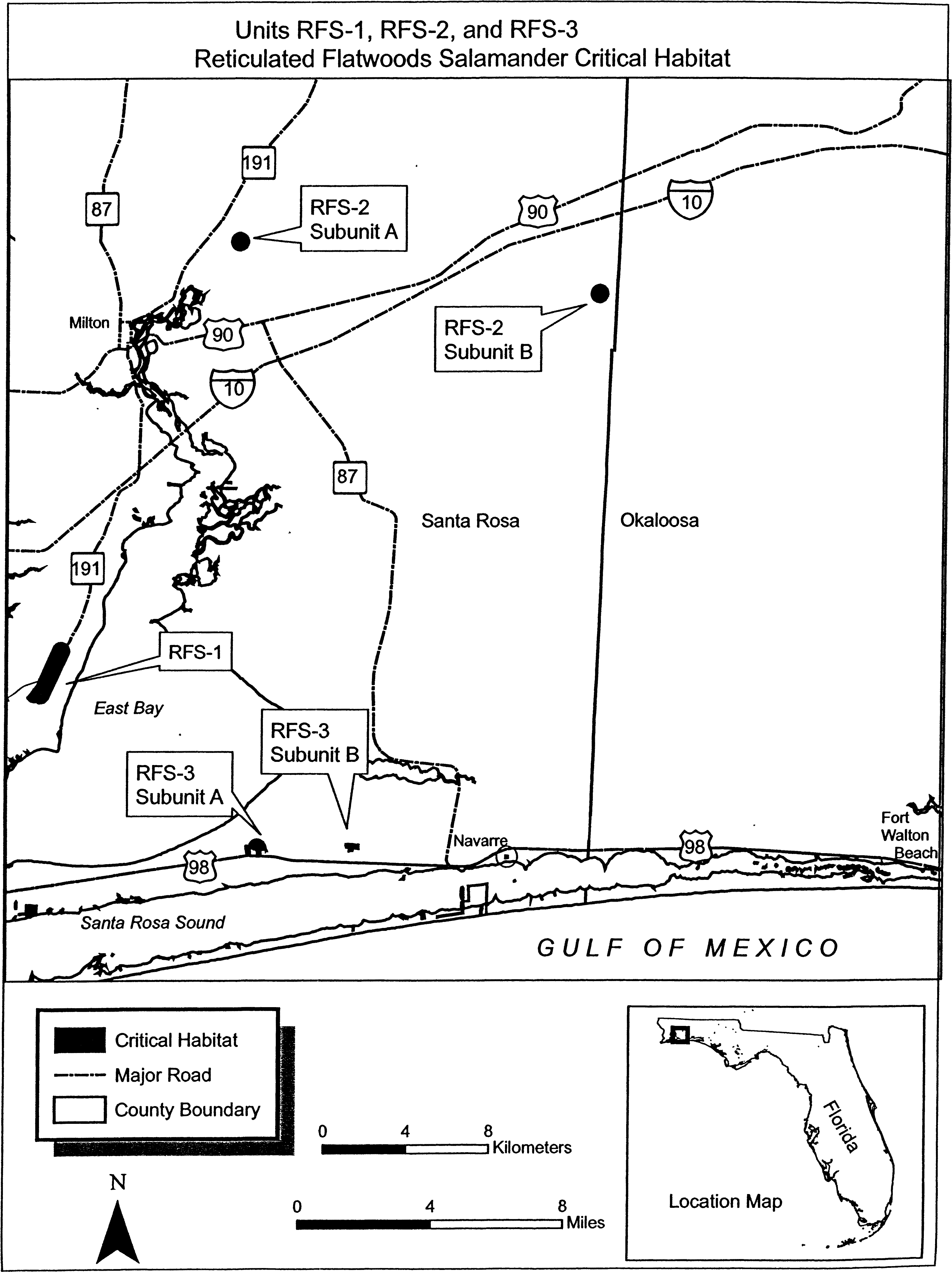
(vi) Unit RFS-6, Subunit A - Walton County, Florida. From USGS 1:24,000 scale quadrangle map Bruce, Florida.
(A) Land bounded by the following UTM Zone 16N, NAD83 coordinates (E, N): 601647.75, 3373576.77; 601493.33, 3374109.03; 601522.04, 3374108.60; 601550.67, 3374106.38; 601579.10, 3374102.36; 601607.23, 3374096.56; 601634.93, 3374089.01; 601662.11, 3374079.74; 601688.65, 3374068.77; 601714.44, 3374056.17; 601739.40, 3374041.96; 601763.41, 3374026.22; 601786.39, 3374009.00; 601808.25, 3373990.37; 601828.89, 3373970.41; 601848.23, 3373949.19; 601866.21, 3373926.80; 601882.74, 3373903.32; 601897.76, 3373878.85; 601911.23, 3373853.49; 601923.07, 3373827.33; 601933.24, 3373800.48; 601941.71, 3373773.04; 601948.44, 3373745.13; 601953.40, 3373716.84; 601956.58, 3373688.31; 601957.96, 3373659.62; 601957.54, 3373630.91; 601955.31, 3373602.29; 601951.29, 3373573.85; 601945.50, 3373545.73; 601937.95, 3373518.03; 601932.81, 3373498.30; 602077.97, 3373412.75; 602148.71, 3373370.38; 602189.04, 3373346.29; 602226.02, 3373324.08; 602242.81, 3373314.59; 602251.57, 3373308.87; 602249.73, 3373302.87; 602248.52, 3373298.22; 602244.07, 3373290.84; 602232.30, 3373285.25; 602226.49, 3373279.16; 602219.36, 3373273.03; 602212.40, 3373260.30; 602203.50, 3373245.54; 602189.89, 3373207.54; 602185.07, 3373188.25; 602182.00, 3373178.92; 602174.92, 3373170.82; 602167.16, 3373163.35; 602161.52, 3373150.66; 602159.44, 3373128.14; 602152.20, 3373073.77; 602147.72, 3373041.28; 602068.26, 3373014.83; 602046.87, 3372996.45; 602018.93, 3372975.27; 601977.95, 3372972.42; 601920.70, 3372984.20; 601893.12, 3373001.35; 601867.36, 3373025.15; 601844.26, 3373048.36; 601816.50, 3373072.78; 601799.99, 3373071.04; 601789.68, 3373059.55; 601764.95, 3373042.41; 601751.13, 3373012.99; 601725.10, 3372994.49; 601700.34, 3373005.10; 601680.55, 3373028.40; 601659.92, 3373058.94; 601630.17, 3373083.30; 601595.72, 3373083.76; 601568.63, 3373081.76; 601562.85, 3373153.48; 601546.32, 3373152.40; 601512.87, 3373139.67; 601482.57, 3373133.62; 601457.54, 3373128.37; 601443.06, 3373124.70; 601441.20, 3373198.67; 601422.79, 3373201.67; 601394.66, 3373207.46; 601366.96, 3373215.01; 601339.78, 3373224.29; 601313.25, 3373235.25; 601287.45, 3373247.86; 601262.49, 3373262.06; 601238.48, 3373277.81; 601215.50, 3373295.02; 601193.65, 3373313.65; 601173.01, 3373333.62; 601153.66, 3373354.84; 601135.69, 3373377.23; 601119.15, 3373400.70; 601104.13, 3373425.17; 601090.67, 3373450.54; 601078.83, 3373476.70; 601068.65, 3373503.55; 601060.18, 3373530.98; 601053.45, 3373558.90; 601048.49, 3373587.18; 601045.31, 3373615.72; 601043.93, 3373644.40; 601044.35, 3373673.11; 601046.58, 3373701.74; 601050.60, 3373730.17; 601056.39, 3373758.30; 601063.95, 3373786.00; 601073.22, 3373813.17; 601084.18, 3373839.71; 601096.79, 3373865.51; 601111.00, 3373890.47; 601126.74, 3373914.48; 601143.96, 3373937.46; 601162.58, 3373959.31; 601182.55, 3373979.95; 601203.77, 3373999.30; 601226.16, 3374017.27; 601249.64, 3374033.81; 601274.11, 3374048.83; 601299.47, 3374062.29; 601325.63, 3374074.13; 601352.48, 3374084.31; 601379.92, 3374092.78; 601407.83, 3374099.51; 601436.11, 3374104.47; 601464.65, 3374107.65; 601493.33, 3374109.03.
(B) Note: Map depicting Unit RFS-6, Subunit A is provided at paragraph (6)(ix)(B) of this entry.
(vii) Unit RFS-6, Subunit B - Washington County, Florida. From USGS 1:24,000 scale quadrangle map Bruce, Florida.
(A) Land bounded by the following UTM Zone 16N, NAD83 coordinates (E, N): 607444.16, 3365585.74; 607435.59, 3366042.75; 607464.30, 3366042.38; 607492.93, 3366040.22; 607521.37, 3366036.26; 607549.51, 3366030.52; 607577.23, 3366023.03; 607604.42, 3366013.81; 607630.98, 3366002.90; 607656.81, 3365990.35; 607681.79, 3365976.20; 607705.84, 3365960.50; 607728.86, 3365943.33; 607750.75, 3365924.75; 607771.43, 3365904.83; 607790.82, 3365883.65; 607808.84, 3365861.30; 607825.42, 3365837.85; 607840.50, 3365813.42; 607854.02, 3365788.08; 607865.91, 3365761.94; 607876.14, 3365735.11; 607884.67, 3365707.70; 607891.46, 3365679.79; 607896.48, 3365651.52; 607899.72, 3365622.99; 607901.16, 3365594.31; 607900.79, 3365565.60; 607898.63, 3365536.97; 607894.67, 3365508.53; 607888.93, 3365480.39; 607881.44, 3365452.67; 607872.22, 3365425.48; 607861.31, 3365398.91; 607848.76, 3365373.09; 607834.61, 3365348.10; 607818.91, 3365324.06; 607801.74, 3365301.04; 607783.16, 3365279.15; 607763.24, 3365258.47; 607742.06, 3365239.08; 607719.71, 3365221.06; 607696.26, 3365204.48; 607671.83, 3365189.40; 607646.49, 3365175.88; 607620.36, 3365163.99; 607593.53, 3365153.76; 607566.11, 3365145.23; 607538.21, 3365138.44; 607509.93, 3365133.42; 607481.40, 3365130.18; 607452.72, 3365128.74; 607424.01, 3365129.11; 607395.38, 3365131.27; 607366.94, 3365135.23; 607338.80, 3365140.97; 607311.08, 3365148.46; 607283.89, 3365157.68; 607257.33, 3365168.59; 607231.50, 3365181.14; 607206.52, 3365195.29; 607182.47, 3365210.99; 607159.45, 3365228.16; 607137.56, 3365246.74; 607116.88, 3365266.66; 607097.49, 3365287.84; 607079.47, 3365310.19; 607062.89, 3365333.64; 607047.81, 3365358.07; 607034.30, 3365383.41; 607022.40, 3365409.54; 607012.17, 3365436.37; 607003.64, 3365463.79; 606996.85, 3365491.69; 606991.83, 3365519.97; 606988.59, 3365548.50; 606987.15, 3365577.18; 606987.52, 3365605.89; 606989.68, 3365634.52; 606993.64, 3365662.96; 606999.38, 3365691.10; 607006.87, 3365718.82; 607016.09, 3365746.01; 607027.00, 3365772.57; 607039.55, 3365798.40; 607053.70, 3365823.38; 607069.40, 3365847.43; 607086.57, 3365870.45; 607105.15, 3365892.34; 607125.07, 3365913.02; 607146.25, 3365932.41; 607168.60, 3365950.43; 607192.05, 3365967.01; 607216.48, 3365982.09; 607241.82, 3365995.60; 607267.95, 3366007.50; 607294.78, 3366017.73; 607322.20, 3366026.26; 607350.10, 3366033.05; 607378.38, 3366038.07; 607406.91, 3366041.31; 607435.59, 3366042.75.
(B) Note: Map depicting Unit RFS-6, Subunit B is provided at paragraph (6)(ix)(B) of this entry.
(viii) Unit RFS-7, Subunit A - Holmes County, Florida. From USGS 1:24,000 scale quadrangle map Bonifay, Florida.
(A) Land bounded by the following UTM Zone 16N, NAD83 coordinates (E, N): 630429.91, 3415116.39; 630422.24, 3415573.43; 630450.95, 3415573.01; 630479.58, 3415570.79; 630508.01, 3415566.77; 630536.14, 3415560.98; 630563.84, 3415553.43; 630591.02, 3415544.16; 630617.56, 3415533.20; 630643.36, 3415520.59; 630668.32, 3415506.39; 630692.34, 3415490.65; 630715.32, 3415473.44; 630737.18, 3415454.81; 630757.82, 3415434.85; 630777.17, 3415413.63; 630795.15, 3415391.24; 630811.68, 3415367.76; 630826.71, 3415343.29; 630840.18, 3415317.93; 630852.02, 3415291.77; 630862.20, 3415264.92; 630870.67, 3415237.48; 630877.41, 3415209.57; 630882.38, 3415181.28; 630885.56, 3415152.74; 630886.94, 3415124.06; 630886.52, 3415095.35; 630884.30, 3415066.72; 630880.28, 3415038.28; 630874.49, 3415010.16; 630866.94, 3414982.45; 630857.67, 3414955.27; 630846.71, 3414928.73; 630834.11, 3414902.93; 630819.91, 3414877.97; 630804.17, 3414853.95; 630786.95, 3414830.97; 630768.32, 3414809.11; 630748.36, 3414788.47; 630727.15, 3414769.12; 630704.75, 3414751.14; 630681.28, 3414734.60; 630656.81, 3414719.57; 630631.45, 3414706.11; 630605.29, 3414694.26; 630578.44, 3414684.08; 630551.00, 3414675.61; 630523.09, 3414668.88; 630494.81, 3414663.91; 630466.27, 3414660.73; 630437.59, 3414659.34; 630408.87, 3414659.76; 630380.24, 3414661.99; 630351.81, 3414666.00; 630323.69, 3414671.79; 630295.98, 3414679.34; 630268.80, 3414688.61; 630242.26, 3414699.58; 630216.46, 3414712.18; 630191.50, 3414726.38; 630167.49, 3414742.12; 630144.51, 3414759.34; 630122.65, 3414777.97; 630102.01, 3414797.93; 630082.66, 3414819.15; 630064.68, 3414841.54; 630048.14, 3414865.01; 630033.11, 3414889.48; 630019.65, 3414914.85; 630007.80, 3414941.01; 629997.63, 3414967.86; 629989.15, 3414995.29; 629982.42, 3415023.21; 629977.45, 3415051.49; 629974.27, 3415080.03; 629972.89, 3415108.72; 629973.31, 3415137.43; 629975.53, 3415166.06; 629979.54, 3415194.49; 629985.34, 3415222.62; 629992.88, 3415250.32; 630002.16, 3415277.50; 630013.12, 3415304.04; 630025.72, 3415329.85; 630039.92, 3415354.81; 630055.66, 3415378.82; 630072.88, 3415401.81; 630091.50, 3415423.66; 630111.46, 3415444.31; 630132.68, 3415463.65; 630155.07, 3415481.63; 630178.55, 3415498.17; 630203.02, 3415513.20; 630228.38, 3415526.67; 630254.54, 3415538.51; 630281.39, 3415548.69; 630308.82, 3415557.16; 630336.74, 3415563.90; 630365.02, 3415568.87; 630393.56, 3415572.05; 630422.24, 3415573.43.
(B) Note: Map depicting Unit RFS-7, Subunit A is provided at paragraph (6)(ix)(B) of this entry.
(ix) Unit RFS-7, Subunit B - Washington County, Florida. From USGS 1:24,000 quadrangle map Millers Ferry, Florida.
(A) Land bounded by the following UTM Zone 16N, NAD83 coordinates (E, N): 618603.41, 3387429.45; 618699.68, 3387966.18; 618708.26, 3387969.49; 618723.71, 3387970.50; 618726.33, 3387965.00; 618725.78, 3387937.80; 618728.76, 3387918.09; 618732.40, 3387896.55; 618738.22, 3387886.81; 618755.97, 3387870.57; 618776.73, 3387857.50; 618803.06, 3387844.57; 618839.32, 3387830.66; 618872.53, 3387815.43; 618904.43, 3387802.63; 618918.85, 3387795.58; 618926.43, 3387789.59; 618930.96, 3387781.67; 618931.79, 3387748.94; 618930.13, 3387716.76; 618932.43, 3387674.79; 618932.53, 3387646.37; 618934.03, 3387611.79; 618948.87, 3387588.07; 618962.97, 3387569.26; 618980.28, 3387545.60; 618995.92, 3387515.09; 619007.01, 3387492.50; 619018.24, 3387464.98; 619025.65, 3387441.06; 619035.64, 3387413.50; 619042.95, 3387393.91; 619052.14, 3387373.13; 619059.11, 3387348.17; 619055.09, 3387319.74; 619049.30, 3387291.61; 619041.75, 3387263.91; 619032.48, 3387236.73; 619021.51, 3387210.19; 619008.91, 3387184.39; 618994.70, 3387159.43; 618978.96, 3387135.42; 618961.74, 3387112.44; 618943.12, 3387090.58; 618923.15, 3387069.94; 618901.93, 3387050.59; 618879.54, 3387032.62; 618856.06, 3387016.08; 618831.60, 3387001.05; 618806.23, 3386987.59; 618780.07, 3386975.75; 618753.22, 3386965.57; 618725.78, 3386957.10; 618697.87, 3386950.37; 618669.59, 3386945.41; 618641.05, 3386942.23; 618612.37, 3386940.85; 618583.65, 3386941.27; 618555.02, 3386943.49; 618526.59, 3386947.51; 618498.47, 3386953.31; 618470.76, 3386960.86; 618443.59, 3386970.13; 618417.05, 3386981.10; 618391.25, 3386993.70; 618366.29, 3387007.91; 618342.28, 3387023.65; 618319.30, 3387040.87; 618297.44, 3387059.49; 618276.80, 3387079.46; 618257.46, 3387100.68; 618239.48, 3387123.07; 618222.95, 3387146.55; 618207.92, 3387171.02; 618194.46, 3387196.38; 618182.61, 3387222.54; 618172.44, 3387249.39; 618163.97, 3387276.83; 618157.24, 3387304.75; 618152.27, 3387333.03; 618149.09, 3387361.57; 618147.71, 3387390.25; 618148.13, 3387418.97; 618150.36, 3387447.59; 618154.38, 3387476.03; 618160.17, 3387504.15; 618167.72, 3387531.86; 618177.00, 3387559.03; 618187.96, 3387585.58; 618200.57, 3387611.37; 618214.77, 3387636.33; 618230.51, 3387660.35; 618247.73, 3387683.33; 618266.36, 3387705.18; 618286.32, 3387725.82; 618307.54, 3387745.17; 618329.93, 3387763.15; 618353.41, 3387779.68; 618377.88, 3387794.71; 618403.24, 3387808.17; 618429.40, 3387820.02; 618456.25, 3387830.19; 618483.69, 3387838.66; 618511.60, 3387845.39; 618552.33, 3387867.90; 618598.24, 3387912.94; 618635.11, 3387948.48; 618647.90, 3387956.84; 618666.90, 3387964.74; 618689.14, 3387966.53; 618699.68, 3387966.18.
(B) Note: Map of Units RFS-6 and RFS-7 follows:

(x) Unit RFS-8, Subunit A - Jackson County, Florida. From USGS 1:24,000 quadrangle map Cottondale West, Florida.
(A) Land bounded by the following UTM Zone 16N, NAD83 coordinates (E, N): 652825.49, 3407068.83; 652825.48, 3407068.83; 653303.68, 3406605.29; 653038.02, 3406583.61; 653039.18, 3406691.92; 653028.57, 3406721.18; 653006.55, 3406734.40; 652986.39, 3406751.60; 652981.54, 3406786.91; 652980.43, 3406830.19; 652979.67, 3406859.70; 652965.63, 3406869.19; 652941.78, 3406876.45; 652916.11, 3406877.76; 652884.59, 3406876.95; 652859.18, 3406868.42; 652831.89, 3406855.91; 652800.52, 3406849.20; 652767.02, 3406848.34; 652747.17, 3406853.74; 652732.87, 3406873.06; 652724.33, 3406898.44; 652743.83, 3406906.81; 652763.39, 3406913.22; 652758.74, 3406940.66; 652753.99, 3406972.04; 652760.86, 3407011.59; 652764.09, 3407039.23; 652761.57, 3407060.82; 652749.49, 3407070.36; 652725.65, 3407077.62; 652709.68, 3407085.09; 652701.20, 3407108.49; 652698.57, 3407134.02; 652696.09, 3407153.64; 652674.12, 3407164.89; 652656.23, 3407170.34; 652642.04, 3407185.72; 652620.14, 3407175.05; 652594.55, 3407165.80; 652583.46, 3407159.57; 652578.33, 3407152.82; 652573.28, 3407143.44; 652569.58, 3407132.77; 652565.24, 3407121.42; 652555.67, 3407107.29; 652545.45, 3407092.48; 652535.85, 3407079.68; 652526.16, 3407070.17; 652517.58, 3407069.29; 652507.43, 3407077.62; 652495.88, 3407089.23; 652486.90, 3407103.54; 652483.22, 3407117.99; 652480.80, 3407135.12; 652478.24, 3407157.53; 652480.37, 3407177.42; 652480.51, 3407197.92; 652475.78, 3407201.76; 652465.72, 3407206.79; 652458.25, 3407213.87; 652449.33, 3407226.21; 652438.05, 3407227.24; 652428.85, 3407224.36; 652417.75, 3407218.12; 652411.37, 3407208.70; 652407.64, 3407199.35; 652404.20, 3407178.77; 652402.01, 3407160.86; 652397.94, 3407138.94; 652395.00, 3407124.32; 652386.76, 3407110.23; 652373.71, 3407102.62; 652360.44, 3407103.60; 652343.53, 3407117.72; 652333.43, 3407124.07; 652322.15, 3407125.10; 652314.14, 3407127.54; 652305.95, 3407137.25; 652296.58, 3407140.97; 652287.20, 3407145.36; 652274.56, 3407147.68; 652268.06, 3407142.89; 652261.53, 3407139.41; 652255.03, 3407134.62; 652248.60, 3407127.18; 652243.50, 3407119.78; 652238.44, 3407110.39; 652237.44, 3407097.81; 652241.12, 3407083.36; 652242.82, 3407068.86; 652245.24, 3407051.73; 652244.24, 3407039.14; 652236.01, 3407024.39; 652221.05, 3407014.09; 652203.25, 3407010.99; 652190.56, 3407015.29; 652182.47, 3407021.03; 652175.50, 3407034.74; 652172.53, 3407047.22; 652173.53, 3407059.81; 652170.75, 3407065.03; 652164.64, 3407070.82; 652155.26, 3407075.21; 652145.32, 3407075.61; 652133.44, 3407073.99; 652119.02, 3407068.33; 652106.60, 3407062.06; 652100.97, 3407049.36; 652097.32, 3407036.70; 652077.38, 3407039.50; 652052.56, 3407052.08; 652042.52, 3407056.45; 652034.12, 3407074.09; 652048.98, 3407088.35; 652061.11, 3407105.85; 652085.32, 3407117.05; 652106.16, 3407130.80; 652105.19, 3407142.68; 652106.02, 3407161.87; 652112.91, 3407177.25; 652135.31, 3407181.79; 652182.83, 3407187.64; 652215.86, 3407190.47; 652257.41, 3407196.82; 652295.04, 3407201.09; 652314.35, 3407205.65; 652308.49, 3407218.63; 652292.89, 3407233.43; 652266.52, 3407254.57; 652238.70, 3407280.96; 652220.19, 3407305.61; 652212.44, 3407323.92; 652210.01, 3407341.05; 652209.77, 3407350.30; 652210.11, 3407362.87; 652213.26, 3407375.54; 652299.80, 3407383.66; 652374.80, 3407395.52; 652472.45, 3407408.60; 652594.12, 3407426.43; 652663.66, 3407439.95; 652719.80, 3407445.35; 652756.73, 3407450.93; 652822.76, 3407457.91; 652861.06, 3407462.20; 652917.52, 3407467.64; 652905.20, 3407362.30; 652901.54, 3407298.74; 652968.31, 3407276.65; 653003.40, 3407251.11; 653001.57, 3407219.33; 652994.98, 3407166.27; 653006.18, 3407142.76; 653022.74, 3407116.74; 653023.96, 3407069.17; 653009.23, 3407023.84; 653002.04, 3406994.56; 653028.78, 3406984.67; 653046.56, 3407014.22; 653069.77, 3407038.61; 653101.19, 3407052.64; 653145.98, 3407061.72; 653188.39, 3407060.16; 653209.09, 3407079.20; 653227.21, 3407095.54; 653233.05, 3407074.53; 653231.22, 3407042.75; 653237.12, 3407019.10; 653258.77, 3407001.15; 653290.87, 3406988.75; 653294.33, 3406957.10; 653292.43, 3406927.97; 653290.39, 3406904.11; 653290.87, 3406885.61; 653306.88, 3406880.74; 653330.43, 3406891.92; 653353.91, 3406905.74; 653377.80, 3406903.71; 653389.13, 3406874.91; 653395.38, 3406838.05; 653396.39, 3406798.41; 653397.07, 3406771.98; 653400.40, 3406745.62; 653413.97, 3406732.75; 653440.50, 3406730.79; 653454.01, 3406720.56; 653454.42, 3406704.70; 653438.67, 3406699.01; 653411.87, 3406711.54; 653393.20, 3406716.35; 653374.68, 3406715.88; 653358.93, 3406710.18; 653341.08, 3406683.28; 653331.11, 3406659.23; 653321.06, 3406637.81; 653308.37, 3406616.33; 653303.68, 3406605.29.
(B) Note: Map depicting Unit RFS-8, Subunit A is provided at paragraph (6)(xiv)(B) of this entry.
(xi) Unit RFS-8, Subunit B - Jackson County, Florida. From USGS 1:24,000 scale quadrangle map Oakdale, Florida.
(A) Land bounded by the following UTM Zone 16N, NAD83 coordinates (E, N): 674995.60, 3401690.28; 673875.85, 3402158.93; 674341.17, 3402164.28; 674675.84, 3402154.41; 674910.48, 3402162.13; 675034.90, 3402087.99; 675083.93, 3402061.49; 675233.86, 3401974.12; 675401.89, 3401877.97; 675485.18, 3401832.51; 675531.62, 3401803.30; 675583.62, 3401764.31; 675781.28, 3401546.61; 675851.43, 3401471.73; 675878.14, 3401437.38; 675932.68, 3401376.64; 675959.66, 3401349.36; 675970.87, 3401333.99; 675981.97, 3401314.44; 676115.36, 3401200.87; 676086.59, 3401161.12; 676052.69, 3401114.62; 676041.90, 3401096.49; 676016.12, 3401069.38; 675998.03, 3401051.73; 675964.86, 3401028.39; 675934.93, 3401007.79; 675918.10, 3400992.81; 675908.38, 3400984.62; 675897.49, 3400970.46; 675889.97, 3400953.73; 675879.31, 3400879.41; 675844.53, 3400893.06; 675327.40, 3401121.69; 674861.39, 3401328.81; 674684.03, 3401401.59; 674391.31, 3401530.89; 673876.29, 3401753.54; 673877.85, 3402081.41; 673875.85, 3402158.93.
(B) Note: Map depicting Unit RFS-8, Subunit B is provided at paragraph (6)(xiv)(B) of this entry.
(xii) Unit RFS-8, Subunit C - Jackson County, Florida. From USGS 1:24,000 scale quadrangle map Cypress, Florida.
(A) Land bounded by the following UTM Zone 16N, NAD83 coordinates (E, N): 683829.73, 3393074.70; 684023.32, 3393574.80; 684052.04, 3393574.38; 684080.68, 3393572.16; 684109.12, 3393568.14; 684137.25, 3393562.34; 684164.96, 3393554.79; 684192.15, 3393545.52; 684218.69, 3393534.55; 684244.50, 3393521.94; 684269.46, 3393507.74; 684293.49, 3393491.99; 684316.47, 3393474.77; 684338.33, 3393456.14; 684358.98, 3393436.17; 684378.33, 3393414.95; 684396.32, 3393392.55; 684412.86, 3393369.07; 684427.89, 3393344.60; 684441.36, 3393319.23; 684453.20, 3393293.06; 684463.38, 3393266.20; 684471.86, 3393238.76; 684478.59, 3393210.84; 684483.56, 3393182.55; 684486.74, 3393154.00; 684488.12, 3393125.31; 684487.70, 3393096.59; 684485.48, 3393067.96; 684481.46, 3393039.52; 684475.66, 3393011.38; 684468.11, 3392983.67; 684458.84, 3392956.49; 684447.87, 3392929.94; 684435.27, 3392904.13; 684421.06, 3392879.17; 684405.32, 3392855.15; 684388.09, 3392832.16; 684369.46, 3392810.30; 684349.50, 3392789.65; 684328.27, 3392770.30; 684305.87, 3392752.32; 684282.39, 3392735.78; 684257.92, 3392720.75; 684232.55, 3392707.28; 684206.38, 3392695.43; 684179.52, 3392685.25; 684152.08, 3392676.78; 684124.16, 3392670.04; 684095.87, 3392665.08; 684067.32, 3392661.89; 684038.63, 3392660.51; 684009.91, 3392660.93; 683981.28, 3392663.16; 683966.02, 3392656.75; 683947.05, 3392647.66; 683923.43, 3392639.12; 683903.85, 3392628.04; 683886.86, 3392619.00; 683867.12, 3392613.87; 683843.82, 3392618.55; 683819.20, 3392623.21; 683789.11, 3392634.33; 683770.46, 3392638.47; 683744.30, 3392651.02; 683720.12, 3392664.28; 683706.10, 3392668.55; 683685.47, 3392672.64; 683658.43, 3392667.97; 683632.03, 3392664.65; 683606.95, 3392661.36; 683585.89, 3392656.18; 683542.11, 3392633.24; 683512.11, 3392615.27; 683479.46, 3392597.24; 683450.00, 3392583.92; 683423.91, 3392568.70; 683385.42, 3392545.89; 683371.14, 3392534.94; 683348.35, 3392519.81; 683332.69, 3392510.81; 683315.62, 3392505.08; 683294.59, 3392498.59; 683272.28, 3392490.74; 683253.15, 3392487.60; 683203.24, 3392496.89; 683207.64, 3392582.95; 683209.99, 3392696.72; 683212.45, 3392729.84; 683218.34, 3392783.54; 683218.66, 3392796.77; 683214.15, 3392817.81; 683194.50, 3392886.06; 683182.83, 3392927.40; 683174.68, 3392960.91; 683171.34, 3392987.93; 683171.38, 3393011.73; 683174.93, 3393028.35; 683181.19, 3393042.39; 683179.64, 3393050.95; 683179.13, 3393070.77; 683177.70, 3393100.48; 683176.50, 3393146.73; 683179.16, 3393171.92; 683183.14, 3393197.15; 683188.54, 3393219.10; 683190.03, 3393238.31; 683189.67, 3393252.19; 683214.05, 3393256.78; 683227.92, 3393258.46; 683266.03, 3393270.03; 683309.50, 3393279.08; 683347.79, 3393284.04; 683367.66, 3393283.89; 683389.34, 3393286.52; 683469.22, 3393300.40; 683524.08, 3393304.46; 683580.93, 3393308.57; 683593.71, 3393300.97; 683608.59, 3393292.07; 683614.08, 3393305.37; 683626.69, 3393331.18; 683640.90, 3393356.14; 683656.64, 3393380.17; 683673.86, 3393403.15; 683692.49, 3393425.01; 683712.46, 3393445.66; 683733.68, 3393465.01; 683756.08, 3393482.99; 683779.56, 3393499.53; 683804.04, 3393514.57; 683829.41, 3393528.03; 683855.57, 3393539.88; 683882.43, 3393550.06; 683909.88, 3393558.54; 683937.80, 3393565.27; 683966.09, 3393570.24; 683994.63, 3393573.42; 684023.32, 3393574.80.
(B) Note: Map depicting Unit RFS-8, Subunit C is provided at paragraph (6)(xiv)(B) of this entry.
(xiii) Unit RFS-9, Subunit A - Calhoun County, Florida. From USGS 1:24,000 scale quadrangle map Broad Branch, Florida.
(A) Land bounded by the following UTM Zone 16N, NAD83 coordinates (E, N): 664818.75, 3351879.40; 664810.75, 3352336.50; 664839.47, 3352336.10; 664868.11, 3352333.90; 664896.55, 3352329.90; 664924.68, 3352324.13; 664952.40, 3352316.60; 664979.59, 3352307.34; 665006.14, 3352296.40; 665031.95, 3352283.81; 665056.93, 3352269.63; 665080.96, 3352253.90; 665103.96, 3352236.70; 665125.83, 3352218.08; 665146.49, 3352198.13; 665165.86, 3352176.93; 665183.85, 3352154.54; 665200.41, 3352131.08; 665215.46, 3352106.61; 665228.94, 3352081.26; 665240.81, 3352055.10; 665251.01, 3352028.25; 665259.50, 3352000.82; 665266.26, 3351972.90; 665271.25, 3351944.62; 665274.45, 3351916.08; 665275.85, 3351887.39; 665275.45, 3351858.67; 665273.25, 3351830.04; 665269.26, 3351801.60; 665263.48, 3351773.46; 665255.95, 3351745.75; 665246.70, 3351718.56; 665235.75, 3351692.00; 665223.16, 3351666.19; 665208.98, 3351641.22; 665193.25, 3351617.18; 665176.05, 3351594.19; 665157.44, 3351572.31; 665137.49, 3351551.65; 665116.28, 3351532.29; 665093.90, 3351514.29; 665070.43, 3351497.73; 665045.97, 3351482.68; 665020.61, 3351469.20; 664994.45, 3351457.33; 664967.61, 3351447.13; 664940.17, 3351438.64; 664912.26, 3351431.89; 664883.97, 3351426.90; 664855.43, 3351423.70; 664826.74, 3351422.29; 664798.03, 3351422.69; 664769.39, 3351424.89; 664740.95, 3351428.89; 664712.82, 3351434.66; 664685.10, 3351442.19; 664657.91, 3351451.45; 664631.36, 3351462.39; 664605.54, 3351474.98; 664580.57, 3351489.17; 664556.54, 3351504.89; 664533.54, 3351522.09; 664511.67, 3351540.71; 664491.01, 3351560.66; 664471.64, 3351581.87; 664453.64, 3351604.25; 664437.09, 3351627.72; 664422.04, 3351652.18; 664408.55, 3351677.53; 664396.69, 3351703.69; 664386.49, 3351730.54; 664377.99, 3351757.97; 664371.24, 3351785.89; 664366.25, 3351814.17; 664363.05, 3351842.71; 664361.65, 3351871.40; 664362.05, 3351900.12; 664364.25, 3351928.75; 664368.24, 3351957.19; 664374.02, 3351985.33; 664381.55, 3352013.04; 664390.80, 3352040.23; 664401.74, 3352066.79; 664414.33, 3352092.60; 664428.52, 3352117.57; 664444.24, 3352141.60; 664461.45, 3352164.60; 664480.06, 3352186.47; 664500.01, 3352207.14; 664521.22, 3352226.50; 664543.60, 3352244.50; 664567.07, 3352261.06; 664591.53, 3352276.11; 664616.89, 3352289.59; 664643.04, 3352301.46; 664669.89, 3352311.66; 664697.33, 3352320.15; 664725.24, 3352326.90; 664753.53, 3352331.89; 664782.07, 3352335.09; 664810.75, 3352336.50.
(B) Note: Map depicting Unit RFS-9, Subunit A is provided at paragraph (6)(xiv)(B) of this entry.
(xiv) Unit RFS-9, Subunit B - Calhoun County, Florida. From USGS 1:24,000 scale quadrangle map Dead Lake, Florida.
(A) Land bounded by the following UTM Zone 16N, NAD83 coordinates (E, N): 677786.48, 3346665.69; 676322.21, 3345710.86; 676293.52, 3345709.49; 676264.80, 3345709.91; 676236.17, 3345712.14; 676207.73, 3345716.17; 676179.60, 3345721.97; 676151.89, 3345729.52; 676124.71, 3345738.80; 676098.16, 3345749.77; 676072.36, 3345762.39; 676047.40, 3345776.60; 676023.38, 3345792.34; 676000.40, 3345809.57; 675978.54, 3345828.20; 675957.90, 3345848.17; 675938.55, 3345869.40; 675920.57, 3345891.80; 675904.04, 3345915.28; 675889.01, 3345939.76; 675875.55, 3345965.13; 675863.71, 3345991.30; 675853.53, 3346018.16; 675845.07, 3346045.60; 675838.34, 3346073.52; 675833.38, 3346101.81; 675830.20, 3346130.36; 675828.82, 3346159.05; 675829.25, 3346187.76; 675831.48, 3346216.40; 675835.50, 3346244.84; 675841.31, 3346272.97; 675848.86, 3346300.67; 675858.14, 3346327.85; 675869.11, 3346354.40; 675881.73, 3346380.20; 675895.94, 3346405.16; 675911.69, 3346429.18; 675928.91, 3346452.16; 675947.55, 3346474.02; 675967.52, 3346494.66; 675988.75, 3346514.01; 676011.15, 3346531.98; 676034.63, 3346548.52; 676059.11, 3346563.55; 676084.48, 3346577.01; 676110.65, 3346588.85; 676137.51, 3346599.02; 679138.53, 3347597.18; 679165.98, 3347605.65; 679193.90, 3347612.37; 679222.19, 3347617.34; 679250.74, 3347620.51; 679279.43, 3347621.89; 679308.15, 3347621.46; 679336.78, 3347619.23; 679365.22, 3347615.21; 679393.35, 3347609.41; 679421.06, 3347601.85; 679448.25, 3347592.57; 679474.79, 3347581.60; 679500.60, 3347568.99; 679525.56, 3347554.78; 679549.58, 3347539.03; 679572.56, 3347521.81; 679594.42, 3347503.17; 679615.06, 3347483.20; 679634.41, 3347461.97; 679652.39, 3347439.57; 679668.92, 3347416.09; 679683.95, 3347391.61; 679697.41, 3347366.24; 679709.25, 3347340.07; 679719.43, 3347313.22; 679727.89, 3347285.77; 679734.62, 3347257.85; 679739.58, 3347229.56; 679742.76, 3347201.01; 679744.14, 3347172.32; 679743.71, 3347143.61; 679741.48, 3347114.97; 679737.46, 3347086.53; 679731.66, 3347058.40; 679724.10, 3347030.69; 679714.82, 3347003.51; 679703.85, 3346976.97; 679691.23, 3346951.16; 679677.02, 3346926.20; 679661.27, 3346902.19; 679644.05, 3346879.20; 679625.41, 3346857.35; 679605.44, 3346836.70; 679584.21, 3346817.36; 679561.81, 3346799.38; 679538.33, 3346782.84; 679513.85, 3346767.82; 679488.47, 3346754.36; 679462.31, 3346742.52; 679435.45, 3346732.34; 676434.42, 3345734.20; 676406.97, 3345725.73; 676379.05, 3345719.00; 676350.76, 3345714.04; 676322.21, 3345710.86.
(B) Note: Map of Units RFS-8 and RFS-9 follows:

(7) Reticulated flatwood salamander - Baker and Miller Counties, Georgia.
(i) Unit RFS-10, Subunit A - Miller County, Georgia. From USGS 1:24,000 scale quadrangle map Donalsonville NE, Georgia.
(A) Land bounded by the following UTM Zone 16N, NAD83 coordinates (E, N): 709773.06, 3456290.97; 709801.78, 3456290.64; 709830.43, 3456288.51; 709858.89, 3456284.58; 709887.04, 3456278.87; 709914.78, 3456271.41; 709942.00, 3456262.22; 709968.58, 3456251.34; 709994.43, 3456238.81; 710019.45, 3456224.68; 710043.52, 3456209.01; 710066.57, 3456191.86; 710088.49, 3456173.30; 710109.20, 3456153.39; 710128.62, 3456132.23; 710146.68, 3456109.89; 710163.30, 3456086.45; 710178.41, 3456062.02; 710191.96, 3456036.69; 710203.89, 3456010.56; 710214.16, 3455983.73; 710222.72, 3455956.31; 710229.54, 3455928.41; 710234.60, 3455900.13; 710237.88, 3455871.59; 710239.35, 3455842.91; 710239.02, 3455814.18; 710236.89, 3455785.53; 710232.96, 3455757.08; 710227.25, 3455728.92; 710219.79, 3455701.18; 710210.60, 3455673.97; 710199.72, 3455647.38; 710187.19, 3455621.53; 710173.06, 3455596.52; 710157.39, 3455572.44; 710140.24, 3455549.40; 710121.68, 3455527.48; 710101.77, 3455506.76; 710080.61, 3455487.34; 710058.27, 3455469.29; 710034.83, 3455452.67; 710010.40, 3455437.56; 709985.07, 3455424.01; 709958.94, 3455412.08; 709932.11, 3455401.81; 709904.69, 3455393.25; 709876.79, 3455386.42; 709848.51, 3455381.36; 709819.97, 3455378.09; 709791.29, 3455376.62; 709762.56, 3455376.95; 709733.91, 3455379.08; 709705.46, 3455383.01; 709677.30, 3455388.71; 709649.56, 3455396.18; 709622.35, 3455405.37; 709595.76, 3455416.25; 709569.91, 3455428.78; 709544.90, 3455442.90; 709520.82, 3455458.57; 709497.78, 3455475.73; 709475.86, 3455494.29; 709455.15, 3455514.19; 709435.72, 3455535.36; 709417.67, 3455557.70; 709401.05, 3455581.13; 709385.94, 3455605.56; 709372.39, 3455630.89; 709360.46, 3455657.02; 709350.19, 3455683.85; 709341.63, 3455711.27; 709334.80, 3455739.18; 709329.75, 3455767.45; 709326.47, 3455795.99; 709325.00, 3455824.68; 709325.33, 3455853.40; 709327.46, 3455882.05; 709331.39, 3455910.51; 709337.10, 3455938.66; 709344.56, 3455966.40; 709353.75, 3455993.62; 709364.63, 3456020.20; 709377.16, 3456046.05; 709391.29, 3456071.07; 709406.96, 3456095.14; 709424.11, 3456118.19; 709442.67, 3456140.11; 709462.57, 3456160.82; 709483.74, 3456180.24; 709506.08, 3456198.30; 709529.51, 3456214.92; 709553.94, 3456230.03; 709579.27, 3456243.58; 709605.40, 3456255.51; 709632.23, 3456265.78; 709659.65, 3456274.34; 709687.56, 3456281.16; 709715.83, 3456286.22; 709744.37, 3456289.49; 709773.06, 3456290.97.
(B) Note: Map depicting Unit RFS-10, Subunit A is provided at paragraph (7)(ii)(B) of this entry.
(ii) Unit RFS-10, Subunit B - Baker County, Georgia. From USGS 1:24,000 scale quadrangle map Bethany, Georgia.
(A) Land bounded by the following UTM Zone 16N, NAD83 coordinates (E, N): 734799.11, 3462120.86; 735025.60, 3462958.51; 735075.16, 3462764.67; 735444.38, 3461469.20; 735412.19, 3461400.33; 735420.28, 3461310.28; 735420.28, 3461223.05; 735430.58, 3461136.30; 735479.60, 3461141.39; 735578.13, 3461132.68; 735613.43, 3461091.58; 735650.82, 3461010.58; 735669.51, 3460923.35; 735703.92, 3460811.06; 735756.74, 3460736.42; 735800.35, 3460649.19; 735744.28, 3460624.27; 735432.74, 3460624.27; 735021.51, 3460618.04; 735040.20, 3460767.58; 734952.97, 3460823.66; 734840.82, 3460861.04; 734812.02, 3460938.41; 734541.74, 3461658.58; 734504.36, 3461783.19; 734301.81, 3462565.34; 734165.92, 3462612.37; 734048.55, 3462652.99; 733925.73, 3462646.35; 733818.44, 3462640.54; 733818.98, 3462680.42; 733831.44, 3462724.03; 733831.91, 3462789.15; 733887.18, 3462970.92; 733929.82, 3463111.13; 733981.10, 3463244.98; 734029.39, 3463371.05; 734111.12, 3463466.09; 734161.67, 3463534.03; 734214.05, 3463602.19; 734302.98, 3463595.69; 734405.69, 3463535.78; 734460.75, 3463434.34; 734585.36, 3463428.11; 734697.51, 3463384.49; 734766.02, 3463372.96; 734844.43, 3463268.82; 734936.26, 3463146.86; 735025.60, 3462958.51.
(B) Note: Map of Unit RFS-10 follows:

San Marcos Salamander (Eurycea nana)
Texas. Hays County - Spring Lake and its outflow, the San Marcos River, downstream approximately 50 meters from the Spring Lake Dam.
The map provided is for informational purposes only. Map follows:

Arroyo Toad (Anaxyrus californicus).
(1) Critical habitat units are depicted for Los Angeles, Orange, Riverside, San Bernardino, San Diego, Santa Barbara, and Ventura Counties, California, on the maps below. The maps provided are for informational purposes only.
(2) Within these areas, the primary constituent elements for the arroyo toad consist of four components:
(i) Rivers or streams with hydrologic regimes that supply water to provide space, food, and cover needed to sustain eggs, tadpoles, metamorphosing juveniles, and adult breeding toads. Breeding pools must persist a minimum of 2 months for the completion of larval development. However, due to the dynamic nature of southern California riparian systems and flood regimes, the location of suitable breeding pools may vary from year to year. Specifically, the conditions necessary to allow for successful reproduction of arroyo toads are:
(A) Breeding pools that are less than 6 inches (15 centimeters) deep;
(B) Areas of flowing water with current velocities less than 1.3 feet per second (40 centimeters per second); and
(C) Surface water that lasts for a minimum of 2 months during the breeding season (a sufficient wet period in the spring months to allow arroyo toad larvae to hatch, mature, and metamorphose).
(ii) Riparian and adjacent upland habitats, particularly low-gradient (typically less than 6 percent) stream segments and alluvial streamside terraces with sandy or fine gravel substrates that support the formation of shallow pools and sparsely vegetated sand and gravel bars for breeding and rearing of tadpoles and juveniles; and adjacent valley bottomlands that include areas of loose soil where toads can burrow underground, to provide foraging and living areas for juvenile and adult arroyo toads.
(iii) A natural flooding regime, or one sufficiently corresponding to natural, that:
(A) Is characterized by intermittent or near-perennial flow that contributes to the persistence of shallow pools into at least mid-summer;
(B) Maintains areas of open, sparsely vegetated, sandy stream channels and terraces by periodically scouring riparian vegetation; and
(C) Also modifies stream channels and terraces and redistributes sand and sediment, such that breeding pools and terrace habitats with scattered vegetation are maintained.
(iv) Stream channels and adjacent upland habitats that allow for movement to breeding pools, foraging areas, overwintering sites, upstream and downstream dispersal, and connectivity to areas that contain suitable habitat.
(3) Critical habitat does not include manmade structures (such as buildings, aqueducts, airports, roads, and other paved areas) and the land on which they are located existing within the legal boundaries on the effective date of this rule.
(4) Critical habitat map units. Data layers defining map units were created on a base of USGS 7.5' quadrangles using USDA National Agricultural Imagery Program (NAIP) county-wide MrSID compressed mosaics of 1 meter resolution and natural color aerial photography from summer 2009. Except where otherwise noted, critical habitat units were mapped using Universal Transverse Mercator (UTM) zone 11, North American Datum of 1983 (NAD83) coordinates.
(5) Note: Index map 1 of Units of Critical Habitat for Arroyo Toad (Anaxyrus californicus) follows:

(6) Note: Index map 2 of Units of Critical Habitat for Arroyo Toad (Anaxyrus californicus) follows:

(7) Unit 2: Sisquoc River, Santa Barbara County, California.
(i) From USGS 1:24,000 quadrangle maps Foxen Canyon, Zaca Lake, Bald Mtn., and Hurricane Deck. Beginning at 120 degrees West Longitude at UTM zone 10, NAD83 y coordinate 3858106, land bounded by the following UTM zone 10, NAD83 coordinates (E, N): 774369, 3858136; 774379, 3857806; 774379, 3857806; 774151, 3857792; 774149, 3857822; 773999, 3857813; 773997, 3857843; 773937, 3857839; 773936, 3857869; 773876, 3857866; 773874, 3857896; 773844, 3857894; 773842, 3857924; 773812, 3857922; 773810, 3857952; 773780, 3857950; 773779, 3857980; 773749, 3857978; 773740, 3858128; 773710, 3858126; 773708, 3858156; 773678, 3858154; 773676, 3858184; 773646, 3858183; 773644, 3858213; 773615, 3858211; 773613, 3858241; 773583, 3858239; 773581, 3858269; 773521, 3858265; 773519, 3858295; 773459, 3858292; 773458, 3858322; 773248, 3858309; 773246, 3858339; 773156, 3858334; 773155, 3858364; 773095, 3858360; 773093, 3858390; 773033, 3858386; 773031, 3858416; 772941, 3858411; 772940, 3858441; 772850, 3858435; 772852, 3858405; 772792, 3858402; 772784, 3858522; 772755, 3858520; 772753, 3858550; 772723, 3858548; 772719, 3858608; 772659, 3858604; 772658, 3858634; 772628, 3858632; 772626, 3858662; 772566, 3858659; 772564, 3858689; 772444, 3858682; 772443, 3858712; 772263, 3858701; 772261, 3858731; 772111, 3858722; 772110, 3858752; 772050, 3858748; 772048, 3858778; 772018, 3858776; 772016, 3858806; 771926, 3858801; 771923, 3858861; 771893, 3858859; 771880, 3859069; 771850, 3859067; 771848, 3859097; 771818, 3859095; 771817, 3859125; 771787, 3859123; 771783, 3859183; 771753, 3859181; 771750, 3859241; 771720, 3859239; 771718, 3859269; 771688, 3859267; 771686, 3859297; 771656, 3859296; 771654, 3859325; 771624, 3859324; 771623, 3859354; 771563, 3859350; 771561, 3859380; 771531, 3859378; 771529, 3859408; 771499, 3859406; 771497, 3859436; 771438, 3859433; 771436, 3859463; 771406, 3859461; 771404, 3859491; 771374, 3859489; 771372, 3859519; 771312, 3859515; 771311, 3859545; 771221, 3859540; 771224, 3859480; 771194, 3859478; 771196, 3859448; 771136, 3859445; 771135, 3859475; 771045, 3859469; 771043, 3859499; 770923, 3859492; 770921, 3859522; 770832, 3859517; 770830, 3859547; 770650, 3859536; 770648, 3859566; 770618, 3859564; 770617, 3859594; 770557, 3859590; 770555, 3859620; 770495, 3859617; 770493, 3859647; 770463, 3859645; 770461, 3859675; 770431, 3859673; 770430, 3859703; 770370, 3859699; 770368, 3859729; 770338, 3859727; 770336, 3859757; 770007, 3859738; 770005, 3859768; 769945, 3859764; 769943, 3859794; 769913, 3859792; 769912, 3859822; 769882, 3859820; 769880, 3859850; 769820, 3859847; 769818, 3859877; 769788, 3859875; 769786, 3859905; 769757, 3859903; 769755, 3859933; 769665, 3859928; 769667, 3859898; 769637, 3859896; 769635, 3859926; 769455, 3859915; 769457, 3859885; 769427, 3859883; 769429, 3859853; 769399, 3859851; 769401, 3859822; 769371, 3859820; 769373, 3859790; 769343, 3859788; 769344, 3859758; 769315, 3859756; 769316, 3859726; 769256, 3859723; 769258, 3859693; 769168, 3859687; 769167, 3859717; 769137, 3859716; 769135, 3859745; 769105, 3859744; 769103, 3859774; 769073, 3859772; 769071, 3859802; 769041, 3859800; 769040, 3859830; 769010, 3859828; 769004, 3859918; 769034, 3859920; 769031, 3859980; 769001, 3859978; 768999, 3860008; 768969, 3860006; 768967, 3860036; 768877, 3860031; 768876, 3860061; 768846, 3860059; 768844, 3860089; 768754, 3860083; 768745, 3860233; 768715, 3860231; 768712, 3860291; 768682, 3860289; 768678, 3860349; 768588, 3860344; 768590, 3860314; 768560, 3860312; 768562, 3860282; 768412, 3860273; 768410, 3860303; 768201, 3860291; 768202, 3860261; 768173, 3860259; 768174, 3860229; 768144, 3860227; 768150, 3860137; 768180, 3860139; 768196, 3859869; 768166, 3859868; 768168, 3859838; 768138, 3859836; 768140, 3859806; 768080, 3859802; 768081, 3859772; 768022, 3859769; 768023, 3859739; 767963, 3859735; 767962, 3859765; 767722, 3859751; 767720, 3859781; 767451, 3859765; 767453, 3859735; 767423, 3859733; 767424, 3859703; 767215, 3859690; 767213, 3859720; 767093, 3859713; 767095, 3859683; 767005, 3859678; 767007, 3859648; 766887, 3859641; 766889, 3859611; 766829, 3859607; 766831, 3859577; 766771, 3859574; 766773, 3859544; 766713, 3859540; 766715, 3859510; 766655, 3859507; 766657, 3859477; 766627, 3859475; 766629, 3859445; 766359, 3859429; 766363, 3859369; 766333, 3859367; 766335, 3859337; 766305, 3859335; 766306, 3859305; 766247, 3859302; 766248, 3859272; 766188, 3859268; 766190, 3859238; 765951, 3859224; 765952, 3859194; 765893, 3859191; 765894, 3859161; 765864, 3859159; 765866, 3859129; 765836, 3859127; 765838, 3859097; 765808, 3859095; 765810, 3859065; 765780, 3859064; 765782, 3859034; 765752, 3859032; 765754, 3859002; 765724, 3859000; 765727, 3858940; 765697, 3858938; 765699, 3858908; 765669, 3858907; 765673, 3858847; 765703, 3858849; 765706, 3858789; 765676, 3858787; 765678, 3858757; 765648, 3858755; 765650, 3858725; 765620, 3858723; 765622, 3858693; 765592, 3858692; 765599, 3858572; 765629, 3858574; 765631, 3858544; 765661, 3858546; 765664, 3858486; 765575, 3858480; 765576, 3858450; 765546, 3858449; 765550, 3858389; 765490, 3858385; 765492, 3858355; 765432, 3858352; 765434, 3858322; 765344, 3858316; 765342, 3858346; 765282, 3858343; 765222, 3858339; 765224, 3858309; 765045, 3858298; 765043, 3858328; 764983, 3858325; 764981, 3858355; 764921, 3858351; 764919, 3858381; 764830, 3858376; 764831, 3858346; 764771, 3858342; 764773, 3858312; 764683, 3858307; 764685, 3858277; 763967, 3858234; 763965, 3858264; 763935, 3858262; 763937, 3858232; 763847, 3858227; 763849, 3858197; 763729, 3858189; 763731, 3858159; 763671, 3858156; 763669, 3858186; 763549, 3858179; 763547, 3858209; 763517, 3858207; 763514, 3858267; 763544, 3858268; 763542, 3858298; 763537, 3858388; 763507, 3858386; 763503, 3858446; 763473, 3858445; 763471, 3858474; 763441, 3858473; 763440, 3858503; 763380, 3858499; 763378, 3858529; 763348, 3858527; 763346, 3858557; 763316, 3858555; 763315, 3858585; 763285, 3858583; 763283, 3858613; 763253, 3858612; 763251, 3858642; 763131, 3858634; 763129, 3858664; 762980, 3858655; 762982, 3858625; 762892, 3858620; 762802, 3858615; 762800, 3858645; 762680, 3858637; 762682, 3858607; 762652, 3858606; 762654, 3858576; 762624, 3858574; 762631, 3858454; 762601, 3858452; 762603, 3858422; 762573, 3858421; 762575, 3858391; 762545, 3858389; 762547, 3858359; 762517, 3858357; 762519, 3858327; 762189, 3858307; 762187, 3858337; 762008, 3858327; 762013, 3858237; 761983, 3858235; 761987, 3858175; 761957, 3858173; 761959, 3858143; 761899, 3858140; 761901, 3858110; 761871, 3858108; 761872, 3858078; 761813, 3858075; 761811, 3858105; 761751, 3858101; 761749, 3858131; 761659, 3858125; 761661, 3858096; 761631, 3858094; 761635, 3858034; 761605, 3858032; 761608, 3857972; 761519, 3857967; 761520, 3857937; 761490, 3857935; 761492, 3857905; 761462, 3857903; 761464, 3857873; 761434, 3857872; 761432, 3857902; 761193, 3857887; 761195, 3857857; 761075, 3857850; 761077, 3857820; 760747, 3857800; 760746, 3857830; 760716, 3857829; 760714, 3857858; 760654, 3857855; 760652, 3857885; 760622, 3857883; 760620, 3857913; 760650, 3857915; 760640, 3858094; 760610, 3858093; 760608, 3858123; 760578, 3858121; 760576, 3858151; 760606, 3858153; 760602, 3858212; 760572, 3858211; 760574, 3858181; 760514, 3858177; 760516, 3858147; 760456, 3858144; 760455, 3858173; 760305, 3858165; 760303, 3858194; 760243, 3858191; 760241, 3858221; 760181, 3858217; 760180, 3858247; 760150, 3858245; 760148, 3858275; 760058, 3858270; 760056, 3858300; 760026, 3858298; 760025, 3858328; 759995, 3858326; 759993, 3858356; 759933, 3858353; 759931, 3858383; 759871, 3858379; 759869, 3858409; 759840, 3858407; 759838, 3858437; 759778, 3858433; 759776, 3858463; 759746, 3858462; 759744, 3858492; 759714, 3858490; 759713, 3858520; 759683, 3858518; 759681, 3858548; 759651, 3858546; 759649, 3858576; 759619, 3858574; 759612, 3858694; 759582, 3858692; 759578, 3858752; 759549, 3858750; 759547, 3858780; 759487, 3858777; 759485, 3858807; 759425, 3858803; 759423, 3858833; 759393, 3858831; 759392, 3858861; 759362, 3858859; 759360, 3858889; 759300, 3858886; 759298, 3858915; 759059, 3858901; 759061, 3858871; 759031, 3858869; 759032, 3858839; 758973, 3858836; 758974, 3858806; 758944, 3858804; 758946, 3858774; 758916, 3858772; 758918, 3858742; 758888, 3858741; 758890, 3858711; 758860, 3858709; 758862, 3858679; 758832, 3858677; 758835, 3858617; 758865, 3858619; 758872, 3858499; 758843, 3858498; 758844, 3858468; 758814, 3858466; 758818, 3858406; 758788, 3858404; 758792, 3858344; 758762, 3858342; 758763, 3858313; 758734, 3858311; 758737, 3858251; 758647, 3858245; 758649, 3858216; 758529, 3858208; 758531, 3858178; 758441, 3858173; 758440, 3858203; 758110, 3858183; 758108, 3858213; 758049, 3858210; 758047, 3858240; 757987, 3858236; 757985, 3858266; 757925, 3858262; 757923, 3858292; 757834, 3858287; 757832, 3858317; 757772, 3858313; 757770, 3858343; 757740, 3858341; 757737, 3858401; 757707, 3858399; 757705, 3858429; 757675, 3858428; 757673, 3858458; 757643, 3858456; 757641, 3858486; 757611, 3858484; 757610, 3858514; 757580, 3858512; 757578, 3858542; 757458, 3858535; 757456, 3858565; 757426, 3858563; 757423, 3858623; 757393, 3858621; 757391, 3858651; 757361, 3858649; 757359, 3858679; 757329, 3858677; 757328, 3858707; 757298, 3858705; 757296, 3858735; 757266, 3858734; 757262, 3858793; 757232, 3858792; 757231, 3858822; 757171, 3858818; 757165, 3858908; 757135, 3858906; 757132, 3858966; 757102, 3858964; 757100, 3858994; 757010, 3858989; 757012, 3858959; 756952, 3858955; 756954, 3858925; 756864, 3858920; 756866, 3858890; 756776, 3858885; 756778, 3858855; 756688, 3858849; 756686, 3858879; 756507, 3858868; 756505, 3858898; 756385, 3858891; 756383, 3858921; 756294, 3858916; 756292, 3858946; 756262, 3858944; 756260, 3858974; 756200, 3858970; 756198, 3859000; 756185, 3859042; 756163, 3859153; 756137, 3859208; 756100, 3859252; 756031, 3859305; 755958, 3859355; 755884, 3859380; 755832, 3859387; 755789, 3859366; 755738, 3859312; 755688, 3859269; 755668, 3859225; 755676, 3859155; 755652, 3859088; 755656, 3859028; 755626, 3859026; 755597, 3859047; 755592, 3859084; 755591, 3859114; 755600, 3859174; 755580, 3859248; 755631, 3859307; 755637, 3859355; 755625, 3859379; 755576, 3859399; 755502, 3859438; 755446, 3859448; 755302, 3859453; 755236, 3859475; 755121, 3859518; 754957, 3859487; 754745, 3859445; 754665, 3859413; 754520, 3859352; 754518, 3859645; 754595, 3859689; 754685, 3859785; 754743, 3859833; 754874, 3859896; 755036, 3859965; 755130, 3860004; 755197, 3860023; 755244, 3860037; 755280, 3860045; 755310, 3860056; 755346, 3860062; 755378, 3860072; 755417, 3860083; 755451, 3860087; 755503, 3860083; 755527, 3860084; 755542, 3860083; 755555, 3860076; 755569, 3860059; 755591, 3860047; 755630, 3860040; 755726, 3860058; 755839, 3860103; 755911, 3860141; 755958, 3860208; 756003, 3860252; 756083, 3860313; 756146, 3860379; 756144, 3860409; 756234, 3860414; 756232, 3860444; 756262, 3860446; 756260, 3860476; 756293, 3860511; 756328, 3860531; 756376, 3860553; 756431, 3860562; 756489, 3860553; 756556, 3860554; 756586, 3860556; 756584, 3860586; 756614, 3860587; 756612, 3860617; 756642, 3860619; 756651, 3860470; 756621, 3860468; 756627, 3860378; 756543, 3860373; 756527, 3860382; 756494, 3860393; 756447, 3860388; 756403, 3860370; 756372, 3860335; 756339, 3860257; 756325, 3860147; 756318, 3860037; 756301, 3859954; 756294, 3859907; 756236, 3859874; 756238, 3859844; 756278, 3859794; 756310, 3859765; 756367, 3859701; 756398, 3859673; 756432, 3859615; 756468, 3859589; 756494, 3859600; 756555, 3859649; 756633, 3859716; 756884, 3859777; 756962, 3859797; 757141, 3859808; 757140, 3859838; 757200, 3859841; 757198, 3859871; 757347, 3859880; 757349, 3859850; 757379, 3859852; 757381, 3859822; 757441, 3859826; 757443, 3859796; 757473, 3859798; 757474, 3859768; 757534, 3859771; 757536, 3859741; 757566, 3859743; 757571, 3859653; 757601, 3859655; 757603, 3859625; 757633, 3859627; 757635, 3859597; 757665, 3859599; 757668, 3859539; 757698, 3859541; 757700, 3859511; 757730, 3859513; 757732, 3859483; 757762, 3859484; 757764, 3859455; 757526, 3859156; 757976, 3858832; 758041, 3858795; 758125, 3858750; 758198, 3858670; 758305, 3858638; 758476, 3858662; 758509, 3858721; 758556, 3858740; 758637, 3858750; 758672, 3858797; 758700, 3858830; 758708, 3858864; 758716, 3858879; 758744, 3858900; 758784, 3858921; 758823, 3858952; 758825, 3858982; 758796, 3859059; 758794, 3859124; 758844, 3859135; 758900, 3859091; 758934, 3859097; 759054, 3859172; 759050, 3859201; 759039, 3859230; 759037, 3859260; 759067, 3859262; 759064, 3859322; 759094, 3859324; 759092, 3859354; 759122, 3859356; 759120, 3859386; 759240, 3859393; 759241, 3859363; 759391, 3859372; 759393, 3859342; 759423, 3859344; 759425, 3859314; 759485, 3859317; 759486, 3859287; 759516, 3859289; 759520, 3859229; 759550, 3859231; 759552, 3859201; 759582, 3859203; 759585, 3859143; 759705, 3859150; 759707, 3859120; 759677, 3859118; 759682, 3859029; 759772, 3859034; 759774, 3859004; 759804, 3859006; 759805, 3858976; 759835, 3858978; 759837, 3858948; 759807, 3858946; 759809, 3858916; 759749, 3858912; 759751, 3858883; 759781, 3858884; 759788, 3858765; 759818, 3858766; 759823, 3858677; 759913, 3858682; 759915, 3858652; 760035, 3858659; 760037, 3858629; 760067, 3858631; 760070, 3858571; 760100, 3858573; 760102, 3858543; 760132, 3858545; 760134, 3858515; 760164, 3858517; 760167, 3858457; 760197, 3858459; 760199, 3858429; 760229, 3858430; 760231, 3858400; 760290, 3858404; 760292, 3858374; 760352, 3858378; 760350, 3858408; 760380, 3858409; 760378, 3858439; 760498, 3858447; 760496, 3858476; 760526, 3858478; 760525, 3858508; 760555, 3858510; 760553, 3858540; 760643, 3858545; 760644, 3858515; 760704, 3858519; 760711, 3858399; 760741, 3858401; 760743, 3858371; 760773, 3858373; 760775, 3858343; 760805, 3858345; 760812, 3858225; 760842, 3858227; 760844, 3858197; 760874, 3858199; 760875, 3858169; 760905, 3858170; 760907, 3858141; 760937, 3858142; 760939, 3858112; 761029, 3858118; 761031, 3858088; 761240, 3858100; 761238, 3858130; 761358, 3858137; 761356, 3858167; 761386, 3858169; 761384, 3858199; 761414, 3858201; 761413, 3858231; 761443, 3858233; 761441, 3858263; 761531, 3858268; 761529, 3858298; 761589, 3858302; 761587, 3858331; 761647, 3858335; 761643, 3858395; 761673, 3858397; 761670, 3858457; 761699, 3858458; 761698, 3858488; 761728, 3858490; 761722, 3858580; 761752, 3858582; 761747, 3858672; 761777, 3858673; 761775, 3858703; 761835, 3858707; 761833, 3858737; 761893, 3858740; 761891, 3858770; 761921, 3858772; 761919, 3858802; 761949, 3858804; 761947, 3858834; 762217, 3858850; 762215, 3858880; 762245, 3858882; 762243, 3858912; 762273, 3858914; 762275, 3858884; 762754, 3858912; 762756, 3858882; 762786, 3858884; 762788, 3858854; 762967, 3858865; 762969, 3858835; 763029, 3858839; 763027, 3858869; 763147, 3858876; 763149, 3858846; 763179, 3858848; 763209, 3858849; 763207, 3858879; 763297, 3858885; 763327, 3858886; 763328, 3858857; 763448, 3858864; 763450, 3858834; 763480, 3858836; 763483, 3858776; 763573, 3858781; 763575, 3858751; 763605, 3858753; 763607, 3858723; 763637, 3858725; 763640, 3858665; 763610, 3858663; 763614, 3858603; 763644, 3858605; 763646, 3858575; 763706, 3858579; 763704, 3858609; 763764, 3858612; 763767, 3858552; 763737, 3858551; 763739, 3858521; 763709, 3858519; 763711, 3858489; 763681, 3858487; 763683, 3858457; 763713, 3858459; 763715, 3858429; 763744, 3858431; 763743, 3858461; 763803, 3858464; 763806, 3858404; 763776, 3858403; 763778, 3858373; 763868, 3858378; 763866, 3858408; 763896, 3858410; 763894, 3858440; 764014, 3858447; 764016, 3858417; 764195, 3858428; 764194, 3858458; 764463, 3858474; 764465, 3858444; 764615, 3858453; 764613, 3858483; 764643, 3858485; 764641, 3858515; 764731, 3858520; 764729, 3858550; 764909, 3858561; 764907, 3858591; 764937, 3858592; 764939, 3858562; 765028, 3858568; 765027, 3858598; 765057, 3858600; 765053, 3858659; 765083, 3858661; 765081, 3858691; 765111, 3858693; 765109, 3858723; 765139, 3858725; 765137, 3858755; 765167, 3858756; 765166, 3858786; 765255, 3858792; 765254, 3858822; 765343, 3858827; 765342, 3858857; 765372, 3858859; 765370, 3858889; 765400, 3858891; 765398, 3858920; 765458, 3858924; 765456, 3858954; 765486, 3858956; 765484, 3858986; 765514, 3858988; 765512, 3859017; 765572, 3859021; 765570, 3859051; 765600, 3859053; 765597, 3859113; 765627, 3859114; 765625, 3859144; 765655, 3859146; 765653, 3859176; 765683, 3859178; 765681, 3859208; 765711, 3859210; 765709, 3859240; 765769, 3859243; 765764, 3859333; 765854, 3859338; 765852, 3859368; 765972, 3859376; 765970, 3859406; 766060, 3859411; 766056, 3859471; 766086, 3859473; 766082, 3859532; 766142, 3859536; 766141, 3859566; 766170, 3859568; 766167, 3859628; 766347, 3859638; 766345, 3859668; 766554, 3859681; 766553, 3859711; 766612, 3859714; 766611, 3859744; 766641, 3859746; 766639, 3859776; 766669, 3859778; 766667, 3859808; 766757, 3859813; 766755, 3859843; 766815, 3859847; 766813, 3859877; 766963, 3859886; 766961, 3859916; 767230, 3859932; 767229, 3859962; 767289, 3859965; 767287, 3859995; 767347, 3859999; 767348, 3859969; 767408, 3859973; 767407, 3860002; 767496, 3860008; 767495, 3860038; 767525, 3860040; 767523, 3860070; 767613, 3860075; 767611, 3860105; 767760, 3860114; 767762, 3860084; 767822, 3860088; 767815, 3860207; 767845, 3860209; 767841, 3860269; 767840, 3860299; 767810, 3860297; 767801, 3860447; 767861, 3860450; 767859, 3860480; 767889, 3860482; 767887, 3860512; 767917, 3860514; 767910, 3860634; 767940, 3860635; 767947, 3860516; 767977, 3860517; 767978, 3860488; 768188, 3860500; 768186, 3860530; 768246, 3860534; 768244, 3860564; 768274, 3860565; 768273, 3860595; 768302, 3860597; 768301, 3860627; 768331, 3860629; 768327, 3860689; 768357, 3860691; 768355, 3860720; 768625, 3860737; 768626, 3860707; 768656, 3860708; 768658, 3860679; 768688, 3860680; 768690, 3860650; 768720, 3860652; 768722, 3860622; 768752, 3860624; 768755, 3860564; 768785, 3860566; 768789, 3860506; 768819, 3860508; 768822, 3860448; 768852, 3860450; 768856, 3860390; 768886, 3860392; 768888, 3860362; 768918, 3860364; 768919, 3860334; 768949, 3860335; 768951, 3860305; 769071, 3860313; 769069, 3860343; 769099, 3860344; 769097, 3860374; 769127, 3860376; 769125, 3860406; 769155, 3860408; 769153, 3860438; 769183, 3860440; 769187, 3860380; 769217, 3860381; 769226, 3860232; 769256, 3860234; 769259, 3860174; 769289, 3860175; 769297, 3860056; 769327, 3860057; 769325, 3860087; 769385, 3860091; 769381, 3860151; 769441, 3860154; 769439, 3860184; 769469, 3860186; 769467, 3860216; 769497, 3860218; 769495, 3860248; 769705, 3860260; 769703, 3860290; 769853, 3860299; 769855, 3860269; 769915, 3860273; 769916, 3860243; 769976, 3860247; 769978, 3860217; 770008, 3860219; 770010, 3860189; 770040, 3860190; 770042, 3860160; 770221, 3860171; 770219, 3860201; 770249, 3860203; 770309, 3860207; 770311, 3860177; 770461, 3860186; 770463, 3860156; 770493, 3860157; 770496, 3860098; 770526, 3860099; 770528, 3860069; 770558, 3860071; 770560, 3860041; 770620, 3860045; 770621, 3860015; 770711, 3860020; 770713, 3859990; 770773, 3859994; 770775, 3859964; 770805, 3859966; 770806, 3859936; 770896, 3859941; 770898, 3859911; 770958, 3859915; 770960, 3859885; 771289, 3859905; 771291, 3859875; 771351, 3859878; 771353, 3859848; 771412, 3859852; 771414, 3859822; 771444, 3859824; 771446, 3859794; 771506, 3859797; 771508, 3859767; 771538, 3859769; 771539, 3859739; 771599, 3859743; 771601, 3859713; 771691, 3859718; 771695, 3859658; 771724, 3859660; 771726, 3859630; 771756, 3859632; 771758, 3859602; 771788, 3859604; 771790, 3859574; 771850, 3859578; 771851, 3859548; 771911, 3859551; 771913, 3859521; 771943, 3859523; 771945, 3859493; 771975, 3859495; 771977, 3859465; 772007, 3859467; 772014, 3859347; 772044, 3859349; 772049, 3859259; 772079, 3859261; 772083, 3859201; 772053, 3859199; 772054, 3859169; 772084, 3859171; 772093, 3859021; 772123, 3859023; 772125, 3858993; 772155, 3858995; 772157, 3858965; 772217, 3858969; 772213, 3859028; 772243, 3859030; 772241, 3859060; 772331, 3859066; 772329, 3859095; 772359, 3859097; 772361, 3859067; 772421, 3859071; 772423, 3859041; 772483, 3859045; 772484, 3859015; 772514, 3859016; 772513, 3859046; 772662, 3859055; 772661, 3859085; 772720, 3859089; 772719, 3859119; 772749, 3859121; 772747, 3859151; 772777, 3859152; 772782, 3859062; 772752, 3859061; 772756, 3859001; 772759, 3858941; 772789, 3858943; 772793, 3858883; 772853, 3858886; 772855, 3858856; 772944, 3858862; 772946, 3858832; 773006, 3858835; 773008, 3858806; 773068, 3858809; 773070, 3858779; 773129, 3858783; 773131, 3858753; 773191, 3858756; 773193, 3858726; 773253, 3858730; 773255, 3858700; 773315, 3858704; 773316, 3858674; 773436, 3858681; 773438, 3858651; 773618, 3858662; 773619, 3858632; 773649, 3858634; 773651, 3858604; 773741, 3858609; 773743, 3858579; 773773, 3858581; 773774, 3858551; 773834, 3858555; 773836, 3858525; 773896, 3858528; 773898, 3858498; 773928, 3858500; 773935, 3858380; 773965, 3858382; 773970, 3858292; 774000, 3858294; 774007, 3858174; 774037, 3858176; 774039, 3858146; 774099, 3858150; 774097, 3858180; 774187, 3858185; 774189, 3858155; 774249, 3858159; 774251, 3858129; 774368, 3858136; 774368, 3858136; returning to 774369, 3858136; thence from 120 degrees West Longitude at UTM zone 11, NAD83 y coordinate 3857806; land bounded by the following UTM coordinates (E, N): 225627, 3857806; 225636, 3858106; 225693, 3858106; 225693, 3858136; 225723, 3858136; 225723, 3858166; 225873, 3858166; 225873, 3858136; 225993, 3858136; 225993, 3858106; 226053, 3858106; 226053, 3858076; 226413, 3858076; 226413, 3858106; 226473, 3858106; 226473, 3858076; 226533, 3858076; 226533, 3858046; 226593, 3858046; 226593, 3858016; 226833, 3858016; 226833, 3858046; 226893, 3858046; 226893, 3858016; 226953, 3858016; 226953, 3857986; 226983, 3857986; 226983, 3857956; 227013, 3857956; 227013, 3857926; 227343, 3857926; 227343, 3857956; 227433, 3857956; 227433, 3857986; 227703, 3857986; 227703, 3858016; 227733, 3858016; 227733, 3857986; 227763, 3857986; 227763, 3858016; 227823, 3858016; 227823, 3858046; 227913, 3858046; 227913, 3858076; 227973, 3858076; 227973, 3858106; 228033, 3858106; 228033, 3858136; 228093, 3858136; 228093, 3858166; 228183, 3858166; 228183, 3858196; 228213, 3858196; 228213, 3858226; 228303, 3858226; 228303, 3858256; 228363, 3858256; 228363, 3858226; 228393, 3858226; 228393, 3858196; 228453, 3858196; 228453, 3858166; 228603, 3858166; 228603, 3858106; 228573, 3858106; 228573, 3858016; 228603, 3858016; 228603, 3857986; 228753, 3857986; 228753, 3858016; 228813, 3858016; 228813, 3857986; 228843, 3857986; 228843, 3858016; 229023, 3858016; 229023, 3858046; 229053, 3858046; 229053, 3858076; 229083, 3858076; 229083, 3858046; 229173, 3858046; 229173, 3858076; 229203, 3858076; 229203, 3858106; 229323, 3858106; 229323, 3858136; 229353, 3858136; 229353, 3858196; 229473, 3858196; 229473, 3858226; 229563, 3858226; 229563, 3858256; 229623, 3858256; 229623, 3858286; 229713, 3858286; 229713, 3858256; 229743, 3858256; 229743, 3858226; 229773, 3858226; 229773, 3858196; 229803, 3858196; 229803, 3858166; 229893, 3858166; 229893, 3858226; 229923, 3858226; 229923, 3858256; 229953, 3858256; 229953, 3858286; 229983, 3858286; 229983, 3858316; 230013, 3858316; 230013, 3858346; 230043, 3858346; 230043, 3858376; 230103, 3858376; 230103, 3858406; 230163, 3858406; 230163, 3858436; 230223, 3858436; 230223, 3858466; 230253, 3858466; 230253, 3858436; 230283, 3858436; 230283, 3858406; 230373, 3858406; 230373, 3858526; 230343, 3858526; 230343, 3858556; 230313, 3858556; 230313, 3858706; 230343, 3858706; 230343, 3858766; 230373, 3858766; 230373, 3858796; 230403, 3858796; 230403, 3858856; 230433, 3858856; 230433, 3858886; 230493, 3858886; 230493, 3858916; 230523, 3858916; 230523, 3858946; 230553, 3858946; 230553, 3858976; 230583, 3858976; 230583, 3859006; 230613, 3859006; 230613, 3859036; 230583, 3859036; 230583, 3859126; 230613, 3859126; 230613, 3859216; 230643, 3859216; 230643, 3859276; 230613, 3859276; 230613, 3859366; 230583, 3859366; 230583, 3859546; 230613, 3859546; 230613, 3859516; 230643, 3859516; 230643, 3859486; 230733, 3859486; 230733, 3859516; 230763, 3859516; 230763, 3859546; 230793, 3859546; 230793, 3859606; 230823, 3859606; 230823, 3859696; 230793, 3859696; 230793, 3859756; 230763, 3859756; 230763, 3859816; 230793, 3859816; 230793, 3859876; 230823, 3859876; 230823, 3859906; 230913, 3859906; 230913, 3859936; 230973, 3859936; 230973, 3859906; 231033, 3859906; 231033, 3859876; 231063, 3859876; 231063, 3859846; 231213, 3859846; 231213, 3859876; 231273, 3859876; 231273, 3859906; 231303, 3859906; 231303, 3859936; 231393, 3859936; 231393, 3859906; 231423, 3859906; 231423, 3859876; 231453, 3859876; 231453, 3859906; 231483, 3859906; 231483, 3859966; 231513, 3859966; 231513, 3859996; 231543, 3859996; 231543, 3860026; 231573, 3860026; 231573, 3860056; 231633, 3860056; 231633, 3860086; 231663, 3860086; 231663, 3860116; 231693, 3860116; 231693, 3860146; 231783, 3860146; 231783, 3860176; 231813, 3860176; 231813, 3860206; 231903, 3860206; 231903, 3860236; 231933, 3860236; 231933, 3860206; 231963, 3860206; 231963, 3860176; 231993, 3860176; 231993, 3860146; 232023, 3860146; 232023, 3860056; 232053, 3860056; 232053, 3860026; 232083, 3860026; 232083, 3859906; 232173, 3859906; 232173, 3859876; 232263, 3859876; 232263, 3859816; 232293, 3859816; 232293, 3859786; 232323, 3859786; 232323, 3859756; 232353, 3859756; 232353, 3859726; 232383, 3859726; 232383, 3859666; 232413, 3859666; 232413, 3859576; 232443, 3859576; 232443, 3859516; 232473, 3859516; 232473, 3859396; 232503, 3859396; 232503, 3859366; 232533, 3859366; 232533, 3859336; 232563, 3859336; 232563, 3859186; 232533, 3859186; 232533, 3859096; 232713, 3859096; 232713, 3859066; 232743, 3859066; 232743, 3859036; 232773, 3859036; 232773, 3858856; 232893, 3858856; 232893, 3858886; 232923, 3858886; 232923, 3858916; 232953, 3858916; 232953, 3858856; 232983, 3858856; 232983, 3858886; 233013, 3858886; 233013, 3858856; 233193, 3858856; 233193, 3858826; 233223, 3858826; 233223, 3858766; 233253, 3858766; 233253, 3858736; 233343, 3858736; 233343, 3858766; 233373, 3858766; 233373, 3858796; 233403, 3858796; 233403, 3858826; 233433, 3858826; 233433, 3858856; 233463, 3858856; 233463, 3858886; 233553, 3858886; 233553, 3858916; 233643, 3858916; 233643, 3858946; 233673, 3858946; 233673, 3858916; 233733, 3858916; 233733, 3858946; 233853, 3858946; 233853, 3858916; 233883, 3858916; 233883, 3858886; 233853, 3858886; 233853, 3858826; 233913, 3858826; 233913, 3858796; 233943, 3858796; 233943, 3858676; 234003, 3858676; 234003, 3858706; 234033, 3858706; 234033, 3858736; 234063, 3858736; 234063, 3858706; 234093, 3858706; 234093, 3858676; 234123, 3858676; 234123, 3858616; 234153, 3858616; 234153, 3858556; 234093, 3858556; 234093, 3858496; 234123, 3858496; 234123, 3858466; 234153, 3858466; 234153, 3858376; 234183, 3858376; 234183, 3858346; 234213, 3858346; 234213, 3858316; 234273, 3858316; 234273, 3858346; 234333, 3858346; 234333, 3858376; 234363, 3858376; 234363, 3858406; 234393, 3858406; 234393, 3858466; 234423, 3858466; 234423, 3858496; 234573, 3858496; 234573, 3858526; 234603, 3858526; 234603, 3858556; 234633, 3858556; 234633, 3858586; 234693, 3858586; 234693, 3858556; 234813, 3858556; 234813, 3858526; 234903, 3858526; 234903, 3858496; 234963, 3858496; 234963, 3858376; 234993, 3858376; 234993, 3858346; 235023, 3858346; 235023, 3858316; 235083, 3858316; 235083, 3858286; 235113, 3858286; 235113, 3858256; 235143, 3858256; 235143, 3858226; 235173, 3858226; 235173, 3858196; 235263, 3858196; 235263, 3858166; 235293, 3858166; 235293, 3858136; 235323, 3858136; 235323, 3858166; 235443, 3858166; 235443, 3858046; 235533, 3858046; 235533, 3858016; 235593, 3858016; 235593, 3857986; 235653, 3857986; 235653, 3858016; 235743, 3858016; 235743, 3858046; 235773, 3858046; 235773, 3858076; 235803, 3858076; 235803, 3858106; 235893, 3858106; 235893, 3858136; 235953, 3858136; 235953, 3858166; 235983, 3858166; 235983, 3858136; 236193, 3858136; 236193, 3858106; 236253, 3858106; 236253, 3858016; 236283, 3858016; 236283, 3857926; 236253, 3857926; 236253, 3857836; 236283, 3857836; 236283, 3857806; 236313, 3857806; 236313, 3857716; 236343, 3857716; 236343, 3857746; 236403, 3857746; 236403, 3857776; 236493, 3857776; 236493, 3857746; 236553, 3857746; 236553, 3857776; 236643, 3857776; 236643, 3857746; 236703, 3857746; 236703, 3857716; 236793, 3857716; 236793, 3857686; 236823, 3857686; 236823, 3857656; 236853, 3857656; 236853, 3857626; 236973, 3857626; 236973, 3857596; 237033, 3857596; 237033, 3857626; 237063, 3857626; 237063, 3857656; 237093, 3857656; 237093, 3857746; 237123, 3857746; 237123, 3857776; 237153, 3857776; 237153, 3857806; 237183, 3857806; 237183, 3857836; 237213, 3857836; 237213, 3857896; 237243, 3857896; 237243, 3857866; 237273, 3857866; 237273, 3857806; 237303, 3857806; 237303, 3857776; 237333, 3857776; 237333, 3857716; 237423, 3857716; 237423, 3857686; 237453, 3857686; 237453, 3857656; 237543, 3857656; 237543, 3857596; 237513, 3857596; 237513, 3857566; 237543, 3857566; 237543, 3857536; 237573, 3857536; 237573, 3857506; 237603, 3857506; 237603, 3857416; 237633, 3857416; 237633, 3857356; 237663, 3857356; 237663, 3857326; 237843, 3857326; 237843, 3857296; 237903, 3857296; 237903, 3857266; 237933, 3857266; 237933, 3857296; 237993, 3857296; 237993, 3857326; 238053, 3857326; 238053, 3857296; 238083, 3857296; 238083, 3857236; 238143, 3857236; 238143, 3857206; 238203, 3857206; 238203, 3857176; 238383, 3857176; 238383, 3857206; 238413, 3857206; 238413, 3857176; 238803, 3857176; 238803, 3857206; 238863, 3857206; 238863, 3857146; 238893, 3857146; 238893, 3857116; 239013, 3857116; 239013, 3857086; 239073, 3857086; 239073, 3857056; 239133, 3857056; 239133, 3857026; 239163, 3857026; 239163, 3856996; 239193, 3856996; 239193, 3856906; 239223, 3856906; 239223, 3856876; 239283, 3856876; 239283, 3856846; 239313, 3856846; 239313, 3856816; 239373, 3856816; 239373, 3856846; 239433, 3856846; 239433, 3856876; 239493, 3856876; 239493, 3856906; 239523, 3856906; 239523, 3856816; 239553, 3856816; 239553, 3856786; 239583, 3856786; 239583, 3856726; 239613, 3856726; 239613, 3856666; 239643, 3856666; 239643, 3856636; 239673, 3856636; 239673, 3856606; 239703, 3856606; 239703, 3856576; 239733, 3856576; 239733, 3856546; 239763, 3856546; 239763, 3856456; 239793, 3856456; 239793, 3856426; 239823, 3856426; 239823, 3856396; 239883, 3856396; 239883, 3856336; 239913, 3856336; 239913, 3856306; 239973, 3856306; 239973, 3856276; 240063, 3856276; 240063, 3856306; 240093, 3856306; 240093, 3856336; 240123, 3856336; 240123, 3856396; 240153, 3856396; 240153, 3856426; 240273, 3856426; 240273, 3856396; 240243, 3856396; 240243, 3856366; 240213, 3856366; 240213, 3856336; 240243, 3856336; 240243, 3856306; 240273, 3856306; 240273, 3856276; 240333, 3856276; 240333, 3856246; 240393, 3856246; 240393, 3856216; 240453, 3856216; 240453, 3856186; 240483, 3856186; 240483, 3856156; 240513, 3856156; 240513, 3856096; 240543, 3856096; 240543, 3856066; 240513, 3856066; 240513, 3856006; 240543, 3856006; 240543, 3855976; 240573, 3855976; 240573, 3856006; 240603, 3856006; 240603, 3856096; 240633, 3856096; 240633, 3856186; 240663, 3856186; 240663, 3856246; 240693, 3856246; 240693, 3856276; 240753, 3856276; 240753, 3856306; 240783, 3856306; 240783, 3856336; 240843, 3856336; 240843, 3856366; 240903, 3856366; 240903, 3856336; 240963, 3856336; 240963, 3856306; 241023, 3856306; 241023, 3856276; 241053, 3856276; 241053, 3856156; 241023, 3856156; 241023, 3856006; 241083, 3856006; 241083, 3855976; 241293, 3855976; 241293, 3855946; 241353, 3855946; 241353, 3855916; 241383, 3855916; 241383, 3855946; 241443, 3855946; 241443, 3855976; 241563, 3855976; 241563, 3855946; 241623, 3855946; 241623, 3855916; 241653, 3855916; 241653, 3855886; 241683, 3855886; 241683, 3855856; 241713, 3855856; 241713, 3855826; 241743, 3855826; 241743, 3855796; 241773, 3855796; 241773, 3855826; 241803, 3855826; 241803, 3855856; 241833, 3855856; 241833, 3855886; 241863, 3855886; 241863, 3855916; 241923, 3855916; 241923, 3855946; 242043, 3855946; 242043, 3855916; 242133, 3855916; 242133, 3855886; 242253, 3855886; 242253, 3855856; 242283, 3855856; 242283, 3855826; 242343, 3855826; 242343, 3855796; 242373, 3855796; 242373, 3855766; 242403, 3855766; 242403, 3855736; 242433, 3855736; 242433, 3855706; 242463, 3855706; 242463, 3855676; 242493, 3855676; 242493, 3855646; 242643, 3855646; 242643, 3855556; 242703, 3855556; 242703, 3855526; 242733, 3855526; 242733, 3855496; 242763, 3855496; 242763, 3855466; 242883, 3855466; 242883, 3855436; 242973, 3855436; 242973, 3855466; 243003, 3855466; 243003, 3855436; 243063, 3855436; 243063, 3855406; 243243, 3855406; 243243, 3855436; 243303, 3855436; 243303, 3855406; 243393, 3855406; 243393, 3855436; 243423, 3855436; 243423, 3855466; 243453, 3855466; 243453, 3855256; 243423, 3855256; 243423, 3855166; 243393, 3855166; 243393, 3855136; 243363, 3855136; 243363, 3855106; 243393, 3855106; 243393, 3855016; 243483, 3855016; 243483, 3854986; 243573, 3854986; 243573, 3854956; 243603, 3854956; 243603, 3854926; 243633, 3854926; 243633, 3854776; 243603, 3854776; 243603, 3854836; 243543, 3854836; 243543, 3854866; 243483, 3854866; 243483, 3854836; 243393, 3854836; 243393, 3854806; 243303, 3854806; 243303, 3854836; 243243, 3854836; 243243, 3854866; 243183, 3854866; 243183, 3854896; 243123, 3854896; 243123, 3855076; 243153, 3855076; 243153, 3855196; 243123, 3855196; 243123, 3855226; 242853, 3855226; 242853, 3855256; 242793, 3855256; 242793, 3855286; 242733, 3855286; 242733, 3855316; 242643, 3855316; 242643, 3855346; 242613, 3855346; 242613, 3855376; 242583, 3855376; 242583, 3855406; 242523, 3855406; 242523, 3855436; 242463, 3855436; 242463, 3855466; 242403, 3855466; 242403, 3855496; 242343, 3855496; 242343, 3855526; 242283, 3855526; 242283, 3855556; 242253, 3855556; 242253, 3855586; 242223, 3855586; 242223, 3855616; 242163, 3855616; 242163, 3855646; 242103, 3855646; 242103, 3855676; 241983, 3855676; 241983, 3855646; 241953, 3855646; 241953, 3855616; 241923, 3855616; 241923, 3855556; 241863, 3855556; 241863, 3855526; 241833, 3855526; 241833, 3855496; 241713, 3855496; 241713, 3855526; 241653, 3855526; 241653, 3855586; 241623, 3855586; 241623, 3855616; 241593, 3855616; 241593, 3855646; 241563, 3855646; 241563, 3855676; 241533, 3855676; 241533, 3855706; 241173, 3855706; 241173, 3855796; 241083, 3855796; 241083, 3855826; 240993, 3855826; 240993, 3855856; 240963, 3855856; 240963, 3855886; 240903, 3855886; 240903, 3855946; 240873, 3855946; 240873, 3856066; 240753, 3856066; 240753, 3856006; 240723, 3856006; 240723, 3855976; 240693, 3855976; 240693, 3855886; 240663, 3855886; 240663, 3855796; 240633, 3855796; 240633, 3855736; 240663, 3855736; 240663, 3855706; 240693, 3855706; 240693, 3855616; 240663, 3855616; 240663, 3855586; 240633, 3855586; 240633, 3855556; 240603, 3855556; 240603, 3855646; 240573, 3855646; 240573, 3855676; 240543, 3855676; 240543, 3855706; 240453, 3855706; 240453, 3855736; 240423, 3855736; 240423, 3855796; 240393, 3855796; 240393, 3855856; 240363, 3855856; 240363, 3855886; 240303, 3855886; 240303, 3856006; 240273, 3856006; 240273, 3856036; 240243, 3856036; 240243, 3856066; 240183, 3856066; 240183, 3856096; 239943, 3856096; 239943, 3856156; 239883, 3856156; 239883, 3856186; 239853, 3856186; 239853, 3856216; 239823, 3856216; 239823, 3856246; 239793, 3856246; 239793, 3856276; 239763, 3856276; 239763, 3856306; 239733, 3856306; 239733, 3856336; 239673, 3856336; 239673, 3856366; 239643, 3856366; 239643, 3856396; 239613, 3856396; 239613, 3856426; 239583, 3856426; 239583, 3856396; 239553, 3856396; 239553, 3856426; 239493, 3856426; 239493, 3856456; 239433, 3856456; 239433, 3856636; 239313, 3856636; 239313, 3856666; 239223, 3856666; 239223, 3856696; 239163, 3856696; 239163, 3856726; 239133, 3856726; 239133, 3856756; 239103, 3856756; 239103, 3856786; 239073, 3856786; 239073, 3856816; 239043, 3856816; 239043, 3856846; 239013, 3856846; 239013, 3856876; 238863, 3856876; 238863, 3856906; 238803, 3856906; 238803, 3856936; 238743, 3856936; 238743, 3856966; 238683, 3856966; 238683, 3856996; 238623, 3856996; 238623, 3857026; 238593, 3857026; 238593, 3856996; 238533, 3856996; 238533, 3856966; 238473, 3856966; 238473, 3856936; 238263, 3856936; 238263, 3856966; 238173, 3856966; 238173, 3856996; 238113, 3856996; 238113, 3857026; 238083, 3857026; 238083, 3857056; 238053, 3857056; 238053, 3857086; 237843, 3857086; 237843, 3857116; 237543, 3857116; 237543, 3857146; 237483, 3857146; 237483, 3857176; 237453, 3857176; 237453, 3857206; 237423, 3857206; 237423, 3857296; 237393, 3857296; 237393, 3857416; 237423, 3857416; 237423, 3857476; 237393, 3857476; 237393, 3857536; 237363, 3857536; 237363, 3857566; 237333, 3857566; 237333, 3857596; 237243, 3857596; 237243, 3857506; 237213, 3857506; 237213, 3857476; 237183, 3857476; 237183, 3857446; 237153, 3857446; 237153, 3857416; 237123, 3857416; 237123, 3857386; 236883, 3857386; 236883, 3857416; 236823, 3857416; 236823, 3857446; 236763, 3857446; 236763, 3857476; 236643, 3857476; 236643, 3857506; 236133, 3857506; 236133, 3857536; 236043, 3857536; 236043, 3857566; 235983, 3857566; 235983, 3857596; 235953, 3857596; 235953, 3857686; 235983, 3857686; 235983, 3857746; 236013, 3857746; 236013, 3857776; 235983, 3857776; 235983, 3857836; 235893, 3857836; 235893, 3857806; 235863, 3857806; 235863, 3857776; 235833, 3857776; 235833, 3857716; 235803, 3857716; 235803, 3857656; 235773, 3857656; 235773, 3857746; 235743, 3857746; 235743, 3857776; 235713, 3857776; 235713, 3857806; 235443, 3857806; 235443, 3857836; 235383, 3857836; 235383, 3857866; 235293, 3857866; 235293, 3857896; 235263, 3857896; 235263, 3857926; 235203, 3857926; 235203, 3857956; 235113, 3857956; 235113, 3857986; 235083, 3857986; 235083, 3858016; 235023, 3858016; 235023, 3858046; 234963, 3858046; 234963, 3858076; 234933, 3858076; 234933, 3858106; 234903, 3858106; 234903, 3858136; 234873, 3858136; 234873, 3858166; 234813, 3858166; 234813, 3858196; 234783, 3858196; 234783, 3858226; 234663, 3858226; 234663, 3858196; 234573, 3858196; 234573, 3858226; 234543, 3858226; 234543, 3858196; 234513, 3858196; 234513, 3858166; 234483, 3858166; 234483, 3858106; 234453, 3858106; 234453, 3858016; 234423, 3858016; 234423, 3857986; 234393, 3857986; 234393, 3857956; 234273, 3857956; 234273, 3857926; 234183, 3857926; 234183, 3857986; 234153, 3857986; 234153, 3858046; 234123, 3858046; 234123, 3858106; 234093, 3858106; 234093, 3858196; 234063, 3858196; 234063, 3858226; 234033, 3858226; 234033, 3858256; 234003, 3858256; 234003, 3858286; 233973, 3858286; 233973, 3858316; 233943, 3858316; 233943, 3858346; 233883, 3858346; 233883, 3858376; 233853, 3858376; 233853, 3858436; 233823, 3858436; 233823, 3858526; 233793, 3858526; 233793, 3858556; 233733, 3858556; 233733, 3858586; 233523, 3858586; 233523, 3858556; 233463, 3858556; 233463, 3858526; 233433, 3858526; 233433, 3858496; 233403, 3858496; 233403, 3858466; 233373, 3858466; 233373, 3858436; 233343, 3858436; 233343, 3858376; 233283, 3858376; 233283, 3858346; 233253, 3858346; 233253, 3858376; 233163, 3858376; 233163, 3858406; 233103, 3858406; 233103, 3858436; 233073, 3858436; 233073, 3858466; 233043, 3858466; 233043, 3858496; 233013, 3858496; 233013, 3858526; 232863, 3858526; 232863, 3858496; 232713, 3858496; 232713, 3858526; 232623, 3858526; 232623, 3858556; 232593, 3858556; 232593, 3858586; 232533, 3858586; 232533, 3858616; 232503, 3858616; 232503, 3858736; 232473, 3858736; 232473, 3858766; 232443, 3858766; 232443, 3858826; 232473, 3858826; 232473, 3858886; 232443, 3858886; 232443, 3858916; 232413, 3858916; 232413, 3858976; 232383, 3858976; 232383, 3859126; 232353, 3859126; 232353, 3859366; 232323, 3859366; 232323, 3859456; 232293, 3859456; 232293, 3859546; 232233, 3859546; 232233, 3859576; 232203, 3859576; 232203, 3859606; 232113, 3859606; 232113, 3859636; 232053, 3859636; 232053, 3859666; 231993, 3859666; 231993, 3859696; 231963, 3859696; 231963, 3859756; 231933, 3859756; 231933, 3859816; 231903, 3859816; 231903, 3859846; 231873, 3859846; 231873, 3859906; 231843, 3859906; 231843, 3859936; 231813, 3859936; 231813, 3859906; 231723, 3859906; 231723, 3859876; 231693, 3859876; 231693, 3859846; 231663, 3859846; 231663, 3859816; 231603, 3859816; 231603, 3859786; 231573, 3859786; 231573, 3859756; 231543, 3859756; 231543, 3859726; 231453, 3859726; 231453, 3859696; 231123, 3859696; 231123, 3859666; 231033, 3859666; 231033, 3859636; 231003, 3859636; 231003, 3859546; 230973, 3859546; 230973, 3859486; 230943, 3859486; 230943, 3859456; 230913, 3859456; 230913, 3859426; 230883, 3859426; 230883, 3859366; 230853, 3859366; 230853, 3859276; 230883, 3859276; 230883, 3859246; 230943, 3859246; 230943, 3859066; 230883, 3859066; 230883, 3859006; 230853, 3859006; 230853, 3858976; 230823, 3858976; 230823, 3858916; 230793, 3858916; 230793, 3858856; 230763, 3858856; 230763, 3858826; 230733, 3858826; 230733, 3858796; 230703, 3858796; 230703, 3858736; 230643, 3858736; 230643, 3858706; 230613, 3858706; 230613, 3858676; 230583, 3858676; 230583, 3858646; 230613, 3858646; 230613, 3858616; 230643, 3858616; 230643, 3858586; 230703, 3858586; 230703, 3858556; 230733, 3858556; 230733, 3858526; 230763, 3858526; 230763, 3858496; 230793, 3858496; 230793, 3858376; 230763, 3858376; 230763, 3858346; 230703, 3858346; 230703, 3858316; 230673, 3858316; 230673, 3858256; 230613, 3858256; 230613, 3858226; 230553, 3858226; 230553, 3858196; 230523, 3858196; 230523, 3858166; 230463, 3858166; 230463, 3858136; 230223, 3858136; 230223, 3858106; 230163, 3858106; 230163, 3858016; 230133, 3858016; 230133, 3857986; 230013, 3857986; 230013, 3857956; 229983, 3857956; 229983, 3857926; 229893, 3857926; 229893, 3857956; 229833, 3857956; 229833, 3857986; 229743, 3857986; 229743, 3858016; 229683, 3858016; 229683, 3858046; 229593, 3858046; 229593, 3858016; 229563, 3858016; 229563, 3857986; 229533, 3857986; 229533, 3857956; 229443, 3857956; 229443, 3857926; 229383, 3857926; 229383, 3857896; 229353, 3857896; 229353, 3857866; 229323, 3857866; 229323, 3857836; 229293, 3857836; 229293, 3857806; 229233, 3857806; 229233, 3857776; 229083, 3857776; 229083, 3857746; 228993, 3857746; 228993, 3857776; 228513, 3857776; 228513, 3857806; 228483, 3857806; 228483, 3857836; 228423, 3857836; 228423, 3857866; 228393, 3857866; 228393, 3857896; 228303, 3857896; 228303, 3857866; 228273, 3857866; 228273, 3857836; 228243, 3857836; 228243, 3857866; 228063, 3857866; 228063, 3857836; 228033, 3857836; 228033, 3857776; 228003, 3857776; 228003, 3857746; 227973, 3857746; 227973, 3857716; 227943, 3857716; 227943, 3857686; 227913, 3857686; 227913, 3857656; 227883, 3857656; 227883, 3857596; 227853, 3857596; 227853, 3857566; 227823, 3857566; 227823, 3857536; 227643, 3857536; 227643, 3857566; 227523, 3857566; 227523, 3857596; 227223, 3857596; 227223, 3857626; 226863, 3857626; 226863, 3857656; 226683, 3857656; 226683, 3857626; 226653, 3857626; 226653, 3857656; 226623, 3857656; 226623, 3857686; 226593, 3857686; 226593, 3857716; 226623, 3857716; 226623, 3857746; 226593, 3857746; 226593, 3857776; 226563, 3857776; 226563, 3857806; 226533, 3857806; 226533, 3857776; 226413, 3857776; 226413, 3857746; 226263, 3857746; 226263, 3857716; 226233, 3857716; 226233, 3857686; 226203, 3857686; 226203, 3857656; 226173, 3857656; 226173, 3857596; 226113, 3857596; 226113, 3857566; 226083, 3857566; 226083, 3857506; 226053, 3857506; 226053, 3857446; 225963, 3857446; 225963, 3857476; 225903, 3857476; 225903, 3857506; 225843, 3857506; 225843, 3857566; 225873, 3857566; 225873, 3857596; 225903, 3857596; 225903, 3857746; 225873, 3857746; 225873, 3857776; 225843, 3857776; 225843, 3857806; returning to 225627, 3857806.
(ii) Note: Map of Unit 2 is provided at paragraph (8)(ii) of this entry.
(8) Unit 3: Upper Santa Ynez River Basin, Santa Barbara County, California.
(i) From USGS 1:24,000 quadrangle maps Little Pine Mtn., Hildreth Peak, and Carpinteria, land bounded by the following UTM coordinates (E, N): 262233, 3833176; 262233, 3833146; 262263, 3833146; 262263, 3833116; 262293, 3833116; 262293, 3833086; 262323, 3833086; 262323, 3833026; 262203, 3833026; 262203, 3832996; 262113, 3832996; 262113, 3832966; 262083, 3832966; 262083, 3832936; 261963, 3832936; 261963, 3832876; 261993, 3832876; 261993, 3832846; 261963, 3832846; 261963, 3832786; 261993, 3832786; 261993, 3832666; 261933, 3832666; 261933, 3832636; 261843, 3832636; 261843, 3832666; 261753, 3832666; 261753, 3832636; 261723, 3832636; 261723, 3832576; 261753, 3832576; 261753, 3832486; 261723, 3832486; 261723, 3832456; 261693, 3832456; 261693, 3832426; 261663, 3832426; 261663, 3832396; 261693, 3832396; 261693, 3832336; 261753, 3832336; 261753, 3832306; 261723, 3832306; 261723, 3832276; 261663, 3832276; 261663, 3832246; 261633, 3832246; 261633, 3832216; 261663, 3832216; 261663, 3832186; 261693, 3832186; 261693, 3832066; 261663, 3832066; 261663, 3832006; 261633, 3832006; 261633, 3831976; 261603, 3831976; 261603, 3831916; 261543, 3831916; 261543, 3831886; 261513, 3831886; 261513, 3831916; 261393, 3831916; 261393, 3831946; 261363, 3831946; 261363, 3831976; 261333, 3831976; 261333, 3831856; 261363, 3831856; 261363, 3831706; 261333, 3831706; 261333, 3831676; 261303, 3831676; 261303, 3831616; 261333, 3831616; 261333, 3831556; 261213, 3831556; 261213, 3831496; 261183, 3831496; 261183, 3831466; 261153, 3831466; 261153, 3831436; 261123, 3831436; 261123, 3831376; 261063, 3831376; 261063, 3831346; 260973, 3831346; 260973, 3831316; 260823, 3831316; 260823, 3831256; 260793, 3831256; 260793, 3831226; 260823, 3831226; 260823, 3831196; 260853, 3831196; 260853, 3831166; 260733, 3831166; 260733, 3831106; 260703, 3831106; 260703, 3831046; 260583, 3831046; 260583, 3831016; 260523, 3831016; 260523, 3830926; 260553, 3830926; 260553, 3830896; 260613, 3830896; 260613, 3830866; 260643, 3830866; 260643, 3830806; 260673, 3830806; 260673, 3830746; 260703, 3830746; 260703, 3830656; 260673, 3830656; 260673, 3830596; 260643, 3830596; 260643, 3830536; 260613, 3830536; 260613, 3830506; 260583, 3830506; 260583, 3830476; 260523, 3830476; 260523, 3830416; 260493, 3830416; 260493, 3830356; 260523, 3830356; 260523, 3830296; 260553, 3830296; 260553, 3830236; 260583, 3830236; 260583, 3830206; 260553, 3830206; 260553, 3830176; 260583, 3830176; 260583, 3830146; 260613, 3830146; 260613, 3830116; 260643, 3830116; 260643, 3830086; 260673, 3830086; 260673, 3829996; 260553, 3829996; 260553, 3829966; 260523, 3829966; 260523, 3829936; 260493, 3829936; 260493, 3829876; 260523, 3829876; 260523, 3829786; 260493, 3829786; 260493, 3829606; 260463, 3829606; 260463, 3829546; 260433, 3829546; 260433, 3829516; 260403, 3829516; 260403, 3829486; 260373, 3829486; 260373, 3829456; 260343, 3829456; 260343, 3829426; 260313, 3829426; 260313, 3829246; 260343, 3829246; 260343, 3829216; 260373, 3829216; 260373, 3829186; 260343, 3829186; 260343, 3829096; 260313, 3829096; 260313, 3829066; 260283, 3829066; 260283, 3829036; 260253, 3829036; 260253, 3829006; 260223, 3829006; 260223, 3828976; 260193, 3828976; 260193, 3828946; 260163, 3828946; 260163, 3828796; 260193, 3828796; 260193, 3828766; 260223, 3828766; 260223, 3828736; 260313, 3828736; 260313, 3828676; 260343, 3828676; 260343, 3828616; 260373, 3828616; 260373, 3828556; 260403, 3828556; 260403, 3828526; 260433, 3828526; 260433, 3828496; 260523, 3828496; 260523, 3828466; 260643, 3828466; 260643, 3828436; 260613, 3828436; 260613, 3828406; 260583, 3828406; 260583, 3828376; 260403, 3828376; 260403, 3828346; 260253, 3828346; 260253, 3828316; 260223, 3828316; 260223, 3828286; 260193, 3828286; 260193, 3828256; 260163, 3828256; 260163, 3828196; 260193, 3828196; 260193, 3828166; 260223, 3828166; 260223, 3828136; 260253, 3828136; 260253, 3828046; 260283, 3828046; 260283, 3827986; 260253, 3827986; 260253, 3827926; 260223, 3827926; 260223, 3827866; 260193, 3827866; 260193, 3827806; 260253, 3827806; 260253, 3827776; 260343, 3827776; 260343, 3827746; 260403, 3827746; 260403, 3827716; 260373, 3827716; 260373, 3827686; 260343, 3827686; 260343, 3827566; 260313, 3827566; 260313, 3827536; 260223, 3827536; 260223, 3827506; 260193, 3827506; 260193, 3827476; 260163, 3827476; 260163, 3827356; 260133, 3827356; 260133, 3827326; 260163, 3827326; 260163, 3827236; 260283, 3827236; 260283, 3827206; 260253, 3827206; 260253, 3827176; 260223, 3827176; 260223, 3827116; 260133, 3827116; 260133, 3827086; 260103, 3827086; 260103, 3827056; 260073, 3827056; 260073, 3826936; 259983, 3826936; 259983, 3826906; 259953, 3826906; 259953, 3826846; 259833, 3826846; 259833, 3826816; 259803, 3826816; 259803, 3826786; 259773, 3826786; 259773, 3826756; 259563, 3826756; 259563, 3826576; 259593, 3826576; 259593, 3826546; 259623, 3826546; 259623, 3826516; 259653, 3826516; 259653, 3826426; 259683, 3826426; 259683, 3826306; 259623, 3826306; 259623, 3826276; 259563, 3826276; 259563, 3826246; 259473, 3826246; 259473, 3826216; 259413, 3826216; 259413, 3825826; 259443, 3825826; 259443, 3825796; 259413, 3825796; 259413, 3825766; 259383, 3825766; 259383, 3825736; 259113, 3825736; 259113, 3825766; 259053, 3825766; 259053, 3825796; 259023, 3825796; 259023, 3825826; 258963, 3825826; 258963, 3825856; 258843, 3825856; 258843, 3825736; 258873, 3825736; 258873, 3825706; 258903, 3825706; 258903, 3825676; 259023, 3825676; 259023, 3825646; 259113, 3825646; 259113, 3825616; 259143, 3825616; 259143, 3825586; 259173, 3825586; 259173, 3825526; 259203, 3825526; 259203, 3825466; 259233, 3825466; 259233, 3825436; 259293, 3825436; 259293, 3825376; 259323, 3825376; 259323, 3825346; 259353, 3825346; 259353, 3825286; 259383, 3825286; 259383, 3825166; 259353, 3825166; 259353, 3825106; 259323, 3825106; 259323, 3825076; 259293, 3825076; 259293, 3825046; 259053, 3825046; 259053, 3825076; 259023, 3825076; 259023, 3825046; 258783, 3825046; 258783, 3825076; 258633, 3825076; 258633, 3825016; 258603, 3825016; 258603, 3824956; 258633, 3824956; 258633, 3824896; 258663, 3824896; 258663, 3824866; 258693, 3824866; 258693, 3824836; 258723, 3824836; 258723, 3824806; 258753, 3824806; 258753, 3824776; 258813, 3824776; 258813, 3824746; 258843, 3824746; 258843, 3824716; 258903, 3824716; 258903, 3824686; 258933, 3824686; 258933, 3824656; 258963, 3824656; 258963, 3824626; 258993, 3824626; 258993, 3824596; 258963, 3824596; 258963, 3824536; 258933, 3824536; 258933, 3824416; 258903, 3824416; 258903, 3824266; 258873, 3824266; 258873, 3824236; 258843, 3824236; 258843, 3824206; 258813, 3824206; 258813, 3824296; 258753, 3824296; 258753, 3824326; 258663, 3824326; 258663, 3824296; 258633, 3824296; 258633, 3824206; 258603, 3824206; 258603, 3824176; 258633, 3824176; 258633, 3824086; 258663, 3824086; 258663, 3824056; 258753, 3824056; 258753, 3823996; 258783, 3823996; 258783, 3823876; 258843, 3823876; 258843, 3823846; 258903, 3823846; 258903, 3823816; 258873, 3823816; 258873, 3823786; 258903, 3823786; 258903, 3823756; 258933, 3823756; 258933, 3823726; 258963, 3823726; 258963, 3823666; 258993, 3823666; 258993, 3823636; 258963, 3823636; 258963, 3823546; 258993, 3823546; 258993, 3823366; 259023, 3823366; 259023, 3823246; 258993, 3823246; 258993, 3823186; 258963, 3823186; 258963, 3823156; 258903, 3823156; 258903, 3823126; 258723, 3823126; 258723, 3823096; 258633, 3823096; 258633, 3823066; 258513, 3823066; 258513, 3823036; 258483, 3823036; 258483, 3822886; 258513, 3822886; 258513, 3822826; 258543, 3822826; 258543, 3822736; 258423, 3822736; 258423, 3822706; 258393, 3822706; 258393, 3822646; 258303, 3822646; 258303, 3822616; 258333, 3822616; 258333, 3822586; 258303, 3822586; 258303, 3822526; 258333, 3822526; 258333, 3822466; 258363, 3822466; 258363, 3822436; 258393, 3822436; 258393, 3822376; 258453, 3822376; 258453, 3822346; 258483, 3822346; 258483, 3822316; 258513, 3822316; 258513, 3822286; 258573, 3822286; 258573, 3822256; 258603, 3822256; 258603, 3822226; 258633, 3822226; 258633, 3822196; 258693, 3822196; 258693, 3822166; 258843, 3822166; 258843, 3822136; 258963, 3822136; 258963, 3822166; 258993, 3822166; 258993, 3822136; 259023, 3822136; 259023, 3822106; 259083, 3822106; 259083, 3822076; 259113, 3822076; 259113, 3822016; 259173, 3822016; 259173, 3821986; 259383, 3821986; 259383, 3821956; 259413, 3821956; 259413, 3821896; 259443, 3821896; 259443, 3821926; 259503, 3821926; 259503, 3821956; 259563, 3821956; 259563, 3821986; 259623, 3821986; 259623, 3822016; 259653, 3822016; 259653, 3822046; 259683, 3822046; 259683, 3822076; 259743, 3822076; 259743, 3822106; 259893, 3822106; 259893, 3822076; 259923, 3822076; 259923, 3822016; 259953, 3822016; 259953, 3821986; 259983, 3821986; 259983, 3821956; 260013, 3821956; 260013, 3821926; 260043, 3821926; 260043, 3821866; 260073, 3821866; 260073, 3821836; 260103, 3821836; 260103, 3821806; 260133, 3821806; 260133, 3821776; 260223, 3821776; 260223, 3821806; 260253, 3821806; 260253, 3821836; 260313, 3821836; 260313, 3821746; 260343, 3821746; 260343, 3821686; 260493, 3821686; 260493, 3821716; 260643, 3821716; 260643, 3821746; 260673, 3821746; 260673, 3821806; 260733, 3821806; 260733, 3821836; 260793, 3821836; 260793, 3821866; 260823, 3821866; 260823, 3821896; 260973, 3821896; 260973, 3821926; 261033, 3821926; 261033, 3821956; 261063, 3821956; 261063, 3821986; 261093, 3821986; 261093, 3822016; 261123, 3822016; 261123, 3822076; 261093, 3822076; 261093, 3822136; 261153, 3822136; 261153, 3822166; 261273, 3822166; 261273, 3822196; 261333, 3822196; 261333, 3822226; 261363, 3822226; 261363, 3822346; 261393, 3822346; 261393, 3822316; 261453, 3822316; 261453, 3822286; 261483, 3822286; 261483, 3822256; 261603, 3822256; 261603, 3822226; 261813, 3822226; 261813, 3822196; 261873, 3822196; 261873, 3822226; 261903, 3822226; 261903, 3822256; 261933, 3822256; 261933, 3822316; 261963, 3822316; 261963, 3822376; 261993, 3822376; 261993, 3822406; 262023, 3822406; 262023, 3822466; 262083, 3822466; 262083, 3822436; 262113, 3822436; 262113, 3822376; 262143, 3822376; 262143, 3822346; 262203, 3822346; 262203, 3822316; 262263, 3822316; 262263, 3822286; 262293, 3822286; 262293, 3822256; 262323, 3822256; 262323, 3822226; 262353, 3822226; 262353, 3822196; 262383, 3822196; 262383, 3822166; 262413, 3822166; 262413, 3822136; 262533, 3822136; 262533, 3822196; 262563, 3822196; 262563, 3822226; 262623, 3822226; 262623, 3822136; 262653, 3822136; 262653, 3822046; 262683, 3822046; 262683, 3822016; 262713, 3822016; 262713, 3822046; 262773, 3822046; 262773, 3822076; 262803, 3822076; 262803, 3822106; 262863, 3822106; 262863, 3822076; 263073, 3822076; 263073, 3822046; 263103, 3822046; 263103, 3822016; 263133, 3822016; 263133, 3821956; 263163, 3821956; 263163, 3821926; 263193, 3821926; 263193, 3821896; 263223, 3821896; 263223, 3821866; 263253, 3821866; 263253, 3821896; 263283, 3821896; 263283, 3821986; 263313, 3821986; 263313, 3822016; 263373, 3822016; 263373, 3822046; 263433, 3822046; 263433, 3822076; 263463, 3822076; 263463, 3822106; 263493, 3822106; 263493, 3822136; 263553, 3822136; 263553, 3822106; 263523, 3822106; 263523, 3822046; 263493, 3822046; 263493, 3821896; 263523, 3821896; 263523, 3821776; 263493, 3821776; 263493, 3821656; 263523, 3821656; 263523, 3821596; 263553, 3821596; 263553, 3821506; 263583, 3821506; 263583, 3821446; 263613, 3821446; 263613, 3821416; 263643, 3821416; 263643, 3821356; 263673, 3821356; 263673, 3821326; 263703, 3821326; 263703, 3821296; 263793, 3821296; 263793, 3821266; 263823, 3821266; 263823, 3821206; 263853, 3821206; 263853, 3821176; 263883, 3821176; 263883, 3821146; 263943, 3821146; 263943, 3821116; 263973, 3821116; 263973, 3821086; 264033, 3821086; 264033, 3821116; 264063, 3821116; 264063, 3821146; 264093, 3821146; 264093, 3821116; 264123, 3821116; 264123, 3821086; 264153, 3821086; 264153, 3821026; 264213, 3821026; 264213, 3820996; 264273, 3820996; 264273, 3821026; 264363, 3821026; 264363, 3820996; 264393, 3820996; 264393, 3820966; 264423, 3820966; 264423, 3820936; 264513, 3820936; 264513, 3820906; 264573, 3820906; 264573, 3820876; 264633, 3820876; 264633, 3820846; 264753, 3820846; 264753, 3820816; 264783, 3820816; 264783, 3820756; 264813, 3820756; 264813, 3820666; 264843, 3820666; 264843, 3820606; 264873, 3820606; 264873, 3820576; 264933, 3820576; 264933, 3820546; 264963, 3820546; 264963, 3820486; 264933, 3820486; 264933, 3820456; 264963, 3820456; 264963, 3820396; 264993, 3820396; 264993, 3820366; 264963, 3820366; 264963, 3820336; 264933, 3820336; 264933, 3820156; 264903, 3820156; 264903, 3820096; 264933, 3820096; 264933, 3820126; 264963, 3820126; 264963, 3820096; 265233, 3820096; 265233, 3820066; 265263, 3820066; 265263, 3820036; 265203, 3820036; 265203, 3819946; 265233, 3819946; 265233, 3819916; 265293, 3819916; 265293, 3819976; 265323, 3819976; 265323, 3820036; 265353, 3820036; 265353, 3820066; 265383, 3820066; 265383, 3820096; 265443, 3820096; 265443, 3820126; 265473, 3820126; 265473, 3820156; 265503, 3820156; 265503, 3820186; 265533, 3820186; 265533, 3820216; 265563, 3820216; 265563, 3820186; 265593, 3820186; 265593, 3820156; 265563, 3820156; 265563, 3820006; 265593, 3820006; 265593, 3819976; 265623, 3819976; 265623, 3819946; 265653, 3819946; 265653, 3819916; 265683, 3819916; 265683, 3819826; 265653, 3819826; 265653, 3819796; 265623, 3819796; 265623, 3819766; 265563, 3819766; 265563, 3819736; 265533, 3819736; 265533, 3819706; 265503, 3819706; 265503, 3819676; 265473, 3819676; 265473, 3819646; 265533, 3819646; 265533, 3819616; 265563, 3819616; 265563, 3819586; 265623, 3819586; 265623, 3819616; 265683, 3819616; 265683, 3819646; 265713, 3819646; 265713, 3819676; 265773, 3819676; 265773, 3819706; 265833, 3819706; 265833, 3819676; 265863, 3819676; 265863, 3819646; 266043, 3819646; 266043, 3819616; 266103, 3819616; 266103, 3819646; 266163, 3819646; 266163, 3819676; 266373, 3819676; 266373, 3819646; 266403, 3819646; 266403, 3819586; 266433, 3819586; 266433, 3819466; 266463, 3819466; 266463, 3819376; 266493, 3819376; 266493, 3819346; 266523, 3819346; 266523, 3819316; 266553, 3819316; 266553, 3819286; 266613, 3819286; 266613, 3819256; 266643, 3819256; 266643, 3819226; 266703, 3819226; 266703, 3819196; 266733, 3819196; 266733, 3819256; 266763, 3819256; 266763, 3819286; 266823, 3819286; 266823, 3819316; 266853, 3819316; 266853, 3819346; 266883, 3819346; 266883, 3819376; 266913, 3819376; 266913, 3819346; 266943, 3819346; 266943, 3819256; 267003, 3819256; 267003, 3819226; 267063, 3819226; 267063, 3819196; 267183, 3819196; 267183, 3819226; 267483, 3819226; 267483, 3819196; 267663, 3819196; 267663, 3819166; 267723, 3819166; 267723, 3819136; 267843, 3819136; 267843, 3819106; 267933, 3819106; 267933, 3819076; 268023, 3819076; 268023, 3819106; 268143, 3819106; 268143, 3819136; 268353, 3819136; 268353, 3819166; 268533, 3819166; 268533, 3819196; 268563, 3819196; 268563, 3819226; 268593, 3819226; 268593, 3819256; 268623, 3819256; 268623, 3819286; 268653, 3819286; 268653, 3819316; 268713, 3819316; 268713, 3819346; 268773, 3819346; 268773, 3819376; 268803, 3819376; 268803, 3819406; 268833, 3819406; 268833, 3819496; 268803, 3819496; 268803, 3819556; 268773, 3819556; 268773, 3819586; 268743, 3819586; 268743, 3819616; 268713, 3819616; 268713, 3819706; 268683, 3819706; 268683, 3819826; 268773, 3819826; 268773, 3819856; 268893, 3819856; 268893, 3819826; 268953, 3819826; 268953, 3819796; 268983, 3819796; 268983, 3819826; 269043, 3819826; 269043, 3819856; 269163, 3819856; 269163, 3819826; 269193, 3819826; 269193, 3819796; 269223, 3819796; 269223, 3819766; 269253, 3819766; 269253, 3819736; 269283, 3819736; 269283, 3819706; 269313, 3819706; 269313, 3819676; 269343, 3819676; 269343, 3819556; 269283, 3819556; 269283, 3819586; 269253, 3819586; 269253, 3819616; 269223, 3819616; 269223, 3819646; 269193, 3819646; 269193, 3819676; 269163, 3819676; 269163, 3819736; 269073, 3819736; 269073, 3819706; 269013, 3819706; 269013, 3819676; 268953, 3819676; 268953, 3819586; 268983, 3819586; 268983, 3819466; 268953, 3819466; 268953, 3819406; 268983, 3819406; 268983, 3819346; 269013, 3819346; 269013, 3819286; 269043, 3819286; 269043, 3819166; 269013, 3819166; 269013, 3819136; 268983, 3819136; 268983, 3819106; 268923, 3819106; 268923, 3819076; 268893, 3819076; 268893, 3819046; 268743, 3819046; 268743, 3819016; 268683, 3819016; 268683, 3818986; 268653, 3818986; 268653, 3818866; 268563, 3818866; 268563, 3818896; 268323, 3818896; 268323, 3818866; 268293, 3818866; 268293, 3818836; 268173, 3818836; 268173, 3818806; 268053, 3818806; 268053, 3818776; 267963, 3818776; 267963, 3818746; 267933, 3818746; 267933, 3818776; 267873, 3818776; 267873, 3818806; 267783, 3818806; 267783, 3818746; 267723, 3818746; 267723, 3818806; 267693, 3818806; 267693, 3818836; 267663, 3818836; 267663, 3818866; 267423, 3818866; 267423, 3818896; 267393, 3818896; 267393, 3818926; 267243, 3818926; 267243, 3818896; 267093, 3818896; 267093, 3818926; 267003, 3818926; 267003, 3818896; 266943, 3818896; 266943, 3818866; 266913, 3818866; 266913, 3818896; 266853, 3818896; 266853, 3818866; 266733, 3818866; 266733, 3818896; 266613, 3818896; 266613, 3818926; 266553, 3818926; 266553, 3818956; 266463, 3818956; 266463, 3818986; 266433, 3818986; 266433, 3819016; 266373, 3819016; 266373, 3819046; 266343, 3819046; 266343, 3819106; 266313, 3819106; 266313, 3819166; 266253, 3819166; 266253, 3819196; 266223, 3819196; 266223, 3819256; 266193, 3819256; 266193, 3819286; 266133, 3819286; 266133, 3819346; 266103, 3819346; 266103, 3819376; 266073, 3819376; 266073, 3819346; 265863, 3819346; 265863, 3819376; 265803, 3819376; 265803, 3819406; 265773, 3819406; 265773, 3819436; 265653, 3819436; 265653, 3819406; 265623, 3819406; 265623, 3819376; 265593, 3819376; 265593, 3819346; 265563, 3819346; 265563, 3819286; 265503, 3819286; 265503, 3819256; 265443, 3819256; 265443, 3819226; 265383, 3819226; 265383, 3819256; 265323, 3819256; 265323, 3819316; 265293, 3819316; 265293, 3819406; 265263, 3819406; 265263, 3819556; 265233, 3819556; 265233, 3819586; 265263, 3819586; 265263, 3819616; 265293, 3819616; 265293, 3819646; 265323, 3819646; 265323, 3819736; 265143, 3819736; 265143, 3819766; 265113, 3819766; 265113, 3819796; 265083, 3819796; 265083, 3819826; 265053, 3819826; 265053, 3819856; 265023, 3819856; 265023, 3819886; 264993, 3819886; 264993, 3819916; 264933, 3819916; 264933, 3819886; 264873, 3819886; 264873, 3819916; 264813, 3819916; 264813, 3819976; 264783, 3819976; 264783, 3820276; 264753, 3820276; 264753, 3820396; 264723, 3820396; 264723, 3820426; 264693, 3820426; 264693, 3820456; 264663, 3820456; 264663, 3820486; 264453, 3820486; 264453, 3820516; 264423, 3820516; 264423, 3820546; 264393, 3820546; 264393, 3820576; 264333, 3820576; 264333, 3820606; 264303, 3820606; 264303, 3820636; 264273, 3820636; 264273, 3820666; 264243, 3820666; 264243, 3820696; 264183, 3820696; 264183, 3820726; 264153, 3820726; 264153, 3820756; 264123, 3820756; 264123, 3820786; 264063, 3820786; 264063, 3820816; 264003, 3820816; 264003, 3820846; 263943, 3820846; 263943, 3820876; 263883, 3820876; 263883, 3820906; 263823, 3820906; 263823, 3820936; 263793, 3820936; 263793, 3820966; 263673, 3820966; 263673, 3820996; 263613, 3820996; 263613, 3821026; 263553, 3821026; 263553, 3821056; 263493, 3821056; 263493, 3821116; 263463, 3821116; 263463, 3821146; 263433, 3821146; 263433, 3821176; 263373, 3821176; 263373, 3821206; 263343, 3821206; 263343, 3821236; 263313, 3821236; 263313, 3821296; 263253, 3821296; 263253, 3821326; 263223, 3821326; 263223, 3821356; 263163, 3821356; 263163, 3821386; 263133, 3821386; 263133, 3821416; 263103, 3821416; 263103, 3821446; 263073, 3821446; 263073, 3821596; 263013, 3821596; 263013, 3821626; 262953, 3821626; 262953, 3821656; 262923, 3821656; 262923, 3821686; 262863, 3821686; 262863, 3821716; 262803, 3821716; 262803, 3821746; 262743, 3821746; 262743, 3821776; 262683, 3821776; 262683, 3821806; 262563, 3821806; 262563, 3821836; 262473, 3821836; 262473, 3821866; 262323, 3821866; 262323, 3821896; 262263, 3821896; 262263, 3821926; 262233, 3821926; 262233, 3821956; 262053, 3821956; 262053, 3821926; 261963, 3821926; 261963, 3821896; 261813, 3821896; 261813, 3821926; 261753, 3821926; 261753, 3821956; 261603, 3821956; 261603, 3821926; 261543, 3821926; 261543, 3821896; 261513, 3821896; 261513, 3821866; 261393, 3821866; 261393, 3821836; 261363, 3821836; 261363, 3821806; 261333, 3821806; 261333, 3821776; 261303, 3821776; 261303, 3821746; 261243, 3821746; 261243, 3821716; 261213, 3821716; 261213, 3821686; 261153, 3821686; 261153, 3821656; 261123, 3821656; 261123, 3821626; 261093, 3821626; 261093, 3821596; 261063, 3821596; 261063, 3821566; 261003, 3821566; 261003, 3821536; 260943, 3821536; 260943, 3821506; 260913, 3821506; 260913, 3821476; 260883, 3821476; 260883, 3821446; 260853, 3821446; 260853, 3821416; 260823, 3821416; 260823, 3821386; 260793, 3821386; 260793, 3821356; 260763, 3821356; 260763, 3821326; 260733, 3821326; 260733, 3821266; 260703, 3821266; 260703, 3821236; 260673, 3821236; 260673, 3821206; 260643, 3821206; 260643, 3821176; 260613, 3821176; 260613, 3821146; 260583, 3821146; 260583, 3821116; 260553, 3821116; 260553, 3821086; 260583, 3821086; 260583, 3821026; 260613, 3821026; 260613, 3820936; 260553, 3820936; 260553, 3820906; 260523, 3820906; 260523, 3820876; 260463, 3820876; 260463, 3820846; 260403, 3820846; 260403, 3820816; 260343, 3820816; 260343, 3820876; 260373, 3820876; 260373, 3820936; 260403, 3820936; 260403, 3821056; 260373, 3821056; 260373, 3821086; 260313, 3821086; 260313, 3821116; 260253, 3821116; 260253, 3821146; 260223, 3821146; 260223, 3821176; 260193, 3821176; 260193, 3821206; 260163, 3821206; 260163, 3821236; 260073, 3821236; 260073, 3821266; 259983, 3821266; 259983, 3821296; 259923, 3821296; 259923, 3821326; 259863, 3821326; 259863, 3821446; 259833, 3821446; 259833, 3821476; 259803, 3821476; 259803, 3821566; 259833, 3821566; 259833, 3821716; 259803, 3821716; 259803, 3821746; 259773, 3821746; 259773, 3821806; 259653, 3821806; 259653, 3821776; 259623, 3821776; 259623, 3821746; 259563, 3821746; 259563, 3821716; 259503, 3821716; 259503, 3821686; 259473, 3821686; 259473, 3821626; 259413, 3821626; 259413, 3821596; 259323, 3821596; 259323, 3821566; 259293, 3821566; 259293, 3821536; 259203, 3821536; 259203, 3821566; 259143, 3821566; 259143, 3821596; 259113, 3821596; 259113, 3821626; 259083, 3821626; 259083, 3821686; 259053, 3821686; 259053, 3821716; 258993, 3821716; 258993, 3821776; 258963, 3821776; 258963, 3821866; 258933, 3821866; 258933, 3821896; 258903, 3821896; 258903, 3821926; 258873, 3821926; 258873, 3821956; 258843, 3821956; 258843, 3821926; 258813, 3821926; 258813, 3821956; 258663, 3821956; 258663, 3821986; 258603, 3821986; 258603, 3821956; 258543, 3821956; 258543, 3821926; 258483, 3821926; 258483, 3821956; 258513, 3821956; 258513, 3822046; 258483, 3822046; 258483, 3822076; 258453, 3822076; 258453, 3822106; 258393, 3822106; 258393, 3822136; 258303, 3822136; 258303, 3822166; 258243, 3822166; 258243, 3822196; 258183, 3822196; 258183, 3822226; 258153, 3822226; 258153, 3822256; 258063, 3822256; 258063, 3822376; 258033, 3822376; 258033, 3822406; 257973, 3822406; 257973, 3822436; 257943, 3822436; 257943, 3822466; 257973, 3822466; 257973, 3822646; 257943, 3822646; 257943, 3822676; 257973, 3822676; 257973, 3822736; 258003, 3822736; 258003, 3822826; 257883, 3822826; 257883, 3822856; 257793, 3822856; 257793, 3822886; 257733, 3822886; 257733, 3822916; 257703, 3822916; 257703, 3822946; 257553, 3822946; 257553, 3822916; 257493, 3822916; 257493, 3823006; 257403, 3823006; 257403, 3822976; 257163, 3822976; 257163, 3823006; 257103, 3823006; 257103, 3823066; 257073, 3823066; 257073, 3823126; 257043, 3823126; 257043, 3823156; 257013, 3823156; 257013, 3823186; 256983, 3823186; 256983, 3823246; 256953, 3823246; 256953, 3823276; 256923, 3823276; 256923, 3823336; 256893, 3823336; 256893, 3823396; 256863, 3823396; 256863, 3823426; 256833, 3823426; 256833, 3823456; 256863, 3823456; 256863, 3823516; 256893, 3823516; 256893, 3823606; 256923, 3823606; 256923, 3823666; 256893, 3823666; 256893, 3823756; 256863, 3823756; 256863, 3823786; 256923, 3823786; 256923, 3823756; 256983, 3823756; 256983, 3823726; 257013, 3823726; 257013, 3823696; 257043, 3823696; 257043, 3823666; 257103, 3823666; 257103, 3823636; 257133, 3823636; 257133, 3823606; 257163, 3823606; 257163, 3823576; 257193, 3823576; 257193, 3823486; 257223, 3823486; 257223, 3823456; 257253, 3823456; 257253, 3823366; 257283, 3823366; 257283, 3823336; 257463, 3823336; 257463, 3823306; 257703, 3823306; 257703, 3823276; 257793, 3823276; 257793, 3823246; 257853, 3823246; 257853, 3823216; 257943, 3823216; 257943, 3823186; 257973, 3823186; 257973, 3823156; 258003, 3823156; 258003, 3823126; 258213, 3823126; 258213, 3823156; 258243, 3823156; 258243, 3823336; 258363, 3823336; 258363, 3823366; 258393, 3823366; 258393, 3823396; 258423, 3823396; 258423, 3823456; 258483, 3823456; 258483, 3823486; 258543, 3823486; 258543, 3823516; 258573, 3823516; 258573, 3823546; 258603, 3823546; 258603, 3823576; 258633, 3823576; 258633, 3823756; 258603, 3823756; 258603, 3823786; 258573, 3823786; 258573, 3823816; 258543, 3823816; 258543, 3823846; 258513, 3823846; 258513, 3823906; 258483, 3823906; 258483, 3823966; 258453, 3823966; 258453, 3824086; 258213, 3824086; 258213, 3824056; 258153, 3824056; 258153, 3824086; 258093, 3824086; 258093, 3824116; 258063, 3824116; 258063, 3824146; 258003, 3824146; 258003, 3824176; 257973, 3824176; 257973, 3824206; 257943, 3824206; 257943, 3824266; 257913, 3824266; 257913, 3824386; 257883, 3824386; 257883, 3824416; 257853, 3824416; 257853, 3824476; 257883, 3824476; 257883, 3824506; 257913, 3824506; 257913, 3824536; 257973, 3824536; 257973, 3824566; 258003, 3824566; 258003, 3824596; 258033, 3824596; 258033, 3824656; 257943, 3824656; 257943, 3824686; 257823, 3824686; 257823, 3824716; 257793, 3824716; 257793, 3824746; 257853, 3824746; 257853, 3824776; 257883, 3824776; 257883, 3824806; 257913, 3824806; 257913, 3824896; 257943, 3824896; 257943, 3824956; 257973, 3824956; 257973, 3824986; 258003, 3824986; 258003, 3825016; 258063, 3825016; 258063, 3825046; 258093, 3825046; 258093, 3825106; 258003, 3825106; 258003, 3825136; 257913, 3825136; 257913, 3825196; 257883, 3825196; 257883, 3825256; 257853, 3825256; 257853, 3825226; 257763, 3825226; 257763, 3825196; 257733, 3825196; 257733, 3825166; 257703, 3825166; 257703, 3825136; 257643, 3825136; 257643, 3825166; 257583, 3825166; 257583, 3825196; 257553, 3825196; 257553, 3825226; 257523, 3825226; 257523, 3825256; 257493, 3825256; 257493, 3825286; 257463, 3825286; 257463, 3825376; 257433, 3825376; 257433, 3825436; 257403, 3825436; 257403, 3825466; 257373, 3825466; 257373, 3825526; 257343, 3825526; 257343, 3825556; 257313, 3825556; 257313, 3825586; 257283, 3825586; 257283, 3825616; 257403, 3825616; 257403, 3825826; 257373, 3825826; 257373, 3825886; 257343, 3825886; 257343, 3825946; 257313, 3825946; 257313, 3826006; 257343, 3826006; 257343, 3826036; 257403, 3826036; 257403, 3826006; 257463, 3826006; 257463, 3826036; 257493, 3826036; 257493, 3826066; 257553, 3826066; 257553, 3826156; 257583, 3826156; 257583, 3826186; 257643, 3826186; 257643, 3826216; 257613, 3826216; 257613, 3826246; 257583, 3826246; 257583, 3826276; 257553, 3826276; 257553, 3826246; 257463, 3826246; 257463, 3826216; 257403, 3826216; 257403, 3826186; 257343, 3826186; 257343, 3826216; 257283, 3826216; 257283, 3826186; 257223, 3826186; 257223, 3826216; 257193, 3826216; 257193, 3826246; 257163, 3826246; 257163, 3826276; 257133, 3826276; 257133, 3826336; 257103, 3826336; 257103, 3826366; 257043, 3826366; 257043, 3826336; 256983, 3826336; 256983, 3826366; 256953, 3826366; 256953, 3826396; 256893, 3826396; 256893, 3826426; 256773, 3826426; 256773, 3826456; 256713, 3826456; 256713, 3826426; 256443, 3826426; 256443, 3826456; 256563, 3826456; 256563, 3826486; 256593, 3826486; 256593, 3826516; 256623, 3826516; 256623, 3826576; 256653, 3826576; 256653, 3826666; 256623, 3826666; 256623, 3826696; 256593, 3826696; 256593, 3826726; 256563, 3826726; 256563, 3826756; 256533, 3826756; 256533, 3826786; 256503, 3826786; 256503, 3826816; 256473, 3826816; 256473, 3826846; 256413, 3826846; 256413, 3826906; 256383, 3826906; 256383, 3826966; 256353, 3826966; 256353, 3827026; 256323, 3827026; 256323, 3827056; 256173, 3827056; 256173, 3827086; 256143, 3827086; 256143, 3827116; 256113, 3827116; 256113, 3827416; 256083, 3827416; 256083, 3827536; 256053, 3827536; 256053, 3827596; 256023, 3827596; 256023, 3827626; 255993, 3827626; 255993, 3827656; 255963, 3827656; 255963, 3827686; 255933, 3827686; 255933, 3827716; 255903, 3827716; 255903, 3827746; 255873, 3827746; 255873, 3827806; 255843, 3827806; 255843, 3827836; 255753, 3827836; 255753, 3827866; 255633, 3827866; 255633, 3827896; 255603, 3827896; 255603, 3827926; 255573, 3827926; 255573, 3827986; 255543, 3827986; 255543, 3828166; 255513, 3828166; 255513, 3828196; 255483, 3828196; 255483, 3828226; 255453, 3828226; 255453, 3828256; 255423, 3828256; 255423, 3828286; 255393, 3828286; 255393, 3828316; 255363, 3828316; 255363, 3828346; 255333, 3828346; 255333, 3828406; 255303, 3828406; 255303, 3828466; 255273, 3828466; 255273, 3828496; 255183, 3828496; 255183, 3828526; 254973, 3828526; 254973, 3828556; 254913, 3828556; 254913, 3828616; 254883, 3828616; 254883, 3828676; 254853, 3828676; 254853, 3828706; 254823, 3828706; 254823, 3828766; 254853, 3828766; 254853, 3828796; 254823, 3828796; 254823, 3828856; 254853, 3828856; 254853, 3828886; 255003, 3828886; 255003, 3828916; 255033, 3828916; 255033, 3829036; 255003, 3829036; 255003, 3829126; 254973, 3829126; 254973, 3829156; 254943, 3829156; 254943, 3829186; 254913, 3829186; 254913, 3829216; 254853, 3829216; 254853, 3829276; 254823, 3829276; 254823, 3829426; 254853, 3829426; 254853, 3829486; 254883, 3829486; 254883, 3829516; 254913, 3829516; 254913, 3829546; 254883, 3829546; 254883, 3829606; 254853, 3829606; 254853, 3829666; 254973, 3829666; 254973, 3829636; 255033, 3829636; 255033, 3829666; 255153, 3829666; 255153, 3829696; 255273, 3829696; 255273, 3829726; 255303, 3829726; 255303, 3829786; 255333, 3829786; 255333, 3829756; 255363, 3829756; 255363, 3829636; 255333, 3829636; 255333, 3829606; 255273, 3829606; 255273, 3829576; 255183, 3829576; 255183, 3829546; 255123, 3829546; 255123, 3829516; 255093, 3829516; 255093, 3829456; 255063, 3829456; 255063, 3829396; 255093, 3829396; 255093, 3829336; 255123, 3829336; 255123, 3829306; 255153, 3829306; 255153, 3829276; 255183, 3829276; 255183, 3829246; 255213, 3829246; 255213, 3829216; 255243, 3829216; 255243, 3829186; 255213, 3829186; 255213, 3829096; 255183, 3829096; 255183, 3829036; 255213, 3829036; 255213, 3828976; 255243, 3828976; 255243, 3828886; 255213, 3828886; 255213, 3828826; 255183, 3828826; 255183, 3828766; 255213, 3828766; 255213, 3828736; 255243, 3828736; 255243, 3828766; 255333, 3828766; 255333, 3828736; 255423, 3828736; 255423, 3828706; 255453, 3828706; 255453, 3828676; 255483, 3828676; 255483, 3828646; 255513, 3828646; 255513, 3828586; 255543, 3828586; 255543, 3828526; 255513, 3828526; 255513, 3828436; 255543, 3828436; 255543, 3828406; 255573, 3828406; 255573, 3828376; 255633, 3828376; 255633, 3828346; 255723, 3828346; 255723, 3828316; 255753, 3828316; 255753, 3828346; 255783, 3828346; 255783, 3828286; 255813, 3828286; 255813, 3828316; 255873, 3828316; 255873, 3828196; 255843, 3828196; 255843, 3828136; 255813, 3828136; 255813, 3828076; 255783, 3828076; 255783, 3828046; 255813, 3828046; 255813, 3828016; 255873, 3828016; 255873, 3827986; 255963, 3827986; 255963, 3827956; 256023, 3827956; 256023, 3827926; 256053, 3827926; 256053, 3827956; 256083, 3827956; 256083, 3827926; 256113, 3827926; 256113, 3827896; 256143, 3827896; 256143, 3827836; 256173, 3827836; 256173, 3827806; 256203, 3827806; 256203, 3827776; 256233, 3827776; 256233, 3827746; 256263, 3827746; 256263, 3827716; 256293, 3827716; 256293, 3827686; 256263, 3827686; 256263, 3827656; 256233, 3827656; 256233, 3827536; 256263, 3827536; 256263, 3827506; 256293, 3827506; 256293, 3827416; 256353, 3827416; 256353, 3827236; 256413, 3827236; 256413, 3827206; 256473, 3827206; 256473, 3827236; 256533, 3827236; 256533, 3827206; 256563, 3827206; 256563, 3827116; 256593, 3827116; 256593, 3827056; 256623, 3827056; 256623, 3827026; 256653, 3827026; 256653, 3826966; 256623, 3826966; 256623, 3826846; 256653, 3826846; 256653, 3826816; 256683, 3826816; 256683, 3826786; 256713, 3826786; 256713, 3826756; 256773, 3826756; 256773, 3826726; 256833, 3826726; 256833, 3826696; 256863, 3826696; 256863, 3826756; 256893, 3826756; 256893, 3826816; 256923, 3826816; 256923, 3826846; 256983, 3826846; 256983, 3826876; 257103, 3826876; 257103, 3826906; 257163, 3826906; 257163, 3826846; 257223, 3826846; 257223, 3826786; 257313, 3826786; 257313, 3826816; 257373, 3826816; 257373, 3826876; 257403, 3826876; 257403, 3826846; 257433, 3826846; 257433, 3826816; 257463, 3826816; 257463, 3826846; 257493, 3826846; 257493, 3826876; 257523, 3826876; 257523, 3826846; 257583, 3826846; 257583, 3826876; 257643, 3826876; 257643, 3826726; 257673, 3826726; 257673, 3826696; 257733, 3826696; 257733, 3826666; 257763, 3826666; 257763, 3826576; 257733, 3826576; 257733, 3826516; 257763, 3826516; 257763, 3826456; 257793, 3826456; 257793, 3826426; 257853, 3826426; 257853, 3826486; 257943, 3826486; 257943, 3826456; 257973, 3826456; 257973, 3826426; 258003, 3826426; 258003, 3826366; 257973, 3826366; 257973, 3826246; 258003, 3826246; 258003, 3826216; 257973, 3826216; 257973, 3826186; 257943, 3826186; 257943, 3826126; 257973, 3826126; 257973, 3826096; 258063, 3826096; 258063, 3826066; 258003, 3826066; 258003, 3826036; 257883, 3826036; 257883, 3825976; 257913, 3825976; 257913, 3825886; 257883, 3825886; 257883, 3825796; 257853, 3825796; 257853, 3825766; 257823, 3825766; 257823, 3825736; 257853, 3825736; 257853, 3825706; 257823, 3825706; 257823, 3825646; 257853, 3825646; 257853, 3825676; 257913, 3825676; 257913, 3825646; 257973, 3825646; 257973, 3825616; 258033, 3825616; 258033, 3825586; 258093, 3825586; 258093, 3825556; 258123, 3825556; 258123, 3825466; 258153, 3825466; 258153, 3825316; 258183, 3825316; 258183, 3825286; 258213, 3825286; 258213, 3825256; 258243, 3825256; 258243, 3825196; 258273, 3825196; 258273, 3825136; 258303, 3825136; 258303, 3825076; 258333, 3825076; 258333, 3825046; 258393, 3825046; 258393, 3825136; 258423, 3825136; 258423, 3825166; 258453, 3825166; 258453, 3825196; 258483, 3825196; 258483, 3825226; 258543, 3825226; 258543, 3825346; 258753, 3825346; 258753, 3825316; 258813, 3825316; 258813, 3825286; 258873, 3825286; 258873, 3825316; 258903, 3825316; 258903, 3825376; 258753, 3825376; 258753, 3825436; 258723, 3825436; 258723, 3825466; 258693, 3825466; 258693, 3825496; 258663, 3825496; 258663, 3825556; 258633, 3825556; 258633, 3825616; 258573, 3825616; 258573, 3825646; 258513, 3825646; 258513, 3825676; 258423, 3825676; 258423, 3825736; 258393, 3825736; 258393, 3825766; 258423, 3825766; 258423, 3825796; 258453, 3825796; 258453, 3825826; 258483, 3825826; 258483, 3825856; 258543, 3825856; 258543, 3825886; 258603, 3825886; 258603, 3825916; 258633, 3825916; 258633, 3825976; 258663, 3825976; 258663, 3826006; 258693, 3826006; 258693, 3826066; 258783, 3826066; 258783, 3826096; 258843, 3826096; 258843, 3826126; 258873, 3826126; 258873, 3826096; 258903, 3826096; 258903, 3826066; 258993, 3826066; 258993, 3826036; 259143, 3826036; 259143, 3826006; 259203, 3826006; 259203, 3826126; 259233, 3826126; 259233, 3826186; 259263, 3826186; 259263, 3826216; 259293, 3826216; 259293, 3826276; 259323, 3826276; 259323, 3826306; 259353, 3826306; 259353, 3826336; 259413, 3826336; 259413, 3826366; 259443, 3826366; 259443, 3826456; 259413, 3826456; 259413, 3826486; 259383, 3826486; 259383, 3826546; 259353, 3826546; 259353, 3826576; 259323, 3826576; 259323, 3826606; 259293, 3826606; 259293, 3826636; 259323, 3826636; 259323, 3826696; 259353, 3826696; 259353, 3826756; 259383, 3826756; 259383, 3826876; 259353, 3826876; 259353, 3827056; 259443, 3827056; 259443, 3827026; 259503, 3827026; 259503, 3827056; 259563, 3827056; 259563, 3827086; 259593, 3827086; 259593, 3827116; 259623, 3827116; 259623, 3827146; 259653, 3827146; 259653, 3827176; 259683, 3827176; 259683, 3827206; 259833, 3827206; 259833, 3827176; 259863, 3827176; 259863, 3827206; 259893, 3827206; 259893, 3827266; 259863, 3827266; 259863, 3827386; 259833, 3827386; 259833, 3827446; 259803, 3827446; 259803, 3827536; 259833, 3827536; 259833, 3827506; 259893, 3827506; 259893, 3827536; 259923, 3827536; 259923, 3827566; 259953, 3827566; 259953, 3827626; 259983, 3827626; 259983, 3827656; 259953, 3827656; 259953, 3827746; 259923, 3827746; 259923, 3827806; 259893, 3827806; 259893, 3828016; 259923, 3828016; 259923, 3828046; 259893, 3828046; 259893, 3828076; 259863, 3828076; 259863, 3828136; 259833, 3828136; 259833, 3828226; 259803, 3828226; 259803, 3828256; 259773, 3828256; 259773, 3828286; 259743, 3828286; 259743, 3828346; 259713, 3828346; 259713, 3828376; 259683, 3828376; 259683, 3828436; 259713, 3828436; 259713, 3828496; 259743, 3828496; 259743, 3828526; 259773, 3828526; 259773, 3828556; 259803, 3828556; 259803, 3828616; 259833, 3828616; 259833, 3828406; 259953, 3828406; 259953, 3828436; 259983, 3828436; 259983, 3828466; 260013, 3828466; 260013, 3828796; 259983, 3828796; 259983, 3828856; 259953, 3828856; 259953, 3828886; 259923, 3828886; 259923, 3829036; 259953, 3829036; 259953, 3829096; 259983, 3829096; 259983, 3829126; 260073, 3829126; 260073, 3829156; 260103, 3829156; 260103, 3829216; 260073, 3829216; 260073, 3829276; 260043, 3829276; 260043, 3829306; 259983, 3829306; 259983, 3829336; 259923, 3829336; 259923, 3829486; 259893, 3829486; 259893, 3829576; 259863, 3829576; 259863, 3829606; 259833, 3829606; 259833, 3829666; 259863, 3829666; 259863, 3829696; 259893, 3829696; 259893, 3829786; 259953, 3829786; 259953, 3829816; 260013, 3829816; 260013, 3829876; 260223, 3829876; 260223, 3829906; 260253, 3829906; 260253, 3829936; 260283, 3829936; 260283, 3830116; 260253, 3830116; 260253, 3830206; 260223, 3830206; 260223, 3830236; 260193, 3830236; 260193, 3830296; 260163, 3830296; 260163, 3830356; 260193, 3830356; 260193, 3830416; 260223, 3830416; 260223, 3830446; 260253, 3830446; 260253, 3830476; 260283, 3830476; 260283, 3830506; 260313, 3830506; 260313, 3830536; 260343, 3830536; 260343, 3830566; 260403, 3830566; 260403, 3830596; 260463, 3830596; 260463, 3830626; 260493, 3830626; 260493, 3830716; 260463, 3830716; 260463, 3830746; 260433, 3830746; 260433, 3830776; 260373, 3830776; 260373, 3830806; 260313, 3830806; 260313, 3830836; 260283, 3830836; 260283, 3830926; 260253, 3830926; 260253, 3831046; 260223, 3831046; 260223, 3831196; 260253, 3831196; 260253, 3831226; 260283, 3831226; 260283, 3831256; 260373, 3831256; 260373, 3831286; 260403, 3831286; 260403, 3831316; 260463, 3831316; 260463, 3831286; 260553, 3831286; 260553, 3831316; 260583, 3831316; 260583, 3831466; 260613, 3831466; 260613, 3831616; 260583, 3831616; 260583, 3831676; 260643, 3831676; 260643, 3831646; 260703, 3831646; 260703, 3831616; 260793, 3831616; 260793, 3831646; 260823, 3831646; 260823, 3831676; 260853, 3831676; 260853, 3831706; 260883, 3831706; 260883, 3831736; 260913, 3831736; 260913, 3831796; 260943, 3831796; 260943, 3831826; 260973, 3831826; 260973, 3831856; 261003, 3831856; 261003, 3831916; 260973, 3831916; 260973, 3832036; 261003, 3832036; 261003, 3832066; 261033, 3832066; 261033, 3832096; 261063, 3832096; 261063, 3832126; 261093, 3832126; 261093, 3832156; 261153, 3832156; 261153, 3832186; 261363, 3832186; 261363, 3832156; 261393, 3832156; 261393, 3832126; 261423, 3832126; 261423, 3832096; 261453, 3832096; 261453, 3832036; 261513, 3832036; 261513, 3832066; 261543, 3832066; 261543, 3832126; 261513, 3832126; 261513, 3832156; 261483, 3832156; 261483, 3832246; 261453, 3832246; 261453, 3832276; 261423, 3832276; 261423, 3832336; 261393, 3832336; 261393, 3832426; 261423, 3832426; 261423, 3832456; 261483, 3832456; 261483, 3832486; 261513, 3832486; 261513, 3832516; 261543, 3832516; 261543, 3832546; 261573, 3832546; 261573, 3832606; 261603, 3832606; 261603, 3832636; 261633, 3832636; 261633, 3832756; 261603, 3832756; 261603, 3832786; 261633, 3832786; 261633, 3832816; 261693, 3832816; 261693, 3832786; 261723, 3832786; 261723, 3832816; 261813, 3832816; 261813, 3832906; 261783, 3832906; 261783, 3832936; 261753, 3832936; 261753, 3832966; 261783, 3832966; 261783, 3832996; 261813, 3832996; 261813, 3833056; 261843, 3833056; 261843, 3833086; 261963, 3833086; 261963, 3833116; 261993, 3833116; 261993, 3833086; 262083, 3833086; 262083, 3833116; 262143, 3833116; 262143, 3833146; 262203, 3833146; 262203, 3833176; returning to 262233, 3833176.
(ii) Note: Map of Units 2 and 3 follows:

(9) Unit 4: Sespe Creek, Ventura County, California.
(i) From USGS 1:24,000 quadrangle maps Wheeler Springs, Lion Canyon, Topatopa Mts., and Devil's Heart Peak, land bounded by the following UTM coordinates (E, N): 292923, 3828526; 292923, 3828496; 292953, 3828496; 292953, 3828376; 292923, 3828376; 292923, 3828316; 292893, 3828316; 292893, 3828256; 292863, 3828256; 292863, 3828226; 292833, 3828226; 292833, 3828166; 292803, 3828166; 292803, 3828046; 292923, 3828046; 292923, 3828016; 292953, 3828016; 292953, 3827986; 292923, 3827986; 292923, 3827956; 292893, 3827956; 292893, 3827926; 292863, 3827926; 292863, 3827836; 292833, 3827836; 292833, 3827776; 292803, 3827776; 292803, 3827716; 292773, 3827716; 292773, 3827686; 292743, 3827686; 292743, 3827626; 292713, 3827626; 292713, 3827416; 292683, 3827416; 292683, 3827386; 292653, 3827386; 292653, 3827356; 292623, 3827356; 292623, 3827326; 292593, 3827326; 292593, 3827236; 292563, 3827236; 292563, 3827176; 292533, 3827176; 292533, 3827116; 292503, 3827116; 292503, 3827056; 292473, 3827056; 292473, 3826996; 292443, 3826996; 292443, 3826936; 292473, 3826936; 292473, 3826876; 292533, 3826876; 292533, 3826816; 292503, 3826816; 292503, 3826756; 292473, 3826756; 292473, 3826726; 292443, 3826726; 292443, 3826606; 292413, 3826606; 292413, 3826576; 292383, 3826576; 292383, 3826546; 292353, 3826546; 292353, 3826516; 292263, 3826516; 292263, 3826486; 292143, 3826486; 292143, 3826456; 292053, 3826456; 292053, 3826366; 292233, 3826366; 292233, 3826396; 292443, 3826396; 292443, 3826366; 292533, 3826366; 292533, 3826396; 292623, 3826396; 292623, 3826426; 292713, 3826426; 292713, 3826456; 292743, 3826456; 292743, 3826486; 292833, 3826486; 292833, 3826516; 292863, 3826516; 292863, 3826546; 292893, 3826546; 292893, 3826576; 292923, 3826576; 292923, 3826606; 292983, 3826606; 292983, 3826636; 293073, 3826636; 293073, 3826666; 293133, 3826666; 293133, 3826696; 293253, 3826696; 293253, 3826576; 293223, 3826576; 293223, 3826516; 293193, 3826516; 293193, 3826426; 293283, 3826426; 293283, 3826396; 293553, 3826396; 293553, 3826426; 293583, 3826426; 293583, 3826456; 293643, 3826456; 293643, 3826486; 293613, 3826486; 293613, 3826546; 293583, 3826546; 293583, 3826576; 293373, 3826576; 293373, 3826606; 293343, 3826606; 293343, 3826636; 293313, 3826636; 293313, 3826666; 293343, 3826666; 293343, 3826756; 293373, 3826756; 293373, 3826786; 293433, 3826786; 293433, 3826816; 293553, 3826816; 293553, 3826846; 293583, 3826846; 293583, 3826876; 293733, 3826876; 293733, 3826696; 293763, 3826696; 293763, 3826666; 293793, 3826666; 293793, 3826636; 293913, 3826636; 293913, 3826606; 293973, 3826606; 293973, 3826576; 294003, 3826576; 294003, 3826516; 294093, 3826516; 294093, 3826486; 294123, 3826486; 294123, 3826516; 294153, 3826516; 294153, 3826546; 294213, 3826546; 294213, 3826576; 294243, 3826576; 294243, 3826606; 294333, 3826606; 294333, 3826636; 294513, 3826636; 294513, 3826666; 294633, 3826666; 294633, 3826606; 294603, 3826606; 294603, 3826576; 294543, 3826576; 294543, 3826546; 294513, 3826546; 294513, 3826516; 294453, 3826516; 294453, 3826486; 294423, 3826486; 294423, 3826426; 294393, 3826426; 294393, 3826366; 294363, 3826366; 294363, 3826306; 294393, 3826306; 294393, 3826246; 294423, 3826246; 294423, 3826216; 294453, 3826216; 294453, 3826186; 294483, 3826186; 294483, 3826156; 294543, 3826156; 294543, 3826126; 294573, 3826126; 294573, 3826096; 294603, 3826096; 294603, 3826066; 294633, 3826066; 294633, 3826036; 294663, 3826036; 294663, 3825976; 294693, 3825976; 294693, 3825946; 294753, 3825946; 294753, 3825916; 294873, 3825916; 294873, 3825946; 294903, 3825946; 294903, 3825976; 294933, 3825976; 294933, 3826006; 294963, 3826006; 294963, 3826036; 295143, 3826036; 295143, 3826066; 295203, 3826066; 295203, 3826096; 295233, 3826096; 295233, 3826126; 295263, 3826126; 295263, 3826156; 295323, 3826156; 295323, 3826186; 295353, 3826186; 295353, 3826246; 295293, 3826246; 295293, 3826276; 295233, 3826276; 295233, 3826306; 295173, 3826306; 295173, 3826336; 295143, 3826336; 295143, 3826516; 295173, 3826516; 295173, 3826606; 295203, 3826606; 295203, 3826636; 295233, 3826636; 295233, 3826576; 295263, 3826576; 295263, 3826516; 295293, 3826516; 295293, 3826456; 295323, 3826456; 295323, 3826426; 295413, 3826426; 295413, 3826456; 295473, 3826456; 295473, 3826426; 295563, 3826426; 295563, 3826456; 295623, 3826456; 295623, 3826486; 295683, 3826486; 295683, 3826516; 295743, 3826516; 295743, 3826486; 295773, 3826486; 295773, 3826516; 295833, 3826516; 295833, 3826456; 295863, 3826456; 295863, 3826426; 295893, 3826426; 295893, 3826396; 295953, 3826396; 295953, 3826366; 296013, 3826366; 296013, 3826336; 296073, 3826336; 296073, 3826306; 296163, 3826306; 296163, 3826276; 296193, 3826276; 296193, 3826246; 296283, 3826246; 296283, 3826216; 296313, 3826216; 296313, 3826186; 296343, 3826186; 296343, 3826156; 296373, 3826156; 296373, 3826126; 296403, 3826126; 296403, 3826066; 296433, 3826066; 296433, 3826006; 296463, 3826006; 296463, 3825976; 296493, 3825976; 296493, 3825946; 296523, 3825946; 296523, 3825886; 296553, 3825886; 296553, 3825856; 296583, 3825856; 296583, 3825826; 296613, 3825826; 296613, 3825796; 296643, 3825796; 296643, 3825766; 296703, 3825766; 296703, 3825736; 296733, 3825736; 296733, 3825766; 296763, 3825766; 296763, 3825946; 296793, 3825946; 296793, 3826036; 296823, 3826036; 296823, 3826096; 296853, 3826096; 296853, 3826156; 296883, 3826156; 296883, 3826186; 296943, 3826186; 296943, 3826216; 297153, 3826216; 297153, 3826186; 297183, 3826186; 297183, 3826156; 297273, 3826156; 297273, 3826126; 297363, 3826126; 297363, 3826096; 297393, 3826096; 297393, 3826126; 297453, 3826126; 297453, 3826156; 297513, 3826156; 297513, 3826126; 297543, 3826126; 297543, 3826156; 297573, 3826156; 297573, 3826186; 297603, 3826186; 297603, 3826216; 297633, 3826216; 297633, 3826276; 297663, 3826276; 297663, 3826216; 297693, 3826216; 297693, 3826126; 297723, 3826126; 297723, 3826096; 297783, 3826096; 297783, 3826006; 297873, 3826006; 297873, 3826036; 297903, 3826036; 297903, 3826066; 297933, 3826066; 297933, 3826126; 297963, 3826126; 297963, 3826186; 297993, 3826186; 297993, 3826216; 298023, 3826216; 298023, 3826246; 298053, 3826246; 298053, 3826276; 298113, 3826276; 298113, 3826306; 298173, 3826306; 298173, 3826336; 298203, 3826336; 298203, 3826366; 298233, 3826366; 298233, 3826396; 298323, 3826396; 298323, 3826366; 298383, 3826366; 298383, 3826456; 298413, 3826456; 298413, 3826486; 298443, 3826486; 298443, 3826516; 298503, 3826516; 298503, 3826546; 298563, 3826546; 298563, 3826576; 298653, 3826576; 298653, 3826606; 298743, 3826606; 298743, 3826576; 298773, 3826576; 298773, 3826546; 298863, 3826546; 298863, 3826516; 298893, 3826516; 298893, 3826486; 298923, 3826486; 298923, 3826456; 298983, 3826456; 298983, 3826426; 299013, 3826426; 299013, 3826396; 299103, 3826396; 299103, 3826426; 299163, 3826426; 299163, 3826456; 299223, 3826456; 299223, 3826486; 299253, 3826486; 299253, 3826456; 299403, 3826456; 299403, 3826426; 299433, 3826426; 299433, 3826396; 299463, 3826396; 299463, 3826366; 299493, 3826366; 299493, 3826306; 299523, 3826306; 299523, 3826246; 299553, 3826246; 299553, 3826186; 299583, 3826186; 299583, 3826156; 299673, 3826156; 299673, 3826186; 299703, 3826186; 299703, 3826156; 299733, 3826156; 299733, 3826216; 299763, 3826216; 299763, 3826246; 299793, 3826246; 299793, 3826276; 299853, 3826276; 299853, 3826306; 299883, 3826306; 299883, 3826396; 299853, 3826396; 299853, 3826426; 299973, 3826426; 299973, 3826486; 300003, 3826486; 300003, 3826576; 300033, 3826576; 300033, 3826666; 300063, 3826666; 300063, 3826696; 300123, 3826696; 300123, 3826726; 300243, 3826726; 300243, 3826756; 300333, 3826756; 300333, 3826726; 300393, 3826726; 300393, 3826666; 300453, 3826666; 300453, 3826696; 300603, 3826696; 300603, 3826666; 300663, 3826666; 300663, 3826606; 300693, 3826606; 300693, 3826546; 300783, 3826546; 300783, 3826576; 300813, 3826576; 300813, 3826606; 300843, 3826606; 300843, 3826756; 300903, 3826756; 300903, 3826726; 300933, 3826726; 300933, 3826756; 300993, 3826756; 300993, 3826786; 301053, 3826786; 301053, 3826756; 301083, 3826756; 301083, 3826726; 301143, 3826726; 301143, 3826756; 301203, 3826756; 301203, 3826786; 301263, 3826786; 301263, 3826756; 301293, 3826756; 301293, 3826726; 301383, 3826726; 301383, 3826756; 301443, 3826756; 301443, 3826786; 301533, 3826786; 301533, 3826756; 301563, 3826756; 301563, 3826726; 301593, 3826726; 301593, 3826696; 301623, 3826696; 301623, 3826636; 301683, 3826636; 301683, 3826606; 301743, 3826606; 301743, 3826576; 301863, 3826576; 301863, 3826516; 301893, 3826516; 301893, 3826396; 301923, 3826396; 301923, 3826366; 302073, 3826366; 302073, 3826396; 302313, 3826396; 302313, 3826366; 302403, 3826366; 302403, 3826396; 302433, 3826396; 302433, 3826426; 302403, 3826426; 302403, 3826546; 302493, 3826546; 302493, 3826516; 302583, 3826516; 302583, 3826396; 302553, 3826396; 302553, 3826276; 302583, 3826276; 302583, 3826246; 302613, 3826246; 302613, 3826216; 302733, 3826216; 302733, 3826186; 302823, 3826186; 302823, 3826216; 302883, 3826216; 302883, 3826246; 302913, 3826246; 302913, 3826276; 302943, 3826276; 302943, 3826306; 302973, 3826306; 302973, 3826336; 303003, 3826336; 303003, 3826366; 303033, 3826366; 303033, 3826396; 303093, 3826396; 303093, 3826426; 303123, 3826426; 303123, 3826456; 303363, 3826456; 303363, 3826486; 303423, 3826486; 303423, 3826426; 303453, 3826426; 303453, 3826306; 303483, 3826306; 303483, 3826276; 303513, 3826276; 303513, 3826246; 303573, 3826246; 303573, 3826216; 303693, 3826216; 303693, 3826186; 303753, 3826186; 303753, 3826156; 303813, 3826156; 303813, 3826126; 303903, 3826126; 303903, 3826096; 303933, 3826096; 303933, 3826156; 303993, 3826156; 303993, 3826216; 304053, 3826216; 304053, 3826246; 304083, 3826246; 304083, 3826306; 304113, 3826306; 304113, 3826396; 304143, 3826396; 304143, 3826426; 304173, 3826426; 304173, 3826486; 304203, 3826486; 304203, 3826546; 304173, 3826546; 304173, 3826636; 304203, 3826636; 304203, 3826666; 304233, 3826666; 304233, 3826696; 304263, 3826696; 304263, 3826726; 304323, 3826726; 304323, 3826756; 304353, 3826756; 304353, 3826786; 304383, 3826786; 304383, 3826756; 304533, 3826756; 304533, 3826786; 304563, 3826786; 304563, 3826756; 304653, 3826756; 304653, 3826696; 304713, 3826696; 304713, 3826666; 304743, 3826666; 304743, 3826636; 304773, 3826636; 304773, 3826576; 304923, 3826576; 304923, 3826546; 304953, 3826546; 304953, 3826516; 304983, 3826516; 304983, 3826486; 305073, 3826486; 305073, 3826456; 305103, 3826456; 305103, 3826426; 305133, 3826426; 305133, 3826396; 305163, 3826396; 305163, 3826336; 305283, 3826336; 305283, 3826306; 305313, 3826306; 305313, 3826366; 305343, 3826366; 305343, 3826396; 305493, 3826396; 305493, 3826426; 305523, 3826426; 305523, 3826396; 305643, 3826396; 305643, 3826366; 305793, 3826366; 305793, 3826396; 305823, 3826396; 305823, 3826366; 305853, 3826366; 305853, 3826276; 305913, 3826276; 305913, 3826246; 305943, 3826246; 305943, 3826216; 305973, 3826216; 305973, 3826276; 306123, 3826276; 306123, 3826306; 306153, 3826306; 306153, 3826336; 306243, 3826336; 306243, 3826366; 306453, 3826366; 306453, 3826396; 306513, 3826396; 306513, 3826456; 306543, 3826456; 306543, 3826396; 306603, 3826396; 306603, 3826426; 306723, 3826426; 306723, 3826396; 306783, 3826396; 306783, 3826366; 306903, 3826366; 306903, 3826336; 306993, 3826336; 306993, 3826306; 307023, 3826306; 307023, 3826336; 307083, 3826336; 307083, 3826366; 307113, 3826366; 307113, 3826426; 307173, 3826426; 307173, 3826486; 307203, 3826486; 307203, 3826576; 307263, 3826576; 307263, 3826546; 307293, 3826546; 307293, 3826516; 307353, 3826516; 307353, 3826546; 307383, 3826546; 307383, 3826576; 307503, 3826576; 307503, 3826606; 307653, 3826606; 307653, 3826576; 307713, 3826576; 307713, 3826546; 307743, 3826546; 307743, 3826516; 307773, 3826516; 307773, 3826486; 307803, 3826486; 307803, 3826456; 307863, 3826456; 307863, 3826396; 307953, 3826396; 307953, 3826366; 308073, 3826366; 308073, 3826396; 308133, 3826396; 308133, 3826426; 308163, 3826426; 308163, 3826456; 308193, 3826456; 308193, 3826486; 308223, 3826486; 308223, 3826516; 308253, 3826516; 308253, 3826546; 308283, 3826546; 308283, 3826576; 308313, 3826576; 308313, 3826606; 308373, 3826606; 308373, 3826636; 308403, 3826636; 308403, 3826606; 308493, 3826606; 308493, 3826576; 308583, 3826576; 308583, 3826546; 308673, 3826546; 308673, 3826516; 308823, 3826516; 308823, 3826486; 309033, 3826486; 309033, 3826456; 309093, 3826456; 309093, 3826426; 309123, 3826426; 309123, 3826396; 309183, 3826396; 309183, 3826366; 309213, 3826366; 309213, 3826336; 309243, 3826336; 309243, 3826246; 309273, 3826246; 309273, 3826066; 309243, 3826066; 309243, 3825886; 309303, 3825886; 309303, 3825916; 309333, 3825916; 309333, 3825946; 309363, 3825946; 309363, 3825976; 309393, 3825976; 309393, 3825946; 309423, 3825946; 309423, 3825976; 309513, 3825976; 309513, 3825946; 309663, 3825946; 309663, 3825976; 309753, 3825976; 309753, 3825946; 309843, 3825946; 309843, 3825976; 309873, 3825976; 309873, 3826096; 309843, 3826096; 309843, 3826126; 309813, 3826126; 309813, 3826156; 309963, 3826156; 309963, 3826126; 309993, 3826126; 309993, 3826066; 309963, 3826066; 309963, 3826006; 309993, 3826006; 309993, 3825976; 310023, 3825976; 310023, 3825946; 310053, 3825946; 310053, 3826036; 310083, 3826036; 310083, 3826066; 310143, 3826066; 310143, 3826036; 310173, 3826036; 310173, 3826156; 310203, 3826156; 310203, 3826246; 310233, 3826246; 310233, 3826306; 310263, 3826306; 310263, 3826336; 310293, 3826336; 310293, 3826366; 310353, 3826366; 310353, 3826396; 310533, 3826396; 310533, 3826366; 310563, 3826366; 310563, 3826456; 310593, 3826456; 310593, 3826516; 310623, 3826516; 310623, 3826546; 310653, 3826546; 310653, 3826636; 310683, 3826636; 310683, 3826696; 310713, 3826696; 310713, 3826726; 310743, 3826726; 310743, 3826756; 310773, 3826756; 310773, 3826816; 310833, 3826816; 310833, 3826936; 310803, 3826936; 310803, 3826966; 310923, 3826966; 310923, 3826996; 311043, 3826996; 311043, 3827026; 311373, 3827026; 311373, 3826966; 311403, 3826966; 311403, 3826846; 311433, 3826846; 311433, 3826786; 311463, 3826786; 311463, 3826816; 311493, 3826816; 311493, 3827056; 311523, 3827056; 311523, 3827116; 311553, 3827116; 311553, 3827146; 311613, 3827146; 311613, 3827176; 311733, 3827176; 311733, 3827146; 311763, 3827146; 311763, 3827116; 311793, 3827116; 311793, 3827086; 311853, 3827086; 311853, 3827026; 311883, 3827026; 311883, 3826966; 311913, 3826966; 311913, 3826936; 311943, 3826936; 311943, 3826906; 312033, 3826906; 312033, 3826876; 312063, 3826876; 312063, 3826846; 312093, 3826846; 312093, 3826816; 312123, 3826816; 312123, 3826786; 312153, 3826786; 312153, 3826816; 312213, 3826816; 312213, 3826786; 312243, 3826786; 312243, 3826816; 312273, 3826816; 312273, 3826966; 312243, 3826966; 312243, 3826996; 312213, 3826996; 312213, 3827026; 312183, 3827026; 312183, 3827056; 312153, 3827056; 312153, 3827086; 312123, 3827086; 312123, 3827146; 312093, 3827146; 312093, 3827176; 312063, 3827176; 312063, 3827206; 312033, 3827206; 312033, 3827326; 312003, 3827326; 312003, 3827476; 311973, 3827476; 311973, 3827566; 312003, 3827566; 312003, 3827656; 312033, 3827656; 312033, 3827686; 312093, 3827686; 312093, 3827716; 312213, 3827716; 312213, 3827746; 312363, 3827746; 312363, 3827776; 312423, 3827776; 312423, 3827806; 312513, 3827806; 312513, 3827776; 312693, 3827776; 312693, 3827746; 312783, 3827746; 312783, 3827716; 312873, 3827716; 312873, 3827686; 312903, 3827686; 312903, 3827656; 313023, 3827656; 313023, 3827626; 313083, 3827626; 313083, 3827596; 313143, 3827596; 313143, 3827566; 313173, 3827566; 313173, 3827536; 313203, 3827536; 313203, 3827476; 313233, 3827476; 313233, 3827416; 313263, 3827416; 313263, 3827386; 313323, 3827386; 313323, 3827326; 313353, 3827326; 313353, 3827356; 313383, 3827356; 313383, 3827386; 313413, 3827386; 313413, 3827416; 313443, 3827416; 313443, 3827446; 313563, 3827446; 313563, 3827416; 313743, 3827416; 313743, 3827446; 313893, 3827446; 313893, 3827416; 314043, 3827416; 314043, 3827476; 314073, 3827476; 314073, 3827446; 314133, 3827446; 314133, 3827416; 314193, 3827416; 314193, 3827386; 314253, 3827386; 314253, 3827416; 314643, 3827416; 314643, 3827386; 314763, 3827386; 314763, 3827416; 314793, 3827416; 314793, 3827386; 314913, 3827386; 314913, 3827416; 315003, 3827416; 315003, 3827476; 315033, 3827476; 315033, 3827596; 315123, 3827596; 315123, 3827656; 315153, 3827656; 315153, 3827716; 315183, 3827716; 315183, 3827806; 315213, 3827806; 315213, 3827836; 315243, 3827836; 315243, 3827866; 315273, 3827866; 315273, 3827896; 315363, 3827896; 315363, 3827926; 315393, 3827926; 315393, 3827896; 315543, 3827896; 315543, 3827866; 315693, 3827866; 315693, 3827836; 315753, 3827836; 315753, 3827806; 315843, 3827806; 315843, 3827776; 315873, 3827776; 315873, 3827746; 315903, 3827746; 315903, 3827716; 315933, 3827716; 315933, 3827566; 315963, 3827566; 315963, 3827536; 316053, 3827536; 316053, 3827506; 316143, 3827506; 316143, 3827476; 316203, 3827476; 316203, 3827416; 316233, 3827416; 316233, 3827356; 316263, 3827356; 316263, 3827326; 316293, 3827326; 316293, 3827296; 316383, 3827296; 316383, 3827266; 316413, 3827266; 316413, 3827236; 316563, 3827236; 316563, 3827206; 316623, 3827206; 316623, 3827236; 316683, 3827236; 316683, 3827266; 316713, 3827266; 316713, 3827416; 316683, 3827416; 316683, 3827626; 316713, 3827626; 316713, 3827716; 316743, 3827716; 316743, 3827776; 316803, 3827776; 316803, 3827896; 316833, 3827896; 316833, 3827956; 316863, 3827956; 316863, 3827986; 316893, 3827986; 316893, 3828046; 316923, 3828046; 316923, 3828106; 317193, 3828106; 317193, 3828136; 317283, 3828136; 317283, 3828106; 317373, 3828106; 317373, 3828076; 317403, 3828076; 317403, 3828046; 317433, 3828046; 317433, 3828016; 317463, 3828016; 317463, 3827956; 317493, 3827956; 317493, 3827926; 317523, 3827926; 317523, 3827896; 317553, 3827896; 317553, 3827866; 317643, 3827866; 317643, 3827806; 317673, 3827806; 317673, 3827776; 317763, 3827776; 317763, 3827806; 317793, 3827806; 317793, 3827866; 317673, 3827866; 317673, 3827896; 317643, 3827896; 317643, 3827986; 317793, 3827986; 317793, 3828016; 317853, 3828016; 317853, 3828046; 317883, 3828046; 317883, 3828076; 317913, 3828076; 317913, 3828106; 317943, 3828106; 317943, 3828136; 317973, 3828136; 317973, 3828166; 318273, 3828166; 318273, 3828136; 318363, 3828136; 318363, 3828106; 318423, 3828106; 318423, 3828076; 318483, 3828076; 318483, 3828016; 318513, 3828016; 318513, 3827986; 318543, 3827986; 318543, 3827956; 318603, 3827956; 318603, 3827926; 318663, 3827926; 318663, 3827896; 318693, 3827896; 318693, 3827866; 318723, 3827866; 318723, 3827836; 318753, 3827836; 318753, 3827776; 318783, 3827776; 318783, 3827716; 318813, 3827716; 318813, 3827536; 318843, 3827536; 318843, 3827506; 318873, 3827506; 318873, 3827476; 318993, 3827476; 318993, 3827506; 319023, 3827506; 319023, 3827536; 319053, 3827536; 319053, 3827686; 319083, 3827686; 319083, 3827776; 319113, 3827776; 319113, 3827836; 319143, 3827836; 319143, 3827866; 319173, 3827866; 319173, 3827896; 319203, 3827896; 319203, 3827926; 319383, 3827926; 319383, 3827896; 319413, 3827896; 319413, 3827866; 319443, 3827866; 319443, 3827806; 319473, 3827806; 319473, 3827746; 319503, 3827746; 319503, 3827656; 319533, 3827656; 319533, 3827446; 319653, 3827446; 319653, 3827476; 319743, 3827476; 319743, 3827506; 319773, 3827506; 319773, 3827476; 319863, 3827476; 319863, 3827416; 319893, 3827416; 319893, 3827296; 319863, 3827296; 319863, 3827116; 319893, 3827116; 319893, 3827056; 319923, 3827056; 319923, 3827026; 319983, 3827026; 319983, 3826996; 320103, 3826996; 320103, 3826966; 320163, 3826966; 320163, 3826936; 320223, 3826936; 320223, 3826906; 320283, 3826906; 320283, 3826876; 320313, 3826876; 320313, 3826846; 320343, 3826846; 320343, 3826816; 320373, 3826816; 320373, 3826756; 320403, 3826756; 320403, 3826696; 320433, 3826696; 320433, 3826666; 320493, 3826666; 320493, 3826636; 320523, 3826636; 320523, 3826606; 320703, 3826606; 320703, 3826636; 320733, 3826636; 320733, 3826606; 320763, 3826606; 320763, 3826546; 320793, 3826546; 320793, 3826486; 320823, 3826486; 320823, 3826366; 320793, 3826366; 320793, 3826336; 320763, 3826336; 320763, 3826306; 320733, 3826306; 320733, 3826276; 320703, 3826276; 320703, 3826426; 320673, 3826426; 320673, 3826456; 320613, 3826456; 320613, 3826486; 320553, 3826486; 320553, 3826516; 320463, 3826516; 320463, 3826546; 320433, 3826546; 320433, 3826576; 320403, 3826576; 320403, 3826606; 320373, 3826606; 320373, 3826636; 320343, 3826636; 320343, 3826696; 320313, 3826696; 320313, 3826726; 320283, 3826726; 320283, 3826756; 320223, 3826756; 320223, 3826786; 320163, 3826786; 320163, 3826816; 319923, 3826816; 319923, 3826846; 319863, 3826846; 319863, 3826876; 319833, 3826876; 319833, 3826906; 319773, 3826906; 319773, 3826936; 319743, 3826936; 319743, 3827116; 319713, 3827116; 319713, 3827266; 319653, 3827266; 319653, 3827296; 319623, 3827296; 319623, 3827266; 319503, 3827266; 319503, 3827236; 319473, 3827236; 319473, 3827266; 319413, 3827266; 319413, 3827326; 319383, 3827326; 319383, 3827386; 319353, 3827386; 319353, 3827536; 319323, 3827536; 319323, 3827596; 319293, 3827596; 319293, 3827626; 319263, 3827626; 319263, 3827656; 319203, 3827656; 319203, 3827446; 319173, 3827446; 319173, 3827356; 319143, 3827356; 319143, 3827326; 319113, 3827326; 319113, 3827296; 319083, 3827296; 319083, 3827266; 318933, 3827266; 318933, 3827296; 318813, 3827296; 318813, 3827326; 318783, 3827326; 318783, 3827386; 318753, 3827386; 318753, 3827416; 318723, 3827416; 318723, 3827446; 318693, 3827446; 318693, 3827506; 318663, 3827506; 318663, 3827596; 318633, 3827596; 318633, 3827626; 318573, 3827626; 318573, 3827656; 318543, 3827656; 318543, 3827686; 318513, 3827686; 318513, 3827716; 318483, 3827716; 318483, 3827746; 318453, 3827746; 318453, 3827776; 318423, 3827776; 318423, 3827806; 318393, 3827806; 318393, 3827836; 318303, 3827836; 318303, 3827866; 318273, 3827866; 318273, 3827896; 318243, 3827896; 318243, 3827926; 318213, 3827926; 318213, 3827956; 318183, 3827956; 318183, 3827986; 318123, 3827986; 318123, 3827956; 318063, 3827956; 318063, 3827926; 318033, 3827926; 318033, 3827896; 318003, 3827896; 318003, 3827866; 317973, 3827866; 317973, 3827746; 318003, 3827746; 318003, 3827656; 317913, 3827656; 317913, 3827626; 317853, 3827626; 317853, 3827596; 317793, 3827596; 317793, 3827566; 317523, 3827566; 317523, 3827596; 317463, 3827596; 317463, 3827626; 317403, 3827626; 317403, 3827656; 317373, 3827656; 317373, 3827686; 317343, 3827686; 317343, 3827716; 317313, 3827716; 317313, 3827746; 317163, 3827746; 317163, 3827776; 317043, 3827776; 317043, 3827746; 316983, 3827746; 316983, 3827716; 316923, 3827716; 316923, 3827686; 316893, 3827686; 316893, 3827656; 316863, 3827656; 316863, 3827506; 316833, 3827506; 316833, 3827326; 316863, 3827326; 316863, 3827266; 316833, 3827266; 316833, 3827176; 316803, 3827176; 316803, 3827146; 316773, 3827146; 316773, 3827116; 316713, 3827116; 316713, 3827086; 316593, 3827086; 316593, 3827056; 316563, 3827056; 316563, 3827086; 316383, 3827086; 316383, 3827116; 316263, 3827116; 316263, 3827176; 316203, 3827176; 316203, 3827206; 316173, 3827206; 316173, 3827236; 316143, 3827236; 316143, 3827266; 316083, 3827266; 316083, 3827296; 315993, 3827296; 315993, 3827326; 315903, 3827326; 315903, 3827356; 315783, 3827356; 315783, 3827416; 315753, 3827416; 315753, 3827446; 315723, 3827446; 315723, 3827476; 315693, 3827476; 315693, 3827506; 315663, 3827506; 315663, 3827536; 315633, 3827536; 315633, 3827566; 315603, 3827566; 315603, 3827596; 315543, 3827596; 315543, 3827626; 315453, 3827626; 315453, 3827596; 315423, 3827596; 315423, 3827566; 315393, 3827566; 315393, 3827506; 315363, 3827506; 315363, 3827446; 315333, 3827446; 315333, 3827416; 315303, 3827416; 315303, 3827386; 315243, 3827386; 315243, 3827356; 315213, 3827356; 315213, 3827326; 315153, 3827326; 315153, 3827296; 315123, 3827296; 315123, 3827266; 315033, 3827266; 315033, 3827236; 314973, 3827236; 314973, 3827206; 314403, 3827206; 314403, 3827176; 314343, 3827176; 314343, 3827146; 314253, 3827146; 314253, 3827116; 314223, 3827116; 314223, 3827086; 314193, 3827086; 314193, 3827056; 314163, 3827056; 314163, 3827086; 314133, 3827086; 314133, 3827116; 314103, 3827116; 314103, 3827146; 314073, 3827146; 314073, 3827116; 314013, 3827116; 314013, 3827086; 313983, 3827086; 313983, 3827026; 313953, 3827026; 313953, 3827056; 313923, 3827056; 313923, 3827086; 313893, 3827086; 313893, 3827146; 313803, 3827146; 313803, 3827116; 313773, 3827116; 313773, 3827146; 313743, 3827146; 313743, 3827176; 313713, 3827176; 313713, 3827206; 313653, 3827206; 313653, 3827176; 313593, 3827176; 313593, 3827146; 313563, 3827146; 313563, 3827116; 313503, 3827116; 313503, 3827086; 313413, 3827086; 313413, 3827056; 313323, 3827056; 313323, 3827026; 313263, 3827026; 313263, 3827056; 313173, 3827056; 313173, 3827086; 313113, 3827086; 313113, 3827116; 313083, 3827116; 313083, 3827146; 313053, 3827146; 313053, 3827176; 313023, 3827176; 313023, 3827236; 312993, 3827236; 312993, 3827356; 312963, 3827356; 312963, 3827386; 312933, 3827386; 312933, 3827416; 312903, 3827416; 312903, 3827446; 312843, 3827446; 312843, 3827476; 312723, 3827476; 312723, 3827506; 312483, 3827506; 312483, 3827536; 312333, 3827536; 312333, 3827506; 312243, 3827506; 312243, 3827476; 312213, 3827476; 312213, 3827446; 312273, 3827446; 312273, 3827416; 312303, 3827416; 312303, 3827356; 312333, 3827356; 312333, 3827266; 312303, 3827266; 312303, 3827176; 312333, 3827176; 312333, 3827116; 312363, 3827116; 312363, 3827086; 312393, 3827086; 312393, 3827056; 312423, 3827056; 312423, 3827026; 312453, 3827026; 312453, 3826966; 312483, 3826966; 312483, 3826816; 312453, 3826816; 312453, 3826696; 312423, 3826696; 312423, 3826666; 312273, 3826666; 312273, 3826636; 312033, 3826636; 312033, 3826666; 312003, 3826666; 312003, 3826696; 311973, 3826696; 311973, 3826726; 311913, 3826726; 311913, 3826756; 311883, 3826756; 311883, 3826786; 311853, 3826786; 311853, 3826816; 311793, 3826816; 311793, 3826846; 311733, 3826846; 311733, 3826666; 311703, 3826666; 311703, 3826606; 311673, 3826606; 311673, 3826486; 311613, 3826486; 311613, 3826516; 311343, 3826516; 311343, 3826546; 311313, 3826546; 311313, 3826606; 311283, 3826606; 311283, 3826636; 311253, 3826636; 311253, 3826696; 311223, 3826696; 311223, 3826816; 311073, 3826816; 311073, 3826786; 311013, 3826786; 311013, 3826756; 310983, 3826756; 310983, 3826696; 310953, 3826696; 310953, 3826666; 310923, 3826666; 310923, 3826606; 310893, 3826606; 310893, 3826576; 310863, 3826576; 310863, 3826546; 310833, 3826546; 310833, 3826486; 310803, 3826486; 310803, 3826426; 310773, 3826426; 310773, 3826366; 310743, 3826366; 310743, 3826336; 310713, 3826336; 310713, 3826186; 310683, 3826186; 310683, 3826156; 310623, 3826156; 310623, 3826126; 310593, 3826126; 310593, 3826096; 310563, 3826096; 310563, 3826066; 310473, 3826066; 310473, 3826036; 310413, 3826036; 310413, 3826006; 310353, 3826006; 310353, 3825946; 310383, 3825946; 310383, 3825886; 310413, 3825886; 310413, 3825856; 310383, 3825856; 310383, 3825826; 310353, 3825826; 310353, 3825796; 310323, 3825796; 310323, 3825766; 310263, 3825766; 310263, 3825736; 309993, 3825736; 309993, 3825676; 309963, 3825676; 309963, 3825736; 309933, 3825736; 309933, 3825766; 309903, 3825766; 309903, 3825796; 309753, 3825796; 309753, 3825766; 309573, 3825766; 309573, 3825736; 309453, 3825736; 309453, 3825706; 309333, 3825706; 309333, 3825676; 309243, 3825676; 309243, 3825706; 309093, 3825706; 309093, 3825736; 309063, 3825736; 309063, 3825826; 309033, 3825826; 309033, 3826006; 309063, 3826006; 309063, 3826126; 309033, 3826126; 309033, 3826156; 309003, 3826156; 309003, 3826216; 308973, 3826216; 308973, 3826246; 308943, 3826246; 308943, 3826276; 308883, 3826276; 308883, 3826306; 308763, 3826306; 308763, 3826276; 308523, 3826276; 308523, 3826246; 308193, 3826246; 308193, 3826216; 308103, 3826216; 308103, 3826186; 308043, 3826186; 308043, 3826156; 307923, 3826156; 307923, 3826186; 307833, 3826186; 307833, 3826216; 307773, 3826216; 307773, 3826246; 307713, 3826246; 307713, 3826276; 307563, 3826276; 307563, 3826306; 307353, 3826306; 307353, 3826276; 307323, 3826276; 307323, 3826246; 307293, 3826246; 307293, 3826216; 307263, 3826216; 307263, 3826186; 307233, 3826186; 307233, 3826156; 307143, 3826156; 307143, 3826126; 307113, 3826126; 307113, 3826096; 307083, 3826096; 307083, 3826066; 307053, 3826066; 307053, 3826036; 307023, 3826036; 307023, 3826006; 306933, 3826006; 306933, 3825976; 306903, 3825976; 306903, 3825946; 306873, 3825946; 306873, 3825916; 306783, 3825916; 306783, 3825976; 306723, 3825976; 306723, 3826006; 306543, 3826006; 306543, 3826036; 306423, 3826036; 306423, 3826066; 306303, 3826066; 306303, 3826096; 306243, 3826096; 306243, 3826066; 306213, 3826066; 306213, 3826006; 306123, 3826006; 306123, 3825976; 306003, 3825976; 306003, 3825946; 305853, 3825946; 305853, 3825916; 305673, 3825916; 305673, 3825946; 305583, 3825946; 305583, 3825976; 305493, 3825976; 305493, 3826006; 305343, 3826006; 305343, 3825976; 305313, 3825976; 305313, 3826006; 305283, 3826006; 305283, 3826036; 305193, 3826036; 305193, 3826066; 305013, 3826066; 305013, 3826096; 304983, 3826096; 304983, 3826126; 304833, 3826126; 304833, 3826156; 304803, 3826156; 304803, 3826186; 304773, 3826186; 304773, 3826246; 304713, 3826246; 304713, 3826276; 304683, 3826276; 304683, 3826366; 304653, 3826366; 304653, 3826396; 304593, 3826396; 304593, 3826456; 304563, 3826456; 304563, 3826486; 304533, 3826486; 304533, 3826516; 304503, 3826516; 304503, 3826456; 304413, 3826456; 304413, 3826396; 304383, 3826396; 304383, 3826216; 304353, 3826216; 304353, 3826066; 304323, 3826066; 304323, 3826036; 304293, 3826036; 304293, 3825976; 304263, 3825976; 304263, 3825916; 304173, 3825916; 304173, 3825886; 304083, 3825886; 304083, 3825856; 304053, 3825856; 304053, 3825826; 303993, 3825826; 303993, 3825796; 303963, 3825796; 303963, 3825826; 303753, 3825826; 303753, 3825856; 303663, 3825856; 303663, 3825886; 303573, 3825886; 303573, 3825916; 303543, 3825916; 303543, 3825946; 303453, 3825946; 303453, 3825976; 303423, 3825976; 303423, 3826006; 303363, 3826006; 303363, 3826036; 303333, 3826036; 303333, 3826066; 303243, 3826066; 303243, 3826096; 303183, 3826096; 303183, 3826066; 303093, 3826066; 303093, 3826036; 303063, 3826036; 303063, 3826006; 302943, 3826006; 302943, 3825976; 302763, 3825976; 302763, 3825946; 302703, 3825946; 302703, 3825916; 302523, 3825916; 302523, 3825946; 302493, 3825946; 302493, 3825976; 302463, 3825976; 302463, 3826006; 302433, 3826006; 302433, 3826036; 302373, 3826036; 302373, 3826066; 302343, 3826066; 302343, 3826096; 302283, 3826096; 302283, 3826126; 302223, 3826126; 302223, 3826156; 302043, 3826156; 302043, 3826186; 301803, 3826186; 301803, 3826216; 301593, 3826216; 301593, 3826186; 301503, 3826186; 301503, 3826246; 301533, 3826246; 301533, 3826276; 301503, 3826276; 301503, 3826306; 301473, 3826306; 301473, 3826336; 301413, 3826336; 301413, 3826366; 301383, 3826366; 301383, 3826426; 301233, 3826426; 301233, 3826396; 301143, 3826396; 301143, 3826426; 300993, 3826426; 300993, 3826396; 300903, 3826396; 300903, 3826366; 300843, 3826366; 300843, 3826336; 300663, 3826336; 300663, 3826306; 300573, 3826306; 300573, 3826276; 300483, 3826276; 300483, 3826306; 300393, 3826306; 300393, 3826276; 300363, 3826276; 300363, 3826246; 300303, 3826246; 300303, 3826216; 300243, 3826216; 300243, 3826186; 300183, 3826186; 300183, 3826156; 300093, 3826156; 300093, 3826126; 300003, 3826126; 300003, 3826096; 299973, 3826096; 299973, 3826066; 299913, 3826066; 299913, 3826036; 299883, 3826036; 299883, 3826006; 299853, 3826006; 299853, 3825976; 299823, 3825976; 299823, 3825946; 299763, 3825946; 299763, 3825916; 299703, 3825916; 299703, 3825886; 299553, 3825886; 299553, 3825916; 299493, 3825916; 299493, 3825946; 299463, 3825946; 299463, 3825976; 299433, 3825976; 299433, 3826006; 299373, 3826006; 299373, 3826096; 299343, 3826096; 299343, 3826066; 299223, 3826066; 299223, 3826036; 299103, 3826036; 299103, 3826006; 299043, 3826006; 299043, 3826036; 298923, 3826036; 298923, 3826066; 298863, 3826066; 298863, 3826096; 298803, 3826096; 298803, 3826126; 298713, 3826126; 298713, 3826096; 298623, 3826096; 298623, 3826066; 298503, 3826066; 298503, 3826036; 298383, 3826036; 298383, 3826006; 298353, 3826006; 298353, 3825976; 298293, 3825976; 298293, 3825946; 298233, 3825946; 298233, 3825916; 298173, 3825916; 298173, 3825886; 297993, 3825886; 297993, 3825856; 297903, 3825856; 297903, 3825826; 297483, 3825826; 297483, 3825796; 297453, 3825796; 297453, 3825766; 297423, 3825766; 297423, 3825736; 297393, 3825736; 297393, 3825676; 297363, 3825676; 297363, 3825616; 297333, 3825616; 297333, 3825556; 297273, 3825556; 297273, 3825676; 297243, 3825676; 297243, 3825736; 297273, 3825736; 297273, 3825796; 297243, 3825796; 297243, 3825826; 297213, 3825826; 297213, 3825856; 297183, 3825856; 297183, 3825886; 297153, 3825886; 297153, 3825916; 297123, 3825916; 297123, 3825946; 297093, 3825946; 297093, 3825976; 297063, 3825976; 297063, 3826006; 296973, 3826006; 296973, 3825946; 296943, 3825946; 296943, 3825706; 296913, 3825706; 296913, 3825676; 296883, 3825676; 296883, 3825646; 296853, 3825646; 296853, 3825616; 296763, 3825616; 296763, 3825586; 296673, 3825586; 296673, 3825616; 296613, 3825616; 296613, 3825646; 296553, 3825646; 296553, 3825676; 296523, 3825676; 296523, 3825706; 296463, 3825706; 296463, 3825736; 296433, 3825736; 296433, 3825766; 296403, 3825766; 296403, 3825826; 296373, 3825826; 296373, 3825856; 296343, 3825856; 296343, 3825886; 296313, 3825886; 296313, 3825916; 296283, 3825916; 296283, 3825946; 296253, 3825946; 296253, 3825976; 296193, 3825976; 296193, 3826006; 296163, 3826006; 296163, 3826036; 296043, 3826036; 296043, 3826006; 295983, 3826006; 295983, 3826036; 295803, 3826036; 295803, 3826006; 295743, 3826006; 295743, 3825976; 295653, 3825976; 295653, 3825946; 295623, 3825946; 295623, 3825886; 295593, 3825886; 295593, 3825856; 295563, 3825856; 295563, 3825886; 295473, 3825886; 295473, 3825856; 295413, 3825856; 295413, 3825886; 295353, 3825886; 295353, 3825856; 295323, 3825856; 295323, 3825826; 295263, 3825826; 295263, 3825796; 295173, 3825796; 295173, 3825766; 295143, 3825766; 295143, 3825736; 295113, 3825736; 295113, 3825706; 295083, 3825706; 295083, 3825676; 295053, 3825676; 295053, 3825646; 295023, 3825646; 295023, 3825616; 294993, 3825616; 294993, 3825586; 294963, 3825586; 294963, 3825466; 294903, 3825466; 294903, 3825496; 294873, 3825496; 294873, 3825526; 294783, 3825526; 294783, 3825556; 294723, 3825556; 294723, 3825586; 294633, 3825586; 294633, 3825616; 294603, 3825616; 294603, 3825646; 294573, 3825646; 294573, 3825676; 294543, 3825676; 294543, 3825706; 294483, 3825706; 294483, 3825766; 294453, 3825766; 294453, 3825796; 294393, 3825796; 294393, 3825856; 294363, 3825856; 294363, 3825886; 294303, 3825886; 294303, 3825916; 294243, 3825916; 294243, 3825886; 294093, 3825886; 294093, 3825946; 294063, 3825946; 294063, 3826006; 294033, 3826006; 294033, 3826066; 294003, 3826066; 294003, 3826096; 293973, 3826096; 293973, 3826126; 293943, 3826126; 293943, 3826156; 293913, 3826156; 293913, 3826186; 293883, 3826186; 293883, 3826246; 293703, 3826246; 293703, 3826216; 293643, 3826216; 293643, 3826186; 293523, 3826186; 293523, 3826156; 293403, 3826156; 293403, 3826186; 293253, 3826186; 293253, 3826156; 293223, 3826156; 293223, 3826186; 293073, 3826186; 293073, 3826216; 292983, 3826216; 292983, 3826186; 292893, 3826186; 292893, 3826156; 292863, 3826156; 292863, 3826126; 292833, 3826126; 292833, 3826096; 292683, 3826096; 292683, 3826066; 292353, 3826066; 292353, 3826096; 292203, 3826096; 292203, 3826066; 292083, 3826066; 292083, 3826096; 291993, 3826096; 291993, 3826126; 291963, 3826126; 291963, 3826156; 291933, 3826156; 291933, 3826216; 291903, 3826216; 291903, 3826246; 291873, 3826246; 291873, 3826276; 291813, 3826276; 291813, 3826336; 291843, 3826336; 291843, 3826396; 291813, 3826396; 291813, 3826426; 291663, 3826426; 291663, 3826456; 291573, 3826456; 291573, 3826486; 291543, 3826486; 291543, 3826516; 291513, 3826516; 291513, 3826576; 291483, 3826576; 291483, 3826606; 291423, 3826606; 291423, 3826636; 291483, 3826636; 291483, 3826666; 291543, 3826666; 291543, 3826636; 291573, 3826636; 291573, 3826606; 291633, 3826606; 291633, 3826576; 291843, 3826576; 291843, 3826606; 291933, 3826606; 291933, 3826636; 291993, 3826636; 291993, 3826666; 292053, 3826666; 292053, 3826696; 292143, 3826696; 292143, 3826726; 292173, 3826726; 292173, 3826816; 292143, 3826816; 292143, 3826846; 292083, 3826846; 292083, 3826876; 292053, 3826876; 292053, 3826906; 292023, 3826906; 292023, 3826966; 291993, 3826966; 291993, 3827026; 291963, 3827026; 291963, 3827086; 291993, 3827086; 291993, 3827146; 292023, 3827146; 292023, 3827206; 292053, 3827206; 292053, 3827236; 292083, 3827236; 292083, 3827266; 292143, 3827266; 292143, 3827296; 292203, 3827296; 292203, 3827326; 292293, 3827326; 292293, 3827356; 292353, 3827356; 292353, 3827386; 292383, 3827386; 292383, 3827416; 292413, 3827416; 292413, 3827446; 292443, 3827446; 292443, 3827476; 292473, 3827476; 292473, 3827506; 292503, 3827506; 292503, 3827596; 292533, 3827596; 292533, 3827746; 292503, 3827746; 292503, 3827776; 292473, 3827776; 292473, 3827806; 292413, 3827806; 292413, 3827866; 292533, 3827866; 292533, 3827896; 292593, 3827896; 292593, 3827926; 292623, 3827926; 292623, 3827956; 292653, 3827956; 292653, 3827986; 292683, 3827986; 292683, 3828106; 292653, 3828106; 292653, 3828136; 292623, 3828136; 292623, 3828196; 292593, 3828196; 292593, 3828226; 292563, 3828226; 292563, 3828286; 292593, 3828286; 292593, 3828316; 292653, 3828316; 292653, 3828346; 292683, 3828346; 292683, 3828376; 292713, 3828376; 292713, 3828406; 292773, 3828406; 292773, 3828436; 292863, 3828436; 292863, 3828466; 292893, 3828466; 292893, 3828526; returning to 292923, 3828526.
(ii) Note: Map of Unit 4 is provided at paragraph (10)(iii) of this entry.
(10) Unit 5: Piru Creek, Ventura and Los Angeles Counties, California.
(i) Subunit 5a: From USGS 1:24,000 quadrangle maps Lockwood Valley, Alamo Mtn., and Black Mtn., land upstream from Pyramid Lake bounded by the following UTM coordinates (E, N): 319293, 3842776; 319293, 3842746; 319353, 3842746; 319353, 3842716; 319383, 3842716; 319383, 3842626; 319413, 3842626; 319413, 3842536; 319443, 3842536; 319443, 3842506; 319473, 3842506; 319473, 3842446; 319503, 3842446; 319503, 3842476; 319533, 3842476; 319533, 3842536; 319623, 3842536; 319623, 3842506; 319683, 3842506; 319683, 3842476; 319713, 3842476; 319713, 3842446; 319773, 3842446; 319773, 3842476; 319803, 3842476; 319803, 3842536; 319833, 3842536; 319833, 3842596; 319863, 3842596; 319863, 3842686; 319923, 3842686; 319923, 3842716; 319953, 3842716; 319953, 3842746; 320013, 3842746; 320013, 3842716; 320073, 3842716; 320073, 3842686; 320103, 3842686; 320103, 3842626; 320163, 3842626; 320163, 3842656; 320193, 3842656; 320193, 3842686; 320283, 3842686; 320283, 3842656; 320313, 3842656; 320313, 3842686; 320403, 3842686; 320403, 3842716; 320433, 3842716; 320433, 3842686; 320463, 3842686; 320463, 3842596; 320523, 3842596; 320523, 3842566; 320613, 3842566; 320613, 3842596; 320643, 3842596; 320643, 3842626; 320703, 3842626; 320703, 3842596; 320733, 3842596; 320733, 3842566; 320793, 3842566; 320793, 3842506; 320823, 3842506; 320823, 3842446; 320853, 3842446; 320853, 3842356; 320883, 3842356; 320883, 3842326; 320913, 3842326; 320913, 3842296; 320973, 3842296; 320973, 3842326; 321063, 3842326; 321063, 3842356; 321123, 3842356; 321123, 3842386; 321153, 3842386; 321153, 3842356; 321213, 3842356; 321213, 3842386; 321273, 3842386; 321273, 3842356; 321363, 3842356; 321363, 3842326; 321693, 3842326; 321693, 3842356; 321723, 3842356; 321723, 3842416; 321753, 3842416; 321753, 3842356; 321783, 3842356; 321783, 3842326; 321903, 3842326; 321903, 3842296; 321933, 3842296; 321933, 3842236; 321963, 3842236; 321963, 3842206; 321993, 3842206; 321993, 3842236; 322053, 3842236; 322053, 3842266; 322143, 3842266; 322143, 3842296; 322233, 3842296; 322233, 3842326; 322293, 3842326; 322293, 3842356; 322353, 3842356; 322353, 3842326; 322413, 3842326; 322413, 3842296; 322443, 3842296; 322443, 3842266; 322473, 3842266; 322473, 3842206; 322503, 3842206; 322503, 3842086; 322473, 3842086; 322473, 3842056; 322503, 3842056; 322503, 3841966; 322563, 3841966; 322563, 3841936; 322623, 3841936; 322623, 3841906; 322713, 3841906; 322713, 3841846; 322743, 3841846; 322743, 3841816; 322773, 3841816; 322773, 3841726; 322833, 3841726; 322833, 3841696; 322863, 3841696; 322863, 3841576; 322893, 3841576; 322893, 3841456; 322953, 3841456; 322953, 3841426; 322983, 3841426; 322983, 3841276; 323013, 3841276; 323013, 3841186; 323043, 3841186; 323043, 3841156; 323103, 3841156; 323103, 3841126; 323223, 3841126; 323223, 3841096; 323253, 3841096; 323253, 3841066; 323283, 3841066; 323283, 3841006; 323313, 3841006; 323313, 3840976; 323373, 3840976; 323373, 3840886; 323433, 3840886; 323433, 3840916; 323583, 3840916; 323583, 3840946; 323613, 3840946; 323613, 3840976; 323673, 3840976; 323673, 3841006; 323763, 3841006; 323763, 3841036; 323913, 3841036; 323913, 3841006; 323973, 3841006; 323973, 3840976; 324033, 3840976; 324033, 3840946; 324063, 3840946; 324063, 3840916; 324093, 3840916; 324093, 3840886; 324243, 3840886; 324243, 3840916; 324363, 3840916; 324363, 3840946; 324483, 3840946; 324483, 3840976; 324633, 3840976; 324633, 3840946; 324783, 3840946; 324783, 3840916; 324843, 3840916; 324843, 3840886; 324873, 3840886; 324873, 3840856; 324903, 3840856; 324903, 3840826; 324933, 3840826; 324933, 3840736; 324963, 3840736; 324963, 3840646; 324993, 3840646; 324993, 3840586; 325023, 3840586; 325023, 3840496; 324993, 3840496; 324993, 3840466; 324963, 3840466; 324963, 3840436; 324933, 3840436; 324933, 3840406; 324903, 3840406; 324903, 3840346; 324873, 3840346; 324873, 3840316; 324963, 3840316; 324963, 3840286; 324993, 3840286; 324993, 3840256; 325053, 3840256; 325053, 3840226; 325173, 3840226; 325173, 3840196; 325233, 3840196; 325233, 3840166; 325263, 3840166; 325263, 3840136; 325293, 3840136; 325293, 3840106; 325383, 3840106; 325383, 3840166; 325533, 3840166; 325533, 3840196; 325563, 3840196; 325563, 3840256; 325533, 3840256; 325533, 3840406; 325563, 3840406; 325563, 3840436; 325593, 3840436; 325593, 3840466; 325653, 3840466; 325653, 3840436; 325683, 3840436; 325683, 3840406; 325713, 3840406; 325713, 3840376; 325803, 3840376; 325803, 3840406; 325833, 3840406; 325833, 3840436; 325893, 3840436; 325893, 3840466; 326013, 3840466; 326013, 3840496; 326073, 3840496; 326073, 3840526; 326103, 3840526; 326103, 3840496; 326133, 3840496; 326133, 3840466; 326163, 3840466; 326163, 3840436; 326193, 3840436; 326193, 3840406; 326223, 3840406; 326223, 3840346; 326253, 3840346; 326253, 3840316; 326283, 3840316; 326283, 3840106; 326253, 3840106; 326253, 3840046; 326313, 3840046; 326313, 3840016; 326343, 3840016; 326343, 3840046; 326373, 3840046; 326373, 3840076; 326403, 3840076; 326403, 3840106; 326433, 3840106; 326433, 3840166; 326403, 3840166; 326403, 3840316; 326463, 3840316; 326463, 3840376; 326523, 3840376; 326523, 3840406; 326553, 3840406; 326553, 3840436; 326613, 3840436; 326613, 3840466; 326703, 3840466; 326703, 3840436; 326823, 3840436; 326823, 3840406; 326913, 3840406; 326913, 3840376; 326973, 3840376; 326973, 3840256; 327003, 3840256; 327003, 3840196; 327033, 3840196; 327033, 3840256; 327063, 3840256; 327063, 3840466; 327123, 3840466; 327123, 3840496; 327153, 3840496; 327153, 3840526; 327273, 3840526; 327273, 3840496; 327303, 3840496; 327303, 3840376; 327333, 3840376; 327333, 3840346; 327393, 3840346; 327393, 3840376; 327453, 3840376; 327453, 3840406; 327483, 3840406; 327483, 3840496; 327513, 3840496; 327513, 3840556; 327543, 3840556; 327543, 3840586; 327603, 3840586; 327603, 3840616; 327633, 3840616; 327633, 3840586; 327723, 3840586; 327723, 3840556; 327753, 3840556; 327753, 3840586; 327783, 3840586; 327783, 3840646; 327813, 3840646; 327813, 3840676; 327843, 3840676; 327843, 3840706; 327873, 3840706; 327873, 3840736; 327903, 3840736; 327903, 3840766; 327993, 3840766; 327993, 3840796; 328143, 3840796; 328143, 3840826; 328293, 3840826; 328293, 3840886; 328323, 3840886; 328323, 3840916; 328293, 3840916; 328293, 3840976; 328263, 3840976; 328263, 3841006; 328233, 3841006; 328233, 3841036; 328203, 3841036; 328203, 3841126; 328233, 3841126; 328233, 3841186; 328263, 3841186; 328263, 3841216; 328293, 3841216; 328293, 3841246; 328323, 3841246; 328323, 3841276; 328473, 3841276; 328473, 3841456; 328443, 3841456; 328443, 3841486; 328413, 3841486; 328413, 3841546; 328533, 3841546; 328533, 3841576; 328563, 3841576; 328563, 3841666; 328593, 3841666; 328593, 3841726; 328623, 3841726; 328623, 3841756; 328683, 3841756; 328683, 3841786; 328863, 3841786; 328863, 3841846; 328893, 3841846; 328893, 3841906; 328923, 3841906; 328923, 3841936; 328953, 3841936; 328953, 3841966; 328983, 3841966; 328983, 3841996; 329013, 3841996; 329013, 3841936; 329043, 3841936; 329043, 3841906; 329073, 3841906; 329073, 3841786; 329103, 3841786; 329103, 3841756; 329133, 3841756; 329133, 3841696; 329103, 3841696; 329103, 3841666; 329073, 3841666; 329073, 3841606; 329043, 3841606; 329043, 3841546; 329073, 3841546; 329073, 3841486; 329103, 3841486; 329103, 3841426; 329133, 3841426; 329133, 3841396; 329163, 3841396; 329163, 3841336; 329193, 3841336; 329193, 3841276; 329253, 3841276; 329253, 3841216; 329283, 3841216; 329283, 3841066; 329313, 3841066; 329313, 3841006; 329343, 3841006; 329343, 3840976; 329373, 3840976; 329373, 3840946; 329403, 3840946; 329403, 3840916; 329433, 3840916; 329433, 3840856; 329463, 3840856; 329463, 3840736; 329493, 3840736; 329493, 3840706; 329523, 3840706; 329523, 3840736; 329613, 3840736; 329613, 3840766; 329643, 3840766; 329643, 3840796; 329673, 3840796; 329673, 3840826; 329763, 3840826; 329763, 3840856; 329883, 3840856; 329883, 3840766; 329913, 3840766; 329913, 3840826; 329943, 3840826; 329943, 3840886; 329973, 3840886; 329973, 3840976; 330033, 3840976; 330033, 3841066; 330063, 3841066; 330063, 3841036; 330093, 3841036; 330093, 3841006; 330123, 3841006; 330123, 3840976; 330213, 3840976; 330213, 3840946; 330243, 3840946; 330243, 3840916; 330273, 3840916; 330273, 3840736; 330243, 3840736; 330243, 3840676; 330273, 3840676; 330273, 3840646; 330303, 3840646; 330303, 3840616; 330333, 3840616; 330333, 3840586; 330363, 3840586; 330363, 3840556; 330393, 3840556; 330393, 3840526; 330423, 3840526; 330423, 3840496; 330483, 3840496; 330483, 3840526; 330513, 3840526; 330513, 3840556; 330543, 3840556; 330543, 3840586; 330573, 3840586; 330573, 3840616; 330633, 3840616; 330633, 3840586; 330603, 3840586; 330603, 3840466; 330663, 3840466; 330663, 3840436; 330723, 3840436; 330723, 3840466; 330783, 3840466; 330783, 3840316; 330813, 3840316; 330813, 3840286; 330873, 3840286; 330873, 3840256; 330903, 3840256; 330903, 3840226; 330933, 3840226; 330933, 3840196; 330963, 3840196; 330963, 3840136; 330993, 3840136; 330993, 3840076; 330963, 3840076; 330963, 3840046; 330993, 3840046; 330993, 3839956; 331053, 3839956; 331053, 3839986; 331143, 3839986; 331143, 3839896; 331113, 3839896; 331113, 3839836; 331083, 3839836; 331083, 3839746; 331113, 3839746; 331113, 3839716; 331143, 3839716; 331143, 3839686; 331173, 3839686; 331173, 3839656; 331203, 3839656; 331203, 3839596; 331353, 3839596; 331353, 3839566; 331383, 3839566; 331383, 3839536; 331353, 3839536; 331353, 3839506; 331323, 3839506; 331323, 3839446; 331293, 3839446; 331293, 3839386; 331323, 3839386; 331323, 3839356; 331353, 3839356; 331353, 3839326; 331413, 3839326; 331413, 3839356; 331533, 3839356; 331533, 3839326; 331563, 3839326; 331563, 3839266; 331593, 3839266; 331593, 3839236; 331653, 3839236; 331653, 3839296; 331713, 3839296; 331713, 3839086; 331683, 3839086; 331683, 3838906; 331713, 3838906; 331713, 3838816; 331683, 3838816; 331683, 3838756; 331713, 3838756; 331713, 3838696; 331743, 3838696; 331743, 3838666; 331773, 3838666; 331773, 3838606; 331803, 3838606; 331803, 3838576; 331833, 3838576; 331833, 3838546; 331893, 3838546; 331893, 3838516; 331923, 3838516; 331923, 3838486; 331953, 3838486; 331953, 3838456; 331983, 3838456; 331983, 3838426; 332013, 3838426; 332013, 3838366; 332043, 3838366; 332043, 3838276; 332073, 3838276; 332073, 3838246; 332133, 3838246; 332133, 3838276; 332163, 3838276; 332163, 3838306; 332193, 3838306; 332193, 3838186; 332223, 3838186; 332223, 3838126; 332253, 3838126; 332253, 3838006; 332283, 3838006; 332283, 3837976; 332313, 3837976; 332313, 3837916; 332343, 3837916; 332343, 3837856; 332373, 3837856; 332373, 3837826; 332433, 3837826; 332433, 3837796; 332493, 3837796; 332493, 3837706; 332523, 3837706; 332523, 3837676; 332583, 3837676; 332583, 3837616; 332613, 3837616; 332613, 3837586; 332643, 3837586; 332643, 3837556; 332673, 3837556; 332673, 3837526; 332703, 3837526; 332703, 3837496; 332733, 3837496; 332733, 3837466; 332793, 3837466; 332793, 3837496; 332823, 3837496; 332823, 3837526; 332853, 3837526; 332853, 3837556; 332883, 3837556; 332883, 3837616; 332913, 3837616; 332913, 3837706; 332943, 3837706; 332943, 3837766; 332973, 3837766; 332973, 3837796; 333003, 3837796; 333003, 3837826; 333033, 3837826; 333033, 3837796; 333093, 3837796; 333093, 3837766; 333153, 3837766; 333153, 3837676; 333183, 3837676; 333183, 3837556; 333213, 3837556; 333213, 3837586; 333303, 3837586; 333303, 3837556; 333363, 3837556; 333363, 3837526; 333393, 3837526; 333393, 3837496; 333423, 3837496; 333423, 3837466; 333453, 3837466; 333453, 3837376; 333423, 3837376; 333423, 3837316; 333483, 3837316; 333483, 3837166; 333453, 3837166; 333453, 3837076; 333483, 3837076; 333483, 3837016; 333693, 3837016; 333693, 3836986; 333723, 3836986; 333723, 3836956; 333753, 3836956; 333753, 3836926; 333903, 3836926; 333903, 3836866; 333873, 3836866; 333873, 3836896; 333813, 3836896; 333813, 3836866; 333693, 3836866; 333693, 3836956; 333663, 3836956; 333663, 3836986; 333543, 3836986; 333543, 3836926; 333453, 3836926; 333453, 3836956; 333423, 3836956; 333423, 3836986; 333393, 3836986; 333393, 3837016; 333363, 3837016; 333363, 3837196; 333333, 3837196; 333333, 3837316; 333303, 3837316; 333303, 3837406; 333153, 3837406; 333153, 3837436; 333093, 3837436; 333093, 3837466; 333063, 3837466; 333063, 3837496; 333033, 3837496; 333033, 3837466; 332943, 3837466; 332943, 3837436; 332913, 3837436; 332913, 3837406; 332853, 3837406; 332853, 3837376; 332823, 3837376; 332823, 3837316; 332793, 3837316; 332793, 3837226; 332763, 3837226; 332763, 3837166; 332733, 3837166; 332733, 3837136; 332703, 3837136; 332703, 3837106; 332673, 3837106; 332673, 3837166; 332643, 3837166; 332643, 3837286; 332613, 3837286; 332613, 3837346; 332583, 3837346; 332583, 3837376; 332553, 3837376; 332553, 3837406; 332493, 3837406; 332493, 3837436; 332433, 3837436; 332433, 3837466; 332343, 3837466; 332343, 3837556; 332313, 3837556; 332313, 3837586; 332283, 3837586; 332283, 3837616; 332253, 3837616; 332253, 3837646; 332223, 3837646; 332223, 3837676; 332193, 3837676; 332193, 3837706; 332133, 3837706; 332133, 3837736; 332073, 3837736; 332073, 3837856; 332043, 3837856; 332043, 3837886; 332013, 3837886; 332013, 3837976; 331983, 3837976; 331983, 3838066; 331923, 3838066; 331923, 3838096; 331833, 3838096; 331833, 3838126; 331803, 3838126; 331803, 3838186; 331773, 3838186; 331773, 3838216; 331683, 3838216; 331683, 3838246; 331653, 3838246; 331653, 3838276; 331623, 3838276; 331623, 3838306; 331593, 3838306; 331593, 3838336; 331563, 3838336; 331563, 3838366; 331533, 3838366; 331533, 3838426; 331503, 3838426; 331503, 3838456; 331443, 3838456; 331443, 3838486; 331413, 3838486; 331413, 3838546; 331353, 3838546; 331353, 3838576; 331293, 3838576; 331293, 3838666; 331203, 3838666; 331203, 3838726; 331173, 3838726; 331173, 3838846; 331203, 3838846; 331203, 3838906; 331233, 3838906; 331233, 3838936; 331263, 3838936; 331263, 3838966; 331203, 3838966; 331203, 3838996; 331143, 3838996; 331143, 3839026; 331113, 3839026; 331113, 3839056; 331083, 3839056; 331083, 3839086; 331053, 3839086; 331053, 3839146; 331023, 3839146; 331023, 3839236; 330993, 3839236; 330993, 3839326; 330963, 3839326; 330963, 3839356; 330933, 3839356; 330933, 3839386; 330963, 3839386; 330963, 3839446; 330933, 3839446; 330933, 3839506; 330873, 3839506; 330873, 3839536; 330783, 3839536; 330783, 3839566; 330723, 3839566; 330723, 3839626; 330693, 3839626; 330693, 3839686; 330663, 3839686; 330663, 3839746; 330633, 3839746; 330633, 3839866; 330603, 3839866; 330603, 3839926; 330573, 3839926; 330573, 3839986; 330543, 3839986; 330543, 3840046; 330513, 3840046; 330513, 3840076; 330453, 3840076; 330453, 3840106; 330423, 3840106; 330423, 3840166; 330393, 3840166; 330393, 3840196; 330363, 3840196; 330363, 3840256; 330333, 3840256; 330333, 3840286; 330303, 3840286; 330303, 3840316; 330273, 3840316; 330273, 3840346; 330213, 3840346; 330213, 3840376; 330183, 3840376; 330183, 3840406; 330153, 3840406; 330153, 3840436; 330123, 3840436; 330123, 3840496; 330093, 3840496; 330093, 3840586; 330063, 3840586; 330063, 3840646; 329973, 3840646; 329973, 3840616; 329763, 3840616; 329763, 3840646; 329673, 3840646; 329673, 3840616; 329553, 3840616; 329553, 3840586; 329523, 3840586; 329523, 3840556; 329463, 3840556; 329463, 3840526; 329433, 3840526; 329433, 3840556; 329403, 3840556; 329403, 3840616; 329373, 3840616; 329373, 3840706; 329343, 3840706; 329343, 3840826; 329313, 3840826; 329313, 3840856; 329283, 3840856; 329283, 3840886; 329253, 3840886; 329253, 3840916; 329223, 3840916; 329223, 3840946; 329193, 3840946; 329193, 3841006; 329163, 3841006; 329163, 3841126; 329133, 3841126; 329133, 3841216; 329103, 3841216; 329103, 3841276; 329073, 3841276; 329073, 3841336; 329043, 3841336; 329043, 3841366; 329013, 3841366; 329013, 3841396; 328983, 3841396; 328983, 3841456; 328953, 3841456; 328953, 3841516; 328923, 3841516; 328923, 3841576; 328773, 3841576; 328773, 3841546; 328713, 3841546; 328713, 3841516; 328683, 3841516; 328683, 3841486; 328653, 3841486; 328653, 3841426; 328623, 3841426; 328623, 3841216; 328593, 3841216; 328593, 3841186; 328563, 3841186; 328563, 3841156; 328503, 3841156; 328503, 3841126; 328413, 3841126; 328413, 3841156; 328383, 3841156; 328383, 3841096; 328413, 3841096; 328413, 3840976; 328443, 3840976; 328443, 3840796; 328413, 3840796; 328413, 3840736; 328233, 3840736; 328233, 3840796; 328173, 3840796; 328173, 3840766; 328203, 3840766; 328203, 3840736; 328143, 3840736; 328143, 3840706; 328053, 3840706; 328053, 3840676; 327993, 3840676; 327993, 3840646; 327933, 3840646; 327933, 3840616; 327903, 3840616; 327903, 3840586; 327873, 3840586; 327873, 3840496; 327843, 3840496; 327843, 3840466; 327813, 3840466; 327813, 3840436; 327603, 3840436; 327603, 3840346; 327573, 3840346; 327573, 3840316; 327543, 3840316; 327543, 3840256; 327453, 3840256; 327453, 3840226; 327423, 3840226; 327423, 3840196; 327303, 3840196; 327303, 3840166; 327273, 3840166; 327273, 3840196; 327243, 3840196; 327243, 3840226; 327183, 3840226; 327183, 3840196; 327153, 3840196; 327153, 3840136; 327123, 3840136; 327123, 3840106; 327093, 3840106; 327093, 3840076; 327063, 3840076; 327063, 3840046; 327003, 3840046; 327003, 3840016; 326913, 3840016; 326913, 3840076; 326883, 3840076; 326883, 3840106; 326853, 3840106; 326853, 3840196; 326823, 3840196; 326823, 3840256; 326763, 3840256; 326763, 3840286; 326733, 3840286; 326733, 3840316; 326643, 3840316; 326643, 3840286; 326613, 3840286; 326613, 3840256; 326583, 3840256; 326583, 3840106; 326553, 3840106; 326553, 3840046; 326523, 3840046; 326523, 3839986; 326493, 3839986; 326493, 3839926; 326463, 3839926; 326463, 3839896; 326373, 3839896; 326373, 3839866; 326283, 3839866; 326283, 3839836; 326253, 3839836; 326253, 3839806; 326103, 3839806; 326103, 3839776; 325953, 3839776; 325953, 3839836; 325923, 3839836; 325923, 3839956; 325953, 3839956; 325953, 3840076; 325983, 3840076; 325983, 3840166; 326013, 3840166; 326013, 3840346; 325923, 3840346; 325923, 3840316; 325863, 3840316; 325863, 3840286; 325803, 3840286; 325803, 3840256; 325683, 3840256; 325683, 3840076; 325623, 3840076; 325623, 3840046; 325413, 3840046; 325413, 3840016; 325383, 3840016; 325383, 3840046; 325233, 3840046; 325233, 3840076; 325203, 3840076; 325203, 3840106; 325233, 3840106; 325233, 3840136; 325203, 3840136; 325203, 3840166; 325173, 3840166; 325173, 3840136; 325143, 3840136; 325143, 3840196; 325023, 3840196; 325023, 3840226; 324933, 3840226; 324933, 3840196; 324993, 3840196; 324993, 3840166; 324963, 3840166; 324963, 3840136; 324813, 3840136; 324813, 3840106; 324723, 3840106; 324723, 3840136; 324693, 3840136; 324693, 3840166; 324663, 3840166; 324663, 3840316; 324693, 3840316; 324693, 3840376; 324723, 3840376; 324723, 3840436; 324753, 3840436; 324753, 3840466; 324783, 3840466; 324783, 3840526; 324813, 3840526; 324813, 3840556; 324843, 3840556; 324843, 3840616; 324873, 3840616; 324873, 3840736; 324843, 3840736; 324843, 3840766; 324903, 3840766; 324903, 3840796; 324873, 3840796; 324873, 3840826; 324843, 3840826; 324843, 3840856; 324813, 3840856; 324813, 3840886; 324753, 3840886; 324753, 3840856; 324723, 3840856; 324723, 3840826; 324693, 3840826; 324693, 3840856; 324603, 3840856; 324603, 3840886; 324573, 3840886; 324573, 3840946; 324543, 3840946; 324543, 3840856; 324453, 3840856; 324453, 3840826; 324423, 3840826; 324423, 3840796; 324333, 3840796; 324333, 3840766; 324093, 3840766; 324093, 3840796; 324003, 3840796; 324003, 3840826; 323943, 3840826; 323943, 3840856; 323853, 3840856; 323853, 3840886; 323793, 3840886; 323793, 3840856; 323673, 3840856; 323673, 3840826; 323643, 3840826; 323643, 3840796; 323583, 3840796; 323583, 3840766; 323523, 3840766; 323523, 3840796; 323463, 3840796; 323463, 3840826; 323403, 3840826; 323403, 3840796; 323343, 3840796; 323343, 3840826; 323313, 3840826; 323313, 3840856; 323283, 3840856; 323283, 3840916; 323253, 3840916; 323253, 3840946; 323223, 3840946; 323223, 3840976; 323163, 3840976; 323163, 3841006; 323013, 3841006; 323013, 3841036; 322953, 3841036; 322953, 3841126; 322923, 3841126; 322923, 3841156; 322893, 3841156; 322893, 3841246; 322863, 3841246; 322863, 3841306; 322833, 3841306; 322833, 3841336; 322803, 3841336; 322803, 3841366; 322773, 3841366; 322773, 3841396; 322743, 3841396; 322743, 3841576; 322713, 3841576; 322713, 3841606; 322683, 3841606; 322683, 3841666; 322653, 3841666; 322653, 3841696; 322623, 3841696; 322623, 3841726; 322353, 3841726; 322353, 3841756; 322323, 3841756; 322323, 3841786; 322293, 3841786; 322293, 3841816; 322263, 3841816; 322263, 3841846; 322203, 3841846; 322203, 3841876; 322143, 3841876; 322143, 3841906; 322023, 3841906; 322023, 3841936; 321963, 3841936; 321963, 3841966; 321783, 3841966; 321783, 3841996; 321753, 3841996; 321753, 3842026; 321693, 3842026; 321693, 3842056; 321663, 3842056; 321663, 3842086; 321633, 3842086; 321633, 3842116; 321573, 3842116; 321573, 3842146; 321543, 3842146; 321543, 3842176; 321513, 3842176; 321513, 3842206; 321303, 3842206; 321303, 3842236; 321183, 3842236; 321183, 3842266; 321123, 3842266; 321123, 3842236; 321033, 3842236; 321033, 3842206; 320853, 3842206; 320853, 3842176; 320823, 3842176; 320823, 3842206; 320793, 3842206; 320793, 3842236; 320763, 3842236; 320763, 3842296; 320733, 3842296; 320733, 3842386; 320703, 3842386; 320703, 3842416; 320463, 3842416; 320463, 3842386; 320373, 3842386; 320373, 3842356; 320343, 3842356; 320343, 3842386; 320283, 3842386; 320283, 3842446; 320253, 3842446; 320253, 3842476; 320193, 3842476; 320193, 3842446; 319983, 3842446; 319983, 3842416; 319953, 3842416; 319953, 3842386; 319923, 3842386; 319923, 3842356; 319893, 3842356; 319893, 3842296; 319863, 3842296; 319863, 3842266; 319713, 3842266; 319713, 3842236; 319443, 3842236; 319443, 3842266; 319323, 3842266; 319323, 3842296; 319293, 3842296; 319293, 3842326; 319263, 3842326; 319263, 3842356; 319203, 3842356; 319203, 3842326; 319113, 3842326; 319113, 3842356; 318903, 3842356; 318903, 3842326; 318873, 3842326; 318873, 3842296; 318843, 3842296; 318843, 3842176; 318783, 3842176; 318783, 3842056; 318753, 3842056; 318753, 3841996; 318723, 3841996; 318723, 3841966; 318693, 3841966; 318693, 3841936; 318543, 3841936; 318543, 3841966; 318483, 3841966; 318483, 3841996; 318363, 3841996; 318363, 3841936; 318333, 3841936; 318333, 3841906; 318303, 3841906; 318303, 3841876; 318243, 3841876; 318243, 3841846; 318273, 3841846; 318273, 3841816; 318243, 3841816; 318243, 3841786; 318213, 3841786; 318213, 3841756; 318183, 3841756; 318183, 3841726; 318153, 3841726; 318153, 3841636; 318123, 3841636; 318123, 3841576; 318093, 3841576; 318093, 3841546; 318063, 3841546; 318063, 3841516; 318033, 3841516; 318033, 3841456; 317823, 3841456; 317823, 3841486; 317793, 3841486; 317793, 3841516; 317763, 3841516; 317763, 3841546; 317733, 3841546; 317733, 3841516; 317673, 3841516; 317673, 3841486; 317613, 3841486; 317613, 3841456; 317583, 3841456; 317583, 3841396; 317493, 3841396; 317493, 3841366; 317433, 3841366; 317433, 3841336; 317403, 3841336; 317403, 3841306; 317343, 3841306; 317343, 3841336; 317283, 3841336; 317283, 3841366; 317223, 3841366; 317223, 3841336; 317103, 3841336; 317103, 3841366; 316713, 3841366; 316713, 3841396; 316653, 3841396; 316653, 3841426; 316563, 3841426; 316563, 3841396; 316503, 3841396; 316503, 3841366; 316473, 3841366; 316473, 3841486; 316503, 3841486; 316503, 3841546; 316533, 3841546; 316533, 3841576; 316563, 3841576; 316563, 3841606; 316593, 3841606; 316593, 3841636; 316653, 3841636; 316653, 3841666; 316743, 3841666; 316743, 3841756; 316773, 3841756; 316773, 3841786; 316803, 3841786; 316803, 3841816; 316953, 3841816; 316953, 3841786; 317013, 3841786; 317013, 3841756; 317193, 3841756; 317193, 3841726; 317253, 3841726; 317253, 3841696; 317283, 3841696; 317283, 3841636; 317313, 3841636; 317313, 3841606; 317343, 3841606; 317343, 3841546; 317463, 3841546; 317463, 3841576; 317493, 3841576; 317493, 3841636; 317553, 3841636; 317553, 3841666; 317673, 3841666; 317673, 3841696; 317793, 3841696; 317793, 3841726; 317883, 3841726; 317883, 3841666; 317913, 3841666; 317913, 3841606; 317943, 3841606; 317943, 3841666; 317973, 3841666; 317973, 3841786; 317943, 3841786; 317943, 3841876; 317973, 3841876; 317973, 3841966; 318003, 3841966; 318003, 3841996; 318033, 3841996; 318033, 3842056; 318063, 3842056; 318063, 3842116; 318213, 3842116; 318213, 3842146; 318243, 3842146; 318243, 3842176; 318333, 3842176; 318333, 3842206; 318393, 3842206; 318393, 3842176; 318453, 3842176; 318453, 3842146; 318483, 3842146; 318483, 3842176; 318513, 3842176; 318513, 3842146; 318543, 3842146; 318543, 3842116; 318573, 3842116; 318573, 3842146; 318603, 3842146; 318603, 3842206; 318633, 3842206; 318633, 3842416; 318663, 3842416; 318663, 3842506; 318693, 3842506; 318693, 3842566; 318723, 3842566; 318723, 3842596; 318753, 3842596; 318753, 3842626; 318813, 3842626; 318813, 3842656; 318903, 3842656; 318903, 3842686; 319023, 3842686; 319023, 3842716; 319143, 3842716; 319143, 3842746; 319203, 3842746; 319203, 3842776; returning to 319293, 3842776.
(ii) Subunit 5b: From USGS 1:24,000 quadrangle maps Black Mountain, Liebre Mountain, Whitaker Peak, and Cobblestone Mountain, land between Pyramid Lake and Lake Piru bounded by the following UTM coordinates (E, N): 337443, 3829276; 337383, 3829276; 337383, 3829246; 337293, 3829246; 337293, 3829216; 337263, 3829216; 337263, 3829246; 337203, 3829246; 337203, 3829336; 337173, 3829336; 337173, 3829366; 337203, 3829366; 337203, 3829426; 337173, 3829426; 337173, 3829456; 337143, 3829456; 337143, 3829486; 337053, 3829486; 337053, 3829456; 336873, 3829456; 336873, 3829486; 336843, 3829486; 336843, 3829516; 336813, 3829516; 336813, 3829546; 336783, 3829546; 336783, 3829606; 336693, 3829606; 336693, 3829726; 336723, 3829726; 336723, 3829786; 336693, 3829786; 336693, 3829816; 336663, 3829816; 336663, 3829846; 336633, 3829846; 336633, 3829876; 336573, 3829876; 336573, 3829936; 336513, 3829936; 336513, 3829876; 336483, 3829876; 336483, 3829846; 336453, 3829846; 336453, 3829816; 336303, 3829816; 336303, 3829876; 336273, 3829876; 336273, 3829936; 336243, 3829936; 336243, 3830146; 336273, 3830146; 336273, 3830206; 336243, 3830206; 336243, 3830176; 336123, 3830176; 336123, 3830146; 336033, 3830146; 336033, 3830116; 335973, 3830116; 335973, 3830086; 335943, 3830086; 335943, 3830026; 335913, 3830026; 335913, 3829966; 335883, 3829966; 335883, 3829936; 335823, 3829936; 335823, 3829906; 335733, 3829906; 335733, 3829936; 335703, 3829936; 335703, 3829906; 335613, 3829906; 335613, 3829966; 335583, 3829966; 335583, 3830116; 335553, 3830116; 335553, 3830176; 335583, 3830176; 335583, 3830326; 335553, 3830326; 335553, 3830356; 335523, 3830356; 335523, 3830386; 335463, 3830386; 335463, 3830416; 335433, 3830416; 335433, 3830566; 335223, 3830566; 335223, 3830626; 335193, 3830626; 335193, 3830656; 335163, 3830656; 335163, 3830686; 335133, 3830686; 335133, 3830776; 335163, 3830776; 335163, 3830806; 335193, 3830806; 335193, 3830836; 335223, 3830836; 335223, 3830866; 335283, 3830866; 335283, 3830956; 335223, 3830956; 335223, 3830986; 335193, 3830986; 335193, 3831046; 335163, 3831046; 335163, 3831076; 335103, 3831076; 335103, 3831166; 335073, 3831166; 335073, 3831196; 335283, 3831196; 335283, 3831106; 335313, 3831106; 335313, 3831046; 335343, 3831046; 335343, 3831016; 335373, 3831016; 335373, 3830986; 335403, 3830986; 335403, 3830926; 335433, 3830926; 335433, 3830896; 335463, 3830896; 335463, 3830836; 335433, 3830836; 335433, 3830806; 335403, 3830806; 335403, 3830776; 335343, 3830776; 335343, 3830806; 335313, 3830806; 335313, 3830776; 335283, 3830776; 335283, 3830746; 335313, 3830746; 335313, 3830686; 335553, 3830686; 335553, 3830656; 335583, 3830656; 335583, 3830476; 335643, 3830476; 335643, 3830446; 335673, 3830446; 335673, 3830386; 335703, 3830386; 335703, 3830086; 335763, 3830086; 335763, 3830116; 335793, 3830116; 335793, 3830086; 335823, 3830086; 335823, 3830146; 335883, 3830146; 335883, 3830176; 335913, 3830176; 335913, 3830206; 336003, 3830206; 336003, 3830236; 336063, 3830236; 336063, 3830266; 336123, 3830266; 336123, 3830296; 336183, 3830296; 336183, 3830326; 336243, 3830326; 336243, 3830356; 336393, 3830356; 336393, 3830266; 336423, 3830266; 336423, 3830236; 336393, 3830236; 336393, 3830146; 336363, 3830146; 336363, 3829996; 336393, 3829996; 336393, 3829966; 336423, 3829966; 336423, 3830026; 336453, 3830026; 336453, 3830056; 336483, 3830056; 336483, 3830086; 336543, 3830086; 336543, 3830056; 336603, 3830056; 336603, 3830026; 336633, 3830026; 336633, 3829996; 336693, 3829996; 336693, 3829936; 336723, 3829936; 336723, 3829876; 336753, 3829876; 336753, 3829846; 336783, 3829846; 336783, 3829786; 336813, 3829786; 336813, 3829756; 336843, 3829756; 336843, 3829726; 337053, 3829726; 337053, 3829636; 337083, 3829636; 337083, 3829606; 337053, 3829606; 337053, 3829576; 337113, 3829576; 337113, 3829546; 337203, 3829546; 337203, 3829516; 337233, 3829516; 337233, 3829486; 337263, 3829486; 337263, 3829396; 337293, 3829396; 337293, 3829366; 337353, 3829366; 337353, 3829396; 337473, 3829396; 337473, 3829366; 337503, 3829366; 337503, 3829216; 337533, 3829216; 337533, 3829186; 337563, 3829186; 337563, 3829126; 337593, 3829126; 337593, 3829036; 337623, 3829036; 337623, 3829006; 337653, 3829006; 337653, 3828976; 337623, 3828976; 337623, 3828916; 337653, 3828916; 337653, 3828826; 337683, 3828826; 337683, 3828796; 337653, 3828796; 337653, 3828766; 337683, 3828766; 337683, 3828736; 337653, 3828736; 337653, 3828706; 337623, 3828706; 337623, 3828646; 337593, 3828646; 337593, 3828616; 337473, 3828616; 337473, 3828586; 337413, 3828586; 337413, 3828616; 337353, 3828616; 337353, 3828646; 337323, 3828646; 337323, 3828676; 337173, 3828676; 337173, 3828706; 337113, 3828706; 337113, 3828616; 337083, 3828616; 337083, 3828586; 337053, 3828586; 337053, 3828526; 336993, 3828526; 336993, 3828496; 336963, 3828496; 336963, 3828286; 336993, 3828286; 336993, 3828136; 337053, 3828136; 337053, 3828106; 337113, 3828106; 337113, 3828046; 337143, 3828046; 337143, 3827926; 337113, 3827926; 337113, 3827716; 337143, 3827716; 337143, 3827626; 337173, 3827626; 337173, 3827596; 337233, 3827596; 337233, 3827566; 337203, 3827566; 337203, 3827536; 337173, 3827536; 337173, 3827326; 337143, 3827326; 337143, 3827296; 337173, 3827296; 337173, 3827266; 337143, 3827266; 337143, 3827236; 337113, 3827236; 337113, 3827206; 337143, 3827206; 337143, 3827176; 337263, 3827176; 337263, 3827146; 337293, 3827146; 337293, 3827086; 337323, 3827086; 337323, 3827026; 337353, 3827026; 337353, 3826996; 337383, 3826996; 337383, 3826936; 337353, 3826936; 337353, 3826846; 337323, 3826846; 337323, 3826786; 337293, 3826786; 337293, 3826726; 337263, 3826726; 337263, 3826696; 336993, 3826696; 336993, 3826726; 336903, 3826726; 336903, 3826756; 336843, 3826756; 336843, 3826726; 336813, 3826726; 336813, 3826636; 336843, 3826636; 336843, 3826516; 337053, 3826516; 337053, 3826456; 337083, 3826456; 337083, 3826426; 337143, 3826426; 337143, 3826396; 337173, 3826396; 337173, 3826366; 337203, 3826366; 337203, 3826336; 337233, 3826336; 337233, 3826306; 337263, 3826306; 337263, 3826096; 337233, 3826096; 337233, 3825946; 337353, 3825946; 337353, 3825976; 337383, 3825976; 337383, 3825916; 337353, 3825916; 337353, 3825766; 337323, 3825766; 337323, 3825706; 337293, 3825706; 337293, 3825676; 337263, 3825676; 337263, 3825646; 337233, 3825646; 337233, 3825616; 337203, 3825616; 337203, 3825586; 337173, 3825586; 337173, 3825526; 337143, 3825526; 337143, 3825106; 337173, 3825106; 337173, 3825016; 337203, 3825016; 337203, 3824956; 337233, 3824956; 337233, 3824896; 337263, 3824896; 337263, 3824806; 337233, 3824806; 337233, 3824746; 337203, 3824746; 337203, 3824686; 337173, 3824686; 337173, 3824536; 337143, 3824536; 337143, 3824446; 337173, 3824446; 337173, 3824356; 337203, 3824356; 337203, 3824326; 337233, 3824326; 337233, 3824296; 337263, 3824296; 337263, 3824266; 337293, 3824266; 337293, 3824236; 337413, 3824236; 337413, 3824296; 337443, 3824296; 337443, 3824356; 337503, 3824356; 337503, 3824326; 337533, 3824326; 337533, 3824356; 337563, 3824356; 337563, 3824326; 337653, 3824326; 337653, 3824296; 337713, 3824296; 337713, 3824266; 337863, 3824266; 337863, 3824236; 337983, 3824236; 337983, 3824206; 338043, 3824206; 338043, 3824176; 338073, 3824176; 338073, 3824146; 338103, 3824146; 338103, 3824116; 338133, 3824116; 338133, 3824086; 338163, 3824086; 338163, 3824056; 338193, 3824056; 338193, 3823996; 338223, 3823996; 338223, 3823966; 338253, 3823966; 338253, 3823936; 338283, 3823936; 338283, 3823906; 338313, 3823906; 338313, 3823876; 338343, 3823876; 338343, 3823846; 338373, 3823846; 338373, 3823816; 338493, 3823816; 338493, 3823756; 338463, 3823756; 338463, 3823726; 338493, 3823726; 338493, 3823666; 338523, 3823666; 338523, 3823636; 338553, 3823636; 338553, 3823576; 338583, 3823576; 338583, 3823546; 338643, 3823546; 338643, 3823516; 338673, 3823516; 338673, 3823486; 338733, 3823486; 338733, 3823456; 338793, 3823456; 338793, 3823366; 338823, 3823366; 338823, 3823276; 338883, 3823276; 338883, 3823246; 338913, 3823246; 338913, 3823186; 338853, 3823186; 338853, 3823006; 338883, 3823006; 338883, 3822976; 338913, 3822976; 338913, 3822946; 338883, 3822946; 338883, 3822916; 338853, 3822916; 338853, 3822886; 338823, 3822886; 338823, 3822826; 338793, 3822826; 338793, 3822766; 338763, 3822766; 338763, 3822736; 338733, 3822736; 338733, 3822646; 338703, 3822646; 338703, 3822616; 338733, 3822616; 338733, 3822556; 338763, 3822556; 338763, 3822526; 338883, 3822526; 338883, 3822496; 338943, 3822496; 338943, 3822466; 339003, 3822466; 339003, 3822436; 339033, 3822436; 339033, 3822346; 339063, 3822346; 339063, 3822316; 339093, 3822316; 339093, 3822286; 339063, 3822286; 339063, 3822256; 338943, 3822256; 338943, 3822226; 338883, 3822226; 338883, 3822196; 338853, 3822196; 338853, 3822046; 338823, 3822046; 338823, 3821956; 338853, 3821956; 338853, 3821896; 338823, 3821896; 338823, 3821626; 338853, 3821626; 338853, 3821566; 338883, 3821566; 338883, 3821536; 338913, 3821536; 338913, 3821446; 338943, 3821446; 338943, 3821326; 338973, 3821326; 338973, 3821116; 339003, 3821116; 339003, 3820966; 338973, 3820966; 338973, 3820816; 339003, 3820816; 339003, 3820786; 339123, 3820786; 339123, 3820726; 339153, 3820726; 339153, 3820666; 339183, 3820666; 339183, 3820606; 339213, 3820606; 339213, 3820576; 339303, 3820576; 339303, 3820546; 339333, 3820546; 339333, 3820516; 339363, 3820516; 339363, 3820456; 339303, 3820456; 339303, 3820426; 339243, 3820426; 339243, 3820396; 339093, 3820396; 339093, 3820336; 339063, 3820336; 339063, 3820306; 339033, 3820306; 339033, 3820276; 339003, 3820276; 339003, 3820216; 338973, 3820216; 338973, 3820186; 338913, 3820186; 338913, 3820156; 338853, 3820156; 338853, 3820126; 338823, 3820126; 338823, 3820096; 338793, 3820096; 338793, 3820066; 338763, 3820066; 338763, 3820006; 338793, 3820006; 338793, 3819886; 338823, 3819886; 338823, 3819826; 338853, 3819826; 338853, 3819796; 338883, 3819796; 338883, 3819736; 338913, 3819736; 338913, 3819676; 338943, 3819676; 338943, 3819586; 338973, 3819586; 338973, 3819526; 339003, 3819526; 339003, 3819496; 338973, 3819496; 338973, 3819436; 339003, 3819436; 339003, 3819316; 338973, 3819316; 338973, 3819196; 338943, 3819196; 338943, 3819166; 338913, 3819166; 338913, 3819136; 338793, 3819136; 338793, 3819166; 338733, 3819166; 338733, 3819196; 338703, 3819196; 338703, 3819226; 338673, 3819226; 338673, 3819286; 338643, 3819286; 338643, 3819436; 338493, 3819436; 338493, 3819406; 338403, 3819406; 338403, 3819436; 338433, 3819436; 338433, 3819466; 338463, 3819466; 338463, 3819496; 338493, 3819496; 338493, 3819646; 338463, 3819646; 338463, 3819676; 338433, 3819676; 338433, 3819706; 338403, 3819706; 338403, 3819766; 338373, 3819766; 338373, 3819796; 338343, 3819796; 338343, 3819856; 338313, 3819856; 338313, 3819886; 338283, 3819886; 338283, 3819916; 338223, 3819916; 338223, 3819976; 338253, 3819976; 338253, 3820036; 338283, 3820036; 338283, 3820096; 338313, 3820096; 338313, 3820156; 338343, 3820156; 338343, 3820186; 338373, 3820186; 338373, 3820276; 338313, 3820276; 338313, 3820306; 338223, 3820306; 338223, 3820276; 338193, 3820276; 338193, 3820306; 338133, 3820306; 338133, 3820336; 338103, 3820336; 338103, 3820366; 338133, 3820366; 338133, 3820426; 338163, 3820426; 338163, 3820486; 338193, 3820486; 338193, 3820456; 338313, 3820456; 338313, 3820486; 338373, 3820486; 338373, 3820456; 338433, 3820456; 338433, 3820426; 338643, 3820426; 338643, 3820516; 338613, 3820516; 338613, 3820576; 338583, 3820576; 338583, 3820696; 338553, 3820696; 338553, 3820966; 338583, 3820966; 338583, 3821056; 338553, 3821056; 338553, 3821446; 338523, 3821446; 338523, 3821476; 338493, 3821476; 338493, 3821506; 338433, 3821506; 338433, 3821536; 338493, 3821536; 338493, 3821566; 338553, 3821566; 338553, 3821536; 338583, 3821536; 338583, 3821566; 338613, 3821566; 338613, 3821656; 338583, 3821656; 338583, 3821686; 338613, 3821686; 338613, 3821746; 338643, 3821746; 338643, 3821896; 338673, 3821896; 338673, 3821956; 338703, 3821956; 338703, 3822196; 338673, 3822196; 338673, 3822376; 338643, 3822376; 338643, 3822406; 338613, 3822406; 338613, 3822436; 338583, 3822436; 338583, 3822496; 338553, 3822496; 338553, 3822616; 338523, 3822616; 338523, 3822676; 338553, 3822676; 338553, 3822706; 338523, 3822706; 338523, 3822736; 338493, 3822736; 338493, 3822766; 338463, 3822766; 338463, 3822826; 338433, 3822826; 338433, 3822976; 338493, 3822976; 338493, 3823066; 338463, 3823066; 338463, 3823126; 338343, 3823126; 338343, 3823156; 338283, 3823156; 338283, 3823186; 338253, 3823186; 338253, 3823216; 338223, 3823216; 338223, 3823276; 338193, 3823276; 338193, 3823336; 338163, 3823336; 338163, 3823456; 338193, 3823456; 338193, 3823516; 338253, 3823516; 338253, 3823606; 338223, 3823606; 338223, 3823636; 338133, 3823636; 338133, 3823576; 338103, 3823576; 338103, 3823516; 338073, 3823516; 338073, 3823486; 337893, 3823486; 337893, 3823426; 337863, 3823426; 337863, 3823396; 337803, 3823396; 337803, 3823366; 337743, 3823366; 337743, 3823396; 337593, 3823396; 337593, 3823486; 337563, 3823486; 337563, 3823576; 337383, 3823576; 337383, 3823546; 337293, 3823546; 337293, 3823516; 337263, 3823516; 337263, 3823486; 337233, 3823486; 337233, 3823456; 337203, 3823456; 337203, 3823426; 337173, 3823426; 337173, 3823366; 337113, 3823366; 337113, 3823336; 337053, 3823336; 337053, 3823366; 336873, 3823366; 336873, 3823396; 336843, 3823396; 336843, 3823426; 336813, 3823426; 336813, 3823456; 336783, 3823456; 336783, 3823486; 336693, 3823486; 336693, 3823456; 336633, 3823456; 336633, 3823426; 336603, 3823426; 336603, 3823456; 336543, 3823456; 336543, 3823486; 336513, 3823486; 336513, 3823516; 336483, 3823516; 336483, 3823576; 336363, 3823576; 336363, 3823636; 336333, 3823636; 336333, 3823666; 336273, 3823666; 336273, 3823696; 336243, 3823696; 336243, 3823726; 336213, 3823726; 336213, 3823786; 336183, 3823786; 336183, 3823816; 336063, 3823816; 336063, 3823846; 336003, 3823846; 336003, 3823876; 335973, 3823876; 335973, 3823906; 335913, 3823906; 335913, 3823936; 335883, 3823936; 335883, 3823966; 335823, 3823966; 335823, 3823996; 335763, 3823996; 335763, 3824026; 335733, 3824026; 335733, 3824056; 335703, 3824056; 335703, 3824206; 335673, 3824206; 335673, 3824386; 335643, 3824386; 335643, 3824416; 335583, 3824416; 335583, 3824446; 335553, 3824446; 335553, 3824506; 335523, 3824506; 335523, 3824536; 335373, 3824536; 335373, 3824566; 335313, 3824566; 335313, 3824596; 335223, 3824596; 335223, 3824626; 334953, 3824626; 334953, 3824656; 334923, 3824656; 334923, 3824626; 334743, 3824626; 334743, 3824656; 334653, 3824656; 334653, 3824626; 334623, 3824626; 334623, 3824596; 334563, 3824596; 334563, 3824656; 334593, 3824656; 334593, 3824716; 334623, 3824716; 334623, 3824836; 334653, 3824836; 334653, 3824866; 334683, 3824866; 334683, 3824806; 334803, 3824806; 334803, 3824776; 334863, 3824776; 334863, 3824746; 335103, 3824746; 335103, 3824776; 335163, 3824776; 335163, 3824746; 335343, 3824746; 335343, 3824716; 335373, 3824716; 335373, 3824686; 335403, 3824686; 335403, 3824656; 335613, 3824656; 335613, 3824626; 335643, 3824626; 335643, 3824536; 335673, 3824536; 335673, 3824506; 335703, 3824506; 335703, 3824536; 335733, 3824536; 335733, 3824506; 335763, 3824506; 335763, 3824476; 335793, 3824476; 335793, 3824176; 335823, 3824176; 335823, 3824116; 335853, 3824116; 335853, 3824086; 335943, 3824086; 335943, 3824056; 336003, 3824056; 336003, 3823996; 336033, 3823996; 336033, 3823966; 336093, 3823966; 336093, 3823936; 336183, 3823936; 336183, 3823966; 336213, 3823966; 336213, 3823936; 336243, 3823936; 336243, 3823966; 336273, 3823966; 336273, 3823936; 336303, 3823936; 336303, 3823906; 336273, 3823906; 336273, 3823876; 336303, 3823876; 336303, 3823786; 336333, 3823786; 336333, 3823756; 336393, 3823756; 336393, 3823726; 336453, 3823726; 336453, 3823696; 336513, 3823696; 336513, 3823666; 336543, 3823666; 336543, 3823636; 336603, 3823636; 336603, 3823576; 336633, 3823576; 336633, 3823606; 336693, 3823606; 336693, 3823636; 336813, 3823636; 336813, 3823606; 336843, 3823606; 336843, 3823576; 336873, 3823576; 336873, 3823516; 336933, 3823516; 336933, 3823486; 337113, 3823486; 337113, 3823516; 337143, 3823516; 337143, 3823546; 337113, 3823546; 337113, 3823696; 337203, 3823696; 337203, 3823726; 337323, 3823726; 337323, 3823696; 337413, 3823696; 337413, 3823726; 337533, 3823726; 337533, 3823756; 337563, 3823756; 337563, 3823726; 337623, 3823726; 337623, 3823696; 337713, 3823696; 337713, 3823636; 337743, 3823636; 337743, 3823606; 337833, 3823606; 337833, 3823636; 337863, 3823636; 337863, 3823666; 337893, 3823666; 337893, 3823696; 337923, 3823696; 337923, 3823786; 337953, 3823786; 337953, 3823966; 337803, 3823966; 337803, 3823996; 337743, 3823996; 337743, 3824026; 337683, 3824026; 337683, 3824086; 337653, 3824086; 337653, 3824146; 337623, 3824146; 337623, 3824176; 337443, 3824176; 337443, 3824146; 337323, 3824146; 337323, 3824116; 337203, 3824116; 337203, 3824146; 337143, 3824146; 337143, 3824176; 337113, 3824176; 337113, 3824206; 337083, 3824206; 337083, 3824236; 337053, 3824236; 337053, 3824326; 337023, 3824326; 337023, 3824476; 337053, 3824476; 337053, 3824596; 337083, 3824596; 337083, 3824716; 337113, 3824716; 337113, 3824776; 337143, 3824776; 337143, 3824866; 337173, 3824866; 337173, 3824896; 337143, 3824896; 337143, 3824956; 337113, 3824956; 337113, 3824986; 337083, 3824986; 337083, 3825046; 337053, 3825046; 337053, 3825376; 337023, 3825376; 337023, 3825436; 336993, 3825436; 336993, 3825466; 336963, 3825466; 336963, 3825526; 336933, 3825526; 336933, 3825616; 336963, 3825616; 336963, 3825676; 337023, 3825676; 337023, 3825706; 337053, 3825706; 337053, 3825736; 337083, 3825736; 337083, 3825766; 337113, 3825766; 337113, 3825856; 337083, 3825856; 337083, 3825976; 337053, 3825976; 337053, 3826036; 337023, 3826036; 337023, 3826066; 336993, 3826066; 336993, 3826096; 337023, 3826096; 337023, 3826126; 337053, 3826126; 337053, 3826186; 337023, 3826186; 337023, 3826246; 336993, 3826246; 336993, 3826276; 336933, 3826276; 336933, 3826306; 336723, 3826306; 336723, 3826336; 336693, 3826336; 336693, 3826366; 336663, 3826366; 336663, 3826396; 336603, 3826396; 336603, 3826456; 336573, 3826456; 336573, 3826516; 336543, 3826516; 336543, 3826576; 336513, 3826576; 336513, 3826636; 336633, 3826636; 336633, 3826846; 336663, 3826846; 336663, 3826906; 336693, 3826906; 336693, 3826936; 336723, 3826936; 336723, 3826966; 336753, 3826966; 336753, 3827026; 336783, 3827026; 336783, 3827056; 336843, 3827056; 336843, 3827086; 336873, 3827086; 336873, 3827206; 336903, 3827206; 336903, 3827296; 336933, 3827296; 336933, 3827326; 336963, 3827326; 336963, 3827416; 336993, 3827416; 336993, 3827476; 337023, 3827476; 337023, 3828016; 336993, 3828016; 336993, 3828046; 336963, 3828046; 336963, 3828076; 336933, 3828076; 336933, 3828106; 336903, 3828106; 336903, 3828256; 336873, 3828256; 336873, 3828286; 336903, 3828286; 336903, 3828556; 336963, 3828556; 336963, 3828586; 336993, 3828586; 336993, 3828646; 336963, 3828646; 336963, 3828706; 336933, 3828706; 336933, 3828736; 336903, 3828736; 336903, 3828766; 336933, 3828766; 336933, 3828826; 336963, 3828826; 336963, 3828856; 336993, 3828856; 336993, 3828886; 337083, 3828886; 337083, 3828856; 337173, 3828856; 337173, 3828826; 337263, 3828826; 337263, 3828796; 337353, 3828796; 337353, 3828766; 337533, 3828766; 337533, 3828916; 337503, 3828916; 337503, 3829006; 337473, 3829006; 337473, 3829126; 337443, 3829126; returning to 337443, 3829276. Excluding land bounded by 337443, 3829276; 337473, 3829276; 337473, 3829336; 337443, 3829336; returning to 337443, 3829276.
(iii) Note: Map of Units 4 and 5 follows:

(11) Unit 6: Upper Santa Clara River Basin, Los Angeles County, California.
(i) Subunit 6a: From USGS 1:24,000 quadrangle maps Liebre Mtn. and Whitaker Peak, land upstream of Castaic Lake, bounded by the following UTM coordinates (E, N): 347013, 3835726; 347013, 3835696; 347043, 3835696; 347043, 3835576; 347073, 3835576; 347073, 3835546; 347103, 3835546; 347103, 3835516; 347073, 3835516; 347073, 3835426; 347103, 3835426; 347103, 3835306; 347133, 3835306; 347133, 3835276; 347163, 3835276; 347163, 3835216; 347133, 3835216; 347133, 3835186; 347163, 3835186; 347163, 3835126; 347133, 3835126; 347133, 3835036; 347163, 3835036; 347163, 3834976; 347193, 3834976; 347193, 3834946; 347223, 3834946; 347223, 3834916; 347193, 3834916; 347193, 3834886; 347163, 3834886; 347163, 3834856; 347133, 3834856; 347133, 3834766; 347163, 3834766; 347163, 3834676; 347133, 3834676; 347133, 3834646; 347103, 3834646; 347103, 3834436; 347073, 3834436; 347073, 3834406; 347043, 3834406; 347043, 3834346; 347073, 3834346; 347073, 3834226; 347043, 3834226; 347043, 3834166; 347073, 3834166; 347073, 3834136; 347103, 3834136; 347103, 3834106; 347073, 3834106; 347073, 3834046; 347043, 3834046; 347043, 3834016; 346983, 3834016; 346983, 3833986; 347013, 3833986; 347013, 3833956; 347043, 3833956; 347043, 3833926; 347163, 3833926; 347163, 3833956; 347223, 3833956; 347223, 3833986; 347313, 3833986; 347313, 3833956; 347373, 3833956; 347373, 3833926; 347433, 3833926; 347433, 3833836; 347463, 3833836; 347463, 3833776; 347493, 3833776; 347493, 3833806; 347523, 3833806; 347523, 3833776; 347553, 3833776; 347553, 3833746; 347583, 3833746; 347583, 3833716; 347613, 3833716; 347613, 3833596; 347643, 3833596; 347643, 3833566; 347613, 3833566; 347613, 3833536; 347523, 3833536; 347523, 3833506; 347553, 3833506; 347553, 3833476; 347583, 3833476; 347583, 3833446; 347613, 3833446; 347613, 3833326; 347583, 3833326; 347583, 3833296; 347553, 3833296; 347553, 3833236; 347523, 3833236; 347523, 3833206; 347493, 3833206; 347493, 3833116; 347523, 3833116; 347523, 3833086; 347553, 3833086; 347553, 3833056; 347523, 3833056; 347523, 3833026; 347583, 3833026; 347583, 3832966; 347613, 3832966; 347613, 3832936; 347673, 3832936; 347673, 3832876; 347733, 3832876; 347733, 3832846; 347763, 3832846; 347763, 3832816; 347883, 3832816; 347883, 3832756; 347913, 3832756; 347913, 3832516; 347883, 3832516; 347883, 3832456; 347853, 3832456; 347853, 3832396; 347823, 3832396; 347823, 3832336; 347793, 3832336; 347793, 3832276; 347763, 3832276; 347763, 3832186; 347733, 3832186; 347733, 3832126; 347763, 3832126; 347763, 3832096; 347793, 3832096; 347793, 3832006; 347823, 3832006; 347823, 3831916; 347853, 3831916; 347853, 3831886; 348003, 3831886; 348003, 3831616; 348033, 3831616; 348033, 3831496; 348003, 3831496; 348003, 3831436; 347943, 3831436; 347943, 3831406; 347913, 3831406; 347913, 3831376; 347883, 3831376; 347883, 3831346; 347853, 3831346; 347853, 3831316; 347793, 3831316; 347793, 3831286; 347763, 3831286; 347763, 3831316; 347733, 3831316; 347733, 3831286; 347703, 3831286; 347703, 3831256; 347643, 3831256; 347643, 3831196; 347613, 3831196; 347613, 3831106; 347583, 3831106; 347583, 3831046; 347553, 3831046; 347553, 3830956; 347463, 3830956; 347463, 3830926; 347403, 3830926; 347403, 3830776; 347373, 3830776; 347373, 3830686; 347343, 3830686; 347343, 3830626; 347373, 3830626; 347373, 3830596; 347403, 3830596; 347403, 3830566; 347433, 3830566; 347433, 3830536; 347463, 3830536; 347463, 3830506; 347493, 3830506; 347493, 3830416; 347583, 3830416; 347583, 3830446; 347613, 3830446; 347613, 3830506; 347673, 3830506; 347673, 3830536; 347733, 3830536; 347733, 3830566; 347883, 3830566; 347883, 3830596; 347943, 3830596; 347943, 3830566; 347973, 3830566; 347973, 3830596; 348003, 3830596; 348003, 3830656; 348033, 3830656; 348033, 3830686; 348063, 3830686; 348063, 3830746; 348093, 3830746; 348093, 3830776; 348153, 3830776; 348153, 3830836; 348183, 3830836; 348183, 3830806; 348213, 3830806; 348213, 3830656; 348243, 3830656; 348243, 3830626; 348213, 3830626; 348213, 3830596; 348153, 3830596; 348153, 3830536; 348123, 3830536; 348123, 3830476; 348093, 3830476; 348093, 3830446; 348063, 3830446; 348063, 3830416; 348033, 3830416; 348033, 3830386; 347763, 3830386; 347763, 3830326; 347733, 3830326; 347733, 3830236; 347703, 3830236; 347703, 3830206; 347643, 3830206; 347643, 3830176; 347583, 3830176; 347583, 3830146; 347553, 3830146; 347553, 3830116; 347523, 3830116; 347523, 3830056; 347493, 3830056; 347493, 3830026; 347463, 3830026; 347463, 3829936; 347493, 3829936; 347493, 3829906; 347463, 3829906; 347463, 3829876; 347493, 3829876; 347493, 3829786; 347523, 3829786; 347523, 3829726; 347553, 3829726; 347553, 3829666; 347583, 3829666; 347583, 3829636; 347613, 3829636; 347613, 3829606; 347643, 3829606; 347643, 3829516; 347673, 3829516; 347673, 3829486; 347703, 3829486; 347703, 3829456; 347733, 3829456; 347733, 3829396; 347763, 3829396; 347763, 3829246; 347793, 3829246; 347793, 3829186; 347823, 3829186; 347823, 3829156; 347793, 3829156; 347793, 3829126; 347823, 3829126; 347823, 3829096; 347853, 3829096; 347853, 3829066; 348003, 3829066; 348003, 3829036; 348033, 3829036; 348033, 3828976; 348063, 3828976; 348063, 3828946; 348093, 3828946; 348093, 3828916; 348123, 3828916; 348123, 3828886; 348153, 3828886; 348153, 3828856; 348243, 3828856; 348243, 3828826; 348333, 3828826; 348333, 3828796; 348423, 3828796; 348423, 3828706; 348453, 3828706; 348453, 3828646; 348483, 3828646; 348483, 3828616; 348513, 3828616; 348513, 3828586; 348543, 3828586; 348543, 3828556; 348573, 3828556; 348573, 3828526; 348603, 3828526; 348603, 3828496; 348663, 3828496; 348663, 3828436; 348693, 3828436; 348693, 3828376; 348723, 3828376; 348723, 3828286; 348753, 3828286; 348753, 3828226; 348589, 3828161; 348284, 3828591; 348178, 3828688; 348078, 3828752; 348062, 3828760; 347717, 3828918; 347472, 3829091; 347435, 3829183; 347360, 3829275; 347250, 3829419; 347225, 3829488; 347198, 3829606; 347157, 3829757; 347133, 3829992; 347133, 3830026; 347103, 3830026; 347103, 3830056; 347073, 3830056; 347073, 3830116; 347133, 3830116; 347133, 3830176; 347163, 3830176; 347163, 3830206; 347193, 3830206; 347193, 3830266; 347223, 3830266; 347223, 3830356; 347193, 3830356; 347193, 3830416; 347163, 3830416; 347163, 3830476; 347133, 3830476; 347133, 3830506; 347103, 3830506; 347103, 3830536; 347043, 3830536; 347043, 3830566; 346953, 3830566; 346953, 3830596; 347043, 3830596; 347043, 3830626; 347103, 3830626; 347103, 3830656; 347133, 3830656; 347133, 3830716; 347193, 3830716; 347193, 3830746; 347223, 3830746; 347223, 3830896; 347253, 3830896; 347253, 3830986; 347283, 3830986; 347283, 3831046; 347343, 3831046; 347343, 3831076; 347433, 3831076; 347433, 3831106; 347463, 3831106; 347463, 3831286; 347523, 3831286; 347523, 3831346; 347553, 3831346; 347553, 3831376; 347613, 3831376; 347613, 3831406; 347673, 3831406; 347673, 3831436; 347763, 3831436; 347763, 3831466; 347823, 3831466; 347823, 3831496; 347883, 3831496; 347883, 3831526; 347853, 3831526; 347853, 3831766; 347793, 3831766; 347793, 3831826; 347763, 3831826; 347763, 3831856; 347733, 3831856; 347733, 3831946; 347703, 3831946; 347703, 3832006; 347643, 3832006; 347643, 3832036; 347613, 3832036; 347613, 3832216; 347643, 3832216; 347643, 3832276; 347673, 3832276; 347673, 3832306; 347643, 3832306; 347643, 3832396; 347673, 3832396; 347673, 3832456; 347703, 3832456; 347703, 3832546; 347733, 3832546; 347733, 3832576; 347763, 3832576; 347763, 3832636; 347793, 3832636; 347793, 3832696; 347733, 3832696; 347733, 3832726; 347703, 3832726; 347703, 3832756; 347673, 3832756; 347673, 3832786; 347643, 3832786; 347643, 3832816; 347583, 3832816; 347583, 3832846; 347553, 3832846; 347553, 3832876; 347523, 3832876; 347523, 3832906; 347493, 3832906; 347493, 3832936; 347403, 3832936; 347403, 3832966; 347343, 3832966; 347343, 3832996; 347283, 3832996; 347283, 3833026; 347313, 3833026; 347313, 3833056; 347283, 3833056; 347283, 3833146; 347253, 3833146; 347253, 3833206; 347283, 3833206; 347283, 3833266; 347313, 3833266; 347313, 3833296; 347343, 3833296; 347343, 3833356; 347373, 3833356; 347373, 3833386; 347343, 3833386; 347343, 3833566; 347313, 3833566; 347313, 3833596; 347283, 3833596; 347283, 3833746; 347253, 3833746; 347253, 3833716; 347223, 3833716; 347223, 3833686; 347193, 3833686; 347193, 3833716; 347133, 3833716; 347133, 3833746; 347073, 3833746; 347073, 3833776; 346983, 3833776; 346983, 3833806; 346953, 3833806; 346953, 3833866; 346923, 3833866; 346923, 3833896; 346893, 3833896; 346893, 3833926; 346833, 3833926; 346833, 3834046; 346803, 3834046; 346803, 3834076; 346833, 3834076; 346833, 3834196; 346803, 3834196; 346803, 3834316; 346833, 3834316; 346833, 3834286; 346893, 3834286; 346893, 3834316; 346923, 3834316; 346923, 3834466; 346953, 3834466; 346953, 3834766; 346983, 3834766; 346983, 3834796; 346953, 3834796; 346953, 3834916; 346983, 3834916; 346983, 3835006; 346953, 3835006; 346953, 3835126; 346923, 3835126; 346923, 3835186; 346953, 3835186; 346953, 3835276; 346923, 3835276; 346923, 3835576; 346953, 3835576; 346953, 3835666; 346983, 3835666; 346983, 3835726; returning to 347013, 3835726.
(ii) Subunit 6b: From USGS 1:24,000 quadrangle maps Val Verde and Newhall, land bounded by the following UTM coordinates (E, N): 351607, 3812015; 351519, 3811959; 351509, 3811885; 351441, 3811818; 351334, 3811775; 351265, 3811817; 351198, 3811784; 351050, 3811684; 350707, 3811270; 350549, 3811035; 350461, 3810962; 350392, 3810900; 350536, 3810555; 350611, 3810615; 350651, 3810701; 350911, 3810836; 350996, 3810902; 351071, 3811080; 351233, 3811324; 351219, 3811410; 351600, 3811716; 351723, 3811700; 351817, 3811720; 351869, 3811755; 351931, 3811780; 352028, 3811785; 352275, 3811789; 352444, 3811775; 352470, 3811769; 352572, 3811731; 352656, 3811722; 352693, 3811705; 352754, 3811671; 352780, 3811675; 352794, 3811672; 352866, 3811626; 352898, 3811602; 352914, 3811598; 352942, 3811612; 352987, 3811637; 353083, 3811663; 353147, 3811702; 353216, 3811740; 353234, 3811758; 353232, 3811809; 353269, 3811790; 353276, 3811785; 353335, 3811693; 353500, 3811489; 353620, 3811270; 353712, 3811027; 353790, 3810921; 353806, 3810879; 353836, 3810829; 353902, 3810814; 354034, 3810821; 354163, 3810711; 354188, 3810661; 354219, 3810611; 354385, 3810571; 354404, 3810585; 354407, 3810621; 354340, 3810791; 354401, 3810779; 354503, 3810743; 354626, 3810700; 354675, 3810672; 354728, 3810658; 354809, 3810606; 354872, 3810556; 354931, 3810602; 354944, 3810635; 354962, 3810664; 354999, 3810679; 355059, 3810710; 355104, 3810722; 355134, 3810752; 355211, 3810742; 355239, 3810746; 355261, 3810741; 355286, 3810734; 355312, 3810731; 355340, 3810738; 355367, 3810705; 355334, 3810669; 355308, 3810641; 355272, 3810602; 355329, 3810504; 355339, 3810502; 355434, 3810487; 355489, 3810439; 355510, 3810432; 355515, 3810392; 355464, 3810402; 355405, 3810353; 355244, 3810403; 355176, 3810435; 355113, 3810417; 355091, 3810325; 354761, 3810325; 354746, 3810358; 354539, 3810348; 354510, 3810406; 354477, 3810400; 354282, 3810496; 354213, 3810530; 354144, 3810533; 354039, 3810589; 353745, 3810703; 353618, 3810835; 353493, 3810884; 353457, 3810959; 353464, 3811077; 353461, 3811117; 353440, 3811155; 353401, 3811177; 353203, 3811177; 353129, 3811231; 353097, 3811234; 353059, 3811234; 353025, 3811241; 353000, 3811258; 352943, 3811285; 352799, 3811294; 352639, 3811323; 352632, 3811323; 352526, 3811295; 352391, 3811345; 352293, 3811456; 352263, 3811456; 352263, 3811486; 352203, 3811486; 352203, 3811516; 352143, 3811516; 352143, 3811486; 352083, 3811486; 352083, 3811516; 352053, 3811516; 352053, 3811546; 351933, 3811546; 351933, 3811516; 351903, 3811516; 351903, 3811486; 351873, 3811486; 351873, 3811456; 351843, 3811456; 351843, 3811396; 351813, 3811396; 351813, 3811366; 351783, 3811366; 351783, 3811306; 351753, 3811306; 351753, 3811246; 351723, 3811246; 351723, 3811216; 351693, 3811216; 351693, 3811126; 351723, 3811126; 351723, 3811096; 351753, 3811096; 351753, 3811036; 351783, 3811036; 351783, 3811006; 351843, 3811006; 351843, 3810946; 351873, 3810946; 351873, 3810916; 351903, 3810916; 351903, 3810886; 351873, 3810886; 351873, 3810856; 351783, 3810856; 351783, 3810886; 351693, 3810886; 351693, 3810916; 351633, 3810916; 351633, 3810886; 351573, 3810886; 351573, 3810856; 351543, 3810856; 351543, 3810826; 351513, 3810826; 351513, 3810796; 351483, 3810796; 351483, 3810766; 351453, 3810766; 351453, 3810736; 351423, 3810736; 351423, 3810706; 351393, 3810706; 351393, 3810586; 351423, 3810586; 351423, 3810556; 351483, 3810556; 351483, 3810526; 351573, 3810526; 351573, 3810496; 351513, 3810496; 351513, 3810406; 351423, 3810406; 351423, 3810436; 351333, 3810436; 351333, 3810406; 351273, 3810406; 351273, 3810376; 351213, 3810376; 351213, 3810346; 351123, 3810346; 351123, 3810316; 351063, 3810316; 351063, 3810286; 350973, 3810286; 350973, 3810256; 350913, 3810256; 350913, 3810196; 350853, 3810196; 350853, 3810166; 350823, 3810166; 350823, 3810106; 350793, 3810106; 350793, 3810016; 350763, 3810016; 350763, 3809986; 350733, 3809986; 350733, 3810016; 350703, 3810016; 350703, 3810046; 350673, 3810046; 350673, 3810016; 350613, 3810016; 350613, 3809986; 350583, 3809986; 350583, 3809956; 350553, 3809956; 350553, 3809926; 350523, 3809926; 350523, 3809896; 350463, 3809896; 350463, 3809866; 350433, 3809866; 350433, 3809806; 350463, 3809806; 350463, 3809776; 350493, 3809776; 350493, 3809716; 350523, 3809716; 350523, 3809686; 350493, 3809686; 350493, 3809656; 350403, 3809656; 350403, 3809686; 350343, 3809686; 350343, 3809716; 350283, 3809716; 350283, 3809746; 350163, 3809746; 350163, 3809716; 350073, 3809716; 350073, 3809746; 349803, 3809746; 349803, 3809716; 349773, 3809716; 349773, 3809656; 349743, 3809656; 349743, 3809626; 349713, 3809626; 349713, 3809656; 349683, 3809656; 349683, 3809716; 349653, 3809716; 349653, 3809746; 349593, 3809746; 349593, 3809776; 349443, 3809776; 349443, 3809746; 349413, 3809746; 349413, 3809716; 349383, 3809716; 349383, 3809686; 349353, 3809686; 349353, 3809716; 349293, 3809716; 349293, 3809746; 349203, 3809746; 349203, 3809716; 348963, 3809716; 348963, 3809686; 348843, 3809686; 348843, 3809656; 348783, 3809656; 348783, 3809626; 348723, 3809626; 348723, 3809716; 348693, 3809716; 348693, 3809956; 348723, 3809956; 348723, 3810010; 348814, 3810014; 348855, 3810063; 348912, 3810088; 348977, 3810098; 349069, 3810099; 349167, 3810089; 349274, 3810065; 349342, 3810026; 349783, 3810022; 349908, 3810053; 350020, 3810116; 350109, 3810204; 350111, 3810282; 350155, 3810412; 350231, 3810529; 350260, 3810644; 350290, 3810839; 350136, 3810837; 350133, 3810916; 350133, 3810946; 350163, 3810946; 350163, 3810976; 350193, 3810976; 350193, 3811006; 350223, 3811006; 350223, 3811036; 350253, 3811036; 350253, 3811066; 350284, 3811067; 350332, 3811179; 350353, 3811269; 350362, 3811367; 350497, 3811286; 350572, 3811314; 350783, 3811547; 350856, 3811582; 350916, 3811674; 350944, 3811744; 351015, 3811821; 351114, 3811958; 351013, 3811999; 350945, 3812079; 350793, 3812290; 350679, 3812483; 350662, 3812533; 350660, 3812557; 350664, 3812570; 350686, 3812591; 350711, 3812689; 350772, 3812746; 350853, 3812746; 350853, 3812716; 350883, 3812716; 350883, 3812656; 350943, 3812656; 350943, 3812506; 350973, 3812506; 350973, 3812446; 351003, 3812446; 351003, 3812416; 351033, 3812416; 351033, 3812356; 351123, 3812356; 351154, 3812153; 351230, 3811960; 351308, 3812011; 351365, 3812071; 351394, 3812134; 351402, 3812197; 351373, 3812260; 351429, 3812312; 351362, 3812433; 351344, 3812518; 351327, 3812670; 351317, 3812718; 351276, 3812777; 351276, 3812820; 351290, 3812866; 351284, 3812918; 351290, 3812961; 351301, 3813098; 351324, 3813156; 351391, 3813243; 351591, 3813448; 351660, 3813318; 351665, 3813305; 351582, 3813228; 351575, 3813219; 351541, 3813083; 351558, 3812923; 351732, 3812697; 351808, 3812549; 351808, 3812379; 351818, 3812330; 351792, 3812262; 351710, 3812130; returning to 351607, 3812015.
(iii) Subunit 6c: From USGS 1:24,000 quadrangle maps Agua Dulce, and Acton, land bounded by the following UTM coordinates (E, N): 388803, 3811696; 388803, 3811636; 388833, 3811636; 388833, 3811606; 388863, 3811606; 388863, 3811576; 388833, 3811576; 388833, 3811486; 388773, 3811486; 388773, 3811426; 388683, 3811426; 388683, 3811306; 388653, 3811306; 388653, 3811276; 388623, 3811276; 388623, 3811246; 388593, 3811246; 388593, 3811216; 388353, 3811216; 388353, 3811186; 388293, 3811186; 388293, 3811126; 387965, 3811126; 387965, 3810996; 386223, 3810996; 386223, 3811006; 386163, 3811006; 386163, 3811036; 386013, 3811036; 386013, 3811066; 385953, 3811066; 385953, 3811096; 385893, 3811096; 385893, 3811186; 385773, 3811186; 385773, 3811156; 385743, 3811156; 385743, 3811036; 385773, 3811036; 385773, 3810706; 385803, 3810706; 385803, 3810646; 385833, 3810646; 385833, 3810586; 385863, 3810586; 385863, 3810526; 385773, 3810526; 385773, 3810556; 385713, 3810556; 385713, 3810586; 385623, 3810586; 385623, 3810646; 385563, 3810646; 385563, 3810706; 385533, 3810706; 385533, 3810766; 385503, 3810766; 385503, 3810796; 385443, 3810796; 385443, 3810766; 385383, 3810766; 385383, 3810736; 385353, 3810736; 385353, 3810826; 385383, 3810826; 385383, 3810886; 385413, 3810886; 385413, 3811006; 385383, 3811006; 385383, 3811066; 385353, 3811066; 385353, 3811216; 385323, 3811216; 385323, 3811276; 385293, 3811276; 385293, 3811246; 385263, 3811246; 385263, 3811276; 385233, 3811276; 385233, 3811396; 385203, 3811396; 385203, 3811426; 385173, 3811426; 385173, 3811456; 385113, 3811456; 385113, 3811486; 385083, 3811486; 385083, 3811516; 385023, 3811516; 385023, 3811546; 384963, 3811546; 384963, 3811576; 384783, 3811576; 384783, 3811546; 384753, 3811546; 384753, 3811516; 384783, 3811516; 384783, 3811426; 384723, 3811426; 384723, 3811456; 384693, 3811456; 384693, 3811426; 384633, 3811426; 384633, 3811306; 384573, 3811306; 384573, 3811336; 384543, 3811336; 384543, 3811366; 384453, 3811366; 384453, 3811396; 384333, 3811396; 384333, 3811426; 384033, 3811426; 384033, 3811366; 383883, 3811366; 383883, 3811336; 383823, 3811336; 383823, 3811306; 383793, 3811306; 383793, 3811276; 383703, 3811276; 383703, 3811246; 383673, 3811246; 383673, 3811306; 383643, 3811306; 383643, 3811276; 383553, 3811276; 383553, 3811306; 383433, 3811306; 383433, 3811246; 383343, 3811246; 383343, 3811276; 383253, 3811276; 383253, 3811306; 383193, 3811306; 383193, 3811276; 383163, 3811276; 383163, 3811306; 383103, 3811306; 383103, 3811336; 383073, 3811336; 383073, 3811306; 383043, 3811306; 383043, 3811336; 382893, 3811336; 382893, 3811366; 382623, 3811366; 382623, 3811396; 382503, 3811396; 382503, 3811366; 382443, 3811366; 382443, 3811336; 382383, 3811336; 382383, 3811306; 382353, 3811306; 382353, 3811246; 382323, 3811246; 382323, 3811336; 382293, 3811336; 382293, 3811366; 382263, 3811366; 382263, 3811426; 382233, 3811426; 382233, 3811456; 382203, 3811456; 382203, 3811516; 382173, 3811516; 382173, 3811546; 382143, 3811546; 382143, 3811576; 382083, 3811576; 382083, 3811546; 382023, 3811546; 382023, 3811516; 381903, 3811516; 381903, 3811546; 381813, 3811546; 381813, 3811456; 381783, 3811456; 381783, 3811396; 381723, 3811396; 381723, 3811336; 381693, 3811336; 381693, 3811366; 381663, 3811366; 381663, 3811486; 381543, 3811486; 381543, 3811456; 381453, 3811456; 381453, 3811486; 381423, 3811486; 381423, 3811516; 381333, 3811516; 381333, 3811486; 381303, 3811486; 381303, 3811426; 381273, 3811426; 381273, 3811486; 381213, 3811486; 381213, 3811456; 381183, 3811456; 381183, 3811426; 381153, 3811426; 381153, 3811396; 381123, 3811396; 381123, 3811366; 381063, 3811366; 381063, 3811396; 380973, 3811396; 380973, 3811426; 380883, 3811426; 380883, 3811456; 380853, 3811456; 380853, 3811606; 380823, 3811606; 380823, 3811636; 380793, 3811636; 380793, 3811576; 380763, 3811576; 380763, 3811546; 380733, 3811546; 380733, 3811516; 380703, 3811516; 380703, 3811486; 380673, 3811486; 380673, 3811456; 380643, 3811456; 380643, 3811426; 380583, 3811426; 380583, 3811396; 380553, 3811396; 380553, 3811426; 380403, 3811426; 380403, 3811396; 380313, 3811396; 380313, 3811366; 380253, 3811366; 380253, 3811456; 380223, 3811456; 380223, 3811486; 380193, 3811486; 380193, 3811516; 380133, 3811516; 380133, 3811576; 380103, 3811576; 380103, 3811606; 380043, 3811606; 380043, 3811576; 380013, 3811576; 380013, 3811606; 379983, 3811606; 379983, 3811666; 379953, 3811666; 379953, 3811696; 379923, 3811696; 379923, 3811726; 379893, 3811726; 379893, 3811756; 379803, 3811756; 379803, 3811726; 379773, 3811726; 379773, 3811696; 379803, 3811696; 379803, 3811636; 379743, 3811636; 379743, 3811666; 379713, 3811666; 379713, 3811696; 379653, 3811696; 379653, 3811726; 379623, 3811726; 379623, 3811696; 379563, 3811696; 379563, 3811666; 379503, 3811666; 379503, 3811636; 379443, 3811636; 379443, 3811606; 379413, 3811606; 379413, 3811576; 379353, 3811576; 379353, 3811546; 379263, 3811546; 379263, 3811516; 379173, 3811516; 379173, 3811486; 379053, 3811486; 379053, 3811456; 378963, 3811456; 378963, 3811426; 378903, 3811426; 378903, 3811396; 378873, 3811396; 378873, 3811366; 378843, 3811366; 378843, 3811336; 378753, 3811336; 378753, 3811306; 378603, 3811306; 378603, 3811336; 378513, 3811336; 378513, 3811306; 378453, 3811306; 378453, 3811456; 378423, 3811456; 378423, 3811516; 378393, 3811516; 378393, 3811576; 378273, 3811576; 378273, 3811546; 378243, 3811546; 378243, 3811516; 378153, 3811516; 378153, 3811486; 378093, 3811486; 378093, 3811456; 377973, 3811456; 377973, 3811426; 377883, 3811426; 377883, 3811396; 377823, 3811396; 377823, 3811366; 377793, 3811366; 377793, 3811396; 377763, 3811396; 377763, 3811426; 377643, 3811426; 377643, 3811396; 377583, 3811396; 377583, 3811366; 377553, 3811366; 377553, 3811336; 377463, 3811336; 377463, 3811306; 377403, 3811306; 377403, 3811276; 377343, 3811276; 377343, 3811246; 377283, 3811246; 377283, 3811216; 377193, 3811216; 377193, 3811186; 377133, 3811186; 377133, 3811216; 377103, 3811216; 377103, 3811276; 377043, 3811276; 377043, 3811216; 377013, 3811216; 377013, 3811186; 376983, 3811186; 376983, 3811126; 376953, 3811126; 376953, 3811036; 376803, 3811036; 376803, 3811006; 376773, 3811006; 376773, 3811036; 376743, 3811036; 376743, 3811006; 376623, 3811006; 376623, 3811039; 376545, 3811045; 376512, 3811023; 376510, 3810982; 376495, 3810969; 376469, 3810978; 376452, 3810976; 376291, 3810900; 376219, 3810812; 376203, 3810708; 376203, 3810526; 376173, 3810526; 376173, 3810466; 376143, 3810466; 376143, 3810406; 376173, 3810406; 376173, 3810376; 376203, 3810376; 376203, 3810346; 376233, 3810346; 376233, 3810256; 376173, 3810256; 376173, 3810286; 376143, 3810286; 376143, 3810256; 376083, 3810256; 376083, 3810226; 375933, 3810226; 375933, 3810256; 375903, 3810256; 375903, 3810286; 375873, 3810286; 375873, 3810316; 375843, 3810316; 375843, 3810346; 375813, 3810346; 375813, 3810376; 375783, 3810376; 375783, 3810406; 375753, 3810406; 375753, 3810466; 375723, 3810466; 375723, 3810496; 375693, 3810496; 375693, 3810526; 375663, 3810526; 375663, 3810556; 375513, 3810556; 375513, 3810526; 375483, 3810526; 375483, 3810466; 375453, 3810466; 375453, 3810436; 375423, 3810436; 375423, 3810406; 375363, 3810406; 375363, 3810436; 375273, 3810436; 375273, 3810466; 375213, 3810466; 375213, 3810496; 375183, 3810496; 375183, 3810526; 375153, 3810526; 375153, 3810586; 375183, 3810586; 375183, 3810796; 375123, 3810796; 375123, 3810826; 375063, 3810826; 375063, 3810856; 375003, 3810856; 375003, 3810886; 374853, 3810886; 374853, 3810856; 374733, 3810856; 374733, 3810886; 374673, 3810886; 374673, 3810916; 374643, 3810916; 374643, 3810946; 374619, 3810946; 374619, 3811009; 374606, 3811024; 374509, 3811098; 374493, 3811108; 374452, 3811126; 374405, 3811138; 374370, 3811142; 374330, 3811143; 374285, 3811149; 374167, 3811152; 374045, 3811143; 373991, 3811134; 373939, 3811129; 373833, 3811111; 373719, 3811097; 373719, 3811297; 373917, 3811395; 373954, 3811427; 374012, 3811466; 374043, 3811478; 374072, 3811494; 374151, 3811554; 374189, 3811575; 374233, 3811590; 374300, 3811595; 374307, 3811609; 374356, 3811624; 374413, 3811623; 374441, 3811626; 374477, 3811626; 374510, 3811616; 374526, 3811608; 374558, 3811585; 374590, 3811572; 374615, 3811550; 374646, 3811509; 374660, 3811484; 374667, 3811464; 374676, 3811448; 374684, 3811410; 374724, 3811105; 374737, 3811072; 374765, 3811041; 374796, 3811023; 374822, 3811017; 374844, 3811017; 374901, 3811027; 374967, 3811050; 374994, 3811054; 375014, 3811054; 375039, 3811050; 375053, 3811044; 375147, 3811016; 375153, 3811013; 375153, 3811006; 375173, 3811006; 375189, 3810997; 375206, 3810983; 375284, 3810900; 375320, 3810857; 375345, 3810834; 375363, 3810821; 375363, 3810676; 375393, 3810676; 375393, 3810706; 375423, 3810706; 375424, 3810710; 375432, 3810701; 375442, 3810695; 375486, 3810673; 375516, 3810668; 375557, 3810656; 375601, 3810648; 375641, 3810636; 375660, 3810626; 375699, 3810600; 375722, 3810581; 375798, 3810506; 375845, 3810475; 375886, 3810456; 375898, 3810454; 375961, 3810455; 375979, 3810466; 376023, 3810466; 376023, 3810490; 376046, 3810502; 376073, 3810523; 376106, 3810565; 376121, 3810597; 376126, 3810620; 376132, 3810672; 376141, 3810800; 376156, 3810864; 376176, 3810912; 376196, 3810945; 376215, 3810969; 376244, 3810998; 376265, 3811015; 376309, 3811045; 376340, 3811058; 376473, 3811108; 376547, 3811132; 376678, 3811179; 376735, 3811202; 376769, 3811219; 376800, 3811238; 376833, 3811262; 376919, 3811345; 376960, 3811381; 376985, 3811400; 377028, 3811423; 377083, 3811443; 377272, 3811484; 377232, 3811514; 377310, 3811526; 377398, 3811545; 377422, 3811559; 377455, 3811588; 377494, 3811630; 377507, 3811650; 377511, 3811662; 377512, 3811769; 377510, 3811785; 377501, 3811817; 377493, 3811835; 377493, 3811846; 377523, 3811846; 377523, 3811936; 377553, 3811936; 377553, 3811846; 377583, 3811846; 377583, 3811816; 377613, 3811816; 377613, 3811666; 377918, 3811666; 377918, 3811609; 377969, 3811624; 378003, 3811629; 378033, 3811642; 378048, 3811646; 378061, 3811653; 378073, 3811664; 378148, 3811708; 378195, 3811739; 378227, 3811754; 378287, 3811775; 378356, 3811793; 378386, 3811797; 378469, 3811797; 378486, 3811794; 378505, 3811787; 378542, 3811766; 378550, 3811758; 378631, 3811699; 378654, 3811688; 378687, 3811677; 378729, 3811671; 378779, 3811672; 378798, 3811675; 379128, 3811748; 379177, 3811756; 379231, 3811771; 379383, 3811834; 379533, 3811890; 379591, 3811916; 379684, 3811953; 379734, 3811970; 379788, 3811979; 379825, 3811977; 380026, 3811944; 380076, 3811933; 380107, 3811917; 380130, 3811899; 380217, 3811809; 380239, 3811793; 380319, 3811744; 380405, 3811710; 380453, 3811700; 380495, 3811696; 380524, 3811697; 380560, 3811706; 380583, 3811715; 380611, 3811732; 380629, 3811744; 380649, 3811764; 380688, 3811812; 380714, 3811850; 380757, 3811892; 380793, 3811916; 380833, 3811935; 380856, 3811942; 380888, 3811948; 380917, 3811948; 380941, 3811945; 380981, 3811931; 381014, 3811909; 381039, 3811886; 381059, 3811872; 381083, 3811859; 381110, 3811849; 381136, 3811845; 381165, 3811844; 381242, 3811857; 381272, 3811858; 381295, 3811855; 381331, 3811844; 381350, 3811832; 381401, 3811788; 381447, 3811741; 381493, 3811713; 381540, 3811699; 381589, 3811700; 381647, 3811714; 381697, 3811751; 381742, 3811797; 381774, 3811820; 381813, 3811836; 381875, 3811851; 381949, 3811861; 381964, 3811861; 382009, 3811854; 382024, 3811854; 382074, 3811861; 382165, 3811909; 382211, 3811924; 382268, 3811917; 382320, 3811895; 382361, 3811860; 382391, 3811806; 382417, 3811744; 382438, 3811720; 382471, 3811698; 382774, 3811598; 382839, 3811580; 382890, 3811582; 382931, 3811591; 382978, 3811615; 383030, 3811647; 383073, 3811667; 383137, 3811678; 383281, 3811676; 383335, 3811680; 383381, 3811679; 383442, 3811670; 383563, 3811642; 383618, 3811638; 383678, 3811653; 383810, 3811692; 383902, 3811715; 383975, 3811726; 384092, 3811729; 384401, 3811731; 384445, 3811735; 384502, 3811747; 384571, 3811775; 384652, 3811815; 384705, 3811837; 384755, 3811848; 384809, 3811851; 384858, 3811846; 384919, 3811829; 384987, 3811796; 385059, 3811745; 385212, 3811628; 385258, 3811586; 385318, 3811521; 385360, 3811483; 385393, 3811458; 385455, 3811429; 385503, 3811416; 385551, 3811409; 385604, 3811411; 385663, 3811424; 385741, 3811449; 385803, 3811460; 385914, 3811454; 385966, 3811458; 386054, 3811474; 386119, 3811474; 386163, 3811456; 386279, 3811357; 386367, 3811327; 386444, 3811315; 386679, 3811313; 386980, 3811335; 387030, 3811349; 387161, 3811396; 387311, 3811454; 387379, 3811466; 387432, 3811467; 387477, 3811462; 387554, 3811437; 387673, 3811385; 387800, 3811344; 387846, 3811336; 387864, 3811336; 387910, 3811338; 387952, 3811350; 388023, 3811383; 388126, 3811463; 388185, 3811505; 388246, 3811554; 388293, 3811597; 388382, 3811653; 388449, 3811688; 388507, 3811713; 388551, 3811776; 388599, 3811829; 388647, 3811900; 388675, 3811946; 388795, 3812106; 388839, 3812194; 388882, 3812243; 388918, 3812296; 389119, 3812296; 389120, 3812290; 389121, 3812252; 389019, 3812197; 389019, 3811816; 388953, 3811816; 388953, 3811786; 388893, 3811786; 388893, 3811756; 388863, 3811756; 388863, 3811726; 388833, 3811726; 388833, 3811696; returning to 388803, 3811696.
(iv) Note: Map of Unit 6 follows.

(12) Unit 7: Upper Los Angeles River Basin, Los Angeles County, California.
(i) From USGS 1:24,000 quadrangle maps Condor Peak and Chilao Flat, land in the Big Tujunga Creek basin bounded by the following UTM zone 11, NAD83 coordinates (E, N): 398433, 3797296; 398403, 3797296; 398403, 3797326; 398433, 3797326; returning to 398433, 3797296.
(ii) Land bounded by the following UTM coordinates (E, N): 398433, 3797296; 398463, 3797296; 398463, 3797326; 398523, 3797326; 398523, 3797446; 398553, 3797446; 398553, 3797416; 398583, 3797416; 398583, 3797386; 398613, 3797386; 398613, 3797326; 398643, 3797326; 398643, 3797296; 398703, 3797296; 398703, 3797326; 398733, 3797326; 398733, 3797356; 398763, 3797356; 398763, 3797386; 398823, 3797386; 398823, 3797326; 398793, 3797326; 398793, 3797266; 398823, 3797266; 398823, 3797236; 398943, 3797236; 398943, 3797266; 399003, 3797266; 399003, 3797236; 399033, 3797236; 399033, 3797206; 399003, 3797206; 399003, 3797146; 399093, 3797146; 399093, 3797176; 399123, 3797176; 399123, 3797206; 399153, 3797206; 399153, 3797296; 399183, 3797296; 399183, 3797326; 399213, 3797326; 399213, 3797296; 399243, 3797296; 399243, 3797266; 399273, 3797266; 399273, 3797296; 399303, 3797296; 399303, 3797326; 399363, 3797326; 399363, 3797356; 399393, 3797356; 399393, 3797236; 399633, 3797236; 399633, 3797206; 399693, 3797206; 399693, 3797176; 399723, 3797176; 399723, 3797116; 399783, 3797116; 399783, 3797146; 399843, 3797146; 399843, 3797176; 399903, 3797176; 399903, 3797206; 399933, 3797206; 399933, 3797236; 399963, 3797236; 399963, 3797356; 399993, 3797356; 399993, 3797416; 400203, 3797416; 400203, 3797446; 400263, 3797446; 400263, 3797356; 400293, 3797356; 400293, 3797326; 400323, 3797326; 400323, 3797236; 400443, 3797236; 400443, 3797206; 400473, 3797206; 400473, 3797176; 400503, 3797176; 400503, 3797146; 400563, 3797146; 400563, 3797116; 400593, 3797116; 400593, 3797086; 400623, 3797086; 400623, 3797056; 400653, 3797056; 400653, 3797026; 400713, 3797026; 400713, 3796996; 400743, 3796996; 400743, 3796966; 400773, 3796966; 400773, 3796936; 400803, 3796936; 400803, 3796906; 400983, 3796906; 400983, 3796876; 401103, 3796876; 401103, 3796906; 401133, 3796906; 401133, 3796996; 401163, 3796996; 401163, 3797026; 401193, 3797026; 401193, 3797056; 401223, 3797056; 401223, 3797086; 401253, 3797086; 401253, 3797116; 401283, 3797116; 401283, 3797176; 401313, 3797176; 401313, 3797206; 401343, 3797206; 401343, 3797236; 401373, 3797236; 401373, 3797296; 401433, 3797296; 401433, 3797326; 401493, 3797326; 401493, 3797386; 401523, 3797386; 401523, 3797536; 401493, 3797536; 401493, 3797626; 401463, 3797626; 401463, 3797716; 401493, 3797716; 401493, 3797686; 401553, 3797686; 401553, 3797656; 401583, 3797656; 401583, 3797716; 401613, 3797716; 401613, 3797746; 401643, 3797746; 401643, 3797806; 401673, 3797806; 401673, 3797836; 401733, 3797836; 401733, 3797866; 401883, 3797866; 401883, 3797926; 401913, 3797926; 401913, 3797956; 401943, 3797956; 401943, 3797926; 401973, 3797926; 401973, 3797866; 402033, 3797866; 402033, 3797896; 402063, 3797896; 402063, 3797926; 402093, 3797926; 402093, 3797956; 402123, 3797956; 402123, 3797986; 402273, 3797986; 402273, 3797956; 402303, 3797956; 402303, 3797986; 402363, 3797986; 402363, 3797956; 402393, 3797956; 402393, 3797986; 402483, 3797986; 402483, 3798106; 402513, 3798106; 402513, 3798226; 402723, 3798226; 402723, 3798256; 402753, 3798256; 402753, 3798226; 403113, 3798226; 403113, 3798256; 403263, 3798256; 403263, 3798286; 403293, 3798286; 403293, 3798316; 403323, 3798316; 403323, 3798106; 403353, 3798106; 403353, 3798076; 403383, 3798076; 403383, 3798046; 403413, 3798046; 403413, 3798016; 403443, 3798016; 403443, 3797986; 403383, 3797986; 403383, 3797926; 403353, 3797926; 403353, 3797806; 403293, 3797806; 403293, 3797836; 403263, 3797836; 403263, 3797866; 403233, 3797866; 403233, 3797896; 403203, 3797896; 403203, 3797926; 403143, 3797926; 403143, 3797956; 402933, 3797956; 402933, 3797986; 402873, 3797986; 402873, 3798016; 402843, 3798016; 402843, 3798046; 402783, 3798046; 402783, 3798076; 402723, 3798076; 402723, 3798046; 402693, 3798046; 402693, 3798016; 402663, 3798016; 402663, 3797926; 402603, 3797926; 402603, 3797896; 402543, 3797896; 402543, 3797866; 402513, 3797866; 402513, 3797836; 402453, 3797836; 402453, 3797806; 402363, 3797806; 402363, 3797776; 402303, 3797776; 402303, 3797746; 402213, 3797746; 402213, 3797716; 402183, 3797716; 402183, 3797686; 402153, 3797686; 402153, 3797656; 402123, 3797656; 402123, 3797626; 402063, 3797626; 402063, 3797596; 401883, 3797596; 401883, 3797566; 401823, 3797566; 401823, 3797326; 401793, 3797326; 401793, 3797266; 401763, 3797266; 401763, 3797236; 401733, 3797236; 401733, 3797206; 401673, 3797206; 401673, 3797176; 401643, 3797176; 401643, 3797146; 401613, 3797146; 401613, 3797116; 401583, 3797116; 401583, 3797026; 401553, 3797026; 401553, 3796996; 401433, 3796996; 401433, 3796966; 401373, 3796966; 401373, 3796936; 401313, 3796936; 401313, 3796876; 401283, 3796876; 401283, 3796816; 401373, 3796816; 401373, 3796786; 401403, 3796786; 401403, 3796816; 401433, 3796816; 401433, 3796786; 401523, 3796786; 401523, 3796756; 401583, 3796756; 401583, 3796786; 401613, 3796786; 401643, 3796786; 401643, 3796756; 401673, 3796756; 401673, 3796786; 401703, 3796786; 401703, 3796756; 401733, 3796756; 401733, 3796726; 401763, 3796726; 401763, 3796666; 401823, 3796666; 401823, 3796636; 401853, 3796636; 401853, 3796546; 401913, 3796546; 401913, 3796516; 402033, 3796516; 402033, 3796456; 402183, 3796456; 402183, 3796426; 402213, 3796426; 402213, 3796366; 402243, 3796366; 402243, 3796336; 402273, 3796336; 402273, 3796276; 402303, 3796276; 402303, 3796216; 402363, 3796216; 402363, 3796186; 402393, 3796186; 402393, 3796096; 402423, 3796096; 402423, 3796066; 402483, 3796066; 402483, 3795976; 402513, 3795976; 402513, 3795946; 402573, 3795946; 402573, 3795916; 402633, 3795916; 402633, 3795886; 402663, 3795886; 402663, 3795856; 402633, 3795856; 402633, 3795796; 402663, 3795796; 402663, 3795676; 402693, 3795676; 402693, 3795586; 402663, 3795586; 402663, 3795466; 402693, 3795466; 402693, 3795406; 402723, 3795406; 402723, 3795376; 402783, 3795376; 402783, 3795346; 402813, 3795346; 402813, 3795316; 402843, 3795316; 402843, 3795286; 402693, 3795286; 402693, 3795256; 402603, 3795256; 402603, 3795286; 402573, 3795286; 402573, 3795316; 402543, 3795316; 402543, 3795346; 402483, 3795346; 402483, 3795406; 402453, 3795406; 402453, 3795496; 402483, 3795496; 402483, 3795586; 402453, 3795586; 402453, 3795646; 402423, 3795646; 402423, 3795706; 402393, 3795706; 402393, 3795736; 402303, 3795736; 402303, 3795766; 402273, 3795766; 402273, 3795856; 402243, 3795856; 402243, 3795886; 402213, 3795886; 402213, 3795946; 402153, 3795946; 402153, 3795976; 402123, 3795976; 402123, 3796066; 402153, 3796066; 402153, 3796186; 402123, 3796186; 402123, 3796216; 402033, 3796216; 402033, 3796186; 402003, 3796186; 402003, 3796156; 401973, 3796156; 401973, 3796126; 401943, 3796126; 401943, 3796156; 401913, 3796156; 401913, 3796186; 401853, 3796186; 401853, 3796216; 401823, 3796216; 401823, 3796186; 401733, 3796186; 401733, 3796306; 401703, 3796306; 401703, 3796336; 401673, 3796336; 401673, 3796396; 401643, 3796396; 401643, 3796486; 401613, 3796486; 401613, 3796516; 401463, 3796516; 401463, 3796546; 401403, 3796546; 401403, 3796576; 401373, 3796576; 401373, 3796606; 401343, 3796606; 401343, 3796636; 401283, 3796636; 401283, 3796666; 401193, 3796666; 401193, 3796696; 400893, 3796696; 400893, 3796666; 400863, 3796666; 400863, 3796636; 400803, 3796636; 400803, 3796606; 400683, 3796606; 400683, 3796576; 400593, 3796576; 400593, 3796546; 400563, 3796546; 400563, 3796486; 400533, 3796486; 400533, 3796546; 400503, 3796546; 400503, 3796606; 400443, 3796606; 400443, 3796636; 400413, 3796636; 400413, 3796666; 400383, 3796666; 400383, 3796726; 400353, 3796726; 400353, 3796756; 400323, 3796756; 400323, 3796786; 400293, 3796786; 400293, 3796816; 400233, 3796816; 400233, 3796846; 400173, 3796846; 400173, 3796876; 399873, 3796876; 399873, 3796846; 399813, 3796846; 399813, 3796816; 399753, 3796816; 399753, 3796846; 399723, 3796846; 399723, 3796876; 399573, 3796876; 399573, 3796906; 399513, 3796906; 399513, 3796876; 399453, 3796876; 399453, 3796906; 399423, 3796906; 399423, 3796936; 399363, 3796936; 399363, 3796906; 399333, 3796906; 399333, 3796876; 399303, 3796876; 399303, 3796846; 399243, 3796846; 399243, 3796816; 399213, 3796816; 399213, 3796846; 399153, 3796846; 399153, 3796816; 398973, 3796816; 398973, 3796846; 398943, 3796846; 398943, 3796876; 398913, 3796876; 398913, 3796906; 398853, 3796906; 398853, 3796936; 398823, 3796936; 398823, 3796966; 398793, 3796966; 398793, 3796996; 398733, 3796996; 398733, 3797026; 398673, 3797026; 398673, 3797056; 398493, 3797056; 398493, 3796996; 398523, 3796996; 398523, 3796966; 398553, 3796966; 398553, 3796936; 398583, 3796936; 398583, 3796906; 398463, 3796906; 398463, 3796936; 398313, 3796936; 398313, 3796906; 398283, 3796906; 398283, 3796876; 398253, 3796876; 398253, 3796846; 398073, 3796846; 398073, 3796816; 398043, 3796816; 398043, 3796756; 398073, 3796756; 398073, 3796606; 398043, 3796606; 398043, 3796576; 398013, 3796576; 398013, 3796546; 397953, 3796546; 397953, 3796516; 397863, 3796516; 397863, 3796546; 397803, 3796546; 397803, 3796576; 397743, 3796576; 397743, 3796636; 397683, 3796636; 397683, 3796666; 397653, 3796666; 397653, 3796756; 397623, 3796756; 397623, 3796786; 397593, 3796786; 397593, 3796816; 397503, 3796816; 397503, 3796936; 397473, 3796936; 397473, 3796996; 397443, 3796996; 397443, 3797026; 397383, 3797026; 397383, 3796996; 397353, 3796996; 397353, 3796936; 397293, 3796936; 397293, 3796906; 397263, 3796906; 397263, 3796936; 397203, 3796936; 397203, 3796966; 397173, 3796966; 397173, 3796996; 397053, 3796996; 397053, 3796966; 397023, 3796966; 397023, 3796996; 396993, 3796996; 396993, 3797026; 396933, 3797026; 396933, 3797176; 396783, 3797176; 396783, 3797206; 396663, 3797206; 396663, 3797146; 396633, 3797146; 396633, 3797086; 396603, 3797086; 396603, 3797026; 396543, 3797026; 396543, 3796996; 396423, 3796996; 396423, 3797026; 396393, 3797026; 396393, 3797056; 396333, 3797056; 396333, 3797116; 396303, 3797116; 396303, 3797086; 396273, 3797086; 396273, 3797116; 396243, 3797116; 396243, 3797086; 396183, 3797086; 396183, 3797056; 396003, 3797056; 396003, 3797026; 395943, 3797026; 395943, 3796996; 395883, 3796996; 395883, 3796966; 395733, 3796966; 395733, 3796936; 395703, 3796936; 395613, 3796936; 395613, 3796966; 395583, 3796966; 395583, 3796996; 395553, 3796996; 395553, 3797026; 395523, 3797026; 395523, 3797056; 395493, 3797056; 395493, 3797086; 395523, 3797086; 395523, 3797116; 395553, 3797116; 395553, 3797176; 395493, 3797176; 395493, 3797206; 395403, 3797206; 395403, 3797176; 395373, 3797176; 395373, 3797146; 395343, 3797146; 395343, 3797116; 395313, 3797116; 395313, 3797086; 395253, 3797086; 395253, 3797056; 395193, 3797056; 395193, 3797026; 395133, 3797026; 395133, 3797056; 395073, 3797056; 395073, 3797086; 394923, 3797086; 394923, 3797056; 394893, 3797056; 394893, 3797026; 394863, 3797026; 394863, 3796996; 394833, 3796996; 394833, 3796966; 394743, 3796966; 394743, 3796936; 394653, 3796936; 394653, 3796966; 394593, 3796966; 394593, 3796936; 394563, 3796936; 394563, 3796906; 394413, 3796906; 394413, 3796996; 394383, 3796996; 394383, 3797026; 394323, 3797026; 394323, 3797056; 394233, 3797056; 394233, 3797026; 394083, 3797026; 394083, 3797056; 394023, 3797056; 394023, 3797086; 393963, 3797086; 393963, 3797116; 393903, 3797116; 393903, 3797146; 393753, 3797146; 393753, 3797116; 393723, 3797116; 393723, 3797056; 393693, 3797056; 393693, 3797026; 393663, 3797026; 393663, 3796936; 393633, 3796936; 393633, 3796876; 393603, 3796876; 393603, 3796756; 393573, 3796756; 393573, 3796606; 393513, 3796606; 393513, 3796576; 393453, 3796576; 393453, 3796546; 393423, 3796546; 393423, 3796516; 393393, 3796516; 393393, 3796486; 393213, 3796486; 393213, 3796516; 393183, 3796516; 393183, 3796546; 393153, 3796546; 393153, 3796666; 393093, 3796666; 393093, 3796696; 393033, 3796696; 393033, 3796666; 393003, 3796666; 393003, 3796636; 392973, 3796636; 392973, 3796606; 392943, 3796606; 392943, 3796576; 392703, 3796576; 392703, 3796546; 392673, 3796546; 392673, 3796516; 392613, 3796516; 392613, 3796486; 392583, 3796486; 392583, 3796426; 392553, 3796426; 392553, 3796366; 392523, 3796366; 392523, 3796336; 392493, 3796336; 392493, 3796306; 392463, 3796306; 392463, 3796276; 392433, 3796276; 392433, 3796246; 392403, 3796246; 392403, 3796156; 392343, 3796156; 392343, 3796126; 392253, 3796126; 392253, 3796096; 392163, 3796096; 392163, 3796066; 392073, 3796066; 392073, 3796036; 392043, 3796036; 392043, 3796006; 392013, 3796006; 392013, 3796036; 391983, 3796036; 391983, 3796186; 392013, 3796186; 392013, 3796216; 391983, 3796216; 391983, 3796246; 391953, 3796246; 391953, 3796276; 391983, 3796276; 391983, 3796306; 392073, 3796306; 392073, 3796276; 392103, 3796276; 392103, 3796216; 392133, 3796216; 392133, 3796186; 392163, 3796186; 392163, 3796216; 392283, 3796216; 392283, 3796246; 392313, 3796246; 392313, 3796306; 392343, 3796306; 392343, 3796336; 392373, 3796336; 392373, 3796366; 392403, 3796366; 392403, 3796396; 392433, 3796396; 392433, 3796456; 392463, 3796456; 392463, 3796486; 392493, 3796486; 392493, 3796516; 392523, 3796516; 392523, 3796606; 392553, 3796606; 392553, 3796636; 392613, 3796636; 392613, 3796666; 392883, 3796666; 392883, 3796696; 392913, 3796696; 392913, 3796756; 392943, 3796756; 392943, 3796786; 393003, 3796786; 393003, 3796816; 393063, 3796816; 393063, 3796846; 393093, 3796846; 393093, 3796816; 393183, 3796816; 393183, 3796786; 393213, 3796786; 393213, 3796756; 393273, 3796756; 393273, 3796726; 393303, 3796726; 393303, 3796636; 393333, 3796636; 393333, 3796666; 393393, 3796666; 393393, 3796696; 393423, 3796696; 393423, 3796726; 393453, 3796726; 393453, 3796756; 393483, 3796756; 393483, 3796816; 393513, 3796816; 393513, 3796906; 393543, 3796906; 393543, 3796936; 393573, 3796936; 393573, 3796996; 393603, 3796996; 393603, 3797056; 393633, 3797056; 393633, 3797146; 393663, 3797146; 393663, 3797206; 393693, 3797206; 393693, 3797236; 393903, 3797236; 393903, 3797206; 393963, 3797206; 393963, 3797176; 394023, 3797176; 394023, 3797146; 394083, 3797146; 394083, 3797176; 394113, 3797176; 394113, 3797146; 394143, 3797146; 394143, 3797116; 394173, 3797116; 394173, 3797146; 394353, 3797146; 394353, 3797116; 394413, 3797116; 394413, 3797086; 394443, 3797086; 394443, 3797056; 394473, 3797056; 394473, 3797026; 394593, 3797026; 394593, 3797056; 394743, 3797056; 394743, 3797116; 394773, 3797116; 394773, 3797176; 394803, 3797176; 394803, 3797206; 394773, 3797206; 394773, 3797266; 394743, 3797266; 394743, 3797296; 394713, 3797296; 394713, 3797326; 394683, 3797326; 394683, 3797416; 394713, 3797416; 394713, 3797476; 394743, 3797476; 394743, 3797536; 394773, 3797536; 394773, 3797566; 394803, 3797566; 394803, 3797596; 394833, 3797596; 394833, 3797626; 394863, 3797626; 394863, 3797656; 394893, 3797656; 394893, 3797686; 394923, 3797686; 394923, 3797746; 394953, 3797746; 394953, 3797776; 395103, 3797776; 395103, 3797746; 395163, 3797746; 395163, 3797716; 395193, 3797716; 395193, 3797686; 395283, 3797686; 395283, 3797746; 395313, 3797746; 395313, 3797806; 395403, 3797806; 395403, 3797926; 395493, 3797926; 395493, 3797986; 395553, 3797986; 395553, 3798016; 395583, 3798016; 395583, 3798076; 395613, 3798076; 395613, 3798166; 395673, 3798166; 395673, 3798136; 395703, 3798136; 395703, 3797956; 395763, 3797956; 395763, 3797986; 395823, 3797986; 395823, 3798016; 395853, 3798016; 395853, 3798046; 395883, 3798046; 395883, 3798076; 395913, 3798076; 395913, 3798196; 395943, 3798196; 395943, 3798226; 395973, 3798226; 395973, 3798256; 396033, 3798256; 396033, 3798286; 396093, 3798286; 396093, 3798346; 396123, 3798346; 396123, 3798406; 396153, 3798406; 396153, 3798466; 396213, 3798466; 396213, 3798526; 396243, 3798526; 396243, 3798646; 396273, 3798646; 396273, 3798676; 396333, 3798676; 396333, 3798706; 396363, 3798706; 396363, 3798886; 396393, 3798886; 396393, 3798916; 396423, 3798916; 396423, 3798946; 396513, 3798946; 396513, 3798916; 396543, 3798916; 396543, 3798886; 396573, 3798886; 396573, 3798856; 396603, 3798856; 396603, 3799006; 396573, 3799006; 396573, 3799126; 396693, 3799126; 396693, 3799156; 396723, 3799156; 396723, 3799216; 396753, 3799216; 396753, 3799246; 396813, 3799246; 396813, 3799366; 396843, 3799366; 396843, 3799396; 396873, 3799396; 396873, 3799516; 396903, 3799516; 396903, 3799486; 396963, 3799486; 396963, 3799396; 396993, 3799396; 396993, 3799366; 396963, 3799366; 396963, 3799276; 397053, 3799276; 397053, 3799306; 397113, 3799306; 397113, 3799336; 397173, 3799336; 397173, 3799366; 397233, 3799366; 397233, 3799426; 397263, 3799426; 397263, 3799546; 397323, 3799546; 397323, 3799576; 397353, 3799576; 397353, 3799636; 397383, 3799636; 397383, 3799666; 397413, 3799666; 397413, 3799696; 397473, 3799696; 397473, 3799726; 397503, 3799726; 397503, 3799756; 397533, 3799756; 397533, 3799786; 397563, 3799786; 397563, 3799846; 397593, 3799846; 397593, 3799876; 397623, 3799876; 397623, 3799996; 397713, 3799996; 397713, 3799936; 397833, 3799936; 397833, 3799966; 397923, 3799966; 397923, 3799996; 397953, 3799996; 397953, 3800116; 397923, 3800116; 397923, 3800206; 397893, 3800206; 397893, 3800386; 397863, 3800386; 397863, 3800476; 397833, 3800476; 397833, 3800596; 397803, 3800596; 397803, 3800686; 397773, 3800686; 397773, 3800746; 397803, 3800746; 397803, 3800836; 397833, 3800836; 397833, 3800926; 397863, 3800926; 397863, 3800986; 397893, 3800986; 397893, 3801016; 397923, 3801016; 397923, 3801166; 397983, 3801166; 397983, 3801106; 398013, 3801106; 398013, 3801016; 398193, 3801016; 398193, 3800986; 398163, 3800986; 398163, 3800956; 398133, 3800956; 398133, 3800926; 398103, 3800926; 398103, 3800896; 398073, 3800896; 398073, 3800866; 398043, 3800866; 398043, 3800836; 398013, 3800836; 398013, 3800716; 398043, 3800716; 398043, 3800686; 398073, 3800686; 398073, 3800566; 398103, 3800566; 398103, 3800476; 398073, 3800476; 398073, 3800446; 398043, 3800446; 398043, 3800416; 398073, 3800416; 398073, 3800356; 398133, 3800356; 398133, 3800326; 398103, 3800326; 398103, 3800296; 398073, 3800296; 398073, 3800176; 398103, 3800176; 398103, 3800146; 398163, 3800146; 398163, 3800056; 398133, 3800056; 398133, 3799876; 398103, 3799876; 398103, 3799786; 398013, 3799786; 398013, 3799756; 397983, 3799756; 397983, 3799726; 397923, 3799726; 397923, 3799756; 397803, 3799756; 397803, 3799726; 397743, 3799726; 397743, 3799696; 397683, 3799696; 397683, 3799576; 397713, 3799576; 397713, 3799546; 397623, 3799546; 397623, 3799516; 397533, 3799516; 397533, 3799486; 397473, 3799486; 397473, 3799456; 397443, 3799456; 397443, 3799306; 397503, 3799306; 397503, 3799276; 397473, 3799276; 397473, 3799246; 397413, 3799246; 397413, 3799216; 397353, 3799216; 397353, 3799186; 397323, 3799186; 397323, 3799156; 397113, 3799156; 397113, 3799126; 397023, 3799126; 397023, 3799096; 396963, 3799096; 396963, 3799066; 396933, 3799066; 396933, 3799006; 396903, 3799006; 396903, 3798976; 396933, 3798976; 396933, 3798916; 396873, 3798916; 396873, 3798886; 396843, 3798886; 396843, 3798826; 396813, 3798826; 396813, 3798796; 396783, 3798796; 396783, 3798766; 396753, 3798766; 396753, 3798736; 396723, 3798736; 396723, 3798706; 396693, 3798706; 396693, 3798676; 396663, 3798676; 396663, 3798646; 396633, 3798646; 396633, 3798676; 396543, 3798676; 396543, 3798616; 396513, 3798616; 396513, 3798586; 396423, 3798586; 396423, 3798556; 396393, 3798556; 396393, 3798526; 396423, 3798526; 396423, 3798496; 396453, 3798496; 396453, 3798376; 396423, 3798376; 396423, 3798346; 396393, 3798346; 396393, 3798286; 396333, 3798286; 396333, 3798256; 396273, 3798256; 396273, 3798226; 396303, 3798226; 396303, 3798136; 396273, 3798136; 396273, 3798106; 396213, 3798106; 396213, 3798136; 396093, 3798136; 396093, 3798046; 396063, 3798046; 396063, 3798016; 396033, 3798016; 396033, 3797926; 396003, 3797926; 396003, 3797896; 395943, 3797896; 395943, 3797866; 395913, 3797866; 395913, 3797836; 395853, 3797836; 395853, 3797806; 395823, 3797806; 395823, 3797776; 395763, 3797776; 395763, 3797746; 395733, 3797746; 395733, 3797716; 395583, 3797716; 395583, 3797746; 395553, 3797746; 395553, 3797806; 395523, 3797806; 395523, 3797746; 395493, 3797746; 395493, 3797686; 395433, 3797686; 395433, 3797656; 395403, 3797656; 395403, 3797626; 395373, 3797626; 395373, 3797596; 395313, 3797596; 395313, 3797566; 395163, 3797566; 395163, 3797596; 395103, 3797596; 395103, 3797626; 395073, 3797626; 395073, 3797656; 395013, 3797656; 395013, 3797626; 394983, 3797626; 394983, 3797596; 394953, 3797596; 394953, 3797566; 394923, 3797566; 394923, 3797536; 394893, 3797536; 394893, 3797506; 394863, 3797506; 394863, 3797476; 394833, 3797476; 394833, 3797446; 394803, 3797446; 394803, 3797356; 394833, 3797356; 394833, 3797326; 394863, 3797326; 394863, 3797266; 394893, 3797266; 394893, 3797206; 394923, 3797206; 394923, 3797176; 395013, 3797176; 395013, 3797206; 395103, 3797206; 395103, 3797176; 395133, 3797176; 395133, 3797146; 395253, 3797146; 395253, 3797176; 395283, 3797176; 395283, 3797206; 395313, 3797206; 395313, 3797266; 395343, 3797266; 395343, 3797296; 395553, 3797296; 395553, 3797266; 395613, 3797266; 395613, 3797236; 395643, 3797236; 395643, 3797086; 395673, 3797086; 395673, 3797056; 395763, 3797056; 395763, 3797086; 395823, 3797086; 395823, 3797116; 395943, 3797116; 395943, 3797146; 396093, 3797146; 396093, 3797176; 396153, 3797176; 396153, 3797206; 396213, 3797206; 396213, 3797236; 396243, 3797236; 396243, 3797266; 396303, 3797266; 396303, 3797296; 396393, 3797296; 396393, 3797266; 396423, 3797266; 396423, 3797236; 396453, 3797236; 396453, 3797176; 396483, 3797176; 396483, 3797146; 396513, 3797146; 396513, 3797176; 396543, 3797176; 396543, 3797236; 396573, 3797236; 396573, 3797296; 396603, 3797296; 396603, 3797326; 396663, 3797326; 396663, 3797356; 396723, 3797356; 396723, 3797326; 396783, 3797326; 396783, 3797296; 397053, 3797296; 397053, 3797236; 397083, 3797236; 397083, 3797206; 397053, 3797206; 397053, 3797146; 397113, 3797146; 397113, 3797116; 397203, 3797116; 397203, 3797086; 397263, 3797086; 397263, 3797116; 397293, 3797116; 397293, 3797146; 397323, 3797146; 397323, 3797236; 397353, 3797236; 397353, 3797266; 397383, 3797266; 397383, 3797236; 397413, 3797236; 397413, 3797266; 397473, 3797266; 397473, 3797296; 397503, 3797296; 397503, 3797266; 397533, 3797266; 397533, 3797236; 397563, 3797236; 397563, 3797176; 397593, 3797176; 397593, 3797116; 397623, 3797116; 397623, 3797086; 397653, 3797086; 397653, 3797056; 397683, 3797056; 397683, 3797026; 397713, 3797026; 397713, 3796996; 397743, 3796996; 397743, 3796876; 397773, 3796876; 397773, 3796846; 397803, 3796846; 397803, 3796816; 397833, 3796816; 397833, 3796786; 397863, 3796786; 397863, 3796756; 397893, 3796756; 397893, 3796966; 397923, 3796966; 397923, 3797026; 397953, 3797026; 397953, 3797086; 397983, 3797086; 397983, 3797056; 398013, 3797056; 398013, 3797026; 398103, 3797026; 398103, 3796996; 398133, 3796996; 398133, 3797026; 398163, 3797026; 398163, 3797086; 398193, 3797086; 398193, 3797146; 398313, 3797146; 398313, 3797176; 398343, 3797176; 398343, 3797206; 398373, 3797206; 398373, 3797236; 398403, 3797236; 398403, 3797266; 398433, 3797266; returning to 398433, 3797296.
(iii) Note: Map of Units 7 and 21 follows.

(13) Unit 8: Lower Santa Ana River Basin, Orange County, California.
(i) From USGS 1:24,000 quadrangle maps Black Star Canyon, Corona South, El Toro, and Santiago Peak, land bounded by the following UTM coordinates (E, N): 439642, 3732778; 439642, 3732749; 439671, 3732749; 439671, 3732721; 439699, 3732721; 439699, 3732692; 439727, 3732692; 439727, 3732636; 439756, 3732636; 439756, 3732607; 439841, 3732607; 439841, 3732522; 439897, 3732522; 439897, 3732466; 439926, 3732466; 439926, 3732409; 439983, 3732409; 439983, 3732380; 440153, 3732380; 440153, 3732409; 440181, 3732409; 440181, 3732380; 440210, 3732380; 440210, 3732324; 440153, 3732324; 440153, 3732295; 440124, 3732295; 440124, 3732267; 440068, 3732267; 440068, 3732239; 440011, 3732239; 440011, 3732210; 439983, 3732210; 439983, 3732097; 440011, 3732097; 440011, 3732040; 440039, 3732040; 440039, 3731813; 440068, 3731813; 440068, 3731785; 440011, 3731785; 440011, 3731756; 439983, 3731756; 439983, 3731671; 440011, 3731671; 440011, 3731586; 439983, 3731586; 439983, 3731501; 440068, 3731501; 440068, 3731302; 440096, 3731302; 440096, 3731274; 440124, 3731274; 440124, 3731217; 440096, 3731217; 440096, 3731161; 440124, 3731161; 440124, 3731132; 440153, 3731132; 440153, 3731075; 440181, 3731075; 440181, 3731047; 440210, 3731047; 440210, 3730962; 440238, 3730962; 440238, 3730934; 440295, 3730934; 440295, 3730905; 440323, 3730905; 440323, 3730877; 440351, 3730877; 440351, 3730820; 440380, 3730820; 440380, 3730707; 440408, 3730707; 440408, 3730678; 440465, 3730678; 440465, 3730650; 440493, 3730650; 440493, 3730622; 440522, 3730622; 440522, 3730593; 440550, 3730593; 440550, 3730565; 440578, 3730565; 440578, 3730508; 440607, 3730508; 440607, 3730451; 440692, 3730451; 440692, 3730395; 440663, 3730395; 440663, 3730366; 440692, 3730366; 440692, 3730309; 440720, 3730309; 440720, 3730253; 440749, 3730253; 440749, 3730224; 440777, 3730224; 440777, 3730196; 440805, 3730196; 440805, 3730168; 440862, 3730168; 440862, 3730139; 440919, 3730139; 440919, 3730111; 440947, 3730111; 440947, 3730083; 440976, 3730083; 440976, 3730054; 441032, 3730054; 441032, 3730026; 441089, 3730026; 441089, 3729997; 441061, 3729997; 441061, 3729969; 441004, 3729969; 441004, 3729941; 440976, 3729941; 440976, 3729912; 440890, 3729912; 440890, 3729941; 440834, 3729941; 440834, 3729969; 440805, 3729969; 440805, 3729997; 440777, 3729997; 440777, 3730026; 440749, 3730026; 440749, 3730054; 440607, 3730054; 440607, 3730083; 440578, 3730083; 440578, 3730111; 440550, 3730111; 440550, 3730139; 440522, 3730139; 440522, 3730196; 440493, 3730196; 440493, 3730224; 440465, 3730224; 440465, 3730253; 440436, 3730253; 440436, 3730281; 440408, 3730281; 440408, 3730338; 440380, 3730338; 440380, 3730366; 440323, 3730366; 440323, 3730395; 440266, 3730395; 440266, 3730366; 440238, 3730366; 440238, 3730338; 440238, 3730281; 440266, 3730281; 440266, 3730168; 440295, 3730168; 440295, 3730083; 440323, 3730083; 440323, 3730054; 440295, 3730054; 440295, 3730026; 440266, 3730026; 440266, 3730054; 440238, 3730054; 440238, 3730083; 440181, 3730083; 440181, 3730111; 440096, 3730111; 440096, 3730083; 440068, 3730083; 440068, 3730168; 440096, 3730168; 440096, 3730224; 440068, 3730224; 440068, 3730253; 440039, 3730253; 440039, 3730281; 440068, 3730281; 440068, 3730395; 440039, 3730395; 440039, 3730423; 440011, 3730423; 440011, 3730439; 440013, 3730446; 440018, 3730467; 440024, 3730487; 440031, 3730507; 440037, 3730527; 440044, 3730546; 440051, 3730566; 440059, 3730585; 440067, 3730605; 440075, 3730624; 440084, 3730643; 440093, 3730662; 440102, 3730681; 440108, 3730691; 440108, 3730692; 440128, 3730713; 440130, 3730716; 440130, 3730717; 440129, 3730719; 440128, 3730723; 440116, 3730760; 440108, 3730799; 440104, 3730838; 440104, 3730875; 440104, 3730878; 440104, 3730881; 440106, 3730918; 440111, 3730918; 440112, 3730939; 440107, 3730939; 440109, 3730968; 440109, 3730994; 440107, 3731031; 440100, 3731067; 440090, 3731103; 440076, 3731137; 439958, 3731389; 439957, 3731392; 439956, 3731395; 439949, 3731411; 439936, 3731449; 439927, 3731487; 439922, 3731526; 439911, 3731686; 439911, 3731689; 439911, 3731692; 439910, 3731703; 439904, 3731739; 439894, 3731775; 439753, 3732205; 439751, 3732211; 439742, 3732247; 439740, 3732253; 439720, 3732354; 439719, 3732360; 439710, 3732393; 439709, 3732396; 439708, 3732399; 439643, 3732597; 439641, 3732603; 439630, 3732631; 439613, 3732664; 439594, 3732695; 439581, 3732711; 439581, 3732712; 439603, 3732730; 439642, 3732784; returning to 439642, 3732778.
(ii) Land bounded by the following UTM coordinates (E, N): 446706, 3734905; 446706, 3734877; 446734, 3734877; 446734, 3734849; 446763, 3734849; 446763, 3734820; 446791, 3734820; 446791, 3734792; 446820, 3734792; 446820, 3734735; 446791, 3734735; 446791, 3734763; 446734, 3734763; 446734, 3734735; 446678, 3734735; 446678, 3734707; 446593, 3734707; 446593, 3734678; 446536, 3734678; 446536, 3734650; 446366, 3734650; 446366, 3734622; 446337, 3734622; 446337, 3734565; 446309, 3734565; 446309, 3734536; 446281, 3734536; 446281, 3734508; 446252, 3734508; 446252, 3734480; 446224, 3734480; 446224, 3734451; 446195, 3734451; 446195, 3734423; 446167, 3734423; 446167, 3734366; 446054, 3734366; 446054, 3734338; 446025, 3734338; 446025, 3734309; 445997, 3734309; 445997, 3734253; 445968, 3734253; 445968, 3734196; 445940, 3734196; 445940, 3734083; 445968, 3734083; 445968, 3734054; 445855, 3734054; 445855, 3733997; 445770, 3733997; 445770, 3734026; 445685, 3734026; 445685, 3734054; 445600, 3734054; 445600, 3734083; 445344, 3734083; 445344, 3734111; 445259, 3734111; 445259, 3734139; 444919, 3734139; 444919, 3734111; 444749, 3734111; 444749, 3734139; 444635, 3734139; 444635, 3734111; 444578, 3734111; 444578, 3734083; 444408, 3734083; 444408, 3734111; 444380, 3734111; 444380, 3734083; 444153, 3734083; 444153, 3734054; 444068, 3734054; 444068, 3734083; 443869, 3734083; 443869, 3734111; 443841, 3734111; 443841, 3734139; 443699, 3734139; 443699, 3734111; 443585, 3734111; 443585, 3734139; 443529, 3734139; 443529, 3734168; 443472, 3734168; 443472, 3734139; 443358, 3734139; 443358, 3734168; 443302, 3734168; 443302, 3734196; 443273, 3734196; 443273, 3734224; 443217, 3734224; 443217, 3734253; 443188, 3734253; 443188, 3734281; 443018, 3734281; 443018, 3734253; 442933, 3734253; 442933, 3734224; 442905, 3734224; 442905, 3734196; 442819, 3734196; 442819, 3734168; 442706, 3734168; 442706, 3734139; 442649, 3734139; 442649, 3734054; 442564, 3734054; 442564, 3734083; 442536, 3734083; 442536, 3734139; 442507, 3734139; 442507, 3734168; 442451, 3734168; 442451, 3734139; 442394, 3734139; 442394, 3734083; 442366, 3734083; 442366, 3734054; 442337, 3734054; 442337, 3734083; 442309, 3734083; 442309, 3734168; 442280, 3734168; 442280, 3734224; 442195, 3734224; 442195, 3734196; 442054, 3734196; 442054, 3734168; 441968, 3734168; 441968, 3734139; 441912, 3734139; 441912, 3734111; 441855, 3734111; 441855, 3734139; 441827, 3734139; 441827, 3734111; 441798, 3734111; 441798, 3734139; 441741, 3734139; 441741, 3734168; 441628, 3734168; 441628, 3734196; 441543, 3734196; 441543, 3734224; 441401, 3734224; 441401, 3734196; 441344, 3734196; 441344, 3734168; 441288, 3734168; 441288, 3734139; 441174, 3734139; 441174, 3734111; 441146, 3734111; 441146, 3733969; 441089, 3733969; 441089, 3733997; 441061, 3733997; 441061, 3734026; 441032, 3734026; 441032, 3734054; 440976, 3734054; 440976, 3734026; 440947, 3734026; 440947, 3734054; 440919, 3734054; 440919, 3734083; 440862, 3734083; 440862, 3734111; 440834, 3734111; 440834, 3734139; 440805, 3734139; 440805, 3734168; 440777, 3734168; 440777, 3734196; 440749, 3734196; 440749, 3734253; 440720, 3734253; 440720, 3734281; 440663, 3734281; 440663, 3734309; 440578, 3734309; 440578, 3734281; 440550, 3734281; 440550, 3734253; 440522, 3734253; 440522, 3734054; 440465, 3734054; 440465, 3734083; 440408, 3734083; 440408, 3734054; 440068, 3734054; 440068, 3734026; 439983, 3734026; 439983, 3734054; 439926, 3734054; 439926, 3734083; 439869, 3734083; 439869, 3734054; 439812, 3734054; 439812, 3734083; 439784, 3734083; 439784, 3734054; 439756, 3734054; 439756, 3733997; 439727, 3733997; 439727, 3733941; 439671, 3733941; 439671, 3733969; 439529, 3733969; 439529, 3733941; 439387, 3733941; 439387, 3733912; 439339, 3733912; 439324, 3733961; 439289, 3734068; 439239, 3734221; 439238, 3734226; 439146, 3734508; 439160, 3734508; 439160, 3734480; 439188, 3734480; 439188, 3734395; 439217, 3734395; 439217, 3734366; 439444, 3734366; 439444, 3734338; 439529, 3734338; 439529, 3734281; 439557, 3734281; 439557, 3734309; 439642, 3734309; 439642, 3734338; 439671, 3734338; 439671, 3734309; 439756, 3734309; 439756, 3734338; 439784, 3734338; 439784, 3734423; 439812, 3734423; 439812, 3734451; 439841, 3734451; 439841, 3734508; 439897, 3734508; 439897, 3734536; 439926, 3734536; 439926, 3734565; 439983, 3734565; 439983, 3734593; 440124, 3734593; 440124, 3734622; 440266, 3734622; 440266, 3734650; 440323, 3734650; 440323, 3734536; 440380, 3734536; 440380, 3734480; 440550, 3734480; 440550, 3734451; 440635, 3734451; 440635, 3734480; 440663, 3734480; 440663, 3734508; 440692, 3734508; 440692, 3734536; 440720, 3734536; 440720, 3734593; 440749, 3734593; 440749, 3734650; 440777, 3734650; 440777, 3734707; 440805, 3734707; 440805, 3734763; 440834, 3734763; 440834, 3734820; 440862, 3734820; 440862, 3734792; 440890, 3734792; 440890, 3734650; 440919, 3734650; 440919, 3734622; 440890, 3734622; 440890, 3734508; 440862, 3734508; 440862, 3734451; 440890, 3734451; 440890, 3734423; 440947, 3734423; 440947, 3734395; 441004, 3734395; 441004, 3734338; 441032, 3734338; 441032, 3734281; 441174, 3734281; 441174, 3734253; 441259, 3734253; 441259, 3734281; 441316, 3734281; 441316, 3734309; 441344, 3734309; 441344, 3734338; 441401, 3734338; 441401, 3734366; 441458, 3734366; 441458, 3734338; 441628, 3734338; 441628, 3734309; 441741, 3734309; 441741, 3734281; 441798, 3734281; 441798, 3734309; 441997, 3734309; 441997, 3734338; 442280, 3734338; 442280, 3734366; 442366, 3734366; 442366, 3734395; 442394, 3734395; 442394, 3734423; 442451, 3734423; 442451, 3734395; 442479, 3734395; 442479, 3734366; 442507, 3734366; 442507, 3734338; 442593, 3734338; 442593, 3734309; 442848, 3734309; 442848, 3734338; 442905, 3734338; 442905, 3734366; 442961, 3734366; 442961, 3734423; 443160, 3734423; 443160, 3734395; 443217, 3734395; 443217, 3734366; 443273, 3734366; 443273, 3734338; 443330, 3734338; 443330, 3734309; 443387, 3734309; 443387, 3734281; 443529, 3734281; 443529, 3734309; 443585, 3734309; 443585, 3734253; 443614, 3734253; 443614, 3734224; 443699, 3734224; 443699, 3734253; 443784, 3734253; 443784, 3734281; 443812, 3734281; 443812, 3734253; 444068, 3734253; 444068, 3734224; 444153, 3734224; 444153, 3734196; 444295, 3734196; 444295, 3734224; 444323, 3734224; 444323, 3734253; 444351, 3734253; 444351, 3734281; 444408, 3734281; 444408, 3734253; 444493, 3734253; 444493, 3734224; 444607, 3734224; 444607, 3734253; 444976, 3734253; 444976, 3734281; 445032, 3734281; 445032, 3734253; 445344, 3734253; 445344, 3734224; 445401, 3734224; 445401, 3734196; 445429, 3734196; 445429, 3734224; 445543, 3734224; 445543, 3734196; 445685, 3734196; 445685, 3734168; 445798, 3734168; 445798, 3734196; 445827, 3734196; 445827, 3734338; 445883, 3734338; 445883, 3734395; 445940, 3734395; 445940, 3734423; 445968, 3734423; 445968, 3734451; 445997, 3734451; 445997, 3734508; 446025, 3734508; 446025, 3734536; 446082, 3734536; 446082, 3734565; 446110, 3734565; 446110, 3734593; 446139, 3734593; 446139, 3734622; 446195, 3734622; 446195, 3734650; 446224, 3734650; 446224, 3734707; 446252, 3734707; 446252, 3734763; 446479, 3734763; 446479, 3734792; 446593, 3734792; 446593, 3734820; 446621, 3734820; 446621, 3734849; 446649, 3734849; 446649, 3734877; 446678, 3734877; 446678, 3734905; returning to 446706, 3734905.
(iii) Land bounded by the following UTM coordinates (E, N): 439075, 3737033; 439075, 3737005; 439132, 3737005; 439132, 3736976; 439188, 3736976; 439188, 3736948; 439217, 3736948; 439217, 3736919; 439188, 3736919; 439188, 3736692; 439160, 3736692; 439160, 3736664; 439188, 3736664; 439188, 3736607; 439160, 3736607; 439160, 3736522; 439132, 3736522; 439132, 3736437; 439103, 3736437; 439103, 3736409; 439046, 3736409; 439046, 3736352; 439018, 3736352; 439018, 3736324; 438990, 3736324; 438990, 3736295; 438961, 3736295; 438961, 3736267; 438933, 3736267; 438933, 3736239; 438848, 3736239; 438848, 3736182; 438819, 3736182; 438819, 3736125; 438791, 3736125; 438791, 3736040; 438819, 3736040; 438819, 3735955; 438791, 3735955; 438791, 3735927; 438819, 3735927; 438819, 3735841; 438848, 3735841; 438848, 3735756; 438905, 3735756; 438905, 3735728; 438848, 3735728; 438848, 3735700; 438819, 3735700; 438819, 3735643; 438791, 3735643; 438791, 3735614; 438770, 3735614; 438763, 3735636; 438678, 3735898; 438678, 3736125; 438706, 3736125; 438706, 3736182; 438734, 3736182; 438734, 3736267; 438763, 3736267; 438763, 3736295; 438791, 3736295; 438791, 3736352; 438848, 3736352; 438848, 3736380; 438876, 3736380; 438876, 3736466; 438905, 3736466; 438905, 3736494; 438933, 3736494; 438933, 3736522; 438961, 3736522; 438961, 3736551; 438990, 3736551; 438990, 3736721; 439018, 3736721; 439018, 3736749; 439046, 3736749; 439046, 3736834; 439018, 3736834; 439018, 3736863; 439046, 3736863; 439046, 3736891; 439018, 3736891; 439018, 3737061; 439018, 3737090; 439046, 3737090; 439046, 3737118; 439075, 3737118; returning to 439075, 3737033.
(iv) Land bounded by the following UTM coordinates (E, N): 438819, 3738707; 438819, 3738650; 438791, 3738650; 438791, 3738622; 438763, 3738622; 438763, 3738593; 438678, 3738593; 438678, 3738565; 438593, 3738565; 438593, 3738593; 438536, 3738593; 438536, 3738622; 438394, 3738622; 438394, 3738593; 438337, 3738593; 438337, 3738565; 438309, 3738565; 438309, 3738423; 438337, 3738423; 438337, 3738338; 438309, 3738338; 438309, 3738224; 438280, 3738224; 438280, 3738054; 438224, 3738054; 438224, 3737997; 438216, 3737997; 438212, 3738060; 438195, 3738336; 438198, 3738398; 438195, 3738441; 438195, 3738735; 438252, 3738735; 438252, 3738763; 438309, 3738763; 438309, 3738820; 438337, 3738820; 438337, 3738849; 438366, 3738849; 438366, 3738820; 438394, 3738820; 438394, 3738792; 438422, 3738792; 438422, 3738763; 438536, 3738763; 438536, 3738735; 438621, 3738735; 438621, 3738707; 438678, 3738707; 438678, 3738763; 438734, 3738763; 438734, 3738792; 438763, 3738792; 438763, 3738849; 438791, 3738849; 438791, 3738877; 438819, 3738877; 438819, 3738905; 438848, 3738905; 438848, 3738934; 438905, 3738934; 438905, 3738905; 438876, 3738905; 438876, 3738820; 438848, 3738820; 438848, 3738707; returning to 438819, 3738707.
(v) Note: Map of Units 8, 10, and 11 follows.

(14) Unit 9: San Jacinto River Basin, Riverside County, California.
(i) Subunit 9a: From USGS 1:24,000 quadrangle maps San Jacinto, Lake Fulmor, Hemet and Blackburn Canyon, land bounded by the following UTM coordinates (E, N): 511446, 3735434; 511416, 3735434; 511416, 3735453; 511469, 3735455; 511469, 3735434; returning to 511446, 3735434.
(ii) Land bounded by the following UTM coordinates (E, N): 510915, 3735426; 510915, 3735426; 511236, 3735443; 511236, 3735434; 511266, 3735434; 511266, 3735374; 511296, 3735374; 511296, 3735344; 511326, 3735344; 511326, 3735314; 511386, 3735314; 511386, 3735284; 511446, 3735284; 511446, 3735254; 511471, 3735254; 511473, 3734974; 511953, 3734586; 512009, 3734541; 512526, 3734545; 512526, 3734534; 512676, 3734534; 512676, 3734546; 512704, 3734546; 512796, 3734547; 512796, 3734474; 512826, 3734474; 512826, 3734444; 512886, 3734444; 512886, 3734414; 512916, 3734414; 512916, 3734384; 512946, 3734384; 512946, 3734354; 513156, 3734354; 513156, 3734324; 513216, 3734324; 513216, 3734294; 513246, 3734294; 513246, 3734264; 513276, 3734264; 513276, 3734234; 513306, 3734234; 513306, 3734204; 513336, 3734204; 513336, 3734174; 513606, 3734174; 513606, 3734144; 513636, 3734144; 513636, 3734114; 513696, 3734114; 513696, 3734084; 513726, 3734084; 513726, 3734054; 513756, 3734054; 513756, 3734024; 513966, 3734024; 513966, 3733994; 514056, 3733994; 514056, 3733964; 514116, 3733964; 514116, 3733934; 514176, 3733934; 514176, 3733904; 514206, 3733904; 514206, 3733874; 514296, 3733874; 514296, 3733724; 514326, 3733724; 514326, 3733694; 514356, 3733694; 514356, 3733664; 514446, 3733664; 514446, 3733634; 514476, 3733634; 514476, 3733604; 514506, 3733604; 514506, 3733574; 514566, 3733574; 514566, 3733604; 514596, 3733604; 514596, 3733634; 514626, 3733634; 514626, 3733664; 514656, 3733664; 514656, 3733724; 514686, 3733724; 514686, 3733694; 514776, 3733694; 514776, 3733604; 514836, 3733604; 514836, 3733574; 514896, 3733574; 514896, 3733544; 514956, 3733544; 514956, 3733574; 515016, 3733574; 515016, 3733544; 515046, 3733544; 515046, 3733484; 515076, 3733484; 515076, 3733454; 515196, 3733454; 515196, 3733424; 515256, 3733424; 515256, 3733394; 515346, 3733394; 515346, 3733364; 515436, 3733364; 515436, 3733394; 515556, 3733394; 515556, 3733424; 515586, 3733424; 515586, 3733394; 515706, 3733394; 515706, 3733364; 515766, 3733364; 515766, 3733334; 515856, 3733334; 515856, 3733304; 515976, 3733304; 515976, 3733274; 516006, 3733274; 516006, 3733244; 516036, 3733244; 516036, 3733214; 516066, 3733214; 516066, 3733184; 516126, 3733184; 516126, 3733154; 516186, 3733154; 516186, 3733124; 516246, 3733124; 516246, 3733154; 516306, 3733154; 516306, 3733094; 516426, 3733094; 516426, 3733064; 516456, 3733064; 516456, 3733034; 516636, 3733034; 516636, 3733064; 516666, 3733064; 516666, 3733034; 516696, 3733034; 516696, 3733004; 516726, 3733004; 516726, 3732974; 516846, 3732974; 516846, 3733004; 516906, 3733004; 516906, 3732914; 517086, 3732914; 517086, 3732884; 517206, 3732884; 517206, 3732764; 517236, 3732764; 517236, 3732704; 517266, 3732704; 517266, 3732674; 517326, 3732674; 517326, 3732614; 517356, 3732614; 517356, 3732554; 517386, 3732554; 517386, 3732524; 517416, 3732524; 517416, 3732494; 517476, 3732494; 517476, 3732464; 517536, 3732464; 517536, 3732434; 517566, 3732434; 517566, 3732404; 517596, 3732404; 517596, 3732374; 517626, 3732374; 517626, 3732344; 517716, 3732344; 517716, 3732314; 517746, 3732314; 517746, 3732284; 517836, 3732284; 517836, 3732314; 517926, 3732314; 517926, 3732284; 517956, 3732284; 517956, 3732254; 517926, 3732254; 517926, 3732224; 517866, 3732224; 517866, 3732194; 517836, 3732194; 517836, 3732164; 517806, 3732164; 517806, 3732134; 517776, 3732134; 517776, 3731984; 517806, 3731984; 517806, 3731924; 517836, 3731924; 517836, 3731894; 517896, 3731894; 517896, 3731834; 517926, 3731834; 517926, 3731804; 517956, 3731804; 517956, 3731744; 517986, 3731744; 517986, 3731714; 518016, 3731714; 518016, 3731684; 518046, 3731684; 518046, 3731654; 518076, 3731654; 518076, 3731624; 518106, 3731624; 518106, 3731594; 518136, 3731594; 518136, 3731564; 518196, 3731564; 518196, 3731534; 518256, 3731534; 518256, 3731474; 518286, 3731474; 518286, 3731444; 518316, 3731444; 518316, 3731414; 518346, 3731414; 518346, 3731354; 518406, 3731354; 518406, 3731324; 518436, 3731324; 518436, 3731294; 518466, 3731294; 518466, 3731234; 518496, 3731234; 518496, 3731204; 518526, 3731204; 518526, 3731174; 518646, 3731174; 518646, 3731144; 518766, 3731144; 518766, 3731114; 518796, 3731114; 518796, 3731084; 518826, 3731084; 518826, 3731054; 518856, 3731054; 518856, 3730964; 518886, 3730964; 518886, 3730934; 518916, 3730934; 518916, 3730874; 518946, 3730874; 518946, 3730814; 518976, 3730814; 518976, 3730724; 518916, 3730724; 518916, 3730754; 518886, 3730754; 518886, 3730784; 518856, 3730784; 518856, 3730814; 518826, 3730814; 518826, 3730844; 518796, 3730844; 518796, 3730874; 518736, 3730874; 518736, 3730904; 518706, 3730904; 518706, 3730934; 518646, 3730934; 518646, 3730964; 518496, 3730964; 518496, 3730994; 518406, 3730994; 518406, 3731024; 518316, 3731024; 518316, 3731054; 518256, 3731054; 518256, 3730994; 518226, 3730994; 518226, 3731024; 518196, 3731024; 518196, 3731054; 518166, 3731054; 518166, 3731114; 518136, 3731114; 518136, 3731144; 518106, 3731144; 518106, 3731204; 518076, 3731204; 518076, 3731234; 518046, 3731234; 518046, 3731264; 518016, 3731264; 518016, 3731294; 517986, 3731294; 517986, 3731324; 517956, 3731324; 517956, 3731354; 517926, 3731354; 517926, 3731384; 517896, 3731384; 517896, 3731474; 517866, 3731474; 517866, 3731534; 517806, 3731534; 517806, 3731564; 517776, 3731564; 517776, 3731624; 517746, 3731624; 517746, 3731654; 517686, 3731654; 517686, 3731684; 517656, 3731684; 517656, 3731744; 517626, 3731744; 517626, 3731804; 517596, 3731804; 517596, 3731864; 517536, 3731864; 517536, 3732044; 517506, 3732044; 517506, 3732074; 517476, 3732074; 517476, 3732104; 517446, 3732104; 517446, 3732134; 517416, 3732134; 517416, 3732164; 517386, 3732164; 517386, 3732224; 517326, 3732224; 517326, 3732254; 517266, 3732254; 517266, 3732284; 517236, 3732284; 517236, 3732314; 517206, 3732314; 517206, 3732344; 517176, 3732344; 517176, 3732404; 517116, 3732404; 517116, 3732434; 517086, 3732434; 517086, 3732464; 517056, 3732464; 517056, 3732524; 516996, 3732524; 516996, 3732554; 516906, 3732554; 516906, 3732524; 516786, 3732524; 516786, 3732554; 516696, 3732554; 516696, 3732584; 516666, 3732584; 516666, 3732614; 516636, 3732614; 516636, 3732644; 516576, 3732644; 516576, 3732674; 516486, 3732674; 516486, 3732644; 516456, 3732644; 516456, 3732674; 516336, 3732674; 516336, 3732704; 516246, 3732704; 516246, 3732734; 516186, 3732734; 516186, 3732764; 516156, 3732764; 516156, 3732794; 516126, 3732794; 516126, 3732824; 516066, 3732824; 516066, 3732854; 516006, 3732854; 516006, 3732884; 515886, 3732884; 515886, 3732914; 515796, 3732914; 515796, 3732944; 515736, 3732944; 515736, 3732914; 515676, 3732914; 515676, 3732884; 515436, 3732884; 515436, 3732914; 515316, 3732914; 515316, 3732944; 515256, 3732944; 515256, 3732974; 514986, 3732974; 514986, 3732944; 514896, 3732944; 514896, 3732974; 514656, 3732974; 514656, 3733004; 514596, 3733004; 514596, 3733034; 514566, 3733034; 514566, 3733064; 514476, 3733064; 514476, 3733094; 514236, 3733094; 514236, 3733064; 514206, 3733064; 514206, 3733034; 514176, 3733034; 514176, 3733004; 514146, 3733004; 514146, 3732974; 513696, 3732974; 513696, 3732944; 513606, 3732944; 513606, 3732914; 513396, 3732914; 513396, 3732944; 513336, 3732944; 513336, 3732974; 513246, 3732974; 513246, 3733004; 513186, 3733004; 513186, 3733034; 513156, 3733034; 513156, 3733094; 513126, 3733094; 513126, 3733154; 513096, 3733154; 513096, 3733184; 513126, 3733184; 513126, 3733214; 513122, 3733214; 513126, 3733216; 513123, 3733965; 512879, 3733975; 512777, 3733959; 512768, 3733972; 512574, 3733978; 512520, 3733934; 512234, 3734086; 512218, 3734105; 512098, 3734213; 511933, 3734330; 511809, 3734369; 511809, 3734327; 511612, 3734327; 511609, 3734464; 511507, 3734492; 511336, 3734603; 511240, 3734683; 511098, 3734746; 510993, 3734816; 510894, 3734962; 510767, 3735181; 510663, 3735432; 510628, 3735654; 510623, 3735662; returning to 510915, 3735426.
(iii) Land bounded by the following UTM coordinates (E, N): 510080, 3736102; 510444, 3735807; 510183, 3735807; 509230, 3735809; 509158, 3735887; 509092, 3735942; 509032, 3735968; 508988, 3736003; 508969, 3736079; 508994, 3736113; 509122, 3736113; 509266, 3736094; 509314, 3736096; 509464, 3736079; 509601, 3736077; 509649, 3736100; 509650, 3736103; 509652, 3736114; 509871, 3736115; 510063, 3736116; returning to 510080, 3736102.
(iv) Subunit 9b: From USGS 1:24,000 quadrangle map Blackburn Canyon, land bounded by the following UTM coordinates (E, N): 512766, 3730034; 512766, 3730004; 512796, 3730004; 512796, 3729974; 512826, 3729974; 512826, 3729944; 512886, 3729944; 512886, 3729914; 512916, 3729914; 512916, 3729884; 512946, 3729884; 512946, 3729854; 512976, 3729854; 512976, 3729824; 513006, 3729824; 513006, 3729794; 513066, 3729794; 513066, 3729764; 513096, 3729764; 513096, 3729704; 513186, 3729704; 513186, 3729734; 513216, 3729734; 513216, 3729794; 513246, 3729794; 513246, 3729824; 513426, 3729824; 513426, 3729794; 513456, 3729794; 513456, 3729764; 513486, 3729764; 513486, 3729734; 513546, 3729734; 513546, 3729704; 513516, 3729704; 513516, 3729674; 513486, 3729674; 513486, 3729644; 513456, 3729644; 513456, 3729614; 513426, 3729614; 513426, 3729554; 513396, 3729554; 513396, 3729524; 513456, 3729524; 513456, 3729494; 513486, 3729494; 513486, 3729374; 513576, 3729374; 513576, 3729344; 513606, 3729344; 513606, 3729254; 513696, 3729254; 513696, 3729284; 513726, 3729284; 513726, 3729254; 513756, 3729254; 513756, 3729194; 513876, 3729194; 513876, 3729164; 513906, 3729164; 513906, 3729134; 513936, 3729134; 513936, 3728984; 513966, 3728984; 513966, 3728954; 513996, 3728954; 513996, 3728924; 514026, 3728924; 514026, 3728894; 513996, 3728894; 513996, 3728834; 514026, 3728834; 514026, 3728804; 514056, 3728804; 514056, 3728774; 514086, 3728774; 514086, 3728744; 514116, 3728744; 514116, 3728714; 514206, 3728714; 514206, 3728654; 514236, 3728654; 514236, 3728504; 514326, 3728504; 514326, 3728444; 514356, 3728444; 514356, 3728384; 514386, 3728384; 514386, 3728324; 514416, 3728324; 514416, 3728264; 514446, 3728264; 514446, 3728234; 514476, 3728234; 514476, 3728084; 514446, 3728084; 514446, 3728114; 514386, 3728114; 514386, 3728144; 514266, 3728144; 514266, 3728114; 514206, 3728114; 514206, 3728054; 514176, 3728054; 514176, 3727904; 514206, 3727904; 514206, 3727844; 514236, 3727844; 514236, 3727784; 514266, 3727784; 514266, 3727694; 514386, 3727694; 514386, 3727664; 514536, 3727664; 514536, 3727634; 514566, 3727634; 514566, 3727454; 514596, 3727454; 514596, 3727394; 514626, 3727394; 514626, 3727214; 514656, 3727214; 514656, 3727184; 514686, 3727184; 514686, 3727154; 514716, 3727154; 514716, 3727124; 514746, 3727124; 514746, 3727094; 514776, 3727094; 514776, 3727064; 514806, 3727064; 514806, 3727034; 514836, 3727034; 514836, 3726944; 514866, 3726944; 514866, 3726884; 514836, 3726884; 514836, 3726854; 514866, 3726854; 514866, 3726764; 514896, 3726764; 514896, 3726734; 514926, 3726734; 514926, 3726644; 514956, 3726644; 514956, 3726584; 515016, 3726584; 515016, 3726554; 515106, 3726554; 515106, 3726524; 515136, 3726524; 515136, 3726494; 515166, 3726494; 515166, 3726464; 515226, 3726464; 515226, 3726434; 515256, 3726434; 515256, 3726344; 515286, 3726344; 515286, 3726314; 515256, 3726314; 515256, 3726284; 515286, 3726284; 515286, 3726194; 515316, 3726194; 515316, 3726134; 515346, 3726134; 515346, 3725984; 515376, 3725984; 515376, 3725954; 515406, 3725954; 515406, 3725924; 515436, 3725924; 515436, 3725894; 515466, 3725894; 515466, 3725864; 515496, 3725864; 515496, 3725834; 515526, 3725834; 515526, 3725804; 515556, 3725804; 515556, 3725774; 515526, 3725774; 515526, 3725684; 515556, 3725684; 515556, 3725654; 515616, 3725654; 515616, 3725624; 515646, 3725624; 515646, 3725384; 515676, 3725384; 515676, 3725354; 515706, 3725354; 515706, 3725324; 515676, 3725324; 515676, 3725264; 515646, 3725264; 515646, 3725234; 515676, 3725234; 515676, 3725204; 515706, 3725204; 515706, 3725174; 515736, 3725174; 515736, 3725144; 515766, 3725144; 515766, 3725114; 515796, 3725114; 515796, 3725084; 515826, 3725084; 515826, 3725054; 515856, 3725054; 515856, 3725024; 515946, 3725024; 515946, 3725054; 515976, 3725054; 515976, 3725084; 516036, 3725084; 516036, 3724934; 516066, 3724934; 516066, 3724844; 516096, 3724844; 516096, 3724814; 516126, 3724814; 516126, 3724784; 516156, 3724784; 516156, 3724694; 516216, 3724694; 516216, 3724664; 516336, 3724664; 516336, 3724634; 516366, 3724634; 516366, 3724604; 516306, 3724604; 516306, 3724574; 516336, 3724574; 516336, 3724544; 516396, 3724544; 516396, 3724604; 516486, 3724604; 516486, 3724574; 516546, 3724574; 516546, 3724544; 516606, 3724544; 516606, 3724514; 516636, 3724514; 516636, 3724364; 516666, 3724364; 516666, 3724334; 516726, 3724334; 516726, 3724304; 516786, 3724304; 516786, 3724274; 516816, 3724274; 516816, 3724214; 516846, 3724214; 516846, 3724184; 516876, 3724184; 516876, 3724034; 516846, 3724034; 516846, 3723944; 516906, 3723944; 516906, 3723914; 517086, 3723914; 517086, 3723854; 517056, 3723854; 517056, 3723824; 517026, 3723824; 517026, 3723764; 516996, 3723764; 516996, 3723734; 517026, 3723734; 517026, 3723674; 517056, 3723674; 517056, 3723614; 517086, 3723614; 517086, 3723554; 517146, 3723554; 517146, 3723524; 517206, 3723524; 517206, 3723434; 517176, 3723434; 517176, 3723344; 517206, 3723344; 517206, 3723254; 517146, 3723254; 517146, 3723224; 517176, 3723224; 517176, 3723164; 517206, 3723164; 517206, 3723134; 517236, 3723134; 517236, 3723104; 517266, 3723104; 517266, 3723074; 517296, 3723074; 517296, 3723044; 517326, 3723044; 517326, 3723074; 517386, 3723074; 517386, 3723224; 517416, 3723224; 517416, 3723374; 517446, 3723374; 517446, 3723404; 517566, 3723404; 517566, 3723374; 517596, 3723374; 517596, 3723344; 517626, 3723344; 517626, 3723314; 517686, 3723314; 517686, 3723254; 517716, 3723254; 517716, 3723224; 517866, 3723224; 517866, 3723194; 517896, 3723194; 517896, 3723164; 517926, 3723164; 517926, 3723134; 517956, 3723134; 517956, 3723074; 517986, 3723074; 517986, 3723044; 518046, 3723044; 518046, 3723014; 518136, 3723014; 518136, 3722954; 518106, 3722954; 518106, 3722924; 518046, 3722924; 518046, 3722834; 518076, 3722834; 518076, 3722774; 518106, 3722774; 518106, 3722744; 518196, 3722744; 518196, 3722654; 518226, 3722654; 518226, 3722624; 518256, 3722624; 518256, 3722594; 518316, 3722594; 518316, 3722534; 518346, 3722534; 518346, 3722504; 518376, 3722504; 518376, 3722474; 518406, 3722474; 518406, 3722444; 518436, 3722444; 518436, 3722414; 518466, 3722414; 518466, 3722354; 518436, 3722354; 518436, 3722324; 518376, 3722324; 518376, 3722294; 518346, 3722294; 518346, 3722264; 518376, 3722264; 518376, 3722234; 518406, 3722234; 518406, 3722264; 518466, 3722264; 518526, 3722264; 518526, 3722234; 518586, 3722234; 518586, 3722174; 518616, 3722174; 518616, 3721994; 518676, 3721994; 518676, 3722024; 518706, 3722024; 518706, 3722054; 518736, 3722054; 518736, 3722084; 518766, 3722084; 518766, 3722114; 518796, 3722114; 518796, 3722144; 518826, 3722144; 518826, 3722204; 518856, 3722204; 518856, 3722114; 518886, 3722114; 518886, 3722084; 518916, 3722084; 518916, 3722054; 519006, 3722054; 519006, 3722114; 519066, 3722114; 519066, 3722024; 519036, 3722024; 519036, 3721964; 519066, 3721964; 519066, 3721934; 519126, 3721934; 519126, 3721844; 519186, 3721844; 519186, 3721874; 519216, 3721874; 519216, 3721904; 519276, 3721904; 519276, 3721874; 519336, 3721874; 519336, 3721754; 519306, 3721754; 519306, 3721694; 519276, 3721694; 519276, 3721634; 519306, 3721634; 519306, 3721544; 519336, 3721544; 519336, 3721484; 519306, 3721484; 519306, 3721514; 519246, 3721514; 519246, 3721544; 519156, 3721544; 519156, 3721574; 519006, 3721574; 519006, 3721544; 518826, 3721544; 518826, 3721574; 518796, 3721574; 518796, 3721604; 518706, 3721604; 518706, 3721634; 518616, 3721634; 518616, 3721664; 518556, 3721664; 518556, 3721694; 518436, 3721694; 518436, 3721664; 518376, 3721664; 518376, 3721694; 518226, 3721694; 518226, 3721724; 518196, 3721724; 518196, 3721754; 518166, 3721754; 518166, 3721814; 518136, 3721814; 518136, 3721874; 518076, 3721874; 518076, 3721904; 518016, 3721904; 518016, 3721934; 517956, 3721934; 517956, 3721994; 517896, 3721994; 517896, 3722054; 517866, 3722054; 517866, 3722084; 517836, 3722084; 517836, 3722114; 517656, 3722114; 517656, 3722144; 517626, 3722144; 517626, 3722204; 517596, 3722204; 517596, 3722264; 517566, 3722264; 517566, 3722354; 517536, 3722354; 517536, 3722384; 517506, 3722384; 517506, 3722534; 517476, 3722534; 517476, 3722594; 517386, 3722594; 517386, 3722624; 517326, 3722624; 517326, 3722594; 517296, 3722594; 517296, 3722564; 517266, 3722564; 517266, 3722504; 517236, 3722504; 517236, 3722564; 517206, 3722564; 517206, 3722624; 517176, 3722624; 517176, 3722654; 517146, 3722654; 517146, 3722684; 517086, 3722684; 517086, 3722714; 517056, 3722714; 517056, 3722834; 517026, 3722834; 517026, 3722864; 517056, 3722864; 517056, 3722984; 517026, 3722984; 517026, 3723014; 516996, 3723014; 516996, 3723134; 516966, 3723134; 516966, 3723164; 516936, 3723164; 516936, 3723194; 516906, 3723194; 516906, 3723224; 516876, 3723224; 516876, 3723254; 516846, 3723254; 516846, 3723284; 516816, 3723284; 516816, 3723314; 516846, 3723314; 516846, 3723494; 516816, 3723494; 516816, 3723524; 516786, 3723524; 516786, 3723554; 516756, 3723554; 516756, 3723614; 516726, 3723614; 516726, 3723704; 516756, 3723704; 516756, 3723734; 516666, 3723734; 516666, 3723764; 516546, 3723764; 516546, 3723794; 516516, 3723794; 516516, 3723824; 516546, 3723824; 516546, 3723854; 516576, 3723854; 516576, 3723974; 516606, 3723974; 516606, 3724004; 516636, 3724004; 516636, 3724034; 516666, 3724034; 516666, 3724094; 516696, 3724094; 516696, 3724124; 516666, 3724124; 516666, 3724154; 516546, 3724154; 516546, 3724184; 516456, 3724184; 516456, 3724214; 516426, 3724214; 516426, 3724244; 516456, 3724244; 516456, 3724334; 516426, 3724334; 516426, 3724364; 516276, 3724364; 516276, 3724394; 516246, 3724394; 516246, 3724424; 516186, 3724424; 516186, 3724454; 516126, 3724454; 516126, 3724484; 515946, 3724484; 515946, 3724454; 515886, 3724454; 515886, 3724574; 515856, 3724574; 515856, 3724754; 515796, 3724754; 515796, 3724784; 515736, 3724784; 515736, 3724814; 515706, 3724814; 515706, 3724844; 515646, 3724844; 515646, 3724874; 515616, 3724874; 515616, 3724904; 515586, 3724904; 515586, 3724934; 515556, 3724934; 515556, 3724964; 515526, 3724964; 515526, 3724994; 515496, 3724994; 515496, 3725024; 515466, 3725024; 515466, 3725084; 515436, 3725084; 515436, 3725114; 515466, 3725114; 515466, 3725414; 515496, 3725414; 515496, 3725504; 515466, 3725504; 515466, 3725564; 515436, 3725564; 515436, 3725624; 515406, 3725624; 515406, 3725684; 515376, 3725684; 515376, 3725714; 515316, 3725714; 515316, 3725744; 515286, 3725744; 515286, 3725834; 515256, 3725834; 515256, 3725864; 515226, 3725864; 515226, 3725954; 515196, 3725954; 515196, 3726044; 515166, 3726044; 515166, 3726074; 515136, 3726074; 515136, 3726134; 515106, 3726134; 515106, 3726284; 515076, 3726284; 515076, 3726344; 515016, 3726344; 515016, 3726374; 514986, 3726374; 514986, 3726404; 514956, 3726404; 514956, 3726434; 514896, 3726434; 514896, 3726464; 514866, 3726464; 514866, 3726494; 514836, 3726494; 514836, 3726554; 514806, 3726554; 514806, 3726584; 514776, 3726584; 514776, 3726614; 514746, 3726614; 514746, 3726674; 514716, 3726674; 514716, 3726884; 514686, 3726884; 514686, 3726914; 514626, 3726914; 514626, 3726944; 514596, 3726944; 514596, 3726914; 514536, 3726914; 514536, 3727094; 514506, 3727094; 514506, 3727154; 514476, 3727154; 514476, 3727304; 514446, 3727304; 514446, 3727394; 514416, 3727394; 514416, 3727454; 514386, 3727454; 514386, 3727484; 514176, 3727484; 514176, 3727514; 514146, 3727514; 514146, 3727544; 514116, 3727544; 514116, 3727604; 514086, 3727604; 514086, 3727664; 514056, 3727664; 514056, 3727694; 514026, 3727694; 514026, 3727664; 513996, 3727664; 513996, 3727634; 513966, 3727634; 513966, 3727604; 513936, 3727604; 513936, 3727664; 513913, 3727664; 513914, 3728200; 513756, 3728198; 513756, 3728234; 513726, 3728234; 513726, 3728294; 513696, 3728294; 513696, 3728384; 513666, 3728384; 513666, 3728414; 513636, 3728414; 513636, 3728444; 513606, 3728444; 513606, 3728414; 513516, 3728414; 513516, 3728534; 513486, 3728534; 513486, 3728594; 513456, 3728594; 513456, 3728654; 513426, 3728654; 513426, 3728744; 513396, 3728744; 513396, 3728774; 513366, 3728774; 513366, 3728804; 513336, 3728804; 513336, 3728834; 513306, 3728834; 513306, 3728864; 513246, 3728864; 513246, 3728894; 513156, 3728894; 513156, 3728924; 513126, 3728924; 513126, 3728954; 513096, 3728954; 513096, 3728984; 513036, 3728984; 513036, 3729014; 512886, 3729014; 512886, 3728984; 512856, 3728984; 512856, 3728924; 512736, 3728924; 512736, 3728894; 512646, 3728894; 512646, 3728954; 512706, 3728954; 512706, 3728984; 512736, 3728984; 512736, 3729044; 512766, 3729044; 512766, 3729224; 512736, 3729224; 512736, 3729254; 512676, 3729254; 512676, 3729284; 512616, 3729284; 512616, 3729314; 512556, 3729314; 512556, 3729344; 512526, 3729344; 512526, 3729374; 512496, 3729374; 512496, 3729404; 512406, 3729404; 512406, 3729374; 512376, 3729374; 512376, 3729404; 512346, 3729404; 512346, 3729494; 512316, 3729494; 512316, 3729554; 512286, 3729554; 512286, 3729584; 512276, 3729584; 512290, 3729613; 512330, 3729661; 512366, 3729715; 512447, 3729823; 512540, 3729942; 512602, 3730014; 512646, 3730069; 512675, 3730084; 512725, 3730071; 512766, 3730045; returning to 512766, 3730034. Excluding land bounded by 514086, 3728504; 514086, 3728474; 514176, 3728474; 514176, 3728504; returning to 514086, 3728504. Excluding land bounded by 518226, 3722324; 518226, 3722294; 518316, 3722294; 518316, 3722324; returning to 518226, 3722324. Excluding land bounded by 518166, 3722264; 518166, 3722234; 518196, 3722234; 518196, 3722264; returning to 518166, 3722264.
(v) Note: Map of Units 9 follows.

(15) Unit 10: San Juan Creek Basin, Orange and Riverside Counties, California.
(i) Subunit 10a: From USGS 1:24,000 quadrangle maps Dana Point, San Juan
Capistrano, Canada Gobernadora, Sitton Peak and Santiago Peak, land bounded by the following UTM coordinates (E, N): 447472, 3708409; 447500, 3708409; 447500, 3708380; 447472, 3708380; returning to 447472, 3708409.
(ii) Land bounded by the following UTM coordinates (E, N): 441070, 3707874; 440879, 3707726; 440814, 3707675; 440754, 3707729; 440678, 3707697; 440528, 3707653; 440465, 3707615; 440377, 3707567; 440272, 3707509; 440174, 3707454; 440104, 3707399; 440020, 3707298; 439965, 3707219; 440000, 3707162; 439676, 3706892; 439661, 3706908; 438873, 3706187; 438824, 3706258; 438695, 3706127; 438635, 3706121; 438686, 3706234; 438758, 3706415; 438804, 3706545; 438837, 3706647; 438873, 3706816; 439038, 3706816; 439203, 3706857; 439263, 3706896; 439336, 3706864; 439776, 3707199; 439744, 3707291; 439846, 3707335; 439862, 3707411; 439881, 3707446; 440036, 3707561; 440055, 3707608; 440093, 3707650; 440122, 3707669; 440440, 3707748; 440530, 3707810; 440697, 3707840; 440905, 3707927; 441006, 3707988; 441112, 3708087; 441606, 3708588; 441697, 3708520; 441649, 3708481; 441617, 3708427; 441513, 3708319; 441579, 3708243; 441373, 3708129; 441210, 3707990; returning to 441070, 3707874.
(iii) Land bounded by the following UTM coordinates (E, N): 447500, 3708409; 447500, 3708437; 447472, 3708437; 447472, 3708409; 447330, 3708409; 447330, 3708380; 447075, 3708380; 447075, 3708409; 446905, 3708409; 446905, 3708380; 446876, 3708380; 446876, 3708409; 446820, 3708409; 446820, 3708437; 446678, 3708437; 446678, 3708409; 446621, 3708409; 446621, 3708380; 446593, 3708380; 446593, 3708352; 446564, 3708352; 446564, 3708295; 446593, 3708295; 446593, 3708267; 446536, 3708267; 446536, 3708295; 446479, 3708295; 446479, 3708324; 446394, 3708324; 446394, 3708352; 446366, 3708352; 446366, 3708267; 446394, 3708267; 446394, 3708238; 446422, 3708238; 446422, 3708182; 446366, 3708182; 446366, 3708210; 446252, 3708210; 446252, 3708238; 446167, 3708238; 446167, 3708153; 446139, 3708153; 446139, 3708068; 446110, 3708068; 446110, 3707983; 446082, 3707983; 446082, 3707926; 446054, 3707926; 446054, 3708011; 446025, 3708011; 446025, 3708097; 446018, 3708097; 446002, 3708150; 445977, 3708203; 445942, 3708250; 445901, 3708290; 445888, 3708299; 445855, 3708318; 445855, 3708324; 445841, 3708324; 445827, 3708328; 445827, 3708352; 445770, 3708352; 445770, 3708380; 445741, 3708380; 445741, 3708437; 445713, 3708437; 445713, 3708465; 445600, 3708465; 445600, 3708494; 445543, 3708494; 445543, 3708465; 445515, 3708465; 445515, 3708437; 445486, 3708437; 445486, 3708409; 445429, 3708409; 445429, 3708437; 445401, 3708437; 445401, 3708465; 445316, 3708465; 445316, 3708494; 445288, 3708494; 445288, 3708465; 445231, 3708465; 445231, 3708437; 445202, 3708437; 445202, 3708409; 445174, 3708409; 445174, 3708352; 445146, 3708352; 445146, 3708324; 445117, 3708324; 445117, 3708352; 445089, 3708352; 445089, 3708380; 445004, 3708380; 445004, 3708465; 445032, 3708465; 445032, 3708550; 444976, 3708550; 444976, 3708579; 444919, 3708579; 444919, 3708636; 444947, 3708636; 444947, 3708692; 444890, 3708692; 444890, 3708721; 444805, 3708721; 444805, 3708749; 444749, 3708749; 444749, 3708721; 444692, 3708721; 444692, 3708777; 444663, 3708777; 444663, 3708806; 444607, 3708806; 444607, 3708834; 444493, 3708834; 444493, 3708863; 444437, 3708863; 444437, 3708891; 444351, 3708891; 444351, 3708919; 444238, 3708919; 444238, 3708976; 444181, 3708976; 444181, 3709004; 444068, 3709004; 444068, 3709061; 444039, 3709061; 444039, 3709118; 444011, 3709118; 444011, 3709146; 443983, 3709146; 443983, 3709175; 443954, 3709175; 443954, 3709345; 443898, 3709345; 443898, 3709373; 443869, 3709373; 443869, 3709402; 443841, 3709402; 443841, 3709458; 443812, 3709458; 443812, 3709487; 443784, 3709487; 443784, 3709515; 443699, 3709515; 443699, 3709543; 443671, 3709543; 443671, 3709572; 443614, 3709572; 443614, 3709600; 443500, 3709600; 443500, 3709572; 443444, 3709572; 443444, 3709543; 443415, 3709543; 443415, 3709402; 443330, 3709402; 443330, 3709373; 443302, 3709373; 443302, 3709345; 443273, 3709345; 443273, 3709373; 443132, 3709373; 443132, 3709345; 442990, 3709345; 442990, 3709316; 442961, 3709316; 442961, 3709288; 442950, 3709288; 442920, 3709331; 442686, 3709397; 442563, 3709375; 442415, 3709399; 442367, 3709382; 442333, 3709353; 442323, 3709323; 442200, 3709228; 442120, 3709187; 442072, 3709143; 442076, 3709109; 442083, 3709055; 442083, 3709049; 442084, 3709043; 442081, 3709040; 442070, 3709038; 442005, 3709034; 441981, 3708979; 441974, 3708978; 441973, 3708978; 441954, 3708976; 441928, 3708972; 441928, 3708972; 441915, 3709069; 441957, 3709281; 441925, 3709345; 441928, 3709345; 441931, 3709346; 441932, 3709346; 441937, 3709347; 441938, 3709347; 441941, 3709348; 441943, 3709348; 441944, 3709349; 441946, 3709349; 441947, 3709349; 441952, 3709350; 441953, 3709351; 441955, 3709351; 441956, 3709352; 441958, 3709352; 441959, 3709352; 441962, 3709353; 441964, 3709354; 441967, 3709355; 441968, 3709355; 441969, 3709356; 441971, 3709356; 441972, 3709357; 441974, 3709357; 441975, 3709358; 441977, 3709358; 441978, 3709359; 441980, 3709359; 441981, 3709360; 441982, 3709360; 441984, 3709361; 441985, 3709361; 441987, 3709362; 441988, 3709363; 441990, 3709363; 441991, 3709364; 441992, 3709364; 441994, 3709365; 441995, 3709366; 442001, 3709368; 442002, 3709369; 442004, 3709369; 442005, 3709370; 442006, 3709371; 442009, 3709372; 442011, 3709373; 442013, 3709374; 442015, 3709375; 442017, 3709376; 442019, 3709377; 442020, 3709378; 442021, 3709378; 442023, 3709379; 442024, 3709380; 442028, 3709382; 442029, 3709383; 442031, 3709384; 442032, 3709385; 442033, 3709385; 442035, 3709386; 442036, 3709387; 442037, 3709388; 442039, 3709389; 442040, 3709389; 442041, 3709390; 442044, 3709392; 442045, 3709393; 442046, 3709394; 442048, 3709395; 442049, 3709395; 442050, 3709396; 442051, 3709397; 442053, 3709398; 442054, 3709399; 442055, 3709400; 442060, 3709404; 442061, 3709405; 442063, 3709406; 442065, 3709407; 442066, 3709408; 442068, 3709410; 442069, 3709411; 442073, 3709414; 442074, 3709415; 442075, 3709416; 442076, 3709417; 442078, 3709418; 442079, 3709419; 442080, 3709420; 442081, 3709422; 442082, 3709423; 442083, 3709424; 442084, 3709425; 442085, 3709426; 442086, 3709427; 442088, 3709428; 442089, 3709429; 442090, 3709430; 442093, 3709433; 442094, 3709434; 442095, 3709436; 442097, 3709438; 442098, 3709439; 442100, 3709441; 442101, 3709442; 442104, 3709446; 442105, 3709447; 442106, 3709448; 442107, 3709449; 442108, 3709450; 442109, 3709452; 442110, 3709453; 442111, 3709454; 442112, 3709455; 442113, 3709456; 442114, 3709458; 442115, 3709459; 442116, 3709460; 442117, 3709461; 442119, 3709464; 442120, 3709465; 442122, 3709469; 442123, 3709470; 442124, 3709471; 442125, 3709473; 442126, 3709474; 442127, 3709475; 442128, 3709476; 442128, 3709478; 442129, 3709479; 442130, 3709480; 442131, 3709481; 442132, 3709483; 442133, 3709484; 442133, 3709485; 442136, 3709489; 442137, 3709491; 442137, 3709492; 442138, 3709493; 442139, 3709495; 442140, 3709496; 442140, 3709498; 442141, 3709498; 442142, 3709500; 442143, 3709501; 442143, 3709502; 442144, 3709503; 442144, 3709503; 442145, 3709504; 442145, 3709505; 442146, 3709506; 442146, 3709507; 442147, 3709507; 442147, 3709508; 442152, 3709514; 442153, 3709515; 442154, 3709516; 442154, 3709517; 442155, 3709517; 442155, 3709518; 442156, 3709519; 442157, 3709519; 442157, 3709520; 442158, 3709521; 442159, 3709522; 442160, 3709522; 442160, 3709523; 442162, 3709524; 442162, 3709525; 442164, 3709526; 442164, 3709527; 442165, 3709528; 442167, 3709529; 442168, 3709530; 442169, 3709531; 442170, 3709531; 442170, 3709532; 442173, 3709534; 442173, 3709534; 442174, 3709535; 442176, 3709536; 442177, 3709537; 442178, 3709537; 442179, 3709538; 442180, 3709539; 442181, 3709539; 442182, 3709540; 442182, 3709540; 442183, 3709541; 442184, 3709541; 442185, 3709542; 442186, 3709542; 442187, 3709543; 442187, 3709543; 442189, 3709544; 442190, 3709545; 442191, 3709545; 442192, 3709546; 442193, 3709546; 442193, 3709546; 442194, 3709547; 442195, 3709547; 442199, 3709549; 442200, 3709549; 442202, 3709550; 442202, 3709550; 442203, 3709551; 442206, 3709551; 442207, 3709552; 442211, 3709553; 442212, 3709553; 442213, 3709554; 442214, 3709554; 442215, 3709554; 442217, 3709555; 442218, 3709555; 442220, 3709555; 442221, 3709556; 442222, 3709556; 442223, 3709556; 442225, 3709556; 442226, 3709556; 442228, 3709557; 442229, 3709557; 442230, 3709557; 442231, 3709557; 442232, 3709557; 442233, 3709557; 442234, 3709558; 442236, 3709558; 442237, 3709558; 442238, 3709558; 442240, 3709558; 442242, 3709558; 442242, 3709558; 442246, 3709558; 442247, 3709558; 442251, 3709558; 442254, 3709558; 442255, 3709558; 442257, 3709559; 442258, 3709559; 442261, 3709559; 442263, 3709559; 442264, 3709559; 442266, 3709559; 442267, 3709559; 442270, 3709560; 442272, 3709560; 442274, 3709560; 442275, 3709560; 442280, 3709561; 442281, 3709561; 442283, 3709561; 442293, 3709563; 442295, 3709563; 442296, 3709563; 442299, 3709564; 442301, 3709564; 442302, 3709564; 442304, 3709565; 442305, 3709565; 442307, 3709565; 442310, 3709566; 442311, 3709566; 442313, 3709567; 442314, 3709567; 442320, 3709569; 442322, 3709569; 442323, 3709570; 442325, 3709570; 442326, 3709570; 442328, 3709571; 442329, 3709571; 442331, 3709572; 442334, 3709573; 442335, 3709573; 442338, 3709574; 442339, 3709575; 442341, 3709575; 442342, 3709576; 442344, 3709576; 442345, 3709577; 442347, 3709577; 442348, 3709578; 442350, 3709578; 442351, 3709579; 442352, 3709579; 442354, 3709580; 442355, 3709581; 442357, 3709581; 442358, 3709582; 442359, 3709582; 442361, 3709583; 442362, 3709584; 442364, 3709584; 442365, 3709585; 442369, 3709587; 442371, 3709587; 442372, 3709588; 442374, 3709589; 442375, 3709589; 442376, 3709590; 442380, 3709592; 442382, 3709593; 442384, 3709594; 442386, 3709595; 442387, 3709596; 442388, 3709596; 442390, 3709597; 442394, 3709599; 442395, 3709600; 442396, 3709601; 442398, 3709602; 442399, 3709603; 442400, 3709603; 442402, 3709604; 442403, 3709605; 442404, 3709606; 442406, 3709607; 442407, 3709608; 442408, 3709608; 442410, 3709609; 442411, 3709610; 442412, 3709611; 442413, 3709612; 442415, 3709613; 442416, 3709614; 442417, 3709614; 442418, 3709615; 442420, 3709616; 442421, 3709617; 442422, 3709618; 442425, 3709620; 442426, 3709621; 442429, 3709624; 442431, 3709625; 442432, 3709626; 442433, 3709627; 442434, 3709627; 442435, 3709628; 442436, 3709629; 442440, 3709632; 442441, 3709633; 442442, 3709634; 442443, 3709636; 442445, 3709637; 442446, 3709638; 442447, 3709639; 442448, 3709640; 442449, 3709641; 442450, 3709642; 442451, 3709643; 442455, 3709646; 442456, 3709647; 442458, 3709649; 442459, 3709650; 442461, 3709653; 442463, 3709655; 442464, 3709656; 442467, 3709659; 442468, 3709661; 442471, 3709663; 442471, 3709664; 442474, 3709666; 442474, 3709668; 442476, 3709669; 442476, 3709670; 442508, 3709708; 442508, 3709711; 442509, 3709713; 442510, 3709715; 442510, 3709717; 442511, 3709720; 442511, 3709722; 442512, 3709724; 442512, 3709726; 442513, 3709729; 442513, 3709731; 442514, 3709733; 442514, 3709735; 442515, 3709738; 442517, 3709747; 442517, 3709749; 442518, 3709754; 442518, 3709756; 442520, 3709765; 442521, 3709767; 442521, 3709772; 442522, 3709774; 442522, 3709776; 442522, 3709779; 442523, 3709781; 442523, 3709783; 442524, 3709788; 442524, 3709790; 442524, 3709793; 442525, 3709795; 442526, 3709802; 442526, 3709804; 442526, 3709806; 442526, 3709809; 442527, 3709811; 442527, 3709813; 442527, 3709816; 442527, 3709818; 442527, 3709820; 442528, 3709823; 442528, 3709825; 442528, 3709827; 442528, 3709830; 442528, 3709832; 442529, 3709834; 442529, 3709837; 442529, 3709841; 442529, 3709843; 442529, 3709846; 442530, 3709848; 442530, 3709850; 442530, 3709853; 442530, 3709855; 442530, 3709855; 442536, 3709855; 442536, 3709827; 442566, 3709827; 442566, 3709823; 442564, 3709810; 442563, 3709798; 442561, 3709785; 442560, 3709772; 442558, 3709760; 442555, 3709747; 442553, 3709734; 442550, 3709722; 442547, 3709709; 442544, 3709697; 442541, 3709685; 442537, 3709672; 442533, 3709660; 442529, 3709648; 442509, 3709588; 442523, 3709589; 442534, 3709590; 442549, 3709597; 442563, 3709612; 442616, 3709673; 442624, 3709678; 442631, 3709681; 442639, 3709683; 442676, 3709686; 442686, 3709687; 442698, 3709687; 442715, 3709690; 442740, 3709698; 442813, 3709733; 442830, 3709740; 442855, 3709747; 442885, 3709750; 442941, 3709754; 442987, 3709764; 443017, 3709779; 443028, 3709786; 443029, 3709799; 443046, 3709799; 443046, 3709827; 443075, 3709827; 443075, 3709884; 443103, 3709884; 443103, 3709912; 443132, 3709912; 443132, 3709997; 443160, 3709997; 443160, 3710111; 443188, 3710111; 443188, 3710281; 443160, 3710281; 443160, 3710366; 443188, 3710366; 443188, 3710394; 443217, 3710394; 443217, 3710423; 443245, 3710423; 443245, 3710593; 443273, 3710593; 443273, 3710678; 443302, 3710678; 443302, 3710735; 443358, 3710735; 443358, 3710706; 443387, 3710706; 443387, 3710593; 443415, 3710593; 443415, 3710565; 443444, 3710565; 443444, 3710536; 443469, 3710536; 443497, 3710181; 443497, 3710179; 443497, 3710177; 443497, 3710175; 443498, 3710170; 443498, 3710168; 443498, 3710166; 443498, 3710165; 443499, 3710161; 443499, 3710159; 443500, 3710158; 443500, 3710156; 443501, 3710154; 443501, 3710153; 443502, 3710151; 443502, 3710149; 443503, 3710147; 443505, 3710142; 443505, 3710141; 443506, 3710139; 443507, 3710138; 443508, 3710136; 443508, 3710134; 443509, 3710133; 443510, 3710131; 443511, 3710130; 443513, 3710127; 443514, 3710125; 443515, 3710124; 443516, 3710122; 443517, 3710121; 443518, 3710119; 443519, 3710118; 443520, 3710117; 443521, 3710115; 443523, 3710114; 443524, 3710113; 443526, 3710110; 443527, 3710109; 443530, 3710106; 443531, 3710105; 443535, 3710102; 443540, 3710099; 443541, 3710098; 443542, 3710097; 443545, 3710095; 443547, 3710094; 443549, 3710093; 443550, 3710092; 443552, 3710091; 443553, 3710091; 443555, 3710090; 443557, 3710089; 443558, 3710088; 443561, 3710087; 443566, 3710085; 443571, 3710084; 443573, 3710083; 443575, 3710083; 443577, 3710082; 443578, 3710082; 443580, 3710082; 443581, 3710082; 443582, 3710081; 443584, 3710081; 443615, 3710074; 443619, 3710073; 443623, 3710072; 443635, 3710069; 443639, 3710068; 443642, 3710068; 443642, 3710054; 443699, 3710054; 443699, 3710026; 443812, 3710026; 443812, 3709997; 443841, 3709997; 443841, 3709969; 443898, 3709969; 443898, 3709997; 443921, 3709997; 443926, 3709995; 443926, 3709969; 443954, 3709969; 443954, 3709941; 443983, 3709941; 443983, 3709912; 444039, 3709912; 444039, 3709884; 444107, 3709884; 444124, 3709871; 444124, 3709827; 444181, 3709827; 444268, 3709756; 444272, 3709753; 444276, 3709750; 444280, 3709747; 444288, 3709741; 444292, 3709738; 444296, 3709735; 444300, 3709732; 444303, 3709729; 444308, 3709726; 444312, 3709723; 444316, 3709721; 444320, 3709718; 444324, 3709715; 444328, 3709712; 444341, 3709704; 444345, 3709701; 444349, 3709699; 444353, 3709696; 444357, 3709694; 444366, 3709689; 444375, 3709684; 444379, 3709681; 444380, 3709681; 444381, 3709680; 444383, 3709679; 444384, 3709679; 444385, 3709678; 444388, 3709677; 444390, 3709676; 444392, 3709676; 444394, 3709675; 444398, 3709674; 444401, 3709674; 444405, 3709673; 444409, 3709673; 444412, 3709673; 444414, 3709673; 444415, 3709673; 444421, 3709674; 444422, 3709674; 444423, 3709674; 444426, 3709675; 444427, 3709675; 444429, 3709676; 444430, 3709676; 444431, 3709677; 444433, 3709677; 444434, 3709678; 444435, 3709678; 444437, 3709679; 444438, 3709679; 444439, 3709680; 444440, 3709681; 444441, 3709681; 444443, 3709682; 444445, 3709684; 444446, 3709684; 444447, 3709685; 444448, 3709686; 444450, 3709687; 444451, 3709688; 444453, 3709689; 444467, 3709706; 444477, 3709717; 444482, 3709723; 444486, 3709728; 444501, 3709745; 444505, 3709751; 444510, 3709757; 444514, 3709763; 444519, 3709768; 444524, 3709774; 444528, 3709780; 444533, 3709786; 444537, 3709792; 444542, 3709798; 444546, 3709803; 444550, 3709809; 444555, 3709815; 444559, 3709821; 444563, 3709827; 444568, 3709833; 444572, 3709839; 444576, 3709845; 444578, 3709848; 444578, 3709827; 444607, 3709827; 444607, 3709799; 444663, 3709799; 444663, 3709770; 444692, 3709770; 444692, 3709799; 444720, 3709799; 444720, 3709827; 444976, 3709827; 444976, 3709855; 445004, 3709855; 445004, 3709884; 445032, 3709884; 445032, 3709912; 445061, 3709912; 445061, 3709969; 445089, 3709969; 445089, 3710026; 445117, 3710026; 445117, 3710082; 445174, 3710082; 445174, 3709861; 445158, 3709844; 445123, 3709780; 445062, 3709716; 444929, 3709558; 444893, 3709515; 444862, 3709515; 444862, 3709430; 444890, 3709430; 444890, 3709402; 444958, 3709402; 444937, 3709371; 444923, 3709322; 444931, 3709266; 444956, 3709215; 444963, 3709208; 444974, 3709204; 445003, 3709188; 445042, 3709164; 445071, 3709147; 445089, 3709138; 445111, 3709124; 445123, 3709111; 445124, 3709111; 445148, 3709086; 445156, 3709072; 445157, 3709071; 445172, 3709046; 445198, 3709001; 445244, 3708962; 445246, 3708960; 445262, 3708945; 445403, 3708883; 445462, 3708843; 445503, 3708810; 445527, 3708751; 445576, 3708709; 445615, 3708706; 445663, 3708675; 445751, 3708651; 445803, 3708641; 445820, 3708637; 445858, 3708626; 445889, 3708629; 445929, 3708665; 445948, 3708694; 445970, 3708712; 445995, 3708732; 446016, 3708745; 446043, 3708751; 446080, 3708760; 446114, 3708762; 446169, 3708758; 446453, 3708744; 446656, 3708739; 446746, 3708737; 446748, 3708737; 446788, 3708736; 446869, 3708735; 446955, 3708712; 447011, 3708709; 447059, 3708739; 447106, 3708754; 447236, 3708802; 447294, 3708829; 447345, 3708949; 447350, 3708960; 447427, 3709026; 447475, 3709056; 447538, 3709095; 447739, 3709197; 447810, 3709250; 447962, 3709453; 448000, 3709491; 448031, 3709544; 448032, 3709619; 448035, 3709768; 448149, 3710304; 448170, 3710404; 448162, 3710451; 448181, 3710451; 448181, 3710480; 448210, 3710480; 448210, 3710565; 448295, 3710565; 448295, 3710680; 448923, 3710518; 448929, 3710533; 448935, 3710548; 448940, 3710563; 448945, 3710578; 448950, 3710593; 448955, 3710609; 448959, 3710624; 448963, 3710639; 448966, 3710654; 448976, 3710654; 448979, 3710670; 448983, 3710685; 448986, 3710701; 448988, 3710715; 448988, 3710715; 448988, 3710715; 449110, 3710714; 449159, 3710763; 449174, 3710763; 449174, 3710735; 449515, 3710735; 449515, 3710706; 449628, 3710706; 449628, 3710678; 449656, 3710678; 449656, 3710650; 449600, 3710650; 449600, 3710621; 449543, 3710621; 449543, 3710593; 449486, 3710593; 449486, 3710565; 449429, 3710565; 449429, 3710536; 449344, 3710536; 449344, 3710508; 449288, 3710508; 449288, 3710480; 449259, 3710480; 449259, 3710423; 449264, 3710423; 449262, 3710422; 449258, 3710419; 449254, 3710416; 449251, 3710415; 449249, 3710413; 449247, 3710412; 449242, 3710409; 449240, 3710408; 449238, 3710407; 449235, 3710406; 449233, 3710404; 449231, 3710403; 449228, 3710402; 449221, 3710399; 449218, 3710398; 449216, 3710397; 449213, 3710396; 449211, 3710395; 449209, 3710394; 449206, 3710393; 449203, 3710392; 449201, 3710391; 449198, 3710391; 449196, 3710390; 449193, 3710389; 449191, 3710389; 449183, 3710387; 449175, 3710385; 449173, 3710384; 449170, 3710384; 449167, 3710384; 449165, 3710383; 449162, 3710383; 449157, 3710382; 449154, 3710382; 449152, 3710382; 449149, 3710382; 449146, 3710381; 449144, 3710381; 449141, 3710381; 449138, 3710381; 449130, 3710381; 449125, 3710381; 449123, 3710381; 449120, 3710381; 449117, 3710381; 449109, 3710382; 449107, 3710382; 449104, 3710383; 449101, 3710383; 449099, 3710383; 449096, 3710384; 449091, 3710385; 449089, 3710385; 449089, 3710394; 449057, 3710394; 449055, 3710395; 449051, 3710397; 449049, 3710398; 449047, 3710399; 449043, 3710400; 449039, 3710403; 449037, 3710404; 449035, 3710405; 449034, 3710406; 449032, 3710407; 449028, 3710409; 449026, 3710411; 449024, 3710412; 449023, 3710413; 449022, 3710413; 449021, 3710414; 449020, 3710414; 449016, 3710416; 449015, 3710416; 449014, 3710416; 449012, 3710417; 449011, 3710417; 449010, 3710417; 449008, 3710417; 449008, 3710417; 449004, 3710417; 449004, 3710417; 449003, 3710417; 449001, 3710417; 449000, 3710417; 448998, 3710416; 448991, 3710421; 448983, 3710424; 448972, 3710428; 448960, 3710444; 448960, 3710445; 448959, 3710445; 448959, 3710445; 448959, 3710446; 448958, 3710446; 448958, 3710446; 448957, 3710446; 448956, 3710447; 448955, 3710447; 448954, 3710447; 448954, 3710447; 448953, 3710447; 448953, 3710447; 448952, 3710446; 448952, 3710446; 448951, 3710446; 448951, 3710446; 448951, 3710446; 448950, 3710445; 448950, 3710445; 448949, 3710445; 448949, 3710444; 448949, 3710444; 448948, 3710443; 448948, 3710443; 448948, 3710442; 448948, 3710442; 448947, 3710441; 448946, 3710440; 448946, 3710440; 448945, 3710439; 448944, 3710438; 448943, 3710438; 448942, 3710437; 448941, 3710437; 448940, 3710436; 448937, 3710434; 448936, 3710434; 448935, 3710433; 448934, 3710433; 448933, 3710433; 448932, 3710433; 448931, 3710432; 448930, 3710432; 448929, 3710432; 448928, 3710432; 448927, 3710431; 448926, 3710431; 448924, 3710431; 448920, 3710431; 448918, 3710431; 448917, 3710431; 448915, 3710432; 448913, 3710432; 448913, 3710432; 448911, 3710432; 448911, 3710433; 448909, 3710433; 448908, 3710434; 448907, 3710434; 448905, 3710435; 448904, 3710436; 448903, 3710436; 448902, 3710437; 448871, 3710452; 448847, 3710468; 448836, 3710466; 448824, 3710464; 448808, 3710460; 448799, 3710460; 448763, 3710454; 448734, 3710449; 448721, 3710449; 448706, 3710446; 448685, 3710439; 448676, 3710437; 448651, 3710424; 448632, 3710411; 448621, 3710397; 448615, 3710387; 448609, 3710373; 448603, 3710362; 448597, 3710347; 448589, 3710333; 448584, 3710322; 448565, 3710291; 448561, 3710289; 448556, 3710283; 448540, 3710265; 448528, 3710249; 448521, 3710237; 448513, 3710227; 448497, 3710202; 448486, 3710187; 448474, 3710172; 448465, 3710157; 448458, 3710145; 448452, 3710134; 448433, 3710106; 448425, 3710097; 448418, 3710086; 448413, 3710082; 448396, 3710061; 448376, 3710040; 448362, 3710028; 448347, 3710011; 448340, 3710003; 448333, 3709991; 448323, 3709978; 448315, 3709961; 448304, 3709944; 448297, 3709932; 448293, 3709921; 448285, 3709908; 448280, 3709898; 448272, 3709879; 448270, 3709878; 448269, 3709878; 448269, 3709878; 448269, 3709878; 448268, 3709878; 448268, 3709878; 448268, 3709878; 448267, 3709877; 448267, 3709877; 448267, 3709877; 448266, 3709877; 448266, 3709877; 448266, 3709876; 448266, 3709876; 448265, 3709876; 448265, 3709875; 448265, 3709875; 448264, 3709872; 448263, 3709869; 448262, 3709866; 448261, 3709864; 448260, 3709861; 448256, 3709849; 448255, 3709846; 448255, 3709843; 448254, 3709840; 448253, 3709837; 448252, 3709834; 448251, 3709828; 448250, 3709825; 448250, 3709822; 448247, 3709805; 448243, 3709787; 448240, 3709769; 448237, 3709751; 448233, 3709734; 448233, 3709732; 448233, 3709731; 448232, 3709729; 448232, 3709728; 448231, 3709725; 448231, 3709724; 448230, 3709721; 448229, 3709720; 448229, 3709719; 448227, 3709716; 448227, 3709715; 448226, 3709714; 448225, 3709712; 448225, 3709711; 448224, 3709710; 448223, 3709709; 448222, 3709707; 448222, 3709706; 448220, 3709704; 448219, 3709703; 448218, 3709702; 448217, 3709701; 448216, 3709700; 448215, 3709699; 448214, 3709698; 448212, 3709696; 448209, 3709693; 448208, 3709692; 448207, 3709691; 448204, 3709690; 448202, 3709688; 448198, 3709686; 448198, 3709686; 448197, 3709685; 448197, 3709685; 448196, 3709684; 448195, 3709684; 448195, 3709683; 448195, 3709683; 448194, 3709683; 448194, 3709682; 448194, 3709682; 448193, 3709680; 448193, 3709679; 448192, 3709679; 448192, 3709678; 448192, 3709678; 448192, 3709677; 448192, 3709674; 448191, 3709670; 448190, 3709665; 448189, 3709660; 448188, 3709656; 448187, 3709651; 448186, 3709647; 448185, 3709642; 448181, 3709628; 448180, 3709624; 448177, 3709614; 448176, 3709611; 448174, 3709605; 448173, 3709602; 448171, 3709596; 448170, 3709593; 448167, 3709587; 448165, 3709581; 448162, 3709575; 448161, 3709572; 448160, 3709569; 448158, 3709566; 448157, 3709563; 448154, 3709557; 448152, 3709554; 448152, 3709554; 448152, 3709553; 448151, 3709553; 448151, 3709552; 448151, 3709552; 448150, 3709551; 448150, 3709551; 448149, 3709550; 448149, 3709550; 448148, 3709549; 448148, 3709549; 448145, 3709548; 448144, 3709547; 448143, 3709547; 448142, 3709547; 448141, 3709547; 448140, 3709547; 448140, 3709546; 448139, 3709546; 448139, 3709546; 448139, 3709546; 448138, 3709546; 448138, 3709545; 448137, 3709545; 448137, 3709545; 448137, 3709544; 448135, 3709543; 448135, 3709542; 448134, 3709540; 448134, 3709540; 448134, 3709537; 448134, 3709537; 448135, 3709507; 448134, 3709505; 448134, 3709503; 448134, 3709499; 448134, 3709497; 448134, 3709493; 448133, 3709489; 448133, 3709487; 448132, 3709483; 448132, 3709481; 448131, 3709479; 448131, 3709477; 448130, 3709475; 448130, 3709473; 448130, 3709471; 448129, 3709470; 448127, 3709464; 448124, 3709453; 448123, 3709448; 448121, 3709442; 448120, 3709437; 448118, 3709431; 448118, 3709429; 448117, 3709428; 448117, 3709427; 448117, 3709426; 448116, 3709423; 448115, 3709422; 448115, 3709421; 448114, 3709420; 448112, 3709417; 448112, 3709416; 448111, 3709415; 448110, 3709415; 448109, 3709413; 448108, 3709412; 448107, 3709411; 448106, 3709410; 448099, 3709400; 448095, 3709395; 448092, 3709390; 448080, 3709375; 448077, 3709370; 448073, 3709365; 448069, 3709360; 448065, 3709355; 448061, 3709350; 448053, 3709340; 448049, 3709335; 448045, 3709330; 448041, 3709325; 448037, 3709319; 448032, 3709314; 448028, 3709309; 448023, 3709304; 448019, 3709298; 448017, 3709297; 448016, 3709295; 448015, 3709294; 448014, 3709292; 448013, 3709291; 448011, 3709289; 448010, 3709287; 448009, 3709286; 448006, 3709281; 448005, 3709279; 448004, 3709277; 448003, 3709276; 448000, 3709270; 447999, 3709268; 447998, 3709267; 447997, 3709265; 447997, 3709263; 447996, 3709261; 447995, 3709259; 447994, 3709257; 447994, 3709256; 447993, 3709253; 447991, 3709250; 447985, 3709235; 447984, 3709232; 447983, 3709229; 447982, 3709227; 447980, 3709224; 447979, 3709221; 447977, 3709218; 447976, 3709215; 447974, 3709213; 447974, 3709211; 447973, 3709210; 447972, 3709209; 447971, 3709205; 447970, 3709202; 447969, 3709200; 447969, 3709199; 447968, 3709197; 447968, 3709196; 447968, 3709195; 447967, 3709193; 447967, 3709190; 447966, 3709189; 447966, 3709187; 447966, 3709184; 447966, 3709183; 447965, 3709175; 447964, 3709171; 447964, 3709168; 447963, 3709164; 447962, 3709160; 447961, 3709152; 447960, 3709149; 447959, 3709141; 447958, 3709137; 447957, 3709133; 447956, 3709130; 447955, 3709126; 447955, 3709124; 447954, 3709123; 447954, 3709121; 447953, 3709119; 447951, 3709114; 447950, 3709113; 447950, 3709111; 447949, 3709109; 447948, 3709108; 447947, 3709104; 447946, 3709103; 447945, 3709101; 447942, 3709097; 447939, 3709091; 447935, 3709086; 447932, 3709081; 447922, 3709065; 447918, 3709060; 447911, 3709049; 447907, 3709044; 447904, 3709039; 447903, 3709037; 447898, 3709032; 447897, 3709030; 447894, 3709026; 447893, 3709025; 447891, 3709023; 447890, 3709021; 447888, 3709019; 447886, 3709018; 447885, 3709016; 447883, 3709015; 447882, 3709013; 447880, 3709011; 447878, 3709010; 447877, 3709008; 447876, 3709007; 447875, 3709006; 447873, 3709004; 447872, 3709003; 447871, 3709002; 447870, 3709001; 447870, 3709000; 447868, 3708996; 447868, 3708995; 447867, 3708994; 447867, 3708993; 447866, 3708992; 447866, 3708991; 447865, 3708990; 447865, 3708989; 447865, 3708987; 447864, 3708986; 447864, 3708985; 447864, 3708984; 447864, 3708983; 447863, 3708981; 447863, 3708980; 447863, 3708979; 447863, 3708978; 447863, 3708976; 447863, 3708975; 447863, 3708974; 447864, 3708972; 447864, 3708972; 447864, 3708971; 447864, 3708970; 447866, 3708967; 447866, 3708966; 447866, 3708966; 447867, 3708965; 447867, 3708964; 447868, 3708964; 447868, 3708963; 447869, 3708962; 447869, 3708961; 447870, 3708961; 447870, 3708960; 447870, 3708959; 447870, 3708959; 447870, 3708958; 447871, 3708957; 447871, 3708956; 447871, 3708952; 447871, 3708952; 447871, 3708951; 447871, 3708950; 447870, 3708949; 447870, 3708948; 447869, 3708947; 447869, 3708945; 447868, 3708944; 447868, 3708942; 447866, 3708939; 447865, 3708938; 447865, 3708936; 447864, 3708935; 447863, 3708933; 447861, 3708930; 447860, 3708929; 447859, 3708927; 447858, 3708926; 447857, 3708925; 447856, 3708923; 447853, 3708919; 447852, 3708918; 447851, 3708917; 447850, 3708916; 447848, 3708914; 447847, 3708913; 447845, 3708911; 447844, 3708910; 447842, 3708909; 447841, 3708908; 447840, 3708907; 447838, 3708906; 447837, 3708905; 447836, 3708904; 447834, 3708903; 447833, 3708902; 447831, 3708901; 447830, 3708900; 447829, 3708900; 447895, 3708806; 447812, 3708806; 447812, 3708777; 447784, 3708777; 447784, 3708749; 447756, 3708749; 447756, 3708721; 447727, 3708721; 447727, 3708692; 447699, 3708692; 447699, 3708579; 447727, 3708579; 447727, 3708550; 447756, 3708550; 447756, 3708522; 447784, 3708522; 447784, 3708465; 447756, 3708465; 447756, 3708324; 447727, 3708324; 447727, 3708380; 447699, 3708380; 447699, 3708409; 447671, 3708409; 447671, 3708437; 447642, 3708437; 447642, 3708465; 447557, 3708465; 447557, 3708437; 447529, 3708437; 447529, 3708409; returning to 447500, 3708409.
(iv) Land bounded by the following UTM coordinates (E, N): 449399, 3714186; 449414, 3714181; 449414, 3714181; 449414, 3714181; 449415, 3714181; 449543, 3714135; 449543, 3714111; 449515, 3714111; 449515, 3714054; 449486, 3714054; 449486, 3713997; 449515, 3713997; 449515, 3713969; 449486, 3713969; 449486, 3713912; 449458, 3713912; 449458, 3713799; 449401, 3713799; 449401, 3713742; 449373, 3713742; 449373, 3713714; 449344, 3713714; 449344, 3713657; 449316, 3713657; 449316, 3713515; 449288, 3713515; 449288, 3713316; 449259, 3713316; 449259, 3713288; 449203, 3713288; 449203, 3713264; 449189, 3713262; 449095, 3713281; 449077, 3713285; 449383, 3714147; returning to 449399, 3714186.
(v) Land bounded by the following UTM coordinates (E, N): 460039, 3719671; 460039, 3719643; 460011, 3719643; 460011, 3719558; 459983, 3719558; 459983, 3719529; 459954, 3719529; 459954, 3719501; 459926, 3719501; 459926, 3719473; 459869, 3719473; 459869, 3719387; 459841, 3719387; 459841, 3719302; 459813, 3719302; 459813, 3719189; 459784, 3719189; 459784, 3719132; 459727, 3719132; 459727, 3719160; 459699, 3719160; 459699, 3719217; 459671, 3719217; 459671, 3719274; 459586, 3719274; 459586, 3719246; 459557, 3719246; 459557, 3719132; 459529, 3719132; 459529, 3719104; 459500, 3719104; 459500, 3719047; 459472, 3719047; 459472, 3719019; 459444, 3719019; 459444, 3718962; 459415, 3718962; 459415, 3718934; 459387, 3718934; 459387, 3718905; 459359, 3718905; 459359, 3718877; 459330, 3718877; 459330, 3718848; 459302, 3718848; 459302, 3718820; 459274, 3718820; 459274, 3718763; 459103, 3718763; 459103, 3718735; 459075, 3718735; 459075, 3718707; 459047, 3718707; 459047, 3718678; 459018, 3718678; 459018, 3718650; 458990, 3718650; 458990, 3718593; 458933, 3718593; 458933, 3718565; 458905, 3718565; 458905, 3718593; 458848, 3718593; 458848, 3718621; 458820, 3718621; 458820, 3718593; 458734, 3718593; 458734, 3718565; 458678, 3718565; 458678, 3718536; 458649, 3718536; 458649, 3718508; 458593, 3718508; 458593, 3718480; 458564, 3718480; 458564, 3718451; 458536, 3718451; 458536, 3718423; 458508, 3718423; 458508, 3718451; 458479, 3718451; 458479, 3718366; 458451, 3718366; 458451, 3718281; 458422, 3718281; 458422, 3718253; 458366, 3718253; 458366, 3718224; 458337, 3718224; 458337, 3718196; 458309, 3718196; 458309, 3718168; 458195, 3718168; 458195, 3718196; 458139, 3718196; 458139, 3718224; 458054, 3718224; 458054, 3718196; 458025, 3718196; 458025, 3718168; 457883, 3718168; 457883, 3718196; 457855, 3718196; 457855, 3718224; 457713, 3718224; 457713, 3718196; 457656, 3718196; 457656, 3718168; 457628, 3718168; 457628, 3718139; 457515, 3718139; 457515, 3718111; 457486, 3718111; 457486, 3718082; 457430, 3718082; 457430, 3718054; 457373, 3718054; 457373, 3718026; 457344, 3718026; 457344, 3717855; 457316, 3717855; 457316, 3717770; 457288, 3717770; 457288, 3717714; 457259, 3717714; 457259, 3717685; 457231, 3717685; 457231, 3717629; 457203, 3717629; 457203, 3717572; 457174, 3717572; 457174, 3717487; 457146, 3717487; 457146, 3717458; 457117, 3717458; 457117, 3717487; 457089, 3717487; 457089, 3717515; 457061, 3717515; 457061, 3717543; 457032, 3717543; 456976, 3717543; 456976, 3717515; 456947, 3717515; 456947, 3717487; 456919, 3717487; 456919, 3717260; 456947, 3717260; 456947, 3717203; 456862, 3717203; 456862, 3717175; 456834, 3717175; 456834, 3717146; 456692, 3717146; 456692, 3717175; 456664, 3717175; 456664, 3717146; 456635, 3717146; 456635, 3717175; 456550, 3717175; 456550, 3717146; 456493, 3717146; 456493, 3717118; 456465, 3717118; 456465, 3716976; 456380, 3716976; 456380, 3716948; 456323, 3716948; 456323, 3716976; 456238, 3716976; 456238, 3717004; 456210, 3717004; 456210, 3717033; 456181, 3717033; 456181, 3717061; 456153, 3717061; 456153, 3717033; 456096, 3717033; 456096, 3717004; 455926, 3717004; 455926, 3717033; 455812, 3717033; 455812, 3716948; 455756, 3716948; 455756, 3716976; 455727, 3716976; 455727, 3717004; 455699, 3717004; 455699, 3717061; 455642, 3717061; 455642, 3717118; 455614, 3717118; 455614, 3717146; 455586, 3717146; 455586, 3717175; 455557, 3717175; 455557, 3717316; 455472, 3717316; 455472, 3717288; 455415, 3717288; 455415, 3717316; 455359, 3717316; 455359, 3717345; 455273, 3717345; 455273, 3717373; 455188, 3717373; 455188, 3717402; 455075, 3717402; 455075, 3717373; 455047, 3717373; 455047, 3717288; 454990, 3717288; 454990, 3717260; 454706, 3717260; 454706, 3717231; 454649, 3717231; 454649, 3717203; 454621, 3717203; 454621, 3717175; 454564, 3717175; 454564, 3717146; 454536, 3717146; 454536, 3717175; 454394, 3717175; 454394, 3717118; 454366, 3717118; 454366, 3717090; 454309, 3717090; 454309, 3717061; 454252, 3717061; 454252, 3717090; 454139, 3717090; 454139, 3717118; 454054, 3717118; 454054, 3717090; 454025, 3717090; 454025, 3717033; 453883, 3717033; 453883, 3716948; 453855, 3716948; 453855, 3716919; 453827, 3716919; 453827, 3716891; 453798, 3716891; 453798, 3716863; 453770, 3716863; 453770, 3716834; 453713, 3716834; 453713, 3716806; 453656, 3716806; 453656, 3716834; 453571, 3716834; 453571, 3716863; 453515, 3716863; 453515, 3716834; 453486, 3716834; 453486, 3716806; 453458, 3716806; 453458, 3716749; 453344, 3716749; 453344, 3716721; 453316, 3716721; 453316, 3716692; 453231, 3716692; 453231, 3716721; 453146, 3716721; 453146, 3716749; 453061, 3716749; 453061, 3716777; 453032, 3716777; 453032, 3716806; 453004, 3716806; 453004, 3716834; 452890, 3716834; 452890, 3716806; 452834, 3716806; 452834, 3716777; 452805, 3716777; 452805, 3716749; 452777, 3716749; 452777, 3716777; 452749, 3716777; 452749, 3716806; 452692, 3716806; 452692, 3716834; 452635, 3716834; 452635, 3716863; 452594, 3716863; 452592, 3717090; 452607, 3717090; 452607, 3717061; 452692, 3717061; 452692, 3717033; 452720, 3717033; 452720, 3717004; 452890, 3717004; 452890, 3716976; 453032, 3716976; 453032, 3716948; 453089, 3716948; 453089, 3716919; 453146, 3716919; 453146, 3716891; 453174, 3716891; 453174, 3716863; 453231, 3716863; 453231, 3716834; 453259, 3716834; 453259, 3716863; 453288, 3716863; 453288, 3716834; 453373, 3716834; 453373, 3716891; 453401, 3716891; 453401, 3716919; 453429, 3716919; 453429, 3716948; 453486, 3716948; 453486, 3716976; 453543, 3716976; 453543, 3716948; 453685, 3716948; 453685, 3716976; 453713, 3716976; 453713, 3717004; 453742, 3717004; 453742, 3717061; 453770, 3717061; 453770, 3717175; 453827, 3717175; 453827, 3717203; 453912, 3717203; 453912, 3717260; 453940, 3717260; 453940, 3717288; 454054, 3717288; 454054, 3717316; 454082, 3717316; 454082, 3717288; 454139, 3717288; 454139, 3717231; 454167, 3717231; 454167, 3717203; 454224, 3717203; 454224, 3717175; 454281, 3717175; 454281, 3717231; 454309, 3717231; 454309, 3717316; 454337, 3717316; 454337, 3717373; 454394, 3717373; 454394, 3717402; 454422, 3717402; 454422, 3717430; 454479, 3717430; 454479, 3717402; 454508, 3717402; 454508, 3717373; 454536, 3717373; 454536, 3717316; 454593, 3717316; 454593, 3717345; 454649, 3717345; 454649, 3717373; 454678, 3717373; 454678, 3717430; 454649, 3717430; 454649, 3717515; 454706, 3717515; 454706, 3717487; 454734, 3717487; 454734, 3717458; 454763, 3717458; 454763, 3717430; 454791, 3717430; 454791, 3717402; 454876, 3717402; 454876, 3717430; 454905, 3717430; 454905, 3717458; 454961, 3717458; 454961, 3717487; 454990, 3717487; 454990, 3717515; 455047, 3717515; 455047, 3717543; 455075, 3717543; 455075, 3717572; 455217, 3717572; 455217, 3717543; 455245, 3717543; 455245, 3717515; 455387, 3717515; 455387, 3717487; 455415, 3717487; 455415, 3717458; 455472, 3717458; 455472, 3717487; 455529, 3717487; 455529, 3717515; 455557, 3717515; 455557, 3717487; 455642, 3717487; 455642, 3717458; 455671, 3717458; 455671, 3717430; 455699, 3717430; 455699, 3717260; 455756, 3717260; 455756, 3717231; 455784, 3717231; 455784, 3717203; 455841, 3717203; 455841, 3717175; 455926, 3717175; 455926, 3717146; 456011, 3717146; 456011, 3717118; 456039, 3717118; 456039, 3717146; 456096, 3717146; 456096, 3717175; 456125, 3717175; 456125, 3717203; 456181, 3717203; 456181, 3717175; 456238, 3717175; 456238, 3717146; 456266, 3717146; 456266, 3717118; 456295, 3717118; 456295, 3717090; 456351, 3717090; 456351, 3717231; 456380, 3717231; 456380, 3717260; 456408, 3717260; 456408, 3717288; 456465, 3717288; 456465, 3717316; 456522, 3717316; 456578, 3717316; 456578, 3717288; 456749, 3717288; 456749, 3717316; 456777, 3717316; 456777, 3717345; 456805, 3717345; 456805, 3717458; 456777, 3717458; 456777, 3717572; 456805, 3717572; 456805, 3717629; 456834, 3717629; 456834, 3717657; 456891, 3717657; 456891, 3717685; 457089, 3717685; 457089, 3717855; 457117, 3717855; 457117, 3717884; 457146, 3717884; 457146, 3718026; 457174, 3718026; 457174, 3718082; 457203, 3718082; 457203, 3718168; 457231, 3718168; 457231, 3718196; 457259, 3718196; 457259, 3718281; 457316, 3718281; 457316, 3718309; 457373, 3718309; 457373, 3718253; 457344, 3718253; 457344, 3718224; 457486, 3718224; 457486, 3718253; 457543, 3718253; 457543, 3718281; 457571, 3718281; 457571, 3718309; 457656, 3718309; 457656, 3718338; 457713, 3718338; 457713, 3718366; 457997, 3718366; 457997, 3718394; 458082, 3718394; 458082, 3718423; 458167, 3718423; 458167, 3718394; 458195, 3718394; 458195, 3718366; 458224, 3718366; 458224, 3718338; 458252, 3718338; 458252, 3718394; 458309, 3718394; 458309, 3718423; 458337, 3718423; 458337, 3718565; 458366, 3718565; 458366, 3718593; 458394, 3718593; 458394, 3718621; 458479, 3718621; 458479, 3718650; 458508, 3718650; 458508, 3718678; 458536, 3718678; 458536, 3718735; 458649, 3718735; 458649, 3718763; 458706, 3718763; 458706, 3718792; 458734, 3718792; 458734, 3718820; 458763, 3718820; 458763, 3718848; 458791, 3718848; 458791, 3718877; 458848, 3718877; 458848, 3718905; 458933, 3718905; 458933, 3718934; 459018, 3718934; 459018, 3718905; 459047, 3718905; 459047, 3718934; 459103, 3718934; 459103, 3718962; 459188, 3718962; 459188, 3718990; 459245, 3718990; 459245, 3719047; 459274, 3719047; 459274, 3719104; 459302, 3719104; 459302, 3719132; 459330, 3719132; 459330, 3719160; 459359, 3719160; 459359, 3719274; 459387, 3719274; 459387, 3719331; 459415, 3719331; 459415, 3719359; 459444, 3719359; 459444, 3719416; 459472, 3719416; 459472, 3719444; 459500, 3719444; 459500, 3719473; 459529, 3719473; 459529, 3719501; 459557, 3719501; 459557, 3719529; 459586, 3719529; 459586, 3719671; 459614, 3719671; 459614, 3719785; 459671, 3719785; 459671, 3719756; 459699, 3719756; 459699, 3719728; 459727, 3719728; 459727, 3719699; 459756, 3719699; 459756, 3719671; 459784, 3719671; 459784, 3719699; 459813, 3719699; 459813, 3719728; 459869, 3719728; 459869, 3719756; 459926, 3719756; 459926, 3719785; 459954, 3719785; 459954, 3719813; 459983, 3719813; 459983, 3719841; 460011, 3719841; 460011, 3719898; 460039, 3719898; 460039, 3719926; 460068, 3719926; 460068, 3719955; 460096, 3719955; 460096, 3719983; 460125, 3719983; 460125, 3720012; 460153, 3720012; 460153, 3720040; 460210, 3720040; 460210, 3719898; 460181, 3719898; 460181, 3719841; 460153, 3719841; 460153, 3719756; 460125, 3719756; 460125, 3719728; 460096, 3719728; 460096, 3719671; returning to 460039, 3719671.
(vi) Land bounded by the following UTM coordinates (E, N): 447671, 3720125; 447642, 3720125; 447642, 3720153; 447671, 3720153; returning to 447671, 3720125;
(vii) Land bounded by the following UTM coordinates (E, N): 447671, 3720125; 447727, 3720125; 447727, 3720182; 447756, 3720182; 447756, 3720238; 447727, 3720238; 447727, 3720375; 447784, 3720486; 447784, 3720465; 447812, 3720465; 447812, 3720437; 447841, 3720437; 447841, 3720409; 447926, 3720409; 447926, 3720437; 447954, 3720437; 447954, 3720465; 447983, 3720465; 447983, 3720494; 448011, 3720494; 448011, 3720522; 448039, 3720522; 448039, 3720579; 448068, 3720579; 448068, 3720607; 448096, 3720607; 448096, 3720664; 448124, 3720664; 448124, 3720692; 448153, 3720692; 448153, 3720721; 448181, 3720721; 448181, 3720749; 448210, 3720749; 448210, 3720777; 448238, 3720777; 448238, 3720806; 448266, 3720806; 448266, 3720834; 448295, 3720834; 448295, 3720891; 448323, 3720891; 448323, 3720948; 448351, 3720948; 448351, 3721118; 448380, 3721118; 448380, 3721203; 448408, 3721203; 448408, 3721231; 448465, 3721231; 448465, 3721402; 448437, 3721402; 448437, 3721458; 448408, 3721458; 448408, 3721543; 448380, 3721543; 448380, 3721685; 448408, 3721685; 448408, 3721742; 448437, 3721742; 448437, 3721770; 448380, 3721770; 448380, 3721884; 448351, 3721884; 448351, 3721912; 448380, 3721912; 448380, 3721969; 448408, 3721969; 448408, 3722196; 448437, 3722196; 448437, 3722281; 448465, 3722281; 448465, 3722338; 448437, 3722338; 448437, 3722366; 448408, 3722366; 448408, 3722383; 448437, 3722453; 448437, 3722451; 448550, 3722451; 448550, 3722480; 448607, 3722480; 448607, 3722508; 448635, 3722508; 448635, 3722565; 448664, 3722565; 448664, 3722621; 448607, 3722621; 448607, 3722848; 448635, 3722848; 448635, 3722990; 448607, 3722990; 448607, 3723047; 448635, 3723047; 448635, 3723189; 448692, 3723189; 448692, 3723246; 448720, 3723246; 448720, 3723302; 448749, 3723302; 448749, 3723359; 448777, 3723359; 448777, 3723416; 448805, 3723416; 448805, 3723444; 448777, 3723444; 448777, 3723529; 448805, 3723529; 448805, 3723636; 448808, 3723636; 448814, 3724012; 448890, 3724012; 448890, 3724040; 448919, 3724040; 448919, 3724068; 448947, 3724068; 448947, 3724097; 448976, 3724097; 448976, 3724125; 449061, 3724125; 449061, 3724153; 449117, 3724153; 449117, 3724182; 449146, 3724182; 449146, 3724210; 449231, 3724210; 449231, 3724182; 449259, 3724182; 449288, 3724182; 449288, 3724210; 449373, 3724210; 449373, 3724182; 449401, 3724182; 449401, 3724068; 449373, 3724068; 449373, 3724040; 449344, 3724040; 449344, 3724068; 449316, 3724068; 449316, 3724097; 449203, 3724097; 449203, 3724068; 449174, 3724068; 449174, 3724040; 449117, 3724040; 449117, 3724012; 449004, 3724012; 449004, 3723955; 448976, 3723955; 448976, 3723898; 448919, 3723898; 448919, 3723813; 448890, 3723813; 448890, 3723756; 448919, 3723756; 448919, 3723728; 448947, 3723728; 448947, 3723699; 448919, 3723699; 448919, 3723416; 448890, 3723416; 448890, 3723274; 448862, 3723274; 448862, 3723217; 448834, 3723217; 448834, 3723189; 448805, 3723189; 448805, 3723160; 448834, 3723160; 448834, 3723132; 448805, 3723132; 448805, 3723075; 448777, 3723075; 448777, 3723047; 448749, 3723047; 448749, 3722792; 448777, 3722792; 448777, 3722735; 448805, 3722735; 448805, 3722707; 448834, 3722707; 448834, 3722735; 448919, 3722735; 448919, 3722763; 448947, 3722763; 448947, 3722792; 448976, 3722792; 448976, 3722820; 449032, 3722820; 449032, 3722848; 449089, 3722848; 449089, 3722905; 449117, 3722905; 449117, 3722962; 449146, 3722962; 449146, 3722990; 449174, 3722990; 449174, 3723019; 449231, 3723019; 449231, 3723104; 449259, 3723104; 449259, 3723132; 449288, 3723132; 449288, 3723160; 449316, 3723160; 449316, 3723189; 449344, 3723189; 449344, 3723217; 449373, 3723217; 449373, 3723274; 449401, 3723274; 449401, 3723302; 449486, 3723302; 449486, 3723444; 449515, 3723444; 449515, 3723529; 449656, 3723529; 449656, 3723586; 449685, 3723586; 449685, 3723614; 449713, 3723614; 449713, 3723643; 449742, 3723643; 449742, 3723671; 449770, 3723671; 449770, 3723728; 449798, 3723728; 449798, 3723785; 449827, 3723785; 449827, 3723813; 449855, 3723813; 449855, 3723898; 449883, 3723898; 449883, 3724012; 449912, 3724012; 449912, 3724125; 449883, 3724125; 449883, 3724182; 449997, 3724182; 449997, 3724153; 450082, 3724153; 450082, 3724125; 450167, 3724125; 450167, 3724097; 450110, 3724097; 450110, 3724068; 450082, 3724068; 450082, 3724040; 450054, 3724040; 450054, 3724012; 450025, 3724012; 450025, 3723955; 449997, 3723955; 449997, 3723898; 449968, 3723898; 449968, 3723785; 449940, 3723785; 449940, 3723699; 449912, 3723699; 449912, 3723671; 449883, 3723671; 449883, 3723614; 449855, 3723614; 449855, 3723586; 449827, 3723586; 449827, 3723558; 449798, 3723558; 449798, 3723529; 449770, 3723529; 449770, 3723501; 449742, 3723501; 449742, 3723444; 449713, 3723444; 449713, 3723416; 449656, 3723416; 449656, 3723387; 449628, 3723387; 449628, 3723274; 449600, 3723274; 449600, 3723246; 449628, 3723246; 449628, 3723217; 449571, 3723217; 449571, 3723189; 449515, 3723189; 449515, 3723160; 449486, 3723160; 449486, 3723132; 449458, 3723132; 449458, 3723104; 449429, 3723104; 449429, 3723075; 449373, 3723075; 449373, 3722990; 449344, 3722990; 449344, 3722934; 449288, 3722934; 449288, 3722905; 449259, 3722905; 449259, 3722820; 449231, 3722820; 449231, 3722792; 449203, 3722792; 449203, 3722763; 449117, 3722763; 449117, 3722735; 449061, 3722735; 449061, 3722707; 449004, 3722707; 449004, 3722678; 448976, 3722678; 448976, 3722650; 448919, 3722650; 448919, 3722621; 448890, 3722621; 448890, 3722593; 448834, 3722593; 448834, 3722508; 448862, 3722508; 448862, 3722395; 448834, 3722395; 448834, 3722366; 448805, 3722366; 448805, 3722338; 448777, 3722338; 448777, 3722281; 448749, 3722281; 448749, 3722253; 448720, 3722253; 448720, 3722168; 448692, 3722168; 448692, 3722139; 448635, 3722139; 448635, 3722111; 448607, 3722111; 448607, 3722054; 448578, 3722054; 448578, 3722026; 448607, 3722026; 448607, 3721997; 448607, 3721884; 448578, 3721884; 448578, 3721487; 448635, 3721487; 448635, 3721402; 448664, 3721402; 448664, 3721231; 448692, 3721231; 448692, 3721175; 448720, 3721175; 448720, 3721146; 448692, 3721146; 448692, 3721090; 448664, 3721090; 448664, 3720976; 448635, 3720976; 448635, 3720948; 448607, 3720948; 448607, 3720863; 448578, 3720863; 448578, 3720777; 448522, 3720777; 448522, 3720749; 448465, 3720749; 448465, 3720721; 448437, 3720721; 448437, 3720664; 448408, 3720664; 448408, 3720636; 448437, 3720636; 448437, 3720607; 448493, 3720607; 448493, 3720579; 448465, 3720579; 448465, 3720551; 448437, 3720551; 448437, 3720522; 448323, 3720522; 448323, 3720551; 448295, 3720551; 448295, 3720522; 448266, 3720522; 448266, 3720465; 448238, 3720465; 448238, 3720437; 448210, 3720437; 448210, 3720409; 448181, 3720409; 448181, 3720324; 448153, 3720324; 448153, 3720295; 448124, 3720295; 448124, 3720238; 448096, 3720238; 448096, 3720210; 448011, 3720210; 448011, 3720182; 447983, 3720182; 447983, 3720068; 447954, 3720068; 447954, 3719983; 447983, 3719983; 447983, 3719870; 447954, 3719870; 447954, 3719813; 447926, 3719813; 447926, 3719728; 447898, 3719728; 447898, 3719643; 447869, 3719643; 447869, 3719473; 447898, 3719473; 447898, 3719416; 447869, 3719416; 447869, 3719331; 447841, 3719331; 447841, 3719132; 447812, 3719132; 447812, 3718905; 447784, 3718905; 447784, 3718678; 447841, 3718678; 447841, 3718621; 447812, 3718621; 447812, 3718593; 447784, 3718593; 447784, 3718508; 447756, 3718508; 447756, 3718480; 447727, 3718480; 447727, 3718253; 447699, 3718253; 447699, 3717855; 447756, 3717855; 447756, 3717799; 447727, 3717799; 447727, 3717770; 447671, 3717770; 447671, 3717600; 447642, 3717600; 447642, 3717316; 447614, 3717316; 447614, 3717288; 447585, 3717288; 447585, 3717260; 447614, 3717260; 447614, 3717203; 447585, 3717203; 447585, 3717146; 447557, 3717146; 447557, 3717061; 447529, 3717061; 447529, 3716834; 447500, 3716834; 447500, 3716551; 447472, 3716551; 447472, 3716352; 447444, 3716352; 447444, 3716267; 447500, 3716267; 447500, 3716295; 447529, 3716295; 447529, 3716324; 447557, 3716324; 447557, 3716352; 447614, 3716352; 447614, 3716380; 447671, 3716380; 447671, 3716409; 447756, 3716409; 447756, 3716380; 447727, 3716380; 447727, 3716324; 447699, 3716324; 447699, 3716267; 447671, 3716267; 447671, 3716238; 447642, 3716238; 447642, 3716210; 447614, 3716210; 447614, 3716153; 447585, 3716153; 447585, 3716125; 447557, 3716125; 447557, 3716097; 447529, 3716097; 447529, 3716068; 447500, 3716068; 447500, 3715983; 447472, 3715983; 447472, 3715926; 447444, 3715926; 447444, 3715898; 447472, 3715898; 447472, 3715813; 447500, 3715813; 447500, 3715785; 447529, 3715785; 447529, 3715728; 447557, 3715728; 447557, 3715710; 447160, 3715710; 447160, 3715728; 447132, 3715728; 447132, 3715756; 447103, 3715756; 447103, 3715785; 447075, 3715785; 447075, 3715813; 447103, 3715813; 447103, 3715898; 447046, 3715898; 447046, 3716012; 447075, 3716012; 447075, 3716068; 447046, 3716068; 447046, 3716097; 447075, 3716097; 447075, 3716182; 447103, 3716182; 447103, 3716267; 447075, 3716267; 447075, 3716295; 447046, 3716295; 447046, 3716324; 447103, 3716324; 447103, 3716352; 447132, 3716352; 447132, 3716437; 447160, 3716437; 447160, 3716664; 447188, 3716664; 447188, 3717061; 447217, 3717061; 447217, 3717146; 447188, 3717146; 447188, 3717175; 447160, 3717175; 447160, 3717203; 447132, 3717203; 447132, 3717260; 447160, 3717260; 447160, 3717288; 447132, 3717288; 447132, 3717430; 447103, 3717430; 447103, 3717487; 447132, 3717487; 447132, 3717515; 447160, 3717515; 447160, 3717487; 447188, 3717487; 447188, 3717458; 447273, 3717458; 447273, 3717487; 447302, 3717487; 447302, 3717629; 447273, 3717629; 447273, 3717714; 447302, 3717714; 447302, 3717799; 447273, 3717799; 447273, 3717884; 447302, 3717884; 447302, 3718168; 447273, 3718168; 447273, 3718196; 447245, 3718196; 447245, 3718224; 447217, 3718224; 447217, 3718281; 447302, 3718281; 447302, 3718253; 447359, 3718253; 447359, 3718281; 447415, 3718281; 447415, 3718338; 447444, 3718338; 447444, 3718366; 447472, 3718366; 447472, 3718394; 447500, 3718394; 447500, 3718480; 447529, 3718480; 447529, 3718650; 447557, 3718650; 447557, 3718877; 447585, 3718877; 447585, 3718934; 447557, 3718934; 447557, 3718962; 447529, 3718962; 447529, 3718990; 447585, 3718990; 447585, 3719047; 447614, 3719047; 447614, 3719104; 447585, 3719104; 447585, 3719132; 447614, 3719132; 447614, 3719302; 447642, 3719302; 447642, 3719416; 447671, 3719416; 447671, 3719643; 447699, 3719643; 447699, 3719728; 447727, 3719728; 447727, 3720012; 447699, 3720012; 447699, 3720068; 447671, 3720068; returning to 447671, 3720125.
(viii) Subunit 10b: From USGS 1:24,000 quadrangle map Santiago Peak, land bounded by the following UTM coordinates (E, N): 443236, 3722799; 443231, 3722788; 443185, 3722746; 443127, 3722747; 443085, 3722768; 443067, 3722796; 443053, 3722858; 443052, 3722896; 443090, 3722896; 443099, 3722835; 443114, 3722806; 443117, 3722806; 443117, 3722805; 443120, 3722805; 443120, 3722806; 443131, 3722805; 443128, 3722802; 443128, 3722799; 443143, 3722793; 443173, 3722792; 443198, 3722813; 443198, 3722825; 443218, 3722844; 443223, 3722867; 443232, 3722876; 443233, 3722907; 443223, 3722918; 443223, 3722926; 443253, 3722926; 443253, 3722946; 443262, 3722956; 443283, 3722956; 443283, 3722986; 443313, 3722986; 443313, 3723036; 443322, 3723044; 443322, 3723046; 443343, 3723046; 443343, 3723076; 443368, 3723076; 443371, 3723067; 443339, 3723002; 443314, 3722980; 443311, 3722950; 443308, 3722945; 443274, 3722909; 443272, 3722871; 443258, 3722842; 443240, 3722823; returning to 443236, 3722799.
(ix) Land bounded by the following UTM coordinates (E, N): 449163, 3726106; 449163, 3726076; 449193, 3726076; 449193, 3725986; 449163, 3725986; 449163, 3725956; 449133, 3725956; 449133, 3725896; 449013, 3725896; 449013, 3725866; 448953, 3725866; 448953, 3725836; 448623, 3725836; 448623, 3725806; 448563, 3725806; 448563, 3725776; 448473, 3725776; 448473, 3725746; 448413, 3725746; 448413, 3725776; 448293, 3725776; 448293, 3725686; 448263, 3725686; 448263, 3725656; 448233, 3725656; 448233, 3725626; 448203, 3725626; 448203, 3725566; 448173, 3725566; 448173, 3725536; 448143, 3725536; 448143, 3725506; 448113, 3725506; 448113, 3725476; 448083, 3725476; 448083, 3725446; 448053, 3725446; 448053, 3725416; 447933, 3725416; 447933, 3725386; 447873, 3725386; 447873, 3725356; 447723, 3725356; 447723, 3725266; 447693, 3725266; 447693, 3725236; 447663, 3725236; 447663, 3725206; 447633, 3725206; 447633, 3725146; 447393, 3725146; 447393, 3725116; 447363, 3725116; 447363, 3725086; 447303, 3725086; 447303, 3725056; 447243, 3725056; 447243, 3725026; 447183, 3725026; 447183, 3724996; 447153, 3724996; 447153, 3724966; 447123, 3724966; 447123, 3724936; 447093, 3724936; 447093, 3724906; 447063, 3724906; 447063, 3724876; 447033, 3724876; 447033, 3724846; 446973, 3724846; 446973, 3724816; 446913, 3724816; 446913, 3724786; 446823, 3724786; 446823, 3724756; 446733, 3724756; 446733, 3724726; 446703, 3724726; 446703, 3724696; 446691, 3724696; 446673, 3724696; 446673, 3724666; 446613, 3724666; 446613, 3724636; 446553, 3724636; 446553, 3724606; 446493, 3724606; 446493, 3724576; 446433, 3724576; 446433, 3724546; 446343, 3724546; 446343, 3724516; 446283, 3724516; 446283, 3724486; 445953, 3724486; 445953, 3724456; 445900, 3724456; 445545, 3724573; 445541, 3724565; 445540, 3724565; 445539, 3724566; 445538, 3724566; 445537, 3724566; 445536, 3724567; 445535, 3724567; 445534, 3724567; 445533, 3724568; 445532, 3724568; 445531, 3724568; 445530, 3724568; 445529, 3724569; 445528, 3724569; 445526, 3724569; 445525, 3724569; 445524, 3724569; 445523, 3724569; 445522, 3724569; 445521, 3724570; 445520, 3724570; 445519, 3724570; 445518, 3724570; 445517, 3724570; 445516, 3724570; 445515, 3724570; 445513, 3724570; 445512, 3724569; 445511, 3724569; 445510, 3724569; 445509, 3724569; 445508, 3724569; 445507, 3724569; 445506, 3724569; 445505, 3724568; 445504, 3724568; 445503, 3724568; 445502, 3724568; 445501, 3724567; 445500, 3724567; 445499, 3724567; 445498, 3724566; 445496, 3724566; 445495, 3724566; 445494, 3724565; 445489, 3724563; 445487, 3724562; 445485, 3724562; 445483, 3724561; 445481, 3724560; 445479, 3724560; 445477, 3724559; 445474, 3724558; 445472, 3724558; 445470, 3724557; 445468, 3724557; 445466, 3724556; 445464, 3724556; 445461, 3724556; 445459, 3724555; 445457, 3724555; 445455, 3724555; 445452, 3724555; 445450, 3724555; 445448, 3724554; 445446, 3724554; 445443, 3724554; 445441, 3724554; 445439, 3724554; 445437, 3724554; 445435, 3724555; 445432, 3724555; 445430, 3724555; 445317, 3724437; 445268, 3724447; 445205, 3724469; 445288, 3724575; 445280, 3724575; 445272, 3724575; 445259, 3724573; 445243, 3724568; 445235, 3724565; 445226, 3724560; 445213, 3724551; 445133, 3724480; 445174, 3724434; 445157, 3724384; 445145, 3724398; 445137, 3724426; 445108, 3724458; 445027, 3724385; 445007, 3724367; 444983, 3724345; 444903, 3724267; 444895, 3724260; 444888, 3724252; 444881, 3724245; 444873, 3724237; 444866, 3724229; 444854, 3724214; 444830, 3724185; 444827, 3724180; 444823, 3724176; 444820, 3724172; 444817, 3724168; 444814, 3724163; 444811, 3724159; 444808, 3724154; 444805, 3724150; 444801, 3724142; 444789, 3724121; 444772, 3724095; 444770, 3724092; 444769, 3724091; 444768, 3724089; 444766, 3724087; 444765, 3724086; 444764, 3724084; 444762, 3724082; 444761, 3724081; 444759, 3724079; 444758, 3724078; 444757, 3724076; 444755, 3724074; 444754, 3724073; 444752, 3724072; 444750, 3724070; 444749, 3724069; 444728, 3724051; 444698, 3724028; 444689, 3724021; 444685, 3724017; 444681, 3724014; 444677, 3724010; 444673, 3724007; 444669, 3724003; 444664, 3723999; 444658, 3723992; 444651, 3723986; 444647, 3723982; 444643, 3723979; 444639, 3723975; 444635, 3723972; 444597, 3723940; 444593, 3723938; 444590, 3723935; 444587, 3723932; 444584, 3723929; 444581, 3723926; 444578, 3723923; 444575, 3723920; 444572, 3723917; 444570, 3723914; 444567, 3723911; 444562, 3723905; 444548, 3723887; 444542, 3723882; 444539, 3723879; 444538, 3723878; 444536, 3723876; 444534, 3723875; 444533, 3723874; 444531, 3723872; 444529, 3723871; 444528, 3723870; 444526, 3723868; 444524, 3723867; 444522, 3723866; 444520, 3723865; 444519, 3723864; 444517, 3723862; 444515, 3723861; 444513, 3723860; 444511, 3723859; 444508, 3723858; 444505, 3723856; 444502, 3723855; 444499, 3723853; 444496, 3723852; 444493, 3723851; 444490, 3723850; 444487, 3723849; 444484, 3723848; 444481, 3723847; 444478, 3723846; 444475, 3723845; 444434, 3723833; 444432, 3723832; 444431, 3723832; 444430, 3723832; 444429, 3723832; 444427, 3723832; 444426, 3723831; 444425, 3723831; 444424, 3723831; 444423, 3723831; 444422, 3723831; 444421, 3723831; 444420, 3723831; 444419, 3723831; 444418, 3723831; 444417, 3723831; 444416, 3723831; 444415, 3723831; 444414, 3723831; 444413, 3723831; 444412, 3723831; 444411, 3723831; 444409, 3723831; 444408, 3723831; 444407, 3723831; 444406, 3723832; 444405, 3723832; 444404, 3723832; 444403, 3723832; 444402, 3723832; 444401, 3723833; 444400, 3723833; 444399, 3723833; 444398, 3723834; 444397, 3723834; 444396, 3723834; 444395, 3723835; 444394, 3723835; 444393, 3723835; 444392, 3723836; 444391, 3723836; 444390, 3723837; 444389, 3723837; 444388, 3723838; 444387, 3723838; 444386, 3723839; 444386, 3723839; 444385, 3723840; 444384, 3723840; 444383, 3723841; 444382, 3723842; 444381, 3723842; 444380, 3723843; 444379, 3723843; 444379, 3723844; 444378, 3723845; 444377, 3723846; 444376, 3723846; 444375, 3723847; 444375, 3723848; 444374, 3723848; 444373, 3723849; 444372, 3723850; 444372, 3723851; 444371, 3723852; 444333, 3723895; 444332, 3723897; 444331, 3723898; 444330, 3723899; 444329, 3723900; 444328, 3723902; 444327, 3723903; 444326, 3723904; 444325, 3723906; 444324, 3723907; 444324, 3723908; 444323, 3723910; 444322, 3723911; 444321, 3723913; 444321, 3723914; 444320, 3723915; 444319, 3723917; 444318, 3723918; 444318, 3723920; 444317, 3723921; 444317, 3723923; 444316, 3723924; 444316, 3723926; 444315, 3723927; 444315, 3723929; 444314, 3723930; 444314, 3723932; 444313, 3723933; 444313, 3723935; 444313, 3723937; 444313, 3723938; 444312, 3723940; 444312, 3723941; 444312, 3723943; 444312, 3723944; 444311, 3723946; 444311, 3723948; 444311, 3723949; 444311, 3723951; 444311, 3723952; 444311, 3723954; 444311, 3723956; 444311, 3723957; 444311, 3723959; 444311, 3723960; 444311, 3723962; 444311, 3723964; 444312, 3723965; 444312, 3723967; 444312, 3723968; 444312, 3723970; 444313, 3723971; 444313, 3723973; 444324, 3724025; 444324, 3724027; 444325, 3724030; 444325, 3724032; 444325, 3724035; 444326, 3724038; 444326, 3724040; 444326, 3724043; 444326, 3724046; 444327, 3724048; 444327, 3724051; 444327, 3724054; 444327, 3724056; 444327, 3724059; 444327, 3724062; 444326, 3724064; 444326, 3724066; 444333, 3724066; 444333, 3724096; 444363, 3724096; 444363, 3724126; 444393, 3724126; 444393, 3724066; 444423, 3724066; 444423, 3723946; 444483, 3723946; 444483, 3724006; 444543, 3724006; 444543, 3724036; 444573, 3724036; 444573, 3724096; 444633, 3724096; 444633, 3724066; 444663, 3724066; 444663, 3724096; 444723, 3724096; 444723, 3724156; 444753, 3724156; 444753, 3724246; 444783, 3724246; 444783, 3724276; 444843, 3724276; 444843, 3724336; 444873, 3724336; 444873, 3724366; 444903, 3724366; 444903, 3724456; 444963, 3724456; 444963, 3724426; 444993, 3724426; 444993, 3724456; 445023, 3724456; 445023, 3724516; 445083, 3724516; 445083, 3724546; 445113, 3724546; 445113, 3724576; 445143, 3724576; 445143, 3724606; 445203, 3724606; 445203, 3724636; 445233, 3724636; 445233, 3724666; 445263, 3724666; 445263, 3724876; 445293, 3724876; 445293, 3724936; 445323, 3724936; 445323, 3724966; 445353, 3724966; 445353, 3724996; 445383, 3724996; 445383, 3725026; 445413, 3725026; 445413, 3724786; 445383, 3724786; 445383, 3724726; 445413, 3724726; 445413, 3724696; 445473, 3724696; 445473, 3724726; 445533, 3724726; 445533, 3724756; 445563, 3724756; 445563, 3724786; 445623, 3724786; 445623, 3724846; 445683, 3724846; 445683, 3724876; 445713, 3724876; 445713, 3724936; 445743, 3724936; 445743, 3724966; 445803, 3724966; 445803, 3724996; 445833, 3724996; 445833, 3725026; 445863, 3725026; 445863, 3724816; 445953, 3724816; 445953, 3724846; 445983, 3724846; 445983, 3724876; 446043, 3724876; 446043, 3724906; 446103, 3724906; 446103, 3724936; 446133, 3724936; 446133, 3724966; 446163, 3724966; 446163, 3725056; 446193, 3725056; 446193, 3725146; 446223, 3725146; 446223, 3725176; 446253, 3725176; 446253, 3725146; 446283, 3725146; 446283, 3725176; 446343, 3725176; 446343, 3725206; 446403, 3725206; 446403, 3725146; 446373, 3725146; 446373, 3725086; 446343, 3725086; 446343, 3724966; 446493, 3724966; 446493, 3724996; 446553, 3724996; 446553, 3725026; 446583, 3725026; 446583, 3725056; 446613, 3725056; 446613, 3725086; 446643, 3725086; 446643, 3725146; 446673, 3725146; 446673, 3725176; 446733, 3725176; 446733, 3725206; 446763, 3725206; 446763, 3725236; 446823, 3725236; 446823, 3725266; 446883, 3725266; 446883, 3725326; 446973, 3725326; 446973, 3725356; 447003, 3725356; 447003, 3725386; 447063, 3725386; 447063, 3725416; 447123, 3725416; 447123, 3725446; 447153, 3725446; 447153, 3725476; 447213, 3725476; 447213, 3725506; 447303, 3725506; 447303, 3725536; 447333, 3725536; 447333, 3725596; 447483, 3725596; 447483, 3725626; 447543, 3725626; 447543, 3725656; 447603, 3725656; 447603, 3725686; 447633, 3725686; 447633, 3725716; 447693, 3725716; 447693, 3725746; 447783, 3725746; 447783, 3725776; 447933, 3725776; 447933, 3725806; 447963, 3725806; 447963, 3725836; 447993, 3725836; 447993, 3725866; 448023, 3725866; 448023, 3725896; 448053, 3725896; 448053, 3725926; 448113, 3725926; 448113, 3725956; 448143, 3725956; 448143, 3725986; 448203, 3725986; 448203, 3726016; 448233, 3726016; 448233, 3725986; 448263, 3725986; 448263, 3725956; 448413, 3725956; 448413, 3725926; 448503, 3725926; 448503, 3725956; 448563, 3725956; 448563, 3725986; 448653, 3725986; 448653, 3725956; 448893, 3725956; 448893, 3725986; 448953, 3725986; 448953, 3726016; 449013, 3726016; 449013, 3726046; 449073, 3726046; 449073, 3726076; 449103, 3726076; 449103, 3726106; 449133, 3726106; 449133, 3726196; 449163, 3726196; returning to 449163, 3726106.
(x) Note: Map of Unit 10 is provided at paragraph (13)(v) of this entry.
(16) Unit 11: San Mateo Basin, Orange, Riverside, and San Diego Counties, California.
(i) Subunit 11a: From USGS 1:24,000 quadrangle map San Clemente, land bounded by the following UTM coordinates (E, N): 449613, 3702046; 449583, 3702046; 449583, 3702076; 449613, 3702076; returning to 449613, 3702046.
(ii) Land bounded by the following UTM coordinates (E, N): 449613, 3702046; 449703, 3702046; 449703, 3702016; 449733, 3702016; 449733, 3702046; 449823, 3702046; 449823, 3702076; 449853, 3702076; 449853, 3702196; 449913, 3702196; 449913, 3702166; 450033, 3702166; 450033, 3702196; 450093, 3702196; 450093, 3702256; 450153, 3702256; 450153, 3702286; 450213, 3702286; 450213, 3702316; 450243, 3702316; 450243, 3702346; 450273, 3702346; 450273, 3702436; 450243, 3702436; 450243, 3702466; 450303, 3702466; 450303, 3702496; 450393, 3702496; 450393, 3702466; 450423, 3702466; 450423, 3702496; 450483, 3702496; 450483, 3702526; 450513, 3702526; 450513, 3702556; 450603, 3702556; 450603, 3702586; 450633, 3702586; 450633, 3702646; 450663, 3702646; 450663, 3702616; 450753, 3702616; 450753, 3702646; 450813, 3702646; 450813, 3702676; 450933, 3702676; 450933, 3702706; 450963, 3702706; 450963, 3702736; 451083, 3702736; 451083, 3702766; 451203, 3702766; 451203, 3702796; 451263, 3702796; 451263, 3702826; 451293, 3702826; 451293, 3702796; 451323, 3702796; 451323, 3702826; 451383, 3702826; 451383, 3702856; 451413, 3702856; 451413, 3702886; 451473, 3702886; 451473, 3702916; 451533, 3702916; 451533, 3702976; 451563, 3702976; 451563, 3703006; 451743, 3703006; 451743, 3703036; 451818, 3703036; 450584, 3702286; 450513, 3702286; 450513, 3702256; 450453, 3702256; 450453, 3702226; 450423, 3702226; 450423, 3702188; 449917, 3701885; 449865, 3701873; 448313, 3701517; 448318, 3701806; 448320, 3701805; 448504, 3701735; 448596, 3701741; 448628, 3701756; 448657, 3701771; 448701, 3701806; 448773, 3701806; 448773, 3701776; 448803, 3701776; 448803, 3701806; 448953, 3701806; 448953, 3701836; 448983, 3701836; 448983, 3701806; 449163, 3701806; 449163, 3701836; 449223, 3701836; 449223, 3701806; 449313, 3701806; 449313, 3701836; 449343, 3701836; 449343, 3701866; 449433, 3701866; 449433, 3701896; 449463, 3701896; 449463, 3701926; 449523, 3701926; 449523, 3701956; 449613, 3701956; returning to 449613, 3702046.
(iii) Land bounded by the following UTM coordinates (E, N): 452685, 3703768; 452686, 3703564; 451833, 3703045; 451833, 3703096; 451863, 3703096; 451863, 3703126; 451893, 3703126; 451893, 3703156; 451923, 3703156; 451923, 3703216; 451953, 3703216; 451953, 3703246; 451983, 3703246; 451983, 3703306; 452013, 3703306; 452013, 3703276; 452073, 3703276; 452073, 3703306; 452103, 3703306; 452103, 3703426; 452223, 3703426; 452223, 3703456; 452253, 3703456; 452253, 3703486; 452283, 3703486; 452283, 3703636; 452313, 3703636; 452313, 3703696; 452343, 3703696; 452343, 3703636; 452433, 3703636; 452433, 3703666; 452463, 3703666; 452463, 3703696; 452493, 3703696; 452493, 3703816; 452553, 3703816; 452553, 3703786; 452583, 3703786; 452583, 3703756; 452613, 3703756; 452613, 3703786; 452643, 3703786; 452643, 3703816; 452673, 3703816; 452673, 3703876; 452684, 3703876; returning to 452685, 3703768.
(iv) Land bounded by the following UTM coordinates (E, N): 451503, 3705316; 451503, 3705346; 451533, 3705346; 451533, 3705316; returning to 451503, 3705316.
(v) Land bounded by the following UTM coordinates (E, N): 451503, 3705316; 451503, 3705166; 451473, 3705166; 451473, 3705136; 451443, 3705136; 451443, 3705046; 451413, 3705046; 451413, 3705016; 451383, 3705016; 451383, 3704926; 451413, 3704926; 451413, 3704896; 451443, 3704896; 451443, 3704836; 451383, 3704836; 451383, 3704866; 451323, 3704866; 451323, 3704776; 451263, 3704776; 451263, 3704746; 451233, 3704746; 451233, 3704686; 451203, 3704686; 451203, 3704656; 451053, 3704656; 451053, 3704626; 450993, 3704626; 450993, 3704566; 450813, 3704566; 450813, 3704536; 450753, 3704536; 450753, 3704506; 450723, 3704506; 450723, 3704536; 450483, 3704536; 450483, 3704506; 450423, 3704506; 450423, 3704476; 450393, 3704476; 450393, 3704536; 450333, 3704536; 450333, 3704566; 450273, 3704566; 450273, 3704596; 450153, 3704596; 450153, 3704626; 450033, 3704626; 450033, 3704596; 450003, 3704596; 450003, 3704566; 449973, 3704566; 449973, 3704536; 449943, 3704536; 449943, 3704476; 449913, 3704476; 449913, 3704446; 449883, 3704446; 449883, 3704416; 449763, 3704416; 449763, 3704386; 449703, 3704386; 449703, 3704356; 449673, 3704356; 449673, 3704326; 449613, 3704326; 449613, 3704296; 449583, 3704296; 449583, 3704266; 449553, 3704266; 449553, 3704236; 449523, 3704236; 449523, 3704206; 449493, 3704206; 449493, 3704176; 449433, 3704176; 449433, 3704146; 449403, 3704146; 449403, 3704116; 449343, 3704116; 449343, 3704086; 449283, 3704086; 449283, 3704056; 449253, 3704056; 449253, 3704026; 449223, 3704026; 449223, 3703906; 449163, 3703906; 449163, 3703876; 449073, 3703876; 449073, 3703846; 449043, 3703846; 449043, 3703742; 449037, 3703740; 449021, 3703726; 448893, 3703726; 448893, 3703696; 448863, 3703696; 448863, 3703666; 448833, 3703666; 448833, 3703646; 448818, 3703644; 448808, 3703636; 448803, 3703636; 448803, 3703631; 448776, 3703606; 448743, 3703606; 448743, 3703580; 448738, 3703576; 448683, 3703576; 448683, 3703546; 448653, 3703546; 448653, 3703516; 448593, 3703516; 448593, 3703486; 448503, 3703486; 448503, 3703456; 448473, 3703456; 448473, 3703426; 448443, 3703426; 448443, 3703396; 448353, 3703396; 448353, 3703366; 448203, 3703366; 448203, 3703336; 448143, 3703336; 448143, 3703281; 448143, 3703281; 448025, 3703185; 448021, 3703182; 448017, 3703179; 448014, 3703176; 448006, 3703169; 447991, 3703157; 447987, 3703154; 447983, 3703152; 447979, 3703149; 447968, 3703140; 447956, 3703132; 447948, 3703126; 447944, 3703124; 447940, 3703121; 447935, 3703119; 447931, 3703116; 447927, 3703113; 447923, 3703111; 447919, 3703108; 447915, 3703106; 447911, 3703103; 447906, 3703101; 447902, 3703099; 447898, 3703096; 447885, 3703089; 447881, 3703087; 447876, 3703084; 447873, 3703083; 447873, 3703096; 447843, 3703096; 447843, 3703126; 447603, 3703126; 447603, 3703096; 447573, 3703096; 447573, 3703066; 447543, 3703066; 447543, 3703036; 447483, 3703036; 447483, 3703006; 447453, 3703006; 447453, 3702976; 447423, 3702976; 447423, 3702796; 447393, 3702796; 447393, 3702766; 447363, 3702766; 447363, 3702706; 447333, 3702706; 447333, 3702646; 447363, 3702646; 447363, 3702586; 447333, 3702586; 447333, 3702526; 447303, 3702526; 447303, 3702316; 447309, 3702316; 447309, 3702315; 447310, 3702312; 447310, 3702309; 447310, 3702307; 447311, 3702304; 447311, 3702302; 447311, 3702299; 447312, 3702297; 447312, 3702294; 447313, 3702292; 447313, 3702289; 447314, 3702287; 447314, 3702284; 447315, 3702282; 447316, 3702279; 447316, 3702277; 447321, 3702238; 447322, 3702179; 447310, 3702120; 447280, 3702060; 447269, 3702013; 447264, 3701961; 447266, 3701919; 447273, 3701877; 447273, 3701866; 447275, 3701866; 447283, 3701816; 446936, 3701818; 446935, 3701833; 446809, 3701877; 446763, 3701876; 446763, 3701896; 446733, 3701896; 446733, 3701956; 446673, 3701956; 446673, 3701986; 446763, 3701986; 446763, 3702016; 446793, 3702016; 446793, 3702046; 446823, 3702046; 446823, 3702136; 446853, 3702136; 446853, 3702196; 446883, 3702196; 446883, 3702286; 446853, 3702286; 446853, 3702316; 446823, 3702316; 446823, 3702331; 446825, 3702332; 446912, 3702538; 446823, 3702586; 446823, 3702593; 446919, 3702557; 446919, 3702610; 446919, 3702610; 446919, 3702610; 446920, 3702704; 447013, 3702695; 447015, 3702705; 447016, 3702705; 447018, 3702716; 447020, 3702726; 447023, 3702736; 447026, 3702747; 447029, 3702757; 447032, 3702767; 447036, 3702778; 447038, 3702785; 447058, 3702839; 446943, 3702850; 446943, 3702886; 446973, 3702886; 446973, 3702916; 447003, 3702916; 447003, 3702946; 447033, 3702946; 447033, 3702975; 447043, 3702975; 447083, 3703066; 447093, 3703066; 447093, 3703089; 447123, 3703156; 447123, 3703156; 447123, 3703157; 447129, 3703170; 447173, 3703176; 447181, 3703178; 447195, 3703180; 447207, 3703198; 447219, 3703216; 447230, 3703232; 447231, 3703233; 447231, 3703234; 447231, 3703234; 447244, 3703252; 447257, 3703268; 447258, 3703270; 447271, 3703287; 447284, 3703303; 447511, 3703579; 447709, 3704204; 447666, 3704343; 447663, 3704356; 447663, 3704446; 447693, 3704446; 447693, 3704416; 447723, 3704416; 447723, 3704386; 447753, 3704386; 447753, 3704356; 447783, 3704356; 447783, 3704236; 447813, 3704236; 447813, 3704206; 447843, 3704206; 447843, 3704176; 447933, 3704176; 447933, 3704116; 447903, 3704116; 447903, 3704086; 447873, 3704086; 447873, 3704026; 447843, 3704026; 447843, 3703996; 447873, 3703996; 447873, 3703786; 447993, 3703786; 447993, 3703756; 448053, 3703756; 448053, 3703786; 448143, 3703786; 448143, 3703816; 448263, 3703816; 448263, 3703846; 448323, 3703846; 448323, 3703876; 448383, 3703876; 448383, 3703906; 448413, 3703906; 448413, 3703936; 448443, 3703936; 448443, 3703966; 448473, 3703966; 448473, 3704056; 448623, 3704056; 448623, 3704086; 448653, 3704086; 448653, 3704056; 448683, 3704056; 448683, 3704116; 448713, 3704116; 448713, 3704146; 448743, 3704146; 448743, 3704206; 448773, 3704206; 448773, 3704266; 448803, 3704266; 448803, 3704326; 448773, 3704326; 448773, 3704390; 448780, 3704380; 448783, 3704372; 448793, 3704377; 448831, 3704407; 448818, 3704425; 448818, 3704425; 448818, 3704425; 448818, 3704426; 448818, 3704426; 448818, 3704427; 448813, 3704446; 448815, 3704446; 448820, 3704427; 448820, 3704427; 448820, 3704427; 448820, 3704427; 448820, 3704427; 448820, 3704427; 448820, 3704427; 448820, 3704427; 448834, 3704409; 448858, 3704427; 448863, 3704433; 448863, 3704416; 448893, 3704416; 448893, 3704356; 448923, 3704356; 448923, 3704326; 448953, 3704326; 448953, 3704296; 449133, 3704296; 449133, 3704326; 449163, 3704326; 449163, 3704356; 449193, 3704356; 449193, 3704386; 449223, 3704386; 449223, 3704446; 449283, 3704446; 449283, 3704476; 449313, 3704476; 449313, 3704506; 449343, 3704506; 449343, 3704536; 449373, 3704536; 449373, 3704566; 449403, 3704566; 449403, 3704596; 449433, 3704596; 449433, 3704626; 449463, 3704626; 449463, 3704596; 449553, 3704596; 449553, 3704626; 449583, 3704626; 449583, 3704656; 449613, 3704656; 449613, 3704686; 449703, 3704686; 449703, 3704716; 449733, 3704716; 449733, 3704746; 449763, 3704746; 449763, 3704866; 449823, 3704866; 449823, 3704896; 449883, 3704896; 449883, 3704986; 449913, 3704986; 449913, 3705046; 449973, 3705046; 449973, 3705016; 450003, 3705016; 450003, 3704986; 450093, 3704986; 450093, 3705016; 450213, 3705016; 450213, 3705046; 450243, 3705046; 450243, 3705136; 450273, 3705136; 450273, 3705346; 450303, 3705346; 450303, 3705496; 450273, 3705496; 450273, 3705556; 450243, 3705556; 450243, 3705856; 450273, 3705856; 450273, 3705916; 450303, 3705916; 450303, 3706006; 450363, 3706006; 450363, 3706066; 450393, 3706066; 450393, 3706096; 450423, 3706096; 450423, 3706156; 450453, 3706156; 450453, 3706216; 450483, 3706216; 450483, 3706246; 450513, 3706246; 450513, 3706366; 450543, 3706366; 450543, 3706396; 450573, 3706396; 450573, 3706366; 450603, 3706366; 450603, 3706126; 450573, 3706126; 450573, 3705976; 450543, 3705976; 450543, 3705946; 450753, 3705946; 450753, 3705916; 450723, 3705916; 450723, 3705886; 450693, 3705886; 450693, 3705856; 450663, 3705856; 450663, 3705826; 450633, 3705826; 450633, 3705706; 450603, 3705706; 450603, 3705646; 450573, 3705646; 450573, 3705616; 450603, 3705616; 450603, 3705586; 450633, 3705586; 450633, 3705526; 450603, 3705526; 450603, 3705496; 450573, 3705496; 450573, 3705436; 450603, 3705436; 450603, 3705406; 450573, 3705406; 450573, 3705346; 450543, 3705346; 450543, 3705226; 450573, 3705226; 450573, 3705166; 450543, 3705166; 450543, 3705106; 450573, 3705106; 450573, 3705046; 450543, 3705046; 450543, 3704986; 450513, 3704986; 450513, 3704956; 450483, 3704956; 450483, 3704926; 450453, 3704926; 450453, 3704896; 450423, 3704896; 450423, 3704866; 450393, 3704866; 450393, 3704806; 450423, 3704806; 450423, 3704776; 450453, 3704776; 450453, 3704806; 450513, 3704806; 450513, 3704836; 450603, 3704836; 450603, 3704866; 450633, 3704866; 450633, 3704836; 450693, 3704836; 450693, 3704866; 450723, 3704866; 450723, 3704896; 450843, 3704896; 450843, 3704926; 450933, 3704926; 450933, 3704956; 450963, 3704956; 450963, 3704986; 451023, 3704986; 451023, 3705016; 451053, 3705016; 451053, 3705046; 451083, 3705046; 451083, 3705016; 451113, 3705016; 451113, 3705046; 451143, 3705046; 451143, 3705016; 451173, 3705016; 451173, 3705046; 451203, 3705046; 451203, 3705076; 451233, 3705076; 451233, 3705136; 451263, 3705136; 451263, 3705166; 451323, 3705166; 451323, 3705196; 451353, 3705196; 451353, 3705226; 451383, 3705226; 451383, 3705256; 451443, 3705256; 451443, 3705286; 451473, 3705286; 451473, 3705316; returning to 451503, 3705316.
(vi) Subunit 11b: From USGS 1:24,000 quadrangle map Margarita Peak, land bounded by the following UTM coordinates (E, N): 455883, 3703636; 455883, 3703606; 455943, 3703606; 455943, 3703592; 455790, 3703594; 455792, 3703606; 455853, 3703606; 455853, 3703636; returning to 455883, 3703636.
(vii) Land bounded by the following UTM coordinates (E, N): 467274, 3712323; 467274, 3712352; 467302, 3712352; 467302, 3712323; returning to 467274, 3712323;
(viii) Land bounded by the following UTM coordinates (E, N): 467274, 3712323; 467274, 3712267; 467245, 3712267; 467245, 3712238; 467217, 3712238; 467217, 3712210; 467188, 3712210; 467188, 3712182; 467160, 3712182; 467160, 3712153; 467132, 3712153; 467132, 3712096; 467160, 3712096; 467160, 3712068; 467188, 3712068; 467188, 3712040; 467217, 3712040; 467217, 3711983; 467245, 3711983; 467245, 3711926; 467274, 3711926; 467274, 3711898; 467188, 3711898; 467188, 3711926; 467160, 3711926; 467160, 3711955; 467047, 3711955; 467047, 3711926; 467018, 3711926; 467018, 3711898; 466990, 3711898; 466990, 3711870; 466961, 3711870; 466961, 3711841; 466848, 3711841; 466848, 3711870; 466706, 3711870; 466706, 3711813; 466678, 3711813; 466678, 3711756; 466564, 3711756; 466564, 3711784; 466536, 3711784; 466536, 3711813; 466508, 3711813; 466508, 3711841; 466479, 3711841; 466479, 3711870; 466196, 3711870; 466196, 3711898; 466082, 3711898; 466082, 3711870; 466025, 3711870; 466025, 3711841; 465969, 3711841; 465969, 3711870; 465770, 3711870; 465770, 3711841; 465742, 3711841; 465742, 3711784; 465713, 3711784; 465713, 3711841; 465628, 3711841; 465628, 3711870; 465600, 3711870; 465600, 3711955; 465571, 3711955; 465571, 3711983; 465373, 3711983; 465373, 3711955; 465344, 3711955; 465344, 3711926; 465288, 3711926; 465288, 3711955; 465259, 3711955; 465259, 3711983; 465231, 3711983; 465231, 3711955; 465203, 3711955; 465203, 3711983; 465174, 3711983; 465174, 3712011; 465117, 3712011; 465117, 3712096; 465089, 3712096; 465089, 3712068; 465061, 3712068; 465061, 3712040; 465004, 3712040; 465004, 3712011; 464919, 3712011; 464919, 3712040; 464834, 3712040; 464834, 3712068; 464777, 3712068; 464777, 3712096; 464607, 3712096; 464607, 3712068; 464578, 3712068; 464578, 3712096; 464522, 3712096; 464522, 3712125; 464465, 3712125; 464465, 3712153; 464437, 3712153; 464437, 3712210; 464408, 3712210; 464408, 3712238; 464380, 3712238; 464380, 3712267; 464352, 3712267; 464352, 3712323; 464323, 3712323; 464323, 3712352; 464295, 3712352; 464295, 3712380; 464181, 3712380; 464181, 3712409; 464125, 3712409; 464125, 3712380; 464039, 3712380; 464039, 3712409; 464011, 3712409; 464011, 3712437; 463954, 3712437; 463954, 3712465; 463898, 3712465; 463898, 3712437; 463756, 3712437; 463756, 3712409; 463671, 3712409; 463671, 3712380; 463586, 3712380; 463586, 3712352; 463557, 3712352; 463557, 3712323; 463529, 3712323; 463529, 3712267; 463500, 3712267; 463500, 3712210; 463472, 3712210; 463472, 3712182; 463387, 3712182; 463387, 3712153; 463330, 3712153; 463330, 3712125; 463302, 3712125; 463302, 3712068; 463274, 3712068; 463274, 3712011; 463245, 3712011; 463245, 3711955; 463274, 3711955; 463274, 3711756; 463245, 3711756; 463245, 3711699; 463217, 3711699; 463217, 3711529; 463188, 3711529; 463188, 3711444; 463160, 3711444; 463160, 3711330; 463132, 3711330; 463132, 3711302; 463103, 3711302; 463103, 3711189; 463075, 3711189; 463075, 3711104; 463047, 3711104; 463047, 3711047; 463018, 3711047; 463018, 3710990; 462990, 3710990; 462990, 3710962; 462848, 3710962; 462848, 3710933; 462820, 3710933; 462820, 3710791; 462791, 3710791; 462791, 3710706; 462763, 3710706; 462763, 3710791; 462678, 3710791; 462678, 3710763; 462564, 3710763; 462564, 3710706; 462536, 3710706; 462536, 3710593; 462564, 3710593; 462564, 3710565; 462564, 3710536; 462536, 3710536; 462536, 3710451; 462508, 3710451; 462508, 3710423; 462394, 3710423; 462394, 3710366; 462337, 3710366; 462337, 3710309; 462309, 3710309; 462309, 3710281; 462337, 3710281; 462337, 3710252; 462252, 3710252; 462252, 3710196; 462224, 3710196; 462224, 3710167; 462195, 3710167; 462195, 3710139; 462167, 3710139; 462167, 3710111; 462139, 3710111; 462139, 3710082; 462110, 3710082; 462110, 3710054; 462082, 3710054; 462082, 3709997; 462110, 3709997; 462110, 3709940; 462139, 3709940; 462139, 3709884; 462167, 3709884; 462167, 3709855; 462195, 3709855; 462195, 3709827; 462224, 3709827; 462224, 3709770; 462195, 3709770; 462195, 3709799; 462110, 3709799; 462110, 3709827; 462082, 3709827; 462082, 3709855; 462054, 3709855; 462054, 3709884; 462025, 3709884; 462025, 3709912; 461997, 3709912; 461997, 3709940; 461969, 3709940; 461969, 3709997; 461940, 3709997; 461940, 3710026; 461883, 3710026; 461883, 3710054; 461798, 3710054; 461798, 3710082; 461770, 3710082; 461770, 3710111; 461742, 3710111; 461742, 3710139; 461713, 3710139; 461713, 3710167; 461685, 3710167; 461685, 3710196; 461628, 3710196; 461628, 3710224; 461486, 3710224; 461486, 3710196; 461458, 3710196; 461458, 3710167; 461401, 3710167; 461401, 3710111; 461373, 3710111; 461373, 3710026; 461344, 3710026; 461344, 3709997; 461259, 3709997; 461259, 3709969; 461203, 3709969; 461203, 3709940; 461174, 3709940; 461174, 3709912; 461146, 3709912; 461146, 3709884; 461117, 3709884; 461117, 3709912; 461089, 3709912; 461089, 3709940; 461004, 3709940; 461004, 3709969; 460976, 3709969; 460976, 3709997; 460947, 3709997; 460947, 3710026; 460862, 3710026; 460862, 3709997; 460834, 3709997; 460834, 3709969; 460834, 3709940; 460862, 3709940; 460862, 3709855; 460834, 3709855; 460834, 3709827; 460805, 3709827; 460805, 3709799; 460777, 3709799; 460777, 3709742; 460749, 3709742; 460749, 3709713; 460720, 3709713; 460720, 3709685; 460635, 3709685; 460635, 3709657; 460607, 3709657; 460607, 3709628; 460578, 3709628; 460578, 3709572; 460550, 3709572; 460550, 3709515; 460493, 3709515; 460493, 3709430; 460522, 3709430; 460522, 3709345; 460550, 3709345; 460550, 3709316; 460578, 3709316; 460578, 3709260; 460720, 3709260; 460720, 3709231; 460692, 3709231; 460692, 3709203; 460664, 3709203; 460664, 3709174; 460635, 3709174; 460635, 3709146; 460578, 3709146; 460578, 3709118; 460522, 3709118; 460522, 3709089; 460465, 3709089; 460465, 3709061; 460408, 3709061; 460408, 3709033; 460380, 3709033; 460380, 3709004; 460352, 3709004; 460352, 3708976; 460323, 3708976; 460323, 3708947; 460266, 3708947; 460266, 3708919; 460238, 3708919; 460238, 3708891; 460210, 3708891; 460210, 3708862; 460181, 3708862; 460181, 3708834; 460125, 3708834; 460125, 3708806; 460011, 3708806; 460011, 3708777; 459841, 3708777; 459841, 3708806; 459756, 3708806; 459756, 3708834; 459699, 3708834; 459699, 3708806; 459671, 3708806; 459671, 3708777; 459642, 3708777; 459642, 3708635; 459614, 3708635; 459614, 3708607; 459586, 3708607; 459586, 3708408; 459472, 3708408; 459472, 3708380; 459302, 3708380; 459302, 3708408; 459273, 3708408; 459273, 3708437; 459245, 3708437; 459245, 3708465; 459217, 3708465; 459217, 3708522; 459188, 3708522; 459188, 3708607; 459160, 3708607; 459160, 3708579; 459132, 3708579; 459132, 3708494; 459103, 3708494; 459103, 3708323; 459075, 3708323; 459075, 3708238; 459047, 3708238; 459047, 3708182; 458990, 3708182; 458990, 3708153; 458961, 3708153; 458961, 3708125; 458933, 3708125; 458933, 3708096; 458876, 3708096; 458876, 3708068; 458848, 3708068; 458848, 3708040; 458734, 3708040; 458734, 3707983; 458706, 3707983; 458706, 3707926; 458678, 3707926; 458678, 3707869; 458649, 3707869; 458649, 3707813; 458621, 3707813; 458621, 3707756; 458593, 3707756; 458593, 3707728; 458564, 3707728; 458564, 3707699; 458536, 3707699; 458536, 3707671; 458508, 3707671; 458508, 3707643; 458451, 3707643; 458451, 3707614; 458422, 3707614; 458422, 3707472; 458451, 3707472; 458451, 3707302; 458479, 3707302; 458479, 3707245; 458422, 3707245; 458422, 3707217; 458394, 3707217; 458394, 3707189; 458366, 3707189; 458366, 3707160; 458337, 3707160; 458337, 3707104; 458309, 3707104; 458309, 3706990; 458281, 3706990; 458281, 3706962; 458252, 3706962; 458252, 3706820; 458281, 3706820; 458281, 3706763; 458252, 3706763; 458252, 3706706; 458224, 3706706; 458224, 3706678; 458195, 3706678; 458195, 3706650; 458167, 3706650; 458167, 3706593; 458139, 3706593; 458139, 3706565; 458110, 3706565; 458110, 3706536; 458082, 3706536; 458082, 3706338; 458110, 3706338; 458110, 3706281; 458139, 3706281; 458139, 3706139; 458167, 3706139; 458167, 3706082; 458110, 3706082; 458110, 3706054; 458082, 3706054; 458082, 3706025; 458054, 3706025; 458054, 3705997; 457997, 3705997; 457997, 3705969; 457969, 3705969; 457969, 3705940; 457883, 3705940; 457883, 3705912; 457827, 3705912; 457827, 3705855; 457798, 3705855; 457798, 3705827; 457770, 3705827; 457770, 3705799; 457742, 3705799; 457742, 3705770; 457656, 3705770; 457656, 3705742; 457628, 3705742; 457628, 3705685; 457600, 3705685; 457600, 3705486; 457571, 3705486; 457571, 3705430; 457543, 3705430; 457543, 3705373; 457515, 3705373; 457515, 3705345; 457486, 3705345; 457486, 3705316; 457401, 3705316; 457401, 3705288; 457373, 3705288; 457373, 3705033; 457430, 3705033; 457430, 3705004; 457486, 3705004; 457486, 3704976; 457515, 3704976; 457515, 3704834; 457543, 3704834; 457543, 3704607; 457486, 3704607; 457486, 3704465; 457458, 3704465; 457458, 3704437; 457430, 3704437; 457430, 3704408; 457401, 3704408; 457401, 3704380; 457344, 3704380; 457344, 3704352; 457288, 3704352; 457288, 3704380; 457231, 3704380; 457231, 3704408; 457117, 3704408; 457117, 3704386; 457143, 3704386; 457143, 3704236; 457173, 3704236; 457173, 3704206; 457143, 3704206; 457143, 3704176; 457115, 3704176; 456735, 3704311; 456699, 3704161; 456732, 3703919; 456561, 3703832; 456349, 3703587; 456003, 3703591; 456003, 3703606; 456243, 3703606; 456243, 3703636; 456303, 3703636; 456303, 3703666; 456333, 3703666; 456333, 3703696; 456363, 3703696; 456363, 3703726; 456393, 3703726; 456393, 3703756; 456423, 3703756; 456423, 3703816; 456453, 3703816; 456453, 3703846; 456483, 3703846; 456483, 3703876; 456513, 3703876; 456513, 3703906; 456543, 3703906; 456543, 3703936; 456633, 3703936; 456633, 3703996; 456603, 3703996; 456603, 3704056; 456633, 3704056; 456633, 3704266; 456663, 3704266; 456663, 3704296; 456723, 3704296; 456723, 3704326; 456813, 3704326; 456813, 3704296; 456873, 3704296; 456873, 3704266; 457023, 3704266; 457023, 3704296; 456993, 3704296; 456993, 3704326; 456963, 3704326; 456963, 3704446; 456993, 3704446; 456993, 3704506; 457004, 3704506; 457004, 3704522; 457231, 3704522; 457231, 3704494; 457316, 3704494; 457316, 3704465; 457344, 3704465; 457344, 3704494; 457373, 3704494; 457373, 3704664; 457401, 3704664; 457401, 3704721; 457344, 3704721; 457344, 3704834; 457373, 3704834; 457373, 3704891; 457344, 3704891; 457344, 3704919; 457316, 3704919; 457316, 3704947; 457259, 3704947; 457259, 3705004; 457231, 3705004; 457231, 3705146; 457259, 3705146; 457259, 3705174; 457231, 3705174; 457231, 3705288; 457259, 3705288; 457259, 3705373; 457316, 3705373; 457316, 3705401; 457344, 3705401; 457344, 3705430; 457430, 3705430; 457430, 3705458; 457458, 3705458; 457458, 3705543; 457486, 3705543; 457486, 3705572; 457458, 3705572; 457458, 3705628; 457458, 3705657; 457486, 3705657; 457486, 3705770; 457515, 3705770; 457515, 3705827; 457543, 3705827; 457543, 3705884; 457571, 3705884; 457571, 3705940; 457600, 3705940; 457600, 3705969; 457628, 3705969; 457628, 3705997; 457656, 3705997; 457656, 3706054; 457742, 3706054; 457742, 3706082; 457827, 3706082; 457827, 3706111; 457855, 3706111; 457855, 3706139; 457883, 3706139; 457883, 3706196; 457969, 3706196; 457969, 3706224; 457940, 3706224; 457940, 3706281; 457912, 3706281; 457912, 3706536; 457940, 3706536; 457940, 3706565; 457969, 3706565; 457969, 3706621; 457997, 3706621; 457997, 3706706; 458082, 3706706; 458082, 3706848; 458054, 3706848; 458054, 3706905; 458025, 3706905; 458025, 3706933; 458082, 3706933; 458082, 3707047; 458054, 3707047; 458054, 3707075; 458082, 3707075; 458082, 3707104; 458110, 3707104; 458110, 3707132; 458139, 3707132; 458139, 3707160; 458167, 3707160; 458167, 3707189; 458195, 3707189; 458195, 3707217; 458224, 3707217; 458224, 3707245; 458252, 3707245; 458252, 3707274; 458281, 3707274; 458281, 3707302; 458309, 3707302; 458309, 3707330; 458337, 3707330; 458337, 3707444; 458309, 3707444; 458309, 3707614; 458337, 3707614; 458337, 3707671; 458309, 3707671; 458309, 3707728; 458281, 3707728; 458281, 3707784; 458309, 3707784; 458309, 3707756; 458394, 3707756; 458422, 3707756; 458422, 3707784; 458479, 3707784; 458479, 3707813; 458508, 3707813; 458508, 3707841; 458536, 3707841; 458536, 3707869; 458564, 3707869; 458564, 3707955; 458593, 3707955; 458593, 3708011; 458621, 3708011; 458621, 3708068; 458649, 3708068; 458649, 3708096; 458678, 3708096; 458678, 3708125; 458706, 3708125; 458706, 3708153; 458734, 3708153; 458734, 3708182; 458848, 3708182; 458848, 3708210; 458876, 3708210; 458876, 3708238; 458905, 3708238; 458905, 3708267; 458933, 3708267; 458933, 3708352; 458961, 3708352; 458961, 3708465; 458933, 3708465; 458933, 3708494; 458961, 3708494; 458961, 3708550; 458990, 3708550; 458990, 3708664; 459018, 3708664; 459018, 3708692; 459047, 3708692; 459047, 3708721; 459075, 3708721; 459075, 3708749; 459103, 3708749; 459103, 3708777; 459245, 3708777; 459245, 3708749; 459302, 3708749; 459302, 3708692; 459330, 3708692; 459330, 3708635; 459359, 3708635; 459359, 3708522; 459387, 3708522; 459387, 3708494; 459415, 3708494; 459415, 3708522; 459472, 3708522; 459472, 3708579; 459444, 3708579; 459444, 3708635; 459472, 3708635; 459472, 3708749; 459500, 3708749; 459500, 3708834; 459529, 3708834; 459529, 3708862; 459500, 3708862; 459500, 3708919; 459557, 3708919; 459557, 3708947; 459614, 3708947; 459614, 3709004; 459642, 3709004; 459642, 3709033; 459699, 3709033; 459699, 3709004; 459727, 3709004; 459727, 3708976; 459784, 3708976; 459784, 3708947; 459869, 3708947; 459869, 3708919; 459926, 3708919; 459926, 3708891; 460011, 3708891; 460011, 3708919; 460068, 3708919; 460068, 3708947; 460096, 3708947; 460096, 3708976; 460125, 3708976; 460125, 3709004; 460153, 3709004; 460153, 3709089; 460181, 3709089; 460181, 3709487; 460210, 3709487; 460210, 3709543; 460238, 3709543; 460238, 3709770; 460266, 3709770; 460266, 3709884; 460295, 3709884; 460295, 3709997; 460352, 3709997; 460352, 3709969; 460380, 3709969; 460380, 3709940; 460465, 3709940; 460465, 3709969; 460493, 3709969; 460493, 3709997; 460550, 3709997; 460550, 3710026; 460607, 3710026; 460607, 3710054; 460635, 3710054; 460635, 3710082; 460664, 3710082; 460664, 3710111; 460692, 3710111; 460692, 3710139; 460720, 3710139; 460720, 3710167; 460749, 3710167; 460749, 3710196; 460777, 3710196; 460777, 3710224; 460834, 3710224; 460834, 3710252; 460862, 3710252; 460862, 3710281; 460891, 3710281; 460891, 3710252; 460976, 3710252; 460976, 3710167; 461032, 3710167; 461032, 3710139; 461061, 3710139; 461061, 3710111; 461203, 3710111; 461203, 3710139; 461231, 3710139; 461231, 3710167; 461259, 3710167; 461259, 3710196; 461288, 3710196; 461288, 3710224; 461316, 3710224; 461316, 3710252; 461344, 3710252; 461344, 3710281; 461373, 3710281; 461373, 3710309; 461401, 3710309; 461401, 3710338; 461486, 3710338; 461486, 3710366; 461515, 3710366; 461515, 3710394; 461571, 3710394; 461571, 3710366; 461628, 3710366; 461628, 3710338; 461713, 3710338; 461713, 3710309; 461798, 3710309; 461798, 3710281; 461855, 3710281; 461855, 3710252; 461912, 3710252; 461912, 3710224; 462054, 3710224; 462054, 3710252; 462082, 3710252; 462082, 3710281; 462110, 3710281; 462110, 3710309; 462082, 3710309; 462082, 3710423; 462054, 3710423; 462054, 3710451; 462110, 3710451; 462110, 3710423; 462224, 3710423; 462224, 3710479; 462281, 3710479; 462281, 3710508; 462337, 3710508; 462337, 3710536; 462366, 3710536; 462366, 3710593; 462394, 3710593; 462394, 3710650; 462422, 3710650; 462422, 3710763; 462451, 3710763; 462451, 3710820; 462479, 3710820; 462479, 3710848; 462536, 3710848; 462536, 3710962; 462564, 3710962; 462564, 3710933; 462621, 3710933; 462621, 3710962; 462649, 3710962; 462649, 3710990; 462678, 3710990; 462678, 3711018; 462706, 3711018; 462706, 3711075; 462735, 3711075; 462735, 3711132; 462763, 3711132; 462763, 3711189; 462791, 3711189; 462791, 3711217; 462820, 3711217; 462820, 3711330; 462848, 3711330; 462848, 3711359; 462876, 3711359; 462876, 3711416; 462905, 3711416; 462905, 3711444; 462933, 3711444; 462933, 3711472; 462990, 3711472; 462990, 3711557; 463018, 3711557; 463018, 3711614; 463047, 3711614; 463047, 3711756; 463075, 3711756; 463075, 3711926; 463047, 3711926; 463047, 3712040; 463075, 3712040; 463075, 3712125; 463103, 3712125; 463103, 3712153; 463132, 3712153; 463132, 3712182; 463160, 3712182; 463160, 3712380; 463188, 3712380; 463188, 3712437; 463217, 3712437; 463217, 3712579; 463245, 3712579; 463245, 3712692; 463274, 3712692; 463274, 3712721; 463302, 3712721; 463302, 3712664; 463330, 3712664; 463330, 3712522; 463415, 3712522; 463415, 3712550; 463444, 3712550; 463444, 3712579; 463472, 3712579; 463472, 3712607; 463529, 3712607; 463529, 3712635; 463557, 3712635; 463557, 3712664; 463756, 3712664; 463756, 3712635; 463841, 3712635; 463841, 3712607; 464068, 3712607; 464068, 3712579; 464125, 3712579; 464125, 3712607; 464323, 3712607; 464323, 3712635; 464380, 3712635; 464380, 3712607; 464408, 3712607; 464408, 3712550; 464437, 3712550; 464437, 3712522; 464465, 3712522; 464465, 3712437; 464493, 3712437; 464493, 3712380; 464522, 3712380; 464522, 3712352; 464578, 3712352; 464578, 3712323; 464635, 3712323; 464635, 3712295; 464720, 3712295; 464720, 3712267; 464749, 3712267; 464749, 3712238; 464834, 3712238; 464834, 3712267; 464976, 3712267; 464976, 3712238; 465004, 3712238; 465004, 3712267; 465089, 3712267; 465089, 3712238; 465174, 3712238; 465174, 3712267; 465203, 3712267; 465203, 3712238; 465288, 3712238; 465288, 3712210; 465316, 3712210; 465316, 3712182; 465344, 3712182; 465373, 3712182; 465373, 3712210; 465430, 3712210; 465430, 3712238; 465486, 3712238; 465486, 3712210; 465515, 3712210; 465600, 3712210; 465600, 3712238; 465713, 3712238; 465713, 3712210; 465742, 3712210; 465742, 3712182; 465770, 3712182; 465770, 3712153; 465827, 3712153; 465827, 3712125; 465855, 3712125; 465855, 3712096; 465827, 3712096; 465827, 3712068; 465855, 3712068; 465855, 3712040; 465940, 3712040; 465940, 3712011; 465997, 3712011; 465997, 3711983; 466139, 3711983; 466139, 3712011; 466196, 3712011; 466196, 3712040; 466224, 3712040; 466224, 3712011; 466422, 3712011; 466422, 3712040; 466451, 3712040; 466451, 3712068; 466536, 3712068; 466536, 3712040; 466649, 3712040; 466649, 3712011; 466735, 3712011; 466735, 3712040; 466791, 3712040; 466791, 3712068; 466820, 3712068; 466820, 3712040; 466876, 3712040; 466876, 3712096; 466905, 3712096; 466905, 3712153; 466933, 3712153; 466933, 3712238; 467018, 3712238; 467018, 3712267; 467047, 3712267; 467047, 3712295; 467188, 3712295; 467188, 3712323; returning to 467274, 3712323.
(ix) Note: Map of Unit 11 is provided at paragraph (13)(v) of this entry.
(17) Unit 12: Lower Santa Margarita Basin, San Diego County, California.
(i) Subunit 12a: From USGS 1:24,000 quadrangle maps Fallbrook and Temecula, land bounded by the following UTM coordinates (E, N): 470019, 3696496; 470013, 3696496; 470013, 3696526; 470019, 3696526; returning to 470019, 3696496.
(ii) Land bounded by the following UTM coordinates (E, N): 470024, 3696976; 470020, 3696616; 470013, 3696616; 470013, 3696646; 469983, 3696646; 469983, 3696856; 470013, 3696856; 470013, 3696976; returning to 470024, 3696976.
(iii) Land bounded by the following UTM coordinates (E, N): 470553, 3700756; 470553, 3700726; 470583, 3700726; 470583, 3700606; 470553, 3700606; 470553, 3700576; 470523, 3700576; 470523, 3700546; 470463, 3700546; 470463, 3700456; 470493, 3700456; 470493, 3700426; 470553, 3700426; 470553, 3700396; 470583, 3700396; 470583, 3700336; 470523, 3700336; 470523, 3700306; 470313, 3700306; 470313, 3700276; 470223, 3700276; 470223, 3700246; 470163, 3700246; 470163, 3700096; 470043, 3700096; 470043, 3700126; 469923, 3700126; 469923, 3699976; 469893, 3699976; 469893, 3699886; 469923, 3699886; 469923, 3699766; 469953, 3699766; 469953, 3699706; 469983, 3699706; 469983, 3699676; 470013, 3699676; 470013, 3699646; 470043, 3699646; 470043, 3699616; 470103, 3699616; 470103, 3699586; 470073, 3699586; 470073, 3699436; 470043, 3699436; 470043, 3699406; 470013, 3699406; 470013, 3699376; 469983, 3699376; 469983, 3699286; 470073, 3699286; 470073, 3699256; 470043, 3699256; 470043, 3699196; 470013, 3699196; 470013, 3699136; 469983, 3699136; 469983, 3699076; 470013, 3699076; 470013, 3698896; 470043, 3698896; 470043, 3698866; 470073, 3698866; 470073, 3698836; 470133, 3698836; 470133, 3698806; 470223, 3698806; 470223, 3698836; 470253, 3698836; 470253, 3698866; 470313, 3698866; 470313, 3698806; 470343, 3698806; 470343, 3698746; 470313, 3698746; 470313, 3698686; 470343, 3698686; 470343, 3698596; 470313, 3698596; 470313, 3698566; 470253, 3698566; 470253, 3698446; 470223, 3698446; 470223, 3698416; 470193, 3698416; 470193, 3698446; 470163, 3698446; 470163, 3698416; 470133, 3698416; 470133, 3698356; 470103, 3698356; 470103, 3698326; 470133, 3698326; 470133, 3698266; 470163, 3698266; 470163, 3698206; 470193, 3698206; 470193, 3698176; 470283, 3698176; 470283, 3698146; 470313, 3698146; 470313, 3698116; 470283, 3698116; 470283, 3698086; 470253, 3698086; 470253, 3697936; 470283, 3697936; 470283, 3697906; 470373, 3697906; 470373, 3697876; 470433, 3697876; 470433, 3697816; 470403, 3697816; 470403, 3697786; 470313, 3697786; 470313, 3697756; 470283, 3697756; 470283, 3697696; 470253, 3697696; 470253, 3697576; 470283, 3697576; 470283, 3697546; 470343, 3697546; 470343, 3697516; 470373, 3697516; 470373, 3697511; 470031, 3697512; 470029, 3697396; 470013, 3697396; 470013, 3697486; 469983, 3697486; 469983, 3697666; 470013, 3697666; 470013, 3697786; 469953, 3697786; 469953, 3697846; 469923, 3697846; 469923, 3697876; 469893, 3697876; 469893, 3697936; 469923, 3697936; 469923, 3698116; 469893, 3698116; 469893, 3698176; 469863, 3698176; 469863, 3698236; 469833, 3698236; 469833, 3698296; 469803, 3698296; 469803, 3698356; 469773, 3698356; 469773, 3698416; 469743, 3698416; 469743, 3698476; 469713, 3698476; 469713, 3698506; 469683, 3698506; 469683, 3698536; 469653, 3698536; 469653, 3698596; 469623, 3698596; 469623, 3698716; 469563, 3698716; 469563, 3698806; 469533, 3698806; 469533, 3698866; 469503, 3698866; 469503, 3698986; 469593, 3698986; 469593, 3699046; 469623, 3699046; 469623, 3699106; 469593, 3699106; 469593, 3699136; 469563, 3699136; 469563, 3699196; 469533, 3699196; 469533, 3699226; 469469, 3699226; 469466, 3699436; 469503, 3699436; 469503, 3699616; 469473, 3699616; 469473, 3699646; 469413, 3699646; 469413, 3699676; 469383, 3699676; 469383, 3699736; 469413, 3699736; 469413, 3699766; 469383, 3699766; 469383, 3699886; 469473, 3699886; 469473, 3699856; 469503, 3699856; 469503, 3699946; 469533, 3699946; 469533, 3699976; 469563, 3699976; 469563, 3700006; 469593, 3700006; 469593, 3700036; 469623, 3700036; 469623, 3700306; 469653, 3700306; 469653, 3700336; 469683, 3700336; 469683, 3700396; 469713, 3700396; 469713, 3700486; 469743, 3700486; 469743, 3700516; 469773, 3700516; 469773, 3700456; 469803, 3700456; 469803, 3700426; 469893, 3700426; 469893, 3700456; 469953, 3700456; 469953, 3700486; 470013, 3700486; 470013, 3700696; 469983, 3700696; 469983, 3700726; 470013, 3700726; 470013, 3700756; 470043, 3700756; 470043, 3700786; 470073, 3700786; 470073, 3700756; 470103, 3700756; 470103, 3700666; 470163, 3700666; 470163, 3700636; 470223, 3700636; 470223, 3700606; 470313, 3700606; 470313, 3700636; 470343, 3700636; 470343, 3700666; 470403, 3700666; 470403, 3700726; 470433, 3700726; 470433, 3700756; 470493, 3700756; 470493, 3700816; 470523, 3700816; 470523, 3700846; 470553, 3700846; returning to 470553, 3700756. Excluding land bounded by 469743, 3699526; 469743, 3699496; 469773, 3699496; 469773, 3699466; 469803, 3699466; 469803, 3699526; returning to 469743, 3699526.
(iv) Subunit 12b: From USGS 1:24,000 quadrangle maps Fallbrook and Temecula, land bounded by the following UTM coordinates (E, N): 481713, 3699166; 481713, 3699136; 481743, 3699136; 481743, 3699106; 481773, 3699106; 481773, 3699046; 481803, 3699046; 481803, 3698986; 481833, 3698986; 481833, 3698956; 481983, 3698956; 481983, 3698926; 482043, 3698926; 482043, 3698896; 481983, 3698896; 481983, 3698866; 481953, 3698866; 481953, 3698836; 481923, 3698836; 481923, 3698806; 481893, 3698806; 481893, 3698716; 481863, 3698716; 481863, 3698686; 481833, 3698686; 481833, 3698656; 481803, 3698656; 481803, 3698626; 481773, 3698626; 481773, 3698596; 481743, 3698596; 481743, 3698566; 481683, 3698566; 481683, 3698536; 481653, 3698536; 481653, 3698506; 481518, 3698506; 481519, 3698558; 481476, 3698579; 481418, 3698570; 481299, 3698509; 481259, 3698468; 481232, 3698394; 481172, 3698298; 481108, 3698204; 481085, 3698135; 481233, 3698076; 481233, 3698056; 481173, 3698056; 481173, 3698026; 481083, 3698026; 481083, 3697996; 481053, 3697996; 481053, 3697936; 480993, 3697936; 480993, 3697876; 480963, 3697876; 480963, 3697816; 480933, 3697816; 480933, 3697786; 480903, 3697786; 480903, 3697756; 480873, 3697756; 480873, 3697726; 480843, 3697726; 480843, 3697666; 480783, 3697666; 480783, 3697636; 480753, 3697636; 480753, 3697606; 480693, 3697606; 480693, 3697576; 480663, 3697576; 480663, 3697546; 480633, 3697546; 480633, 3697456; 480543, 3697456; 480543, 3697486; 480483, 3697486; 480483, 3697456; 480453, 3697456; 480453, 3697336; 480483, 3697336; 480483, 3697306; 480453, 3697306; 480453, 3697276; 480393, 3697276; 480393, 3697246; 480363, 3697246; 480363, 3697276; 480303, 3697276; 480303, 3697246; 480273, 3697246; 480273, 3697186; 480243, 3697186; 480243, 3697156; 480273, 3697156; 480273, 3697066; 480213, 3697066; 480213, 3697036; 480183, 3697036; 480183, 3697006; 480153, 3697006; 480153, 3696976; 480123, 3696976; 480123, 3696946; 480093, 3696946; 480093, 3696916; 480063, 3696916; 480063, 3696886; 480093, 3696886; 480093, 3696856; 480123, 3696856; 480123, 3696796; 480153, 3696796; 480153, 3696766; 480213, 3696766; 480213, 3696736; 480183, 3696736; 480183, 3696706; 480153, 3696706; 480153, 3696676; 480093, 3696676; 480093, 3696706; 480063, 3696706; 480063, 3696736; 479883, 3696736; 479883, 3696676; 479733, 3696676; 479733, 3696646; 479673, 3696646; 479673, 3696616; 479643, 3696616; 479643, 3696586; 479613, 3696586; 479613, 3696556; 479583, 3696556; 479583, 3696496; 479553, 3696496; 479553, 3696466; 479493, 3696466; 479493, 3696436; 479463, 3696436; 479463, 3696406; 479373, 3696406; 479373, 3696376; 479343, 3696376; 479343, 3696346; 479283, 3696346; 479283, 3696316; 479253, 3696316; 479253, 3696286; 479223, 3696286; 479223, 3696226; 479193, 3696226; 479193, 3696196; 479163, 3696196; 479163, 3696226; 479043, 3696226; 479043, 3696196; 479013, 3696196; 479013, 3696166; 478953, 3696166; 478953, 3696196; 478923, 3696196; 478923, 3696226; 478953, 3696226; 478953, 3696316; 478923, 3696316; 478923, 3696376; 478863, 3696376; 478863, 3696346; 478833, 3696346; 478833, 3696286; 478563, 3696286; 478563, 3696316; 478473, 3696316; 478473, 3696346; 478443, 3696346; 478443, 3696376; 478473, 3696376; 478473, 3696436; 478443, 3696436; 478443, 3696496; 478413, 3696496; 478413, 3696556; 478383, 3696556; 478383, 3696586; 478293, 3696586; 478293, 3696556; 478173, 3696556; 478173, 3696526; 478143, 3696526; 478143, 3696496; 478083, 3696496; 478083, 3696436; 478053, 3696436; 478053, 3696406; 478023, 3696406; 478023, 3696376; 477993, 3696376; 477993, 3696406; 477963, 3696406; 477963, 3696466; 477903, 3696466; 477903, 3696496; 477813, 3696496; 477813, 3696466; 477753, 3696466; 477753, 3696526; 477723, 3696526; 477723, 3696556; 477693, 3696556; 477693, 3696586; 477663, 3696586; 477663, 3696796; 477633, 3696796; 477633, 3696856; 477663, 3696856; 477663, 3696976; 477633, 3696976; 477633, 3697006; 477573, 3697006; 477573, 3697036; 477333, 3697036; 477333, 3697006; 477273, 3697006; 477273, 3696976; 477243, 3696976; 477243, 3696946; 477213, 3696946; 477213, 3696916; 477183, 3696916; 477183, 3696886; 477153, 3696886; 477153, 3696856; 477123, 3696856; 477123, 3696826; 477093, 3696826; 477093, 3696796; 477063, 3696796; 477063, 3696766; 477033, 3696766; 477033, 3696706; 476973, 3696706; 476973, 3696616; 477003, 3696616; 477003, 3696586; 476943, 3696586; 476943, 3696556; 476913, 3696556; 476913, 3696526; 476883, 3696526; 476883, 3696346; 476913, 3696346; 476913, 3696316; 476883, 3696316; 476883, 3696196; 476853, 3696196; 476853, 3695926; 476823, 3695926; 476823, 3695836; 476793, 3695836; 476793, 3695776; 476763, 3695776; 476763, 3695746; 476733, 3695746; 476733, 3695686; 476673, 3695686; 476673, 3695716; 476643, 3695716; 476643, 3695776; 476613, 3695776; 476613, 3695806; 476553, 3695806; 476553, 3695836; 476493, 3695836; 476493, 3695866; 476196, 3695866; 476213, 3696016; 476253, 3696016; 476253, 3696046; 476463, 3696046; 476463, 3696076; 476553, 3696076; 476553, 3696136; 476583, 3696136; 476583, 3696196; 476613, 3696196; 476613, 3696226; 476643, 3696226; 476643, 3696376; 476673, 3696376; 476673, 3696496; 476643, 3696496; 476643, 3696526; 476613, 3696526; 476613, 3696586; 476643, 3696586; 476643, 3696616; 476673, 3696616; 476673, 3696736; 476703, 3696736; 476703, 3696796; 476733, 3696796; 476733, 3696826; 476763, 3696826; 476763, 3696856; 476793, 3696856; 476793, 3696946; 476883, 3696946; 476883, 3696976; 477003, 3696976; 477003, 3697006; 477033, 3697006; 477033, 3697036; 477093, 3697036; 477093, 3697066; 477153, 3697066; 477153, 3697156; 477123, 3697156; 477123, 3697216; 477093, 3697216; 477093, 3697246; 477063, 3697246; 477063, 3697306; 477003, 3697306; 477003, 3697336; 476973, 3697336; 476973, 3697396; 476943, 3697396; 476943, 3697486; 476973, 3697486; 476973, 3697546; 476943, 3697546; 476943, 3697576; 476973, 3697576; 476973, 3697666; 477003, 3697666; 477003, 3697636; 477033, 3697636; 477033, 3697576; 477063, 3697576; 477063, 3697456; 477093, 3697456; 477093, 3697426; 477123, 3697426; 477123, 3697396; 477183, 3697396; 477183, 3697426; 477273, 3697426; 477273, 3697456; 477363, 3697456; 477363, 3697486; 477483, 3697486; 477483, 3697546; 477573, 3697546; 477573, 3697516; 477603, 3697516; 477603, 3697486; 477633, 3697486; 477633, 3697456; 477663, 3697456; 477663, 3697426; 477693, 3697426; 477693, 3697366; 477663, 3697366; 477663, 3697306; 477693, 3697306; 477693, 3697246; 477723, 3697246; 477723, 3697216; 477753, 3697216; 477753, 3697186; 477783, 3697186; 477783, 3697156; 477813, 3697156; 477813, 3697126; 477843, 3697126; 477843, 3697156; 477873, 3697156; 477873, 3697216; 477903, 3697216; 477903, 3697276; 477963, 3697276; 477963, 3697246; 477933, 3697246; 477933, 3697156; 477963, 3697156; 477963, 3697066; 478053, 3697066; 478053, 3697006; 477993, 3697006; 477993, 3696976; 477963, 3696976; 477963, 3696916; 477993, 3696916; 477993, 3696826; 478023, 3696826; 478023, 3696796; 477993, 3696796; 477993, 3696676; 478053, 3696676; 478053, 3696706; 478143, 3696706; 478143, 3696736; 478173, 3696736; 478173, 3696796; 478203, 3696796; 478203, 3696826; 478233, 3696826; 478233, 3696856; 478263, 3696856; 478263, 3696886; 478323, 3696886; 478323, 3696916; 478443, 3696916; 478443, 3696826; 478473, 3696826; 478473, 3696796; 478623, 3696796; 478623, 3696826; 478653, 3696826; 478653, 3696856; 478683, 3696856; 478683, 3696826; 478713, 3696826; 478713, 3696736; 478683, 3696736; 478683, 3696676; 478653, 3696676; 478653, 3696646; 478623, 3696646; 478623, 3696466; 478743, 3696466; 478743, 3696526; 478863, 3696526; 478863, 3696556; 478923, 3696556; 478923, 3696586; 478953, 3696586; 478953, 3696616; 479013, 3696616; 479013, 3696586; 479043, 3696586; 479043, 3696556; 479163, 3696556; 479163, 3696586; 479223, 3696586; 479223, 3696616; 479283, 3696616; 479283, 3696646; 479313, 3696646; 479313, 3696616; 479343, 3696616; 479343, 3696646; 479373, 3696646; 479373, 3696706; 479403, 3696706; 479403, 3696736; 479523, 3696736; 479523, 3696796; 479553, 3696796; 479553, 3696856; 479613, 3696856; 479613, 3696886; 479733, 3696886; 479733, 3696916; 479763, 3696916; 479763, 3696946; 479793, 3696946; 479793, 3697006; 479823, 3697006; 479823, 3697126; 479853, 3697126; 479853, 3697156; 479883, 3697156; 479883, 3697186; 479913, 3697186; 479913, 3697216; 479943, 3697216; 479943, 3697306; 479973, 3697306; 479973, 3697366; 479943, 3697366; 479943, 3697486; 479973, 3697486; 479973, 3697516; 480003, 3697516; 480003, 3697546; 480093, 3697546; 480093, 3697516; 480183, 3697516; 480183, 3697546; 480213, 3697546; 480213, 3697666; 480303, 3697666; 480303, 3697636; 480363, 3697636; 480363, 3697666; 480423, 3697666; 480423, 3697696; 480453, 3697696; 480453, 3697756; 480483, 3697756; 480483, 3697786; 480513, 3697786; 480513, 3697906; 480603, 3697906; 480603, 3697936; 480663, 3697936; 480663, 3697966; 480723, 3697966; 480723, 3697996; 480753, 3697996; 480753, 3698026; 480783, 3698026; 480783, 3698056; 480813, 3698056; 480813, 3698086; 480783, 3698086; 480783, 3698146; 480843, 3698146; 480843, 3698296; 480873, 3698296; 480873, 3698326; 480903, 3698326; 480903, 3698386; 480933, 3698386; 480933, 3698416; 480963, 3698416; 480963, 3698476; 480993, 3698476; 480993, 3698506; 481023, 3698506; 481023, 3698566; 481053, 3698566; 481053, 3698596; 481083, 3698596; 481083, 3698626; 481113, 3698626; 481113, 3698656; 481143, 3698656; 481143, 3698686; 481203, 3698686; 481203, 3698716; 481233, 3698716; 481233, 3698746; 481323, 3698746; 481323, 3698776; 481353, 3698776; 481353, 3698806; 481623, 3698806; 481623, 3698836; 481653, 3698836; 481653, 3698956; 481683, 3698956; 481683, 3699106; 481653, 3699106; 481653, 3699166; returning to 481713, 3699166.
(v) Note: Map of Units 12, 13, 14, 15, 16, and 17 follows.

(18) Unit 13: Upper Santa Margarita Basin, Riverside and San Diego Counties, California.
(i) Subunit 13a: from USGS 1:24,000 quadrangle map Vail Lake, land bounded by the following UTM coordinates (E, N): 505506, 3698564; 505506, 3698534; 505536, 3698534; 505536, 3698564; 505506, 3698564; 505506, 3698599; 505506, 3698624; 505536, 3698624; 505536, 3698654; 505566, 3698654; 505566, 3698624; 505626, 3698624; 505626, 3698594; 505656, 3698594; 505656, 3698624; 505686, 3698624; 505686, 3698654; 505716, 3698654; 505716, 3698684; 505686, 3698684; 505686, 3698714; 505656, 3698714; 505656, 3698744; 505626, 3698744; 505626, 3698774; 505596, 3698774; 505596, 3698804; 505446, 3698804; 505446, 3698834; 505386, 3698834; 505386, 3698924; 505446, 3698924; 505446, 3698954; 505476, 3698954; 505476, 3698984; 505506, 3698984; 505506, 3699044; 505536, 3699044; 505536, 3699134; 505566, 3699134; 505566, 3699194; 505656, 3699194; 505656, 3699224; 505746, 3699224; 505746, 3699254; 505776, 3699254; 505776, 3699314; 505806, 3699314; 505806, 3699494; 505836, 3699494; 505836, 3699554; 505866, 3699554; 505866, 3699584; 505896, 3699584; 505896, 3699614; 505926, 3699614; 505926, 3699734; 505896, 3699734; 505896, 3699824; 505866, 3699824; 505866, 3699854; 505806, 3699854; 505806, 3699884; 505656, 3699884; 505656, 3699944; 505626, 3699944; 505626, 3699974; 505596, 3699974; 505596, 3700034; 505626, 3700034; 505626, 3700064; 505626, 3700154; 505596, 3700154; 505596, 3700274; 505566, 3700274; 505566, 3700304; 505476, 3700304; 505476, 3700274; 505446, 3700274; 505446, 3700214; 505416, 3700214; 505416, 3700184; 505386, 3700184; 505386, 3700214; 505326, 3700214; 505326, 3700244; 505296, 3700244; 505296, 3700274; 505266, 3700274; 505266, 3700364; 505236, 3700364; 505236, 3700634; 505206, 3700634; 505206, 3700694; 505176, 3700694; 505176, 3700724; 505146, 3700724; 505146, 3700754; 505116, 3700754; 505116, 3700784; 505086, 3700784; 505086, 3700814; 505026, 3700814; 505026, 3700844; 504876, 3700844; 504876, 3700874; 504816, 3700874; 504816, 3700904; 504516, 3700904; 504516, 3700934; 504456, 3700934; 504456, 3700964; 504426, 3700964; 504426, 3700994; 504366, 3700994; 504366, 3701084; 504336, 3701084; 504336, 3701144; 504306, 3701144; 504306, 3701174; 504276, 3701174; 504276, 3701204; 504246, 3701204; 504246, 3701234; 504216, 3701234; 504216, 3701294; 504186, 3701294; 504186, 3701384; 504156, 3701384; 504156, 3701474; 504126, 3701474; 504126, 3701504; 504066, 3701504; 504066, 3701534; 503886, 3701534; 503886, 3701504; 503856, 3701504; 503856, 3701474; 503826, 3701474; 503826, 3701444; 503796, 3701444; 503796, 3701384; 503646, 3701384; 503646, 3701354; 503526, 3701354; 503526, 3701384; 503466, 3701384; 503466, 3701414; 503406, 3701414; 503406, 3701384; 503346, 3701384; 503346, 3701354; 503316, 3701354; 503316, 3701324; 503256, 3701324; 503256, 3701294; 503226, 3701294; 503226, 3701234; 503166, 3701234; 503166, 3701264; 503046, 3701264; 503046, 3701204; 503016, 3701204; 503016, 3701174; 502956, 3701174; 502956, 3701204; 502836, 3701204; 502836, 3701234; 502806, 3701234; 502806, 3701264; 502776, 3701264; 502776, 3701294; 502746, 3701294; 502746, 3701414; 502716, 3701414; 502716, 3701474; 502686, 3701474; 502686, 3701504; 502656, 3701504; 502656, 3701594; 502686, 3701594; 502686, 3701654; 502716, 3701654; 502716, 3701684; 502686, 3701684; 502686, 3701714; 502656, 3701714; 502656, 3701774; 502626, 3701774; 502626, 3701804; 502536, 3701804; 502536, 3701954; 502506, 3701954; 502506, 3701984; 502386, 3701984; 502386, 3702104; 502416, 3702104; 502416, 3702194; 502386, 3702194; 502386, 3702344; 502416, 3702344; 502416, 3702524; 502386, 3702524; 502386, 3702584; 502356, 3702584; 502356, 3702554; 502296, 3702554; 502296, 3702524; 502266, 3702524; 502266, 3702494; 502206, 3702494; 502206, 3702584; 502236, 3702584; 502236, 3702644; 502266, 3702644; 502266, 3702764; 502296, 3702764; 502296, 3702794; 502206, 3702794; 502206, 3702824; 502176, 3702824; 502176, 3702854; 502116, 3702854; 502116, 3702884; 502086, 3702884; 502086, 3702914; 502056, 3702914; 502056, 3702974; 502026, 3702974; 502026, 3703004; 501996, 3703004; 501996, 3703034; 501966, 3703034; 501966, 3703124; 501936, 3703124; 501936, 3703154; 501876, 3703154; 501876, 3703184; 501846, 3703184; 501846, 3703334; 501816, 3703334; 501816, 3703364; 501726, 3703364; 501726, 3703394; 501666, 3703394; 501666, 3703424; 501636, 3703424; 501636, 3703454; 501606, 3703454; 501606, 3703484; 501576, 3703484; 501576, 3703514; 501546, 3703514; 501546, 3703544; 501516, 3703544; 501516, 3703574; 501456, 3703574; 501456, 3703544; 501426, 3703544; 501426, 3703514; 501396, 3703514; 501396, 3703484; 501366, 3703484; 501366, 3703454; 501336, 3703454; 501336, 3703484; 501306, 3703484; 501306, 3703544; 501336, 3703544; 501336, 3703634; 501306, 3703634; 501306, 3703664; 501276, 3703664; 501276, 3703754; 501216, 3703754; 501216, 3703724; 501186, 3703724; 501186, 3703694; 501126, 3703694; 501126, 3703664; 501036, 3703664; 501036, 3703634; 501006, 3703634; 501006, 3703604; 500976, 3703604; 500976, 3703574; 500916, 3703574; 500916, 3703544; 500886, 3703544; 500886, 3703574; 500856, 3703574; 500856, 3703634; 500886, 3703634; 500886, 3703664; 500916, 3703664; 500916, 3703694; 500946, 3703694; 500946, 3703754; 500976, 3703754; 500976, 3703874; 500916, 3703874; 500916, 3703994; 500946, 3703994; 500946, 3704054; 501006, 3704054; 501006, 3704084; 501036, 3704084; 501036, 3704114; 501066, 3704114; 501066, 3704144; 501126, 3704144; 501126, 3704174; 501156, 3704174; 501156, 3704234; 501186, 3704234; 501186, 3704324; 501156, 3704324; 501156, 3704354; 501126, 3704354; 501126, 3704414; 501246, 3704414; 501246, 3704444; 501336, 3704444; 501336, 3704594; 501486, 3704594; 501486, 3704624; 501516, 3704624; 501516, 3704654; 501546, 3704654; 501546, 3704684; 501576, 3704684; 501576, 3704744; 501606, 3704744; 501606, 3704804; 501636, 3704804; 501636, 3704834; 501666, 3704834; 501666, 3704894; 501696, 3704894; 501696, 3704924; 501726, 3704924; 501726, 3704954; 501696, 3704954; 501696, 3705044; 501666, 3705044; 501666, 3705074; 501606, 3705074; 501606, 3705164; 501666, 3705164; 501713, 3705144; 501832, 3704997; 501956, 3704780; 502043, 3704659; 502101, 3704534; 501996, 3704534; 501996, 3704564; 501966, 3704564; 501966, 3704594; 501906, 3704594; 501906, 3704624; 501816, 3704624; 501816, 3704504; 501846, 3704504; 501846, 3704444; 501876, 3704444; 501876, 3704384; 501846, 3704384; 501846, 3704354; 501756, 3704354; 501756, 3704384; 501696, 3704384; 501696, 3704414; 501636, 3704414; 501636, 3704384; 501606, 3704384; 501606, 3704264; 501576, 3704264; 501576, 3704234; 501606, 3704234; 501606, 3704174; 501636, 3704174; 501636, 3704144; 501666, 3704144; 501666, 3704084; 501606, 3704084; 501606, 3704054; 501636, 3704054; 501636, 3704024; 501666, 3704024; 501666, 3703994; 501786, 3703994; 501786, 3703964; 501846, 3703964; 501846, 3703934; 501906, 3703934; 501906, 3703904; 501936, 3703904; 501936, 3703814; 502026, 3703814; 502026, 3703784; 502086, 3703784; 502086, 3703754; 502146, 3703754; 502146, 3703784; 502236, 3703784; 502236, 3703754; 502266, 3703754; 502266, 3703694; 502296, 3703694; 502296, 3703664; 502326, 3703664; 502326, 3703634; 502356, 3703634; 502356, 3703604; 502296, 3703604; 502296, 3703574; 502236, 3703574; 502236, 3703394; 502266, 3703394; 502266, 3703424; 502296, 3703424; 502296, 3703454; 502356, 3703454; 502356, 3703424; 502386, 3703424; 502386, 3703394; 502416, 3703394; 502416, 3703364; 502446, 3703364; 502446, 3703274; 502416, 3703274; 502416, 3703244; 502386, 3703244; 502386, 3703184; 502416, 3703184; 502416, 3703154; 502446, 3703154; 502446, 3703124; 502476, 3703124; 502476, 3703094; 502506, 3703094; 502506, 3703064; 502566, 3703064; 502566, 3703034; 502626, 3703034; 502626, 3703094; 502656, 3703094; 502656, 3703124; 502626, 3703124; 502626, 3703184; 502656, 3703184; 502656, 3703214; 502686, 3703214; 502686, 3703184; 502746, 3703184; 502746, 3703214; 502776, 3703214; 502776, 3703244; 502806, 3703244; 502806, 3703214; 502836, 3703214; 502836, 3703184; 502896, 3703184; 502896, 3703154; 502926, 3703154; 502926, 3703094; 502896, 3703094; 502896, 3702974; 502926, 3702974; 502926, 3702824; 502896, 3702824; 502896, 3702764; 502926, 3702764; 502926, 3702734; 502986, 3702734; 502986, 3702644; 502806, 3702644; 502806, 3702614; 502746, 3702614; 502746, 3702584; 502716, 3702584; 502716, 3702464; 502746, 3702464; 502746, 3702434; 502776, 3702434; 502776, 3702404; 502806, 3702404; 502806, 3702344; 502776, 3702344; 502776, 3702314; 502746, 3702314; 502746, 3702254; 502776, 3702254; 502776, 3702104; 502806, 3702104; 502806, 3702074; 502956, 3702074; 502956, 3701894; 502986, 3701894; 502986, 3701864; 502956, 3701864; 502956, 3701774; 502926, 3701774; 502926, 3701594; 502896, 3701594; 502896, 3701534; 502866, 3701534; 502866, 3701444; 502896, 3701444; 502896, 3701354; 502986, 3701354; 502986, 3701384; 503106, 3701384; 503106, 3701414; 503166, 3701414; 503166, 3701474; 503226, 3701474; 503226, 3701504; 503256, 3701504; 503256, 3701534; 503316, 3701534; 503316, 3701564; 503346, 3701564; 503346, 3701594; 503526, 3701594; 503526, 3701534; 503556, 3701534; 503556, 3701474; 503646, 3701474; 503646, 3701504; 503706, 3701504; 503706, 3701564; 503736, 3701564; 503736, 3701594; 503766, 3701594; 503766, 3701624; 503826, 3701624; 503826, 3701654; 503946, 3701654; 503946, 3701684; 503976, 3701684; 503976, 3701714; 504036, 3701714; 504036, 3701744; 504066, 3701744; 504066, 3701714; 504096, 3701714; 504096, 3701684; 504126, 3701684; 504126, 3701654; 504186, 3701654; 504186, 3701624; 504276, 3701624; 504276, 3701594; 504306, 3701594; 504306, 3701564; 504336, 3701564; 504336, 3701534; 504366, 3701534; 504366, 3701474; 504336, 3701474; 504336, 3701414; 504306, 3701414; 504306, 3701384; 504336, 3701384; 504336, 3701324; 504366, 3701324; 504366, 3701294; 504396, 3701294; 504396, 3701234; 504426, 3701234; 504426, 3701204; 504486, 3701204; 504486, 3701174; 504516, 3701174; 504516, 3701144; 504546, 3701144; 504546, 3701114; 504576, 3701114; 504576, 3701084; 504606, 3701084; 504606, 3701114; 504636, 3701114; 504636, 3701084; 504666, 3701084; 504666, 3701114; 504696, 3701114; 504696, 3701084; 504756, 3701084; 504756, 3701054; 504846, 3701054; 504846, 3701024; 505026, 3701024; 505026, 3700994; 505086, 3700994; 505086, 3700964; 505116, 3700964; 505116, 3700934; 505176, 3700934; 505176, 3700904; 505206, 3700904; 505206, 3700874; 505236, 3700874; 505236, 3700844; 505296, 3700844; 505296, 3700814; 505356, 3700814; 505356, 3700784; 505386, 3700784; 505386, 3700754; 505416, 3700754; 505416, 3700814; 505476, 3700814; 505476, 3700784; 505506, 3700784; 505506, 3700724; 505656, 3700724; 505656, 3700754; 505686, 3700754; 505686, 3700784; 505716, 3700784; 505716, 3700814; 505746, 3700814; 505746, 3700844; 505776, 3700844; 505776, 3700874; 505836, 3700874; 505836, 3700904; 505866, 3700904; 505866, 3700934; 505986, 3700934; 505986, 3700904; 506046, 3700904; 506046, 3700844; 506106, 3700844; 506106, 3700814; 506136, 3700814; 506136, 3700844; 506166, 3700844; 506166, 3700874; 506196, 3700874; 506196, 3700904; 506226, 3700904; 506226, 3700934; 506406, 3700934; 506406, 3700964; 506466, 3700964; 506466, 3700904; 506436, 3700904; 506436, 3700874; 506406, 3700874; 506406, 3700814; 506376, 3700814; 506376, 3700784; 506346, 3700784; 506346, 3700634; 506316, 3700634; 506316, 3700574; 506286, 3700574; 506286, 3700514; 506316, 3700514; 506316, 3700454; 506346, 3700454; 506346, 3700394; 506376, 3700394; 506376, 3700034; 506406, 3700034; 506406, 3700004; 506466, 3700004; 506466, 3699914; 506436, 3699914; 506436, 3699704; 506466, 3699704; 506466, 3699674; 506496, 3699674; 506496, 3699644; 506526, 3699644; 506526, 3699554; 506496, 3699554; 506496, 3699524; 506466, 3699524; 506466, 3699434; 506436, 3699434; 506436, 3699404; 506136, 3699404; 506136, 3699344; 506106, 3699344; 506106, 3699284; 506046, 3699284; 506046, 3699224; 506016, 3699224; 506016, 3699194; 506046, 3699194; 506046, 3699164; 506016, 3699164; 506016, 3699134; 505956, 3699134; 505956, 3699104; 505926, 3699104; 505926, 3699074; 505896, 3699074; 505896, 3699044; 505866, 3699044; 505866, 3699014; 505836, 3699014; 505836, 3698924; 505806, 3698924; 505806, 3698894; 505836, 3698894; 505836, 3698864; 505866, 3698864; 505866, 3698834; 505896, 3698834; 505896, 3698774; 505866, 3698774; 505866, 3698714; 505836, 3698714; 505836, 3698534; 505866, 3698534; 505866, 3698564; 505956, 3698564; 505956, 3698534; 505986, 3698534; 505986, 3698414; 505956, 3698414; 505956, 3698324; 505926, 3698324; 505926, 3698264; 505896, 3698264; 505896, 3698204; 505866, 3698204; 505866, 3698174; 505776, 3698174; 505776, 3698144; 505596, 3698144; 505596, 3698024; 505566, 3698024; 505566, 3697964; 505536, 3697964; 505536, 3697934; 505506, 3697934; 505506, 3697904; 505476, 3697904; 505476, 3697874; 505296, 3697874; 505296, 3697844; 505266, 3697844; 505266, 3697814; 505236, 3697814; 505236, 3697784; 505206, 3697784; 505206, 3697724; 505176, 3697724; 505176, 3697694; 505116, 3697694; 505116, 3697724; 505026, 3697724; 505026, 3697694; 504996, 3697694; 504996, 3697664; 504966, 3697664; 504966, 3697634; 504846, 3697634; 504846, 3697664; 504816, 3697664; 504816, 3697694; 504846, 3697694; 504846, 3697754; 504876, 3697754; 504876, 3697844; 504846, 3697844; 504846, 3697934; 504816, 3697934; 504816, 3697964; 504846, 3697964; 504846, 3698114; 504876, 3698114; 504876, 3698174; 504906, 3698174; 504906, 3698204; 504966, 3698204; 504966, 3698234; 504996, 3698234; 504996, 3698264; 505086, 3698264; 505086, 3698324; 505116, 3698324; 505116, 3698354; 505146, 3698354; 505146, 3698414; 505206, 3698414; 505206, 3698444; 505236, 3698444; 505236, 3698414; 505266, 3698414; 505266, 3698444; 505296, 3698444; 505296, 3698474; 505326, 3698474; 505326, 3698504; 505356, 3698504; 505356, 3698534; 505386, 3698534; 505386, 3698564; returning to 505506, 3698564.
(ii) Subunit 13b: From USGS 1:24,000 quadrangle maps Vail Lake, Aguanga, and Palomar Observatory, land bounded by the following UTM coordinates (E, N): 520626, 3692624; 520656, 3692624; 520656, 3692654; 520626, 3692654; 520626, 3692624; 520596, 3692624; 520596, 3692594; 520476, 3692594; 520476, 3692624; 520356, 3692624; 520356, 3692594; 520326, 3692594; 520326, 3692564; 520266, 3692564; 520266, 3692594; 520206, 3692594; 520206, 3692654; 520176, 3692654; 520176, 3692684; 520146, 3692684; 520146, 3692744; 520116, 3692744; 520116, 3692864; 519936, 3692864; 519936, 3692894; 519906, 3692894; 519906, 3692924; 519876, 3692924; 519876, 3692984; 519846, 3692984; 519846, 3693014; 519816, 3693014; 519816, 3693044; 519786, 3693044; 519786, 3693074; 519756, 3693074; 519756, 3693104; 519726, 3693104; 519726, 3693134; 519606, 3693134; 519606, 3693164; 519576, 3693164; 519576, 3693224; 519546, 3693224; 519546, 3693284; 519456, 3693284; 519456, 3693314; 519336, 3693314; 519336, 3693344; 519306, 3693344; 519306, 3693374; 519276, 3693374; 519276, 3693434; 519246, 3693434; 519246, 3693524; 519216, 3693524; 519216, 3693554; 519156, 3693554; 519156, 3693584; 519126, 3693584; 519126, 3693614; 519036, 3693614; 519036, 3693644; 518976, 3693644; 518976, 3693704; 518946, 3693704; 518946, 3693764; 518916, 3693764; 518916, 3693794; 518886, 3693794; 518886, 3693824; 518826, 3693824; 518826, 3693854; 518796, 3693854; 518796, 3693884; 518766, 3693884; 518766, 3693914; 518736, 3693914; 518736, 3693944; 518706, 3693944; 518706, 3694064; 518676, 3694064; 518676, 3694094; 518646, 3694094; 518646, 3694124; 518616, 3694124; 518616, 3694154; 518586, 3694154; 518586, 3694184; 518556, 3694184; 518556, 3694214; 518526, 3694214; 518526, 3694364; 518496, 3694364; 518496, 3694394; 518466, 3694394; 518466, 3694424; 518346, 3694424; 518346, 3694484; 518316, 3694484; 518316, 3694514; 518286, 3694514; 518286, 3694544; 518196, 3694544; 518196, 3694574; 518166, 3694574; 518166, 3694604; 518136, 3694604; 518136, 3694634; 518106, 3694634; 518106, 3694664; 518076, 3694664; 518076, 3694754; 518046, 3694754; 518046, 3694784; 517986, 3694784; 517986, 3694814; 517956, 3694814; 517956, 3694844; 517896, 3694844; 517896, 3694874; 517866, 3694874; 517866, 3694934; 517836, 3694934; 517836, 3695024; 517806, 3695024; 517806, 3695084; 517776, 3695084; 517776, 3695114; 517746, 3695114; 517746, 3695144; 517716, 3695144; 517716, 3695114; 517656, 3695114; 517656, 3695084; 517626, 3695084; 517626, 3695114; 517596, 3695114; 517596, 3695174; 517536, 3695174; 517536, 3695234; 517506, 3695234; 517506, 3695324; 517476, 3695324; 517476, 3695354; 517446, 3695354; 517446, 3695384; 517386, 3695384; 517386, 3695414; 517356, 3695414; 517356, 3695444; 517146, 3695444; 517146, 3695474; 517176, 3695474; 517176, 3695564; 517146, 3695564; 517146, 3695654; 517116, 3695654; 517116, 3695684; 517086, 3695684; 517086, 3695774; 517056, 3695774; 517056, 3695864; 517026, 3695864; 517026, 3695924; 516996, 3695924; 516996, 3695954; 516966, 3695954; 516966, 3696014; 516936, 3696014; 516936, 3696044; 516876, 3696044; 516876, 3696074; 516846, 3696074; 516846, 3696104; 516816, 3696104; 516816, 3696164; 516756, 3696164; 516756, 3696194; 516696, 3696194; 516696, 3696224; 516666, 3696224; 516666, 3696254; 516576, 3696254; 516576, 3696284; 516516, 3696284; 516516, 3696314; 516396, 3696314; 516396, 3696374; 516366, 3696374; 516366, 3696404; 516276, 3696404; 516276, 3696314; 516246, 3696314; 516246, 3696284; 516216, 3696284; 516216, 3696254; 516186, 3696254; 516186, 3696224; 516096, 3696224; 516096, 3696254; 516066, 3696254; 516066, 3696284; 516036, 3696284; 516036, 3696314; 516006, 3696314; 516006, 3696344; 515976, 3696344; 515976, 3696404; 515946, 3696404; 515946, 3696434; 515916, 3696434; 515916, 3696494; 515886, 3696494; 515886, 3696524; 515856, 3696524; 515856, 3696584; 515826, 3696584; 515826, 3696644; 515796, 3696644; 515796, 3696734; 515766, 3696734; 515766, 3696764; 515796, 3696764; 515796, 3696794; 515766, 3696794; 515766, 3696824; 515646, 3696824; 515646, 3696854; 515586, 3696854; 515586, 3696884; 515436, 3696884; 515436, 3697004; 515406, 3697004; 515406, 3697064; 515436, 3697064; 515436, 3697094; 515376, 3697094; 515376, 3697124; 515316, 3697124; 515316, 3697154; 515286, 3697154; 515286, 3697184; 515256, 3697184; 515256, 3697214; 515226, 3697214; 515226, 3697244; 515076, 3697244; 515076, 3697364; 515046, 3697364; 515046, 3697424; 515016, 3697424; 515016, 3697484; 514986, 3697484; 514986, 3697514; 514926, 3697514; 514926, 3697544; 514896, 3697544; 514896, 3697574; 514866, 3697574; 514866, 3697604; 514836, 3697604; 514836, 3697694; 514806, 3697694; 514806, 3697724; 514746, 3697724; 514746, 3697754; 514716, 3697754; 514716, 3697784; 514686, 3697784; 514686, 3697814; 514626, 3697814; 514626, 3697844; 514566, 3697844; 514566, 3697874; 514476, 3697874; 514476, 3697904; 514446, 3697904; 514446, 3697964; 514416, 3697964; 514416, 3698084; 514386, 3698084; 514386, 3698114; 514326, 3698114; 514326, 3698144; 514266, 3698144; 514266, 3698204; 514236, 3698204; 514236, 3698384; 514206, 3698384; 514206, 3698444; 514176, 3698444; 514176, 3698474; 514146, 3698474; 514146, 3698504; 514086, 3698504; 514086, 3698564; 514056, 3698564; 514056, 3698594; 514026, 3698594; 514026, 3698624; 513996, 3698624; 513996, 3698654; 513966, 3698654; 513966, 3698684; 513876, 3698684; 513876, 3698714; 513846, 3698714; 513846, 3698744; 513816, 3698744; 513816, 3698774; 513786, 3698774; 513786, 3698834; 513816, 3698834; 513816, 3698924; 513846, 3698924; 513846, 3698954; 513816, 3698954; 513816, 3698984; 513756, 3698984; 513756, 3698954; 513606, 3698954; 513606, 3698984; 513576, 3698984; 513576, 3698954; 513396, 3698954; 513396, 3698984; 513336, 3698984; 513336, 3699014; 513306, 3699014; 513306, 3699044; 513276, 3699044; 513276, 3699074; 513246, 3699074; 513246, 3699104; 513156, 3699104; 513156, 3699074; 513006, 3699074; 513006, 3699104; 512976, 3699104; 512976, 3699134; 512946, 3699134; 512946, 3699104; 512904, 3699104; 512911, 3699417; 512914, 3699474; 512962, 3699538; 513016, 3699538; 512962, 3699681; 512898, 3699769; 512660, 3699925; 512460, 3700001; 512238, 3700055; 512190, 3700049; 512092, 3700001; 512101, 3699433; 512155, 3699433; 512171, 3699395; 512232, 3699347; 512436, 3699302; 512436, 3699284; 512406, 3699284; 512406, 3699254; 512376, 3699254; 512376, 3699164; 512346, 3699164; 512346, 3699134; 512316, 3699134; 512316, 3699104; 512286, 3699104; 512286, 3699044; 512256, 3699044; 512256, 3699014; 512226, 3699014; 512226, 3698864; 512196, 3698864; 512196, 3698834; 512136, 3698834; 512136, 3698804; 512016, 3698804; 512016, 3698834; 511986, 3698834; 511986, 3698864; 511956, 3698864; 511956, 3698894; 511926, 3698894; 511926, 3698954; 511896, 3698954; 511896, 3698984; 511866, 3698984; 511866, 3699014; 511806, 3699014; 511806, 3699044; 511776, 3699044; 511776, 3699074; 511716, 3699074; 511716, 3699044; 511656, 3699044; 511656, 3699014; 511596, 3699014; 511596, 3699044; 511506, 3699044; 511506, 3699074; 511446, 3699074; 511446, 3699104; 511356, 3699104; 511356, 3699134; 511326, 3699134; 511326, 3699164; 511236, 3699164; 511236, 3699194; 511206, 3699194; 511206, 3699254; 511176, 3699254; 511176, 3699284; 511146, 3699284; 511146, 3699314; 511176, 3699314; 511176, 3699344; 511146, 3699344; 511146, 3699374; 511026, 3699374; 511026, 3699344; 510936, 3699344; 510936, 3699374; 510906, 3699374; 510906, 3699404; 510816, 3699404; 510816, 3699434; 510786, 3699434; 510786, 3699494; 510666, 3699494; 510666, 3699524; 510606, 3699524; 510606, 3699644; 510546, 3699644; 510546, 3699674; 510516, 3699674; 510516, 3699704; 510486, 3699704; 510486, 3699734; 510366, 3699734; 510366, 3699794; 510336, 3699794; 510336, 3699854; 510306, 3699854; 510306, 3699884; 510276, 3699884; 510276, 3699914; 510246, 3699914; 510246, 3699944; 510216, 3699944; 510216, 3699974; 510186, 3699974; 510186, 3699944; 510156, 3699944; 510156, 3699974; 510126, 3699974; 510126, 3700064; 510096, 3700064; 510096, 3700124; 510066, 3700124; 510066, 3700154; 510036, 3700154; 510036, 3700184; 509976, 3700184; 509976, 3700214; 509916, 3700214; 509916, 3700304; 509886, 3700304; 509886, 3700364; 509856, 3700364; 509856, 3700424; 509826, 3700424; 509826, 3700454; 509796, 3700454; 509796, 3700484; 509676, 3700484; 509676, 3700424; 509646, 3700424; 509646, 3700394; 509616, 3700394; 509616, 3700364; 509586, 3700364; 509586, 3700394; 509406, 3700394; 509406, 3700454; 509376, 3700454; 509376, 3700544; 509346, 3700544; 509346, 3700604; 509226, 3700604; 509226, 3700634; 509166, 3700634; 509166, 3700664; 509106, 3700664; 509106, 3700694; 508986, 3700694; 508986, 3700664; 508926, 3700664; 508926, 3700544; 508866, 3700544; 508866, 3700574; 508776, 3700574; 508746, 3700574; 508746, 3700544; 508596, 3700544; 508596, 3700574; 508566, 3700574; 508566, 3700604; 508536, 3700604; 508536, 3700664; 508476, 3700664; 508476, 3700634; 508446, 3700634; 508446, 3700544; 508416, 3700544; 508416, 3700634; 508386, 3700634; 508386, 3700664; 508416, 3700664; 508416, 3700724; 508446, 3700724; 508446, 3700844; 508416, 3700844; 508416, 3700874; 508386, 3700874; 508386, 3700904; 508356, 3700904; 508356, 3700934; 508326, 3700934; 508326, 3701024; 508296, 3701024; 508296, 3701054; 508266, 3701054; 508266, 3701084; 508206, 3701084; 508206, 3701114; 508146, 3701114; 508146, 3701144; 508176, 3701144; 508176, 3701234; 508146, 3701234; 508146, 3701294; 508116, 3701294; 508116, 3701384; 508056, 3701384; 508056, 3701414; 507996, 3701414; 507996, 3701444; 507906, 3701444; 507906, 3701474; 507876, 3701474; 507876, 3701534; 507846, 3701534; 507846, 3701684; 507816, 3701684; 507816, 3701714; 507786, 3701714; 507786, 3701744; 507696, 3701744; 507696, 3701834; 507666, 3701834; 507666, 3702014; 507636, 3702014; 507636, 3702134; 507606, 3702134; 507606, 3702194; 507576, 3702194; 507576, 3702224; 507516, 3702224; 507516, 3702194; 507486, 3702194; 507486, 3702164; 507456, 3702164; 507456, 3702104; 507426, 3702104; 507426, 3702044; 507396, 3702044; 507396, 3701954; 507306, 3701954; 507306, 3701924; 507216, 3701924; 507216, 3701954; 507186, 3701954; 507186, 3701984; 507156, 3701984; 507156, 3702014; 507126, 3702014; 507126, 3702044; 507096, 3702044; 507096, 3702074; 507066, 3702074; 507066, 3702104; 507036, 3702104; 507036, 3702134; 506976, 3702134; 506976, 3702164; 506946, 3702164; 506946, 3702194; 506916, 3702194; 506916, 3702224; 506886, 3702224; 506886, 3702254; 506856, 3702254; 506856, 3702284; 506826, 3702284; 506826, 3702344; 506796, 3702344; 506796, 3702374; 506766, 3702374; 506766, 3702404; 506736, 3702404; 506736, 3702434; 506706, 3702434; 506706, 3702464; 506676, 3702464; 506676, 3702494; 506646, 3702494; 506646, 3702524; 506616, 3702524; 506616, 3702554; 506586, 3702554; 506586, 3702584; 506556, 3702584; 506556, 3702614; 506496, 3702614; 506496, 3702644; 506466, 3702644; 506466, 3702674; 506376, 3702674; 506376, 3702704; 506346, 3702704; 506346, 3702734; 506286, 3702734; 506286, 3702764; 506256, 3702764; 506256, 3702734; 506076, 3702734; 506076, 3702704; 506016, 3702704; 506016, 3702674; 505986, 3702674; 505986, 3702644; 505956, 3702644; 505956, 3702614; 505866, 3702614; 505866, 3702644; 505836, 3702644; 505836, 3702704; 505806, 3702704; 505806, 3702764; 505896, 3702764; 505896, 3702794; 505926, 3702794; 505926, 3702824; 505956, 3702824; 505956, 3702854; 505986, 3702854; 505986, 3702974; 505956, 3702974; 505956, 3703034; 505776, 3703034; 505776, 3703124; 505746, 3703124; 505746, 3703154; 505686, 3703154; 505686, 3703184; 505596, 3703184; 505596, 3703154; 505476, 3703154; 505476, 3703094; 505446, 3703094; 505446, 3703064; 505416, 3703064; 505416, 3703034; 505326, 3703034; 505326, 3703064; 505236, 3703064; 505236, 3703094; 505176, 3703094; 505176, 3703064; 505146, 3703064; 505146, 3703094; 505086, 3703094; 505086, 3703124; 504996, 3703124; 504996, 3703154; 504906, 3703154; 504906, 3703184; 504846, 3703184; 504846, 3703154; 504816, 3703154; 504816, 3703184; 504696, 3703184; 504696, 3703214; 504576, 3703214; 504576, 3703244; 504516, 3703244; 504516, 3703274; 504306, 3703274; 504306, 3703304; 504276, 3703304; 504276, 3703274; 504186, 3703274; 504186, 3703334; 504096, 3703334; 504096, 3703424; 504126, 3703424; 504126, 3703454; 504096, 3703454; 504096, 3703484; 503796, 3703484; 503796, 3703514; 503736, 3703514; 503736, 3703604; 503706, 3703604; 503706, 3703724; 503556, 3703724; 503556, 3703844; 503526, 3703844; 503526, 3703904; 503556, 3703904; 503556, 3703934; 503586, 3703934; 503586, 3704192; 503591, 3704196; 503652, 3704385; 503788, 3704551; 503959, 3704548; 504076, 3704590; 504156, 3704662; 504165, 3704684; 504216, 3704684; 504216, 3704654; 504276, 3704654; 504276, 3704624; 504246, 3704624; 504246, 3704564; 504216, 3704564; 504216, 3704534; 504246, 3704534; 504246, 3704504; 504276, 3704504; 504276, 3704474; 504306, 3704474; 504306, 3704414; 504336, 3704414; 504336, 3704384; 504366, 3704384; 504366, 3704294; 504336, 3704294; 504336, 3704264; 504306, 3704264; 504306, 3704084; 504456, 3704084; 504456, 3704024; 504546, 3704024; 504546, 3704054; 504576, 3704054; 504576, 3704084; 504606, 3704084; 504606, 3704114; 504636, 3704114; 504636, 3704144; 504666, 3704144; 504666, 3704174; 504756, 3704174; 504756, 3704114; 504726, 3704114; 504726, 3703994; 504786, 3703994; 504786, 3704024; 504816, 3704024; 504816, 3704054; 504876, 3704054; 504876, 3704084; 504996, 3704084; 504996, 3704114; 505086, 3704114; 505086, 3704054; 505056, 3704054; 505056, 3703994; 505026, 3703994; 505026, 3703964; 504996, 3703964; 504996, 3703904; 504966, 3703904; 504966, 3703874; 505056, 3703874; 505056, 3703904; 505206, 3703904; 505206, 3703934; 505356, 3703934; 505356, 3703994; 505386, 3703994; 505386, 3704024; 505536, 3704024; 505536, 3703994; 505626, 3703994; 505626, 3704024; 505656, 3704024; 505656, 3703994; 505746, 3703994; 505746, 3704024; 505806, 3704024; 505806, 3703994; 505836, 3703994; 505836, 3703934; 505896, 3703934; 505896, 3703904; 505926, 3703904; 505926, 3703874; 506076, 3703874; 506076, 3703934; 506166, 3703934; 506166, 3703904; 506196, 3703904; 506196, 3703844; 506286, 3703844; 506286, 3703874; 506346, 3703874; 506346, 3703904; 506376, 3703904; 506376, 3703874; 506436, 3703874; 506436, 3703844; 506406, 3703844; 506406, 3703784; 506376, 3703784; 506376, 3703694; 506406, 3703694; 506406, 3703664; 506436, 3703664; 506436, 3703574; 506406, 3703574; 506406, 3703544; 506346, 3703544; 506346, 3703514; 506256, 3703514; 506256, 3703454; 506286, 3703454; 506286, 3703424; 506316, 3703424; 506346, 3703424; 506346, 3703454; 506406, 3703454; 506406, 3703484; 506526, 3703484; 506526, 3703454; 506556, 3703454; 506556, 3703424; 506526, 3703424; 506526, 3703364; 506496, 3703364; 506496, 3703274; 506526, 3703274; 506526, 3703244; 506586, 3703244; 506586, 3703214; 506616, 3703214; 506616, 3703184; 506586, 3703184; 506586, 3703124; 506616, 3703124; 506616, 3703094; 506646, 3703094; 506646, 3703064; 506676, 3703064; 506676, 3703034; 506706, 3703034; 506706, 3703004; 506586, 3703004; 506586, 3702974; 506616, 3702974; 506616, 3702914; 506646, 3702914; 506646, 3702734; 506676, 3702734; 506676, 3702704; 506706, 3702704; 506706, 3702644; 506736, 3702644; 506736, 3702614; 506766, 3702614; 506766, 3702584; 506796, 3702584; 506796, 3702554; 506856, 3702554; 506856, 3702524; 506916, 3702524; 506916, 3702494; 506946, 3702494; 506946, 3702524; 506976, 3702524; 506976, 3702554; 507006, 3702554; 507006, 3702584; 507126, 3702584; 507126, 3702614; 507156, 3702614; 507156, 3702764; 507246, 3702764; 507246, 3702734; 507276, 3702734; 507276, 3702704; 507336, 3702704; 507336, 3702734; 507366, 3702734; 507366, 3702764; 507396, 3702764; 507396, 3702794; 507426, 3702794; 507426, 3702764; 507546, 3702764; 507546, 3702794; 507576, 3702794; 507576, 3702824; 507696, 3702824; 507696, 3702794; 507966, 3702794; 507966, 3702704; 507996, 3702704; 507996, 3702614; 508026, 3702614; 508026, 3702554; 508056, 3702554; 508056, 3702464; 508086, 3702464; 508086, 3702344; 508116, 3702344; 508116, 3702194; 508146, 3702194; 508146, 3702104; 508176, 3702104; 508176, 3701984; 508146, 3701984; 508146, 3701954; 508086, 3701954; 508086, 3701924; 508206, 3701924; 508206, 3701894; 508236, 3701894; 508236, 3701864; 508266, 3701864; 508266, 3701834; 508296, 3701834; 508296, 3701804; 508446, 3701804; 508446, 3701774; 508476, 3701774; 508476, 3701804; 508506, 3701804; 508506, 3701774; 508536, 3701774; 508536, 3701714; 508506, 3701714; 508506, 3701624; 508416, 3701624; 508416, 3701594; 508296, 3701594; 508296, 3701564; 508266, 3701564; 508266, 3701534; 508296, 3701534; 508296, 3701504; 508326, 3701504; 508326, 3701474; 508386, 3701474; 508386, 3701414; 508356, 3701414; 508356, 3701384; 508326, 3701384; 508326, 3701324; 508296, 3701324; 508296, 3701234; 508326, 3701234; 508326, 3701174; 508356, 3701174; 508356, 3701144; 508386, 3701144; 508386, 3701114; 508416, 3701114; 508416, 3701084; 508446, 3701084; 508446, 3701024; 508476, 3701024; 508476, 3700964; 508506, 3700964; 508506, 3700934; 508536, 3700934; 508536, 3700874; 508566, 3700874; 508566, 3700844; 508596, 3700844; 508596, 3700784; 508626, 3700784; 508626, 3700724; 508656, 3700724; 508656, 3700694; 508746, 3700694; 508746, 3700724; 508776, 3700724; 508776, 3700754; 508836, 3700754; 508836, 3700784; 508866, 3700784; 508866, 3700814; 508896, 3700814; 508896, 3700874; 508986, 3700874; 508986, 3700934; 509136, 3700934; 509136, 3700904; 509166, 3700904; 509166, 3700874; 509196, 3700874; 509196, 3700754; 509316, 3700754; 509316, 3700814; 509286, 3700814; 509286, 3700904; 509316, 3700904; 509316, 3700874; 509346, 3700874; 509346, 3700844; 509466, 3700844; 509466, 3700934; 509496, 3700934; 509496, 3700964; 509586, 3700964; 509586, 3700934; 509646, 3700934; 509646, 3700964; 509706, 3700964; 509706, 3701024; 509736, 3701024; 509736, 3701084; 509766, 3701084; 509766, 3701144; 509796, 3701144; 509796, 3701174; 509856, 3701174; 509856, 3701204; 509916, 3701204; 509916, 3701234; 509976, 3701234; 509976, 3701264; 510186, 3701264; 510186, 3701234; 510246, 3701234; 510246, 3701174; 510306, 3701174; 510306, 3701144; 510366, 3701144; 510366, 3701114; 510396, 3701114; 510396, 3700934; 510426, 3700934; 510426, 3700904; 510456, 3700904; 510456, 3700994; 510486, 3700994; 510486, 3700964; 510516, 3700964; 510516, 3700934; 510576, 3700934; 510576, 3700904; 510606, 3700904; 510606, 3700874; 510666, 3700874; 510666, 3700844; 510696, 3700844; 510696, 3700784; 510666, 3700784; 510666, 3700754; 510636, 3700754; 510636, 3700694; 510666, 3700694; 510666, 3700664; 510696, 3700664; 510696, 3700634; 510816, 3700634; 510816, 3700604; 510876, 3700604; 510876, 3700574; 510906, 3700574; 510906, 3700634; 510966, 3700634; 510966, 3700724; 510996, 3700724; 510996, 3700754; 511056, 3700754; 511056, 3700784; 511086, 3700784; 511086, 3700814; 511116, 3700814; 511116, 3700874; 511206, 3700874; 511206, 3700844; 511236, 3700844; 511236, 3700814; 511326, 3700814; 511326, 3700754; 511356, 3700754; 511356, 3700724; 511386, 3700724; 511386, 3700694; 511536, 3700694; 511536, 3700664; 511596, 3700664; 511596, 3700694; 511716, 3700694; 511716, 3700664; 511746, 3700664; 511746, 3700634; 511776, 3700634; 511776, 3700604; 511806, 3700604; 511806, 3700634; 511836, 3700634; 511836, 3700724; 511866, 3700724; 511866, 3700754; 511896, 3700754; 511896, 3700724; 512046, 3700724; 512046, 3700754; 512136, 3700754; 512136, 3700724; 512166, 3700724; 512166, 3700754; 512316, 3700754; 512316, 3700724; 512346, 3700724; 512346, 3700694; 512466, 3700694; 512466, 3700664; 512556, 3700664; 512556, 3700634; 512676, 3700634; 512676, 3700604; 512736, 3700604; 512736, 3700574; 512796, 3700574; 512796, 3700544; 512856, 3700544; 512856, 3700514; 512946, 3700514; 512946, 3700484; 513156, 3700484; 513156, 3700454; 513306, 3700454; 513306, 3700484; 513486, 3700484; 513486, 3700454; 513516, 3700454; 513516, 3700424; 513546, 3700424; 513546, 3700334; 513576, 3700334; 513576, 3700124; 513546, 3700124; 513546, 3700094; 513516, 3700094; 513516, 3700034; 513456, 3700034; 513456, 3700064; 513396, 3700064; 513396, 3700034; 513336, 3700034; 513336, 3699914; 513366, 3699914; 513366, 3699884; 513456, 3699884; 513456, 3699824; 513486, 3699824; 513486, 3699794; 513456, 3699794; 513456, 3699764; 513486, 3699764; 513486, 3699734; 513516, 3699734; 513516, 3699704; 513546, 3699704; 513546, 3699584; 513576, 3699584; 513576, 3699464; 513486, 3699464; 513486, 3699494; 513396, 3699494; 513396, 3699524; 513336, 3699524; 513336, 3699404; 513426, 3699404; 513426, 3699284; 513396, 3699284; 513396, 3699134; 513426, 3699134; 513426, 3699104; 513486, 3699104; 513486, 3699074; 513696, 3699074; 513696, 3699104; 513906, 3699104; 513906, 3699044; 513936, 3699044; 513936, 3699014; 513966, 3699014; 513966, 3698804; 514056, 3698804; 514056, 3698774; 514086, 3698774; 514086, 3698744; 514116, 3698744; 514116, 3698714; 514146, 3698714; 514146, 3698684; 514176, 3698684; 514176, 3698654; 514236, 3698654; 514236, 3698624; 514266, 3698624; 514266, 3698594; 514296, 3698594; 514296, 3698534; 514326, 3698534; 514326, 3698504; 514356, 3698504; 514356, 3698294; 514386, 3698294; 514386, 3698264; 514476, 3698264; 514476, 3698234; 514506, 3698234; 514506, 3698204; 514536, 3698204; 514536, 3698054; 514566, 3698054; 514566, 3698024; 514626, 3698024; 514626, 3697994; 514716, 3697994; 514716, 3697964; 514746, 3697964; 514746, 3697934; 514776, 3697934; 514776, 3697904; 514836, 3697904; 514836, 3697874; 514986, 3697874; 514986, 3697814; 515016, 3697814; 515016, 3697754; 515046, 3697754; 515046, 3697724; 515076, 3697724; 515076, 3697694; 515136, 3697694; 515136, 3697664; 515166, 3697664; 515166, 3697634; 515256, 3697634; 515256, 3697664; 515346, 3697664; 515346, 3697574; 515436, 3697574; 515436, 3697514; 515496, 3697514; 515496, 3697484; 515646, 3697484; 515646, 3697424; 515736, 3697424; 515736, 3697394; 515766, 3697394; 515766, 3697364; 515856, 3697364; 515856, 3697394; 515886, 3697394; 515886, 3697514; 515856, 3697514; 515856, 3697544; 515826, 3697544; 515826, 3697574; 515796, 3697574; 515796, 3697694; 515976, 3697694; 515976, 3697664; 516006, 3697664; 516006, 3697604; 516096, 3697604; 516096, 3697634; 516126, 3697634; 516126, 3697664; 516156, 3697664; 516156, 3697694; 516186, 3697694; 516186, 3697724; 516216, 3697724; 516216, 3697754; 516276, 3697754; 516276, 3697784; 516366, 3697784; 516366, 3697754; 516546, 3697754; 516546, 3697724; 516576, 3697724; 516576, 3697664; 516606, 3697664; 516606, 3697634; 516666, 3697634; 516666, 3697604; 516696, 3697604; 516696, 3697574; 516726, 3697574; 516726, 3697544; 516816, 3697544; 516816, 3697514; 516846, 3697514; 516846, 3697484; 516876, 3697484; 516876, 3697454; 516906, 3697454; 516906, 3697394; 516936, 3697394; 516936, 3697214; 516906, 3697214; 516906, 3697034; 516876, 3697034; 516876, 3697004; 516906, 3697004; 516906, 3696884; 516936, 3696884; 516936, 3696794; 516906, 3696794; 516906, 3696734; 516876, 3696734; 516876, 3696704; 516816, 3696704; 516816, 3696674; 516786, 3696674; 516786, 3696644; 516846, 3696644; 516846, 3696554; 516786, 3696554; 516786, 3696524; 516756, 3696524; 516756, 3696494; 516696, 3696494; 516696, 3696464; 516756, 3696464; 516756, 3696434; 516846, 3696434; 516846, 3696404; 516876, 3696404; 516876, 3696374; 516846, 3696374; 516846, 3696344; 516876, 3696344; 516876, 3696314; 516906, 3696314; 516906, 3696284; 516936, 3696284; 516936, 3696254; 516966, 3696254; 516966, 3696224; 517026, 3696224; 517026, 3696194; 517056, 3696194; 517056, 3696134; 517086, 3696134; 517086, 3696104; 517116, 3696104; 517116, 3696074; 517206, 3696074; 517206, 3696104; 517236, 3696104; 517236, 3696074; 517266, 3696074; 517266, 3696044; 517326, 3696044; 517326, 3696074; 517386, 3696074; 517386, 3696014; 517416, 3696014; 517416, 3695924; 517386, 3695924; 517386, 3695864; 517476, 3695864; 517476, 3695834; 517506, 3695834; 517506, 3695774; 517536, 3695774; 517536, 3695714; 517566, 3695714; 517566, 3695744; 517626, 3695744; 517626, 3695684; 517686, 3695684; 517686, 3695624; 517716, 3695624; 517716, 3695564; 517746, 3695564; 517746, 3695504; 517776, 3695504; 517776, 3695474; 517806, 3695474; 517806, 3695414; 517836, 3695414; 517836, 3695354; 517896, 3695354; 517896, 3695324; 518166, 3695324; 518166, 3695354; 518196, 3695354; 518196, 3695414; 518226, 3695414; 518226, 3695444; 518256, 3695444; 518256, 3695474; 518256, 3695504; 518226, 3695504; 518226, 3695534; 518196, 3695534; 518196, 3695594; 518166, 3695594; 518166, 3695714; 518196, 3695714; 518196, 3695744; 518256, 3695744; 518256, 3695714; 518316, 3695714; 518316, 3695684; 518346, 3695684; 518346, 3695654; 518376, 3695654; 518376, 3695624; 518436, 3695624; 518436, 3695594; 518466, 3695594; 518466, 3695564; 518496, 3695564; 518496, 3695534; 518526, 3695534; 518526, 3695474; 518556, 3695474; 518556, 3695444; 518586, 3695444; 518586, 3695474; 518646, 3695474; 518646, 3695444; 518766, 3695444; 518766, 3695474; 518796, 3695474; 518796, 3695504; 518826, 3695504; 518826, 3695534; 518856, 3695534; 518856, 3695624; 518886, 3695624; 518886, 3695654; 518976, 3695654; 518976, 3695624; 519156, 3695624; 519156, 3695654; 519246, 3695654; 519246, 3695684; 519276, 3695684; 519276, 3695714; 519306, 3695714; 519306, 3695744; 519336, 3695744; 519336, 3695774; 519366, 3695774; 519366, 3695804; 519426, 3695804; 519426, 3695834; 519486, 3695834; 519486, 3695804; 519546, 3695804; 519546, 3695774; 519576, 3695774; 519576, 3695744; 519636, 3695744; 519636, 3695684; 519666, 3695684; 519666, 3695594; 519696, 3695594; 519696, 3695564; 519726, 3695564; 519726, 3695534; 519756, 3695534; 519756, 3695504; 519846, 3695504; 519846, 3695474; 519876, 3695474; 519876, 3695444; 519906, 3695444; 519906, 3695414; 519936, 3695414; 519936, 3695384; 519996, 3695384; 519996, 3695354; 520026, 3695354; 520026, 3695294; 520056, 3695294; 520056, 3695234; 520116, 3695234; 520116, 3695204; 520146, 3695204; 520146, 3695174; 520176, 3695174; 520176, 3695144; 520206, 3695144; 520206, 3695084; 520236, 3695084; 520236, 3694964; 520266, 3694964; 520266, 3694724; 520296, 3694724; 520296, 3694694; 520356, 3694694; 520356, 3694634; 520386, 3694634; 520386, 3694424; 520356, 3694424; 520356, 3694304; 520386, 3694304; 520386, 3694274; 520416, 3694274; 520416, 3694214; 520446, 3694214; 520446, 3694184; 520476, 3694184; 520476, 3694094; 520536, 3694094; 520536, 3694064; 520566, 3694064; 520566, 3694034; 520776, 3694034; 520776, 3694004; 520836, 3694004; 520836, 3693974; 520866, 3693974; 520866, 3693704; 520836, 3693704; 520836, 3693644; 520746, 3693644; 520746, 3693614; 520656, 3693614; 520656, 3693644; 520536, 3693644; 520536, 3693674; 520296, 3693674; 520296, 3693644; 520206, 3693644; 520206, 3693614; 520116, 3693614; 520116, 3693644; 520086, 3693644; 520086, 3693614; 520056, 3693614; 520056, 3693524; 519996, 3693524; 519996, 3693464; 519966, 3693464; 519966, 3693404; 519996, 3693404; 519996, 3693374; 520026, 3693374; 520026, 3693344; 520056, 3693344; 520056, 3693314; 520086, 3693314; 520086, 3693344; 520116, 3693344; 520116, 3693374; 520146, 3693374; 520146, 3693344; 520206, 3693344; 520206, 3693314; 520236, 3693314; 520236, 3693254; 520266, 3693254; 520266, 3693224; 520296, 3693224; 520296, 3693164; 520326, 3693164; 520326, 3693104; 520386, 3693104; 520386, 3693074; 520416, 3693074; 520416, 3693044; 520506, 3693044; 520506, 3693014; 520626, 3693014; 520626, 3692984; 520746, 3692984; 520746, 3692954; 520806, 3692954; 520806, 3692924; 520866, 3692924; 520866, 3692954; 520986, 3692954; 520986, 3692924; 521016, 3692924; 521016, 3692954; 521046, 3692954; 521046, 3692924; 521166, 3692924; 521166, 3692894; 521226, 3692894; 521226, 3692864; 521346, 3692864; 521346, 3692834; 521376, 3692834; 521376, 3692864; 521406, 3692864; 521406, 3692834; 521496, 3692834; 521496, 3692864; 521556, 3692864; 521556, 3692834; 521586, 3692834; 521586, 3692774; 521616, 3692774; 521616, 3692744; 521676, 3692744; 521676, 3692774; 521826, 3692774; 521826, 3692744; 521856, 3692744; 521856, 3692714; 521886, 3692714; 521886, 3692684; 521916, 3692684; 521916, 3692714; 521976, 3692714; 521976, 3692744; 522006, 3692744; 522006, 3692774; 522036, 3692774; 522036, 3692834; 522066, 3692834; 522066, 3692774; 522096, 3692774; 522096, 3692714; 522126, 3692714; 522126, 3692744; 522186, 3692744; 522186, 3692774; 522246, 3692774; 522246, 3692744; 522276, 3692744; 522276, 3692654; 522306, 3692654; 522306, 3692624; 522456, 3692624; 522456, 3692534; 522576, 3692534; 522576, 3692504; 522606, 3692504; 522606, 3692414; 522576, 3692414; 522576, 3692324; 522516, 3692324; 522516, 3692264; 522576, 3692264; 522576, 3692204; 522606, 3692204; 522606, 3692114; 522636, 3692114; 522636, 3692054; 522666, 3692054; 522666, 3692024; 522726, 3692024; 522726, 3691994; 522846, 3691994; 522846, 3691964; 522936, 3691964; 522936, 3691934; 523056, 3691934; 523056, 3691904; 523146, 3691904; 523146, 3691874; 523176, 3691874; 523176, 3691814; 523206, 3691814; 523206, 3691754; 523176, 3691754; 523176, 3691694; 523146, 3691694; 523146, 3691664; 523116, 3691664; 523116, 3691634; 523056, 3691634; 523056, 3691544; 523026, 3691544; 523026, 3691514; 522996, 3691514; 522996, 3691454; 522966, 3691454; 522966, 3691424; 522936, 3691424; 522936, 3691394; 522906, 3691394; 522906, 3691364; 522816, 3691364; 522816, 3691334; 522756, 3691334; 522756, 3691244; 522696, 3691244; 522696, 3691214; 522486, 3691214; 522486, 3691244; 522306, 3691244; 522306, 3691274; 522246, 3691274; 522246, 3691304; 522216, 3691304; 522216, 3691334; 522006, 3691334; 522006, 3691304; 521916, 3691304; 521916, 3691334; 521796, 3691334; 521796, 3691304; 521766, 3691304; 521766, 3691274; 521646, 3691274; 521646, 3691304; 521586, 3691304; 521586, 3691334; 521556, 3691334; 521556, 3691394; 521526, 3691394; 521526, 3691484; 521496, 3691484; 521496, 3691724; 521526, 3691724; 521526, 3691934; 521496, 3691934; 521496, 3691964; 521466, 3691964; 521466, 3691994; 521436, 3691994; 521436, 3692024; 521406, 3692024; 521406, 3692054; 521316, 3692054; 521316, 3692084; 521286, 3692084; 521286, 3692114; 521256, 3692114; 521256, 3692144; 521166, 3692144; 521166, 3692174; 521136, 3692174; 521136, 3692264; 521106, 3692264; 521106, 3692234; 521046, 3692234; 521046, 3692264; 521016, 3692264; 521016, 3692294; 520896, 3692294; 520896, 3692324; 520806, 3692324; 520806, 3692354; 520776, 3692354; 520776, 3692384; 520746, 3692384; 520746, 3692414; 520716, 3692414; 520716, 3692444; 520656, 3692444; 520656, 3692504; 520626, 3692504; returning to 520626, 3692624. Excluding land bounded by 518706, 3695084; 518706, 3695144; 518646, 3695144; 518646, 3695174; 518616, 3695174; 518616, 3695204; 518586, 3695204; 518586, 3695264; 518526, 3695264; 518526, 3695234; 518556, 3695234; 518556, 3695174; 518526, 3695174; 518526, 3695144; 518496, 3695144; 518496, 3695084; 518466, 3695084; 518466, 3695024; 518496, 3695024; 518496, 3694994; 518616, 3694994; 518616, 3695024; 518676, 3695024; 518676, 3695054; 518706, 3695054; returning to 518706, 3695084. Excluding land bounded by 511632, 3699846; 511649, 3700252; 511658, 3700476; 511603, 3700464; 511599, 3700463; 511595, 3700462; 511591, 3700461; 511587, 3700460; 511583, 3700459; 511579, 3700458; 511575, 3700456; 511572, 3700455; 511568, 3700454; 511564, 3700452; 511560, 3700451; 511557, 3700449; 511553, 3700447; 511549, 3700446; 511546, 3700444; 511542, 3700442; 511539, 3700440; 511535, 3700438; 511532, 3700436; 511528, 3700434; 511525, 3700432; 511521, 3700429; 511518, 3700427; 511515, 3700425; 511512, 3700422; 511508, 3700420; 511505, 3700417; 511502, 3700415; 511497, 3700410; 511476, 3700391; 511464, 3700454; 511444, 3700451; 511413, 3700446; 511371, 3700441; 511325, 3700438; 511318, 3700256; 511545, 3700253; 511537, 3699847; returning to 511632, 3699846. Excluding land bounded by 509586, 3700604; 509586, 3700634; 509616, 3700634; 509616, 3700664; 509646, 3700664; 509646, 3700694; 509616, 3700694; 509616, 3700724; 509586, 3700724; 509586, 3700754; 509526, 3700754; 509526, 3700724; 509496, 3700724; 509496, 3700604; returning to 509586, 3700604. Excluding land bounded by 506076, 3703064; 506076, 3703094; 506046, 3703094; 506046, 3703064; returning to 506076, 3703064.
(iii) Subunit 13c: From USGS 1:24,000 quadrangle maps Vail Lake, Sage, Cahuilla Mtn., and Aguanga, land bounded by the following UTM coordinates (E, N): 508295, 3705827; 508285, 3705827; 508285, 3705874; 508289, 3705912; 508352, 3705912; 508352, 3705827; returning to 508295, 3705827.
(iv) Land bounded by the following UTM coordinates (E, N): 506990, 3704380; 506962, 3704380; 506962, 3704408; 506990, 3704408; returning to 506990, 3704380.
(v) Land bounded by the following UTM coordinates (E, N): 505004, 3706809; 505004, 3706791; 505033, 3706791; 505033, 3706735; 505203, 3706735; 505203, 3706763; 505260, 3706763; 505260, 3706678; 505231, 3706678; 505231, 3706649; 505260, 3706649; 505260, 3706621; 505373, 3706621; 505373, 3706649; 505401, 3706649; 505401, 3706621; 505628, 3706621; 505628, 3706649; 505714, 3706649; 505714, 3706678; 505770, 3706678; 505770, 3706593; 505742, 3706593; 505742, 3706564; 505770, 3706564; 505770, 3706451; 505799, 3706451; 505799, 3706423; 505855, 3706423; 505855, 3706394; 505997, 3706394; 505997, 3706423; 506026, 3706423; 506026, 3706252; 506054, 3706252; 506054, 3706224; 506082, 3706224; 506082, 3706139; 506224, 3706139; 506224, 3706110; 506253, 3706110; 506253, 3706082; 506281, 3706082; 506281, 3705940; 506309, 3705940; 506309, 3706025; 506338, 3706025; 506338, 3706054; 506394, 3706054; 506394, 3706082; 506451, 3706082; 506451, 3706054; 506479, 3706054; 506479, 3705997; 506536, 3705997; 506536, 3705969; 506678, 3705969; 506678, 3705940; 506877, 3705940; 506877, 3705855; 506905, 3705855; 506905, 3705827; 506933, 3705827; 506933, 3705855; 506990, 3705855; 506990, 3705827; 506962, 3705827; 506962, 3705742; 506990, 3705742; 506990, 3705657; 507018, 3705657; 507018, 3705600; 507047, 3705600; 507047, 3705571; 507081, 3705571; 507080, 3705462; 507387, 3705460; 507387, 3705458; 507416, 3705458; 507416, 3705430; 507557, 3705430; 507557, 3705458; 507586, 3705458; 507586, 3705459; 508287, 3705456; 508286, 3705713; 508295, 3705713; 508295, 3705628; 508409, 3705628; 508409, 3705657; 508465, 3705657; 508465, 3705458; 508494, 3705458; 508494, 3705486; 508607, 3705486; 508607, 3705373; 508636, 3705373; 508636, 3705458; 508664, 3705458; 508664, 3705486; 508749, 3705486; 508749, 3705515; 509118, 3705515; 509118, 3705486; 509260, 3705486; 509260, 3705515; 509316, 3705515; 509316, 3705543; 509345, 3705543; 509345, 3705628; 509487, 3705628; 509487, 3705600; 509572, 3705600; 509572, 3705571; 509600, 3705571; 509600, 3705401; 509628, 3705401; 509628, 3705373; 509685, 3705373; 509685, 3705401; 509799, 3705401; 509799, 3705373; 509855, 3705373; 509855, 3705345; 509884, 3705345; 509884, 3705316; 509912, 3705316; 509912, 3705288; 509920, 3705288; 509899, 3705048; 510763, 3705036; 510763, 3705032; 510735, 3705032; 510735, 3705004; 510678, 3705004; 510678, 3704976; 510621, 3704976; 510621, 3704947; 510593, 3704947; 510593, 3704919; 510565, 3704919; 510565, 3704891; 510536, 3704891; 510536, 3704720; 510593, 3704720; 510593, 3704607; 510536, 3704607; 510536, 3704579; 510508, 3704579; 510508, 3704465; 510394, 3704465; 510394, 3704493; 510366, 3704493; 510366, 3704522; 510281, 3704522; 510281, 3704493; 510224, 3704493; 510224, 3704465; 510196, 3704465; 510196, 3704380; 510224, 3704380; 510224, 3704352; 510281, 3704352; 510281, 3704323; 510366, 3704323; 510366, 3704295; 510394, 3704295; 510394, 3704238; 510423, 3704238; 510423, 3704153; 510394, 3704153; 510394, 3704068; 510366, 3704068; 510366, 3704040; 510281, 3704040; 510281, 3704125; 510224, 3704125; 510224, 3704153; 510196, 3704153; 510196, 3704125; 510139, 3704125; 510139, 3704068; 510111, 3704068; 510111, 3704040; 510082, 3704040; 510082, 3703926; 509969, 3703926; 509969, 3703954; 509940, 3703954; 509940, 3703983; 509884, 3703983; 509884, 3704011; 509827, 3704011; 509827, 3704040; 509799, 3704040; 509799, 3704068; 509742, 3704068; 509742, 3704096; 509714, 3704096; 509714, 3704153; 509685, 3704153; 509685, 3704210; 509628, 3704210; 509628, 3704181; 509600, 3704181; 509600, 3704153; 509572, 3704153; 509572, 3704096; 509543, 3704096; 509543, 3704068; 509487, 3704068; 509487, 3704096; 509401, 3704096; 509401, 3704153; 509373, 3704153; 509373, 3704181; 509345, 3704181; 509345, 3704238; 509316, 3704238; 509316, 3704096; 509345, 3704096; 509345, 3704011; 509175, 3704011; 509175, 3703983; 509089, 3703983; 509089, 3704096; 509061, 3704096; 509061, 3704266; 509004, 3704266; 509004, 3704323; 508976, 3704323; 508976, 3704493; 508948, 3704493; 508948, 3704522; 508919, 3704522; 508919, 3704550; 508891, 3704550; 508891, 3704579; 508862, 3704579; 508862, 3704522; 508834, 3704522; 508834, 3704493; 508777, 3704493; 508777, 3704408; 508749, 3704408; 508749, 3704380; 508721, 3704380; 508721, 3704323; 508692, 3704323; 508692, 3704295; 508664, 3704295; 508664, 3704323; 508636, 3704323; 508636, 3704352; 508607, 3704352; 508607, 3704380; 508579, 3704380; 508579, 3704408; 508503, 3704408; 508503, 3704670; 508299, 3704685; 508284, 3704713; 508213, 3704720; 508180, 3704674; 508188, 3704581; 508188, 3704466; 508180, 3704409; 508125, 3704284; 508125, 3704437; 508097, 3704437; 508097, 3704465; 508068, 3704465; 508068, 3704579; 508040, 3704579; 508040, 3704720; 508011, 3704720; 508011, 3704777; 507983, 3704777; 507983, 3704947; 508011, 3704947; 508011, 3704976; 507983, 3704976; 507983, 3705061; 508040, 3705061; 508040, 3705089; 508068, 3705089; 508068, 3705118; 508097, 3705118; 508097, 3705174; 508068, 3705174; 508068, 3705203; 508011, 3705203; 508011, 3705231; 507955, 3705231; 507955, 3705259; 507926, 3705259; 507926, 3705231; 507699, 3705231; 507699, 3705174; 507728, 3705174; 507728, 3705146; 507756, 3705146; 507756, 3705118; 507784, 3705118; 507784, 3705089; 507841, 3705089; 507841, 3705061; 507870, 3705061; 507870, 3705004; 507841, 3705004; 507841, 3704692; 507784, 3704692; 507784, 3704720; 507728, 3704720; 507728, 3704692; 507699, 3704692; 507699, 3704635; 507671, 3704635; 507671, 3704579; 507614, 3704579; 507614, 3704607; 507586, 3704607; 507586, 3704749; 507557, 3704749; 507557, 3704777; 507529, 3704777; 507529, 3704834; 507501, 3704834; 507501, 3704862; 507472, 3704862; 507472, 3704891; 507444, 3704891; 507444, 3704862; 507416, 3704862; 507416, 3704720; 507444, 3704720; 507444, 3704692; 507416, 3704692; 507416, 3704635; 507359, 3704635; 507359, 3704664; 507302, 3704664; 507302, 3704692; 507274, 3704692; 507274, 3704720; 507245, 3704720; 507245, 3704550; 507217, 3704550; 507217, 3704607; 507104, 3704607; 507104, 3704579; 507075, 3704579; 507075, 3704408; 506990, 3704408; 506990, 3704493; 506962, 3704493; 506962, 3704664; 506990, 3704664; 506990, 3704692; 506962, 3704692; 506962, 3704720; 506990, 3704720; 506990, 3704749; 506933, 3704749; 506933, 3704777; 506905, 3704777; 506905, 3704805; 506820, 3704805; 506820, 3704777; 506792, 3704777; 506792, 3704720; 506763, 3704720; 506763, 3704777; 506735, 3704777; 506735, 3704834; 506706, 3704834; 506706, 3704919; 506678, 3704919; 506678, 3704947; 506565, 3704947; 506565, 3705004; 506593, 3705004; 506593, 3705118; 506565, 3705118; 506565, 3705146; 506536, 3705146; 506536, 3705174; 506508, 3705174; 506508, 3705203; 506479, 3705203; 506479, 3705231; 506451, 3705231; 506451, 3705345; 506479, 3705345; 506479, 3705430; 506451, 3705430; 506451, 3705458; 506423, 3705458; 506423, 3705430; 506394, 3705430; 506394, 3705259; 506281, 3705259; 506281, 3705231; 506253, 3705231; 506253, 3705203; 506281, 3705203; 506281, 3705118; 506253, 3705118; 506253, 3705061; 506224, 3705061; 506224, 3705089; 506167, 3705089; 506167, 3705174; 506139, 3705174; 506139, 3705203; 506082, 3705203; 506082, 3705231; 506026, 3705231; 506026, 3705203; 505969, 3705203; 505969, 3705174; 505940, 3705174; 505940, 3705203; 505827, 3705203; 505827, 3705231; 505799, 3705231; 505799, 3705259; 505770, 3705259; 505770, 3705316; 505742, 3705316; 505742, 3705345; 505714, 3705345; 505714, 3705373; 505685, 3705373; 505685, 3705543; 505657, 3705543; 505657, 3705600; 505628, 3705600; 505628, 3705628; 505600, 3705628; 505600, 3705685; 505628, 3705685; 505628, 3705713; 505657, 3705713; 505657, 3705798; 505543, 3705798; 505543, 3705940; 505487, 3705940; 505487, 3705912; 505316, 3705912; 505316, 3705884; 505288, 3705884; 505288, 3705855; 505260, 3705855; 505260, 3705827; 505231, 3705827; 505231, 3705798; 505174, 3705798; 505174, 3705770; 505146, 3705770; 505146, 3705742; 505118, 3705742; 505118, 3705713; 505089, 3705713; 505089, 3705628; 505118, 3705628; 505118, 3705600; 505203, 3705600; 505203, 3705486; 505174, 3705486; 505174, 3705458; 505146, 3705458; 505146, 3705401; 505061, 3705401; 505061, 3705373; 505033, 3705373; 505033, 3705430; 505004, 3705430; 505004, 3705458; 504976, 3705458; 504976, 3705515; 504948, 3705515; 504948, 3705543; 504891, 3705543; 504891, 3705515; 504862, 3705515; 504862, 3705486; 504834, 3705486; 504834, 3705430; 504806, 3705430; 504806, 3705458; 504749, 3705458; 504749, 3705486; 504721, 3705486; 504721, 3705515; 504692, 3705515; 504692, 3705543; 504550, 3705543; 504550, 3705373; 504522, 3705373; 504522, 3705345; 504465, 3705345; 504465, 3705288; 504437, 3705288; 504437, 3705284; 504424, 3705291; 504400, 3705371; 504335, 3705756; 504255, 3706069; 504123, 3706197; 504096, 3706220; 504096, 3706224; 504125, 3706224; 504125, 3706252; 504153, 3706252; 504153, 3706281; 504182, 3706281; 504182, 3706337; 504153, 3706337; 504153, 3706366; 504182, 3706366; 504182, 3706564; 504210, 3706564; 504210, 3706593; 504238, 3706593; 504238, 3706564; 504267, 3706564; 504267, 3706536; 504295, 3706536; 504295, 3706564; 504352, 3706564; 504352, 3706536; 504380, 3706536; 504380, 3706508; 504409, 3706508; 504409, 3706479; 504465, 3706479; 504465, 3706508; 504494, 3706508; 504494, 3706536; 504550, 3706536; 504550, 3706564; 504692, 3706564; 504692, 3706536; 504721, 3706536; 504721, 3706706; 504777, 3706706; 504777, 3706763; 504834, 3706763; 504834, 3706791; 504891, 3706791; 504891, 3706820; 504919, 3706820; 504919, 3706848; 505004, 3706848; returning to 505004, 3706809. Excluding land bounded by 505004, 3706621; 505004, 3706593; 505033, 3706593; 505033, 3706536; 505089, 3706536; 505089, 3706593; 505061, 3706593; 505061, 3706649; 505033, 3706649; 505033, 3706621; returning to 505004, 3706621.
(vi) Land bounded by the following UTM coordinates (E, N): 512834, 3706987; 512834, 3706962; 512891, 3706962; 512891, 3706980; 513089, 3706957; 513089, 3706933; 513061, 3706933; 513061, 3706820; 513089, 3706820; 513089, 3706848; 513146, 3706848; 513146, 3706791; 513203, 3706791; 513203, 3706763; 513288, 3706763; 513288, 3706791; 513345, 3706791; 513345, 3706763; 513373, 3706763; 513373, 3706706; 513345, 3706706; 513345, 3706678; 513146, 3706678; 513146, 3706649; 513089, 3706649; 513089, 3706621; 513061, 3706621; 513061, 3706479; 513089, 3706479; 513089, 3706423; 513146, 3706423; 513146, 3706394; 513175, 3706394; 513175, 3706337; 513203, 3706337; 513203, 3706281; 513231, 3706281; 513231, 3706252; 513260, 3706252; 513260, 3706224; 513288, 3706224; 513288, 3706196; 513316, 3706196; 513316, 3706054; 513288, 3706054; 513288, 3705912; 513260, 3705912; 513260, 3705827; 513231, 3705827; 513231, 3705770; 513203, 3705770; 513203, 3705657; 513175, 3705657; 513175, 3705628; 513146, 3705628; 513146, 3705600; 513118, 3705600; 513118, 3705543; 513089, 3705543; 513089, 3705515; 512862, 3705515; 512862, 3705486; 512636, 3705486; 512636, 3705458; 512579, 3705458; 512579, 3705430; 512323, 3705430; 512323, 3705401; 512295, 3705401; 512295, 3705373; 512238, 3705373; 512238, 3705316; 512210, 3705316; 512210, 3705288; 511955, 3705288; 511955, 3705259; 511813, 3705259; 511813, 3705231; 511671, 3705231; 511671, 3705203; 511586, 3705203; 511586, 3705174; 511535, 3705174; 511525, 3706082; 511699, 3706082; 511699, 3706110; 511728, 3706110; 511728, 3706139; 511756, 3706139; 511756, 3706167; 511784, 3706167; 511784, 3706196; 511813, 3706196; 511813, 3706224; 511898, 3706224; 511898, 3706196; 511911, 3706196; 511916, 3705800; 512341, 3705773; 512337, 3706082; 512522, 3706082; 512522, 3706110; 512579, 3706110; 512579, 3706139; 512550, 3706139; 512550, 3706196; 512437, 3706196; 512437, 3706309; 512409, 3706309; 512409, 3706366; 512437, 3706366; 512437, 3706564; 512465, 3706564; 512465, 3706630; 512761, 3706595; 512751, 3706990; 512808, 3706990; returning to 512834, 3706987.
(vii) Note: Map of Unit 13 is provided at paragraph (17)(v) of this entry.
(19) Unit 14: Lower and Middle San Luis Rey Basin, San Diego County, California.
(i) From USGS 1:24,000 quadrangle maps Pechanga, San Luis Rey, Morro Hill, Bonsall, Pala, and Boucher Hill, land bounded by the following UTM coordinates (E, N): 505206, 3681404; 505206, 3681374; 505266, 3681374; 505266, 3681344; 505326, 3681344; 505326, 3681224; 505356, 3681224; 505356, 3681164; 505386, 3681164; 505386, 3681014; 505356, 3681014; 505356, 3680984; 505326, 3680984; 505326, 3680864; 505356, 3680864; 505356, 3680744; 505326, 3680744; 505326, 3680654; 505356, 3680654; 505356, 3680624; 505326, 3680624; 505326, 3680594; 505296, 3680594; 505296, 3680564; 505266, 3680564; 505266, 3680474; 505236, 3680474; 505236, 3680429; 505066, 3680430; 505061, 3680430; 505061, 3680553; 505061, 3680603; 505061, 3680603; 505061, 3680604; 505061, 3680604; 505061, 3680604; 505061, 3680605; 505061, 3680605; 505061, 3680605; 505061, 3680606; 505061, 3680606; 505061, 3680606; 505061, 3680606; 505062, 3680607; 505062, 3680607; 505062, 3680607; 505062, 3680607; 505062, 3680607; 505062, 3680608; 505062, 3680608; 505062, 3680608; 505062, 3680608; 505062, 3680609; 505062, 3680609; 505062, 3680609; 505062, 3680609; 505062, 3680610; 505062, 3680610; 505062, 3680610; 505062, 3680610; 505062, 3680610; 505062, 3680611; 505062, 3680611; 505062, 3680611; 505062, 3680612; 505062, 3680612; 505062, 3680612; 505062, 3680612; 505062, 3680612; 505062, 3680612; 505062, 3680613; 505062, 3680613; 505062, 3680613; 505062, 3680614; 505062, 3680614; 505062, 3680614; 505062, 3680614; 505062, 3680615; 505062, 3680615; 505062, 3680616; 505062, 3680616; 505062, 3680617; 505062, 3680617; 505062, 3680617; 505062, 3680617; 505062, 3680617; 505062, 3680617; 505062, 3680618; 505062, 3680618; 505062, 3680619; 505062, 3680620; 505062, 3680620; 505062, 3680621; 505062, 3680621; 505062, 3680622; 505062, 3680622; 505062, 3680623; 505062, 3680623; 505062, 3680623; 505061, 3680624; 505061, 3680624; 505061, 3680625; 505061, 3680625; 505061, 3680625; 505061, 3680625; 505061, 3680625; 505065, 3680625; 505065, 3680726; 505066, 3680827; 505066, 3680927; 505066, 3681113; 505066, 3681123; 505066, 3681123; 505066, 3681232; 505066, 3681273; 505066, 3681344; 505146, 3681344; 505146, 3681374; 505176, 3681374; 505176, 3681404; returning to 505206, 3681404.
(ii) Land bounded by the following UTM coordinates (E, N): 496083, 3690984; 496081, 3690778; 496186, 3690777; 496188, 3690982; 496083, 3690984; 496085, 3691184; 496086, 3691184; 496086, 3691124; 496116, 3691124; 496116, 3691094; 496146, 3691094; 496146, 3691034; 496176, 3691034; 496176, 3691004; 496236, 3691004; 496236, 3690944; 496266, 3690944; 496266, 3690884; 496296, 3690884; 496296, 3690854; 496326, 3690854; 496326, 3690824; 496356, 3690824; 496356, 3690794; 496386, 3690794; 496386, 3690764; 496416, 3690764; 496416, 3690734; 496446, 3690734; 496446, 3690704; 496476, 3690704; 496476, 3690674; 496506, 3690674; 496506, 3690644; 496536, 3690644; 496536, 3690614; 496596, 3690614; 496596, 3690584; 496656, 3690584; 496656, 3690554; 496716, 3690554; 496716, 3690524; 496806, 3690524; 496806, 3690494; 497106, 3690494; 497106, 3690464; 497166, 3690464; 497166, 3690434; 497256, 3690434; 497256, 3690404; 497298, 3690404; 497300, 3690146; 497496, 3690141; 497496, 3690134; 497526, 3690134; 497526, 3689984; 497556, 3689984; 497556, 3689924; 497526, 3689924; 497526, 3689804; 497556, 3689804; 497556, 3689744; 497586, 3689744; 497586, 3689684; 497616, 3689684; 497616, 3689654; 497676, 3689654; 497676, 3689624; 497747, 3689624; 497758, 3689276; 497954, 3689277; 497951, 3689383; 498148, 3689383; 498145, 3689534; 498186, 3689534; 498186, 3689504; 498216, 3689504; 498216, 3689444; 498246, 3689444; 498246, 3689414; 498216, 3689414; 498216, 3689264; 498246, 3689264; 498246, 3689234; 498216, 3689234; 498216, 3689204; 498366, 3689204; 498366, 3689174; 498546, 3689174; 498546, 3689144; 498576, 3689144; 498576, 3689054; 498546, 3689054; 498546, 3689024; 498636, 3689024; 498636, 3688994; 498756, 3688994; 498756, 3688964; 498786, 3688964; 498786, 3688934; 498876, 3688934; 498876, 3688904; 498936, 3688904; 498936, 3688874; 499056, 3688874; 499056, 3688844; 499266, 3688844; 499266, 3688814; 499326, 3688814; 499326, 3688544; 499356, 3688544; 499356, 3688514; 499386, 3688514; 499386, 3688454; 499416, 3688454; 499416, 3688364; 499446, 3688364; 499446, 3688274; 499476, 3688274; 499476, 3688214; 499506, 3688214; 499506, 3688124; 499536, 3688124; 499536, 3687884; 499566, 3687884; 499566, 3687674; 499596, 3687674; 499596, 3687644; 499656, 3687644; 499656, 3687614; 499686, 3687614; 499686, 3687584; 499746, 3687584; 499746, 3687554; 499776, 3687554; 499776, 3687494; 499746, 3687494; 499746, 3687464; 499716, 3687464; 499716, 3687374; 499746, 3687374; 499746, 3687314; 499836, 3687314; 499836, 3687284; 499986, 3687284; 499986, 3687314; 500046, 3687314; 500046, 3687284; 500076, 3687284; 500076, 3687194; 500106, 3687194; 500106, 3687104; 500136, 3687104; 500136, 3687074; 500166, 3687074; 500166, 3687014; 500196, 3687014; 500196, 3686984; 500226, 3686984; 500226, 3686714; 500256, 3686714; 500256, 3686684; 500256, 3686534; 500226, 3686534; 500226, 3686444; 500286, 3686444; 500286, 3686384; 500316, 3686384; 500316, 3686324; 500346, 3686324; 500346, 3686234; 500376, 3686234; 500376, 3686174; 500406, 3686174; 500406, 3686084; 500436, 3686084; 500436, 3685994; 500466, 3685994; 500466, 3685934; 500496, 3685934; 500496, 3685904; 500556, 3685904; 500556, 3685874; 500586, 3685874; 500586, 3685844; 500616, 3685844; 500616, 3685814; 500736, 3685814; 500736, 3685844; 500796, 3685844; 500796, 3685814; 500826, 3685814; 500826, 3685844; 500886, 3685844; 500886, 3685814; 500946, 3685814; 500946, 3685784; 501006, 3685784; 501006, 3685754; 501066, 3685754; 501066, 3685724; 501126, 3685724; 501126, 3685694; 501186, 3685694; 501186, 3685664; 501216, 3685664; 501216, 3685574; 501246, 3685574; 501246, 3685544; 501276, 3685544; 501276, 3685514; 501306, 3685514; 501306, 3685484; 501366, 3685484; 501366, 3685424; 501396, 3685424; 501396, 3685394; 501426, 3685394; 501426, 3685334; 501456, 3685334; 501456, 3685304; 501486, 3685304; 501486, 3685274; 501546, 3685274; 501546, 3685244; 501576, 3685244; 501576, 3685214; 501606, 3685214; 501606, 3685184; 501666, 3685184; 501666, 3685154; 501756, 3685154; 501756, 3685124; 501816, 3685124; 501816, 3685094; 501876, 3685094; 501876, 3685064; 501996, 3685064; 501996, 3685034; 502116, 3685034; 502116, 3685004; 502176, 3685004; 502176, 3684974; 502236, 3684974; 502236, 3684944; 502266, 3684944; 502266, 3684974; 502326, 3684974; 502326, 3685004; 502446, 3685004; 502446, 3684974; 502536, 3684974; 502536, 3685004; 502566, 3685004; 502566, 3684974; 502626, 3684974; 502626, 3684944; 502656, 3684944; 502656, 3684914; 502686, 3684914; 502686, 3684854; 502716, 3684854; 502716, 3684764; 502746, 3684764; 502746, 3684734; 502776, 3684734; 502776, 3684704; 502746, 3684704; 502746, 3684644; 502716, 3684644; 502716, 3684554; 502746, 3684554; 502746, 3684374; 502776, 3684374; 502776, 3684344; 502806, 3684344; 502806, 3684314; 502836, 3684314; 502836, 3684284; 502866, 3684284; 502866, 3684254; 502896, 3684254; 502896, 3684224; 502956, 3684224; 502956, 3684014; 502986, 3684014; 502986, 3683834; 503016, 3683834; 503016, 3683804; 502986, 3683804; 502986, 3683744; 502956, 3683744; 502956, 3683594; 502986, 3683594; 502986, 3683474; 503016, 3683474; 503016, 3683324; 503046, 3683324; 503046, 3683234; 503076, 3683234; 503076, 3683174; 503106, 3683174; 503106, 3683084; 503166, 3683084; 503166, 3683024; 503196, 3683024; 503196, 3682964; 503226, 3682964; 503226, 3682934; 503256, 3682934; 503256, 3682844; 503286, 3682844; 503286, 3682814; 503316, 3682814; 503316, 3682784; 503346, 3682784; 503346, 3682754; 503406, 3682754; 503406, 3682724; 503436, 3682724; 503436, 3682694; 503454, 3682694; 503452, 3682414; 503449, 3681953; 503449, 3681950; 503446, 3681434; 503436, 3681434; 503436, 3681464; 503406, 3681464; 503406, 3681494; 503286, 3681494; 503286, 3681524; 503226, 3681524; 503226, 3681554; 503196, 3681554; 503196, 3681584; 503136, 3681584; 503136, 3681614; 503106, 3681614; 503106, 3681644; 503076, 3681644; 503076, 3681674; 503046, 3681674; 503046, 3681704; 502986, 3681704; 502986, 3681734; 502866, 3681734; 502866, 3681764; 502746, 3681764; 502686, 3681764; 502686, 3681734; 502626, 3681734; 502626, 3681824; 502656, 3681824; 502656, 3681884; 502686, 3681884; 502686, 3681914; 502716, 3681914; 502716, 3681944; 502746, 3681944; 502746, 3681974; 502776, 3681974; 502776, 3682094; 502746, 3682094; 502746, 3682214; 502716, 3682214; 502716, 3682244; 502536, 3682244; 502536, 3682274; 502476, 3682274; 502476, 3682304; 502416, 3682304; 502416, 3682334; 502356, 3682334; 502356, 3682364; 502326, 3682364; 502326, 3682394; 502296, 3682394; 502296, 3682424; 502236, 3682424; 502236, 3682394; 502176, 3682394; 502176, 3682424; 502116, 3682424; 502116, 3682454; 502026, 3682454; 502026, 3682514; 502056, 3682514; 502056, 3682544; 502086, 3682544; 502086, 3682574; 502116, 3682574; 502116, 3682604; 502146, 3682604; 502146, 3682634; 502176, 3682634; 502176, 3682694; 502206, 3682694; 502206, 3682754; 502236, 3682754; 502236, 3682844; 502266, 3682844; 502266, 3682934; 502236, 3682934; 502236, 3683084; 502206, 3683084; 502206, 3683114; 502176, 3683114; 502176, 3683144; 502146, 3683144; 502146, 3683174; 502116, 3683174; 502116, 3683234; 502086, 3683234; 502086, 3683264; 502056, 3683264; 502056, 3683354; 502086, 3683354; 502086, 3683414; 502116, 3683414; 502116, 3683504; 502086, 3683504; 502086, 3683624; 502056, 3683624; 502056, 3683684; 502026, 3683684; 502026, 3683714; 501966, 3683714; 501966, 3683744; 501936, 3683744; 501936, 3683804; 501906, 3683804; 501906, 3683834; 501876, 3683834; 501876, 3683894; 501846, 3683894; 501846, 3683984; 501816, 3683984; 501816, 3684044; 501786, 3684044; 501786, 3684074; 501756, 3684074; 501756, 3684104; 501696, 3684104; 501696, 3684074; 501666, 3684074; 501666, 3684044; 501606, 3684044; 501606, 3684074; 501576, 3684074; 501576, 3684104; 501546, 3684104; 501546, 3684134; 501456, 3684134; 501456, 3684164; 501336, 3684164; 501336, 3684524; 501096, 3684524; 501096, 3684494; 501066, 3684494; 501066, 3684464; 501036, 3684464; 501036, 3684434; 501006, 3684434; 501006, 3684404; 500946, 3684404; 500946, 3684374; 500916, 3684374; 500916, 3684404; 500886, 3684404; 500886, 3684464; 500856, 3684464; 500856, 3684554; 500826, 3684554; 500826, 3684614; 500766, 3684614; 500766, 3684674; 500736, 3684674; 500736, 3684704; 500766, 3684704; 500766, 3684884; 500736, 3684884; 500736, 3684914; 500706, 3684914; 500706, 3684974; 500676, 3684974; 500676, 3685004; 500646, 3685004; 500646, 3684974; 500496, 3684974; 500496, 3684944; 500406, 3684944; 500406, 3684914; 500376, 3684914; 500376, 3684944; 500316, 3684944; 500316, 3684914; 500286, 3684914; 500286, 3684854; 500316, 3684854; 500316, 3684704; 500286, 3684704; 500286, 3684674; 500256, 3684674; 500256, 3684644; 500226, 3684644; 500226, 3684614; 500166, 3684614; 500166, 3684584; 500136, 3684584; 500136, 3684554; 500046, 3684554; 500046, 3684524; 499986, 3684524; 499986, 3684554; 499926, 3684554; 499926, 3684584; 499896, 3684584; 499896, 3684614; 499866, 3684614; 499866, 3685184; 499836, 3685184; 499836, 3685214; 499806, 3685214; 499806, 3685244; 499566, 3685244; 499566, 3685274; 499536, 3685274; 499536, 3685304; 499506, 3685304; 499506, 3685364; 499476, 3685364; 499476, 3685394; 499416, 3685394; 499416, 3685424; 499356, 3685424; 499356, 3685394; 499296, 3685394; 499296, 3685364; 499236, 3685364; 499236, 3685334; 499176, 3685334; 499176, 3685364; 499146, 3685364; 499146, 3685394; 499056, 3685394; 499056, 3685424; 499026, 3685424; 499026, 3685454; 498966, 3685454; 498966, 3685484; 498756, 3685484; 498756, 3685514; 498726, 3685514; 498726, 3685484; 498606, 3685484; 498606, 3685514; 498396, 3685514; 498396, 3685544; 498366, 3685544; 498366, 3685604; 498336, 3685604; 498336, 3685634; 498306, 3685634; 498306, 3685694; 498336, 3685694; 498336, 3685724; 498366, 3685724; 498366, 3685754; 498396, 3685754; 498396, 3685874; 498366, 3685874; 498366, 3685964; 498396, 3685964; 498396, 3686114; 498426, 3686114; 498426, 3686174; 498456, 3686174; 498456, 3686234; 498486, 3686234; 498486, 3686264; 498576, 3686264; 498576, 3686234; 498696, 3686234; 498696, 3686204; 498726, 3686204; 498726, 3686234; 498846, 3686234; 498846, 3686264; 498906, 3686264; 498906, 3686294; 498936, 3686294; 498936, 3686324; 498966, 3686324; 498966, 3686444; 498936, 3686444; 498936, 3686474; 498876, 3686474; 498876, 3686504; 498786, 3686504; 498786, 3686534; 498756, 3686534; 498756, 3686564; 498636, 3686564; 498636, 3686594; 498576, 3686594; 498426, 3686594; 498426, 3686564; 498276, 3686564; 498276, 3686654; 498306, 3686654; 498306, 3686774; 498276, 3686774; 498276, 3686804; 498246, 3686804; 498246, 3686834; 498216, 3686834; 498216, 3686864; 498186, 3686864; 498186, 3686894; 498156, 3686894; 498156, 3686924; 498096, 3686924; 498096, 3686954; 498066, 3686954; 498066, 3686984; 498036, 3686984; 498036, 3687014; 497976, 3687014; 497976, 3687044; 497946, 3687044; 497946, 3687104; 497916, 3687104; 497916, 3687164; 497946, 3687164; 497946, 3687224; 498186, 3687224; 498186, 3687254; 498216, 3687254; 498216, 3687284; 498246, 3687284; 498246, 3687314; 498276, 3687314; 498276, 3687344; 498306, 3687344; 498306, 3687374; 498336, 3687374; 498336, 3687404; 498366, 3687404; 498366, 3687434; 498396, 3687434; 498396, 3687464; 498426, 3687464; 498426, 3687494; 498396, 3687494; 498396, 3687554; 498366, 3687554; 498366, 3687584; 498336, 3687584; 498336, 3687614; 498276, 3687614; 498276, 3687644; 498216, 3687644; 498216, 3687704; 498246, 3687704; 498246, 3687734; 498276, 3687734; 498276, 3687794; 498306, 3687794; 498306, 3687824; 498336, 3687824; 498336, 3687914; 498366, 3687914; 498366, 3687944; 498396, 3687944; 498396, 3688004; 498426, 3688004; 498426, 3688034; 498456, 3688034; 498456, 3688064; 498486, 3688064; 498486, 3688094; 498516, 3688094; 498516, 3688154; 498546, 3688154; 498546, 3688274; 498576, 3688274; 498576, 3688304; 498546, 3688304; 498546, 3688484; 498516, 3688484; 498516, 3688544; 498486, 3688544; 498486, 3688574; 498456, 3688574; 498456, 3688604; 498426, 3688604; 498426, 3688694; 498396, 3688694; 498396, 3688724; 498366, 3688724; 498366, 3688754; 498336, 3688754; 498336, 3688784; 498306, 3688784; 498306, 3688814; 498216, 3688814; 498216, 3688874; 498186, 3688874; 498186, 3688904; 498156, 3688904; 498156, 3688934; 498066, 3688934; 498066, 3688964; 498006, 3688964; 498006, 3688994; 497976, 3688994; 497976, 3689024; 497946, 3689024; 497946, 3689144; 497916, 3689144; 497916, 3689174; 497886, 3689174; 497886, 3689204; 497556, 3689204; 497556, 3689234; 497526, 3689234; 497526, 3689264; 497466, 3689264; 497466, 3689294; 497436, 3689294; 497436, 3689324; 497406, 3689324; 497406, 3689354; 497376, 3689354; 497376, 3689384; 497357, 3689384; 497333, 3689706; 497256, 3689706; 497256, 3689804; 497226, 3689804; 497226, 3689864; 497196, 3689864; 497196, 3689894; 497166, 3689894; 497166, 3689954; 497136, 3689954; 497136, 3689984; 497106, 3689984; 497106, 3690014; 497076, 3690014; 497076, 3690044; 497046, 3690044; 497046, 3690074; 497016, 3690074; 497016, 3690104; 496986, 3690104; 496986, 3690134; 496836, 3690134; 496836, 3690104; 496686, 3690104; 496686, 3690074; 496596, 3690074; 496596, 3690104; 496506, 3690104; 496506, 3690164; 496446, 3690164; 496446, 3690194; 496386, 3690194; 496386, 3690224; 496326, 3690224; 496326, 3690254; 496266, 3690254; 496266, 3690284; 496206, 3690284; 496206, 3690314; 496176, 3690314; 496176, 3690374; 496146, 3690374; 496146, 3690404; 496116, 3690404; 496116, 3690434; 496086, 3690434; 496086, 3690464; 496056, 3690464; 496056, 3690524; 496026, 3690524; 496026, 3690554; 495996, 3690554; 495996, 3690584; 495966, 3690584; 495966, 3690644; 495936, 3690644; 495936, 3690674; 495906, 3690674; 495906, 3690734; 495876, 3690734; 495876, 3690794; 495846, 3690794; 495846, 3690824; 495816, 3690824; 495816, 3690854; 495666, 3690854; 495666, 3690884; 495636, 3690884; 495636, 3690914; 495606, 3690914; 495606, 3690944; 495456, 3690944; 495456, 3690974; 495366, 3690974; 495366, 3691004; 495276, 3691004; 495276, 3691010; returning to 496083, 3690984.
(iii) Land bounded by the following UTM coordinates (E, N): 496086, 3691274; 496085, 3691274; 496085, 3691304; 496086, 3691304; returning to 496086, 3691274.
(iv) Land bounded by the following UTM coordinates (E, N): 494886, 3691724; 494886, 3691694; 494946, 3691694; 494946, 3691664; 494916, 3691664; 494916, 3691574; 494976, 3691574; 494976, 3691604; 495006, 3691604; 495006, 3691634; 495036, 3691634; 495036, 3691664; 495126, 3691664; 495126, 3691574; 495096, 3691574; 495096, 3691544; 495126, 3691544; 495126, 3691514; 495186, 3691514; 495186, 3691484; 495265, 3691484; 495265, 3691426; 495265, 3691426; 495266, 3691034; 495216, 3691034; 495216, 3691064; 495186, 3691064; 495186, 3691094; 494946, 3691094; 494946, 3691064; 494847, 3691064; 494847, 3691104; 494848, 3691249; 494850, 3691724; returning to 494886, 3691724.
(v) Land bounded by the following UTM coordinates (E, N): 490926, 3692474; 490926, 3692444; 490956, 3692444; 490956, 3692414; 490986, 3692414; 490986, 3692384; 491016, 3692384; 491016, 3692324; 491076, 3692324; 491076, 3692174; 491106, 3692174; 491106, 3692144; 491136, 3692144; 491136, 3692114; 491196, 3692114; 491196, 3692144; 491256, 3692144; 491256, 3692174; 491346, 3692174; 491346, 3692204; 491406, 3692204; 491406, 3692234; 491436, 3692234; 491436, 3692264; 491466, 3692264; 491466, 3692267; 491596, 3692267; 491595, 3692414; 491646, 3692414; 491646, 3692324; 491676, 3692324; 491676, 3692144; 491646, 3692144; 491646, 3692114; 491616, 3692114; 491616, 3691964; 491646, 3691964; 491646, 3691858; 491596, 3691858; 491596, 3691849; 491596, 3691822; 491596, 3691803; 491596, 3691803; 491596, 3691584; 491596, 3691442; 491998, 3691441; 492404, 3691435; 492405, 3691020; 492304, 3691021; 492101, 3691024; 491999, 3691026; 491996, 3690621; 491797, 3690620; 491736, 3690620; 491736, 3690644; 491706, 3690644; 491706, 3690674; 491676, 3690674; 491676, 3690704; 491646, 3690704; 491646, 3690734; 491526, 3690734; 491526, 3690794; 491406, 3690794; 491406, 3690824; 491286, 3690824; 491286, 3690854; 491196, 3690854; 491196, 3690884; 491166, 3690884; 491166, 3690914; 491076, 3690914; 491076, 3690884; 490986, 3690884; 490986, 3690854; 490806, 3690854; 490806, 3690824; 490776, 3690824; 490776, 3690794; 490746, 3690794; 490746, 3690764; 490716, 3690764; 490716, 3690704; 490686, 3690704; 490686, 3690644; 490656, 3690644; 490656, 3690614; 490626, 3690614; 490626, 3690584; 490536, 3690584; 490536, 3690554; 490506, 3690554; 490506, 3690524; 490476, 3690524; 490476, 3690494; 490446, 3690494; 490446, 3690464; 490416, 3690464; 490416, 3690434; 490386, 3690434; 490386, 3690374; 490356, 3690374; 490356, 3690344; 490326, 3690344; 490326, 3690284; 490266, 3690284; 490266, 3690254; 490206, 3690254; 490206, 3690224; 490176, 3690224; 490176, 3690194; 490146, 3690194; 490146, 3690134; 490116, 3690134; 490116, 3690014; 490086, 3690014; 490086, 3689924; 490056, 3689924; 490056, 3689894; 490026, 3689894; 490026, 3689834; 489996, 3689834; 489996, 3689804; 489966, 3689804; 489966, 3689774; 489936, 3689774; 489936, 3689624; 489906, 3689624; 489906, 3689564; 489876, 3689564; 489876, 3689534; 489846, 3689534; 489846, 3689444; 489816, 3689444; 489816, 3689414; 489756, 3689414; 489756, 3689444; 489696, 3689444; 489696, 3689474; 489636, 3689474; 489636, 3689624; 489606, 3689624; 489606, 3689654; 489576, 3689654; 489576, 3689624; 489546, 3689624; 489546, 3689564; 489576, 3689564; 489576, 3689534; 489606, 3689534; 489606, 3689474; 489576, 3689474; 489576, 3689414; 489546, 3689414; 489546, 3689354; 489516, 3689354; 489516, 3689324; 489486, 3689324; 489486, 3689234; 489456, 3689234; 489456, 3689114; 489426, 3689114; 489426, 3689024; 489396, 3689024; 489396, 3688994; 489366, 3688994; 489366, 3688964; 489306, 3688964; 489306, 3688934; 489276, 3688934; 489276, 3688904; 489246, 3688904; 489246, 3688874; 489216, 3688874; 489216, 3688844; 489156, 3688844; 489156, 3688814; 489066, 3688814; 489066, 3688784; 489036, 3688784; 489036, 3688814; 488946, 3688814; 488946, 3688844; 488916, 3688844; 488916, 3688874; 488856, 3688874; 488856, 3688904; 488826, 3688904; 488826, 3688934; 488736, 3688934; 488736, 3688964; 488676, 3688964; 488676, 3688874; 488706, 3688874; 488706, 3688784; 488676, 3688784; 488676, 3688754; 488616, 3688754; 488616, 3688724; 488556, 3688724; 488556, 3688634; 488526, 3688634; 488526, 3688604; 488496, 3688604; 488496, 3688574; 488406, 3688574; 488406, 3688544; 488376, 3688544; 488376, 3688454; 488466, 3688454; 488466, 3688274; 488496, 3688274; 488496, 3688244; 488526, 3688244; 488526, 3688154; 488586, 3688154; 488586, 3688124; 488676, 3688124; 488676, 3688034; 488706, 3688034; 488706, 3688004; 488736, 3688004; 488736, 3687974; 488856, 3687974; 488856, 3687884; 488886, 3687884; 488886, 3687794; 488856, 3687794; 488856, 3687824; 488796, 3687824; 488796, 3687854; 488676, 3687854; 488676, 3687884; 488556, 3687884; 488556, 3687824; 488526, 3687824; 488526, 3687794; 488496, 3687794; 488496, 3687764; 488466, 3687764; 488466, 3687794; 488436, 3687794; 488436, 3687764; 488346, 3687764; 488346, 3687854; 488316, 3687854; 488316, 3687914; 488286, 3687914; 488286, 3687974; 488136, 3687974; 488136, 3687944; 488106, 3687944; 488106, 3687974; 488076, 3687974; 488076, 3688004; 488016, 3688004; 488016, 3688064; 487986, 3688064; 487986, 3688094; 487956, 3688094; 487956, 3688124; 487926, 3688124; 487926, 3688184; 487896, 3688184; 487896, 3688214; 487836, 3688214; 487836, 3688244; 487806, 3688244; 487806, 3688274; 487776, 3688274; 487776, 3688304; 487746, 3688304; 487746, 3688334; 487656, 3688334; 487656, 3688364; 487566, 3688364; 487566, 3688394; 487536, 3688394; 487536, 3688424; 487506, 3688424; 487506, 3688454; 487536, 3688454; 487536, 3688484; 487536, 3688514; 487506, 3688514; 487506, 3688544; 487326, 3688544; 487326, 3688574; 487266, 3688574; 487266, 3688604; 487236, 3688604; 487236, 3688634; 487206, 3688634; 487206, 3688664; 487026, 3688664; 487026, 3688634; 486966, 3688634; 486966, 3688604; 486936, 3688604; 486936, 3688574; 486906, 3688574; 486906, 3688454; 486876, 3688454; 486876, 3688334; 486846, 3688334; 486846, 3688244; 486816, 3688244; 486816, 3688154; 486786, 3688154; 486786, 3688124; 486756, 3688124; 486756, 3688094; 486726, 3688094; 486726, 3688064; 486696, 3688064; 486696, 3688034; 486666, 3688034; 486666, 3687944; 486636, 3687944; 486636, 3687914; 486486, 3687914; 486486, 3687884; 486366, 3687884; 486366, 3687914; 486306, 3687914; 486306, 3687944; 486276, 3687944; 486276, 3687974; 486246, 3687974; 486246, 3688004; 486216, 3688004; 486216, 3688034; 486156, 3688034; 486156, 3688004; 486130, 3688004; 486107, 3688037; 485992, 3687967; 485960, 3687920; 485802, 3687621; 485377, 3687264; 485730, 3686693; 485950, 3686677; 486081, 3686729; 486189, 3686891; 486203, 3686645; 486287, 3686645; 486246, 3686864; 486276, 3686864; 486276, 3686804; 486306, 3686804; 486306, 3686774; 486366, 3686774; 486366, 3686714; 486396, 3686714; 486396, 3686624; 486426, 3686624; 486426, 3686564; 486456, 3686564; 486456, 3686504; 486486, 3686504; 486486, 3686444; 486636, 3686444; 486636, 3686414; 486666, 3686414; 486666, 3686384; 486696, 3686384; 486696, 3686354; 486726, 3686354; 486726, 3686324; 486756, 3686324; 486756, 3686294; 486786, 3686294; 486786, 3686234; 486816, 3686234; 486816, 3686204; 486846, 3686204; 486846, 3686144; 486876, 3686144; 486876, 3686114; 486906, 3686114; 486906, 3686054; 486966, 3686054; 486966, 3686024; 486996, 3686024; 486996, 3685994; 487056, 3685994; 487056, 3685964; 487086, 3685964; 487086, 3685934; 487146, 3685934; 487146, 3685904; 487176, 3685904; 487176, 3685874; 487206, 3685874; 487206, 3685844; 487236, 3685844; 487236, 3685814; 487266, 3685814; 487266, 3685754; 487296, 3685754; 487296, 3685544; 487326, 3685544; 487326, 3685484; 487176, 3685484; 487176, 3685514; 487086, 3685514; 487086, 3685544; 487056, 3685544; 487056, 3685574; 486996, 3685574; 486996, 3685604; 486966, 3685604; 486966, 3685634; 486936, 3685634; 486936, 3685664; 486906, 3685664; 486906, 3685694; 486876, 3685694; 486876, 3685724; 486846, 3685724; 486846, 3685754; 486816, 3685754; 486816, 3685784; 486786, 3685784; 486786, 3685814; 486696, 3685814; 486696, 3685844; 486666, 3685844; 486666, 3685874; 486636, 3685874; 486636, 3685904; 486576, 3685904; 486576, 3685934; 486546, 3685934; 486546, 3686024; 486516, 3686024; 486516, 3686054; 486486, 3686054; 486486, 3686084; 486396, 3686084; 486396, 3686054; 486366, 3686054; 486366, 3686024; 486336, 3686024; 486336, 3685934; 486306, 3685934; 486306, 3685904; 486216, 3685904; 486216, 3685874; 486156, 3685874; 486156, 3685844; 486126, 3685844; 486126, 3685814; 486096, 3685814; 486096, 3685784; 486066, 3685784; 486066, 3685754; 486036, 3685754; 486036, 3685784; 486006, 3685784; 486006, 3685904; 485976, 3685904; 485976, 3685934; 485946, 3685934; 485946, 3685994; 485916, 3685994; 485916, 3686054; 485856, 3686054; 485856, 3686084; 485796, 3686084; 485796, 3686114; 485706, 3686114; 485706, 3686144; 485676, 3686144; 485676, 3686174; 485616, 3686174; 485616, 3686204; 485586, 3686204; 485586, 3686234; 485526, 3686234; 485526, 3686264; 485466, 3686264; 485466, 3686294; 485436, 3686294; 485436, 3686324; 485406, 3686324; 485406, 3686384; 485283, 3686384; 485159, 3686533; 485070, 3686702; 484924, 3686747; 484800, 3686772; 484575, 3686540; 484587, 3686207; 484596, 3686198; 484596, 3686174; 484566, 3686174; 484566, 3686114; 484536, 3686114; 484536, 3686084; 484506, 3686084; 484506, 3686054; 484476, 3686054; 484476, 3686024; 484446, 3686024; 484446, 3685994; 484326, 3685994; 484326, 3685964; 484296, 3685964; 484296, 3685934; 484266, 3685934; 484266, 3685904; 484236, 3685904; 484236, 3685874; 484176, 3685874; 484176, 3685844; 484116, 3685844; 484116, 3685814; 484026, 3685814; 484026, 3685844; 483876, 3685844; 483876, 3685814; 483816, 3685814; 483816, 3685784; 483786, 3685784; 483786, 3685754; 483756, 3685754; 483756, 3685574; 483726, 3685574; 483726, 3685544; 483696, 3685544; 483696, 3685514; 483726, 3685514; 483726, 3685484; 483876, 3685484; 483876, 3685274; 483906, 3685274; 483906, 3685214; 483936, 3685214; 483936, 3685064; 483786, 3685064; 483786, 3685124; 483756, 3685124; 483756, 3685154; 483636, 3685154; 483636, 3685124; 483606, 3685124; 483606, 3685094; 483576, 3685094; 483576, 3685124; 483456, 3685124; 483456, 3685094; 483426, 3685094; 483426, 3685064; 483396, 3685064; 483396, 3685004; 483366, 3685004; 483366, 3684914; 483336, 3684914; 483336, 3684884; 483156, 3684884; 483156, 3684854; 483096, 3684854; 483096, 3684824; 482946, 3684824; 482946, 3684794; 482886, 3684794; 482886, 3684764; 482856, 3684764; 482856, 3684734; 482526, 3684734; 482526, 3684704; 482436, 3684704; 482436, 3684734; 482316, 3684734; 482316, 3684764; 482256, 3684764; 482256, 3684794; 482196, 3684794; 482196, 3684824; 482166, 3684824; 482166, 3684854; 482106, 3684854; 482106, 3684884; 482046, 3684884; 482046, 3684914; 481986, 3684914; 481986, 3684944; 481896, 3684944; 481896, 3684914; 481866, 3684914; 481866, 3684884; 481836, 3684884; 481836, 3684854; 481746, 3684854; 481746, 3684824; 481716, 3684824; 481716, 3684764; 481776, 3684764; 481776, 3684734; 481806, 3684734; 481806, 3684704; 481866, 3684704; 481866, 3684674; 481926, 3684674; 481926, 3684584; 481896, 3684584; 481896, 3684554; 481866, 3684554; 481866, 3684464; 481656, 3684464; 481656, 3684434; 481596, 3684434; 481596, 3684374; 481536, 3684374; 481536, 3684404; 481566, 3684404; 481566, 3684434; 481536, 3684434; 481536, 3684524; 481506, 3684524; 481506, 3684554; 481476, 3684554; 481476, 3684584; 481416, 3684584; 481416, 3684614; 481236, 3684614; 481236, 3684584; 481146, 3684584; 481146, 3684554; 481056, 3684554; 481056, 3684524; 480966, 3684524; 480966, 3684494; 480936, 3684494; 480936, 3684464; 480876, 3684464; 480876, 3684434; 480816, 3684434; 480816, 3684494; 480666, 3684494; 480666, 3684434; 480636, 3684434; 480636, 3684404; 480606, 3684404; 480606, 3684314; 480636, 3684314; 480636, 3684254; 480666, 3684254; 480666, 3684194; 480606, 3684194; 480606, 3684224; 480546, 3684224; 480546, 3684254; 480516, 3684254; 480516, 3684224; 480456, 3684224; 480456, 3684254; 480396, 3684254; 480396, 3684284; 480306, 3684284; 480306, 3684254; 480276, 3684254; 480276, 3684224; 480246, 3684224; 480246, 3684194; 480186, 3684194; 480186, 3684164; 480156, 3684164; 480156, 3684104; 480126, 3684104; 480126, 3684074; 480066, 3684074; 480066, 3684044; 480036, 3684044; 480036, 3683984; 480006, 3683984; 480006, 3683954; 480036, 3683954; 480036, 3683894; 480126, 3683894; 480126, 3683864; 480142, 3683864; 480138, 3683713; 479842, 3683713; 479821, 3683751; 479803, 3683778; 479425, 3683781; 479392, 3683647; 479349, 3683471; 479330, 3683394; 479244, 3683232; 479207, 3683050; 479187, 3682919; 479174, 3682724; 479172, 3682420; 479155, 3682295; 479337, 3682250; 479436, 3682094; 479406, 3682094; 479406, 3682064; 479346, 3682064; 479346, 3682034; 479316, 3682034; 479316, 3682004; 479286, 3682004; 479286, 3681974; 479316, 3681974; 479316, 3681914; 479346, 3681914; 479346, 3681884; 479376, 3681884; 479376, 3681854; 479346, 3681854; 479346, 3681824; 479196, 3681824; 479196, 3681854; 479106, 3681854; 479106, 3681884; 478986, 3681884; 478986, 3681854; 478926, 3681854; 478926, 3681704; 478956, 3681704; 478956, 3681614; 478596, 3681614; 478596, 3681584; 478536, 3681584; 478536, 3681554; 478476, 3681554; 478476, 3681524; 478446, 3681524; 478446, 3681494; 478416, 3681494; 478416, 3681404; 478446, 3681404; 478446, 3681374; 478506, 3681374; 478506, 3681314; 478476, 3681314; 478476, 3681254; 478446, 3681254; 478446, 3681224; 478416, 3681224; 478416, 3681194; 478386, 3681194; 478386, 3681164; 478416, 3681164; 478416, 3681074; 478446, 3681074; 478446, 3681044; 478476, 3681044; 478476, 3681014; 478536, 3681014; 478536, 3681044; 478596, 3681044; 478596, 3681074; 478626, 3681074; 478626, 3681104; 478656, 3681104; 478656, 3681134; 478746, 3681134; 478746, 3681074; 478716, 3681074; 478716, 3680984; 478686, 3680984; 478686, 3680954; 478716, 3680954; 478716, 3680864; 478746, 3680864; 478746, 3680834; 478776, 3680834; 478776, 3680804; 478806, 3680804; 478806, 3680744; 478866, 3680744; 478866, 3680714; 478926, 3680714; 478926, 3680684; 478956, 3680684; 478956, 3680624; 478986, 3680624; 478986, 3680594; 479046, 3680594; 479046, 3680564; 479076, 3680564; 479076, 3680534; 479106, 3680534; 479106, 3680474; 479136, 3680474; 479136, 3680444; 479196, 3680444; 479196, 3680414; 479046, 3680414; 479046, 3680444; 478956, 3680444; 478956, 3680474; 478926, 3680474; 478926, 3680504; 478896, 3680504; 478896, 3680534; 478866, 3680534; 478866, 3680564; 478746, 3680564; 478746, 3680534; 478656, 3680534; 478656, 3680564; 478626, 3680564; 478626, 3680594; 478566, 3680594; 478566, 3680684; 478536, 3680684; 478536, 3680714; 478476, 3680714; 478476, 3680744; 478386, 3680744; 478386, 3680714; 478326, 3680714; 478326, 3680474; 478296, 3680474; 478296, 3680444; 478266, 3680444; 478266, 3680414; 478206, 3680414; 478206, 3680384; 478176, 3680384; 478176, 3680324; 478146, 3680324; 478146, 3680294; 478116, 3680294; 478116, 3680204; 478146, 3680204; 478146, 3680144; 478176, 3680144; 478176, 3680084; 478146, 3680084; 478146, 3680054; 478086, 3680054; 478086, 3680024; 478056, 3680024; 478056, 3679994; 477996, 3679994; 477996, 3680024; 477906, 3680024; 477906, 3679994; 477876, 3679994; 477876, 3679964; 477846, 3679964; 477846, 3679814; 477786, 3679814; 477786, 3679784; 477756, 3679784; 477756, 3679664; 477666, 3679664; 477666, 3679634; 477636, 3679634; 477636, 3679604; 477606, 3679604; 477606, 3679574; 477576, 3679574; 477576, 3679544; 477546, 3679544; 477546, 3679514; 477486, 3679514; 477486, 3679484; 477456, 3679484; 477456, 3679454; 477426, 3679454; 477426, 3679424; 477396, 3679424; 477396, 3679394; 477366, 3679394; 477366, 3679364; 477336, 3679364; 477336, 3679274; 477366, 3679274; 477366, 3679214; 477306, 3679214; 477306, 3679244; 477246, 3679244; 477246, 3679274; 477216, 3679274; 477216, 3679304; 477156, 3679304; 477156, 3679274; 477126, 3679274; 477126, 3679214; 477066, 3679214; 477066, 3679244; 477036, 3679244; 477036, 3679274; 476856, 3679274; 476856, 3679304; 476826, 3679304; 476826, 3679274; 476796, 3679274; 476796, 3679214; 476768, 3679214; 476783, 3679429; 476396, 3679439; 476196, 3679437; 476083, 3679419; 475983, 3679409; 475896, 3679375; 475866, 3679361; 475866, 3679364; 475806, 3679364; 475806, 3679394; 475731, 3679394; 475796, 3679447; 476014, 3679526; 475973, 3679644; 475870, 3679624; 475771, 3679611; 475738, 3679706; 475602, 3679726; 475582, 3679860; 475466, 3679871; 475390, 3679907; 475222, 3679909; 475171, 3679892; 474883, 3679930; 474740, 3679934; 474719, 3679609; 474718, 3679610; 474661, 3679517; 474476, 3679411; 474344, 3679284; 474164, 3679173; 474053, 3679041; 474053, 3678908; 474107, 3678799; 474011, 3678761; 473771, 3678623; 473746, 3678654; 473529, 3678575; 473386, 3678623; 473249, 3678559; 473074, 3678802; 473053, 3678964; 472964, 3679205; 473085, 3679419; 472967, 3679535; 472894, 3679564; 472672, 3679522; 472540, 3679437; 472386, 3679226; 472280, 3679041; 472291, 3678903; 472291, 3678792; 472259, 3678691; 472148, 3678527; 472127, 3678416; 472079, 3678173; 472037, 3678167; 472035, 3678164; 472026, 3678164; 472026, 3678194; 471996, 3678194; 471996, 3678224; 471966, 3678224; 471966, 3678254; 471936, 3678254; 471936, 3678284; 471906, 3678284; 471906, 3678314; 471876, 3678314; 471876, 3678374; 471846, 3678374; 471846, 3678404; 471816, 3678404; 471816, 3678464; 471786, 3678464; 471786, 3678474; 471841, 3678570; 471968, 3678855; 472074, 3679104; 472047, 3679152; 472069, 3679300; 472127, 3679570; 472370, 3679559; 472487, 3679570; 472651, 3679670; 472815, 3679697; 472961, 3679693; 473026, 3679685; 473042, 3680104; 473196, 3680104; 473196, 3680168; 473199, 3680174; 473286, 3680174; 473286, 3680144; 473406, 3680144; 473406, 3680174; 473436, 3680174; 473436, 3680234; 473466, 3680234; 473466, 3680264; 473436, 3680264; 473436, 3680324; 473466, 3680324; 473466, 3680444; 473526, 3680444; 473526, 3680474; 473556, 3680474; 473556, 3680444; 473586, 3680444; 473586, 3680414; 473616, 3680414; 473616, 3680354; 473646, 3680354; 473646, 3680264; 473676, 3680264; 473676, 3680204; 473706, 3680204; 473706, 3680234; 473736, 3680234; 473736, 3680264; 473976, 3680264; 473976, 3680294; 474006, 3680294; 474006, 3680354; 474036, 3680354; 474036, 3680384; 474066, 3680384; 474066, 3680444; 474126, 3680444; 474126, 3680474; 474186, 3680474; 474186, 3680534; 474156, 3680534; 474156, 3680624; 474276, 3680624; 474276, 3680654; 474306, 3680654; 474306, 3680624; 474366, 3680624; 474366, 3680654; 474486, 3680654; 474486, 3680684; 474546, 3680684; 474546, 3680864; 474576, 3680864; 474576, 3680894; 474636, 3680894; 474636, 3680834; 474666, 3680834; 474666, 3680804; 474756, 3680804; 474756, 3680834; 474786, 3680834; 474786, 3680774; 474816, 3680774; 474816, 3680624; 474846, 3680624; 474846, 3680564; 474906, 3680564; 474906, 3680534; 474996, 3680534; 474996, 3680504; 475026, 3680504; 475026, 3680474; 474996, 3680474; 474996, 3680414; 474966, 3680414; 474966, 3680354; 474966, 3680294; 475026, 3680294; 475026, 3680264; 475086, 3680264; 475086, 3680294; 475116, 3680294; 475116, 3680264; 475146, 3680264; 475146, 3680324; 475176, 3680324; 475176, 3680384; 475206, 3680384; 475206, 3680444; 475386, 3680444; 475386, 3680474; 475416, 3680474; 475416, 3680444; 475446, 3680444; 475446, 3680354; 475476, 3680354; 475476, 3680234; 475596, 3680234; 475596, 3680264; 475626, 3680264; 475626, 3680324; 475656, 3680324; 475656, 3680354; 475686, 3680354; 475686, 3680324; 475746, 3680324; 475746, 3680294; 475866, 3680294; 475866, 3680324; 476076, 3680324; 476076, 3680354; 476136, 3680354; 476136, 3680384; 476226, 3680384; 476226, 3680444; 476256, 3680444; 476256, 3680504; 476346, 3680504; 476346, 3680474; 476376, 3680474; 476376, 3680504; 476436, 3680504; 476436, 3680534; 476586, 3680534; 476586, 3680504; 476646, 3680504; 476646, 3680474; 476616, 3680474; 476616, 3680444; 476586, 3680444; 476586, 3680414; 476646, 3680414; 476646, 3680384; 476676, 3680384; 476676, 3680444; 476706, 3680444; 476706, 3680474; 476736, 3680474; 476736, 3680504; 476766, 3680504; 476766, 3680534; 476856, 3680534; 476856, 3680564; 476886, 3680564; 476886, 3680474; 476856, 3680474; 476856, 3680444; 476886, 3680444; 476886, 3680384; 476856, 3680384; 476856, 3680324; 476886, 3680324; 476886, 3680294; 476916, 3680294; 476916, 3680264; 476856, 3680264; 476856, 3680234; 476796, 3680234; 476796, 3680144; 476766, 3680144; 476766, 3680114; 476796, 3680114; 476796, 3680084; 476826, 3680084; 476826, 3680054; 476856, 3680054; 476856, 3679934; 476916, 3679934; 476916, 3679904; 476946, 3679904; 476946, 3679934; 476976, 3679934; 476976, 3679904; 477066, 3679904; 477066, 3679874; 477126, 3679874; 477126, 3679844; 477156, 3679844; 477156, 3679814; 477186, 3679814; 477186, 3679784; 477216, 3679784; 477216, 3679814; 477276, 3679814; 477276, 3679844; 477336, 3679844; 477336, 3679904; 477366, 3679904; 477366, 3679934; 477516, 3679934; 477516, 3679964; 477546, 3679964; 477546, 3679994; 477576, 3679994; 477576, 3680024; 477606, 3680024; 477606, 3680054; 477636, 3680054; 477636, 3680174; 477606, 3680174; 477606, 3680204; 477636, 3680204; 477636, 3680234; 477696, 3680234; 477696, 3680264; 477726, 3680264; 477726, 3680324; 477756, 3680324; 477756, 3680354; 477786, 3680354; 477786, 3680384; 477816, 3680384; 477816, 3680444; 477786, 3680444; 477786, 3680474; 477756, 3680474; 477756, 3680504; 477756, 3680534; 477786, 3680534; 477786, 3680564; 477816, 3680564; 477816, 3680684; 477786, 3680684; 477786, 3680714; 477756, 3680714; 477756, 3680744; 477666, 3680744; 477666, 3680774; 477636, 3680774; 477636, 3680954; 477606, 3680954; 477606, 3681014; 477636, 3681014; 477636, 3681044; 477696, 3681044; 477696, 3681014; 477726, 3681014; 477726, 3680984; 477756, 3680984; 477756, 3680954; 477786, 3680954; 477786, 3680984; 477876, 3680984; 477876, 3681014; 477906, 3681014; 477906, 3681134; 477936, 3681134; 477936, 3681374; 477966, 3681374; 477966, 3681584; 477936, 3681584; 477936, 3681794; 477906, 3681794; 477906, 3682004; 477876, 3682004; 477876, 3682034; 478056, 3682034; 478056, 3682064; 478086, 3682064; 478086, 3682094; 478116, 3682094; 478116, 3682124; 478206, 3682124; 478206, 3682094; 478266, 3682094; 478266, 3682124; 478326, 3682124; 478326, 3682154; 478356, 3682154; 478356, 3682184; 478386, 3682184; 478386, 3682214; 478416, 3682214; 478416, 3682244; 478446, 3682244; 478446, 3682304; 478476, 3682304; 478476, 3682334; 478506, 3682334; 478506, 3682364; 478656, 3682364; 478656, 3682394; 478686, 3682394; 478686, 3682424; 478716, 3682424; 478716, 3682454; 478746, 3682454; 478746, 3682634; 478776, 3682634; 478776, 3682664; 478806, 3682664; 478806, 3682694; 478836, 3682694; 478836, 3682634; 478866, 3682634; 478866, 3682604; 478896, 3682604; 478896, 3682634; 478926, 3682634; 478926, 3682754; 478956, 3682754; 478956, 3683114; 478986, 3683114; 478986, 3683174; 478956, 3683174; 478956, 3683204; 478896, 3683204; 478896, 3683174; 478866, 3683174; 478866, 3683144; 478836, 3683144; 478836, 3683174; 478806, 3683174; 478806, 3683204; 478776, 3683204; 478776, 3683234; 478746, 3683234; 478746, 3683264; 478716, 3683264; 478716, 3683294; 478686, 3683294; 478686, 3683324; 478656, 3683324; 478656, 3683354; 478566, 3683354; 478566, 3683384; 478506, 3683384; 478506, 3683414; 478476, 3683414; 478476, 3683444; 478296, 3683444; 478296, 3683504; 478326, 3683504; 478326, 3683534; 478356, 3683534; 478356, 3683564; 478416, 3683564; 478416, 3683594; 478476, 3683594; 478476, 3683624; 478506, 3683624; 478506, 3683654; 478536, 3683654; 478536, 3683684; 478566, 3683684; 478566, 3683774; 478626, 3683774; 478626, 3683804; 478686, 3683804; 478686, 3684104; 478656, 3684104; 478656, 3684164; 478626, 3684164; 478626, 3684254; 478746, 3684254; 478746, 3684404; 478656, 3684404; 478656, 3684434; 478626, 3684434; 478626, 3684404; 478596, 3684404; 478596, 3684434; 478536, 3684434; 478536, 3684464; 478596, 3684464; 478596, 3684494; 478656, 3684494; 478656, 3684524; 478626, 3684524; 478626, 3684674; 478596, 3684674; 478596, 3684764; 478566, 3684764; 478566, 3684854; 478566, 3684884; 478596, 3684884; 478596, 3684974; 478626, 3684974; 478626, 3685034; 478596, 3685034; 478596, 3685094; 478626, 3685094; 478626, 3685124; 478656, 3685124; 478656, 3685274; 478626, 3685274; 478626, 3685364; 478596, 3685364; 478596, 3685394; 478596, 3685544; 478626, 3685544; 478626, 3685574; 478656, 3685574; 478656, 3685604; 478716, 3685604; 478716, 3685574; 478746, 3685574; 478746, 3685544; 478776, 3685544; 478776, 3685514; 478806, 3685514; 478806, 3685424; 478836, 3685424; 478836, 3685364; 478866, 3685364; 478866, 3685274; 478896, 3685274; 478896, 3685244; 478866, 3685244; 478866, 3685124; 478896, 3685124; 478896, 3685094; 478956, 3685094; 478956, 3685034; 478926, 3685034; 478926, 3684944; 478896, 3684944; 478896, 3684884; 478926, 3684884; 478926, 3684824; 479046, 3684824; 479046, 3684734; 479016, 3684734; 479016, 3684704; 479016, 3684584; 479046, 3684584; 479046, 3684434; 479106, 3684434; 479106, 3684404; 479136, 3684404; 479136, 3684314; 479166, 3684314; 479166, 3684254; 479196, 3684254; 479196, 3684224; 479226, 3684224; 479226, 3684194; 479196, 3684194; 479196, 3684134; 479256, 3684134; 479256, 3684194; 479316, 3684194; 479316, 3684224; 479346, 3684224; 479346, 3684254; 479406, 3684254; 479406, 3684284; 479436, 3684284; 479436, 3684374; 479406, 3684374; 479406, 3684404; 479376, 3684404; 479376, 3684464; 479346, 3684464; 479346, 3684644; 479316, 3684644; 479316, 3684674; 479346, 3684674; 479346, 3684854; 479316, 3684854; 479316, 3684944; 479286, 3684944; 479286, 3685154; 479316, 3685154; 479316, 3685214; 479346, 3685214; 479346, 3685244; 479376, 3685244; 479376, 3685304; 479406, 3685304; 479406, 3685364; 479436, 3685364; 479436, 3685334; 479466, 3685334; 479466, 3685304; 479496, 3685304; 479496, 3685274; 479526, 3685274; 479526, 3685214; 479556, 3685214; 479556, 3685184; 479586, 3685184; 479586, 3685154; 479616, 3685154; 479616, 3685124; 479646, 3685124; 479646, 3685034; 479676, 3685034; 479676, 3684914; 479736, 3684914; 479736, 3684944; 479766, 3684944; 479766, 3685034; 479796, 3685034; 479796, 3685154; 479826, 3685154; 479826, 3685214; 479856, 3685214; 479856, 3685184; 479886, 3685184; 479886, 3685124; 479916, 3685124; 479916, 3685064; 479946, 3685064; 479946, 3685034; 480006, 3685034; 480006, 3685064; 480036, 3685064; 480036, 3685094; 480066, 3685094; 480066, 3685124; 480126, 3685124; 480126, 3685154; 480156, 3685154; 480156, 3685424; 480276, 3685424; 480276, 3685574; 480306, 3685574; 480306, 3685604; 480396, 3685604; 480396, 3685634; 480426, 3685634; 480426, 3685724; 480486, 3685724; 480486, 3685694; 480516, 3685694; 480516, 3685634; 480546, 3685634; 480546, 3685574; 480576, 3685574; 480576, 3685544; 480666, 3685544; 480666, 3685574; 480696, 3685574; 480696, 3685604; 480726, 3685604; 480726, 3685694; 480696, 3685694; 480696, 3685874; 480666, 3685874; 480666, 3685904; 480606, 3685904; 480606, 3686024; 480666, 3686024; 480666, 3686054; 480696, 3686054; 480696, 3686084; 480726, 3686084; 480726, 3686144; 480756, 3686144; 480756, 3686174; 480786, 3686174; 480786, 3686144; 480816, 3686144; 480816, 3686114; 480936, 3686114; 480936, 3686024; 481056, 3686024; 481056, 3685994; 481116, 3685994; 481116, 3685964; 481176, 3685964; 481176, 3685994; 481206, 3685994; 481206, 3686054; 481236, 3686054; 481236, 3686174; 481266, 3686174; 481266, 3686234; 481296, 3686234; 481296, 3686264; 481326, 3686264; 481326, 3686414; 481296, 3686414; 481296, 3686444; 481266, 3686444; 481266, 3686474; 481236, 3686474; 481236, 3686504; 481206, 3686504; 481206, 3686714; 481176, 3686714; 481176, 3686774; 481206, 3686774; 481206, 3686804; 481266, 3686804; 481266, 3686774; 481296, 3686774; 481326, 3686774; 481326, 3686804; 481386, 3686804; 481386, 3686774; 481416, 3686774; 481416, 3686894; 481446, 3686894; 481446, 3686924; 481506, 3686924; 481506, 3686864; 481536, 3686864; 481536, 3686714; 481566, 3686714; 481566, 3686624; 481596, 3686624; 481596, 3686684; 481626, 3686684; 481626, 3686744; 481656, 3686744; 481656, 3686774; 481686, 3686774; 481686, 3686804; 481746, 3686804; 481746, 3686834; 481866, 3686834; 481866, 3686924; 481836, 3686924; 481836, 3686984; 481806, 3686984; 481806, 3687044; 481926, 3687044; 481926, 3687134; 481896, 3687134; 481896, 3687164; 481866, 3687164; 481866, 3687194; 481896, 3687194; 481896, 3687224; 481986, 3687224; 481986, 3687254; 482106, 3687254; 482106, 3687284; 482196, 3687284; 482196, 3687254; 482166, 3687254; 482166, 3687224; 482166, 3687014; 482196, 3687014; 482196, 3686984; 482166, 3686984; 482166, 3686894; 482196, 3686894; 482196, 3686864; 482166, 3686864; 482166, 3686834; 482136, 3686834; 482136, 3686804; 482106, 3686804; 482106, 3686714; 482076, 3686714; 482076, 3686684; 482106, 3686684; 482106, 3686624; 482076, 3686624; 482076, 3686564; 482106, 3686564; 482106, 3686474; 482076, 3686474; 482076, 3686444; 482106, 3686444; 482106, 3686354; 482166, 3686354; 482166, 3686324; 482226, 3686324; 482226, 3686294; 482256, 3686294; 482256, 3686264; 482466, 3686264; 482466, 3686234; 482496, 3686234; 482496, 3686264; 482556, 3686264; 482556, 3686294; 482796, 3686294; 482796, 3686264; 482886, 3686264; 482886, 3686294; 482976, 3686294; 482976, 3686324; 483006, 3686324; 483006, 3686354; 483036, 3686354; 483036, 3686384; 483066, 3686384; 483066, 3686414; 483096, 3686414; 483096, 3686474; 483156, 3686474; 483156, 3686504; 483186, 3686504; 483186, 3686294; 483306, 3686294; 483306, 3686324; 483396, 3686324; 483396, 3686354; 483486, 3686354; 483486, 3686474; 483456, 3686474; 483456, 3686534; 483486, 3686534; 483486, 3686594; 483546, 3686594; 483546, 3686624; 483576, 3686624; 483576, 3686654; 483606, 3686654; 483606, 3686684; 483636, 3686684; 483636, 3686744; 483696, 3686744; 483696, 3686864; 483726, 3686864; 483726, 3686894; 483846, 3686894; 483846, 3686924; 483876, 3686924; 483876, 3687044; 483846, 3687044; 483846, 3687074; 483876, 3687074; 483876, 3687104; 483906, 3687104; 483906, 3687074; 484026, 3687074; 484026, 3687104; 484146, 3687104; 484146, 3687134; 484236, 3687134; 484236, 3687104; 484296, 3687104; 484296, 3687074; 484326, 3687074; 484326, 3687104; 484356, 3687104; 484356, 3687134; 484416, 3687134; 484416, 3687164; 484446, 3687164; 484446, 3687224; 484476, 3687224; 484476, 3687254; 484506, 3687254; 484506, 3687344; 484536, 3687344; 484536, 3687494; 484506, 3687494; 484506, 3687584; 484626, 3687584; 484626, 3687614; 484806, 3687614; 484806, 3687584; 484836, 3687584; 484836, 3687554; 484866, 3687554; 484866, 3687494; 484896, 3687494; 484896, 3687464; 484986, 3687464; 484986, 3687494; 485016, 3687494; 485016, 3687564; 485087, 3687596; 485061, 3687747; 484954, 3687867; 484866, 3687915; 484866, 3687974; 484896, 3687974; 484896, 3688094; 484926, 3688094; 484926, 3688214; 484956, 3688214; 484956, 3688304; 484986, 3688304; 484986, 3688334; 485016, 3688334; 485016, 3688364; 485046, 3688364; 485046, 3688394; 485106, 3688394; 485106, 3688514; 485136, 3688514; 485136, 3688544; 485106, 3688544; 485106, 3688574; 485136, 3688574; 485136, 3688604; 485166, 3688604; 485166, 3688634; 485196, 3688634; 485196, 3688664; 485226, 3688664; 485226, 3688724; 485196, 3688724; 485196, 3688784; 485166, 3688784; 485166, 3688814; 485136, 3688814; 485136, 3688844; 485106, 3688844; 485106, 3688934; 485166, 3688934; 485166, 3689054; 485256, 3689054; 485256, 3689084; 485196, 3689084; 485196, 3689114; 485166, 3689114; 485166, 3689144; 485106, 3689144; 485106, 3689234; 485286, 3689234; 485286, 3689264; 485256, 3689264; 485256, 3689384; 485226, 3689384; 485226, 3689354; 485166, 3689354; 485166, 3689384; 485196, 3689384; 485196, 3689414; 485226, 3689414; 485226, 3689444; 485256, 3689444; 485256, 3689474; 485286, 3689474; 485286, 3689534; 485316, 3689534; 485316, 3689564; 485346, 3689564; 485346, 3689594; 485376, 3689594; 485376, 3689624; 485406, 3689624; 485406, 3689684; 485436, 3689684; 485436, 3689714; 485466, 3689714; 485466, 3689744; 485496, 3689744; 485496, 3689774; 485526, 3689774; 485526, 3689804; 485556, 3689804; 485556, 3689834; 485586, 3689834; 485586, 3689864; 485616, 3689864; 485616, 3689894; 485646, 3689894; 485646, 3689924; 485676, 3689924; 485676, 3689954; 485706, 3689954; 485706, 3689984; 485736, 3689984; 485736, 3689894; 485793, 3689894; 485794, 3689807; 485850, 3689697; 485856, 3689686; 485856, 3689624; 485886, 3689624; 485886, 3689564; 485916, 3689564; 485916, 3689504; 485946, 3689504; 485946, 3689474; 485964, 3689474; 486004, 3689396; 486011, 3689301; 486011, 3689301; 486011, 3689301; 486013, 3689279; 486013, 3689279; 486061, 3688610; 486062, 3688604; 486069, 3688607; 486100, 3688622; 486230, 3688694; 486276, 3688714; 486313, 3688725; 486366, 3688736; 486395, 3688740; 486432, 3688738; 486459, 3688733; 486490, 3688731; 486500, 3688732; 486511, 3688735; 486519, 3688738; 486526, 3688742; 486545, 3688758; 486586, 3688800; 486610, 3688832; 486653, 3688901; 486661, 3688912; 486670, 3688923; 486681, 3688937; 486845, 3689124; 486866, 3689139; 486884, 3689143; 486902, 3689139; 486906, 3689137; 486906, 3689114; 486942, 3689114; 486947, 3689109; 486966, 3689095; 486966, 3689084; 487116, 3689084; 487116, 3689114; 487266, 3689114; 487266, 3689084; 487296, 3689084; 487296, 3689054; 487356, 3689054; 487356, 3689024; 487386, 3689024; 487386, 3688994; 487416, 3688994; 487416, 3688964; 487446, 3688964; 487446, 3688934; 487506, 3688934; 487506, 3689024; 487536, 3689024; 487536, 3689084; 487566, 3689084; 487566, 3689234; 487536, 3689234; 487536, 3689264; 487506, 3689264; 487506, 3689294; 487476, 3689294; 487476, 3689354; 487446, 3689354; 487446, 3689384; 487416, 3689384; 487416, 3689414; 487386, 3689414; 487386, 3689474; 487356, 3689474; 487356, 3689564; 487326, 3689564; 487326, 3689624; 487266, 3689624; 487266, 3689654; 487236, 3689654; 487236, 3689714; 487266, 3689714; 487266, 3689804; 487236, 3689804; 487236, 3689834; 487266, 3689834; 487266, 3689894; 487326, 3689894; 487326, 3689924; 487356, 3689924; 487356, 3690074; 487326, 3690074; 487326, 3690254; 487356, 3690254; 487356, 3690374; 487446, 3690374; 487446, 3690344; 487476, 3690344; 487476, 3690314; 487566, 3690314; 487566, 3690344; 487596, 3690344; 487596, 3690404; 487626, 3690404; 487626, 3690374; 487656, 3690374; 487656, 3690344; 487686, 3690344; 487686, 3690284; 487716, 3690284; 487716, 3690194; 487746, 3690194; 487746, 3690134; 487776, 3690134; 487776, 3690044; 487806, 3690044; 487806, 3689984; 487896, 3689984; 487896, 3689804; 487926, 3689804; 487926, 3689684; 487986, 3689684; 487986, 3689654; 488016, 3689654; 488016, 3689594; 488046, 3689594; 488046, 3689564; 488106, 3689564; 488106, 3689534; 488136, 3689534; 488136, 3689504; 488166, 3689504; 488166, 3689474; 488286, 3689474; 488286, 3689444; 488346, 3689444; 488436, 3689444; 488436, 3689474; 488736, 3689474; 488736, 3689444; 488826, 3689444; 488826, 3689564; 488856, 3689564; 488856, 3689594; 488886, 3689594; 488886, 3689624; 488916, 3689624; 488916, 3689684; 488886, 3689684; 488886, 3689774; 488916, 3689774; 488916, 3689924; 488946, 3689924; 488946, 3690074; 488976, 3690074; 488976, 3690104; 489186, 3690104; 489186, 3690134; 489216, 3690134; 489216, 3690164; 489456, 3690164; 489456, 3690194; 489486, 3690194; 489486, 3690284; 489456, 3690284; 489456, 3690314; 489426, 3690314; 489426, 3690374; 489396, 3690374; 489396, 3690464; 489426, 3690464; 489426, 3690524; 489456, 3690524; 489456, 3690554; 489486, 3690554; 489486, 3690614; 489456, 3690614; 489456, 3690644; 489426, 3690644; 489426, 3690674; 489456, 3690674; 489456, 3690824; 489486, 3690824; 489486, 3690914; 489456, 3690914; 489456, 3691004; 489576, 3691004; 489576, 3691034; 489636, 3691034; 489636, 3691064; 489666, 3691064; 489666, 3691094; 489726, 3691094; 489726, 3691124; 489756, 3691124; 489756, 3691154; 489786, 3691154; 489786, 3691184; 489906, 3691184; 489906, 3691214; 489936, 3691214; 489936, 3691244; 489966, 3691244; 489966, 3691184; 489996, 3691184; 489996, 3691154; 490086, 3691154; 490086, 3691184; 490116, 3691184; 490116, 3691214; 490146, 3691214; 490146, 3691244; 490176, 3691244; 490176, 3691304; 490206, 3691304; 490206, 3691424; 490266, 3691424; 490266, 3691454; 490356, 3691454; 490356, 3691484; 490476, 3691484; 490476, 3691514; 490506, 3691514; 490506, 3691544; 490536, 3691544; 490536, 3691574; 490566, 3691574; 490566, 3691664; 490536, 3691664; 490536, 3691694; 490566, 3691694; 490566, 3691754; 490596, 3691754; 490596, 3691784; 490626, 3691784; 490626, 3691904; 490656, 3691904; 490656, 3691964; 490686, 3691964; 490686, 3692024; 490716, 3692024; 490716, 3692144; 490746, 3692144; 490746, 3692234; 490776, 3692234; 490776, 3692294; 490746, 3692294; 490746, 3692354; 490776, 3692354; 490776, 3692444; 490806, 3692444; 490806, 3692474; 490866, 3692474; 490866, 3692504; 490896, 3692504; 490896, 3692594; 490926, 3692594; returning to 490926, 3692474. Excluding land bounded by 491046, 3691844; 491046, 3691814; 491136, 3691814; 491136, 3691874; 491076, 3691874; 491076, 3691844; returning to 491046, 3691844. Excluding land bounded by 487380, 3688941; 487317, 3688978; 487260, 3688914; 487274, 3688884; 487264, 3688870; 487293, 3688841; 487294, 3688813; 487286, 3688797; 487295, 3688785; 487355, 3688728; 487434, 3688667; 487470, 3688716; 487409, 3688798; 487418, 3688806; 487447, 3688814; 487485, 3688852; returning to 487380, 3688941. Excluding land bounded by 487275, 3688977; 487311, 3689038; 487290, 3689056; 487153, 3689064; 487024, 3689055; 487023, 3689052; 487028, 3689051; 487034, 3689049; 487040, 3689047; 487046, 3689045; 487052, 3689042; 487057, 3689039; 487063, 3689037; 487068, 3689033; 487074, 3689030; 487079, 3689027; 487084, 3689023; 487089, 3689019; 487093, 3689015; 487097, 3689011; 487133, 3688976; 487223, 3688904; 487236, 3688934; returning to 487275, 3688977. Excluding land bounded by 485376, 3688154; 485376, 3688124; 485406, 3688124; 485406, 3688094; 485436, 3688094; 485436, 3688034; 485466, 3688034; 485466, 3687974; 485496, 3687974; 485496, 3687914; 485526, 3687914; 485526, 3687884; 485556, 3687884; 485556, 3687854; 485646, 3687854; 485646, 3687884; 485676, 3687884; 485676, 3687914; 485706, 3687914; 485706, 3688034; 485736, 3688034; 485736, 3688124; 485706, 3688124; 485706, 3688154; 485646, 3688154; 485646, 3688184; 485586, 3688184; 485586, 3688214; 485556, 3688214; 485376, 3688214; returning to 485376, 3688154. Excluding land bounded by 477756, 3680924; 477756, 3680894; 477786, 3680894; 477786, 3680924; returning to 477756, 3680924. Excluding land bounded by 475573, 3679947; 475582, 3680096; 475504, 3680120; 475495, 3680123; 475485, 3680125; 475474, 3680128; 475464, 3680130; 475454, 3680132; 475452, 3680132; 475452, 3680131; 475452, 3680131; 475441, 3680133; 475431, 3680134; 475421, 3680136; 475410, 3680137; 475400, 3680137; 475389, 3680138; 475379, 3680138; 475369, 3680138; 475358, 3680138; 475348, 3680137; 475337, 3680136; 475327, 3680135; 475317, 3680134; 475306, 3680133; 475296, 3680131; 475286, 3680129; 475276, 3680127; 475265, 3680124; 475255, 3680122; 475245, 3680119; 475235, 3680116; 475226, 3680112; 475218, 3680109; 475218, 3680111; 475209, 3680107; 475200, 3680104; 475197, 3680102; 475198, 3679944; returning to 475573, 3679947. Excluding land bounded by 476556, 3680384; 476556, 3680414; 476526, 3680414; 476526, 3680384; returning to 476556, 3680384.
(vi) Land bounded by the following UTM coordinates (E, N): 492402, 3693080; 492402, 3693012; 492400, 3692673; 492366, 3692673; 492366, 3692714; 492336, 3692714; 492336, 3692744; 492276, 3692744; 492276, 3692774; 492246, 3692774; 492246, 3692924; 492216, 3692924; 492216, 3692984; 492186, 3692984; 492186, 3693074; 492156, 3693074; 492156, 3693085; 492366, 3693082; 492402, 3693082; returning to 492402, 3693080.
(vii) Land bounded by the following UTM coordinates (E, N): 492606, 3696884; 492606, 3696854; 492636, 3696854; 492636, 3696794; 492666, 3696794; 492666, 3696584; 492696, 3696584; 492696, 3696404; 492726, 3696404; 492726, 3696314; 492756, 3696314; 492756, 3696284; 492786, 3696284; 492786, 3696194; 492726, 3696194; 492726, 3696164; 492696, 3696164; 492696, 3696134; 492666, 3696134; 492666, 3696104; 492636, 3696104; 492636, 3696074; 492606, 3696074; 492606, 3696014; 492636, 3696014; 492636, 3695984; 492606, 3695984; 492606, 3695954; 492576, 3695954; 492576, 3695924; 492546, 3695924; 492546, 3695864; 492516, 3695864; 492516, 3695804; 492486, 3695804; 492486, 3695564; 492456, 3695564; 492456, 3695504; 492426, 3695504; 492426, 3695444; 492396, 3695444; 492396, 3695384; 492426, 3695384; 492426, 3695354; 492396, 3695354; 492396, 3695264; 492366, 3695264; 492366, 3695144; 492336, 3695144; 492336, 3695114; 492306, 3695114; 492306, 3695054; 492276, 3695054; 492276, 3694994; 492246, 3694994; 492246, 3694664; 492216, 3694664; 492216, 3694574; 492186, 3694574; 492186, 3694514; 492156, 3694514; 492156, 3694334; 492126, 3694334; 492126, 3694317; 492019, 3694320; 491976, 3694320; 491976, 3694514; 492006, 3694514; 492006, 3694574; 492036, 3694574; 492036, 3694604; 492066, 3694604; 492066, 3694664; 492096, 3694664; 492096, 3694694; 492126, 3694694; 492126, 3694994; 492096, 3694994; 492096, 3695114; 492126, 3695114; 492126, 3695294; 492156, 3695294; 492156, 3695414; 492186, 3695414; 492186, 3695594; 492216, 3695594; 492216, 3695654; 492246, 3695654; 492246, 3695804; 492216, 3695804; 492216, 3695864; 492246, 3695864; 492246, 3695954; 492306, 3695954; 492306, 3695984; 492336, 3695984; 492336, 3696014; 492396, 3696014; 492396, 3696044; 492426, 3696044; 492426, 3696104; 492456, 3696104; 492456, 3696164; 492486, 3696164; 492486, 3696194; 492516, 3696194; 492516, 3696254; 492546, 3696254; 492546, 3696344; 492516, 3696344; 492516, 3696374; 492546, 3696374; 492546, 3696434; 492516, 3696434; 492516, 3696734; 492546, 3696734; 492546, 3696824; 492576, 3696824; 492576, 3696884; returning to 492606, 3696884.
(viii) Note: Map of Unit 14 is provided at paragraph (17)(iii) of this entry.
(20) Unit 15: Upper San Luis Rey Basin, San Diego County, California.
(i) From USGS 1:24,000 quadrangle maps Palomar Observatory, and Warner Springs, land bounded by the following UTM coordinates (E, N): 529742, 3680834; 529742, 3680862; 529770, 3680862; 529770, 3680834; returning to 529742, 3680834.
(ii) Land bounded by the following UTM coordinates (E, N): 533799, 3683983;533827, 3683983; 533827, 3683954; 533799, 3683954; 533799, 3683983; thence from land bounded by the following UTM coordinates (E, N): 521912, 3684068; 522111, 3683784; 522082, 3683784; 522082, 3683813; 522054, 3683813; 522054, 3683841; 522026, 3683841; 522026, 3683898; 521997, 3683898; 521997, 3683926; 521969, 3683926; 521969, 3683983; 521941, 3683983; 521941, 3684011; 521912, 3684011; returning to 521912, 3684068; thence from land bounded by the following UTM coordinates (E, N): 521912, 3684068; 521884, 3684068; 521884, 3684096; 521855, 3684096; 521855, 3684149; returning to 521912, 3684068; thence from land bounded by the following UTM coordinates (E, N): 528806, 3684664; 528806, 3684644; 528796, 3684664; returning to 528806, 3684664; thence from land bounded by the following UTM coordinates (E, N): 533799, 3683983; 533685, 3683983; 533685, 3683954; 533657, 3683954; 533657, 3683926; 533600, 3683926; 533600, 3683869; 533629, 3683869; 533629, 3683813; 533487, 3683813; 533487, 3683784; 533458, 3683784; 533458, 3683756; 533203, 3683756; 533203, 3683727; 533175, 3683727; 533175, 3683699; 533118, 3683699; 533118, 3683671; 533090, 3683671; 533090, 3683614; 533061, 3683614; 533061, 3683586; 533033, 3683586; 533033, 3683529; 533004, 3683529; 533004, 3683501; 533033, 3683501; 533033, 3683472; 533061, 3683472; 533061, 3683444; 533004, 3683444; 533004, 3683387; 532976, 3683387; 532976, 3683330; 532948, 3683330; 532948, 3683302; 532976, 3683302; 532976, 3683245; 533004, 3683245; 533004, 3683217; 533033, 3683217; 533033, 3683188; 533090, 3683188; 533090, 3683160; 533118, 3683160; 533118, 3683132; 533146, 3683132; 533146, 3683047; 533175, 3683047; 533175, 3682962; 533203, 3682962; 533203, 3682820; 533175, 3682820; 533175, 3682763; 533146, 3682763; 533146, 3682735; 533118, 3682735; 533118, 3682706; 533090, 3682706; 533090, 3682649; 533061, 3682649; 533061, 3682621; 532891, 3682621; 532891, 3682649; 532834, 3682649; 532834, 3682791; 532806, 3682791; 532806, 3682848; 532778, 3682848; 532778, 3682876; 532721, 3682876; 532721, 3682933; 532692, 3682933; 532692, 3682962; 532664, 3682962; 532664, 3682990; 532636, 3682990; 532636, 3683018; 532607, 3683018; 532607, 3683047; 532579, 3683047; 532579, 3683075; 532551, 3683075; 532551, 3683103; 532522, 3683103; 532522, 3683132; 532494, 3683132; 532494, 3683160; 532437, 3683160; 532437, 3683103; 532409, 3683103; 532409, 3683075; 532380, 3683075; 532380, 3683047; 532352, 3683047; 532352, 3683018; 532324, 3683018; 532324, 3682990; 532295, 3682990; 532295, 3682933; 532324, 3682933; 532324, 3682876; 532352, 3682876; 532352, 3682848; 532380, 3682848; 532380, 3682791; 532352, 3682791; 532352, 3682820; 532295, 3682820; 532295, 3682848; 532239, 3682848; 532239, 3682876; 532153, 3682876; 532153, 3682848; 532125, 3682848; 532125, 3682791; 532153, 3682791; 532153, 3682735; 532182, 3682735; 532182, 3682678; 532210, 3682678; 532210, 3682649; 532182, 3682649; 532182, 3682593; 532210, 3682593; 532210, 3682536; 532239, 3682536; 532239, 3682508; 532267, 3682508; 532267, 3682451; 532465, 3682451; 532465, 3682422; 532494, 3682422; 532494, 3682451; 532551, 3682451; 532551, 3682337; 532522, 3682337; 532522, 3682252; 532551, 3682252; 532551, 3682224; 532579, 3682224; 532579, 3682167; 532465, 3682167; 532465, 3682196; 532380, 3682196; 532380, 3682139; 532352, 3682139; 532352, 3682110; 532295, 3682110; 532295, 3682082; 532267, 3682082; 532267, 3682025; 532239, 3682025; 532239, 3681997; 532210, 3681997; 532210, 3681969; 532182, 3681969; 532182, 3681940; 532153, 3681940; 532153, 3681855; 532182, 3681855; 532182, 3681827; 532210, 3681827; 532210, 3681798; 532239, 3681798; 532239, 3681770; 532210, 3681770; 532210, 3681742; 532182, 3681742; 532182, 3681713; 532153, 3681713; 532153, 3681657; 532125, 3681657; 532125, 3681628; 532097, 3681628; 532097, 3681600; 532068, 3681600; 532068, 3681628; 532012, 3681628; 532012, 3681657; 531955, 3681657; 531955, 3681600; 531926, 3681600; 531926, 3681571; 531898, 3681571; 531898, 3681543; 531813, 3681543; 531813, 3681515; 531700, 3681515; 531700, 3681486; 531529, 3681486; 531529, 3681458; 531473, 3681458; 531473, 3681515; 531444, 3681515; 531444, 3681571; 531416, 3681571; 531416, 3681628; 531387, 3681628; 531387, 3681685; 531359, 3681685; 531359, 3681657; 531217, 3681657; 531217, 3681628; 531189, 3681628; 531189, 3681657; 531104, 3681657; 531104, 3681685; 531047, 3681685; 531047, 3681742; 531019, 3681742; 531019, 3681770; 530990, 3681770; 530990, 3681798; 530934, 3681798; 530934, 3681827; 530848, 3681827; 530848, 3681685; 530820, 3681685; 530820, 3681657; 530735, 3681657; 530735, 3681685; 530707, 3681685; 530707, 3681713; 530678, 3681713; 530678, 3681742; 530593, 3681742; 530593, 3681685; 530536, 3681685; 530536, 3681571; 530508, 3681571; 530508, 3681543; 530480, 3681543; 530480, 3681515; 530451, 3681515; 530451, 3681458; 530423, 3681458; 530423, 3681401; 530366, 3681401; 530366, 3681344; 530423, 3681344; 530423, 3681316; 530565, 3681316; 530565, 3681259; 530423, 3681259; 530423, 3681288; 530338, 3681288; 530338, 3681316; 530309, 3681316; 530309, 3681373; 530281, 3681373; 530281, 3681401; 530253, 3681401; 530253, 3681430; 530224, 3681430; 530224, 3681486; 530196, 3681486; 530196, 3681543; 530168, 3681543; 530168, 3681571; 530139, 3681571; 530139, 3681628; 530111, 3681628; 530111, 3681770; 530082, 3681770; 530082, 3681798; 530054, 3681798; 530054, 3681827; 530026, 3681827; 530026, 3681798; 530054, 3681798; 530054, 3681742; 530082, 3681742; 530082, 3681571; 530054, 3681571; 530054, 3681515; 530026, 3681515; 530026, 3681373; 529969, 3681373; 529969, 3681344; 529941, 3681344; 529941, 3681288; 529884, 3681288; 529884, 3681259; 529827, 3681259; 529827, 3681288; 529770, 3681288; 529770, 3681316; 529742, 3681316; 529742, 3681344; 529770, 3681344; 529770, 3681373; 529799, 3681373; 529799, 3681401; 529770, 3681401; 529770, 3681373; 529657, 3681373; 529657, 3681288; 529600, 3681288; 529600, 3681259; 529572, 3681259; 529572, 3681288; 529430, 3681288; 529430, 3681231; 529458, 3681231; 529458, 3681203; 529600, 3681203; 529600, 3681231; 529657, 3681231; 529657, 3681259; 529685, 3681259; 529685, 3681231; 529770, 3681231; 529770, 3681118; 529799, 3681118; 529799, 3681061; 529827, 3681061; 529827, 3681032; 529799, 3681032; 529799, 3680976; 529714, 3680976; 529714, 3680947; 529657, 3680947; 529657, 3680891; 529685, 3680891; 529685, 3680834; 529742, 3680834; 529742, 3680805; 529685, 3680805; 529685, 3680777; 529600, 3680777; 529600, 3680749; 529515, 3680749; 529515, 3680720; 529430, 3680720; 529430, 3680692; 529288, 3680692; 529288, 3680664; 529118, 3680664; 529118, 3680635; 528721, 3680635; 528721, 3680664; 528579, 3680664; 528579, 3680692; 528437, 3680692; 528437, 3680720; 528352, 3680720; 528352, 3680749; 528295, 3680749; 528295, 3680777; 528097, 3680777; 528097, 3680749; 528012, 3680749; 527416, 3680749; 527416, 3680777; 527132, 3680777; 527132, 3680749; 526990, 3680749; 526990, 3680720; 526962, 3680720; 526962, 3680692; 526934, 3680692; 526934, 3680664; 526905, 3680664; 526905, 3680635; 526877, 3680635; 526877, 3680607; 526848, 3680607; 526848, 3680579; 526820, 3680579; 526820, 3680550; 526792, 3680550; 526792, 3680522; 526735, 3680522; 526735, 3680493; 526707, 3680493; 526707, 3680465; 526678, 3680465; 526678, 3680437; 526650, 3680437; 526650, 3680408; 526621, 3680408; 526621, 3680380; 526565, 3680380; 526565, 3680352; 526536, 3680352; 526536, 3680323; 526480, 3680323; 526480, 3680295; 526395, 3680295; 526395, 3680266; 526366, 3680266; 526366, 3680238; 526338, 3680238; 526338, 3680210; 526281, 3680210; 526281, 3680181; 526224, 3680181; 526224, 3680153; 526196, 3680153; 526196, 3680125; 526168, 3680125; 526168, 3680096; 526139, 3680096; 526139, 3680068; 526082, 3680068; 526082, 3680039; 526026, 3680039; 526026, 3680011; 525969, 3680011; 525969, 3679983; 525912, 3679983; 525912, 3679954; 525856, 3679954; 525856, 3679926; 525799, 3679926; 525799, 3679898; 525742, 3679898; 525742, 3679869; 525685, 3679869; 525685, 3679841; 525629, 3679841; 525629, 3679813; 525572, 3679813; 525572, 3679784; 525515, 3679784; 525515, 3679756; 525458, 3679756; 525458, 3679727; 525402, 3679727; 525402, 3679699; 525316, 3679699; 525316, 3679671; 525260, 3679671; 525260, 3679642; 525175, 3679642; 525175, 3679614; 525118, 3679614; 525118, 3679586; 525061, 3679586; 525061, 3679557; 524976, 3679557; 524976, 3679529; 524891, 3679529; 524891, 3679500; 524834, 3679500; 524834, 3679472; 524749, 3679472; 524749, 3679444; 524636, 3679444; 524636, 3679415; 524607, 3679415; 524607, 3679387; 524579, 3679387; 524579, 3679359; 524522, 3679359; 524522, 3679330; 524494, 3679330; 524494, 3679302; 524465, 3679302; 524465, 3679274; 524437, 3679274; 524437, 3679245; 524380, 3679245; 524380, 3679217; 524352, 3679217; 524352, 3679188; 524324, 3679188; 524324, 3679160; 524267, 3679160; 524267, 3679132; 524210, 3679132; 524210, 3679103; 524153, 3679103; 524153, 3679075; 524068, 3679075; 524068, 3679047; 524012, 3679047; 524012, 3679018; 523926, 3679018; 523926, 3678990; 523785, 3678990; 523785, 3678961; 523274, 3678961; 523274, 3678990; 523160, 3678990; 523160, 3679018; 523047, 3679018; 523047, 3679047; 522990, 3679047; 522990, 3679075; 522905, 3679075; 522905, 3679103; 522848, 3679103; 522848, 3679132; 522792, 3679132; 522792, 3679188; 522877, 3679188; 522877, 3679217; 522905, 3679217; 522905, 3679330; 522934, 3679330; 522934, 3679415; 522962, 3679415; 522962, 3679500; 522934, 3679500; 522934, 3679557; 522905, 3679557; 522905, 3679586; 522877, 3679586; 522877, 3679699; 522848, 3679699; 522848, 3679926; 522877, 3679926; 522877, 3680011; 522848, 3680011; 522848, 3680068; 522820, 3680068; 522820, 3680096; 522792, 3680096; 522792, 3680181; 522763, 3680181; 522763, 3680266; 522820, 3680266; 522820, 3680238; 522848, 3680238; 522848, 3680210; 522905, 3680210; 522905, 3680238; 522877, 3680238; 522877, 3680295; 522934, 3680295; 522934, 3680323; 522962, 3680323; 522962, 3680352; 523019, 3680352; 523019, 3680380; 523104, 3680380; 523104, 3680437; 523075, 3680437; 523075, 3680493; 523104, 3680493; 523104, 3680522; 523160, 3680522; 523160, 3680692; 523189, 3680692; 523189, 3680749; 523217, 3680749; 523217, 3681032; 523246, 3681032; 523246, 3681089; 523302, 3681089; 523302, 3681118; 523274, 3681118; 523274, 3681174; 523302, 3681174; 523302, 3681259; 523274, 3681259; 523274, 3681288; 523274, 3681316; 523302, 3681316; 523302, 3681458; 523331, 3681458; 523331, 3681486; 523359, 3681486; 523359, 3681515; 523387, 3681515; 523387, 3681543; 523416, 3681543; 523416, 3681628; 523387, 3681628; 523387, 3681685; 523416, 3681685; 523416, 3681827; 523444, 3681827; 523444, 3681855; 523416, 3681855; 523416, 3681969; 523387, 3681969; 523387, 3682025; 523359, 3682025; 523359, 3682082; 523331, 3682082; 523331, 3682196; 523302, 3682196; 523302, 3682224; 523274, 3682224; 523274, 3682252; 523246, 3682252; 523246, 3682309; 523217, 3682309; 523217, 3682337; 523189, 3682337; 523189, 3682366; 523160, 3682366; 523160, 3682394; 523132, 3682394; 523132, 3682422; 523104, 3682422; 523104, 3682451; 523047, 3682451; 523047, 3682479; 522990, 3682479; 522990, 3682508; 522962, 3682508; 522962, 3682536; 522934, 3682536; 522934, 3682593; 522905, 3682593; 522905, 3682678; 522877, 3682678; 522877, 3682735; 522848, 3682735; 522848, 3682791; 522820, 3682791; 522820, 3682820; 522792, 3682820; 522792, 3682848; 522763, 3682848; 522763, 3682876; 522735, 3682876; 522735, 3682905; 522678, 3682905; 522678, 3682933; 522650, 3682933; 522650, 3682962; 522593, 3682962; 522593, 3682990; 522565, 3682990; 522565, 3683018; 522536, 3683018; 522536, 3683075; 522508, 3683075; 522508, 3683103; 522480, 3683103; 522480, 3683132; 522423, 3683132; 522423, 3683160; 522394, 3683160; 522394, 3683188; 522338, 3683188; 522338, 3683217; 522309, 3683217; 522309, 3683274; 522338, 3683274; 522338, 3683302; 522394, 3683302; 522394, 3683359; 522423, 3683359; 522423, 3683388; 525125, 3682875; 527107, 3683110; 528942, 3684375; 528915, 3684427; 528810, 3684635; 528863, 3684635; 528863, 3684579; 528891, 3684579; 528891, 3684550; 528919, 3684550; 528919, 3684522; 528948, 3684522; 528948, 3684493; 528976, 3684493; 528976, 3684408; 528948, 3684408; 528948, 3684295; 528919, 3684295; 528919, 3684210; 528948, 3684210; 528948, 3684068; 528976, 3684068; 528976, 3684011; 529004, 3684011; 529004, 3683983; 529061, 3683983; 529061, 3683954; 529090, 3683954; 529090, 3683983; 529175, 3683983; 529175, 3683954; 529203, 3683954; 529203, 3683926; 529260, 3683926; 529260, 3683898; 529317, 3683898; 529317, 3683869; 529345, 3683869; 529345, 3683813; 529430, 3683813; 529430, 3683784; 529487, 3683784; 529487, 3683756; 529515, 3683756; 529515, 3683727; 529543, 3683727; 529543, 3683671; 529600, 3683671; 529600, 3683642; 529685, 3683642; 529685, 3683699; 529714, 3683699; 529714, 3683727; 529742, 3683727; 529742, 3683756; 529799, 3683756; 529799, 3683727; 529827, 3683727; 529827, 3683756; 529884, 3683756; 529884, 3683784; 529969, 3683784; 529969, 3683813; 529997, 3683813; 529997, 3683841; 530026, 3683841; 530026, 3683869; 530054, 3683869; 530054, 3683898; 530082, 3683898; 530082, 3683954; 530139, 3683954; 530139, 3683926; 530253, 3683926; 530395, 3683926; 530395, 3683954; 530621, 3683954; 530621, 3683926; 530593, 3683926; 530593, 3683898; 530565, 3683898; 530565, 3683841; 530536, 3683841; 530536, 3683756; 530508, 3683756; 530508, 3683699; 530480, 3683699; 530480, 3683671; 530451, 3683671; 530451, 3683529; 530480, 3683529; 530480, 3683586; 530565, 3683586; 530565, 3683557; 530593, 3683557; 530593, 3683529; 530650, 3683529; 530650, 3683501; 530678, 3683501; 530678, 3683444; 530707, 3683444; 530707, 3683415; 530735, 3683415; 530735, 3683387; 530820, 3683387; 530820, 3683415; 530848, 3683415; 530848, 3683444; 530934, 3683444; 530934, 3683302; 530962, 3683302; 530962, 3683274; 530990, 3683274; 530990, 3683217; 531132, 3683217; 531132, 3683245; 531161, 3683245; 531161, 3683274; 531217, 3683274; 531217, 3683302; 531246, 3683302; 531246, 3683359; 531274, 3683359; 531274, 3683330; 531302, 3683330; 531302, 3683245; 531331, 3683245; 531331, 3683188; 531473, 3683188; 531473, 3683103; 531529, 3683103; 531529, 3683132; 531558, 3683132; 531558, 3683217; 531586, 3683217; 531586, 3683274; 531614, 3683274; 531614, 3683302; 531643, 3683302; 531643, 3683330; 531700, 3683330; 531700, 3683359; 531728, 3683359; 531728, 3683415; 531813, 3683415; 531813, 3683387; 531870, 3683387; 531870, 3683359; 531841, 3683359; 531841, 3683330; 531870, 3683330; 531870, 3683359; 531898, 3683359; 531898, 3683444; 531926, 3683444; 531926, 3683472; 531955, 3683472; 531955, 3683501; 532068, 3683501; 532068, 3683557; 532125, 3683557; 532125, 3683586; 532153, 3683586; 532153, 3683557; 532239, 3683557; 532239, 3683586; 532267, 3683586; 532267, 3683642; 532295, 3683642; 532295, 3683699; 532324, 3683699; 532324, 3683671; 532380, 3683671; 532380, 3683642; 532409, 3683642; 532409, 3683671; 532437, 3683671; 532437, 3683699; 532465, 3683699; 532465, 3683727; 532494, 3683727; 532494, 3683784; 532551, 3683784; 532551, 3683813; 532579, 3683813; 532579, 3683841; 532607, 3683841; 532607, 3683869; 532636, 3683869; 532636, 3684068; 532664, 3684068; 532664, 3684096; 532692, 3684096; 532692, 3684153; 532721, 3684153; 532721, 3684181; 532749, 3684181; 532749, 3684210; 532778, 3684210; 532778, 3683983; 532891, 3683983; 532891, 3684011; 533033, 3684011; 533033, 3684040; 533061, 3684040; 533061, 3684068; 533090, 3684068; 533090, 3684181; 533061, 3684181; 533061, 3684210; 533033, 3684210; 533033, 3684295; 533175, 3684295; 533175, 3684266; 533203, 3684266; 533203, 3684238; 533231, 3684238; 533231, 3684295; 533430, 3684295; 533430, 3684266; 533458, 3684266; 533458, 3684238; 533487, 3684238; 533487, 3684210; 533515, 3684210; 533515, 3684181; 533544, 3684181; 533544, 3684210; 533515, 3684210; 533515, 3684238; 533544, 3684238; 533544, 3684266; 533572, 3684266; 533572, 3684295; 533600, 3684295; 533600, 3684323; 533629, 3684323; 533629, 3684352; 533657, 3684352; 533657, 3684380; 533685, 3684380; 533685, 3684522; 533714, 3684522; 533714, 3684607; 533685, 3684607; 533685, 3684777; 533714, 3684777; 533714, 3684805; 533742, 3684805; 533742, 3684834; 533799, 3684834; 533799, 3685004; 533827, 3685004; 533827, 3685089; 533856, 3685089; 533856, 3685146; 533884, 3685146; 533884, 3685203; 533912, 3685203; 533912, 3685231; 533941, 3685231; 533941, 3685259; 534054, 3685259; 534054, 3685430; 534083, 3685430; 534083, 3685458; 534139, 3685458; 534139, 3685486; 534196, 3685486; 534196, 3685515; 534224, 3685515; 534224, 3685571; 534253, 3685571; 534253, 3685600; 534281, 3685600; 534281, 3685571; 534309, 3685571; 534309, 3685600; 534338, 3685600; 534338, 3685628; 534366, 3685628; 534366, 3685657; 534395, 3685657; 534395, 3685685; 534423, 3685685; 534423, 3685571; 534395, 3685571; 534395, 3685486; 534423, 3685486; 534423, 3685430; 534451, 3685430; 534451, 3685401; 534423, 3685401; 534423, 3685344; 534253, 3685344; 534253, 3685373; 534196, 3685373; 534196, 3685344; 534168, 3685344; 534168, 3685174; 534139, 3685174; 534139, 3685146; 534111, 3685146; 534111, 3685118; 534083, 3685118; 534083, 3685032; 534054, 3685032; 534054, 3685004; 533997, 3685004; 533997, 3684976; 533969, 3684976; 533969, 3684947; 533941, 3684947; 533941, 3684891; 533912, 3684891; 533912, 3684777; 533884, 3684777; 533884, 3684749; 533856, 3684749; 533856, 3684720; 533827, 3684720; 533827, 3684692; 533799, 3684692; 533799, 3684635; 533827, 3684635; 533827, 3684408; 533856, 3684408; 533856, 3684380; 533827, 3684380; 533827, 3684352; 533799, 3684352; 533799, 3684266; 533770, 3684266; 533770, 3684210; 533742, 3684210; 533742, 3684125; 533770, 3684125; 533770, 3684040; 533799, 3684040; returning to 533799, 3683983. Excluding land bounded by 532125, 3682422; 532125, 3682394; 532097, 3682394; 532097, 3682309; 532182, 3682309; 532182, 3682337; 532210, 3682337; 532210, 3682422; returning to 532125, 3682422. Excluding land bounded by 531841, 3682082; 531841, 3682025; 531898, 3682025; 531898, 3681997; 531983, 3681997; 531983, 3682025; 532012, 3682025; 532012, 3682054; 532040, 3682054; 532040, 3682110; 532012, 3682110; 532012, 3682139; 531983, 3682139; 531983, 3682167; 531870, 3682167; 531870, 3682139; 531841, 3682139; returning to 531841, 3682082. Excluding land bounded by 527728, 3680947; 527728, 3680919; 527785, 3680919; 527785, 3680947; returning to 527728, 3680947.
(iii) Land bounded by the following UTM coordinates (E, N): 529657, 3687727; 529657, 3687699; 529685, 3687699; 529685, 3687501; 529714, 3687501; 529714, 3687472; 529742, 3687472; 529742, 3687415; 529770, 3687415; 529770, 3687387; 529827, 3687387; 529827, 3687330; 529856, 3687330; 529856, 3687274; 529884, 3687274; 529884, 3687245; 529856, 3687245; 529856, 3687188; 529827, 3687188; 529827, 3687160; 529856, 3687160; 529856, 3687103; 529884, 3687103; 529884, 3687018; 529912, 3687018; 529912, 3686990; 529969, 3686990; 529969, 3686962; 529997, 3686962; 529997, 3686933; 530026, 3686933; 530026, 3686735; 530054, 3686735; 530054, 3686678; 530111, 3686678; 530111, 3686649; 530139, 3686649; 530139, 3686621; 530168, 3686621; 530168, 3686593; 530196, 3686593; 530196, 3686564; 530224, 3686564; 530224, 3686536; 530253, 3686536; 530253, 3686479; 530281, 3686479; 530281, 3686423; 530338, 3686423; 530338, 3686394; 530366, 3686394; 530366, 3686337; 530395, 3686337; 530395, 3686309; 530366, 3686309; 530366, 3686167; 530338, 3686167; 530338, 3686139; 530253, 3686139; 530253, 3686167; 530224, 3686167; 530224, 3686139; 530139, 3686139; 530139, 3686167; 530082, 3686167; 530082, 3686139; 530054, 3686139; 530054, 3686082; 530026, 3686082; 530026, 3686054; 529997, 3686054; 529997, 3686025; 529969, 3686025; 529969, 3685997; 529997, 3685997; 529997, 3685940; 529969, 3685940; 529969, 3685912; 529912, 3685912; 529912, 3685884; 529856, 3685884; 529856, 3685855; 529827, 3685855; 529827, 3685827; 529799, 3685827; 529799, 3685770; 529827, 3685770; 529827, 3685742; 529856, 3685742; 529856, 3685713; 529941, 3685713; 529941, 3685685; 530026, 3685685; 530026, 3685713; 530111, 3685713; 530111, 3685685; 530139, 3685685; 530139, 3685657; 530082, 3685657; 530082, 3685628; 530054, 3685628; 530054, 3685600; 529997, 3685600; 529997, 3685571; 529884, 3685571; 529884, 3685543; 529742, 3685543; 529742, 3685486; 529714, 3685486; 529714, 3685430; 529515, 3685430; 529515, 3685401; 529487, 3685401; 529487, 3685373; 529458, 3685373; 529458, 3685259; 529487, 3685259; 529487, 3685231; 529515, 3685231; 529515, 3685174; 529543, 3685174; 529543, 3685146; 529430, 3685146; 529430, 3685174; 529402, 3685174; 529402, 3685203; 529345, 3685203; 529345, 3685231; 529317, 3685231; 529317, 3685259; 529260, 3685259; 529260, 3685288; 529231, 3685288; 529231, 3685316; 529118, 3685316; 529118, 3685259; 529090, 3685259; 529090, 3685231; 529061, 3685231; 529061, 3685203; 528976, 3685203; 528976, 3685118; 528919, 3685118; 528919, 3685032; 528948, 3685032; 528948, 3685004; 528806, 3685004; 528806, 3684947; 528778, 3684947; 528778, 3684919; 528741, 3684919; 528743, 3684972; 528746, 3685031; 528745, 3685079; 528736, 3685131; 528719, 3685194; 528693, 3685250; 528678, 3685279; 528704, 3685288; 528753, 3685300; 528784, 3685315; 528802, 3685332; 528886, 3685441; 528991, 3685577; 529304, 3685967; 529323, 3686005; 529338, 3686042; 529348, 3686088; 529373, 3686234; 529437, 3686647; 529485, 3686938; 529491, 3686988; 529486, 3687025; 529464, 3687132; 529289, 3687131; 529274, 3687345; 529457, 3687589; 529620, 3687563; 529544, 3687770; 529657, 3687771; returning to 529657, 3687727, Excluding land bounded by 529856, 3686167; 529827, 3686167; 529827, 3686139; 529856, 3686139; 529856, 3686167; 529884, 3686167; 529884, 3686196; 529856, 3686196; returning to 529856, 3686167. Excluding land bounded by 529770, 3686054; 529742, 3686054; 529742, 3686025; 529770, 3686025; 529770, 3686054; 529799, 3686054; 529799, 3686082; 529770, 3686082; returning to 529770, 3686054. Excluding land bounded by 529317, 3685713; 529260, 3685713; 529260, 3685685; 529317, 3685685; 529317, 3685713; 529458, 3685713; 529458, 3685742; 529515, 3685742; 529515, 3685770; 529572, 3685770; 529572, 3685798; 529600, 3685798; 529600, 3685827; 529629, 3685827; 529629, 3685855; 529657, 3685855; 529657, 3685912; 529685, 3685912; 529685, 3685940; 529629, 3685940; 529629, 3685912; 529600, 3685912; 529600, 3685884; 529572, 3685884; 529572, 3685855; 529487, 3685855; 529487, 3685827; 529458, 3685827; 529458, 3685798; 529373, 3685798; 529373, 3685770; 529317, 3685770; returning to 529317, 3685713.
(iv) Land bounded by the following UTM coordinates (E, N): 527100, 3688218; 527189, 3688133; 527274, 3688045; 527260, 3687961; 527240, 3687969; 527188, 3687979; 527132, 3687990; 527094, 3688001; 527049, 3688024; 526996, 3688057; 526979, 3688074; 526981, 3688142; 527035, 3688139; returning to 527100, 3688218.
(v) Land bounded by the following UTM coordinates (E, N): 527302, 3688720; 527302, 3688715; 527295, 3688720; returning to 527302, 3688720.
(vi) Land bounded by the following UTM coordinates (E, N): 527274, 3688749; 527274, 3688735; 527254, 3688749; returning to 527274, 3688749.
(vii) Land bounded by the following UTM coordinates (E, N): 527217, 3688806; 527217, 3688777; 527246, 3688777; 527246, 3688754; 527171, 3688806; returning to 527217, 3688806.
(viii) Land bounded by the following UTM coordinates (E, N): 516777, 3689146; 516777, 3689118; 516806, 3689118; 516806, 3689032; 516834, 3689032; 516834, 3689061; 516891, 3689061; 516891, 3689032; 516919, 3689032; 516919, 3688976; 516948, 3688976; 516948, 3688919; 516976, 3688919; 516976, 3688891; 516948, 3688891; 516948, 3688834; 516976, 3688834; 516976, 3688806; 517004, 3688806; 517004, 3688777; 517033, 3688777; 517033, 3688749; 517061, 3688749; 517061, 3688579; 517033, 3688579; 517033, 3688550; 516948, 3688550; 516948, 3688522; 516976, 3688522; 516976, 3688493; 517004, 3688493; 517004, 3688465; 517033, 3688465; 517033, 3688408; 517004, 3688408; 517004, 3688380; 517033, 3688380; 517033, 3688238; 517004, 3688238; 517004, 3688210; 517089, 3688210; 517089, 3688096; 517118, 3688096; 517118, 3688040; 517175, 3688040; 517175, 3688011; 517288, 3688011; 517288, 3687954; 517345, 3687954; 517345, 3687926; 517373, 3687926; 517373, 3687898; 517402, 3687898; 517402, 3687869; 517430, 3687869; 517430, 3687841; 517600, 3687841; 517600, 3687869; 517685, 3687869; 517685, 3687841; 517714, 3687841; 517714, 3687784; 517742, 3687784; 517742, 3687727; 517770, 3687727; 517770, 3687699; 517827, 3687699; 517827, 3687671; 517884, 3687671; 517884, 3687699; 517912, 3687699; 517912, 3687727; 517969, 3687727; 517969, 3687699; 517997, 3687699; 517997, 3687614; 517969, 3687614; 517969, 3687557; 517941, 3687557; 517941, 3687501; 517969, 3687501; 517969, 3687529; 517997, 3687529; 517997, 3687557; 518026, 3687557; 518026, 3687529; 518054, 3687529; 518054, 3687557; 518082, 3687557; 518082, 3687586; 518111, 3687586; 518111, 3687642; 518139, 3687642; 518139, 3687699; 518168, 3687699; 518168, 3687727; 518338, 3687727; 518338, 3687756; 518366, 3687756; 518366, 3687784; 518451, 3687784; 518451, 3687813; 518650, 3687813; 518650, 3687784; 518707, 3687784; 518707, 3687614; 518735, 3687614; 518735, 3687642; 518763, 3687642; 518763, 3687671; 518792, 3687671; 518792, 3687614; 518820, 3687614; 518820, 3687557; 518848, 3687557; 518848, 3687529; 518877, 3687529; 518877, 3687501; 518933, 3687501; 518933, 3687472; 518962, 3687472; 518962, 3687188; 518990, 3687188; 518990, 3687132; 519019, 3687132; 519019, 3687047; 519047, 3687047; 519047, 3686990; 519075, 3686990; 519075, 3686933; 519104, 3686933; 519104, 3686905; 519160, 3686905; 519160, 3686876; 519331, 3686876; 519331, 3686933; 519359, 3686933; 519359, 3686848; 519387, 3686848; 519387, 3686791; 519444, 3686791; 519444, 3686763; 519614, 3686763; 519614, 3686735; 519671, 3686735; 519671, 3686706; 519699, 3686706; 519699, 3686678; 519728, 3686678; 519728, 3686649; 519756, 3686649; 519756, 3686621; 519728, 3686621; 519728, 3686593; 519785, 3686593; 519785, 3686536; 519813, 3686536; 519813, 3686451; 519841, 3686451; 519841, 3686423; 519898, 3686423; 519898, 3686394; 519955, 3686394; 519955, 3686366; 519983, 3686366; 519983, 3686337; 520011, 3686337; 520011, 3686309; 520068, 3686309; 520068, 3686281; 520097, 3686281; 520097, 3686252; 520153, 3686252; 520153, 3686224; 520182, 3686224; 520182, 3686196; 520210, 3686196; 520210, 3686167; 520238, 3686167; 520238, 3686139; 520267, 3686139; 520267, 3686110; 520295, 3686110; 520295, 3686082; 520324, 3686082; 520324, 3686054; 520352, 3686054; 520352, 3686025; 520380, 3686025; 520380, 3685997; 520437, 3685997; 520437, 3685969; 520465, 3685969; 520465, 3685940; 520494, 3685940; 520494, 3685912; 520522, 3685912; 520522, 3685884; 520551, 3685884; 520551, 3685855; 520607, 3685855; 520607, 3685827; 520636, 3685827; 520636, 3685798; 520664, 3685798; 520664, 3685770; 520692, 3685770; 520692, 3685742; 520749, 3685742; 520749, 3685713; 520806, 3685713; 520806, 3685742; 520881, 3685742; 520882, 3685736; 520890, 3685720; 520891, 3685718; 520891, 3685685; 520863, 3685685; 520863, 3685657; 520834, 3685657; 520834, 3685628; 520891, 3685628; 520891, 3685600; 520919, 3685600; 520919, 3685486; 521004, 3685486; 521004, 3685458; 521118, 3685458; 521118, 3685430; 521175, 3685430; 521175, 3685401; 521231, 3685401; 521231, 3685430; 521260, 3685430; 521260, 3685458; 521314, 3685458; 521318, 3685322; 521072, 3685269; 521833, 3684181; 521770, 3684181; 521770, 3684210; 521714, 3684210; 521714, 3684238; 521515, 3684238; 521515, 3684266; 521373, 3684266; 521373, 3684295; 521288, 3684295; 521288, 3684323; 521260, 3684323; 521260, 3684352; 521231, 3684352; 521231, 3684380; 521146, 3684380; 521146, 3684408; 521090, 3684408; 521090, 3684493; 521033, 3684493; 521033, 3684380; 520948, 3684380; 520948, 3684408; 520919, 3684408; 520919, 3684437; 520891, 3684437; 520891, 3684522; 520919, 3684522; 520919, 3684635; 520863, 3684635; 520863, 3684692; 520806, 3684692; 520806, 3684749; 520777, 3684749; 520777, 3684834; 520749, 3684834; 520749, 3684891; 520721, 3684891; 520721, 3684947; 520692, 3684947; 520692, 3685032; 520664, 3685032; 520664, 3685089; 520692, 3685089; 520692, 3685373; 520664, 3685373; 520664, 3685401; 520636, 3685401; 520636, 3685458; 520607, 3685458; 520607, 3685571; 520579, 3685571; 520579, 3685628; 520551, 3685628; 520551, 3685657; 520494, 3685657; 520494, 3685685; 520465, 3685685; 520465, 3685713; 520437, 3685713; 520437, 3685742; 520409, 3685742; 520409, 3685770; 520352, 3685770; 520352, 3685798; 520324, 3685798; 520324, 3685827; 520295, 3685827; 520295, 3685855; 520267, 3685855; 520267, 3685884; 520238, 3685884; 520238, 3685912; 520210, 3685912; 520210, 3685940; 520182, 3685940; 520182, 3685997; 520153, 3685997; 520153, 3686054; 520125, 3686054; 520125, 3686110; 520097, 3686110; 520097, 3686139; 520040, 3686139; 520040, 3686167; 519983, 3686167; 519983, 3686196; 519955, 3686196; 519955, 3686224; 519926, 3686224; 519926, 3686252; 519841, 3686252; 519841, 3686281; 519813, 3686281; 519813, 3686309; 519756, 3686309; 519756, 3686337; 519728, 3686337; 519728, 3686366; 519699, 3686366; 519699, 3686423; 519671, 3686423; 519671, 3686508; 519643, 3686508; 519643, 3686593; 519586, 3686593; 519586, 3686621; 519472, 3686621; 519472, 3686649; 519359, 3686649; 519359, 3686678; 519302, 3686678; 519302, 3686706; 519274, 3686706; 519274, 3686735; 519246, 3686735; 519246, 3686763; 519104, 3686763; 519104, 3686791; 519019, 3686791; 519019, 3686848; 518990, 3686848; 518990, 3686933; 518962, 3686933; 518962, 3687018; 518933, 3687018; 518933, 3687075; 518877, 3687075; 518877, 3687132; 518848, 3687132; 518848, 3687387; 518820, 3687387; 518820, 3687444; 518735, 3687444; 518735, 3687472; 518678, 3687472; 518678, 3687444; 518593, 3687444; 518593, 3687472; 518565, 3687472; 518565, 3687557; 518593, 3687557; 518593, 3687614; 518565, 3687614; 518565, 3687699; 518508, 3687699; 518508, 3687671; 518394, 3687671; 518394, 3687642; 518338, 3687642; 518338, 3687614; 518224, 3687614; 518224, 3687557; 518196, 3687557; 518196, 3687501; 518168, 3687501; 518168, 3687444; 518139, 3687444; 518139, 3687415; 518026, 3687415; 518026, 3687359; 517969, 3687359; 517969, 3687330; 517941, 3687330; 517941, 3687359; 517884, 3687359; 517884, 3687387; 517827, 3687387; 517827, 3687415; 517799, 3687415; 517799, 3687387; 517770, 3687387; 517770, 3687330; 517742, 3687330; 517742, 3687274; 517629, 3687274; 517629, 3687302; 517543, 3687302; 517543, 3687330; 517515, 3687330; 517515, 3687359; 517487, 3687359; 517487, 3687387; 517458, 3687387; 517458, 3687444; 517430, 3687444; 517430, 3687472; 517402, 3687472; 517402, 3687501; 517316, 3687501; 517316, 3687529; 517288, 3687529; 517288, 3687557; 517231, 3687557; 517231, 3687586; 517203, 3687586; 517203, 3687614; 517175, 3687614; 517175, 3687642; 517146, 3687642; 517146, 3687671; 517118, 3687671; 517118, 3687699; 517061, 3687699; 517061, 3687727; 517033, 3687727; 517033, 3687756; 517004, 3687756; 517004, 3687784; 516976, 3687784; 516976, 3687841; 516948, 3687841; 516948, 3687869; 516919, 3687869; 516919, 3687898; 516891, 3687898; 516891, 3687926; 516834, 3687926; 516834, 3687954; 516806, 3687954; 516806, 3687983; 516749, 3687983; 516749, 3688011; 516664, 3688011; 516664, 3688040; 516636, 3688040; 516636, 3688068; 516607, 3688068; 516607, 3688096; 516579, 3688096; 516579, 3688125; 516522, 3688125; 516522, 3688153; 516465, 3688153; 516465, 3688181; 516380, 3688181; 516380, 3688210; 516352, 3688210; 516352, 3688238; 516324, 3688238; 516324, 3688267; 516238, 3688267; 516238, 3688295; 516182, 3688295; 516182, 3688323; 516125, 3688323; 516125, 3688352; 516068, 3688352; 516068, 3688323; 515983, 3688323; 515983, 3688352; 515955, 3688352; 515955, 3688408; 515898, 3688408; 515898, 3688437; 515870, 3688437; 515870, 3688465; 515841, 3688465; 515841, 3688493; 515785, 3688493; 515785, 3688522; 515728, 3688522; 515728, 3688550; 515671, 3688550; 515671, 3688607; 515728, 3688607; 515728, 3688635; 515785, 3688635; 515785, 3688720; 515813, 3688720; 515813, 3688834; 515841, 3688834; 515841, 3688862; 515870, 3688862; 515870, 3688834; 515955, 3688834; 515955, 3688862; 515983, 3688862; 515983, 3688834; 516068, 3688834; 516068, 3688862; 516097, 3688862; 516097, 3688891; 516125, 3688891; 516125, 3688862; 516295, 3688862; 516295, 3688834; 516352, 3688834; 516352, 3688806; 516409, 3688806; 516409, 3688749; 516437, 3688749; 516437, 3688579; 516465, 3688579; 516465, 3688664; 516494, 3688664; 516494, 3688919; 516522, 3688919; 516522, 3689032; 516550, 3689032; 516550, 3689089; 516721, 3689089; 516721, 3689118; 516749, 3689118; 516749, 3689146; returning to 516777, 3689146.
(ix) Land bounded by the following UTM coordinates (E, N): 530905, 3689118; 530905, 3689089; 530763, 3689089; 530763, 3689118; 530735, 3689118; 530735, 3689089; 530707, 3689089; 530707, 3688891; 530735, 3688891; 530735, 3688834; 530763, 3688834; 530763, 3688806; 530792, 3688806; 530792, 3688749; 530820, 3688749; 530820, 3688720; 530848, 3688720; 530848, 3688692; 530877, 3688692; 530877, 3688635; 530820, 3688635; 530820, 3688664; 530792, 3688664; 530792, 3688692; 530763, 3688692; 530763, 3688720; 530707, 3688720; 530707, 3688749; 530678, 3688749; 530678, 3688777; 530593, 3688777; 530593, 3688806; 530508, 3688806; 530508, 3688862; 530480, 3688862; 530480, 3688891; 530451, 3688891; 530451, 3688947; 530423, 3688947; 530423, 3688976; 530366, 3688976; 530366, 3689004; 530312, 3689004; 530717, 3689283; 530990, 3689238; 530990, 3689231; 530962, 3689231; 530962, 3689203; 530934, 3689203; 530934, 3689118; returning to 530905, 3689118.
(x) Land bounded by the following UTM coordinates (E, N): 533203, 3689884; 533203, 3689855; 533288, 3689855; 533288, 3689827; 533317, 3689827; 533317, 3689798; 533288, 3689798; 533288, 3689770; 533231, 3689770; 533231, 3689713; 533203, 3689713; 533203, 3689515; 533231, 3689515; 533231, 3689430; 533203, 3689430; 533203, 3689231; 533231, 3689231; 533231, 3689032; 533203, 3689032; 533203, 3688982; 533200, 3688985; 533115, 3689037; 533039, 3689061; 532931, 3689099; 532888, 3689136; 532855, 3689184; 532827, 3689250; 532827, 3689325; 532808, 3689382; 532789, 3689448; 532742, 3689486; 532624, 3689542; 532553, 3689566; 532506, 3689575; 532440, 3689613; 532416, 3689628; 532465, 3689628; 532465, 3689657; 532636, 3689657; 532636, 3689685; 532749, 3689685; 532749, 3689657; 532834, 3689657; 532834, 3689685; 532806, 3689685; 532806, 3689742; 532834, 3689742; 532834, 3689770; 532863, 3689770; 532863, 3689798; 533033, 3689798; 533033, 3689827; 533118, 3689827; 533118, 3689855; 533175, 3689855; 533175, 3689884; returning to 533203, 3689884.
(xi) Land bounded by the following UTM coordinates (E, N): 525004, 3689940; 525004, 3689912; 525061, 3689912; 525061, 3689884; 525175, 3689884; 525175, 3689912; 525231, 3689912; 525231, 3689855; 525288, 3689855; 525288, 3689827; 525430, 3689827; 525430, 3689657; 525458, 3689657; 525458, 3689628; 525487, 3689628; 525487, 3689600; 525770, 3689600; 525770, 3689628; 525790, 3689628; 525775, 3689579; 525757, 3689503; 525768, 3689445; 525945, 3689372; 525854, 3689406; 525765, 3689436; 525641, 3689482; 525630, 3689473; 525526, 3689521; 525524, 3689317; 525483, 3689320; 525478, 3688981; 525862, 3688727; 526129, 3688570; 526141, 3688573; 526141, 3688571; 526139, 3688295; 526139, 3688295; 526139, 3688352; 526111, 3688352; 526111, 3688408; 526082, 3688408; 526082, 3688465; 525997, 3688465; 525997, 3688493; 525912, 3688493; 525912, 3688465; 525884, 3688465; 525884, 3688493; 525856, 3688493; 525856, 3688522; 525827, 3688522; 525827, 3688550; 525799, 3688550; 525799, 3688579; 525770, 3688579; 525770, 3688607; 525714, 3688607; 525714, 3688635; 525657, 3688635; 525657, 3688664; 525629, 3688664; 525629, 3688692; 525515, 3688692; 525515, 3688720; 525487, 3688720; 525487, 3688749; 525458, 3688749; 525458, 3688777; 525430, 3688777; 525430, 3688749; 525345, 3688749; 525345, 3688777; 525316, 3688777; 525316, 3688806; 525146, 3688806; 525146, 3688834; 525118, 3688834; 525118, 3688862; 525061, 3688862; 525061, 3688919; 525033, 3688919; 525033, 3689004; 525061, 3689004; 525061, 3689061; 525090, 3689061; 525090, 3689118; 525061, 3689118; 525061, 3689174; 525033, 3689174; 525033, 3689203; 525118, 3689203; 525118, 3689231; 525175, 3689231; 525175, 3689259; 525146, 3689259; 525146, 3689288; 525118, 3689288; 525118, 3689345; 525090, 3689345; 525090, 3689401; 525061, 3689401; 525061, 3689458; 525033, 3689458; 525033, 3689486; 524976, 3689486; 524976, 3689515; 524948, 3689515; 524948, 3689543; 524976, 3689543; 524976, 3689571; 525004, 3689571; 525004, 3689628; 524834, 3689628; 524834, 3689685; 524863, 3689685; 524863, 3689713; 524834, 3689713; 524834, 3689742; 524863, 3689742; 524863, 3689827; 524891, 3689827; 524891, 3689912; 524976, 3689912; 524976, 3689940; returning to 525004, 3689940.
(xii) Land bounded by the following UTM coordinates (E, N): 530792, 3691018; 530792, 3691011; 530791, 3691012; 530786, 3691018; returning to 530792, 3691018.
(xiii) Land bounded by the following UTM coordinates (E, N): 531331, 3691160; 531331, 3691132; 531359, 3691132; 531359, 3691075; 531387, 3691075; 531387, 3690990; 531359, 3690990; 531359, 3690961; 531317, 3690970; 531271, 3690976; 531225, 3690973; 531199, 3690980; 531176, 3691003; 531130, 3691019; 531110, 3691026; 531080, 3691022; 531064, 3691016; 531047, 3691013; 531039, 3691012; 531039, 3691013; 531029, 3691029; 531007, 3691022; 530983, 3691008; 530962, 3690999; 530941, 3690991; 530908, 3690976; 530874, 3690968; 530847, 3690968; 530818, 3690981; 530810, 3690990; 530934, 3690990; 530934, 3691018; 530962, 3691018; 530962, 3691047; 531019, 3691047; 531019, 3691075; 531047, 3691075; 531047, 3691132; 531075, 3691132; 531075, 3691160; 531132, 3691160; 531132, 3691189; 531189, 3691189; 531189, 3691217; 531331, 3691217; returning to 531331, 3691160.
(xiv) Note: Map of Unit 15 is provided at paragraph (17)(v) of this entry.
(21) Unit 16: Santa Ysabel Creek, San Diego County, California.
(i) Subunit 16a: From USGS 1:24,000 quadrangle maps Rodriquez Mtn., Mesa Grande, Ramona, San Pasqual, and Escondido. Land bounded by the following UTM coordinates (E, N): 508579, 3674706; 508579, 3674678; 508607, 3674678; 508607, 3674649; 508692, 3674649; 508692, 3674621; 508721, 3674621; 508721, 3674649; 508806, 3674649; 508806, 3674621; 508834, 3674621; 508834, 3674593; 508862, 3674593; 508862, 3674536; 508891, 3674536; 508891, 3674451; 508919, 3674451; 508919, 3674366; 508976, 3674366; 508976, 3674337; 509004, 3674337; 509004, 3674394; 509033, 3674394; 509033, 3674422; 509061, 3674422; 509061, 3674479; 509033, 3674479; 509033, 3674508; 509004, 3674508; 509004, 3674536; 509033, 3674536; 509033, 3674593; 509089, 3674593; 509089, 3674621; 509146, 3674621; 509146, 3674649; 509175, 3674649; 509203, 3674649; 509203, 3674621; 509231, 3674621; 509231, 3674649; 509316, 3674649; 509316, 3674593; 509345, 3674593; 509345, 3674564; 509316, 3674564; 509316, 3674508; 509288, 3674508; 509288, 3674479; 509260, 3674479; 509260, 3674422; 509231, 3674422; 509231, 3674337; 509203, 3674337; 509203, 3674281; 509175, 3674281; 509175, 3674224; 509146, 3674224; 509146, 3674195; 509118, 3674195; 509118, 3674139; 509089, 3674139; 509089, 3673912; 509118, 3673912; 509118, 3673770; 509089, 3673770; 509089, 3673685; 509061, 3673685; 509061, 3673486; 509089, 3673486; 509089, 3673401; 509118, 3673401; 509118, 3673373; 509146, 3673373; 509146, 3673344; 509175, 3673344; 509175, 3673316; 509203, 3673316; 509203, 3673288; 509260, 3673288; 509260, 3673316; 509288, 3673316; 509288, 3673344; 509316, 3673344; 509316, 3673373; 509430, 3673373; 509430, 3673401; 509515, 3673401; 509515, 3673146;
509487, 3673146; 509487, 3673089; 509458, 3673089; 509458, 3672891; 509401, 3672891; 509401, 3672862; 509373, 3672862; 509373, 3672834; 509345, 3672834; 509345, 3672749; 509373, 3672749; 509373, 3672692; 509345, 3672692; 509345, 3672664; 509260, 3672664; 509260, 3672720; 509175, 3672720; 509175, 3672692; 509118, 3672692; 509118, 3672607; 509146, 3672607; 509146, 3672578; 509203, 3672578; 509203, 3672522; 509175, 3672522; 509175, 3672493; 509146, 3672493; 509146, 3672408; 509089, 3672408; 509089, 3672437; 508692, 3672437; 508692, 3672408; 508522, 3672408; 508522, 3672380; 508267, 3672380; 508267, 3672408; 508182, 3672408; 508182, 3672437; 508097, 3672437; 508097, 3672408; 508040, 3672408; 508040, 3672380; 508011, 3672380; 508011, 3672351; 507983, 3672351; 507983, 3672266; 507955, 3672266; 507955, 3672238; 507870, 3672238; 507870, 3672210; 507841, 3672210; 507841, 3672153; 507813, 3672153; 507813, 3672125; 507841, 3672125; 507841, 3672068; 507756, 3672068; 507756, 3672039; 507671, 3672039; 507671, 3672011; 507643, 3672011; 507643, 3672039; 507558, 3672039; 507558, 3672068; 507416, 3672068; 507416, 3672039; 507387, 3672039; 507387, 3672011; 507359, 3672011; 507359, 3671926; 507387, 3671926; 507387, 3671898; 507416, 3671898; 507416, 3671869; 507472, 3671869; 507472, 3671841; 507529, 3671841; 507529, 3671812; 507699, 3671812; 507699, 3671841; 507756, 3671841; 507756, 3671812; 507841, 3671812; 507841, 3671784; 507870, 3671784; 507870, 3671756; 507926, 3671756; 507926, 3671727; 508153, 3671727; 508153, 3671699; 508295, 3671699; 508295, 3671671; 508380, 3671671; 508380, 3671642; 508437, 3671642; 508437, 3671614; 508352, 3671614; 508352, 3671586; 508323, 3671586; 508323, 3671557; 508295, 3671557; 508295, 3671529; 508267, 3671529; 508267, 3671500; 508210, 3671500; 508210, 3671472; 508153, 3671472; 508153, 3671444; 507983, 3671444; 507983, 3671472; 507926, 3671472; 507926, 3671415; 507955, 3671415; 507955, 3671387; 507983, 3671387; 507983, 3671330; 508011, 3671330; 508011, 3671302; 508040, 3671302; 508040, 3671273; 508097, 3671273; 508097, 3671245; 508153, 3671245; 508153, 3671217; 508210, 3671217; 508210, 3671188; 508267, 3671188; 508267, 3671132; 508238, 3671132; 508238, 3671103; 508182, 3671103; 508182, 3671075; 508097, 3671075; 508097, 3671047; 507955, 3671047; 507955, 3671075; 507841, 3671075; 507841, 3671047; 507784, 3671047; 507784, 3671018; 507728, 3671018; 507728, 3670990; 507614, 3670990; 507614, 3670961; 507558, 3670961; 507558, 3670876; 507529, 3670876; 507529, 3670820; 507558, 3670820; 507558, 3670678; 507586, 3670678; 507586, 3670649; 507558, 3670649; 507558, 3670621; 507444, 3670621; 507444, 3670508; 507331, 3670508; 507331, 3670536; 507302, 3670536; 507302, 3670593; 507274, 3670593; 507274, 3670621; 507245, 3670621; 507245, 3670649; 507189, 3670649; 507189, 3670621; 507160, 3670621; 507160, 3670536; 507189, 3670536; 507189, 3670451; 507075, 3670451; 507075, 3670422; 507047, 3670422; 507047, 3670394; 506990, 3670394; 506990, 3670366; 506962, 3670366; 506962, 3670337; 506848, 3670337; 506848, 3670309; 506820, 3670309; 506820, 3670167; 506792, 3670167; 506792, 3670054; 506763, 3670054; 506763, 3669997; 506735, 3669997; 506735, 3669855; 506706, 3669855; 506706, 3669798; 506678, 3669798; 506678, 3669742; 506650, 3669742; 506650, 3669656; 506678, 3669656; 506678, 3669628; 506650, 3669628; 506650, 3669600; 506621, 3669600; 506621, 3669571; 506593, 3669571; 506593, 3669543; 506565, 3669543; 506565, 3669486; 506536, 3669486; 506536, 3669373; 506508, 3669373; 506508, 3669288; 506479, 3669288; 506479, 3669259; 506508, 3669259; 506508, 3669174; 506479, 3669174; 506479, 3669146; 506451, 3669146; 506451, 3669174; 506338, 3669174; 506338, 3669146; 506309, 3669146; 506309, 3669117; 506281, 3669117; 506281, 3669032; 506224, 3669032; 506224, 3669004; 506196, 3669004; 506196, 3668976; 506167, 3668976; 506167, 3668919; 506139, 3668919; 506139, 3668890;
505997, 3668890; 505997, 3668919; 505912, 3668919; 505912, 3668890; 505855, 3668890; 505855, 3668805; 505884, 3668805; 505884, 3668749; 505912, 3668749; 505912, 3668692; 505827, 3668692; 505827, 3668664; 505742, 3668664; 505742, 3668692; 505714, 3668692; 505714, 3668720; 505600, 3668720; 505600, 3668692; 505572, 3668692; 505572, 3668550; 505487, 3668550; 505487, 3668522; 505458, 3668522; 505458, 3668493; 505430, 3668493; 505430, 3668465; 505316, 3668465; 505316, 3668437; 505288, 3668437; 505288, 3668295; 505316, 3668295; 505316, 3668266; 505373, 3668266; 505373, 3668181; 505401, 3668181; 505401, 3668125; 505373, 3668125; 505373, 3668068; 505345, 3668068; 505345, 3668011; 505373, 3668011; 505373, 3667983; 505401, 3667983; 505401, 3667869; 505430, 3667869; 505430, 3667784; 505401, 3667784; 505401, 3667671; 505430, 3667671; 505430, 3667642; 505458, 3667642; 505458, 3667614; 505487, 3667614; 505487, 3667586; 505515, 3667586; 505515, 3667557; 505543, 3667557; 505543, 3667500; 505628, 3667500; 505628, 3667415; 505657, 3667415; 505657, 3667188; 505628, 3667188; 505628, 3667160; 505657, 3667160; 505657, 3667132; 505600, 3667132; 505600, 3667103; 505628, 3667103; 505628, 3667075; 505657, 3667075; 505657, 3667046; 505685, 3667046; 505685, 3666961; 505714, 3666961; 505714, 3666791; 505884, 3666791; 505884, 3666621; 505912, 3666621; 505912, 3666479; 505940, 3666479; 505940, 3666451; 505997, 3666451; 505997, 3666479; 506082, 3666479; 506082, 3666422; 506054, 3666422; 506054, 3666337; 506026, 3666337; 506026, 3666309; 505997, 3666309; 505997, 3666252; 505969, 3666252; 505969, 3666139; 506167, 3666139; 506167, 3666110; 506224, 3666110; 506224, 3666025; 506196, 3666025; 506196, 3665997; 506167, 3665997; 506167, 3665968; 506139, 3665968; 506139, 3665940; 506082, 3665940; 506082, 3665912; 506054, 3665912; 506054, 3665883; 505912, 3665883; 505912, 3665855; 505884, 3665855; 505884, 3665827; 505855, 3665827; 505855, 3665770; 505827, 3665770; 505827, 3665685; 505799, 3665685; 505799, 3665628; 505770, 3665628; 505770, 3665543; 505742, 3665543; 505742, 3665486; 505714, 3665486; 505714, 3665458; 505742, 3665458; 505742, 3665429; 505770, 3665429; 505770, 3665373; 505799, 3665373; 505799, 3665288; 505770, 3665288; 505770, 3665174; 505714, 3665174; 505714, 3665203; 505657, 3665203; 505657, 3665231; 505628, 3665231; 505628, 3665203; 505572, 3665203; 505572, 3665061; 505543, 3665061; 505543, 3665032; 505515, 3665032; 505515, 3664976; 505487, 3664976; 505487, 3664947; 505458, 3664947; 505458, 3664919; 505373, 3664919; 505373, 3664862; 505345, 3664862; 505345, 3664692; 505260, 3664692; 505260, 3664720; 505231, 3664720; 505203, 3664720; 505203, 3664692; 505146, 3664692; 505146, 3664607; 505118, 3664607; 505118, 3664522; 505061, 3664522; 505061, 3664550; 504891, 3664550; 504891, 3664493; 504862, 3664493; 504862, 3664465; 504834, 3664465; 504834, 3664437; 504806, 3664437; 504806, 3664408; 504777, 3664408; 504777, 3664351; 504749, 3664351; 504749, 3664323; 504692, 3664323; 504692, 3664238; 504664, 3664238; 504664, 3664210; 504636, 3664210; 504636, 3664096; 504579, 3664096; 504579, 3664068; 504409, 3664068; 504409, 3664039; 504323, 3664039; 504323, 3664011; 504267, 3664011; 504267, 3663954; 504238, 3663954; 504238, 3663869; 504267, 3663869; 504267, 3663841; 504295, 3663841; 504295, 3663784; 504267, 3663784; 504267, 3663756; 504238, 3663756; 504238, 3663727; 504210, 3663727; 504210, 3663642; 504238, 3663642; 504238, 3663500; 504210, 3663500; 504210, 3663387; 504182, 3663387; 504182, 3663359; 504210, 3663359; 504210, 3663302; 504267, 3663302; 504267, 3663330; 504352, 3663330; 504352, 3663273; 504323, 3663273; 504323, 3663217; 504295, 3663217; 504295, 3663188; 504267, 3663188; 504267, 3663160; 504238, 3663160; 504238, 3663075; 504210, 3663075; 504210, 3662990; 504238, 3662990; 504238, 3662933; 504267, 3662933; 504267, 3662820; 504238, 3662820; 504238, 3662763; 504210, 3662763; 504210, 3662734;
504182, 3662734; 504182, 3662621; 504153, 3662621; 504153, 3662507; 504125, 3662507; 504125, 3662422; 504096, 3662422; 504096, 3662366; 504068, 3662366; 504068, 3662337; 504040, 3662337; 504040, 3662167; 504068, 3662167; 504068, 3662139; 504096, 3662139; 504096, 3662082; 504125, 3662082; 504125, 3661940; 504153, 3661940; 504153, 3661883; 504210, 3661883; 504210, 3661855; 504295, 3661855; 504295, 3661883; 504352, 3661883; 504352, 3661912; 504380, 3661912; 504380, 3661940; 504522, 3661940; 504522, 3661968; 504579, 3661968; 504579, 3661940; 504607, 3661940; 504607, 3661883; 504692, 3661883; 504692, 3661912; 504721, 3661912; 504721, 3661940; 504834, 3661940; 504834, 3661912; 504919, 3661912; 504976, 3661912; 504976, 3661940; 505260, 3661940; 505260, 3661912; 505316, 3661912; 505316, 3661883; 505345, 3661883; 505345, 3661827; 505401, 3661827; 505401, 3661798; 505458, 3661798; 505458, 3661770; 505543, 3661770; 505543, 3661798; 505572, 3661798; 505572, 3661770; 505628, 3661770; 505628, 3661741; 505685, 3661741; 505685, 3661713; 505714, 3661713; 505714, 3661685; 505770, 3661685; 505770, 3661656; 505855, 3661656; 505855, 3661628; 505912, 3661628; 505912, 3661571; 505940, 3661571; 505940, 3661543; 505969, 3661543; 505969, 3661458; 505997, 3661458; 505997, 3661429; 506054, 3661429; 506054, 3661401; 506111, 3661401; 506111, 3661316; 506139, 3661316; 506139, 3661259; 506167, 3661259; 506167, 3661231; 506196, 3661231; 506196, 3661202; 506253, 3661202; 506253, 3661174; 506479, 3661174; 506479, 3661202; 506565, 3661202; 506565, 3661231; 506621, 3661231; 506621, 3661259; 506706, 3661259; 506706, 3661288; 506763, 3661288; 506763, 3661259; 506792, 3661259; 506792, 3661231; 506820, 3661231; 506820, 3661259; 506877, 3661259; 506877, 3661288; 506962, 3661288; 506962, 3661259; 507018, 3661259; 507018, 3661202; 507047, 3661202; 507047, 3661174; 507075, 3661174; 507075, 3661146; 507132, 3661146; 507132, 3661174; 507160, 3661174; 507359, 3661174; 507359, 3661146; 507416, 3661146; 507416, 3661117; 507444, 3661117; 507444, 3661089; 507472, 3661089; 507472, 3661061; 507501, 3661061; 507501, 3661004; 507529, 3661004; 507529, 3660947; 507558, 3660947; 507558, 3660834; 507529, 3660834; 507529, 3660805; 507558, 3660805; 507558, 3660777; 507643, 3660777; 507643, 3660805; 507699, 3660805; 507699, 3660862; 507728, 3660862; 507728, 3660919; 507756, 3660919; 507756, 3660976; 507813, 3660976; 507813, 3661004; 507870, 3661004; 507870, 3661032; 507898, 3661032; 507898, 3661061; 507926, 3661061; 507926, 3661032; 507955, 3661032; 507955, 3661004; 508040, 3661004; 508040, 3660976; 508097, 3660976; 508097, 3660947; 508125, 3660947; 508125, 3660919; 508238, 3660919; 508238, 3661089; 508267, 3661089; 508267, 3661146; 508295, 3661146; 508295, 3661174; 508323, 3661174; 508323, 3661202; 508380, 3661202; 508380, 3661231; 508437, 3661231; 508437, 3661202; 508465, 3661202; 508465, 3661174; 508494, 3661174; 508494, 3661202; 508522, 3661202; 508522, 3661231; 508579, 3661231; 508579, 3661259; 508636, 3661259; 508636, 3661288; 508692, 3661288; 508692, 3661316; 508806, 3661316; 508806, 3661288; 508891, 3661288; 508891, 3661259; 508919, 3661259; 508919, 3661231; 508976, 3661231; 508976, 3661259; 509004, 3661259; 509004, 3661288; 509061, 3661288; 509061, 3661316; 509203, 3661316; 509203, 3661288; 509231, 3661288; 509231, 3661231; 509260, 3661231; 509260, 3661202; 509288, 3661202; 509288, 3661174; 509316, 3661174; 509316, 3661146; 509345, 3661146; 509345, 3661117; 509458, 3661117; 509458, 3661089; 509487, 3661089; 509487, 3661458; 509515, 3661458; 509515, 3661628; 509487, 3661628; 509487, 3661656; 509458, 3661656; 509458, 3661713; 509430, 3661713; 509430, 3661770; 509458, 3661770; 509458, 3661883; 509600, 3661883; 509600, 3661912; 509628, 3661912; 509628, 3661968; 509600, 3661968; 509600, 3662025; 509572, 3662025; 509572, 3662082; 509543, 3662082; 509543, 3662110; 509600, 3662110; 509600, 3662139;
509628, 3662139; 509628, 3662281; 509657, 3662281; 509657, 3662394; 509685, 3662394; 509685, 3662451; 509714, 3662451; 509714, 3662507; 509742, 3662507; 509742, 3662621; 509770, 3662621; 509770, 3662678; 509799, 3662678; 509799, 3662734; 509855, 3662734; 509855, 3662763; 509884, 3662763; 509884, 3662848; 509855, 3662848; 509855, 3662876; 509827, 3662876; 509827, 3662905; 509799, 3662905; 509799, 3662933; 509770, 3662933; 509770, 3662990; 509742, 3662990; 509742, 3663132; 509770, 3663132; 509770, 3663188; 509799, 3663188; 509799, 3663359; 509770, 3663359; 509770, 3663415; 509742, 3663415; 509742, 3663444; 509770, 3663444; 509770, 3663500; 509742, 3663500; 509742, 3663529; 509714, 3663529; 509714, 3663557; 509742, 3663557; 509742, 3663614; 509714, 3663614; 509714, 3663642; 509657, 3663642; 509657, 3663727; 509628, 3663727; 509628, 3663756; 509657, 3663756; 509657, 3663784; 509742, 3663784; 509742, 3663841; 509714, 3663841; 509714, 3663898; 509742, 3663898; 509742, 3663954; 509685, 3663954; 509685, 3663983; 509657, 3663983; 509657, 3664011; 509685, 3664011; 509685, 3664039; 509657, 3664039; 509657, 3664096; 509628, 3664096; 509628, 3664153; 509600, 3664153; 509600, 3664181; 509628, 3664181; 509628, 3664323; 509600, 3664323; 509600, 3664408; 509628, 3664408; 509628, 3664465; 509657, 3664465; 509657, 3664493; 509628, 3664493; 509628, 3664607; 509600, 3664607; 509600, 3664749; 509572, 3664749; 509572, 3664862; 509543, 3664862; 509543, 3664919; 509572, 3664919; 509572, 3664976; 509600, 3664976; 509600, 3665032; 509628, 3665032; 509628, 3665089; 509657, 3665089; 509657, 3665146; 509685, 3665146; 509685, 3665174; 509742, 3665174; 509742, 3665146; 509770, 3665146; 509770, 3665061; 509799, 3665061; 509799, 3665004; 509827, 3665004; 509827, 3664976; 509855, 3664976; 509855, 3664919; 509912, 3664919; 509912, 3664834; 509941, 3664834; 509941, 3664749; 509969, 3664749; 509969, 3664664; 509997, 3664664; 509997, 3664635; 510026, 3664635; 510026, 3664607; 510054, 3664607; 510054, 3664550; 510082, 3664550; 510082, 3664522; 510111, 3664522; 510111, 3664493; 510139, 3664493; 510139, 3664351; 510111, 3664351; 510111, 3664295; 510082, 3664295; 510082, 3664266; 510054, 3664266; 510054, 3664210; 510026, 3664210; 510026, 3664096; 510054, 3664096; 510054, 3663869; 510082, 3663869; 510082, 3663756; 510111, 3663756; 510111, 3663727; 510139, 3663727; 510139, 3663756; 510196, 3663756; 510196, 3663585; 510224, 3663585; 510224, 3663557; 510111, 3663557; 510111, 3663585; 510054, 3663585; 510054, 3663529; 510026, 3663529; 510026, 3663500; 510054, 3663500; 510054, 3663415; 510026, 3663415; 510026, 3663387; 509997, 3663387; 509997, 3663330; 509969, 3663330; 509969, 3663302; 509941, 3663302; 509941, 3663188; 509912, 3663188; 509912, 3663075; 509941, 3663075; 509941, 3663018; 509969, 3663018; 509969, 3663046; 510054, 3663046; 510054, 3663075; 510082, 3663075; 510082, 3663103; 510111, 3663103; 510111, 3663132; 510196, 3663132; 510196, 3662990; 510167, 3662990; 510167, 3662876; 510139, 3662876; 510139, 3662820; 510111, 3662820; 510111, 3662734; 510082, 3662734; 510082, 3662621; 510054, 3662621; 510054, 3662507; 510026, 3662507; 510026, 3662479; 509997, 3662479; 509997, 3662451; 509969, 3662451; 509969, 3662422; 509941, 3662422; 509941, 3662394; 509855, 3662394; 509855, 3662337; 509827, 3662337; 509827, 3662309; 509799, 3662309; 509799, 3662281; 509827, 3662281; 509827, 3662252; 509855, 3662252; 509855, 3662224; 509884, 3662224; 509884, 3662167; 509912, 3662167; 509912, 3662110; 509884, 3662110; 509884, 3661940; 509855, 3661940; 509855, 3661912; 509827, 3661912; 509827, 3661855; 509799, 3661855; 509799, 3661770; 509770, 3661770; 509770, 3661685; 509742, 3661685; 509742, 3661628; 509714, 3661628; 509714, 3661600; 509742, 3661600; 509742, 3661515; 509799, 3661515; 509799, 3661486; 509827, 3661486; 509827, 3661429; 509855, 3661429; 509855, 3661373; 509912, 3661373; 509912, 3661344;
509941, 3661344; 509941, 3661515; 509969, 3661515; 509969, 3661600; 509997, 3661600; 509997, 3661656; 510026, 3661656; 510026, 3661685; 510054, 3661685; 510054, 3661713; 510082, 3661713; 510082, 3661685; 510167, 3661685; 510167, 3661713; 510394, 3661713; 510394, 3661741; 510423, 3661741; 510423, 3661798; 510451, 3661798; 510451, 3661827; 510480, 3661827; 510480, 3661855; 510508, 3661855; 510508, 3661827; 510565, 3661827; 510565, 3661855; 510621, 3661855; 510621, 3661883; 510650, 3661883; 510650, 3661912; 510706, 3661912; 510706, 3661855; 510763, 3661855; 510763, 3661827; 510848, 3661827; 510848, 3661855; 510877, 3661855; 510877, 3661912; 510905, 3661912; 510905, 3661940; 510962, 3661940; 510962, 3661968; 510990, 3661968; 510990, 3662110; 511019, 3662110; 511019, 3662139; 511047, 3662139; 511047, 3662167; 511104, 3662167; 511104, 3662195; 511132, 3662195; 511132, 3662224; 511160, 3662224; 511160, 3662281; 511189, 3662281; 511189, 3662366; 511217, 3662366; 511217, 3662422; 511245, 3662422; 511245, 3662451; 511274, 3662451; 511274, 3662507; 511302, 3662507; 511302, 3662536; 511359, 3662536; 511359, 3662621; 511331, 3662621; 511331, 3662649; 511387, 3662649; 511387, 3662678; 511501, 3662678; 511501, 3662593; 511558, 3662593; 511558, 3662621; 511643, 3662621; 511643, 3662649; 511699, 3662649; 511699, 3662678; 511728, 3662678; 511728, 3662734; 511898, 3662734; 511898, 3662763; 511955, 3662763; 511955, 3662791; 511983, 3662791; 511983, 3662820; 512011, 3662820; 512011, 3662848; 512040, 3662848; 512040, 3662933; 512068, 3662933; 512068, 3662961; 512125, 3662961; 512125, 3663018; 512153, 3663018; 512153, 3663132; 512182, 3663132; 512182, 3663188; 512210, 3663188; 512210, 3663217; 512238, 3663217; 512238, 3663273; 512352, 3663273; 512352, 3663245; 512465, 3663245; 512465, 3663273; 512550, 3663273; 512550, 3663302; 512607, 3663302; 512607, 3663330; 512806, 3663330; 512806, 3663359; 512891, 3663359; 512891, 3663330; 512948, 3663330; 512948, 3663302; 512976, 3663302; 512976, 3663273; 513033, 3663273; 513033, 3663217; 513061, 3663217; 513061, 3663188; 513089, 3663188; 513089, 3663160; 513203, 3663160; 513203, 3663245; 513231, 3663245; 513231, 3663273; 513203, 3663273; 513203, 3663614; 513288, 3663614; 513288, 3663841; 513345, 3663841; 513345, 3663898; 513373, 3663898; 513373, 3663954; 513345, 3663954; 513345, 3664011; 513288, 3664011; 513288, 3664124; 513316, 3664124; 513316, 3664210; 513345, 3664210; 513345, 3664238; 513316, 3664238; 513316, 3664351; 513288, 3664351; 513288, 3664380; 513316, 3664380; 513316, 3664408; 513345, 3664408; 513345, 3664493; 513316, 3664493; 513316, 3664522; 513373, 3664522; 513373, 3664550; 513402, 3664550; 513402, 3664635; 513430, 3664635; 513430, 3664805; 513402, 3664805; 513402, 3664834; 513430, 3664834; 513430, 3664862; 513487, 3664862; 513487, 3664834; 513515, 3664834; 513515, 3664862; 513543, 3664862; 513543, 3664947; 513515, 3664947; 513515, 3665004; 513543, 3665004; 513543, 3665032; 513572, 3665032; 513572, 3665117; 513543, 3665117; 513543, 3665146; 513487, 3665146; 513487, 3665174; 513430, 3665174; 513430, 3665231; 513373, 3665231; 513373, 3665259; 513345, 3665259; 513345, 3665316; 513316, 3665316; 513316, 3665344; 513288, 3665344; 513288, 3665401; 513345, 3665401; 513345, 3665458; 513373, 3665458; 513373, 3665486; 513345, 3665486; 513345, 3665515; 513316, 3665515; 513316, 3665543; 513260, 3665543; 513260, 3665600; 513288, 3665600; 513288, 3665628; 513316, 3665628; 513316, 3665656; 513345, 3665656; 513345, 3665742; 513316, 3665742; 513316, 3665883; 513288, 3665883; 513288, 3665912; 513260, 3665912; 513260, 3665968; 513231, 3665968; 513231, 3665997; 513260, 3665997; 513260, 3666110; 513288, 3666110; 513288, 3666167; 513316, 3666167; 513316, 3666224; 513316, 3666309; 513288, 3666309; 513288, 3666366; 513260, 3666366; 513260, 3666422; 513231, 3666422; 513231, 3666507; 513345, 3666507; 513345, 3666536;
513373, 3666536; 513373, 3666564; 513402, 3666564; 513402, 3666621; 513430, 3666621; 513430, 3666706; 513458, 3666706; 513458, 3666848; 513430, 3666848; 513430, 3666905; 513458, 3666905; 513458, 3666961; 513487, 3666961; 513487, 3666990; 513458, 3666990; 513458, 3667018; 513430, 3667018; 513430, 3667103; 513402, 3667103; 513402, 3667132; 513373, 3667132; 513373, 3667160; 513402, 3667160; 513402, 3667188; 513430, 3667188; 513430, 3667217; 513458, 3667217; 513458, 3667359; 513430, 3667359; 513430, 3667387; 513402, 3667387; 513402, 3667415; 513345, 3667415; 513345, 3667444; 513316, 3667444; 513316, 3667472; 513288, 3667472; 513288, 3667500; 513316, 3667500; 513316, 3667529; 513345, 3667529; 513345, 3667557; 513430, 3667557; 513430, 3667586; 513487, 3667586; 513487, 3667614; 513515, 3667614; 513515, 3667699; 513628, 3667699; 513628, 3667784; 513657, 3667784; 513657, 3667812; 513742, 3667812; 513742, 3667841; 513714, 3667841; 513714, 3667869; 513742, 3667869; 513742, 3667898; 513714, 3667898; 513714, 3667926; 513657, 3667926; 513657, 3667983; 513628, 3667983; 513628, 3668011; 513600, 3668011; 513600, 3668039; 513600, 3668096; 513714, 3668096; 513714, 3668125; 513742, 3668125; 513742, 3668210; 513714, 3668210; 513714, 3668295; 513685, 3668295; 513685, 3668323; 513628, 3668323; 513628, 3668380; 513600, 3668380; 513600, 3668408; 513572, 3668408; 513572, 3668437; 513543, 3668437; 513543, 3668465; 513458, 3668465; 513458, 3668493; 513430, 3668493; 513430, 3668522; 513402, 3668522; 513402, 3668550; 513373, 3668550; 513373, 3668578; 513345, 3668578; 513345, 3668607; 513316, 3668607; 513316, 3668635; 513345, 3668635; 513345, 3668692; 513316, 3668692; 513316, 3668720; 513231, 3668720; 513231, 3668749; 513203, 3668749; 513203, 3668777; 513033, 3668777; 513033, 3668890; 513004, 3668890; 513004, 3668919; 512976, 3668919; 512976, 3668947; 512948, 3668947; 512948, 3669146; 512976, 3669146; 512976, 3669203; 512948, 3669203; 512948, 3669373; 512976, 3669373; 512976, 3669429; 513004, 3669429; 513004, 3669543; 512976, 3669543; 512976, 3669571; 512919, 3669571; 512919, 3669543; 512891, 3669543; 512891, 3669600; 512863, 3669600; 512863, 3669628; 512834, 3669628; 512834, 3669656; 512749, 3669656; 512749, 3669685; 512664, 3669685; 512664, 3669713; 512692, 3669713; 512692, 3669742; 512721, 3669742; 512721, 3669770; 512777, 3669770; 512777, 3669798; 512834, 3669798; 512834, 3669883; 512863, 3669883; 512863, 3669912; 512891, 3669912; 512891, 3669940; 512948, 3669940; 512948, 3669997; 513033, 3669997; 513033, 3670110; 513061, 3670110; 513061, 3670139; 513118, 3670139; 513118, 3670167; 513146, 3670167; 513146, 3670252; 513175, 3670252; 513175, 3670309; 513146, 3670309; 513146, 3670394; 513231, 3670394; 513231, 3670422; 513260, 3670422; 513260, 3670479; 513316, 3670479; 513316, 3670508; 513345, 3670508; 513345, 3670536; 513373, 3670536; 513373, 3670564; 513402, 3670564; 513402, 3670593; 513430, 3670593; 513430, 3670621; 513458, 3670621; 513458, 3670649; 513487, 3670649; 513487, 3670678; 513515, 3670678; 513515, 3670706; 513572, 3670706; 513572, 3670734; 513600, 3670734; 513600, 3670763; 513628, 3670763; 513628, 3670820; 513714, 3670820; 513714, 3670848; 513742, 3670848; 513742, 3670876; 513799, 3670876; 513799, 3670905; 513855, 3670905; 513855, 3670933; 513884, 3670933; 513884, 3670961; 513941, 3670961; 513941, 3670990; 514026, 3670990; 514026, 3671018; 514111, 3671018; 514111, 3670990; 514139, 3670990; 514139, 3670876; 514167, 3670876; 514167, 3670763; 514139, 3670763; 514139, 3670706; 514111, 3670706; 514111, 3670649; 514082, 3670649; 514082, 3670593; 514054, 3670593; 514054, 3670479; 514026, 3670479; 514026, 3670394; 513997, 3670394; 513997, 3670224; 513969, 3670224; 513969, 3670110; 513997, 3670110; 513997, 3669969; 513969, 3669969; 513969, 3669770; 513941, 3669770; 513941, 3669713; 513912, 3669713; 513912, 3669685; 513941, 3669685; 513941, 3669628; 513941, 3669600;
513912, 3669600; 513912, 3669486; 513941, 3669486; 513941, 3669401; 513969, 3669401; 513969, 3669231; 513941, 3669231; 513941, 3669203; 513969, 3669203; 513969, 3669061; 513997, 3669061; 513997, 3669032; 513969, 3669032; 513969, 3668947; 513941, 3668947; 513941, 3668919; 513969, 3668919; 513969, 3668890; 513997, 3668890; 513997, 3668862; 514026, 3668862; 514026, 3668720; 514054, 3668720; 514054, 3668692; 514111, 3668692; 514111, 3668664; 514139, 3668664; 514139, 3668635; 514167, 3668635; 514167, 3668607; 514196, 3668607; 514196, 3668550; 514224, 3668550; 514224, 3668522; 514253, 3668522; 514253, 3668493; 514281, 3668493; 514281, 3668465; 514338, 3668465; 514338, 3668493; 514508, 3668493; 514508, 3668522; 514678, 3668522; 514678, 3668437; 514650, 3668437; 514650, 3668380; 514621, 3668380; 514621, 3668125; 514593, 3668125; 514593, 3667983; 514394, 3667983; 514394, 3667954; 514366, 3667954; 514366, 3667926; 514338, 3667926; 514338, 3667699; 514366, 3667699; 514366, 3667671; 514394, 3667671; 514394, 3667642; 514423, 3667642; 514423, 3667614; 514451, 3667614; 514451, 3667557; 514480, 3667557; 514480, 3667387; 514451, 3667387; 514451, 3667302; 514423, 3667302; 514423, 3667273; 514366, 3667273; 514366, 3667217; 514338, 3667217; 514338, 3667188; 514281, 3667188; 514281, 3667160; 514167, 3667160; 514167, 3667132; 514139, 3667132; 514139, 3667075; 514167, 3667075; 514167, 3666905; 514196, 3666905; 514196, 3666791; 514167, 3666791; 514167, 3666734; 514196, 3666734; 514196, 3666678; 514111, 3666678; 514111, 3666649; 514082, 3666649; 514082, 3666621; 514054, 3666621; 514054, 3666536; 513884, 3666536; 513884, 3666507; 513855, 3666507; 513855, 3666451; 513827, 3666451; 513827, 3666337; 513855, 3666337; 513855, 3666309; 513912, 3666309; 513912, 3666337; 513969, 3666337; 513969, 3666366; 514054, 3666366; 514054, 3666252; 514026, 3666252; 514026, 3666195; 514054, 3666195; 514054, 3666167; 514082, 3666167; 514082, 3666110; 514054, 3666110; 514054, 3666082; 514026, 3666082; 514026, 3666054; 513969, 3666054; 513969, 3666025; 513912, 3666025; 513912, 3665997; 513884, 3665997; 513884, 3665940; 513912, 3665940; 513912, 3665855; 513855, 3665855; 513855, 3665827; 513827, 3665827; 513827, 3665742; 513855, 3665742; 513855, 3665713; 513884, 3665713; 513884, 3665685; 513912, 3665685; 513912, 3665656; 513941, 3665656; 513941, 3665515; 513997, 3665515; 513997, 3665486; 514111, 3665486; 514111, 3665458; 514139, 3665458; 514139, 3665373; 514111, 3665373; 514111, 3665316; 514082, 3665316; 514082, 3665089; 514054, 3665089; 514054, 3664976; 514082, 3664976; 514082, 3664947; 514054, 3664947; 514054, 3664862; 514082, 3664862; 514082, 3664805; 514111, 3664805; 514111, 3664749; 514139, 3664749; 514139, 3664720; 514167, 3664720; 514167, 3664692; 514196, 3664692; 514196, 3664607; 514253, 3664607; 514253, 3664578; 514309, 3664578; 514309, 3664607; 514423, 3664607; 514423, 3664578; 514480, 3664578; 514480, 3664522; 514536, 3664522; 514536, 3664493; 514593, 3664493; 514593, 3664522; 514650, 3664522; 514650, 3664550; 514678, 3664550; 514678, 3664607; 514706, 3664607; 514706, 3664635; 514735, 3664635; 514735, 3664664; 514792, 3664664; 514792, 3664692; 514820, 3664692; 514820, 3664749; 514848, 3664749; 514848, 3664777; 514877, 3664777; 514877, 3664805; 514905, 3664805; 514905, 3664834; 514933, 3664834; 514933, 3664862; 514990, 3664862; 514990, 3664890; 515019, 3664890; 515019, 3664919; 515047, 3664919; 515047, 3664947; 515075, 3664947; 515075, 3665004; 515104, 3665004; 515104, 3665117; 515189, 3665117; 515189, 3665146; 515217, 3665146; 515217, 3665174; 515274, 3665174; 515274, 3665203; 515302, 3665203; 515302, 3665231; 515387, 3665231; 515387, 3665203; 515444, 3665203; 515444, 3665174; 515501, 3665174; 515501, 3665146; 515558, 3665146; 515558, 3665117; 515586, 3665117; 515586, 3665089; 515643, 3665089; 515643, 3665061; 515699, 3665061; 515699, 3665032; 515671, 3665032; 515671, 3665004; 515529, 3665004;
515529, 3664976; 515416, 3664976; 515416, 3664947; 515359, 3664947; 515359, 3664919; 515302, 3664919; 515302, 3664890; 515246, 3664890; 515246, 3664862; 515189, 3664862; 515189, 3664834; 515132, 3664834; 515132, 3664805; 515104, 3664805; 515104, 3664777; 515075, 3664777; 515075, 3664749; 515047, 3664749; 515047, 3664720; 515019, 3664720; 515019, 3664692; 514962, 3664692; 514962, 3664664; 514933, 3664664; 514933, 3664578; 514877, 3664578; 514877, 3664550; 514848, 3664550; 514848, 3664522; 514820, 3664522; 514820, 3664493; 514792, 3664493; 514792, 3664437; 514763, 3664437; 514763, 3664408; 514706, 3664408; 514706, 3664380; 514678, 3664380; 514678, 3664351; 514650, 3664351; 514650, 3664323; 514621, 3664323; 514621, 3664295; 514593, 3664295; 514593, 3664266; 514536, 3664266; 514536, 3664238; 514423, 3664238; 514423, 3664266; 514366, 3664266; 514366, 3664295; 514224, 3664295; 514224, 3664323; 514054, 3664323; 514054, 3664266; 514026, 3664266; 514026, 3664238; 513997, 3664238; 513997, 3664210; 513941, 3664210; 513941, 3664238; 513912, 3664238; 513912, 3664210; 513799, 3664210; 513799, 3664181; 513770, 3664181; 513770, 3664039; 513742, 3664039; 513742, 3663869; 513714, 3663869; 513714, 3663699; 513685, 3663699; 513685, 3663614; 513714, 3663614; 513714, 3663529; 513742, 3663529; 513742, 3663472; 513714, 3663472; 513714, 3663415; 513685, 3663415; 513685, 3663359; 513657, 3663359; 513657, 3663330; 513685, 3663330; 513685, 3663273; 513657, 3663273; 513657, 3663245; 513714, 3663245; 513714, 3663217; 513742, 3663217; 513855, 3663217; 513855, 3663245; 513884, 3663245; 513884, 3663217; 513912, 3663217; 513912, 3663188; 513969, 3663188; 513969, 3663132; 513941, 3663132; 513941, 3663103; 513912, 3663103; 513912, 3663075; 513855, 3663075; 513855, 3663046; 513827, 3663046; 513827, 3663018; 513770, 3663018; 513770, 3662990; 513714, 3662990; 513714, 3662961; 513685, 3662961; 513685, 3662933; 513657, 3662933; 513657, 3662905; 513600, 3662905; 513600, 3662876; 513572, 3662876; 513572, 3662848; 513543, 3662848; 513543, 3662820; 513515, 3662820; 513515, 3662791; 513458, 3662791; 513458, 3662706; 513316, 3662706; 513316, 3662649; 513288, 3662649; 513288, 3662621; 513260, 3662621; 513260, 3662593; 513231, 3662593; 513231, 3662649; 513203, 3662649; 513203, 3662734; 513175, 3662734; 513175, 3662791; 513146, 3662791; 513146, 3662848; 513118, 3662848; 513118, 3662876; 513089, 3662876; 513089, 3662905; 513033, 3662905; 513033, 3662933; 513004, 3662933; 513004, 3662961; 512976, 3662961; 512976, 3662990; 512919, 3662990; 512919, 3663018; 512863, 3663018; 512863, 3663046; 512806, 3663046; 512806, 3663075; 512721, 3663075; 512721, 3663018; 512579, 3663018; 512579, 3663046; 512409, 3663046; 512409, 3663018; 512323, 3663018; 512323, 3662933; 512295, 3662933; 512295, 3662820; 512267, 3662820; 512267, 3662791; 512238, 3662791; 512238, 3662763; 512182, 3662763; 512182, 3662649; 512097, 3662649; 512097, 3662621; 512068, 3662621; 512068, 3662593; 512040, 3662593; 512040, 3662564; 511983, 3662564; 511983, 3662536; 511926, 3662536; 511926, 3662564; 511813, 3662564; 511813, 3662536; 511756, 3662536; 511756, 3662507; 511699, 3662507; 511699, 3662479; 511671, 3662479; 511671, 3662451; 511643, 3662451; 511643, 3662422; 511614, 3662422; 511614, 3662394; 511586, 3662394; 511586, 3662366; 511501, 3662366; 511501, 3662337; 511444, 3662337; 511444, 3662281; 511416, 3662281; 511416, 3662224; 511387, 3662224; 511387, 3662195; 511359, 3662195; 511359, 3662139; 511331, 3662139; 511331, 3662110; 511302, 3662110; 511302, 3662082; 511245, 3662082; 511245, 3662054; 511217, 3662054; 511217, 3662025; 511189, 3662025; 511189, 3661997; 511160, 3661997; 511160, 3661968; 511132, 3661968; 511132, 3661912; 511104, 3661912; 511104, 3661855; 511075, 3661855; 511075, 3661827; 511047, 3661827; 511047, 3661770; 510990, 3661770; 510990, 3661741; 510962, 3661741; 510962, 3661713; 510848, 3661713; 510848, 3661685; 510792, 3661685; 510792, 3661656; 510735, 3661656; 510735, 3661628; 510706, 3661628; 510706, 3661656; 510536, 3661656; 510536, 3661628; 510480, 3661628; 510480, 3661600; 510451, 3661600; 510451, 3661571; 510394, 3661571; 510394, 3661543; 510253, 3661543; 510253, 3661515; 510111, 3661515; 510111, 3661486; 510082, 3661486; 510082, 3661429; 510111, 3661429; 510111, 3661373; 510139, 3661373; 510139, 3661316; 510111, 3661316; 510111, 3661259; 510082, 3661259; 510082, 3661231; 510054, 3661231; 510054, 3661202; 509969, 3661202; 509969, 3661174; 509855, 3661174; 509855, 3661202; 509799, 3661202; 509799, 3661231; 509770, 3661231; 509770, 3661259; 509742, 3661259; 509742, 3661288; 509657, 3661288; 509657, 3661282; 509657, 3661259; 509657, 3661202; 509685, 3661202; 509685, 3661117; 509657, 3661117; 509657, 3661032; 509628, 3661032; 509628, 3660947; 509401, 3660947; 509401, 3660976; 509260, 3660976; 509260, 3661004; 509175, 3661004; 509175, 3661032; 509118, 3661032; 509118, 3661004; 509089, 3661004; 509089, 3661032; 509061, 3661032; 509061, 3661089; 509033, 3661089; 509033, 3661117; 509004, 3661117; 509004, 3661089; 508919, 3661089; 508919, 3661117; 508834, 3661117; 508834, 3661146; 508806, 3661146; 508806, 3661174; 508749, 3661174; 508749, 3661146; 508692, 3661146; 508692, 3661117; 508636, 3661117; 508636, 3661061; 508607, 3661061; 508607, 3661032; 508550, 3661032; 508550, 3661004; 508437, 3661004; 508437, 3660976; 508409, 3660976; 508409, 3660947; 508380, 3660947; 508380, 3660890; 508352, 3660890; 508352, 3660862; 508323, 3660862; 508323, 3660805; 508295, 3660805; 508295, 3660777; 508097, 3660777; 508097, 3660805; 508011, 3660805; 508011, 3660834; 507926, 3660834; 507926, 3660805; 507841, 3660805; 507841, 3660777; 507813, 3660777; 507813, 3660749; 507784, 3660749; 507784, 3660720; 507756, 3660720; 507756, 3660692; 507728, 3660692; 507728, 3660663; 507699, 3660663; 507699, 3660635; 507671, 3660635; 507671, 3660607; 507643, 3660607; 507643, 3660578; 507586, 3660578; 507586, 3660550; 507472, 3660550; 507472, 3660578; 507444, 3660578; 507444, 3660607; 507416, 3660607; 507416, 3660635; 507387, 3660635; 507387, 3660692; 507359, 3660692; 507359, 3660749; 507331, 3660749; 507331, 3660777; 507359, 3660777; 507359, 3660834; 507387, 3660834; 507387, 3660919; 507359, 3660919; 507359, 3660947; 507331, 3660947; 507331, 3660976; 507302, 3660976; 507302, 3660947; 507274, 3660947; 507274, 3660919; 507245, 3660919; 507245, 3660890; 507132, 3660890; 507132, 3660862; 507104, 3660862; 507104, 3660834; 507075, 3660834; 507075, 3660805; 506905, 3660805; 506905, 3660834; 506848, 3660834; 506848, 3660862; 506763, 3660862; 506763, 3660890; 506678, 3660890; 506678, 3660919; 506508, 3660919; 506508, 3660805; 506536, 3660805; 506536, 3660720; 506479, 3660720; 506479, 3660749; 506394, 3660749; 506394, 3660720; 506281, 3660720; 506281, 3660692; 506139, 3660692; 506139, 3660720; 506082, 3660720; 506082, 3660749; 506026, 3660749; 506026, 3660777; 505969, 3660777; 505969, 3660805; 505940, 3660805; 505940, 3660834; 505884, 3660834; 505884, 3660862; 505855, 3660862; 505855, 3660919; 505827, 3660919; 505827, 3660947; 505799, 3660947; 505799, 3661117; 505770, 3661117; 505770, 3661231; 505742, 3661231; 505742, 3661259; 505685, 3661259; 505685, 3661288; 505628, 3661288; 505628, 3661316; 505543, 3661316; 505543, 3661344; 505373, 3661344; 505373, 3661316; 505316, 3661316; 505316, 3661288; 505260, 3661288; 505260, 3661259; 505203, 3661259; 505203, 3661231; 505175, 3661231; 505175, 3661202; 505146, 3661202; 505146, 3661174; 505118, 3661174; 505118, 3661032; 505102, 3661032; 505102, 3661034; 505068, 3661131; 505029, 3661130; 505012, 3661089; 504999, 3661028; 504518, 3661017; 504518, 3660959; 504528, 3660857; 504597, 3660855; 504605, 3660720; 504579, 3660720; 504579, 3660692; 504494, 3660692; 504494, 3660663; 504465, 3660663; 504465, 3660635; 504437, 3660635; 504437, 3660607; 504409, 3660607;
504409, 3660550; 504380, 3660550; 504380, 3660522; 504352, 3660522; 504352, 3660493; 504323, 3660493; 504323, 3660465; 504238, 3660465; 504238, 3660493; 504210, 3660493; 504210, 3660522; 504125, 3660522; 504125, 3660493; 504096, 3660493; 504096, 3660465; 504011, 3660465; 504011, 3660493; 503898, 3660493; 503898, 3660522; 503756, 3660522; 503756, 3660493; 503699, 3660493; 503699, 3660465; 503586, 3660465; 503586, 3660437; 503529, 3660437; 503529, 3660408; 503416, 3660408; 503416, 3660380; 503387, 3660380; 503387, 3660351; 503331, 3660351; 503331, 3660323; 503274, 3660323; 503274, 3660295; 503189, 3660295; 503189, 3660266; 503160, 3660266; 503160, 3660295; 503132, 3660295; 503132, 3660266; 503075, 3660266; 503075, 3660295; 503018, 3660295; 503018, 3660323; 502962, 3660323; 502962, 3660351; 502933, 3660351; 502933, 3660380; 502848, 3660380; 502848, 3660351; 502820, 3660351; 502820, 3660210; 502848, 3660210; 502848, 3660124; 502763, 3660124; 502763, 3660096; 502735, 3660096; 502735, 3660068; 502706, 3660068; 502706, 3660039; 502678, 3660039; 502678, 3660011; 502565, 3660011; 502565, 3659983; 502508, 3659983; 502508, 3659926; 502479, 3659926; 502479, 3659784; 502451, 3659784; 502451, 3659727; 502479, 3659727; 502479, 3659642; 502508, 3659642; 502508, 3659585; 502536, 3659585; 502536, 3659444; 502565, 3659444; 502565, 3659415; 502593, 3659415; 502593, 3659359; 502621, 3659359; 502621, 3659217; 502565, 3659217; 502565, 3659132; 502536, 3659132; 502536, 3659075; 502565, 3659075; 502565, 3658933; 502593, 3658933; 502593, 3658791; 502650, 3658791; 502650, 3658763; 502706, 3658763; 502706, 3658791; 502877, 3658791; 502877, 3658763; 502905, 3658763; 502905, 3658734; 502933, 3658734; 502933, 3658706; 502990, 3658706; 502990, 3658678; 503018, 3658678; 503018, 3658706; 503160, 3658706; 503160, 3658678; 503245, 3658678; 503245, 3658593; 503274, 3658593; 503274, 3658564; 503331, 3658564; 503331, 3658536; 503359, 3658536; 503359, 3658507; 503387, 3658507; 503387, 3658479; 503416, 3658479; 503416, 3658451; 503444, 3658451; 503444, 3658422; 503472, 3658422; 503472, 3658394; 503501, 3658394; 503501, 3658337; 503529, 3658337; 503529, 3658280; 503557, 3658280; 503557, 3658309; 503586, 3658309; 503586, 3658337; 503614, 3658337; 503614, 3658366; 503671, 3658366; 503671, 3658394; 503756, 3658394; 503756, 3658422; 503784, 3658422; 503784, 3658394; 503898, 3658394; 503898, 3658422; 503926, 3658422; 503926, 3658451; 504068, 3658451; 504068, 3658479; 504125, 3658479; 504125, 3658507; 504210, 3658507; 504210, 3658479; 504380, 3658479; 504380, 3658451; 504437, 3658451; 504437, 3658422; 504494, 3658422; 504494, 3658366; 504522, 3658366; 504522, 3658337; 504579, 3658337; 504579, 3658366; 504636, 3658366; 504636, 3658337; 504664, 3658337; 504664, 3658309; 504692, 3658309; 504692, 3658195; 504664, 3658195; 504664, 3658167; 504692, 3658167; 504692, 3658139; 504749, 3658139; 504749, 3658110; 504834, 3658110; 504834, 3658082; 504891, 3658082; 504891, 3658025; 504919, 3658025; 504919, 3657912; 504976, 3657912; 504976, 3657713; 505004, 3657713; 505004, 3657656; 505033, 3657656; 505033, 3657628; 505061, 3657628; 505061, 3657600; 505146, 3657600; 505146, 3657628; 505175, 3657628; 505175, 3657656; 505203, 3657656; 505203, 3657685; 505231, 3657685; 505231, 3657827; 505260, 3657827; 505260, 3657912; 505316, 3657912; 505316, 3657940; 505373, 3657940; 505373, 3657798; 505401, 3657798; 505401, 3657770; 505430, 3657770; 505430, 3657713; 505458, 3657713; 505458, 3657600; 505487, 3657600; 505487, 3657515; 505458, 3657515; 505458, 3657401; 505487, 3657401; 505487, 3657373; 505515, 3657373; 505515, 3657344; 505657, 3657344; 505657, 3657373; 505742, 3657373; 505742, 3657316; 505827, 3657316; 505827, 3657288; 505884, 3657288; 505884, 3657316; 505969, 3657316; 505969, 3657288; 506026, 3657288; 506026, 3657231; 506054, 3657231; 506054, 3657202; 506082, 3657202; 506082, 3657174; 506111, 3657174;
506111, 3657146; 506139, 3657146; 506139, 3657117; 506167, 3657117; 506167, 3657089; 506451, 3657089; 506451, 3657061; 506479, 3657061; 506479, 3657032; 506508, 3657032; 506508, 3657004; 506536, 3657004; 506536, 3656947; 506593, 3656947; 506593, 3656862; 506565, 3656862; 506565, 3656607; 506536, 3656607; 506536, 3656465; 506565, 3656465; 506565, 3656436; 506621, 3656436; 506621, 3656408; 506650, 3656408; 506650, 3656380; 506706, 3656380; 506706, 3656351; 506735, 3656351; 506735, 3656323; 506763, 3656323; 506763, 3656295; 506792, 3656295; 506792, 3656266; 506820, 3656266; 506820, 3656238; 506877, 3656238; 506877, 3656210; 506905, 3656210; 506905, 3656181; 506933, 3656181; 506933, 3656153; 506990, 3656153; 506990, 3656124; 507018, 3656124; 507018, 3656096; 507047, 3656096; 507047, 3656068; 507075, 3656068; 507075, 3656039; 507104, 3656039; 507104, 3656011; 507132, 3656011; 507132, 3655983; 507189, 3655983; 507189, 3656011; 507699, 3656011; 507699, 3656039; 507784, 3656039; 507784, 3656068; 507841, 3656068; 507841, 3656096; 507898, 3656096; 507898, 3656124; 508011, 3656124; 508011, 3656153; 508153, 3656153; 508153, 3656181; 508380, 3656181; 508380, 3656210; 508494, 3656210; 508494, 3656238; 508579, 3656238; 508579, 3656266; 508749, 3656266; 508749, 3656295; 509458, 3656295; 509458, 3656266; 509572, 3656266; 509572, 3656238; 509589, 3656238; 509589, 3656234; 509593, 3655775; 510336, 3655774; 510338, 3655774; 510338, 3655756; 510366, 3655756; 510366, 3655727; 510394, 3655727; 510394, 3655671; 510423, 3655671; 510423, 3655642; 510451, 3655642; 510451, 3655614; 510480, 3655614; 510480, 3655557; 510508, 3655557; 510508, 3655500; 510536, 3655500; 510536, 3655452; 510494, 3655449; 510368, 3655428; 510281, 3655417; 510208, 3655382; 510156, 3655340; 510121, 3655299; 510086, 3655243; 510013, 3655177; 509901, 3655103; 509786, 3655068; 509716, 3655030; 509632, 3654974; 509549, 3654939; 509483, 3654887; 509210, 3654688; 509235, 3653886; 509305, 3653813; 509367, 3653778; 509448, 3653785; 509514, 3653813; 509580, 3653806; 509657, 3653781; 509776, 3653767; 509929, 3653774; 510041, 3653760; 510048, 3653571; 510026, 3653571; 510026, 3653543; 509969, 3653543; 509969, 3653514; 509941, 3653514; 509941, 3653486; 509884, 3653486; 509884, 3653458; 509799, 3653458; 509799, 3653429; 509742, 3653429; 509742, 3653401; 509685, 3653401; 509685, 3653373; 509572, 3653373; 509572, 3653344; 509458, 3653344; 509458, 3653316; 509288, 3653316; 509288, 3653288; 509203, 3653288; 509203, 3653259; 509146, 3653259; 509146, 3653231; 509061, 3653231; 509061, 3653202; 509033, 3653202; 509033, 3653174; 509004, 3653174; 509004, 3653146; 508976, 3653146; 508976, 3653117; 508919, 3653117; 508919, 3653174; 508948, 3653174; 508948, 3653231; 508976, 3653231; 508976, 3653259; 509004, 3653259; 509004, 3653401; 508976, 3653401; 508976, 3653429; 508891, 3653429; 508891, 3653401; 508834, 3653401; 508834, 3653373; 508607, 3653373; 508607, 3653316; 508579, 3653316; 508579, 3653288; 508465, 3653288; 508465, 3653259; 508437, 3653259; 508437, 3653146; 508465, 3653146; 508465, 3653117; 508494, 3653117; 508494, 3653089; 508550, 3653089; 508550, 3653061; 508607, 3653061; 508607, 3653032; 508636, 3653032; 508636, 3653004; 508664, 3653004; 508664, 3652975; 508636, 3652975; 508636, 3652947; 508579, 3652947; 508579, 3652919; 508494, 3652919; 508494, 3652890; 508409, 3652890; 508409, 3652862; 508323, 3652862; 508323, 3652834; 508210, 3652834; 508210, 3652947; 508182, 3652947; 508182, 3652975; 508153, 3652975; 508153, 3653004; 508125, 3653004; 508125, 3653032; 508068, 3653032; 508068, 3653061; 507983, 3653061; 507983, 3653089; 507756, 3653089; 507756, 3653061; 507699, 3653061; 507699, 3653032; 507614, 3653032; 507614, 3653004; 507558, 3653004; 507558, 3653061; 507586, 3653061; 507586, 3653089; 507529, 3653089; 507529, 3653061; 507501, 3653061; 507501, 3653032; 507444, 3653032; 507444, 3653089; 507416, 3653089;
507416, 3653117; 507387, 3653117; 507387, 3653174; 507331, 3653174; 507331, 3653202; 507274, 3653202; 507274, 3653231; 507189, 3653231; 507189, 3653259; 507160, 3653259; 507160, 3653288; 507104, 3653288; 507104, 3653344; 507075, 3653344; 507075, 3653373; 506933, 3653373; 506933, 3653344; 506848, 3653344; 506848, 3653316; 506792, 3653316; 506792, 3653486; 506763, 3653486; 506763, 3653514; 506593, 3653514; 506593, 3653458; 506565, 3653458; 506565, 3653316; 506536, 3653316; 506536, 3653288; 506451, 3653288; 506451, 3653344; 506423, 3653344; 506423, 3653373; 506366, 3653373; 506366, 3653429; 506338, 3653429; 506338, 3653486; 506309, 3653486; 506309, 3653514; 506253, 3653514; 506253, 3653543; 506196, 3653543; 506196, 3653628; 506139, 3653628; 506139, 3653656; 506111, 3653656; 506111, 3653628; 506082, 3653628; 506082, 3653600; 506054, 3653600; 506054, 3653514; 506026, 3653514; 506026, 3653543; 505969, 3653543; 505969, 3653571; 505940, 3653571; 505940, 3653600; 505912, 3653600; 505912, 3653628; 505884, 3653628; 505884, 3653656; 505855, 3653656; 505855, 3653685; 505770, 3653685; 505770, 3653770; 505742, 3653770; 505742, 3653827; 505714, 3653827; 505714, 3653855; 505600, 3653855; 505600, 3653883; 505458, 3653883; 505458, 3654054; 505401, 3654054; 505401, 3654082; 505146, 3654082; 505146, 3654054; 505118, 3654054; 505118, 3654082; 505061, 3654082; 505061, 3654054; 505033, 3654054; 505033, 3654082; 504919, 3654082; 504919, 3654110; 504891, 3654110; 504891, 3654139; 504862, 3654139; 504862, 3654195; 504834, 3654195; 504834, 3654224; 504806, 3654224; 504806, 3654309; 504862, 3654309; 504862, 3654366; 504891, 3654366; 504891, 3654479; 504862, 3654479; 504862, 3654507; 504834, 3654507; 504834, 3654536; 504806, 3654536; 504806, 3654564; 504777, 3654564; 504777, 3654593; 504749, 3654593; 504749, 3654564; 504664, 3654564; 504664, 3654593; 504607, 3654593; 504607, 3654621; 504579, 3654621; 504579, 3654593; 504494, 3654593; 504494, 3654564; 504465, 3654564; 504465, 3654507; 504352, 3654507; 504352, 3654479; 504295, 3654479; 504295, 3654451; 504267, 3654451; 504267, 3654422; 504238, 3654422; 504238, 3654564; 504267, 3654564; 504267, 3654678; 504210, 3654678; 504210, 3654706; 504125, 3654706; 504125, 3654734; 504068, 3654734; 504068, 3654791; 504096, 3654791; 504096, 3654819; 504125, 3654819; 504125, 3654848; 504153, 3654848; 504153, 3654876; 504125, 3654876; 504125, 3654933; 504096, 3654933; 504096, 3655018; 504210, 3655018; 504210, 3655075; 504238, 3655075; 504238, 3655132; 504295, 3655132; 504295, 3655160; 504323, 3655160; 504323, 3655188; 504437, 3655188; 504437, 3655217; 504465, 3655217; 504465, 3655273; 504494, 3655273; 504494, 3655302; 504409, 3655302; 504409, 3655330; 504380, 3655330; 504380, 3655387; 504295, 3655387; 504295, 3655358; 504267, 3655358; 504267, 3655330; 504210, 3655330; 504210, 3655302; 504096, 3655302; 504096, 3655330; 503955, 3655330; 503955, 3655358; 503926, 3655358; 503926, 3655387; 503898, 3655387; 503898, 3655415; 503955, 3655415; 503955, 3655444; 504011, 3655444; 504011, 3655472; 504040, 3655472; 504040, 3655529; 504068, 3655529; 504068, 3655585; 504125, 3655585; 504125, 3655557; 504153, 3655557; 504153, 3655585; 504238, 3655585; 504238, 3655614; 504295, 3655614; 504295, 3655642; 504323, 3655642; 504323, 3655671; 504352, 3655671; 504352, 3655784; 504494, 3655784; 504494, 3655812; 504380, 3655812; 504380, 3655841; 504352, 3655841; 504352, 3655897; 504380, 3655897; 504380, 3655954; 504409, 3655954; 504409, 3655983; 504437, 3655983; 504437, 3656068; 504409, 3656068; 504409, 3656096; 504352, 3656096; 504352, 3656124; 504323, 3656124; 504323, 3656266; 504295, 3656266; 504295, 3656295; 504267, 3656295; 504267, 3656323; 504238, 3656323; 504238, 3656380; 504210, 3656380; 504210, 3656436; 504182, 3656436; 504182, 3656493; 504437, 3656493; 504437, 3656578; 504465, 3656578; 504465, 3656692; 504409, 3656692; 504409, 3656720; 504352, 3656720; 504352, 3656749; 504295, 3656749; 504295, 3656777; 504267, 3656777; 504267, 3656805; 504238, 3656805; 504238, 3656834; 504210, 3656834; 504210, 3656862; 504182, 3656862; 504182, 3656890; 504153, 3656890; 504153, 3656919; 504182, 3656919; 504182, 3657004; 504210, 3657004; 504210, 3657202; 504267, 3657202; 504267, 3657231; 504295, 3657231; 504295, 3657202; 504323, 3657202; 504323, 3657117; 504352, 3657117; 504352, 3657061; 504380, 3657061; 504380, 3657032; 504494, 3657032; 504494, 3657061; 504522, 3657061; 504522, 3657089; 504579, 3657089; 504579, 3657117; 504607, 3657117; 504607, 3657146; 504664, 3657146; 504664, 3657117; 504721, 3657117; 504721, 3657146; 504749, 3657146; 504749, 3657174; 504806, 3657174; 504806, 3657231; 504777, 3657231; 504777, 3657288; 504749, 3657288; 504749, 3657316; 504777, 3657316; 504777, 3657401; 504749, 3657401; 504749, 3657429; 504721, 3657429; 504721, 3657486; 504692, 3657486; 504692, 3657515; 504636, 3657515; 504636, 3657543; 504494, 3657543; 504494, 3657515; 504437, 3657515; 504437, 3657543; 504409, 3657543; 504409, 3657571; 504380, 3657571; 504380, 3657600; 504352, 3657600; 504352, 3657656; 504295, 3657656; 504295, 3657685; 504267, 3657685; 504267, 3657741; 504295, 3657741; 504295, 3657798; 504323, 3657798; 504323, 3657855; 504352, 3657855; 504352, 3657968; 504380, 3657968; 504380, 3658054; 504409, 3658054; 504409, 3658195; 504380, 3658195; 504380, 3658309; 504352, 3658309; 504352, 3658337; 504011, 3658337; 504011, 3658309; 503983, 3658309; 503983, 3658280; 503955, 3658280; 503955, 3658252; 503926, 3658252; 503926, 3658224; 503728, 3658224; 503728, 3658195; 503472, 3658195; 503472, 3658224; 503444, 3658224; 503444, 3658252; 503416, 3658252; 503416, 3658309; 503387, 3658309; 503387, 3658337; 503359, 3658337; 503359, 3658366; 503331, 3658366; 503331, 3658394; 503302, 3658394; 503302, 3658422; 503274, 3658422; 503274, 3658451; 503217, 3658451; 503217, 3658479; 503189, 3658479; 503189, 3658507; 503160, 3658507; 503160, 3658536; 503075, 3658536; 503075, 3658564; 502933, 3658564; 502933, 3658593; 502848, 3658593; 502848, 3658621; 502820, 3658621; 502820, 3658649; 502792, 3658649; 502792, 3658678; 502735, 3658678; 502735, 3658649; 502565, 3658649; 502565, 3658621; 502536, 3658621; 502536, 3658649; 502508, 3658649; 502508, 3658678; 502479, 3658678; 502479, 3658706; 502451, 3658706; 502451, 3658734; 502423, 3658734; 502423, 3658791; 502394, 3658791; 502394, 3658819; 502338, 3658819; 502338, 3658791; 502167, 3658791; 502167, 3658933; 502196, 3658933; 502196, 3659075; 502139, 3659075; 502139, 3659132; 502111, 3659132; 502111, 3659217; 502082, 3659217; 502082, 3659245; 502054, 3659245; 502054, 3659273; 501940, 3659273; 501940, 3659330; 501912, 3659330; 501912, 3659359; 501884, 3659359; 501884, 3659387; 501855, 3659387; 501855, 3659388; 501855, 3659415; 501827, 3659415; 501827, 3659444; 501799, 3659444; 501799, 3659472; 501770, 3659472; 501770, 3659500; 501742, 3659500; 501742, 3659529; 501685, 3659529; 501685, 3659557; 501657, 3659557; 501657, 3659585; 501572, 3659585; 501572, 3659614; 501515, 3659614; 501515, 3659642; 501458, 3659642; 501458, 3659671; 501401, 3659671; 501401, 3659699; 501345, 3659699; 501345, 3659727; 501316, 3659727; 501316, 3659756; 501260, 3659756; 501260, 3659784; 501089, 3659784; 501089, 3659756; 500749, 3659756; 500749, 3659727; 500635, 3659727; 500635, 3659699; 500522, 3659699; 500522, 3659671; 500437, 3659671; 500437, 3659642; 500238, 3659642; 500238, 3659614; 500040, 3659614; 500040, 3659642; 499983, 3659642; 499983, 3659614; 499870, 3659614; 499870, 3659585; 499841, 3659585; 499841, 3659614; 499813, 3659614; 499813, 3659585; 499529, 3659585; 499529, 3659557; 499472, 3659557; 499472, 3659585; 499444, 3659585; 499444, 3659614; 499387, 3659614; 499387, 3659642; 499359, 3659642; 499359, 3659671; 499274, 3659671; 499274, 3659699; 499217, 3659699; 499217, 3659727; 499132, 3659727; 499132, 3659756;
499104, 3659756; 499104, 3659784; 499047, 3659784; 499047, 3659812; 499018, 3659812; 499018, 3659841; 498962, 3659841; 498962, 3659869; 498877, 3659869; 498877, 3659898; 498848, 3659898; 498848, 3659926; 498820, 3659926; 498820, 3659954; 498791, 3659954; 498791, 3660011; 498763, 3660011; 498763, 3660068; 498735, 3660068; 498735, 3660124; 498706, 3660124; 498706, 3660153; 498678, 3660153; 498678, 3660210; 498650, 3660210; 498650, 3660238; 498621, 3660238; 498621, 3660266; 498565, 3660266; 498565, 3660323; 498536, 3660323; 498536, 3660380; 498508, 3660380; 498508, 3660408; 498451, 3660408; 498451, 3660437; 498423, 3660437; 498423, 3660465; 498366, 3660465; 498366, 3660493; 498338, 3660493; 498338, 3660522; 498224, 3660522; 498224, 3660493; 498196, 3660493; 498196, 3660380; 498167, 3660380; 498167, 3660351; 498111, 3660351; 498111, 3660323; 498054, 3660323; 498054, 3660295; 498026, 3660295; 498026, 3660210; 497997, 3660210; 497997, 3660153; 497940, 3660153; 497940, 3660124; 497884, 3660124; 497884, 3660096; 497827, 3660096; 497827, 3660068; 497770, 3660068; 497770, 3660039; 497685, 3660039; 497685, 3660011; 497572, 3660011; 497572, 3659983; 497515, 3659983; 497515, 3659954; 497487, 3659954; 497487, 3659898; 497458, 3659898; 497458, 3659841; 497430, 3659841; 497430, 3659784; 497401, 3659784; 497401, 3659557; 497430, 3659557; 497430, 3659529; 497458, 3659529; 497458, 3659472; 497430, 3659472; 497430, 3659330; 497458, 3659330; 497458, 3659245; 497430, 3659245; 497430, 3659217; 497373, 3659217; 497373, 3659188; 497288, 3659188; 497288, 3659160; 497231, 3659160; 497231, 3659132; 497203, 3659132; 497203, 3659075; 497174, 3659075; 497174, 3659018; 497146, 3659018; 497146, 3658933; 497174, 3658933; 497174, 3658678; 497203, 3658678; 497203, 3658593; 497231, 3658593; 497231, 3658479; 497203, 3658479; 497203, 3658422; 497231, 3658422; 497231, 3658366; 497288, 3658366; 497288, 3658309; 497316, 3658309; 497316, 3658252; 497430, 3658252; 497430, 3658280; 497515, 3658280; 497515, 3658252; 497600, 3658252; 497600, 3658224; 497657, 3658224; 497657, 3658195; 497685, 3658195; 497685, 3658167; 497713, 3658167; 497713, 3658139; 497742, 3658139; 497742, 3658110; 497747, 3658110; 497770, 3658110; 497827, 3658110; 497827, 3658139; 497940, 3658139; 497940, 3658110; 497969, 3658110; 497969, 3658025; 497997, 3658025; 497997, 3657997; 497969, 3657997; 497969, 3657968; 497912, 3657968; 497912, 3657912; 497855, 3657912; 497855, 3657883; 497838, 3657883; 497838, 3657921; 497822, 3657905; 497790, 3657927; 497719, 3657924; 497707, 3657911; 497713, 3657882; 497722, 3657829; 497739, 3657803; 497742, 3657799; 497714, 3657779; 497696, 3657777; 497650, 3657771; 497602, 3657734; 497573, 3657685; 497572, 3657685; 497572, 3657683; 497569, 3657678; 497571, 3657661; 497554, 3657666; 497538, 3657656; 497525, 3657649; 497540, 3657637; 497541, 3657637; 497516, 3657626; 497493, 3657652; 497440, 3657615; 497421, 3657592; 497414, 3657583; 497381, 3657575; 497371, 3657575; 497342, 3657575; 497235, 3657445; 497235, 3657429; 497231, 3657429; 497231, 3657411; 497209, 3657388; 497191, 3657370; 497192, 3657335; 497203, 3657323; 497203, 3657316; 497174, 3657316; 497174, 3657274; 497174, 3657273; 497174, 3657273; 497174, 3657242; 497174, 3657242; 497174, 3657242; 497174, 3657089; 497146, 3657089; 497146, 3657068; 497128, 3657061; 497089, 3657061; 497089, 3657089; 497062, 3657089; 497061, 3657090; 497061, 3657117; 497049, 3657117; 497046, 3657125; 497037, 3657129; 497038, 3657150; 497033, 3657162; 497033, 3657174; 497028, 3657174; 497017, 3657199; 496997, 3657229; 496964, 3657236; 496958, 3657235; 496924, 3657231; 496897, 3657231; 496895, 3657235; 496874, 3657266; 496855, 3657278; 496824, 3657273; 496810, 3657266; 496796, 3657259; 496777, 3657259; 496777, 3657247; 496771, 3657243; 496756, 3657231; 496749, 3657231; 496721, 3657231; 496721, 3657214; 496711, 3657212; 496695, 3657202; 496692, 3657202;
496692, 3657201; 496690, 3657199; 496680, 3657174; 496664, 3657174; 496664, 3657061; 496692, 3657061; 496692, 3657032; 496664, 3657032; 496664, 3657004; 496635, 3657004; 496635, 3656976; 496607, 3656976; 496607, 3656933; 496597, 3656922; 496596, 3656919; 496579, 3656919; 496579, 3656890; 496550, 3656890; 496550, 3656840; 496537, 3656840; 496476, 3656837; 496470, 3656834; 496437, 3656834; 496437, 3656806; 496436, 3656805; 496408, 3656805; 496408, 3656465; 496380, 3656465; 496380, 3656351; 496352, 3656351; 496352, 3656266; 496323, 3656266; 496323, 3656238; 496295, 3656238; 496295, 3656181; 496267, 3656181; 496267, 3656167; 496168, 3656167; 496167, 3656167; 496163, 3656158; 496146, 3656123; 496139, 3656126; 496092, 3656081; 496080, 3656067; 496072, 3656021; 496067, 3656011; 495898, 3656011; 495898, 3656068; 495869, 3656068; 495869, 3656124; 495841, 3656124; 495841, 3656181; 495813, 3656181; 495813, 3656295; 495841, 3656295; 495841, 3656323; 495869, 3656323; 495869, 3656295; 495926, 3656295; 495926, 3656323; 495955, 3656323; 495955, 3656351; 495983, 3656351; 495983, 3656436; 495955, 3656436; 495955, 3656465; 495955, 3656550; 495983, 3656550; 495983, 3656607; 495926, 3656607; 495926, 3656663; 495898, 3656663; 495898, 3656692; 495869, 3656692; 495869, 3656777; 495841, 3656777; 495841, 3656805; 495813, 3656805; 495813, 3656834; 495756, 3656834; 495756, 3656862; 495728, 3656862; 495728, 3656890; 495671, 3656890; 495671, 3656919; 495586, 3656919; 495586, 3656947; 495472, 3656947; 495472, 3656919; 495274, 3656919; 495274, 3656890; 495189, 3656890; 495189, 3656919; 495104, 3656919; 495104, 3656947; 495075, 3656947; 495075, 3656976; 494990, 3656976; 494990, 3657004; 494933, 3657004; 494933, 3657032; 494848, 3657032; 494848, 3657061; 494706, 3657061; 494706, 3657089; 494678, 3657089; 494678, 3657117; 494650, 3657117; 494650, 3657146; 494536, 3657146; 494536, 3657061; 494508, 3657061; 494508, 3657032; 494479, 3657032; 494479, 3657004; 494451, 3657004; 494451, 3656947; 494394, 3656947; 494394, 3657202; 494366, 3657202; 494366, 3657288; 494394, 3657288; 494394, 3657543; 494423, 3657543; 494423, 3657656; 494451, 3657656; 494451, 3657741; 494479, 3657741; 494479, 3657827; 494508, 3657827; 494508, 3657883; 494536, 3657883; 494536, 3657940; 494565, 3657940; 494565, 3657997; 494593, 3657997; 494593, 3658054; 494621, 3658054; 494621, 3658082; 494650, 3658082; 494650, 3658110; 494678, 3658110; 494678, 3658139; 494706, 3658139; 494706, 3658082; 494877, 3658082; 494877, 3658054; 494905, 3658054; 494905, 3658025; 494877, 3658025; 494877, 3657912; 494848, 3657912; 494848, 3657883; 494877, 3657883; 494877, 3657827; 494905, 3657827; 494905, 3657798; 494962, 3657798; 494962, 3657770; 495104, 3657770; 495104, 3657798; 495132, 3657798; 495132, 3657827; 495160, 3657827; 495160, 3657883; 495217, 3657883; 495217, 3657855; 495245, 3657855; 495245, 3657827; 495444, 3657827; 495444, 3657855; 495643, 3657855; 495643, 3657883; 495699, 3657883; 495699, 3657855; 495841, 3657855; 495841, 3657883; 495869, 3657883; 495869, 3657912; 495926, 3657912; 495926, 3657940; 495983, 3657940; 495983, 3657997; 496011, 3657997; 496011, 3658082; 496210, 3658082; 496210, 3658110; 496238, 3658110; 496238, 3658167; 496267, 3658167; 496267, 3658195; 496295, 3658195; 496295, 3658224; 496323, 3658224; 496323, 3658252; 496352, 3658252; 496352, 3658280; 496380, 3658280; 496380, 3658337; 496408, 3658337; 496408, 3658422; 496437, 3658422; 496437, 3658507; 496408, 3658507; 496408, 3658536; 496323, 3658536; 496323, 3658564; 496295, 3658564; 496295, 3658593; 496323, 3658593; 496323, 3658678; 496267, 3658678; 496267, 3658706; 496238, 3658706; 496238, 3658734; 496210, 3658734; 496210, 3658819; 496295, 3658819; 496295, 3658791; 496437, 3658791; 496437, 3658819; 496465, 3658819; 496465, 3658848; 496550, 3658848; 496550, 3658876; 496635, 3658876; 496635, 3658905; 496721, 3658905; 496721, 3658933; 496749, 3658933;
496749, 3659075; 496721, 3659075; 496721, 3659103; 496635, 3659103; 496635, 3659132; 496522, 3659132; 496522, 3659103; 496437, 3659103; 496437, 3659075; 496380, 3659075; 496380, 3659188; 496352, 3659188; 496352, 3659217; 496295, 3659217; 496295, 3659245; 496210, 3659245; 496210, 3659273; 496153, 3659273; 496153, 3659302; 496182, 3659302; 496182, 3659330; 496210, 3659330; 496210, 3659359; 496267, 3659359; 496267, 3659387; 496295, 3659387; 496295, 3659415; 496323, 3659415; 496323, 3659444; 496380, 3659444; 496380, 3659472; 496408, 3659472; 496408, 3659529; 496437, 3659529; 496437, 3659585; 496465, 3659585; 496465, 3659614; 496494, 3659614; 496494, 3659671; 496522, 3659671; 496522, 3659727; 496607, 3659727; 496607, 3659756; 496635, 3659756; 496635, 3659841; 496664, 3659841; 496664, 3659898; 496692, 3659898; 496692, 3660068; 496635, 3660068; 496635, 3660096; 496579, 3660096; 496579, 3660153; 496607, 3660153; 496607, 3660238; 496635, 3660238; 496635, 3660295; 496607, 3660295; 496607, 3660380; 496635, 3660380; 496635, 3660408; 496664, 3660408; 496664, 3660522; 496692, 3660522; 496692, 3660550; 496749, 3660550; 496749, 3660522; 496806, 3660522; 496806, 3660493; 496834, 3660493; 496891, 3660493; 496891, 3660522; 496948, 3660522; 496948, 3660550; 496976, 3660550; 496976, 3660607; 497004, 3660607; 497004, 3660663; 497033, 3660663; 497033, 3660777; 497061, 3660777; 497061, 3660919; 497089, 3660919; 497089, 3660976; 497118, 3660976; 497118, 3661032; 497146, 3661032; 497146, 3661061; 497174, 3661061; 497174, 3661089; 497260, 3661089; 497260, 3660976; 497288, 3660976; 497288, 3660919; 497316, 3660919; 497316, 3660890; 497345, 3660890; 497345, 3660862; 497572, 3660862; 497572, 3660890; 497600, 3660890; 497600, 3660919; 497713, 3660919; 497713, 3660947; 497770, 3660947; 497770, 3660976; 497799, 3660976; 497799, 3661004; 497827, 3661004; 497827, 3661032; 497855, 3661032; 497855, 3661061; 497884, 3661061; 497884, 3661117; 497912, 3661117; 497912, 3661202; 497940, 3661202; 497940, 3661231; 497969, 3661231; 497969, 3661259; 497997, 3661259; 497997, 3661316; 497969, 3661316; 497969, 3661344; 497940, 3661344; 497940, 3661373; 497912, 3661373; 497912, 3661429; 497884, 3661429; 497884, 3661458; 497855, 3661458; 497855, 3661600; 497827, 3661600; 497827, 3661628; 497799, 3661628; 497799, 3661656; 497827, 3661656; 497827, 3661741; 497770, 3661741; 497770, 3661770; 497713, 3661770; 497713, 3661883; 497685, 3661883; 497685, 3661912; 497713, 3661912; 497713, 3661940; 497770, 3661940; 497770, 3662025; 497799, 3662025; 497799, 3662054; 497855, 3662054; 497855, 3662082; 497884, 3662082; 497884, 3662139; 497912, 3662139; 497912, 3662167; 498167, 3662167; 498167, 3662082; 498196, 3662082; 498196, 3661968; 498224, 3661968; 498224, 3661940; 498252, 3661940; 498252, 3661968; 498281, 3661968; 498281, 3661997; 498281, 3662082; 498252, 3662082; 498252, 3662139; 498224, 3662139; 498224, 3662167; 498423, 3662167; 498423, 3662139; 498536, 3662139; 498536, 3662110; 498650, 3662110; 498650, 3662082; 498735, 3662082; 498735, 3662054; 498820, 3662054; 498820, 3662025; 498848, 3662025; 498848, 3661968; 498905, 3661968; 498905, 3661940; 498962, 3661940; 498962, 3661912; 499018, 3661912; 499018, 3661940; 499047, 3661940; 499047, 3661912; 499104, 3661912; 499104, 3661935; 499220, 3661914; 499321, 3661904; 499359, 3661898; 499359, 3661855; 499331, 3661855; 499331, 3661827; 499302, 3661827; 499302, 3661685; 499387, 3661685; 499387, 3661713; 499416, 3661713; 499416, 3661770; 499444, 3661770; 499444, 3661827; 499472, 3661827; 499472, 3661855; 499501, 3661855; 499501, 3661861; 499571, 3661831; 499806, 3661742; 500019, 3661645; 500300, 3661526; 500441, 3661465; 500572, 3661393; 500673, 3661308; 500722, 3661264; 500761, 3661264; 500789, 3661288; 500834, 3661288; 500834, 3661146; 500862, 3661146; 500862, 3661032; 500834, 3661032; 500834, 3660947; 500862, 3660947; 500862, 3660919; 500891, 3660919;
500891, 3660907; 500878, 3660902; 500861, 3660865; 500864, 3660860; 500883, 3660843; 500884, 3660843; 500885, 3660842; 500887, 3660841; 500888, 3660840; 500889, 3660839; 500890, 3660839; 500892, 3660838; 500893, 3660837; 500894, 3660836; 500896, 3660835; 500897, 3660835; 500898, 3660834; 500900, 3660833; 500901, 3660832; 500902, 3660832; 500904, 3660831; 500905, 3660830; 500906, 3660830; 500908, 3660829; 500909, 3660828; 500910, 3660828; 500912, 3660827; 500912, 3660827; 500914, 3660826; 500915, 3660826; 500917, 3660825; 500918, 3660825; 500919, 3660824; 500921, 3660824; 500922, 3660824; 500924, 3660823; 500925, 3660823; 500927, 3660822; 500928, 3660822; 500930, 3660821; 500931, 3660821; 500933, 3660821; 500934, 3660820; 500936, 3660820; 500937, 3660820; 500939, 3660819; 500940, 3660819; 500941, 3660819; 500943, 3660818; 500944, 3660818; 500946, 3660818; 500947, 3660817; 500949, 3660817; 500950, 3660817; 500952, 3660817; 500953, 3660816; 500955, 3660816; 500956, 3660816; 500958, 3660816; 500959, 3660815; 500960, 3660815; 500960, 3660862; 501004, 3660862; 501004, 3660834; 501061, 3660834; 501061, 3660862; 501089, 3660862; 501089, 3660890; 501146, 3660890; 501146, 3660919; 501203, 3660919; 501203, 3660947; 501260, 3660947; 501260, 3660976; 501288, 3660976; 501288, 3661004; 501316, 3661004; 501316, 3661032; 501345, 3661032; 501345, 3661061; 501373, 3661061; 501373, 3661089; 501458, 3661089; 501458, 3661117; 501515, 3661117; 501515, 3661174; 501543, 3661174; 501543, 3661231; 501657, 3661231; 501657, 3661259; 501685, 3661259; 501685, 3661288; 501713, 3661288; 501713, 3661316; 501742, 3661316; 501742, 3661344; 501912, 3661344; 501912, 3661373; 501997, 3661373; 501997, 3661401; 502196, 3661401; 502196, 3661429; 502253, 3661429; 502253, 3661458; 502423, 3661458; 502423, 3661486; 502621, 3661486; 502621, 3661458; 502706, 3661458; 502706, 3661486; 502820, 3661486; 502820, 3661458; 502905, 3661458; 502905, 3661486; 502933, 3661486; 502933, 3661515; 502962, 3661515; 502962, 3661571; 502990, 3661571; 502990, 3661600; 503018, 3661600; 503018, 3661628; 503160, 3661628; 503160, 3661600; 503245, 3661600; 503245, 3661628; 503302, 3661628; 503302, 3661656; 503331, 3661656; 503331, 3661685; 503359, 3661685; 503359, 3661713; 503387, 3661713; 503387, 3661741; 503416, 3661741; 503416, 3661770; 503444, 3661770; 503444, 3661798; 503472, 3661798; 503472, 3661855; 503501, 3661855; 503501, 3661940; 503529, 3661940; 503529, 3662082; 503501, 3662082; 503501, 3662167; 503529, 3662167; 503529, 3662224; 503557, 3662224; 503557, 3662337; 503529, 3662337; 503529, 3662366; 503501, 3662366; 503501, 3662394; 503529, 3662394; 503529, 3662451; 503557, 3662451; 503557, 3662536; 503586, 3662536; 503586, 3662678; 503614, 3662678; 503614, 3662706; 503643, 3662706; 503643, 3662763; 503671, 3662763; 503671, 3662820; 503699, 3662820; 503699, 3663103; 503728, 3663103; 503728, 3663160; 503756, 3663160; 503756, 3663217; 503784, 3663217; 503784, 3663273; 503813, 3663273; 503813, 3663330; 503841, 3663330; 503841, 3663415; 503870, 3663415; 503870, 3663444; 503926, 3663444; 503926, 3663500; 503955, 3663500; 503955, 3663585; 503983, 3663585; 503983, 3663671; 504011, 3663671; 504011, 3663869; 504040, 3663869; 504040, 3664096; 504068, 3664096; 504068, 3664181; 504096, 3664181; 504096, 3664266; 504125, 3664266; 504125, 3664323; 504153, 3664323; 504153, 3664266; 504182, 3664266; 504182, 3664210; 504210, 3664210; 504210, 3664153; 504267, 3664153; 504267, 3664181; 504409, 3664181; 504409, 3664153; 504437, 3664153; 504465, 3664153; 504465, 3664181; 504522, 3664181; 504522, 3664238; 504550, 3664238; 504550, 3664295; 504579, 3664295; 504579, 3664380; 504607, 3664380; 504607, 3664408; 504692, 3664408; 504692, 3664437; 504721, 3664437; 504721, 3664493; 504749, 3664493; 504749, 3664522; 504777, 3664522; 504777, 3664578; 504806, 3664578; 504806, 3664607; 504834, 3664607; 504834, 3664635; 504862, 3664635; 504862, 3664664; 504919, 3664664; 504919, 3664692; 504948, 3664692; 504948, 3664720; 505004, 3664720; 505004, 3664777; 505033, 3664777; 505033, 3664805; 505061, 3664805; 505061, 3664834; 505118, 3664834; 505118, 3664862; 505203, 3664862; 505203, 3664890; 505231, 3664890; 505231, 3664947; 505260, 3664947; 505260, 3665032; 505288, 3665032; 505288, 3665117; 505316, 3665117; 505316, 3665146; 505345, 3665146; 505345, 3665231; 505316, 3665231; 505316, 3665344; 505345, 3665344; 505345, 3665429; 505373, 3665429; 505373, 3665486; 505401, 3665486; 505401, 3665628; 505430, 3665628; 505430, 3665827; 505458, 3665827; 505458, 3665855; 505430, 3665855; 505430, 3665912; 505458, 3665912; 505458, 3666167; 505487, 3666167; 505487, 3666281; 505515, 3666281; 505515, 3666366; 505543, 3666366; 505543, 3666394; 505572, 3666394; 505572, 3666422; 505600, 3666422; 505600, 3666451; 505628, 3666451; 505628, 3666479; 505657, 3666479; 505657, 3666536; 505685, 3666536; 505685, 3666649; 505600, 3666649; 505600, 3666678; 505543, 3666678; 505543, 3666706; 505515, 3666706; 505515, 3666734; 505487, 3666734; 505487, 3666763; 505458, 3666763; 505458, 3666791; 505487, 3666791; 505487, 3666820; 505458, 3666820; 505458, 3666848; 505430, 3666848; 505430, 3666876; 505345, 3666876; 505345, 3667018; 505316, 3667018; 505316, 3667046; 505288, 3667046; 505288, 3667132; 505316, 3667132; 505316, 3667160; 505345, 3667160; 505345, 3667302; 505316, 3667302; 505316, 3667387; 505288, 3667387; 505288, 3667444; 505146, 3667444; 505146, 3667472; 505118, 3667472; 505118, 3667557; 505146, 3667557; 505146, 3667699; 505118, 3667699; 505118, 3667784; 505089, 3667784; 505089, 3667954; 505033, 3667954; 505033, 3667983; 505004, 3667983; 505004, 3668125; 504919, 3668125; 504919, 3668323; 504891, 3668323; 504891, 3668380; 504948, 3668380; 504948, 3668408; 504976, 3668408; 504976, 3668437; 505004, 3668437; 505004, 3668550; 505033, 3668550; 505033, 3668664; 505004, 3668664; 505004, 3668720; 505033, 3668720; 505033, 3668862; 505061, 3668862; 505061, 3668947; 505089, 3668947; 505089, 3668976; 505146, 3668976; 505146, 3669032; 505175, 3669032; 505175, 3669117; 505203, 3669117; 505203, 3669174; 505231, 3669174; 505231, 3669117; 505288, 3669117; 505288, 3669089; 505316, 3669089; 505316, 3669061; 505401, 3669061; 505401, 3669089; 505487, 3669089; 505487, 3669117; 505515, 3669117; 505515, 3669203; 505543, 3669203; 505543, 3669259; 505572, 3669259; 505572, 3669401; 505600, 3669401; 505600, 3669429; 505628, 3669429; 505628, 3669401; 505742, 3669401; 505742, 3669429; 505770, 3669429; 505770, 3669486; 505799, 3669486; 505799, 3669515; 505827, 3669515; 505827, 3669486; 505912, 3669486; 505912, 3669515; 505969, 3669515; 505969, 3669543; 505997, 3669543; 505997, 3669571; 506026, 3669571; 506026, 3669742; 505997, 3669742; 505997, 3669770; 506026, 3669770; 506026, 3669912; 506054, 3669912; 506054, 3670082; 506082, 3670082; 506082, 3670110; 506111, 3670110; 506111, 3670139; 506082, 3670139; 506082, 3670167; 506054, 3670167; 506054, 3670224; 506026, 3670224; 506026, 3670281; 505997, 3670281; 505997, 3670309; 505969, 3670309; 505969, 3670337; 505912, 3670337; 505912, 3670366; 505884, 3670366; 505884, 3670451; 505855, 3670451; 505855, 3670508; 505799, 3670508; 505799, 3670536; 505770, 3670536; 505770, 3670564; 505799, 3670564; 505799, 3670593; 505827, 3670593; 505827, 3670791; 505912, 3670791; 505912, 3670763; 505940, 3670763; 505940, 3670734; 505969, 3670734; 505969, 3670706; 506139, 3670706; 506139, 3670734; 506196, 3670734; 506196, 3670763; 506253, 3670763; 506253, 3670791; 506309, 3670791; 506309, 3670876; 506281, 3670876; 506281, 3670905; 506253, 3670905; 506253, 3670933; 506281, 3670933; 506281, 3670990; 506309, 3670990; 506309, 3671047; 506338, 3671047; 506338, 3671075; 506366, 3671075; 506366, 3671132; 506394, 3671132; 506394, 3671302; 506451, 3671302; 506451, 3671330; 506508, 3671330; 506508, 3671387; 506536, 3671387;
506536, 3671415; 506593, 3671415; 506593, 3671444; 506621, 3671444; 506621, 3671472; 506678, 3671472; 506678, 3671500; 506735, 3671500; 506735, 3671557; 506763, 3671557; 506763, 3671586; 506820, 3671586; 506820, 3671614; 506848, 3671614; 506848, 3671642; 506877, 3671642; 506877, 3671699; 506905, 3671699; 506905, 3671812; 506877, 3671812; 506877, 3671841; 506848, 3671841; 506848, 3671869; 506877, 3671869; 506877, 3671898; 506905, 3671898; 506905, 3671954; 506933, 3671954; 506933, 3671983; 507018, 3671983; 507018, 3671954; 507047, 3671954; 507047, 3671926; 507132, 3671926; 507132, 3672125; 507104, 3672125; 507104, 3672181; 507075, 3672181; 507075, 3672210; 507047, 3672210; 507047, 3672238; 507018, 3672238; 507018, 3672266; 506990, 3672266; 506990, 3672408; 506933, 3672408; 506933, 3672437; 506905, 3672437; 506905, 3672522; 506933, 3672522; 506933, 3672550; 506905, 3672550; 506905, 3672578; 506933, 3672578; 506933, 3672607; 507104, 3672607; 507104, 3672692; 507132, 3672692; 507132, 3672720; 507160, 3672720; 507160, 3672862; 507302, 3672862; 507302, 3672834; 507331, 3672834; 507331, 3672805; 507387, 3672805; 507387, 3672777; 507472, 3672777; 507472, 3672805; 507558, 3672805; 507558, 3672834; 507586, 3672834; 507586, 3672891; 507643, 3672891; 507643, 3672919; 507671, 3672919; 507671, 3672947; 507728, 3672947; 507728, 3673004; 507699, 3673004; 507699, 3673089; 507671, 3673089; 507671, 3673146; 507643, 3673146; 507643, 3673203; 507614, 3673203; 507614, 3673231; 507643, 3673231; 507643, 3673316; 507614, 3673316; 507614, 3673401; 507643, 3673401; 507643, 3673628; 507614, 3673628; 507614, 3673685; 507643, 3673685; 507643, 3673713; 507671, 3673713; 507671, 3673742; 507756, 3673742; 507756, 3673770; 507784, 3673770; 507784, 3673798; 507813, 3673798; 507813, 3673827; 507784, 3673827; 507784, 3673883; 507756, 3673883; 507756, 3673997; 507728, 3673997; 507728, 3674110; 507756, 3674110; 507756, 3674224; 507841, 3674224; 507841, 3674252; 507870, 3674252; 507870, 3674281; 507926, 3674281; 507926, 3674309; 507955, 3674309; 507955, 3674394; 507983, 3674394; 507983, 3674422; 508097, 3674422; 508097, 3674451; 508153, 3674451; 508153, 3674479; 508182, 3674479; 508182, 3674564; 508238, 3674564; 508238, 3674593; 508323, 3674593; 508323, 3674621; 508409, 3674621; 508409, 3674649; 508465, 3674649; 508465, 3674706; returning to 508579, 3674706. Excluding land bounded by 496806, 3657458; 496806, 3657429; 496862, 3657429; 496862, 3657458; 496834, 3657458; 496834, 3657486; 496806, 3657486; returning to 496806, 3657458. Excluding land bounded by 505770, 3654110; 505770, 3654082; 505827, 3654082; 505827, 3654110; returning to 505770, 3654110. Excluding land bounded by 507756, 3653912; 507756, 3653883; 507728, 3653883; 507671, 3653883; 507671, 3653912; 507586, 3653912; 507586, 3653883; 507558, 3653883; 507558, 3653855; 507586, 3653855; 507586, 3653827; 507614, 3653827; 507614, 3653798; 507643, 3653798; 507643, 3653770; 507614, 3653770; 507614, 3653741; 507586, 3653741; 507586, 3653713; 507558, 3653713; 507558, 3653685; 507472, 3653685; 507472, 3653656; 507444, 3653656; 507444, 3653628; 507359, 3653628; 507359, 3653600; 507331, 3653600; 507331, 3653373; 507359, 3653373; 507359, 3653344; 507444, 3653344; 507444, 3653316; 507643, 3653316; 507643, 3653344; 507671, 3653344; 507671, 3653429; 507699, 3653429; 507699, 3653486; 507756, 3653486; 507756, 3653514; 507870, 3653514; 507870, 3653543; 507898, 3653543; 507898, 3653600; 508153, 3653600; 508153, 3653571; 508267, 3653571; 508267, 3653543; 508323, 3653543; 508323, 3653628; 508295, 3653628; 508295, 3653685; 508267, 3653685; 508267, 3653713; 508238, 3653713; 508238, 3653741; 508210, 3653741; 508210, 3653770; 508153, 3653770; 508153, 3653798; 508125, 3653798; 508125, 3653827; 508097, 3653827; 508097, 3653883; 508040, 3653883; 508040, 3653912; 507955, 3653912; 507955, 3653940; 507784, 3653940; 507784, 3653912; returning to 507756, 3653912.
(ii) Subunit 16d: From USGS 1:24,000 quadrangle maps Warners Ranch, Santa Ysabel, and Ramona. Land bounded by the following UTM coordinates (E, N): 522905, 3664181; 522905, 3664153; 522962, 3664153; 522962, 3664124; 522990, 3664124; 522990, 3664096; 523217, 3664096; 523217, 3664068; 523274, 3664068; 523274, 3664039; 523302, 3664039; 523302, 3664011; 523359, 3664011; 523359, 3663954; 523387, 3663954; 523387, 3663926; 523416, 3663926; 523416, 3663898; 523444, 3663898; 523444, 3663869; 523614, 3663869; 523614, 3663841; 523671, 3663841; 523671, 3663812; 523699, 3663812; 523699, 3663784; 523756, 3663784; 523756, 3663756; 523841, 3663756; 523841, 3663727; 524012, 3663727; 524012, 3663699; 524068, 3663699; 524068, 3663671; 524153, 3663671; 524153, 3663642; 524238, 3663642; 524238, 3663614; 524256, 3663614; 524256, 3663584; 524286, 3663584; 524286, 3663494; 524316, 3663494; 524316, 3663464; 524346, 3663464; 524346, 3663434; 524376, 3663434; 524376, 3663374; 524406, 3663374; 524406, 3663344; 524436, 3663344; 524436, 3663314; 524526, 3663314; 524526, 3663284; 524556, 3663284; 524556, 3663314; 524706, 3663314; 524706, 3663344; 524796, 3663344; 524796, 3663374; 524826, 3663374; 524826, 3663404; 524856, 3663404; 524856, 3663421; 524948, 3663421; 524950, 3663314; 524946, 3663314; 524946, 3663284; 524916, 3663284; 524916, 3663254; 524886, 3663254; 524886, 3663194; 524826, 3663194; 524826, 3663164; 524676, 3663164; 524676, 3663194; 524616, 3663194; 524616, 3663164; 524586, 3663164; 524586, 3663074; 524526, 3663074; 524526, 3663044; 524466, 3663044; 524466, 3663014; 524496, 3663014; 524496, 3662984; 524526, 3662984; 524526, 3662954; 524586, 3662954; 524586, 3662924; 524616, 3662924; 524616, 3662834; 524646, 3662834; 524646, 3662804; 524676, 3662804; 524676, 3662774; 524706, 3662774; 524706, 3662744; 524736, 3662744; 524736, 3662714; 524796, 3662714; 524796, 3662684; 524856, 3662684; 524856, 3662624; 524916, 3662624; 524916, 3662594; 524946, 3662594; 524946, 3662564; 524976, 3662564; 524976, 3662534; 524946, 3662534; 524946, 3662504; 524976, 3662504; 524976, 3662384; 524946, 3662384; 524946, 3662294; 524916, 3662294; 524916, 3662324; 524886, 3662324; 524886, 3662354; 524826, 3662354; 524826, 3662384; 524766, 3662384; 524766, 3662354; 524736, 3662354; 524736, 3662294; 524676, 3662294; 524676, 3662354; 524646, 3662354; 524646, 3662384; 524616, 3662384; 524616, 3662414; 524586, 3662414; 524586, 3662444; 524496, 3662444; 524496, 3662474; 524466, 3662474; 524466, 3662564; 524436, 3662564; 524436, 3662594; 524376, 3662594; 524376, 3662624; 524316, 3662624; 524316, 3662654; 524286, 3662654; 524286, 3662684; 524256, 3662684; 524256, 3662714; 524196, 3662714; 524196, 3662744; 524166, 3662744; 524166, 3662804; 524136, 3662804; 524136, 3662834; 524106, 3662834; 524106, 3662894; 524136, 3662894; 524136, 3662924; 524166, 3662924; 524166, 3662984; 524196, 3662984; 524196, 3663014; 524166, 3663014; 524166, 3663104; 524136, 3663104; 524136, 3663314; 524106, 3663314; 524106, 3663374; 524076, 3663374; 524076, 3663404; 524046, 3663404; 524046, 3663464; 524016, 3663464; 524016, 3663494; 523986, 3663494; 523986, 3663500; 523898, 3663500; 523898, 3663529; 523841, 3663529; 523841, 3663557; 523785, 3663557; 523785, 3663585; 523699, 3663585; 523699, 3663614; 523643, 3663614; 523643, 3663642; 523586, 3663642; 523586, 3663671; 523529, 3663671; 523529, 3663699; 523444, 3663699; 523444, 3663727; 523359, 3663727; 523359, 3663756; 523302, 3663756; 523302, 3663784; 523217, 3663784; 523217, 3663812; 523019, 3663812; 523019, 3663756; 522990, 3663756; 522990, 3663699; 522962, 3663699; 522962, 3663671; 522934, 3663671; 522934, 3663642; 522877, 3663642; 522877, 3663614; 522820, 3663614; 522820, 3663585; 522792, 3663585; 522792, 3663557; 522735, 3663557; 522735, 3663529; 522621, 3663529; 522621, 3663500; 522537, 3663500; 522525, 3663557; 522536, 3663557; 522536, 3663585; 522593, 3663585; 522593, 3663614; 522621, 3663614; 522621, 3663699; 522650, 3663699; 522650, 3663727; 522678, 3663727; 522678, 3663784; 522707, 3663784; 522707, 3663812; 522735, 3663812; 522735, 3663926; 522763, 3663926; 522763, 3663954; 522792, 3663954; 522792, 3663983; 522820, 3663983; 522820, 3664011; 522848, 3664011; 522848, 3664039; 522877, 3664039; 522877, 3664124; 522848, 3664124; 522848, 3664153; 522877, 3664153; 522877, 3664181; returning to 522905, 3664181.
(iii) Land bounded by the following UTM coordinates (E, N): 530226, 3665264; 530226, 3665294; 530196, 3665294; 530196, 3665264; 530226, 3665264; 530226, 3665234; 530256, 3665234; 530256, 3665054; 530286, 3665054; 530286, 3665024; 530316, 3665024; 530316, 3664994; 530346, 3664994; 530346, 3664784; 530376, 3664784; 530376, 3664724; 530406, 3664724; 530406, 3664634; 530316, 3664634; 530316, 3664604; 530286, 3664604; 530286, 3664574; 530256, 3664574; 530256, 3664544; 530226, 3664544; 530226, 3664514; 530196, 3664514; 530196, 3664454; 530226, 3664454; 530226, 3664394; 530196, 3664394; 530196, 3664274; 530166, 3664274; 530166, 3664214; 530136, 3664214; 530136, 3664184; 530106, 3664184; 530106, 3664154; 530046, 3664154; 530046, 3664124; 530016, 3664124; 530016, 3664094; 529986, 3664094; 529986, 3664064; 529956, 3664064; 529956, 3664004; 529926, 3664004; 529926, 3663914; 529896, 3663914; 529896, 3663884; 529866, 3663884; 529866, 3663854; 529836, 3663854; 529836, 3663884; 529806, 3663884; 529806, 3663914; 529746, 3663914; 529746, 3663974; 529716, 3663974; 529716, 3664124; 529686, 3664124; 529686, 3664154; 529656, 3664154; 529656, 3664184; 529596, 3664184; 529596, 3663944; 529566, 3663944; 529566, 3663884; 529506, 3663884; 529506, 3663854; 529476, 3663854; 529476, 3663824; 529326, 3663824; 529326, 3663794; 529296, 3663794; 529296, 3663734; 529266, 3663734; 529266, 3663704; 529206, 3663704; 529206, 3663644; 529176, 3663644; 529176, 3663584; 529146, 3663584; 529146, 3663494; 529116, 3663494; 529116, 3663434; 529086, 3663434; 529086, 3663494; 529056, 3663494; 529056, 3663614; 529026, 3663614; 529026, 3663704; 528996, 3663704; 528996, 3663884; 528966, 3663884; 528966, 3663914; 528906, 3663914; 528906, 3663884; 528696, 3663884; 528696, 3663914; 528666, 3663914; 528666, 3663944; 528636, 3663944; 528636, 3663974; 528606, 3663974; 528606, 3664004; 528576, 3664004; 528576, 3664034; 528516, 3664034; 528516, 3664064; 528276, 3664064; 528276, 3664094; 528216, 3664094; 528216, 3664124; 528156, 3664124; 528156, 3664154; 528126, 3664154; 528126, 3664184; 528066, 3664184; 528066, 3664154; 527976, 3664154; 527976, 3664124; 527916, 3664124; 527916, 3664094; 527796, 3664094; 527796, 3664124; 527766, 3664124; 527766, 3664154; 527676, 3664154; 527676, 3664034; 527646, 3664034; 527646, 3664004; 527616, 3664004; 527616, 3663944; 527556, 3663944; 527556, 3663914; 527526, 3663914; 527526, 3663854; 527436, 3663854; 527436, 3663884; 527376, 3663884; 527376, 3663854; 527316, 3663854; 527316, 3663824; 527286, 3663824; 527286, 3663794; 527226, 3663794; 527226, 3663764; 527136, 3663764; 527136, 3663734; 527016, 3663734; 527016, 3663704; 526806, 3663704; 526806, 3663734; 526746, 3663734; 526746, 3663764; 526656, 3663764; 526656, 3663734; 526596, 3663734; 526596, 3663674; 526566, 3663674; 526566, 3663524; 526536, 3663524; 526536, 3663434; 526476, 3663434; 526476, 3663404; 526446, 3663404; 526446, 3663434; 526416, 3663434; 526416, 3663464; 526266, 3663464; 526266, 3663494; 526206, 3663494; 526206, 3663524; 526086, 3663524; 526086, 3663554; 526026, 3663554; 526026, 3663524; 525996, 3663524; 525996, 3663494; 525876, 3663494; 525876, 3663524; 525636, 3663524; 525636, 3663554; 525426, 3663554; 525426, 3663524; 525340, 3663524; 525338, 3663734; 525366, 3663734; 525366, 3663704; 525426, 3663704; 525426, 3663674; 525456, 3663674; 525456, 3663704; 525696, 3663704; 525696, 3663734; 525726, 3663734; 525726, 3663764; 525756, 3663764; 525756, 3663824; 525786, 3663824; 525786, 3663884; 525816, 3663884; 525816, 3663824; 525846, 3663824; 525846, 3663734; 525876, 3663734; 525876, 3663704; 525906, 3663704; 525906, 3663674; 525996, 3663674; 525996, 3663644; 526116, 3663644; 526116, 3663674; 526206, 3663674; 526206, 3663734; 526236, 3663734; 526236, 3663764; 526356, 3663764; 526356, 3663854; 526386, 3663854; 526386, 3663944; 526416, 3663944; 526416, 3664034; 526476, 3664034; 526476, 3664064; 526506, 3664064; 526506, 3664094; 526536, 3664094; 526536, 3664154; 526566, 3664154; 526566, 3664124; 526596, 3664124; 526596, 3664034; 526626, 3664034; 526626, 3664004; 526686, 3664004; 526686, 3663974; 526836, 3663974; 526836, 3664034; 526896, 3664034; 526896, 3664004; 526926, 3664004; 526926, 3663974; 527106, 3663974; 527106, 3664004; 527166, 3664004; 527166, 3664034; 527196, 3664034; 527196, 3664064; 527226, 3664064; 527226, 3664094; 527286, 3664094; 527286, 3664124; 527316, 3664124; 527316, 3664424; 527346, 3664424; 527346, 3664484; 527376, 3664484; 527376, 3664514; 527466, 3664514; 527466, 3664544; 527526, 3664544; 527526, 3664604; 527556, 3664604; 527556, 3664754; 527646, 3664754; 527646, 3664724; 527736, 3664724; 527736, 3664754; 527766, 3664754; 527766, 3664784; 527796, 3664784; 527796, 3664814; 527826, 3664814; 527826, 3664844; 527856, 3664844; 527856, 3664814; 527886, 3664814; 527886, 3664694; 527856, 3664694; 527856, 3664634; 527826, 3664634; 527826, 3664604; 527856, 3664604; 527856, 3664634; 527886, 3664634; 527886, 3664604; 527916, 3664604; 527916, 3664634; 527976, 3664634; 527976, 3664694; 528066, 3664694; 528066, 3664724; 528126, 3664724; 528126, 3664694; 528156, 3664694; 528156, 3664664; 528216, 3664664; 528216, 3664634; 528246, 3664634; 528246, 3664574; 528306, 3664574; 528306, 3664544; 528336, 3664544; 528336, 3664514; 528366, 3664514; 528366, 3664484; 528396, 3664484; 528396, 3664454; 528456, 3664454; 528456, 3664424; 528546, 3664424; 528546, 3664394; 528576, 3664394; 528576, 3664424; 528606, 3664424; 528606, 3664484; 528636, 3664484; 528636, 3664514; 528636, 3664544; 528606, 3664544; 528606, 3664574; 528576, 3664574; 528576, 3664634; 528546, 3664634; 528546, 3664694; 528576, 3664694; 528576, 3664784; 528606, 3664784; 528606, 3664874; 528576, 3664874; 528576, 3664904; 528606, 3664904; 528606, 3664994; 528636, 3664994; 528636, 3665054; 528696, 3665054; 528696, 3665084; 528726, 3665084; 528726, 3665114; 528756, 3665114; 528756, 3665144; 528816, 3665144; 528816, 3665174; 528876, 3665174; 528876, 3665204; 528906, 3665204; 528906, 3665264; 528936, 3665264; 528936, 3665294; 528966, 3665294; 528966, 3665384; 528996, 3665384; 528996, 3665534; 528966, 3665534; 528966, 3665564; 528936, 3665564; 528936, 3665654; 528966, 3665654; 528966, 3665744; 528996, 3665744; 528996, 3665834; 529026, 3665834; 529026, 3666044; 529056, 3666044; 529056, 3666134; 529086, 3666134; 529086, 3666224; 529056, 3666224; 529056, 3666284; 529026, 3666284; 529026, 3666314; 528996, 3666314; 528996, 3666344; 528966, 3666344; 528966, 3666434; 528996, 3666434; 528996, 3666494; 529026, 3666494; 529026, 3666554; 529056, 3666554; 529056, 3666584; 529026, 3666584; 529026, 3666644; 528996, 3666644; 528996, 3666674; 529026, 3666674; 529026, 3666704; 529116, 3666704; 529116, 3666674; 529176, 3666674; 529176, 3666644; 529266, 3666644; 529266, 3666674; 529356, 3666674; 529356, 3666704; 529416, 3666704; 529416, 3666674; 529446, 3666674; 529446, 3666644; 529506, 3666644; 529506, 3666614; 529536, 3666614; 529536, 3666584; 529566, 3666584; 529566, 3666554; 529626, 3666554; 529626, 3666524; 529656, 3666524; 529656, 3666494; 529716, 3666494; 529716, 3666464; 529806, 3666464; 529806, 3666434; 529836, 3666434; 529836, 3666344; 529716, 3666344; 529716, 3666314; 529686, 3666314; 529686, 3666194; 529716, 3666194; 529716, 3666164; 529806, 3666164; 529806, 3666134; 529836, 3666134; 529836, 3666074; 529956, 3666074; 529956, 3666044; 530016, 3666044; 530016, 3666014; 530076, 3666014; 530076, 3665954; 530106, 3665954; 530106, 3665894; 530136, 3665894; 530136, 3665834; 530166, 3665834; 530166, 3665744; 530376, 3665744; 530376, 3665774; 530496, 3665774; 530496, 3665744; 530526, 3665744; 530526, 3665714; 530676, 3665714; 530676, 3665744; 530796, 3665744; 530796, 3665774; 530916, 3665774; 530916, 3665804; 531036, 3665804; 531036, 3665834; 531066, 3665834; 531066, 3665804; 531096, 3665804; 531096, 3665774; 531126, 3665774; 531126, 3665744; 531186, 3665744; 531186, 3665774; 531246, 3665774; 531246, 3665804; 531276, 3665804; 531276, 3665714; 531246, 3665714; 531246, 3665684; 531216, 3665684; 531216, 3665654; 531186, 3665654; 531186, 3665624; 531006, 3665624; 531006, 3665594; 530916, 3665594; 530916, 3665564; 530886, 3665564; 530886, 3665504; 530856, 3665504; 530856, 3665324; 530826, 3665324; 530826, 3665294; 530706, 3665294; 530706, 3665324; 530556, 3665324; 530556, 3665354; 530526, 3665354; 530526, 3665384; 530466, 3665384; 530466, 3665414; 530436, 3665414; 530436, 3665444; 530346, 3665444; 530346, 3665414; 530316, 3665414; 530316, 3665264; returning to 530226, 3665264. Excluding land bounded by 530100, 3665675; 530099, 3665819; 530072, 3665782; 530036, 3665732; 530017, 3665705; 530016, 3665770; 530016, 3665851; 530003, 3665874; 529983, 3665911; 529945, 3665994; 529926, 3665986; 529910, 3665980; 529888, 3665980; 529888, 3665980; 529898, 3665876; 529907, 3665824; 529911, 3665795; 529932, 3665662; 529949, 3665551; 529954, 3665554; 529958, 3665557; 530003, 3665558; 530102, 3665559; returning to 530100, 3665675. Excluding land bounded by 529176, 3664124; 529176, 3664004; 529236, 3664004; 529236, 3663974; 529266, 3663974; 529266, 3664004; 529296, 3664004; 529296, 3664034; 529206, 3664034; 529206, 3664124; returning to 529176, 3664124.
(iv) Note: Map of Unit 16 is provided at paragraph (17)(v) of this entry.
(22) Unit 17: San Diego River Basin, San Diego County, California.
(i) Subunit 17a: From USGS 1:24,000 quadrangle maps El Cajon Mtn., Tule Springs and Santa Ysabel, land bounded by the following UTM coordinates (E, N): 524451, 3648049; 524450, 3647699; 524437, 3647699; 524437, 3647670; 524409, 3647670; 524409, 3647653; 524248, 3647653; 524104, 3647654; 524040, 3647654; 524040, 3647670; 523926, 3647670; 523926, 3647654; 523844, 3647655; 523846, 3647557; 523841, 3647557; 523841, 3647500; 523813, 3647500; 523813, 3647415; 523785, 3647415; 523785, 3647358; 523756, 3647358; 523756, 3647302; 523728, 3647302; 523728, 3647273; 523699, 3647273; 523699, 3647245; 523671, 3647245; 523671, 3647188; 523643, 3647188; 523643, 3647103; 523614, 3647103; 523614, 3647075; 523586, 3647075; 523586, 3647046; 523558, 3647046; 523558, 3647018; 523501, 3647018; 523501, 3646990; 523473, 3646990; 523473, 3646961; 523444, 3646961; 523444, 3646876; 523387, 3646876; 523387, 3646875; 523367, 3646875; 523362, 3646848; 523359, 3646848; 523359, 3646831; 523352, 3646791; 523274, 3646791; 523274, 3646763; 523217, 3646763; 523217, 3646734; 523189, 3646734; 523189, 3646678; 523047, 3646678; 523047, 3646649; 522990, 3646649; 522990, 3646621; 522962, 3646621; 522962, 3646564; 522990, 3646564; 522990, 3646536; 523019, 3646536; 523019, 3646507; 522962, 3646507; 522962, 3646500; 522934, 3646500; 522934, 3646507; 522848, 3646507; 522848, 3646479; 522820, 3646479; 522820, 3646451; 522848, 3646451; 522848, 3646286; 522837, 3646224; 522820, 3646224; 522820, 3646195; 522763, 3646195; 522763, 3646139; 522735, 3646139; 522735, 3646110; 522763, 3646110; 522763, 3646082; 522735, 3646082; 522735, 3646025; 522650, 3646025; 522650, 3645997; 522621, 3645997; 522621, 3645968; 522593, 3645968; 522593, 3645912; 522565, 3645912; 522565, 3645883; 522480, 3645883; 522480, 3645770; 522508, 3645770; 522508, 3645741; 522536, 3645741; 522536, 3645656; 522557, 3645656; 522555, 3645458; 522451, 3645458; 522451, 3645486; 522366, 3645486; 522366, 3645514; 522309, 3645514; 522309, 3645543; 522253, 3645543; 522253, 3645571; 522196, 3645571; 522196, 3645600; 522139, 3645600; 522139, 3645628; 522082, 3645628; 522082, 3645656; 522054, 3645656; 522054, 3645685; 522026, 3645685; 522026, 3645713; 521969, 3645713; 521969, 3645741; 521941, 3645741; 521941, 3645770; 521912, 3645770; 521912, 3645798; 521884, 3645798; 521884, 3645826; 521855, 3645826; 521855, 3645855; 521827, 3645855; 521827, 3645883; 521799, 3645883; 521799, 3645912; 521770, 3645912; 521770, 3645940; 521742, 3645940; 521742, 3645968; 521714, 3645968; 521714, 3646025; 521685, 3646025; 521685, 3646053; 521657, 3646053; 521657, 3646110; 521629, 3646110; 521629, 3646125; 521641, 3646125; 521652, 3646195; 521657, 3646195; 521657, 3646226; 521666, 3646280; 521685, 3646280; 521685, 3646337; 521742, 3646337; 521742, 3646309; 521799, 3646309; 521799, 3646280; 521855, 3646280; 521855, 3646309; 521884, 3646309; 521884, 3646422; 521912, 3646422; 521912, 3646451; 521941, 3646451; 521941, 3646536; 521912, 3646536; 521912, 3646564; 521905, 3646564; 521932, 3646734; 521941, 3646734; 521941, 3646788; 521950, 3646848; 521969, 3646848; 521969, 3646876; 521997, 3646876; 521997, 3646848; 522026, 3646848; 522026, 3647018; 522139, 3647018; 522139, 3647046; 522196, 3647046; 522196, 3647075; 522253, 3647075; 522253, 3647046; 522281, 3647046; 522281, 3647103; 522338, 3647103; 522338, 3647131; 522366, 3647131; 522366, 3647217; 522394, 3647217; 522394, 3647245; 522451, 3647245; 522451, 3647249; 522613, 3647249; 522954, 3647249; 523019, 3647250; 523019, 3647245; 523217, 3647245; 523217, 3647273; 523246, 3647273; 523246, 3647302; 523302, 3647302; 523302, 3647330; 523331, 3647330; 523331, 3647358; 523359, 3647358; 523359, 3647387; 523387, 3647387; 523387, 3647415; 523416, 3647415; 523416, 3647529; 523444, 3647529; 523444, 3647557; 523473, 3647557; 523473, 3647585; 523501, 3647585; 523501, 3647614; 523529, 3647614; 523529, 3647670; 523558, 3647670; 523558, 3647699; 523586, 3647699; 523586, 3647756; 523614, 3647756; 523614, 3647812; 523643, 3647812; 523643, 3647841; 523671, 3647841; 523671, 3647869; 523699, 3647869; 523699, 3647897; 523728, 3647897; 523728, 3647926; 523785, 3647926; 523785, 3647954; 523955, 3647954; 523955, 3647926; 524012, 3647926; 524012, 3647897; 524097, 3647897; 524097, 3647869; 524153, 3647869; 524153, 3647897; 524182, 3647897; 524182, 3647983; 524153, 3647983; 524153, 3648053; 524246, 3648052; returning to 524451, 3648049.
(ii) Land bounded by the following UTM coordinates (E, N): 524664, 3648748; 524664, 3648720; 524721, 3648720; 524721, 3648692; 524749, 3648692; 524749, 3648663; 524806, 3648663; 524806, 3648635; 524863, 3648635; 524863, 3648607; 524834, 3648607; 524834, 3648578; 524777, 3648578; 524777, 3648550; 524721, 3648550; 524721, 3648522; 524692, 3648522; 524692, 3648493; 524664, 3648493; 524664, 3648465; 524646, 3648465; 524641, 3648748; returning to 524664, 3648748.
(iii) Land bounded by the following UTM coordinates (E, N): 528778, 3657741; 528778, 3657713; 528863, 3657713; 528863, 3657685; 528891, 3657685; 528891, 3657628; 528919, 3657628; 528919, 3657543; 528948, 3657543; 528948, 3657515; 528976, 3657515; 528976, 3657486; 528948, 3657486; 528948, 3657458; 528863, 3657458; 528863, 3657429; 528778, 3657429; 528778, 3657373; 528749, 3657373; 528749, 3657316; 528721, 3657316; 528721, 3657231; 528692, 3657231; 528692, 3657174; 528664, 3657174; 528664, 3657146; 528636, 3657146; 528636, 3657117; 528607, 3657117; 528607, 3657089; 528579, 3657089; 528579, 3657061; 528522, 3657061; 528522, 3657004; 528494, 3657004; 528494, 3656976; 528465, 3656976; 528465, 3656947; 528437, 3656947; 528437, 3656862; 528324, 3656862; 528324, 3656834; 528295, 3656834; 528295, 3656805; 528239, 3656805; 528239, 3656777; 528210, 3656777; 528210, 3656749; 528182, 3656749; 528182, 3656720; 528153, 3656720; 528153, 3656663; 528125, 3656663; 528125, 3656635; 528097, 3656635; 528097, 3656578; 528068, 3656578; 528068, 3656408; 528040, 3656408; 528040, 3656380; 527983, 3656380; 527983, 3656351; 527955, 3656351; 527955, 3656323; 527926, 3656323; 527926, 3656295; 527898, 3656295; 527898, 3656266; 527870, 3656266; 527870, 3656210; 527841, 3656210; 527841, 3656153; 527813, 3656153; 527813, 3656124; 527785, 3656124; 527785, 3656096; 527756, 3656096; 527756, 3656068; 527728, 3656068; 527728, 3656011; 527699, 3656011; 527699, 3655983; 527671, 3655983; 527671, 3655954; 527643, 3655954; 527643, 3655926; 527614, 3655926; 527614, 3655897; 527586, 3655897; 527586, 3655841; 527558, 3655841; 527558, 3655784; 527529, 3655784; 527529, 3655727; 527501, 3655727; 527501, 3655699; 527473, 3655699; 527473, 3655642; 527444, 3655642; 527444, 3655614; 527416, 3655614; 527416, 3655585; 527387, 3655585; 527387, 3655557; 527359, 3655557; 527359, 3655500; 527302, 3655500; 527302, 3655444; 527274, 3655444; 527274, 3655387; 527246, 3655387; 527246, 3655330; 527217, 3655330; 527217, 3655302; 527189, 3655302; 527189, 3655273; 527160, 3655273; 527160, 3655245; 527132, 3655245; 527132, 3655217; 527104, 3655217; 527104, 3655160; 527075, 3655160; 527075, 3655103; 527047, 3655103; 527047, 3655075; 527019, 3655075; 527019, 3655018; 526990, 3655018; 526990, 3654961; 526962, 3654961; 526962, 3654933; 526934, 3654933; 526934, 3654876; 526905, 3654876; 526905, 3654791; 526877, 3654791; 526877, 3654678; 526848, 3654678; 526848, 3654649; 526792, 3654649; 526792, 3654621; 526763, 3654621; 526763, 3654593; 526735, 3654593; 526735, 3654564; 526707, 3654564; 526707, 3654536; 526678, 3654536; 526678, 3654479; 526650, 3654479; 526650, 3654280; 526621, 3654280; 526621, 3654224; 526593, 3654224; 526593, 3654167; 526536, 3654167; 526536, 3654139; 526480, 3654139; 526480, 3654110; 526451, 3654110; 526451, 3654082; 526423, 3654082; 526423, 3654025; 526395, 3654025; 526395, 3653968; 526366, 3653968; 526366, 3653883; 526338, 3653883; 526338, 3653798; 526281, 3653798; 526281, 3653770; 526253, 3653770; 526253, 3653741; 526224, 3653741; 526224, 3653713; 526196, 3653713; 526196, 3653486; 526168, 3653486; 526168, 3653458; 525912, 3653458; 525912, 3653429; 525884, 3653429; 525884, 3653288; 525856, 3653288; 525856, 3653231; 525827, 3653231; 525827, 3653202; 525799, 3653202; 525799, 3653174; 525770, 3653174; 525770, 3653146; 525742, 3653146; 525742, 3653117; 525714, 3653117; 525714, 3653061; 525685, 3653061; 525685, 3653032; 525657, 3653032; 525657, 3652919; 525629, 3652919; 525629, 3652862; 525600, 3652862; 525600, 3652805; 525657, 3652805; 525657, 3652777; 525714, 3652777; 525714, 3652720; 525742, 3652720; 525742, 3652578; 525714, 3652578; 525714, 3652522; 525685, 3652522; 525685, 3652465; 525657, 3652465; 525657, 3652323; 525685, 3652323; 525685, 3652238; 525657, 3652238; 525657, 3652181; 525629, 3652181; 525629, 3652153; 525600, 3652153; 525600, 3652124; 525572, 3652124; 525572, 3652096; 525543, 3652096; 525543, 3652068; 525515, 3652068; 525515, 3651954; 525572, 3651954; 525572, 3651897; 525543, 3651897; 525543, 3651869; 525515, 3651869; 525515, 3651812; 525487, 3651812; 525487, 3651699; 525458, 3651699; 525458, 3651671; 525430, 3651671; 525430, 3651642; 525402, 3651642; 525402, 3651614; 525373, 3651614; 525373, 3651585; 525345, 3651585; 525345, 3651529; 525316, 3651529; 525316, 3651500; 525288, 3651500; 525288, 3651415; 525260, 3651415; 525260, 3651358; 525231, 3651358; 525231, 3651302; 525203, 3651302; 525203, 3651188; 525175, 3651188; 525175, 3651131; 525146, 3651131; 525146, 3651046; 525118, 3651046; 525118, 3650961; 525090, 3650961; 525090, 3650706; 525061, 3650706; 525061, 3650678; 525033, 3650678; 525033, 3650649; 525004, 3650649; 525004, 3650621; 524976, 3650621; 524976, 3650592; 524948, 3650592; 524948, 3650564; 524919, 3650564; 524919, 3650536; 524863, 3650536; 524863, 3650479; 524834, 3650479; 524834, 3650451; 524806, 3650451; 524806, 3650422; 524777, 3650422; 524777, 3650394; 524749, 3650394; 524749, 3650337; 524721, 3650337; 524721, 3650252; 524777, 3650252; 524777, 3650224; 524806, 3650224; 524806, 3650252; 524891, 3650252; 524891, 3650224; 524976, 3650224; 524976, 3650195; 525033, 3650195; 525033, 3650167; 525090, 3650167; 525090, 3650195; 525118, 3650195; 525118, 3650224; 525203, 3650224; 525203, 3650252; 525260, 3650252; 525260, 3650280; 525288, 3650280; 525288, 3650309; 525316, 3650309; 525316, 3650366; 525345, 3650366; 525345, 3650394; 525402, 3650394; 525402, 3650422; 525458, 3650422; 525458, 3650451; 525572, 3650451; 525572, 3650422; 525685, 3650422; 525685, 3650394; 525742, 3650394; 525742, 3650422; 525799, 3650422; 525799, 3650451; 525912, 3650451; 525912, 3650422; 525884, 3650422; 525884, 3650337; 525856, 3650337; 525856, 3650309; 525799, 3650309; 525799, 3650280; 525742, 3650280; 525742, 3650252; 525685, 3650252; 525685, 3650224; 525487, 3650224; 525487, 3650195; 525402, 3650195; 525402, 3650167; 525288, 3650167; 525288, 3650139; 525260, 3650139; 525260, 3650167; 525231, 3650167; 525231, 3650139; 525203, 3650139; 525203, 3650053; 525175, 3650053; 525175, 3650025; 525118, 3650025; 525118, 3649997; 525033, 3649997; 525033, 3650025; 524976, 3650025; 524976, 3650053; 524834, 3650053; 524834, 3650025; 524806, 3650025; 524806, 3650053; 524777, 3650053; 524777, 3650025; 524721, 3650025; 524721, 3649997; 524692, 3649997; 524692, 3650025; 524664, 3650025; 524664, 3650053; 524607, 3650053; 524607, 3650082; 524465, 3650082; 524465, 3649940; 524494, 3649940; 524494, 3649912; 524465, 3649912; 524465, 3649883; 524409, 3649883; 524409, 3649855; 524380, 3649855; 524380, 3649827; 524352, 3649827; 524352, 3649798; 524324, 3649798; 524324, 3649741; 524295, 3649741; 524295, 3649713; 524267, 3649713; 524267, 3649656; 524238, 3649656; 524238, 3649600; 524210, 3649600; 524210, 3649543; 524182, 3649543; 524182, 3649514; 524153, 3649514; 524153, 3649458; 524125, 3649458; 524125, 3649429; 524097, 3649429; 524097, 3649401; 524068, 3649401; 524068, 3649344; 524040, 3649344; 524040, 3649231; 524068, 3649231; 524068, 3649202; 524097, 3649202; 524097, 3649174; 524125, 3649174; 524125, 3649146; 524182, 3649146; 524182, 3649061; 524210, 3649061; 524210, 3649032; 524238, 3649032; 524238, 3649004; 524352, 3649004; 524352, 3648975; 524409, 3648975; 524409, 3648947; 524437, 3648947; 524437, 3648919; 524465, 3648919; 524465, 3648862; 524494, 3648862; 524494, 3648855; 524231, 3648849; 524040, 3648846; 524040, 3648862; 524012, 3648862; 524012, 3648890; 523983, 3648890; 523983, 3648919; 523926, 3648919; 523926, 3648947; 523898, 3648947; 523898, 3648975; 523841, 3648975; 523841, 3649004; 523785, 3649004; 523785, 3649032; 523699, 3649032; 523699, 3649089; 523728, 3649089; 523728, 3649146; 523756, 3649146; 523756, 3649288; 523785, 3649288; 523785, 3649429; 523841, 3649429; 523841, 3649486; 523870, 3649486; 523870, 3649543; 523841, 3649543; 523841, 3649571; 523813, 3649571; 523813, 3649600; 523841, 3649600; 523841, 3649628; 523870, 3649628; 523870, 3649656; 523898, 3649656; 523898, 3649685; 523926, 3649685; 523926, 3649770; 523955, 3649770; 523955, 3649798; 523983, 3649798; 523983, 3649827; 524012, 3649827; 524012, 3649883; 524040, 3649883; 524040, 3650025; 524012, 3650025; 524012, 3650082; 523983, 3650082; 523983, 3650167; 524040, 3650167; 524040, 3650224; 524068, 3650224; 524068, 3650280; 524125, 3650280; 524125, 3650337; 524153, 3650337; 524153, 3650366; 524210, 3650366; 524210, 3650394; 524238, 3650394; 524238, 3650422; 524267, 3650422; 524267, 3650479; 524295, 3650479; 524295, 3650592; 524465, 3650592; 524465, 3650621; 524551, 3650621; 524551, 3650649; 524579, 3650649; 524579, 3650678; 524607, 3650678; 524607, 3650706; 524636, 3650706; 524636, 3650734; 524749, 3650734; 524749, 3650763; 524806, 3650763; 524806, 3650791; 524834, 3650791; 524834, 3650819; 524863, 3650819; 524863, 3650961; 524891, 3650961; 524891, 3650990; 524919, 3650990; 524919, 3651018; 524948, 3651018; 524948, 3651103; 524976, 3651103; 524976, 3651188; 525004, 3651188; 525004, 3651245; 525033, 3651245; 525033, 3651330; 525061, 3651330; 525061, 3651358; 525090, 3651358; 525090, 3651444; 525118, 3651444; 525118, 3651500; 525146, 3651500; 525146, 3651557; 525175, 3651557; 525175, 3651614; 525203, 3651614; 525203, 3651642; 525231, 3651642; 525231, 3651699; 525260, 3651699; 525260, 3651727; 525316, 3651727; 525316, 3651756; 525345, 3651756; 525345, 3651812; 525373, 3651812; 525373, 3651983; 525402, 3651983; 525402, 3652096; 525430, 3652096; 525430, 3652181; 525458, 3652181; 525458, 3652210; 525487, 3652210; 525487, 3652266; 525515, 3652266; 525515, 3652323; 525487, 3652323; 525487, 3652408; 525515, 3652408; 525515, 3652493; 525543, 3652493; 525543, 3652550; 525572, 3652550; 525572, 3652635; 525543, 3652635; 525543, 3652663; 525515, 3652663; 525515, 3652692; 525487, 3652692; 525487, 3652749; 525458, 3652749; 525458, 3652777; 525487, 3652777; 525487, 3653061; 525458, 3653061; 525458, 3653117; 525430, 3653117; 525430, 3653174; 525543, 3653174; 525543, 3653146; 525600, 3653146; 525600, 3653174; 525657, 3653174; 525657, 3653231; 525685, 3653231; 525685, 3653259; 525742, 3653259; 525742, 3653288; 525770, 3653288; 525770, 3653401; 525799, 3653401; 525799, 3653429; 525770, 3653429; 525770, 3653486; 525799, 3653486; 525799, 3653543; 525827, 3653543; 525827, 3653571; 526082, 3653571; 526082, 3653600; 526111, 3653600; 526111, 3653798; 526139, 3653798; 526139, 3653827; 526168, 3653827; 526168, 3653855; 526196, 3653855; 526196, 3653883; 526224, 3653883; 526224, 3653912; 526253, 3653912; 526253, 3653968; 526281, 3653968; 526281, 3654054; 526309, 3654054; 526309, 3654139; 526338, 3654139; 526338, 3654195; 526366, 3654195; 526366, 3654280; 526395, 3654280; 526395, 3654337; 526423, 3654337; 526423, 3654366; 526451, 3654366; 526451, 3654394; 526480, 3654394; 526480, 3654479; 526508, 3654479; 526508, 3654536; 526536, 3654536; 526536, 3654593; 526565, 3654593; 526565, 3654621; 526593, 3654621; 526593, 3654649; 526621, 3654649; 526621, 3654678; 526650, 3654678; 526650, 3654734; 526678, 3654734; 526678, 3654791; 526707, 3654791; 526707, 3654905; 526735, 3654905; 526735, 3654990; 526763, 3654990; 526763, 3655018; 526792, 3655018; 526792, 3655046; 526820, 3655046; 526820, 3655075; 526848, 3655075; 526848, 3655103; 526877, 3655103; 526877, 3655160; 526905, 3655160; 526905, 3655217; 526934, 3655217; 526934, 3655273; 526962, 3655273; 526962, 3655302; 526990, 3655302; 526990, 3655358; 527047, 3655358; 527047, 3655387; 527075, 3655387; 527075, 3655415; 527132, 3655415; 527132, 3655444; 527160, 3655444; 527160, 3655500; 527189, 3655500; 527189, 3655585; 527217, 3655585; 527217, 3655671; 527274, 3655671; 527274, 3655699; 527302, 3655699; 527302, 3655727; 527331, 3655727; 527331, 3655756; 527359, 3655756; 527359, 3655784; 527387, 3655784; 527387, 3655841; 527416, 3655841; 527416, 3655869; 527444, 3655869; 527444, 3655954; 527473, 3655954; 527473, 3656011; 527501, 3656011; 527501, 3656039; 527558, 3656039; 527558, 3656068; 527586, 3656068; 527586, 3656096; 527614, 3656096; 527614, 3656153; 527671, 3656153; 527671, 3656210; 527699, 3656210; 527699, 3656238; 527728, 3656238; 527728, 3656266; 527756, 3656266; 527756, 3656323; 527785, 3656323; 527785, 3656380; 527813, 3656380; 527813, 3656408; 527841, 3656408; 527841, 3656436; 527870, 3656436; 527870, 3656465; 527898, 3656465; 527898, 3656493; 527926, 3656493; 527926, 3656550; 527955, 3656550; 527955, 3656663; 527983, 3656663; 527983, 3656720; 528040, 3656720; 528040, 3656749; 528068, 3656749; 528068, 3656777; 528097, 3656777; 528097, 3656890; 528125, 3656890; 528125, 3656919; 528182, 3656919; 528182, 3656947; 528239, 3656947; 528239, 3656976; 528267, 3656976; 528267, 3657032; 528295, 3657032; 528295, 3657089; 528352, 3657089; 528352, 3657146; 528380, 3657146; 528380, 3657174; 528437, 3657174; 528437, 3657202; 528465, 3657202; 528465, 3657231; 528494, 3657231; 528494, 3657259; 528522, 3657259; 528522, 3657316; 528551, 3657316; 528551, 3657458; 528579, 3657458; 528579, 3657515; 528607, 3657515; 528607, 3657571; 528636, 3657571; 528636, 3657600; 528721, 3657600; 528721, 3657628; 528749, 3657628; 528749, 3657656; 528778, 3657656; 528778, 3657685; 528749, 3657685; 528749, 3657741; returning to 528778, 3657741.
(iv) Subunit 17b: From USGS 1:24,000 quadrangle map El Cajon Mtn. San Vicente Reservoir, and El Cajon, land bounded by the following UTM coordinates (E, N): 514386, 3639704; 514386, 3639674; 514446, 3639674; 514446, 3639644; 514536, 3639644; 514536, 3639614; 514566, 3639614; 514566, 3639584; 514596, 3639584; 514596, 3639614; 514866, 3639614; 514866, 3639584; 514926, 3639584; 514926, 3639554; 514956, 3639554; 514956, 3639524; 514986, 3639524; 514986, 3639494; 515016, 3639494; 515016, 3639404; 515046, 3639404; 515046, 3639374; 515076, 3639374; 515076, 3639344; 515226, 3639344; 515226, 3639314; 515235, 3639314; 515286, 3639314; 515286, 3639344; 515376, 3639344; 515376, 3639314; 515406, 3639314; 515406, 3639254; 515436, 3639254; 515436, 3639224; 515496, 3639224; 515496, 3639164; 515526, 3639164; 515526, 3639134; 515586, 3639134; 515586, 3639104; 515646, 3639104; 515646, 3639134; 515796, 3639134; 515796, 3639104; 515856, 3639104; 515856, 3639074; 515916, 3639074; 515916, 3639044; 516006, 3639044; 516006, 3639014; 516066, 3639014; 516066, 3638984; 516126, 3638984; 516126, 3638924; 516156, 3638924; 516156, 3638894; 516186, 3638894; 516186, 3638834; 516216, 3638834; 516216, 3638804; 516336, 3638804; 516336, 3638774; 516426, 3638774; 516426, 3638744; 516516, 3638744; 516516, 3638714; 516606, 3638714; 516606, 3638684; 516726, 3638684; 516726, 3638654; 517176, 3638654; 517176, 3638684; 517206, 3638684; 517206, 3638714; 517266, 3638714; 517266, 3638744; 517296, 3638744; 517296, 3638774; 517326, 3638774; 517326, 3638834; 517386, 3638834; 517386, 3638864; 517446, 3638864; 517446, 3638834; 517506, 3638834; 517506, 3638804; 517536, 3638804; 517536, 3638744; 517566, 3638744; 517566, 3638714; 517626, 3638714; 517626, 3638684; 517926, 3638684; 517926, 3638666; 517746, 3638558; 517746, 3638564; 517716, 3638564; 517716, 3638354; 517686, 3638354; 517686, 3638324; 517446, 3638324; 517446, 3638294; 517176, 3638294; 517176, 3638264; 517116, 3638264; 517116, 3638294; 517026, 3638294; 517026, 3638324; 516906, 3638324; 516906, 3638294; 516756, 3638294; 516756, 3638324; 516726, 3638324; 516726, 3638354; 516606, 3638354; 516606, 3638384; 516546, 3638384; 516546, 3638414; 516486, 3638414; 516486, 3638444; 516426, 3638444; 516426, 3638474; 516276, 3638474; 516276, 3638504; 516126, 3638504; 516126, 3638534; 516096, 3638534; 516096, 3638564; 516036, 3638564; 516036, 3638594; 516006, 3638594; 516006, 3638624; 515976, 3638624; 515976, 3638654; 515946, 3638654; 515946, 3638684; 515766, 3638684; 515766, 3638714; 515646, 3638714; 515646, 3638744; 515436, 3638744; 515436, 3638774; 515406, 3638774; 515406, 3638804; 515376, 3638804; 515376, 3638834; 515316, 3638834; 515316, 3638864; 515256, 3638864; 515256, 3638894; 515226, 3638894; 515226, 3638924; 515166, 3638924; 515166, 3638954; 515106, 3638954; 515106, 3638984; 515046, 3638984; 515046, 3639014; 514926, 3639014; 514926, 3638984; 514866, 3638984; 514866, 3639014; 514836, 3639014; 514836, 3639044; 514806, 3639044; 514806, 3639074; 514746, 3639074; 514746, 3639104; 514686, 3639104; 514686, 3639134; 514626, 3639134; 514626, 3639194; 514596, 3639194; 514596, 3639224; 514566, 3639224; 514566, 3639194; 514536, 3639194; 514536, 3639164; 514446, 3639164; 514446, 3639134; 514356, 3639134; 514356, 3639104; 514296, 3639104; 514296, 3639074; 514236, 3639074; 514236, 3639044; 514176, 3639044; 514176, 3639014; 514146, 3639014; 514146, 3638984; 514116, 3638984; 514116, 3638954; 514086, 3638954; 514086, 3638894; 514116, 3638894; 514116, 3638864; 514146, 3638864; 514146, 3638834; 514176, 3638834; 514176, 3638804; 514206, 3638804; 514206, 3638714; 514176, 3638714; 514176, 3638684; 514146, 3638684; 514146, 3638654; 514086, 3638654; 514086, 3638624; 514026, 3638624; 514026, 3638594; 513966, 3638594; 513966, 3638564; 513876, 3638564; 513876, 3638534; 513846, 3638534; 513846, 3638504; 513786, 3638504; 513786, 3638474; 513756, 3638474; 513756, 3638444; 513726, 3638444; 513726, 3638414; 513696, 3638414; 513696, 3638384; 513666, 3638384; 513666, 3638234; 513576, 3638234; 513576, 3638204; 513516, 3638204; 513516, 3638174; 513486, 3638174; 513486, 3638204; 513456, 3638204; 513456, 3638234; 513366, 3638234; 513366, 3638204; 513336, 3638204; 513336, 3638144; 513306, 3638144; 513306, 3637964; 513276, 3637964; 513276, 3637934; 513216, 3637934; 513216, 3637904; 513186, 3637904; 513186, 3637874; 513156, 3637874; 513156, 3637844; 513126, 3637844; 513126, 3637814; 513096, 3637814; 513096, 3637784; 513066, 3637784; 513066, 3637754; 513036, 3637754; 513036, 3637544; 512766, 3637544; 512766, 3637514; 512646, 3637514; 512646, 3637484; 512556, 3637484; 512556, 3637454; 512466, 3637454; 512466, 3637484; 512376, 3637484; 512376, 3637514; 512346, 3637514; 512346, 3637544; 512226, 3637544; 512226, 3637514; 512196, 3637514; 512196, 3637544; 512136, 3637544; 512136, 3637574; 512046, 3637574; 512046, 3637544; 512016, 3637544; 512016, 3637484; 511986, 3637484; 511986, 3637394; 511956, 3637394; 511956, 3637334; 511926, 3637334; 511926, 3637274; 511896, 3637274; 511896, 3637244; 511836, 3637244; 511836, 3637214; 511476, 3637214; 511476, 3637184; 511386, 3637184; 511386, 3637214; 511356, 3637214; 511356, 3637244; 511296, 3637244; 511296, 3637214; 511236, 3637214; 511236, 3637184; 511146, 3637184; 511146, 3637154; 511086, 3637154; 511086, 3637124; 511056, 3637124; 511056, 3637034; 511026, 3637034; 511026, 3637004; 510876, 3637004; 510876, 3636974; 510846, 3636974; 510846, 3636884; 510816, 3636884; 510816, 3636854; 510756, 3636854; 510756, 3636824; 510726, 3636824; 510726, 3636794; 510696, 3636794; 510696, 3636764; 510666, 3636764; 510666, 3636734; 510636, 3636734; 510636, 3636704; 510606, 3636704; 510606, 3636674; 510576, 3636674; 510576, 3636644; 510486, 3636644; 510486, 3636614; 510186, 3636614; 510186, 3636584; 510036, 3636584; 510036, 3636554; 510006, 3636554; 510006, 3636494; 510036, 3636494; 510036, 3636434; 510066, 3636434; 510066, 3636374; 509886, 3636374; 509886, 3636344; 509856, 3636344; 509856, 3636314; 509826, 3636314; 509826, 3636284; 509796, 3636284; 509796, 3636254; 509736, 3636254; 509736, 3636224; 509706, 3636224; 509706, 3636194; 509676, 3636194; 509676, 3636164; 509586, 3636164; 509586, 3636134; 509556, 3636134; 509556, 3636104; 509526, 3636104; 509526, 3636074; 509496, 3636074; 509496, 3636044; 509466, 3636044; 509466, 3636014; 509406, 3636014; 509406, 3636134; 509256, 3636134; 509256, 3636164; 509226, 3636164; 509226, 3636194; 509166, 3636194; 509166, 3636224; 509106, 3636224; 509106, 3636254; 509076, 3636254; 509076, 3636284; 509046, 3636284; 509046, 3636314; 509016, 3636314; 509016, 3636344; 508986, 3636344; 508986, 3636404; 508956, 3636404; 508956, 3636464; 508986, 3636464; 508986, 3636494; 509046, 3636494; 509046, 3636614; 509016, 3636614; 509016, 3636644; 508986, 3636644; 508986, 3636764; 508896, 3636764; 508896, 3636734; 508836, 3636734; 508836, 3636764; 508806, 3636764; 508806, 3636794; 508566, 3636794; 508566, 3636824; 508506, 3636824; 508506, 3636794; 508446, 3636794; 508446, 3636764; 508326, 3636764; 508326, 3636734; 508176, 3636734; 508176, 3636764; 508116, 3636764; 508116, 3636824; 508086, 3636824; 508086, 3636854; 508026, 3636854; 508026, 3636824; 507996, 3636824; 507996, 3636764; 507966, 3636764; 507965, 3636955; 508024, 3637077; 507850, 3637102; 508032, 3637367; 508070, 3637532; 508385, 3637457; 508865, 3637342; 508896, 3637424; 508896, 3637454; 508926, 3637454; 508926, 3637424; 508986, 3637424; 508986, 3637394; 509106, 3637394; 509106, 3637424; 509166, 3637424; 509166, 3637454; 509196, 3637454; 509196, 3637484; 509256, 3637484; 509256, 3637514; 509316, 3637514; 509316, 3637484; 509346, 3637484; 509346, 3637454; 509406, 3637454; 509406, 3637424; 509466, 3637424; 509466, 3637394; 509496, 3637394; 509496, 3637364; 509526, 3637364; 509526, 3637334; 509586, 3637334; 509586, 3637244; 509616, 3637244; 509616, 3637214; 509706, 3637214; 509706, 3637244; 509736, 3637244; 509736, 3637274; 509766, 3637274; 509766, 3637304; 509796, 3637304; 509796, 3637334; 509826, 3637334; 509826, 3637304; 509856, 3637304; 509856, 3637274; 509886, 3637274; 509886, 3637214; 509916, 3637214; 509916, 3637184; 509946, 3637184; 509946, 3637154; 509976, 3637154; 509976, 3637124; 510186, 3637124; 510186, 3637094; 510306, 3637094; 510306, 3637124; 510336, 3637124; 510336, 3637214; 510366, 3637214; 510366, 3637244; 510396, 3637244; 510396, 3637304; 510426, 3637304; 510426, 3637334; 510456, 3637334; 510456, 3637364; 510486, 3637364; 510486, 3637424; 510516, 3637424; 510516, 3637454; 510546, 3637454; 510546, 3637484; 510576, 3637484; 510576, 3637514; 510606, 3637514; 510606, 3637544; 510636, 3637544; 510636, 3637604; 510657, 3637604; 510666, 3637604; 510666, 3637634; 510696, 3637634; 510696, 3637664; 510726, 3637664; 510726, 3637694; 510756, 3637694; 510756, 3637754; 510786, 3637754; 510786, 3637784; 510846, 3637784; 510846, 3637814; 510876, 3637814; 510876, 3637874; 510906, 3637874; 510906, 3637904; 510966, 3637904; 510966, 3637874; 510996, 3637874; 510996, 3637844; 511176, 3637844; 511176, 3637874; 511206, 3637874; 511206, 3637904; 511266, 3637904; 511266, 3637934; 511296, 3637934; 511296, 3638114; 511476, 3638114; 511476, 3638174; 511506, 3638174; 511506, 3638324; 511566, 3638324; 511566, 3638354; 511716, 3638354; 511716, 3638384; 511746, 3638384; 511746, 3638414; 511776, 3638414; 511776, 3638444; 511836, 3638444; 511836, 3638474; 511926, 3638474; 511926, 3638504; 511956, 3638504; 511956, 3638534; 511986, 3638534; 511986, 3638564; 512016, 3638564; 512016, 3638594; 512076, 3638594; 512076, 3638654; 512106, 3638654; 512106, 3638684; 512136, 3638684; 512136, 3638714; 512166, 3638714; 512166, 3638684; 512196, 3638684; 512196, 3638654; 512226, 3638654; 512226, 3638594; 512286, 3638594; 512286, 3638564; 512316, 3638564; 512316, 3638534; 512436, 3638534; 512436, 3638564; 512496, 3638564; 512496, 3638534; 512736, 3638534; 512736, 3638504; 512856, 3638504; 512856, 3638534; 512886, 3638534; 512886, 3638654; 512856, 3638654; 512856, 3638684; 512886, 3638684; 512886, 3638774; 512916, 3638774; 512916, 3638804; 512946, 3638804; 512946, 3638834; 513036, 3638834; 513036, 3638864; 513096, 3638864; 513096, 3638894; 513156, 3638894; 513156, 3638954; 513186, 3638954; 513186, 3639044; 513216, 3639044; 513216, 3639134; 513246, 3639134; 513246, 3639194; 513276, 3639194; 513276, 3639254; 513306, 3639254; 513306, 3639344; 513276, 3639344; 513276, 3639374; 513246, 3639374; 513246, 3639404; 513276, 3639404; 513276, 3639494; 513306, 3639494; 513306, 3639554; 513336, 3639554; 513336, 3639614; 513366, 3639614; 513366, 3639644; 513516, 3639644; 513516, 3639674; 513666, 3639674; 513666, 3639644; 513756, 3639644; 513756, 3639584; 513816, 3639584; 513816, 3639554; 513876, 3639554; 513876, 3639524; 513906, 3639524; 513906, 3639554; 513936, 3639554; 513936, 3639584; 513966, 3639584; 513966, 3639614; 513996, 3639614; 513996, 3639644; 514026, 3639644; 514026, 3639674; 514266, 3639674; 514266, 3639704; returning to 514386, 3639704.
(v) Subunit 17d: From USGS 1:24,000 quadrangle maps El Cajon Mtn., Ramona, and San Vicente Reservoir. Land bounded by the following UTM coordinates (E, N): 516538, 3651895; 516538, 3651738; 516595, 3651747; 516826, 3651690; 516843, 3651620; 516850, 3651614; 516846, 3651614; 516846, 3651524; 516876, 3651524; 516876, 3651434; 516726, 3651434; 516726, 3651404; 516666, 3651404; 516666, 3651374; 516606, 3651374; 516606, 3651344; 516456, 3651344; 516456, 3651314; 516396, 3651314; 516396, 3651284; 516216, 3651284; 516216, 3651254; 516186, 3651254; 516186, 3651224; 516156, 3651224; 516156, 3651194; 516126, 3651194; 516126, 3651164; 516036, 3651164; 516036, 3651104; 515976, 3651104; 515976, 3651074; 515905, 3651074; 515905, 3651177; 515844, 3651227; 515651, 3651214; 515498, 3651180; 515417, 3651156; 515395, 3651211; 515168, 3651025; 514977, 3650964; 514856, 3650913; 514642, 3650849; 514659, 3650833; 514685, 3650804; 514698, 3650791; 514722, 3650758; 514801, 3650601; 514823, 3650568; 514605, 3650564; 514608, 3650502; 514656, 3650454; 514722, 3650376; 514781, 3650355; 514826, 3650360; 514826, 3650264; 514707, 3650264; 514698, 3650285; 514615, 3650380; 514557, 3650470; 514524, 3650489; 514410, 3650476; 514339, 3650501; 514204, 3650496; 514149, 3650502; 514098, 3650460; 514061, 3650426; 514092, 3650289; 514108, 3650234; 514086, 3650234; 514086, 3650204; 514056, 3650204; 514056, 3650144; 513996, 3650144; 513996, 3650114; 513906, 3650114; 513906, 3650144; 513786, 3650144; 513786, 3650114; 513696, 3650114; 513696, 3650144; 513636, 3650144; 513636, 3650174; 513546, 3650174; 513546, 3650114; 513516, 3650114; 513516, 3650084; 513306, 3650084; 513306, 3650054; 513186, 3650054; 513186, 3650084; 513156, 3650084; 513156, 3650054; 513096, 3650054; 513096, 3650024; 513066, 3650024; 513066, 3649994; 513036, 3649994; 513036, 3649964; 513006, 3649964; 513006, 3649724; 512976, 3649724; 512976, 3649664; 512946, 3649664; 512946, 3649604; 512976, 3649604; 512976, 3649484; 512946, 3649484; 512946, 3649454; 512916, 3649454; 512916, 3649424; 512886, 3649424; 512886, 3649394; 512766, 3649394; 512766, 3649364; 512706, 3649364; 512706, 3649334; 512526, 3649334; 512526, 3649304; 512496, 3649304; 512496, 3649244; 512436, 3649244; 512436, 3649214; 512376, 3649214; 512376, 3649184; 512346, 3649184; 512346, 3649154; 512316, 3649154; 512316, 3649064; 512226, 3649064; 512226, 3649034; 512196, 3649034; 512196, 3649004; 512166, 3649004; 512166, 3648944; 512136, 3648944; 512136, 3648914; 512076, 3648914; 512076, 3648884; 512046, 3648884; 512046, 3648854; 512016, 3648854; 512016, 3648794; 511986, 3648794; 511986, 3648764; 511956, 3648764; 511956, 3648734; 511896, 3648734; 511896, 3648704; 511866, 3648704; 511866, 3648644; 511836, 3648644; 511836, 3648614; 511866, 3648614; 511866, 3648524; 511896, 3648524; 511896, 3648494; 511926, 3648494; 511926, 3648464; 511956, 3648464; 511956, 3648434; 511986, 3648434; 511986, 3648374; 511926, 3648374; 511926, 3648404; 511836, 3648404; 511836, 3648434; 511776, 3648434; 511776, 3648464; 511746, 3648464; 511746, 3648494; 511686, 3648494; 511686, 3648524; 511296, 3648524; 511296, 3648494; 511236, 3648494; 511236, 3648464; 511206, 3648464; 511206, 3648434; 511176, 3648434; 511176, 3648404; 511146, 3648404; 511146, 3648374; 511116, 3648374; 511116, 3648344; 511086, 3648344; 511086, 3648314; 510996, 3648314; 510996, 3648284; 510786, 3648284; 510786, 3648254; 510756, 3648254; 510756, 3648224; 510726, 3648224; 510726, 3648194; 510696, 3648194; 510696, 3648164; 510426, 3648164; 510426, 3648194; 510336, 3648194; 510336, 3648164; 510306, 3648164; 510306, 3648134; 510246, 3648134; 510246, 3648104; 510216, 3648104; 510216, 3648074; 510186, 3648074; 510186, 3647864; 510216, 3647864; 510216, 3647624; 510426, 3647624; 510426, 3647564; 510456, 3647564; 510456, 3647504; 510486, 3647504; 510486, 3647474; 510546, 3647474; 510546, 3647384; 510516, 3647384; 510516, 3647354; 510396, 3647354; 510396, 3647384; 510336, 3647384; 510336, 3647414; 510036, 3647414; 510036, 3647354; 510006, 3647354; 510006, 3647324; 509976, 3647324; 509976, 3647294; 509946, 3647294; 509946, 3647264; 509916, 3647264; 509916, 3647204; 509886, 3647204; 509886, 3647174; 509916, 3647174; 509916, 3647144; 509946, 3647144; 509946, 3647114; 509976, 3647114; 509976, 3647084; 510006, 3647084; 510006, 3647054; 509886, 3647054; 509886, 3647024; 509796, 3647024; 509796, 3646994; 509766, 3646994; 509766, 3646964; 509706, 3646964; 509706, 3646934; 509556, 3646934; 509556, 3646904; 509586, 3646904; 509586, 3646874; 509676, 3646874; 509676, 3646814; 509646, 3646814; 509646, 3646754; 509616, 3646754; 509616, 3646724; 509586, 3646724; 509586, 3646634; 509556, 3646634; 509556, 3646604; 509436, 3646604; 509436, 3646574; 509346, 3646574; 509346, 3646544; 509286, 3646544; 509286, 3646514; 509256, 3646514; 509256, 3646484; 509196, 3646484; 509196, 3646424; 509166, 3646424; 509166, 3646394; 509136, 3646394; 509136, 3646364; 509106, 3646364; 509106, 3646334; 509076, 3646334; 509076, 3646304; 509046, 3646304; 509046, 3646274; 508986, 3646274; 508986, 3646244; 508956, 3646244; 508956, 3646214; 508926, 3646214; 508926, 3646154; 508896, 3646154; 508896, 3645884; 508866, 3645884; 508866, 3645824; 508836, 3645824; 508836, 3645764; 508866, 3645764; 508866, 3645674; 508896, 3645674; 508896, 3645614; 508926, 3645614; 508926, 3645554; 508956, 3645554; 508956, 3645494; 508986, 3645494; 508986, 3645264; 508806, 3645259; 508806, 3645404; 508776, 3645404; 508776, 3645494; 508746, 3645494; 508746, 3645614; 508716, 3645614; 508716, 3645734; 508686, 3645734; 508686, 3645884; 508656, 3645884; 508656, 3645914; 508626, 3645914; 508626, 3645944; 508596, 3645944; 508596, 3645974; 508566, 3645974; 508566, 3646184; 508596, 3646184; 508596, 3646214; 508686, 3646214; 508686, 3646244; 508746, 3646244; 508746, 3646274; 508776, 3646274; 508776, 3646304; 508806, 3646304; 508806, 3646364; 508866, 3646364; 508866, 3646454; 508896, 3646454; 508896, 3646514; 508926, 3646514; 508926, 3646574; 508956, 3646574; 508956, 3646724; 508986, 3646724; 508986, 3646754; 509016, 3646754; 509016, 3646784; 509046, 3646784; 509046, 3646904; 509016, 3646904; 509016, 3646964; 508986, 3646964; 508986, 3647024; 509136, 3647024; 509136, 3646994; 509286, 3646994; 509286, 3647024; 509316, 3647024; 509316, 3647084; 509346, 3647084; 509346, 3647144; 509316, 3647144; 509316, 3647204; 509286, 3647204; 509286, 3647234; 509316, 3647234; 509316, 3647264; 509346, 3647264; 509346, 3647294; 509406, 3647294; 509406, 3647324; 509436, 3647324; 509436, 3647474; 509496, 3647474; 509496, 3647504; 509526, 3647504; 509526, 3647534; 509556, 3647534; 509556, 3647594; 509586, 3647594; 509586, 3647624; 509616, 3647624; 509616, 3647654; 509646, 3647654; 509646, 3647684; 509676, 3647684; 509676, 3647714; 509706, 3647714; 509706, 3647744; 509736, 3647744; 509736, 3647774; 509766, 3647774; 509766, 3647894; 509796, 3647894; 509796, 3647954; 509826, 3647954; 509826, 3648014; 509856, 3648014; 509856, 3648044; 509886, 3648044; 509886, 3648074; 509916, 3648074; 509916, 3648134; 509946, 3648134; 509946, 3648164; 510006, 3648164; 510006, 3648194; 510096, 3648194; 510096, 3648224; 510156, 3648224; 510156, 3648254; 510216, 3648254; 510216, 3648284; 510276, 3648284; 510276, 3648314; 510336, 3648314; 510336, 3648344; 510456, 3648344; 510456, 3648374; 510486, 3648374; 510486, 3648404; 510546, 3648404; 510546, 3648434; 510576, 3648434; 510576, 3648464; 510606, 3648464; 510606, 3648884; 510576, 3648884; 510576, 3648944; 510546, 3648944; 510546, 3649034; 510546, 3649061; 510546, 3649064; 510546, 3649124; 510606, 3649124; 510606, 3649064; 510636, 3649064; 510636, 3649004; 510666, 3649004; 510666, 3648974; 510696, 3648974; 510696, 3648944; 510726, 3648944; 510726, 3648914; 510786, 3648914; 510786, 3648854; 510816, 3648854; 510816, 3648794; 510876, 3648794; 510876, 3648824; 511026, 3648824; 511026, 3648854; 511146, 3648854; 511146, 3648884; 511176, 3648884; 511176, 3648914; 511236, 3648914; 511236, 3648944; 511386, 3648944; 511386, 3648974; 511416, 3648974; 511416, 3649094; 511446, 3649094; 511446, 3649124; 511416, 3649124; 511416, 3649154; 511446, 3649154; 511446, 3649214; 511476, 3649214; 511476, 3649274; 511536, 3649274; 511536, 3649304; 511566, 3649304; 511566, 3649334; 511626, 3649334; 511626, 3649304; 511686, 3649304; 511686, 3649274; 511716, 3649274; 511716, 3649244; 511746, 3649244; 511746, 3649214; 511776, 3649214; 511776, 3649154; 511836, 3649154; 511836, 3649184; 511866, 3649184; 511866, 3649214; 511836, 3649214; 511836, 3649304; 511896, 3649304; 511896, 3649334; 511926, 3649334; 511926, 3649304; 512016, 3649304; 512016, 3649334; 512076, 3649334; 512076, 3649364; 512106, 3649364; 512106, 3649454; 512136, 3649454; 512136, 3649544; 512166, 3649544; 512166, 3649574; 512196, 3649574; 512196, 3649634; 512226, 3649634; 512226, 3649664; 512256, 3649664; 512256, 3649724; 512286, 3649724; 512286, 3649754; 512346, 3649754; 512346, 3649784; 512496, 3649784; 512496, 3649814; 512526, 3649814; 512526, 3649844; 512556, 3649844; 512556, 3649904; 512586, 3649904; 512586, 3649934; 512676, 3649934; 512676, 3649964; 512736, 3649964; 512736, 3649994; 512766, 3649994; 512766, 3650024; 512796, 3650024; 512796, 3650084; 512826, 3650084; 512826, 3650294; 512856, 3650294; 512856, 3650384; 513036, 3650384; 513036, 3650414; 513246, 3650414; 513246, 3650444; 513306, 3650444; 513306, 3650474; 513366, 3650474; 513366, 3650504; 513456, 3650504; 513456, 3650474; 513516, 3650474; 513516, 3650444; 513576, 3650444; 513576, 3650414; 513696, 3650414; 513696, 3650564; 513726, 3650564; 513726, 3650594; 513846, 3650594; 513846, 3650624; 513876, 3650624; 513876, 3650744; 513906, 3650744; 513906, 3650864; 513936, 3650864; 513936, 3650924; 513906, 3650924; 513906, 3650954; 513846, 3650954; 513846, 3651014; 513816, 3651014; 513816, 3651104; 513906, 3651104; 513906, 3651134; 513936, 3651134; 513936, 3651164; 513966, 3651164; 513966, 3651224; 513996, 3651224; 513996, 3651194; 514026, 3651194; 514026, 3651164; 514116, 3651164; 514116, 3651194; 514146, 3651194; 514146, 3651224; 514296, 3651224; 514296, 3651254; 514356, 3651254; 514356, 3651284; 514416, 3651284; 514416, 3651314; 514446, 3651314; 514446, 3651344; 514476, 3651344; 514476, 3651374; 514506, 3651374; 514506, 3651426; 514609, 3651361; 514590, 3651257; 514673, 3651243; 514676, 3651076; 515008, 3651103; 515126, 3651146; 515201, 3651206; 515231, 3651282; 515232, 3651344; 515316, 3651344; 515316, 3651374; 515346, 3651374; 515346, 3651404; 515376, 3651404; 515376, 3651434; 515496, 3651434; 515496, 3651464; 515586, 3651464; 515586, 3651494; 515646, 3651494; 515646, 3651524; 515706, 3651524; 515706, 3651554; 515796, 3651554; 515796, 3651584; 515856, 3651584; 515856, 3651614; 515886, 3651614; 515886, 3651644; 515916, 3651644; 515916, 3651794; 515946, 3651794; 515946, 3651854; 515976, 3651854; 515976, 3651856; 515980, 3651851; 515988, 3651751; 516102, 3651808; 516151, 3651733; 516426, 3651859; returning to 516538, 3651895. Excluding land bounded by 514026, 3650954; 514026, 3650924; 513966, 3650924; 513966, 3650894; 513996, 3650894; 513996, 3650864; 514026, 3650864; 514026, 3650894; 514056, 3650894; 514056, 3650954; returning to 514026, 3650954. Excluding land bounded by 510816, 3648437; 510816, 3648434; 510906, 3648434; 510906, 3648524; 510876, 3648524; 510876, 3648554; 510846, 3648554; 510846, 3648464; 510816, 3648464; returning to 510816, 3648437.
(vi) Note: Map of Unit 17 is provided at paragraph (17)(v) of this entry.
(23) Unit 18: Sweetwater River Basin, San Diego County, California.
(i) Subunit 18a: From USGS 1:24,000 quadrangle maps Alpine, Viejas Mountain, Descanso, and Cuyamaca Peak, land bounded by the following UTM coordinates (E, N): 523206, 3628484; 523206, 3628454; 523236, 3628454; 523236, 3628484; 523206, 3628484; 523206, 3628574; 523176, 3628574; 523176, 3628604; 523146, 3628604; 523146, 3628634; 523116, 3628634; 523116, 3628664; 523086, 3628664; 523086, 3628724; 523056, 3628724; 523056, 3628754; 523026, 3628754; 523026, 3628784; 522996, 3628784; 522996, 3628844; 522966, 3628844; 522966, 3628874; 522936, 3628874; 522936, 3628904; 522966, 3628904; 522966, 3628934; 523056, 3628934; 523056, 3628964; 523086, 3628964; 523086, 3629024; 523116, 3629024; 523116, 3629084; 523266, 3629084; 523266, 3629114; 523356, 3629114; 523356, 3629144; 523416, 3629144; 523416, 3629174; 523446, 3629174; 523446, 3629204; 523506, 3629204; 523506, 3629234; 523566, 3629234; 523566, 3629264; 523626, 3629264; 523626, 3629294; 523656, 3629294; 523656, 3629354; 523686, 3629354; 523686, 3629624; 523656, 3629624; 523656, 3629774; 523686, 3629774; 523686, 3629834; 523716, 3629834; 523716, 3629864; 523776, 3629864; 523776, 3629894; 523926, 3629894; 523926, 3629864; 523986, 3629864; 523986, 3629954; 523956, 3629954; 523956, 3630074; 523926, 3630074; 523926, 3630404; 523836, 3630404; 523836, 3630374; 523596, 3630374; 523596, 3630464; 523566, 3630464; 523566, 3630494; 523536, 3630494; 523536, 3630554; 523476, 3630554; 523476, 3630584; 523386, 3630584; 523386, 3630614; 523146, 3630614; 523146, 3630644; 523116, 3630644; 523116, 3630764; 523086, 3630764; 523086, 3630794; 523056, 3630794; 523056, 3630854; 522996, 3630854; 522996, 3630944; 522966, 3630944; 522966, 3631154; 522936, 3631154; 522936, 3631184; 522906, 3631184; 522906, 3631244; 522876, 3631244; 522876, 3631274; 522846, 3631274; 522846, 3631304; 522786, 3631304; 522786, 3631364; 522756, 3631364; 522756, 3631394; 522786, 3631394; 522786, 3631424; 522816, 3631424; 522816, 3631454; 522876, 3631454; 522876, 3631484; 522906, 3631484; 522906, 3631514; 522936, 3631514; 522936, 3631574; 522966, 3631574; 522966, 3631634; 522996, 3631634; 522996, 3631694; 523026, 3631694; 523026, 3631724; 523086, 3631724; 523086, 3631694; 523236, 3631694; 523236, 3631784; 523206, 3631784; 523206, 3631874; 523266, 3631874; 523266, 3631844; 523416, 3631844; 523416, 3631874; 523471, 3631874; 523482, 3631836; 523543, 3631812; 523666, 3631897; 523781, 3631955; 523778, 3632054; 523836, 3632054; 523836, 3632114; 523866, 3632114; 523866, 3632294; 523836, 3632294; 523836, 3632354; 523806, 3632354; 523806, 3632444; 523776, 3632444; 523776, 3632474; 523746, 3632474; 523746, 3632504; 523716, 3632504; 523716, 3632521; 523846, 3632524; 523844, 3632718; 523746, 3632717; 523746, 3632774; 523776, 3632774; 523776, 3632834; 523836, 3632834; 523836, 3632864; 523926, 3632864; 523926, 3632882; 524324, 3632835; 524324, 3632662; 524365, 3632665; 524470, 3632717; 524533, 3632707; 524570, 3632752; 524570, 3632806; 524672, 3632795; 524734, 3632795; 524790, 3632798; 524886, 3632823; 524886, 3632804; 524856, 3632804; 524856, 3632774; 524796, 3632774; 524796, 3632744; 524766, 3632744; 524766, 3632684; 524736, 3632684; 524736, 3632654; 524706, 3632654; 524706, 3632534; 524766, 3632534; 524766, 3632504; 524826, 3632504; 524826, 3632534; 524856, 3632534; 524856, 3632564; 524886, 3632564; 524886, 3632714; 524916, 3632714; 524916, 3632744; 524946, 3632744; 524946, 3632774; 524976, 3632774; 524976, 3632804; 525036, 3632804; 525036, 3632841; 525080, 3632802; 525120, 3632775; 525184, 3632775; 525229, 3632788; 525275, 3632806; 525339, 3632840; 525417, 3632859; 525557, 3632876; 525714, 3632864; 525829, 3632968; 526147, 3633170; 526126, 3633229; 526094, 3633314; 526236, 3633314; 526236, 3633344; 526266, 3633344; 526266, 3633404; 526296, 3633404; 526296, 3633434; 526326, 3633434; 526326, 3633464; 526356, 3633464; 526356, 3633494; 526386, 3633494; 526386, 3633554; 526416, 3633554; 526416, 3633584; 526446, 3633584; 526446, 3633614; 526596, 3633614; 526596, 3633644; 526656, 3633644; 526656, 3633674; 526806, 3633674; 526806, 3633704; 526866, 3633704; 526866, 3633734; 526896, 3633734; 526896, 3633764; 526926, 3633764; 526926, 3633794; 526956, 3633794; 526956, 3633914; 526986, 3633914; 526986, 3633944; 527030, 3633944; 527039, 3633791; 527039, 3633783; 527039, 3633675; 527041, 3633574; 527047, 3633401; 527049, 3633344; 526986, 3633344; 526986, 3633314; 526806, 3633314; 526806, 3633284; 526686, 3633284; 526686, 3633224; 526656, 3633224; 526656, 3633194; 526566, 3633194; 526566, 3633164; 526536, 3633164; 526536, 3633134; 526506, 3633134; 526506, 3633104; 526476, 3633104; 526476, 3633044; 526446, 3633044; 526446, 3633014; 526416, 3633014; 526416, 3632924; 526386, 3632924; 526386, 3632864; 526356, 3632864; 526356, 3632774; 526266, 3632774; 526266, 3632744; 526236, 3632744; 526236, 3632714; 526116, 3632714; 526116, 3632684; 526086, 3632684; 526086, 3632654; 526056, 3632654; 526056, 3632594; 525996, 3632594; 525996, 3632564; 526026, 3632564; 526026, 3632354; 526056, 3632354; 526056, 3632324; 526026, 3632324; 526026, 3632264; 525786, 3632264; 525786, 3632294; 525726, 3632294; 525726, 3632324; 525636, 3632324; 525636, 3632264; 525606, 3632264; 525606, 3632174; 525576, 3632174; 525576, 3632144; 525546, 3632144; 525546, 3632114; 525456, 3632114; 525456, 3632084; 525426, 3632084; 525426, 3632114; 525396, 3632114; 525396, 3632144; 525366, 3632144; 525366, 3632204; 525336, 3632204; 525336, 3632234; 525306, 3632234; 525306, 3632294; 525276, 3632294; 525276, 3632324; 525246, 3632324; 525246, 3632504; 525126, 3632504; 525126, 3632474; 525036, 3632474; 525036, 3632444; 524976, 3632444; 524976, 3632414; 524916, 3632414; 524916, 3632384; 524886, 3632384; 524886, 3632354; 524856, 3632354; 524856, 3632324; 524796, 3632324; 524796, 3632354; 524706, 3632354; 524706, 3632384; 524646, 3632384; 524646, 3632414; 524526, 3632414; 524526, 3632444; 524256, 3632444; 524256, 3632414; 524226, 3632414; 524226, 3632384; 524196, 3632384; 524196, 3632354; 524166, 3632354; 524166, 3632294; 524136, 3632294; 524136, 3632234; 524106, 3632234; 524106, 3632174; 524046, 3632174; 524046, 3632144; 523986, 3632144; 523986, 3631874; 523956, 3631874; 523956, 3631664; 523896, 3631664; 523896, 3631634; 523746, 3631634; 523746, 3631544; 523686, 3631544; 523686, 3631514; 523596, 3631514; 523596, 3631484; 523566, 3631484; 523566, 3631424; 523536, 3631424; 523536, 3631304; 523566, 3631304; 523566, 3631214; 523506, 3631214; 523506, 3631184; 523386, 3631184; 523386, 3631124; 523356, 3631124; 523356, 3631094; 523326, 3631094; 523326, 3631034; 523266, 3631034; 523266, 3631004; 523296, 3631004; 523296, 3630974; 523326, 3630974; 523326, 3630944; 523296, 3630944; 523296, 3630914; 523266, 3630914; 523266, 3630884; 523296, 3630884; 523296, 3630854; 523326, 3630854; 523326, 3630824; 523412, 3630824; 523432, 3630793; 523456, 3630765; 523539, 3630752; 523634, 3630720; 523692, 3630665; 523749, 3630655; 523796, 3630603; 523848, 3630572; 523942, 3630572; 523979, 3630605; 524000, 3630663; 524106, 3630748; 524301, 3630830; 524386, 3630821; 524468, 3630802; 524536, 3630778; 524557, 3630722; 524611, 3630681; 524715, 3630624; 524796, 3630603; 524796, 3630554; 524826, 3630554; 524826, 3630524; 524856, 3630524; 524856, 3630494; 524886, 3630494; 524886, 3630404; 524916, 3630404; 524916, 3630374; 524976, 3630374; 524976, 3630344; 525066, 3630344; 525066, 3630374; 525096, 3630374; 525096, 3630404; 525066, 3630404; 525066, 3630434; 525036, 3630434; 525036, 3630494; 525006, 3630494; 525006, 3630554; 524976, 3630554; 524976, 3630674; 525126, 3630674; 525126, 3630704; 525186, 3630704; 525186, 3630734; 525216, 3630734; 525216, 3630764; 525246, 3630764; 525246, 3630734; 525306, 3630734; 525306, 3630704; 525336, 3630704; 525336, 3630674; 525366, 3630674; 525366, 3630644; 525396, 3630644; 525396, 3630614; 525426, 3630614; 525426, 3630584; 525666, 3630584; 525666, 3630614; 525696, 3630614; 525696, 3630644; 525846, 3630644; 525846, 3630674; 525906, 3630674; 525906, 3630734; 526116, 3630734; 526116, 3630704; 526146, 3630704; 526146, 3630674; 526176, 3630674; 526176, 3630644; 526206, 3630644; 526206, 3630614; 526236, 3630614; 526236, 3630584; 526296, 3630584; 526296, 3630554; 526476, 3630554; 526476, 3630584; 526506, 3630584; 526506, 3630614; 526536, 3630614; 526536, 3630644; 526566, 3630644; 526566, 3630674; 526626, 3630674; 526626, 3630704; 526656, 3630704; 526656, 3630674; 526686, 3630674; 526686, 3630764; 526716, 3630764; 526716, 3630794; 526746, 3630794; 526746, 3630824; 526776, 3630824; 526776, 3630884; 526806, 3630884; 526806, 3630914; 526836, 3630914; 526836, 3630944; 526866, 3630944; 526866, 3631004; 526896, 3631004; 526896, 3631034; 526926, 3631034; 526926, 3631064; 526956, 3631064; 526956, 3631094; 526986, 3631094; 526986, 3631154; 527016, 3631154; 527016, 3631184; 527046, 3631184; 527046, 3631214; 527076, 3631214; 527076, 3631244; 527166, 3631244; 527166, 3631274; 527226, 3631274; 527226, 3631304; 527286, 3631304; 527286, 3631334; 527346, 3631334; 527346, 3631364; 527406, 3631364; 527406, 3631394; 527436, 3631394; 527436, 3631424; 527466, 3631424; 527466, 3631454; 527526, 3631454; 527526, 3631514; 527556, 3631514; 527556, 3631544; 527586, 3631544; 527586, 3631574; 527616, 3631574; 527616, 3631604; 527646, 3631604; 527646, 3631664; 527706, 3631664; 527706, 3631694; 527856, 3631694; 527856, 3631664; 527976, 3631664; 527976, 3631634; 528036, 3631634; 528036, 3631664; 528156, 3631664; 528156, 3631634; 528246, 3631634; 528246, 3631604; 528396, 3631604; 528396, 3631634; 528486, 3631634; 528486, 3631664; 528606, 3631664; 528606, 3631634; 528756, 3631634; 528756, 3631664; 528816, 3631664; 528816, 3631694; 528906, 3631694; 528906, 3631634; 528876, 3631634; 528876, 3631544; 528906, 3631544; 528906, 3631514; 528936, 3631514; 528936, 3631544; 529056, 3631544; 529056, 3631574; 529116, 3631574; 529116, 3631604; 529146, 3631604; 529146, 3631664; 529176, 3631664; 529176, 3631694; 529266, 3631694; 529266, 3631724; 529296, 3631724; 529296, 3631754; 529356, 3631754; 529356, 3631724; 529386, 3631724; 529386, 3631694; 529446, 3631694; 529446, 3631664; 529476, 3631664; 529476, 3631634; 529506, 3631634; 529506, 3631604; 529656, 3631604; 529656, 3631634; 529686, 3631634; 529686, 3631694; 529716, 3631694; 529716, 3631724; 529746, 3631724; 529746, 3631754; 529776, 3631754; 529776, 3631784; 529806, 3631784; 529806, 3631814; 529836, 3631814; 529836, 3631844; 529926, 3631844; 529926, 3631874; 529986, 3631874; 529986, 3631934; 530046, 3631934; 530046, 3631904; 530106, 3631904; 530106, 3631964; 530136, 3631964; 530136, 3632024; 530166, 3632024; 530166, 3632054; 530196, 3632054; 530196, 3632084; 530226, 3632084; 530226, 3632144; 530406, 3632144; 530406, 3632174; 530466, 3632174; 530466, 3632204; 530496, 3632204; 530496, 3632234; 530586, 3632234; 530586, 3632324; 530556, 3632324; 530556, 3632384; 530526, 3632384; 530526, 3632414; 530496, 3632414; 530496, 3632444; 530466, 3632444; 530466, 3632504; 530436, 3632504; 530436, 3632714; 530466, 3632714; 530466, 3632744; 530526, 3632744; 530526, 3632714; 530586, 3632714; 530586, 3632684; 530616, 3632684; 530616, 3632654; 530646, 3632654; 530646, 3632624; 530736, 3632624; 530736, 3632654; 530766, 3632654; 530766, 3632714; 530826, 3632714; 530826, 3632744; 530886, 3632744; 530886, 3632774; 530916, 3632774; 530916, 3632744; 530946, 3632744; 531066, 3632744; 531066, 3632774; 531156, 3632774; 531156, 3632744; 531186, 3632744; 531186, 3632714; 531336, 3632714; 531336, 3632774; 531366, 3632774; 531366, 3632834; 531396, 3632834; 531396, 3632864; 531426, 3632864; 531426, 3632834; 531516, 3632834; 531516, 3632864; 531576, 3632864; 531576, 3632894; 531606, 3632894; 531606, 3632924; 531636, 3632924; 531636, 3632954; 531666, 3632954; 531666, 3632984; 531726, 3632984; 531726, 3632954; 531816, 3632954; 531816, 3632984; 531906, 3632984; 531906, 3633014; 531936, 3633014; 531936, 3633044; 531996, 3633044; 531996, 3633074; 532056, 3633074; 532056, 3633104; 532086, 3633104; 532086, 3633134; 532176, 3633134; 532176, 3633164; 532236, 3633164; 532236, 3633194; 532296, 3633194; 532296, 3633224; 532326, 3633224; 532326, 3633194; 532416, 3633194; 532416, 3633134; 532446, 3633134; 532446, 3633074; 532476, 3633074; 532476, 3633044; 532446, 3633044; 532446, 3633014; 532476, 3633014; 532476, 3632924; 532506, 3632924; 532506, 3632894; 532536, 3632894; 532536, 3632864; 532566, 3632864; 532566, 3632804; 532596, 3632804; 532596, 3632774; 532626, 3632774; 532626, 3632714; 532686, 3632714; 532686, 3632744; 532746, 3632744; 532746, 3632774; 532776, 3632774; 532776, 3632744; 532806, 3632744; 532806, 3632714; 532836, 3632714; 532836, 3632684; 532956, 3632684; 532956, 3632654; 533016, 3632654; 533016, 3632624; 533046, 3632624; 533046, 3632594; 533136, 3632594; 533136, 3632624; 533196, 3632624; 533196, 3632654; 533226, 3632654; 533226, 3632684; 533256, 3632684; 533256, 3632774; 533286, 3632774; 533286, 3632984; 533256, 3632984; 533256, 3633014; 533226, 3633014; 533226, 3633074; 533196, 3633074; 533196, 3633194; 533256, 3633194; 533256, 3633224; 533286, 3633224; 533286, 3633254; 533316, 3633254; 533316, 3633314; 533346, 3633314; 533346, 3633374; 533376, 3633374; 533376, 3633404; 533466, 3633404; 533466, 3633434; 533496, 3633434; 533496, 3633404; 533586, 3633404; 533586, 3633494; 533556, 3633494; 533556, 3633524; 533586, 3633524; 533586, 3633554; 533946, 3633554; 533946, 3633524; 534246, 3633524; 534246, 3633494; 534306, 3633494; 534306, 3633404; 534336, 3633404; 534336, 3633224; 534366, 3633224; 534366, 3633194; 534396, 3633194; 534396, 3633164; 534456, 3633164; 534456, 3633194; 534486, 3633194; 534486, 3633344; 534516, 3633344; 534516, 3633374; 534546, 3633374; 534546, 3633404; 534606, 3633404; 534606, 3633434; 534636, 3633434; 534636, 3633464; 534666, 3633464; 534666, 3633494; 534696, 3633494; 534696, 3633554; 534726, 3633554; 534726, 3633584; 534696, 3633584; 534696, 3633614; 534666, 3633614; 534666, 3633644; 534636, 3633644; 534636, 3633674; 534666, 3633674; 534666, 3633704; 534876, 3633704; 534876, 3633674; 534936, 3633674; 534936, 3633614; 535026, 3633614; 535026, 3633554; 535056, 3633554; 535056, 3633434; 535086, 3633434; 535086, 3633404; 535116, 3633404; 535116, 3633374; 535176, 3633374; 535176, 3633344; 535236, 3633344; 535236, 3633314; 535446, 3633314; 535446, 3633344; 535476, 3633344; 535476, 3633374; 535506, 3633374; 535506, 3633404; 535536, 3633404; 535536, 3633434; 535566, 3633434; 535566, 3633494; 535596, 3633494; 535596, 3633524; 535656, 3633524; 535656, 3633494; 535806, 3633494; 535806, 3633524; 535836, 3633524; 535836, 3633554; 535866, 3633554; 535866, 3633584; 535896, 3633584; 535896, 3633614; 535926, 3633614; 535926, 3633644; 535956, 3633644; 535956, 3633734; 535986, 3633734; 535986, 3633824; 535956, 3633824; 535956, 3633944; 535926, 3633944; 535926, 3634094; 535956, 3634094; 535956, 3634184; 535986, 3634184; 535986, 3634244; 536016, 3634244; 536016, 3634274; 536046, 3634274; 536046, 3634364; 536016, 3634364; 536016, 3634394; 535986, 3634394; 535986, 3634424; 535956, 3634424; 535956, 3634454; 535926, 3634454; 535926, 3634484; 535896, 3634484; 535896, 3634514; 535866, 3634514; 535866, 3634574; 535776, 3634574; 535776, 3634544; 535626, 3634544; 535626, 3634604; 535596, 3634604; 535596, 3634664; 535566, 3634664; 535566, 3634784; 535536, 3634784; 535536, 3634814; 535506, 3634814; 535506, 3634844; 535446, 3634844; 535446, 3634874; 535416, 3634874; 535416, 3634904; 535386, 3634904; 535386, 3634934; 535356, 3634934; 535356, 3634964; 535326, 3634964; 535326, 3635024; 535296, 3635024; 535296, 3635114; 535326, 3635114; 535326, 3635144; 535356, 3635144; 535356, 3635114; 535446, 3635114; 535446, 3635084; 535506, 3635084; 535506, 3635054; 535596, 3635054; 535596, 3635024; 535712, 3635024; 535732, 3634993; 535817, 3634951; 535894, 3634948; 535944, 3634977; 535983, 3634993; 535986, 3635053; 535989, 3635126; 536056, 3635285; 536068, 3635402; 536014, 3635437; 535989, 3635529; 535986, 3635602; 535929, 3635643; 535906, 3635720; 535821, 3635720; 535719, 3635701; 535686, 3635705; 535686, 3635774; 535656, 3635774; 535656, 3635804; 535626, 3635804; 535626, 3635834; 535596, 3635834; 535596, 3635864; 535536, 3635864; 535536, 3635924; 535506, 3635924; 535506, 3635954; 535446, 3635954; 535446, 3635984; 535356, 3635984; 535356, 3636014; 535266, 3636014; 535266, 3635984; 535236, 3635984; 535236, 3636014; 535206, 3636014; 535206, 3636044; 535176, 3636044; 535176, 3636074; 535116, 3636074; 535116, 3636104; 535086, 3636104; 535086, 3636134; 535056, 3636134; 535056, 3636164; 535026, 3636164; 535026, 3636194; 534966, 3636194; 534966, 3636224; 534936, 3636224; 534936, 3636284; 534906, 3636284; 534906, 3636314; 534876, 3636314; 534876, 3636344; 534846, 3636344; 534846, 3636374; 534816, 3636374; 534816, 3636404; 534846, 3636404; 534846, 3636434; 534906, 3636434; 534906, 3636494; 534936, 3636494; 534936, 3636524; 534906, 3636524; 534906, 3636554; 534876, 3636554; 534876, 3636584; 534846, 3636584; 534846, 3636644; 534996, 3636644; 534996, 3636674; 535026, 3636674; 535026, 3636734; 535056, 3636734; 535056, 3636824; 535086, 3636824; 535086, 3636854; 535116, 3636854; 535116, 3636884; 535146, 3636884; 535146, 3636914; 535176, 3636914; 535176, 3637184; 535146, 3637184; 535146, 3637304; 535176, 3637304; 535176, 3637334; 535206, 3637334; 535206, 3637454; 535236, 3637454; 535236, 3637634; 535206, 3637634; 535206, 3637694; 535176, 3637694; 535176, 3637724; 535146, 3637724; 535146, 3637814; 535176, 3637814; 535176, 3637844; 535266, 3637844; 535266, 3637814; 535356, 3637814; 535356, 3637784; 535386, 3637784; 535386, 3637754; 535416, 3637754; 535416, 3637724; 535446, 3637724; 535446, 3637694; 535476, 3637694; 535476, 3637664; 535536, 3637664; 535536, 3637634; 535626, 3637634; 535626, 3637604; 535776, 3637604; 535776, 3637574; 535806, 3637574; 535806, 3637544; 535866, 3637544; 535866, 3637514; 535896, 3637514; 535896, 3637484; 535926, 3637484; 535926, 3637454; 535986, 3637454; 535986, 3637424; 536046, 3637424; 536046, 3637394; 536076, 3637394; 536076, 3637364; 536106, 3637364; 536106, 3637334; 536136, 3637334; 536136, 3637304; 536166, 3637304; 536166, 3637244; 536196, 3637244; 536196, 3637214; 536256, 3637214; 536256, 3637154; 536226, 3637154; 536226, 3637124; 536256, 3637124; 536256, 3637064; 536316, 3637064; 536316, 3637094; 536406, 3637094; 536406, 3637064; 536466, 3637064; 536466, 3637034; 536496, 3637034; 536496, 3637004; 536526, 3637004; 536526, 3637064; 536556, 3637064; 536556, 3637094; 536586, 3637094; 536586, 3637274; 536616, 3637274; 536616, 3637364; 536646, 3637364; 536646, 3637394; 536676, 3637394; 536676, 3637454; 536706, 3637454; 536706, 3637484; 536676, 3637484; 536676, 3637574; 536706, 3637574; 536706, 3637604; 536736, 3637604; 536736, 3637664; 536766, 3637664; 536766, 3637694; 536796, 3637694; 536796, 3637724; 536826, 3637724; 536826, 3637754; 536856, 3637754; 536856, 3637784; 536886, 3637784; 536886, 3637814; 536916, 3637814; 536916, 3637874; 536946, 3637874; 536946, 3637934; 536976, 3637934; 536976, 3637964; 537006, 3637964; 537006, 3638054; 537036, 3638054; 537036, 3638084; 537066, 3638084; 537066, 3638234; 537036, 3638234; 537036, 3638264; 537006, 3638264; 537006, 3638294; 536976, 3638294; 536976, 3638324; 537006, 3638324; 537006, 3638354; 537066, 3638354; 537066, 3638414; 537096, 3638414; 537096, 3638474; 537126, 3638474; 537126, 3638534; 537156, 3638534; 537156, 3638594; 537186, 3638594; 537186, 3638624; 537276, 3638624; 537276, 3638654; 537306, 3638654; 537306, 3638864; 537276, 3638864; 537276, 3638924; 537246, 3638924; 537246, 3638954; 537216, 3638954; 537216, 3639014; 537246, 3639014; 537246, 3639044; 537276, 3639044; 537276, 3639074; 537396, 3639074; 537396, 3639104; 537456, 3639104; 537456, 3639134; 537486, 3639134; 537486, 3639164; 537516, 3639164; 537516, 3639224; 537546, 3639224; 537546, 3639254; 537576, 3639254; 537576, 3639344; 537606, 3639344; 537606, 3639374; 537576, 3639374; 537576, 3639464; 537546, 3639464; 537546, 3639524; 537576, 3639524; 537576, 3639674; 537606, 3639674; 537606, 3639704; 537636, 3639704; 537636, 3639764; 537666, 3639764; 537666, 3639824; 537696, 3639824; 537696, 3639884; 537726, 3639884; 537726, 3639974; 537756, 3639974; 537756, 3640034; 537816, 3640034; 537816, 3640064; 537846, 3640064; 537846, 3640184; 537816, 3640184; 537816, 3640214; 537846, 3640214; 537846, 3640244; 537876, 3640244; 537876, 3640304; 537906, 3640304; 537906, 3640334; 537936, 3640334; 537936, 3640364; 538056, 3640364; 538056, 3640394; 538116, 3640394; 538116, 3640424; 538176, 3640424; 538176, 3640454; 538266, 3640454; 538266, 3640424; 538296, 3640424; 538296, 3640394; 538326, 3640394; 538326, 3640364; 538416, 3640364; 538416, 3640334; 538476, 3640334; 538476, 3640304; 538626, 3640304; 538626, 3640274; 538746, 3640274; 538746, 3640364; 538776, 3640364; 538776, 3640394; 538806, 3640394; 538806, 3640424; 538866, 3640424; 538866, 3640544; 538836, 3640544; 538836, 3640514; 538806, 3640514; 538806, 3640544; 538776, 3640544; 538776, 3640574; 538746, 3640574; 538746, 3640604; 538716, 3640604; 538716, 3640694; 538686, 3640694; 538686, 3640844; 538656, 3640844; 538656, 3640934; 538626, 3640934; 538626, 3640994; 538596, 3640994; 538596, 3641024; 538566, 3641024; 538566, 3641054; 538536, 3641054; 538536, 3641084; 538506, 3641084; 538506, 3641144; 538476, 3641144; 538476, 3641204; 538446, 3641204; 538446, 3641264; 538506, 3641264; 538506, 3641234; 538596, 3641234; 538596, 3641204; 538716, 3641204; 538716, 3641174; 538776, 3641174; 538776, 3641144; 538806, 3641144; 538806, 3641114; 538866, 3641114; 538866, 3641084; 538896, 3641084; 538896, 3641174; 538926, 3641174; 538926, 3641204; 539106, 3641204; 539106, 3641234; 539166, 3641234; 539166, 3641264; 539196, 3641264; 539196, 3641324; 539286, 3641324; 539286, 3641354; 539406, 3641354; 539406, 3641384; 539526, 3641384; 539526, 3641504; 539556, 3641504; 539556, 3641564; 539616, 3641564; 539616, 3641594; 539646, 3641594; 539646, 3641624; 539706, 3641624; 539706, 3641744; 539676, 3641744; 539676, 3641804; 539736, 3641804; 539736, 3641834; 539796, 3641834; 539796, 3641864; 539856, 3641864; 539856, 3641894; 539886, 3641894; 539886, 3641954; 539916, 3641954; 539916, 3642014; 539946, 3642014; 539946, 3642044; 539976, 3642044; 539976, 3642224; 539946, 3642224; 539946, 3642284; 539916, 3642284; 539916, 3642464; 539976, 3642464; 539976, 3642434; 540006, 3642434; 540006, 3642404; 540036, 3642404; 540036, 3642374; 540126, 3642374; 540126, 3642404; 540156, 3642404; 540156, 3642464; 540186, 3642464; 540186, 3642524; 540246, 3642524; 540246, 3642584; 540306, 3642584; 540306, 3642614; 540366, 3642614; 540366, 3642674; 540396, 3642674; 540396, 3642704; 540426, 3642704; 540426, 3642764; 540516, 3642764; 540516, 3642824; 540546, 3642824; 540546, 3642854; 540576, 3642854; 540576, 3642944; 540606, 3642944; 540606, 3642974; 540636, 3642974; 540636, 3643034; 540666, 3643034; 540666, 3643094; 540726, 3643094; 540726, 3643154; 540756, 3643154; 540756, 3643214; 540786, 3643214; 540786, 3643274; 540816, 3643274; 540816, 3643424; 540846, 3643424; 540846, 3643514; 540876, 3643514; 540876, 3643574; 540906, 3643574; 540906, 3643604; 540936, 3643604; 540936, 3643664; 540966, 3643664; 540966, 3643694; 540996, 3643694; 540996, 3643724; 541026, 3643724; 541026, 3643784; 541056, 3643784; 541056, 3643724; 541086, 3643724; 541086, 3643664; 541116, 3643664; 541116, 3643544; 541146, 3643544; 541146, 3643514; 541206, 3643514; 541206, 3643544; 541266, 3643544; 541266, 3643574; 541296, 3643574; 541296, 3643604; 541326, 3643604; 541326, 3643634; 541356, 3643634; 541356, 3643664; 541386, 3643664; 541386, 3643754; 541416, 3643754; 541416, 3643964; 541446, 3643964; 541446, 3643994; 541476, 3643994; 541476, 3644024; 541506, 3644024; 541506, 3644054; 541536, 3644054; 541536, 3644084; 541566, 3644084; 541566, 3644144; 541536, 3644144; 541536, 3644174; 541506, 3644174; 541506, 3644294; 541536, 3644294; 541536, 3644354; 541566, 3644354; 541566, 3644444; 541596, 3644444; 541596, 3644594; 541626, 3644594; 541626, 3644714; 541656, 3644714; 541656, 3644774; 541626, 3644774; 541626, 3644864; 541596, 3644864; 541596, 3645014; 541656, 3645014; 541656, 3644984; 541716, 3644984; 541716, 3644954; 541866, 3644954; 541866, 3644984; 541926, 3644984; 541926, 3645134; 541956, 3645134; 541956, 3645194; 541986, 3645194; 541986, 3645224; 542016, 3645224; 542016, 3645254; 542046, 3645254; 542046, 3645314; 542076, 3645314; 542076, 3645374; 542106, 3645374; 542106, 3645434; 542076, 3645434; 542076, 3645494; 542106, 3645494; 542106, 3645584; 542136, 3645584; 542136, 3645644; 542166, 3645644; 542166, 3645674; 542196, 3645674; 542196, 3645644; 542256, 3645644; 542256, 3645674; 542286, 3645674; 542286, 3645704; 542316, 3645704; 542316, 3645734; 542346, 3645734; 542346, 3645764; 542376, 3645764; 542376, 3645854; 542436, 3645854; 542436, 3645974; 542466, 3645974; 542466, 3646064; 542436, 3646064; 542436, 3646124; 542496, 3646124; 542496, 3646094; 542586, 3646094; 542586, 3646124; 542616, 3646124; 542616, 3646304; 542646, 3646304; 542646, 3646364; 542706, 3646364; 542706, 3646484; 542736, 3646484; 542736, 3646664; 542766, 3646664; 542766, 3646754; 542796, 3646754; 542796, 3646874; 542826, 3646874; 542826, 3646964; 542796, 3646964; 542796, 3647084; 542826, 3647084; 542826, 3647114; 542856, 3647114; 542856, 3647264; 542886, 3647264; 542886, 3647384; 542916, 3647384; 542916, 3647474; 542946, 3647474; 542946, 3647564; 542976, 3647564; 542976, 3647654; 543006, 3647654; 543006, 3647744; 543036, 3647744; 543036, 3648104; 543066, 3648104; 543066, 3648284; 543036, 3648284; 543036, 3648374; 543066, 3648374; 543066, 3648434; 543096, 3648434; 543096, 3648494; 543126, 3648494; 543126, 3648554; 543156, 3648554; 543156, 3648584; 543186, 3648584; 543186, 3648614; 543216, 3648614; 543216, 3648644; 543246, 3648644; 543246, 3648704; 543276, 3648704; 543276, 3648734; 543306, 3648734; 543306, 3648674; 543336, 3648674; 543336, 3648584; 543366, 3648584; 543366, 3648554; 543486, 3648554; 543486, 3648464; 543366, 3648464; 543366, 3648434; 543306, 3648434; 543306, 3648374; 543276, 3648374; 543276, 3648314; 543246, 3648314; 543246, 3648194; 543276, 3648194; 543276, 3647864; 543306, 3647864; 543306, 3647804; 543276, 3647804; 543276, 3647774; 543246, 3647774; 543246, 3647534; 543216, 3647534; 543216, 3647504; 543186, 3647504; 543186, 3647204; 543156, 3647204; 543156, 3647084; 543126, 3647084; 543126, 3646934; 543096, 3646934; 543096, 3646874; 543126, 3646874; 543126, 3646844; 543096, 3646844; 543096, 3646784; 543066, 3646784; 543066, 3646694; 543036, 3646694; 543036, 3646634; 543006, 3646634; 543006, 3646604; 542976, 3646604; 542976, 3646484; 543006, 3646484; 543006, 3646454; 543066, 3646454; 543066, 3646394; 543036, 3646394; 543036, 3646364; 543006, 3646364; 543006, 3646304; 542976, 3646304; 542976, 3646274; 542946, 3646274; 542946, 3646154; 542916, 3646154; 542916, 3646094; 542886, 3646094; 542886, 3646064; 542856, 3646064; 542856, 3646004; 542826, 3646004; 542826, 3645974; 542796, 3645974; 542796, 3645764; 542766, 3645764; 542766, 3645734; 542736, 3645734; 542736, 3645674; 542676, 3645674; 542676, 3645584; 542646, 3645584; 542646, 3645494; 542616, 3645494; 542616, 3645374; 542586, 3645374; 542586, 3645314; 542556, 3645314; 542556, 3645284; 542526, 3645284; 542526, 3645254; 542556, 3645254; 542556, 3645224; 542526, 3645224; 542526, 3645164; 542496, 3645164; 542496, 3645104; 542466, 3645104; 542466, 3645074; 542436, 3645074; 542436, 3645044; 542406, 3645044; 542406, 3644984; 542376, 3644984; 542376, 3644954; 542346, 3644954; 542346, 3644834; 542316, 3644834; 542316, 3644774; 542286, 3644774; 542286, 3644714; 542256, 3644714; 542256, 3644684; 542226, 3644684; 542226, 3644444; 542256, 3644444; 542256, 3644354; 542226, 3644354; 542226, 3644294; 542196, 3644294; 542196, 3644234; 542226, 3644234; 542226, 3644114; 542256, 3644114; 542256, 3644054; 542316, 3644054; 542316, 3644024; 542346, 3644024; 542346, 3643964; 542376, 3643964; 542376, 3643934; 542406, 3643934; 542406, 3643874; 542256, 3643874; 542256, 3643904; 542136, 3643904; 542136, 3643934; 542046, 3643934; 542046, 3643874; 542016, 3643874; 542016, 3643844; 541986, 3643844; 541986, 3643814; 541956, 3643814; 541956, 3643784; 541926, 3643784; 541926, 3643724; 541896, 3643724; 541896, 3643694; 541866, 3643694; 541866, 3643634; 541836, 3643634; 541836, 3643544; 541806, 3643544; 541806, 3643454; 541776, 3643454; 541776, 3643364; 541746, 3643364; 541746, 3643334; 541716, 3643334; 541716, 3643304; 541686, 3643304; 541686, 3643274; 541506, 3643274; 541506, 3643244; 541476, 3643244; 541476, 3643214; 541446, 3643214; 541446, 3643184; 541416, 3643184; 541416, 3643154; 541386, 3643154; 541386, 3643124; 541356, 3643124; 541356, 3643094; 541326, 3643094; 541326, 3643004; 541296, 3643004; 541296, 3642794; 541266, 3642794; 541266, 3642614; 541236, 3642614; 541236, 3642554; 541206, 3642554; 541206, 3642464; 541176, 3642464; 541176, 3642434; 541146, 3642434; 541146, 3642404; 541056, 3642404; 541056, 3642374; 540996, 3642374; 540996, 3642344; 540966, 3642344; 540966, 3642374; 540936, 3642374; 540936, 3642404; 540906, 3642404; 540906, 3642434; 540816, 3642434; 540816, 3642404; 540786, 3642404; 540786, 3642374; 540756, 3642374; 540756, 3642344; 540726, 3642344; 540726, 3642254; 540696, 3642254; 540696, 3642194; 540666, 3642194; 540666, 3642134; 540636, 3642134; 540636, 3642104; 540606, 3642104; 540606, 3642074; 540576, 3642074; 540576, 3642014; 540546, 3642014; 540546, 3641984; 540576, 3641984; 540576, 3641924; 540666, 3641924; 540666, 3641894; 540726, 3641894; 540726, 3641864; 540666, 3641864; 540666, 3641834; 540606, 3641834; 540606, 3641804; 540426, 3641804; 540426, 3641774; 540366, 3641774; 540366, 3641714; 540336, 3641714; 540336, 3641684; 540306, 3641684; 540306, 3641654; 540276, 3641654; 540276, 3641624; 540246, 3641624; 540246, 3641594; 540186, 3641594; 540186, 3641534; 540156, 3641534; 540156, 3641504; 540126, 3641504; 540126, 3641444; 540096, 3641444; 540096, 3641414; 540066, 3641414; 540066, 3641384; 539916, 3641384; 539916, 3641354; 539856, 3641354; 539856, 3641294; 539826, 3641294; 539826, 3641204; 539796, 3641204; 539796, 3641144; 539766, 3641144; 539766, 3641114; 539736, 3641114; 539736, 3641084; 539676, 3641084; 539676, 3641114; 539586, 3641114; 539586, 3641174; 539556, 3641174; 539556, 3641204; 539526, 3641204; 539526, 3641174; 539466, 3641174; 539466, 3641144; 539406, 3641144; 539406, 3641114; 539376, 3641114; 539376, 3641084; 539346, 3641084; 539346, 3641024; 539316, 3641024; 539316, 3640874; 539256, 3640874; 539256, 3640844; 539226, 3640844; 539226, 3640814; 539196, 3640814; 539196, 3640784; 539226, 3640784; 539226, 3640724; 539256, 3640724; 539256, 3640694; 539316, 3640694; 539316, 3640634; 539346, 3640634; 539346, 3640574; 539316, 3640574; 539316, 3640514; 539286, 3640514; 539286, 3640364; 539256, 3640364; 539256, 3640064; 539226, 3640064; 539226, 3640094; 539196, 3640094; 539196, 3640124; 539166, 3640124; 539166, 3640154; 539136, 3640154; 539136, 3640184; 539106, 3640184; 539106, 3640214; 539076, 3640214; 539076, 3640244; 538926, 3640244; 538926, 3640214; 538896, 3640214; 538896, 3640094; 538836, 3640094; 538836, 3640064; 538806, 3640064; 538806, 3640034; 538716, 3640034; 538716, 3640064; 538626, 3640064; 538626, 3640094; 538506, 3640094; 538506, 3640124; 538416, 3640124; 538416, 3640094; 538386, 3640094; 538386, 3640064; 538296, 3640064; 538296, 3640094; 538236, 3640094; 538236, 3640124; 538206, 3640124; 538206, 3640094; 538176, 3640094; 538176, 3640064; 538086, 3640064; 538086, 3640034; 538116, 3640034; 538116, 3639944; 538146, 3639944; 538146, 3639884; 538176, 3639884; 538176, 3639794; 538146, 3639794; 538146, 3639764; 538116, 3639764; 538116, 3639734; 538056, 3639734; 538056, 3639704; 537996, 3639704; 537996, 3639734; 537906, 3639734; 537906, 3639704; 537876, 3639704; 537876, 3639674; 537846, 3639674; 537846, 3639644; 537816, 3639644; 537816, 3639434; 537786, 3639434; 537786, 3639344; 537816, 3639344; 537816, 3639224; 537786, 3639224; 537786, 3639194; 537816, 3639194; 537816, 3639104; 537786, 3639104; 537786, 3639074; 537606, 3639074; 537606, 3639044; 537576, 3639044; 537576, 3639014; 537546, 3639014; 537546, 3638984; 537486, 3638984; 537486, 3638774; 537516, 3638774; 537516, 3638684; 537546, 3638684; 537546, 3638624; 537576, 3638624; 537576, 3638324; 537606, 3638324; 537606, 3638174; 537576, 3638174; 537576, 3638114; 537516, 3638114; 537516, 3638144; 537426, 3638144; 537426, 3638174; 537336, 3638174; 537336, 3638144; 537276, 3638144; 537276, 3638114; 537246, 3638114; 537246, 3638054; 537216, 3638054; 537216, 3637994; 537186, 3637994; 537186, 3637934; 537156, 3637934; 537156, 3637844; 537126, 3637844; 537126, 3637784; 537096, 3637784; 537096, 3637754; 537066, 3637754; 537066, 3637694; 537036, 3637694; 537036, 3637634; 537006, 3637634; 537006, 3637604; 536976, 3637604; 536976, 3637574; 536946, 3637574; 536946, 3637544; 536916, 3637544; 536916, 3637484; 536886, 3637484; 536886, 3637454; 536856, 3637454; 536856, 3637424; 536796, 3637424; 536796, 3637364; 536766, 3637364; 536766, 3637274; 536736, 3637274; 536736, 3637244; 536706, 3637244; 536706, 3637004; 536676, 3637004; 536676, 3636974; 536646, 3636974; 536646, 3636914; 536616, 3636914; 536616, 3636854; 536556, 3636854; 536556, 3636824; 536526, 3636824; 536526, 3636794; 536406, 3636794; 536406, 3636824; 536316, 3636824; 536316, 3636854; 536226, 3636854; 536226, 3636884; 536196, 3636884; 536196, 3636914; 536136, 3636914; 536136, 3636944; 536076, 3636944; 536076, 3637004; 536046, 3637004; 536046, 3637094; 536016, 3637094; 536016, 3637124; 535956, 3637124; 535956, 3637154; 535926, 3637154; 535926, 3637184; 535896, 3637184; 535896, 3637214; 535836, 3637214; 535836, 3637244; 535806, 3637244; 535806, 3637274; 535746, 3637274; 535746, 3637304; 535656, 3637304; 535656, 3637334; 535536, 3637334; 535536, 3636974; 535506, 3636974; 535506, 3636854; 535416, 3636854; 535416, 3636524; 535386, 3636524; 535386, 3636494; 535326, 3636494; 535326, 3636464; 535296, 3636464; 535296, 3636374; 535326, 3636374; 535326, 3636344; 535356, 3636344; 535356, 3636314; 535386, 3636314; 535386, 3636284; 535416, 3636284; 535416, 3636254; 535566, 3636254; 535566, 3636284; 535596, 3636284; 535596, 3636344; 535626, 3636344; 535626, 3636374; 535806, 3636374; 535806, 3636404; 535836, 3636404; 535836, 3636434; 535986, 3636434; 535986, 3636404; 536046, 3636404; 536046, 3636374; 536136, 3636374; 536136, 3636344; 536166, 3636344; 536166, 3636314; 536226, 3636314; 536226, 3636284; 536286, 3636284; 536286, 3636314; 536376, 3636314; 536376, 3636134; 536406, 3636134; 536406, 3636104; 536376, 3636104; 536376, 3635984; 536406, 3635984; 536406, 3635924; 536436, 3635924; 536436, 3635894; 536466, 3635894; 536466, 3635864; 536496, 3635864; 536496, 3635774; 536526, 3635774; 536526, 3635744; 536556, 3635744; 536556, 3635714; 536586, 3635714; 536586, 3635684; 536616, 3635684; 536616, 3635654; 536676, 3635654; 536676, 3635624; 536826, 3635624; 536826, 3635594; 536856, 3635594; 536856, 3635564; 536886, 3635564; 536886, 3635534; 536856, 3635534; 536856, 3635504; 536826, 3635504; 536826, 3635474; 536796, 3635474; 536796, 3635414; 536736, 3635414; 536736, 3635384; 536676, 3635384; 536676, 3635324; 536616, 3635324; 536616, 3635234; 536646, 3635234; 536646, 3635204; 536676, 3635204; 536676, 3635174; 536706, 3635174; 536706, 3635144; 536736, 3635144; 536736, 3635114; 536766, 3635114; 536766, 3634994; 536646, 3634994; 536646, 3635024; 536586, 3635024; 536586, 3635054; 536526, 3635054; 536526, 3635084; 536466, 3635084; 536466, 3635114; 536436, 3635114; 536436, 3635144; 536316, 3635144; 536316, 3635114; 536286, 3635114; 536286, 3635084; 536316, 3635084; 536316, 3635054; 536346, 3635054; 536346, 3634874; 536316, 3634874; 536316, 3634724; 536346, 3634724; 536346, 3634664; 536406, 3634664; 536406, 3634634; 536436, 3634634; 536436, 3634604; 536466, 3634604; 536466, 3634544; 536436, 3634544; 536436, 3634514; 536406, 3634514; 536406, 3634454; 536376, 3634454; 536376, 3634424; 536346, 3634424; 536346, 3634364; 536316, 3634364; 536316, 3634244; 536286, 3634244; 536286, 3634124; 536256, 3634124; 536256, 3634094; 536286, 3634094; 536286, 3634034; 536316, 3634034; 536316, 3634004; 536346, 3634004; 536346, 3633974; 536406, 3633974; 536406, 3633914; 536436, 3633914; 536436, 3633884; 536466, 3633884; 536466, 3633854; 536556, 3633854; 536556, 3633884; 536586, 3633884; 536586, 3633794; 536556, 3633794; 536556, 3633764; 536526, 3633764; 536526, 3633734; 536436, 3633734; 536436, 3633764; 536316, 3633764; 536316, 3633734; 536286, 3633734; 536286, 3633704; 536256, 3633704; 536256, 3633674; 536226, 3633674; 536226, 3633644; 536196, 3633644; 536196, 3633614; 536166, 3633614; 536166, 3633554; 536136, 3633554; 536136, 3633524; 536106, 3633524; 536106, 3633494; 536076, 3633494; 536076, 3633464; 536016, 3633464; 536016, 3633434; 535986, 3633434; 535986, 3633404; 535956, 3633404; 535956, 3633374; 535896, 3633374; 535896, 3633344; 535836, 3633344; 535836, 3633314; 535776, 3633314; 535776, 3633284; 535746, 3633284; 535746, 3633254; 535686, 3633254; 535686, 3633224; 535656, 3633224; 535656, 3633164; 535626, 3633164; 535626, 3633134; 535596, 3633134; 535596, 3633104; 535536, 3633104; 535536, 3632984; 535476, 3632984; 535476, 3632954; 535446, 3632954; 535446, 3632894; 535476, 3632894; 535476, 3632774; 535446, 3632774; 535446, 3632714; 535416, 3632714; 535416, 3632684; 535386, 3632684; 535386, 3632654; 535356, 3632654; 535356, 3632564; 535326, 3632564; 535326, 3632504; 535296, 3632504; 535296, 3632474; 535236, 3632474; 535236, 3632504; 535176, 3632504; 535176, 3632534; 535146, 3632534; 535146, 3632714; 535086, 3632714; 535086, 3632744; 535026, 3632744; 535026, 3632714; 534966, 3632714; 534966, 3632744; 534936, 3632744; 534936, 3632834; 534996, 3632834; 534996, 3632864; 534876, 3632864; 534876, 3633014; 534846, 3633014; 534846, 3633074; 534816, 3633074; 534816, 3633104; 534786, 3633104; 534786, 3633134; 534756, 3633134; 534756, 3633224; 534726, 3633224; 534726, 3633164; 534696, 3633164; 534696, 3633134; 534666, 3633134; 534666, 3633074; 534636, 3633074; 534636, 3633014; 534606, 3633014; 534606, 3632984; 534546, 3632984; 534546, 3632954; 534456, 3632954; 534456, 3632924; 534306, 3632924; 534306, 3632954; 534276, 3632954; 534276, 3632984; 534246, 3632984; 534246, 3633044; 534216, 3633044; 534216, 3633074; 534186, 3633074; 534186, 3633194; 534156, 3633194; 534156, 3633224; 534126, 3633224; 534126, 3633254; 534066, 3633254; 534066, 3633284; 534036, 3633284; 534036, 3633314; 533976, 3633314; 533976, 3633284; 533946, 3633284; 533946, 3633254; 533766, 3633254; 533766, 3633134; 533736, 3633134; 533736, 3633074; 533706, 3633074; 533706, 3633104; 533646, 3633104; 533646, 3633164; 533586, 3633164; 533586, 3633134; 533466, 3633134; 533466, 3633194; 533436, 3633194; 533436, 3633164; 533406, 3633164; 533406, 3633074; 533436, 3633074; 533436, 3633044; 533466, 3633044; 533466, 3632744; 533406, 3632744; 533406, 3632714; 533376, 3632714; 533376, 3632594; 533346, 3632594; 533346, 3632564; 533316, 3632564; 533316, 3632534; 533286, 3632534; 533286, 3632504; 533226, 3632504; 533226, 3632474; 533196, 3632474; 533196, 3632444; 533136, 3632444; 533136, 3632414; 532986, 3632414; 532986, 3632444; 532926, 3632444; 532926, 3632474; 532896, 3632474; 532896, 3632504; 532746, 3632504; 532746, 3632534; 532656, 3632534; 532656, 3632564; 532536, 3632564; 532536, 3632594; 532476, 3632594; 532476, 3632624; 532446, 3632624; 532446, 3632714; 532416, 3632714; 532416, 3632744; 532356, 3632744; 532356, 3632774; 532326, 3632774; 532326, 3632804; 532266, 3632804; 532266, 3632864; 532236, 3632864; 532236, 3632954; 532176, 3632954; 532176, 3632924; 532116, 3632924; 532116, 3632834; 532086, 3632834; 532086, 3632804; 531816, 3632804; 531816, 3632774; 531726, 3632774; 531726, 3632744; 531666, 3632744; 531666, 3632714; 531636, 3632714; 531636, 3632684; 531606, 3632684; 531606, 3632654; 531576, 3632654; 531576, 3632624; 531546, 3632624; 531546, 3632504; 531516, 3632504; 531516, 3632474; 531486, 3632474; 531486, 3632504; 531396, 3632504; 531396, 3632474; 531306, 3632474; 531306, 3632444; 531246, 3632444; 531246, 3632414; 531126, 3632414; 531126, 3632444; 531066, 3632444; 531066, 3632474; 531036, 3632474; 531036, 3632504; 530976, 3632504; 530976, 3632534; 530946, 3632534; 530946, 3632564; 530856, 3632564; 530856, 3632534; 530826, 3632534; 530826, 3632504; 530796, 3632504; 530796, 3632474; 530736, 3632474; 530736, 3632354; 530766, 3632354; 530766, 3632294; 530796, 3632294; 530796, 3632114; 530766, 3632114; 530766, 3632084; 530706, 3632084; 530706, 3632054; 530586, 3632054; 530586, 3632084; 530526, 3632084; 530526, 3632054; 530436, 3632054; 530436, 3632024; 530346, 3632024; 530346, 3631994; 530286, 3631994; 530286, 3631934; 530256, 3631934; 530256, 3631874; 530226, 3631874; 530226, 3631784; 530196, 3631784; 530196, 3631724; 530136, 3631724; 530136, 3631694; 529986, 3631694; 529986, 3631664; 529896, 3631664; 529896, 3631634; 529866, 3631634; 529866, 3631574; 529836, 3631574; 529836, 3631544; 529866, 3631544; 529866, 3631484; 529656, 3631484; 529656, 3631424; 529626, 3631424; 529626, 3631394; 529566, 3631394; 529566, 3631364; 529536, 3631364; 529536, 3631394; 529506, 3631394; 529506, 3631364; 529326, 3631364; 529326, 3631334; 529266, 3631334; 529266, 3631304; 529206, 3631304; 529206, 3631274; 529146, 3631274; 529146, 3631244; 529086, 3631244; 529086, 3631214; 529056, 3631214; 529056, 3631244; 528996, 3631244; 528996, 3631274; 528966, 3631274; 528966, 3631304; 528666, 3631304; 528666, 3631334; 528636, 3631334; 528636, 3631364; 528606, 3631364; 528606, 3631394; 528576, 3631394; 528576, 3631454; 528546, 3631454; 528546, 3631484; 528396, 3631484; 528396, 3631454; 527976, 3631454; 527976, 3631484; 527886, 3631484; 527886, 3631514; 527706, 3631514; 527706, 3631484; 527676, 3631484; 527676, 3631454; 527646, 3631454; 527646, 3631424; 527616, 3631424; 527616, 3631394; 527586, 3631394; 527586, 3631364; 527556, 3631364; 527556, 3631334; 527526, 3631334; 527526, 3631304; 527496, 3631304; 527496, 3631274; 527466, 3631274; 527466, 3631244; 527406, 3631244; 527406, 3631214; 527346, 3631214; 527346, 3631184; 527256, 3631184; 527256, 3631154; 527196, 3631154; 527196, 3631124; 527136, 3631124; 527136, 3631094; 527106, 3631094; 527106, 3631064; 527076, 3631064; 527076, 3631004; 527046, 3631004; 527046, 3630944; 527016, 3630944; 527016, 3630914; 526986, 3630914; 526986, 3630884; 526956, 3630884; 526956, 3630824; 526926, 3630824; 526926, 3630584; 526866, 3630584; 526866, 3630554; 526836, 3630554; 526836, 3630524; 526776, 3630524; 526776, 3630494; 526746, 3630494; 526746, 3630464; 526686, 3630464; 526686, 3630434; 526656, 3630434; 526656, 3630404; 526626, 3630404; 526626, 3630374; 526596, 3630374; 526596, 3630344; 526536, 3630344; 526536, 3630314; 526506, 3630314; 526506, 3630284; 526356, 3630284; 526356, 3630314; 526176, 3630314; 526176, 3630344; 525936, 3630344; 525936, 3630374; 525786, 3630374; 525786, 3630344; 525486, 3630344; 525486, 3630314; 525456, 3630314; 525456, 3630284; 525336, 3630284; 525336, 3630314; 525216, 3630314; 525216, 3630254; 525186, 3630254; 525186, 3630224; 525126, 3630224; 525126, 3630194; 525006, 3630194; 525006, 3630164; 524976, 3630164; 524976, 3630134; 524946, 3630134; 524946, 3630164; 524916, 3630164; 524916, 3630194; 524886, 3630194; 524886, 3630224; 524856, 3630224; 524856, 3630254; 524826, 3630254; 524826, 3630284; 524796, 3630284; 524796, 3630314; 524736, 3630314; 524736, 3630344; 524646, 3630344; 524646, 3630374; 524586, 3630374; 524586, 3630404; 524406, 3630404; 524406, 3630434; 524346, 3630434; 524346, 3630464; 524256, 3630464; 524256, 3630494; 524196, 3630494; 524196, 3630464; 524136, 3630464; 524136, 3630344; 524106, 3630344; 524106, 3630254; 524136, 3630254; 524136, 3630224; 524166, 3630224; 524166, 3630194; 524196, 3630194; 524196, 3630134; 524226, 3630134; 524226, 3630104; 524196, 3630104; 524196, 3630074; 524166, 3630074; 524166, 3630014; 524136, 3630014; 524136, 3629984; 524106, 3629984; 524106, 3629774; 524046, 3629774; 524046, 3629744; 523836, 3629744; 523836, 3629714; 523806, 3629714; 523806, 3629414; 523836, 3629414; 523836, 3629324; 523806, 3629324; 523806, 3629264; 523776, 3629264; 523776, 3629234; 523746, 3629234; 523746, 3629204; 523716, 3629204; 523716, 3629174; 523656, 3629174; 523656, 3629144; 523626, 3629144; 523626, 3629114; 523596, 3629114; 523596, 3628964; 523626, 3628964; 523626, 3628874; 523656, 3628874; 523656, 3628784; 523686, 3628784; 523686, 3628724; 523836, 3628724; 523836, 3628694; 523896, 3628694; 523896, 3628664; 524226, 3628664; 524226, 3628694; 524436, 3628694; 524436, 3628664; 524466, 3628664; 524466, 3628634; 524496, 3628634; 524496, 3628604; 524556, 3628604; 524556, 3628634; 524586, 3628634; 524586, 3628604; 524616, 3628604; 524616, 3628634; 524736, 3628634; 524736, 3628604; 524796, 3628604; 524796, 3628634; 524886, 3628634; 524886, 3628664; 524976, 3628664; 524976, 3628694; 525066, 3628694; 525066, 3628724; 525156, 3628724; 525156, 3628754; 525186, 3628754; 525186, 3628724; 525246, 3628724; 525246, 3628694; 525336, 3628694; 525336, 3628664; 525426, 3628664; 525426, 3628634; 525546, 3628634; 525546, 3628664; 525636, 3628664; 525636, 3628634; 525666, 3628634; 525666, 3628604; 525876, 3628604; 525876, 3628574; 526086, 3628574; 526086, 3628604; 526116, 3628604; 526116, 3628634; 526176, 3628634; 526176, 3628664; 526206, 3628664; 526206, 3628694; 526266, 3628694; 526266, 3628724; 526386, 3628724; 526386, 3628694; 526416, 3628694; 526416, 3628664; 526476, 3628664; 526476, 3628634; 526506, 3628634; 526506, 3628604; 526536, 3628604; 526536, 3628574; 526446, 3628574; 526446, 3628544; 526236, 3628544; 526236, 3628514; 526176, 3628514; 526176, 3628454; 526146, 3628454; 526146, 3628394; 526176, 3628394; 526176, 3628364; 526206, 3628364; 526206, 3628334; 526236, 3628334; 526236, 3628274; 526266, 3628274; 526266, 3628244; 526176, 3628244; 526176, 3628274; 526056, 3628274; 526056, 3628304; 525966, 3628304; 525966, 3628334; 525936, 3628334; 525936, 3628364; 525606, 3628364; 525606, 3628394; 525546, 3628394; 525546, 3628364; 525306, 3628364; 525306, 3628394; 525246, 3628394; 525246, 3628424; 525186, 3628424; 525186, 3628514; 525156, 3628514; 525156, 3628544; 525126, 3628544; 525126, 3628574; 525066, 3628574; 525066, 3628544; 524976, 3628544; 524976, 3628514; 524916, 3628514; 524916, 3628454; 524886, 3628454; 524886, 3628394; 524856, 3628394; 524856, 3628334; 524826, 3628334; 524826, 3628304; 524616, 3628304; 524616, 3628334; 524436, 3628334; 524436, 3628364; 524346, 3628364; 524346, 3628394; 524316, 3628394; 524316, 3628364; 524286, 3628364; 524286, 3628394; 524256, 3628394; 524256, 3628304; 524196, 3628304; 524196, 3628274; 524046, 3628274; 524046, 3628214; 524076, 3628214; 524076, 3628184; 524166, 3628184; 524166, 3628154; 524196, 3628154; 524196, 3628094; 524166, 3628094; 524166, 3628034; 524196, 3628034; 524196, 3628004; 524226, 3628004; 524226, 3627974; 524286, 3627974; 524286, 3627944; 524316, 3627944; 524316, 3627914; 524346, 3627914; 524346, 3627884; 524376, 3627884; 524376, 3627794; 524286, 3627794; 524286, 3627824; 524046, 3627824; 524046, 3627854; 524016, 3627854; 524016, 3627884; 523986, 3627884; 523986, 3627914; 523956, 3627914; 523956, 3627944; 523926, 3627944; 523926, 3627974; 523866, 3627974; 523866, 3628004; 523836, 3628004; 523836, 3628034; 523806, 3628034; 523806, 3628064; 523776, 3628064; 523776, 3628094; 523716, 3628094; 523716, 3628124; 523686, 3628124; 523686, 3628154; 523626, 3628154; 523626, 3628184; 523536, 3628184; 523536, 3628154; 523326, 3628154; 523326, 3628124; 523176, 3628124; 523176, 3628154; 523168, 3628154; 523171, 3628394; 523176, 3628394; 523176, 3628424; 523146, 3628424; 523146, 3628454; 523176, 3628454; 523176, 3628484; returning to 523206, 3628484.
(ii) Subunit 18c: From USGS 1:24,000 quadrangle map Alpine, land bounded by the following UTM coordinates (E, N): 513673, 3626397; 513674, 3626074; 514075, 3626046; 514077, 3625994; 514026, 3625994; 514026, 3625964; 513966, 3625964; 513966, 3625934; 513816, 3625934; 513816, 3625964; 513696, 3625964; 513696, 3626054; 513666, 3626054; 513666, 3626354; 513636, 3626354; 513636, 3626450; 513673, 3626447; returning to 513673, 3626397.
(iiii) Land bounded by the following UTM coordinates (E, N): 518196, 3626114; 518226, 3626114; 518226, 3626144; 518196, 3626144; 518196, 3626174; 518166, 3626174; 518166, 3626144; 518196, 3626144; 518196, 3626114; 518166, 3626114; 518166, 3626054; 518136, 3626054; 518136, 3625994; 518076, 3625994; 518076, 3625964; 517986, 3625964; 517986, 3625934; 517836, 3625934; 517836, 3625904; 517806, 3625904; 517806, 3625874; 517776, 3625874; 517776, 3625844; 517716, 3625844; 517716, 3625814; 517656, 3625814; 517656, 3625754; 517536, 3625754; 517536, 3625724; 517476, 3625724; 517476, 3625694; 517386, 3625694; 517386, 3625724; 517176, 3625724; 517176, 3625754; 517116, 3625754; 517116, 3625784; 517056, 3625784; 517056, 3625814; 517026, 3625814; 517026, 3625844; 516996, 3625844; 516996, 3625874; 516936, 3625874; 516936, 3625904; 516786, 3625904; 516786, 3625874; 516666, 3625874; 516666, 3625904; 516606, 3625904; 516606, 3625934; 516456, 3625934; 516456, 3625964; 516186, 3625964; 516186, 3625934; 516066, 3625934; 516066, 3625904; 516006, 3625904; 516006, 3625874; 515976, 3625874; 515976, 3625814; 515946, 3625814; 515946, 3625784; 515916, 3625784; 515916, 3625754; 515886, 3625754; 515886, 3625694; 515916, 3625694; 515916, 3625664; 515946, 3625664; 515946, 3625634; 515916, 3625634; 515916, 3625364; 515856, 3625364; 515856, 3625334; 515826, 3625334; 515826, 3625304; 515766, 3625304; 515766, 3625274; 515736, 3625274; 515736, 3625184; 515556, 3625184; 515556, 3625154; 515406, 3625154; 515406, 3625124; 515346, 3625124; 515346, 3625094; 515316, 3625094; 515316, 3625124; 515226, 3625124; 515226, 3625154; 515076, 3625154; 515076, 3625124; 514956, 3625124; 514956, 3625094; 514866, 3625094; 514866, 3625064; 514836, 3625064; 514836, 3625034; 514806, 3625034; 514806, 3625004; 514686, 3625004; 514686, 3624974; 514626, 3624974; 514626, 3624944; 514506, 3624944; 514506, 3624914; 514476, 3624914; 514476, 3624884; 514416, 3624884; 514416, 3624854; 514296, 3624854; 514296, 3624884; 514266, 3624884; 514266, 3624944; 514236, 3624944; 514236, 3624974; 514176, 3624974; 514176, 3625004; 514146, 3625004; 514146, 3625034; 514116, 3625034; 514116, 3625124; 514086, 3625124; 514086, 3625184; 514056, 3625184; 514056, 3625244; 513996, 3625244; 513996, 3625274; 513966, 3625274; 513966, 3625304; 513936, 3625304; 513936, 3625334; 513966, 3625334; 513966, 3625364; 514056, 3625364; 514056, 3625394; 514116, 3625394; 514116, 3625424; 514146, 3625424; 514146, 3625454; 514176, 3625454; 514176, 3625544; 514206, 3625544; 514206, 3625574; 514236, 3625574; 514236, 3625667; 514276, 3625667; 514296, 3625665; 514466, 3625663; 514459, 3626042; 514626, 3626041; 514626, 3626024; 514596, 3626024; 514596, 3625934; 514626, 3625934; 514626, 3625904; 514656, 3625904; 514656, 3625844; 514596, 3625844; 514596, 3625814; 514566, 3625814; 514566, 3625754; 514536, 3625754; 514536, 3625664; 514506, 3625664; 514506, 3625574; 514536, 3625574; 514536, 3625544; 514506, 3625544; 514506, 3625424; 514536, 3625424; 514536, 3625394; 514506, 3625394; 514506, 3625364; 514446, 3625364; 514446, 3625334; 514416, 3625334; 514416, 3625304; 514386, 3625304; 514386, 3625274; 514446, 3625274; 514446, 3625244; 514626, 3625244; 514626, 3625274; 514746, 3625274; 514746, 3625304; 514806, 3625304; 514806, 3625334; 514836, 3625334; 514836, 3625364; 514866, 3625364; 514866, 3625394; 514896, 3625394; 514896, 3625424; 514926, 3625424; 514926, 3625454; 515076, 3625454; 515076, 3625424; 515136, 3625424; 515136, 3625394; 515226, 3625394; 515226, 3625364; 515316, 3625364; 515316, 3625394; 515406, 3625394; 515406, 3625424; 515436, 3625424; 515436, 3625454; 515466, 3625454; 515466, 3625484; 515496, 3625484; 515496, 3625514; 515526, 3625514; 515526, 3625544; 515556, 3625544; 515556, 3625574; 515616, 3625574; 515616, 3625604; 515676, 3625604; 515676, 3625694; 515646, 3625694; 515646, 3625724; 515616, 3625724; 515616, 3625784; 515586, 3625784; 515586, 3625844; 515616, 3625844; 515616, 3625874; 515646, 3625874; 515646, 3625904; 515676, 3625904; 515676, 3625934; 515736, 3625934; 515736, 3625964; 515766, 3625964; 515766, 3625994; 515826, 3625994; 515826, 3626054; 515886, 3626054; 515886, 3626072; 516106, 3626077; 516507, 3626087; 516505, 3626144; 516516, 3626144; 516516, 3626114; 516576, 3626114; 516576, 3626084; 516696, 3626084; 516696, 3626114; 516876, 3626114; 516876, 3626084; 516966, 3626084; 516966, 3626054; 517026, 3626054; 517026, 3626024; 517056, 3626024; 517056, 3625994; 517086, 3625994; 517086, 3625964; 517116, 3625964; 517116, 3625934; 517206, 3625934; 517206, 3625904; 517326, 3625904; 517326, 3625934; 517506, 3625934; 517506, 3625964; 517566, 3625964; 517566, 3625994; 517626, 3625994; 517626, 3626024; 517656, 3626024; 517656, 3626084; 517716, 3626084; 517716, 3626114; 517746, 3626114; 517746, 3626174; 517776, 3626174; 517776, 3626204; 517806, 3626204; 517806, 3626234; 517836, 3626234; 517836, 3626294; 517896, 3626294; 517896, 3626324; 517926, 3626324; 517926, 3626354; 517956, 3626354; 517956, 3626384; 518226, 3626384; 518226, 3626414; 518286, 3626414; 518286, 3626384; 518346, 3626384; 518346, 3626414; 518376, 3626414; 518376, 3626444; 518466, 3626444; 518466, 3626384; 518496, 3626384; 518496, 3626324; 518526, 3626324; 518526, 3626294; 518556, 3626294; 518556, 3626234; 518586, 3626234; 518586, 3626204; 518616, 3626204; 518616, 3626174; 518676, 3626174; 518676, 3626144; 518736, 3626144; 518736, 3626114; 518796, 3626114; 518796, 3626144; 518856, 3626144; 518856, 3626174; 519006, 3626174; 519006, 3626204; 519096, 3626204; 519096, 3626234; 519156, 3626234; 519156, 3626264; 519186, 3626264; 519186, 3626294; 519246, 3626294; 519246, 3626384; 519276, 3626384; 519276, 3626474; 519246, 3626474; 519246, 3626504; 519276, 3626504; 519276, 3626594; 519306, 3626594; 519306, 3626624; 519336, 3626624; 519336, 3626654; 519366, 3626654; 519366, 3626684; 519396, 3626684; 519396, 3626714; 519426, 3626714; 519426, 3626774; 519456, 3626774; 519456, 3626894; 519516, 3626894; 519516, 3626864; 519546, 3626864; 519546, 3626834; 519576, 3626834; 519576, 3626684; 519546, 3626684; 519546, 3626654; 519516, 3626654; 519516, 3626624; 519486, 3626624; 519486, 3626534; 519456, 3626534; 519456, 3626324; 519426, 3626324; 519426, 3626204; 519396, 3626204; 519396, 3626144; 519306, 3626144; 519306, 3626114; 519276, 3626114; 519276, 3626084; 519246, 3626084; 519246, 3626054; 519186, 3626054; 519186, 3626024; 519126, 3626024; 519126, 3625994; 519096, 3625994; 519096, 3625964; 519006, 3625964; 519006, 3625934; 518976, 3625934; 518976, 3625844; 518946, 3625844; 518946, 3625754; 518916, 3625754; 518916, 3625784; 518856, 3625784; 518856, 3625814; 518826, 3625814; 518826, 3625844; 518796, 3625844; 518796, 3625874; 518736, 3625874; 518736, 3625904; 518586, 3625904; 518586, 3625934; 518556, 3625934; 518556, 3625964; 518496, 3625964; 518496, 3625994; 518316, 3625994; 518316, 3626024; 518286, 3626024; 518286, 3626054; 518226, 3626054; 518226, 3626084; 518196, 3626084; 518196, 3626114
(iv) Note: Map of Units 18 and 19 follows.

(24) Unit 19: Cottonwood Creek Basin, San Diego County, California.
(i) Subunit 19a: From USGS 1:24,000 quadrangle maps Morena Reservoir, Cameron Corners and Mount Laguna, land bounded by the following UTM coordinates (E,N): 544887, 3619754; 544891, 3619395; 544918, 3619372; 544919, 3619283; 545309, 3618949; 545299, 3619235; 545332, 3619274; 545346, 3619274; 545346, 3619244; 545376, 3619244; 545376, 3619214; 545436, 3619214; 545436, 3619184; 545496, 3619184; 545496, 3619124; 545526, 3619124; 545526, 3619094; 545616, 3619094; 545616, 3619064; 545826, 3619064; 545826, 3619094; 545856, 3619094; 545856, 3619124; 545886, 3619124; 545886, 3619154; 546036, 3619154; 546036, 3619124; 546156, 3619124; 546156, 3619154; 546186, 3619154; 546186, 3619184; 546276, 3619184; 546276, 3619214; 546306, 3619214; 546306, 3619514; 546276, 3619514; 546276, 3619604; 546306, 3619604; 546306, 3619694; 546336, 3619694; 546336, 3619724; 546366, 3619724; 546366, 3619754; 546396, 3619754; 546396, 3619784; 546456, 3619784; 546456, 3619814; 546486, 3619814; 546486, 3619904; 546516, 3619904; 546516, 3619994; 546486, 3619994; 546486, 3620054; 546456, 3620054; 546456, 3620114; 546426, 3620114; 546426, 3620144; 546396, 3620144; 546396, 3620234; 546456, 3620234; 546456, 3620264; 546486, 3620264; 546486, 3620294; 546576, 3620294; 546576, 3620264; 546636, 3620264; 546636, 3620234; 546666, 3620234; 546666, 3620204; 546756, 3620204; 546756, 3620234; 546906, 3620234; 546906, 3620264; 546936, 3620264; 546936, 3620324; 546966, 3620324; 546966, 3620354; 546996, 3620354; 546996, 3620414; 546966, 3620414; 546966, 3620444; 546936, 3620444; 546936, 3620504; 546966, 3620504; 546966, 3620594; 547026, 3620594; 547026, 3620654; 547056, 3620654; 547056, 3620804; 547026, 3620804; 547026, 3620984; 547056, 3620984; 547056, 3621014; 547086, 3621014; 547086, 3621044; 547116, 3621044; 547116, 3621074; 547146, 3621074; 547146, 3621164; 547176, 3621164; 547176, 3621314; 547146, 3621314; 547146, 3621584; 547116, 3621584; 547116, 3621704; 547146, 3621704; 547146, 3621734; 547176, 3621734; 547176, 3621794; 547206, 3621794; 547206, 3621854; 547176, 3621854; 547176, 3621884; 547206, 3621884; 547206, 3621914; 547176, 3621914; 547176, 3621974; 547206, 3621974; 547206, 3622034; 547176, 3622034; 547176, 3622094; 547146, 3622094; 547146, 3622154; 547116, 3622154; 547116, 3622244; 547146, 3622244; 547146, 3622334; 547176, 3622334; 547176, 3622394; 547206, 3622394; 547206, 3622454; 547236, 3622454; 547236, 3622514; 547206, 3622514; 547206, 3622574; 547176, 3622574; 547176, 3622604; 547146, 3622604; 547146, 3622664; 547116, 3622664; 547116, 3622724; 547086, 3622724; 547086, 3622784; 547056, 3622784; 547056, 3622814; 547026, 3622814; 547026, 3622844; 546996, 3622844; 546996, 3622904; 546966, 3622904; 546966, 3622994; 546936, 3622994; 546936, 3623084; 546906, 3623084; 546906, 3623114; 546936, 3623114; 546936, 3623294; 546966, 3623294; 546966, 3623324; 546996, 3623324; 546996, 3623414; 547026, 3623414; 547026, 3623564; 547056, 3623564; 547056, 3623774; 547026, 3623774; 547026, 3623804; 547056, 3623804; 547056, 3623864; 547086, 3623864; 547086, 3623924; 547116, 3623924; 547116, 3624194; 547146, 3624194; 547146, 3624254; 547176, 3624254; 547176, 3624314; 547206, 3624314; 547206, 3624344; 547176, 3624344; 547176, 3624404; 547146, 3624404; 547146, 3624464; 547176, 3624464; 547176, 3624554; 547206, 3624554; 547206, 3624644; 547236, 3624644; 547236, 3624944; 547266, 3624944; 547266, 3625004; 547296, 3625004; 547296, 3625214; 547266, 3625214; 547266, 3625244; 547236, 3625244; 547236, 3625274; 547206, 3625274; 547206, 3625334; 547176, 3625334; 547176, 3625424; 547206, 3625424; 547206, 3625454; 547236, 3625454; 547236, 3625484; 547266, 3625484; 547266, 3626084; 547296, 3626084; 547296, 3626174; 547236, 3626174; 547236, 3626354; 547206, 3626354; 547206, 3626474; 547176, 3626474; 547176, 3626564; 547146, 3626564; 547146, 3626624; 547116, 3626624; 547116, 3626714; 547086, 3626714; 547086, 3626804; 547056, 3626804; 547056, 3626894; 547086, 3626894; 547086, 3626924; 547116, 3626924; 547116, 3626954; 547146, 3626954; 547146, 3626984; 547266, 3626984; 547266, 3627014; 547296, 3627014; 547296, 3627134; 547356, 3627134; 547356, 3627104; 547386, 3627104; 547386, 3627044; 547416, 3627044; 547416, 3627014; 547446, 3627014; 547446, 3626894; 547476, 3626894; 547476, 3626774; 547446, 3626774; 547446, 3626564; 547476, 3626564; 547476, 3626504; 547506, 3626504; 547506, 3626474; 547536, 3626474; 547536, 3626414; 547566, 3626414; 547566, 3626384; 547596, 3626384; 547596, 3626354; 547626, 3626354; 547626, 3626234; 547656, 3626234; 547656, 3626114; 547716, 3626114; 547716, 3626084; 547746, 3626084; 547746, 3625964; 547776, 3625964; 547776, 3625934; 547806, 3625934; 547806, 3625904; 547836, 3625904; 547836, 3625814; 547866, 3625814; 547866, 3625784; 547926, 3625784; 547926, 3625754; 547956, 3625754; 547956, 3625724; 547986, 3625724; 547986, 3625694; 548046, 3625694; 548046, 3625664; 548076, 3625664; 548076, 3625634; 548136, 3625634; 548136, 3625544; 548196, 3625544; 548196, 3625484; 548226, 3625484; 548226, 3625454; 548256, 3625454; 548256, 3625424; 548286, 3625424; 548286, 3625394; 548316, 3625394; 548316, 3625364; 548346, 3625364; 548346, 3625184; 548376, 3625184; 548376, 3625004; 548346, 3625004; 548346, 3624974; 548376, 3624974; 548376, 3624884; 548406, 3624884; 548406, 3624854; 548436, 3624854; 548436, 3624794; 548466, 3624794; 548466, 3624704; 548496, 3624704; 548496, 3624644; 548526, 3624644; 548526, 3624554; 548556, 3624554; 548556, 3624344; 548526, 3624344; 548526, 3624314; 548496, 3624314; 548496, 3624284; 548526, 3624284; 548526, 3624134; 548556, 3624134; 548556, 3624104; 548526, 3624104; 548526, 3624074; 548556, 3624074; 548556, 3623834; 548586, 3623834; 548586, 3623684; 548616, 3623684; 548616, 3623624; 548646, 3623624; 548646, 3623534; 548676, 3623534; 548676, 3623474; 548706, 3623474; 548706, 3623414; 548736, 3623414; 548736, 3623354; 548766, 3623354; 548766, 3623294; 548796, 3623294; 548796, 3623204; 548826, 3623204; 548826, 3622994; 548856, 3622994; 548856, 3622964; 548886, 3622964; 548886, 3622904; 548916, 3622904; 548916, 3622844; 548946, 3622844; 548946, 3622784; 548976, 3622784; 548976, 3622724; 549066, 3622724; 549066, 3622694; 549096, 3622694; 549096, 3622634; 549156, 3622634; 549156, 3622604; 549186, 3622604; 549186, 3622574; 549246, 3622574; 549246, 3622544; 549276, 3622544; 549276, 3622604; 549306, 3622604; 549306, 3622664; 549276, 3622664; 549276, 3622724; 549306, 3622724; 549306, 3622754; 549486, 3622754; 549486, 3622784; 549516, 3622784; 549516, 3622814; 549576, 3622814; 549576, 3622844; 549636, 3622844; 549636, 3622814; 549696, 3622814; 549696, 3622754; 549756, 3622754; 549756, 3622784; 549786, 3622784; 549786, 3622904; 549816, 3622904; 549816, 3622994; 549936, 3622994; 549936, 3623024; 549966, 3623024; 549966, 3623054; 549996, 3623054; 549996, 3623084; 550026, 3623084; 550026, 3623114; 550116, 3623114; 550116, 3623144; 550146, 3623144; 550146, 3623204; 550176, 3623204; 550176, 3623324; 550146, 3623324; 550146, 3623594; 550176, 3623594; 550176, 3623654; 550236, 3623654; 550236, 3623834; 550296, 3623834; 550296, 3623864; 550356, 3623864; 550356, 3623894; 550386, 3623894; 550386, 3623924; 550356, 3623924; 550356, 3623984; 550386, 3623984; 550386, 3624014; 550446, 3624014; 550446, 3624044; 550476, 3624044; 550476, 3623834; 550446, 3623834; 550446, 3623804; 550476, 3623804; 550476, 3623834; 550506, 3623834; 550506, 3623864; 550536, 3623864; 550536, 3623834; 550566, 3623834; 550566, 3623864; 550596, 3623864; 550596, 3623894; 550866, 3623894; 550866, 3623924; 550896, 3623924; 550896, 3623894; 550926, 3623894; 550926, 3623864; 551046, 3623864; 551046, 3623834; 551106, 3623834; 551106, 3623804; 551136, 3623804; 551136, 3623834; 551166, 3623834; 551166, 3623894; 551196, 3623894; 551196, 3624014; 551226, 3624014; 551226, 3624104; 551256, 3624104; 551256, 3624194; 551286, 3624194; 551286, 3624374; 551316, 3624374; 551316, 3624494; 551286, 3624494; 551286, 3624614; 551316, 3624614; 551316, 3624824; 551286, 3624824; 551286, 3625004; 551256, 3625004; 551256, 3625064; 551226, 3625064; 551226, 3625124; 551196, 3625124; 551196, 3625184; 551226, 3625184; 551226, 3625274; 551256, 3625274; 551256, 3625394; 551286, 3625394; 551286, 3625484; 551316, 3625484; 551316, 3625544; 551346, 3625544; 551346, 3625694; 551376, 3625694; 551376, 3625964; 551346, 3625964; 551346, 3626054; 551376, 3626054; 551376, 3626264; 551406, 3626264; 551406, 3626564; 551436, 3626564; 551436, 3626684; 551466, 3626684; 551466, 3626864; 551496, 3626864; 551496, 3626954; 551526, 3626954; 551526, 3627104; 551556, 3627104; 551556, 3627164; 551646, 3627164; 551646, 3627134; 551676, 3627134; 551676, 3627044; 551706, 3627044; 551706, 3626984; 551736, 3626984; 551736, 3626954; 551766, 3626954; 551766, 3626924; 551796, 3626924; 551796, 3626894; 551856, 3626894; 551856, 3626864; 551916, 3626864; 551916, 3626894; 551976, 3626894; 551976, 3626864; 552036, 3626864; 552036, 3626714; 552006, 3626714; 552006, 3626684; 551976, 3626684; 551976, 3626654; 551946, 3626654; 551946, 3626624; 551886, 3626624; 551886, 3626594; 551856, 3626594; 551856, 3626564; 551796, 3626564; 551796, 3626534; 551736, 3626534; 551736, 3626564; 551616, 3626564; 551616, 3626474; 551586, 3626474; 551586, 3626324; 551556, 3626324; 551556, 3625574; 551526, 3625574; 551526, 3625544; 551496, 3625544; 551496, 3625454; 551466, 3625454; 551466, 3625334; 551436, 3625334; 551436, 3625184; 551406, 3625184; 551406, 3625154; 551436, 3625154; 551436, 3625094; 551406, 3625094; 551406, 3625064; 551436, 3625064; 551436, 3625034; 551466, 3625034; 551466, 3624944; 551586, 3624944; 551586, 3624974; 551616, 3624974; 551616, 3624914; 551586, 3624914; 551586, 3624764; 551556, 3624764; 551556, 3624674; 551526, 3624674; 551526, 3624614; 551496, 3624614; 551496, 3624494; 551466, 3624494; 551466, 3624404; 551496, 3624404; 551496, 3624104; 551466, 3624104; 551466, 3623954; 551436, 3623954; 551436, 3623864; 551406, 3623864; 551406, 3623564; 551376, 3623564; 551376, 3623534; 551346, 3623534; 551346, 3623564; 551316, 3623564; 551316, 3623534; 551256, 3623534; 551256, 3623504; 551196, 3623504; 551196, 3623444; 551166, 3623444; 551166, 3623384; 551106, 3623384; 551106, 3623324; 551016, 3623324; 551016, 3623564; 550986, 3623564; 550986, 3623594; 550956, 3623594; 550956, 3623624; 550836, 3623624; 550836, 3623654; 550746, 3623654; 550746, 3623624; 550686, 3623624; 550686, 3623594; 550596, 3623594; 550596, 3623564; 550536, 3623564; 550536, 3623534; 550416, 3623534; 550416, 3623504; 550386, 3623504; 550386, 3623474; 550356, 3623474; 550356, 3623444; 550326, 3623444; 550326, 3623384; 550296, 3623384; 550296, 3623354; 550326, 3623354; 550326, 3623174; 550296, 3623174; 550296, 3623054; 550266, 3623054; 550266, 3622994; 550236, 3622994; 550236, 3622904; 550206, 3622904; 550206, 3622874; 550176, 3622874; 550176, 3622784; 550146, 3622784; 550146, 3622754; 550086, 3622754; 550086, 3622784; 550056, 3622784; 550056, 3622814; 549996, 3622814; 549996, 3622844; 549966, 3622844; 549966, 3622874; 549936, 3622874; 549936, 3622844; 549906, 3622844; 549906, 3622724; 549876, 3622724; 549876, 3622664; 549846, 3622664; 549846, 3622634; 549786, 3622634; 549786, 3622604; 549756, 3622604; 549756, 3622574; 549726, 3622574; 549726, 3622604; 549666, 3622604; 549666, 3622634; 549636, 3622634; 549636, 3622664; 549546, 3622664; 549546, 3622604; 549516, 3622604; 549516, 3622334; 549486, 3622334; 549486, 3622214; 549456, 3622214; 549456, 3622154; 549426, 3622154; 549426, 3622064; 549396, 3622064; 549396, 3621944; 549366, 3621944; 549366, 3621884; 549336, 3621884; 549336, 3621854; 549306, 3621854; 549306, 3621824; 549276, 3621824; 549276, 3621794; 549246, 3621794; 549246, 3621734; 549216, 3621734; 549216, 3621704; 549186, 3621704; 549186, 3621644; 549156, 3621644; 549156, 3621614; 549096, 3621614; 549096, 3621644; 549066, 3621644; 549066, 3621674; 549036, 3621674; 549036, 3621704; 548946, 3621704; 548946, 3621734; 548856, 3621734; 548856, 3621764; 548706, 3621764; 548706, 3621734; 548586, 3621734; 548586, 3621704; 548526, 3621704; 548526, 3621674; 548496, 3621674; 548496, 3621644; 548466, 3621644; 548466, 3621494; 548496, 3621494; 548496, 3621434; 548526, 3621434; 548526, 3621404; 548556, 3621404; 548556, 3621284; 548526, 3621284; 548526, 3621224; 548466, 3621224; 548466, 3621194; 548406, 3621194; 548406, 3621164; 548286, 3621164; 548286, 3621194; 548166, 3621194; 548166, 3621254; 548136, 3621254; 548136, 3621194; 548106, 3621194; 548106, 3621134; 548076, 3621134; 548076, 3621104; 548016, 3621104; 548016, 3621074; 547956, 3621074; 547956, 3621044; 547926, 3621044; 547926, 3621014; 547896, 3621014; 547896, 3620654; 547866, 3620654; 547866, 3620594; 547836, 3620594; 547836, 3620474; 547806, 3620474; 547806, 3620414; 547836, 3620414; 547836, 3620354; 547866, 3620354; 547866, 3620324; 547926, 3620324; 547926, 3620294; 547986, 3620294; 547986, 3620144; 547956, 3620144; 547956, 3619994; 547986, 3619994; 547986, 3619754; 547956, 3619754; 547956, 3619724; 547926, 3619724; 547926, 3619574; 547956, 3619574; 547956, 3619544; 547956, 3619304; 547926, 3619304; 547926, 3619154; 547956, 3619154; 547956, 3619004; 547986, 3619004; 547986, 3618944; 548016, 3618944; 548016, 3618914; 548106, 3618914; 548106, 3618854; 548076, 3618854; 548076, 3618764; 548046, 3618764; 548046, 3618674; 548076, 3618674; 548076, 3618644; 548106, 3618644; 548106, 3618524; 548136, 3618524; 548136, 3618494; 548166, 3618494; 548166, 3618464; 548196, 3618464; 548196, 3618554; 548286, 3618554; 548286, 3618524; 548376, 3618524; 548376, 3618494; 548436, 3618494; 548436, 3618434; 548496, 3618434; 548496, 3618404; 548526, 3618404; 548526, 3618374; 548556, 3618374; 548556, 3618344; 548586, 3618344; 548586, 3618314; 548616, 3618314; 548616, 3618224; 548796, 3618224; 548796, 3618254; 548826, 3618254; 548826, 3618284; 548856, 3618284; 548856, 3618344; 548886, 3618344; 548886, 3618404; 548916, 3618404; 548916, 3618494; 548946, 3618494; 548946, 3618674; 548976, 3618674; 548976, 3618854; 549006, 3618854; 549006, 3618944; 549036, 3618944; 549036, 3619064; 549066, 3619064; 549066, 3619544; 549096, 3619544; 549096, 3619694; 549126, 3619694; 549126, 3619874; 549186, 3619874; 549186, 3619904; 549156, 3619904; 549156, 3619994; 549126, 3619994; 549126, 3620024; 549156, 3620024; 549156, 3620084; 549186, 3620084; 549186, 3620264; 549230, 3620264; 549274, 3620200; 549475, 3620068; 549647, 3620014; 549946, 3620048; 550371, 3620106; 550743, 3620154; 550868, 3620166; 550902, 3620230; 551166, 3620375; 551166, 3620354; 551256, 3620354; 551256, 3620384; 551286, 3620384; 551286, 3620441; 551433, 3620565; 551596, 3620663; 551832, 3620775; 552006, 3620833; 552006, 3620744; 552036, 3620744; 552036, 3620714; 551976, 3620714; 551976, 3620684; 551916, 3620684; 551916, 3620654; 551886, 3620654; 551886, 3620624; 551856, 3620624; 551856, 3620594; 551826, 3620594; 551826, 3620564; 551796, 3620564; 551796, 3620504; 551766, 3620504; 551766, 3620234; 551796, 3620234; 551796, 3620084; 551766, 3620084; 551766, 3620024; 551736, 3620024; 551736, 3619934; 551706, 3619934; 551706, 3619874; 551676, 3619874; 551676, 3619814; 551646, 3619814; 551646, 3619754; 551586, 3619754; 551586, 3619724; 551556, 3619724; 551556, 3619694; 551496, 3619694; 551496, 3619664; 551346, 3619664; 551346, 3619694; 551316, 3619694; 551316, 3619724; 551256, 3619724; 551256, 3619754; 551136, 3619754; 551136, 3619724; 551016, 3619724; 551016, 3619754; 550746, 3619754; 550746, 3619724; 550656, 3619724; 550656, 3619754; 550536, 3619754; 550536, 3619784; 550476, 3619784; 550476, 3619814; 550416, 3619814; 550416, 3619844; 550356, 3619844; 550356, 3619814; 550266, 3619814; 550266, 3619784; 550236, 3619784; 550236, 3619724; 550206, 3619724; 550206, 3619634; 550176, 3619634; 550176, 3619604; 550146, 3619604; 550146, 3619544; 550116, 3619544; 550116, 3619484; 550086, 3619484; 550086, 3619394; 550056, 3619394; 550056, 3619304; 550026, 3619304; 550026, 3619244; 549996, 3619244; 549996, 3619154; 549966, 3619154; 549966, 3619094; 549936, 3619094; 549936, 3618944; 549906, 3618944; 549906, 3618794; 549936, 3618794; 549936, 3618734; 549906, 3618734; 549906, 3618614; 549876, 3618614; 549876, 3618554; 549846, 3618554; 549846, 3618524; 549816, 3618524; 549816, 3618494; 549696, 3618494; 549696, 3618464; 549636, 3618464; 549636, 3618224; 549606, 3618224; 549606, 3618104; 549576, 3618104; 549576, 3618014; 549546, 3618014; 549546, 3617924; 549516, 3617924; 549516, 3617894; 549486, 3617894; 549486, 3617864; 549456, 3617864; 549456, 3617804; 549426, 3617804; 549426, 3617744; 549456, 3617744; 549456, 3617714; 549426, 3617714; 549426, 3617654; 549366, 3617654; 549366, 3617624; 549336, 3617624; 549336, 3617594; 549306, 3617594; 549306, 3617564; 549276, 3617564; 549276, 3617534; 549246, 3617534; 549246, 3617504; 549216, 3617504; 549216, 3617444; 549186, 3617444; 549186, 3617414; 549156, 3617414; 549156, 3617384; 549126, 3617384; 549126, 3617354; 549096, 3617354; 549096, 3617384; 549066, 3617384; 549066, 3617444; 549036, 3617444; 549036, 3617534; 549006, 3617534; 549006, 3617594; 548976, 3617594; 548976, 3617654; 548946, 3617654; 548946, 3617684; 548916, 3617684; 548916, 3617714; 548886, 3617714; 548886, 3617774; 548856, 3617774; 548856, 3617894; 548796, 3617894; 548796, 3617924; 548736, 3617924; 548736, 3618044; 548706, 3618044; 548706, 3618074; 548646, 3618074; 548646, 3618044; 548556, 3618044; 548556, 3618074; 548496, 3618074; 548496, 3618104; 548436, 3618104; 548436, 3618134; 548406, 3618134; 548406, 3618164; 548376, 3618164; 548376, 3618194; 548286, 3618194; 548286, 3618164; 548256, 3618164; 548256, 3618074; 548226, 3618074; 548226, 3618014; 548136, 3618014; 548136, 3617984; 548076, 3617984; 548076, 3617954; 548046, 3617954; 548046, 3617894; 548016, 3617894; 548016, 3617804; 547986, 3617804; 547986, 3617774; 547956, 3617774; 547956, 3617744; 547926, 3617744; 547926, 3617774; 547896, 3617774; 547896, 3617804; 547806, 3617804; 547806, 3617834; 547776, 3617834; 547776, 3618074; 547746, 3618074; 547746, 3618104; 547716, 3618104; 547716, 3618134; 547686, 3618134; 547686, 3618194; 547656, 3618194; 547656, 3618254; 547686, 3618254; 547686, 3618284; 547716, 3618284; 547716, 3618554; 547686, 3618554; 547686, 3618584; 547656, 3618584; 547656, 3618614; 547626, 3618614; 547626, 3618674; 547596, 3618674; 547596, 3618704; 547566, 3618704; 547566, 3618734; 547536, 3618734; 547536, 3618824; 547566, 3618824; 547566, 3618974; 547536, 3618974; 547536, 3619034; 547506, 3619034; 547506, 3619064; 547476, 3619064; 547476, 3619094; 547446, 3619094; 547446, 3619124; 547416, 3619124; 547416, 3619154; 547386, 3619154; 547386, 3619304; 547356, 3619304; 547356, 3619364; 547326, 3619364; 547326, 3619394; 547296, 3619394; 547296, 3619424; 547266, 3619424; 547266, 3619454; 547236, 3619454; 547236, 3619484; 547146, 3619484; 547146, 3619514; 547086, 3619514; 547086, 3619544; 546996, 3619544; 546996, 3619514; 546966, 3619514; 546966, 3619484; 546936, 3619484; 546936, 3619454; 546906, 3619454; 546906, 3619424; 546876, 3619424; 546876, 3619394; 546846, 3619394; 546846, 3619334; 546816, 3619334; 546816, 3618974; 546786, 3618974; 546786, 3618944; 546726, 3618944; 546726, 3618854; 546696, 3618854; 546696, 3618614; 546726, 3618614; 546726, 3618464; 546756, 3618464; 546756, 3618404; 546726, 3618404; 546726, 3618164; 546756, 3618164; 546756, 3617954; 546726, 3617954; 546726, 3617924; 546696, 3617924; 546696, 3617894; 546576, 3617894; 546576, 3617954; 546546, 3617954; 546546, 3617984; 546486, 3617984; 546486, 3618014; 546396, 3618014; 546396, 3617984; 546366, 3617984; 546366, 3617954; 546336, 3617954; 546336, 3617924; 546306, 3617924; 546306, 3617894; 546276, 3617894; 546276, 3617864; 546246, 3617864; 546246, 3617834; 546216, 3617834; 546216, 3617864; 546186, 3617864; 546186, 3617834; 546156, 3617834; 546156, 3617774; 546126, 3617774; 546126, 3617744; 546096, 3617744; 546096, 3617714; 546066, 3617714; 546066, 3617654; 546036, 3617654; 546036, 3617564; 546006, 3617564; 546006, 3617534; 545976, 3617534; 545976, 3617444; 545946, 3617444; 545946, 3617384; 545916, 3617384; 545916, 3617324; 545886, 3617324; 545886, 3617264; 545856, 3617264; 545856, 3617234; 545796, 3617234; 545796, 3617204; 545736, 3617204; 545736, 3617174; 545676, 3617174; 545676, 3617114; 545616, 3617114; 545616, 3616994; 545586, 3616994; 545586, 3616934; 545556, 3616934; 545556, 3616874; 545526, 3616874; 545526, 3616844; 545496, 3616844; 545496, 3616784; 545466, 3616784; 545466, 3616724; 545436, 3616724; 545436, 3616574; 545286, 3616574; 545286, 3616604; 545166, 3616604; 545166, 3616634; 545076, 3616634; 545076, 3616694; 545046, 3616694; 545046, 3616784; 545076, 3616784; 545076, 3616814; 545106, 3616814; 545106, 3617024; 545076, 3617024; 545076, 3617054; 545046, 3617054; 545046, 3617114; 544986, 3617114; 544986, 3617144; 544956, 3617144; 544956, 3617264; 544986, 3617264; 544986, 3617354; 544956, 3617354; 544956, 3617384; 544926, 3617384; 544926, 3617474; 544896, 3617474; 544896, 3617594; 544819, 3617594; 544908, 3617848; 544866, 3617885; 544866, 3617894; 544896, 3617894; 544896, 3617924; 544926, 3617924; 544926, 3617954; 544956, 3617954; 544956, 3618134; 544926, 3618134; 544926, 3618164; 544896, 3618164; 544896, 3618194; 544836, 3618194; 544836, 3618224; 544776, 3618224; 544776, 3618254; 544746, 3618254; 544746, 3618284; 544716, 3618284; 544716, 3618374; 544746, 3618374; 544746, 3618404; 544836, 3618404; 544836, 3618434; 544866, 3618434; 544866, 3618464; 544776, 3618464; 544776, 3618494; 544716, 3618494; 544716, 3618524; 544566, 3618524; 544566, 3618494; 544536, 3618494; 544536, 3618404; 544506, 3618404; 544506, 3618284; 544505, 3618284; 544423, 3618642; 544308, 3618612; 544278, 3618673; 544199, 3618776; 544102, 3618879; 544023, 3618885; 544090, 3618806; 544084, 3618703; 543999, 3618642; 543859, 3618303; 543865, 3618085; 543822, 3617924; 543816, 3617924; 543816, 3617984; 543786, 3617984; 543786, 3618014; 543756, 3618014; 543756, 3618074; 543726, 3618074; 543726, 3618134; 543696, 3618134; 543696, 3618194; 543666, 3618194; 543666, 3618224; 543636, 3618224; 543636, 3618314; 543606, 3618314; 543606, 3618374; 543576, 3618374; 543576, 3618404; 543546, 3618404; 543546, 3618434; 543396, 3618434; 543396, 3618494; 543366, 3618494; 543366, 3618524; 543246, 3618524; 543246, 3618584; 543216, 3618584; 543216, 3618644; 543336, 3618644; 543336, 3618674; 543366, 3618674; 543366, 3618704; 543396, 3618704; 543396, 3618734; 543426, 3618734; 543426, 3618824; 543456, 3618824; 543456, 3618884; 543486, 3618884; 543486, 3618914; 543456, 3618914; 543456, 3619034; 543486, 3619034; 543486, 3619184; 543456, 3619184; 543456, 3619244; 543486, 3619244; 543486, 3619304; 543516, 3619304; 543516, 3619334; 543606, 3619334; 543606, 3619364; 543636, 3619364; 543636, 3619394; 543666, 3619394; 543666, 3619424; 543696, 3619424; 543696, 3619484; 543726, 3619484; 543726, 3619514; 543756, 3619514; 543756, 3619664; 543726, 3619664; 543726, 3619724; 543696, 3619724; 543696, 3619814; 543666, 3619814; 543666, 3619844; 543606, 3619844; 543606, 3619904; 543576, 3619904; 543576, 3619934; 543546, 3619934; 543546, 3619964; 543516, 3619964; 543516, 3619994; 543486, 3619994; 543486, 3620174; 543456, 3620174; 543456, 3620294; 543516, 3620294; 543516, 3620324; 543546, 3620324; 543546, 3620354; 543516, 3620354; 543516, 3620384; 543486, 3620384; 543486, 3620414; 543456, 3620414; 543456, 3620564; 543426, 3620564; 543426, 3620594; 543246, 3620594; 543246, 3620534; 543186, 3620534; 543186, 3620504; 543126, 3620504; 543126, 3620474; 543036, 3620474; 543036, 3620594; 543066, 3620594; 543066, 3620684; 543036, 3620684; 543036, 3620714; 542976, 3620714; 542976, 3620804; 542946, 3620804; 542946, 3620864; 542916, 3620864; 542916, 3620894; 542886, 3620894; 542886, 3620954; 542826, 3620954; 542826, 3620984; 542796, 3620984; 542796, 3621014; 542766, 3621014; 542766, 3621044; 542736, 3621044; 542736, 3621074; 542646, 3621074; 542646, 3621044; 542586, 3621044; 542586, 3621014; 542466, 3621014; 542466, 3621074; 542436, 3621074; 542436, 3621104; 542406, 3621104; 542406, 3621194; 542436, 3621194; 542436, 3621254; 542466, 3621254; 542466, 3621284; 542496, 3621284; 542496, 3621314; 542436, 3621314; 542436, 3621344; 542406, 3621344; 542406, 3621374; 542376, 3621374; 542376, 3621404; 542346, 3621404; 542346, 3621434; 542316, 3621434; 542316, 3621464; 542256, 3621464; 542256, 3621494; 542196, 3621494; 542196, 3621524; 542016, 3621524; 542016, 3621554; 541896, 3621554; 541896, 3621584; 541866, 3621584; 541866, 3621614; 541806, 3621614; 541806, 3621644; 541716, 3621644; 541716, 3621674; 541656, 3621674; 541656, 3621704; 541596, 3621704; 541596, 3621764; 541566, 3621764; 541566, 3621824; 541536, 3621824; 541536, 3621884; 541506, 3621884; 541506, 3621944; 541476, 3621944; 541476, 3622064; 541506, 3622064; 541506, 3622094; 541536, 3622094; 541536, 3622124; 541626, 3622124; 541626, 3622094; 541746, 3622094; 541746, 3622124; 541776, 3622124; 541776, 3622154; 541806, 3622154; 541806, 3622184; 541926, 3622184; 541926, 3622154; 541956, 3622154; 541956, 3622124; 542016, 3622124; 542016, 3622094; 542076, 3622094; 542076, 3622064; 542106, 3622064; 542106, 3622034; 542136, 3622034; 542136, 3621974; 542166, 3621974; 542166, 3621914; 542226, 3621914; 542226, 3621884; 542256, 3621884; 542256, 3621854; 542316, 3621854; 542316, 3621824; 542676, 3621824; 542676, 3621854; 542766, 3621854; 542766, 3621884; 542796, 3621884; 542796, 3621914; 542826, 3621914; 542826, 3621944; 542856, 3621944; 542856, 3621974; 542826, 3621974; 542826, 3622124; 542796, 3622124; 542796, 3622094; 542766, 3622094; 542766, 3622064; 542736, 3622064; 542736, 3622094; 542706, 3622094; 542706, 3622124; 542676, 3622124; 542676, 3622394; 542706, 3622394; 542706, 3622484; 542766, 3622484; 542766, 3622424; 542796, 3622424; 542796, 3622394; 542826, 3622394; 542826, 3622334; 542856, 3622334; 542856, 3622364; 543006, 3622364; 543006, 3622244; 542946, 3622244; 542946, 3622214; 542976, 3622214; 542976, 3622184; 543006, 3622184; 543006, 3622094; 543036, 3622094; 543036, 3622064; 543066, 3622064; 543066, 3622034; 543096, 3622034; 543096, 3622004; 543186, 3622004; 543186, 3621974; 543216, 3621974; 543216, 3621944; 543246, 3621944; 543246, 3621914; 543216, 3621914; 543216, 3621884; 543186, 3621884; 543186, 3621854; 543126, 3621854; 543126, 3621824; 543096, 3621824; 543096, 3621584; 543126, 3621584; 543126, 3621524; 543216, 3621524; 543216, 3621494; 543426, 3621494; 543426, 3621464; 543486, 3621464; 543486, 3621434; 543546, 3621434; 543546, 3621404; 543636, 3621404; 543636, 3621374; 543666, 3621374; 543666, 3621314; 543726, 3621314; 543726, 3621284; 543756, 3621284; 543756, 3621254; 543816, 3621254; 543816, 3621224; 543906, 3621224; 543906, 3621194; 543966, 3621194; 543966, 3621164; 543996, 3621164; 543996, 3621104; 544026, 3621104; 544026, 3621044; 544056, 3621044; 544056, 3620924; 544086, 3620924; 544086, 3620894; 544116, 3620894; 544116, 3620864; 544146, 3620864; 544146, 3620834; 544176, 3620834; 544176, 3620804; 544206, 3620804; 544206, 3620774; 544236, 3620774; 544236, 3620744; 544266, 3620744; 544266, 3620684; 544326, 3620684; 544326, 3620654; 544356, 3620654; 544356, 3620624; 544386, 3620624; 544386, 3620474; 544416, 3620474; 544416, 3620414; 544446, 3620414; 544446, 3620384; 544476, 3620384; 544476, 3620354; 544506, 3620354; 544506, 3620294; 544536, 3620294; 544536, 3620264; 544506, 3620264; 544506, 3620204; 544416, 3620204; 544416, 3620144; 544386, 3620144; 544386, 3620084; 544416, 3620084; 544416, 3620024; 544476, 3620024; 544476, 3619994; 544536, 3619994; 544536, 3619964; 544566, 3619964; 544566, 3619904; 544686, 3619904; 544686, 3619874; 544716, 3619874; 544716, 3619844; 544776, 3619844; 544776, 3619814; 544836, 3619814; 544836, 3619784; 544866, 3619784; 544866, 3619754; returning to 544887, 3619754. Excluding land bounded by 543246, 3620804; 543246, 3620834; 543186, 3620834; 543186, 3620804; returning to 543246, 3620804. Excluding land bounded by 544266, 3618914; 544266, 3618884; 544296, 3618884; 544296, 3618914; returning to 544266, 3618914.
(ii) Subunit 19b: From USGS 1:24,000 quadrangle maps Barrett Lake, Tecate, Potrero and Morena Reservoir, land bounded by the following UTM coordinates (E, N): 529986, 3613334; 529986, 3613304; 530016, 3613304; 530016, 3613274; 530046, 3613274; 530046, 3613244; 530076, 3613244; 530076, 3613184; 530106, 3613184; 530106, 3613154; 530136, 3613154; 530136, 3613124; 530166, 3613124; 530166, 3613034; 530196, 3613034; 530196, 3612794; 530166, 3612794; 530166, 3612644; 530196, 3612644; 530196, 3612584; 530406, 3612584; 530406, 3612554; 530466, 3612554; 530466, 3612524; 530406, 3612524; 530406, 3612494; 530376, 3612494; 530376, 3612434; 530346, 3612434; 530346, 3612404; 530316, 3612404; 530316, 3612374; 530286, 3612374; 530286, 3612344; 530256, 3612344; 530256, 3612314; 530226, 3612314; 530226, 3612284; 530136, 3612284; 530136, 3612224; 530106, 3612224; 530106, 3612164; 530136, 3612164; 530136, 3612104; 530106, 3612104; 530106, 3611864; 530136, 3611864; 530136, 3611834; 530106, 3611834; 530106, 3611774; 530076, 3611774; 530076, 3611744; 530046, 3611744; 530046, 3611714; 530016, 3611714; 530016, 3611594; 530046, 3611594; 530046, 3611564; 530016, 3611564; 530016, 3611534; 529956, 3611534; 529956, 3611504; 529926, 3611504; 529926, 3611474; 529836, 3611474; 529836, 3611444; 529656, 3611444; 529656, 3611414; 529476, 3611414; 529476, 3611384; 529446, 3611384; 529446, 3611264; 529476, 3611264; 529476, 3611234; 529506, 3611234; 529506, 3611204; 529596, 3611204; 529596, 3611174; 529686, 3611174; 529686, 3611144; 529716, 3611144; 529716, 3611114; 529746, 3611114; 529746, 3611084; 529776, 3611084; 529776, 3611024; 529806, 3611024; 529806, 3610904; 529836, 3610904; 529836, 3610604; 529866, 3610604; 529866, 3610574; 529896, 3610574; 529896, 3610544; 529866, 3610544; 529866, 3610484; 529806, 3610484; 529806, 3610454; 529776, 3610454; 529776, 3610484; 529746, 3610484; 529746, 3610424; 529926, 3610424; 529926, 3610394; 529956, 3610394; 529956, 3610364; 529986, 3610364; 529986, 3610334; 530016, 3610334; 530016, 3610304; 530046, 3610304; 530046, 3610274; 530016, 3610274; 530016, 3610244; 529986, 3610244; 529986, 3610184; 529956, 3610184; 529956, 3610154; 529926, 3610154; 529926, 3610094; 529896, 3610094; 529896, 3610064; 529866, 3610064; 529866, 3610034; 529836, 3610034; 529836, 3609944; 529746, 3609944; 529746, 3609914; 529686, 3609914; 529686, 3609884; 529656, 3609884; 529656, 3609824; 529626, 3609824; 529626, 3609794; 529596, 3609794; 529596, 3609734; 529536, 3609734; 529536, 3609704; 529476, 3609704; 529476, 3609674; 529446, 3609674; 529446, 3609644; 529416, 3609644; 529416, 3609614; 529386, 3609614; 529386, 3609584; 529326, 3609584; 529326, 3609554; 529266, 3609554; 529266, 3609524; 529236, 3609524; 529236, 3609494; 529206, 3609494; 529206, 3609464; 529176, 3609464; 529176, 3609434; 529146, 3609434; 529146, 3609404; 529116, 3609404; 529116, 3609374; 529086, 3609374; 529086, 3609344; 529056, 3609344; 529056, 3609314; 529026, 3609314; 529026, 3609254; 528996, 3609254; 528996, 3609194; 528966, 3609194; 528966, 3609134; 528936, 3609134; 528936, 3609104; 528906, 3609104; 528906, 3609044; 528876, 3609044; 528876, 3608984; 528846, 3608984; 528846, 3608746; 528679, 3608752; 528618, 3608690; 528561, 3608612; 528500, 3608530; 528467, 3608433; 528425, 3608358; 528816, 3608383; 528816, 3608354; 528846, 3608354; 528846, 3608324; 528816, 3608324; 528816, 3608294; 528786, 3608294; 528786, 3608264; 528816, 3608264; 528816, 3608234; 528816, 3608174; 528786, 3608174; 528786, 3608084; 528816, 3608084; 528816, 3608024; 528846, 3608024; 528846, 3607994; 528876, 3607994; 528876, 3607964; 528906, 3607964; 528906, 3607874; 528936, 3607874; 528936, 3607814; 528996, 3607814; 528996, 3607784; 529026, 3607784; 529026, 3607754; 529056, 3607754; 529056, 3607724; 529116, 3607724; 529116, 3607694; 529146, 3607694; 529146, 3607664; 529176, 3607664; 529176, 3607694; 529266, 3607694; 529266, 3607724; 529296, 3607724; 529296, 3607694; 529356, 3607694; 529356, 3607664; 529536, 3607664; 529536, 3607694; 529596, 3607694; 529596, 3607664; 529626, 3607664; 529626, 3607634; 529806, 3607634; 529806, 3607664; 529836, 3607664; 529836, 3607634; 529956, 3607634; 529956, 3607574; 529986, 3607574; 529986, 3607484; 530016, 3607484; 530016, 3607454; 530046, 3607454; 530046, 3607424; 530076, 3607424; 530076, 3607394; 530196, 3607394; 530196, 3607364; 530226, 3607364; 530226, 3607304; 530196, 3607304; 530196, 3607274; 530166, 3607274; 530166, 3607184; 530136, 3607184; 530136, 3607154; 530166, 3607154; 530166, 3607124; 530136, 3607124; 530136, 3606974; 530106, 3606974; 530106, 3606914; 530076, 3606914; 530076, 3606884; 530106, 3606884; 530106, 3606854; 530166, 3606854; 530166, 3606824; 530196, 3606824; 530196, 3606794; 530256, 3606794; 530256, 3606764; 530316, 3606764; 530316, 3606734; 530466, 3606734; 530466, 3606704; 530526, 3606704; 530526, 3606674; 530616, 3606674; 530616, 3606644; 530706, 3606644; 530706, 3606614; 530946, 3606614; 530946, 3606584; 530976, 3606584; 530976, 3606554; 531006, 3606554; 531006, 3606584; 531066, 3606584; 531066, 3606554; 531126, 3606554; 531126, 3606584; 531246, 3606584; 531246, 3606554; 531336, 3606554; 531336, 3606524; 531366, 3606524; 531366, 3606464; 531456, 3606464; 531456, 3606494; 531486, 3606494; 531486, 3606524; 531516, 3606524; 531516, 3606554; 531576, 3606554; 531576, 3606584; 531606, 3606584; 531606, 3606614; 531636, 3606614; 531636, 3606644; 531666, 3606644; 531666, 3606674; 531696, 3606674; 531696, 3606704; 531726, 3606704; 531726, 3606734; 531756, 3606734; 531756, 3606764; 531816, 3606764; 531816, 3606794; 532086, 3606794; 532086, 3606824; 532206, 3606824; 532206, 3606854; 532236, 3606854; 532236, 3606944; 532296, 3606944; 532296, 3606914; 532416, 3606914; 532416, 3606884; 532566, 3606884; 532566, 3606914; 532626, 3606914; 532626, 3606944; 532656, 3606944; 532656, 3607004; 532686, 3607004; 532686, 3607034; 532926, 3607034; 532926, 3606974; 532956, 3606974; 532956, 3606944; 532986, 3606944; 532986, 3606914; 533136, 3606914; 533136, 3606944; 533166, 3606944; 533166, 3606974; 533226, 3606974; 533226, 3607034; 533256, 3607034; 533256, 3607064; 533286, 3607064; 533286, 3607124; 533256, 3607124; 533256, 3607154; 533286, 3607154; 533286, 3607184; 533316, 3607184; 533316, 3607244; 533346, 3607244; 533346, 3607334; 533376, 3607334; 533376, 3607394; 533406, 3607394; 533406, 3607484; 533496, 3607484; 533496, 3607424; 533586, 3607424; 533586, 3607394; 533766, 3607394; 533766, 3607424; 534066, 3607424; 534066, 3607454; 534126, 3607454; 534126, 3607574; 534186, 3607574; 534186, 3607604; 534216, 3607604; 534216, 3607634; 534186, 3607634; 534186, 3607754; 534156, 3607754; 534156, 3607784; 534156, 3607844; 534186, 3607844; 534186, 3607934; 534156, 3607934; 534156, 3607994; 534186, 3607994; 534186, 3608084; 534216, 3608084; 534216, 3608114; 534276, 3608114; 534276, 3608144; 534336, 3608144; 534336, 3608174; 534456, 3608174; 534456, 3608204; 534516, 3608204; 534516, 3608234; 534606, 3608234; 534606, 3608264; 534636, 3608264; 534636, 3608294; 534756, 3608294; 534756, 3608324; 534846, 3608324; 534846, 3608354; 534876, 3608354; 534876, 3608384; 534906, 3608384; 534906, 3608414; 534936, 3608414; 534936, 3608594; 534966, 3608594; 534966, 3608624; 534996, 3608624; 534996, 3608654; 535056, 3608654; 535056, 3608684; 535086, 3608684; 535086, 3608714; 535146, 3608714; 535146, 3608744; 535236, 3608744; 535236, 3608774; 535266, 3608774; 535266, 3608804; 535296, 3608804; 535296, 3608834; 535356, 3608834; 535356, 3608864; 535446, 3608864; 535446, 3608894; 535506, 3608894; 535506, 3608924; 535566, 3608924; 535566, 3608954; 535596, 3608954; 535596, 3608984; 535626, 3608984; 535626, 3609014; 535686, 3609014; 535686, 3609044; 535716, 3609044; 535716, 3609344; 535686, 3609344; 535686, 3609374; 535656, 3609374; 535656, 3609404; 535626, 3609404; 535626, 3609434; 535596, 3609434; 535596, 3609464; 535566, 3609464; 535566, 3609524; 535536, 3609524; 535536, 3609584; 535506, 3609584; 535506, 3609644; 535476, 3609644; 535476, 3609734; 535446, 3609734; 535446, 3609764; 535476, 3609764; 535476, 3609884; 535806, 3609884; 535806, 3609914; 535836, 3609914; 535836, 3609884; 535896, 3609884; 535896, 3609914; 535956, 3609914; 535956, 3609944; 536016, 3609944; 536016, 3609974; 536076, 3609974; 536076, 3610004; 536166, 3610004; 536166, 3610034; 536226, 3610034; 536226, 3610064; 536256, 3610064; 536256, 3610094; 536286, 3610094; 536286, 3610124; 536316, 3610124; 536316, 3610154; 536346, 3610154; 536346, 3610244; 536466, 3610244; 536466, 3610214; 536586, 3610214; 536586, 3610244; 536616, 3610244; 536616, 3610304; 536646, 3610304; 536646, 3610334; 536676, 3610334; 536676, 3610424; 536706, 3610424; 536706, 3610514; 536736, 3610514; 536736, 3610544; 536856, 3610544; 536856, 3610574; 536886, 3610574; 536886, 3610544; 536916, 3610544; 536916, 3610574; 536946, 3610574; 536946, 3610604; 537006, 3610604; 537006, 3610634; 537066, 3610634; 537066, 3610604; 537276, 3610604; 537276, 3610634; 537336, 3610634; 537336, 3610664; 537366, 3610664; 537366, 3610694; 537426, 3610694; 537426, 3610724; 537546, 3610724; 537546, 3610694; 537576, 3610694; 537576, 3610784; 537636, 3610784; 537636, 3610844; 537606, 3610844; 537606, 3610904; 537576, 3610904; 537576, 3610964; 537516, 3610964; 537516, 3610994; 537306, 3610994; 537306, 3611054; 537336, 3611054; 537336, 3611084; 537366, 3611084; 537366, 3611114; 537456, 3611114; 537456, 3611144; 537516, 3611144; 537516, 3611174; 537546, 3611174; 537546, 3611204; 537576, 3611204; 537576, 3611234; 537696, 3611234; 537696, 3611204; 537726, 3611204; 537726, 3611174; 537786, 3611174; 537786, 3611264; 537816, 3611264; 537816, 3611294; 537876, 3611294; 537876, 3611324; 537906, 3611324; 537906, 3611354; 537936, 3611354; 537936, 3611384; 537906, 3611384; 537906, 3611504; 537936, 3611504; 537936, 3611564; 537996, 3611564; 537996, 3611594; 538206, 3611594; 538206, 3611624; 538296, 3611624; 538296, 3611654; 538326, 3611654; 538326, 3611774; 538356, 3611774; 538356, 3611804; 538416, 3611804; 538416, 3611834; 538446, 3611834; 538446, 3611864; 538476, 3611864; 538476, 3612074; 538506, 3612074; 538506, 3612314; 538476, 3612314; 538476, 3612434; 538446, 3612434; 538446, 3612494; 538416, 3612494; 538416, 3612584; 538476, 3612584; 538476, 3612614; 538836, 3612614; 538836, 3612644; 538896, 3612644; 538896, 3612674; 538926, 3612674; 538926, 3612794; 539106, 3612794; 539106, 3612824; 539136, 3612824; 539136, 3612914; 539166, 3612914; 539166, 3612974; 539196, 3612974; 539196, 3613004; 539226, 3613004; 539226, 3613064; 539256, 3613064; 539256, 3613094; 539226, 3613094; 539226, 3613184; 539196, 3613184; 539196, 3613304; 539226, 3613304; 539226, 3613334; 539256, 3613334; 539256, 3613364; 539286, 3613364; 539286, 3613394; 539316, 3613394; 539316, 3613424; 539346, 3613424; 539346, 3613484; 539376, 3613484; 539376, 3613514; 539466, 3613514; 539466, 3613544; 539526, 3613544; 539526, 3613574; 539556, 3613574; 539556, 3613844; 539646, 3613844; 539646, 3613814; 539706, 3613814; 539706, 3613784; 539766, 3613784; 539766, 3613754; 539856, 3613754; 539856, 3613724; 539976, 3613724; 539976, 3613604; 539946, 3613604; 539946, 3613544; 539916, 3613544; 539916, 3613454; 539946, 3613454; 539946, 3613394; 540006, 3613394; 540006, 3613424; 540246, 3613424; 540246, 3613334; 540276, 3613334; 540276, 3613304; 540246, 3613304; 540246, 3613244; 540216, 3613244; 540216, 3613154; 540186, 3613154; 540186, 3613124; 540156, 3613124; 540156, 3613004; 540186, 3613004; 540186, 3612974; 540246, 3612974; 540246, 3612944; 540306, 3612944; 540306, 3612914; 540336, 3612914; 540336, 3612884; 540366, 3612884; 540366, 3612854; 540396, 3612854; 540396, 3612824; 540426, 3612824; 540426, 3612764; 540456, 3612764; 540456, 3612734; 540486, 3612734; 540486, 3612704; 540516, 3612704; 540516, 3612674; 540546, 3612674; 540546, 3612644; 540516, 3612644; 540516, 3612614; 540456, 3612614; 540456, 3612584; 540426, 3612584; 540426, 3612524; 540366, 3612524; 540366, 3612494; 540276, 3612494; 540276, 3612464; 540126, 3612464; 540126, 3612224; 540096, 3612224; 540096, 3612194; 540066, 3612194; 540066, 3612164; 540036, 3612164; 540036, 3612104; 540006, 3612104; 540006, 3611954; 540036, 3611954; 540036, 3611894; 540066, 3611894; 540066, 3611864; 540096, 3611864; 540096, 3611744; 540276, 3611744; 540276, 3611654; 540246, 3611654; 540246, 3611624; 540216, 3611624; 540216, 3611594; 540186, 3611594; 540186, 3611564; 540126, 3611564; 540126, 3611534; 540096, 3611534; 540096, 3611504; 540066, 3611504; 540066, 3611474; 540036, 3611474; 540036, 3611414; 540066, 3611414; 540066, 3611354; 540036, 3611354; 540036, 3611324; 539976, 3611324; 539976, 3611294; 539946, 3611294; 539946, 3611264; 539916, 3611264; 539916, 3611234; 539886, 3611234; 539886, 3611204; 539856, 3611204; 539856, 3611144; 539796, 3611144; 539796, 3611114; 539766, 3611114; 539766, 3611144; 539496, 3611144; 539496, 3611024; 539466, 3611024; 539466, 3610904; 539496, 3610904; 539496, 3610814; 539526, 3610814; 539526, 3610724; 539556, 3610724; 539556, 3610664; 539616, 3610664; 539616, 3610574; 539226, 3610574; 539226, 3610604; 539166, 3610604; 539166, 3610634; 538986, 3610634; 538986, 3610604; 538926, 3610604; 538926, 3610634; 538806, 3610634; 538806, 3610604; 538656, 3610604; 538656, 3610574; 538566, 3610574; 538566, 3610544; 538536, 3610544; 538536, 3610514; 538506, 3610514; 538506, 3610454; 538476, 3610454; 538476, 3610424; 538416, 3610424; 538416, 3610394; 538356, 3610394; 538356, 3610364; 538296, 3610364; 538296, 3610334; 538236, 3610334; 538236, 3610304; 538206, 3610304; 538206, 3610274; 538176, 3610274; 538176, 3610244; 538146, 3610244; 538146, 3610184; 538116, 3610184; 538116, 3610124; 538146, 3610124; 538146, 3610004; 538176, 3610004; 538176, 3609914; 538056, 3609914; 538056, 3609884; 538086, 3609884; 538086, 3609824; 538146, 3609824; 538146, 3609764; 538116, 3609764; 538116, 3609704; 538086, 3609704; 538086, 3609614; 537906, 3609614; 537906, 3609584; 537846, 3609584; 537846, 3609524; 537786, 3609524; 537786, 3609494; 537756, 3609494; 537756, 3609374; 537726, 3609374; 537726, 3609344; 537606, 3609344; 537606, 3609374; 537576, 3609374; 537576, 3609434; 537546, 3609434; 537546, 3609494; 537576, 3609494; 537576, 3609524; 537516, 3609524; 537516, 3609494; 537486, 3609494; 537426, 3609494; 537426, 3609524; 537396, 3609524; 537396, 3609554; 537306, 3609554; 537306, 3609524; 537246, 3609524; 537246, 3609554; 537216, 3609554; 537216, 3609584; 537186, 3609584; 537186, 3609644; 537096, 3609644; 537096, 3609614; 537066, 3609614; 537066, 3609644; 537036, 3609644; 537036, 3609734; 537006, 3609734; 537006, 3609764; 536976, 3609764; 536976, 3609734; 536946, 3609734; 536946, 3609674; 536886, 3609674; 536886, 3609644; 536946, 3609644; 536946, 3609614; 536976, 3609614; 536976, 3609584; 537036, 3609584; 537036, 3609524; 537126, 3609524; 537126, 3609494; 537156, 3609494; 537156, 3609464; 537186, 3609464; 537186, 3609434; 537306, 3609434; 537306, 3609404; 537366, 3609404; 537366, 3609374; 537396, 3609374; 537396, 3609344; 537516, 3609344; 537516, 3609374; 537546, 3609374; 537546, 3609344; 537576, 3609344; 537576, 3609284; 537606, 3609284; 537606, 3609194; 537636, 3609194; 537636, 3609104; 537666, 3609104; 537666, 3608894; 537636, 3608894; 537636, 3608834; 537606, 3608834; 537606, 3608774; 537576, 3608774; 537576, 3608744; 537516, 3608744; 537516, 3608714; 537456, 3608714; 537456, 3608684; 537396, 3608684; 537396, 3608654; 537246, 3608654; 537246, 3608684; 537126, 3608684; 537126, 3608714; 536826, 3608714; 536826, 3608684; 536736, 3608684; 536736, 3608654; 536706, 3608654; 536706, 3608624; 536676, 3608624; 536676, 3608594; 536616, 3608594; 536616, 3608534; 536586, 3608534; 536586, 3608474; 536556, 3608474; 536556, 3608324; 536526, 3608324; 536526, 3608204; 536496, 3608204; 536496, 3607964; 536466, 3607964; 536466, 3607904; 536496, 3607904; 536496, 3607814; 536526, 3607814; 536526, 3607604; 536496, 3607604; 536496, 3607574; 536466, 3607574; 536466, 3607544; 536406, 3607544; 536406, 3607514; 536076, 3607514; 536076, 3607544; 535926, 3607544; 535896, 3607544; 535896, 3607514; 535716, 3607514; 535716, 3607544; 535686, 3607544; 535686, 3607574; 535656, 3607574; 535656, 3607604; 535566, 3607604; 535566, 3607634; 535476, 3607634; 535476, 3607664; 535416, 3607664; 535416, 3607694; 535206, 3607694; 535206, 3607664; 535146, 3607664; 535146, 3607634; 535086, 3607634; 535086, 3607604; 534996, 3607604; 534996, 3607574; 534966, 3607574; 534966, 3607604; 534936, 3607604; 534936, 3607634; 534966, 3607634; 534966, 3607664; 534996, 3607664; 534996, 3607694; 535026, 3607694; 535026, 3607814; 534936, 3607814; 534936, 3607844; 534906, 3607844; 534906, 3607874; 534666, 3607874; 534666, 3607844; 534636, 3607844; 534636, 3607814; 534606, 3607814; 534606, 3607754; 534576, 3607754; 534576, 3607664; 534546, 3607664; 534546, 3607634; 534516, 3607634; 534516, 3607604; 534456, 3607604; 534456, 3607574; 534426, 3607574; 534426, 3607544; 534396, 3607544; 534396, 3607514; 534366, 3607514; 534366, 3607484; 534336, 3607484; 534336, 3607454; 534306, 3607454; 534306, 3607424; 534276, 3607424; 534276, 3607394; 534246, 3607394; 534246, 3607364; 534216, 3607364; 534216, 3607274; 534246, 3607274; 534246, 3607184; 534186, 3607184; 534186, 3607154; 534066, 3607154; 534066, 3607184; 533946, 3607184; 533886, 3607184; 533886, 3607154; 533856, 3607154; 533856, 3607184; 533796, 3607184; 533796, 3607124; 533766, 3607124; 533766, 3607064; 533736, 3607064; 533736, 3607034; 533676, 3607034; 533676, 3607064; 533616, 3607064; 533616, 3607094; 533526, 3607094; 533526, 3607064; 533496, 3607064; 533496, 3607034; 533466, 3607034; 533466, 3607004; 533406, 3607004; 533406, 3606974; 533376, 3606974; 533376, 3606914; 533346, 3606914; 533346, 3606854; 533316, 3606854; 533316, 3606824; 533286, 3606824; 533286, 3606764; 533316, 3606764; 533316, 3606734; 533286, 3606734; 533286, 3606704; 533226, 3606704; 533226, 3606674; 533106, 3606674; 532986, 3606674; 532986, 3606704; 532746, 3606704; 532746, 3606824; 532686, 3606824; 532686, 3606674; 532626, 3606674; 532626, 3606644; 532506, 3606644; 532506, 3606674; 532416, 3606674; 532416, 3606704; 532356, 3606704; 532356, 3606674; 532266, 3606674; 532266, 3606644; 532206, 3606644; 532206, 3606614; 531966, 3606614; 531966, 3606584; 531936, 3606584; 531936, 3606554; 531876, 3606554; 531876, 3606524; 531846, 3606524; 531846, 3606494; 531816, 3606494; 531816, 3606464; 531786, 3606464; 531786, 3606434; 531756, 3606434; 531756, 3606404; 531726, 3606404; 531726, 3606374; 531696, 3606374; 531696, 3606284; 531726, 3606284; 531726, 3606254; 531756, 3606254; 531756, 3606194; 531666, 3606194; 531666, 3606224; 531576, 3606224; 531576, 3606254; 531486, 3606254; 531486, 3606224; 531366, 3606224; 531366, 3606194; 531306, 3606194; 531306, 3606224; 531246, 3606224; 531246, 3606254; 531216, 3606254; 531216, 3606314; 531186, 3606314; 531186, 3606344; 531156, 3606344; 531156, 3606374; 531066, 3606374; 531066, 3606344; 530916, 3606344; 530916, 3606374; 530886, 3606374; 530886, 3606404; 530856, 3606404; 530856, 3606434; 530766, 3606434; 530766, 3606464; 530676, 3606464; 530676, 3606494; 530616, 3606494; 530616, 3606524; 530556, 3606524; 530556, 3606554; 530466, 3606554; 530466, 3606584; 530406, 3606584; 530406, 3606614; 530226, 3606614; 530226, 3606644; 530136, 3606644; 530136, 3606674; 530076, 3606674; 530076, 3606704; 529986, 3606704; 529986, 3606764; 529956, 3606764; 529956, 3606794; 529926, 3606794; 529926, 3606854; 529896, 3606854; 529896, 3606884; 529926, 3606884; 529926, 3606944; 529956, 3606944; 529956, 3607004; 529986, 3607004; 529986, 3607094; 529956, 3607094; 529956, 3607124; 529926, 3607124; 529926, 3607184; 529896, 3607184; 529896, 3607214; 529866, 3607214; 529866, 3607244; 529716, 3607244; 529716, 3607214; 529686, 3607214; 529686, 3607184; 529656, 3607184; 529656, 3607244; 529626, 3607244; 529626, 3607274; 529596, 3607274; 529596, 3607304; 529536, 3607304; 529536, 3607334; 529476, 3607334; 529476, 3607364; 529416, 3607364; 529416, 3607424; 529386, 3607424; 529386, 3607454; 529326, 3607454; 529326, 3607424; 529236, 3607424; 529236, 3607394; 529176, 3607394; 529176, 3607364; 529146, 3607364; 529146, 3607334; 529056, 3607334; 529056, 3607364; 528996, 3607364; 528996, 3607394; 528936, 3607394; 528936, 3607424; 528906, 3607424; 528906, 3607454; 528606, 3607454; 528606, 3607484; 528546, 3607484; 528546, 3607514; 528336, 3607514; 528336, 3607574; 528306, 3607574; 528306, 3607604; 528246, 3607604; 528246, 3607634; 528216, 3607634; 528216, 3607664; 528186, 3607664; 528186, 3607694; 528036, 3607694; 528036, 3607664; 527886, 3607664; 527886, 3607694; 527826, 3607694; 527826, 3607724; 527796, 3607724; 527796, 3607754; 527766, 3607754; 527766, 3607784; 527346, 3607784; 527346, 3607754; 527256, 3607754; 527256, 3607724; 527136, 3607724; 527136, 3607694; 527106, 3607694; 527106, 3607664; 527076, 3607664; 527076, 3607634; 527016, 3607634; 527016, 3607604; 526956, 3607604; 526956, 3607574; 526926, 3607574; 526926, 3607544; 526896, 3607544; 526896, 3607484; 526866, 3607484; 526866, 3607454; 526716, 3607454; 526716, 3607424; 526686, 3607424; 526686, 3607364; 526656, 3607364; 526656, 3607304; 526626, 3607304; 526626, 3607244; 526596, 3607244; 526596, 3607214; 526536, 3607214; 526536, 3607184; 526506, 3607184; 526506, 3607094; 526476, 3607094; 526476, 3607034; 526416, 3607034; 526416, 3607004; 526386, 3607004; 526386, 3606974; 526356, 3606974; 526356, 3606944; 526326, 3606944; 526326, 3606914; 526356, 3606914; 526356, 3606854; 526326, 3606854; 526326, 3606794; 526266, 3606794; 526266, 3606764; 526236, 3606764; 526236, 3606734; 526206, 3606734; 526206, 3606644; 526176, 3606644; 526176, 3606554; 526146, 3606554; 526146, 3606434; 526116, 3606434; 526116, 3606374; 526086, 3606374; 526086, 3606344; 526056, 3606344; 526056, 3606314; 526026, 3606314; 526026, 3606284; 525996, 3606284; 525996, 3606254; 525936, 3606254; 525936, 3606224; 525906, 3606224; 525906, 3606194; 525876, 3606194; 525876, 3606134; 525846, 3606134; 525846, 3606074; 525786, 3606074; 525786, 3606044; 525726, 3606044; 525726, 3606014; 525696, 3606014; 525696, 3605984; 525606, 3605984; 525606, 3605954; 525576, 3605954; 525576, 3605924; 525516, 3605924; 525516, 3605894; 525456, 3605894; 525456, 3605864; 525336, 3605864; 525336, 3605834; 525186, 3605834; 525186, 3605804; 524946, 3605804; 524946, 3605774; 524886, 3605774; 524886, 3605744; 524826, 3605744; 524826, 3605714; 524796, 3605714; 524796, 3605684; 524736, 3605684; 524736, 3605654; 524676, 3605654; 524676, 3605624; 524616, 3605624; 524616, 3605594; 524466, 3605594; 524466, 3605564; 524076, 3605564; 524076, 3605504; 524046, 3605504; 524046, 3605294; 524076, 3605294; 524076, 3605054; 524106, 3605054; 524106, 3604904; 524136, 3604904; 524136, 3604844; 524106, 3604844; 524106, 3604694; 524076, 3604694; 524076, 3604574; 524046, 3604574; 524046, 3604364; 523836, 3604364; 523836, 3604334; 523806, 3604334; 523806, 3604304; 523746, 3604304; 523746, 3604274; 523716, 3604274; 523716, 3604244; 523686, 3604244; 523686, 3604124; 523626, 3604124; 523626, 3604094; 523566, 3604094; 523566, 3604034; 523536, 3604034; 523536, 3603854; 523506, 3603854; 523506, 3603824; 523416, 3603824; 523416, 3603794; 523326, 3603794; 523326, 3603824; 523176, 3603824; 523176, 3603854; 522966, 3603854; 522966, 3603884; 522846, 3603884; 522846, 3603854; 522816, 3603854; 522816, 3603794; 522786, 3603794; 522786, 3603494; 522756, 3603494; 522756, 3603374; 522726, 3603374; 522726, 3603284; 522696, 3603284; 522696, 3603224; 522846, 3603224; 522846, 3603254; 522876, 3603254; 522876, 3603284; 522996, 3603284; 522996, 3603254; 523116, 3603254; 523116, 3603224; 523146, 3603224; 523146, 3603202; 523089, 3603196; 523059, 3603192; 522777, 3603163; 522739, 3603156; 522535, 3603133; 522468, 3603126; 522199, 3603096; 521787, 3603049; 521526, 3603020; 521526, 3603044; 521466, 3603044; 521466, 3603074; 521406, 3603074; 521406, 3603104; 521376, 3603104; 521376, 3603134; 521316, 3603134; 521316, 3603164; 521196, 3603164; 521196, 3603194; 521166, 3603194; 521166, 3603134; 521076, 3603134; 521076, 3603104; 521016, 3603104; 521016, 3603074; 520956, 3603074; 520956, 3603044; 520836, 3603044; 520836, 3603014; 520806, 3603014; 520806, 3602984; 520746, 3602984; 520746, 3602954; 520686, 3602954; 520686, 3602936; 520570, 3602924; 520566, 3602924; 520566, 3602924; 520487, 3602916; 520291, 3602896; 520086, 3602876; 520086, 3602894; 520056, 3602894; 520056, 3602924; 520086, 3602924; 520086, 3602954; 520116, 3602954; 520116, 3602984; 520236, 3602984; 520236, 3603014; 520326, 3603014; 520326, 3603044; 520356, 3603044; 520356, 3603464; 520386, 3603464; 520386, 3603584; 520416, 3603584; 520416, 3603614; 520446, 3603614; 520446, 3603674; 520476, 3603674; 520476, 3603734; 520506, 3603734; 520506, 3603794; 520536, 3603794; 520536, 3603974; 520506, 3603974; 520506, 3604064; 520476, 3604064; 520476, 3604154; 520566, 3604154; 520566, 3604124; 520596, 3604124; 520596, 3604094; 520626, 3604094; 520626, 3604064; 520686, 3604064; 520686, 3604034; 520716, 3604034; 520716, 3604004; 520776, 3604004; 520776, 3603974; 520896, 3603974; 520896, 3603944; 521076, 3603944; 521076, 3603974; 521346, 3603974; 521346, 3604004; 521406, 3604004; 521406, 3603974; 521466, 3603974; 521466, 3603944; 521556, 3603944; 521556, 3603914; 521856, 3603914; 521856, 3603884; 521916, 3603884; 521916, 3603854; 521976, 3603854; 521976, 3603824; 522066, 3603824; 522066, 3603794; 522126, 3603794; 522126, 3603734; 522096, 3603734; 522096, 3603614; 522186, 3603614; 522186, 3603644; 522216, 3603644; 522216, 3603674; 522246, 3603674; 522246, 3603734; 522276, 3603734; 522276, 3603764; 522306, 3603764; 522306, 3603794; 522336, 3603794; 522336, 3603854; 522366, 3603854; 522366, 3603914; 522396, 3603914; 522396, 3603944; 522426, 3603944; 522426, 3604004; 522456, 3604004; 522456, 3604034; 522486, 3604034; 522486, 3604094; 522516, 3604094; 522516, 3604124; 522546, 3604124; 522546, 3604214; 522576, 3604214; 522576, 3604304; 522606, 3604304; 522606, 3604364; 522636, 3604364; 522636, 3604334; 522666, 3604334; 522666, 3604304; 522816, 3604304; 522816, 3604274; 523086, 3604274; 523086, 3604304; 523146, 3604304; 523146, 3604334; 523296, 3604334; 523296, 3604364; 523356, 3604364; 523356, 3604394; 523386, 3604394; 523386, 3604424; 523416, 3604424; 523416, 3604454; 523446, 3604454; 523446, 3604484; 523506, 3604484; 523506, 3604514; 523536, 3604514; 523536, 3604544; 523566, 3604544; 523566, 3604574; 523596, 3604574; 523596, 3604604; 523656, 3604604; 523656, 3604634; 523686, 3604634; 523686, 3604664; 523716, 3604664; 523716, 3604694; 523746, 3604694; 523746, 3604814; 523776, 3604814; 523776, 3604874; 523806, 3604874; 523806, 3604964; 523836, 3604964; 523836, 3605054; 523806, 3605054; 523806, 3605084; 523776, 3605084; 523776, 3605144; 523746, 3605144; 523746, 3605174; 523716, 3605174; 523716, 3605234; 523686, 3605234; 523686, 3605264; 523656, 3605264; 523656, 3605294; 523626, 3605294; 523626, 3605354; 523596, 3605354; 523596, 3605414; 523566, 3605414; 523566, 3605444; 523536, 3605444; 523536, 3605504; 523506, 3605504; 523506, 3605564; 523476, 3605564; 523476, 3605624; 523506, 3605624; 523506, 3605684; 523536, 3605684; 523536, 3605744; 523506, 3605744; 523506, 3605834; 523476, 3605834; 523476, 3605864; 523506, 3605864; 523506, 3605924; 523566, 3605924; 523566, 3605894; 523656, 3605894; 523656, 3605864; 523806, 3605864; 523806, 3605804; 523836, 3605804; 523836, 3605774; 523866, 3605774; 523866, 3605744; 523956, 3605744; 523956, 3605714; 524046, 3605714; 524046, 3605744; 524136, 3605744; 524136, 3605714; 524166, 3605714; 524166, 3605744; 524196, 3605744; 524196, 3605714; 524226, 3605714; 524226, 3605744; 524376, 3605744; 524376, 3605774; 524466, 3605774; 524466, 3605744; 524496, 3605744; 524496, 3605774; 524586, 3605774; 524586, 3605804; 524676, 3605804; 524676, 3605834; 524736, 3605834; 524736, 3605864; 524766, 3605864; 524766, 3605894; 524856, 3605894; 524856, 3605924; 524946, 3605924; 524946, 3605954; 525036, 3605954; 525036, 3605984; 525096, 3605984; 525096, 3606014; 525156, 3606014; 525156, 3606044; 525246, 3606044; 525246, 3606074; 525306, 3606074; 525306, 3606104; 525366, 3606104; 525366, 3606134; 525456, 3606134; 525456, 3606164; 525486, 3606164; 525486, 3606194; 525546, 3606194; 525546, 3606224; 525576, 3606224; 525576, 3606254; 525606, 3606254; 525606, 3606284; 525666, 3606284; 525666, 3606314; 525696, 3606314; 525696, 3606344; 525726, 3606344; 525726, 3606374; 525756, 3606374; 525756, 3606404; 525816, 3606404; 525816, 3606434; 525846, 3606434; 525846, 3606464; 525876, 3606464; 525876, 3606494; 525906, 3606494; 525906, 3606524; 525936, 3606524; 525936, 3606614; 525966, 3606614; 525966, 3606734; 525996, 3606734; 525996, 3606854; 526026, 3606854; 526026, 3606914; 526056, 3606914; 526056, 3606944; 526086, 3606944; 526086, 3607004; 526116, 3607004; 526116, 3607034; 526146, 3607034; 526146, 3607094; 526176, 3607094; 526176, 3607214; 526206, 3607214; 526206, 3607394; 526236, 3607394; 526236, 3607454; 526326, 3607454; 526326, 3607484; 526356, 3607484; 526356, 3607514; 526386, 3607514; 526386, 3607544; 526416, 3607544; 526416, 3607664; 526446, 3607664; 526446, 3607754; 526476, 3607754; 526476, 3608144; 526446, 3608144; 526446, 3608204; 526416, 3608204; 526416, 3608234; 526356, 3608234; 526356, 3608264; 526326, 3608264; 526326, 3608294; 526296, 3608294; 526296, 3608324; 526356, 3608324; 526356, 3608354; 526435, 3608354; 526481, 3608298; 526566, 3608209; 526627, 3608091; 526674, 3608060; 526805, 3608139; 526938, 3608199; 527049, 3608228; 527116, 3608253; 527205, 3608282; 527271, 3608247; 527357, 3608209; 527459, 3608180; 527541, 3608165; 527589, 3608187; 527589, 3608374; 527476, 3608414; 527556, 3608414; 527556, 3608444; 527766, 3608444; 527766, 3608414; 527796, 3608414; 527796, 3608324; 527826, 3608324; 527826, 3608294; 527856, 3608294; 527856, 3608264; 527886, 3608264; 527886, 3608234; 527916, 3608234; 527916, 3608204; 527976, 3608204; 527976, 3608174; 528036, 3608174; 528036, 3608354; 528006, 3608354; 528006, 3608474; 527976, 3608474; 527976, 3608504; 527916, 3608504; 527916, 3608534; 527886, 3608534; 527886, 3608594; 527916, 3608594; 527916, 3608624; 527976, 3608624; 527976, 3608654; 528036, 3608654; 528036, 3608684; 528096, 3608684; 528096, 3608714; 528156, 3608714; 528156, 3608744; 528216, 3608744; 528216, 3608774; 528246, 3608774; 528246, 3608804; 528276, 3608804; 528276, 3608864; 528306, 3608864; 528306, 3608894; 528336, 3608894; 528336, 3608924; 528396, 3608924; 528396, 3608954; 528456, 3608954; 528456, 3608984; 528486, 3608984; 528486, 3609014; 528516, 3609014; 528516, 3609134; 528546, 3609134; 528546, 3609194; 528606, 3609194; 528606, 3609224; 528636, 3609224; 528636, 3609254; 528666, 3609254; 528666, 3609284; 528696, 3609284; 528696, 3609374; 528726, 3609374; 528726, 3609404; 528748, 3609404; 528803, 3609328; 528921, 3609344; 528981, 3609497; 529030, 3609575; 529013, 3609644; 529026, 3609644; 529026, 3609674; 529056, 3609674; 529056, 3609704; 529086, 3609704; 529086, 3609734; 529116, 3609734; 529116, 3609764; 529146, 3609764; 529146, 3609794; 529176, 3609794; 529176, 3609824; 529206, 3609824; 529206, 3609854; 529236, 3609854; 529236, 3609884; 529266, 3609884; 529266, 3609914; 529296, 3609914; 529296, 3610034; 529326, 3610034; 529326, 3610064; 529266, 3610064; 529266, 3610094; 529236, 3610094; 529236, 3610124; 529206, 3610124; 529206, 3610154; 529176, 3610154; 529176, 3610184; 529206, 3610184; 529206, 3610214; 529266, 3610214; 529266, 3610244; 529296, 3610244; 529296, 3610334; 529266, 3610334; 529266, 3610364; 529236, 3610364; 529236, 3610394; 529206, 3610394; 529206, 3610454; 529176, 3610454; 529176, 3610634; 529206, 3610634; 529206, 3610724; 529236, 3610724; 529236, 3610754; 529296, 3610754; 529296, 3610784; 529536, 3610784; 529536, 3610814; 529566, 3610814; 529566, 3610964; 529536, 3610964; 529536, 3610994; 529476, 3610994; 529476, 3611024; 529386, 3611024; 529386, 3611054; 529326, 3611054; 529326, 3611084; 529266, 3611084; 529266, 3611114; 529236, 3611114; 529236, 3611144; 529206, 3611144; 529206, 3611174; 529176, 3611174; 529176, 3611294; 529206, 3611294; 529206, 3611414; 529236, 3611414; 529236, 3611474; 529266, 3611474; 529266, 3611534; 529296, 3611534; 529296, 3611564; 529326, 3611564; 529326, 3611624; 529356, 3611624; 529356, 3611654; 529386, 3611654; 529386, 3611684; 529446, 3611684; 529446, 3611714; 529506, 3611714; 529506, 3611744; 529566, 3611744; 529566, 3611774; 529626, 3611774; 529626, 3611804; 529656, 3611804; 529656, 3611834; 529686, 3611834; 529686, 3611864; 529746, 3611864; 529746, 3611924; 529776, 3611924; 529776, 3611984; 529746, 3611984; 529746, 3612044; 529716, 3612044; 529716, 3612104; 529746, 3612104; 529746, 3612134; 529806, 3612134; 529806, 3612164; 529836, 3612164; 529836, 3612254; 529866, 3612254; 529866, 3612464; 529896, 3612464; 529896, 3612584; 529926, 3612584; 529926, 3612674; 529956, 3612674; 529956, 3612764; 529986, 3612764; 529986, 3612854; 530016, 3612854; 530016, 3612974; 529986, 3612974; 529986, 3613004; 529956, 3613004; 529956, 3613064; 529926, 3613064; 529926, 3613094; 529896, 3613094; 529896, 3613124; 529866, 3613124; 529866, 3613184; 529836, 3613184; 529836, 3613394; 529866, 3613394; 529866, 3613544; 529896, 3613544; 529896, 3613604; 529926, 3613604; 529926, 3613724; 529956, 3613724; 529956, 3613844; 529986, 3613844; 529986, 3613904; 530046, 3613904; 530046, 3613934; 530076, 3613934; 530076, 3613964; 530106, 3613964; 530106, 3613994; 530136, 3613994; 530136, 3614024; 530166, 3614024; 530166, 3614054; 530196, 3614054; 530196, 3614114; 530226, 3614114; 530226, 3614144; 530256, 3614144; 530256, 3614204; 530286, 3614204; 530286, 3614294; 530316, 3614294; 530316, 3614384; 530346, 3614384; 530346, 3614504; 530376, 3614504; 530376, 3614624; 530406, 3614624; 530406, 3614684; 530436, 3614684; 530436, 3614744; 530466, 3614744; 530466, 3614774; 530496, 3614774; 530496, 3614804; 530526, 3614804; 530526, 3614864; 530556, 3614864; 530556, 3614984; 530586, 3614984; 530586, 3615074; 530616, 3615074; 530616, 3615224; 530646, 3615224; 530646, 3615374; 530676, 3615374; 530676, 3615584; 530706, 3615584; 530706, 3615674; 530736, 3615674; 530736, 3615734; 530766, 3615734; 530766, 3615764; 530796, 3615764; 530796, 3615780; 530848, 3615755; 530890, 3615719; 530909, 3615701; 530933, 3615674; 530916, 3615674; 530916, 3615644; 530856, 3615644; 530856, 3615524; 530826, 3615524; 530826, 3615434; 530796, 3615434; 530796, 3615284; 530766, 3615284; 530766, 3615194; 530736, 3615194; 530736, 3615044; 530706, 3615044; 530706, 3614894; 530676, 3614894; 530676, 3614834; 530646, 3614834; 530646, 3614774; 530616, 3614774; 530616, 3614714; 530586, 3614714; 530586, 3614684; 530556, 3614684; 530556, 3614624; 530526, 3614624; 530526, 3614594; 530496, 3614594; 530496, 3614474; 530466, 3614474; 530466, 3614354; 530436, 3614354; 530436, 3614234; 530406, 3614234; 530406, 3614174; 530376, 3614174; 530376, 3614084; 530346, 3614084; 530346, 3614054; 530316, 3614054; 530316, 3613994; 530286, 3613994; 530286, 3613934; 530256, 3613934; 530256, 3613904; 530226, 3613904; 530226, 3613874; 530196, 3613874; 530196, 3613844; 530166, 3613844; 530166, 3613784; 530136, 3613784; 530136, 3613694; 530106, 3613694; 530106, 3613664; 530076, 3613664; 530076, 3613574; 530046, 3613574; 530046, 3613514; 530016, 3613514; 530016, 3613424; 529986, 3613424; returning to 529986, 3613334.
(iii) Subunit 19c: From USGS 1:24,000 quadrangle maps Descanso, and Cuyamaca Peak, land bounded by the following UTM coordinates (E, N): 544040, 3639046; 544040, 3639018; 544068, 3639018; 544068, 3638990; 544097, 3638990; 544097, 3638961; 544125, 3638961; 544125, 3638876; 544324, 3638876; 544324, 3638905; 544380, 3638905; 544380, 3638848; 544409, 3638848; 544409, 3638678; 544437, 3638678; 544437, 3638649; 544494, 3638649; 544494, 3638593; 544579, 3638593; 544579, 3638422; 544607, 3638422; 544607, 3638337; 544636, 3638337; 544636, 3638309; 544664, 3638309; 544664, 3638280; 544693, 3638280; 544693, 3638252; 544721, 3638252; 544721, 3638224; 544749, 3638224; 544749, 3638195; 544778, 3638195; 544778, 3638054; 544806, 3638054; 544806, 3637997; 544834, 3637997; 544834, 3637912; 544863, 3637912; 544863, 3637883; 544834, 3637883; 544834, 3637827; 544948, 3637827; 544948, 3637798; 544976, 3637798; 544976, 3637741; 545005, 3637741; 545005, 3637685; 545033, 3637685; 545033, 3637656; 545090, 3637656; 545090, 3637628; 545118, 3637628; 545118, 3637571; 545146, 3637571; 545146, 3637543; 545175, 3637543; 545175, 3637486; 545232, 3637486; 545232, 3637344; 545260, 3637344; 545260, 3637259; 545288, 3637259; 545288, 3637231; 545317, 3637231; 545317, 3637146; 545288, 3637146; 545288, 3637061; 545317, 3637061; 545317, 3636947; 545345, 3636947; 545345, 3636890; 545373, 3636890; 545373, 3636749; 545402, 3636749; 545402, 3636692; 545430, 3636692; 545430, 3636663; 545515, 3636663; 545515, 3636578; 545572, 3636578; 545572, 3636522; 545600, 3636522; 545600, 3636493; 545657, 3636493; 545657, 3636465; 545714, 3636465; 545714, 3636436; 545742, 3636436; 545742, 3636408; 545799, 3636408; 545799, 3636380; 545856, 3636380; 545856, 3636408; 545998, 3636408; 545998, 3636436; 546054, 3636436; 546054, 3636493; 546083, 3636493; 546083, 3636550; 546111, 3636550; 546111, 3636522; 546139, 3636522; 546139, 3636493; 546168, 3636493; 546168, 3636295; 546196, 3636295; 546196, 3636238; 546253, 3636238; 546253, 3636210; 546139, 3636210; 546111, 3636210; 546111, 3636238; 545998, 3636238; 545998, 3636210; 545969, 3636210; 545969, 3636181; 545941, 3636181; 545941, 3636153; 545912, 3636153; 545912, 3635983; 545884, 3635983; 545884, 3635897; 545856, 3635897; 545856, 3635841; 545827, 3635841; 545827, 3635869; 545799, 3635869; 545799, 3635897; 545771, 3635897; 545771, 3636039; 545742, 3636039; 545742, 3636096; 545714, 3636096; 545714, 3636124; 545629, 3636124; 545629, 3636238; 545600, 3636238; 545600, 3636295; 545572, 3636295; 545572, 3636323; 545515, 3636323; 545515, 3636351; 545487, 3636351; 545487, 3636380; 545459, 3636380; 545459, 3636351; 545430, 3636351; 545430, 3636323; 545402, 3636323; 545402, 3636295; 545373, 3636295; 545373, 3636266; 545345, 3636266; 545345, 3636210; 545317, 3636210; 545317, 3636181; 545288, 3636181; 545288, 3636096; 545260, 3636096; 545260, 3636068; 545232, 3636068; 545232, 3636011; 545203, 3636011; 545203, 3635983; 545175, 3635983; 545175, 3635954; 545146, 3635954; 545146, 3635926; 545118, 3635926; 545118, 3635869; 545090, 3635869; 545090, 3635841; 545061, 3635841; 545061, 3635699; 545033, 3635699; 545033, 3635671; 545005, 3635671; 545005, 3635642; 544976, 3635642; 544976, 3635614; 544948, 3635614; 544948, 3635585; 544920, 3635585; 544920, 3635529; 544891, 3635529; 544891, 3635472; 544863, 3635472; 544863, 3635415; 544834, 3635415; 544834, 3635245; 544806, 3635245; 544806, 3635188; 544778, 3635188; 544778, 3635103; 544806, 3635103; 544806, 3634990; 544778, 3634990; 544778, 3634905; 544749, 3634905; 544749, 3634876; 544721, 3634876; 544721, 3634848; 544749, 3634848; 544749, 3634706; 544721, 3634706; 544721, 3634621; 544693, 3634621; 544693, 3634592; 544664, 3634592; 544664, 3634564; 544636, 3634564; 544636, 3634536; 544579, 3634536; 544579, 3634507; 544522, 3634507; 544522, 3634479; 544494, 3634479; 544494, 3634422; 544466, 3634422; 544466, 3634224; 544437, 3634224; 544437, 3634167; 544466, 3634167; 544466, 3634110; 544437, 3634110; 544437, 3634056; 544428, 3634057; 544391, 3634054; 544388, 3634002; 544376, 3633884; 544381, 3633826; 544361, 3633716; 544363, 3633616; 544336, 3633484; 544296, 3633349; 544211, 3633208; 544146, 3633181; 544136, 3632811; 544081, 3632813; 544078, 3632716; 544043, 3632716; 544056, 3632643; 544088, 3632628; 544133, 3632566; 544193, 3632553; 544273, 3632558; 544321, 3632558; 544446, 3632523; 544524, 3632478; 544611, 3632463; 544613, 3632465; 544721, 3632465; 544721, 3632493; 544749, 3632493; 544749, 3632550; 544778, 3632550; 544778, 3632635; 544749, 3632635; 544749, 3632692; 544778, 3632692; 544778, 3632805; 544806, 3632805; 544806, 3632890; 544834, 3632890; 544834, 3633061; 544863, 3633061; 544863, 3633117; 544834, 3633117; 544834, 3633174; 544806, 3633174; 544806, 3633231; 544834, 3633231; 544834, 3633316; 544863, 3633316; 544863, 3633344; 544891, 3633344; 544891, 3633373; 544948, 3633373; 544948, 3633429; 544976, 3633429; 544976, 3633486; 545005, 3633486; 545005, 3633543; 545033, 3633543; 545033, 3633600; 545061, 3633600; 545061, 3633656; 545090, 3633656; 545090, 3633685; 545118, 3633685; 545118, 3633656; 545203, 3633656; 545203, 3633628; 545232, 3633628; 545232, 3633600; 545373, 3633600; 545373, 3633571; 545459, 3633571; 545459, 3633543; 545487, 3633543; 545487, 3633514; 545459, 3633514; 545459, 3633401; 545430, 3633401; 545430, 3633202; 545373, 3633202; 545373, 3633231; 545232, 3633231; 545232, 3633089; 545203, 3633089; 545203, 3632975; 545175, 3632975; 545175, 3632890; 545146, 3632890; 545146, 3632834; 545118, 3632834; 545118, 3632777; 545090, 3632777; 545090, 3632522; 545061, 3632522; 545061, 3632493; 545005, 3632493; 545005, 3632522; 544920, 3632522; 544920, 3632493; 544891, 3632493; 544891, 3632408; 544834, 3632408; 544834, 3632351; 544806, 3632351; 544806, 3632274; 544756, 3632255; 544681, 3632208; 544649, 3632155; 544661, 3632105; 544731, 3632085; 544814, 3632070; 544829, 3632030; 544836, 3632015; 545374, 3632033; 545372, 3632238; 545572, 3632238; 545572, 3632210; 545600, 3632210; 545600, 3632238; 545629, 3632238; 545629, 3632210; 545685, 3632210; 545685, 3632124; 545657, 3632124; 545657, 3632011; 545742, 3632011; 545742, 3632039; 545827, 3632039; 545827, 3632068; 545969, 3632068; 545969, 3632096; 545941, 3632096; 545941, 3632181; 545969, 3632181; 545969, 3632210; 546083, 3632210; 546083, 3632238; 546139, 3632238; 546139, 3632266; 546168, 3632266; 546168, 3632323; 546224, 3632323; 546224, 3632351; 546253, 3632351; 546253, 3632380; 546338, 3632380; 546338, 3632408; 546366, 3632408; 546366, 3632465; 546338, 3632465; 546338, 3632578; 546395, 3632578; 546395, 3632607; 546423, 3632607; 546423, 3632550; 546451, 3632550; 546451, 3632465; 546480, 3632465; 546480, 3632436; 546508, 3632436; 546508, 3632408; 546593, 3632408; 546593, 3632380; 546650, 3632380; 546650, 3632351; 546678, 3632351; 546678, 3632323; 546650, 3632323; 546650, 3632295; 546622, 3632295; 546622, 3632266; 546593, 3632266; 546593, 3632210; 546480, 3632210; 546480, 3632181; 546451, 3632181; 546451, 3632210; 546338, 3632210; 546338, 3632153; 546281, 3632153; 546281, 3632124; 546253, 3632124; 546253, 3632096; 546224, 3632096; 546224, 3632039; 546196, 3632039; 546196, 3632011; 546168, 3632011; 546168, 3631983; 546139, 3631983; 546139, 3631869; 546054, 3631869; 546054, 3631897; 545969, 3631897; 545969, 3631869; 545912, 3631869; 545912, 3631841; 545856, 3631841; 545856, 3631869; 545827, 3631869; 545827, 3631841; 545799, 3631841; 545799, 3631670; 545771, 3631670; 545771, 3631642; 545685, 3631642; 545685, 3631614; 545657, 3631614; 545657, 3631585; 545629, 3631585; 545629, 3631557; 545600, 3631557; 545600, 3631500; 545572, 3631500; 545572, 3631444; 545544, 3631444; 545544, 3631415; 545515, 3631415; 545515, 3631387; 545459, 3631387; 545459, 3631358; 545430, 3631358; 545430, 3631302; 545402, 3631302; 545402, 3631273; 545345, 3631273; 545345, 3631302; 545317, 3631302; 545317, 3631330; 545288, 3631330; 545288, 3631358; 545260, 3631358; 545260, 3631387; 545118, 3631387; 545118, 3631415; 545005, 3631415; 545005, 3631444; 544920, 3631444; 544920, 3631585; 544948, 3631585; 544948, 3631608; 544991, 3631632; 545091, 3631665; 545194, 3631627; 545216, 3631657; 545154, 3631727; 545081, 3631762; 544986, 3631800; 544924, 3631837; 544874, 3631780; 544856, 3631750; 544834, 3631740; 544654, 3631868; 544594, 3631963; 544566, 3632015; 544519, 3632078; 544463, 3632140; 544408, 3632178; 544358, 3632200; 544323, 3632208; 544278, 3632175; 544251, 3632130; 544291, 3631837; 544288, 3631752; 544316, 3631705; 544333, 3631637; 544361, 3631532; 544313, 3631535; 544231, 3631592; 544163, 3631640; 544091, 3631762; 543976, 3632063; 543978, 3632175; 543951, 3632238; 543720, 3632235; 543723, 3632315; 543738, 3632408; 543748, 3632488; 543748, 3632543; 543735, 3632608; 543728, 3632623; 543586, 3632566; 543586, 3632720; 543558, 3632720; 543558, 3632890; 543529, 3632890; 543529, 3632919; 543501, 3632919; 543501, 3632947; 543473, 3632947; 543473, 3632975; 543416, 3632975; 543416, 3633061; 543388, 3633061; 543388, 3633174; 543359, 3633174; 543359, 3633202; 543331, 3633202; 543331, 3633231; 543302, 3633231; 543302, 3633259; 543274, 3633259; 543274, 3633288; 543246, 3633288; 543246, 3633316; 543189, 3633316; 543189, 3633344; 543132, 3633344; 543132, 3633373; 543047, 3633373; 543047, 3633344; 543019, 3633344; 543019, 3633288; 542962, 3633288; 542962, 3633259; 542934, 3633259; 542934, 3633231; 542905, 3633231; 542905, 3633202; 542849, 3633202; 542849, 3633174; 542820, 3633174; 542820, 3633146; 542792, 3633146; 542792, 3633117; 542763, 3633117; 542763, 3633061; 542735, 3633061; 542735, 3633032; 542707, 3633032; 542707, 3633004; 542678, 3633004; 542678, 3632975; 542650, 3632975; 542650, 3632947; 542622, 3632947; 542622, 3632919; 542593, 3632919; 542593, 3632890; 542537, 3632890; 542537, 3632862; 542508, 3632862; 542508, 3632834; 542480, 3632834; 542480, 3632805; 542451, 3632805; 542451, 3632777; 542423, 3632777; 542423, 3632749; 542139, 3632749; 542139, 3632720; 542111, 3632720; 542111, 3632635; 542083, 3632635; 542083, 3632578; 542054, 3632578; 542054, 3632522; 542026, 3632522; 542026, 3632493; 541997, 3632493; 541997, 3632380; 541969, 3632380; 541969, 3632323; 541941, 3632323; 541941, 3632238; 541912, 3632238; 541912, 3632181; 541884, 3632181; 541884, 3632153; 541856, 3632153; 541856, 3632124; 541799, 3632124; 541799, 3632096; 541714, 3632096; 541714, 3632124; 541629, 3632124; 541629, 3632096; 541600, 3632096; 541600, 3632039; 541572, 3632039; 541572, 3632011; 541458, 3632011; 541458, 3631983; 541373, 3631983; 541373, 3631954; 541317, 3631954; 541317, 3631926; 541288, 3631926; 541288, 3631897; 541260, 3631897; 541260, 3631869; 541232, 3631869; 541232, 3631727; 541203, 3631727; 541203, 3631642; 541175, 3631642; 541175, 3631557; 541146, 3631557; 541146, 3631500; 541118, 3631500; 541118, 3631444; 541090, 3631444; 541090, 3631387; 541061, 3631387; 541061, 3631330; 541033, 3631330; 541033, 3631273; 541005, 3631273; 541005, 3631217; 540976, 3631217; 540976, 3631188; 540948, 3631188; 540948, 3631160; 540919, 3631160; 540919, 3631131; 540721, 3631131; 540721, 3631103; 540693, 3631103; 540693, 3630876; 540664, 3630876; 540664, 3630905; 540636, 3630905; 540636, 3630961; 540607, 3630961; 540607, 3631018; 540579, 3631018; 540579, 3631075; 540551, 3631075; 540551, 3631160; 540579, 3631160; 540579, 3631217; 540607, 3631217; 540607, 3631245; 540636, 3631245; 540636, 3631273; 540834, 3631273; 540834, 3631358; 540863, 3631358; 540863, 3631387; 540919, 3631387; 540919, 3631415; 540948, 3631415; 540948, 3631472; 540976, 3631472; 540976, 3631529; 541005, 3631529; 541005, 3631585; 541033, 3631585; 541033, 3631642; 541061, 3631642; 541061, 3631727; 541090, 3631727; 541090, 3631812; 541118, 3631812; 541118, 3631926; 541146, 3631926; 541146, 3631983; 541175, 3631983; 541175, 3632011; 541203, 3632011; 541203, 3632068; 541288, 3632068; 541288, 3632096; 541373, 3632096; 541373, 3632124; 541402, 3632124; 541402, 3632153; 541430, 3632153; 541430, 3632210; 541458, 3632210; 541458, 3632238; 541487, 3632238; 541487, 3632266; 541600, 3632266; 541600, 3632295; 541629, 3632295; 541629, 3632351; 541600, 3632351; 541600, 3632380; 541572, 3632380; 541572, 3632436; 541544, 3632436; 541544, 3632465; 541515, 3632465; 541515, 3632578; 541544, 3632578; 541544, 3632720; 541572, 3632720; 541572, 3632749; 541685, 3632749; 541685, 3632777; 541771, 3632777; 541771, 3632720; 541856, 3632720; 541856, 3632692; 541912, 3632692; 541912, 3632720; 541941, 3632720; 541941, 3632749; 541969, 3632749; 541969, 3632805; 541997, 3632805; 541997, 3632834; 542026, 3632834; 542026, 3632890; 542054, 3632890; 542054, 3632919; 542338, 3632919; 542338, 3632947; 542395, 3632947; 542395, 3632975; 542423, 3632975; 542423, 3633004; 542451, 3633004; 542451, 3633032; 542480, 3633032; 542480, 3633061; 542508, 3633061; 542508, 3633089; 542537, 3633089; 542537, 3633117; 542565, 3633117; 542565, 3633146; 542593, 3633146; 542593, 3633174; 542622, 3633174; 542622, 3633231; 542650, 3633231; 542650, 3633259; 542678, 3633259; 542678, 3633316; 542735, 3633316; 542735, 3633344; 542763, 3633344; 542763, 3633373; 542820, 3633373; 542820, 3633401; 542849, 3633401; 542849, 3633429; 542820, 3633429; 542820, 3633486; 542792, 3633486; 542792, 3633543; 542763, 3633543; 542763, 3633600; 542735, 3633600; 542735, 3633628; 542763, 3633628; 542763, 3633656; 542849, 3633656; 542849, 3633685; 542877, 3633685; 542877, 3633713; 542934, 3633713; 542934, 3633741; 542962, 3633741; 542962, 3633713; 542965, 3633713; 542977, 3633489; 543243, 3633486; 543246, 3633489; 543246, 3633486; 543331, 3633486; 543331, 3633458; 543473, 3633458; 543473, 3633486; 543501, 3633486; 543501, 3633628; 543529, 3633628; 543529, 3633685; 543615, 3633685; 543615, 3633713; 543643, 3633713; 543643, 3633770; 543671, 3633770; 543671, 3633855; 543643, 3633855; 543643, 3633912; 543615, 3633912; 543615, 3634053; 543586, 3634053; 543586, 3634224; 543615, 3634224; 543615, 3634252; 543643, 3634252; 543643, 3634280; 543671, 3634280; 543671, 3634592; 543728, 3634592; 543728, 3634536; 543756, 3634536; 543756, 3634451; 543785, 3634451; 543785, 3634394; 543813, 3634394; 543813, 3634366; 543870, 3634366; 543870, 3634394; 543898, 3634394; 543898, 3634422; 543927, 3634422; 543927, 3634451; 543983, 3634451; 543983, 3634479; 544125, 3634479; 544125, 3634451; 544154, 3634451; 544154, 3634507; 544210, 3634507; 544210, 3634564; 544125, 3634564; 544125, 3634649; 544154, 3634649; 544154, 3634706; 544210, 3634706; 544210, 3634734; 544239, 3634734; 544239, 3634763; 544267, 3634763; 544267, 3634791; 544324, 3634791; 544324, 3634819; 544352, 3634819; 544352, 3634990; 544380, 3634990; 544380, 3635075; 544409, 3635075; 544409, 3635188; 544380, 3635188; 544380, 3635245; 544409, 3635245; 544409, 3635472; 544437, 3635472; 544437, 3635500; 544466, 3635500; 544466, 3635529; 544494, 3635529; 544494, 3635557; 544522, 3635557; 544522, 3635585; 544551, 3635585; 544551, 3635614; 544579, 3635614; 544579, 3635727; 544607, 3635727; 544607, 3635812; 544636, 3635812; 544636, 3635869; 544664, 3635869; 544664, 3635983; 544693, 3635983; 544693, 3636068; 544664, 3636068; 544664, 3636096; 544693, 3636096; 544693, 3636153; 544721, 3636153; 544721, 3636210; 544749, 3636210; 544749, 3636238; 544778, 3636238; 544778, 3636351; 544806, 3636351; 544806, 3636380; 544834, 3636380; 544834, 3636408; 544863, 3636408; 544863, 3636436; 544891, 3636436; 544891, 3636465; 544920, 3636465; 544920, 3636522; 544948, 3636522; 544948, 3636550; 544976, 3636550; 544976, 3636635; 545005, 3636635; 545005, 3636663; 544976, 3636663; 544976, 3636692; 544948, 3636692; 544948, 3636777; 544976, 3636777; 544976, 3636862; 545005, 3636862; 545005, 3636975; 544976, 3636975; 544976, 3637117; 545005, 3637117; 545005, 3637202; 545033, 3637202; 545033, 3637316; 544948, 3637316; 544948, 3637344; 544920, 3637344; 544920, 3637373; 544891, 3637373; 544891, 3637401; 544863, 3637401; 544863, 3637429; 544834, 3637429; 544834, 3637486; 544806, 3637486; 544806, 3637515; 544749, 3637515; 544749, 3637543; 544721, 3637543; 544721, 3637600; 544693, 3637600; 544693, 3637628; 544664, 3637628; 544664, 3637685; 544636, 3637685; 544636, 3637827; 544607, 3637827; 544607, 3637855; 544579, 3637855; 544579, 3637997; 544551, 3637997; 544551, 3638110; 544494, 3638110; 544494, 3638139; 544466, 3638139; 544466, 3638167; 544437, 3638167; 544437, 3638224; 544409, 3638224; 544409, 3638422; 544380, 3638422; 544380, 3638507; 544324, 3638507; 544324, 3638536; 544295, 3638536; 544295, 3638593; 544267, 3638593; 544267, 3638649; 544239, 3638649; 544239, 3638706; 544210, 3638706; 544210, 3638734; 544097, 3638734; 544097, 3638763; 544068, 3638763; 544068, 3638791; 544012, 3638791; 544012, 3638819; 543983, 3638819; 543983, 3638848; 543955, 3638848; 543955, 3638876; 543927, 3638876; 543927, 3638905; 543955, 3638905; 543955, 3638961; 543983, 3638961; 543983, 3639132; 544012, 3639132; 544012, 3639160; 544040, 3639160; 544040, 3639188; 544068, 3639188; 544068, 3639132; 544040, 3639132; returning to 544040, 3639046.
(iv) Subunit 19d: From USGS 1:24,000 quadrangle maps Barrett Lake, Viejas Mtn., and Descanso, land bounded by the following UTM coordinates (E, N): 536796, 3629174; 536796, 3629144; 536826, 3629144; 536826, 3629054; 536856, 3629054; 536856, 3629024; 536886, 3629024; 536886, 3628994; 536916, 3628994; 536916, 3628964; 536946, 3628964; 536946, 3628934; 536976, 3628934; 536976, 3628904; 537036, 3628904; 537036, 3628874; 537066, 3628874; 537066, 3628844; 537246, 3628844; 537246, 3628814; 537036, 3628814; 537036, 3628784; 537006, 3628784; 537006, 3628814; 536886, 3628814; 536886, 3628844; 536736, 3628844; 536736, 3628814; 536706, 3628814; 536706, 3628784; 536676, 3628784; 536676, 3628754; 536646, 3628754; 536646, 3628724; 536616, 3628724; 536616, 3628694; 536586, 3628694; 536586, 3628574; 536556, 3628574; 536556, 3628544; 536526, 3628544; 536526, 3628514; 536466, 3628514; 536466, 3628484; 536406, 3628484; 536406, 3628454; 536346, 3628454; 536346, 3628394; 536316, 3628394; 536316, 3628334; 536286, 3628334; 536286, 3628304; 536226, 3628304; 536226, 3628244; 536136, 3628244; 536136, 3628214; 536076, 3628214; 536076, 3628244; 535986, 3628244; 535986, 3628214; 535956, 3628214; 535956, 3628154; 535926, 3628154; 535926, 3628094; 535896, 3628094; 535896, 3628064; 535866, 3628064; 535866, 3627944; 535836, 3627944; 535836, 3627914; 535806, 3627914; 535806, 3627884; 535776, 3627884; 535776, 3627854; 535746, 3627854; 535746, 3627794; 535716, 3627794; 535716, 3627764; 535656, 3627764; 535656, 3627734; 535506, 3627734; 535506, 3627704; 535476, 3627704; 535476, 3627734; 535446, 3627734; 535446, 3627704; 535386, 3627704; 535386, 3627674; 535356, 3627674; 535356, 3627644; 535326, 3627644; 535326, 3627614; 535266, 3627614; 535266, 3627554; 535206, 3627554; 535206, 3627524; 535266, 3627524; 535266, 3627404; 535236, 3627404; 535236, 3627314; 535146, 3627314; 535146, 3627284; 535116, 3627284; 535116, 3627254; 535056, 3627254; 535056, 3627224; 534726, 3627224; 534726, 3627164; 534756, 3627164; 534756, 3627104; 534726, 3627104; 534726, 3627074; 534696, 3627074; 534696, 3627044; 534666, 3627044; 534666, 3627014; 534636, 3627014; 534636, 3626984; 534576, 3626984; 534576, 3626954; 534546, 3626954; 534546, 3626924; 534516, 3626924; 534516, 3626864; 534486, 3626864; 534486, 3626624; 534456, 3626624; 534456, 3626564; 534426, 3626564; 534426, 3626534; 534366, 3626534; 534366, 3626504; 534246, 3626504; 534246, 3626414; 534216, 3626414; 534216, 3626384; 534186, 3626384; 534186, 3626324; 534156, 3626324; 534156, 3626294; 534096, 3626294; 534096, 3626264; 534036, 3626264; 534036, 3626144; 534006, 3626144; 534006, 3626084; 533946, 3626084; 533946, 3626054; 533766, 3626054; 533766, 3626024; 533706, 3626024; 533706, 3625994; 533676, 3625994; 533676, 3625934; 533706, 3625934; 533706, 3625904; 533736, 3625904; 533736, 3625844; 533766, 3625844; 533766, 3625784; 533796, 3625784; 533796, 3625604; 533766, 3625604; 533766, 3625574; 533736, 3625574; 533736, 3625544; 533706, 3625544; 533706, 3625514; 533676, 3625514; 533676, 3625454; 533646, 3625454; 533646, 3625394; 533616, 3625394; 533616, 3625334; 533586, 3625334; 533586, 3625274; 533556, 3625274; 533556, 3625244; 533526, 3625244; 533526, 3625184; 533586, 3625184; 533586, 3625154; 533616, 3625154; 533616, 3625064; 533646, 3625064; 533646, 3625034; 533706, 3625034; 533706, 3625004; 533736, 3625004; 533736, 3624974; 533766, 3624974; 533766, 3624944; 533796, 3624944; 533796, 3624914; 533676, 3624914; 533676, 3624944; 533616, 3624944; 533616, 3624914; 533586, 3624914; 533586, 3624884; 533556, 3624884; 533556, 3624824; 533526, 3624824; 533526, 3624794; 533496, 3624794; 533496, 3624734; 533466, 3624734; 533466, 3624674; 533436, 3624674; 533436, 3624644; 533406, 3624644; 533406, 3624614; 533316, 3624614; 533316, 3624584; 533226, 3624584; 533226, 3624554; 533166, 3624554; 533166, 3624524; 533106, 3624524; 533106, 3624494; 533076, 3624494; 533076, 3624464; 533016, 3624464; 533016, 3624314; 533046, 3624314; 533046, 3624104; 533076, 3624104; 533076, 3624044; 533106, 3624044; 533106, 3624014; 533136, 3624014; 533136, 3623984; 533166, 3623984; 533166, 3623924; 533136, 3623924; 533136, 3623894; 533076, 3623894; 533076, 3623864; 533046, 3623864; 533046, 3623804; 533016, 3623804; 533016, 3623744; 532986, 3623744; 532986, 3623714; 532956, 3623714; 532956, 3623624; 532986, 3623624; 532986, 3623504; 532956, 3623504; 532956, 3623474; 532926, 3623474; 532926, 3623384; 532896, 3623384; 532896, 3623324; 532866, 3623324; 532866, 3623144; 532896, 3623144; 532896, 3623114; 532926, 3623114; 532926, 3623054; 532956, 3623054; 532956, 3622994; 532986, 3622994; 532986, 3622964; 533016, 3622964; 533016, 3622934; 532986, 3622934; 532986, 3622904; 532896, 3622904; 532896, 3622874; 532956, 3622874; 532956, 3622814; 532926, 3622814; 532926, 3622784; 532896, 3622784; 532896, 3622754; 532866, 3622754; 532866, 3622724; 532836, 3622724; 532836, 3622634; 532806, 3622634; 532806, 3622544; 532836, 3622544; 532836, 3622514; 532806, 3622514; 532806, 3622424; 532776, 3622424; 532776, 3622304; 532746, 3622304; 532746, 3622274; 532686, 3622274; 532686, 3622244; 532536, 3622244; 532536, 3622274; 532506, 3622274; 532506, 3622214; 532476, 3622214; 532476, 3622184; 532506, 3622184; 532506, 3622124; 532536, 3622124; 532536, 3622094; 532566, 3622094; 532566, 3622064; 532596, 3622064; 532596, 3622034; 532656, 3622034; 532656, 3622004; 532686, 3622004; 532686, 3621974; 532716, 3621974; 532716, 3621914; 532776, 3621914; 532776, 3621884; 532806, 3621884; 532806, 3621824; 532776, 3621824; 532776, 3621794; 532746, 3621794; 532746, 3621764; 532716, 3621764; 532716, 3621734; 532686, 3621734; 532686, 3621704; 532656, 3621704; 532656, 3621674; 532626, 3621674; 532626, 3621644; 532596, 3621644; 532596, 3621614; 532566, 3621614; 532566, 3621554; 532536, 3621554; 532536, 3621464; 532506, 3621464; 532506, 3621404; 532476, 3621404; 532476, 3621254; 532446, 3621254; 532446, 3621194; 532416, 3621194; 532416, 3621164; 532386, 3621164; 532386, 3621104; 532356, 3621104; 532356, 3621044; 532326, 3621044; 532326, 3620984; 532296, 3620984; 532296, 3620924; 532266, 3620924; 532266, 3620894; 532236, 3620894; 532236, 3620834; 532206, 3620834; 532206, 3620774; 532176, 3620774; 532176, 3620654; 532146, 3620654; 532146, 3620534; 532116, 3620534; 532116, 3620444; 532086, 3620444; 532086, 3620384; 532056, 3620384; 532056, 3620354; 532026, 3620354; 532026, 3620324; 531996, 3620324; 531996, 3620294; 531966, 3620294; 531966, 3620264; 531936, 3620264; 531936, 3620234; 531876, 3620234; 531876, 3620264; 531846, 3620264; 531846, 3620324; 531816, 3620324; 531816, 3620354; 531786, 3620354; 531786, 3620384; 531756, 3620384; 531756, 3620414; 531726, 3620414; 531726, 3620444; 531576, 3620444; 531576, 3620474; 531546, 3620474; 531546, 3620444; 531516, 3620444; 531516, 3620414; 531486, 3620414; 531486, 3620354; 531456, 3620354; 531456, 3620204; 531486, 3620204; 531486, 3620084; 531456, 3620084; 531456, 3619814; 531426, 3619814; 531426, 3619724; 531396, 3619724; 531396, 3619544; 531366, 3619544; 531366, 3619244; 531396, 3619244; 531396, 3619169; 531338, 3619145; 531252, 3619130; 531199, 3619135; 531152, 3619176; 531102, 3619261; 531090, 3619295; 531086, 3619304; 531126, 3619304; 531126, 3619364; 531156, 3619364; 531156, 3619484; 531186, 3619484; 531186, 3619634; 531216, 3619634; 531216, 3619724; 531246, 3619724; 531246, 3619784; 531276, 3619784; 531276, 3619874; 531306, 3619874; 531306, 3620024; 531336, 3620024; 531336, 3620324; 531366, 3620324; 531366, 3620414; 531396, 3620414; 531396, 3620504; 531426, 3620504; 531426, 3620534; 531396, 3620534; 531396, 3620594; 531426, 3620594; 531426, 3620654; 531456, 3620654; 531456, 3620684; 531576, 3620684; 531576, 3620654; 531636, 3620654; 531636, 3620594; 531846, 3620594; 531846, 3620564; 531906, 3620564; 531906, 3620534; 531966, 3620534; 531966, 3620774; 531996, 3620774; 531996, 3620864; 532026, 3620864; 532026, 3620924; 532056, 3620924; 532056, 3620954; 532086, 3620954; 532086, 3620984; 532116, 3620984; 532116, 3621044; 532146, 3621044; 532146, 3621134; 532236, 3621134; 532236, 3621164; 532266, 3621164; 532266, 3621194; 532296, 3621194; 532296, 3621254; 532326, 3621254; 532326, 3621284; 532356, 3621284; 532356, 3621434; 532386, 3621434; 532386, 3621524; 532416, 3621524; 532416, 3621614; 532446, 3621614; 532446, 3621674; 532476, 3621674; 532476, 3621734; 532506, 3621734; 532506, 3621794; 532536, 3621794; 532536, 3621884; 532506, 3621884; 532506, 3621914; 532476, 3621914; 532476, 3621944; 532446, 3621944; 532446, 3621974; 532356, 3621974; 532356, 3622244; 532326, 3622244; 532326, 3622304; 532296, 3622304; 532296, 3622394; 532326, 3622394; 532326, 3622454; 532386, 3622454; 532386, 3622484; 532416, 3622484; 532416, 3622514; 532446, 3622514; 532446, 3622544; 532416, 3622544; 532416, 3622664; 532446, 3622664; 532446, 3622724; 532506, 3622724; 532506, 3622754; 532536, 3622754; 532536, 3622784; 532566, 3622784; 532566, 3622814; 532596, 3622814; 532596, 3622844; 532626, 3622844; 532626, 3622874; 532566, 3622874; 532566, 3622904; 532536, 3622904; 532536, 3622934; 532506, 3622934; 532506, 3622964; 532476, 3622964; 532476, 3622994; 532506, 3622994; 532506, 3623024; 532536, 3623024; 532536, 3623084; 532566, 3623084; 532566, 3623114; 532596, 3623114; 532596, 3623144; 532626, 3623144; 532626, 3623204; 532656, 3623204; 532656, 3623294; 532686, 3623294; 532686, 3623414; 532716, 3623414; 532716, 3623474; 532686, 3623474; 532686, 3623564; 532656, 3623564; 532656, 3623804; 532626, 3623804; 532626, 3623834; 532596, 3623834; 532596, 3623864; 532566, 3623864; 532566, 3623894; 532536, 3623894; 532536, 3623924; 532326, 3623924; 532326, 3623954; 532266, 3623954; 532206, 3623954; 532206, 3623924; 531936, 3623924; 531936, 3623894; 531816, 3623894; 531816, 3623864; 531576, 3623864; 531576, 3623834; 531516, 3623834; 531516, 3623804; 531486, 3623804; 531486, 3623774; 531426, 3623774; 531426, 3623864; 531396, 3623864; 531396, 3623894; 531366, 3623894; 531366, 3623924; 531336, 3623924; 531336, 3623954; 531306, 3623954; 531306, 3623984; 531336, 3623984; 531336, 3624014; 531366, 3624014; 531366, 3624044; 531396, 3624044; 531396, 3624134; 531426, 3624134; 531426, 3624164; 531456, 3624164; 531456, 3624194; 531516, 3624194; 531516, 3624224; 531546, 3624224; 531546, 3624254; 531576, 3624254; 531576, 3624314; 531606, 3624314; 531606, 3624374; 531636, 3624374; 531636, 3624464; 531666, 3624464; 531666, 3624494; 531696, 3624494; 531696, 3624524; 531756, 3624524; 531756, 3624554; 531786, 3624554; 531786, 3624584; 531846, 3624584; 531846, 3624614; 531876, 3624614; 531876, 3624674; 531906, 3624674; 531906, 3624704; 531936, 3624704; 531936, 3624734; 531966, 3624734; 531966, 3624764; 531996, 3624764; 531996, 3624794; 532056, 3624794; 532056, 3624824; 532086, 3624824; 532086, 3624944; 532116, 3624944; 532116, 3625034; 532146, 3625034; 532146, 3625064; 532206, 3625064; 532206, 3625094; 532236, 3625094; 532236, 3625124; 532296, 3625124; 532296, 3625154; 532356, 3625154; 532356, 3625184; 532416, 3625184; 532416, 3625124; 532386, 3625124; 532386, 3625064; 532356, 3625064; 532356, 3625034; 532326, 3625034; 532326, 3625004; 532296, 3625004; 532296, 3624914; 532266, 3624914; 532266, 3624824; 532236, 3624824; 532236, 3624734; 532206, 3624734; 532206, 3624704; 532176, 3624704; 532176, 3624674; 532146, 3624674; 532146, 3624644; 532086, 3624644; 532086, 3624614; 532056, 3624614; 532056, 3624584; 532026, 3624584; 532026, 3624554; 531996, 3624554; 531996, 3624524; 531966, 3624524; 531966, 3624494; 531936, 3624494; 531936, 3624464; 531906, 3624464; 531906, 3624434; 531876, 3624434; 531876, 3624404; 531846, 3624404; 531846, 3624344; 531816, 3624344; 531816, 3624284; 531786, 3624284; 531786, 3624104; 531846, 3624104; 531846, 3624074; 532026, 3624074; 532026, 3624104; 532086, 3624104; 532086, 3624134; 532116, 3624134; 532116, 3624104; 532176, 3624104; 532176, 3624134; 532206, 3624134; 532206, 3624164; 532236, 3624164; 532236, 3624194; 532296, 3624194; 532296, 3624224; 532326, 3624224; 532326, 3624194; 532356, 3624194; 532356, 3624164; 532416, 3624164; 532416, 3624134; 532536, 3624134; 532536, 3624104; 532656, 3624104; 532656, 3624134; 532836, 3624134; 532836, 3624164; 532866, 3624164; 532866, 3624194; 532896, 3624194; 532896, 3624374; 532866, 3624374; 532866, 3624464; 532836, 3624464; 532836, 3624494; 532866, 3624494; 532866, 3624554; 532896, 3624554; 532896, 3624614; 532986, 3624614; 532986, 3624644; 533046, 3624644; 533046, 3624674; 533136, 3624674; 533136, 3624704; 533256, 3624704; 533256, 3624734; 533316, 3624734; 533316, 3624764; 533346, 3624764; 533346, 3624824; 533376, 3624824; 533376, 3624854; 533406, 3624854; 533406, 3624914; 533436, 3624914; 533436, 3624974; 533466, 3624974; 533466, 3625034; 533406, 3625034; 533406, 3625064; 533376, 3625064; 533376, 3625124; 533346, 3625124; 533346, 3625214; 533316, 3625214; 533316, 3625274; 533346, 3625274; 533346, 3625334; 533376, 3625334; 533376, 3625424; 533466, 3625424; 533466, 3625454; 533496, 3625454; 533496, 3625484; 533526, 3625484; 533526, 3625514; 533556, 3625514; 533556, 3625604; 533586, 3625604; 533586, 3625694; 533616, 3625694; 533616, 3625784; 533586, 3625784; 533586, 3625844; 533556, 3625844; 533556, 3625874; 533526, 3625874; 533526, 3625934; 533496, 3625934; 533496, 3626054; 533526, 3626054; 533526, 3626114; 533556, 3626114; 533556, 3626144; 533616, 3626144; 533616, 3626174; 533736, 3626174; 533736, 3626204; 533766, 3626204; 533766, 3626294; 533736, 3626294; 533736, 3626474; 533766, 3626474; 533766, 3626504; 533826, 3626504; 533826, 3626534; 533946, 3626534; 533946, 3626504; 533976, 3626504; 533976, 3626564; 534006, 3626564; 534006, 3626654; 534036, 3626654; 534036, 3626684; 534066, 3626684; 534066, 3626714; 534096, 3626714; 534096, 3626744; 534276, 3626744; 534276, 3626774; 534246, 3626774; 534246, 3626864; 534216, 3626864; 534216, 3626924; 534186, 3626924; 534186, 3626984; 534216, 3626984; 534216, 3627014; 534246, 3627014; 534246, 3627074; 534276, 3627074; 534276, 3627104; 534306, 3627104; 534306, 3627134; 534336, 3627134; 534336, 3627194; 534396, 3627194; 534396, 3627224; 534426, 3627224; 534426, 3627284; 534456, 3627284; 534456, 3627314; 534486, 3627314; 534486, 3627374; 534546, 3627374; 534546, 3627404; 534606, 3627404; 534606, 3627434; 534636, 3627434; 534636, 3627464; 534726, 3627464; 534726, 3627494; 534756, 3627494; 534756, 3627464; 534876, 3627464; 534876, 3627584; 534846, 3627584; 534846, 3627644; 534816, 3627644; 534816, 3627734; 534846, 3627734; 534846, 3627824; 534906, 3627824; 534906, 3627884; 534936, 3627884; 534936, 3627944; 534966, 3627944; 534966, 3627974; 535056, 3627974; 535056, 3627944; 535086, 3627944; 535086, 3627914; 535116, 3627914; 535116, 3627884; 535206, 3627884; 535206, 3627854; 535266, 3627854; 535266, 3627884; 535296, 3627884; 535296, 3627914; 535326, 3627914; 535326, 3627944; 535356, 3627944; 535356, 3628004; 535386, 3628004; 535386, 3628034; 535566, 3628034; 535566, 3628094; 535596, 3628094; 535596, 3628124; 535626, 3628124; 535626, 3628154; 535686, 3628154; 535686, 3628184; 535716, 3628184; 535716, 3628244; 535776, 3628244; 535776, 3628274; 535806, 3628274; 535806, 3628304; 535836, 3628304; 535836, 3628334; 535896, 3628334; 535896, 3628364; 535956, 3628364; 535956, 3628394; 536046, 3628394; 536046, 3628514; 536076, 3628514; 536076, 3628544; 536106, 3628544; 536106, 3628574; 536136, 3628574; 536136, 3628694; 536166, 3628694; 536166, 3628754; 536196, 3628754; 536196, 3628784; 536256, 3628784; 536256, 3628814; 536316, 3628814; 536316, 3628844; 536346, 3628844; 536346, 3628874; 536376, 3628874; 536376, 3628934; 536406, 3628934; 536406, 3628964; 536466, 3628964; 536466, 3628994; 536496, 3628994; 536496, 3629024; 536526, 3629024; 536526, 3629054; 536556, 3629054; 536556, 3629114; 536586, 3629114; 536586, 3629144; 536676, 3629144; 536676, 3629204; 536706, 3629204; 536706, 3629234; 536796, 3629234; returning to 536796, 3629174.
(v) Subunit 19e: From USGS 1:24,000 quadrangle maps Potrero and Campo, land bounded by the following UTM coordinates (E, N): 544664, 3605968; 544693, 3605968; 544693, 3605997; 544664, 3605997; 544664, 3605968; 544551, 3605968; 544551, 3605940; 544494, 3605940; 544494, 3605968; 544466, 3605968; 544466, 3605940; 544380, 3605940; 544380, 3605911; 544352, 3605911; 544352, 3605883; 544295, 3605883; 544295, 3605911; 544267, 3605911; 544267, 3605940; 544239, 3605940; 544239, 3605968; 544012, 3605968; 544012, 3605997; 543785, 3605997; 543785, 3605940; 543756, 3605940; 543756, 3605826; 543785, 3605826; 543785, 3605770; 543813, 3605770; 543813, 3605684; 543785, 3605684; 543785, 3605628; 543756, 3605628; 543756, 3605599; 543728, 3605599; 543728, 3605571; 543700, 3605571; 543700, 3605514; 543643, 3605514; 543643, 3605486; 543615, 3605486; 543615, 3605458; 543586, 3605458; 543586, 3605429; 543558, 3605429; 543558, 3605401; 543501, 3605401; 543501, 3605372; 543473, 3605372; 543473, 3605344; 543444, 3605344; 543444, 3605316; 543274, 3605316; 543274, 3605287; 543302, 3605287; 543302, 3605261; 543273, 3605258; 543003, 3605233; 542990, 3605228; 542990, 3605287; 543019, 3605287; 543019, 3605316; 543047, 3605316; 543047, 3605344; 543076, 3605344; 543076, 3605372; 543104, 3605372; 543104, 3605401; 543161, 3605401; 543161, 3605429; 543189, 3605429; 543189, 3605458; 543246, 3605458; 543246, 3605486; 543388, 3605486; 543388, 3605514; 543416, 3605514; 543416, 3605543; 543444, 3605543; 543444, 3605571; 543473, 3605571; 543473, 3605599; 543501, 3605599; 543501, 3605628; 543529, 3605628; 543529, 3605741; 543558, 3605741; 543558, 3605855; 543529, 3605855; 543529, 3605883; 543558, 3605883; 543558, 3605911; 543586, 3605911; 543586, 3606082; 543558, 3606082; 543558, 3606138; 543529, 3606138; 543529, 3606224; 543558, 3606224; 543558, 3606252; 543586, 3606252; 543586, 3606280; 543615, 3606280; 543615, 3606309; 543671, 3606309; 543671, 3606337; 543728, 3606337; 543728, 3606365; 543785, 3606365; 543785, 3606252; 544012, 3606252; 544012, 3606280; 544097, 3606280; 544097, 3606337; 544125, 3606337; 544125, 3606365; 544182, 3606365; 544182, 3606337; 544210, 3606337; 544210, 3606280; 544267, 3606280; 544267, 3606365; 544239, 3606365; 544239, 3606422; 544210, 3606422; 544210, 3606536; 544267, 3606536; 544267, 3606564; 544352, 3606564; 544352, 3606536; 544409, 3606536; 544409, 3606507; 544466, 3606507; 544466, 3606592; 544749, 3606592; 544749, 3606536; 544721, 3606536; 544721, 3606507; 544778, 3606507; 544778, 3606536; 544863, 3606536; 544863, 3606564; 544891, 3606564; 544891, 3606536; 544976, 3606536; 544976, 3606507; 545005, 3606507; 545005, 3606337; 545033, 3606337; 545033, 3606224; 545090, 3606224; 545090, 3606167; 545118, 3606167; 545118, 3606138; 545146, 3606138; 545146, 3606053; 545175, 3606053; 545175, 3606025; 545288, 3606025; 545288, 3606053; 545317, 3606053; 545317, 3606082; 545373, 3606082; 545373, 3606110; 545402, 3606110; 545402, 3606138; 545430, 3606138; 545430, 3606167; 545459, 3606167; 545459, 3606195; 545487, 3606195; 545487, 3606280; 545515, 3606280; 545515, 3606309; 545544, 3606309; 545544, 3606337; 545572, 3606337; 545572, 3606479; 545600, 3606479; 545600, 3606536; 545657, 3606536; 545657, 3606564; 545685, 3606564; 545685, 3606592; 545714, 3606592; 545714, 3606621; 545742, 3606621; 545742, 3606677; 545771, 3606677; 545771, 3606763; 545742, 3606763; 545742, 3606819; 545685, 3606819; 545685, 3606848; 545572, 3606848; 545572, 3606933; 545544, 3606933; 545544, 3606989; 545685, 3606989; 545685, 3607018; 545742, 3607018; 545742, 3607046; 545799, 3607046; 545799, 3607075; 545827, 3607075; 545827, 3607103; 545856, 3607103; 545856, 3607160; 545884, 3607160; 545884, 3607216; 546026, 3607216; 546026, 3607245; 546083, 3607245; 546083, 3607302; 546111, 3607302; 546111, 3607358; 546253, 3607358; 546253, 3607387; 546281, 3607387; 546281, 3607415; 546310, 3607415; 546310, 3607443; 546338, 3607443; 546338, 3607472; 546366, 3607472; 546366, 3607500; 546451, 3607500; 546451, 3607528; 546480, 3607528; 546480, 3607557; 546516, 3607557; 546527, 3607516; 546570, 3607380; 546671, 3607416; 546680, 3607367; 546783, 3607397; 546756, 3607636; 546737, 3607699; 546763, 3607699; 546763, 3607755; 546792, 3607755; 546792, 3607784; 546849, 3607784; 546849, 3607812; 546905, 3607812; 546905, 3607784; 546877, 3607784; 546877, 3607670; 546905, 3607670; 546905, 3607642; 546962, 3607642; 546962, 3607614; 546990, 3607614; 546990, 3607557; 546962, 3607557; 546962, 3607472; 546990, 3607472; 546990, 3607387; 547019, 3607387; 547019, 3607302; 547076, 3607302; 547076, 3607273; 547104, 3607273; 547104, 3607245; 547132, 3607245; 547132, 3607216; 547161, 3607216; 547161, 3607188; 547189, 3607188; 547189, 3607160; 547217, 3607160; 547217, 3607188; 547246, 3607188; 547246, 3607160; 547302, 3607160; 547302, 3607131; 547331, 3607131; 547331, 3607160; 547444, 3607160; 547444, 3607188; 547501, 3607188; 547501, 3607216; 547558, 3607216; 547558, 3607273; 547529, 3607273; 547529, 3607358; 547558, 3607358; 547558, 3607387; 547586, 3607387; 547586, 3607443; 547615, 3607443; 547615, 3607557; 547643, 3607557; 547643, 3607585; 547728, 3607585; 547728, 3607614; 547756, 3607614; 547756, 3607699; 547785, 3607699; 547785, 3607727; 547813, 3607727; 547813, 3607755; 547842, 3607755; 547842, 3607869; 547955, 3607869; 547955, 3607926; 547927, 3607926; 547927, 3608181; 547955, 3608181; 547955, 3608209; 547983, 3608209; 547983, 3608323; 548012, 3608323; 548012, 3608351; 548040, 3608351; 548040, 3608550; 548097, 3608550; 548097, 3608578; 548125, 3608578; 548125, 3608550; 548154, 3608550; 548154, 3608521; 548210, 3608521; 548210, 3608465; 548239, 3608465; 548239, 3608408; 548267, 3608408; 548267, 3608351; 548295, 3608351; 548295, 3608323; 548324, 3608323; 548324, 3608294; 548352, 3608294; 548352, 3608266; 548381, 3608266; 548381, 3608238; 548437, 3608238; 548437, 3608209; 548466, 3608209; 548466, 3608181; 548494, 3608181; 548494, 3608153; 548551, 3608153; 548551, 3608124; 548579, 3608124; 548579, 3608096; 548607, 3608096; 548607, 3608039; 548636, 3608039; 548636, 3607982; 548721, 3607982; 548721, 3607954; 548749, 3607954; 548749, 3607869; 548721, 3607869; 548721, 3607841; 548693, 3607841; 548693, 3607812; 548664, 3607812; 548664, 3607784; 548636, 3607784; 548636, 3607755; 548607, 3607755; 548607, 3607727; 548579, 3607727; 548579, 3607670; 548551, 3607670; 548551, 3607642; 548522, 3607642; 548522, 3607614; 548494, 3607614; 548494, 3607557; 548466, 3607557; 548466, 3607500; 548437, 3607500; 548437, 3607472; 548210, 3607472; 548210, 3607443; 548182, 3607443; 548182, 3607415; 548154, 3607415; 548154, 3607387; 548125, 3607387; 548125, 3607358; 548097, 3607358; 548097, 3607330; 548068, 3607330; 548068, 3607302; 548040, 3607302; 548040, 3607273; 548012, 3607273; 548012, 3607245; 547983, 3607245; 547983, 3607216; 547955, 3607216; 547955, 3607188; 547898, 3607188; 547898, 3607160; 547870, 3607160; 547870, 3607103; 547842, 3607103; 547842, 3607075; 547813, 3607075; 547813, 3607046; 547785, 3607046; 547785, 3606989; 547756, 3606989; 547756, 3606961; 547728, 3606961; 547728, 3606933; 547700, 3606933; 547700, 3606904; 547643, 3606904; 547643, 3606876; 547558, 3606876; 547558, 3606819; 547529, 3606819; 547529, 3606734; 547558, 3606734; 547558, 3606677; 547501, 3606677; 547501, 3606649; 547444, 3606649; 547444, 3606592; 547416, 3606592; 547416, 3606564; 547331, 3606564; 547331, 3606592; 547274, 3606592; 547274, 3606621; 547189, 3606621; 547189, 3606649; 547132, 3606649; 547132, 3606706; 547047, 3606706; 547047, 3606677; 547019, 3606677; 547019, 3606649; 546962, 3606649; 546962, 3606621; 546934, 3606621; 546934, 3606564; 546877, 3606564; 546877, 3606536; 546707, 3606536; 546707, 3606564; 546678, 3606564; 546678, 3606592; 546650, 3606592; 546650, 3606621; 546622, 3606621; 546622, 3606706; 546565, 3606706; 546565, 3606677; 546508, 3606677; 546508, 3606621; 546480, 3606621; 546480, 3606536; 546451, 3606536; 546451, 3606507; 546423, 3606507; 546423, 3606536; 546338, 3606536; 546338, 3606479; 546366, 3606479; 546366, 3606394; 546338, 3606394; 546338, 3606365; 546281, 3606365; 546281, 3606337; 546168, 3606337; 546168, 3606309; 546139, 3606309; 546139, 3606252; 546111, 3606252; 546111, 3606224; 546083, 3606224; 546083, 3606195; 546054, 3606195; 546054, 3606167; 546026, 3606167; 546026, 3606138; 545998, 3606138; 545998, 3606110; 545969, 3606110; 545969, 3606082; 545941, 3606082; 545941, 3606025; 545912, 3606025; 545912, 3605997; 545884, 3605997; 545884, 3605940; 545856, 3605940; 545856, 3605883; 545799, 3605883; 545799, 3605826; 545714, 3605826; 545714, 3605798; 545657, 3605798; 545657, 3605826; 545629, 3605826; 545629, 3605883; 545600, 3605883; 545600, 3605911; 545544, 3605911; 545544, 3605883; 545515, 3605883; 545515, 3605855; 545459, 3605855; 545459, 3605826; 545430, 3605826; 545430, 3605656; 545402, 3605656; 545402, 3605628; 545345, 3605628; 545345, 3605656; 545288, 3605656; 545288, 3605684; 545203, 3605684; 545203, 3605713; 545118, 3605713; 545118, 3605684; 545090, 3605684; 545090, 3605656; 545033, 3605656; 545033, 3605628; 544948, 3605628; 544948, 3605599; 544920, 3605599; 544920, 3605628; 544891, 3605628; 544891, 3605713; 544863, 3605713; 544863, 3605741; 544806, 3605741; 544806, 3605770; 544721, 3605770; 544721, 3605798; 544664, 3605798; 544664, 3605826; 544636, 3605826; 544636, 3605855; 544607, 3605855; 544607, 3605911; 544636, 3605911; 544636, 3605940; 544664, 3605940; returning to 544664, 3605968. Excluding land bounded by 548466, 3607727; 548466, 3607755; 548409, 3607755; 548409, 3607784; 548381, 3607784; 548381, 3607727; 548409, 3607727; 548409, 3607699; 548437, 3607699; 548437, 3607670; 548466, 3607670; returning to 548466, 3607727.
(vi) Note: Map of Unit 19 is provided at paragraph (24)(v) of this entry.
(25) Unit 20: Upper Santa Ana River Basin, San Bernardino County, California.
(i) From USGS 1:24,000 quadrangle maps Cajon and Devore, land bounded by the following UTM coordinates (E, N): 457095, 3792110; 457067, 3792110; 457067, 3792138; 457095, 3792138; returning to 457095, 3792110.
(ii) Land bounded by the following UTM coordinates (E, N): 457208, 3796209; 457208, 3796237; 457236, 3796237; 457236, 3796209; returning to 457208, 3796209; thence from land bounded by the following UTM coordinates (E, N): 457208, 3796209; 457208, 3796153; 457180, 3796153; 457180, 3796069; 457208, 3796069; 457208, 3796040; 457236, 3796040; 457236, 3796012; 457264, 3796012; 457264, 3795984; 457320, 3795984; 457320, 3795956; 457404, 3795956; 457404, 3795928; 457517, 3795928; 457517, 3795872; 457545, 3795872; 457545, 3795816; 457573, 3795816; 457573, 3795760; 457601, 3795760; 457601, 3795704; 457629, 3795704; 457629, 3795676; 457657, 3795676; 457657, 3795647; 457685, 3795647; 457685, 3795619; 457713, 3795619; 457713, 3795591; 457741, 3795591; 457741, 3795563; 457769, 3795563; 457769, 3795535; 457797, 3795535; 457797, 3795507; 457825, 3795507; 457825, 3795451; 457853, 3795451; 457853, 3795395; 457910, 3795395; 457910, 3795339; 457994, 3795339; 457994, 3795254; 458022, 3795254; 458022, 3795086; 458050, 3795086; 458050, 3794974; 458078, 3794974; 458078, 3794946; 458106, 3794946; 458106, 3794889; 458134, 3794889; 458134, 3794777; 458162, 3794777; 458162, 3794749; 458190, 3794749; 458190, 3794693; 458218, 3794693; 458218, 3794637; 458246, 3794637; 458246, 3794553; 458275, 3794553; 458275, 3794244; 458303, 3794244; 458303, 3794131; 458331, 3794131; 458331, 3793823; 458359, 3793823; 458359, 3793738; 458387, 3793738; 458387, 3793710; 458359, 3793710; 458359, 3793654; 458331, 3793654; 458331, 3793486; 458303, 3793486; 458303, 3793402; 458275, 3793402; 458275, 3793205; 458303, 3793205; 458303, 3793149; 458331, 3793149; 458331, 3793121; 458415, 3793121; 458415, 3793037; 458387, 3793037; 458387, 3792980; 458359, 3792980; 458359, 3792868; 458387, 3792868; 458387, 3792812; 458415, 3792812; 458415, 3792784; 458471, 3792784; 458471, 3792756; 458527, 3792756; 458527, 3792700; 458499, 3792700; 458499, 3792616; 458527, 3792616; 458527, 3792503; 458555, 3792503; 458555, 3792447; 458527, 3792447; 458527, 3792363; 458499, 3792363; 458499, 3792335; 458471, 3792335; 458471, 3792138; 458443, 3792138; 458443, 3792054; 458415, 3792054; 458415, 3791998; 458387, 3791998; 458387, 3791970; 458359, 3791970; 458359, 3791914; 458331, 3791914; 458331, 3791858; 458359, 3791858; 458359, 3791801; 458331, 3791801; 458331, 3791829; 458275, 3791829; 458275, 3791858; 458190, 3791858; 458190, 3791829; 458078, 3791829; 458078, 3791858; 457966, 3791858; 457966, 3791829; 457910, 3791829; 457910, 3791801; 457881, 3791801; 457881, 3791773; 457853, 3791773; 457853, 3791745; 457825, 3791745; 457825, 3791717; 457769, 3791717; 457769, 3791689; 457601, 3791689; 457601, 3791661; 457404, 3791661; 457404, 3791689; 457320, 3791689; 457320, 3791661; 457264, 3791661; 457264, 3791633; 457236, 3791633; 457236, 3791577; 457208, 3791577; 457208, 3791549; 457152, 3791549; 457152, 3791521; 457095, 3791521; 457095, 3791493; 457067, 3791493; 457067, 3791465; 457039, 3791465; 457039, 3791408; 457011, 3791408; 457011, 3791212; 456983, 3791212; 456983, 3791100; 457011, 3791100; 457011, 3790959; 457039, 3790959; 457039, 3790903; 457067, 3790903; 457067, 3790875; 457095, 3790875; 457095, 3790819; 457124, 3790819; 457124, 3790678; 457152, 3790678; 457152, 3790650; 457180, 3790650; 457180, 3790622; 457264, 3790622; 457264, 3790594; 457320, 3790594; 457320, 3790566; 457348, 3790566; 457348, 3790510; 457376, 3790510; 457376, 3790482; 457404, 3790482; 457404, 3790454; 457573, 3790454; 457573, 3790426; 457601, 3790426; 457601, 3790454; 457629, 3790454; 457629, 3790482; 457657, 3790482; 457657, 3790454; 457685, 3790454; 457685, 3790426; 457713, 3790426; 457713, 3790398; 457769, 3790398; 457769, 3790426; 457797, 3790426; 457797, 3790482; 457825, 3790482; 457825, 3790454; 457853, 3790454; 457853, 3790426; 457881, 3790426; 457881, 3790370; 457910, 3790370; 457910, 3790342; 457938, 3790342; 457938, 3790314; 457966, 3790314; 457966, 3790342; 458106, 3790342; 458106, 3790314; 458162, 3790314; 458162, 3790285; 458190, 3790285; 458190, 3790257; 458246, 3790257; 458246, 3790229; 458275, 3790229; 458275, 3790257; 458387, 3790257; 458387, 3790229; 458443, 3790229; 458443, 3790201; 458527, 3790201; 458527, 3790173; 458555, 3790173; 458555, 3790117; 458583, 3790117; 458583, 3790061; 458611, 3790061; 458611, 3790033; 458668, 3790033; 458668, 3790005; 458696, 3790005; 458696, 3789977; 458724, 3789977; 458724, 3789949; 458780, 3789949; 458780, 3789892; 458808, 3789892; 458808, 3789864; 458836, 3789864; 458836, 3789808; 458864, 3789808; 458864, 3789752; 458892, 3789752; 458892, 3789724; 458948, 3789724; 458948, 3789668; 458976, 3789668; 458976, 3789640; 459004, 3789640; 459004, 3789584; 459032, 3789584; 459032, 3789527; 459117, 3789527; 459117, 3789584; 459229, 3789584; 459229, 3789556; 459257, 3789556; 459257, 3789527; 459285, 3789527; 459285, 3789499; 459313, 3789499; 459313, 3789443; 459341, 3789443; 459341, 3789387; 459397, 3789387; 459397, 3789303; 459426, 3789303; 459426, 3789275; 459482, 3789275; 459482, 3789219; 459510, 3789219; 459510, 3789134; 459538, 3789134; 459538, 3789106; 459566, 3789106; 459566, 3789078; 459594, 3789078; 459594, 3789022; 459622, 3789022; 459622, 3788994; 459678, 3788994; 459678, 3788966; 459706, 3788966; 459706, 3788938; 459762, 3788938; 459762, 3788910; 459790, 3788910; 459790, 3788882; 459819, 3788882; 459819, 3788854; 459847, 3788854; 459847, 3788826; 459875, 3788826; 459875, 3788798; 459903, 3788798; 459903, 3788770; 459931, 3788770; 459931, 3788713; 459987, 3788713; 459987, 3788685; 460015, 3788685; 460015, 3788657; 460127, 3788657; 460127, 3788629; 460212, 3788629; 460212, 3788601; 460268, 3788601; 460268, 3788573; 460324, 3788573; 460324, 3788545; 460408, 3788545; 460408, 3788517; 460464, 3788517; 460464, 3788489; 460520, 3788489; 460520, 3788433; 460548, 3788433; 460548, 3788405; 460577, 3788405; 460577, 3788376; 460605, 3788376; 460605, 3788320; 460661, 3788320; 460661, 3788292; 460689, 3788292; 460689, 3788264; 460745, 3788264; 460745, 3788236; 460801, 3788236; 460801, 3788208; 460829, 3788208; 460829, 3788180; 460885, 3788180; 460885, 3788152; 460913, 3788152; 460913, 3788124; 460941, 3788124; 460941, 3788096; 460998, 3788096; 460998, 3788068; 461026, 3788068; 461026, 3788040; 461054, 3788040; 461054, 3788012; 461082, 3788012; 461082, 3787983; 461110, 3787983; 461110, 3787927; 461138, 3787927; 461138, 3787899; 461166, 3787899; 461166, 3787871; 461222, 3787871; 461222, 3787843; 461250, 3787843; 461250, 3787759; 461278, 3787759; 461278, 3787703; 461306, 3787703; 461306, 3787619; 461334, 3787619; 461334, 3787562; 461363, 3787562; 461363, 3787534; 461391, 3787534; 461391, 3787506; 461419, 3787506; 461419, 3787478; 461447, 3787478; 461447, 3787450; 461503, 3787450; 461503, 3787422; 461615, 3787422; 461615, 3787394; 461671, 3787394; 461671, 3787310; 461699, 3787310; 461699, 3787282; 461728, 3787282; 461728, 3787197; 461699, 3787197; 461699, 3787169; 461728, 3787169; 461728, 3787029; 461699, 3787029; 461699, 3787001; 461559, 3787001; 461559, 3786973; 461475, 3786973; 461475, 3786945; 461447, 3786945; 461447, 3786917; 461419, 3786917; 461419, 3786861; 461391, 3786861; 461391, 3786832; 461363, 3786832; 461363, 3786804; 461306, 3786804; 461306, 3786776; 461278, 3786776; 461278, 3786804; 461222, 3786804; 461222, 3786832; 461194, 3786832; 461194, 3786861; 461166, 3786861; 461166, 3786889; 461138, 3786889; 461138, 3787029; 461110, 3787029; 461110, 3787057; 461082, 3787057; 461082, 3787085; 461054, 3787085; 461054, 3787141; 461026, 3787141; 461026, 3787169; 460998, 3787169; 460998, 3787141; 460913, 3787141; 460913, 3787169; 460773, 3787169; 460773, 3787197; 460745, 3787197; 460745, 3787225; 460689, 3787225; 460689, 3787282; 460661, 3787282; 460661, 3787310; 460633, 3787310; 460633, 3787338; 460605, 3787338; 460605, 3787422; 460577, 3787422; 460577, 3787450; 460520, 3787450; 460520, 3787478; 460492, 3787478; 460492, 3787506; 460436, 3787506; 460436, 3787562; 460408, 3787562; 460408, 3787590; 460380, 3787590; 460380, 3787619; 460324, 3787619; 460324, 3787647; 460296, 3787647; 460296, 3787675; 460268, 3787675; 460268, 3787731; 460240, 3787731; 460240, 3787759; 460212, 3787759; 460212, 3787815; 460155, 3787815; 460155, 3787843; 460127, 3787843; 460127, 3787871; 460099, 3787871; 460099, 3787899; 460071, 3787899; 460071, 3787927; 460015, 3787927; 460015, 3787955; 459987, 3787955; 459987, 3787983; 459959, 3787983; 459959, 3788012; 459903, 3788012; 459903, 3788040; 459847, 3788040; 459847, 3788068; 459819, 3788068; 459819, 3788096; 459790, 3788096; 459790, 3788124; 459734, 3788124; 459734, 3788152; 459706, 3788152; 459706, 3788180; 459650, 3788180; 459650, 3788208; 459622, 3788208; 459622, 3788236; 459594, 3788236; 459594, 3788264; 459538, 3788264; 459538, 3788292; 459510, 3788292; 459510, 3788320; 459482, 3788320; 459482, 3788348; 459454, 3788348; 459454, 3788376; 459426, 3788376; 459426, 3788405; 459369, 3788405; 459369, 3788433; 459341, 3788433; 459341, 3788461; 459313, 3788461; 459313, 3788489; 459285, 3788489; 459285, 3788517; 459257, 3788517; 459257, 3788545; 459229, 3788545; 459229, 3788573; 459201, 3788573; 459201, 3788629; 459173, 3788629; 459173, 3788657; 459145, 3788657; 459145, 3788713; 459117, 3788713; 459117, 3788798; 459089, 3788798; 459089, 3788854; 459061, 3788854; 459061, 3788882; 459004, 3788882; 459004, 3788910; 458976, 3788910; 458976, 3788938; 458920, 3788938; 458920, 3788966; 458948, 3788966; 458948, 3788994; 458976, 3788994; 458976, 3789022; 458948, 3789022; 458948, 3789078; 458892, 3789078; 458892, 3789106; 458864, 3789106; 458864, 3789134; 458808, 3789134; 458808, 3789163; 458752, 3789163; 458752, 3789191; 458639, 3789191; 458639, 3789219; 458583, 3789219; 458583, 3789247; 458527, 3789247; 458527, 3789275; 458471, 3789275; 458471, 3789303; 458415, 3789303; 458415, 3789331; 458359, 3789331; 458359, 3789359; 458303, 3789359; 458303, 3789387; 458275, 3789387; 458275, 3789415; 458246, 3789415; 458246, 3789471; 458218, 3789471; 458218, 3789499; 458162, 3789499; 458162, 3789527; 458134, 3789527; 458134, 3789556; 458106, 3789556; 458106, 3789584; 458078, 3789584; 458078, 3789612; 458050, 3789612; 458050, 3789640; 458022, 3789640; 458022, 3789668; 457966, 3789668; 457966, 3789696; 457938, 3789696; 457938, 3789724; 457910, 3789724; 457910, 3789752; 457881, 3789752; 457881, 3789780; 457853, 3789780; 457853, 3789808; 457797, 3789808; 457797, 3789836; 457769, 3789836; 457769, 3789892; 457741, 3789892; 457741, 3789921; 457713, 3789921; 457713, 3789949; 457685, 3789949; 457685, 3789977; 457629, 3789977; 457629, 3790005; 457488, 3790005; 457488, 3789977; 457460, 3789977; 457460, 3790005; 457404, 3790005; 457404, 3790033; 457348, 3790033; 457348, 3790061; 457292, 3790061; 457292, 3790089; 457180, 3790089; 457180, 3790117; 457124, 3790117; 457124, 3790145; 457067, 3790145; 457067, 3790173; 456955, 3790173; 456955, 3790314; 456927, 3790314; 456927, 3790370; 456899, 3790370; 456899, 3790398; 456871, 3790398; 456871, 3790454; 456843, 3790454; 456843, 3790482; 456815, 3790482; 456815, 3790510; 456787, 3790510; 456787, 3790566; 456759, 3790566; 456759, 3790650; 456730, 3790650; 456730, 3790735; 456702, 3790735; 456702, 3790819; 456674, 3790819; 456674, 3790987; 456646, 3790987; 456646, 3791072; 456618, 3791072; 456618, 3791268; 456590, 3791268; 456590, 3791296; 456618, 3791296; 456618, 3791380; 456646, 3791380; 456646, 3791436; 456674, 3791436; 456674, 3791465; 456702, 3791465; 456702, 3791493; 456759, 3791493; 456759, 3791521; 456843, 3791521; 456843, 3791549; 456871, 3791549; 456871, 3791577; 456899, 3791577; 456899, 3791661; 456983, 3791661; 456983, 3791689; 457039, 3791689; 457039, 3791717; 457095, 3791717; 457095, 3791801; 457124, 3791801; 457124, 3791829; 457152, 3791829; 457152, 3791914; 457152, 3791942; 457124, 3791942; 457124, 3791998; 457095, 3791998; 457095, 3792110; 457152, 3792110; 457152, 3792082; 457180, 3792082; 457180, 3792054; 457292, 3792054; 457292, 3792082; 457348, 3792082; 457348, 3792138; 457404, 3792138; 457404, 3792110; 457432, 3792110; 457432, 3792026; 457517, 3792026; 457517, 3792054; 457545, 3792054; 457545, 3792082; 457629, 3792082; 457629, 3792110; 457769, 3792110; 457769, 3792138; 457797, 3792138; 457797, 3792166; 457825, 3792166; 457825, 3792194; 457853, 3792194; 457853, 3792223; 457881, 3792223; 457881, 3792251; 457966, 3792251; 457966, 3792279; 457994, 3792279; 457994, 3792307; 458022, 3792307; 458022, 3792335; 458078, 3792335; 458078, 3792363; 458134, 3792363; 458134, 3792391; 458162, 3792391; 458162, 3792419; 458190, 3792419; 458190, 3792531; 458218, 3792531; 458218, 3792672; 458190, 3792672; 458190, 3792700; 458162, 3792700; 458162, 3792756; 458134, 3792756; 458134, 3792784; 458106, 3792784; 458106, 3792812; 458078, 3792812; 458078, 3792840; 458050, 3792840; 458050, 3792868; 458022, 3792868; 458022, 3793009; 457994, 3793009; 457994, 3793065; 457966, 3793065; 457966, 3793121; 457938, 3793121; 457938, 3793205; 457910, 3793205; 457910, 3793289; 457938, 3793289; 457938, 3793345; 457966, 3793345; 457966, 3793458; 457938, 3793458; 457938, 3793514; 457910, 3793514; 457910, 3793626; 457881, 3793626; 457881, 3793682; 457853, 3793682; 457853, 3793710; 457825, 3793710; 457825, 3793767; 457966, 3793767; 457966, 3793935; 457938, 3793935; 457938, 3794047; 457910, 3794047; 457910, 3794075; 457881, 3794075; 457881, 3794131; 457910, 3794131; 457910, 3794244; 457881, 3794244; 457881, 3794328; 457938, 3794328; 457938, 3794300; 457966, 3794300; 457966, 3794328; 457994, 3794328; 457994, 3794384; 457966, 3794384; 457966, 3794440; 457938, 3794440; 457938, 3794468; 457910, 3794468; 457910, 3794496; 457881, 3794496; 457881, 3794525; 457853, 3794525; 457853, 3794581; 457825, 3794581; 457825, 3794609; 457769, 3794609; 457769, 3794637; 457713, 3794637; 457713, 3794609; 457657, 3794609; 457657, 3794581; 457601, 3794581; 457601, 3794665; 457629, 3794665; 457629, 3794693; 457657, 3794693; 457657, 3794721; 457685, 3794721; 457685, 3794918; 457657, 3794918; 457657, 3794946; 457601, 3794946; 457601, 3794974; 457545, 3794974; 457545, 3795002; 457488, 3795002; 457488, 3795030; 457460, 3795030; 457460, 3795058; 457432, 3795058; 457432, 3795086; 457404, 3795086; 457404, 3795058; 457320, 3795058; 457320, 3795086; 457292, 3795086; 457292, 3795114; 457320, 3795114; 457320, 3795142; 457348, 3795142; 457348, 3795198; 457320, 3795198; 457320, 3795226; 457292, 3795226; 457292, 3795282; 457264, 3795282; 457264, 3795311; 457152, 3795311; 457152, 3795395; 457124, 3795395; 457124, 3795451; 457011, 3795451; 457011, 3795479; 456983, 3795479; 456983, 3795535; 457011, 3795535; 457011, 3795591; 457039, 3795591; 457039, 3795676; 457011, 3795676; 457011, 3795704; 456983, 3795704; 456983, 3795732; 456955, 3795732; 456955, 3795760; 456927, 3795760; 456927, 3795816; 456899, 3795816; 456899, 3795844; 456843, 3795844; 456843, 3795872; 456815, 3795872; 456815, 3795928; 456759, 3795928; 456759, 3795956; 456730, 3795956; 456730, 3795984; 456702, 3795984; 456702, 3796012; 456534, 3796012; 456534, 3796040; 456450, 3796040; 456450, 3796097; 456394, 3796097; 456394, 3796125; 456366, 3796125; 456366, 3796153; 456337, 3796153; 456337, 3796181; 456309, 3796181; 456309, 3796209; 456281, 3796209; 456281, 3796237; 456225, 3796237; 456225, 3796293; 456197, 3796293; 456197, 3796321; 456225, 3796321; 456225, 3796377; 456253, 3796377; 456253, 3796405; 456225, 3796405; 456225, 3796433; 456085, 3796433; 456085, 3796405; 456029, 3796405; 456029, 3796433; 456001, 3796433; 456001, 3796462; 455944, 3796462; 455944, 3796490; 455860, 3796490; 455860, 3796518; 455776, 3796518; 455776, 3796546; 455720, 3796546; 455720, 3796602; 455692, 3796602; 455692, 3796658; 455664, 3796658; 455664, 3796714; 455636, 3796714; 455636, 3796770; 455608, 3796770; 455608, 3796855; 455579, 3796855; 455579, 3796883; 455608, 3796883; 455608, 3796911; 455579, 3796911; 455579, 3796995; 455608, 3796995; 455608, 3797023; 455664, 3797023; 455664, 3797051; 455720, 3797051; 455720, 3797079; 455776, 3797079; 455776, 3797107; 455804, 3797107; 455804, 3797023; 455832, 3797023; 455832, 3796967; 455860, 3796967; 455860, 3796939; 455917, 3796939; 455919, 3796888; 455947, 3796829; 456030, 3796759; 456087, 3796733; 456061, 3797051; 456085, 3797051; 456085, 3797079; 456169, 3797079; 456169, 3797051; 456197, 3797051; 456197, 3796995; 456225, 3796995; 456225, 3796967; 456253, 3796967; 456253, 3796939; 456281, 3796939; 456281, 3796911; 456309, 3796911; 456309, 3796883; 456366, 3796883; 456366, 3796855; 456422, 3796855; 456422, 3796827; 456478, 3796827; 456478, 3796798; 456674, 3796798; 456674, 3796742; 456646, 3796742; 456646, 3796726; 456555, 3796722; 456581, 3796626; 456629, 3796561; 456738, 3796438; 456793, 3796546; 456815, 3796546; 456815, 3796574; 456871, 3796574; 456871, 3796602; 456899, 3796602; 456899, 3796574; 456927, 3796574; 456927, 3796433; 456955, 3796433; 456955, 3796377; 456983, 3796377; 456983, 3796321; 457011, 3796321; 457011, 3796293; 457039, 3796293; 457039, 3796237; 457067, 3796237; 457067, 3796209; returning to 457208, 3796209.
(iii) Note: Map of Units 20 and 22 follows.

(26) Unit 21: Little Rock Creek Basin, Los Angeles County, California.
(i) From USGS 1:24,000 quadrangle maps Juniper Hills and Pacifico Mtn., land bounded by the following UTM coordinates (E, N): 406323, 3814876; 406323, 3814756; 406353, 3814756; 406353, 3814726; 406383, 3814726; 406383, 3814696; 406413, 3814696; 406413, 3814426; 406383, 3814426; 406383, 3814396; 406413, 3814396; 406413, 3814216; 406443, 3814216; 406443, 3814186; 406473, 3814186; 406473, 3814156; 406503, 3814156; 406503, 3813796; 406533, 3813796; 406533, 3813766; 406563, 3813766; 406563, 3813736; 406593, 3813736; 406593, 3813706; 406623, 3813706; 406623, 3813676; 406593, 3813676; 406593, 3813646; 406563, 3813646; 406563, 3813616; 406533, 3813616; 406533, 3813556; 406563, 3813556; 406563, 3813496; 406593, 3813496; 406593, 3813436; 406623, 3813436; 406623, 3813376; 406653, 3813376; 406653, 3813316; 406683, 3813316; 406683, 3813196; 406713, 3813196; 406713, 3813166; 406683, 3813166; 406683, 3813136; 406653, 3813136; 406653, 3813076; 406623, 3813076; 406623, 3813046; 406653, 3813046; 406653, 3812926; 406683, 3812926; 406683, 3812896; 406743, 3812896; 406743, 3812746; 406713, 3812746; 406713, 3812626; 406743, 3812626; 406743, 3812566; 406773, 3812566; 406773, 3812506; 406803, 3812506; 406803, 3812416; 406863, 3812416; 406863, 3812386; 407043, 3812386; 407043, 3812266; 407073, 3812266; 407073, 3812206; 407103, 3812206; 407103, 3812086; 407133, 3812086; 407133, 3812056; 407163, 3812056; 407163, 3812026; 407193, 3812026; 407193, 3811966; 407223, 3811966; 407223, 3811936; 407253, 3811936; 407253, 3811876; 407313, 3811876; 407313, 3811846; 407343, 3811846; 407343, 3811816; 407403, 3811816; 407403, 3811726; 407433, 3811726; 407433, 3811606; 407463, 3811606; 407463, 3811576; 407553, 3811576; 407553, 3811546; 407673, 3811546; 407673, 3811486; 407703, 3811486; 407703, 3811396; 407733, 3811396; 407733, 3811366; 407853, 3811366; 407853, 3811396; 408033, 3811396; 408033, 3811366; 408063, 3811366; 408063, 3811336; 408093, 3811336; 408093, 3811276; 408123, 3811276; 408123, 3811246; 408153, 3811246; 408153, 3811276; 408393, 3811276; 408393, 3811186; 408543, 3811186; 408543, 3811126; 408573, 3811126; 408573, 3811036; 408603, 3811036; 408603, 3811006; 408753, 3811006; 408753, 3811036; 408813, 3811036; 408813, 3811066; 408873, 3811066; 408873, 3810946; 408903, 3810946; 408903, 3810916; 408933, 3810916; 408933, 3810886; 408963, 3810886; 408963, 3810796; 408993, 3810796; 408993, 3810736; 409023, 3810736; 409023, 3810676; 409083, 3810676; 409083, 3810646; 409113, 3810646; 409113, 3810556; 409143, 3810556; 409143, 3810466; 409173, 3810466; 409173, 3810436; 409203, 3810436; 409203, 3810406; 409263, 3810406; 409263, 3810286; 409293, 3810286; 409293, 3810256; 409323, 3810256; 409323, 3810166; 409443, 3810166; 409443, 3810136; 409473, 3810136; 409473, 3810106; 409623, 3810106; 409623, 3810076; 409683, 3810076; 409683, 3810046; 409713, 3810046; 409713, 3810016; 409743, 3810016; 409743, 3809986; 409773, 3809986; 409773, 3809956; 409743, 3809956; 409743, 3809926; 409773, 3809926; 409773, 3809896; 409803, 3809896; 409803, 3809836; 409983, 3809836; 409983, 3809746; 410013, 3809746; 410013, 3809656; 410043, 3809656; 410043, 3809626; 410073, 3809626; 410073, 3809596; 410163, 3809596; 410163, 3809476; 410193, 3809476; 410193, 3809386; 410253, 3809386; 410253, 3809356; 410283, 3809356; 410283, 3809326; 410313, 3809326; 410313, 3809266; 410343, 3809266; 410343, 3809236; 410373, 3809236; 410373, 3809206; 410403, 3809206; 410403, 3809176; 410433, 3809176; 410433, 3809146; 410523, 3809146; 410523, 3809176; 410553, 3809176; 410553, 3809146; 410583, 3809146; 410583, 3809086; 410613, 3809086; 410613, 3809056; 410643, 3809056; 410643, 3809026; 410673, 3809026; 410673, 3808966; 410703, 3808966; 410703, 3808876; 410733, 3808876; 410733, 3808846; 410703, 3808846; 410703, 3808786; 410733, 3808786; 410733, 3808726; 410763, 3808726; 410763, 3808696; 410793, 3808696; 410793, 3808636; 410823, 3808636; 410823, 3808486; 410853, 3808486; 410853, 3808456; 410913, 3808456; 410913, 3808426; 410943, 3808426; 410943, 3808396; 410973, 3808396; 410973, 3808306; 411003, 3808306; 411003, 3808276; 411033, 3808276; 411033, 3808246; 411063, 3808246; 411063, 3808126; 411093, 3808126; 411093, 3808096; 411123, 3808096; 411123, 3808066; 411153, 3808066; 411153, 3808006; 411183, 3808006; 411183, 3807916; 411213, 3807916; 411213, 3807736; 411243, 3807736; 411243, 3807706; 411273, 3807706; 411273, 3807676; 411243, 3807676; 411243, 3807646; 411213, 3807646; 411213, 3807676; 411153, 3807676; 411153, 3807706; 411123, 3807706; 411123, 3807736; 411033, 3807736; 411033, 3807766; 411003, 3807766; 411003, 3807796; 410973, 3807796; 410973, 3807826; 410943, 3807826; 410943, 3807976; 410913, 3807976; 410913, 3808036; 410883, 3808036; 410883, 3808216; 410853, 3808216; 410853, 3808276; 410823, 3808276; 410823, 3808306; 410793, 3808306; 410793, 3808336; 410763, 3808336; 410763, 3808366; 410733, 3808366; 410733, 3808426; 410703, 3808426; 410703, 3808456; 410673, 3808456; 410673, 3808546; 410643, 3808546; 410643, 3808576; 410553, 3808576; 410553, 3808726; 410523, 3808726; 410523, 3808846; 410463, 3808846; 410463, 3808876; 410403, 3808876; 410403, 3808906; 410373, 3808906; 410373, 3808996; 410343, 3808996; 410343, 3809056; 410313, 3809056; 410313, 3809086; 410253, 3809086; 410253, 3809146; 410223, 3809146; 410223, 3809206; 410163, 3809206; 410163, 3809236; 410103, 3809236; 410103, 3809266; 410043, 3809266; 410043, 3809296; 410013, 3809296; 410013, 3809356; 409983, 3809356; 409983, 3809416; 409923, 3809416; 409923, 3809476; 409863, 3809476; 409863, 3809506; 409833, 3809506; 409833, 3809536; 409803, 3809536; 409803, 3809596; 409773, 3809596; 409773, 3809686; 409743, 3809686; 409743, 3809716; 409713, 3809716; 409713, 3809746; 409623, 3809746; 409623, 3809776; 409593, 3809776; 409593, 3809806; 409563, 3809806; 409563, 3809866; 409533, 3809866; 409533, 3809896; 409503, 3809896; 409503, 3809926; 409533, 3809926; 409533, 3809986; 409473, 3809986; 409473, 3809956; 409413, 3809956; 409413, 3809986; 409263, 3809986; 409263, 3810046; 409233, 3810046; 409233, 3810076; 409203, 3810076; 409203, 3810106; 409173, 3810106; 409173, 3810166; 409143, 3810166; 409143, 3810226; 409083, 3810226; 409083, 3810256; 409053, 3810256; 409053, 3810286; 409023, 3810286; 409023, 3810346; 408993, 3810346; 408993, 3810406; 408963, 3810406; 408963, 3810526; 408933, 3810526; 408933, 3810556; 408903, 3810556; 408903, 3810616; 408873, 3810616; 408873, 3810646; 408843, 3810646; 408843, 3810676; 408813, 3810676; 408813, 3810706; 408783, 3810706; 408783, 3810736; 408633, 3810736; 408633, 3810766; 408573, 3810766; 408573, 3810796; 408543, 3810796; 408543, 3810826; 408483, 3810826; 408483, 3810856; 408363, 3810856; 408363, 3810886; 408243, 3810886; 408243, 3810856; 408213, 3810856; 408213, 3810886; 408183, 3810886; 408183, 3810976; 408153, 3810976; 408153, 3811036; 407853, 3811036; 407853, 3811066; 407823, 3811066; 407823, 3811126; 407793, 3811126; 407793, 3811186; 407703, 3811186; 407703, 3811216; 407673, 3811216; 407673, 3811246; 407613, 3811246; 407613, 3811276; 407553, 3811276; 407553, 3811306; 407523, 3811306; 407523, 3811336; 407493, 3811336; 407493, 3811366; 407463, 3811366; 407463, 3811396; 407433, 3811396; 407433, 3811456; 407373, 3811456; 407373, 3811486; 407343, 3811486; 407343, 3811516; 407313, 3811516; 407313, 3811546; 407253, 3811546; 407253, 3811576; 407223, 3811576; 407223, 3811636; 407193, 3811636; 407193, 3811696; 407133, 3811696; 407133, 3811666; 407163, 3811666; 407163, 3811606; 407103, 3811606; 407103, 3811636; 407043, 3811636; 407043, 3811696; 407013, 3811696; 407013, 3811786; 406983, 3811786; 406983, 3811816; 406953, 3811816; 406953, 3811846; 406923, 3811846; 406923, 3811876; 406893, 3811876; 406893, 3811906; 406863, 3811906; 406863, 3811966; 406803, 3811966; 406803, 3812026; 406773, 3812026; 406773, 3812086; 406623, 3812086; 406623, 3812146; 406593, 3812146; 406593, 3812236; 406563, 3812236; 406563, 3812536; 406533, 3812536; 406533, 3812746; 406563, 3812746; 406563, 3812806; 406533, 3812806; 406533, 3812836; 406503, 3812836; 406503, 3812926; 406473, 3812926; 406473, 3813016; 406503, 3813016; 406503, 3813046; 406473, 3813046; 406473, 3813286; 406503, 3813286; 406503, 3813316; 406473, 3813316; 406473, 3813346; 406443, 3813346; 406443, 3813316; 406353, 3813316; 406353, 3813346; 406323, 3813346; 406323, 3813406; 406293, 3813406; 406293, 3813466; 406263, 3813466; 406263, 3813556; 406293, 3813556; 406293, 3813616; 406323, 3813616; 406323, 3813706; 406353, 3813706; 406353, 3813946; 406323, 3813946; 406323, 3814066; 406293, 3814066; 406293, 3814156; 406263, 3814156; 406263, 3814186; 406233, 3814186; 406233, 3814246; 406203, 3814246; 406203, 3814306; 406173, 3814306; 406173, 3814396; 406143, 3814396; 406143, 3814366; 406083, 3814366; 406083, 3814336; 406053, 3814336; 406053, 3814306; 406023, 3814306; 406023, 3814276; 405993, 3814276; 405993, 3814246; 405963, 3814246; 405963, 3814216; 405993, 3814216; 405993, 3814156; 406023, 3814156; 406023, 3814096; 405993, 3814096; 405993, 3814036; 405933, 3814036; 405933, 3814006; 405873, 3814006; 405873, 3813946; 405843, 3813946; 405843, 3813916; 405723, 3813916; 405723, 3813886; 405663, 3813886; 405663, 3813856; 405633, 3813856; 405633, 3813826; 405603, 3813826; 405603, 3813766; 405543, 3813766; 405543, 3813736; 405513, 3813736; 405513, 3813706; 405483, 3813706; 405483, 3813676; 405453, 3813676; 405453, 3813646; 405423, 3813646; 405423, 3813616; 405393, 3813616; 405393, 3813586; 405363, 3813586; 405363, 3813556; 405333, 3813556; 405333, 3813526; 405303, 3813526; 405303, 3813376; 405273, 3813376; 405273, 3813346; 405243, 3813346; 405243, 3813376; 405213, 3813376; 405213, 3813406; 405183, 3813406; 405183, 3813436; 405153, 3813436; 405153, 3813406; 405123, 3813406; 405123, 3813376; 405093, 3813376; 405093, 3813316; 405063, 3813316; 405063, 3813286; 405033, 3813286; 405033, 3813256; 404913, 3813256; 404913, 3813226; 404883, 3813226; 404883, 3813166; 404853, 3813166; 404853, 3813106; 404793, 3813106; 404793, 3813166; 404823, 3813166; 404823, 3813196; 404793, 3813196; 404793, 3813286; 404823, 3813286; 404823, 3813316; 404853, 3813316; 404853, 3813346; 404883, 3813346; 404883, 3813406; 404913, 3813406; 404913, 3813436; 404943, 3813436; 404943, 3813496; 404973, 3813496; 404973, 3813526; 405033, 3813526; 405033, 3813556; 405063, 3813556; 405063, 3813616; 405183, 3813616; 405183, 3813676; 405213, 3813676; 405213, 3813766; 405363, 3813766; 405363, 3813796; 405393, 3813796; 405393, 3813826; 405423, 3813826; 405423, 3813856; 405453, 3813856; 405453, 3813886; 405483, 3813886; 405483, 3813916; 405543, 3813916; 405543, 3813946; 405573, 3813946; 405573, 3813976; 405603, 3813976; 405603, 3814006; 405573, 3814006; 405573, 3814066; 405633, 3814066; 405633, 3814036; 405783, 3814036; 405783, 3814096; 405813, 3814096; 405813, 3814126; 405843, 3814126; 405843, 3814306; 405873, 3814306; 405873, 3814336; 405903, 3814336; 405903, 3814366; 405933, 3814366; 405933, 3814396; 405963, 3814396; 405963, 3814426; 406023, 3814426; 406023, 3814456; 406053, 3814456; 406053, 3814516; 406083, 3814516; 406083, 3814546; 406233, 3814546; 406233, 3814666; 406173, 3814666; 406173, 3814696; 406143, 3814696; 406143, 3814726; 406083, 3814726; 406083, 3814786; 406053, 3814786; 406053, 3814816; 406023, 3814816; 406023, 3814846; 405993, 3814846; 405993, 3814876; 405963, 3814876; 405963, 3814977; 406183, 3814937; 406323, 3814927; returning to 406323, 3814876.
(ii) Note: Map of Unit 21 is provided at paragraph (12)(iii) of this entry
(27) Unit 22: Upper Mojave River Basin, San Bernardino County, California.
(i) Subunit 22a: From USGS 1:24,000 quadrangle maps Cajon, Silverwood Lake, Lake Arrowhead and Butler Peak, land bounded by the following UTM coordinates (E, N): 478323, 3800176; 478263, 3800176; 478263, 3800146; 478323, 3800146; 478323, 3800176; 478383, 3800176; 478383, 3800206; 478473, 3800206; 478473, 3800236; 478503, 3800236; 478503, 3800266; 478563, 3800266; 478563, 3800296; 478623, 3800296; 478623, 3800326; 478743, 3800326; 478743, 3800356; 478773, 3800356; 478773, 3800386; 478803, 3800386; 478803, 3800416; 478833, 3800416; 478833, 3800446; 478863, 3800446; 478863, 3800476; 478923, 3800476; 478923, 3800506; 479073, 3800506; 479073, 3800476; 479103, 3800476; 479103, 3800446; 479133, 3800446; 479133, 3800416; 479163, 3800416; 479163, 3800386; 479193, 3800386; 479193, 3800326; 479223, 3800326; 479223, 3800146; 479253, 3800146; 479253, 3800056; 479283, 3800056; 479283, 3800026; 479313, 3800026; 479313, 3799996; 479373, 3799996; 479373, 3800056; 479403, 3800056; 479403, 3800116; 479433, 3800116; 479433, 3800206; 479463, 3800206; 479463, 3800236; 479523, 3800236; 479523, 3800266; 479583, 3800266; 479583, 3800296; 479763, 3800296; 479763, 3800266; 479793, 3800266; 479793, 3800236; 479823, 3800236; 479823, 3800176; 479853, 3800176; 479853, 3800146; 479883, 3800146; 479883, 3800116; 479973, 3800116; 479973, 3800146; 480003, 3800146; 480003, 3800176; 480093, 3800176; 480093, 3800206; 480423, 3800206; 480423, 3800176; 480513, 3800176; 480513, 3800146; 480543, 3800146; 480543, 3800116; 480603, 3800116; 480603, 3800086; 480633, 3800086; 480633, 3800056; 480663, 3800056; 480663, 3800026; 480783, 3800026; 480783, 3800056; 480843, 3800056; 480843, 3800086; 480903, 3800086; 480903, 3800116; 480933, 3800116; 480933, 3800146; 480993, 3800146; 480993, 3800176; 481113, 3800176; 481113, 3800206; 481323, 3800206; 481323, 3800236; 481383, 3800236; 481383, 3800266; 481413, 3800266; 481413, 3800296; 481443, 3800296; 481443, 3800266; 481533, 3800266; 481533, 3800296; 481593, 3800296; 481593, 3800326; 481803, 3800326; 481803, 3800296; 481863, 3800296; 481863, 3800266; 481893, 3800266; 481893, 3800296; 481923, 3800296; 481923, 3800326; 481953, 3800326; 481953, 3800446; 481983, 3800446; 481983, 3800476; 482013, 3800476; 482013, 3800506; 482163, 3800506; 482163, 3800476; 482223, 3800476; 482223, 3800416; 482283, 3800416; 482283, 3800356; 482313, 3800356; 482313, 3800326; 482373, 3800326; 482373, 3800296; 482403, 3800296; 482403, 3800266; 482433, 3800266; 482433, 3800236; 482463, 3800236; 482463, 3800206; 482493, 3800206; 482493, 3800236; 482583, 3800236; 482583, 3800266; 482643, 3800266; 482643, 3800296; 482733, 3800296; 482733, 3800266; 482793, 3800266; 482793, 3800236; 482823, 3800236; 482823, 3800206; 482853, 3800206; 482853, 3800176; 482883, 3800176; 482883, 3800146; 482913, 3800146; 482913, 3800116; 483063, 3800116; 483063, 3800146; 483123, 3800146; 483123, 3800176; 483153, 3800176; 483153, 3800296; 483183, 3800296; 483183, 3800326; 483333, 3800326; 483333, 3800296; 483363, 3800296; 483363, 3800266; 483393, 3800266; 483393, 3800236; 483423, 3800236; 483423, 3800206; 483453, 3800206; 483453, 3800026; 483483, 3800026; 483483, 3799906; 483573, 3799906; 483573, 3799966; 483603, 3799966; 483603, 3800176; 483633, 3800176; 483633, 3800236; 483693, 3800236; 483693, 3800266; 483753, 3800266; 483753, 3800296; 483813, 3800296; 483813, 3800326; 483903, 3800326; 483903, 3800296; 483933, 3800296; 483933, 3800266; 483963, 3800266; 483963, 3800236; 483993, 3800236; 483993, 3800146; 484053, 3800146; 484053, 3800116; 484263, 3800116; 484263, 3800146; 484323, 3800146; 484323, 3800116; 484443, 3800116; 484443, 3800086; 484473, 3800086; 484473, 3800056; 484443, 3800056; 484443, 3800026; 484473, 3800026; 484473, 3799816; 484533, 3799816; 484533, 3799786; 484653, 3799786; 484653, 3799816; 484773, 3799816; 484773, 3799786; 484803, 3799786; 484803, 3799726; 484833, 3799726; 484833, 3799696; 484863, 3799696; 484863, 3799666; 484893, 3799666; 484893, 3799636; 484983, 3799636; 484983, 3799606; 485193, 3799606; 485193, 3799546; 485163, 3799546; 485163, 3799516; 485193, 3799516; 485193, 3799486; 485223, 3799486; 485223, 3799456; 485253, 3799456; 485253, 3799426; 485313, 3799426; 485313, 3799396; 485343, 3799396; 485343, 3799366; 485373, 3799366; 485373, 3799336; 485403, 3799336; 485403, 3799246; 485433, 3799246; 485433, 3799126; 485403, 3799126; 485403, 3799096; 485373, 3799096; 485373, 3799066; 485343, 3799066; 485343, 3799036; 485313, 3799036; 485313, 3799006; 485283, 3799006; 485283, 3798946; 485253, 3798946; 485253, 3798886; 485283, 3798886; 485283, 3798796; 485313, 3798796; 485313, 3798766; 485343, 3798766; 485343, 3798736; 485373, 3798736; 485373, 3798706; 485433, 3798706; 485433, 3798646; 485463, 3798646; 485463, 3798586; 485493, 3798586; 485493, 3798556; 485523, 3798556; 485523, 3798526; 485583, 3798526; 485583, 3798496; 485733, 3798496; 485733, 3798466; 485943, 3798466; 485943, 3798436; 486003, 3798436; 486003, 3798406; 486033, 3798406; 486033, 3798316; 486063, 3798316; 486063, 3798256; 486123, 3798256; 486123, 3798286; 486153, 3798286; 486153, 3798316; 486183, 3798316; 486183, 3798376; 486213, 3798376; 486213, 3798406; 486273, 3798406; 486273, 3798436; 486303, 3798436; 486303, 3798466; 486363, 3798466; 486363, 3798496; 486543, 3798496; 486543, 3798466; 486573, 3798466; 486573, 3798436; 486633, 3798436; 486633, 3798376; 486663, 3798376; 486663, 3798316; 486693, 3798316; 486693, 3798286; 486723, 3798286; 486723, 3798256; 486783, 3798256; 486783, 3798226; 486813, 3798226; 486813, 3798166; 486843, 3798166; 486843, 3798106; 486873, 3798106; 486873, 3797986; 486843, 3797986; 486843, 3797956; 486813, 3797956; 486813, 3797926; 486783, 3797926; 486783, 3797716; 486813, 3797716; 486813, 3797656; 486843, 3797656; 486843, 3797626; 486873, 3797626; 486873, 3797596; 486903, 3797596; 486903, 3797566; 486963, 3797566; 486963, 3797536; 487023, 3797536; 487023, 3797506; 487083, 3797506; 487083, 3797476; 487143, 3797476; 487143, 3797446; 487263, 3797446; 487263, 3797416; 487323, 3797416; 487323, 3797386; 487353, 3797386; 487353, 3797326; 487383, 3797326; 487383, 3797296; 487413, 3797296; 487413, 3797266; 487473, 3797266; 487473, 3797236; 487443, 3797236; 487443, 3797206; 487353, 3797206; 487353, 3797176; 487323, 3797176; 487323, 3797146; 487293, 3797146; 487293, 3797116; 487263, 3797116; 487263, 3797026; 487293, 3797026; 487293, 3796996; 487323, 3796996; 487323, 3796906; 487353, 3796906; 487353, 3796816; 487383, 3796816; 487383, 3796756; 487413, 3796756; 487413, 3796546; 487383, 3796546; 487383, 3796516; 487353, 3796516; 487353, 3796486; 487293, 3796486; 487293, 3796426; 487263, 3796426; 487263, 3796396; 487293, 3796396; 487293, 3796366; 487383, 3796366; 487383, 3796336; 487533, 3796336; 487533, 3796306; 487593, 3796306; 487593, 3796276; 487623, 3796276; 487623, 3796246; 487653, 3796246; 487653, 3796216; 487863, 3796216; 487863, 3796186; 487893, 3796186; 487893, 3796156; 487953, 3796156; 487953, 3796126; 487983, 3796126; 487983, 3796096; 488013, 3796096; 488013, 3796066; 488043, 3796066; 488043, 3795916; 488073, 3795916; 488073, 3795886; 488193, 3795886; 488193, 3795796; 488223, 3795796; 488223, 3795706; 488253, 3795706; 488253, 3795676; 488283, 3795676; 488283, 3795646; 488343, 3795646; 488343, 3795616; 488373, 3795616; 488373, 3795646; 488433, 3795646; 488433, 3795616; 488553, 3795616; 488553, 3795586; 488583, 3795586; 488583, 3795556; 488613, 3795556; 488613, 3795526; 488643, 3795526; 488643, 3795406; 488673, 3795406; 488673, 3795196; 488643, 3795196; 488643, 3795016; 488583, 3795016; 488583, 3794986; 488553, 3794986; 488553, 3794956; 488523, 3794956; 488523, 3794866; 488493, 3794866; 488493, 3794836; 488463, 3794836; 488463, 3794746; 488493, 3794746; 488493, 3794686; 488463, 3794686; 488463, 3794596; 488433, 3794596; 488433, 3794506; 488403, 3794506; 488403, 3794476; 488373, 3794476; 488373, 3794446; 488343, 3794446; 488343, 3794416; 488283, 3794416; 488283, 3794386; 488253, 3794386; 488253, 3794356; 488283, 3794356; 488283, 3794326; 488313, 3794326; 488313, 3794296; 488343, 3794296; 488343, 3794236; 488373, 3794236; 488373, 3794206; 488403, 3794206; 488403, 3794086; 488433, 3794086; 488433, 3794056; 488403, 3794056; 488403, 3794026; 488343, 3794026; 488343, 3793996; 488313, 3793996; 488313, 3794086; 488283, 3794086; 488283, 3794146; 488253, 3794146; 488253, 3794176; 488223, 3794176; 488223, 3794206; 488193, 3794206; 488193, 3794236; 488133, 3794236; 488133, 3794356; 488103, 3794356; 488103, 3794386; 488133, 3794386; 488133, 3794476; 488163, 3794476; 488163, 3794506; 488223, 3794506; 488223, 3794536; 488253, 3794536; 488253, 3794566; 488283, 3794566; 488283, 3794656; 488313, 3794656; 488313, 3794686; 488343, 3794686; 488343, 3794896; 488373, 3794896; 488373, 3794956; 488403, 3794956; 488403, 3794986; 488433, 3794986; 488433, 3795016; 488463, 3795016; 488463, 3795076; 488493, 3795076; 488493, 3795226; 488463, 3795226; 488463, 3795256; 488433, 3795256; 488433, 3795286; 488403, 3795286; 488403, 3795316; 488373, 3795316; 488373, 3795346; 488403, 3795346; 488403, 3795376; 488433, 3795376; 488433, 3795436; 488463, 3795436; 488463, 3795496; 488313, 3795496; 488313, 3795466; 488223, 3795466; 488223, 3795496; 488163, 3795496; 488163, 3795526; 488133, 3795526; 488133, 3795556; 488103, 3795556; 488103, 3795616; 488073, 3795616; 488073, 3795736; 488043, 3795736; 488043, 3795796; 487983, 3795796; 487983, 3795826; 487953, 3795826; 487953, 3795976; 487923, 3795976; 487923, 3796036; 487893, 3796036; 487893, 3796066; 487833, 3796066; 487833, 3796036; 487623, 3796036; 487623, 3796066; 487593, 3796066; 487593, 3796096; 487563, 3796096; 487563, 3796156; 487533, 3796156; 487533, 3796186; 487503, 3796186; 487503, 3796216; 487353, 3796216; 487353, 3796246; 487293, 3796246; 487293, 3796276; 487173, 3796276; 487173, 3796336; 487143, 3796336; 487143, 3796456; 487173, 3796456; 487173, 3796516; 487203, 3796516; 487203, 3796576; 487293, 3796576; 487293, 3796636; 487323, 3796636; 487323, 3796696; 487293, 3796696; 487293, 3796756; 487263, 3796756; 487263, 3796816; 487233, 3796816; 487233, 3796936; 487203, 3796936; 487203, 3796966; 487173, 3796966; 487173, 3796996; 487143, 3796996; 487143, 3797176; 487173, 3797176; 487173, 3797236; 487203, 3797236; 487203, 3797296; 487173, 3797296; 487173, 3797326; 487053, 3797326; 487053, 3797386; 486963, 3797386; 486963, 3797416; 486903, 3797416; 486903, 3797446; 486843, 3797446; 486843, 3797476; 486813, 3797476; 486813, 3797506; 486753, 3797506; 486753, 3797536; 486693, 3797536; 486693, 3797596; 486663, 3797596; 486663, 3797626; 486633, 3797626; 486633, 3797656; 486603, 3797656; 486603, 3797686; 486573, 3797686; 486573, 3797716; 486543, 3797716; 486543, 3797836; 486513, 3797836; 486513, 3797956; 486543, 3797956; 486543, 3798016; 486603, 3798016; 486603, 3798046; 486663, 3798046; 486663, 3798076; 486723, 3798076; 486723, 3798106; 486693, 3798106; 486693, 3798136; 486663, 3798136; 486663, 3798166; 486633, 3798166; 486633, 3798196; 486603, 3798196; 486603, 3798226; 486573, 3798226; 486573, 3798256; 486543, 3798256; 486543, 3798286; 486513, 3798286; 486513, 3798316; 486483, 3798316; 486483, 3798346; 486363, 3798346; 486363, 3798316; 486333, 3798316; 486333, 3798286; 486303, 3798286; 486303, 3798256; 486273, 3798256; 486273, 3798226; 486243, 3798226; 486243, 3798196; 486213, 3798196; 486213, 3798166; 486183, 3798166; 486183, 3798106; 486153, 3798106; 486153, 3798076; 486123, 3798076; 486123, 3798046; 486063, 3798046; 486063, 3798016; 486003, 3798016; 486003, 3798106; 485973, 3798106; 485973, 3798166; 485943, 3798166; 485943, 3798256; 485913, 3798256; 485913, 3798316; 485523, 3798316; 485523, 3798346; 485493, 3798346; 485493, 3798376; 485463, 3798376; 485463, 3798406; 485433, 3798406; 485433, 3798436; 485373, 3798436; 485373, 3798466; 485343, 3798466; 485343, 3798496; 485313, 3798496; 485313, 3798526; 485283, 3798526; 485283, 3798556; 485253, 3798556; 485253, 3798586; 485223, 3798586; 485223, 3798646; 485193, 3798646; 485193, 3798676; 485163, 3798676; 485163, 3798736; 485133, 3798736; 485133, 3798766; 485103, 3798766; 485103, 3798796; 485043, 3798796; 485043, 3798826; 484953, 3798826; 484953, 3798856; 484983, 3798856; 484983, 3798886; 485013, 3798886; 485013, 3798916; 485043, 3798916; 485043, 3798946; 485073, 3798946; 485073, 3799096; 485103, 3799096; 485103, 3799126; 485133, 3799126; 485133, 3799156; 485193, 3799156; 485193, 3799186; 485223, 3799186; 485223, 3799216; 485253, 3799216; 485253, 3799276; 485223, 3799276; 485223, 3799306; 485193, 3799306; 485193, 3799336; 485103, 3799336; 485103, 3799396; 485073, 3799396; 485073, 3799426; 485043, 3799426; 485043, 3799456; 485013, 3799456; 485013, 3799486; 484923, 3799486; 484923, 3799516; 484863, 3799516; 484863, 3799546; 484773, 3799546; 484773, 3799576; 484743, 3799576; 484743, 3799636; 484713, 3799636; 484713, 3799666; 484473, 3799666; 484473, 3799696; 484413, 3799696; 484413, 3799726; 484383, 3799726; 484383, 3799756; 484353, 3799756; 484353, 3799786; 484323, 3799786; 484323, 3799846; 484293, 3799846; 484293, 3799876; 484263, 3799876; 484263, 3799936; 484233, 3799936; 484233, 3799966; 484143, 3799966; 484143, 3799936; 484113, 3799936; 484113, 3799966; 484083, 3799966; 484083, 3799936; 484053, 3799936; 484053, 3799966; 483993, 3799966; 483993, 3799996; 483963, 3799996; 483963, 3800026; 483933, 3800026; 483933, 3800056; 483903, 3800056; 483903, 3800116; 483873, 3800116; 483873, 3800176; 483813, 3800176; 483813, 3800146; 483723, 3800146; 483723, 3800026; 483753, 3800026; 483753, 3799936; 483783, 3799936; 483783, 3799876; 483813, 3799876; 483813, 3799816; 483783, 3799816; 483783, 3799786; 483753, 3799786; 483753, 3799756; 483693, 3799756; 483693, 3799726; 483543, 3799726; 483543, 3799756; 483423, 3799756; 483423, 3799816; 483393, 3799816; 483393, 3799876; 483363, 3799876; 483363, 3800086; 483333, 3800086; 483333, 3800146; 483303, 3800146; 483303, 3800176; 483243, 3800176; 483243, 3800086; 483183, 3800086; 483183, 3800056; 483123, 3800056; 483123, 3800026; 483063, 3800026; 483063, 3799996; 482913, 3799996; 482913, 3799966; 482883, 3799966; 482883, 3799996; 482823, 3799996; 482823, 3800026; 482793, 3800026; 482793, 3800056; 482733, 3800056; 482733, 3800086; 482703, 3800086; 482703, 3800116; 482673, 3800116; 482673, 3800146; 482613, 3800146; 482613, 3800116; 482583, 3800116; 482583, 3800086; 482553, 3800086; 482553, 3799936; 482583, 3799936; 482583, 3799876; 482553, 3799876; 482553, 3799846; 482523, 3799846; 482523, 3799816; 482493, 3799816; 482493, 3799786; 482433, 3799786; 482433, 3799606; 482403, 3799606; 482403, 3799576; 482433, 3799576; 482433, 3799516; 482463, 3799516; 482463, 3799426; 482493, 3799426; 482493, 3799156; 482523, 3799156; 482523, 3799066; 482493, 3799066; 482493, 3799006; 482523, 3799006; 482523, 3798976; 482553, 3798976; 482553, 3798826; 482583, 3798826; 482583, 3798796; 482553, 3798796; 482553, 3798676; 482583, 3798676; 482583, 3798646; 482553, 3798646; 482553, 3798466; 482463, 3798466; 482463, 3798346; 482493, 3798346; 482493, 3798316; 482463, 3798316; 482463, 3798256; 482433, 3798256; 482433, 3798046; 482403, 3798046; 482403, 3797986; 482373, 3797986; 482373, 3797926; 482313, 3797926; 482313, 3797896; 482283, 3797896; 482283, 3797776; 482253, 3797776; 482253, 3797686; 482223, 3797686; 482223, 3797656; 482193, 3797656; 482193, 3797626; 482223, 3797626; 482223, 3797566; 482163, 3797566; 482163, 3797596; 482103, 3797596; 482103, 3797536; 482163, 3797536; 482163, 3797506; 482193, 3797506; 482193, 3797446; 482163, 3797446; 482163, 3797266; 482133, 3797266; 482133, 3797206; 481983, 3797206; 481983, 3797176; 481953, 3797176; 481953, 3797146; 481923, 3797146; 481923, 3797116; 481833, 3797116; 481833, 3797056; 481803, 3797056; 481803, 3797026; 481773, 3797026; 481773, 3796936; 481743, 3796936; 481743, 3796846; 481713, 3796846; 481713, 3796786; 481683, 3796786; 481683, 3796726; 481653, 3796726; 481653, 3796666; 481623, 3796666; 481623, 3796546; 481593, 3796546; 481593, 3796516; 481563, 3796516; 481563, 3796456; 481533, 3796456; 481533, 3796396; 481503, 3796396; 481503, 3796366; 481473, 3796366; 481473, 3796396; 481413, 3796396; 481413, 3796456; 481383, 3796456; 481383, 3796546; 481353, 3796546; 481353, 3796666; 481323, 3796666; 481323, 3796726; 481293, 3796726; 481293, 3796786; 481323, 3796786; 481323, 3796846; 481293, 3796846; 481293, 3796876; 481233, 3796876; 481233, 3796906; 481173, 3796906; 481173, 3796936; 481143, 3796936; 481143, 3796966; 481083, 3796966; 481083, 3796996; 480963, 3796996; 480963, 3797026; 480933, 3797026; 480933, 3797056; 480963, 3797056; 480963, 3797086; 481053, 3797086; 481053, 3797116; 481083, 3797116; 481083, 3797086; 481113, 3797086; 481113, 3797056; 481203, 3797056; 481203, 3797026; 481293, 3797026; 481293, 3797056; 481323, 3797056; 481323, 3797086; 481353, 3797086; 481353, 3797326; 481383, 3797326; 481383, 3797386; 481323, 3797386; 481323, 3797506; 481353, 3797506; 481353, 3797536; 481383, 3797536; 481383, 3797596; 481473, 3797596; 481473, 3797566; 481533, 3797566; 481533, 3797596; 481563, 3797596; 481563, 3797626; 481593, 3797626; 481593, 3797686; 481623, 3797686; 481623, 3797716; 481683, 3797716; 481683, 3797836; 481653, 3797836; 481653, 3797956; 481683, 3797956; 481683, 3797986; 481713, 3797986; 481713, 3797956; 481773, 3797956; 481773, 3797926; 481863, 3797926; 481863, 3797956; 481923, 3797956; 481923, 3798016; 481953, 3798016; 481953, 3797926; 482043, 3797926; 482043, 3797896; 482073, 3797896; 482073, 3797776; 482103, 3797776; 482103, 3797806; 482133, 3797806; 482133, 3797896; 482163, 3797896; 482163, 3797986; 482193, 3797986; 482193, 3798016; 482223, 3798016; 482223, 3798046; 482283, 3798046; 482283, 3798106; 482313, 3798106; 482313, 3798226; 482283, 3798226; 482283, 3798466; 482313, 3798466; 482313, 3798526; 482343, 3798526; 482343, 3798556; 482373, 3798556; 482373, 3798736; 482403, 3798736; 482403, 3798796; 482433, 3798796; 482433, 3798886; 482403, 3798886; 482403, 3798946; 482373, 3798946; 482373, 3799006; 482403, 3799006; 482403, 3799036; 482373, 3799036; 482373, 3799216; 482403, 3799216; 482403, 3799306; 482373, 3799306; 482373, 3799426; 482343, 3799426; 482343, 3799546; 482313, 3799546; 482313, 3799726; 482343, 3799726; 482343, 3799756; 482313, 3799756; 482313, 3799786; 482343, 3799786; 482343, 3799846; 482373, 3799846; 482373, 3799876; 482433, 3799876; 482433, 3799966; 482403, 3799966; 482403, 3800056; 482373, 3800056; 482373, 3800086; 482343, 3800086; 482343, 3800176; 482313, 3800176; 482313, 3800206; 482283, 3800206; 482283, 3800236; 482223, 3800236; 482223, 3800266; 482193, 3800266; 482193, 3800296; 482163, 3800296; 482163, 3800326; 482133, 3800326; 482133, 3800386; 482073, 3800386; 482073, 3800296; 482043, 3800296; 482043, 3800206; 482013, 3800206; 482013, 3800176; 481983, 3800176; 481983, 3800146; 481923, 3800146; 481923, 3800116; 481833, 3800116; 481833, 3800146; 481803, 3800146; 481803, 3800176; 481743, 3800176; 481743, 3800206; 481683, 3800206; 481683, 3800176; 481593, 3800176; 481593, 3800146; 481533, 3800146; 481533, 3800116; 481233, 3800116; 481233, 3800086; 481203, 3800086; 481203, 3800056; 481173, 3800056; 481173, 3800026; 481143, 3800026; 481143, 3799996; 481113, 3799996; 481113, 3800026; 481023, 3800026; 481023, 3799996; 480963, 3799996; 480963, 3799966; 480903, 3799966; 480903, 3799936; 480873, 3799936; 480873, 3799906; 480813, 3799906; 480813, 3799876; 480753, 3799876; 480753, 3799906; 480603, 3799906; 480603, 3799936; 480573, 3799936; 480573, 3799966; 480543, 3799966; 480543, 3799996; 480513, 3799996; 480513, 3800026; 480483, 3800026; 480483, 3800056; 480363, 3800056; 480363, 3800086; 480333, 3800086; 480333, 3800056; 480273, 3800056; 480273, 3800026; 480153, 3800026; 480153, 3799996; 480123, 3799996; 480123, 3799966; 480063, 3799966; 480063, 3799936; 479853, 3799936; 479853, 3799966; 479823, 3799966; 479823, 3799996; 479763, 3799996; 479763, 3800056; 479733, 3800056; 479733, 3800116; 479703, 3800116; 479703, 3800146; 479553, 3800146; 479553, 3800086; 479523, 3800086; 479523, 3799996; 479493, 3799996; 479493, 3799936; 479523, 3799936; 479523, 3799906; 479553, 3799906; 479553, 3799846; 479463, 3799846; 479463, 3799816; 479433, 3799816; 479433, 3799786; 479403, 3799786; 479403, 3799756; 479373, 3799756; 479373, 3799726; 479343, 3799726; 479343, 3799696; 479313, 3799696; 479313, 3799726; 479253, 3799726; 479253, 3799786; 479223, 3799786; 479223, 3799816; 479193, 3799816; 479193, 3799846; 479163, 3799846; 479163, 3799906; 479133, 3799906; 479133, 3800086; 479103, 3800086; 479103, 3800236; 479073, 3800236; 479073, 3800266; 479043, 3800266; 479043, 3800296; 478983, 3800296; 478983, 3800236; 478953, 3800236; 478953, 3800206; 478923, 3800206; 478923, 3800086; 478893, 3800086; 478893, 3800056; 478683, 3800056; 478683, 3800086; 478653, 3800086; 478653, 3800056; 478593, 3800056; 478593, 3800026; 478503, 3800026; 478503, 3799996; 478443, 3799996; 478443, 3799966; 478413, 3799966; 478413, 3799936; 478353, 3799936; 478353, 3799966; 478113, 3799966; 478113, 3799936; 477933, 3799936; 477933, 3799906; 477903, 3799906; 477903, 3799876; 477723, 3799876; 477723, 3799906; 477693, 3799906; 477693, 3799876; 477633, 3799876; 477633, 3799846; 477603, 3799846; 477603, 3799816; 477573, 3799816; 477573, 3799786; 477543, 3799786; 477543, 3799756; 477513, 3799756; 477513, 3799696; 477483, 3799696; 477483, 3799666; 477423, 3799666; 477423, 3799636; 477363, 3799636; 477363, 3799606; 477273, 3799606; 477273, 3799576; 477243, 3799576; 477243, 3799456; 477213, 3799456; 477213, 3799396; 477183, 3799396; 477183, 3799336; 477123, 3799336; 477123, 3799306; 477093, 3799306; 477093, 3799216; 477063, 3799216; 477063, 3799156; 477003, 3799156; 477003, 3799186; 476973, 3799186; 476973, 3799216; 476913, 3799216; 476913, 3799246; 476823, 3799246; 476823, 3799216; 476793, 3799216; 476793, 3799186; 476763, 3799186; 476763, 3799156; 476733, 3799156; 476733, 3799216; 476703, 3799216; 476703, 3799306; 476673, 3799306; 476673, 3799366; 476643, 3799366; 476643, 3799396; 476523, 3799396; 476523, 3799366; 476463, 3799366; 476463, 3799396; 476433, 3799396; 476433, 3799336; 476403, 3799336; 476403, 3799276; 476373, 3799276; 476373, 3799216; 476343, 3799216; 476343, 3799156; 476313, 3799156; 476313, 3799126; 476253, 3799126; 476253, 3799276; 476133, 3799276; 476133, 3799306; 476103, 3799306; 476103, 3799276; 476043, 3799276; 476043, 3799306; 476013, 3799306; 476013, 3799336; 475983, 3799336; 475983, 3799366; 475893, 3799366; 475893, 3799336; 475863, 3799336; 475863, 3799306; 475412, 3799303; 475384, 3799122; 475392, 3798424; 475393, 3798365; 475395, 3798344; 475565, 3797970; 475611, 3797843; 475886, 3797689; 475892, 3797686; 475923, 3797686; 475923, 3797656; 475953, 3797656; 475953, 3797626; 475983, 3797626; 475983, 3797506; 475953, 3797506; 475953, 3797476; 475923, 3797476; 475923, 3797446; 475803, 3797446; 475803, 3797401; 475803, 3797386; 475773, 3797386; 475773, 3797356; 475743, 3797356; 475743, 3797386; 475653, 3797386; 475653, 3797401; 475653, 3797446; 475623, 3797446; 475623, 3797476; 475593, 3797476; 475593, 3797506; 475443, 3797506; 475443, 3797476; 475413, 3797476; 475413, 3797416; 475383, 3797416; 475383, 3797236; 475413, 3797236; 475413, 3797206; 475443, 3797206; 475443, 3797116; 475473, 3797116; 475473, 3797086; 475443, 3797086; 475443, 3797056; 475353, 3797056; 475353, 3797086; 475323, 3797086; 475323, 3797146; 475233, 3797146; 475233, 3797176; 475203, 3797176; 475203, 3797206; 475173, 3797206; 475173, 3797296; 475143, 3797296; 475143, 3797326; 475113, 3797326; 475113, 3797236; 475143, 3797236; 475143, 3797206; 475113, 3797206; 475113, 3797176; 475053, 3797176; 475053, 3797146; 474993, 3797146; 474993, 3797086; 474963, 3797086; 474963, 3797056; 474933, 3797056; 474933, 3797026; 474843, 3797026; 474843, 3797086; 474873, 3797086; 474873, 3797146; 474903, 3797146; 474903, 3797236; 474723, 3797236; 474723, 3797266; 474717, 3797266; 474693, 3797266; 474693, 3797386; 474663, 3797386; 474663, 3797416; 474633, 3797416; 474633, 3797446; 474603, 3797446; 474603, 3797476; 474590, 3797476; 474573, 3797476; 474573, 3797506; 474543, 3797506; 474543, 3797596; 474573, 3797596; 474573, 3797626; 474590, 3797626; 474603, 3797626; 474603, 3797656; 474633, 3797656; 474633, 3797686; 474693, 3797686; 474693, 3797746; 474723, 3797746; 474723, 3797806; 474693, 3797806; 474693, 3797836; 474663, 3797836; 474663, 3797866; 474633, 3797866; 474633, 3797896; 474603, 3797896; 474603, 3797986; 474591, 3797986; 474573, 3797986; 474573, 3798016; 474543, 3798016; 474543, 3798046; 474513, 3798046; 474513, 3798076; 474483, 3798076; 474483, 3798106; 474393, 3798106; 474393, 3798136; 474333, 3798136; 474333, 3798166; 474183, 3798166; 474183, 3798196; 474153, 3798196; 474153, 3798226; 474123, 3798226; 474123, 3798256; 474093, 3798256; 474093, 3798226; 474063, 3798226; 474063, 3798046; 474093, 3798046; 474093, 3797986; 474123, 3797986; 474123, 3797896; 474153, 3797896; 474153, 3797836; 474213, 3797836; 474213, 3797746; 474243, 3797746; 474243, 3797686; 474273, 3797686; 474273, 3797656; 474303, 3797656; 474303, 3797596; 474333, 3797596; 474333, 3797536; 474363, 3797536; 474363, 3797476; 474333, 3797476; 474333, 3797416; 474213, 3797416; 474213, 3797446; 474033, 3797446; 474033, 3797416; 473913, 3797416; 473913, 3797476; 473823, 3797476; 473823, 3797386; 473793, 3797386; 473793, 3797356; 473733, 3797356; 473733, 3797326; 473703, 3797326; 473703, 3797356; 473673, 3797356; 473673, 3797446; 473673, 3797506; 473696, 3797506; 473703, 3797506; 473703, 3797570; 473703, 3797596; 473553, 3797596; 473553, 3797566; 473433, 3797566; 473433, 3797536; 473403, 3797536; 473403, 3797506; 473373, 3797506; 473373, 3797386; 473403, 3797386; 473403, 3797356; 473433, 3797356; 473433, 3797176; 473403, 3797176; 473403, 3797116; 473373, 3797116; 473373, 3797086; 473343, 3797086; 473343, 3797056; 473313, 3797056; 473313, 3797026; 473253, 3797026; 473253, 3796999; 473253, 3796996; 473245, 3796996; 473223, 3796996; 473223, 3796987; 473223, 3796966; 473193, 3796966; 473193, 3796936; 473163, 3796936; 473163, 3796906; 473103, 3796906; 473103, 3796876; 473073, 3796876; 473073, 3796846; 473043, 3796846; 473043, 3796816; 473019, 3796816; 472983, 3796816; 472983, 3796786; 472953, 3796786; 472953, 3796756; 472893, 3796756; 472893, 3796726; 472833, 3796726; 472833, 3796700; 472833, 3796696; 472773, 3796696; 472773, 3796666; 472683, 3796666; 472683, 3796636; 472623, 3796636; 472623, 3796606; 472533, 3796606; 472533, 3796576; 472443, 3796576; 472443, 3796546; 472293, 3796546; 472293, 3796516; 471753, 3796516; 471753, 3796486; 471723, 3796486; 471723, 3796456; 471693, 3796456; 471693, 3796426; 471662, 3796426; 471578, 3796412; 471549, 3796410; 471408, 3796402; 471265, 3796402; 471095, 3796423; 470867, 3796470; 470769, 3796494; 470768, 3796498; 470812, 3796631; 470759, 3796733; 470407, 3796733; 470399, 3796877; 470311, 3796874; 470135, 3796812; 470115, 3796781; 470021, 3796771; 469959, 3796694; 470059, 3796592; 470348, 3796592; 470251, 3796410; 470185, 3796374; 470059, 3796332; 469938, 3796317; 469814, 3796319; 469740, 3796312; 469474, 3796314; 469422, 3796251; 469145, 3796156; 468633, 3796156; 468633, 3796186; 468543, 3796186; 468543, 3796216; 468513, 3796216; 468513, 3796246; 468483, 3796246; 468483, 3796276; 468423, 3796276; 468423, 3796306; 468363, 3796306; 468363, 3796336; 468303, 3796336; 468303, 3796366; 468243, 3796366; 468243, 3796396; 468183, 3796396; 468183, 3796426; 468153, 3796426; 468153, 3796456; 468033, 3796456; 468033, 3796486; 467943, 3796486; 467943, 3796456; 467913, 3796456; 467913, 3796396; 467883, 3796396; 467883, 3796366; 467763, 3796366; 467763, 3796396; 467643, 3796396; 467643, 3796426; 467613, 3796426; 467613, 3796456; 467583, 3796456; 467583, 3796486; 467553, 3796486; 467553, 3796516; 467523, 3796516; 467523, 3796546; 467493, 3796546; 467493, 3796576; 467433, 3796576; 467433, 3796606; 467373, 3796606; 467373, 3796636; 467313, 3796636; 467313, 3796666; 467253, 3796666; 467253, 3796696; 467163, 3796696; 467163, 3796666; 467073, 3796666; 467073, 3796636; 466983, 3796636; 466983, 3796606; 466953, 3796606; 466953, 3796576; 466803, 3796576; 466803, 3796546; 466743, 3796546; 466743, 3796516; 466653, 3796516; 466653, 3796486; 466413, 3796486; 466413, 3796456; 466383, 3796456; 466383, 3796426; 466263, 3796426; 466263, 3796396; 466233, 3796396; 466233, 3796366; 466203, 3796366; 466203, 3796306; 466143, 3796306; 466143, 3796276; 465993, 3796276; 465993, 3796246; 465933, 3796246; 465933, 3796216; 465843, 3796216; 465843, 3796186; 465753, 3796186; 465753, 3796156; 465723, 3796156; 465723, 3796126; 465633, 3796126; 465633, 3796096; 465603, 3796096; 465603, 3796066; 465543, 3796066; 465543, 3796036; 465483, 3796036; 465483, 3795976; 465423, 3795976; 465423, 3795946; 465333, 3795946; 465333, 3796006; 465363, 3796006; 465363, 3796036; 465273, 3796036; 465273, 3796006; 465243, 3796006; 465243, 3795946; 465183, 3795946; 465183, 3795976; 465153, 3795976; 465153, 3796006; 465123, 3796006; 465123, 3795976; 465093, 3795976; 465093, 3796006; 465003, 3796006; 465003, 3796036; 464823, 3796036; 464823, 3796066; 464793, 3796066; 464793, 3796156; 464763, 3796156; 464763, 3796186; 464673, 3796186; 464673, 3796156; 464613, 3796156; 464613, 3796186; 464553, 3796186; 464553, 3796216; 464523, 3796216; 464523, 3796246; 464433, 3796246; 464433, 3796276; 464403, 3796276; 464403, 3796306; 464343, 3796306; 464343, 3796336; 464313, 3796336; 464313, 3796396; 464283, 3796396; 464283, 3796426; 464223, 3796426; 464223, 3796456; 464103, 3796456; 464103, 3796486; 464013, 3796486; 464013, 3796516; 463953, 3796516; 463953, 3796546; 463893, 3796546; 463893, 3796576; 463863, 3796576; 463863, 3796606; 463833, 3796606; 463833, 3796636; 463743, 3796636; 463743, 3796726; 463623, 3796726; 463623, 3796696; 463533, 3796696; 463533, 3796726; 463353, 3796726; 463353, 3796756; 463203, 3796756; 463203, 3796786; 463143, 3796786; 463143, 3796816; 463083, 3796816; 463083, 3796846; 462993, 3796846; 462993, 3796876; 462933, 3796876; 462933, 3796846; 462873, 3796846; 462873, 3796876; 462753, 3796876; 462753, 3796846; 462573, 3796846; 462573, 3796816; 462483, 3796816; 462483, 3796846; 462423, 3796846; 462423, 3796876; 462513, 3796876; 462513, 3796906; 462573, 3796906; 462573, 3796966; 462603, 3796966; 462603, 3796996; 462633, 3796996; 462633, 3797026; 462663, 3797026; 462663, 3797116; 462633, 3797116; 462633, 3797146; 462483, 3797146; 462483, 3797176; 462393, 3797176; 462393, 3797206; 462303, 3797206; 462303, 3797236; 462153, 3797236; 462153, 3797296; 462033, 3797296; 462033, 3797386; 462063, 3797386; 462063, 3797446; 462093, 3797446; 462093, 3797506; 462063, 3797506; 462063, 3797536; 461943, 3797536; 461943, 3797506; 461883, 3797506; 461883, 3797536; 461853, 3797536; 461853, 3797566; 461793, 3797566; 461793, 3797536; 461673, 3797536; 461673, 3797566; 461433, 3797566; 461433, 3797596; 461373, 3797596; 461373, 3797656; 461403, 3797656; 461403, 3797686; 461493, 3797686; 461493, 3797716; 461553, 3797716; 461553, 3797746; 461583, 3797746; 461583, 3797716; 461793, 3797716; 461793, 3797746; 461943, 3797746; 461943, 3797716; 462003, 3797716; 462003, 3797746; 462153, 3797746; 462153, 3797716; 462183, 3797716; 462183, 3797686; 462213, 3797686; 462213, 3797596; 462243, 3797596; 462243, 3797566; 462273, 3797566; 462273, 3797536; 462363, 3797536; 462363, 3797476; 462423, 3797476; 462423, 3797446; 462453, 3797446; 462453, 3797476; 462483, 3797476; 462483, 3797446; 462513, 3797446; 462513, 3797416; 462633, 3797416; 462633, 3797386; 462693, 3797386; 462693, 3797416; 462753, 3797416; 462753, 3797356; 462783, 3797356; 462783, 3797326; 462813, 3797326; 462813, 3797266; 462843, 3797266; 462843, 3797236; 462873, 3797236; 462873, 3797206; 462903, 3797206; 462903, 3797176; 462933, 3797176; 462933, 3797146; 462993, 3797146; 462993, 3797176; 463023, 3797176; 463023, 3797206; 463053, 3797206; 463053, 3797176; 463083, 3797176; 463083, 3797146; 463113, 3797146; 463113, 3797116; 463143, 3797116; 463143, 3797086; 463173, 3797086; 463173, 3797026; 463203, 3797026; 463203, 3796996; 463353, 3796996; 463353, 3796966; 463413, 3796966; 463413, 3796936; 463533, 3796936; 463533, 3796966; 463593, 3796966; 463593, 3796936; 463743, 3796936; 463743, 3796966; 463773, 3796966; 463773, 3796936; 463803, 3796936; 463803, 3796906; 463863, 3796906; 463863, 3796876; 463953, 3796876; 463953, 3796846; 464013, 3796846; 464013, 3796816; 464133, 3796816; 464133, 3796786; 464193, 3796786; 464193, 3796756; 464313, 3796756; 464313, 3796726; 464433, 3796726; 464433, 3796696; 464463, 3796696; 464463, 3796666; 464523, 3796666; 464523, 3796636; 464643, 3796636; 464643, 3796606; 464733, 3796606; 464733, 3796576; 464823, 3796576; 464823, 3796546; 464853, 3796546; 464853, 3796516; 464973, 3796516; 464973, 3796546; 465033, 3796546; 465033, 3796516; 465063, 3796516; 465063, 3796486; 465153, 3796486; 465153, 3796456; 465183, 3796456; 465183, 3796426; 465273, 3796426; 465273, 3796396; 465333, 3796396; 465333, 3796366; 465363, 3796366; 465363, 3796306; 465423, 3796306; 465423, 3796276; 465483, 3796276; 465483, 3796246; 465543, 3796246; 465543, 3796216; 465573, 3796216; 465573, 3796336; 465543, 3796336; 465543, 3796426; 465603, 3796426; 465603, 3796456; 465663, 3796456; 465663, 3796486; 465693, 3796486; 465693, 3796516; 465813, 3796516; 465813, 3796546; 465843, 3796546; 465843, 3796576; 465873, 3796576; 465873, 3796606; 465903, 3796606; 465903, 3796636; 465993, 3796636; 465993, 3796666; 465903, 3796666; 465903, 3796696; 465843, 3796696; 465843, 3796726; 465753, 3796726; 465753, 3796756; 465723, 3796756; 465723, 3796786; 465753, 3796786; 465753, 3796816; 465783, 3796816; 465783, 3796846; 465813, 3796846; 465813, 3796876; 465873, 3796876; 465873, 3796906; 465933, 3796906; 465933, 3796876; 466113, 3796876; 466113, 3796846; 466173, 3796846; 466173, 3796816; 466233, 3796816; 466233, 3796846; 466323, 3796846; 466323, 3796876; 466293, 3796876; 466293, 3796906; 466263, 3796906; 466263, 3796936; 466113, 3796936; 466113, 3796966; 465903, 3796966; 465903, 3796996; 465753, 3796996; 465753, 3797026; 465723, 3797026; 465723, 3797086; 465663, 3797086; 465663, 3797116; 465603, 3797116; 465603, 3797146; 465513, 3797146; 465513, 3797206; 465483, 3797206; 465483, 3797236; 465453, 3797236; 465453, 3797266; 465363, 3797266; 465363, 3797356; 465393, 3797356; 465393, 3797416; 465423, 3797416; 465423, 3797446; 465483, 3797446; 465483, 3797476; 465543, 3797476; 465543, 3797506; 465573, 3797506; 465573, 3797535; 465883, 3797470; 466092, 3797420; 466293, 3797383; 466569, 3797325; 466760, 3797279; 466967, 3797234; 467146, 3797193; 467227, 3797175; 467352, 3797146; 467350, 3796851; 467675, 3796756; 467662, 3797070; 467662, 3797078; 467773, 3797057; 467818, 3797048; 467966, 3797011; 468106, 3796899; 468130, 3796869; 468236, 3796862; 468310, 3796824; 468345, 3796798; 468454, 3796716; 468553, 3796713; 468553, 3796698; 468548, 3796431; 468665, 3796406; 468948, 3796562; 469047, 3796627; 469047, 3796696; 469047, 3796698; 469153, 3796760; 469155, 3796761; 469164, 3796766; 469342, 3796758; 469383, 3796846; 469623, 3796846; 469623, 3796876; 469683, 3796876; 469683, 3796906; 469743, 3796906; 469743, 3796966; 469776, 3796966; 469803, 3796966; 469803, 3796996; 469863, 3796996; 469863, 3797086; 469775, 3797086; 469773, 3797086; 469773, 3797116; 469743, 3797116; 469743, 3797146; 469653, 3797146; 469653, 3797176; 469713, 3797176; 469713, 3797206; 469653, 3797206; 469653, 3797236; 469623, 3797236; 469623, 3797296; 469563, 3797296; 469563, 3797326; 469533, 3797326; 469533, 3797356; 469473, 3797356; 469473, 3797386; 469443, 3797386; 469443, 3797416; 469383, 3797416; 469383, 3797446; 469323, 3797446; 469323, 3797476; 469383, 3797476; 469383, 3797506; 469413, 3797506; 469413, 3797536; 469443, 3797536; 469443, 3797566; 469503, 3797566; 469503, 3797626; 469533, 3797626; 469533, 3797716; 469593, 3797716; 469593, 3797686; 469623, 3797686; 469623, 3797656; 469713, 3797656; 469713, 3797686; 469770, 3797686; 469893, 3797686; 469893, 3797716; 469983, 3797716; 469983, 3797806; 469953, 3797806; 469953, 3797836; 469923, 3797836; 469923, 3797866; 469893, 3797866; 469893, 3797895; 469893, 3797896; 469923, 3797896; 469923, 3797926; 470013, 3797926; 470013, 3797956; 469953, 3797956; 469953, 3797986; 469893, 3797986; 469893, 3798016; 469803, 3798016; 469803, 3798046; 469773, 3798046; 469773, 3798076; 469767, 3798076; 469743, 3798076; 469743, 3798106; 469767, 3798106; 469893, 3798106; 469893, 3798136; 469923, 3798136; 469923, 3798226; 470043, 3798226; 470043, 3798196; 470163, 3798196; 470163, 3798226; 470223, 3798226; 470223, 3798297; 470223, 3798436; 470193, 3798436; 470193, 3798496; 470163, 3798496; 470163, 3798616; 470253, 3798616; 470253, 3798586; 470283, 3798586; 470283, 3798526; 470313, 3798526; 470313, 3798496; 470343, 3798496; 470343, 3798466; 470403, 3798466; 470403, 3798406; 470433, 3798406; 470433, 3798376; 470463, 3798376; 470463, 3798346; 470493, 3798346; 470493, 3798298; 470493, 3798286; 470523, 3798286; 470523, 3798226; 470553, 3798226; 470553, 3798196; 470583, 3798196; 470583, 3798226; 470613, 3798226; 470613, 3798196; 470645, 3798196; 470963, 3798300; 471034, 3798323; 471365, 3798318; 471468, 3798316; 471584, 3798495; 471873, 3799006; 472053, 3799006; 472053, 3799036; 472143, 3799036; 472143, 3799006; 472173, 3799006; 472173, 3798976; 472203, 3798976; 472203, 3798946; 472263, 3798946; 472263, 3798916; 472323, 3798916; 472323, 3798886; 472353, 3798886; 472353, 3798856; 472383, 3798856; 472383, 3798826; 472443, 3798826; 472443, 3798856; 472451, 3798856; 472473, 3798856; 472473, 3798886; 472503, 3798886; 472503, 3798916; 472743, 3798916; 472743, 3798946; 472893, 3798946; 472893, 3798976; 472923, 3798976; 472923, 3799006; 472953, 3799006; 472953, 3798976; 473073, 3798976; 473073, 3799006; 473193, 3799006; 473193, 3799036; 473264, 3799036; 473283, 3799036; 473283, 3799049; 473283, 3799066; 473308, 3799066; 473343, 3799066; 473343, 3799090; 473343, 3799096; 473352, 3799096; 473373, 3799096; 473373, 3799110; 473373, 3799126; 473403, 3799126; 473403, 3799156; 473433, 3799156; 473433, 3799186; 473493, 3799186; 473493, 3799216; 473553, 3799216; 473553, 3799246; 473613, 3799246; 473613, 3799276; 473643, 3799276; 473643, 3799306; 473703, 3799306; 473703, 3799336; 473733, 3799336; 473733, 3799366; 473793, 3799366; 473793, 3799396; 473823, 3799396; 473823, 3799426; 473883, 3799426; 473883, 3799456; 473943, 3799456; 473943, 3799486; 474003, 3799486; 474003, 3799516; 474033, 3799516; 474033, 3799546; 474063, 3799546; 474063, 3799576; 474093, 3799576; 474093, 3799606; 474123, 3799606; 474123, 3799636; 474153, 3799636; 474153, 3799666; 474213, 3799666; 474213, 3799696; 474243, 3799696; 474243, 3799726; 474303, 3799726; 474303, 3799756; 474363, 3799756; 474363, 3799786; 474423, 3799786; 474423, 3799816; 474483, 3799816; 474483, 3799846; 474573, 3799846; 474573, 3799876; 474753, 3799876; 474753, 3799846; 474783, 3799846; 474783, 3799876; 474963, 3799876; 474963, 3799906; 475023, 3799906; 475023, 3799936; 475143, 3799936; 475143, 3799966; 475203, 3799966; 475203, 3799996; 475353, 3799996; 475353, 3800026; 475413, 3800026; 475413, 3800056; 475473, 3800056; 475473, 3800086; 475563, 3800086; 475563, 3800116; 475593, 3800116; 475593, 3800146; 475683, 3800146; 475683, 3800176; 475803, 3800176; 475803, 3800206; 475953, 3800206; 475953, 3800176; 476013, 3800176; 476013, 3800146; 476073, 3800146; 476073, 3800116; 476103, 3800116; 476103, 3800086; 476313, 3800086; 476313, 3800116; 476403, 3800116; 476403, 3800146; 476493, 3800146; 476493, 3800176; 476553, 3800176; 476553, 3800206; 476613, 3800206; 476613, 3800236; 476763, 3800236; 476763, 3800266; 476853, 3800266; 476853, 3800236; 476973, 3800236; 476973, 3800266; 477123, 3800266; 477123, 3800296; 477453, 3800296; 477453, 3800266; 477543, 3800266; 477543, 3800236; 477603, 3800236; 477603, 3800206; 477633, 3800206; 477633, 3800176; 477663, 3800176; 477663, 3800116; 477693, 3800116; 477693, 3800026; 477873, 3800026; 477873, 3800056; 477993, 3800056; 477993, 3800086; 478083, 3800086; 478083, 3800116; 478053, 3800116; 478053, 3800146; 478023, 3800146; 478023, 3800236; 478053, 3800236; 478053, 3800296; 478023, 3800296; 478023, 3800326; 477993, 3800326; 477993, 3800386; 477963, 3800386; 477963, 3800416; 477956, 3800423; 477607, 3800735; 477395, 3801178; 477400, 3801749; 477789, 3801753; 477948, 3801309; 478062, 3800926; 478164, 3800353; 478203, 3800297; 478203, 3800266; 478383, 3800266; 478383, 3800236; 478353, 3800236; 478353, 3800206; 478323, 3800206; returning to 478323, 3800176.
(ii) Note: Map of Unit 22 is provided at paragraph (25)(iii) of this entry.
Houston Toad (Bufo houstonensis)
Texas: Areas of land, water, and airspace as follows:
(1) Bastrop County. From the junction of a line corresponding to 30°12′00″ N. and Texas State Highway 95 east along a line corresponding to 30°12′00″ N. to where it intersects a line corresponding to 97°7′30″ W. and south along a line corresponding to 97°7′30″ W. to where it intersects the Colorado River, west and northwest along the north bank of the Colorado River to the due southward extension of Texas State Highway 95, and north along that extension and Texas State Highway 95 to where it intersects a line corresponding to 30°12′00″ N.
The map provided is for informational purposes only. Map follows:

(2) Burleson County. A circular area with a 1-mile radius, the center being the north entrance to Lake Woodrow from Texas FM 2000.
The map provided is for informational purposes only. Map follows:

Yosemite Toad (Anaxyrus canorus)
(1) Critical habitat units are depicted for Alpine, Tuolumne, Mono, Mariposa, Madera, Fresno, and Inyo Counties, California, on the maps in this entry.
(2) Within these areas, the primary constituent elements of the physical or biological features essential to the conservation of the Yosemite toad consist of two components:
(i) Aquatic breeding habitat.
(A) This habitat consists of bodies of fresh water, including wet meadows, slow-moving streams, shallow ponds, spring systems, and shallow areas of lakes, that:
(1) Are typically (or become) inundated during snowmelt;
(2) Hold water for a minimum of 5 weeks, but more typically 7 to 8 weeks; and
(3) Contain sufficient food for tadpole development.
(B) During periods of drought or less than average rainfall, these breeding sites may not hold surface water long enough for individual Yosemite toads to complete metamorphosis, but they are still considered essential breeding habitat because they provide habitat in most years.
(ii) Upland areas.
(A) This habitat consists of areas adjacent to or surrounding breeding habitat up to a distance of 1.25 kilometers (0.78 miles) in most cases (that is, depending on surrounding landscape and dispersal barriers), including seeps, springheads, talus and boulders, and areas that provide:
(1) Sufficient cover (including rodent burrows, logs, rocks, and other surface objects) to provide summer refugia,
(2) Foraging habitat,
(3) Adequate prey resources,
(4) Physical structure for predator avoidance,
(5) Overwintering refugia for juvenile and adult Yosemite toads,
(6) Dispersal corridors between aquatic breeding habitats,
(7) Dispersal corridors between breeding habitats and areas of suitable summer and winter refugia and foraging habitat, and/or
(8) The natural hydrologic regime of aquatic habitats (the catchment).
(B) These upland areas should also maintain sufficient water quality to provide for the various life stages of the Yosemite toad and its prey base.
(3) Critical habitat does not include manmade structures (such as buildings, aqueducts, runways, roads, and other paved areas) and the land on which they are located existing within the legal boundaries of designated critical habitat on September 26, 2016.
(4) Critical habitat map units. The critical habitat subunit maps were originally created using ESRI's ArcGIS Desktop 10 software and then exported as .emf files. All maps are in the North American Datum of 1983 (NAD83), Universal Transverse Mercator (UTM) Zone 10N. The California County Boundaries dataset (Teale Data Center), and the USA Minor Highways, USA Major Roads, and USA Rivers and Streams layers (ESRI's 2010 StreetMap Data) were incorporated as base layers to assist in the geographic location of the critical habitat subunits. The coordinates or plot points or both on which each map is based are available to the public on http://regulations.gov at Docket No. FWS-R8-ES-2012-0074, on our Internet site (http://www.fws.gov/sacramento), and at the Sacramento Fish and Wildlife Office, 2800 Cottage Way Room W-2605, Sacramento, CA 95825.
(5) Index map for Yosemite toad critical habitat follows:

(6) Unit 1: Blue Lakes/Mokelumne, Alpine County, California. Map follows:

(7) Unit 2: Leavitt Lake/Emigrant, Alpine, Mono, and Tuolumne Counties, California. Map follows:

(8) Unit 3: Rogers Meadow, Mono and Tuolumne Counties, California. Map follows:

(9) Unit 4: Hoover Lakes, Mono and Tuolumne Counties, California. Map follows:

(10) Unit 5: Tuolumne Meadows/Cathedral, Madera, Mariposa, Mono, and Tuolumne Counties, California. Map follows:

(11) Unit 6: McSwain Meadows, Mariposa and Tuolumne Counties, California. Map follows:

(12) Unit 7: Porcupine Flat, Mariposa County, California. Map follows:

(13) Unit 8: Westfall Meadows, Mariposa County, California. Map follows:

(14) Unit 9: Triple Peak, Madera County, California. Map follows:

(15) Unit 10: Chilnualna, Madera and Mariposa Counties, California. Map follows:

(16) Unit 11: Iron Mountain, Madera County, California. Map follows:

(17) Unit 12: Silver Divide, Fresno, Inyo, Madera, and Mono Counties, California. Map follows:

(18) Unit 13: Humphrys Basin/Seven Gables, Fresno and Inyo Counties, California. Map follows:

(19) Unit 14: Kaiser/Dusy, Fresno County, California. Map follows:

(20) Unit 15: Upper Goddard Canyon, Fresno and Inyo Counties, California. Map follows:

(21) Unit 16: Round Corral Meadow, Fresno County, California. Map follows:

Black Warrior Waterdog (Necturus alabamensis)
(1) Critical habitat units are depicted for Blount, Etowah, Jefferson, Lawrence, Marshall, Tuscaloosa, Walker, and Winston Counties, Alabama, on the maps in this entry.
(2) Within these areas, the physical or biological features essential to the conservation of the Black Warrior waterdog, which describe a riverine system with habitat to support all life-history stages of the Black Warrior waterdog, consists of the following components:
(i) Geomorphically stable, medium to large streams (typically 4 meters (m) (13 feet (ft)) wide or greater) with:
(A) Substrate consisting of clay or bedrock with little sand, and containing abundant rock crevices, rock slabs, and leaf packs;
(B) Moderate water velocity; and
(C) Prey base of aquatic macroinvertebrates.
(ii) Water that lacks harmful levels of pollutants, including inorganic contaminants such as copper, arsenic, mercury, and cadmium; organic contaminants such as human and animal waste products; endocrine-disrupting chemicals; pesticides; nitrogen, potassium, and phosphorus fertilizers; and petroleum distillates.
(iii) Appropriate water quality parameters to support Black Warrior waterdog and primary prey base, including:
(A) Water temperature not exceeding 85° F;
(B) Dissolved oxygen 5.5 milligrams per liter (mg/L) or greater;
(C) Turbidity of an average monthly reading of 15 nephelometric turbidity units above background readings;
(D) 115 mg/L of total suspended solids or less; and
(E) A specific conductance of no greater than 225 microsiemens (µS) per centimeter at 80 °F.
(3) Critical habitat does not include manmade structures (such as buildings, aqueducts, runways, roads, and other paved areas) and the land on which they are located existing within the legal boundaries on February 2, 2018.
(4) Critical habitat map units. Data layers defining map units were created from the USGS National Hydrography Datasets High Resolution Flowline layer using Universal Transverse Mercator (UTM) Zone 16N coordinates. Segments were mapped using 1983 UTM Zone 16 projection. The maps in this entry, as modified by any accompanying regulatory text, establish the boundaries of the critical habitat designation. The coordinates or plot points or both on which each map is based are available to the public at the Service's internet site at http://www.fws.gov/daphne/, at http://www.regulations.gov under Docket No. FWS-R4-ES-2016-0031, and at the field office responsible for this designation. You may obtain field office location information by contacting one of the Service regional offices, the addresses of which are listed at 50 CFR 2.2.
(5) Note: Index map follows:

(6) Unit 1: Yellow Creek; Tuscaloosa County, Alabama.
(i) General description: Unit 1 is approximately 30 rkm (19 rmi) of stream and river habitat from the headwaters of Yellow Creek to Holt Lake.
(ii) Map of Unit 1 follows:

(7) Unit 2: Locust Fork; Blount, Etowah, Jefferson, and Marshall Counties, Alabama.
(i) General description: Unit 2 is approximately 391 rkm (243 rmi) of stream and river habitat from the headwaters of Locust Fork to Bankhead Lake, from the headwaters of Slab Creek to the confluence of Locust Fork, from the headwaters of Blackburn Fork to the confluence of Locust Fork, and from the headwaters of Gurley Creek to the confluence of Locust Fork.
(ii) Map of Unit 2 follows:

(9) Unit 3: Blackwater Creek; Walker and Winston Counties, Alabama.
(i) General description: Unit 3 consists of approximately 128 rkm (80 rmi) of stream and river habitat from the headwaters of Blackwater Creek to the confluence of Mulberry Fork, from the headwaters of Brown Creek to the confluence of Blackwater Creek.
(ii) Map of Unit 3 follows:

(10) Unit 4: Sipsey Fork; Lawrence and Winston Counties, Alabama.
(i) General description: Unit 4 consists of approximately 124 rkm (78 rmi) of stream and river habitat from the headwaters of Sipsey Fork to Lewis Smith Lake, from the headwaters of Brushy Creek to Lewis Smith Lake, from the headwaters of Rush Creek to the confluence of Brushy Creek, and from the headwaters of Capsey Creek to the confluence of Brushy Creek.
(ii) Map of Unit 4 follows:

Neuse River waterdog (Necturus lewisi)
(1) Critical habitat units are depicted for Craven, Durham, Edgecombe, Franklin, Granville, Greene, Halifax, Johnston, Jones, Lenoir, Nash, Orange, Person, Pitt, Wake, Warren, Wayne, and Wilson Counties, North Carolina, on the maps in this entry.
(2) Within these areas, the physical or biological features essential to the conservation of Neuse River waterdog consist of the following components:
(i) Suitable substrates and connected instream habitats, characterized by geomorphically stable stream channels and banks (i.e., channels that maintain lateral dimensions, longitudinal profiles, and sinuosity patterns over time without an aggrading or degrading bed elevation) with habitats that support a diversity of native aquatic fauna (such as stable riffle-run-pool habitats that provide flow refuges consisting of silt-free gravel, small cobble, coarse sand, and leaf litter substrates) as well as abundant cover and burrows used for nesting.
(ii) Adequate flows, or a hydrologic flow regime (which includes the severity, frequency, duration, and seasonality of discharge over time), necessary to maintain instream habitats where the species is found and to maintain connectivity of streams with the floodplain, allowing the exchange of nutrients and sediment for maintenance of the waterdog's habitat, food availability, and ample oxygenated flow for spawning and nesting habitat.
(iii) Water quality (including, but not limited to, conductivity, hardness, turbidity, temperature, pH, ammonia, heavy metals, and chemical constituents) necessary to sustain natural physiological processes for normal behavior, growth, and viability of all life stages.
(iv) Invertebrate and fish prey items, which are typically hellgrammites, crayfish, mayflies, earthworms, snails, beetles, centipedes, slugs, and small fish.
(3) Critical habitat does not include manmade structures (such as buildings, aqueducts, runways, roads, and other paved areas) and the land on which they are located existing within the legal boundaries on July 9, 2021.
(4) Critical habitat map units. Data layers defining map units were created by overlaying Natural Heritage Element Occurrence data and U.S. Geological Survey (USGS) hydrologic data for stream reaches. The hydrologic data used in the critical habitat maps were extracted from the USGS 1:1M scale nationwide hydrologic layer (https://nationalmap.gov/small_scale/mld/1nethyd.html) with a projection of EPSG:4269-NAD83 Geographic. The North Carolina Natural Heritage program's species presence data were used to select specific stream segments for inclusion in the critical habitat layer. The maps in this entry, as modified by any accompanying regulatory text, establish the boundaries of the critical habitat designation. The coordinates or plot points or both on which each map is based are available to the public at http://www.regulations.gov under Docket No. FWS-R4-ES-2018-0092 and at the field office responsible for this designation. You may obtain field office location information by contacting one of the Service regional offices, the addresses of which are listed at 50 CFR 2.2.
(5) Note: Index map follows:

(6) Unit 1: TAR1-Upper Tar River, Granville County, North Carolina.
(i) This unit consists of 12.3 river miles (19.8 river kilometers) of the Upper Tar River from approximately SR1004 (Old NC 75) downstream to SR1622 (Cannady's Mill Road). Unit 1 includes stream habitat up to bankfull height.
(ii) Map of Unit 1 follows:
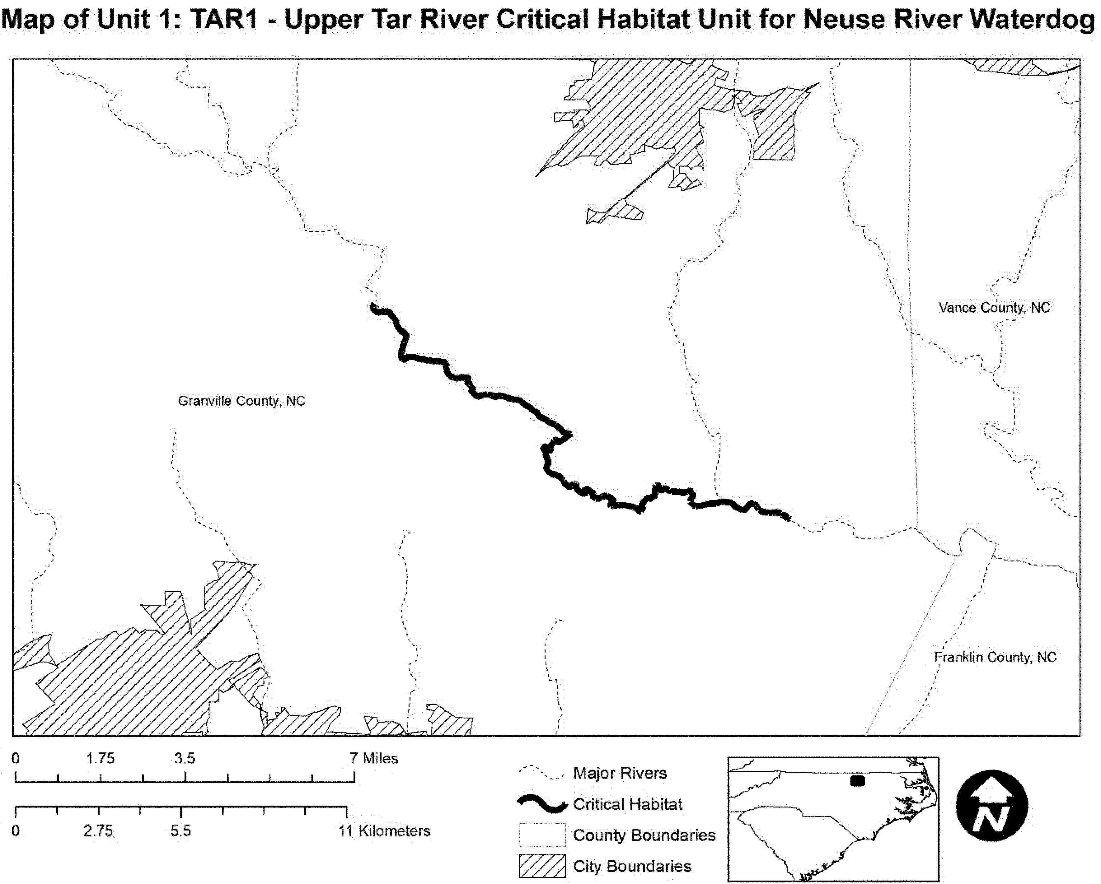
(7) Unit 2: TAR2-Upper Fishing Creek, Warren County, North Carolina.
(i) This unit consists of 10.5 miles (17 kilometers) of Upper Fishing Creek from SR1118 (No Bottom Drive) downstream to NC58. Unit 2 includes stream habitat up to bankfull height.
(ii) Map of Unit 2 follows:
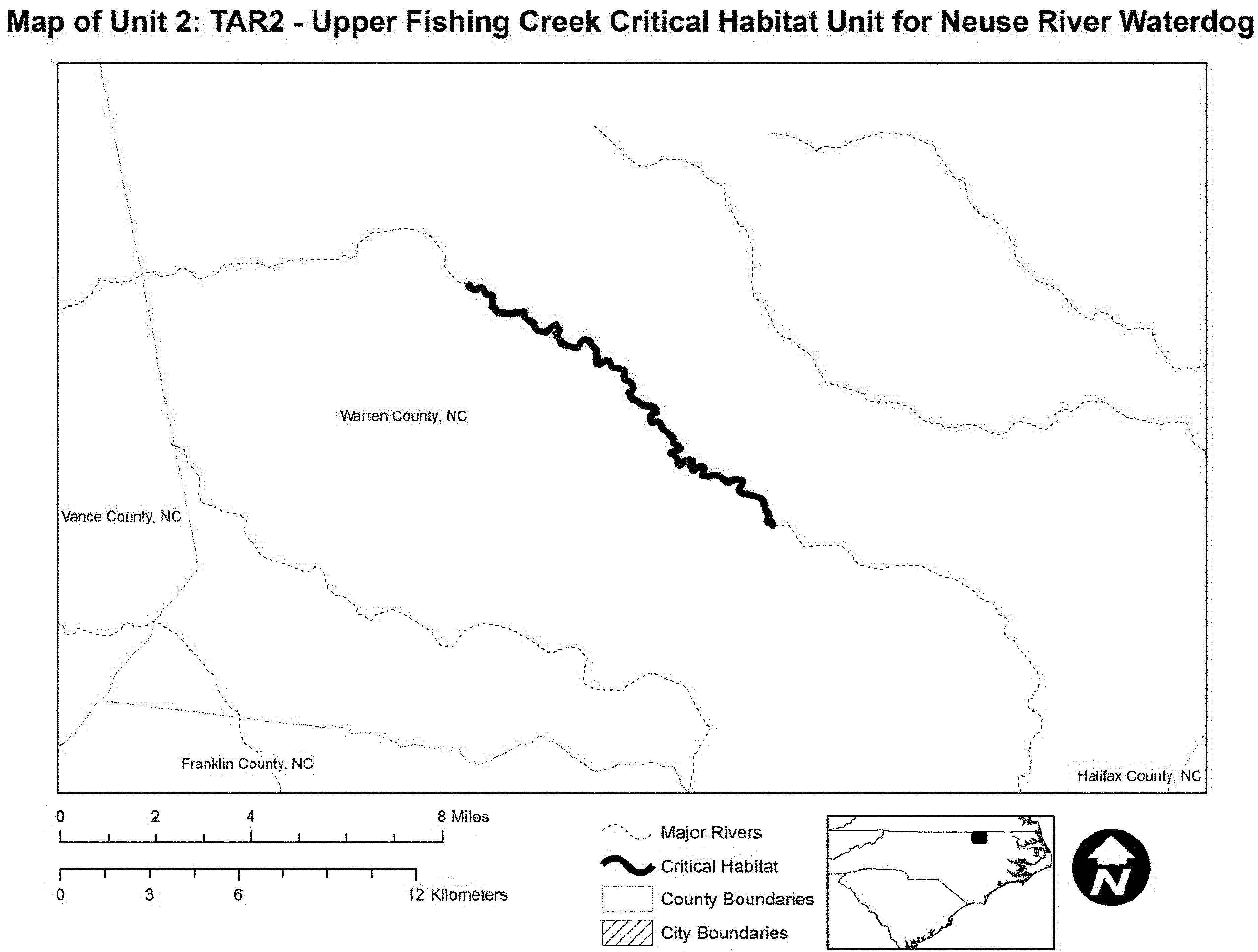
(8) Unit 3: TAR3-Bens Creek, Warren County, North Carolina.
(i) This unit consists of 2 miles (3.2 km) of Bens Creek beginning approximately one mile upstream and ending approximately one mile downstream of SR1509 (Odell-Littleton Road). Unit 3 includes stream habitat up to bankfull height.
(ii) Map of Unit 3 follows:
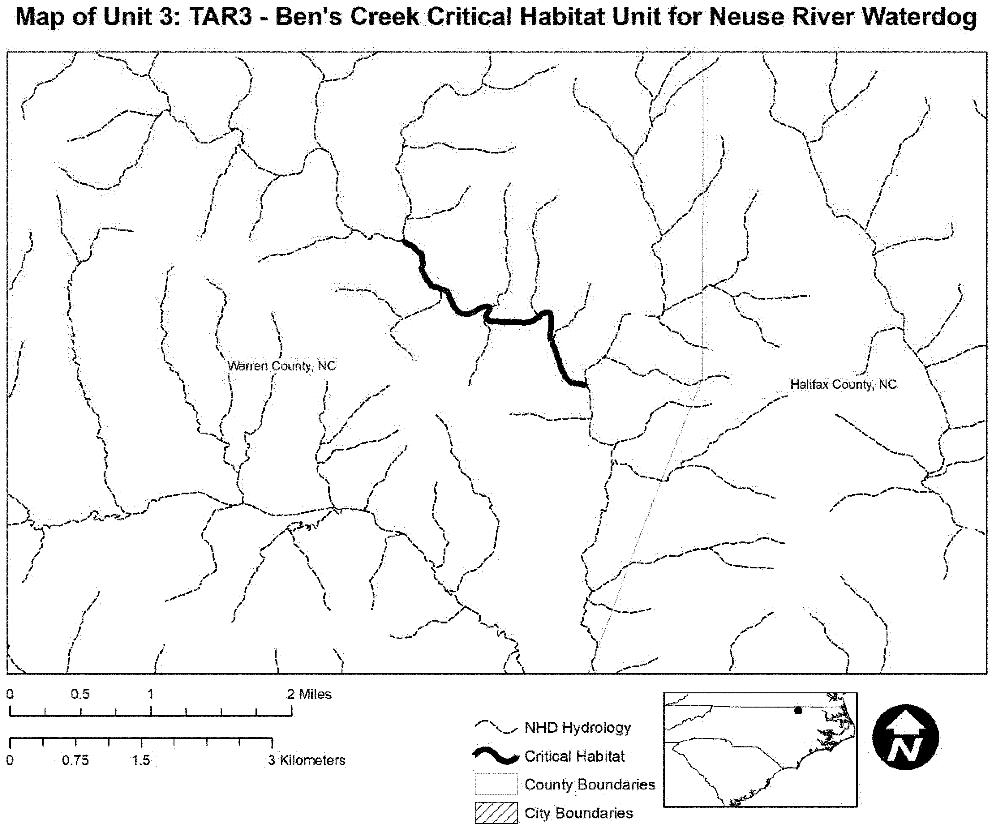
(9) Unit 4: TAR4a-Fishing Creek Subbasin, Edgecombe, Halifax, Nash, and Warren Counties, North Carolina; Unit 5: TAR4b-Sandy/Swift Creek, Edgecombe, Franklin, Nash, and Warren Counties, North Carolina; Unit 6: TAR4c-Middle Tar River Subbasin, Edgecombe, Franklin, and Nash Counties, North Carolina; and Unit 7: TAR4d-Lower Tar River Subbasin, Edgecombe and Pitt Counties, North Carolina.
(i) Units 4, 5, 6, and 7 include stream habitat up to bankfull height.
(ii) Unit 4 consists of 82.8 miles (133.3 km) of lower Little Fishing Creek approximately 1.6 miles (2.6 km) upstream of SR1214 (Silvertown Rd) downstream to the confluence with Fishing Creek, and including the mainstem of Fishing Creek from the Warren/Halifax County line to the confluence with the Tar River in Edgecombe County.
(iii) Unit 5 consists of 72.5 miles (116.8 kilometers) of Sandy Creek downstream of SR 1451 (Leonard Road) to the confluence with the Tar River, including Red Bud Creek downstream of the Franklin/Nash county line to the confluence with Swift Creek.
(iv) Unit 6 consists of 111 miles (179 kilometers) of the Middle Tar River from upstream of Highway 401 downstream to the confluence with Fishing Creek, including Stony Creek below SR1300 (Boddies' Millpond Rd), downstream to the confluence with the Tar River.
(v) Unit 7 consists of 59.9 miles (96.3 kilometers) in the Lower Tar River Subbasin from the confluence with Fishing Creek downstream to the confluence with Barber Creek near SR1533 (Port Terminal Road). This unit includes portions of Town Creek below NC111 to the confluence with the Tar River, Otter Creek below SR1251 to the confluence with the Tar River, and Tyson Creek below SR1258 to the confluence with the Tar River.
(vi) Map of Units 4, 5, 6, and 7 follows:

(10) Unit 8: NR1-Eno River, Durham and Orange Counties, North Carolina.
(i) This unit consists of 43.9 miles (70.6 kilometers) of the Eno River from NC86 downstream to the inundated portion of Falls Lake. Unit 8 includes stream habitat up to bankfull height.
(ii) Map of Unit 8 follows:
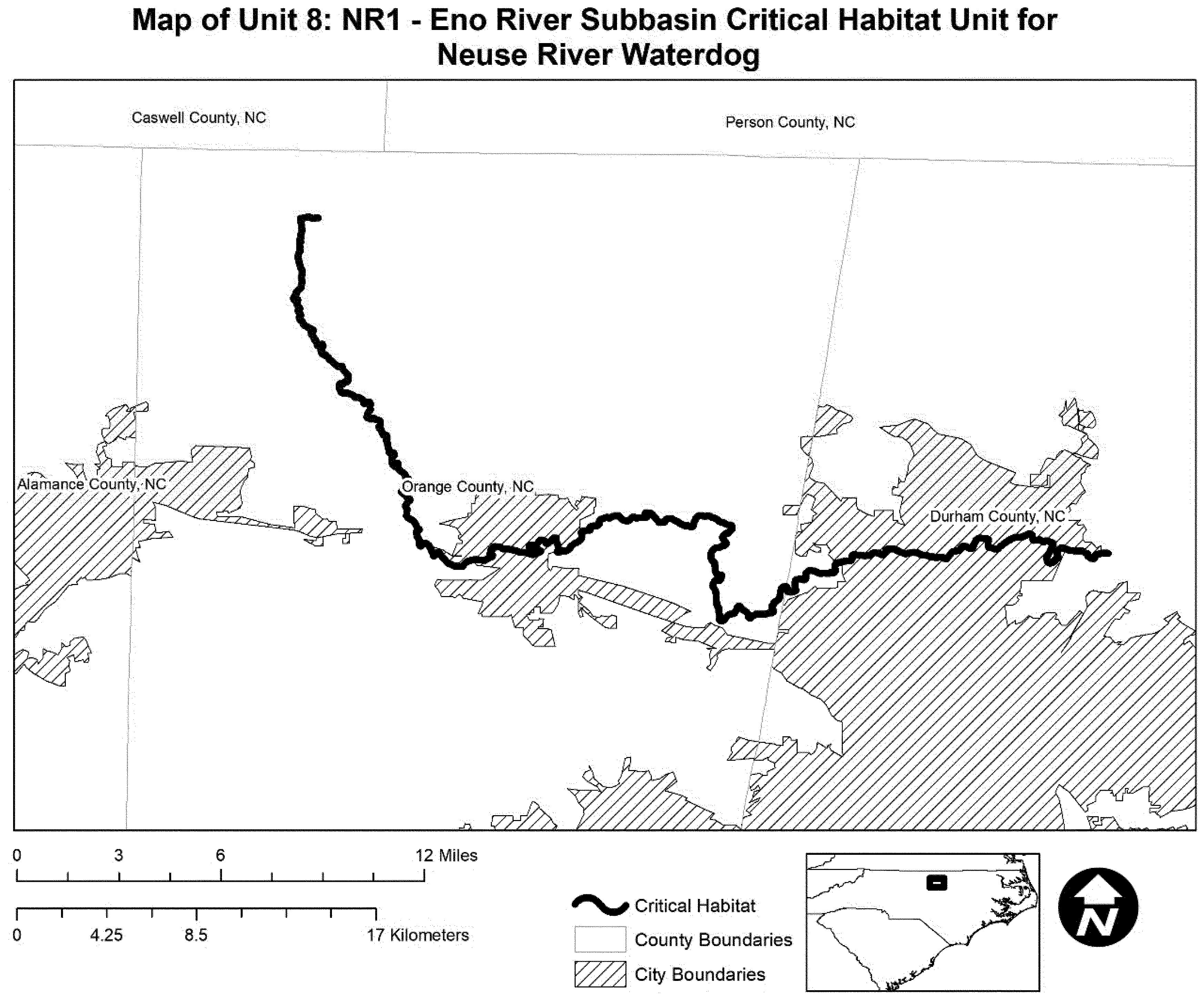
(11) Unit 9: NR2-Flat River, Durham and Person Counties, North Carolina.
(i) This unit consists of 15.2 miles (24.5 kilometers) of the Flat River from SR1739 (Harris Mill Road) downstream to the inundated portion of Falls Lake. Unit 9 includes stream habitat up to bankfull height.
(ii) Map of Unit 9 follows:

(12) Unit 10: NR3-Middle Creek, Johnston and Wake Counties, North Carolina.
(i) This unit consists of 30.8 miles (49.6 km) of Middle Creek from Southeast Regional Park downstream to the confluence with Swift Creek. Unit 10 includes stream habitat up to bankfull height.
(ii) Map of Unit 10 follows:

(13) Unit 11: NR4-Swift Creek, Johnston County, North Carolina.
(i) This unit consists of 24 miles (38.6 kilometers) of Swift Creek from NC42 downstream to the confluence with the Neuse River. Unit 11 includes stream habitat up to bankfull height.
(ii) Map of Unit 11 follows:

(14) Unit 12: NR5a-Little River, Franklin, Johnston, Wake, and Wayne Counties, North Carolina; Unit 13: NR5b-Mill Creek, Johnston and Wayne Counties, North Carolina; and Unit 14: NR5c-Middle Neuse River, Wayne County, North Carolina.
(i) Units 12, 13, and 14 include stream habitat up to bankfull height.
(ii) Unit 12 consists of 90.8 miles (146.1 kilometers) of the Little River from near NC96 in Wake County downstream to the confluence with the Neuse River, including Buffalo Creek from NC39 to the confluence with the Little River.
(iii) Unit 13 consists of 20.8 miles (33.5 kilometers) of Mill Creek from upstream of US701 downstream to the confluence with the Neuse River.
(iv) Unit 14 consists of 43.2 miles (69.5 kilometers) of the Middle Neuse River from the confluence with Mill Creek downstream to the Wayne/Lenoir County line.
(v) Map of Units 12, 13, and 14 follows:

(15) Unit 15: NR6-Contentnea Creek/Lower Neuse River Subbasin, Craven, Greene, Lenoir, Pitt, Wayne, and Wilson Counties, North Carolina.
(i) This unit consists of 114.8 miles (184.8 kilometers) of Contentnea Creek from NC581 downstream to its confluence with the Neuse River, Nahunta Swamp from the Wayne/Greene County line to the confluence with Contentnea Creek, and the Neuse River from the confluence with Contentnea Creek to the confluence with Pinetree Creek. Unit 15 includes stream habitat up to bankfull height.
(ii) Map of Unit 15 follows:

(16) Unit 16: NR7-Swift Creek (Lower Neuse), Craven County, North Carolina.
(i) This unit consists of 10.3 miles (16.5 rier kilometers) of Swift Creek from SR1931 (Beaver Camp Rd) downstream to SR1440 (Streets Ferry Rd). Unit 16 includes stream habitat up to bankfull height.
(ii) Map of Unit 16 follows:

(17) Unit 17: TR1-Trent River, Jones County, North Carolina.
(i) This unit consists of 32.5 miles (52.4 kilometers) of Beaver Creek from SR1316 (McDaniel Fork Rd) to the confluence with the Trent River, and Trent River from the confluence with Poplar Branch downstream to SR1121 (Oak Grove Rd) crossing at the Marine Corps Cherry Point property. Unit 17 includes stream habitat up to bankfull height.
(ii) Map of Unit 17 follows:

(18) Unit 18: TR2-Tuckahoe Swamp, Jones County, North Carolina.
(i) This unit consists of 2 miles (3.2 km) of Tuckahoe Swamp in Jones County, North Carolina. Unit 18 begins upstream of SR1142 (Weyerhaeuser Road) to the confluence with the Trent River. Unit 18 includes stream habitat up to bankfull height.
(ii) Map of Unit 18 follows:

(e) Fishes.
Yaqui Catfish (Ictalurus pricei)
Arizona, Cochise County. All aquatic habitats of San Bernardino NWR in S 1⁄2 Sec. 11; Sec. 14; S 1⁄2 and NE 1⁄4 Sec. 15; T24S, R30E.
Known constituent elements include clean unpolluted permanent water in streams with medium current with clear pools in the Rio Yaqui drainage. These waters should be without introduced exotic fishes.
The map provided is for informational purposes only. Map follows:

Alabama Cavefish (Speoplatyrhinus poulsoni)
Alabama. Lauderdale County. More Specific locality data for Federal agencies fulfilling their obligations under Section 7 of the Endangered Species Act of 1973 can be obtained from the Office of Endangered Species, U.S. Fish and Wildlife Service, Washington, DC 20240.
No map.
Bonytail Chub (Gila elegans)
Description of areas taken from the Bureau of Land Management (BLM) 1:100,000 scale maps (available from BLM State Offices): Rangely, CO 1989; Canyon of Lodore, CO 1990; Seep Ridge, UT/CO 1982; La Sal, UT/CO 1985; Hite Crossing, UT 1982; Parker, AZ/CA 1980; Davis Dam, AZ/NV/CA 1982; Boulder City, NV/AZ 1978; Needles, CA 1986.
Colorado: Moffat County. The Yampa River from the boundary of Dinosaur National Monument in T.6N., R.99W., sec. 27 (6th Principal Meridian) to the confluence with the Green River in T.7N., R.103W., sec. 28 (6th Principal Meridian).
Utah: Uintah County; and Colorado: Moffat County. The Green River from the confluence with the Yampa River in T.7N., R.103W., sec. 28 (6th Principal Meridian) to the boundary of Dinosaur National Monument in T.6N., R.24E., sec. 30 (Salt Lake Meridian).
Utah: Uintah and Grand Counties. The Green River (Desolation and Gray Canyons) from Sumner's Amphitheater in T.12S., R.18E., sec. 5 (Salt Lake Meridian) to Swasey's Rapid in T.20S., R.16E., sec. 3 (Salt Lake Meridian).
Utah: Grand County; and Colorado: Mesa County. The Colorado River from Black Rocks in T.10S., R.104W., sec. 25 (6th Principal Meridian) to Fish Ford in T.21S., R.24E., sec. 35 (Salt Lake Meridian).
Utah: Garfield and San Juan Counties. The Colorado River from Brown Betty Rapid in T.30S., R.18E., sec. 34 (Salt Lake Meridian) to Imperial Canyon in T.31S., R.17E., sec. 28 (Salt Lake Meridian).
Arizona: Mohave County; Nevada: Clark County; and California: San Bernardino County. The Colorado River from Hoover Dam in T.30N., R.23W., sec. 3 (Gila and Salt River Meridian) to Davis Dam in T.21N., R.21W., sec. 18 (Gila and Salt River Meridian) including Lake Mohave up to its full pool elevation.
Arizona: Mohave County; and California: San Bernardino County. The Colorado River from the northern boundary of Havasu National Wildlife Refuge in R.22W., T.16N., sec. 1 (Gila and Salt River Meridian) to Parker Dam in T.11N., R.18W., sec. 16 (Gila and Salt River Meridian) including Lake Havasu up to its full pool elevation.
Known constituent elements include water, physical habitat, and biological environment as required for each particular life stage for each species.
The map provided is for informational purposes only. Map follows:

Gila Chub (Gila intermedia)
(1) Critical habitat for the Gila chub in Grant County, New Mexico, and Yavapai, Gila, Greenlee, Graham, Cochise, Pima, Santa Cruz, and Pinal Counties in Arizona is described in detail and depicted on the following maps below.
(2) Within these areas, the primary constituent elements are the following:
(i) Perennial pools, areas of higher velocity between pool areas, and areas of shallow water among plants or eddies all found in small segments of headwaters, springs, or cienegas of smaller tributaries;
(ii) Water temperatures for spawning ranging from 17 to 24 °C (62.6 to 75.2 °F), and seasonally appropriate temperatures for all life stages (e.g., varying from approximately 10 °C to 30 °C);
(iii) Water quality with reduced levels of contaminants, including excessive levels of sediments adverse to Gila chub health, and adequate levels of pH (e.g., ranging from 6.5 to 9.5), dissolved oxygen (e.g., ranging from 3.0 to 10.0) and conductivity (e.g., 100 to 1000 mmhos);
(iv) Food base consisting of invertebrates (e.g., aquatic and terrestrial insects) and aquatic plants (e.g., diatoms and filamentous green algae);
(v) Sufficient cover consisting of downed logs in the water channel, submerged aquatic vegetation, submerged large tree root wads, undercut banks with sufficient overhanging vegetation, large rocks and boulders with overhangs, and a high degree of streambank stability and healthy, intact riparian vegetative community;
(vi) Habitat devoid of nonnative aquatic species detrimental to Gila chub or habitat in which detrimental nonnatives are kept at a level that allows Gila chub to continue to survive and reproduce; and
(vii) Streams that maintain a natural flow pattern including periodic flooding.
(3) Each stream segment includes a lateral component that consists of 300 feet on either side of the stream channel measured from the stream edge at bank full discharge. This lateral component of critical habitat is intended as a surrogate for the 100-year floodplain.
(4) Lands located within the boundaries of the critical habitat designation, but are excluded by definition include: Existing paved roads; bridges; parking lots; dikes; levees; diversion structures; railroad tracks; railroad trestles; water diversion canals outside of natural stream channels; active gravel pits; cultivated agricultural land; and residential, commercial, and industrial developments. These developed areas do not contain any of the primary constituent elements, do not provide habitat or biological features essential to the conservation of the Gila chub, and generally will not contribute to the species' recovery.
(5) Critical Habitat Map Areas. Data layers defining map areas, and mapping of critical habitat areas, was done using Arc GIS and verifying with USGS 7.5′ quadrangles. Legal descriptions for New Mexico and Arizona are based on the Public Lands Survey System (PLSS). Within this system, all coordinates reported for New Mexico are in the New Mexico Principal Meridian (NMPM), while those in Arizona are in the Gila and Salt River Meridian (GSRM). Township has been abbreviated as “T”, Range as “R”, and section as “sec.” Where possible, the ending or starting points have been described to the nearest quarter-section, abbreviated as “ 1⁄4”. Cardinal directions are also abbreviated (N = North, S = South, W = West, and E = East). All mileage calculations were performed using GIS.
(6) Note: Map 1 (index map) follows:

(7) Area 1: Upper Gila River - Grant County, New Mexico, and Greenlee County, Arizona.
(i) Turkey Creek: 22.3 km (13.8 mi) of creek extending from the edge of the Gila Wilderness boundary at T14S, R16W, sec. 15 NW 1⁄4 and continuing upstream to T13S, R15W, sec. 30 NE 1⁄4. Land ownership: Gila National Forest and private.
(ii) Eagle Creek and East Eagle Creek: 39.2 km (24.4 mi) of creek extending from its confluence with an unnamed tributary at T1N, R28E, sec. 31 SW 1⁄4 upstream to the headwaters of East Eagle Creek just south of Highway 191 in T3N, R29E, sec. 28 SE 1⁄4. Land ownership: Apache-Sitgreaves National Forest and private.
(iii) Harden Cienega Creek: 22.6 km (14.0 mi) of creek extending from its confluence with the San Francisco River in GSRM T3S, R31E, sec. 3 SE 1⁄4 upstream to the headwaters in NMPM T14S, R21W, sec. 6 NE 1⁄4. Land ownership: Apache-Sitgreaves National Forest, Gila National Forest, and private.
(iv) Dix Creek: Portions of the Creek beginning 1.0 mile upstream from its confluence with the San Francisco River at a natural rock barrier in T3S, R31E, sec. 9 NE 1⁄4 continuing upstream for 0.9 km (0.6 mi.) to the confluence of the right and left prongs of Dix Creek in T3S, R31E, sec. 9 center. Includes Left Prong of Dix Creek upstream of its confluence with Dix Creek 2.0 km (1.2 mi) to T3S, R31E, section 15 NW 1⁄4. Land ownership: Apache-Sitgreaves National Forest. Includes the Right Prong of Dix Creek continuing upstream of its confluence with Dix Creek 4.8 km (3.0 mi) to T3S, R31E, section 20 SE 1⁄4. Land ownership: Apache-Sitgreaves National Forest.
(v) Map of Area 1, Gila River, (Map 2) follows:

(8) Area 2: Middle Gila River - Gila and Pinal Counties, Arizona.
(i) Mineral Creek: 14.4 km (9.0 mi) of creek extending from its confluence with Devil's Canyon in T2S, R13E, section 35 NW 1⁄4 continuing upstream to its headwaters in T2S, R14E, sec. 15 center at the confluence of Mineral Creek and an unknown drainage. Land ownership: Tonto National Forest, State, and private.
(ii) Map of Area Upper Gila River, (Map 3) follows:

(9) Area 3: Babocomari River - Santa Cruz County, Arizona.
(i) O'Donnell Canyon: 10.0 km (6.2 mi) of creek extending from its confluence with Turkey Creek at T21S, R18E, sec. 22 SE 1⁄4 upstream to the confluences of Western, Middle, and Pauline Canyons in T22S, R18E, sec. 17 NE 1⁄4. Land ownership: Bureau of Land Management, Coronado National Forest, and private.
(ii) Turkey Creek: 6.3 km (3.9 mi) of creek extending from its confluence with O'Donnell Canyon in T21S, R18E, sec. 22 SE 1⁄4 upstream to where Turkey Creek crosses AZ Highway 83 in T22S, R18E, sec. 9 NE 1⁄4. Land ownership: Coronado National Forest, and private.
(iii) Map of Area 3, Babocomari River, (Map 4) follows:

(10) Area 4: Lower San Pedro River - Cochise and Graham Counties, Arizona.
(i) Bass Canyon: 5.5 km (3.4 mi) of creek extending from its confluence with Hot Springs Canyon in T12S, R20E, sec. 36 NE 1⁄4 upstream to the confluence with Pine Canyon in T12S, R21E, sec. 20 SW 1⁄4. Land ownership: Bureau of Land Management and private.
(ii) Hot Springs Canyon: 10.5 km (6.5 mi) of creek extending from T13S R20E, sec. 5 NW 1⁄4 continuing upstream to its confluence with Bass Canyon in T12S, R20E, sec. 36 NE 1⁄4. Land ownership: Bureau of Land Management, State, and private (The Nature Conservancy).
(iii) Redfield Canyon: 9.8 km (6.1 mi) of creek extending from the western boundary of T11S, R19E, section 35 upstream to its confluence with Sycamore Canyon in T11S, R20E, sec. 28 NE 1⁄4. Land ownership: Bureau of Land Management, State, and private.
(iv) Map of Area 4, Lower San Pedro River, (Map 5) follows:

(11) Area 5: Lower Santa Cruz River - Pima County, Arizona.
(i) Cienega Creek: (Two Segments). First segment includes 14.2 km (8.8 mi) of creek extending from where Cienega Creek becomes Pantano Wash T16S, R16E, at the boundary of sec. 14 and sec. 23 to where it crosses Interstate 10 at T17S, R17E, sec. 1 NW 1⁄4. Land ownership: County and State Trust. Second segment includes 13.6 km (8.4 mi) of creek extending from T18S, R18E, sec. 6 S 1⁄2 to its confluence with Empire Gulch at T19S, R17E, sec. 3 SE 1⁄4. Land ownership: Bureau of Land Management and State.
(ii) Mattie Canyon: 4.0 km (2.5 mi) of creek extending from its confluence with Cienega Creek in T18S, R17E, sec. 23 NE 1⁄4 upstream to the Bureau of Land Management Boundary in T18S, R17E, sec. 25 SW 1⁄4. Land Ownership: Bureau of Land Management.
(iii) Empire Gulch: 5.2 km (3.2 mi) of creek extending from its confluence with Cienega Creek in T19S, R17E, sec. 3 SE 1⁄4 continuing upstream to T19S, R17E, sec. 16 NW 1⁄4 on the western boundary of section 16. Land Ownership: Bureau of Land Management and State.
(iv) Sabino Canyon: 11.1 km (6.9 mi) of creek extending from the southern boundary of the Coronado National Forest in T13S, R15E, sec. 9 SE 1⁄4 upstream to its confluence with the West Fork of Sabino Canyonin T12S, R15E, sec. 22 NE 1⁄4. Land ownership: Coronado National Forest.
(v) Map of Area 5, Lower Santa Cruz River, (Map 6) follows:

(12) Area 6: Upper Verde River - Yavapai County, Arizona.
(i) Walker Creek: 7.6 km (4.7 mi) of creek extending from Prescott National Forest Road 618 in T15N, R6E, sec. 33 SW 1⁄4 upstream to its confluence with Spring Creek in T14N, R6E, sec. 1, SE 1⁄4. Land ownership: Coconino National Forest and private.
(ii) Red Tank Draw: 11.1 km (6.9 mi) of creek extending from the National Park Service boundary just upstream of its confluence with Wet Beaver Creek in T15N, R6E, sec. 31 NE 1⁄4 upstream to the confluence of Mullican and Rarick canyons in T15N, R6E, sec. 2 NW 1⁄4. Land ownership: Coconino National Forest and private.
(iii) Spring Creek: 2.7 km (1.7 mi) of creek including all non-private land extending from T16N, R4E, sec. 27 SE 1⁄4 at the boundary of Forest Service land and continuing upstream to the Arizona Highway 89A crossing in T16N, R4E, sec. 16 SE 1⁄4. Land ownership: Coconino National Forest, and State.
(iv) Williamson Valley Wash: 7.2 km (4.4 mi) of creek extending from the gauging station in T17N, R3W, sec. 7 SE 1⁄4 upstream to the crossing of the Williamson Valley Road in T17N, R4W, sec. 36 NE 1⁄4. Land ownership: private.
(v) Map of Area 6, Upper Verde River, (Map 7) follows:

(13) Area 7: Agua Fria River - Yavapai County, Arizona.
(i) Little Sycamore Creek: 4.7 km (2.9 mi) of creek extending from its confluence with Sycamore Creek in T11N, R4E, sec. 6 SW 1⁄4 upstream to T11N, R4E, sec. 4 NE 1⁄4. Land ownership: Prescott National Forest and private.
(ii) Sycamore Creek: 18.3 km (11.4 mi) of creek extending from its confluence with Little Sycamore Creek at T11N, R4E, sec. 6 SW 1⁄4 upstream to Nelson Place Spring in T11N, R5E, sec. 21 NE 1⁄4. Land ownership: Prescott National Forest and private.
(iii) Indian Creek: 8.4 km (5.2 mi) of creek extending from T11N, R3E, sec. 35 NE 1⁄4 to Upper Water Springs in T11N, R4E, sec. 16 SE 1⁄4. Land ownership: Bureau of Land Management, Prescott National Forest, and private.
(iv) Silver Creek: 8.5 km (5.3 mi) of creek extending from T10N, R3E, sec. 10 SE 1⁄4 continuing upstream to the spring in T10N, R4E, Sec. 4 SW 1⁄4. Land ownership: Tonto National Forest and Bureau of Land Management.
(v) Lousy Canyon: Portions of the creek from the confluence of an unnamed tributary upstream to the fork with an unnamed tributary approximately 0.6 km (0.4 mi) upstream, all entirely T9N, R3E, sec. 5 NW 1⁄4. Land ownership: Bureau of Land Management.
(vi) Larry Creek: Portions of the creek from an unnamed tributary and continuing upstream 0.7 km (0.4 mi) to the confluence of two adjoining unnamed tributaries, entirely within T9N, R3E, sec. 9 NW 1⁄4. Land ownership: Bureau of Land Management.
(vii) Map of Area 7, Aqua Fria River, (Map 8) follows:

Humpback Chub (Gila cypha)
Description of areas taken from BLM 1:100,000 scale maps (available from BLM State Offices): Rangely, CO 1989; Canyon of Lodore, CO 1990; Seep Ridge, UT/CO 1982; Vernal, UT/CO 1982; Grand Junction, CO 1990; Moab, UT/CO 1985; La Sal, UT/CO 1985; Tuba City, AZ 1983; Peach Springs, AZ 1980; Grand Canyon, AZ 1980; Mt. Trumbull, AZ 1979.
Colorado: Moffat County. The Yampa River from the boundary of Dinosaur National Monument in T.6N., R.99W., sec. 27 (6th Principal Meridian) to the confluence with the Green River in T.7N., R.103W., sec. 28 (6th Principal Meridian).
Utah: Uintah County; and Colorado: Moffat County. The Green River from the confluence with the Yampa River in T.7N., R.103W., sec. 28 (6th Principal Meridian) to the southern boundary of Dinosaur National Monument in T.6N., R.24E., sec. 30 (Salt Lake Meridian).
Utah: Uintah and Grand Counties. The Green River (Desolation and Gray Canyons) from Sumner's Amphitheater in T.12S., R.18E., sec. 5 (Salt Lake Meridian) to Swasey's Rapid in T.20S., R.16E., sec. 3 (Salt Lake Meridian).
Utah: Grand County; and Colorado: Mesa County. The Colorado River from Black Rocks in T.10S., R.104W., sec. 25 (6th Principal Meridian) to Fish Ford River in T.21S., R.24E., sec. 35 (Salt Lake Meridian).
Utah: Garfield and San Juan Counties. The Colorado River from Brown Betty Rapid River in T.30S., R.18E., sec. 34 (Salt Lake Meridian) to Imperial Canyon in T.31S., R.17E., sec. 28 (Salt Lake Meridian).
Arizona: Coconino County. The Little Colorado River from river mile 8 in T.32N., R.6E., sec. 12 (Salt and Gila River Meridian) to the confluence with the Colorado River in T.32N., R.5E., sec. 1 (Salt and Gila River Meridian).
Arizona: Coconino County. The Colorado River from Nautiloid Canyon in T.36N., R.5E., sec. 35 (Salt and Gila River Meridian) to Granite Park in T.30N., R.10W., sec. 25 (Salt and Gila River Meridian).
Known constituent elements include water, physical habitat, and biological environment as required for each particular life stage for each species.
The map provided is for informational purposes only. Map follows:

Owens Tui Chub (Gila bicolor snyderi)
California, Mono County.
1. Hot Creek, adjacent springs and their outflows in the vicinity of Hot Creek Hatchery, and 50 feet of riparian habitat on all sides of the creek and springs in T3S, R28E, SW 1⁄4 Section 35.
The map provided is for informational purposes only. Map follows:

2. Owens River, and 50 feet on both sides of the river, from Long Valley Dam downstream for 8 stream miles in T4S, R30E, Sections 19, 20, 21, 22, 23, 24, 25, and 36.
The map provided is for informational purposes only. Map follows:

Known constituent elements include high quality, cool water with adequate cover in the form of rocks, undercut banks, or aquatic vegetation and a sufficient insect food base.
Slender Chub (Erimystax=(Hybopsis) cahni)
Tennessee. Claiborne and Hancock Counties. Powell River, main channel from backwaters of Norris Lake upstream to the Tennessee-Virginia State line. Clinch River, main channel from backwaters of Norris Lake upstream to the Tennessee-Virginia State line.
Virginia. Lee and Scott Counties. Powell River, main channel from the Tennessee-Virginia State line upstream through Lee County, Va. Clinch River, main channel from the Tennessee-Virginia State line upstream through Scott County, Va.
The map provided is for informational purposes only. Map follows:

Sonora Chub (Gila ditaenia)
Arizona, Santa Cruz County. An area of land and water in the Coronado National Forest, consisting of the following:
1. Sycamore Creek, and a riparian zone 25 feet wide along each side of the creek, from Yank's Spring downstream approximately 5 stream miles to the International Border with Mexico within sections 14, 22, 23, 27, 33, and 34, T. 23 S.; R. 11 E.
2. Yank's Spring in the SE 1⁄4 of the NW 1⁄4 of sec. 14, T. 23 S.; R. 11 E.
3. Penasco Creek, including a riparian zone 25 feet wide along each side of the creek, from its confluence with Sycamore Creek (SW 1⁄4 of the SW 1⁄4 of sec. 23, T. 23 S.; R. 11 E.) upstream approximately 11⁄4 miles to the east boundary of sec. 26, T. 23 S. R. 11 E.;
4. An unnamed tributary to Sycamore Creek, from its confluence with Sycamore Creek (SW 1⁄4 of the NW 1⁄4 of sec. 23, T. 23 S.; R. 11 E.) upstream approximately 1⁄4 mile to the west boundary of the NE 1⁄4 of the SE 1⁄4 of the NE 1⁄4 sec. 22, T. 23 S.; R. 11 E.
The map provided is for informational purposes only. Map follows:

Known primary constituent elements include clean permanent water with pools and intermediate riffle areas and/or intermittent pools maintained by bedrock or by subsurface flow in areas shaded by canyon walls.
Spotfin Chub (Erimonax monachus)
North Carolina. Macon and Swain Counties. Little Tennessee River, main channel from the backwaters of Fontana Lake upstream to the North Carolina-Georgia State line.
The map provided is for informational purposes only. Map follows:

Tennessee. Cumberland, Fentress, and Morgan Counties. Emory and Obed Rivers and Clear and Daddys Creek in Morgan County. Clear Creek in Fentress County. Obed River upstream to U.S. Interstate Highway 40, Clear Creek upstream to U.S. Interstate Highway 40 and Daddys Creek upstream to U.S. Highway 127 in Cumberland County.
The map provided is for informational purposes only. Map follows:

Tennessee. Hawkins and Sullivan Counties. North Fork Holston, main channel upstream from junction with South Fork Holston River to the Tennessee-Virginia State line.
Virginia. Scott and Washington Counties. North Fork Holston River, main channel from the Virginia-Tennessee State line upstream through Scott and Washington Counties.
The map provided is for informational purposes only. Map follows:

Virgin River Chub (Gila seminuda)
Legal descriptions for St. George (Utah-Arizona) and Littlefield (Arizona) were obtained from the 1987 Bureau of Land Management (BLM) maps (Surface Management Status 30 × 60 Minute Quadrangle). Legal descriptions for Overton (Nevada-Arizona) were obtained from the 1989 BLM maps (Surface Management Status 30 × 60 Minute Quadrangle). The 100-year floodplain for many areas is detailed in Flood Insurance Rate Maps (FIRM) published by and available through the Federal Emergency Management Agency (FEMA). In areas where a FIRM is not available, the presence of alluvium soils or known high water marks can be used to determine the extent of the floodplain. Only areas of floodplain containing at least one of the constituent elements are considered critical habitat. Critical habitat designated for the Virgin River chub is as follows:
Utah, Washington County; Arizona, Mohave County; Nevada, Clark County. The Virgin River and its 100-year floodplain from its confluence with La Verkin Creek, Utah in T.41S., R.13W., sec.23 (Salt Lake Base and Meridian) to Halfway Wash, Nevada T.15S., R.69E., sec.6 (Salt Lake Base and Meridian).
The primary constituent elements of critical habitat determined necessary for the survival and recovery of these Virgin River fishes are water, physical habitat, and biological environment. The desired conditions for each of these elements are further discussed below.
Water - A sufficient quantity and quality of water (i.e., temperature, dissolved oxygen, contaminants, nutrients, turbidity, etc.) that is delivered to a specific location in accordance with a hydrologic regime that is identified for the particular life stage for each species. This includes the following:
1. Water quality characterized by natural seasonally variable temperature, turbidity, and conductivity;
2. hydrologic regime characterized by the duration, magnitude, and frequency of flow events capable of forming and maintaining channel and instream habitat necessary for particular life stages at certain times of the year; and
3. flood events inundating the floodplain necessary to provide the organic matter that provides or supports the nutrient and food sources for the listed fishes.
Physical Habitat - Areas of the Virgin River that are inhabited or potentially habitable by a particular life stage for each species, for use in spawning, nursing, feeding, and rearing, or corridors between such areas:
1. River channels, side channels, secondary channels, backwaters, and springs, and other areas which provide access to these habitats; and
2. areas with slow to moderate velocities, within deep runs or pools, with predominately sand substrates, particularly habitats which contain boulders or other instream cover.
Biological Environment - Food supply, predation, and competition are important elements of the biological environment and are considered components of this constituent element. Food supply is a function of nutrient supply, productivity, and availability to each life stage of the species. Predation and competition, although considered normal components of this environment, are out of balance due to nonnative fish species in many areas. Fourteen introduced species, including red shiner (Cyprinella lutrensis), black bullhead (Ameiurus melas), channel catfish (Ictalurus punctatus), and largemouth bass (Micropterus salmoides), compete with or prey upon the listed fishes. Of these, the red shiner is the most numerous and has been the most problematic for the listed fishes. Red shiners compete for food and available habitats and are known to prey on the eggs and early life stages of the listed fishes. Components of this constituent element include the following:
1. Seasonally flooded areas that contribute to the biological productivity of the river system by producing allochthonous (humus, silt, organic detritus, colloidal matter, and plants and animals produced outside the river and brought into the river) organic matter which provides and supports much of the food base of the listed fishes; and
2. few or no predatory or competitive nonnative species in occupied Virgin River fishes' habitats or potential reestablishment sites.
The map provided is for informational purposes only. Map follows:

Yaqui Chub (Gila purpurea)
Arizona, Cochise County. All aquatic habitats of San Bernardino NWR in S 1⁄2 Sec. 11; Sec. 14; S 1⁄2 and NE 1⁄4 Sec. 15; T24S, R30E. Known constituent elements include clean permanent water with deep pools and intermediate areas with riffles, areas of detritus or heavily overgrown cut banks in the Rio Yaqui drainage, and the absence of introduced exotic fishes.
The map provided is for informational purposes only. Map follows:

Ash Meadows Speckled Dace (Rhinichthys osculus nevadensis)
Nevada, Nye County: Each of the following springs and outflows plus surrounding land areas for a distance of 50 meters (164 feet) from these springs and outflows:
Bradford Springs in Section 11, T18S, R50E, and their outflows for a distance of 300 meters (984 feet) from the springs.
Jack Rabbit Spring and its outflow flowing southwest to the boundary between Section 24 in T18S, R50E and Section 19, T18S, R51E.
Big Spring and its outflow to the boundary between Section 19, T18S, R51E and Section 24, T18S, R50E.
The map provided is for informational purposes only. Map follows:

Known constituent elements include warm-water springs and their outflows and surrounding land areas that provide vegetation for cover and habitat for insects and other invertebrates on which the species feeds.
Desert Dace (Eremichthys acros)
Nevada, Humboldt County. Thermal springs and their outflows plus surrounding riparian areas for a distance of 50 feet from these springs and outflows in T40N, R25E, SW 1⁄4 Section 5, NW 1⁄4NW 1⁄4 Section 8, W 1⁄2 Section 18, W 1⁄2SW 1⁄4 Section 19; T40N, R24E, Section 23, N 1⁄2SE 1⁄4 and S 1⁄2NE 1⁄4 Section 24, SE 1⁄4 Section 25, N 1⁄2 Section 25, and N 1⁄2 Section 26.
The map provided is for informational purposes only. Map follows:

Primary constituent elements of the habitat are considered to be quantity, and thermal and chemical quality of water in headpools and spring outflow streams; presence of a stable, natural substrate supporting food plants for the fish; and length of outflow streams; adequate for seasonal movements in response to changes of water temperature.
Laurel Dace (Chrosomus saylori)
(1) Critical habitat units are depicted for Bledsoe, Rhea, and Sequatchie Counties, Tennessee, on the maps below.
(2) Within these areas, the primary constituent elements of the physical and biological features essential to the conservation of the laurel dace consist of five components:
(i) Pool and run habitats of geomorphically stable, first- to second-order streams with riparian vegetation; cool, clean, flowing water; shallow depths; and connectivity between spawning, foraging, and resting sites to promote gene flow throughout the species' range.
(ii) Stable bottom substrates composed of relatively silt-free gravel, cobble, and slab-rock boulder substrates with undercut banks and canopy cover. Relatively silt-free is defined for the purpose of this rule as silt or fine sand within interstitial spaces of substrates in amounts low enough to have minimal impact to the species.
(iii) An instream flow regime (magnitude, frequency, duration, and seasonality of discharge over time) sufficient to provide permanent surface flows, as measured during years with average rainfall, and to maintain benthic habitats utilized by the species.
(iv) Adequate water quality characterized by moderate stream temperatures, acceptable dissolved oxygen concentrations, moderate pH, and low levels of pollutants. Adequate water quality is defined for the purpose of this rule as the quality necessary for normal behavior, growth, and viability of all life stages of the laurel dace.
(v) Prey base of aquatic macroinvertebrates, including midge larvae, caddisfly larvae, and stonefly larvae.
(3) Critical habitat does not include manmade structures (such as buildings, aqueducts, runways, roads, and other paved areas) and the land on which they are located existing within the legal boundaries on November 15, 2012.
(4) Critical habitat unit maps. Data layers defining map units were created on a base of USGS digital ortho-photo quarter-quadrangles, and critical habitat units were then mapped using Tennessee State Plane, Lambert Conformal Conic Projection, units feet. Upstream and downstream limits were then identified by longitude and latitude using decimal degrees and projected in WGS 1984. The maps in this entry, as modified by any accompanying regulatory text, establish the boundaries of the critical habitat designation. The coordinates or plot points or both on which each map is based are available to the public at the field office Internet site (http://www.fws.gov/cookeville), http://www.regulations.gov at Docket No. FWS-R4-ES-2011-0074, and at the Service's Tennessee Fish and Wildlife Office. You may obtain field office location information by contacting one of the Service regional offices, the addresses of which are listed at 50 CFR 2.2.
(5) Index map follows:

(6) Units 1, 2, and 3: Bumbee Creek and Youngs Creek, Bledsoe and Rhea Counties, Tennessee; and Moccasin Creek, Bledsoe County, Tennessee.
(i) Unit 1 includes 7.8 river kilometers (rkm) (4.8 river miles (rmi)) of Bumbee Creek from its headwaters in Bledsoe County, downstream to its confluence with Mapleslush Branch in Rhea County, Tennessee.
(ii) Unit 2 includes 7.9 rkm (4.9 rmi) of Youngs Creek from its headwaters in Bledsoe County, downstream to its confluence with Moccasin Creek in Rhea County, Tennessee.
(iii) Unit 3 includes 9.0 rkm (5.6 rmi) of Moccasin Creek from its headwaters downstream to 0.1 rkm (0.6 rmi) below its confluence with Lick Creek in Bledsoe County, Tennessee.
(iv) Map of Units 1, 2, and 3 of critical habitat for the laurel dace follows:

(7) Unit 4: Cupp Creek, Bledsoe County, Tennessee.
(i) Unit 4 includes 5.0 rkm (3.1 rmi) of Cupp Creek from its headwaters downstream to its confluence with an unnamed tributary in Bledsoe County, Tennessee.
(ii) Map of Unit 4 of critical habitat for the laurel dace follows:

(8) Unit 5: Horn Branch, Bledsoe County, Tennessee.
(i) Unit 5 includes 4.0 rkm (2.5 rmi) of Horn Branch from its headwaters downstream to its confluence with Rock Creek, Bledsoe County, Tennessee.
(ii) Map of Unit 5 of critical habitat for the laurel dace follows:

(9) Unit 6: Soddy Creek, Sequatchie and Bledsoe Counties, Tennessee.
(i) Unit 6 includes 8.4 rkm (5.2 rmi) of Soddy Creek from its headwaters in Sequatchie County, downstream to its confluence with Harvey Creek in Sequatchie County, Tennessee.
(ii) Map of Unit 6 of critical habitat for the laurel dace follows:

Amber Darter (Percina antesella)
Tennessee and Georgia: Conasauga River from the U.S. Route 411 bridge in Polk County, Tennesee, downstream approximately 33.5 miles through Bradley County, Tennessee and Murray and Whitfield Counties, Georgia, to the Tibbs Bridge Road bridge (Murray County Road 109 and Whitfield County Road 100).
Constituent elements include high quality water, riffle areas (free of silt) composed of sand, gravel, and cobble, which becomes vegetated primarily with Podostemum during the summer.
The map provided is for informational purposes only. Map follows:

Candy Darter (Etheostoma Osburni)
(1) Critical habitat units are depicted for Bland, Giles, and Wythe Counties, Virginia, and Greenbrier, Nicholas, Pocahontas, and Webster Counties, West Virginia, on the maps in this entry.
(2) Within these areas, the physical or biological features essential to the conservation of the candy darter consist of the following components:
(i) Ratios or densities of nonnative species that allow for maintaining populations of candy darters.
(ii) A blend of unembedded gravel and cobble that allows for normal breeding, feeding, and sheltering behavior.
(iii) Adequate water quality characterized by seasonally moderated temperatures and physical and chemical parameters (e.g., pH, dissolved oxygen levels, turbidity) that support normal behavior, growth, and viability of all life stages of the candy darter.
(iv) An abundant, diverse benthic macroinvertebrate community (e.g., mayfly nymphs, midge larvae, caddisfly larvae) that allows for normal feeding behavior.
(v) Sufficient water quantity and velocities that support normal behavior, growth, and viability of all life stages of the candy darter.
(3) Critical habitat does not include manmade structures (such as buildings, aqueducts, runways, roads, and other paved areas) and the land on which they are located existing within the legal boundaries on May 7, 2021.
(4) Critical habitat map units. The provided maps were made using the geographic projection GCS_North_American_1983 coordinate system. Four spatial layers are included as background layers. We used two political boundary layers indicating the State and county boundaries within the United States available through ArcMap Version 10.5 software by ESRI. The roads layer displays major interstates, U.S. highways, State highways, and county roads in the Census 2000/TIGER/Line dataset provided by the U.S. Census Bureau, and available through ArcMap Version 10.5 software. Lastly, the hydrologic data used to indicate river and stream location are a spatial layer of rivers, streams, and small tributaries from the National Hydrology Database (NHD) Plus Version 2 database. This database divides the United States into a number of zones, and the zones that include the area where candy darter critical habitat is indicated are the Ohio-05 hydrologic zone and the Mid Atlantic-02 hydrologic zone. The maps provided display the critical habitat in relation to State and county boundaries, major roads and highways, and connections to certain rivers and streams within the larger river network. The maps in this entry, as modified by any accompanying regulatory text, establish the boundaries of the critical habitat designation. The coordinates or plot points or both on which each map is based are available to the public at https://www.fws.gov/northeast/candydarter/, at http://www.regulations.gov at Docket No. FWS-R5-ES-2018-0050, and at the field office responsible for this designation. You may obtain field office location information by contacting one of the Service regional offices, the addresses of which are listed at 50 CFR 2.2.
(5) Note: Index map of candy darter critical habitat units follows:

(6) Index map of Unit 1-Greenbrier follows:

(7) Unit 1a: East Fork of Greenbrier River, Pocahontas County, West Virginia.
(i) General description: Unit 1a consists of approximately 29.7 stream kilometers (skm) (18.5 stream miles (smi)) of the East Fork of the Greenbrier River from the confluence of an unnamed tributary located 1.8 skm (1.1 smi) upstream of the Bennett Run confluence, downstream to the confluence of the East Fork and West Fork of the Greenbrier River at Durbin, West Virginia; and approximately 6.8 skm (4.2 smi) of the Little River from the U.S. Highway 250 crossing, downstream to the confluence of the Little River and the East Fork of the Greenbrier River; and approximately 1.9 skm (1.2 smi) of Buffalo Fork from the Buffalo Lake dam downstream to the confluence of Buffalo Fork and the Little River. Approximately 21.2 skm (13.2 smi) of Unit 1a is within the Monongahela National Forest with the remainder adjacent to almost entirely private land, except for a small amount that is publicly owned in the form of bridge crossings, road easements, and the like.
(ii) Map of Unit 1a, East Fork of Greenbrier River, follows:

(8) Unit 1b: West Fork of Greenbrier River, Pocahontas County, West Virginia.
(i) General description: Unit 1b consists of approximately 29.9 skm (18.6 smi) of the West Fork of the Greenbrier River from the confluence with Snorting Lick Run, downstream to the confluence of the East Fork and West Fork of the Greenbrier River at Durbin, West Virginia; approximately 13.3 skm (8.3 smi) of the Little River from the confluence with Hansford Run, downstream to the confluence of the Little River and the West Fork of the Greenbrier River; and approximately 4.8 skm (3.0 smi) of Mountain Lick Creek from the confluence with an unnamed tributary (located 1.5 skm (0.9 smi) downstream of the Upper Mountain Lick Forest Service Road crossing), downstream to the confluence of Mountain Lick Creek and the West Fork of the Greenbrier River. Approximately 47.1 skm (29.3 smi) of Unit 1b is within the Monongahela National Forest with the remainder adjacent to almost entirely private land, except for a small amount that is publicly owned in the form of bridge crossings, road easements, and the like.
(ii) Map of Unit 1b, West Fork of Greenbrier River, follows:

(9) Unit 1c: Upper Greenbrier River, Pocahontas County, West Virginia.
(i) General description: Unit 1c consists of approximately 69.3 skm (43.1 smi) of the Greenbrier River from the confluence of the East Fork and West Fork of the Greenbrier River at Durbin, West Virginia, downstream to the confluence of Knapp Creek at Marlinton, West Virginia. Approximately 47.5 skm (29.5 smi) of Unit 1c is within the Monongahela National Forest and the Seneca State Forest, with the remainder adjacent to private land, except for a small amount that is publicly owned in the form of bridge crossings, road easements, and the like.
(ii) Map of Unit 1c, Upper Greenbrier River, follows:

(10) Unit 1d: Deer Creek, Pocahontas County, West Virginia.
(i) General description: Unit 1d consists of approximately 21.2 skm (13.2 smi) of Deer Creek from the confluence of Deer Creek and Saulsbury Run, downstream to the confluence with the Greenbrier River; and approximately 16.3 skm (10.1 smi) of North Fork from a point approximately 1.6 skm (1.0 smi) upstream of the Elleber Run confluence, downstream to the confluence of North Fork and Deer Creek. Approximately 10.0 skm (6.2 smi) of Unit 1d is within the Monongahela National Forest, with the remainder adjacent to private land, except for a small amount that is publicly owned in the form of bridge crossings, road easements, and the like.
(ii) Map of Unit 1d, Deer Creek, follows:

(11) Unit 1e: Sitlington Creek, Pocahontas County, West Virginia.
(i) General description: Unit 1e consists of approximately 10.1 skm (6.3 smi) of Sitlington Creek from the confluence of Galford Run and Thorny Branch, downstream to the confluence with the Greenbrier River. Approximately 1.2 skm (0.7 smi) of Unit 1e is within the Monongahela National Forest, with the remainder adjacent to private land, except for a small amount that is publicly owned in the form of bridge crossings, road easements, and the like.
(ii) Map of Unit 1e, Sitlington Creek, follows:
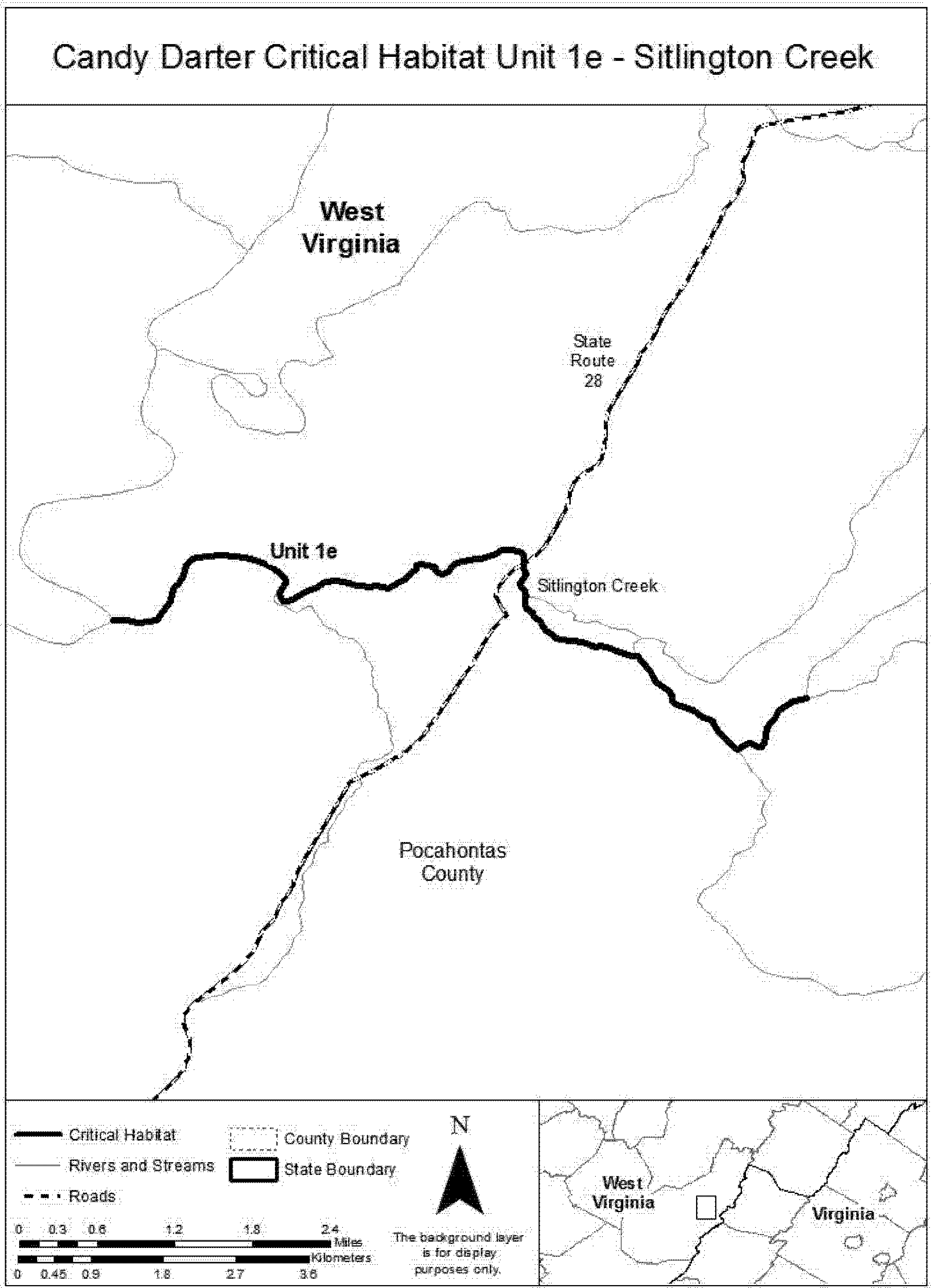
(12) Unit 1f: Knapp Creek, Pocahontas County, West Virginia.
(i) General description: Unit 1f consists of approximately 43.9 skm (27.3 smi) of Knapp Creek from a point approximately (0.1 smi) west of the WV Route 84 and Public Road 55 intersection, downstream to the confluence with the Greenbrier River at Marlinton, West Virginia. Approximately 7.2 skm (4.5 smi) of Unit 1f is within the Monongahela National Forest, with the remainder adjacent to private land, except for a small amount that is publicly owned in the form of bridge crossings, road easements, and the like.
(ii) Map of Unit 1f, Knapp Creek, follows:

(13) Index map of Unit 2-Middle New follows:

(14) Unit 2a: Dismal Creek, Bland and Giles Counties, Virginia.
(i) General description: Unit 2a consists of approximately 4.2 skm (2.6 smi) of Dismal Creek from the confluence with Standrock Branch, downstream to the confluence of Dismal Creek and Kimberling Creek. Approximately 3.2 skm (2.0 smi) of Unit 2a is within the George Washington and Jefferson National Forest, with the remainder adjacent to private land, except for a small amount that is publicly owned in the form of bridge crossings, road easements, and the like.
(ii) Map of Unit 2a, Dismal Creek, follows:

(15) Unit 2b: Stony Creek, Giles County, Virginia.
(i) General description: Unit 2b consists of approximately 31.1 skm (19.3 smi) of Stony Creek from the confluence with White Rock Branch, downstream to the confluence with the New River. Approximately 16.1 skm (10.0 smi) of Unit 2b is within the George Washington and Jefferson National Forest, with the remainder adjacent to private land, except for a small amount that is publicly owned in the form of bridge crossings, road easements, and the like.
(ii) Map of Unit 2b, Stony Creek, follows:

(16) Unit 2c: Laurel Creek, Bland County, Virginia.
(i) General description: Unit 2c consists of approximately 5.1 skm (3.2 smi) of Laurel Creek from a point approximately 0.8 skm (0.5 smi) upstream of the unnamed pond, downstream to the confluence of Laurel Creek and Wolf Creek and approximately 1.4 skm (0.8 smi) of Wolf Creek from the Laurel Creek confluence downstream to the stream riffle adjacent to the intersection of Wolf Creek Highway and Alder Lane. Unit 2c is adjacent to private land, except for a small amount that is publicly owned in the form of bridge crossings, road easements, and the like.
(ii) Map of Unit 2c, Laurel Creek, follows:

(17) Unit 3: Lower Gauley, “Lower” Gauley River, Nicholas County, West Virginia.
(i) General description: Unit 3 consists of approximately 2.9 skm (1.8 smi) of the Gauley River from the base of the Summersville Dam, downstream to the confluence of Collison Creek. The entirety of Unit 3 is within the National Park Service's Gauley River National Recreation Area and the U.S. Army Corps of Engineer's Summersville Recreation Area.
(ii) Map of Unit 3-Lower Gauley follows:

(18) Unit 4: Upper New, Cripple Creek, Wythe County, Virginia.
(i) General description: Unit 4 consists of approximately 7.9 skm (4.9 smi) of Cripple Creek from a point approximately (2.0 smi) upstream of the State Road 94 bridge, downstream to the confluence of Cripple Creek and the New River. The stream in Unit 4 is adjacent to private land, except for a small amount that is publicly owned in the form of bridge crossings, road easements, and the like.
(ii) Map of Unit 4-Upper New follows:

(19) Index map of Unit 5-Upper Gauley follows:

(20) Unit 5a: Gauley Headwaters, Webster County, West Virginia.
(i) General description: Unit 5a consists of approximately 37.3 skm (23.2 smi) of the Gauley River from the North and South Forks of the Gauley River, downstream to the confluence of the Gauley River and the Williams River at Donaldson, West Virginia; and 2.9 skm (1.8 smi) of Straight Creek from its confluence with the Gauley River to a point approximately 2.9 skm (1.8 smi) upstream of the confluence. Approximately 9.0 skm (5.6 smi) of Unit 5a is within the Monongahela National Forest. The remainder of the unit is adjacent to private land, except for a small amount that is publicly owned in the form of bridge crossings, road easements, and the like.
(ii) Map of Unit 5a, Gauley Headwaters, follows:

(21) Unit 5b: Upper Gauley River, Nicholas and Webster Counties, West Virginia.
(i) General description: Unit 5b consists of approximately 43.8 skm (27.2 smi) of the Gauley River from the confluence of the Gauley and Williams Rivers at Donaldson, West Virginia, downstream to a point approximately 1.6 skm (1.0 smi) upstream of the Big Beaver Creek confluence. Approximately 14.6 skm (9.2 smi) of Unit 5b is within the Monongahela National Forest and/or adjacent to land owned by the U.S. Army Corps of Engineers. The streams in the remainder of the unit are adjacent to private land, except for a small amount that is publicly owned in the form of bridge crossings, road easements, and the like.
(ii) Map of Unit 5b, Upper Gauley River, follows:

(22) Unit 5c: Panther Creek, Nicholas County, West Virginia.
(i) General description: Unit 5c consists of approximately 16.3 skm (10.1 smi) of Panther Creek from a point approximately 1.1 skm (0.7 smi) upstream of the Grassy Creek Road crossing, downstream to the confluence with the Gauley River. The streams in Unit 5c are adjacent to private land, except for a small amount that is publicly owned in the form of bridge crossings, road easements, and the like.
(ii) Map of Unit 5c, Panther Creek, follows:
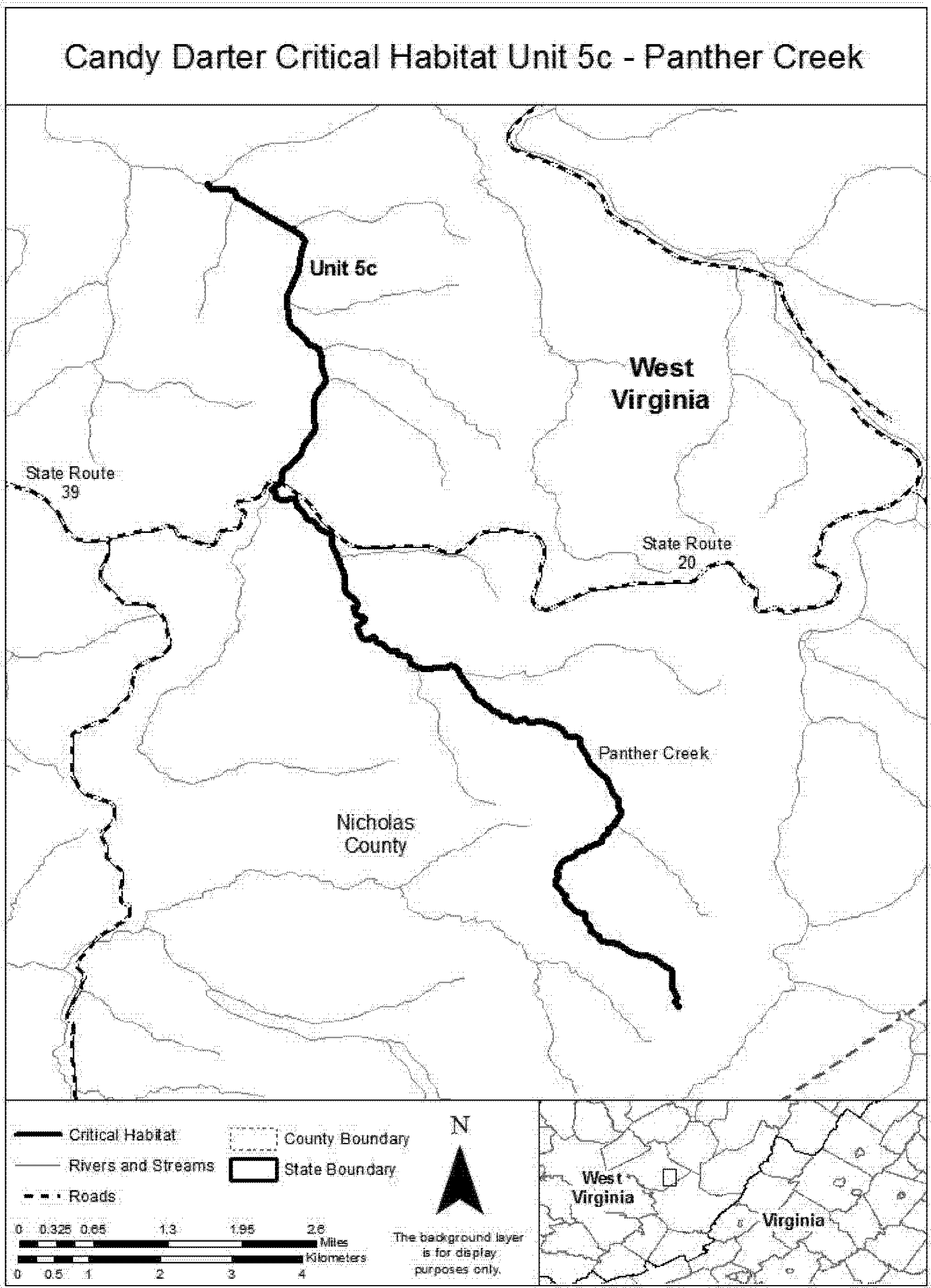
(23) Unit 5d: Williams River, Pocahontas and Webster Counties, West Virginia.
(i) General description: Unit 5d consists of approximately 52.4 skm (32.6 smi) of the Williams River from the confluence with Beaverdam Run, downstream to the confluence of the Williams River and the Gauley River at Donaldson, West Virginia; and 5.1 skm (3.2 smi) of Tea Creek from a point on Lick Creek approximately 2.7 skm (1.7 smi) upstream of the Lick Creek confluence, downstream to the Tea Creek confluence with the Williams River. The streams in Unit 5d are entirely within the Monongahela National Forest.
(ii) Map of Unit 5d, Williams River, follows:

(24) Unit 5e: Cranberry River, Nicholas and Webster Counties, West Virginia.
(i) General description: Unit 5e consists of approximately 39.3 skm (24.4 smi) of the Cranberry River from the confluence of the North and South Forks of the Cranberry River, downstream to the confluence of the Cranberry River and the Gauley River. This stream is entirely within the Monongahela National Forest.
(ii) Map of Unit 5e, Cranberry River, follows:

(25) Unit 5f: Cherry River, Greenbrier and Nicholas Counties, West Virginia.
(i) General description: Unit 5f consists of approximately 16.7 skm (10.4 smi) of Cherry River from the confluence of the North and South Forks of the Cherry River, downstream to the confluence of the Cherry River and the Gauley River; approximately 28.0 skm (17.4 smi) of the North Fork Cherry River from the Pocahontas Trail crossing, downstream to the confluence of the North and South Forks of the Cherry River; approximately 26.2 skm (16.3 smi) of the South Fork Cherry River from a point approximately 0.5 skm (0.3 smi) south of County Road 29/4 in Virginia, downstream to the confluence of the North and South Forks of the Cherry River; and approximately 24.9 skm (15.5 smi) of Laurel Creek from a point approximately 0.3 skm (0.2 smi) west of Cold Knob Road, downstream to the confluence of Laurel Creek and the Cherry River. Approximately 29.1 skm (18.1 smi) of Unit 5f is within the Monongahela National Forest. The remainder is adjacent to private land, except for a small amount that is publicly owned in the form of bridge crossings, road easements, and the like.
(ii) Map of Unit 5f, Cherry River, follows:

Cumberland Darter (Etheostoma susanae)
(1) Critical habitat units are depicted for McCreary and Whitley Counties, Kentucky, and Campbell and Scott Counties, Tennessee, on the maps below.
(2) Within these areas, the primary constituent elements of the physical and biological features essential to the conservation of the Cumberland darter consist of five components:
(i) Shallow pools and gently flowing runs of geomorphically stable, second- to fourth-order streams with connectivity between spawning, foraging, and resting sites to promote gene flow throughout the species' range.
(ii) Stable bottom substrates composed of relatively silt-free sand and sand-covered bedrock, boulders, large cobble, woody debris, or other cover.
(iii) An instream flow regime (magnitude, frequency, duration, and seasonality of discharge over time) sufficient to provide permanent surface flows, as measured during years with average rainfall, and to maintain benthic habitats utilized by the species.
(iv) Adequate water quality characterized by moderate stream temperatures, acceptable dissolved oxygen concentrations, moderate pH, and low levels of pollutants. Adequate water quality is defined for the purpose of this rule as the quality necessary for normal behavior, growth, and viability of all life stages of the Cumberland darter.
(v) Prey base of aquatic macroinvertebrates, including midge larvae, mayfly nymphs, caddisfly larvae, and microcrustaceans.
(3) Critical habitat does not include manmade structures (such as buildings, aqueducts, bridges, runways, roads, and other paved areas) and the land on which they are located existing within the legal boundaries on November 15, 2012.
(4) Critical habitat map units. Data layers defining map units were created on a base of USGS digital ortho-photo quarter-quadrangles, and critical habitat units were then mapped using Tennessee State Plane, Lambert Conformal Conic Projection, units feet. Upstream and downstream limits were then identified by longitude and latitude using decimal degrees and projected in WGS 1984. The maps in this entry, as modified by any accompanying regulatory text, establish the boundaries of the critical habitat designation. The coordinates or plot points or both on which each map is based are available to the public at the field office Internet site (http://www.fws.gov/cookeville), http://www.regulations.gov at Docket No. FWS-R4-ES-2011-0074, and at the Service's Tennessee Fish and Wildlife Office. You may obtain field office location information by contacting one of the Service regional offices, the addresses of which are listed at 50 CFR 2.2.
(5) Index map follows:

(6) Units 1 and 2: Bunches Creek and Calf Pen Fork, Whitley County, Kentucky.
(i) Unit 1 includes 5.8 river kilometers (rkm) (3.6 river miles (rmi)) of Bunches Creek from the Seminary Branch and Amos Falls Branch confluence downstream to its confluence with the Cumberland River.
(ii) Unit 2 includes 2.9 rkm (1.8 rmi) of Calf Pen Fork from its confluence with Polly Branch downstream to its confluence with Bunches Creek.
(iii) Map of Units 1 and 2 of critical habitat for the Cumberland darter follows:

(7) Unit 3: Youngs Creek, Whitley County, Kentucky.
(i) Unit 3 includes 7.4 rkm (4.6 rmi) of Youngs Creek from Brays Chapel Road downstream to its confluence with the Cumberland River.
(ii) Map of Unit 3 of critical habitat for the Cumberland darter follows:

(8) Units 4, 5, 6, 7, and 8: Barren Fork, Indian Creek, Cogur Fork, Kilburn Fork, and Laurel Fork, McCreary County, Kentucky.
(i) Unit 4 includes 6.3 rkm (3.9 rmi) of Barren Fork from its confluence with an unnamed tributary downstream to its confluence with Indian Creek.
(ii) Unit 5 includes 4.0 rkm (2.5 rmi) of Indian Creek from its confluence with an unnamed tributary downstream to its confluence with Barren Fork.
(iii) Unit 6 includes 8.6 rkm (5.4 rmi) of Cogur Fork from its confluence with Strunk Branch downstream to its confluence with Indian Creek.
(iv) Unit 7 includes 4.6 rkm (2.9 rmi) of Kilburn Fork from its confluence with an unnamed tributary downstream to its confluence with Laurel Fork.
(v) Unit 8 includes 3.5 rkm (2.2 rmi) of Laurel Fork from its confluence with Toms Fork downstream to its confluence with Indian Creek.
(vi) Map of Units 4, 5, 6, 7, and 8 of critical habitat for the Cumberland darter follows:

(9) Units 9, 10, and 11: Laurel Creek, Elisha Branch, and Jenneys Branch, McCreary County, Kentucky.
(i) Unit 9 includes 9.4 rkm (5.9 rmi) of Laurel Creek from Laurel Creek Reservoir downstream to its confluence with Jenneys Branch.
(ii) Unit 10 includes 2.1 rkm (1.3 rmi) of Elisha Branch from its confluence with an unnamed tributary downstream to its confluence with Laurel Creek.
(iii) Unit 11 includes 3.1 rkm (1.9 rmi) of Jenneys Branch from its confluence with an unnamed tributary downstream to its confluence with Laurel Creek.
(iv) Map of Units 9, 10, and 11 of critical habitat for the Cumberland darter follows:

(10) Unit 12: Wolf Creek, Whitley County, Kentucky.
(i) Unit 12 includes 6.3 rkm (3.9 rmi) of Wolf Creek from its confluence with Sheep Creek downstream to its intersection with Wolf Creek River Road.
(ii) Map of Unit 12 of critical habitat for the Cumberland darter follows:

(11) Units 13, 14, and 15: Jellico Creek, Rock Creek, and Capuchin Creek, McCreary and Whitley Counties, Kentucky, and Campbell and Scott Counties, Tennessee.
(i) Unit 13 includes 11.5 rkm (7.2 rmi) of Jellico Creek from its confluence with Scott Branch, Scott County, Tennessee, downstream to its confluence with Capuchin Creek, McCreary County, Kentucky.
(ii) Unit 14 includes 6.1 rkm (3.8 rmi) of Rock Creek from its confluence with Sid Anderson Branch downstream to its confluence with Jellico Creek.
(iii) Unit 15 includes 4.2 rkm (2.6 rmi) of Capuchin Creek from its confluence with Hatfield Creek downstream to its confluence with Jellico Creek.
(iv) Map of Units 13, 14, and 15 of critical habitat for the Cumberland darter follows:

Diamond Darter (Crystallaria cincotta)
(1) Critical habitat units are depicted for Kanawha and Clay Counties, West Virginia, and Edmonson, Hart, and Green Counties, Kentucky, on the maps below.
(2) Within these areas, the primary constituent elements of the physical or biological features essential to the conservation of diamond darter consist of five components:
(i) A series of connected riffle-pool complexes with moderate velocities in moderate- to large-sized (fourth- to eighth-order), geomorphically stable streams within the Ohio River watershed.
(ii) Stable, undisturbed sand and gravel stream substrates that are relatively free of and not embedded with silts and clays.
(iii) An instream flow regime (magnitude, frequency, duration, and seasonality of discharge over time) that is relatively unimpeded by impoundment or diversions such that there is minimal departure from a natural hydrograph.
(iv) Adequate water quality characterized by seasonally moderated temperatures, high dissolved oxygen levels, and moderate pH, and low levels of pollutants and siltation. Adequate water quality is defined as the quality necessary for normal behavior, growth, and viability of all life stages of the diamond darter.
(v) A prey base of other fish larvae and benthic invertebrates including midge, caddisfly, and mayfly larvae.
(3) Critical habitat does not include manmade structures (such as bridges, docks, aqueducts and other paved areas) and the land on which they are located existing within the legal boundaries on the effective date of this rule.
(4) Critical habitat map units. Data layers defining map units were created with U.S. Geological Survey National Hydrography Dataset Geographic Information System data. Esri's ArcGIS 10.1 software was used to determine longitude and latitude in decimal degrees for the river reaches. The projection used in mapping was Universal Transverse Mercator (UTM), NAD 83, Zone 16 North for the Green River, Kentucky, unit; and UTM, NAD 83, Zone 17 North for the Elk River, West Virginia, unit. The following data sources were referenced to identify features used to delineate the upstream and downstream reaches of critical habitat units: USGS 7.5′ quadrangles and topographic maps, NHD data, 2005 National Inventory of Dams, Kentucky Land Stewardship data, pool and shoal data on the Elk River, Esri's Bing Maps Road. The maps in this entry, as modified by any accompanying regulatory text, establish the boundaries of the critical habitat designation. The coordinates or plot points or both on which each map is based are available to the public at the field office Internet site (http://www.fws.gov/westvirginiafieldoffice/index.html), http://www.regulations.gov at Docket No. FWS-R5-ES-2013-0019, and at the Service's West Virginia Field Office. You may obtain field office location information by contacting one of the Service regional offices, the addresses of which are listed at 50 CFR 2.2.
(5) Note: Index map of critical habitat locations for the diamond darter in West Virginia and Kentucky follows:

(6) Unit 1: Lower Elk River, Kanawha and Clay Counties, West Virginia.
(i) Unit 1 includes 45.0 km (28.0 mi) of the Elk River from the confluence with King Shoals Run near Wallback Wildlife Management Area downstream to the confluence with an unnamed tributary entering the Elk River on the right descending bank adjacent to Knollwood Drive in Charleston, West Virginia.
(ii) Map of Unit 1 (lower Elk River) follows:
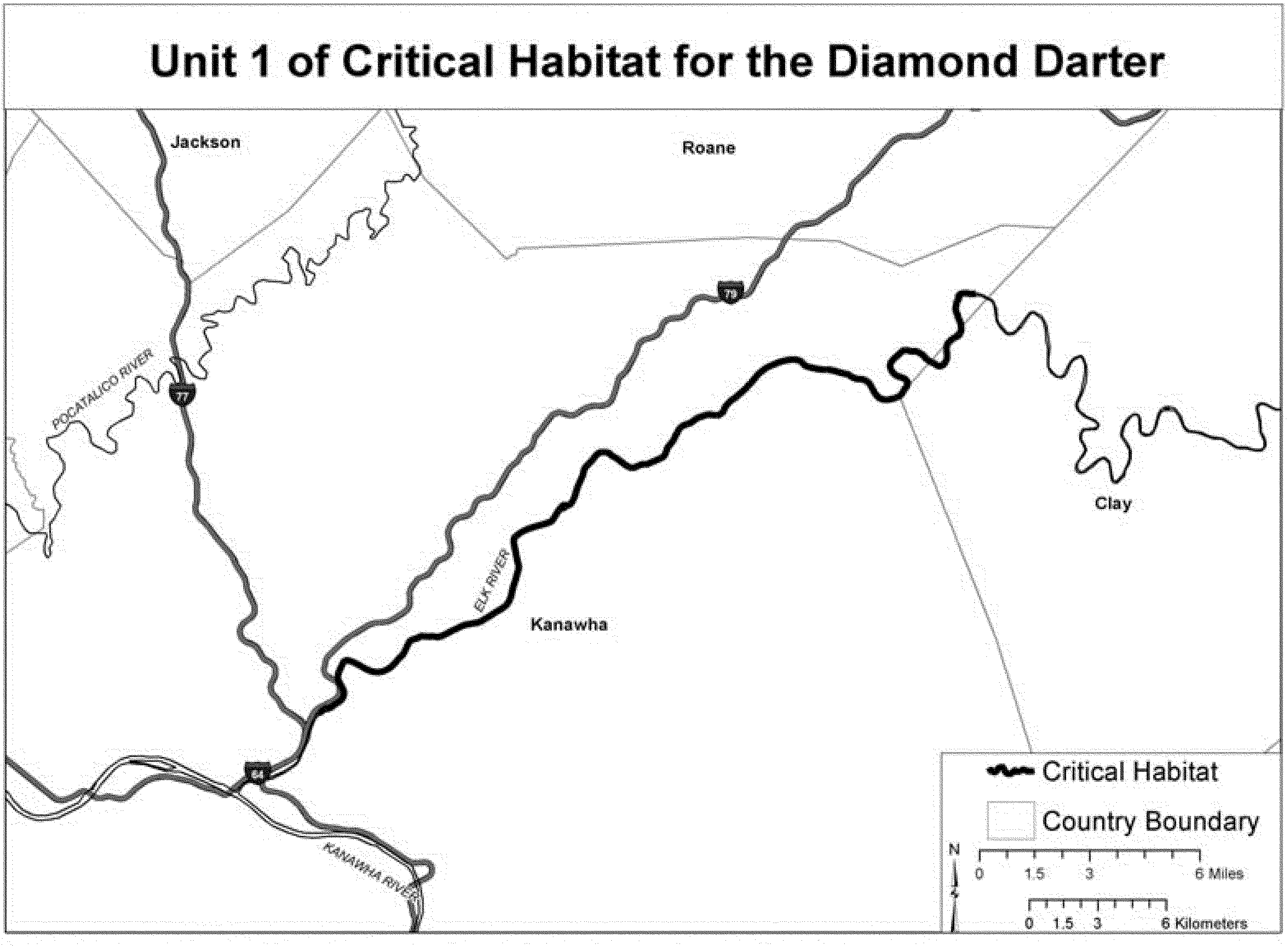
(7) Unit 2: Green River, Edmonson, Hart, and Green Counties, Kentucky.
(i) Unit 2 includes 152.1 km (94.5 mi) of the Green River from Roachville Ford near Greensburg (River Mile 294.8) downstream to the downstream end of Cave Island in Mammoth Cave National Park (River Mile 200.3).
(ii) Map of Unit 2 (Green River) follows:

Fountain Darter (Etheostoma fonticola)
Texas, Hays County; Spring Lake and its outflow, the San Marcos River, downstream approximately 0.5 miles below Interstate Highway 35 bridge.
The map provided is for informational purposes only. Map follows:

Kentucky Arrow Darter (Etheostoma Spilotum)
(1) Critical habitat units are depicted on the maps below for Breathitt, Clay, Harlan, Jackson, Knott, Lee, Leslie, Owsley, Perry, and Wolfe Counties, Kentucky.
(2) Within these areas, the primary constituent elements of the physical or biological features essential to the conservation of the Kentucky arrow darter consist of five components:
(i) Primary Constituent Element 1 - Riffle-pool complexes and transitional areas (glides and runs) of geomorphically stable, first- to third-order streams of the upper Kentucky River drainage with connectivity between spawning, foraging, and resting sites to promote gene flow throughout the species' range.
(ii) Primary Constituent Element 2 - Stable bottom substrates composed of gravel, cobble, boulders, bedrock ledges, and woody debris piles with low levels of siltation.
(iii) Primary Constituent Element 3 - An instream flow regime (magnitude, frequency, duration, and seasonality of discharge over time) sufficient to provide permanent surface flows, as measured during years with average rainfall, and to maintain benthic habitats utilized by the species.
(iv) Primary Constituent Element 4 - Adequate water quality characterized by seasonally moderate stream temperatures (generally ≤ 24 °C or 75 °F), high dissolved oxygen concentrations (generally ≥ 6.0 mg/L), moderate pH (generally 6.0 to 8.5), low stream conductivity (species' abundance decreases sharply as conductivities exceed 261 µS/cm and species is typically absent above 350 µS)/cm, and low levels of pollutants. Adequate water quality is the quality necessary for normal behavior, growth, and viability of all life stages of the Kentucky arrow darter.
(v) Primary Constituent Element 5 - A prey base of aquatic macroinvertebrates, including mayfly nymphs, midge larvae, blackfly larvae, caddisfly larvae, stonefly nymphs, and small crayfishes.
(3) Critical habitat does not include manmade structures (such as buildings, aqueducts, runways, roads, and other paved areas) and the land on which they are located existing within the legal boundaries on November 4, 2016.
(4) Critical habitat map units. Data layers defining map units were created on a base of U.S. Geological Survey (USGS) National Hydrography Dataset (NHD+) GIS data. The 1:100,000 river reach (route) files were used to calculate river kilometers and miles. ESRIs ArcGIS 10.0 software was used to determine longitude and latitude coordinates using decimal degrees. The projection used in mapping all units was USA Contiguous Albers Equal Area Conic USGS version, NAD 83, meters. The following data sources were referenced to identify features (like roads and streams) used to delineate the upstream and downstream extents of critical habitat units: NHD+ flowline and waterbody data, 2011 Navteq roads data, USA Topo ESRI online basemap service, DeLorme Atlas and Gazetteers, and USGS 7.5 minute topographic maps. The maps in this entry, as modified by any accompanying regulatory text, establish the boundaries of the critical habitat designation. The coordinates, plot points, or both on which each map is based are available to the public at the Service's Internet site, (http://fws.gov/frankfort/), at http://www.regulations.gov at Docket No. FWS-R4-ES-2015-0133, and at the field office responsible for this designation. You may obtain field office location information by contacting one of the Service regional offices, the addresses of which are listed at 50 CFR 2.2.
(5) Note: Index map follows:
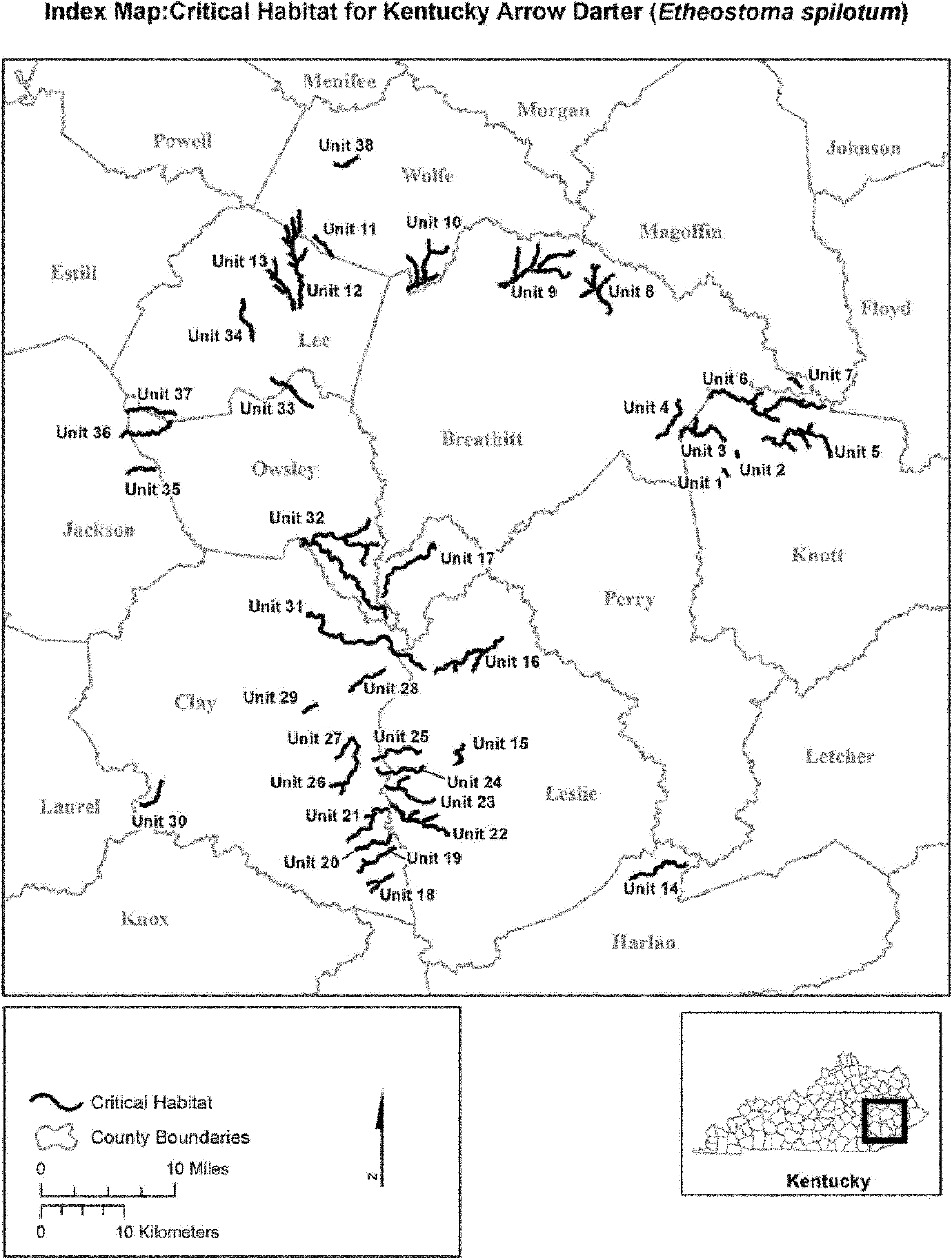
(6) Unit 1: Buckhorn Creek and Prince Fork, and Unit 2: Eli Fork, Knott County, Kentucky.
(i) Unit 1 includes 0.7 skm (0.4 smi) of Prince Fork from Mart Branch (37.41291, −83.07000) downstream to its confluence with Buckhorn Creek (37.41825, −83.07341), and 0.4 skm (0.3 smi) of Buckhorn Creek from its headwaters at (37.41825, −83.07341) downstream to its confluence with Emory Branch (37.42006, −83.07738) in Knott County, Kentucky.
(ii) Unit 2 includes 1.0 skm (0.6 smi) of Eli Fork from its headwaters at (37.44078, −83.05884), downstream to its confluence with Boughcamp Branch (37.43259, −83.05591) in Knott County, Kentucky.
(iii) Map of Units 1 and 2 follows:
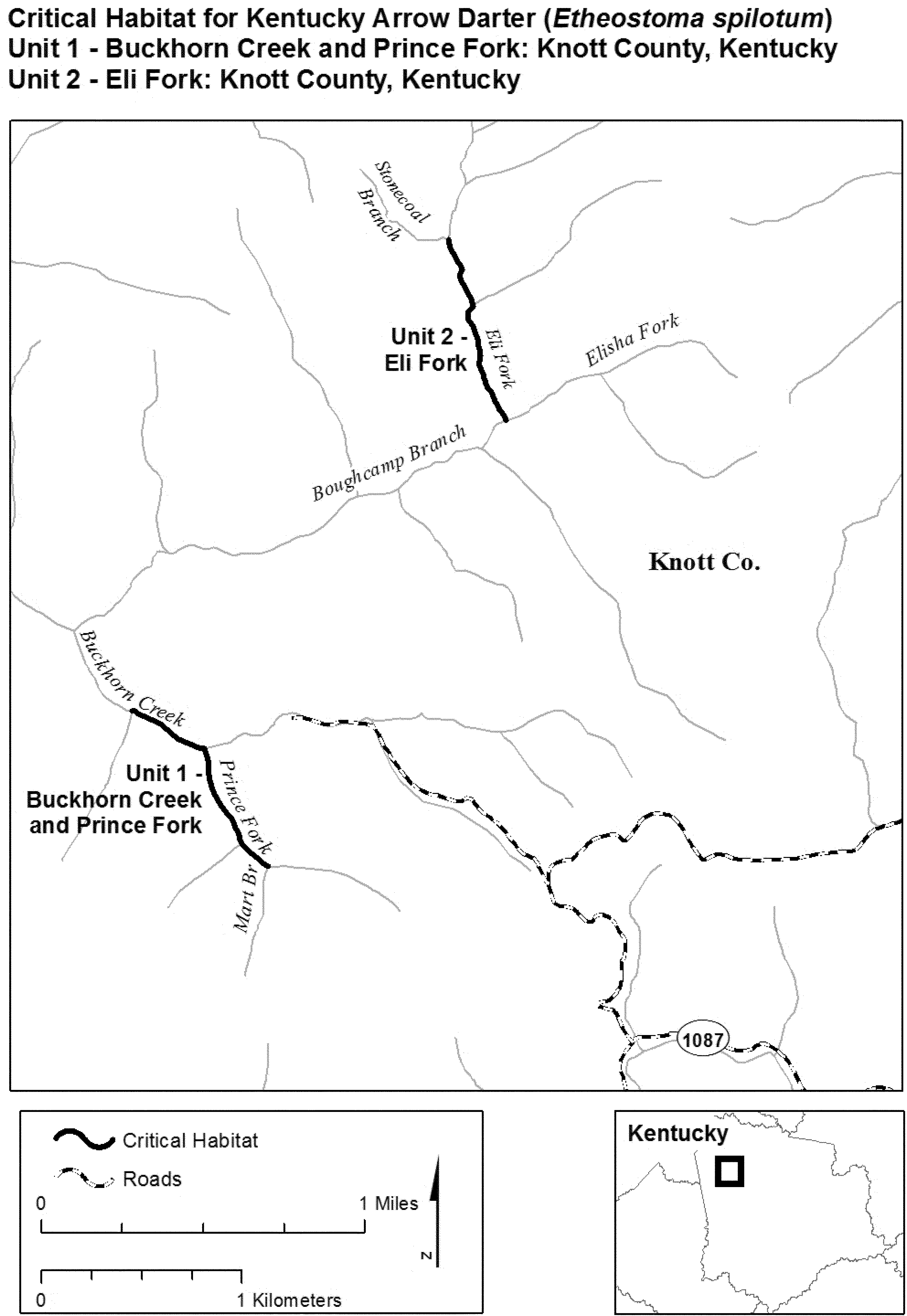
(7) Unit 3: Coles Fork and Snag Ridge Fork, Breathitt and Knott Counties, Kentucky.
(i) Unit 3 includes 2.1 skm (1.3 smi) of Snag Ridge Fork from its headwaters at (37.47746, −83.11139), downstream to its confluence with Coles Fork (37.46391, −83.13468) in Knott County; and 8.9 skm (5.5 smi) of Coles Fork from its headwaters at (37.45096, −83.07124), downstream to its confluence with Buckhorn Creek (37.45720, −83.13468) in Knott County, Kentucky.
(ii) Map of Unit 3 follows:
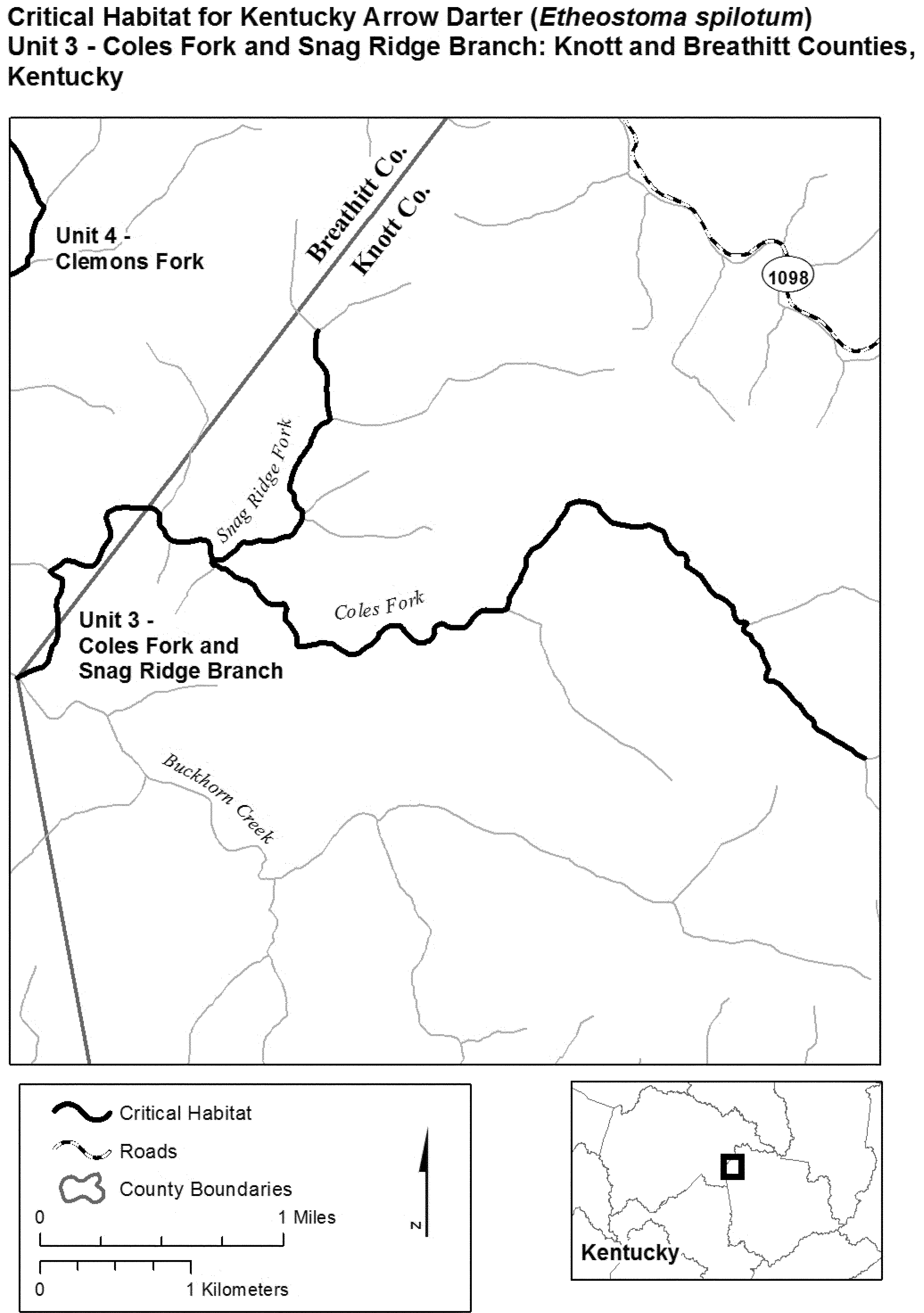
(8) Unit 4: Clemons Fork, Breathitt County, Kentucky.
(i) Unit 4 includes 7.0 skm (4.4 smi) of Clemons Fork from its headwaters at (37.49772, −83.13390), downstream to its confluence with Buckhorn Creek (37.45511, −83.16582) in Breathitt County, Kentucky.
(ii) Map of Unit 4 follows:

(9) Unit 5: Laurel Fork Quicksand Creek and Tributaries, Knott County, Kentucky.
(i) Unit 5 includes 1.2 skm (0.8 smi) of Fitch Branch from its headwaters at (37.46745, −82.95373), downstream to its confluence with Laurel Fork Quicksand Creek (37.45855, −82.96089); 2.7 skm (1.7 smi) of Newman Branch from its headwaters at (37.44120, −82.95810), downstream to its confluence with Laurel Fork Quicksand Creek (37.45893, −82.97417); 2.1 skm (1.3 smi) of Combs Branch from its headwaters at (37.43848, −82.97731), downstream to its confluence with Laurel Fork Quicksand Creek (37.44758, −82.99476); and 13.8 skm (8.6 smi) of Laurel Fork Quicksand Creek from its headwaters at (37.43001, −82.93016), downstream to its confluence with Quicksand Creek (37.45100, −83.02303) in Knott County, Kentucky.
(ii) Map of Unit 5 follows:

(10) Unit 6: Middle Fork Quicksand Creek and Tributaries, Knott County, and Unit 7: Spring Fork Quicksand Creek, Breathitt County, Kentucky.
(i) Unit 6 includes 0.8 skm (0.5 smi) of Big Firecoal Branch from its headwaters at (37.49363, −82.96426), downstream to its confluence with Middle Fork Quicksand Creek (37.48990, −82.97148); 2.1 skm (1.3 smi) of Bradley Branch from its headwaters at (37.47180, −82.99819), downstream to its confluence with Middle Fork Quicksand Creek (37.47899, −83.01823); 2.0 skm (1.2 smi) of Lynn Log Branch from its headwaters at (37.50190, −83.01921), downstream to its confluence with Middle Fork Quicksand Creek (37.49286. −83.03524); and 20.3 skm (12.6 smi) of Middle Fork Quicksand Creek from its headwaters at (37.48562, −82.93667), downstream to its confluence with Quicksand Creek (37.498281, −83.092946) in Knott County, Kentucky.
(ii) Unit 7 includes 2.2 skm (1.4 smi) of Spring Fork Quicksand Creek from its headwaters at (37.50746, −82.96647), downstream to its confluence with Laurel Fork (37.51597, −82.98436) in Breathitt County, Kentucky.
(iii) Map of Units 6 and 7 follows:
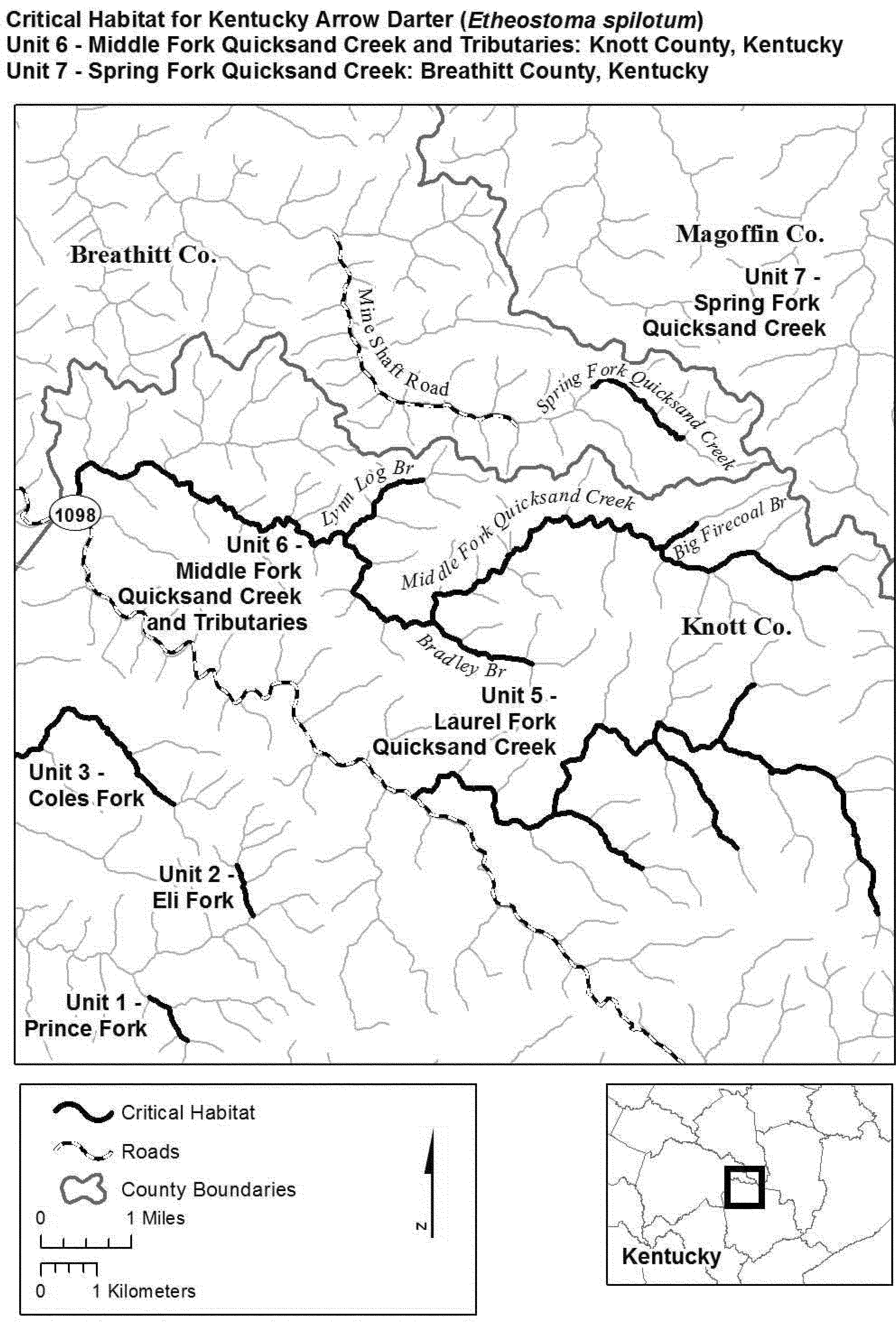
(11) Unit 8: Hunting Creek and Tributaries, Breathitt County, Kentucky.
(i) Unit 8 includes 0.9 skm (0.5 smi) of Wolf Pen Branch from its headwaters at (37.64580, −83.23885), downstream to its confluence with Hunting Creek (37.64023, −83.24424); 1.6 skm (1.0 smi) of Negro Fork from its headwaters at (37.62992, −83.25760), downstream to its confluence with Hunting Creek (37.62121, −83.24433); 2.3 skm (1.4 smi) of Fletcher Fork from its headwaters at (37.61315, −83.26521), downstream to its confluence with Hunting Creek (37.61956, −83.24370); 3.1 skm (1.9 smi) of Licking Fork from its headwaters at (37.63553, −83.21754, −83.21754), downstream to its confluence with Hunting Creek (37.61794, −83.23938); and 7.7 skm (4.8 smi) of Hunting Creek from its confluence with Wells Fork (37.64629, −83.24708), downstream to its confluence with Quicksand Creek (37.59235, −83.22803) in Breathitt County, Kentucky.
(ii) Map of Unit 8 follows:

(12) Unit 9: Frozen Creek and Tributaries, Breathitt County, Kentucky.
(i) Unit 9 includes 4.7 skm (2.9 smi) of Clear Fork from its headwaters at (37.63899, −83.27706), downstream to its confluence with Frozen Creek (37.64109, −83.31969); 3.6 skm (2.3 smi) of Negro Branch from its headwaters at (37.67146, −83.31971), downstream to its confluence with Frozen Creek (37.64319, −83.33068); 4.2 skm (2.6 smi) of Davis Creek from its headwaters at (37.66644, −83.34599), downstream to its confluence with Frozen Creek (37.63402, −83.34953); and 13.9 skm (8.6 smi) of Frozen Creek from its headwaters at (37.66115, −83.26945), downstream to its confluence with Morgue Fork (37.62761, −83.37622) in Breathitt County, Kentucky.
(ii) Map of Unit 9 follows:
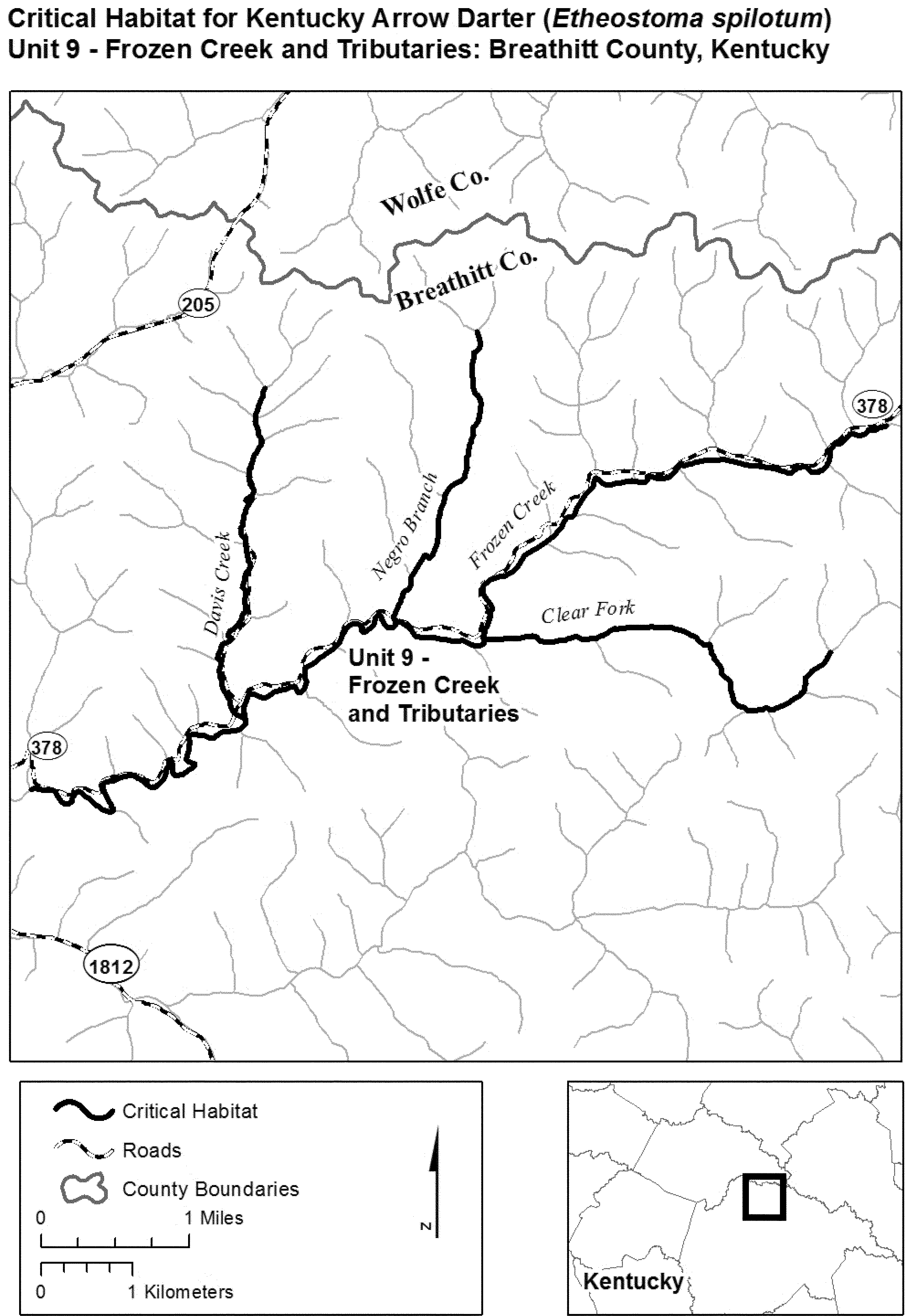
(13) Unit 10: Holly Creek and Tributaries, Wolfe County, Kentucky.
(i) Unit 10 includes 2.8 skm (1.8 smi) of Spring Branch from its headwaters at (37.67110, −83.44406), downstream to its confluence with Holly Creek (37.66384, −83.46780) in Wolfe County; 2.0 skm (1.3 smi) of Pence Branch from its headwaters at (37.64048, −83.45703), downstream to its confluence with Holly Creek (37.63413, −83.47608) in Wolfe County; 4.0 skm (2.5 mi) of Cave Branch from its headwaters at (37.66023, −83.49916), downstream to its confluence with Holly Creek (37.63149, −83.48725) in Wolfe County; 9.5 skm (5.9 smi) of Holly Creek from KY 1261 (37.67758, −83.46792) in Wolfe County, downstream to its confluence with the North Fork Kentucky River (37.62289, −83.49948) in Wolfe County, Kentucky.
(ii) Map of Unit 10 follows:

(14) Unit 11: Little Fork, Lee and Wolfe Counties; Unit 12: Walker Creek and Tributaries, Lee and Wolfe Counties; and Unit 13: Hell Creek and Tributaries, Lee County, Kentucky.
(i) Unit 11 includes 3.8 skm (2.3 smi) of Little Fork from its headwaters at (37.68456, −83.62465) in Wolfe County, downstream to its confluence with Lower Devil Creek (37.66148, −83.59961) in Lee County, Kentucky.
(ii) Unit 12 includes 3.9 skm (2.4 smi) of an unnamed tributary of Walker Creek from its headwaters at (37.71373, −83.64553) in Wolfe County, downstream to its confluence with Walker Creek (37.68567, −83.65045) in Lee County; 2.4 skm (1.5 smi) of Cowan Fork from its headwaters at (37.69624, −83.66366) in Wolfe County, downstream to its confluence with Hell for Certain Creek (37.67718, −83.65931) in Lee County; 2.0 skm (1.2 smi) of Hell for Certain Creek from an unnamed reservoir at (37.68377, −83.66804), downstream to its confluence with Walker Creek (37.67340, −83.65449) in Lee County; 0.8 skm (0.5 smi) of Boonesboro Fork from its headwaters at (37.66706, −83.66053), downstream to its confluence with Walker Creek (37.66377, −83.65408) in Lee County; 2.2 skm (1.4 smi) of Peddler Creek from its headwaters at (37.67054, −83.63456), downstream to its confluence with Walker Creek (37.65696, −83.64879) in Lee County; 1.1 skm (0.7 smi) of Huff Cave Branch from its headwaters at (37.65664, −83.66033), downstream to its confluence with Walker Creek (37.65138, −83.65034) in Lee County; and 12.6 skm (7.8 smi) of Walker Creek from an unnamed reservoir (37.70502, −83.65490) in Wolfe County, downstream to its confluence with North Fork Kentucky River (37.60678, −83.64652) in Lee County, Kentucky.
(iii) Unit 13 includes 2.3 skm (1.4 smi) of Miller Fork from its headwaters at (37.66074, −83.68005), downstream to its confluence with Hell Creek (37.64261, −83.67912); 0.7 skm (0.4 smi) of Bowman Fork from its headwaters at (37.64142, −83.68594), downstream to its confluence with Hell Creek (37.64070, −83.67848); 1.9 skm (1.2 smi) of an unnamed tributary of Hell Creek from its headwaters at (37.63199, −83.83.68064), downstream to its confluence with Hell Creek (37.62516, −83.66246); and 7.1 skm (4.4 smi) of Hell Creek from an unnamed reservoir (37.64941, −83.68907), downstream to its confluence with North Fork Kentucky River (37.60480. −83.65440) in Lee County, Kentucky.
(iv) Map of Units 11, 12, and 13 follows:

(15) Unit 14: Big Laurel Creek, Harlan County, Kentucky.
(i) Unit 14 includes 9.1 skm (5.7 smi) of Big Laurel Creek from its confluence with Combs Fork (36.99520, −83.14086), downstream to its confluence with Greasy Creek (36.97893, −83.21907) in Harlan County, Kentucky.
(ii) Map of Unit 14 follows:

(16) Unit 15: Laurel Creek, Leslie County, Kentucky.
(i) Unit 15 includes 4.1 skm (2.6 smi) of Laurel Creek from its confluence with Sandlick Branch (37.10825, −83.45036), downstream to its confluence with Left Fork Rockhouse Creek (37.13085, −83.43699) in Leslie County, Kentucky.
(ii) Map of Unit 15 follows:

(17) Unit 16: Hell For Certain Creek and Tributaries, Leslie County, Kentucky.
(i) Unit 16 includes 1.3 skm (0.8 smi) of Cucumber Branch from its headwaters at (37.20839, −83.44644), downstream to its confluence with Hell For Certain Creek (37.21929, −83.44355); 3.1 skm (1.9 smi) of Big Fork from its headwaters at (37.20930, −83.42356), downstream to its confluence with Hell For Certain Creek (37.23082, −83.40720); and 11.4 skm (7.1 smi) of Hell For Certain Creek from its headwaters at (37.20904, −83.47489), downstream to its confluence with the Middle Fork Kentucky River (37.24611, −83.38192) in Leslie County, Kentucky.
(ii) Map of Unit 16 follows:

(18) Unit 17: Squabble Creek, Perry County, Kentucky.
(i) Unit 17 includes 12.0 skm (7.5 smi) of Squabble Creek from its confluence with Long Fork (37.29162, −83.54202), downstream to its confluence with the Middle Fork Kentucky River (37.34597, −83.46883) in Perry County, Kentucky.
(ii) Map of Unit 17 follows:

(19) Unit 18: Blue Hole Creek and Left Fork Blue Hole Creek, Unit 19: Upper Bear Creek and Tributaries, Unit 20: Katies Creek, and Unit 21: Spring Creek and Little Spring Creek, Clay County; and Unit 22: Bowen Creek and Tributaries, Leslie County, Kentucky.
(i) Unit 18 includes 1.8 skm (1.1 smi) of Left Fork from its headwaters at (36.97278, −83.56898), downstream to its confluence with Blue Hole Creek (36.98297, −83.55687); and 3.9 skm (2.4 smi) of Blue Hole Creek from its headwaters at (36.98254, −83.57376), downstream to its confluence with the Red Bird River (36.99288, −83.53672) in Clay County, Kentucky.
(ii) Unit 19 includes 1.5 skm (1.0 smi) of Left Fork Upper Bear Creek from its headwaters at (36.99519, −83.58446), downstream to its confluence with Upper Bear Creek (37.00448, −83.57354); 0.8 skm (0.5 smi) of Right Fork Upper Bear Creek from its headwaters at (37.00858, −83.58013), downstream to its confluence with Upper Bear Creek (37.00448, −83.57354); and 4.5 skm (2.8 smi) of Upper Bear Creek from its confluence with Left Fork and Right Fork Upper Bear Creek (37.02109, −83.53423), downstream to its confluence with the Red Bird River (37.00448, −83.57354) in Clay County, Kentucky.
(iii) Unit 20 includes 5.7 skm (3.5 smi) of Katies Creek from its confluence with Cave Branch (37.01837, −83.58848), downstream to its confluence with the Red Bird River (37.03527, −83.53999) in Clay County, Kentucky.
(iv) Unit 21 includes 1.0 skm (0.6 smi) of Little Spring Creek from its headwaters at (37.05452, −83.57483), downstream to its confluence with Spring Creek (37.05555, −83.56339); and 8.2 skm (5.1 smi) of Spring Creek from its headwaters at (37.02874, −83.59815), downstream to its confluence with the Red Bird River (37.06189, −83.54134) in Clay County, Kentucky.
(v) Unit 22 includes 2.2 skm (1.4 smi) of Laurel Fork from its headwaters at (37.05536, −83.47452), downstream to its confluence with Bowen Creek (37.04702, −83.49641); 1.8 skm (1.1 smi) of Amy Branch from its headwaters at (37.05979, −83.50083), downstream to its confluence with Bowen Creek (37.05031, −83.51498); and 9.6 skm (6.0 smi) of Bowen Creek from its headwaters at (37.03183, −83.46124), downstream to its confluence with the Red Bird River (37.06777, −83.53840) in Leslie County, Kentucky.
(vi) Map of Units 18, 19, 20, 21, and 22 follows:
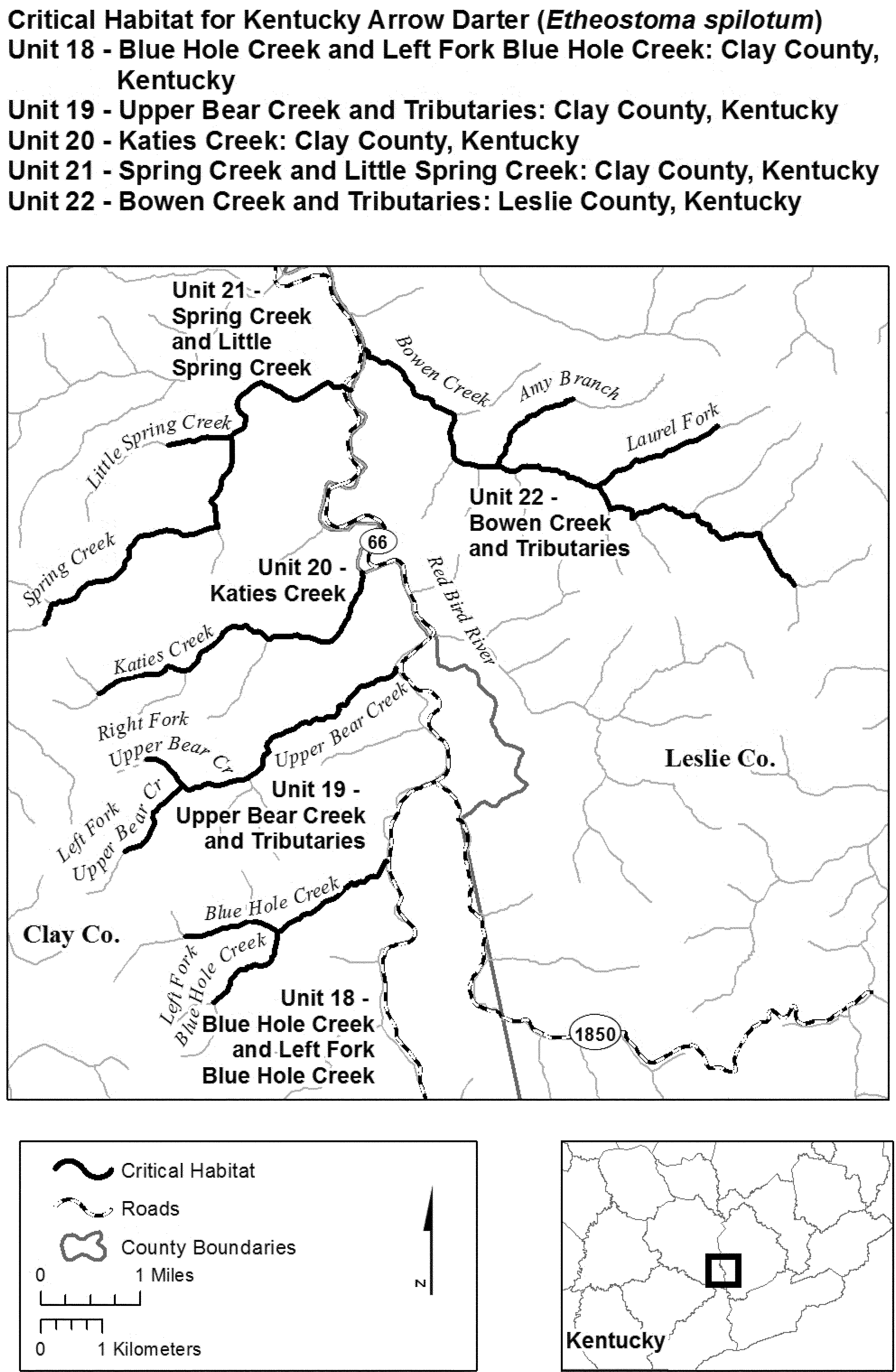
(20) Unit 23: Elisha Creek and Tributaries, Leslie County; and Unit 24: Gilberts Big Creek, and Unit 25: Sugar Creek, Clay and Leslie Counties, Kentucky.
(i) Unit 23 includes 4.4 skm (2.7 smi) of Right Fork Elisha Creek from its headwaters at (37.07255, −83.47839), downstream to its confluence with Elisha Creek (37.08165, −83.51802); 2.3 skm (1.4 smi) of Left Fork Elisha Creek from its headwaters at (37.09632, −83.51108), downstream to its confluence with Elisha Creek (37.08528, −83.52645); and 2.9 skm (1.8 smi) of Elisha Creek from its confluence with Right Fork Elisha Creek (37.08165, −83.51802), downstream to its confluence with the Red Bird River (37.08794, −83.54676) in Leslie County, Kentucky.
(ii) Unit 24 includes 7.2 skm (4.5 smi) of Gilberts Big Creek from its headwaters at (37.10825, −83.49164) in Leslie County, downstream to its confluence with the Red Bird River (37.10784, −83.55590) in Clay County, Kentucky.
(iii) Unit 25 includes 7.2 skm (4.5 smi) of Sugar Creek from its headwaters at (37.12446, −83.49420) in Leslie County, downstream to its confluence with the Red Bird River (37.11804, −83.55952) in Clay County, Kentucky.
(iv) Map of Units 23, 24, and 25 follows:

(21) Unit 26: Big Double Creek and Tributaries, and Unit 27: Little Double Creek, Clay County, Kentucky.
(i) Unit 26 includes 1.4 skm (0.9 smi) of Left Fork Big Double Creek from its headwaters at (37.07967, −83.60719), downstream to its confluence with Big Double Creek (37.09053, −83.60245); 1.8 skm (1.1 smi) of Right Fork Big Double Creek from its headwaters at (37.09021, −83.62010), downstream to its confluence with Big Double Creek (37.09053, −83.60245); and 7.1 skm (4.4 smi) of Big Double Creek from its confluence with the Left and Right Forks (37.09053, −83.60245), downstream to its confluence with the Red Bird River (37.14045, −83.58768) in Clay County, Kentucky.
(ii) Unit 27 includes 3.4 skm (2.1 smi) of Little Double Creek from its headwaters at (37.11816, −83.61251), downstream to its confluence with the Red Bird River (37.14025, −83.59197) in Clay County, Kentucky.
(iii) Map of Units 26 and 27 follows:
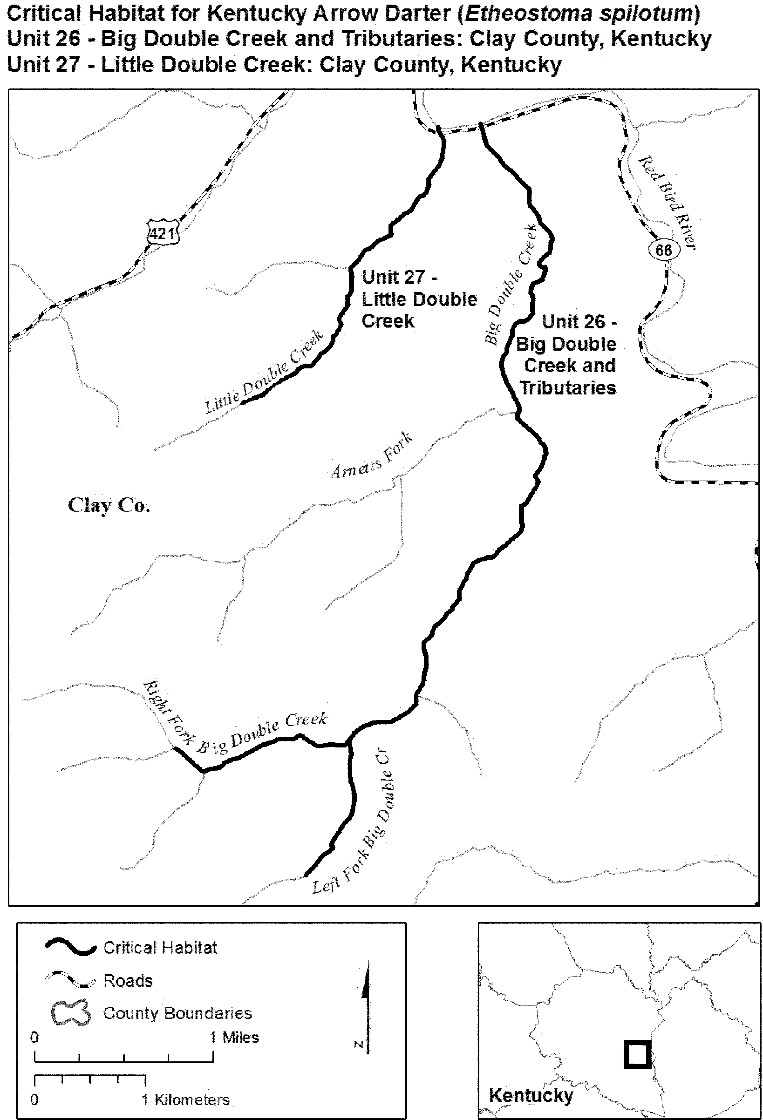
(22) Unit 28: Jacks Creek, and Unit 29: Long Fork, Clay County, Kentucky.
(i) Unit 28 includes 5.9 skm (3.7 smi) of Jacks Creek from its headwaters at (37.21472, −83.54108), downstream to its confluence with the Red Bird River (37.19113, −83.59185) in Clay County, Kentucky.
(ii) Unit 29 includes 2.2 skm (1.4 smi) of Long Fork from its headwaters at (37.16889, −83.65490), downstream to its confluence with Hector Branch (37.17752, −83.63464) in Clay County, Kentucky.
(iii) Map of Units 28 and 29 follows:
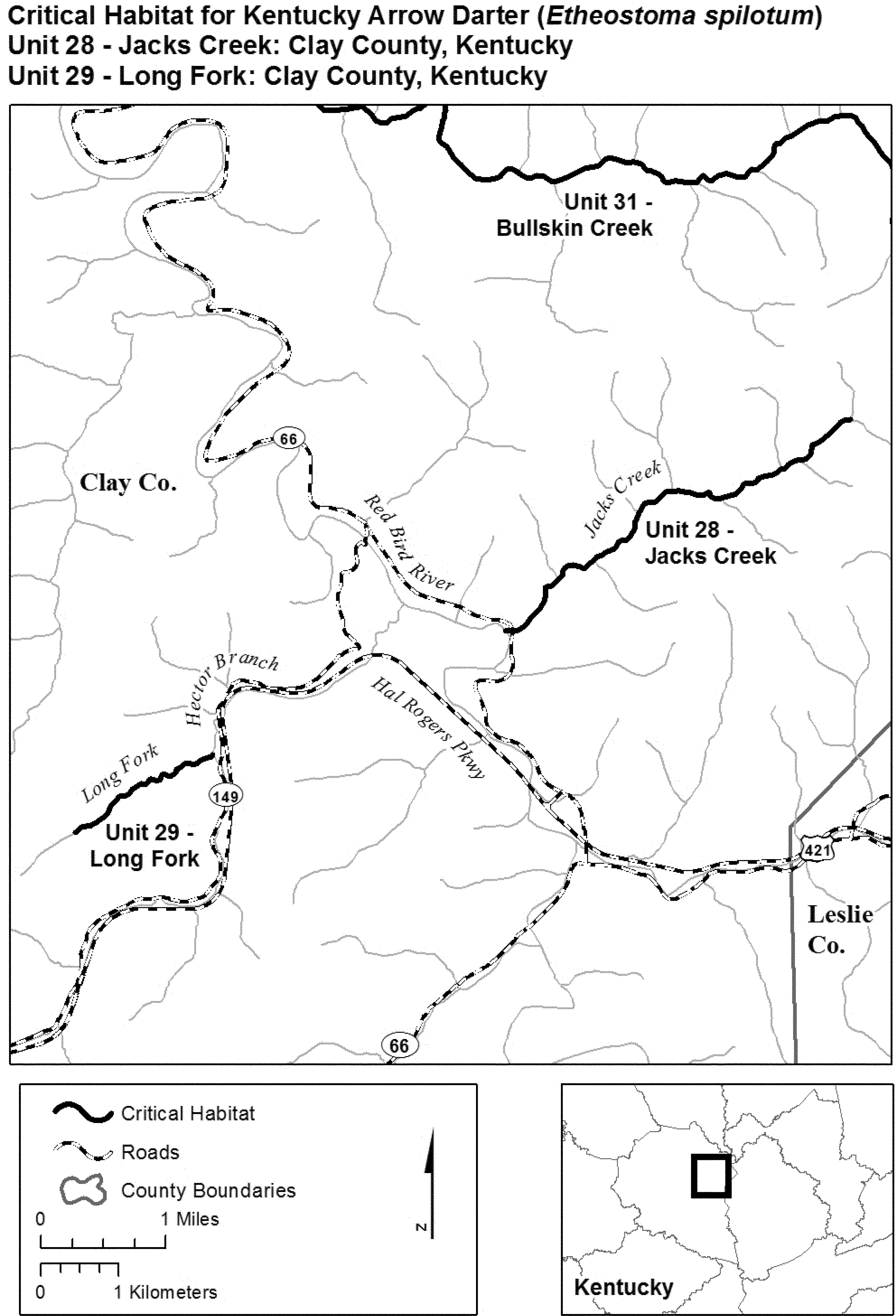
(23) Unit 30: Horse Creek, Clay County, Kentucky.
(i) Unit 30 includes 5.0 skm (3.1 smi) of Horse Creek from its headwaters at (37.07370, −83.87756), downstream to its confluence with Pigeon Roost Branch (37.09926, −83.84582) in Clay County, Kentucky.
(ii) Map of Unit 30 follows:

(24) Unit 31: Bullskin Creek, Clay and Leslie Counties, Kentucky.
(i) Unit 31 includes 21.7 skm (13.5 smi) of Bullskin Creek from its confluence with Old House Branch (37.21218, −83.48798) in Leslie County, downstream to its confluence with the South Fork Kentucky River (37.27322, −83.64441) in Clay County, Kentucky.
(ii) Map of Unit 31 follows:
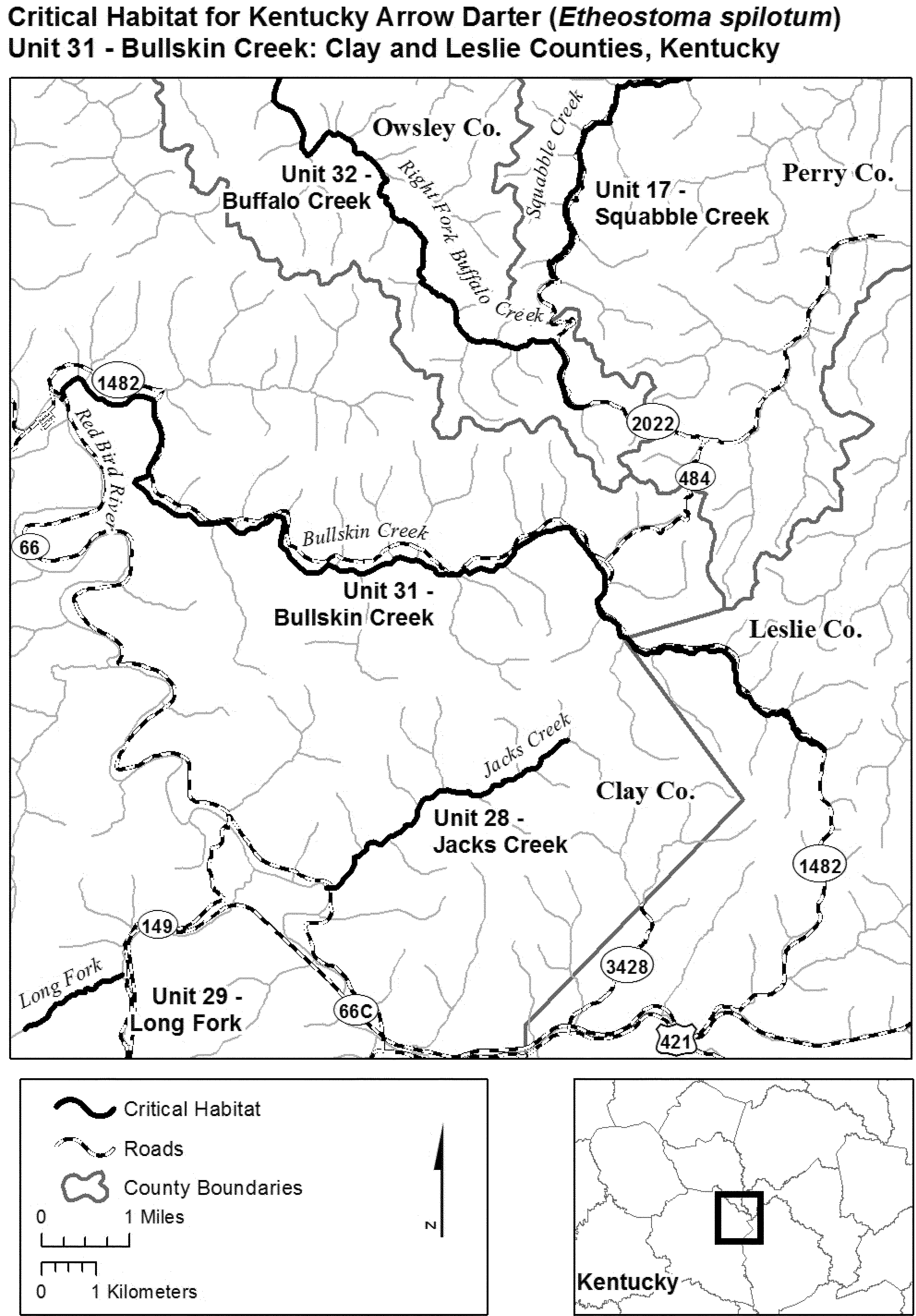
(25) Unit 32: Buffalo Creek and Tributaries, Owsley County, Kentucky.
(i) Unit 32 includes 2.0 skm (1.2 smi) of Cortland Fork from its headwaters at (37.35052, −83.54570), downstream to its confluence with Laurel Fork (37.34758, −83.56466); 6.4 skm (4.0 smi) of Laurel Fork from its headwaters at (37.32708, −83.56450), downstream to its confluence with Left Fork Buffalo Creek (37.347758, −83.56466); 4.6 skm (2.9 smi) of Lucky Fork from its headwaters at (37.37682, −83.55711), downstream to its confluence with Left Fork Buffalo Creek (37.35713, −83.59367); 5.1 skm (3.2 smi) of Left Fork Buffalo Creek from its confluence with Lucky Fork and Left Fork (37.35713, −83.59367), downstream to its confluence with Buffalo Creek (37.35197, −83.63583); 17.3 skm (10.8 smi) of Right Fork Buffalo Creek from its headwaters at (37.26972, −83.53646), downstream to its confluence with Buffalo Creek (37.35197, −83.63583); and 2.7 skm (1.7 smi) of Buffalo Creek from its confluence with the Left and Right Forks (37.35197, −83.63583), downstream to its confluence with the South Fork Kentucky River (37.35051, −83.65233) in Owsley County, Kentucky.
(ii) Map of Unit 32 follows:

(26) Unit 33: Lower Buffalo Creek, Lee and Owsley Counties, Kentucky.
(i) Unit 33 includes 2.2 skm (1.4 smi) of Straight Fork from its headwaters at (37.49993, −83.62996), downstream to its confluence with Lower Buffalo Creek (37.50980, −83.65015) in Owsley County; and 5.1 skm (3.2 smi) of Lower Buffalo Creek from its confluence with Straight Fork (37.50980, −83.65015) in Owsley County, downstream to its confluence with the South Fork Kentucky River (37.53164, −83.68732) in Lee County, Kentucky.
(ii) Map of Unit 33 follows:

(27) Unit 34: Silver Creek, Lee County, Kentucky.
(i) Unit 34 includes 6.2 skm (3.9 smi) of Silver Creek from its headwaters at (37.61857, −83.72442), downstream to its confluence with the Kentucky River (37.57251, −83.71264) in Lee County, Kentucky.
(ii) Map of Unit 34 follows:
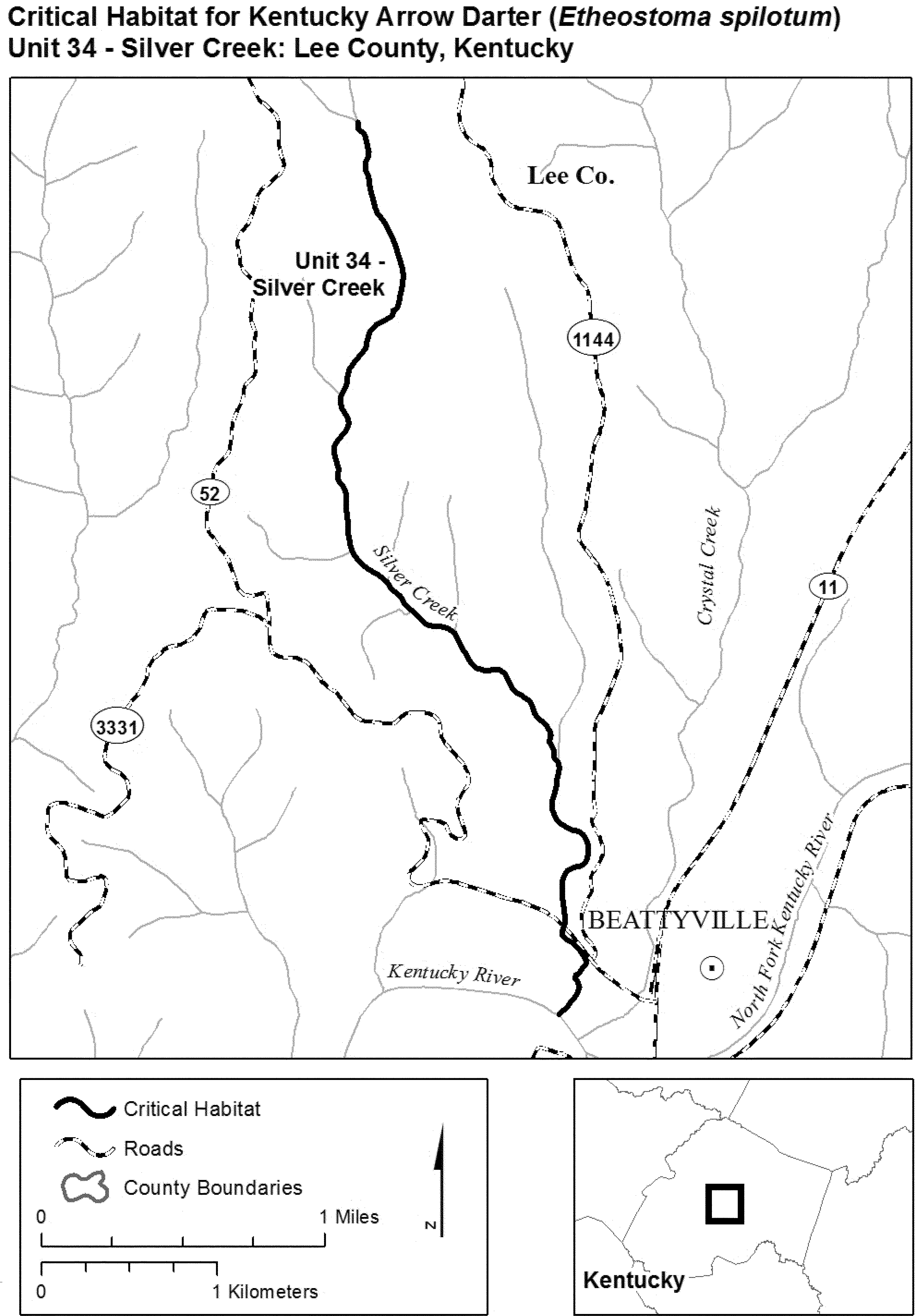
(28) Unit 35: Travis Creek, Jackson County; Unit 36: Wild Dog Creek, Jackson and Owsley Counties; and Unit 37: Granny Dismal Creek, Owsley and Lee Counties, Kentucky.
(i) Unit 35 includes 4.1 skm (2.5 smi) of Travis Creek from its headwaters at (37.43039, −83.88516), downstream to its confluence with Sturgeon Creek (37.43600, −83.84609) in Jackson County, Kentucky.
(ii) Unit 36 includes 8.1 skm (5.1 smi) of Wild Dog Creek from its headwaters at (37.47081, −83.89329) in Jackson County, downstream to its confluence with Sturgeon Creek (37.48730, −83.82319) in Owsley County, Kentucky.
(iii) Unit 37 includes 6.9 skm (4.3 smi) of Granny Dismal Creek from its headwaters at (37.49862, −83.88435) in Owsley County, downstream to its confluence with Sturgeon Creek (37.49586, −83.81629) in Lee County, Kentucky.
(iv) Map of Units 35, 36, and 37 follows:

(29) Unit 38: Rockbridge Fork, Wolfe County, Kentucky.
(i) Unit 38 includes 4.5 skm (2.8 smi) of Rockbridge Fork from its headwaters at (37.76228, −83.59553), downstream to its confluence with Swift Camp Creek (37.76941, −83.56134) in Wolfe County, Kentucky.
(ii) Map of Unit 38 follows:

Leopard Darter (Percina pantherina)
Oklahoma. McCurtain and Pushmataha Counties. Little River, main channel in Pushmataha County from mouth of Cloudy Creek (T. 3 S.; R. 20 E.; Section 3) upstream to the Pushmataha-Le Flore County line. Black Fork Creek in McCurtain County from its junction with Little River (T. 1 S.; R. 20 E.; Section 22) upstream to Oklahoma Highway 144 crossing (T. 1 S.; R. 19 E.; Section 12). Glover Creek, main channel in McCurtain County from Oklahoma Highway 7 crossing (T. 5 S.; R. 23 E.; Section 28) upstream to the junction of the East Fork and West Fork of Glover Creek. East Fork and West Fork of Glover Creek. East Fork of Glover Creek, main channel in Pushmataha County from its junction with the West Fork Glover Creek (T. 3 S.; R. 23 E.; Section 7) upstream to 4 air miles north-northeast of the community of Bethel (T. 2 S.; R. 24 E.; Section 5). West Fork Glover Creek, main channel in McCurtain County from its junction with the East Fork Glover Creek upstream to the community of Battiest (T. 2 S.; R. 23 E.; Section 7). Mountain Fork Creek, main channel in McCurtain County, from mouth of Boktukola Creek (T. 2 S.; R. 25 E.; Section 9), 6 air miles south-southwest of Smithville, upstream to the Oklahoma-Arkansas State line.
Arkansas. Polk County. Mountain Fork Creek, main channel from the Arkansas-Oklahoma State line upstream to the community of Mountain Fork (T. 1 S.; R. 32 W.; Section 29).
The map provided is for informational purposes only. Map follows:

Maryland Darter (Etheostoma sellare)
Maryland (Harford County): (1) Deer Creek main channel from the junction with Elbow Branch thence downstream to the junction with the Susquehanna River. (2) Gasheys Run (also known as Gasheys Creek) main channels of east and west forks from their overcrossing by old Penn Central Railroad (presently titled to National Railroad Passenger Corporation, Amtrak) south to their confluence, thence south to the confluence with Swan Creek.
The map provided is for informational purposes only. Map follows:

Constituent elements of this habitat are considered to be quality and permanence of streamflow in shallow areas of the streams (riffles), and presence of unsilted rocky crevices for shelter and production of aquatic insects and snails for food.
Niangua Darter (Etheostoma nianguae)
Missouri. Big Tavern Creek, Miller County. Big Tavern Creek and 50 feet along each side of the creek from Highway 52 upstream to Highway 17.
The map provided is for informational purposes only. Map follows:

Missouri. Niangua River, Dallas County. Niangua River and 50 feet on each side of the river from county road K upstream to 1 mile beyond county road M to the Webster County line.
Missouri. Pomme de Terre River, Greene County. Pomme de Terre River and 50 feet on each side of the river from Highway 65 upstream to the Webster County line.
The map provided is for informational purposes only. Map follows:

Missouri. Brush Creek, Cedar, and St. Clair Counties. Brush Creek and 50 feet on each side of the creek from 1000 feet upstream of county road J to the boundary of Sections 34 and 35, Township 36 N, Range 25 W.
The map provided is for informational purposes only. Map follows:

Missouri. Little Niangua River, Camden, Dallas, and Hickory Counties. Little Niangua River and 50 feet on each side of the river from 1 mile below (downstream of) Highway 54, Camden County, to county road E, Dallas County.
The map provided is for informational purposes only. Map follows:

Constituent elements, for all areas designated as critical habitat, consist of medium-sized creeks with silt-free pools and riffles and moderately clear water draining hilly areas underlain by chert and dolomite. Water ranges from 8 to 46 inches in depth over gravel with scattered rubble.
Rush Darter (Etheostoma phytophilum)
(1) The critical habitat units are depicted for Jefferson, Winston, and Etowah Counties in Alabama, on the maps below.
(2) Within these areas, the primary constituent elements of the physical and biological features essential to the conservation of the rush darter consist of five components:
(i) Springs and spring-fed reaches of geomorphically stable, relatively low-gradient, headwater streams with appropriate habitat (bottom substrates) to maintain essential riffles, runs, and pools; emergent vegetation in shallow water and on the margins of small streams and spring runs; cool, clean, flowing water; and connectivity between spawning, foraging, and resting sites to promote gene flow throughout the species' range.
(ii) Stable bottom substrates consisting of a combination of sand with silt, muck, gravel, or bedrock and adequate emergent vegetation in shallow water on the margins of small permanent and ephemeral streams and spring runs.
(iii) Instream flow with moderate velocity and a continuous daily discharge that allows for a longitudinal connectivity regime inclusive of both surface runoff and groundwater sources (springs and seepages) and exclusive of flushing flows caused by stormwater runoff.
(iv) Water quality with temperature not exceeding 26.7 °C (80 °F), dissolved oxygen 6.0 milligrams or greater per liter (mg/L), turbidity of an average monthly reading of 10 Nephelometric Turbidity Units (NTU; units used to measure sediment discharge) and 15 mg/L total suspended solids (TSS; measured as mg/L of sediment in water) or less; and a specific conductance (ability of water to conduct an electric current, based on dissolved solids in the water) of no greater than 225 micro Siemens per centimeter at 26.7 °C (80 °F).
(v) Prey base of aquatic macroinvertebrates, including midge larvae, mayfly nymphs, blackfly larvae, beetles, and microcrustaceans.
(3) Critical habitat does not include manmade structures (such as buildings, aqueducts, runways, roads, and other paved areas) and the land on which they are located existing within the legal boundaries on November 15, 2012.
(4) Critical habitat map units. Data layers defining map units were created on a base of USGS digital ortho-photo quarter-quadrangles, and critical habitat units were then mapped using Universal Transverse Mercator (UTM) Zone 16N, NAD1983, coordinates. Upstream and downstream limits were then identified by longitude and latitude using decimal degrees and projected in WGS 1984. The maps in this entry, as modified by any accompanying regulatory text, establish the boundaries of the critical habitat designation. The coordinates or plot points or both on which each map is based are available to the public at the field office Internet site (http://www.fws.gov/cookeville), http://www.regulations.gov at Docket No. FWS-R4-ES-2011-0074, and at the Service's Tennessee Fish and Wildlife Office. You may obtain field office location information by contacting one of the Service regional offices, the addresses of which are listed at 50 CFR 2.2.
(5) Index map follows:

(6) Units 1, 2, and 3: Beaver Creek, Unnamed Tributary to Beaver Creek and Highway 79 Spring Site, and Tapawingo or Penny Spring and Spring Run, Jefferson County, Alabama.
(i) Unit 1 includes 1.0 river kilometers (rkm) (0.6 river miles (rmi)) of Beaver Creek from the confluence with an unnamed tributary to Beaver Creek, downstream to the confluence with Turkey Creek.
(ii) Unit 2 includes 4.4 rkm (2.7 rmi) of an unnamed tributary of Beaver Creek and two spring runs. The site begins at the section 1 and 2 (T16S, R2W) line, as taken from the U.S. Geological Survey 7.5 topographical map (Pinson quadrangle), downstream to its confluence with Dry Creek, and includes a spring run beginning at the springhead just northwest of Old Pinson Road and intersecting with an unnamed tributary to Beaver Creek on the west side of Highway 79, and a spring associated wetland (0.13 ha, 0.33 ac) within the headwaters, south of Pinson Heights Road, flowing 0.9 km (0.05 mi) from the northwest (33.668173, −86.708577) and adjoining to the Unnamed Tributary (33.667344, −86.707429).
(iii) Unit 3 includes 0.6 rkm (0.4 rmi) of spring run, historically called Tapawingo Plunge, along with 6.7 ha (16.5 ac) of flooded spring basin making up Penny Springs, located south of Turkey Creek, north of Bud Holmes Road, east of Tapawingo Trail Road. The east boundary is at latitude 33° 41′ 56.50″ N and longitude 86° 39′ 55.01″ W: 1.0 km (0.6 mi) west of section line 28 and 29 (T15S, R1W) (U.S. Geological Survey 7.5 topographical map (Pinson quadrangle)).
(iv) Map of Units 1, 2, and 3 of critical habitat for the rush darter follows:

(7) Units 4, 5, and 6: Wildcat Branch, Mill Creek, and Doe Branch, Winston County, Alabama.
(i) Unit 4 includes 6.6 rkm (4.1 rmi) of Wildcat Branch from the streams headwaters just east of Winston County Road 29 to the confluence with Clear Creek.
(ii) Unit 5 includes 5.9 rkm (3.7 rmi) of Mill Creek from the streams headwaters just east of Winston County Road 195 to the confluence with Clear Creek.
(iii) Unit 6 includes 4.3 rkm (2.7 rmi) of Doe Branch from the streams headwaters north and west of section line 23 and 14 (R9W, T11S; Popular Springs Quadrangle) to the confluence with Wildcat Branch.
(iv) Map of Units 4, 5, and 6 of critical habitat for the rush darter follows:

(8) Units 7 and 8: Little Cove Creek, Cove Spring and Spring Run; and Bristow Creek, Etowah County, Alabama.
(i) Unit 7 includes 11.2 rkm (6.1 rmi) of Little Cove Creek and the Cove Spring run system along with 5.1 ha (12.7 ac) of the spring run floodplain. Specifically, the Little Cove Creek section (11.0 rkm (6.0 rmi)) is from the intersection of Etowah County Road 179 near the creek headwaters, downstream to its confluence with the Locust Fork River. The Cove Spring and spring run section includes 0.2 rkm (0.1 rmi) of the spring run from the springhead at the West Etowah Water and Fire Authority pumping station on Cove Spring Road to the confluence with Little Cove Creek and includes 5.1 ha (12.7 acres) of the spring run floodplain due south of the pumping facility.
(ii) Unit 8 includes 10.2 rkm (6.3 rmi) of Bristow Creek beginning from the bridge at Fairview Cove Road, downstream to the confluence with the Locust Fork River.
(iii) Map of Units 7 and 8 of critical habitat for the rush darter follows:

Slackwater Darter (Etheostoma boschungi)
Alabama. Lauderdale County. All permanent and intermittent streams with flowing water from December to June tributary to Cypress Creek and its tributaries upstream from the junction of Burcham Creek, including Burcham Creek, excluding Threet Creek and its tributaries.
Tennessee. Wayne County. All permanent and intermittent streams with flowing water from December to June tributary to Cypress and Middle Cypress Creek drainage.
The maps provided are for informational purposes only. Map follows:

Tennessee. Lawrence County, Buffalo River and its tributaries in Lawrence County, Tenn.

Trispot Darter (Etheostoma Trisella)
(1) Critical habitat units are depicted for St. Clair, Etowah, Cherokee, and Calhoun Counties, Alabama; Bradley and Polk Counties, Tennessee; and Whitfield, Murray, and Gordon Counties, Georgia, on the maps in this entry.
(2) Within these areas, the physical or biological features essential to the conservation of the trispot darter consist of the following components:
(i) Geomorphically stable, small to medium streams with detritus, woody debris, and stands of water willow (Justicia americana) over stream substrate that consists of small cobble, pebbles, gravel, and fine layers of silt; and intact riparian cover to maintain stream morphology and reduce erosion and sediment inputs.
(ii) Adequate seasonal water flows, or a hydrologic flow regime (which includes the severity, frequency, duration, and seasonality of discharge over time) necessary to maintain appropriate benthic habitats and to maintain and create connectivity between permanently flowing streams with associated streams that hold water from November through April, providing connectivity between the darter's spawning and summer areas.
(iii) Water and sediment quality (including, but not limited to, conductivity; hardness; turbidity; temperature; pH; ammonia; heavy metals; pesticides; animal waste products; and nitrogen, phosphorus, and potassium fertilizers) necessary to sustain natural physiological processes for normal behavior, growth, and viability of all life stages.
(iv) Prey base of aquatic macroinvertebrates.
(3) Critical habitat does not include manmade structures (such as buildings, aqueducts, runways, roads, and other paved areas) and the land on which they are located existing within the legal boundaries on October 30, 2020. In addition, any lands that are perennially dry areas that are located within the critical habitat boundaries shown on the maps in this entry are not designated as critical habitat.
(4) Critical habitat map units. Data layers defining map units were created using Universal Transverse Mercator (UTM) Zone 16N coordinates and species' occurrence data. The hydrologic data used in the maps were extracted from U.S. Geological Survey National Hydrography Dataset High Resolution (1:24,000 scale) using Geographic Coordinate System North American 1983 coordinates. The maps in this entry, as modified by any accompanying regulatory text, establish the boundaries of the critical habitat designation. The coordinates or plot points or both on which each map is based are available to the public at http://www.regulations.gov under Docket No. FWS-R4-ES-2018-0073.
(5) Note: Index map follows:
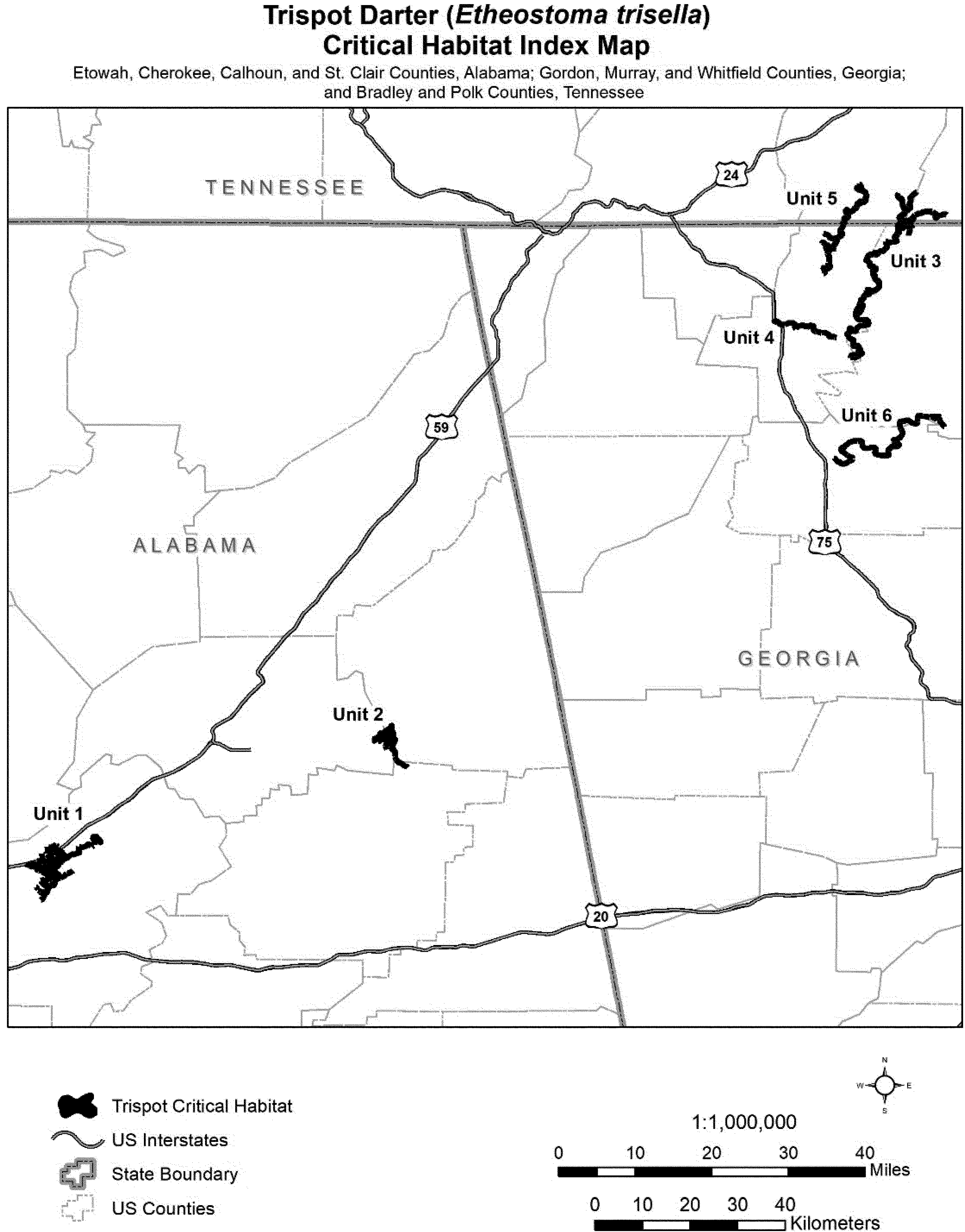
(6) Unit 1: Big Canoe Creek, St. Clair County, Alabama.
(i) General Description: Unit 1 consists of 41 stream miles (mi) (66 kilometers (km)) in St. Clair County, Alabama, from approximately 3.5 mi (5.6 km) upstream of Pinedale Road, west of Ashville, Alabama, to approximately U.S. Highway (Hwy.) 11. In addition to Big Canoe Creek, Unit 1 includes the westernmost portion of Little Canoe Creek to State Hwy. 174 and all of its associated tributaries. Unit 1 also includes all low-elevation areas (5,286 acres (ac) (2,139 hectares (ha))) containing channels that hold water from November through April beginning 0.5 mi (0.8 km) upstream of County Road 31 upstream to the U.S. Hwy. 11 crossing with Big Canoe Creek, approximately 0.70 mi (1.1 km) downstream of the Interstate 59 (I-59) crossing with the Left Hand Prong Little Canoe Creek, and the State Hwy. 174 crossing with Little Canoe Creek and Stovall Branch.
(ii) Map of Unit 1 follows:
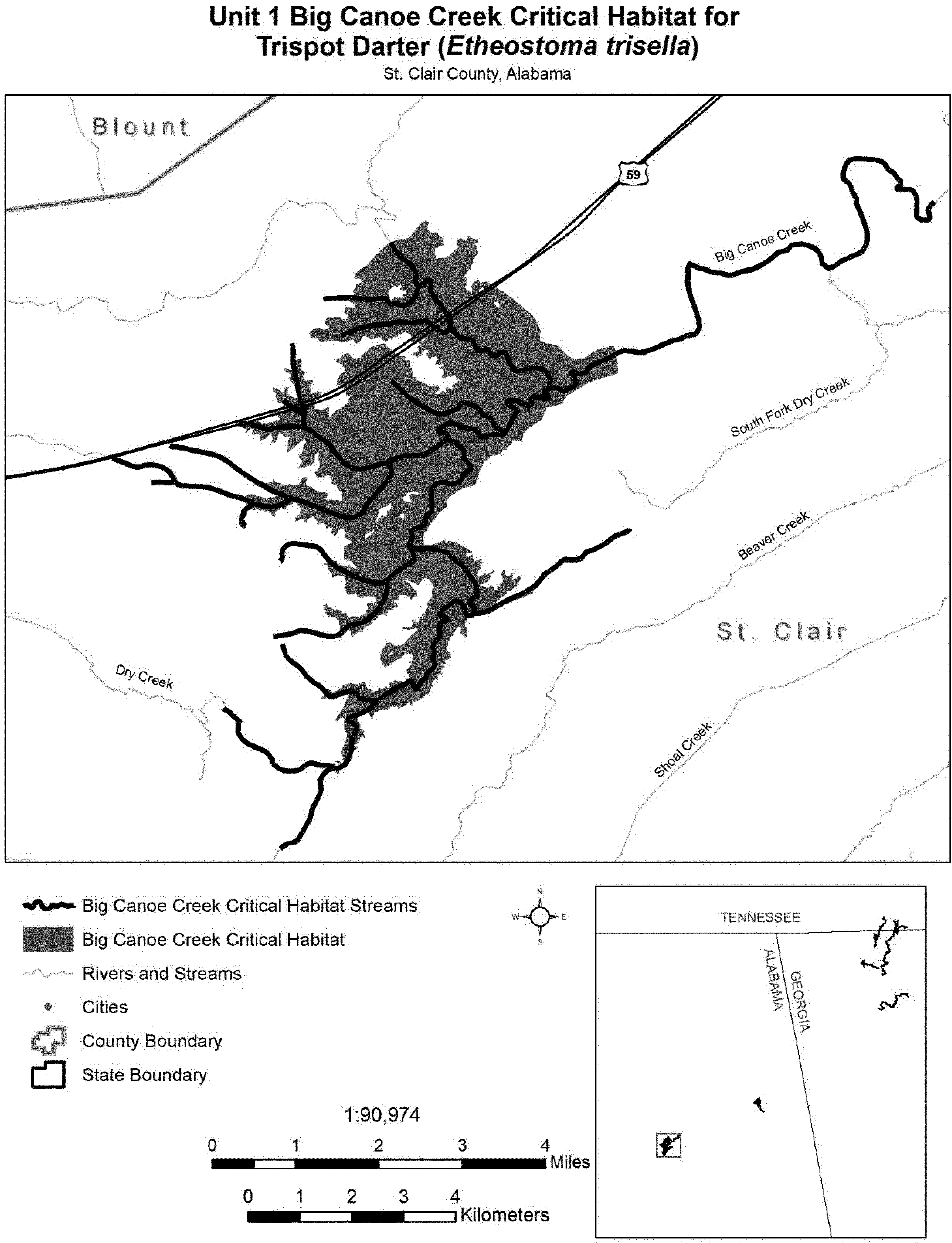
(7) Unit 2: Ballplay Creek, Etowah, Cherokee, and Calhoun Counties, Alabama.
(i) Unit 2 consists of 17 stream mi (27 km) of Ballplay Creek in Etowah, Cherokee, and Calhoun Counties, Alabama, and 2,527 ac (1,023 ha) of ephemeral spawning habitat. Unit 2 begins upstream of a wetland complex located at the border between Etowah and Cherokee Counties approximately at County Road 32, and continues upstream approximately to the U.S. Hwy. 278 crossing over Ballplay Creek in Calhoun County, Alabama. Unit 2 includes all low-elevation areas containing channels that hold water from November through April beginning upstream of the wetland complex located at the border between Etowah and Cherokee Counties approximately 0.60 mi (1 km) southwest of County Road 32, extending upstream to the confluence of Ballplay and Little Ballplay Creeks and to the west along Rocky Ford Road and Alford Road.
(ii) Map of Unit 2 follows:

(8) Unit 3: Conasauga River, Bradley and Polk Counties, Tennessee, and Whitfield and Murray Counties, Georgia.
(i) Unit 3 consists of 57 stream mi (92 km) and 1,400 ac (567 ha) of ephemeral wetland spawning habitat in Whitfield and Murray Counties, Georgia, and Polk and Bradley Counties, Tennessee. Unit 3 begins in the Conasauga River upstream of the mouth of Coahulla Creek and continues upstream to the mouth of Minneawauga Creek. Unit 3 also includes Mill Creek, from its confluence with the Conasauga River in Bradley County, Tennessee, upstream to the first impoundment on Mill Creek approximately at Green Shadow Road SE; Old Fort Creek, from Ladd Springs Road SE in Polk County, Tennessee, to its confluence with Mill Creek in Bradley County, Tennessee; and Perry Creek, from its headwaters (approximately 0.35 mi (0.6 km) upstream of Tennga Gregory Road) to its confluence with the Conasauga River in Murray County, Georgia, and both of its tributaries. Unit 3 includes all low-elevation areas containing channels that hold water from November through April, beginning from the confluence of the Conasauga River and Shears Branch (west of U.S. Hwy. 411 in Polk County, Tennessee) to approximately 0.30 mi (0.5 km) downstream of the confluence of the Conasauga River and Perry Creek; Mill Creek from Hicks Tanyard Road downstream to its confluence with the Conasauga River; Old Fort Creek from Hicks Tanyard Road to its confluence with Mill Creek; and Perry Creek.
(ii) Map of Unit 3 follows:

(9) Unit 4: Mill Creek, Whitfield County, Georgia.
(i) Unit 4 consists of 9.4 stream mi (15.1 km) of Mill Creek in Whitfield County, Georgia. Unit 4 begins at the confluence of Mill Creek with Coahulla Creek and continues upstream along Mill Creek for approximately 9.4 mi (15.1 km) to the U.S. Hwy. 41 crossing.
(ii) Map of Unit 4 follows:
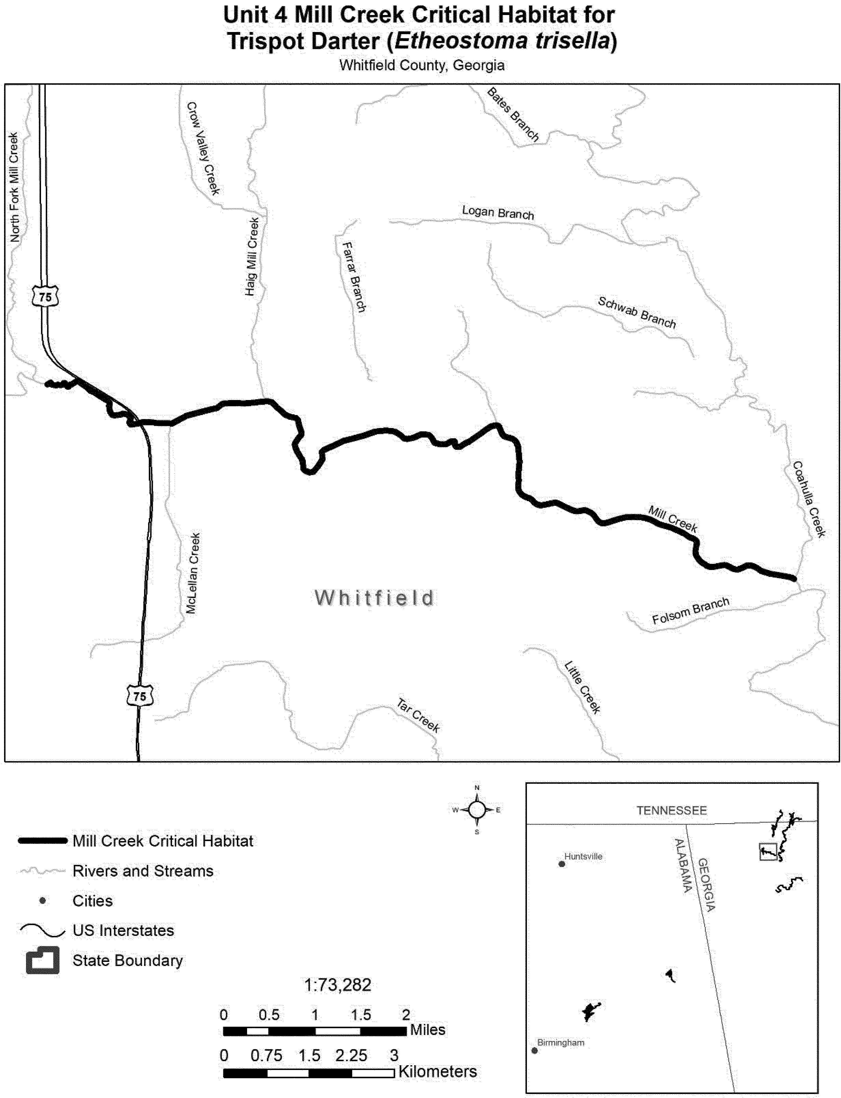
(10) Unit 5: Coahulla Creek, Whitfield County, Georgia, and Bradley County, Tennessee.
(i) Unit 5 consists of 26 stream mi (42 km) of Coahulla Creek and 716 ac (290 ha) of ephemeral spawning habitat in Whitfield County, Georgia, and Bradley County, Tennessee. Unit 5 begins immediately upstream of the Prater Mill dam upstream of State Hwy. 2 in Georgia. The unit continues upstream for approximately 26 mi (42 km) to Ramsey Bridge Road SE and includes ephemeral wetland habitat from 0.5 mi (0.8 km) downstream of Hopewell Road to approximately 0.5 mi (0.8 km) upstream of McGaughey Chapel Road.
(ii) Map of Unit 5 follows:
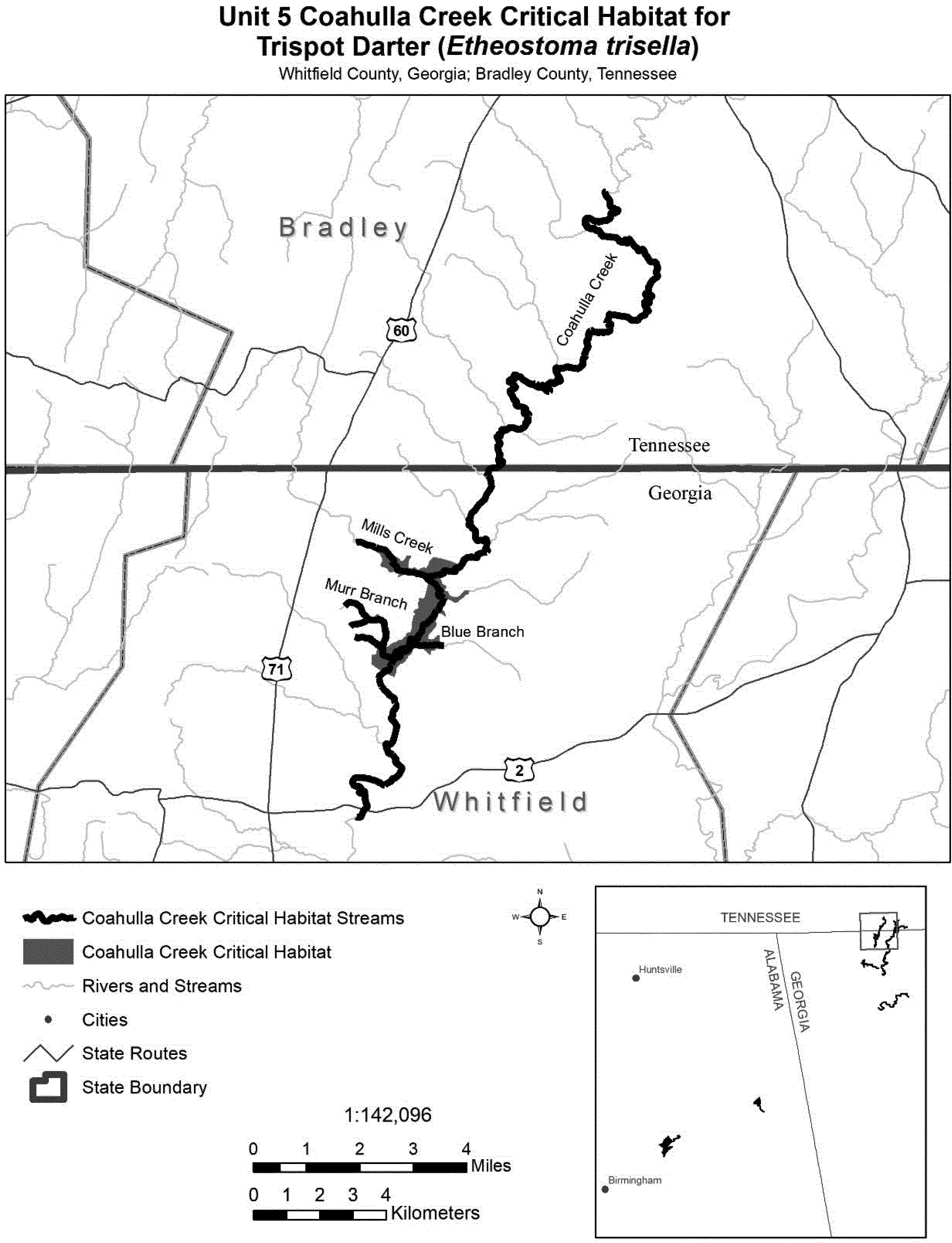
(11) Unit 6: Coosawattee River, Gordon and Murray Counties, Georgia.
(i) Unit 6 consists of 25 stream mi (40.2 km) of the Coosawattee River beginning at the confluence with the Conasauga River in Gordon County, Georgia. The unit continues upstream to Old Highway 411 downstream of Carters Lake Reregulation Dam in Murray County, Georgia.
(ii) Map of Unit 6 follows:
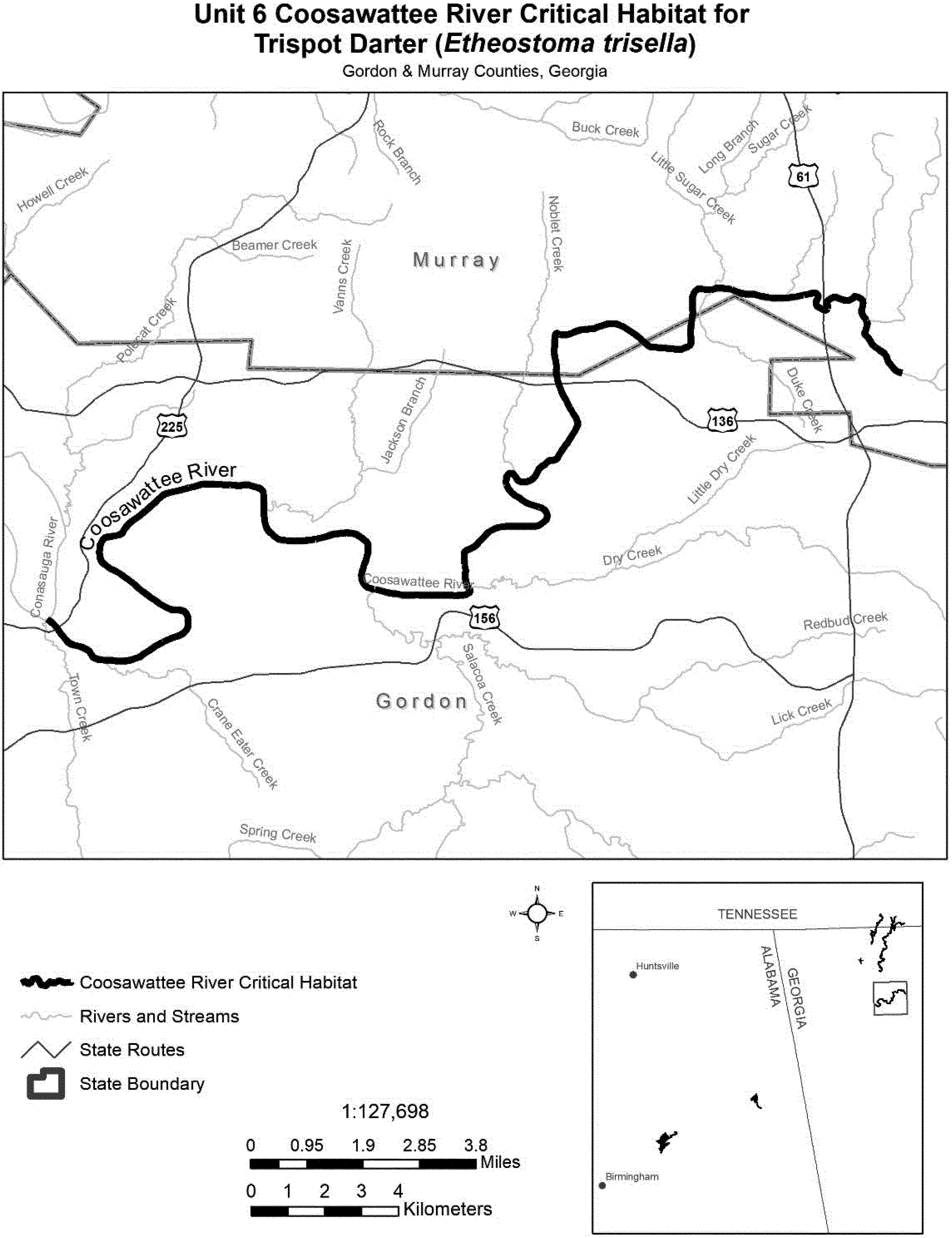
Vermilion Darter (Etheostoma chermocki)
(1) Critical habitat units are depicted for Jefferson County, Alabama, on the map below.
(2) Within these areas, the primary constituent elements of the physical and biological features essential to the conservation of the vermilion darter consist of four components:
(i) Geomorphically stable stream bottoms and banks (stable horizontal dimension and vertical profile) in order to maintain bottom features (riffles, runs, and pools) and transition zones between bottom features, to promote connectivity between spawning, foraging, and resting sites, and to maintain gene flow throughout the species range.
(ii) Instream flow regime with an average daily discharge over 50 cubic feet per second, inclusive of both surface runoff and groundwater sources (springs and seepages) and exclusive of flushing flows.
(iii) Water quality with temperature not exceeding 26.7 °C (80 °F), dissolved oxygen 6.0 milligrams or greater per liter, turbidity of an average monthly reading of 10 NTU and 15mg/l TSS (Nephelometric Turbidity Units; units used to measure sediment discharge; Total Suspended Solids measured as mg/l of sediment in water) or less; and a specific conductance (ability of water to conduct an electric current, based on dissolved solids in the water) of no greater than 225 micro Siemens per centimeter at 26.7 °C (80 °F).
(iv) Stable bottom substrates consisting of fine gravel with coarse gravel or cobble, or bedrock with sand and gravel, with low amounts of fine sand and sediments within the interstitial spaces of the substrates along with adequate aquatic vegetation.
(3) Critical habitat does not include manmade structures existing on the effective date of this rule and not containing one or more of the primary constituent elements, such as buildings, bridges, aqueducts, airports, and roads, and the land on which such structures are located.
(4) Critical habitat unit map. The map was developed from USGS 7.5′ quadrangles. Critical habitat unit upstream and downstream limits were then identified by longitude and latitude using decimal degrees.
(5) Note: Index map of critical habitat units for the vermilion darter follows:

(6) Unit 1: Turkey Creek, Jefferson County, Alabama.
(i) Unit 1 includes the channel in Turkey Creek from Shadow Lake Dam (086°38′22.50″ W long., 033°40′44.78″ N lat.) downstream to the Section 13/14 (T15S, R2W) line (086°42′31.81″ W long., 033°43′23.61″ N lat.).
(ii) Map of Unit 1 is provided at paragraph (10)(ii) of this entry.
(7) Unit 2: Dry Branch, Jefferson County, Alabama.
(i) Unit 2 includes the channel in Dry Branch from the bridge at Glenbrook Road (086°41′6.05″ W long., 033°41′10.65″ N lat) downstream to the confluence with Beaver Creek (86°41′17.39″ W long., 033°41′26.94″ N lat.).
(ii) Map of Unit 2 is provided at paragraph (10)(ii) of this entry.
(8) Unit 3: Beaver Creek, Jefferson County, Alabama.
(i) Unit 3 includes the channel of Beaver Creek from the confluence with the unnamed tributary to Beaver Creek and Dry Branch (086°41′17.54″ W long., 033°41′26.94″ N lat.) downstream to its confluence with Turkey Creek (086°41′9.16″ W long., 033°41′55.86 N lat.).
(ii) Map of Unit 3 is provided at paragraph (10)(ii) of this entry.
(9) Unit 4: Dry Creek, Jefferson County, Alabama.
(i) Unit 4 includes the channel of Dry Creek, from Innsbrook Road (086°39′53.78″ W long., 033°42′19.11″ N lat) downstream to the confluence with Turkey Creek (086°40′3.72″ W long., 033°42′1.39″ N lat).
(ii) Map of Unit 4 is provided at paragraph (10)(ii) of this entry.
(10) Unit 5: Unnamed Tributary to Beaver Creek, Jefferson County, Alabama.
(i) Unit 5 includes the channel of the Unnamed Tributary from its confluence with Beaver Creek (086°41′17.54″ W long., 033°41′26.94″ N lat.), upstream to the 1/2(T16S, R2W) section line (086°42′31.70″ W long., 033°39′54.15″ N lat.)
(ii) Map of Units 1, 2, 3, 4, and 5 (Map 2) follows:

Yellowcheek Darter (Etheostoma moorei)
(1) Critical habitat units are depicted for Cleburne, Searcy, Stone, and Van Buren Counties, Arkansas, on the maps below.
(2) Within these areas, the primary constituent elements of the physical and biological features essential to the conservation of the yellowcheek darter consist of five components:
(i) Geomorphically stable, second- to fifth-order streams with riffle habitats, and connectivity between spawning, foraging, and resting sites to promote gene flow within the species' range where possible.
(ii) Stable bottom composed of relatively silt-free, moderate to strong velocity riffles with gravel, cobble, and boulder substrates.
(iii) An instream flow regime (magnitude, frequency, duration, and seasonality of discharge over time) sufficient to provide permanent surface flows, as measured during years with average rainfall, and to maintain benthic habitats utilized by the species.
(iv) Adequate water quality characterized by moderate stream temperatures, acceptable dissolved oxygen concentrations, moderate pH, and low levels of pollutants. Adequate water quality is defined for the purpose of this rule as the quality necessary for normal behavior, growth, and viability of all life stages of the yellowcheek darter.
(v) Prey base of aquatic macroinvertebrates, including blackfly larvae, stonefly larvae, mayfly nymphs, and caddisfly larvae.
(3) Critical habitat does not include manmade structures (such as buildings, aqueducts, runways, roads, and other paved areas) and the land on which they are located existing within the legal boundaries on November 15, 2012.
(4) Critical habitat unit maps. Data layers defining map units were created on a base of USGS digital ortho-photo quarter-quadrangles, and critical habitat units were then mapped using Universal Transverse Mercator (UTM) Zone 15N, NAD1983, coordinates. Upstream and downstream limits were then identified by longitude and latitude using decimal degrees and projected in WGS 1984. The maps in this entry, as modified by any accompanying regulatory text, establish the boundaries of the critical habitat designation. The coordinates or plot points or both on which each map is based are available to the public at the field office Internet site (http://www.fws.gov/cookeville), http://www.regulations.gov at Docket No. FWS-R4-ES-2011-0074, and at the Service's Tennessee Fish and Wildlife Office. You may obtain field office location information by contacting one of the Service regional offices, the addresses of which are listed at 50 CFR 2.2.
(5) Index map follows:

(6) Unit 1: Middle Fork Little Red River; Searcy, Stone and Van Buren Counties, Arkansas.
(i) Unit 1 includes 73.2 river kilometers (rkm) (45.5 river miles (rmi)) of the Middle Fork of the Little Red River from Searcy County Road 167 approximately 3.4 rkm (2.1 rmi) southwest of Leslie, Arkansas, to a point on the stream 7.7 rkm (4.8 rmi) downstream of the Arkansas Highway 9 crossing of the Middle Fork near Shirley, Arkansas.
(ii) Map of Unit 1 of critical habitat for the yellowcheek darter follows:

(7) Unit 2: South Fork Little Red River; Van Buren County, Arkansas.
(i) Unit 2 includes 33.8 rkm (21.0 rmi) of the South Fork of the Little Red River from Van Buren County Road 9 three miles north of Scotland, Arkansas, to a point on the stream approximately 5.5 rkm (3.4 rmi) downstream of U.S. Highway 65 in Clinton, Arkansas, where it becomes inundated by Greers Ferry Lake.
(ii) Map of Unit 2 of critical habitat for the yellowcheek darter follows:

(8) Unit 3: Archey Fork Little Red River; Van Buren County, Arkansas.
(i) Unit 3 includes 28.5 rkm (17.7 rmi) of the Archey Fork of the Little Red River from its confluence with South Castleberry Creek to its confluence with the South Fork of the Little Red River near Clinton, Arkansas.
(ii) Map of Unit 3 of critical habitat for the yellowcheek darter follows:

(9) Unit 4: Devil's Fork Little Red River (including Turkey Creek and Beech Fork); Cleburne and Stone Counties, Arkansas.
(i) Unit 4 includes 28.0 rkm (17.4 rmi) of stream from Stone County Road 21 approximately 3 miles north of Prim, Arkansas, to a point on the Devil's Fork approximately 5.1 km (3.2 mi) southeast of Woodrow, Arkansas, at the point of inundation by Greers Ferry Lake.
(ii) Map of Unit 4 of critical habitat for the yellowcheek darter follows:

San Marcos Gambusia (Gambusia georgei)
Texas, Hays County; San Marcos River from Highway 12 bridge downstream to approximately 0.5 miles below Interstate Highway 35 bridge.
The map provided is for informational purposes only. Map follows:

Tidewater Goby (Eucyclogobius newberryi)
(1) Critical habitat units are depicted for Del Norte, Humboldt, Mendocino, Sonoma, Marin, San Mateo, Santa Cruz, Monterey, San Luis Obispo, Santa Barbara, Ventura, Los Angeles, Orange, and San Diego Counties, California, on the maps below.
(2) Within these areas, the primary constituent element of the physical or biological features essential to the conservation of tidewater goby consist of persistent, shallow (in the range of approximately 0.3 to 6.6 ft (0.1 to 2 m)), still-to-slow-moving lagoons, estuaries, and coastal streams with salinity up to 12 parts per thousand (ppt), which provides adequate space for normal behavior and individual and population growth that contain:
(i) Substrates (e.g., sand, silt, mud) suitable for the construction of burrows for reproduction;
(ii) Submerged and emergent aquatic vegetation, such as Potamogeton pectinatus, Ruppia maritima,Typha latifolia, and Scirpus spp., that provides protection from predators and high flow events; or
(iii) Presence of a sandbar(s) across the mouth of a lagoon or estuary during the late spring, summer, and fall that closes or partially closes the lagoon or estuary, thereby providing relatively stable water levels and salinity.
(3) Critical habitat does not include manmade structures (such as bridges, docks, aqueducts, and other paved areas) and the land on which they are located existing within the legal boundaries on March 8, 2013.
(4) Critical habitat map units. Data layers defining map units were created for most units using National Wetlands Inventory (NWI) data (both published data available over the Internet and in publication provisional data). Where NWI data was lacking, unit boundaries were digitized directly on imagery from the Department of Agriculture's National Aerial Imagery Program data (NAIP) acquired in 2005. Critical habitat units were mapped using Universal Transverse Mercator (UTM), zones 10 and 11. The maps in this entry, as modified by any accompanying regulatory text, establish the boundaries of the critical habitat designation. The coordinates or plot points or both on which each map is based are available to the public at the Service's internet site, http://www.fws.gov/ventura/, http://www.regulations.gov at Docket No. FWS-R8-ES-2011-0085, and at the field office responsible for this designation. You may obtain field office location information by contacting one of the Service regional offices, the addresses of which are listed at 50 CFR 2.2.
(5) Index map of critical habitat units for the tidewater goby (Eucyclogobius newberryi) in Northern California follows:

(6) Unit DN 1: Tillas Slough, Del Norte County California. Map of Units DN 1 and DN 2 follows:

(7) Unit DN 2: Lake Talawa/Lake Earl, Del Norte County, California. Map of Unit DN 1 and DN 2 is provided at paragraph (6) of this entry.
(8) Unit HUM 1: Stone Lagoon, Humboldt County California. Map of Units HUM 1 and HUM 2 follows:

(9) Unit HUM 2: Big Lagoon, Humboldt County, California. Map of Units HUM 1 and HUM 2 is provided at paragraph (8) of this entry.
(10) Unit HUM 3: Humboldt Bay, Humboldt County, California. Map follows:

(11) Subunit HUM 4a: Eel River North Area. Map of Subunits HUM 4a and HUM 4b follows:

(12) Subunit HUM 4b: Eel River South Area. Map of Subunits HUM 4a and HUM 4b is provided at paragraph (11) of this entry.
(13) Unit MEN 1: Tenmile River, Mendocino County, California. Map of Units MEN 1, MEN 2, and MEN 3 follows:

(14) Unit MEN 2: Virgin Creek, Mendocino County, California. Map of Units MEN 1, MEN 2, and MEN 3 is provided at paragraph (13) of this entry.
(15) Unit MEN 3: Pudding Creek, Mendocino County, California. Map of Units MEN 1, MEN 2, and MEN 3 is provided at paragraph (13) of this entry.
(16) Unit MEN 4: Davis Lake and Manchester Sate Park Ponds, Mendocino
County, California. Map follows:

(17) Unit SON 1: Salmon Creek, Sonoma County California. Map of Units SON 1, MAR 1, MAR 2, MAR 3, and MAR 4 follows:

(18) Unit MAR 1: Estero Anericano, Marin County, California. Map of Units SON 1, MAR 1, MAR 2,MAR 3 and MAR 4 is provided at paragraph (17) of this entry.
(19) Unit MAR 2: Estero de San Antonio, Marin County, California. Map of Units SON 1, MAR 1, MAR 2, MAR 3, and MAR 4 is provided at paragraph (17) of this entry.
(20) Unit MAR 3: Walker Creek, Marin County, California. Map of Units SON 1, MAR 1, MAR 2, MAR 3, and MAR 4 is provided at paragraph (17) of this entry.
(21) Unit MAR 4: Lagunitas (Pepermill) Creek, Marin County, California. Map of Units SON 1, MAR 1, MAR 2, MAR 3, and MAR 4 is provided at paragraph (17) of this entry.
(22) Unit MAR 5: Bolinas Lagoon, Marin County, California. Map of Units MAR 5 and MAR 6 follows:

(23) Unit MAR 6: Rodeo Lagoon, Marin County, California. Map of Units MAR 5 and MAR 6 is provided at paragraph (21) of this entry.
(24) Unit SM 1: San Gregorio Creek, San Mateo County, California. Map of Units SM 1, SM 2, SM 3, and SM 4 follows:

(25) Unit SM 2: Pomponio Creek, San Mateo County, California. Map of Units SM 1, SM 2, SM 3, and SM 4 is provided at paragraph (24) of this entry.
(26) Unit SM 3: Pescadero-Butano Creeks, San Mateo County, California. Map of Units SM 1, SM 2, SM 3, and SM 4 is provided at paragraph (24) of this entry.
(27) Unit SM 4: Bean Hollow Creek, San Mateo County, California. Map of Units SM 1, SM 2, SM 3, and SM 4 is provided at paragraph (24) of this entry.
(28) Index map of critical habitat units for the tidewater goby (Eucyclogobius newberryi) in Southern California follows:

(29) Unit SC 1: Waddell Creek, Santa Cruz County, California. Map of Unit SC 1, SC 2, SC 3, and SC 4 follows:

(30) Unit SC 2: Scott Creek, Santa Cruz County, California. Map of Units SC 1, SC 2, SC 3, and SC 4 is provided at paragraph (29) of this entry.
(31) Unit SC 3: Laguna Creek, Santa Cruz County, California. Map of Units SC 1, SC 2, SC 3, and SC 4 is provided at paragraph (29) of this entry.
(32) Unit SC 4: Baldwin Creek, Santa Cruz County, California. Map of Units SC 1, SC 2, SC 3, and SC 4 is provided at paragraph (29) of this entry.
(33) Unit SC 5: Moore Creek, Santa Cruz County, California. Map of Units SC 5, SC 6, and SC 7 follows:

(34) Unit SC 6: Corcoran Lagoon, Santa Cruz County, California. Map of Units SC 5, SC 6, and SC 7 is provided at paragraph (33) of this entry.
(35) Unit SC 7: Aptos Creek, Santa Cruz County, California. Map of Units SC 5, SC 6, and SC 7 is provided at paragraph (33) of this entry.
(36) Unit SC 8: Pajaro River, Santa Cruz County, California. Map of Units SC 8, MN 1, and MN 2 follows:

(37) Unit MN 1: Bennett Slough, Monterey County, California. Map of Units SC 8, MN 1, and MN 2 is provided at paragraph (36) of this entry.
(38) Unit MN 2: Salinas River, Monterey County, California. Map of Units SC 8, MN 1, and MN 2 is provided at paragraph (36) of this entry.
(39) Unit SLO 1: Arroyo de la Cruz, San Luis Obispo County, California. Map of Unit SLO 1, SLO 2, SLO 3, SLO 4, and SLO 5 follows:

(40) Unit SLO 2: Arroyo del Corral, San Luis Obispo County, California. Map of Units SLO 1, SLO 2, SLO 3, SLO 4 and SLO 5 is provided at paragraph (39) of this entry.
(41) Unit SLO 3: Oak Knoll Creek, San Luis Obispo County, California. Map of Units SLO 1, SLO 2, SLO 3, SLO 4 and SLO 5 is provided at paragraph (39) of this entry.
(42) Unit SLO 4: Little Pico Creek, San Luis Obispo County, California. Map of Units SLO 1, SLO 2, SLO 3, SLO 4 and SLO 5 is provided at paragraph (39) of this entry.
(43) Unit SLO 5: San Simeon Creek, San Luis Obispo County, California. Map of Units SLO 1, SLO 2, SLO 3, SLO 4 and SLO 5 is provided at paragraph (39) of this entry.
(44) Unit SLO 6: Villa Creek, San Luis Obispo County, California. Map of Units SLO 6, SLO 7, SLO 8 and SLO 9 follows:

(45) Unit SLO 7: San Geronimo Creek, San Luis Obispo County, California. Map of Units SLO 6, SLO 7, SLO 8, and SLO 9 is provided at paragraph (44) of this entry.
(46) Unit SLO 8: Toro Creek, San Luis Obispo County, California. Map of Units SLO 6, SLO 7, SLO 8, and SLO 9 is provided at paragraph (44) of this entry.
(47) Unit SLO 9: Los Osos Creek, San Luis Obispo County, California. Map of Units SLO 6, SLO 7, SLO 8, and SLO 9 is provided at paragraph (44) of this entry.
(48) Unit SLO 10: San Luis Obispo Creek, San Luis Obispo County, California. Map of Units SLO 10, SLO 11, SLO 12, and SB 1 follows:

(49) Unit SLO 11: Pismo Creek, San Luis Obispo County, California. Map of Units SLO 10, SLO 11, SLO 12, and SB 1 is provided at paragraph (48) of this entry.
(50) Unit SLO 12: Oso Flaco Lake, San Luis Obispo County, California. Map of Units SLO 10, SLO 11, SLO 12, and SB 1 is provided at paragraph (48) of this entry.
(51) Unit SB 1: Santa Maria River, San Luis Obispo County, California. Map of Units SLO 10, SLO 11, SLO 12, and SB 1 is provided at paragraph (48) of this entry.
(52) Unit SB 2: Cañada de las Agujas, Santa Barbara County, California. Map of Units SB 2, SB 3, SB 4, SB 5, SB 6, and SB 7 follows:

(53) Unit SB 3: Cañada de Santa Anita, Santa Barbara County, California. Map of Units SB 2, SB 3, SB 4, SB 5, SB 6, and SB 7 is provided at paragraph (52) of this entry.
(54) Unit SB 4: Cañada de Alegria, Santa Barbara County, California. Map of Units SB 2, SB 3, SB 4, SB 5, SB 6, and SB 7 is provided at paragraph (52) of this entry.
(55) Unit SB 5: Cañada del Agua Caliente, Santa Barbara County, California. Map of Units SB 2, SB 3, SB 4, SB 5, SB 6, and SB 7 is provided at paragraph (52) of this entry.
(56) Unit SB 6: Gaviota Creek, Santa Barbara County, California. Map of Units SB 2, SB 3, SB 4, SB 5, SB 6, and SB 7 is provided at paragraph (52) of this entry.
(57) Unit SB 7: Arroyo Hondo, Santa Barbara County, California. Map of Units SB 2, SB 3, SB 4, SB 5, SB 6, and SB 7 is provided at paragraph (52) of this entry.
(58) Unit SB 8: Winchester-Bell Canyon, Santa Barbara County, California. Map of SB 8, SB 9, and SB 10 follows:

(59) Unit SB 9: Goleta Slough, Santa Barbara County, California. Map of Units SB 8, SB 9, and SB 10 is provided at paragraph (58) of this entry.
(60) Unit SB 10: Arroyo Burro, Santa Barbara County, California. Map of Units SB 8, SB 9, and SB 10 is provided at paragraph (58) of this entry.
(61) Unit SB 11: Mission Creek - Laguna Channel, Santa Barbara County, California. Map of Units SB 11 and SB 12 follows:

(62) Unit SB 12: Arroyo Paredon, Santa Barbara County, California. Map of Units SB 11 and SB 12 is provided at paragraph (61) of this entry.
(63) Unit VEN 1: Ventura River, Ventura County, California. Map of VEN 1, VEN 2, and VEN 3 follows:

(64) Unit VEN 2: Santa Clara River, Ventura County, California. Map of Units VEN 1, VEN 2, and VEN 3 is provided at paragraph (63) of this entry.
(65) Unit VEN 3: J Street Drain - Ormond Lagoon, Ventura County, California. Map of Units VEN 1, VEN 2, and VEN 3 is provided at paragraph (63) of this entry.
(66) Unit VEN 4: Big Sycamore Canyon, Ventura County, California. Map of Units VEN 1, LA 1, and LA 2 follows:

(67) Unit LA 1: Arroyo Sequit, Los Angeles County, California. Map of Units VEN 4, LA 1, and LA 2 is provided at paragraph (66) of this entry.
(68) Unit LA 2: Zuma Canyon, Los Angeles County, California. Map of Units VEN 4, LA 1, and LA 2 is provided at paragraph (66) of this entry.
(69) Unit LA 3: Malibu Creek, Los Angeles County, California. Map of Units LA 3, and LA 4 follows:

(70) Unit LA 4: Topanga Creek, Los Angeles County, California. Map of Units LA 3, and LA 4 is provided at paragraph (69) of this entry.
(71) Unit OR 1: Aliso Creek, Orange County, California. Map of Unit OR 1 follows:

(72) Unit SAN 1: San Luis Rey River, San Diego County, California. Map of Unit SAN 1 follows:

Conasauga Logperch (Percina jenkinsi)
Tennessee and Georgia: Conasauga River from the confluence of Halfway Branch with the Conasauga River in Polk County, Tennessee, downstream approximately 11 miles to the Georgia State Highway 2 Bridge, Murray County, Georgia.
Constituent elements include high quality water, pool areas with flowing water and silt free riffles with gravel and rubble substrate, and fast riffle areas and deeper chutes with gravel and small rubble.
The map provided is for informational purposes only. Map follows:

Carolina Madtom ((Noturus Furiosus))
(1) Critical habitat units are depicted for Durham, Edgecombe, Franklin, Granville, Halifax, Johnston, Jones, Nash, Orange, Vance, Warren, and Wilson Counties, North Carolina, on the maps in this entry.
(2) Within these areas, the physical or biological features essential to the conservation of the Carolina madtom consist of the following components:
(i) Suitable substrates and connected instream habitats, characterized by geomorphically stable stream channels and banks (i.e., channels that maintain lateral dimensions, longitudinal profiles, and sinuosity patterns over time without an aggrading or degrading bed elevation) with habitats that support a diversity of freshwater native fish (such as stable riffle-run-pool habitats that provide flow refuges consisting of silt-free gravel, small cobble, coarse sand, and leaf litter substrates) as well as abundant cover used for nesting.
(ii) Adequate flows, or a hydrologic flow regime (which includes the severity, frequency, duration, and seasonality of discharge over time), necessary to maintain instream habitats where the species is found and to maintain connectivity of streams with the floodplain, allowing the exchange of nutrients and sediment for maintenance of the fish's habitat, food availability, and ample oxygenated flow for spawning and nesting habitat.
(iii) Water quality (including, but not limited to, conductivity, hardness, turbidity, temperature, pH, ammonia, heavy metals, and chemical constituents) necessary to sustain natural physiological processes for normal behavior, growth, and viability of all life stages.
(iv) Aquatic macroinvertebrate prey items, which are typically dominated by larval midges, mayflies, caddisflies, dragonflies, and beetle larvae.
(3) Critical habitat does not include manmade structures (such as buildings, aqueducts, runways, roads, and other paved areas) and the land on which they are located existing within the legal boundaries on July 9, 2021.
(4) Critical habitat map units. Data layers defining map units were created by overlaying Natural Heritage Element Occurrence data and U.S. Geological Survey (USGS) hydrologic data for stream reaches. The hydrologic data used in the critical habitat maps were extracted from the USGS 1:1M scale nationwide hydrologic layer (https://nationalmap.gov/small_scale/mld/1nethyd.html) with a projection of EPSG:4269-NAD83 Geographic. The North Carolina Natural Heritage program's species presence data were used to select specific stream segments for inclusion in the critical habitat layer. The maps in this entry, as modified by any accompanying regulatory text, establish the boundaries of the critical habitat designation. The coordinates or plot points or both on which each map is based are available to the public at http://www.regulations.gov under Docket No. FWS-R4-ES-2018-0092 and at the field office responsible for this designation. You may obtain field office location information by contacting one of the Service regional offices, the addresses of which are listed at 50 CFR 2.2.
(5) Note: Index map follows:

(6) Unit 1: TAR1-Upper Tar River, Franklin, Granville, and Vance Counties, North Carolina.
(i) This unit consists of 26 river miles (42 river kilometers) of the Upper Tar River from the confluence with Sand Creek to the confluence with Sycamore Creek. Unit 1 includes stream habitat up to bankfull height.
(ii) Map of Unit 1 follows:
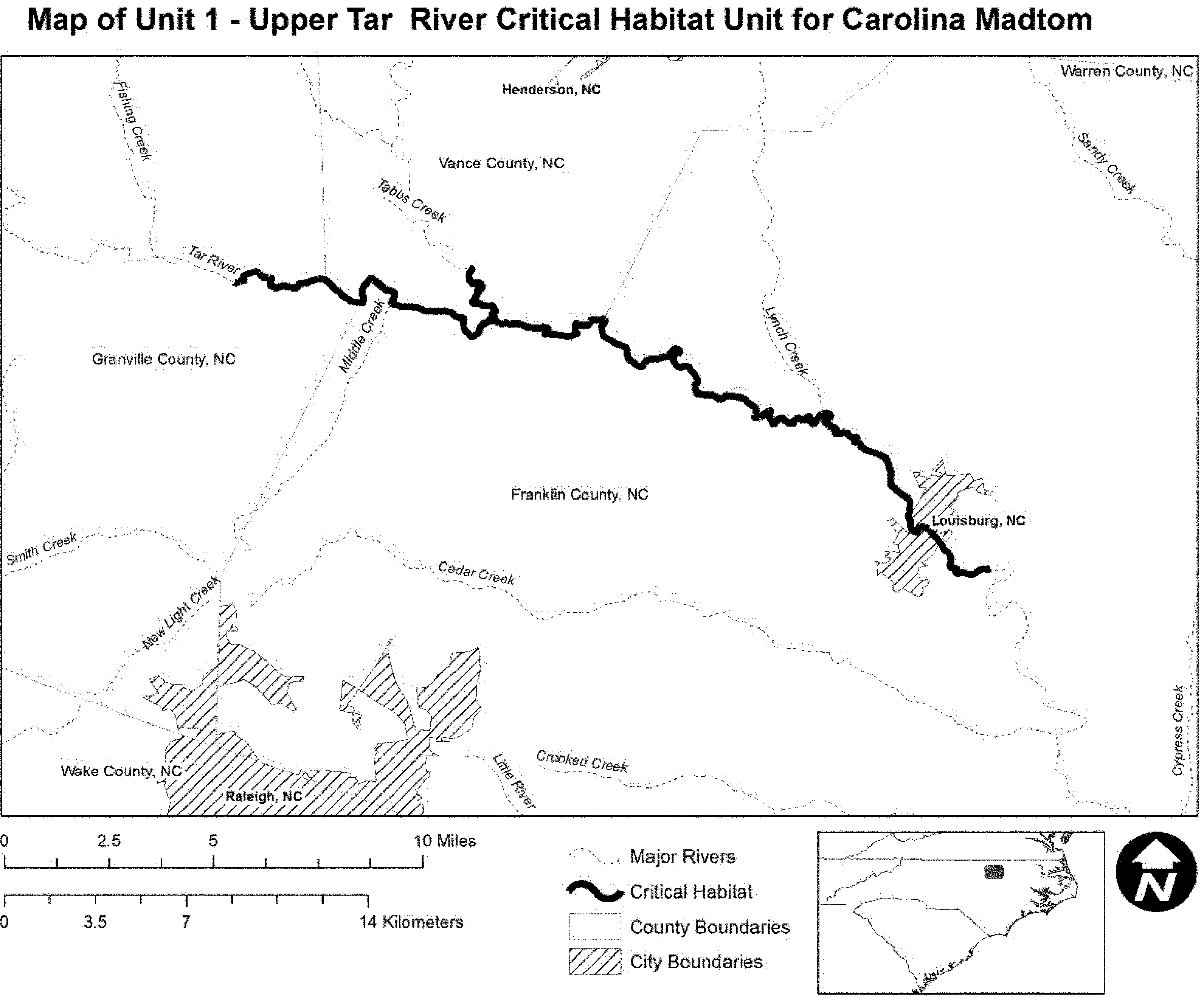
(7) Unit 2: TAR2-Sandy/Swift Creek, Edgecombe, Franklin, Halifax, Nash, Vance, and Warren Counties, North Carolina.
(i) This unit consists of 66 river miles (106 river kilometers) of Sandy and Swift Creeks, located downstream from NC561 to the confluence with the Tar River. Unit 2 includes stream habitat up to bankfull height.
(ii) Map of Unit 2 follows:
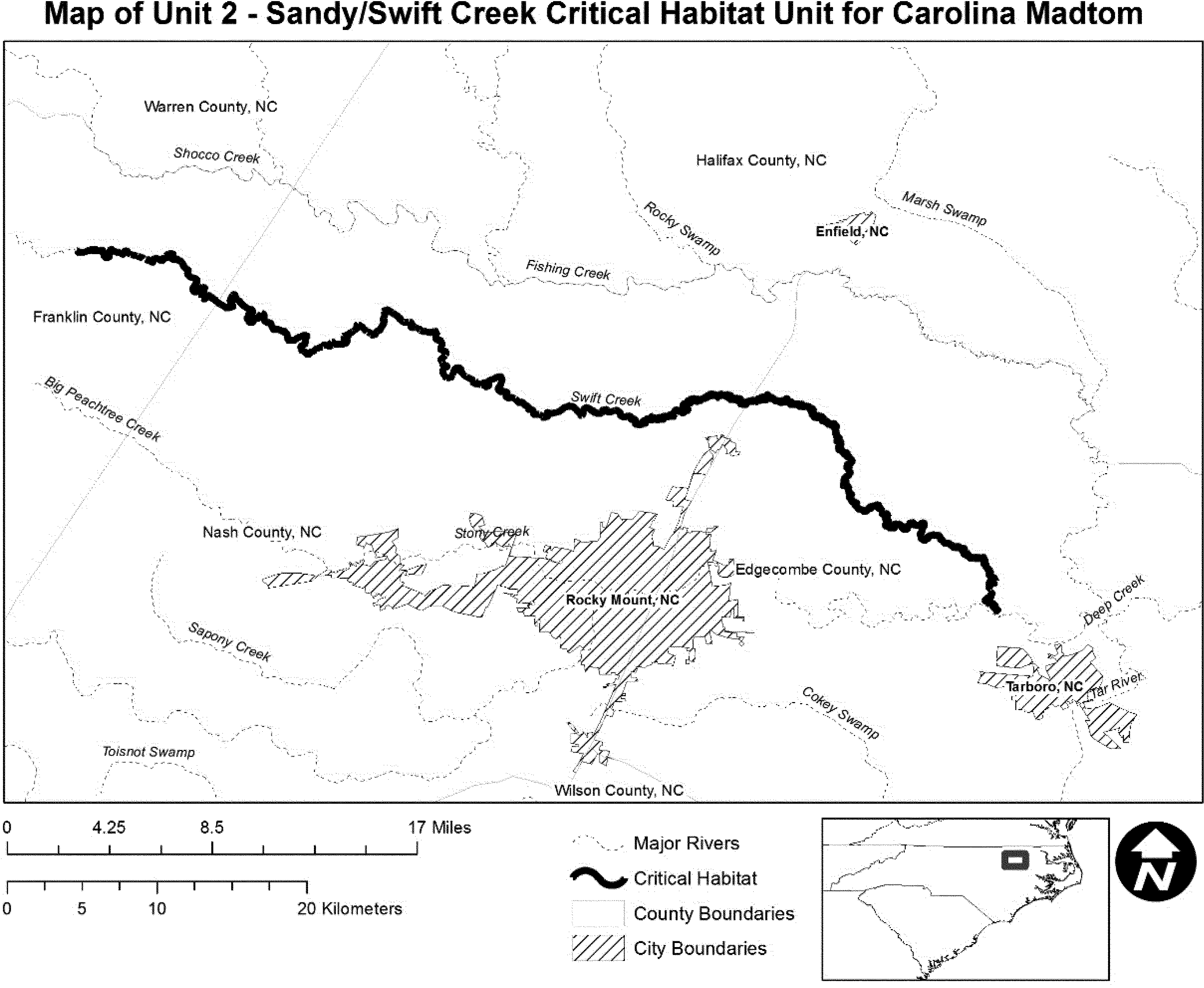
(8) Unit 3: TAR3-Fishing Creek Subbasin, Edgecombe, Franklin, Halifax, Nash, and Warren Counties, North Carolina.
(i) This unit consists of 86 river miles (138 river kilometers) of Fishing Creek from the confluence with Hogpen Branch to the confluence with the Tar River, and Little Fishing Creek from Medoc Mountain Road (SR1002) to the confluence with Fishing Creek. Unit 3 includes stream habitat up to bankfull height.
(ii) Map of Unit 3 follows:
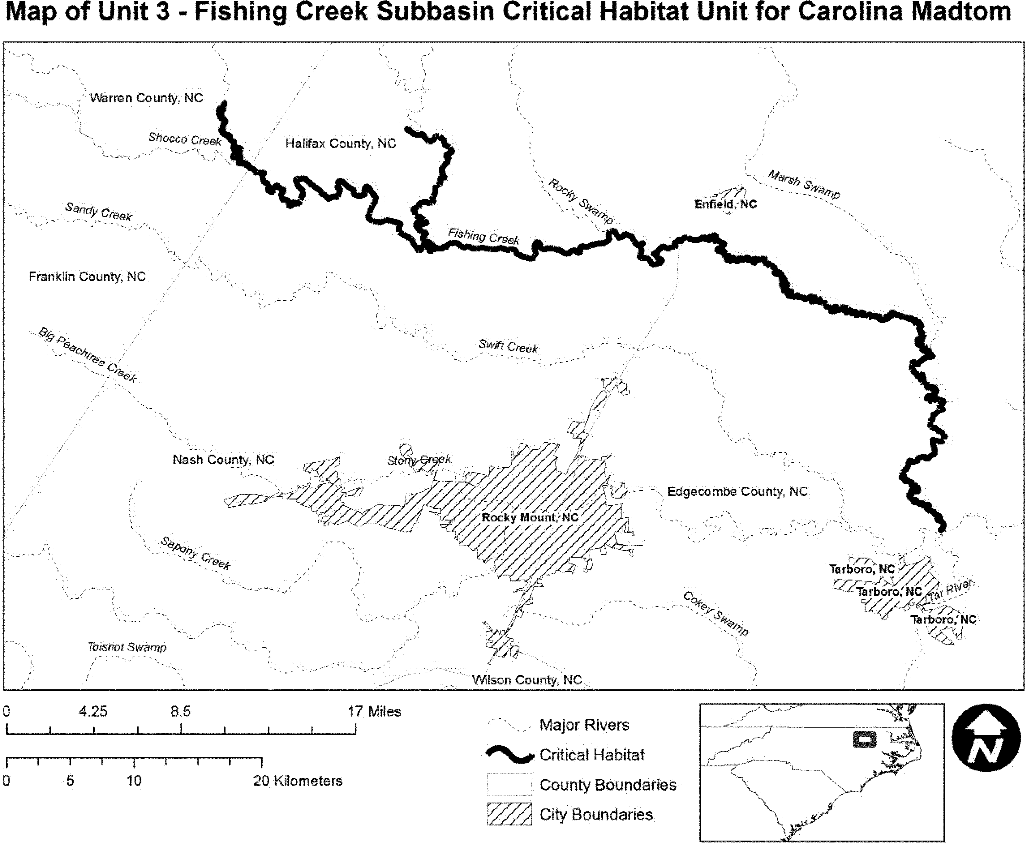
(9) Unit 4: NR1-Upper Neuse River Subbasin (Eno River), Durham and Orange Counties, North Carolina.
(i) This unit consists of 20 river miles (32 river kilometers) of the Upper Neuse River extending from Eno River State Park downstream of NC70 to the confluence with Cabin Creek near Falls Lake impoundment. Unit 4 includes stream habitat up to bankfull height.
(ii) Map of Unit 4 follows:

(10) Unit 5: NR2-Little River, Johnston County, North Carolina.
(i) This unit consists of 28 river miles (45 river kilometers) of the Upper and Lower Little River from NC42 to the Johnston/Wayne County line. Unit 5 includes stream habitat up to bankfull height.
(ii) Map of Unit 5 follows:

(11) Unit 6: NR3-Contentnea Creek, Wilson County, North Carolina.
(i) This unit consists of 15 river miles (24 river kilometers) of Contentnea Creek from Buckhorn Reservoir to Wiggins Mill Reservoir. Unit 6 includes stream habitat up to bankfull height.
(ii) Map of Unit 6 follows:
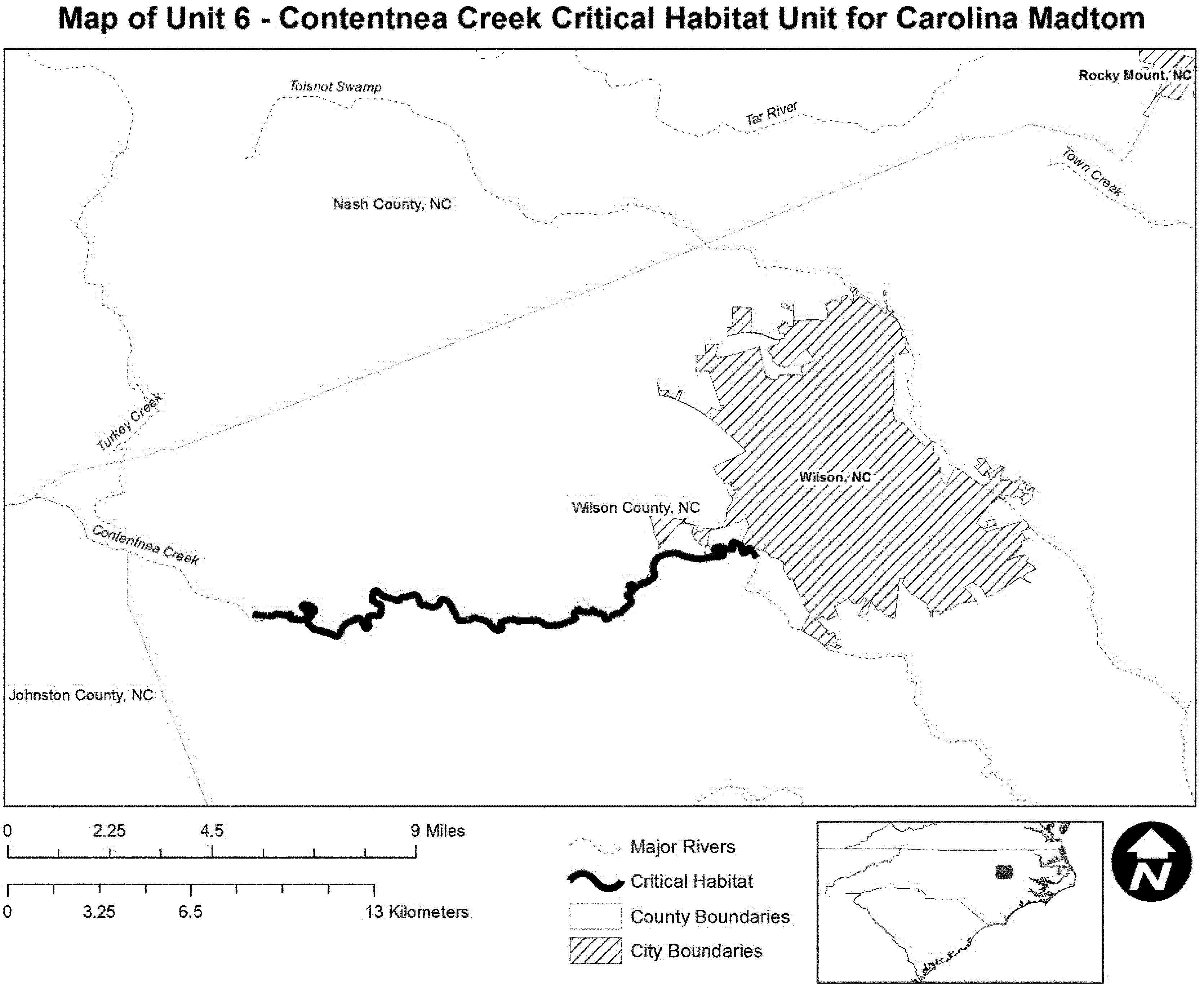
(12) Unit 7: TR1-Trent River, Jones County, North Carolina.
(i) This unit consists of 15 river miles (24 river kilometers) of the Trent River between the confluence with Cypress Creek and Beaver Creek. Unit 7 includes stream habitat up to bankfull height.
(ii) Map of Unit 7 follows:

Chucky Madtom (Noturus crypticus)
(1) The critical habitat unit is depicted for Greene County, Tennessee, on the maps below.
(2) Within this area, the primary constituent elements of the physical and biological features essential to the conservation of the Chucky madtom consist of five components:
(i) Gently flowing run and pool reaches of geomorphically stable streams with cool, clean, flowing water; shallow depths; and connectivity between spawning, foraging, and resting sites to promote gene flow throughout the species' range.
(ii) Stable bottom substrates composed of relatively silt-free, flat gravel, cobble, and slab-rock boulders.
(iii) An instream flow regime (magnitude, frequency, duration, and seasonality of discharge over time) sufficient to provide permanent surface flows, as measured during years with average rainfall, and to maintain benthic habitats utilized by the species.
(iv) Adequate water quality characterized by moderate stream temperatures, acceptable dissolved oxygen concentrations, moderate pH, and low levels of pollutants. Adequate water quality is defined for the purpose of this rule as the quality necessary for normal behavior, growth, and viability of all life stages of the Chucky madtom.
(v) Prey base of aquatic macroinvertebrates, including midge larvae, mayfly nymphs, caddisfly larvae, and stonefly larvae.
(3) Critical habitat does not include manmade structures (such as buildings, aqueducts, runways, roads, and other paved areas) and the land on which they are located existing within the legal boundaries on November 15, 2012.
(4) Critical habitat unit maps. Data layers defining map units were created on a base of USGS digital ortho-photo quarter-quadrangles, and critical habitat units were then mapped using Tennessee State Plane, Lambert Conformal Conic Projection, units feet. Upstream and downstream limits were then identified by longitude and latitude using decimal degrees and projected in WGS 1984. The maps in this entry, as modified by any accompanying regulatory text, establish the boundaries of the critical habitat designation. The coordinates or plot points or both on which each map is based are available to the public at the field office Internet site (http://www.fws.gov/cookeville), http://www.regulations.gov at Docket No. FWS-R4-ES-2011-0074, and at the Service's Tennessee Fish and Wildlife Office. You may obtain field office location information by contacting one of the Service regional offices, the addresses of which are listed at 50 CFR 2.2.
(5) Index map follows:

(6) Little Chucky Creek Unit, Greene County, Tennessee.
(i) Little Chucky Creek Unit includes 31.9 river kilometers (19.8 river miles) of Little Chucky Creek from its confluence with an unnamed tributary, downstream to its confluence with the Nolichucky River, at the Greene and Cocke County line, Tennessee.
(ii) Map of Little Chucky Creek Unit of critical habitat for the Chucky madtom follows:

Smoky Madtom (Noturus baileyi)
Tennessee, Monroe County, Citico Creek, Cherokee National Forest. Citico Creek from the Cherokee National Forest boundary at upper Citico Bridge on Mountain Settlement Road (approximately creek mile 4.3) upstream to the confluence of Citico Creek with Barkcamp Branch (approximately creek mile 10.8).
Constituent elements of the critical habitat include the present good water quality in Citico Creek and run/pool areas with relatively silt-free pea-size gravel substrate containing scattered large flat rocks for breeding habitat. The species utilizes palm-size slab rocks for cover and relatively silt-free riffle areas during other times of the year. The area designated as critical habitat provides the smoky madtom with all of the necessary constituent elements for completion of its life cycle.
The map provided is for informational purposes only. Map follows:

Yellowfin Madtom (Noturus flavipinnis)
Tennessee. Claiborne and Hancock Counties. Powell River, main channel from backwaters of Norris Lake upstream to the Tennessee-Virginia State line.
Virginia. Lee, Scott, and Russell Counties. Powell River, main channel from the Virginia-Tennessee State line upstream through Lee County. Copper Creek, main channel from its junction with Clinch River upstream through Scott County and upstream in Russell County to Dickensonville.
The map provided is for informational purposes only. Map follows:

Devils River Minnow (Dionda diaboli)
(1) Critical habitat units are depicted for Val Verde County and Kinney County, Texas, on the maps below.
(2) The primary constituent elements of critical habitat for the Devils River minnow are the following habitat components:
(i) Streams characterized by:
(A) Areas with slow to moderate water velocities between 10 and 40 cm/second (4 and 16 in/second) in shallow to moderate water depths between approximately 10 cm (4 in) and 1.5 m (4.9 ft), near vegetative structure, such as emergent or submerged vegetation or stream bank riparian vegetation that overhangs into the water column;
(B) Gravel and cobble substrates ranging in diameter between 2 and 10 cm (0.8 and 4 in) with low or moderate amounts of fine sediment (less than 65 percent stream bottom coverage) and low or moderate amounts of substrate embeddedness; and
(C) Pool, riffle, run, and backwater components free of artificial instream structures that would prevent movement of fish upstream or downstream.
(ii) High-quality water provided by permanent, natural flows from groundwater spring and seeps characterized by:
(A) Temperature ranging between 17 °C and 29 °C (63 °F and 84 °F);
(B) Dissolved oxygen levels greater than 5.0 mg/l;
(C) Neutral pH ranging between 7.0 and 8.2;
(D) Conductivity less than 0.7 mS/cm and salinity less than 1 ppt;
(E) Ammonia levels less than 0.4 mg/l; and
(F) No or minimal pollutant levels for copper, arsenic, mercury, and cadmium; human and animal waste products; pesticides; fertilizers; suspended sediments; and petroleum compounds and gasoline or diesel fuels.
(iii) An abundant aquatic food base consisting of algae attached to stream substrates and other microorganisms associated with stream substrates.
(iv) Aquatic stream habitat either devoid of nonnative aquatic species (including fish, plants, and invertebrates) or in which such nonnative aquatic species are at levels that allow for healthy populations of Devils River minnows.
(v) Areas within stream courses that may be periodically dewatered for short time periods, during seasonal droughts, but otherwise serve as connective corridors between occupied or seasonally occupied areas through which the species moves when the area is wetted.
(3) Critical habitat does not include manmade structures (such as buildings, aqueducts, airports, roads, and other paved areas) and the land on which they are located existing on the effective date of this rule and not containing one or more of the primary constituent elements.
(4) Critical habitat map units. Data layers defining map units were created in ArcGIS using the National Hydrography Dataset and 7.5' topographic quadrangle maps obtained from U.S. Geological Survey to approximate stream channels and calculate distances (stream km and stream mi). We made some minor adjustments to stream channels using the 2004 National Agriculture Imagery Program digital orthophotos obtained from the Texas Natural Resources Information System. For each critical habitat unit, the upstream and downstream boundaries are described as paired geographic coordinates X, Y (meters E, meters N, UTM Zone 14, referenced to North American Horizontal Datum 1983). Additionally, critical habitat areas include the stream channels within the identified stream reaches and areas within these reaches up to the bankfull width.
(5) Note: Index map of critical habitat units for the Devils River minnow follows:

(6) Unit 2: San Felipe Creek, Val Verde County, Texas.
(i) Unit 2 consists of approximately 7.9 stream km (4.9 stream mi) on San Felipe Creek, 0.8 stream km (0.5 stream mi) of the outflow of San Felipe Springs West, and 0.3 stream km (0.2 stream mi) of the outflow of San Felipe Springs East. The upstream boundary on San Felipe Creek is the Head Springs (UTM 318813E, 3253702N) located about 1.1 stream km (0.7 stream mi) upstream of the Jap Lowe Bridge crossing. The downstream boundary on San Felipe Creek is in the City of Del Rio 0.8 stream km (0.5 stream mi) downstream of the Academy Street Bridge crossing (UTM 316317E, 3248147N). This unit includes the outflow channels from the origin of the two springs, San Felipe Springs West (UTM 317039E, 3250850N) and San Felipe Springs East (UTM 317212E, 250825N), downstream to the confluence with San Felipe Creek. Including all three streams, the total distance in Unit 2 is approximately 9.0 stream km (5.6 stream mi).
(ii) Map of Unit 2, San Felipe Creek Unit, follows:

(7) Unit 3: Pinto Creek, Kinney County, Texas.
(i) Unit 3 consists of approximately 17.5 stream km (10.9 stream mi) on Pinto Creek. The upstream boundary is Pinto Springs (UTM 359372E, 3254422N). The downstream boundary is 100 m (330 ft) upstream of the Highway 90 Bridge crossing of Pinto Creek (UTM 351163E, 3246179N).
(ii) Map of Unit 3, Pinto Creek Unit, follows:

Loach Minnow (Tiaroga cobitis)
(1) Critical habitat units are depicted for Apache, Cochise, Gila, Graham, Greenlee, Pinal, and Yavapai Counties, Arizona, and for Catron, Grant, and Hidalgo Counties, New Mexico, on the maps below.
(2) Within these areas, the primary constituent elements (PCE) of the physical or biological features essential to the conservation of loach minnow consist of six components:
(i) Habitat to support all egg, larval, juvenile, and adult loach minnow. This habitat includes perennial flows with a stream depth of generally less than 1 m (3.3 ft), and with slow to swift flow velocities between 0 and 80 cm per second (0.0 and 31.5 in. per second). Appropriate microhabitat types include pools, runs, riffles, and rapids over sand, gravel, cobble, and rubble substrates with low or moderate amounts of fine sediment and substrate embeddedness. Appropriate habitats have a low stream gradient of less than 2.5 percent and are at elevations below 2,500 m (8,202 ft). Water temperatures should be in the general range of 8.0 to 25.0 °C (46.4 to 77 °F).
(ii) An abundant aquatic insect food base consisting of mayflies, true flies, black flies, caddis flies, stoneflies, and dragonflies.
(iii) Streams with no or no more than low levels of pollutants.
(iv) Perennial flows or interrupted stream courses that are periodically dewatered but that serve as connective corridors between occupied or seasonally occupied habitat and through which the species may move when the habitat is wetted.
(v) No nonnative aquatic species, or levels of nonnative aquatic species that are sufficiently low to allow persistence of loach minnow.
(vi) Streams with a natural, unregulated flow regime that allows for periodic flooding or, if flows are modified or regulated, a flow regime that allows for adequate river functions, such as flows capable of transporting sediments.
(3) Critical habitat does not include manmade structures (such as buildings, aqueducts, runways, roads, and other paved areas) and the land on which they are located existing within the legal boundaries on the effective date of this rule. We have determined that all designated areas contain at least one PCE for loach minnow.
(4) Critical habitat map units. Data layers defining map units were created on a base of USGS 7.5′ quadrangles along with shapefiles generated by the Arizona Land Resource Information Service for land ownership, streams, counties, and the Public Land Survey System. Information on species locations was derived from databases developed by the Arizona Game and Fish Department, the New Mexico Department of Game and Fish, and Arizona State University.
(5) Note: Index map follows:

(6) Unit 1: Verde River Subbasin, Yavapai County, Arizona.
(i) Verde River for approximately 118.5 km (73.6 mi), extending from the confluence with Beaver and Wet Beaver Creek in Township 14 North, Range 5 East, southeast quarter of section 30 upstream to Sullivan Dam in Township 17 North, Range 2 West, northwest quarter of section 15. This mileage does not include the 1.2 km (0.8 mi) belonging to the Yavapai-Apache Nation, which is excluded from this designation.
(ii) Granite Creek for approximately 3.2 km (2.0 mi), extending from the confluence with the Verde River in Township 17 North, Range 2 West, northeast quarter of section 14 upstream to a spring in Township 17 North, Range 2 West, southwest quarter of the southwest quarter of section 13.
(iii) Oak Creek for approximately 54.3 km (33.7 mi), extending from the confluence with the Verde River in Township 15 North, Range 4 East, southeast quarter of section 20 upstream to the confluence with an unnamed tributary from the south in Township 17 North, Range 5 East, southeast quarter of the northeast quarter of section 24.
(iv) Beaver Creek and Wet Beaver Creek for approximately 33.3 km (20.7 mi), extending from the confluence with the Verde River in Township 14 North, Range 5 East, southeast quarter of section 30 upstream to the confluence with Casner Canyon in Township 15 North, Range 6 East, northwest quarter of section 23. This mileage does not include the 0.2 km (0.1 mi) belonging to the Yavapai-Apache Nation, which is excluded from this designation.
(v) Fossil Creek for approximately 22.2 km (13.8 mi) from its confluence with the Verde River at Township 11 North, Range 6 East, northeast quarter of section 25 upstream to the old Fossil Diversion Dam site at Township 12 North, Range 7 East, southeast quarter of section 14.
(vi) Map of Unit 1, Verde River Subbasin follows.

(7) Unit 2: Salt River Subbasin, Apache and Gila Counties, Arizona.
(i) East Fork Black River for approximately 19.1 km (11.9 mi) from the confluence with the West Fork Black River at Township 4 North, Range 28 East, southeast quarter of section 11 upstream to the confluence with an unnamed tributary approximately 0.82 km (0.51 mi) downstream of the Boneyard Creek confluence at Township 5 North, Range 29 East, northwest quarter of Section 5.
(ii) North Fork East Fork Black River for approximately 7.1 km (4.4 mi) of the North Fork East Fork Black River extending from the confluence with East Fork Black River at Township 5 North, Range 29 East, northwest quarter of section 5 upstream to the confluence with an unnamed tributary at Township 6 North, Range 29 East, center of Section 30.
(iii) Boneyard Creek for approximately 2.3 km (1.4 mi) extending from the confluence with the East Fork Black River at Township 5 North, Range 29 East, SW quarter of section 5 upstream to the confluence with an unnamed tributary at Township 6 North, Range 29 East, southeast quarter of section 32.
(iv) Coyote Creek for approximately 3.4 km (2.1 mi) from the confluence with East Fork Black River at Township 5 North, Range 29 East, northeast quarter of section 8 upstream to an unnamed confluence at Township 5 North, Range 29 East, northwest quarter of section 10.
(v) Map of Unit 2, Salt River Subbasin follows.

(8) Unit 3: San Pedro River Subbasin, Cochise, Pinal, and Graham Counties, Arizona.
(i) Aravaipa Creek for approximately 44.9 km (27.9 mi) extending from the confluence with the San Pedro River in Township 7 South, Range 16 East, center of section 9 upstream to the confluence with Stowe Gulch in Township 6 South, Range 19 East, southeast quarter of the northeast quarter of section 35.
(ii) Deer Creek - 3.7 km (2.3 mi) of the creek extending from the confluence with Aravaipa Creek at Township 6 South, Range 18 East, section 14 upstream to the boundary of the Aravaipa Wilderness at Township 6 South, range 19 East, section 18.
(iii) Turkey Creek - 4.3 km (2.7 mi) of the creek extending from the confluence with Aravaipa Creek at Township 6 South, Range 19 East, section 19 upstream to the confluence with Oak Grove Canyon at Township 6 South, Range 19 east, section 32.
(iv) Hot Springs Canyon for approximately 9.3 km (5.8 mi) extending from the confluence with Bass Canyon in Township 12 South, Range 20 East, northeast quarter of section 36 downstream to Township 12 South, Range 20 East, southeast quarter of section 32.
(v) Redfield Canyon for approximately 6.5 km (4.0 mi) extending from Township 11 South, Range 19 East, northeast quarter of section 36 upstream to the confluence with Sycamore Canyon in Township 11 South, Range 20 East, northwest quarter of section 28.
(vi) Bass Canyon for approximately 5.5 km (3.4 mi) from the confluence with Hot Springs Canyon in Township 12 South, Range 20 East, northeast quarter of section 36 upstream to the confluence with Pine Canyon in Township 12 South, Range 21 East, center of section 20.
(vii) Map of Unit 3, San Pedro River Subbasin follows.

(9) Unit 4: Bonita Creek Subbasin, Graham County, Arizona.
(i) Bonita Creek for approximately 23.8 km (14.8 mi) from the confluence with the Gila River in Township 6 South, Range 28 East, southeast quarter of section 21 upstream to the confluence with Martinez Wash in Township 4 South, Range 27 East, southeast quarter of section 27.
(ii) Map of Unit 4, Bonita Creek Subbasin follows.

(10) Unit 5: Eagle Creek Subbasin, Graham and Greenlee Counties, Arizona.
(i) Eagle Creek for approximately 26.5 km (16.5 mi) from the Freeport-McMoRan diversion dam at Township 4 South, Range 28 East, southwest quarter of the northwest quarter of section 23 upstream to the confluence of East Eagle Creek in Township 2 North, Range 28 East, southwest quarter of section 20.
This mileage does not include approximately 21.4 km (13.3 mi) of Eagle Creek on lands belonging to Freeport-McMoRan, which is excluded from this designation.
(ii) Map of Unit 5, Eagle Creek Subbasin follows.

(11) Unit 6: San Francisco River Subbasin, Greenlee County, Arizona and Catron County, New Mexico.
(i) San Francisco River for approximately 189.5 km (117.7 mi) of the San Francisco River extending from the confluence with the Gila River in Township 5 South, Range 29 East, southeast quarter of section 21 upstream to the northern boundary of Township 6 South, Range 19 West, section 2. This mileage includes approximately 14.1 km (8.8 mi) of the San Francisco River on lands belonging to Freeport-McMoRan, which is excluded from this designation.
(ii) Tularosa River for approximately 30.0 km (18.6 mi) from the confluence with the San Francisco River at Township 7 South, Range 19 West, southwest quarter of section 23 upstream to the town of Cruzville at Township 6 South, Range 18 West, southern boundary of section 1.
(iii) Negrito Creek for approximately 6.8 km (4.2 mi) extending from the confluence with the Tularosa River at Township 7 South, Range 18 West, southwest quarter of the northwest quarter of section 19 upstream to the confluence with Cerco Canyon at Township 7 South, Range 18 West, west boundary of section 22.
(iv) Whitewater Creek for approximately 1.9 km (1.2 mi) from the confluence with the San Francisco River at Township 11 South, Range 20 West, Section 27 upstream to the confluence with Little Whitewater Creek at Township 11 South, Range 20 West, southeast quarter of section 23.
(v) Map of Unit 6, San Francisco River Subbasin follows.

(12) Unit 7: Blue River Subbasin, Greenlee County, Arizona, and Catron County, New Mexico.
(i) Blue River for approximately 81.4 km (50.6 mi) from the confluence with the San Francisco River at Township 2 South, Range 31 East, southeast quarter of section 31 upstream to the confluence of Campbell Blue and Dry Blue creeks at Township 7 South, Range 21 West, southeast quarter of section 6.
(ii) Campbell Blue Creek for approximately 12.4 km (7.7 mi) from the confluence of Dry Blue and Campbell Blue Creeks at Township 7 South, Range 21 West, southeast quarter of section 6 to the confluence with Coleman Canyon in Township 4.5 North, Range 31 East, southwest quarter of the northeast quarter of section 32.
(iii) Little Blue Creek for approximately 5.1 km (3.1 mi) from the confluence with the Blue River at Township 1 South, Range 31 East, center of section 5 upstream to the mouth of a canyon at Township 1 North, Range 31 East, northeast quarter of section 29.
(iv) Pace Creek for approximately 1.2 km (0.8 mi) from the confluence with Dry Blue Creek at Township 6 South, Range 21 West, southwest quarter of section 28 upstream to a barrier falls at Township 6 South, Range 21 West, northeast quarter of section 29.
(v) Frieborn Creek for approximately 1.8 km (1.1 mi) from the confluence with Dry Blue Creek at Township 7 South, Range 21 West, southwest quarter of the northwest quarter of section 5 upstream to an unnamed tributary flowing from the south in Township 7 South, Range 21 West, northeast quarter of the southwest quarter of section 8.
(vi) Dry Blue Creek for approximately 4.7 km (3.0 mi) from the confluence with Campbell Blue Creek at Township 7 South, Range 21 West, southeast quarter of Section 6 upstream to the confluence with Pace Creek in Township 6 South, Range 21 West, southwest quarter of section 28.
(vii) Map of Unit 7, Blue River Subbasin follows.

(13) Unit 8: Gila River Subbasin, Catron, Grant, and Hidalgo Counties, New Mexico.
(i) Gila River for approximately 153.5 km (95.4 mi) from the confluence with Moore Canyon at Township 18 South, Range 21 West, southeast quarter of the southwest quarter of section 32 upstream to the confluence of the East and West Forks of the Gila River at Township 13 South, Range 13 West, center of section 8. This mileage does not include approximately 11.5 km (7.2 mi) of the Gila River on lands owned by Freeport-McMoRan, which is excluded from this designation.
(ii) West Fork Gila River for approximately 13.0 km (8.1 mi) from the confluence with the East Fork Gila River at Township 13 South, Range 13 West, center of Section 8 upstream to the confluence with EE Canyon at Township 12 South, Range 14 West, east boundary of Section 21.
(iii) Middle Fork Gila River for approximately 19.1 km (11.9 mi) of the Middle Fork Gila River extending from the confluence with West Fork Gila River at Township 12 South, Range 14 West, southwest quarter of section 25 upstream to the confluence of Brothers West Canyon in Township 11 South, Range 14 West, northeast quarter of section 33.
(iv) East Fork Gila River for approximately 42.1 km (26.2 mi) extending from the confluence with West Fork Gila River at Township 13 South, Range 13 West, center of section 8 upstream to the confluence of Beaver and Taylor Creeks in Township 11 South, Range 12 West, northeast quarter of section 17.
(v) Mangas Creek for approximately 1.2 km (0.8 mi) extending from Township 17 South, Range 17 West, at the eastern boundary of section 3 upstream to the confluence with Blacksmith Canyon at Township 17 South, Range 17 West, northwest quarter of section 3. This mileage does not include approximately 7.9 km (4.9 mi) of Mangas Creek on lands belonging to Freeport-McMoRan, which are excluded from the designation.
(vi) Bear Creek for approximately 29.5 km (18.4 mi) extending from Township 15 South, Range 17 West, eastern boundary of section 33 upstream to the confluence with Sycamore and North Fork Walnut Creek at Township 16 South, Range 15 West, eastern boundary of section 15. This designation does not include approximately 1.9 km (1.2 mi) of Bear Creek on lands belonging to Freeport-McMoRan, which are excluded from this designation.
(vii) Map of Unit 8, Gila River Subbasin follows.

Rio Grande Silvery Minnow (Hybognathus amarus)
(1) Designated critical habitat is depicted for Socorro, Valencia, Bernalillo, and Sandoval Counties, New Mexico, on the map and as described below. The map provided is for informational purposes only.
(2) For each river reach, the upstream and downstream boundaries are described below. Critical habitat includes the stream channels within the identified river reaches and areas within these reaches included within the existing levees, or if no levees are present, then within a lateral distance of 300 ft (91.4 m) on each side of the river width at bankfull stage. Bankfull stage is the flow at which water begins to leave the channel and move into the floodplain. The bankfull stage is not defined by water, and can be determined by visual or physical indicators, including: The top of the highest depositional features (e.g., point bars), staining of rocks, exposed root hairs, and other features.
(3) Within these areas the primary constituent elements include, but are not limited to, those habitat components that are essential for the primary biological needs of foraging, sheltering, and reproduction. These elements include the following:
(i) A hydrologic regime that provides sufficient flowing water with low to moderate currents capable of forming and maintaining a diversity of aquatic habitats, such as, but not limited to the following: Backwaters (a body of water connected to the main channel, but with no appreciable flow), shallow side channels, pools (that portion of the river that is deep with relatively little velocity compared to the rest of the channel), eddies (a pool with water moving opposite to that in the river channel), and runs (flowing water in the river channel without obstructions) of varying depth and velocity - all of which are necessary for each of the particular silvery minnow life-history stages in appropriate seasons (e.g., the silvery minnow requires habitat with sufficient flows from early spring (March) to early summer (June) to trigger spawning, flows in the summer (June) and fall (October) that do not increase prolonged periods of low or no flow, and a relatively constant winter flow (November through February));
(ii) The presence of eddies created by debris piles, pools, or backwaters, or other refuge habitat (e.g., connected oxbows or braided channels) within unimpounded stretches of flowing water of sufficient length (i.e., river miles) that provide a variation of habitats with a wide range of depth and velocities;
(iii) Substrates of predominantly sand or silt; and
(iv) Water of sufficient quality to maintain natural, daily, and seasonally variable water temperatures in the approximate range of greater than 1 °C (35 °F) and less than 30 °C (85 °F) and reduce degraded conditions (e.g., decreased dissolved oxygen, increased pH).
(4) The Pueblo lands of Santo Domingo, Santa Ana, Sandia, and Isleta are not designated.
(5) Designated critical habitat is depicted on the following map for the middle Rio Grande, which includes the area from Cochiti Reservoir downstream to the utility line crossing the Rio Grande just east of the Bosque Well as demarcated on USGS Paraje Well 7.5 minute quadrangle (1980), with the Universal Transverse Mercator (UTM) coordinates of UTM Zone 13: 311474 E, 3719722 N (as referenced with the 1927 North American Datum (NAD27)), Sandoval, Bernalillo, Valencia, and Socorro Counties, New Mexico. The designation also includes the upper section of the tributary Jemez River from Jemez Canyon Dam to the upstream boundary of Santa Ana Pueblo, Sandoval County. The river reaches in the middle Rio Grande include:
(i) Jemez Canyon Reach - 1 mi (1.6 km) of the Jemez River immediately downstream of Jemez Canyon Dam to the upstream boundary Santa Ana Pueblo;
(ii) Cochiti Diversion Dam to Angostura Diversion Dam (Cochiti Reach) - 21 mi (34 km) of river immediately downstream of Cochiti Reservoir to the Angostura Diversion Dam;
(iii) Angostura Diversion Dam to Isleta Diversion Dam (Angostura Reach) - 38 mi (61 km) of river immediately downstream of the Angostura Diversion Dam to the Isleta Diversion Dam;
(iv) Isleta Diversion Dam to San Acacia Diversion Dam (Isleta Reach) - 56 mi (90 km) of river immediately downstream of the Isleta Diversion Dam to the San Acacia Diversion Dam; and
(v) San Acacia Diversion Dam to the Elephant Butte Dam (San Acacia Reach) - 92 mi (147 km) of river immediately downstream of the San Acacia Diversion Dam to the utility line crossing the Rio Grande just east of the Bosque Well demarcated on USGS Paraje Well 7.5 minute quadrangle (1980) with UTM coordinates of UTM Zone 13: 311474 E, 3719722 N.
(vi) Map Follows:

(6) This designation does not include the ephemeral or perennial irrigation canals and ditches outside of natural stream channels, including the low flow conveyance channel that is adjacent to a portion of the river reach within the middle Rio Grande (i.e., downstream of the southern boundary of Bosque del Apache National Wildlife Refuge to the Elephant Butte Dam).
(7) Lands located within the exterior boundaries of the critical habitat designation (i.e., within the existing levees, or if no levees are present, then within a lateral distance of 300 ft (91.4 m) on each side of the stream width at bankfull discharge) that are not considered critical habitat and are therefore excluded by definition, include: Developed flood control facilities; existing paved roads; bridges; parking lots; dikes; levees; diversion structures; railroad tracks; railroad trestles; water diversion and irrigation canals outside of natural stream channels; the low flow conveyance channel; active gravel pits; cultivated agricultural land; and residential, commercial, and industrial developments.
Ash Meadows Amargosa Pupfish (Cyprinodon nevadensis mionectes)
Nevada, Nye County: Each of the following springs and outflows plus surrounding land areas for a distance of 50 meters (164 feet) from these springs and ouflows:
Fairbanks Spring and its outflow to the boundary between Sections 9 and 10, T17S, R50E.
Rogers Spring and its outflows to the boundary between Sections 15 and 16, T17S, R50E.
Longstreet Spring and its outflow to the boundary between Sections 15 and 22, T17S, R50E.
Three unnamed springs in the northwest corner of Section 23, T17S, R50E, and each of their outflows for a distance of 75 meters (246 feet) from the spring.
Crystal Pool and its outflow for a distance of 400 meters (1,312 feet) from the pool.
Bradford Springs in Section 11, T18S, R50E, and their outflows for a distance of 300 meters (984 feet) from the springs.
Jack Rabbit Spring and its outflow flowing southwest to the boundary between Section 24, T18S, R50E and Section 19, T18S, R51E.
Big Spring and its outflow to the boundary between Section 19, T18S, R51E and Section 24, T18S, R50E.
Point of Rocks Springs and their entire outflows within Section 7, T18S, R51E.
The map provided is for informational purposes only. Map follows:

Known constituent elements include warm-water springs and their outflows and surrounding land areas that provide vegetation for cover and habitat for insects and other invertebrates on which this species feeds.
Desert Pupfish (Cyprinodon macularius)
Arizona: Pima County. 1. Quitobaquito Spring, approximately 25 miles WNW Lukeville, Arizona in Organ Pipe Cactus National Monument, in T17S R8N; and a 100-foot riparian buffer zone around the spring.
The map provided is for informational purposes only. Map follows:

California: Imperial County.
1. San Felipe Creek. Approximately 81⁄2 stream miles and 100 feet on either side of San Felipe Creek or the stream channel commencing at the State Highway 86 bridge crossing (approximately 1⁄4 mile south of intersection of Hwy. 78 and Hwy. 86) upstream to the eastern boundary of Section 31, T12S; R10E; including those areas of the stream channel in: T12S; R11E; Section 17, 18, and 19; T12S; R10E; Section 22, 23, 24, 26, 27, 28, 29, and 32.
2. Carrizo Wash. Approximately 13⁄4 stream miles and 100 feet on either side of or the stream channel commencing at the confluence of Carrizo Wash with San Felipe Creek upstream to the southern boundary of N 1⁄2 Section 33; T12S; R10E; including those areas of the stream channel in T12S; R10E; Section 27, 28, and N 1⁄2 Section 33.
3. Fish Creek Wash. Approximately three-fourths of one stream mile and 100 feet on either side of the stream channel from the confluence of Fish Creek Wash with San Felipe Creek upstream to the southern boundary of N 1⁄2 Section 32; T12S; R10E; including those areas of the stream channel in T12S; R10E; Section 29 and N 1⁄2 Section 32.
The map provided is for informational purposes only. Map follows:

Constituent elements for all four areas designated as critical habitat include clean unpolluted water that is relatively free of exotic organisms, especially exotic fishes, in small slow-moving desert streams and spring pools with marshy backwater areas.
Leon Springs Pupfish (Cyprinodon bovinus)
Texas, Pecos County. Diamond Y Spring and its outflow stream, Loen Creek; from the head of Diamond Y Spring downstream in Leon Creek to a point 1 mile northeast of the Texas Highway 18 crossing, approximately 10 miles north of Fort Stockton.
The map provided is for informational purposes only. Map follows:

Grotto Sculpin (Cottus specus)
Pursuant to section 4(b)(2) of the Act, we have excluded all areas determined to meet the definition of critical habitat under section 3(5)(a) of the Act for the grotto sculpin. Therefore, no specific areas are designated as critical habitat for this species.
Arkansas River Shiner (Notropis girardi)
(1) Critical habitat units are depicted for Clark, Comanche, Meade, and Seward Counties, Kansas; and Beaver, Blaine, Caddo, Canadian, Cleveland, Custer, Grady, Harper, Hughes, Kingfisher, Logan, Major, McClain, McIntosh, Pittsburg, Pontotoc, Pottawatomie, Seminole, Woods and Woodward Counties, Oklahoma, on the maps and as described below.
(2) Critical habitat includes the stream channels within the identified stream reaches indicated on the map below, and includes a lateral distance of 91.4 m (300 ft) on each side of the stream width at bankfull discharge. Bankfull discharge is the flow at which water begins to leave the channel and move into the floodplain and generally occurs with a frequency of every 1 to 2 years.
(3) Within these areas, the primary constituent elements include, but are not limited to, those habitat components that are essential for the primary biological needs of foraging, sheltering, and reproduction. These elements include the following - (i) a natural, unregulated hydrologic regime complete with episodes of flood and drought or, if flows are modified or regulated, a hydrologic regime characterized by the duration, magnitude, and frequency of flow events capable of forming and maintaining channel and instream habitat necessary for particular Arkansas River shiner life-stages in appropriate seasons; (ii) a complex, braided channel with pool, riffle (shallow area in a streambed causing ripples), run, and backwater components that provide a suitable variety of depths and current velocities in appropriate seasons; (iii) a suitable unimpounded stretch of flowing water of sufficient length to allow hatching and development of the larvae; (iv) a river bed of predominantly sand, with some patches of gravel and cobble; (v) water quality characterized by low concentrations of contaminants and natural, daily and seasonally variable temperature, turbidity, conductivity, dissolved oxygen, and pH; (vi) suitable reaches of aquatic habitat, as defined by primary constituent elements (i) through (v) above, and adjacent riparian habitat sufficient to support an abundant terrestrial, semiaquatic, and aquatic invertebrate food base; and (vii) few or no predatory or competitive non-native fish species present.
(4) Developed areas, such as buildings, roads, bridges, parking lots, railroad tracks, other paved areas, and the lands that support these features are excluded from this designation. They are not designated as critical habitat and Federal actions limited to these areas would not trigger a section 7 consultation, unless they affect protected or restricted habitat and one or more of the primary constituent elements in adjacent critical habitat.
(5) Kansas (Sixth Principal Meridian (SPM)) and Oklahoma (Indian Meridian (IM)): Areas of land and water as follows (physical features were identified using USGS 7.5′ quadrangle maps; river reach distances were derived from digital data obtained from USGS National Atlas data set for river reaches, roads, and county boundaries.
(6) Critical habitat units for the Arkansas River shiner are described below.
(i) Unit 1b. Canadian River - approximately 396 km (246 mi), extending from the State Highway 33 bridge near Thomas, Oklahoma (IM T.15 N., R. 14 W., SW 1⁄4 SE 1⁄4 Sec. 15) downstream to Indian Nation Turnpike bridge northwest of McAlester, Oklahoma (IM T.8N., R.13E., SE 1⁄4 SW 1⁄4 SE 1⁄4 Sec. 23).
(ii) Unit 3. Cimarron River - approximately 460 km (286 mi), extending from U.S. Highway 54 bridge in Seward County, Kansas (SPM, T. 33 S., R. 32 W., Sec. 25) downstream to U.S. Highway 77 bridge in Logan County, Oklahoma (IM, T. 17 N., R. 2 W., Sec. 29).
(iii) Map of critical habitat units follows:

Beautiful Shiner (Notropis formosus)
Arizona, Cochise County. All aquatic habitats of San Bernardino NWR in S 1⁄2 Sec. 11; Sec. 14; S 1⁄2 and NE 1⁄4 Sec. 15; T24S, R30E. Known constituent elements include small permanent streams with riffles, or intermittent creeks with pools and riffles in the Rio Yaqui drainage with clean unpolluted water. These waters should be free of introduced exotic fishes.
The map provided is for informational purposes only. Map follows:

Cape Fear Shiner (Notropis mekistocholas)
(1) North Carolina. Chatham County. Approximately 4.1 river miles of the Rocky River from North Carolina State Highway 902 Bridge downstream to Chatham County Road 1010 Bridge;
(2) North Carolina. Chatham and Lee Counties. Approximately 0.5 river mile of Bear Creek, from Chatham County Road 2156 Bridge downstream to the Rocky River, then downstream in the Rocky River (approximately 4.2 river miles) to the Deep River, then downstream in the Deep River (approximately 2.6 river miles) to a point 0.3 river mile below the Moncure, North Carolina, U.S. Geological Survey Gaging Station; and
(3) North Carolina. Randolph and Moore Counties. Approximately 1.5 river miles of Fork Creek, from a point 0.1 river mile upstream of Randolph County Road 2873 Bridge downstream to the Deep River then downstream approximately 4.1 river miles of the Deep River in Randolph and Moore Counties, North Carolina, to a point 2.5 river miles below Moore County Road 1456 Bridge.
The map provided is for informational purposes only. Map follows:

Pecos Bluntnose Shiner (Notropis simus pecosensis).
1. New Mexico: De Baca and Chaves Counties. Pecos River from point at the north boundary of NE 1⁄4 Sec. 2; T1N; R26E (approximately 10 mi. (16 km.) south of Fort Sumner) extending downstream approximately 64 mi. (103 km.) to a point at the south boundary SW 1⁄4 Sec. 35; T5S; R25E.
The map provided is for informational purposes only. Map follows:

2. New Mexico. Chaves and Eddy Counties. Pecos River from the west boundary NW 1⁄4 Sec. 7; T14S; R27E, extending downstream approximately 37 mi. (60 km.) to the NW 1⁄4 Sec. 18; T17S; R27E (to the U.S. highway 82 bridge near Artesia).
The map provided is for informational purposes only. Map follows:

Constituent elements include clean, permanent water; a main river channel habitat with sandy substrate; and a low velocity flow.
Sharpnose Shiner (Notropis oxyrhynchus)
(1) Critical habitat units are depicted for Baylor, Crosby, Fisher, Garza, Haskell, Kent, King, Knox, Stonewall, Throckmorton, and Young Counties, Texas, on the maps below.
(2) Critical habitat includes the bankfull width of the river channel within the identified river segments indicated on the maps below, and includes a lateral distance of 30 meters (98 feet) on each side of the stream width at bankfull discharge. Bankfull discharge is the flow at which water begins to leave the channel and move into the floodplain, and generally occurs every 1 to 2 years.
(3) Within these areas, the primary constituent elements of the physical or biological features essential to the conservation of the sharpnose shiner consist of a riverine system with habitat to support all life-history stages of the sharpnose shiner, which includes:
(i) Unobstructed, sandy-bottomed river segments greater than 275 kilometers (171 miles) in length.
(ii) Flowing water of greater than 2.61 cubic meters per second (m3s−1) (92 cubic feet per second (cfs)) averaged over the shiner spawning season (April through September).
(iii) Water of sufficient quality to support survival and reproduction, characterized by:
(A) Temperatures generally less than 39.2 °C (102.6 °F);
(B) Dissolved oxygen concentrations generally greater than 2.66 milligrams per liter (mg/L);
(C) Salinities generally less than 15 parts per thousand (ppt) (25 millisiemens per centimeter (mS/cm)); and
(D) Sufficiently low petroleum and other pollutant concentrations such that mortality does not occur.
(iv) Native riparian vegetation capable of maintaining river water quality, providing a terrestrial prey base, and maintaining a healthy riparian ecosystem.
(4) Critical habitat does not include manmade structures (such as buildings, railroads, roads, and other paved areas) and the land on which they are located existing within the legal boundaries on September 3, 2014.
(5) Critical habitat map units. Data layers defining map units were created using the U.S. Geological Survey National Hydrography Dataset's flowline data in ArcMap (Environmental Systems Research Institute, Inc.), a computer geographic information system program. The 30-meter (98-feet) lateral extent adjacent to each segment's active channel is not displayed in the included figures because it is not appropriate at these map scales. Segments were mapped using the NAD 1983 UTM Zone 14 projection. Endpoints of stream segments for each critical habitat subunit are reported as latitude, longitude in decimal degrees. The maps in this entry, as modified by any accompanying regulatory text, establish the boundaries of the critical habitat designation. The coordinates or plot points or both on which each map is based are available to the public at the Service's Internet site (http://www.fws.gov/southwest/es/ArlingtonTexas/), at http://www.regulations.gov at Docket No. FWS-R2-ES-2013-0008, and at the Arlington, Texas, Ecological Services Field Office. You may obtain field office location information by contacting one of the Service regional offices, the addresses of which are listed at 50 CFR 2.2.
(6) Index map of critical habitat for the sharpnose shiner and smalleye shiner follows:

(7) Subunit 1: Brazos River Main Stem; Baylor, King, Knox, Stonewall, Throckmorton, and Young Counties, Texas.
(i) Brazos River Main Stem from approximately 15 river km (9.3 miles) upstream of the eastern border of Young County where it intersects the upper portion of Possum Kingdom Lake (32.974302, −98.509880) upstream to the confluence of the Double Mountain Fork of the Brazos River and the Salt Fork of the Brazos River where they form the Brazos River main stem (33.268404, −100.010209)
(ii) Map of Subunit 1, Brazos River Main Stem, follows:

(8) Subunit 2: Salt Fork of the Brazos River; Garza, Kent, and Stonewall Counties, Texas.
(i) Salt Fork of the Brazos River from its confluence with the Double Mountain Fork of the Brazos River (33.268404, −100.010209) upstream to the McDonald Road crossing (33.356258, −101.345890).
(ii) Map of Subunit 2, Salt Fork of the Brazos River, follows:

(9) Subunit 3: White River; Crosby, Garza, and Kent Counties, Texas.
(i) White River from its confluence with the Salt Fork of the Brazos River (33.241172, −100.936181) upstream to the White River Lake impoundment (33.457240, −101.084546).
(ii) Map of Subunit 3, White River, follows:

(10) Subunit 4: Double Mountain Fork of the Brazos River; Fisher, Haskell, Kent, and Stonewall Counties, Texas.
(i) Double Mountain Fork of the Brazos River from its confluence with the Salt Fork of the Brazos River (33.268404, −100.010209) upstream to the confluence of the South Fork Double Mountain Fork of the Brazos River and the North Fork Double Mountain Fork of the Brazos River where they form the Double Mountain Fork of the Brazos River (33.100269, −100.999803).
(ii) Map of Subunit 4, Double Mountain Fork of the Brazos River, follows:

(11) Subunit 5: North Fork Double Mountain Fork of the Brazos River; Crosby, Garza, and Kent Counties, Texas.
(i) North Fork Double Mountain Fork of the Brazos River from its confluence with the South Fork Double Mountain Fork of the Brazos River (33.100269, −100.999803) upstream to the earthen impoundment near Janes-Prentice Lake (33.431515, −101.479610).
(ii) Map of Subunit 5, North Fork Double Mountain Fork of the Brazos River, follows:

(12) Subunit 6: South Fork Double Mountain Fork of the Brazos River; Garza and Kent Counties, Texas.
(i) South Fork Double Mountain Fork of the Brazos River from its confluence with the North Fork Double Mountain Fork of the Brazos River (33.100269, −100.999803) upstream to the John T. Montford Dam of Lake Alan Henry (33.065008, −101.039780).
(ii) Map of Subunit 6, South Fork Double Mountain Fork of the Brazos River, follows:

Smalleye Shiner (Notropis buccula)
(1) Critical habitat units are depicted for Baylor, Crosby, Fisher, Garza, Haskell, Kent, King, Knox, Stonewall, Throckmorton, and Young Counties, Texas, on the maps.
(2) Critical habitat includes the bankfull width of the river channel within the identified river segments indicated on the maps, and includes a lateral distance of 30 meters (98 feet) on each side of the stream width at bankfull discharge. Bankfull discharge is the flow at which water begins to leave the channel and move into the floodplain and generally occurs every 1 to 2 years.
(3) Within these areas, the primary constituent elements of the physical or biological features essential to the conservation of the smalleye shiner consist of a riverine system with habitat to support all life-history stages of the smalleye shiner, which includes:
(i) Unobstructed, sandy-bottomed river segments greater than 275 kilometers (171 miles) in length.
(ii) Flowing water of greater than 6.43 cubic meters per second (m3s−1) (227 cubic feet per second (cfs)) averaged over the shiner spawning season (April through September).
(iii) Water of sufficient quality to support survival and reproduction, characterized by:
(A) Temperatures generally less than 40.6 °C (105.1 °F);
(B) Dissolved oxygen concentrations generally greater than 2.11 milligrams per liter (mg/L);
(C) Salinities generally less than 18 parts per thousand (ppt) (30 millisiemens per centimeter (mS/cm)); and
(D) Sufficiently low petroleum and other pollutant concentrations such that mortality does not occur.
(iv) Native riparian vegetation capable of maintaining river water quality, providing a terrestrial prey base, and maintaining a healthy riparian ecosystem.
(4) Critical habitat does not include manmade structures (such as buildings, railroads, roads, and other paved areas) and the land on which they are located existing within the legal boundaries on the effective date of this rule.
(5) Critical habitat map units. Data layers defining map units were created using the USGS National Hydrography Dataset's flowline data in ArcMap (Environmental Systems Research Institute, Inc.), a computer geographic information system program. The 30-m (98-ft) lateral extent adjacent to each segment's active channel is not displayed in the figures because it is not appropriate at these map scales. Segments were mapped using the NAD 1983 UTM Zone 14 projection. Endpoints of stream segments for each critical habitat subunit are reported as latitude, longitude in decimal degrees. The maps, as modified by any accompanying regulatory text, establish the boundaries of the critical habitat designation. The coordinates or plot points or both on which each map is based are available to the public at the Service's Internet site (http://www.fws.gov/southwest/es/ArlingtonTexas/), at http://www.regulations.gov at Docket No. FWS-R2-ES-2013-0008, and at the Arlington, Texas, Ecological Services Field Office. You may obtain field office location information by contacting one of the Service regional offices, the addresses of which are listed at 50 CFR 2.2.
(6) Index map of critical habitat units for the smalleye shiner is provided at paragraph (6) of the entry for the sharpnose shiner in this paragraph (e).
(7) Subunit 1: Brazos River Main Stem from approximately 15 river km (9.3 miles) upstream of the eastern border of Young County where it intersects the upper portion of Possum Kingdom Lake (32.974302, −98.509880) upstream to the confluence of the Double Mountain Fork of the Brazos River and the Salt Fork of the Brazos River where they form the Brazos River main stem (33.268404, −100.010209); Baylor, King, Knox, Stonewall, Throckmorton, and Young Counties, Texas. Map of Upper Brazos River Main Stem Subunit is provided at paragraph (7) of the entry for the sharpnose shiner in this paragraph (e).
(8) Subunit 2: Salt Fork of the Brazos River from its confluence with the Double Mountain Fork of the Brazos River (33.268404, −100.010209) upstream to the McDonald Road crossing (33.356258, −101.345890); Garza, Kent, and Stonewall Counties, Texas. Map of Salt Fork of the Brazos River Subunit is provided at paragraph (8) of the entry for the sharpnose shiner in this paragraph (e).
(9) Subunit 3: White River from its confluence with the Salt Fork of the Brazos River (33.241172, −100.936181) upstream to the White River Lake impoundment (33.457240, −101.084546); Crosby, Garza, and Kent Counties, Texas. Map of White River Subunit is provided at paragraph (9) of the entry for the sharpnose shiner in this paragraph (e).
(10) Subunit 4: Double Mountain Fork of the Brazos River from its confluence with the Salt Fork of the Brazos River (33.268404, −100.010209) upstream to the confluence of the South Fork Double Mountain Fork of the Brazos River and the North Fork Double Mountain Fork of the Brazos River where they form the Double Mountain Fork of the Brazos River (33.100269, −100.999803); Fisher, Haskell, Kent, and Stonewall Counties, Texas. Map of Double Mountain Fork of the Brazos River Subunit is provided at paragraph (10) of the entry for the sharpnose shiner in this paragraph (e).
(11) Subunit 5: North Fork Double Mountain Fork of the Brazos River from its confluence with the South Fork Double Mountain Fork of the Brazos River (33.100269, −100.999803) upstream to the earthen impoundment near Janes-Prentice Lake (33.431515, −101.479610); Crosby, Garza, and Kent Counties, Texas. Map of North Fork Double Mountain Fork of the Brazos River Subunit is provided at paragraph (11) of the entry for the sharpnose shiner in this paragraph (e).
(12) Subunit 6: South Fork Double Mountain Fork of the Brazos River from its confluence with the North Fork Double Mountain Fork of the Brazos River (33.100269, −100.999803) upstream to the John T. Montford Dam of Lake Alan Henry (33.065008, −101.039780); Garza and Kent Counties, Texas. Map of South Fork Double Mountain Fork of the Brazos River Subunit is provided at paragraph (12) of the entry for the sharpnose shiner in this paragraph (e).
Topeka Shiner (Notropis topeka)
(1) Critical habitat is depicted for Calhoun, Carroll, Dallas, Greene, Hamilton, Lyon, Osceola, Sac, Webster, and Wright Counties, Iowa; Lincoln, Murray, Nobles, Pipestone, and Rock Counties, Minnesota; and Madison County, Nebraska, on the maps and as described below.
(2) Critical habitat includes all stream channels up to the bankfull discharge elevation. Additionally, in Iowa and Minnesota, the off-channel, side-channel, and oxbow pools at elevations at or below the bankfull discharge elevation. Bankfull discharge is the flow at which water begins to leave the channel and move into the floodplain and generally occurs with a frequency of every 1 to 2 years.
(3) The primary constituent elements of critical habitat for the Topeka shiner consist of:
(i) Streams most often with permanent flow, but that can become intermittent during dry periods;
(ii) Side-channel pools and oxbows either seasonally connected to a stream or maintained by groundwater inputs, at a surface elevation equal to or lower than the bank-full discharge stream elevation. The bankfull discharge is the flow at which water begins leaving the channel and flowing into the floodplain; this level is generally attained every 1 to 2 years. Bankfull discharge, while a function of the size of the stream, is a fairly constant feature related to the formation, maintenance, and dimensions of the stream channel;
(iii) Streams and side-channel pools with water quality necessary for unimpaired behavior, growth, and viability of all life stages. (The water quality components include - temperature, turbidity, conductivity, salinity, dissolved oxygen, pH, chemical contaminants, and other chemical characteristics.);
(iv) Living and spawning areas for adult Topeka shiner with pools or runs with water velocities less than 0.5 meters/second (approx. 20 inches/second) and depths ranging from 0.1-2.0 meters (approx. 4-80 inches);
(v) Living areas for juvenile Topeka shiner with water velocities less than 0.5 meters/second (approx. 20 inches/second) with depths less than 0.25 meters (approx. 10 inches) and moderate amounts of instream aquatic cover, such as woody debris, overhanging terrestrial vegetation, and aquatic plants;
(vi) Sand, gravel, cobble, and silt substrates with amounts of fine sediment and substrate embeddedness that allow for nest building and maintenance of nests and eggs by native Lepomis sunfishes (green sunfish, orangespotted sunfish, longear sunfish) and Topeka shiner as necessary for reproduction, unimpaired behavior, growth, and viability of all life stages;
(vii) An adequate terrestrial, semiaquatic, and aquatic invertebrate food base that allows for unimpaired growth, reproduction, and survival of all life stages;
(viii) A hydrologic regime capable of forming, maintaining, or restoring the flow periodicity, channel morphology, fish community composition, off-channel habitats, and habitat components described in the other primary constituent elements; and
(ix) Few or no nonnative predatory or nonnative competitive species present.
Critical Habitat Map Units
(4) Critical habitat was identified using the Fifth Principal Meridian in Iowa and Minnesota; the Sixth Principal Meridian in Nebraska; U.S. Geological Survey 30- × 60-minute (1:100,000) quadrangle maps; the National Hydrography Dataset (1:100,000) for hydrology; and Digital Line Graph (1:2,000,000) for county and State boundaries.
(5) Unit 1: North Raccoon River Watershed - Calhoun, Carroll, Dallas, Greene, Sac and Webster Counties, Iowa.
(i) Reach 1a. Indian Creek from its confluence with the North Raccoon River (T87N, R36W, Sec. 24), upstream through T87N, R36W, Sec. 29.
(ii) Reach 1b. Tributary to Indian Creek (Ditch 57), from their confluence (T87N, R36W, Sec. 23), upstream to the confluence with the outlet creek from Black Hawk Lake (T86N, R36W, Sec. 1).
(iii) Reach 1c. Outlet Creek from Black Hawk Lake from its confluence with Ditch 57 (T86N, R36W, Sec. 1), upstream to lake outlet (T87N, R35W, Sec. 35).
(iv) Reach 2a. Camp Creek from its confluence with the North Raccoon River (T86N, R34W, Sec. 7), upstream through T87N, R34W, Sec. 8.
(v) Reach 2b. West Fork Camp Creek from its confluence with Camp Creek (T87N, R34W, Sec. 8), upstream through T88N, R34W, Sec. 32.
(vi) Reach 3. Prairie Creek from its confluence with the North Raccoon River (T86N, R34W, Sec. 16), upstream through T87N, R34W, Sec. 35.
(vii) Reach 4. Lake Creek from its confluence with the North Raccoon River (T86N, R34W, Sec. 23), upstream through T87N, R33W, Sec. 25.
(viii) Reach 5. Purgatory Creek from its confluence with the North Raccoon River (T84N, R33W, Sec. 11), upstream through T86N, R32W, Sec. 17.
(ix) Reach 6a. Cedar Creek from its confluence with the North Raccoon River (T85N, R32W, Sec. 33), upstream to the confluence of West Cedar Creek and East Cedar Creek (T87N, R31W, Sec. 31).
(x) Reach 6b. West Cedar Creek from its confluence with East Cedar Creek (T87N, R31W, Sec. 31), upstream to a point 2,000 feet west of the east section line of T87N, R31W, Sec. 18.
(xi) Reach 6c. East Cedar Creek from its confluence with West Cedar Creek (T87N, R31W, Sec. 31), upstream through T87N, R31W, Sec. 9.
(xii) Reach 7. Short Creek from its confluence with the North Raccoon River (T84N, R31W, Sec. 33), upstream through T84N, R31W, Sec. 28.
(xiii) Reach 8. Hardin Creek from its confluence with the North Raccoon River (T83N, R30W, Sec. 23), upstream through T85N, R31W, Sec. 27.
(xiv) Reach 9a. Buttrick Creek from its confluence with the North Raccoon River (T83N, R30W, Sec. 26), upstream to the confluence of West Buttrick Creek and East Buttrick Creek (T84N, R30W, Sec. 25).
(xv) Reach 9b. West Buttrick Creek, from its confluence with East Buttrick Creek (T84N, R30W, Sec. 25), upstream through T86N, R30W, Sec. 3.
(xvi) Reach 9c. East Buttrick Creek, from its confluence with West Buttrick Creek (T84N, R30W, Sec. 25), upstream through T85N, R29W, Sec. 20.
(xvii) Reach 10a. Elm Branch from its confluence with the North Raccoon River (T81N, R28W, Sec. 28), upstream to its confluence with Swan Lake Branch T81N, R28W, Sec. 28.
(xviii) Reach 10b. Swan Lake Branch from its confluence with Elm Branch (T81N, R28W, Sec. 28), upstream through T80N, R28W, Sec. 4.
(xix) Reach 11. Off-channel and side-channel pools (that meet the previously described criteria) adjacent to the North Raccoon River from U.S. Highway 6 (T79N, R27W, Sec. 32), upstream to U.S. Highway 20 (T88N, R36W, Sec. 24).
(6) Unit 1 (Map 1) follows.

(7) Unit 2: Boone River Watershed - Wright and Hamilton Counties, Iowa.
(i) Reach 12. Eagle Creek from its confluence with the Boone River (T89N, R25W, Sec. 6), upstream through T91N, R25W, Sec. 30.
Ditch 3 and Ditch 19 Complex
(ii) Reach 13a. Ditch 3 from its confluence with the Boone River (T91N, R26W, Sec. 32), upstream through T91N, R26W, Sec. 30.
(iii) Reach 13b. Ditch 19 from its confluence with Ditch 3 (T91N, R26W, Sec. 31), upstream through T91N, R26W, Sec. 31.
(8) Unit 2 (Map 2) follows.

(9) Unit 3: Rock River Watershed - Lyon and Osceola Counties, Iowa.
Rock River Complex
(i) Reach 14. Rock River from its confluence with Kanaranzi Creek (T100N, R45W, Sec. 28), upstream to the Iowa/Minnesota State border (T100N, R45W, Sec. 8).
(ii) Reach 15. Kanaranzi Creek from its confluence with the Rock River (T100N, R45W, Sec. 28), upstream to the Iowa/Minnesota State border (T100N, R45W, Sec. 11).
Little Rock River Complex
(iii) Reach 16. Little Rock River from State Highway 9 (T100N, R43W, Sec. 34), upstream to the Iowa/Minnesota State border (T100N, R42W, Sec. 7).
(10) Unit 3 (Map 3) follows.

(11) Unit 4: Big Sioux River Watershed - Lincoln, Pipestone and Rock, Counties, Minnesota; and Rock River Watershed - Murray, Nobles, Pipestone and Rock Counties, Minnesota.
Medary Creek Complex
(i) Reach 1a. Medary Creek from the Minnesota/South Dakota State border (T109N, R47W, Sec. 13), upstream through T110N, R46W, Sec. 21.
(ii) Reach 1b. Unnamed tributary to Medary Creek, from their confluence (T109N, R46W, Sec. 18), upstream through T110N, R46W, Sec. 30.
Flandreau Creek Complex
(iii) Reach 2a. Flandreau Creek from the Minnesota/South Dakota State border (T107N, R47W, Sec. 14), upstream through T109N, R45W, Sec. 31.
(iv) Reach 2b. Unnamed tributary to Flandreau Creek, from their confluence (T108N, R46W, Sec. 11), upstream through T108N, R45W, Sec. 6.
(v) Reach 2c. East Branch Flandreau Creek from its confluence with Flandreau Creek (T108N, R46W, Sec. 14), upstream through T108N, R45W, Sec. 4.
(vi) Reach 2d. Willow Creek from its confluence with Flandreau Creek (T107N, R46W, Sec. 6), upstream through T108N, R46W, Sec. 3.
Split Rock/Pipestone/Beaver Creek Complex
(vii) Reach 3a. Pipestone Creek from the Minnesota/South Dakota State border (T106N, R47W, Sec. 23), upstream through T106N, R46W, Sec. 1.
(viii) Reach 3b. Unnamed tributary to Pipestone Creek, from their confluence (T106N, R47W, Sec. 24), upstream through T106N, R46W, Sec. 19.
(ix) Reach 3c. Unnamed tributary to Pipestone Creek, from the Minnesota/South Dakota State border (T105N, R47W, Sec. 2), upstream through T105N, R46W, Sec. 1.
(x) Reach 3d. North Branch Pipestone Creek from its confluence with Pipestone Creek (T106N, R46W, Sec. 5), upstream through T107N, R45W, Sec. 4.
(xi) Reach 3e. Unnamed tributary to North Branch Pipestone Creek, from their confluence (T107N, R45W, Sec. 4), upstream through T108N, R45W, Sec. 23.
(xii) Reach 3f. Split Rock Creek from the Minnesota/South Dakota State border (T103N, R47W, Sec. 2), upstream to Split Rock Lake Outlet (T105N, R46W, Sec. 22).
(xiii) Reach 3g. Unnamed tributary to Split Rock Creek from the Minnesota/South Dakota State border (T103N, R47W, Sec. 23), upstream through T103N, R46W, Sec. 29.
(xiv) Reach 3h. Unnamed tributary to Split Rock Creek, from their confluence (T103N, R47W, Sec. 2), upstream through T103N, R46W, Sec. 8.
(xv) Reach 3i. Unnamed tributary to Split Rock Creek, from their confluence (T104N, R47W, Sec. 25), upstream through T104N, R46W, Sec. 19.
(xvi) Reach 3j. Pipestone Creek from its confluence with Split Rock Creek (T104N, R47W, Sec. 23), upstream to the Minnesota/South Dakota State border T104N, R47W, Sec. 22.
(xvii) Reach 3k. Unnamed tributary to Split Rock Creek, from their confluence (T104N, R46W, Sec. 6), upstream through T105N, R46W, Sec. 36.
(xviii) Reach 3l. Split Rock Creek from the headwater of Split Rock Lake (T105N, R46W, Sec. 15), upstream through T106N, R46W, Sec. 35.
(xix) Reach 3m. Unnamed tributary to Split Rock Creek, from their confluence (T105N, R46W, Sec. 3), upstream through T105N, R46W, Sec. 2.
(xx) Reach 3n. Beaver Creek from the Minnesota/South Dakota State border (T102N, R47W, Sec. 34), upstream through T104N, R45W, Sec. 20.
(xxi) Reach 3o. Springwater Creek from the Minnesota/South Dakota border (T102N, R47W, Sec. 34), upstream through T102N, R46W, Sec. 6.
(xxii) Reach 3p. Little Beaver Creek from its confluence with Beaver Creek (T102N, R46W, Sec. 12), upstream through T103N, R45W, Sec. 9.
(xxiii) Reach 3q. Unnamed tributary to Beaver Creek, from their confluence (T102N, R46W, Sec. 1), upstream through T103N, R46W, Sec. 35.
(xxiv) Reach 3r. Unnamed tributary to Beaver Creek, from their confluence (T103N, R45W, Sec. 18), upstream through T104N, R46W, Sec. 36.
Rock River Complex
(xxv) Reach 4a. Rock River from the Minnesota/Iowa State border (T101N, R45W, Sec. 36), upstream through T107N, R44W, Sec. 7.
(xxvi) Reach 4b. Kanaranzi Creek from the Minnesota/Iowa State border (T101N, R44W, Sec. 33), upstream through T103N, R42W, Sec. 7).
(xxvii) Reach 4c. Norwegian Creek from its confluence with Kanaranzi Creek (T101N, R44W, Sec. 25), upstream through T101N, R43W, Sec. 21.
(xxviii) Reach 4d. Unnamed tributary to Norwegian Creek, from their confluence (T101N, R44W, Sec. 20), upstream through T101N, R44W, Sec. 16.
(xxix) Reach 4e. East Branch Kanaranzi Creek from its confluence with Kanaranzi Creek (T102N, R42W, Sec. 5), upstream through T102N, R41W, Sec. 5.
(xxx) Reach 4f. Unnamed tributary to East Branch Kanaranzi Creek, from their confluence (T102N, R42W, Sec. 9), upstream through T102N, R42W, Sec. 22.
(xxxi) Reach 4g. Unnamed tributary to East Branch Kanaranzi Creek, from their confluence (T102N, R42W, Sec. 5), upstream through T102N, R42W, Sec. 5.
(xxxii) Reach 4h. Unnamed tributary to Kanaranzi Creek, from their confluence (T102N, R43W, Sec. 31), upstream through T102N, R43W, Sec. 27.
(xxxiii) Reach 4i. Ash Creek from its confluence with the Rock River (T101N, R45W, Sec. 24), upstream through T101N, R45W, Sec. 14.
(xxxiv) Reach 4j. Elk Creek from its confluence with the Rock River (T102N, R45W, Sec. 36), upstream through T103N, R43W, Sec. 22.
(xxxv) Reach 4k. Unnamed tributary to Elk Creek, from their confluence (T102N, R44W, Sec. 16), upstream through T102N, R44W, Sec. 9.
(xxxvi) Reach 4l. Champepadan Creek from its confluence with the Rock River (T103N, R44W, Sec. 29), upstream through T104N, R43W, Sec. 14.
(xxxvii) Reach 4m. Unnamed tributary to Champepadan Creek, from their confluence (T104N, R43W, Sec. 14), upstream through T104N, R43W, Sec. 13.
(xxxviii) Reach 4n. Unnamed tributary to Champepadan Creek, from their confluence (T103N, R44W, Sec. 23), upstream through T103N, R44W, Sec. 24.
(xxxix) Reach 4o. Unnamed tributary to Champepadan Creek, from their confluence (T103N, R44W, Sec. 23), upstream through T103N, R44W, Sec. 12.
(xl) Reach 4p. Unnamed tributary to the Rock River, from their confluence (T103N, R44W, Sec. 17), upstream through T104N, R44W, Sec. 26.
(xli) Reach 4q. Mound Creek from its confluence with the Rock River (T103N, R44W, Sec. 30), upstream through T104N, R45W, Sec. 35.
(xlii) Reach 4r. Unnamed tributary to the Rock River, from their confluence (T103N, R44W, Sec. 8), upstream through T104N, R45W, Sec. 13.
(xliii) Reach 4s. Unnamed tributary to the Rock River, from their confluence (T104N, R44W, Sec. 28), upstream through T104N, R44W, Sec. 11.
(xliv) Reach 4t. Unnamed tributary to the Rock River, from their confluence (T104N, R44W, Sec. 16), upstream through T104N, R44W, Sec. 10.
(xlv) Reach 4u. Poplar Creek from its confluence with the Rock River (T104N, R44W, Sec. 5), upstream through T105N, R45W, Sec. 32.
(xlvi) Reach 4v. Unnamed tributary to Poplar Creek, from their confluence (T105N, R45W, Sec. 27), upstream through T105N, R45W, Sec. 9.
(xlvii) Reach 4w. Chanarambie Creek from its confluence with the Rock River (T105N, R44W, Sec. 33), upstream through T105N, R43W, Sec. 8.
(xlviii) Reach 4x. North Branch Chanarambie Creek from its confluence with Chanarambie Creek (T105N, R43W, Sec. 8), upstream through T106N, R43W, Sec. 18.
(xlix) Reach 4y. Unnamed tributary to the Rock River, from their confluence (T105N, R44W, Sec. 8), upstream through T106N, R45W, Sec. 36.
(l) Reach 4z. Unnamed tributary to the Rock River, from their confluence (T106N, R44W, Sec. 33), upstream through T106N, R44W, Sec. 23.
(li) Reach 4aa. East Branch Rock River from its confluence with the Rock River (T106N, R44W, Sec. 18), upstream through T107N, R44W, Sec. 27.
(lii) Reach 4bb. Unnamed tributary to East Branch Rock River, from their confluence (T107N, R44W, Sec. 34), upstream through T107N, R44W, Sec. 35.
Little Rock River Complex
(liii) Reach 5a. Little Rock River from the Minnesota/Iowa State border (T101N, R42W, Sec. 35), upstream through T102N, R41W, Sec. 34.
(liv) Reach 5b. Little Rock Creek from its confluence with the Little Rock River (T101N, R42W, Sec. 26), upstream through T102N, R42W, Sec. 34.
Mud Creek Complex
(lv) Reach 6a. Mud Creek from the Minnesota/Iowa State border (T101N, R46W, Sec. 34), upstream thru T101N, R46W, Sec. 11.
(lvi) Reach 6b. Unnamed tributary to Mud Creek, from their confluence (T101N, R46W, Sec. 22), upstream through T101N, R46W, Sec. 24.
(lvii) Reach 6c. Unnamed tributary to Mud Creek, from their confluence (T101N, R46W, Sec. 11), upstream through T101N, R46W, Sec. 1.
(12) Unit 4 (Map 4) follows.

(13) Unit 5: Elkhorn River Watershed - Madison County, Nebraska.
Taylor Creek from its confluence with Union Creek (T22N, R1W, Sec. 32), upstream through T22N, R2W, Sec. 22.
(14) Unit 5 (Map 5) follows.

Waccamaw Silverside (Menidia extensa)
North Carolina, Columbus County. Lake Waccamaw in its entirety to mean high water level, and Big Creek from its mouth at Lake Waccamaw upstream approximately 0.6 kilometer (0.4 mile) to where the creek is crossed by County Road 1947.
Constituent elements include high quality clear open water, with a neutral pH and clean substrate.
The map provided is for informational purposes only. Map follows:

Delta Smelt (Hypomesus transpacificus)
California - Areas of all water and all submerged lands below ordinary high water and the entire water column bounded by and contained in Suisun Bay (including the contiguous Grizzly and Honker Bays); the length of Montezuma Slough; and the existing contiguous waters contained within the Delta, as defined by section 12220, of the State of California's Water Code of 1969 (a complex of bays, dead-end sloughs, channels typically less than 4 meters deep, marshlands, etc.) as follows:
Bounded by a line beginning at the Carquinez Bridge which crosses the Carquinez Strait; thence, northeasterly along the western and northern shoreline of Suisun Bay, including Goodyear, Suisun, Cutoff, First Mallard (Spring Branch), and Montezuma Sloughs; thence, upstream to the intersection of Montezuma Slough with the western boundary of the Delta as delineated in section 12220 of the State of California's Water Code of 1969; thence, following the boundary and including all contiguous water bodies contained within the statutory definition of the Delta, to its intersection with the San Joaquin River at its confluence with Suisun Bay; thence, westerly along the south shore of Suisun Bay to the Carquinez Bridge.
The map provided is for informational purposes only. Map follows:

Primary Constituent Elements - physical habitat, water, river flow, and salinity concentrations required to maintain delta smelt habitat for spawning, larval and juvenile transport, rearing, and adult migration.
Spikedace (Meda fulgida)
(1) Critical habitat units are depicted for Cochise, Gila, Graham, Greenlee, Pinal, and Yavapai Counties, Arizona, and for Catron, Grant, and Hidalgo Counties, New Mexico, on the maps below. The maps provided are for informational purposes only.
(2) Within these areas, the primary constituent elements (PCE) of the physical or biological features essential to the conservation of spikedace consist of six components:
(i) Habitat to support all egg, larval, juvenile, and adult spikedace. This habitat includes perennial flows with a stream depth generally less than 1 m (3.3 ft), and with slow to swift flow velocities between 5 and 80 cm per second (1.9 and 31.5 in. per second). Appropriate stream microhabitat types include glides, runs, riffles, the margins of pools and eddies, and backwater components over sand, gravel, and cobble substrates with low or moderate amounts of fine sediment and substrate embeddedness. Appropriate habitat will have a low gradient of less than approximately 1.0 percent, at elevations below 2,100 m (6,890 ft). Water temperatures should be in the general range of 8.0 to 28.0 °C (46.4 to 82.4 °F).
(ii) An abundant aquatic insect food base consisting of mayflies, true flies, black flies, caddis flies, stoneflies, and dragonflies.
(iii) Streams with no or no more than low levels of pollutants.
(iv) Perennial flows, or interrupted stream courses that are periodically dewatered but that serve as connective corridors between occupied or seasonally occupied habitat and through which the species may move when the habitat is wetted.
(v) No nonnative aquatic species, or levels of nonnative aquatic species that are sufficiently low as to allow persistence of spikedace.
(vi) Streams with a natural, unregulated flow regime that allows for periodic flooding or, if flows are modified or regulated, a flow regime that allows for adequate river functions, such as flows capable of transporting sediments.
(3) Critical habitat does not include manmade structures (such as buildings, aqueducts, runways, roads, and other paved areas) and the land on which they are located existing within the legal boundaries on the effective date of this rule. We have determined that all designated areas contain at least one PCE for spikedace.
(4) Critical habitat map units. Data layers defining map units were created on a base of USGS 7.5′ quadrangles along with shapefiles generated by the Arizona Land Resource Information Service for land ownership, streams, counties, and the Public Land Survey System. Information on species locations was derived from databases developed by the Arizona Game and Fish Department, the New Mexico Department of Game and Fish, and Arizona State University.
(5) Note: Index map follows:

(6) Unit 1: Verde River Subbasin, Yavapai County, Arizona.
(i) Verde River for approximately 170.6 km (105.9 mi), extending from the confluence with Fossil Creek in Township 11 North, Range 6 East, northeast quarter of section 25 upstream to Sullivan Dam in Township 17 North, Range 2 West, northwest quarter of section 15. This mileage does not include the 1.2 km (0.8 mi) belonging to the Yavapai-Apache Nation, which is excluded from this designation. Granite Creek for approximately 3.2 km (2.0 mi), extending from the confluence with the Verde River in Township 17 North, Range 2 West, northeast quarter section 14 upstream to a spring in Township 17 North, Range 2 West, southwest quarter of the southwest quarter of section 13.
(ii) Oak Creek for approximately 54.3 km (33.7 mi), extending from the confluence with the Verde River in Township 15 North, Range 4 East, southeast quarter section 20 upstream to the confluence with an unnamed tributary from the south in Township 17 North, Range 5 East, southeast quarter of the northeast quarter of section 24.
(iii) Beaver Creek/Wet Beaver Creek for approximately 33.3 km (20.7 mi), extending from the confluence with the Verde River in Township 14 North, Range 5 East, southeast quarter of section 30 upstream to the confluence with Casner Canyon in Township 15 North, Range 6 East, northwest quarter of section 23. This mileage does not include the 0.2 km (0.1 mi) belonging to the Yavapai-Apache Nation and excluded from these designations.
(iv) West Clear Creek for approximately 10.9 km (6.8. mi), extending from the confluence with the Verde River in Township 13 North, Range 5 East, center section 21, upstream to the confluence with Black Mountain Canyon in Township 13 North, Range 6 East, southeast quarter of section 17.
(v) Fossil Creek for approximately 22.2 km (13.8 mi) from its confluence with the Verde River at Township 11 North, Range 6 East, northeast quarter of section 25 upstream to the old Fossil Diversion Dam site at Township 12 North, Range 7 East, southeast quarter of section 14.
(vi) Note: Map of Unit 1, Verde River Subbasin follows.

(7) Unit 2: Salt River Subbasin, Gila County, Arizona.
(i) Tonto Creek for approximately 47.8 km (29.7 mi) extending from the confluence with Greenback Creek in Township 5 North, Range 11 East, northwest quarter of section 8 upstream to the confluence with Houston Creek in Township 9 North, Range 11 East, northeast quarter of section 18.
(ii) Greenback Creek for approximately 15.1 km (9.4 mi) from the confluence with Tonto Creek in Township 5 North, Range 11 East, northwest quarter of section 8 upstream to Lime Springs in Township 6 North, Range 12 East, southwest quarter of section 20.
(iii) Rye Creek for approximately 2.8 km (1.8 mi) extending from the confluence with Tonto Creek in Township 8 North, Range 10 East, northeast quarter of section 24 upstream to the confluence with Brady Canyon in Township 8 North, Range 10 East, northwest quarter of section 14.
(iv) Spring Creek for approximately 27.2 km (16.9 mi) extending from the confluence with the Tonto River at Township 10 North, Range 11 East, southeast quarter of section 36 upstream to the confluence with Sevenmile Canyon at Township 8 North, Range 13 East, northern boundary of section 20.
(v) Rock Creek for approximately 5.8 km (3.6 mi) extending from the confluence with Spring Creek at Township 8 North, Range 12 East, southeast quarter of section 1 upstream to the confluence with Buzzard Roost Canyon at Township 8 North, 12 East, center of section 24.
(vi) Note: Map of Unit 2, Salt River Subbasin follows.

(8) Unit 3: San Pedro River Subbasin, Cochise, Graham, and Pinal Counties, Arizona.
(i) Aravaipa Creek for approximately 44.9 km (27.9 mi) extending from the confluence with the San Pedro River in Township 7 South, Range 16 East, center of section 9 upstream to the confluence with Stowe Gulch in Township 6 South, Range 19 East, southeast quarter of the northeast quarter of section 35. Deer Creek - 3.7 km (2.3 mi) of the creek extending from the confluence with Aravaipa Creek at Township 6 South, Range 18 East, section 14 upstream to the boundary of the Aravaipa Wilderness at Township 6 South, Range 19 East, section 18.
(ii) Turkey Creek - 4.3 km (2.7 mi) of the creek extending from the confluence with Aravaipa Creek at Township 6 South, Range 19 East, section 19 upstream to the confluence with Oak Grove Canyon at Township 6 South, Range 19 east, section 32.
(iii) Hot Springs Canyon for approximately 9.3 km (5.8 mi) extending from the confluence with Bass Canyon in Township 12 South, Range 20 East, northeast quarter of section 36 downstream to Township 12 South, Range 20 East, southeast quarter of section 32.
(iv) Redfield Canyon for approximately 6.5 km (4.0 mi) extending from Township 11 South, Range 19 East, northeast quarter of section 36 upstream to the confluence with Sycamore Canyon in Township 11 South, Range 20 East, northwest quarter of section 28.
(v) Bass Canyon for approximately 5.5 km (3.4 mi) from the confluence with Hot Springs Canyon in Township 12 South, Range 20 East, northeast quarter of section 36 upstream to the confluence with Pine Canyon in Township 12 South, Range 21 East, center of section 20.
(vi) Note: Map of Unit 3, San Pedro River Subbasin follows.

(9) Unit 4: Bonita Creek Subbasin, Graham County, Arizona.
(i) Bonita Creek for approximately 23.8 km (14.8 mi) from the confluence with the Gila River in Township 6 South, Range 28 East, southeast quarter of section 21 upstream to the confluence with Martinez Wash in Township 4 South, Range 27 East, southeast quarter of Section 27.
(ii) Note: Map of Unit 4, Bonita Creek Subbasin follows.

(10) Unit 5: Eagle Creek Subbasin, Graham and Greenlee Counties, Arizona.
(i) Eagle Creek for approximately 26.5 km (16.5 mi) from the Freeport-McMoRan diversion dam at Township 4 South, Range 28 East, southwest quarter of the northwest quarter of section 23 upstream to the confluence of East Eagle Creek in Township 2 North, Range 28 East, southwest quarter of section 20. This mileage does not include approximately 21.4 km (13.3 mi) of Eagle Creek on lands belonging to Freeport-McMoRan, which is excluded from this designation.
(ii) Note: Map of Unit 5, Eagle Creek Subbasin follows.

(11) Unit 6: San Francisco River Subbasin, Greenlee County, Arizona, and Catron County, New Mexico.
(i) San Francisco River for approximately 166.7 km (103.5 mi) of the San Francisco River extending from the confluence with the Gila River in Arizona in Township 5 South, Range 29 East, southeast quarter of section 21 upstream to Township 6 South, Range 19 West, section 2 in New Mexico. This mileage does include approximately 14.1 km (8.8 mi) of the San Francisco River on lands belonging to Freeport-McMoRan, which is excluded from this designation.
(ii) Note: Map of Unit 6, San Francisco River Subbasin follows.

(12) Unit 7: Blue River Subbasin, Greenlee County, Arizona, and Catron County, New Mexico.
(i) Blue River for approximately 81.4 km (50.6 mi) from the confluence with the San Francisco River at Township 2S., Range 31 East, southeast quarter of section 31 upstream to the confluence of Campbell Blue and Dry Blue Creeks at Township 7 South, Range 21 West, southeast quarter of section 6.
(ii) Campbell Blue Creek for approximately 12.4 km (7.7 mi) from the confluence of Dry Blue and Campbell Blue Creeks at Township 7 South, Range 21 West, southeast quarter of section 6 to the confluence with Coleman Canyon in Township 4.5 North, Range 31 East, southwest quarter of the northeast quarter of section 32.
(iii) Little Blue Creek for approximately 5.1 km (3.1 mi) from the confluence with the Blue River at Township 1 South, Range 31 East, center Section 5 upstream to the mouth of a canyon at Township 1 North, Range 31 East, northeast quarter of section 29.
(iv) Pace Creek for approximately 1.2 km (0.8 mi) from the confluence with Dry Blue Creek at Township 6 South, Range 21 West, southwest quarter of Section 28 upstream to a barrier falls at Township 6 South, Range 21 West, northeast quarter of section 29.
(v) Frieborn Creek for approximately 1.8 km (1.1 mi) from the confluence with Dry Blue Creek at Township 7 South, Range 21 West, southwest quarter of the northwest quarter of section 5 upstream to an unnamed tributary flowing from the south in Township 7 South, Range 21 West, northeast quarter of southwest quarter of section 8.
(vi) Dry Blue Creek for approximately 4.7 km (3.0 mi) from the confluence with Campbell Blue Creek at Township 7 South, Range 21 West, southeast quarter of Section 6 upstream to the confluence with Pace Creek in Township 6 South, Range 21 West, southwest quarter of section 28.
(vii) Note: Map of Unit 7, Blue River Subbasin follows.

(13) Unit 8: Gila River Subbasin, Catron, Grant, and Hidalgo Counties, New Mexico.
(i) Gila River for approximately 153.5 km (95.4 mi) from the confluence with Moore Canyon at Township 18 South, Range 21 West, southeast quarter of the southwest quarter of section 32 upstream to the confluence of the East and West Forks of the Gila River at Township 13 South, Range 13 West, center of section 8. This mileage does not include approximately 11.5 km (7.2 mi) of the Gila River on lands owned by Freeport-McMoRan, which is excluded from this designation.
(ii) West Fork Gila River for approximately 13.0 km (8.1 mi) from the confluence with the East Fork Gila River at Township 13 South, Range 13 West, center of section 8 upstream to the confluence with EE Canyon at Township 12 South, Range 14 West, east boundary of Section 21.
(iii) Middle Fork Gila River for approximately 12.5 km (7.7 mi) of the Middle Fork Gila River extending from the confluence with West Fork Gila River at Township 12 South, Range 14 West, southwest quarter of section 25 upstream to the confluence of Big Bear Canyon in Township 12 South, Range 14 West, southwest quarter of section 2.
(iv) East Fork Gila River for approximately 42.1 km (26.2 mi) extending from the confluence with West Fork Gila River at Township 13 South, Range 13 West, center of section 8 upstream to the confluence of Beaver and Taylor Creeks in Township 11 South, Range 12 West, northeast quarter of section 17.
(v) Mangas Creek for approximately 1.2 km (0.8 mi) extending from Township 17 South, Range 17 West, at the eastern boundary of section 3 upstream to the confluence with Blacksmith Canyon at Township 17 South, Range 17 West, northwest quarter of section 3. This mileage does not include approximately 7.9 km (4.9 mi) of Mangas Creek on lands belonging to Freeport-McMoRan, which are excluded from the designation.
(vi) Note: Map of Unit 8, Gila River Subbasin follows.

Big Spring Spinedace (Lepidomeda mollispinis pratensis)
Nevada. Condor Canyon, Lincoln County. Four stream miles of Meadow Valley Wash and 50 feet on either side of the stream as it flows through the following sections: T. 1 S., R. 68 E., Sections 13, 23, 24, 26, 27, and 28.
Known constituent elements include clean permanent flowing spring-fed stream with deep pool areas and shallow marshy areas along the shore and the absence of exotic fishes.
The map provided is for informational purposes only. Map follows:

Little Colorado Spinedace (Lepidomeda vittata)
Arizona:
1. Coconino County. East Clear Creek; approximately 18 miles of stream extending from the confluence with Leonard Canyon (NE 1⁄4 Sec. 11 T14N R12E) upstream to the Blue Ridge Reservoir dam (SE 1⁄4 Sec. 33 T14N R11E), and approximately 13 miles of stream extending from the upper end of Blue Ridge Reservoir (east boundary SE 1⁄4 Sec. 36 T14N R10E) upstream to Potato Lake (NE 1⁄4 Sec. 1 T12N R9E).
The map provided is for informational purposes only. Map follows:

2. Navajo County. Chevelon Creek; approximately 8 miles of stream extending from the confluence with the Little Colorado River (NW 1⁄4 Sec. 23 T18N R17E) upstream to Bell Cow Canyon (SE 1⁄4 of the SW 1⁄4 Sec. 11 T17N R17E).
The map provided is for informational purposes only. Map follows:

3. Apache County. Nutrioso Creek; approximately 5 miles of stream extending from the Apache-Sitgreaves National Forest boundary (north boundary Sec. 5 T8N R30E) upstream to the Nelson Reservoir dam (NE 1⁄4 Sec. 29 T8N R30E).
The map provided is for informational purposes only. Map follows:

Constituent elements, for all areas of critical habitat, include clean, permanent flowing water, with pools and a fine gravel or silt-mud substrate.
White River Spinedace (Lepidomeda albivallis)
Nevada, White Pine County. Each of the following springs and outflows plus surrounding land areas for a distance of 50 feet from these springs and outflows:
Preston Big Spring and associated outflows within T12N, R61E, NE 1⁄4 Sec. 2.
Lund Spring and associated outflows within T11N, R62E, NE 1⁄4 of NE 1⁄4 of Sec. 4; T12N, R62E, S 1⁄2 of SE 1⁄4 Sec. 33.
The map provided is for informational purposes only. Map follows:

Nevada, Nye County. Flag Springs and associated outflows plus surrounding land areas for a distance of 50 feet from the springs and outflows within the following areas: T7N, R62E, E 1⁄2 of NE 1⁄4 Sec. 32, SW 1⁄4 of NW 1⁄4 Sec. 33.
The map provided is for informational purposes only. Map follows:

Known constituent elements for all areas of critical habitat include consistently high quality and quantity of cool springs and their outflows, and surrounding land area that provide vegetation for cover and habitat for insects and other invertebrates on which the species feeds.
Hiko White River Springfish (Crenichthys baileyi grandis)
Nevada, Lincoln County. Each of the following springs and outflows plus surrounding land areas for a distance of 50 feet from these springs and outflows:
Hiko Spring and associated outflows within T4S, R60E, SW 1⁄4 of NE 1⁄4 Sec. 14 and NW 1⁄4 of SE 1⁄4 Sec. 14.
Crystal Springs and associated outflows within T5S, R60E, all of NE 1⁄4 of Sec. 10 and NE 1⁄4 of SE 1⁄4 Sec. 10, SW 1⁄4 of NW 1⁄4 Sec. 11 and NW 1⁄4 of SW 1⁄4 Sec. 11.
The map provided is for informational purposes only. Map follows:

Known constituent elements include warmwater springs and their outflows and surrounding land areas that provide vegetation for cover and habitat for insects and other invertebrates on which the species feeds.
Railroad Valley Springfish (Crenichthys nevadae)
1. Nevada, Nye County, Duckwater area. Big Warm Spring and its outflow pools, streams, and marshes and a 50 foot riparian zone around the spring, outflow pools, streams, and marshes in T13N, R56E, NE 1⁄4 Sec. 31, SE 1⁄4 Sec. 31, NW 1⁄4 Sec. 32. Little Warm Spring and its outflow pools, streams, and marshes, and a 50-foot riparian zone around the spring, outflow pools, streams, and marshes in T12N, R56E, Sec. 5.
The map provided is for informational purposes only. Map follows:

2. Nevada, Nye County, Lockes Area. North, Hay Corral, Big, and Reynolds Springs and their outflow pools, streams, and marshes, and a 50-foot riparian zone around the springs, outflow pools, streams, and marshes in T8N, R55E, SW 1⁄4 Sec. 11, NW 1⁄4 Sec. 14, SW 1⁄4 Sec. 14, SE 1⁄4 Sec. 15, NE 1⁄4 Sec. 15, SW 1⁄4 Sec. 15.
The map provided is for informational purposes only. Map follows:

Known constituent elements for all areas of critical habitat of the Railroad Valley springfish include clear, unpolluted thermal spring waters ranging in temperature from 29° to 36 °C in pools; flowing channels; marshy areas with aquatic plants, insects, and mollusks.
White River Springfish (Crenichthys baileyi baileyi)
Nevada, Lincoln County. Ash Springs and associated outflows plus surrounding land areas for a distance of 50 feet from the springs and outflows within the following areas: T6S, R60E, E 1⁄2 of E 1⁄2 Sec. 1 and T6S, R61E, NW 1⁄4 of NW 1⁄4 Sec. 6.
The map provided is for informational purposes only. Map follows:

Known constituent elements include warmwater springs and their outflows and surrounding land areas that provide vegetation for cover and habitat or insects and other invertebrates on which the species feeds.
Colorado Squawfish (Ptychocheilus lucius)
Description of areas taken from BLM 1:100,000 maps (available from BLM State Offices): Canyon of Lodore, CO 1990; La Sal, UT/CO 1985; Rangely, CO 1989; Delta, CO 1989; Grand Junction, CO 1990; Hite Crossing, UT 1982; Vernal, UT/CO 1990; Craig, CO 1990; Bluff, UT/CO 1985; Moab, UT/CO 1985; Hanksville, UT 1982; San Rafael Desert, UT 1985; Huntington, UT 1982; Price, UT 1989; Farmington, NM 1991; Navajo Mountain, UT/AZ 1982. The 100-year flood plain for many areas is detailed in Flood Insurance Rate Maps (FIRM) published by and available through the Federal Emergency Management Agency (FEMA). In areas where a FIRM is not available, the presence of alluvium soils or known high water marks can be used to determine the extent of the flood plain. Only areas of flood plain containing constituent elements are considered critical habitat.
Colorado: Moffat County. The Yampa River and its 100-year flood plain from the State Highway 394 bridge in T.6N., R.91W., sec. 1 (6th Principal Meridian) to the confluence with the Green River in T.7N., R.103W., sec. 28 (6th Principal Meridian).
Utah: Uintah, Carbon, Grand, Emery, Wayne, and San Juan Counties; and Colorado: Moffat County. The Green River and its 100-year flood plain from the confluence with the Yampa River in T.7N., R.103W., sec. 28 (6th Principal Meridian) to the confluence with the Colorado River in T.30S., R.19E., sec. 7 (Salt Lake Meridian).
Colorado: Rio Blanco County; and Utah: Uintah County. The White River and its 100-year flood plain from Rio Blanco Lake Dam in T.1N., R.96W., sec. 6 (6th Principal Meridian) to the confluence with the Green River in T.9S., R.20E., sec. 4 (Salt Lake Meridian).
Colorado: Delta and Mesa Counties. The Gunnison River and its 100-year flood plain from the confluence with the Uncompahgre River in T.15S., R.96W., sec. 11 (6th Principal Meridian) to the confluence with the Colorado River in T.1S., R.1W., sec. 22 (Ute Meridian).
Colorado: Mesa and Garfield Counties; and Utah: Grand, San Juan, Wayne, and Garfield Counties. The Colorado River and its 100-year flood plain from the Colorado River Bridge at exit 90 north off Interstate 70 in T.6S., R.93W., sec. 16 (6th Principal Meridian) to North Wash including the Dirty Devil arm of Lake Powell up to the full pool elevation in T.33S., R.14E., sec. 29 (Salt Lake Meridian).
New Mexico: San Juan County; and Utah: San Juan County. The San Juan River and its 100-year flood plain from the State Route 371 Bridge in T.29N., R.13W., sec. 17 (New Mexico Meridian) to Neskahai Canyon in the San Juan arm of Lake Powell in T.41S., R.11E., sec. 26 (Salt Lake Meridian) up to the full pool elevation.
Known constituent elements include water, physical habitat, and biological environment as required for each particular life stage for each species.
The map provided is for informational purposes only. Map follows:

Alabama Sturgeon (Scaphirhynchus suttkusi)
(1) Critical habitat unit is depicted for Baldwin, Monroe, Wilcox, Clarke, Dallas, Lowndes, Autauga, Bibb, and Perry Counties, Alabama, on the map below.
(2) The primary constituent elements of critical habitat for the Alabama sturgeon are:
(i) A flow regime (i.e., the magnitude, frequency, duration, seasonality of discharge over time) necessary to maintain all life stages of the species in the riverine environment, including migration, breeding site selection, resting, larval development, and protection of cool water refuges (i.e., tributaries).
(ii) River channel with stable sand and gravel river bottoms, and bedrock walls, including associated mussel beds.
(iii) Limestone outcrops and cut limestone banks, large gravel or cobble such as that found around channel training devices, and bedrock channel walls that provide riverine spawning sites with substrates suitable for embryo deposition and development.
(iv) Long sections of free-flowing water to allow spawning migrations and development of embryos and larvae.
(v) Water temperature not exceeding 32 °Celsius (90 °Fahrenheit); dissolved oxygen levels not less than 5 milligrams per liter (mg/L) (5 parts per million (ppm)), except under extreme conditions due to natural causes or downstream of existing hydroelectric impoundments, where it can range from 5 mg/L to 4 mg/L (5 ppm to 4 ppm); and pH within the range of 6.0 to 8.5.
(3) Critical habitat does not include manmade structures (such as buildings, aqueducts, docks, dams, runways, roads, and other paved areas) and the land or waterway on which they are located existing within the legal boundaries on the effective date of this rule.
(4) Critical habitat map unit. Data layers defining the map unit were created on a base of USGS 7.5′ quadrangles, and the critical habitat unit was then mapped using Universal Transverse Mercator (UTM) coordinates.
(5) Unit: Alabama and Cahaba Rivers; Baldwin, Monroe, Wilcox, Clarke, Dallas, Lowndes, Autauga, Perry, and Bibb Counties, Alabama.
(i) The unit encompasses 524 km (326 mi) of river channel. The portion of river channel in the Alabama River extends 394 km (245 mi) from its confluence with the Tombigbee River, Baldwin and Clarke Counties, Alabama, upstream to R.F. Henry Lock and Dam, Autauga and Lowndes Counties, Alabama; and the portion of river channel in the Cahaba River extends 130 km (81 mi) from its confluence with the Alabama River, Dallas County, Alabama, upstream to U.S. Highway 82, Bibb County, Alabama.
(ii) Map of Unit, Critical Habitat for Alabama Sturgeon (Scaphirhynchus suttkusi): Alabama and Cahaba Rivers, follows:

Gulf Sturgeon (Acipenser oxyrinchus desotoi)
(1) Critical habitat units are depicted for Louisiana, Mississippi, Alabama, and Florida on the maps below. The maps provided are for informational purposes only.
(2) The primary constituent elements essential for the conservation of Gulf sturgeon are those habitat components that support feeding, resting, and sheltering, reproduction, migration, and physical features necessary for maintaining the natural processes that support these habitat components. The primary constituent elements include:
(i) Abundant prey items within riverine habitats for larval and juvenile life stages, and within estuarine and marine habitats and substrates for juvenile, subadult, and adult life stages;
(ii) Riverine spawning sites with substrates suitable for egg deposition and development, such as limestone outcrops and cut limestone banks, bedrock, large gravel or cobble beds, marl, soapstone or hard clay;
(iii) Riverine aggregation areas, also referred to as resting, holding, and staging areas, used by adult, subadult, and/or juveniles, generally, but not always, located in holes below normal riverbed depths, believed necessary for minimizing energy expenditures during fresh water residency and possibly for osmoregulatory functions;
(iv) A flow regime (i.e,. the magnitude, frequency, duration, seasonality, and rate-of-change of fresh water discharge over time) necessary for normal behavior, growth, and survival of all life stages in the riverine environment, including migration, breeding site selection, courtship, egg fertilization, resting, and staging; and necessary for maintaining spawning sites in suitable condition for egg attachment, egg sheltering, resting, and larvae staging;
(v) Water quality, including temperature, salinity, pH, hardness, turbidity, oxygen content, and other chemical characteristics, necessary for normal behavior, growth, and viability of all life stages;
(vi) Sediment quality, including texture and other chemical characteristics, necessary for normal behavior, growth, and viability of all life stages; and
(vii) Safe and unobstructed migratory pathways necessary for passage within and between riverine, estuarine, and marine habitats (e.g., a river unobstructed by any permanent structure, or a dammed river that still allows for passage).
(3) Gulf sturgeon is under the joint jurisdiction of the U.S. Fish and Wildlife Service (FWS) and National Marine Fisheries Service (NMFS). The FWS will maintain primary responsibility for recovery actions and NMFS will assist in and continue to fund recovery actions pertaining to estuarine and marine habitats. In riverine units, the FWS will be responsible for all consultations regarding Gulf sturgeon and critical habitat. In estuarine units, we will divide responsibility based on the action agency involved. The FWS will consult with the Department of Transportation, the Environmental Protection Agency, the U.S. Coast Guard, and the Federal Emergency Management Agency. NMFS will consult with the Department of Defense, U.S. Army Corps of Engineers, Minerals Management Service and any other Federal agencies not mentioned here explicitly. In marine units, NMFS will be responsible for all consultations regarding Gulf sturgeon and critical habitat. Any Federal projects that extend into the jurisdiction of both the Services will be consulted on by the FWS with internal coordination with NMFS. Each agency will conduct its own intra-agency consultations as necessary.
(4) The textual unit descriptions below are the definitive source for determining the critical habitat boundaries. General location maps by unit are provided at the end of each unit description and are provided for general guidance purposes only, and not as a definitive source for determining critical habitat boundaries.
(5) Unit 1: Pearl River System in St. Tammany and Washington Parishes in Louisiana and Walthall, Hancock, Pearl River, Marion, Lawrence, Simpson, Copiah, Hinds, Rankin, and Pike Counties in Mississippi.
(i) Unit 1 includes the Pearl River main stem from the spillway of the Ross Barnett Dam, Hinds and Rankin Counties, Mississippi, downstream to where the main stem river drainage discharges at its mouth joining Lake Borgne, Little Lake, or The Rigolets in Hancock County, Mississippi, and St. Tammany Parish, Louisiana. It includes the main stems of the East Pearl River, West Pearl River, West Middle River, Holmes Bayou, Wilson Slough, downstream to where these main stem river drainages discharge at the mouths of Lake Borgne, Little Lake, or The Rigolets. Unit 1 also includes the Bogue Chitto River main stem, a tributary of the Pearl River, from Mississippi State Highway 570, Pike County, Mississippi, downstream to its confluence with the West Pearl River, St. Tammany Parish, Louisiana. The lateral extent of Unit 1 is the ordinary high water line on each bank of the associated rivers and shorelines.
(ii) Maps of Unit 1 follow:


(6) Unit 2: Pascagoula River System in Forrest, Perry, Greene, George, Jackson, Clarke, Jones, and Wayne Counties, Mississippi.
(i) Unit 2 includes all of the Pascagoula River main stem and its distributaries, portions of the Bouie, Leaf, and Chickasawhay tributaries, and all of the Big Black Creek tributary. It includes the Bouie River main stem beginning on the southern-most road crossing of Interstate 59, Forrest County, Mississippi, downstream to its confluence with the Leaf River, Forrest County, Mississippi. The Leaf River main stem beginning from Mississippi State Highway 588, Jones County, Mississippi, downstream to its confluence with the Chickasawhay River, George County, Mississippi is included. The main stem of the Chickasawhay River from the mouth of Oaky Creek, Clarke County, Mississippi, downstream to its confluence with the Leaf River, George County, Mississippi is included. Unit 2 also includes Big Black Creek main stem from its confluence with Black and Red Creeks, Jackson County, Mississippi, to its confluence with the Pascagoula River, Jackson County, Mississippi. All of the main stem of the Pascagoula River from its confluence with the Leaf and Chickasawhay Rivers, George County, Mississippi, to the discharge of the East and West Pascagoula Rivers into Pascagoula Bay, Jackson County, Mississippi, is included. The lateral extent of Unit 2 is the ordinary high water line on each bank of the associated rivers and shorelines.
(ii) Major shipping channels in this unit are excluded under section 4(b)(2) of the Act.
(iii) Maps of Unit 2 follow:


(7) Unit 3: Escambia River System in Santa Rosa and Escambia Counties, Florida and Escambia, Conecuh, and Covington Counties, Alabama.
(i) Unit 3 includes the Conecuh River main stem beginning just downstream of the spillway of Point A Dam, Covington County, Alabama, downstream to the Florida State line, where its name changes to the Escambia River, Escambia County, Alabama, and Escambia and Santa Rosa Counties, Florida. It includes the entire main stem of the Escambia River downstream to its discharge into Escambia Bay and Macky Bay, Escambia and Santa Rosa Counties, Florida. All of the distributaries of the Escambia River including White River, Little White River, Simpson River, and Dead River, Santa Rosa County, Florida are included. The Sepulga River main stem from Alabama County Road 42, Conecuh and Escambia Counties, Alabama, downstream to its confluence with the Conecuh River, Escambia County, Alabama, is also included. The lateral extent of Unit 3 is the ordinary high water line on each bank of the associated lakes, rivers, and shorelines.
(ii) Maps of Unit 3 follow:


(8) Unit 4: Yellow River System in Santa Rosa and Okaloosa Counties, Florida and Covington County, Alabama.
(i) Unit 4 includes the Yellow River main stem from Alabama State Highway 55, Covington County, Alabama, downstream to its discharge at Blackwater Bay, Santa Rosa County, Florida. All Yellow River distributaries (including Weaver River and Skim Lake) discharging into Blackwater Bay are included. The Shoal River main stem, a Yellow River tributary, from Florida Highway 85, Okaloosa County, Florida, to its confluence with the Yellow River, is included. The Blackwater River from its confluence with Big Coldwater Creek, Santa Rosa County, Florida, downstream to its discharge into Blackwater Bay is included. Wright Basin and Cooper Basin, Santa Rosa County, on the Blackwater River are included. The lateral extent of Unit 4 is the ordinary high water line on each bank of the associated lakes, rivers, and shorelines.
(ii) Maps of Unit 4 follow:


(9) Unit 5: Choctawhatchee River System in Holmes, Washington, and Walton Counties, Florida and Dale, Coffee, Geneva, and Houston Counties, Alabama.
(i) Unit 5 includes the Choctawhatchee River main stem from its confluence with the west and east fork of the Choctawhatchee River, Dale County, Alabama, downstream to its discharge at Choctawhatchee Bay, Walton County, Florida. The distributaries discharging into Choctawhatchee Bay known as Mitchell River, Indian River, Cypress River, and Bells Leg are included. The Boynton Cutoff, Washington County, Florida, which joins the Choctawhatchee River main stem, and Holmes Creek, Washington County, Florida, are included. The section of Holmes Creek from Boynton Cutoff to the mouth of Holmes Creek, Washington County, Florida, is included. The Pea River main stem, a Choctawhatchee River tributary, from the Elba Dam, Coffee County, Alabama, to its confluence with the Choctawhatchee River, Geneva County, Alabama, is included. The lateral extent of Unit 5 is the ordinary high water line on each bank of the associated rivers and shorelines.
(ii) Maps of Unit 5 follow:


(10) Unit 6: Apalachicola River System in Franklin, Gulf, Liberty, Calhoun, Jackson, and Gadsen Counties, Florida.
(i) Unit 6 includes the Apalachicola River mainstem, beginning from the Jim Woodruff Lock and Dam, Gadsden and Jackson Counties, Florida, downstream to its discharge at East Bay or Apalachicola Bay, Franklin County, Florida. All Apalachicola River distributaries, including the East River, Little St. Marks River, St. Marks River, Franklin County, Florida, to their discharge into East Bay and/or Apalachicola Bay are included. The entire main stem of the Brothers River, Franklin and Gulf Counties, Florida, a tributary of the Apalachicola River, is included. The lateral extent of Unit 6 is the ordinary high water line on each bank of the associated rivers and shorelines.
(ii) Maps of Unit 6 follow:


(11) Unit 7: Suwannee River System in Hamilton, Suwannee, Madison, Lafayette, Gilchrist, Levy, Dixie, and Columbia Counties, Florida.
(i) Unit 7 includes the Suwannee River main stem, beginning from its confluence with Long Branch Creek, Hamilton County, Florida, downstream to the mouth of the Suwannee River. It includes all the Suwannee River distributaries, including the East Pass, West Pass, Wadley Pass, and Alligator Pass, Dixie and Levy Counties, Florida, to their discharge into the Suwannee Sound or the Gulf of Mexico. The Withlacoochee River main stem from Florida State Road 6, Madison and Hamilton Counties, Florida, to its confluence with the Suwannee River is included. The lateral extent of Unit 7 is the ordinary high water line on each bank of the associated rivers and shorelines.
(ii) Maps of Unit 7 follow:


(12) Unit 8: Lake Pontchartrain, Lake St. Catherine, The Rigolets, Little Lake, Lake Borgne, and Mississippi Sound in Jefferson, Orleans, St. Tammany, and St. Bernard Parish, Louisiana, Hancock, Jackson, and Harrison Counties in Mississippi, and in Mobile County, Alabama.
(i) Unit 8 encompasses Lake Pontchartrain east of the Lake Pontchartrain Causeway, all of Little Lake, The Rigolets, Lake St. Catherine, Lake Borgne, including Heron Bay, and the Mississippi Sound. Critical habitat follows the shorelines around the perimeters of each included lake. The Mississippi Sound includes adjacent open bays including Pascagoula Bay, Point aux Chenes Bay, Grand Bay, Sandy Bay, and barrier island passes, including Ship Island Pass, Dog Keys Pass, Horn Island Pass, and Petit Bois Pass. The northern boundary of the Mississippi Sound is the shorelines of the mainland between Heron Bay Point, Mississippi and Point aux Pins, Alabama. Critical habitat excludes St. Louis Bay, north of the railroad bridge across its mouth; Biloxi Bay, north of the U.S. Highway 90 bridge; and Back Bay of Biloxi. The southern boundary follows along the broken shoreline of Lake Borgne created by low swampy islands from Malheureux Point to Isle au Pitre. From the northeast point of Isle au Pitre, the boundary continues in a straight north-northeast line to the point 1 nautical mile (nm) (1.9 kilometers (km)) seaward of the western most extremity of Cat Island (30°13′ N, 89°10′ W). The southern boundary continues 1 nm (1.9 km) offshore of the barrier islands and offshore of the 72 COLREGS lines at barrier island passes (defined at 33 CFR 80.815 (c), (d) and (e)) to the eastern boundary. Between Cat Island and Ship Island there is no 72 COLREGS line. We therefore, have defined that section of the southern boundary as 1 nm (1.9 km) offshore of a straight line drawn from the southern tip of Cat Island to the western tip of Ship Island. The eastern boundary is the line of longitude 88°18.8′ W from its intersection with the shore (Point aux Pins) to its intersection with the southern boundary. The lateral extent of Unit 8 is the mean (average) high water (MHW) line on each shoreline of the included water bodies or the entrance to rivers, bayous, and creeks.
(ii) Major shipping channels in this unit, as identified on standard navigation charts and marked by buoys, are excluded under section 4(b)(2) of the Act.
(iii) Maps of Unit 8 follow:


(13) Unit 9: Pensacola Bay System in Escambia and Santa Rosa Counties, Florida.
(i) Unit 9 includes Pensacola Bay and its adjacent main bays and coves. These include Big Lagoon, Escambia Bay, East Bay, Blackwater Bay, Bayou Grande, Macky Bay, Saultsmar Cove, Bass Hole Cove, and Catfish Basin. All other bays, bayous, creeks, and rivers are excluded at their mouths. The western boundary is the Florida State Highway 292 Bridge crossing Big Lagoon to Perdido Key. The southern boundary is the 72 COLREGS line between Perdido Key and Santa Rosa Island (defined at 33 CFR 80.810 (g)). The eastern boundary is the Florida State Highway 399 Bridge at Gulf Breeze, Florida. The lateral extent of Unit 9 is the MHW line on each included bay's shoreline.
(ii) Major shipping channels in this unit, as identified on standard navigation charts and marked by buoys, are excluded under section 4(b)(2) of the Act.
(iii) A Map of Unit 9 follows:

(14) Unit 10: Santa Rosa Sound in Escambia, Santa Rosa, and Okaloosa Counties, Florida.
(i) Unit 10 includes the Santa Rosa Sound, bounded on the west by the Florida State Highway 399 bridge in Gulf Breeze, Florida. The eastern boundary is the U.S. Highway 98 bridge in Fort Walton Beach, Florida. The northern and southern boundaries of Unit 10 are formed by the shorelines to the MHW line or by the entrance to rivers, bayous, and creeks.
(ii) A Map of Unit 10 follows:

(15) Unit 11: Florida Nearshore Gulf of Mexico Unit in Escambia, Santa Rosa, Okaloosa, Walton, Bay, and Gulf Counties in Florida.
(i) Unit 11 includes a portion of the Gulf of Mexico as defined by the following boundaries. The western boundary is the line of longitude 87°20.0′ W (approximately 1 nm (1.9 km) west of Pensacola Pass) from its intersection with the shore to its intersection with the southern boundary. The northern boundary is the MHW of the mainland shoreline and the 72 COLREGS lines at passes as defined at 30 CFR 80.810 (a-g). The southern boundary is 1 nm (1.9 km) offshore of the northern boundary. The eastern boundary is the line of longitude 85°17.0′ W from its intersection with the shore (near Money Bayou between Cape San Blas and Indian Peninsula) to its intersection with the southern boundary.
(ii) A Map of Unit 11 follows:

(16) Unit 12: Choctawhatchee Bay in Okaloosa and Walton Counties, Florida.
(i) Unit 12 includes the main body of Choctawhatchee Bay, Hogtown Bayou, Jolly Bay, Bunker Cove, and Grassy Cove. All other bayous, creeks, rivers are excluded at their mouths/entrances. The western boundary is the U.S. Highway 98 bridge at Fort Walton Beach, Florida. The southern boundary is the 72 COLREGS line across East (Destin) Pass as defined at 33 CFR 80.810 (f). The lateral extent of Unit 12 is the MHW line on each shoreline of the included water bodies.
(ii) A Map of Unit 12 follows:

(17) Unit 13: Apalachicola Bay in Gulf and Franklin County, Florida.
(i) Unit 13 includes the main body of Apalachicola Bay and its adjacent sounds, bays, and the nearshore waters of the Gulf of Mexico. These consist of St. Vincent Sound, including Indian Lagoon; Apalachicola Bay including Horseshoe Cove and All Tides Cove; East Bay including Little Bay and Big Bay; and St George Sound, including Rattlesnake Cove and East Cove. Barrier Island passes (Indian Pass, West Pass, and East Pass) are also included. Sike's cut is excluded from the lighted buoys on the Gulf of Mexico side to the day boards on the bay side. The southern boundary includes water extending into the Gulf of Mexico 1 nm (1.9 km) from the MHW line of the barrier islands and from 72 COLREGS lines between the barrier islands (defined at 33 CFR 80.805 (e)-(h)). The western boundary is the line of longitude 85°17.0′ W from its intersection with the shore (near Money Bayou between Cape San Blas and Indian Peninsula) to its intersection with the southern boundary. The eastern boundary is formed by a straight line drawn from the shoreline of Lanark Village at 29°53.1′ N, 84°35.0′ W to a point that is 1 nm (1.9 km) offshore from the northeastern extremity of Dog Island at 29°49.6′ N, 84°33.2′ W. The lateral extent of Unit 13 is the MHW line on each shoreline of the included water bodies or the entrance of excluded rivers, bayous, and creeks.
(ii) A Map of Unit 13 follows:

(18) Unit 14: Suwannee Sound in Dixie and Levy Counties, Florida.
(i) Unit 14 includes Suwannee Sound and a portion of adjacent Gulf of Mexico waters extending 9 nm from shore (16.7 km) out to the State territorial water boundary. Its northern boundary is formed by a straight line from the northern tip of Big Pine Island (at approximately 29°23′ N, 83°12′ W) to the Federal-State boundary at 29°17′ N, 83°21′ W. The southern boundary is formed by a straight line from the southern tip of Richards Island (at approximately 83°04′ W, 29°11′ N) to the Federal-State boundary at 83°15′ W, 29°04′ N. The lateral extent of Unit 14 is the MHW line along the shorelines and the mouths of the Suwannee River (East and West Pass), its distributaries, and other rivers, creeks, or water bodies.
(ii) A Map of Unit 14 follows:

(19)(i) The river reaches within Units 1 to 7 as critical habitat lie within the ordinary high water line. As defined in 33 CFR 32.911, the ordinary high water line on non-tidal rivers is the line on the shore established by the fluctuations of water and indicated by physical characteristics such as a clear, natural line impressed on the bank; shelving; changes in the character of soil; destruction of terrestrial vegetation; the presence of litter and debris; or other appropriate means that consider the characteristics of the surrounding areas.
(ii) The downstream limit of the riverine units is the mouth of each river. The mouth is defined as rkm 0 (rmi 0). Although the interface of fresh and saltwater, referred to as the saltwater wedge, occurs within the lower-most reach of a river, for ease in delineating critical habitat units, we are defining the boundary between the riverine and estuarine units as rkm 0 (rmi 0).
(iii) Regulatory jurisdiction in coastal areas extends to the line on the shore reached by the plane of the mean (average) high water (MHW) (33 CFR 329.12(a)(2)). All bays and estuaries within Units 8 to 14 therefore, lie below the MHW lines. Where precise determination of the actual location becomes necessary, it must be established by survey with reference to the available tidal datum, preferably averaged over a period of 18.6 years. Less precise methods, such as observation of the “apparent shoreline” which is determined by reference to physical markings, lines of vegetation, may be used only where an estimate is needed of the line reached by the mean high water.
(iv) The term 72 COLREGS is defined as demarcation lines which delineate those waters upon which mariners shall comply with the International Regulations for Preventing Collisions at Sea, 1972 and those waters upon which mariners shall comply with the Inland Navigation Rules (33 CFR 80.01). The waters inside of these lines are Inland Rules waters and the waters outside the lines are COLREGS waters. These lines are defined in 33 CFR 80, and have been used for identification purposes to delineate boundary lines of the estuarine and marine habitat Units 8, 9, 11, and 12.
(20) Critical habitat does not include existing developed sites such as dams, piers, marinas, bridges, boat ramps, exposed oil and gas pipelines, oil rigs, and similar structures or designated public swimming areas.
White Sturgeon (Acipenser transmontanus); Kootenai River Population
(1) Critical habitat is designated in Idaho, Boundary County, on the Kootenai River from river mile (RM) 141.4 (river kilometer (RKM) 228) to RM 159.7 (RKM 257), as indicated on the map in paragraph (3) of this entry, from ordinary high-water mark to opposite bank ordinary high-water mark as defined in 33 CFR 329.11.
(2) The primary constituent elements of critical habitat for the Kootenai River population of the white sturgeon are:
(i) A flow regime, during the spawning season of May through June, that approximates natural variable conditions and is capable of producing depths of 23 feet (ft) (7 meters (m)) or greater when natural conditions (for example, weather patterns, water year) allow. The depths must occur at multiple sites throughout, but not uniformly within, the Kootenai River designated critical habitat.
(ii) A flow regime, during the spawning season of May through June, that approximates natural variable conditions and is capable of producing mean water column velocities of 3.3 feet per second (ft/s) (1.0 meters per second (m/s)) or greater when natural conditions (for example, weather patterns, water year) allow. The velocities must occur at multiple sites throughout, but not uniformly within, the Kootenai River designated critical habitat.
(iii) During the spawning season of May through June, water temperatures between 47.3 and 53.6 degrees Fahrenheit (°F) (8.5 and 12 degrees Celsius (°C)), with no more than a 3.6 °F (2.1 °C) fluctuation in temperature within a 24-hour period, as measured at Bonners Ferry.
(iv) Submerged rocky substrates in approximately 5 continuous river miles (8 river kilometers) to provide for natural free embryo redistribution behavior and downstream movement.
(v) A flow regime that limits sediment deposition and maintains appropriate rocky substrate and inter-gravel spaces for sturgeon egg adhesion, incubation, escape cover, and free embryo development.
(3) Map of critical habitat follows:

June Sucker (Chasmistes liorus)
Utah, Utah County. Provo River, Sec. 5, T7S, R2E; to Sec. 36, T6S, R2E, the lower 7.8 kilometers (4.9 miles) of the main channel of the river as measured from it confluence with Utah Lake, upstream to the Tanner Race diversion.
The map provided is for informational purposes only. Map follows:

Known constituent elements of the critical habitat include one to three feet of high quality water constantly flowing over a clean, unsilted gravel substrate. Larval June suckers require shallow areas with low velocities connected to the main channel of the river.
Lost River Sucker (Deltistes luxatus)
(1) Critical habitat units are depicted for Klamath and Lake Counties, Oregon, and Modoc County, California, on the maps below.
(2) Within these areas, the primary constituent elements of the physical or biological features essential to the conservation of Lost River sucker consist of three components:
(i) Water. Areas with sufficient water quantity and depth within lakes, reservoirs, streams, marshes, springs, groundwater sources, and refugia habitats with minimal physical, biological, or chemical impediments to connectivity. Water must have varied depths to accommodate each life stage: Shallow water (up to 3.28 ft (1.0 m)) for larval life stage, and deeper water (up to 14.8 ft (4.5 m)) for older life stages. The water quality characteristics should include water temperatures of less than 82.4 °Fahrenheit (28.0 °Celsius); pH less than 9.75; dissolved oxygen levels greater than 4.0 mg per L; low levels of microcystin; and un-ionized ammonia (less than 0.5 mg per L). Elements also include natural flow regimes that provide flows during the appropriate time of year or, if flows are controlled, minimal flow departure from a natural hydrograph.
(ii) Spawning and rearing habitat. Streams and shoreline springs with gravel and cobble substrate at depths typically less than 4.3 ft (1.3 m) with adequate stream velocity to allow spawning to occur. Areas containing emergent vegetation adjacent to open water, provides habitat for rearing and facilitates growth and survival of suckers, as well as protection from predation and protection from currents and turbulence.
(iii) Food. Areas that contain an abundant forage base, including a broad array of chironomidae, crustacea, and other aquatic macroinvertebrates.
(3) Critical habitat does not include manmade structures (such as docks and bridges) and the land on which they are located existing within the legal boundaries on January 10, 2013.
(4) Critical habitat map units. Data layers defining map units were created on a base of the U.S. Geological Survey 2009 National Hydrography Dataset, and critical habitat was then mapped using North American Datum (NAD) 83, Universal Transverse Mercator Zone 10N coordinates. The maps in this entry establish the boundaries of the critical habitat designation. The coordinates or plot points or both on which each map is based are available to the public at the Service's Internet site, http://www.fws.gov/klamathfallsfwo, at http://www.regulations.gov at Docket No. FWS-R8-ES-2011-0097, and at the field office responsible for the designation. You may obtain field office location information by contacting one of the Service regional offices, the addresses of which are listed at 50 CFR 2.2.
(5) Note: An index map for designated critical habitat units for the Lost River sucker follows:

(6) Unit 1: Upper Klamath Lake Unit, Klamath County, Oregon. Note: Map of Unit 1, Upper Klamath Lake Unit, of critical habitat for Lost River sucker follows:

(7) Unit 2: Lost River Basin Unit, Klamath County, Oregon. Note: Map of Unit 2, Lost River Basin Unit, of critical habitat for Lost River sucker follows:

Razorback Sucker (Xyrauchen texanus)
Description of areas taken from BLM 1:100,000 scale maps (available from BLM State Offices): Rangely, CO 1989; Canyon of Lodore, CO 1990; Seep Ridge, UT/CO 1982; La Sal, UT/CO 1985; Westwater, UT/CO 1981; Hite Crossing, UT 1982; Glenwood Springs, CO 1988; Grand Junction, CO 1990; Delta, CO 1989; Navajo Mountain, UT/AZ 1982; Vernal, UT/CO 1990; Craig, CO 1990; Bluff, UT/CO 1985; Moab, UT/CO 1985; Hanksville, UT 1982; San Rafael Desert, UT 1985; Huntington, UT 1982; Price, UT 1989; Tuba City, AZ 1983; Lake Mead, NV/AZ 1981; Davis Dam, AZ/NV/CA 1982; Parker, AZ/CA 1980; Yuma, AZ/CA 1988; Safford, AZ 1991; Globe, AZ 1980; Clifton, AZ/NM 1975; Prescott, AZ 1982; Theodore Roosevelt Lake, AZ 1982; Grand Canyon, AZ 1980; Mt. Trumbull, AZ 1979; Boulder City, NV/AZ 1978; Blythe, CA/AZ 1976; Trigo Mountains, AZ/CA 1988; Sedona, AZ 1982; Payson, AZ 1988; and U.S. Forest Service map: Tonto National Forest, Phoenix, AZ. The 100-year flood plain for many areas is detailed in Flood Insurance Rate Maps (FIRM) published by and available through the FEMA. In areas where a FIRM is not available, the presence of alluvium soils or known high water marks can be used to determine the extent of the flood plain. Only areas of flood plain containing constituent elements are considered critical habitat.
Colorado: Moffat County. The Yampa River and its 100-year flood plain from the mouth of Cross Mountain Canyon in T.6N., R.98W., sec. 23 (6th Principal Meridian) to the confluence with the Green River in T.7N., R.103W., sec. 28 (6th Principal Meridian).
Utah: Uintah County; and Colorado: Moffat County. The Green River and its 100-year flood plain from the confluence with the Yampa River in T.7N., R.103W., sec. 28 (6th Principal Meridian) to Sand Wash in T.11S., R.18E., sec. 20 (6th Principal Meridian).
Utah: Uintah, Carbon, Grand, Emery, Wayne, and San Juan Counties. The Green River and its 100-year flood plain from Sand Wash at T.11S., R.18E., sec. 20 (6th Principal Meridian) to the confluence with the Colorado River in T.30S., R.19E., sec. 7 (6th Principal Meridian).
Utah: Uintah County. The White River and its 100-year flood plain from the boundary of the Uintah and Ouray Indian Reservation at river mile 18 in T.9S., R.22E., sec. 21 (Salt Lake Meridian) to the confluence with the Green River in T.9S., R.20E., sec. 4 (Salt Lake Meridian).
Utah: Uintah County. The Duchesne River and its 100-year flood plain from river mile 2.5 in T.4S., R.3E., sec. 30 (Salt Lake Meridian) to the confluence with the Green River in T.5S., R.3E., sec. 5 (Uintah Meridian).
Colorado: Delta and Mesa Counties. The Gunnison River and its 100-year flood plain from the confluence with the Uncompahgre River in T.15S., R.96W., sec. 11 (6th Principal Meridian) to Redlands Diversion Dam in T.1S., R.1W., sec. 27 (Ute Meridian).
Colorado: Mesa and Garfield Counties. The Colorado River and its 100-year flood plain from Colorado River Bridge at exit 90 north off Interstate 70 in T.6S., R.93W., sec. 16 (6th Principal Meridian) to Westwater Canyon in T.20S., R.25E., sec. 12 (Salt Lake Meridian) including the Gunnison River and its 100-year flood plain from the Redlands Diversion Dam in T.1S., R.1W., sec. 27 (Ute Meridian) to the confluence with the Colorado River in T.1S., R.1W., sec. 22 (Ute Meridian).
Utah: Grand, San Juan, Wayne, and Garfield Counties. The Colorado River and its 100-year flood plain from Westwater Canyon in T.20S., R.25E., sec. 12 (Salt Lake Meridian) to full pool elevation, upstream of North Wash and including the Dirty Devil arm of Lake Powell in T.33S., R.14E., sec. 29 (Salt Lake Meridian).
New Mexico: San Juan County; and Utah: San Juan County. The San Juan River and its 100-year flood plain from the Hogback Diversion in T.29N., R.16W., sec. 9 (New Mexico Meridian) to the full pool elevation at the mouth of Neskahai Canyon on the San Juan arm of Lake Powell in T.41S., R.11E., sec. 26 (Salt Lake Meridian).
Arizona: Coconino and Mohave Counties; and Nevada: Clark County. The Colorado River and its 100-year flood plain from the confluence with the Paria River in T.40N., R.7E., sec. 24 (Gila and Salt River Meridian) to Hoover Dam in T.30N., R.23W., sec. 3 (Gila and Salt River Meridian) including Lake Mead to the full pool elevation.
Arizona: Mohave County; and Nevada: Clark County. The Colorado River and its 100-year flood plain from Hoover Dam in T.30N., R.23W., sec. 1 (Gila and Salt River Meridian) to Davis Dam in T.21N., R.21W., sec. 18 (Gila and Salt River Meridian) including Lake Mohave to the full pool elevation.
Arizona: La Paz and Yuma Counties; and California: San Bernardino, Riverside, and Imperial Counties. The Colorado River and its 100-year flood plain from Parker Dam in T.11N., R.18W., sec. 16 (Gila and Salt River Meridian) to Imperial Dam in T.6S., R.22W., sec. 25 (Gila and Salt River Meridian) including Imperial Reservoir to the full pool elevation or 100-year flood plain, whichever is greater.
Arizona: Graham, Greenlee, Gila, and Pinal Counties. The Gila River and its 100-year flood plain from the Arizona-New Mexico border in T.8S., R.32E., sec. 34 (Gila and Salt River Meridian) to Coolidge Dam in T.3S., R.18E., sec. 17 (Gila and Salt River Meridian), including San Carlos Reservoir to the full pool elevation.
Arizona: Gila County. The Salt River and its 100-year flood plain from the old U.S. Highway 60/State Route 77 bridge (unsurveyed) to Roosevelt Diversion Dam in T.3N., R.14E., sec. 4 (Gila and Salt River Meridian).
Arizona: Yavapai County. The Verde River and its 100-year flood plain from the U.S. Forest Service boundary (Prescott National Forest) in T.18N., R.2E., sec. 31 to Horseshoe Dam in T.7N., R.6E., sec. 2 (Gila and Salt River Meridian), including Horseshoe Lake to the full pool elevation.
Known constituent elements include water, physical habitat, and biological environment as required for each particular life stage for each species.
The map provided is for informational purposes only. Map follows:

Santa Ana Sucker (Catostomus santaanae)
(1) Critical habitat units are depicted for Los Angeles, Orange, Riverside, and San Bernardino Counties, California, on the maps below.
(2) Within these areas, the physical and biological features for the Santa Ana sucker are as follows:
(i) A functioning hydrological system within the historical geographic range of Santa Ana sucker that experiences peaks and ebbs in the water volume (either naturally or regulated) that encompasses areas that provide or contain sources of water and coarse sediment necessary to maintain all life stages of the species, including adults, juveniles, larva, and eggs, in the riverine environment;
(ii) Stream channel substrate consisting of a mosaic of loose sand, gravel, cobble, and boulder substrates in a series of riffles, runs, pools, and shallow sandy stream margins necessary to maintain various life stages of the species, including adults, juveniles, larva, and eggs, in the riverine environment;
(iii) Water depths greater than 1.2 in (3 cm) and bottom water velocities greater than 0.01 ft per second (0.03 m per second);
(iv) Clear or only occasionally turbid water;
(v) Water temperatures less than 86 °F (30 °C);
(vi) In-stream habitat that includes food sources (such as zooplankton, phytoplankton, and aquatic invertebrates), and associated vegetation such as aquatic emergent vegetation and adjacent riparian vegetation to provide: (a) Shading to reduce water temperature when ambient temperatures are high, (b) shelter during periods of high water velocity, and (c) protective cover from predators; and
(vii) Areas within perennial stream courses that may be periodically dewatered, but that serve as connective corridors between occupied or seasonally occupied habitat and through which the species may move when the habitat is wetted.
(3) Critical habitat does not include manmade structures existing on the effective date of this rule and not containing one of more of the physical and biological features, such as buildings, aqueducts, airports, and roads, and the land on which such structures are located.
(4) Critical habitat map units. Data layers defining map units were created using a base of U.S. Geological Survey 7.5′ quadrangle maps. Critical habitat units were then mapped using Universal Transverse Mercator (UTM) zone 11, North American Datum (NAD) 1983 coordinates.
(5) NOTE: Index map of critical habitat units for Santa Ana sucker (Catostomus santaanae) follows:

(6) Unit 1: Santa Ana River, Orange, Riverside, and San Bernardino Counties, California. Subunit 1A: Upper Santa Ana River and Wash, San Bernardino County.
(i) [Reserved]
(ii) Map of Subunit 1A (Upper Santa Ana River and Wash) follows:
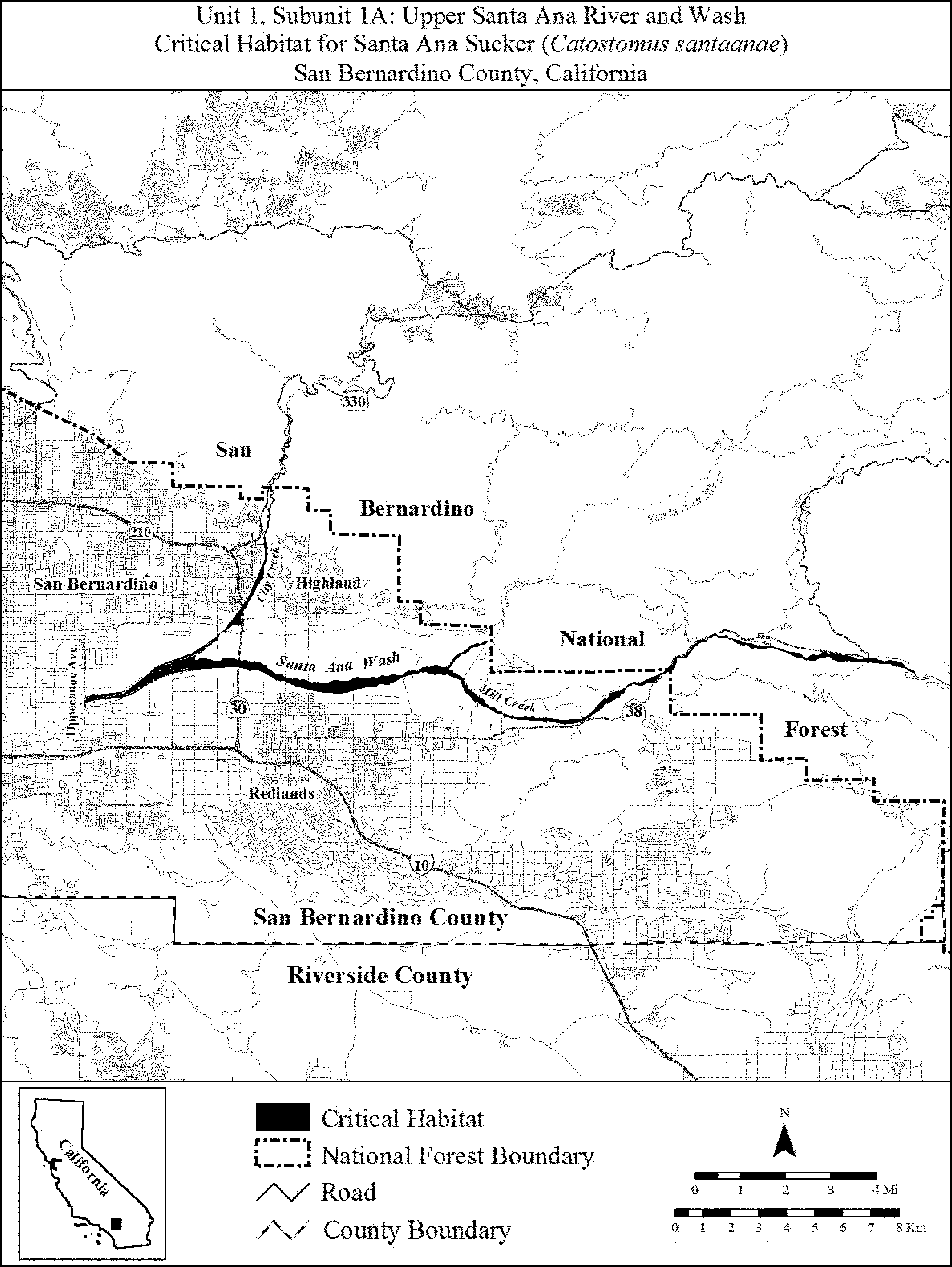
(7) Unit 1: Santa Ana River, Orange, Riverside, and San Bernardino Counties, California. Subunit 1B: Santa Ana River, Riverside and San Bernardino Counties.
(i) [Reserved]
(ii) Map of Subunit 1B: (Santa Ana River) follows:
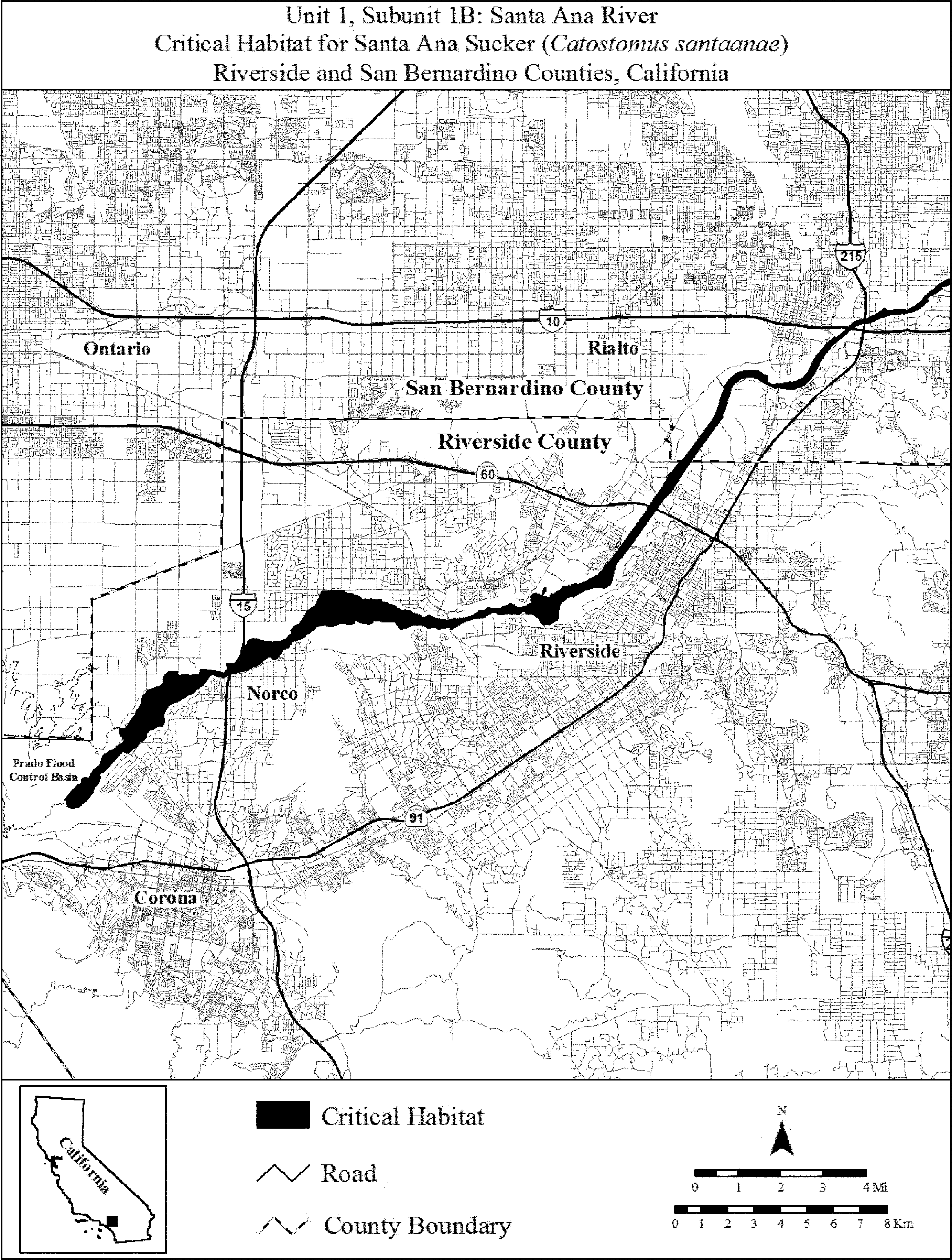
(8) Unit 1: Santa Ana River, Orange, Riverside, and San Bernardino Counties, California. Subunit 1C: Lower Santa Ana River, Orange and Riverside Counties.
(i) [Reserved]
(ii) Map of Subunit 1C (Lower Santa Ana River) follows:

(9) Unit 2: San Gabriel River, Los Angeles County, California.
(i) [Reserved]
(ii) Map of Unit 2 (San Gabriel River) follows:

(10) Unit 3: Big Tujunga Wash, Los Angeles County, California. Subunit 3A: Big Tujunga Wash.
(i) [Reserved]
(ii) Map of Subunit 3A (Big Tujunga Wash) appears in paragraph (11)(ii) of this entry.
(11) Subunit 3B: Gold Canyon, Delta Canyon, and Stone Canyon Creeks.
(i) [Reserved]
(ii) Map of Unit 3 (Big Tujunga Wash) follows:
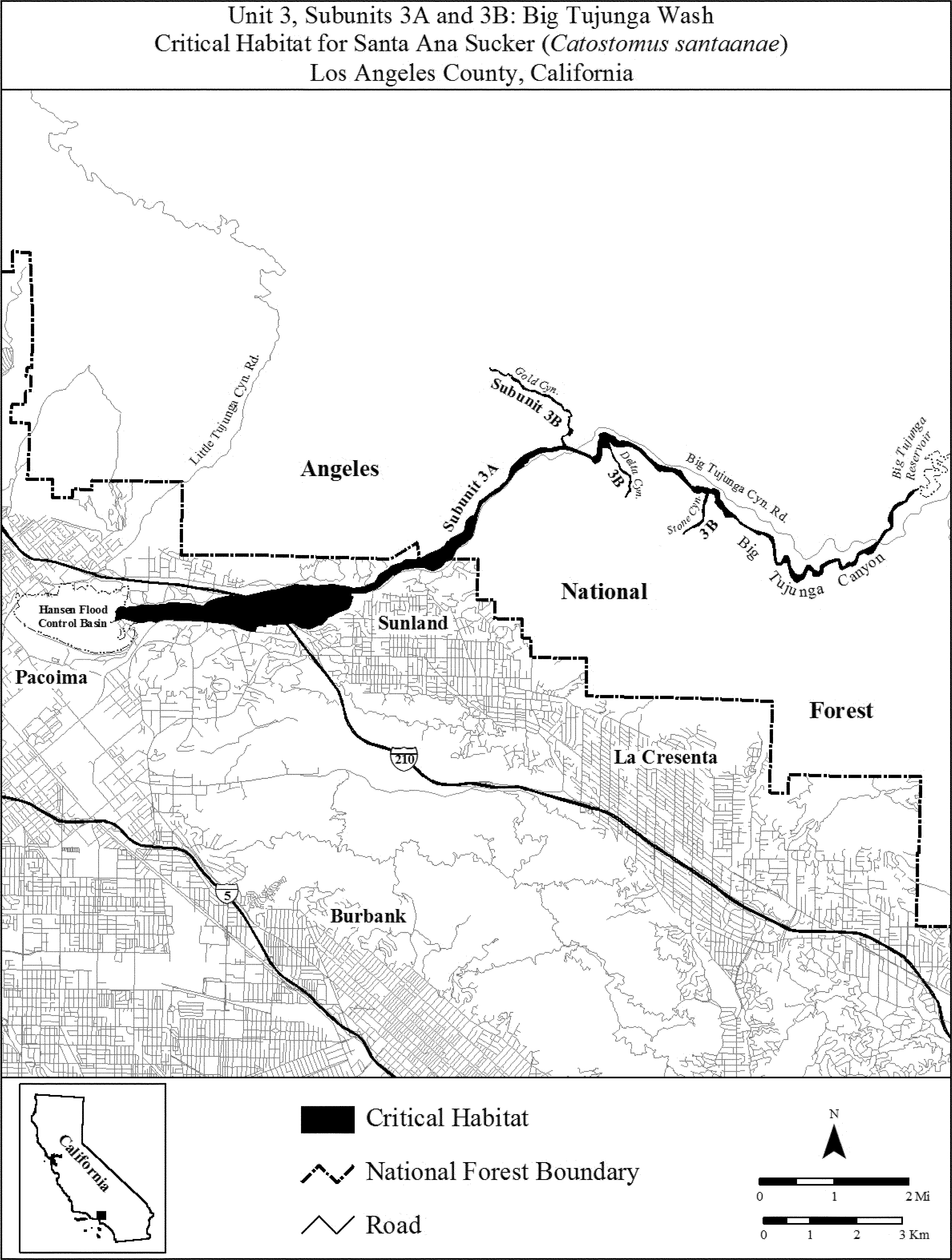
Shortnose Sucker (Chasmistes brevirostris)
(1) Critical habitat units are depicted for Klamath and Lake Counties, Oregon, and Modoc County, California, on the maps below.
(2) Within these areas, the primary constituent elements of the physical or biological features essential to the conservation of shortnose sucker consist of three components:
(i) Water. Areas with sufficient water quantity and depth within lakes, reservoirs, streams, marshes, springs, groundwater sources, and refugia habitats with minimal physical, biological, or chemical impediments to connectivity. Water must have varied depths to accommodate each life stage: Shallow water (up to 3.28 ft (1.0 m)) for juveniles, and deeper water (up to 14.8 ft (4.5 m)) for adults. The water quality characteristics should include water temperatures of less than 82.4 °F (28.0 °Celsius); pH less than 9.75; dissolved oxygen levels greater than 4.0 mg per L; low levels of microcystin; and un-ionized ammonia (less than 0.5 mg per L). Elements also include natural flow regimes that provide flows during the appropriate time of year or, if flows are controlled, minimal flow departure from a natural hydrograph.
(ii) Spawning and rearing habitat. Streams and shoreline springs with gravel and cobble substrate at depths typically less than 4.3 ft (1.3 m) with adequate stream velocity to allow spawning to occur. Areas containing emergent vegetation adjacent to open water provides habitat for rearing and facilitates growth and survival of suckers, as well as protection from predation and protection from currents and turbulence.
(iii) Food. Areas that contain an abundant forage base, including a broad array of chironomidae, crustacea, and other aquatic macroinvertebrates.
(3) Critical habitat does not include manmade structures (such as docks and bridges) and the land on which they are located existing within the legal boundaries on January 10, 2013.
(4) Critical habitat map units. Data layers defining map units were created on a base of the U.S. Geological Survey 2009 National Hydrography Dataset, and critical habitat was then mapped using North American Datum (NAD) 83, Universal Transverse Mercator Zone 10N coordinates. The maps in this entry, as modified by any accompanying regulatory text, establish the boundaries of the critical habitat designation. The coordinates or plot points or both on which each map is based are available to the public at the Service's internet site, http://www.fws.gov/klamathfallsfwo, at http://www.regulations.gov at Docket No. FWS-R8-ES-2011-0097, and at the field office responsible for the designation. You may obtain field office location information by contacting one of the Service regional offices, the addresses of which are listed at 50 CFR 2.2.
(5) Note: An index map for designated critical habitat units for the Lost River sucker follows:

(6) Unit 1: Upper Klamath Lake Unit, Klamath County, Oregon. Map of Unit 1, Upper Klamath Lake Unit, of critical habitat for shortnose sucker follows:

(7) Unit 2: Lost River Basin Unit, Klamath County, Oregon. Map of Unit 2, Lost River Basin Unit, of critical habitat for shortnose sucker follows:

Warner Sucker (Catostomus warnerensis)
Oregon: Lake County.
1. Twelvemile Creek - Approximately 4 stream miles and 50 feet on either side of the stream commencing at the confluence of Twelvemile Creek and Twentymile Creek and extending upstream, and including those portions of Twelvemile Creek in T40S, R23E, Section 35; and T41S, R23E, Sections 1, 2, 12, 13, 23, and 24.
2. Twentymile Creek - Approximately 18 stream miles and 50 feet on either side of the stream commencing about 9 miles upstream of the junction of Twelvemile and Twentymile Creeks and extending to a point about 9 miles downstream of the junction, and including those portions of Twentymile Creek in T40S, R22E, Sections 25, 35, and 36; T40S, R23E, Sections 19, 20, 24, 25, 28, 29, 30, 33, 34, 35 and 36; T40S, R24E, Sections 15, 16, 19, 20, 21, 22, 28, 29, 30; and T41S, R23E, Sections 2 and 3.
The map provided is for informational purposes only. Map follows:

3. Spillway Canal north of Hart Lake - Approximately 2 stream miles and 50 feet on either side of the waterway commencing at its confluence with Hart Lake and extending to a point about 2 miles downstream, and including those portions of the waterway in T36S, R24E, Sections 7, 18, and 19.
4. Snyder Creek - Approximately 3 stream miles and 50 feet on either side of the stream commencing at the confluence of Snyder Creek and Honey Creek and extending to a point about 3 miles upstream on Snyder Creek, and including those portions of Snyder Creek in T36S, R22E, Sections 1 and 12; and T36S, R23E, Sections 7, 17, and 18.
5. Honey Creek - Approximately 16 stream miles and 50 feet on either side of the stream commencing at the confluence of Honey Creek with Hart Lake and extending to a point about 16 miles upstream on Honey Creek, and including those portions of Honey Creek in T36S, R24E, Sections 19, 20, 27, 28, 29, 30, 33, 34, and 35; T36S, R23E, Sections 17, 18, 20, 21, 22, 23, 24, 26, 27, and 28; and T36S, R22E, Sections 13, 14, 22, and 23.
The map provided is for informational purposes only. Map follows:

Constituent elements of all areas proposed as critical habitat include streams 15 feet to 60 feet wide with gravel-bottom shoal and riffle areas with intervening pools. Streams should have clean, unpolluted flowing water and a stable riparian zone. The streams should support a variety of aquatic insects, crustaceans, and other small invertebrates for food.
Zuni bluehead sucker (Catostomus discobolus yarrowi)
(1) Critical habitat unit is depicted for Cibola and McKinley Counties, New Mexico, on the map below.
(2) Critical habitat includes the adjacent floodplains within 91.4 lateral meters (m) (300 lateral feet (ft)) on either side of bankfull discharge, except where bounded by canyon walls. Bankfull discharge is the flow at which water begins to leave the channel and disperse into the floodplain, and generally occurs every 1 to 2 years.
(3) Within these areas, the primary constituent elements of the physical or biological features essential to the conservation of the Zuni bluehead sucker consist of three components:
(i) A riverine system with habitat to support all life stages of the Zuni bluehead sucker, which includes:
(A) Dynamic flows that allow for periodic changes in channel morphology and adequate river functions, such as channel reshaping and delivery of coarse sediments.
(B) Stream courses with perennial flows or intermittent flows that serve as connective corridors between occupied or seasonally occupied habitat through which the subspecies may disperse when the habitat is wetted.
(C) Stream mesohabitat types including runs, riffles, and pools with substrate ranging from gravel, cobble, and bedrock substrates with low or moderate amounts of fine sediment and substrate embeddedness.
(D) Streams with depths generally less than 2 meters (3.3 feet), and with slow to swift flow velocities less than 0.35 meters per second (1.15 feet per second).
(E) Clear, cool water with low turbidity and temperatures in the general range of 2.0 to 23.0 °C (35.6 to 73.4 °F).
(F) No harmful levels of pollutants.
(G) Adequate riparian shading to reduce water temperatures when ambient temperatures are high and provide protective cover from predators.
(ii) An abundant aquatic insect food base consisting of fine particulate organic material, filamentous algae, midge larvae, caddisfly larvae, mayfly larvae, flatworms, and small terrestrial insects.
(iii) Areas devoid of nonnative aquatic species or areas that are maintained to keep nonnatives at a level that allows the Zuni bluehead sucker to continue to survive and reproduce.
(4) Critical habitat does not include manmade structures (such as buildings, aqueducts, runways, roads, and other paved areas) and the land on which they are located existing within the legal boundaries on July 7, 2016.
(5) Critical habitat map units. Data layers defining map unit were developed using ESRI ArcGIS mapping software along with various spatial layers. Data layers defining map units were created with U.S. Geological Survey National Hydrography Dataset (NHD) Medium Flowline data. ArcGIS was also used to calculate river kilometers and river miles from the NHD dataset, and it was used to determine longitude and latitude coordinates in decimal degrees. Critical habitat upstream limits were delineated based on the upper limits identified in the NHD dataset for each stream. The projection used in mapping and calculating distances and locations within the unit was North American Equidistant Conic, NAD 83. The maps in this entry, as modified by any accompanying regulatory text, establish the boundaries of the critical habitat designation. The coordinates or plot points or both on which each map is based are available to the public at the Service's Internet site (http://www.fws.gov/southwest/es/newmexico), at http://www.regulations.gov at Docket No. FWS-R2-ES-2013-0002, and at the field office responsible for this designation. You may obtain field office location information by contacting one of the Service regional offices, the addresses of which are listed at 50 CFR 2.2.
(6) Unit 1: Zuni River Unit, McKinley and Cibola Counties, New Mexico.
(i) General description: Unit 1 consists of approximately 55.7 kilometers (km) (34.6 miles (mi)) of the Zuni River watershed and the adjacent floodplains within 91.4 lateral meters (300 lateral feet) on either side of bankfull discharge, except where bounded by canyon walls in McKinley and Cibola Counties, and is composed of land ownership by the State (2.1 km (1.3 mi)), Forest Service (19.5 km (12.1 mi)) and private landowners (34.0 km (21.1 mi)).
(ii) Map of Unit 1 follows:

Spring Pygmy Sunfish (Elassoma alabamae)
(1) Critical habitat units are depicted for Limestone and Madison Counties, Alabama, on the maps in this entry.
(2) Within these areas, the physical or biological features essential to the conservation of the spring pygmy sunfish consist of the following components:
(i) Spring system. Springs, and connecting spring-fed reaches and wetlands, that are geomorphically stable and relatively low-gradient. This includes headwater springs with spring heads (water source), spring runs, and spring pools that filter into shallow, vegetated wetlands.
(ii) Water quality. Yearly averages of water quality with optimal temperatures of 57.2 to 68 °F (14 to 20 °C); pH of 6.0 to 7.7; dissolved oxygen of 6.0 parts per million (ppm) or greater; low concentrations of free or suspended solids with turbidity measuring less than 15 Nephelometric Turbidity Units (NTU) and 20 milligrams per liter (mg/l) total suspended solids (TSS).
(iii) Hydrology. A hydrologic flow regime (magnitude, frequency, duration, and seasonality of discharge over time) necessary to maintain spring habitats. The instream flow from groundwater sources (springs and seeps) maintains an adequate velocity and a continuous daily discharge from the aquifer that allows for connectivity between habitats. Instream flow is stable and does not vary during water extraction, and the aquifer recharge maintains adequate levels to supply water flow to the spring head. The flow regime does not significantly change during storm events.
(iv) Prey base, or food. Macroinvertebrates including Daphnia spp., amphipods, chironomids (non-biting midges), or small snails.
(v) Vegetation. Aquatic, emergent and semi-emergent vegetation along the margins of spring runs and submergent vegetation that is adequate for breeding, reproducing, and rearing young; providing cover and shelter from predators; and supporting the macroinvertebrate prey base. Important species include submergent filamentous vegetation such as Ceratophyllum echinatum (spineless hornwort), Myriophyllum heterophyllum (two-leaf water milfoil), and Hydrilla verticillata (native hydrilla); emergent vegetation such as Sparganium spp. (bur reed), Polygonum spp. (smartweed), Nasturtium officinale (watercress), Juncus spp. (rush), and Carex spp. (sedges); and semi-emergent vegetation such as Nuphar luteum (yellow pond lily), Utricularia spp. (bladderwort), and Callitriche spp. (water starwort).
(3) Critical habitat does not include manmade structures (such as buildings, aqueducts, runways, roads, and other paved areas) and the land on which they are located existing within the legal boundaries on July 1, 2019.
(4) Critical habitat map units. Data layers defining map units were created on a base of U.S. Geological Survey digital topographic map quadrangle (Greenbrier and Mason Ridge) and a U.S. Department of Agriculture 2007 digital ortho-photo mosaic, in addition to National Wetland Inventory maps. The resulting critical habitat unit was then mapped using State Plane North American Datum (NAD) 83 coordinates. The maps in this entry, as modified by any accompanying regulatory text, establish the boundaries of the critical habitat designation. The coordinates or plot points or both on which each map is based are available to the public at the Service's internet site at http://www.fws.gov/daphne, at http://www.regulations.gov at Docket No. FWS-R4-ES-2013-0010, and at the field office responsible for this designation. You may obtain field office location information by contacting one of the Service regional offices, the addresses of which are listed at 50 CFR 2.2.
(5) Note: Index map follows:

(6) Unit 1: Beaverdam Spring/Creek, Limestone County, Alabama.
(i) General description. Unit 1 consists of 342 hectares (845 acres) and includes a total of 5.2 kilometers (3.2 miles) of spring/stream complex in Limestone County, Alabama, northeast of Greenbrier. Unit 1 includes three subunits. Subunit A is a privately owned wetland, with an area of approximately 7.2 hectares (17.9 acres), located 0.38 kilometers (0.23 miles) west of Chestnut Heath Drive. Subunit B consists of 69 hectares (170.4 acres) and is located partly in Wheeler National Wildlife Refuge (36.7 hectares (90.6 acres)), north of the edge of I-565. The private portion of Subunit B (32.3 hectares (79.8 acres)) extends northward, from the northeast refuge boundary along the east side of the Beaverdam Spring complex, to 0.2 kilometers (0.12 miles) south of Old Highway 20. Subunit C is approximately 265.7 hectares (656.6 acres) and is located in Wheeler National Wildlife Refuge, extending 3.9 kilometers (2.4 miles) south from I-565. All of Subunit C is on refuge land except Thorsen Spring Pool (1.2 hectares (3.0 acres)), which is privately held. In total, the privately owned portion of Unit 1 consists of 0.8 kilometers (0.5 miles) of stream in an area of 41 hectares (101 acres).
(ii) Map of Unit 1 follows:

(7) Unit 2: Pryor Spring/Branch, Limestone County, Alabama.
(i) General description. Unit 2 includes 3.4 kilometers (2.1 miles) of Pryor Spring and Pryor Branch from the spring head (water source), about 3.7 miles (5.9 kilometers) south of Tanner, Alabama, and just east of Highway 31, downstream to the bridge where it intersects with Harris Station/Thomas L. Hammons Road. This includes a total of 73.6 hectares (182 acres) in area, mostly owned by the Tennessee Valley Authority and managed by the Alabama Department of Conservation and Natural Resources as the Swan Creek Wildlife Management Area. The privately held portion of Unit 2 contains 0.24 kilometers (0.15 miles) of stream in an area of 8.1 hectares (20 acres).
(ii) Map of Unit 2 follows:

(8) Unit 3: Blackwell Swamp/Run, Madison County, Alabama.
(i) General description. Unit 3 includes a total of 123 hectares (303 acres) of land and 2.3 stream kilometers (1.4 stream miles), all which is federally owned within the Wheeler National Wildlife Refuge. Unit 3 is located approximately 4.3 kilometers (2.7 miles) due west of Triana. This unit is 0.96 kilometers (0.6 miles) north of Blackwell Run's confluence with the Tennessee River; approximately 1 kilometer (0.5 miles) south of Swancott Road SW; about 1 kilometer (0.5 miles) west of Landess Circle; and just to the east of B Road/County Line Road SW.
(ii) Map of Unit 3 follows:

Bull Trout (Salvelinus confluentus)
(1) Locations of critical habitat. Critical habitat units are depicted in the following States and counties on the maps and as described below:
| State | Counties |
|---|---|
| (i) Idaho | Adams, Benewah, Blaine, Boise, Bonner, Boundary, Butte, Camas, Custer, Elmore, Gem, Idaho, Kootenai, Lemhi, Lewis, Nez Perce, Owyhee, Shoshone, Valley, Washington |
| (ii) Montana | Deer Lodge, Flathead, Glacier, Granite, Lake, Lewis and Clark, Lincoln, Mineral, Missoula, Powell, Ravalli, Sanders |
| (iii) Nevada | Elko |
| (iv) Oregon | Baker, Clatsop, Columbia, Deschutes, Gilliam, Grant, Harney, Hood River, Jefferson, Klamath, Lake, Lane, Linn, Malheur, Morrow, Multnomah, Sherman, Umatilla, Union, Wallowa, Wasco, Wheeler |
| (v) Washington | Asotin, Benton, Chelan, Clallam, Clark, Columbia, Cowlitz, Garfield, Grant, Grays Harbor, Island, Jefferson, King, Kittitas, Klickitat, Mason, Okanogan, Pend Oreille, Pierce, Skagit, Skamania, Snohomish, Stevens, Thurston, Wahkiakum, Walla Walla, Whatcom, Whitman, Yakima |
(2) Topographic features included in the critical habitat designation. Critical habitat includes the stream channels within the designated stream reaches; designated lakes and reservoirs; and inshore portions of marine nearshore areas, including tidally influenced freshwater heads of estuaries indicated on the maps beginning with paragraph (e)(7) of this entry.
(i) Critical habitat includes the stream channels within the designated stream reaches and a lateral extent as defined by the bankfull elevation on one bank to the bankfull elevation on the opposite bank. Bankfull elevation is the level at which water begins to leave the channel and move into the floodplain and is reached at a discharge that generally has a recurrence interval of 1 to 2 years on the annual flood series. If bankfull elevation is not evident on either bank, the ordinary high-water line must be used to determine the lateral extent of critical habitat. The lateral extent of designated lakes is defined by the perimeter of the waterbody as mapped on standard 1:24,000 scale topographic maps.
(ii) Critical habitat includes the inshore extent of critical habitat for marine nearshore areas (the mean higher high-water (MHHW) line), including the uppermost reach of the saltwater wedge within tidally influenced freshwater heads of estuaries. The MHHW line refers to the average of all the higher high-water heights of the two daily tidal levels. Adjacent shoreline riparian areas, bluffs, and uplands are not designated as critical habitat. However, it should be recognized that the quality of marine habitat along shorelines is intrinsically related to the character of these adjacent features, and human activities that occur outside of the MHHW line can have major effects on the physical and biological features of the marine environment. The offshore extent of critical habitat for marine nearshore areas is based on the extent of the photic zone, which is the layer of water in which organisms are exposed to light. Critical habitat extends offshore to the depth of 10 meters (m) (33 feet (ft)) relative to the mean low low-water (MLLW) line (average of all the lower low-water heights of the two daily tidal levels). This equates to the average depth of the photic zone and is consistent with the offshore extent of the nearshore habitat identified by the national Oceanic and Atmospheric Administration in the National Tidal Datum 1983 through 2001. This area between the MHHW line and minus 10 m MLLW line is considered the habitat most consistently used by bull trout in marine waters based on known use, forage fish availability, and ongoing migration studies and captures geological and ecological processes important to maintaining these habitats. This area contains essential foraging habitat and migration corridors such as estuaries, bays, inlets, shallow subtidal areas, and intertidal flats.
(3) The primary constituent elements (PCEs) of critical habitat. Within the critical habitat, the PCEs for bull trout are those habitat components that are essential for the primary biological needs of foraging, reproducing, rearing of young, dispersal, genetic exchange, or sheltering. The PCEs are as follows:
(i) Springs, seeps, groundwater sources, and subsurface water connectivity (hyporheic flows) to contribute to water quality and quantity and provide thermal refugia.
(ii) Migration habitats with minimal physical, biological, or water quality impediments between spawning, rearing, overwintering, and freshwater and marine foraging habitats, including but not limited to permanent, partial, intermittent, or seasonal barriers.
(iii) An abundant food base, including terrestrial organisms of riparian origin, aquatic macroinvertebrates, and forage fish.
(iv) Complex river, stream, lake, reservoir, and marine shoreline aquatic environments, and processes that establish and maintain these aquatic environments, with features such as large wood, side channels, pools, undercut banks and unembedded substrates, to provide a variety of depths, gradients, velocities, and structure.
(v) Water temperatures ranging from 2 to 15 degrees Celsius (°C) (36 to 59 degrees Fahrenheit (°F)), with adequate thermal refugia available for temperatures that exceed the upper end of this range. Specific temperatures within this range will depend on bull trout life-history stage and form; geography; elevation; diurnal and seasonal variation; shading, such as that provided by riparian habitat; streamflow; and local groundwater influence.
(vi) In spawning and rearing areas, substrate of sufficient amount, size, and composition to ensure success of egg and embryo overwinter survival, fry emergence, and young-of-the-year and juvenile survival. A minimal amount of fine sediment, generally ranging in size from silt to coarse sand, embedded in larger substrates, is characteristic of these conditions. The size and amounts of fine sediment suitable to bull trout will likely vary from system to system.
(vii) A natural hydrograph, including peak, high, low, and base flows within historic and seasonal ranges or, if flows are controlled, minimal flow departure from a natural hydrograph.
(viii) Sufficient water quality and quantity such that normal reproduction, growth, and survival are not inhibited.
(ix) Sufficiently low levels of occurrence of nonnative predatory (e.g., lake trout, walleye, northern pike, smallmouth bass); interbreeding (e.g., brook trout); or competing (e.g., brown trout) species that, if present, are adequately temporally and spatially isolated from bull trout.
(4) Critical habitat does not include manmade structures (including, but not limited to, buildings, aqueducts, docks, seawalls, pipelines, roads, runways, or other structures or paved areas) and the land or waterway on which they are located that exist within the legal boundaries on the effective date of this rule.
(5) Exclusions. Each excluded area is identified in the relevant Critical Habitat Unit text below, as identified in paragraphs (e)(8) through (e)(41) of this entry. Critical habitat does not include:
(i) Waters adjacent to non-Federal lands covered by the following legally operative incidental take permits for habitat conservation plans (HCPs) issued under section 10(a)(1)(B) of the Endangered Species Act of 1973, as amended (Act), in which bull trout is a covered species on or before the publication of this final rule: Cedar River Watershed HCP, Green Diamond HCP, Washington Department of Natural Resources HCP, Washington Forest Practices HCP, Plum Creek Central Cascades HCP, Plum Creek Native Fish HCP, and Stimpson Native Fish HCP;
(ii) Waters within or adjacent to lands subject to certain tribal management plans; or
(iii) Waters where impacts to national security have been identified.
(6) Critical habitat map units. Data layers defining map units were created using U.S. Geological Survey (USGS) Hydrologic Unit Code map (HUCs) at a scale of 1:250,000 down to the 4th level cataloging unit. In some cases, 5th and 6th level HUCs were also used and some finer scale watersheds developed using USGS 10-meter Digital Elevation Model and 1:24,000 scale hydrography layers. The marine boundaries for the Puget Sound and Olympic Peninsula critical habitat unit were based on Washington Department of Natural Resources 1:24,000 scale county boundaries and HUCs.
(7) Note: Index map for critical habitat units for the bull trout follows:

(8) Unit 1: Olympic Peninsula
(i) This unit consists of 748.7 km (465.2 mi) of streams, 529.2 km (328.8 mi) of marine shoreline, and 3,064 ha (7,572 ac) of lakes and reservoirs. The unit is located in northwestern Washington.
(ii) Individual waterbodies in the unit are bounded by the following coordinates:
| Waterbody Name | Stream Begin Point or Lake Center Latitude |
Stream Begin Point or Lake Center Longitude |
Stream End Point Latitude |
Stream End Point Longitude |
|---|---|---|---|---|
| Alta Creek | 47.685 | −123.737 | 47.698 | −123.756 |
| Big Creek | 47.566 | −123.681 | 47.518 | −123.774 |
| Bob Creek | 47.696 | −123.853 | 47.689 | −123.856 |
| Boulder Creek | 47.979 | −123.613 | 47.983 | −123.601 |
| Brown Creek | 47.455 | −123.260 | 47.411 | −123.319 |
| Buckinghorse Creek | 47.739 | −123.485 | 47.746 | −123.483 |
| Cameron Creek | 47.916 | −123.243 | 47.912 | −123.255 |
| Canyon Creek | 47.954 | −123.247 | 48.025 | −123.137 |
| Cat Creek | 47.946 | −123.644 | 47.973 | −123.593 |
| Cedar Creek | 47.440 | −123.405 | 47.443 | −123.403 |
| Cedar Creek | 47.717 | −124.336 | 47.712 | −124.416 |
| Chehalis River | 46.819 | −123.253 | 46.966 | −123.547 |
| Church Creek | 47.460 | −123.457 | 47.461 | −123.451 |
| Clearwater River | 47.628 | −124.276 | 47.628 | −124.276 |
| Clide Creek | 47.888 | −123.799 | 47.871 | −123.798 |
| Cook Creek | 47.358 | −123.997 | 47.368 | −124.032 |
| Copalis River | 47.137 | −124.159 | 47.138 | −124.154 |
| Cougar Creek | 47.862 | −123.860 | 47.867 | −123.854 |
| Delabarre Creek | 47.726 | −123.529 | 47.735 | −123.527 |
| Dungeness River | 47.941 | −123.093 | 48.152 | −123.128 |
| East Twin Creek | 47.841 | −123.988 | 47.833 | −123.991 |
| Elk Creek | 47.510 | −123.345 | 47.515 | −123.331 |
| Elwha River | 47.771 | −123.582 | 48.147 | −123.566 |
| Ennis Creek | 48.053 | −123.412 | 48.117 | −123.405 |
| Fire Creek | 47.601 | −123.523 | 47.598 | −123.526 |
| Fitzhenry Creek | 47.964 | −123.589 | 47.967 | −123.589 |
| Godkin Creek | 47.752 | −123.452 | 47.760 | −123.465 |
| Gold Creek | 47.941 | −123.083 | 47.941 | −123.093 |
| Goldie River | 47.760 | −123.522 | 47.840 | −123.470 |
| Goodman Creek | 47.834 | −124.339 | 47.825 | −124.513 |
| Graves Creek | 47.569 | −123.563 | 47.574 | −123.572 |
| Gray Wolf River | 47.916 | −123.243 | 47.977 | −123.112 |
| Grays Harbor Marine | 46.926 | −124.180 | 46.906 | −124.139 |
| Griff Creek | 48.016 | −123.593 | 48.023 | −123.595 |
| Haggerty Creek | 47.952 | −123.575 | 47.956 | −123.576 |
| Harlow Creek | 47.700 | −123.877 | 47.685 | −123.889 |
| Hayes River | 47.803 | −123.430 | 47.808 | −123.454 |
| Hee Haw Creek | 47.701 | −123.663 | 47.737 | −123.691 |
| Hee Hee Creek | 47.709 | −123.734 | 47.712 | −123.739 |
| Hoh Creek | 47.883 | −123.751 | 47.877 | −123.754 |
| Hoh River | 47.737 | −124.366 | 47.880 | −123.729 |
| Hood Canal Marine | 47.434 | −122.842 | 47.684 | −122.802 |
| Hughes Creek | 48.026 | −123.599 | 48.025 | −123.595 |
| Humptulips River | 47.048 | −124.046 | 47.231 | −123.977 |
| Hurd Creek | 48.124 | −123.144 | 48.118 | −123.143 |
| Hurricane Creek | 47.976 | −123.587 | 47.975 | −123.594 |
| Idaho Creek | 47.947 | −123.538 | 47.945 | −123.544 |
| Ignar Creek | 47.637 | −123.430 | 47.639 | −123.433 |
| Irely Creek | 47.565 | −123.677 | 47.565 | −123.680 |
| Irely Lake | 47.565 | −123.674 | ||
| Joe Creek | 47.217 | −124.154 | 47.206 | −124.204 |
| Kalaloch Creek | 47.637 | −124.361 | 47.607 | −124.375 |
| Lake Cushman | 47.470 | −123.255 | ||
| Lebar Creek | 47.427 | −123.320 | 47.417 | −123.330 |
| Leitha Creek | 47.762 | −123.452 | 47.769 | −123.460 |
| Lillian River | 47.944 | −123.500 | 47.931 | −123.528 |
| Little River | 48.061 | −123.519 | 48.063 | −123.578 |
| Long Creek | 47.926 | −123.558 | 47.951 | −123.561 |
| Lost River | 47.859 | −123.458 | 47.862 | −123.468 |
| Madison Creek | 48.044 | −123.580 | 48.042 | −123.591 |
| Matheny Creek | 47.543 | −123.837 | 47.576 | −124.115 |
| Matriotti Creek | 48.133 | −123.161 | 48.136 | −123.141 |
| McCartney Creek | 47.879 | −123.466 | 47.878 | −123.471 |
| McTaggert Creek | 47.409 | −123.240 | 47.363 | −123.235 |
| Moclips River | 47.260 | −124.124 | 47.248 | −124.220 |
| Morse Creek | 48.063 | −123.347 | 48.117 | −123.351 |
| Mosquito Creek | 47.786 | −124.383 | 47.798 | −124.482 |
| Mount Tom Creek | 47.819 | −123.821 | 47.868 | −123.888 |
| Nalley Slough | 47.334 | −123.132 | 47.328 | −123.131 |
| Nolan Creek | 47.743 | −124.202 | 47.751 | −124.344 |
| Noname Creek | 47.629 | −123.456 | 47.626 | −123.452 |
| North Fork Quinault River | 47.582 | −123.645 | 47.638 | −123.646 |
| North Fork Skokomish River | 47.355 | −123.235 | 47.506 | −123.318 |
| OGS Creek | 47.879 | −123.768 | 47.878 | −123.769 |
| O'Neil Creek | 47.610 | −123.464 | 47.616 | −123.472 |
| Owl Creek | 47.780 | −124.039 | 47.805 | −124.079 |
| Pacific Coast Marine | 48.003 | −124.680 | 46.926 | −124.180 |
| Paradise Creek | 47.699 | −123.801 | 47.694 | −123.813 |
| Pine Creek | 47.442 | −123.430 | 47.446 | −123.417 |
| Prescott Creek | 47.904 | −123.487 | 47.903 | −123.491 |
| Purdy Creek | 47.302 | −123.182 | 47.307 | −123.161 |
| Pyrites Creek | 47.644 | −123.436 | 47.639 | −123.433 |
| Queets River | 47.541 | −124.335 | 47.735 | −123.696 |
| Quinault Lake | 47.475 | −123.869 | ||
| Quinault River | 47.391 | −124.045 | 47.533 | −123.744 |
| Raft River | 47.449 | −124.220 | 47.458 | −124.326 |
| Richert Spring | 47.321 | −123.219 | 47.320 | −123.225 |
| Rustler Creek | 47.629 | −123.569 | 47.617 | −123.617 |
| Salmon River | 47.524 | −124.041 | 47.556 | −124.220 |
| Sams River | 47.604 | −123.853 | 47.624 | −124.013 |
| Satsop River | 47.015 | −123.510 | 47.023 | −123.509 |
| Sege Creek | 47.988 | −123.597 | 47.987 | −123.604 |
| Siebert Creek | 48.049 | −123.293 | 48.121 | −123.290 |
| Skobob Creek | 47.327 | −123.175 | 47.328 | −123.132 |
| Skokomish River | 47.315 | −123.238 | 47.315 | −123.229 |
| Slate Creek | 47.529 | −123.320 | 47.521 | −123.336 |
| Slate Creek | 47.749 | −123.498 | 47.744 | −123.491 |
| Slide Creek | 47.883 | −123.736 | 47.875 | −123.748 |
| Snider Creek | 47.846 | −123.971 | 47.842 | −123.968 |
| South Fork Hoh River | 47.764 | −123.786 | 47.777 | −123.908 |
| South Fork Skokomish River | 47.315 | −123.247 | 47.425 | −123.354 |
| Steamboat Creek | 47.688 | −124.350 | 47.678 | −124.404 |
| Stony Creek | 47.871 | −123.464 | 47.871 | −123.469 |
| Strait of Juan de Fuca Marine | 48.103 | −122.885 | 48.217 | −124.102 |
| Taft Creek | 47.866 | −123.967 | 47.858 | −123.942 |
| Tshletshy Creek | 47.606 | −123.741 | 47.666 | −123.925 |
| Twin Creek | 47.832 | −123.995 | 47.831 | −123.988 |
| Unnamed trib. (#0100) | 47.340 | −123.246 | 47.335 | −123.242 |
| Unnamed trib. (#0509) | 47.844 | −123.939 | 47.830 | −123.982 |
| Unnamed trib. (#0527) | 47.874 | −123.821 | 47.868 | −123.817 |
| Unnamed trib. (#0542) | 47.887 | −123.719 | 47.883 | −123.719 |
| Valley Creek | 48.123 | −123.438 | 48.107 | −123.452 |
| Vance Creek | 47.327 | −123.299 | 47.327 | −123.299 |
| Vance Creek Remenant Channel | 47.315 | −123.257 | 47.315 | −123.238 |
| West Fork Satsop River | 47.360 | −123.566 | 47.035 | −123.526 |
| Windfall Creek | 47.914 | −123.492 | 47.912 | −123.495 |
| Winfield Creek | 47.783 | −124.144 | 47.810 | −124.233 |
| Wishkah River | 47.257 | −123.715 | 47.257 | −123.715 |
| Wolf Creek | 47.974 | −123.586 | 47.974 | −123.593 |
| Wynoochee River | 47.160 | −123.650 | 47.360 | −123.637 |
(iii) Waterbodies associated with the following tribal lands, habitat conservation plans (HCPs), or U.S. Navy training areas totaling 553.9 km (343.9 mi) of streams and 144.6 km (89.9 mi) of marine shoreline have been excluded from critical habitat designation under section 4(b)(2) of the Act in this unit:
(A) Waterbodies within or adjacent to the open water training and testing areas of the Dabob Bay Military Operating Area and areas within the Connecting Waters of the Dabob Bay Range Complex, including marine habitats associated with the Hood Canal Critical Habitat Subunit (CHSU);
(B) Waterbodies within the geographic area covered by the Washington State Forest Practices Habitat Conservation Plan (HCP), including portions of the Chehalis River/Grays Harbor, Dungeness River, Elwha River, Hoh River, Queets River, Quinualt River, Skokomish River Pacific Coast, Strait of Juan De Fuca, and Hood Canal Marine CHSUs;
(C) Waterbodies within the geographic area covered by the Green Diamond HCP, including portions of the Chehalis River/Grays Harbor and Skokomish CHSUs;
(D) Waterbodies within the geographic area covered by the Washington Department of Natural Resources HCP, including portions of Chehalis River/Grays Harbor, Dungeness River, Elwha River, Hoh River, Queets River, Skokomish River, Pacific Coast, Strait of Juan De Fuca, and Hood Canal Marine CHSUs; and
(E) Waterbodies within the areas under management by the Hoh Tribe, including portions of Hoh River and Pacific Coast CHSUs; Jamestown S'Klallam Tribe, including portions of Dungeness River CHSU; Lower Elwha Tribe, including portions of Elwha River and Strait of Juan de Fuca CHSUs; Quileute Tribe, including portions of Pacific Coast CHSU; Quinault Tribe, including portions of Quinault River, Queets River, and Pacific Coast CHSUs; and Skokomish Tribe, including portions of Skokomish River and Hood Canal Marine CHSUs, within reservation boundaries, and waterbodies that are adjacent to:
(1) Lands held in trust by the United States for their benefit;
(2) Lands held in trust by the United States for any Indian Tribe or individual subject to restrictions by the United States against alienation;
(3) Fee lands, either within or outside the reservation boundaries, owned by the tribal government; and
(4) Fee lands within the reservation boundaries owned by individual Indians.
(iv) Map of Unit 1, Olympic Peninsula follows:

(9) Unit 2: Puget Sound
(i) This unit consists of 1,840.2 km (1,143.5 mi) of streams, 684.0 km (425.0 mi) of marine shoreline, and 16,260.9 ha (40,181.5 ac) of lakes and reservoirs. The unit is located in northwestern Washington.
(ii) Individual waterbodies in the unit are bounded by the following coordinates:
| Waterbody Name | Stream Begin Point or Lake Center Latitude |
Stream Begin Point or Lake Center Longitude |
Stream End Point Latitude |
Stream End Point Longitude |
|---|---|---|---|---|
| Alder Creek | 48.549 | −121.955 | 48.519 | −121.956 |
| Aldrich Creek (#0423) | 48.916 | −122.042 | 48.921 | −122.051 |
| Alma Creek | 48.590 | −121.356 | 48.600 | −121.363 |
| Anderson Creek | 48.797 | −122.325 | 48.869 | −122.318 |
| Arrow Creek | 48.407 | −121.390 | 48.423 | −121.396 |
| Bacon Creek | 48.681 | −121.464 | 48.585 | −121.395 |
| Baker Lake | 48.708 | −121.642 | ||
| Baker River | 48.548 | −121.741 | 48.741 | −121.563 |
| Bald Eagle Creek | 48.796 | −121.449 | 48.800 | −121.465 |
| Bear Creek | 48.966 | −121.383 | 48.965 | −121.388 |
| Bear Creek | 48.898 | −122.105 | 48.893 | −122.145 |
| Bear Creek (#0353) | 48.788 | −122.123 | 48.783 | −122.140 |
| Bear Lake Outlet (#0317) | 48.610 | −121.912 | 48.607 | −121.912 |
| Beaver Creek | 48.086 | −121.516 | 48.077 | −121.527 |
| Beckler River | 47.865 | −121.311 | 47.715 | −121.340 |
| Bedal Creek | 48.047 | −121.351 | 48.080 | −121.395 |
| Bell Creek | 48.684 | −121.899 | 48.681 | −121.900 |
| Bender Creek | 48.063 | −121.591 | 48.071 | −121.590 |
| Bertrand Creek | 48.999 | −122.521 | 48.912 | −122.535 |
| Big Beaver Creek | 48.841 | −121.211 | 48.775 | −121.066 |
| Big Creek | 48.343 | −121.440 | 48.345 | −121.451 |
| Big Four Creek | 48.071 | −121.524 | 48.070 | −121.512 |
| Bitter Creek | 47.841 | −121.503 | 47.840 | −121.508 |
| Black Creek | 48.247 | −121.414 | 48.259 | −121.402 |
| Black Oak Creek | 48.185 | −121.454 | 48.177 | −121.450 |
| Blackjack Creek | 48.051 | −121.626 | 48.062 | −121.631 |
| Boardman Creek | 48.040 | −121.675 | 48.070 | −121.681 |
| Boulder Creek | 48.512 | −121.364 | 48.518 | −121.364 |
| Boulder Creek | 47.354 | −121.707 | 47.371 | −121.688 |
| Boulder Creek | 48.937 | −122.021 | 48.925 | −122.037 |
| Boulder River | 48.245 | −121.828 | 48.282 | −121.787 |
| Boyd Creek | 48.903 | −121.863 | 48.897 | −121.866 |
| Brooks Creek | 48.289 | −121.908 | 48.277 | −121.911 |
| Brush Creek | 48.909 | −121.423 | 48.913 | −121.424 |
| Buck Creek | 48.353 | −121.268 | 48.265 | −121.340 |
| Buck Creek | 48.047 | −121.472 | 48.045 | −121.481 |
| Buck Creek | 47.023 | −121.557 | 47.029 | −121.555 |
| Cabin Creek | 47.363 | −121.695 | 47.367 | −121.684 |
| Camp Creek | 48.150 | −121.280 | 48.159 | −121.292 |
| Canyon Creek | 48.775 | −120.778 | 48.707 | −120.918 |
| Canyon Creek | 48.220 | −121.081 | 48.211 | −121.088 |
| Canyon Creek | 48.158 | −121.817 | 48.097 | −121.970 |
| Canyon Creek | 48.932 | −121.951 | 48.906 | −121.989 |
| Canyon Creek (Canyon Lake Creek) | 48.840 | −122.111 | 48.832 | −122.144 |
| Carbon River | 46.960 | −121.793 | 47.130 | −122.233 |
| Cascade Creek | 48.903 | −121.839 | 48.904 | −121.839 |
| Cascade River | 48.463 | −121.164 | 48.524 | −121.430 |
| Cavanaugh Creek | 48.645 | −122.110 | 48.647 | −122.121 |
| Cedar River | 47.313 | −121.521 | 47.409 | −121.723 |
| Chainup Creek | 48.905 | −121.843 | 48.908 | −121.840 |
| Chenuis Creek | 46.994 | −121.842 | 46.992 | −121.843 |
| Chester Morse Lake | 47.389 | −121.694 | ||
| Chilliwack River | 48.878 | −121.487 | 49.000 | −121.411 |
| Chocwick Creek | 48.055 | −121.384 | 48.074 | −121.400 |
| Cinnamon Creek | 48.867 | −120.887 | 48.891 | −120.916 |
| Clearwater Creek | 48.805 | −121.989 | 48.771 | −122.047 |
| Clearwater River | 47.079 | −121.782 | 47.146 | −121.834 |
| Coal Creek | 48.096 | −121.535 | 48.085 | −121.541 |
| Coal Creek | 48.892 | −122.164 | 48.881 | −122.153 |
| Coal Creek (Upper) | 48.838 | −121.903 | 48.838 | −121.906 |
| Cook Slough | 48.198 | −122.218 | 48.198 | −122.234 |
| Corkindale Creek | 48.518 | −121.483 | 48.505 | −121.486 |
| Cornell Creek | 48.886 | −121.960 | 48.899 | −121.969 |
| Cripple Creek | 47.048 | −121.693 | 47.040 | −121.701 |
| Crystal Creek | 48.183 | −121.361 | 48.181 | −121.364 |
| Crystal Creek | 48.791 | −121.510 | 48.787 | −121.503 |
| Crystal Creek | 46.925 | −121.540 | 46.928 | −121.538 |
| Cumberland Creek | 48.505 | −121.985 | 48.518 | −121.994 |
| Dan Creek | 48.265 | −121.540 | 48.298 | −121.551 |
| Davis Creek | 48.879 | −121.931 | 48.882 | −121.931 |
| Day Creek | 48.444 | −122.007 | 48.519 | −122.067 |
| Deadhorse Creek | 48.900 | −121.836 | 48.904 | −121.838 |
| Deep Creek | 48.868 | −121.911 | 48.869 | −121.908 |
| Deer Creek | 48.718 | −121.116 | 48.721 | −121.105 |
| Deer Creek | 48.096 | −121.558 | 48.084 | −121.556 |
| Deer Creek | 48.365 | −121.795 | 48.268 | −121.933 |
| Deer Creek | 46.836 | −121.965 | 46.873 | −121.974 |
| Deer Creek | 48.602 | −122.093 | 48.610 | −122.095 |
| Deerhorn Creek | 48.906 | −121.857 | 48.903 | −121.858 |
| Depot Creek | 48.986 | −121.293 | 48.997 | −121.324 |
| Devils Creek | 48.819 | −121.002 | 48.824 | −121.032 |
| Diablo Lake | 48.708 | −121.105 | ||
| Diobsud Creek | 48.576 | −121.433 | 48.559 | −121.412 |
| Discovery Creek | 46.900 | −121.571 | 46.896 | −121.580 |
| Ditch Creek | 48.903 | −121.851 | 48.902 | −121.849 |
| Doe Creek | 47.011 | −121.547 | 47.028 | −121.553 |
| Downey Creek | 48.330 | −121.149 | 48.258 | −121.225 |
| Dusty Creek | 48.139 | −121.040 | 48.177 | −121.019 |
| Duwamish River | 47.474 | −122.252 | 47.514 | −122.304 |
| Duwamish Waterway | 47.514 | −122.304 | 47.585 | −122.360 |
| East Duwamish Waterway | 47.590 | −122.344 | 47.567 | −122.347 |
| East Fork Bacon Creek | 48.713 | −121.417 | 48.661 | −121.434 |
| East Fork Foss River | 47.649 | −121.277 | 47.653 | −121.294 |
| Eastern Shoreline Guemes Island | 48.529 | −122.573 | 48.589 | −122.646 |
| Eastern Shoreline Puget Sound (North) | 48.511 | −122.606 | 48.561 | −122.493 |
| Eastern Shoreline Puget Sound (South) | 47.970 | −122.232 | 48.449 | −122.551 |
| Eastern Shoreline Whidbey Island | 47.905 | −122.388 | 48.369 | −122.666 |
| Eastern Shorline Lummi Island | 48.717 | −122.719 | 48.640 | −122.609 |
| Easy Creek | 48.881 | −121.456 | 48.889 | −121.459 |
| Ebey Slough | 47.941 | −122.170 | 48.042 | −122.215 |
| Edfro Creek | 48.663 | −122.117 | 48.661 | −122.127 |
| Elbow Creek / Lake Doreen Outlet (#0331) | 48.707 | −121.915 | 48.685 | −121.911 |
| Elliott Creek | 48.027 | −121.367 | 48.057 | −121.416 |
| Elwell Creek | 47.809 | −121.849 | 47.838 | −121.853 |
| Excelsior Creek | 47.870 | −121.487 | 47.864 | −121.492 |
| Falls Creek | 48.137 | −121.432 | 48.148 | −121.437 |
| Falls Creek | 46.992 | −121.874 | 46.999 | −121.889 |
| Falls Creek | 48.824 | −121.906 | 48.834 | −121.902 |
| Finney Creek | 48.465 | −121.688 | 48.524 | −121.847 |
| Fire Creek | 48.154 | −121.232 | 48.153 | −121.245 |
| Fisher Creek | 48.563 | −120.912 | 48.603 | −121.050 |
| Fishtrap Creek | 48.999 | −122.411 | 48.912 | −122.523 |
| Fobes Creek | 48.622 | −122.119 | 48.622 | −122.112 |
| Foss River | 47.653 | −121.294 | 47.705 | −121.307 |
| Fossil Creek | 48.904 | −121.850 | 48.908 | −121.850 |
| Fourteenmile Creek | 48.126 | −121.229 | 48.140 | −121.222 |
| Freezeout Creek | 48.950 | −120.932 | 48.956 | −120.970 |
| French Creek | 48.255 | −121.783 | 48.282 | −121.757 |
| Fryingpan Creek | 46.873 | −121.623 | 46.895 | −121.592 |
| Galbraith Creek | 48.755 | −122.021 | 48.759 | −122.019 |
| Gallop Creek | 48.882 | −121.947 | 48.894 | −121.944 |
| Gedney Island | 48.005 | −122.305 | 48.005 | −122.305 |
| Gilligan Creek | 48.473 | −122.126 | 48.488 | −122.140 |
| Glacier Creek | 48.131 | −121.168 | 48.130 | −121.204 |
| Glacier Creek | 47.987 | −121.369 | 47.986 | −121.393 |
| Glacier Creek | 48.812 | −121.890 | 48.892 | −121.939 |
| Goat Creek | 48.334 | −121.161 | 48.328 | −121.157 |
| Goat Island | 48.360 | −122.531 | 48.360 | −122.531 |
| Goblin Creek | 47.923 | −121.312 | 47.919 | −121.309 |
| Goodell Creek | 48.711 | −121.291 | 48.726 | −121.305 |
| Gordon Creek | 48.088 | −121.657 | 48.071 | −121.673 |
| Gorge Lake | 48.706 | −121.175 | ||
| Grandy Creek | 48.562 | −121.811 | 48.518 | −121.881 |
| Granite Creek | 48.648 | −120.857 | 48.707 | −120.918 |
| Green Creek | 48.732 | −121.936 | 48.738 | −121.938 |
| Green River | 47.275 | −122.108 | 47.474 | −122.252 |
| Greenwater River | 47.093 | −121.458 | 47.158 | −121.660 |
| Hat Slough | 48.197 | −122.362 | 48.208 | −122.323 |
| Hazzard Creek | 47.081 | −121.690 | 47.078 | −121.681 |
| Hedrick Creek | 48.890 | −121.981 | 48.899 | −121.971 |
| Higgins Creek | 48.318 | −121.755 | 48.362 | −121.807 |
| Hope Island | 48.399 | −122.561 | 48.399 | −122.561 |
| Horse Creek | 48.322 | −121.258 | 48.313 | −121.286 |
| Howard Creek | 48.619 | −121.966 | 48.609 | −121.966 |
| Huckleberry Creek | 46.989 | −121.624 | 47.079 | −121.586 |
| Hutchinson Creek | 48.732 | −122.103 | 48.707 | −122.179 |
| Ika Island | 48.363 | −122.499 | 48.363 | −122.499 |
| Illabot Creek | 48.389 | −121.319 | 48.496 | −121.531 |
| Index Creek | 47.760 | −121.497 | 47.766 | −121.481 |
| Indian Creek | 48.935 | −121.395 | 48.947 | −121.398 |
| Ipsut Creek | 46.972 | −121.831 | 46.979 | −121.833 |
| Jackman Creek | 48.529 | −121.697 | 48.523 | −121.722 |
| Jim Creek | 48.223 | −121.950 | 48.185 | −122.078 |
| Jones Creek | 48.542 | −122.051 | 48.524 | −122.053 |
| Jordan Creek | 48.515 | −121.419 | 48.522 | −121.422 |
| June Creek | 46.995 | −121.905 | 46.995 | −121.917 |
| Kapowsin Creek | 46.991 | −122.195 | 47.032 | −122.205 |
| Kendall Creek | 48.922 | −122.145 | 48.887 | −122.149 |
| Kindy Creek | 48.432 | −121.208 | 48.463 | −121.208 |
| Klickitat Creek | 46.906 | −121.551 | 46.908 | −121.550 |
| Lake Creek | 48.769 | −121.550 | 48.762 | −121.546 |
| Lake Shannon | 48.587 | −121.723 | ||
| Lake Union | 47.642 | −122.331 | ||
| Lake Washington | 47.619 | −122.245 | ||
| Lewis Creek | 47.820 | −121.509 | 47.824 | −121.525 |
| Lightning Creek | 48.907 | −120.983 | 48.933 | −120.986 |
| Lime Creek | 48.218 | −121.278 | 48.252 | −121.293 |
| Lindsay Creek | 47.347 | −121.660 | 47.351 | −121.661 |
| Little Beaver Creek | 48.878 | −121.323 | 48.914 | −121.075 |
| Little Chilliwack River | 48.962 | −121.478 | 48.992 | −121.409 |
| Little Creek | 48.876 | −121.937 | 48.884 | −121.934 |
| Little Deer Creek | 48.439 | −121.950 | 48.387 | −121.870 |
| Little Fork Little Chilliwack River | 48.954 | −121.442 | 48.980 | −121.428 |
| Lodi Creek | 46.948 | −121.699 | 46.960 | −121.706 |
| Long Creek | 48.080 | −121.686 | 48.074 | −121.691 |
| Loomis Creek | 48.670 | −121.827 | 48.661 | −121.814 |
| Mallardy Creek | 48.055 | −121.656 | 48.070 | −121.655 |
| Maple Creek | 48.926 | −122.077 | 48.912 | −122.079 |
| Marble Creek | 48.542 | −121.252 | 48.531 | −121.282 |
| Martin Creek | 48.092 | −121.403 | 48.101 | −121.396 |
| Masonry Pool | 47.410 | −121.737 | ||
| McAllister Creek | 48.587 | −121.156 | 48.623 | −121.057 |
| McCoy Creek | 47.831 | −121.827 | 47.848 | −121.825 |
| McDonald Creek (#0435) | 48.911 | −122.019 | 48.921 | −122.016 |
| McGinnis Creek | 48.613 | −121.961 | 48.610 | −121.960 |
| McMillan Creek | 48.810 | −121.212 | 48.815 | −121.193 |
| Merry Brook Creek | 48.087 | −121.388 | 48.089 | −121.392 |
| Middle Fork Nooksack River | 48.725 | −121.899 | 48.834 | −122.155 |
| Milk Creek | 48.178 | −121.152 | 48.221 | −121.163 |
| Mill Creek | 48.496 | −121.870 | 48.512 | −121.888 |
| Miller River | 47.675 | −121.389 | 47.719 | −121.394 |
| Miners Creek | 48.190 | −121.023 | 48.187 | −121.031 |
| Money Creek | 47.707 | −121.443 | 47.729 | −121.426 |
| Monument Creek (#0324) | 48.647 | −121.828 | 48.652 | −121.835 |
| Moose Creek | 48.255 | −121.710 | 48.277 | −121.700 |
| Mowich River | 46.911 | −121.996 | 46.925 | −121.950 |
| Newhalem Creek | 48.663 | −121.253 | 48.671 | −121.255 |
| Niesson Creek | 46.884 | −122.031 | 46.912 | −122.046 |
| Nisqually River | 46.834 | −122.324 | 47.101 | −122.692 |
| Nookachamps Creek | 48.348 | −122.203 | 48.471 | −122.297 |
| Nooksack River | 48.778 | −122.583 | 48.939 | −122.420 |
| Nooksack River (Slater Slough) | 48.784 | −122.588 | 48.789 | −122.604 |
| North Fork Canyon Creek | 48.774 | −120.798 | 48.768 | −120.793 |
| North Fork Canyon Creek | 48.165 | −121.818 | 48.158 | −121.817 |
| North Fork Cedar River | 47.316 | −121.507 | 47.313 | −121.521 |
| North Fork Nooksack River | 48.835 | −122.154 | 48.920 | −122.055 |
| North Fork Sauk River | 48.096 | −121.370 | 48.097 | −121.389 |
| North Fork Skagit River | 48.387 | −122.367 | 48.364 | −122.473 |
| North Fork Skykomish River | 47.823 | −121.530 | 47.887 | −121.448 |
| North Fork Stillaguamish River | 48.279 | −121.817 | 48.283 | −121.770 |
| North Fork Tolt River | 47.718 | −121.779 | 47.696 | −121.821 |
| North Mowich River | 46.916 | −121.878 | 46.915 | −121.895 |
| North Puyallup River | 46.845 | −121.878 | 46.864 | −121.951 |
| O'Toole Creek | 48.498 | −121.915 | 48.514 | −121.917 |
| Otter Creek | 48.424 | −121.374 | 48.420 | −121.374 |
| Owl Creek | 48.161 | −121.288 | 48.163 | −121.301 |
| Palmer Creek | 48.043 | −121.469 | 48.045 | −121.483 |
| Panther Creek | 48.631 | −120.978 | 48.708 | −120.976 |
| Parallel Creek | 46.911 | −121.549 | 46.909 | −121.560 |
| Park Creek | 48.740 | −121.682 | 48.727 | −121.659 |
| Pass Creek | 48.815 | −121.463 | 48.811 | −121.458 |
| Peat Bog Creek (#0352) | 48.780 | −122.118 | 48.790 | −122.122 |
| Perry Creek | 48.075 | −121.488 | 48.063 | −121.515 |
| Pierce Creek | 48.766 | −121.073 | 48.772 | −121.066 |
| Pilchuck Creek | 48.303 | −122.158 | 48.208 | −122.226 |
| Pilchuck River | 47.995 | −121.746 | 47.904 | −122.091 |
| Plumbago Creek | 48.606 | −122.101 | 48.612 | −122.097 |
| Poch Creek | 46.987 | −121.955 | 46.991 | −121.954 |
| Portage Island | 48.694 | −122.614 | 48.694 | −122.614 |
| Porter Creek | 48.795 | −122.115 | 48.799 | −122.127 |
| Powerhouse Creek | 48.908 | −121.815 | 48.911 | −121.818 |
| Pressentin Creek | 48.504 | −121.844 | 48.518 | −121.852 |
| Proctor Creek | 47.821 | −121.648 | 47.835 | −121.646 |
| Pugh Creek | 48.165 | −121.333 | 48.172 | −121.339 |
| Pumice Creek | 48.141 | −121.150 | 48.148 | −121.236 |
| Puyallup River | 46.864 | −121.951 | 47.268 | −122.426 |
| Racehorse Creek | 48.884 | −122.130 | 48.888 | −122.146 |
| Rack Creek | 47.388 | −121.731 | 47.392 | −121.722 |
| Ranger Creek | 46.988 | −121.849 | 46.995 | −121.854 |
| Rankin Creek | 48.733 | −121.908 | 48.733 | −121.920 |
| Rapid River | 47.821 | −121.233 | 47.803 | −121.293 |
| Rex River | 47.347 | −121.645 | 47.371 | −121.688 |
| Ridley Creek | 48.720 | −121.865 | 48.725 | −121.899 |
| Rocky Creek | 48.510 | −121.502 | 48.500 | −121.495 |
| Rocky Creek | 48.819 | −121.996 | 48.809 | −121.997 |
| Roland Creek | 48.770 | −120.998 | 48.769 | −121.024 |
| Rollins Creek | 48.293 | −121.852 | 48.281 | −121.836 |
| Ross Lake | 48.869 | −121.054 | ||
| Ruby Creek | 48.718 | −121.001 | 48.707 | −120.918 |
| Salmon Creek | 47.911 | −121.482 | 47.888 | −121.453 |
| Samish River | 48.548 | −122.457 | 48.548 | −122.457 |
| Sauk River | 48.095 | −121.390 | 48.482 | −121.605 |
| Saxson Creek | 48.689 | −122.156 | 48.689 | −122.163 |
| Schweitzer Creek | 48.065 | −121.688 | 48.074 | −121.699 |
| Segelsen Creek | 48.299 | −121.707 | 48.280 | −121.715 |
| Seventysix Gulch | 47.974 | −121.384 | 47.986 | −121.393 |
| Seymour Creek | 48.755 | −122.009 | 48.758 | −122.010 |
| Shaw Creek | 46.901 | −121.568 | 46.893 | −121.580 |
| Ship Canal (Chittendon Locks) | 47.660 | −122.379 | ||
| Shotgun Creek | 47.380 | −121.708 | 47.384 | −121.706 |
| Sibley Creek | 48.511 | −121.255 | 48.511 | −121.262 |
| Silesia Creek | 48.910 | −121.485 | 48.999 | −121.613 |
| Silver Creek | 48.981 | −121.190 | 48.970 | −121.104 |
| Silver Creek | 47.938 | −121.439 | 47.897 | −121.436 |
| Silver Creek | 47.000 | −121.530 | 46.997 | −121.524 |
| Silver Gulch | 48.075 | −121.564 | 48.078 | −121.570 |
| Silver Springs | 46.994 | −121.533 | 46.997 | −121.533 |
| Sister Creek | 48.746 | −121.974 | 48.755 | −121.988 |
| Skagit River | 48.471 | −121.608 | 48.712 | −121.138 |
| Skookum Creek | 48.686 | −122.106 | 48.670 | −122.142 |
| Skykomish River | 47.813 | −121.579 | 47.855 | −121.954 |
| Slate Creek | 48.752 | −120.786 | 48.756 | −120.796 |
| Small Creek | 48.158 | −120.978 | 48.162 | −121.006 |
| Smith Creek | 48.841 | −122.262 | 48.859 | −122.309 |
| Snohomish River | 47.830 | −122.046 | 48.016 | −122.151 |
| Snoqualmie River | 47.541 | −121.837 | 47.830 | −122.046 |
| Snowslide Gulch | 47.858 | −121.509 | 47.858 | −121.503 |
| Son of Gallop | 48.889 | −121.943 | 48.884 | −121.940 |
| Sonny Boy Creek | 48.427 | −121.172 | 48.462 | −121.197 |
| South Fork Canyon Creek | 48.154 | −121.785 | 48.158 | −121.817 |
| South Fork Cascade River | 48.391 | −121.109 | 48.463 | −121.164 |
| South Fork Cedar River | 47.305 | −121.513 | 47.313 | −121.521 |
| South Fork Nooksack River | 48.616 | −122.103 | 48.809 | −122.203 |
| South Fork Salmon Creek | 47.903 | −121.486 | 47.906 | −121.476 |
| South Fork Sauk River | 47.986 | −121.393 | 48.097 | −121.389 |
| South Fork Skagit River | 48.296 | −122.364 | 48.367 | −122.358 |
| South Fork Skagit River (Brandstedt Slough) | 48.311 | −122.357 | 48.311 | −122.357 |
| South Fork Skagit River (Crooked Slough) | 48.306 | −122.369 | 48.307 | −122.373 |
| South Fork Skagit River (Deepwater Slough) | 48.327 | −122.355 | 48.306 | −122.383 |
| South Fork Skagit River (Freshwater Slough) | 48.338 | −122.349 | 48.321 | −122.377 |
| South Fork Skagit River (Old River) | 48.308 | −122.365 | 48.308 | −122.365 |
| South Fork Skagit River (Steamboat Slough) | 48.324 | −122.348 | 48.296 | −122.364 |
| South Fork Skagit River (Tom Moore Slough) | 48.296 | −122.364 | 48.324 | −122.348 |
| South Fork Skagit River (Unnamed off Deepwater Slough) | 48.317 | −122.369 | 48.307 | −122.389 |
| South Fork Skykomish River | 47.705 | −121.307 | 47.813 | −121.579 |
| South Fork Stillaguamish River | 48.030 | −121.483 | 48.204 | −122.127 |
| South Fork Tolt River | 47.693 | −121.694 | 47.696 | −121.821 |
| South Mowich River | 46.877 | −121.855 | 46.915 | −121.895 |
| South Pass | 48.225 | −122.386 | 48.238 | −122.378 |
| South Prairie Creek | 47.093 | −121.952 | 47.098 | −122.156 |
| South Puyallup River | 46.808 | −121.892 | 46.864 | −121.951 |
| South Slough | 48.193 | −122.256 | 48.194 | −122.254 |
| Southeastern Shoreline Vashon Island | 47.331 | −122.493 | 47.348 | −122.451 |
| Squire Creek | 48.194 | −121.638 | 48.279 | −121.685 |
| St.Andrews Creek | 46.834 | −121.918 | 46.837 | −121.921 |
| Steamboat Slough | 47.984 | −122.169 | 48.033 | −122.204 |
| Stetattle Creek | 48.727 | −121.155 | 48.717 | −121.150 |
| Stillaguamish River | 48.193 | −122.167 | 48.238 | −122.378 |
| Straight Creek | 48.254 | −121.398 | 48.272 | −121.398 |
| Suiattle River | 48.162 | −121.006 | 48.306 | −121.428 |
| Sulphide Creek | 48.789 | −121.553 | 48.777 | −121.533 |
| Sulphur Creek | 48.279 | −121.086 | 48.247 | −121.193 |
| Sulphur Creek | 48.659 | −121.711 | 48.648 | −121.699 |
| Sultan River | 47.870 | −121.829 | 47.872 | −121.826 |
| Sunrise Creek | 46.967 | −121.540 | 46.971 | −121.540 |
| Swift Creek | 48.747 | −121.659 | 48.734 | −121.659 |
| Swift Creek | 46.873 | −121.954 | 46.870 | −121.964 |
| Swinomish Channel | 48.440 | −122.499 | 48.441 | −122.504 |
| Tenas Creek | 48.335 | −121.422 | 48.324 | −121.440 |
| Thompson Creek | 48.891 | −121.880 | 48.879 | −121.915 |
| Three Fools Creek | 48.897 | −120.849 | 48.890 | −120.974 |
| Three Lakes Outlet (#0319) | 48.626 | −121.888 | 48.625 | −121.884 |
| Thunder Creek | 48.563 | −121.027 | 48.678 | −121.078 |
| Tolmie Creek | 46.984 | −121.944 | 46.990 | −121.944 |
| Tolt River | 47.696 | −121.821 | 47.640 | −121.927 |
| Troublesome Creek | 47.925 | −121.363 | 47.897 | −121.404 |
| Trout Creek | 47.833 | −121.434 | 47.864 | −121.488 |
| Tye River | 47.717 | −121.229 | 47.705 | −121.307 |
| Union Slough | 47.984 | −122.167 | 48.034 | −122.191 |
| Unnamed trib. (#0194) | 47.073 | −121.693 | 47.072 | −121.683 |
| Unnamed trib. (#0217) | 46.992 | −121.705 | 46.992 | −121.708 |
| Unnamed trib. (#0219) | 46.990 | −121.706 | 46.987 | −121.704 |
| Unnamed trib. (#0226) | 46.962 | −121.711 | 46.961 | −121.713 |
| Unnamed trib. (#0234) | 46.961 | −121.711 | 46.965 | −121.714 |
| Unnamed trib. (#0241) | 48.293 | −121.785 | 48.284 | −121.781 |
| Unnamed trib. (#0242) | 48.294 | −121.772 | 48.286 | −121.772 |
| Unnamed trib. (#0243) | 48.295 | −121.759 | 48.286 | −121.772 |
| Unnamed trib. (#0265) | 48.746 | −122.094 | 48.743 | −122.109 |
| Unnamed trib. (#0284) | 48.650 | −122.116 | 48.649 | −122.121 |
| Unnamed trib. (#0290) | 48.633 | −122.121 | 48.635 | −122.117 |
| Unnamed trib. (#0291) | 48.630 | −122.121 | 48.636 | −122.116 |
| Unnamed trib. (#0315) | 48.606 | −121.953 | 48.608 | −121.954 |
| Unnamed trib. (#0316) | 48.608 | −121.930 | 48.605 | −121.930 |
| Unnamed trib. (#0320) | 48.620 | −121.861 | 48.625 | −121.882 |
| Unnamed trib. (#0321) | 48.632 | −121.872 | 48.629 | −121.880 |
| Unnamed trib. (#0323) | 48.656 | −121.862 | 48.655 | −121.862 |
| Unnamed trib. (#0332) | 48.684 | −121.921 | 48.690 | −121.927 |
| Unnamed trib. (#0336) | 46.976 | −121.547 | 46.976 | −121.542 |
| Unnamed trib. (#0347) | 48.821 | −122.121 | 48.828 | −122.141 |
| Unnamed trib. (#0349) | 48.812 | −122.125 | 48.815 | −122.129 |
| Unnamed trib. (#0364) | 46.904 | −121.567 | 46.904 | −121.561 |
| Unnamed trib. (#0364) | 48.131 | −121.909 | 48.123 | −121.903 |
| Unnamed trib. (#0365) | 48.133 | −121.884 | 48.124 | −121.889 |
| Unnamed trib. (#0367) | 48.763 | −122.040 | 48.765 | −122.036 |
| Unnamed trib. (#0371) | 48.755 | −122.017 | 48.757 | −122.016 |
| Unnamed trib. (#0374) | 48.761 | −121.986 | 48.756 | −121.994 |
| Unnamed trib. (#0425) | 48.934 | −122.036 | 48.927 | −122.031 |
| Unnamed trib. (#0439) | 47.325 | −121.535 | 47.325 | −121.532 |
| Unnamed trib. (#0476) | 48.845 | −121.896 | 48.844 | −121.902 |
| Unnamed trib. (#0565) | 46.960 | −121.793 | 46.959 | −121.792 |
| Unnamed trib. (#1119) | 48.185 | −121.433 | 48.181 | −121.430 |
| Unnamed trib. (LB1) upstream of Crystal Ck | 46.925 | −121.544 | 46.923 | −121.546 |
| Unnamed trib. (LB2) upstream of Crystal Ck | 46.923 | −121.543 | 46.921 | −121.546 |
| Unnamed trib. (RB) upstream of Crystal Creek | 46.920 | −121.543 | 46.918 | −121.542 |
| Unnamed trib. downstream Boulder Ck | 48.929 | −122.040 | 48.926 | −122.046 |
| Unnamed trib. downstream Wanlick Ck | 48.641 | −121.878 | 48.640 | −121.883 |
| Unnamed trib. upstream Chenius Ck | 46.992 | −121.843 | 46.990 | −121.839 |
| Unnamed trib. upstream of (#0214) | 46.997 | −121.700 | 46.991 | −121.704 |
| Unnamed trib. upstream Wallace Ck | 48.742 | −121.947 | 48.739 | −121.936 |
| Van Horn Creek | 46.977 | −121.718 | 46.976 | −121.719 |
| Viola Creek | 47.043 | −121.712 | 47.052 | −121.695 |
| Vista Creek | 48.180 | −121.057 | 48.194 | −121.047 |
| Wallace Creek | 48.748 | −121.943 | 48.745 | −121.951 |
| Wallace River | 47.874 | −121.649 | 47.859 | −121.795 |
| Wanlick Creek | 48.644 | −121.877 | 48.663 | −121.799 |
| Warm Creek | 48.761 | −121.972 | 48.755 | −121.979 |
| Weden Creek | 47.986 | −121.444 | 48.003 | −121.439 |
| Wells Creek | 48.890 | −121.791 | 48.905 | −121.809 |
| West Cady Creek | 47.898 | −121.307 | 47.899 | −121.319 |
| West Cornell Creek | 48.878 | −121.969 | 48.888 | −121.961 |
| West Fork Foss River | 47.627 | −121.311 | 47.653 | −121.294 |
| West Fork White River | 46.941 | −121.708 | 47.125 | −121.619 |
| West Pass | 48.238 | −122.378 | 48.246 | −122.394 |
| West Slide Creek (#0422) | 48.912 | −122.063 | 48.917 | −122.067 |
| White Chuck River | 48.070 | −121.151 | 48.181 | −121.424 |
| White Creek | 48.403 | −121.538 | 48.397 | −121.553 |
| White River | 46.893 | −121.601 | 47.274 | −122.217 |
| Wildcat Creek | 48.895 | −122.006 | 48.909 | −122.001 |
| Wiseman Creek | 48.516 | −122.130 | 48.506 | −122.135 |
| Wright Creek | 46.878 | −121.615 | 46.877 | −121.615 |
| Wrong Creek | 47.024 | −121.710 | 47.049 | −121.694 |
(iii) Waterbodies associated with the following tribal lands or habitat conservation plans (HCPs) totaling 876.9 km (544.9 mi) of streams, 203.4 km (126.4 mi) of marine shoreline, and 1,629.5 ha (4,026.6 ac) of lakes and reservoirs have been excluded from critical habitat designation under section 4(b)(2) of the Act in this unit:
(A) Waterbodies within the geographic area covered by the Washington State Forest Practices Habitat Conservation Plan (HCP) , including portions of Lower Green River, Lower Nisqually, Lower Skagit River, Nooksack River, Puyallup River, Samish River, Snohomish & Skykomish Rivers, Stillaguamish River, and Puget Sound Marine CHSUs;
(B) Waterbodies within the geographic area covered by the Washington Department of Natural Resources HCP, including portions of Lower Green River, Lower Skagit River, Nooksack River, Puyallup River, Samish River, Snohomish and Skykomish Rivers, Stillaguamish River, and Puget Sound Marine CHSUs; and
(C) Waterbodies within the areas under management by the Muckleshoot Tribe, including portions of the Puyallup River CHSU; Swinomish Tribe, including portions of the Puget Sound Marine CHSU; Lummi Nation, including portions of Nooksack River and Puget Sound Marine CHSUs; Nooksack Tribe, including portions of Nooksack River CHSU; Tulalip Tribes, including portions of Puget Sound Marine CHSU; Puyallup Tribe, including portions of Puyallup River and Puget Sound Marine CHSUs; and Stillaguamish Tribe, including portions of Stillaguamish River CHSU, within reservation boundaries, and waterbodies that are adjacent to:
(1) Lands held in trust by the United States for their benefit;
(2) Lands held in trust by the United States for any Indian Tribe or individual subject to restrictions by the United States against alienation;
(3) Fee lands, either within or outside the reservation boundaries, owned by the tribal government; and
(4) Fee lands within the reservation boundaries owned by individual Indians.
(iv) Map of Unit 2, Puget Sound follows:

(10) Unit 3: Lower Columbia River Basins
(i) This unit consists of 119.3 km (74.2 mi) of streams. The unit is located in southwestern Washington.
(ii) Individual waterbodies in the unit are bounded by the following coordinates:
| Waterbody Name | Stream Begin Point or Lake Center Latitude |
Stream Begin Point or Lake Center Longitude |
Stream End Point Latitude |
Stream End Point Longitude |
|---|---|---|---|---|
| Buck Creek | 45.865 | −121.579 | 45.781 | −121.515 |
| Clearwater Creek | 46.278 | −121.331 | 46.276 | −121.328 |
| Cougar Creek | 46.071 | −122.268 | 46.055 | −122.293 |
| Drift Creek | 46.023 | −122.090 | 46.008 | −122.078 |
| Fish Lake Stream | 46.341 | −121.370 | 46.275 | −121.313 |
| Klickitat River | 46.255 | −121.240 | 45.691 | −121.295 |
| Lake Merwin | 45.977 | −122.466 | ||
| Lewis River | 45.957 | −122.556 | 46.066 | −122.020 |
| Little Muddy Creek | 46.278 | −121.353 | 46.276 | −121.328 |
| Muddy River | 46.069 | −122.007 | 46.168 | −122.034 |
| Phelps Creek | 45.892 | −121.566 | 45.881 | −121.518 |
| Pine Creek | 46.142 | −122.096 | 46.071 | −122.017 |
| Rush Creek | 46.055 | −121.916 | 46.075 | −121.938 |
| Swift Creek | 46.084 | −122.200 | 46.086 | −122.204 |
| Swift Reservoir | 46.056 | −122.114 | ||
| Trappers Creek | 46.289 | −121.363 | 46.276 | −121.336 |
| Two Lakes Stream | 46.340 | −121.385 | 46.341 | −121.370 |
| Unnamed trib. - off Fish Lake Stream | 46.323 | −121.438 | 46.331 | −121.360 |
| Unnamed trib. ('P10') | 46.123 | −122.088 | 46.120 | −122.077 |
| Unnamed trib. ('P7') | 46.099 | −122.069 | 46.092 | −122.059 |
| Unnamed trib. ('P8') | 46.104 | −122.064 | 46.140 | −122.082 |
| West Fork Klickitat River | 46.276 | −121.328 | 46.242 | −121.247 |
| White Salmon River | 45.897 | −121.504 | 45.722 | −121.523 |
| Yale Lake | 46.012 | −122.312 |
(iii) Waterbodies associated with the following tribal lands and habitat conservation plans (HCPs) totaling 155.6 km (96.7 mi) of streams and 4,856.1 ha (11,999.7 ac) of lakes and reservoirs have been excluded from critical habitat designation under section 4(b)(2) of the Act in this unit:
(A) Waterbodies within the geographic area covered by the Washington State Forest Practices Habitat Conservation Plan (HCP) , including portions of Klickitat River, Lewis River, and White Salmon River CHSUs;
(B) Waterbodies within the geographic area covered by the Washington Department of Natural Resources HCP, including portions of Klickitat River, Lewis River, and White Salmon River CHSUs; and
(C) Waterbodies within the geographic area covered by the PacifiCorp Lewis River Hydropower Project Conservation Easement, including portions of Lewis River CHSU.
(D) Waterbodies within the areas under management by the Yakama Nation including the Klickitat River CHSU, within reservation boundaries, and waterbodies that are adjacent to:
(1) Lands held in trust by the United States for their benefit;
(2) Lands held in trust by the United States for any Indian Tribe or individual subject to restrictions by the United States against alienation;
(3) Fee lands, either within or outside the reservation boundaries, owned by the tribal government; and
(4) Fee lands within the reservation boundaries owned by individual Indians.
(iv) Map of Unit 3, Lower Columbia River Basins follows:

(11) Unit 4: Upper Willamette River
(i) This unit consists of 312.4 km (194.1 mi) of streams and 3,601.5 ha (8,899.5 ac) of lakes and reservoirs. The unit is located in northwestern Oregon.
(ii) Individual waterbodies in the unit are bounded by the following coordinates:
| Waterbody Name | Stream Begin Point or Lake Center Latitude |
Stream Begin Point or Lake Center Longitude |
Stream End Point Latitude |
Stream End Point Longitude |
|---|---|---|---|---|
| Anderson Creek | 44.258 | −122.043 | 44.278 | −122.022 |
| Bear Creek | 43.554 | −122.209 | 43.544 | −122.244 |
| Blue River | 44.172 | −122.329 | 44.153 | −122.344 |
| Carmen-Smith Spawning Channel | 44.273 | −122.051 | 44.271 | −122.052 |
| Cougar Reservoir | 44.100 | −122.230 | ||
| Deer Creek | 44.259 | −122.063 | 44.241 | −122.058 |
| Dexter Reservoir | 43.915 | −122.789 | ||
| East Fork Horse Creek | 44.170 | −122.175 | 44.176 | −122.179 |
| East Fork South Fork McKenzie River | 44.117 | −122.204 | 44.116 | −122.195 |
| Hills Creek Lake | 43.671 | −122.427 | ||
| Horse Creek | 44.125 | −122.037 | 44.170 | −122.175 |
| Indigo Creek | 43.497 | −122.262 | 43.495 | −122.268 |
| Lookout Point Lake | 43.872 | −122.682 | ||
| Lost Creek | 44.161 | −122.018 | 44.189 | −122.067 |
| McKenzie River | 44.190 | −122.079 | 44.285 | −122.042 |
| Middle Fork Willamette River | 43.481 | −122.255 | 44.022 | −123.018 |
| Olallie Creek | 44.257 | −122.042 | 44.269 | −122.025 |
| Roaring River | 43.928 | −122.066 | 43.955 | −122.092 |
| Smith River | 44.279 | −122.051 | 44.287 | −122.049 |
| South Fork McKenzie River | 43.955 | −122.092 | 44.159 | −122.296 |
| Sweetwater Creek | 44.283 | −122.035 | 44.279 | −122.046 |
| Swift Creek | 43.560 | −122.163 | 43.502 | −122.300 |
| Trail Bridge Reservoir | 44.277 | −122.048 | ||
| West Fork Horse Creek | 44.170 | −122.175 | 44.172 | −122.207 |
| White Branch | 44.160 | −122.019 | 44.167 | −122.030 |
| Willamette River | 44.022 | −123.018 | 44.125 | −123.107 |
(iii) No waterbodies are excluded from critical habitat designation in this unit.
(iv) Map of Unit 4, Upper Willamette River follows:

(12) Unit 5: Hood River Basin
(i) This unit consists of 128.1 km (79.6 mi) of streams and 36.9 ha (91.1 ac) of lakes and reservoirs. The unit is located in northcentral Oregon.
(ii) Individual waterbodies in the unit are bounded by the following coordinates:
| Waterbody Name | Stream Begin Point or Lake Center Latitude |
Stream Begin Point or Lake Center Longitude |
Stream End Point Latitude |
Stream End Point Longitude |
|---|---|---|---|---|
| Bear Creek | 45.499 | −121.630 | 45.486 | −121.668 |
| Clear Branch | 45.444 | −121.711 | 45.463 | −121.646 |
| Coe Branch | 45.413 | −121.685 | 45.463 | −121.646 |
| Compass Creek | 45.401 | −121.683 | 45.434 | −121.668 |
| East Fork Hood River | 45.575 | −121.627 | 45.605 | −121.633 |
| Elk Creek | 45.405 | −121.773 | 45.456 | −121.782 |
| Elliot Branch | 45.464 | −121.640 | 45.453 | −121.638 |
| Hood River | 45.605 | −121.633 | 45.720 | −121.507 |
| Jones Creek | 45.462 | −121.782 | 45.468 | −121.806 |
| Lake Branch | 45.539 | −121.743 | 45.549 | −121.700 |
| Laurance Lake | 45.460 | −121.665 | ||
| Laurel Creek | 45.513 | −121.789 | 45.539 | −121.743 |
| McGee Creek | 45.456 | −121.782 | 45.411 | −121.760 |
| Middle Fork Hood River | 45.463 | −121.646 | 45.575 | −121.627 |
| Pinnacle Creek | 45.433 | −121.687 | 45.458 | −121.661 |
| Red Hill Creek | 45.453 | −121.735 | 45.483 | −121.770 |
| Tony Creek | 45.553 | −121.639 | 45.472 | −121.712 |
| Unnamed - Off Clear Branch | 45.448 | −121.701 | 45.447 | −121.702 |
| West Fork Hood River | 45.456 | −121.782 | 45.605 | −121.633 |
(iii) No waterbodies are excluded from critical habitat designation in this unit.
(iv) Map of Unit 5, Hood River Basin follows:

(13) Unit 6: Lower Deschutes River Basin
(i) This unit consists of 232.8 km (139.7 mi) of streams and 1,224.9 ha (3,026.8 ac) of lakes and reservoirs. The unit is located in northcentral Oregon.
(ii) Individual waterbodies in the unit are bounded by the following coordinates:
| Waterbody Name | Stream Begin Point or Lake Center Latitude |
Stream Begin Point or Lake Center Longitude |
Stream End Point Latitude |
Stream End Point Longitude |
|---|---|---|---|---|
| Abbot Creek | 44.544 | −121.671 | 44.570 | −121.621 |
| Blue Lake | 44.413 | −121.769 | ||
| Brush Creek | 44.543 | −121.707 | 44.504 | −121.659 |
| Bunch Grass Creek | 44.993 | −121.647 | 44.987 | −121.644 |
| Candle Creek | 44.583 | −121.678 | 44.576 | −121.619 |
| Canyon Creek | 44.502 | −121.742 | 44.501 | −121.643 |
| Crooked River | 44.393 | −121.193 | 44.501 | −121.286 |
| Deschutes River | 44.373 | −121.292 | 45.639 | −120.915 |
| Heising Spring | 44.491 | −121.652 | 44.493 | −121.649 |
| Jack Creek | 44.472 | −121.727 | 44.493 | −121.648 |
| Jefferson Creek | 44.625 | −121.691 | 44.577 | −121.620 |
| Lake Billy Chinook | 44.568 | −121.308 | ||
| Lake Billy Chinook | 44.593 | −121.370 | ||
| Lake Creek | 44.426 | −121.727 | 44.436 | −121.703 |
| Link Creek | 44.415 | −121.766 | 44.419 | −121.756 |
| Metolius River | 44.434 | −121.638 | 44.619 | −121.469 |
| Middle Fork Lake Creek | 44.436 | −121.703 | 44.453 | −121.643 |
| Roaring Creek | 44.527 | −121.709 | 44.508 | −121.687 |
| Shitike Creek | 44.748 | −121.682 | 44.762 | −121.228 |
| South Fork Lake Creek | 44.435 | −121.705 | 44.442 | −121.662 |
| Spring Creek | 44.457 | −121.644 | 44.451 | −121.651 |
| Street Creek | 44.590 | −121.506 | 44.599 | −121.454 |
| Suttle Lake | 44.422 | −121.741 | ||
| Trout Creek | 44.803 | −121.069 | 44.821 | −121.089 |
| Unnamed - Off Canyon Creek | 44.527 | −121.679 | 44.504 | −121.658 |
| Unnamed - Off Jack Creek | 44.476 | −121.725 | 44.476 | −121.723 |
| Unnamed - Off Jack Creek | 44.477 | −121.724 | 44.476 | −121.723 |
| Unnamed - Off Jack Creek | 44.477 | −121.724 | 44.477 | −121.724 |
| Unnamed - Off Jefferson Creek | 44.634 | −121.699 | 44.625 | −121.691 |
| Unnamed - Off Roaring Creek | 44.522 | −121.700 | 44.516 | −121.700 |
| Unnamed - Off Roaring Creek | 44.522 | −121.700 | 44.521 | −121.700 |
| Unnamed - Off Roaring Creek | 44.516 | −121.712 | 44.516 | −121.700 |
| Warm Springs River 1 | 44.941 | −121.431 | 44.941 | −121.431 |
| Warm Springs River 2 | 44.969 | −121.585 | 44.969 | −121.585 |
| Whitewater River | 44.704 | −121.728 | 44.670 | −121.546 |
| Whychus Creek | 44.460 | −121.336 | 44.417 | −121.389 |
(iii) Waterbodies associated with the following tribal lands totaling 230.4 km (143.2 mi) of streams and 445.3 ha (1,100.4 ac) of lakes and reservoirs have been excluded from critical habitat designation under section 4(b)(2) of the Act in this unit. These are waterbodies within the areas under management by the Confederated Tribes of the Warm Springs Reservation within reservation boundaries, and waterbodies that are adjacent to:
(A) Lands held in trust by the United States for their benefit;
(B) Lands held in trust by the United States for any Indian Tribe or individual subject to restrictions by the United States against alienation;
(C) Fee lands, either within or outside the reservation boundaries, owned by the tribal government; and
(D) Fee lands within the reservation boundaries owned by individual Indians.
(iv) Map of Unit 6, Lower Deschutes River Basin follows:

(14) Unit 7: Odell Lake
(i) This unit consists of 27.4 km (17.0 mi) of streams and 1,387.1 ha (3,427.6 ac) of lakes and reservoirs. The unit is located in northcentral Oregon.
(ii) Individual waterbodies in the unit are bounded by the following coordinates:
| Waterbody Name | Stream Begin Point or Lake Center Latitude |
Stream Begin Point or Lake Center Longitude |
Stream End Point Latitude |
Stream End Point Longitude |
|---|---|---|---|---|
| Crystal Creek | 43.566 | −122.052 | 43.572 | −122.022 |
| Maklaks Creek | 43.566 | −121.945 | 43.564 | −121.915 |
| Odell Creek | 43.550 | −121.964 | 43.591 | −121.855 |
| Odell Lake | 43.572 | −122.001 | ||
| Trapper Creek | 43.548 | −122.076 | 43.585 | −122.048 |
| Unnamed - Off Odell Creek | 43.557 | −121.919 | 43.561 | −121.943 |
(iii) No waterbodies are excluded from critical habitat designation in this unit.
(iv) Map of Unit 7, Odell Lake follows:

(15) Unit 8: Mainstem Lower Columbia River
(i) This unit consists of 340.4 km (211.5 mi) of streams. The unit is located along the border between Oregon and Washington.
(ii) Individual waterbodies in the unit are bounded by the following coordinates:
| Waterbody Name | Stream Begin Point or Lake Center Latitude |
Stream Begin Point or Lake Center Longitude |
Stream End Point Latitude |
Stream End Point Longitude |
|---|---|---|---|---|
| Columbia River | 45.645 | −121.933 | 45.800 | −122.787 |
(iii) Waterbodies associated with the following habitat conservation plan (HCP) totaling 1.7 km (1.1 mi) of streams have been excluded from critical habitat designation under section 4(b)(2) of the Act in this unit. These are waterbodies within the geographic area covered by the Washington State Forest Practices Habitat Conservation Plan (HCP).
(iv) Map of Unit 8, Mainstem Lower Columbia River follows:

(16) Unit 9: Klamath River Basin
(i) This unit consists of 445.2 km (276.6 mi) of streams and 3,775.5 ha (9,329.4 ac) of lakes and reservoirs. The unit is located in southwestern Oregon.
(ii) Individual waterbodies in the unit are bounded by the following coordinates:
| Waterbody Name | Stream Begin Point or Lake Center Latitude |
Stream Begin Point or Lake Center Longitude |
Stream End Point Latitude |
Stream End Point Longitude |
|---|---|---|---|---|
| Agency Lake | 42.541 | −121.964 | ||
| Annie Creek | 42.721 | −121.990 | 42.817 | −122.113 |
| Boulder Creek | 42.660 | −120.784 | 42.673 | −120.762 |
| Boulder Creek | 42.517 | −120.952 | 42.494 | −120.885 |
| Brownsworth Creek | 42.392 | −120.914 | 42.469 | −120.855 |
| Calahan Creek | 42.838 | −121.267 | 42.924 | −121.292 |
| Camp Creek | 42.445 | −120.795 | 42.471 | −120.838 |
| Cherry Creek | 42.615 | −122.201 | 42.631 | −122.074 |
| Corral Creek | 42.455 | −120.783 | 42.480 | −120.819 |
| Coyote Creek | 42.862 | −121.109 | 42.893 | −121.247 |
| Crane Creek | 42.638 | −122.052 | 42.642 | −122.065 |
| Crooked Creek | 42.598 | −121.946 | 42.686 | −121.965 |
| Dead Cow Creek | 42.590 | −120.837 | 42.562 | −120.781 |
| Deming Creek | 42.448 | −120.954 | 42.486 | −120.886 |
| Dixon Creek | 42.518 | −120.938 | 42.532 | −120.925 |
| Fort Creek | 42.695 | −121.968 | 42.672 | −121.980 |
| Fourmile Creek | 42.612 | −122.051 | 42.633 | −122.077 |
| Gearhart Creek | 42.566 | −120.887 | 42.510 | −120.872 |
| Gold Creek | 42.590 | −120.819 | 42.606 | −120.795 |
| Hole Creek | 42.567 | −120.870 | 42.541 | −120.861 |
| Leonard Creek | 42.413 | −120.868 | 42.465 | −120.865 |
| Long Creek | 42.726 | −121.160 | 42.831 | −121.200 |
| North Fork Sprague River | 42.497 | −121.009 | 42.557 | −120.840 |
| Nottin Creek | 42.570 | −120.871 | 42.532 | −120.851 |
| Rifle Creek | 42.694 | −120.881 | 42.682 | −120.846 |
| School Creek | 42.604 | −120.847 | 42.618 | −120.808 |
| Sevenmile Canal | 42.582 | −121.971 | 42.646 | −122.052 |
| Sevenmile Creek | 42.646 | −122.052 | 42.690 | −122.151 |
| South Fork Sprague River | 42.392 | −120.914 | 42.481 | −120.785 |
| South Fork Sycan River | 42.663 | −120.794 | 42.633 | −120.796 |
| Sun Creek | 42.734 | −122.009 | 42.876 | −122.100 |
| Sycan River | 42.647 | −120.735 | 42.784 | −121.095 |
| Threemile Creek | 42.642 | −122.065 | 42.640 | −122.139 |
| Unnamed - Off Dixon Creek | 42.523 | −120.931 | 42.521 | −120.922 |
| Unnamed - Off Long Creek | 42.873 | −121.299 | 42.870 | −121.296 |
| West Canal | 42.646 | −122.052 | 42.531 | −122.005 |
| Wood River | 42.577 | −121.941 | 42.747 | −121.985 |
(iii) No waterbodies are excluded from critical habitat designation in this unit.
(iv) Map of Unit 9, Klamath River Basin follows:

(17) Unit 10: Upper Columbia River Basins
(i) This unit consists of 931.8 km (579.0 mi) of streams and 1,033.2 ha (2,553.1 ac) of lakes and reservoirs. The unit is located in northcentral Washington.
(ii) Individual waterbodies in the unit are bounded by the following coordinates:
| Waterbody Name | Stream Begin Point or Lake Center Latitude |
Stream Begin Point or Lake Center Longitude |
Stream End Point Latitude |
Stream End Point Longitude |
|---|---|---|---|---|
| Alder Creek | 47.845 | −120.666 | 47.919 | −120.647 |
| Alpine Creek | 48.084 | −120.864 | 48.083 | −120.866 |
| Andrews Creek | 48.782 | −120.108 | 48.787 | −120.113 |
| Beaver Creek | 48.327 | −120.066 | 48.492 | −119.993 |
| Black Lake | 48.829 | −120.208 | ||
| Blue Buck Creek | 48.486 | −120.005 | 48.553 | −119.963 |
| Buck Creek | 48.104 | −120.878 | 48.106 | −120.886 |
| Buttermilk Creek | 48.363 | −120.339 | 48.340 | −120.303 |
| Canyon Creek | 47.907 | −120.895 | 47.891 | −120.965 |
| Cedar Creek | 48.589 | −120.471 | 48.566 | −120.475 |
| Chelan River | 47.803 | −119.980 | 47.812 | −119.985 |
| Chewuch River | 48.476 | −120.183 | 48.844 | −120.023 |
| Chikamin Creek | 47.904 | −120.731 | 47.985 | −120.718 |
| Chiwaukum Creek | 47.679 | −120.728 | 47.715 | −120.839 |
| Chiwawa River | 47.788 | −120.660 | 48.104 | −120.878 |
| Cougar Lake | 48.881 | −120.466 | ||
| Crater Creek | 48.214 | −120.209 | 48.215 | −120.270 |
| Diamond Creek | 48.849 | −120.422 | 48.855 | −120.416 |
| Drake Creek | 48.781 | −120.396 | 48.787 | −120.389 |
| Early Winters Creek | 48.601 | −120.438 | 48.503 | −120.625 |
| East Fork Buttermilk Creek | 48.340 | −120.303 | 48.296 | −120.308 |
| Eightmile Creek | 48.604 | −120.163 | 48.804 | −120.338 |
| Entiat River | 47.660 | −120.218 | 47.920 | −120.507 |
| Eureka Creek | 48.700 | −120.492 | 48.709 | −120.506 |
| First Hidden Lake | 48.899 | −120.487 | ||
| Foggy Dew Creek | 48.204 | −120.190 | 48.161 | −120.297 |
| French Creek | 47.628 | −120.963 | 47.593 | −121.042 |
| Goat Creek | 48.574 | −120.379 | 48.730 | −120.360 |
| Gold Creek | 48.188 | −120.095 | 48.185 | −120.116 |
| Henry Creek | 47.768 | −120.991 | 47.754 | −120.996 |
| Huckleberry Creek | 48.569 | −120.473 | 48.511 | −120.450 |
| Icicle Creek | 47.550 | −120.679 | 47.558 | −120.672 |
| Ingalls Creek | 47.463 | −120.661 | 47.448 | −120.859 |
| Jack Creek | 47.608 | −120.900 | 47.529 | −120.952 |
| James Creek | 48.077 | −120.858 | 48.075 | −120.861 |
| Lake Creek | 48.750 | −120.137 | 48.848 | −120.239 |
| Lake Wenatchee | 47.823 | −120.778 | ||
| Leland Creek | 47.662 | −121.041 | 47.612 | −121.089 |
| Lightning Creek | 48.451 | −119.999 | 48.453 | −119.996 |
| Little Bridge Creek | 48.379 | −120.286 | 48.449 | −120.432 |
| Little Wenatchee River | 47.827 | −120.819 | 47.913 | −121.094 |
| Lost River | 48.650 | −120.512 | 48.896 | −120.486 |
| Mad River | 47.736 | −120.363 | 47.864 | −120.608 |
| Methow River | 48.050 | −119.894 | 48.651 | −120.513 |
| Middle Hidden Lake | 48.908 | −120.489 | ||
| Mill Creek | 47.777 | −121.011 | 47.772 | −121.021 |
| Monument Creek | 48.732 | −120.449 | 48.803 | −120.495 |
| Napeequa River | 47.921 | −120.897 | 47.931 | −120.879 |
| Nason Creek | 47.809 | −120.716 | 47.784 | −121.028 |
| Negro Creek | 47.444 | −120.662 | 47.418 | −120.797 |
| North Creek | 48.454 | −120.563 | 48.462 | −120.559 |
| North Fork Gold Creek | 48.185 | −120.116 | 48.238 | −120.283 |
| North Fork Wolf Creek | 48.485 | −120.347 | 48.530 | −120.424 |
| Panther Creek | 47.941 | −120.929 | 47.938 | −120.943 |
| Peshastin Creek | 47.558 | −120.574 | 47.444 | −120.662 |
| Phelps Creek | 48.070 | −120.853 | 48.080 | −120.839 |
| Ptarmigan Creek | 48.891 | −120.482 | 48.885 | −120.483 |
| Rainy Creek | 47.852 | −120.955 | 47.816 | −121.075 |
| Rattlesnake Creek | 48.648 | −120.566 | 48.651 | −120.571 |
| Reynolds Creek | 48.406 | −120.479 | 48.404 | −120.490 |
| Robinson Creek | 48.659 | −120.538 | 48.673 | −120.539 |
| Rock Creek | 47.963 | −120.796 | 48.037 | −120.763 |
| South Creek | 48.438 | −120.529 | 48.428 | −120.568 |
| Stormy Creek | 47.822 | −120.422 | 47.867 | −120.360 |
| Tillicum Creek | 47.747 | −120.394 | 47.723 | −120.439 |
| Trout Creek | 48.640 | −120.599 | 48.664 | −120.711 |
| Twisp River | 48.369 | −120.119 | 48.464 | −120.606 |
| Unnamed stream | 47.592 | −120.661 | 47.590 | −120.663 |
| Unnamed stream | 47.578 | −120.666 | 47.575 | −120.670 |
| Unnamed stream | 47.834 | −120.875 | 47.838 | −120.900 |
| Unnamed stream | 47.837 | −120.878 | 47.835 | −120.885 |
| W. Fork Buttermilk Creek | 48.340 | −120.303 | 48.259 | −120.437 |
| War Creek | 48.361 | −120.396 | 48.362 | −120.411 |
| Wenatchee River | 47.456 | −120.317 | 47.808 | −120.728 |
| West Fork Methow River | 48.648 | −120.512 | 48.641 | −120.609 |
| White River | 47.834 | −120.816 | 47.953 | −120.940 |
| Wolf Creek | 48.491 | −120.232 | 48.476 | −120.441 |
(iii) Waterbodies associated with the following habitat conservation plan (HCP) totaling 119.7 km (74.4 mi) of streams have been excluded from critical habitat designation under section 4(b)(2) of the Act in this unit. These are waterbodies within the geographic area covered by the Washington State Forest Practices Habitat Conservation Plan (HCP) , including portions of Entiat River, Methow River, and Wenatchee River CHSUs.
(iv) Map of Unit 10, Upper Columbia River Basins follows:

(18) Unit 11: Yakima River
(i) This unit consists of 896.9 km (557.3 mi) of streams and 6,285.2 ha (15,530.9 ac) of lakes and reservoirs. The unit is located in central Washington.
(ii) Individual waterbodies in the unit are bounded by the following coordinates:
| Waterbody Name | Stream Begin Point or Lake Center Latitude |
Stream Begin Point or Lake Center Longitude |
Stream End Point Latitude |
Stream End Point Longitude |
|---|---|---|---|---|
| Ahtanum Creek | 46.529 | −120.473 | 46.523 | −120.855 |
| American River | 46.976 | −121.158 | 46.901 | −121.416 |
| Bear Creek | 46.538 | −121.261 | 46.540 | −121.282 |
| Box Canyon Creek | 47.360 | −121.244 | 47.377 | −121.259 |
| Bumping Lake | 46.851 | −121.328 | ||
| Bumping River | 46.831 | −121.378 | 46.868 | −121.300 |
| Camp Creek | 46.571 | −121.243 | 46.579 | −121.266 |
| Cle Elum Lake | 47.290 | −121.103 | ||
| Cle Elum River | 47.177 | −120.991 | 47.589 | −121.162 |
| Clear Lake | 46.629 | −121.281 | ||
| Cold Creek | 47.368 | −121.394 | 47.352 | −121.455 |
| Cooper Lake | 47.426 | −121.176 | ||
| Cooper River | 47.390 | −121.099 | 47.455 | −121.214 |
| Cowiche Creek | 46.628 | −120.569 | 46.647 | −120.682 |
| Crow Creek | 47.015 | −121.134 | 47.017 | −121.318 |
| Deep Creek | 46.844 | −121.317 | 46.804 | −121.322 |
| DeRoux Creek | 47.419 | −120.941 | 47.442 | −120.980 |
| Dog Creek | 46.787 | −121.169 | 46.793 | −121.178 |
| Easton Lake | 47.248 | −121.195 | ||
| Fall Creek | 46.586 | −121.038 | 46.595 | −121.060 |
| Fortune Creek | 47.477 | −121.047 | 47.469 | −120.965 |
| Gold Creek | 47.475 | −121.318 | 47.390 | −121.384 |
| Grey Creek | 46.591 | −121.223 | 46.594 | −121.226 |
| Hindoo Creek | 46.785 | −121.164 | 46.781 | −121.183 |
| Hyas Lake | 47.567 | −121.121 | ||
| Indian Creek | 46.696 | −121.301 | 46.641 | −121.250 |
| Jack Creek | 47.319 | −120.856 | 47.334 | −120.744 |
| Jungle Creek | 47.333 | −120.856 | 47.333 | −120.925 |
| Kachess Lake | 47.316 | −121.228 | ||
| Kachess River | 47.251 | −121.201 | 47.429 | −121.223 |
| Keechelus Lake | 47.349 | −121.368 | ||
| Kettle Creek | 46.941 | −121.328 | 46.916 | −121.342 |
| Little Naches River | 46.989 | −121.095 | 47.089 | −121.282 |
| Little Rattlesnake Creek | 46.814 | −120.949 | 46.801 | −120.948 |
| Little Wildcat Creek | 46.731 | −121.236 | 46.687 | −121.267 |
| Middle Fork Ahtanum Creek | 46.518 | −121.015 | 46.506 | −121.180 |
| Middle Fork Teanaway River | 47.257 | −120.898 | 47.419 | −120.994 |
| Mineral Creek | 47.420 | −121.241 | 47.422 | −121.246 |
| Naches River | 46.630 | −120.515 | 46.989 | −121.095 |
| North Fork Ahtanum Creek | 46.523 | −120.855 | 46.538 | −121.212 |
| North Fork Little Naches River | 47.089 | −121.282 | 47.094 | −121.392 |
| North Fork Rattlesnake Creek | 46.810 | −121.068 | 46.841 | −121.170 |
| North Fork Taneaum Creek | 47.112 | −120.933 | 47.109 | −121.145 |
| North Fork Teanaway River | 47.251 | −120.878 | 47.454 | −120.966 |
| North Fork Tieton River | 46.508 | −121.436 | 46.628 | −121.271 |
| Oak Creek | 46.724 | −120.813 | 46.735 | −120.924 |
| Pileup Creek | 47.045 | −121.183 | 47.090 | −121.124 |
| Quartz Creek | 47.017 | −121.135 | 47.082 | −121.109 |
| Rattlesnake Creek | 46.820 | −120.930 | 46.759 | −121.316 |
| Reynolds Creek | 46.619 | −120.882 | 46.601 | −121.068 |
| Rimrock Lake | 46.639 | −121.180 | ||
| Rock Creek | 46.585 | −121.025 | 46.588 | −121.079 |
| Shellneck Creek | 46.531 | −121.159 | 46.515 | −121.188 |
| Short And Dirty Creek | 46.617 | −121.150 | 46.616 | −121.149 |
| South Fork Ahtanum Creek | 46.523 | −120.855 | 46.454 | −121.119 |
| South Fork Cowiche Creek | 46.647 | −120.682 | 46.566 | −121.124 |
| South Fork Little Naches River | 47.066 | −121.227 | 47.020 | −121.392 |
| South Fork Taneaum Creek | 47.112 | −120.933 | 47.091 | −121.030 |
| South Fork Tieton River | 46.627 | −121.133 | 46.496 | −121.315 |
| Spruce Creek | 46.590 | −121.219 | 46.586 | −121.212 |
| Stafford Creek | 47.347 | −120.849 | 47.398 | −120.802 |
| Swauk Creek | 47.123 | −120.738 | 47.158 | −120.739 |
| Taneaum Creek | 47.092 | −120.709 | 47.112 | −120.933 |
| Teanaway River | 47.167 | −120.835 | 47.257 | −120.898 |
| Tieton River | 46.746 | −120.787 | 46.656 | −121.130 |
| Timber Creek | 46.913 | −121.386 | 46.907 | −121.382 |
| Union Creek | 46.932 | −121.358 | 46.937 | −121.362 |
| Unnamed stream | 46.545 | −121.388 | 46.550 | −121.403 |
| Waptus Lake | 47.503 | −121.178 | ||
| Waptus River | 47.419 | −121.088 | 47.540 | −121.241 |
| Yakima River | 46.254 | −119.228 | 47.322 | −121.340 |
(iii) Waterbodies associated with the following tribal lands or habitat conservation plans (HCPs) totaling 288.7 km (179.4 mi) of streams have been excluded from critical habitat designation under section 4(b)(2) of the Act in this unit:
(A) Waterbodies within the geographic area covered by the Washington State Forest Practices Habitat Conservation Plan (HCP) , including portions of the Yakima River Critical Habitat Unit (CHU);
(B) Waterbodies within the geographic area covered by the Plum Creek Central Cascades HCP, including portions of the Yakima River CHU; and
(C) Waterbodies within the areas under management by the Yakama Tribe, including portions of Yakama River CHU and Klickitat River CHSU, within reservation boundaries, and waterbodies that are adjacent to:
(1) Lands held in trust by the United States for their benefit;
(2) Lands held in trust by the United States for any Indian Tribe or individual subject to restrictions by the United States against alienation;
(3) Fee lands, either within or outside the reservation boundaries, owned by the tribal government; and
(4) Fee lands within the reservation boundaries owned by individual Indians.
(iv) Map of Unit 11, Yakima River follows:

(19) Unit 12: John Day River Basin
(i) This unit consists of 1,089.6 km (677.0 mi) of streams. The unit is located in northcentral Oregon.
(ii) Individual waterbodies in the unit are bounded by the following coordinates:
| Waterbody Name | Stream Begin Point or Lake Center Latitude |
Stream Begin Point or Lake Center Longitude |
Stream End Point Latitude |
Stream End Point Longitude |
|---|---|---|---|---|
| Baldy Creek | 44.850 | −118.305 | 44.910 | −118.318 |
| Big Creek | 44.976 | −118.651 | 44.960 | −118.683 |
| Big Creek | 44.765 | −118.686 | 44.766 | −118.874 |
| Boulder Creek | 44.840 | −118.333 | 44.819 | −118.415 |
| Boundary Creek | 44.811 | −118.343 | 44.787 | −118.375 |
| Bull Run Creek | 44.768 | −118.291 | 44.808 | −118.425 |
| Butte Creek | 44.585 | −118.644 | 44.642 | −118.652 |
| Call Creek | 44.286 | −118.507 | 44.320 | −118.557 |
| Clear Creek | 44.749 | −118.546 | 44.821 | −118.450 |
| Clear Creek | 44.447 | −118.431 | 44.593 | −118.508 |
| Crane Creek | 44.868 | −118.330 | 44.894 | −118.478 |
| Crawfish Creek | 44.931 | −118.234 | 44.915 | −118.298 |
| Cunningham Creek | 44.911 | −118.267 | 44.920 | −118.235 |
| Deadwood Creek | 44.750 | −118.719 | 44.768 | −118.793 |
| Deardorff Creek | 44.383 | −118.423 | 44.395 | −118.577 |
| Deep Creek | 44.815 | −118.306 | 44.780 | −118.348 |
| Desolation Creek | 44.820 | −118.689 | 44.998 | −118.936 |
| Dry Creek | 44.729 | −118.531 | 44.750 | −118.500 |
| Granite Boulder Creek | 44.726 | −118.611 | 44.647 | −118.665 |
| Granite Creek | 44.857 | −118.343 | 44.866 | −118.562 |
| Indian Creek | 44.295 | −118.736 | 44.443 | −118.800 |
| John Day River | 44.250 | −118.527 | 45.737 | −120.652 |
| Lightning Creek | 44.718 | −118.494 | 44.765 | −118.497 |
| Middle Fork John Day River | 44.593 | −118.508 | 44.917 | −119.301 |
| North Fork John Day River | 44.866 | −118.239 | 44.755 | −119.639 |
| North Reynolds Creek | 44.430 | −118.425 | 44.423 | −118.517 |
| Onion Creek | 44.889 | −118.339 | 44.913 | −118.401 |
| Rail Creek | 44.297 | −118.490 | 44.349 | −118.575 |
| Reynolds Creek | 44.405 | −118.440 | 44.414 | −118.596 |
| Roberts Creek | 44.276 | −118.575 | 44.348 | −118.575 |
| Salmon Creek | 44.717 | −118.542 | 44.725 | −118.503 |
| South Fork Desolation Creek | 44.719 | −118.623 | 44.820 | −118.689 |
| South Trail Creek | 44.953 | −118.274 | 44.937 | −118.390 |
| Trail Creek | 44.937 | −118.390 | 44.915 | −118.406 |
| Vinegar Creek | 44.707 | −118.550 | 44.601 | −118.536 |
| West Fork Clear Creek | 44.733 | −118.584 | 44.749 | −118.546 |
| West Fork Meadow Brook | 44.969 | −118.966 | 44.997 | −118.945 |
| Winom Creek | 45.050 | −118.611 | 44.976 | −118.671 |
(iii) Waterbodies associated with the following tribal lands totaling 28.5 km (17.7 mi) of streams have been excluded from critical habitat designation under section 4(b)(2) of the Act in this unit. These are waterbodies within the areas under management by the Confederated Tribes of the Warm Springs Reservation, within reservation boundaries, and waterbodies that are adjacent to:
(A) Lands held in trust by the United States for their benefit;
(B) Lands held in trust by the United States for any Indian Tribe or individual subject to restrictions by the United States against alienation;
(C) Fee lands, either within or outside the reservation boundaries, owned by the tribal government; and
(D) Fee lands within the reservation boundaries owned by individual Indians.
(iv) Map of Unit 12, John Day River Basin follows:

(20) Unit 13: Umatilla River Basin
(i) This unit consists of 163.0 km (101.3 mi) of streams. The unit is located in northeastern Oregon.
(ii) Individual waterbodies in the unit are bounded by the following coordinates:
| Waterbody Name | Stream Begin Point or Lake Center Latitude |
Stream Begin Point or Lake Center Longitude |
Stream End Point Latitude |
Stream End Point Longitude |
|---|---|---|---|---|
| Coyote Creek | 45.745 | −118.137 | 45.732 | −118.139 |
| Meacham Creek | 45.486 | −118.275 | 45.702 | −118.360 |
| North Fork Meacham Creek | 45.584 | −118.164 | 45.527 | −118.291 |
| North Fork Umatilla River | 45.705 | −118.034 | 45.726 | −118.189 |
| Pot Creek | 45.523 | −118.163 | 45.554 | −118.201 |
| Ryan Creek | 45.694 | −118.309 | 45.723 | −118.315 |
| Umatilla River | 45.726 | −118.189 | 45.923 | −119.357 |
| Woodward Creek | 45.750 | −118.076 | 45.736 | −118.080 |
(iii) Waterbodies associated with the following tribal lands totaling 48.7 km (30.3 mi) of streams have been excluded from critical habitat designation under section 4(b)(2) of the Act in this unit. These are waterbodies within the areas under management by the Confederated Tribes of the Umatilla, and waterbodies that are adjacent to:
(A) Lands held in trust by the United States for their benefit;
(B) Lands held in trust by the United States for any Indian Tribe or individual subject to restrictions by the United States against alienation;
(C) Fee lands, either within or outside the reservation boundaries, owned by the tribal government; and
(D) Fee lands within the reservation boundaries owned by individual Indians.
(iv) Map of Unit 13, Umatilla River Basin follows:

(21) Unit 14: Walla Walla River Basin
(i) This unit consists of 383.7 km (238.4 mi) of streams. The unit is located in southwestern Washington and northeastern Oregon.
(ii) Individual waterbodies in the unit are bounded by the following coordinates:
| Waterbody Name | Stream Begin Point or Lake Center Latitude |
Stream Begin Point or Lake Center Longitude |
Stream End Point Latitude |
Stream End Point Longitude |
|---|---|---|---|---|
| Blue Creek | 46.061 | −118.155 | 46.063 | −118.108 |
| Bull Creek | 46.027 | −117.939 | 46.028 | −117.948 |
| Burnt Fork | 46.087 | −117.942 | 46.105 | −117.986 |
| Burnt Fork Creek | 46.040 | −117.946 | 46.032 | −117.953 |
| Corral Creek | 46.093 | −117.847 | 46.090 | −117.844 |
| Couse Creek | 45.910 | −118.371 | 45.848 | −118.327 |
| Deadman Creek | 46.032 | −117.956 | 46.049 | −117.951 |
| Green Fly Canyon | 46.142 | −117.876 | 46.142 | −117.872 |
| Green Fork Creek | 46.033 | −117.940 | 46.029 | −117.949 |
| Griffin Fork | 46.117 | −117.965 | 46.121 | −117.975 |
| Henry Canyon | 45.988 | −118.091 | 45.931 | −118.078 |
| Husky Spring Creek | 45.889 | −117.952 | 45.884 | −117.978 |
| Lewis Creek | 46.156 | −117.772 | 46.191 | −117.825 |
| Low Creek | 45.973 | −118.010 | 45.993 | −118.036 |
| Mill Creek | 46.021 | −117.945 | 46.039 | −118.479 |
| North Fork Mill Creek | 46.035 | −117.994 | 46.021 | −117.997 |
| North Fork Touchet River | 46.093 | −117.865 | 46.301 | −117.960 |
| North Fork Walla Walla River | 45.889 | −118.087 | 45.898 | −118.308 |
| Paradise Creek | 46.000 | −117.991 | 46.004 | −118.018 |
| Reser Creek | 45.887 | −118.001 | 45.876 | −117.986 |
| Skiphorton Creek | 45.874 | −118.027 | 45.852 | −118.025 |
| South Fork Touchet River | 46.105 | −117.986 | 46.301 | −117.960 |
| South Fork Walla Walla River | 45.938 | −117.969 | 45.898 | −118.308 |
| Spangler Creek | 46.099 | −117.803 | 46.149 | −117.807 |
| Touchet River | 46.301 | −117.960 | 46.034 | −118.683 |
| Walla Walla River | 45.898 | −118.308 | 46.062 | −118.940 |
| Wolf Fork Touchet River | 46.075 | −117.904 | 46.274 | −117.896 |
| Yellowhawk Creek | 46.076 | −118.273 | 46.017 | −118.401 |
(iii) Waterbodies associated with the following tribal lands or habitat conservation plans (HCPs) totaling 69.0 km (42.0 mi) of streams have been excluded from critical habitat designation under section 4(b)(2) of the Act in this unit:
(A) Waterbodies within the geographic area covered by the Washington State Forest Practices Habitat Conservation Plan (HCP) , including portions of Touchet River and Walla Walla River CHSUs; and
(B) Waterbodies within the areas under management by the Confederated Tribes of the Umatilla, including portions of the Touchet River CHSU, within reservation boundaries, and waterbodies that are adjacent to:
(1) Lands held in trust by the United States for their benefit;
(2) Lands held in trust by the United States for any Indian Tribe or individual subject to restrictions by the United States against alienation;
(3) Fee lands, either within or outside the reservation boundaries, owned by the tribal government; and
(4) Fee lands within the reservation boundaries owned by individual Indians.
(iv) Map of Unit 14, Walla Walla River Basin follows:

(22) Unit 15: Lower Snake River Basins
(i) This unit consists of 270.8 km (168.3 mi) of streams. The unit is located in southeastern Washington.
(ii) Individual waterbodies in the unit are bounded by the following coordinates:
| Waterbody Name | Stream Begin Point or Lake Center Latitude |
Stream Begin Point or Lake Center Longitude |
Stream End Point Latitude |
Stream End Point Longitude |
|---|---|---|---|---|
| Asotin Creek | 46.345 | −117.054 | 46.272 | −117.292 |
| Bear Creek | 46.168 | −117.560 | 46.122 | −117.546 |
| Charley Creek | 46.289 | −117.279 | 46.279 | −117.414 |
| Cold Creek | 46.191 | −117.631 | 46.178 | −117.647 |
| Cougar Creek | 46.205 | −117.509 | 46.180 | −117.519 |
| Cummings Creek | 46.333 | −117.675 | 46.234 | −117.594 |
| George Creek | 46.326 | −117.106 | 46.117 | −117.361 |
| Hixon Creek | 46.246 | −117.684 | 46.239 | −117.690 |
| Little Tucannon River | 46.228 | −117.722 | 46.218 | −117.759 |
| Little Turkey Creek | 46.155 | −117.737 | 46.116 | −117.750 |
| Meadow Creek | 46.176 | −117.719 | 46.102 | −117.786 |
| North Fork Asotin Creek | 46.272 | −117.292 | 46.196 | −117.569 |
| Panjab Creek | 46.205 | −117.706 | 46.115 | −117.683 |
| Sheep Creek | 46.188 | −117.625 | 46.195 | −117.624 |
| South Fork Asotin Creek | 46.272 | −117.292 | 46.145 | −117.431 |
| Tucannon River | 46.557 | −118.175 | 46.139 | −117.521 |
| Turkey Creek | 46.161 | −117.703 | 46.113 | −117.739 |
(iii) Waterbodies associated with the following habitat conservation plans (HCPs) totaling 13.4 km (8.3 mi) of streams have been excluded from critical habitat designation under section 4(b)(2) of the Act in this unit. These are waterbodies within the geographic area covered by the Washington State Forest Practices Habitat Conservation Plan (HCP), including portions of Asotin Creek and Tucannon River CHSUs.
(iv) Map of Unit 15, Lower Snake River Basins follows:

(23) Unit 16: Grande Ronde River Basin
(i) This unit consists of 1,057.9 km (657.4 mi) of streams and 605.2 ha (1,495.5 ac) of lakes and reservoirs. The unit is located in northeastern Oregon and southwestern Washington.
(ii) Individual waterbodies in the unit are bounded by the following coordinates:
| Waterbody Name | Stream Begin Point or Lake Center Latitude |
Stream Begin Point or Lake Center Longitude |
Stream End Point Latitude |
Stream End Point Longitude |
|---|---|---|---|---|
| Bear Creek | 45.322 | −117.481 | 45.584 | −117.541 |
| Beaver Creek | 45.968 | −117.808 | 45.955 | −117.786 |
| Boulder Creek | 45.310 | −117.625 | 45.312 | −117.633 |
| Butte Creek | 46.064 | −117.723 | 45.982 | −117.679 |
| Camp Creek | 45.387 | −117.745 | 45.387 | −117.758 |
| Catherine Creek | 45.120 | −117.647 | 45.408 | −117.931 |
| Chicken Creek | 45.024 | −118.386 | 45.095 | −118.395 |
| Clear Creek | 44.976 | −118.327 | 45.063 | −118.310 |
| Collins Creek | 45.097 | −117.514 | 45.105 | −117.543 |
| Crooked Creek | 46.046 | −117.625 | 45.977 | −117.552 |
| Deer Creek | 45.423 | −117.588 | 45.620 | −117.700 |
| Dobbin Creek | 45.221 | −117.640 | 45.259 | −117.654 |
| East Fork Butte Creek | 46.064 | −117.723 | 46.074 | −117.710 |
| East Fork Elk Creek | 45.161 | −117.469 | 45.166 | −117.470 |
| East Fork Indian Creek | 45.353 | −117.725 | 45.368 | −117.749 |
| East Fork Wallowa River | 45.265 | −117.210 | 45.274 | −117.212 |
| East Sheep Creek | 45.003 | −118.435 | 45.026 | −118.475 |
| Elk Creek | 45.160 | −117.476 | 45.178 | −117.460 |
| Fiddlers Hell Creek | 45.431 | −118.144 | 45.428 | −118.160 |
| First Creek | 46.043 | −117.547 | 46.035 | −117.571 |
| Five Points Creek | 45.481 | −118.144 | 45.346 | −118.222 |
| Fly Creek | 45.121 | −118.466 | 45.210 | −118.395 |
| Goat Creek | 45.413 | −117.518 | 45.418 | −117.538 |
| Grande Ronde River | 44.967 | −118.255 | 46.080 | −116.979 |
| Hurricane Creek | 45.274 | −117.312 | 45.420 | −117.302 |
| Indian Creek | 45.337 | −117.722 | 45.534 | −117.920 |
| Indiana Creek | 45.000 | −118.362 | 45.024 | −118.386 |
| Lake Creek | 45.331 | −117.398 | 45.332 | −117.410 |
| Limber Jim Creek | 45.085 | −118.230 | 45.089 | −118.344 |
| Little Bear Creek | 45.428 | −117.480 | 45.485 | −117.555 |
| Little Fly Creek | 45.109 | −118.476 | 45.121 | −118.466 |
| Little Lookingglass Creek | 45.817 | −117.902 | 45.750 | −117.875 |
| Little Minam River | 45.246 | −117.600 | 45.401 | −117.672 |
| Lookingglass Creek | 45.779 | −118.079 | 45.707 | −117.842 |
| Lookout Creek | 45.078 | −118.541 | 45.109 | −118.476 |
| Lostine River | 45.245 | −117.375 | 45.552 | −117.490 |
| Marion Creek | 45.097 | −118.229 | 45.105 | −118.267 |
| Menatchee Creek | 46.110 | −117.439 | 46.007 | −117.365 |
| Middle Fork Catherine Creek | 45.154 | −117.565 | 45.152 | −117.617 |
| Middle Fork Five Points Creek | 45.492 | −118.116 | 45.481 | −118.144 |
| Milk Creek | 45.948 | −117.913 | 45.913 | −117.883 |
| Minam River | 45.147 | −117.372 | 45.621 | −117.721 |
| Mt Emily Creek | 45.465 | −118.125 | 45.473 | −118.147 |
| North Fork Catherine Creek | 45.225 | −117.605 | 45.120 | −117.647 |
| North Fork Indian Creek | 45.402 | −117.769 | 45.433 | −117.820 |
| North Fork Wenaha River | 46.066 | −117.878 | 46.066 | −117.878 |
| North Minam River | 45.276 | −117.512 | 45.273 | −117.537 |
| Pole Creek | 45.131 | −117.531 | 45.107 | −117.560 |
| Sage Creek | 45.481 | −117.594 | 45.500 | −117.607 |
| Sand Pass Creek | 45.120 | −117.526 | 45.108 | −117.552 |
| Sheep Creek | 45.019 | −118.485 | 45.105 | −118.382 |
| Silver Creek | 45.394 | −117.422 | 45.396 | −117.428 |
| South Fork Catherine Creek | 45.110 | −117.533 | 45.120 | −117.647 |
| South Fork Wenaha River | 45.890 | −117.906 | 45.951 | −117.795 |
| Summer Creek | 45.771 | −117.983 | 45.766 | −117.983 |
| Third Creek | 46.089 | −117.628 | 46.046 | −117.625 |
| Tie Creek | 45.421 | −118.149 | 45.423 | −118.159 |
| Trout Creek | 46.089 | −117.628 | 46.116 | −117.641 |
| Unnamed - Off Clear Creek | 44.977 | −118.314 | 45.013 | −118.330 |
| Wallowa Lake | 45.310 | −117.210 | ||
| Wallowa River | 45.274 | −117.212 | 45.726 | −117.785 |
| Wenaha River | 45.951 | −117.795 | 45.945 | −117.451 |
| West Fork Butte Creek | 46.063 | −117.772 | 46.063 | −117.723 |
| West Fork Wallowa River | 45.267 | −117.216 | 45.274 | −117.212 |
(iii) Waterbodies associated with the following habitat conservation plans (HCPs) totaling 1.0 km (0.6 mi) of streams have been excluded from critical habitat designation under section 4(b)(2) of the Act in this unit. These are waterbodies within the geographic area covered by the Washington State Forest Practices Habitat Conservation Plan (HCP), including portions of the Grand Ronde River CHSU.
(iv) Map of Unit 16, Grand Ronde River Basin follows:

(24) Unit 17: Imnaha River Basin
(i) This unit consists of 285.7 km (177.5 mi) of streams. The unit is located in northeastern Oregon.
(ii) Individual waterbodies in the unit are bounded by the following coordinates:
| Waterbody Name | Stream Begin Point or Lake Center Latitude |
Stream Begin Point or Lake Center Longitude |
Stream End Point Latitude |
Stream End Point Longitude |
|---|---|---|---|---|
| Bear Creek | 45.100 | −117.173 | 45.104 | −117.172 |
| Big Sheep Creek | 45.178 | −117.120 | 45.557 | −116.835 |
| Blue Creek | 45.097 | −117.194 | 45.101 | −117.195 |
| Cabin Creek | 45.229 | −117.090 | 45.232 | −117.089 |
| Cliff Creek | 45.063 | −117.269 | 45.102 | −117.215 |
| Imnaha River | 45.113 | −117.126 | 45.817 | −116.765 |
| Lick Creek | 45.147 | −117.124 | 45.198 | −117.025 |
| Little Sheep Creek | 45.232 | −117.094 | 45.520 | −116.860 |
| McCully Creek | 45.211 | −117.141 | 45.293 | −117.116 |
| Middle Fork Big Sheep Creek | 45.181 | −117.158 | 45.178 | −117.120 |
| Middle Fork Imnaha River | 45.139 | −117.167 | 45.133 | −117.152 |
| North Fork Imnaha River | 45.171 | −117.201 | 45.113 | −117.126 |
| Redmont Creek | 45.245 | −117.104 | 45.256 | −117.089 |
| Salt Creek | 45.202 | −117.083 | 45.188 | −117.044 |
| Soldier Creek | 45.107 | −117.155 | 45.109 | −117.152 |
| South Fork Imnaha River | 45.111 | −117.231 | 45.113 | −117.126 |
| Unnamed - Off Lick Creek | 45.141 | −117.065 | 45.133 | −117.057 |
(iii) No waterbodies are excluded from critical habitat designation in this unit.
(iv) Map of Unit 17, Imnaha River Basin follows:

(25) Unit 18: Sheep / Granite Creeks
(i) This unit consists of 47.9 km (29.7 mi) of streams. The unit is located in west-central Idaho.
(ii) Individual waterbodies in the unit are bounded by the following coordinates:
| Waterbody Name | Stream Begin Point or Lake Center Latitude |
Stream Begin Point or Lake Center Longitude |
Stream End Point Latitude |
Stream End Point Longitude |
|---|---|---|---|---|
| Clarks Fork | 45.458 | −116.533 | 45.471 | −116.447 |
| Granite Creek | 45.192 | −116.580 | 45.349 | −116.655 |
| Sheep Creek | 45.405 | −116.524 | 45.468 | −116.555 |
(iii) No waterbodies are excluded from critical habitat designation in this unit.
(iv) Map of Unit 18, Sheep/Granite Creeks follows:

(26) Unit 19: Hell's Canyon Complex
(i) This unit consists of 377.5 km (234.6 mi) of streams. The unit is located in northeastern Oregon and west-central Idaho.
(ii) Individual waterbodies in the unit are bounded by the following coordinates:
| Waterbody Name | Stream Begin Point or Lake Center Latitude |
Stream Begin Point or Lake Center Longitude |
Stream End Point Latitude |
Stream End Point Longitude |
|---|---|---|---|---|
| Aspen Creek | 45.057 | −117.012 | 45.049 | −117.038 |
| Bear Creek | 44.959 | −116.725 | 45.136 | −116.525 |
| Big Elk Creek | 45.063 | −117.024 | 45.061 | −117.065 |
| Cabin Creek | 45.061 | −117.021 | 45.077 | −117.025 |
| Camp Creek | 45.132 | −116.623 | 45.157 | −116.621 |
| Clear Creek | 44.866 | −117.030 | 45.043 | −117.144 |
| Crooked River | 44.959 | −116.725 | 44.817 | −116.743 |
| Duck Creek | 45.069 | −116.906 | 45.091 | −117.004 |
| East Fork Of East Pine Creek | 45.021 | −117.107 | 45.042 | −117.104 |
| East Fork Pine Creek | 45.022 | −117.201 | 45.071 | −117.177 |
| East Pine Creek | 44.872 | −117.021 | 45.046 | −117.120 |
| Elk Creek | 45.009 | −116.910 | 45.074 | −117.046 |
| Fall Creek | 44.970 | −116.949 | 45.012 | −116.986 |
| Fish Creek | 44.908 | −116.953 | 45.036 | −117.082 |
| Indian Creek | 44.984 | −116.829 | 45.150 | −116.591 |
| Lake Fork | 45.020 | −116.942 | 45.067 | −117.105 |
| Little Elk Creek | 44.954 | −116.962 | 45.009 | −117.029 |
| Meadow Creek | 44.990 | −117.143 | 45.017 | −117.172 |
| Mickey Creek | 45.109 | −116.565 | 45.109 | −116.535 |
| Middle Fork Pine Creek | 45.039 | −117.216 | 45.057 | −117.238 |
| North Pine Creek | 44.910 | −116.949 | 45.079 | −116.898 |
| Okanogan Creek | 44.987 | −117.065 | 45.017 | −117.063 |
| Pine Creek | 44.973 | −116.854 | 45.039 | −117.216 |
| Trail Creek | 44.991 | −117.143 | 45.046 | −117.163 |
| Trinity Creek | 44.988 | −117.072 | 45.026 | −117.084 |
| Unnamed - Off East Pine Creek | 44.993 | −117.102 | 45.006 | −117.122 |
| Unnamed - trib To Bear Creek | 45.124 | −116.545 | 45.137 | −116.536 |
| Unnamed - Trib To Bear Creek | 45.124 | −116.554 | 45.136 | −116.569 |
| Wesley Creek | 45.112 | −116.562 | 45.116 | −116.527 |
| West Fork Pine Creek | 45.039 | −117.216 | 45.025 | −117.247 |
| Wildhorse River | 44.851 | −116.897 | 44.959 | −116.725 |
(iii) No waterbodies are excluded from critical habitat designation in this unit.
(iv) Map of Unit 19, Hell's Canyon Complex follows:

(27) Unit 20: Powder River Basin
(i) This unit consists of 296.5 km (184.2 mi) of streams and 897.0 ha (2,216.5 ac) of lakes and reservoirs. The unit is located in northeastern Oregon.
(ii) Individual waterbodies in the unit are bounded by the following coordinates:
| Waterbody Name | Stream Begin Point or Lake Center Latitude |
Stream Begin Point or Lake Center Longitude |
Stream End Point Latitude |
Stream End Point Longitude |
|---|---|---|---|---|
| Anthony Creek | 45.013 | −118.060 | 44.953 | −118.221 |
| Cracker Creek | 44.741 | −118.206 | 44.846 | −118.205 |
| Deer Creek | 44.684 | −118.060 | 44.749 | −118.108 |
| Eagle Creek | 44.746 | −117.170 | 45.132 | −117.339 |
| East Fork Eagle Creek | 44.983 | −117.371 | 45.170 | −117.325 |
| Fruit Creek | 44.809 | −118.212 | 44.858 | −118.248 |
| Indian Creek | 45.019 | −118.155 | 44.975 | −118.205 |
| Lake Creek | 44.749 | −118.108 | 44.810 | −118.092 |
| Little Cracker Creek | 44.826 | −118.197 | 44.840 | −118.167 |
| North Fork Anthony Creek | 45.045 | −118.131 | 45.042 | −118.232 |
| North Powder River | 44.878 | −118.204 | 45.038 | −117.896 |
| Phillips Reservoir | 44.681 | −118.052 | ||
| Powder River (Lower) | 44.743 | −117.047 | 44.746 | −117.170 |
| Powder River (Middle) | 45.044 | −117.894 | 45.038 | −117.896 |
| Powder River (Upper) | 44.684 | −118.060 | 44.741 | −118.206 |
| Silver Creek | 44.809 | −118.208 | 44.857 | −118.292 |
| West Eagle Creek | 45.019 | −117.454 | 45.121 | −117.437 |
| Wolf Creek | 45.044 | −117.894 | 45.067 | −118.194 |
(iii) No waterbodies are excluded from critical habitat designation in this unit.
(iv) Map of Unit 20, Powder River Basin follows:

(28) Unit 21: Clearwater River
(i) This unit consists of 2,702.1 km (1,679.0 mi) of streams and 6,721.9 ha (16,610.1 ac) of lakes and reservoirs. The unit is located in northcentral Idaho.
(ii) Individual waterbodies in the unit are bounded by the following coordinates:
| Waterbody Name | Stream Begin Point or Lake Center Latitude |
Stream Begin Point or Lake Center Longitude |
Stream End Point Latitude |
Stream End Point Longitude |
|---|---|---|---|---|
| Adair Creek | 47.097 | −115.853 | 47.083 | −115.806 |
| American River | 45.808 | −115.475 | 45.945 | −115.450 |
| Baldy Creek | 45.908 | −115.630 | 45.961 | −115.721 |
| Baston Creek | 45.760 | −115.235 | 45.731 | −115.223 |
| Bear Creek | 46.019 | −114.845 | 46.108 | −114.509 |
| Bear Creek | 46.711 | −114.963 | 46.750 | −114.922 |
| Bear Creek | 45.863 | −115.618 | 45.878 | −115.595 |
| Beaver Creek | 46.506 | −114.627 | 46.553 | −114.504 |
| Beaver Creek | 46.842 | −115.621 | 46.758 | −115.678 |
| Beaver Creek | 45.896 | −115.631 | 45.943 | −115.569 |
| Big Flat Creek | 46.402 | −114.494 | 46.313 | −114.441 |
| Bill Creek | 46.631 | −115.271 | 46.637 | −115.187 |
| Bostonian Creek | 46.962 | −115.114 | 46.996 | −115.137 |
| Boulder Creek | 46.615 | −114.671 | 46.678 | −114.749 |
| Boundary Creek | 46.972 | −115.108 | 46.981 | −115.077 |
| Breakfast Creek | 46.883 | −115.940 | 46.875 | −115.995 |
| Bridge Creek | 45.779 | −115.210 | 45.814 | −115.164 |
| Brushy Fork | 46.578 | −114.612 | 46.616 | −114.455 |
| Brushy Fork Creek | 46.002 | −114.699 | 45.988 | −114.583 |
| Buck Creek | 47.021 | −115.555 | 47.049 | −115.543 |
| Burnt Knob Creek | 45.715 | −114.899 | 45.697 | −114.946 |
| Burnt Strip Creek | 45.826 | −114.618 | 45.817 | −114.626 |
| Butte Creek (North Fork Clearwater) | 47.045 | −115.720 | 47.031 | −115.751 |
| Canyon Creek | 45.888 | −114.614 | 45.882 | −114.409 |
| Canyon Creek | 47.000 | −115.651 | 47.017 | −115.499 |
| Cayuse Creek | 45.705 | −114.615 | 45.740 | −114.608 |
| Cayuse Creek | 46.712 | −115.021 | 46.612 | −114.793 |
| Cedar Creek | 46.249 | −114.709 | 46.330 | −114.706 |
| Chamberlain Creek | 46.929 | −115.143 | 46.924 | −115.171 |
| Clearwater River | 46.428 | −117.040 | 46.146 | −115.981 |
| Collins Creek | 46.862 | −115.434 | 46.982 | −115.453 |
| Colt Creek | 46.433 | −114.540 | 46.419 | −114.636 |
| Colt Killed Creek | 46.508 | −114.682 | 46.428 | −114.415 |
| Cooperation Creek | 46.452 | −114.870 | 46.440 | −114.817 |
| Corral Creek | 46.483 | −115.241 | 46.534 | −115.207 |
| Crooked Fork | 46.508 | −114.682 | 46.704 | −114.709 |
| Crooked River | 45.824 | −115.530 | 45.695 | −115.549 |
| Cub Creek | 46.034 | −114.757 | 46.031 | −114.618 |
| Dawson Creek | 45.730 | −115.391 | 45.743 | −115.426 |
| Deep Creek | 45.707 | −114.719 | 45.708 | −114.516 |
| Ditch Creek | 45.747 | −115.298 | 45.794 | −115.293 |
| Doe Creek | 46.499 | −114.863 | 46.554 | −114.921 |
| Dworshak Reservoir | 46.660 | −116.120 | ||
| Eagle Creek | 45.908 | −114.854 | 45.794 | −114.891 |
| East Fork American River | 45.864 | −115.425 | 45.919 | −115.363 |
| East Fork Crooked River | 45.695 | −115.549 | 45.656 | −115.564 |
| East Fork Fishing Creek | 46.556 | −114.855 | 46.561 | −114.837 |
| East Fork Legendary Bear Creek | 46.562 | −114.736 | 46.535 | −114.766 |
| East Fork Meadow Creek | 45.880 | −115.104 | 45.829 | −115.028 |
| East Fork Moose Creek | 46.165 | −114.898 | 46.270 | −114.680 |
| East Fork O'Hara Creek | 45.998 | −115.524 | 45.939 | −115.541 |
| Elk Creek | 45.818 | −115.459 | 45.841 | −115.435 |
| Fish Creek | 46.333 | −115.346 | 46.373 | −115.597 |
| Fish Lake | 46.817 | −114.912 | ||
| Fish Lake (Lochsa) | 46.333 | −115.052 | ||
| Fish Lake Creek | 46.331 | −115.057 | 46.407 | −115.001 |
| Fishing Creek | 46.492 | −114.858 | 46.571 | −114.860 |
| Flat Creek | 45.722 | −114.858 | 45.651 | −114.848 |
| Flint Creek | 45.891 | −115.428 | 45.913 | −115.424 |
| Floodwood Creek | 46.888 | −115.954 | 46.974 | −115.913 |
| Foehl Creek | 46.970 | −115.676 | 46.990 | −115.743 |
| Fourth of July Creek | 46.665 | −115.377 | 46.564 | −115.260 |
| Fox Creek | 46.605 | −114.755 | 46.630 | −114.696 |
| French Creek | 45.597 | −114.592 | 45.603 | −114.572 |
| Fro Creek | 46.479 | −115.222 | 46.467 | −115.209 |
| Frost Creek | 46.918 | −115.349 | 46.926 | −115.380 |
| Gabe Creek | 45.697 | −114.671 | 45.710 | −114.666 |
| Gedney Creek | 46.056 | −115.314 | 46.135 | −115.249 |
| Glover Creek | 46.916 | −116.013 | 46.980 | −116.095 |
| Gold Pan Creek | 45.667 | −114.722 | 45.665 | −114.737 |
| Goose Creek | 46.852 | −115.013 | 46.906 | −114.953 |
| Gospel Creek | 45.703 | −115.891 | 45.677 | −115.891 |
| Graves Creek | 46.986 | −115.101 | 47.006 | −115.079 |
| Hagen Creek | 45.649 | −115.818 | 45.630 | −115.809 |
| Haskell Creek | 46.596 | −114.604 | 46.632 | −114.583 |
| Hells Half Acre Creek | 45.692 | −114.718 | 45.689 | −114.705 |
| Hopeful Creek | 46.671 | −114.681 | 46.724 | −114.654 |
| Hungery Creek | 46.356 | −115.398 | 46.400 | −115.569 |
| Indian Creek | 45.792 | −114.765 | 45.792 | −114.575 |
| Indian Grave Creek | 46.452 | −115.077 | 46.490 | −115.143 |
| Isabella Creek | 46.849 | −115.631 | 46.913 | −115.539 |
| Jack Creek | 45.778 | −114.692 | 45.788 | −114.683 |
| Johnagan Creek | 46.510 | −115.367 | 46.543 | −115.354 |
| Johnny Creek | 46.613 | −115.435 | 46.614 | −115.372 |
| Johns Creek | 45.824 | −115.890 | 45.683 | −115.755 |
| Jungle Creek | 47.076 | −115.804 | 47.110 | −115.796 |
| Kelly Creek | 46.716 | −115.258 | 46.730 | −114.861 |
| Kid Lake Creek | 46.747 | −114.806 | 46.768 | −114.805 |
| Kim Creek | 45.679 | −114.720 | 45.682 | −114.734 |
| Kirks Fork American River | 45.822 | −115.411 | 45.829 | −115.390 |
| Lake Creek | 46.869 | −115.079 | 46.819 | −114.905 |
| Lazy Creek | 45.679 | −114.546 | 45.668 | −114.555 |
| Legendary Bear Creek | 46.511 | −114.762 | 46.535 | −114.766 |
| Lick Creek | 45.923 | −115.469 | 45.969 | −115.487 |
| Little Clearwater River | 45.754 | −114.776 | 45.738 | −114.946 |
| Little Elk Creek | 45.841 | −115.435 | 45.868 | −115.449 |
| Little Lost Lake Creek | 47.089 | −115.893 | 47.073 | −115.936 |
| Little Moose Creek | 46.733 | −115.078 | 46.783 | −114.906 |
| Little Moose Creek | 45.716 | −115.368 | 45.709 | −115.400 |
| Little North Fork Clearwater River | 46.887 | −115.878 | 47.101 | −115.963 |
| Little Weitas Creek | 46.506 | −115.392 | 46.479 | −115.389 |
| Liz Creek | 46.482 | −115.290 | 46.436 | −115.306 |
| Lochsa River | 46.140 | −115.600 | 46.508 | −114.682 |
| Long Creek | 46.872 | −115.076 | 46.950 | −115.025 |
| Lost Lake Creek | 47.095 | −115.901 | 47.087 | −115.937 |
| Lund Creek | 47.068 | −115.884 | 47.050 | −115.913 |
| Lynx Creek | 45.849 | −114.938 | 45.817 | −114.952 |
| Magruder Creek | 45.745 | −114.761 | 45.717 | −114.780 |
| Marten Creek | 46.099 | −115.053 | 45.963 | −115.046 |
| Maud Creek | 46.497 | −114.515 | 46.474 | −114.411 |
| Meadow Creek | 46.910 | −115.233 | 46.905 | −115.117 |
| Meadow Creek | 46.046 | −115.296 | 45.698 | −115.218 |
| Melton Creek | 45.725 | −115.996 | 45.724 | −115.979 |
| Middle Fork Clearwater River | 46.146 | −115.981 | 46.140 | −115.600 |
| Middle Fork Kelly Creek | 46.730 | −114.861 | 46.747 | −114.806 |
| Middle Fork Red River | 45.659 | −115.413 | 45.631 | −115.472 |
| Mill Creek | 45.830 | −115.932 | 45.725 | −115.996 |
| Mink Creek | 46.601 | −114.895 | 46.628 | −114.894 |
| Mist Creek | 45.567 | −114.629 | 45.555 | −114.626 |
| Montana Creek | 47.045 | −115.701 | 47.089 | −115.676 |
| Moores Creek | 45.676 | −115.838 | 45.614 | −115.880 |
| Moores Lake Creek | 45.677 | −115.891 | 45.659 | −115.870 |
| Moose Butte Creek | 45.710 | −115.353 | 45.692 | −115.417 |
| Moose Creek | 46.122 | −114.935 | 46.165 | −114.898 |
| Moose Creek | 46.721 | −115.087 | 46.752 | −115.185 |
| Mule Creek | 45.925 | −115.635 | 45.932 | −115.631 |
| Newsome Creek | 45.828 | −115.616 | 46.004 | −115.679 |
| Niagra Gulch | 46.967 | −115.137 | 46.973 | −115.159 |
| North Fork Clearwater River | 46.503 | −116.332 | 46.999 | −115.113 |
| North Fork Kelly Creek | 46.730 | −114.861 | 46.801 | −114.874 |
| North Fork Moose Creek | 46.165 | −114.898 | 46.274 | −114.924 |
| North Fork Spruce Creek | 46.606 | −114.393 | 46.616 | −114.352 |
| O'Hara Creek | 46.086 | −115.518 | 45.998 | −115.524 |
| Open Creek | 45.676 | −115.838 | 45.683 | −115.823 |
| Orogrande Creek | 46.631 | −115.507 | 46.564 | −115.623 |
| Osier Creek | 46.744 | −115.074 | 46.837 | −115.065 |
| Otterson Creek | 45.776 | −115.220 | 45.820 | −115.234 |
| Parachute Creek | 46.528 | −114.762 | 46.530 | −114.757 |
| Paradise Creek | 46.022 | −114.729 | 46.039 | −114.527 |
| Pete Creek | 45.703 | −114.580 | 45.715 | −114.564 |
| Pilot Creek | 45.907 | −115.630 | 45.944 | −115.732 |
| Placer Creek | 46.938 | −115.168 | 46.959 | −115.179 |
| Pollock Creek | 46.780 | −115.023 | 46.780 | −114.990 |
| Postoffice Creek | 46.466 | −114.986 | 46.529 | −114.950 |
| Quartz Creek | 46.806 | −115.456 | 46.846 | −115.259 |
| Rawhide Creek | 46.898 | −115.047 | 46.938 | −115.056 |
| Red Horse Creek | 45.794 | −115.401 | 45.827 | −115.327 |
| Red River | 45.808 | −115.475 | 45.803 | −115.155 |
| Relief Creek | 45.748 | −115.520 | 45.754 | −115.498 |
| Rhoda Creek | 46.234 | −114.961 | 46.239 | −115.009 |
| Roaring Creek | 46.886 | −115.356 | 46.918 | −115.349 |
| Rock Creek | 46.598 | −114.609 | 46.612 | −114.620 |
| Rocky Run | 47.069 | −115.819 | 47.035 | −115.848 |
| Ruby Creek | 46.733 | −115.079 | 46.745 | −115.105 |
| Running Creek | 45.919 | −114.832 | 45.916 | −115.033 |
| Rutledge Creek | 47.073 | −115.755 | 47.108 | −115.723 |
| Saddle Gulch | 45.770 | −114.654 | 45.766 | −114.641 |
| Salamander Creek | 45.711 | −114.866 | 45.648 | −114.879 |
| Sawmill Creek | 45.908 | −115.635 | 45.904 | −115.647 |
| Schofield Creek | 45.777 | −114.646 | 45.819 | −114.586 |
| Schwar Creek | 45.882 | −115.117 | 45.905 | −115.109 |
| Selway River | 46.140 | −115.600 | 45.500 | −114.698 |
| Shoot Creek | 46.606 | −114.415 | 46.580 | −114.426 |
| Short Creek | 46.886 | −115.058 | 46.898 | −115.014 |
| Shot Creek | 46.639 | −115.281 | 46.666 | −115.207 |
| Shotgun Creek | 46.601 | −114.665 | 46.600 | −114.738 |
| Siegel Creek | 45.773 | −115.388 | 45.787 | −115.368 |
| Silver Creek | 46.607 | −114.831 | 46.653 | −114.814 |
| Silver Creek | 45.716 | −115.540 | 45.703 | −115.501 |
| Sixmile Creek | 45.764 | −115.660 | 45.763 | −115.646 |
| Skull Creek | 46.827 | −115.486 | 46.888 | −115.321 |
| Slate Creek | 46.928 | −115.009 | 46.927 | −115.019 |
| Slow Gulch Creek | 45.694 | −114.561 | 45.679 | −114.546 |
| Soda Creek | 45.756 | −115.257 | 45.746 | −115.252 |
| South Fork Clearwater River | 46.146 | −115.981 | 45.808 | −115.475 |
| South Fork Kelly Creek | 46.712 | −114.863 | 46.707 | −114.818 |
| South Fork Red River | 45.711 | −115.345 | 45.623 | −115.480 |
| South Fork Running Creek | 45.845 | −114.945 | 45.823 | −114.966 |
| South Fork Spruce Creek | 46.606 | −114.393 | 46.565 | −114.353 |
| South Fork Surprise Creek | 45.527 | −114.680 | 45.503 | −114.655 |
| Spring Creek | 46.546 | −114.886 | 46.552 | −114.903 |
| Spruce Creek | 46.616 | −114.455 | 46.606 | −114.393 |
| Stoney Creek | 46.884 | −115.970 | 46.915 | −116.033 |
| Storm Creek | 46.463 | −114.549 | 46.541 | −114.403 |
| Storm Creek | 45.578 | −114.641 | 45.611 | −114.591 |
| Stripe Creek | 45.523 | −114.704 | 45.513 | −114.736 |
| Sugar Creek | 46.771 | −115.035 | 46.820 | −115.006 |
| Surprise Creek | 45.521 | −114.702 | 45.532 | −114.667 |
| Swamp Creek | 46.745 | −115.068 | 46.799 | −115.002 |
| Swet Creek | 45.580 | −114.720 | 45.537 | −114.795 |
| Taylor Creek | 45.659 | −115.783 | 45.637 | −115.774 |
| Tenmile Creek | 45.806 | −115.684 | 45.639 | −115.713 |
| Three Lakes Creek | 45.623 | −114.709 | 45.618 | −114.724 |
| Tom Creek | 45.862 | −114.987 | 45.912 | −114.985 |
| Trapper Creek | 45.674 | −115.345 | 45.705 | −115.248 |
| Twin Creek | 46.582 | −114.528 | 46.570 | −114.475 |
| Twin Lakes Creek | 45.664 | −115.828 | 45.649 | −115.818 |
| Unnamed - Off Hopeful Creek | 46.708 | −114.625 | 46.699 | −114.669 |
| Unnamed - Off Long Creek | 46.947 | −115.036 | 46.939 | −115.024 |
| Unnamed - Off West Fork Crooked River | 45.695 | −115.574 | 45.690 | −115.563 |
| Unnamed 1 - Off Pilot Creek | 45.923 | −115.688 | 45.930 | −115.677 |
| Unnamed 2 - Off Pilot Creek | 45.938 | −115.717 | 45.927 | −115.723 |
| Vance Creek | 45.703 | −114.580 | 45.683 | −114.593 |
| Vanderbilt Gulch | 46.916 | −115.120 | 46.940 | −115.191 |
| W.Fk. American River | 45.913 | −115.466 | 45.935 | −115.545 |
| W.Fk. Fishing Creek | 46.537 | −114.868 | 46.567 | −114.885 |
| W.Fk. Gedney Creek | 46.094 | −115.294 | 46.110 | −115.295 |
| W.Fk. O'Hara Creek | 45.998 | −115.524 | 45.949 | −115.570 |
| Walton Creek | 46.508 | −114.682 | 46.472 | −114.681 |
| Warm Springs Creek | 46.473 | −114.888 | 46.430 | −114.864 |
| Weasel Creek | 46.601 | −114.905 | 46.623 | −114.906 |
| Weir Creek | 46.457 | −115.035 | 46.534 | −115.018 |
| Weitas Creek | 46.636 | −115.434 | 46.508 | −115.174 |
| West Fork Crooked River | 45.695 | −115.549 | 45.666 | −115.597 |
| West Fork Floodwood Creek | 46.957 | −115.928 | 46.973 | −115.964 |
| West Fork Legendary Bear Creek | 46.535 | −114.766 | 46.580 | −114.752 |
| West Fork Newsome Creek | 45.865 | −115.618 | 45.892 | −115.695 |
| West Fork Red River | 45.653 | −115.402 | 45.667 | −115.453 |
| White Cap Creek | 45.860 | −114.745 | 45.919 | −114.431 |
| Wilkerson Creek | 45.612 | −114.707 | 45.563 | −114.615 |
| Williams Creek | 45.731 | −115.656 | 45.667 | −115.658 |
| Williams Lake Creek | 46.644 | −114.717 | 46.647 | −114.768 |
| Windy Creek | 46.494 | −115.328 | 46.570 | −115.236 |
| Wiseboy Creek | 45.642 | −115.712 | 45.637 | −115.704 |
| Wounded Doe Creek | 46.239 | −115.009 | 46.300 | −115.080 |
(iii) No waterbodies are excluded from critical habitat designation in this unit.
(iv) Map of Unit 21, Clearwater River follows:

(29) Unit 22: Mainstem Upper Columbia River
(i) This unit consists of 520.1 km (323.2 mi) of streams. The unit is located in central Washington.
(ii) Individual waterbodies in the unit are bounded by the following coordinates:
| Waterbody Name | Stream Begin Point or Lake Center Latitude |
Stream Begin Point or Lake Center Longitude |
Stream End Point Latitude |
Stream End Point Longitude |
|---|---|---|---|---|
| Columbia River | 45.715 | −120.693 | 47.997 | −119.633 |
(iii) Waterbodies associated with the following habitat conservation plans (HCPs) totaling 2.5 km (1.6 mi) of streams have been excluded from critical habitat designation under section 4(b)(2) of the Act in this unit. These are waterbodies within the geographic area covered by the Washington State Forest Practices Habitat Conservation Plan (HCP).
(iv) Map of Unit 22, Mainstem Upper Columbia River follows:

(30) Unit 23: Mainstem Snake River
(i) This unit consists of 451.7 km (280.6 mi) of streams. The unit is located in southeastern Washington, northeastern Oregon, and west-central Idaho.
(ii) Individual waterbodies in the unit are bounded by the following coordinates:
| Waterbody Name | Stream Begin Point or Lake Center Latitude |
Stream Begin Point or Lake Center Longitude |
Stream End Point Latitude |
Stream End Point Longitude |
|---|---|---|---|---|
| Snake River | 46.188 | −119.031 | 44.836 | −116.901 |
(iii) No waterbodies are excluded from critical habitat designation in this unit.
(iv) Map of Unit 23, Mainstem Snake River follows:

(31) Unit 24: Malheur River Basin
(i) This unit consists of 272.3 km (169.2 mi) of streams and 715.9 ha (1,768.9 ac) of lakes and reservoirs. The unit is located in eastern Oregon.
(ii) Individual waterbodies in the unit are bounded by the following coordinates:
| Waterbody Name | Stream Begin Point or Lake Center Latitude |
Stream Begin Point or Lake Center Longitude |
Stream End Point Latitude |
Stream End Point Longitude |
|---|---|---|---|---|
| Beulah Reservoir | 43.931 | −118.154 | ||
| Big Creek | 44.259 | −118.604 | 44.145 | −118.625 |
| Bosonberg Creek | 44.224 | −118.553 | 44.135 | −118.619 |
| Corral Basin Creek | 44.236 | −118.562 | 44.214 | −118.618 |
| Crane Creek | 44.151 | −118.387 | 44.162 | −118.371 |
| Crooked Creek | 44.125 | −118.666 | 44.151 | −118.635 |
| Elk Creek | 44.245 | −118.409 | 44.250 | −118.392 |
| Flat Creek | 44.305 | −118.390 | 44.304 | −118.403 |
| Horseshoe Creek | 44.320 | −118.448 | 44.323 | −118.416 |
| Lake Creek | 44.265 | −118.679 | 44.145 | −118.625 |
| Little Crane Creek | 44.219 | −118.423 | 44.151 | −118.387 |
| Malheur River | 44.145 | −118.625 | 43.797 | −118.350 |
| McCoy Creek | 44.248 | −118.674 | 44.169 | −118.654 |
| Meadow Fork Big Creek | 44.268 | −118.644 | 44.227 | −118.622 |
| North Fork Elk Creek | 44.266 | −118.446 | 44.245 | −118.409 |
| North Fork Malheur River | 44.360 | −118.425 | 43.945 | −118.168 |
| Sheep Creek | 44.281 | −118.476 | 44.281 | −118.397 |
| Snowshoe Creek | 44.259 | −118.581 | 44.242 | −118.612 |
| South Fork Elk Creek | 44.241 | −118.423 | 44.245 | −118.409 |
| Summit Creek | 44.261 | −118.502 | 44.099 | −118.588 |
| Swamp Creek | 44.299 | −118.471 | 44.291 | −118.401 |
(iii) No waterbodies are excluded from critical habitat designation in this unit.
(iv) Map of Unit 24, Malheur River Basin follows:

(32) Unit 25: Jarbidge River
(i) This unit consists of 245.2 km (152.4 mi) of streams. The unit is located in northeastern Nevada and southwestern Idaho.
(ii) Individual waterbodies in the unit are bounded by the following coordinates:
| Waterbody Name | Stream Begin Point or Lake Center Latitude |
Stream Begin Point or Lake Center Longitude |
Stream End Point Latitude |
Stream End Point Longitude |
|---|---|---|---|---|
| Bruneau River | 42.780 | −115.715 | 42.329 | −115.652 |
| Cougar Creek | 41.840 | −115.320 | 41.818 | −115.335 |
| Dave Creek | 41.882 | −115.356 | 41.995 | −115.353 |
| Deer Creek | 41.848 | −115.455 | 41.933 | −115.420 |
| East Fork Jarbidge River | 41.778 | −115.330 | 42.049 | −115.391 |
| Fall Creek | 41.856 | −115.315 | 41.835 | −115.342 |
| Fox Creek | 41.827 | −115.420 | 41.815 | −115.422 |
| Gods Pocket Creek | 41.847 | −115.293 | 41.838 | −115.298 |
| Jack Creek | 41.887 | −115.383 | 41.912 | −115.425 |
| Jarbidge River | 42.049 | −115.391 | 42.329 | −115.652 |
| Jenny Creek | 41.901 | −115.410 | 41.900 | −115.410 |
| Pine Creek | 41.779 | −115.464 | 41.833 | −115.425 |
| Sawmill Creek | 41.794 | −115.399 | 41.792 | −115.404 |
| Slide Creek | 41.867 | −115.312 | 41.850 | −115.254 |
| Unnamed E Trib Off Pine Creek | 41.779 | −115.429 | 41.786 | −115.455 |
| Unnamed Headwater Trib Off E Fk Jarbidge River | 41.767 | −115.352 | 41.782 | −115.330 |
| Unnamed Lower Trib Off Fall Creek | 41.849 | −115.327 | 41.850 | −115.331 |
| Unnamed Lower Trib Off Slide Creek | 41.839 | −115.277 | 41.834 | −115.278 |
| Unnamed Upper Trib Off Fall Creek | 41.843 | −115.335 | 41.840 | −115.340 |
| Unnamed Upper Trib Off Slide Creek | 41.838 | −115.264 | 41.834 | −115.263 |
| Unnamed W Trib Off Pine Creek | 41.802 | −115.465 | 41.803 | −115.447 |
| Unnamed W Trib Off West Fork Jarbidge River | 41.781 | −115.393 | 41.792 | −115.397 |
| West Fork Jarbidge River | 41.792 | −115.395 | 42.049 | −115.391 |
(iii) No waterbodies are excluded from critical habitat designation in this unit.
(iv) Map of Unit 25, Jarbidge River follows:

(33) Unit 26: Southwest Idaho Basins - East Half
(i) The entire Southwest Idaho Basins unit consists of 2,150 km (1,335.9 mi) of streams and 4,310.5 ha (10,651.5 ac) of lakes and reservoirs. The unit is located in southwestern Idaho.
(ii) Individual waterbodies in the unit are bounded by the following coordinates:
| Waterbody Name | Stream Begin Point or Lake Center Latitude |
Stream Begin Point or Lake Center Longitude |
Stream End Point Latitude |
Stream End Point Longitude |
|---|---|---|---|---|
| Alta Creek | 43.701 | −115.248 | 43.701 | −115.243 |
| Anderson Creek | 44.605 | −116.187 | 44.527 | −116.243 |
| Anderson Ranch Reservoir | 43.415 | −115.348 | ||
| Antelope Creek | 44.400 | −116.169 | 44.375 | −116.198 |
| Arrowrock Reservoir | 43.599 | −115.840 | ||
| Bald Mountain Creek | 43.756 | −115.277 | 43.818 | −115.267 |
| Ballentyne Creek | 43.983 | −115.143 | 44.011 | −115.233 |
| Banner Creek | 43.998 | −115.543 | 44.037 | −115.522 |
| Baron Creek | 44.093 | −115.028 | 44.137 | −115.149 |
| Basin Creek | 44.377 | −115.702 | 44.341 | −115.659 |
| Bass Creek | 43.741 | −115.003 | 43.791 | −114.975 |
| Bear Creek | 43.702 | −115.007 | 43.727 | −114.901 |
| Bear Creek | 44.017 | −115.406 | 43.938 | −115.457 |
| Bear River | 43.987 | −115.341 | 43.892 | −115.489 |
| Beaver Creek | 44.318 | −115.692 | 44.317 | −115.685 |
| Big Peak Creek | 43.658 | −114.795 | 43.628 | −114.730 |
| Big Silver Creek | 43.989 | −115.328 | 43.989 | −115.256 |
| Big Smoky Creek | 43.792 | −114.756 | 43.604 | −114.916 |
| Big Water Gulch | 43.665 | −115.043 | 43.604 | −115.108 |
| Bitter Creek | 44.421 | −115.678 | 44.406 | −115.618 |
| Black Warrior Creek | 43.945 | −115.190 | 43.818 | −115.291 |
| Blind Canyon | 43.768 | −114.724 | 43.769 | −114.720 |
| Bluff Creek | 43.697 | −114.686 | 43.700 | −114.755 |
| Boardman Creek | 43.525 | −115.019 | 43.612 | −114.940 |
| Boiler Grade Creek | 43.720 | −115.262 | 43.730 | −115.263 |
| Boise River | 43.713 | −115.636 | 43.645 | −115.749 |
| Buck Creek | 43.747 | −115.326 | 43.803 | −115.397 |
| Bull Creek | 44.491 | −115.615 | 44.422 | −115.813 |
| Burnt Log Creek | 43.646 | −115.017 | 43.643 | −114.970 |
| Canyon Creek | 44.303 | −115.231 | 44.172 | −115.244 |
| Carrie Creek | 43.590 | −114.691 | 43.552 | −114.759 |
| Chapman Creek | 44.097 | −115.290 | 44.136 | −115.314 |
| Clear Creek | 44.228 | −115.409 | 44.248 | −115.395 |
| Corbus Creek | 43.737 | −115.165 | 43.747 | −115.190 |
| Cow Creek | 44.021 | −115.296 | 43.991 | −115.255 |
| Crooked River | 44.027 | −115.338 | 43.853 | −115.537 |
| Cub Creek | 43.979 | −115.353 | 43.980 | −115.402 |
| Daisy Creek | 44.269 | −115.748 | 44.260 | −115.694 |
| Deadwood Creek | 43.532 | −115.015 | 43.585 | −115.008 |
| Deadwood Reservoir | 44.309 | −115.663 | ||
| Deadwood River | 44.547 | −115.561 | 44.342 | −115.658 |
| Deadwood River | 44.293 | −115.646 | 44.079 | −115.658 |
| Decker Creek | 43.718 | −115.047 | 43.769 | −115.145 |
| Deer Creek | 44.347 | −115.549 | 44.396 | −115.616 |
| Devils Creek | 43.642 | −115.564 | 43.685 | −115.592 |
| Dewey Creek | 44.772 | −116.276 | 44.807 | −116.278 |
| Disappointment Creek | 44.830 | −116.707 | 44.825 | −116.658 |
| Dog Creek | 43.529 | −115.302 | 43.529 | −115.302 |
| East Fork Big Peak Creek | 43.628 | −114.730 | 43.630 | −114.699 |
| East Fork Deadwood River | 44.494 | −115.571 | 44.492 | −115.575 |
| East Fork Eightmile Creek | 44.200 | −115.355 | 44.133 | −115.407 |
| East Fork Elk Creek | 43.742 | −115.231 | 43.709 | −115.254 |
| East Fork Roaring River | 43.687 | −115.438 | 43.694 | −115.465 |
| East Fork Sheep Creek | 43.674 | −115.486 | 43.684 | −115.548 |
| East Fork Skeleton Creek | 43.685 | −115.019 | 43.658 | −114.999 |
| East Fork Warm Springs Creek | 44.317 | −115.538 | 44.294 | −115.622 |
| East Fork Weiser River | 44.729 | −116.279 | 44.846 | −116.380 |
| East Fork Yuba River | 43.747 | −115.155 | 43.723 | −115.153 |
| Eightmile Creek | 44.251 | −115.400 | 44.118 | −115.413 |
| Elk Creek | 43.751 | −115.307 | 43.678 | −115.265 |
| Emma Creek | 43.791 | −114.835 | 43.735 | −114.906 |
| Feather River | 43.678 | −115.265 | 43.687 | −115.286 |
| Flytrip Creek | 43.928 | −115.019 | 43.939 | −114.974 |
| French Creek | 43.741 | −115.627 | 43.741 | −115.638 |
| Garney Creek | 44.091 | −115.609 | 44.094 | −115.611 |
| Gates Creek | 44.348 | −115.328 | 44.292 | −115.306 |
| Goat Creek | 43.729 | −115.007 | 43.715 | −114.980 |
| Goat Creek | 44.393 | −115.680 | 44.398 | −115.619 |
| Grouse Creek | 43.731 | −115.079 | 43.710 | −115.077 |
| Grouse Creek | 44.835 | −116.708 | 44.826 | −116.657 |
| Habit Creek | 44.349 | −115.713 | 44.330 | −115.673 |
| Hornet Creek | 44.797 | −116.733 | 44.838 | −116.635 |
| Horseshoe Creek | 44.062 | −115.317 | 44.053 | −115.317 |
| Hungarian Creek | 43.818 | −115.539 | 43.841 | −115.603 |
| Johnson Creek | 43.844 | −114.971 | 43.774 | −114.929 |
| Johnson Creek | 43.947 | −115.130 | 43.940 | −115.285 |
| Lightning Creek | 44.233 | −115.766 | 44.193 | −115.937 |
| Little Bear Creek | 43.746 | −114.975 | 43.779 | −114.936 |
| Little Queens River | 43.930 | −115.144 | 43.843 | −115.185 |
| Little Rattlesnake Creek | 43.589 | −115.700 | 43.617 | −115.607 |
| Little Silver Creek | 44.001 | −115.326 | 43.997 | −115.289 |
| Little Smoky Creek | 43.585 | −114.680 | 43.608 | −114.872 |
| Little Weiser River | 44.637 | −116.175 | 44.506 | −116.308 |
| Lodgepole Creek | 43.888 | −115.295 | 43.930 | −115.315 |
| Loggy Creek | 43.763 | −114.788 | 43.800 | −114.790 |
| Long Creek | 44.153 | −115.533 | 44.129 | −115.579 |
| Long Fork Silver Creek | 44.411 | −115.680 | 44.382 | −115.761 |
| Louise Creek | 43.964 | −115.392 | 43.968 | −115.425 |
| Mattingly Creek | 43.853 | −115.036 | 43.846 | −115.049 |
| McLeod Creek | 44.022 | −115.163 | 44.057 | −115.208 |
| McPhearson Creek | 44.038 | −115.159 | 44.066 | −115.199 |
| Meadow Creek | 43.764 | −115.617 | 43.765 | −115.622 |
| Middle Fork Boise River | 43.946 | −115.033 | 43.713 | −115.636 |
| Middle Fork Payette River | 44.551 | −115.765 | 44.103 | −116.000 |
| Middle Fork Roaring River | 43.624 | −115.466 | 43.688 | −115.452 |
| Middle Fork Warm Springs Creek | 44.351 | −115.565 | 44.326 | −115.599 |
| No Man Creek | 44.247 | −115.591 | 44.247 | −115.630 |
| North Creek | 44.818 | −116.721 | 44.814 | −116.693 |
| North Fork Baron Creek | 44.145 | −115.078 | 44.131 | −115.102 |
| North Fork Big Smoky Creek | 43.723 | −114.789 | 43.748 | −114.802 |
| North Fork Boise River | 44.094 | −115.225 | 43.713 | −115.636 |
| North Fork Canyon Creek | 44.260 | −115.199 | 44.250 | −115.215 |
| North Fork Deer Creek | 44.452 | −115.545 | 44.408 | −115.554 |
| North Fork Gold Fork River | 44.756 | −115.801 | 44.674 | −115.897 |
| North Fork Ross Fork | 43.852 | −114.976 | 43.796 | −114.989 |
| North Fork Whitehawk Creek | 44.291 | −115.539 | 44.277 | −115.585 |
| Olive Creek | 44.787 | −116.694 | 44.836 | −116.628 |
| Onion Creek | 44.234 | −115.776 | 44.214 | −115.825 |
| Oxtail Creek | 44.439 | −115.639 | 44.459 | −115.668 |
| Packsaddle Creek | 44.223 | −115.698 | 44.224 | −115.744 |
| Parks Creek | 43.629 | −115.337 | 43.582 | −115.342 |
| Peace Creek | 44.356 | −115.734 | 44.341 | −115.792 |
| Pikes Fork | 44.048 | −115.441 | 43.971 | −115.562 |
| Placer Creek | 44.806 | −116.738 | 44.808 | −116.680 |
| Poison Creek | 44.491 | −116.163 | 44.478 | −116.186 |
| Pole Creek | 44.494 | −116.203 | 44.471 | −116.219 |
| Queens River | 43.959 | −115.119 | 43.821 | −115.208 |
| Rabbit Creek | 43.797 | −115.613 | 43.821 | −115.690 |
| Rainbow Creek | 43.630 | −115.341 | 43.630 | −115.361 |
| Rattlesnake Creek | 43.622 | −115.526 | 43.561 | −115.740 |
| Renwick Creek | 44.397 | −116.140 | 44.367 | −116.196 |
| Right Creek | 43.855 | −115.187 | 43.867 | −115.194 |
| Roaring River | 43.647 | −115.480 | 43.790 | −115.440 |
| Rock Creek | 43.894 | −115.045 | 43.939 | −115.081 |
| Rockey Creek | 43.969 | −115.424 | 44.011 | −115.397 |
| Ross Fork | 43.796 | −114.989 | 43.774 | −114.929 |
| Royal Gorge | 43.751 | −114.725 | 43.750 | −114.723 |
| Russel Gulch | 43.577 | −115.559 | 43.591 | −115.596 |
| Salt Creek | 43.607 | −114.872 | 43.539 | −114.860 |
| Sawmill Creek | 43.709 | −115.095 | 43.761 | −115.121 |
| Scenic Creek | 43.901 | −115.145 | 43.921 | −115.179 |
| Scotch Creek | 43.687 | −115.438 | 43.690 | −115.432 |
| Scott Creek | 43.891 | −115.153 | 43.883 | −115.181 |
| Scott Creek | 44.191 | −115.762 | 44.223 | −115.648 |
| Second Fork Squaw Creek | 44.404 | −116.192 | 44.367 | −116.196 |
| Sheep Creek | 43.617 | −115.511 | 43.697 | −115.662 |
| Sheep Creek | 44.504 | −116.175 | 44.542 | −116.222 |
| Silver Creek | 44.408 | −115.750 | 44.304 | −115.865 |
| Sixteen-to-one Creek | 44.467 | −115.755 | 44.470 | −115.718 |
| Skeleton Creek | 43.694 | −114.987 | 43.589 | −115.022 |
| Smith Creek | 44.200 | −115.758 | 44.214 | −115.710 |
| Smokey Dome Canyon | 43.503 | −114.938 | 43.547 | −114.956 |
| Snowslide Creek | 43.738 | −114.830 | 43.723 | −114.789 |
| South Fork Beaver Creek | 44.297 | −115.733 | 44.295 | −115.686 |
| South Fork Boise River | 43.358 | −115.449 | 43.481 | −115.307 |
| South Fork Boise River | 43.335 | −115.537 | 43.550 | −115.722 |
| South Fork Canyon Creek | 44.226 | −115.192 | 44.210 | −115.170 |
| South Fork Clear Creek | 44.183 | −115.484 | 44.232 | −115.440 |
| South Fork Cub Creek | 43.968 | −115.356 | 43.977 | −115.389 |
| South Fork Gold Fork River | 44.653 | −115.840 | 44.674 | −115.897 |
| South Fork Payette River | 43.999 | −115.040 | 44.103 | −116.000 |
| South Fork Ross Fork | 43.735 | −115.022 | 43.796 | −114.989 |
| South Fork Scott Creek | 44.187 | −115.703 | 44.222 | −115.661 |
| Squaw Creek | 44.436 | −116.153 | 44.437 | −116.279 |
| Stratton Creek | 44.446 | −115.631 | 44.470 | −115.587 |
| Tenmile Creek | 44.086 | −115.237 | 44.119 | −115.386 |
| Third Fork Squaw Creek | 44.453 | −116.157 | 44.424 | −116.211 |
| Trail Creek | 44.164 | −115.093 | 44.158 | −115.084 |
| Trail Creek | 43.912 | −115.407 | 43.871 | −115.409 |
| Trail Creek | 44.239 | −115.759 | 44.279 | −115.667 |
| Trail Creek-Yuba | 43.707 | −115.118 | 43.763 | −115.146 |
| Trinity Creek | 43.600 | −115.270 | 43.630 | −115.341 |
| Tripod Creek | 43.896 | −115.155 | 43.895 | −115.189 |
| Ucon Creek | 44.379 | −115.721 | 44.371 | −115.767 |
| Unnamed | 43.867 | −115.194 | 43.877 | −115.194 |
| Unnamed | 43.781 | −115.252 | 43.766 | −115.273 |
| Unnamed | 43.861 | −115.271 | 43.872 | −115.295 |
| Unnamed | 43.751 | −115.361 | 43.722 | −115.368 |
| Unnamed | 43.987 | −115.418 | 44.005 | −115.416 |
| Unnamed | 44.201 | −115.717 | 44.182 | −115.721 |
| Unnamed | 43.625 | −115.556 | 43.628 | −115.556 |
| Unnamed | 43.664 | −115.527 | 43.657 | −115.526 |
| Unnamed | 43.657 | −115.526 | 43.653 | −115.528 |
| Unnamed | 44.026 | −115.275 | 44.035 | −115.272 |
| Unnamed | 44.029 | −115.368 | 44.026 | −115.365 |
| Unnamed - Off Olive Creek | 44.801 | −116.661 | 44.787 | −116.666 |
| Unnamed - Off Beaver Creek | 44.336 | −115.718 | 44.318 | −115.687 |
| Unnamed - Off Black Warrior Creek | 43.896 | −115.263 | 43.878 | −115.245 |
| Unnamed - Off East Fork Warm Springs Creek | 44.324 | −115.564 | 44.312 | −115.578 |
| Unnamed - Off Long Creek | 44.136 | −115.535 | 44.148 | −115.547 |
| Unnamed - Off Middle Fork Warm Springs Creek | 44.324 | −115.541 | 44.332 | −115.580 |
| Unnamed - Off North Fork Canyon Creek | 44.241 | −115.166 | 44.260 | −115.199 |
| Unnamed - Off South Fork Beaver Creek | 44.283 | −115.722 | 44.294 | −115.687 |
| Unnamed 1 - Off Deer Creek | 44.425 | −115.587 | 44.407 | −115.586 |
| Unnamed 1 - Off Middle Fork Payette River | 44.552 | −115.835 | 44.524 | −115.775 |
| Unnamed 1 - Off Olive Creek | 44.812 | −116.644 | 44.791 | −116.649 |
| Unnamed 1 - Off Third Fork Squaw Creek | 44.420 | −116.148 | 44.424 | −116.211 |
| Unnamed 1- Off Emma Creek | 43.772 | −114.884 | 43.759 | −114.872 |
| Unnamed 2 - Off Deer Creek | 44.388 | −115.554 | 44.401 | −115.560 |
| Unnamed 2 - Off Eightmile Creek | 44.198 | −115.419 | 44.174 | −115.398 |
| Unnamed 2 - Off Of Unnamed 1 Off Of Third Fork Squaw Creek | 44.421 | −116.172 | 44.415 | −116.191 |
| Unnamed 3 - Off Deer Creek | 44.422 | −115.534 | 44.407 | −115.542 |
| Unnamed 3 - Off Middle Fork Payette River | 44.540 | −115.739 | 44.539 | −115.771 |
| Unnamed 3 - Off Of Unnamed 1 Off Of Third Fork Squaw Creek | 44.426 | −116.161 | 44.416 | −116.202 |
| Unnamed 3 - Off Third Fork Squaw Creek | 44.433 | −116.168 | 44.434 | −116.204 |
| Unnamed 4 - Off Squaw Creek | 44.455 | −116.200 | 44.470 | −116.220 |
| Unnamed 5 - Off Squaw Creek | 44.460 | −116.166 | 44.479 | −116.194 |
| Unnamed 6 - Off Unamed 5 Off Of Squaw Creek | 44.456 | −116.175 | 44.476 | −116.191 |
| Unnamed Trib 3 - Off North Fork Gold Fork River | 44.747 | −115.812 | 44.708 | −115.817 |
| Unnamed Trib 4 - Off North Fork Gold Fork River | 44.679 | −115.812 | 44.706 | −115.820 |
| Valley Creek | 44.280 | −115.743 | 44.333 | −115.777 |
| Vienna Creek | 43.802 | −114.906 | 43.802 | −114.910 |
| Wagontown Creek | 43.565 | −115.277 | 43.607 | −115.324 |
| Wapiti Creek | 44.117 | −115.202 | 44.094 | −115.186 |
| Warm Spring Creek | 44.292 | −115.306 | 44.144 | −115.304 |
| Warm Springs Creek | 44.367 | −115.580 | 44.279 | −115.631 |
| West Fork Big Peak Creek | 43.628 | −114.730 | 43.646 | −114.719 |
| West Fork Big Smoky Creek | 43.788 | −114.821 | 43.744 | −114.727 |
| West Fork Creek | 44.048 | −115.247 | 44.055 | −115.210 |
| West Fork Skeleton Creek | 43.672 | −115.027 | 43.651 | −114.974 |
| West Parks Creek | 43.623 | −115.341 | 43.612 | −115.366 |
| West Warrior Creek | 43.882 | −115.298 | 43.840 | −115.257 |
| Whitehawk Creek | 44.261 | −115.556 | 44.235 | −115.524 |
| Wild Buck Creek | 44.389 | −115.650 | 44.342 | −115.658 |
| Willow Creek | 43.725 | −115.023 | 43.605 | −115.144 |
| Willow Creek | 43.959 | −115.531 | 43.944 | −115.484 |
| Wilson Creek | 44.366 | −115.565 | 44.292 | −115.641 |
| Yuba River | 43.707 | −115.202 | 43.803 | −115.160 |
(iii) No waterbodies are excluded from critical habitat designation in this unit.
(iv) Map of Unit 26, Southwest Idaho Basins - East Half follows:

(34) Unit 26: Southwest Idaho Basins - West Half
(i) The entire Southwest Idaho Basins unit consists of 2,150 km (1,335.9 mi) of streams and 4,310.5 ha (10,651.5 ac) of lakes and reservoirs. The unit is located in southwestern Idaho.
(ii) See paragraph (e)(33)(ii) of this entry for a list of individual waterbodies in this unit.
(iii) No waterbodies are excluded from critical habitat designation in this unit.
(iv) Map of Unit 26, Southwest Idaho Basins - West Half follows:

(35) Unit 27: Salmon River - East Half
(i) The entire Salmon River unit consists of 7,376.5 km (4,583.5 mi) of streams and 1,683.8 ha (4,160.6 ac) of lakes and reservoirs. The unit is located in central Idaho.
(ii) Individual waterbodies in the unit are bounded by the following coordinates:
| Waterbody Name | Stream Begin Point or Lake Center Latitude |
Stream Begin Point or Lake Center Longitude |
Stream End Point Latitude |
Stream End Point Longitude |
|---|---|---|---|---|
| (Mill Creek (Tributary to Big Creek) | 44.467 | −113.685 | 44.507 | −113.619 |
| Airplane Lake | 45.156 | −114.599 | ||
| Alpine Creek | 45.032 | −114.655 | 45.080 | −114.619 |
| Alpine Creek | 43.930 | −114.970 | 43.896 | −114.907 |
| Alpine Creek Lake #5 | 45.078 | −114.617 | ||
| Alturas Lake | 43.914 | −114.861 | ||
| Alturas Lake Creek | 43.893 | −114.919 | 44.004 | −114.837 |
| Arctic Creek | 45.498 | −114.998 | 45.479 | −115.031 |
| Arnett Creek | 45.265 | −114.201 | 45.205 | −114.134 |
| Arrastra Creek | 44.841 | −114.351 | 44.868 | −114.426 |
| Back Creek | 44.511 | −115.707 | 44.512 | −115.739 |
| Baldwin Creek | 44.500 | −115.106 | 44.541 | −115.068 |
| Banner Creek | 44.291 | −115.188 | 44.356 | −115.209 |
| Bargamin Creek | 45.770 | −114.935 | 45.567 | −115.192 |
| Basin Creek | 44.368 | −114.943 | 44.263 | −114.818 |
| Basin Creek | 45.657 | −114.960 | 45.674 | −114.991 |
| Bayhorse Creek | 44.378 | −114.257 | 44.411 | −114.402 |
| Beagle Creek | 44.996 | −114.480 | 44.991 | −114.462 |
| Bear Creek | 44.597 | −114.463 | 44.569 | −114.362 |
| Bear Creek | 44.834 | −115.514 | 44.826 | −115.483 |
| Bear Creek | 45.106 | −115.618 | 45.117 | −115.638 |
| Bear Creek | 44.606 | −115.601 | 44.623 | −115.691 |
| Bear Creek-Loon | 44.735 | −114.862 | 44.742 | −114.818 |
| Bear Creek-Marsh | 44.490 | −115.099 | 44.439 | −115.101 |
| Bear Valley Creek | 44.804 | −113.867 | 44.772 | −113.708 |
| Bear Valley Creek | 44.236 | −115.500 | 44.449 | −115.231 |
| Bearskin Creek | 44.330 | −115.529 | 44.415 | −115.467 |
| Beaver Creek | 45.272 | −114.186 | 45.274 | −114.335 |
| Beaver Creek | 43.836 | −114.907 | 43.925 | −114.810 |
| Beaver Creek | 44.472 | −114.954 | 44.406 | −115.171 |
| Beaver Creek | 45.242 | −115.315 | 45.250 | −115.340 |
| Belvidere Creek | 45.041 | −115.387 | 45.069 | −115.365 |
| Bernard Creek | 44.975 | −114.735 | 44.982 | −114.760 |
| Big Bear Creek | 45.472 | −114.963 | 45.457 | −115.093 |
| Big Boulder Creek | 44.113 | −114.551 | 44.118 | −114.429 |
| Big Buck Creek | 45.252 | −115.540 | 45.263 | −115.586 |
| Big Chief Creek | 44.817 | −115.369 | 44.838 | −115.298 |
| Big Cottonwood Creek | 44.879 | −115.207 | 44.912 | −115.083 |
| Big Creek | 44.442 | −113.601 | 44.495 | −113.819 |
| Big Creek | 45.060 | −115.452 | 45.094 | −114.733 |
| Big Creek Marsh | 45.091 | −115.333 | ||
| Big Eightmile Creek | 44.560 | −113.563 | 44.739 | −113.460 |
| Big Flat Creek | 45.227 | −115.545 | 45.235 | −115.590 |
| Big Harrington Creek | 45.518 | −114.824 | 45.473 | −114.964 |
| Big Mallard Creek | 45.537 | −115.270 | 45.544 | −115.280 |
| Big Ramey Creek | 45.279 | −115.244 | 45.177 | −115.160 |
| Big Timber Creek | 44.509 | −113.539 | 44.699 | −113.375 |
| Birdseye Creek | 44.938 | −114.457 | 44.927 | −114.385 |
| Blackeagle Creek | 44.992 | −114.568 | 45.006 | −114.547 |
| Blackmare Creek | 44.809 | −115.796 | 44.822 | −115.704 |
| Blue Fork Silver Creek | 44.854 | −114.359 | 44.883 | −114.355 |
| Blue Lake Creek | 45.132 | −115.781 | 45.133 | −115.717 |
| Bohannon Creek | 45.229 | −113.668 | 45.112 | −113.747 |
| Boulder Creek | 45.277 | −115.341 | 45.242 | −115.315 |
| Boulder Creek | 45.129 | −116.476 | 45.204 | −116.311 |
| Bowery Creek | 44.011 | −114.390 | 44.032 | −114.461 |
| Bray Creek | 44.675 | −113.814 | 44.706 | −113.769 |
| Browning Creek | 44.759 | −115.364 | 44.738 | −115.407 |
| Bruin Creek | 45.517 | −115.076 | 45.492 | −115.113 |
| Brush Creek | 44.965 | −114.860 | 44.955 | −114.734 |
| Buck Creek | 44.929 | −115.003 | 44.896 | −115.065 |
| Buck Creek | 44.751 | −115.480 | 44.792 | −115.519 |
| Buckhorn Creek | 44.853 | −115.887 | 44.922 | −115.737 |
| Bum Creek | 45.036 | −115.287 | 44.995 | −115.319 |
| Burgdorf Creek | 45.268 | −115.911 | 45.255 | −115.963 |
| Burn Creek | 45.500 | −116.105 | 45.505 | −116.125 |
| Burnt Creek | 44.149 | −113.633 | 44.284 | −113.653 |
| Burntlog Creek | 44.718 | −115.420 | 44.803 | −115.519 |
| Cabin Creek | 44.419 | −114.902 | 44.397 | −114.828 |
| Cabin Creek | 43.929 | −114.880 | 43.928 | −114.843 |
| Cabin Creek | 45.195 | −114.838 | 45.126 | −114.936 |
| Cabin Creek | 44.703 | −115.648 | 44.666 | −115.686 |
| Cabin Creek-Loon | 44.760 | −114.693 | 44.691 | −114.754 |
| Cache Creek | 45.636 | −115.118 | 45.691 | −115.181 |
| Cache Creek | 44.262 | −115.403 | 44.346 | −115.420 |
| Cache Creek-Loon | 44.776 | −114.688 | 44.801 | −114.806 |
| California Creek | 45.341 | −115.851 | 45.448 | −115.760 |
| Camas Creek | 44.708 | −114.388 | 44.892 | −114.723 |
| Camp Creek | 45.222 | −114.115 | 45.279 | −114.159 |
| Camp Creek | 44.945 | −114.595 | 44.955 | −114.611 |
| Camp Creek | 45.643 | −114.961 | 45.657 | −115.001 |
| Camp Creek | 44.985 | −115.414 | 44.990 | −115.444 |
| Camp Creek | 44.607 | −115.680 | 44.605 | −115.634 |
| Camp Creek | 44.898 | −115.717 | 44.891 | −115.618 |
| Cane Creek | 44.978 | −115.262 | 44.953 | −115.292 |
| Canyon Creek | 44.575 | −114.914 | 44.568 | −114.847 |
| Cape Horn Creek | 44.333 | −115.288 | 44.395 | −115.169 |
| Carlson Creek | 45.345 | −115.517 | 45.339 | −115.560 |
| Casner Creek | 44.281 | −115.452 | 44.295 | −115.485 |
| Castle Creek | 44.826 | −114.313 | 44.801 | −114.472 |
| Cat Creek | 44.619 | −114.653 | 44.652 | −114.628 |
| Cave-Big Creek | 45.240 | −114.847 | 45.132 | −114.956 |
| Cayuse Creek | 45.500 | −114.603 | 45.474 | −114.569 |
| Challis Creek | 44.552 | −114.512 | 44.570 | −114.187 |
| Chamberlain Creek | 45.336 | −115.330 | 45.454 | −114.933 |
| Champion Creek | 44.026 | −114.839 | 43.988 | −114.691 |
| Chicken Creek | 45.287 | −115.474 | 45.319 | −115.412 |
| Chip Creek | 44.443 | −115.359 | 44.429 | −115.341 |
| Cinnabar Creek | 44.912 | −115.267 | 44.952 | −115.294 |
| Clear Creek | 45.146 | −114.579 | 45.295 | −114.352 |
| Cliff Creek | 44.790 | −115.697 | 44.769 | −115.744 |
| Club Creek | 45.291 | −115.037 | 45.266 | −115.084 |
| Cold Creek | 45.488 | −115.071 | 45.465 | −115.077 |
| Cold Creek | 44.371 | −115.318 | 44.425 | −115.311 |
| Cold Spring Creek-Loon | 44.682 | −114.841 | 44.718 | −114.799 |
| Colson Creek | 45.299 | −114.532 | 45.379 | −114.552 |
| Cook Creek | 44.373 | −115.445 | 44.408 | −115.378 |
| Cooper Creek | 44.675 | −113.703 | 44.726 | −113.726 |
| Corn Creek | 45.368 | −114.685 | 45.385 | −114.559 |
| Corral Creek | 45.545 | −114.111 | 45.498 | −114.147 |
| Corral Creek | 44.876 | −114.220 | 44.779 | −114.248 |
| Cottonwood Creek | 44.623 | −114.761 | 44.593 | −114.680 |
| Cougar Creek | 44.810 | −115.805 | 44.889 | −115.717 |
| Crooked Creek | 45.195 | −115.032 | 45.163 | −115.129 |
| Crooked Creek | 45.612 | −115.439 | 45.434 | −115.667 |
| Cub Creek | 44.319 | −115.518 | 44.324 | −115.474 |
| Cultus Creek | 44.781 | −115.211 | 44.813 | −115.176 |
| Curtis Creek | 44.562 | −115.760 | 44.652 | −115.704 |
| Dagger Creek | 44.456 | −115.374 | 44.523 | −115.282 |
| Dahlonega Creek | 45.524 | −113.836 | 45.541 | −113.929 |
| Dairy Creek | 44.620 | −113.594 | 44.637 | −113.553 |
| Deadhorse Creek | 45.574 | −116.145 | 45.613 | −116.067 |
| Deadwood Creek | 44.349 | −114.836 | 44.376 | −114.777 |
| Deep Creek | 45.018 | −114.098 | 45.126 | −114.216 |
| Deep Creek | 45.051 | −115.754 | 45.071 | −115.743 |
| Deer Creek | 44.776 | −113.810 | 44.793 | −113.778 |
| Deer Creek | 44.571 | −114.907 | 44.548 | −114.855 |
| Deer Creek | 45.382 | −115.092 | 45.453 | −115.130 |
| Devils Toe Creek | 45.436 | −114.893 | 45.419 | −114.935 |
| Dillinger Creek | 45.530 | −115.108 | 45.480 | −115.215 |
| Disappointment Creek | 45.422 | −114.880 | 45.300 | −114.945 |
| Dismal Creek | 45.351 | −114.950 | 45.306 | −114.958 |
| Ditch Creek | 45.506 | −114.004 | 45.597 | −114.041 |
| Dog Creek | 45.380 | −115.151 | 45.448 | −115.163 |
| Dollar Creek | 44.722 | −115.696 | 44.759 | −115.752 |
| Duffield Creek | 44.570 | −114.931 | 44.551 | −115.008 |
| Dump Creek | 45.329 | −114.041 | 45.318 | −114.039 |
| Dutch Creek | 44.799 | −115.520 | 44.798 | −115.523 |
| Dynamite Creek | 44.871 | −115.208 | 44.876 | −115.058 |
| East Basin Creek | 44.343 | −114.791 | 44.277 | −114.850 |
| East Fork Big Ramey Creek | 45.245 | −115.137 | 45.214 | −115.188 |
| East Fork Burntlog Creek | 44.730 | −115.427 | 44.737 | −115.502 |
| East Fork Cache Creek | 44.306 | −115.390 | 44.314 | −115.424 |
| East Fork Elk Creek | 44.481 | −115.360 | 44.485 | −115.453 |
| East Fork Fall Creek | 45.360 | −115.964 | 45.415 | −115.976 |
| East Fork Hayden Creek | 44.664 | −113.684 | 44.760 | −113.712 |
| East Fork Herd Creek | 43.984 | −114.204 | 44.058 | −114.234 |
| East Fork John Day Creek | 45.577 | −116.154 | 45.573 | −116.230 |
| East Fork Mayfield Creek | 44.480 | −114.714 | 44.539 | −114.798 |
| East Fork Morgan Creek | 44.670 | −113.829 | 44.675 | −113.900 |
| East Fork Owl Creek | 45.340 | −114.463 | 45.345 | −114.458 |
| East Fork Pahsimeroi River | 44.081 | −113.721 | 44.157 | −113.704 |
| East Fork Salmon River | 43.929 | −114.555 | 44.268 | −114.327 |
| East Fork South Fork Salmon River | 44.886 | −115.257 | 45.015 | −115.714 |
| East Fork Thomas Creek | 44.668 | −115.043 | 44.705 | −115.028 |
| East Fork Valley Creek | 44.327 | −114.988 | 44.357 | −115.049 |
| East Fork Whimstick Creek | 45.300 | −115.029 | 45.288 | −114.962 |
| East Pass Creek | 44.050 | −114.277 | 44.076 | −114.244 |
| Eightmile Creek | 44.471 | −114.716 | 44.426 | −114.620 |
| Elevenmile Creek | 44.436 | −114.545 | 44.467 | −114.579 |
| Elk Creek | 44.196 | −115.134 | 44.293 | −115.024 |
| Elk Creek | 44.485 | −115.453 | 44.410 | −115.373 |
| Elk Creek | 45.157 | −115.432 | 45.156 | −115.585 |
| Elkhorn Creek | 44.582 | −115.370 | 44.615 | −115.257 |
| Elkhorn Creek | 45.270 | −116.122 | 45.404 | −116.095 |
| Enos Creek | 45.148 | −115.795 | 45.102 | −115.851 |
| Fall Creek | 45.331 | −115.996 | 45.432 | −115.984 |
| Falls Creek | 44.611 | −113.685 | 44.565 | −113.879 |
| Falls Creek | 44.881 | −115.508 | 44.885 | −115.536 |
| Fernan Creek | 45.238 | −115.813 | 45.235 | −115.850 |
| Fir Creek | 44.618 | −114.671 | 44.655 | −114.698 |
| Fir Creek | 44.344 | −115.299 | 44.428 | −115.291 |
| Fish Creek | 45.352 | −115.304 | 45.384 | −115.335 |
| Fishhook Creek | 44.133 | −114.982 | 44.143 | −114.920 |
| Fitsum Creek | 45.000 | −115.763 | 44.999 | −115.723 |
| Fivemile Creek | 44.355 | −114.616 | 44.405 | −114.655 |
| Fivemile Creek | 45.412 | −115.470 | 45.392 | −115.456 |
| Flat Creek | 45.302 | −115.880 | 45.271 | −115.837 |
| Float Creek | 44.523 | −115.179 | 44.571 | −115.072 |
| Flossie Creek | 45.372 | −115.207 | 45.389 | −115.295 |
| Fly Creek | 44.670 | −114.551 | 44.705 | −114.497 |
| Forty-Five Creek | 44.665 | −115.309 | 44.718 | −115.233 |
| Fourmile Creek | 44.798 | −115.622 | 44.857 | −115.696 |
| Fourth of July Creek | 45.427 | −113.774 | 45.364 | −113.944 |
| Fourth of July Creek | 44.986 | −114.347 | 44.991 | −114.414 |
| Fourth of July Creek | 44.044 | −114.621 | 44.032 | −114.837 |
| French Creek | 45.370 | −116.042 | 45.425 | −116.031 |
| Fritser Creek | 45.091 | −115.627 | 45.103 | −115.684 |
| Furnace Creek | 44.789 | −114.344 | 44.766 | −114.487 |
| Game Creek | 45.404 | −115.275 | 45.398 | −115.193 |
| Garden Creek | 45.314 | −114.404 | 45.239 | −114.517 |
| Germania Creek | 43.968 | −114.704 | 44.039 | −114.462 |
| Goat Creek | 44.179 | −115.009 | 44.219 | −114.942 |
| Goodman Creek | 45.636 | −114.965 | 45.647 | −115.017 |
| Granite Fork Lake Fork Rapid River | 45.151 | −116.553 | 45.187 | −116.518 |
| Green Creek | 45.739 | −115.023 | 45.771 | −115.033 |
| Greyhound Creek | 44.588 | −115.155 | 44.648 | −115.168 |
| Grimmet Creek | 45.156 | −115.800 | 45.184 | −115.782 |
| Grouse Creek | 45.226 | −115.545 | 45.186 | −115.482 |
| Grouse Creek | 45.317 | −115.817 | 45.265 | −115.831 |
| Guard Creek | 45.308 | −115.659 | 45.293 | −115.696 |
| Half Moon Creek | 44.557 | −115.412 | 44.558 | −115.410 |
| Hand Creek | 45.287 | −115.246 | 45.228 | −115.301 |
| Hanson Creek | 44.869 | −115.508 | 44.865 | −115.475 |
| Hard Creek | 45.125 | −116.240 | 45.183 | −116.284 |
| Hartan Creek | 45.519 | −115.258 | 45.477 | −115.229 |
| Hayden Creek | 44.722 | −113.820 | 44.869 | −113.627 |
| Hazard Creek | 45.201 | −116.255 | 45.184 | −116.301 |
| Hell Roaring Creek | 44.023 | −114.842 | 44.027 | −114.929 |
| Hell Roaring Lake | 44.024 | −114.935 | ||
| Herd Creek | 44.058 | −114.234 | 44.154 | −114.301 |
| Hida Creek | 45.556 | −115.167 | 45.515 | −115.204 |
| Holdover Creek | 44.845 | −115.698 | 44.840 | −115.726 |
| Honeymoon Creek | 44.553 | −115.414 | 44.560 | −115.411 |
| Hoodoo Creek | 45.060 | −114.553 | 44.953 | −114.582 |
| Horse Creek | 45.475 | −114.402 | 45.395 | −114.733 |
| Hot Springs Creek | 45.729 | −115.032 | 45.721 | −114.977 |
| Hot Springs Creek | 45.511 | −115.042 | 45.468 | −115.131 |
| Hotzel Creek | 45.373 | −115.188 | 45.349 | −115.204 |
| Hughes Creek | 45.582 | −114.121 | 45.476 | −113.989 |
| Hull Creek | 45.468 | −113.993 | 45.491 | −114.094 |
| Hungry Creek | 45.392 | −114.916 | 45.352 | −114.870 |
| Ibex Creek | 43.908 | −114.493 | 43.953 | −114.526 |
| Indian Creek | 45.552 | −114.145 | 45.400 | −114.168 |
| Indian Creek | 44.799 | −115.390 | 44.770 | −115.090 |
| Indian Creek | 44.970 | −115.732 | 44.958 | −115.691 |
| Indian Creek-Loon | 44.672 | −114.840 | 44.692 | −114.755 |
| Inyo Creek | 44.532 | −113.628 | 44.535 | −113.684 |
| Iron Creek | 44.189 | −115.047 | 44.223 | −114.948 |
| J Fell Creek | 44.614 | −114.462 | 44.684 | −114.459 |
| Jack Creek | 44.678 | −114.836 | 44.696 | −114.761 |
| Jeanette Creek | 45.276 | −115.919 | 45.294 | −115.899 |
| Jefferson Creek | 45.220 | −114.120 | 45.242 | −114.149 |
| Job Creek | 44.243 | −115.003 | 44.243 | −115.002 |
| John Day Creek | 45.521 | −116.196 | 45.586 | −116.296 |
| Johnson Creek | 44.632 | −115.526 | 44.962 | −115.502 |
| Jordan Creek | 44.469 | −114.771 | 44.379 | −114.721 |
| Josephine Creek | 45.225 | −115.971 | 45.224 | −115.930 |
| Jungle Creek | 45.147 | −115.799 | 45.108 | −115.826 |
| Kadletz Creek | 44.740 | −113.820 | 44.775 | −113.743 |
| Kenney Creek | 45.110 | −113.514 | 45.032 | −113.663 |
| Kinnikinic Creek | 44.258 | −114.402 | 44.260 | −114.403 |
| Knapp Creek | 44.424 | −114.916 | 44.365 | −115.132 |
| Knee Creek | 44.676 | −115.662 | 44.695 | −115.624 |
| Krassel Creek | 44.979 | −115.727 | 44.987 | −115.704 |
| Lake Creek | 44.985 | −114.081 | 45.017 | −113.989 |
| Lake Creek | 44.981 | −114.646 | 44.947 | −114.592 |
| Lake Creek | 44.720 | −115.142 | 44.714 | −115.097 |
| Lake Creek | 44.643 | −115.181 | 44.662 | −115.231 |
| Lake Creek | 45.616 | −115.687 | 45.514 | −115.575 |
| Lake Creek | 45.374 | −115.899 | 45.372 | −115.895 |
| Lake Creek | 45.294 | −116.220 | 45.400 | −116.213 |
| Lake Creek Lake | 45.373 | −115.897 | ||
| Lake Fork Rapid River | 45.190 | −116.558 | 45.187 | −116.483 |
| Landmark Creek | 44.657 | −115.543 | 44.626 | −115.583 |
| Lee Creek | 44.740 | −113.482 | 44.659 | −113.616 |
| Lemhi River | 44.682 | −113.355 | 45.188 | −113.890 |
| Liberty Creek | 44.783 | −114.618 | 44.759 | −114.650 |
| Lick Creek | 44.775 | −114.348 | 44.722 | −114.272 |
| Lick Creek | 45.049 | −115.915 | 45.062 | −115.762 |
| Lightning Creek | 44.466 | −114.788 | 44.388 | −114.796 |
| Little Beaver Creek | 44.445 | −115.528 | 44.409 | −115.492 |
| Little Boulder Creek | 44.065 | −114.543 | 44.099 | −114.443 |
| Little Buck Creek | 45.252 | −115.551 | 45.247 | −115.588 |
| Little Cottonwood Creek | 44.942 | −115.020 | 44.907 | −115.074 |
| Little Creek | 44.695 | −114.981 | 44.724 | −114.998 |
| Little Deep Creek | 45.001 | −114.163 | 45.108 | −114.180 |
| Little East Fork Elk Creek | 44.480 | −115.398 | 44.464 | −115.446 |
| Little Eightmile Creek | 44.823 | −113.366 | 44.739 | −113.460 |
| Little Horse Creek | 45.440 | −114.585 | 45.477 | −114.450 |
| Little Indian Creek | 44.871 | −115.219 | 44.841 | −115.257 |
| Little Indian Creek | 44.967 | −115.727 | 44.951 | −115.702 |
| Little Jacket Creek | 44.926 | −114.479 | 44.953 | −114.566 |
| Little Lodgepole Creek | 45.351 | −115.155 | 45.328 | −115.218 |
| Little Loon Creek | 44.615 | −114.964 | 44.731 | −114.941 |
| Little Mallard Creek | 45.530 | −115.306 | 45.529 | −115.304 |
| Little Pistol Creek | 44.721 | −115.405 | 44.721 | −115.204 |
| Little Redfish Lake | 44.161 | −114.909 | ||
| Little Salmon River | 45.181 | −116.302 | 45.417 | −116.314 |
| Little Slate Creek | 45.620 | −116.067 | 45.463 | −116.122 |
| Little Timber Creek | 44.605 | −113.445 | 44.642 | −113.384 |
| Livingston Creek | 44.144 | −114.609 | 44.194 | −114.604 |
| Lodgepole Creek | 44.554 | −114.475 | 44.540 | −114.409 |
| Lodgepole Creek | 45.372 | −115.126 | 45.305 | −115.255 |
| Lodgepole Creek | 44.576 | −115.611 | 44.593 | −115.687 |
| Logan Creek | 45.072 | −115.456 | 45.118 | −115.320 |
| Lola Creek | 44.391 | −115.240 | 44.408 | −115.175 |
| Long Tom Creek | 43.978 | −114.402 | 44.027 | −114.430 |
| Loon Creek | 44.444 | −114.941 | 44.553 | −114.850 |
| Loon Creek | 45.167 | −115.837 | 45.170 | −115.809 |
| Loon Lake | 45.163 | −115.840 | ||
| Lucky Creek | 44.625 | −115.277 | 44.664 | −115.299 |
| Luger Creek | 44.618 | −115.396 | 44.686 | −115.358 |
| Magpie Creek | 45.548 | −115.153 | 45.506 | −115.201 |
| Mahogany Creek | 44.159 | −113.768 | 44.208 | −113.702 |
| Marble Creek | 44.983 | −115.080 | 44.743 | −115.017 |
| Marsh Creek | 44.329 | −115.092 | 44.449 | −115.231 |
| Martin Creek | 44.426 | −114.564 | 44.387 | −114.495 |
| Martin Creek | 44.117 | −114.798 | 44.137 | −114.725 |
| Martindale Creek | 44.813 | −114.545 | 44.825 | −114.577 |
| Mayfield Creek | 44.552 | −114.850 | 44.539 | −114.798 |
| Mayflower Creek | 45.259 | −115.602 | 45.248 | −115.654 |
| McCalla Creek | 45.255 | −115.128 | 45.414 | −114.982 |
| McConn Creek | 45.527 | −114.243 | 45.504 | −114.153 |
| McHoney Creek | 44.638 | −114.610 | 44.670 | −114.555 |
| McKay Creek | 44.475 | −114.492 | 44.489 | −114.551 |
| McKee Creek | 44.567 | −114.672 | 44.577 | −114.649 |
| Meadow Creek | 44.990 | −114.487 | 44.977 | −114.471 |
| Meadow Creek | 44.863 | −115.373 | 44.902 | −115.328 |
| Meadow Creek - mouth to Trap | 44.316 | −115.089 | 44.306 | −115.053 |
| Meridian Creek | 43.988 | −114.257 | 44.011 | −114.252 |
| Middle Fork Elkhorn Creek | 44.628 | −115.369 | 44.620 | −115.291 |
| Middle Fork Indian Creek | 44.856 | −115.104 | 44.796 | −115.133 |
| Middle Fork Salmon River | 44.449 | −115.231 | 45.296 | −114.594 |
| Middle Fork Smith Creek | 45.157 | −115.413 | 45.170 | −115.381 |
| Mill Creek | 44.656 | −113.657 | 44.766 | −113.519 |
| Mill Creek | 44.470 | −114.492 | 44.561 | −114.275 |
| Mill Creek | 45.356 | −115.520 | 45.331 | −115.581 |
| Mink Creek | 44.865 | −114.298 | 44.842 | −114.331 |
| Missouri Creek | 45.028 | −115.352 | 45.007 | −115.395 |
| Moccasin Creek | 45.088 | −114.090 | 45.153 | −114.172 |
| Monumental Creek | 44.903 | −115.263 | 45.160 | −115.130 |
| Moose Creek | 45.691 | −113.945 | 45.654 | −113.971 |
| Moose Creek | 45.318 | −114.039 | 45.328 | −114.042 |
| Moose Creek | 45.283 | −115.293 | 45.356 | −115.250 |
| Moose Creek | 44.853 | −115.510 | 44.838 | −115.484 |
| Moose Jaw Creek | 45.312 | −115.118 | 45.278 | −115.172 |
| Morgan Creek | 44.675 | −113.900 | 44.618 | −113.964 |
| Morgan Creek | 44.846 | −114.262 | 44.612 | −114.169 |
| Mormon Creek | 44.499 | −115.655 | 44.524 | −115.696 |
| Morse Creek | 44.653 | −113.709 | 44.569 | −113.886 |
| Moyer Creek | 45.024 | −114.312 | 44.900 | −114.223 |
| Musgrove Creek | 45.096 | −114.471 | 45.022 | −114.313 |
| My Creek | 45.357 | −115.004 | 45.338 | −114.982 |
| Mystery Creek | 44.519 | −114.775 | 44.490 | −114.793 |
| Napias Creek | 45.244 | −114.024 | 45.137 | −114.218 |
| Nasty Creek | 44.877 | −115.697 | 44.879 | −115.630 |
| Nelson Creek | 44.499 | −114.805 | 44.540 | −114.804 |
| Nethker Creek | 45.249 | −115.972 | 45.265 | −115.906 |
| Nick Creek | 44.927 | −115.795 | 44.926 | −115.855 |
| Ninemile Creek | 44.414 | −114.583 | 44.445 | −114.605 |
| No Name Creek | 45.361 | −115.225 | 45.322 | −115.234 |
| North Fork Bear Creek | 44.826 | −115.483 | 44.824 | −115.437 |
| North Fork Big Creek | 44.552 | −113.593 | 44.442 | −113.601 |
| North Fork Bowery Creek | 44.049 | −114.366 | 44.032 | −114.401 |
| North Fork Buckhorn Creek | 44.928 | −115.775 | 44.941 | −115.868 |
| North Fork Camp Creek | 44.888 | −115.691 | 44.924 | −115.629 |
| North Fork Dollar Creek | 44.715 | −115.707 | 44.718 | −115.710 |
| North Fork Elk Creek | 44.527 | −115.459 | 44.485 | −115.453 |
| North Fork Elkhorn Creek | 44.638 | −115.363 | 44.625 | −115.277 |
| North Fork Fitsum Creek | 44.985 | −115.884 | 44.999 | −115.760 |
| North Fork Lick Creek | 45.072 | −115.784 | 45.075 | −115.885 |
| North Fork Little Timber Creek | 44.605 | −113.445 | 44.583 | −113.513 |
| North Fork Morgan Creek | 44.710 | −113.830 | 44.675 | −113.900 |
| North Fork Riordan Creek | 44.867 | −115.447 | 44.862 | −115.389 |
| North Fork Salmon River | 45.702 | −113.990 | 45.405 | −113.994 |
| North Fork Sand Creek | 44.642 | −115.497 | 44.656 | −115.451 |
| North Fork Sheep Creek | 45.483 | −113.774 | 45.482 | −113.837 |
| North Fork Sheep Creek | 44.648 | −114.964 | 44.649 | −115.018 |
| North Fork Sheep Creek | 45.039 | −115.584 | 45.059 | −115.557 |
| North Fork Six-bit Creek | 44.670 | −115.763 | 44.711 | −115.782 |
| North Fork Smith Creek | 45.188 | −115.346 | 45.197 | −115.352 |
| North Fork Sulphur Creek | 44.597 | −115.466 | 44.554 | −115.440 |
| North Fork Wolf Fang Creek | 45.216 | −115.444 | 45.212 | −115.393 |
| Norton Creek | 44.890 | −114.902 | 44.827 | −114.794 |
| Oompaul Creek | 45.034 | −115.736 | 45.054 | −115.717 |
| Opal Creek | 44.898 | −114.278 | 44.896 | −114.315 |
| Opal Lake | 44.899 | −114.281 | ||
| Otter Creek | 44.869 | −114.249 | 44.860 | −114.291 |
| Our Creek | 45.364 | −115.000 | 45.354 | −114.976 |
| Owl Creek | 45.474 | −114.383 | 45.318 | −114.448 |
| Pahsimeroi River | 44.157 | −113.704 | 44.692 | −114.049 |
| Panther Creek | 44.829 | −114.295 | 45.316 | −114.406 |
| Papoose Creek | 45.174 | −114.721 | 45.273 | −114.821 |
| Papoose Creek | 44.796 | −115.278 | 44.837 | −115.246 |
| Paradise Creek | 45.121 | −115.765 | 45.123 | −115.727 |
| Park Creek | 44.734 | −115.551 | 44.724 | −115.593 |
| Parker Creek | 44.622 | −114.597 | 44.608 | −114.540 |
| Parks Creek | 44.955 | −115.536 | 44.970 | −115.531 |
| Partridge Creek | 45.287 | −116.218 | 45.408 | −116.127 |
| Patterson Creek | 44.635 | −113.653 | 44.614 | −113.966 |
| Peanut Creek | 44.688 | −115.486 | 44.663 | −115.454 |
| Pepper Creek | 44.949 | −115.351 | 44.916 | −115.384 |
| Perkins Lake | 43.929 | −114.841 | ||
| Pete Creek | 45.298 | −115.926 | 45.285 | −115.979 |
| Petit Lake | 43.980 | −114.879 | ||
| Pettit Lake Creek | 43.976 | −114.902 | 43.988 | −114.841 |
| Phelan Creek | 45.146 | −114.042 | 45.167 | −114.161 |
| Pierce Creek | 45.670 | −113.933 | 45.621 | −113.964 |
| Pigtail Creek | 44.122 | −114.736 | 44.129 | −114.727 |
| Pine Creek | 45.282 | −114.168 | 45.364 | −114.300 |
| Pioneer Creek - Loon | 44.521 | −114.865 | 44.441 | −114.895 |
| Pistol Creek | 44.644 | −115.443 | 44.724 | −115.150 |
| Poet Creek | 45.722 | −115.034 | 45.754 | −115.073 |
| Poker Creek | 44.445 | −115.367 | 44.429 | −115.335 |
| Pole Creek | 43.964 | −114.691 | 43.926 | −114.810 |
| Pole Creek | 45.335 | −115.160 | 45.308 | −115.182 |
| Pole Creek | 44.361 | −115.367 | 44.386 | −115.380 |
| Pole Creek-Camas | 44.763 | −114.675 | 44.794 | −114.595 |
| Pony Creek | 45.194 | −114.138 | 45.187 | −114.059 |
| Pony Creek | 45.179 | −115.704 | 45.187 | −115.563 |
| Porcupine Creek | 44.890 | −115.499 | 44.902 | −115.538 |
| Porphyry Creek | 45.069 | −114.434 | 45.004 | −114.334 |
| Porter Creek | 44.470 | −115.540 | 44.457 | −115.451 |
| Profile Creek | 45.053 | −115.417 | 44.957 | −115.429 |
| Prospect Creek | 44.357 | −114.985 | 44.394 | −114.986 |
| Pruvan Creek | 45.498 | −113.821 | 45.467 | −113.790 |
| Pup Creek | 45.378 | −115.147 | 45.413 | −115.139 |
| Quartz Creek | 45.048 | −115.497 | 44.970 | −115.478 |
| Queen Creek | 45.400 | −115.049 | 45.458 | −115.110 |
| Raines Creek | 45.332 | −115.501 | 45.308 | −115.591 |
| Rams Creek | 44.861 | −114.453 | 44.871 | −114.456 |
| Ranch Creek | 45.374 | −115.186 | 45.404 | −115.234 |
| Rapid River | 44.551 | −115.008 | 44.680 | −115.153 |
| Rapid River | 45.114 | −116.507 | 45.374 | −116.356 |
| Rapps Creek | 45.268 | −114.172 | 45.213 | −114.164 |
| Rat Creek | 44.566 | −114.785 | 44.588 | −114.826 |
| Rattlesnake Creek | 45.249 | −115.518 | 45.221 | −115.492 |
| Raven Creek | 45.550 | −115.161 | 45.517 | −115.195 |
| Red Top Creek | 45.362 | −115.266 | 45.384 | −115.292 |
| Redfish Lake | 44.117 | −114.932 | ||
| Redfish Lake Creek | 44.099 | −114.954 | 44.169 | −114.899 |
| Reeves Creek | 44.686 | −115.619 | 44.667 | −115.667 |
| Rhett Creek | 45.476 | −115.408 | 45.472 | −115.394 |
| Rice Creek | 44.510 | −115.645 | 44.575 | −115.686 |
| Richardson Creek | 45.539 | −115.261 | 45.474 | −115.240 |
| Rim Creek | 45.281 | −115.383 | 45.336 | −115.330 |
| Riordan Creek | 44.808 | −115.392 | 44.907 | −115.486 |
| Riordan Lake | 44.850 | −115.439 | ||
| Roaring Creek | 45.259 | −114.646 | 45.241 | −114.615 |
| Rock Creek | 44.639 | −115.543 | 44.600 | −115.593 |
| Rock Creek-Loon | 44.754 | −114.671 | 44.674 | −114.741 |
| Rocky Creek | 44.521 | −113.434 | 44.535 | −113.505 |
| Rooster Creek | 45.309 | −115.490 | 45.328 | −115.437 |
| Root Creek | 45.382 | −114.993 | 45.362 | −114.964 |
| Royal Creek | 45.525 | −116.098 | 45.525 | −116.134 |
| Rubie Creek | 45.546 | −116.079 | 45.543 | −116.026 |
| Ruby Creek | 45.190 | −115.915 | 45.258 | −115.879 |
| Rush Creek | 44.536 | −114.652 | 44.578 | −114.614 |
| Rush Creek | 44.933 | −114.991 | 45.105 | −114.861 |
| Ryan Creek | 45.019 | −115.395 | 45.033 | −115.380 |
| Sabe Creek | 45.681 | −114.949 | 45.507 | −115.025 |
| Sack Creek | 44.320 | −115.352 | 44.359 | −115.408 |
| Salmon River | 43.797 | −114.775 | 45.856 | −116.795 |
| Salt Creek | 44.984 | −114.297 | 44.979 | −114.223 |
| Salt Creek | 44.973 | −115.325 | 44.949 | −115.353 |
| Sand Creek | 44.632 | −115.526 | 44.609 | −115.414 |
| Sand Creek | 45.327 | −115.863 | 45.307 | −115.821 |
| Schissler Creek | 45.320 | −115.780 | 45.328 | −115.708 |
| Seafoam Creek | 44.518 | −115.119 | 44.542 | −115.065 |
| Secesh River | 45.256 | −115.897 | 45.025 | −115.707 |
| Sharkey Creek | 45.222 | −114.109 | 45.212 | −114.048 |
| Sheep Creek | 45.482 | −113.837 | 45.504 | −113.954 |
| Sheep Creek | 44.770 | −114.483 | 44.769 | −114.516 |
| Sheep Creek | 44.649 | −115.018 | 44.647 | −115.058 |
| Sheep Creek | 44.708 | −115.561 | 44.698 | −115.613 |
| Sheep Creek | 45.049 | −115.637 | 45.049 | −115.515 |
| Sheep Creek | 45.614 | −115.697 | 45.468 | −115.811 |
| Sheep Creek-Lmf | 44.915 | −114.904 | 44.943 | −114.727 |
| Sheep Trail Creek | 44.360 | −115.452 | 44.337 | −115.448 |
| Shell Creek | 44.632 | −114.834 | 44.613 | −114.789 |
| Ship Island Creek | 45.152 | −114.603 | 45.174 | −114.633 |
| Ship Island Lake #1 | 45.166 | −114.625 | ||
| Shoban Lake | 45.153 | −114.602 | ||
| Short Creek | 44.773 | −113.797 | 44.788 | −113.768 |
| Short Creek | 44.313 | −114.856 | 44.291 | −114.872 |
| Shovel Creek | 45.034 | −114.444 | 45.000 | −114.479 |
| Silge Creek | 45.545 | −115.248 | 45.517 | −115.225 |
| Silver Creek | 44.852 | −114.344 | 44.830 | −114.502 |
| Silver Rule Creek | 44.146 | −114.582 | 44.207 | −114.597 |
| Six-Bit Creek | 44.645 | −115.809 | 44.686 | −115.707 |
| Sixmile Creek | 44.385 | −114.596 | 44.413 | −114.638 |
| Slate Creek | 44.154 | −114.630 | 44.256 | −114.564 |
| Slate Creek | 45.625 | −116.055 | 45.626 | −116.046 |
| Slaughter Creek | 45.297 | −115.610 | 45.261 | −115.673 |
| Smith Creek | 45.170 | −115.381 | 45.152 | −115.298 |
| Smith Creek | 45.241 | −115.528 | 45.280 | −115.583 |
| Snowslide Creek | 45.045 | −115.282 | 45.098 | −115.157 |
| Soldier Creek | 45.007 | −114.882 | 45.029 | −114.727 |
| Soldier Creek | 44.528 | −115.202 | 44.626 | −115.213 |
| South Fork Bear Creek | 44.826 | −115.483 | 44.817 | −115.458 |
| South Fork Big Creek | 44.385 | −113.476 | 44.442 | −113.601 |
| South Fork Blackmare Creek | 44.770 | −115.804 | 44.809 | −115.748 |
| South Fork Buckhorn Creek | 44.840 | −115.824 | 44.890 | −115.824 |
| South Fork Camas Creek | 44.730 | −114.641 | 44.721 | −114.499 |
| South Fork Chamberlain Creek | 45.336 | −115.330 | 45.278 | −115.353 |
| South Fork Cottonwood Creek | 44.563 | −114.781 | 44.621 | −114.760 |
| South Fork Dillinger Creek | 45.495 | −115.156 | 45.455 | −115.169 |
| South Fork East Fork Salmon River | 43.848 | −114.567 | 43.929 | −114.555 |
| South Fork Elk Creek | 45.136 | −115.509 | 45.079 | −115.467 |
| South Fork Fitsum Creek | 45.000 | −115.763 | 44.970 | −115.775 |
| South Fork Fourmile Creek | 44.860 | −115.680 | 44.814 | −115.665 |
| South Fork John Day Creek | 45.571 | −116.229 | 45.555 | −116.226 |
| South Fork Moyer Creek | 44.958 | −114.294 | 44.879 | −114.227 |
| South Fork Rush Creek | 44.965 | −114.929 | 45.014 | −114.979 |
| South Fork Salmon River | 44.493 | −115.714 | 45.378 | −115.513 |
| South Fork Sheep Creek | 45.449 | −113.801 | 45.482 | −113.837 |
| South Fork Sheep Creek | 44.603 | −115.007 | 44.649 | −115.018 |
| South Fork Sheep Creek | 45.036 | −115.623 | 44.984 | −115.604 |
| South Fork Smith Creek | 45.149 | −115.420 | 45.170 | −115.381 |
| South Fork Threemile Creek | 45.307 | −115.929 | 45.315 | −115.886 |
| South Fork Warm Spring Creek | 44.568 | −114.543 | 44.578 | −114.552 |
| South Fork Whimstick Creek | 45.284 | −115.031 | 45.243 | −115.045 |
| Spider Creek | 44.697 | −114.484 | 44.676 | −114.512 |
| Springfield Creek | 44.789 | −115.298 | 44.764 | −115.313 |
| Squaw Creek | 45.504 | −114.258 | 45.399 | −114.169 |
| Squaw Creek | 44.249 | −114.455 | 44.456 | −114.504 |
| Starvation Creek | 45.358 | −114.934 | 45.323 | −114.980 |
| Station Creek | 45.352 | −115.521 | 45.355 | −115.473 |
| Stoddard Creek | 45.235 | −114.668 | 45.243 | −114.687 |
| Sugar Creek | 44.936 | −115.337 | 44.975 | −115.246 |
| Sulphur Creek | 44.510 | −115.519 | 44.555 | −115.298 |
| Sulphur Creek-Rapid | 44.562 | −115.162 | 44.586 | −115.073 |
| Summit Creek | 45.172 | −115.916 | 45.256 | −115.897 |
| Sunday Creek | 44.341 | −114.970 | 44.349 | −114.906 |
| Tamarack Creek | 44.984 | −115.270 | 44.959 | −115.390 |
| Tater Creek | 44.661 | −113.840 | 44.632 | −113.903 |
| Tenmile Creek | 44.484 | −114.647 | 44.465 | −114.582 |
| Thirty-Eight Creek | 44.713 | −115.413 | 44.673 | −115.396 |
| Thomas Creek | 44.705 | −115.028 | 44.715 | −115.012 |
| Thompson Creek | 44.284 | −114.523 | 44.284 | −114.523 |
| Threemile Creek | 45.334 | −115.891 | 45.299 | −115.930 |
| Tie Creek | 45.017 | −115.770 | 45.037 | −115.762 |
| Trail Creek | 45.215 | −114.234 | 45.250 | −114.320 |
| Trail Creek | 44.976 | −114.532 | 44.964 | −114.490 |
| Trail Creek | 44.628 | −115.791 | 44.635 | −115.718 |
| Trail Creek-Loon | 44.506 | −114.960 | 44.543 | −114.859 |
| Trail Creek-Marble | 44.952 | −114.935 | 44.841 | −115.009 |
| Trapper Creek | 44.504 | −114.618 | 44.597 | −114.603 |
| Trapper Creek | 44.774 | −115.405 | 44.831 | −115.514 |
| Tumbull Creek | 45.523 | −116.093 | 45.533 | −116.136 |
| Twelvemile Creek | 44.497 | −114.615 | 44.478 | −114.565 |
| Twin Creek | 45.591 | −114.082 | 45.608 | −113.965 |
| Twist Creek | 45.633 | −114.961 | 45.628 | −114.926 |
| Tyndall Creek | 44.562 | −115.749 | 44.580 | −115.685 |
| Unnamed | 44.618 | −113.964 | 44.670 | −114.018 |
| Unnamed | 44.670 | −114.018 | 44.667 | −114.025 |
| Unnamed | 44.632 | −113.903 | 44.618 | −113.964 |
| Unnamed | 44.565 | −113.881 | 44.562 | −113.877 |
| Unnamed | 44.565 | −113.881 | 44.569 | −113.886 |
| Unnamed - didgitized | 44.766 | −113.519 | 44.769 | −113.515 |
| Unnamed - digitized | 44.562 | −113.877 | 44.557 | −113.881 |
| Unnamed - digitized | 44.565 | −113.879 | 44.565 | −113.881 |
| Unnamed - digitized | 44.667 | −114.025 | 44.665 | −114.030 |
| Unnamed - Diversion between Geertson Creek and Kirtley Creek | 45.175 | −113.816 | 45.132 | −113.770 |
| Unnamed - North Fork Lake Creek | 45.015 | −114.068 | 45.009 | −114.017 |
| Unnamed - North Fork Mayflower Creek | 45.245 | −115.647 | 45.254 | −115.635 |
| Unnamed - Off Buck Creek | 44.767 | −115.485 | 44.761 | −115.477 |
| Unnamed - Off Burntlog Creek | 44.686 | −115.468 | 44.680 | −115.455 |
| Unnamed - Off Corral Creek | 44.840 | −114.199 | 44.804 | −114.225 |
| Unnamed - Off Deep Creek | 45.080 | −114.092 | 45.064 | −114.122 |
| Unnamed - Off Mckay Creek | 44.445 | −114.526 | 44.477 | −114.526 |
| Unnamed - Off Mormon Creek | 44.509 | −115.676 | 44.498 | −115.674 |
| Unnamed - Off Rice Creek | 44.561 | −115.644 | 44.551 | −115.656 |
| Unnamed - Off South Fork Salmon River | 44.556 | −115.683 | 44.552 | −115.707 |
| Unnamed - Off Trail Creek | 44.599 | −115.803 | 44.626 | −115.746 |
| Unnamed - Off Unnamed to Buck Creek | 44.767 | −115.484 | 44.769 | −115.479 |
| Unnamed - Off Unnamed to Burntlog Creek | 44.730 | −115.482 | 44.720 | −115.463 |
| Unnamed - to Knapp Creek | 44.421 | −115.036 | 44.433 | −115.004 |
| Unnamed 1 - Off Curtis Creek | 44.586 | −115.804 | 44.609 | −115.746 |
| Unnamed 2 - Off Curtis Creek | 44.568 | −115.794 | 44.594 | −115.753 |
| Unnamed Lake on Meadow Creek | 44.890 | −115.351 | ||
| Unnamed to Bearskin Creek | 44.374 | −115.500 | 44.358 | −115.523 |
| Unnamed Trib 1-Off Trapper Creek | 44.794 | −115.462 | 44.800 | −115.452 |
| Unnamed Trib 2-Off Trapper Creek | 44.795 | −115.441 | 44.781 | −115.427 |
| Unnamed Trib 3- Off Trapper Creek | 44.772 | −115.434 | 44.793 | −115.465 |
| Unnamed Tributary to Pete Creek | 45.281 | −115.955 | 45.272 | −115.967 |
| Unnamed Tributary to Threemile Creek | 45.323 | −115.912 | 45.317 | −115.894 |
| Unnamed Tributary to West Fork Elk Creek | 45.069 | −115.483 | 45.095 | −115.514 |
| Valley Creek | 44.377 | −114.961 | 44.225 | −114.928 |
| Van Buren Creek | 45.536 | −116.169 | 45.532 | −116.083 |
| Van Horn Creek | 44.785 | −114.338 | 44.757 | −114.257 |
| Vanity Creek | 44.481 | −115.077 | 44.553 | −115.062 |
| Vein Creek | 45.008 | −115.472 | 45.056 | −115.455 |
| Victor Creek | 45.147 | −115.937 | 45.182 | −115.822 |
| Victor Creek | 45.510 | −116.101 | 45.515 | −116.127 |
| Vine Creek | 45.638 | −114.001 | 45.611 | −113.967 |
| Wapiti Creek | 45.335 | −115.022 | 45.309 | −115.074 |
| Wardenhoff Creek | 44.822 | −115.518 | 44.832 | −115.568 |
| Warm Lake | 44.645 | −115.670 | ||
| Warm Lake Creek | 44.653 | −115.662 | 44.666 | −115.699 |
| Warm Spring Creek | 44.609 | −114.482 | 44.653 | −114.737 |
| Warm Springs Creek | 44.059 | −114.614 | 44.254 | −114.676 |
| Warren Creek | 45.237 | −115.676 | 45.397 | −115.593 |
| Weasel Creek | 44.888 | −114.273 | 44.887 | −114.306 |
| Webfoot Creek | 45.217 | −115.696 | 45.237 | −115.676 |
| West Fork Buckhorn Creek | 44.917 | −115.743 | 44.900 | −115.858 |
| West Fork Camas Creek | 44.819 | −114.655 | 44.831 | −114.504 |
| West Fork Chamberlain Creek | 45.463 | −115.185 | 45.383 | −115.167 |
| West Fork East Fork Salmon River | 43.918 | −114.656 | 43.929 | −114.555 |
| West Fork Elk Creek | 44.480 | −115.521 | 44.479 | −115.458 |
| West Fork Elk Creek | 45.061 | −115.520 | 45.147 | −115.512 |
| West Fork Enos Creek | 45.148 | −115.804 | 45.143 | −115.837 |
| West Fork Hayden Creek | 44.697 | −113.823 | 44.705 | −113.757 |
| West Fork Herd Creek | 43.990 | −114.225 | 44.058 | −114.234 |
| West Fork Indian Creek | 45.489 | −114.199 | 45.475 | −114.139 |
| West Fork Little Loon Creek | 44.666 | −114.977 | 44.710 | −114.935 |
| West Fork Mayfield Creek | 44.539 | −114.798 | 44.465 | −114.732 |
| West Fork Monumental Creek | 45.034 | −115.276 | 45.005 | −115.140 |
| West Fork Morgan Creek | 44.734 | −114.394 | 44.681 | −114.244 |
| West Fork North Fork Salmon River | 45.667 | −114.003 | 45.654 | −113.971 |
| West Fork Pahsimeroi River | 44.092 | −113.750 | 44.157 | −113.704 |
| West Fork Rapid River | 45.230 | −116.538 | 45.307 | −116.420 |
| West Fork Springfield Creek | 44.780 | −115.383 | 44.786 | −115.321 |
| West Fork Thomas Creek | 44.682 | −115.055 | 44.705 | −115.028 |
| West Fork Whimstick Creek | 45.294 | −115.031 | 45.291 | −115.037 |
| West Fork Yankee Fork | 44.388 | −114.933 | 44.351 | −114.727 |
| West Pass Creek | 43.893 | −114.419 | 43.988 | −114.491 |
| Whangdoodle Creek | 45.150 | −115.797 | 45.181 | −115.738 |
| Whimstick Creek | 45.241 | −115.054 | 45.378 | −115.000 |
| White Goat Creek | 44.726 | −114.416 | 44.741 | −114.489 |
| Wickiup Creek-Loon | 44.598 | −114.659 | 44.606 | −114.597 |
| Willey Creek | 45.043 | −115.628 | 45.061 | −115.604 |
| Williams Lake | 45.016 | −113.976 | ||
| Willow Basket Creek | 45.192 | −115.895 | 45.186 | −115.832 |
| Willow Creek | 44.447 | −114.446 | 44.428 | −114.490 |
| Willow Creek | 45.356 | −115.858 | 45.331 | −115.950 |
| Wilson Creek | 45.143 | −114.589 | 45.033 | −114.724 |
| Wimpey Creek | 45.098 | −113.721 | 45.176 | −113.598 |
| Wind River | 45.605 | −115.918 | 45.455 | −115.942 |
| Winnemucca Creek | 44.485 | −114.963 | 44.436 | −115.059 |
| Woods Creek | 45.535 | −114.443 | 45.505 | −114.460 |
| Woodtick Creek | 44.973 | −114.192 | 45.046 | −114.283 |
| Woodtick Creek | 44.808 | −114.680 | 44.884 | −114.626 |
| Wright Creek | 44.746 | −113.836 | 44.783 | −113.755 |
| Wyoming Creek | 44.355 | −115.342 | 44.425 | −115.321 |
| Yankee Fork | 44.510 | −114.589 | 44.270 | −114.735 |
| Yellow Jacket Creek | 45.145 | −116.445 | 45.137 | −116.413 |
| Yellowbelly Creek | 43.981 | −114.928 | 44.000 | −114.869 |
| Yellowbelly Lake | 44.001 | −114.876 | ||
| Yellowjacket Creek | 45.103 | −114.536 | 44.892 | −114.645 |
| Zena Creek | 45.041 | −115.748 | 45.057 | −115.732 |
(iii) No waterbodies are excluded from critical habitat designation in this unit.
(iv) Map of Unit 27, Salmon River - East Half follows:

(36) Unit 27: Salmon River - West Half
(i) The entire Salmon River unit consists of 7,376.5 km (4,583.5 mi) of streams and 1,683.8 ha (4,160.6 ac) of lakes and reservoirs. The unit is located in central Idaho.
(ii) See paragraph (e)(35)(ii) of this entry for a complete list of individual waterbodies in this unit.
(iii) No waterbodies are excluded from critical habitat designation in this unit.
(iv) Map of Unit 27, Salmon River - West Half follows:

(37) Unit 28: Little Lost River
(i) This unit consists of 89.2 km (55.4 mi) of streams. The unit is located in eastern Idaho.
(ii) Individual waterbodies in the unit are bounded by the following coordinates:
| Waterbody Name | Stream Begin Point or Lake Center Latitude |
Stream Begin Point or Lake Center Longitude |
Stream End Point Latitude |
Stream End Point Longitude |
|---|---|---|---|---|
| Camp Creek | 44.408 | −113.433 | 44.411 | −113.418 |
| Firebox Creek | 44.434 | −113.363 | 44.443 | −113.380 |
| Hawley Creek | 44.361 | −113.430 | 44.379 | −113.404 |
| Iron Creek | 44.387 | −113.435 | 44.390 | −113.461 |
| Iron Creek | 44.389 | −113.437 | 44.387 | −113.435 |
| Jackson Creek | 44.372 | −113.454 | 44.380 | −113.413 |
| Left Fork Iron Creek | 44.384 | −113.447 | 44.387 | −113.435 |
| Mill Creek | 44.387 | −113.345 | 44.357 | −113.375 |
| North Fork Squaw Creek | 44.379 | −113.330 | 44.356 | −113.330 |
| Redrock Creek | 44.417 | −113.433 | 44.414 | −113.419 |
| Right Fork Little Lost River | 44.449 | −113.370 | 44.446 | −113.378 |
| Sawmill Creek | 44.452 | −113.376 | 44.204 | −113.299 |
| Slide Creek | 44.433 | −113.442 | 44.432 | −113.437 |
| Smithie Fork | 44.430 | −113.394 | 44.467 | −113.385 |
| Squaw Creek | 44.375 | −113.306 | 44.375 | −113.306 |
| Timber Creek | 44.394 | −113.409 | 44.453 | −113.450 |
| Unnamed - Off Squaw Creek | 44.360 | −113.315 | 44.359 | −113.326 |
| Warm Creek | 44.310 | −113.302 | 44.306 | −113.338 |
(iii) No waterbodies are excluded from critical habitat designation in this unit.
(iv) Map of Unit 28, Little Lost River follows:

(38) Unit 29: Coeur d'Alene River Basin
(i) This unit consists of 821.5 km (510.5 mi) of streams and 12,606.9 ha (31,152.1 ac) of lakes and reservoirs. The unit is located in northern Idaho.
(ii) Individual waterbodies in the unit are bounded by the following coordinates:
| Waterbody Name | Stream Begin Point or Lake Center Latitude |
Stream Begin Point or Lake Center Longitude |
Stream End Point Latitude |
Stream End Point Longitude |
|---|---|---|---|---|
| Bad Bear Creek | 47.045 | −115.460 | 47.045 | −115.460 |
| Bean Creek | 47.005 | −115.271 | 46.993 | −115.193 |
| Beaver Creek | 47.083 | −115.356 | 47.064 | −115.481 |
| Big Elk Creek | 47.804 | −116.276 | 47.775 | −116.374 |
| Bluebells Creek | 47.041 | −115.157 | 47.050 | −115.149 |
| Boulder Creek | 47.227 | −116.020 | 47.149 | −115.963 |
| Buckskin Creek | 47.987 | −116.226 | 48.034 | −116.200 |
| California Creek | 47.041 | −115.160 | 47.004 | −115.178 |
| Cascade Creek (St. Joe trib) | 47.044 | −115.171 | 47.057 | −115.162 |
| Coeur d'Alene Lake | 47.525 | −116.794 | ||
| Coeur d'Alene River | 47.460 | −116.799 | 47.557 | −116.258 |
| Cougar Creek | 47.640 | −116.192 | 47.732 | −116.306 |
| Delaney Creek | 47.062 | −115.998 | 47.059 | −115.987 |
| Dolly Creek | 47.126 | −115.255 | 47.140 | −115.223 |
| Downey Creek | 47.778 | −116.037 | 47.746 | −116.075 |
| Eagle Creek | 47.644 | −115.922 | 47.652 | −115.904 |
| East Fork Downey Creek | 47.746 | −116.075 | 47.723 | −116.079 |
| East Fork Steamboat Creek | 47.716 | −116.200 | 47.787 | −116.205 |
| Entente Creek | 47.231 | −115.494 | 47.271 | −115.478 |
| Falls Creek | 47.787 | −115.955 | 47.811 | −115.878 |
| Fly Creek | 47.113 | −115.386 | 47.081 | −115.490 |
| Freezeout Creek | 47.071 | −116.009 | 47.027 | −116.036 |
| Gold Creek | 47.151 | −115.409 | 47.224 | −115.354 |
| Heller Creek | 47.061 | −115.221 | 47.091 | −115.177 |
| Homestead Creek | 47.109 | −116.058 | 47.123 | −116.038 |
| Independence Creek | 47.877 | −116.209 | 47.862 | −116.428 |
| Little Lost Fork | 47.862 | −116.002 | 47.862 | −116.046 |
| Marble Creek | 47.251 | −116.022 | 47.021 | −116.026 |
| Medicine Creek | 47.028 | −115.150 | 47.060 | −115.132 |
| Mill Creek | 46.997 | −115.227 | 46.971 | −115.214 |
| Mosquito Creek | 48.018 | −116.245 | 48.055 | −116.229 |
| My Creek | 46.971 | −115.377 | 46.946 | −115.375 |
| North Fork Bean Creek | 47.005 | −115.235 | 47.014 | −115.199 |
| North Fork Coeur d'Alene River | 47.557 | −116.258 | 48.005 | −116.322 |
| North Grizzly Creek | 47.753 | −116.054 | 47.717 | −116.061 |
| Prichard Creek | 47.658 | −115.977 | 47.644 | −115.922 |
| Quartz Creek | 47.201 | −115.517 | 47.231 | −115.494 |
| Red Ives Creek | 47.056 | −115.352 | 47.043 | −115.279 |
| Ruby Creek | 46.983 | −115.368 | 46.961 | −115.431 |
| Sentinel Creek | 47.861 | −116.001 | 47.842 | −116.032 |
| Sherlock Creek | 47.064 | −115.219 | 47.064 | −115.138 |
| Shoshone Creek | 47.703 | −115.972 | 47.922 | −115.995 |
| Simmons Creek | 47.137 | −115.401 | 47.090 | −115.232 |
| Spruce Creek | 47.982 | −116.226 | 47.993 | −116.333 |
| St. Joe River | 47.354 | −116.726 | 47.005 | −115.119 |
| Steamboat Creek | 47.662 | −116.155 | 47.716 | −116.200 |
| Tepee Creek | 47.881 | −116.133 | 47.739 | −116.300 |
| Timber Creek | 47.018 | −115.369 | 46.991 | −115.463 |
| Tinear Creek | 47.002 | −115.231 | 46.961 | −115.256 |
| Ulm Creek | 47.861 | −116.001 | 47.886 | −115.974 |
| West Fork Downey Creek | 47.746 | −116.075 | 47.727 | −116.107 |
| West Fork Eagle Creek | 47.652 | −115.904 | 47.750 | −115.804 |
| West Fork Steamboat Creek | 47.716 | −116.200 | 47.736 | −116.278 |
| Wisdom Creek | 47.009 | −115.134 | 47.027 | −115.088 |
| Yankee Bar Creek | 47.049 | −115.192 | 47.021 | −115.195 |
| Yellow Dog Creek | 47.776 | −116.050 | 47.736 | −116.114 |
(iii) No waterbodies are excluded from critical habitat designation in this unit.
(iv) Map of Unit 29, Coeur d'Alene River Basin follows:

(39) Unit 30: Kootenai River Basin
(i) This unit consists of 522.5 km (324.7 mi) of streams and 12,089.2 ha (29,873.0 ac) of lakes and reservoirs. The unit is located in northern Idaho and northwestern Montana.
(ii) Individual waterbodies in the unit are bounded by the following coordinates:
| Waterbody Name | Stream Begin Point or Lake Center Latitude |
Stream Begin Point or Lake Center Longitude |
Stream End Point Latitude |
Stream End Point Longitude |
|---|---|---|---|---|
| Ball Creek | 48.787 | −116.410 | 48.794 | −116.420 |
| Bear Creek | 48.162 | −115.654 | 48.184 | −115.508 |
| Blue Sky Creek | 48.895 | −114.776 | 48.887 | −114.752 |
| Boulder Creek | 48.625 | −116.052 | 48.613 | −116.070 |
| Bull Lake | 48.247 | −115.852 | ||
| Callahan Creek | 48.457 | −115.882 | 48.435 | −116.013 |
| Caribou Creek | 48.664 | −116.400 | 48.659 | −116.402 |
| Clarence Creek | 48.889 | −114.799 | 48.930 | −114.825 |
| Deep Creek | 48.708 | −116.384 | 48.664 | −116.400 |
| East Fork Pipe Creek | 48.616 | −115.619 | 48.692 | −115.594 |
| Fisher River | 48.069 | −115.375 | 48.366 | −115.324 |
| Grave Creek | 48.798 | −114.953 | 48.927 | −114.751 |
| Keeler Creek | 48.360 | −115.852 | 48.335 | −115.961 |
| Kootenai River | 48.617 | −116.048 | 48.617 | −116.048 |
| Lake Creek | 48.360 | −115.852 | 48.282 | −115.859 |
| Lake Koocanusa | 48.727 | −115.244 | ||
| Libby Creek | 48.121 | −115.544 | 48.121 | −115.544 |
| Long Canyon Creek | 48.961 | −116.527 | 48.784 | −116.652 |
| Moyie River | 48.715 | −116.186 | 48.732 | −116.176 |
| Myrtle Creek | 48.739 | −116.412 | 48.707 | −116.430 |
| North Callahan Creek | 48.435 | −116.013 | 48.506 | −116.192 |
| North Fork Keeler Creek | 48.342 | −115.897 | 48.362 | −115.934 |
| O'Brien Creek | 48.448 | −115.867 | 48.531 | −115.763 |
| Pipe Creek | 48.424 | −115.607 | 48.616 | −115.619 |
| Quartz Creek | 48.438 | −115.639 | 48.573 | −115.690 |
| Snow Creek | 48.664 | −116.403 | 48.665 | −116.409 |
| South Callahan Creek | 48.414 | −116.049 | 48.435 | −116.013 |
| South Fork Keeler Creek | 48.320 | −115.927 | 48.333 | −115.919 |
| Tobacco River | 48.897 | −115.127 | 48.798 | −114.953 |
| Trout Creek | 48.840 | −116.411 | 48.835 | −116.420 |
| West Fisher Creek | 48.069 | −115.375 | 48.052 | −115.555 |
| West Fork Quartz Creek | 48.479 | −115.654 | 48.523 | −115.750 |
| Wigwam River | 49.000 | −114.801 | 48.965 | −114.856 |
(iii) Waterbodies associated with the following habitat conservation plan (HCP) totaling 66.2 km (41.1 mi) of streams have been excluded from critical habitat designation under section 4(b)(2) of the Act in this unit. These are waterbodies within the geographic area covered by the Plum Creek Native Fish Habitat Conservation Plan (HCP), including portions of the Kootenai River and Lake Koocanusa CHSUs.
(iv) Map of Unit 30, Kootenai River Basin follows:

(40) Unit 31: Clark Fork River Basin
(i) This unit consists of 5,356.0 km (3,328.1 mi) of streams and 119,620.1 ha (295,586.6 ac) of lakes and reservoirs. The unit is located in northwestern Montana and northern Idaho.
(ii) Individual waterbodies in the unit are bounded by the following coordinates:
| Waterbody Name | Stream Begin Point or Lake Center Latitude |
Stream Begin Point or Lake Center Longitude |
Stream End Point Latitude |
Stream End Point Longitude |
|---|---|---|---|---|
| Akokala Creek | 48.881 | −114.199 | 48.920 | −114.167 |
| Akokala Lake | 48.879 | −114.199 | ||
| Albert Creek | 46.972 | −114.311 | 46.972 | −114.311 |
| Alder Creek | 46.442 | −113.826 | 46.471 | −113.777 |
| Arrow Lake | 48.706 | −113.885 | ||
| Babcock Creek | 47.366 | −113.270 | 47.359 | −113.353 |
| Barker Creek | 46.100 | −113.116 | 46.163 | −113.116 |
| Basin Creek | 47.966 | −112.996 | 47.935 | −113.075 |
| Bear Creek | 48.234 | −113.567 | 48.296 | −113.384 |
| Beatrice Creek | 47.794 | −115.103 | 47.775 | −115.153 |
| Belmont Creek | 46.954 | −113.570 | 47.054 | −113.642 |
| Bench Creek | 48.869 | −117.003 | 48.876 | −117.014 |
| Big Creek | 48.604 | −114.164 | 48.515 | −114.327 |
| Big Salmon Creek | 47.586 | −113.420 | 47.567 | −113.495 |
| Big Salmon Lake | 47.602 | −113.387 | ||
| Bitterroot River | 46.861 | −114.118 | 45.944 | −114.129 |
| Blackfoot River | 46.870 | −113.891 | 47.043 | −112.409 |
| Blodgett Creek | 46.304 | −114.154 | 46.304 | −114.154 |
| Blue Joint Creek | 45.695 | −114.314 | 45.600 | −114.519 |
| Boles Creek | 47.119 | −113.547 | 47.099 | −113.731 |
| Boulder Creek | 46.343 | −113.077 | 46.478 | −113.238 |
| Boulder Creek | 45.817 | −114.239 | 45.842 | −114.272 |
| Bowl Creek | 47.996 | −113.058 | 47.966 | −112.996 |
| Bowles Creek | 46.192 | −113.748 | 46.207 | −113.813 |
| Bowman Creek | 48.906 | −114.118 | 48.974 | −114.064 |
| Bowman Lake | 48.864 | −114.161 | ||
| Bull River | 48.024 | −115.845 | 48.193 | −115.816 |
| Bunker Creek | 47.830 | −113.416 | 47.829 | −113.582 |
| Burnt Fork Bitterroot River | 46.542 | −114.100 | 46.304 | −113.838 |
| Butte Cabin Creek | 46.482 | −113.684 | 46.520 | −113.768 |
| Cabinet Gorge Reservoir | 48.036 | −115.873 | ||
| Cache Creek | 46.813 | −114.640 | 46.725 | −114.759 |
| Calispell Creek | 48.321 | −117.308 | 48.321 | −117.308 |
| Calispell Lake | 48.274 | −117.333 | ||
| Camas Creek | 48.664 | −113.935 | 48.737 | −113.883 |
| Caribou Creek | 48.748 | −116.865 | 48.798 | −116.815 |
| Carpp Creek | 46.025 | −113.428 | 46.032 | −113.525 |
| Cedar Creek | 47.048 | −115.044 | 47.178 | −114.863 |
| Cedar Creek | 48.893 | −116.916 | 48.880 | −116.960 |
| Cedar Creek | 48.742 | −117.412 | 48.845 | −117.522 |
| Cerulean Lake | 48.872 | −114.057 | ||
| Char Creek | 48.291 | −116.074 | 48.262 | −116.068 |
| Clack Creek | 48.012 | −113.090 | 47.988 | −113.106 |
| Clark Fork River | 46.601 | −113.037 | 47.961 | −115.734 |
| Clearwater Lake | 47.385 | −113.560 | ||
| Clearwater River | 47.067 | −113.391 | 47.395 | −113.531 |
| Clearwater River, E Fk | 47.342 | −113.496 | 47.352 | −113.581 |
| Coal Creek | 48.690 | −114.194 | 48.698 | −114.540 |
| Cold Creek | 47.547 | −113.920 | 47.584 | −113.757 |
| Cooper Gulch | 47.544 | −115.592 | 47.513 | −115.648 |
| Copper Creek | 47.009 | −112.558 | 47.060 | −112.753 |
| Copper Creek | 46.068 | −113.539 | 45.948 | −113.570 |
| Cottonwood Creek | 47.025 | −113.282 | 47.161 | −113.346 |
| Crow Creek | 47.539 | −115.547 | 47.525 | −115.558 |
| Crow Creek | 47.525 | −115.558 | 47.539 | −115.547 |
| Cyclone Creek | 48.665 | −114.239 | 48.712 | −114.392 |
| Cyclone Lake | 48.705 | −114.301 | ||
| Daly Creek | 46.168 | −113.911 | 46.250 | −113.807 |
| Danaher Creek | 47.445 | −113.183 | 47.275 | −113.014 |
| Dead Horse Creek | 48.663 | −114.279 | 48.659 | −114.296 |
| Deer Creek | 45.595 | −114.322 | 45.570 | −114.510 |
| Divide Creek | 46.043 | −113.819 | 46.064 | −113.968 |
| Doctor Creek | 47.402 | −113.485 | 47.407 | −113.480 |
| Doctor Lake | 47.404 | −113.481 | ||
| Dolly Varden Creek | 48.066 | −113.245 | 47.995 | −113.185 |
| Dry Lake Creek | 47.259 | −113.904 | 47.308 | −113.894 |
| Dunham Creek | 47.103 | −113.156 | 47.238 | −113.317 |
| East Branch LeClerc Creek | 48.534 | −117.283 | 48.673 | −117.189 |
| East Fork Bitterroot River | 45.944 | −114.129 | 45.911 | −113.596 |
| East Fork Bull River | 48.109 | −115.783 | 48.091 | −115.645 |
| East Fork Creek | 48.241 | −116.113 | 48.262 | −116.040 |
| East Fork Crow Creek | 47.525 | −115.558 | 47.519 | −115.556 |
| East Fork Reservoir | 46.118 | −113.375 | ||
| East Fork Rock Creek | 46.103 | −113.369 | 46.200 | −113.500 |
| East Fork Small Creek | 48.328 | −117.355 | 48.371 | −117.399 |
| East Fork Strawberry Creek | 48.064 | −113.031 | 48.092 | −112.992 |
| East Fork Swift Creek | 48.687 | −114.583 | 48.757 | −114.585 |
| East River | 48.371 | −116.820 | 48.353 | −116.853 |
| Elk Creek | 47.544 | −113.742 | 47.480 | −113.857 |
| Fish Creek | 47.003 | −114.699 | 46.927 | −114.697 |
| Fishtrap Creek | 47.713 | −115.059 | 47.817 | −115.152 |
| Fitzsimmons Creek | 48.735 | −114.734 | 48.751 | −114.618 |
| Flathead Lake | 47.885 | −114.134 | ||
| Flathead River | 47.365 | −114.777 | 48.467 | −114.070 |
| Flint Creek | 46.528 | −113.227 | 46.528 | −113.227 |
| Foster Creek | 46.164 | −113.120 | 46.284 | −113.110 |
| Fourth of July Creek | 48.556 | −117.273 | 48.557 | −117.264 |
| Fred Burr Creek | 46.348 | −114.152 | 46.357 | −114.316 |
| Frozen Creek | 49.000 | −114.678 | 48.990 | −114.738 |
| Frozen Lake | 48.999 | −114.681 | ||
| Gateway Creek | 48.030 | −113.022 | 48.046 | −112.959 |
| Goat Creek | 47.749 | −113.829 | 47.760 | −113.657 |
| Gold Creek | 46.919 | −113.677 | 47.058 | −113.745 |
| Gold Creek | 46.398 | −113.904 | 46.363 | −113.931 |
| Gold Creek | 47.971 | −116.455 | 47.953 | −116.452 |
| Gold Creek | 48.811 | −117.032 | 48.821 | −116.974 |
| Gordon Creek | 47.423 | −113.439 | 47.434 | −113.474 |
| Granite Creek | 48.145 | −113.377 | 48.227 | −113.333 |
| Granite Creek | 48.087 | −116.428 | 48.060 | −116.330 |
| Granite Creek | 48.639 | −116.864 | 48.700 | −117.030 |
| Grant Creek | 46.868 | −114.104 | 47.036 | −113.955 |
| Graves Creek | 47.682 | −115.410 | 47.718 | −115.381 |
| Grouse Creek | 48.403 | −116.478 | 48.483 | −116.229 |
| Hallowat Creek | 48.574 | −114.317 | 48.625 | −114.425 |
| Harrison Creek | 48.529 | −113.751 | 48.574 | −113.702 |
| Harrison Lake | 48.516 | −113.771 | ||
| Harvey Creek | 46.581 | −113.574 | 46.707 | −113.373 |
| Hogback Creek | 46.410 | −113.703 | 46.440 | −113.626 |
| Holland Creek | 47.451 | −113.582 | 47.451 | −113.572 |
| Holland Lake | 47.448 | −113.598 | ||
| Hughes Creek | 45.621 | −114.304 | 45.657 | −114.044 |
| Hughes Fork | 48.805 | −116.924 | 48.893 | −117.001 |
| Hungry Horse Reservoir | 48.201 | −113.798 | ||
| Indian Creek | 48.610 | −116.837 | 48.634 | −116.790 |
| Indian Creek | 48.242 | −117.153 | 48.299 | −117.152 |
| Jackson Creek | 48.856 | −117.002 | 48.854 | −117.024 |
| Jim Creek | 47.648 | −113.793 | 47.587 | −113.898 |
| Jocko River | 47.195 | −113.853 | 47.201 | −113.924 |
| Johnson Creek | 48.131 | −116.226 | 48.139 | −116.230 |
| Keokee Creek | 48.389 | −116.698 | 48.407 | −116.685 |
| Kintla Creek | 48.975 | −114.250 | 48.986 | −114.064 |
| Kintla Lake | 48.959 | −114.307 | ||
| Kishenehn Creek | 48.950 | −114.412 | 49.000 | −114.365 |
| Lake Alva | 47.313 | −113.582 | ||
| Lake Inez | 47.282 | −113.567 | ||
| Lake Isabel | 48.422 | −113.494 | ||
| Lake Marshall | 47.288 | −113.650 | ||
| Lake McDonald | 48.583 | −113.926 | ||
| Lake Pend Oreille | 48.152 | −116.410 | ||
| Landers Fork | 46.965 | −112.563 | 47.099 | −112.569 |
| LeClerc Creek | 48.518 | −117.284 | 48.534 | −117.283 |
| Lick Creek | 45.939 | −113.679 | 45.938 | −113.718 |
| Lightning Creek | 48.140 | −116.192 | 48.353 | −116.176 |
| Lime Creek | 48.907 | −116.957 | 48.894 | −116.965 |
| Lincoln Creek | 48.592 | −113.767 | 48.596 | −113.759 |
| Lincoln Lake | 48.591 | −113.771 | ||
| Lindbergh Lake | 47.381 | −113.734 | ||
| Lion Creek | 47.681 | −113.816 | 47.670 | −113.711 |
| Lion Creek | 48.736 | −116.832 | 48.725 | −116.673 |
| Little Boulder Creek | 45.716 | −114.278 | 45.726 | −114.228 |
| Little Joe Creek | 47.269 | −115.141 | 47.297 | −115.121 |
| Little Salmon Creek | 47.587 | −113.611 | 47.654 | −113.361 |
| Little Stony Creek | 46.293 | −113.683 | 46.286 | −113.775 |
| Lodgepole Creek | 47.182 | −113.203 | 47.229 | −113.271 |
| Lodgepole Creek | 48.115 | −113.264 | 48.141 | −113.133 |
| Logging Creek | 48.776 | −114.020 | 48.784 | −114.002 |
| Logging Lake | 48.758 | −114.075 | ||
| Lolo Creek | 46.712 | −114.533 | 46.743 | −114.061 |
| Long Creek | 48.157 | −113.530 | 48.094 | −113.497 |
| Lost Creek | 47.870 | −113.849 | 47.873 | −113.825 |
| Lost Creek | 47.118 | −115.109 | 47.118 | −115.109 |
| Lost Horse Creek | 46.120 | −114.306 | 46.120 | −114.306 |
| Lower Quartz Lake | 48.807 | −114.172 | ||
| Lunch Creek | 48.825 | −117.399 | 48.820 | −117.389 |
| Malcom Creek | 48.982 | −116.940 | 48.980 | −116.931 |
| Marshall Creek | 47.279 | −113.598 | 47.276 | −113.727 |
| Martin Creek | 45.930 | −113.724 | 46.009 | −113.812 |
| Mathias Creek | 48.669 | −114.423 | 48.647 | −114.472 |
| McDonald Creek | 48.506 | −114.006 | 48.646 | −113.848 |
| McDonald Lake | 47.421 | −113.977 | ||
| Meadow Creek | 46.128 | −113.429 | 46.097 | −113.441 |
| Meadow Creek | 45.908 | −113.781 | 45.813 | −113.791 |
| Middle Branch Le Clerc Creek | 48.585 | −117.262 | 48.654 | −117.218 |
| Middle Fork East River | 48.371 | −116.820 | 48.386 | −116.678 |
| Middle Fork Flathead River | 48.468 | −114.070 | 47.996 | −113.058 |
| Middle Fork Rock Creek | 46.001 | −113.526 | 46.223 | −113.522 |
| Middle Quartz Lake | 48.822 | −114.142 | ||
| Mill Creek | 48.489 | −117.266 | 48.447 | −117.139 |
| Mission Creek | 47.320 | −113.990 | 47.324 | −113.974 |
| Mission Reservoir | 47.319 | −114.008 | ||
| Monture Creek | 47.020 | −113.236 | 47.268 | −113.181 |
| Moose Creek | 45.922 | −113.728 | 46.009 | −113.708 |
| Mormon Creek | 46.756 | −114.115 | 46.697 | −114.205 |
| Morrell Creek | 47.141 | −113.461 | 47.342 | −113.472 |
| Morris Creek | 48.208 | −116.081 | 48.224 | −116.118 |
| Morrison Creek | 48.110 | −113.311 | 48.237 | −113.261 |
| Nez Perce Fork | 45.802 | −114.268 | 45.734 | −114.473 |
| North Fork Blackfoot River | 46.985 | −113.130 | 47.196 | −112.887 |
| North Fork Cold Creek | 47.562 | −113.812 | 47.555 | −113.906 |
| North Fork East River | 48.371 | −116.820 | 48.449 | −116.735 |
| North Fork Fish Creek | 46.907 | −114.806 | 46.932 | −114.924 |
| North Fork Flathead River | 48.469 | −114.073 | 49.000 | −114.475 |
| North Fork Granite Creek | 48.700 | −117.030 | 48.771 | −117.067 |
| North Fork Indian Creek | 48.658 | −116.719 | 48.634 | −116.790 |
| North Fork Jocko River | 47.201 | −113.924 | 47.226 | −113.816 |
| North Fork Little Joe Creek | 47.203 | −115.275 | 47.269 | −115.141 |
| North Fork Lost Creek | 47.873 | −113.825 | 47.896 | −113.738 |
| North Fork Of South Fork Tacoma Creek | 48.399 | −117.362 | 48.435 | −117.483 |
| North Fork Rock Creek | 46.212 | −113.697 | 46.232 | −113.756 |
| North Gold Creek | 47.973 | −116.453 | 47.975 | −116.427 |
| Noxon Rapids Reservoir | 47.892 | −115.675 | ||
| Nyack Creek | 48.452 | −113.797 | 48.490 | −113.701 |
| O'Brien Creek | 46.837 | −114.299 | 46.850 | −114.103 |
| Ole Creek | 48.283 | −113.599 | 48.316 | −113.464 |
| Oregon Gulch | 47.143 | −114.968 | 47.122 | −115.021 |
| Overwhich Creek | 45.674 | −114.308 | 45.717 | −114.081 |
| Pack River | 48.320 | −116.383 | 48.603 | −116.637 |
| Painted Rocks Reservoir | 45.701 | −114.294 | ||
| Park Creek | 48.310 | −113.614 | 48.420 | −113.509 |
| Pend Oreille River | 48.989 | −117.349 | 48.251 | −116.538 |
| Petty Creek | 46.992 | −114.447 | 46.849 | −114.439 |
| Piper Creek | 47.675 | −113.816 | 47.622 | −113.956 |
| Placid Creek | 47.116 | −113.542 | 47.178 | −113.675 |
| Placid Lake | 47.119 | −113.525 | ||
| Pocket Creek | 48.934 | −114.079 | 48.955 | −114.104 |
| Poorman Creek | 46.897 | −112.653 | 46.897 | −112.653 |
| Porcupine Creek | 48.267 | −116.124 | 48.253 | −116.157 |
| Post Creek | 47.416 | −113.961 | 47.399 | −113.893 |
| Priest Lake | 48.588 | −116.865 | ||
| Priest River | 48.173 | −116.893 | 48.490 | −116.905 |
| Prospect Creek | 47.592 | −115.358 | 47.568 | −115.677 |
| Quartz Creek | 48.815 | −114.166 | 48.839 | −114.004 |
| Quartz Lake | 48.829 | −114.102 | ||
| Quintonkon Creek | 48.013 | −113.768 | 48.026 | −113.708 |
| Railroad Creek | 46.158 | −113.886 | 46.167 | −113.816 |
| Rainbow Creek | 48.855 | −114.054 | 48.869 | −114.054 |
| Rainy Lake | 47.339 | −113.595 | ||
| Ranch Creek | 46.468 | −113.578 | 46.583 | −113.679 |
| Rapid Creek | 47.372 | −113.055 | 47.382 | −113.026 |
| Rattle Creek | 48.326 | −116.173 | 48.314 | −116.101 |
| Rattlesnake Creek | 46.867 | −113.986 | 47.098 | −113.910 |
| Red Meadow Creek | 48.805 | −114.325 | 48.773 | −114.543 |
| Reynolds Creek | 45.947 | −113.718 | 45.957 | −113.682 |
| Rock Creek | 46.725 | −113.683 | 46.223 | −113.522 |
| Rock Creek | 47.975 | −115.744 | 48.044 | −115.654 |
| Rock Creek | 48.923 | −116.966 | 48.906 | −116.971 |
| Ross Fork | 46.184 | −113.526 | 46.184 | −113.526 |
| Ruby Creek | 48.556 | −117.343 | 48.568 | −117.510 |
| Saint Mary's Lake | 47.261 | −113.923 | ||
| Saint Regis River | 47.297 | −115.090 | 47.349 | −115.292 |
| Salmon Lake | 47.093 | −113.404 | ||
| Sand Basin Creek | 46.197 | −113.704 | 46.153 | −113.688 |
| Savage Creek | 48.226 | −116.029 | 48.248 | −116.097 |
| Scalp Creek | 47.982 | −113.042 | 47.957 | −113.082 |
| Schafer Creek | 48.038 | −113.270 | 48.071 | −113.251 |
| Seeley Lake | 47.194 | −113.510 | ||
| Shorty Creek | 48.851 | −114.594 | 48.818 | −114.614 |
| Skalkaho Creek | 46.220 | −114.163 | 46.071 | −113.818 |
| Slate Creek | 45.698 | −114.287 | 45.712 | −114.166 |
| Slate Creek | 48.923 | −117.333 | 48.927 | −117.318 |
| Sleeping Child Creek | 46.161 | −114.160 | 46.033 | −113.815 |
| Small Creek | 48.321 | −117.308 | 48.337 | −117.410 |
| Soup Creek | 47.837 | −113.844 | 47.812 | −113.751 |
| South Boulder Creek | 46.415 | −113.201 | 46.415 | −113.201 |
| South Fork Bull River | 48.170 | −115.789 | 48.193 | −115.816 |
| South Fork Coal Creek | 48.680 | −114.346 | 48.674 | −114.472 |
| South Fork Fish Creek | 46.927 | −114.697 | 46.813 | −114.640 |
| South Fork Flathead River | 47.830 | −113.416 | 47.833 | −113.417 |
| South Fork Granite Creek | 48.700 | −117.030 | 48.691 | −117.134 |
| South Fork Indian Creek | 48.624 | −116.717 | 48.634 | −116.790 |
| South Fork Jocko River | 47.103 | −113.768 | 47.195 | −113.853 |
| South Fork Little Joe Creek | 47.172 | −115.224 | 47.269 | −115.141 |
| South Fork Lolo Creek | 46.762 | −114.266 | 46.605 | −114.309 |
| South Fork Lost Creek | 47.868 | −113.738 | 47.873 | −113.825 |
| South Fork Tacoma Creek | 48.394 | −117.324 | 48.432 | −117.507 |
| South Woodward Creek | 47.754 | −113.858 | 47.717 | −113.858 |
| Spotted Bear River | 47.924 | −113.526 | 47.877 | −113.212 |
| Squeezer Creek | 47.750 | −113.816 | 47.717 | −113.729 |
| Stillwater River | 48.604 | −114.657 | 48.789 | −114.686 |
| Stony Creek | 46.274 | −113.731 | 46.274 | −113.731 |
| Storm Lake Creek | 46.169 | −113.154 | 46.075 | −113.268 |
| Strawberry Creek | 47.996 | −113.058 | 48.111 | −113.028 |
| Strong Creek | 48.243 | −116.303 | 48.264 | −116.279 |
| Sullivan Creek | 48.050 | −113.689 | 47.879 | −113.657 |
| Sullivan Creek | 48.865 | −117.371 | 48.955 | −117.069 |
| Sullivan Springs | 48.088 | −116.412 | 48.084 | −116.388 |
| Swamp Creek | 47.920 | −115.689 | 47.994 | −115.565 |
| Swan Lake | 47.955 | −113.895 | ||
| Swan River | 47.346 | −113.742 | 47.404 | −113.718 |
| Swift Creek | 48.481 | −114.425 | 48.654 | −114.551 |
| Tacoma Creek | 48.391 | −117.289 | 48.445 | −117.508 |
| The Thorofare | 48.740 | −116.843 | 48.766 | −116.865 |
| Thompson River | 47.576 | −115.241 | 47.713 | −115.059 |
| Tillicum Creek | 48.725 | −117.071 | 48.729 | −117.083 |
| Tin Cup Creek | 45.973 | −114.349 | 46.016 | −114.168 |
| Tolan Creek | 45.777 | −113.827 | 45.856 | −113.913 |
| Trail Creek | 48.013 | −113.020 | 48.012 | −112.946 |
| Trail Creek | 48.924 | −114.386 | 48.933 | −114.536 |
| Trapper Creek | 48.796 | −116.897 | 48.851 | −116.879 |
| Trestle Creek | 48.351 | −116.235 | 48.283 | −116.353 |
| Trout Creek | 47.030 | −114.966 | 47.106 | −114.897 |
| Trout Lake | 48.680 | −113.910 | ||
| Twelvemile Creek | 47.349 | −115.292 | 47.465 | −115.325 |
| Twin Lakes Creek | 46.070 | −113.221 | 46.169 | −113.153 |
| Two Bear Creek | 46.111 | −114.010 | 46.094 | −113.897 |
| Two Mouth Creek | 48.674 | −116.677 | 48.687 | −116.837 |
| Uleda Creek | 48.388 | −116.708 | 48.362 | −116.696 |
| Upper Kintla Lake | 48.976 | −114.176 | ||
| Upper Priest Lake | 48.785 | −116.889 | ||
| Upper Priest River | 48.799 | −116.912 | 48.995 | −116.942 |
| Upper Stillwater Lake | 48.588 | −114.637 | ||
| Upper Whitefish Lake | 48.687 | −114.579 | ||
| Vermilion River | 47.832 | −115.535 | 47.879 | −115.355 |
| Ward Creek | 47.274 | −115.355 | 47.312 | −115.234 |
| Warm Springs Creek | 46.210 | −112.768 | 46.261 | −113.137 |
| Warm Springs Creek | 45.860 | −114.026 | 45.742 | −114.070 |
| Welcome Creek | 46.566 | −113.701 | 46.603 | −113.768 |
| Wellington Creek | 48.295 | −116.174 | 48.290 | −116.163 |
| West Branch LeClerc Creek | 48.534 | −117.283 | 48.701 | −117.212 |
| West Fork Bitterroot River | 45.621 | −114.304 | 45.718 | −114.281 |
| West Fork Clearwater River | 47.256 | −113.551 | 47.287 | −113.745 |
| West Fork Fish Creek | 46.927 | −114.697 | 46.812 | −114.891 |
| West Fork Fishtrap Creek | 47.793 | −115.224 | 47.816 | −115.145 |
| West Fork Gold Creek | 46.996 | −113.686 | 47.032 | −113.828 |
| West Fork Rock Creek | 46.170 | −113.762 | 46.171 | −113.762 |
| West Fork Swift Creek | 48.654 | −114.551 | 48.726 | −114.653 |
| West Fork Thompson River | 47.650 | −115.174 | 47.714 | −115.207 |
| West Gold Creek | 47.953 | −116.452 | 47.930 | −116.504 |
| Whale Creek | 48.849 | −114.353 | 48.851 | −114.594 |
| Wheeler Creek | 48.097 | −113.730 | 48.066 | −113.776 |
| White River | 47.588 | −113.299 | 47.611 | −113.204 |
| Whitefish Lake | 48.451 | −114.381 | ||
| Winchester Creek | 48.271 | −117.343 | 48.329 | −117.476 |
| Woodward Creek | 47.767 | −113.880 | 47.777 | −113.846 |
| Wounded Buck Creek | 48.280 | −113.936 | 48.234 | −113.963 |
| Youngs Creek | 47.445 | −113.183 | 47.282 | −113.314 |
(iii) Waterbodies associated with the following habitat conservation plan (HCP) totaling 209.0 km (129.9 mi) of streams and 32.2 ha (79.7 ac) of lakes and reservoirs have been excluded from critical habitat designation under section 4(b)(2) of the Act in this unit. These are waterbodies within the geographic area covered by the Plum Creek Native Fish Habitat Conservation Plan (HCP), including portions of Lower Clark Fork River, Middle Clark Fork River, Upper Clark Fork River, Bitterroot River, Rock Creek, Blackfoot, Clearwater, Flathead, Swan, and South Fork CHSUs.
(iv) Map of Unit 31, Clark Fork River Basin follows:

(41) Unit 32: St. Mary River Basin
(i) This unit consists of 34.7 km (21.6 mi) of streams and 1,669.3 ha (4,125.0 ac) of lakes and reservoirs. The unit is located in northwestern Montana.
(ii) Individual waterbodies in the unit are bounded by the following coordinates:
| Waterbody Name | Stream Begin Point or Lake Center Latitude |
Stream Begin Point or Lake Center Longitude |
Stream End Point Latitude |
Stream End Point Longitude |
|---|---|---|---|---|
| Boulder Creek | 48.776 | −113.550 | 48.839 | −113.460 |
| Canyon Creek | 48.740 | −113.647 | 48.730 | −113.657 |
| Cracker Lake | 48.744 | −113.644 | ||
| Divide Creek | 48.694 | −113.421 | 48.751 | −113.438 |
| Kennedy Creek | 48.851 | −113.604 | 48.905 | −113.409 |
| Lee Creek | 48.998 | −113.601 | 48.919 | −113.638 |
| Lower St. Mary Lake | 48.796 | −113.423 | ||
| Middle Fork Lee Creek | 48.998 | −113.550 | 48.978 | −113.585 |
| Otatso Creek | 48.894 | −113.638 | 48.904 | −113.621 |
| Otatso Lake | 48.892 | −113.677 | ||
| Red Eagle Creek | 48.648 | −113.510 | 48.630 | −113.541 |
| Red Eagle Lake | 48.652 | −113.507 | ||
| Saint Mary River | 48.756 | −113.425 | 48.844 | −113.418 |
| Slide Lakes - lower pool | 48.905 | −113.616 | ||
| Slide Lakes - upper pool | 48.902 | −113.625 | ||
| St. Mary Lake | 48.699 | −113.509 | ||
| Swiftcurrent Creek | 48.836 | −113.429 | 48.839 | −113.460 |
(iii) Waterbodies associated with the following tribal lands totaling 82.1 km (51.0 mi) of streams and 886.1 ha (2,189.5 ac) of lakes and reservoirs have been excluded from critical habitat designation under section 4(b)(2) of the Act in this unit. These are waterbodies within the areas under management by the Blackfeet Tribe, within reservation boundaries, and waterbodies that are adjacent to:
(A) Lands held in trust by the United States for their benefit;
(B) Lands held in trust by the United States for any Indian Tribe or individual subject to restrictions by the United States against alienation;
(C) Fee lands, either within or outside the reservation boundaries, owned by the tribal government; and
(D) Fee lands within the reservation boundaries owned by individual Indians.
(iv) Map of Unit 32, St. Mary River Basin follows:

Little Kern Golden Trout (Salmo aguabonita whitei)
California, Tulare County. Little Kern River, main channel and all streams tributary to the Little Kern River above barrier falls located on the Little Kern River one mile below the mouth of Trout Meadows Creek.
The map provided is for informational purposes only. Map follows:

Woundfin (Plagopterus argentissimus)
Legal descriptions for St. George (Utah-Arizona) and Littlefield (Arizona) were obtained from the 1987 BLM maps (Surface Management Status 30 × 60 Minute Quadrangles). Legal descriptions for Overton (Nevada-Arizona) were obtained from the 1989 BLM maps (Surface Management Status 30 × 60 Minute Quadrangles). The 100-year floodplain for many areas is detailed in Flood Insurance Rate Maps (FIRM) published by and available through the Federal Emergency Management Agency (FEMA). In areas where a FIRM is not available, the presence of alluvium soils or known high water marks can be used to determine the extent of the floodplain. Only areas of floodplain containing at least one of the constituent elements are considered critical habitat. Critical habitat designated for the woundfin is as follows:
Utah, Washington County; Arizona, Mohave County; Nevada, Clark County. The Virgin River and its 100-year floodplain from its confluence with La Verkin Creek, Utah in T.41S., R.13W., sec.23 (Salt Lake Base and Meridian) to Halfway Wash, Nevada T.15S., R.69E., sec.6 (Salt Lake Base and Meridian).
The primary constituent elements of critical habitat determined necessary for the survival and recovery of these Virgin River fishes are water, physical habitat, and biological environment. The desired conditions for each of these elements are further discussed below.
Water - A sufficient quantity and quality of water (i.e., temperature, dissolved oxygen, contaminants, nutrients, turbidity, etc.) that is delivered to a specific location in accordance with a hydrologic regime that is identified for the particular life stage for each species. This includes the following:
1. Water quality characterized by natural seasonally variable temperature, turbidity, and conductivity;
2. Hydrologic regime characterized by the duration, magnitude, and frequency of flow events capable of forming and maintaining channel and instream habitat necessary for particular life stages at certain times of the year; and
3. Flood events inundating the floodplain necessary to provide the organic matter that provides or supports the nutrient and food sources for the listed fishes.
Physical Habitat - Areas of the Virgin River that are inhabited or potentially habitable by a particular life stage for each species, for use in spawning, nursing, feeding, and rearing, or corridors between such areas:
1. River channels, side channels, secondary channels, backwaters, and springs, and other areas which provide access to these habitats;
2. Areas inhabited by adult and juvenile woundfin include runs and pools adjacent to riffles that have sand and sand/gravel substrates;
3. Areas inhabited by juvenile woundfin are generally deeper and slower. When turbidity is low, adults also tend to occupy deeper and slower habitats;
4. Areas inhabited by woundfin larvae include shoreline margins and backwater habitats associated with growths of filamentous algae.
Biological Environment - Food supply, predation, and competition are important elements of the biological environment and are considered components of this constituent element. Food supply is a function of nutrient supply, productivity, and availability to each life stage of the species. Predation and competition, although considered normal components of this environment, are out of balance due to nonnative fish species in many areas. Fourteen introduced species, including red shiner (Cyprinella lutrensis), black bullhead (Ameiurus melas), channel catfish (Ictalurus punctatus), and largemouth bass (Micropterus salmoides), compete with or prey upon the listed fishes. Of these, the red shiner is the most numerous and has been the most problematic for the listed fishes. Red shiners compete for food and available habitats and are known to prey on the eggs and early life stages of the listed fishes. Components of this constituent element include the following:
1. Seasonally flooded areas that contribute to the biological productivity of the river system by producing allochthonous (humus, silt, organic detritus, colloidal matter, and plants and animals produced outside the river and brought into the river) organic matter which provides and supports much of the food base of the listed fishes; and
2. Few or no predatory or competitive nonnative species in occupied Virgin River fishes' habitats or potential reestablishment sites.
The map provided is for informational purposes only.
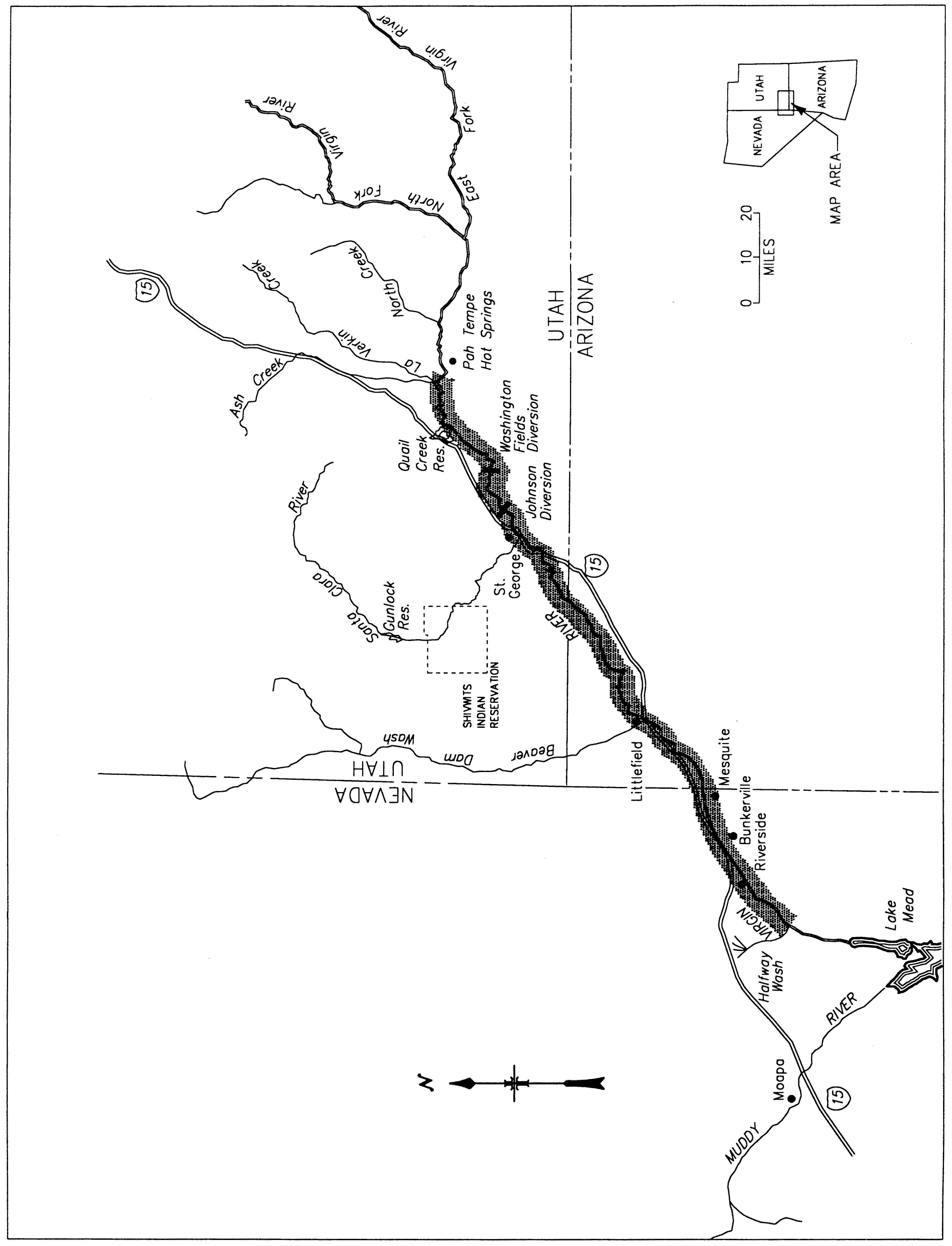
(f) Clams and Snails.
Appalachian Elktoe (Alasmidonta raveneliana)
(1) Critical habitat units are described below and depicted in the maps that follow, with the lateral extent of each designated unit bounded by the ordinary high-water line. The maps provided are for informational purposes only.
(i) Index map follows:

(2) Unit 1.
(i) Macon County and Swain County, NC - the main stem of the Little Tennessee River (Tennessee River system), from the Lake Emory Dam at Franklin, Macon County, NC, downstream to the backwaters of Fontana Reservoir in Swain County, NC.
(3) Unit 2.
(i) Jackson County and Swain County, NC - the main stem of the Tuckasegee River (Little Tennessee River system), from the N.C. State Route 1002 Bridge in Cullowhee, Jackson County, NC, downstream to the N.C. Highway 19 Bridge, north of Bryson City, Swain County, NC.
(ii) Map of Unit 1 and Unit 2 follows:

(4) Unit 3.
(i) Graham County, NC - the main stem of the Cheoah River (Little Tennessee River system), from the Santeetlah Dam, downstream to its confluence with the Little Tennessee River.
(ii) Map of Unit 3 follows:

(5) Unit 4.
(i) Transylvania County, NC - the main stem of the Little River (French Broad River system), from the Cascade Lake Power Plant, downstream to its confluence with the French Broad River.
(ii) Map of Unit 4 follows:

(6) Unit 5.
(i) Haywood County, NC - the main stem of the West Fork Pigeon River (French Broad River system), from the confluence of the Little East Fork Pigeon River, downstream to the confluence of the East Fork Pigeon River, and the main stem of the Pigeon River, from the confluence of the West Fork Pigeon River and the East Fork Pigeon River, downstream to the N.C. Highway 215 Bridge crossing, south of Canton, NC.
(ii) Map of Unit 5 follows:

(7) Unit 6.
(i) Yancey County and Mitchell County, NC, and Unicoi County, TN - the main stem of the North Toe River, Yancey and Mitchell Counties, NC, from the confluence of Big Crabtree Creek, downstream to the confluence of the South Toe River; the main stem of the South Toe River, Yancey County, NC, from the N.C. State Route 1152 Bridge, downstream to its confluence with the North Toe River; the main stem of the Toe River, Yancey and Mitchell Counties, NC, from the confluence of the North Toe River and the South Toe River, downstream to the confluence of the Cane River; the main stem of the Cane River, Yancey County, NC, from the N.C. State Route 1381 Bridge, downstream to its confluence with the Toe River; and the main stem of the Nolichucky River from the confluence of the Toe River and the Cane River in Yancey County and Mitchell County, NC, downstream to the U.S. Highway 23/19W Bridge southwest of Erwin, Unicoi County, TN.
(ii) Map of Unit 6 follows:

(8) Within these areas, the primary constituent elements include:
(i) Permanent, flowing, cool, clean water;
(ii) Geomorphically stable stream channels and banks;
(iii) Pool, riffle, and run sequences within the channel;
(iv) Stable sand, gravel, cobble, boulder, and bedrock substrates with no more than low amounts of fine sediment;
(v) Moderate to high stream gradient;
(vi) Periodic natural flooding; and
(vii) Fish hosts, with adequate living, foraging, and spawning areas for them.
Carolina Heelsplitter (Lasmigona decorata)
(1) Critical habitat units are described below and depicted in the maps that follow, with the lateral extent of each designated unit bounded by the ordinary high-water line. The maps provided are for informational purposes only.
(2) Unit 1.
(i) Union County, NC - main stem of Goose Creek (Pee Dee River system) from the N.C. Highway 218 Bridge, downstream to its confluence with the Rocky River, and the main stem of Duck Creek, from the Mecklenburg/Union County line, downstream to its confluence with Goose Creek.
(ii) Map of Unit 1 follows:

(3) Unit 2.
(i) Union County, NC - main stem of Waxhaw Creek (Catawba River system) from the N.C. Highway 200 Bridge, downstream to the North Carolina/South Carolina State line.
(ii) Map of Unit 2 follows:

(4) Unit 3.
(i) Lancaster County, SC - main stem of Gills Creek (Catawba River system) from the County Route S-29-875, downstream to the S.C. Route 51 Bridge, east of the city of Lancaster.
(ii) Map of Unit 3 follows:

(5) Unit 4.
(i) Lancaster, Chesterfield, and Kershaw Counties, SC - main stem of Flat Creek (Pee Dee River system), Lancaster County, from the S.C. Route 204 Bridge, downstream to its confluence with Lynches River, and the main stem of the Lynches River, Lancaster and Chesterfield Counties, from the confluence of Belk Branch, Lancaster County, northeast (upstream) of the U.S. Highway 601 Bridge, downstream to the S.C. Highway 903 Bridge in Kershaw County.
(ii) Map of Unit 4 follows:

(6) Unit 5.
(i) Edgefield and McCormick Counties, SC - main stem of Mountain Creek (Savannah River system), Edgefield County, SC, from the S.C. Route 36 Bridge, downstream to its confluence with Turkey Creek; Beaverdam Creek, Edgefield County, from the S.C. Route 51 Bridge, downstream to its confluence with Turkey Creek; and Turkey Creek, from the S.C. Route 36 Bridge, Edgefield County, downstream to the S.C. Route 68 Bridge, Edgefield and McCormick Counties.
(ii) Map of Unit 5 follows:

(7) Unit 6.
(i) Greenwood and McCormick Counties, SC - main stem of Cuffytown Creek (Savannah River system), from the confluence of Horsepen Creek, northeast (upstream) of the S.C. Route 62 Bridge in Greenwood County, downstream to the U.S. Highway 378 Bridge in McCormick County.
(ii) Map of Unit 6 follows:

(8) Within these areas, the primary constituent elements include:
(i) Permanent, flowing, cool, clean water;
(ii) Geomorphically stable stream and river channels and banks;
(iii) Pool, riffle, and run sequences within the channel;
(iv) Stable substrates with no more than low amounts of fine sediment;
(v) Moderate stream gradient;
(vi) Periodic natural flooding; and
(vii) Fish hosts, with adequate living, foraging, and spawning areas for them.
Eleven Mobile River Basin Mussel Species: Southern acornshell (Epioblasma othcaloogensis), ovate clubshell (Pleurobema perovatum), southern clubshell (Pleurobema decisum), upland combshell (Epioblasma metastriata), triangular kidneyshell (Ptychobranchus greenii), Alabama moccasinshell (Medionidus acutissimus), Coosa moccasinshell (Medionidus parvulus), orange-nacre mucket (Lampsilis perovalis), dark pigtoe (Pleurobema furvum), southern pigtoe (Pleurobema georgianum), and fine-lined pocketbook (Lampsilis altilis)
(1) The primary constituent elements essential for the conservation of the southern acornshell (Epioblasma othcaloogensis), ovate clubshell (Pleurobema perovatum), southern clubshell (Pleurobema decisum), upland combshell (Epioblasma metastriata); triangular kidneyshell (Ptychobranchus greenii), Alabama moccasinshell (Medionidus acutissimus), Coosa moccasinshell (Medionidus parvulus), orange-nacre mucket (Lampsilis perovalis), dark pigtoe (Pleurobema furvum), southern pigtoe (Pleurobema georgianum), and fine-lined pocketbook (Lampsilis altilis) are those habitat components that support feeding, sheltering, reproduction, and physical features for maintaining the natural processes that support these habitat components. The primary constituent elements include:
(i) Geomorphically stable stream and river channels and banks;
(ii) A flow regime (i.e., the magnitude, frequency, duration, and seasonality of discharge over time) necessary for normal behavior, growth, and survival of all life stages of mussels and their fish hosts in the river environment;
(iii) Water quality, including temperature, pH, hardness, turbidity, oxygen content, and other chemical characteristics, necessary for normal behavior, growth, and viability of all life stages;
(iv) Sand, gravel, and/or cobble substrates with low to moderate amounts of fine sediment, low amounts of attached filamentous algae, and other physical and chemical characteristics necessary for normal behavior, growth, and viability of all life stages;
(v) Fish hosts, with adequate living, foraging, and spawning areas for them; and
(vi) Few or no competitive nonnative species present.
(2) Critical habitat unit descriptions and maps. The maps provided are for informational purposes only.
(i) Index map. The index map showing critical habitat units in the States of Mississippi, Alabama, Georgia, and Tennessee for the 11 Mobile River Basin mussel species follows:

(ii) Protected species and critical habitat units. A table listing the protected species, their respective critical habitat units, and the States that contain those habitat units follows. Detailed critical habitat unit descriptions and maps appear below the table.
| Species | Critical habitat units | States |
|---|---|---|
| Southern acornshell (Epioblasma othcaloogensis) | Units 13, 18, 19, 21, 24, 25, 26 | AL, GA, TN |
| Ovate clubshell (Pleurobema perovatum) | Units 1, 2, 3, 4, 5, 6, 7, 8, 9, 10, 11, 12, 13, 17, 18, 19, 21, 24, 25, 26 | AL, GA, MS, TN |
| Southern clubshell (Pleurobema decisum) | Units 1, 2, 3, 4, 5, 6, 7, 8, 9, 13, 14, 15, 17, 18, 19, 21, 24, 25, 26 | AL, GA, MS, TN |
| Upland combshell (Epioblasma metastriata) | Units 12, 13, 18, 19, 21, 24, 25, 26 | AL, GA, TN |
| Triangular kidneyshell (Ptychobranchus greenii) | Units 10, 11, 12, 13, 18, 19, 20, 21, 22, 23, 24, 25, 26 | AL, GA, TN |
| Alabama moccasinshell (Medionidus acutissimus) | Units 1, 2, 3, 4, 5, 6, 7, 8, 9, 10, 11, 12, 13, 15, 25, 26 | AL, GA, MS, TN |
| Coosa moccasinshell (Medionidus parvulus) | Units 18, 19, 20, 21, 22, 23, 24, 25, 26 | AL, GA, TN |
| Orange-nacre mucket (Lampsilis perovalis) | Units 1, 2, 3, 4, 5, 6, 7, 8, 9, 10, 11, 12, 13, 14, 15 | AL, MS |
| Dark pigtoe (Pleurobema furvum) | Units 10, 11, 12 | AL |
| Southern pigtoe (Pleurobema georgianum) | Units 18, 19, 20, 21, 22, 23, 24, 25, 26 | AL, GA, TN |
| Fine-lined pocketbook (Lampsilis altilis) | Units 13, 16, 17, 18, 19, 20, 21, 22, 23, 24, 25, 26 | AL, GA, TN |
(iii) Unit 1. East Fork Tombigbee River, Monroe, Itawamba County, Mississippi. This is a critical habitat unit for the ovate clubshell, southern clubshell, Alabama moccasinshell, and orange-nacre mucket.
(A) Unit 1 includes the East Fork Tombigbee River main stem from Mississippi Highway 278 (T13S R7E S3), Monroe County, upstream to the confluence of Mill Creek (T11S R8E S24), Itawamba County, Mississippi.
(B) Map of Unit 1 follows:

(iv) Unit 2. Bull Mountain Creek, Itawamba County, Mississippi. This is a critical habitat unit for the ovate clubshell, southern clubshell, Alabama moccasinshell, and orange-nacre mucket.
(A) Unit 2 includes the main stem of Bull Mountain Creek from Mississippi Highway 25 (T11S R9E S30), upstream to U.S. Highway 78 (T10S R10E S6), Itawamba County, Mississippi.
(B) Map of Unit 2 follows:

(v) Unit 3. Buttahatchee River and Sipsey Creek, Lowndes/Monroe County, Mississippi; Lamar County, Alabama. This is a critical habitat unit for the ovate clubshell, southern clubshell, Alabama moccasinshell, and orange-nacre mucket.
(A) Unit 3 includes the Buttahatchee River main stem from its confluence with the impounded waters of Columbus Lake (Tombigbee River, T16S R19W S23), Lowndes/Monroe County, Mississippi, upstream to the confluence of Beaver Creek (T13S R15W S17), Lamar County, Alabama; and Sipsey Creek, from its confluence with the Buttahatchee River (T14S R17W S2), upstream to the Mississippi/Alabama State Line (T12S R10E S21), Monroe County, Mississippi.
(B) Map of Unit 3 follows:

(vi) Unit 4. Luxapalila Creek and Yellow Creek, Lowndes County, Mississippi; Lamar County, Alabama. This is a critical habitat unit for the ovate clubshell, southern clubshell, Alabama moccasinshell, and orange-nacre mucket.
(A) Unit 4 includes the Luxapalila Creek main stem from Waterworks Road (T18S R18W S11), Columbus, Mississippi, upstream to approximately 1.0 km (0.6 mi) above Steens Road (T17S R17W S27), Lowndes County, Mississippi; and the Yellow Creek main stem from its confluence with Luxapalila Creek (T17S R17W S21), Lowndes County, Mississippi, upstream to the confluence of Cut Bank Creek (T16S R16W S30), Lamar County, Alabama.
(B) Map of Unit 4 follows:

(vii) Unit 5. Coalfire Creek, Pickens County, Alabama. This is a critical habitat unit for the ovate clubshell, southern clubshell, Alabama moccasinshell, and orange-nacre mucket.
(A) Unit 5 includes the Coalfire Creek main stem from its confluence with the impounded waters of Aliceville Lake (Tombigbee River, T20S R17W S26), upstream to U.S. Highway 82 (T19S R15W S15), Pickens County, Alabama.
(B) Map of Unit 5 follows:

(viii) Unit 6. Lubbub Creek, Pickens County, Alabama. This is a critical habitat unit for the ovate clubshell, southern clubshell, Alabama moccasinshell, and orange-nacre mucket.
(A) Unit 6 includes the main stem of Lubbub Creek from its confluence with the impounded waters of Gainesville Lake (Tombigbee River, T24N R2W S11), upstream to the confluence of Little Lubbub Creek (T21S R1W S34), Pickens County, Alabama.
(B) Map of Unit 6 follows:

(ix) Unit 7. Sipsey River, Greene/Pickens, Tuscaloosa Counties, Alabama. This is a critical habitat unit for the ovate clubshell, southern clubshell, Alabama moccasinshell, and orange-nacre mucket.
(A) Unit 7 includes the Sipsey River main stem from its confluence with impounded waters of Gainesville Lake (Tombigbee River, T24N R1W S30), Greene/Pickens County, upstream to Alabama Highway 171 crossing (T18S R12W S34), Tuscaloosa County, Alabama.
(B) Map of Unit 7 follows:

(x) Unit 8. Trussels Creek, Greene County, Alabama. This is a critical habitat unit for the ovate clubshell, southern clubshell, Alabama moccasinshell, and orange-nacre mucket.
(A) Unit 8 includes the Trussels Creek main stem from its confluence with the impounded waters of Demopolis Lake (Tombigbee River, T21N R2W S15), upstream to Alabama Highway 14 (T22N R1E S4), Greene County, Alabama.
(B) Map of Unit 8 follows:

(xi) Unit 9. Sucarnoochee River, Sumter County, Alabama. This is a critical habitat unit for the ovate clubshell, southern clubshell, Alabama moccasinshell, and orange-nacre mucket.
(A) Unit 9 includes the Sucarnoochee River main stem from its confluence with the Tombigbee River (T17N R1W S26), upstream to the Mississippi/Alabama State Line (T19N R4W S15), Sumter County, Alabama.
(B) Map of Unit 9 follows:

(xii) Unit 10. Sipsey Fork and tributaries, Winston, Lawrence Counties, Alabama. This is a critical habitat unit for the ovate clubshell, triangular kidneyshell, Alabama moccasinshell, orange-nacre mucket, and dark pigtoe.
(A) Unit 10 includes the Sipsey Fork main stem from the section 11/12 line (T10S R8W), Winston County, Alabama, upstream to the confluence of Hubbard Creek (T8S R9W S27), Lawrence County, Alabama; Thompson Creek, from its confluence with Hubbard Creek (T8S R9W S27), upstream to section 2 line (T8S R9W) Lawrence County; Brushy Creek, from the confluence of Glover Creek (T10S R7W S11), Winston County, upstream to section 9 (T8S R7W), Lawrence County; Capsey Creek, from confluence with Brushy Creek (T9S R7W S23), Winston County, upstream to the confluence of Turkey Creek (T8S R6W S33), Lawrence County; Rush Creek, from confluence with Brushy Creek (T9S R7W S15), upstream to Winston/Lawrence County Line (T9S R7W S1), Winston County; Brown Creek, from confluence with Rush Creek (T9S R7W S2), Winston County, upstream to section 24 line (T8S R7W), Lawrence County; Beech Creek, from confluence with Brushy Creek (T9S R7W S8), to confluence of East and West Forks (T9S R7W S6), Winston County; Caney Creek and North Fork Caney Creek, from confluence with Sipsey Fork (T9S R8W S28), upstream to section 14 line (T9S R9W), Winston County; Borden Creek, from confluence with Sipsey Fork (T8S R8W S5), Winston County, upstream to the confluence of Montgomery Creek (T8S R8W S10), Lawrence County; and Flannagin Creek, from confluence with Borden Creek (T8S R8W S28), upstream to confluence of Dry Creek (T8S R8W S4), Lawrence County.


(xiii) Unit 11. North River and Clear Creek, Tuscaloosa, Fayette Counties, Alabama. This is a critical habitat unit for the ovate clubshell, triangular kidneyshell, Alabama moccasinshell, orange-nacre mucket, and dark pigtoe.
(A) Unit 11 includes the main stem of the North River from Tuscaloosa County Road 38 (T18S R10W S16), Tuscaloosa County, upstream to confluence of Ellis Creek (T16S R10W S6), Fayette County, Alabama; and Clear Creek from its confluence with North River (T16S R11W S13) to Bays Lake Dam (T16S R11W S2), Fayette County, Alabama.
(B) Map of Unit 11 follows:

(xiv) Unit 12. Locust Fork and Little Warrior Rivers, Jefferson, Blount Counties, Alabama. This is a critical habitat unit for the ovate clubshell, upland combshell, triangular kidneyshell, Alabama moccasinshell, orange-nacre mucket, and dark pigtoe.
(A) Unit 12 includes the Locust Fork main stem from U.S. Highway 78 (T15S R4W S30), Jefferson County, upstream to the confluence of Little Warrior River (T13S R1W S3), Blount County, Alabama; and Little Warrior River from its confluence with the Locust Fork (T13S R1W S3), upstream to the confluence of Calvert Prong and Blackburn Fork (T13S R1W S12), Blount County, Alabama.
(B) Map of Unit 12 follows:

(xv) Unit 13. Cahaba River and Little Cahaba River, Jefferson, Shelby, Bibb Counties, Alabama. This is a critical habitat unit for the southern acornshell, ovate clubshell, southern clubshell, upland combshell, triangular kidneyshell, Alabama moccasinshell, orange-nacre mucket, and fine-lined pocketbook.
(A) Unit 13 includes the Cahaba River from U.S. Highway 82 (T23N R9E S26), Centerville, Bibb County, upstream to Jefferson County Road 143 (T18S R1E S33), Jefferson County, Alabama; and the Little Cahaba River from its confluence with the Cahaba River (T24N R10E S21), upstream to the confluence of Mahan and Shoal Creeks (T24N R11E S14), Bibb County, Alabama.
(B) Map of Unit 13 follows:

(xvi) Unit 14. Alabama River, Autauga, Lowndes, Dallas Counties, Alabama. This is a critical habitat unit for the southern clubshell and orange-nacre mucket.
(A) Unit 14 includes the Alabama River from the confluence of the Cahaba River (T16N R10E S32), Dallas County, upstream to the confluence of Big Swamp Creek (T15N R12E S1), Lowndes County, Alabama.
(B) Map of Unit 14 follows:

(xvii) Unit 15. Bogue Chitto Creek, Dallas County, Alabama. This is a critical habitat unit for the southern clubshell, Alabama moccasinshell, and orange-nacre mucket.
(A) Unit 15 includes the Bogue Chitto Creek main stem from its confluence with the Alabama River (T14N R8E S24), Dallas County, upstream to U.S. Highway 80 (T17N R7E S24), Dallas County, Alabama.
(B) Map of Unit 15 follows:

(xviii) Unit 16. Tallapoosa River, Cleburne County, Alabama, and Paulding, Haralson Counties, Georgia; Cane Creek, Cleburne County, Alabama. This is a critical habitat unit for the fine-lined pocketbook.
(A) Unit 16 includes the main stem Tallapoosa River from U.S. Highway 431 (T17S R10E S31), Cleburne County, Alabama, upstream to the confluence of McClendon and Mud Creeks (33°50′43″ N 85°00′45″ W), Paulding County, Georgia; and Cane Creek from its confluence with Tallapoosa River (T16S R10E S24), upstream to section 33/4 Line (T15S, R11E), Cleburne County, Alabama.
(B) Map of Unit 16 follows:

(xix) Unit 17. Uphapee, Choctafaula, and Chewacla Creeks, Macon, Lee Counties, Alabama. This is a critical habitat unit for the ovate clubshell, southern clubshell, and fine-lined pocketbook.
(A) Unit 17 includes the mainstem of Uphapee Creek from Alabama Highway 199 (T17N R23E S3), upstream to the confluence of Opintlocco and Chewacla Creeks (T17N R24E S26), Macon County, Alabama; Choctafaula Creek, from confluence with Uphapee Creek (T17N R24E S8), upstream to Macon County Road 54 (T18N R 25E S31), Macon County, Alabama; Chewacla Creek, from confluence with Opintlocco Creek (T17N R24E S26), Macon County, Alabama, upstream to Lee County Road 159 (T18N R26E S18), Lee County, Alabama; Opintlocco Creek, from confluence with Chewacla Creek (T17N R24E S26), upstream to Macon County Road 79 (T16N R25E S25) Macon County, Alabama.
(B) Map of Unit 17 follows:

(xx) Unit 18. Coosa River (Old River Channel) and Terrapin Creek, Cherokee, Calhoun, Cleburne Counties, Alabama. This is a critical habitat unit for the southern acornshell, ovate clubshell, southern clubshell, upland combshell, triangular kidneyshell, Coosa moccasinshell, southern pigtoe, and fine-lined pocketbook.
(A) Unit 18 includes the Coosa River main stem from the power line crossing southeast of Maple Grove, Alabama (T10S R8E S35), upstream to Weiss Dam (T10S R8E S13), Cherokee County, Alabama; Terrapin Creek, 53 km (33 mi) extending from its confluence with the Old Coosa River channel (T10S R9E S28), Cherokee County, upstream to Cleburne County Road 49 (T13S R11E S15), Cleburne County, Alabama; South Fork Terrapin Creek, 7 km (4 mi), from its confluence with Terrapin Creek (T13S R11E S18), upstream to Cleburne County Road 55 (T13S R11E S30), Cleburne County, Alabama.
(B) Map of Unit 18 follows:

(xxi) Unit 19. Hatchet Creek, Coosa, Clay Counties, Alabama. This is a critical habitat unit for the southern acornshell, ovate clubshell, southern clubshell, upland combshell, triangular kidneyshell, Coosa moccasinshell, southern pigtoe, and fine-lined pocketbook.
(A) Unit 19 includes the main stem of Hatchet Creek from the confluence of Swamp Creek at Coosa County Road 29 (T22N R17E S26), Coosa County, Alabama, upstream to Clay County Road 4 (T22S R6E S17) Clay County, Alabama.
(B) Map of Unit 19 follows:

(xxii) Unit 20. Shoal Creek, Calhoun, Cleburne Counties, Alabama. This is a critical habitat unit for the triangular kidneyshell, Coosa moccasinshell, southern pigtoe, and fine-lined pocketbook.
(A) Unit 20 includes the main stem of Shoal Creek from the headwater of Whitesides Mill Lake (T15S R9E S12), Calhoun County, Alabama, upstream to the tailwater of Coleman Lake Dam (T14S R10E S26), Cleburne County, Alabama.
(B) Map of Unit 20 follows:

(xxiii) Unit 21. Kelly Creek and Shoal Creek, Shelby, St. Clair Counties, Alabama. This is a critical habitat unit for the southern acornshell, ovate clubshell, southern clubshell, upland combshell, triangular kidneyshell, Coosa moccasinshell, southern pigtoe, and fine-lined pocketbook.
(A) Unit 21 includes the Kelly Creek main stem extending from the confluence with the Coosa River (T19S R3E S5), upstream to the confluence of Shoal Creek (T17S R2E S28), St. Clair County, Alabama; and the main stem of Shoal Creek from the confluence with Kelly Creek (T17S R2E S28), St. Clair County, Alabama, upstream to the St. Clair/Shelby County Line (T17S R2E S30), St. Clair County, Alabama.
(B) Map of Unit 21 follows:

(xxiv) Unit 22. Cheaha Creek, Talladega, Clay Counties, Alabama. This is a critical habitat unit for the triangular kidneyshell, Coosa moccasinshell, southern pigtoe, and fine-lined pocketbook.
(A) Unit 22 includes the main stem of Cheaha Creek from its confluence with Choccolocco Creek (T17S R6E S19), Talladega County, Alabama, upstream to the tailwater of Chinnabee Lake Dam (T18S R7E S14), Clay County, Alabama.
(B) Map of Unit 22 follows:

(xxv) Unit 23. Yellowleaf Creek and Mud Creek, Shelby County, Alabama. This is a critical habitat unit for the triangular kidneyshell, Coosa moccasinshell, southern pigtoe, and fine-lined pocketbook.
(A) Unit 23 includes the Yellowleaf Creek main stem from Alabama Highway 25 (T20S R2E S29), upstream to Shelby County Road 49 (T20S R1W S13); and the Muddy Prong main stem extending from its confluence with Yellowleaf Creek (T20S R1E S1), upstream to U.S. Highway 280 (T19S R1E S28), Shelby County, Alabama.
(B) Map of Unit 23 follows:

(xxvi) Unit 24. Big Canoe Creek, St. Clair County, Alabama. This is a critical habitat unit for the southern acornshell, ovate clubshell, southern clubshell, upland combshell, triangular kidneyshell, Coosa moccasinshell, southern pigtoe, and fine-lined pocketbook.
(A) Unit 24 includes the main stem of Big Canoe Creek from its confluence with Little Canoe Creek at the St. Clair/Etowah County line (T13S R5E S17), St. Clair County, upstream to the confluence of Fall Branch (T14S R1E S28) St. Clair County, Alabama.
(B) Map of Unit 24 follows:

(xxvii) Unit 25. Oostanaula, Coosawattee, and Conasauga Rivers, and Holly Creek, Floyd, Gordon, Whitfield, Murray Counties, Georgia; Bradley, Polk Counties, Tennessee. This is a critical habitat unit for the southern acornshell, ovate clubshell, southern clubshell, upland combshell, triangular kidneyshell, Alabama moccasinshell, Coosa moccasinshell, southern pigtoe, and fine-lined pocketbook.
(A) Unit 25 includes the Oostanaula River main stem from its confluence with the Etowah River, Floyd County, Georgia (34°15′13″ N, 85°10′35″ W), upstream to the confluence of the Conasauga and Coosawattee River, Gordon County, Georgia (34°32′32″ N, 84°54′12″ W); the Coosawattee River main stem from its confluence with the Conasauga River (34°32′32″ N, 84°54′12″ W), upstream to Georgia State Highway 136, Gordon County, Georgia (34°36′49″ N, 84°46′43″ W); the Conasauga River main stem from confluence with the Coosawattee River (34°32′32″ N, 84°54′13″ W), Gordon County, Georgia, upstream through Bradley and Polk Counties, Tennessee, to Murray County Road 2 (34°58′27″ N, 84°38′43″ W), Murray County, Georgia; and the mainstem of Holly Creek from its confluence with the Conasauga River (34°42′12″ N, 84°53′29″ W), upstream to its confluence with Rock Creek, Murray County, Georgia (34°46′59″ N, 84°45′25″ W).
(B) Map of Unit 25 follows:

(xxviii) Unit 26. Lower Coosa River, Elmore County, Alabama. This is a critical habitat unit for the southern acornshell, ovate clubshell, southern clubshell, upland combshell, triangular kidneyshell, Alabama moccasinshell, Coosa moccasinshell, southern pigtoe, and fine-lined pocketbook.
(A) Unit 26 includes the Coosa River main stem from Alabama State Highway 111 bridge (T18N R18/19E S24/19), upstream to Jordan Dam (T19N R18E S22), Elmore County, Alabama.
(B) Map of Unit 26 follows:

Five Tennessee and Cumberland River Basin Mussels Species: Purple bean (Villosa perpurpurea), Cumberlandian combshell (Epioblasma brevidens), Cumberland elktoe (Alasmidonta atropurpurea), oyster mussel (Epioblasma capsaeformis), and rough rabbitsfoot (Quadrula cylindrica strigillata).
(1) The primary constituent elements essential for the conservation of the purple bean (Villosa perpurpurea), Cumberlandian combshell (Epioblasma brevidens), Cumberland elktoe (Alasmidonta atropurpurea), oyster mussel (Epioblasma capsaeformis), and rough rabbitsfoot (Quadrula cylindrica strigillata) are those habitat components that support feeding, sheltering, reproduction, and physical features for maintaining the natural processes that support these habitat components. The primary constituent elements include:
(i) Permanent, flowing stream reaches with a flow regime (i.e, the magnitude, frequency, duration, and seasonality of discharge over time) necessary for normal behavior, growth, and survival of all life stages of the five mussels and their host fish;
(ii) Geomorphically stable stream and river channels and banks;
(iii) Stable substrates consisting of mud, sand, gravel, and/or cobble/boulder, with low amounts of fine sediments or attached filamentous algae;
(iv) Water quality (including temperature, turbidity, oxygen content, and other characteristics) necessary for the normal behavior, growth, and survival of all life stages of the five mussels and their host fish; and
(v) Fish hosts with adequate living, foraging, and spawning areas for them.
(2) Critical habitat unit descriptions and maps. The maps provided are for informational purposes only.
(i) Index map. The index map showing critical habitat units in the States of Mississippi, Alabama, Tennessee, Kentucky, and Virginia for the five Tennessee and Cumberland River Basin mussels follows:

(ii) Table of protected species and critical habitat units. A table listing the protected species, their respective critical habitat units, and the States that contain those habitat units follows. Detailed critical habitat unit descriptions and maps appear below the table.
Table of Five Tennessee and Cumberland River Basin Mussels, Their Critical Habitat Units, and States Containing Those Critical Habitat Units
| Species | Critical habitat units | States |
|---|---|---|
| purple bean (Villosa perpurpurea) | Units 3, 4, 5, 7 | TN, VA |
| Cumberlandian combshell (Epioblasma brevidens) | Units 1, 2, 4, 5, 6, 9, 10 | AL, KY, MS, TN, VA |
| Cumberland elktoe (Alasmidonta atropurpurea) | Units 8, 9, 11, 12, 13 | KY, TN |
| oyster mussel (Epioblasma capsaeformis) | Units 1, 2, 4, 5, 6, 9,10 | AL, KY, MS, TN, VA |
| rough rabbitsfoot (Quadrula cylindrica strigillata) | Units 4, 5 | TN, VA |
(iii) Unit 1. Duck River, Marshall and Maury Counties, Tennessee. This is a critical habitat unit for the oyster mussel and Cumberlandian combshell.
(A) Unit 1 includes the main stem of the Duck River from rkm 214 (rmi 133) (0.3 rkm (0.2 rmi) upstream of the First Street Bridge) (−87.03 longitude, 35.63 latitude) in the City of Columbia, Maury County, Tennessee, upstream to Lillard Mill Dam at rkm 288 (rmi 179) (−86.78 longitude, 35.58 latitude), Marshall County, Tennessee.
(B) Map of Unit 1 follows:

(iv) Unit 2. Bear Creek, Colbert County, Alabama, and Tishomingo County, Mississippi. This is a critical habitat unit for the oyster mussel and Cumberlandian combshell.
(A) Unit 2 consists of the main stem of Bear Creek from the backwaters of Pickwick Lake at rkm 37 (rmi 23) (-88.09 longitude, 34.81 latitude), Colbert County, Alabama, upstream through Tishomingo County, Mississippi, ending at the Mississippi/Alabama State line.
(B) Map of Unit 2 follows:

(v) Unit 3. Obed River, Cumberland and Morgan Counties, Tennessee. This is a critical habitat unit for the purple bean.
(A) Unit 3 includes the Obed River main stem from its confluence with the Emory River (-84.69 longitude, 36.09 latitude), Morgan County, Tennessee, upstream to Adams Bridge, Cumberland County, Tennessee (-84.95 longitude, 36.07 latitude).
(B) Map of Unit 3 follows:

(vi) Unit 4. Powell River, Claiborne and Hancock Counties, Tennessee, and Lee County, Virginia. This is a critical habitat unit for the purple bean, Cumberlandian combshell, oyster mussel, and rough rabbitsfoot.
(A) Unit 4 includes the main stem of the Powell River from the U.S. 25E bridge in Claiborne County, Tennessee (-83.63 longitude, 36.53 latitude), upstream to river mile 159 (upstream of Rock Island in the vicinity of Pughs) Lee County, Virginia.
(B) Map of Unit 4 follows:

(vii) Unit 5. Clinch River, Hancock County, Tennessee, and Scott, Russell, and Tazewell Counties, Virginia; Copper Creek, Scott County, Virginia; and Indian Creek, Tazewell County, Virginia. This is a critical habitat unit for the purple bean, Cumberlandian combshell, oyster mussel, and rough rabbitsfoot.
(A) Unit 5 includes the Clinch River main stem from rkm 255 (rmi 159) (−83.36 longitude, 36.43 latitude) immediately below Grissom Island, Hancock County, Tennessee, upstream to its confluence with Indian Creek in Cedar Bluff, Tazewell County, Virginia (−81.80 longitude, 37.10 latitude); Copper Creek in Scott County, Virginia, from its confluence with the Clinch River (−82.74 longitude, 36.67 latitude) upstream to Virginia State Route 72 (−82.56 longitude, 36.68 latitude); and Indian Creek from its confluence with the Clinch River upstream to the fourth Norfolk Southern Railroad crossing at Van Dyke, Tazewell County, Virginia (−81.77 longitude, 37.14 latitude).
(B) Map of Unit 5 follows:

(viii) Unit 6. Nolichucky River, Hamblen and Cocke Counties, Tennessee. This is a critical habitat unit for the Cumberlandian combshell and oyster mussel.
(A) Unit 6 consists of the main stem of the Nolichucky River from rkm 14 (rmi 9) (−83.18 longitude, 36.18 latitude) (approximately 0.6 rkm (0.4 rmi) upstream of Enka Dam) upstream to Susong Bridge (−83.20 longitude, 36.14 latitude) in Hamblen and Cocke Counties, Tennessee.
(B) Map of Unit 6 follows:

(ix) Unit 7. Beech Creek, Hawkins County, Tennessee. This is a critical habitat unit for the purple bean.
(A) Unit 7 includes the Beech Creek main stem from rkm 4 (rmi 2) (−82.92 longitude, 36.40 latitude) of Beech Creek (in the vicinity of Slide, Tennessee) upstream to the dismantled railroad bridge at rkm 27 (rmi 16) (−82.77 longitude, 36.40 latitude).
(B) Map of Unit 7 follows:

(x) Unit 8. Rock Creek, McCreary County, Kentucky. This is a critical habitat unit for the Cumberland elktoe.
(A) Unit 8 includes the main stem of Rock Creek from its confluence with White Oak Creek (−84.59 longitude, 36.71 latitude), upstream to the low-water crossing at rkm 25.6 (rmi 15.9) approximately 2.6 km (1.6 mi) southwest of Bell Farm (−84.69 longitude, 36.65 latitude), McCreary County, Kentucky.
(B) Map of Unit 8 follows:

(xi) Unit 9. Big South Fork of the Cumberland River and its tributaries, Fentress, Morgan, and Scott Counties, Tennessee, and McCreary County, Kentucky. This is a critical habitat unit for the Cumberlandian combshell, Cumberland elktoe, and oyster mussel.
(A) Unit 9 consists of the Big South Fork of the Cumberland River main stem from its confluence with Laurel Crossing Branch (−84.54 longitude, 36.64 latitude), McCreary County, Kentucky, upstream to its confluence with the New River and Clear Fork, Scott County, Tennessee; North White Oak Creek from its confluence with the Big South Fork upstream to Panther Branch (−84.75 longitude, 36.42 latitude), Fentress County, Tennessee; New River from its confluence with Clear Fork upstream to U.S. Highway 27 (−84.55 longitude, 36.38 latitude), Scott County, Tennessee; Clear Fork from its confluence with the New River upstream to its confluence with North Prong Clear Fork, Morgan and Fentress Counties, Tennessee; White Oak Creek from its confluence with Clear Fork upstream to its confluence with Bone Camp Creek, Morgan County, Tennessee; Bone Camp Creek from its confluence with White Oak Creek upstream to Massengale Branch (−84.71 longitude, 36.28 latitude), Morgan County, Tennessee; Crooked Creek from its confluence with Clear Fork upstream to Buttermilk Branch (−84.92 longitude, 36.36 latitude), Fentress County, Tennessee; and North Prong Clear Fork from its confluence with Clear Fork upstream to Shoal Creek (−84.97 longitude, 36.26 latitude), Fentress County, Tennessee.
(B) Maps of Unit 9 follow:


(xii) Unit 10. Buck Creek, Pulaski County, Kentucky. This is a critical habitat unit for the Cumberlandian combshell and oyster mussel.
(A) Unit 10 includes the Buck Creek main stem from the State Road 192 Bridge (−84.43 longitude, 37.06 latitude) upstream to the State Road 328 Bridge (−84.56 longitude, 37.32 latitude) in Pulaski County, Kentucky.
(B) Map of Unit 10 follows:

(xiii) Unit 11. Sinking Creek, Laurel County, Kentucky. This is a critical habitat unit for the Cumberland elktoe.
(A) Unit 11 includes the main stem of Sinking Creek from its confluence with the Rockcastle River (−84.28 longitude, 37.10 latitude) upstream to its confluence with Laurel Branch (−84.17 longitude, 37.09 latitude) in Laurel County, Kentucky.
(B) Map of Unit 11 follows:

(xiv) Unit 12. Marsh Creek, McCreary County, Kentucky. This is a critical habitat unit for the Cumberland elktoe.
(A) Unit 12 includes the Marsh Creek main stem from its confluence with the Cumberland River (−84.35 longitude, 36.78 latitude) upstream to State Road 92 Bridge (−84.35 longitude, 36.66 latitude) in McCreary County, Kentucky.
(B) Map of Unit 12 follows:

(xv) Unit 13. Laurel Fork, Claiborne County, Tennessee, and Whitley County, Kentucky. This is a critical habitat unit for the Cumberland elktoe.
(A) Unit 13 includes the main stem of the Laurel Fork of the Cumberland River from the boundary between Claiborne and Campbell Counties (−84.00 longitude, 36.58 latitude) upstream to rkm 11 (rmi 6.85) in Whitley County, Kentucky. The upstream terminus is 3 rkm (2 rmi) upstream of the Kentucky/Tennessee State line (−84.00 longitude, 36.60 latitude).
(B) Map of Unit 13 follows:

Seven mussel species (in four northeast Gulf of Mexico drainages): Purple bankclimber (Elliptoideus sloatianus), Gulf moccasinshell (Medionidus penicillatus), Ochlockonee moccasinshell (Medionidus simpsonianus), oval pigtoe (Pleurobema pyriforme), shinyrayed pocketbook (Lampsilis subangulata), Chipola slabshell (Elliptio chipolaensis), and fat threeridge (Amblema neislerii).
(1) Critical habitat units are depicted on the maps below for the following counties:
(i) Alabama: Houston and Russell;
(ii) Florida: Alachua, Bay, Bradford, Calhoun, Columbia, Franklin, Gadsden, Gulf, Jackson, Leon, Liberty, Union, Wakulla, and Washington; and
(iii) Georgia: Baker, Calhoun, Coweta, Crawford, Crisp, Decatur, Dooly, Dougherty, Early, Fayette, Grady, Lee, Macon, Marion, Meriwether, Miller, Mitchell, Peach, Pike, Schley, Spalding, Sumter, Talbot, Taylor, Terrell, Thomas, Upson, Webster, and Worth.
(2) The primary constituent elements of critical habitat for the purple bankclimber (Elliptoideus sloatianus), Gulf moccasinshell (Medionidus penicillatus), Ochlockonee moccasinshell (Medionidus simpsonianus), oval pigtoe (Pleurobema pyriforme), shinyrayed pocketbook (Lampsilis subangulata), Chipola slabshell (Elliptio chipolaensis), and fat threeridge (Amblema neislerii) are:
(i) A geomorphically stable stream channel (a channel that maintains its lateral dimensions, longitudinal profile, and spatial pattern over time without a consistent aggrading or degrading bed elevation);
(ii) A predominantly sand, gravel, and/or cobble stream substrate with low to moderate amounts of silt and clay;
(iii) Permanently flowing water;
(iv) Water quality (including temperature, turbidity, dissolved oxygen, and chemical constituents) that meets or exceeds the current aquatic life criteria established under the Clean Water Act (33 U.S.C. 1251-1387); and
(v) Fish hosts (such as largemouth bass, sailfin shiner, brown darter) that support the larval life stages of the seven mussels.
(3) Critical habitat does not include manmade structures (such as buildings, aqueducts, airports, roads, and other paved areas) and the land on which they are located existing within the legal boundaries on the effective date of this rule and not containing one or more of the primary constituent elements.
(4) Critical habitat unit maps. Data layers defining map units were created with USGS National Hydrography Dataset (NHD) GIS data. The 1:100,000 river reach (route) files were used to calculate river kilometers and miles. The following data sources were referenced to identify upstream and downstream extents of critical habitat units: USGS 7.5' quadrangles; Georgia Department of Transportation county highway maps; U.S. Census Bureau 1:100,000 TIGER line road data; 1993 Georgia digital orthographic quarter quads (DOQQs); 2004 Florida DOQQs; and DeLorme Atlas and Gazetteers for Alabama, Florida, and Georgia. The projection used in mapping all units was Universal Transverse Mercator (UTM), NAD 83, Zone 16 North.
(5) Note: Index map of critical habitat units in the States of Alabama, Florida, and Georgia for the seven mussels follows:

(6) Table of listed species and critical habitat units. A table showing the listed species, their respective critical habitat units, and the States that contain those habitat units follows. Detailed critical habitat unit descriptions and maps appear below in paragraphs (7) through (17).
| Species | Critical habitat units | States |
|---|---|---|
| Purple bankclimber (Elliptoideus sloatianus) | Units 5, 6, 7, 8, 9, 10 | AL, FL, GA |
| Gulf moccasinshell (Medionidus penicillatus) | Units 1, 2, 4, 5, 6, 7 | AL, FL, GA |
| Ochlockonee moccasinshell (Medionidus simpsonianus) | Unit 9 | FL, GA |
| Oval pigtoe (Pleurobema pyriforme) | Units 1, 2, 4, 5, 6, 7, 9, 11 | AL, FL, GA |
| Shinyrayed pocketbook (Lampsilis subangulata) | Units 2, 3, 4, 5, 6, 7, 9 | AL, FL, GA |
| Chipola slabshell (Elliptio chipolaensis) | Unit 2 | AL, FL |
| Fat threeridge (mussel) (Amblema neislerii) | Units 2, 7, 8 | AL, FL, GA |
(7) Unit 1. Econfina and Moccasin creeks, Bay and Washington Counties, Florida. This is a critical habitat unit for the Gulf moccasinshell and oval pigtoe.
(i) General Description: Unit 1 includes the main stem of Econfina Creek and one of its tributaries, Moccasin Creek, encompassing a total stream length of 31.4 kilometers (km) (19.5 miles (mi)). The main stem of Econfina Creek extends from its confluence with Deer Point Lake at the powerline crossing located 3.8 km (2.3 mi) downstream of Bay County Highway 388 (−85.56 longitude, 30.36 latitude), Bay County, Florida, upstream 28.6 km (17.8 mi) to Tenmile Creek (−85.50 longitude, 30.51 latitude), Washington County, Florida; and Moccasin Creek from its confluence with Econfina Creek upstream 2.8 km (1.7 mi) to Ellis Branch (−85.53 longitude, 30.41 latitude), Bay County, Florida.
(ii) Unit 1 map follows:

(8) Unit 2. Chipola River and Dry, Rocky, Waddells Mill, Baker, Marshall, Big, and Cowarts Creeks in Houston County, Alabama, and in Calhoun, Gulf, and Jackson counties, Florida. This is a critical habitat unit for the fat threeridge, shinyrayed pocketbook, Gulf moccasinshell, oval pigtoe, and Chipola slabshell.
(i) General Description: Unit 2 includes the main stem of the Chipola River and seven of its tributaries, encompassing a total stream length of 228.7 km (142.1 mi). The main stem of the Chipola River extends from its confluence with the Apalachicola River (−85.09 longitude, 30.01 latitude) in Gulf County, Florida, upstream 144.9 river km (90.0 river mi), including the reach known as Dead Lake, to the confluence of Marshall and Cowarts creeks (−85.27 longitude, 30.91 latitude) in Jackson County, Florida; Dry Creek from the Chipola River upstream 7.6 river km (4.7 river mi) to Ditch Branch (−85.24 longitude, 30.69 latitude), Jackson County, Florida; Rocky Creek from the Chipola River upstream 7.1 river km (4.4 river mi) to Little Rocky Creek (−85.13 longitude, 30.68 latitude), Jackson County, Florida; Waddells Mill Creek from the Chipola River upstream 3.7 river km (2.3 river mi) to Russ Mill Creek (−85.29 longitude, 30.87 latitude), Jackson County, Florida; Baker Creek from Waddells Mill Creek upstream 5.3 river km (3.3 river mi) to Tanner Springs (−85.32 longitude, 30.83 latitude), Jackson County, Florida; Marshall Creek from the Chipola River upstream 13.7 river km (8.5 river mi) to the Alabama-Florida State line (−85.33 longitude, 31.00 latitude), Jackson County, Florida; Cowarts Creek from the Chipola River in Jackson County, Florida, upstream 33.5 river km (20.8 river mi) to the Edgar Smith Road bridge (−85.29 longitude, 31.13 latitude), Houston County, Alabama; and Big Creek from the Alabama-Florida State line upstream 13.0 river km (8.1 river mi) to Limestone Creek (−85.42 longitude, 31.08 latitude), Houston County, Alabama. The short segment of the Chipola River that flows underground within the boundaries of Florida Caverns State Park is not included within this unit.
(ii) Unit 2 map follows:

(9) Unit 3. Uchee Creek, Russell County, Alabama. This is a critical habitat unit for the shinyrayed pocketbook.
(i) General Description: Unit 3 includes the main stem of Uchee Creek from its confluence with the Chattahoochee River upstream 34.2 km (21.2 mi) to Island Creek (−85.18 longitude, 32.38 latitude), Russell County, Alabama, encompassing a total stream length of 34.2 km (21.2 mi).
(ii) Unit 3 map follows:

(10) Unit 4. Sawhatchee, Sheffield Mill, and Kirkland creeks, Early County, Georgia. This is a critical habitat unit for the shinyrayed pocketbook, Gulf moccasinshell, and oval pigtoe.
(i) General Description: Unit 4 includes the main stems of Sawhatchee and Kirkland creeks, and one tributary, encompassing a total stream length of 37.8 km (23.5 mi). Unit 4 includes Sawhatchee Creek from its confluence with the Chattahoochee River upstream 28.6 km (17.8 mi) to the powerline crossing located 1.4 km (0.87 mi) upstream of Early County Road 15 (−84.99 longitude, 31.32 latitude); Sheffield Mill Creek, the tributary, from its confluence with Sawhatchee Creek upstream 3.1 km (1.9 mi) to the powerline crossing located 2.3 km (1.4 mi) upstream of Sowhatchee Road (−85.01 longitude, 31.23 latitude); Kirkland Creek from its confluence with the Chattahoochee River upstream 6.1 km (3.8 mi) to Dry Creek (−85.00 longitude, 31.13 latitude).
(ii) Unit 4 map follows:

(11) Unit 5. Upper Flint River and Swift, Limestone, Turkey, Pennahatchee, Little Pennahatchee, Hogcrawl, Red Oak, Line, and Whitewater creeks in Coweta, Crawford, Crisp, Dooly, Fayette, Macon, Meriwether, Peach, Pike, Spalding, Sumter, Talbot, Taylor, Upson, and Worth counties, Georgia. This is a critical habitat unit for the shinyrayed pocketbook, Gulf moccasinshell, oval pigtoe, and purple bankclimber.
(i) General Description: Unit 5 encompasses a total stream length of 380.4 km (236.4 mi) and includes the Flint River from the State Highway 27 bridge (Vienna Road) (−83.98 longitude, 32.06 latitude) in Dooly and Sumter counties, Georgia (the river is the county boundary), upstream 247.4 km (153.7 mi) through Macon, Peach, Taylor, Crawford, Talbot, Upson, Pike, Meriwether, and Coweta counties, to Horton Creek (−84.42 longitude, 33.29 latitude) in Fayette and Spalding counties, Georgia (the river is the county boundary); Swift Creek from Lake Blackshear upstream 11.3 km (7 mi) to Rattlesnake Branch (−83.84 longitude, 31.82 latitude), Crisp and Worth counties, Georgia (the creek is the county boundary); Limestone Creek from Lake Blackshear, Crisp County, Georgia, upstream 8.8 km (5.5 mi) to County Road 89 (−83.88 longitude, 32.04 latitude), Dooly County, Georgia; Turkey Creek from the Flint River upstream 21.7 km (13.5 mi) to Rogers Branch (−83.89 longitude, 32.20 latitude), in Dooly County, Georgia; Pennahatchee Creek from Turkey Creek upstream 4.8 km (3 mi) to Little Pennahatchee Creek (−83.89 longitude, 32.10 latitude), Dooly County, Georgia; Little Pennahatchee Creek from Pennahatchee Creek upstream 5.8 km (3.6 mi) to Rock Hill Creek (−83.85 longitude, 32.13 latitude), Dooly County, Georgia; Hogcrawl Creek from the Flint River upstream 21.6 km (13.4 mi) to Little Creek (−83.90 longitude, 32.28 latitude), Dooly and Macon counties, Georgia (the creek is the county boundary); Red Oak Creek from the Flint River upstream 21.7 km (13.5 mi) to Brittens Creek (−84.68 longitude, 33.11 latitude), Meriwether County, Georgia; Line Creek from the Flint River upstream 15.8 km (9.8 mi) to Whitewater Creek (−84.51 longitude, 33.28 latitude), Coweta and Fayette counties, Georgia (the creek is the county boundary); and Whitewater Creek from Line Creek upstream 21.5 km (13.4 mi) to Ginger Cake Creek (−84.49 longitude, 33.42 latitude), Fayette County, Georgia.
(ii) Two maps of unit 5 - northern part of unit 5 and - southern part of unit 5 follow:


(12) Unit 6. Middle Flint River and Kinchafoonee, Lanahassee, Muckalee, Little Muckalee, Mill, Mercer Mill Pond, Abrams, Jones, and Chokee creeks in Dougherty, Lee, Marion, Schley, Sumter, Terrell, Webster, and Worth counties, Georgia. This is a critical habitat unit for the shinyrayed pocketbook, Gulf moccasinshell, oval pigtoe, and purple bankclimber.
(i) General Description: Unit 6 encompasses a total stream length of 302.3 km (187.8 mi) and includes the Flint River from Piney Woods Creek (−84.06 longitude, 31.61 latitude) in Dougherty County, Georgia (the upstream extent of Lake Worth), upstream 39.9 km (24.8 mi) to the Warwick Dam (−83.94 longitude, 31.85 latitude), Lee and Worth counties, Georgia; Kinchafoonee Creek from its confluence with Lake Worth at the Lee - Dougherty county line (−84.17 longitude, 31.62 latitude), upstream 107.6 km (66.8 mi) through Terrell and Sumter Counties, Georgia, to Dry Creek (−84.58 longitude, 32.17 latitude), Webster County, Georgia; Lanahassee Creek from Kinchafoonee Creek upstream 9.3 km (5.8 mi) to West Fork Lanahassee Creek (−84.50 longitude, 32.11 latitude), Webster County, Georgia; Muckalee Creek, from its confluence with Lake Worth at the Lee - Dougherty county line (−84.14 longitude, 31.62 latitude), upstream 104.5 km (64.9 mi) to County Road 114 (−84.44 longitude, 32.23 latitude), Marion County, Georgia; Little Muckalee Creek, from Muckalee Creek in Sumter County, Georgia, upstream 7.2 km (4.5 mi) to Galey Creek (−84.29 longitude, 32.17 latitude), Schley County, Georgia; Mill Creek from the Flint River upstream 3.2 km (2 mi) to Mercer Millpond Creek (−83.99 longitude, 31.67 latitude), Worth County, Georgia; Mercer Millpond Creek from Mill Creek upstream 0.45 km (0.28 mi) to Mercer Mill Pond (−83.99 longitude, 31.68 latitude), Worth County, Georgia; Abrams Creek from the Flint River upstream 15.9 km (9.9 mi) to County Road 123 (−83.93 longitude, 31.68 latitude), Worth County, Georgia; Jones Creek from the Flint River upstream 3.8 km (2.4 mi) to County Road 123 (−83.96 longitude, 31.76 latitude), Worth County, Georgia; and Chokee Creek, from the Flint River upstream 10.5 km (6.5 mi) to Dry Branch Creek (−84.02 longitude, 31.89 latitude), Lee County, Georgia.
(ii) Two maps of unit 6 - western part of unit 6 and - eastern part of unit 6 follow:


(13) Unit 7. Lower Flint River and Spring, Aycocks, Dry, Ichawaynochaway, Mill, Pachitla, Little Pachitla, Chickasawhatchee, and Cooleewahee creeks in Baker, Calhoun, Decatur, Dougherty, Early, Miller, Mitchell, and Terrell counties, Georgia. This is a critical habitat unit for the fat threeridge, shinyrayed pocketbook, Gulf moccasinshell, oval pigtoe, and purple bankclimber.
(i) General Description: Unit 7 encompasses a total stream length of 396.7 km (246.5 mi) and includes the Flint River from its confluence with Big Slough (−84.56 longitude, 30.93 latitude), Decatur County, Georgia, upstream 116.4 km (72.3 mi) through Baker and Mitchell Counties, Georgia, to the Flint River Dam (which impounds Lake Worth) (−84.14 longitude, 31.60 latitude), Dougherty County, Georgia; Spring Creek, from its confluence with Lake Seminole at Smith Landing (−84.75 longitude, 30.89 latitude), Decatur County, Georgia, upstream 74.2 km (46.1 mi) to County Road 35 (−84.78 longitude, 31.34 latitude), Early County, Georgia; Aycocks Creek from Spring Creek upstream 15.9 km (9.9 mi) to Cypress Creek (−84.79 longitude, 31.15 latitude), Miller County, Georgia; Dry Creek from Spring Creek upstream 9.9 km (6.1 mi) to Wamble Creek (−84.84 longitude, 31.31 latitude), Early County, Georgia; Ichawaynochaway Creek from the Flint River, Baker County, Georgia, upstream 68.6 km (42.6 mi) to Merrett Creek (−84.58 longitude, 31.54 latitude), Calhoun County, Georgia; Mill Creek from Ichawaynochaway Creek upstream 7.4 km (4.6 mi) to County Road 163 (−84.63 longitude, 31.40 latitude), Baker County, Georgia; Pachitla Creek, from Ichawaynochaway Creek upstream 18.9 km (11.8 mi) to Little Pachitla Creek (−84.68 longitude, 31.56 latitude), Calhoun County, Georgia; Little Pachitla Creek from Pachitla Creek upstream 5.8 km (3.6 mi) to Bear Branch (−84.72 longitude, 31.58 latitude), Calhoun County, Georgia; Chickasawhatchee Creek from Ichawaynochaway Creek, Baker County, Georgia, upstream 64.5 km (40.1 mi) to U.S. Highway 82 (−84.38 longitude, 31.74 latitude), Terrell County, Georgia; and Cooleewahee Creek from the Flint River upstream 15.1 km (9.4 mi) to Piney Woods Branch (−84.31 longitude, 31.42 latitude), Baker County, Georgia.
(ii) Two maps of unit 7 - western part of unit 7 and - eastern part of unit 7 follow:


(14) Unit 8. Apalachicola River, Chipola Cutoff, Swift Slough, River Styx, Kennedy Slough, and Kennedy Creek in Calhoun, Franklin, Gadsden, Gulf, Jackson, and Liberty Counties, Florida. This is a critical habitat unit for the fat threeridge and purple bankclimber.
(i) General Description: Unit 8 includes the main stem of the Apalachicola River, two of its distributaries, Chipola Cutoff and Swift Slough, and three of its tributaries, River Styx, Kennedy Slough, and Kennedy Creek, encompassing a total length of 161.2 river km (100.2 river mi). The main stem of the Apalachicola River extends from the downstream end of Bloody Bluff Island (river mile 15.3 on U.S. Army Corps of Engineers Navigation Charts) (−85.01 longitude, 29.88 latitude), Franklin County, Florida, through Calhoun and Liberty Counties, Florida, upstream to the Jim Woodruff Lock and Dam (which impounds Lake Seminole) (−84.86 longitude, 30.71 latitude), Gadsden and Jackson Counties, Florida; Chipola Cutoff from the Apalachicola River in Gulf County, Florida, downstream 4.5 river km (2.8 river mi) to its confluence with the Chipola River; Swift Slough from the Apalachicola River in Liberty County, Florida, downstream 3.6 river km (2.2 river mi) to its confluence with the River Styx (−85.12 longitude, 30.10 latitude); River Styx from the mouth of Swift Slough (−85.12 longitude, 30.10 latitude) in Liberty County, Florida, downstream 3.8 river km (2.4 river mi) to its confluence with the Apalachicola River; Kennedy Slough from −85.07 longitude, 30.01 latitude in Liberty County, Florida, downstream 0.9 river km (0.5 river mi) to its confluence with Kennedy Creek; and Kennedy Creek from Brushy Creek Feeder (−85.06 longitude, 30.01 latitude) in Liberty County, Florida, downstream 1.1 river km (0.7 river mi) to its confluence with the Apalachicola River.
(ii) Unit 8 map follows:

(15) Unit 9. Upper Ochlockonee River and Barnetts and West Barnetts creeks, and the Little Ochlockonee River in Gadsden and Leon counties, Florida, and in Grady and Thomas counties, Georgia. This is a critical habitat unit for the shinyrayed pocketbook, Ochlockonee moccasinshell, oval pigtoe, and purple bankclimber.
(i) General Description: Unit 9 includes the main stem of the Ochlockonee River upstream of Lake Talquin and three tributaries encompassing a total stream length of 177.3 km (110.2 mi). The main stem of the Ochlockonee River extends from its confluence with Gulley Branch (the approximate upstream extent of Lake Talquin) (−84.44 longitude, 30.46 latitude), Gadsden and Leon counties, Florida, upstream 134.0 km (83.3 mi) to Bee Line Road/County Road 306 (−83.94 longitude, 31.03 latitude), Thomas County, Georgia; Barnetts Creek from the Ochlockonee River upstream 20 km (12.4 mi) to Grady County Road 170/Thomas County Road 74 (−84.12 longitude, 30.98 latitude), Grady and Thomas counties, Georgia; West Barnetts Creek from Barnetts Creek upstream 10 km (6.2 mi) to Georgia Highway 111 (−84.17 longitude, 30.98 latitude), Grady County, Georgia; and the Little Ochlockonee River from the Ochlockonee River upstream 13.3 km (8.3 mi) to Roup Road/County Road 33 (−84.02 longitude, 31.02 latitude), Thomas County, Georgia.
(ii) Unit 9 map follows:

(16) Unit 10. Lower Ochlockonee River in Leon, Liberty, and Wakulla counties, Florida. This is a critical habitat unit for the purple bankclimber.
(i) General Description: Unit 10 encompasses a total stream length of 75.4 km (46.9 mi) and includes the main stem of the Ochlockonee River from its confluence with Syfrett Creek (−84.56 longitude, 30.02 latitude), Wakulla County, Florida, upstream 75.4 km (46.9 mi) to the Jackson Bluff Dam (which impounds Lake Talquin) (−84.65 longitude, 30.39 latitude), Leon and Liberty counties, Florida.
(ii) Unit 10 map follows:

(17) Unit 11. Santa Fe River and New River in Alachua, Bradford, Columbia, and Union counties, Florida. This is a critical habitat unit for the oval pigtoe.
(i) General Description: Unit 11 includes the main stem of the Santa Fe River and its tributary the New River encompassing a total stream length of 83.1 km (51.6 mi). The main channel of the Santa Fe River extends from where the river goes underground in O'Leno State Park (−82.57 longitude, 29.91 latitude), Alachua and Columbia counties, Florida, upstream 60.2 km (37.4 mi) to the powerline crossing located 1.9 km (1.2 mi) downstream from the U.S. Highway 301 bridge (−82.18 longitude, 29.84 latitude) in Alachua and Bradford counties, Florida; and the New River from its confluence with the Santa Fe River at the junction of Alachua, Bradford, and Union counties, Florida, upstream 22.9 km (14.2 mi) to McKinney Branch (−82.27 longitude, 30.01 latitude) in Bradford and Union counties, Florida.
(ii) Unit 11 map follows:

Eight mussel species in four northeast Gulf of Mexico drainages: the Choctaw bean (Villosa choctawensis), round ebonyshell (Fusconaia rotulata), southern kidneyshell (Ptychobranchus jonesi), Alabama pearlshell (Margaritifera marrianae), fuzzy pigtoe (Pleurobema strodeanum), narrow pigtoe (Fusconaia escambia), tapered pigtoe (Fusconaia burkei), and southern sandshell (Hamiota australis).
(1) Critical habitat units are depicted for the following counties:
(i) Alabama. Barbour, Bullock, Butler, Coffee, Conecuh, Covington, Crenshaw, Dale, Escambia, Geneva, Henry, Houston, Monroe, and Pike Counties.
(ii) Florida. Bay, Escambia, Holmes, Jackson, Okaloosa, Santa Rosa, Walton, and Washington Counties.
(2) Within these areas, the primary constituent elements of the physical or biological features essential to the conservation of the Alabama pearlshell, round ebonyshell, southern kidneyshell, Choctaw bean, tapered pigtoe, narrow pigtoe, southern sandshell, and fuzzy pigtoe consist of five components:
(i) Geomorphically stable stream and river channels and banks (channels that maintain lateral dimensions, longitudinal profiles, and sinuosity patterns over time without an aggrading or degrading bed elevation).
(ii) Stable substrates of sand or mixtures of sand with clay or gravel with low to moderate amounts of fine sediment and attached filamentous algae.
(iii) A hydrologic flow regime (magnitude, frequency, duration, and seasonality of discharge over time) necessary to maintain benthic habitats where the species are found, and to maintain connectivity of rivers with the floodplain, allowing the exchange of nutrients and sediment for habitat maintenance, food availability, and spawning habitat for native fishes.
(iv) Water quality, including temperature (not greater than 32 °C), pH (between 6.0 to 8.5), oxygen content (not less than 5.0 milligrams per liter), hardness, turbidity, and other chemical characteristics necessary for normal behavior, growth, and viability of all life stages.
(v) The presence of fish hosts. Diverse assemblages of native fish species will serve as a potential indication of host fish presence until appropriate host fishes can be identified. For the fuzzy pigtoe and tapered pigtoe, the presence of blacktail shiner (Cyprinella venusta) will serve as a potential indication of fish host presence.
(3) Critical habitat does not include manmade structures (such as buildings, aqueducts, runways, dams, roads, and other paved areas) and the land on which they are located existing within the legal boundaries on November 9, 2012, with the exception of the impoundments created by Point A and Gantt Lake dams (impounded water, not the actual dam structures).
(4) Critical habitat map units. Data layers defining map units were created with USGS National Hydrography Dataset (NHD) GIS data. The 1:100,000 river reach (route) files were used to calculate river kilometers and miles. ESRIs ArcGIS 9.3.1 software was used to determine longitude and latitude coordinates using decimal degrees. The projection used in mapping all units was Universal Transverse Mercator (UTM), NAD 83, Zone 16 North. The following data sources were referenced to identify features (like roads and streams) used to delineate the upstream and downstream extents of critical habitat units: NHD data, Washington County USFWS National Wetlands Inventory, 1999 Florida Department of Transportation Roads Characteristics Inventory (RCI) dataset, U.S. Census Bureau 2000 TIGER line waterbody data, ESRIs World Street Map Service, Florida Department of Transportation General Highway Maps, DeLorme Atlas and Gazetteers, and USGS 7.5 minute topographic maps. The maps in this entry, as modified by any accompanying regulatory text, establish the boundaries of the critical habitat designation. The coordinates or plot points or both on which each map is based are available to the public at the Service's internet site, http://www.fws.gov/PanamaCity, http://www.regulations.gov at Docket No. FWS-R4-ES-2011-0050, and at the field office responsible for this designation. You may obtain field office location information by contacting one of the Service regional offices, the addresses of which are listed at 50 CFR 2.2.
(5) Index maps follow (Map 1 for the Alabama pearlshell, and Map 2 for the round ebonyshell, southern kidneyshell, Choctaw bean, tapered pigtoe, narrow pigtoe, southern sandshell, and fuzzy pigtoe):


(6) Unit AP1: Big Flat Creek Drainage, Monroe and Wilcox Counties, AL. This unit is critical habitat for the Alabama pearlshell.
(i) The unit includes the mainstem of Big Flat Creek from State Route 41 upstream 56 kilometers (km) (35 miles (mi)), Monroe County, AL; Flat Creek from its confluence with Big Flat Creek upstream 20 km (12 mi), Monroe County, AL; and Dailey Creek from its confluence Flat Creek upstream 17 km (11 mi), Monroe and Wilcox Counties, AL.
(ii) Map of Unit AP1, Big Flat Creek Drainage, and Unit AP2, Burnt Corn Creek, Murder Creek, and Sepulga River drainages, follows:

(7) Unit AP2: Burnt Corn Creek, Murder Creek, and Sepulga River. Drainages, Escambia and Conecuh Counties, AL. This unit is critical habitat for the Alabama pearlshell.
(i) The unit includes the mainstem of Burnt Corn Creek from its confluence with Murder Creek upstream 66 km (41 mi), Conecuh County, AL; the mainstem of Murder Creek from its confluence with Jordan Creek upstream 17 km (11 mi) to the confluence of Otter Creek, Conecuh County, AL; Jordan Creek from its confluence with Murder Creek upstream 12 km (7 mi), Conecuh County, AL; Otter Creek from its confluence with Murder Creek, upstream 9 km (5.5 mi), Conecuh County, AL; Hunter Creek from its confluence with Murder Creek upstream 4.4 km (2.7 mi) to the Navy Outlying Field (NOLF) Evergreen northern boundary, Conecuh County, AL; Hunter Creek from the NOLF Evergreen southern boundary upstream 3.0 km (1.9 mi), Conecuh County, AL; Sandy Creek from County Road 29 upstream 5 km (3.5 mi), Conecuh County, AL; two unnamed tributaries to Sandy Creek - one from its confluence with Sandy Creek upstream 8.5 km (5.0 mi) to just above Hagood Road, and the other from it confluence with the previous unnamed tributary upstream 2.5 km (1.5 mi) to just above Hagood Road; Little Cedar Creek from County Road 6 upstream 8 km (5 mi), Conecuh County, AL; Amos Mill Creek from its confluence with the Sepulga River upstream 12 km (8 mi), Escambia and Conecuh Counties, AL; Polly Creek from its confluence with Amos Mill Creek upstream 3 km (2 mi), Conecuh County, AL; and Bottle Creek from its confluence with the Sepulga River upstream 5.5 km (3.5 mi) to County Road 42, Conecuh County, AL.
(ii) Map of Unit AP1, Big Flat Creek Drainage, and Unit AP2, Burnt Corn Creek, Murder Creek, and Sepulga River Drainages is provided at paragraph (6)(ii) of this entry.
(8) Unit GCM1: Lower Escambia River Drainage in Escambia and Santa Rosa counties, FL, and Escambia, Covington, Conecuh, and Butler Counties, AL. This unit is critical habitat for the round ebonyshell, southern kidneyshell, Choctaw bean, narrow pigtoe, southern sandshell, and fuzzy pigtoe.
(i) The unit includes the Escambia-Conecuh River mainstem from the confluence of Spanish Mill Creek Escambia and Santa Rosa Counties, FL, upstream 204 km (127 mi) to the Point A Lake dam, Covington County, AL; Murder Creek from its confluence with the Conecuh River, Escambia County, AL, upstream 62 km (38 mi) to the confluence of Cane Creek, Conecuh County, AL; Burnt Corn Creek from its confluence with Murder Creek, Escambia County, AL, upstream 59 km (37 mi) to County Road 20, Conecuh County, AL; Jordan Creek from its confluence with Murder Creek, upstream 5.5 km (3.5 mi) to Interstate 65, Conecuh County, AL; Mill Creek from its confluence with Murder Creek upstream 2.5 km (1.5 mi) to the confluence of Sandy Creek, Conecuh County, AL; Sandy Creek from its confluence with Mill Creek upstream 5.5 km (3.5 mi) to County Road 29, Conecuh County, AL; Sepulga River from its confluence with the Conecuh River upstream 69 km (43 mi) to the confluence of Persimmon Creek, Conecuh County, AL; Bottle Creek from its confluence with the Sepulga River upstream 5.5 km (3.5 mi) to County Road 42, Conecuh County, AL; Persimmon Creek from its confluence with the Sepulga River, Conecuh County, upstream 36 km (22 mi) to the confluence of Mashy Creek, Butler County, AL; Panther Creek from its confluence with Persimmon Creek upstream 11 km (7 mi) to State Route 106, Butler County, AL; Pigeon Creek from its confluence with the Sepulga River, Conecuh and Covington Counties, upstream 89 km (55 mi) to the confluence of Three Run Creek, Butler County, AL; and Three Run Creek from its confluence with Pigeon Creek upstream 9 km (5.5 mi) to the confluence of Spring Creek, Butler County, AL.
(ii) Map of Unit GCM1, Lower Escambia River, follows (to preserve detail, the map is divided into south and north sections):


(9) Unit GCM2: Point A Lake and Gantt Lake Reservoirs in Covington County, AL. This unit is critical habitat for the narrow pigtoe.
(i) The unit extends from Point A Dam, Covington County, upstream 21 km (13 mi) to the Covington-Crenshaw County line, AL.
(ii) Map of Unit GCM2, Point A Lake and Gantt Lake Reservoirs, follows:

(10) Unit GCM3: Patsaliga Creek Drainage in Covington, Crenshaw, and Pike Counties, AL. The Patsaliga Creek drainage is within the Escambia River basin. This unit is critical habitat for the southern kidneyshell, Choctaw bean, narrow pigtoe, southern sandshell, and fuzzy pigtoe.
(i) The unit includes Patsaliga Creek from its confluence with Point A Lake at County Road 59, Covington County, AL, upstream 108 km (67 mi) to Crenshaw County Road 66-Pike County Road 1, AL; Little Patsaliga Creek from its confluence with Patsaliga Creek upstream 28 km (17 mi) to Mary Daniel Road, Crenshaw County, AL; and Olustee Creek from its confluence with Patsaliga Creek upstream 12 km (8 mi) to County Road 5, Pike County, AL.
(ii) Map of Unit GCM3, Patsaliga Creek Drainage follows:

(11) Unit GCM4: Upper Escambia River Drainage in Covington, Crenshaw, Pike, and Bullock Counties, AL. This unit is critical habitat for the southern kidneyshell, Choctaw bean, narrow pigtoe, southern sandshell, and fuzzy pigtoe.
(i) The unit includes the Conecuh River from its confluence with Gantt Lake reservoir at the Covington-Crenshaw County line upstream 126 km (78 mi) to County Road 8, Bullock County, AL; Beeman Creek from its confluence with the Conecuh River upstream 6.5 km (4 mi) to the confluence of Mill Creek, Pike County, AL; and Mill Creek from its confluence with Beeman Creek, upstream 4.5 km (3 mi) to County Road 13, Pike County, AL.
(ii) Map of Unit GCM 4, Upper Escambia River Drainage, follows:

(12) Unit GCM5: Yellow River Drainage in Santa Rosa, Okaloosa, and Walton Counties, FL, and Covington County, AL. This unit is critical habitat for the Choctaw bean, narrow pigtoe, southern sandshell, and fuzzy pigtoe.
(i) The unit includes the Yellow River mainstem from the confluence of Weaver River (a distributary located 0.9 km (0.6 mi), downstream of State Route 87), Santa Rosa County, FL, upstream 157 km (97 mi) to County Road 42, Covington County, AL; the Shoal River mainstem from its confluence with the Yellow River upstream 51 km (32 mi) to the confluence of Mossy Head Branch, Walton County, FL; Pond Creek from its confluence with the Shoal River upstream 24 km (15 mi) to the confluence of Fleming Creek, Walton County, FL; and Five Runs Creek from its confluence with the Yellow River upstream 15 km (9.5 mi) to County Road 31, Covington County, AL.
(ii) Map of Unit GCM5, Yellow River Drainage, follows:

(13) Unit GCM6: Choctawhatchee River and Lower Pea River Drainages in Walton, Washington, Bay, Holmes, and Jackson Counties, FL, and Geneva, Coffee, Dale, Houston, Henry, Pike, and Barbour Counties, AL. This unit is critical habitat for the southern kidneyshell, Choctaw bean, tapered pigtoe, southern sandshell, and fuzzy pigtoe.
(i) The unit includes the Choctawhatchee River mainstem from the confluence of Pine Log Creek, Walton County, FL, upstream 200 km (125 mi) to the point the river splits into the West Fork Choctawhatchee and East Fork Choctawhatchee rivers, Barbour County, AL; Pine Log Creek from its confluence with the Choctawhatchee River, Walton County, upstream 19 km (12 mi) to Ditch Branch, Washington and Bay Counties, FL; an unnamed channel forming Cowford Island from its downstream confluence with the Choctawhatchee River upstream 3 km (2 mi) to its upstream confluence with the river, Washington County, FL; Crews Lake from its western terminus 1.5 km (1 mi) to its eastern terminus, Washington County, FL (Crews Lake is a relic channel southwest of Cowford Island, and is disconnected from the Cowford Island channel, except during high flows); Holmes Creek from its confluence with the Choctawhatchee River, Washington County, FL, upstream 98 km (61 mi) to County Road 4, Geneva County, AL; Alligator Creek from its confluence with Holmes Creek upstream 6.5 km (4 mi) to County Road 166, Washington County, FL; Bruce Creek from its confluence with the Choctawhatchee River upstream 25 km (16 mi) to the confluence of an unnamed tributary, Walton County, FL; Sandy Creek from its confluence with the Choctawhatchee River, upstream 30 km (18 mi) to the confluence of West Sandy Creek, Holmes and Walton Counties, FL; Blue Creek from its confluence with Sandy Creek, upstream 7 km (4.5 mi) to the confluence of Goose Branch, Holmes County, FL; West Sandy Creek from its confluence with Sandy Creek, upstream 5.5 km (3.5 mi) to the confluence of an unnamed tributary, Walton County, FL; Wrights Creek from its confluence with the Choctawhatchee River, Holmes County, FL, upstream 43 km (27 mi) to County Road 4, Geneva County, AL; Tenmile Creek from its confluence with Wrights Creek upstream 6 km (3.5 mi) to the confluence of Rice Machine Branch, Holmes County, FL; West Pittman Creek from its confluence with the Choctawhatchee River, upstream 6.5 km (4 mi) to Fowler Branch, Holmes County, FL; East Pittman Creek from its confluence with the Choctawhatchee River upstream 4.5 km (3 mi) to County Road 179, Holmes County, FL; Parrot Creek from its confluence with the Choctawhatchee River upstream 6 km (4 mi) to Tommy Lane, Holmes County, FL; the Pea River from its confluence with the Choctawhatchee River, Geneva County, AL, upstream 91 km (57 mi) to the Elba Dam, Coffee County, AL; Limestone Creek from its confluence with the Pea River upstream 8.5 km (5 mi) to Woods Road, Walton County, FL; Flat Creek from the Pea River upstream 17 km (10 mi) to the confluence of Panther Creek, Geneva County, AL; Eightmile Creek from its confluence with Flat Creek, Geneva County, AL, upstream 15 km (9 mi) to the confluence of Dry Branch (first tributary upstream of County Road 181), Walton County, FL; Corner Creek from its confluence with Eightmile Creek, upstream 5 km (3 mi) to State Route 54, Geneva County, AL; Natural Bridge Creek from its confluence with Eightmile Creek, Geneva County, AL, upstream 4 km (2.5 mi) to the Covington-Geneva County line, AL; Double Bridges Creek from its confluence with the Choctawhatchee River, Geneva County, AL, upstream 46 km (29 mi) to the confluence of Blanket Creek, Coffee County, AL; Claybank Creek from its confluence with the Choctawhatchee River, Geneva County, AL, upstream 22 km (14 mi) to the Fort Rucker military reservation southern boundary, Dale County, AL; Claybank Creek from the Fort Rucker military reservation northern boundary, upstream 6 km (4 mi) to County Road 36, Dale County, AL; Steep Head Creek from the Fort Rucker military reservation western boundary, upstream 4 km (2.5 mi) to County Road 156, Coffee County, AL; Hurricane Creek from its confluence with the Choctawhatchee River upstream 14 km (8.5 mi) to State Route 52, Geneva County, AL; Little Choctawhatchee River from its confluence with the Choctawhatchee River, Dale and Houston Counties, upstream 20 km (13 mi) to the confluence of Newton Creek, Houston County, AL; Panther Creek from its confluence with Little Choctawhatchee River, upstream 4.5 km (2.5 mi) to the confluence of Gilley Mill Branch, Houston County, AL; Bear Creek from its confluence with the Little Choctawhatchee River, upstream 5.5 km (3.5 mi) to County Road 40 (Fortner Street), Houston County, AL; West Fork Choctawhatchee River from its confluence with the Choctawhatchee River, Dale County, AL, upstream 54 km (33 mi) to the fork of Pauls Creek and Lindsey Creek, Barbour County, AL; Judy Creek from its confluence with West Fork Choctawhatchee River upstream 17 km (11 mi) to County Road 13, Dale County, AL; Sikes Creek from its confluence with West Fork Choctawhatchee River Dale County, AL, upstream 8.5 km (5.5 mi) to State Route 10, Barbour County, AL; Pauls Creek from its confluence with West Fork Choctawhatchee River upstream 7 km (4.5 mi) to one mile upstream of County Road 20, Barbour County, AL; Lindsey Creek from its confluence with West Fork Choctawhatchee River upstream 14 km (8.5 mi) to the confluence of an unnamed tributary, Barbour County, AL; an unnamed tributary to Lindsey Creek from its confluence with Lindsey Creek upstream 2.5 km (1.5 mi) to 1.0 mile upstream of County Road 53, Barbour County, AL; and East Fork Choctawhatchee River from its confluence with the Choctawhatchee River, Dale County, AL, upstream 71 km (44 mi) to County Road 71, Barbour County, AL.
(ii) Map of Unit GCM6, Choctawhatchee River and Lower Pea River Drainages, follows (to preserve detail, the map is divided into south, central, and north sections):


(14) Unit GCM7: Upper Pea River Drainage in Coffee, Dale, Pike, Barbour, and Bullock Counties, AL. The Pea River drainage is within the Choctawhatchee River Basin. This unit is critical habitat for the southern kidneyshell, Choctaw bean, tapered pigtoe, southern sandshell, and fuzzy pigtoe.
(i) The unit includes the Pea River mainstem from the Elba Dam, Coffee County, upstream 123 km (76 mi) to State Route 239, Bullock and Barbour Counties, AL; Whitewater Creek from its confluence with the Pea River, Coffee County, upstream 45 km (28 mi) to the confluence of Walnut Creek, Pike County, AL; Walnut Creek from its confluence with Whitewater Creek upstream 14 km (9 mi) to County Road 26, Pike County, AL; Big Creek (Coffee County) from its confluence with Whitewater Creek, Coffee County, upstream 30 km (18 mi) to the confluence of Smart Branch, Pike County, AL; Big Creek (Barbour County) from its confluence with the Pea River upstream 10 km (6 mi) to the confluence of Sand Creek, Barbour County, AL; Pea Creek from its confluence with the Pea River upstream 6 km (4 mi) to the confluence of Hurricane Creek, Barbour County, AL; and Big Sandy Creek from its confluence with the Pea River upstream 6.5 km (4 mi) to County Road 14, Bullock County, AL.
(ii) Map of Unit GCM7, Upper Pea River Drainage, follows:

Georgia Pigtoe (Pleurobema hanleyianum)
(1) Critical habitat units are depicted for Cherokee, Coosa, and Clay Counties, Alabama; Murray and Whitfield Counties, Georgia; and Bradley and Polk Counties, Tennessee, on the maps below.
(2) The primary constituent elements (PCEs) of critical habitat for the Georgia pigtoe are the habitat components that provide:
(i) Geomorphically stable stream and river channels and banks (channels that maintain lateral dimensions, longitudinal profiles, and sinuosity patterns over time without an aggrading or degrading bed elevation).
(ii) A hydrologic flow regime (the magnitude, frequency, duration, and seasonality of discharge over time) necessary to maintain benthic habitats where the species is found. Unless other information becomes available, existing conditions at locations where the species occurs will be considered as minimal flow requirements for survival.
(iii) Water quality (including temperature, pH, hardness, turbidity, oxygen content, and chemical constituents) that meets or exceeds the current aquatic life criteria established under the Clean Water Act (33 U.S.C. 1251-1387).
(iv) Sand, gravel, cobble, boulder, or bedrock substrates with low to moderate amounts of fine sediment and attached filamentous algae.
(v) The presence of fish host(s) for the Georgia pigtoe (species currently unknown). Diverse assemblages of native fish will serve as a potential indication of presence of host fish.
(3) Critical habitat does not include manmade structures existing on the effective date of this rule and not containing one or more of the PCEs, such as buildings, bridges, aqueducts, airports, and roads, and the land on which such structures are located.
(4) Critical habitat unit maps. Maps were developed from USGS 7.5′ quadrangles. Critical habitat unit upstream and downstream limits were then identified by longitude and latitude using decimal degrees and converted to Universal Transverse Mercator (UTM) zone 16, coordinates.
(5) Note: Index map of critical habitat units for the Georgia pigtoe follows:

(6) Unit 1 for Georgia pigtoe (GP 1): Conasauga River, Bradley and Polk Counties, Tennessee; Murray and Whitfield Counties, Georgia.
(i) Unit GP 1 includes the channel of the Conasauga River from the confluence of Minnewaga Creek (710752.23E, 3875891.03N), Polk County, Tennessee, downstream to U.S. Highway 76 (694611.06E, 3851057.36N), Murray/Whitfield County, Georgia.
(ii) Map of Unit 1 (GP 1) for Georgia pigtoe (Conasauga River) follows:

(7) Unit 2 for Georgia pigtoe (GP 2), Terrapin Creek and Coosa River, Cherokee County, Alabama.
(i) Unit GP 2 includes the channel of Terrapin Creek from Alabama Highway 9 (628065.76E, 3770007.078N), downstream to the confluence with the Coosa River (621001.27E, 3777441.03N), Cherokee County, Alabama; and the Coosa River channel from Weiss Dam (614866.54E, 3781969.16N), downstream to a point 1.6 km (1 mi) below the confluence of Terrapin Creek (619751.69E, 3776654.79N), Cherokee County, Alabama.
(ii) Map of Unit 2 (GP 2) for Georgia pigtoe (Terrapin Creek, Coosa River) follows:

(8) Unit 3 for Georgia pigtoe (GP 3): Hatchet Creek, Coosa and Clay Counties, Alabama.
(i) Unit GP 3 includes the channel of Hatchet Creek from Clay County Road 4 (588215.16E, 3666038.46N), Clay County, downstream to the confluence of Swamp Creek at Coosa County Road 29 (561904.90E, 3636065.37N), Coosa County, Alabama.
(ii) Map of Unit 3 (GP 3) for Georgia pigtoe (Hatchet Creek) follows:

Altamaha spinymussel (Elliptio spinosa).
(1) Critical habitat units are depicted for Appling, Ben Hill, Coffee, Jeff Davis, Long, Montgomery, Tattnall, Telfair, Toombs, Wayne, and Wheeler Counties, Georgia, on the maps below.
(2) The primary constituent elements (PCEs) of critical habitat for the Altamaha spinymussel are the habitat components that provide:
(i) Geomorphically stable river channels and banks (channels that maintain lateral dimensions, longitudinal profiles, and sinuosity patterns over time without an aggrading or degrading bed elevation) with stable sandbar, slough, and mid-channel-island habitats of coarse-to-fine sand substrates with low to moderate amounts of fine sediment and attached filamentous algae.
(ii) A hydrologic flow regime (the magnitude, frequency, duration, and seasonality of discharge over time) necessary to maintain benthic habitats where the species are found and to maintain connectivity of rivers with the floodplain, allowing the exchange of nutrients and sediment for sand bar maintenance, food availability, and spawning habitat for native fishes.
(iii) Water quality necessary for normal behavior, growth, and viability of all life stages, including specifically temperature (less than 32.6 °C (90.68 °) with less than 2 °C (3.6 °F) daily fluctuation), pH (6.1 to 7.7), oxygen content (daily average DO concentration of 5.0 mg/l and a minimum of 4.0 mg/l), an ammonia level not exceeding 1.5 mg N/L, 0.22 mg N/L (normalized to pH 8 and 25 °C (77 °F)), and other chemical characteristics.
(iv) The presence of fish hosts (currently unknown) necessary for recruitment of the Altamaha spinymussel. The continued occurrence of diverse native fish assemblages currently occurring in the basin will serve as an indication of host fish presence until appropriate host fishes can be identified for the Altamaha spinymussel.
(3) Critical habitat does not include manmade structures existing on the effective date of this rule and not containing one or more of the PCEs, such as buildings, bridges, aqueducts, airports, and roads, and the land on which such structures are located.
(4) Critical habitat unit maps. Maps were developed from USGS 7.5 minute quadrangles, and critical habitat unit upstream and downstream limits were then identified by longitude and latitude using decimal degrees.
(5) Note: Index map of critical habitat units for the Altamaha spinymussel follows:

(6) Unit 1: Ocmulgee River, Ben Hill, Telfair, Coffee, and Jeff Davis Counties, Georgia.
(i) Unit 1 includes the channel of the Ocmulgee River from the confluence of House Creek with the Ocmulgee at Red Bluff Landing (longitude −83.18, latitude 31.85), Ben Hill and Telfair Counties, Georgia, downstream to Altamaha River (longitude −82.54, latitude 31.96), at the confluence of the Oconee and Ocmulgee Rivers, Jeff Davis and Telfair Counties, Georgia.
(ii) Map of Unit 1 (Ocmulgee River) follows:

(7) Unit 2: Upper Altamaha River, Wheeler, Toombs, Montgomery, Jeff Davis, Appling, and Tattnall Counties, Georgia.
(i) Unit 2 includes the channel of the Altamaha River from the confluence of the Ocmulgee and Oconee Rivers (longitude −82.54, latitude 31.96), Wheeler and Jeff Davis Counties, Georgia, downstream to the US 1 crossing (longitude −82.36, latitude 31.94), and from the western edge of Moody Forest (longitude −82.33, latitude 31.93) downstream to the confluence of the Altamaha and Ohoopee Rivers (longitude −82.11, latitude 31.90), Appling and Tattnall Counties, Georgia.
(ii) Map of Unit 2 (Upper Altamaha River) follows:

(8) Unit 3: Middle Altamaha River, Tattnall, Appling, Wayne, and Long Counties, Georgia.
(i) Unit 3 includes the channel of Altamaha River, extending from the confluence with the Ohoopee (longitude −82.11, latitude 31.90), Tattnall and Appling Counties, Georgia, downstream to U.S. Route 301 (longitude −81.84, latitude 31.67), Wayne and Long Counties, Georgia.
(ii) Map of Unit 3 (Middle Altamaha River) follows:

(9) Unit 4: Lower Ohoopee River, Tattnall County, Georgia.
(i) Unit 4 includes the channel of the Ohoopee River, starting 2.2 km (1.3 mi) upstream of Tattnall County Road 191 (longitude −82.14, latitude 31.98), Tattnall County, Georgia, downstream to the confluence of the Ohoopee River with the Altamaha River (longitude −82.11, latitude 31.90), Tattnall County, Georgia.
(ii) Map of Unit 4 (Lower Ohoopee River) follows:

Fluted Kidneyshell (Ptychobranchus subtentum)
(1) Critical habitat units are depicted on the maps below for Limestone County, Alabama; Jackson, Laurel, McCreary, Pulaski, Rockcastle, and Wayne Counties, Kentucky; Bedford, Claiborne, Cocke, Fentress, Franklin, Giles, Grainger, Greene, Hamblen, Hancock, Hickman, Humphreys, Jefferson, Knox, Lincoln, Marshall, Maury, Moore, Morgan, Overton, Perry, Pickett, Polk, Scott, and Sevier Counties, Tennessee; and Bland, Lee, Russell, Scott, Smyth, Tazewell, Washington, and Wythe Counties, Virginia.
(2) Within these areas, the primary constituent elements of the physical or biological features essential to the conservation of fluted kidneyshell consist of five components:
(i) Riffle habitats within large, geomorphically stable stream channels (channels that maintain lateral dimensions, longitudinal profiles, and sinuosity patterns over time without an aggrading or degrading bed elevation).
(ii) Stable substrates of sand, gravel, and cobble with low to moderate amounts of fine sediment and containing flow refugia with low shear stress.
(iii) A natural hydrologic flow regime (magnitude, frequency, duration, and seasonality of discharge over time) necessary to maintain benthic habitats where the species is found, and connectivity of rivers with the floodplain, allowing the exchange of nutrients and sediment for habitat maintenance, food availability for all life stages, and spawning habitat for native fishes.
(iv) Water quality with low levels of pollutants and including a natural temperature regime, pH (between 6.0 to 8.5), oxygen content (not less than 5.0 milligrams/liter), hardness, and turbidity necessary for normal behavior, growth, and viability of all life stages.
(v) The presence of abundant fish hosts, which may include the barcheek darter, fantail darter, rainbow darter, redline darter, bluebreast darter, dusky darter and banded sculpin, necessary for recruitment of the fluted kidneyshell.
(3) Critical habitat does not include manmade structures (such as buildings, aqueducts, dams, roads, and other paved areas) and the land on which they are located existing within the legal boundaries on October 28, 2013.
(4) Critical habitat map units. Data layers defining map units were created with USGS National Hydrography Dataset (NHD+) GIS data. The 1:100,000 river reach (route) files were used to calculate river kilometers and miles. ESRIs ArcGIS 10.0 software was used to determine longitude and latitude coordinates using decimal degrees. The projection used in mapping all units was USA Contiguous Albers Equal Area Conic USGS version, NAD 83, meters. The following data sources were referenced to identify features (like roads and streams) used to delineate the upstream and downstream extents of critical habitat units: NHD+ flowline and waterbody data, 2011 Navteq roads data, USA Topo ESRI online basemap service, DeLorme Atlas and Gazetteers, and USGS 7.5 minute topographic maps. The maps in this entry, as modified by any accompanying regulatory text, establish the boundaries of the critical habitat designation. The coordinates or plot points or both on which each map is based are available to the public at the field office Internet site (http://www.fws.gov/cookeville), at http://www.regulations.gov at Docket No. FWS-R4-ES-2013-0026, and at the Service's Tennessee Fish and Wildlife Office. You may obtain field office location information by contacting one of the Service regional offices, the addresses of which are listed at 50 CFR 2.2.
(5) An overview of critical habitat locations for the fluted kidneyshell in Alabama, Tennessee, Kentucky, and Virginia follows:

(6) Unit FK1: Horse Lick Creek, Rockcastle and Jackson Counties, Kentucky.
(i) The unit includes approximately 19 river kilometers (rkm) (12 river miles (rmi)) of Horse Lick Creek, in Rockcastle and Jackson Counties, KY. It includes the mainstem of Horse Lick Creek from its confluence with the Rockcastle River (−84.13780, 37.31991) upstream to Clover Bottom Creek (−84.12200, 37.40879).
(ii) Map of Units FK1 and FK2 follows:

(7) Unit FK2: Middle Fork Rockcastle River, Jackson County, Kentucky.
(i) The unit includes 12.5 rkm (7.7 rmi) of the Middle Fork Rockcastle River from its confluence with the Rockcastle River (−84.11895, 37.33581) upstream to its confluence with Indian Creek and Laurel Fork (−84.04897, 37.36765) in Jackson County, KY.
(ii) Map of Units FK1 and FK2 is provided at paragraph (6)(ii) of this entry.
(8) Unit FK3: Rockcastle River, Pulaski, Laurel, and Rockcastle Counties, Kentucky.
(i) The unit includes approximately 70 rkm (43 rmi) of the Rockcastle River from the backwaters of Lake Cumberland near its confluence with Cane Creek along the Laurel and Pulaski County line, KY (−84.30594, 37.03423), upstream to its confluence with Horse Lick Creek along the Laurel and Rockcastle County line, KY (−84.13766, 37.31944).
(ii) Map of Unit FK3 follows:

(9) Unit FK4: Buck Creek, Pulaski County, Kentucky.
(i) This unit includes 61 rkm (38 rmi) of Buck Creek from State Route 192 (−84.42681, 37.05977) upstream to Route 328 (−84.55492, 37.32430), Pulaski County, KY.
(ii) Map of Unit FK4 follows:

(10) Unit FK5: Rock Creek, McCreary County, Kentucky.
(i) The unit includes approximately 19 rkm (12 rmi) of Rock Creek from its confluence with White Oak Creek (−84.69103, 36.65145) upstream to the low water crossing at rkm 25.6 (rmi 15.9) (−84.58888, 36.70800) in McCreary County, KY.
(ii) Map of Units FK5 and FK6 follows:

(11) Unit FK6: Little South Fork Cumberland River, McCreary and Wayne Counties, Kentucky.
(i) The unit includes 65.5 rkm (40.7 rmi) of the Little South Fork Cumberland River from its confluence with the Big South Fork Cumberland River (−84.58269, 36.82690), where it is the dividing line between Wayne and McCreary Counties, upstream to its confluence with Dobbs Creek (−84.85344, 36.62588) in Wayne County, KY.
(ii) Map of Units FK5 and FK6 is provided at paragraph (10)(ii) of this entry.
(12) Unit FK7: Big South Fork Cumberland River, Fentress, Morgan, and Scott Counties, Tennessee, and McCreary County, Kentucky.
(i) The unit includes approximately 45 rkm (28 rmi) of the Big South Fork of the Cumberland River from its confluence with Laurel Crossing Branch downstream of Big Shoals (−84.53642, 36.64114), McCreary County, KY, upstream to its confluence with Clear Fork and New River (−84.62394, 36.42475), Scott County, TN. This unit also includes 32.3 rkm (20.0 rmi) of Clear Fork from its confluence with the Big South Fork and New River (−84.62394, 36.42475) in Scott County, TN, upstream to its confluence with Crooked Creek (−84.78637, 36.32533) along the Fentress and Morgan County line, TN. This unit also includes 14.7 rkm (9.1 rmi) of the New River from its confluence with the Big South Fork (−84.62394, 36.42475) upstream to the Highway 27 Bridge crossing (−84.55290, 36.38279) in Scott County, TN.
(ii) Map of Unit FK7 follows:

(13) Unit FK8: Wolf River and Town Branch, Pickett and Fentress Counties, Tennessee.
(i) The unit includes 41.0 rkm (25.5 rmi) of the Wolf River from its inundation at Dale Hollow Lake (−85.14414, 36.60670) in Pickett County, TN, upstream to its confluence with Delk Creek (−84.91064, 36.52784) in Fentress County, TN. This unit also includes 3.4 rkm (2.0 rmi) of Town Branch from its confluence with Wolf River (−85.11787, 36.58321) upstream to its headwaters (−85.12136, 36.55947) in Pickett County, TN.
(ii) Map of Unit FK8 follows:

(14) Unit FK9: West Fork Obey River, Overton County, Tennessee.
(i) The unit includes approximately 19 rkm (12 rmi) of the West Fork Obey River from the Highway 52 Bridge crossing (−85.17410, 36.39731) upstream to its confluence with Dry Hollow Creek (−85.20747, 36.25989) in Overton County, TN.
(ii) Map of Unit FK9 follows:

(15) Unit FK10: Indian Creek, Tazewell County, Virginia.
(i) The unit includes 6.7 rkm (4.2 rmi) of Indian Creek from its confluence with the Clinch River (−81.76608, 37.08893) upstream to the fourth Norfolk Southern Railroad crossing at Van Dyke (−81.71975, 37.11206) in Tazewell County, VA.
(ii) Map of Units FK10 and FK11 follows:

(16) Unit FK11: Little River, Russell and Tazewell Counties, Virginia.
(i) The unit includes approximately 50 rkm (31 rmi) of Little River from its confluence with the Clinch River (−81.92582, 37.00223) in Russell County, VA, upstream to its confluence with Liberty and Maiden Spring Creeks (−81.67240, 37.03760) in Tazewell County, VA.
(ii) Map of Units FK10 and FK11 is provided at paragraph (15)(ii) of this entry.
(17) Unit FK12: North Fork Holston River, Smyth and Bland Counties, Virginia.
(i) The unit includes approximately 67 rkm (42 rmi) of the North Fork Holston River from its confluence with Beaver Creek (−81.70277, 36.90825), upstream of Saltville, in Smyth County, VA, upstream to Ceres (−81.33775, 37.01035), Bland County, VA.
(ii) Map of Unit FK12 follows:

(18) Unit FK13: Middle Fork Holston River, Washington, Smyth, and Wythe Counties, Virginia.
(i) The unit includes approximately 89 rkm (55 rmi) of the Middle Fork Holston River from its inundation at South Holston Lake (−81.90427, 36.66338) in Washington County, VA, upstream to its headwaters (−81.31345, 36.88666) in Wythe County, VA.
(ii) Map of Unit FK13 follows:

(19) Unit FK14: Big Moccasin Creek, Scott and Russell Counties, Virginia.
(i) The unit includes approximately 33 rkm (21 rmi) of Big Moccasin Creek from the Highway 71 Bridge crossing (−82.48361, 36.69109) in Scott County, VA, upstream to the Route 612 Bridge crossing (−82.32348, 36.73740) near Collinwood in Russell County, VA.
(ii) Map of Unit FK14 follows:

(20) Unit FK15: Copper Creek, Scott County, Virginia.
(i) The unit includes 55.5 rkm (34.5 rmi) of Copper Creek from its confluence with the Clinch River (−82.74538, 36.65544) upstream to the Highway 71 Bridge crossing (−82.43514, 36.73473) in Scott County, VA.
(ii) Map of Unit FK15 follows:

(21) Unit FK16: Clinch River, Hancock County, Tennessee, and Scott, Russell, and Tazewell Counties, Virginia.
(i) The unit includes approximately 263 rkm (163 rmi) of the Clinch River from rkm 255 (rmi 159) immediately below Grissom Island (−83.40106, 36.43081) in Hancock County, TN, upstream to its confluence with Indian Creek near Cedar Bluff (−81.74999, 37.07995), Tazewell County, VA.
(ii) Map of Unit FK16 follows:

(22) Unit FK17: Powell River, Claiborne and Hancock Counties, Tennessee, and Lee County, Virginia.
(i) The unit includes approximately 153 rkm (95 rmi) of the Powell River from the U.S. 25E Bridge (−83.63102, 36.54143) in Claiborne County, TN, upstream to rkm 256 (rmi 159) (−82.98111, 36.75730, upstream of Rock Island in the vicinity of Pughs) in Lee County, VA.
(ii) Map of Unit FK17 follows:

(23) Unit FK18: Nolichucky River, Cocke, Hamblen, and Greene Counties, Tennessee.
(i) The unit includes approximately 52 rkm (32 rmi) of the Nolichucky River from rkm 14 (rmi 9), approximately 0.6 rkm (0.4 rmi) upstream of Enka Dam (−83.19630, 36.12970), where it divides Hamblen and Cocke Counties, TN, upstream to its confluence with Pigeon Creek, just upstream of the Highway 321 Bridge crossing (−82.92926, 36.07545), in Greene County, TN.
(ii) Map of Unit FK18 follows:

(24) Unit FK19: Holston River, Knox, Grainger, and Jefferson Counties, Tennessee.
(i) The unit includes approximately 85 rkm (53 rmi) of the Holston River from its confluence with the French Broad River (−83.84967, 35.95903) in Knox County, TN, upstream to the base of Cherokee Dam at rkm 83.7 (rmi 52.3) (−83.49855, 36.16666) along the Grainger and Jefferson County, TN, line.
(ii) Map of Units FK19 and FK20 follows:

(25) Unit FK20: French Broad River, Knox and Sevier Counties, Tennessee.
(i) The unit includes approximately 56 rkm (35 rmi) of the French Broad River from its confluence with the Holston River (−83.84967, 35.95903) in Knox County, TN, upstream to the base of Douglas Dam at rkm 51.7 (rmi 32.3) (−83.53821, 35.96073) in Sevier County, TN.
(ii) Map of Units FK19 and FK20 is provided at paragraph (24)(ii) of this entry.
(26) Unit FK21: Hiwassee River, Polk County, Tennessee.
(i) The unit includes approximately 24 rkm (15 rmi) of the Hiwassee River from the Highway 315 Bridge crossing (−84.50234, 35.18875) upstream to the Highway 68 Bridge crossing (−84.31728, 35.16811) in Polk County, TN.
(ii) Map of Unit FK21 follows:

(27) Unit FK22: Elk River, Limestone County, Alabama, and Giles, Lincoln, Franklin, and Moore Counties, Tennessee.
(i) The unit includes approximately 164 rkm (102 rmi) of the Elk River from its inundation at Wheeler Lake (−87.06503, 34.89788) in Limestone County, AL, upstream to its confluence with Farris Creek (−86.31996, 35.16288) at the dividing line between Franklin and Moore Counties, TN.
(ii) Map of Unit FK22 follows:

(28) Unit FK23: Duck River, Humphreys, Perry, Hickman, Maury, Marshall, and Bedford Counties, Tennessee.
(i) The unit includes approximately 348 rkm (216 rmi) of the Duck River from its inundation at Kentucky Lake (−87.88011, 36.00244) in Humphreys County, TN, upstream to its confluence with Flat Creek (−86.48778, 35.47209) near Shelbyville in Bedford County, TN.
(ii) Map of Unit FK23 follows:

(29) Unit FK24: Buffalo River, Humphreys and Perry Counties, Tennessee.
(i) The unit includes 50 rkm (31 rmi) of the Buffalo River from its confluence with the Duck River (−87.84261, 35.99477) in Humphreys County, TN, upstream to its confluence with Cane Creek (−87.78718, 35.72298) in Perry County, TN.
(ii) Map of Unit FK24 follows:

Suwannee Moccasinshell (Medionidus walkeri)
(1) Critical habitat units are depicted on the maps in this entry for Alachua, Bradford, Columbia, Dixie, Gilchrist, Hamilton, Lafayette, Madison, Suwannee, and Union Counties, Florida; and Brooks and Lowndes Counties, Georgia.
(2) Within these areas, the physical or biological features essential to the conservation of Suwannee moccasinshell consist of the following components:
(i) Geomorphically stable stream channels (channels that maintain lateral dimensions, longitudinal profiles, and sinuosity patterns over time without an aggrading or degrading bed elevation).
(ii) Stable substrates of muddy sand or mixtures of sand and gravel, and with little to no accumulation of unconsolidated sediments and low amounts of filamentous algae.
(iii) A natural hydrologic flow regime (magnitude, frequency, duration, and seasonality of discharge over time) necessary to maintain benthic habitats where the species is found, and connectivity of stream channels with the floodplain, allowing the exchange of nutrients and sediment for habitat maintenance, food availability, and spawning habitat for native fishes.
(iv) Water quality conditions needed to sustain healthy Suwannee moccasinshell populations, including low pollutant levels (not less than State criteria), a natural temperature regime, pH (between 6.0 to 8.5), adequate oxygen content (not less than State criteria), hardness, turbidity, and other chemical characteristics necessary for normal behavior, growth, and viability of all life stages.
(v) The presence of fish hosts necessary for recruitment of the Suwannee moccasinshell. The presence of blackbanded darters (Percina nigrofasciata) and brown darters (Etheostoma edwini) will serve as an indication of fish host presence.
(3) Critical habitat does not include manmade structures (such as buildings, aqueducts, dams, roads, and other paved areas) and the land on which they are located existing within the legal boundaries on August 2, 2021.
(4) Data layers defining map units were created with U.S. Geological Survey National Hydrography Dataset GIS data. The high-resolution 1:24,000 flowlines were used to calculate river kilometers and miles. ESRIs ArcGIS 10.2.2 software was used to determine longitude and latitude coordinates using decimal degrees. The projection used in mapping all units was Universal Transverse Mercator, NAD 83, Zone 16 North. The maps in this entry, as modified by any accompanying regulatory text, establish the boundaries of the critical habitat designation. The coordinates on which each map is based are available at http://www.regulations.gov at Docket No. FWS-R4-ES-2019-0059, the Service's internet site (https://www.fws.gov/panamacity), and at the field office responsible for this designation. You may obtain field office location by contacting one of the Service regional offices, the addresses of which are listed at 50 CFR 2.2.
(5) Note: Index map of critical habitat units for the Suwannee moccasinshell in Florida and Georgia follows:

(6) Unit 1: Suwannee River in Alachua, Columbia, Dixie, Gilchrist, Lafayette, Madison, and Suwannee Counties, Florida.
(i) Unit 1 consists of approximately 187 kilometers (km) (116 miles (mi)) of the Suwannee River and lower Santa Fe River in Alachua, Columbia, Dixie, Gilchrist, Lafayette, Madison, and Suwannee Counties, Florida. The unit includes the Suwannee River mainstem from the confluence of Hart Springs in Dixie and Gilchrist Counties, upstream 137 km (85 mi) to the confluence of the Withlacoochee River in Madison and Suwannee Counties; and the Santa Fe River from its confluence with the Suwannee River in Suwannee and Gilchrist Counties, upstream 50 km (31 mi) to the river's rise (the Santa Fe River runs underground for more than 3 miles, emerging at River Rise Preserve State Park) in Alachua County.
(ii) Map of Unit 1, Suwannee River, follows:
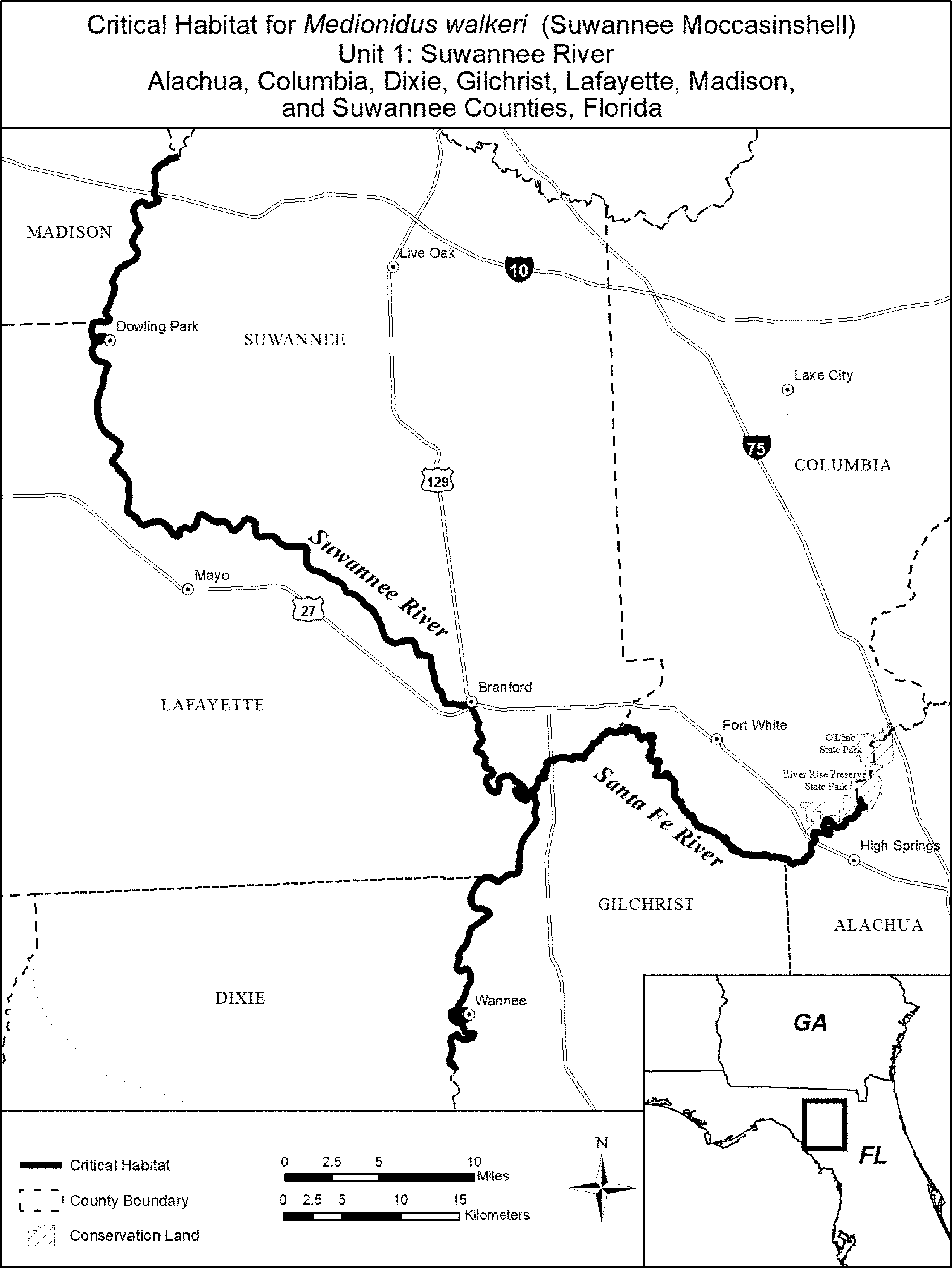
(7) Unit 2: Upper Santa Fe River in Alachua, Bradford, Columbia, and Union, Counties, Florida.
(i) The Upper Santa Fe River Unit consists of approximately 43 km (27 mi) of the Santa Fe River and New River in Alachua, Bradford, Columbia, and Union Counties, Florida. The unit includes the Santa Fe River from the river's sink in Alachua County, upstream 36.5 km (23 mi) to the confluence of Rocky Creek in Bradford and Alachua Counties; and the New River from its confluence with the Santa Fe River, upstream 6.5 km (4 mi) to the confluence of Five Mile Creek in Union and Bradford Counties.
(ii) Map of Unit 2, Upper Santa Fe River, follows:
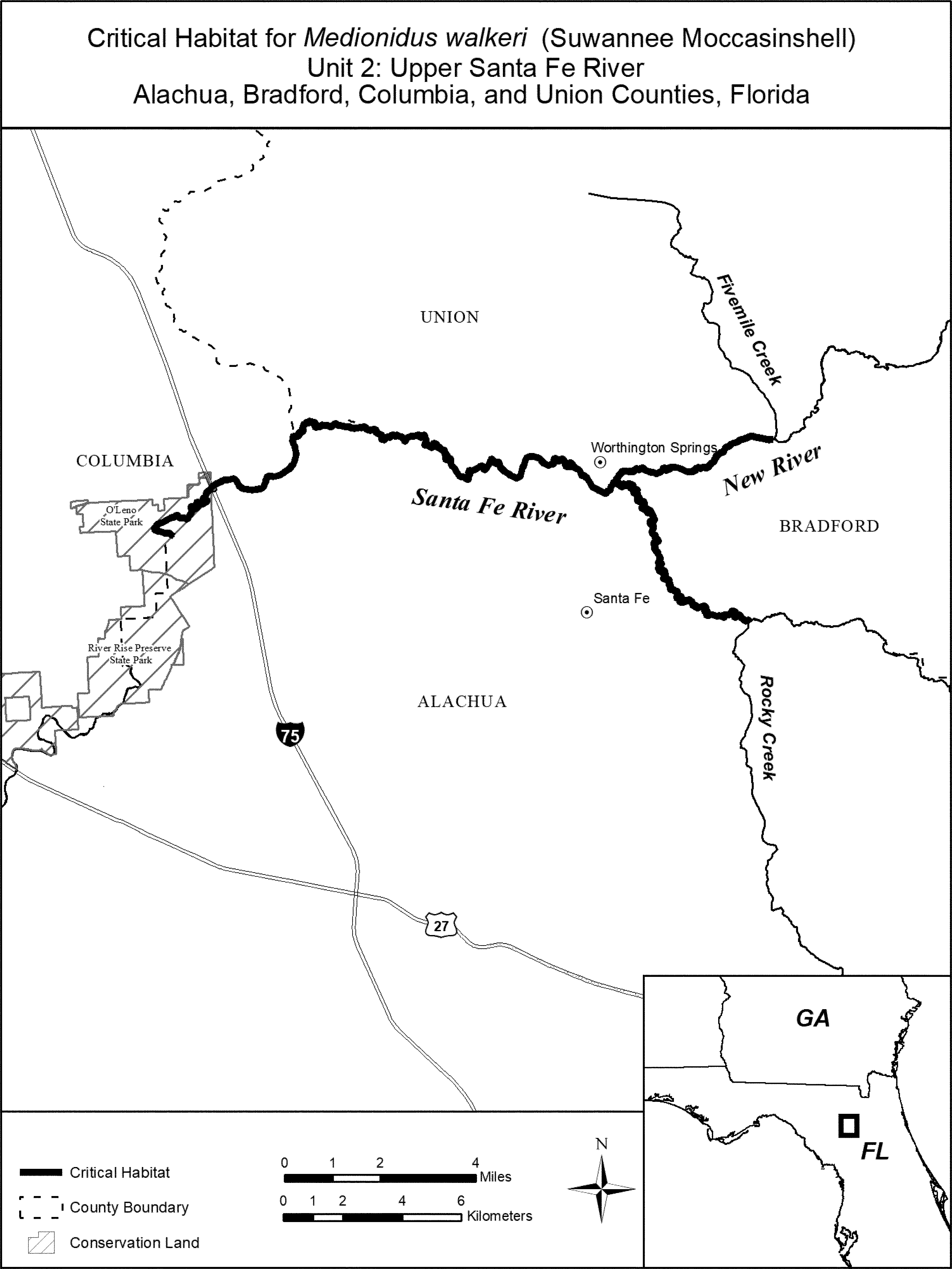
(8) Unit 3: Withlacoochee River in Hamilton and Madison Counties, Florida; Brooks and Lowndes Counties, Georgia.
(i) The Withlacoochee River Unit consists of approximately 75.5 km (47 mi) of the Withlacoochee River in Hamilton and Madison Counties, Florida, and Brooks and Lowndes Counties, Georgia. The unit includes the Withlacoochee River from its confluence with the Suwannee River in Madison and Hamilton Counties, FL, upstream 75.5 km (47 mi) to the confluence of Okapilco Creek in Brooks and Lowndes Counties, GA.
(ii) Map of Unit 3, Withlacoochee River, follows:

Slabside Pearlymussel (Pleuronaia dolabelloides)
(1) Critical habitat units are depicted on the maps below for Colbert, Jackson, Limestone, Madison, and Marshall Counties, Alabama; Tishomingo County, Mississippi; Bedford, Bledsoe, Claiborne, Cocke, Franklin, Giles, Greene, Hamblen, Hancock, Hickman, Humphreys, Lincoln, Marion, Marshall, Maury, Moore, Perry, Polk, and Sequatchie Counties, Tennessee; and Bland, Lee, Russell, Scott, Smyth, Tazewell, Washington, and Wythe Counties, Virginia.
(2) Within these areas, the primary constituent elements of the physical or biological features essential to the conservation of slabside pearlymussel consist of five components:
(i) Riffle habitats within large, geomorphically stable stream channels (channels that maintain lateral dimensions, longitudinal profiles, and sinuosity patterns over time without an aggrading or degrading bed elevation).
(ii) Stable substrates of sand, gravel, and cobble with low to moderate amounts of fine sediment and containing flow refugia with low shear stress.
(iii) A natural hydrologic flow regime (magnitude, frequency, duration, and seasonality of discharge over time) necessary to maintain benthic habitats where the species is found, and connectivity of rivers with the floodplain, allowing the exchange of nutrients and sediment for habitat maintenance, food availability for all life stages, and spawning habitat for native fishes.
(iv) Water quality with low levels of pollutants and including a natural temperature regime, pH (between 6.0 to 8.5), oxygen content (not less than 5.0 milligrams/liter), hardness, and turbidity necessary for normal behavior, growth, and viability of all life stages.
(v) The presence of abundant fish hosts, which may include the popeye shiner, rosyface shiner, saffron shiner, silver shiner, telescope shiner, Tennessee shiner, whitetail shiner, white shiner, and eastern blacknose dace, necessary for recruitment of the slabside pearlymussel.
(3) Critical habitat does not include manmade structures (such as buildings, aqueducts, dams, roads, and other paved areas) and the land on which they are located existing within the legal boundaries on October 28, 2013.
(4) Critical habitat map units. Data layers defining map units were created with USGS National Hydrography Dataset (NHD+) GIS data. The 1:100,000 river reach (route) files were used to calculate river kilometers and miles. ESRIs ArcGIS 10.0 software was used to determine longitude and latitude coordinates using decimal degrees. The projection used in mapping all units was USA Contiguous Albers Equal Area Conic USGS version, NAD 83, meters. The following data sources were referenced to identify features (like roads and streams) used to delineate the upstream and downstream extents of critical habitat units: NHD+ flowline and waterbody data, 2011 Navteq roads data, USA Topo ESRI online basemap service, DeLorme Atlas and Gazetteers, and USGS 7.5 minute topographic maps. The maps in this entry, as modified by any accompanying regulatory text, establish the boundaries of the critical habitat designation. The coordinates or plot points or both on which each map is based are available to the public at the field office Internet site (http://www.fws.gov/cookeville), at http://www.regulations.gov at Docket No. FWS-R4-ES-2013-0026, and at the Service's Tennessee Fish and Wildlife Office. You may obtain field office location information by contacting one of the Service regional offices, the addresses of which are listed at 50 CFR 2.2.
(5) An overview of critical habitat locations for the slabside pearlymussel in Mississippi, Alabama, Tennessee, and Virginia follows:

(6) Unit SP1: North Fork Holston River, Smyth and Bland Counties, Virginia.
(i) The unit includes approximately 67 river kilometers (rkm) (42 river miles (rmi)) of the North Fork Holston River from its confluence with Beaver Creek (−81.70277, 36.90825), upstream of Saltville, in Smyth County, VA, upstream to Ceres (−81.33775, 37.01035), Bland County, VA.
(ii) Map of Unit SP1 follows:

(7) Unit SP2: Middle Fork Holston River, Washington, Smyth, and Wythe Counties, Virginia.
(i) The unit includes approximately 89 rkm (55 rmi) of the Middle Fork Holston River from its inundation at South Holston Lake (−81.90427, 36.66338) in Washington County, VA, upstream to its headwaters (−81.31345, 36.88666) in Wythe County, VA.
(ii) Map of Unit SP2 follows:

(8) Unit SP3: Big Moccasin Creek, Scott and Russell Counties, Virginia.
(i) The unit includes approximately 33 rkm (21 rmi) of Big Moccasin Creek from the Highway 71 Bridge crossing (−82.48361, 36.69109) in Scott County, VA, upstream to the Route 612 Bridge crossing (−82.32348, 36.73740) near Collinwood in Russell County, VA.
(ii) Map of Unit SP3 follows:

(9) Unit SP4: Clinch River, Hancock County, Tennessee, and Scott, Russell, and Tazewell Counties, Virginia.
(i) The unit includes approximately 263 rkm (163 rmi) of the Clinch River from rkm 255 (rmi 159) immediately below Grissom Island (−83.40106, 36.43081) in Hancock County, TN, upstream to its confluence with Indian Creek near Cedar Bluff (−81.74999, 37.07995), Tazewell County, VA.
(ii) Map of Unit SP4 follows:

(10) Unit SP5: Powell River, Claiborne and Hancock Counties, Tennessee, and Lee County, Virginia.
(i) The unit includes approximately 153 rkm (95 rmi) of the Powell River from the U.S. 25E Bridge (−83.63102, 36.54143) in Claiborne County, TN, upstream to rkm 256 (rmi 159) (−82.98111, 36.75730, upstream of Rock Island in the vicinity of Pughs) in Lee County, VA.
(ii) Map of Unit SP5 follows:

(11) Unit SP6: Nolichucky River, Cocke, Hamblen, and Greene Counties, Tennessee.
(i) The unit includes approximately 52 rkm (32 rmi) of the Nolichucky River from rkm 14 (rmi 9), approximately 0.6 rkm (0.4 rmi) upstream of Enka Dam (−83.19630, 36.12970), where it divides Hamblen and Cocke Counties, TN, upstream to its confluence with Pigeon Creek, just upstream of the Highway 321 Bridge crossing (−82.92926, 36.07545), in Greene County, TN.
(ii) Map of Unit SP6 follows:

(12) Unit SP7: Hiwassee River, Polk County, Tennessee.
(i) The unit includes approximately 24 rkm (15 rmi) of the Hiwassee River from the Highway 315 Bridge crossing (−84.50234, 35.18875) upstream to the Highway 68 Bridge crossing (−84.31728, 35.16811) in Polk County, TN.
(ii) Map of Unit SP7 follows:

(13) Unit SP8: Sequatchie River, Marion, Sequatchie, and Bledsoe Counties, Tennessee.
(i) The unit includes approximately 151 rkm (94 rmi) of the Sequatchie River from the Highway 41, 64, 72, 2 Bridge crossing (−85.60583, 35.06576) in Marion County, TN, upstream to the Ninemile Cross Road Bridge crossing (−85.08304, 35.69162) in Bledsoe County, TN.
(ii) Map of Unit SP8 follows:

(14) Unit SP9: Paint Rock River, Madison, Marshall, and Jackson Counties, Alabama.
(i) The unit includes approximately 86 rkm (53 rmi) of the Paint Rock River from the Highway 431 Bridge crossing (−86.39109, 34.49926) along the Madison and Marshall County line, AL, upstream to the confluence of Estill Fork and Hurricane Creek in Jackson County, AL (−86.17048, 34.89813). The unit includes approximately 11 rkm (7 rmi) of Larkin Fork from its confluence with the Paint Rock River (−86.20833, 34.86218) upstream to its confluence with Bear Creek (−86.22512, 34.94205) in Jackson County, AL; approximately 13 rkm (8 rmi) of Estill Fork from its confluence with the Paint Rock River (−86.17048, 34.89813) upstream to its confluence with Bull Run (−86.15283, 34.99118) in Jackson County, AL; and approximately 16 rkm (10 rmi) of Hurricane Creek from its confluence with the Paint Rock River (−86.17048, 34.89813) upstream to its confluence with Turkey Creek (−86.09441, 34.98370) in Jackson County, AL.
(ii) Map of Unit SP9 follows:

(15) Unit SP10: Elk River, Limestone County, Alabama, and Giles, Lincoln, Franklin, and Moore Counties, Tennessee.
(i) The unit includes approximately 164 rkm (102 rmi) of the Elk River from its inundation at Wheeler Lake (−87.06503, 34.89788) in Limestone County, AL, upstream to its confluence with Farris Creek (−86.31996, 35.16288) at the dividing line between Franklin and Moore Counties, TN.
(ii) Map of Unit SP10 follows:

(16) Unit SP11: Bear Creek, Colbert County, Alabama, and Tishomingo County, Mississippi.
(i) The unit includes approximately 42 rkm (26 rmi) of Bear Creek from its inundation at Pickwick Lake at rkm 37 (rmi 23) (−88.08373, 34.68909) in Colbert County, AL, upstream through Tishomingo County, MS, and ending at the Mississippi-Alabama State line (−88.15388, 34. 49139).
(ii) Map of Unit SP11 follows:

(17) Unit SP12: Duck River, Humphreys, Perry, Hickman, Maury, Marshall, and Bedford Counties, Tennessee.
(i) The unit includes approximately 348 rkm (216 rmi) of the Duck River from its inundation at Kentucky Lake (−87.88011, 36.00244) in Humphreys County, TN, upstream to its confluence with Flat Creek (−86.48778, 35.47209) near Shelbyville in Bedford County, TN.
(ii) Map of Unit SP12 follows:

(18) Unit SP13: Buffalo River, Humphreys and Perry Counties, Tennessee.
(i) The unit includes 50 rkm (31 rmi) of the Buffalo River from its confluence with the Duck River (−87.84261, 35.99477) in Humphreys County, TN, upstream to its confluence with Cane Creek (−87.78718, 35.72298) in Perry County, TN.
(ii) Map of Unit SP13 follows:

Neosho Mucket (Lampsilis rafinesqueana)
(1) Critical habitat units are depicted for the Neosho mucket on the maps below in the following Counties:
(i) Benton and Washington Counties, Arkansas;
(ii) Allen, Cherokee, Coffey, Elk, Greenwood, Labette, Montgomery, Neosho, Wilson, and Woodson Counties, Kansas;
(iii) Jasper, Lawrence, McDonald, and Newton Counties, Missouri; and
(iv) Adair, Cherokee, and Delaware Counties, Oklahoma.
(2) Within these areas, the primary constituent elements of the physical or biological features essential to the conservation of the Neosho mucket consist of five components:
(i) Geomorphically stable river channels and banks (channels that maintain lateral dimensions, longitudinal profiles, and sinuosity patterns over time without an aggrading or degrading bed elevation) with habitats that support a diversity of freshwater mussel and native fish (such as stable riffles, sometimes with runs, and mid-channel island habitats that provide flow refuges consisting of gravel and sand substrates with low to moderate amounts of fine sediment and attached filamentous algae).
(ii) A hydrologic flow regime (the severity, frequency, duration, and seasonality of discharge over time) necessary to maintain benthic habitats where the species are found and to maintain connectivity of rivers with the floodplain, allowing the exchange of nutrients and sediment for maintenance of the mussel's and fish host's habitat, food availability, spawning habitat for native fishes, and the ability for newly transformed juveniles to settle and become established in their habitats.
(iii) Water and sediment quality (including, but not limited to, conductivity, hardness, turbidity, temperature, pH, ammonia, heavy metals, and chemical constituents) necessary to sustain natural physiological processes for normal behavior, growth, and viability of all life stages.
(iv) The occurrence of natural fish assemblages, reflected by fish species richness, relative abundance, and community composition, for each inhabited river or creek that will serve as an indication of appropriate presence and abundance of fish hosts necessary for recruitment of the Neosho mucket. Suitable fish hosts for Neosho mucket glochidia include smallmouth bass (Micropterus dolomieu), largemouth bass (Micropterus salmoides), and spotted bass (Micropterus punctulatus).
(v) Competitive or predaceous invasive (nonnative) species in quantities low enough to have minimal effect on survival of freshwater mussels.
(3) Critical habitat does not include manmade structures (such as dams, piers and docks, bridges, or other similar structures) within the legal boundaries on June 1, 2015.
(4) Critical habitat map units. Data layers defining map units were developed using ESRI ArcGIS mapping software along with various spatial data layers. Critical habitat unit upstream and downstream limits were delineated at the nearest road crossing or stream confluence of each occupied reach. Data layers defining map units were created with U.S. Geological Survey National Hydrography Dataset (NHD) Medium Flowline data. ArcGIS was also used to calculate river kilometers (rkm) and river miles (rmi) from the NHD dataset, and it was used to determine longitude and latitude coordinates in decimal degrees. The projection used in mapping and calculating distances and locations within the units was North American Albers Equal Area Conic, NAD 83. The maps in this entry, as modified by any accompanying regulatory text, establish the boundaries of the critical habitat designation. The coordinates, plot points, or both on which each map is based are available to the public at the Service's Internet site (http://www.fws.gov/arkansas-es/te_listing.html), the Federal eRulemaking Portal (http://www.regulations.gov at Docket No. FWS-R4-ES-2013-0007), and at the field office responsible for this designation. You may obtain field office location information by contacting one of the Service regional offices, the addresses of which are listed at 50 CFR 2.2.
(5) Note: Index map of all critical habitat units for the Neosho mucket follows:

(6) Unit NM1: Illinois River - Benton and Washington Counties, Arkansas; and Adair, Cherokee, and Delaware Counties, Oklahoma.
(i) General Description: Unit NM1 includes 146.1 rkm (90.8 rmi) of the Illinois River from the Muddy Fork Illinois River confluence south of Savoy, Washington County, Arkansas, downstream to the Baron Creek confluence southeast of Tahlequah, Cherokee County, Oklahoma.
(ii) Map of Unit NM1 follows:

(7) Unit NM2: Elk River - McDonald County, Missouri; and Delaware County, Oklahoma.
(i) General Description: Unit NM2 includes 20.3 rkm (12.6 rmi) of the Elk River from Missouri Highway 59 at Noel, McDonald County, Missouri, to the confluence of Buffalo Creek immediately downstream of the Oklahoma and Missouri State line, Delaware County, Oklahoma.
(ii) Map of Unit NM2 follows:

(8) Unit NM3: Shoal Creek - Cherokee County, Kansas; and Newton County, Missouri.
(i) General Description: Unit NM3 includes 75.8 rkm (47.1 rmi) of Shoal Creek from Missouri Highway W near Ritchey, Newton County, Missouri, to Empire Lake where inundation begins in Cherokee County, Kansas.
(ii) Map of Unit NM3 follows:

(9) Unit NM4: Spring River - Jasper and Lawrence Counties, Missouri; and Cherokee County, Kansas.
(i) General Description: Unit NM4 includes 102.3 rkm (63.6 rmi) of the Spring River from Missouri Highway 97 north of Stotts City, Lawrence County, Missouri, downstream to the confluence of Turkey Creek north of Empire, Cherokee County, Kansas.
(ii) Map of Unit NM4 follows:

(10) Unit NM5: North Fork Spring River - Jasper County, Missouri.
(i) General Description: Unit NM5 includes 16.4 rkm (10.2 rmi) of the North Fork Spring River from the confluence of Buck Branch southwest of Jasper, Missouri, downstream to its confluence with the Spring River near Purcell, Jasper County, Missouri.
(ii) Map of Unit NM5 follows:

(11) Unit NM6: Fall River - Elk, Greenwood, and Wilson Counties, Kansas; Verdigris River - Montgomery and Wilson Counties, Kansas.
(i) General Description: Unit NM6 includes a total of 171.1 rkm (106.3 rmi) including 90.4 rkm (56.2 rmi) of the Fall River from Fall River Lake dam northwest of Fall River, Greenwood County, Kansas, downstream to its confluence with the Verdigris River near Neodesha, Wilson County, Kansas. Unit NM6 also includes 80.6 rkm (50.1 rmi) of the Verdigris River from Kansas Highway 39 near Benedict, Wilson County, Kansas, downstream to the Elk River confluence near Independence, Montgomery County, Kansas.
(ii) Map of Unit NM6 follows:

(12) Unit NM7: Neosho River - Allen, Cherokee, Coffey, Labette, Neosho, and Woodson Counties, Kansas.
(i) General Description: Unit NM7 includes 244.5 rkm (151.9 rmi) of the Neosho River from Kansas Highway 58 west of LeRoy, Coffey County, Kansas, downstream to the Kansas and Oklahoma State line, Cherokee County, Kansas.
(ii) Map of Unit NM7 follows:

Rabbitsfoot (Quadrula cylindrica cylindrica)
(1) Critical habitat units are depicted for rabbitsfoot on the maps below in the following Counties:
(i) Colbert, Jackson, Madison, and Marshall Counties, Alabama;
(ii) Arkansas, Ashley, Bradley, Clark, Cleburne, Cleveland, Drew, Hot Spring, Independence, Izard, Jackson, Lawrence, Little River, Marion, Monroe, Newton, Ouachita, Randolph, Searcy, Sevier, Sharp, Van Buren, White, and Woodruff Counties, Arkansas;
(iii) Massac, Pulaski, and Vermilion Counties, Illinois;
(iv) Carroll, Pulaski, Tippecanoe, and White Counties, Indiana;
(v) Allen and Cherokee Counties, Kansas;
(vi) Ballard, Edmonson, Green, Hart, Livingston, Logan, Marshall, McCracken, and Taylor Counties, Kentucky;
(vii) Hinds, Sunflower, Tishomingo, and Warren Counties, Mississippi;
(viii) Jasper, Madison, and Wayne Counties, Missouri;
(ix) Coshocton, Madison, Union, and Williams Counties, Ohio;
(x) McCurtain and Rogers Counties, Oklahoma;
(xi) Crawford, Erie, Mercer, and Venango Counties, Pennsylvania; and
(xii) Hardin, Hickman, Humphreys, Marshall, Maury, Montgomery, Perry, and Robertson Counties, Tennessee.
(2) Within these areas, the primary constituent elements of the physical or biological features essential to the conservation of the rabbitsfoot consist of five components:
(i) Geomorphically stable river channels and banks (channels that maintain lateral dimensions, longitudinal profiles, and sinuosity patterns over time without an aggrading or degrading bed elevation) with habitats that support a diversity of freshwater mussel and native fish (such as stable riffles, sometimes with runs, and mid-channel island habitats that provide flow refuges consisting of gravel and sand substrates with low to moderate amounts of fine sediment and attached filamentous algae).
(ii) A hydrologic flow regime (the severity, frequency, duration, and seasonality of discharge over time) necessary to maintain benthic habitats where the species are found and to maintain connectivity of rivers with the floodplain, allowing the exchange of nutrients and sediment for maintenance of the mussel's and fish host's habitat, food availability, spawning habitat for native fishes, and the ability for newly transformed juveniles to settle and become established in their habitats.
(iii) Water and sediment quality (including, but not limited to, conductivity, hardness, turbidity, temperature, pH, ammonia, heavy metals, and chemical constituents) necessary to sustain natural physiological processes for normal behavior, growth, and viability of all life stages.
(iv) The occurrence of natural fish assemblages, reflected by fish species richness, relative abundance, and community composition, for each inhabited river or creek that will serve as an indication of appropriate presence and abundance of fish hosts necessary for recruitment of the rabbitsfoot. Suitable fish hosts for rabbitsfoot may include, but are not limited to, blacktail shiner (Cyprinella venusta) from the Black and Little River and cardinal shiner (Luxilus cardinalis), red shiner (C. lutrensis), spotfin shiner (C. spiloptera), bluntface shiner (C. camura), rainbow darter (Etheostoma caeruleum), rosyface shiner (Notropis rubellus), striped shiner (L. chrysocephalus), and emerald shiner (N. atherinoides).
(v) Competitive or predaceous invasive (nonnative) species in quantities low enough to have minimal effect on survival of freshwater mussels.
(3) Critical habitat does not include manmade structures (such as dams, piers and docks, bridges, or other similar structures) within the legal boundaries on June 1, 2015.
(4) Critical habitat map units. Data layers defining map units were developed using ESRI ArcGIS mapping software along with various spatial data layers. Critical habitat unit upstream and downstream limits were delineated at the nearest road crossing or stream confluence of each occupied reach. Data layers defining map units were created with U.S. Geological Survey National Hydrography Dataset (NHD) Medium Flowline data. ArcGIS was also used to calculate river kilometers (rkm) and river miles (rmi) from the NHD dataset, and it was used to determine longitude and latitude coordinates in decimal degrees. The projection used in mapping and calculating distances and locations within the units was North American Albers Equal Area Conic, NAD 83. The maps in this entry, as modified by any accompanying regulatory text, establish the boundaries of the critical habitat designation. The coordinates, plot points, or both on which each map is based are available to the public at the Service's Internet site (http://www.fws.gov/arkansas-es/te_listing.html), the Federal eRulemaking Portal (http://www.regulations.gov at Docket No. FWS-R4-ES-2013-0007), and at the field office responsible for this designation. You may obtain field office location information by contacting one of the Service regional offices, the addresses of which are listed at 50 CFR 2.2.
(5) Note: Index map of all critical habitat units for the rabbitsfoot follows:

(6) Unit RF1: Spring River - Jasper County, Missouri; and Cherokee County, Kansas.
(i) General Description: Unit RF1 includes 56.5 rkm (35.1 rmi) of the Spring River from Missouri Highway 96 at Carthage, Jasper County, Missouri, downstream to the confluence of Turkey Creek north of Empire, Cherokee County, Kansas.
(ii) Map of Unit RF1 follows:

(7) Unit RF2: Verdigris River - Rogers County, Oklahoma.
(i) General Description: Unit RF2 includes 38.0 rkm (23.6 rmi) of the Verdigris River from Oologah Lake dam north of Claremore, Oklahoma, downstream to Oklahoma Highway 266 northwest of Catoosa, Rogers County, Oklahoma.
(ii) Map of Unit RF2 follows:

(8) Unit RF3: Neosho River - Allen County, Kansas.
(i) General Description: Unit RF3 includes 26.6 rkm (16.5 rmi) of the Neosho River from the Deer Creek confluence northwest of Iola, Kansas, downstream to the confluence of Owl Creek southwest of Humboldt, Allen County, Kansas.
(ii) Map of Unit RF3 follows:

(9) Unit RF4a: Ouachita River - Clark and Hot Spring Counties, Arkansas.
(i) General Description: Unit RF4a includes 22.7 rkm (14.1 rmi) of the Ouachita River from the Tenmile Creek confluence north of Donaldson downstream to the Caddo River confluence near Caddo Valley, Hot Spring and Clark Counties, Arkansas.
(ii) Map of Unit RF4a follows:

(10) Unit RF4b: Ouachita River - Ouachita County, Arkansas.
(i) General Description: Unit RF4b includes 43.0 rkm (26.7 rmi) of the Ouachita River from the Little Missouri River confluence downstream to U.S. Highway 79 at Camden, Ouachita County, Arkansas.
(ii) Map of Unit RF4b follows:

(11) Unit RF5: Saline River - Ashley, Bradley, Cleveland, and Drew Counties, Arkansas.
(i) General Description: Unit RF5 includes 119.4 rkm (74.2 rmi) of the Saline River from the Frazier Creek confluence near Mount Elba, Cleveland County, Arkansas, to the Mill Creek confluence near Stillions, Ashley and Bradley Counties, Arkansas.
(ii) Map of Unit RF5 follows:

(12) Unit RF6: Little River - McCurtain County, Oklahoma; and Little River and Sevier Counties, Arkansas.
(i) General Description: Unit RF6 includes 139.7 rkm (86.8 rmi) of the Little River from the Glover River confluence northwest of Idabel, McCurtain County, Oklahoma, downstream to U.S. Highway 71 north of Wilton, Little River and Sevier Counties, Arkansas.
(ii) Map of Unit RF6 follows:

(13) Unit RF7: Middle Fork Little Red River - Cleburne and Van Buren Counties, Arkansas.
(i) General Description: Unit RF7 includes 24.8 rkm (15.4 rmi) of the Middle Fork Little Red River from the confluence of Little Tick Creek north of Shirley, Arkansas, downstream to Greers Ferry Reservoir (where inundation begins), Van Buren County, Arkansas.
(ii) Map of Unit RF7 follows:

(14) Unit RF8a: White River - Independence, Jackson, White, and Woodruff Counties, Arkansas.
(i) General Description: Unit RF8a includes 188.3 rkm (117.0 rmi) of the White River from the Batesville Dam at Batesville, Independence County, Arkansas, downstream to the Little Red River confluence north of Georgetown, White, and Woodruff Counties, Arkansas.
(ii) Map of Unit RF8a follows:

(15) Unit RF8b: White River - Arkansas and Monroe Counties, Arkansas.
(i) General Description: Unit RF8b includes 68.9 rkm (42.8 rmi) of the White River from U.S. Highway 79 at Clarendon, Monroe County, Arkansas, downstream to Arkansas Highway 1 near St. Charles, Arkansas County, Arkansas.
(ii) Map of Unit RF8b follows:

(16) Unit RF9: Black River - Lawrence and Randolph Counties, Arkansas.
(i) General Description: Unit RF9 includes 51.2 rkm (31.8 rmi) of the Black River from U.S. Highway 67 at Pocahontas, Randolph County, Arkansas, downstream to the Flat Creek confluence southeast of Powhatan, Lawrence County, Arkansas.
(ii) Map of Unit RF9 follows:

(17) Unit RF10: Spring River - Lawrence, Randolph, and Sharp Counties, Arkansas.
(i) General Description: Unit RF10 includes 51.5 rkm (32.0 rmi) of the Spring River from the Ott Creek confluence southwest of Hardy in Sharp County, Arkansas, downstream to its confluence with the Black River east of Black Rock, Lawrence and Randolph Counties, Arkansas.
(ii) Map of Unit RF10 follows:

(18) Unit RF11: Strawberry River - Independence, Izard, Lawrence, and Sharp Counties, Arkansas.
(i) General Description: Unit RF11 includes 123.8 rkm (76.9 rmi) of the Strawberry River from Arkansas Highway 56 south of Horseshoe Bend, Izard County, Arkansas, downstream to its confluence with the Black River southeast of Strawberry, Lawrence County, Arkansas.
(ii) Map of Unit RF11 follows:

(19) Unit RF12: Buffalo River - Marion, Newton, and Searcy Counties, Arkansas.
(i) General Description: Unit RF12 includes 113.6 rkm (70.6 rmi) of the Buffalo River from the Cove Creek confluence southeast of Erbie, Newton County, Arkansas, downstream to U.S. Highway 65 west of Gilbert, Searcy County, Arkansas, and Arkansas Highway 14 southeast of Mull, Arkansas, downstream to the Leatherwood Creek confluence in the Lower Buffalo Wilderness Area, Arkansas.
(ii) Map of Unit RF12 follows:

(20) Unit RF13: St. Francis River - Madison and Wayne Counties, Missouri.
(i) General Description: Unit RF13 includes 64.3 rkm (40.0 rmi) of the St. Francis River from the Twelvemile Creek confluence west of Saco, Madison County, Missouri, downstream to Lake Wappepello (where inundation begins), Wayne County, Missouri.
(ii) Map of Unit RF13 follows:

(21) Unit RF14: Big Sunflower River - Sunflower County, Mississippi.
(i) General Description: Unit RF14 includes 51.5 rkm (32.0 rmi) of the Big Sunflower River from Mississippi Highway 442 west of Doddsville, Mississippi, downstream to the Quiver River confluence east of Indianola, Sunflower County, Mississippi.
(ii) Map of Unit RF14 follows:

(22) Unit RF15: Bear Creek - Tishomingo County, Mississippi; and Colbert County, Alabama.
(i) General Description: Unit RF15 includes 49.7 rkm (30.9 rmi) of Bear Creek from the Alabama and Mississippi State line east of Golden, Tishomingo County, Mississippi, downstream to Alabama County Road 4 southwest of Sutton Hill, Colbert County, Alabama (just upstream of Pickwick Lake).
(ii) Map of Unit RF15 follows:

(23) Unit RF16: Big Black River - Hinds and Warren Counties, Mississippi.
(i) General Description: Unit RF16 includes 43.3 rkm (26.9 rmi) of the Big Black River from Porter Creek confluence west of Lynchburg, Hinds County, Mississippi, downstream to Mississippi Highway 27 west of Newman, Warren County, Mississippi.
(ii) Map of Unit RF16 follows:

(24) Unit RF17: Paint Rock River - Jackson, Madison, and Marshall Counties, Alabama.
(i) General Description: Unit RF17 includes 81.0 rkm (50.3 rmi) of the Paint Rock River from the convergence of Estill Fork and Hurricane Creek north of Skyline, Jackson County, Alabama, downstream to U.S. Highway 431 south of New Hope, Madison and Marshall Counties, Alabama.
(ii) Map of Unit RF17 follows:

(25) Unit RF18: Duck River - Hickman, Humphreys, Marshall, Maury, and Perry Counties, Tennessee.
(i) General Description: Unit RF18 includes 235.3 rkm (146.2 rmi) of the Duck River from Lillard Mill (rkm 288.1; rmi 179) west of Tennessee Highway 272, Marshall County, Tennessee, downstream to Interstate 40 near Bucksnort, Hickman County, Tennessee.
(ii) Map of Unit RF18 follows:

(26) Unit RF19a: Tennessee River - Hardin County, Tennessee.
(i) General Description: Unit RF19a includes 26.7 rkm (16.6 rmi) of the Tennessee River from Pickwick Lake Dam downstream to U.S. Highway 64 near Adamsville, Hardin County, Tennessee.
(ii) Map of Unit RF19a follows:

(27) Unit RF19b: Tennessee River - Livingston, Marshall, and McCracken Counties, Kentucky.
(i) General Description: Unit RF19b includes 35.6 rkm (22.1 rmi) of the Tennessee River from Kentucky Lake Dam, downstream to its confluence with the Ohio River, McCracken and Livingston Counties, Kentucky.
(ii) Map of Unit RF19b follows:

(28) Unit RF20: Ohio River - Ballard, and McCracken Counties, Kentucky; Massac and Pulaski Counties, Illinois.
(i) General Description: Unit RF20 includes 45.9 rkm (28.5 rmi) of the Ohio River from the Tennessee River confluence at the downstream extent of Owens Island downstream to Lock and Dam 53 near Olmstead, Illinois.
(ii) Map of Unit RF20 follows:

(29) Unit RF21: Green River - Edmonson, Green, Hart, and Taylor Counties, Kentucky.
(i) General Description: Unit RF21 includes 175.6 rkm (109.1 rmi) of the Green River from Green River Lake Dam south of Campbellsville, Taylor County, Kentucky, downstream to Mammoth Cave National Park North Entrance Road in Mammoth Cave National Park, Kentucky.
(ii) Map of Unit RF21 follows:

(30) Unit RF22: French Creek - Crawford, Erie, Mercer, and Venango Counties, Pennsylvania.
(i) General Description: Unit RF22 includes 120.4 rkm (74.8 rmi) of French Creek from Union City Reservoir Dam northeast of Union City, Erie County, Pennsylvania, downstream to its confluence with the Allegheny River near Franklin, Venango County, Pennsylvania.
(ii) Map of Unit RF22 follows:

(31) Unit RF23: Allegheny River - Venango County, Pennsylvania.
(i) General Description: Unit RF23 includes 57.3 rkm (35.6 rmi) of the Allegheny River from the French Creek confluence near Franklin, Venango County, Pennsylvania, downstream to Interstate 80 near Emlenton, Venango County, Pennsylvania.
(ii) Map of Unit RF23 follows:

(32) Unit RF24: Muddy Creek - Crawford County, Pennsylvania.
(i) General Description: Unit RF24 includes 20.1 rkm (12.5 rmi) of Muddy Creek from Pennsylvania Highway 77 near Little Cooley, Crawford County, Pennsylvania, downstream to its confluence with French Creek east of Cambridge Springs, Crawford County, Pennsylvania.
(ii) Map of Unit RF24 follows:

(33) Unit RF25: Tippecanoe River - Carroll, Pulaski, Tippecanoe, and White Counties, Indiana.
(i) General Description: Unit RF25 includes 75.6 rkm (47.0 rmi) of the Tippecanoe River from Indiana Highway 14 near Winamac, Pulaski County, Indiana, downstream to its confluence with the Wabash River northeast of Battle Ground, Tippecanoe County, Indiana, excluding Lakes Shafer and Freeman and the stream reach between the two lakes.
(ii) Map of Unit RF25 follows:

(34) Unit RF26: Walhonding River - Coshocton County, Ohio.
(i) General Description: Unit RF26 includes 17.5 rkm (10.9 rmi) of the Walhonding River from the convergence of the Kokosing and Mohican Rivers downstream to Ohio Highway 60 near Warsaw, Coshocton County, Ohio.
(ii) Map of Unit RF26 follows:

(35) Unit RF27: Little Darby Creek - Madison and Union Counties, Ohio.
(i) General Description: Unit RF27 includes 33.3 rkm (20.7 rmi) of Little Darby Creek from Ohio Highway 161 near Chuckery, Union County, Ohio, downstream to U.S. Highway 40 near West Jefferson, Madison County, Ohio.
(ii) Map of Unit RF27 follows:

(36) Unit RF28: North Fork Vermilion River and Middle Branch North Fork Vermilion River, respectively - Vermilion County, Illinois.
(i) General Description: Unit RF28 includes a total of 28.5 rkm (17.7 rmi). Unit RF28 includes 21.2 rkm (13.2 rmi) of the North Fork Vermilion River from the confluence of Middle Branch North Fork Vermilion River downstream to Illinois Highway 1 and U.S. Highway 136 upstream of Lake Vermilion, Vermilion County, Illinois. Unit RF28 also includes 7.2 rkm (4.5 rmi) of the Middle Branch North Fork Vermilion River from the Jordan Creek confluence northwest of Alvin, Illinois, downstream to its confluence with North Fork Vermilion River west of Alvin, Vermilion County, Illinois.
(ii) Map of Unit RF28 follows:

(37) Unit RF29: Fish Creek - Williams County, Ohio.
(i) General Description: Unit RF29 includes 7.7 rkm (4.8 rmi) of Fish Creek from Indiana and Ohio State line northwest of Edgerton, Ohio, downstream to its confluence with the St. Joseph's River north of Edgerton, Williams County, Ohio.
(ii) Map of Unit RF29 follows:

(38) Unit RF30: Red River - Logan County, Kentucky; and Montgomery and Robertson Counties, Tennessee.
(i) General Description: Unit RF30 includes 50.2 rkm (31.2 rmi) of the Red River from the South Fork Red River confluence west of Adairville, Kentucky, downstream to the Sulphur Fork confluence southwest of Adams, Tennessee.
(ii) Map of Unit RF30 follows:

(39) Unit RF31: Shenango River - Mercer County, Pennsylvania.
(i) General Description: Unit RF31 includes 24.8 rkm (15.4 rmi) of the Shenango River from Porter Road near Greenville, Pennsylvania, downstream to the point of inundation by Shenango River Lake near Big Bend, Mercer County, Pennsylvania.
(ii) Map of Unit RF31 follows:

Yellow Lance (Elliptio lanceolata)
(1) Critical habitat units are depicted for Franklin, Granville, Halifax, Johnston, Nash, Vance, Wake, and Warren Counties, North Carolina; Brunswick, Craig, Culpeper, Dinwiddie, Fauquier, Louisa, Lunenburg, Madison, Nottoway, Orange, and Rappahannock Counties, Virginia; and Howard and Montgomery Counties, Maryland, on the maps in this entry.
(2) Within these areas, the physical or biological features essential to yellow lance conservation consist of the following components:
(i) Suitable substrates and connected instream habitats, characterized by geomorphically stable stream channels and banks (i.e., channels that maintain lateral dimensions, longitudinal profiles, and sinuosity patterns over time without an aggrading or degrading bed elevation) with habitats that support a diversity of freshwater mussel and native fish (such as stable riffle-run-pool habitats that provide flow refuges consisting of silt-free gravel and coarse sand substrates).
(ii) Adequate flows, or a hydrologic flow regime (which includes the severity, frequency, duration, and seasonality of discharge over time), necessary to maintain benthic habitats where the species is found and to maintain connectivity of streams with the floodplain, allowing the exchange of nutrients and sediment for maintenance of the mussel's and fish host's habitat, food availability, spawning habitat for native fishes, and the ability for newly transformed juveniles to settle and become established in their habitats.
(iii) Water and sediment quality (including, but not limited to, conductivity, hardness, turbidity, temperature, pH, ammonia, heavy metals, and chemical constituents) necessary to sustain natural physiological processes for normal behavior, growth, and viability of all life stages.
(iv) The presence and abundance of fish hosts necessary for yellow lance recruitment.
(3) Critical habitat does not include manmade structures (such as buildings, aqueducts, runways, roads, and other paved areas) and the land on which they are located existing within the legal boundaries on May 10, 2021.
(4) Critical habitat map units. Data layers defining map units were created by overlaying Natural Heritage Element Occurrence data and U.S. Geological Survey (USGS) hydrologic data for stream reaches. The hydrologic data used in the critical habitat maps were extracted from the USGS 1:1M scale nationwide hydrologic layer (https://nationalmap.gov/small_scale/mld/1nethyd.html) with a projection of EPSG:4269-NAD83 Geographic. The North Carolina, Virginia, and Maryland Natural Heritage program species presence data were used to select specific stream segments for inclusion in the critical habitat layer. The maps in this entry, as modified by any accompanying regulatory text, establish the boundaries of the critical habitat designation. The coordinates or plot points or both on which each map is based are available to the public at http://www.regulations.gov under Docket No. FWS-R4-ES-2018-0094 and at the Raleigh Ecological Services Field Office. You may obtain field office location information by contacting one of the Service regional offices, the addresses of which are listed at 50 CFR 2.2.
(5) Note: Index map follows:

(6) Unit 1: PR1 - Patuxent River, Montgomery and Howard Counties, Maryland.
(i) This unit consists of approximately 10 river miles (16.1 kilometers (km)) of occupied habitat, including 3 miles (4.8 km) of the Patuxent River and 7 miles (11.3 km) of the Hawlings River. Unit 1 includes stream habitat up to bank full height.
(ii) Map of Unit 1 follows:

(7) Unit 2: RR1 - Rappahannock Subbasin, Rappahannock, Fauquier, and Culpeper Counties, Virginia.
(i) This unit consists of approximately 44 river miles (70.8 km) of occupied habitat in the Rappahannock Subbasin, including 1.7 miles (2.7 km) in Hungry Run, 7.9 miles (12.7 km) in Thumb Run, 5.9 miles (9.5 km) in South Run/Carter Run, 2.7 miles (4.3 km) in Great Run, and 25.8 miles (41.6 km) in Rappahannock River. Unit 2 includes stream habitat up to bank full height.
(ii) Map of Unit 2 follows:

(8) Unit 3: RR2 - Rapidan Subbasin, Madison and Orange Counties, Virginia.
(i) This unit consists of 9 river miles (14.5 km) of occupied habitat in the Rapidan Subbasin, including 1.2 miles (1.9 km) in Marsh Run, 3.1 miles (5.0 km) in Blue Run, and 4.7 miles (7.6 km) in the Rapidan River. Unit 3 includes stream habitat up to bank full height.
(ii) Map of Unit 3 follows:

(9) Unit 4: YR1 - South Anna River, Louisa County, Virginia.
(i) This unit consists of approximately 8 river miles (12.9 km) of occupied habitat in the South Anna River. Unit 4 includes stream habitat up to bank full height.
(ii) Map of Unit 4 follows:

(10) Unit 5: JR1 - Johns Creek, Craig County, Virginia.
(i) This unit consists of approximately 14 river miles (22.5 km) of occupied habitat in the Johns Creek. Unit 5 includes stream habitat up to bank full height.
(ii) Map of Unit 5 follows:

(11) Unit 6: CR1 - Nottoway Subbasin, Nottoway, Lunenburg, Brunswick, and Dinwiddie Counties, Virginia.
(i) This unit consists of approximately 41 river miles (66 km) of occupied habitat in the Nottoway Subbasin, including 1.4 miles (2.3 km) in Crooked Creek, 3.3 miles (5.3 km) in Sturgeon Creek, and 36.3 miles (58.4 km) in the Nottoway River. Unit 6 includes stream habitat up to bank full height.
(ii) Map of Unit 6 follows:

(12) Unit 7: TR1 - Tar River, Granville, Vance, Franklin, and Nash Counties, North Carolina.
(i) This unit consists of approximately 91 river miles (146.5 km) of occupied habitat in the Tar River, including 4.4 miles (7.1 km) in Ruin Creek, 11.9 miles (19.2 km) in Tabbs Creek, 6.8 miles (10.9 km) in Crooked Creek, and 67.9 miles (109.3 km) in the Tar River. Unit 7 includes stream habitat up to bank full height.
(ii) Map of Unit 7 follows:

(13) Unit 8: TR2 - Sandy/Swift Creek, Vance, Warren, Halifax, Franklin, and Nash Counties, North Carolina.
(i) This unit consists of 31 river miles (50 km) of occupied habitat in the Sandy and Swift Creeks. Unit 8 includes stream habitat up to bank full height.
(ii) Map of Unit 8 follows:

(14) Unit 9: TR3 - Fishing Creek Subbasin, Vance, Warren, Halifax, Franklin, and Nash Counties, North Carolina.
(i) This unit consists of approximately 37 river miles (59.5 km) of occupied habitat in the Fishing Creek Subbasin, including 1.6 miles (2.6 km) in Richneck Creek, 8.0 miles (12.9 km) in Shocco Creek, and 27.4 miles (44 km) in Fishing Creek. Unit 9 includes stream habitat up to bank full height.
(ii) Map of Unit 9 follows:

(15) Unit 10: NR1 - Swift Creek, Wake and Johnston Counties, North Carolina.
(i) This unit consists of approximately 24 river miles (38.6 km) of occupied habitat in the Swift Creek. Unit 10 includes stream habitat up to bank full height.
(ii) Map of Unit 10 follows:

(16) Unit 11: NR2 - Little River, Johnston County, North Carolina.
(i) This unit consists of approximately 10 river miles (16.1 km) of occupied habitat in the Little River. Unit 11 includes stream habitat up to bank full height.
(ii) Map of Unit 11 follows:

Tumbling Creek Cavesnail (Antrobia culveri)
(1) The critical habitat unit is depicted for Taney County, Missouri, on the map at paragraph (f)(5)(ii) of this section. The maps provided are for informational purposes only.
(2) Within this area, the primary constituent elements of the physical and biological features essential to the conservation of the Tumbling Creek cavesnail consist of five components:
(i) Geomorphically stable stream bottoms and banks (stable horizontal dimension and vertical profile) in order to:
(A) Maintain bottom features (riffles, runs, and pools) and transition zones between bottom features;
(B) Continue appropriate habitat to maintain essential riffles, runs, and pools; and
(C) Promote connectivity between Tumbling Creek and its tributaries and associated springs to maintain gene flow throughout the population.
(ii) Instream flow regime with an average daily discharge between 0.07 and 150 cubic feet per second (cfs), inclusive of both surface runoff and groundwater sources (springs and seepages).
(iii) Water quality with temperature 55-62 °F (12.78-16.67 °C), dissolved oxygen 4.5 milligrams or greater per liter, and turbidity of an average monthly reading of no more than 200 Nephelometric Turbidity Units (NTU; units used to measure sediment discharge) for a duration not to exceed 4 hours.
(iv) Bottom substrates consisting of fine gravel with coarse gravel or cobble, or bedrock with sand and gravel, with low amounts of fine sand and sediments within the interstitial spaces of the substrates.
(v) Energy input from guano that originates mainly from gray bats (Myotis grisescens) that roost in the cave; guano is essential in the development of biofilm (the organic coating and bacterial layer that covers rocks in the cave stream) that cavesnails use for food.
(3) Critical habitat does not include manmade structures (such as buildings, aqueducts, runways, roads, and other paved areas) and the land on which they are located existing within the legal boundaries on the effective date of this rule.
(4) Critical habitat map unit. Data layers defining the map unit were created using 7.5′ topographic quadrangle maps and ArcGIS (version 9.3.1) mapping software.
(5) Tumbling Creek Cavesnail Critical Habitat Unit.
(i) U.S. Geological Survey 7.5′ Topographic Protem Quad. Land bounded by the following UTM Zone 15N, North American Datum of 1983 (NAD83) coordinates (W, N): from the emergence of Tumbling Creek within Tumbling Creek Cave at Lat. 36°33′37.41″ N, Long. 92°48′27.23″ W to its confluence with Bear Cave Hollow and Owens Spring upstream of Big Creek at at Lat. 36°33′15.2″ N, Long. 92°47′51.74″ W.
(ii) Note: Map of Tumbling Creek Cavesnail Critical Habitat Unit follows:

Rough Hornsnail (Pleurocera foremani)
(1) Critical habitat units are depicted for Elmore and Shelby Counties, Alabama, on the maps below.
(2) The primary constituent elements (PCEs) of critical habitat for the rough hornsnail are the habitat components that provide:
(i) Geomorphically stable stream and river channels and banks (channels that maintain lateral dimensions, longitudinal profiles, and sinuosity patterns over time without an aggrading or degrading bed elevation).
(ii) A hydrologic flow regime (the magnitude, frequency, duration, and seasonality of discharge over time) necessary to maintain benthic habitats where the species is found. Unless other information becomes available, existing conditions at locations where the species occurs will be considered as minimal flow requirements for survival.
(iii) Water quality (including temperature, pH, hardness, turbidity, oxygen content, and chemical constituents) that meets or exceeds the current aquatic life criteria established under the Clean Water Act (33 U.S.C. 1251-1387).
(iv) Sand, gravel, cobble, boulder, bedrock, or mud substrates with low to moderate amounts of fine sediment and attached filamentous algae.
(3) Critical habitat does not include manmade structures existing on the effective date of this rule and not containing one or more of the primary constituent elements, such as buildings, bridges, aqueducts, airports, and roads, and the land on which such structures are located.
(4) Critical habitat unit maps. Maps were developed from USGS 7.5′ quadrangles. Critical habitat unit upstream and downstream limits were then identified by longitude and latitude using decimal degrees and converted to Universal Transverse Mercator (UTM) zone 16, coordinates.
(5) Note: Index map of critical habitat units for the rough hornsnail follows:

(6) Unit 1 for rough hornsnail (RH 1): Lower Coosa River, Elmore County, Alabama.
(i) Unit RH 1 includes the Coosa River channel from Jordan Dam (569930.28E, 3609212.67N), downstream to the confluence of the Tallapoosa River (568995.14E, 3597805.93N), Elmore County, Alabama.
(ii) Map of Unit 1 (RH 1) for rough hornsnail (Coosa River) follows:

(7) Unit 2 for rough hornsnail (RH 2): Yellowleaf Creek, Shelby County, Alabama.
(i) Unit RH 2 includes the channel of Yellowleaf Creek from the confluence of Morgan Creek (550285.41E, 3682865.13N), downstream to 1.6 km (1 mi) below Alabama Highway 25 (552296.38E, 3679287.87N), Shelby County, Alabama.
(ii) Map of Unit 2 (RH 2) for rough hornsnail (Yellowleaf Creek) follows:

Morro Shoulderband Snail (Helminthoglypta walkeriana)
1. Critical habitat units are depicted for San Luis Obispo County, California, on the map below. The map provided is for informational purposes only.

Map Units 1 to 3: All located in San Luis Obispo County, California. Coastline boundaries are based upon the U.S. Geological Survey Morro Bay South 7.5 minute topographic quadrangle. Other boundaries are based upon the Public Land Survey System. Within the historical boundaries of the Canada De Los Osos Y Pecho Y Islay Mexican Land Grant, boundaries are based upon section lines that are extensions to the Public Land Survey System developed by the California Department of Forestry and obtained by us from the State of California's Stephen P. Teale Data Center. Township and Range numbering is derived from the Mount Diablo Base and Meridian.
Map Unit 1: T. 29 S., R. 10 E., all of section 35 above mean sea level (MSL); T. 30 S., R. 10 E. All portions of sections 1, 2, 11, 12, 14, 22, and 27 above MSL, SW 1⁄4NW 1⁄4 section 13 above MSL, W 1⁄2NW 1⁄4 section 24, all of section 23 above MSL except S 1⁄2SE 1⁄4, NW 1⁄4NW 1⁄4 section 26, N 1⁄2N 1⁄2 section 34.
Map Unit 2: T. 30 S., R. 10 E., E 1⁄2NE 1⁄4 section 24; T. 30 S., R, 11 E., E 3⁄4N 1⁄2 section 19.
Map Unit 3: T. 30 S., R. 11 E., All of NE 1⁄4 section 7 above MSL; in section 8, NW 1⁄4NW 1⁄4, S 1⁄2NW 1⁄4, SW 1⁄4, and NW 1⁄4SE 1⁄4.
2. Within these areas, the primary constituent elements include, but are not limited to, those habitat components that are essential for the primary biological needs of foraging, sheltering, reproduction, and dispersal. The primary constituent elements for the Morro shoulderband snail are the following: sand or sandy soils; a slope not greater than 10 percent; and the presence of, or the capacity to develop, coastal dune scrub vegetation.
3. Critical habitat does not include existing developed sites consisting of buildings, roads, aqueducts, railroads, airports, paved areas, and similar features and structures.
Newcomb's Snail (Erinna newcombi)
(1) Critical Habitat Units are depicted for the County of Kauai, Hawaii, on the maps below. The maps provided are for informational purposes only.
(2) Within these areas, the primary constituent elements required by the Newcomb's snail are those habitat components that are essential for the biological needs of foraging, sheltering, reproduction, and dispersal. The primary constituent elements are: cool, clean, moderate-to fast-flowing water in streams, springs, and seeps; their adjacent riparian areas and hydrogeologic features that capture and direct water flow to these spring and stream systems; a perennial flow of water throughout even the most severe drought conditions; and stream channel morphology that provides protection from channel scour by having overhanging waterfalls, protected tributaries, or similar refugia.
(3) Existing human-made features and structures within the boundaries of the mapped units, such as dams, ditches, tunnels, flumes, and other human-made features that do not contain the primary constituent elements, are not included as critical habitat.
(4) Critical Habitat Unit I - Na Pali Coast Streams - (i) Unit I(a): Kalalau Stream (149 ha; 368 ac). The Kalalau Stream Newcomb's snail critical habitat location consists of all flowing surface waters within 63 boundary points with the following coordinates in UTM Zone 4 with the units in meters using North American Datum of 1983 (NAD83): 435010, 2450871; 434991, 2450828; 435008, 2450782; 435112, 2450715; 435107, 2450681; 435044, 2450591; 435058, 2450537; 435120, 2450441; 435078, 2450308; 435048, 2450279; 435017, 2450341; 434968, 2450375; 434678, 2450406; 434682, 2450441; 434678, 2450551; 434618, 2450603; 434578, 2450602; 434518, 2450564; 434418, 2450540; 434444, 2450711; 434428, 2450733; 434388, 2450657; 434338, 2450612; 434278, 2450596; 434228, 2450621; 434188, 2450596; 434166, 2450621; 434159, 2450691; 434148, 2450691; 434058, 2450599; 433995, 2450571; 433968, 2450540; 433878, 2450559; 433825, 2450544; 433767, 2450451; 433738, 2450478; 433700, 2450581; 433670, 2450611; 433670, 2450671; 433633, 2450738; 433715, 2450996; 433732, 2451168; 433740, 2451380; 433642, 2451551; 433633, 2451598; 433688, 2451664; 433842, 2451694; 434206, 2451592; 434680, 2451547; 435053, 2451609; 435129, 2451611; 435147, 2451590; 435114, 2451460; 435048, 2451400; 434973, 2451360; 435041, 2451320; 435043, 2451250; 435134, 2451170; 435126, 2451120; 435089, 2451069; 435075, 2451013; 435018, 2450933; 435010, 2450871;
(ii) Unit I(b): Hanakoa Stream (63 ha; 156 ac). The Hanakoa Stream Newcomb's snail critical habitat location consists of all flowing surface waters within 24 boundary points with the following coordinates in UTM Zone 4 with the units in meters using North American Datum of 1983 (NAD83): 435729, 2453628; 435717, 2453789; 436111, 2454127; 436637, 2454087; 436700, 2454008; 436719, 2453907; 436658, 2453889; 436654, 2453857; 436735, 2453697; 436744, 2453577; 436558, 2453527; 436518, 2453555; 436478, 2453559; 436250, 2453496; 436152, 2453358; 436123, 2453263; 436068, 2453238; 435998, 2453171; 435918, 2453168; 435869, 2453229; 435799, 2453248; 435780, 2453320; 435770, 2453490; 435729, 2453628.
(iii) Unit I(c): Hanakapiai Stream (35 ha; 86 ac). The Hanakapiai Stream Newcomb's snail critical habitat location consists of all flowing surface waters within 25 boundary points with the following coordinates in UTM Zone 4 with the units in meters using North American Datum of 1983 (NAD83): 438438, 2453772; 438785, 2453827; 438899, 2453794; 438961, 2453796; 439113, 2453829; 439216, 2453871; 439257, 2453846; 439234, 2453666; 439263, 2453606; 439310, 2453377; 439299, 2453306; 439258, 2453253; 439158, 2453265; 439098, 2453290; 438949, 2453407; 438769, 2453508; 438692, 2453457; 438674, 2453387; 438618, 2453307; 438591, 2453347; 438578, 2453417; 438525, 2453507; 438443, 2453622; 438429, 2453677; 438438, 2453772.
(iv) Map 1 - Unit I - Na Pali Coast Streams follows:

(5) Critical Habitat Unit II - Central Rivers - (i) Unit II(a): Lumahai River (492 ha; 1,216 ac). The Lumahai River Newcomb's snail critical habitat location consists of all flowing surface waters within 89 boundary points with the following coordinates in UTM Zone 4 with the units in meters using North American Datum of 1983 (NAD83): 447598, 2445954; 447344, 2446136; 447298, 2446352; 447248, 2446290; 447178, 2446384; 447088, 2446327; 446972, 2446364; 446950, 2446572; 446787, 2446678; 446648, 2446627; 446648, 2446739; 446445, 2446836; 446409, 2447000; 446278, 2447034; 446208, 2447169; 446097, 2447178; 446141, 2447349; 446024, 2447449; 446014, 2447649; 445808, 2447618; 445809, 2447680; 445839, 2447840; 445616, 2447859; 445773, 2448009; 445589, 2448069; 445728, 2448189; 445531, 2448299; 445685, 2448359; 445605, 2448469; 445728, 2448478; 445854, 2448578; 445858, 2448680; 445728, 2448778; 445759, 2448939; 445618, 2448896; 445548, 2448954; 445318, 2448932; 445338, 2449080; 445164, 2449034; 445171, 2449211; 444998, 2449168; 444932, 2449348; 445008, 2449493; 445936, 2450417; 446309, 2450498; 446262, 2450317; 446309, 2450238; 446476, 2450245; 446385, 2450007; 446688, 2450060; 446714, 2449913; 446811, 2449890; 446799, 2449758; 446998, 2449747; 447028, 2449643; 447101, 2449690; 447098, 2449525; 447228, 2449509; 447343, 2449387; 447229, 2449247; 447298, 2449117; 447128, 2449116; 446901, 2448918; 447174, 2448778; 447144, 2448668; 447066, 2448628; 447190, 2448478; 446898, 2448400; 446778, 2448451; 446649, 2448198; 446831, 2448108; 446782, 2447899; 447064, 2447862; 446986, 2447707; 447038, 2447583; 447225, 2447529; 447162, 2447395; 446973, 2447289; 447008, 2446969; 447288, 2446719; 447234, 2446659; 447268, 2446571; 447448, 2446499; 447548, 2446559; 447484, 2446393; 447518, 2446304; 447739, 2446259; 447507, 2446131; 447598, 2445954;
(ii) Unit II(b): Hanalei River (876 ha; 2,165 ac). The Hanalei River Newcomb's snail critical habitat location consists of all flowing surface waters within 91 boundary points with the following coordinates in UTM Zone 4 with the units in meters using North American Datum of 1983 (NAD83): 450038, 2447210; 451786, 2447529; 453099, 2446469; 453648, 2446167; 453691, 2445925; 453614, 2445904; 453508, 2446074; 453044, 2445908; 452961, 2445785; 452974, 2445578; 453125, 2445605; 453267, 2445468; 453258, 2445377; 453550, 2445238; 453508, 2445111; 453318, 2445096; 453238, 2444991; 453098, 2445064; 453010, 2444769; 452768, 2444606; 452680, 2444349; 452760, 2444169; 452581, 2444039; 452723, 2443844; 452429, 2443810; 452486, 2443680; 452419, 2443309; 452280, 2443240; 452198, 2443073; 452088, 2443185; 451948, 2442960; 451678, 2442885; 451549, 2442979; 451471, 2442787; 450955, 2442448; 451082, 2442651; 450916, 2442988; 450337, 2443081; 450718, 2443188; 450968, 2443197; 451068, 2443077; 451255, 2443133; 451414, 2443330; 451612, 2443370; 451552, 2443666; 451549, 2444330; 451107, 2443911; 450988, 2444210; 450894, 2443874; 450638, 2443920; 450431, 2443773; 450492, 2444026; 450614, 2444100; 450468, 2444134; 450592, 2444250; 450389, 2444360; 450621, 2444363; 450698, 2444275; 450967, 2444669; 450939, 2444770; 450803, 2444769; 450978, 2444899; 450611, 2445032; 450698, 2445101; 450573, 2445219; 450969, 2445168; 450768, 2445479; 451068, 2445422; 451226, 2445489; 451158, 2445584; 451251, 2445606; 451216, 2445692; 451335, 2445819; 451188, 2445824; 451124, 2445925; 450928, 2445983; 450904, 2446088; 451017, 2446148; 450940, 2446208; 451031, 2446325; 451208, 2446428; 450928, 2446552; 450788, 2446490; 450688, 2446603; 450538, 2446560; 450668, 2446774; 450418, 2446700; 450199, 2446739; 450133, 2446913; 449784, 2447034; 450038, 2447210.
(iii) Map 2 - Unit II - Central Rivers - follows:

(6) Critical Habitat Unit III - Eastside Mountain Streams - (i) Unit III(a): Waipahee Stream (66 ha; 163 ac). The Waipahee Stream Newcomb's snail critical habitat location consists of all flowing surface waters within 78 boundary points with the following coordinates in UTM Zone 4 with the units in meters using North American Datum of 1983 (NAD83): 458921, 2447414; 458943, 2447424; 458998, 2447420; 459102, 2447444; 459044, 2447534; 459104, 2447563; 459108, 2447613; 459085, 2447643; 459100, 2447671; 459118, 2447693; 459108, 2447714; 459078, 2447703; 459048, 2447661; 459028, 2447663; 459017, 2447694; 459045, 2447696; 459054, 2447727; 459118, 2447770; 459164, 2447749; 459191, 2447646; 459231, 2447596; 459309, 2447603; 459321, 2447623; 459306, 2447685; 459351, 2447663; 459398, 2447531; 459478, 2447584; 459518, 2447553; 459568, 2447656; 459586, 2447613; 459648, 2447556; 459738, 2447649; 459918, 2447569; 459998, 2447569; 460018, 2447584; 460048, 2447572; 460055, 2447576; 460261, 2447303; 460229, 2447182; 460178, 2446882; 460172, 2446875; 460058, 2446836; 459978, 2446834; 459906, 2446782; 459887, 2446803; 459902, 2446878; 459848, 2446946; 459818, 2446933; 459778, 2446940; 459694, 2446904; 459702, 2447004; 459648, 2447020; 459638, 2447098; 459608, 2447104; 459508, 2447031; 459502, 2447068; 459448, 2447061; 459500, 2447134; 459467, 2447203; 459445, 2447214; 459408, 2447183; 459388, 2447194; 459318, 2447163; 459268, 2447169; 459248, 2447139; 459218, 2447136; 459182, 2447074; 459148, 2447057; 459078, 2447076; 459083, 2447094; 459148, 2447124; 459185, 2447224; 459166, 2447274; 459178, 2447334; 459118, 2447345; 458948, 2447313; 459001, 2447384; 458928, 2447407.
(ii) Unit III(b): Makaleha Stream (95 ha; 235 ac). The Makaleha Stream Newcomb's snail critical habitat location consists of all flowing surface waters within 68 boundary points with the following coordinates in UTM Zone 4 with the units in meters using North American Datum of 1983 (NAD83): 459368, 2444730; 459372, 2444732; 459414, 2444830; 459438, 2444851; 459498, 2444854; 459528, 2444873; 459588, 2444828; 459601, 2444832; 459689, 2444388; 459662, 2444260; 459604, 2444112; 459455, 2444044; 459279, 2444030; 459064, 2444037; 459008, 2444069; 459002, 2444101; 458968, 2444099; 458944, 2444123; 458878, 2444096; 458808, 2444142; 458803, 2444197; 458748, 2444245; 458658, 2444279; 458633, 2444322; 458576, 2444325; 458582, 2444377; 458552, 2444407; 458568, 2444467; 458478, 2444527; 458474, 2444587; 458537, 2444607; 458492, 2444667; 458608, 2444684; 458633, 2444746; 458545, 2444763; 458495, 2444803; 458485, 2444833; 458418, 2444844; 458347, 2444897; 458418, 2444925; 458411, 2444963; 458504, 2444960; 458503, 2444991; 458458, 2445046; 458458, 2445076; 458528, 2445084; 458582, 2445036; 458678, 2444990; 458718, 2445049; 458798, 2444992; 458818, 2444992; 458868, 2445050; 458908, 2445056; 458933, 2445106; 458927, 2445176; 458854, 2445276; 458808, 2445463; 458960, 2445258; 459033, 2445116; 459033, 2445066; 458978, 2444969; 458983, 2444831; 459038, 2444842; 459088, 2444900; 459158, 2444877; 459218, 2444913; 459331, 2444816; 459368, 2444730.
(iii) Unit III(c): North Fork Wailua River (36 ha; 90 ac). The North Fork Wailua River Newcomb's snail critical habitat location consists of all flowing surface waters within 23 boundary points with the following coordinates in UTM Zone 4 with the units in meters using North American Datum of 1983 (NAD83): 450656, 2440137; 450861, 2440154; 450920, 2440206; 450968, 2440196; 451045, 2440217; 451079, 2440286; 451145, 2440241; 451197, 2440262; 451211, 2440324; 451291, 2440314; 451291, 2440244; 451426, 2440217; 451589, 2440237; 451616, 2440286; 451811, 2440230; 451801, 2440139; 451748, 2440049; 451717, 2439976; 451701, 2439841; 451455, 2439688; 451343, 2439745; 450968, 2440043; 450840, 2440040.
(iv) Map 3 - Unit III - Eastside Mountain Streams follows:

Pecos Assiminea (Assiminea Pecos)
(1) Critical habitat units are depicted for Chaves County, New Mexico, and Pecos and Reeves Counties, Texas, on the maps below.
(2) The primary constituent element of critical habitat for the Pecos assiminea is moist or saturated soil at stream or spring run margins:
(i) That consists of wet mud or occurs beneath mats of vegetation;
(ii) That is within 1 inch (2 to 3 centimeters) of flowing water;
(iii) That has native wetland plant species, such as salt grass or sedges, that provide leaf litter, shade, cover, and appropriate microhabitat;
(iv) That contains wetland vegetation adjacent to spring complexes that supports the algae, detritus, and bacteria needed for foraging; and
(v) That has adjacent spring complexes with:
(A) Permanent, flowing, fresh to moderately saline water with no or no more than low levels of pollutants; and
(B) Stable water levels with natural diurnal and seasonal variations.
(3) Critical habitat does not include manmade structures (such as buildings, aqueducts, runways, roads, and other paved areas) and the land on which they are located existing within the legal boundaries on the effective date of this rule.
(4) Critical habitat map units. Data layers defining map units were created on a base of USGS 1:24,000 maps, and critical habitat units were then mapped using Universal Transverse Mercator (UTM) coordinates.
(5) Unit 1: Sago/Bitter Creek Complex, Chaves County, New Mexico.
(i) [Reserved]
(ii) Map of Pecos Assiminea Critical Habitat Units 1 and 2b follows:

(6) Unit 2b: Assiminea Impoundment Complex, Chaves County, New Mexico.
(i) [Reserved]
(ii) Map of Unit 2b for Pecos assiminea is provided at paragraph (5)(ii) of this entry.
(7) Unit 4: Diamond Y Springs Complex, Pecos County, Texas.
(i) [Reserved]
(ii) Map of Pecos Assiminea Critical Habitat Units 4 and 5 follows:

(8) Unit 5: East Sandia Spring, Reeves County, Texas.
(i) [Reserved]
(ii) Map of Unit 5 for Pecos assiminea is provided at paragraph (7)(ii) of this entry.
Interrupted Rocksnail (Leptoxis foremani)
(1) Critical habitat units are depicted for Cherokee and Elmore Counties, Alabama, and Gordon and Floyd Counties, Georgia, on the maps below.
(2) The primary constituent elements (PCEs) of critical habitat for the interrupted rocksnail are the habitat components that provide:
(i) Geomorphically stable stream and river channels and banks (channels that maintain lateral dimensions, longitudinal profiles, and sinuosity patterns over time without an aggrading or degrading bed elevation).
(ii) A hydrologic flow regime (the magnitude, frequency, duration, and seasonality of discharge over time) necessary to maintain benthic habitats where the species is found. Unless other information becomes available, existing conditions at locations where the species occurs will be considered as minimal flow requirements for survival.
(iii) Water quality (including temperature, pH, hardness, turbidity, oxygen content, and chemical constituents) that meets or exceeds the current aquatic life criteria established under the Clean Water Act (33 U.S.C. 1251-1387).
(iv) Sand, gravel, cobble, boulder, or bedrock substrates with low to moderate amounts of fine sediment and attached filamentous algae.
(3) Critical habitat does not include manmade structures existing on the effective date of this rule and not containing one or more of the PCEs, such as buildings, bridges, aqueducts, airports, and roads, and the land on which such structures are located.
(4) Critical habitat unit maps. Maps were developed from USGS 7.5′ quadrangles. Critical habitat unit upstream and downstream limits were then identified by longitude and latitude using decimal degrees and converted to Universal Transverse Mercator (UTM) zone 16, coordinates.
(5) Note: Index map of critical habitat units for the interrupted rocksnail follows:

(6) Unit 1 for interrupted rocksnail (IR 1): Coosa River, Cherokee County, Alabama.
(i) Unit IR 1 includes the Coosa River channel from Weiss Dam (614866.53E, 3781969.15N), downstream to a point 1.6 km (1 mi) below the confluence of Terrapin Creek (619751.694E, 3776654.79N), Cherokee County, Alabama.
(ii) Map of Unit 1 (IR 1) for interrupted rocksnail (Coosa River) follows:

(7) Unit 2 for interrupted rocksnail (IR 2): Oostanaula River, Gordon and Floyd Counties, Georgia.
(i) Unit IR 2 includes the primary channel of the Oostanaula River from the confluence of the Conasauga and Coosawattee Rivers (692275.90E, 3824562.96N), Gordon County, downstream to Georgia Highway 1 Loop (668358.62E, 3792574.63N), Floyd County, Georgia.
(ii) Map of Unit 2 (IR 2) for interrupted rocksnail (Oostanaula River) follows:

(8) Unit 3 for interrupted rocksnail (IR 3): Lower Coosa River, Elmore County, Alabama.
(i) Unit IR 3 includes the Coosa River channel from Jordan Dam (569930.28E, 3609212.67N), downstream to Alabama Highway 111 Bridge (574324.83E, 3600042.81N), Elmore County, Alabama.
(ii) Map of Unit 3 (IR 3) for interrupted rocksnail (Lower Coosa River) follows:

Chupadera Springsnail (Pyrgulopsis chupaderae)
(1) Critical habitat units are depicted for Socorro County, New Mexico, on the map below.
(2) Within these areas, the primary constituent elements of the physical and biological features essential to the conservation of the Chupadera springsnail consist of springheads, springbrooks, seeps, ponds, and seasonally wetted meadows containing:
(i) Unpolluted spring water (free from contamination) emerging from the ground and flowing on the surface;
(ii) Periphyton (an assemblage of algae, bacteria, and microbes) and decaying organic material for food;
(iii) Substrates that include cobble, gravel, pebble, sand, silt, and aquatic vegetation, for egg laying, maturing, feeding, and escape from predators; and
(iv) Nonnative species either absent or present at low population levels.
(3) Critical habitat does not include manmade structures (such as buildings, roads, and other paved areas, and the land on which they are located) existing on the effective date of this rule.
(4) Critical habitat map units were plotted on 2007 USGS Digital Ortho Quarter UTM coordinates in ArcMap (Environmental Systems Research Institute, Inc.), a computer GIS program
(5) Unit 1: Willow Spring, Socorro County, New Mexico.
(i) The critical habitat area includes the springhead, springbrook, small seeps and ponds, seasonally wetted meadow, and all of the associated spring features. This area is approximately 0.5 ha (1.4 ac) around the following coordinates: Easting 316889, northing 3743013 (Universal Transverse Mercator Zone 13 using North American Datum of 1983).
(ii) Map of Units 1 and 2 follows:

(6) Unit 2: Unnamed Spring, Socorro County, New Mexico.
(i) The critical habitat area includes the springhead, springbrook, small seeps and ponds, seasonally wetted meadow, and all of the associated spring features. This area is approximately 0.2 ha (0.5 ac) around the following coordinates: Easting 317048, northing 3743418 (Universal Transverse Mercator Zone 13 using North American Datum of 1983).
(ii) Map of Unit 2 is provided at paragraph (5)(ii) of this entry.
Koster's Springsnail (Juturnia Kosteri) and Roswell Springsnail (Pyrgulopsis Roswellensis)
(1) Critical habitat units are depicted for Chaves County, New Mexico, on the map below.
(2) The primary constituent element of critical habitat for the Koster's springsnail and Roswell springsnail is springs and spring-fed wetland systems that:
(i) Have permanent, flowing water with no or no more than low levels of pollutants;
(ii) Have slow to moderate water velocities;
(iii) Have substrates ranging from deep organic silts to limestone cobble and gypsum;
(iv) Have stable water levels with natural diurnal (daily) and seasonal variations;
(v) Consist of fresh to moderately saline water;
(vi) Vary in temperature between 50-68 °F (10-20 °C) with natural seasonal and diurnal variations slightly above and below that range; and
(vii) Provide abundant food, consisting of:
(A) Algae, bacteria, and decaying organic material; and
(B) Submergent vegetation that contributes the necessary nutrients, detritus, and bacteria on which these species forage.
(3) Critical habitat does not include manmade structures (such as buildings, aqueducts, runways, roads, and other paved areas) and the land on which they are located existing within the legal boundaries on the effective date of this rule.
(4) Critical habitat map units. Data layers defining map units were created on a base of USGS 1:24,000 maps, and critical habitat units were then mapped using Universal Transverse Mercator (UTM) coordinates.
(5) Unit 1: Sago/Bitter Creek Complex, Chaves County, New Mexico.
(i) [Reserved]
(ii) Map of Koster's Springsnail and Roswell Springsnail Critical Habitat Units 1 and 2a follows:

(6) Unit 2a: Springsnail/Amphipod Impoundment Complex, Chaves County, New Mexico.
(i) [Reserved]
(ii) Map of Unit 2a for Koster's springsnail and Roswell springsnail is provided at paragraph (5)(ii) of this entry.
San Bernardino Springsnail (Pyrgulopsis bernardina)
(1) Critical habitat units are depicted for Cochise County, Arizona, on the map in paragraph (5) of this entry.
(2) Within these areas, the primary constituent elements of the physical or biological features essential to the conservation of the San Bernardino springsnail consist of four components:
(i) Adequately clean spring water (free from contamination) emerging from the ground and flowing on the surface;
(ii) Periphyton (attached algae), bacteria, and decaying organic material for food;
(iii) Substrates that include cobble, gravel, pebble, sand, silt, and aquatic vegetation, for egg laying, maturing, feeding, and escape from predators; and
(iv) Either an absence of nonnative predators (crayfish) and competitors (snails) or their presence at low population levels.
(3) Critical habitat does not include manmade structures other than the road culvert and concrete spring-boxes, which are included to protect the water flowing within them.
(4) Critical habitat map units. Data layers defining map units were plotted on 2007 USGS Digital Ortho Quarter Quad maps using Universal Transverse Mercator (UTM) coordinates in ArcMap. Because of the small size of the springs, spring runs and ditches, for mapping purposes we created a circle that encompasses them.
(5) Map of critical habitat units for the San Bernardino springsnail follows:

(6) Snail Spring Unit contains approximately 0.457 ha (1.129 ac) in Cochise County, Arizona. This critical habitat unit is a spring approximately 5 m (16 ft) in diameter and has a spring run that goes south from the spring approximately 23.5 m (77 ft) to a manmade ditch, which runs 10.2 m (33.5 ft) to a dirt road. It passes under the road in a 3.5 m (11.5 ft) culvert, then flows approximately 17 m (56 ft) below the road. The culvert beneath the road is included in critical habitat, but not the road itself. We include a 1-m (3.3-ft) upland area on each side of the spring, spring run, and ditch. The critical habitat unit is the spring, spring run, ditch, and buffer within the 76-m (249-ft) diameter circle centered on UTM coordinate 663858, 3468182 in Zone 12 with the units in meters using North American Datum of 1983 (NAD 83).
(7) Goat Tank Spring Unit contains approximately 0.002 ha (0.005 ac) in Cochise County, Arizona. The unit is a spring contained entirely within a square concrete box approximately 0.61 by 0.91 m (2 by 3 ft) and spring seepage emanating from the base of a cottonwood tree about 2 m (7 ft) from the spring-box. This unit includes a 1-m (3.3-ft) upland area on each side of the spring box and spring. The critical habitat is the spring-box, spring seepage, and buffer within the 5-m (16.4-ft) diameter circle centered on UTM coordinate 663725, 3468162 in Zone 12 with the units in meters using North American Datum of 1983 (NAD 83).
(8) Horse Spring Unit contains approximately 0.032 ha (0.078 ac) in Cochise County, Arizona. The unit is a spring and springrun approximately 0.5 m (1.6 ft) wide and 15.5 m (50.9 ft) in length. We include a 1-m (3.3-ft) upland area on each side of the springhead and spring-run. The designated critical habitat unit is the spring-box, spring seepage, and buffer within the 20-m (66-ft) diameter circle centered on UTM coordinate 663772, 3468091 in Zone 12 with the units in meters using North American Datum of 1983 (NAD 83).
(9) Tule Spring Unit contains approximately 0.324 ha (0.801 ac) in Cochise County, Arizona. The unit is a spring, which forms a pond approximately 23 m (75 ft) north-south and 13 m (43 ft) east-west, and it has a spring run that is approximately 22 m (71 ft) in length. The spring run emerges from the southeastern side of the spring pond, runs northeast for approximately 12.5 m (41 ft) to a manmade ditch, which runs southeast 9.2 m (30 ft). This unit includes a 1-m (3.3-ft) upland area on each side of the spring, spring run, and ditch. The designated critical habitat unit is the spring, spring-run, ditch, and buffer within the 64-m (210-ft) diameter circle centered on UTM coordinate 664259, 3468499 in Zone 12 with the units in meters using North American Datum of 1983 (NAD 83).
Three Forks Springsnail (Pyrgulopsis trivialis)
(1) Critical habitat units are depicted for Apache County, Arizona, on the map at paragraph (5) of this entry.
(2) Within these areas, the primary constituent elements of the physical or biological features essential to the conservation of the Three Forks springsnail consist of four components:
(i) Adequately clean spring water (free from contamination) emerging from the ground and flowing on the surface;
(ii) Periphyton (attached algae), bacteria, and decaying organic material for food;
(iii) Substrates that include cobble, gravel, pebble, sand, silt, and aquatic vegetation, for egglaying, maturing, feeding, and escape from predators; and
(iv) Either an absence of nonnative predators (crayfish) and competitors (snails) or their presence at low population levels.
(3) Critical habitat does not include manmade structures other than concrete spring-boxes, which are included to protect the flowing water within them.
(4) Critical habitat map units were plotted on 2007 USGS Digital Ortho Quarter Quad maps using Universal Transverse Mercator (UTM) coordinates in ArcMap.
(5) Map of critical habitat units for the Three Forks springsnail follows:

Phantom springsnail (Pyrgulopsis texana) and Phantom tryonia (Tryonia cheatumi)
(1) Critical habitat units are depicted for Jeff Davis County and Reeves County, Texas, on the maps below.
(2) Within these areas, the primary constituent elements of the physical or biological features essential to the conservation of Phantom springsnail and Phantom tryonia are springs and spring-fed aquatic systems that contain:
(i) Permanent, flowing, unpolluted water (free from contamination) emerging from the ground and flowing on the surface;
(ii) Water temperatures that vary between 11 and 27 °C (52 to 81 °F) with natural seasonal and diurnal variations slightly above and below that range;
(iii) Substrates that include cobble, gravel, pebble, sand, silt, and aquatic vegetation, for breeding, egg laying, maturing, feeding, and escape from predators;
(iv) Abundant food, consisting of algae, bacteria, decaying organic material, and submergent vegetation that contributes the necessary nutrients, detritus, and bacteria on which these species forage; and
(v) Either an absence of nonnative predators and competitors or nonnative predators and competitors at low population levels.
(3) Critical habitat does not include manmade structures (such as buildings, aqueducts, well pads, roads, and other paved areas) and the land on which they are located existing within the legal boundaries on August 8, 2013.
(4) Critical habitat map units. Data layers defining map units were created on 2010 aerial photography from U.S. Department of Agriculture, National Agriculture Imagery Program base maps using ArcMap (Environmental Systems Research Institute, Inc.), a computer geographic information system (GIS) program. The maps in this entry, as modified by any accompanying regulatory text, establish the boundaries of the critical habitat designation. The coordinates or plot points or both on which each map is based are available on the internet at http://www.regulations.gov at Docket No. FWS-R2-ES-2013-0004 and at the field office responsible for this designation. You may obtain field office location information by contacting one of the Service regional offices, the addresses of which are listed at 50 CFR 2.2.
(5) San Solomon Spring Unit, Reeves County, Texas. Map of San Solomon Spring Unit follows:

(6) Giffin Spring Unit, Reeves County, Texas. Map of Giffin Spring Unit is provided at paragraph (5) of this entry.
(7) East Sandia Spring Unit, Reeves County, Texas. Map of East Sandia Spring Unit follows:

(8) Phantom Lake Spring Unit, Jeff Davis County, Texas. Map of Phantom Lake Spring Unit follows:

Diamond tryonia (Pseudotryonia adamantina) and Gonzales tryonia (Tryonia circumstriata)
(1) A critical habitat unit is depicted for Pecos County, Texas, on the map below.
(2) Within this area, the primary constituent elements of the physical or biological features essential to the conservation of Diamond tryonia and Gonzales tryonia are springs and spring-fed aquatic systems that contain:
(i) Permanent, flowing, unpolluted water (free from contamination) emerging from the ground and flowing on the surface;
(ii) Water temperatures that vary between 11 and 27 °C (52 to 81 °F) with natural seasonal and diurnal variations slightly above and below that range;
(iii) Substrates that include cobble, gravel, pebble, sand, silt, and aquatic vegetation, for breeding, egg laying, maturing, feeding, and escape from predators;
(iv) Abundant food, consisting of algae, bacteria, decaying organic material, and submergent vegetation that contributes the necessary nutrients, detritus, and bacteria on which these species forage; and
(v) Either an absence of nonnative predators and competitors or nonnative predators and competitors at low population levels.
(3) Critical habitat does not include manmade structures (such as buildings, roads, oil and gas well pads, and other paved areas) and the land on which they are located existing within the legal boundaries on August 8, 2013.
(4) Critical habitat map unit. Data layers defining the map unit were created on 2010 aerial photography from U.S. Department of Agriculture, National Agriculture Imagery Program base maps using ArcMap (Environmental Systems Research Institute, Inc.), a computer geographic information system (GIS) program. The maps in this entry, as modified by any accompanying regulatory text, establish the boundaries of the critical habitat designation. The coordinates or plot points or both on which each map is based are available to the public on the internet at http://www.regulations.gov at Docket No. FWS-R2-ES-2013-0004 and at the field office responsible for this designation. You may obtain field office location information by contacting one of the Service regional offices, the addresses of which are listed at 50 CFR 2.2.
(5) Diamond Y Spring Unit, Pecos County, Texas. Map of Diamond Y Spring Unit follows:

Newcomb's tree snail (Newcombia cumingi)
(1) The critical habitat unit is depicted for Maui County, Hawaii, on the map below.
(2) Primary constituent elements. In unit 1, the primary constituent elements of critical habitat for the Newcomb's tree snail are:
(i) Elevation: Less than 3,300 ft (1,000 m).
(ii) Annual precipitation: Greater than 75 in (190 cm).
(iii) Substrate: Clays; ashbeds; deep, well-drained soils; lowland bogs.
(iv) Canopy: Antidesma, Metrosideros,Myrsine, Pisonia,Psychotria.
(v) Subcanopy: Cibotium, Claoxylon,Kadua, Melicope.
(vi) Understory: Alyxia, Cyrtandra,Dicranopteris, Diplazium, Machaerina, Microlepia.
(3) Existing manmade features and structures, such as buildings, roads, railroads, airports, runways, other paved areas, lawns, and other urban landscaped areas, do not contain one or more of the physical or biological features. Federal actions limited to those areas, therefore, would not trigger a consultation under section 7 of the Act unless they may affect the species or physical or biological features in adjacent critical habitat.
(4) Critical habitat map. Map was created in GIS, with coordinates in UTM Zone 4, units in meters using North American datum of 1983 (NAD 83).
(5) Newcombia cumingi - Unit 1 - Lowland Wet-Maui, Maui County, Hawaii (65 ac, 26 ha). This unit is critical habitat for the Newcomb's tree snail, Newcombia cumingi. Map of Newcombia cumingi - Unit 1 - Lowland Wet-Maui follows:

(g) Arachnids.
Cokendolpher Cave Harvestman (Texella cokendolpheri)
(1) Critical habitat for the Cokendolpher Cave harvestman in Bexar County, Texas, occurs in Unit 20 as described in this entry and depicted on Map 1 (index map) and Map 2 in this entry.
(2) The primary constituent elements of critical habitat for the Cokendolpher Cave harvestman are:
(i) Karst-forming rock containing subterranean spaces (caves and connected mesocaverns) with stable temperatures, high humidities (near saturation), and suitable substrates (for example, spaces between and underneath rocks for foraging and sheltering) that are free of contaminants; and
(ii) Surface and subsurface sources (such as plants and their roots, fruits, and leaves, and animal (e.g., cave cricket) eggs, feces, and carcasses) that provide nutrient input into the karst ecosystem.
(3) Developed lands that do not contain the subsurface primary constituent elements (see paragraph (2)(i) of this entry) and that existed on the effective date of this rule are not considered to be critical habitat.
(4) Data layers defining this map unit were created using a geographic information system (GIS), which included cave locations, karst zone maps, roads, property boundaries, 2010 aerial photography, and USGS 7.5′ quadrangles. Points were placed on the GIS.
(5) Index map of Bexar County invertebrates critical habitat units, Bexar County, Texas, follows:

(6) Unit 20: Bexar County, Texas.
(i) [Reserved]
(ii) Map 2 of Unit 20 follows:

Braken Bat Cave Meshweaver (Cicurina venii)
(1) Critical habitat for the Braken Bat Cave meshweaver in Bexar County, Texas, occurs in Unit 15, as described in this entry and depicted on Map 2 in this entry. Unit 15 is also depicted on Map 1 (index map) provided at paragraph (5) of the entry for the Cokendolpher Cave harvestman in this paragraph (g).
(2) The primary constituent elements of, and the statements regarding developed lands in, critical habitat for the Braken Bat Cave meshweaver are identical to those set forth at paragraphs (2) and (3) of the entry for the Cokendolpher Cave harvestman in this paragraph (g).
(3) Data layers defining this map unit were created using a geographic information system (GIS), which included cave locations, karst zone maps, roads, property boundaries, 2010 aerial photography, and USGS 7.5′ quadrangles. Points were placed on the GIS.
(4) Unit 15: Bexar County, Texas.
(i) [Reserved]
(ii) Map 2 of Unit 15 follows:

Government Canyon Bat Cave Meshweaver (Cicurina vespera)
(1) Critical habitat for the Government Canyon Bat Cave meshweaver in Bexar County, Texas, occurs in Unit 1b, as described in this entry and depicted on Map 2 in this entry. Unit 1b is also depicted on Map 1 (index map) provided at paragraph (5) of the entry for the Cokendolpher Cave harvestman in this paragraph (g).
(2) The primary constituent elements of, and the statements regarding developed lands in, critical habitat for the Government Canyon Bat Cave meshweaver are identical to those set forth at paragraphs (2) and (3) of the entry for the Cokendolpher Cave harvestman in this paragraph (g).
(3) Data layers defining this map unit were created using a geographic information system (GIS), which included cave locations, karst zone maps, roads, property boundaries, 2010 aerial photography, and USGS 7.5′ quadrangles. Points were placed on the GIS.
(4) Unit 1b: Bexar County, Texas.
(i) [Reserved]
(ii) Map 2 of Units 1a, 1b, 1c, 1d, 1e, and 1f follows:

Madla Cave Meshweaver (Cicurina madla)
(1) Critical habitat for the Madla Cave meshweaver in Bexar County, Texas, occurs in Units 1a, 1c, 1d, 1e, 2, 3, 5, 6, 8, 9, 17, and 22, as described in this entry and depicted on Maps 3, 4, 5, 6, 7, and 8 in this entry. Units 1a, 1c, 1d, and 1e are depicted on Map 2, which is provided at paragraph (4)(ii) of the entry for the Government Canyon Bat Cave meshweaver in this paragraph (g). Units 1a, 1c, 1d, 1e, 2, 3, 5, 6, 8, 9, 17, and 22 are also depicted on Map 1 (index map) provided at paragraph (5) of the entry for the Cokendolpher Cave harvestman in this paragraph (g).
(2) Eight caves and their associated karst management areas established under the La Cantera Habitat Conservation Plan section 10(a)(1)(B) permit are adjacent to or within the boundaries of Units 1e, 3, 6, 8, and 17, but are not designated as critical habitat. These caves are Canyon Ranch Pit, Fat Man's Nightmare Cave, Scenic Overlook Cave and the surrounding approximately 75 ac (30 ha) adjacent to Unit 1e; Helotes Blowhole and Helotes Hilltop Caves and the surrounding approximately 25 ac (10 ha) adjacent to Unit 3; John Wagner Cave No. 3 and the surrounding approximately 4 ac (1.6 ha) adjacent to Unit 6; Hills and Dales Pit and the surrounding approximately 70 ac (28 ha) adjacent to Unit 8; and Madla's Cave and the surrounding approximately 5 ac (2 ha) within Unit 17.
(3) The primary constituent elements of, and the statements regarding developed lands in, critical habitat for the Madla Cave meshweaver are identical to those set forth at paragraphs (2) and (3) of the entry for the Cokendolpher Cave harvestman in this paragraph (g).
(4) Data layers defining this map unit were created using a geographic information system (GIS), which included cave locations, karst zone maps, roads, property boundaries, 2010 aerial photography, and USGS 7.5′ quadrangles. Points were placed on the GIS.
(5) Unit 1a: Bexar County, Texas.
(i) [Reserved]
(ii) Unit 1a is depicted on Map 2, provided at paragraph (4)(ii) of the entry for the Government Canyon Bat Cave meshweaver in this paragraph (g).
(6) Unit 1c: Bexar County, Texas.
(i) [Reserved]
(ii) Unit 1c is depicted on Map 2, provided at paragraph (4)(ii) of the entry for the Government Canyon Bat Cave meshweaver in this paragraph (g).
(7) Unit 1d: Bexar County, Texas.
(i) [Reserved]
(ii) Unit 1d is depicted on Map 2, provided at paragraph (4)(ii) of the entry for the Government Canyon Bat Cave meshweaver in this paragraph (g).
(8) Unit 1e: Bexar County, Texas.
(i) [Reserved]
(ii) Unit 1e is depicted on Map 2, provided at paragraph (4)(ii) of the entry for the Government Canyon Bat Cave meshweaver in this paragraph (g).
(9) Unit 2: Bexar County, Texas.
(i) [Reserved]
(ii) Map 3 of Unit 2 follows:

(10) Unit 3: Bexar County, Texas.
(i) [Reserved]
(ii) Map 4 of Units 3 and 4 follows:

(11) Unit 5: Bexar County, Texas.
(i) [Reserved]
(ii) Map 5 of Units 5, 6, and 17 follows:

(12) Unit 6: Bexar County, Texas.
(i) [Reserved]
(ii) Unit 6 is depicted on Map 5, provided at paragraph (10)(ii) of this entry.
(13) Unit 8: Bexar County, Texas.
(i) [Reserved]
(ii) Map 6 of Unit 8 follows:

(14) Unit 9: Bexar County, Texas.
(i) [Reserved]
(ii) Map 7 of Unit 9 follows:

(15) Unit 17: Bexar County, Texas.
(i) [Reserved]
(ii) Unit 17 is depicted on Map 5, provided at paragraph (11)(ii) of this entry.
(16) Unit 22: Bexar County, Texas.
(i) [Reserved]
(ii) Map 8 of Unit 22 follows:

Robber Baron Cave Meshweaver (Cicurina baronia)
(1) Critical habitat for the Robber Baron Cave meshweaver in Bexar County, Texas, occurs in Units 20 and 25. Unit 20 is described as set forth, and depicted on Map 2 provided at paragraph (6)(ii) of the entry for the Cokendolpher Cave harvestman in this paragraph (g). Unit 25 is described in this entry and depicted on Map 3 in this entry. Units 20 and 25 are also depicted on Map 1 (index map) provided in paragraph (5) of the entry for the Cokendolpher Cave harvestman in this paragraph (g).
(2) The primary constituent elements of, and the statements regarding developed lands in, critical habitat for the Robber Baron Cave meshweaver are identical to those set forth in paragraphs (2) and (3) of the entry for the Cokendolpher Cave harvestman in this paragraph (g).
(3) Data layers defining this map unit were created using a geographic information system (GIS), which included cave locations, karst zone maps, roads, property boundaries, 2010 aerial photography, and USGS 7.5′ quadrangles. Points were placed on the GIS.
(4) Unit 20: Bexar County, Texas.
(i) [Reserved]
(ii) Map 2 of Unit 20 is provided at paragraph (6)(ii) of the entry for the Cokendolpher Cave harvestman in this paragraph (g).
(5) Unit 25: Bexar County, Texas.
(i) [Reserved]
(ii) Map 3 of Unit 25 follows:

Government Canyon Bat Cave Spider (Neoleptoneta microps)
(1) Critical habitat for the Government Canyon Bat Cave spider in Bexar County, Texas, occurs in Unit 1b, as described at paragraph (4)(i) of the entry for the Government Canyon Bat Cave meshweaver in this paragraph (g). Unit 1b is also depicted on Map 1 (index map) provided at paragraph (5) of the entry for the Cokendolpher Cave harvestman in this paragraph (g), and on Map 2 (Unit 1b) provided at paragraph (4)(ii) of the entry for the Government Canyon Bat Cave meshweaver in this paragraph (g).
(2) The primary constituent elements of, and statements regarding developed lands in, critical habitat for the Government Canyon Bat Cave spider are identical to those set forth at paragraphs (2) and (3) of the entry for the Cokendolpher Cave harvestman in this paragraph (g).
(3) Data layers defining this map unit were created using a geographic information system (GIS), which included cave locations, karst zone maps, roads, property boundaries, 2010 aerial photography, and USGS 7.5′ quadrangles. Points were placed on the GIS.
(4) Unit 1b: Bexar County, Texas.
(i) [Reserved]
(ii) Map 2 of Unit 1b is provided at paragraph (4)(ii) in the entry for the Government Canyon Cave meshweaver in this paragraph (g).
Kauai Cave Wolf Spider (Adelocosa anops).
(1) Critical habitat units are depicted for the island of Kauai, Hawaii, on the maps below. The maps provided are for informational purposes only.
(2) The primary constituent elements for the Kauai cave wolf spider are:
(i) The presence of subterranean spaces from 5 mm to 25 cm (0.2 in to 10 in) at their narrowest point (collectively termed “mesocaverns”) and/or cave passages greater than 25 cm (>10 in);
(ii) Dark and/or stagnant air zones that maintain relative humidity at saturation levels (≥100 percent); and
(iii) The presence in these types of mesocaverns or caves of roots from living, nontoxic plants such as, but not limited to, ohia (Metrosideros polymorpha), maiapilo (Capparis sandwichiana), and aalii (Dodonea viscosa).
(3) All critical habitat areas contain one or more of the primary constituent elements for the Kauai cave wolf spider.
(4)(i) Existing human-constructed features and structures within the boundaries of mapped units that involved trenching, filling, or excavation resulting in below-surface modification or alteration would not contain either of the primary constituent elements and are excluded from critical habitat designation. Such features and structures include but are not limited to: Homes and buildings for which the underlying bedrock has been altered for their construction or through incorporation of or connection to buried structural foundations, septic tanks, city sewage and drainage systems, or water or underground electrical supply corridors; paved roads; and areas previously or currently used as a quarry.
(ii) Areas that have been modified on the surface but without trenching, filling, or excavation resulting in below-surface modification or alteration are included in the critical habitat designation, even if they are adjacent to areas that have undergone below-surface modification.
(5) Critical habitat units are described below. Coordinates in UTM Zone 4 with units in meters using North American Datum of 1983 (NAD83). The following map shows the general locations of the 14 critical habitat units designated on the island of Kauai.
(i) Note: Map 1 - Index map follows:

(6) Unit 1 - (<1 ha (1 ac)):
(i) Unit 1 consists of the following 10 boundary points with the following coordinates in UTM Zone 4, with the units in meters, using North American Datum of 1983 (NAD83): Start at 450554, 2420457; 450546, 2420468; 450576, 2420510; 450586, 2420518; 450607, 2420516; 450624, 2420502; 450625, 2420480; 450618, 2420452; 450600, 2420437; 450574, 2420434; return to starting point.
(ii) Note: Unit 1 is depicted on Map 2 - Units 1, 2, 3, and 4 - below.
(7) Unit 2 - (7 ha (16 ac)):
(i) Unit 2 consists of the following 16 boundary points with the following coordinates in UTM Zone 4, with the units in meters, using North American Datum of 1983 (NAD83): Start at 451483, 2420974; 451539, 2420991; 451583, 2421015; 451622, 2421014; 451667, 2420984; 451677, 2420926; 451680, 2420869; 451705, 2420799; 451622, 2420769; 451650, 2420664; 451488, 2420620; 451468, 2420624; 451433, 2420642; 451470, 2420758; 451501, 2420801; 451510, 2420870; return to starting point.
(ii) Note: Unit 2 is depicted on Map 2 - Units 1, 2, 3, and 4 - below.
(8) Unit 3 - (6 ha (16 ac)):
(i) Unit 3 consists of the following 14 boundary points with the following coordinates in UTM Zone 4, with the units in meters using North American Datum of 1983 (NAD83): Start at 450881, 2419947; 450879, 2419981; 450855, 2420053; 450859, 2420089; 450903, 2420089; 451012, 2420125; 451058, 2420191; 451138, 2420180; 451184, 2420119; 451159, 2420048; 451194, 2420014; 451183, 2419982; 451136, 2419987; 451114, 2419892; return to starting point.
(ii) Note: Unit 3 is depicted on Map 2 - Units 1, 2, 3, and 4 - below.
(9) Unit 4 - (2 ha (6 ac)):
(i) Unit 4 consists of the following 33 boundary points with the following coordinates in UTM Zone 4, with the units in meters using North American Datum of 1983 (NAD83): Start at 452087, 2419809; 452063, 2419804; 452053, 2419805; 452040, 2419807; 452027, 2419811; 452007, 2419824; 451994, 2419844; 451989, 2419867; 451994, 2419890; 452007, 2419910; 452027, 2419923; 452045, 2419927; 452053, 2419932; 452076, 2419936; 452082, 2419936; 452084, 2419936; 452090, 2419939; 452095, 2419942; 452096, 2419943; 452118, 2419954; 452145, 2419960; 452168, 2419955; 452188, 2419942; 452201, 2419922; 452206, 2419899; 452201, 2419876; 452188, 2419856; 452172, 2419844; 452153, 2419835; 452132, 2419822; 452123, 2419817; 452099, 2419812; 452093, 2419812; return to starting point.
(ii) Note: Unit 4 is depicted on Map 2 - Units 1, 2, 3, and 4 - which follows:

(10) Unit 5 - (1 ha (2 ac)):
(i) Unit 5 consists of the following 35 boundary points with the following coordinates in UTM Zone 4, with the units in meters using North American Datum of 1983 (NAD83): Start at 452493, 2420608; 452493, 2420613; 452493, 2420616; 452496, 2420639; 452492, 2420652; 452491, 2420660; 452492, 2420669; 452497, 2420683; 452498, 2420686; 452502, 2420694; 452516, 2420711; 452518, 2420713; 452528, 2420720; 452540, 2420722; 452552, 2420720; 452561, 2420713; 452568, 2420704; 452570, 2420692; 452568, 2420680; 452564, 2420673; 452553, 2420660; 452556, 2420649; 452557, 2420641; 452557, 2420637; 452554, 2420613; 452555, 2420611; 452555, 2420607; 452553, 2420595; 452546, 2420585; 452536, 2420579; 452525, 2420576; 452513, 2420579; 452503, 2420585; 452496, 2420595; 452494, 2420602; return to starting point.
(ii) Unit 5 is depicted on Map 3 - Units 5, 6, 7, and 8 - below.
(11) Unit 6 - (2 ha (4 ac)):
(i) Unit 6 consists of the following 21 boundary points with the following coordinates in UTM Zone 4, with the units in meters using North American Datum of 1983 (NAD83): Start at 453052, 2420607; 453065, 2420616; 453078, 2420622; 453101, 2420626; 453126, 2420621; 453139, 2420616; 453154, 2420606; 453164, 2420591; 453167, 2420579; 453169, 2420551; 453165, 2420533; 453156, 2420517; 453141, 2420500; 453127, 2420490; 453109, 2420486; 453078, 2420490; 453053, 2420505; 453042, 2420522; 453034, 2420543; 453032, 2420559; 453036, 2420585; return to starting point.
(ii) Unit 6 is depicted on Map 3 - Units 5, 6, 7, and 8 - below.
(12) Unit 7 - (3 ha (9 ac)):
(i) Unit 7 consists of the following 7 boundary points with the following coordinates in UTM Zone 4, with the units in meters using North American Datum of 1983 (NAD83): Start at 452623, 2421100; 452812, 2421077; 452831, 2421041; 452816, 2421016; 452786, 2420896; 452590, 2420946; 452608, 2421015; return to starting point.
(ii) Unit 7 is depicted on Map 3 - Units 5, 6, 7, and 8 - below.
(13) Unit 8 - (2 ha (7 ac)):
(i) Unit 8 consists of the following 33 boundary points with the following coordinates in UTM Zone 4, with the units in meters using North American Datum of 1983 (NAD83): Start at 452763, 2421383; 452759, 2421402; 452760, 2421421; 452767, 2421462; 452766, 2421477; 452768, 2421497; 452771, 2421510; 452780, 2421523; 452812, 2421556; 452824, 2421564; 452831, 2421567; 452848, 2421571; 452857, 2421571; 452875, 2421567; 452890, 2421557; 452899, 2421542; 452904, 2421531; 452907, 2421514; 452908, 2421497; 452904, 2421480; 452899, 2421471; 452902, 2421454; 452900, 2421439; 452894, 2421422; 452891, 2421412; 452891, 2421402; 452888, 2421385; 452880, 2421368; 452871, 2421355; 452844, 2421338; 452822, 2421335; 452799, 2421339; 452778, 2421357; return to starting point.
(ii) Unit 8 is depicted on Map 3 - Units 5, 6, 7, and 8 - which follows:

(14) Unit 9 - (1 ha (4 ac)):
(i) Unit 9 consists of the following 5 boundary points with the following coordinates in UTM Zone 4, with the units in meters using North American Datum of 1983 (NAD83): Start at 452568, 2422604; 452577, 2422610; 452696, 2422521; 452580, 2422429; 452537, 2422471; return to starting point.
(ii) Note: Unit 9 is depicted on Map 4 - Units 9 and 10 - below.
(15) Unit 10 - (14 ha (35 ac)):
(i) Unit 10 consists of the following 14 boundary points with the following coordinates in UTM Zone 4, with the units in meters using North American Datum of 1983 (NAD83): Start at 452688, 2421988; 452834, 2422427; 453145, 2422210; 453061, 2422147; 453053, 2422133; 453053, 2422102; 453061, 2422078; 453074, 2422029; 453002, 2421944; 453015, 2421922; 453022, 2421892; 452896, 2421910; 452733, 2421917; 452705, 2421959; return to starting point.
(ii) Note: Unit 10 is depicted on Map 4 - Units 9 and 10 - which follows:

(16) Unit 11 - (4 ha (10 ac)):
(i) Unit 11 consists of the following 17 boundary points with the following coordinates in UTM Zone 4, with the units in meters using North American Datum of 1983 (NAD83): Start at 453958, 2419773; 453976, 2419766; 453999, 2419741; 454054, 2419702; 454068, 2419667; 454060, 2419596; 454042, 2419553; 454005, 2419528; 453962, 2419521; 453894, 2419545; 453872, 2419573; 453862, 2419600; 453852, 2419642; 453862, 2419676; 453887, 2419718; 453912, 2419742; 453936, 2419768; return to starting point.
(ii) Note: Unit 11 is depicted on Map 5 - Units 11 and 12 - below.
(17) Unit 12 (6 ha (16 ac)):
(i) Unit 12 consists of the following 21 boundary points with the following coordinates in UTM Zone 4, with the units in meters using North American Datum of 1983 (NAD83): Start at 454185, 2420229; 454242, 2420243; 454326, 2420241; 454387, 2420207; 454420, 2420147; 454475, 2420133; 454502, 2420080; 454474, 2420055; 454366, 2419954; 454341, 2419944; 454321, 2419921; 454311, 2419895; 454286, 2419903; 454264, 2419927; 454229, 2419962; 454208, 2419993; 454186, 2420038; 454169, 2420058; 454145, 2420086; 454112, 2420103; 454120, 2420133; return to starting point.
(ii) Note: Unit 12 is depicted on Map 5 - Units 11 and 12 - which follows:

(18) Unit 13 - (21 ha (52 ac)):
(i) Unit 13 consists of the following 43 boundary points with the following coordinates in UTM Zone 4, with the units in meters using North American Datum of 1983 (NAD83): Start at 457108, 2420666; 457027, 2420606; 456763, 2420391; 456727, 2419912; 456456, 2419772; 455868, 2419764; 455633, 2419645; 455601, 2419531; 455389, 2419219; 455225, 2419029; 455014, 2418947; 455014, 2419015; 454926, 2419043; 455027, 2419064; 455102, 2419103; 455202, 2419192; 455255, 2419258; 455300, 2419334; 455508, 2419515; 455586, 2419614; 455664, 2419674; 455767, 2419730; 455859, 2419764; 455969, 2419780; 456212, 2419805; 456272, 2419811; 456376, 2419831; 456451, 2419859; 456531, 2419900; 456583, 2419935; 456627, 2419981; 456656, 2420036; 456682, 2420173; 456709, 2420316; 456718, 2420343; 456704, 2420433; 456723, 2420583; 456747, 2420580; 456771, 2420584; 456786, 2420569; 456848, 2420572; 456979, 2420634; 457022, 2420649; return to starting point.
(ii) Note: Unit 13 is depicted on Map 6 - Unit 13 - which follows:

(19) Unit 14 - (39 ha (96 ac)):
(i) Unit 14 consists of the following 47 boundary points with the following coordinates in UTM Zone 4, with the units in meters using North American Datum of 1983 (NAD83): Coastline. 457575, 2420977; 457548, 2420981; 457598, 2421002; 457624, 2421039; 457624, 2421039; 457624, 2421039; 457664, 2421105; 457715, 2421146; 457755, 2421170; 457901, 2421204; 458025, 2421342; 458025, 2421367; 458078, 2421412; 458078, 2421413; 458078, 2421413; 458184, 2421510; 458226, 2421607; 458226, 2421607; 458226, 2421607; 458259, 2421727; 458308, 2421809; 458371, 2421876; 458405, 2421905; 458237, 2422080; 458301, 2422271; 458346, 2422339; 458686, 2422403; 458785, 2422371; 458932, 2422252; 458997, 2422153; Coastline. 458706, 2421920; 458670, 2421988; 458662, 2422059; 458688, 2422116; 458778, 2422112; 458809, 2422160; 458719, 2422266; 458630, 2422266; 458556, 2422191; 458563, 2422061; 458479, 2421989; 458500, 2421803.
(ii) Note: Unit 14 is depicted on Map 7 - Unit 14 - which follows:

Spruce-Fir Moss Spider (Microhexura montivaga)
1. Critical habitat units and their ownership are described below and depicted in the following maps. The maps provided are for informational purposes only.

Unit 1: Swain County, North Carolina, and Sevier County, Tennessee - all portions of the GSMNP bounded to the north and to the south of the North Carolina/Tennessee State line (State line) by the 1,646-m (5,400-ft) contour, from the intersection of the 1,646-m (5,400-ft) contour with the State line, south of Mingus Lead, Tennessee, southwest and then west to the intersection of the 1,646-m (5,400-ft) contour with the State line, east of The Narrows and west of Jenkins Knob, North Carolina, and Tennessee.
Unit 2: Sevier County, Tennessee - all portions of the GSMNP at and above the 1,646-m (5,400-ft) contour, bounded on the southwest side by the North Carolina/Tennessee State line from the intersection of the State line with the 1,646-m (5,400-ft) contour near Dry Sluice Gap, southeast to the intersection of the State line with the 1,646-m (5,400-ft) contour at the head of Minnie Ball Branch, North Carolina, northwest of Newfound Gap, North Carolina, and Tennessee.

Unit 3: Avery and Mitchell Counties, North Carolina, and Carter County, Tennessee - all portions of the Pisgah National Forest in North Carolina and the Cherokee National Forest in Tennessee, bounded to the north and to the south of the North Carolina/Tennessee State line by the 1,646-m (5,400-ft) contour, from the intersection of the 1,646-m (5,400-ft) contour with the State line north of Elk Hollow Branch, Avery County, North Carolina, and southwest of Yellow Mountain, Carter County, Tennessee, west to the 1,646-m (5,400-ft) contour at Eagle Cliff, Mitchell County, North Carolina.

Unit 4: Avery, Caldwell, and Watauga Counties, North Carolina - all areas of Grandfather Mountain at and above the 1,646-m (5,400-ft) contour.
2. Within these areas, the primary constituent elements include:
(i) Fraser fir or fir-dominated spruce-fir forests at and above 1,646 m (5,400 ft) in elevation; and
(ii) Moderately thick and humid, but not wet, moss (species in the genus Dicranodontium, and possibly Polytrichum) and/or liverwort mats on rock surfaces that are adequately sheltered from the sun and rain (by overhang and aspect) and include a thin layer of humid soil and/or humus between the moss and rock surface.
3. Existing human structures and other features not containing all of the primary constituent elements are not considered critical habitat.
(h) Crustaceans.
Diminutive amphipod (Gammarus hyalleloides)
(1) Critical habitat units are depicted for Jeff Davis County and Reeves County, Texas, on the maps below.
(2) Within these areas, the primary constituent elements of the physical or biological features essential to the conservation of diminutive amphipod are springs and spring-fed aquatic systems that contain:
(i) Permanent, flowing, unpolluted water (free from contamination) emerging from the ground and flowing on the surface;
(ii) Water temperatures that vary between 11 and 27 °C (52 to 81 °F) with natural seasonal and diurnal variations slightly above and below that range;
(iii) Substrates that include cobble, gravel, pebble, sand, silt, and aquatic vegetation, for breeding, maturing, feeding, and escape from predators;
(iv) Abundant food, consisting of algae, bacteria, decaying organic material, and submergent vegetation that contributes the necessary nutrients, detritus, and bacteria on which these species forage; and
(v) Either an absence of nonnative predators and competitors or nonnative predators and competitors at low population levels.
(3) Critical habitat does not include manmade structures (such as buildings, aqueducts, well pads, roads, and other paved areas) and the land on which they are located existing within the legal boundaries on August 8, 2013.
(4) Critical habitat map units. Data layers defining map units were created on 2010 aerial photography from U.S. Department of Agriculture, National Agriculture Imagery Program base maps using ArcMap (Environmental Systems Research Institute, Inc.), a computer geographic information system (GIS) program. The maps in this entry, as modified by any accompanying regulatory text, establish the boundaries of the critical habitat designation. The coordinates or plot points or both on which each map is based are available to the on the internet at http://www.regulations.gov at Docket No. FWS-R2-ES-2013-0004 and at the field office responsible for this designation. You may obtain field office location information by contacting one of the Service regional offices, the addresses of which are listed at 50 CFR 2.2.
(5) San Solomon Spring Unit, Reeves County, Texas. Map of San Solomon Spring Unit follows:

(6) Giffin Spring Unit, Reeves County, Texas. Map of Giffin Spring Unit is provided at paragraph (5) of this entry.
(7) East Sandia Spring Unit, Reeves County, Texas. Map of East Sandia Spring Unit follows:

(8) Phantom Lake Spring Unit, Jeff Davis County, Texas. Map of Phantom Lake Spring Unit follows:

Kauai Cave Amphipod (Spelaeorchestia koloana)
(1) Critical habitat units are depicted for the island of Kauai, Hawaii, on the maps below. The maps provided are for informational purposes only.
(2) The primary constituent elements for the Kauai cave amphipod are:
(i) The presence of subterranean spaces from 5 mm to 25 cm (0.2 in to 10 in) at their narrowest point (collectively termed “mesocaverns”) and/or cave passages greater than 25 cm (>10 in);
(ii) Dark and/or stagnant air zones that maintain relative humidity at saturation levels (≥100 percent); and
(iii) The presence in these types of mesocaverns or caves of roots from living, nontoxic plants such as, but not limited to, ohia (Metrosideros polymorpha), maiapilo (Capparis sandwichiana), and aalii (Dodonea viscosa).
(3) All critical habitat areas contain one or more of the primary constituent elements for the Kauai cave amphipod.
(4)(i) Existing human-constructed features and structures within the boundaries of mapped units that involved trenching, filling, or excavation resulting in below-surface modification or alteration would not contain either of the primary constituent elements and are excluded from critical habitat designation. Such features and structures include but are not limited to: Homes and buildings for which the underlying bedrock has been altered for their construction or through incorporation of or connection to buried structural foundations, septic tanks, city sewage and drainage systems, or water or underground electrical supply corridors; paved roads; and areas previously or currently used as a quarry.
(ii) Areas that have been modified on the surface but without trenching, filling, or excavation resulting in below-surface modification or alteration are included in the critical habitat designation, even if they are adjacent to areas that have undergone below-surface modification.
(5) Critical habitat units are described below. Coordinates in UTM Zone 4 with units in meters using North American Datum of 1983 (NAD83). The following map shows the general locations of the 14 critical habitat units designated on the island of Kauai.
(i) Note: Map 1 - Index map follows:

(6) Unit 1 - (<1 ha (1 ac)):
(i) Unit 1 consists of the following 10 boundary points with the following coordinates in UTM Zone 4, with the units in meters, using North American Datum of 1983 (NAD83): Start at 450554, 2420457; 450546, 2420468; 450576, 2420510; 450586, 2420518; 450607, 2420516; 450624, 2420502; 450625, 2420480; 450618, 2420452; 450600, 2420437; 450574, 2420434; return to starting point.
(ii) Note: Unit 1 is depicted on Map 2 - Units 1, 2, 3, and 4 - below.
(7) Unit 2 - (7 ha (16 ac)):
(i) Unit 2 consists of the following 16 boundary points with the following coordinates in UTM Zone 4, with the units in meters, using North American Datum of 1983 (NAD83): Start at 451483, 2420974; 451539, 2420991; 451583, 2421015; 451622, 2421014; 451667, 2420984; 451677, 2420926; 451680, 2420869; 451705, 2420799; 451622, 2420769; 451650, 2420664; 451488, 2420620; 451468, 2420624; 451433, 2420642; 451470, 2420758; 451501, 2420801; 451510, 2420870; return to starting point.
(ii) Note: Unit 2 is depicted on Map 2 - Units 1, 2, 3, and 4 - below.
(8) Unit 3 - (6 ha (16 ac)):
(i) Unit 3 consists of the following 14 boundary points with the following coordinates in UTM Zone 4, with the units in meters using North American Datum of 1983 (NAD83): Start at 450881, 2419947; 450879, 2419981; 450855, 2420053; 450859, 2420089; 450903, 2420089; 451012, 2420125; 451058, 2420191; 451138, 2420180; 451184, 2420119; 451159, 2420048; 451194, 2420014; 451183, 2419982; 451136, 2419987; 451114, 2419892; return to starting point.
(ii) Note: Unit 3 is depicted on Map 2 - Units 1, 2, 3, and 4 - below.
(9) Unit 4 - (2 ha (6 ac)):
(i) Unit 4 consists of the following 33 boundary points with the following coordinates in UTM Zone 4, with the units in meters using North American Datum of 1983 (NAD83): Start at 452087, 2419809; 452063, 2419804; 452053, 2419805; 452040, 2419807; 452027, 2419811; 452007, 2419824; 451994, 2419844; 451989, 2419867; 451994, 2419890; 452007, 2419910; 452027, 2419923; 452045, 2419927; 452053, 2419932; 452076, 2419936; 452082, 2419936; 452084, 2419936; 452090, 2419939; 452095, 2419942; 452096, 2419943; 452118, 2419954; 452145, 2419960; 452168, 2419955; 452188, 2419942; 452201, 2419922; 452206, 2419899; 452201, 2419876; 452188, 2419856; 452172, 2419844; 452153, 2419835; 452132, 2419822; 452123, 2419817; 452099, 2419812; 452093, 2419812; return to starting point.
(ii) Note: Unit 4 is depicted on Map 2 - Units 1, 2, 3, and 4 - which follows:

(10) Unit 5 - (1 ha (2 ac)):
(i) Unit 5 consists of the following 35 boundary points with the following coordinates in UTM Zone 4, with the units in meters using North American Datum of 1983 (NAD83): Start at 452493, 2420608; 452493, 2420613; 452493, 2420616; 452496, 2420639; 452492, 2420652; 452491, 2420660; 452492, 2420669; 452497, 2420683; 452498, 2420686; 452502, 2420694; 452516, 2420711; 452518, 2420713; 452528, 2420720; 452540, 2420722; 452552, 2420720; 452561, 2420713; 452568, 2420704; 452570, 2420692; 452568, 2420680; 452564, 2420673; 452553, 2420660; 452556, 2420649; 452557, 2420641; 452557, 2420637; 452554, 2420613; 452555, 2420611; 452555, 2420607; 452553, 2420595; 452546, 2420585; 452536, 2420579; 452525, 2420576; 452513, 2420579; 452503, 2420585; 452496, 2420595; 452494, 2420602; return to starting point.
(ii) Unit 5 is depicted on Map 3 - Units 5, 6, 7, and 8 - below.
(11) Unit 6 - (2 ha (4 ac)):
(i) Unit 6 consists of the following 21 boundary points with the following coordinates in UTM Zone 4, with the units in meters using North American Datum of 1983 (NAD83): Start at 453052, 2420607; 453065, 2420616; 453078, 2420622; 453101, 2420626; 453126, 2420621; 453139, 2420616; 453154, 2420606; 453164, 2420591; 453167, 2420579; 453169, 2420551; 453165, 2420533; 453156, 2420517; 453141, 2420500; 453127, 2420490; 453109, 2420486; 453078, 2420490; 453053, 2420505; 453042, 2420522; 453034, 2420543; 453032, 2420559; 453036, 2420585; return to starting point.
(ii) Unit 6 is depicted on Map 3 - Units 5, 6, 7, and 8 - below.
(12) Unit 7 - (3 ha (9 ac)):
(i) Unit 7 consists of the following 7 boundary points with the following coordinates in UTM Zone 4, with the units in meters using North American Datum of 1983 (NAD83): Start at 452623, 2421100; 452812, 2421077; 452831, 2421041; 452816, 2421016; 452786, 2420896; 452590, 2420946; 452608, 2421015; return to starting point.
(ii) Unit 7 is depicted on Map 3 - Units 5, 6, 7, and 8 - below.
(13) Unit 8 - (2 ha (7 ac)):
(i) Unit 8 consists of the following 33 boundary points with the following coordinates in UTM Zone 4, with the units in meters using North American Datum of 1983 (NAD83): Start at 452763, 2421383; 452759, 2421402; 452760, 2421421; 452767, 2421462; 452766, 2421477; 452768, 2421497; 452771, 2421510; 452780, 2421523; 452812, 2421556; 452824, 2421564; 452831, 2421567; 452848, 2421571; 452857, 2421571; 452875, 2421567; 452890, 2421557; 452899, 2421542; 452904, 2421531; 452907, 2421514; 452908, 2421497; 452904, 2421480; 452899, 2421471; 452902, 2421454; 452900, 2421439; 452894, 2421422; 452891, 2421412; 452891, 2421402; 452888, 2421385; 452880, 2421368; 452871, 2421355; 452844, 2421338; 452822, 2421335; 452799, 2421339; 452778, 2421357; return to starting point.
(ii) Unit 8 is depicted on Map 3 - Units 5, 6, 7, and 8 - which follows:

(14) Unit 9 - (1 ha (4 ac)):
(i) Unit 9 consists of the following 5 boundary points with the following coordinates in UTM Zone 4, with the units in meters using North American Datum of 1983 (NAD83): Start at 452568, 2422604; 452577, 2422610; 452696, 2422521; 452580, 2422429; 452537, 2422471; return to starting point.
(ii) Note: Unit 9 is depicted on Map 4 - Units 9 and 10 - below.
(15) Unit 10 - (14 ha (35 ac)):
(i) Unit 10 consists of the following 14 boundary points with the following coordinates in UTM Zone 4, with the units in meters using North American Datum of 1983 (NAD83): Start at 452688, 2421988; 452834, 2422427; 453145, 2422210; 453061, 2422147; 453053, 2422133; 453053, 2422102; 453061, 2422078; 453074, 2422029; 453002, 2421944; 453015, 2421922; 453022, 2421892; 452896, 2421910; 452733, 2421917; 452705, 2421959; return to starting point.
(ii) Note: Unit 10 is depicted on Map 4 - Units 9 and 10 - which follows:

(16) Unit 11 - (4 ha (10 ac)):
(i) Unit 11 consists of the following 17 boundary points with the following coordinates in UTM Zone 4, with the units in meters using North American Datum of 1983 (NAD83): Start at 453958, 2419773; 453976, 2419766; 453999, 2419741; 454054, 2419702; 454068, 2419667; 454060, 2419596; 454042, 2419553; 454005, 2419528; 453962, 2419521; 453894, 2419545; 453872, 2419573; 453862, 2419600; 453852, 2419642; 453862, 2419676; 453887, 2419718; 453912, 2419742; 453936, 2419768; return to starting point.
(ii) Note: Unit 11 is depicted on Map 5 - Units 11 and 12 - below.
(17) Unit 12 (6 ha (16 ac)):
(i) Unit 12 consists of the following 21 boundary points with the following coordinates in UTM Zone 4, with the units in meters using North American Datum of 1983 (NAD83): Start at 454185, 2420229; 454242, 2420243; 454326, 2420241; 454387, 2420207; 454420, 2420147; 454475, 2420133; 454502, 2420080; 454474, 2420055; 454366, 2419954; 454341, 2419944; 454321, 2419921; 454311, 2419895; 454286, 2419903; 454264, 2419927; 454229, 2419962; 454208, 2419993; 454186, 2420038; 454169, 2420058; 454145, 2420086; 454112, 2420103; 454120, 2420133; return to starting point.
(ii) Note: Unit 12 is depicted on Map 5 - Units 11 and 12 - which follows:

(18) Unit 13 - (21 ha (52 ac)):
(i) Unit 13 consists of the following 43 boundary points with the following coordinates in UTM Zone 4, with the units in meters using North American Datum of 1983 (NAD83): Start at 457108, 2420666; 457027, 2420606; 456763, 2420391; 456727, 2419912; 456456, 2419772; 455868, 2419764; 455633, 2419645; 455601, 2419531; 455389, 2419219; 455225, 2419029; 455014, 2418947; 455014, 2419015; 454926, 2419043; 455027, 2419064; 455102, 2419103; 455202, 2419192; 455255, 2419258; 455300, 2419334; 455508, 2419515; 455586, 2419614; 455664, 2419674; 455767, 2419730; 455859, 2419764; 455969, 2419780; 456212, 2419805; 456272, 2419811; 456376, 2419831; 456451, 2419859; 456531, 2419900; 456583, 2419935; 456627, 2419981; 456656, 2420036; 456682, 2420173; 456709, 2420316; 456718, 2420343; 456704, 2420433; 456723, 2420583; 456747, 2420580; 456771, 2420584; 456786, 2420569; 456848, 2420572; 456979, 2420634; 457022, 2420649; return to starting point.
(ii) Note: Unit 13 is depicted on Map 6 - Unit 13 - which follows:

(19) Unit 14 - (39 ha (96 ac)):
(i) Unit 14 consists of the following 47 boundary points with the following coordinates in UTM Zone 4, with the units in meters using North American Datum of 1983 (NAD83): Coastline. 457575, 2420977; 457548, 2420981; 457598, 2421002; 457624, 2421039; 457624, 2421039; 457624, 2421039; 457664, 2421105; 457715, 2421146; 457755, 2421170; 457901, 2421204; 458025, 2421342; 458025, 2421367; 458078, 2421412; 458078, 2421413; 458078, 2421413; 458184, 2421510; 458226, 2421607; 458226, 2421607; 458226, 2421607; 458259, 2421727; 458308, 2421809; 458371, 2421876; 458405, 2421905; 458237, 2422080; 458301, 2422271; 458346, 2422339; 458686, 2422403; 458785, 2422371; 458932, 2422252; 458997, 2422153; Coastline. 458706, 2421920; 458670, 2421988; 458662, 2422059; 458688, 2422116; 458778, 2422112; 458809, 2422160; 458719, 2422266; 458630, 2422266; 458556, 2422191; 458563, 2422061; 458479, 2421989; 458500, 2421803.
(ii) Note: Unit 14 is depicted on Map 7 - Unit 14 - which follows:

Noel's amphipod (Gammarus desperatus)
(1) Critical habitat units are depicted for Chaves County, New Mexico, on the maps below.
(2) The primary constituent element of critical habitat for Noel's amphipod is springs and spring-fed wetland systems that:
(i) Have permanent, flowing water with no or no more than low levels of pollutants;
(ii) Have slow to moderate water velocities;
(iii) Have substrates including limestone cobble and aquatic vegetation;
(iv) Have stable water levels with natural diurnal (daily) and seasonal variations;
(v) Consist of fresh to moderately saline water;
(vi) Have minimal sedimentation;
(vii) Vary in temperature between 50-68 °F (10-20 °C) with natural seasonal and diurnal variations slightly above and below that range; and
(viii) Provide abundant food, consisting of:
(A) Submergent vegetation and decaying organic matter;
(B) A surface film of algae, diatoms, bacteria, and fungi; and
(C) Microbial foods, such as algae and bacteria, associated with aquatic plants, algae, bacteria, and decaying organic material.
(3) Critical habitat does not include manmade structures (such as buildings, aqueducts, runways, roads, and other paved areas) and the land on which they are located existing within the legal boundaries on the effective date of this rule.
(4) Critical habitat map units. Data layers defining map units were created on a base of USGS 1:24,000 maps, and critical habitat units were then mapped using Universal Transverse Mercator (UTM) coordinates.
(5) Unit 1: Sago/Bitter Creek Complex, Chaves County, New Mexico.
(i) [Reserved]
(ii) Map of Noel's Amphipod Critical Habitat Units 1 and 2a follows:

(6) Unit 2a: Springsnail/Amphipod Impoundment Complex, Chaves County, New Mexico.
(i) [Reserved]
(ii) Map of Unit 2a for Noel's amphipod is provided at paragraph (5)(ii) of this entry.
(7) Unit 3: Rio Hondo, Chaves County, New Mexico.
(i) [Reserved]
(ii) Map of Noel's Amphipod Critical Habitat Unit 3 follows:

Peck's Cave Amphipod (Stygobromus pecki)
(1) Critical habitat units are depicted for this species in Comal County, Texas, on the maps below.
(2) Within these areas, the primary constituent elements of the physical or biological features essential to the conservation of Peck's cave amphipod consist of these components:
(i) Springs, associated streams, and underground spaces immediately inside of or adjacent to springs, seeps, and upwellings that include:
(A) High-quality water with no or minimal pollutant levels of soaps, detergents, heavy metals, pesticides, fertilizer nutrients, petroleum hydrocarbons, and semivolatile compounds such as industrial cleaning agents; and
(B) Hydrologic regimes similar to the historical pattern of the specific sites, with continuous surface flow from the spring sites and in the subterranean aquifer;
(ii) Spring system water temperatures that range from approximately 68 to 75 °F (20 to 24 °C); and
(iii) Food supply that includes, but is not limited to, detritus (decomposed materials), leaf litter, living plant material, algae, fungi, bacteria, other microorganisms, and decaying roots.
(3) Critical habitat does not include manmade structures (such as buildings, aqueducts, runways, roads, and other paved areas) and the land on which they are located existing on the surface within the legal boundaries on November 22, 2013.
(4) Critical habitat map units. Data layers defining map units were created using geographic information systems (GIS), which included species locations, roads, property boundaries, 2011 aerial photography, and USGS 7.5′ quadrangles. Points were placed in the GIS. The maps in this entry, as modified by any accompanying regulatory text, establish the boundaries of the critical habitat designation. The coordinates or plot points or both on which each map is based are available to the public at the Service's Internet site at http://www.fws.gov/southwest/es/austintexas/, at http://www.regulations.gov at Docket No. FWS-R2-ES-2012-0082, and at the field office responsible for this critical habitat designation. You may obtain field office location information by contacting one of the Service regional offices, the addresses of which are listed at 50 CFR 2.2.
(5) The index map of the critical habitat units for the Peck's cave amphipod follows:

(6) Unit 1: Comal Springs Unit, Comal County, Texas. Map of the Comal Springs Unit follows:

(7) Unit 2: Hueco Springs Unit, Comal County, Texas. Map of the Hueco Springs Unit follows:

Pecos amphipod (Gammarus pecos)
(1) The critical habitat unit is depicted for Pecos County, Texas, on the map below.
(2) Within this area, the primary constituent elements of the physical or biological features essential to the conservation of Pecos amphipod are springs and spring-fed aquatic systems that contain:
(i) Permanent, flowing, unpolluted water (free from contamination) emerging from the ground and flowing on the surface;
(ii) Water temperatures that vary between 11 and 27 °C (52 to 81 °F) with natural seasonal and diurnal variations slightly above and below that range;
(iii) Substrates that include cobble, gravel, pebble, sand, silt, and aquatic vegetation, for breeding, maturing, feeding, and escape from predators;
(iv) Abundant food, consisting of algae, bacteria, decaying organic material, and submergent vegetation that contributes the necessary nutrients, detritus, and bacteria on which these species forage; and
(v) Either an absence of nonnative predators and competitors or nonnative predators and competitors at low population levels.
(3) Critical habitat does not include manmade structures (such as buildings, aqueducts, oil and gas well pads, roads, and other paved areas) and the land on which they are located existing within the legal boundaries on the effective date of this rule.
(4) Critical habitat map units. Data layers defining map units were created on 2010 aerial photography from U.S. Department of Agriculture, National Agriculture Imagery Program base maps using ArcMap (Environmental Systems Research Institute, Inc.), a computer geographic information system (GIS) program. The maps in this entry, as modified by any accompanying regulatory text, establish the boundaries of the critical habitat designation. The coordinates or plot points or both on which each map is based are available to the public on the internet at http://www.regulations.gov at Docket No. FWS-R2-ES-2013-0004 and at the field office responsible for this designation. You may obtain field office location information by contacting one of the Service regional offices, the addresses of which are listed at 50 CFR 2.2.
(5) Diamond Y Spring Unit, Pecos County, Texas. Map of Diamond Y Spring Unit follows:

Conservancy Fairy Shrimp (Branchinecta conservatio).
(1) Critical habitat units are depicted for Butte, Colusa, Mariposa, Merced, Solano, Stanislaus, Tehama, and Ventura Counties, California, on the maps below.
(2) The primary constituent elements of critical habitat for Conservancy fairy shrimp (Branchinecta conservatio) are the habitat components that provide:
(i) Topographic features characterized by mounds and swales and depressions within a matrix of surrounding uplands that result in complexes of continuously, or intermittently, flowing surface water in the swales connecting the pools described below in paragraph (2)(ii), providing for dispersal and promoting hydroperiods of adequate length in the pools;
(ii) Depressional features including isolated vernal pools with underlying restrictive soil layers that become inundated during winter rains and that continuously hold water for a minimum of 19 days, in all but the driest years; thereby providing adequate water for incubation, maturation, and reproduction. As these features are inundated on a seasonal basis, they do not promote the development of obligate wetland vegetation habitats typical of permanently flooded emergent wetlands;
(iii) Sources of food, expected to be detritus occurring in the pools, contributed by overland flow from the pools' watershed, or the results of biological processes within the pools themselves, such as single-celled bacteria, algae, and dead organic matter, to provide for feeding; and
(iv) Structure within the pools described above in paragraph (2)(ii), consisting of organic and inorganic materials, such as living and dead plants from plant species adapted to seasonally inundated environments, rocks, and other inorganic debris that may be washed, blown, or otherwise transported into the pools, that provide shelter.
(3) Existing manmade features and structures, such as buildings, roads, railroads, airports, runways, other paved areas, lawns, and other urban landscaped areas do not contain one or more of the primary constituent elements. Federal actions limited to those areas, therefore, would not trigger a consultation under section 7 of the Act unless they may affect the species and/or primary constituent elements in adjacent critical habitat.
(4) Unit 1 Tehama County, California.
(i) [Reserved]
(ii) Unit 1 (Map 1) follows:

(5) Unit 3: Solano County, California. From USGS 1:24,000 topographic quadrangles Elmira, and Denverton.
(6) Unit 3 (Map 2) follows:

(7) Unit 5: Stanislaus County, California. From USGS 1:24,000 topographic quadrangle Ripon.
(8) Unit 5 (Map 3) follows:

(9) Unit 6: Merced County, and Mariposa County, California.
(10) Unit 6 (Map 4) follows:

(11) Unit 7: Merced County, California.
(i) [Reserved]
(ii) Unit 7 (Map 5) follows:

(12) Unit 8: Ventura County, California.
(13) Unit 8 (Map 6) follows:

Longhorn Fairy Shrimp (Branchinecta longiantenna)
(1) Critical habitat units are depicted for Alameda, Contra Costa, Merced, and San Luis Obispo Counties, California, on the map below.
(2) The primary constituent elements of critical habitat for longhorn fairy shrimp (Branchinecta longiantenna) are the habitat components that provide:
(i) Topographic features characterized by mounds and swales and depressions within a matrix of surrounding uplands that result in complexes of continuously, or intermittently, flowing surface water in the swales connecting the pools described below in paragraph (2)(ii), providing for dispersal and promoting hydroperiods of adequate length in the pools;
(ii) Depressional features including isolated vernal pools with underlying restrictive soil layers that become inundated during winter rains and that continuously hold water for a minimum of 23 days, in all but the driest years; thereby providing adequate water for incubation, maturation, and reproduction. As these features are inundated on a seasonal basis, they do not promote the development of obligate wetland vegetation habitats typical of permanently flooded emergent wetlands;
(iii) Sources of food, expected to be detritus occurring in the pools, contributed by overland flow from the pools' watershed, or the results of biological processes within the pools themselves, such as single-celled bacteria, algae, and dead organic matter, to provide for feeding; and
(iv) Structure within the pools described above in paragraph (2)(ii), consisting of organic and inorganic materials, such as living and dead plants from plant species adapted to seasonally inundated environments, rocks, and other inorganic debris that may be washed, blown, or otherwise transported into the pools, that provide shelter.
(3) Existing manmade features and structures, such as buildings, roads, railroads, airports, runways, other paved areas, lawns, and other urban landscaped areas do not contain one or more of the primary constituent elements. Federal actions limited to those areas, therefore, would not trigger a consultation under section 7 of the Act unless they may affect the species and/or primary constituent elements in adjacent critical habitat.
(4) Unit 1: Contra Costa County.
(i) [Reserved]
(ii) Unit 1 (Map 1) follows:

(5) Unit 2: Merced County.
(6) Unit 2 (Map 2) follows:

(7) Unit 3: San Luis Obispo County.
(8) Unit 3 (Map 3) follows:

Riverside Fairy Shrimp (Streptocephalus woottoni)
(1) Unit descriptions are depicted for Ventura, Orange, and San Diego Counties, California, on the maps below.
(2) Within these areas, the primary constituent elements of the physical or biological features essential to the conservation of the Riverside fairy shrimp consist of three components:
(i) Ephemeral wetland habitat consisting of vernal pools and ephemeral habitat that have wet and dry periods appropriate for the incubation, maturation, and reproduction of the Riverside fairy shrimp in all but the driest of years, such that the pools:
(A) Are inundated (pond) approximately 2 to 8 months during winter and spring, typically filled by rain, surface, and subsurface flow;
(B) Generally dry down in the late spring to summer months;
(C) May not pond every year; and
(D) Provide the suitable water chemistry characteristics to support the Riverside fairy shrimp. These characteristics include physiochemical factors such as alkalinity, pH, temperature, dissolved solutes, dissolved oxygen, which can vary depending on the amount of recent precipitation, evaporation, or oxygen saturation; time of day; season; and type and depth of soil and subsurface layers. Vernal pool habitat typically exhibits a range of conditions but remains within the physiological tolerance of the species. The general ranges of conditions include, but are not limited to:
(1) Dilute, freshwater pools with low levels of total dissolved solids (low ion levels (sodium ion concentrations generally below 70 millimoles per liter));
(2) Low alkalinity levels (lower than 80 to 1,000 milligrams per liter (mg/l)); and
(3) A range of pH levels from slightly acidic to neutral (typically in range of 6.4-7.1).
(ii) Intermixed wetland and upland habitats that function as the local watershed, including topographic features characterized by mounds, swales, and low-lying depressions within a matrix of upland habitat that result in intermittently flowing surface and subsurface water in swales, drainages, and pools described in paragraph (h)(2)(i) of this entry. Associated watersheds provide water to fill the vernal or ephemeral pools in the winter and spring months. Associated watersheds vary in size and therefore cannot be generalized, and they are affected by factors including surface and underground hydrology, the topography of the area surrounding the pool or pools, the vegetative coverage, and the soil substrates in the area. The size of associated watersheds likely varies from a few acres to greater than 100 ac (40 ha).
(iii) Soils that support ponding during winter and spring which are found in areas characterized in paragraphs (h)(2)(i) and (h)(2)(ii), respectively, of this entry, that have a clay component or other property that creates an impermeable surface or subsurface layer. Soil series with a clay component or an impermeable surface or subsurface layer typically slow percolation, increase water run-off (at least initially), and contribute to the filling and persistence of ponding of ephemeral wetland habitat where the Riverside fairy shrimp occurs. Soils and soil series known to support vernal pool habitat include, but are not limited to:
(A) The Azule, Calleguas, Cropley, and Linne soils series in Ventura County;
(B) The Alo, Balcom, Bosanko, Calleguas, Cieneba, and Myford soils series in Orange County;
(C) The Cajalco, Claypit, Murrieta, Porterville, Ramona, Traver, and Willows soils series in Riverside County; and
(D) The Diablo, Huerhuero, Linne, Placentia, Olivenhain, Redding, Salinas, and Stockpen soils series in San Diego County.
(3) Critical habitat does not include manmade structures (such as buildings, aqueducts, runways, roads, and other paved areas) and the land on which they are located existing within the legal boundaries on January 3, 2013.
(4) Critical habitat map units. Data layers defining map units were created using a base of U.S. Geological Survey 7.5′ quadrangle maps. Unit descriptions were then mapped using Universal Transverse Mercator (UTM) zone 11, North American Datum (NAD) 1983 coordinates. The maps in this entry, as modified by any accompanying regulatory text, establish the boundaries of the critical habitat designation. The coordinates or plot points or both on which each map is based are available to the public on http://regulations.gov at Docket No. FWS-R8-ES-2011-0013, on our Internet site (http://www.fws.gov/carlsbad/), and at the Carlsbad Fish and Wildlife Office, 6010 Hidden Valley Road, Suite 101, Carlsbad, CA 92011.
(5) Note: Index map follows:

(6) Unit 1: Ventura County, California. Map of Subunit 1a, Tierra Rejada Preserve, and Subunit 1b, South of Tierra Rejada Valley, follows:

(7) Unit 2: Los Angeles Basin-Orange County Foothills, Orange County, California.
(i) Map of Subunit 2dA, Saddleback Meadows, and Subunit 2dB, O'Neill Regional Park (near Trabuco Canyon), follows:

(ii) Map of Subunit 2e, O'Neill Regional Park (near Cañada Gobernadora), follows:

(iii) Map of Subunit 2h, San Onofre State Beach, State Park-leased land (near Christianitos Creek foothills) (near Camp Pendleton), follows:

(8) Unit 5: San Diego Southern Coastal Mesas, San Diego County, California.
(i) Map of Subunit 5a, Sweetwater (J33); Subunit 5e, J2 N, J4, J5 (Robinhood Ridge); Subunit 5f, J2 W and J2 S (Hidden Trails, Cal Terraces, Otay Mesa Road); Subunit 5g, J14; and Subunit 5h, J11 E and J11 W, J12, J16-18 (Goat Mesa), follows:

(ii) Map of Subunit 5c, East Otay Mesa, follows:

(iii) Map of Subunit 5d, J29-31, follows:

San Diego Fairy Shrimp (Branchinecta sandiegonensis)
(1) Critical habitat units are depicted for Orange and San Diego counties, California, on the maps below.
(2) The primary constituent elements of critical habitat for the San Diego fairy shrimp are:
(i) Vernal pools with shallow to moderate depths (2 in (5 cm) to 12 in (30 cm)) that hold water for sufficient lengths of time (7 to 60 days) necessary for incubation, maturation, and reproduction of the San Diego fairy shrimp, in all but the driest years;
(ii) Topographic features characterized by mounds and swales and depressions within a matrix of surrounding uplands that result in complexes of continuously, or intermittently, flowing surface water in the swales connecting the pools described in paragraph (2)(i) of this entry, providing for dispersal and promoting hydroperiods of adequate length in the pools (i.e., the vernal pool watershed); and
(iii) Flat to gently sloping topography, and any soil type with a clay component and/or an impermeable surface or subsurface layer known to support vernal pool habitat (including Carlsbad, Chesterton, Diablo, Huerhuero, Linne, Olivenhain, Placentia, Redding, and Stockpen soils).
(3) Critical habitat does not include manmade structures (such as buildings, aqueducts, runways, roads, and other paved areas) and the land on which they are located existing within the legal boundaries on the effective date of this rule.
(4) Critical habitat map units. Data layers defining map units were created using a base of U.S. Geological Survey 7.5′ quadrangle maps, and the critical habitat units were then mapped using UTM coordinates.
(5) Note: Index map (Map 1) follows:

(6) Unit 1: Orange County, California. From USGS 1:24, 000 quadrangle map Newport Beach.
(i) [Reserved]
(ii) Map of Unit 1, Subunit 1C (Map 2) follows:

(7) Unit 2: San Diego County, California. From USGS 1:24, 000 quadrangle map Encinitas.
(i) [Reserved]
(ii) Map of Unit 2, Subunit 2G (Map 3) follows:

(8) Unit 3: San Diego County, California.
(i) Map of Unit 3, Subunits 3A, 3C, and 3D (Map 4) follows:

(ii) Map of Unit 3, Subunits 3E.1, 3E.2, 3E.3, and 3E.4 (Map 5) follows:

(9) Unit 4: San Diego County, California.
(i) Map of Unit 4, Subunits 4A/B, 4G, 4H, 4I, and 4J (Map 6) follows:

(ii) Map of Unit 4, Subunits 4C, 4K, 4L and 4M (Map 7) follows:

(iii) Map of Unit 4, Subunit 4D (Map 8) follows:

(iv) Map of Unit 4, Subunits 4E and 4F (Map 9) follows:

(10) Unit 5: San Diego County, California.
(i) Map of Unit 5, Subunits 5A, 5B, 5C, 5D, and 5H (Map 10) follows:

(ii) Map of Unit 5, Subunits 5F and 5G (Map 11) follows:

(iii) Map of Unit 5, Subunit 5I (Map 12) follows:

Vernal Pool Fairy Shrimp (Branchinecta lynchi)
(1) Critical habitat units are depicted for Jackson County, Oregon, and Alameda, Amador, Butte, Contra Costa, Fresno, Kings, Madera, Mariposa, Merced, Monterey, Napa, Placer, Sacramento, San Benito, San Joaquin, San Luis Obispo, Santa Barbara, Shasta, Solano, Stanislaus, Tehama, Tulare, Ventura, and Yuba Counties, California on the map below:
(2) The primary constituent elements of critical habitat for vernal pool fairy shrimp (Branchinecta lynchi) are the habitat components that provide:
(i) Topographic features characterized by mounds and swales and depressions within a matrix of surrounding uplands that result in complexes of continuously, or intermittently, flowing surface water in the swales connecting the pools described below in paragraph (2)(ii), providing for dispersal and promoting hydroperiods of adequate length in the pools;
(ii) Depressional features including isolated vernal pools with underlying restrictive soil layers that become inundated during winter rains and that continuously hold water for a minimum of 18 days, in all but the driest years; thereby providing adequate water for incubation, maturation, and reproduction. As these features are inundated on a seasonal basis, they do not promote the development of obligate wetland vegetation habitats typical of permanently flooded emergent wetlands;
(iii) Sources of food, expected to be detritus occurring in the pools, contributed by overland flow from the pools' watershed, or the results of biological processes within the pools themselves, such as single-celled bacteria, algae, and dead organic matter, to provide for feeding; and
(iv) Structure within the pools described above in paragraph (3)(ii), consisting of organic and inorganic materials, such as living and dead plants from plant species adapted to seasonally inundated environments, rocks, and other inorganic debris that may be washed, blown, or otherwise transported into the pools, that provide shelter.
(3) Existing manmade features and structures, such as buildings, roads, railroads, airports, runways, other paved areas, lawns, and other urban landscaped areas do not contain one or more of the primary constituent elements. Federal actions limited to those areas, therefore, would not trigger a consultation under section 7 of the Act unless they may affect the species and/or primary constituent elements in adjacent critical habitat.
(4) Unit 1: Jackson County, Oregon. Map of Unit 1 is provided at paragraph (7)(ii) of this entry.
(5) Unit 2: Jackson County, Oregon. Map of Unit 2 is provided at paragraph (7)(ii) of this entry.
(6) Unit 3: Jackson County, Oregon. Map of Unit 3 is provided at paragraph (7)(ii) of this entry.
(7) Unit 4: Jackson County, Oregon
(i) [Reserved]
(ii) Units 1-4 (Map 1) follow:

(8) Unit 5: Shasta County, California. Map of Unit 5 is provided at paragraph (13) of this entry.
(9) Unit 6: Tehama County, California. Map of Unit 6 is provided at paragraph (13) of this entry.
(10) Unit 7: Tehama County, California. Map of Unit 7 is provided at paragraph (13) of this entry.
(11) Unit 8: Tehama and Glenn Counties, California. Map of Unit 8 is provided at paragraph (13) of this entry.
(12) Unit 9: Butte County, California. Map of Unit 9 is provided at paragraph (13) of this entry.
(13) Units 5-9 (Map 2) follow:

(14) Unit 10: Glenn and Colusa Counties, California. This unit was excluded from the designation pursuant to Section 4(b)(2) of the Act.
(15) Unit 11: Yuba County, California. Map of Unit 11 is provided at paragraph (16)(ii) of this entry.
(16) Unit 12: Placer County, California.
(i) [Reserved]
(ii) Units 11-12 (Map 3) follow:

(17) Unit 13: Sacramento County, California. Map of Unit 13 is provided at paragraph (18)(ii) of this entry.
(18) Unit 14: Sacramento and Amador County, California.
(i) [Reserved]
(ii) Units 13-14 (Map 4) follow:

(19) Unit 16: Solano County, California. Map of Unit 16 is provided at paragraph (21) of this entry.
(20) Unit 17: Napa County, California. Map of Unit 17 is provided at paragraph (21) of this entry.
(21) Units 16-17 (Map 5) follow:

(22) Unit 18: San Joaquin County, California. Map of Unit 18 is provided at paragraph (25) of this entry.
(23) Unit 19: Contra Costa County, California. Map of Unit 19 is provided at paragraph (25) of this entry.
(24) Unit 20: Stanislaus County, California. Map of Unit 20 is provided at paragraph (25) of this entry.
(25) Maps of Units 18, 19, and 20 (Maps 6 and 7) follow:


(26) Unit 21: Stanislaus County, California. Map of Unit 21 is provided at paragraph (28) of this entry.
(27) Unit 22: Merced County, California. Map of Unit 22 is provided at paragraph (28) of this entry.
(28) Units 21-22 (Map 8) follow:

(29) Unit 23: Merced County, California
(i) [Reserved]
(ii) Unit 23 (Map 9) follows:

(30) Unit 24: Madera County, California. Map of Unit 24 is provided at paragraph (32) of this entry.
(31) Unit 25: Madera County, California. Map of Unit 25 is provided at paragraph (32) of this entry.
(32) Units 24-25 (Map 10) follow:

(33) Unit 26: Tulare and Kings Counties, California.
(i) [Reserved]
(ii) Unit 26 (Map 11) follows:

(34) Unit 27: Tulare County, California.
(i) [Reserved]
(ii) Unit 27 (Map 12) follows:

(35) Unit 28: San Benito and Monterey Counties, California. Map of Unit 28 is provided at paragraph (36) of this entry.
(36) Unit 28 (Map 13) follows:

(37) Unit 29: Monterey County, California.
(i) [Reserved]
(ii) Unit 29 (Map 14) follows:

(38) Unit 30: San Luis Obispo County, California. Map of Unit 30 is provided at paragraph (39) of this entry.
(39) Unit 30 (Map 15) follows:

(40) Unit 31: Santa Barbara County, California. Map of Unit 31 is provided at paragraph (41) of this entry.
(41) Unit 31 (Map 16) follows:

(42) Unit 32: Ventura County, California. Map of Unit 32 is provided at paragraph (43) of this entry.
(43) Unit 32 (Map 17) follows:

Kentucky Cave Shrimp (Palaemonias ganteri)
Kentucky, Edmonson County: The Roaring River passage of the Flint-Mammoth Cave System in Mammoth Cave National Park.
The map provided is for informational purposes only. Map follows:

Known constituent elements include a stream in a base level cave passage with abundant organic material and sediments consisting of coarse silt and very coarse to very fine sand.
Vernal Pool Tadpole Shrimp (Lepidurus packardi)
(1) Critical habitat units are depicted for Alameda, Amador, Butte, Colusa, Fresno, Kings, Madera, Mariposa, Merced, Sacramento, Shasta, Solano, Stanislaus, Tehama, Tulare, Yolo, and Yuba counties, California, on the map below.
(2) The primary constituent elements of critical habitat for vernal pool tadpole shrimp (Lepidurus packardi) are the habitat components that provide:
(i) Topographic features characterized by mounds and swales and depressions within a matrix of surrounding uplands that result in complexes of continuously, or intermittently, flowing surface water in the swales connecting the pools described below in paragraph (2)(ii), providing for dispersal and promoting hydroperiods of adequate length in the pools;
(ii) Depressional features including isolated vernal pools with underlying restrictive soil layers that become inundated during winter rains and that continuously hold water for a minimum of 41 days, in all but the driest years; thereby providing adequate water for incubation, maturation, and reproduction. As these features are inundated on a seasonal basis, they do not promote the development of obligate wetland vegetation habitats typical of permanently flooded emergent wetlands;
(iii) Sources of food, expected to be detritus occurring in the pools, contributed by overland flow from the pools' watershed, or the results of biological processes within the pools themselves, such as single-celled bacteria, algae, and dead organic matter, to provide for feeding; and
(iv) Structure within the pools described above in paragraph (2)(ii), consisting of organic and inorganic materials, such as living and dead plants from plant species adapted to seasonally inundated environments, rocks, and other inorganic debris that may be washed, blown, or otherwise transported into the pools, that provide shelter.
(3) Existing manmade features and structures, such as buildings, roads, railroads, airports, runways, other paved areas, lawns, and other urban landscaped areas do not contain one or more of the primary constituent elements. Federal actions limited to those areas, therefore, would not trigger a consultation under section 7 of the Act unless they may affect the species and/or primary constituent elements in adjacent critical habitat.
(4) Unit 1: Shasta County, California. Map of Unit 1 is provided at paragraph (5)(ii) of this entry.
(5) Unit 2: Shasta County, California.
(i) [Reserved]
(ii) Units 1 and 2 (Map 1) follow:

(6) Unit 3: Tehama County, California.
(i) [Reserved]
(ii) Unit 3 (Map 2) follows:

(7) Unit 4: Butte County, California.
(i) [Reserved]
(ii) Unit 4 (Map 3) follows:

(8) Unit 6: Colusa County, California. Map of Unit 6 is provided at paragraph (10) of this entry.
(9) Unit 7: Yuba County, California. Map of Unit 7 is provided at paragraph (10) of this entry.
(10) Units 6 and 7 (Map 4) follow:

(11) Unit 8: Sacramento County, California. Map of Unit 8 is provided at paragraph (12)(ii) of this entry.
(12) Unit 9: Sacramento County, California.
(i) [Reserved]
(ii) Units 8 and 9 (Map 5) follow:

(13) Unit 10: Yolo County, California. Map of Unit 10 is provided at paragraph (14)(ii) of this entry.
(14) Unit 11: Solano County, California
(i) [Reserved]
(ii) Units 10 and 11 (Map 6) follow:

(15) Unit 13: Stanislaus County, California.
(i) [Reserved]
(ii) Unit 13 (Map 7) follows:

(16) Unit 14: Alameda County, California.
(i) [Reserved]
(ii) Unit 14 (Map 8) follows:

(17) Unit 15: Merced, Madera, and Mariposa Counties, California. Unit 15 excludes land bounded by the following UTM Zone 10, NAD 83 coordinates (E,N): 757175, 4117475; 757117, 4117435; 757138, 4117438; 757146, 4117439; 757245, 4117516; 757255, 4117530; returning to 757175, 4117475. Map of Unit 15 is provided at paragraph (18) of this entry.
(18) Unit 15 (Map 9) follows:

(19) Unit 16: Merced County, California.
(i) [Reserved]
(ii) Unit 16 (Map 10) follows:

(20) Unit 17: Fresno County, California. Map of Unit 17 is provided at paragraph (21) of this entry.
(21) Unit 17 (Map 11) follows:

(22) Unit 18: Tulare and Kings Counties, California.
(i) [Reserved]
(ii) Unit 18 (Map 12) follows:

(i) Insects.
Casey's June Beetle (Dinacoma caseyi)
(1) The critical habitat unit is depicted for Riverside County in California on the map below.
(2) Within this area, the primary constituent elements of critical habitat for Casey's June beetle are the habitat components that provide:
(i) Soils of the Carsitas (CdC) gravelly sand and Riverwash (RA) series, or inclusions of Carsitas cobbly sand (ChC) series soils, or inclusions of Myoma fine sands (MaB) or Coachella fine sands (CpA) within CdC soils, at or below 620 ft (189 m) in elevation, associated with washes and alluvial fans deposited on 0 to 9 percent slopes to provide space for population growth and reproduction, moisture, and food sources; and
(ii) Predominantly native desert vegetation, to provide shelter from traffic-related mortality and food for the species.
(3) Critical habitat does not include lands covered by manmade structures, such as buildings, aqueducts, airports, and roads, existing on the effective date of this rule and not containing one or more of the primary constituent elements.
(4) Critical habitat map unit. Data layers defining the map unit were created on a base of USGS 7.5′ quadrangles, and the critical habitat unit was then mapped using Universal Transverse Mercator (UTM) coordinates zone 11, North American Datum (NAD) 1983 coordinates.
(5) Map of critical habitat for Casey's June beetle follows:

Comal Springs dryopid beetle (Stygoparnus comalensis)
(1) Critical habitat units are depicted for this species in Comal and Hays Counties, Texas, on the maps below.
(2) Within these areas, the primary constituent elements of the physical or biological features essential to the Comal Springs dryopid beetle consist of these components:
(i) Springs, associated streams, and underground spaces immediately inside of or adjacent to springs, seeps, and upwellings that include:
(A) High-quality water with no or minimal pollutant levels of soaps, detergents, heavy metals, pesticides, fertilizer nutrients, petroleum hydrocarbons, and semivolatile compounds such as industrial cleaning agents; and
(B) Hydrologic regimes similar to the historical pattern of the specific sites, with continuous surface flow from the spring sites and in the subterranean aquifer;
(ii) Spring system water temperatures that range from approximately 68 to 75 °F (20 to 24 °C); and
(iii) Food supply that includes, but is not limited to, detritus (decomposed materials), leaf litter, living plant material, algae, fungi, bacteria, other microorganisms, and decaying roots.
(3) Critical habitat does not include manmade structures (such as buildings, aqueducts, runways, roads, and other paved areas) and the land on which they are located existing on the surface within the legal boundaries on November 22, 2013.
(4) Critical habitat map units. Data layers defining map units were created using geographic information systems (GIS), which included species locations, roads, property boundaries, 2011 aerial photography, and USGS 7.5′ quadrangles. Points were placed in the GIS. The maps in this entry, as modified by any accompanying regulatory text, establish the boundaries of the critical habitat designation. The coordinates or plot points or both on which each map is based are available to the public at the Service's Internet site at http://www.fws.gov/southwest/es/austintexas/, at http://www.regulations.gov at Docket No. FWS-R2-ES-2012-0082, and at the field office responsible for this critical habitat designation. You may obtain field office location information by contacting one of the Service regional offices, the addresses of which are listed at 50 CFR 2.2.
(5) The index map of the critical habitat units for the Comal Springs dryopid beetle follows:

(6) Unit 1: Comal Springs Unit, Comal County, Texas. Map of the Comal Springs Unit follows:

(7) Unit 2: Fern Bank Springs Unit, Hays County, Texas. Map of the Fern Bank Springs Unit follows:

Comal Springs riffle beetle (Heterelmis comalensis)
(1) Critical habitat units are depicted for this species in Comal and Hays Counties, Texas, on the maps below.
(2) Within these areas, the primary constituent elements of the physical or biological features essential to the Comal Springs riffle beetle consist of these components:
(i) Springs, associated streams, and underground spaces immediately inside of or adjacent to springs, seeps, and upwellings that include:
(A) High-quality water with no or minimal pollutant levels of soaps, detergents, heavy metals, pesticides, fertilizer nutrients, petroleum hydrocarbons, and semivolatile compounds such as industrial cleaning agents; and
(B) Hydrologic regimes similar to the historical pattern of the specific sites, with continuous surface flow from the spring sites and in the subterranean aquifer;
(ii) Spring system water temperatures that range from approximately 68 to 75 °F (20 to 24 °C); and
(iii) Food supply that includes, but is not limited to, detritus (decomposed materials), leaf litter, living plant material, algae, fungi, bacteria, other microorganisms, and decaying roots.
(3) Critical habitat does not include manmade structures (such as buildings, aqueducts, runways, roads, and other paved areas) and the land on which they are located existing on the surface within the legal boundaries on November 22, 2013.
(4) Critical habitat map units. Data layers defining map units were created using geographic information systems (GIS), which included species locations, roads, property boundaries, 2011 aerial photography, and USGS 7.5′ quadrangles. Points were placed on the GIS. The maps in this entry, as modified by any accompanying regulatory text, establish the boundaries of the critical habitat designation. The coordinates or plot points or both on which each map is based are available to the public at the Service's Internet site at http://www.fws.gov/southwest/es/austintexas/, at http://www.regulations.gov at Docket No. FWS-R2-ES-2012-0082, and at the field office responsible for this critical habitat designation. You may obtain field office location information by contacting one of the Service regional offices, the addresses of which are listed at 50 CFR 2.2.
(5) The index map of critical habitat units for the Comal Springs riffle beetle follows:

(6) Unit 1: Comal Springs Unit, Comal County, Texas. Map of the Comal Springs Unit follows:

(7) Unit 2: San Marcos Springs Unit, Hays County, Texas. Map of the San Marcos Springs Unit follows:

Delta Green Ground Beetle (Elaphrus viridis)
California. Solano County. T.5N. R.1E. West 1⁄2 Sec. 12, southwest 1⁄4 Sec. 13, southeast 1⁄4 Sec. 14, northeast 1⁄4 Sec. 23, northwest 1⁄4 Sec. 24.
The map provided is for informational purposes only. Map follows:

Helotes Mold Beetle (Batrisodes venyivi)
(1) Critical habitat for the Helotes mold beetle in Bexar County, Texas, occurs in Units 1e, 3, and 5 as described in this entry and depicted on Maps 1 (index map), 2, 4, and 5 of this entry.
(2) The primary constituent elements of critical habitat for Batrisodes venyivi are:
(i) Karst-forming rock containing subterranean spaces (caves and connected mesocaverns) with stable temperatures, high humidities (near saturation), and suitable substrates (for example, spaces between and underneath rocks for foraging and sheltering) that are free of contaminants; and
(ii) Surface and subsurface sources (such as plants and their roots, fruits, and leaves, and animal (e.g., cave cricket) eggs, feces, and carcasses) that provide nutrient input into the karst ecosystem.
(3) Developed lands that do not contain the subsurface primary constituent elements (see paragraph (2)(i) of this entry) and that existed on the effective date of this rule are not considered to be critical habitat.
(4) Data layers defining this map unit were created using a geographic information system (GIS), which included cave locations, karst zone maps, roads, property boundaries, 2010 aerial photography, and USGS 7.5′ quadrangles. Points were placed on the GIS.
(5) Index map of Bexar County invertebrates critical habitat units, Bexar County, Texas, follows:

(6) Unit 1e: Bexar County, Texas.
(i) [Reserved]
(ii) Map 2 of Units 1a, 1b, 1c, 1d, 1e, and 1f follows:

(7) Unit 3: Bexar County, Texas.
(i)[Reserved]
(ii) Map 4 of Units 3 and 4 follows:

(8) Unit 5: Bexar County, Texas.
(i) [Reserved]
(ii) Map 5 of Units 5, 6, and 17 follows:

Beetle (No Common Name) (Rhadine exilis)
(1) Critical habitat for the beetle (Rhadine exilis) in Bexar County, Texas, occurs in Units 1b, 1d, 1e, 2, 3, 4, 5, 6, 7, 8, 9, 11e, 12, 13, and 21, and is depicted on Maps 3, 6, 7, 8, 10, 11, 12, and 18 in this entry, and on Maps 2, 4, and 5, provided at paragraphs (6), (7), and (8) of the entry for the Helotes mold beetle in this paragraph (i). The units are also depicted on Map 1 (index map) provided in paragraph (5) of the entry for the Helotes mold beetle in this paragraph (i).
(2) Eight caves and their associated karst management areas established under the La Cantera Habitat Conservation Plan section 10(a)(1)(B) permit are adjacent to or within the boundaries of Units 1e, 3, 6, 8, and 17, but are not designated as critical habitat. These caves are Canyon Ranch Pit, Fat Man's Nightmare Cave, Scenic Overlook Cave and the surrounding approximately 75 ac (30 ha) adjacent to Unit 1e; Helotes Blowhole and Helotes Hilltop Caves and the surrounding approximately 25 ac (10 ha) adjacent to Unit 3; John Wagner Cave No. 3 and the surrounding approximately 4 ac (1.6 ha) adjacent to Unit 6; Hills and Dales Pit and the surrounding approximately 70 ac (28 ha) adjacent to Unit 8; and Madla's Cave and the surrounding approximately 5 ac (2 ha) within Unit 17.
(3) The primary constituent elements of, and the statements regarding developed lands in, critical habitat for Rhadine exilis are identical to those set forth at paragraphs (2) and (3) of the entry for the Helotes mold beetle in this paragraph (i).
(4) Data layers defining map units were created using a geographic information system (GIS), which included cave locations, karst zone maps, roads, property boundaries, 2010 aerial photography, and USGS 7.5′ quadrangles. Points were placed on the GIS.
(5) Unit 1b: Bexar County, Texas.
(i) [Reserved]
(ii) Map 2 of Unit 1b is provided at paragraph (6)(ii) of the entry for the Helotes mold beetle in this paragraph (i).
(6) Unit 1d: Bexar County, Texas.
(i) [Reserved]
(ii) Map 2 of Unit 1d is provided at paragraph (6)(ii) of the entry for the Helotes mold beetle in this paragraph (i).
(7) Unit 1e: Bexar County, Texas.
(i) [Reserved]
(ii) Map 2 of Unit 1e is provided at paragraph (6)(ii) of the entry for the Helotes mold beetle in this paragraph (i).
(8) Unit 2: Bexar County, Texas.
(i) [Reserved]
(ii) Map 3 of Unit 2 follows:

(9) Unit 3: Bexar County, Texas.
(i) [Reserved]
(ii) Units 3 and 4 are depicted on Map 4, which is provided at paragraph (7)(ii) of the entry for the Helotes mold beetle in this paragraph (i).
(10) Unit 4: Bexar County, Texas.
(i) [Reserved]
(ii) Units 3 and 4 are depicted on Map 4, which is provided at paragraph (7)(ii) of the entry for the Helotes mold beetle in this paragraph (i).
(11) Unit 5: Bexar County, Texas.
(i) [Reserved]
(ii) Units 5, 6, and 17 are depicted on Map 5, which is provided at paragraph (8)(ii) of the entry for the Helotes mold beetle in this paragraph (i).
(12) Unit 6: Bexar County, Texas.
(i) [Reserved]
(ii) Units 5 and 6 are depicted on Map 5, which is provided at paragraph (8)(ii) of the entry for the Helotes mold beetle in this paragraph (i).
(13) Unit 7: Bexar County, Texas.
(i) [Reserved]
(ii) Map 6 of Unit 7 follows:

(14) Unit 8: Bexar County, Texas.
(i) [Reserved]
(ii) Map 7 of Unit 8 follows:

(15) Unit 9: Bexar County, Texas.
(i) [Reserved]
(ii) Map 8 of Unit 9 follows:

(16) Unit 11e: Bexar County, Texas.
(i) [Reserved]
(ii) Map 10 of Unit 11e follows:

(17) Unit 12: Bexar County, Texas.
(i) [Reserved]
(ii) Map 11 of Unit 12 follows:

(18) Unit 13: Bexar County, Texas.
(i) [Reserved]
(ii) Map 12 of Unit 13 follows:

(19) Unit 21: Bexar County, Texas.
(i) [Reserved]
(ii) Map 18 of Unit 21 follows:

Beetle (No Common Name) (Rhadine infernalis)
(1) Critical habitat for the beetle (Rhadine infernalis) in Bexar County, Texas, occurs in Units 1a, 1b, 1d, 1e, 1f, 2, 3, 4, 5, 6, 8, 10a, 10b, 14, 15, 16, 17, 19, 23, and 26. These units are depicted on Maps 9, 13, 14, 15, 16, 20, and 22 in this entry; on Maps 2, 4, and 5 provided at paragraphs (6)(ii), (7)(ii), and (8)(ii) of the entry for the Helotes mold beetle in this paragraph (i); and on Maps 3 and 7 provided at paragraphs (8)(ii) and (14)(ii) of the entry for the beetle (Rhadine exilis) in this paragraph (i). The units are also depicted on Map 1 (index map) provided in paragraph (5) of the entry for the Helotes mold beetle in this paragraph (i).
(2) Eight caves and their associated karst management areas established under the La Cantera Habitat Conservation Plan section 10(a)(1)(B) permit are adjacent to or within the boundaries of Units 1e, 3, 6, 8, and 17, but are not designated as critical habitat. These caves are Canyon Ranch Pit, Fat Man's Nightmare Cave, Scenic Overlook Cave and the surrounding approximately 75 ac (30 ha) adjacent to Unit 1e; Helotes Blowhole and Helotes Hilltop Caves and the surrounding approximately 25 ac (10 ha) adjacent to Unit 3; John Wagner Cave No. 3 and the surrounding approximately 4 ac (1.6 ha) adjacent to Unit 6; Hills and Dales Pit and the surrounding approximately 70 ac (28 ha) adjacent to Unit 8; and Madla's Cave and the surrounding approximately 5 ac (2 ha) within Unit 17.
(3) The primary constituent elements of, and the statements regarding developed lands in, critical habitat for the Rhadine exilis are identical to those set forth at paragraphs (2) and (3) of the entry for the Helotes mold beetle in this paragraph (i).
(4) Data layers defining map units were created using a geographic information system (GIS), which included cave locations, karst zone maps, roads, property boundaries, 2010 aerial photography, and USGS 7.5' quadrangles. Points were placed on the GIS.
(5) Unit 1a: Bexar County, Texas.
(i) [Reserved]
(ii) Map 2 of Unit 1a is provided at paragraph (6)(ii) of the entry for the Helotes mold beetle in this paragraph (i).
(6) Unit 1b: Bexar County, Texas.
(i) [Reserved]
(ii) Map 2 of Unit 1b is provided at paragraph (6)(ii) of the entry for the Helotes mold beetle in this paragraph (i).
(7) Unit 1d: Bexar County, Texas.
(i) [Reserved]
(ii) Map 2 of Unit 1d is provided at paragraph (6)(ii) of the entry for the Helotes mold beetle in this paragraph (i).
(8) Unit 1e: Bexar County, Texas.
(i) [Reserved]
(ii) Map 2 of Unit 1e is provided at paragraph (6)(ii) of the entry for the Helotes mold beetle in this paragraph (i).
(9) Unit 1f: Bexar County, Texas.
(i) [Reserved]
(ii) Map 2 of Unit 1f is provided at paragraph (6)(ii) of the entry for the Helotes mold beetle in this paragraph (i).
(10) Unit 2: Bexar County, Texas.
(i) [Reserved]
(ii) Map 3 of Unit 2 is provided at paragraph (8)(ii) of the entry for the beetle (Rhadine exilis) in this paragraph (i).
(11) Unit 3: Bexar County, Texas.
(i) [Reserved]
(ii) Map 4 of Unit 3 is provided at paragraph (7)(ii) of the entry for the Helotes mold beetle in this paragraph (i).
(12) Unit 4: Bexar County, Texas
(i) [Reserved]
(ii) Map 4 of Unit 4 is provided at paragraph (7)(ii) of the entry for the Helotes mold beetle in this paragraph (i).
(13) Unit 5: Bexar County, Texas.
(i) [Reserved]
(ii) Map 5 of Unit 5 is provided at paragraph (8)(ii) of the entry for the Helotes mold beetle in this paragraph (i).
(14) Unit 6: Bexar County, Texas.
(i) [Reserved]
(ii) Map 5 of Unit 6 is provided at paragraph (8)(ii) of the entry for the Helotes mold beetle in this paragraph (i).
(15) Unit 8: Bexar County, Texas.
(i) [Reserved]
(ii) Map 7 of Unit 8 is provided at paragraph (14)(ii) of the entry for the beetle (Rhadine exilis) in this paragraph (i).
(16) Unit 10a: Bexar County, Texas.
(i) [Reserved]
(ii) Map 9 of Units 10a and 10b follows:

(17) Unit 10b: Bexar County, Texas.
(i) [Reserved]
(ii) Map 9 of Unit 10b is provided at paragraph (16)(ii) of this entry.
(18) Unit 14: Bexar County, Texas.
(i) [Reserved]
(ii) Map 13 of Unit 14 follows:

(19) Unit 15: Bexar County, Texas.
(i) [Reserved]
(ii) Map 14 of Unit 15 follows:

(20) Unit 16: Bexar County, Texas.
(i) [Reserved]
(ii) Map 15 of Unit 16 follows:

(21) Unit 17: Bexar County, Texas.
(i) [Reserved]
(ii) Map 5 of Unit 17 is provided at paragraph (8)(ii) of the entry for the Helotes mold beetle in this paragraph (i).
(22) Unit 19: Bexar County, Texas.
(i) [Reserved]
(ii) Map 16 of Unit 19 follows:

(23) Unit 23: Bexar County, Texas.
(i) [Reserved]
(ii) Map 20 of Unit 23 follows:

(24) Unit 26: Bexar County, Texas.
(i) [Reserved]
(ii) Map 21 of Unit 26 follows:

Salt Creek Tiger Beetle (Cicindela nevadica lincolniana)
(1) Critical habitat units are depicted for Lancaster and Saunders Counties, Nebraska, on the map below.
(2) Within these areas, the primary constituent elements of the physical or biological features essential to the conservation of the Salt Creek tiger beetle consist of saline barrens and seeps found within saline wetland habitat in Little Salt, Rock, Oak and Haines Branch Creeks. For our evaluation, we determined that two habitat types within suitable wetlands are required by the Salt Creek tiger beetle:
(i) Exposed mudflats associated with saline wetlands or the exposed banks and islands of streams and seeps that contain adequate soil moisture and soil salinity are essential core habitats. These habitats support egg-laying and foraging requirements. The “Salmo” soil series is the only soil type that currently supports occupied habitat; however, “Saltillo” is the other soil series that has adequate soil moisture and salinity and can also provide suitable habitat.
(ii) Vegetated wetlands adjacent to core habitats that provide shade for subspecies thermoregulation, support a source of prey for adults and larval forms of Salt Creek tiger beetles, and protect core habitats.
(3) Critical habitat does not include manmade structures (such as buildings, aqueducts, runways, roads, and other paved areas) and the land on which they are located existing within the legal boundaries on June 5, 2014.
(4) Critical habitat map units. Data layers defining map units were created using National Wetlands Inventory polygons, habitat categorization classes, and an image object analysis. The maps in this entry, as modified by any accompanying regulatory text, establish the boundaries of the critical habitat designation. The coordinates or plot points or both on which each map is based are available to the public at the Service's Internet site at http://www.fws.gov/mountain-prairie/species/invertebrates/saltcreektiger/, at http://www.regulations.gov at Docket No. FWS-R6-ES-2013-0068, and at the field office responsible for this designation. You may obtain field office location information by contacting one of the Service regional offices, the addresses of which are listed at 50 CFR 2.2.
(5) Map showing critical habitat units for the Salt Creek tiger beetle follows:

Valley Elderberry Longhorn Beetle (Desmocerus californicus dimorphus) California. Sacramento County.
(1) Sacramento Zone. An area in the city of Sacramento enclosed on the north by the Route 160 Freeway, on the west and southwest by the Western Pacific railroad tracks, and on the east by Commerce Circle and its extension southward to the railroad tracks.
The map provided is for informational purposes only. Map follows:

(2) American River Parkway Zone. An area of the American River Parkway on the south bank of the American River, bounded on the north by latitude 30°37′30″ N, on the west and southwest by Elmanto Drive from its junction with Ambassador Drive to its extension to latitute 38°37′30″ N, and on the south and east by Ambassador Drive and its extension north to latitude 38°37′30″ N. Goethe Park, and that portion of the American River Parkway northeast of Goethe Park, west of the Jedediah Smith Memorial Bicycle Trail, and north to a line extended eastward from Palm Drive.
The map provided is for informational purposes only. Map follows:

Bartram's Scrub-Hairstreak Butterfly (Strymon Acis Bartrami)
(1) Critical habitat units are depicted for Miami-Dade and Monroe Counties, Florida, on the maps below.
(2) Within these areas, the primary constituent elements of the physical or biological features essential to the conservation of the Bartram's scrub-hairstreak butterfly are:
(i) Areas of pine rockland habitat, and in some locations, associated rockland hammocks and hydric pine flatwoods.
(A) Pine rockland habitat contains:
(1) Open canopy, semi-open subcanopy, and understory.
(2) Substrate of oolitic limestone rock.
(3) A plant community of predominately native vegetation.
(B) Rockland hammock habitat associated with the pine rocklands contains:
(1) Canopy gaps and edges with an open semi-open canopy, subcanopy, and understory.
(2) Substrate with a thin layer of highly organic soil covering limestone or organic matter that accumulates on top of the underlying limestone rock.
(3) A plant community of predominately native vegetation.
(C) Hydric pine flatwood habitat associated with the pine rocklands contains:
(1) Open canopy with a sparse or absent subcanopy, and dense understory.
(2) Substrate with a thin layer of poorly drained sands and organic materials that accumulates on top of the underlying limestone or calcareous rock.
(3) A plant community of predominately native vegetation.
(ii) Competitive nonnative plant species in quantities low enough to have minimal effect on survival of Bartram's scrub-hairstreak butterfly.
(iii) The presence of the butterfly's hostplant, pineland croton, in sufficient abundance for larval recruitment, development, and food resources, and for adult butterfly nectar source and reproduction;
(iv) A dynamic natural disturbance regime or one that artificially duplicates natural ecological processes (e.g. fire, hurricanes or other weather events, at appropriate intervals) that maintains the pine rockland habitat and associated rockland hammock and hydric pine flatwood plant communities.
(v) Pine rockland habitat and associated rockland hammock and hydric pine flatwood plant communities that allow for connectivity and are sufficient in size to sustain viable populations of Bartram's scrub hairstreak butterfly.
(vi) Pine rockland habitat and associated rockland hammock and hydric pine flatwood plant communities with levels of pesticide low enough to have minimal effect on the survival of the butterfly or its ability to occupy the habitat.
(3) Critical habitat does not include manmade structures (such as buildings, aqueducts, runways, roads, and other paved areas) and the land on which they are located existing within the legal boundaries on September 11, 2014.
(4) Critical habitat map units. Data layers defining map units were created using ESRI ArcGIS mapping software along with various spatial data layers. ArcGIS was also used to calculate the size of habitat areas. The projection used in mapping and calculating distances and locations within the units was North American Albers Equal Area Conic, NAD 83. The maps in this entry, as modified by any accompanying regulatory text, establish the boundaries of the critical habitat designation. The coordinates, plot points, or both on which each map is based are available to the public at the Service's Internet site (http://www.fws.gov/verobeach/), the Federal eRulemaking Portal (http://www.regulations.gov at Docket No. FWS-R4-ES-2013-0031), and at the field office responsible for this designation. You may obtain field office location information by contacting one of the Service regional offices, the addresses of which are listed at 50 CFR 2.2.
(5) Index map of all critical habitat units for the Bartram's scrub-hairstreak butterfly follows:

(6) Unit BSHB1: Everglades National Park, Miami-Dade County, Florida.
(i) General description: Unit BSHB1 consists of 3,235 ha (7,994 ac) in Miami-Dade County and is composed entirely of lands in Federal ownership, 100 percent of which are located within the Long Pine Key region of Everglades National Park.
(ii) Map of Unit BSHB1 follows:

(7) Unit BSHB2: Navy Wells Pineland Preserve, Miami-Dade County, Florida.
(i) General description: Unit BSHB2 consists of 203 ha (502 ac) in Miami-Dade County and is composed of lands in State (62 ha (153 ac)), and private or other ownership (141 ha (349 ac)), including the County and State-owned Navy Wells Pineland Preserve.
(ii) Map of Unit BSHB2 follows:

(8) Unit BSHB3: Camp Owaissa Bauer, Miami-Dade County, Florida.
(i) General description: Unit BSHB3 consists of 146 ha (359 ac) in Miami-Dade County and is comprised of lands in State (29 ha (71 ac)) and private or other ownership (117 ha (288 ac)), including 40 ha (99 ac) of Miami-Dade County-owned Camp Owaissa Bauer.
(ii) Map of Unit BSHB3 follows:

(9) Unit BSHB4: Richmond Pine Rocklands, Miami-Dade County, Florida.
(i) General description: Unit BSHB4 consists of 438 ha (1,082 ac) in Miami-Dade County and is composed of lands in Federal (U. S. Coast Guard, U.S. Army Corps of Engineers, Federal Bureau of Prisons, and National Oceanic and Atmospheric Administration (50 ha (122 ac)), State (32 ha (79 ac)) and private or other (356 ha (881 ac)) ownership.
(ii) Index map of Unit BSHB4 follows:

(A) Map A of Unit BSHB4 follows:

(B) Map B of Unit BSHB4 follows:

(10) Unit BSHB5: Big Pine Key, Monroe County, Florida.
(i) General description: Unit BSHB5 consists of 559 ha (1,382 ac) in Monroe County and is composed of lands in National Key Deer Refuge (NKDR) (365 ha (901 ac)), State ownership (90 ha (223 ac)), and private or other ownership (104 ha (258 ac)). State lands are interspersed within NKDR lands and managed as part of the Refuge.
(ii) Index map of Unit BSHB5 follows:

(A) Map A of Unit BSHB5 follows:

(B) Map B of Unit BSHB5 follows:

(11) Unit BSHB6: No Name Key, Monroe County, Florida.
(i) General description: Unit BSHB6 consists of 50 ha (123 ac) in Monroe County and is composed of lands in National Key Deer Refuge (NKDR) (30 ha (75 ac)), State ownership (9 ha (22 ac)), and private or other ownership (11 ha (26 ac)). State lands are interspersed within NKDR lands and managed as part of the Refuge.
(ii) Map of Unit BSHB6 follows:

(12) Unit BSHB 7: Little Pine Key, Monroe County, Florida.
(i) General description: Unit BSHB7 consists of 39 ha (97 ac) in Monroe County. This unit is composed entirely of lands in Federal ownership, 100 percent of which are located within National Key Deer Refuge.
(ii) Map of Unit BSHB7 follows:

Bay Checkerspot Butterfly (Euphydryas editha bayensis)
(1) Critical habitat units are depicted for San Mateo and Santa Clara Counties, California, on the maps below.
(2) The primary constituent elements of critical habitat for the Bay checkerspot butterfly are the habitat components that provide:
(i) The presence of annual or perennial grasslands with little to no overstory that provide north-south and east-west slopes with a tilt of more than 7 degrees for larval host plant survival during periods of atypical weather (for example, drought). Common grassland species include wild oats (Avena fatua), soft chess (Bromus hordeaceus), California oatgrass (Danthonia californica), purple needlegrass (Nassella pulchra), and Idaho fescue (Festuca idahoensis); less abundant in these grasslands are annual and perennial forbs such as filaree (Erodium botrys), true clovers (Trifolium sp.), dwarf plantain (Plantago erecta), and turkey mullein (Croton setigerus). These species, with the exception of dwarf plantain, are not required by the Bay checkerspot butterfly, but merely are provided here as an example of species commonly found in California grasslands.
(ii) The presence of the primary larval host plant, dwarf plantain (Plantago erecta), and at least one of the secondary host plants, purple owl's-clover (Castilleja densiflora) or exserted paintbrush (Castilleja exserta), are required for reproduction, feeding, and larval development.
(iii) The presence of adult nectar sources for feeding. Common nectar sources include desertparsley (Lomatium spp.), California goldfields (Lasthenia californica), tidy-tips (Layia platyglossa), sea muilla (Muilla maritima), scytheleaf onion (Allium falcifolium), false babystars (Linanthus androsaceus), and intermediate fiddleneck (Amsinckia intermedia).
(iv) Soils derived from serpentinite ultramafic rock (Montara, Climara, Henneke, Hentine, and Obispo soil series) or similar soils (Inks, Candlestick, Los Gatos, Fagan, and Barnabe soil series) that provide areas with fewer aggressive, nonnative plant species for larval host plant and adult nectar plant survival and reproduction.
(v) The presence of stable holes and cracks in the soil, and surface rock outcrops that provide shelter for the larval stage of the Bay checkerspot butterfly during summer diapause.
(3) Critical habitat does not include manmade structures (such as buildings, aqueducts, runways, roads, and other paved areas) and the land on which they are located existing on the effective date of this rule and not containing one or more of the primary constituent elements.
(4) Critical habitat map units. Data layers defining map units were created on a base of USGS 7.5′ quadrangles using USDA National Agricultural Imagery Program (NAIP) county-wide MrSID compressed mosaics of 1 meter resolution and natural color aerial photography from summer 2005. Critical habitat units were then mapped using Universal Transverse Mercator (UTM) zone 10, North American Datum (NAD) 1983 coordinates.
(5) Note: Index map for Bay checkerspot butterfly critical habitat units follows:

(6) Unit 1: San Bruno Mountain, San Mateo County, California. From USGS 1:24,000 scale quadrangle San Francisco South.
(i) [Reserved]
(ii) Map of Unit 1 for Bay checkerspot butterfly follows:

(7) Unit 2: Pulgas Ridge, San Mateo County, California. From USGS 1:24,000 scale quadrangle San Mateo.
(i) [Reserved]
(ii) Map of Unit 2 for Bay checkerspot butterfly follows:

(8) Unit 3: Edgewood Park, San Mateo County, California. From USGS 1:24,000 scale quadrangle Woodside.
(i) [Reserved]
(ii) Map of Unit 3 for Bay checkerspot butterfly follows:

(9) Unit 4: Jasper Ridge, San Mateo County, California. From USGS 1:24,000 scale quadrangle Palo Alto.
(i) [Reserved]
(ii) Map of Unit 4 for Bay checkerspot butterfly follows:

(10) Unit 5: Metcalf, Santa Clara County, California. From USGS 1:24,000 scale quadrangles San Jose East, Lick Observatory, Santa Teresa Hills, and Morgan Hill.
(i) [Reserved]
(ii) Unit 5 for Bay checkerspot butterfly is depicted on the map in paragraph (10)(ii) of this entry.

(11) Unit 6: Tulare Hill, Santa Clara County, California. From USGS 1:24,000 scale quadrangles San Jose East, Lick Observatory, Santa Teresa Hills, and Morgan Hill.
(i) [Reserved]
(ii) Unit 6 for Bay checkerspot butterfly is depicted on the map in paragraph (10)(ii) of this entry.
(12) Unit 7: Santa Teresa Hills, Santa Clara County, California. From USGS 1:24,000 scale quadrangles San Jose East, Lick Observatory, Santa Teresa Hills, and Morgan Hill.
(i) [Reserved]
(ii) Unit 7 for Bay checkerspot butterfly is depicted on the map in paragraph (10)(ii) of this entry.
(13) Unit 8: Calero Reservoir, Santa Clara County, California. From USGS 1:24,000 scale quadrangles San Jose East, Lick Observatory, Santa Teresa Hills, and Morgan Hill.
(i) [Reserved]
(ii) Unit 8 for Bay checkerspot butterfly is depicted on the map in paragraph (10)(ii) of this entry.
(14) Unit 9: Kalana Hills, Santa Clara County, California. From USGS 1:24,000 scale quadrangles San Jose East, Lick Observatory, Santa Teresa Hills, and Morgan Hill.
(i) [Reserved]
(ii) Unit 9 for Bay checkerspot butterfly is depicted on the map in paragraph (10)(ii) of this entry.
(15) Unit 10: Hale, Santa Clara County, California. From USGS 1:24,000 scale quadrangles San Jose East, Lick Observatory, Santa Teresa Hills, and Morgan Hill.
(i) [Reserved]
(ii) Unit 10 for Bay checkerspot butterfly is depicted on the map in paragraph (10)(ii) of this entry.
(16) Unit 11: Bear Ranch, Santa Clara County, California. From USGS 1:24,000 scale quadrangle Gilroy.
(i) [Reserved]
(ii) Map of Unit 11 for Bay checkerspot butterfly follows:

(17) Unit 12: San Martin, Santa Clara County, California. From USGS 1:24,000 scale quadrangles Mt. Madonna and Gilroy.
(i) [Reserved]
(ii) Map of Unit 12 for Bay checkerspot butterfly follows:

(18) Unit 13: Kirby, Santa Clara County, California. From USGS 1:24,000 scale quadrangles San Jose East, Lick Observatory, Santa Teresa Hills, and Morgan Hill.
(i) [Reserved]
(ii) Unit 13 for Bay checkerspot butterfly is depicted on the map in paragraph (10)(ii) of this entry.
Fender's Blue butterfly (Icaricia icarioides fenderi)
(1) Critical habitat units are depicted for Benton, Lane, Polk, and Yamhill Counties, Oregon, on the maps below.
(2) The primary constituent elements of critical habitat for Fender's blue butterfly are the habitat components that provide:
(i) Early seral upland prairie, wet prairie, or oak savanna habitat with a mosaic of low-growing grasses and forbs, an absence of dense canopy vegetation, and undisturbed subsoils;
(ii) Larval host-plants Lupinus sulphureus ssp. kincaidii, L. arbustus, or L. albicaulis;
(iii) Adult nectar sources, such as: Allium acuminatum (tapertip onion), Allium amplectens (narrowleaf onion), Calochortus tolmiei (Tolmie's mariposa lilly), Camassia quamash (small camas), Cryptantha intermedia (clearwater cryptantha), Eriophyllum lanatum (wooly sunflower), Geranium oreganum (Oregon geranium), Iris tenax (toughleaf iris), Linum angustifolium (pale flax), Linum perenne (blue flax), Sidalcea campestris (Meadow checkermallow), Sidalcea virgata (rose checker-mallow), Vicia cracca (bird vetch), V. sativa (common vetch), and V. hirsute (tiny vetch);
(iv) Stepping-stone habitat consisting of undeveloped open areas with the physical characteristics appropriate for supporting the short-stature prairie oak savanna plant community (well-drained soils), within ∼1.2 miles (∼2 km) of natal lupine patches.
(3) Critical habitat does not include man-made structures (such as buildings, aqueducts, airports, roads, and other paved areas, and the land on which such structures are located) existing on the effective date of this rule and not containing one or more of the primary constituent elements.
(4) Critical Habitat Map Units. Data layers defining map units were created using USGS 24,000 scale Digital Ortho Quads captured in 2000. Critical habitat units were then mapped using Universal Transverse Mercator (UTM) zone 10, North American Datum (NAD) 1983 coordinates.
(5) Note: Map 1 (Index map for Fender's blue butterfly) follows:

(6) Unit 1 for Fender's blue butterfly (FBB-1), Yamhill County, Oregon.
(i) [Reserved]
(ii) Map 2 (Unit 1 for Fender's blue butterfly (FBB-1)) follows:

(7) Unit 2 for Fender's blue butterfly (FBB-2), Yamhill County, Oregon.
(i) [Reserved]
(ii) Map 3 (Unit 2 for Fender's blue butterfly (FBB-2)) follows:

(8) Unit 3 for Fender's blue butterfly (FBB-3), Polk County, Oregon.
(i) [Reserved]
(ii) Map 4 (Unit 3 for Fender's blue butterfly (FBB-3)) follows:

(9) Unit 4 for Fender's blue butterfly (FBB-4), Polk County, Oregon.
(i) [Reserved]
(ii) Map 5 (Unit 4 for Fender's blue butterfly (FBB-4)) follows:

(10) Unit 5 for Fender's blue butterfly (FBB-5), Polk County, Oregon.
(i) [Reserved]
(ii) Map 6 (Unit 5 for Fender's blue butterfly (FBB-5)) follows:

(11) Unit 6 for Fender's blue butterfly (FBB-6), Polk County, Oregon.
(i) [Reserved]
(ii) Map 7 (Unit 6 for Fender's blue butterfly (FBB-6)) follows:

(12) Units 7, 8, and 9 for Fender's blue butterfly (FBB-7, FBB-8, and FBB-9), Benton County, Oregon.
(i) [Reserved]
(ii) Map 8 (Units 7, 8, and 9 for Fender's blue butterfly (FBB-7, FBB-8, and FBB-9)) follows:

(13) Units 10, 11, and 12 for Fender's blue butterfly (FBB-10, FBB-11, and FBB-12) in Lane County, Oregon.
(i) [Reserved]
(ii) Map 9 (Units 10, 11, and 12 for Fender's blue butterfly (FBB-10, FBB-11, and FBB-12)) follows:

(14) Unit 13 for Fender's blue butterfly, Lane County, Oregon.
(i) [Reserved]
(ii) Map 10 (Unit 13 for Fender's blue butterfly (FBB-13)) follows:

Florida Leafwing Butterfly (Anaea troglodyta floridalis)
(1) Critical habitat units are depicted for Miami-Dade and Monroe Counties, Florida, on the maps below.
(2) Within these areas, the primary constituent elements of the physical or biological features essential to the conservation of the Florida leafwing butterfly consist of six components:
(i) Areas of pine rockland habitat, and in some locations, associated rockland hammocks and hydric pine flatwoods.
(A) Pine rockland habitat contains:
(1) Open canopy, semi-open subcanopy, and understory.
(2) Substrate of oolitic limestone rock.
(3) A plant community of predominately native vegetation.
(B) Rockland hammock habitat associated with pine rocklands contains:
(1) Canopy gaps and edges with an open to semi-open canopy, subcanopy, and understory.
(2) Substrate with a thin layer of highly organic soil covering limestone or organic matter that accumulates on top of the underlying limestone rock.
(3) A plant community of predominately native vegetation.
(C) Hydric pine flatwood habitat associated with pine rocklands contains:
(1) Open canopy with a sparse or absent subcanopy, and dense understory.
(2) Substrate with a thin layer of poorly drained sands and organic materials that accumulates on top of the underlying limestone or calcareous rock.
(3) A plant community of predominately native vegetation.
(ii) Competitive nonnative plant species in quantities low enough to have minimal effect on survival of the Florida leafwing butterfly.
(iii) The presence of the butterfly's hostplant, pineland croton, in sufficient abundance for larval recruitment, development, and food resources, and for adult butterfly roosting habitat and reproduction.
(iv) A dynamic natural disturbance regime or one that artificially duplicates natural ecological processes (e.g., fire, hurricanes or other weather events, at appropriate intervals) that maintains the pine rockland habitat and associated rockland hammock and hydric pine flatwood plant communities.
(v) Pine rockland habitat and associated rockland hammock and hydric pine flatwood plant communities sufficient in size to sustain viable Florida leafwing populations.
(vi) Pine rockland habitat and associated rockland hammock and hydric pine flatwood plant communities with levels of pesticide low enough to have minimal effect on the survival of the butterfly or its ability to occupy the habitat.
(3) Critical habitat does not include manmade structures (such as buildings, aqueducts, runways, roads, and other paved areas) and the land on which they are located existing within the legal boundaries on September 11, 2014.
(4) Critical habitat map units. Data layers defining map units were created using ESRI ArcGIS mapping software along with various spatial data layers. ArcGIS was also used to calculate the size of habitat areas. The projection used in mapping and calculating distances and locations within the units was North American Albers Equal Area Conic, NAD 83. The maps in this entry, as modified by any accompanying regulatory text, establish the boundaries of the critical habitat designation. The coordinates, plot points, or both on which each map is based are available to the public at the Service's Internet site (http://www.fws.gov/verobeach), the Federal eRulemaking Portal (http://www.regulations.gov at Docket No. FWS-R4-ES-2013-0031), and at the field office responsible for this designation. You may obtain field office location information by contacting one of the Service regional offices, the addresses of which are listed at 50 CFR 2.2.
(5) Index map of all critical habitat units for the Florida leafwing butterfly follows:

(6) Unit FLB1: Everglades National Park, Miami-Dade County, Florida.
(i) General description: Unit FLB1 consists of 3,235 ha (7,994 ac) composed entirely of lands in Federal ownership, 100 percent of which are located within the Long Pine Key region of Everglades National Park.
(ii) Map of Unit FLB1 follows:

(7) Unit FLB2: Navy Wells Pineland Preserve, Miami-Dade County, Florida.
(i) General description: Unit FLB2 consists of 120 ha (296 ac) in Miami-Dade County and is composed of lands in State (35 ha (85 ac)), and private or other ownership (85 ha (211 ac)).
(ii) Map of Unit FLB2 follows:

(8) Unit FLB3: Richmond Pine Rocklands, Miami-Dade County, Florida.
(i) General description: Unit FLB3 consists of 359 ha (889 ac) in Miami-Dade County composed of lands in Federal (U.S. Coast Guard, U.S. Army Corps of Engineers, Federal Bureau of Prisons, and National Oceanic and Atmospheric Administration) (50 ha (122 ac)) and private or other (309 ha (767 ac)) ownership.
(ii) Map of Unit FLB3 follows:

(9) Unit FLB4: Big Pine Key, Monroe County, Florida.
(i) General description: Unit FLB4 consists of 559 ha (1,382 ac) in Monroe County composed of National Key Deer Refuge (NKDR) (365 ha (901 ac)), State lands (90 ha (223 ac)), and property in private or other ownership (104 ha (258 ac)). State lands are interspersed within NKDR lands and managed as part of the Refuge.
(ii) Index map of Unit FLB4 follows:

(A) Map A of Unit FLB4 follows:

(B) Map B of Unit FLB4 follows:

Island Marble Butterfly (Euchloe ausonides insulanus)
(1) The critical habitat unit is depicted for San Juan County, Washington, on the map below.
(2) Within the critical habitat area on San Juan Island, Washington, the physical or biological features essential to the conservation of the island marble butterfly consist of the following components:
(i) Open, primarily treeless areas with short-statured forb- and grass-dominated vegetation that include diverse topographic features such as ridgelines, hills, and bluffs for patrolling, dispersal corridors between habitat patches, and some south-facing terrain. Areas must be large enough to allow for the development of patchy-population dynamics, allowing for multiple small populations to establish within the area.
(ii) Low- to medium-density larval host plants, with both flower buds and blooms on them between the months of May through July, for egg-laying and larval development. Larval host plants may be any of the following: Brassica rapa, Sisymbrium altissimum, or Lepidium virginicum.
(iii) Adult nectar resources in flower and short-statured, white-flowering plants in bloom used for mate-finding, which may include, but are not limited to, Abronia latifolia (yellow sand verbena), Achillea millefolium (yarrow), Amsinckia menziesii (small-flowered fiddleneck), Cakile edentula (American sea rocket), Cerastium arvense (field chickweed), Erodium cicutarium (common stork's bill), Geranium molle (dovefoot geranium), Hypochaeris radicata (hairy cat's ear), Lomatium utriculatum (common lomatium), Lupinus littoralis (seashore lupine), Myosotis discolor (common forget-me-not), Ranunculus californicus (California buttercup), Rubus ursinus (trailing blackberry), Taraxacum officinale (dandelion), Toxicoscordion venenosum (death camas, formerly known as Zigadenus venenosus), and Triteleia grandiflora (Howell's brodiaea, formerly Brodiaea howellii).
(iv) Areas of undisturbed vegetation surrounding larval host plants sufficient to provide secure sites for diapause and pupation. The vegetation surrounding larval host plants must be left standing for a sufficient period of time for the island marble butterfly to complete its life cycle.
(3) Critical habitat includes road shoulders and road margins, but does not include other manmade structures (such as buildings, aqueducts, runways, paved portions of roads, and other paved areas) and the land on which they are located existing within the legal boundaries on June 4, 2020.
(4) Critical habitat map unit. Data layers defining the map were created using 2015 National Agriculture Imagery Program (NAIP) digital imagery in ArcGIS, version 10.4 (Environmental Systems Research Institute, Inc.), a computer geographic information system program. The map in this entry, as modified by any accompanying regulatory text, establishes the boundaries of the critical habitat designation. The coordinates or plot points or both on which the map is based are available to the public at the Service's internet site at https://www.fws.gov/wafwo/, at http://www.regulations.gov at Docket No. FWS-R1-ES-2016-0145, and at the field office responsible for this designation. You may obtain field office location information by contacting one of the Service regional offices, the addresses of which are listed at 50 CFR 2.2.
(5) Island marble butterfly critical habitat, San Juan County, Washington.
(i) Island marble butterfly critical habitat consists of 812 acres (ac) (329 hectares (ha)) on San Juan Island in San Juan County, Washington, and is composed of lands in Federal (742 ac (301 ha)), State (37 ac (15 ha)), State/County joint (1 ac (0.4 ha)), County (30 ac (12 ha)), and private (2 ac (0.8 ha)) ownership. The critical habitat designated on private parcels along Eagle Cove only includes the area of steep coastal bluff between the marine shoreline and the upland edge at the top of the bluff; it does not include areas landward of the top of the bluff, which are typically mowed and maintained as yard.
(ii) Map of island marble butterfly critical habitat follows:

Mount Charleston Blue Butterfly (Icaricia (Plebejus) shasta charlestonensis)
(1) Critical habitat units are depicted for Clark County, Nevada, on the map below.
(2) Within these areas, the primary constituent elements of the physical or biological features essential to the conservation of the Mount Charleston blue butterfly consist of three components:
(i) Areas of dynamic habitat between 2,500 meters (m) (8,200 feet (ft)) and 3,500 m (11,500 ft) elevation with openings or where disturbance provides openings in the canopy that have no more than 50 percent tree cover (allowing sunlight to reach the ground); widely spaced, low (less than 15 centimeters (cm) (0.5 ft) in height) forbs and grasses; and exposed soil and rock substrates. When taller grass and forb plants greater than or equal to 15 cm (0.5 ft) in height are present, the density is less than five per square meter (m2) (50 per square foot (ft2)).
(ii) The presence of one or more species of host plants required by larvae of the Mount Charleston blue butterfly for feeding and growth. Known larval host plants are Astragalus calycosus var. calycosus, Oxytropis oreophila var. oreophila, and Astragalus platytropis. Densities of host plants must be greater than two per m2 (0.2 per ft2).
(iii) The presence of one or more species of nectar plants required by adult Mount Charleston blue butterflies for reproduction, feeding, and growth. Common nectar plants include Erigeron clokeyi, Hymenoxys lemmonii,Hymenoxys cooperi, and Eriogonum umbellatum var. versicolor. Densities of nectar plants must occur at more than two per m2 (0.2 per ft2) for smaller plants, such as E. clokeyi, and more than 0.1 per m2 (0.01 per ft2) for larger and taller plants, such as Hymenoxys sp. and E. umbellatum. Nectar plants typically occur within 10 m (33 ft) of larval host plants and, in combination, provide nectar during the adult flight period between mid-July and early August. Additional nectar sources that could be present in combination with the common nectar plants include Antennaria rosea, Cryptantha sp., Ericameria nauseosa ssp., Erigeron flagellaris, Guitierrezia sarothrae,Monardella odoratissima, Petradoria pumila var. pumila, and Potentilla concinna var. concinna.
(3) Critical habitat does not include manmade structures (such as buildings, aqueducts, runways, roads, and other paved areas) and the land on which they are located existing within the legal boundaries on July 30, 2015.
(4) Critical habitat map units. Data layers defining map units were created on a base of Bureau of Land Management Public Land Survey System quarter-quarter sections. Critical habitat units were then mapped using Universal Transverse Mercator (UTM) Zone 11 North, North American Datum (NAD) 1983 coordinates. The map in this entry, as modified by any accompanying regulatory text, establishes the boundaries of the critical habitat designation. The coordinates or plot points or both on which the map is based are available to the public at the Service's Internet site at http://www.fws.gov/nevada/nv_species/mcb_butterfly.html, at http://www.regulations.gov at Docket No. FWS-R8-ES-2013-0105, and at the field office responsible for this designation. You may obtain field office location information by contacting one of the Service regional offices, the addresses of which are listed at 50 CFR 2.2.
(5) Map of critical habitat units for the Mount Charleston blue butterfly follows:

Oregon Silverspot Butterfly (Speyeria zerene hippolyta)
Oregon. Lane County T. 16 S., R. 12 W. Those portions of section 15 and of the south half of section 10 which are west of a line parallel to, and 1500 feet west of, the eastern section boundaries of sections 10 and 15.
The map provided is for informational purposes only. Map follows:

Constituent biological elements essential to the continued existence of the Oregon silverspot butterfly within the Critical Habitat include the larval foodplant (Viola adunca), grasses and forbs in which the larvae find shelter, the composite plants from which the adults obtain nectar, and the spruce woods in which the adults find shelter.
Palos Verdes Blue Butterfly (Glaucopsyche lygdamus palosverdesensis)
California. Los Angeles County. The maps provided are for informational purposes only.
1. Agua Amarga Canyon Zone. Palos Verdes Estates. A square area of land 0.4 × 0.4 kilometers located at the southeast corner of the southernmost corporate boundary of Palos Verdes Estates.
2. Frank Hesse Park Zone. Rancho Palos Verdes. An area enclosed by Hawthorne Boulevard, Locklenna Lane, and Verde Drive.
Map follows:

3. Palos Verdes Drive Zone. Rancho Palos Verdes. The Switchback area of Palos Verdes Drive East, bounded by a line connecting the two eastern curves, a line parallel to and 0.3 kilometers southwest of this line, and the upper and lower portions of Palos Verdes Drive East.
Map follows:

Within these Critical Habitat areas, the known biological constituent elements essential to the conservation of this species are colonies of the larval foodplant, Astragalus trichopodus leucopsis.
Quino Checkerspot Butterfly (Euphydryas editha quino)
(1) Critical habitat units are depicted for Riverside and San Diego Counties, California, on the maps below.
(2) The primary constituent elements of critical habitat for the Quino checkerspot butterfly are:
(i) Open areas within scrublands at least 21.5 square feet (ft2) (2 square meters (m)) in size that:
(A) Contain no woody canopy cover; and
(B) Contain one or more of the host plants Plantago erecta, Plantago patagonica, Antirrhinum coulterianum, or Collinsia concolor used for Quino checkerspot butterfly growth, reproduction, and feeding; or
(C) Contain one or more of the host plants Cordylanthus rigidus or Castilleja exserta that are within 328 ft (100 m) of the host plants listed in paragraph (2)(i)(B) above; or
(D) Contain flowering plants with a corolla tube less than or equal to 0.43 in (11 mm) used for Quino checkerspot butterfly feeding;
(ii) Open scrubland areas and vegetation within 656 ft (200 m) of the open canopy areas (described in paragraph (2)(i) of this entry) used for movement and basking; and
(iii) Hilltops or ridges within scrublands, containing an open, woody-canopy area at least 21.5 ft2 (2 m2) in size used for Quino checkerspot butterfly mating (hilltopping behavior) and are contiguous with (but not otherwise included in) open areas and natural vegetation described in paragraphs (2)(i) and (ii) above.
(3) Critical habitat does not include manmade structures (such as buildings, aqueducts, airports, roads, and other paved areas) and the land on which they are located existing within the legal boundaries on the effective date of this rule.
(4) Critical habitat map units. Data layers defining map units were created on a base of USGS 1:24,000 maps, and critical habitat units were then mapped using Universal Transverse Mercator (UTM) coordinates.
(5) Index map of critical habitat units for the Quino checkerspot butterfly follows:

(6) Unit 2: Skinner/Johnson, Riverside County, California.
(i) From USGS 1:24,000 quadrangles Murrieta, Bachelor Mountain, Winchester, Sage, and Hemet. Unit 2 excludes land bounded by the following Universal Transverse Mercator (UTM) North American Datum of 1983 (NAD83) coordinates (E, N): 499546, 3716748; 499545, 3716748; 499545, 3716748; 499545, 3716748; 499545, 3716748; 499545, 3716748; 499545, 3716748; 499545, 3716748; 499544, 3716748; 499544, 3716748; 499544, 3716748; 499544, 3716748; 499544, 3716748; 499544, 3716748; 499543, 3716748; 499543, 3716748; 499543, 3716748; 499543, 3716748; 499543, 3716748; 499543, 3716748; 499543, 3716748; 499542, 3716748; 499542, 3716748; 499542, 3716748; 499542, 3716748; 499542, 3716748; 499542, 3716748; 499542, 3716748; 499541, 3716748; 499541, 3716748; 499541, 3716748; 499541, 3716748; 499541, 3716748; 499541, 3716748; 499540, 3716748; 499540, 3716748; 499540, 3716748; 499540, 3716748; 499540, 3716748; 499540, 3716748; 499540, 3716748; 499539, 3716748; 499539, 3716748; 499539, 3716748; 499539, 3716749; 499539, 3716749; 499539, 3716749; 499538, 3716749; 499538, 3716749; 499538, 3716749; 499538, 3716749; 499538, 3716749; 499538, 3716749; 499538, 3716749; 499537, 3716749; 499537, 3716749; 499537, 3716749; 499537, 3716749; 499537, 3716749; 499537, 3716749; 499537, 3716749; 499536, 3716749; 499536, 3716749; 499536, 3716749; 499536, 3716749; 499536, 3716749; 499536, 3716749; 499535, 3716749; 499535, 3716749; 499535, 3716749; 499535, 3716749; 499535, 3716749; 499535, 3716749; 499535, 3716749; 499534, 3716749; 499534, 3716749; 499534, 3716750; 499534, 3716750; 499534, 3716750; 499534, 3716750; 499534, 3716750; 499533, 3716750; 499533, 3716750; 499533, 3716750; 499533, 3716750; 499533, 3716750; 499533, 3716750; 499533, 3716750; 499532, 3716750; 499532, 3716750; 499532, 3716750; 499532, 3716750; 499532, 3716750; 499532, 3716750; 499532, 3716750; 499531, 3716750; 499531, 3716750; 499531, 3716750; 499531, 3716750; 499531, 3716751; 499531, 3716751; 499531, 3716751; 499530, 3716751; 499530, 3716751; 499530, 3716751; 499530, 3716751; 499530, 3716751; 499530, 3716751; 499530, 3716751; 499529, 3716751; 499529, 3716751; 499529, 3716751; 499529, 3716751; 499529, 3716751; 499529, 3716751; 499529, 3716751; 499528, 3716751; 499528, 3716751; 499528, 3716752; 499528, 3716752; 499528, 3716752; 499528, 3716752; 499528, 3716752; 499527, 3716752; 499527, 3716752; 499527, 3716752; 499527, 3716752; 499527, 3716752; 499527, 3716752; 499527, 3716752; 499526, 3716752; 499526, 3716752; 499526, 3716752; 499526, 3716752; 499526, 3716753; 499526, 3716753; 499526, 3716753; 499525, 3716753; 499525, 3716753; 499525, 3716753; 499525, 3716753; 499525, 3716753; 499525, 3716753; 499525, 3716753; 499525, 3716753; 499524, 3716753; 499524, 3716753; 499524, 3716753; 499524, 3716754; 499524, 3716754; 499524, 3716754; 499524, 3716754; 499523, 3716754; 499523, 3716754; 499523, 3716754; 499523, 3716754; 499523, 3716754; 499523, 3716754; 499523, 3716754; 499523, 3716754; 499522, 3716754; 499522, 3716755; 499522, 3716755; 499522, 3716755; 499522, 3716755; 499522, 3716755; 499522, 3716755; 499521, 3716755; 499521, 3716755; 499521, 3716755; 499521, 3716755; 499521, 3716755; 499521, 3716755; 499521, 3716755; 499521, 3716756; 499520, 3716756; 499520, 3716756; 499520, 3716756; 499520, 3716756; 499520, 3716756; 499520, 3716756; 499520, 3716756; 499520, 3716756; 499519, 3716756; 499519, 3716756; 499519, 3716757; 499519, 3716757; 499519, 3716757; 499519, 3716757; 499519, 3716757; 499519, 3716757; 499518, 3716757; 499518, 3716757; 499518, 3716757; 499518, 3716757; 499518, 3716757; 499518, 3716758; 499518, 3716758; 499518, 3716758; 499518, 3716758; 499517, 3716758; 499517, 3716758; 499517, 3716758; 499517, 3716758; 499517, 3716758; 499517, 3716758; 499517, 3716758; 499517, 3716759; 499516, 3716759; 499516, 3716759; 499516, 3716759; 499516, 3716759; 499516, 3716759; 499516, 3716759; 499516, 3716759; 499516, 3716759; 499516, 3716759; 499515, 3716760; 499515, 3716760; 499515, 3716760; 499515, 3716760; 499515, 3716760; 499515, 3716760; 499515, 3716760; 499515, 3716760; 499514, 3716760; 499514, 3716760; 499514, 3716761; 499514, 3716761; 499514, 3716761; 499514, 3716761; 499514, 3716761; 499514, 3716761; 499514, 3716761; 499514, 3716761; 499513, 3716761; 499513, 3716762; 499513, 3716762; 499513, 3716762; 499513, 3716762; 499513, 3716762; 499513, 3716762; 499513, 3716762; 499513, 3716762; 499512, 3716762; 499512, 3716763; 499512, 3716763; 499512, 3716763; 499512, 3716763; 499512, 3716763; 499512, 3716763; 499512, 3716763; 499512, 3716763; 499512, 3716763; 499511, 3716764; 499511, 3716764; 499511, 3716764; 499511, 3716764; 499511, 3716764; 499511, 3716764; 499511, 3716764; 499511, 3716764; 499511, 3716764; 499511, 3716765; 499511, 3716765; 499510, 3716765; 499508, 3716768; 499493, 3716786; 499493, 3716786; 499492, 3716787; 499492, 3716787; 499492, 3716787; 499492, 3716787; 499492, 3716787; 499492, 3716787; 499492, 3716787; 499492, 3716787; 499492, 3716788; 499492, 3716788; 499491, 3716788; 499491, 3716788; 499491, 3716788; 499491, 3716788; 499491, 3716788; 499491, 3716788; 499491, 3716788; 499491, 3716789; 499491, 3716789; 499491, 3716789; 499491, 3716789; 499490, 3716789; 499490, 3716789; 499490, 3716789; 499490, 3716789; 499490, 3716790; 499490, 3716790; 499490, 3716790; 499490, 3716790; 499490, 3716790; 499490, 3716790; 499490, 3716790; 499489, 3716790; 499489, 3716791; 499489, 3716791; 499489, 3716791; 499489, 3716791; 499489, 3716791; 499489, 3716791; 499489, 3716791; 499489, 3716791; 499489, 3716792; 499489, 3716792; 499489, 3716792; 499489, 3716792; 499488, 3716792; 499488, 3716792; 499488, 3716792; 499488, 3716792; 499488, 3716792; 499488, 3716792; 499488, 3716793; 499488, 3716793; 499488, 3716793; 499488, 3716793; 499488, 3716793; 499488, 3716793; 499487, 3716793; 499487, 3716793; 499487, 3716794; 499487, 3716794; 499487, 3716794; 499487, 3716794; 499487, 3716794; 499487, 3716794; 499487, 3716794; 499487, 3716794; 499487, 3716795; 499487, 3716795; 499486, 3716795; 499486, 3716795; 499486, 3716795; 499486, 3716795; 499486, 3716795; 499486, 3716795; 499486, 3716796; 499486, 3716796; 499486, 3716796; 499486, 3716796; 499486, 3716796; 499486, 3716796; 499486, 3716796; 499485, 3716797; 499485, 3716797; 499485, 3716797; 499485, 3716797; 499485, 3716797; 499485, 3716797; 499485, 3716797; 499485, 3716797; 499485, 3716798; 499485, 3716798; 499485, 3716798; 499485, 3716798; 499485, 3716798; 499484, 3716798; 499484, 3716798; 499484, 3716799; 499484, 3716799; 499484, 3716799; 499484, 3716799; 499484, 3716799; 499484, 3716799; 499484, 3716799; 499484, 3716799; 499484, 3716800; 499484, 3716800; 499484, 3716800; 499484, 3716800; 499483, 3716800; 499483, 3716800; 499483, 3716800; 499483, 3716801; 499483, 3716801; 499483, 3716801; 499483, 3716801; 499483, 3716801; 499483, 3716801; 499483, 3716801; 499483, 3716801; 499483, 3716802; 499483, 3716802; 499483, 3716802; 499482, 3716802; 499482, 3716802; 499482, 3716802; 499482, 3716802; 499482, 3716803; 499482, 3716803; 499477, 3716812; 499477, 3716813; 499453, 3716862; 499453, 3716862; 499453, 3716862; 499444, 3716871; 499353, 3716944; 499347, 3716948; 499248, 3717028; 499067, 3716918; 498635, 3716657; 498635, 3716657; 498634, 3716602; 498629, 3716418; 498795, 3716421; 499116, 3716425; 499299, 3716427; 499334, 3716428; 499415, 3716429; 499415, 3716429; 499806, 3716412; 499810, 3716412; 499814, 3716412; 499816, 3716856; 499816, 3716856; 499809, 3716855; 499684, 3716831; 499675, 3716825; 499659, 3716812; 499602, 3716769; 499564, 3716752; 499564, 3716752; 499564, 3716752; 499564, 3716752; 499564, 3716752; 499564, 3716752; 499564, 3716752; 499563, 3716752; 499563, 3716751; 499563, 3716751; 499563, 3716751; 499563, 3716751; 499563, 3716751; 499563, 3716751; 499562, 3716751; 499562, 3716751; 499562, 3716751; 499562, 3716751; 499562, 3716751; 499562, 3716751; 499562, 3716751; 499561, 3716751; 499561, 3716751; 499561, 3716751; 499561, 3716751; 499561, 3716751; 499561, 3716751; 499561, 3716750; 499560, 3716750; 499560, 3716750; 499560, 3716750; 499560, 3716750; 499560, 3716750; 499560, 3716750; 499560, 3716750; 499559, 3716750; 499559, 3716750; 499559, 3716750; 499559, 3716750; 499559, 3716750; 499559, 3716750; 499559, 3716750; 499558, 3716750; 499558, 3716750; 499558, 3716750; 499558, 3716750; 499558, 3716750; 499558, 3716750; 499558, 3716750; 499557, 3716749; 499557, 3716749; 499557, 3716749; 499557, 3716749; 499557, 3716749; 499557, 3716749; 499556, 3716749; 499556, 3716749; 499556, 3716749; 499556, 3716749; 499556, 3716749; 499556, 3716749; 499556, 3716749; 499555, 3716749; 499555, 3716749; 499555, 3716749; 499555, 3716749; 499555, 3716749; 499555, 3716749; 499555, 3716749; 499554, 3716749; 499554, 3716749; 499554, 3716749; 499554, 3716749; 499554, 3716749; 499554, 3716749; 499554, 3716749; 499553, 3716749; 499553, 3716749; 499553, 3716749; 499553, 3716749; 499553, 3716749; 499553, 3716749; 499552, 3716748; 499552, 3716748; 499552, 3716748; 499552, 3716748; 499552, 3716748; 499552, 3716748; 499552, 3716748; 499551, 3716748; 499551, 3716748; 499551, 3716748; 499551, 3716748; 499551, 3716748; 499551, 3716748; 499550, 3716748; 499550, 3716748; 499550, 3716748; 499550, 3716748; 499550, 3716748; 499550, 3716748; 499550, 3716748; 499549, 3716748; 499549, 3716748; 499549, 3716748; 499549, 3716748; 499549, 3716748; 499549, 3716748; 499549, 3716748; 499548, 3716748; 499548, 3716748; 499548, 3716748; 499548, 3716748; 499548, 3716748; 499548, 3716748; 499547, 3716748; 499547, 3716748; 499547, 3716748; 499547, 3716748; 499547, 3716748; 499547, 3716748; 499547, 3716748.
(ii) Map of Unit 2, Skinner/Johnson follows:

(7) Unit 3: Sage Unit, Riverside County, California.
(i) [Reserved]
(ii) Map of Unit 3 (Sage Unit), Unit 4 (Wilson Valley Unit), and Unit 5 (Vail Lake/Oak Mountain Unit) follows:

(8) Unit 4: Wilson Valley Unit, Riverside County, California.
(i) [Reserved]
(ii) Unit 4 (Wilson Valley) for the Quino checkerspot butterfly is depicted on the map in paragraph (7)(ii) of this entry.
(9) Unit 5: Vail Lake/Oak Mountain Unit, Riverside County, California.
(i) [Reserved]
(ii) Unit 5 (Vail Lake/Oak Mountain) for the Quino checkerspot butterfly is depicted on the map in paragraph (7)(ii) of this entry.
(10) Unit 6: Tule Peak Unit, Riverside County, California.
(i) [Reserved]
(ii) Map of Unit 6 (Tule Peak) and Unit 7 (Bautista) follows:

(11) Unit 7: Bautista Unit, Riverside County, California.
(i) From USGS 1:24,000 quadrangles Anza, Butterfly Peak, Blackburn Canyon, and Idyllwild. Unit 7 excludes land bounded by the following Universal Transverse Mercator (UTM) North American Datum of 1983 (NAD83) coordinates (E, N):
(A) 525336, 3717346; 525538, 3717338; 525526, 3717651; 525245, 3717656; 525259, 3717478; 525275, 3717451; and
(B) 525483, 3717132; 525482, 3717132; 525478, 3717134; 525478, 3717134; 525473, 3717137; 525473, 3717137; 525468, 3717139; 525468, 3717139; 525463, 3717142; 525463, 3717142; 525459, 3717145; 525458, 3717145; 525454, 3717148; 525454, 3717148; 525449, 3717151; 525449, 3717151; 525445, 3717154; 525445, 3717154; 525440, 3717157; 525440, 3717157; 525436, 3717160; 525436, 3717160; 525431, 3717164; 525431, 3717164; 525427, 3717167; 525427, 3717167; 525423, 3717170; 525423, 3717171; 525419, 3717174; 525418, 3717174; 525414, 3717178; 525414, 3717178; 525410, 3717181; 525410, 3717181; 525406, 3717185; 525406, 3717185; 525402, 3717189; 525402, 3717189; 525398, 3717193; 525398, 3717193; 525395, 3717197; 525394, 3717197; 525391, 3717201; 525391, 3717201; 525387, 3717205; 525387, 3717205; 525384, 3717209; 525383, 3717209; 525380, 3717213; 525380, 3717213; 525377, 3717217; 525376, 3717218; 525373, 3717222; 525373, 3717222; 525370, 3717226; 525370, 3717226; 525367, 3717231; 525366, 3717231; 525363, 3717235; 525363, 3717235; 525360, 3717240; 525360, 3717240; 525357, 3717244; 525357, 3717244; 525354, 3717249; 525354, 3717249; 525351, 3717254; 525255, 3717419; 525269, 3717240; 525299, 3716874; 525328, 3716873; 525366, 3716908; 525367, 3716909; 525367, 3716909; 525368, 3716910; 525368, 3716910; 525369, 3716911; 525369, 3716911; 525370, 3716911; 525370, 3716912; 525371, 3716912; 525371, 3716913; 525372, 3716913; 525372, 3716914; 525372, 3716914; 525373, 3716914; 525373, 3716915; 525374, 3716915; 525374, 3716916; 525375, 3716916; 525375, 3716917; 525376, 3716917; 525376, 3716917; 525377, 3716918; 525377, 3716918; 525378, 3716919; 525378, 3716919; 525379, 3716919; 525379, 3716920; 525380, 3716920; 525380, 3716921; 525381, 3716921; 525381, 3716921; 525382, 3716922; 525382, 3716922; 525383, 3716923; 525383, 3716923; 525384, 3716923; 525384, 3716924; 525385, 3716924; 525385, 3716925; 525386, 3716925; 525386, 3716925; 525387, 3716926; 525387, 3716926; 525388, 3716927; 525388, 3716927; 525389, 3716927; 525389, 3716928; 525390, 3716928; 525390, 3716929; 525391, 3716929; 525392, 3716929; 525392, 3716930; 525393, 3716930; 525393, 3716930; 525394, 3716931; 525394, 3716931; 525395, 3716932; 525395, 3716932; 525396, 3716932; 525396, 3716933; 525397, 3716933; 525397, 3716933; 525398, 3716934; 525398, 3716934; 525399, 3716935; 525399, 3716935; 525400, 3716935; 525400, 3716936; 525401, 3716936; 525402, 3716936; 525402, 3716937; 525403, 3716937; 525403, 3716937; 525404, 3716938; 525404, 3716938; 525405, 3716938; 525405, 3716939; 525406, 3716939; 525406, 3716939; 525407, 3716940; 525408, 3716940; 525408, 3716940; 525409, 3716941; 525409, 3716941; 525410, 3716941; 525410, 3716942; 525411, 3716942; 525411, 3716942; 525412, 3716943; 525412, 3716943; 525413, 3716943; 525414, 3716944; 525414, 3716944; 525415, 3716944; 525415, 3716945; 525416, 3716945; 525416, 3716945; 525417, 3716946; 525418, 3716946; 525418, 3716946; 525419, 3716947; 525419, 3716947; 525420, 3716947; 525420, 3716948; 525421, 3716948; 525421, 3716948; 525422, 3716948; 525423, 3716949; 525423, 3716949; 525424, 3716949; 525424, 3716950; 525425, 3716950; 525425, 3716950; 525426, 3716950; 525427, 3716951; 525427, 3716951; 525428, 3716951; 525428, 3716952; 525429, 3716952; 525430, 3716952; 525430, 3716952; 525431, 3716953; 525431, 3716953; 525432, 3716953; 525432, 3716954; 525433, 3716954; 525434, 3716954; 525434, 3716954; 525435, 3716955; 525435, 3716955; 525436, 3716955; 525436, 3716955; 525437, 3716956; 525438, 3716956; 525438, 3716956; 525439, 3716957; 525439, 3716957; 525440, 3716957; 525441, 3716957; 525441, 3716958; 525442, 3716958; 525442, 3716958; 525443, 3716958; 525444, 3716959; 525444, 3716959; 525445, 3716959; 525445, 3716959; 525446, 3716960; 525447, 3716960; 525447, 3716960; 525448, 3716960; 525448, 3716960; 525449, 3716961; 525449, 3716961; 525450, 3716961; 525450, 3716961; 525451, 3716961; 525451, 3716962; 525452, 3716962; 525452, 3716962; 525453, 3716962; 525453, 3716962; 525454, 3716963; 525455, 3716963; 525455, 3716963; 525456, 3716963; 525456, 3716963; 525457, 3716964; 525457, 3716964; 525458, 3716964; 525458, 3716964; 525459, 3716965; 525459, 3716965; 525460, 3716965; 525460, 3716965; 525461, 3716965; 525461, 3716966; 525462, 3716966; 525462, 3716966; 525463, 3716966; 525463, 3716967; 525464, 3716967; 525464, 3716967; 525465, 3716967; 525466, 3716968; 525466, 3716968; 525467, 3716968; 525467, 3716968; 525468, 3716969; 525468, 3716969; 525469, 3716969; 525469, 3716969; 525470, 3716970; 525470, 3716970; 525471, 3716970; 525471, 3716970; 525472, 3716971; 525472, 3716971; 525473, 3716971; 525473, 3716971; 525474, 3716972; 525474, 3716972; 525475, 3716972; 525475, 3716972; 525476, 3716973; 525476, 3716973; 525477, 3716973; 525477, 3716974; 525478, 3716974; 525478, 3716974; 525479, 3716974; 525479, 3716975; 525480, 3716975; 525480, 3716975; 525481, 3716976; 525481, 3716976; 525482, 3716976; 525482, 3716976; 525483, 3716977; 525483, 3716977; 525484, 3716977; 525484, 3716978; 525485, 3716978; 525485, 3716978; 525486, 3716979; 525486, 3716979; 525487, 3716979; 525487, 3716979; 525487, 3716980; 525488, 3716980; 525488, 3716980; 525489, 3716981; 525489, 3716981; 525490, 3716981; 525490, 3716982; 525491, 3716982; 525491, 3716982; 525492, 3716983; 525492, 3716983; 525493, 3716983; 525493, 3716984; 525494, 3716984; 525494, 3716984; 525495, 3716984; 525495, 3716985; 525496, 3716985; 525496, 3716985; 525496, 3716986; 525497, 3716986; 525497, 3716986; 525498, 3716987; 525498, 3716987; 525499, 3716987; 525499, 3716988; 525500, 3716988; 525500, 3716989; 525501, 3716989; 525501, 3716989; 525502, 3716990; 525502, 3716990; 525502, 3716990; 525503, 3716991; 525503, 3716991; 525504, 3716991; 525504, 3716992; 525505, 3716992; 525505, 3716992; 525506, 3716993; 525506, 3716993; 525506, 3716993; 525507, 3716994; 525507, 3716994; 525508, 3716995; 525508, 3716995; 525509, 3716995; 525509, 3716996; 525510, 3716996; 525510, 3716996; 525510, 3716997; 525511, 3716997; 525511, 3716997; 525512, 3716998; 525512, 3716998; 525513, 3716999; 525513, 3716999; 525513, 3716999; 525514, 3717000; 525514, 3717000; 525515, 3717001; 525515, 3717001; 525516, 3717001; 525516, 3717002; 525516, 3717002; 525517, 3717002; 525517, 3717003; 525518, 3717003; 525518, 3717004; 525518, 3717004; 525519, 3717004; 525519, 3717005; 525520, 3717005; 525520, 3717006; 525520, 3717006; 525521, 3717006; 525521, 3717007; 525522, 3717007; 525522, 3717008; 525522, 3717008; 525523, 3717008; 525523, 3717009; 525524, 3717009; 525524, 3717010; 525524, 3717010; 525525, 3717011; 525525, 3717011; 525526, 3717011; 525526, 3717012; 525526, 3717012; 525527, 3717013; 525527, 3717013; 525528, 3717013; 525528, 3717014; 525528, 3717014; 525529, 3717015; 525529, 3717015; 525530, 3717016; 525530, 3717016; 525530, 3717016; 525531, 3717017; 525531, 3717017; 525531, 3717018; 525532, 3717018; 525532, 3717019; 525533, 3717019; 525533, 3717019; 525533, 3717020; 525534, 3717020; 525534, 3717021; 525534, 3717021; 525535, 3717022; 525535, 3717022; 525535, 3717023; 525536, 3717023; 525536, 3717023; 525536, 3717024; 525537, 3717024; 525537, 3717025; 525538, 3717025; 525538, 3717026; 525538, 3717026; 525539, 3717027; 525539, 3717027; 525539, 3717027; 525540, 3717028; 525540, 3717028; 525540, 3717029; 525541, 3717029; 525541, 3717030; 525541, 3717030; 525542, 3717031; 525542, 3717031; 525542, 3717032; 525543, 3717032; 525543, 3717033; 525543, 3717033; 525544, 3717033; 525544, 3717034; 525544, 3717034; 525545, 3717035; 525545, 3717035; 525545, 3717036; 525546, 3717036; 525546, 3717037; 525546, 3717037; 525547, 3717038; 525547, 3717038; 525547, 3717039; 525548, 3717039; 525548, 3717040; 525548, 3717040; 525548, 3717041; 525549, 3717041; 525549, 3717042; 525549, 3717042; 525550, 3717043; 525550, 3717043; 525550, 3717043; 525551, 3717044; 525551, 3717044; 525551, 3717045; 525551, 3717045; 525552, 3717046; 525552, 3717046; 525552, 3717047; 525553, 3717047; 525553, 3717048; 525553, 3717048; 525553, 3717049; 525554, 3717049; 525554, 3717050; 525554, 3717050; 525555, 3717051; 525555, 3717051; 525555, 3717052; 525555, 3717052; 525556, 3717053; 525556, 3717053; 525556, 3717054; 525557, 3717054; 525557, 3717055; 525557, 3717055; 525557, 3717056; 525558, 3717056; 525558, 3717057; 525558, 3717057; 525558, 3717058; 525559, 3717058; 525559, 3717059; 525559, 3717059; 525559, 3717060; 525560, 3717060; 525560, 3717061; 525560, 3717061; 525560, 3717062; 525561, 3717063; 525561, 3717063; 525561, 3717064; 525561, 3717064; 525562, 3717065; 525562, 3717065; 525562, 3717066; 525562, 3717066; 525563, 3717067; 525563, 3717067; 525563, 3717068; 525563, 3717068; 525564, 3717069; 525564, 3717069; 525564, 3717070; 525564, 3717070; 525564, 3717071; 525565, 3717071; 525565, 3717072; 525565, 3717072; 525565, 3717073; 525565, 3717074; 525566, 3717074; 525566, 3717075; 525566, 3717075; 525566, 3717076; 525567, 3717076; 525567, 3717077; 525567, 3717077; 525567, 3717078; 525567, 3717078; 525568, 3717079; 525568, 3717079; 525568, 3717080; 525568, 3717080; 525568, 3717081; 525569, 3717082; 525569, 3717082; 525570, 3717091; 525560, 3717105; 525560, 3717105; 525555, 3717106; 525555, 3717106; 525550, 3717107; 525550, 3717107; 525544, 3717109; 525544, 3717109; 525539, 3717110; 525539, 3717110; 525534, 3717111; 525534, 3717111; 525529, 3717113; 525528, 3717113; 525523, 3717115; 525523, 3717115; 525518, 3717117; 525518, 3717117; 525513, 3717118; 525513, 3717118; 525508, 3717120; 525508, 3717120; 525503, 3717122; 525503, 3717123; 525498, 3717125; 525497, 3717125; 525493, 3717127; 525492, 3717127; 525488, 3717129; 525487, 3717129; and
(C) 525380, 3716871; 525388, 3716870; 525389, 3716878; 525375, 3716878; 525372, 3716871; and
(D) 525434, 3716924; 525433, 3716924; 525433, 3716924; 525432, 3716923; 525432, 3716923; 525431, 3716923; 525431, 3716923; 525430, 3716922; 525430, 3716922; 525429, 3716922; 525429, 3716921; 525428, 3716921; 525428, 3716921; 525427, 3716921; 525427, 3716920; 525426, 3716920; 525426, 3716920; 525425, 3716919; 525425, 3716919; 525424, 3716919; 525424, 3716918; 525423, 3716918; 525423, 3716918; 525422, 3716918; 525422, 3716917; 525421, 3716917; 525421, 3716917; 525420, 3716916; 525420, 3716916; 525419, 3716916; 525419, 3716915; 525418, 3716915; 525418, 3716915; 525417, 3716915; 525417, 3716914; 525416, 3716914; 525416, 3716914; 525415, 3716913; 525415, 3716913; 525414, 3716913; 525414, 3716912; 525413, 3716912; 525413, 3716912; 525412, 3716911; 525412, 3716911; 525412, 3716911; 525411, 3716910; 525411, 3716910; 525410, 3716910; 525410, 3716909; 525409, 3716909; 525409, 3716909; 525408, 3716908; 525408, 3716908; 525407, 3716908; 525407, 3716907; 525406, 3716907; 525406, 3716907; 525405, 3716906; 525405, 3716906; 525405, 3716906; 525404, 3716905; 525404, 3716905; 525403, 3716905; 525403, 3716904; 525402, 3716904; 525402, 3716904; 525402, 3716885; 525419, 3716876; 525435, 3716876; 525471, 3716881; 525472, 3716881; 525473, 3716881; 525473, 3716881; 525474, 3716881; 525474, 3716881; 525475, 3716881; 525476, 3716880; 525476, 3716880; 525477, 3716880; 525477, 3716880; 525478, 3716879; 525478, 3716879; 525479, 3716879; 525479, 3716879; 525480, 3716878; 525480, 3716878; 525481, 3716877; 525481, 3716877; 525482, 3716877; 525482, 3716876; 525483, 3716876; 525483, 3716875; 525483, 3716875; 525484, 3716874; 525484, 3716874; 525485, 3716873; 525485, 3716873; 525485, 3716872; 525486, 3716872; 525486, 3716871; 525486, 3716871; 525486, 3716870; 525487, 3716870; 525487, 3716869; 525487, 3716868; 525487, 3716868; 525487, 3716867; 525487, 3716867; 525715, 3716858; 526066, 3716845; 526065, 3716845; 526061, 3716847; 526061, 3716847; 526057, 3716849; 526057, 3716849; 526052, 3716850; 526052, 3716850; 526048, 3716852; 526048, 3716852; 526044, 3716854; 526044, 3716854; 526039, 3716856; 526039, 3716856; 526035, 3716858; 526035, 3716858; 526031, 3716860; 526031, 3716860; 526027, 3716862; 526027, 3716863; 526023, 3716865; 526022, 3716865; 526019, 3716867; 526018, 3716867; 526014, 3716869; 526014, 3716870; 526010, 3716872; 526010, 3716872; 526007, 3716875; 526006, 3716875; 526003, 3716877; 526002, 3716877; 525999, 3716880; 525999, 3716880; 525995, 3716883; 525995, 3716883; 525991, 3716885; 525991, 3716886; 525987, 3716888; 525987, 3716888; 525984, 3716891; 525984, 3716891; 525980, 3716894; 525980, 3716894; 525977, 3716897; 525976, 3716897; 525973, 3716901; 525973, 3716901; 525970, 3716904; 525969, 3716904; 525966, 3716907; 525966, 3716907; 525963, 3716910; 525963, 3716910; 525960, 3716914; 525959, 3716914; 525956, 3716917; 525956, 3716917; 525953, 3716921; 525953, 3716921; 525950, 3716924; 525950, 3716924; 525947, 3716928; 525947, 3716928; 525944, 3716931; 525944, 3716932; 525941, 3716935; 525941, 3716935; 525938, 3716939; 525938, 3716939; 525935, 3716943; 525935, 3716943; 525933, 3716947; 525933, 3716947; 525930, 3716951; 525930, 3716951; 525927, 3716954; 525927, 3716955; 525925, 3716958; 525925, 3716959; 525923, 3716962; 525922, 3716963; 525920, 3716967; 525920, 3716967; 525918, 3716971; 525918, 3716971; 525916, 3716975; 525916, 3716975; 525914, 3716978; 525912, 3716981; 525909, 3716985; 525906, 3716989; 525902, 3716992; 525899, 3716996; 525896, 3716999; 525892, 3717003; 525889, 3717006; 525886, 3717010; 525882, 3717013; 525878, 3717016; 525875, 3717019; 525871, 3717023; 525867, 3717026; 525863, 3717029; 525860, 3717031; 525856, 3717034; 525852, 3717037; 525848, 3717040; 525844, 3717042; 525840, 3717045; 525835, 3717047; 525831, 3717050; 525827, 3717052; 525823, 3717055; 525818, 3717057; 525814, 3717059; 525810, 3717061; 525805, 3717063; 525801, 3717065; 525796, 3717067; 525792, 3717068; 525787, 3717070; 525783, 3717072; 525778, 3717073; 525773, 3717074; 525769, 3717076; 525764, 3717077; 525759, 3717078; 525755, 3717079; 525750, 3717080; 525745, 3717081; 525740, 3717082; 525736, 3717083; 525731, 3717083; 525724, 3717084; 525612, 3717098; 525596, 3717085; 525595, 3717076; 525595, 3717075; 525594, 3717074; 525594, 3717073; 525594, 3717073; 525594, 3717072; 525593, 3717071; 525593, 3717071; 525593, 3717070; 525593, 3717069; 525592, 3717069; 525592, 3717068; 525592, 3717068; 525592, 3717067; 525592, 3717066; 525591, 3717066; 525591, 3717065; 525591, 3717065; 525591, 3717064; 525590, 3717063; 525590, 3717063; 525590, 3717062; 525590, 3717062; 525589, 3717061; 525589, 3717060; 525589, 3717060; 525589, 3717059; 525588, 3717059; 525588, 3717058; 525588, 3717057; 525588, 3717057; 525587, 3717056; 525587, 3717056; 525587, 3717055; 525587, 3717055; 525586, 3717054; 525586, 3717053; 525586, 3717053; 525585, 3717052; 525585, 3717052; 525585, 3717051; 525585, 3717050; 525584, 3717050; 525584, 3717049; 525584, 3717049; 525583, 3717048; 525583, 3717047; 525583, 3717047; 525583, 3717046; 525582, 3717046; 525582, 3717045; 525582, 3717045; 525581, 3717044; 525581, 3717043; 525581, 3717043; 525581, 3717042; 525580, 3717042; 525580, 3717041; 525580, 3717041; 525579, 3717040; 525579, 3717039; 525579, 3717039; 525578, 3717038; 525578, 3717038; 525578, 3717037; 525577, 3717037; 525577, 3717036; 525577, 3717036; 525576, 3717035; 525576, 3717034; 525576, 3717034; 525575, 3717033; 525575, 3717033; 525575, 3717032; 525574, 3717032; 525574, 3717031; 525574, 3717031; 525573, 3717030; 525573, 3717029; 525573, 3717029; 525572, 3717028; 525572, 3717028; 525572, 3717027; 525571, 3717027; 525571, 3717026; 525571, 3717026; 525570, 3717025; 525570, 3717024; 525570, 3717024; 525569, 3717023; 525569, 3717023; 525569, 3717022; 525568, 3717022; 525568, 3717021; 525567, 3717021; 525567, 3717020; 525567, 3717020; 525566, 3717019; 525566, 3717019; 525566, 3717018; 525565, 3717018; 525565, 3717017; 525564, 3717016; 525564, 3717016; 525564, 3717015; 525563, 3717015; 525563, 3717014; 525563, 3717014; 525562, 3717013; 525562, 3717013; 525561, 3717012; 525561, 3717012; 525561, 3717011; 525560, 3717011; 525560, 3717010; 525559, 3717010; 525559, 3717009; 525559, 3717009; 525558, 3717008; 525558, 3717008; 525557, 3717007; 525557, 3717007; 525557, 3717006; 525556, 3717006; 525556, 3717005; 525555, 3717005; 525555, 3717004; 525555, 3717004; 525554, 3717003; 525554, 3717003; 525553, 3717002; 525553, 3717002; 525553, 3717001; 525552, 3717001; 525552, 3717000; 525551, 3717000; 525551, 3716999; 525550, 3716999; 525550, 3716998; 525550, 3716998; 525549, 3716997; 525549, 3716997; 525548, 3716996; 525548, 3716996; 525547, 3716995; 525547, 3716995; 525547, 3716994; 525546, 3716994; 525546, 3716993; 525545, 3716993; 525545, 3716992; 525544, 3716992; 525544, 3716992; 525543, 3716991; 525543, 3716991; 525542, 3716990; 525542, 3716990; 525542, 3716989; 525541, 3716989; 525541, 3716988; 525540, 3716988; 525540, 3716987; 525539, 3716987; 525539, 3716986; 525538, 3716986; 525538, 3716986; 525537, 3716985; 525537, 3716985; 525537, 3716984; 525536, 3716984; 525536, 3716983; 525535, 3716983; 525535, 3716982; 525534, 3716982; 525534, 3716982; 525533, 3716981; 525533, 3716981; 525532, 3716980; 525532, 3716980; 525531, 3716979; 525531, 3716979; 525530, 3716979; 525530, 3716978; 525529, 3716978; 525529, 3716977; 525528, 3716977; 525528, 3716976; 525527, 3716976; 525527, 3716976; 525526, 3716975; 525526, 3716975; 525525, 3716974; 525525, 3716974; 525524, 3716974; 525524, 3716973; 525523, 3716973; 525523, 3716972; 525522, 3716972; 525522, 3716971; 525521, 3716971; 525521, 3716971; 525520, 3716970; 525520, 3716970; 525519, 3716969; 525519, 3716969; 525518, 3716969; 525518, 3716968; 525517, 3716968; 525517, 3716967; 525516, 3716967; 525516, 3716967; 525515, 3716966; 525515, 3716966; 525514, 3716966; 525514, 3716965; 525513, 3716965; 525513, 3716964; 525512, 3716964; 525512, 3716964; 525511, 3716963; 525510, 3716963; 525510, 3716963; 525509, 3716962; 525509, 3716962; 525508, 3716961; 525508, 3716961; 525507, 3716961; 525507, 3716960; 525506, 3716960; 525506, 3716960; 525505, 3716959; 525505, 3716959; 525504, 3716959; 525504, 3716958; 525503, 3716958; 525502, 3716957; 525502, 3716957; 525501, 3716957; 525501, 3716956; 525500, 3716956; 525500, 3716956; 525499, 3716955; 525499, 3716955; 525498, 3716955; 525498, 3716954; 525497, 3716954; 525496, 3716954; 525496, 3716953; 525495, 3716953; 525495, 3716953; 525494, 3716952; 525494, 3716952; 525493, 3716952; 525492, 3716951; 525492, 3716951; 525491, 3716951; 525491, 3716950; 525490, 3716950; 525490, 3716950; 525489, 3716950; 525489, 3716949; 525488, 3716949; 525487, 3716949; 525487, 3716948; 525486, 3716948; 525486, 3716948; 525485, 3716947; 525485, 3716947; 525484, 3716947; 525483, 3716946; 525483, 3716946; 525482, 3716946; 525482, 3716946; 525481, 3716945; 525480, 3716945; 525480, 3716945; 525479, 3716944; 525479, 3716944; 525478, 3716944; 525478, 3716944; 525477, 3716943; 525476, 3716943; 525476, 3716943; 525475, 3716943; 525475, 3716942; 525474, 3716942; 525473, 3716942; 525473, 3716941; 525472, 3716941; 525472, 3716941; 525471, 3716941; 525471, 3716940; 525470, 3716940; 525469, 3716940; 525469, 3716940; 525468, 3716939; 525468, 3716939; 525467, 3716939; 525466, 3716939; 525466, 3716938; 525465, 3716938; 525465, 3716938; 525464, 3716938; 525463, 3716937; 525463, 3716937; 525462, 3716937; 525462, 3716937; 525461, 3716936; 525460, 3716936; 525460, 3716936; 525459, 3716936; 525458, 3716936; 525458, 3716935; 525457, 3716935; 525457, 3716935; 525456, 3716935; 525456, 3716935; 525455, 3716934; 525455, 3716934; 525454, 3716934; 525454, 3716934; 525453, 3716934; 525453, 3716933; 525452, 3716933; 525452, 3716933; 525451, 3716933; 525451, 3716932; 525450, 3716932; 525450, 3716932; 525449, 3716932; 525449, 3716931; 525448, 3716931; 525448, 3716931; 525447, 3716931; 525446, 3716931; 525446, 3716930; 525445, 3716930; 525445, 3716930; 525444, 3716930; 525444, 3716929; 525443, 3716929; 525443, 3716929; 525442, 3716929; 525442, 3716928; 525441, 3716928; 525441, 3716928; 525440, 3716928; 525440, 3716927; 525439, 3716927; 525439, 3716927; 525438, 3716927; 525438, 3716926; 525437, 3716926; 525437, 3716926; 525436, 3716926; 525436, 3716925; 525435, 3716925; 525435, 3716925; and
(E) 526091, 3716237; 526123, 3716234; 526132, 3716233; 526136, 3716233; 526136, 3716292; 526136, 3716423; 526136, 3716548; 526166, 3716550; 526362, 3716559; 526366, 3716559; 526374, 3716741; 526380, 3716866; 526386, 3716992; 526278, 3716986; 526183, 3717080; 526131, 3717037; 526131, 3717037; 526125, 3717031; 526122, 3716959; 526119, 3716866; 526118, 3716843; 526104, 3716453; 525716, 3716463; 525596, 3716466; 525300, 3716473; 525291, 3716474; 525289, 3716474; 525223, 3716474; 525115, 3716474; 525115, 3716382; 525115, 3716378; 525076, 3716378; 525084, 3716279; 524986, 3716282; 524885, 3716286; 524875, 3716286; 524875, 3716101; 524875, 3716084; 524875, 3716082; 525714, 3716048; 525704, 3716201; 525927, 3716254; and
(F) 525777, 3717434; 526121, 3717419; 526120, 3717641; 525770, 3717647.
(ii) Unit 7 (Bautista) for the Quino checkerspot butterfly is depicted on the map in paragraph (10)(ii) of this entry.
(12) Unit 8: Otay Unit, San Diego County, California.
(i) [Reserved]
(ii) Map of Unit 8 (Otay) follows:

(13) Unit 9: La Posta/Campo Unit, San Diego County, California.
(i) [Reserved]
(ii) Map of Unit 9 (La Posta/Campo) follows:

(14) Unit 10: Jacumba Unit, San Diego County, California.
(i) [Reserved]
(ii) Unit 10 (Jacumba) for the Quino checkerspot butterfly is depicted on the map in paragraph (13)(ii) of this entry.
Taylor's Checkerspot Butterfly (Euphydryas editha taylori)
(1) Critical habitat units are depicted for Island, Clallam, and Thurston Counties in Washington, and in Benton County in Oregon, on the maps below.
(2) Within these areas, the primary constituent elements of the physical or biological features essential to the conservation of the Taylor's checkerspot butterfly consist of four components:
(i) Patches of early seral, short-statured, perennial bunchgrass plant communities composed of native grass and forb species in a diverse topographic landscape ranging in size from less than 1 ac up to 100 ac (0.4 to 40 ha) with little or no overstory forest vegetation that have areas of bare soil for basking that contain:
(A) In Washington and Oregon, common bunchgrass species found on northwest grasslands include Festuca roemeri (Roemer's fescue), Danthonia californica (California oat grass), Koeleria cristata (prairie Junegrass), Elymus glaucus (blue wild rye), Agrostis scabra (rough bentgrass), and on cooler, high-elevation sites typical of coastal bluffs and balds, Festuca rubra (red fescue).
(B) On moist grasslands found near the coast and in the Willamette Valley, there may be Bromus sitchensis (Sitka brome) and Deschampsia cespitosa (tufted hairgrass) in the mix of prairie grasses. Less abundant forbs found on the grasslands include, but are not limited to, Trifolium spp. (true clovers), narrow-leaved plantain (Plantago lanceolata), harsh paintbrush (Castilleja hispida), Puget balsamroot (Balsamorhiza deltoidea), woolly sunshine (Eriophyllum lanatum), nine-leaved desert parsley (Lomatium triternatum), fine-leaved desert parsley (Lomatium utriculatum), common camas (Camassia quamash), showy fleabane (Erigeron speciosus), Canada thistle (Cirsium arvense), common yarrow (Achillea millefolium), prairie lupine (Lupinus lepidus), and sickle-keeled lupine (Lupinus albicaulis).
(ii) Primary larval host plants (narrow-leaved plantain and harsh paintbrush) and at least one of the secondary annual larval host plants (blue-eyed Mary (Collinsia parviflora), sea blush (Plectritis congesta), or dwarf owl-clover (Triphysaria pusilla) or one of several species of speedwell (marsh speedwell (Veronica scutella), American speedwell (V. beccabunga var. americana), or thymeleaf speedwell (V. serpyllifolia).
(iii) Adult nectar sources for feeding that include several species found as part of the native (and one nonnative) species mix on northwest grasslands, including: narrow-leaved plantain; harsh paintbrush; Puget balsam root; woolly sunshine; nine-leaved desert parsley; fine-leaved desert parsley or spring gold; common camas; showy fleabane; Canada thistle; common yarrow; prairie lupine; sickle-keeled lupine; and wild strawberry (Fragaria virginiana).
(iv) Aquatic features such as wetlands, springs, seeps, streams, ponds, lakes, and puddles that provide moisture during periods of drought, particularly late in the spring and early summer. These features can be permanent, seasonal, or ephemeral.
(3) Critical habitat does not include manmade structures (such as buildings, aqueducts, runways, roads, railroad tracks, and other paved areas) and the land on which they are located existing within the legal boundaries on November 4, 2013.
(4) Critical habitat map units. Data layers defining the map unit were created on 2010 aerial photography from U.S. Department of Agriculture, National Agriculture Imagery Program base maps using ArcMap (Environmental Systems Research Institute, Inc.), a computer geographic information system (GIS) program. The maps in this entry, as modified by any accompanying regulatory text, establish the boundaries of the critical habitat designation. The coordinates or plot points or both on which each map is based are available to the public at the Service's Internet site (http://www.fws.gov/wafwo/), at http://www.regulations.gov at Docket No. FWS-R1-ES-2013-0009), and by appointment at the Service's Washington Fish and Wildlife Office. You may obtain field office location information by contacting one of the Service regional offices, the addresses of which are listed at 50 CFR 2.2.
(5) Index map of critical habitat units for the Taylor's checkerspot butterfly follows:

(6) Unit 1: South Sound, Washington.
(i) Subunit 1-A: Rocky Prairie, Washington. Map of Subunit 1-A follows:

(ii) Subunit 1-B: Tenalquot Prairie, Washington. Map of Subunit 1-B follows:

(iii) Subunit 1-C: Glacial Heritage, Washington. Map of Subunit 1-C follows:

(iv) Subunit 1-D: Rock Prairie, Washington. Map of Subunit 1-D follows:

(v) Subunit 1-E: Bald Hill, Washington. Map of Subunit 1-E follows:

(7) Unit 2: Strait of Juan de Fuca, Washington.
(i) Subunit 2-A: Deception Pass, Washington. Map of Subunit 2-A follows:

(ii) Subunit 2-B: Central Whidbey, Washington. Map of Subunit 2-B follows:

(iii) Subunit 2-C: Elwha, Washington. Map of Subunit 2-C follows:

(iv) Subunit 2-D: Sequim, Washington. Map of Subunit 2-D follows:

(v) Subunit 2-E: Dungeness, Washington. Map of Subunit 2-E follows:

(8) Unit 4: Willamette Valley, Oregon.
(i) Subunit 4-D: Fitton Green-Cardwell Hill, Oregon.
(ii) Map of Subunit 4-D follows:

Blackline Hawaiian Damselfly (Megalagrion nigrohamatum nigrolineatum)
(1) Critical habitat units are depicted for Honolulu County, Hawaii, on the maps below.
(2) Primary constituent elements. The primary constituent elements of critical habitat for the blackline Hawaiian damselfly (Megalagrion nigrohamatum nigrolineatum) are:
(i) Elevation: Less than 3,300 ft (1,000 m).
(ii) Annual precipitation: Greater than 75 in (190 cm).
(iii) Substrate: Clays; ashbeds; deep, well-drained soils; lowland bogs.
(iv) Canopy: Antidesma, Metrosideros, Myrsine, Pisonia, Psychotria.
(v) Subcanopy: Cibotium, Claoxylon, Kadua, Melicope.
(vi) Understory: Alyxia, Cyrtandra, Dicranopteris, Diplazium, Machaerina, Microlepia.
(vii) Perennial streams.
(viii) Slow reaches of streams.
(ix) Pools.
(3) Existing manmade features and structures, such as buildings, roads, railroads, airports, runways, other paved areas, lawns, and other urban landscaped areas, existing trails, campgrounds and their immediate surrounding landscaped area, scenic lookouts, remote helicopter landing sites, and existing fences are not included in the critical habitat designation. Federal actions limited to those areas, therefore, would not trigger a consultation under section 7 of the Act unless they may affect the species or adjacent critical habitat.
(4) Critical habitat maps. Maps were created in GIS, with coordinates in UTM Zone 4, units in meters using North American datum of 1983 (NAD 83). The maps in this entry, as modified by any accompanying regulatory text, establish the boundaries of the critical habitat designation. The coordinates or plot points or both on which each map is based are available to the public at the Service's internet site, http://www.fws.gov/pacificislands; at http://www.regulations.gov at Docket No. FWS-R1-ES-2010-0043: and at the field office responsible for the designation. You may obtain field office location information by contacting one of the Service regional offices, the addresses of which are listed at 50 CFR 2.2.
(5) Index map of critical habitat units for the blackline Hawaiian damselfly (Megalagrion nigrohamatum nigrolineatum) follows:

(6) Megalagrion nigrohamatum nigrolineatum - Unit 1 - Lowland Wet, Honolulu County, Hawaii (790 ac; 320 ha); Megalagrion nigrohamatum nigrolineatum - Unit 2 - Lowland Wet, Honolulu County, Hawaii (1,787 ac; 723 ha); and Megalagrion nigrohamatum nigrolineatum - Unit 3 - Lowland Wet, Honolulu County, Hawaii (3,041 ac; 1,231 ha). These units are critical habitat for the blackline Hawaiian damselfly, Megalagrion nigrohamatum nigrolineatum. Map of Megalagrion nigrohamatum nigrolineatum - Unit 1 - Lowland Wet, Megalagrion nigrohamatum nigrolineatum - Unit 2 - Lowland Wet, and Megalagrion nigrohamatum nigrolineatum - Unit 3 - Lowland Wet follows:

(7) Megalagrion nigrohamatum nigrolineatum - Unit 4 - Lowland Wet, Honolulu County, Hawaii (15,728 ac; 6,365 ha). This unit is critical habitat for the blackline Hawaiian damselfly, Megalagrion nigrohamatum nigrolineatum. Map of Megalagrion nigrohamatum nigrolineatum - Unit 4 - Lowland Wet follows:

(8) Megalagrion nigrohamatum nigrolineatum - Unit 5 - Lowland Wet, Honolulu County, Hawaii (124 ac; 50 ha); Megalagrion nigrohamatum nigrolineatum - Unit 6 - Lowland Wet, Honolulu County, Hawaii (123 ac; 50 ha); and Megalagrion nigrohamatum nigrolineatum - Unit 7 - Lowland Wet, Honolulu County, Hawaii (53 ac; 21 ha). These units are critical habitat for the blackline Hawaiian damselfly, Megalagrion nigrohamatum nigrolineatum. Map of Megalagrion nigrohamatum nigrolineatum - Unit 5 - Lowland Wet, Megalagrion nigrohamatum nigrolineatum - Unit 6 - Lowland Wet, and Megalagrion nigrohamatum nigrolineatum - Unit 7 - Lowland Wet follows:

(9) Megalagrion nigrohamatum nigrolineatum - Unit 8 - Lowland Wet, Honolulu County, Hawaii (75 ac; 30 ha); Megalagrion nigrohamatum nigrolineatum - Unit 9 - Lowland Wet, Honolulu County, Hawaii (478 ac; 193 ha); Megalagrion nigrohamatum nigrolineatum - Unit 10 - Lowland Wet, Honolulu County, Hawaii (407 ac; 165 ha); and Megalagrion nigrohamatum nigrolineatum - Unit 11 - Lowland Wet, Honolulu County, Hawaii (2,507 ac; 1,014 ha). These units are critical habitat for the blackline Hawaiian damselfly, Megalagrion nigrohamatum nigrolineatum. Map of Megalagrion nigrohamatum nigrolineatum - Unit 8 - Lowland Wet, Megalagrion nigrohamatum nigrolineatum - Unit 9 - Lowland Wet, Megalagrion nigrohamatum nigrolineatum - Unit 10 - Lowland Wet, and Megalagrion nigrohamatum nigrolineatum - Unit 11 - Lowland Wet follows:

Crimson Hawaiian Damselfly (Megalagrion leptodemas)
(1) Critical habitat units are depicted for Honolulu County, Hawaii, on the maps below.
(2) Primary constituent elements.
(i) In units 1, 2, 3, 4, 5, 6, 7, 8, 9, 10, and 11, the primary constituent elements of critical habitat for the crimson Hawaiian damselfly are:
(A) Elevation: Less than 3,300 ft (1,000 m).
(B) Annual precipitation: Greater than 75 in (190 cm).
(C) Substrate: Clays; ashbeds; deep, well-drained soils; lowland bogs.
(D) Canopy: Antidesma, Metrosideros, Myrsine, Pisonia, Psychotria.
(E) Subcanopy: Cibotium, Claoxylon, Kadua, Melicope.
(F) Understory: Alyxia, Cyrtandra, Dicranopteris, Diplazium, Machaerina, Microlepia.
(G) Perennial streams.
(H) Slow reaches of streams or ponds.
(ii) In units 12, 13, and 14, the primary constituent elements of critical habitat for the crimson Hawaiian damselfly are:
(A) Elevation: Unrestricted.
(B) Annual precipitation: Greater than 75 in (190 cm).
(C) Substrate: Greater than 65 degree slope, shallow soils, weathered lava.
(D) Canopy: None.
(E) Subcanopy: Broussaisia, Cheirodendron, Leptecophylla, Metrosideros.
(F) Understory: Ferns, Bryophytes, Coprosma, Dubautia, Kadua, Peperomia.
(G) Perennial streams.
(H) Slow reaches of streams or ponds.
(3) Existing manmade features and structures, such as buildings, roads, railroads, airports, runways, other paved areas, lawns, and other urban landscaped areas, existing trails, campgrounds and their immediate surrounding landscaped area, scenic lookouts, remote helicopter landing sites, and existing fences are not included in the critical habitat designation. Federal actions limited to those areas, therefore, would not trigger a consultation under section 7 of the Act unless they may affect the species or physical or biological features in adjacent critical habitat.
(4) Critical habitat maps. Maps were created in GIS, with coordinates in UTM Zone 4, units in meters using North American datum of 1983 (NAD 83). The maps in this entry, as modified by any accompanying regulatory text, establish the boundaries of the critical habitat designation. The coordinates or plot points or both on which each map is based are available to the public at the Service's internet site, http://www.fws.gov/pacificislands; at http://www.regulations.gov at Docket No. FWS-R1-ES-2010-0043; and at the field office responsible for the designation. You may obtain field office location information by contacting one of the Service regional offices, the addresses of which are listed at 50 CFR 2.2.
(5) Index map of critical habitat units for the crimson Hawaiian damselfly (Megalagrion leptodemas) follows:

(6) Megalagrion leptodemas - Unit 1 - Lowland Wet, Honolulu County, Hawaii (790 ac; 320 ha); Megalagrion leptodemas - Unit 2 - Lowland Wet, Honolulu County, Hawaii (1,787ac; 723 ha); and Megalagrion leptodemas - Unit 3 - Lowland Wet, Honolulu County, Hawaii (3,041 ac; 1,231 ha). These units are critical habitat for the crimson Hawaiian damselfly, Megalagrion leptodemas. Map of Megalagrion leptodemas - Unit 1 - Lowland Wet, Megalagrion leptodemas - Unit 2 - Lowland Wet, and Megalagrion leptodemas - Unit 3 - Lowland Wet follows:

(7) Megalagrion leptodemas - Unit 4 - Lowland Wet, Honolulu County, Hawaii (15,728 ac; 6,365 ha). This unit is critical habitat for the crimson Hawaiian damselfly, Megalagrion leptodemas. Map of Megalagrion leptodemas - Unit 4 - Lowland Wet follows:

(8) Megalagrion leptodemas - Unit 5 - Lowland Wet, Honolulu County, Hawaii (124 ac; 50 ha); Megalagrion leptodemas - Unit 6 - Lowland Wet, Honolulu County, Hawaii (123 ac; 50 ha); and Megalagrion leptodemas - Unit 7 - Lowland Wet, Honolulu County, Hawaii (53 ac; 21 ha). These units are critical habitat for the crimson Hawaiian damselfly, Megalagrion leptodemas. Map of Megalagrion leptodemas - Unit 5 - Lowland Wet, Megalagrion leptodemas - Unit 6 - Lowland Wet, and Megalagrion leptodemas - Unit 7 - Lowland Wet follows:

(9) Megalagrion leptodemas - Unit 8 - Lowland Wet, Honolulu County, Hawaii (75 ac; 30 ha); Megalagrion leptodemas - Unit 9 - Lowland Wet, Honolulu County, Hawaii (478 ac; 193 ha); Megalagrion leptodemas - Unit 10 - Lowland Wet, Honolulu County, Hawaii (407 ac; 165 ha); and Megalagrion leptodemas - Unit 11 - Lowland Wet, Honolulu County, Hawaii (2,507 ac; 1,014 ha). These units are critical habitat for the crimson Hawaiian damselfly, Megalagrion leptodemas. Map of Megalagrion leptodemas - Unit 8 - Lowland Wet, Megalagrion leptodemas - Unit 9 - Lowland Wet, Megalagrion leptodemas - Unit 10 - Lowland Wet, and Megalagrion leptodemas - Unit 11 - Lowland Wet follows:

(10) Megalagrion leptodemas - Unit 12 - Wet Cliff, Honolulu County, Hawaii (151 ac; 61 ha) and Megalagrion leptodemas - Unit 13 - Wet Cliff, Honolulu County, Hawaii (144 ac; 58 ha). These units are critical habitat for the crimson Hawaiian damselfly, Megalagrion leptodemas. Map of Megalagrion leptodemas - Unit 12 - Wet Cliff and Megalagrion - Unit 13 - Wet Cliff follows:

(11) Megalagrion leptodemas - Unit 14 - Wet Cliff, Honolulu County, Hawaii (4,649 ac; 1,881 ha). This unit is critical habitat for the crimson Hawaiian damselfly, Megalagrion leptodemas. Map of Megalagrion leptodemas - Unit 14 - Wet Cliff follows:

Oceanic Hawaiian Damselfly (Megalagrion oceanicum)
(1) Critical habitat units are depicted for Honolulu County, Hawaii, on the maps below.
(2) Primary constituent elements.
(i) In unit 1, the primary constituent elements of critical habitat for the oceanic Hawaiian damselfly (Megalagrion oceanicum) are:
(A) Elevation: Less than 3,300 ft (1,000 m).
(B) Annual precipitation: 50 to 75 in (130 to 190 cm).
(C) Substrate: Shallow soils, little to no herbaceous layer.
(D) Canopy: Acacia, Diospyros, Metrosideros, Myrsine, Pouteria, Santalum.
(E) Subcanopy: Dodonaea, Freycinetia, Leptecophylla, Melanthera, Osteomeles, Pleomele, Psydrax.
(F) Understory: Carex, Dicranopteris, Diplazium, Elaphoglossum, Peperomia.
(G) Perennial streams.
(H) Swift-flowing sections and riffles of streams.
(ii) In units 2, 3, 4, 5, 6, 7, 8, 9, 10, 11, and 12, the primary constituent elements of critical habitat for the oceanic Hawaiian damselfly (Megalagrion oceanicum) are:
(A) Elevation: Less than 3,300 ft (1,000 m).
(B) Annual precipitation: Greater than 75 in (190 cm).
(C) Substrate: Clays; ashbeds; deep, well-drained soils; lowland bogs.
(D) Canopy: Antidesma, Metrosideros, Myrsine, Pisonia, Psychotria.
(E) Subcanopy: Cibotium, Claoxylon, Kadua, Melicope.
(F) Understory: Alyxia, Cyrtandra, Dicranopteris, Diplazium, Machaerina, Microlepia.
(G) Perennial streams.
(H) Swift-flowing sections and riffles of streams.
(iii) In units 13, 14, and 15, the primary constituent elements of critical habitat for the oceanic Hawaiian damselfly (Megalagrion oceanicum) are:
(A) Elevation: Unrestricted.
(B) Annual precipitation: Greater than 75 in (190 cm).
(C) Substrate: Greater than 65 degree slope, shallow soils, weathered lava.
(D) Canopy: None.
(E) Subcanopy: Broussaisia, Cheirodendron, Leptecophylla, Metrosideros.
(F) Understory: Ferns, Bryophytes, Coprosma, Dubautia, Kadua, Peperomia.
(G) Perennial streams.
(H) Swift-flowing sections and riffles of streams.
(3) Existing manmade features and structures, such as buildings, roads, railroads, airports, runways, other paved areas, lawns, and other urban landscaped areas, existing trails, campgrounds and their immediate surrounding landscaped area, scenic lookouts, remote helicopter landing sites, and existing fences are not included in the critical habitat designation. Federal actions limited to those areas, therefore, would not trigger a consultation under section 7 of the Act unless they may affect the species or physical and biological features in adjacent critical habitat.
(4) Critical habitat maps. Maps were created in GIS, with coordinates in UTM Zone 4, units in meters using North American datum of 1983 (NAD 83). The maps in this entry, as modified by any accompanying regulatory text, establish the boundaries of the critical habitat designation. The coordinates or plot points or both on which each map is based are available to the public at the Service's internet site, http://www.fws.gov/pacificislands; at http://www.regulations.gov at Docket No. FWS-R1-ES-2010-0043; and at the field office responsible for the designation. You may obtain field office location information by contacting one of the Service regional offices, the addresses of which are listed at 50 CFR 2.2.
(5) Index map of critical habitat units for the oceanic Hawaiian damselfly (Megalagrion oceanicum) follows:

(6) Megalagrion oceanicum - Unit 1 - Lowland Mesic, Honolulu County, Hawaii (247 ac; 100 ha). This unit is critical habitat for the oceanic Hawaiian damselfly, Megalagrion oceanicum. Map of Megalagrion oceanicum - Unit 1 - Lowland Mesic (Map 2) follows:

(7) Megalagrion oceanicum - Unit 2 - Lowland Wet, Honolulu County, Hawaii (790 ac; 320 ha); Megalagrion oceanicum - Unit 3 - Lowland Wet, Honolulu County, Hawaii (1,787 ac; 723 ha); and Megalagrion oceanicum - Unit 4 - Lowland Wet, Honolulu County, Hawaii (3,041 ac; 1,231 ha). These units are critical habitat for the oceanic Hawaiian damselfly, Megalagrion oceanicum. Map of Megalagrion oceanicum - Unit 2 - Lowland Wet, Megalagrion oceanicum - Unit 3 - Lowland Wet, and Megalagrion oceanicum - Unit 4 - Lowland Wet follows:

(8) Megalagrion oceanicum - Unit 5 - Lowland Wet, Honolulu County, Hawaii (15,728 ac; 6,365 ha). This unit is critical habitat for the oceanic Hawaiian damselfly, Megalagrion oceanicum. Map of Megalagrion oceanicum - Unit 5 - Lowland Wet follows:

(9) Megalagrion oceanicum - Unit 6 - Lowland Wet, Honolulu County, Hawaii (124 ac; 50 ha); Megalagrion oceanicum - Unit 7 - Lowland Wet, Honolulu County, Hawaii (123 ac; 50 ha); and Megalagrion oceanicum - Unit 8 - Lowland Wet, Honolulu County, Hawaii (53 ac; 21 ha). These units are critical habitat for the oceanic Hawaiian damselfly, Megalagrion oceanicum. Map of Megalagrion oceanicum - Unit 6 - Lowland Wet, Megalagrion oceanicum - Unit 7 - Lowland Wet, and Megalagrion oceanicum - Unit 8 - Lowland Wet follows:

(10) Megalagrion oceanicum - Unit 9 - Lowland Wet, Honolulu County, Hawaii (75 ac; 30 ha); Megalagrion oceanicum - Unit 10 - Lowland Wet, Honolulu County, Hawaii (478 ac; 193 ha); Megalagrion oceanicum - Unit 11 - Lowland Wet, Honolulu County, Hawaii (407 ac; 165 ha); and Megalagrion oceanicum - Unit 12 - Lowland Wet, Honolulu County, Hawaii (2,507 ac; 1,014 ha). These units are critical habitat for the oceanic Hawaiian damselfly, Megalagrion oceanicum. Map of Megalagrion oceanicum - Unit 9 - Lowland Wet, Megalagrion oceanicum - Unit 10 - Lowland Wet, Megalagrion oceanicum - Unit 11 - Lowland Wet, and Megalagrion oceanicum - Unit 12 - Lowland Wet follows:

(11) Megalagrion oceanicum - Unit 13 - Wet Cliff, Honolulu County, Hawaii (151 ac; 61 ha) and Megalagrion oceanicum - Unit 14 - Wet Cliff, Honolulu County, Hawaii (144 ac; 58 ha). These units are critical habitat for the oceanic Hawaiian damselfly, Megalagrion oceanicum. Map of Megalagrion oceanicum - Unit 13 - Wet Cliff and Megalagrion oceanicum - Unit 14 - Wet Cliff follows:

(12) Megalagrion oceanicum - Unit 15 - Wet Cliff, Honolulu County, Hawaii (4,649 ac; 1,881 ha). This unit is critical habitat for the oceanic Hawaiian damselfly, Megalagrion oceanicum. Map of Megalagrion oceanicum - Unit 15 - Wet Cliff follows:

Hine's Emerald Dragonfly (Somatochlora hineana)
(1) Critical habitat units are depicted for Cook, DuPage, and Will Counties in Illinois; Alpena, Mackinac, and Presque Isle Counties in Michigan; Crawford, Dent, Iron, Phelps, Reynolds, Ripley, Washington, and Wayne Counties in Missouri; and Door and Ozaukee Counties in Wisconsin, on the maps below. The maps provided are for informational purposes only.
(2) The primary constituent elements of critical habitat for the Hine's emerald dragonfly are:
(i) For egg deposition and larval growth and development:
(A) Organic soils (histosols, or with organic surface horizon) overlying calcareous substrate (predominantly dolomite and limestone bedrock);
(B) Calcareous water from intermittent seeps and springs and associated shallow, small, slow-flowing streamlet channels, rivulets, and/or sheet flow within fens;
(C) Emergent herbaceous and woody vegetation for emergence facilitation and refugia;
(D) Occupied burrows maintained by crayfish for refugia; and
(E) Prey base of aquatic macroinvertebrates, including mayflies, aquatic isopods, caddisflies, midge larvae, and aquatic worms.
(ii) For adult foraging, reproduction, dispersal, and refugia necessary for roosting, for resting, for adult females to escape from male harassment, and for predator avoidance (especially during the vulnerable teneral stage):
(A) Natural plant communities near the breeding/larval habitat which may include fen, marsh, sedge meadow, dolomite prairie, and the fringe (up to 328 ft (100 m)) of bordering shrubby and forested areas with open corridors for movement and dispersal; and
(B) Prey base of small, flying insect species (e.g., dipterans).
(3) Critical habitat does not include human-made structures existing on the effective date of this rule and not containing one or more of the primary constituent elements, such as buildings, lawns, old fields, hay meadows, fallow crop fields, manicured lawns, pastures, piers and docks, aqueducts, airports, and roads, and the land on which such structures are located. We define “old field” here as cleared areas that were formerly forested and may have been used as crop or pasture land that currently support a mixture of native and nonnative herbs and low shrubs. “Fallow field” is defined as a formerly plowed field that has been left unseeded for a season or more and is presently uncultivated. In addition, critical habitat does not include open-water areas (i.e., areas beyond the zone of emergent vegetation) of lakes and ponds.
(4) Critical habitat map units. Data layers defining map units were created on a base of USGS 7.5' quadrangles, and critical habitat units were then mapped using Geographical Information Systems, Universal Transverse Mercator (UTM) coordinates. Critical habitat units are described using the public land survey system (township (T), range (R) and section (Sec.)).
(5) Note: Index map of critical habitat units (Index map) follows:

(6) Illinois Units 1 through 7, Cook, DuPage, and Will Counties, Illinois.
(i) Illinois Unit 1: Will County. Located in T36N, R10E, Sec. 22, Sec. 27, SE1/4 NE1/4 Sec. 28, NE1/4 SE1/4 Sec. 28, NW1/4 NW1/4 Sec. 34 of the Joliet 7.5' USGS topographic quadrangle. Land south of Illinois State Route 7, east of Illinois State Route 53, and west of the Des Plaines River.
(ii) Illinois Unit 2: Will County. Located in T36N, R10E, Sec. 3, NW1/4 E1/2 Sec. 10, E1/2 Sec. 15 of the Romeoville and Joliet 7.5' USGS topographic quadrangles. Land east of Illinois State Route 53, and west of the Des Plaines River.
(iii) Illinois Unit 3: Will County. Located in T37N, R10E, SW1/4 Sec. 26, NW1/4 SE1/4 Sec. 26, E1/2 Sec. 34, W1/2 NW 1/4 Sec. 35 of the Romeoville 7.5' USGS topographic quadrangle. Land west and north of the Des Plaines River and north of East Romeoville Road.
(iv) Illinois Unit 4: Will and Cook Counties. Located in T37N, R10E, S1/2 NE1/4 Sec. 24, W1/2 SW1/4 Sec. 24, SE1/4 Sec. 24 and T37N, R11E, SW1/4 SW1/4 Sec. 17, Sec. 19, NW1/4 Sec. 20 of the Romeoville 7.5' USGS topographic quadrangle. Land to the south of Bluff Road, west of Lemont Road, and north of the Des Plaines River.
(v) Illinois Unit 5: DuPage County. Located in T37N, R11E, NW1/4 Sec. 15, NW1/4 SW1/4 Sec. 15, S1/2 NE1/4 Sec. 16, SW1/4 Sec. 16, N1/2 SE1/4 Sec. 16, SE1/4 Sec. 17 of the Sag Bridge 7.5' USGS topographic quadrangle. Land to the north of the Des Plaines River.
(vi) Illinois Unit 6: Cook County. Located in T37N, R12E, S1/2 Sec. 16, S1/2 NE1/4 Sec. 17, N1/2 SE1/4 Sec. 17, N1/2 Sec. 21 of the Sag Bridge and Palos Park 7.5' USGS topographic quadrangles. Land to the north of the Calumet Sag Channel, south of 107th Street, and east of U.S. Route 45.
(vii) Illinois Unit 7: Will County. Located in T36N, R10E, W1/2 Sec. 1, Sec. 2, N1/2 Sec. 11 of the Romeoville and Joliet 7.5' USGS topographic quadrangles. Land east of the Illinois and Michigan Canal.
(viii) Note: Map of Illinois Units 1 through 7 (Illinois Map 1) follows:

(7) Michigan Units 1 and 2, Mackinac County, Michigan.
(i) Michigan Unit 1: Mackinac County. The unit is located approximately 2 miles north of the village of St. Ignace. The unit contains all of T41N, R4W, Secs. 3, 6, 8, 9, 10, 11, 14, 15, 16, 23; portions of T41N, R4W, Secs. 4, 7, 17, 18, 22, 24, 25, 26, 27; and T41N, R5W, Secs. 1 and 12 of the Moran and Evergreen Shores 7.5' USGS topographic quadrangles. The unit is west of I-75, east of Brevort Lake, and north of Castle Rock Road.
(ii) Michigan Unit 2: Mackinac County. The unit is located approximately 2 miles north of the village of St. Ignace. The unit contains all of T41N, R3W, Sec. 6; portions of T41N, R4W, Secs. 1, 12, 13, 24; portions of T41N, R3W, Secs. 4, 5, 7; and portions of T42N, R3W, Sec. 31 of the Evergreen Shores 7.5' USGS topographic quadrangle. The unit is west of Lake Huron and east of I-75.
(iii) Note: Map of Michigan Units 1 and 2 (Michigan Map 1) follows:

(8) Michigan Unit 3, Mackinac County, Michigan.
(i) Michigan Unit 3: Mackinac County. Located on the east end of Bois Blanc Island. Bois Blanc Island has not adopted an addressing system using the public land survey system. The unit is located in Government Lots 25 and 26 of the Cheboygan and McRae Bay 7.5' USGS topographic quadrangles. The unit extends from approximately Walker's Point south to Rosie Point on the west side of Bob-Lo Drive. It extends from the road approximately 328 ft (100 m) to the west.
(ii) Note: Map of Michigan Unit 3 (Michigan Map 2) follows:

(9) Michigan Unit 4, Presque Isle County, Michigan.
(i) Michigan Unit 4: Presque Isle County. Located approximately 12 miles southeast of the village of Rogers City. The unit contains all of T34N, R7E, SW1/4 SW1/4 Sec. 14, SW1/4 NW1/4 Sec. 15, NE1/4 SW1/4 Sec. 15, NW1/4 SE1/4 Sec. 15, NW1/4 SW1/4 Sec. 15, SE1/4 SE1/4 Sec. 15, NW1/4 NE1/4 Sec. 16, NE1/4 NW1/4 Sec. 16, SE1/4 NE1/4 Sec. 16, and NW1/4 NW1/4 Sec. 23. It also contains portions of T34N, R7E, all 1/4 sections in Secs. 15, all 1/4 sections in Sec. 16, SE1/4 and SW1/4 Sec. 9, SW1/4 Sec. 10, SW1/4 Sec. 14, NE1/4 Sec. 22, NW1/4 and NE1/4 Sec. 23 of the Thompson's Harbor 7.5' USGS topographic quadrangle. The northern boundary of the unit is Lake Huron and the southern boundary is north of M-23.
(ii) Note: Map of Michigan Unit 4 (Michigan Map 3) follows:

(10) Michigan Unit 5, Alpena County, Michigan.
(i) Michigan Unit 5: Alpena County. Located approximately 9 miles northeast of the village of Alpena. The unit contains all of T31N, R9E, SE1/4 SW1/4 Sec 9. It also contains portions of T31N, R9E, NW1/4 SW1/4 Sec. 9, NE1/4 SW1/4 Sec. 9, SW1/4 SW1/4 Sec. 9, SW1/4 SE1/4 Sec 9; and portions of T31N, R9E, NE1/4 NW1/4 Sec. 16, NW1/4 NE1/4 Sec. 16, NW1/4 NW1/4 Sec. 16 of the 7.5' USGS topographic quadrangle North Point 7.5′ USGS topographic quadrangle. North Point Road is east of the area.
(ii) Note: Map of Michigan Unit 5 (Michigan Map 4) follows:

(11) Michigan Unit 6, Alpena County, Michigan.
(i) Michigan Unit 6: Alpena County. Located approximately 5 miles east of the village of Alpena. The unit contains all of T31N, R9E, SW1/4 SE1/4 Sec. 27. It also contains portions of T31N, R9E, NW1/4 SE1/4 Sec. 27, NE1/4 SW1/4 Sec. 27, SE1/4 SW1/4 Sec. 27, SE1/4 SE1/4 Sec. 27; portions of T31N, R9E, NE1/4 NW1/4 Sec. 34, NW1/4 NE1/4 Sec. 34, NE1/4 NE1/4 Sec. 34; and portions of T31N, R9E, NW1/4 NW1/4 Sec. 35, NE1/4 NW1/4, NW1/4 NE1/4 Sec. 35 of the North Point 7.5' USGS topographic quadrangle. Lake Huron is the east boundary of the unit.
(ii) Note: Map of Michigan Unit 6 (Michigan Map 5) follows:

(12) Missouri Unit 1, Crawford County, Missouri.
(i) Missouri Unit 1: Crawford County. Located in T35N, R3W, Secs. 22 and 23 of the Viburnum West 7.5' USGS topographic quadrangle. Missouri Unit 1 is associated with James Creek and is located approximately 1.5 miles west of Billard, Missouri.
(ii) Note: Map of Missouri Unit 1 (Missouri Map 1) follows:

(13) Missouri Units 2a and 4, Dent County, Missouri.
(i) Missouri Unit 2a: Dent County. Located in T34N, R3W, Secs. 3 and 4 of the Howes Mill Spring 7.5' USGS topographic quadrangle. Missouri Unit 2a is associated with an unnamed tributary to West Fork Huzzah Creek and is located approximately 2.5 air miles north of the village of Howes Mill, Missouri adjacent to county road 438.
(ii) Missouri Unit 4: Dent County. Located in T34N, R4W, Secs. 15 and 22 of the Howes Mill Spring 7.5' USGS topographic quadrangle. Missouri Unit 4 is associated with a tributary of Hutchins Creek in Fortune Hollow and is located approximately 1 mile east of the juncture of Highway 72 and Route MM.
(iii) Note: Map of Missouri Units 2a and 4 (Missouri Map 2) follows:

(14) Missouri Unit 5, Iron County, Missouri.
(i) Missouri Unit 5: Iron County. Located in T34N, R1W, Sec. 17of the Viburnum East 7.5' USGS topographic quadrangle. Missouri Unit 5 is located adjacent to Neals Creek and Neals Creek Road, approximately 2.5 miles southeast of Bixby.
(ii) Note: Map of Missouri Unit 5 (Missouri Map 3) follows:

(15) Missouri Unit 7, Phelps County, Missouri.
(i) Missouri Unit 7: Phelps County. Located in T36N, R9W, Sec. 9 of the Kaintuck Hollow 7.5' USGS topographic quadrangle. Missouri Unit 7 is associated with Kaintuck Hollow and a tributary of Mill Creek, and is located approximately 4 miles south southwest of the town of Newburg.
(ii) Note: Map of Missouri Unit 7 (Missouri Map 4) follows:

(16) Missouri Units 8and 11a, Reynolds County, Missouri.
(i) Missouri Unit 8: Reynolds County. Located in T32N, R2W, Sec. 22, southeast 1/4, southwest 1/4 of the Bunker 7.5' USGS topographic quadrangle. Missouri Unit 8 is adjacent to Bee Fork Creek and is located approximately 3 miles east of Bunker.
(ii) Missouri Unit 11a: Reynolds County. Located in T32N, R1W, Sec. 30 of the Corridon 7.5' USGS topographic quadrangle. Missouri Unit 11 is located approximately 1 mile east of the intersection of Route TT and Highway 72, extending north to the Bee Fork Church on County Road 854.
(iii) Note: Map of Missouri Units 8 and 11a (Missouri Map 5) follows:

(17) Missouri Unit 21, Ripley County, Missouri.
(i) Missouri Unit 21: Ripley County. Located in T23N, R1W, Sec. 23 of the Bardley 7.5' USGS topographic quadrangle. Missouri Unit 21 is associated with an unnamed tributary of Fourche Creek and is located approximately 12 miles west of Doniphan.
(ii) Note: Map of Missouri Unit 21 (Missouri Map 6) follows:

(18) Missouri Units 23 through 25, Washington County, Missouri.
(i) Missouri Units 23 and 24: Washington County. Located in T36N, R1W, Sec. 13 of the Palmer 7.5' USGS topographic quadrangle. Missouri Units 23 and 24 comprise the Towns Branch and Welker Fen complex and are located near the town of Palmer.
(ii) Missouri Unit 25: Washington County. Located in T36N, R1W, Secs. 2 and 11 of the Courtois 7.5' USGS topographic quadrangle. Missouri Unit 25 is associated with a tributary of Hazel Creek and is located approximately 1.5 miles northwest of the town of Palmer.
(iii) Note: Map of Missouri Units 23 through 25 (Missouri Map 7) follows:

(19) Missouri Unit 26, Wayne County, Missouri
(i) Missouri Unit 26: Wayne County. Located in T27N, R4E, Sec. 33 of the Ellsinore 7.5' USGS topographic quadrangle. Missouri Unit 26 is located near Williamsville and is associated with Brushy Creek.
(ii) Note: Map of Missouri Unit 26 (Missouri Map 8) follows:

(20) Missouri Unit 27, Crawford County, Missouri.
(i) Missouri Unit 27: Crawford County. Located on the Courtois quadrangle in Township 36 north, Range 2 west, section 14, northeast 1/4, southwest 1/4, northwest 1/4.
(ii) Note: Map of Missouri Unit 27 (Missouri Map 9) follows:

(21) Wisconsin Unit 1, Door County, Wisconsin.
(i) Wisconsin Unit 1: Washington Island, Door County. Located in T33N, R30E, W1/2 and NE1/4 Sec. 4, SE1/4 Sec. 5 of Washington Island SE and Washington Island NE 7.5' USGS topographic quadrangles. Lands included are located adjacent to and west of Wickman Road, south of Town Line Road, East of Deer Lane and East Side Roads, north of Lake View Road and include Big Marsh and Little Marsh.
(ii) Note: Map of Wisconsin Unit 1 (Wisconsin Map 1) follows

(22) Wisconsin Unit 2, Door County, Wisconsin.
(i) Wisconsin Unit 2: Door County. Located in T32N, R28E, SE 1/4 Sec. 11, NW 1/4 Sec. 13, NE1/4 Sec. 14 of the Ellison Bay 7.5' USGS topographic quadrangle, and in T32N, R28E, W1/2 Sec. 13, E 1/2 Sec. 14, NE1/4 Sec. 23, portions of each 1/4 of Sec. 24, N1/2 Sec. 25, and T32N, R29E, S1/2 Sec. 19, W1/2 Sec. 29, NE1/4 Sec. 30 of Sister Bay 7.5' USGS topographic quadrangle. Lands included are located east of the Village of Ellison Bay, south of Garrett Bay Road and Mink River Roads, North of County Road ZZ, west of Badger Road, County Road NP and Juice Mill Road, and includes the Mink River.
(ii) Note: Map of Wisconsin Unit 2 (Wisconsin Map 2) follows:

(23) Wisconsin Units 3 through 7, Door County, Wisconsin.
(i) Wisconsin Unit 3: Door County. Located in T31N R28E, S 1/2 S10, NE 1/4 S15 of Sister Bay 7.5' USGS topographic quadrangle. Lands included are located south of County Road ZZ, north of North Bay (Lake Michigan), west of North Bay Road, east of Old Stage Road and about two miles east of the Village of Sister Bay and include a portion of Three-Springs Creek.
(ii) Wisconsin Unit 4: Door County. Located in T31N, R28E, SW1/4 and S1/2 Sec. 15, portions of each 1/4 of Sec. 22, and N1/2 of Sec. 23 of the Sister Bay 7.5' USGS topographic quadrangle. Lands are located along the north and northwest sides of North Bay (Lake Michigan).
(iii) Wisconsin Unit 5: Door County. Located in T31N, R28E, S1/2 Sec. 20, E1/2 Sec. 29, NW1/4 and S1/2 Sec. 28, N1/2 and SE1/4 Sec. 33, and W1/2 Sec. 34. It also is located in T30N, R28E, W1/2 Sec. 3, E1/2 and SW1/4 Sec. 4, SE1/4 Sec. 8, Sec. 9, N1/2 Sec. 10, W1/2 and SE 1/4 Sec.15, Sec. 16, and Sec. 17 of the Baileys Harbor East, and Sister Bay 7.5' USGS topographic quadrangles. Lands located south of German Road, east of State Highway 57, west of North Bay Drive, Sunset Drive and Moonlight Bay (Lake Michigan), north of Ridges Road and Point Drive and include Mud Lake and Reiboldt Creek.
(iv) Wisconsin Unit 6: Door County. Located in T30N, R28E, portions of each 1/4 of Sec. 5 of the Baileys Harbor East 7.5' USGS topographic quadrangle and Baileys Harbor West 7.5' USGS topographic quadrangle. Lands are located about 2 1/4 miles north of the Town of Baileys Harbor, east of State Highway 57, south of Meadow Road and are associated with an unnamed stream.
(v) Wisconsin Unit 7: Door County. Located in T30N, R27E, Sec. 11, SW1/4 Sec. 13, and N1/2 and SE 1/4 Sec. 14 of the Baileys Harbor West 7.5' USGS topographic quadrangle. Lands are located north of County Road EE, east of County Road A and west of South Highland and High Plateau Roads, about two miles northeast of Town of Baileys Harbor and are associated with the headwaters of Piel Creek.
(vi) Note: Map of Wisconsin Units 3 through 7 (Wisconsin Map 3) follows:

(24) Wisconsin Unit 8, Door County, Wisconsin.
(i) Wisconsin Unit 8: Door County. Located in T28N, R27E, S1/2 Sec. 16, N1/2 Sec. 21 of the Jacksonport 7.5' USGS topographic quadrangle. Lands are located east of Bechtel Road, South of Whitefish Bay Road, west of Glidden Drive and include Arbter Lake.
(ii) Note: Map of Wisconsin Unit 8 (Wisconsin Map 4) follows:

(25) Wisconsin Unit 9, Door County, Wisconsin.
(i) Wisconsin Unit 9: Door County, Wisconsin. Located in T27N, R24E, SE1/4 Sec.16, E1/2 Sec. 20, portions of each 1/4 of Secs. 21, 28 and 33, NW1/4 and S1/2 Sec. 34. Also located in T26N, R24E, NW1/4 Sec. 3 of the Little Sturgeon 7.5' USGS topographic quadrangle. Lands are located west of Pickeral Road and Cedar Lane, north of State Highway 57, east of Hilly Ridge Road and County Road C, south of Fox Lane Road, about 1.5 miles southwest of Little Sturgeon Bay (Lake Michigan) and include portions of Keyes Creek and associated wetlands.
(ii) Note: Map of Wisconsin Unit 9 (Wisconsin Map 5) follows:

(26) Wisconsin Unit 10, Ozaukee County, Wisconsin.
(i) Wisconsin Unit 10: Ozaukee County. Located in T11N, R21E, E1/2 of Sec. 20, portions of each 1/4 of Sec. 21, W1/2 Sec. 28, Sec. 29, E1/2 Sec. 30, E1/2 and portions of NW1/4 and SW1/4 Sec. 31, Sec. 32, and W1/2 Sec. 33 of the Cedarburg, Five Corners, Newburg, and Port Washington West 7.5' USGS topographic quadrangles. Lands are located south of State Highway 33, east of County Road Y and Birchwood Road, north of Cedar Sauk Road about 2 miles west of Saukville, and includes the majority of Cedarburg Bog.
(ii) Note: Map of Wisconsin Unit 10 (Wisconsin Map 6) follows:

(27) Wisconsin Unit 11, Door County, Wisconsin.
(i) Wisconsin Unit 11: Door County. Located in T27N, R26E, SE 1/4 Sec. 11, Sec. 12, NW 1/4 Sec. 13, and NE 1/4 Sec. 14 of the Sturgeon Bay East 7.5' USGS topographic quadrangle. Lands are located south of County Road TT, east of Mathey Road, north of Buffalo Ridge Trail, west of Lake Forest Park Road (also County Road TT), about 11/2 miles west of the City of Sturgeon Bay, and include portions of Kellner's Fen.
(ii) Note: Map of Wisconsin Unit 11 (Wisconsin Map 7) follows:

Hawaiian picture-wing fly (Drosophila aglaia)
(1) Critical habitat units are depicted for County of Honolulu, island of Oahu, Hawaii, on the maps below. The maps provided are for informational purposes only.
(2) The primary constituent elements of critical habitat for Drosophila aglaia are:
(i) Dry to mesic, lowland, Diospyros sp., ohia and koa forest between the elevations of 1,865-2,985 ft (568-910 m); and
(ii) The larval host plant Urera glabra, which exhibits one or more life stages (from seedlings to senescent individuals).
(3) Critical habitat does not include manmade structures (such as buildings, aqueducts, airports, and roads) and the land on which they are located existing within the legal boundaries on the effective date of this rule.
(4) Critical habitat map units. Coordinates are in Universal Transverse Mercator (UTM) Zone 4 with units in meters using North American Datum of 1983 (NAD83).
(5) Note: Index map of critical habitat units for Drosophila aglaia follows:

(6) Drosophila aglaia - Unit 1 - Palikea, City and County of Honolulu, island of Oahu, Hawaii.
(i) Land bounded by the following coordinates: 593529, 2367854; 593448, 2367801; 593302, 2367874; 593242, 2367927; 593193, 2367967; 593165, 2368065; 593217, 2368150; 593314, 2368283; 593399, 2368425; 593448, 2368578; 593505, 2368716; 593622, 2368833; 593703, 2368906; 593764, 2368963; 593832, 2369044; 593901, 2369145; 594002, 2369262; 594079, 2369331; 594104, 2369396; 594120, 2369485; 594124, 2369521; 594148, 2369525; 594213, 2369525; 594310, 2369497; 594395, 2369473; 594399, 2369392; 594396, 2369356; 594417, 2369313; 594461, 2369290; 594551, 2369278; 594579, 2369250; 594559, 2369197; 594472, 2369183; 594391, 2369179; 594354, 2369153; 594302, 2369072; 594257, 2369015; 594213, 2368914; 594136, 2368809; 594083, 2368672; 594035, 2368550; 593966, 2368417; 593966, 2368324; 593909, 2368259; 593792, 2368105; 593675, 2368000.
(ii) Note: Map of Drosophila aglaia - Unit 1 - Palikea follows:

(7) Drosophila aglaia - Unit 2 - Puu Kaua, City and County of Honolulu, island of Oahu, Hawaii.
(i) Land bounded by the following coordinates: 594166, 2370854; 594166, 2370853; 594164, 2370854; 594122, 2370843; 594090, 2370815; 594040, 2370789; 593996, 2370789; 593930, 2370827; 593852, 2370875; 593778, 2370907; 593716, 2370947; 593642, 2370999; 593602, 2371041; 593574, 2371067; 593558, 2371095; 593539, 2371118; 593531, 2371121; 593534, 2371173; 593519, 2371375; 593533, 2371375; 593552, 2371390; 593628, 2371404; 593716, 2371426; 593794, 2371431; 593876, 2371437; 593974, 2371435; 594036, 2371431; 594138, 2371415; 594190, 2371399; 594232, 2371385; 594246, 2371359; 594239, 2371354; 594170, 2370879; 594172, 2370877; 594170, 2370855.
(ii) Note: Map of Drosophila aglaia - Unit 2 - Puu Kaua follows:

Hawaiian picture-wing fly (Drosophila differens)
(1) Critical habitat is depicted for County of Maui, island of Molokai, Hawaii, on the map below. The map provided is for informational purposes only.
(2) The primary constituent elements of critical habitat for Drosophila differens are:
(i) Wet, montane, ohia forest between the elevations of 3,645-4,495 ft (1,111-1,370 m); and
(ii) The larval host plants Clermontia arborescens ssp. waihiae, C. granidiflora ssp. munroi, C. oblongifolia ssp. brevipes, C. kakeana, and C. pallida, which exhibit one or more life stages (from seedlings to senescent individuals).
(3) Critical habitat does not include manmade structures (such as buildings, aqueducts, airports, and roads) and the land on which they are located existing within the legal boundaries on the effective date of this rule.
(4) Critical habitat map unit. Coordinates are in Universal Transverse Mercator (UTM) Zone 4 with units in meters using North American Datum of 1983 (NAD83).
(5) Drosophila differens - Unit 1 - Puu Kolekole, Maui County, island of Molokai, Hawaii.
(i) Land bounded by the following coordinates: 718527, 2337536; 718533, 2337451; 718538, 2337370; 718543, 2337298; 718547, 2337236; 718551, 2337182; 718555, 2337138; 718560, 2337098; 718571, 2337055; 718586, 2337010; 718607, 2336962; 718632, 2336912; 718662, 2336860; 718698, 2336807; 718739, 2336754; 718784, 2336700; 718835, 2336646; 718892, 2336593; 718958, 2336551; 719034, 2336520; 719119, 2336502; 719215, 2336497; 719320, 2336503; 719420, 2336509; 719506, 2336508; 719579, 2336500; 719639, 2336484; 719685, 2336462; 719675, 2336394; 719613, 2336327; 718980, 2335781; 718332, 2335236; 718002, 2334953; 717930, 2334932; 717877, 2334988; 717855, 2335060; 717846, 2335123; 717848, 2335175; 717862, 2335217; 717888, 2335249; 717921, 2335272; 717946, 2335291; 717961, 2335308; 717965, 2335322; 717958, 2335333; 717942, 2335342; 717928, 2335356; 717919, 2335377; 717915, 2335404; 717916, 2335438; 717923, 2335478; 717935, 2335515; 717952, 2335542; 717974, 2335558; 718001, 2335564; 718034, 2335559; 718070, 2335550; 718107, 2335553; 718144, 2335567; 718182, 2335593; 718221, 2335630; 718257, 2335675; 718280, 2335710; 718286, 2335733; 718277, 2335745; 718253, 2335744; 718213, 2335731; 718166, 2335721; 718115, 2335717; 718060, 2335719; 718001, 2335728; 717937, 2335742; 717873, 2335764; 717812, 2335793; 717753, 2335829; 717697, 2335873; 717643, 2335924; 717591, 2335977; 717543, 2336020; 717499, 2336052; 717458, 2336073; 717420, 2336083; 717385, 2336085; 717351, 2336089; 717319, 2336098; 717288, 2336110; 717258, 2336127; 717230, 2336148; 717204, 2336180; 717183, 2336223; 717165, 2336280; 717151, 2336348; 717140, 2336429; 717130, 2336510; 717118, 2336579; 717103, 2336636; 717085, 2336680; 717065, 2336713; 717041, 2336739; 717009, 2336769; 716968, 2336806; 716919, 2336847; 716862, 2336894; 716800, 2336946; 716745, 2337000; 716702, 2337055; 716669, 2337112; 716647, 2337171; 716635, 2337231; 716632, 2337289; 716634, 2337341; 716644, 2337388; 716660, 2337430; 716683, 2337468; 716713, 2337497; 716751, 2337516; 716797, 2337523; 716850, 2337520; 716912, 2337507; 716976, 2337488; 717031, 2337481; 717077, 2337486; 717126, 2337542; 717183, 2337585; 718403, 2337817; 718484, 2337833; 718487, 2337824; 718499, 2337760; 718510, 2337691; 718519, 2337616.
(ii) Note: Map of Drosophila differens - Unit 1 - Puu Kolekole follows:

Hawaiian picture-wing fly (Drosophila hemipeza)
(1) Critical habitat units are depicted for County of Honolulu, island of Oahu, Hawaii, on the maps below. The maps provided are for informational purposes only.
(2) The primary constituent elements of critical habitat for Drosophila hemipeza are:
(i) Dry to mesic, lowland, ohia and koa forest between the elevations of 1,720-3,005 ft (524-916 m); and
(ii) The larval host plants Cyanea angustifolia, C. calycina, C. grimesiana ssp. grimesiana, C. grimesiana ssp. obatae, C. membranacea, C. pinnatifida, C. superba ssp. superba, Lobelia hypoleuca, L. niihauensis, L. yuccoides, and Urera kaalae, which exhibit one or more life stages (from seedlings to senescent individuals).
(3) Critical habitat does not include manmade structures (such as buildings, aqueducts, airports, and roads) and the land on which they are located existing within the legal boundaries on the effective date of this rule.
(4) Critical habitat map units. Coordinates are in Universal Transverse Mercator (UTM) Zone 4 with units in meters using North American Datum of 1983 (NAD83).
(5) Note: Index map of critical habitat units for Drosophila hemipeza follows:

(6) Drosophila hemipeza - Unit 1 - Kaluaa Gulch, City and County of Honolulu, island of Oahu, Hawaii.
(i) Land bounded by the following coordinates: 593240, 2374436; 593231, 2374371; 593281, 2374410; 593315, 2374385; 593612, 2374173; 593656, 2374138; 593621, 2374096; 593641, 2374077; 593676, 2374072; 593703, 2374057; 593734, 2374039; 593758, 2374058; 593793, 2374029; 593779, 2373964; 593731, 2373894; 593660, 2373784; 593609, 2373702; 593592, 2373648; 593592, 2373594; 593598, 2373553; 593657, 2373561; 593770, 2373549; 593792, 2373496; 593797, 2373417; 593842, 2373411; 593842, 2373326; 593905, 2373404; 594053, 2373383; 594103, 2373292; 594134, 2373228; 594156, 2373250; 594194, 2373256; 594178, 2373323; 594196, 2373386; 594229, 2373390; 594312, 2373340; 594341, 2373350; 594339, 2373421; 594383, 2373487; 594381, 2373513; 594460, 2373552; 594496, 2373553; 594497, 2373518; 594526, 2373509; 594572, 2373460; 594632, 2373519; 594649, 2373523; 594699, 2373475; 594728, 2373476; 594762, 2373532; 594791, 2373529; 594828, 2373501; 594852, 2373465; 594903, 2373501; 594933, 2373500; 594952, 2373489; 594974, 2373334; 594800, 2373150; 594718, 2373120; 594718, 2373102; 594744, 2373091; 594710, 2372721; 594720, 2372686; 594716, 2372633; 594678, 2372623; 594566, 2372651; 594536, 2372666; 594506, 2372663; 594467, 2372672; 594395, 2372663; 594406, 2372650; 594546, 2372567; 594558, 2372553; 594551, 2372535; 594389, 2372452; 594395, 2372434; 594415, 2372428; 594511, 2372449; 594603, 2372437; 594614, 2372421; 594607, 2372385; 594593, 2372353; 594591, 2372317; 594618, 2372322; 594661, 2372357; 594700, 2372384; 594696, 2372334; 594697, 2372333; 594697, 2372283; 594652, 2372257; 594541, 2372266; 594454, 2372294; 594400, 2372294; 594293, 2372267; 594231, 2372261; 594168, 2372241; 594126, 2372258; 594075, 2372267; 594030, 2372303; 593999, 2372354; 593948, 2372388; 593889, 2372397; 593812, 2372413; 593781, 2372425; 593756, 2372442; 593742, 2372467; 593742, 2372490; 593736, 2372521; 593736, 2372560; 593757, 2372587; 593790, 2372662; 593663, 2372772; 593543, 2372859; 593558, 2372894; 593555, 2372910; 593526, 2372928; 593476, 2372912; 593422, 2372953; 593420, 2372976; 593403, 2372997; 593400, 2373025; 593373, 2373016; 593352, 2373044; 593328, 2373025; 593215, 2373118; 593230, 2373171; 593214, 2373176; 593163, 2373154; 593095, 2373213; 593091, 2373238; 593064, 2373243; 593019, 2373295; 592937, 2373388; 592889, 2373462; 592897, 2373535; 592908, 2373597; 592923, 2373668; 592914, 2373772; 592889, 2373866; 592868, 2373941; 592867, 2373950; 592894, 2374029; 592908, 2374120; 592894, 2374162; 592860, 2374213; 592854, 2374216; 593151, 2374494.
(ii) Note: Map of Drosophila hemipeza - Unit 1 - Kaluaa Gulch follows:

(7) Drosophila hemipeza - Unit 2 - Makaha Valley, City and County of Honolulu, island of Oahu, Hawaii.
(i) Land bounded by the following coordinates: 586712, 2378108; 586877, 2378091; 587049, 2378091; 587173, 2378087; 587333, 2378079; 587506, 2378079; 587592, 2378075; 587641, 2378046; 587641, 2378038; 587666, 2377980; 587543, 2377935; 587399, 2377931; 587243, 2377919; 587090, 2377906; 586794, 2377943; 586696, 2377943; 586597, 2377869; 586507, 2377767; 586449, 2377684; 586449, 2377458; 586408, 2377397; 586305, 2377368; 586206, 2377405; 586054, 2377643; 585968, 2377726; 585869, 2377775; 585803, 2377849; 585803, 2377915; 585869, 2377952; 585894, 2377956; 585956, 2377952; 586050, 2377923; 586120, 2377869; 586194, 2377824; 586317, 2377828; 586383, 2377878; 586391, 2377956; 586420, 2378034; 586461, 2378116; 586482, 2378174; 586552, 2378190; 586630, 2378149; 586655, 2378128.
(ii) Note: Map of Drosophila hemipeza - Unit 2 - Makaha Valley follows:

(8) Drosophila hemipeza - Unit 3 - Palikea, City and County of Honolulu, island of Oahu, Hawaii.
(i) Land bounded by the following coordinates: 593529, 2367854; 593448, 2367801; 593302, 2367874; 593242, 2367927; 593193, 2367967; 593165, 2368065; 593217, 2368150; 593314, 2368283; 593399, 2368425; 593448, 2368578; 593505, 2368716; 593622, 2368833; 593703, 2368906; 593764, 2368963; 593832, 2369044; 593901, 2369145; 594002, 2369262; 594079, 2369331; 594104, 2369396; 594120, 2369485; 594124, 2369521; 594148, 2369525; 594213, 2369525; 594310, 2369497; 594395, 2369473; 594399, 2369392; 594396, 2369356; 594417, 2369313; 594461, 2369290; 594551, 2369278; 594579, 2369250; 594559, 2369197; 594472, 2369183; 594391, 2369179; 594354, 2369153; 594302, 2369072; 594257, 2369015; 594213, 2368914; 594136, 2368809; 594083, 2368672; 594035, 2368550; 593966, 2368417; 593966, 2368324; 593909, 2368259; 593792, 2368105; 593675, 2368000.
(ii) Note: Map of Drosophila hemipeza - Unit 3 - Palikea follows:

(9) Drosophila hemipeza - Unit 4 - Puu Kaua, City and County of Honolulu, island of Oahu, Hawaii.
(i) Land bounded by the following coordinates: 594166, 2370854; 594166, 2370853; 594164, 2370854; 594122, 2370843; 594090, 2370815; 594040, 2370789; 593996, 2370789; 593930, 2370827; 593852, 2370875; 593778, 2370907; 593716, 2370947; 593642, 2370999; 593602, 2371041; 593574, 2371067; 593558, 2371095; 593539, 2371118; 593531, 2371121; 593534, 2371173; 593519, 2371375; 593533, 2371375; 593552, 2371390; 593628, 2371404; 593716, 2371426; 593794, 2371431; 593876, 2371437; 593974, 2371435; 594036, 2371431; 594138, 2371415; 594190, 2371399; 594232, 2371385; 594246, 2371359; 594239, 2371354; 594170, 2370879; 594172, 2370877; 594170, 2370855.
(ii) Note: Map of Drosophila hemipeza - Unit 4 - Puu Kaua follows:

Hawaiian picture-wing fly (Drosophila heteroneura)
(1) Critical habitat units are depicted for County of Hawaii, island of Hawaii, Hawaii, on the maps below. The maps provided are for informational purposes only.
(2) The primary constituent elements of critical habitat for Drosophila heteroneura are:
(i) Mesic to wet, montane, ohia and koa forest between the elevations of 2,908-5,755 ft (908-1,754 m); and
(ii) The larval host plants Cheirodendron trigynum ssp. trigynum, Clermontia clermontioides, C. clermontioides ssp. rockiana, C. hawaiiensis, C. kohalae, C. lindseyana, C. montis-loa, C. parviflora, C. peleana, C. pyrularia, and Delissea parviflora, which exhibit one or more life stages (from seedlings to senescent individuals).
(3) Critical habitat does not include manmade structures (such as buildings, aqueducts, airports, and roads) and the land on which they are located existing within the legal boundaries on the effective date of this rule.
(4) Critical habitat map units. Coordinates are in Universal Transverse Mercator (UTM) Zone 4 with units in meters using North American Datum of 1983 (NAD83).
(5) Note: Index map of critical habitat units for Drosophila heteroneura follows:

(6) Drosophila heteroneura - Unit 1 - Kau Forest, Hawaii County, island of Hawaii, Hawaii.
(i) Land bounded by the following coordinates: 859357, 2130685; 859117, 2130401; 858810, 2130412; 858577, 2130667; 858596, 2130918; 858800, 2131167; 858976, 2131240; 859117, 2131196; 859416, 2130970.
(ii) Note: Map of Drosophila heteroneura - Unit 1 - Kau Forest follows:

(7) Drosophila heteroneura - Unit 2 - Kona Refuge, Hawaii County, island of Hawaii, Hawaii.
(i) Land bounded by the following coordinates: 836880, 2145492; 836927, 2144316; 836473, 2144373; 835378, 2144516; 831663, 2144980; 31685, 2145029; 831718, 2145184; 831669, 2145289; 831669, 2145387; 831694, 2145557; 31685, 2145727; 831685, 2145882; 831677, 2146020; 831710, 2146149; 831767, 2146247; 31685, 2146482; 831572, 2146766; 831572, 2146953; 831515, 2147156; 831442, 2147391; 31438, 2147486; 837419, 2147183.
(ii) Note: Map of Drosophila heteroneura - Unit 2 - Kona Refuge follows:

(8) Drosophila heteroneura - Unit 3 - Lower Kahuku, Hawaii County, island of Hawaii, Hawaii.
(i) Land bounded by the following coordinates: 849578, 2119874; 849925, 2117860; 849842, 2117726; 849716, 2117636; 849492, 2117618; 49240, 2117726; 849114, 2118058; 848962, 2118723; 848953, 2119065; 848845, 2119720; 48728, 2120187; 848701, 2120646; 848638, 2120870; 848620, 2121095; 848692, 2121194; 48782, 2121292; 849007, 2121310; 849177, 2121319; 849350, 2121233; 849475, 2120505; 49474, 2120484; 849447, 2120250; 849528, 2120044.
(ii) Note: Map of Drosophila heteroneura - Unit 3 - Lower Kahuku follows:

(9) Drosophila heteroneura - Unit 4 - Pit Crater, Hawaii County, island of Hawaii, Hawaii.
(i) Land bounded by the following coordinates: 821660, 2184453; 821670, 2184348; 821617, 2184279; 821490, 2184191; 821428, 2184164; 821304, 2184150; 821131, 2184187; 821052, 2184187; 821012, 2184150; 820889, 2184086; 820850, 2184076; 820824, 2184102; 820778, 2184164; 820705, 2184193; 820626, 2184233; 820610, 2184289; 820657, 2184318; 820673, 2184316; 820707, 2184310; 820723, 2184306; 820747, 2184293; 820790, 2184269; 820818, 2184247; 820832, 2184215; 820861, 2184180; 820905, 2184168; 820929, 2184191; 820939, 2184221; 820974, 2184255; 821024, 2184261; 821109, 2184261; 821206, 2184261; 821264, 2184269; 821282, 2184285; 821292, 2184322; 821254, 2184360; 821232, 2184396; 821276, 2184404; 821341, 2184400; 821369, 2184431; 821363, 2184463; 821333, 2184499; 821345, 2184528; 821426, 2184550; 821531, 2184554; 821619, 2184513.
(ii) Note: Map of Drosophila heteroneura - Unit 4 - Pit Crater follows:

(10) Drosophila heteroneura - Unit 5 - Waihaka Gulch, Hawaii County, island of Hawaii, Hawaii.
(i) Land bounded by the following coordinates: 868924, 2138585; 868686, 2138463; 868564, 2138464; 868434, 2138482; 868325, 2138598; 868350, 2138841; 868378, 2138886; 868503, 2139088; 868720, 2139220; 868946, 2139193; 869076, 2139167; 869160, 2139055; 869238, 2139018; 869248, 2138892.
(ii) Note: Map of Drosophila heteroneura - Unit 5 - Waihaka Gulch follows:

Hawaiian picture-wing fly (Drosophila montgomeryi)
(1) Critical habitat units are depicted for County of Honolulu, Oahu, Hawaii, on the maps below. The maps provided are for informational purposes only.
(2) The primary constituent elements of critical habitat for Drosophila montgomeryi are:
(i) Mesic, lowland, diverse ohia and koa forest between the elevations of 1,720-2,985 ft (524-910 m); and
(ii) The larval host plant Urera kaalae, which exhibits one or more life stages (from seedlings to senescent individuals).
(3) Critical habitat does not include manmade structures (such as buildings, aqueducts, airports, and roads) and the land on which they are located existing within the legal boundaries on the effective date of this rule.
(4) Critical habitat map units. Coordinates are in Universal Transverse Mercator (UTM) Zone 4 with units in meters using North American Datum of 1983 (NAD83).
(5) Note: Index map of critical habitat units for Drosophila montgomeryi follows:

(6) Drosophila montgomeryi - Unit 1 - Kaluaa Gulch, City and County of Honolulu, island of Oahu, Hawaii.
(i) Land bounded by the following coordinates: 593240, 2374436; 593231, 2374371; 593281, 2374410; 593315, 2374385; 593612, 2374173; 593656, 2374138; 593621, 2374096; 593641, 2374077; 593676, 2374072; 593703, 2374057; 593734, 2374039; 593758, 2374058; 593793, 2374029; 593779, 2373964; 593731, 2373894; 593660, 2373784; 593609, 2373702; 593592, 2373648; 593592, 2373594; 593598, 2373553; 593657, 2373561; 593770, 2373549; 593792, 2373496; 593797, 2373417; 593842, 2373411; 593842, 2373326; 593905, 2373404; 594053, 2373383; 594103, 2373292; 594134, 2373228; 594156, 2373250; 594194, 2373256; 594178, 2373323; 594196, 2373386; 594229, 2373390; 594312, 2373340; 594341, 2373350; 594339, 2373421; 594383, 2373487; 594381, 2373513; 594460, 2373552; 594496, 2373553; 594497, 2373518; 594526, 2373509; 594572, 2373460; 594632, 2373519; 594649, 2373523; 594699, 2373475; 594728, 2373476; 594762, 2373532; 594791, 2373529; 594828, 2373501; 594852, 2373465; 594903, 2373501; 594933, 2373500; 594952, 2373489; 594974, 2373334; 594800, 2373150; 594718, 2373120; 594718, 2373102; 594744, 2373091; 594710, 2372721; 594720, 2372686; 594716, 2372633; 594678, 2372623; 594566, 2372651; 594536, 2372666; 594506, 2372663; 594467, 2372672; 594395, 2372663; 594406, 2372650; 594546, 2372567; 594558, 2372553; 594551, 2372535; 594389, 2372452; 594395, 2372434; 594415, 2372428; 594511, 2372449; 594603, 2372437; 594614, 2372421; 594607, 2372385; 594593, 2372353; 594591, 2372317; 594618, 2372322; 594661, 2372357; 594700, 2372384; 594696, 2372334; 594697, 2372333; 594697, 2372283; 594652, 2372257; 594541, 2372266; 594454, 2372294; 594400, 2372294; 594293, 2372267; 594231, 2372261; 594168, 2372241; 594126, 2372258; 594075, 2372267; 594030, 2372303; 593999, 2372354; 593948, 2372388; 593889, 2372397; 593812, 2372413; 593781, 2372425; 593756, 2372442; 593742, 2372467; 593742, 2372490; 593736, 2372521; 593736, 2372560; 593757, 2372587; 593790, 2372662; 593663, 2372772; 593543, 2372859; 593558, 2372894; 593555, 2372910; 593526, 2372928; 593476, 2372912; 593422, 2372953; 593420, 2372976; 593403, 2372997; 593400, 2373025; 593373, 2373016; 593352, 2373044; 593328, 2373025; 593215, 2373118; 593230, 2373171; 593214, 2373176; 593163, 2373154; 593095, 2373213; 593091, 2373238; 593064, 2373243; 593019, 2373295; 592937, 2373388; 592889, 2373462; 592897, 2373535; 592908, 2373597; 592923, 2373668; 592914, 2373772; 592889, 2373866; 592868, 2373941; 592867, 2373950; 592894, 2374029; 592908, 2374120; 592894, 2374162; 592860, 2374213; 592854, 2374216; 593151, 2374494.
(ii) Note: Map of Drosophila montgomery - Unit 1 - Kaluaa Gulch follows:

(7) Drosophila montgomeryi - Unit 2 - Palikea, City and County of Honolulu, island of Oahu, Hawaii.
(i) Land bounded by the following coordinates: 593529, 2367854; 593448, 2367801; 593302, 2367874; 593242, 2367927; 593193, 2367967; 593165, 2368065; 593217, 2368150; 593314, 2368283; 593399, 2368425; 593448, 2368578; 593505, 2368716; 593622, 2368833; 593703, 2368906; 593764, 2368963; 593832, 2369044; 593901, 2369145; 594002, 2369262; 594079, 2369331; 594104, 2369396; 594120, 2369485; 594124, 2369521; 594148, 2369525; 594213, 2369525; 594310, 2369497; 594395, 2369473; 594399, 2369392; 594396, 2369356; 594417, 2369313; 594461, 2369290; 594551, 2369278; 594579, 2369250; 594559, 2369197; 594472, 2369183; 594391, 2369179; 594354, 2369153; 594302, 2369072; 594257, 2369015; 594213, 2368914; 594136, 2368809; 594083, 2368672; 594035, 2368550; 593966, 2368417; 593966, 2368324; 593909, 2368259; 593792, 2368105; 593675, 2368000.
(ii) Note: Map of Drosophila montgomeryi - Unit 2 - Palikea follows:

(8) Drosophila montgomeryi - Unit 3 - Puu Kaua, City and County of Honolulu, island of Oahu, Hawaii.
(i) Land bounded by the following coordinates: 594166, 2370854; 594166, 2370853; 594164, 2370854; 594122, 2370843; 594090, 2370815; 594040, 2370789; 593996, 2370789; 593930, 2370827; 593852, 2370875; 593778, 2370907; 593716, 2370947; 593642, 2370999; 593602, 2371041; 593574, 2371067; 593558, 2371095; 593539, 2371118; 593531, 2371121; 593534, 2371173; 593519, 2371375; 593533, 2371375; 593552, 2371390; 593628, 2371404; 593716, 2371426; 593794, 2371431; 593876, 2371437; 593974, 2371435; 594036, 2371431; 594138, 2371415; 594190, 2371399; 594232, 2371385; 594246, 2371359; 594239, 2371354; 594170, 2370879; 594172, 2370877; 594170, 2370855.
(ii) Note: Map of Drosophila montgomeryi - Unit 3 - Puu Kaua follows:

Hawaiian picture-wing fly (Drosophila mulli)
(1) Critical habitat units are depicted for County of Hawaii, island of Hawaii, Hawaii, on the maps below. The maps provided are for informational purposes only.
(2) The primary constituent elements of critical habitat for Drosophila mulli are:
(i) Wet, montane, ohia forest between the elevations of 1,955-3,250 ft (596-1,093 m); and
(ii) The larval host plant Pritchardia beccariana, which exhibits one or more life stages (from seedlings to senescent individuals).
(3) Critical habitat does not include manmade structures (such as buildings, aqueducts, airports, and roads) and the land on which they are located existing within the legal boundaries on the effective date of this rule.
(4) Critical habitat map units. Coordinates are in Universal Transverse Mercator (UTM) Zone 4 with units in meters using North American Datum of 1983 (NAD83).
(5) Note: Index map of critical habitat units for Drosophila mulli follows:

(6) Drosophila mulli - Unit 1 - Olaa Forest, Hawaii County, island of Hawaii, Hawaii.
(i) Land bounded by the following coordinates: 898754, 2154890; 898225, 2154740; 898030, 2154878; 897846, 2155268; 897927, 2155578; 898328, 2155910; 898508, 2155922; 899064, 2155498; 899064, 2155268.
(ii) Note: Map of Drosophila mulli - Unit 1 - Olaa Forest follows:

(7) Drosophila mulli - Unit 2 - Stainback Forest, Hawaii County, island of Hawaii, Hawaii.
(i) Land bounded by the following coordinates: 903259, 2169945; 903159, 2169907; 903080, 2169965; 902974, 2170089; 902953, 2170247; 903012, 2170346; 903101, 2170415; 903166, 2170439; 903245, 2170490; 903324, 2170521; 903420, 2170603; 903509, 2170651; 903636, 2170699; 903732, 2170771; 903849, 2170799; 903914, 2170789; 903955, 2170730; 903869, 2170662; 903866, 2170658; 903718, 2170579; 903653, 2170521; 903622, 2170487; 903441, 2170394; 903386, 2170322; 903399, 2170250; 903451, 2170133; 903403, 2170058.
(ii) Note: Map of Drosophila mulli - Unit 2 - Stainback Forest follows:

(8) Drosophila mulli - Unit 3 - Waiakea Forest, Hawaii County, island of Hawaii, Hawaii.
(i) Land bounded by the following coordinates: 897021, 2168026; 896225, 2167587; 895745, 2167704; 895687, 2167996; 895745, 2168207; 896014, 2168335; 896480, 2168668; 896841, 2169108; 897302, 2169068; 897522, 2168908; 897482, 2168607.
(ii) Note: Map of Drosophila mulli - Unit 3 - Waiakea Forest follows:

Hawaiian picture-wing fly (Drosophila musaphilia)
(1) Critical habitat is depicted for County of Kauai, island of Kauai, Hawaii, on the map below. The map provided is for informational purposes only.
(2) The primary constituent elements of critical habitat for Drosophila musaphilia are:
(i) Mesic, montane, ohia and koa forest between the elevations of 3,310-3,740 ft (1,009-1,128 m); and
(ii) The larval host plant Acacia koa, which exhibits one or more life stages (from seedlings to senescent individuals).
(3) Critical habitat does not include manmade structures (such as buildings, aqueducts, airports, and roads) and the land on which they are located existing within the legal boundaries on the effective date of this rule.
(4) Critical habitat map unit. Coordinates are in Universal Transverse Mercator (UTM) Zone 4 with units in meters using North American Datum of 1983 (NAD83).
(5) Drosophila musaphilia - Unit 1 - Kokee, Kauai County, island of Kauai, Hawaii.
(i) Land bounded by the following coordinates: 432035, 2448683; 432126, 2448510; 432111, 2448312; 432111, 2448119; 432106, 2447977; 432010, 2447906; 432025, 2447779; 431992, 2447749; 431962, 2447768; 431938, 2447766; 431926, 2447752; 431895, 2447719; 431861, 2447686; 431825, 2447651; 431786, 2447616; 431745, 2447581; 431701, 2447544; 431658, 2447505; 431616, 2447462; 431575, 2447417; 431535, 2447368; 431496, 2447318; 431457, 2447271; 431418, 2447231; 431379, 2447198; 431339, 2447172; 431299, 2447153; 431267, 2447131; 431247, 2447103; 431239, 2447068; 431244, 2447027; 431260, 2446979; 431278, 2446930; 431292, 2446881; 431300, 2446834; 431303, 2446788; 431302, 2446743; 431300, 2446700; 431301, 2446659; 431306, 2446621; 431252, 2446466; 431186, 2446345; 431181, 2446332; 430955, 2445963; 430860, 2445709; 430831, 2445664; 430760, 2445497; 430648, 2445441; 430416, 2445421; 430405, 2445422; 430396, 2445420; 430159, 2445358; 430153, 2445371; 430148, 2445402; 430150, 2445437; 430157, 2445475; 430170, 2445517; 430188, 2445562; 430212, 2445610; 430240, 2445660; 430270, 2445707; 430302, 2445754; 430335, 2445799; 430371, 2445842; 430407, 2445883; 430441, 2445921; 430474, 2445956; 430506, 2445988; 430535, 2446017; 430559, 2446044; 430567, 2446070; 430558, 2446095; 430533, 2446120; 430492, 2446144; 430441, 2446167; 430398, 2446193; 430363, 2446221; 430337, 2446252; 430320, 2446284; 430311, 2446319; 430309, 2446353; 430315, 2446388; 430327, 2446423; 430347, 2446457; 430373, 2446492; 430401, 2446525; 430430, 2446558; 430459, 2446589; 430489, 2446619; 430518, 2446649; 430531, 2446681; 430524, 2446716; 430497, 2446755; 430451, 2446797; 430387, 2446842; 430330, 2446887; 430288, 2446930; 430262, 2446971; 430250, 2447010; 430253, 2447047; 430263, 2447083; 430274, 2447118; 430288, 2447153; 430304, 2447187; 430323, 2447220; 430339, 2447254; 430350, 2447291; 430356, 2447331; 430358, 2447373; 430354, 2447418; 430351, 2447461; 430354, 2447496; 430361, 2447524; 430374, 2447545; 430392, 2447558; 430416, 2447567; 430445, 2447573; 430479, 2447576; 430518, 2447577; 430563, 2447574; 430609, 2447572; 430649, 2447573; 430684, 2447578; 430714, 2447587; 430737, 2447599; 430755, 2447616; 430767, 2447639; 430772, 2447667; 430772, 2447701; 430766, 2447740; 430756, 2447783; 430755, 2447821; 430762, 2447853; 430778, 2447879; 430802, 2447900; 430834, 2447916; 430864, 2447928; 430893, 2447937; 430920, 2447943; 430945, 2447947; 430968, 2447947; 430989, 2447952; 431007, 2447961; 431022, 2447974; 431035, 2447992; 431045, 2448014; 431049, 2448036; 431046, 2448057; 431036, 2448077; 431019, 2448096; 430996, 2448113; 430971, 2448128; 430946, 2448140; 430921, 2448149; 430896, 2448155; 430871, 2448158; 430849, 2448165; 430830, 2448179; 430815, 2448200; 430804, 2448228; 430796, 2448263; 430799, 2448299; 430816, 2448330; 430848, 2448356; 430894, 2448377; 430956, 2448393; 431018, 2448407; 431064, 2448423; 431094, 2448440; 431109, 2448459; 431107, 2448479; 431094, 2448502; 431076, 2448530; 431054, 2448563; 431027, 2448601; 430996, 2448643; 430967, 2448687; 430957, 2448722; 430966, 2448749; 430994, 2448766; 431042, 2448775; 431103, 2448778; 431162, 2448779; 431218, 2448779; 431269, 2448779; 431317, 2448777; 431361, 2448775; 431403, 2448767; 431443, 2448754; 431480, 2448736; 431515, 2448712; 431548, 2448685; 431579, 2448661; 431607, 2448643; 431633, 2448630; 431657, 2448622; 431678, 2448620; 431692, 2448631; 431697, 2448656; 431694, 2448695; 431683, 2448749; 431665, 2448816; 431657, 2448878; 431666, 2448928; 431692, 2448967; 431735, 2448994; 431795, 2449009; 431857, 2449019; 431913, 2449024; 431963, 2449027; 432008, 2449026; 432046, 2449022; 432076, 2449012; 432094, 2448996; 432100, 2448974; 432095, 2448945; 432078, 2448910; 432060, 2448872; 432053, 2448837; 432063, 2448834; 432035, 2448784.
(ii) Note: Map of Drosophila musaphilia - Unit 1 - Kokee follows:

Hawaiian picture-wing fly (Drosophila neoclavisetae)
(1) Critical habitat is depicted for County of Maui, island of Maui, Hawaii, on the map below. The map provided is for informational purposes only.
(2) The primary constituent elements of critical habitat for Drosophila neoclavisetae are:
(i) Wet, montane, ohia forest between the elevations of 3,405-4,590 ft (1,036-1,399 m); and
(ii) The larval host plants Cyanea kunthiana and C. macrostegia ssp. macrostegia, which exhibit one or more life stages (from seedlings to senescent individuals).
(3) Critical habitat does not include manmade structures (such as buildings, aqueducts, airports, and roads) and the land on which they are located existing within the legal boundaries on the effective date of this rule.
(4) Critical habitat map unit. Coordinates are in Universal Transverse Mercator (UTM) Zone 4 with units in meters using North American Datum of 1983 (NAD83).
(5) Drosophila neoclavisetae - Unit 1 - Puu Kukui, Maui County, island of Maui, Hawaii.
(i) Land bounded by the following coordinates: 749957, 2315007; 750017, 2314927; 750054, 2314874; 750054, 2314874; 750070, 2314854; 750070, 2314854; 750070, 2314853; 750070, 2314853; 750095, 2314828; 750095, 2314828; 750095, 2314828; 750118, 2314807; 750118, 2314807; 750118, 2314806; 750119, 2314806; 750119, 2314806; 750137, 2314795; 750137, 2314795; 750137, 2314795; 750137, 2314795; 750138, 2314795; 750138, 2314795; 750172, 2314783; 750197, 2314770; 750214, 2314760; 750222, 2314756; 750222, 2314756; 750222, 2314756; 750231, 2314751; 750244, 2314735; 750244, 2314735; 750244, 2314735; 750245, 2314735; 750263, 2314718; 750263, 2314718; 750263, 2314718; 750283, 2314702; 750381, 2314361; 750381, 2314360; 750421, 2314232; 750421, 2314232; 750421, 2314232; 750421, 2314231; 750421, 2314231; 750421, 2314231; 750422, 2314231; 750422, 2314230; 750422, 2314230; 750402, 2314210; 750397, 2314126; 750357, 2314098; 750329, 2314098; 750312, 2314143; 750290, 2314227; 750239, 2314244; 750194, 2314227; 750133, 2314238; 750076, 2314255; 750009, 2314238; 749958, 2314259; 749885, 2314289; 749773, 2314435; 749721, 2314492; 749520, 2314710; 749515, 2314969; 749509, 2315036; 749509, 2315093; 749565, 2315087; 749649, 2315036; 749739, 2314991; 749756, 2315031; 749655, 2315132; 749599, 2315244; 749554, 2315340; 749458, 2315407; 749368, 2315480; 749254, 2315543; 749183, 2315602; 749145, 2315636; 749117, 2315676; 749125, 2315679; 749125, 2315679; 749125, 2315679; 749125, 2315679; 749125, 2315678; 749125, 2315678; 749126, 2315678; 749126, 2315678; 749126, 2315677; 749138, 2315668; 749138, 2315668; 749172, 2315644; 749172, 2315644; 749172, 2315644; 749172, 2315644; 749172, 2315644; 749186, 2315637; 749203, 2315624; 749221, 2315611; 749221, 2315611; 749221, 2315611; 749222, 2315611; 749222, 2315611; 749222, 2315611; 749243, 2315602; 749331, 2315566; 749351, 2315553; 749351, 2315553; 749383, 2315533; 749383, 2315533; 749383, 2315533; 749403, 2315522; 749419, 2315511; 749468, 2315475; 749476, 2315462; 749483, 2315449; 749483, 2315449; 749484, 2315449; 749484, 2315449; 749498, 2315429; 749498, 2315429; 749498, 2315428; 749522, 2315400; 749522, 2315400; 749522, 2315400; 749522, 2315400; 749523, 2315399; 749523, 2315399; 749523, 2315399; 749548, 2315382; 749548, 2315382; 749548, 2315382; 749570, 2315370; 749570, 2315370; 749570, 2315370; 749616, 2315349; 749626, 2315340; 749626, 2315340; 749627, 2315340; 749650, 2315324; 749664, 2315305; 749675, 2315287; 749679, 2315278; 749679, 2315278; 749679, 2315278; 749679, 2315278; 749680, 2315278; 749698, 2315255; 749698, 2315254; 749698, 2315254; 749718, 2315234; 749718, 2315234; 749718, 2315234; 749718, 2315233; 749718, 2315233; 749734, 2315222; 749779, 2315184; 749779, 2315184; 749780, 2315183; 749780, 2315183; 749780, 2315183; 749802, 2315170; 749831, 2315145; 749872, 2315096; 749872, 2315096; 749872, 2315096; 749872, 2315096; 749873, 2315095; 749873, 2315095; 749886, 2315085; 749931, 2315044; 749957, 2315008.
(ii) Note: Map of Drosophila neoclavisetae - Unit 1 - Puu Kukui follows:

Hawaiian picture-wing fly (Drosophila obatai)
(1) Critical habitat is depicted for County of Honolulu, island of Oahu, Hawaii, on the maps below. The maps provided are for informational purposes only.
(2) The primary constituent elements of critical habitat for Drosophila obatai are:
(i) Dry to mesic, lowland, ohia and koa forest between the elevations of 1,475-2,535 ft (450-773 m); and
(ii) The larval host plant Pleomele forbesii, which exhibits one or more life stages (from seedlings to senescent individuals).
(3) Critical habitat does not include manmade structures (such as buildings, aqueducts, airports, and roads) and the land on which they are located existing within the legal boundaries on the effective date of this rule.
(4) Critical habitat map units. Coordinates are in Universal Transverse Mercator (UTM) Zone 4 with units in meters using North American Datum of 1983 (NAD83).
(5) Note: Index map of the critical habitat units for Drosophila obatai follows:

(6) Drosophila obatai - Unit 1 - Puu Pane, City and County of Honolulu, island of Oahu, Hawaii.
(i) Land bounded by the following coordinates: 591489, 2379704; 591662, 2379690; 591807, 2379704; 591822, 2379699; 591901, 2379571; 591871, 2379579; 591830, 2379596; 591830, 2379596; 591830, 2379596; 591830, 2379596; 591830, 2379596; 591830, 2379596; 591830, 2379596; 591791, 2379600; 591791, 2379600; 591791, 2379601; 591791, 2379600; 591791, 2379600; 591791, 2379600; 591766, 2379597; 591766, 2379597; 591766, 2379597; 591766, 2379597; 591766, 2379597; 591766, 2379597; 591766, 2379597; 591741, 2379583; 591741, 2379583; 591710, 2379565; 591672, 2379554; 591672, 2379554; 591635, 2379542; 591614, 2379537; 591614, 2379537; 591614, 2379537; 591582, 2379526; 591582, 2379526; 591582, 2379526; 591582, 2379526; 591582, 2379526; 591545, 2379500; 591523, 2379495; 591496, 2379495; 591461, 2379505; 591461, 2379505; 591461, 2379505; 591461, 2379505; 591461, 2379505; 591461, 2379505; 591461, 2379505; 591461, 2379505; 591461, 2379505; 591444, 2379502; 591444, 2379502; 591444, 2379502; 591444, 2379502; 591444, 2379502; 591432, 2379498; 591421, 2379497; 591421, 2379497; 591421, 2379497; 591421, 2379497; 591421, 2379497; 591420, 2379497; 591420, 2379497; 591420, 2379497; 591420, 2379497; 591420, 2379497; 591405, 2379487; 591405, 2379487; 591405, 2379487; 591405, 2379486; 591405, 2379486; 591405, 2379486; 591403, 2379483; 591354, 2379454; 591283, 2379460; 591240, 2379449; 591113, 2379474; 591116, 2379531; 591169, 2379618; 591284, 2379716; 591345, 2379723.
(ii) Note: Map of Drosophila obatai - Unit 1 - Puu Pane follows:

(7) Drosophila obatai - Unit 2 - Wailupe, City and County of Honolulu, island of Oahu, Hawaii.
(i) Land bounded by the following coordinates: 629222, 2358352; 629208, 2358307; 629199, 2358225; 629147, 2358205; 629100, 2358307; 629048, 2358343; 629028, 2358316; 629023, 2358250; 629005, 2358174; 628908, 2358169; 628890, 2358110; 628922, 2358034; 628883, 2358011; 628795, 2358007; 628791, 2357939; 628753, 2357885; 628759, 2357799; 628705, 2357743; 628676, 2357619; 628606, 2357592; 628536, 2357607; 628552, 2357673; 628610, 2357731; 628574, 2357806; 628559, 2357874; 628619, 2357932; 628637, 2357973; 628635, 2358074; 628660, 2358185; 628735, 2358298; 628775, 2358411; 628936, 2358634; 629070, 2358711; 629243, 2358647; 629307, 2358506.
(ii) Note: Map of Drosophila obatai - Unit 2 - Wailupe follows:

Hawaiian picture-wing fly (Drosophila ochrobasis)
(1) Critical habitat units are depicted for County of Hawaii, island of Hawaii, Hawaii, on the maps below. The maps provided are for informational purposes only.
(2) The primary constituent elements of critical habitat for Drosophila ochrobasis are:
(i) Mesic to wet, montane, ohia, koa, and Cheirodendron sp. forest between the elevations of 3,850-5,390 ft (1,173-1,643 m); and
(ii) The larval host plants Clermontia calophylla, C. clermontioides, C. clermontioides ssp. rockiana, C. drepanomorpha, C. hawaiiensis, C. kohalae, C. lindseyana, C. montis-loa, C. parviflora, C. peleana, C. pyrularia, C. waimeae, Marattia douglasii, Myrsine lanaiensis, M. lessertiana, and M. sandwicensis, which exhibit one or more life stages (from seedlings to senescent individuals).
(3) Critical habitat does not include manmade structures (such as buildings, aqueducts, airports, and roads) and the land on which they are located existing within the legal boundaries on the effective date of this rule.
(4) Critical habitat map units. Coordinates are in Universal Transverse Mercator (UTM) Zone 4 with units in meters using North American Datum of 1983 (NAD83).
(5) Note: Index map of critical habitat units for Drosophila ochrobasis follows:

(6) Drosophila ochrobasis - Unit 1 - Kipuka 9, Hawaii County, island of Hawaii, Hawaii.
(i) Land bounded by the following coordinates: 884112, 2179392; 884090, 2179333; 884069, 2179303; 884023, 2179281; 883971, 2179292; 883936, 2179295; 883896, 2179273; 883855, 2179287; 883825, 2179319; 883828, 2179335; 883861, 2179349; 883869, 2179346; 883885, 2179346; 883888, 2179373; 883893, 2179409; 883896, 2179441; 883934, 2179473; 883985, 2179484; 884036, 2179444; 884112, 2179409.
(ii) Note: Map of Drosophila ochrobasis - Unit 1 - Kipuka 9 follows:

(7) Drosophila ochrobasis - Unit 2 - Kipuka 14, Hawaii County, island of Hawaii, Hawaii.
(i) Land bounded by the following coordinates: 884379, 2179103; 884375, 2179051; 884351, 2178992; 884320, 2178889; 884264, 2178832; 884236, 2178818; 884211, 2178834; 884141, 2178891; 884099, 2178924; 884064, 2178929; 884026, 2178959; 884026, 2178976; 884052, 2178983; 884071, 2179008; 884101, 2179013; 884137, 2179021; 884160, 2179035; 884148, 2179051; 884151, 2179065; 884210, 2179063; 884208, 2179084; 884242, 2179101; 884280, 2179131; 884323, 2179146; 884365, 2179146.
(ii) Note: Map of Drosophila ochrobasis - Unit 2 - Kipuka 14 follows:

(8) Drosophila ochrobasis - Unit 3 - Kohala Mountains East, Hawaii County, island of Hawaii, Hawaii.
(i) Land bounded by the following coordinates: 848091, 2222077; 847912, 2222077; 847578, 2222142; 847461, 2222323; 847396, 2222654; 847508, 2222900; 847620, 2223146; 847773, 2223179; 848104, 2223079; 848172, 2222934; 848235, 2222798; 848327, 2222764; 848361, 2222693; 848350, 2222595; 848317, 2222476; 848177, 2222184.
(ii) Note: Map of Drosophila ochrobasis - Unit 3 - Kohala Mountains East follows:

(9) Drosophila ochrobasis - Unit 4 - Kohala Mountains West, Hawaii County, island of Hawaii, Hawaii.
(i) Land bounded by the following coordinates: 841990, 2224000; 842156, 2223966; 842268, 2223966; 842486, 2223897; 842666, 2223757; 842803, 2223586; 842840, 2223426; 842812, 2223314; 842758, 2223157; 842584, 2223047; 842430, 2223096; 842355, 2223157; 842260, 2223278; 842154, 2223345; 842020, 2223634; 841988, 2223746; 841967, 2223882.
(ii) Note: Map of Drosophila ochrobasis - Unit 4 - Kohala Mountains West follows:

(10) Drosophila ochrobasis - Unit 5 - Upper Kahuku, Hawaii County, island of Hawaii, Hawaii.
(i) Land bounded by the following coordinates: 850211, 2124185; 849989, 2124179; 849874, 2124347; 849874, 2124516; 849975, 2124603; 850177, 2124724; 850332, 2124866; 850474, 2124900; 850589, 2124832; 850669, 2124785; 850690, 2124684; 850669, 2124549; 850508, 2124448; 850339, 2124320.
(ii) Note: Map of Drosophila ochrobasis - Unit 5 - Upper Kahuku follows:

Hawaiian picture-wing fly (Drosophila sharpi)
(1) Critical habitat units are depicted for Kauai County, Hawaii, on the maps below. The maps provided are for informational purposes only.
(2) Primary constituent elements.
(i) In units 1, 2, and 3, the primary constituent elements of critical habitat for Hawaiian picture-wing fly (Drosophila sharpi) are:
(A) Elevation: 3,000 to 5,243 ft (914 to 1,598 m).
(B) Annual precipitation: 50 to 75 inches (127 to 190 centimeters).
(C) Substrate: Weathered aa lava flows, rocky mucks, thin silty loams, deep volcanic ash soils.
(D) Canopy: Acacia, Metrosideros, Psychotria, Tetraplasandra, Zanthoxylum.
(E) Subcanopy: Cheirodendron, Coprosma, Kadua, Ilex, Myoporum, Myrsine.
(F) Understory: Bidens, Dryopteris, Leptecophylla, Poa, Scaevola, Sophora.
(G) Larval host plants (Cheirodendron sp., Tetraplasandra sp.).
(ii) In units 4, 5, and 6, the primary constituent elements of critical habitat for Hawaiian picture-wing fly (Drosophila sharpi) are:
(A) Elevation: 3,000 to 5,243 ft (914 to 1,598 m).
(B) Annual precipitation: Greater than 75 inches (190 centimeters).
(C) Substrate: Well-developed soils, montane bogs.
(D) Canopy: Acacia, Charpentiera, Cheirodendron, Metrosideros.
(E) Subcanopy: Broussaisia, Cibotium, Eurya, Ilex, Myrsine.
(F) Understory: Ferns, Carex, Coprosma, Leptecophylla, Oreobolus, Rhynchospora, Vaccinium.
(G) Larval host plants (Cheirodendron sp., Tetraplasandra sp.).
(3) Manmade features and structures, such as buildings, roads, railroads, airports, runways, other paved areas, lawns, and other urban landscaped areas, existing on the effective date of this rule do not contain one or more of the primary constituent elements.
(4) Critical habitat maps. Maps were created in GIS, with coordinates in UTM Zone 4 with units in meters using North American datum of 1983 (NAD 83).
(5) Index map of critical habitat units for Hawaiian picture-wing fly (Drosophila sharpi) follows:

(6) Unit 1-Montane Mesic, Kauai County, Hawaii.
(i) Unit 1-Montane Mesic consists of 2,422.6 ac (980.4 ha) and includes land bounded by the following UTM Zone 4, NAD83 coordinates (E, N): 430107, 2447429; 430242, 2447664; 430073, 2447126; 430793, 2448310; 430124, 2446907; 430393, 2447748; 430690, 2447765; 430671, 2447997; 430764, 2448188; 430886, 2448507; 430903, 2448664; 430985, 2448705; 431560, 2448675; 431414, 2448890; 430291, 2446570; 431058, 2446300; 431200, 2449070; 431362, 2449169; 431171, 2448699; 430854, 2445930; 432530, 2450196; 431391, 2449273; 431323, 2447013; 431211, 2446394; 431101, 2446447; 431112, 2446394; 431069, 2446331; 431007, 2446203; 430944, 2446145; 430902, 2445976; 430191, 2446386; 430826, 2445805; 430857, 2445727; 430824, 2445631; 430442, 2445640; 430323, 2445779; 430204, 2445809; 430191, 2445898; 429898, 2446100; 429871, 2446234; 430939, 2446061; 432796, 2450365; 432504, 2449961; 432579, 2450036; 432552, 2450080; 432551, 2450083; 432001, 2447726; 432534, 2450174; 431629, 2448739; 432565, 2450262; 432531, 2450116; 432740, 2450249; 432441, 2449848; 432808, 2450383; 432882, 2450351; 432904, 2450341; 432827, 2447751; 432932, 2447668; 433014, 2447717; 433109, 2447775; 433094, 2447922; 432560, 2450267; 431875, 2449780; 431322, 2449418; 431403, 2449436; 431727, 2449372; 431769, 2449447; 431705, 2449569; 431720, 2449620; 431805, 2449591; 431919, 2449578; 432498, 2449952; 431904, 2449665; 432486, 2449909; 432046, 2449781; 432052, 2449783; 432113, 2449740; 432217, 2449712; 432251, 2449685; 432259, 2449679; 432344, 2449744; 432419, 2449806; 431322, 2449372; 431905, 2449660; 434486, 2447126; 434073, 2448685; 434228, 2448620; 434292, 2448479; 434318, 2448298; 434279, 2447951; 434163, 2447783; 434086, 2447693; 434073, 2447500; 434623, 2446526; 434357, 2447229; 433545, 2449136; 434627, 2447088; 434686, 2447020; 434682, 2447017; 434657, 2446977; 434652, 2446933; 434612, 2446807; 434641, 2446663; 434631, 2446528; 434202, 2447345; 433399, 2449709; 431205, 2448983; 432073, 2447674; 433046, 2450280; 433196, 2450196; 433287, 2450063; 433353, 2449880; 433467, 2449787; 433429, 2449741; 433880, 2448827; 433407, 2449708; 433725, 2448994; 433401, 2449697; 433339, 2449600; 433313, 2449484; 433339, 2449381; 433368, 2449293; 433368, 2449292; 433369, 2449255; 433389, 2449256; 434254, 2447886; 433408, 2449708; 433527, 2447856; 434086, 2446095; 433862, 2446165; 433606, 2446193; 433449, 2446235; 433397, 2446440; 433257, 2446958; 433577, 2447086; 433706, 2447138; 434090, 2446098; 433562, 2447841; 432639, 2447624; 432918, 2447407; 432672, 2447598; 434620, 2446512; 432609, 2447647; 434318, 2448182; 432195, 2447587; 432136, 2447629; 432133, 2447631; 432081, 2447668; 433746, 2447766; 434500, 2446448; 432320, 2447497; 434103, 2446297; 434618, 2446459; 434582, 2446443; 434558, 2446439; 434514, 2446449; 434471, 2446422; 434457, 2446416; 434447, 2446420; 434392, 2446421; 434423, 2446441; 434416, 2446441; 434625, 2446467; 434201, 2446573; 434403, 2446435; 434628, 2446479; 434400, 2446429; 434434, 2446428; 434386, 2446429; 434533, 2446441.
(ii) Map of Unit 1-Montane Mesic for Hawaiian picture-wing fly (Drosophila sharpi) follows:

(7) Unit 2-Montane Mesic, Kauai County, Hawaii.
(i) Unit 2-Montane Mesic consists of 375.6 ac (152.0 ha) and includes land bounded by the following UTM Zone 4, NAD83 coordinates (E, N): 431975, 2446280; 432559, 2446255; 432659, 2446240; 432948, 2446150; 433067, 2445928; 432758, 2445304; 432001, 2445941; 431873, 2444849; 432912, 2445580; 432674, 2444970; 431626, 2445435; 431730, 2445114; 431950, 2444792; 432135, 2444807; 432377, 2444722; 432548, 2444752; 431645, 2445326; 431736, 2445617.
(ii) Map of Unit 2-Montane Mesic for Hawaiian picture-wing fly (Drosophila sharpi) follows:

(8) Unit 3-Montane Mesic, Kauai County, Hawaii.
(i) Unit 3-Montane Mesic consists of 138.5 ac (56.0 ha) and includes land bounded by the following UTM Zone 4, NAD83 coordinates (E, N): 438012, 2440389; 438014, 2440437; 438023, 2440484; 438111, 2440652; 438112, 2440588; 437817, 2440071; 438028, 2440577; 437922, 2440355; 437336, 2440335; 437912, 2440201; 437827, 2440132; 437785, 2440013; 437687, 2439960; 437636, 2439819; 437870, 2440140; 437545, 2439761; 438149, 2440714; 437529, 2439721; 437987, 2441027; 437450, 2440047; 437335, 2440180; 437335, 2440329; 438159, 2440914; 438249, 2440857; 438253, 2440854; 438243, 2440830; 438287, 2440738; 437602, 2440771; 438227, 2440730; 437586, 2439743.
(ii) Map of Unit 3-Montane Mesic for Hawaiian picture-wing fly (Drosophila sharpi) follows:

(9) Unit 4-Montane Wet, Kauai County, Hawaii.
(i) Unit 4-Montane Wet consists of 13,055.0 ac (5,283.2 ha) and includes land bounded by the following UTM Zone 4, NAD83 coordinates (E, N): 448638, 2440764; 448601, 2440679; 448606, 2440704; 448612, 2440722; 448615, 2440731; 448619, 2440740; 448630, 2440759; 448650, 2440769; 448600, 2440668; 448622, 2440749; 448599, 2440647; 448601, 2440652; 448678, 2440741; 448777, 2440842; 448663, 2440773; 449006, 2441012; 448764, 2440857; 449068, 2441051; 449121, 2441114; 449121, 2441114; 448887, 2440934; 448811, 2440896; 448954, 2441097; 448943, 2441063; 448943, 2441053; 448943, 2441044; 448941, 2441024; 448940, 2441006; 448918, 2440982; 448877, 2440939; 448861, 2440927; 448735, 2440829; 448837, 2440912; 448678, 2440780; 448802, 2440889; 448788, 2440878; 449115, 2442038; 448745, 2440841; 449111, 2441196; 448727, 2440820; 448720, 2440813; 448711, 2440806; 448691, 2440790; 448841, 2440914; 447374, 2443275; 449244, 2441819; 447623, 2443445; 447616, 2443588; 447603, 2443646; 447556, 2443686; 447325, 2443651; 447295, 2443639; 447247, 2443586; 448634, 2443800; 447287, 2443339; 448657, 2443629; 447481, 2443262; 447636, 2443160; 447645, 2443143; 447645, 2443146; 447894, 2443371; 447865, 2443358; 447712, 2443351; 447631, 2443389; 448948, 2441084; 447249, 2443451; 448917, 2442504; 449106, 2441435; 449173, 2441529; 449201, 2441638; 449249, 2441697; 449275, 2441773; 449148, 2441893; 449090, 2442135; 449064, 2442221; 448614, 2443950; 448983, 2442384; 449078, 2441297; 448880, 2442563; 448861, 2442593; 448805, 2442677; 448765, 2442787; 448696, 2442955; 448653, 2443075; 448651, 2443187; 448674, 2443301; 448669, 2443477; 449024, 2442290; 444824, 2443350; 444161, 2444181; 445808, 2442898; 445681, 2442977; 445559, 2443010; 445437, 2443077; 446100, 2442628; 445045, 2443240; 446256, 2442602; 444659, 2443447; 444532, 2443516; 444456, 2443572; 444423, 2443638; 444334, 2443811; 446499, 2441271; 445254, 2443156; 446686, 2441764; 441856, 2446328; 446673, 2441408; 446651, 2441424; 446641, 2441436; 446587, 2441501; 445966, 2442725; 446640, 2441627; 444075, 2444349; 446694, 2442007; 446591, 2442195; 446650, 2442430; 446675, 2442432; 446482, 2442513; 446373, 2442574; 446587, 2441543; 443497, 2444548; 444237, 2444013; 443579, 2444514; 443571, 2444521; 443557, 2444532; 443553, 2444537; 443610, 2444483; 443516, 2444546; 443617, 2444477; 443483, 2444551; 443478, 2444555; 443464, 2444570; 443459, 2444579; 443452, 2444591; 443447, 2444608; 443534, 2444543; 443722, 2444464; 444016, 2444444; 443984, 2444419; 443985, 2444416; 443769, 2444440; 443760, 2444446; 443598, 2444493; 443732, 2444458; 446375, 2441172; 443703, 2444469; 443685, 2444463; 443677, 2444459; 443666, 2444456; 443647, 2444460; 443628, 2444469; 443740, 2444454; 441656, 2441573; 442568, 2441274; 440114, 2440528; 440464, 2440832; 440528, 2440844; 440586, 2440905; 440110, 2440524; 441650, 2441573; 440014, 2440441; 441659, 2441579; 441727, 2441586; 441774, 2441575; 441900, 2441576; 441968, 2441515; 446610, 2441349; 441637, 2441552; 439096, 2441847; 438866, 2442347; 438934, 2442351; 438960, 2442270; 438967, 2442246; 438976, 2442220; 440113, 2440527; 439088, 2441871; 442723, 2441295; 439491, 2440617; 439551, 2440431; 439556, 2440414; 439832, 2440430; 439931, 2440426; 440002, 2440430; 439037, 2442031; 445551, 2441162; 442287, 2441225; 445235, 2441328; 445344, 2441376; 445380, 2441414; 445392, 2441392; 444560, 2441032; 445510, 2441194; 444480, 2440997; 445886, 2441308; 446122, 2441415; 446214, 2441291; 448944, 2441075; 446300, 2441227; 446357, 2441185; 445395, 2441389; 443889, 2441172; 442843, 2441314; 442924, 2441340; 442982, 2441350; 442977, 2441356; 443016, 2441342; 445124, 2441205; 443707, 2441132; 443440, 2444655; 444062, 2441230; 444083, 2441215; 444109, 2441224; 444113, 2441221; 444124, 2441223; 444455, 2440990; 443023, 2441344; 442711, 2445664; 442430, 2445827; 442668, 2445560; 442666, 2445576; 442668, 2445590; 442674, 2445604; 442672, 2445510; 442713, 2445661; 442668, 2445494; 442501, 2445803; 442492, 2445803; 442467, 2445799; 442448, 2445805; 442444, 2445807; 443444, 2444627; 442710, 2445647; 442709, 2445399; 442804, 2445357; 442798, 2445359; 442785, 2445364; 442765, 2445370; 442747, 2445377; 442673, 2445515; 442727, 2445386; 442430, 2445830; 442694, 2445414; 442689, 2445419; 442682, 2445433; 442675, 2445453; 442671, 2445471; 442667, 2445490; 442743, 2445378; 441897, 2446273; 442435, 2445813; 442019, 2446165; 442005, 2446171; 441982, 2446194; 441963, 2446219; 442059, 2446159; 441929, 2446268; 442071, 2446146; 441879, 2446263; 441852, 2446219; 441838, 2446221; 441834, 2446230; 441848, 2446265; 441855, 2446295; 441943, 2446256; 442202, 2445986; 442428, 2445851; 442381, 2445882; 442372, 2445885; 442317, 2445917; 442301, 2445924; 442039, 2446165; 442261, 2445949; 442858, 2445342; 442175, 2445995; 442100, 2446007; 442082, 2446029; 442072, 2446052; 442067, 2446082; 442073, 2446121; 442273, 2445945; 443240, 2444927; 442821, 2445353; 443294, 2444870; 443290, 2444876; 443281, 2444890; 443271, 2444898; 443307, 2444833; 443252, 2444914; 443309, 2444829; 443234, 2444932; 443215, 2444938; 443196, 2444944; 443193, 2444946; 443177, 2444962; 443175, 2444965; 443260, 2444907; 443352, 2444721; 438757, 2442331; 443435, 2444664; 443423, 2444686; 443403, 2444695; 443385, 2444699; 443301, 2444851; 443366, 2444706; 443156, 2445003; 443346, 2444728; 443341, 2444740; 443333, 2444758; 443327, 2444778; 443320, 2444796; 443313, 2444815; 443373, 2444702; 442952, 2445303; 443029, 2445263; 443009, 2445266; 443006, 2445268; 442990, 2445276; 442981, 2445284; 443163, 2444984; 442956, 2445301; 443068, 2445227; 442934, 2445314; 442915, 2445323; 442898, 2445330; 442877, 2445336; 442862, 2445341; 443443, 2444647; 442972, 2445292; 443122, 2445132; 442842, 2445347; 443153, 2445020; 443153, 2445040; 443152, 2445059; 443150, 2445078; 443144, 2445096; 443047, 2445260; 443135, 2445115; 443065, 2445247; 443103, 2445152; 443083, 2445171; 443066, 2445190; 443066, 2445209; 443067, 2445215; 443158, 2444995; 443140, 2445105; 440025, 2445056; 439668, 2444981; 440214, 2445151; 440216, 2445150; 440347, 2445106; 440289, 2445097; 440078, 2445204; 440124, 2445056; 439994, 2445245; 439910, 2445087; 439796, 2445123; 439719, 2445133; 439696, 2445110; 439681, 2445072; 439364, 2444192; 440216, 2445076; 439480, 2445095; 438927, 2444790; 438982, 2444746; 439037, 2444786; 439157, 2444829; 439238, 2444846; 440165, 2445166; 439434, 2444999; 439643, 2444902; 439484, 2445120; 439501, 2445220; 439598, 2445317; 439699, 2445360; 439794, 2445352; 439883, 2445309; 439360, 2444907; 439945, 2444540; 439673, 2445011; 439890, 2444912; 439948, 2444922; 439994, 2444883; 440052, 2444784; 439859, 2444782; 439996, 2444642; 439859, 2444723; 439876, 2444423; 439825, 2444344; 439759, 2444342; 439685, 2444334; 439583, 2444266; 438838, 2442340; 440032, 2444731; 439254, 2444472; 439571, 2444823; 439485, 2444800; 439386, 2444762; 439258, 2444658; 439172, 2444564; 439864, 2444845; 439156, 2444527; 438580, 2444854; 439413, 2444371; 439522, 2444418; 439617, 2444459; 439747, 2444522; 439800, 2444594; 439843, 2444655; 439145, 2444538; 435698, 2452376; 438807, 2444845; 436003, 2452334; 435955, 2452326; 435902, 2452378; 435838, 2452443; 436579, 2452559; 435719, 2452378; 436804, 2452559; 435477, 2452358; 435478, 2452345; 435479, 2452304; 435517, 2452192; 435519, 2452190; 435540, 2452168; 435810, 2452427; 438006, 2453313; 438476, 2452702; 438465, 2452788; 438430, 2452817; 438386, 2452854; 438269, 2452930; 436189, 2452365; 438110, 2453148; 435895, 2451700; 437935, 2453510; 437933, 2453512; 437797, 2453318; 437592, 2453026; 437202, 2452948; 437201, 2452932; 438116, 2453088; 438263, 2444805; 436811, 2449026; 437237, 2447714; 437230, 2447713; 437248, 2447657; 437232, 2447645; 435631, 2452072; 438179, 2444732; 436566, 2449559; 438343, 2444896; 438406, 2444952; 438475, 2444955; 438523, 2444886; 438536, 2444858; 439298, 2444154; 438168, 2444734; 436235, 2450550; 438677, 2444833; 435961, 2451591; 436027, 2451466; 436103, 2451262; 436162, 2451016; 436212, 2450766; 436739, 2449180; 436234, 2450558; 436706, 2449252; 436250, 2450410; 436234, 2450237; 436386, 2449952; 436472, 2449769; 436566, 2449560; 435779, 2451881; 436230, 2450590; 438030, 2442243; 438130, 2442234; 437996, 2442188; 437998, 2442202; 437998, 2442205; 437999, 2442211; 437973, 2442147; 438012, 2442229; 437954, 2442136; 438049, 2442246; 438065, 2442246; 438088, 2442240; 438095, 2442238; 438098, 2442237; 439456, 2444205; 438000, 2442216; 437826, 2442106; 437754, 2441991; 437758, 2441998; 437766, 2442017; 437777, 2442052; 437791, 2442074; 437984, 2442167; 437806, 2442092; 438157, 2442234; 437839, 2442110; 437873, 2442121; 437887, 2442121; 437912, 2442123; 437926, 2442125; 437939, 2442128; 437799, 2442084; 438656, 2442321; 438114, 2442232; 438535, 2442314; 438536, 2442314; 438561, 2442316; 438577, 2442315; 438517, 2442310; 438626, 2442315; 438496, 2442310; 438668, 2442322; 438679, 2442324; 438694, 2442327; 438704, 2442326; 438721, 2442329; 446348, 2441177; 438609, 2442314; 438392, 2442294; 438219, 2442244; 438238, 2442248; 438254, 2442248; 438305, 2442256; 438355, 2442265; 438523, 2442310; 438376, 2442278; 437745, 2441950; 438418, 2442311; 438433, 2442319; 438436, 2442321; 438453, 2442321; 438453, 2442321; 438460, 2442320; 438373, 2442277; 437363, 2443282; 437751, 2441981; 437981, 2443476; 437808, 2443397; 437928, 2443310; 437950, 2443233; 438143, 2443587; 437364, 2443298; 438183, 2443628; 437277, 2443228; 437144, 2443208; 437065, 2443211; 437060, 2443212; 436974, 2443182; 436997, 2443061; 437657, 2443231; 438835, 2443883; 439282, 2444110; 439268, 2444068; 439181, 2444032; 439094, 2444009; 439048, 2443913; 438208, 2443477; 438964, 2443837; 437226, 2442709; 438723, 2443923; 438608, 2443916; 438453, 2443825; 438438, 2443814; 438318, 2443723; 438201, 2443629; 439043, 2443859; 437697, 2441878; 437601, 2441867; 437602, 2441867; 437617, 2441866; 437635, 2441866; 437647, 2441866; 437052, 2442940; 437689, 2441877; 437522, 2441879; 437705, 2441878; 437711, 2441887; 437717, 2441899; 437736, 2441928; 437740, 2441938; 438821, 2442339; 437674, 2441875; 437294, 2442356; 437747, 2441961; 437088, 2442647; 437103, 2442643; 437156, 2442615; 437159, 2442579; 437120, 2442503; 437566, 2441876; 437174, 2442422; 437532, 2441880; 437425, 2442191; 437307, 2442101; 437476, 2442051; 437493, 2441868; 437495, 2441869; 437182, 2442830; 437105, 2442445; 448431, 2442766; 448447, 2442675; 448469, 2442871; 448462, 2442858; 448442, 2442821; 448437, 2442805; 448481, 2442894; 448432, 2442775; 448486, 2442910; 448428, 2442750; 448428, 2442738; 448432, 2442727; 448437, 2442711; 448443, 2442699; 448671, 2442369; 448435, 2442791; 448579, 2443112; 448582, 2443190; 448582, 2443172; 448582, 2443162; 448583, 2443151; 448585, 2443140; 448477, 2442887; 448585, 2443122; 448447, 2442663; 448562, 2443086; 448545, 2443051; 448529, 2443019; 448507, 2442976; 448498, 2442952; 448490, 2442930; 448586, 2443129; 448642, 2442440; 448447, 2442688; 448602, 2442477; 448615, 2442472; 448623, 2442466; 448634, 2442459; 448566, 2442503; 448640, 2442451; 448550, 2442513; 448642, 2442430; 448642, 2442419; 448643, 2442410; 448648, 2442399; 448657, 2442387; 447996, 2444312; 448637, 2442455; 448464, 2442531; 448443, 2442636; 448443, 2442627; 448440, 2442604; 448438, 2442565; 448441, 2442549; 448587, 2442486; 448455, 2442534; 448589, 2443224; 448474, 2442530; 448488, 2442531; 448505, 2442534; 448515, 2442533; 448530, 2442527; 448536, 2442523; 448449, 2442536; 448502, 2443743; 448586, 2443203; 448512, 2443792; 448512, 2443783; 448513, 2443779; 448513, 2443769; 448473, 2443878; 448504, 2443752; 448470, 2443888; 448504, 2443735; 448507, 2443727; 448522, 2443706; 448538, 2443682; 448546, 2443665; 448552, 2443643; 448509, 2443760; 447932, 2443750; 447925, 2444320; 447843, 2444325; 447864, 2444277; 447942, 2444178; 448003, 2444015; 448500, 2443823; 447967, 2443867; 448549, 2443613; 447904, 2443646; 447921, 2443582; 447949, 2443460; 447939, 2443412; 448458, 2443882; 448470, 2443889; 448008, 2443903; 448590, 2443306; 448578, 2443441; 448572, 2443417; 448576, 2443405; 448584, 2443388; 448590, 2443369; 448552, 2443630; 448593, 2443325; 448591, 2443484; 448591, 2443291; 448592, 2443277; 448592, 2443261; 448592, 2443254; 448591, 2443241; 448673, 2442365; 448595, 2443352; 448553, 2443539; 448587, 2443214; 448544, 2443601; 448533, 2443587; 448527, 2443576; 448523, 2443570; 448518, 2443559; 448585, 2443461; 448528, 2443546; 448588, 2443466; 448560, 2443535; 448569, 2443527; 448577, 2443516; 448582, 2443508; 448589, 2443493; 448551, 2443621; 448518, 2443552; 449003, 2441449; 448936, 2441403; 449064, 2441492; 449060, 2441481; 449053, 2441472; 449049, 2441471; 449066, 2441511; 449032, 2441461; 449061, 2441528; 448971, 2441443; 448964, 2441441; 448952, 2441427; 448948, 2441420; 448945, 2441411; 448665, 2442379; 449040, 2441466; 449012, 2441616; 448972, 2441689; 446228, 2441279; 448995, 2441668; 449000, 2441660; 449004, 2441650; 449065, 2441502; 449009, 2441625; 448930, 2441400; 449017, 2441611; 449030, 2441595; 449037, 2441588; 449043, 2441578; 449046, 2441569; 449050, 2441561; 449006, 2441639; 448967, 2441159; 448940, 2441404; 448926, 2441212; 448930, 2441194; 448933, 2441184; 448941, 2441177; 448940, 2441238; 448961, 2441163; 448944, 2441250; 448972, 2441150; 448973, 2441143; 448972, 2441136; 448971, 2441119; 448969, 2441116; 448964, 2441109; 448949, 2441170; 448928, 2441313; 448922, 2441392; 448918, 2441381; 448916, 2441369; 448917, 2441357; 448919, 2441341; 448934, 2441230; 448925, 2441322; 448933, 2441715; 448935, 2441302; 448944, 2441291; 448948, 2441281; 448948, 2441273; 448948, 2441264; 448946, 2441259; 448920, 2441333; 448677, 2442140; 441868, 2446401; 448673, 2442209; 448671, 2442202; 448674, 2442187; 448680, 2442169; 448684, 2442226; 448682, 2442148; 448692, 2442233; 448675, 2442123; 448677, 2442115; 448683, 2442101; 448694, 2442089; 448710, 2442077; 448718, 2442069; 448684, 2442157; 448722, 2442303; 448677, 2442356; 448682, 2442350; 448697, 2442342; 448711, 2442341; 448721, 2442331; 448678, 2442221; 448723, 2442309; 448736, 2442055; 448718, 2442295; 448712, 2442283; 448707, 2442267; 448706, 2442257; 448705, 2442250; 448699, 2442238; 448724, 2442320; 448915, 2441796; 448850, 2441844; 448877, 2441825; 448884, 2441820; 448890, 2441818; 448892, 2441817; 448723, 2442061; 448910, 2441807; 448820, 2441871; 448913, 2441774; 448914, 2441760; 448913, 2441753; 448915, 2441738; 448925, 2441722; 448957, 2441700; 448900, 2441814; 448787, 2441967; 448939, 2441710; 448746, 2442051; 448755, 2442041; 448764, 2442029; 448768, 2442019; 448773, 2442013; 448840, 2441852; 448781, 2441990; 448831, 2441859; 448789, 2441938; 448803, 2441914; 448813, 2441900; 448814, 2441894; 448817, 2441884; 448728, 2442058; 448777, 2442002; 440375, 2448361; 440198, 2448467; 440421, 2448239; 440415, 2448290; 440416, 2448314; 440411, 2448336; 440401, 2448191; 440391, 2448353; 440384, 2448138; 440350, 2448395; 440331, 2448411; 440307, 2448418; 440254, 2448428; 440237, 2448434; 439526, 2448944; 440402, 2448352; 440409, 2447991; 440377, 2447819; 440378, 2447845; 440384, 2447871; 440395, 2447896; 440436, 2447941; 440413, 2448216; 440426, 2447974; 440190, 2448485; 440343, 2448005; 440329, 2448016; 440325, 2448033; 440331, 2448061; 440341, 2448084; 440374, 2448123; 440435, 2447959; 439678, 2448950; 440218, 2448446; 439853, 2448941; 439830, 2448945; 439788, 2448929; 439761, 2448926; 439900, 2448928; 439697, 2448941; 439922, 2448928; 439656, 2448949; 439633, 2448940; 439611, 2448928; 439578, 2448906; 439553, 2448909; 439539, 2448922; 439733, 2448930; 440089, 2448747; 440179, 2448496; 440157, 2448511; 440136, 2448537; 440120, 2448633; 440125, 2448690; 439875, 2448932; 440112, 2448732; 440451, 2447620; 440073, 2448762; 440036, 2448815; 440000, 2448878; 439982, 2448899; 439961, 2448915; 439941, 2448924; 440121, 2448718; 441363, 2447030; 440383, 2447794; 441405, 2446869; 441402, 2446899; 441403, 2446972; 441399, 2446995; 441455, 2446804; 441373, 2447026; 441476, 2446797; 441317, 2447043; 441283, 2447083; 441268, 2447104; 441240, 2447171; 441231, 2447186; 441219, 2447195; 441398, 2446997; 441674, 2446682; 448141, 2444294; 448986, 2441677; 441864, 2446424; 441847, 2446451; 441836, 2446475; 441434, 2446820; 441829, 2446505; 441148, 2447188; 441648, 2446705; 441620, 2446723; 441584, 2446741; 441549, 2446752; 441532, 2446763; 441521, 2446777; 441829, 2446501; 440674, 2447485; 440710, 2447368; 440699, 2447389; 440693, 2447407; 440695, 2447430; 440703, 2447452; 441201, 2447195; 440693, 2447475; 440800, 2447339; 440599, 2447501; 440579, 2447511; 440540, 2447539; 440487, 2447571; 440468, 2447593; 440124, 2448663; 440703, 2447461; 440941, 2447230; 440413, 2447711; 441133, 2447183; 441113, 2447170; 441095, 2447154; 441083, 2447147; 441058, 2447153; 440722, 2447354; 440969, 2447210; 440740, 2447346; 440888, 2447250; 440873, 2447265; 440865, 2447286; 440858, 2447311; 440842, 2447328; 441172, 2447190; 441039, 2447168; 438599, 2451708; 438434, 2451069; 438440, 2451600; 438425, 2451652; 438429, 2451670; 438442, 2451682; 438419, 2451509; 438529, 2451692; 438410, 2451464; 438657, 2451738; 439516, 2448971; 438675, 2451766; 440125, 2448578; 438680, 2451858; 438715, 2451908; 438484, 2451690; 438467, 2451228; 438455, 2451089; 438463, 2451098; 438475, 2451113; 438484, 2451141; 438486, 2451163; 438435, 2451571; 438472, 2451209; 438888, 2452163; 438472, 2451261; 438481, 2451287; 438485, 2451346; 438478, 2451359; 438454, 2451380; 438422, 2451414; 438481, 2451188; 448609, 2443974; 438669, 2452384; 438605, 2452379; 438540, 2452374; 438510, 2452340; 438449, 2452330; 438761, 2452013; 438490, 2452605; 438816, 2452396; 448591, 2444072; 448566, 2444172; 448548, 2444233; 448510, 2444279; 448464, 2444284; 448299, 2444289; 438431, 2452414; 439138, 2452428; 438670, 2451754; 438936, 2452213; 438977, 2452232; 438979, 2452233; 439031, 2452285; 439037, 2452297; 438716, 2452393; 439083, 2452342; 438779, 2452391; 439171, 2452514; 439201, 2452565; 439114, 2452513; 438954, 2452430; 438851, 2452395; 438833, 2452090; 439061, 2452327; 439044, 2449631; 438944, 2449813; 439167, 2449414; 439146, 2449435; 439114, 2449463; 439102, 2449480; 439220, 2449318; 439065, 2449586; 439230, 2449287; 439037, 2449642; 439025, 2449671; 439016, 2449687; 438999, 2449702; 438974, 2449738; 438965, 2449767; 439076, 2449548; 439382, 2449107; 439508, 2448984; 439451, 2449000; 439437, 2449023; 438680, 2451783; 439433, 2449078; 439200, 2449362; 439399, 2449097; 439421, 2449088; 439361, 2449126; 439330, 2449145; 439307, 2449169; 439277, 2449220; 439260, 2449242; 439244, 2449261; 438425, 2451047; 438554, 2450559; 438737, 2450311; 438736, 2450325; 438731, 2450342; 438715, 2450373; 438690, 2450392; 438621, 2450415; 438732, 2450286; 438578, 2450438; 438501, 2450796; 438488, 2450686; 438472, 2450910; 438435, 2450985; 438427, 2450964; 438919, 2449853; 439437, 2449066; 438581, 2450423; 438816, 2450028; 438717, 2450241; 438894, 2449879; 438884, 2449918; 438904, 2449863; 438831, 2450010; 438850, 2449982; 438791, 2450036; 438765, 2450051; 438744, 2450081; 438730, 2450109; 438717, 2450158; 438716, 2450162; 438713, 2450206.
(ii) Map of Unit 4-Montane Wet for Hawaiian picture-wing fly (Drosophila sharpi) follows:

(10) Unit 5-Montane Wet, Kauai County, Hawaii.
(i) Unit 5-Montane Wet consists of 789.9 ac (319.7 ha) and includes land bounded by the following UTM Zone 4, NAD83 coordinates (E, N): 433436, 2449707; 433445, 2449707; 433444, 2449707; 433443, 2449707; 433458, 2449707; 433436, 2449707; 433426, 2449707; 433408, 2449708; 433429, 2449741; 433493, 2449765; 433633, 2449724; 433742, 2449724; 433467, 2449787; 433460, 2449707; 433468, 2449706; 433484, 2449694; 433414, 2449628; 433461, 2449623; 433457, 2449622; 433339, 2449600; 433440, 2449604; 433437, 2449592; 433426, 2449556; 433419, 2449599; 433831, 2449767; 434991, 2449344; 433401, 2449697; 433480, 2449629; 434938, 2449321; 433313, 2449484; 433455, 2449620; 434842, 2449253; 434839, 2449258; 434834, 2449277; 434833, 2449278; 434833, 2449278; 434833, 2449280; 434833, 2449281; 434872, 2449294; 434881, 2449297; 434884, 2449298; 435010, 2449343; 434899, 2449305; 433903, 2449882; 435011, 2449352; 435010, 2449343; 435005, 2449310; 434948, 2449300; 434908, 2449290; 434908, 2449290; 434890, 2449251; 434872, 2449246; 434848, 2449239; 434844, 2449248; 434034, 2449950; 434026, 2449951; 433969, 2449958; 434898, 2449304; 435183, 2449401; 434713, 2447038; 434738, 2447045; 434738, 2447030; 434795, 2447069; 434994, 2447085; 435093, 2447245; 435290, 2447449; 435295, 2447440; 435360, 2447538; 435282, 2448685; 435266, 2448909; 435236, 2449351; 434686, 2447020; 435232, 2449399; 435272, 2448835; 435080, 2449407; 434920, 2449394; 434752, 2449405; 434498, 2449522; 434338, 2449660; 434208, 2449767; 434141, 2449863; 434137, 2449869; 434124, 2449948; 434074, 2449972; 433461, 2449623; 433339, 2449381; 435234, 2449384; 433589, 2449323; 433725, 2448994; 433545, 2449136; 433389, 2449256; 433567, 2449260; 433588, 2449244; 433880, 2448827; 433612, 2449262; 433525, 2449415; 433567, 2449398; 433546, 2449412; 434627, 2447088; 433448, 2449426; 435236, 2449347; 433368, 2449293; 433599, 2449252; 434202, 2447345; 433367, 2449352; 434073, 2448685; 434357, 2447229; 434073, 2447500; 434086, 2447693; 434163, 2447783; 434254, 2447886; 434318, 2448182; 434318, 2448298; 434292, 2448479; 434279, 2447951; 434486, 2447126; 434228, 2448620.
(ii) Map of Unit 5-Montane Wet for Hawaiian picture-wing fly (Drosophila sharpi) follows:

(11) Unit 6-Montane Wet, Kauai County, Hawaii.
(i) Unit 6-Montane Wet consists of 413.5 ac (167.3 ha) and includes land bounded by the following UTM Zone 4, NAD83 coordinates (E, N): 448516, 2447525; 447976, 2448470; 448042, 2448338; 448133, 2448200; 448235, 2448042; 448834, 2447273; 448288, 2447915; 448412, 2447653; 448669, 2447406; 447943, 2448562; 448763, 2447342; 448059, 2449434; 448321, 2447795; 447961, 2448628; 448037, 2448780; 448088, 2448897; 448122, 2449037; 448119, 2449134; 448056, 2449368; 448099, 2449454; 448242, 2449457; 448328, 2449449; 448440, 2449296; 448382, 2449406; 448887, 2447191; 448091, 2449266; 448610, 2449255; 448931, 2447092; 448511, 2449199; 448623, 2449141; 448641, 2449184; 448593, 2449298; 448613, 2449357; 448702, 2449395; 448812, 2449420; 448906, 2449440; 448959, 2449443; 448964, 2449425; 448952, 2449316; 448954, 2449143; 448881, 2447609; 448987, 2448959; 448980, 2446980; 448979, 2446983; 448577, 2449143; 448980, 2446982; 448981, 2446981; 449105, 2447827; 449087, 2447916; 449044, 2448132; 449032, 2448326; 449045, 2448506; 449040, 2448659; 449012, 2448822.
(ii) Map of Unit 6-Montane Wet for Hawaiian picture-wing fly (Drosophila sharpi) follows:

Hawaiian picture-wing fly (Drosophila substenoptera)
(1) Critical habitat is depicted for County of Honolulu, island of Oahu, Hawaii, on the maps below. The maps provided are for informational purposes only.
(2) The primary constituent elements of critical habitat for Drosophila substenoptera are:
(i) Mesic to wet, lowland to montane, ohia and koa forest between the elevations of 1,920-4,030 ft (585-1,228 m); and
(ii) The larval host plants Cheirodendron platyphyllum ssp. platyphyllum, C. trigynum ssp. trigynum, Tetraplasandra kavaiensis, and T. oahuensis, which exhibit one or more life stages (from seedlings to senescent individuals).
(3) Critical habitat does not include manmade structures (such as buildings, aqueducts, airports, and roads) and the land on which they are located existing within the legal boundaries on the effective date of this rule.
(4) Critical habitat map units. Coordinates are in Universal Transverse Mercator (UTM) Zone 4 with units in meters using North American Datum of 1983 (NAD83).
(5) Note: Index map of critical habitat units for Drosophila substenoptera follows:

(6) Drosophila substenoptera - Unit 1 - Mt. Kaala, City and County of Honolulu, island of Oahu, Hawaii.
(i) Land bounded by the following coordinates: 588692, 2378661; 588740, 2378622; 588806, 2378595; 588799, 2378573; 588790, 2378564; 588785, 2378562; 588776, 2378565; 588776, 2378565; 588776, 2378565; 588776, 2378565; 588776, 2378565; 588776, 2378565; 588776, 2378566; 588766, 2378566; 588766, 2378566; 588766, 2378566; 588766, 2378566; 588766, 2378566; 588766, 2378566; 588766, 2378566; 588766, 2378566; 588766, 2378566; 588766, 2378566; 588766, 2378566; 588766, 2378566; 588766, 2378566; 588765, 2378566; 588765, 2378566; 588765, 2378566; 588753, 2378551; 588731, 2378529; 588722, 2378520; 588722, 2378520; 588722, 2378520; 588714, 2378509; 588660, 2378470; 588660, 2378470; 588660, 2378470; 588660, 2378470; 588617, 2378429; 588584, 2378412; 588563, 2378405; 588530, 2378398; 588530, 2378398; 588484, 2378387; 588466, 2378384; 588466, 2378384; 588466, 2378384; 588466, 2378384; 588466, 2378384; 588466, 2378384; 588466, 2378384; 588466, 2378384; 588459, 2378380; 588459, 2378380; 588459, 2378380; 588459, 2378380; 588459, 2378379; 588459, 2378379; 588459, 2378379; 588459, 2378379; 588395, 2378293; 588361, 2378254; 588361, 2378254; 588361, 2378254; 588361, 2378254; 588361, 2378254; 588349, 2378234; 588349, 2378234; 588349, 2378234; 588349, 2378234; 588349, 2378234; 588349, 2378234; 588344, 2378210; 588344, 2378210; 588344, 2378210; 588344, 2378210; 588344, 2378210; 588344, 2378210; 588344, 2378186; 588344, 2378186; 588344, 2378186; 588344, 2378186; 588349, 2378161; 588349, 2378161; 588349, 2378161; 588349, 2378161; 588373, 2378097; 588385, 2378041; 588384, 2378026; 588380, 2378003; 588364, 2377972; 588364, 2377972; 588364, 2377972; 588351, 2377941; 588351, 2377941; 588351, 2377941; 588351, 2377941; 588351, 2377941; 588351, 2377941; 588351, 2377941; 588351, 2377941; 588351, 2377941; 588351, 2377941; 588354, 2377924; 588354, 2377924; 588354, 2377923; 588354, 2377923; 588354, 2377923; 588362, 2377904; 588362, 2377904; 588362, 2377904; 588362, 2377904; 588362, 2377904; 588369, 2377893; 588369, 2377893; 588369, 2377893; 588369, 2377893; 588369, 2377893; 588369, 2377893; 588376, 2377888; 588308, 2377906; 588255, 2377885; 588156, 2377924; 588103, 2377905; 588064, 2377903; 587879, 2378062; 587792, 2378228; 587806, 2378342; 587939, 2378515; 588067, 2378659; 588232, 2378655; 588363, 2378748; 588503, 2378737; 588614, 2378668.
(ii) Note: Map of Drosophila substenoptera - Unit 1 - Mt. Kaala follows:

(7) Drosophila substenoptera - Unit 2 - Palikea, City and County of Honolulu, island of Oahu, Hawaii.
(i) Land bounded by the following coordinates: 593529, 2367854; 593448, 2367801; 593302, 2367874; 593242, 2367927; 593193, 2367967; 593165, 2368065; 593217, 2368150; 593314, 2368283; 593399, 2368425; 593448, 2368578; 593505, 2368716; 593622, 2368833; 593703, 2368906; 593764, 2368963; 593832, 2369044; 593901, 2369145; 594002, 2369262; 594079, 2369331; 594104, 2369396; 594120, 2369485; 594124, 2369521; 594148, 2369525; 594213, 2369525; 594310, 2369497; 594395, 2369473; 594399, 2369392; 594396, 2369356; 594417, 2369313; 594461, 2369290; 594551, 2369278; 594579, 2369250; 594559, 2369197; 594472, 2369183; 594391, 2369179; 594354, 2369153; 594302, 2369072; 594257, 2369015; 594213, 2368914; 594136, 2368809; 594083, 2368672; 594035, 2368550; 593966, 2368417; 593966, 2368324; 593909, 2368259; 593792, 2368105; 593675, 2368000.
(ii) Note: Map of Drosophila substenoptera - Unit 2 - Palikea follows:

Hawaiian picture-wing fly (Drosophila tarphytrichia)
(1) Critical habitat units are depicted for County of Honolulu, island of Oahu, Hawaii, on the maps below. The maps provided are for informational purposes only.
(2) The primary constituent elements of critical habitat for Drosophila tarphytrichia are:
(i) Dry to mesic, lowland, ohia and koa forest between the elevations of 1,720-2,985 ft (524-910 m); and
(ii) The larval host plant Charpentiera obovata, which exhibits one or more life stages (from seedlings to senescent individuals).
(3) Critical habitat does not include manmade structures (such as buildings, aqueducts, airports, and roads) and the land on which they are located existing within the legal boundaries on the effective date of this rule.
(4) Critical habitat map units. Coordinates are in Universal Transverse Mercator (UTM) Zone 4 with units in meters using North American Datum of 1983 (NAD83).
(5) Note: Index map of critical habitat units for Drosophila tarphytrichia follows:

(6) Drosophila tarphytrichia - Unit 1 - Kaluaa Gulch, City and County of Honolulu, island of Oahu, Hawaii.
(i) Land bounded by the following coordinates: 593240, 2374436; 593231, 2374371; 593281, 2374410; 593315, 2374385; 593612, 2374173; 593656, 2374138; 593621, 2374096; 593641, 2374077; 593676, 2374072; 593703, 2374057; 593734, 2374039; 593758, 2374058; 593793, 2374029; 593779, 2373964; 593731, 2373894; 593660, 2373784; 593609, 2373702; 593592, 2373648; 593592, 2373594; 593598, 2373553; 593657, 2373561; 593770, 2373549; 593792, 2373496; 593797, 2373417; 593842, 2373411; 593842, 2373326; 593905, 2373404; 594053, 2373383; 594103, 2373292; 594134, 2373228; 594156, 2373250; 594194, 2373256; 594178, 2373323; 594196, 2373386; 594229, 2373390; 594312, 2373340; 594341, 2373350; 594339, 2373421; 594383, 2373487; 594381, 2373513; 594460, 2373552; 594496, 2373553; 594497, 2373518; 594526, 2373509; 594572, 2373460; 594632, 2373519; 594649, 2373523; 594699, 2373475; 594728, 2373476; 594762, 2373532; 594791, 2373529; 594828, 2373501; 594852, 2373465; 594903, 2373501; 594933, 2373500; 594952, 2373489; 594974, 2373334; 594800, 2373150; 594718, 2373120; 594718, 2373102; 594744, 2373091; 594710, 2372721; 594720, 2372686; 594716, 2372633; 594678, 2372623; 594566, 2372651; 594536, 2372666; 594506, 2372663; 594467, 2372672; 594395, 2372663; 594406, 2372650; 594546, 2372567; 594558, 2372553; 594551, 2372535; 594389, 2372452; 594395, 2372434; 594415, 2372428; 594511, 2372449; 594603, 2372437; 594614, 2372421; 594607, 2372385; 594593, 2372353; 594591, 2372317; 594618, 2372322; 594661, 2372357; 594700, 2372384; 594696, 2372334; 594697, 2372333; 594697, 2372283; 594652, 2372257; 594541, 2372266; 594454, 2372294; 594400, 2372294; 594293, 2372267; 594231, 2372261; 594168, 2372241; 594126, 2372258; 594075, 2372267; 594030, 2372303; 593999, 2372354; 593948, 2372388; 593889, 2372397; 593812, 2372413; 593781, 2372425; 593756, 2372442; 593742, 2372467; 593742, 2372490; 593736, 2372521; 593736, 2372560; 593757, 2372587; 593790, 2372662; 593663, 2372772; 593543, 2372859; 593558, 2372894; 593555, 2372910; 593526, 2372928; 593476, 2372912; 593422, 2372953; 593420, 2372976; 593403, 2372997; 593400, 2373025; 593373, 2373016; 593352, 2373044; 593328, 2373025; 593215, 2373118; 593230, 2373171; 593214, 2373176; 593163, 2373154; 593095, 2373213; 593091, 2373238; 593064, 2373243; 593019, 2373295; 592937, 2373388; 592889, 2373462; 592897, 2373535; 592908, 2373597; 592923, 2373668; 592914, 2373772; 592889, 2373866; 592868, 2373941; 592867, 2373950; 592894, 2374029; 592908, 2374120; 592894, 2374162; 592860, 2374213; 592854, 2374216; 593151, 2374494.
(ii) Note: Map of Drosophila tarphytrichia - Unit 1 - Kaluaa Gulch follows:

(7) Drosophila tarphytrichia - Unit 2 - Palikea, City and County of Honolulu, island of Oahu, Hawaii.
(i) Land bounded by the following coordinates: 593529, 2367854; 593448, 2367801; 593302, 2367874; 593242, 2367927; 593193, 2367967; 593165, 2368065; 593217, 2368150; 593314, 2368283; 593399, 2368425; 593448, 2368578; 593505, 2368716; 593622, 2368833; 593703, 2368906; 593764, 2368963; 593832, 2369044; 593901, 2369145; 594002, 2369262; 594079, 2369331; 594104, 2369396; 594120, 2369485; 594124, 2369521; 594148, 2369525; 594213, 2369525; 594310, 2369497; 594395, 2369473; 594399, 2369392; 594396, 2369356; 594417, 2369313; 594461, 2369290; 594551, 2369278; 594579, 2369250; 594559, 2369197; 594472, 2369183; 594391, 2369179; 594354, 2369153; 594302, 2369072; 594257, 2369015; 594213, 2368914; 594136, 2368809; 594083, 2368672; 594035, 2368550; 593966, 2368417; 593966, 2368324; 593909, 2368259; 593792, 2368105; 593675, 2368000.
(ii) Note: Map of Drosophila tarphytrichia - Unit 2 - Palikea follows:

(8) Drosophila tarphytrichia - Unit 3 - Puu Kaua, City and County of Honolulu, island of Oahu, Hawaii.
(i) Land bounded by the following coordinates: 594166, 2370854; 594166, 2370853; 594164, 2370854; 594122, 2370843; 594090, 2370815; 594040, 2370789; 593996, 2370789; 593930, 2370827; 593852, 2370875; 593778, 2370907; 593716, 2370947; 593642, 2370999; 593602, 2371041; 593574, 2371067; 593558, 2371095; 593539, 2371118; 593531, 2371121; 593534, 2371173; 593519, 2371375; 593533, 2371375; 593552, 2371390; 593628, 2371404; 593716, 2371426; 593794, 2371431; 593876, 2371437; 593974, 2371435; 594036, 2371431; 594138, 2371415; 594190, 2371399; 594232, 2371385; 594246, 2371359; 594239, 2371354; 594170, 2370879; 594172, 2370877; 594170, 2370855.
(ii) Note: Map of Drosophila tarphytrichia - Unit 3 - Puu Kaua follows:

Zayante Band-Winged Grasshopper (Trimerotropis infantilis)
1. The unit of critical habitat is depicted for Santa Cruz County, California, on the map below. The map provided is for informational purposes only.

2. Within this area, the primary constituent elements for the Zayante band-winged grasshopper are those physical and biological elements that provide conditions that are essential for the primary biological needs of thermoregulation, foraging, sheltering, reproduction, and dispersal. The primary constituent elements are - (a) the presence of Zayante soils, (b) the occurrence of Zayante sand hills habitat and the associated plant species, and (c) certain microhabitat conditions, including areas that receive large amounts of sunlight, widely scattered tree and shrub cover, bare or sparsely vegetated ground, and loose sand. Zayante sand hills habitat is characterized by plant species associated with ponderosa pine sand parkland and/or silverleaf manzanita mixed chaparral. Plant species that may occur within the boundaries include, but are not limited to - ponderosa pine (Pinus ponderosa), silver-leafed manzanita (Arctostaphylos silvicola), California lilac (Ceonothus sp.), Adenostoma sp., yerba santa (Eriodictyon sp.), sandwort (Minuartia sp.), pussypaws (Calyptridium umbellatum), Ben Lomond spineflower (Erysimum teretifolium), monkeyflower (Mimulus rattanii), miniature lupine (Lupinis bicolor), gilia (Gilia tenuiflora), California aster (Lessingia filaginifolia), Ben Lomond buckwheat (Eriogonum nudum ssp. decurrens), and Ben Lomond spineflower (Chorizanthe pungens var. hartwegiana).
3. Critical habitat does not include existing developed sites consisting of buildings, roads, aquaducts, railroads, airports, paved areas, and similar features and structures.
Santa Cruz County, California. Boundaries are based upon the Public Land Survey System. Within the historical boundaries of the Land Grants of Zayanta, San Augustin, La Carbonera, and Canada Del Rincon En El Rio San Lorenzo De Santa Cruz, boundaries are based upon section lines that are extensions to the Public Land Survey System developed by the California Department of Forestry and obtained by the Service from the State of California's Stephen P. Teale Data Center. Township and Range numbering is derived from the Mount Diablo Base and Meridian. The following lands located within Santa Cruz County are being proposed for critical habitat: T.9 S., R.1 W., SE 1⁄4 sec. 31; T.9 S., R.2 W., SE 1⁄4 sec. 33, E 1⁄2 sec. 34, SW 1⁄4 sec. 35, S 1⁄2 sec. 3; T.10 S., R1 W., W 1⁄2 sec. 6; T.10 S., R.2 W., sec. 1, S 1⁄2 NW 1⁄4 sec. 2, sec. 3, W 1⁄2 sec. 4, W 1⁄2 sec. 9, sec. 10, sec. 11, sec. 13, sec. 14, N 1⁄2 SE 1⁄4 sec. 15, NE 1⁄4 sec. 22, secs. 23-26, N 1⁄2 sec. 35, sec. 36, excluding all lands covered under the Revised Habitat Conservation Plan for the Quail Hollow Quarry and the Habitat Conservation Plan for the Hanson Aggregates' Felton Plant.
Blackburn's Sphinx Moth (Manduca blackburni)
(1) Critical habitat units are depicted for the Hawaiian islands of Maui, Kahoolawe, Hawaii, and Molokai on the maps below. The maps provided are for informational purposes only.
(2) The primary constituent elements of critical habitat for Blackburn's sphinx moth include specific habitat components identified as essential for the primary biological needs of foraging, sheltering, maturation, dispersal, breeding, and egg-laying.
(i) Based on our current knowledge of the species, the primary constituent elements required by Blackburn's sphinx moth larvae for foraging and maturation are two larval host plant species in the endemic genus Nothocestrum (N. breviflorum and N. latifolium) and the habitats that support these plants, i.e., dry and mesic habitats between the elevations of sea level and 1,525 m (5,000 ft) that receive between 25 and 250 cm (10 and 100 in) of annual precipitation.
(ii) Based on our current knowledge of the species, the primary constituent elements required by Blackburn's sphinx moth adults for foraging, sheltering, dispersal, breeding, and egg production are native nectar-supplying plants, including, but not limited to, Ipomoea spp., Capparis sandwichiana, and Plumbago zeylanica, and the habitats that support these plants, i.e., dry and mesic habitats between the elevations of sea level and 1,525 m (5,000 ft) that receive between 25 and 250 cm (10 and 100 in) of annual precipitation.
(3) Existing manmade features and structures within the boundaries of the mapped areas do not contain one or more of the primary constituent elements described for the species in paragraph (2) of this section, and therefore, are not included in the critical habitat designations. These features include, but are not limited to: buildings; roads; aqueducts and other water system features such as pumping stations, irrigation ditches, pipelines, siphons, tunnels, water tanks, gauging stations (section in a stream channel equipped with facilities for obtaining streamflow data), intakes, and wells; telecommunications towers and associated structures and equipment; electrical power transmission lines and associated rights-of-way; radars; telemetry antennas; missile launch sites; arboreta and gardens; heiau (indigenous places of worship or shrines); airports; other paved areas; lawns; and other rural residential landscaped areas.
(4) Critical habitat units are described below. Coordinates are in UTM Zone 4 with units in meters using North American Datum of 1983 (NAD83). The following index map shows the general locations of the 9 critical habitat units designated on the islands of Hawaii, Kahoolawe, Maui, and Molokai.
(i) Note: Map 1 - State of Hawaii General Locations of Units for Blackburn's Sphinx Moth on Molokai, Maui, Kahoolawe, and Hawaii follows:

(ii) Unit 1: Island of Maui, Puu O Kali (1,604 ha; 3,965 ac):
(A) Unit 1 consists of the following 38 boundary points: Start at 770230, 2293671; 769969, 2293640; 769876, 2293794; 769523, 2293779; 769444, 2293784; 769146, 2293904; 769358, 2294451; 769492, 2294471; 769569, 2294563; 770123, 2294379; 770384, 2294317; 770707, 2294517; 770169, 2294794; 769629, 2295149; 769732, 2295410; 770032, 2295219; 769985, 2295371; 770360, 2295328; 769892, 2295671; 770362, 2295705; 770578, 2295954; 771492, 2296086; 772138, 2296102; 772522, 2296179; 772876, 2295933; 773384, 2295733; 773324, 2296764; 775265, 2296040; 775041, 2295484; 774484, 2295757; 774033, 2294844; 774654, 2294538; 774448, 2294006; 774392, 2292779; 773825, 2291760; 772032, 2292639; 770772, 2293255; 770524, 2293353; return to starting point.
(B) Note: Unit 1 is depicted below on Map 2 - Units 1, 2, 3, and 4 - Island of Maui.
(iii) Unit 2: Island of Maui, Cape Kinau (603 ha; 1,490 ac):
(A) Unit 2 consists of the following 36 boundary points: 769419, 2281688; 769716, 2281856; 769854, 2281648; 769726, 2281351; 769548, 2281173; 769433, 2280683; 769312, 2280406; 769251, 2280342; 769175, 2280353; 769073, 2280442; 768954, 2280466; 768791, 2280406; 768658, 2280329; 768621, 2280282; 768645, 2279874; 768737, 2279820; 767046, 2281800; 767136, 2281768; 767208, 2281837; 767139, 2281940; 767151, 2281994; 767136, 2282020; 767607, 2282308; 767710, 2282266; 767837, 2282318; 767857, 2282291; 768160, 2282410; 769380, 2282944; 769746, 2282588; 769429, 2282400; 769103, 2282123; 768598, 2281510; 768687, 2281391; 768737, 2281399; 768836, 2281460. 768738, 2279820. Coast.
(B) Note: Unit 2 is depicted below on Map 2 - Units 1, 2, 3, and 4 - Island of Maui.
(iv) Unit 3: Island of Maui, Kanaio (2,420 ha; 5,981 ac):
(A) Unit 3 consists of the following 45 boundary points: 777366, 2282219; 777421, 2281595; 777453, 2281235; 777531, 2280334; 777588, 2279661; 777719, 2278166; 770402, 2278173; 770445, 2278268; 770936, 2279194; 771208, 2279714; 771289, 2279691; 771211, 2279314; 771211, 2278906; 771368, 2278922; 771525, 2279173; 771854, 2279424; 772011, 2279707; 772231, 2279974; 772357, 2280335; 772451, 2280445; 772514, 2280351; 772561, 2280068; 772687, 2279848; 772938, 2279801; 773221, 2279817; 773425, 2280021; 773676, 2280335; 773676, 2280665; 773888, 2280993; 773606, 2281355; 774253, 2281430; 774897, 2280433; 775340, 2281119; 774662, 2281499; 775105, 2281701; 775435, 2282376; 775590, 2284264; 776004, 2284678; 776020, 2285055; 776484, 2284998; 776553, 2285169; 776691, 2285141; 776878, 2283402; 777021, 2282206; 777227, 2278017. Coast.
(B) Unit excludes an area (1 ha; 2 ac) consisting of the following 6 boundary points: 771887, 2277914; 771944, 2277910; 771986, 2277995; 771948, 2277989; 771909, 2277980; 771870, 2277975.
(C) Note: Unit 3 is depicted below on Map 2 - Units 1, 2, 3, and 4 - Island of Maui.
(v) Unit 4: Island of Maui, Kahikinui (4,799 ha; 11,859 ac):
(A) Unit 4 consists of the following 79 boundary points: 786068, 2283893; 786089, 2283760; 782956, 2282353; 783312, 2282399; 784167, 2282606; 784764, 2282682; 785521, 2282878; 786198, 2283068; 786227, 2282882; 786706, 2282953; 786657, 2283206; 787388, 2283424; 787555, 2283500; 788907, 2284087; 789388, 2283321; 789534, 2283053; 788185, 2282559; 786399, 2281761; 785563, 2281400; 785715, 2281039; 786057, 2280754; 786112, 2280548; 779950, 2278500; 779720, 2280135; 779703, 2280237; 779617, 2280887; 779412, 2282307; 779402, 2282377; 779372, 2282585; 779368, 2282602; 779376, 2282933; 779427, 2285142; 779549, 2285133; 779550, 2285007; 780604, 2285092; 781898, 2285373; 781956, 2285061; 781923, 2284848; 781966, 2284607; 781902, 2284320; 782032, 2283672; 782491, 2282783; 782731, 2282340; 783230, 2282514; 783112, 2282850; 782587, 2283565; 782996, 2283744; 783721, 2283912; 784941, 2284106; 784823, 2284611; 785088, 2284724; 785012, 2285109; 784719, 2285271; 784639, 2285526; 784482, 2285613; 784385, 2285910; 786498, 2286367; 787288, 2286710; 787415, 2286765; 787506, 2286804; 787311, 2286772; 782285, 2285909; 782162, 2286366; 781651, 2286291; 781569, 2286457; 782827, 2286695; 786589, 2287817; 787091, 2287913; 787800, 2286248; 787893, 2286297; 787957, 2285636; 788105, 2285388; 788261, 2285257; 788481, 2284803; 788363, 2284742; 786517, 2283943; 786510, 2283966; 786068, 2283893; 779965, 2278394. Coast.
(B) Note: Unit 4 is depicted on Map 2 - Units 1, 2, 3, and 4 - Island of Maui, which follows:

(vi) Unit 5: Island of Maui, Kanaha Pond (56 ha; 139 ac):
(A) Unit 5 consists of the following 35 boundary points: Start at 764695, 2312624; 764849, 2312615; 765062, 2312636; 765174, 2312639; 765226, 2312636; 765201, 2312573; 765221, 2312534; 765223, 2312502; 765259, 2312452; 765291, 2312304; 765287, 2312260; 765291, 2312223; 765281, 2312190; 765356, 2312144; 765352, 2312121; 765325, 2312090; 765284, 2312093; 765213, 2312118; 765183, 2312109; 765157, 2312091; 765106, 2312075; 765069, 2312044; 765036, 2312036; 764954, 2311971; 764872, 2311927; 764845, 2311912; 764588, 2311880; 764530, 2311946; 764474, 2311988; 764424, 2312038; 764390, 2312140; 764336, 2312293; 764397, 2312539; 764542, 2312565; 764615, 2312613; return to starting point.
(B) Note: Unit 5 is depicted below on Map 3 - Units 5 and 6 - Island of Maui.
(vii) Unit 6: Island of Maui, Kanaha Park (25 ha; 62 ac):
(A) Unit 6 consists of the following 7 boundary points: 766783, 2313583; 766781, 2313351; 766330, 2313141; 765776, 2312874; 765717, 2312838; 765689, 2312823; 765557, 2313073. Coast.
(B) Note: Unit 6 is depicted on Map 3 - Units 5 and 6 - Island of Maui, which follows:

(viii) Unit 7: Island of Kahoolawe, Upper Kahoolawe (1,721 ha; 4,252 ac):
(A) Unit 7 consists of the following 39 boundary points: Start at 751848, 2276600; 751944, 2276801; 752021, 2277051; 752708, 2277402; 752817, 2277444; 752922, 2277482; 753039, 2277468; 754266, 2276996; 754390, 2276868; 754486, 2276715; 754758, 2275711; 754871, 2275319; 754880, 2275141; 754868, 2275021; 754822, 2274844; 754523, 2273789; 754438, 2273635; 754364, 2273546; 754213, 2273418; 753057, 2272446; 752825, 2272362; 750995, 2272184; 750869, 2272206; 750787, 2272247; 749069, 2273302; 749575, 2273659; 750287, 2273729; 750943, 2273970; 751205, 2274403; 751431, 2274927; 751475, 2275037; 751531, 2275180; 751447, 2275330; 751428, 2275366; 751291, 2275543; 751032, 2275938; 751109, 2276062; 751570, 2276254; 751752, 2276408; return to starting point.
(B) Note: Unit 7 is depicted on Map 4 - Unit 7 - Island of Kahoolawe, which follows:

(ix) Unit 8: Island of Hawaii, Puuwaawaa - Hualalai (9,954 ha; 24,598 ac):
(A) Unit 8 consists of the following 449 boundary points: Start at 193748, 2193379; 193979, 2193518; 194022, 2193428; 194091, 2193386; 194109, 2193303; 194145, 2193281; 194185, 2193225; 194212, 2193188; 194225, 2193213; 194201, 2193260; 194232, 2193325; 194227, 2193356; 194266, 2193381; 194290, 2193366; 194306, 2193379; 194301, 2193431; 194281, 2193478; 194292, 2193504; 194286, 2193538; 194291, 2193598; 194328, 2193648; 194331, 2193666; 194320, 2193710; 194969, 2194077; 195027, 2194069; 195065, 2194098; 195121, 2194107; 195172, 2194152; 195231, 2194087; 195235, 2194013; 195256, 2193957; 195324, 2193909; 195378, 2193840; 195441, 2193804; 195564, 2193455; 195558, 2193407; 195590, 2193322; 195588, 2193245; 195641, 2193182; 195659, 2193134; 195645, 2193064; 195682, 2192983; 195722, 2192963; 195793, 2192836; 195838, 2192773; 195829, 2192664; 195844, 2192499; 195907, 2192445; 196009, 2192213; 196079, 2192144; 196061, 2192063; 196077, 2191999; 196121, 2191888; 196184, 2191891; 196196, 2191837; 196250, 2191837; 196287, 2191749; 196280, 2191681; 196331, 2191672; 196361, 2191560; 196379, 2191428; 196414, 2191446; 196473, 2191524; 196497, 2191624; 196494, 2191708; 196593, 2191768; 196656, 2191837; 196644, 2191885; 196593, 2192093; 196576, 2192195; 196596, 2192288; 196581, 2192409; 196566, 2192451; 196506, 2192484; 196397, 2192655; 196367, 2192770; 196427, 2192764; 196452, 2192703; 196581, 2192577; 196614, 2192547; 196623, 2192577; 196605, 2192634; 196608, 2192685; 196679, 2192667; 196749, 2192610; 196804, 2192476; 196831, 2192436; 196879, 2192403; 196885, 2192466; 196815, 2192586; 196717, 2192687; 196614, 2192809; 196241, 2193037; 196094, 2193227; 196003, 2193494; 195985, 2193759; 196088, 2193858; 195949, 2194099; 195958, 2194379; 195865, 2194469; 195811, 2194559; 196050, 2194687; 196076, 2194653; 196055, 2194610; 196109, 2194511; 196184, 2194505; 196223, 2194361; 196256, 2194337; 196322, 2194285; 196334, 2194171; 196370, 2194174; 196348, 2194291; 196379, 2194331; 196367, 2194427; 196363, 2194508; 196372, 2194578; 196427, 2194610; 196385, 2194670; 196314, 2194718; 196304, 2194841; 196831, 2195161; 196944, 2195021; 196930, 2194959; 197092, 2194830; 197104, 2194773; 197179, 2194752; 197273, 2194622; 197279, 2194550; 197361, 2194467; 197477, 2194325; 197573, 2194252; 197613, 2194177; 197654, 2194115; 197640, 2194033; 197654, 2193943; 197697, 2193753; 197750, 2193692; 197778, 2193488; 197871, 2193374; 197922, 2193401; 197995, 2193392; 198304, 2193109; 198362, 2193103; 198518, 2192944; 198584, 2192854; 198620, 2192761; 198680, 2192715; 198716, 2192658; 198731, 2192586; 198801, 2192589; 198879, 2192547; 198921, 2192493; 199051, 2192352; 199101, 2192412; 199177, 2192324; 199171, 2192201; 199246, 2192141; 199252, 2192243; 199294, 2192252; 199303, 2192291; 199225, 2192348; 199243, 2192397; 199186, 2192439; 199156, 2192529; 199084, 2192566; 199047, 2192643; 198948, 2192736; 198956, 2192786; 198949, 2192835; 198931, 2192888; 198913, 2192924; 198819, 2192954; 198760, 2192979; 198741, 2193028; 198777, 2193070; 198746, 2193098; 198718, 2193126; 198730, 2193180; 198683, 2193290; 198609, 2193325; 198679, 2193472; 198648, 2193542; 198669, 2193598; 198623, 2193633; 198602, 2193685; 198553, 2193675; 198480, 2193748; 198442, 2193839; 198494, 2193857; 198550, 2193860; 198819, 2193594; 198819, 2193514; 198882, 2193479; 198872, 2193388; 198872, 2193252; 198861, 2193199; 198844, 2193143; 198935, 2193063; 198981, 2193027; 199010, 2192968; 199103, 2193492; 199103, 2193552; 199015, 2193608; 198931, 2193619; 198910, 2193717; 198753, 2193867; 198735, 2193951; 198805, 2193972; 198889, 2193941; 198942, 2193853; 199005, 2193794; 199050, 2193829; 199001, 2193880; 199029, 2193930; 199092, 2193962; 199110, 2194004; 199025, 2194133; 199012, 2194241; 198896, 2194308; 198861, 2194399; 198799, 2194485; 198862, 2194479; 198938, 2194378; 199015, 2194329; 198987, 2194392; 198934, 2194434; 198931, 2194472; 198798, 2194560; 198795, 2194672; 198749, 2194749; 198623, 2194860; 198553, 2194937; 198550, 2195004; 198637, 2195060; 198683, 2195074; 198746, 2195175; 198714, 2195256; 198707, 2195340; 198588, 2195399; 198497, 2195417; 198402, 2195429; 198344, 2195490; 198302, 2195511; 198274, 2195563; 198179, 2195584; 198172, 2195658; 198127, 2195703; 198641, 2195878; 198662, 2195829; 198714, 2195780; 198732, 2195665; 198809, 2195633; 198970, 2195626; 199047, 2195549; 199075, 2195469; 199141, 2195427; 199087, 2195235; 199101, 2195127; 199124, 2194955; 199208, 2194840; 199267, 2194675; 199270, 2194567; 199260, 2194504; 199263, 2194437; 199310, 2194460; 199347, 2194479; 199306, 2194541; 199326, 2194591; 199424, 2194595; 199508, 2194525; 199522, 2194441; 199582, 2194392; 199598, 2194329; 199643, 2194295; 199662, 2194406; 199599, 2194462; 199596, 2194588; 199515, 2194853; 199368, 2195011; 199260, 2195319; 199312, 2195434; 199235, 2195476; 199274, 2195696; 199169, 2195847; 199138, 2195938; 199071, 2196039; 199663, 2196234; 199977, 2195921; 200985, 2194989; 201320, 2194454; 201268, 2194305; 201289, 2194176; 201150, 2193708; 201809, 2193212; 202487, 2192751; 202713, 2192557; 202794, 2192559; 203007, 2192869; 203088, 2192979; 203136, 2192967; 203139, 2192921; 203197, 2192911; 203224, 2192943; 203218, 2192991; 203264, 2193014; 203275, 2193130; 203278, 2193165; 203253, 2193224; 203277, 2193250; 203296, 2193248; 203321, 2193200; 203355, 2193261; 203340, 2193353; 203398, 2193434; 203487, 2193372; 203534, 2193296; 203580, 2193267; 203611, 2193247; 203631, 2193197; 203661, 2193126; 203650, 2193032; 203644, 2192994; 203649, 2192943; 203665, 2192930; 203692, 2192935; 203681, 2193005; 203695, 2193038; 203743, 2193045; 203751, 2193024; 203738, 2192991; 203747, 2192970; 203800, 2192948; 203810, 2192905; 203819, 2192867; 203833, 2192838; 203878, 2192830; 203916, 2192790; 203944, 2192724; 203935, 2192680; 203951, 2192655; 203968, 2192628; 203952, 2192587; 203978, 2192535; 203975, 2192477; 203992, 2192466; 204025, 2192444; 204044, 2192404; 204086, 2192392; 204133, 2192395; 204170, 2192417; 204186, 2192474; 204162, 2192528; 204130, 2192602; 204129, 2192641; 204081, 2192714; 204046, 2192717; 204022, 2192755; 204021, 2192835; 204057, 2192840; 204076, 2192827; 204105, 2192829; 204151, 2192846; 204218, 2192835; 204283, 2192808; 204311, 2192754; 204327, 2192655; 204350, 2192684; 204434, 2192709; 204459, 2192700; 204478, 2192684; 204469, 2192614; 204482, 2192593; 204485, 2192570; 204478, 2192547; 204485, 2192512; 204523, 2192529; 204540, 2192511; 204553, 2192479; 204294, 2191977; 203325, 2189871; 203670, 2189403; 203884, 2188867; 203876, 2188804; 204461, 2186966; 204241, 2186814; 203491, 2186573; 202905, 2186615; 201914, 2186332; 201935, 2186229; 201876, 2186192; 201969, 2186029; 201914, 2185947; 201962, 2185871; 201921, 2185754; 201866, 2185830; 201776, 2185816; 201838, 2185534; 201270, 2183971; 200424, 2183478; 194641, 2182859; 194391, 2182952; 194378, 2183030; 194326, 2183157; 194456, 2183246; 194375, 2183319; 194389, 2183392; 194641, 2183400; 195006, 2183522; 195441, 2183574; 195719, 2183591; 196066, 2183591; 196362, 2183670; 196372, 2183812; 195923, 2185051; 195805, 2185370; 195527, 2186175; 195324, 2186794; 195333, 2187189; 195544, 2187388; 195515, 2187690; 195450, 2187775; 193517, 2187814; 192035, 2187735; 191436, 2188145; 191395, 2188201; 191330, 2188228; 191183, 2188413; 191053, 2188549; 192020, 2188888; 192202, 2189030; 192137, 2189101; 192046, 2189432; 191945, 2189652; 191926, 2189817; 192000, 2189918; 191994, 2190055; 192009, 2190194; 191926, 2190322; 191954, 2190387; 191972, 2190616; 191961, 2190800; 191953, 2190938; 191917, 2191094; 191981, 2191296; 191943, 2191461; 191923, 2191548; 191871, 2191672; 191850, 2191864; 191834, 2192269; return to starting point.
(B) This unit excludes three areas:
(1) Unit excludes an area (292 ha; 723 ac) consisting of the following 53 boundary points: Start at 194866, 2189663; 194567, 2189462; 194355, 2189326; 194325, 2189306; 194187, 2189261; 193786, 2189183; 193790, 2189211; 193677, 2189413; 193430, 2189605; 193325, 2189528; 192941, 2190012; 192773, 2190361; 192668, 2190673; 192763, 2190854; 192807, 2191149; 192721, 2191436; 192600, 2191671; 192527, 2191928; 192513, 2192089; 192642, 2191999; 192658, 2191915; 192697, 2191881; 192913, 2191886; 193004, 2191923; 193133, 2191855; 193180, 2191784; 193280, 2191621; 193278, 2191563; 193175, 2191653; 193109, 2191763; 193075, 2191789; 192949, 2191779; 192960, 2191622; 193028, 2191556; 193012, 2191490; 193102, 2191393; 193291, 2191346; 193364, 2191272; 193540, 2191230; 193782, 2191099; 193918, 2190994; 193958, 2190933; 193989, 2190799; 193984, 2190718; 194048, 2190643; 194008, 2190547; 194039, 2190466; 194149, 2190358; 194304, 2190298; 194449, 2190177; 194695, 2189967; 194808, 2189833; 194848, 2189683; return to starting point.
(2) Unit excludes an area (15 ha; 38 ac) consisting of the following 12 boundary points: Start at 202034, 2189562; 202141, 2189566; 202153, 2189649; 202308, 2189645; 202298, 2189564; 202339, 2189548; 202329, 2189219; 202193, 2189187; 202230, 2189088; 202042, 2189024; 202020, 2189151; 202024, 2189554; return to starting point.
(3) Unit excludes an area (11 ha; 28 ac) consisting of the following 23 boundary points: Start at 199447, 2195793; 199533, 2195796; 199635, 2195736; 199639, 2195696; 199701, 2195643; 199708, 2195591; 199713, 2195537; 199743, 2195499; 199737, 2195444; 199746, 2195368; 199725, 2195312; 199732, 2195273; 199753, 2195207; 199772, 2195162; 199732, 2195181; 199706, 2195245; 199646, 2195283; 199615, 2195345; 199573, 2195368; 199509, 2195416; 199449, 2195478; 199437, 2195611; 199430, 2195734; return to starting point.
(C) Note: Unit 8 is depicted on Map 5-Unit 8 - Island of Hawaii, which follows:

(x) Unit 9: Island of Molokai, Kamoko Flats - Puukolekole (1,256 ha; 3,105 ac):
(A) Unit 9 consists of the following 170 boundary points: Start at 713960, 2337883; 713787, 2337815; 713641, 2337737; 713587, 2337686; 713542, 2337635; 713525, 2337608; 713514, 2337604; 713488, 2337574; 713275, 2337497; 713260, 2337442; 713302, 2337415; 713444, 2337400; 713651, 2337482; 713677, 2337507; 713828, 2337580; 713834, 2337585; 713841, 2337587; 713989, 2337659; 714006, 2337664; 714030, 2337681; 714036, 2337674; 714090, 2337691; 714150, 2337601; 714065, 2337490; 714169, 2337531; 714182, 2337553; 714217, 2337500; 714313, 2337356; 714267, 2337327; 713658, 2336950; 713641, 2336937; 713639, 2336938; 713638, 2336937; 713592, 2336909; 713171, 2337020; 713128, 2337025; 713101, 2337039; 712948, 2337083; 712768, 2337134; 712739, 2337127; 712714, 2337150; 712707, 2337152; 712647, 2337156; 711929, 2337023; 712115, 2336844; 712527, 2336930; 712811, 2336772; 712314, 2336653; 712783, 2336203; 712700, 2336108; 712785, 2336093; 712927, 2336085; 713147, 2336184; 713257, 2336224; 713265, 2336238; 712778, 2336365; 712783, 2336372; 712923, 2336457; 713217, 2336633; 714333, 2337309; 714341, 2337313; 715056, 2336242; 715073, 2336232; 716805, 2335668; 717490, 2335146; 717565, 2335112; 718350, 2334490; 718276, 2333666; 717554, 2332806; 717447, 2332851; 717080, 2333001; 716796, 2333195; 715114, 2334345; 715139, 2334491; 715684, 2334688; 716000, 2334857; 715980, 2334880; 715849, 2335177; 715914, 2335254; 715842, 2335306; 715274, 2335635; 715213, 2335636; 715076, 2335749; 715046, 2335773; 714377, 2335948; 714372, 2335938; 714373, 2335938; 714280, 2335711; 714494, 2335653; 714617, 2335594; 714901, 2335519; 715544, 2335359; 715547, 2335358; 715174, 2335053; 715005, 2334932; 714716, 2334982; 714205, 2335078; 714040, 2335127; 714024, 2335088; 711244, 2336986; 711354, 2337009; 711401, 2337037; 711322, 2337112; 711727, 2337380; 711733, 2337403; 711948, 2337483; 712220, 2337776; 712433, 2338103; 712602, 2338152; 712517, 2338265; 712284, 2338486; 711968, 2338683; 711759, 2338845; 711681, 2338900; 711900, 2338941; 711710, 2339118; 711642, 2339123; 711579, 2339096; 711465, 2339097; 711625, 2339356; 711763, 2339365; 711777, 2339323; 711817, 2339308; 711969, 2339303; 712089, 2339324; 712130, 2339297; 712272, 2339304; 712447, 2339115; 712346, 2339007; 712231, 2338953; 712098, 2338911; 712002, 2338805; 712132, 2338664; 712392, 2338783; 712579, 2338783; 712421, 2338675; 712279, 2338579; 712353, 2338489; 712568, 2338528; 712635, 2338591; 712780, 2338508; 712777, 2338472; 712895, 2338488; 713001, 2338534; 713003, 2338502; 713072, 2338512; 713177, 2338629; 713424, 2338561; 713452, 2338533; 712978, 2338207; 712867, 2337997; 712845, 2337873; 713121, 2337952; 713150, 2337771; 713181, 2337784; 713184, 2337801; 713189, 2337803; 713196, 2337826; 713191, 2337829; 713197, 2337831; 713204, 2337853; 713303, 2337864; 713482, 2338023; 713503, 2338044; 713520, 2338067; 713525, 2338081; 713557, 2338108; 713664, 2338205; 713713, 2338254; 713731, 2338228; return to starting point.
(B) This unit excludes two areas:
(1) Unit excludes an area (2 ha; 4 ac) consisting of the following 5 boundary points: Start at 712804, 2337632; 712923, 2337724; 712990, 2337608; 712917, 2337600; 712748, 2337553; return to starting point.
(2) Unit excludes an area (5 ha; 13 ac) consisting of the following 10 boundary points: Start at 712742, 2337968; 712839, 2337857; 712748, 2337850; 712646, 2337870; 712632, 2337823; 712481, 2337590; 712425, 2337550; 712313, 2337564; 712299, 2337574; 712360, 2337661; return to starting point.
(C) Note: Unit 9 is depicted on Map 6-Unit 9-Island of Molokai, which follows:

Ash Meadows Naucorid (Ambrysus amargosus)
Nevada, Nye County, Point of Rocks Springs and their immediate outflows in SE 1⁄4 sec. 7, T18S, R51E.
Known primary constituent elements include flowing warm water over rock and gravel substrate.
The map provided is for informational purposes only. Map follows:

Dakota Skipper (Hesperia dacotae)
(1) Critical habitat units are designated in Chippewa, Clay, Kittson, Lincoln, Murray, Norman, Pipestone, Polk, Pope, and Swift Counties in Minnesota; McHenry, McKenzie, Ransom, Richland, and Rolette Counties in North Dakota; and Brookings, Day, Deuel, Grant, Marshall, and Roberts Counties in South Dakota, on the maps below.
(2) Within these areas, the primary constituent elements of the physical or biological features essential to the conservation of the Dakota skipper consist of three components:
(i) Primary Constituent Element 1 - Wet-mesic tallgrass or mixed-grass remnant untilled prairie that occurs on near-shore glacial lake soil deposits or high-quality dry-mesic remnant untilled prairie on rolling terrain consisting of gravelly glacial moraine soil deposits, containing:
(A) A predominance of native grasses and native flowering forbs;
(B) Glacial soils that provide the soil surface or near surface (between soil surface and 2 cm depth) micro-climate conditions conducive to Dakota skipper larval survival and native-prairie vegetation;
(C) If present, trees or large shrub cover of less than 5 percent of area in dry prairies and less than 25 percent in wet-mesic prairies; and
(D) If present, nonnative invasive plant species occurring in less than 5 percent of area.
(ii) Primary Constituent Element 2 - Native grasses and native flowering forbs for larval and adult food and shelter, specifically:
(A) At least one of the following native grasses to provide food and shelter sources during Dakota skipper larval stages: prairie dropseed (Sporobolus heterolepis) or little bluestem (Schizachyrium scoparium); and
(B) One or more of the following forbs in bloom to provide nectar and water sources during the Dakota skipper flight period: purple coneflower (Echinacea angustifolia), bluebell bellflower (Campanula rotundifolia), white prairie clover (Dalea candida), upright prairie coneflower (Ratibida columnifera), fleabane (Erigeron spp.), blanketflower (Gaillardia spp.), black-eyed Susan (Rudbeckia hirta), yellow sundrops (Calylophus serrulatus), prairie milkvetch (Astragalus adsurgens), or common gaillardia (Gaillardia aristata) .
(iii) Primary Constituent Element 3 - Dispersal grassland habitat that is within 1 km (0.6 mi) of native high-quality remnant prairie (as defined in Primary Constituent Element 1) that connects high-quality wet-mesic to dry tallgrass prairies or moist meadow habitats. Dispersal grassland habitat consists of undeveloped open areas dominated by perennial grassland with limited or no barriers to dispersal including tree or shrub cover less than 25 percent of the area and no row crops such as corn, beans, potatoes, or sunflowers.
(3) Critical habitat does not include manmade structures (such as buildings, aqueducts, runways, roads, and other paved areas) and the land on which they are located existing within the legal boundaries on November 2, 2015.
(4) Critical habitat map units. Data layers defining map units were created and digitized using ESRI's ArcMap (version 10.0) and comparing USGS NAIP/FSA high-resolution orthophotography from 2010 or later and previously mapped skipper habitat polygons submitted by contracted researchers or prairie habitat polygons made available from Minnesota Department of Natural Resources' County Biological Survey. Critical habitat units then were mapped in Geographic Coordinate System WGS84. The maps in this entry, as modified by any accompanying regulatory text, establish the boundaries of the critical habitat designation. The coordinates or plot points or both on which each map is based are available to the public at the Service's internet site (http://www.fws.gov/midwest/Endangered), at http://www.regulations.gov at Docket No. FWS-R3-ES-2013-0017, and at the field office responsible for this designation. You may obtain field office location information by contacting one of the Service regional offices, the addresses of which are listed at 50 CFR 2.2.
(5) Index map follows:

(6) DS Minnesota Unit 1, Pope County, Minnesota. Map of DS Minnesota Unit 1 follows:
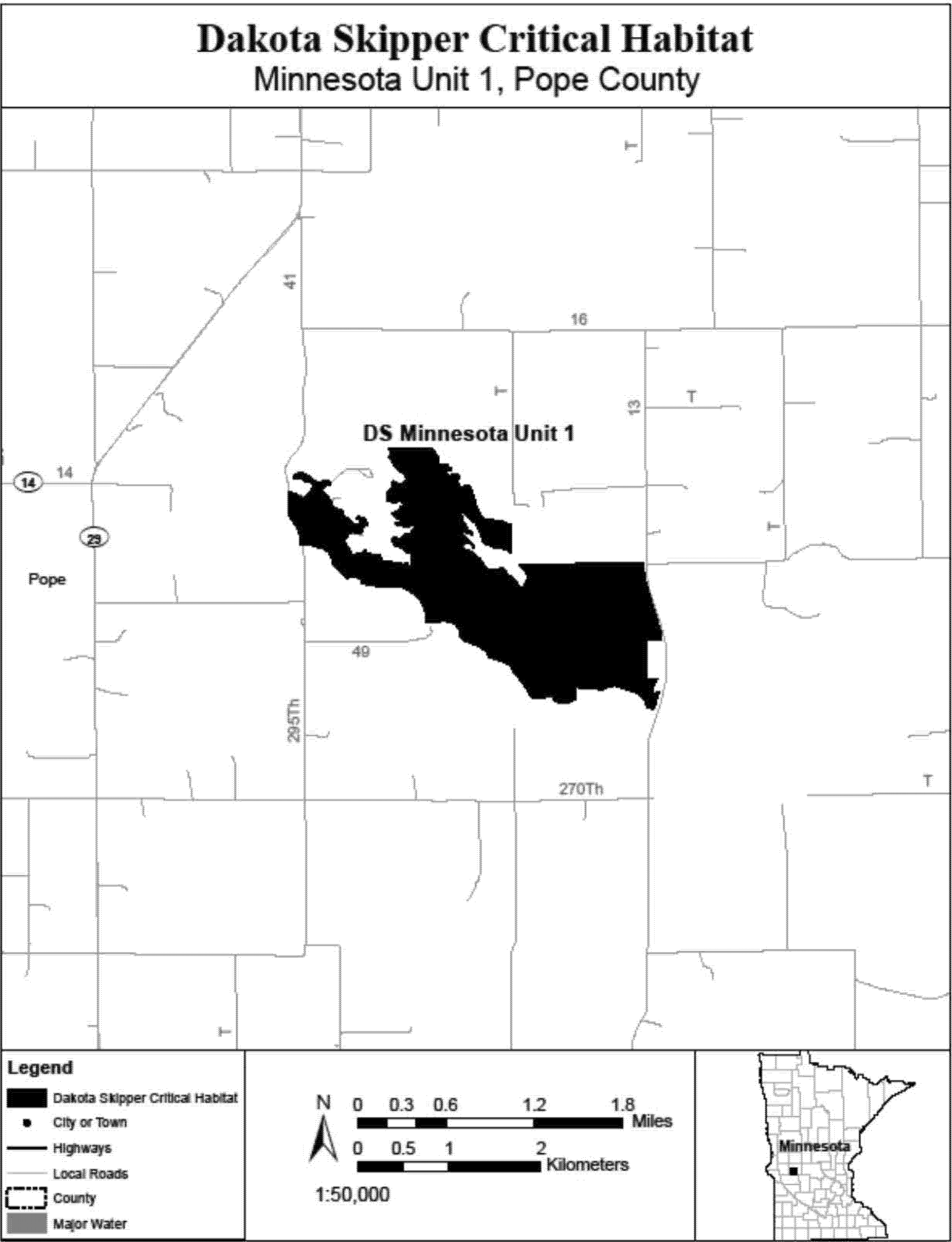
(7) DS Minnesota Units 2 and 3, Murray County, Minnesota. Map of DS Minnesota Units 2 and 3 follows:
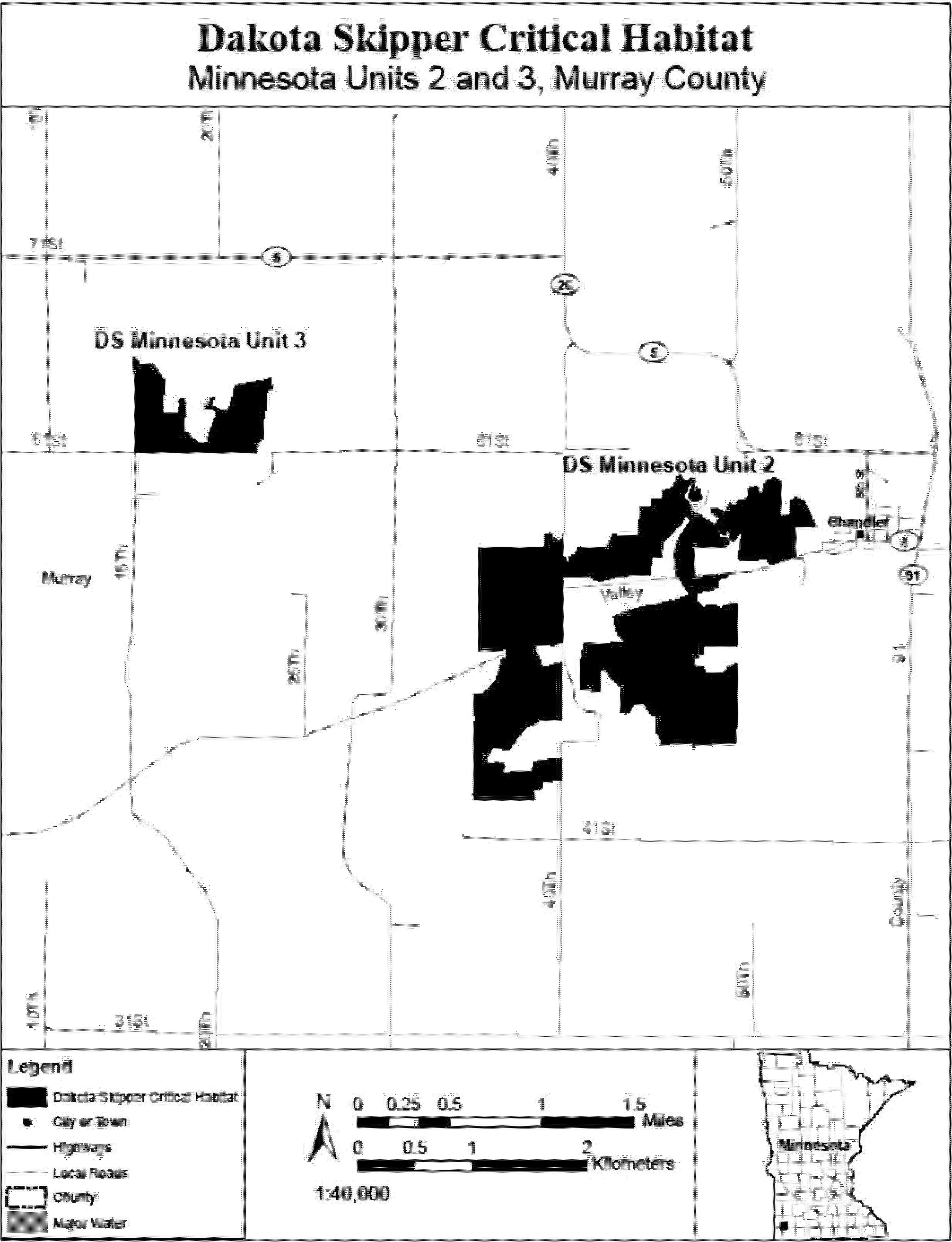
(8) DS Minnesota Unit 4, Clay County, Minnesota. Map of DS Minnesota Unit 4 follows:
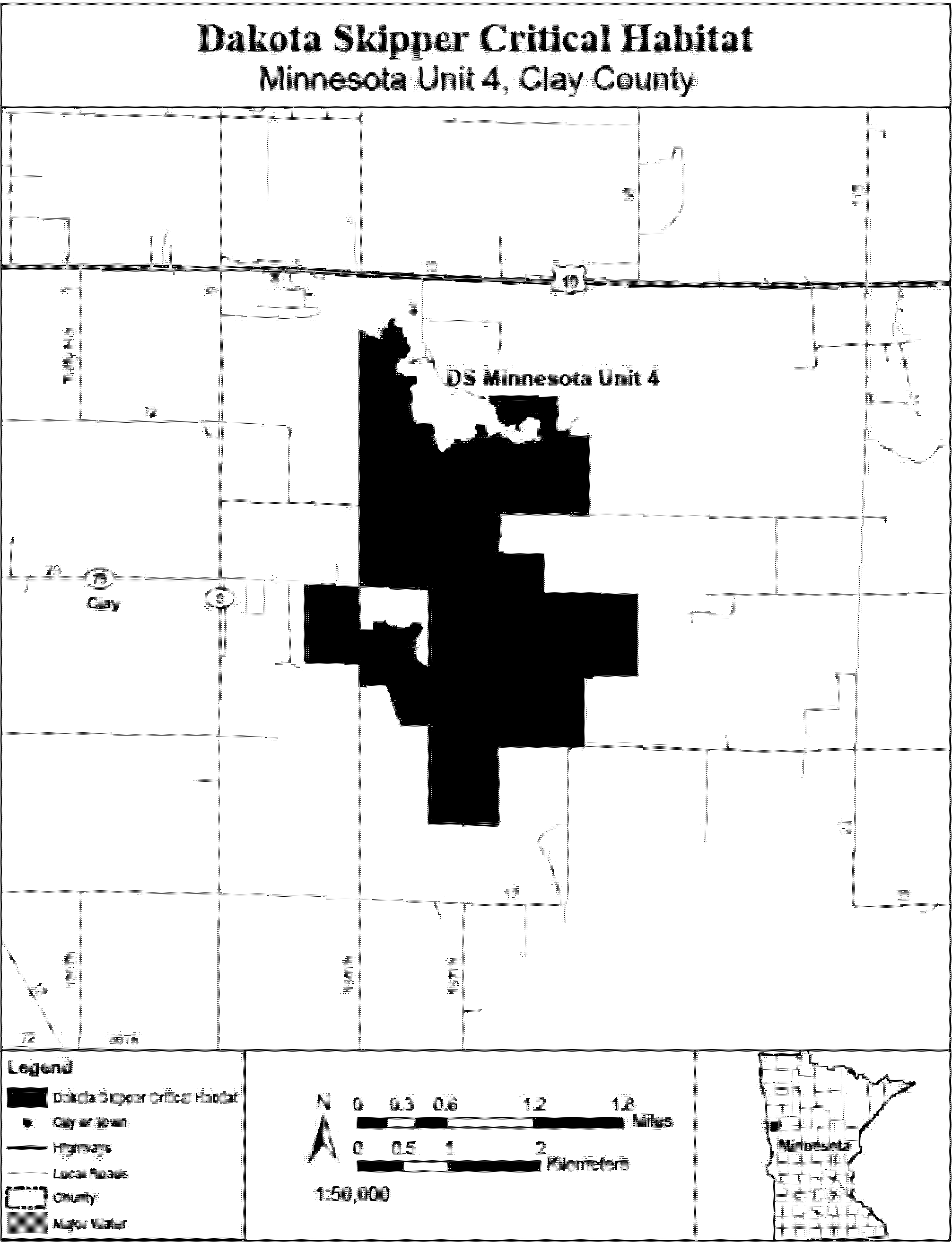
(9) DS Minnesota Unit 5, Clay County, Minnesota. Map of DS Minnesota Unit 5 follows:

(10) DS Minnesota Unit 6, Norman County, Minnesota. Map of DS Minnesota Unit 6 follows:
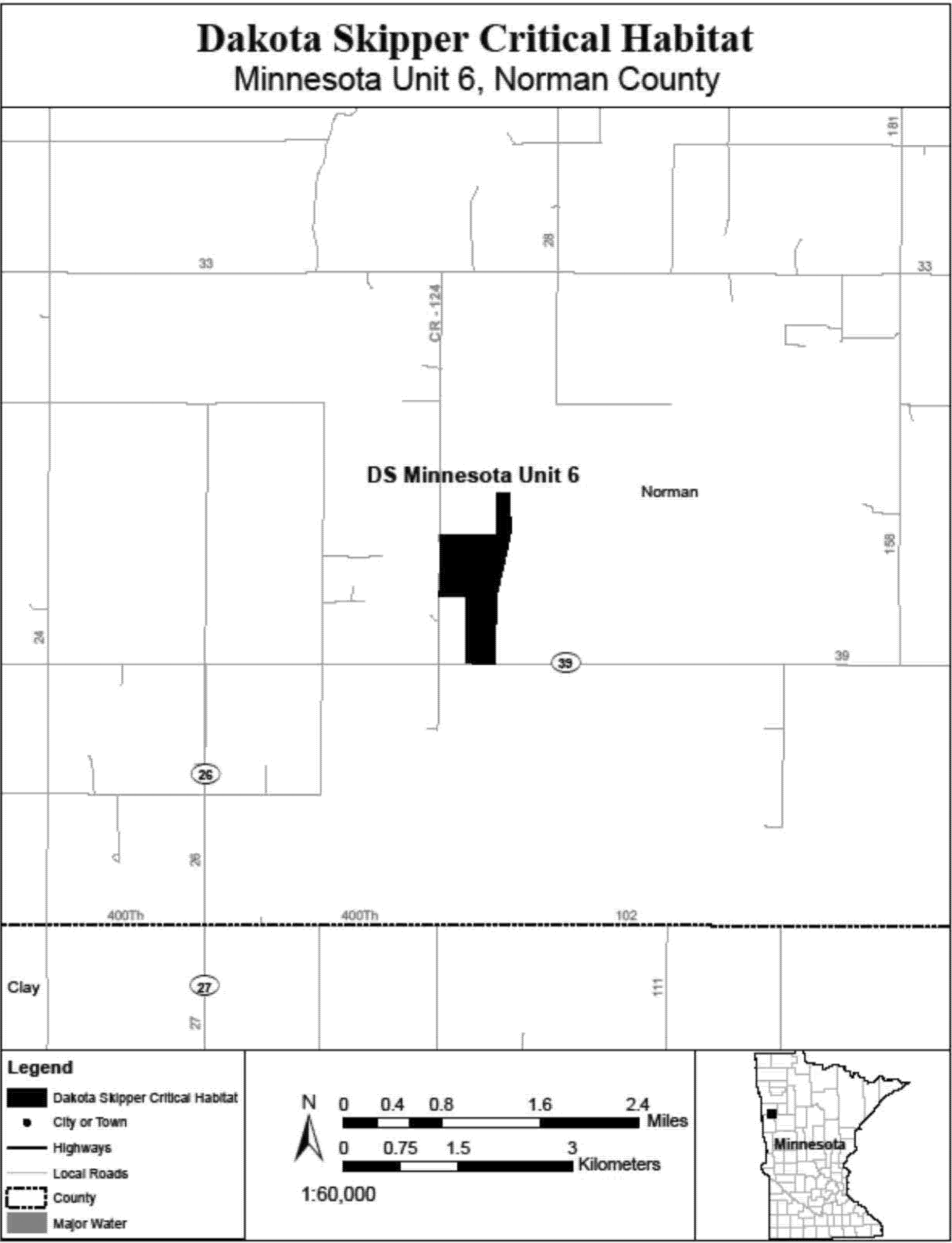
(11) DS Minnesota Unit 7, Lincoln and Pipestone Counties, Minnesota. Map of DS Minnesota Unit 7 follows:
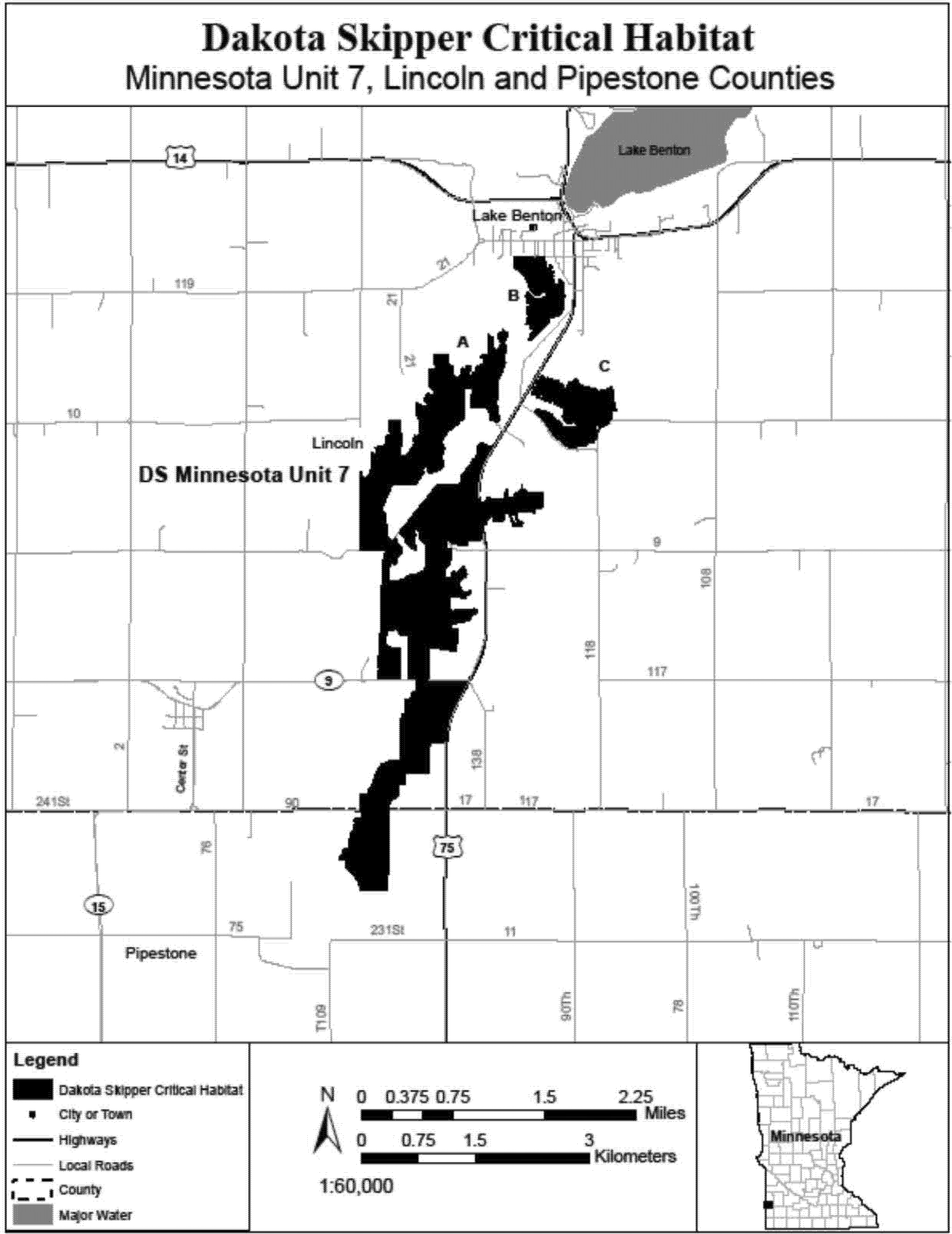
(12) DS Minnesota Units 8 and 11, Pipestone County, Minnesota. Map of DS Minnesota Units 8 and 11 follows:

(13) DS Minnesota Unit 9, Pipestone County, Minnesota. Map of DS Minnesota Unit 9 follows:

(14) DS Minnesota Unit 10, Swift and Chippewa Counties, Minnesota. Map of DS Minnesota Unit 10 follows:
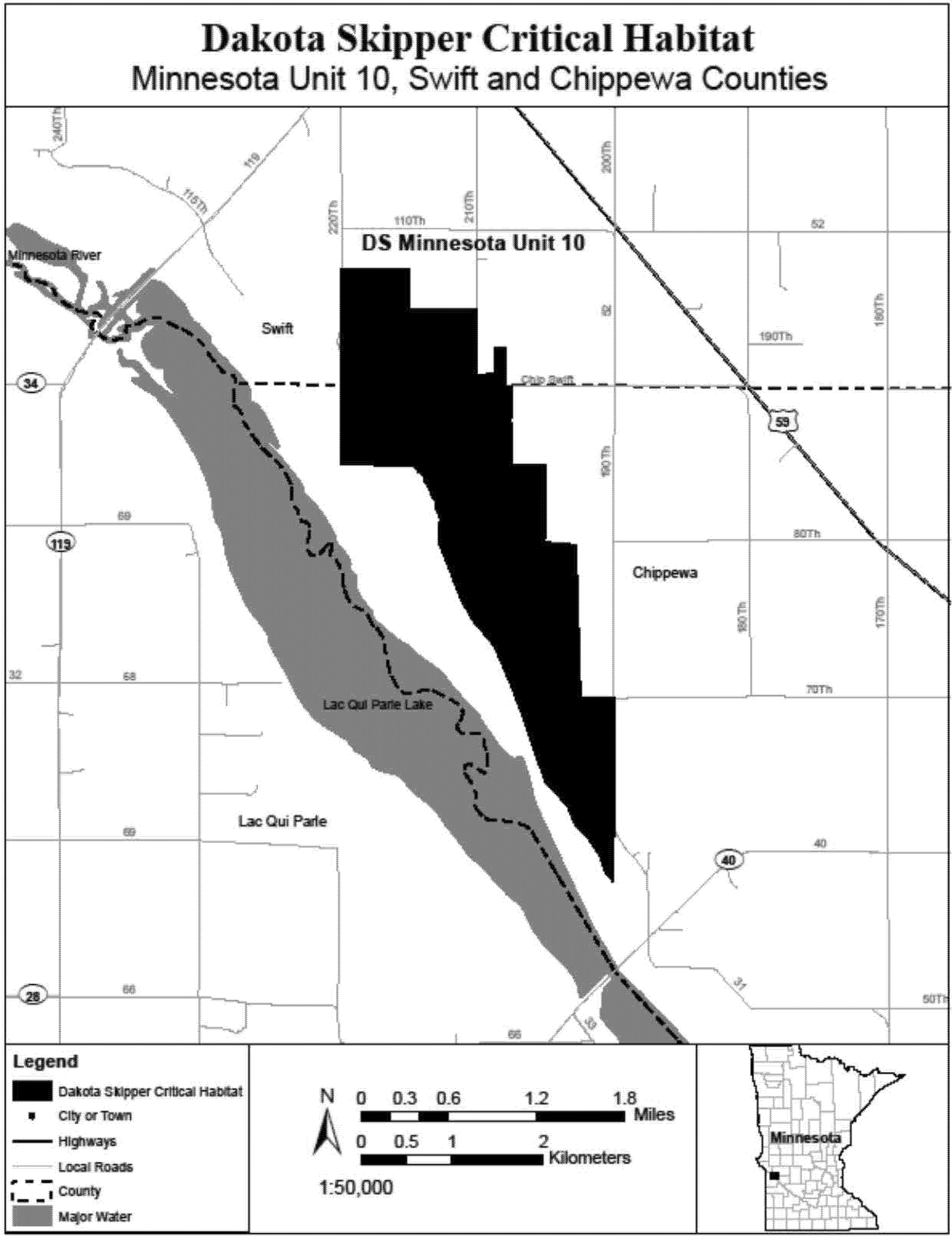
(15) DS Minnesota Unit 12, Lincoln County, Minnesota. Map of DS Minnesota Unit 12 follows:

(16) DS Minnesota Unit 13, Kittson County, Minnesota. Map of DS Minnesota Unit 13 follows:
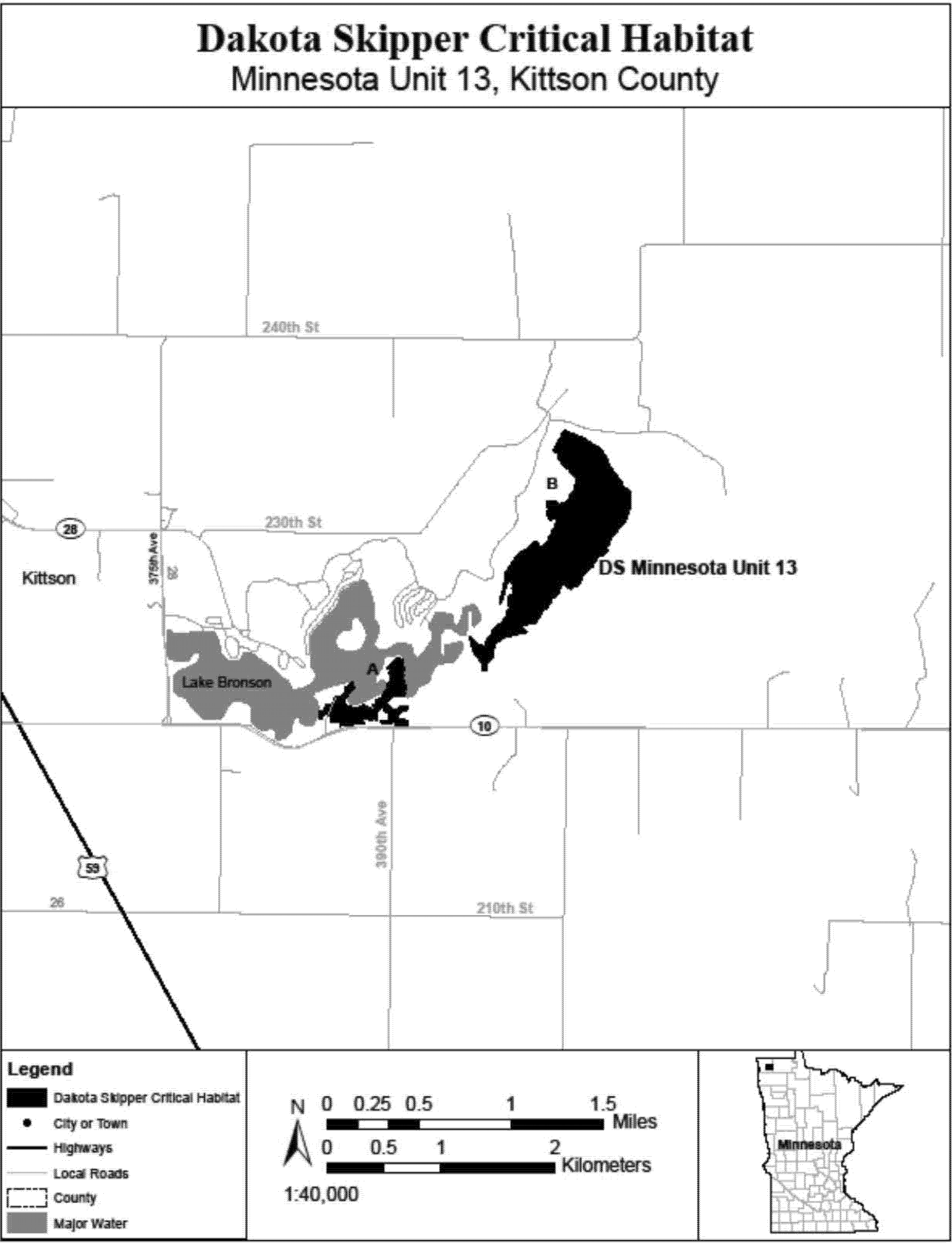
(17) DS Minnesota Unit 14, Polk County, Minnesota. Map of DS Minnesota Unit 14 follows:

(18) DS North Dakota Unit 1, Richland County, North Dakota. Map of DS North Dakota Unit 1 follows:

(19) DS North Dakota Units 2 and 13, Ransom County, North Dakota. Map of DS North Dakota Units 2 and 13 follows:
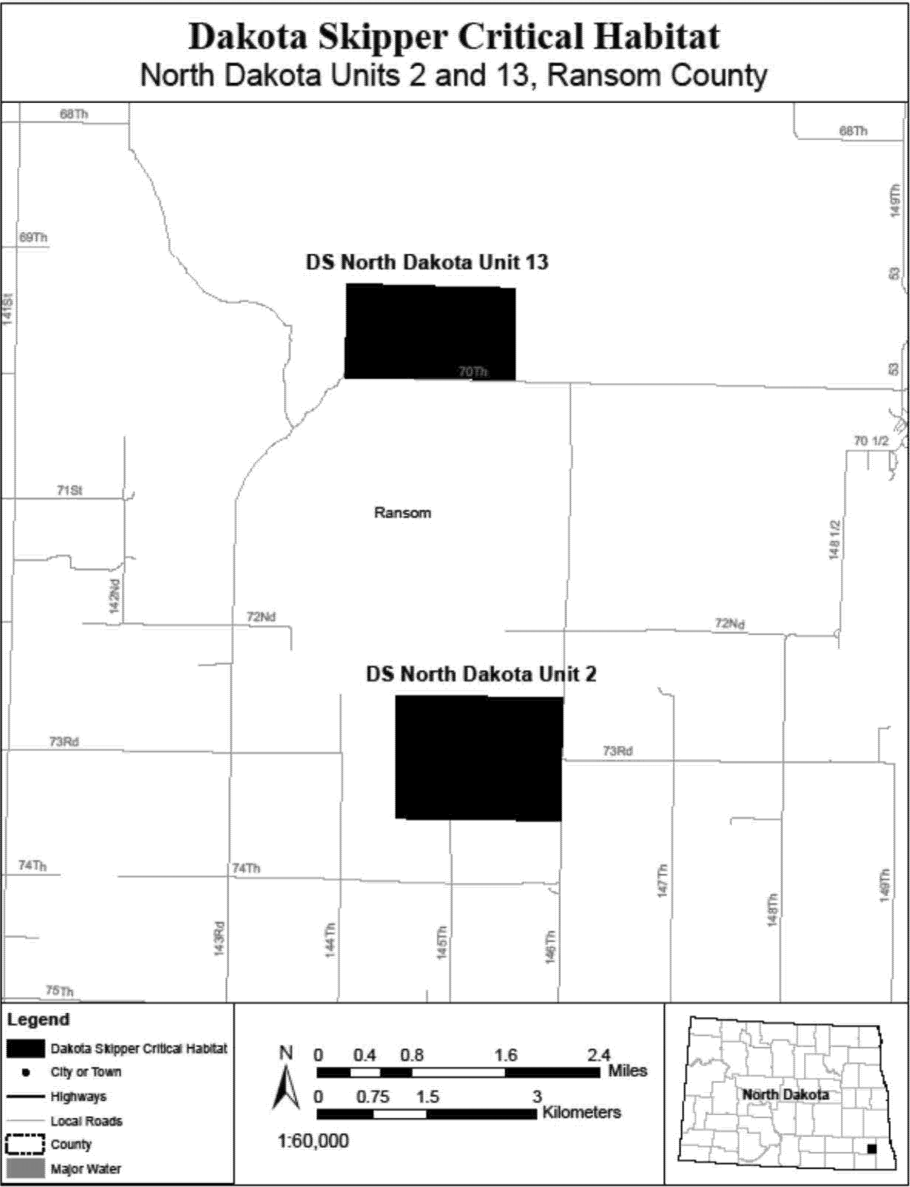
(20) DS North Dakota Units 3 and 5, McHenry County, North Dakota. Map of DS North Dakota Units 3 and 5 follows:

(21) DS North Dakota Unit 6, McHenry County, North Dakota. Map of DS North Dakota Unit 6 follows:
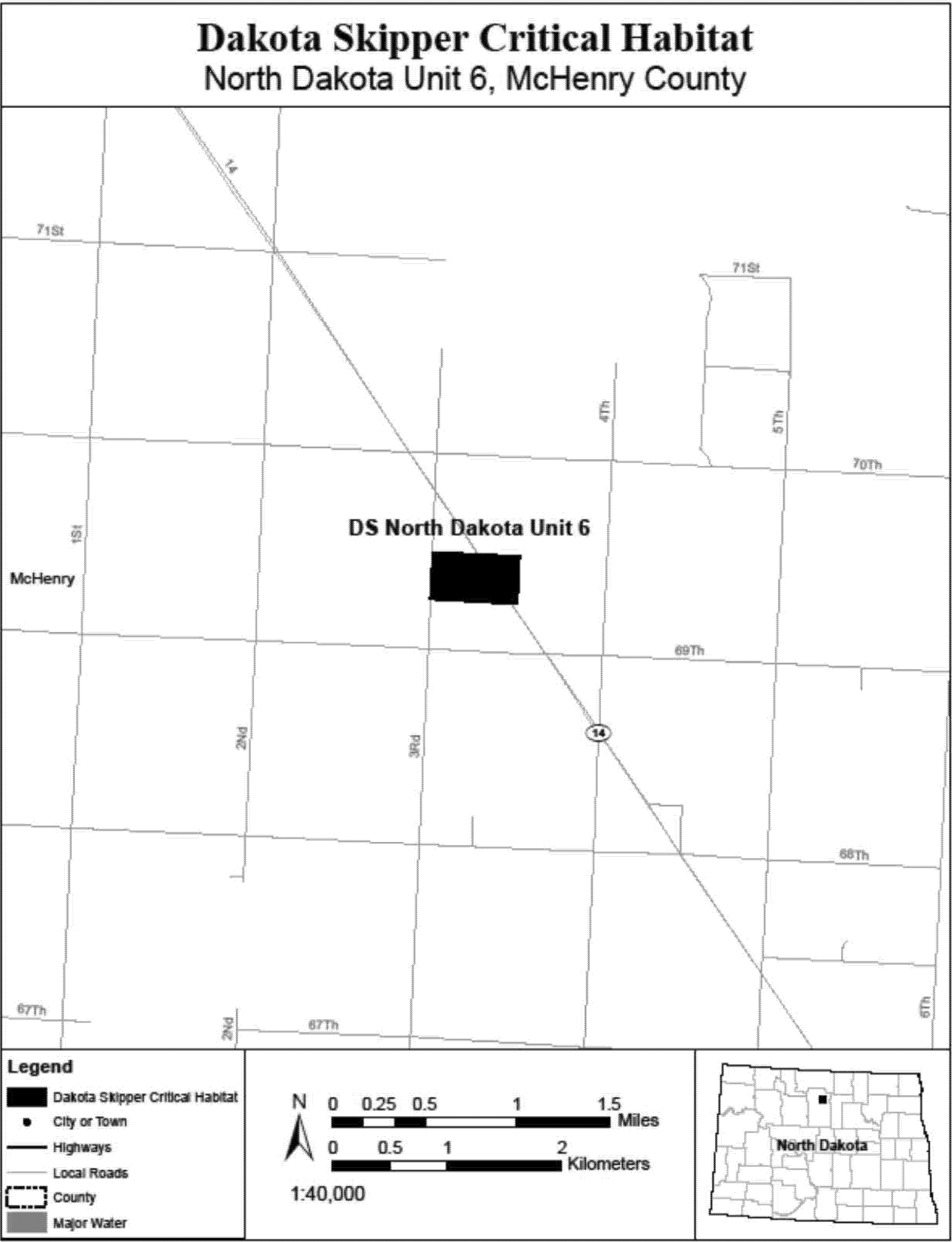
(22) DS North Dakota Units 7 and 8, McHenry County, North Dakota. Map of DS North Dakota Units 7 and 8 follows:
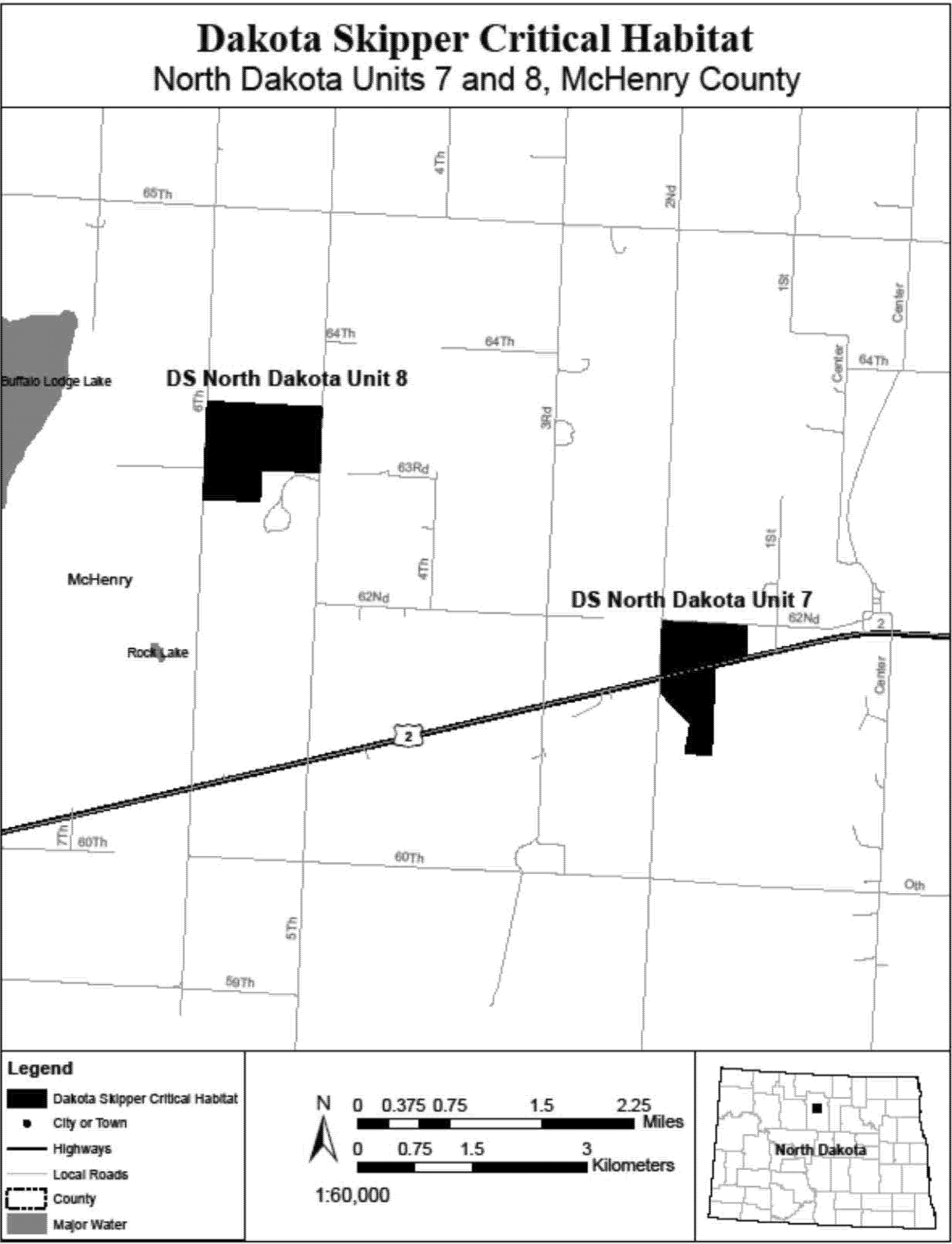
(23) DS North Dakota Unit 9, Rolette County, North Dakota. Map of DS North Dakota Unit 9 follows:

(24) DS North Dakota Unit 11, McKenzie County, North Dakota. Map of DS North Dakota Unit 11 follows:

(25) DS North Dakota Unit 12, McKenzie County, North Dakota. Map of DS North Dakota Unit 12 follows:
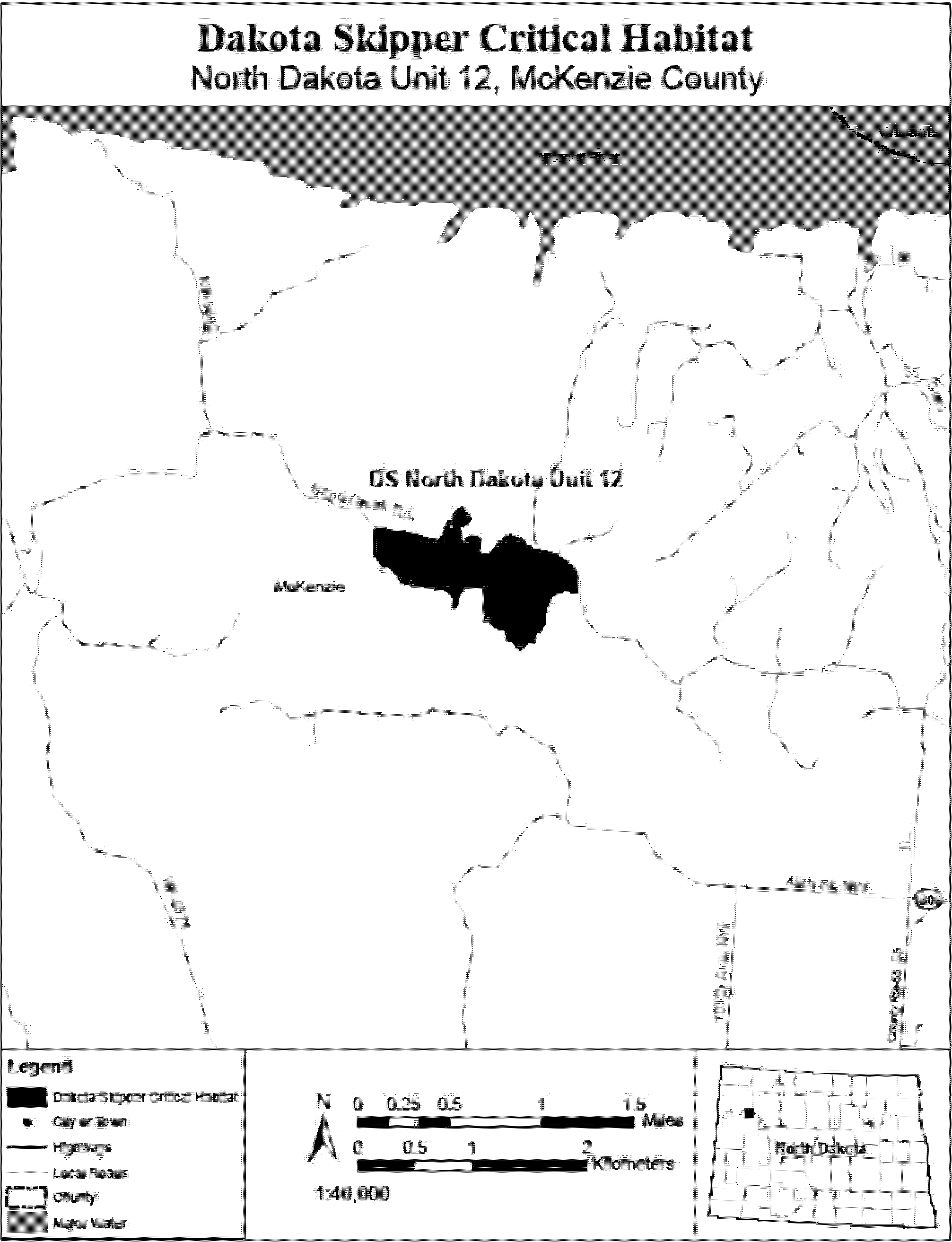
(26) DS South Dakota Unit 1, Marshall County, South Dakota. Map of DS South Dakota Unit 1 follows:
(27) DS South Dakota Unit 2, Brookings County, South Dakota. Map of DS South Dakota Unit 2 follows:

(28) DS South Dakota Unit 3, Deuel County, South Dakota. Map of DS South Dakota Unit 3 follows:
(29) DS South Dakota Unit 4, Grant County, South Dakota. Map of DS South Dakota Unit 4 follows:

(30) DS South Dakota Unit 5, Deuel County, South Dakota. Map of DS South Dakota Unit 5 follows:

(31) DS South Dakota Unit 6, Roberts County, South Dakota. Map of DS South Dakota Unit 6 follows:

(32) DS South Dakota Units 7 and 18, Roberts County, South Dakota. Map of DS South Dakota Units 7 and 18 follows:

(33) DS South Dakota Unit 8, Roberts County, South Dakota. Map of DS South Dakota Unit 8 follows:
(34) DS South Dakota Units 15 and 16, Day County, South Dakota. Map of DS South Dakota Units 15 and 16 follows:

(35) DS South Dakota Unit 17, Roberts County, South Dakota. Map of DS South Dakota Unit 17 follows:

(36) DS South Dakota Unit 22, Brookings County, South Dakota. Map of DS South Dakota Unit 22 follows:
Laguna Mountains Skipper (Pyrgus ruralis lagunae)
(1) Critical habitat units are depicted for San Diego County, California, on the maps below. The maps provided are for informational purposes only.
(2) The primary constituent elements of critical habitat for the Laguna Mountains skipper are the habitat components that provide:
(i) The hostplants, Horkelia clevelandii or Potentilla glandulosa, which are needed for reproduction, in meadows or forest openings.
(ii) Nectar sources suitable for feeding by adult Laguna Mountains skipper, including Lasthenia spp., Pentachaeta aurea, Ranunculus spp., and Sidalcea spp., found in woodlands or meadows.
(iii) Wet soil or standing water associated with features such as seeps, springs, or creeks where water and minerals are obtained during the adult flight season.
(3) Critical habitat does not include man-made structures existing on the effective date of this rule and not containing one or more of the primary constituent elements, such as buildings, aqueducts, airports, and roads, and the land on which such structures are located.
(4) Data layers defining map units were created on a base of USGS 1:24,000 quadrangle maps, and critical habitat units were then mapped using Universal Transverse Mercator (UTM) coordinates.
(5) Note: Map 1 (index map) follows:

(6) Unit 1: Laguna Mountain, San Diego County, California. From USGS 1:24,000 quadrangle maps Monument Peak and Mount Laguna.
(i) Subunit 1A: lands bounded by the following UTM NAD27 coordinates (E,N): 551900, 3635400; 551900, 3635600; 551800, 3635600; 551800, 3635300; 552000, 3635300; 552000, 3634900; 551800, 3634900; 551800, 3635000; 551600, 3635000; 551600, 3634900; 551400, 3634900; 551400, 3635300; 551300, 3635300; 551300, 3635600; 551200, 3635600; 551200, 3635700; 551100, 3635700; 551100, 3636000; 551000, 3636000; 551000, 3636100; 550900, 3636100; 550900, 3636200; 550800, 3636200; 550800, 3636100; 550700, 3636100; 550700, 3636000; 550800, 3636000; 550800, 3635800; 550600, 3635800; 550600, 3635700; 550500, 3635700; 550500, 3635500; 550400, 3635500; 550400, 3635400; 550300, 3635400; 550300, 3635300; 550100, 3635300; 550100, 3635500; 550000, 3635500; 550000, 3636200; 549800, 3636200; 549800, 3636500; 549900, 3636500; 549900, 3636600; 549800, 3636600; 549800, 3636700; 549700, 3636700; 549700, 3637000; 549800, 3637000; 549800, 3637100; 549900, 3637100; 549900, 3637600; 550200, 3637600; 550200, 3637900; 550100, 3637900; 550100, 3638500; 550000, 3638500; 550000, 3638600; 549900, 3638600; 549900, 3638500; 549800, 3638500; 549800, 3638000; 549700, 3638000; 549700, 3637700; 549500, 3637700; 549500, 3638000; 549600, 3638000; 549600, 3638100; 549500, 3638100; 549500, 3638200; 549100, 3638200; 549100, 3638400; 549200, 3638400; 549200, 3638500; 549300, 3638500; 549300, 3638800; 549400, 3638800; 549400, 3638900; 549300, 3638900; 549300, 3639000; 549600, 3639000; 549600, 3638600; 549700, 3638600; 549700, 3638700; 549800, 3638700; 549800, 3638900; 549900, 3638900; 549900, 3639000; 549700, 3639000; 549700, 3639200; 549600, 3639200; 549600, 3639300; 549500, 3639300; 549500, 3639500; 549400, 3639500; 549400, 3639600; 549300, 3639600; 549300, 3640000; 549400, 3640000; 549400, 3640100; 549700, 3640100; 549700, 3640000; 549800, 3640000; 549800, 3640100; 549900, 3640100; 549900, 3640200; 549700, 3640200; 549700, 3640300; 549600, 3640300; 549600, 3640500; 549800, 3640500; 549800, 3640600; 550100, 3640600; 550100, 3640500; 550200, 3640500; 550200, 3640400; 550300, 3640400; 550300, 3640000; 551000, 3640000; 551000, 3639900; 551100, 3639900; 551100, 3639700; 550500, 3639700; 550500, 3639400; 550400, 3639400; 550400, 3639300; 550500, 3639300; 550500, 3639200; 550600, 3639200; 550600, 3639100; 550700, 3639100; 550700, 3639000; 550800, 3639000; 550800, 3638900; 551000, 3638900; 551000, 3639300; 551100, 3639300; 551100, 3639500; 551300, 3639500; 551300, 3639700; 551700, 3639700; 551700, 3639400; 551800, 3639400; 551800, 3639300; 551900, 3639300; 551900, 3639100; 551800, 3639100; 551800, 3639000; 551900, 3639000; 551900, 3638900; 551800, 3638900; 551800, 3638800; 551900, 3638800; 551900, 3638700; 552100, 3638700; 552100, 3638800; 552200, 3638800; 552200, 3638700; 552500, 3638700; 552500, 3638300; 552300, 3638300; 552300, 3638400; 552200, 3638400; 552200, 3638300; 551900, 3638300; 551900, 3638100; 551500, 3638100; 551500, 3637900; 551700, 3637900; 551700, 3637800; 551800, 3637800; 551800, 3637700; 552100, 3637700; 552100, 3637600; 552200, 3637600; 552200, 3637500; 552500, 3637500; 552500, 3637700; 552600, 3637700; 552600, 3637800; 553000, 3637800; 553000, 3638000; 553100, 3638000; 553100, 3638100; 553600, 3638100; 553600, 3638000; 553800, 3638000; 553800, 3637900; 553700, 3637900; 553700, 3637600; 553800, 3637600; 553800, 3637400; 553700, 3637400; 553700, 3637500; 553500, 3637500; 553500, 3637200; 553100, 3637200; 553100, 3637100; 553200, 3637100; 553200, 3636900; 552900, 3636900; 552900, 3637000; 552800, 3637000; 552800, 3637100; 552700, 3637100; 552700, 3637000; 552600, 3637000; 552600, 3637100; 552400, 3637100; 552400, 3637200; 552300, 3637200; 552300, 3637100; 552200, 3637100; 552200, 3637000; 552000, 3637000; 552000, 3637100; 551900, 3637100; 551900, 3637300; 551500, 3637300; 551500, 3637200; 551400, 3637200; 551400, 3637100; 551200, 3637100; 551200, 3636700; 551300, 3636700; 551300, 3636600; 551400, 3636600; 551400, 3636500; 551600, 3636500; 551600, 3636400; 551700, 3636400; 551700, 3636300; 551800, 3636300; 551800, 3636200; 552000, 3636200; 552000, 3636100; 552100, 3636100; 552100, 3636000; 552200, 3636000; 552200, 3635900; 552300, 3635900; 552300, 3635500; 552200, 3635500; 552200, 3635400; 551900, 3635400.
(ii) Subunit 1B: lands bounded by the following UTM NAD27 coordinates (E,N): 549300, 3642300; 549400, 3642300; 549400, 3642400; 549600, 3642400; 549600, 3642300; 549800, 3642300; 549800, 3642200; 549900, 3642200; 549900, 3641900; 550000, 3641900; 550000, 3641400; 550100, 3641400; 550100, 3640900; 549600, 3640900; 549600, 3641000; 549300, 3641000; 549300, 3642300.
(iii) Subunit 1C: lands bounded by the following UTM NAD27 coordinates (E,N): 553000, 3634400; 553000, 3634500; 552900, 3634500; 552900, 3634900; 552800, 3634900; 552800, 3635600; 553100, 3635600; 553100, 3635400; 553300, 3635400; 553300, 3635300; 553400, 3635300; 553400, 3635200; 553300, 3635200; 553300, 3635100; 553200, 3635100; 553200, 3635000; 553300, 3635000; 553300, 3634900; 553400, 3634900; 553400, 3634800; 553600, 3634800; 553600, 3634600; 553700, 3634600; 553700, 3634200; 553600, 3634200; 553600, 3634100; 553500, 3634100; 553500, 3634000; 553400, 3634000; 553400, 3633800; 553300, 3633800; 553300, 3633600; 553200, 3633600; 553200, 3633300; 553300, 3633300; 553300, 3633200; 553500, 3633200; 553500, 3633300; 553600, 3633300; 553600, 3633000; 553700, 3633000; 553700, 3632300; 553600, 3632300; 553600, 3632200; 553300, 3632200; 553300, 3632300; 553200, 3632300; 553200, 3633000; 553100, 3633000; 553100, 3633200; 553000, 3633200; 553000, 3633300; 552900, 3633300; 552900, 3632800; 552600, 3632800; 552600, 3633000; 552700, 3633000; 552700, 3633400; 552800, 3633400; 552800, 3633800; 552700, 3633800; 552700, 3634300; 552800, 3634300; 552800, 3634400; 553000, 3634400.
(iv) Note: Map of Unit 1 (Map 2, Subunits 1A, 1B, and 1C) follows:

(7) Unit 2: Palomar Mountain, San Diego County, California. From USGS 1:24,000 quadrangle maps Boucher Hill and Palomar Observatory.
(i) Subunit 2A: lands bounded by the following UTM NAD27 coordinates (E, N): 511300, 3689300; 511400, 3689300; 511400, 3689200; 511600, 3689200; 511600, 3689100; 511700, 3689100; 511700, 3689000; 511800, 3689000; 511800, 3688900; 512300, 3688900; 512300, 3688800; 512400, 3688800; 512400, 3689000; 512900, 3689000; 512900, 3688900; 513200, 3688900; 513200, 3688800; 513400, 3688800; 513400, 3688700; 513700, 3688700; 513700, 3688600; 513900, 3688600; 513900, 3688500; 514000, 3688500; 514000, 3688400; 514100, 3688400; 514100, 3688300; 514400, 3688300; 514400, 3688200; 514500, 3688200; 514500, 3688100; 515300, 3688100; 515300, 3688000; 515400, 3688000; 515400, 3687900; 515500, 3687900; 515500, 3687800; 515700, 3687800; 515700, 3687600; 515900, 3687600; 515900, 3687300; 515800, 3687300; 515800, 3687200; 515900, 3687200; 515900, 3687100; 516000, 3687100; 516000, 3687000; 516300, 3687000; 516300, 3686900; 516400, 3686900; 516400, 3686800; 516500, 3686800; 516500, 3686700; 516600, 3686700; 516600, 3686600; 517000, 3686600; 517000, 3686300; 517200, 3686300; 517200, 3686200; 517300, 3686200; 517300, 3686000; 517100, 3686000; 517100, 3685800; 517200, 3685800; 517200, 3685700; 516700, 3685700; 516700, 3685800; 516600, 3685800; 516600, 3686000; 516500, 3686000; 516500, 3686100; 516400, 3686100; 516400, 3686200; 516300, 3686200; 516300, 3686300; 516200, 3686300; 516200, 3686400; 516000, 3686400; 516000, 3686600; 515900, 3686600; 515900, 3686700; 515800, 3686700; 515800, 3686800; 515700, 3686800; 515700, 3686900; 515500, 3686900; 515500, 3687000; 515200, 3687000; 515200, 3687100; 514900, 3687100; 514900, 3687200; 514800, 3687200; 514800, 3687300; 514500, 3687300; 514500, 3687500; 514400, 3687500; 514400, 3687600; 514300, 3687600; 514300, 3687700; 514200, 3687700; 514200, 3687800; 514100, 3687800; 514100, 3687900; 514000, 3687900; 514000, 3688000; 513700, 3688000; 513700, 3688100; 513500, 3688100; 513500, 3688000; 513400, 3688000; 513400, 3687700; 513300, 3687700; 513300, 3687400; 513200, 3687400; 513200, 3687300; 513000, 3687300; 513000, 3687600; 512900, 3687600; 512900, 3688000; 512800, 3688000; 512800, 3688100; 512500, 3688100; 512500, 3688200; 512400, 3688200; 512400, 3688400; 512300, 3688400; 512300, 3688500; 512000, 3688500; 512000, 3688600; 511900, 3688600; 511900, 3688500; 511700, 3688500; 511700, 3688800; 511500, 3688800; 511500, 3688900; 511400, 3688900; 511400, 3689000; 511300, 3689000; 511300, 3689100; 511200, 3689100; 511200, 3689200; 511300, 3689200; 511300, 3689300.
(ii) Subunit 2B: lands bounded by the following UTM NAD27 coordinates (E,N): 513000, 3690900; 513000, 3690800; 513200, 3690800; 513200, 3690600; 513100, 3690600; 513100, 3690400; 513200, 3690400; 513200, 3690300; 513300, 3690300; 513300, 3690000; 513200, 3690000; 513200, 3689900; 513300, 3689900; 513300, 3689600; 512900, 3689600; 512900, 3689400; 512700, 3689400; 512700, 3689500; 512600, 3689500; 512600, 3689300; 512300, 3689300; 512300, 3689400; 512200, 3689400; 512200, 3689500; 512000, 3689500; 512000, 3689700; 511900, 3689700; 511900, 3689900; 511800, 3689900; 511800, 3690200; 511700, 3690200; 511700, 3690300; 511600, 3690300; 511600, 3690500; 511500, 3690500; 511500, 3690600; 511200, 3690600; 511200, 3690700; 511100, 3690700; 511100, 3690800; 510800, 3690800; 510800, 3690900; 510700, 3690900; 510700, 3690800; 510600, 3690800; 510600, 3690900; 510500, 3690900; 510500, 3691000; 510200, 3691000; 510200, 3690900; 510300, 3690900; 510300, 3690600; 510400, 3690600; 510400, 3690300; 510200, 3690300; 510200, 3690400; 509800, 3690400; 509800, 3690500; 509700, 3690500; 509700, 3690600; 509500, 3690600; 509500, 3690700; 509400, 3690700; 509400, 3690800; 509300, 3690800; 509300, 3690900; 509100, 3690900; 509100, 3691000; 509000, 3691000; 509000, 3691200; 509200, 3691200; 509200, 3691100; 509400, 3691100; 509400, 3691300; 509300, 3691300; 509300, 3691500; 509500, 3691500; 509500, 3691400; 510000, 3691400; 510000, 3691500; 510100, 3691500; 510100, 3691600; 510200, 3691600; 510200, 3691700; 510700, 3691700; 510700, 3691600; 511000, 3691600; 511000, 3691500; 511100, 3691500; 511100, 3691400; 511400, 3691400; 511400, 3691200; 511600, 3691200; 511600, 3691100; 511700, 3691100; 511700, 3691000; 511900, 3691000; 511900, 3690900; 512000, 3690900; 512000, 3690700; 511800, 3690700; 511800, 3690600; 511900, 3690600; 511900, 3690500; 512000, 3690500; 512000, 3690400; 512100, 3690400; 512100, 3690300; 512200, 3690300; 512200, 3690200; 512500, 3690200; 512500, 3690300; 512700, 3690300; 512700, 3690400; 512600, 3690400; 512600, 3690600; 512500, 3690600; 512500, 3690700; 512400, 3690700; 512400, 3690800; 512300, 3690800; 512300, 3691100; 512500, 3691100; 512500, 3691200; 513100, 3691200; 513100, 3691300; 513200, 3691300; 513200, 3691200; 513300, 3691200; 513300, 3690900; 513000, 3690900; excluding lands bounded by the following UTM NAD27 coordinates (E,N): 509900, 3691000; 510100, 3691000; 510100, 3690900; 510000, 3690900; 510000, 3690800; 509900, 3690800; 509900, 3691000; and 512800, 3691000; 513000, 3691000; 513000, 3690900; 512800, 3690900; 512800, 3691000.
(iii) Subunit 2C: lands bounded by the following UTM NAD27 coordinates (E, N): 509200, 3689100; 509400, 3689100; 509400, 3689000; 509700, 3689000; 509700, 3688700; 509800, 3688700; 509800, 3688600; 510200, 3688600; 510200, 3688900; 510800, 3688900; 510800, 3688800; 511100, 3688800; 511100, 3688600; 511200, 3688600; 511200, 3688500; 511300, 3688500; 511300, 3688400; 511200, 3688400; 511200, 3688300; 511500, 3688300; 511500, 3688200; 511600, 3688200; 511600, 3687900; 511300, 3687900; 511300, 3687600; 511200, 3687600; 511200, 3687500; 511100, 3687500; 511100, 3687400; 511200, 3687400; 511200, 3687100; 511000, 3687100; 511000, 3687200; 510900, 3687200; 510900, 3687300; 510600, 3687300; 510600, 3687500; 510500, 3687500; 510500, 3687400; 510400, 3687400; 510400, 3687500; 510300, 3687500; 510300, 3687600; 510400, 3687600; 510400, 3687700; 510500, 3687700; 510500, 3687800; 510400, 3687800; 510400, 3687900; 510300, 3687900; 510300, 3687800; 510100, 3687800; 510100, 3687900; 509900, 3687900; 509900, 3688200; 509800, 3688200; 509800, 3688300; 509700, 3688300; 509700, 3688400; 509500, 3688400; 509500, 3688500; 509300, 3688500; 509300, 3688600; 509200, 3688600; 509200, 3689100.
(iv) Subunit 2D: lands bounded by the following UTM NAD27 coordinates (E,N): 507700, 3690800; 508000, 3690800; 508000, 3690700; 508100, 3690700; 508100, 3690800; 508300, 3690800; 508300, 3690600; 508400, 3690600; 508400, 3690500; 508500, 3690500; 508500, 3690300; 508400, 3690300; 508400, 3690100; 508500, 3690100; 508500, 3690000; 508600, 3690000; 508600, 3689900; 508700, 3689900; 508700, 3689700; 508800, 3689700; 508800, 3689600; 508900, 3689600; 508900, 3689100; 508700, 3689100; 508700, 3689200; 508600, 3689200; 508600, 3689300; 508400, 3689300; 508400, 3689400; 508200, 3689400; 508200, 3689800; 508000, 3689800; 508000, 3690000; 507900, 3690000; 507900, 3690200; 507800, 3690200; 507800, 3690400; 507500, 3690400; 507500, 3690300; 507400, 3690300; 507400, 3690500; 507500, 3690500; 507500, 3690700; 507700, 3690700; 507700, 3690800.
(v) Note: Map of Unit 2 (Map 3, Subunits 2A, 2B, 2C, and 2D) follows:

Poweshiek Skipperling (Oarisma Poweshiek)
(1) Critical habitat units are designated for Cerro Gordo, Dickinson, Emmet, Howard, Kossuth, and Osceola Counties in Iowa; in Hilsdale, Jackson, Lenawee, Livingston, Oakland, and Washtenaw Counties in Michigan; Chippewa, Clay, Cottonwood, Douglas, Kittson, Lac Qui Parle, Lincoln, Lyon, Mahnomen, Murray, Norman, Pipestone, Polk, Pope, Swift, and Wilkin Counties in Minnesota; Richland County in North Dakota; Brookings, Day, Deuel, Grant, Marshall, Moody, and Roberts Counties in South Dakota; and Green Lake and Waukesha Counties in Wisconsin, on the maps below.
(2) Within these areas, the primary constituent elements of the physical or biological features essential to the conservation of Poweshiek skipperling consist of four components:
(i) Primary Constituent Element 1 - Wet-mesic to dry tallgrass remnant untilled prairies or remnant moist meadows containing:
(A) A predominance of native grasses and native flowering forbs;
(B) Undisturbed (untilled) glacial soil types including, but not limited to, loam, sandy loam, loamy sand, gravel, organic soils (peat), or marl that provide the edaphic features conducive to Poweshiek skipperling larval survival and native-prairie vegetation;
(C) If present, depressional wetlands or low wet areas, within or adjacent to prairies that provide shelter from high summer temperatures and fire;
(D) If present, trees or large shrub cover less than 5 percent of area in dry prairies and less than 25 percent in wet-mesic prairies and prairie fens; and
(E) If present, nonnative invasive plant species occurring in less than 5 percent of area.
(ii) Primary Constituent Element 2 - Prairie fen habitats containing:
(A) A predominance of native grasses and native flowering forbs;
(B) Undisturbed (untilled) glacial soil types including, but not limited to, organic soils (peat), or marl that provide the edaphic features conducive to Poweshiek skipperling larval survival and native-prairie vegetation;
(C) Depressional wetlands or low wet areas, within or adjacent to prairies that provide shelter from high summer temperatures and fire;
(D) Hydraulic features necessary to maintain prairie fen groundwater flow and prairie fen plant communities;
(E) If present, trees or large shrub cover less than 25 percent of the unit; and
(F) If present, nonnative invasive plant species occurring in less than 5 percent of area.
(iii) Primary Constituent Element 3 - Native grasses and native flowering forbs for larval and adult food and shelter, specifically:
(A) At least one of the following native grasses available to provide larval food and shelter sources during Poweshiek skipperling larval stages: Prairie dropseed (Sporobolus heterolepis), little bluestem (Schizachyrium scoparium), sideoats grama (Bouteloua curtipendula), or mat muhly (Muhlenbergia richardsonis); and
(B) At least one of the following forbs in bloom to provide nectar and water sources during the Poweshiek skipperling flight period: Purple coneflower (Echinacea angustifolia), black-eyed Susan (Rudbeckia hirta), smooth ox-eye (Heliopsis helianthoides), stiff tickseed (Coreopsis palmata), palespike lobelia (Lobelia spicata), sticky tofieldia (Triantha glutinosa), or shrubby cinquefoil (Dasiphora fruticosa ssp. floribunda).
(iv) Primary Constituent Element 4 - Dispersal grassland habitat that is within 1 km (0.6 mi) of native high-quality remnant prairie (as defined in Primary Constituent Element 1) that connects high-quality wet-mesic to dry tallgrass prairies, moist meadows, or prairie fen habitats. Dispersal grassland habitat consists of the following physical characteristics appropriate for supporting Poweshiek skipperling dispersal: Undeveloped open areas dominated by perennial grassland with limited or no barriers to dispersal including tree or shrub cover less than 25 percent of the area and no row crops such as corn, beans, potatoes, or sunflowers.
(3) Critical habitat does not include manmade structures (such as buildings, aqueducts, runways, roads, and other paved areas) and the land on which they are located existing within the legal boundaries on November 2, 2015.
(4) Critical habitat map units. Data layers defining map units were created and digitized using ESRI's ArcMap (version 10.0) and comparing USGS NAIP/FSA high-resolution orthophotography from 2010 or later and previously mapped skipper habitat polygons submitted by contracted researchers or prairie habitat polygons made available from Minnesota Department of Natural Resources' County Biological Survey. Critical habitat units then were mapped in Geographic Coordinate System WGS84. The maps in this entry, as modified by any accompanying regulatory text, establish the boundaries of the critical habitat designation. The coordinates or plot points or both on which each map is based are available to the public at the Service's internet site (http://www.fws.gov/midwest/Endangered/), at http://www.regulations.gov at Docket No. FWS-R3-ES-2013-0017, and at the field office responsible for this designation. You may obtain field office location information by contacting one of the Service regional offices, the addresses of which are listed at 50 CFR 2.2.
(5) Iowa, Minnesota, North Dakota, and South Dakota index map follows:
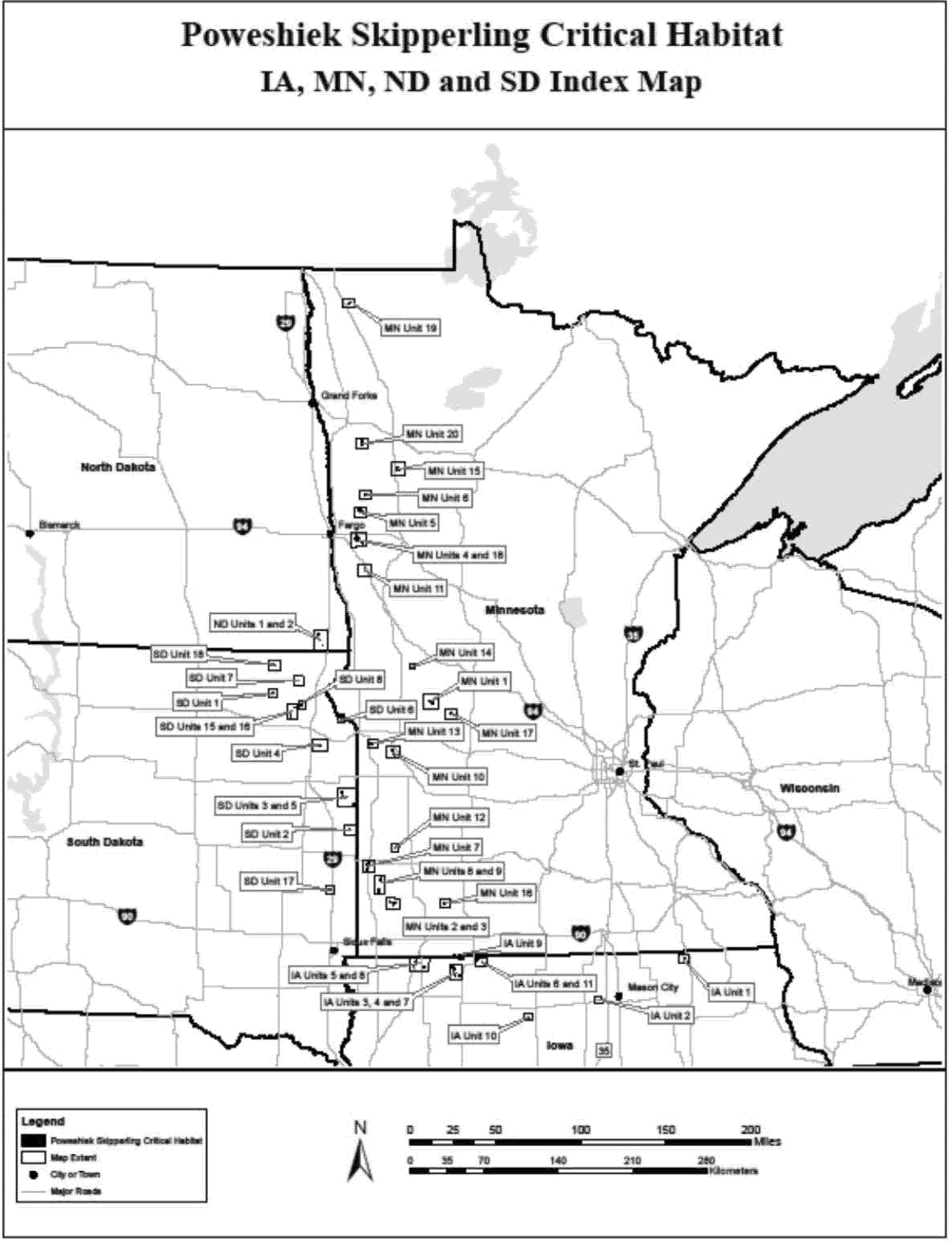
(6) Michigan and Wisconsin index map follows:

(7) PS Iowa Unit 1, Howard County, Iowa. Map of PS Iowa Unit 1 follows:

(8) PS Iowa Unit 2, Cerro Gordo County, Iowa. Map of PS Iowa Unit 2 follows:

(9) PS Iowa Units 3, 4, and 7, Dickinson County, Iowa. Map of PS Iowa Units 3, 4, and 7 follows:
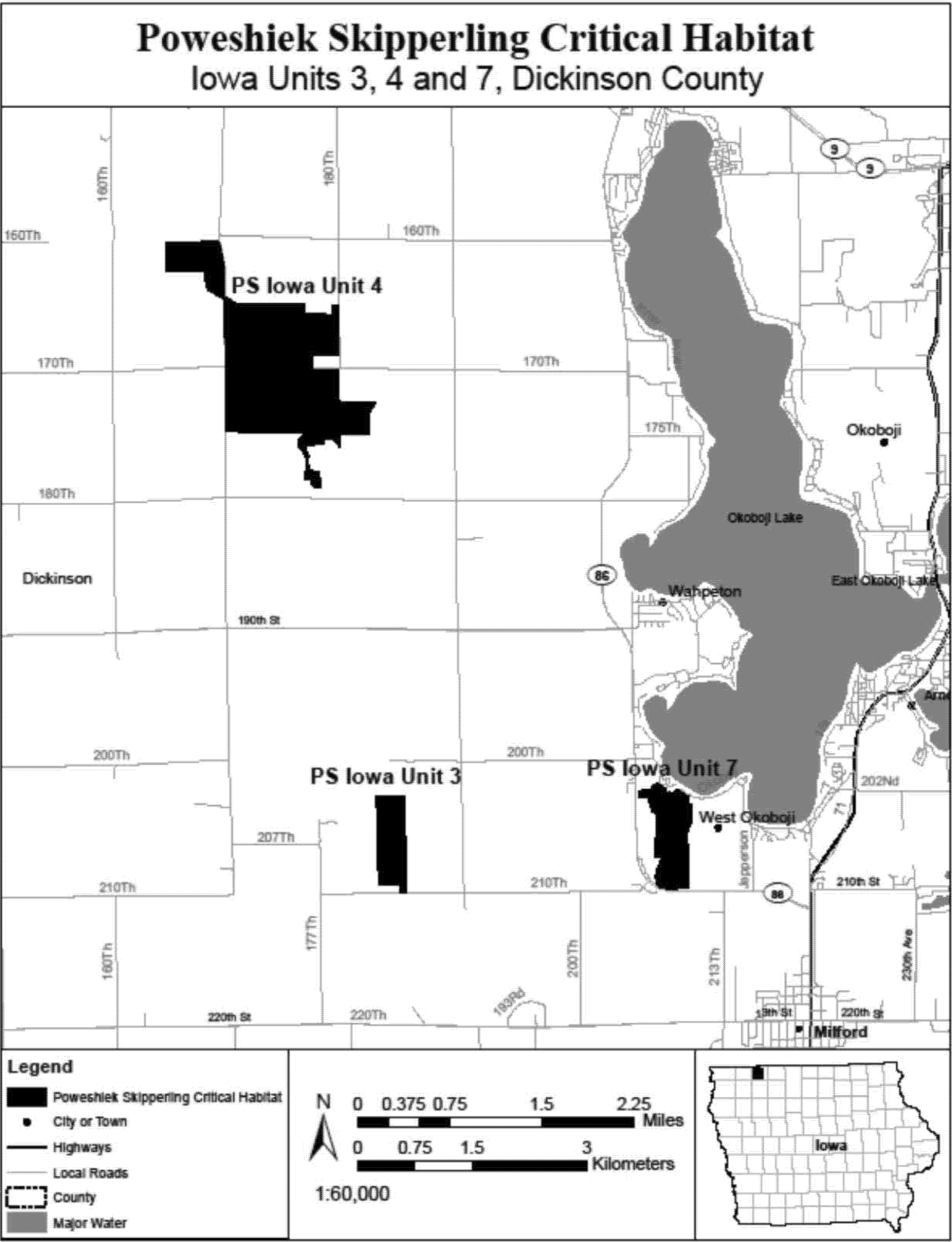
(10) PS Iowa Unit 5, Osceola County, Iowa. Map of PS Iowa Unit 5 follows:

(11) PS Iowa Unit 6, Dickinson County, Iowa. Map of PS Iowa Unit 6 follows:
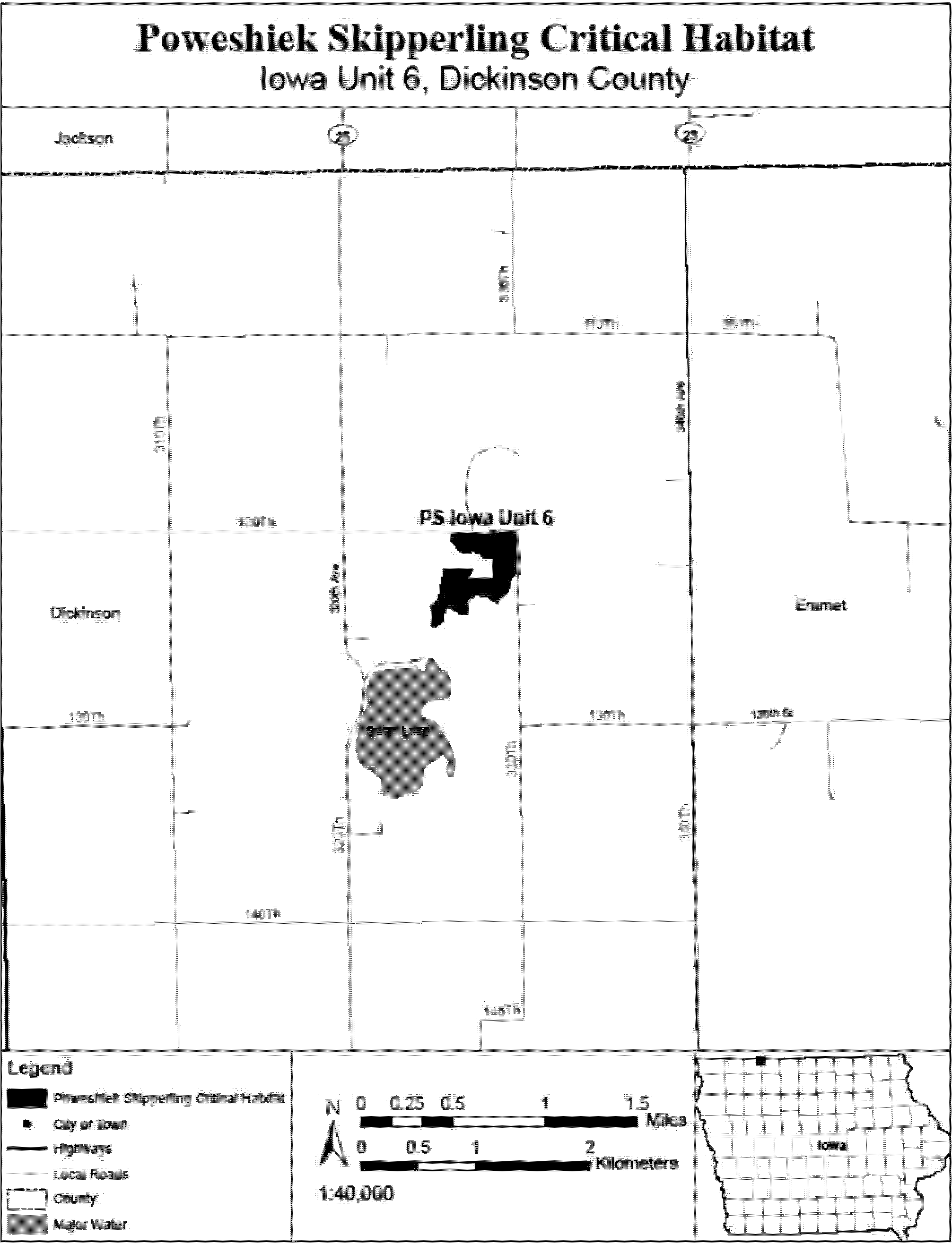
(12) PS Iowa Unit 8, Osceola County, Iowa. Map of PS Iowa Unit 8 follows:
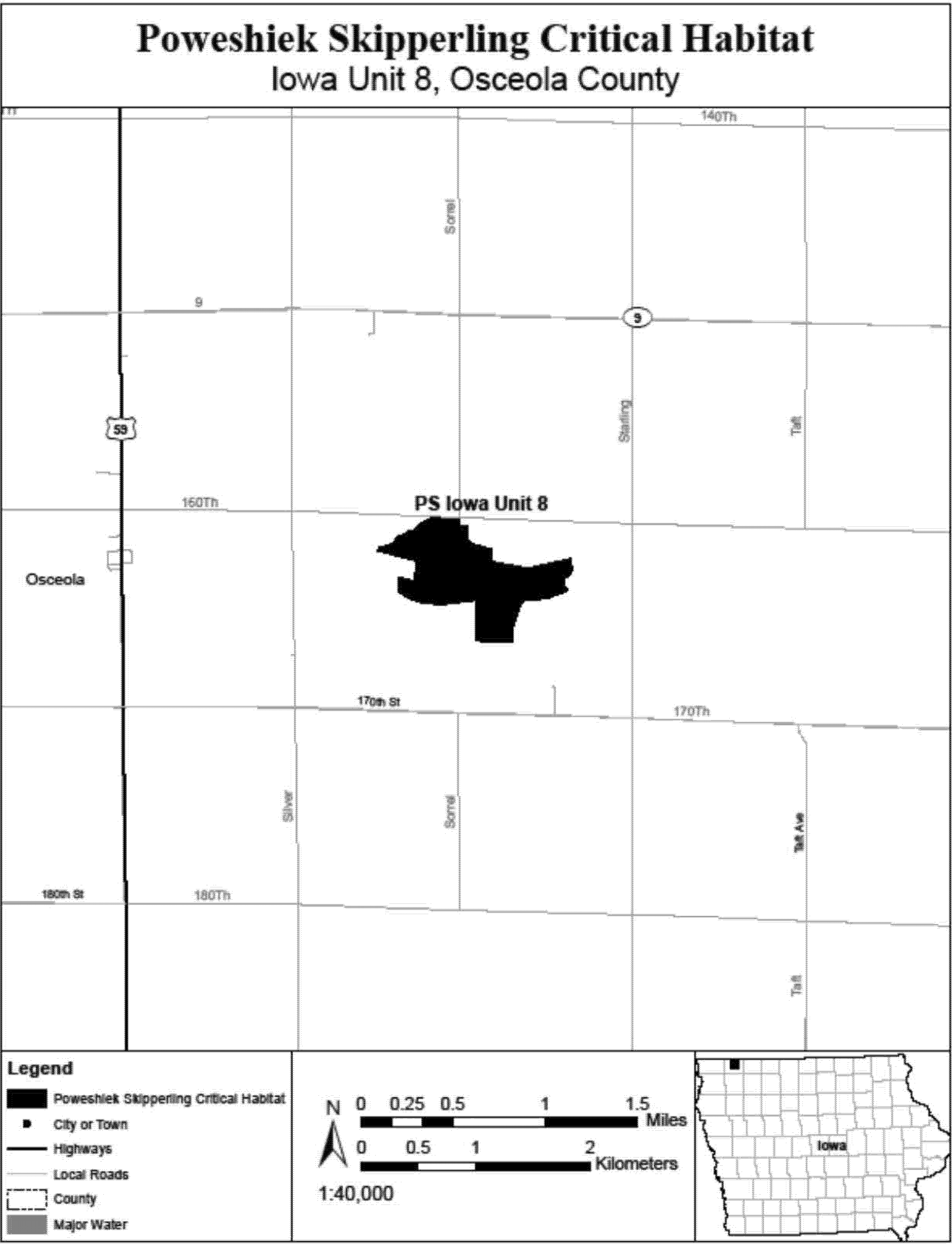
(13) PS Iowa Unit 9, Dickinson County, Iowa. Map of PS Iowa Unit 9 follows:

(14) PS Iowa Unit 10, Kossuth County, Iowa. Map of PS Iowa Unit 10 follows:
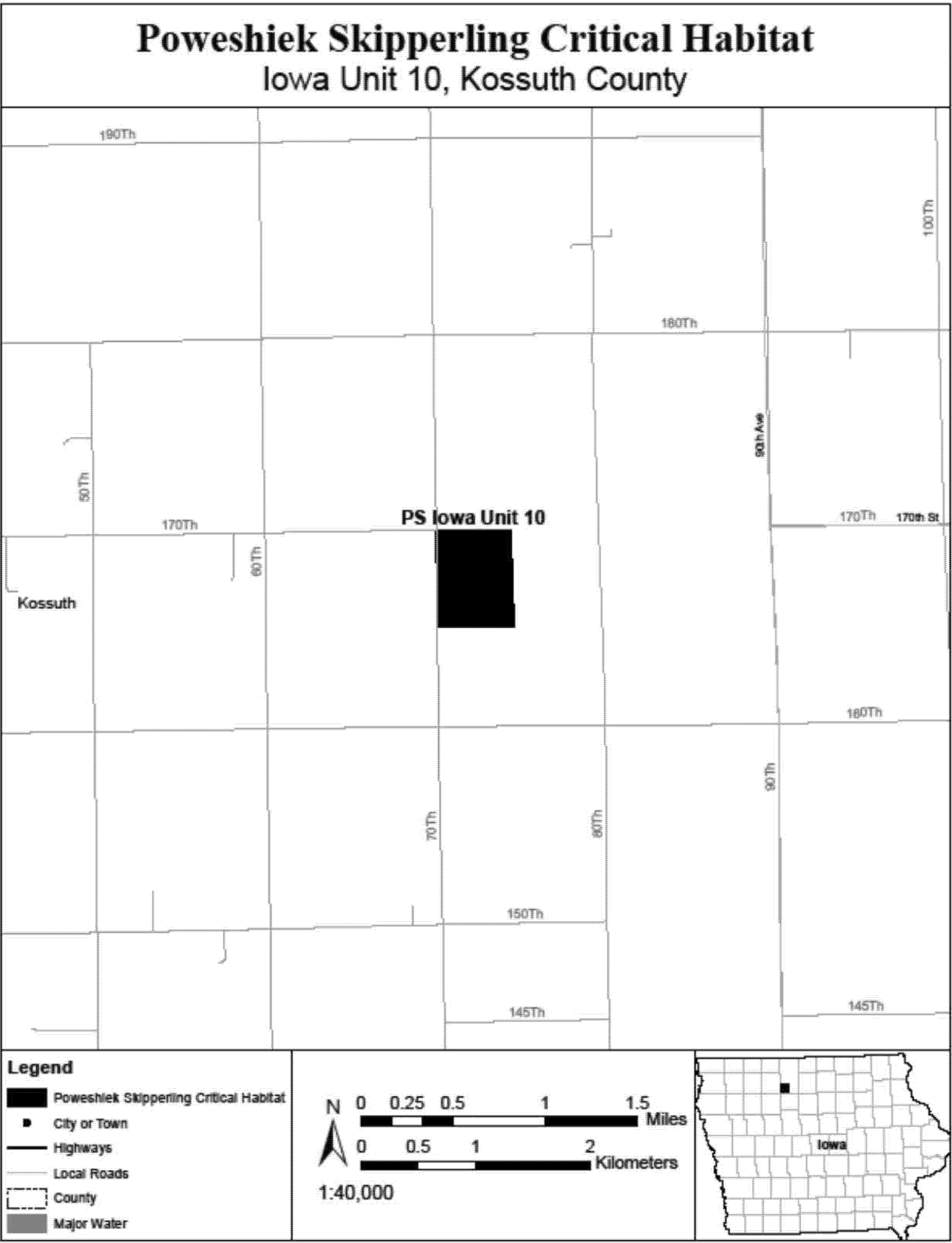
(15) PS Iowa Unit 11, Emmet County, Iowa. Map of PS Iowa Unit 11 follows:
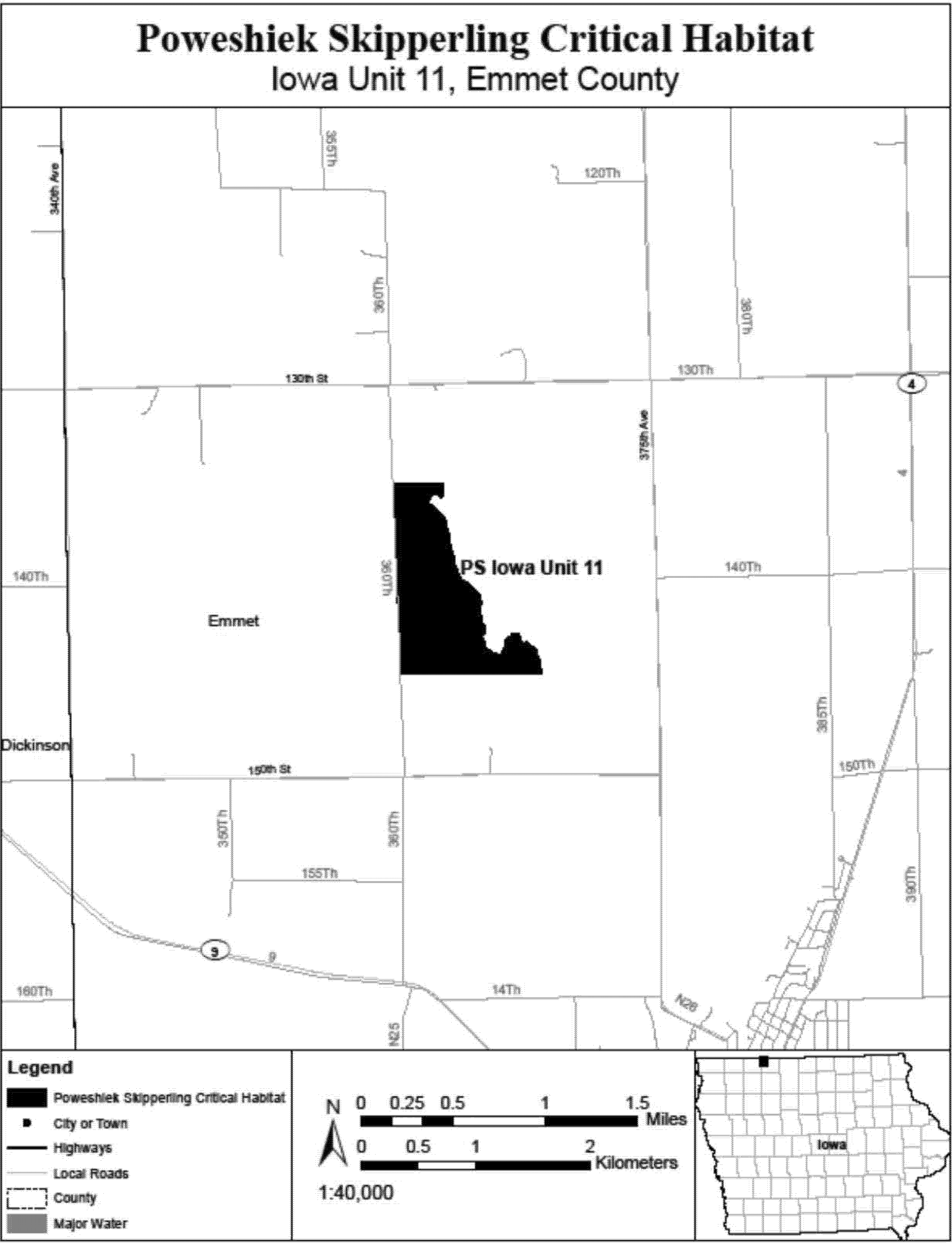
(16) PS Michigan Unit 1, Oakland County, Michigan. Map of PS Michigan Unit 1 follows:

(17) PS Michigan Units 2 and 3, Oakland County, Michigan. Map of PS Michigan Units 2 and 3 follows:
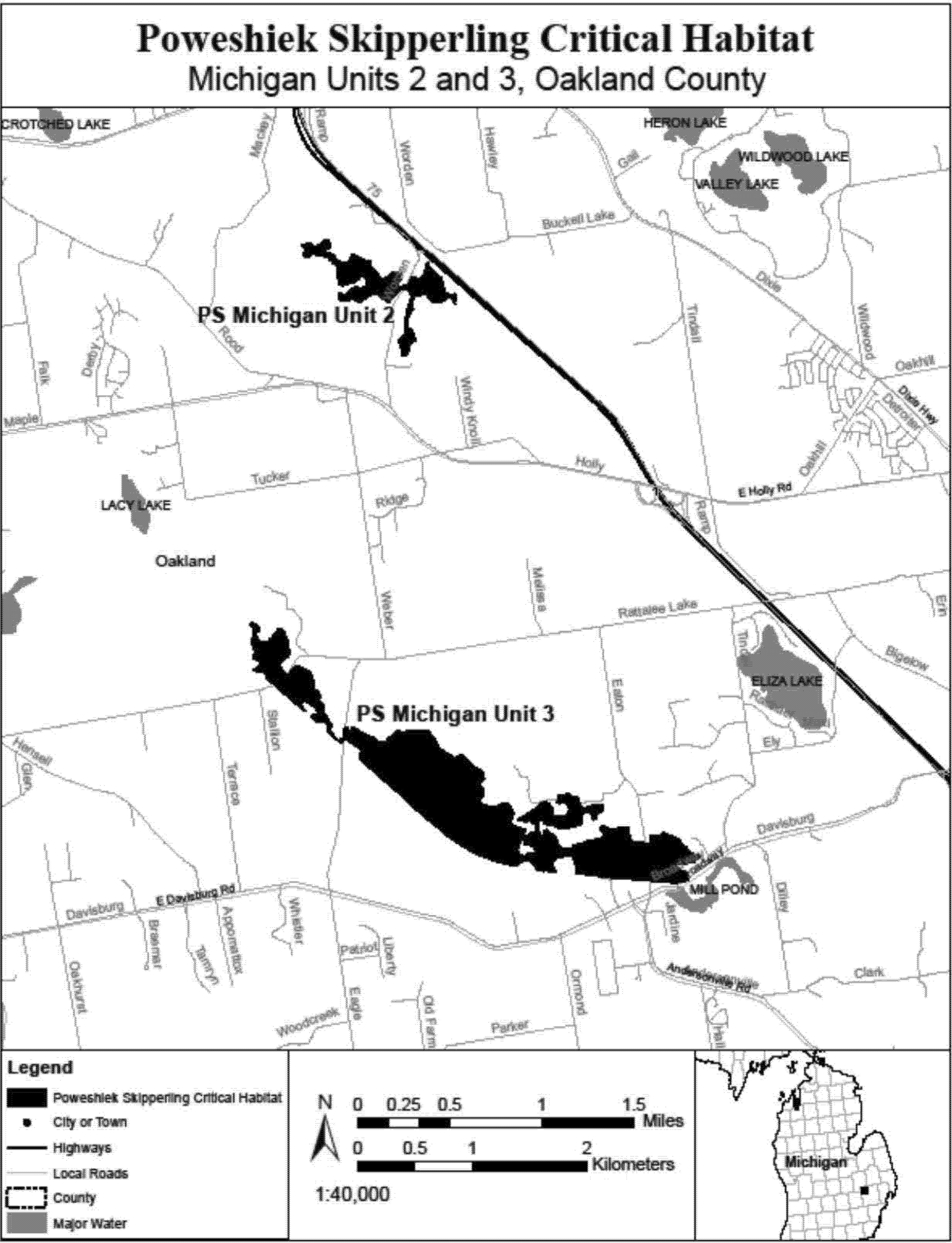
(18) PS Michigan Unit 4, Oakland County, Michigan. Map of PS Michigan Unit 4 follows:
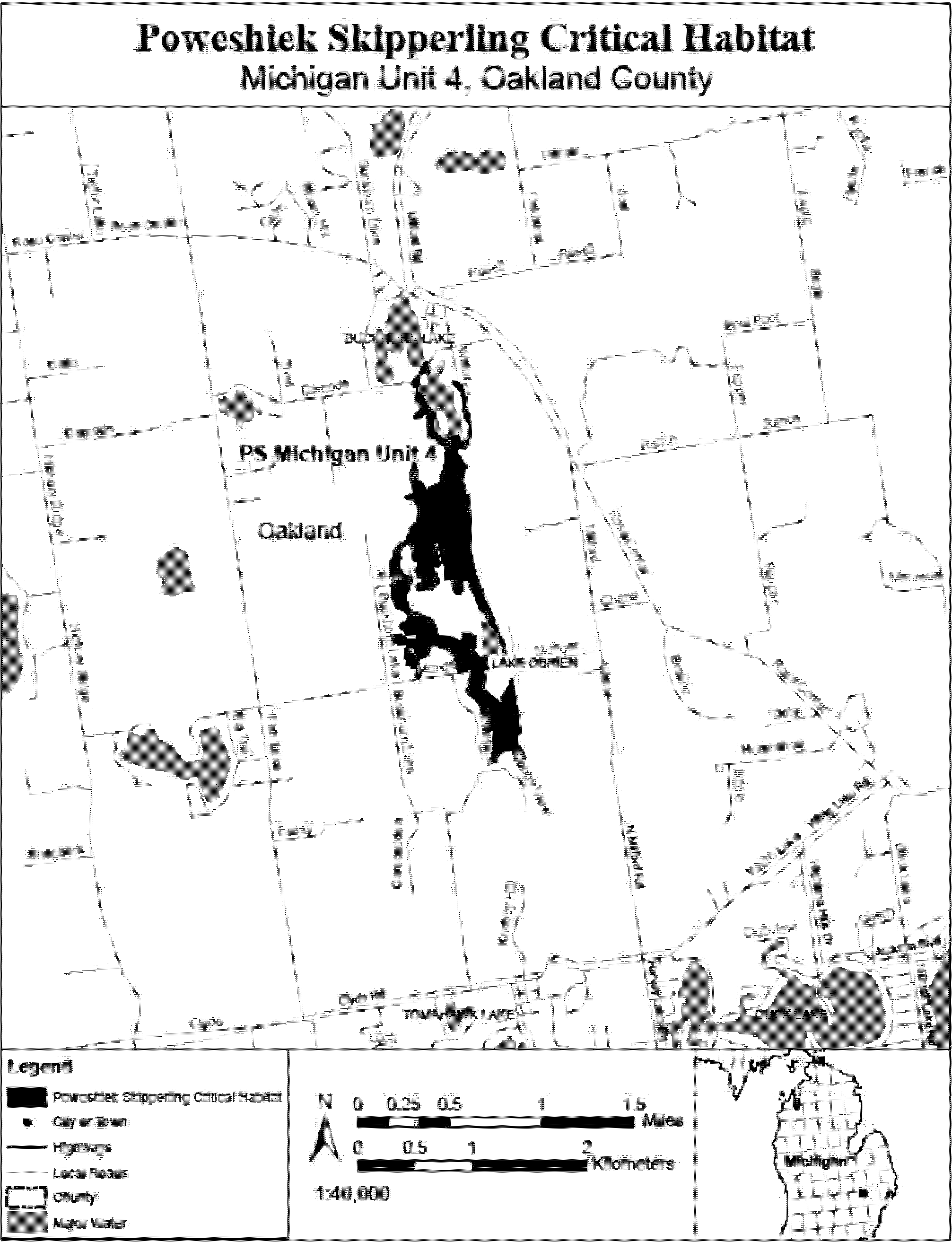
(19) PS Michigan Unit 5, Livingston County, Michigan. Map of PS Michigan Unit 5 follows:

(20) PS Michigan Unit 6, Washtenah County, Michigan. Map of PS Michigan Unit 6 follows:

(21) PS Michigan Unit 7, Lenawee County, Michigan. Map of PS Michigan Unit 7 follows:
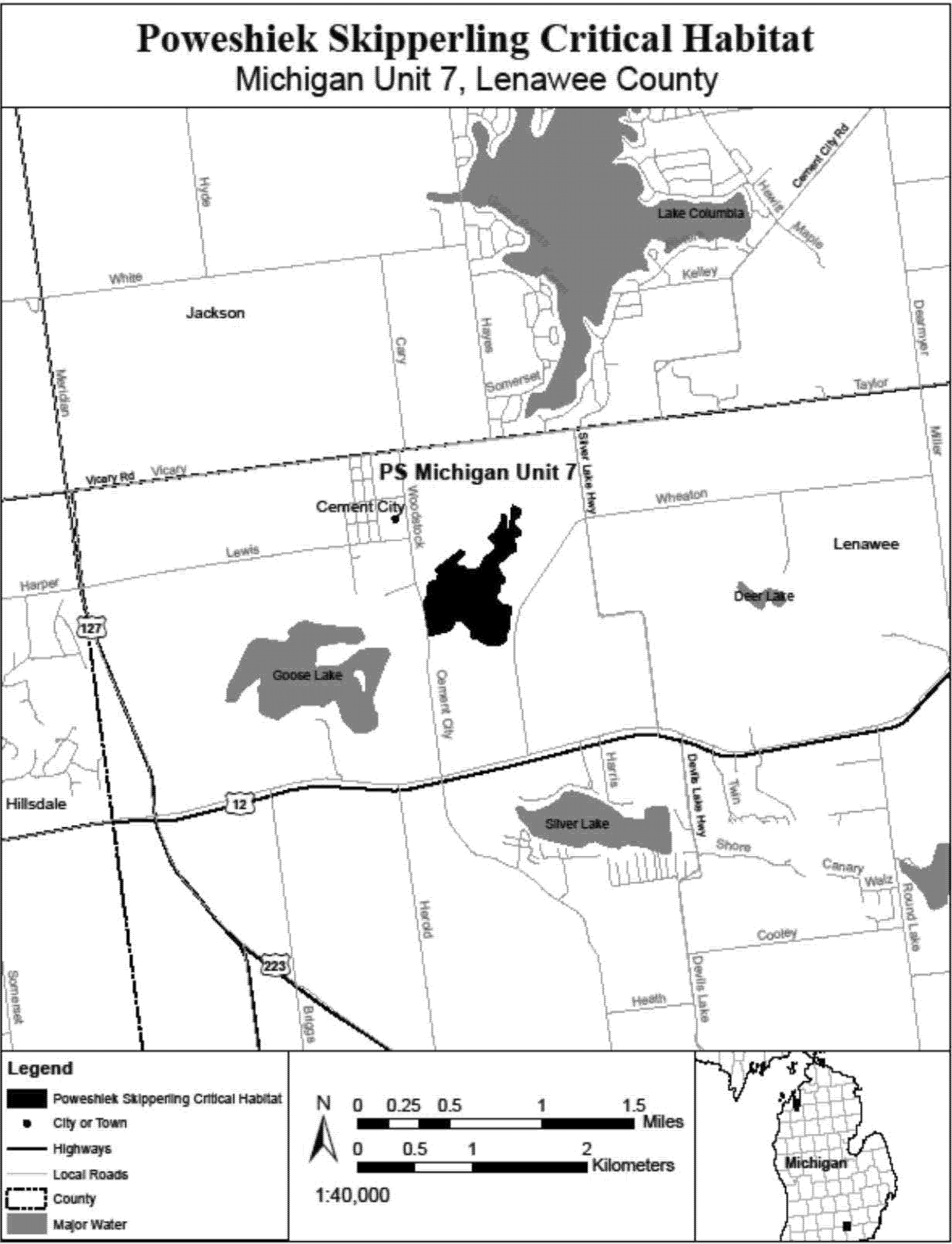
(22) PS Michigan Units 8 and 9, Jackson and Hillsdale Counties, Michigan. Map of PS Michigan Units 8 and 9 follows:

(23) PS Minnesota Unit 1, Pope County, Minnesota. Map of PS Minnesota Unit 1 follows:
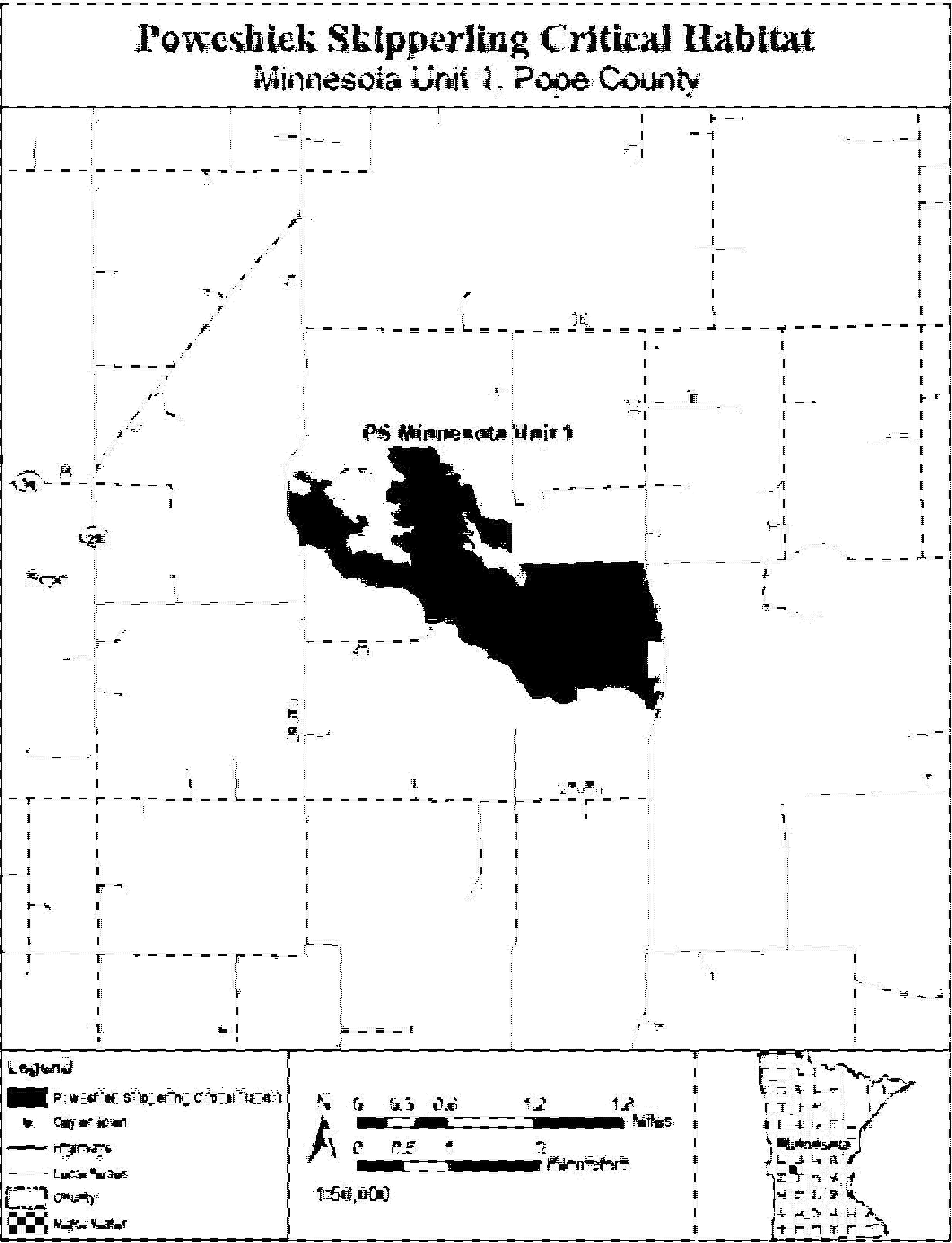
(24) PS Minnesota Units 2 and 3, Murray County, Minnesota. Map of PS Minnesota Units 2 and 3 follows:
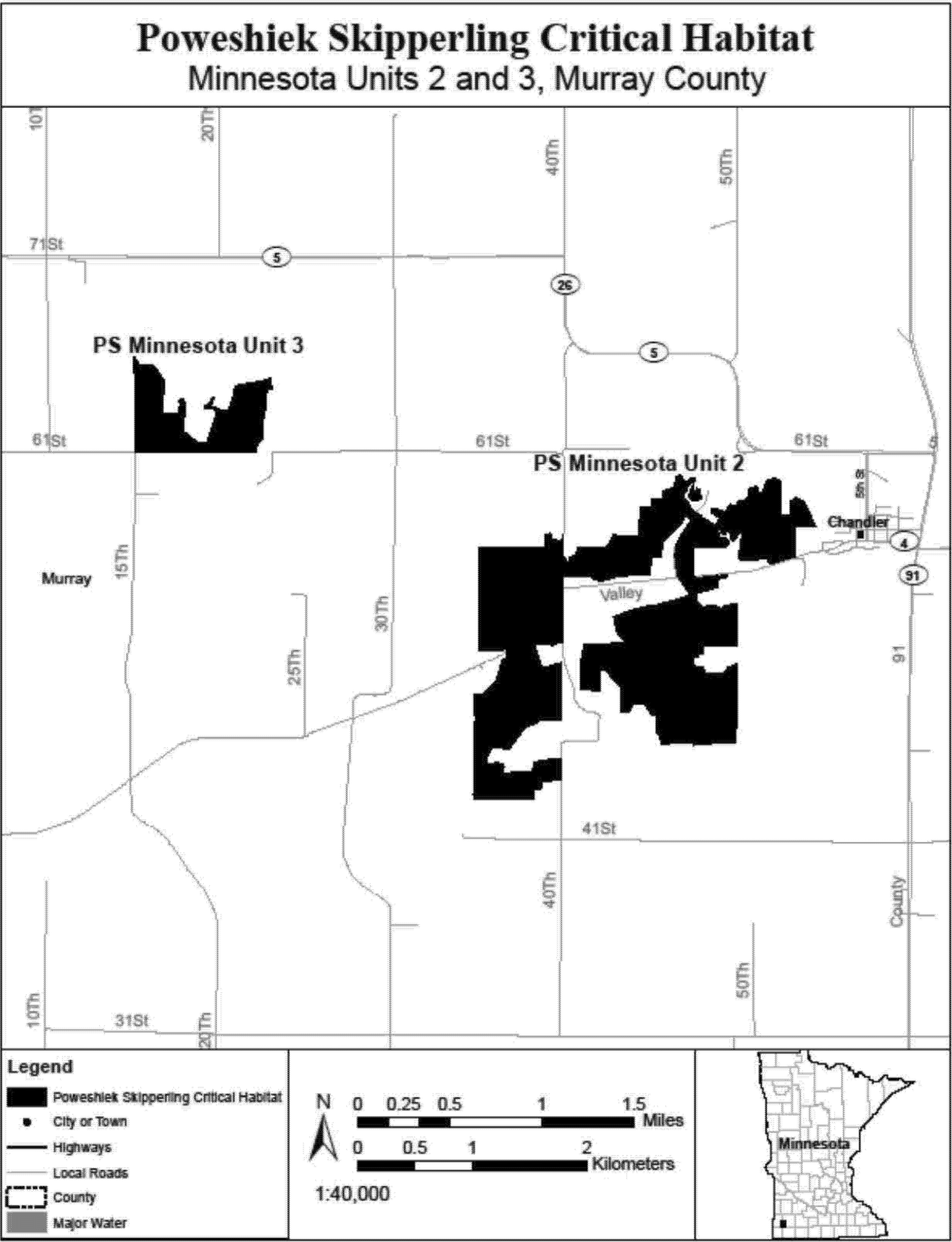
(25) PS Minnesota Units 4 and 18, Clay County, Minnesota. Map of PS Minnesota Units 4 and 18 follows:

(26) PS Minnesota Unit 5, Clay County, Minnesota. Map of PS Minnesota Unit 5 follows:
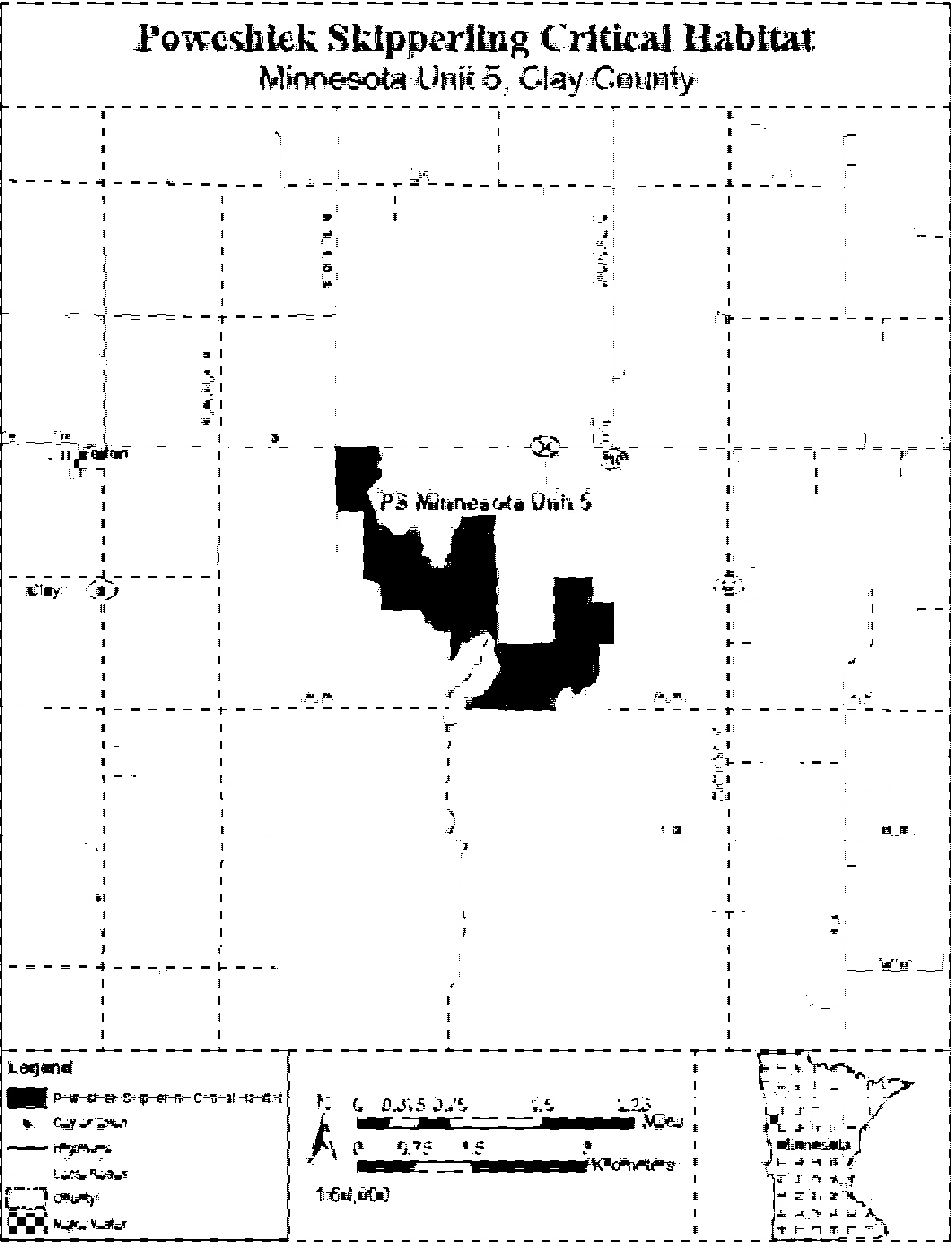
(27) PS Minnesota Unit 6, Norman County, Minnesota. Map of PS Minnesota Unit 6 follows:
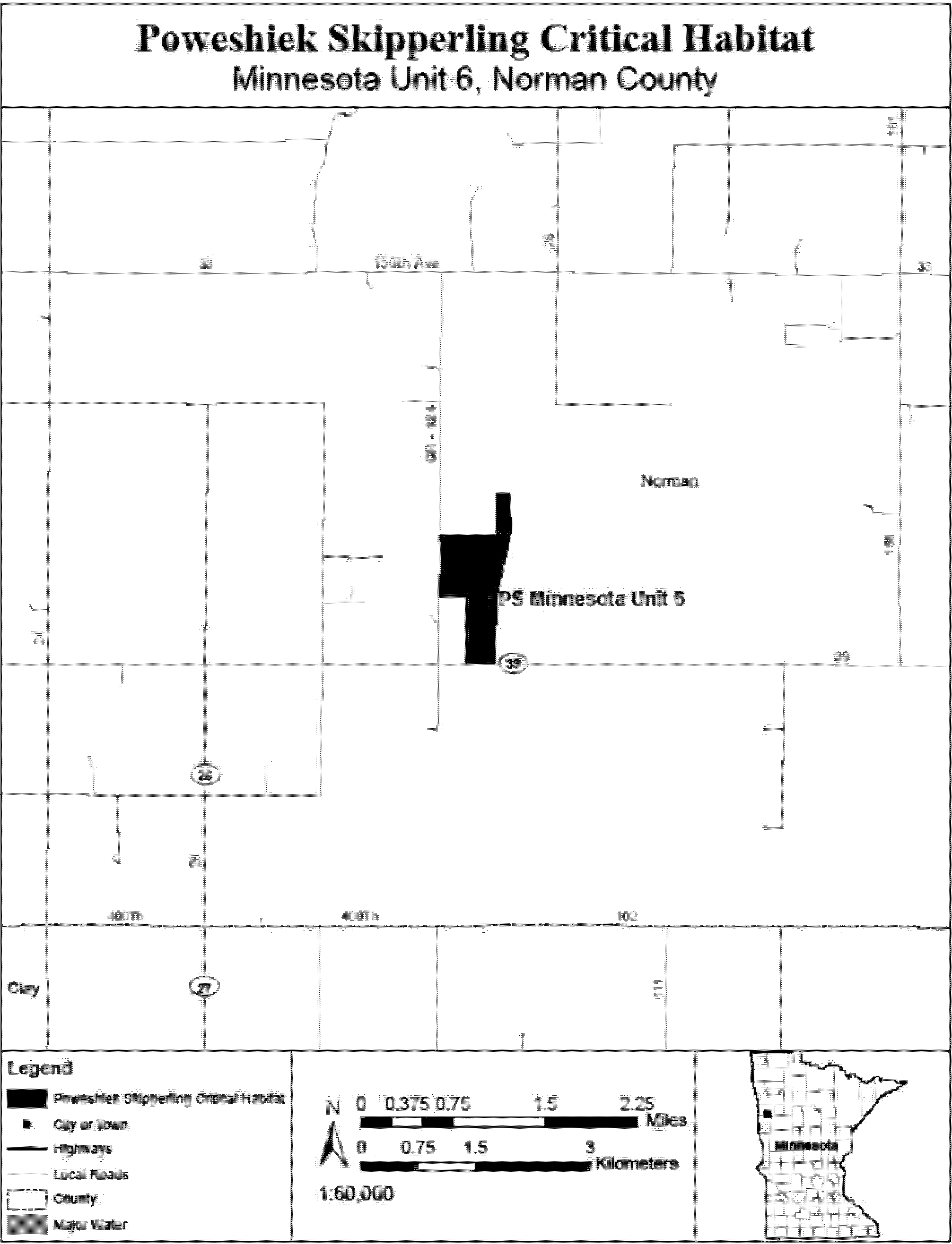
(28) PS Minnesota Unit 7, Lincoln and Pipestone Counties, Minnesota. Map of PS Minnesota Unit 7 follows:

(29) PS Minnesota Units 8 and 9, Pipestone County, Minnesota. Map of PS Minnesota Units 8 and 9 follows:
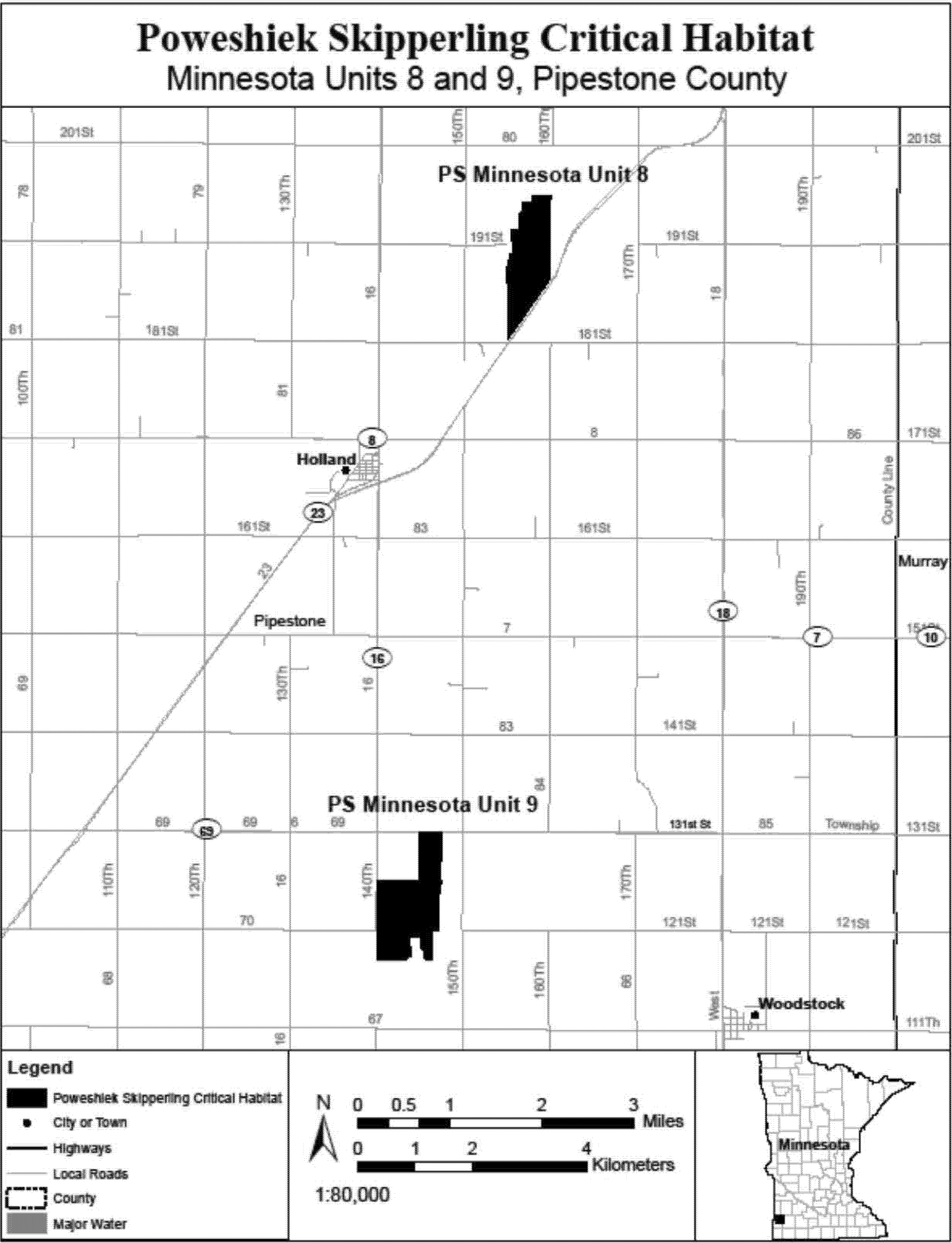
(30) PS Minnesota Unit 10, Swift and Chippewa Counties, Minnesota. Map of PS Minnesota Unit 10 follows:

(31) PS Minnesota Unit 11, Wilkin County, Minnesota. Map of PS Minnesota Unit 11 follows:
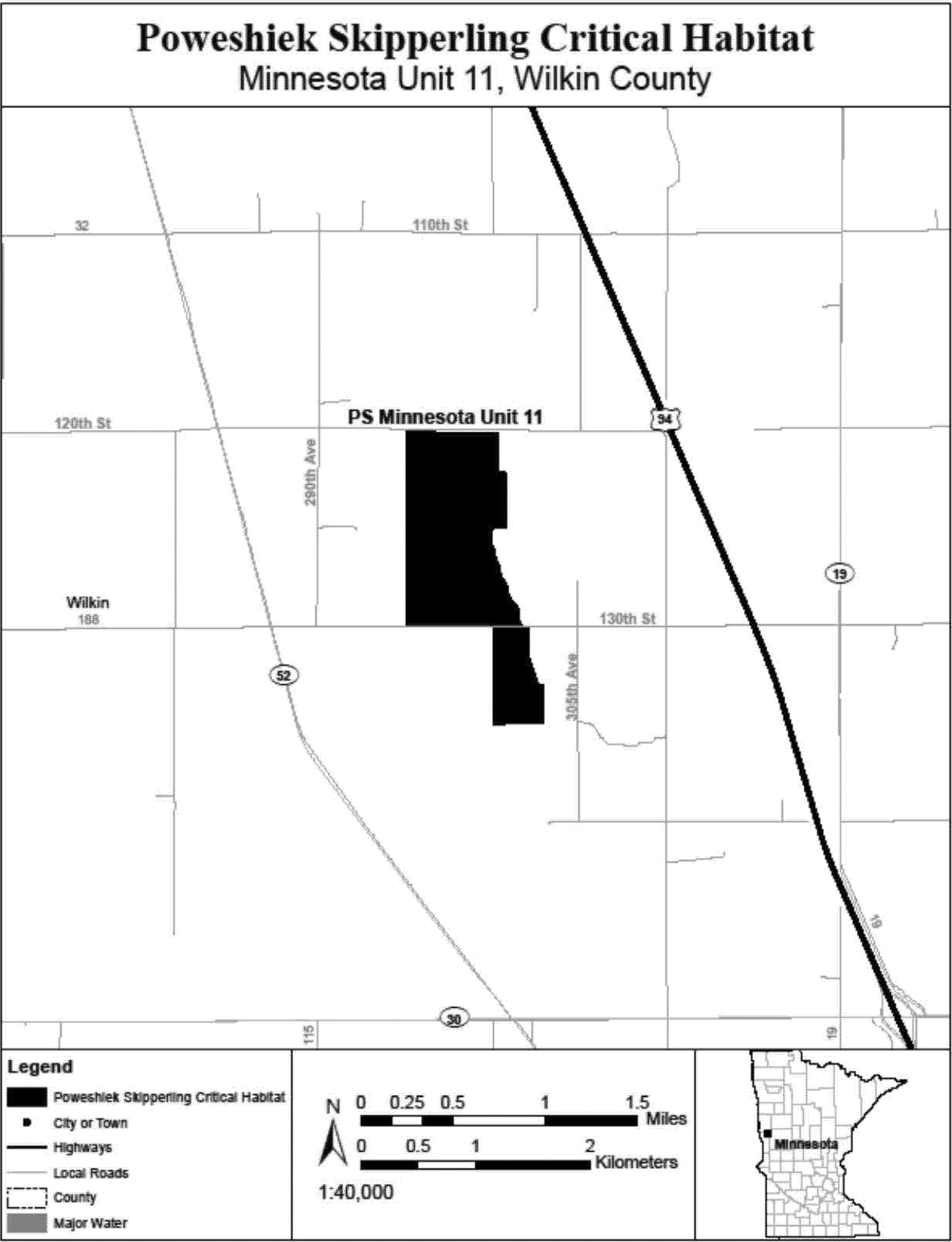
(32) PS Minnesota Unit 12, Lyon County, Minnesota. Map of PS Minnesota Unit 12 follows:

(33) PS Minnesota Unit 13, Lac Qui Parle County, Minnesota. Map of PS Minnesota Unit 13 follows:
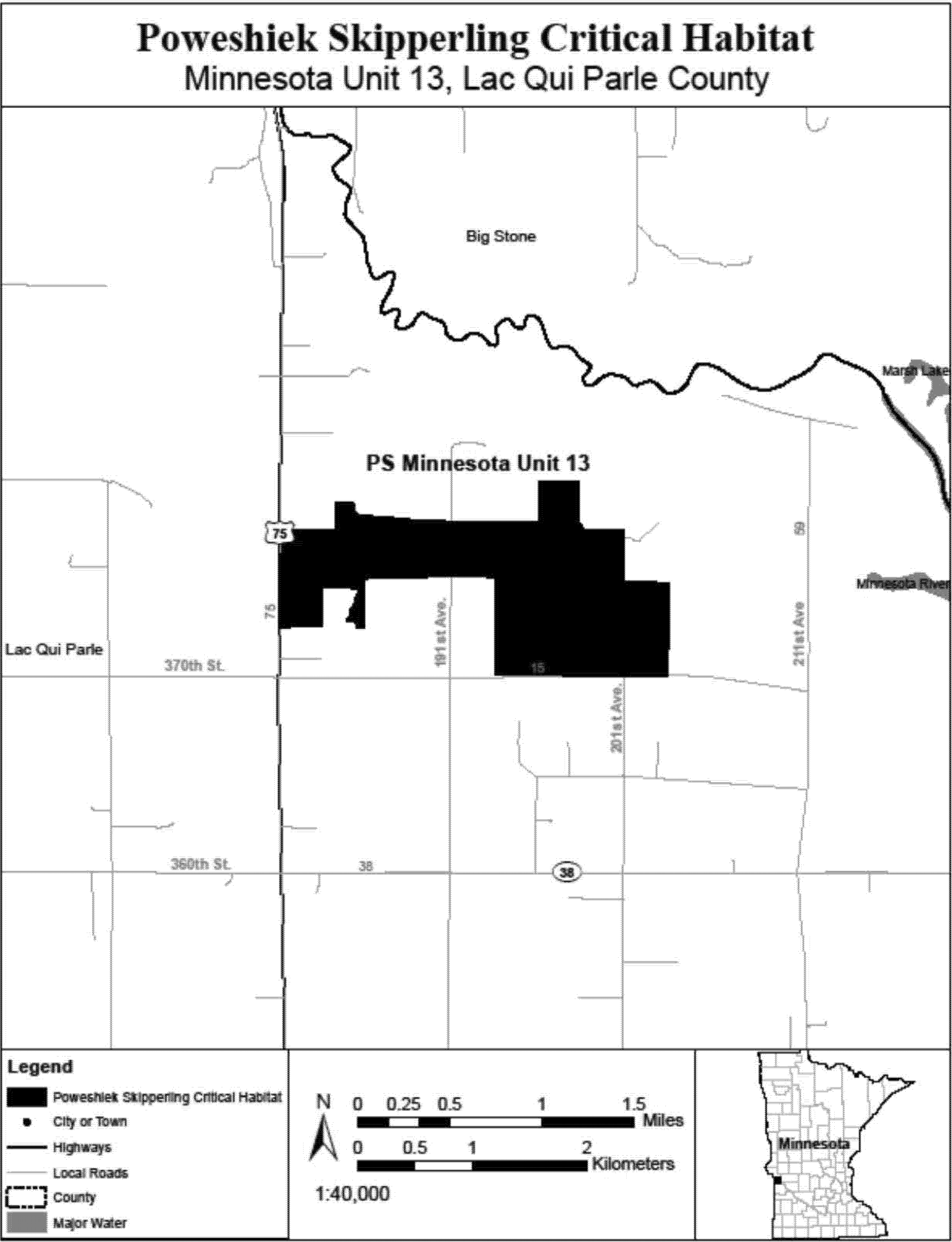
(34) PS Minnesota Unit 14, Douglas County, Minnesota. Map of PS Minnesota Unit 14 follows:
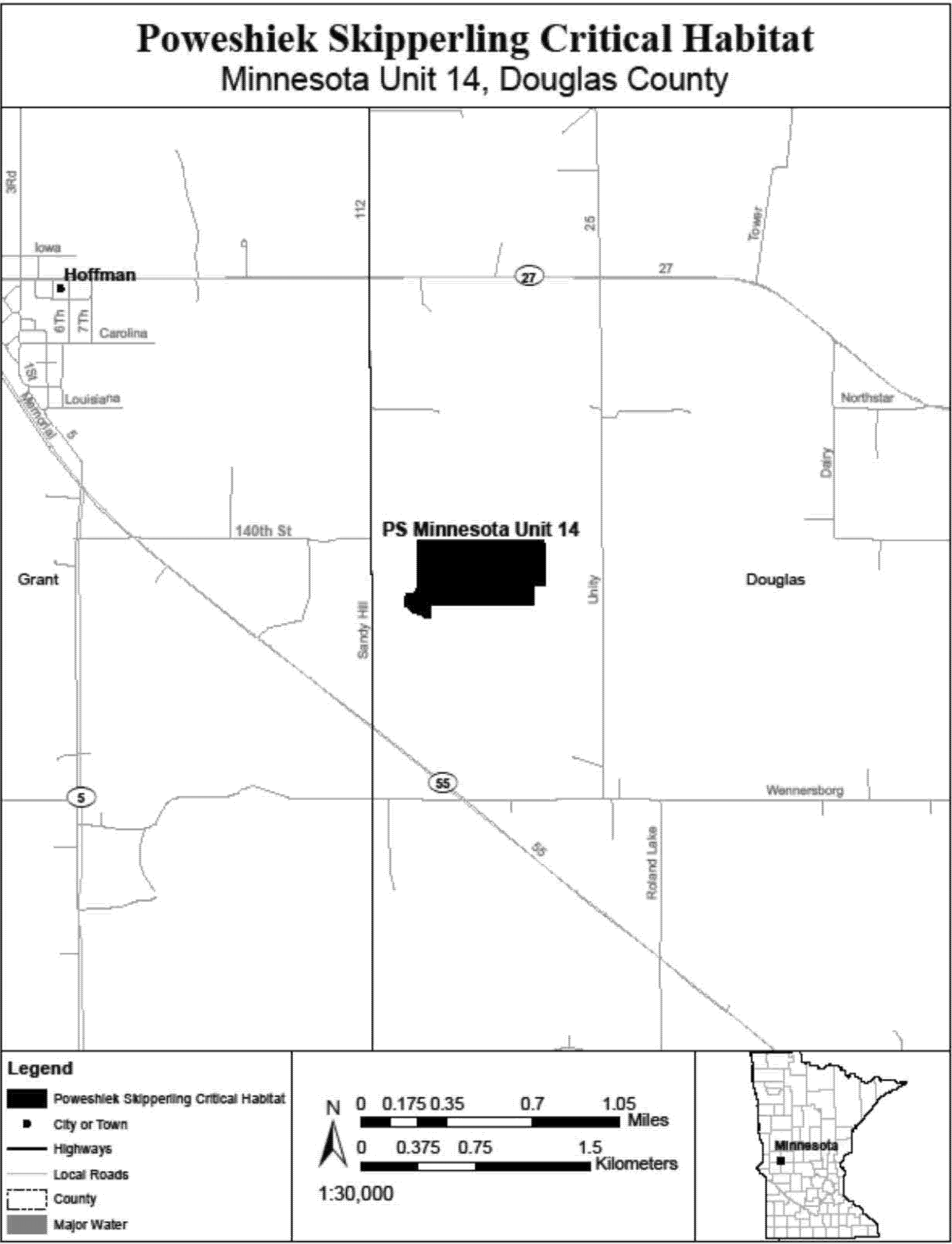
(35) PS Minnesota Unit 15, Mahnomen County, Minnesota. Map of PS Minnesota Unit 15 follows:
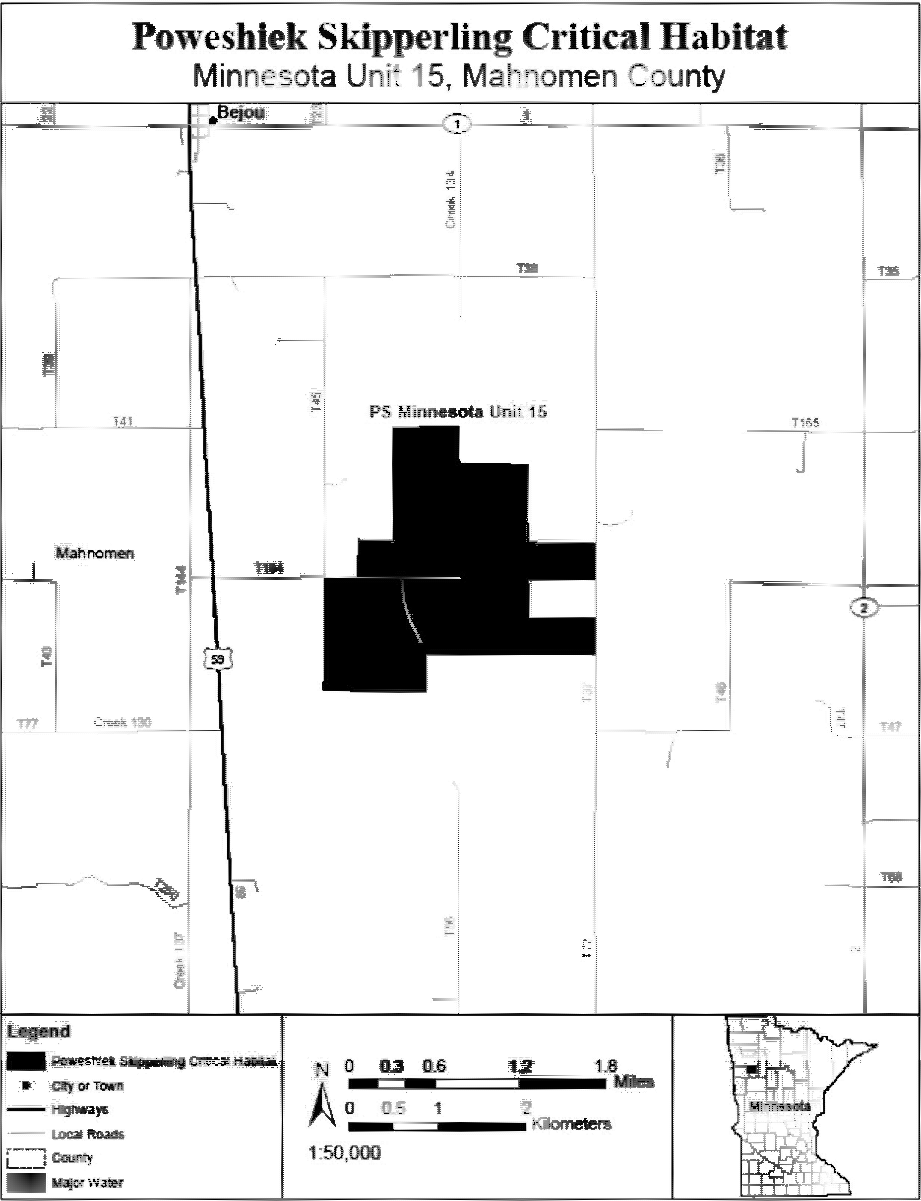
(36) PS Minnesota Unit 16, Cottonwood County, Minnesota. Map of PS Minnesota Unit 16 follows:

(37) PS Minnesota Unit 17, Pope County, Minnesota. Map of PS Minnesota Unit 17 follows:
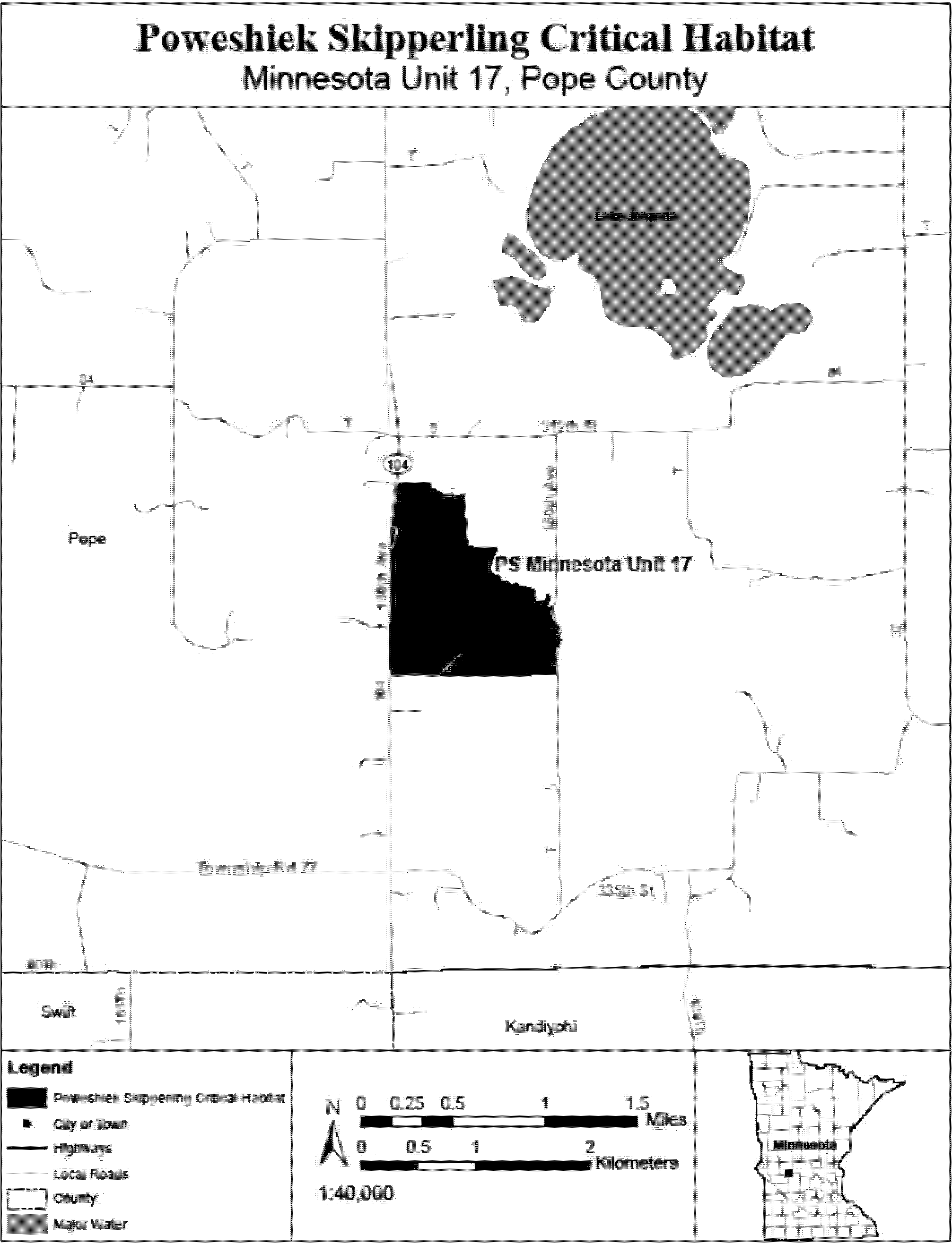
(38) PS Minnesota Unit 19, Kittson County, Minnesota. Map of PS Minnesota Unit 19 follows:

(39) PS Minnesota Unit 20, Polk County, Minnesota. Map of PS Minnesota Unit 20 follows:
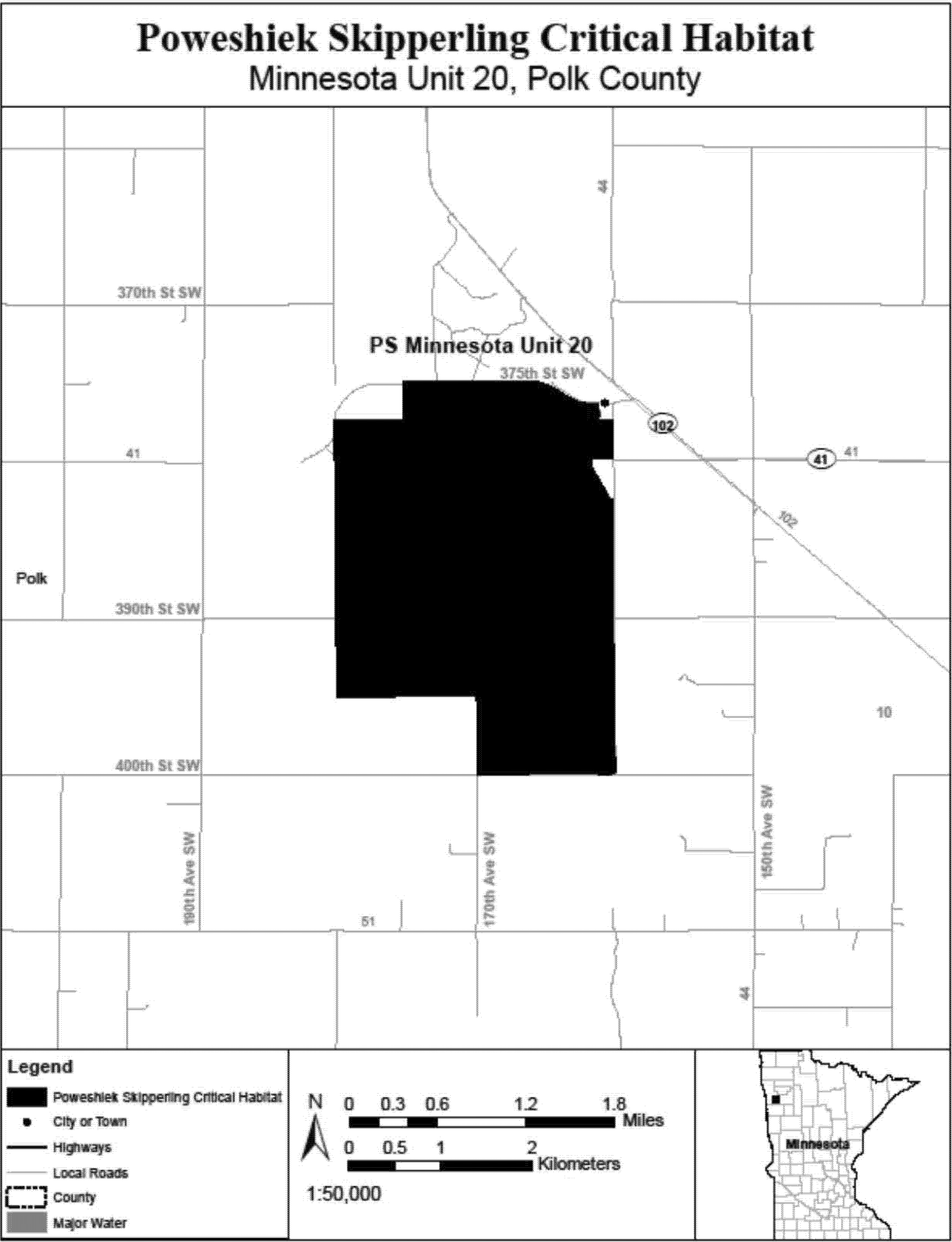
(40) PS North Dakota Units 1 and 2, Richland County, North Dakota. Map of PS North Dakota Units 1 and 2 follows:
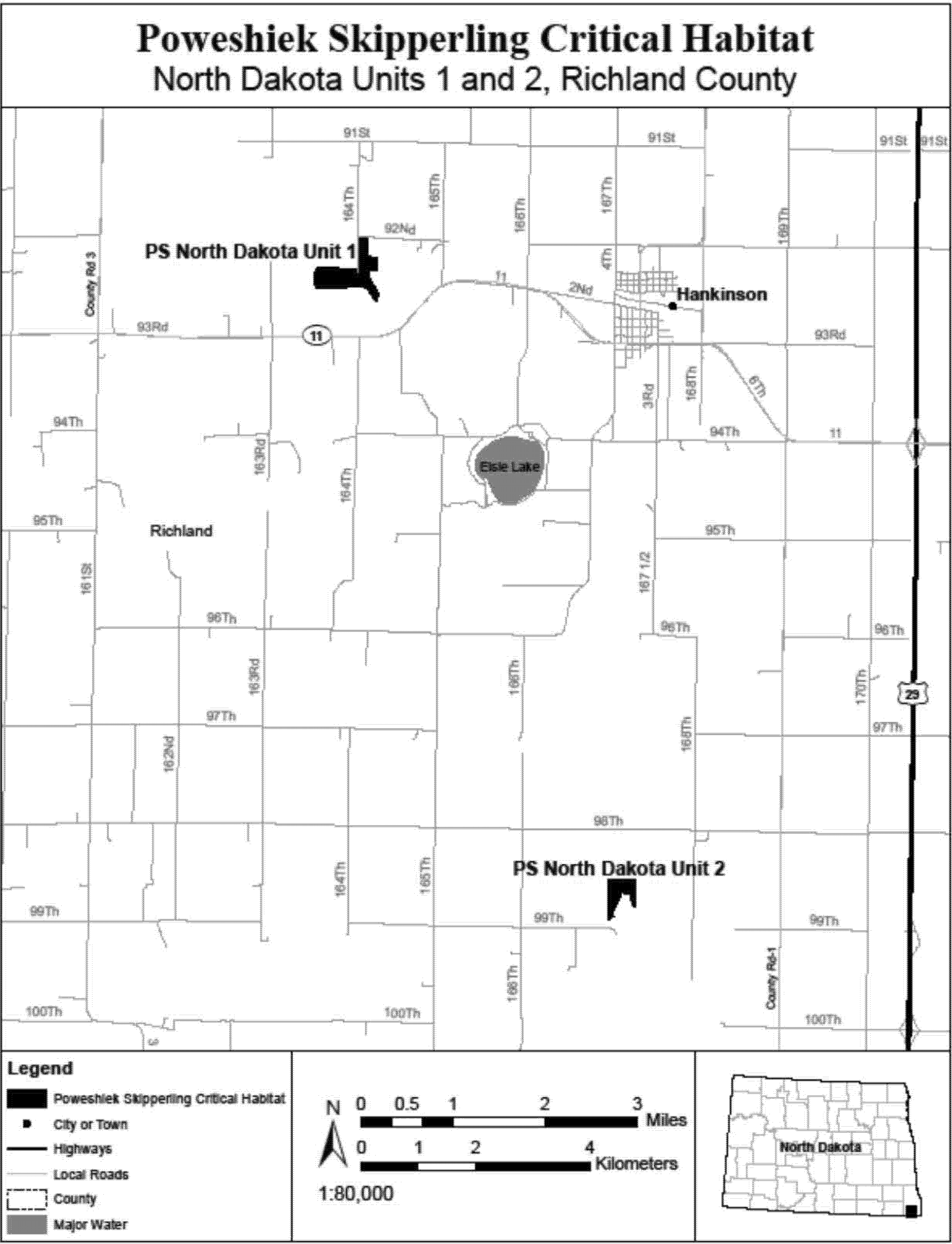
(41) PS South Dakota Unit 1, Marshall County, South Dakota. Map of PS South Dakota Unit 1 follows:
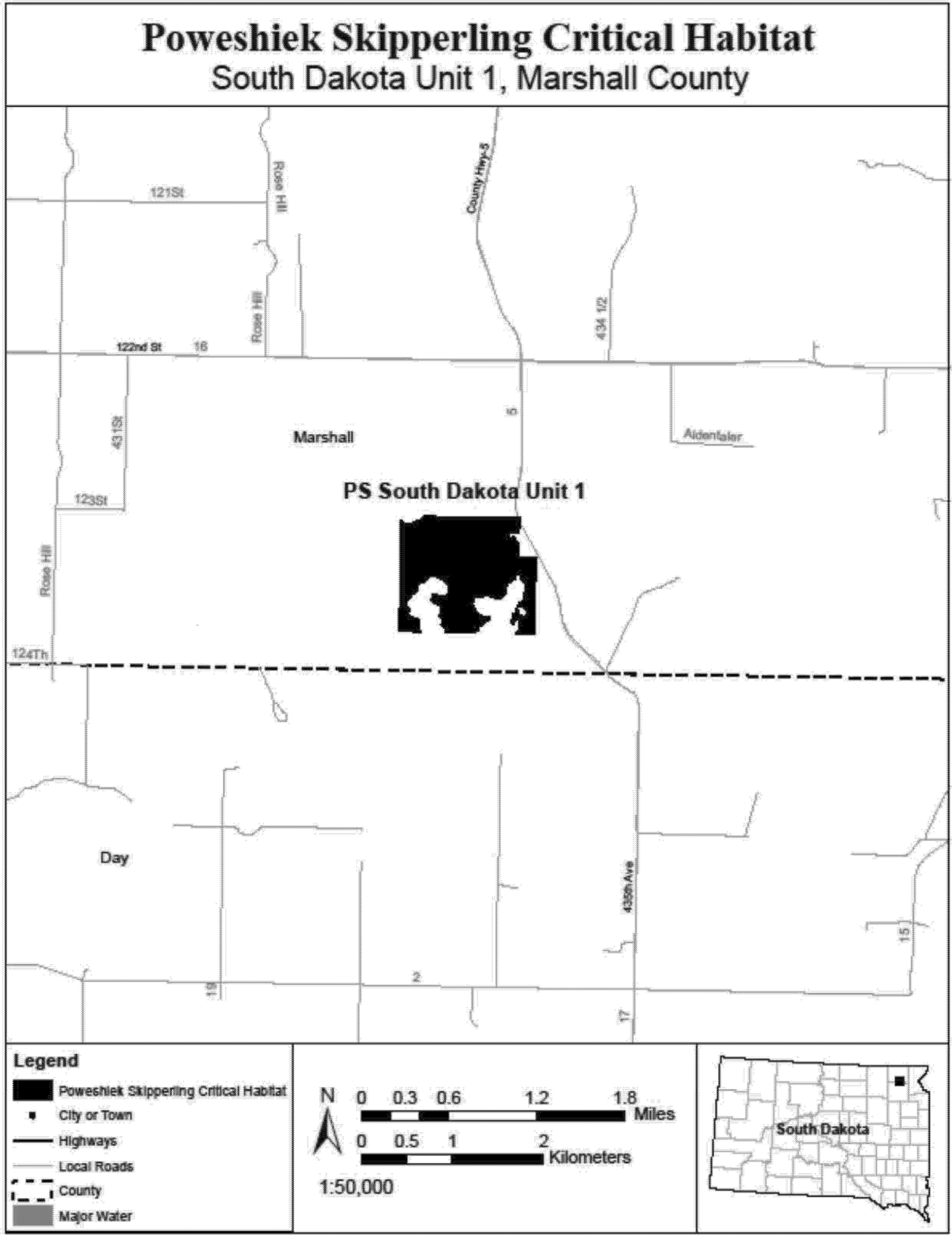
(42) PS South Dakota Unit 2, Brookings County, South Dakota. Map of PS South Dakota Unit 2 follows:
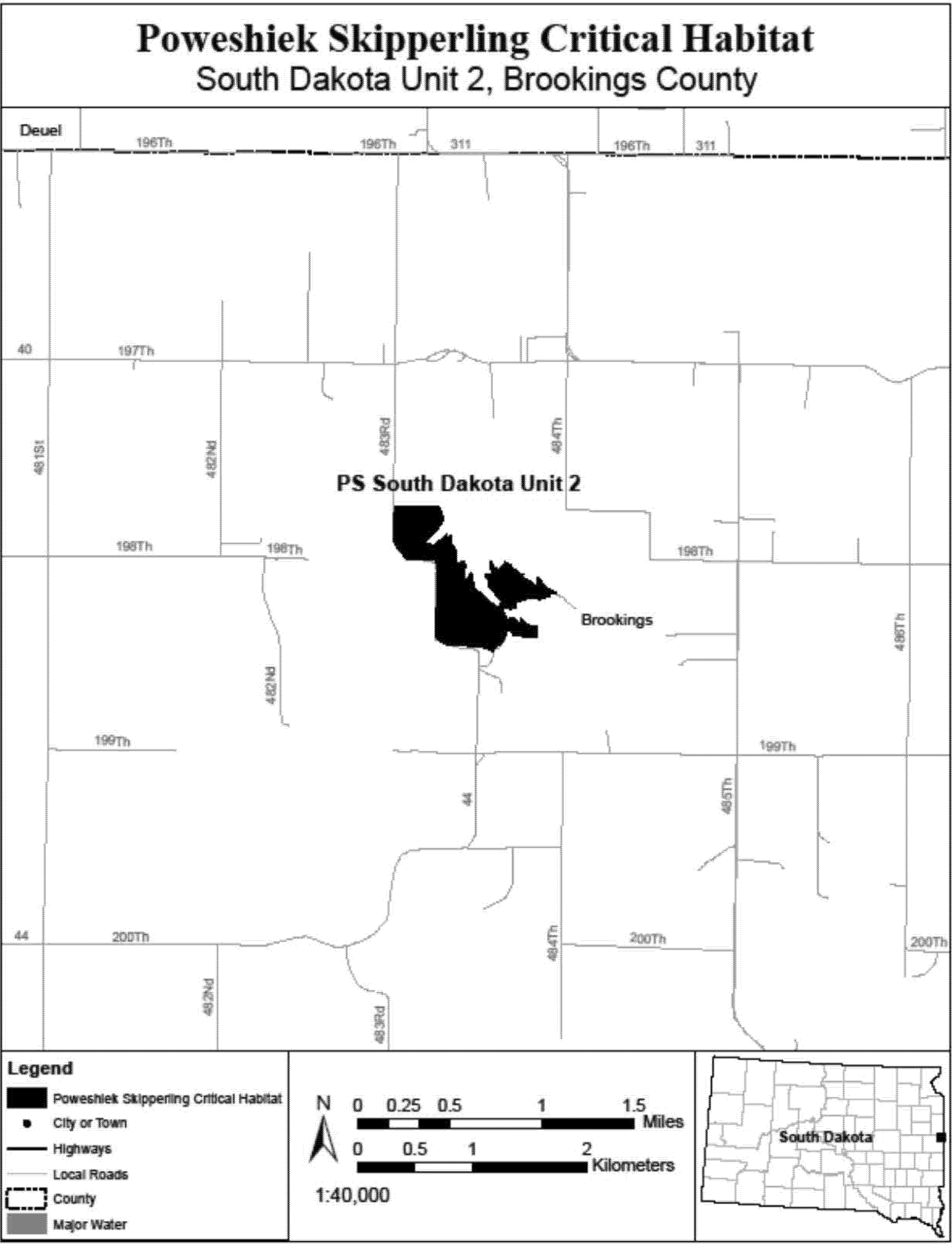
(43) PS South Dakota Units 3 and 5, Deuel County, South Dakota. Map of PS South Dakota Units 3 and 5 follows:

(44) PS South Dakota Unit 4, Grant County, South Dakota. Map of PS South Dakota Unit 4 follows:
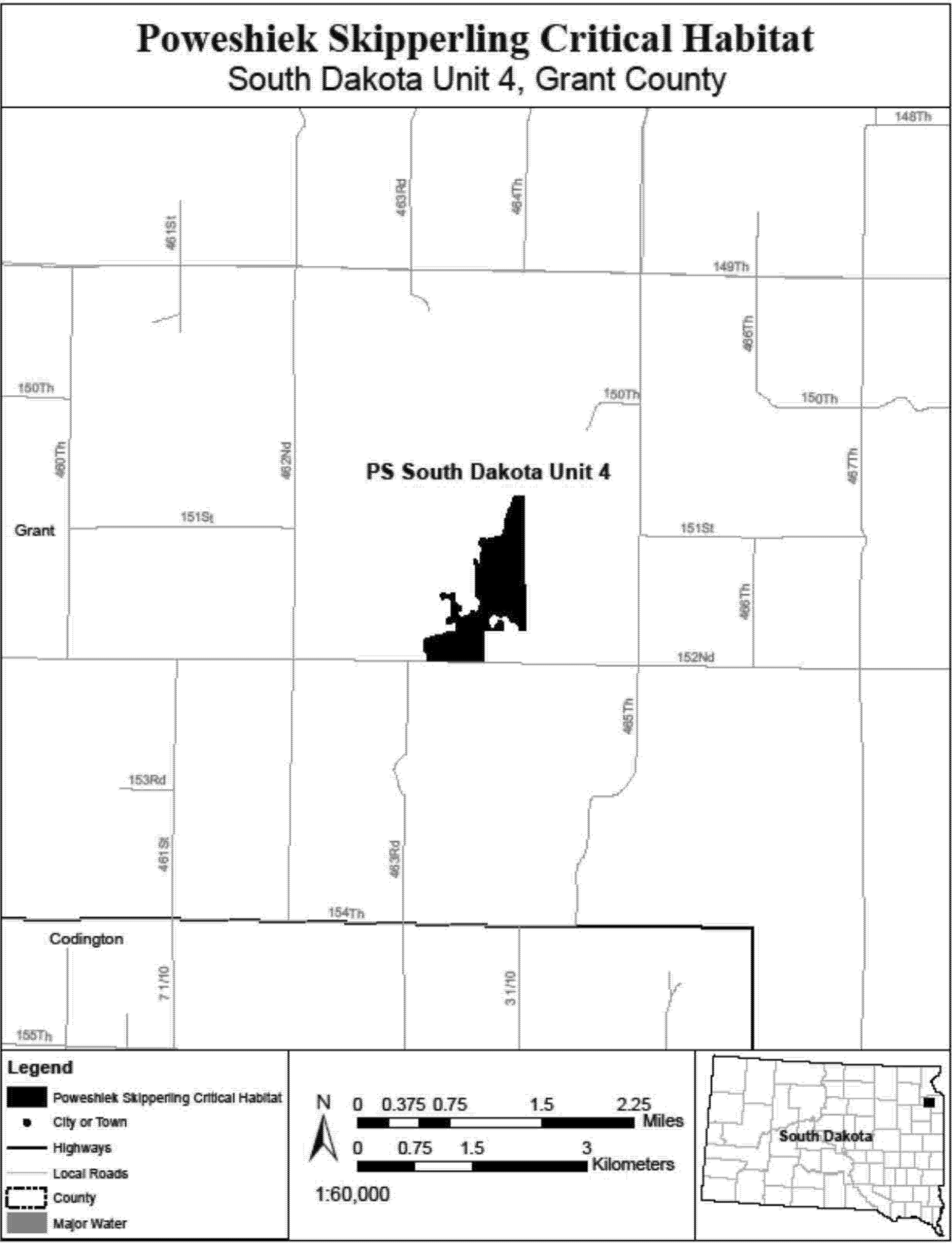
(45) PS South Dakota Unit 6, Roberts County, South Dakota. Map of PS South Dakota Unit 6 follows:
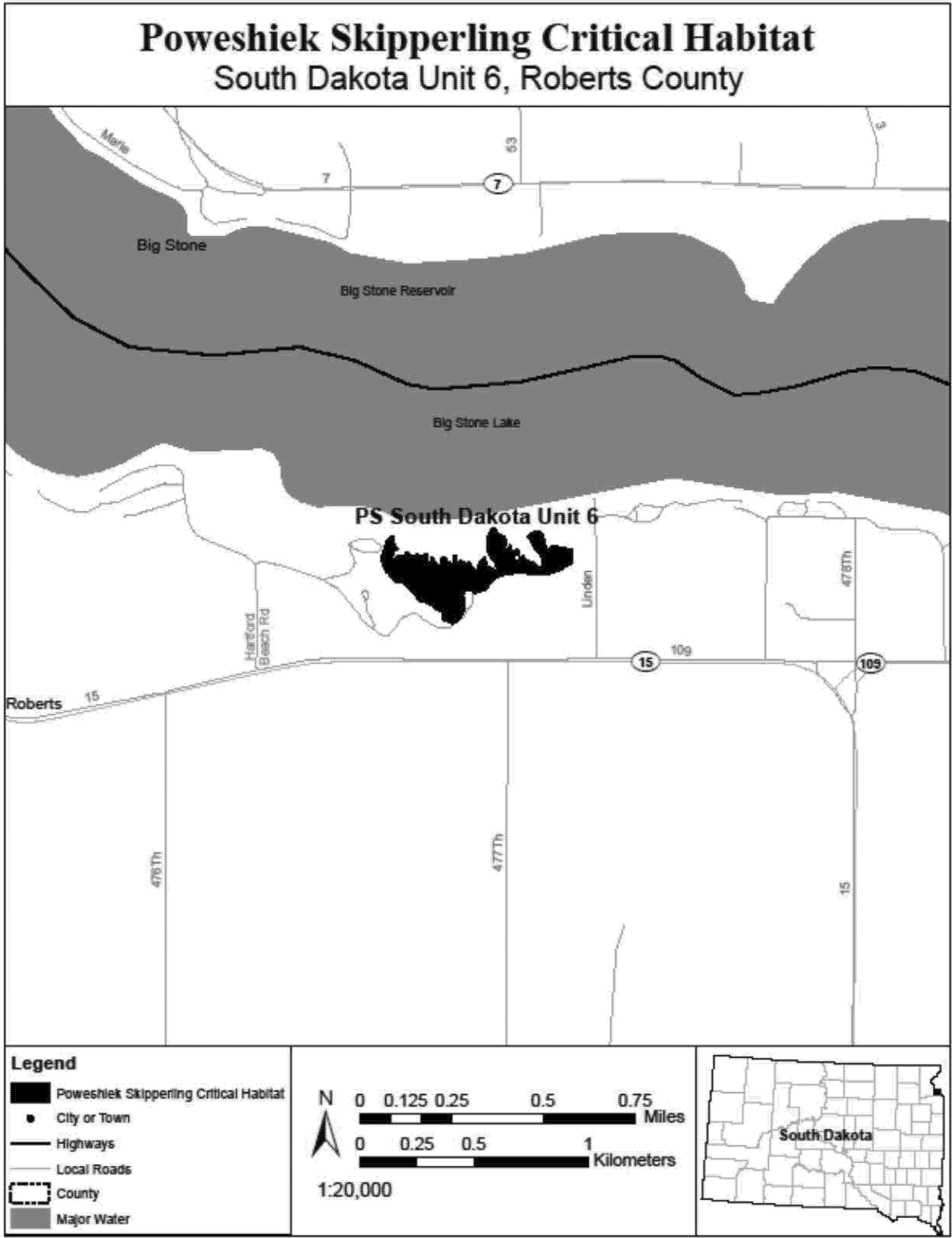
(46) PS South Dakota Unit 7, Roberts County, South Dakota. Map of PS South Dakota Unit 7 follows:

(47) PS South Dakota Unit 8, Roberts County, South Dakota. Map of PS South Dakota Unit 8 follows:

(48) PS South Dakota Units 15 and 16, Day County, South Dakota. Map of PS South Dakota Units 15 and 16 follows:
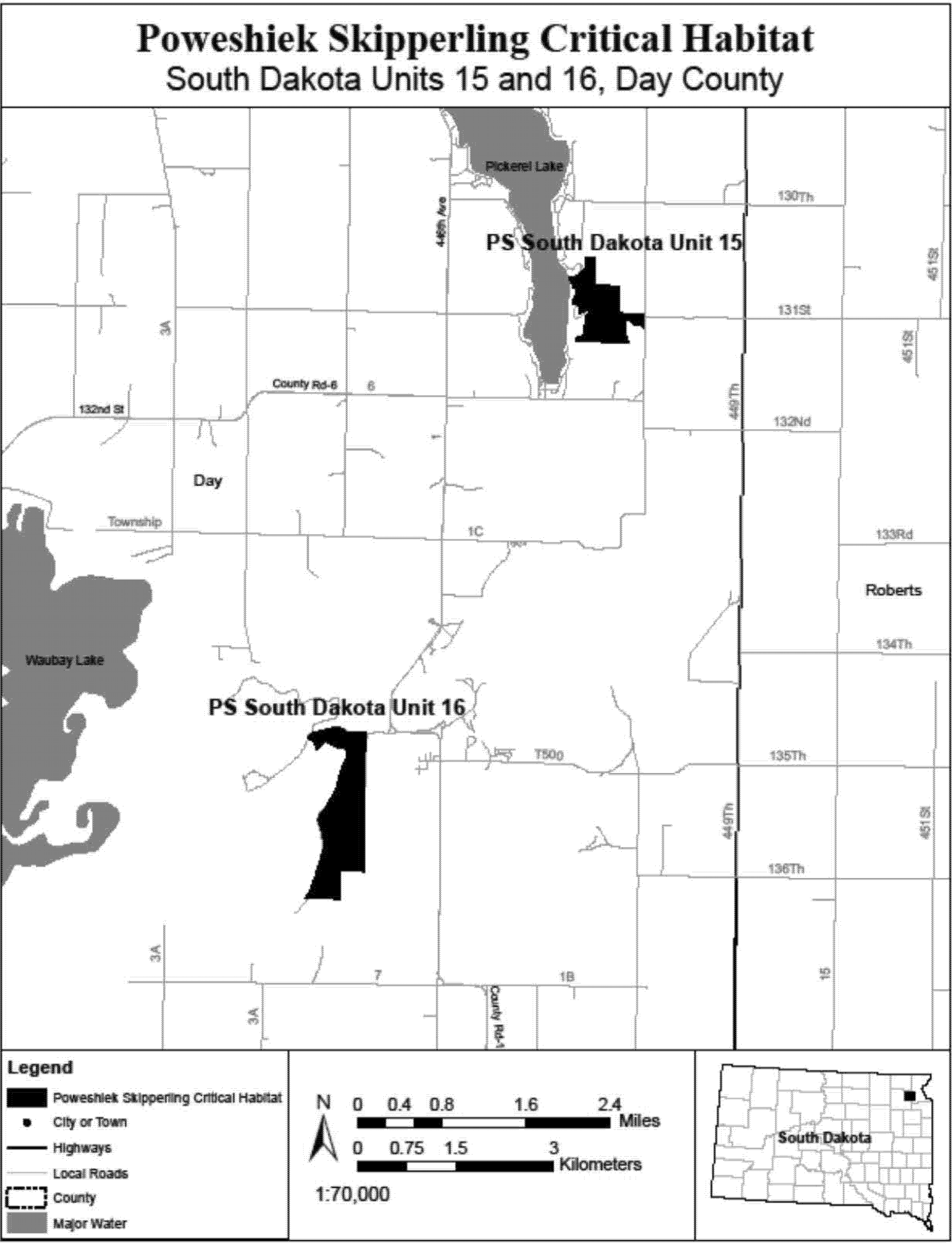
(49) PS South Dakota Unit 17, Moody County, South Dakota. Map of PS South Dakota Unit 17 follows:
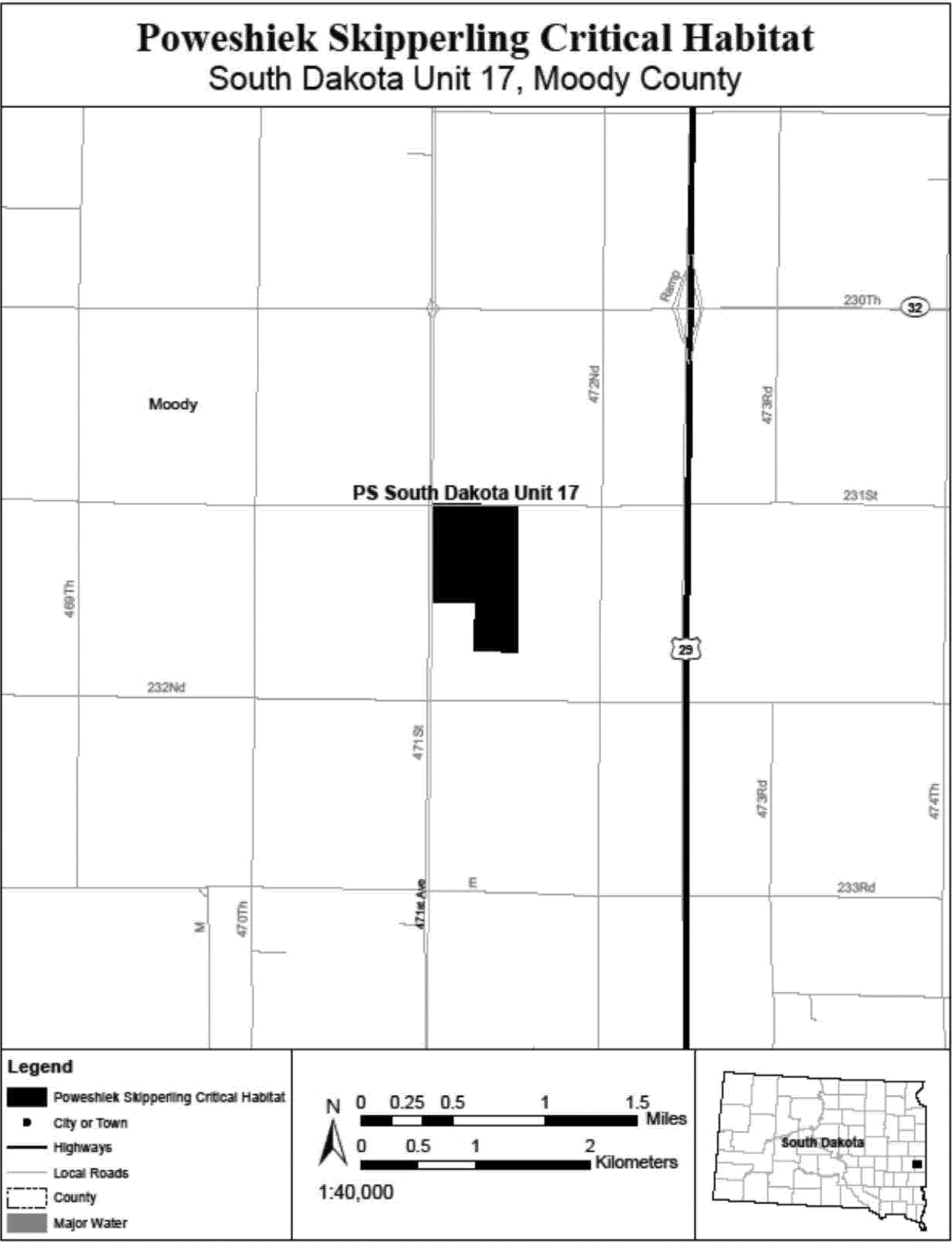
(50) PS South Dakota Unit 18, Marshall County, South Dakota. Map of PS South Dakota Unit 18 follows:

(51) PS Wisconsin Unit 1, Waukesha County, Wisconsin. Map of PS Wisconsin Unit 1 follows:
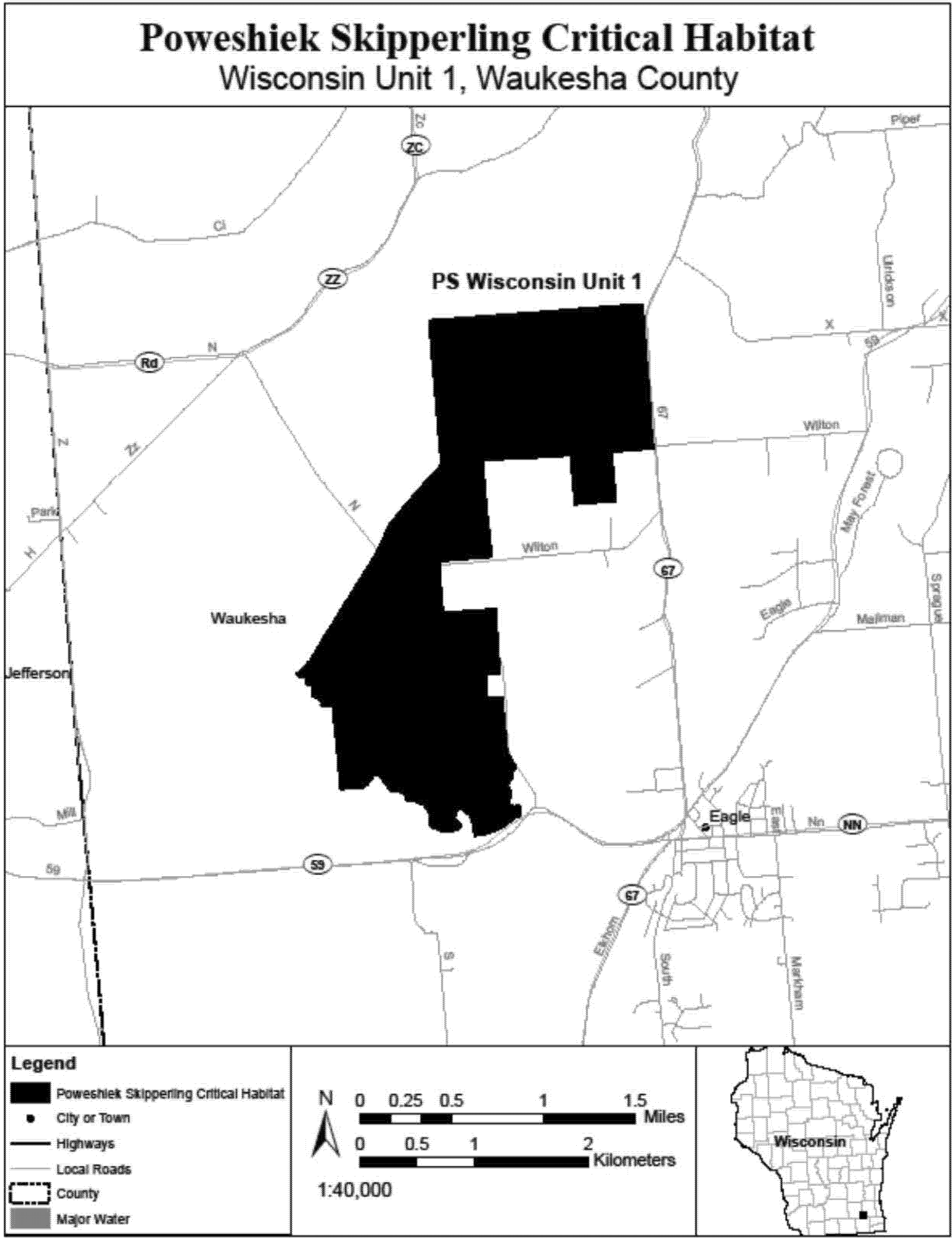
(52) PS Wisconsin Unit 2, Green Lake County, Wisconsin. Map of PS Wisconsin Unit 2 follows:

[42 FR 47840, Sept. 22, 1977]
§ 17.96 Critical habitat - plants.
(a) Flowering plants.
Family Agavaceae: Agave eggersiana (No Common Name)
(1) Critical habitat units are depicted for St. Croix, USVI, on the maps in this entry.
(2) Within these areas, the primary constituent elements of the physical or biological features essential to the conservation of Agave eggersiana consist of these components:
(i) Areas consisting of coastal cliffs and dry coastal shrublands.
(A) Coastal cliff habitat includes:
(1) Bare rock; and
(2) Sparse vegetation.
(B) Dry coastal shrubland habitat includes:
(1) Dry forest structure; and
(2) A plant community of predominately native vegetation.
(ii) Well-drained soils from the series Cramer, Glynn, Hasselberg, Southgate, and Victory.
(iii) Habitat of sufficient area to sustain viable populations in the coastal cliffs and dry coastal shrublands described in paragraphs (2)(i)(A) and (2)(i)(B) of this entry.
(3) Critical habitat does not include manmade structures (such as buildings, bridges, docks, aqueducts, roads, and other paved areas) and the land on which they are located existing within the legal boundaries on October 9, 2014.
(4) Critical habitat map units. Data layers defining map units were created on a base of an aerial image (USCOE) and USFS-IITF Landcover GAP raster. Critical habitat units were then mapped using Universal Transverse Mercator (UTM) North American Datum (NAD) 1983 Zone 20 N coordinates. The maps in this entry, as modified by any accompanying regulatory text, establish the boundaries of the critical habitat designation. The coordinates or plot points or both on which each map is based are available to the public at the Service's Internet site at http://www.fws.gov/caribbean/es, at http://www.regulations.gov at Docket No. FWS-R4-ES-2013-0040, and at the field office responsible for this designation. You may obtain field office location information by contacting one of the Service regional offices, the addresses of which are listed at 50 CFR 2.2.
(5) Index map of critical habitat units for Agave eggersiana follows:
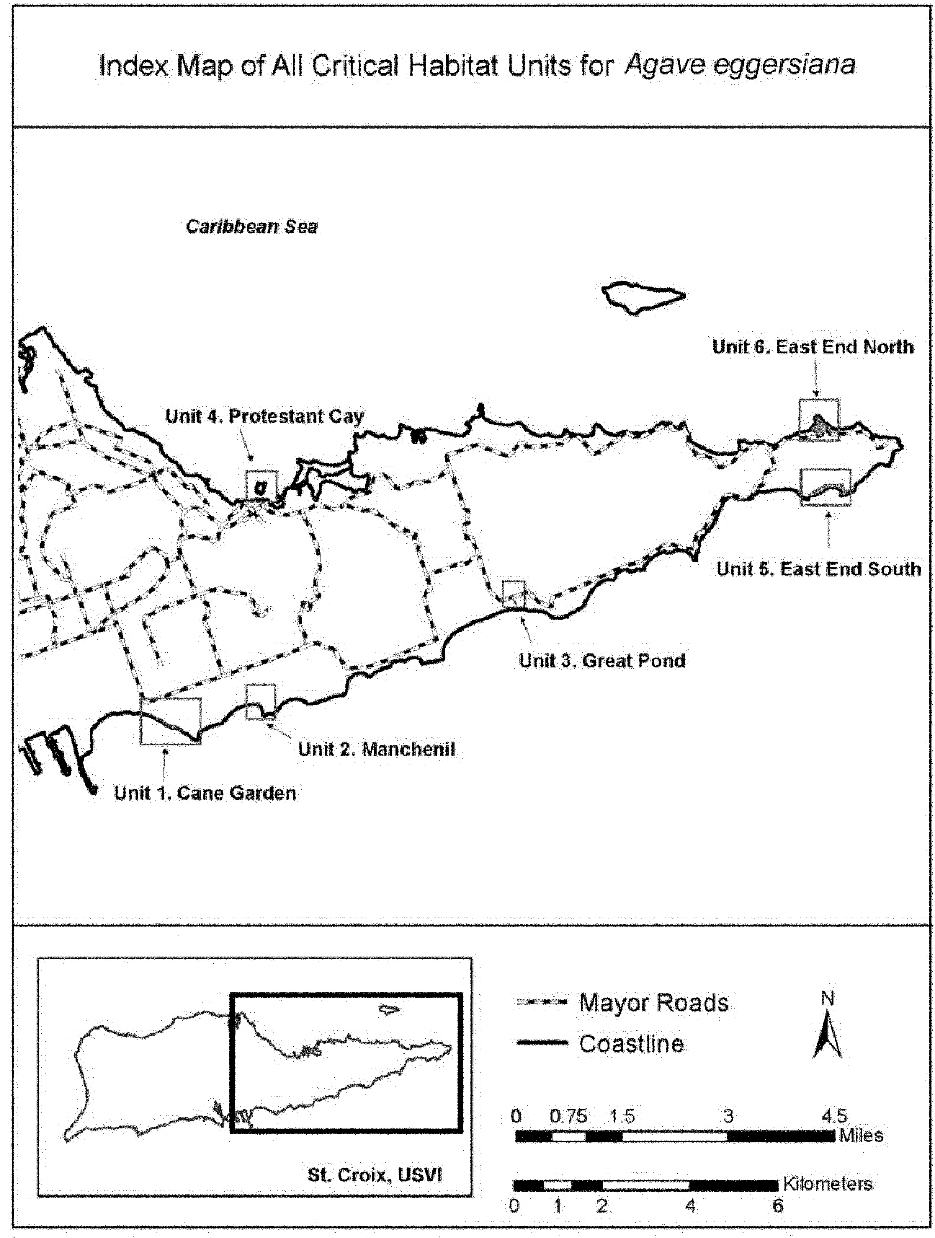
(6) Unit 1: Cane Garden, Estate Cane Garden and Estate Peters Mindle, Christiansted, St. Croix, USVI.
(i) Unit 1 includes 6.9 acres (ac) (2.8 hectares (ha)).
(ii) Map of Unit 1 follows:

(7) Unit 2: Manchenil, Estate Granard, Christiansted, St. Croix, USVI.
(i) Unit 2 includes 1.5 ac (0.61 ha).
(ii) Map of Unit 2 follows:
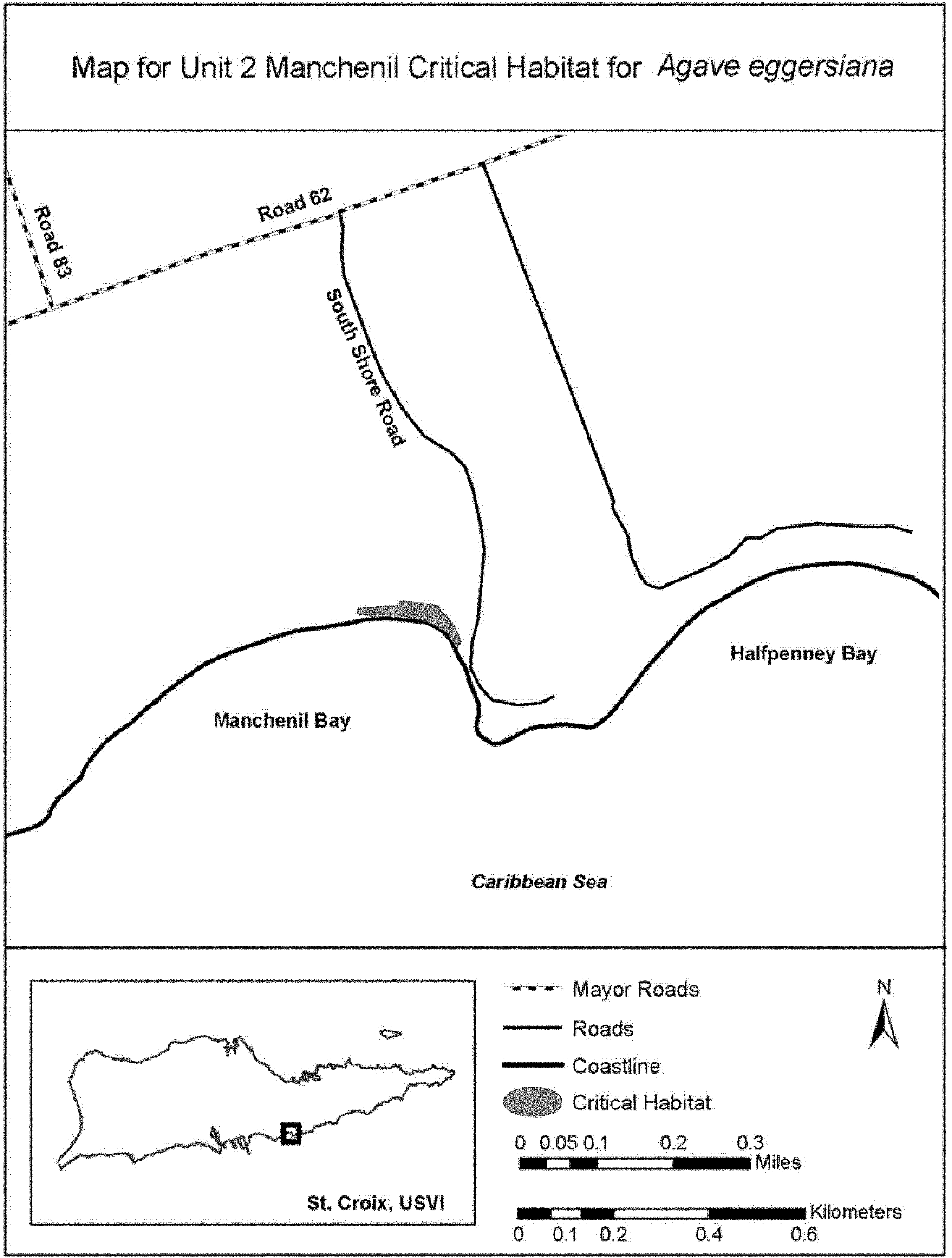
(8) Unit 3: Great Pond, Estate Great Pond, Christiansted, St. Croix, USVI.
(i) Unit 3 includes 0.8 ac (0.32 ha).
(ii) Map of Unit 3 follows:
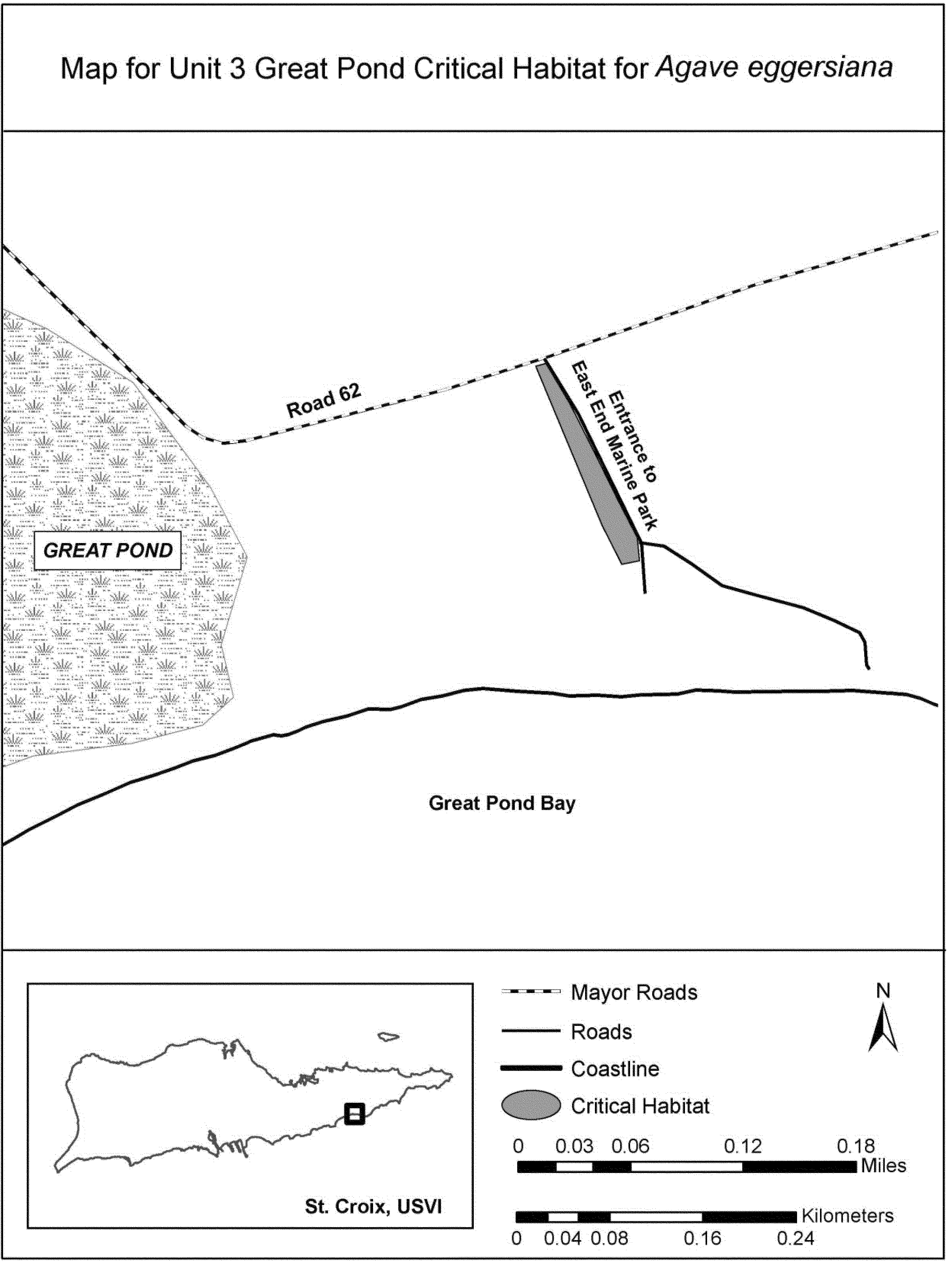
(9) Unit 4: Protestant Cay, Protestant Cay, St. Croix, USVI.
(i) Unit 4 includes 0.4 ac (0.16 ha).
(ii) Map of Unit 4 follows:

(10) Unit 5: East End South, Estate Jack's Bay and Estate Issac's Bay, Christiansted, St. Croix, USVI.
(i) Unit 5 includes 19 ac (7.7 ha).
(ii) Map of Units 5 and 6 follows:

(11) Unit 6: East End North, Estate Cotton Garden, Christiansted, St. Croix, USVI.
(i) Unit 6 includes 22 ac (8.9 ha).
(ii) Map Unit 6 is provided at paragraph (10)(ii) of this entry.
Family Alliaceae: Allium munzii (Munz's onion)
(1) Critical habitat units are depicted for Riverside County, California, on the maps below.
(2) Within these areas, the primary constituent elements of the physical or biological features essential to the conservation of Allium munzii consist of two components:
(i) Clay soil series of sedimentary origin (for example, Altamont, Auld, Bosanko, Porterville), clay lenses (pockets of clay soils) of those series that may be found as unmapped inclusions in other soil series, or soil series of sedimentary or igneous origin with a clay subsoil (for example, Cajalco, Las Posas, Vallecitos):
(A) Found on level or slightly sloping landscapes or terrace escarpments;
(B) Generally between the elevations of 1,200 to 3,500 ft (366 to 1,067 m) above mean sea level;
(C) Within intact natural surface and subsurface structures that have been minimally altered or unaltered by ground-disturbing activities (for example, disked, graded, excavated, or recontoured);
(D) Within microhabitats that receive or retain more moisture than surrounding areas, due in part to factors such as exposure, slope, and subsurface geology; and
(E) Part of open native or nonnative grassland plant communities and clay soil flora, including southern needlegrass grassland, mixed grassland, and open coastal sage scrub or occasionally in cismontane juniper woodlands; or
(ii) Outcrops of igneous rocks (pyroxenite) on rocky-sandy loam or clay soils within Riversidean sage scrub, generally between the elevations of 1,200 to 3,500 ft (366 to 1,067 m) above mean sea level.
(3) Critical habitat does not include manmade structures (such as buildings, aqueducts, runways, roads, and other paved areas) and related infrastructure, and the land on which they are located existing within the legal boundaries on May 16, 2013.
(4) Critical habitat map units. Data layers defining map units were created using a base of USDA digital ortho-photos of Riverside County, California. Critical habitat units were then defined using Universal Transverse Mercator (UTM) Zone 11, North American Datum (NAD) 1983 coordinates.
(5) Index map follows:
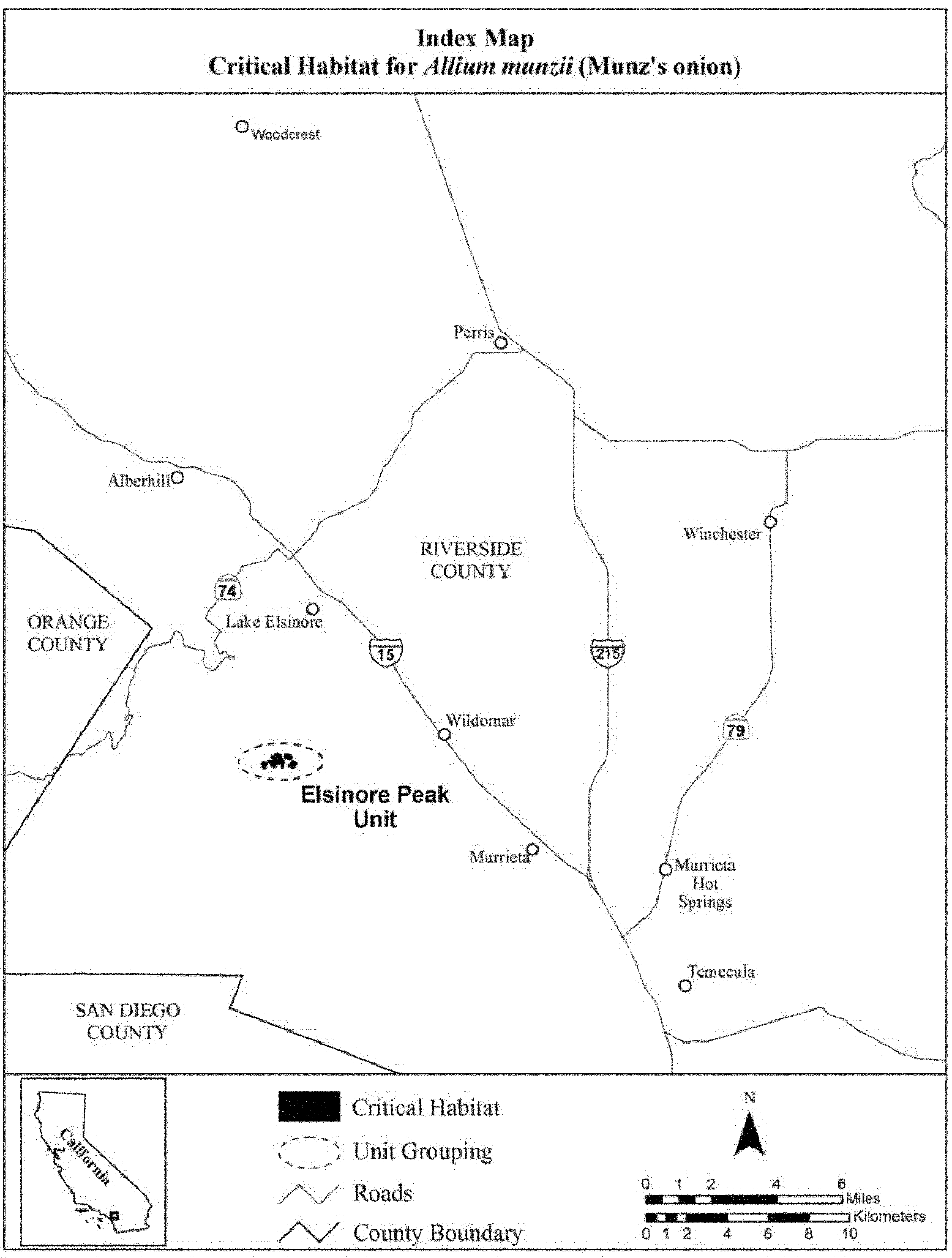
(6) Elsinore Peak Unit, Riverside County, California. Map of Elsinore Peak Unit, follows:
Family Apiaceae: Lilaeopsis schaffneriana var. recurva (Huachuca water umbel).
Critical habitat includes the stream courses identified in the legal descriptions below, and includes adjacent areas out to the beginning of upland vegetation. Within these areas, the primary constituent elements include, but are not limited to, the habitat components which provide - (1) Sufficient perennial base flows to provide a permanently or nearly permanently wetted substrate for growth and reproduction of Lilaeopsis; (2) A stream channel that is relatively stable, but subject to periodic flooding that provides for rejuvenation of the riparian plant community and produces open microsites for Lilaeopsis expansion; (3) A riparian plant community that is relatively stable over time and in which nonnative species do not exist or are at a density that has little or no adverse effect on resources available for Lilaeopsis growth and reproduction; and (4) In streams and rivers, refugial sites in each watershed and in each reach, including but not limited to springs or backwaters of mainstem rivers, that allow each population to survive catastrophic floods and recolonize larger areas.
Unit 1. Santa Cruz County, Arizona. From USGS 7.5′ quadrangle map Sonoita, Arizona.
Gila and Salt Principal Meridian, Arizona: T. 20 S., R. 16 E., beginning at a point on Sonoita Creek in sec. 34 at approx. 31°39′19″ N latitude and 110°41′52″ W longitude proceeding downstream (westerly) to a point in sec. 33 at approx. 31°39′07″ N latitude and 110°42′46″ W longitude covering approx. 2 km (1.25 mi.).
Unit 2. Santa Cruz County, Arizona. From USGS 7.5′ quadrangle map Lochiel, Arizona.
That portion of the Santa Cruz River beginning in the San Rafael De La Zanja Grant approx. at 31°22′30″ N latitude and 110°35′45″ W longitude downstream (southerly) to Gila and Salt Principal Meridian, Arizona, T. 24 S., R. 17 E., through secs. 11 and 14, to the south boundary of sec. 14 covering approx. 4.4 km (2.7 mi.). Also, a tributary that begins in T. 24 S., R. 17 E., sec. 13 at approx. 31°21′10″ N latitude and 110°34′16″ W longitude downstream (southwesterly) to its confluence with the Santa Cruz River covering approx. 3 km (1.9 mi.).
Unit 3. Cochise County, Arizona. From USGS 7.5′ quadrangle map Huachuca Peak, Arizona.
Gila and Salt Principal Meridian, Arizona: That portion of Scotia Canyon beginning in T. 23 S., R. 19 E., sec. 3 at approx. 31°27′19″ N latitude and 110°23′44″ W longitude downstream (southwesterly) through secs. 10, 9, 16 and to approx. 31°25′22″ N latitude and 110°25′22″ W longitude in sec. 21 covering approx. 5.4 km (3.4 mi.).
Unit 4. Cochise County, Arizona. From USGS 7.5′ quadrangle map Huachuca Peak, Arizona.
Gila and Salt Principal Meridian, Arizona: That portion of Sunnyside Canyon beginning in T. 23 S., R. 19 E., on the east boundary of sec. 10 downstream (southwesterly) to the south boundary of sec. 10 covering approx. 1.1 km (0.7 mi.).
Unit 5. Cochise County, Arizona. From USGS 7.5′ quadrangle map Miller Peak, Arizona.
That portion of Garden Canyon in the Fort Huachuca Military Reservation beginning at approx. 31°27′13″ N latitude and 110°22′33″ W longitude downstream (northwesterly) to approx. 31°28′45″ N latitude and 110°20′11″ W longitude covering approx. 6.1 km (3.8 mi.).
Unit 6. Cochise County, Arizona. From USGS 7.5′ quadrangle map Miller Peak, Arizona.
Gila and Salt Principal Meridian, Arizona: That portion of Bear Canyon beginning at a point in T. 24 S., R. 19 E., sec. 1 at approx. 31°22′30″ N latitude and 110°21′47″ W longitude upstream through T. 23 S., R. 19 E., sec. 36 to a point in sec. 31 at approx. 31°23′18″ N latitude and 110°21′22″ W longitude covering approx. 1.7 km (1.0 mi.). Also, continuing up an unnamed tributary beginning at a point in T. 23 S., R. 19 E., sec. 31 at approx. 31°23′18″ N latitude and 110°21′22″ W longitude upstream (northerly) to a point in T. 23 S., R. 19 E., sec. 30 at approx. 31°23′44″ N latitude and 110°21′14″ W longitude covering approx. 0.9 km (0.5 mi.). Also, that portion of Lone Mountain Canyon beginning at its confluence with Bear Creek at a point in T. 23 S., R. 19 E., sec. 36 at approx. 31°22′54″ N latitude and 110°21′43″ W longitude to a point in sec. 36 at approx. 31°23′26″ N latitude and 110°21′58″ W longitude, thence up an unnamed tributary northwesterly into sec. 25 thence northerly to a point at approx. 31°24′13″ N latitude and 110°21′54″ W longitude covering approx. 2.7 km (1.7 mi.). Also that portion of Rattlesnake Canyon beginning at its confluence with Lone Mountain Canyon in T. 23 S., R. 19 E., sec. 36 upstream northeasterly into sec. 25 to a point at approx. 31°22′08″ N latitude and 110°21′31″ W longitude covering approx. 1.5 km (1.0 mi.).
Unit 7. Cochise County, Arizona. From USGS 7.5′ quadrangle maps: Hereford, Ariz.; Tombstone SE, Ariz.; Nicksville, Ariz.; Lewis Springs, Ariz.; Fairbank, Ariz.; Land, Ariz.
Gila and Salt Principal Meridian, Arizona: That portion of the San Pedro River beginning in the San Rafael Del Valle Grant at a point approx. 200 meters upstream (south) of the Hereford Road bridge at approx. 31°26′16″ N latitude and 110°06′24″ W longitude continuing downstream (northerly) through the San Rafael Del Valle Grant; T. 21 S., R. 22 E.; T. 21 S., R 21 S.; through the San Juan De Las Boquilla y Nogales Grant to a point at approx. 31°48′28″ N latitude and 110°12′32″ W longitude covering approx. 54.2 km (33.7 mi.).
The maps provided are for informational purposes only. Maps for Units 1-7 follow:

Family Apiaceae: Lomatium cookii (Cook's lomatium, Cook's desert parsley)
(1) Critical habitat units are depicted for Jackson and Josephine Counties, Oregon, on the maps below.
(2) The primary constituent elements of critical habitat for Lomatium cookii are the habitat components that provide:
(i) In the Rogue River Valley:
(A) Vernal pools and ephemeral wetlands and depths and the adjacent upland margins of these depressions that hold water for a sufficient length of time to sustain Lomatium cookii germination, growth, and reproduction. These vernal pools or ephemeral wetlands support native plant populations and are seasonally inundated during wet years but do not necessarily fill with water every year due to natural variability in rainfall. Areas of sufficient size and quality are likely to have the following characteristics:
(1) Elevations from 372 to 411 m (1,220 to 1,350 ft);
(2) Associated dominant native plants including, but not limited to: Alopecurus saccatus, Achnatherum lemmonii, Deschampsia danthonioides, Eryngium petiolatum, Lasthenia californica, Myosurus minimus, Navarretia leucocephala ssp. leucocephala, Phlox gracilis, Plagiobothrys bracteatus, Trifolium depauperatum, and Triteleia hyacinthina; and
(3) A minimum area of 8 ha (20 ac) to provide intact hydrology and protection from development and weed sources.
(B) The hydrologically and ecologically functional system of interconnected pools or ephemeral wetlands or depressions within a matrix of surrounding uplands that together form vernal pool complexes within the greater watershed. The associated features may include the pool basin and ephemeral wetlands; an intact hardpan subsoil underlying the surface soils up to 0.75 m (2.5 ft) in depth; and surrounding uplands, including mound topography and other geographic and edaphic features that support systems of hydrologically interconnected pools and other ephemeral wetlands (which may vary in extent depending on site-specific characteristics of pool size and depth, soil type, and hardpan depth).
(C) Silt, loam, and clay soils that are of ultramafic and nonultramafic alluvial origin, with a 0 to 3 percent slope, classified as Agate-Winlo or Provig-Agate soils.
(D) No or negligible presence of competitive, nonnative invasive plant species. Negligible is defined for the purpose of this rule as a minimal level of nonnative plant species that will still allow Lomatium cookii to continue to survive and recover.
(ii) In the Illinois River Valley:
(A) Wet meadows in oak and pine forests, sloped mixed-conifer openings, and shrubby plant communities that are seasonally inundated and support native plant populations. Areas of sufficient size and quality are likely to have the following characteristics:
(1) Elevations from 383 to 488 m (1,256 to 1,600 ft);
(2) Associated dominant native plants including, but not limited to: Achnatherum lemmonii, Arbutus menziesii, Arctostaphylos viscida, Camassia spp., Ceanothus cuneatus, Danthonia californica, Deschampsia cespitosa, Festuca roemeri var. klamathensis, Poa secunda, Ranunculus occidentalis, and Limnanthes gracilis var. gracilis;
(3) Occurrence primarily in bottomland Quercus garryana-Quercus kelloggii-Pinus ponderosa (Oregon white oak-California black oak-ponderosa pine) forest openings along seasonal creeks; and
(4) A minimum area of 8 ha (20 ac) to provide intact hydrology and protection from development and weed sources.
(B) The hydrologically and ecologically functional system of streams, slopes, and wooded systems that surround and maintain seasonally wet alluvial meadows underlain by relatively undisturbed ultramafic soils within the greater watershed.
(C) Silt, loam, and clay soils that are of ultramafic and nonultramafic alluvial origin, with a 0 to 40 percent slope, classified as Abegg gravelly loam, Brockman clay loam, Copsey clay, Cornutt-Dubakel complex, Dumps, Eightlar extremely stony clay, Evans loam, Foehlin gravelly loam, Josephine gravelly loam, Kerby loam, Newberg fine sandy loam, Pearsoll-Rock outcrop complex, Pollard loam, Riverwash, Speaker-Josephine gravelly loam, Takilma cobbly loam, or Takilma Variant extremely cobbly loam.
(D) No or negligible presence of competitive, nonnative invasive plant species. Negligible is defined for the purpose of this rule as a minimal level of nonnative plant species that will still allow Lomatium cookii to continue to survive and recover.
(3) Critical habitat does not include manmade structures (including, but not limited to, buildings, aqueducts, runways, roads, and other paved areas) and the land on which they are located existing within the legal boundaries on the effective date of this rule and not containing one or more of the primary constituent elements.
(4) Critical habitat map units. These critical habitat units were mapped using Universal Transverse Mercator, Zone 10, North American Datum 1983 (UTM NAD 83) coordinates. These coordinates establish the vertices and endpoints of the boundaries of the units.
(5) Note: Index map for critical habitat for Lomatium cookii in Jackson County, Oregon, follows:

(6) Unit RV6, subunits A, F, G, and H, for Lomatium cookii: White City, Jackson County, Oregon.
(i) Unit RV6, subunits A, F, G, and H for Lomatium cookii comprises 546 ha (1,349 ac) of vernal pool-mounded prairie and swale habitats. RV6 is located around White City, is 1.6 km (1.0 mi) southwest of Eagle Point, and is 440 m (1,444 ft) southeast of the confluence of the Rogue River and Little Butte Creek. Subunit RV6A is located north of Whetstone Creek and is 500 m (1,200 ft) west of the junction of Highway 62 and Antelope Road. Subunits RV6F and RV6G are located approximately 500 feet west of Dry Creek and are east of Highway 62 in White City. Subunit RV6H is located north of Whetstone Creek and south of Antelope Road. Subunit RV6H roughly encircles the Hoover Ponds, east of Highway 62, and is 850 m (2790 ft) east of subunit RV6A.
(ii) Map of Unit RV6 for Lomatium cookii follows:
(7) Unit RV8 for Lomatium cookii: Whetstone Creek, Jackson County, Oregon.
(i) Unit RV8 for Lomatium cookii consists of 344 ha (850 ac) of vernal pool-mounded prairie and swale habitat. Unit RV8 is located approximately 1.4 km (0.9 mi) southeast of the confluence of the Rogue River and Whetstone Creek, 2.2 km (1.4 mi) southwest of Tou Velle State Park, and 2.9 km southeast of the confluence of Bear Creek and the Rogue River. The unit roughly parallels a 2.6-km (1.6-mi) stretch of Whetstone Creek to the south.
(ii) Map of Unit RV8 for Lomatium cookii follows:

(8) Unit RV9, subunits A, B, C, D and E, for Lomatium cookii: Medford Airport, Jackson County, Oregon.
(i) Unit RV9, subunits A through E, consists of 34 ha (83 ac) of slightly degraded vernal pool-mounded prairie habitat. The five subunits of RV9 are located mostly within the Rogue Valley International-Medford Airport, approximately 2 km (1.2 mi) west of Coker Butte and 1.5 km (0.9 mi) northeast of Bear Creek. Subunit RV9A is located 1.4 km (0.9 mi) north of the Rogue Valley International-Medford Airport and is 300 m (980 ft) east of the junction of Vilas Road and Table Rock Road. Subunits RV9B through E are located between Upton Slough and Bear Creek, 2 mi (1.2 km) southeast of the junction of Vilas Road and Table Rock Road, and 1.7 km northeast of the junction of Interstate 5 and Highway 62.
(ii) Map of Unit RV9 for Lomatium cookii follows:

(9) Note: Index map for critical habitat for Lomatium cookii in Josephine County, Oregon, follows:
(10) Unit IV1 for Lomatium cookii: Anderson Creek, Josephine County, Oregon.
(i) Units IV1A and B comprise 35 ha (85 ac) of wet meadow and sloped mixed conifer habitat. Unit IV1A is located 3.5 km (2.2 mi) north of Selma, and 14 km (8.8 mi) north of Cave Junction; it is along a 1.0-km (0.6-mi) stretch of Anderson Creek and Highway 199, 2.0 km (1.2 mi) southwest of Hays Hill Summit. It is also 1.7 km (1.0 mi) northwest of the junction of Draper Valley Road and Indian Creek Road. Unit IV1B is located 3.5 km (2.2 mi) north of Selma, 3.4 km (2.1 mi) southwest of Hays Hill Summit, and 0.8 km (0.5 mi) west of the junction of Draper Valley Road and Highway 199.
(ii) Map of Unit IV1 for Lomatium cookii follows:
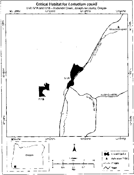
(11) Unit IV2 for Lomatium cookii: Draper Creek, Josephine County, Oregon.
(i) Unit IV2 is composed of 28 ha (70 ac) of intact wet meadow habitat. It is located 2.7 km (1.7 mi) northeast of Selma and 13.5 km (8.4 mi) north of Cave Junction; it is along a 900-m (2,900-ft) stretch of Draper Creek, and is located 800 m (2,600 ft) east of Anderson Creek. The unit is 800 m (2,600 ft) north-northwest of the confluence of Draper Creek and Davis Creek and is 200 m (650 ft) southeast of the junction of Draper Valley Road and Indian Creek Road.
(ii) Map of Unit IV2 for Lomatium cookii follows:
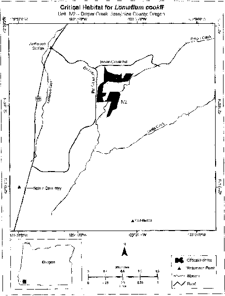
(12) Unit IV3 for Lomatium cookii: Reeves Creek North, Josephine County, Oregon.
(i) Unit IV3 consists of 152 ha (374 ac) of sloped, mixed-conifer and shrubby habitat. The unit is located 1.4 km (0.9 mi) east of the confluence between Reeves Creek and the Illinois River and extends along a 2.0-km (1.2-mi) stretch of Reeves Creek, beginning 800 m (2,600 ft) northeast of the junction of Highway 199 and Reeves Creek Road.
(ii) Map of Unit IV3 for Lomatium cookii follows:
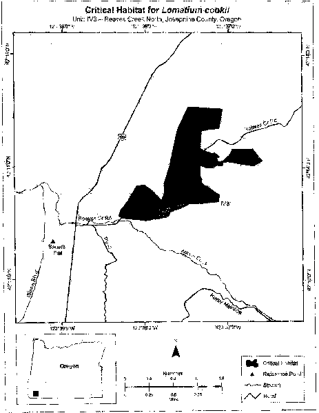
(13) Unit IV4 for Lomatium cookii: Reeves Creek East, Josephine County, Oregon.
(i) Unit IV4 consists of 83 ha (204 ac) of sloped, partially open, mixed-conifer and shrubby habitat. It is located 6.2 km (3.9 mi) south of Selma and 5.3 km (3.3 mi) northwest of Cave Junction. It occurs along a 500-m (1,640-ft) stretch of Reeves Creek located 700 m (2,300 ft) southeast of Unit IV3.
(ii) Map of Unit IV4 for Lomatium cookii follows:
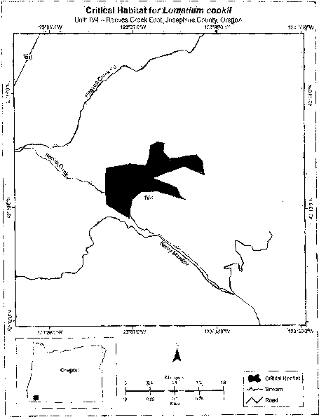
(14) Unit IV5 for Lomatium cookii: Reeves Creek South, Josephine County, Oregon.
(i) Unit IV5 consists of 165 ha (407 ac) of sloped, partially open, mixed-conifer and understory shrub habitat. The unit is roughly parallel to Highway 199 for 2.5 km (1.6 mi), which is 500 m (1,640 ft) west of the unit. The unit is located 1.6 km (1.0 mi) north of Cave Junction, 1 km (0.6 mi) southeast of Sauers Flat, 800 m (2,600 ft) east of Kerby, and 1.2 km (0.7 mi) east of the confluence between Holton Creek and the Illinois River.
(ii) Unit IV5 excludes land bound by 447470, 4673148; 447474, 4673000; 448289, 4673443; 448361, 4673480; 448056, 4673583; 447789, 4673459; 447703, 4673370; 447653, 4673327; 447540, 4673183; 447470, 4673148.
(iii) Map of Unit IV5 for Lomatium cookii follows:
(15) Unit IV6 for Lomatium cookii: Laurel Road, Josephine County, Oregon.
(i) Unit IV6 totals 182 ha (449 ac) of intact wet meadow habitat. It is located west and alongside of the base of Lime Rock, 1.2 km (0.7 mi) east of the city of Cave Junction; it follows along Highway 46 for 1.5 km (0.9 mi). Subunit IV6A is located 1.2 km (0.7 mi) west of Lime Rock summit, 1.0 km east of the junction of Laurel Road and Highway 199; it is also roughly parallel to Highway 199 for 1.3 km (0.8 mi). Highway 199 lies approximately 1.0 km (0.6 mi) west of the subunit. Subunit IV6B is 2.7 km (1.7 mi) east of the confluence of the east and west forks of the Illinois River and from the intersection of Holland Loop Road and Highway 46; it extends approximately 1.8 km (1.1 mi) to the northeast and 2.7 km (1.7 mi) to the north.
(ii) Map of Unit IV6 for Lomatium cookii follows:
(16) Unit IV7 for Lomatium cookii: Illinois River Forks State Park, Josephine County, Oregon.
(i) Unit IV7 consists of 55 ha (136 ac) of intact wet meadow habitat. The unit is located 500 m (1,640 ft) west of the city of Cave Junction and 600 m (1,970 ft) southeast of Pomeroy Dam; it is also 230 m (750 ft) east of the confluence of the east and west forks of the Illinois River. The unit occurs along a 2.8-km (1.7-mi) stretch of the West Fork Illinois River.
(ii) Map of Unit IV7 for Lomatium cookii follows:
(17) Unit IV8 for Lomatium cookii: Woodcock Mountain, Josephine County, Oregon.
(i) Unit IV8 consists of 234 ha (579 ac) of wet meadow and shrubby habitat. The unit is located 2.4 km (1.5 mi) southwest of the city of Cave Junction, 5.3 km (3.3 mi) north of O'Brien, and 140 m (ft) west of the confluence of Woodcock Creek and the West Fork Illinois River. It occurs along a 3.3-km (2.0-mi) stretch of West Side Road. Unit IV7 is 400 m (ft) west of Highway 199 and roughly parallels the highway for 5.0 km (3.1 mi).
(ii) Map of Unit IV8 for Lomatium cookii follows:

(18) Unit IV9 for Lomatium cookii: Riverwash, Josephine County, Oregon.
(i) Unit IV9 consists of 12 ha (30 ac) of intact wet meadow and streambank habitat. It is located 4.2 km (2.6 mi) south of Cave Junction and 6.1 km (3.8 mi) north-northeast of O'Brien. It is located along the east bend of the West Fork Illinois River, 700 m (2,300 ft) south (upstream) of the confluence between Woodcock Creek and the West Fork Illinois River.
(ii) Map of Unit IV9 for Lomatium cookii follows:
(19) Unit IV10 for Lomatium cookii: French Flat North, Josephine County, Oregon.
(i) Unit IV10 consists of 45 ha (110 ac) of intact wet meadow habitat. The unit is located 3.7 km (2.3 mi) south of Cave Junction, 900 m (2,950 ft) north of the intersection of Sherrier Drive and Raintree Drive, and 1.7 km (1.1 mi) southwest of the confluence of Althouse Creek and the East Fork Illinois River. It parallels a 300-m (980-ft) stretch of Rockydale Road.
(ii) Map of Unit IV10 for Lomatium cookii follows:
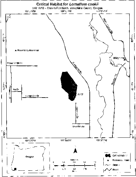
(20) Unit IV11 for Lomatium cookii: Rough and Ready Creek, Josephine County, Oregon.
(i) Unit IV11 consists of 118 ha (292 ac) of intact wet meadow habitat. The unit roughly follows along and is adjacent to a 1.9-km (1.2-mi) stretch of Airport Drive. It is located 3 km (1.9 mi) north of O'Brien, 900 m (2,950 ft) west of the Rough and Ready Forest Wayside State Park, and 122 m (400 ft) east of the confluence with the Illinois River and Rough and Ready Creek.
(ii) Map of Unit IV11 for Lomatium cookii follows:
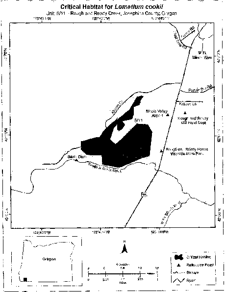
(21) Unit IV12 for Lomatium cookii: French Flat Middle, Josephine County, Oregon.
(i) Unit IV12 consists of 492 ha (1,216 ac) of intact wet meadow habitat. The unit is located 4.5 km (2.8 mi) east of Cave Junction, 3.7 km (2.3 mi) northeast of O'Brien, 140 m (460 ft) north and 560 m (1,830 ft) west of Esterly Lakes, 1.4 km (0.9 mi) northeast of Indian Hill, and 300 m (960 ft) east of the confluence of Rough and Ready Creek and the West Fork Illinois River. It also follows along a 1.6-km (1.0-mi) stretch of Rockydale Road until the junction with Waldo Road.
(ii) Unit IV12 excludes land bound by 447273, 4659208; 447203, 4659076; 446889, 4658443; 446818, 4658110; 446840, 4658012; 446808, 4657965; 446838, 4657883; 446882, 4657863; 447019, 4657935; 447073, 4658033; 447029, 4658069; 446977, 4658167; 447192, 4658493; 447212, 4658784; 447290, 4658824; 447455, 4658678; 447581, 4658749; 447723, 4658749; 447975, 4658749; 447971, 4658840; 447876, 4659346; 447403, 4659604; 447407, 4659962; 447305, 4660216; 447329, 4660591; 447452, 4660569; 447689, 4660530; 447706, 4660555; 447643, 4660838; 447497, 4660883; 447296, 4660866; 447186, 4660643; 447167, 4660448; 447273, 4659208.
(iii) Map of Unit IV12 for Lomatium cookii follows:
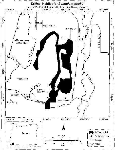
(22) Unit IV13 for Lomatium cookii: Indian Hill, Josephine County, Oregon.
(i) Unit IV13 consists of 22 ha (54 ac) of intact wet meadow habitat. The unit is located adjacent to and lies east of a 900-m (2,950-ft) stretch of the West Fork Illinois River. It is located approximately 300 m south (upstream) of the confluence of Rough and Ready Creek and the West Fork Illinois River. The unit is 1.8 km (1.1 mi) northeast of O'Brien and 350 m (1,150 ft) northwest of Indian Hill.
(ii) Map of Unit IV13 for Lomatium cookii follows:
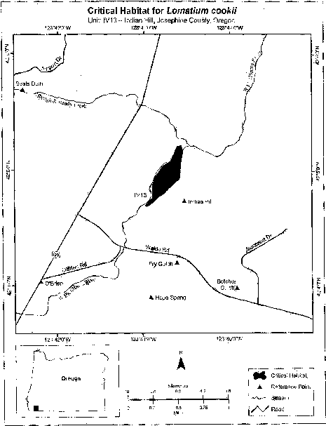
Family Asclepiadaceae: Asclepias welshii (Welsh's milkweed).
Utah, Kane County: entire Coral Pink Sand Dunes, within T43S, R7W and R8W, and T44S, R8W about 10 miles west of Kanab; also, the area of the Sand Hills, about 10 miles north of Kanab, within T42S, R6W, Section 8 (S 1⁄2 of the N 1⁄2 and N 1⁄2 of the S 1⁄2). The constituent elements of this critical habitat are the sand dunes themselves.
The map provided is for informational purposes only. Map follows:
Family Asteraceae: Ambrosia pumila (San Diego ambrosia).
(1) Critical habitat units are depicted for Riverside and San Diego Counties, California, on the maps below.
(2) Within these areas, the primary constituent elements (PCE) for Ambrosia pumila are:
(i) PCE 1 - Sandy loam or clay soils (regardless of disturbance status), including (but not limited to) the Placentia (sandy loam), Diablo (clay), and Ramona (sandy loam) soil series that occur on or near (up to several hundred meters from but not directly adjacent to) a river, creek, or other drainage, or within the watershed of a vernal pool, and that occur on an upper terrace (flat or gently sloping areas of 0 to 42 percent slopes are typical for terraces on which Ambrosia pumila occurrences are found).
(ii) PCE 2 - Grassland or ruderal habitat types, or openings within coastal sage scrub, on the soil types and topography described in PCE 1, that provide adequate sunlight, and airflow for wind pollination.
(3) Critical habitat does not include manmade structures existing on the effective date of this rule and not containing one of more of the primary constituent elements, such as buildings, aqueducts, airports, and roads, and the land on which such structures are located.
(4) Critical habitat map units. Data layers defining map units were created using a base of U.S. Geological Survey 7.5′ quadrangle maps. Critical habitat units were then mapped using Universal Transverse Mercator (UTM) zone 11, North American Datum (NAD) 1983 coordinates.
(5) Note: Index Map of critical habitat units for Ambrosia pumila (San Diego ambrosia) follows:
(6) Unit 1: Santa Ana River Watershed, Riverside County, California.
(i) [Reserved]
(ii) Map of Unit 1: Santa Ana River Watershed (Map 2) follows:
(7) Unit 3: Santa Margarita River Watershed, Riverside County, California.
(i) [Reserved]
(ii) Map of Unit 3: Santa Margarita River Watershed (Map 3) follows:
(8) Unit 4: San Luis Rey River Watershed. From USGS 1:24,000 quadrangle Bonsall, San Diego County, California.
(i) [Reserved]
(ii) Map of Unit 4, San Luis Rey River Watershed (Map 4) follows:
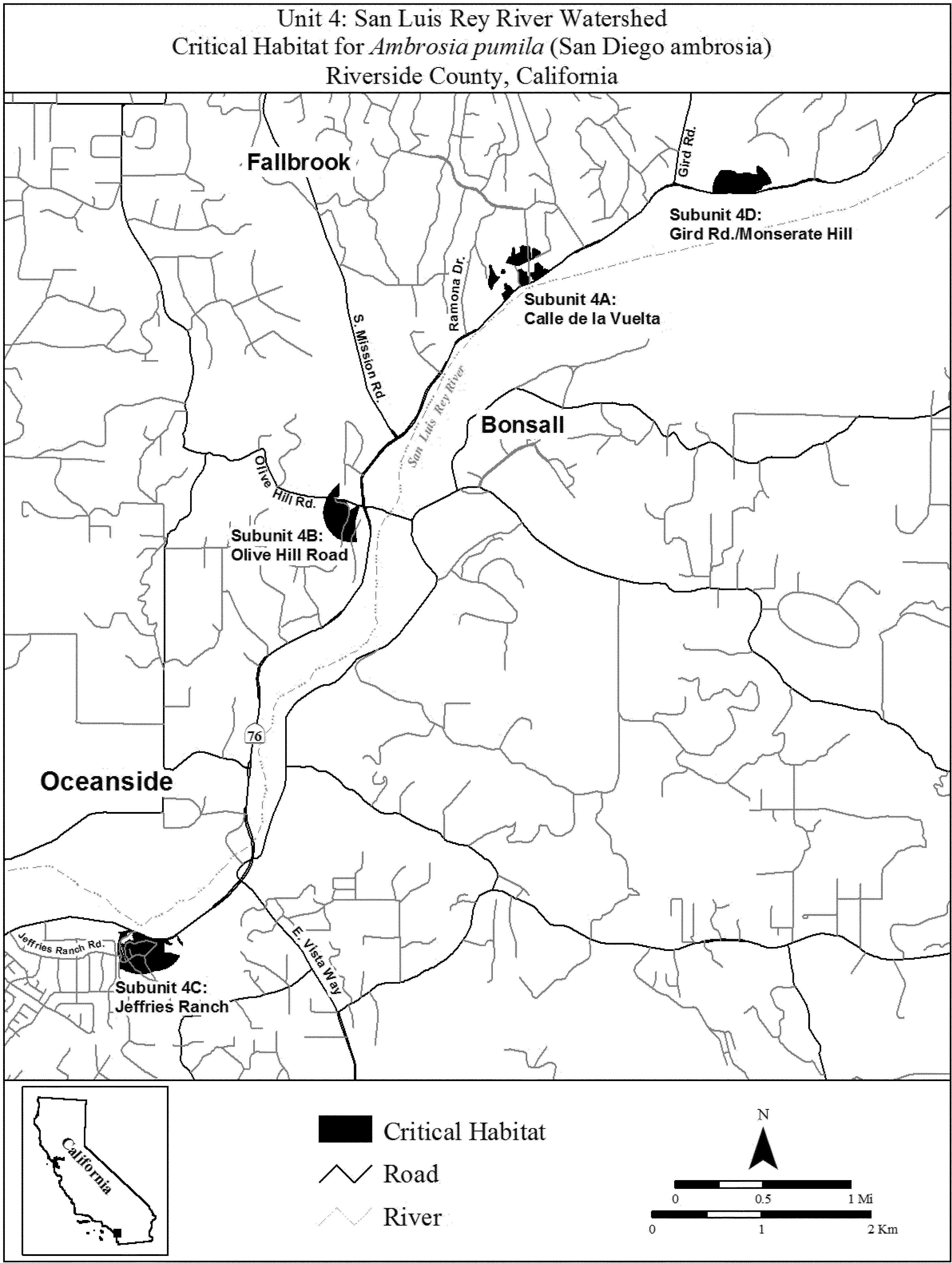
(9) Unit 5: San Dieguito River Watershed, San Diego County, California.
(i) Subunit 5B excludes land bound by 485418, 3656210; 485473, 3656204; 485522, 3656211; 485590, 3656193; 485677, 3656187; 485720, 3656187; 485731, 3656348; 485724, 3656348; 485576, 3656356; 485534, 3656359; 485509, 3656315; 485472, 3656290; 485448, 3656272; 485411, 3656271; 485411, 3656267; 485411, 3656234; returning to 485418, 3656210.
(ii) Map of Unit 5, San Dieguito River Watershed (Map 5) follows:
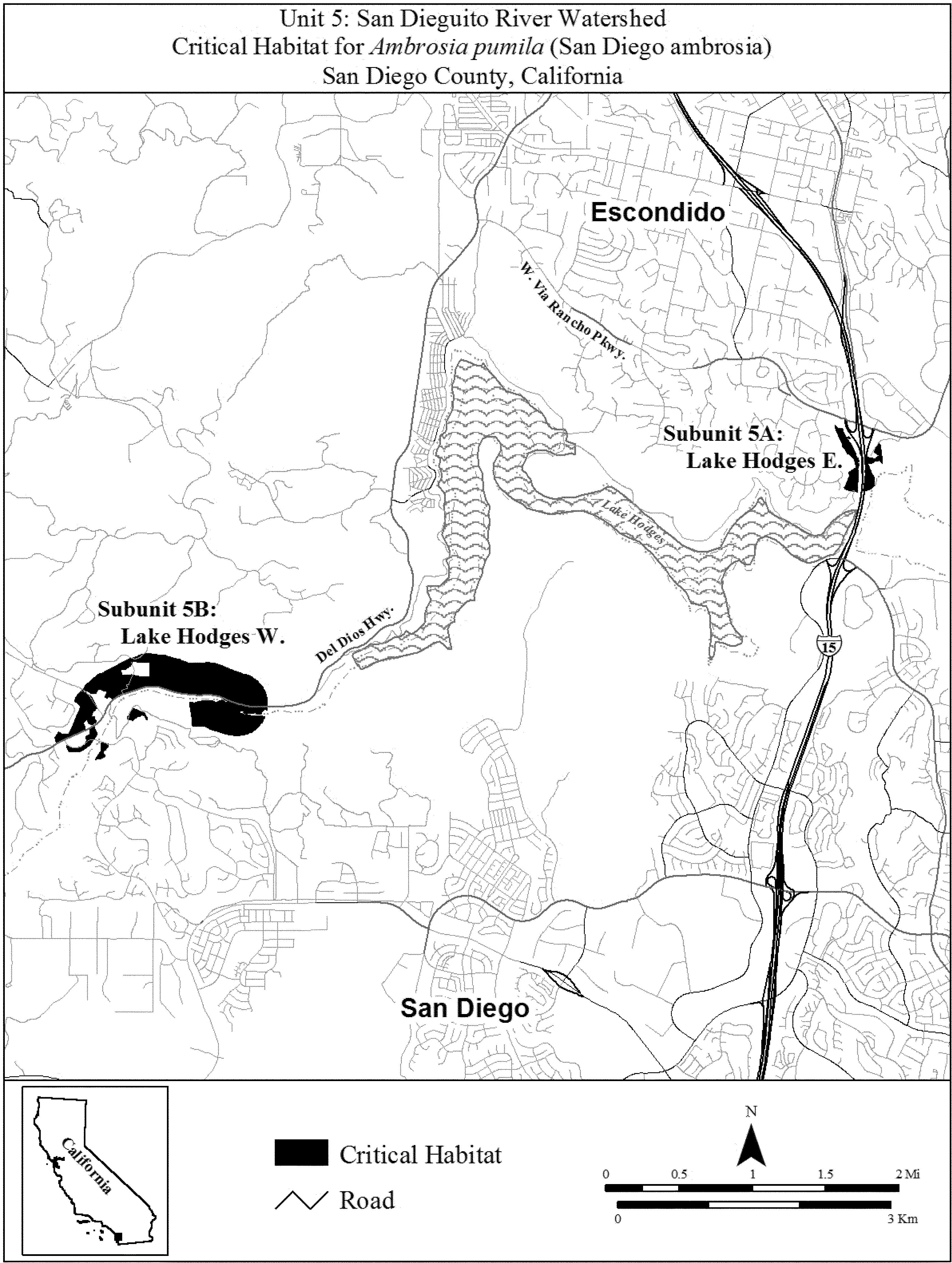
(10) Unit 6: San Diego River Watershed (Mission Trails Regional Park), San Diego County, California.
(i) [Reserved]
(ii) Map of Unit 6, San Diego River Watershed (Map 6) follows:
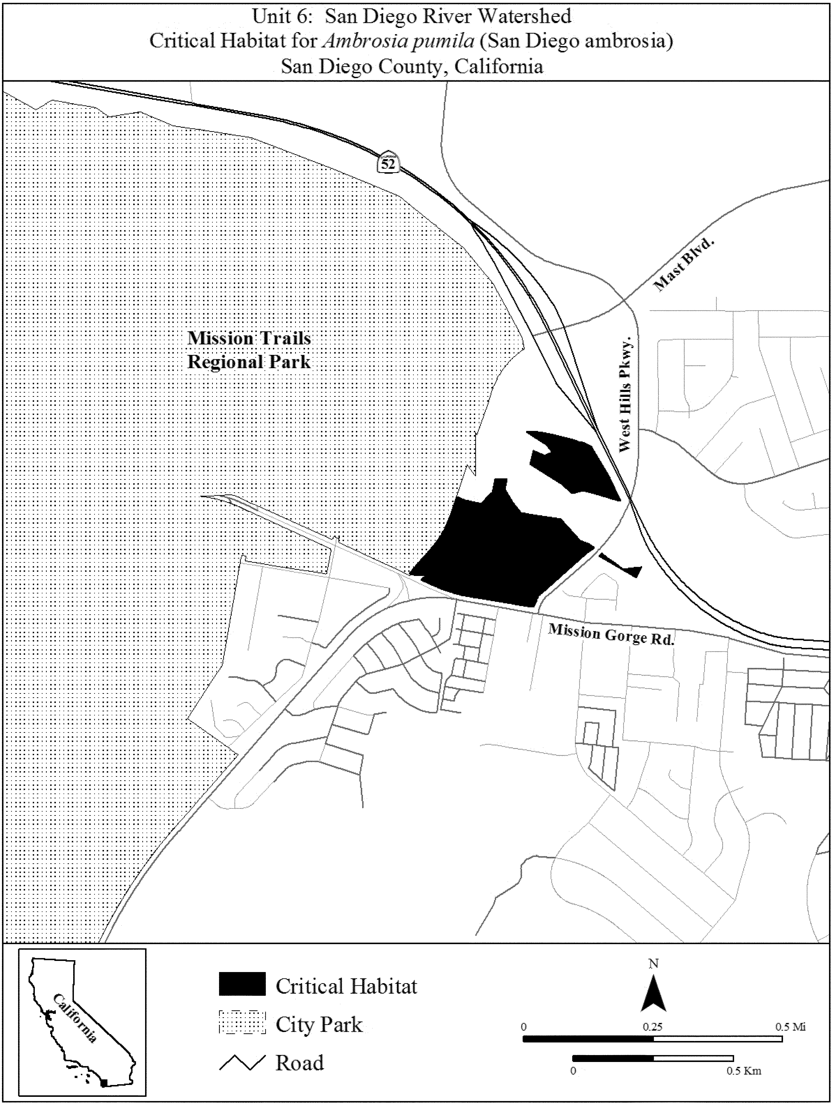
(11) Unit 7: Sweetwater River Watershed. From USGS 1:24,000 quadrangle Jamul Mountains, San Diego County, California.
(i) [Reserved]
(ii) Map of Unit 7, Sweetwater River Watershed (Map 7) follows:
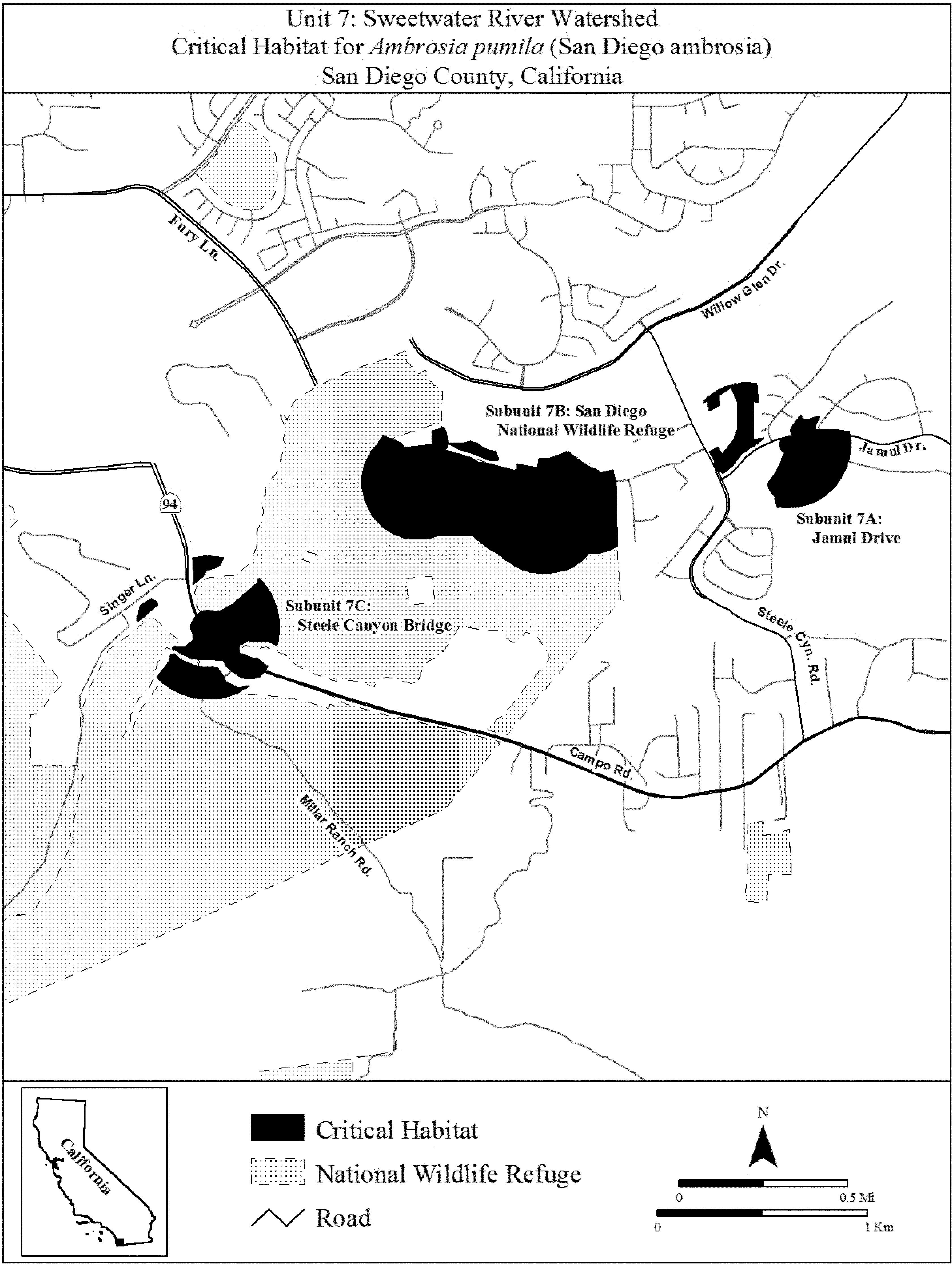
Family Asteraceae: Brickellia mosieri (Florida brickell-bush)
(1) Critical habitat units for Brickellia mosieri are depicted for Miami-Dade County, Florida, on the maps in this entry.
(2) Within these areas, the primary constituent elements of the physical or biological features essential to the conservation of Brickellia mosieri are:
(i) Areas of pine rockland habitat that contain:
(A) Open canopy, semi-open subcanopy, and understory;
(B) Substrate of oolitic limestone rock; and
(C) A plant community of predominately native vegetation that may include, but is not limited to:
(1) Canopy vegetation dominated by Pinus elliottii var. densa (South Florida slash pine);
(2) Subcanopy vegetation that may include, but is not limited to, Serenoa repens (saw palmetto), Sabal palmetto (cabbage palm), Coccothrinax argentata (silver palm), Myrica cerifera (wax myrtle), Myrsine floridana (myrsine), Metopium toxiferum (poisonwood), Byrsonima lucida (locustberry), Tetrazygia bicolor (tetrazygia), Guettarda scabra (rough velvetseed), Ardisia escallonioides (marlberry), Psidium longipes (mangroveberry), Sideroxylon salicifolium (willow bustic), and Rhus copallinum (winged sumac);
(3) Short-statured shrubs that may include, but are not limited to, Quercus pumila (running oak), Randia aculeata (white indigoberry), Crossopetalum ilicifolium (Christmas berry), Morinda royoc (redgal), and Chiococca alba (snowberry); and
(4) Understory vegetation that may include, but is not limited to: Andropogon spp.; Schizachyrium gracile, S. rhizomatum, and S. sanguineum (bluestems); Aristida purpurascens (arrowfeather threeawn); Sorghastrum secundum (lopsided Indiangrass); Muhlenbergia capillaris (hairawn muhly); Rhynchospora floridensis (Florida white-top sedge); Tragia saxicola (pineland noseburn); Echites umbellata (devil's potato); Croton linearis (pineland croton); Chamaesyce spp. (sandmats); Chamaecrista deeringiania (partridge pea); Zamia integrifolia (coontie); and Anemia adiantifolia (maidenhair pineland fern).
(ii) A disturbance regime that naturally or artificially duplicates natural ecological processes (e.g., fire, hurricanes, or other weather events) and that maintains the pine rockland habitat described in paragraph (2)(i) of this entry.
(iii) Habitats that are connected and of sufficient area to sustain viable populations of Brickellia mosieri in the pine rockland habitat described in paragraph (2)(i) of this entry.
(3) Critical habitat does not include manmade structures (such as buildings, aqueducts, runways, roads, and other paved areas) and the land on which they are located exists within the legal boundaries on September 16, 2015.
(5) Critical habitat map units. Unit maps were developed using ESRI ArcGIS mapping software along with various spatial data layers. ArcGIS was also used to calculate the size of habitat areas. The projection used in mapping and calculating distances and locations within the units was North American Albers Equal Area Conic, NAD 83. The maps in this entry, as modified by any accompanying regulatory text, establish the boundaries of the critical habitat designation. The coordinates or plot points or both on which each map is based are available to the public at the Service's Internet site at http://www.fws.gov/verobeach/, at the Federal eRulemaking Portal (http://www.regulations.gov at Docket No. FWS-R4-ES-2013-0108), and at the field office responsible for this designation. You may obtain field office location information by contacting one of the Service regional offices, the addresses of which are listed at 50 CFR 2.2.
(5) Index map follows:
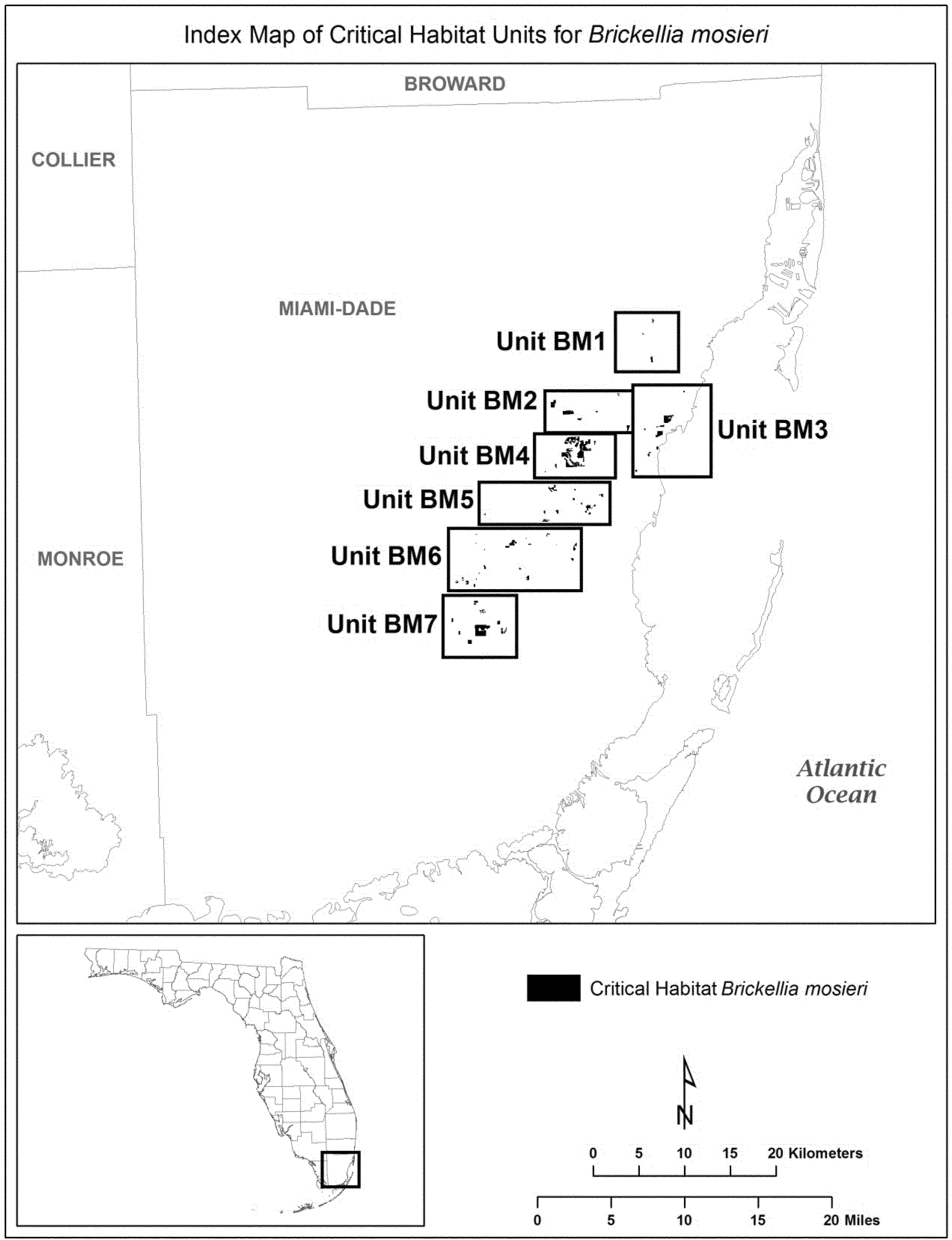
(6) Unit BM1: Trinity Pineland and surrounding areas, Miami-Dade County, Florida. Map of Unit BM1 follows:
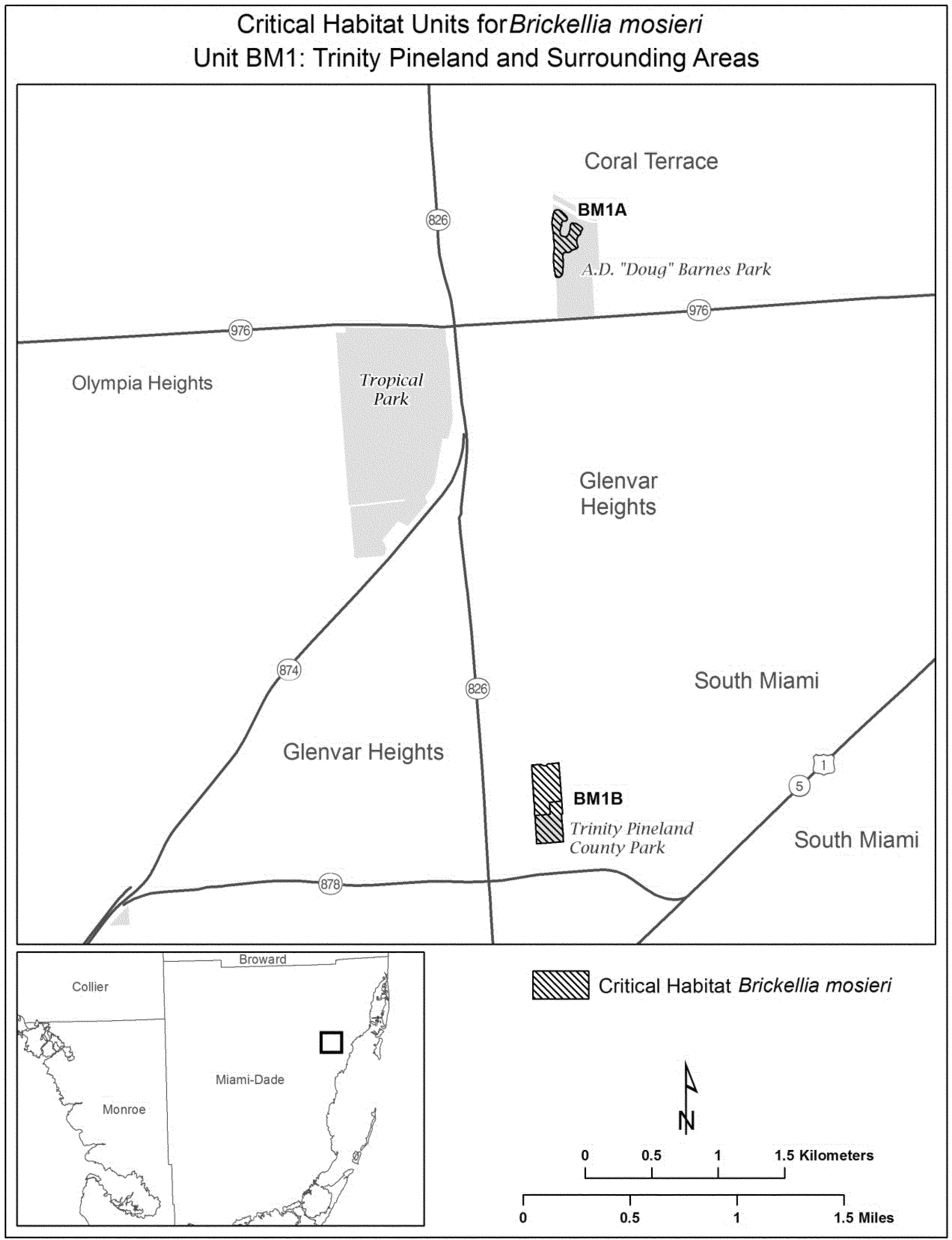
(7) Unit BM2: Nixon Smiley Pineland Preserve and surrounding areas, Miami-Dade County, Florida. Map of Unit BM2 follows:
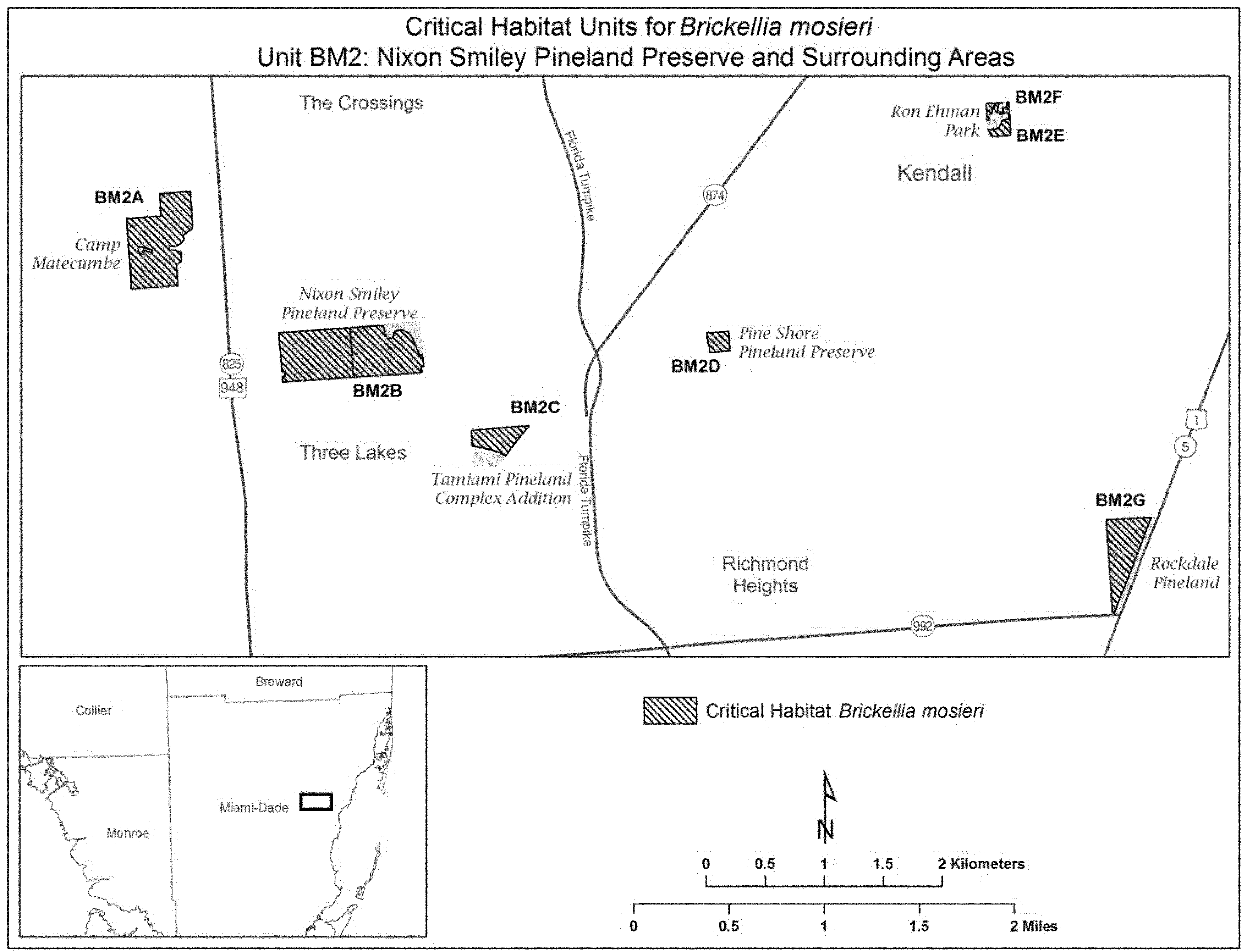
(8) Unit BM3: USDA Subtropical Horticultural Research Station and surrounding areas, Miami-Dade County, Florida. Map of Unit BM3 follows:
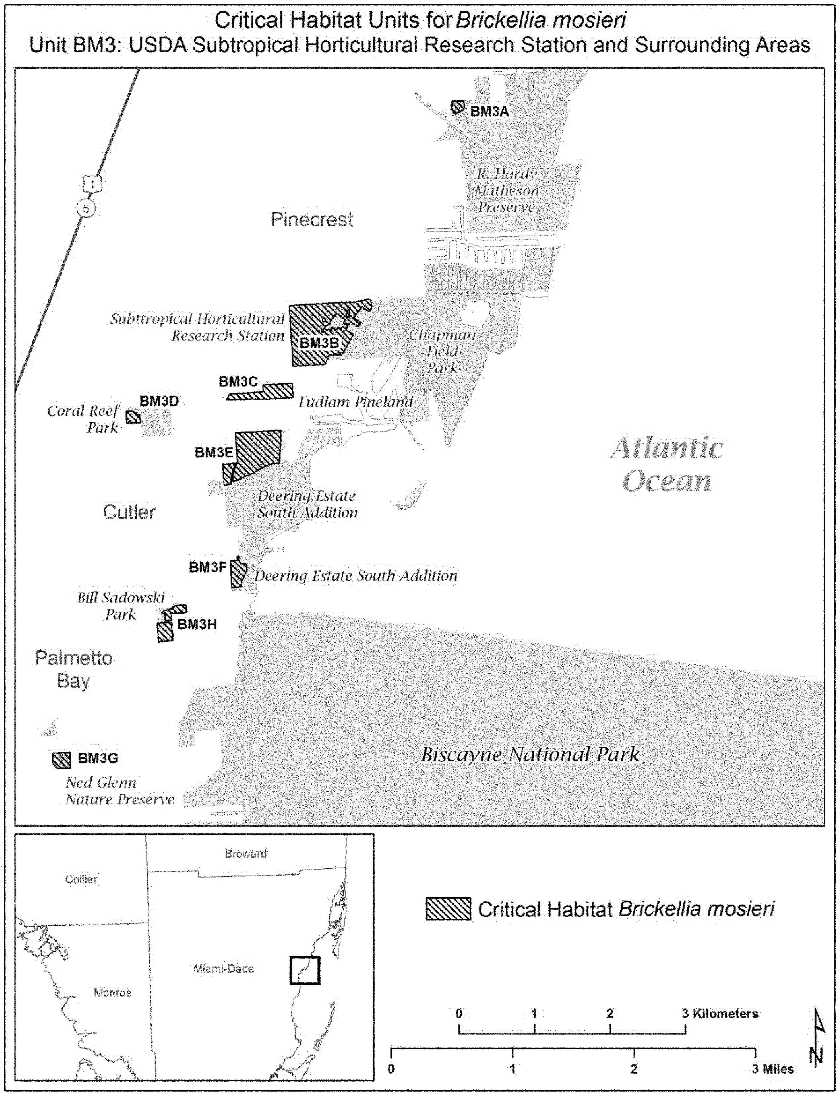
(9) Unit BM4: Richmond Pinelands and surrounding areas, Miami-Dade County, Florida. Map of Unit BM4 follows:
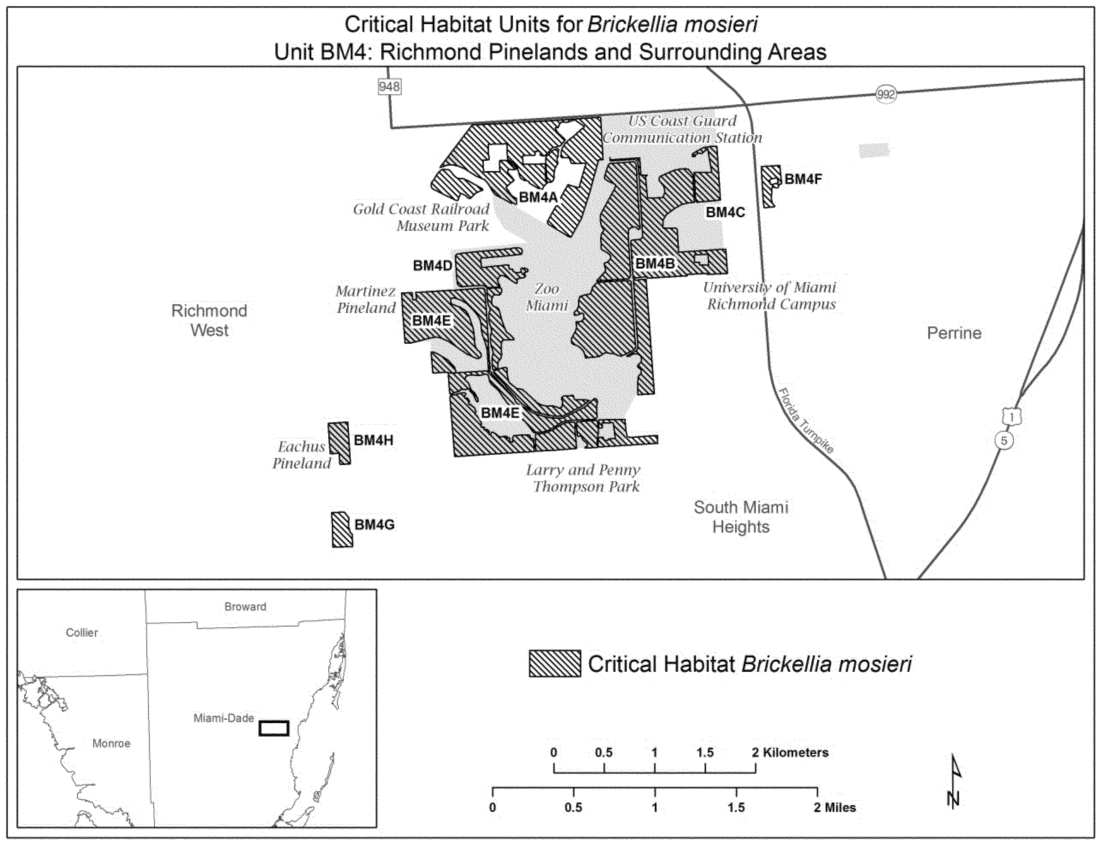
(10) Unit BM5: Quail Roost Pineland and surrounding areas, Miami-Dade County, Florida. Map of Unit BM5 follows:
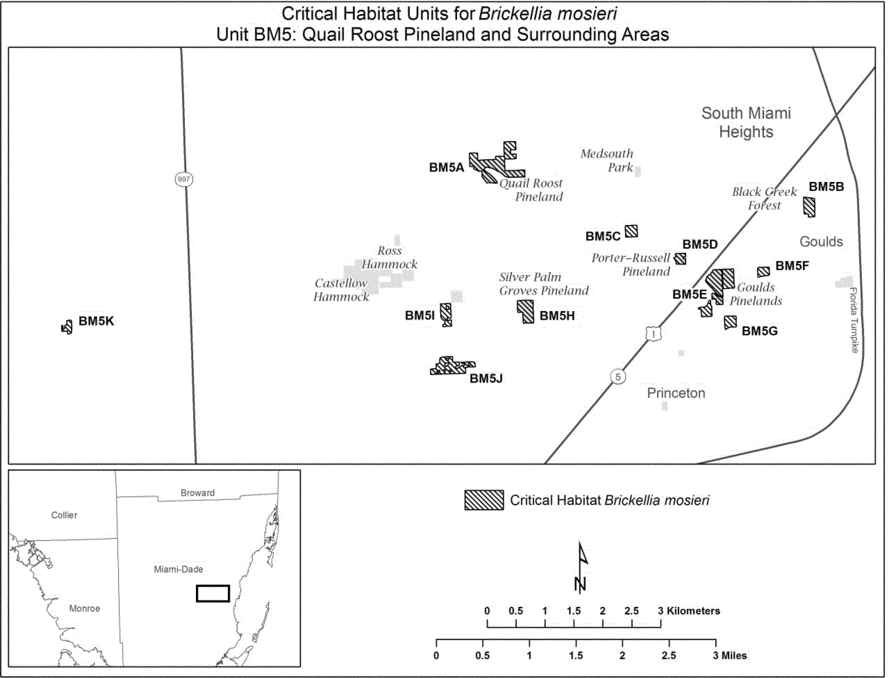
(11) Unit BM6: Camp Owaissa Bauer and surrounding areas, Miami-Dade County, Florida. Map of Unit BM6 follows:
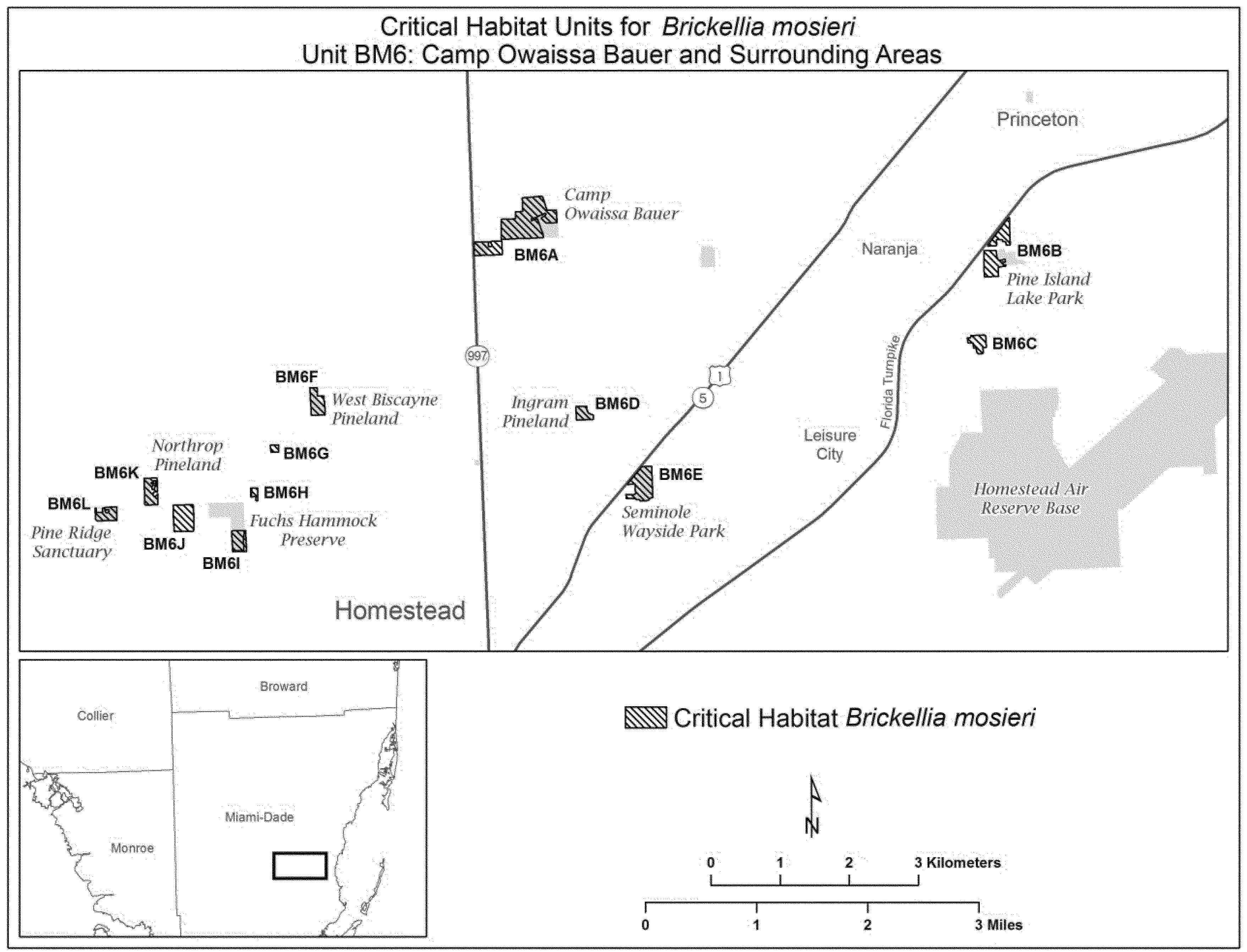
(12) Unit BM7: Navy Wells Pineland Preserve and surrounding areas, Miami-Dade County, Florida. Map of Unit BM7 follows:

Family Asteraceae: Chromolaena frustrata (Cape Sable thoroughwort)
(1) Critical habitat units for Chromolaena frustrata are depicted for Miami-Dade and Monroe Counties, Florida, on the maps below.
(2) Within these areas, the primary constituent elements of the physical or biological features essential to the conservation of Chromolaena frustrata consist of four components:
(i) Areas of upland habitats consisting of coastal berm, coastal rock barren, coastal hardwood hammock, rockland hammocks, and buttonwood forest.
(A) Coastal berm habitat that contains:
(1) Open to semi-open canopy, subcanopy, and understory; and
(2) Substrate of coarse, calcareous, storm-deposited sediment.
(B) Coastal rock barren (Keys cactus barren, Keys tidal rock barren) habitat that contains:
(1) Open to semi-open canopy and understory; and
(2) Limestone rock substrate.
(C) Coastal hardwood hammock habitat occurring in Everglades National Park that contains:
(1) Canopy gaps and edges with an open to semi-open canopy, subcanopy, and understory; and
(2) Substrate of marl covered with a thin layer of highly organic soil.
(D) Rockland hammock habitat that contains:
(1) Canopy gaps and edges with an open to semi-open canopy, subcanopy, and understory; and
(2) Substrate with a thin layer of highly organic soil, marl, humus, or leaf litter on top of the underlying limestone.
(E) Buttonwood forest habitat that contains:
(1) Open to semi-open canopy and understory; and
(2) Substrate with calcareous marl muds, calcareous sands, or limestone rock.
(ii) Plant communities of predominately native vegetation with either no invasive, nonnative species or with low enough quantities of nonnative, invasive plant species to have minimal effect on the survival of Chromolaena frustrata.
(iii) A disturbance regime, due to the effects of strong winds or saltwater inundation from storm surge or infrequent tidal inundation, that creates canopy openings in coastal berm, coastal rock barren, coastal hardwood hammock, rockland hammocks, and buttonwood forest.
(iv) Habitats that are connected and of sufficient area to sustain viable populations in coastal berm, coastal rock barren, coastal hardwood hammock, rockland hammocks, and buttonwood forest.
(3) Critical habitat does not include manmade structures (such as buildings, aqueducts, runways, roads, and other paved areas) and the land on which they are located exists within the legal boundaries on February 7, 2014.
(4) Critical habitat map units. Unit maps were developed using ESRI ArcGIS mapping software along with various spatial data layers. ArcGIS was also used to calculate the size of habitat areas. The projection used in mapping and calculating distances and locations within the units was North American Albers Equal Area Conic, NAD 83. The maps in this entry, as modified by any accompanying regulatory text, establish the boundaries of the critical habitat designation. The coordinates or plot points or both on which each map is based are available to the public at the Service's Internet site at http://www.fws.gov/verobeach/, on the Federal eRulemaking Portal at http://www.regulations.gov at Docket No. FWS-R4-ES-2013-0029, and at the field office responsible for this designation. You may obtain field office location information by contacting one of the Service regional offices, the addresses of which are listed at 50 CFR 2.2.
(5) Index map of all critical habitat units for Chromolaena frustrata follows:

(6) Unit 1: Everglades National Park, Monroe and Miami-Dade Counties, Florida.
(i) General Description: Unit 1 consists of a total of 6,166 acres (2,495 hectares) in Monroe and Miami-Dade Counties. This unit is composed entirely of lands in Federal ownership, 100 percent of which are located within the Everglades National Park.
(ii) Map of Unit 1 follows:

(7) Unit 2: Key Largo, Monroe County, Florida.
(i) General Description: Unit 2 consists of a total of 3,431 acres (1,388 hectares) in Monroe County. This unit is composed of Federal lands within Crocodile Lake National Wildlife Refuge (NWR) (804 acres (325 hectares)); State lands within Dagny Johnson Botanical State Park, John Pennekamp Coral Reef State Park, and the Florida Keys Wildlife and Environmental Area (2,170 acres (878 hectares)); and parcels in private ownership (457 acres (185 hectares)).
(ii) Index map of Unit 2 follows:
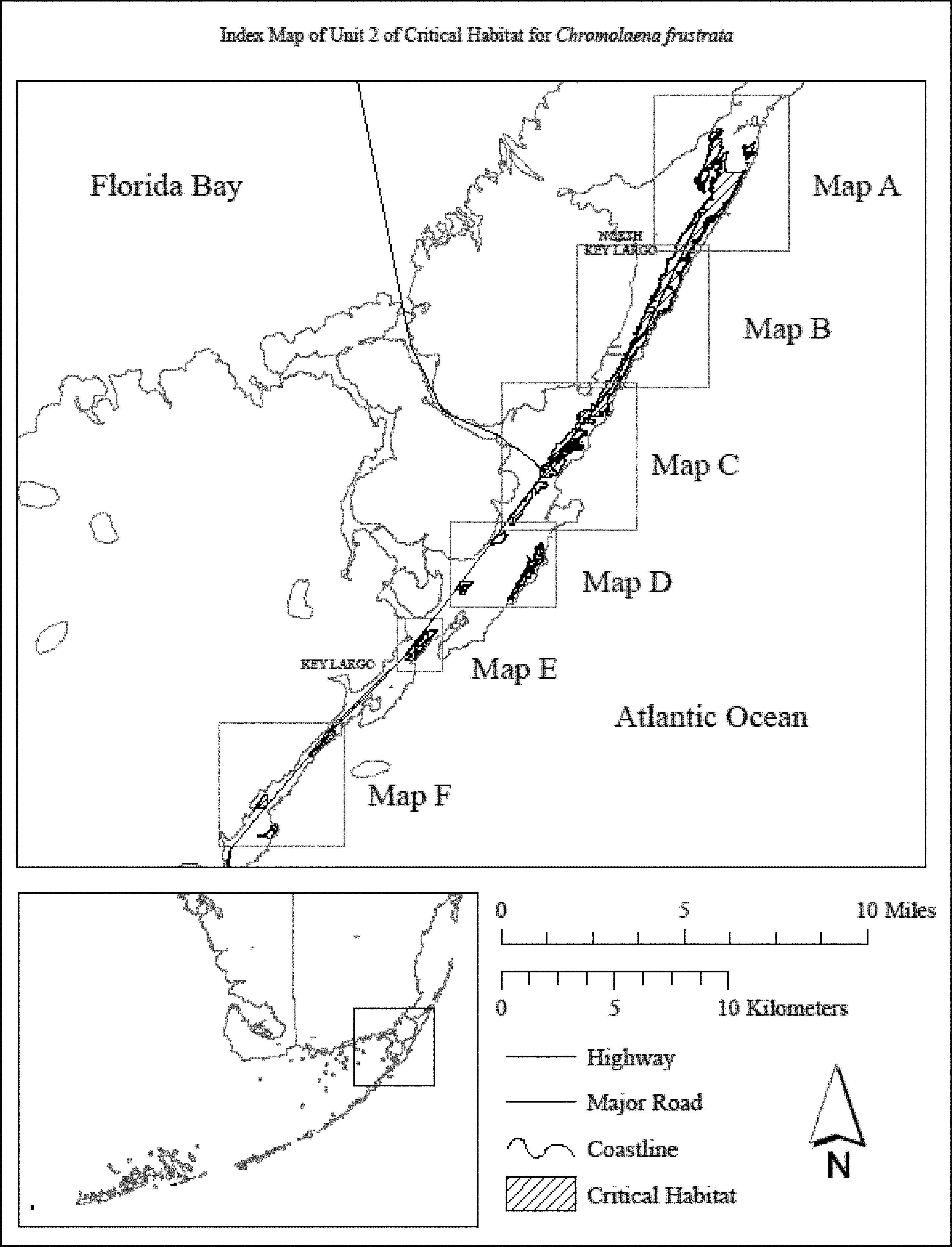
(iii) Map A of Unit 2 follows:
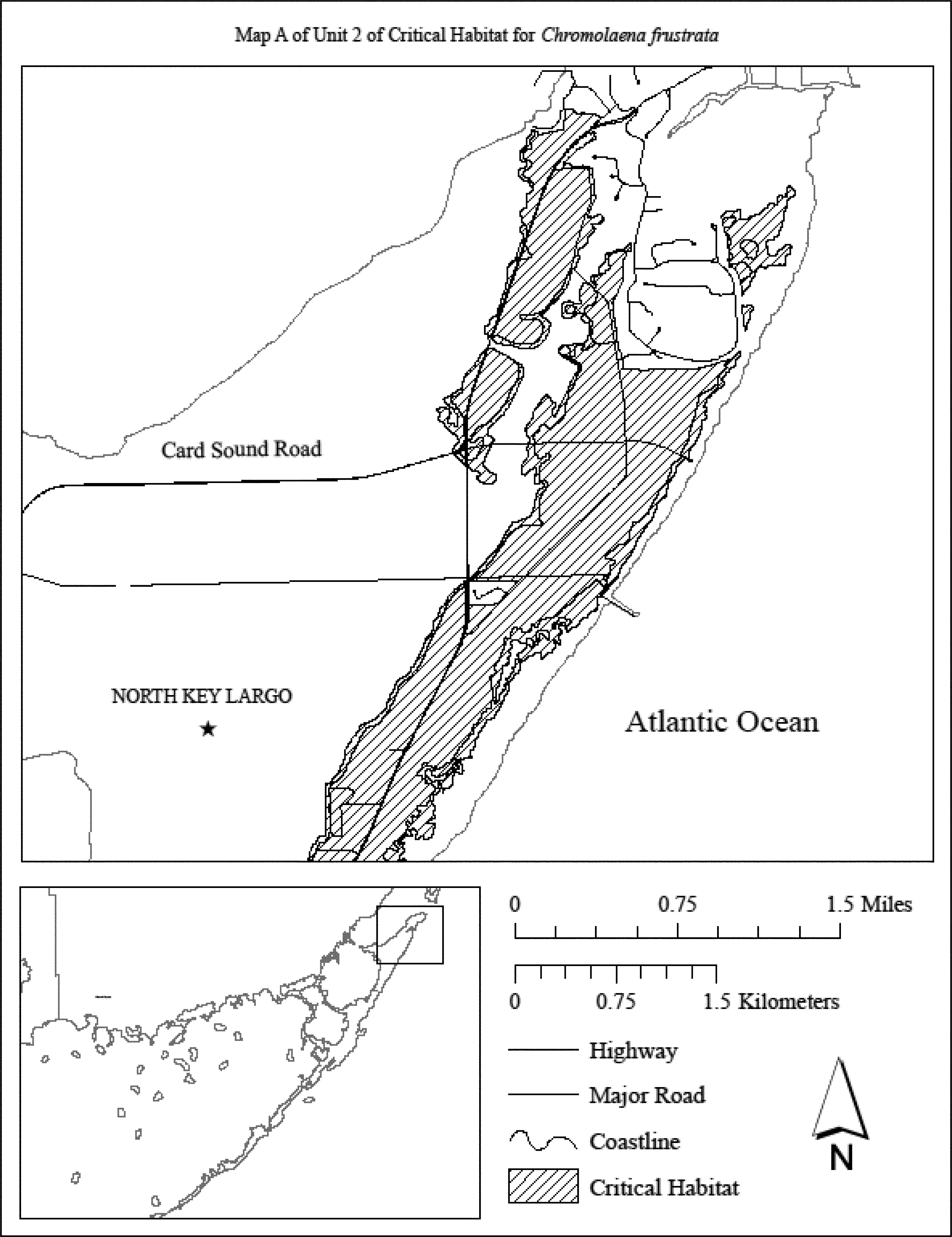
(iv) Map B of Unit 2 follows:

(v) Map C of Unit 2 follows:
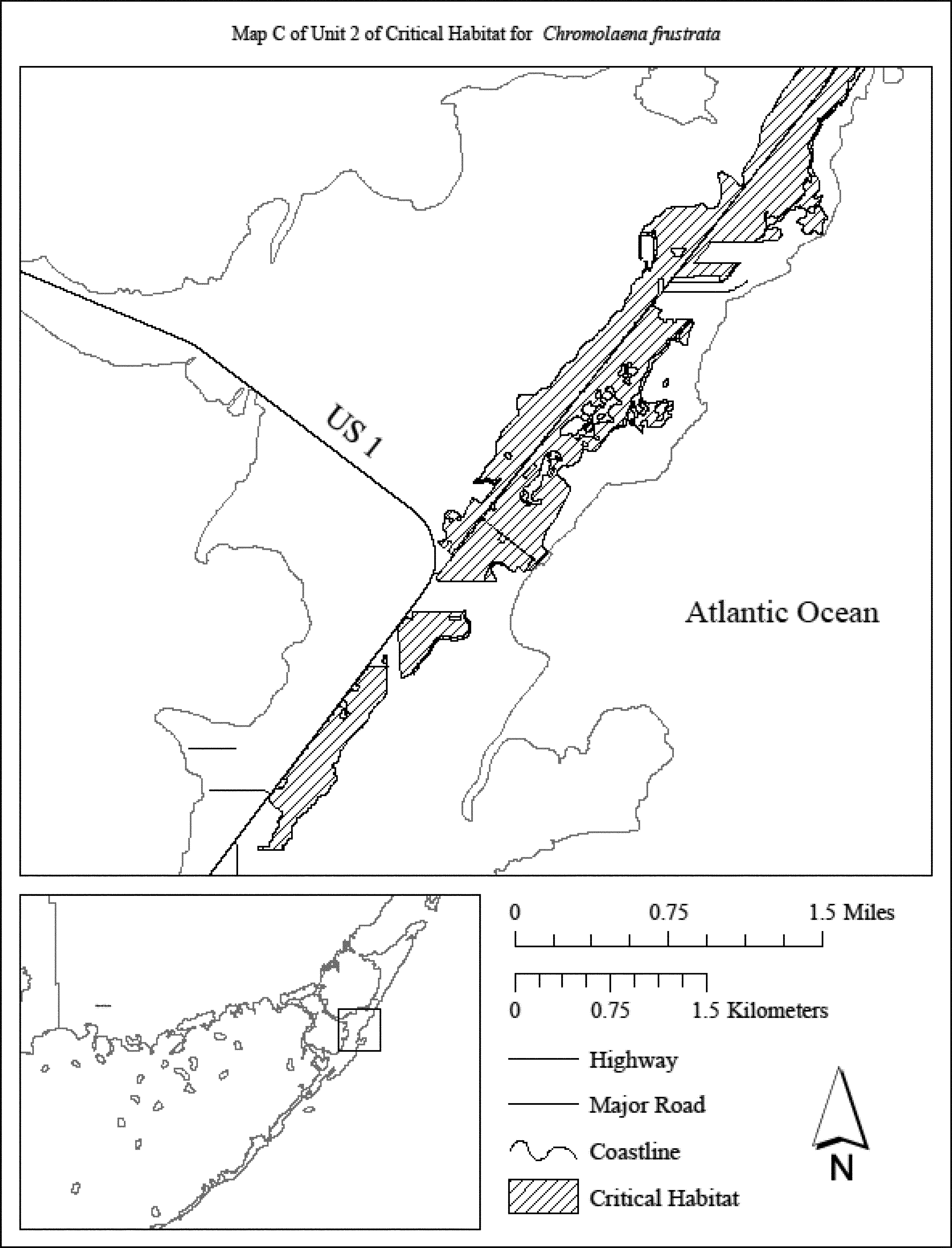
(vi) Map D of Unit 2 follows:

(vii) Map E of Unit 2 follows:
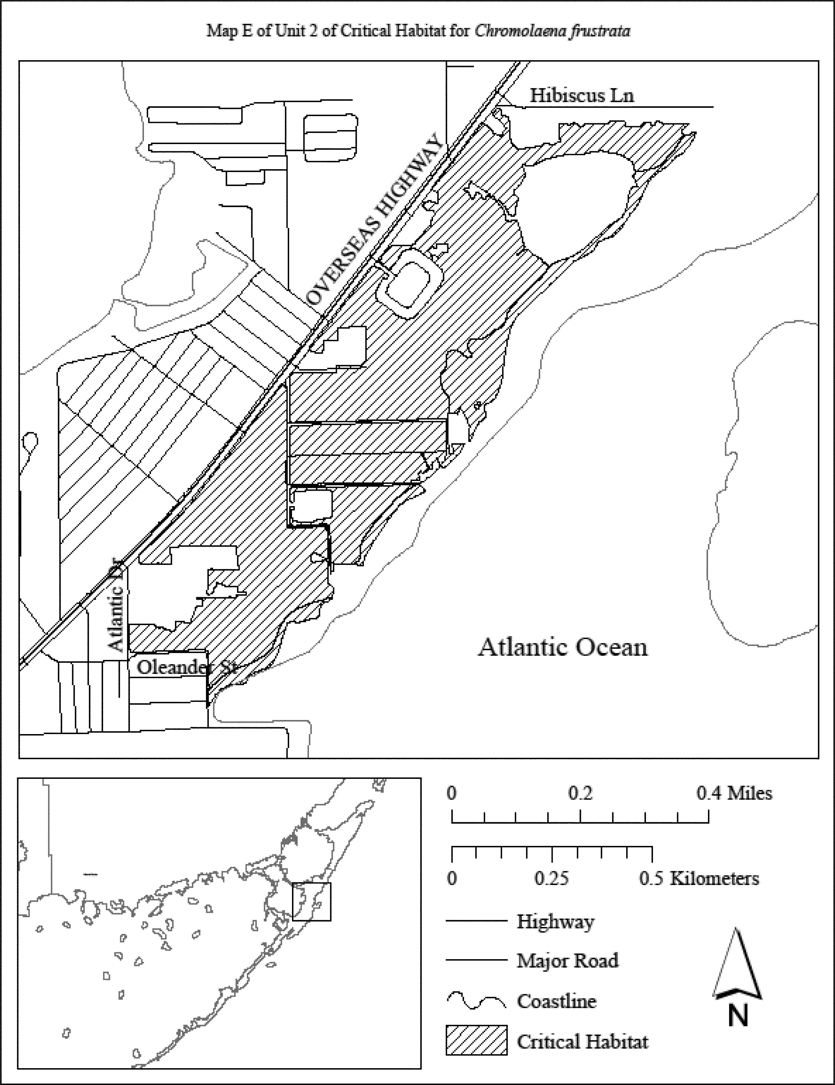
(viii) Map F of Unit 2 follows:
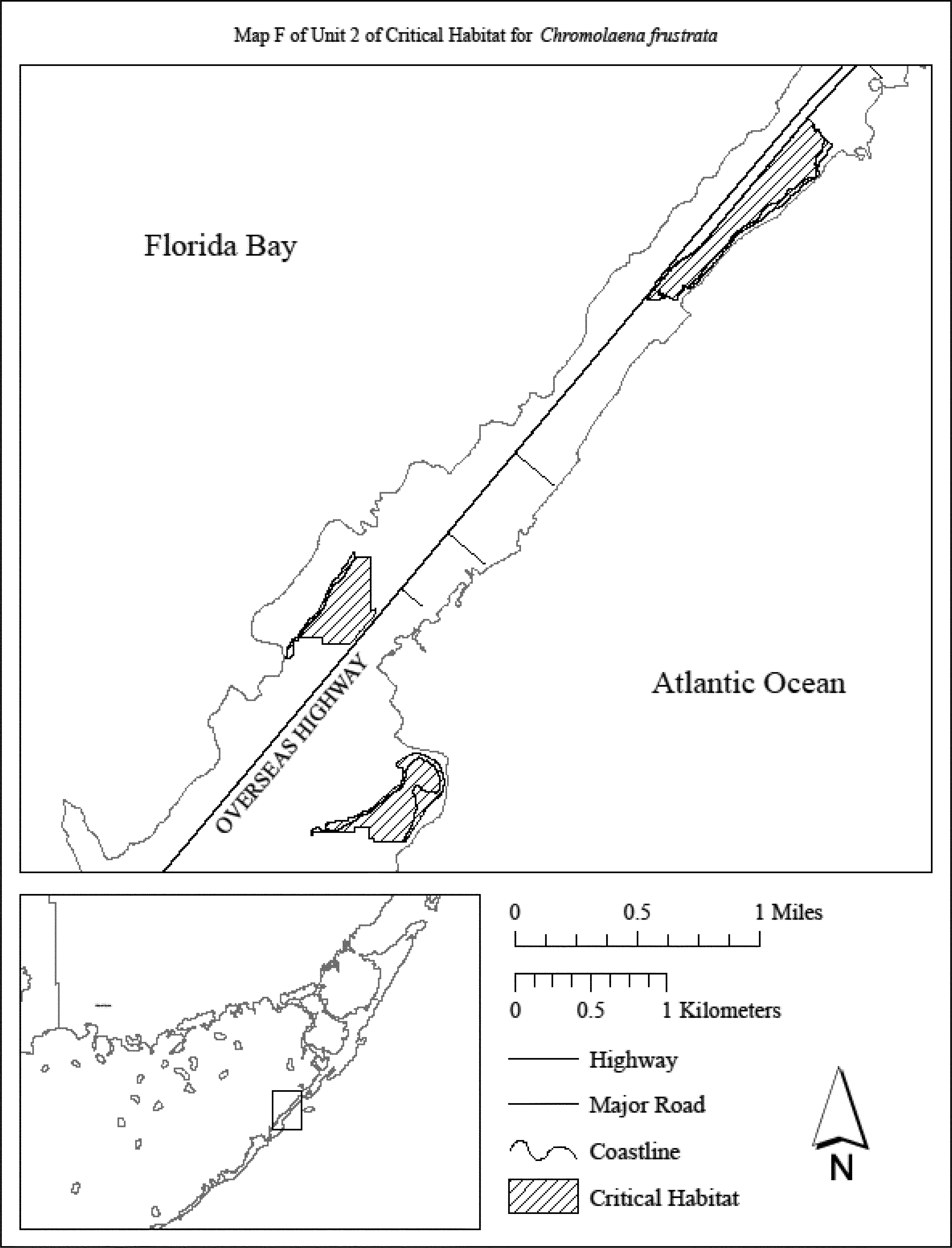
(8) Unit 3: Upper Matecumbe Key, Monroe County, Florida.
(i) General Description: Unit 3 consists of 69 acres (28 hectares) in Monroe County. This unit is comprised of State lands within Lignumvitae Key State Botanical Park, Indian Key Historical State Park (24 acres (10 hectares)); City of Islamorada lands within the Key Tree Cactus Preserve and Green Turtle Hammock Park and parcels in private ownership (45 acres (18 hectares)).
(ii) Map of Unit 3 follows:
(9) Unit 4: Lignumvitae Key, Monroe County, Florida.
(i) General Description: Unit 4 consists of a total of 180 acres (73 hectares) in Monroe County. This unit is composed entirely of lands in State ownership, 100 percent of which are located within the Lignumvitae Key Botanical State Park on Lignumvitae Key in the Florida Keys. This unit includes the entire upland area of Lignumvitae Key.
(ii) Map of Unit 4 follows:

(10) Unit 5: Lower Matecumbe Key, Monroe County, Florida.
(i) General Description: Unit 5 consists of a total of 44 acres (18 hectares) in Monroe County. The unit is composed of State lands within Lignumvitae Key Botanical State Park and parcels owned by the Florida Department of Transportation (22 acres (9 hectares)), and parcels in private ownership (22 acres (9 hectares)).
(ii) Map of Unit 5 follows:

(11) Unit 6: Long Key, Monroe County, Florida.
(i) General Description: Unit 6 consists of a total of 208 acres (84 hectares) in Monroe County. This unit is composed of State lands within Long Key State Park (151 acres (61 hectares)) and parcels in private ownership (57 acres (23 hectares)).
(ii) Index map of Unit 6 follows:

(iii) Map A of Unit 6 follows:
(iv) Map B of Unit 6 follows:
(12) Unit 7: Big Pine Key, Monroe County, Florida.
(i) General Description: Unit 7 consists of a total of 780 acres (316 hectares) in Monroe County. This unit is composed of Federal land within the National Key Deer Refuge (686 acres (278 hectares)) and parcels in private ownership (94 acres (38 hectares)).
(ii) Index map of Unit 7 follows:
(iii) Map A of Unit 7 follows:
(iv) Map B of Unit 7 follows:
(v) Map C of Unit 7 follows:
(vi) Map D of Unit 7 follows:
(vii) Map E of Unit 7 follows:
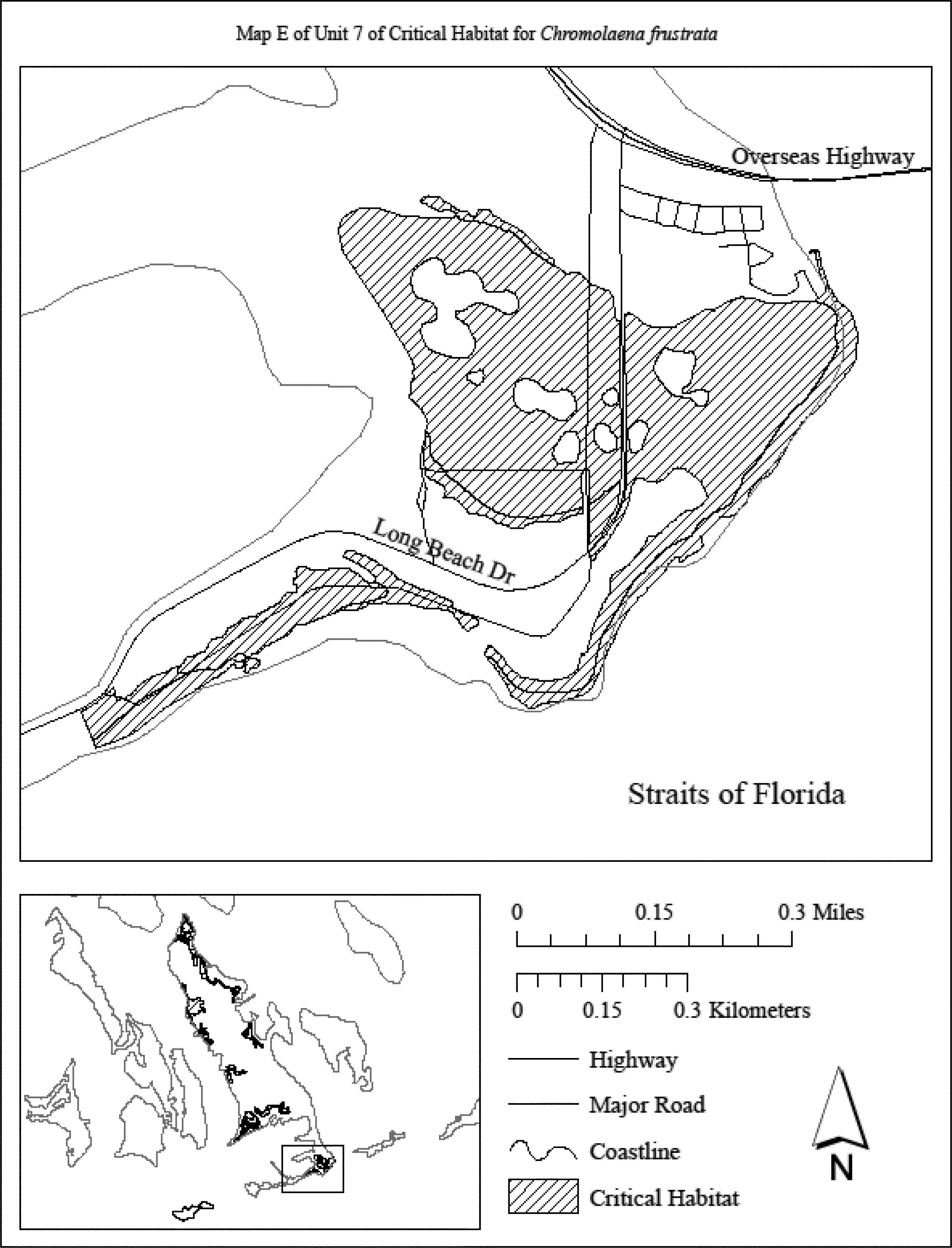
(13) Unit 8: Big Munson Island, Monroe County, Florida.
(i) General Description: Unit 8 consists of a total of 28 acres (11 hectares) in Monroe County. This unit is composed entirely of lands in private ownership.
(ii) Map of Unit 8 follows:
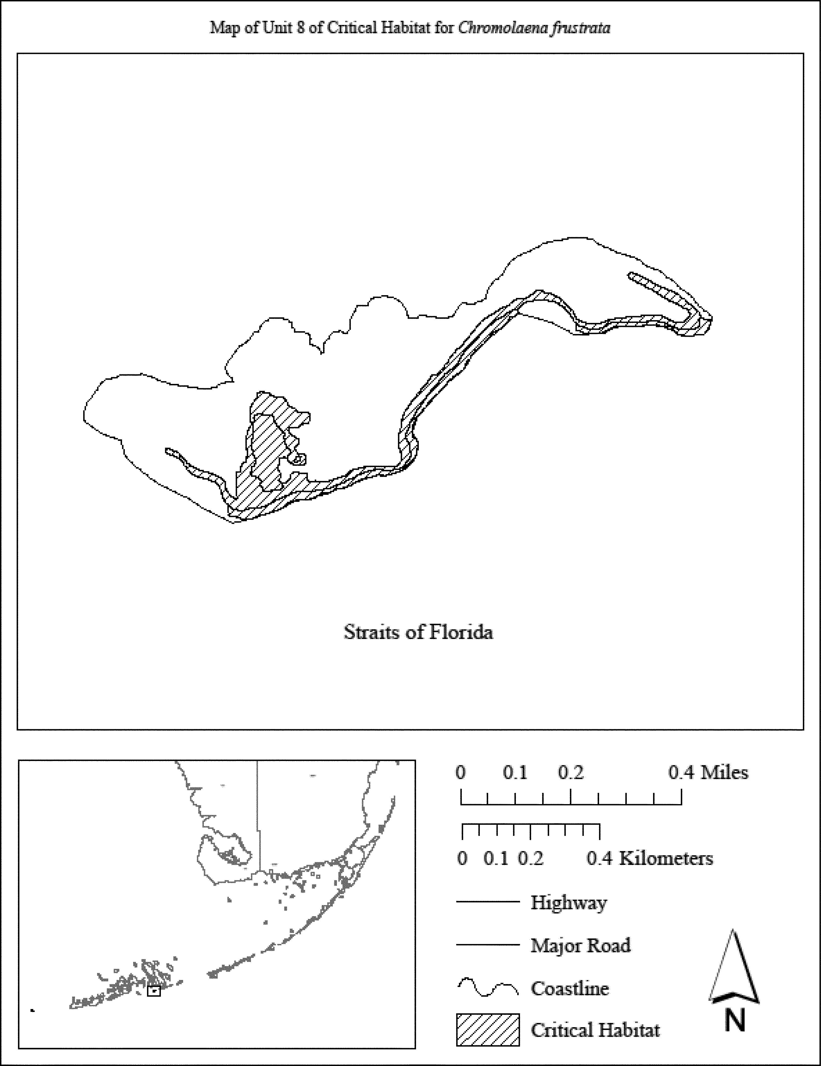
(14) Unit 9: Boca Grande Key, Monroe County, Florida.
(i) General Description: Unit 9 consists of a total of 62 acres (25 hectares) in Monroe County. This unit is composed entirely of lands in Federal ownership, 100 percent of which is located within the Key West National Wildlife Refuge.
(ii) Map of Unit 9 follows:
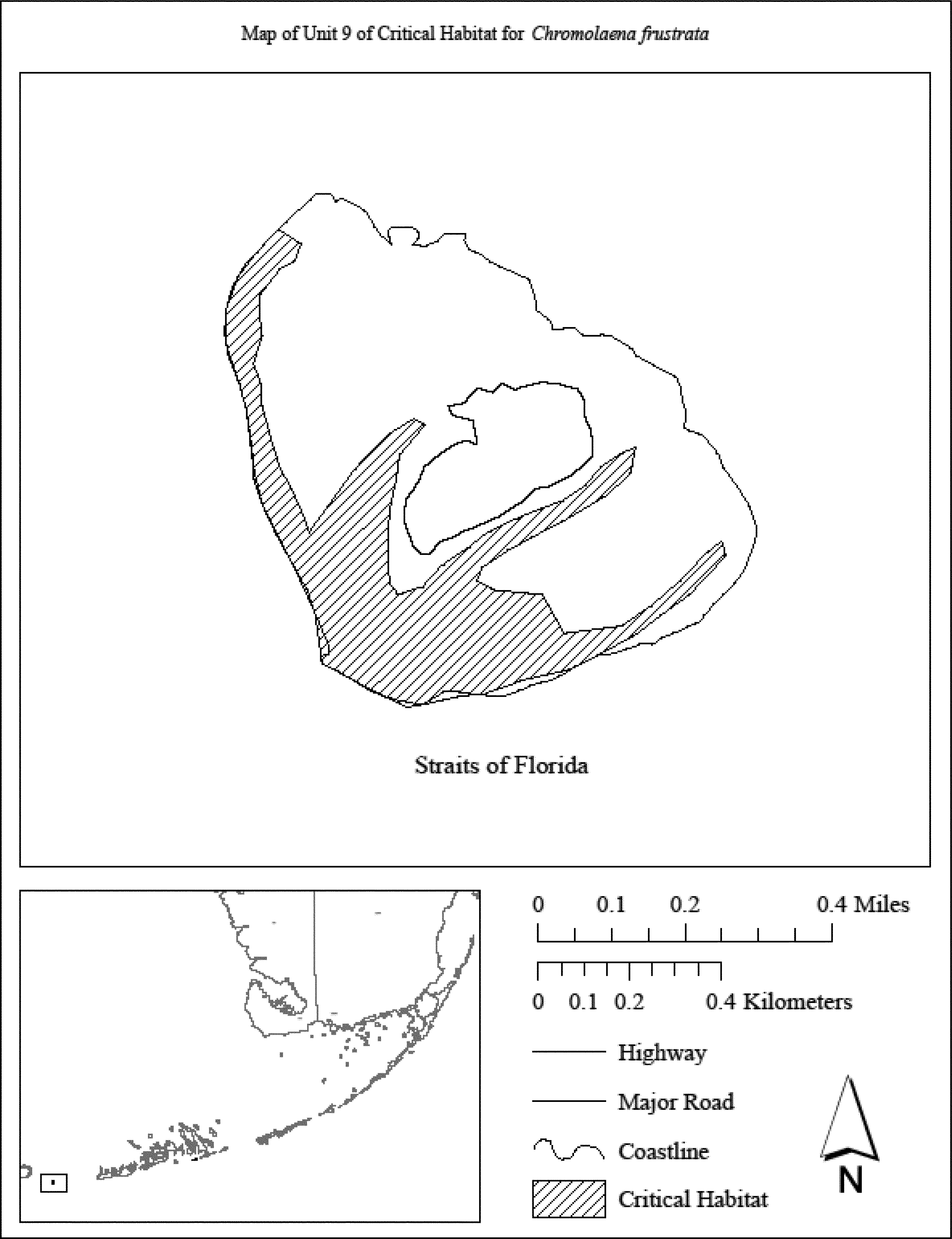
Family Asteraceae: Cirsium hydrophilum var. hydrophilum (Suisun thistle)
(1) Critical habitat units are depicted for Solano County, California, on the maps below.
(2) The primary constituent elements of critical habitat for Cirsium hydrophilum var. hydrophilum are:
(i) Persistent emergent, intertidal, estuarine wetland at or above the mean high-water line (as extended directly across any intersecting channels);
(ii) Open channels that periodically contain moving water with ocean-derived salts in excess of 0.5 percent; and
(iii) Gaps in surrounding vegetation to allow for seed germination and growth.
(3) Critical habitat does not include manmade structures (such as buildings, aqueducts, runways, roads, and other paved areas) and the land on which they are located existing within the legal boundaries on the effective date of this rule.
(4) Critical habitat map units. Data layers defining Solano County map units were created on a base map using CDWR color mosaic 1:9,600 scale digital aerial photographs for Suisun Bay captured June 16, 2003 (CDFG 2005c). Critical habitat units were then mapped using Universal Transverse Mercator (UTM) zone 10, North American Datum (NAD) 1983 coordinates.
(5) Note: Index Maps for Cirsium hydrophilum var. hydrophilum (Map 1) follows:
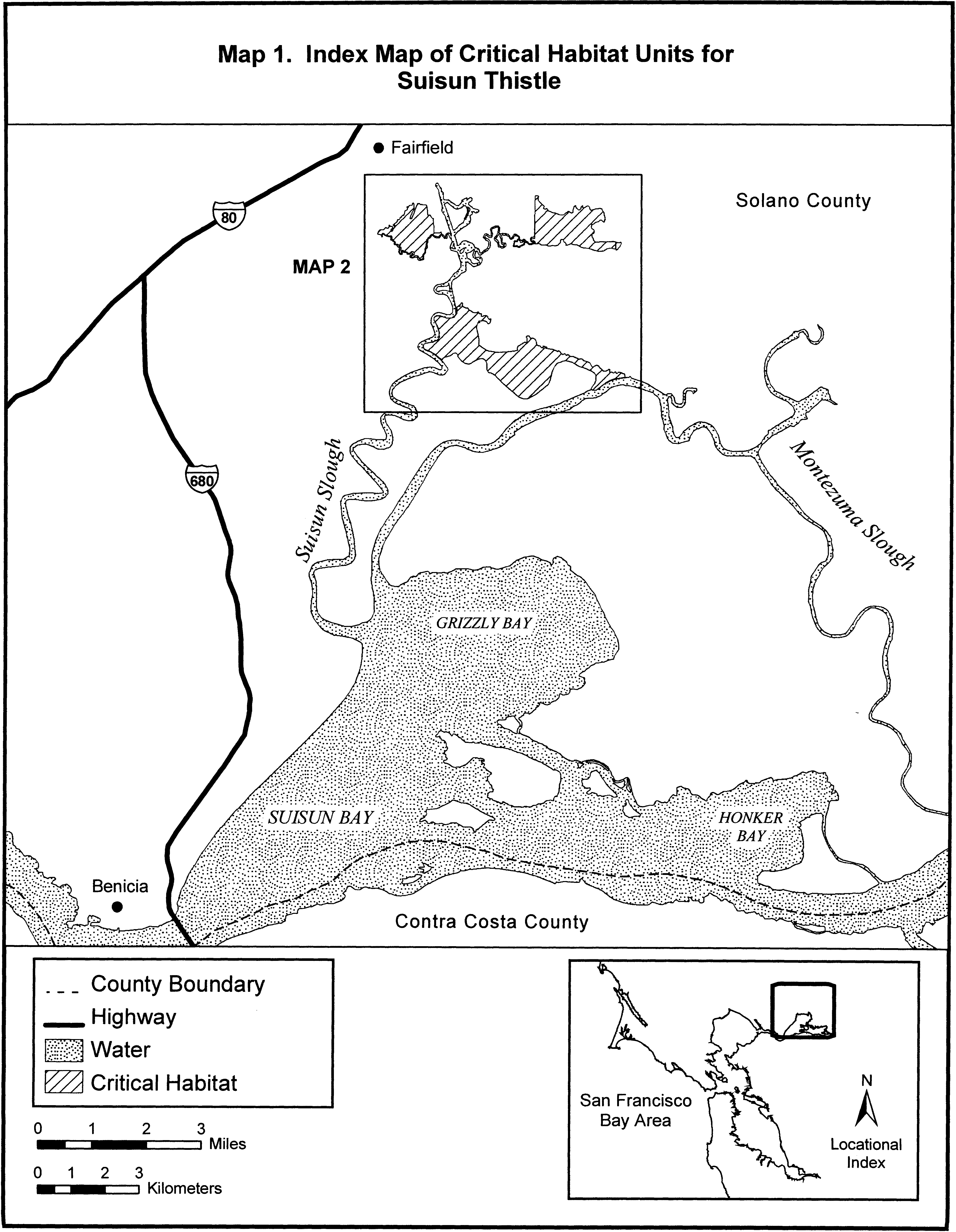
(6) Unit 1 for Cirsium hydrophilum var. hydrophilum: Hill Slough Marsh, Solano County, California.
(i) [Reserved]
(ii) Map of Unit 1 for Cirsium hydrophilum var. hydrophilum is depicted on Map 2 in paragraph (8)(ii) of this entry.
(7) Unit 2 for Cirsium hydrophilum var. hydrophilum: Peytonia Slough Marsh, Solano County, California.
(i) [Reserved]
(ii) Unit 2 for Cirsium hydrophilum var. hydrophilum is depicted on Map 2 in paragraph (8)(ii) of this entry.
(8) Unit 3 for Cirsium hydrophilum var. hydrophilum: Rush Ranch/Grizzly Island Wildlife Area, Solano County, California.
(i) [Reserved]
(ii) Map of Units 1, 2, and 3 for Cirsium hydrophilum var. hydrophilum (Map 2) follows:
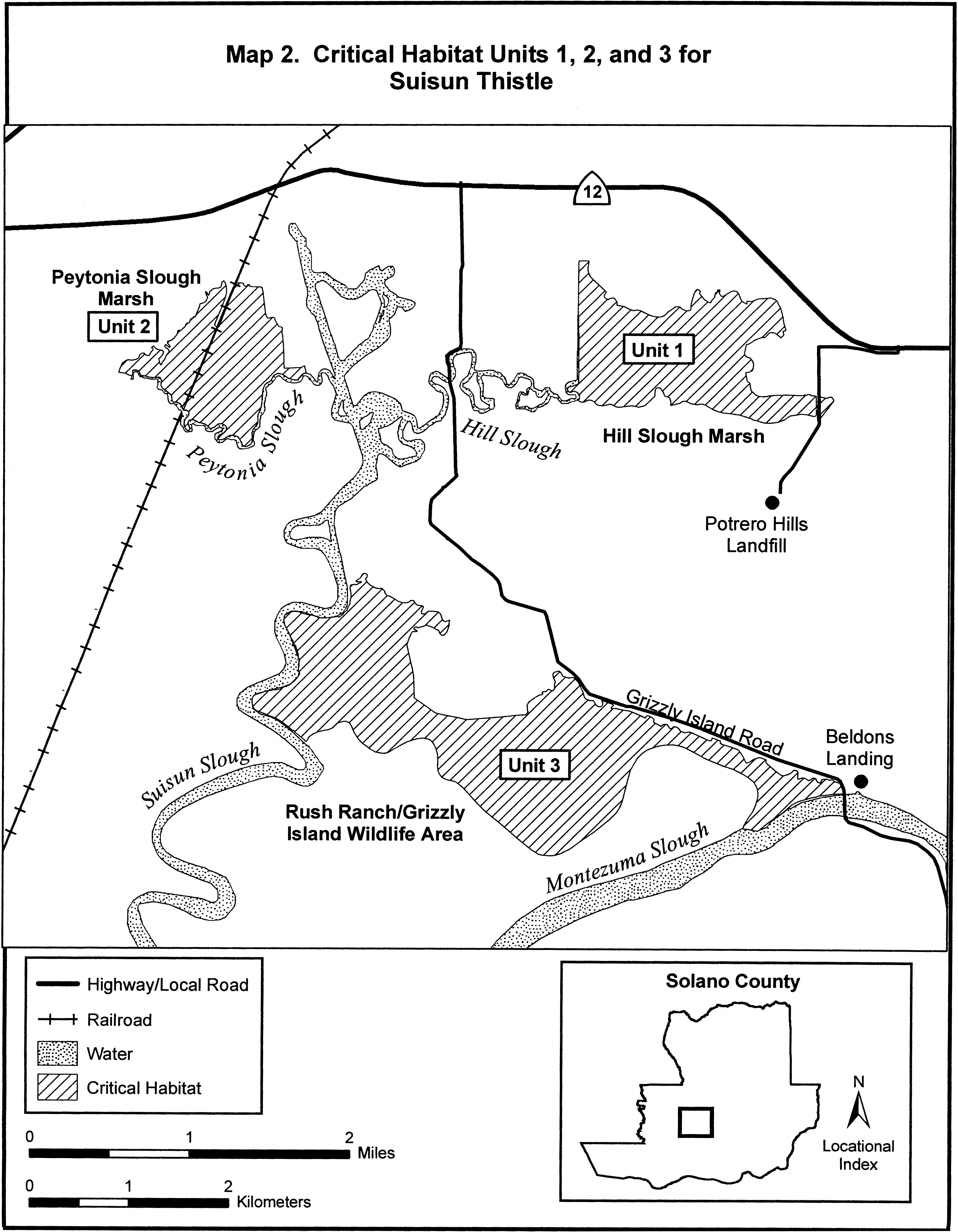
Family Asteraceae: Cirsium loncholepis (La Graciosa thistle)
(1) Critical habitat units are depicted for San Luis Obispo and Santa Barbara Counties, California, on the maps below.
(2) The primary constituent elements of critical habitat for Cirsium loncholepis are:
(i) Mesic areas associated with:
(A) Margins of dune swales, dune lakes, marshes, and estuaries that are associated with dynamic (changing) dune systems including the Santa Maria Valley Dune Complex and Santa Ynez Valley Dune Complex;
(B) Margins of dynamic riparian systems including the Santa Maria and Santa Ynez Rivers and Orcutt and San Antonio Creeks; and
(C) Freshwater seeps and intermittent streams found in other habitats, including grassland, meadow, coastal scrub, and oak woodland. These areas provide space needed for individual and population growth including sites for germination, reproduction, seed dispersal, seed bank, and pollination;
(ii) Associated plant communities including: Central dune scrub, coastal dune, coastal scrub, freshwater seep, coastal and valley freshwater marsh and fen, riparian scrub (e.g., mule fat scrub, willow scrub), oak woodland, intermittent streams, and other wetland communities, generally in association with the following species: Juncus spp. (rush), Scirpus spp. (tule), Salix spp. (willow), Toxicodendron diversilobum (poison oak), Distichlis spicata (salt grass), Baccharis pilularis (coyote brush), and B. douglasii (Douglas' baccharis);
(iii) Soils with a sandy component including but not limited to dune sands, Oceano sands, Camarillo sandy loams, riverwash, and sandy alluvial soils; and
(iv) Features that allow dispersal and connectivity between populations, particularly:
(A) Natural riparian drainages in Santa Maria River, Orcutt Creek, San Antonio Creek, and Santa Ynez River that are not channelized or confined by barriers or dams, such that they have soft bottoms and sides and a natural flood plain (allowing uninterrupted water flows); and
(B) Natural aeolian geomorphology in the Santa Maria Dune Complex and Santa Ynez Dune Complex, and along the Santa Maria River, Orcutt Creek, San Antonio Creek, and Santa Ynez River drainages that is not confined by barriers or wind-blocks such as large manmade structures, tree rows, or wind-breaks (allowing uninterrupted winds across these areas).
(3) Critical habitat does not include manmade structures (such as buildings, aqueducts, airports, roads, and other paved areas) and the land on which they are located existing within the legal boundaries on the effective date of this rule.
(4) Critical habitat map units. Data layers defining map units were created on base maps using aerial imagery from the National Agricultural Imagery Program (aerial imagery captured June 2005). Data were projected to Universal Transverse Mercator (UTM) zone 11, North American Datum (NAD) 1983.
(5) Note: Index map of Cirsium loncholepis critical habitat follows:
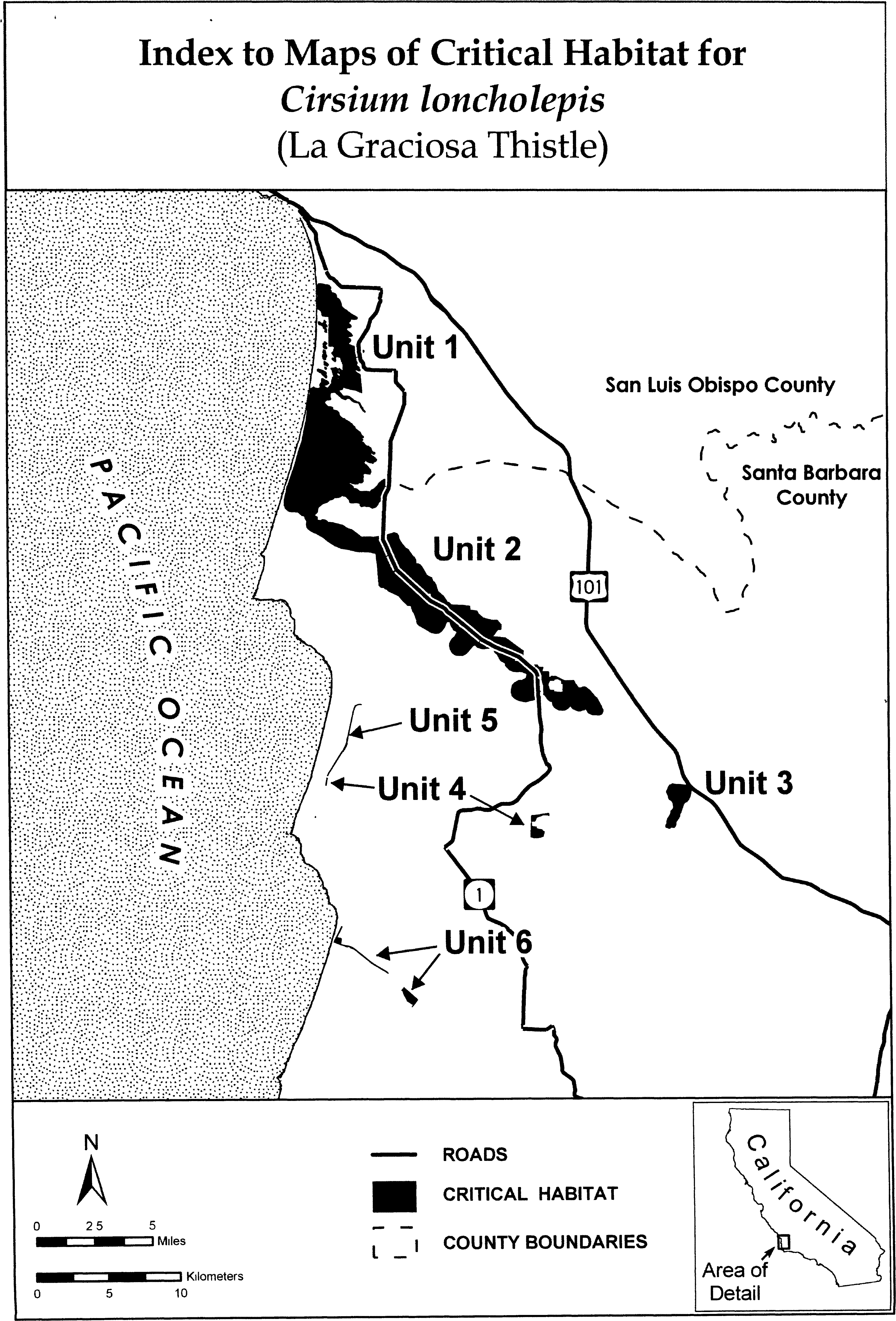
(6) Unit 1: Callender-Guadalupe Dunes. San Luis Obispo County, California.
From USGS 1:24,000 scale quadrangle maps Oceano, Point Sal, and Guadalupe.
(i) Subunit 1A excludes land bounded by the following Universal Transverse Mercator (UTM) North American Datum of 1983 (NAD83) coordinates (E,N):
(A) 717937.807, 3880783.475; 717849.041, 3880821.504; 717848.938, 3880817.720; 717849.392, 3880817.650; 717845.549, 3880807.313; 717843.593, 3880800.027; 717841.269, 3880793.548; 717837.501, 3880785.669; 717836.131, 3880783.911; 717828.857, 3880776.863; 717817.989, 3880765.903; 717812.187, 3880758.047; 717776.455, 3880744.115; 717946.560, 3880643.422; 717990.327, 3880695.942; thence returning to 717937.807, 3880783.475.
(B) 717791.575, 3880459.554; 717799.332, 3880445.386; 717793.518, 3880418.908; 717877.719, 3880381.762; 717877.788, 3880381.731; 717878.022, 3880381.614; 717878.247, 3880381.481; 717878.464, 3880381.333; 717878.670, 3880381.172; 717931.589, 3880343.026; 717999.080, 3880459.602; 717946.560, 3880564.642; 717687.919, 3880630.938; 717691.226, 3880626.729; 717694.265, 3880622.551; 717699.251, 3880616.956; 717706.283, 3880606.405; 717710.417, 3880598.353; 717714.342, 3880595.747; 717713.908, 3880594.512; 717712.625, 3880591.920; 717715.053, 3880585.202; 717716.723, 3880581.192; 717718.867, 3880576.150; 717721.160, 3880570.917; 717723.858, 3880566.063; 717724.433, 3880561.206; 717728.941, 3880560.990; 717731.725, 3880540.438; 717732.513, 3880535.099; 717733.828, 3880528.387; 717734.669, 3880522.890; 717736.483, 3880519.997; 717735.778, 3880516.228; 717736.401, 3880511.843; 717741.119, 3880509.748; 717750.271, 3880489.562, thence returning to 717791.575, 3880459.554.
(ii) Map of Unit 1, Subunits 1A through 1P, follows:

(7) Unit 2: Santa Maria River-Orcutt Creek. San Luis Obispo and Santa Barbara Counties, California. From USGS 1:24,000 scale quadrangle maps Point Sal, Guadalupe, Santa Maria, Casmalia, and Orcutt.
(i) Unit 2 excludes land bounded by the following UTM NAD83 coordinates (E,N): 733655.106, 3859548.220; 733713.315, 3859516.470; 733951.440, 3859516.470; 733951.440, 3859418.574; 734594.379, 3859415.928; 734594.379, 3860029.762; 734472.671, 3860021.825; 734462.087, 3860249.367; 734200.149, 3860336.680; 734110.191, 3860336.680; 733932.919, 3860286.409; 733932.919, 3860222.908; 733623.356, 3860209.679; 733615.419, 3860204.388; 733607.481, 3860127.658; 733567.794, 3860053.575; 733541.335, 3859939.804; 733533.398, 3859889.533, thence returning to 733655.106, 3859548.220.
(ii) Map of Unit 2 follows:
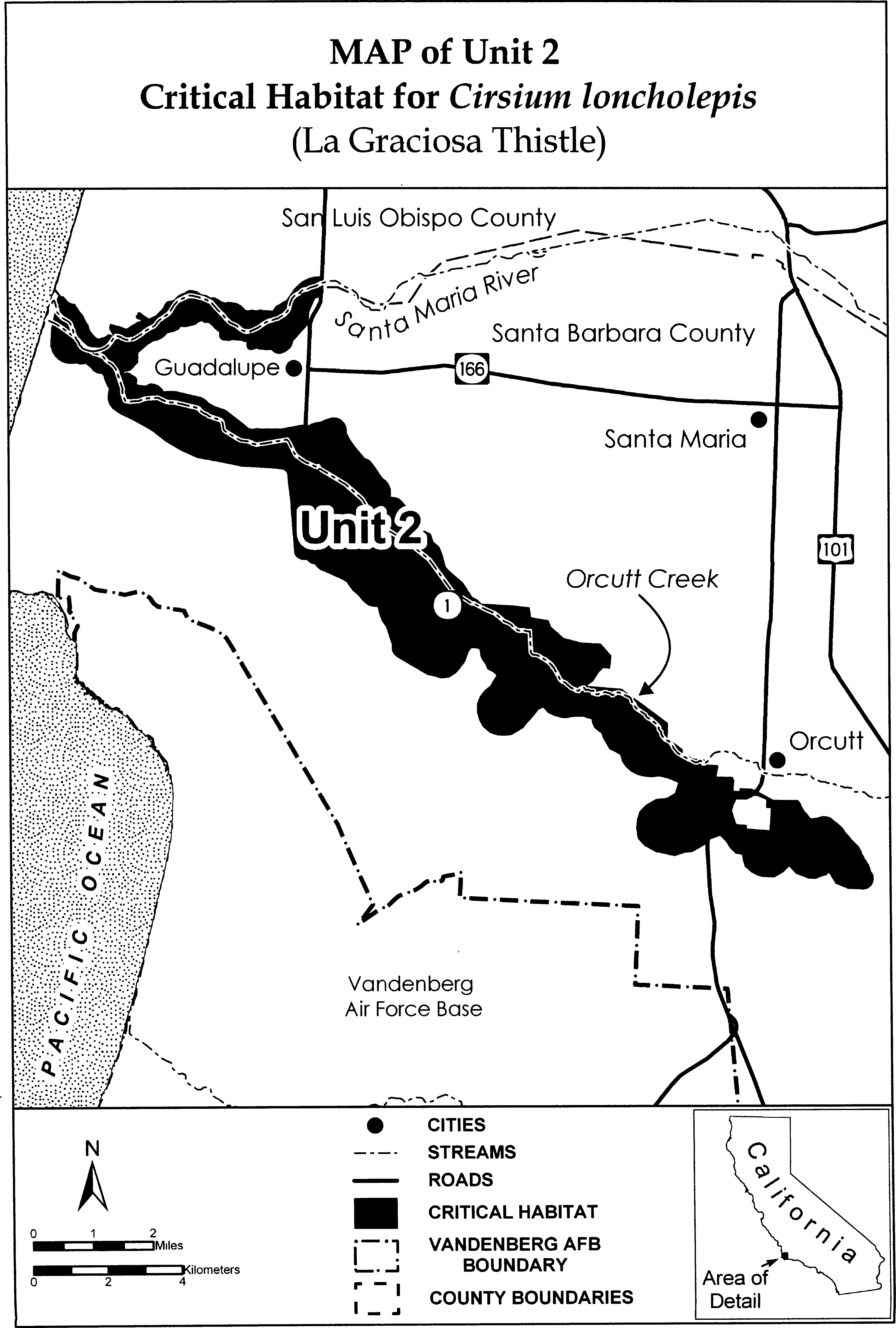
(8) Unit 3: Cañada de las Flores. Santa Barbara County, California.
From USGS 1:24,000 scale quadrangle map Sisquoc.
(i) [Reserved]
(ii) Map of Unit 3 follows:

(9) Unit 4: San Antonio Creek. Santa Barbara County, California.
From USGS 1:24,000 scale quadrangle maps Casmalia and Orcutt.
(i) [Reserved]
(ii) Map of Unit 4, Subunits 4A and 4B, follows:
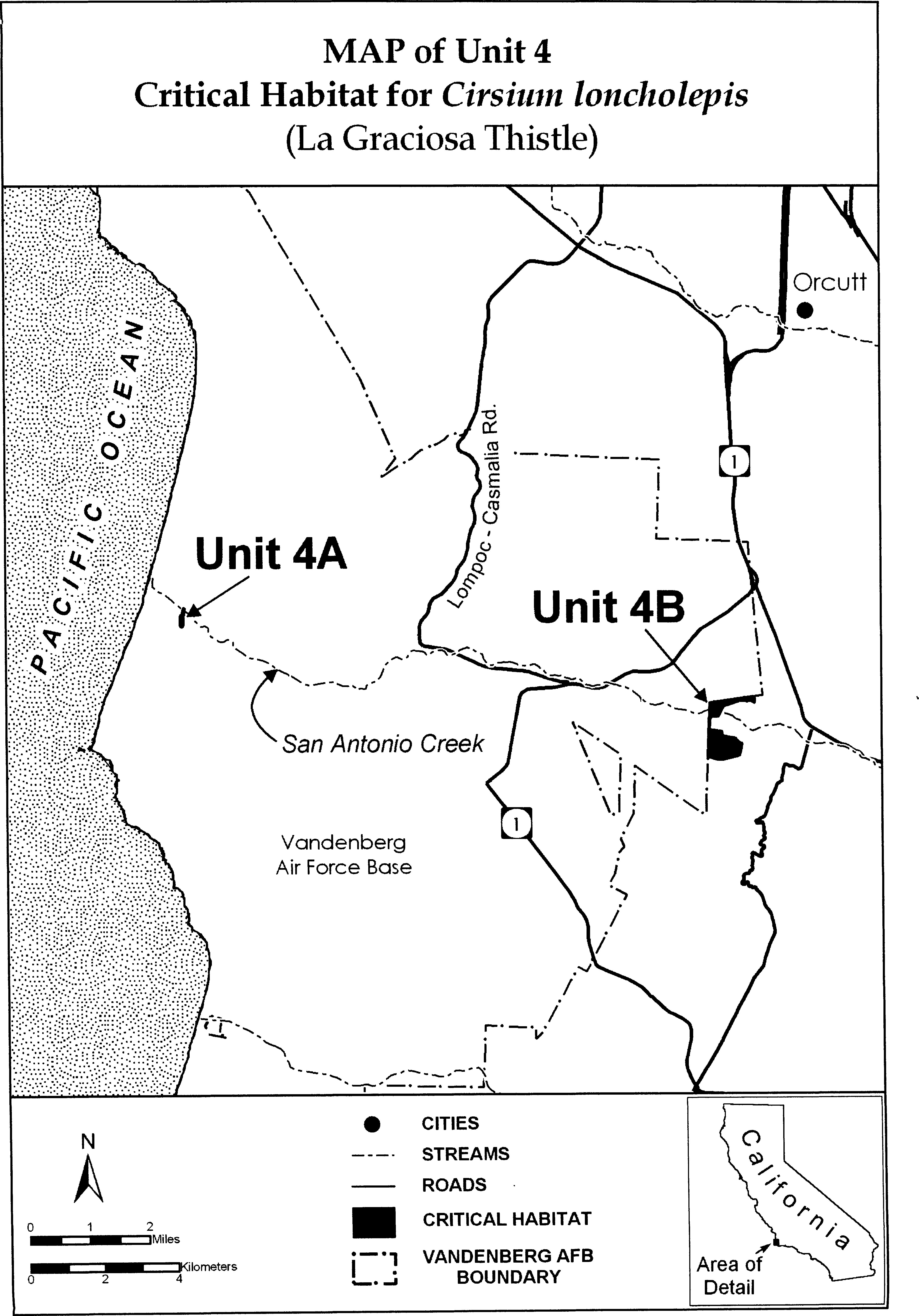
(10) Unit 5: San Antonio Terrace. Santa Barbara County, California.
From USGS 1:24,000 scale quadrangle map Casmalia.
(i) [Reserved]
(ii) Map of Unit 5 follows:

(11) Unit 6: Santa Ynez River. San Luis Obispo County, California. From USGS 1:24,000 scale quadrangle map Surf.
(i) [Reserved]
(ii) Map of Unit 6, Subunits 6A through 6C, follows:
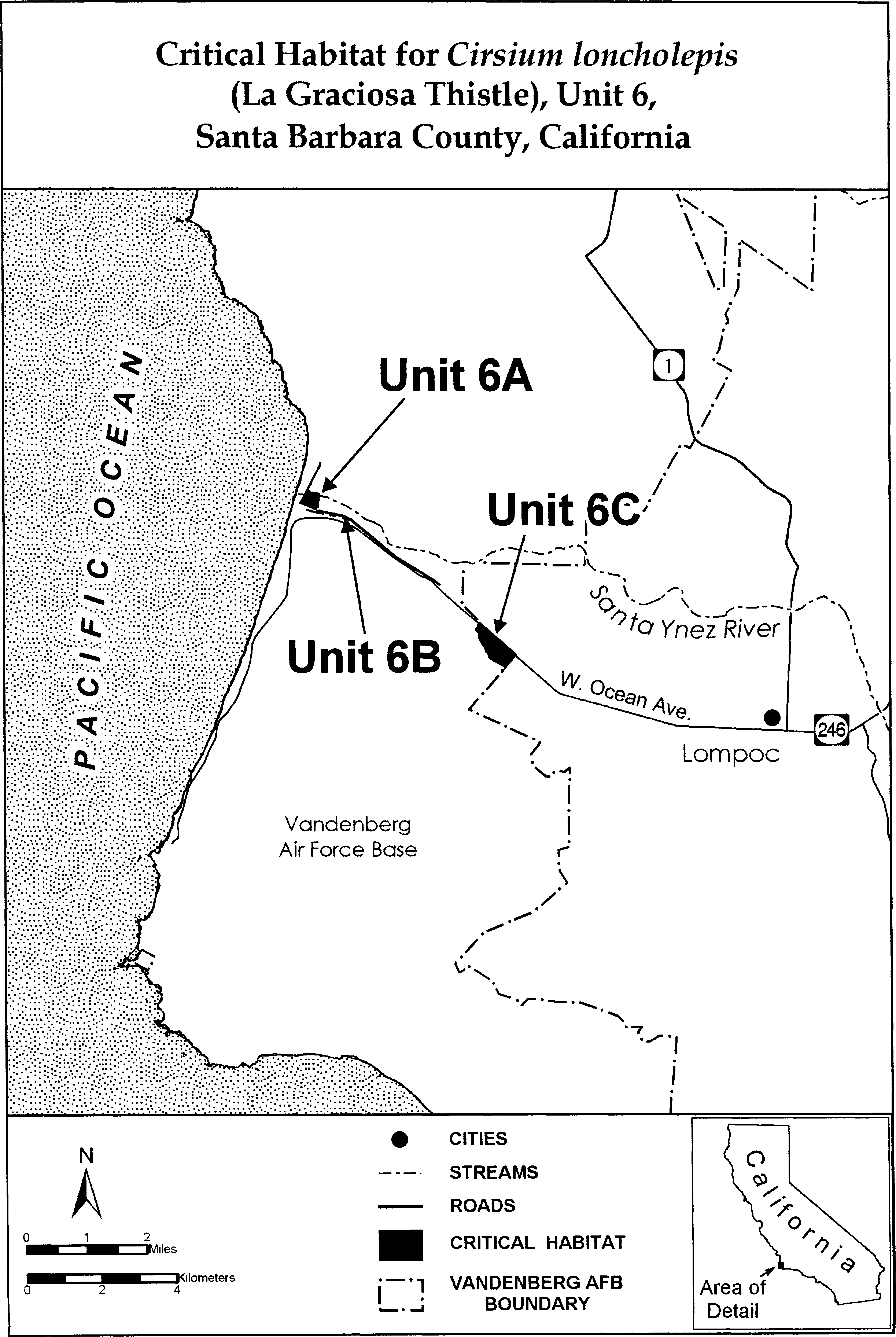
Family Asteraceae: Deinandra conjugens (Otay tarplant)
(1) Critical habitat units are depicted for San Diego County, California, on the maps below. The maps provided are for informational purposes only.
(2) The primary constituent elements of critical habitat for Deinandra conjugens are those habitat components that are essential for the primary biological needs of the species. Based on our current knowledge of this species, the primary constituent elements for Deinandra conjugens consist of, but are not limited to, soils with a high clay content (generally greater than 25 percent) (or clay intrusions or lenses) that are associated with grasslands, open coastal sage scrub, or maritime succulent scrub communities between 25 m (80 ft) and 300 m (1,000 ft) elevation. These plant communities contain natural openings that provide habitat for Deinandra conjugens life-cycle, and pollen and seed dispersal agents.
(3) Critical habitat does not include non-Federal lands covered by a legally operative Habitat Conservation Plan issued under section 10(a)(1)(B) of the Act in which Deinandra conjugens is a covered species on or before the publication of this final rule.
(4) Existing features and structures, such as buildings, paved or unpaved roads, and other landscaped areas not containing primary constituent elements, are not likely to contain the primary constituent elements for Deinandra conjugens. Federal actions limited to those areas, therefore, would not trigger a section 7 consultation, unless they affect the species or primary constituent elements in adjacent critical habitat.
(i) Note: Index map follows:
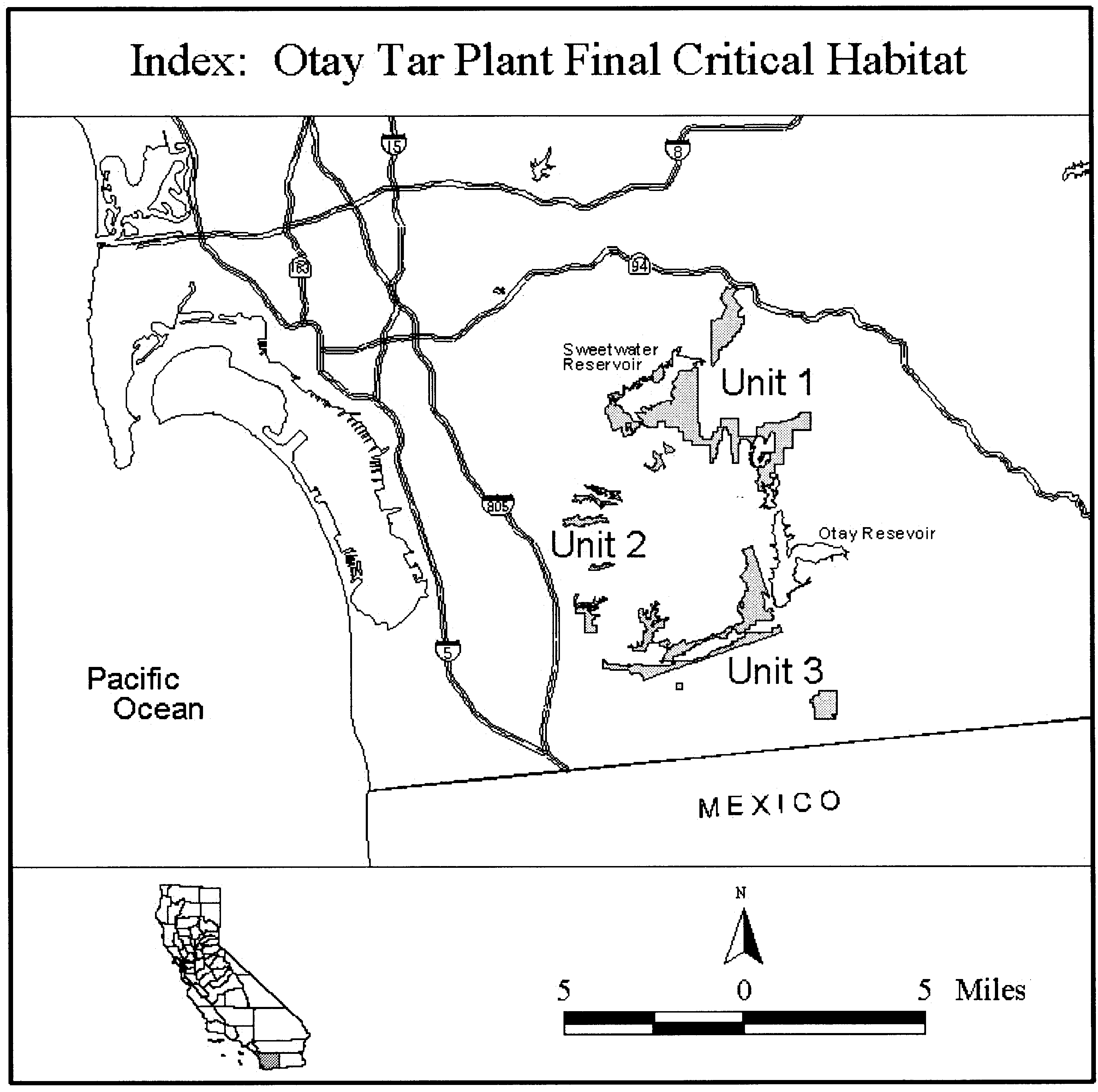
(5) Unit 1: Sweetwater/Proctor Valley, San Diego County, California.
(i) Unit 1a: From USGS 1:24,000 quadrangle map Jamul Mountains, beginning at the SDNWR boundary at UTM NAD27 x-coordinate 505100; thence south following UTM NAD27 coordinates (E, N): 505100, 3620400; 505000, 3620400; 505000, 3620200; 504900, 3620200; 504900, 3620100; 504800, 3620100; 504800, 3620000; 504700, 3620000; 504700, 3619900; 504600, 3619900; 504600, 3619700; 504500, 3619700; 504500, 3619600; 504400, 3619600; 504400, 3619500; 504300, 3619500; 504300, 3619400; 504100, 3619400; 504100, 3619300; 504000, 3619300; thence south to the SDNWR boundary at UTM x-coordinate 504000; thence south following the SDNWR boundary returning to the point of beginning on the SDNWR boundary at UTM x-coordinate 505100.
(ii) Unit 1b: From USGS 1:24,000 quadrangle maps National City and Jamul Mountains, beginning at the Sweetwater Reservoir at UTM NAD27 y-coordinate 3618500; thence east and following UTM NAD27 coordinates 503000, 3618500; 503000, 3616000; 503100, 3616000; 503100, 3615400; 503200, 3615400; 503200, 3615300; 503600, 3615300; 503600, 3615400; 503700, 3615400; 503700, 3615600; 503900, 3615600; 503900, 3615800; thence east to the Otay Water District (OWD) boundary at UTM NAD27 y-coordinate 3615800; thence north following the OWD boundary to the City of Chula Vista Preserve Design (CCVPD) boundary; thence east following the CCVPD boundary to UTM NAD27 x-coordinate 505900; thence north following UTM NAD27 coordinates 505900, 3615900; 506000, 3615900; 506000, 3616000; 506700, 3616000, 506700, 3616100; thence east to the SDNWR boundary at UTM NAD27 y-coordinate 3616100; thence east following the SDNWR boundary to UTM NAD27 x-coordinate 507200; thence north following UTM NAD27 coordinates 507200, 3616200; 507400, 3616200; 507400, 3616300; 507500, 3616300; 507500, 3616400; 507600, 3616400; thence north to the County of San Diego Major Amendment (CSDMjA) boundary at UTM NAD27 x-coordinate 507600; thence east following the CSDMjA boundary to the SDNWR boundary; thence south following the SDNWR boundary to the CSDMjA boundary; thence south following the CSDMjA boundary to UTM NAD27 x-coordinate 506100; thence south following UTM NAD27 coordinates 506100, 3613100; 506000, 3613100; thence north to the City of Chula Vista (CCV) boundary at UTM NAD27 x-coordinate 506000; thence northwest following the CCV boundary south to UTM NAD27 x-coordinate 505700; thence north to the CCVPD boundary at UTM x-coordinate 505700: thence northwest along the CCVPD boundary to the City of Chula Vista Major Amendment boundary (CCVMjA); thence north along the CCVMjA boundary to the CCVPD boundary; thence north and east along the CCVPD boundary to the CCVMjA boundary; thence east along the CCVMjA boundary to the CCVPD boundary; thence north and west along the CCVPD boundary to the MSCP Neutral Area boundary (MNA); thence south and back north along the MNA boundary to UTM NAD27 y-coordinate 3614700; thence east along UTM NAD27 y-coordinate to the MNA boundary; thence south along the MNA boundary to the CCVPD boundary; thence following the CCVPD boundary to the MNA boundary; thence south along the MNA boundary to the CCVPD boundary; thence west along the CCVPD boundary to UTM NAD27 y-coordinate 3621500; thence west along UTM y-coordinate to the OWD boundary; thence south following the OWD boundary to UTM NAD27 x-coordinate 504600; thence north following UTM NAD27 coordinates 504600, 3614600; 504500, 3614600; 504500, 3615500; 504400, 3615500; 504400, 3615700; 504300, 3615700; 504300, 3615800; 504200, 3615800; 504200, 3615700; 504100, 3615700; 504100, 3615200; 504000, 3615200; 504000, 3615100; 503900, 3615100; 503900, 3614900; 503800, 3614900; 503800, 3614800; 503900, 3614800; 503900, 3614600; 503800, 3614600; 503800, 3614400; 503700, 3614400; thence south to the OWD boundary at UTM NAD27 x-coordinate 503700; thence west following the OWD boundary to the Multiple Habitat Planning Area (MHPA) boundary; thence west following the MHPA to the SDNWR boundary; thence south following the SDNWR boundary to UTM NAD27 y-coordinate 3616100; thence west following UTM NAD27 coordinates 501200, 3616100; 501200, 3615800; 500800, 3615800; thence north to the Sweetwater Authority Water District (SWAWD) boundary at UTM NAD27 x-coordinate 500800; thence west following the SWAWD boundary to the County of San Diego Minor Amendment (CSDMnA) boundary; thence west following the CSDMnA boundary to the SWAWD boundary; thence west following the SWAWD boundary to approximately UTM NAD27 coordinates 5014000, 3618650 where the SWAWD meets the Sweetwater Reservoir shoreline; thence south following the Sweetwater Reservoir shoreline (SRS) to UTM NAD27 x-coordinate 499400; thence north following UTM NAD27 coordinates 499400, 3617000; 499400, 3617100; 499300, 3617100; 499300, 3617200; 499200, 3617200; 499200, 3617000; thence east to the SRS at UTM NAD27 y-coordinate 3617000; thence south following the SRS back to the point of beginning at UTM NAD27 y-coordinate 3618500; excluding lands bounded by the CCVPD boundary at UTM NAD27 x-coordinate 505800; thence east following the CCVPD boundary to UTM NAD27 x-coordinate 506100; thence north and following UTM NAD27 coordinates 506100, 3614700; 505700, 3614700; 505700, 3615300; 505800, 3615300; thence north returning to the point of beginning on the CCVPD boundary at UTM NAD27 x-coordinate 505800; excluding lands bounded by the following UTM NAD27 coordinates 499800, 3616000; 500000, 3616000; 500000, 3615800; 499900, 3615800; 499900, 3615700; 499800, 3615700; 499800, 3616000; excluding the proposed State Route 125 easement.
(iii) Unit 1c and d: From USGS 1:24,000 quadrangle map Jamul Mountains, the lands bounded by the CCVPD boundary at Horseshoe Bend and Gobblers Knob.
(iv) Unit 1e: From USGS 1:24,000 quadrangle map Jamul Mountains, the lands bounded by the MNA boundary at Rolling Hills Ranch.
(v) Note: Unit 1 map follows:
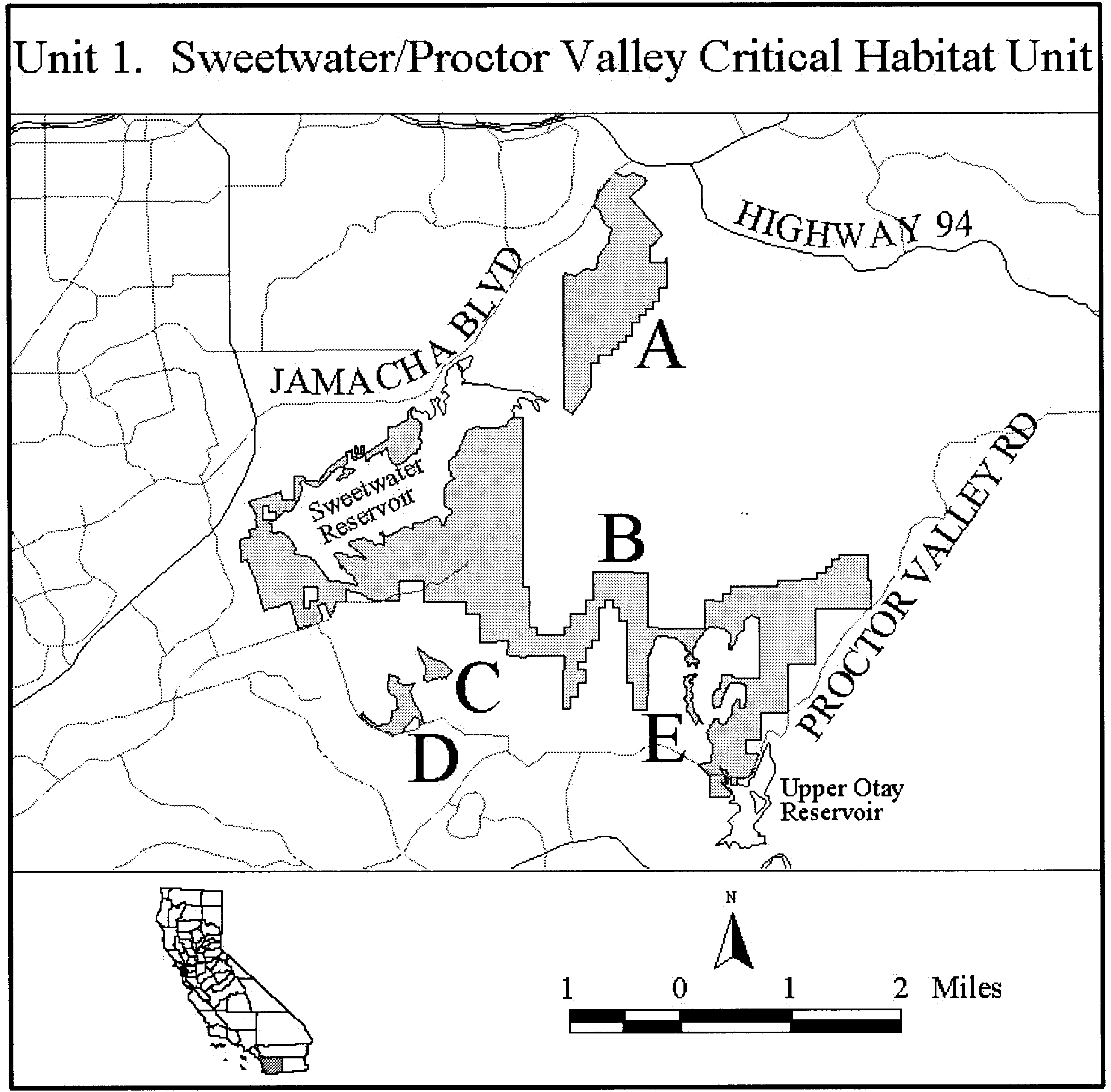
(6) Unit 2: Chula Vista, San Diego County, California.
(i) Unit 2a: From USGS 1:24,000 quadrangle maps National City, the lands bounded by the CCVPD boundary in Long Canyon and between UTM NAD27 coordinates 497900 and 499700.
(ii) Unit 2b and c: From USGS 1:24,000 quadrangle map National City, the lands bounded by the CCVPD boundary south of Otay Lakes Road and between UTM NAD27 x-coordinates 497300 and 499500.
(iii) Unit 2d: From USGS 1:24,000 quadrangle map National City, the lands bounded by the CCVPD boundary in Rice Canyon and between UTM NAD27 x-coordinates 496900 and 499100.
(iv) Unit 2e: From USGS 1:24,000 quadrangle maps National City and Imperial Beach, the lands bounded by the CCVPD boundary in Telegraph Canyon and between UTM NAD27 x-coordinates 498100 and 499300.
(v) Unit 2f: and h: From USGS 1:24,000 quadrangle map Imperial Beach, the lands bounded by the CCVPD boundary in Poggi Canyon and between UTM NAD27 x-coordinates 497400 and 499000.
(vi) Unit 2g: From USGS 1:24,000 quadrangle map Imperial Beach, beginning at the CCV boundary at UTM NAD27 x-coordinate 498600; thence south following UTM NAD27 coordinates 498600, 3607300; 498400, 3607300; 498400, 3607200; 498300, 3607200; 498300, 3606900; 498500, 3606900; thence south to the CCV boundary at UTM NAD27 x-coordinate 498500; thence west following the CCV boundary to the CCVPD boundary; thence west following the CCVPD boundary to the CCV boundary; thence east returning to the point of beginning on the CCV boundary at UTM NAD27 x-coordinate 498600.
(vii) Note: Unit 2 map follows:
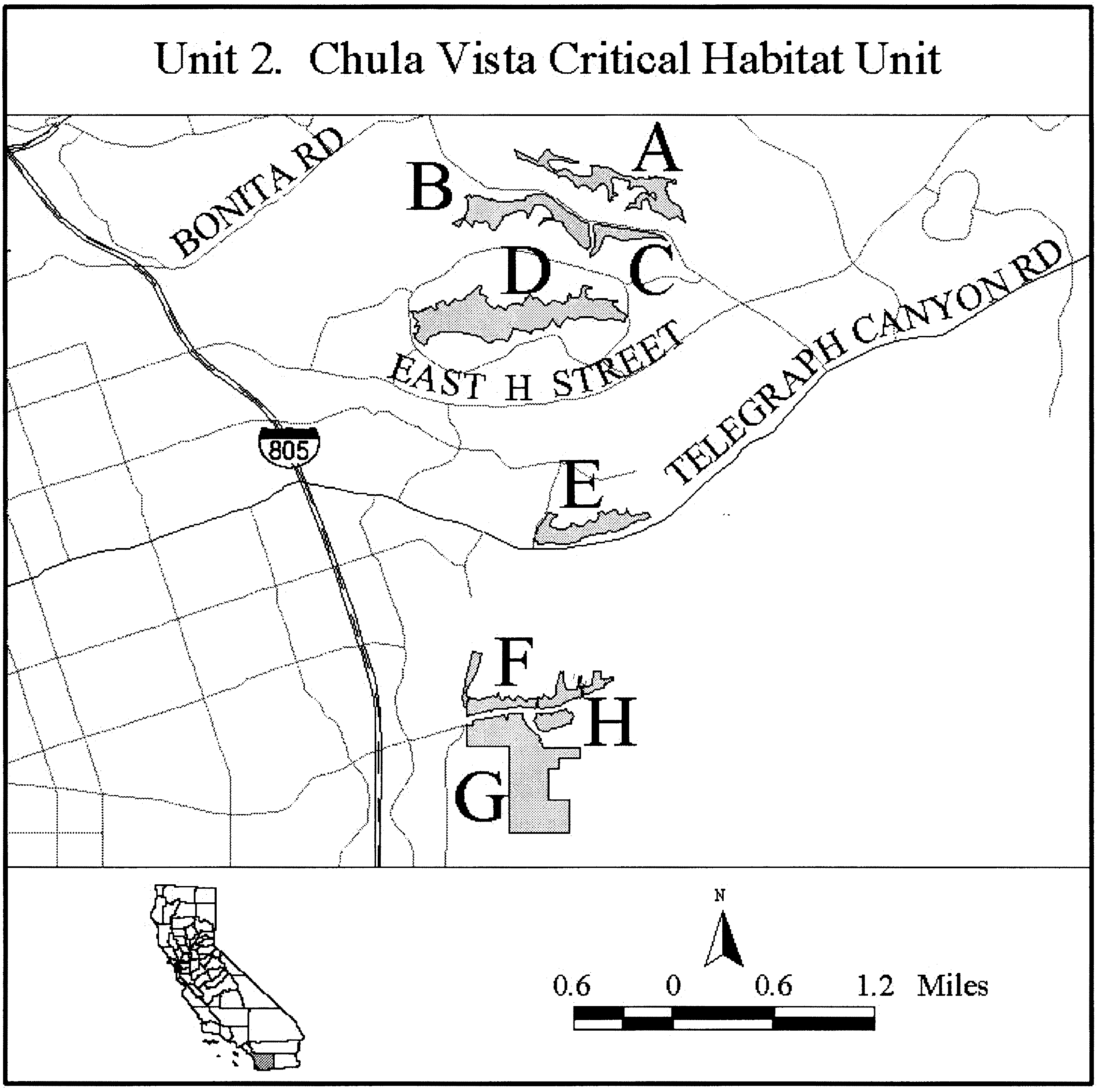
(7) Unit 3: Otay Valley/Big Murphy's, San Diego County, California.
(i) Unit 3a: From USGS 1:24,000 quadrangle maps Imperial Beach, Otay Mesa, and Jamul Mountains beginning on the CCVPD boundary at UTM NAD27 x-coordinate 499900; thence east following the CCVPD boundary to UTM NAD27 x-coordinate 506400; thence south following the UTM NAD27 coordinates 506400, 3607200; 506300, 3607200; 506300, 3607100; 505600, 3607100; 505600, 3606900; 505300, 3606900; 505300, 3606700; 505100, 3606700; 505100, 3606600; 504900, 3606600; 504900, 3606500; 504800, 3606500; 504800, 3606600; 504700, 3606600; 504700, 3606700; 504500, 3606700; 504500, 3606600; 504400, 3606600; 504400, 3606500; 504300, 3606500; 504300, 3606300; thence west to the CCVPD boundary at UTM y-coordinate 3606300; thence north following the CCVPD boundary to UTM NAD27 x-coordinate 502400; thence south following UTM NAD27 coordinates 502100, 3605600; 502100, 3605500; 501900, 3605500; 501900, 3605300; 502800, 3605300; 502800, 3605400; thence east to the CCVPD boundary at UTM NAD27 y-coordinate 3605400; thence east following the CCVPD boundary to UTM NAD27 x-coordinate 504500; thence north following UTM NAD27 coordinates 504500, 3606200; 504800, 3606200; 504800, 3606300; 505000, 3606300; 505000, 3606400; 505100, 3606400; 505100, 3606500; 505200, 3606500; 505200, 3606600; 505700, 3606600; 505700, 3606500; 505800, 3606500; 505800, 3606600; 506300, 3606600; 506300, 3606800; 506600, 3606800; 506600, 3606900; thence east to the CCVPD boundary at UTM NAD27 y-coordinate 3606900; thence south following the CCVPD boundary to the CCV boundary; thence west following the CCV boundary to the CCVPD boundary; thence north following the CCVPD boundary to the UTM NAD27 y-coordinate 3604700; thence west following UTM NAD27 coordinates 500400, 3604700; 500400, 3604800; 500100, 3604800; 500100, 3604700; thence west to the CCV boundary at UTM NAD27 y-coordinate 3604700; thence north along the CCV boundary to the CCVPD boundary; thence east following the CCVPD boundary to UTM NAD27 x-coordinate 501300; thence north following UTM NAD27 coordinates 501300, 3605300; 501400, 3605300; thence north to the CCVPD boundary at UTM NAD27 x-coordinate 501400; thence north following the CCVPD boundary to UTM NAD27 x-coordinate 501600; thence north following UTM NAD27 coordinates 501600, 3605900; 501500, 3605900; 501500, 3606000; 501300, 3606000; 501300, 3606100; thence north to the CCVPD boundary at UTM NAD27 x-coordinate 501300; thence east following the CCVPD boundary to UTM NAD27 y-coordinate 3605700; thence east following UTM NAD27 coordinates 500600, 3605700; 500600, 3605800; 500100, 3605800; 500100, 3605900; 499900, 3605900; thence north returning to the point of beginning on the CCVPD boundary at UTM NAD27 x-coordinate 499900; excluding the proposed State Route 125 easement.
(ii) Unit 3b: From USGS 1:24,000 quadrangle map Otay Mesa, the southern half of the Immigration and Nationalization Service land at Brown Field.
(iii) Unit 3c: From USGS 1:24,000 quadrangle map Otay Mesa, beginning on the CSDMjA boundary at UTM NAD27 y-coordinate 3604000; thence south following the CSDMjA boundary to UTM NAD27 x-coordinate 509200; thence south following UTM NAD27 coordinates 509200, 3602900; 509000, 3602900; 509000, 3602800; 509100, 3602800; 509100, 3602700; 508200, 3602700; 508200, 3603200; 508100, 3603200; 508100, 3603400; 508000, 3603400; 508000, 3603600; 508100, 3603600; 508100, 3603700; 508200, 3603700; 508200, 3603800; 508400, 3603800; 508400, 3604000; returning to the point of beginning on the CSDMjA boundary at UTM NAD27 y-coordinate 3604000.
(iv) Note: Unit 3 map follows:
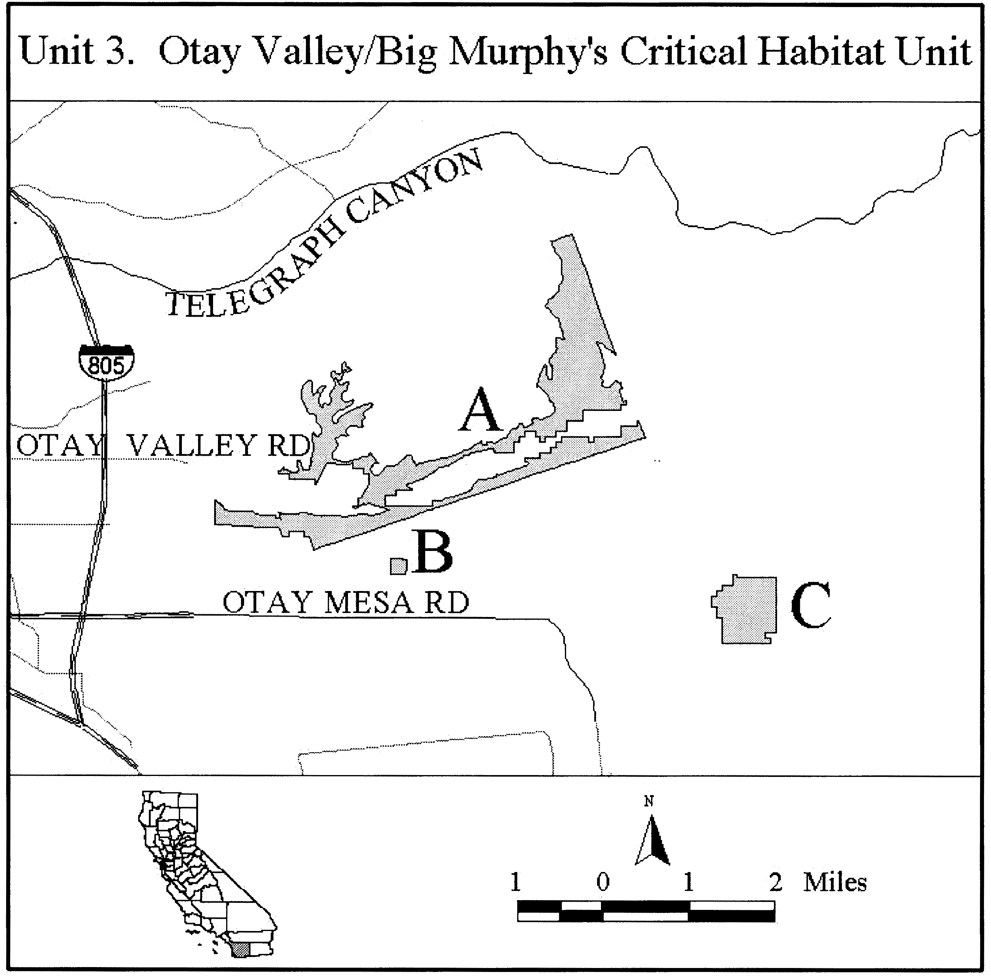
Family Asteraceae: Deinandra increscens ssp. villosa (Gaviota tarplant)
(1) Critical habitat units are depicted for Santa Barbara County, California, on the maps below. The maps provided are for informational purposes only.
(2) The primary constituent elements of critical habitat for Deinandra increscens ssp. villosa are the habitat components that provide:
(i) Sandy soils associated with coastal terraces adjacent to the coast or uplifted marine sediments at interior sites up to 5.6 km (3.5 mi) inland from the coast, and
(ii) Plant communities that support associated species, including needlegrass grassland and coastal sage scrub communities, particularly where the following associated species are found: Needlegrass species (Nassella spp.), California sagebrush (Artemisia californica), coyote bush (Baccharis pilularis), sawtooth golden bush (Hazardia squarrosa), and California buckwheat (Eriogonum fasciculatum).
(3) Critical habitat does not include existing features and structures, such as buildings, roads, aqueducts, railroads, airports, other paved areas, lawns, and other urban landscaped areas not containing one or more of the primary constituent elements.
Critical Habitat Map Units.
(i) Data layers defining map units were mapped using Universal Transverse Mercator (UTM) coordinates.
(ii) Note: Index map follows:

(4) Sudden Peak Unit: Santa Barbara County, California.
(i) From USGS 1:24,000 quadrangle maps Tranquillon Mountain, Lompoc Hills, Santa Rosa Hills, lands bounded by the following UTM zone 10 NAD83 coordinates (E,N): 729958, 3827610; 729742, 3827440; 729579, 3827450; 729425, 3827600; 729439, 3827710; 729508, 3827830; 729376, 3827830; 729212, 3827800; 729116, 3827760; 729008, 3827960; 728870, 3828070; 727858, 3828370; 727151, 3828380; 726435, 3828390; 726349, 3828300; 726296, 3828210; 726142, 3828370; 725873, 3828420; 725662, 3828470; 725478, 3828790; 724801, 3829170; 724588, 3829000; 724595, 3829180; 724666, 3829350; 724689, 3829390; 724710, 3829420; 724742, 3829500; 724748, 3829510; 724772, 3829520; 724802, 3829490; 724864, 3829440; 724894, 3829450; 724903, 3829460; 724923, 3829490; 724952, 3829510; 724982, 3829500; 724993, 3829460; 725000, 3829450; 725013, 3829430; 725045, 3829430; 725100, 3829430; 725105, 3829430; 725116, 3829420; 725120, 3829410; 725124, 3829350; 725129, 3829320; 725139, 3829300; 725145, 3829290; 725196, 3829290; 725210, 3829290; 725229, 3829280; 725242, 3829270; 725252, 3829260; 725266, 3829230; 725267, 3829200; 725289, 3829140; 725294, 3829130; 725325, 3829110; 725354, 3829110; 725375, 3829150; 725383, 3829160; 725444, 3829140; 725456, 3829150; 725460, 3829160; 725460, 3829180; 725452, 3829200; 725437, 3829230; 725430, 3829260; 725427, 3829310; 725432, 3829350; 725406, 3829410; 725427, 3829420; 725435, 3829420; 725496, 3829400; 725526, 3829410; 725556, 3829420; 725581, 3829410; 725586, 3829410; 725617, 3829380; 725651, 3829330; 725679, 3829310; 725708, 3829340; 725738, 3829340; 725774, 3829300; 725786, 3829260; 725796, 3829240; 725862, 3829220; 725869, 3829220; 725888, 3829190; 725912, 3829130; 725917, 3829120; 725956, 3829090; 725986, 3829080; 726017, 3829070; 726048, 3829070; 726056, 3829090; 726061, 3829130; 726069, 3829170; 726090, 3829220; 726100, 3829280; 726112, 3829300; 726130, 3829310; 726163, 3829290; 726242, 3829220; 726253, 3829200; 726284, 3829170; 726314, 3829160; 726333, 3829160; 726478, 3829080; 726500, 3829060; 726529, 3829020; 726558, 3829050; 726570, 3829080; 726584, 3829090; 726616, 3829100; 726651, 3829100; 726738, 3829050; 726768, 3829040; 726799, 3829020; 726830, 3829000; 726907, 3828970; 726925, 3828950; 726935, 3828920; 726942, 3828910; 726964, 3828860; 726961, 3828830; 726952, 3828800; 726957, 3828760; 726995, 3828750; 727013, 3828740; 727022, 3828720; 727026, 3828680; 727046, 3828620; 727053, 3828560; 727083, 3828570; 727121, 3828590; 727140, 3828600; 727145, 3828620; 727143, 3828660; 727168, 3828720; 727186, 3828780; 727223, 3828840; 727232, 3828870; 727242, 3828940; 727251, 3828960; 727273, 3828970; 727281, 3828970; 727291, 3828960; 727312, 3828930; 727343, 3828910; 727414, 3828880; 727433, 3828870; 727521, 3828760; 727579, 3828670; 727659, 3828660; 727724, 3828680; 727806, 3828720; 727873, 3828820; 728014, 3829090; 728073, 3829130; 728179, 3829170; 728262, 3829210; 728345, 3829230; 728412, 3829250; 728414, 3829240; 728688, 3829280; 728783, 3829210; 728830, 3829050; 728820, 3828900; 728839, 3828590; 728863, 3828400; 728940, 3828300; 729160, 3828270; 729685, 3828110; 729721, 3828100; 729755, 3828070; 729958, 3827610.
(ii) Note: Map 2 follows:

(5) Conception-Gaviota Unit: Santa Barbara County, California.
(i) From USGS 1:24,000 quadrangle maps Gaviota, Lompoc Hills, Point Conception, Sacate, and Tranquillon Mountain, lands bounded by the following UTM zone 10 NAD83 coordinates (E,N): 729837, 3821770; 729855, 3821690; 729971, 3821490; 730078, 3821250; 730181, 3821200; 730191, 3821100; 730302, 3820990; 730393, 3820950; 730490, 3820870; 730490, 3820840; 730445, 3820790; 730431, 3820750; 730455, 3820690; 730520, 3820630; 730464, 3820600; 730344, 3820590; 730333, 3820570; 730346, 3820500; 730377, 3820470; 730496, 3820520; 730587, 3820480; 730593, 3820450; 730530, 3820400; 730514, 3820360; 730523, 3820330; 730625, 3820210; 730716, 3820200; 730731, 3820190; 730718, 3820160; 730653, 3820100; 730646, 3819980; 730614, 3819910; 730617, 3819860; 730679, 3819780; 730729, 3819750; 730822, 3819770; 730967, 3819830; 730997, 3819830; 731013, 3819810; 730970, 3819750; 730793, 3819640; 730748, 3819560; 730764, 3819530; 730761, 3819440; 730779, 3819410; 730783, 3819260; 730921, 3819080; 731051, 3819040; 731073, 3819060; 731099, 3819240; 731134, 3819290; 731148, 3819290; 731160, 3819400; 731174, 3819330; 731164, 3819290; 731149, 3819290; 731155, 3819210; 731165, 3819180; 731211, 3819140; 731219, 3819020; 731282, 3818980; 731303, 3818890; 731356, 3818870; 731386, 3818900; 731418, 3819100; 731472, 3819130; 731510, 3818920; 731511, 3818770; 731540, 3818740; 731587, 3818790; 731627, 3818860; 731641, 3818850; 731651, 3818830; 731631, 3818650; 731641, 3818600; 731658, 3818590; 731785, 3818620; 731841, 3818730; 731900, 3818770; 731931, 3818750; 731924, 3818600; 731936, 3818580; 731999, 3818550; 732050, 3818560; 732097, 3818660; 732142, 3818700; 732147, 3818740; 732126, 3818790; 732145, 3818820; 732169, 3818810; 732215, 3818780; 732260, 3818790; 732289, 3818770; 732285, 3818740; 732228, 3818640; 732238, 3818500; 732269, 3818500; 732323, 3818650; 732344, 3818660; 732371, 3818620; 732374, 3818530; 732419, 3818490; 732479, 3818490; 732537, 3818560; 732578, 3818550; 732627, 3818580; 732644, 3818510; 732584, 3818410; 732599, 3818320; 732534, 3818230; 732571, 3818140; 732609, 3818110; 732700, 3818130; 732759, 3818160; 732818, 3818220; 732914, 3818270; 732939, 3818310; 732945, 3818240; 732879, 3818170; 732828, 3818060; 732812, 3818030; 732809, 3817980; 732856, 3817950; 732945, 3817970; 733036, 3818070; 733120, 3818160; 733150, 3818160; 733231, 3818070; 733234, 3818070; 733240, 3818040; 733109, 3817940; 733092, 3817880; 733109, 3817830; 733281, 3817800; 733363, 3817810; 733547, 3817950; 733576, 3817960; 733646, 3817900; 733604, 3817840; 733588, 3817780; 733601, 3817750; 733643, 3817740; 733702, 3817770; 733793, 3817750; 733820, 3817840; 733908, 3817800; 733987, 3817810; 734040, 3817950; 734157, 3818050; 734158, 3818010; 734120, 3817980; 734083, 3817910; 734045, 3817760; 734020, 3817730; 733957, 3817710; 733907, 3817670; 733894, 3817550; 733963, 3817490; 734053, 3817490; 734088, 3817550; 734101, 3817650; 734160, 3817700; 734193, 3817770; 734250, 3817800; 734324, 3817820; 734350, 3817870; 734361, 3817860; 734345, 3817780; 734255, 3817710; 734226, 3817650; 734232, 3817550; 734273, 3817470; 734257, 3817410; 734267, 3817390; 734385, 3817440; 734414, 3817350; 734449, 3817320; 734478, 3817350; 734490, 3817530; 734470, 3817770; 734481, 3817860; 734492, 3817880; 734565, 3817880; 734639, 3818000; 734669, 3818000; 734639, 3817810; 734654, 3817750; 734634, 3817700; 734638, 3817620; 734755, 3817490; 734782, 3817430; 734806, 3817430; 734841, 3817510; 734892, 3817580; 734928, 3817580; 734927, 3817420; 734987, 3817400; 735019, 3817340; 735054, 3817330; 735108, 3817370; 735123, 3817360; 735093, 3817220; 735102, 3817180; 735175, 3817150; 735206, 3817120; 735305, 3817160; 735354, 3817200; 735376, 3817100; 735360, 3816990; 735450, 3816840; 735485, 3816840; 735495, 3816860; 735711, 3816870; 735754, 3816850; 735817, 3816780; 735847, 3816790; 735877, 3816850; 735856, 3816940; 735871, 3816960; 735993, 3816910; 736021, 3816920; 736012, 3816930; 736295, 3816960; 736323, 3816930; 736470, 3817040; 736500, 3817040; 736559, 3817070; 736591, 3817000; 736651, 3817020; 736688, 3817010; 736717, 3816940; 736701, 3816880; 736713, 3816850; 736747, 3816810; 736777, 3816800; 736826, 3816820; 736851, 3816850; 736893, 3816970; 736882, 3817060; 736919, 3817080; 736978, 3816890; 736960, 3816710; 736991, 3816690; 737091, 3816760; 737087, 3816860; 737103, 3816890; 737196, 3816850; 737260, 3816870; 737277, 3816960; 737230, 3817080; 737202, 3817100; 737210, 3817130; 737247, 3817170; 737368, 3817120; 737402, 3817140; 737584, 3817090; 737594, 3817060; 737702, 3817010; 737792, 3817000; 737807, 3816970; 737793, 3816910; 737816, 3816880; 737856, 3816880; 737914, 3816940; 738009, 3816800; 738067, 3816870; 738158, 3816860; 738157, 3816890; 738093, 3816980; 738092, 3817030; 738132, 3816990; 738305, 3816950; 738365, 3816950; 738420, 3816920; 738575, 3816960; 738594, 3817000; 738541, 3817140; 738552, 3817170; 738593, 3817210; 738589, 3817270; 738620, 3817330; 738653, 3817340; 738668, 3817330; 738648, 3817230; 738698, 3817090; 738658, 3816860; 738632, 3816790; 738642, 3816730; 738702, 3816720; 738774, 3816760; 738801, 3816790; 738799, 3816850; 738817, 3816880; 738908, 3816860; 739028, 3816870; 739087, 3816890; 739179, 3816830; 739209, 3816830; 739268, 3816880; 739298, 3816880; 739309, 3816750; 739362, 3816740; 739411, 3816780; 739448, 3816870; 739539, 3816850; 739605, 3816880; 739901, 3816930; 739928, 3816900; 740007, 3816900; 740117, 3816940; 740137, 3816950; 740130, 3816980; 740102, 3817010; 740161, 3817130; 740191, 3817150; 740230, 3817070; 740284, 3817040; 740326, 3817040; 740362, 3817060; 740635, 3817030; 740617, 3817030; 740657, 3817010; 740765, 3817020; 740856, 3817010; 740900, 3817050; 740937, 3817130; 740972, 3817140; 741018, 3817080; 741095, 3817040; 741125, 3817060; 741245, 3817040; 741298, 3817080; 741314, 3817110; 741562, 3817110; 741605, 3817060; 741665, 3817050; 741735, 3817080; 741787, 3817170; 741918, 3817200; 741982, 3817180; 742113, 3817170; 742196, 3817210; 742798, 3817310; 742860, 3817300; 742980, 3817300; 743099, 3817320; 743221, 3817270; 743244, 3817280; 743250, 3817340; 743308, 3817360; 743343, 3817390; 743596, 3817430; 743607, 3817410; 743874, 3817420; 743908, 3817390; 743938, 3817380; 744027, 3817420; 744117, 3817430; 744176, 3817470; 744303, 3817490; 744367, 3817530; 744644, 3817570; 744660, 3817540; 744685, 3817540; 744744, 3817570; 744769, 3817570; 744804, 3817510; 744829, 3817510; 744925, 3817540; 744985, 3817540; 745044, 3817570; 745077, 3817490; 745137, 3817470; 745205, 3817500; 745228, 3817500; 745258, 3817440; 745289, 3817430; 745318, 3817460; 745321, 3817500; 745287, 3817560; 745284, 3817590; 745313, 3817600; 745501, 3817590; 745524, 3817590; 745544, 3817630; 745731, 3817700; 745771, 3817730; 746052, 3817770; 746091, 3817720; 746121, 3817730; 746209, 3817810; 746240, 3817750; 746360, 3817750; 746388, 3817820; 746521, 3817830; 746544, 3817910; 746722, 3818070; 746833, 3818030; 747014, 3818010; 747043, 3818020; 747031, 3818050; 747374, 3818110; 747401, 3818090; 747431, 3818100; 747460, 3818150; 747549, 3818180; 747606, 3818130; 747633, 3818070; 747653, 3818060; 747702, 3818080; 747763, 3818060; 747776, 3818110; 747958, 3818180; 748008, 3818150; 748091, 3818140; 748121, 3818090; 748153, 3818070; 748243, 3818060; 748303, 3818080; 748315, 3818100; 748305, 3818120; 748585, 3818230; 748630, 3818180; 748783, 3818110; 748808, 3818120; 748816, 3818140; 749085, 3818040; 749116, 3818010; 749187, 3817980; 749239, 3817910; 749423, 3817960; 749430, 3817860; 749569, 3817740; 749647, 3817730; 749696, 3817690; 749756, 3817700; 749847, 3817670; 749893, 3817680; 749934, 3817760; 749964, 3817790; 750026, 3817710; 750106, 3817740; 750176, 3817720; 750266, 3817730; 750357, 3817790; 750765, 3817740; 750777, 3817720; 750898, 3817700; 751017, 3817710; 751077, 3817740; 751161, 3817690; 751409, 3817660; 751445, 3817670; 751468, 3817710; 751498, 3817710; 751527, 3817650; 751560, 3817640; 751620, 3817660; 751710, 3817650; 751769, 3817700; 751850, 3817700; 751888, 3817720; 751966, 3817740; 752007, 3817760; 752091, 3817720; 752142, 3817720; 752186, 3817730; 752185, 3817750; 752495, 3817790; 752518, 3817760; 752668, 3817760; 752879, 3817730; 752929, 3817750; 752925, 3817810; 752949, 3817900; 752963, 3817940; 752993, 3817950; 753068, 3817800; 753148, 3817780; 753206, 3817790; 753231, 3818030; 753260, 3818070; 753348, 3817820; 753388, 3817800; 753508, 3817790; 753531, 3817840; 753535, 3817980; 753562, 3818010; 753593, 3817980; 753651, 3817870; 753686, 3817860; 753760, 3817880; 753834, 3817950; 753893, 3817970; 754161, 3818050; 754228, 3818090; 754245, 3818140; 754992, 3818450; 755014, 3818420; 755141, 3818430; 755230, 3818480; 755254, 3818520; 755249, 3818560; 755238, 3818660; 755250, 3818800; 755280, 3818810; 755352, 3818670; 755375, 3818640; 755403, 3818640; 755436, 3818760; 755489, 3818860; 755534, 3818820; 755575, 3818730; 755586, 3818640; 755617, 3818590; 755647, 3818600; 755734, 3818700; 755856, 3818650; 755927, 3818700; 756035, 3818670; 756077, 3818680; 756044, 3818780; 756057, 3818950; 756151, 3818810; 756212, 3818780; 756333, 3818770; 756368, 3818790; 756435, 3818880; 756455, 3818930; 756536, 3819010; 756550, 3818970; 756603, 3818920; 756619, 3818790; 756561, 3818700; 756576, 3818670; 756695, 3818650; 756758, 3818620; 756819, 3818620; 756895, 3818740; 756927, 3818830; 756990, 3818880; 757011, 3818840; 757002, 3818750; 757038, 3818660; 757063, 3818630; 757118, 3818620; 757178, 3818620; 757209, 3818610; 757238, 3818620; 757267, 3818660; 757297, 3818670; 757359, 3818610; 757379, 3818620; 757404, 3818640; 757436, 3818730; 757436, 3818820; 757532, 3818850; 757582, 3818790; 757574, 3818680; 757587, 3818610; 757606, 3818590; 757660, 3818580; 757720, 3818600; 757802, 3818550; 757931, 3818540; 757966, 3818560; 757957, 3818660; 758005, 3818750; 758001, 3818840; 758075, 3818930; 758071, 3818990; 758100, 3819020; 758124, 3819140; 758214, 3819020; 758142, 3818900; 758180, 3818840; 758179, 3818750; 758222, 3818690; 758314, 3818640; 758323, 3818580; 758413, 3818500; 758482, 3818520; 758657, 3818550; 758700, 3818600; 758708, 3818680; 758738, 3818690; 758794, 3818610; 758848, 3818580; 758923, 3818550; 758952, 3818560; 759096, 3818660; 759126, 3818770; 759157, 3818750; 759168, 3818660; 759189, 3818630; 759278, 3818600; 759288, 3818480; 759316, 3818470; 759406, 3818450; 759496, 3818470; 759573, 3818390; 759641, 3818380; 759681, 3818400; 759695, 3818440; 759674, 3818620; 759727, 3818650; 759810, 3818650; 759830, 3818290; 759919, 3818100; 759988, 3817930; 759729, 3817980; 759478, 3818010; 759217, 3818010; 758902, 3818010; 758751, 3817980; 758567, 3817930; 758397, 3817880; 758186, 3817920; 757595, 3817960; 757096, 3817950; 756634, 3817920; 756455, 3817910; 756241, 3817920; 755971, 3817930; 755452, 3817920; 755057, 3817910; 754820, 3817930; 754772, 3818110; 754583, 3818130; 754488, 3818160; 754446, 3818160; 754433, 3818070; 754463, 3817870; 754315, 3817820; 754240, 3817840; 754112, 3817820; 753820, 3817730; 753689, 3817610; 753599, 3817600; 753438, 3817620; 753296, 3817610; 753000, 3817580; 752956, 3817540; 752869, 3817530; 752688, 3817540; 752379, 3817510; 752131, 3817480; 751813, 3817460; 751526, 3817460; 751312, 3817510; 750941, 3817550; 750704, 3817560; 750557, 3817570; 750473, 3817550; 750339, 3817500; 750192, 3817410; 750036, 3817370; 749949, 3817400; 749771, 3817440; 748910, 3817700; 748606, 3817730; 748344, 3817710; 748155, 3817660; 748066, 3817600; 748021, 3817510; 747963, 3817420; 747899, 3817380; 747829, 3817340; 747690, 3817240; 747620, 3817230; 747528, 3817260; 747464, 3817290; 747511, 3817540; 747431, 3817590; 747177, 3817450; 747052, 3817370; 747124, 3817180; 746926, 3817100; 746752, 3817050; 746670, 3817050; 746578, 3817060; 746487, 3817020; 746259, 3816890; 746108, 3816830; 745972, 3816820; 745461, 3816790; 745216, 3816760; 744860, 3816720; 744574, 3816570; 744655, 3816460; 744621, 3816380; 744557, 3816360; 744428, 3816380; 744368, 3816360; 744289, 3816330; 744207, 3816280; 744075, 3816240; 743893, 3816240; 743710, 3816240; 743576, 3816260; 743444, 3816240; 743168, 3816280; 743014, 3816260; 742907, 3816190; 742841, 3816110; 742786, 3816080; 742114, 3816030; 741814, 3816010; 741507, 3816040; 741374, 3816020; 741117, 3815950; 740983, 3815940; 740864, 3815940; 740750, 3815960; 740635, 3815970; 740543, 3815950; 740437, 3815900; 740266, 3815840; 740113, 3815800; 739992, 3815790; 739469, 3815780; 739362, 3815750; 739187, 3815750; 738956, 3815760; 738749, 3815750; 738472, 3815710; 738080, 3815640; 737729, 3815560; 737613, 3815520; 737525, 3815480; 737454, 3815470; 737393, 3815480; 737297, 3815470; 737212, 3815450; 737163, 3815410; 737122, 3815350; 737042, 3815190; 737001, 3815130; 736814, 3815060; 736721, 3815050; 736557, 3815060; 736302, 3815130; 735981, 3815170; 735719, 3815200; 735519, 3815240; 735387, 3815220; 735259, 3815220; 735138, 3815230; 735020, 3815250; 734963, 3815240; 734861, 3815230; 734761, 3815200; 734683, 3815120; 734653, 3815030; 734637, 3814960; 734572, 3814910; 734287, 3814800; 734139, 3814700; 734071, 3814630; 734016, 3814520; 734017, 3814450; 734027, 3814340; 734042, 3814260; 734082, 3814180; 734048, 3814160; 734011, 3814160; 733934, 3814230; 733834, 3814250; 733716, 3814250; 733702, 3814270; 733716, 3814320; 733684, 3814390; 733652, 3814430; 733606, 3814450; 733538, 3814560; 733527, 3814610; 733490, 3814670; 733419, 3814720; 733342, 3814740; 733265, 3814750; 733224, 3814780; 733160, 3814830; 733076, 3814860; 732793, 3814930; 732732, 3814910; 732641, 3814850; 732607, 3814870; 732606, 3814890; 732579, 3814940; 732495, 3814940; 732452, 3814880; 732429, 3814870; 732409, 3814850; 732351, 3814800; 732293, 3814790; 732295, 3814840; 732329, 3814890; 732390, 3814980; 732384, 3815040; 732395, 3815110; 732359, 3815260; 732288, 3815340; 732226, 3815410; 732195, 3815570; 732206, 3815670; 732181, 3815720; 732154, 3815780; 732131, 3815820; 732140, 3815990; 732154, 3816090; 732137, 3816570; 732072, 3816920; 732014, 3817200; 731949, 3817400; 731910, 3817520; 731800, 3817760; 731742, 3818040; 731657, 3818180; 731480, 3818350; 731486, 3818420; 731438, 3818490; 731359, 3818520; 731311, 3818550; 731293, 3818620; 731188, 3818710; 731058, 3818740; 731038, 3818760; 730986, 3818830; 730940, 3818840; 730870, 3818930; 730821, 3818980; 730742, 3819010; 730632, 3819110; 730576, 3819160; 730525, 3819280; 730501, 3819400; 730475, 3819460; 730428, 3819550; 730389, 3819610; 730311, 3819710; 730243, 3819800; 730184, 3819850; 730123, 3819880; 730054, 3819890; 729972, 3819900; 729908, 3819960; 729891, 3820160; 729836, 3820260; 729809, 3820390; 729758, 3820580; 729697, 3820730; 729633, 3820880; 729601, 3821000; 729531, 3821140; 729499, 3821220; 729553, 3821600; 729546, 3821700; 729521, 3821780; 729492, 3821790; 729615, 3821830; 729837, 3821770; 757199, 3818110; 757102, 3818190; 757102, 3818260; 757275, 3818250; 757269, 3818320; 757110, 3818360; 757113, 3818410; 757403, 3818400; 757355, 3818550; 757183, 3818560; 757163, 3818530; 756943, 3818550; 756500, 3818610; 756469, 3818590; 756433, 3818530; 756414, 3818460; 756427, 3818410; 756466, 3818340; 756486, 3818270; 756489, 3818230; 756531, 3818140; 756558, 3818050; 756611, 3818000; 756698, 3817970; 756884, 3817980; 757199, 3817990; 757199, 3818110.
(ii) Note: Map 3 follows:

(6) Santa Ynez Mountains Unit (Gaviota tarplant): Santa Barbara County, California.
(i) From USGS 1:24,000 quadrangle maps Santa Rosa Hills and Sacate, lands bounded by the following UTM zone 10 NAD83 coordinates (E,N): 747710, 3821530; 747708, 3821520; 747676, 3821490; 747651, 3821470; 747601, 3821430; 747545, 3821390; 747491, 3821350; 747409, 3821330; 747383, 3821320; 747323, 3821300; 747288, 3821300; 747240, 3821300; 747204, 3821310; 747150, 3821330; 747123, 3821340; 747104, 3821350; 747051, 3821380; 747023, 3821380; 746956, 3821370; 746929, 3821340; 746918, 3821330; 746903, 3821290; 746900, 3821270; 746909, 3821240; 746925, 3821220; 746945, 3821200; 746980, 3821180; 746998, 3821150; 747011, 3821140; 747023, 3821130; 747042, 3821120; 747072, 3821090; 747081, 3821080; 747092, 3821050; 747102, 3820980; 747108, 3820960; 747124, 3820950; 747134, 3820940; 747194, 3820930; 747216, 3820900; 747220, 3820890; 747230, 3820860; 747231, 3820820; 747257, 3820730; 747344, 3820660; 747492, 3820540; 747783, 3820400; 747831, 3820350; 747902, 3820290; 747931, 3820270; 747964, 3820290; 748102, 3820440; 748147, 3820460; 748170, 3820470; 748195, 3820490; 748232, 3820520; 748257, 3820540; 748280, 3820550; 748291, 3820550; 748302, 3820560; 748327, 3820560; 748414, 3820560; 748453, 3820560; 748519, 3820590; 748575, 3820620; 748619, 3820630; 748688, 3820640; 748735, 3820650; 748763, 3820670; 748818, 3820700; 748851, 3820700; 748954, 3820700; 749061, 3820700; 749095, 3820700; 749112, 3820710; 749147, 3820720; 749226, 3820770; 749243, 3820780; 749266, 3820790; 749372, 3820810; 749400, 3820820; 749469, 3820860; 749504, 3820870; 749523, 3820880; 749552, 3820880; 749571, 3820870; 749603, 3820870; 749628, 3820870; 749660, 3820880; 749701, 3820900; 749744, 3820910; 749769, 3820910; 749821, 3820900; 749835, 3820900; 749872, 3820910; 749904, 3820930; 749930, 3820930; 749955, 3820930; 749978, 3820930; 749993, 3820920; 750000, 3820910; 750004, 3820890; 749997, 3820860; 749973, 3820830; 749923, 3820800; 749904, 3820790; 749855, 3820770; 749775, 3820760; 749715, 3820760; 749636, 3820760; 749603, 3820750; 749530, 3820730; 749517, 3820720; 749505, 3820710; 749493, 3820690; 749501, 3820660; 749503, 3820630; 749496, 3820600; 749487, 3820570; 749462, 3820540; 749453, 3820540; 749438, 3820530; 749461, 3820510; 749484, 3820500; 749507, 3820490; 749537, 3820490; 749572, 3820500; 749579, 3820500; 749796, 3820530; 749832, 3820540; 749862, 3820550; 749929, 3820570; 749949, 3820570; 749966, 3820580; 749989, 3820580; 750012, 3820590; 750089, 3820610; 750158, 3820640; 750184, 3820650; 750247, 3820680; 750281, 3820680; 750303, 3820680; 750372, 3820690; 750384, 3820700; 750439, 3820700; 750562, 3820750; 750616, 3820770; 750713, 3820810; 750817, 3820820; 750846, 3820830; 750863, 3820840; 750913, 3820880; 750979, 3820920; 751051, 3820980; 751112, 3820970; 751231, 3820960; 751357, 3820950; 751454, 3820940; 751527, 3820930; 751526, 3820920; 751511, 3820900; 751475, 3820850; 751439, 3820820; 751394, 3820800; 751365, 3820770; 751308, 3820700; 751281, 3820680; 751240, 3820660; 751221, 3820640; 751199, 3820600; 751187, 3820590; 751180, 3820580; 751160, 3820570; 751128, 3820570; 751117, 3820570; 751117, 3820580; 751132, 3820620; 751136, 3820650; 751136, 3820670; 751128, 3820700; 751110, 3820720; 751088, 3820720; 751079, 3820720; 751072, 3820710; 751063, 3820700; 751051, 3820680; 751045, 3820630; 751037, 3820610; 751020, 3820580; 750988, 3820520; 750974, 3820490; 750963, 3820490; 750862, 3820490; 750796, 3820490; 750753, 3820470; 750731, 3820450; 750710, 3820430; 750682, 3820410; 750664, 3820400; 750627, 3820400; 750555, 3820400; 750536, 3820390; 750509, 3820360; 750492, 3820350; 750473, 3820350; 750447, 3820340; 750440, 3820340; 750379, 3820330; 750282, 3820340; 750250, 3820340; 750223, 3820330; 750193, 3820310; 750158, 3820280; 750133, 3820270; 750092, 3820250; 750071, 3820240; 750048, 3820240; 750041, 3820230; 750006, 3820230; 749986, 3820230; 749952, 3820230; 749894, 3820250; 749817, 3820250; 749801, 3820250; 749762, 3820230; 749707, 3820230; 749675, 3820230; 749618, 3820240; 749569, 3820240; 749519, 3820240; 749496, 3820230; 749437, 3820200; 749399, 3820190; 749341, 3820180; 749290, 3820160; 749260, 3820150; 749099, 3820140; 749049, 3820130; 749011, 3820120; 748982, 3820110; 748938, 3820100; 748865, 3820100; 748821, 3820100; 748769, 3820120; 748730, 3820130; 748701, 3820140; 748687, 3820130; 748627, 3820110; 748581, 3820090; 748546, 3820080; 748405, 3820070; 748383, 3820080; 748312, 3820060; 748253, 3820050; 748154, 3820000; 748104, 3819990; 748028, 3819980; 747992, 3819970; 747956, 3819940; 747893, 3819900; 747769, 3819840; 747743, 3819840; 747709, 3819860; 747678, 3819920; 747637, 3820020; 747587, 3820130; 747517, 3820240; 747435, 3820300; 747375, 3820310; 747303, 3820310; 747192, 3820300; 747186, 3820290; 747106, 3820280; 747099, 3820280; 747069, 3820270; 746957, 3820260; 746946, 3820250; 746934, 3820240; 746925, 3820220; 746929, 3820190; 746939, 3820150; 746934, 3820120; 746913, 3820090; 746895, 3820080; 746824, 3820060; 746808, 3820060; 746784, 3820010; 746775, 3820000; 746766, 3820000; 746732, 3819990; 746725, 3819990; 746679, 3819980; 746663, 3819990; 746615, 3819980; 746602, 3819980; 746588, 3819980; 746575, 3819990; 746548, 3820010; 746512, 3820040; 746477, 3820040; 746431, 3820030; 746422, 3820030; 746369, 3820010; 746299, 3820000; 746264, 3820010; 746246, 3820010; 746218, 3820020; 746211, 3820020; 746163, 3820020; 746149, 3820020; 746133, 3820010; 746095, 3819970; 746083, 3819960; 746061, 3819960; 746055, 3819950; 746026, 3819960; 746009, 3819960; 745999, 3819970; 745982, 3819990; 745948, 3820070; 745937, 3820100; 745935, 3820120; 745945, 3820160; 745956, 3820170; 745993, 3820210; 746037, 3820230; 746052, 3820240; 746062, 3820250; 746133, 3820300; 746166, 3820310; 746196, 3820330; 746236, 3820330; 746263, 3820330; 746287, 3820330; 746322, 3820320; 746393, 3820310; 746405, 3820310; 746414, 3820320; 746424, 3820330; 746428, 3820340; 746430, 3820400; 746426, 3820400; 746417, 3820430; 746397, 3820460; 746372, 3820490; 746349, 3820500; 746332, 3820510; 746312, 3820530; 746274, 3820570; 746248, 3820590; 746230, 3820610; 746212, 3820620; 746163, 3820630; 746109, 3820630; 746091, 3820630; 746076, 3820620; 746053, 3820600; 746002, 3820540; 745988, 3820530; 745975, 3820520; 745909, 3820500; 745788, 3820490; 745755, 3820480; 745708, 3820450; 745610, 3820390; 745574, 3820360; 745531, 3820330; 745439, 3820290; 745426, 3820280; 745412, 3820260; 745398, 3820220; 745385, 3820200; 745359, 3820160; 745342, 3820150; 745264, 3820110; 745221, 3820080; 745194, 3820060; 745171, 3820050; 745162, 3820050; 745084, 3820060; 745047, 3820050; 744936, 3819990; 744905, 3819980; 744861, 3819950; 744835, 3819950; 744777, 3819920; 744735, 3819900; 744710, 3819900; 744657, 3819880; 744623, 3819860; 744601, 3819850; 744571, 3819840; 744564, 3819840; 744491, 3819840; 744417, 3819840; 744390, 3819830; 744322, 3819810; 744251, 3819800; 744196, 3819800; 744182, 3819790; 744151, 3819780; 744114, 3819780; 744079, 3819790; 744047, 3819800; 743990, 3819800; 743937, 3819800; 743889, 3819860; 743826, 3819960; 743779, 3819990; 743727, 3820040; 743686, 3820090; 743644, 3820130; 743636, 3820170; 743695, 3820200; 743722, 3820210; 743728, 3820210; 743765, 3820220; 743789, 3820230; 743915, 3820270; 744011, 3820290; 744069, 3820310; 744084, 3820320; 744211, 3820370; 744227, 3820370; 744261, 3820370; 744279, 3820360; 744312, 3820350; 744385, 3820310; 744408, 3820300; 744427, 3820300; 744509, 3820310; 744566, 3820300; 744600, 3820310; 744613, 3820310; 744626, 3820330; 744623, 3820390; 744627, 3820410; 744637, 3820420; 744670, 3820450; 744685, 3820460; 744716, 3820490; 744745, 3820510; 744777, 3820530; 744799, 3820510; 744804, 3820500; 744807, 3820480; 744803, 3820460; 744790, 3820430; 744779, 3820420; 744770, 3820390; 744779, 3820370; 744801, 3820350; 744864, 3820330; 744905, 3820320; 744972, 3820320; 745028, 3820310; 745135, 3820280; 745158, 3820280; 745180, 3820290; 745194, 3820300; 745217, 3820360; 745251, 3820400; 745255, 3820430; 745259, 3820490; 745268, 3820560; 745286, 3820620; 745283, 3820650; 745271, 3820660; 745253, 3820660; 745226, 3820650; 745142, 3820600; 745123, 3820590; 745100, 3820590; 745073, 3820580; 745063, 3820580; 745049, 3820590; 745051, 3820620; 745062, 3820630; 745084, 3820650; 745133, 3820660; 745150, 3820670; 745182, 3820700; 745208, 3820710; 745288, 3820720; 745325, 3820730; 745336, 3820730; 745364, 3820740; 745403, 3820770; 745431, 3820790; 745449, 3820800; 745496, 3820810; 745511, 3820820; 745534, 3820840; 745548, 3820860; 745578, 3820870; 745751, 3820870; 745803, 3820880; 745829, 3820890; 745845, 3820910; 745858, 3820940; 745863, 3820960; 745890, 3821020; 745916, 3821060; 745944, 3821080; 746103, 3821120; 746154, 3821140; 746180, 3821160; 746198, 3821230; 746218, 3821250; 746237, 3821260; 746278, 3821260; 746308, 3821270; 746324, 3821270; 746375, 3821270; 746457, 3821250; 746488, 3821240; 746514, 3821230; 746519, 3821230; 746536, 3821220; 746550, 3821230; 746591, 3821270; 746623, 3821290; 746636, 3821300; 746665, 3821310; 746691, 3821330; 746719, 3821370; 746733, 3821390; 746772, 3821460; 746857, 3821540; 746868, 3821540; 746894, 3821550; 746969, 3821550; 746986, 3821550; 747014, 3821560; 747062, 3821580; 747092, 3821600; 747145, 3821600; 747181, 3821600; 747194, 3821590; 747266, 3821540; 747285, 3821530; 747315, 3821530; 747344, 3821530; 747377, 3821530; 747397, 3821550; 747399, 3821550; 747428, 3821590; 747710, 3821530.
Family Asteraceae: Enceliopsis nudicaulis var. corrugata (Ash Meadows sunray).
Nevada, Nye County, Ash Meadows: SW 1⁄4SE 1⁄4 sec. 15, SW 1⁄4NE 1⁄4 and W 1⁄2SE 1⁄4 sec. 21, NW 1⁄4NE 1⁄4 sec. 22, E 1⁄2SE 1⁄4 sec. 34, SW 1⁄4NE 1⁄4, S 1⁄2NW 1⁄4, SW 1⁄4, and W 1⁄2SE 1⁄4 sec. 35, T17S R50E. SE 1⁄4 sec. 20, T17S, R51E. NW 1⁄4, SW 1⁄4, and W 1⁄2SE 1⁄4 sec. 1, E 1⁄2NE 1⁄4, SW 1⁄4NW 1⁄4, NW 1⁄4SW 1⁄4, and E 1⁄2SE 1⁄4 sec. 2, NE 1⁄4NW 1⁄4S. 12, E 1⁄2SW 1⁄4 and W 1⁄2SE 1⁄4 sec. 13, T18S, R50E. SW 1⁄4SE 1⁄4 sec. 7, NW 1⁄4NE 1⁄4 and SE 1⁄4SW 1⁄4 sec. 18, T18S, R51E.
Known primary constituent elements include dry washes or whitish saline soil associated with outcrops of pale whitish limestone.
NOTE: Map provided is for informational purposes only. Map follows:
Family Asteraceae: Erigeron decumbens var. decumbens (Willamette daisy).
(1) Critical habitat units are depicted for Benton, Lane, Linn, Marion, and Polk Counties, Oregon, on the maps below.
(2) The primary constituent elements of critical habitat for Erigeron decumbens var. decumbens are the habitat components that provide:
(i) Early seral upland prairie, wet prairie, or oak savanna habitat with a mosaic of low-growing grasses and forbs, and spaces to establish seedlings or new vegetative growth; an absence of dense canopy vegetation; and undisturbed subsoils.
(3) Critical habitat does not include man-made structures (such as buildings, aqueducts, airports, roads, and other paved areas, and the land on which such structures are located) existing on the effective date of this rule and not containing one or more of the primary constituent elements.
(4) Critical habitat map units. Critical habitat units are described below. Data layers defining map units were created using USGS 24,000 scale Digital Ortho Quads captured in 2000. Critical habitat units were then mapped using UTM zone 10, NAD 1983 coordinates.
(5) Note: Map 1 (Index map for Erigeron decumbens var. decumbens) follows:
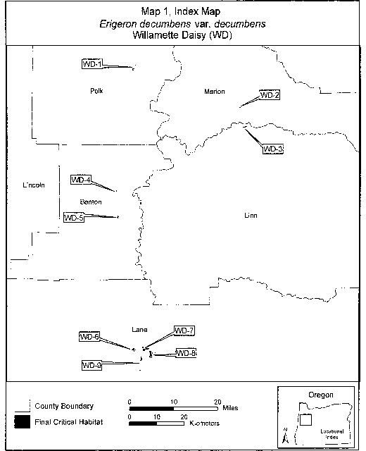
(6) Unit 1 for Erigeron decumbens var. decumbens (WD-1), Polk County, Oregon.
(i) [Reserved]
(ii) Map 2 (Unit 1 for Erigeron decumbens var. decumbens (WD-1)) follows:

(7) Unit 2 for Erigeron decumbens var. decumbens, Marion County, Oregon.
(i) [Reserved]
(ii) Map 3 (Unit 2 for Erigeron decumbens var. decumbens (WD-2)) follows:

(8) Unit 3 for Erigeron decumbens var. decumbens (WD-3), Linn County, Oregon.
(i) [Reserved]
(ii) Map 4 (Unit 3 for Erigeron decumbens var. decumbens (WD-3)) follows:
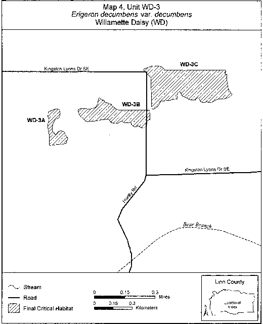
(9) Unit 4 for Erigeron decumbens var. decumbens (WD-4), Benton County, Oregon.
(i) [Reserved]
(ii) Map 5 (Unit 4 for Erigeron decumbens var. decumbens (WD-4)) follows:
(10) Unit 5 of Erigeron decumbens var. decumbens (WD-5), Benton County, Oregon.
(i) [Reserved]
(ii) Map 6 (Unit 5 for Erigeron decumbens var. decumbens (WD-5)) follows:
(11) Unit 6 of Erigeron decumbens var. decumbens (WD-6), Lane County, Oregon.
(i) [Reserved]
(ii) Map 7 (Unit 6 for Erigeron decumbens var. decumbens (WD-6)) follows:
(12) Unit 7 for Erigeron decumbens var. decumbens (WD-7), Lane County, Oregon.
(i) [Reserved]
(ii) Map 8 (Unit 7 for Erigeron decumbens var. decumbens (WD-7)) follows:
(13) Unit 8 for Erigeron decumbens var. decumbens (WD-8), Lane County, Oregon.
(i) [Reserved]
(ii) Map 9 (Unit 8 for Erigeron decumbens var. decumbens (WD-8)) follows:
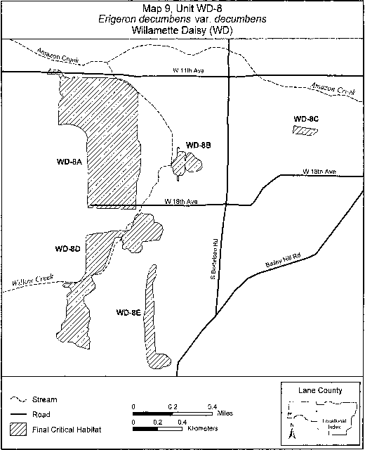
(14) Unit 9 for Erigeron decumbens var. decumbens (WD-9), Lane County, Oregon.
(i) [Reserved]
(ii) Map 10 (Unit 9 for Erigeron decumbens var. decumbens (WD-9)) follows:

Family Asteraceae: Erigeron parishii (Parish's daisy)
(1) Critical habitat units are depicted for San Bernardino County, California, on the maps below. The maps provided are for informational purposes only.
(2) The primary constituent elements of critical habitat for Erigeron parishii are those habitat components that are essential for the primary biological needs of the species. Based on our current knowledge of this species, the primary constituent elements of critical habitat for this species are listed below and consist of, but are not limited to:
(i) Soils derived primarily from upstream or upslope limestone, dolomite, or quartz monzonite parent materials that occur on dry, rocky hillsides, shallow drainages, or outwash plains at elevations between 1,171 and 1,950 m (3,842 and 6,400 ft);
(ii) Soils with intact, natural surfaces that have not been substantially altered by land use activities (e.g., graded, excavated, re-contoured, or otherwise altered by ground-disturbing equipment); and
(iii) Associated plant communities that have areas with an open canopy cover.
(3) Existing features and structures, such as buildings, active mines, paved or unpaved roads, other paved or cleared areas, lawns, and other urban landscaped areas, are not likely to contain one or more of the primary constituent elements. Federal actions limited to those areas, therefore, would not trigger a section 7 consultation, unless they may affect the species or primary constituent elements in adjacent critical habitat.
(i) Note: Index map follows:
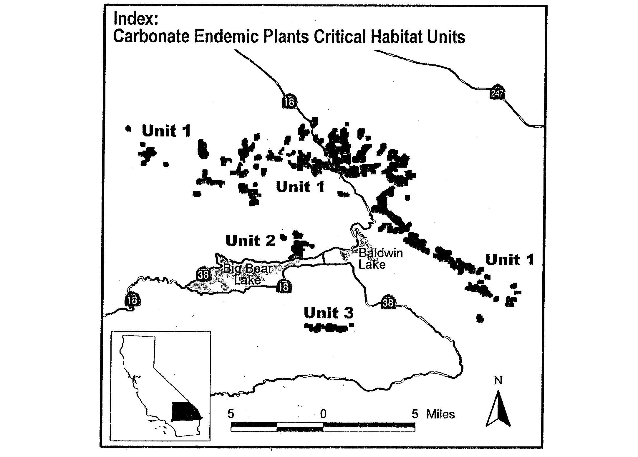
(4) Northeastern Slope Unit, San Bernardino County, California.
(i) From USGS 1:24,000 quadrangle maps Fawnskin, Big Bear City, and Onyx Peak, California.
(ii) Subunit 1a: land bounded by the following UTM11 NAD27 coordinates (E, N): 507200, 3802000; 507400, 3802000; 507400, 3801800; 507500, 3801800; 507500, 3801600; 507400, 3801600; 507400, 3801500; 507500, 3801500; 507500, 3801200; 507600, 3801200; 507600, 3801300; 507700, 3801300; 507700, 3801400; 507800, 3801400; 507800, 3801500; 507900, 3801500; 507900, 3801600; 508100, 3801600; 508100, 3801100; 508000, 3801100; 508000, 3800900; 507900, 3800900; 507900, 3800800; 507700, 3800800; 507700, 3800900; 507600, 3800900; 507600, 3801000; 507500, 3801000; 507500, 3800700; 507400, 3800700; 507400, 3800300; 507300, 3800300; 507300, 3799900; 507100, 3799900; 507100, 3800100; 506900, 3800100; 506900, 3800500; 506800, 3800500; 506800, 3800700; 506700, 3800700; 506700, 3801100; 507100, 3801100; 507100, 3801400; 507000, 3801400; 507000, 3801800; 507100, 3801800; 507100, 3801900; 507200, 3801900; and 507200, 3802000.
(iii) Subunit 1b: Land bounded by the following UTM11 NAD27 coordinates (E, N): 508300, 3802400; 508500, 3802400; 508500, 3801900; 508400, 3801900; 508400, 3801800; 508100, 3801800; 508100, 3802300; 508300, 3802300; and 508300, 3802400.
(iv) Subunit 1c: Land bounded by the following UTM11 NAD27 coordinates (E, N): 509700, 3800500; 510200, 3800500; 510200, 3800200; 510100, 3800200; 510100, 3800100; 509700, 3800100; and 509700, 3800500.
(v) Subunit 1d: Land bounded by the following UTM11 NAD27 coordinates (E, N): 510300, 3801000; 510500, 3801000; 510500, 3800800; 510300, 3800800; and 510300, 3801000.
(vi) Subunit 1e: Land bounded by the following UTM11 NAD27 coordinates (E, N): 510900, 3802200; 511200, 3802200; 511200, 3801700; 511100, 3801700; 511100, 3801400; 510700, 3801400; 510700, 3801800; 510800, 3801800; 510800, 3802100; 510900, 3802100; and 510900, 3802200.
(vii) Subunit 1f: Land bounded by the following UTM11 NAD27 coordinates (E, N): 511400, 3801000; 511600, 3801000; 511600, 3800900; 511700, 3800900; 511700, 3800700; 511600, 3800700; 511600, 3800600; 511500, 3800600; 511500, 3800500; 511200, 3800500; 511200, 3800400; 511000, 3800400; 511000, 3800500; 510900, 3800500; 510900, 3800600; 511000, 3800600; 511000, 3800700; 511300, 3800700; 511300, 3800800; 511400, 3800800; and 511400, 3801000.
(viii) Subunit 1g: Land bounded by the following UTM11 NAD27 coordinates (E, N): 511800, 3800000; 512200, 3800000; 512200, 3799900; 512300, 3799900; 512300, 3799800; 512400, 3799800; 512400, 3799800; 512400, 3799500; 512300, 3799400; 511900, 3799400; 511900, 3799500; 511700, 3799500; 511700, 3799400; 511500, 3799400; 511500, 3799500; 511400, 3799500; 511400, 3799600; 511300, 3799600; 511300, 3799800; 511800, 3799800; and 511800, 3800000.
(ix) Subunit 1h: Land bounded by the following UTM11 NAD27 coordinates (E, N): 512100, 3800700; 512400, 3800700; 512400, 3800600; 512500, 3800600; 512500, 3800400; 512600, 3800400; 512600, 3800300; 512700, 3800300; 512700, 3800100; 512600, 3800100; 512600, 3800000; 512300, 3800000; 512300, 3800300; 512200, 3800300; 512200, 3800200; 512100, 3800200; 512100, 3800100; 511900, 3800100; 511900, 3800200; 511800, 3800200; 511800, 3800400; 511900, 3800400; 511900, 3800500; 512100, 3800500; and 512100, 3800700.
(x) Subunit 1i: Land bounded by the following UTM11 NAD27 coordinates (E, N): 512200, 3803200; 512400, 3803200; 512400, 3802900; 512100; 3803100; 512500, 3803100; 512500, 3802800; 512400, 3802800; 512400, 3802600; 512500, 3802600; 512500, 3802700; 512800, 3802700; 512800, 3802600; 512900, 3802600; 512900, 3802400; 512800, 3802400; 512800, 3802300; 512700, 3802300; 512700, 3802200; 512500, 3802200; 512500, 3802000; 512400, 3802000; 512400, 3801800; 512000, 3801800; 512000, 3802100; 512100, 3802100; 512100, 3802300; 511900, 3802300; 511900, 3802800; 512000, 3802800; 512000, 3802900; 512100, 3802900; 512100, 3803100; 512200, 3803100; and 512200, 3803200.
(xi) Subunit 1j: Land bounded by the following UTM11 NAD27 coordinates (E, N): 513300, 3802300; 513600, 3802300; 513600, 3802000; 513700, 3802000; 513700, 3801900; 513800, 3801900; 513800, 3802000; 514100, 3802000; 514100, 3801600; 514000, 3801600; 514000, 3801400; 513800, 3801400; 513800, 3801500; 513600, 3801500; 513600, 3801600; 513400, 3801600; 513400, 3801700; 513300, 3801700; 513300, 3801800; 513200, 3801800; 513200, 3802200; 513300, 3802200; and 513300, 3802300.
(xii) Subunit 1k: Land bounded by the following UTM11 NAD27 coordinates (E, N): 515800, 3802900; 516000, 3802900; 516000, 3802800; 516100, 3802800; 516100, 3802500; 516300, 3802500; 516300, 3802200; 516000, 3802200; 516000, 3802000; 516100, 3802000; 516100, 3801900; 516200, 3801900; 516200, 3801700; 516300, 3801700; 516300, 3801500; 516400, 3801500; 516400, 3800800; 516300, 3800800; 516300, 3800700; 516000, 3800700; 516000, 3801300; 515900, 3801300; 515900, 3801400; 515800, 3801400; 515800, 3801600; 515700, 3801600; 515700, 3801700; 515100, 3801700; 515100, 3801800; 515000, 3801800; 515000, 3801500; 515100, 3801500; 515100, 3801200; 515000, 3801200; 515000, 3801100; 514900, 3801100; 514900, 3800700; 514400, 3800700; 514400, 3801000; 514300, 3801000; 514300, 3801400; 514400, 3801400; 514400, 3801500; 514500, 3801500; 514500, 3801600; 514600, 3801600; 514600, 3801600; 514600, 3802100; 514700, 3802100; 514700, 3802400; 514800, 3802400; 514800, 3802600; 514900, 3802600; 514900, 3802800; 515300, 3802800; 515300, 3802500; 515200, 3802500; 515200, 3802300; 515400, 3802300; 515400, 3802200; 515400, 3802200; 515500, 3802200; 515500, 3802100; 515600, 3802700; 515700, 3802700; 515700, 3802800; 515800, 3802800, and 515800; 3802900.
(xiii) Subunit 1l: Land bounded by the following UTM11 NAD27 coordinates (E, N): 515600, 3801200; 515900, 3801200; 515900, 3800800; 515500, 3800800; 515500, 3801100; 515600, 3801100; and 515600, 3801200.
(xiv) Subunit 1m: Land bounded by the following UTM11 NAD27 coordinates (E, N): 514900, 3799900; 514900, 3800000; 515000, 3800000; 515000, 3800200; 514900, 3800200; 514900, 3800500; 515000, 3800500; 515000, 3800600; 515400, 3800600; 515400, 3800200; 515500, 3800200; 515500, 3799700; 515400, 3799700; 515400, 3799600; 516000, 3799600; 516000, 3799500; 516100, 3799500; 516100, 3799200; 516500, 3799200; 516500, 3799100; 516600, 3799100; 516600, 3798900; 516500, 3798900; 516500, 3798800; 516200, 3798800; 516200, 3798800; 516200, 3798900; 516000, 3798900; 516000, 3799100; 515900, 3799100; 515900, 3799000; 515700, 3799000; 515700, 3799100; 515600, 3799100; 515600, 3799000; 515200, 3799000; 515200, 3799100; 514800, 3799100; 514800, 3799200; 514700, 3799200; 514700, 3799300; 514100, 3799300; 514100, 3799400; 514000, 3799400; 514000, 3799300; 513600, 3799300; 513600, 3799400; 513500, 3799400; 513500, 3799600; 513600, 3799600; 513600, 3799700; 513500, 3799700; 513500, 3800000; 513600, 3800000; 513600, 3800100; 513700, 3800100; 513700, 3800200; 513900, 3800200; 513900; 3800000; 514700, 3800000; 514700, 3799900; and 514900, 3799900; excluding land bounded by 514900, 3799900; 514900, 3799700; 515000, 3799700; 515000, 3799900; and 514900, 3799900.
(xv) Subunit 1n: Land bounded by the following UTM11 NAD27 coordinates (E, N): 517300, 3801000; 517800, 3801000; 517800, 3800600; 517600, 3800600; 517600, 3800300; 517500, 3800300; 517500, 3800200; 517000, 3800200; 517000, 3800700; 517100, 3800700; 517100, 3800800; 517200, 3800800; 517200, 3800900; 517300, 3800900; and 517300, 3801000.
(xvi) Subunit 1o: Land bounded by the following UTM11 NAD27 coordinates (E, N): 519200, 3801600; 519500, 3801600; 519500, 3801500; 519600, 3801500; 519600, 3801100; 519500, 3801100; 519500, 3800900; 519400, 3800900; 519400, 3800800; 519300, 3800800; 519300, 3800700; 519200, 3800700; 519200, 3800600; 519100, 3800600; 519100, 3800500; 518800, 3800500; 518800, 3800900; 518900, 3800900; 518900, 3801000; 519000, 3801000; 519000, 3801100; 519100, 3801100; 519100, 3801500; 519200, 3801500; and 519200, 3801600.
(xvii) Subunit 1p: Land bounded by the following UTM11 NAD27 coordinates (E, N): 520000, 3801100; 520300, 3801100; 520300, 3800700; 520100, 3800700; 520100, 3800600; 519900, 3800600; 519900, 3800700; 519800, 3800700; 519800, 3800900; 519900, 3800900; 519900, 3801000; 520000, 3801000; and 520000, 3801100.
(xviii) Subunit 1q: Land bounded by the following UTM11 NAD27 coordinates (E, N): 521100, 3800700; 521300, 3800700; 521300, 3800600; 521400, 3800600; 521400, 3800500; 521600, 3800500; 521600, 3800300; 521700, 3800300; 521700, 3800200; 521600, 3800200; 521600, 3800100; 521500, 3800100; 521500, 3800000; 521300, 3800000; 521300, 3799900; 521200, 3799900; 521200, 3799700; 521000, 3799700; 521000, 3799600; 520900, 3799600; 520900, 3799500; 520500, 3799500; 520500, 3799100; 520300, 3799100; 520300, 3799300; 520200, 3799300; 520200, 3799200; 520000, 3799200; 520000, 3799000; 520200, 3799000; 520200, 3798900; 520300, 3798900; 520300, 3798800; 520700, 3798800; 520700, 3798600; 520800, 3798600; 520800, 3798700; 521500, 3798700; 521500, 3798800; 521300, 3798800; 521300, 3798900; 521700, 3798900; 521700, 3799000; 522000, 3799000; 522000, 3798900; 522100, 3798900; 522100, 3798700; 522000, 3798700; 522000, 3798600; 521900, 3798600; 521900, 3798400; 521500, 3798400; 521500, 3798100; 521300, 3798100; 521300, 3798000; 521200, 3798000; 521200, 3797800; 520600, 3797800; 520600, 3797900; 520500, 3797900; 520500, 3798100; 520400, 3798100; 520400, 3798200; 520300, 3798200; 520300, 3798400; 520200, 3798400; 520200, 3798500; 520100, 3798500; 520100, 3798600; 519600, 3798600; 519600, 3798900; 519200, 3798900; 519200, 3799200; 519300, 3799200; 519300, 3799300; 519500, 3799300; 519500, 3799400; 519700, 3799400; 519700, 3799500; 519900, 3799500; 519900, 3799600; 520100, 3799600; 520100, 3799700; 520300, 3799700; 520300, 3799800; 520400, 3799800; 520400, 3799900; 520500, 3799900; 520500, 3800100; 520600, 3800100; 520600, 3800300; 520800, 3800300; 520800, 3800400; 520900, 3800400; 520900, 3800500; 521000, 3800500; 521000, 3800600; 521100, 3800600; and 521100, 3800700.
(xix) Subunit 1r: Land bounded by the following UTM11 NAD27 coordinates (E, N): 519200, 3797300; 519600, 3797300; 519600, 3796900; 519500, 3796900; 519500, 3796800; 519400, 3796800; 519400, 3796600; 519300, 3796600; 519300, 3796500; 519500, 3796500; 519500, 3796400; 519600, 3796400; 519600, 3796100; 519700, 3796100; 519700, 3796000; 519600, 3796000; 519600, 3795400; 519300, 3795400; 519300, 3795500; 518500, 3795500; 518500, 3795900; 518800, 3795900; 518800, 3796000; 519000, 3796000; 519000, 3796100; 519100, 3796100; 519100, 3796200; 519200, 3796200; 519200, 3796500; 518900, 3796500; 518900, 3796600; 518800, 3796600; 518800, 3796900; 518900, 3796900; 518900, 3797000; 519100, 3797000; 519100, 3797200; 519200, 3797200; and 519200, 3797300.
(xx) Subunit 1s: Land bounded by the following UTM11 NAD27 coordinates (E, N): 520000, 3797600; 520300, 3797600; 520300, 3797100; 520100, 3797100; 520100, 3797000; 520000, 3797000; 520000, 3796900; 519800, 3796900; 519800, 3797000; 519700, 3797000; 519700, 3797400; 519800, 3797400; 519800, 3797500; 520000, 3797500; and 520000, 3797600.
(xxi) Subunit 1t: Land bounded by the following UTM11 NAD27 coordinates (E, N): 521300, 3797100; 521700, 3797100; 521700, 3796700; 521600, 3796700; 521600, 3796600; 521400, 3796600; 521400, 3796700; 521300, 3796700; and 521300, 3797100.
(xxii) Subunit 1u: Land bounded by the following UTM11 NAD27 coordinates (E, N): 519300, 3794600; 519700, 3794600; 519700, 3794300; 519600, 3794300; 519600, 3794100; 519500, 3794100; 519500, 3794000; 519400, 3794000; 519400, 3793900; 519300, 3793900; 519300, 3793800; 519000, 3793800; 519000, 3794200; 519100, 3794200; 519100, 3794300; 519200, 3794300; 519200, 3794400; 519300, 3794400; and 519300, 3794600.
(xxiii) Subunit 1v: Land bounded by the following UTM11 NAD27 coordinates (E, N): 519800, 3794300; 520200, 3794300; 520200, 3793900; 520300, 3793900; 520300, 3794000; 520500, 3794000; 520500, 3794100; 521000, 3794100; 521000, 3794200; 521600, 3794200; 521600, 3793900; 521500, 3793900; 521500, 3793800; 521200, 3793800; 521200, 3793700; 521100, 3793700; 521100, 3793600; 520800, 3793600; 520800, 3793700; 520600, 3793700; 520600, 3793600; 520300, 3793600; 520300, 3793700; 520200, 3793700; 520200, 3793800; 520000, 3793800; 520000, 3793700; 519800, 3793700; and 519800, 3794300.
(xxiv) Subunit 1w: Land bounded by the following UTM11 NAD27 coordinates (E, N): 521700, 3793800; 522100, 3793800; 522100, 3793700; 522400, 3793700; 522400, 3793600; 522500, 3793600; 522500, 3793300; 522400, 3793300; 522400, 3792700; 522300, 3792700; 522300, 3792600; 522200, 3792600; 522200, 3792500; 522000, 3792500; 522000, 3792600; 521800, 3792600; 521800, 3792700; 521600, 3792700; 521600, 3793000; 521500, 3793000; 521500, 3793300; 521600, 3793300; 521600, 3793700; 521700, 3793700; and 521700, 3793800.
(xxv) Subunit 1x: Land bounded by the following UTM11 NAD27 coordinates (E, N): 530800, 3789300; 531100, 3789300; 531100, 3788900; 531000, 3788900; 531000, 3788800; 530600, 3788800; 530600, 3788900; 530500, 3788900; 530500, 3789100; 530600, 3789100; 530600, 3789200; 530800, 3789200; and 530800, 3789300.
(xxvi) Subunit 1y: Land bounded by the following UTM11 NAD27 coordinates (E, N): 530900, 3788600; 531500, 3788600; 531500, 3788300; 530900, 3788300; and 530900, 3788600.
(xxvii) Note: Erigeron parishii map follows.

Family Asteraceae: Grindelia fraxino-pratensis (Ash Meadows gumplant).
California, Inyo County, Ash Meadows: NE 1⁄4, E 1⁄2NW 1⁄4, SW 1⁄4NW 1⁄4, N 1⁄2SW 1⁄4, and NW 1⁄4SE 1⁄4 sec. 30, T26N, R6E.
Nevada, Nye County, Ash Meadows: SE 1⁄4NW 1⁄4 sec. 26, W 1⁄2SW 1⁄4NE 1⁄4 and W 1⁄2NW 1⁄4SE 1⁄4 sec. 33, W 1⁄2NW 1⁄4, SW 1⁄4SW 1⁄4, E 1⁄2SE 1⁄4, and W 1⁄2SE 1⁄4 sec. 35, T17S, R50E. N 1⁄2SW 1⁄4 sec. 1, N 1⁄2NW 1⁄4 sec. 2, NE 1⁄4NE 1⁄4 and NW 1⁄4NW 1⁄4 sec. 3, SW 1⁄4NE 1⁄4, SE 1⁄4NW 1⁄4, NE 1⁄4SW 1⁄4, and, NW 1⁄4SE 1⁄4 sec. 4; W 1⁄2NE 1⁄4 and NW 1⁄4SE 1⁄4 sec. 5, N 1⁄2NE 1⁄4 sec. 7, NE 1⁄4SE 1⁄4 sec. 10, W 1⁄2NW 1⁄4 and NW 1⁄4SW 1⁄4 sec. 11, SW 1⁄4NE 1⁄4 and E 1⁄2SE 1⁄4 sec. 14; SW 1⁄4NW 1⁄4, SW 1⁄4SE 1⁄4, W 1⁄2SW 1⁄4, and SE 1⁄4SW 1⁄4 sec. 20 northeast of the Nevada-California boundary, E 1⁄2NE 1⁄4 and E 1⁄2SE 1⁄4 sec. 23, W 1⁄2SW 1⁄4 sec. 24, NW 1⁄4NE 1⁄4 sec. 29 northeast of the Nevada-California boundary, T18S, R50E. SW 1⁄4NW 1⁄4 and NW 1⁄4SW 1⁄4 sec. 18, T18S, R51E.
Known primary constituent elements include saltgrass meadows along streams and pools or drier areas with alkali clay soils.
Map provided is for informational purposes only. Map follows:
Family Asteraceae: Helianthus paradoxus (Pecos sunflower)
(1) Critical habitat units are depicted for Chaves, Cibola, and Guadalupe Counties, New Mexico, and for Pecos County, Texas, on the maps below. The maps provided are for informational purposes only.
(2) Within critical habitat units, the primary constituent elements of critical habitat for Helianthus paradoxus are the desert wetland or riparian habitat components that provide:
(i) Silty clay or fine sand soils that contain high organic content, are saline or alkaline, are permanently saturated within the root zone (top 50 cm (19.7 in) of the soil profile), and have salinity levels ranging from 10 to 40 parts per thousand; and
(ii) A low proportion (less than 10 percent) of woody shrub or canopy cover directly around the plant.
(3) Critical habitat does not include manmade structures, such as buildings, aqueducts, airports, and roads, and the land on which such structures are located, existing on the effective date of this rule and not containing one or more of the primary constituent elements.
(4) Critical habitat map units. Data layers defining map units were created on a base of USGS 1:24,0000 maps, and critical habitat units were then mapped using Universal Transverse Mercator (UTM) coordinates.
(5) Note: Index map for Helianthus paradoxus (Pecos sunflower) critical habitat units follows:

(6) Unit 1: West-Central New Mexico, Cibola County, New Mexico.
(i) Subunit 1a for Helianthus paradoxus, Rancho del Padre Spring Cienega, Cibola County, New Mexico. From USGS 1:24,000 quadrangle Grants SE, lands bounded by the following UTM NAD83 coordinates (meters E, meters N): 243145, 3889604; 243025, 3889705; 243053, 3889708; 243097, 3889700; 243141, 3889702; 243201, 3889703; 243246, 3889703; 243286, 3889703; 243342, 3889708; 243377, 3889712; 243402, 3889704; 243441, 3889707; 243441, 3889707; 243472, 3889710; 243490, 3889709; 243518, 3889707; 243577, 3889698; 243626, 3889686; 243657, 3889669; 243683, 3889642; 243706, 3889616; 243729, 3889590; 243765, 3889564; 243794, 3889545; 243826, 3889535; 243863, 3889518; 243888, 3889519; 243932, 3889513; 243966, 3889506; 243991, 3889508; 244056, 3889504; 244120, 3889510; 244157, 3889513; 244196, 3889517; 244242, 3889530; 244282, 3889546; 244325, 3889560; 244359, 3889575; 244388, 3889592; 244423, 3889592; 244410, 3889576; 244393, 3889566; 244362, 3889539; 244322, 3889506; 244278, 3889486; 244244, 3889470; 244209, 3889467; 244155, 3889466; 244126, 3889461; 244088, 3889450; 244057, 3889453; 244019, 3889457; 243982, 3889456; 243923, 3889459; 243879, 3889459; 243824, 3889470; 243779, 3889490; 243752, 3889510; 243726, 3889522; 243689, 3889537; 243653, 3889566; 243604, 3889594; 243573, 3889612; 243515, 3889637; 243471, 3889643; 243427, 3889641; 243376, 3889630; 243325, 3889625; 243265, 3889619; 243224, 3889611; 243169, 3889606; thence returning to 243145, 3889604.
(ii) Subunit 1b for Helianthus paradoxus, Grants Salt Flat Wetlands, Cibola County, New Mexico. From USGS 1:24,000 quadrangle Grants, lands bounded by the following UTM NAD83 coordinates (meters E, meters N): 241567, 3891788; 241548, 3891788; 241521, 3891788; 241509, 3891801; 241493, 3891806; 241482, 3891812; 241460, 3891822; 241448, 3891840; 241440, 3891865; 241445, 3891886; 241449, 3891910; 241445, 3891930; 241456, 3891947; 241463, 3891957; 241484, 3891960; 241499, 3891965; 241517, 3891962; 241531, 3891941; 241534, 3891918; 241543, 3891893; 241551, 3891866; 241560, 3891846; 241568, 3891825; 241582, 3891801; 241602, 3891789; 241636, 3891777; 241670, 3891770; 241691, 3891774; 241714, 3891774; 241733, 3891785; 241751, 3891795; 241751, 3891785; 241762, 3891765; 241775, 3891750; 241798, 3891741; 241812, 3891747; 241825, 3891755; 241850, 3891755; 241876, 3891751; 241901, 3891738; 241917, 3891731; 241934, 3891717; 241942, 3891694; 241952, 3891679; 241959, 3891662; 241979, 3891648; 242003, 3891648; 242025, 3891648; 242045, 3891648; 242071, 3891659; 242100, 3891656; 242122, 3891641; 242135, 3891629; 242168, 3891604; 242175, 3891585; 242186, 3891578; 242196, 3891570; 242215, 3891570; 242234, 3891570; 242252, 3891554; 242288, 3891527; 242295, 3891507; 242295, 3891482; 242288, 3891465; 242283, 3891452; 242239, 3891452; 242191, 3891452; 242178, 3891441; 242171, 3891432; 242169, 3891409; 242172, 3891391; 242172, 3891378; 242171, 3891358; 242169, 3891344; 242165, 3891323; 242155, 3891303; 242154, 3891285; 242142, 3891252; 242141, 3891232; 242128, 3891205; 242114, 3891194; 242097, 3891188; 242080, 3891180; 242062, 3891179; 242052, 3891190; 242040, 3891204; 242023, 3891225; 241999, 3891240; 241984, 3891255; 241975, 3891262; 241971, 3891278; 241972, 3891293; 241964, 3891308; 241944, 3891322; 241911, 3891325; 241879, 3891325; 241836, 3891326; 241811, 3891335; 241785, 3891350; 241768, 3891359; 241755, 3891360; 241728, 3891356; 241706, 3891357; 241680, 3891357; 241666, 3891373; 241662, 3891403; 241664, 3891455; 241666, 3891502; 241666, 3891544; 241657, 3891574; 241650, 3891611; 241612, 3891644; 241567, 3891688; thence returning to 241567, 3891788.
(iii) Note: Map of subunits 1a and 1b for Helianthus paradoxus (Pecos sunflower) critical habitat follows:
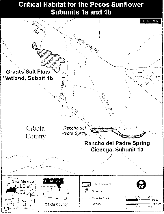
(7) Unit 3: Santa Rosa, Guadalupe County, New Mexico.
(i) Subunit 3a for Helianthus paradoxus, Blue Hole Cienega/Blue Hole Fish Hatchery Ponds, Guadalupe County, New Mexico. From USGS 1:24,000 quadrangle Santa Rosa, lands bounded by the following UTM NAD83 coordinates (meters E, meters N): 529408, 3865628; 529431, 3865639; 529449, 3865654; 529468, 3865681; 529481, 3865715; 529491, 3865773; 529491, 3865792; 529478, 3865810; 529467, 3865832; 529465, 3865863; 529472, 3865903; 529484, 3865943; 529494, 3866006; 529507, 3866073; 529505, 3866104; 529497, 3866123; 529484, 3866171; 529479, 3866207; 529483, 3866245; 529489, 3866310; 529489, 3866366; 529640, 3866364; 529771, 3866366; 529910, 3866363; 529980, 3866361; 529991, 3866355; 529996, 3866347; 529991, 3866329; 529988, 3866289; 529980, 3866217; 529967, 3866125; 529959, 3866012; 529957, 3865985; 529887, 3865918; 529859, 3865879; 529876, 3865756; 529962, 3865656; 530041, 3865519; 530099, 3865390; 530105, 3865209; 530091, 3865144; 529784, 3865313; 529705, 3865355; 529593, 3865417; 529522, 3865456; 529550, 3865504; 529505, 3865533; 529524, 3865564; thence returning to 529408, 3865628. 529555, 3866753; 529618, 3866754; 529654, 3866751; 529702, 3866748; 529706, 3866687; 529712, 3866651; 529713, 3866618; 529717, 3866581; 529717, 3866559; 529652, 3866555; 529640, 3866558; 529638, 3866609; 529634, 3866613; 529590, 3866609; 529556, 3866611; 529556, 3866639; 529555, 3866683; thence returning to 529555, 3866753.
(ii) Note: Map of Subunit 3a for Helianthus paradoxus (Pecos sunflower) critical habitat follows:
(iii) Subunit 3b for Helianthus paradoxus, Westside Spring, Guadalupe County, New Mexico. From USGS 1:24,000 quadrangle Santa Rosa, lands bounded by the following UTM NAD83 coordinates (meters E, meters N): 527977, 3864746; 527990, 3864762; 527999, 3864783; 528009, 3864801; 528033, 3864823; 528054, 3864837; 528079, 3864848; 528103, 3864852; 528121, 3864843; 528125, 3864832; 528125, 3864813; 528123, 3864796; 528118, 3864780; 528108, 3864756; 528095, 3864734; 528072, 3864717; 528047, 3864697; 528018, 3864676; 527987, 3864654; 527961, 3864633; 527932, 3864613; 527906, 3864594; 527886, 3864575; 527866, 3864561; 527850, 3864551; 527836, 3864552; 527838, 3864566; 527852, 3864585; 527869, 3864606; 527886, 3864626; 527903, 3864648; 527921, 3864672; 527938, 3864694; 527957, 3864716; 527961, 3864722; 527975, 3864743; thence returning to 527977, 3864746.
(iv) Note: Map of Subunit 3b for Helianthus paradoxus (Pecos sunflower) critical habitat follows:

(8) Unit 4: Roswell/Dexter, Chaves County, New Mexico.
(i) Subunit 4a for Helianthus paradoxus, Bitter Lake National Wildlife Refuge/City of Roswell Land, Chaves County, New Mexico. From USGS 1:24,000 quadrangle Bitter Lake, lands bounded by the following UTM NAD83 coordinates (meters E, meters N): 553433, 3705266; 553438, 3705244; 553427, 3705221; 553405, 3705160; 553392, 3705130; 553391, 3705126; 553381, 3705133; 553368, 3705185; 553355, 3705203; 553368, 3705223; 553376, 3705270; 553375, 3705274; 553381, 3705283; 553418, 3705283; thence returning to 553433, 3705266; 553416, 3704901; 553407, 3704896; 553357, 3704881; 553349, 3704867; 553330, 3704867; 553303, 3704849; 553295, 3704769; 553285, 3704696; 553304, 3704631; 553315, 3704558; 553332, 3704453; 553335, 3704381; 553337, 3704374; 553334, 3704362; 553342, 3704308; 553370, 3704265; 553400, 3704250; 553417, 3704226; 553422, 3704196; 553395, 3704176; 553363, 3704198; 553314, 3704250; 553264, 3704275; 553234, 3704292; 553221, 3704360; 553221, 3704364; 553217, 3704432; 553207, 3704447; 553200, 3704508; 553191, 3704580; 553178, 3704613; 553167, 3704675; 553165, 3704683; 553165, 3704758; 553176, 3704802; 553177, 3704821; 553185, 3704828; 553206, 3704841; 553231, 3704889; 553258, 3704926; 553294, 3704942; 553310, 3704972; 553314, 3705012; 553350, 3705042; 553367, 3705040; 553384, 3705022; 553384, 3704997; 553424, 3705000; 553438, 3704985; 553443, 3704945; thence returning to 553416, 3704901; 553595, 3704036; 553574, 3704029; 553551, 3704059; 553523, 3704061; 553500, 3704101; 553500, 3704104; 553496, 3704123; 553516, 3704176; 553544, 3704184; 553571, 3704161; 553592, 3704112; 553614, 3704059; thence returning to 553595, 3704036; 553958, 3704101; 553958, 3704066; 553977, 3704066; 553992, 3704051; 553990, 3703994; 553984, 3703966; 553978, 3703928; 553967, 3703901; 553965, 3703876; 553984, 3703856; 553997, 3703818; 554016, 3703798; 554020, 3703781; 553997, 3703768; 553970, 3703778; 553959, 3703813; 553949, 3703830; 553930, 3703830; 553907, 3703828; 553884, 3703808; 553865, 3703775; 553842, 3703755; 553819, 3703745; 553792, 3703744; 553779, 3703754; 553779, 3703787; 553779, 3703812; 553787, 3703830; 553802, 3703837; 553797, 3703852; 553776, 3703860; 553757, 3703874; 553761, 3703935; 553767, 3703962; 553771, 3704005; 553822, 3704048; 553853, 3704075; 553895, 3704121; 553911, 3704143; 553945, 3704149; 553966, 3704146; thence returning to 553958, 3704101; 554094, 3704475; 554107, 3704473; 554121, 3704488; 554151, 3704476; 554195, 3704456; 554210, 3704423; 554269, 3704424; 554338, 3704434; 554401, 3704449; 554479, 3704442; 554548, 3704423; 554592, 3704418; 554622, 3704405; 554640, 3704421; 554661, 3704426; 554678, 3704416; 554676, 3704391; 554725, 3704384; 554748, 3704369; 554760, 3704339; 554744, 3704333; 554712, 3704333; 554691, 3704323; 554670, 3704323; 554658, 3704290; 554639, 3704268; 554614, 3704270; 554607, 3704310; 554588, 3704348; 554569, 3704363; 554534, 3704375; 554487, 3704385; 554447, 3704389; 554418, 3704389; 554386, 3704389; 554351, 3704371; 554313, 3704356; 554263, 3704348; 554238, 3704353; 554208, 3704363; 554187, 3704385; 554164, 3704400; 554137, 3704400; 554118, 3704393; 554124, 3704340; 554118, 3704297; 554097, 3704277; 554066, 3704272; 554043, 3704284; 554043, 3704312; 554028, 3704344; 554004, 3704392; 553989, 3704434; 553989, 3704500; 553995, 3704555; 554012, 3704575; 554062, 3704555; 554094, 3704543; 554109, 3704503; thence returning to 554094, 3704475; 555025, 3703999; 554991, 3703999; 554962, 3704029; 554951, 3704067; 554959, 3704122; 554982, 3704144; 554995, 3704139; 554980, 3704069; 555018, 3704024; thence returning to 555025, 3703999; 554437, 3703590; 554460, 3703560; 554454, 3703550; 554433, 3703545; 554412, 3703540; 554404, 3703537; 554410, 3703517; 554421, 3703495; 554423, 3703460; 554421, 3703430; 554405, 3703430; 554373, 3703450; 554358, 3703492; 554339, 3703524; 554311, 3703547; 554284, 3703569; 554261, 3703567; 554234, 3703571; 554231, 3703592; 554235, 3703627; 554248, 3703662; 554256, 3703689; 554258, 3703732; 554266, 3703752; 554302, 3703762; 554325, 3703785; 554358, 3703823; 554379, 3703808; 554392, 3703785; 554394, 3703753; 554386, 3703733; 554390, 3703715; 554407, 3703670; 554416, 3703638; thence returning to 554437, 3703590; 555874, 3704071; 555869, 3704052; 555873, 3703974; 555893, 3703927; 555899, 3703877; 555918, 3703859; 555923, 3703809; 555889, 3703794; 556064, 3702986; 556073, 3702873; 556031, 3702863; 555981, 3702792; 555927, 3702732; 555889, 3702692; 555870, 3702734; 555928, 3702797; 556003, 3702905; 556031, 3702923; 556028, 3702953; 555992, 3703018; 555969, 3703018; 555942, 3703060; 555920, 3703110; 555843, 3703105; 555839, 3703069; 555818, 3703039; 555817, 3702909; 555773, 3702746; 555742, 3702738; 555704, 3702776; 555718, 3702818; 555775, 3702891; 555768, 3702936; 555772, 3703079; 555767, 3703144; 555754, 3703169; 555746, 3703124; 555715, 3703114; 555685, 3703106; 555671, 3703079; 555671, 3703033; 555675, 3702996; 555659, 3702978; 555629, 3702956; 555596, 3702958; 555577, 3702975; 555543, 3702955; 555495, 3702975; 555476, 3702987; 555461, 3703025; 555450, 3703042; 555421, 3703045; 555408, 3703034; 555392, 3703027; 555443, 3702956; 555489, 3702941; 555502, 3702888; 555479, 3702865; 555500, 3702850; 555529, 3702820; 555534, 3702780; 555532, 3702699; 555507, 3702669; 555474, 3702666; 555452, 3702694; 555436, 3702692; 555419, 3702686; 555406, 3702691; 555397, 3702754; 555406, 3702781; 555412, 3702839; 555370, 3702869; 555333, 3702914; 555274, 3702966; 555216, 3702966; 555157, 3703003; 555100, 3703033; 555053, 3703057; 555015, 3703110; 554971, 3703180; 554958, 3703210; 554943, 3703230; 554916, 3703229; 554884, 3703245; 554867, 3703264; 554867, 3703302; 554861, 3703332; 554825, 3703357; 554787, 3703377; 554766, 3703416; 554745, 3703459; 554746, 3703494; 554772, 3703522; 554801, 3703507; 554805, 3703482; 554829, 3703445; 554867, 3703417; 554883, 3703395; 554913, 3703373; 554951, 3703383; 554968, 3703400; 555003, 3703425; 555024, 3703431; 555054, 3703391; 555072, 3703416; 555100, 3703429; 555125, 3703411; 555127, 3703381; 555127, 3703371; 555169, 3703356; 555215, 3703364; 555245, 3703344; 555266, 3703314; 555268, 3703282; 555254, 3703267; 555216, 3703266; 555178, 3703266; 555166, 3703256; 555149, 3703241; 555138, 3703228; 555178, 3703206; 555206, 3703191; 555225, 3703171; 555238, 3703139; 555254, 3703149; 555280, 3703147; 555295, 3703109; 555326, 3703099; 555328, 3703117; 555349, 3703137; 555374, 3703157; 555376, 3703192; 555397, 3703232; 555422, 3703235; 555435, 3703210; 555437, 3703170; 555416, 3703142; 555410, 3703125; 555427, 3703105; 555461, 3703095; 555467, 3703072; 555524, 3703073; 555557, 3703063; 555580, 3703078; 555610, 3703091; 555618, 3703138; 555630, 3703174; 555664, 3703191; 555668, 3703214; 555640, 3703234; 555628, 3703271; 555629, 3703311; 555663, 3703322; 555667, 3703357; 555688, 3703372; 555736, 3703387; 555788, 3703397; 555820, 3703400; 555839, 3703388; 555870, 3703400; 555879, 3703448; 555870, 3703520; 555848, 3703591; 555844, 3703628; 555844, 3703689; 555843, 3703739; 555837, 3703781; 555811, 3703853; 555805, 3703883; 555798, 3703931; 555781, 3703959; 555806, 3704001; 555806, 3704034; 555781, 3704042; 555774, 3704066; 555778, 3704079; 555819, 3704076; thence returning to 555874, 3704071; 556313, 3701253; 556267, 3701245; 556183, 3701262; 556218, 3701446; 556444, 3701492; 556495, 3701492; 556501, 3701475; 556456, 3701332; 556401, 3701266; thence returning to 556313, 3701253; 555609, 3701001; 555569, 3700991; 555565, 3701038; 555560, 3701104; 555564, 3701144; 555585, 3701186; 555593, 3701242; 555599, 3701312; 555578, 3701352; 555586, 3701422; 555600, 3701462; 555661, 3701485; 555720, 3701505; 555722, 3701463; 555701, 3701390; 555706, 3701337; 555744, 3701288; 555738, 3701255; 555702, 3701205; 555654, 3701154; 555619, 3701106; 555615, 3701061; 555628, 3701031; thence returning to 555609, 3701001; 555918, 3700885; 555889, 3700880; 555901, 3700925; 555916, 3700978; 555959, 3701151; 555967, 3701214; 555988, 3701284; 555983, 3701329; 555998, 3701382; 555995, 3701432; 556010, 3701452; 556022, 3701452; 556033, 3701414; 556025, 3701367; 556006, 3701299; 555988, 3701214; 555990, 3701154; thence returning to 555918, 3700885; 555523, 3701399; 555516, 3701460; 555499, 3701477; 555494, 3701490; 555529, 3701523; 555592, 3701574; 555605, 3701596; 555618, 3701644; 555623, 3701655; 555656, 3701703; 555657, 3701745; 555651, 3701788; 555632, 3701838; 555635, 3701906; 555652, 3701959; 555658, 3702024; 555674, 3702067; 555674, 3702111; 555682, 3702169; 555686, 3702234; 555658, 3702275; 555631, 3702339; 555635, 3702422; 555637, 3702460; 555580, 3702484; 555552, 3702484; 555498, 3702499; 555451, 3702531; 555417, 3702563; 555402, 3702621; 555430, 3702639; 555451, 3702581; 555489, 3702571; 555493, 3702529; 555512, 3702541; 555531, 3702559; 555583, 3702557; 555613, 3702582; 555648, 3702595; 555720, 3702583; 555785, 3702598; 555795, 3702626; 555816, 3702643; 555831, 3702614; 555848, 3702601; 555928, 3702617; 556024, 3702617; 556064, 3702605; 556083, 3702572; 556077, 3702525; 556100, 3702472; 556107, 3702442; 556099, 3702365; 556093, 3702269; 556096, 3702162; 556128, 3702064; 556116, 3702059; 556067, 3702089; 556058, 3702156; 556045, 3702241; 556020, 3702241; 555955, 3702261; 555917, 3702304; 555893, 3702323; 555895, 3702348; 555931, 3702334; 555969, 3702326; 555992, 3702381; 556013, 3702411; 556046, 3702429; 556071, 3702462; 556036, 3702506; 556016, 3702497; 555970, 3702481; 555918, 3702461; 555802, 3702456; 555748, 3702478; 555704, 3702452; 555689, 3702410; 555694, 3702352; 555713, 3702305; 555717, 3702260; 555743, 3702265; 555770, 3702298; 555818, 3702348; 555856, 3702340; 555866, 3702318; 555862, 3702278; 555818, 3702265; 555781, 3702212; 555754, 3702165; 555764, 3702137; 555798, 3702112; 555832, 3702052; 555811, 3702035; 555729, 3702029; 555725, 3701972; 555726, 3701926; 555747, 3701849; 555747, 3701806; 555760, 3701709; 556110, 3701600; 556143, 3701598; 556157, 3701731; 556110, 3701944; 556150, 3701961; 556208, 3701689; 556172, 3701536; 556103, 3701012; 556079, 3701014; 556062, 3701049; 556064, 3701102; 556089, 3701257; 556124, 3701392; 556144, 3701544; 555765, 3701651; 555767, 3701618; 555724, 3701555; 555658, 3701533; 555637, 3701573; 555614, 3701570; 555566, 3701535; 555541, 3701492; 555542, 3701422; thence returning to 555523, 3701399; 555288, 3700536; 555303, 3700526; 555328, 3700548; 555353, 3700584; 555418, 3700647; 555458, 3700675; 555483, 3700650; 555452, 3700597; 555414, 3700567; 555385, 3700506; 555364, 3700474; 555367, 3700413; 555346, 3700373; 555310, 3700328; 555292, 3700330; 555256, 3700353; 555241, 3700410; 555240, 3700488; 555265, 3700578; 555287, 3700676; 555292, 3700709; 555310, 3700731; 555305, 3700859; 555333, 3700862; 555347, 3700892; 555351, 3700942; 555347, 3700990; 555384, 3701020; 555376, 3700957; 555360, 3700889; 555335, 3700779; 555315, 3700669; 555309, 3700598; thence returning to 555288, 3700536; 555350, 3700060; 555304, 3700042; 555289, 3700077; 555289, 3700112; 555303, 3700140; 555303, 3700180; 555303, 3700238; 555317, 3700275; 555367, 3700283; 555401, 3700283; 555481, 3700266; 555571, 3700244; 555645, 3700242; 555668, 3700217; 555666, 3700175; 555629, 3700167; 555572, 3700144; 555503, 3700139; 555412, 3700121; 555373, 3700090; thence returning to 555350, 3700060; 555001, 3699914; 555002, 3699921; 555022, 3699943; 555027, 3699947; 555034, 3699952; 555060, 3699982; 555061, 3699986; 555075, 3700001; 555102, 3700066; 555146, 3700086; 555111, 3700006; 555077, 3699946; 555057, 3699916; 555046, 3699875; 555055, 3699843; 555090, 3699881; 555149, 3699889; 555193, 3699874; 555215, 3699836; 555221, 3699779; 555194, 3699718; 555159, 3699683; 555096, 3699660; 555043, 3699657; 554970, 3699619; 554928, 3699597; 554901, 3699541; 554874, 3699506; 554836, 3699516; 554836, 3699554; 554854, 3699639; 554886, 3699684; 554917, 3699702; 554986, 3699735; 555030, 3699780; 555036, 3699823; 555019, 3699868; thence returning to 555001, 3699914; 555370, 3699131; 555265, 3699038; 555219, 3699005; 555145, 3698991; 555135, 3698968; 555141, 3698887; 555147, 3698776; 555128, 3698655; 555115, 3698547; 555108, 3698488; 555140, 3698489; 555200, 3698486; 555326, 3698477; 555381, 3698445; 555431, 3698383; 555467, 3698285; 555489, 3698168; 555479, 3698109; 555441, 3698064; 555361, 3698056; 555252, 3698052; 555219, 3698029; 555181, 3698023; 555110, 3698036; 555105, 3697925; 555084, 3697833; 555002, 3697764; 554926, 3697724; 554898, 3697741; 554917, 3697774; 554958, 3697842; 555015, 3697895; 555031, 3697960; 555052, 3698084; 555073, 3698195; 555064, 3698375; 555059, 3698746; 555069, 3698952; 555104, 3699014; 555145, 3699050; 555077, 3699033; 555022, 3699020; 554935, 3698980; 554867, 3698941; 554799, 3698882; 554741, 3698917; 554686, 3698969; 554675, 3699021; 554628, 3699021; 554626, 3699057; 554675, 3699076; 554781, 3699107; 554926, 3699114; 555068, 3699121; 555197, 3699112; 555298, 3699129; 555372, 3699183; 555411, 3699219; 555464, 3699247; 555505, 3699299; 555536, 3699390; 555582, 3699520; 555602, 3699608; 555643, 3699774; 555662, 3699837; 555693, 3699932; 555718, 3699972; 555743, 3700068; 555793, 3700100; 555806, 3700088; 555751, 3700010; 555678, 3699734; 555605, 3699483; 555533, 3699282; 555477, 3699202; 555370, 3699131; 555194, 3698098; 555246, 3698098; 555293, 3698118; 555344, 3698131; 555372, 3698158; 555407, 3698223; 555407, 3698272; 555401, 3698337; 555360, 3698363; 555313, 3698415; 555217, 3698418; 555138, 3698437; 555102, 3698443; 555111, 3698352; 555112, 3698101; 555151, 3698097; thence returning to 555194, 3698098; 554173, 3698864; 554194, 3698881; 554233, 3698942; 554256, 3698968; 554293, 3698994; 554371, 3699029; 554390, 3699052; 554398, 3699065; 554441, 3699113; 554443, 3699135; 554453, 3699147; 554505, 3699202; 554535, 3699258; 554580, 3699323; 554617, 3699364; 554678, 3699411; 554686, 3699422; 554706, 3699446; 554722, 3699481; 554742, 3699513; 554779, 3699548; 554807, 3699521; 554799, 3699483; 554788, 3699431; 554787, 3699378; 554787, 3699305; 554781, 3699248; 554773, 3699228; 554743, 3699235; 554741, 3699280; 554749, 3699323; 554716, 3699305; 554693, 3699305; 554655, 3699277; 554623, 3699247; 554586, 3699227; 554556, 3699206; 554532, 3699153; 554511, 3699118; 554488, 3699091; 554463, 3699061; 554404, 3698997; 554363, 3698958; 554328, 3698912; 554290, 3698875; 554244, 3698830; 554214, 3698820; 554184, 3698790; 554159, 3698758; 554113, 3698718; 554089, 3698718; 554094, 3698760; 554129, 3698800; 554170, 3698839; thence returning to 554173, 3698864; 554637, 3698460; 554599, 3698456; 554568, 3698486; 554568, 3698561; 554581, 3698652; 554608, 3698675; 554649, 3698678; 554704, 3698646; 554721, 3698610; 554719, 3698539; 554661, 3698493; thence returning to 554637, 3698460; 554661, 3698079; 554623, 3698078; 554584, 3698124; 554559, 3698153; 554565, 3698205; 554584, 3698244; 554622, 3698271; 554657, 3698261; 554679, 3698245; 554699, 3698209; 554707, 3698102; 554694, 3698095; thence returning to 554661, 3698079; 553963, 3697638; 553988, 3697664; 554001, 3697681; 554018, 3697690; 554031, 3697706; 554053, 3697715; 554075, 3697746; 554071, 3697770; 554083, 3697824; 554088, 3697928; 554103, 3698069; 554141, 3698190; 554162, 3698275; 554154, 3698350; 554110, 3698411; 554096, 3698450; 554049, 3698483; 554040, 3698494; 554016, 3698568; 554016, 3698577; 554081, 3698561; 554136, 3698519; 554164, 3698496; 554169, 3698477; 554186, 3698454; 554202, 3698412; 554205, 3698383; 554225, 3698350; 554233, 3698314; 554433, 3698273; 554433, 3698247; 554258, 3698285; 554258, 3698223; 554242, 3698174; 554191, 3698105; 554185, 3698056; 554172, 3698001; 554153, 3697932; 554156, 3697903; 554186, 3697903; 554216, 3697900; 554227, 3697877; 554211, 3697867; 554164, 3697867; 554167, 3697838; 554129, 3697837; 554148, 3697795; 554149, 3697727; 554204, 3697714; 554207, 3697691; 554196, 3697649; 554245, 3697649; 554319, 3697649; 554426, 3697650; 554464, 3697634; 554511, 3697618; 554584, 3697622; 554604, 3697596; 554618, 3697537; 554602, 3697459; 554577, 3697397; 554509, 3697376; 554454, 3697422; 554399, 3697490; 554308, 3697574; 554270, 3697558; 554144, 3697538; 554054, 3697527; 553997, 3697579; thence returning to 553963, 3697638; 554100, 3697209; 554053, 3697208; 553998, 3697292; 553962, 3697351; 553962, 3697429; 553967, 3697533; 554005, 3697507; 554038, 3697455; 554044, 3697413; 554047, 3697361; 554066, 3697335; 554105, 3697260; thence returning to 554100, 3697209; 554694, 3697638; 554707, 3697616; 554746, 3697616; 554770, 3697636; 554819, 3697626; 554850, 3697594; 554899, 3697529; 554992, 3697177; 554959, 3697148; 554912, 3697164; 554813, 3697404; 554815, 3697483; 554787, 3697486; 554736, 3697489; 554705, 3697515; 554658, 3697583; 554663, 3697648; thence returning to 554694, 3697638; 555818, 3696814; 555704, 3696812; 555673, 3696811; 555685, 3696845; 555721, 3696842; 555806, 3696836; thence returning to 555818, 3696814; 554053, 3697208; 554100, 3697209; 554338, 3697211; 554336, 3696805; 554330, 3696733; 554330, 3696665; 554327, 3696605; 554268, 3696635; 554205, 3696666; 554127, 3696699; 554092, 3696768; 554089, 3696787; 554084, 3696811; 554048, 3696856; 554021, 3696861; 553990, 3696861; 553957, 3696849; 553925, 3696849; 553881, 3696851; 553847, 3696860; 553809, 3696885; 553793, 3696903; 553765, 3696930; 553751, 3696954; 553740, 3696972; 553738, 3696995; 553733, 3697019; 553718, 3697038; 553716, 3697053; 553710, 3697067; 553702, 3697088; 553691, 3697115; 553689, 3697128; 553684, 3697150; 553673, 3697170; 553652, 3697201; 553624, 3697231; 553617, 3697248; 553614, 3697266; 553601, 3697291; 553600, 3697304; 553580, 3697324; 553571, 3697335; 553567, 3697359; 553567, 3697381; 553569, 3697402; 553577, 3697416; 553587, 3697427; 553601, 3697453; 553627, 3697474; 553647, 3697485; 553663, 3697495; 553689, 3697518; 553709, 3697535; 553731, 3697546; 553765, 3697552; 553808, 3697556; 553866, 3697558; 553895, 3697563; 553916, 3697574; 553923, 3697590; 553930, 3697605; 553934, 3697207; thence returning to 554053, 3697208
(ii) Note: Map of Subunit 4a for Helianthus paradoxus (Pecos sunflower) critical habitat follows:
(iii) Subunit 4b for Helianthus paradoxus, Bitter Lake National Wildlife Refuge Farm, Chaves County, New Mexico. From USGS 1:24,000 quadrangles Bottomless Lakes and South Spring, lands bounded by the following UTM NAD83 coordinates (meters E, meters N): 554219, 3693892; 554261, 3693848; 554290, 3693737; 554276, 3693659; 554328, 3693532; 554323, 3693504; 554263, 3693526; 554239, 3693587; 554188, 3693676; 554137, 3693648; 554104, 3693647; 554076, 3693664; 554043, 3693675; 553974, 3693685; 553899, 3693735; 553894, 3693846; 553880, 3693868; 553819, 3693867; 553805, 3693906; 553795, 3694011; 553790, 3694128; 553813, 3694156; 553873, 3694161; 553929, 3694167; 553962, 3694129; 554013, 3694101; 554088, 3694085; 554134, 3694080; 554172, 3693991; 554172, 3693941; thence returning to 554219, 3693892; 554157, 3694858; 554177, 3694762; 554220, 3694579; 554243, 3694507; 554244, 3694402; 554268, 3694280; 554333, 3694198; 554423, 3694059; 554517, 3693894; 554521, 3693849; 554520, 3693841; 554523, 3693831; 554526, 3693799; 554536, 3693678; 554593, 3693578; 554612, 3693512; 554598, 3693423; 554599, 3693312; 554618, 3693223; 554614, 3693102; 554633, 3693030; 554641, 3692940; 554656, 3692862; 554698, 3692810; 554741, 3692755; 554779, 3692758; 554831, 3692771; 554894, 3692789; 554945, 3692809; 554981, 3692819; 555025, 3692810; 555052, 3692782; 555097, 3692737; 555141, 3692720; 555186, 3692687; 555247, 3692665; 555335, 3692663; 555405, 3692671; 555472, 3692679; 555550, 3692695; 555641, 3692707; 555702, 3692705; 555794, 3692681; 555854, 3692646; 555873, 3692601; 555862, 3692568; 555841, 3692555; 555772, 3692585; 555736, 3692630; 555656, 3692647; 555576, 3692652; 555510, 3692634; 555430, 3692621; 555384, 3692596; 555336, 3692588; 555254, 3692595; 555165, 3692617; 555093, 3692657; 555034, 3692714; 554983, 3692742; 554951, 3692741; 554897, 3692706; 554832, 3692680; 554735, 3692690; 554653, 3692737; 554578, 3692832; 554578, 3692882; 554582, 3692965; 554565, 3692998; 554559, 3693035; 554553, 3693196; 554548, 3693345; 554547, 3693423; 554570, 3693478; 554579, 3693523; 554542, 3693600; 554504, 3693683; 554471, 3693788; 554419, 3693910; 554400, 3694009; 554348, 3694075; 554287, 3694158; 554231, 3694252; 554217, 3694308; 554206, 3694451; 554173, 3694574; 554164, 3694602; 554154, 3694634; 554131, 3694713; 554142, 3694747; 554118, 3694756; 554107, 3694795; 554098, 3694876; thence returning to 554157, 3694858
(iv) Note: Map of subunit 4b for Helianthus paradoxus (Pecos sunflower) critical habitat follows:

(v) Subunit 4c for Helianthus paradoxus, Oasis Dairy Subunit, Chaves County, New Mexico. From USGS 1:24,000 quadrangles Bottomless Lakes and South Spring, lands bounded by the following UTM NAD83 coordinates (meters E, meters N): 559225, 3688383; 559265, 3688370; 559292, 3688339; 559312, 3688333; 559335, 3688294; 559348, 3688262; 559355, 3688228; 559377, 3688207; 559420, 3688160; 559431, 3688128; 559436, 3688078; 559458, 3688030; 559492, 3687977; 559523, 3687927; 559548, 3687893; 559579, 3687870; 559595, 3687851; 559617, 3687819; 559638, 3687777; 559649, 3687709; 559647, 3687656; 559636, 3687605; 559608, 3687555; 559584, 3687497; 559559, 3687483; 559533, 3687486; 559506, 3687488; 559486, 3687523; 559475, 3687573; 559474, 3687634; 559481, 3687686; 559480, 3687729; 559469, 3687782; 559446, 3687826; 559433, 3687871; 559412, 3687924; 559385, 3687977; 559365, 3688014; 559345, 3688040; 559325, 3688077; 559305, 3688122; 559282, 3688159; 559238, 3688182; 559204, 3688219; 559184, 3688267; 559184, 3688314; 559199, 3688359; thence returning to 559225, 3688383; 558767, 3686447; 558771, 3686449; 558790, 3686451; 558823, 3686444; 558852, 3686446; 558879, 3686451; 558899, 3686458; 558917, 3686464; 558932, 3686466; 558952, 3686459; 558963, 3686453; 558977, 3686433; 558986, 3686422; 558997, 3686411; 559012, 3686407; 559030, 3686392; 559038, 3686377; 559038, 3686361; 559035, 3686343; 559031, 3686291; 559031, 3686253; 559026, 3686238; 559014, 3686223; 558985, 3686205; 558960, 3686191; 558934, 3686182; 558915, 3686177; 558884, 3686164; 558866, 3686152; 558839, 3686137; 558817, 3686127; 558804, 3686124; 558795, 3686123; 558772, 3686135; 558745, 3686144; 558722, 3686150; 558700, 3686157; 558678, 3686161; 558650, 3686157; 558621, 3686154; 558589, 3686153; 558561, 3686152; 558534, 3686153; 558498, 3686144; 558467, 3686137; 558439, 3686122; 558415, 3686108; 558398, 3686086; 558385, 3686058; 558380, 3686024; 558387, 3685985; 558396, 3685944; 558404, 3685914; 558408, 3685894; 558404, 3685879; 558387, 3685862; 558363, 3685843; 558338, 3685818; 558318, 3685805; 558305, 3685787; 558290, 3685762; 558284, 3685734; 558286, 3685712; 558292, 3685684; 558294, 3685662; 558288, 3685634; 558286, 3685609; 558276, 3685584; 558262, 3685566; 558253, 3685552; 558232, 3685540; 558208, 3685531; 558183, 3685532; 558148, 3685542; 558126, 3685553; 558099, 3685568; 558086, 3685583; 558073, 3685608; 558071, 3685633; 558079, 3685654; 558095, 3685671; 558115, 3685672; 558132, 3685672; 558150, 3685666; 558163, 3685655; 558192, 3685654; 558209, 3685658; 558221, 3685671; 558221, 3685689; 558221, 3685714; 558220, 3685738; 558211, 3685759; 558209, 3685781; 558207, 3685799; 558218, 3685819; 558232, 3685829; 558250, 3685836; 558262, 3685843; 558270, 3685859; 558275, 3685880; 558273, 3685888; 558255, 3685909; 558253, 3685931; 558252, 3685946; 558256, 3685956; 558259, 3685975; 558260, 3685989; 558258, 3686009; 558256, 3686024; 558250, 3686035; 558240, 3686046; 558233, 3686056; 558223, 3686065; 558221, 3686071; 558220, 3686078; 558224, 3686092; 558227, 3686102; 558227, 3686119; 558219, 3686147; 558215, 3686174; 558216, 3686193; 558228, 3686212; 558243, 3686232; 558267, 3686257; 558281, 3686271; 558297, 3686283; 558315, 3686290; 558338, 3686302; 558355, 3686314; 558368, 3686325; 558393, 3686346; 558406, 3686362; 558423, 3686381; 558432, 3686397; 558438, 3686423; 558437, 3686445; 558425, 3686461; 558410, 3686475; 558392, 3686490; 558373, 3686507; 558364, 3686529; 558413, 3686519; 558466, 3686502; 558514, 3686488; 558558, 3686475; 558601, 3686470; 558635, 3686457; 558667, 3686443; 558689, 3686445; 558720, 3686431; thence returning to 558767, 3686447.
(vi) Note: Map of Subunit 4c for Helianthus paradoxus (Pecos sunflower) critical habitat follows:
(vii) Subunit 4d for Helianthus paradoxus, Lea Lake at Bottomless Lakes State Park, Chaves County, New Mexico. From USGS 1:24,000 quadrangle Bottomless Lakes, lands bounded by the following UTM NAD83 coordinates (meters E, meters N): 562371, 3687020; 562381, 3687019; 562402, 3687011; 562419, 3686993; 562437, 3686976; 562464, 3686956; 562476, 3686950; 562499, 3686947; 562515, 3686938; 562519, 3686919; 562520, 3686895; 562511, 3686875; 562495, 3686857; 562483, 3686851; 562471, 3686849; 562453, 3686850; 562442, 3686836; 562432, 3686814; 562420, 3686784; 562409, 3686747; 562410, 3686718; 562402, 3686690; 562391, 3686663; 562366, 3686642; 562325, 3686637; 562286, 3686639; 562276, 3686652; 562230, 3686695; 562216, 3686715; 562203, 3686732; 562200, 3686752; 562201, 3686770; 562203, 3686791; 562208, 3686818; 562221, 3686835; 562225, 3686852; 562222, 3686868; 562216, 3686888; 562217, 3686914; 562230, 3686939; 562250, 3686958; 562270, 3686978; 562293, 3686992; 562323, 3687006; 562351, 3687016; thence returning to 562371, 3687020.
(viii) Note: Map of Subunit 4d for Helianthus paradoxus (Pecos sunflower) critical habitat follows:

(ix) Subunit 4e for Helianthus paradoxus, Dexter Cienega, Chaves County, New Mexico. From USGS 1:24,000 quadrangle Dexter East, lands bounded by the following UTM NAD83 coordinates (meters E, meters N): 559316, 3678509; 559316, 3678510; 559329, 3678521; 559339, 3678530; 559355, 3678547; 559372, 3678557; 559402, 3678565; 559412, 3678566; 559432, 3678560; 559452, 3678542; 559471, 3678532; 559508, 3678527; 559525, 3678528; 559567, 3678532; 559595, 3678535; 559622, 3678521; 559635, 3678495; 559645, 3678472; 559648, 3678443; 559642, 3678414; 559630, 3678392; 559622, 3678376; 559606, 3678361; 559582, 3678344; 559549, 3678334; 559519, 3678314; 559493, 3678303; 559464, 3678290; 559439, 3678280; 559410, 3678271; 559381, 3678263; 559358, 3678260; 559329, 3678249; 559293, 3678233; 559265, 3678223; 559234, 3678215; 559205, 3678201; 559177, 3678193; 559160, 3678178; 559132, 3678157; 559111, 3678136; 559083, 3678118; 559048, 3678097; 559012, 3678082; 558980, 3678067; 558948, 3678058; 558915, 3678047; 558884, 3678045; 558855, 3678046; 558830, 3678054; 558801, 3678062; 558776, 3678067; 558754, 3678070; 558732, 3678071; 558714, 3678078; 558703, 3678089; 558702, 3678101; 558703, 3678116; 558711, 3678128; 558728, 3678126; 558757, 3678122; 558776, 3678124; 558812, 3678130; 558833, 3678134; 558843, 3678141; 558856, 3678145; 558869, 3678166; 558895, 3678186; 558906, 3678205; 558926, 3678207; 558948, 3678215; 558966, 3678227; 558976, 3678240; 558995, 3678256; 559017, 3678272; 559038, 3678284; 559074, 3678307; 559099, 3678323; 559124, 3678334; 559157, 3678352; 559185, 3678364; 559210, 3678373; 559242, 3678378; 559260, 3678389; 559269, 3678401; 559268, 3678424; 559272, 3678437; 559285, 3678457; 559299, 3678486; thence returning to 559316, 3678509.
(x) Note: Map of Subunit 4e for Helianthus paradoxus (Pecos sunflower) critical habitat follows:
(9) Unit 5: West Texas-Diamond Y Springs, Pecos County, Texas.
(i) Unit 5 for Helianthus paradoxus, West Texas - Diamond Y Spring, Pecos County, Texas. From USGS 1:24,000 quadrangles Diamond Y Spring and Fort Stockton West, lands bounded by the following UTM NAD83 coordinates (meters E, meters N): 698884, 3432181; 698826, 3432165; 698791, 3432139; 698736, 3432128; 698662, 3432110; 698622, 3432104; 698558, 3432087; 698508, 3432029; 698495, 3431944; 698484, 3431889; 698482, 3431809; 698466, 3431762; 698429, 3431714; 698368, 3431658; 698333, 3431624; 698304, 3431582; 698291, 3431529; 698275, 3431500; 698238, 3431492; 698183, 3431494; 698143, 3431534; 698111, 3431608; 698106, 3431682; 698132, 3431764; 698180, 3431828; 698222, 3431883; 698217, 3431955; 698246, 3432042; 698267, 3432103; 698288, 3432156; 698299, 3432225; 698275, 3432262; 698196, 3432251; 698069, 3432206; 697987, 3432198; 697936, 3432214; 697876, 3432223; 697820, 3432243; 697774, 3432254; 697727, 3432259; 697728, 3432663; 697784, 3432632; 697855, 3432612; 697932, 3432595; 698003, 3432587; 698052, 3432577; 698116, 3432570; 698179, 3432573; 698264, 3432570; 698313, 3432580; 698359, 3432591; 698402, 3432587; 698462, 3432584; 698507, 3432584; 698550, 3432584; 698596, 3432591; 698652, 3432605; 698702, 3432630; 698772, 3432665; 698814, 3432700; 698860, 3432736; 698920, 3432796; 699002, 3432859; 699062, 3432895; 699125, 3432930; 699204, 3432951; 699241, 3432959; 699347, 3432935; 699405, 3432877; 699416, 3432816; 699427, 3432729; 699411, 3432697; 699352, 3432634; 699310, 3432560; 699281, 3432504; 699265, 3432456; 699265, 3432409; 699270, 3432345; 699263, 3432289; 699233, 3432258; 699186, 3432213; 699128, 3432200; 699080, 3432194; 699011, 3432202; 698934, 3432197; thence returning to 698884, 3432181
(ii) Note: Map of Unit 5 for Helianthus paradoxus (Pecos sunflower) critical habitat follows:
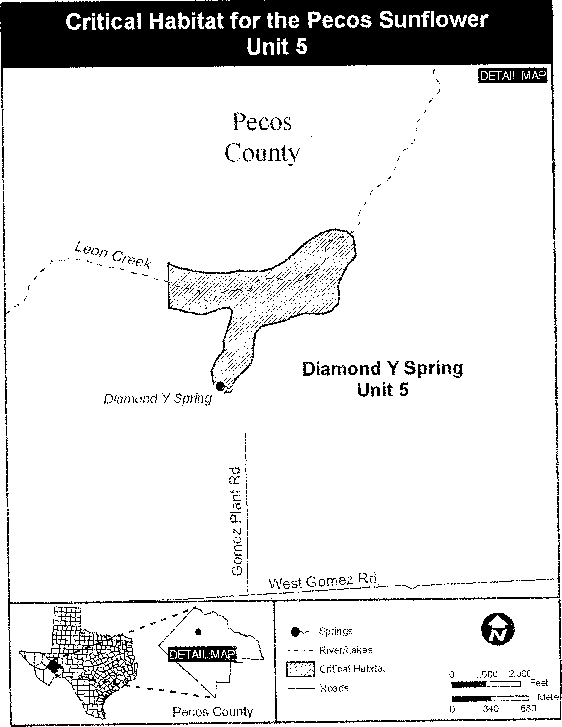
Family Asteraceae: Helianthus verticillatus (whorled sunflower)
(1) Critical habitat units are depicted for Cherokee County, Alabama; Floyd County, Georgia; and Madison and McNairy Counties, Tennessee, on the maps below.
(2) Within these areas, the primary constituent elements of the physical or biological features essential to the conservation of whorled sunflower consist of three components:
(i) Silt loam, silty clay loam, or fine sandy loam soils on land forms including broad uplands, depressions, stream terraces, and floodplains within the headwaters of the Coosa River in Alabama and Georgia and the East Fork Forked Deer and Tuscumbia rivers in Tennessee.
(ii) Sites in which forest canopy is absent, or where woody vegetation is present at sufficiently low densities to provide full or partial sunlight to whorled sunflower plants for most of the day, and which support vegetation characteristic of moist prairie communities. Invasive, nonnative plants must be absent or present in sufficiently low numbers to not inhibit growth or reproduction of whorled sunflower.
(iii) Occupied sites in which a sufficient number of compatible mates are present for outcrossing and production of viable achenes to occur.
(3) Critical habitat does not include manmade structures (such as buildings, aqueducts, runways, roads, and other paved areas) and the land on which they are located existing within the legal boundaries on September 25, 2014.
(4) Critical habitat map units. Data layers defining map units were created on a base of Bing Maps digital aerial photography supplied by the Harris Corporation, Earthstar Geographics LLC, and the Microsoft Corporation. Critical habitat units were then mapped using the USA Contiguous Albers Equal Area Projection with a NAD 83 datum. The maps in this entry, as modified by any accompanying regulatory text, establish the boundaries of the critical habitat designation. The coordinates or plot points or both on which each map is based are available to the public at the Service's Internet site at http://www.fws.gov/cookeville, at http://www.regulations.gov at Docket No. FWS-R4-ES-2013-0086, and at the field office responsible for this designation. You may obtain field office location information by contacting one of the Service regional offices, the addresses of which are listed at 50 CFR 2.2.
(5) Index map follows:
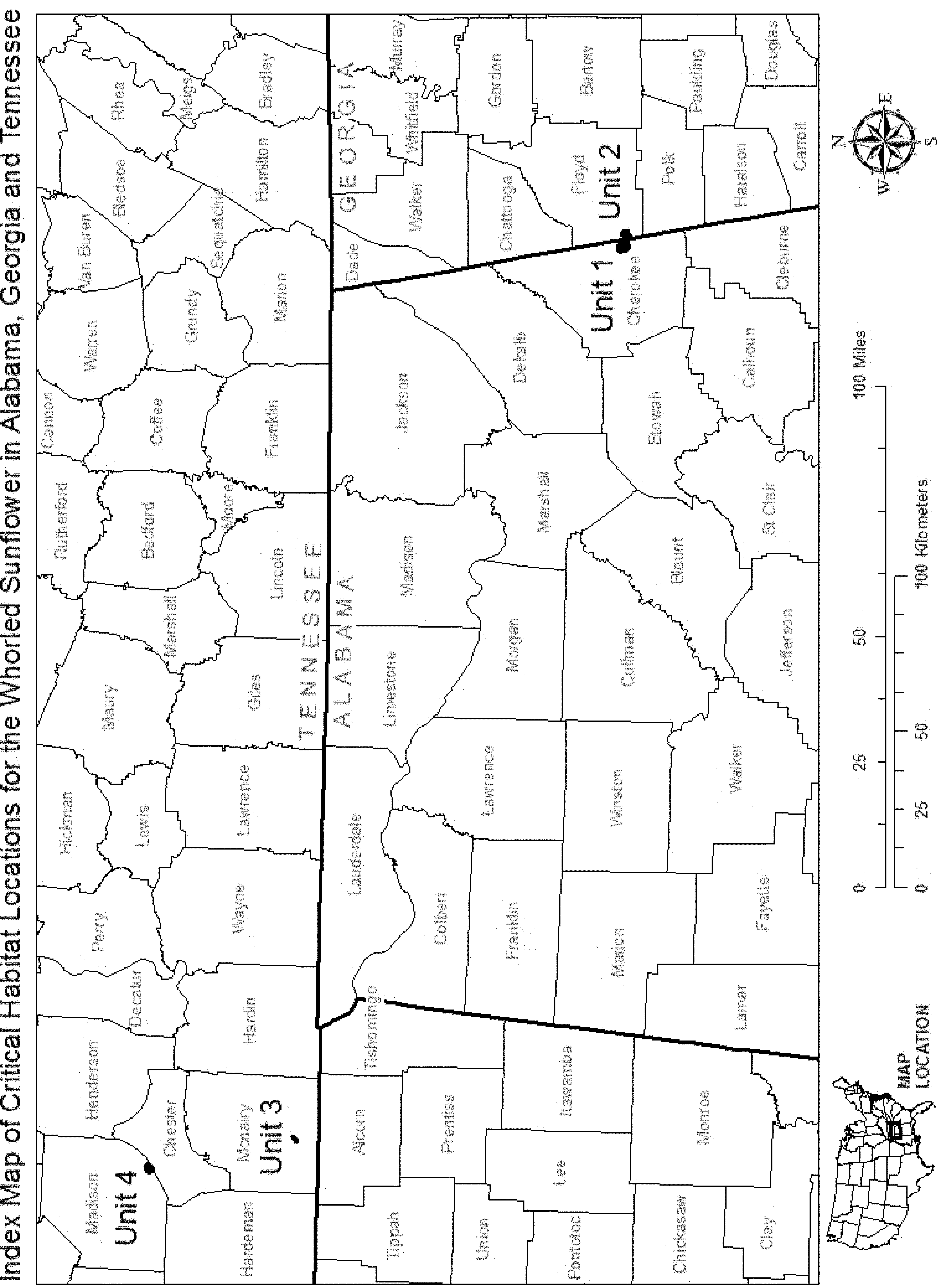
(6) Unit 1: Mud Creek, Cherokee County, Alabama. Map of Unit 1 follows:
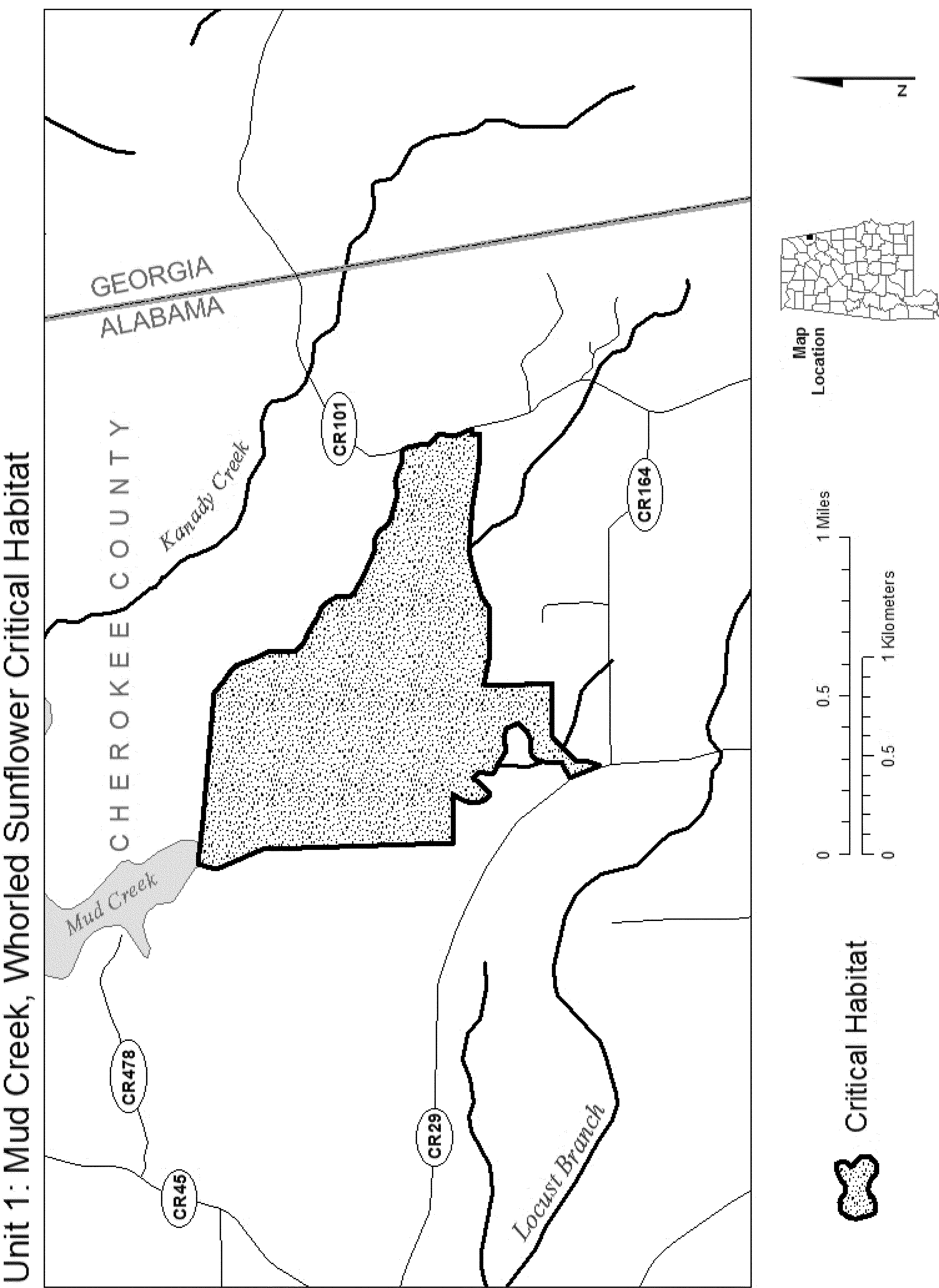
(7) Unit 2: Coosa Valley Prairie, Floyd County, Georgia. Map of Unit 2 follows:
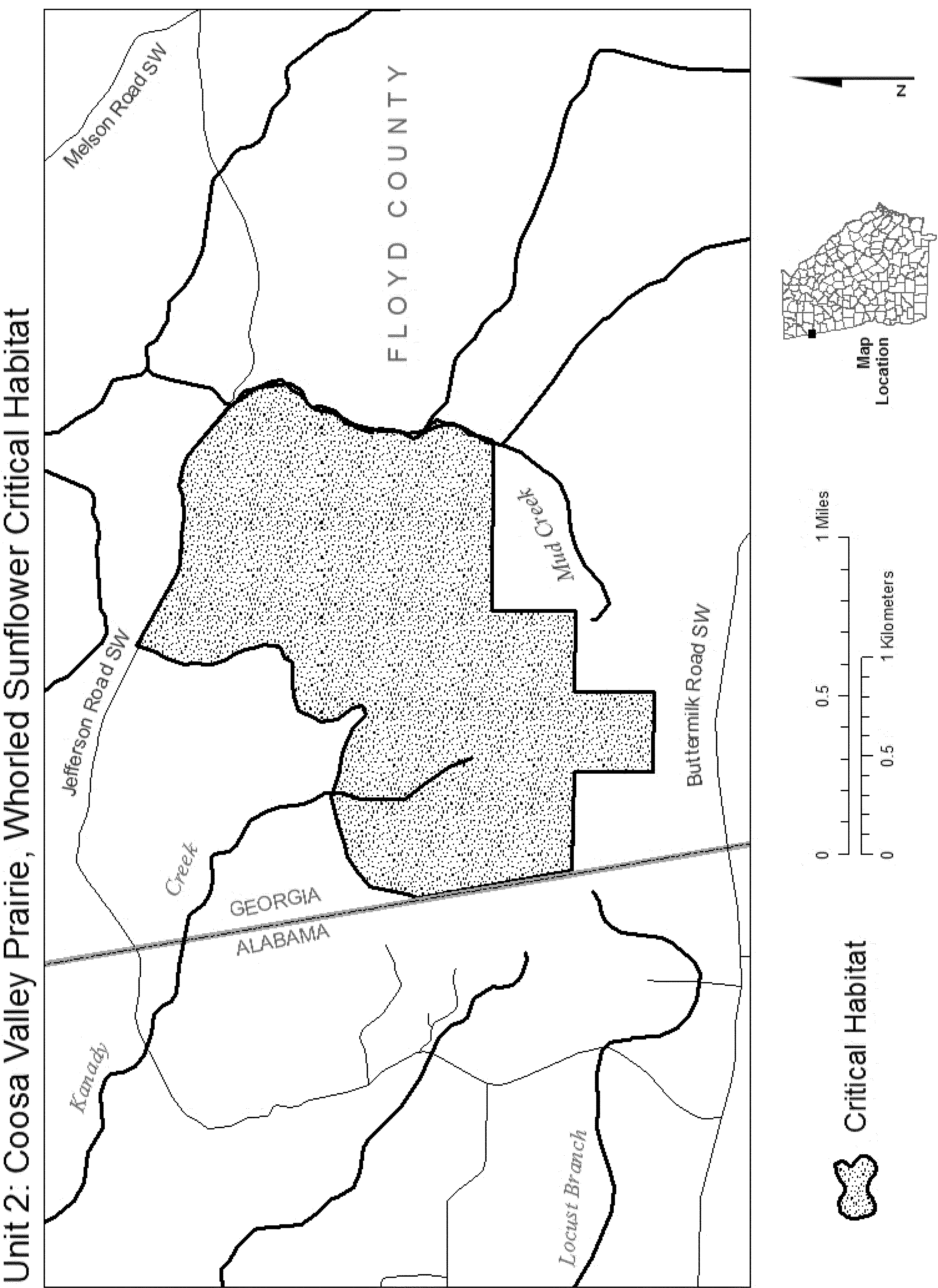
(8) Unit 3: Prairie Branch, McNairy County, Tennessee. Map of Unit 3 follows:

(9) Unit 4: Pinson, Madison County, Tennessee. Map of Unit 4 follows:
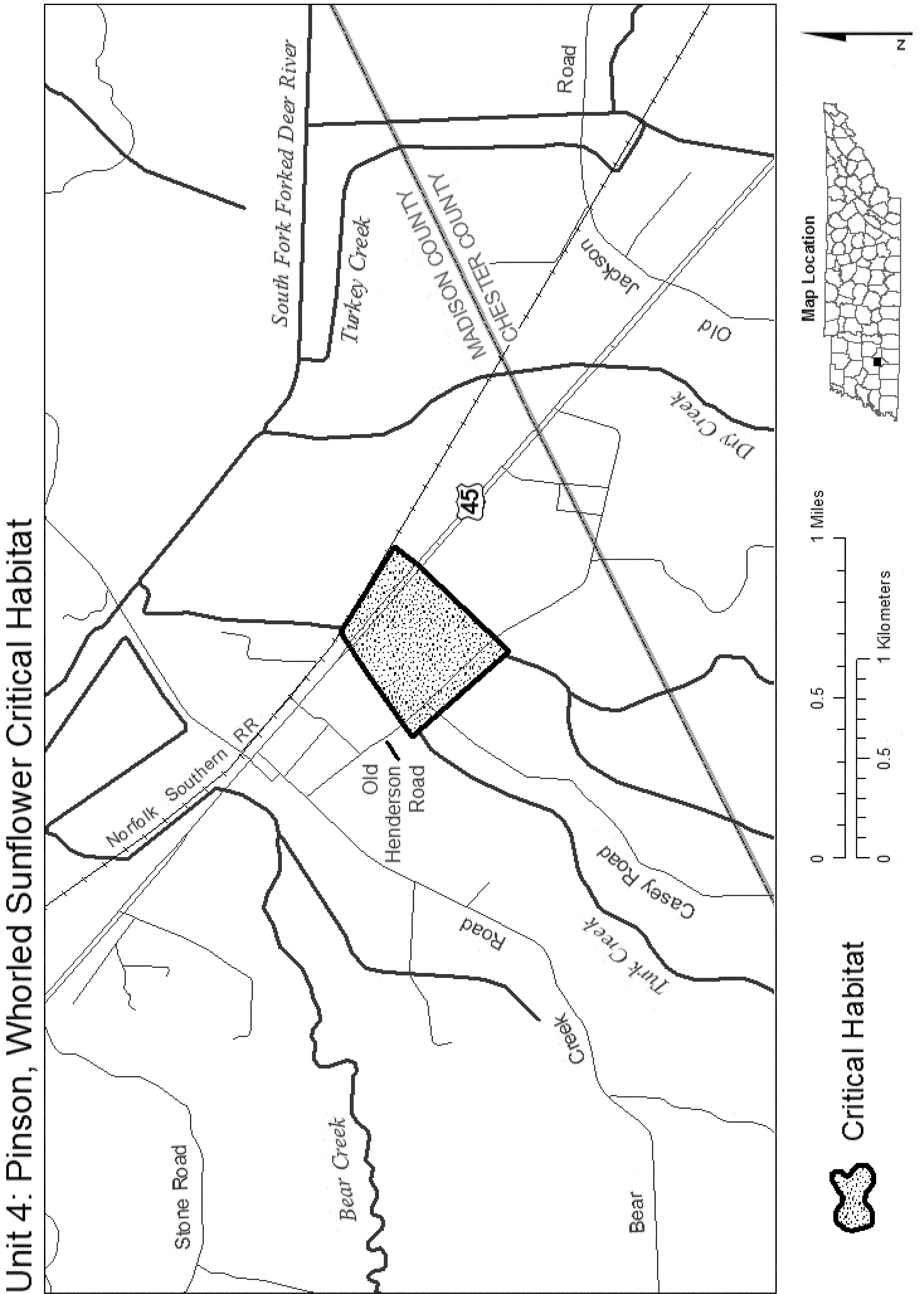
Family Asteraceae: Holocarpha macradenia (Santa Cruz tarplant)
(1) Critical habitat units are depicted for Contra Costa, Santa Cruz, and Monterey Counties, California, on the maps below. The maps provided are for informational purposes only.
(2) The primary constituent elements of critical habitat for Holocarpha macradenia are the habitat components that provide:
(i) Soils associated with coastal terrace prairies, including the Watsonville, Tierra, Elkhorn, Santa Inez, and Pinto series.
(ii) Plant communities that support associated species, including native grasses such as Nassella sp.(needlegrass) and Danthonia californica (California oatgrass); native herbaceous species such as members of the genus Hemizonia (other tarplants), Perideridia gairdneri (Gairdner's yampah), Plagiobothrys diffusus (San Francisco popcorn flower), and Trifolium buckwestiorum (Santa Cruz clover); and
(iii) Physical processes, particularly soils and hydrologic processes, that maintain the soil structure and hydrology that produce the seasonally saturated soils characteristic of Holocarpha macradenia habitat.
(3) Critical habitat does not include existing features and structures, such as buildings, roads, aqueducts, railroads, airport runways and buildings, other paved areas, lawns, and other urban landscaped areas not containing one or more of the primary constituent elements.
(4) Critical Habitat Map Units. (i) Data layers defining map units were created on a base of USGS 7.5′ quadrangles obtained from the State of California's Stephen P. Teale Data Center. Critical habitat units were then mapped using UTM coordinates.
(ii) Map 1 - Index map follows:

(5) Unit A: Mezue. Contra Costa County, California.
(i) From USGS 1:24,000 quadrangle map Richmond. Lands bounded by the following UTM zone 10, NAD83 coordinates (E, N): 562046, 4199420; 562047, 4199460; 562063, 4199550; 562066, 4199570; 562070, 4199600; 562073, 4199650; 562074, 4199670; 562076, 4199690; 562076, 4199690; 562079, 4199700; 562085, 4199710; 562100, 4199720; 562116, 4199730; 562133, 4199740; 562149, 4199750; 562179, 4199780; 562190, 4199800; 562230, 4199800; 562270, 4199800; 562299, 4199800; 562324, 4199800; 562357, 4199820; 562382, 4199840; 562403, 4199860; 562466, 4199870; 562548, 4199840; 562579, 4199820; 562616, 4199790; 562703, 4199720; 562717, 4199700; 562723, 4199690; 562724, 4199680; 562722, 4199670; 562712, 4199650; 562705, 4199620; 562699, 4199600; 562690, 4199580; 562684, 4199550; 562687, 4199490; 562684, 4199440; 562683, 4199390; 562680, 4199340; 562686, 4199300; 562629, 4199340; 562599, 4199370; 562577, 4199410; 562556, 4199480; 562520, 4199680; 562513, 4199690; 562500, 4199690; 562496, 4199680; 562498, 4199650; 562520, 4199510; 562526, 4199420; 562537, 4199380; 562544, 4199340; 562567, 4199290; 562598, 4199250; 562615, 4199240; 562621, 4199200; 562629, 4199170; 562636, 4199120; 562637, 4199070; 562638, 4199010; 562640, 4198990; 562645, 4198960; 562649, 4198920; 562648, 4198910; 562632, 4198880; 562615, 4198860; 562592, 4198840; 562554, 4198820; 562530, 4198810; 562499, 4198800; 562483, 4198800; 562465, 4198790; 562417, 4198780; 562371, 4198800; 562314, 4198810; 562255, 4198850; 562280, 4198890; 562291, 4198910; 562299, 4198930; 562299, 4198950; 562301, 4198970; 562309, 4199010; 562308, 4199030; 562306, 4199040; 562293, 4199060; 562288, 4199070; 562276, 4199090; 562271, 4199090; 562264, 4199090; 562264, 4199090; 562258, 4199080; 562258, 4199060; 562253, 4199020; 562251, 4198990; 562252, 4198940; 562251, 4198930; 562250, 4198930; 562242, 4198920; 562229, 4198900; 562212, 4198880; 562188, 4198890; 562184, 4198920; 562174, 4198960; 562163, 4199000; 562155, 4199030; 562151, 4199050; 562146, 4199070; 562136, 4199130; 562135, 4199140; 562132, 4199150; 562118, 4199180; 562108, 4199190; 562092, 4199220; 562078, 4199230; 562058, 4199270; 562049, 4199280; 562045, 4199290; 562043, 4199300; 562041, 4199310; 562041, 4199330; 562042, 4199350; 562044, 4199360; 562046, 4199420.
(ii) Map 2 of Unit A follows:

(6) Unit B: Graham Hill. Santa Cruz County, California.
(i) Unit B (Graham Hill north subunit). From USGS 1:24,000 quadrangle map Felton. Lands bounded by the following UTM zone 10, NAD83 coordinates (E, N): 585905, 4096930; 585915, 4096850; 585930, 4096130; 585930, 4096110; 585879, 4096100; 585863, 4096100; 585841, 4096110; 585833, 4096130; 585817, 4096180; 585815, 4096210; 585819, 4096240; 585840, 4096280; 585850, 4096320; 585837, 4096350; 585810, 4096390; 585749, 4096430; 585721, 4096480; 585719, 4096560; 585710, 4096710; 585724, 4096750; 585701, 4096790; 585699, 4096820; 585739, 4096850; 585791, 4096860; 585839, 4096880; 585905, 4096930.
(ii) Unit B (Graham Hill central subunit). From USGS 1:24,000 quadrangle map Felton. Lands bounded by the following UTM zone 10, NAD83 coordinates (E, N): 585912, 4095900; 585919, 4095900; 585928, 4095910; 585942, 4095900; 585974, 4095840; 585954, 4095830; 585939, 4095840; 585925, 4095840; 585915, 4095850; 585912, 4095870; 585910, 4095880; 585910, 4095890; 585912, 4095900.
(iii) Unit B (Graham Hill south subunit). From USGS 1:24,000 quadrangle map Felton. Lands bounded by the following UTM zone 10, NAD83 coordinates (E, N): 586017, 4095760; 586058, 4095680; 585931, 4095640; 585928, 4095650; 585922, 4095670; 585920, 4095680; 585922, 4095690; 585930, 4095710; 585937, 4095730; 585944, 4095740; 585955, 4095740; 585976, 4095750; 586017, 4095760.
(iv) Map 3 of Unit B follows:

(7) Unit C: (De Laveaga). Santa Cruz County, California.
(i) From USGS 1:24,000 quadrangle map Santa Cruz. Lands bounded by the following UTM zone 10, NAD83 coordinates (E, N): 588446, 4094810; 588468, 4094810; 588492, 4094800; 588510, 4094780; 588523, 4094760; 588523, 4094740; 588522, 4094730; 588519, 4094710; 588522, 4094690; 588522, 4094680; 588519, 4094660; 588515, 4094650; 588504, 4094630; 588488, 4094660; 588476, 4094660; 588459, 4094620; 588445, 4094620; 588440, 4094590; 588429, 4094590; 588417, 4094610; 588406, 4094620; 588401, 4094640; 588399, 4094660; 588401, 4094690; 588410, 4094720; 588416, 4094740; 588424, 4094770; 588432, 4094790; 588439, 4094810; 588446, 4094810.
(ii) Map 4 of Unit C follows:

(8) Unit D: Arana Gulch. Santa Cruz County, California.
From USGS 1:24,000 quadrangle maps Santa Cruz and Soquel. Lands bounded by the following UTM zone 10, NAD83 coordinates (E, N): 589295, 4093310; 589315, 4093270; 589338, 4093210; 589358, 4093170; 589399, 4093120; 589404, 4093100; 589399, 4093030; 589401, 4092990; 589400, 4092940; 589391, 4092900; 589386, 4092860; 589375, 4092830; 589353, 4092780; 589340, 4092750; 589340, 4092730; 589325, 4092690; 589310, 4092640; 589290, 4092600; 589272, 4092590; 589252, 4092570; 589238, 4092550; 589229, 4092530; 589221, 4092500; 589195, 4092460; 589161, 4092490; 589139, 4092530; 589120, 4092540; 589108, 4092540; 589092, 4092510; 589057, 4092450; 589033, 4092400; 588999, 4092360; 588929, 4092350; 588916, 4092360; 588894, 4092470; 588891, 4092560; 588890, 4092650; 588919, 4092710; 588946, 4092730; 588980, 4092760; 589053, 4092880; 589080, 4092950; 589119, 4093040; 589234, 4093080; 589178, 4093270; 589181, 4093310; 589214, 4093320; 589245, 4093330; 589268, 4093330; 589295, 4093310.
(9) Unit E: Twin Lakes. Santa Cruz County, California.
(i) From USGS 1:24,000 quadrangle map Soquel. Lands bounded by the following UTM zone 10, NAD83 coordinates (E, N): 589964, 4091950; 589967, 4091930; 589964, 4091890; 589918, 4091800; 589899, 4091780; 589871, 4091770; 589823, 4091760; 589784, 4091760; 589744, 4091750; 589722, 4091750; 589692, 4091760; 589667, 4091780; 589656, 4091770; 589640, 4091750; 589616, 4091740; 589559, 4091710; 589532, 4091690; 589521, 4091660; 589521, 4091640; 589522, 4091620; 589504, 4091610; 589489, 4091620; 589476, 4091640; 589455, 4091700; 589450, 4091730; 589449, 4091770; 589458, 4091800; 589472, 4091830; 589473, 4091840; 589465, 4091860; 589464, 4091890; 589463, 4091900; 589482, 4091920; 589506, 4091940; 589522, 4091950; 589964, 4091950.
(ii) Map 5 of Units D and E follows:

(10) Unit F: Rodeo Gulch. Santa Cruz County, California.
From USGS 1:24,000 quadrangle map Soquel. Lands bounded by the following UTM zone 10, NAD83 coordinates (E, N): 590971, 4094630; 590995, 4094740; 591007, 4094780; 591037, 4094830; 591069, 4094860; 591095, 4094900; 591125, 4094960; 591182, 4094940; 591196, 4094940; 591199, 4094950; 591207, 4094980; 591216, 4095000; 591225, 4095030; 591220, 4095050; 591225, 4095090; 591232, 4095130; 591241, 4095160; 591252, 4095180; 591265, 4095180; 591291, 4095170; 591321, 4095140; 591353, 4095050; 591393, 4094970; 591301, 4094960; 591293, 4094950; 591299, 4094910; 591300, 4094850; 591293, 4094810; 591275, 4094750; 591252, 4094660; 591224, 4094650; 591185, 4094630; 591097, 4094630; 590971, 4094630.
(11) Unit G: Soquel Unit. Santa Cruz County, California.
(i) Unit G (Soquel north subunit). From USGS 1:24,000 quadrangle maps Soquel and Laurel. Lands bounded by the following UTM zone 10, NAD83 coordinates (E, N): 592050, 4095340; 592094, 4095290; 592102, 4095240; 592112, 4095200; 592119, 4095200; 592130, 4095200; 592158, 4095210; 592173, 4095220; 592180, 4095230; 592193, 4095270; 592211, 4095320; 592218, 4095330; 592227, 4095330; 592257, 4095330; 592275, 4095330; 592299, 4095330; 592393, 4095340; 592404, 4095330; 592411, 4095220; 592423, 4095180; 592425, 4095140; 592414, 4095130; 592381, 4095120; 592290, 4095120; 592177, 4095120; 592165, 4095120; 592159, 4095120; 592149, 4095110; 592138, 4095100; 592129, 4095090; 592116, 4095090; 592109, 4095100; 592041, 4095190; 592009, 4095220; 591986, 4095240; 591980, 4095270; 591970, 4095360; 591971, 4095360; 591973, 4095370; 591995, 4095390; 592012, 4095400; 592021, 4095410; 592031, 4095400; 592046, 4095390; 592050, 4095340.
(ii) Unit G (Soquel north area). From USGS 1:24,000 quadrangle maps Soquel and Laurel. Lands bounded by the following UTM zone 10 NAD83 coordinates (E, N). 592050, 4095340; 592094, 4095290; 592102, 4095240; 592112, 4095200; 592119, 4095200; 592130, 4095200; 592158, 4095210; 592173, 4095220; 592180, 4095230; 592193, 4095270; 592211, 4095320; 592218, 4095330; 592227, 4095330; 592257, 4095330; 592275, 4095330; 592299, 4095330; 592393, 4095340; 592404, 4095330; 592411, 4095220; 592423, 4095180; 592425, 4095140; 592414, 4095130; 592381, 4095120; 592290, 4095120; 592177, 4095120; 592165, 4095120; 592159, 4095120; 592149, 4095110; 592138, 4095100; 592129, 4095090; 592116, 4095090; 592109, 4095100; 592041, 4095190; 592009, 4095220; 591986, 4095240; 591980, 4095270; 591970, 4095360; 591971, 4095360; 591973, 4095370; 591995, 4095390; 592012, 4095400; 592021, 4095410; 592031, 4095400; 592046, 4095390; 592050, 4095340.
(iii) Unit G (Soquel south subunit). From USGS 1:24,000 quadrangle maps Soquel and Laurel. Lands bounded by the following UTM zone 10, NAD83 coordinates (E, N): 592076, 4095040; 592097, 4094850; 592304, 4094860; 592315, 4094660; 592322, 4094620; 592334, 4094580; 592341, 4094510; 592347, 4094490; 592354, 4094480; 592375, 4094440; 592378, 4094430; 592380, 4094400; 592385, 4094380; 592406, 4094360; 592430, 4094320; 592442, 4094310; 592460, 4094300; 592478, 4094290; 592491, 4094280; 592494, 4094210; 592495, 4094190; 592491, 4094180; 592478, 4094180; 592458, 4094180; 592452, 4094200; 592442, 4094200; 592326, 4094210; 592311, 4094210; 592224, 4094110; 592216, 4094110; 592204, 4094110; 592165, 4094130; 592161, 4094140; 592126, 4094560; 592123, 4094590; 592117, 4094610; 592105, 4094630; 592087, 4094670; 592074, 4094690; 592057, 4094720; 592047, 4094730; 592036, 4094730; 592032, 4094720; 592036, 4094700; 592043, 4094680; 592047, 4094650; 592043, 4094610; 592036, 4094550; 592000, 4094420; 591994, 4094390; 591987, 4094380; 591973, 4094380; 591957, 4094380; 591944, 4094380; 591904, 4094420; 591855, 4094440; 591853, 4094500; 591833, 4094500; 591696, 4094500; 591696, 4094440; 591606, 4094490; 591597, 4094510; 591596, 4094520; 591613, 4094650; 591617, 4094650; 591676, 4094660; 591718, 4094660; 591751, 4094660; 591759, 4094670; 591757, 4094680; 591749, 4094680; 591738, 4094690; 591704, 4094690; 591656, 4094710; 591651, 4094720; 591651, 4094730; 591657, 4094740; 591711, 4094750; 591720, 4094740; 591726, 4094730; 591736, 4094730; 591777, 4094730; 591790, 4094740; 591797, 4094740; 591806, 4094750; 591819, 4094750; 591831, 4094750; 591845, 4094740; 591856, 4094740; 591935, 4094740; 591946, 4094880; 591956, 4094930; 591995, 4095060; 591998, 4095100; 592017, 4095090; 592059, 4095060; 592076, 4095040.
(iv) Map 6 of Units F and G follows:

(12) Unit H: Porter Gulch. Santa Cruz County, California.
(i) From USGS 1:24,000 quadrangle maps Soquel and Laurel. Lands bounded by the following UTM zone 10, NAD83 coordinates (E, N): 594615, 4095600; 594643, 4095630; 594684, 4095640; 594774, 4095680; 594850, 4095720; 594898, 4095750; 594929, 4095780; 594958, 4095820; 595017, 4095780; 595008, 4095760; 594990, 4095720; 594993, 4095700; 595020, 4095680; 595057, 4095630; 595081, 4095610; 595068, 4095600; 595061, 4095590; 595045, 4095580; 595013, 4095550; 594989, 4095540; 594967, 4095530; 594929, 4095520; 594917, 4095520; 594907, 4095500; 594893, 4095470; 594857, 4095380; 594846, 4095340; 594843, 4095320; 594842, 4095290; 594839, 4095250; 594838, 4095180; 594835, 4095150; 594828, 4095130; 594816, 4095120; 594800, 4095120; 594785, 4095120; 594772, 4095130; 594765, 4095130; 594760, 4095140; 594758, 4095150; 594760, 4095170; 594766, 4095230; 594779, 4095310; 594819, 4095420; 594856, 4095500; 594867, 4095520; 594869, 4095540; 594863, 4095550; 594848, 4095560; 594837, 4095550; 594833, 4095540; 594828, 4095540; 594810, 4095500; 594776, 4095470; 594747, 4095440; 594718, 4095410; 594689, 4095370; 594669, 4095370; 594652, 4095370; 594639, 4095380; 594627, 4095380; 594622, 4095400; 594624, 4095470; 594606, 4095470; 594587, 4095460; 594571, 4095470; 594565, 4095480; 594557, 4095480; 594549, 4095480; 594530, 4095480; 594518, 4095470; 594514, 4095460; 594517, 4095440; 594509, 4095430; 594498, 4095430; 594473, 4095430; 594462, 4095430; 594453, 4095430; 594444, 4095420; 594442, 4095410; 594441, 4095390; 594436, 4095380; 594427, 4095380; 594415, 4095380; 594411, 4095390; 594394, 4095420; 594390, 4095440; 594390, 4095450; 594391, 4095470; 594410, 4095490; 594457, 4095530; 594502, 4095550; 594542, 4095560; 594597, 4095560; 594597, 4095600; 594615, 4095600.
(ii) Map 7 of Unit H follows:

(13) Unit I: Watsonville Unit. Santa Cruz County, California.
(i) Unit I (Watsonville north subunit). From USGS 1:24,000 quadrangle map Watsonville West. Lands bounded by the following UTM zone 10, NAD83 coordinates (E, N): 606195, 4088630; 606299, 4088730; 606331, 4088750; 606365, 4088760; 606454, 4088750; 606492, 4088750; 606515, 4088750; 606535, 4088760; 606555, 4088800; 606560, 4088840; 606580, 4088880; 606607, 4088890; 606660, 4088900; 606927, 4088910; 606938, 4088530; 606930, 4088220; 606810, 4088090; 606689, 4087970; 606652, 4088040; 606596, 4088110; 606522, 4088170; 606490, 4088210; 606437, 4088250; 606362, 4088300; 606303, 4088340; 606274, 4088370; 606263, 4088390; 606252, 4088430; 606234, 4088450; 606219, 4088480; 606215, 4088520; 606199, 4088590; 606195, 4088630.
(ii) Unit I (Airport subunit). From USGS 1:24,000 quadrangle map Watsonville West. Lands bounded by the following UTM zone 10, NAD83 coordinates (E, N): 607026, 4087500; 606967, 4087520; 607005, 4087620; 607031, 4087670; 607046, 4087710; 607073, 4087750; 607095, 4087820; 607136, 4087830; 607137, 4087860; 607146, 4087980; 607140, 4088020; 607145, 4088050; 607158, 4088060; 607202, 4088060; 607247, 4088050; 607252, 4088090; 607292, 4088090; 607378, 4088100; 607383, 4088250; 607306, 4088240; 607226, 4088240; 607201, 4088250; 607184, 4088270; 607159, 4088300; 607147, 4088310; 607147, 4088340; 607158, 4088380; 607195, 4088470; 607203, 4088510; 607212, 4088560; 607222, 4088620; 607226, 4088650; 607227, 4088710; 607240, 4088750; 607241, 4088780; 607236, 4088820; 607246, 4088840; 607340, 4088840; 607846, 4088860; 607947, 4089000; 608079, 4089030; 608191, 4088860; 608477, 4088700; 608460, 4088620; 608641, 4088590; 608652, 4088610; 608746, 4088570; 608602, 4088450; 607932, 4088550; 607689, 4088150; 607267, 4087440; 607312, 4087430; 607297, 4087340; 607239, 4087340; 607201, 4087350; 607181, 4087320; 607148, 4087320; 607031, 4087350; 606969, 4087370; 607026, 4087500.
(iii) Unit I (Watsonville south subunit). From USGS 1:24,000 quadrangle map Watsonville West. Lands bounded by the following UTM zone 10, NAD83 coordinates (E, N): 609032, 4085780; 609074, 4085770; 609198, 4085730; 609153, 4085610; 609208, 4085430; 609333, 4085390; 609504, 4085250; 609242, 4085080; 609191, 4085230; 609164, 4085310; 609006, 4085250; 609123, 4085020; 608761, 4084800; 608590, 4085160; 608651, 4085380; 608760, 4085450; 608869, 4085480; 608941, 4085530; 608976, 4085570; 609032, 4085580; 609040, 4085630; 608979, 4085640; 608931, 4085660; 608920, 4085700; 608928, 4085730; 608957, 4085760; 608995, 4085780; 609032, 4085780.
(iv) Unit I (Highway 1 north subunit). From USGS 1:24,000 quadrangle map Watsonville West. Lands bounded by the following UTM zone 10, NAD83 coordinates (E, N): 607333, 4087090; 607348, 4087150; 607389, 4087150; 607449, 4087090; 607498, 4087060; 607570, 4087060; 607570, 4086940; 607558, 4086930; 607333, 4087090.
(v) Unit I (Highway 1 south subunit). From USGS 1:24,000 quadrangle map Watsonville West. Lands bounded by the following UTM zone 10, NAD83 coordinates (E, N): 607819, 4086590; 607892, 4086560; 607893, 4086520; 607900, 4086500; 607920, 4086470; 607931, 4086440; 607946, 4086410; 607978, 4086370; 608003, 4086320; 608031, 4086280; 608057, 4086260; 608029, 4086240; 608063, 4086190; 608101, 4086160; 608138, 4086130; 608069, 4086100; 607819, 4086590.
(vi) Unit I (Harkins Slough subunit). From USGS 1:24,000 quadrangle map Watsonville West. Lands bounded by the following UTM zone 10, NAD83 coordinates (E, N): 606736, 4084900; 606721, 4084900; 606703, 4084900; 606698, 4084920; 606703, 4084940; 606709, 4084960; 606710, 4085000; 606715, 4085030; 606715, 4085050; 606715, 4085080; 606707, 4085090; 606698, 4085100; 606678, 4085110; 606661, 4085140; 606634, 4085230; 606632, 4085260; 606635, 4085290; 606651, 4085310; 606667, 4085370; 606677, 4085390; 606695, 4085410; 606713, 4085420; 606695, 4085510; 606701, 4085540; 606721, 4085550; 606733, 4085580; 606742, 4085610; 606745, 4085650; 606756, 4085690; 606773, 4085710; 606759, 4085800; 606744, 4085830; 606736, 4085870; 606725, 4085930; 606729, 4085960; 606741, 4085990; 606761, 4086020; 606756, 4086050; 606735, 4086090; 606715, 4086130; 606704, 4086180; 606689, 4086350; 606690, 4086390; 606696, 4086440; 606715, 4086490; 606746, 4086540; 606762, 4086620; 606767, 4086650; 606766, 4086700; 606762, 4086780; 606786, 4086810; 606896, 4086850; 606923, 4086940; 607053, 4086940; 607125, 4087120; 607085, 4087130; 607002, 4087200; 606976, 4087250; 606968, 4087280; 607157, 4087140; 607286, 4087040; 607497, 4086890; 607591, 4086820; 607719, 4086630; 607746, 4086620; 608027, 4086080; 607960, 4086030; 607945, 4086070; 607914, 4086180; 607889, 4086200; 607861, 4086220; 607830, 4086260; 607799, 4086310; 607782, 4086380; 607764, 4086400; 607738, 4086400; 607715, 4086390; 607705, 4086370; 607705, 4086350; 607713, 4086320; 607741, 4086240; 607771, 4086180; 607825, 4086100; 607863, 4086050; 607891, 4085970; 607999, 4085770; 608023, 4085720; 608026, 4085670; 608026, 4085630; 608016, 4085590; 607990, 4085560; 607945, 4085560; 607911, 4085550; 607871, 4085500; 607932, 4085480; 607985, 4085460; 608013, 4085440; 608016, 4085410; 608006, 4085380; 607995, 4085350; 608006, 4085310; 608054, 4085240; 608087, 4085210; 608107, 4085160; 608143, 4085110; 608184, 4085090; 608219, 4085060; 608233, 4085030; 608237, 4084990; 608186, 4084950; 608118, 4084660; 607891, 4084590; 607817, 4084540; 607733, 4084490; 607718, 4084490; 607703, 4084510; 607705, 4084540; 607708, 4084590; 607708, 4084640; 607703, 4084680; 607659, 4084750; 607643, 4084810; 607647, 4084850; 607672, 4084900; 607715, 4084960; 607746, 4084980; 607777, 4084990; 607821, 4085040; 607812, 4085100; 607937, 4085270; 607886, 4085330; 607769, 4085220; 607709, 4085150; 607649, 4085150; 607619, 4085130; 607642, 4085070; 607644, 4085050; 607639, 4085020; 607562, 4084870; 607547, 4084850; 607527, 4084850; 607499, 4084850; 607474, 4084850; 607385, 4084990; 607313, 4085120; 607306, 4085190; 607301, 4085230; 607313, 4085260; 607359, 4085370; 607405, 4085500; 607407, 4085550; 607397, 4085580; 607341, 4085640; 607242, 4085780; 607199, 4085760; 607186, 4085730; 607196, 4085690; 607293, 4085520; 607308, 4085490; 607311, 4085460; 607295, 4085370; 607241, 4085250; 607232, 4085220; 607232, 4085190; 607242, 4085100; 607269, 4085010; 607303, 4084920; 607375, 4084780; 607484, 4084640; 607545, 4084530; 607586, 4084420; 607028, 4083920; 607011, 4083950; 607058, 4084120; 607036, 4084150; 606990, 4084230; 606906, 4084180; 606797, 4084220; 606768, 4084240; 606753, 4084300; 606753, 4084330; 606758, 4084360; 606765, 4084380; 606774, 4084410; 606791, 4084480; 606759, 4084610; 606696, 4084670; 606680, 4084680; 606672, 4084700; 606667, 4084720; 606684, 4084760; 606698, 4084770; 606712, 4084780; 606736, 4084810; 606756, 4084840; 606770, 4084860; 606758, 4084890; 606736, 4084900.
(vii) Map 8 of Unit I follows:

(14) Unit J: Casserly. Santa Cruz County, California.
(i) From USGS 1:24,000 quadrangle maps Loma Prieta, Mt. Madona, Watsonville East, and Watsonville West. Lands bounded by the following UTM zone 10, NAD83 coordinates (E, N): 610201, 4094760; 610253, 4094770; 610315, 4094760; 610340, 4094730; 610351, 4094720; 610366, 4094730; 610368, 4094750; 610363, 4094780; 610346, 4094860; 610330, 4094910; 610300, 4094980; 610231, 4095070; 610143, 4095150; 610117, 4095190; 610107, 4095220; 610111, 4095230; 610169, 4095280; 610196, 4095290; 610217, 4095330; 610236, 4095340; 610262, 4095340; 610289, 4095330; 610366, 4095260; 610399, 4095240; 610412, 4095240; 610428, 4095240; 610453, 4095240; 610471, 4095210; 610499, 4095190; 610524, 4095200; 610548, 4095210; 610563, 4095200; 610577, 4095170; 610599, 4095160; 610619, 4095170; 610630, 4095180; 610659, 4095190; 610678, 4095200; 610695, 4095220; 610702, 4095240; 610711, 4095250; 610730, 4095240; 610750, 4095240; 610789, 4095230; 610783, 4095210; 610777, 4095180; 610768, 4095150; 610761, 4095120; 610763, 4095090; 610779, 4095070; 610809, 4095070; 610832, 4095070; 610851, 4095080; 610872, 4095070; 610880, 4095050; 610878, 4095010; 610879, 4094990; 610881, 4094980; 610911, 4094930; 610924, 4094910; 610946, 4094890; 610964, 4094890; 610982, 4094890; 611082, 4094950; 611126, 4094960; 611161, 4094970; 611190, 4094970; 611213, 4094950; 611216, 4094930; 611211, 4094870; 611210, 4094830; 611226, 4094710; 611217, 4094510; 611258, 4094460; 611358, 4094440; 611566, 4094440; 611639, 4094440; 611754, 4094460; 611806, 4094450; 611867, 4094430; 612002, 4094360; 612045, 4094320; 612071, 4094280; 612100, 4094230; 612136, 4094160; 612158, 4094130; 612214, 4094100; 612248, 4094090; 612354, 4094010; 612393, 4094000; 612433, 4093990; 612493, 4094000; 612575, 4094010; 612678, 4094000; 612764, 4093980; 612836, 4093950; 612974, 4093850; 613106, 4093720; 613136, 4093690; 613169, 4093670; 613269, 4093640; 613373, 4093620; 613483, 4093620; 613505, 4093590; 613499, 4093570; 613482, 4093550; 613451, 4093520; 613409, 4093480; 613386, 4093440; 613380, 4093410; 613391, 4093380; 613409, 4093380; 613441, 4093380; 613522, 4093420; 613553, 4093430; 613596, 4093430; 613625, 4093410; 613641, 4093360; 613631, 4093320; 613615, 4093290; 613563, 4093250; 613496, 4093210; 613479, 4093190; 613480, 4093170; 613542, 4093120; 613617, 4093090; 613699, 4093090; 613732, 4093080; 613772, 4093050; 613790, 4093020; 613855, 4092900; 613866, 4092870; 613909, 4092860; 613918, 4092810; 613905, 4092770; 613871, 4092710; 613783, 4092690; 613730, 4092670; 613661, 4092630; 613624, 4092650; 613555, 4092700; 613496, 4092640; 613468, 4092650; 613409, 4092710; 613316, 4092620; 613285, 4092580; 613240, 4092560; 613167, 4092570; 613101, 4092530; 613023, 4092520; 612958, 4092450; 612847, 4092450; 612846, 4092620; 612576, 4092620; 612538, 4092680; 612564, 4092770; 612630, 4092830; 612631, 4092890; 612676, 4092950; 612688, 4093020; 612680, 4093040; 612651, 4093040; 612603, 4093000; 612561, 4092980; 612529, 4092970; 612490, 4092980; 612464, 4093000; 612439, 4093000; 612409, 4092950; 612333, 4092870; 612269, 4092760; 612242, 4092710; 612214, 4092690; 612167, 4092710; 612109, 4092760; 612022, 4092810; 612003, 4092850; 612002, 4092880; 612023, 4092900; 612065, 4092900; 612111, 4092920; 612145, 4092970; 612159, 4092990; 612183, 4092990; 612212, 4092980; 612227, 4092960; 612259, 4092950; 612312, 4092970; 612336, 4093010; 612323, 4093080; 612339, 4093130; 612369, 4093180; 612390, 4093200; 612383, 4093220; 612353, 4093240; 612307, 4093250; 612235, 4093250; 612181, 4093280; 612123, 4093320; 612011, 4093360; 612028, 4093410; 612061, 4093490; 612043, 4093600; 612069, 4093670; 611870, 4093750; 611832, 4093680; 611760, 4093640; 611676, 4093620; 611667, 4093570; 611636, 4093530; 611587, 4093520; 611584, 4093430; 611398, 4093410; 611395, 4093160; 611331, 4093110; 611251, 4093060; 610986, 4093130; 610818, 4093180; 610752, 4093240; 610709, 4093270; 610662, 4093270; 610498, 4093240; 610429, 4093250; 610382, 4093310; 610351, 4093370; 610333, 4093410; 610109, 4093470; 610090, 4093520; 610066, 4093570; 610046, 4093640; 610050, 4093710; 610070, 4093790; 610114, 4093830; 610182, 4093840; 610443, 4093800; 610465, 4093800; 610477, 4093820; 610483, 4093860; 610489, 4093950; 610489, 4093980; 610467, 4094020; 610456, 4094100; 610442, 4094120; 610426, 4094130; 610385, 4094150; 610296, 4094180; 610278, 4094190; 610255, 4094210; 610220, 4094250; 610188, 4094290; 610152, 4094330; 610121, 4094380; 610115, 4094410; 610110, 4094460; 610121, 4094590; 610133, 4094680; 610140, 4094710; 610154, 4094730; 610175, 4094750; 610201, 4094760.
(ii) Map 9 of Unit J follows:

(15) Unit K: Elkhorn. Santa Cruz County, California.
(i) From USGS 1:24,000 quadrangle maps Watsonville East, Prunedale. Lands bounded by the following UTM zone 10, NAD83 coordinates (E, N): 611931, 4081300; 611930, 4081420; 611939, 4081530; 611956, 4081610; 611983, 4081680; 611981, 4081740; 611956, 4081790; 611918, 4081860; 611877, 4081940; 611839, 4082020; 611806, 4082090; 611787, 4082150; 611788, 4082180; 611796, 4082190; 611834, 4082200; 611862, 4082190; 611875, 4082170; 611885, 4082140; 611902, 4082110; 611916, 4082100; 611967, 4082090; 612005, 4082090; 612065, 4082080; 612155, 4082060; 612210, 4082080; 612247, 4082100; 612283, 4082110; 612348, 4082090; 612423, 4082080; 612481, 4082050; 612501, 4082000; 612519, 4081910; 612517, 4081840; 612517, 4081750; 612499, 4081720; 612478, 4081690; 612469, 4081640; 612473, 4081600; 612504, 4081490; 612509, 4081400; 612518, 4081210; 612520, 4081080; 612504, 4081040; 612475, 4081010; 612428, 4080960; 612393, 4080940; 612333, 4080880; 612255, 4080790; 612142, 4080860; 612070, 4080930; 612001, 4081020; 611957, 4081120; 611940, 4081200; 611931, 4081300.
(ii) Map 10 of Unit K follows:

Family Asteraceae: Lasthenia conjugens (Contra Costa goldfields)
(1) Critical habitat units are depicted for Alameda, Contra Costa, Mendocino, Napa, and Solano Counties, California, on the maps in this entry. The maps provided are for informational purposes only.
(2) The primary constituent elements of critical habitat for Lasthenia conjugens (Contra Costa goldfields) are the habitat components that provide:
(i) Topographic features characterized by isolated mound and intermound complex within a matrix of surrounding uplands that result in continuously, or intermittently, flowing surface water in the depressional features including swales connecting the pools described below in paragraph (2)(ii), providing for dispersal and promoting hydroperiods of adequate length in the pools;
(ii) Depressional features including isolated vernal pools with underlying restrictive soil layers that become inundated during winter rains and that continuously hold water or whose soils are saturated for a period long enough to promote germination, flowering, and seed production of predominantly annual native wetland species and typically exclude both native and nonnative upland plant species in all but the driest years. As these features are inundated on a seasonal basis, they do not promote the development of obligate wetland vegetation habitats typical of permanently flooded emergent wetlands;
(3) Existing manmade features and structures, such as buildings, roads, railroads, airports, runways, other paved areas, lawns, and other urban landscaped areas do not contain one or more of the primary constituent elements. Federal actions limited to those areas, therefore, would not trigger a consultation under section 7 of the Act unless they may affect the species and/or primary constituent elements in adjacent critical habitat.
(4) Unit 1: Mendocino County, California. From USGS 1:24,000 scale quadrangle Point Arena. Land bounded by the following UTM Zone 10, NAD 83 coordinates (E,N): 441300, 4314200; 441600, 4313700; 441700, 4313500; 442200, 4313400; 442500, 4313300; 442900, 4312800; 443200, 4312300; 443300, 4312000; 443300, 4311800; 442500, 4311800; 442400, 4312000; 442200, 4312000; 441300, 4311000; 441000, 4310900; 440700, 4310900; 440500, 4311100; 440200, 4311100; 440000, 4311300; 439500, 4311000; 438900, 4311000; 438500, 4311400; 438500, 4311800; 438500, 4312500; 438500, 4312700; 438700, 4313000; 439000, 4313100; 439100, 4313500; 439300, 4313900; 439500, 4314000; 439800, 4313900; 440100, 4314000; 441000, 4314000; 441200, 4314200; returning to 441300, 4314200.
(5) Note: Unit 1 (Map 1) follows:

(6) Unit 2: Napa County, California. From USGS 1:24,000 scale quadrangles Yountville, Capell Valley. Land bounded by the following UTM Zone 10, NAD 83 coordinates (E,N): 566800, 4250900; 567300, 4250500; 568100, 4250500; 568300, 4250100; 568100, 4250000; 568400, 4249400; 568500, 4249300; 568300, 4249100; 567800, 4249000; 567500, 4248900; 567400, 4248600; 567300, 4248100; 567200, 4248300; 567000, 4249800; 566700, 4250000; 566400, 4250300; 566100, 4250400; 566000, 4250500; 565500, 4250500; 565100, 4250500; 565100, 4250800; 565400, 4251200; 566000, 4251800; 566600, 4251600; returning to 566800, 4250900.
(7) Unit 3: Napa County, California. From USGS 1:24,000 scale quadrangles Napa, Cuttings Wharf. Land bounded by the following UTM Zone 10, NAD 83 coordinates (E,N): 564800, 4233300; 564800, 4233100; 564600, 4233200; 564100, 4232800; 563800, 4233000; 563800, 4233600; 563800, 4235100; 563800, 4235200; 563900, 4235300; 564200, 4235400; 564400, 4235300; 564500, 4235100; 564700, 4235000; 564700, 4234900; 564800, 4234700; 564700, 4234400; 564800, 4234200; 564700, 4234100; 564700, 4234000; 564800, 4233800; returning to 564800, 4233300.
(8) Unit 4: Solano County, California.
(i) Unit 4A: Solano County, California. From USGS 1:24,000 scale quadrangle Fairfield South. Land bounded by the following UTM Zone 10, NAD 83 coordinates (E,N): 577600, 4229700; 577700, 4229600; 578100, 4229800; 578100, 4229700; 577900, 4229100; 577300, 4229400; 577200, 4229800; 577400, 4230000; 577600, 4229800; returning to 577600, 4229700.
(ii) Unit 4B: Solano County, California. From USGS 1:24,000 scale quadrangles Fairfield South. Land bounded by the following UTM Zone 10, NAD 83 coordinates (E,N): 583778, 4233214; 583700, 4232900; 583100, 4231900; 582700, 4231800; 582400, 4231500; 582300, 4230700; 582000, 4230700; 581900, 4230400; 581700, 4230400; 581700, 4231100; 581800, 4231100; 581800, 4231600; 581300, 4231600; 581300, 4232000; 581500, 4232200; 581500, 4231900; 581700, 4231900; 581700, 4232900; 581900, 4232900; 582800, 4233000; 583100, 4233000; 583112, 4232993; 583156, 4233006; 583545, 4233137; 583619, 4233161; 583629, 4233165; 583725, 4233196; returning to 583778, 4233214.
(iii) Unit 4C: Solano County, California. From USGS 1:24,000 scale quadrangles Elmira, Denverton. Land bounded by the following UTM Zone 10, NAD 83 coordinates (E,N): 594915, 4234098; 594916, 4233314; 595044, 4233310; 595068, 4233296; 595131, 4233266; 595174, 4233226; 595189, 4233210; 595239, 4233151; 595322, 4232978; 595423, 4232778; 595483, 4232667; 595553, 4232524; 595699, 4232243; 595966, 4231717; 594927, 4231710; 594445, 4231707; 594409, 4231673; 594410, 4231616; 594434, 4231540; 594474, 4231494; 594495, 4231457; 594497, 4231414; 594510, 4231370; 594543, 4231356; 594575, 4231342; 594603, 4231341; 594614, 4231338; 594616, 4231325; 594618, 4231311; 594614, 4231290; 594605, 4231284; 594583, 4231275; 594573, 4231268; 594557, 4231245; 594550, 4231209; 594543, 4231179; 594500, 4231200; 593800, 4231200; 593600, 4230500; 593291, 4230515; 593291, 4230514; 589300, 4230700; 589179, 4230901; 589179, 4230901; 589240, 4230894; 589274, 4230890; 589315, 4230894; 589321, 4230909; 589313, 4231179; 589015, 4231215; 589100, 4231300; 589100, 4231700; 588600, 4231600; 588440, 4231680; 588417, 4232400; 588500, 4232400; 588500, 4232500; 588600, 4232500; 588600, 4232800; 588400, 4233000; 588600, 4233300; 588700, 4233500; 589300, 4233500; 589983, 4233500; 590000, 4233500; 590100, 4233500; 590100, 4233300; 590600, 4233300; 591100, 4232800; 591138, 4232825; 591143, 4232820; 591184, 4232856; 591700, 4233200; 592513, 4233290; 592594, 4233291; 592594, 4233299; 592600, 4233300; 592600, 4233800; 592900, 4233700; 592900, 4233751; 592901, 4233751; 592900, 4233754; 592900, 4233800; 593400, 4234100; 594200, 4234100; 594300, 4234900; 594500, 4234900; 594890, 4235396; returning to 594915, 4234098.
(9) Unit 5: Solano County, California.
(i) Unit 5A: Solano County, California. From USGS 1:24,000 scale quadrangle Elmira. Land bounded by the following UTM Zone 10, NAD 83 coordinates (E,N): 593200, 4242200; 593200, 4240600; 593211, 4240600; 593255, 4239807; 592030, 4239793; 592062, 4240126; 592044, 4240137; 592026, 4240170; 592026, 4240181; 592030, 4240261; 592300, 4240800; 592100, 4240800; 591800, 4241000; 591700, 4241100; 591600, 4241200; 591600, 4241300; 591600, 4241700; 591700, 4241700; 591800, 4241600; 591900, 4241600; 592000, 4241500; 592200, 4241300; 592300, 4240900; returning to 593200, 4242200.
(ii) Unit 5B: Solano County, California. From USGS 1:24,000 scale quadrangles Elmira, Denverton. Land bounded by the following UTM Zone 10, NAD 83 coordinates (E,N): 589698, 4236560; 589600, 4234900; 589700, 4234900; 589700, 4234500; 590100, 4234500; 590100, 4234064; 590100, 4234000; 589400, 4234000; 589000, 4234400; 588500, 4234400; 588500, 4236400; 588549, 4236449; 588944, 4236551; 589524, 4236558; 589670, 4236559; returning to 589698, 4236560.
(iii) Note: Units 2-5 (Map 2) follow:
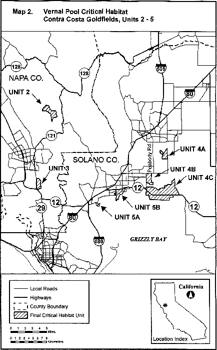
(10) Unit 6: Contra Costa County, California. From USGS 1:24,000 scale quadrangle Benicia. Land bounded by the following UTM Zone 10, NAD 83 coordinates (E,N): 566800, 4208500; 566800, 4208000; 566900, 4208000; 566900, 4207900; 566900, 4207800; 567100, 4207800; 567100, 4207900; 567000, 4207900; 567000, 4208000; 567100, 4208100; 567200, 4208200; 567500, 4207800; 567900, 4207400; 568200, 4207200; 568500, 4207100; 568400, 4207100; 568300, 4207000; 568200, 4207000; 568200, 4207100; 568100, 4207100; 568100, 4207000; 567900, 4207100; 567700, 4207200; 567600, 4207200; 567600, 4207100; 567500, 4207100; 567200, 4207100; 566600, 4207700; 566400, 4207500; 565900, 4207400; 565700, 4207700; 566411, 4208500; returning to 566800, 4208500.
(11) Note: Unit 6 (Map 3) follows:

(12) Unit 7: Contra Costa County, California. From USGS 1:24,000 scale quadrangles Byron Hot Springs, Clifton Court Forebay. Land bounded by the following UTM Zone 10, NAD 83 coordinates (E,N): 621800, 4191200; 622200, 4190700; 622300, 4190400; 622275, 4190400; 621200, 4190400; 621100, 4190400; 621100, 4188700; 620900, 4188700; 620600, 4188400; 620400, 4188600; 620400, 4188100; 620500, 4187900; 620600, 4187800; 620700, 4187700; 620900, 4187700; 621100, 4187500; 620500, 4187100; 620500, 4186900; 621300, 4187300; 621321, 4187289; 621338, 4187281; 621700, 4187100; 621800, 4186900; 621600, 4186200; 621600, 4186000; 621800, 4185900; 621900, 4186100; 621800, 4186500; 621900, 4186600; 622100, 4186600; 622200, 4186400; 622300, 4186200; 622500, 4186000; 622500, 4185800; 622000, 4185300; 621200, 4185300; 621200, 4185700; 621300, 4186000; 621100, 4186100; 620500, 4185900; 620600, 4185400; 620500, 4185200; 620200, 4185300; 620200, 4185500; 620000, 4185900; 620000, 4186100; 620500, 4186100; 620700, 4186200; 620700, 4186600; 620200, 4186800; 620100, 4186900; 620000, 4186800; 619900, 4186600; 619900, 4186400; 619800, 4186300; 619600, 4186400; 619500, 4186300; 619600, 4186100; 619600, 4185700; 619400, 4185700; 618200, 4186600; 618100, 4187100; 617700, 4187400; 617800, 4187900; 618400, 4187900; 618400, 4187500; 619000, 4186900; 619400, 4186700; 619500, 4186900; 619500, 4189200; 619300, 4189400; 619400, 4189600; 619000, 4189700; 618700, 4189400; 618500, 4189000; 617800, 4188900; 617618, 4188855; 617400, 4189000; 617400, 4189200; 618200, 4189500; 618100, 4189800; 618200, 4190100; 618700, 4190300; 618700, 4190700; 619000, 4191000; 619300, 4191100; 619600, 4191100; 619800, 4190700; 619900, 4190700; 620100, 4190900; 620400, 4190900; 620400, 4190900; 620400, 4190900; 620500, 4191200; returning to 621800, 4191200.
(13) Note: Unit 7 (Map 4) follows:

(14) Unit 8: Alameda County, California.
(i) Unit 8A: Alameda County, California. From USGS 1:24,000 scale quadrangles Milpitas, Niles. Land bounded by the following UTM Zone 10, NAD 83 coordinates (E,N): 590100, 4150400; 590481, 4150210; 590452, 4150159; 590383, 4150201; 590320, 4150230; 590312, 4150216; 590309, 4150216; 590306, 4150215; 590303, 4150215; 590300, 4150214; 590297, 4150213; 590294, 4150212; 590291, 4150212; 590202, 4150262; 590201, 4150263; 590199, 4150264; 590197, 4150265; 590195, 4150266; 590193, 4150267; 590191, 4150267; 590189, 4150268; 590187, 4150269; 590185, 4150269; 590183, 4150269; 590180, 4150270; 590178, 4150270; 590176, 4150270; 590174, 4150270; 590172, 4150270; 590170, 4150270; 590168, 4150270; 590165, 4150270; 590163, 4150270; 590161, 4150269; 590159, 4150269; 590157, 4150269; 590155, 4150268; 590153, 4150267; 590151, 4150266; 590149, 4150266; 590147, 4150265; 590145, 4150264; 590143, 4150263; 590141, 4150262; 590140, 4150261; 590138, 4150260; 590136, 4150258; 590134, 4150257; 590133, 4150256; 589930, 4150084; 589926, 4150080; 589921, 4150076; 589916, 4150073; 589911, 4150070; 589906, 4150066; 589901, 4150064; 589896, 4150061; 589891, 4150059; 589885, 4150056; 589880, 4150054; 589874, 4150052; 589869, 4150050; 589863, 4150049; 589857, 4150048; 589852, 4150046; 589846, 4150045; 589840, 4150045; 589834, 4150044; 589829, 4150044; 589823, 4150044; 589817, 4150044; 589811, 4150044; 589805, 4150045; 589799, 4150045; 589794, 4150046; 589788, 4150047; 589782, 4150048; 589776, 4150050; 589771, 4150052; 589765, 4150053; 589760, 4150055; 589754, 4150058; 589749, 4150060; 589744, 4150063; 589739, 4150066; 589734, 4150068; 589729, 4150072; 589724, 4150075; 589719, 4150078; 589715, 4150082; 589710, 4150086; 589706, 4150090; 589702, 4150094; 589698, 4150098; 589694, 4150103; 589641, 4150165; 589900, 4150100; returning to 590100, 4150400;
(ii) Unit 8B: Alameda County, California. From USGS 1:24,000 scale quadrangles Milpitas, Niles. Land bounded by the following UTM Zone 10, NAD 83 coordinates (E,N):592000, 4150900; 592300, 4150600; 592300, 4150582; 592274, 4150603; 592276, 4150615; 592213, 4150675; 592195, 4150689; 592081, 4150769; 592026, 4150768; 591957, 4150835; 591831, 4150703; 591824, 4150696; 591604, 4150449; 591601, 4150449; 591598, 4150449; 591595, 4150449; 591592, 4150449; 591589, 4150448; 591586, 4150448; 591583, 4150448; 591581, 4150447; 591578, 4150446; 591575, 4150446; 591572, 4150445; 591569, 4150444; 591567, 4150443; 591564, 4150441; 591561, 4150440; 591559, 4150439; 591556, 4150437; 591554, 4150436; 591552, 4150434; 591549, 4150433; 591547, 4150431; 591545, 4150429; 591542, 4150427; 591540, 4150425; 591538, 4150423; 591536, 4150421; 591534, 4150419; 591533, 4150416; 591531, 4150414; 591529, 4150412; 591528, 4150409; 591526, 4150407; 591525, 4150404; 591523, 4150401; 591522, 4150399; 591521, 4150396; 591520, 4150393; 591519, 4150391; 591518, 4150388; 591518, 4150385; 591517, 4150382; 591516, 4150379; 591516, 4150376; 591516, 4150374; 591515, 4150371; 591515, 4150368; 591515, 4150365; 591515, 4150362; 591515, 4150359; 591516, 4150356; 591516, 4150354; 591442, 4150273; 591396, 4150319; 591243, 4150156; 591255, 4150145; 591269, 4150133; 591300, 4150104; 591331, 4150075; 591473, 4149942; 591550, 4149873; 591589, 4149840; 591620, 4149817; 591665, 4149787; 591688, 4149775; 591721, 4149761; 591777, 4149738; 591825, 4149720; 591872, 4149707; 591913, 4149697; 591958, 4149690; 592001, 4149686; 592064, 4149684; 592119, 4149689; 592237, 4150383; 592245, 4150384; 592244, 4150388; 592251, 4150389; 592252, 4150385; 592298, 4150392; 592200, 4150000; 592100, 4149600; 592000, 4149500; 591984, 4149500; 592103, 4149649; 592088, 4149647; 592058, 4149645; 592030, 4149647; 591994, 4149650; 591954, 4149655; 591886, 4149666; 591844, 4149677; 591783, 4149697; 591717, 4149723; 591651, 4149757; 591594, 4149794; 591557, 4149824; 591530, 4149850; 591453, 4149920; 591310, 4150053; 591279, 4150082; 591248, 4150110; 591235, 4150123; 591222, 4150134; 591220, 4150131; 591045, 4149947; 590916, 4150021; 591500, 4150800; 591600, 4150700; 591800, 4150700; returning to 592000, 4150900;
(iii) Note: Unit 8 (Map 5) follows:
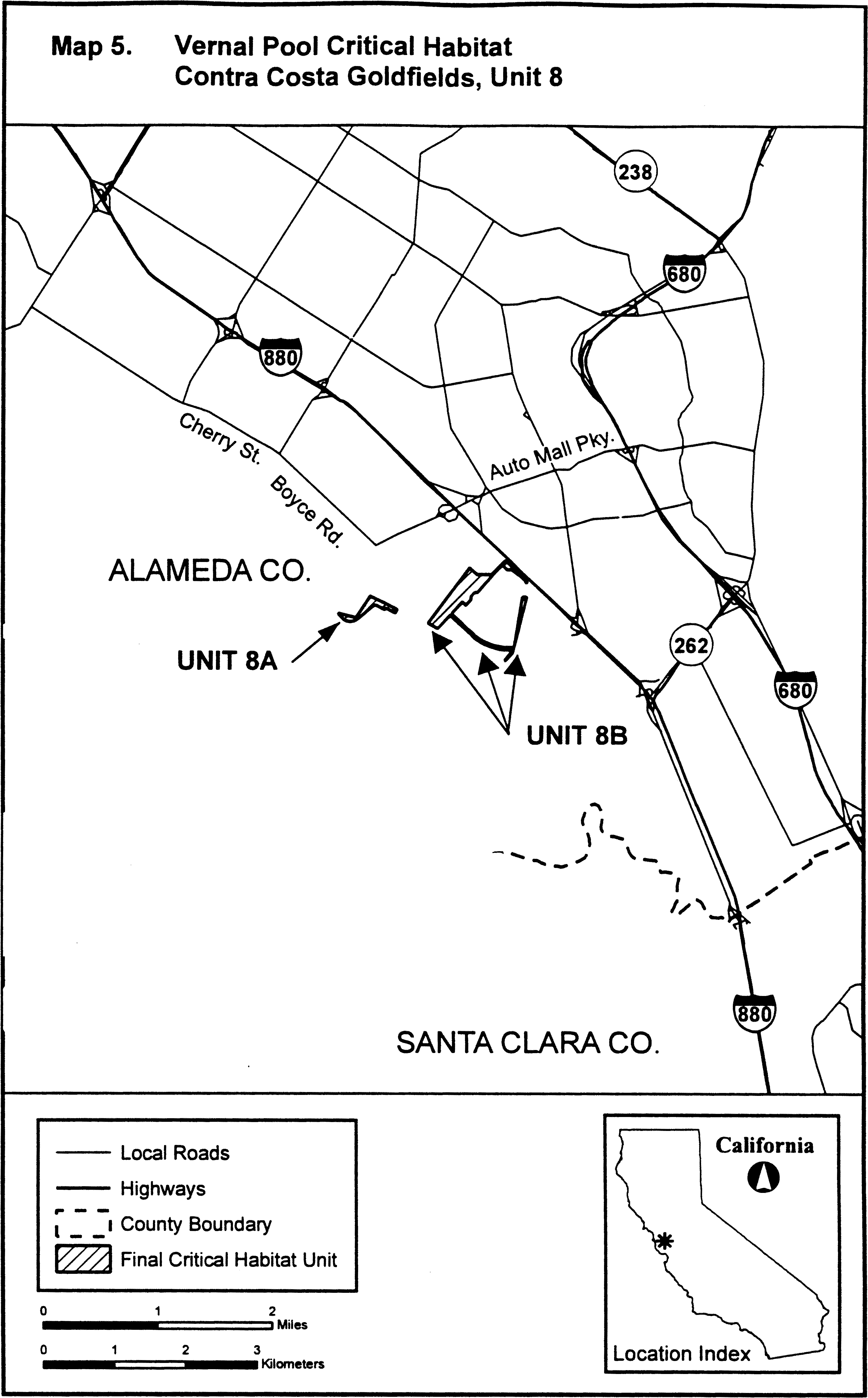
Family Asteraceae: Pectis imberbis (Beardless Chinchweed)
(1) Critical habitat units are depicted for Cochise, Pima, and Santa Cruz Counties, Arizona, on the map in this entry.
(2) Within these areas, the physical or biological features essential to the conservation of the beardless chinchweed consist of the following components:
(i) Native-dominated plant communities, consisting of:
(A) Plains, great basin, and semi-desert grasslands, oak savanna, or Madrean evergreen woodland;
(B) Communities dominated by bunchgrasses with open spacing (adjacent to and within 10 meters (33 feet) of individual beardless chinchweed plants) and with little competition from other plants; and
(C) Communities with plants for pollinator foraging and nesting within 1 kilometer (0.62 miles) of beardless chinchweed populations.
(ii) 1,158 to 1,737 meters (3,799 to 5,699 feet) elevation.
(iii) Eroding limestone or granite bedrock substrate.
(iv) Steep, south-facing, sunny to partially shaded hillslopes.
(v) The presence of pollinators (i.e., flies, bees, and butterflies).
(3) Critical habitat does not include manmade structures (such as buildings, aqueducts, runways, roads, and other paved areas) and the land on which they are located existing within the legal boundaries on the effective date of the rule.
(4) Data layers defining map units were created using ArcMap version 10 (Environmental Systems Research Institute, Inc.), a geographic information systems program on a base of USA Topo Maps. Critical habitat units were then mapped using NAD 1983, Universal Transverse Mercator (UTM) Zone 12N coordinates. The maps in this entry, as modified by any accompanying regulatory text, establishes the boundaries of the critical habitat designation. The coordinates or plot points or both on which each map is based are available to the public at the Service's internet site at https://www.fws.gov/southwest/es/arizona/Docs_Species.htm and at http://www.regulations.gov at Docket No. FWS-R2-ES-2018-0104, and at the field office responsible for this designation. You may obtain field office location information by contacting one of the Service regional offices, the addresses of which are listed at 50 CFR 2.2.
(5) Note: Index map follows:
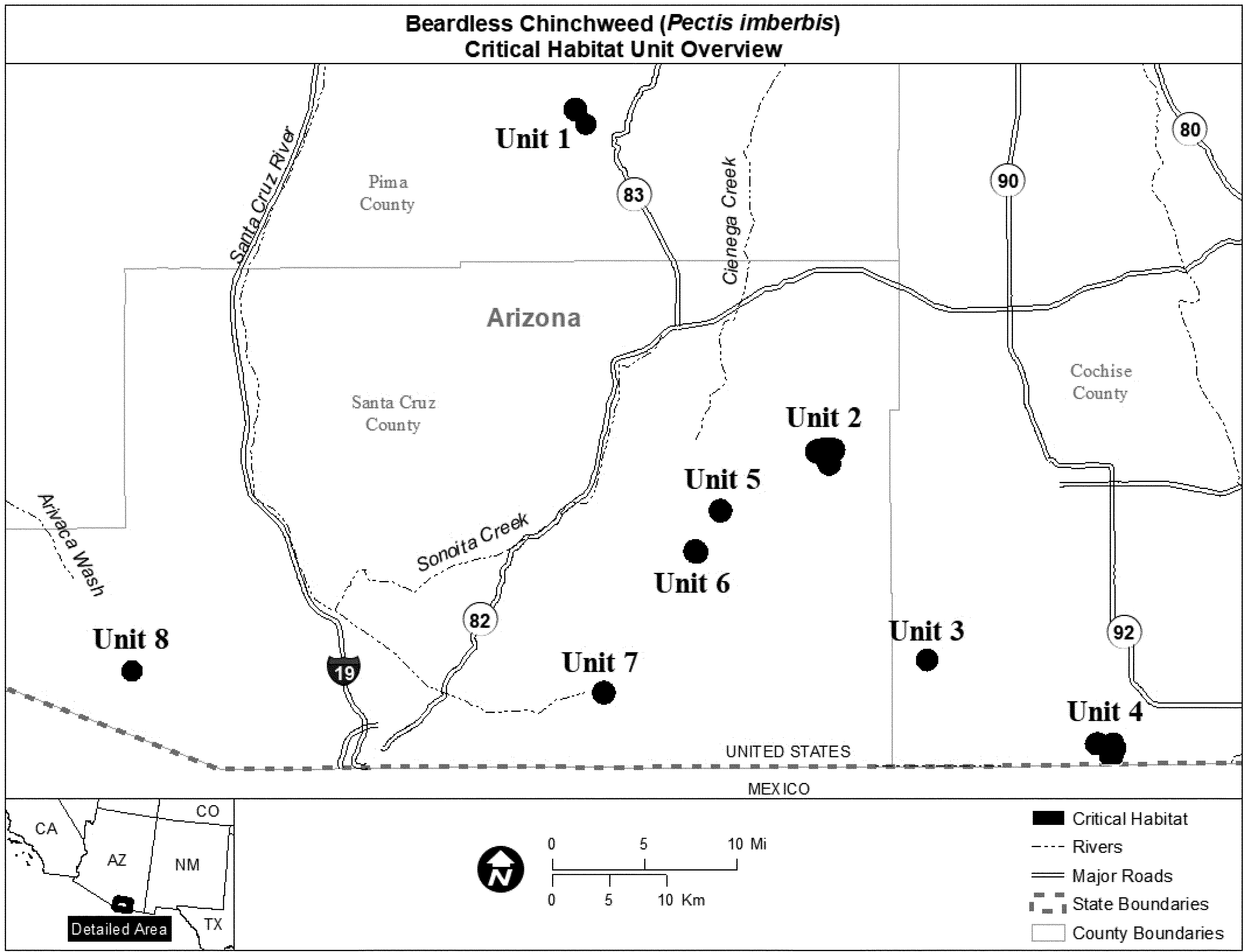
(6) Unit 1: McCleary Canyon, Pima County, Arizona.
(i) Unit 1 consists of 682 hectares (1,686 acres) of U.S. Forest Service lands.
(ii) Map of Unit 1 follows:
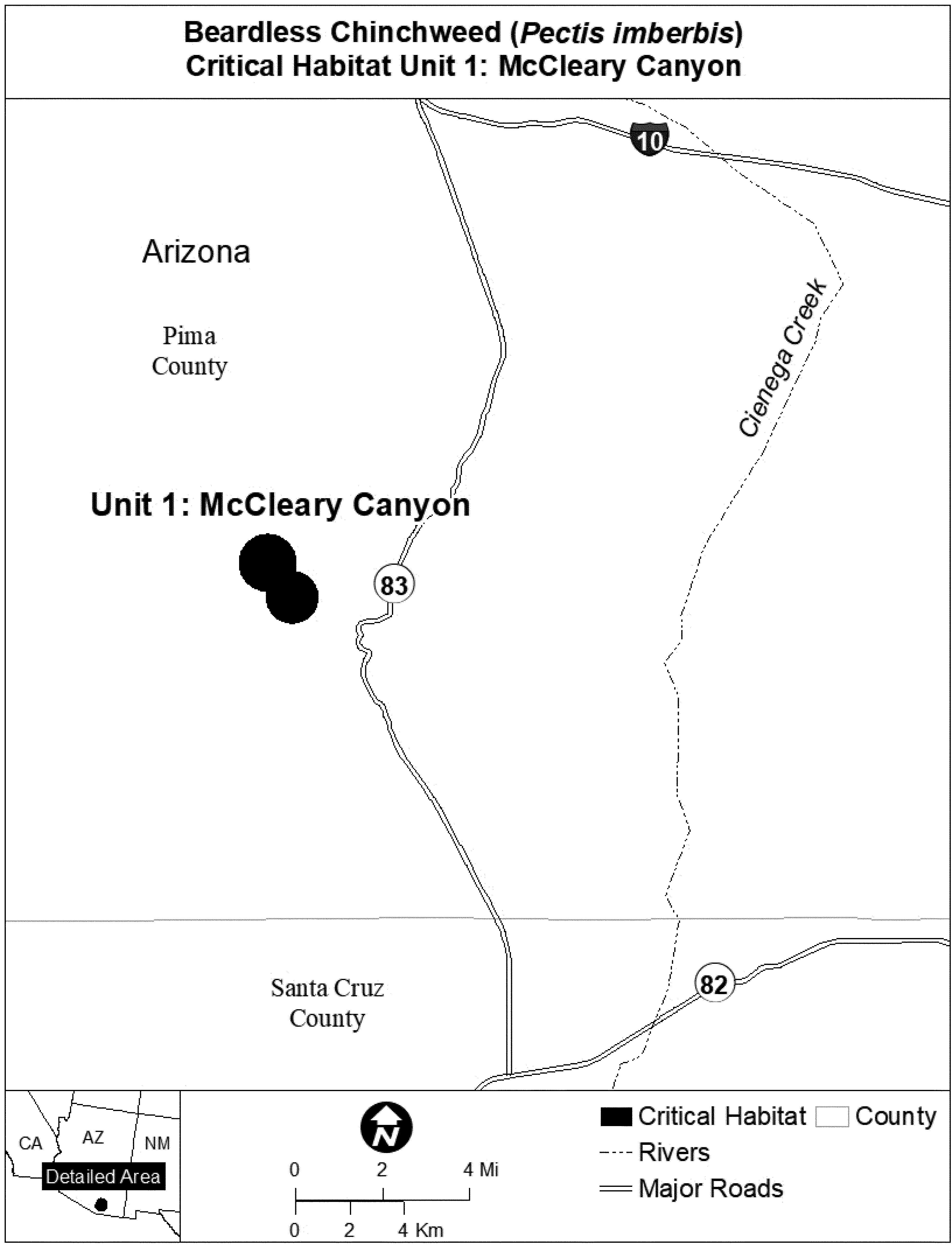
(7) Unit 2: Audubon Research Ranch, Santa Cruz County, Arizona.
(i) Unit 2 consists of 926 hectares (2,287 acres) of land, of which 331 hectares (817 acres) are owned by the U.S. Forest Service, 474 hectares (1,170 acres) by the Bureau of Land Management, and 121 hectares (300 acres) by the Audubon Research Ranch.
(ii) Map of Unit 2 follows:
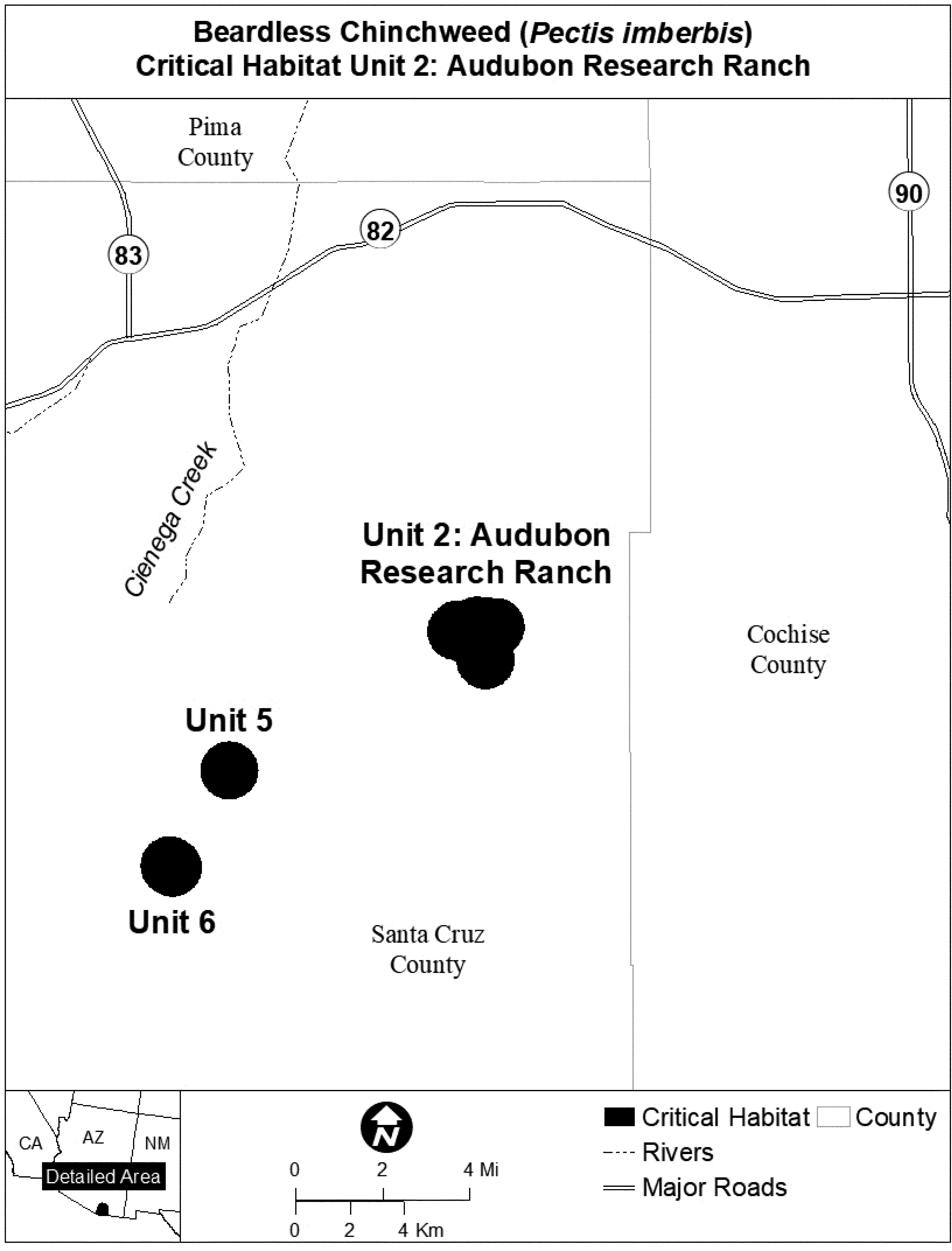
(8) Unit 3: Scotia Canyon, Cochise County, Arizona.
(i) Unit 3 consists of 346 hectares (855 acres) of U.S. Forest Service lands.
(ii) Map of Unit 3 follows:

(9) Unit 4: Coronado National Memorial, Cochise County, Arizona.
(i) Unit 4 consists of 853 hectares (2,109 acres) of National Park Service lands.
(ii) Map of Unit 4 follows:
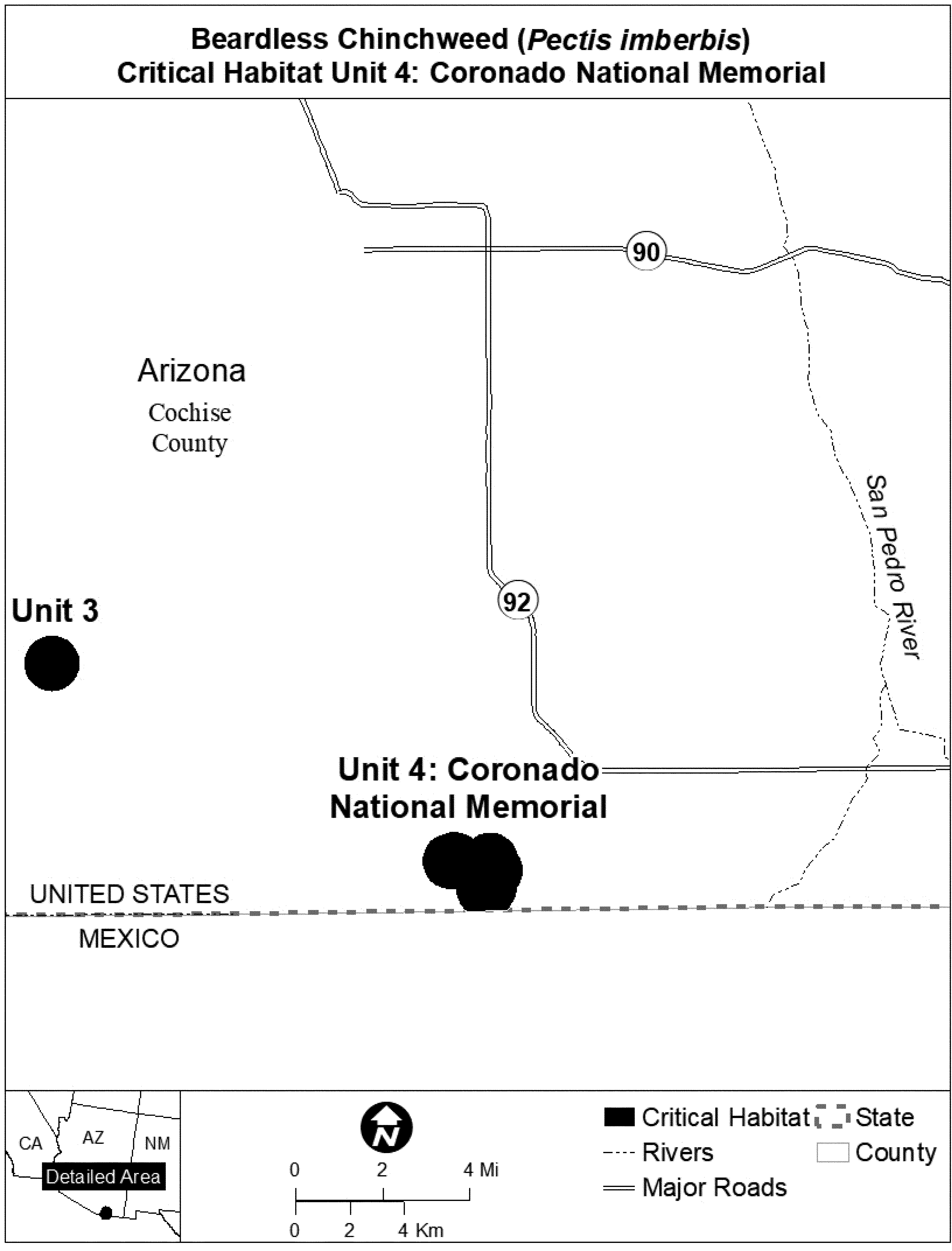
(10) Unit 5: Lampshire Well, Santa Cruz County, Arizona.
(i) Unit 5 consists of 380 hectares (939 acres) of U.S. Forest Service lands.
(ii) Map of Unit 5 follows:
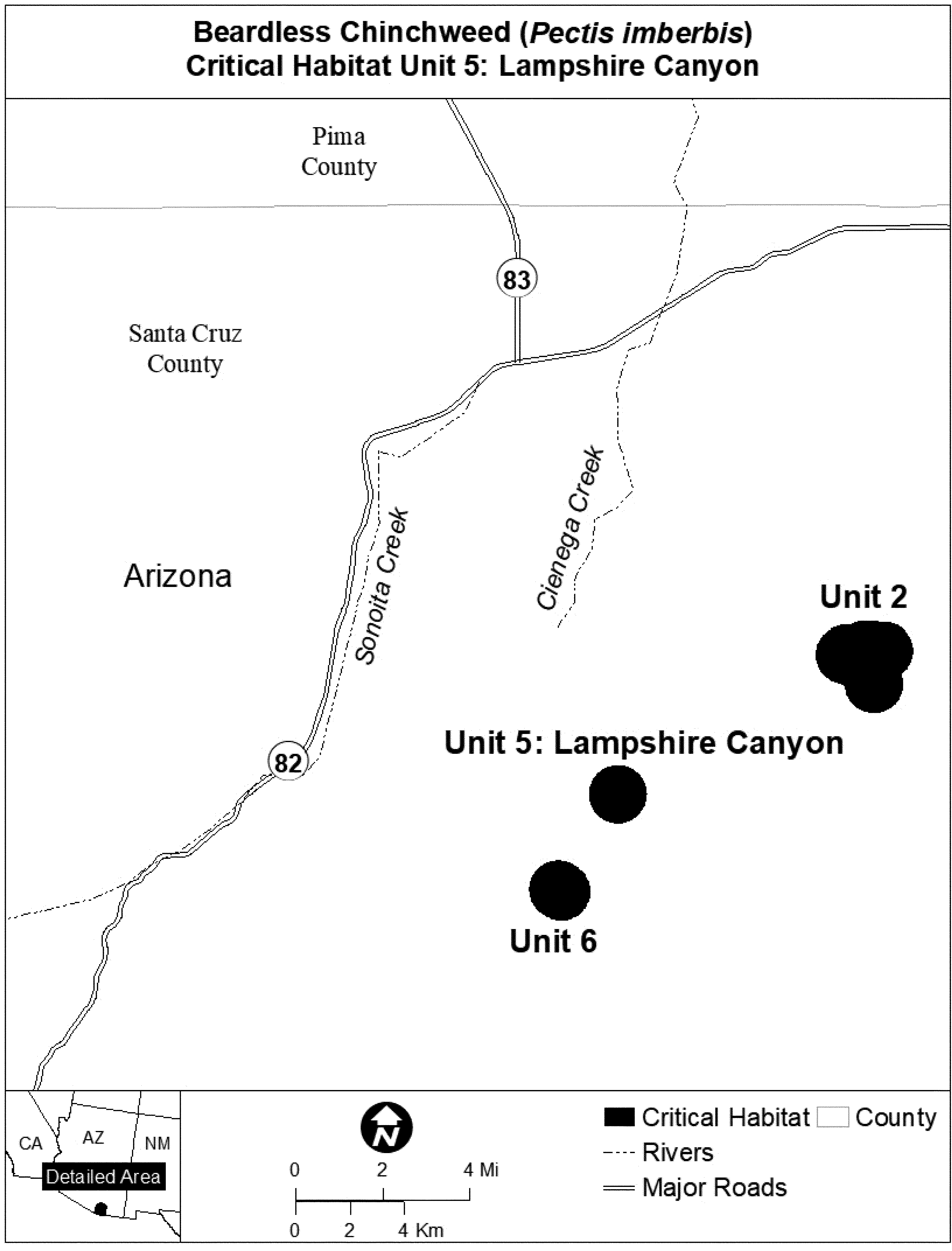
(11) Unit 6: Harshaw Creek, Santa Cruz County, Arizona.
(i) Unit 6 consists of 410 hectares (1,013 acres) of U.S. Forest Service lands.
(ii) Map of Unit 6 follows:
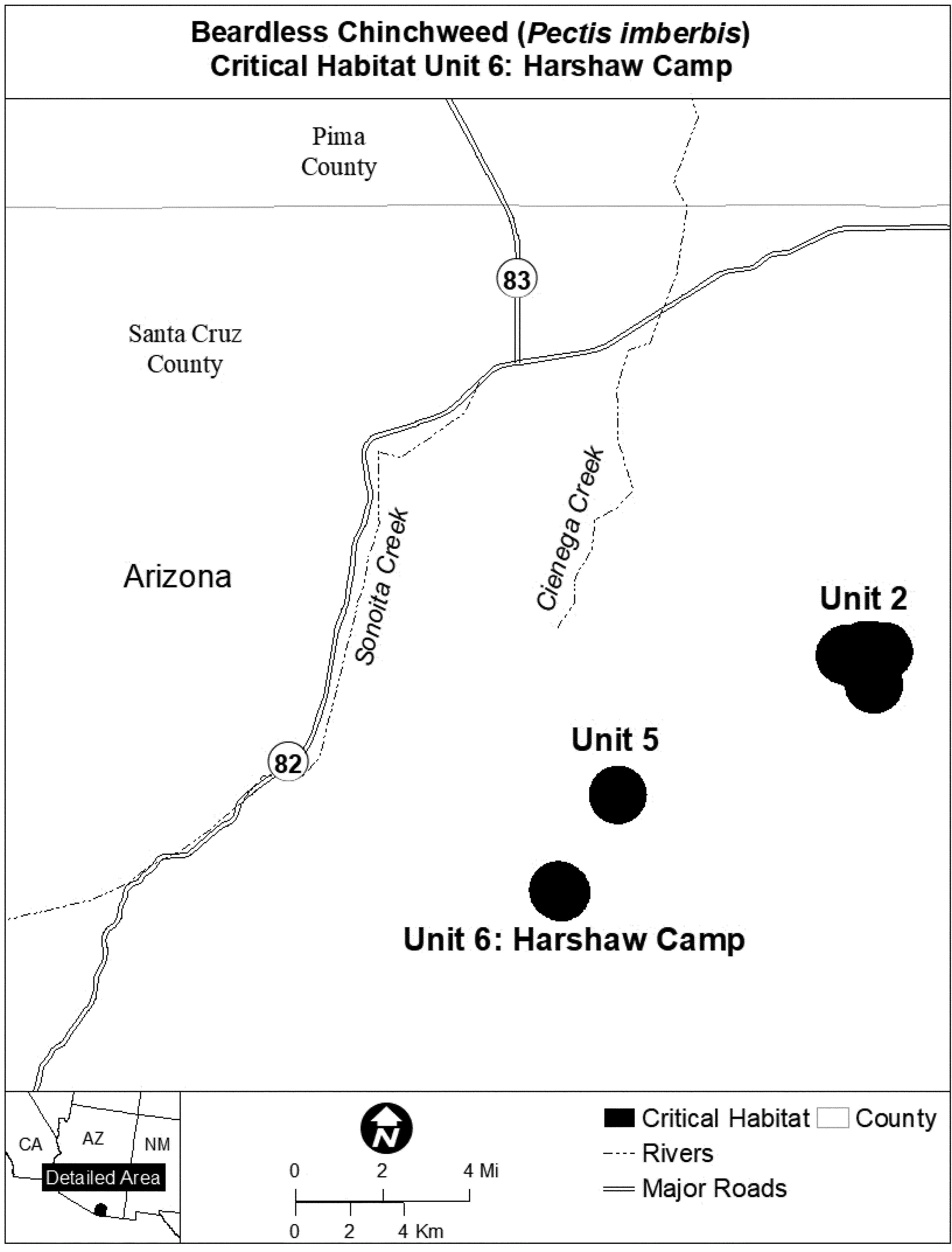
(12) Unit 7: Washington Camp, Santa Cruz County, Arizona.
(i) Unit 7 consists of 380 hectares (939 acres) of U.S. Forest Service lands.
(ii) Map of Unit 7 follows:
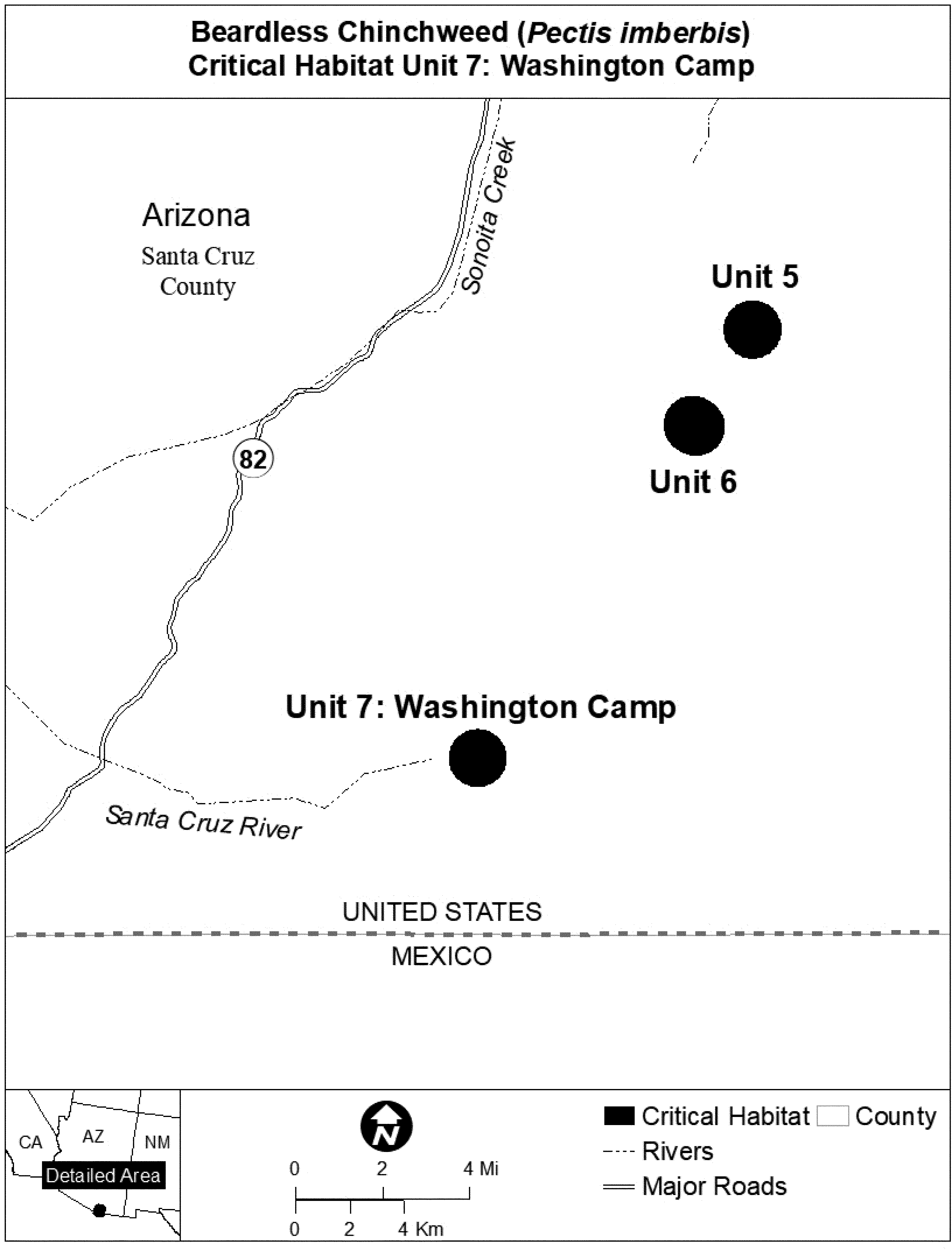
(13) Unit 8: Ruby Road, Santa Cruz County, Arizona.
(i) Unit 8 consists of 314 hectares (776 acres) of U.S. Forest Service lands.
(ii) Map of Unit 8 follows:
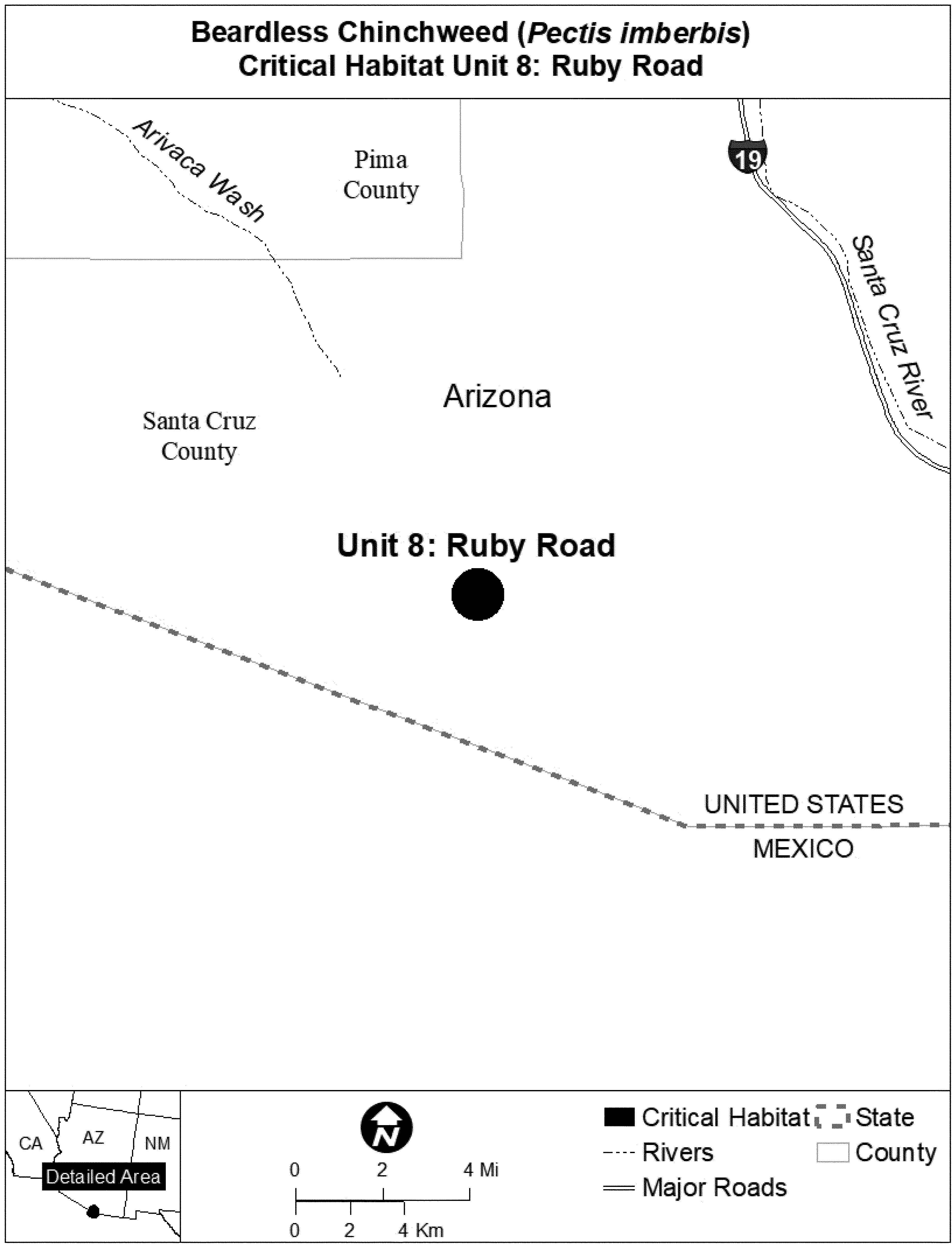
Family Asteraceae: Pentachaeta lyonii (Lyon's pentachaeta)
(1) Critical habitat units are depicted for Ventura and Los Angeles Counties, California, on the maps below.
(2) Critical habitat includes the plant communities within the range of Pentachaeta lyonii that are characterized by the following primary constituent elements:
(i) Clay soils of volcanic origin;
(ii) Exposed soils that exhibit a microbiotic crust, which may inhibit invasion by other plant competitors; and
(iii) A mosaic of bare ground (>10%) patches in an area with less than 60 percent cover.
(3) Critical habitat does not include manmade structures existing on the effective date of this rule and not containing one or more of the primary constituent elements, such as buildings, aqueducts, airports, and roads, and the land on which such structures are located.
(4) Data layers defining map units were created on base maps using the following aerial imagery: For eastern Ventura County, we used Air Photo USA, Inc., aerial imagery captured in October 2002; for westernmost Los Angeles county populations, we used Air Photo USA, Inc., aerial imagery captured in August 1999. Both were projected to Universal Transverse Mercator (UTM) zone 11, North American Datum (NAD) 1927.
(5) Index map for Pentachaeta lyonii (Map 1) follows:
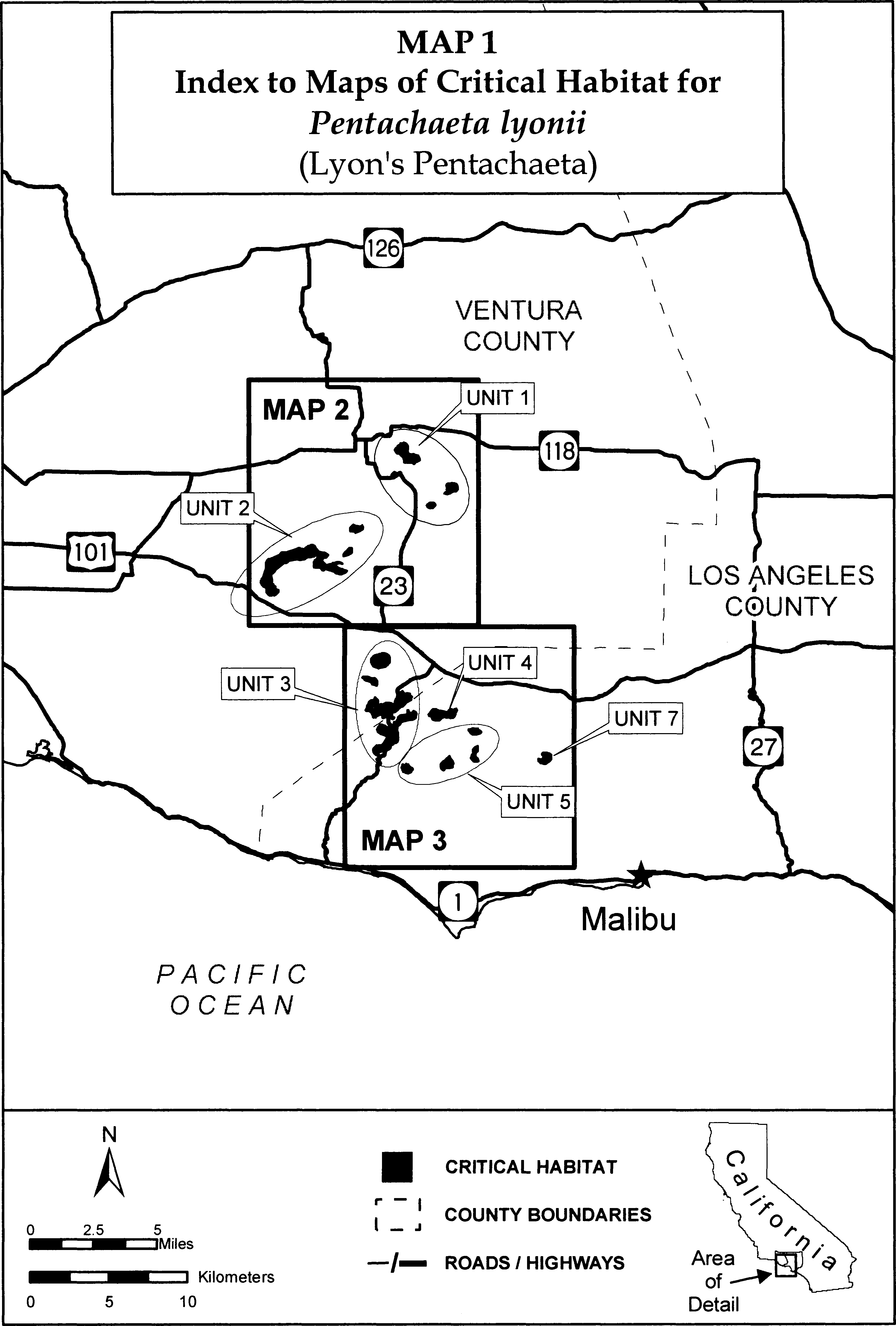
(6) Unit 1 for Pentachaeta lyonii: Simi Valley Unit, Ventura County, California.
(i) [Reserved]
(ii) Unit 1 for Pentachaeta lyonii is depicted on Map 2 in paragraph (7)(ii) of this entry.
(7) Unit 2 for Pentachaeta lyonii: Montclef Ridge Unit, Ventura County, California.
(i) [Reserved]
(ii) Unit 2 for Pentachaeta lyonii is depicted on Map 2, which follows:

(8) Unit 3 for Pentachaeta lyonii: Thousand Oaks Unit, Ventura and Los Angeles Counties, California.
(i) [Reserved]
(ii) Unit 3 for Pentachaeta lyonii is depicted on Map 3 in paragraph (11)(ii) of this entry.
(9) Unit 4 for Pentachaeta lyonii: Triunfo Canyon Unit, Los Angeles County, California.
(i) [Reserved]
(ii) Unit 4 for Pentachaeta lyonii is depicted on Map 3 in paragraph (11)(ii) of this entry.
(10) Unit 5 for Pentachaeta lyonii: Mulholland Drive Unit, Los Angeles County, California.
(i) [Reserved]
(ii) Unit 5 for Pentachaeta lyonii is depicted on Map 3 in paragraph (11)(ii) of this entry.
(11) Unit 7 for Pentachaeta lyonii: Malibu Lake Unit, Los Angeles County, California.
(i) [Reserved]
(ii) Unit 7 for Pentachaeta lyonii is depicted on Map 3, which follows:
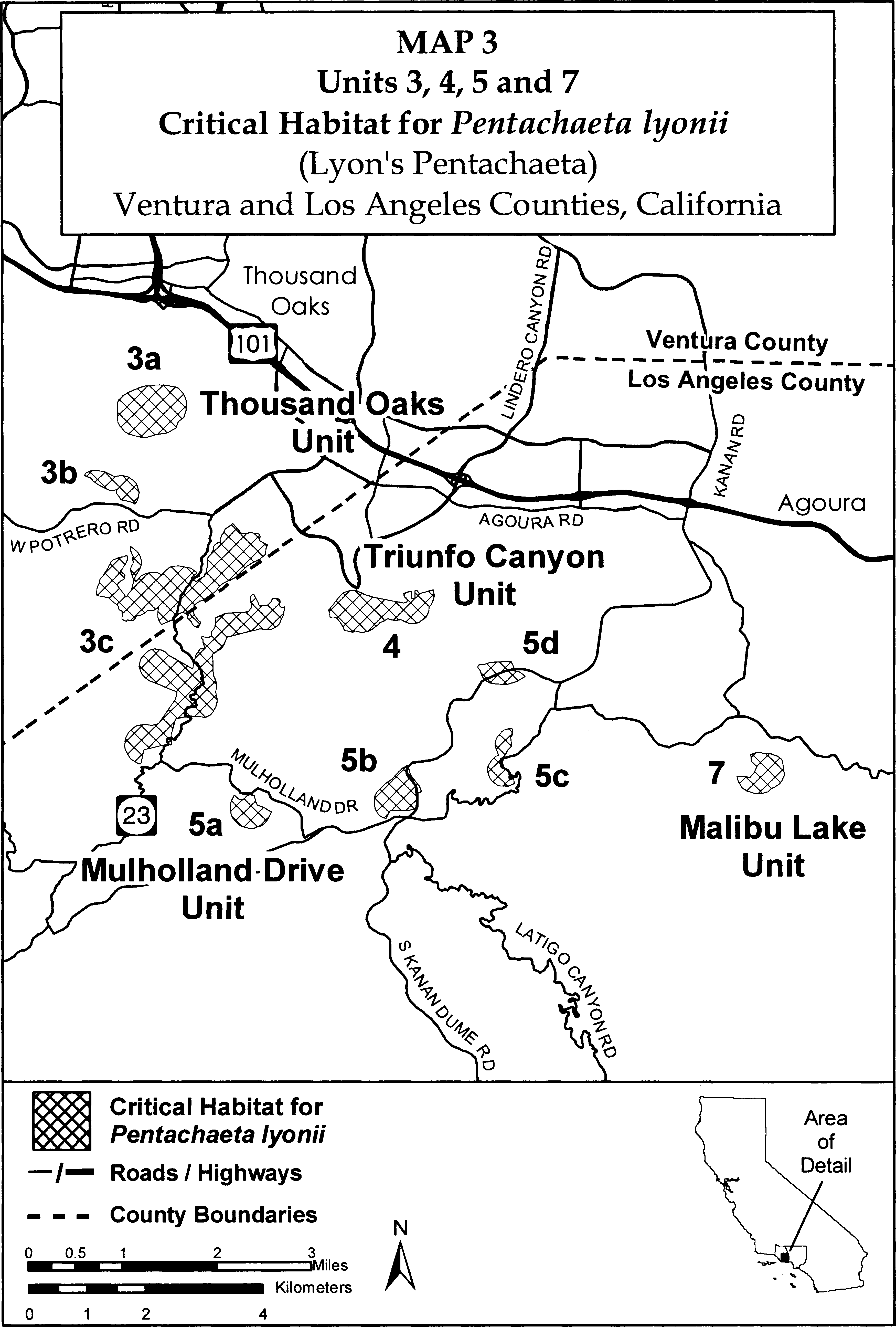
Family Asteraceae: Senecio franciscanus (San Francisco Peaks groundsel).
Arizona: Coconino County; Coconino National Forest, Agassiz Peak and Humphreys Peak, T22N, R7E, N 1⁄2 of NW 1⁄4 Sec. 5; T23N, R7E, W 1⁄2 Section 32 and W 1⁄2 Section 29. Primary constituent elements are the loose cinder talus slopes of the alpine tundra system of the San Francisco Peaks and absence of disturbance and damage from hikers.
Map provided is for informational purposes only. Map follows:

Family Asteraceae: Stephanomeria malheurensis (Malheur wire-lettuce).
Oregon, Harney County; the lands west of State Highway 205 within the SE 1⁄4 of the NE 1⁄4 and the NE 1⁄4 of the SE 1⁄4, Section 11; and the W 1⁄2 of the SW 1⁄4 of the NW 1⁄4, and the SW 1⁄4 of the NE 1⁄4 of the SW 1⁄4, and the NW 1⁄4 of the SW 1⁄4, Section 12, T27S, R30E, Willamette Meridian.
Map provided is for informational purposes only. Map follows:
Family Asteraceae: Taraxacum californicum (California taraxacum)
(1) Critical habitat units are depicted for San Bernardino County, California, on the maps below.
(2) The primary constituent elements of critical habitat for Taraxacum californicum are:
(i) Wet meadows subject to flooding during wet years and forest openings with seeps, springs, or creeks in the San Bernardino Mountains in San Bernardino County located at elevations of 6,700 to 9,000 feet (2,000 to 2,800 meters), that provide space for individual and population growth, reproduction, and dispersal; and
(ii) Well-drained, loamy alluvial to sandy loam soils occurring in the wet meadow system or forest openings with seeps, springs, or creeks, with a 0 to 46 percent slope, to provide water, air, minerals, and other nutritional or physiological requirements to the species.
(3) Critical habitat does not include manmade structures (such as buildings, aqueducts, runways, roads, and other paved areas) and the land on which they are located existing within the legal boundaries on the effective date of this rule.
(4) Critical habitat map units. Data layers defining map units were created on a base of USGS 1:24,000 maps, and critical habitat units were then mapped using Universal Transverse Mercator (UTM) coordinates.
(5) Note: Index map of critical habitat units for Taraxacum californicum (California taraxacum) follows:
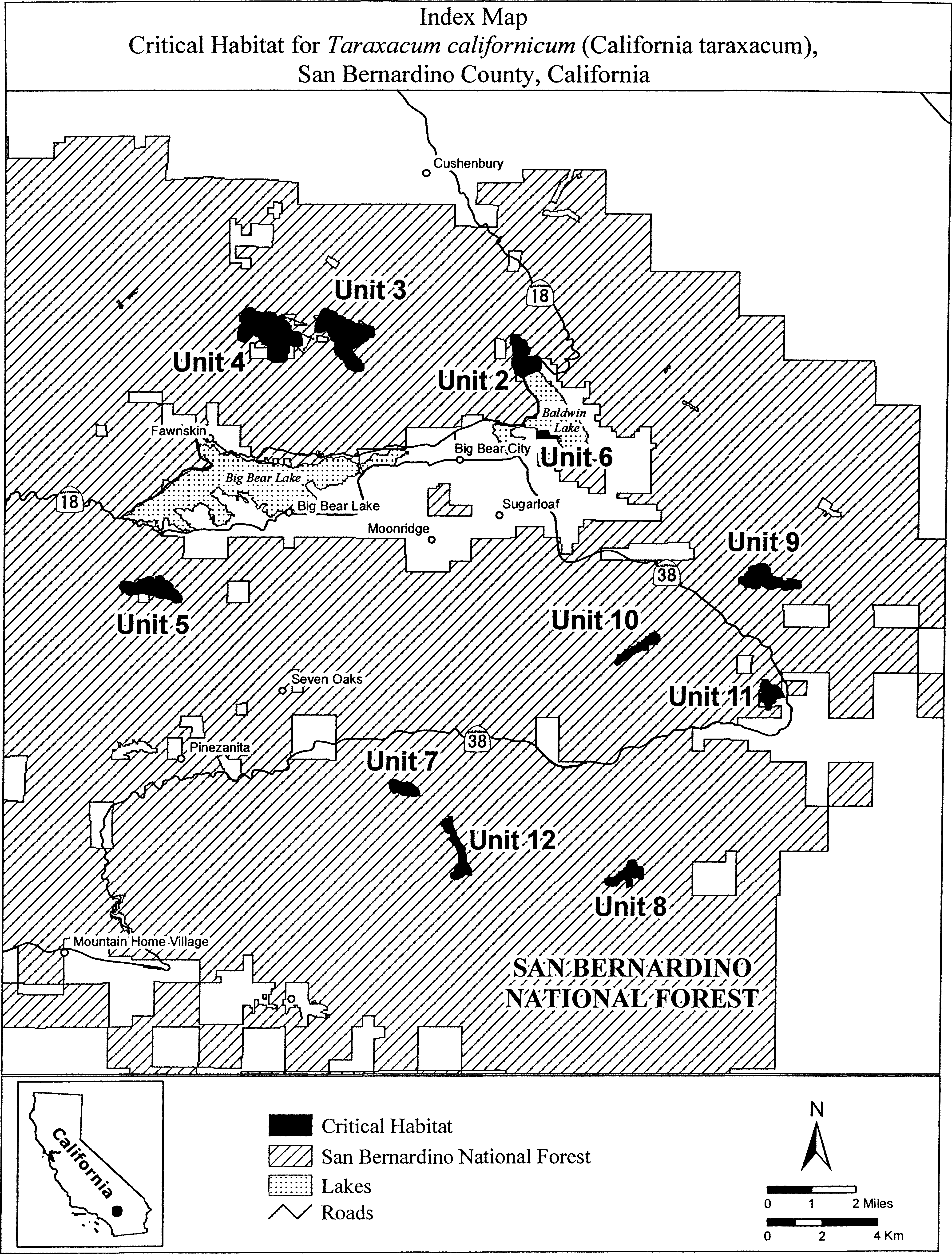
(6) Unit 2: North Baldwin Meadow, San Bernardino County, California.
(i) [Reserved]
(ii) Map of Units 2, 3, 4, 5, and 6 for Taraxacum californicum follows:

(7) Unit 3: Belleville Meadow, San Bernardino County, California.
(i) [Reserved]
(ii) Unit 3 for Taraxacum californicum is depicted on the map in paragraph (6)(ii) of this entry.
(8) Unit 4: Hitchcock Meadow, San Bernardino County, California.
(i) [Reserved]
(ii) Unit 4 for Taraxacum californicum is depicted on the map in paragraph (6)(ii) of this entry.
(9) Unit 5: Bluff Meadow, San Bernardino County, California.
(i) [Reserved]
(ii) Unit 5 for Taraxacum californicum is depicted on the map in paragraph (6)(ii) of this entry.
(10) Unit 6: North Shay Meadow, San Bernardino County, California.
(i) [Reserved]
(ii) Unit 6 for Taraxacum californicum is depicted on the map in paragraph (6)(ii) of this entry.
(11) Unit 7: Horse Meadow, San Bernardino County, California.
(i) [Reserved]
(ii) Map of Units 7, 8, 9, 10, 11, and 12 for Taraxacum californicum follows:
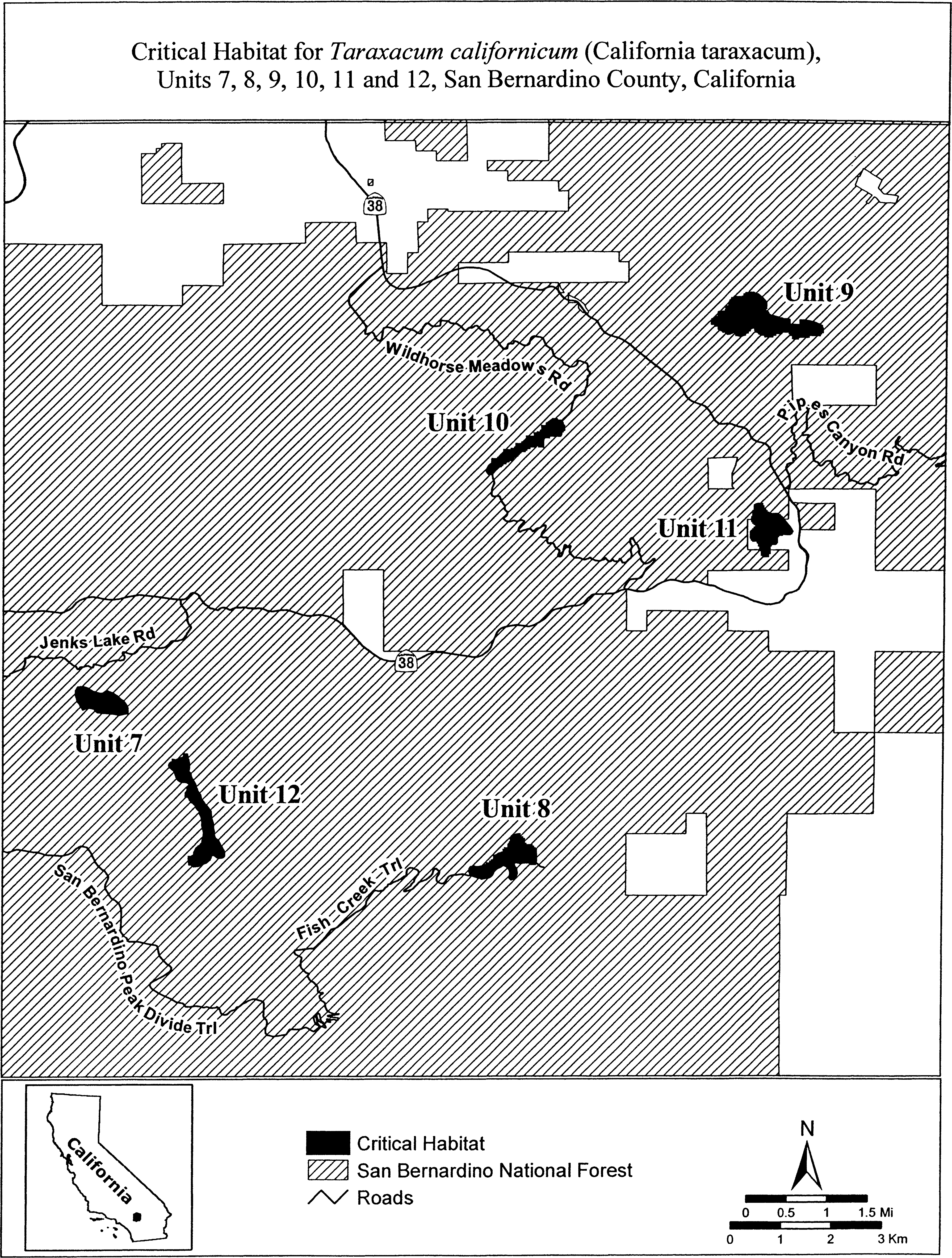
(12) Unit 8: Fish Creek Meadow, San Bernardino County, California.
(i) [Reserved]
(ii) Unit 8 for Taraxacum californicum is depicted on the map in paragraph (11)(ii) of this entry.
(13) Unit 9: Broom Flat Meadow, San Bernardino County, California.
(i) [Reserved]
(ii) Unit 9 for Taraxacum californicum is depicted on the map in paragraph (11)(ii) of this entry.
(14) Unit 10: Wildhorse Meadow, San Bernardino County, California.
(i) [Reserved]
(ii) Unit 10 for Taraxacum californicum is depicted on the map in paragraph (11)(ii) of this entry.
(15) Unit 11: Cienega Seca Meadow, San Bernardino County, California.
(i) [Reserved]
(ii) Unit 11 for Taraxacum californicum is depicted on the map in paragraph (11)(ii) of this entry.
(16) Unit 12: South Fork Meadow, San Bernardino County, California.
(i) [Reserved]
(ii) Unit 12 for Taraxacum californicum is depicted on the map in paragraph (11)(ii) of this entry.
Family Asteraceae: Yermo xanthocephalus (Desert yellowhead)
(1) Critical habitat unit is depicted for Fremont County, Wyoming, on the map below.
(2) The primary constituent elements of critical habitat for Yermo xanthocephalus are those habitat components that are essential for the primary needs of the species. Based upon our current knowledge of this species, the primary constituent elements include, but are not limited to:
(i) Recent soils derived from sandstones and limestones of the Split Rock Formation at its junction with the White River Formation. These are shallow, loamy soils of the Entisol order that can be classified as course-loamy over sandy-skeletal, mixed, Lithic Torriorthent. The surface stratum has little organic matter, and subsurface layers show no accumulation of humus, clay, gypsum, salts, or carbonates.
(ii) Plant communities associated with Yermo xanthocephalus that include, but may not be limited to, sparsely vegetated cushion plant communities with scattered clumps of Oryzopsis hymenoides (Indian ricegrass) between 2,043 and 2,073 m (6,700 and 6,800 ft) in Fremont County, Wyoming. Species common to these communities include Arenaria hookeri (Hooker's sandwort), Astragalus kentrophyta (thistle milkvetch), Hymenoxys acaulis (stemless hymenoxy), and Phlox muscoides (squarestem phlox). These cushion-plant communities also contain natural openings.
(iii) Topographic features/relief and physical processes, particularly hydrologic processes, that maintain the shape and orientation of the hollows characteristic of Yermo xanthocephalus and maintain moisture below the surface of the ground.
(3) Critical habitat: Fremont County, Wyoming.
(i) From U.S. Geological Survey 7.5″ quadrangle maps Dishpan Butte and Sweetwater Station, Wyoming. T. 31 N., R. 95 W., SW 1⁄4 sec. 27, NW 1⁄4 sec. 34, and W 1⁄2 W 1⁄2 NE 1⁄4 sec. 34.
(ii) Map follows:
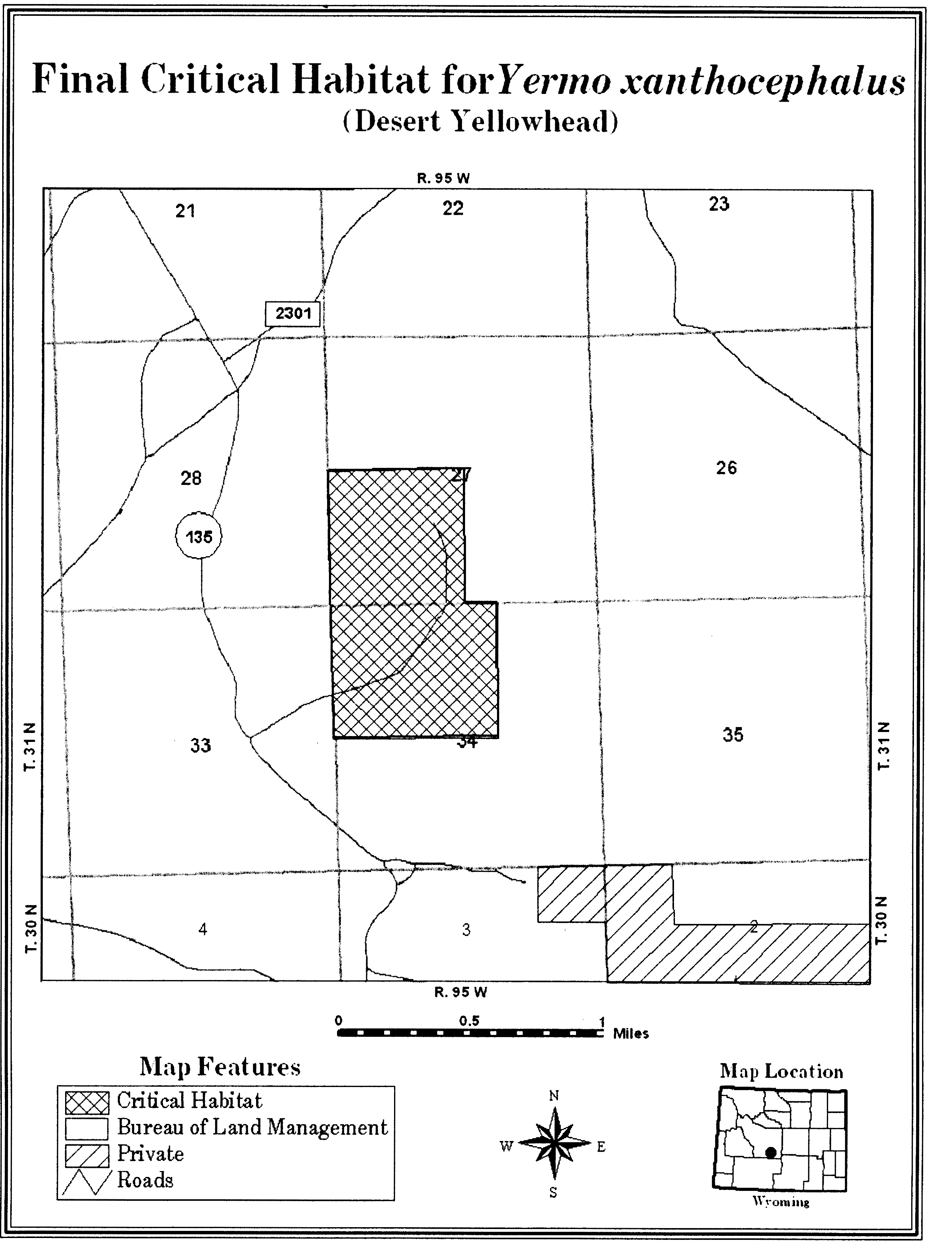
Family Berberidaceae: Berberis nevinii (Nevin's barberry)
(1) Critical habitat is depicted for Riverside County, California, in the text and on the map in this entry. The map provided is for informational purposes only.
(2) The primary constituent elements of critical habitat for Berberis nevinii are the habitat components that provide:
(i) Low-gradient (i.e., nearly flat) canyon floors, washes and adjacent terraces, and mountain ridge/summits, or eroded, generally northeast to northwest-facing mountain slopes and banks of dry washes typically of less than 70 percent slope that provide space for plant establishment and growth;
(ii) Well-drained alluvial soils primarily of non-marine sedimentary origin, such as Temecula or sandy arkose soils; soils of the Cajalco-Temescal-Las Posas soil association formed on gabbro (igneous) or latite (volcanic) bedrock; metasedimentary substrates associated with springs or seeps; and heavy adobe/gabbro-type soils derived from metavolcanic geology (Mesozoic basic intrusive rock) that provide the appropriate nutrients and space for growth and reproduction; and
(iii) Scrub (chaparral, coastal sage, alluvial, riparian) and woodland (oak, riparian) vegetation communities between 900 and 3,000 feet (275 and 915 meters) in elevation that provide the appropriate cover for growth and reproduction.
(3) Critical habitat does not include manmade structures (such as buildings, aqueducts, runways, roads, and other paved areas) and the land on which they are located existing within the legal boundaries on the effective date of this rule.
(4) Critical habitat map. Data layers defining map units were created on a base of USGS 1:24,000 maps and critical habitat units were then mapped using a 100-meter grid to establish Universal Transverse Mercator (UTM) North American Datum 1927 (NAD 27) coordinates which, when connected, provided the boundaries of the unit. All acreage calculations were performed using GIS.
(5) Unit 1: Agua Tibia/Vail Lake Unit, Riverside County, California.
(i) Subunit 1A: Big Oak Mountain Summit. From USGS 1:24,000 quadrangle Sage, lands bounded by the following UTM NAD27 coordinates (E, N): 502153, 3708505; 502157, 3708510; 502167, 3708519; 502179, 3708526; 502192, 3708532; 502205, 3708534; 502219, 3708535; 502233, 3708533; 502246, 3708528; 502258, 3708522; 502269, 3708513; 502278, 3708503; 502286, 3708491; 502291, 3708478; 502294, 3708465; 502294, 3708451; 502292, 3708437; 502288, 3708424; 502281, 3708412; 502272, 3708401; 502262, 3708392; 502250, 3708384; 502237, 3708379; 502224, 3708376; 502210, 3708376; 502196, 3708378; 502183, 3708382; 502171, 3708389; 502160, 3708398; 502151, 3708408; 502143, 3708420; 502138, 3708432; 502135, 3708446; 502135, 3708460; 502137, 3708474; 502141, 3708487; 502148, 3708499; 502153, 3708505; thence returning to 502153, 3708505.
(ii) Subunit 1B: Agua Tibia Mountain Foothills. From USGS 1:24,000 quadrangle Vail Lake, lands bounded by the following UTM NAD27 coordinates (E, N): 504200, 3702900; 504300, 3702900; 504300, 3702800; 504200, 3702800; thence returning to 504200, 3702900.
(iii) Note: Map of Unit 1 follows:

Family Boraginaceae: Amsinckia grandiflora (large-flowered fiddleneck)
California, San Joaquin County, Mount Diablo Meridian, T3S R4E Section 28 W 1⁄2 NW 1⁄4 and W 1⁄2 SW 1⁄4.
This includes the known primary constituent elements of a steep, west- and south-facing slope with light textured but stable soils.
Map provided is for informational purposes only. Map follows:
Family Boraginaceae: Varronia rupicola
(1) Critical habitat units are depicted for the municipalities of Guánica, Yauco, Guayanilla, Peñuelas, Ponce, and Vieques, Commonwealth of Puerto Rico, on the maps in this entry.
(2) Within these areas, the primary constituent elements of the physical or biological features essential to the conservation of Varronia rupicola consist of the following components:
(i) Remnants of native shrubland and scrubland forest on limestone substrate within the subtropical dry forest life zone. Dry shrubland and scrubland forest includes:
(A) Shrubland vegetation with canopy from 6.5 to 9.8 feet (ft) (2 to 3 meters (m)) high;
(B) Limestone pavement;
(C) Associated native vegetation; and
(D) A shrub layer dominated by Croton humilis, Eupatorium sinuatum,Lantana reticulata, and Turnera diffusa.
(ii) Semi-deciduous dry forest on limestone substrate within the subtropical dry forest life zone. Dry limestone semi-deciduous forest includes:
(A) Low forest with canopy from 8 to 15 ft (3 to 5 m) high;
(B) Limestone pavement;
(C) Associated dry forest native vegetation; and
(D) A shrub layer dominated by Croton humilis, Eupatorium sinuatum,Lantana reticulata, and Turnera diffusa.
(iii) The type locations described paragraphs (2)(i) and (2)(ii) of this entry for this species should have shallow and alkaline soils derived from limestone rock and an average rainfall of 34 in (86 cm).
(3) Critical habitat does not include manmade structures (such as houses, bridges, aqueducts, and paved areas) and the land on which they are located existing within the legal boundaries on October 9, 2014.
(4) Critical habitat map units. Data layers defining map units were created on a base of an aerial image (ESRI image Basemap) and USFS-IITF Landcover GAP raster. Critical habitat units were then mapped using the Geographic Coordinate System-World Geodetic System (WGS) 1984 datum. The maps in this entry, as modified by any accompanying regulatory text, establish the boundaries of the critical habitat designation. The coordinates or plot points or both on which each map is based are available to the public at the Service's Internet site at http://www.fws.gov/caribbean/es, at http://www.regulations.gov at Docket No. FWS-R4-ES-2013-0040, and at the field office responsible for this designation. You may obtain field office location information by contacting one of the Service regional offices, the addresses of which are listed at 50 CFR 2.2.
(5) Index map of critical habitat units for Varronia rupicola follows:
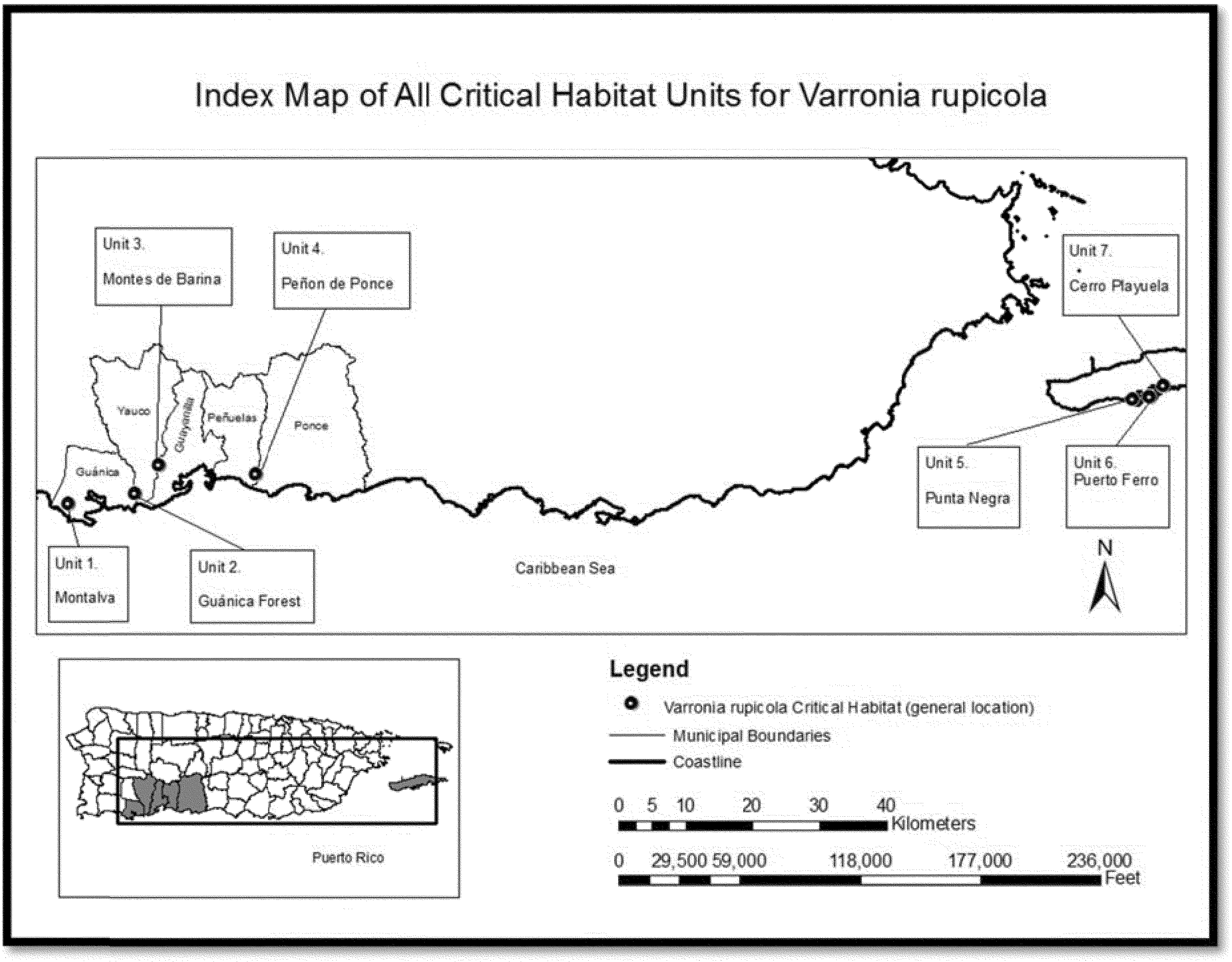
(6) Unit 1: Montalva, municipality of Guánica, Puerto Rico.
(i) Unit 1 includes 992 acres (ac) (401 hectares (ha)).
(ii) Map of Units 1, 2, 3, and 4 follows:

(7) Unit 2: Guánica Commonwealth Forest, municipalities of Guánica and Yauco, Puerto Rico.
(i) Unit 2 includes 584 ac (236 ha).
(ii) Map of Unit 2 is provided at paragraph (6)(ii) of this entry.
(8) Unit 3: Montes de Barina, municipalities of Yauco and Guayanilla, Puerto Rico.
(i) Unit 3 includes 2,002 ac (810 ha).
(ii) Map of Unit 3 is provided at paragraph (6)(ii) of this entry.
(9) Unit 4: Peñón de Ponce, municipalities of Peñuelas and Ponce, Puerto Rico.
(i) Unit 4 includes 2,174 ac (880 ha).
(ii) Map of Unit 4 is provided at paragraph (6)(ii) of this entry.
(10) Unit 5: Punta Negra, municipality of Vieques, Puerto Rico.
(i) Unit 5 includes 291 ac (117 ha).
(ii) Map of Units 5, 6, and 7 follows:
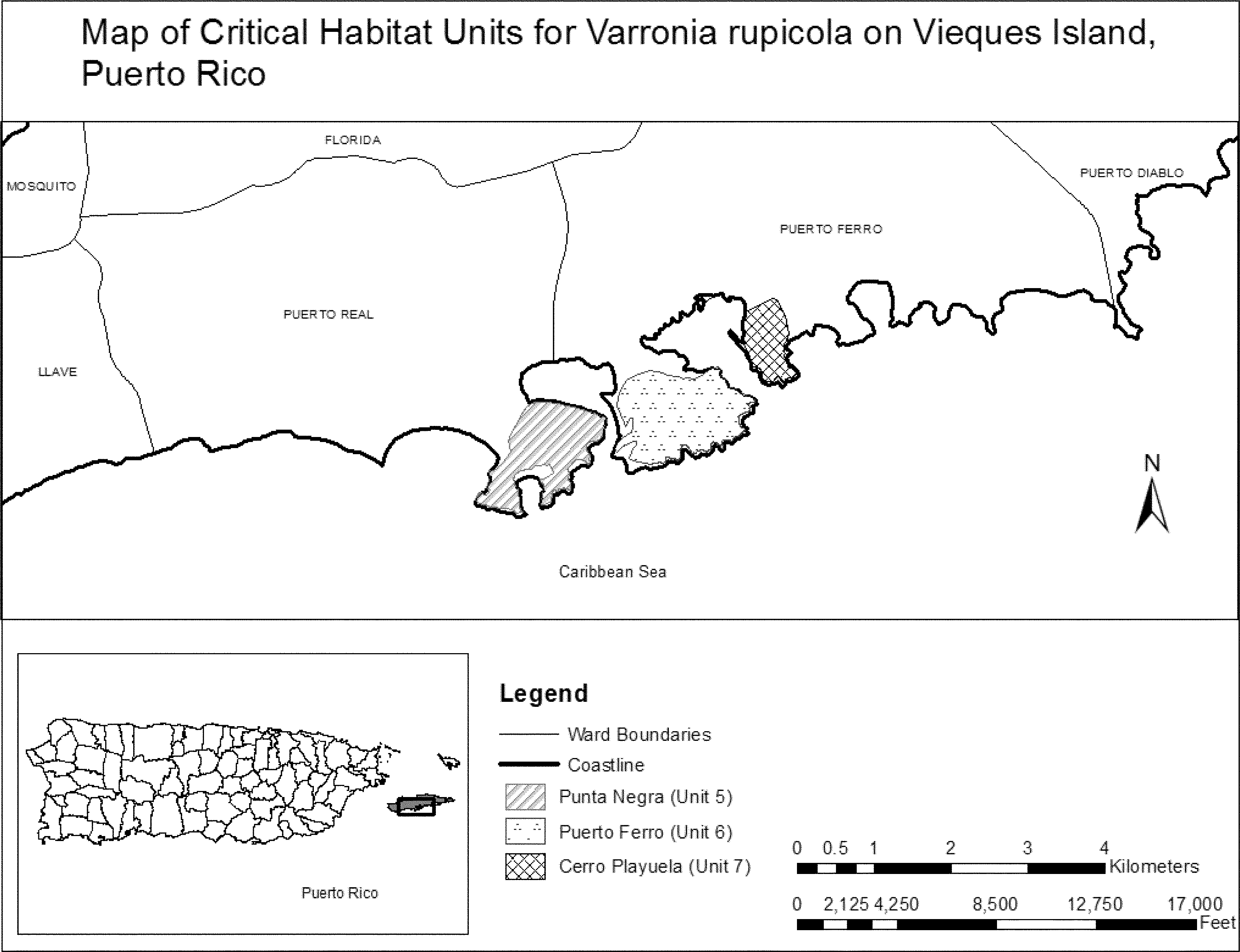
(11) Unit 6: Puerto Ferro, municipality of Viequez, Puerto Rico.
(i) Unit 6 includes 381 ac (154 ha).
(ii) Map of Unit 6 is provided at paragraph (10)(ii) of this entry.
(12) Unit 7: Cerro Playuela, municipality of Vieques, Puerto Rico.
(i) Unit 7 includes 123 ac (50 ha).
(ii) Map of Unit 7 is provided at paragraph (10)(ii) of this entry.
Family Brassicaceae: Arabis georgiana (Georgia Rockcress)
(1) Critical habitat units are depicted in Georgia, including Clay, Gordon, Floyd, Harris, and Muscogee Counties, and in Alabama, including Bibb, Dallas, Elmore, Monroe, Sumter, and Wilcox Counties, on the maps in this entry.
(2) Within these areas, the primary constituent elements of the physical or biological features essential to the conservation of Arabis georgiana (Georgia rockcress) consist of four components:
(i) Large river bluffs with steep and/or shallow soils that are subject to localized disturbances that limit the accumulation of leaf litter and competition within the Lower Gulf Coastal Plain, Upper Gulf Coastal Plain, Red Hills, Black Belt, Piedmont, and Ridge and Valley Physiographic Provinces of Georgia and Alabama.
(ii) Well-drained soils that are buffered or circumneutral generally within regions underlain or otherwise influenced by granite, sandstone, or limestone.
(iii) A mature, mixed-level canopy with spatial heterogeneity, providing mottled shade and often including species such as Juniperus virginiana (eastern red cedar), Ostrya virginiana (American hophornbeam), Quercus muehlenbergii (chinquapin oak), Fraxinus americana (white ash), Acer barbatum (southern sugar maple), and Cercis canadensis (eastern redbud) with a rich diversity of grasses and forbs characterizing the herb layer.
(iv) Intact habitat that is fully functional (i.e., with mature canopy and discrete disturbances) and buffered by surrounding habitat to impede the invasion of competitors.
(3) Critical habitat does not include manmade structures (such as buildings, aqueducts, runways, roads, and other paved areas) and the land on which they are located existing within the legal boundaries on October 14, 2014.
(4) Critical habitat map units. Data layers defining critical habitat map units were created using GIS shapefiles of Natural Heritage Element Occurrence (EO) data for Arabis georgiana (Georgia rockcress) locations that were provided by the Alabama Department of Conservation and Natural Resources and the Georgia Department of Natural Resources, and 1-meter resolution National Agricultural Imagery Program (NAIP) images from 2009. Each EO feature was buffered by 76 meters (m) (250 feet (ft)) up and down slope and 304.8 m (1,000 ft) laterally. The 76-m (250-ft) buffer was used as a guideline for delineating critical habitat upslope and downslope of the EO feature, with the downslope direction extending 76 m (250 ft) or to the edge of the water, whichever was shorter. The 304.8-m (1,000-ft) buffer was used a guideline for delineating critical habitat adjacent to the EO features along the length of the river. The critical habitat polygons were manually drawn using a mouse on a computer screen by visually checking for PCEs within the buffer areas against 2009 NAIP imagery. The critical habitat polygons were then viewed over the ArcGIS basemap Bing Aerial Imagery as an additional assessment tool for the placement of the critical habitat polygon boundaries. Critical habitat units were mapped using Universal Transverse Mercator (UTM), zone 16N. The maps in this entry, as modified by any accompanying regulatory text, establish the boundaries of the critical habitat designation. The coordinates or plot points or both on which each map is based are available to the public at the Service's Internet site at http://www.fws.gov/athens/, at http://www.regulations.gov at Docket No. FWS-R4-ES-2013-0030, and at the Ecological Services Office in Athens, Georgia. You may obtain field office location information by contacting one of the Service regional offices, the addresses of which are listed at 50 CFR 2.2.
(5) Index maps of critical habitat units for Arabis georgiana (Georgia rockcress) follow:
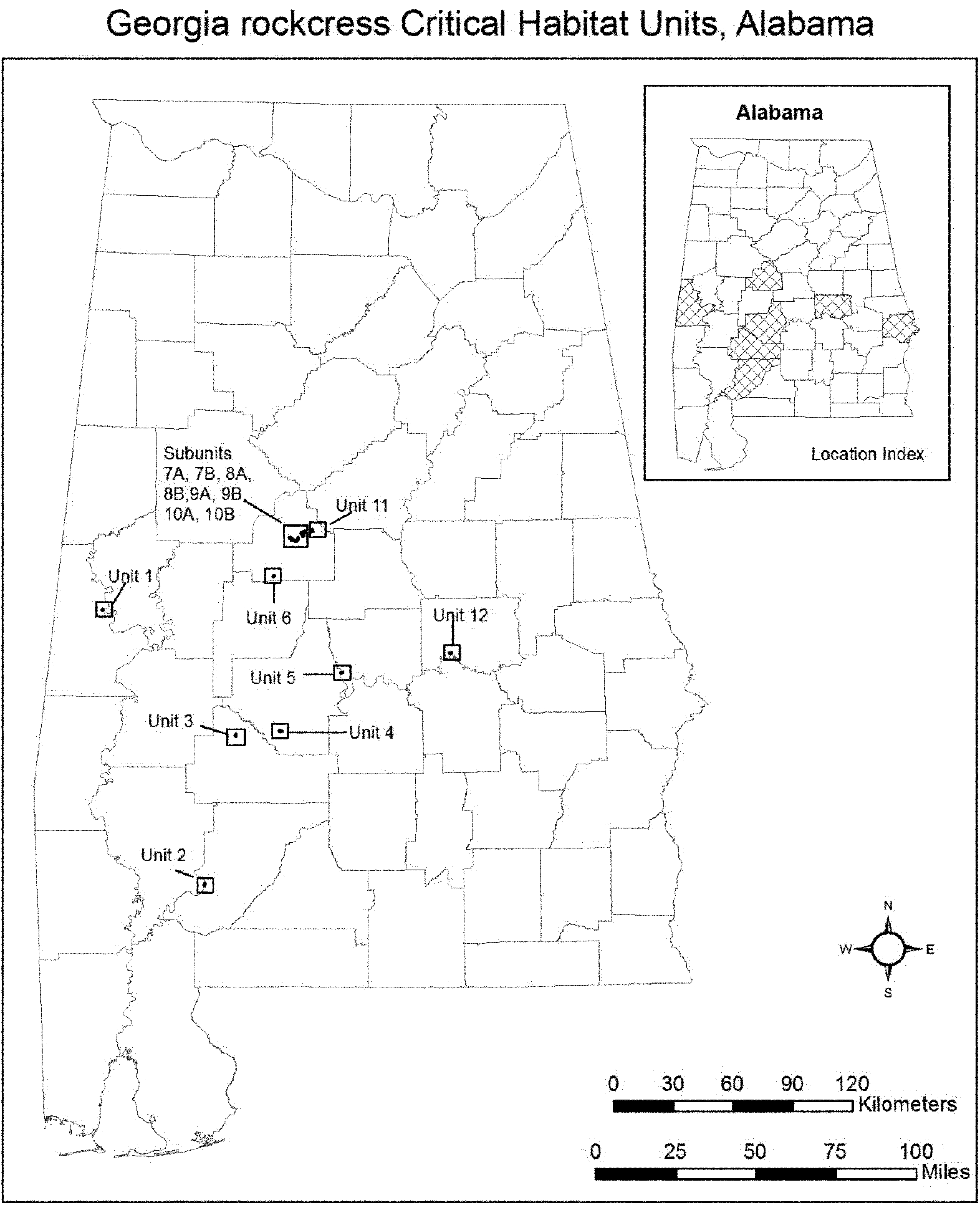

(6) Unit 1: Fort Tombecbee, Sumter County, Alabama. Map of Unit 1 follows:

(7) Unit 2: Marshalls Bluff, Monroe County, Alabama. Map of Unit 2 follows:

(8) Unit 3: Prairie Bluff, Wilcox County, Alabama. Map of Unit 3 follows:
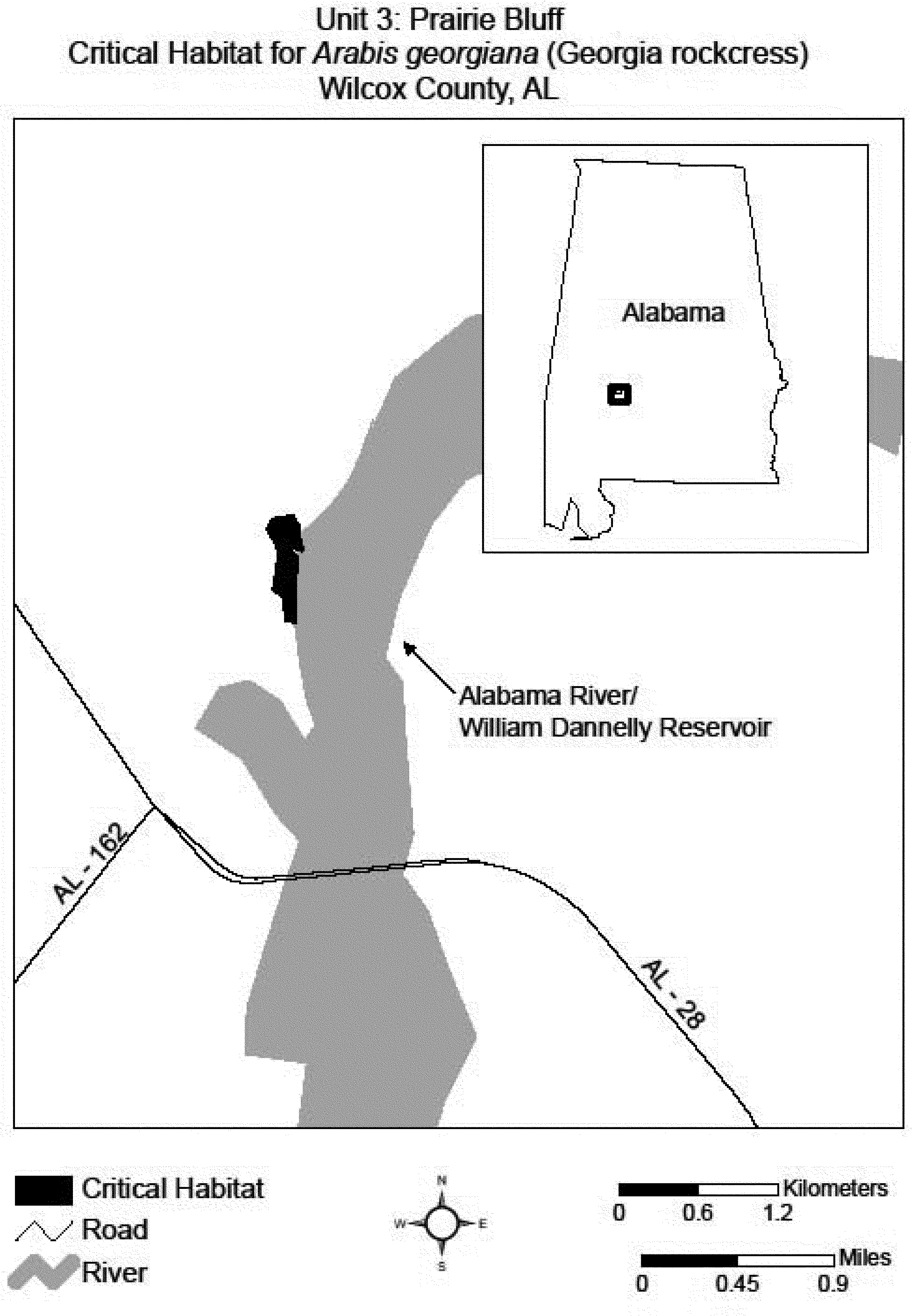
(9) Unit 4: Portland Landing River Slopes, Dallas County, Alabama. Map of Unit 4 follows:

(10) Unit 5: Durant Bend, Dallas County, Alabama. Map of Unit 5 follows:
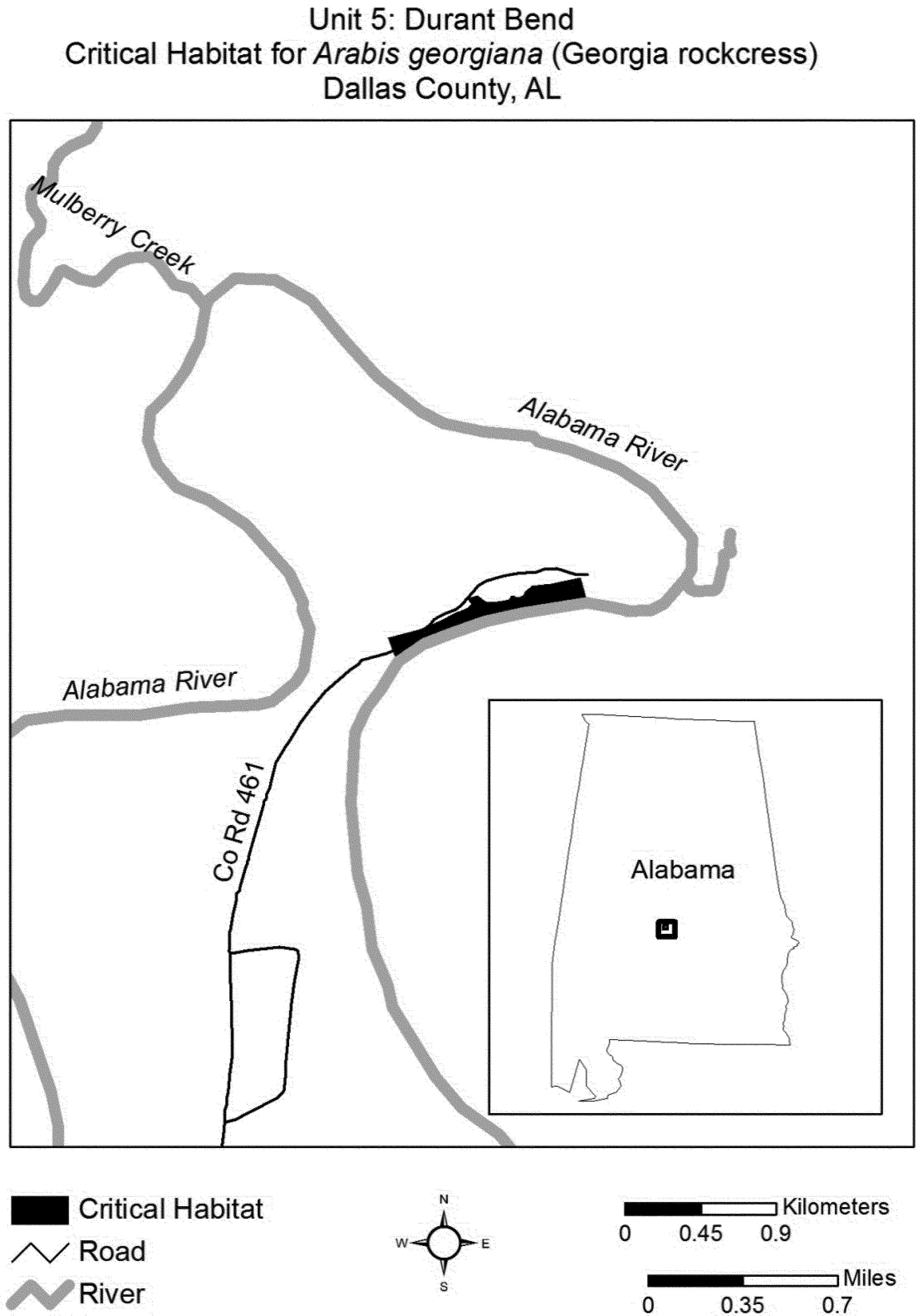
(11) Unit 6: Murphys Bluff Bridge Cahaba River, Bibb County, Alabama. Map of Unit 6 follows:

(12) Unit 7: Bibb County, Alabama.
(i) Subunit 7A: Creekside Glades.
(ii) Subunit 7B: Little Schultz Creek.
(iii) Map of Subunits 7A and 7B follows:
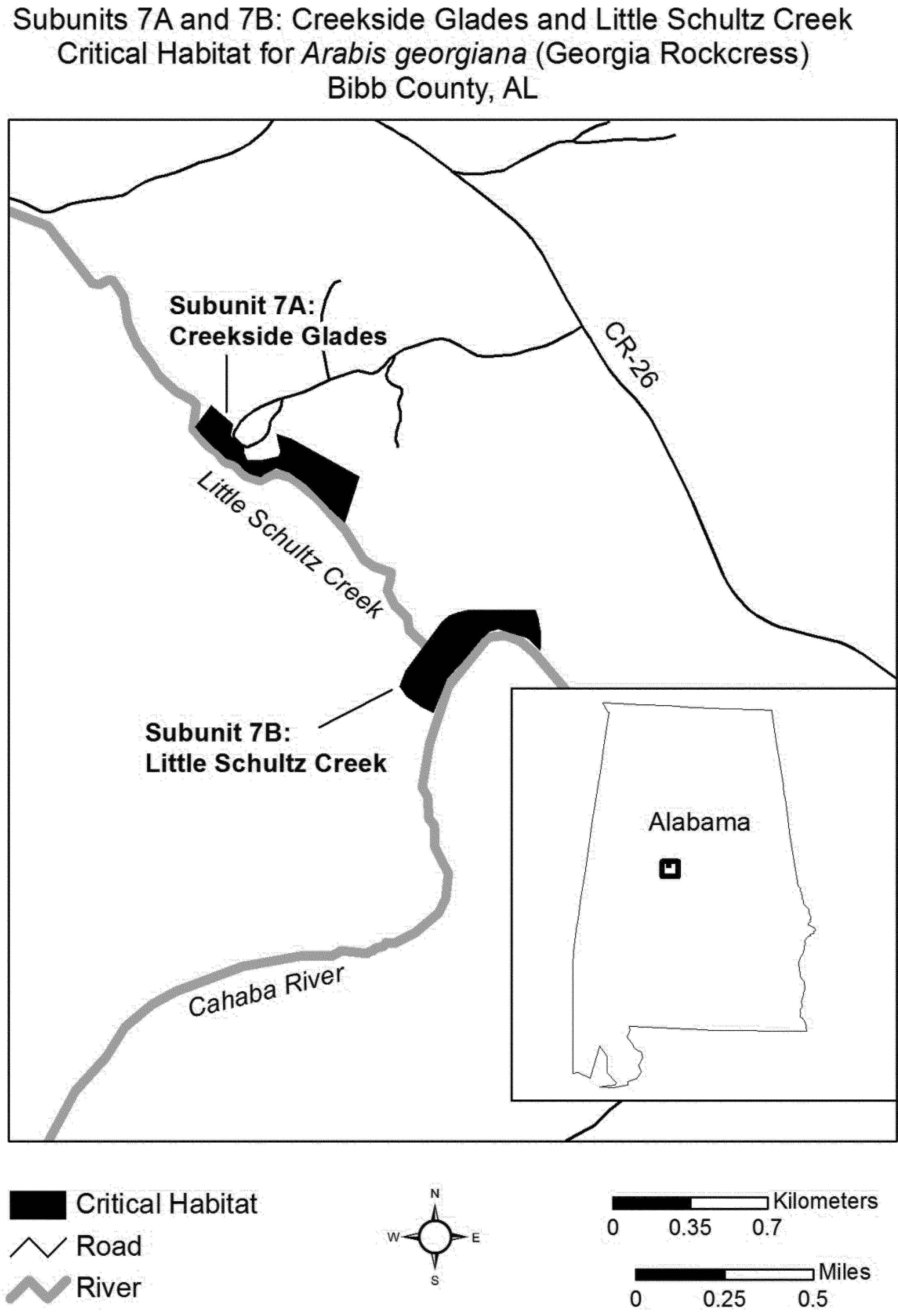
(13) Unit 8: Bibb County, Alabama.
(i) Subunit 8A: Cottingham Creek Bluff.
(ii) Subunit 8B: Pratts Ferry.
(iii) Map of Subunits 8A and 8B follows:

(14) Unit 9: Bibb County, Alabama.
(i) Subunit 9A: Fern Glade.
(ii) Subunit 9B: Sixmile Creek.
(iii) Map of Subunits 9A and 9B follows:
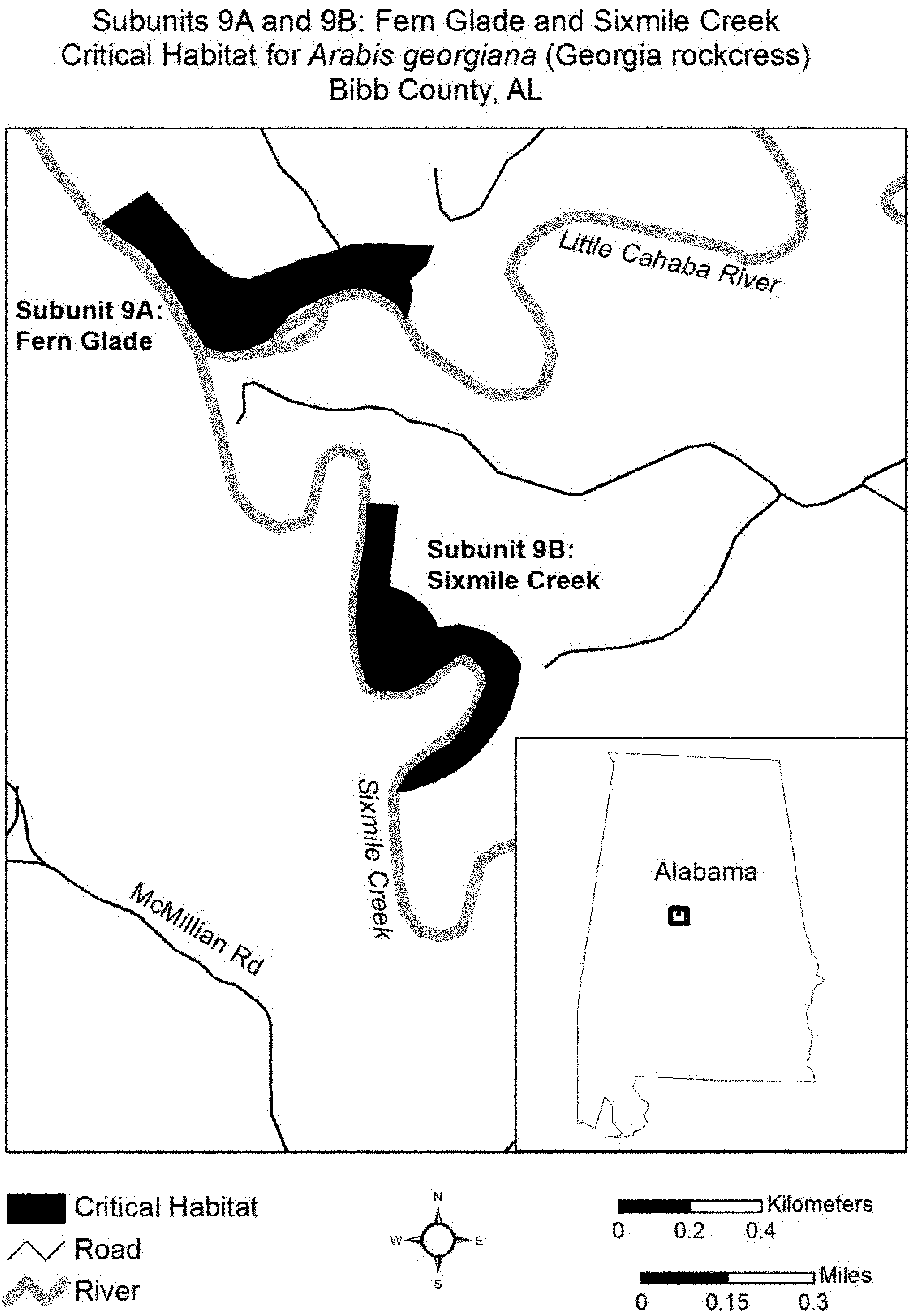
(15) Unit 10: Bibb County, Alabama.
(i) Subunit 10A: Browns Dam Glade North.
(ii) Subunit 10B: Browns Dam Glade South.
(iii) Map of Subunits 10A and 10B follows:
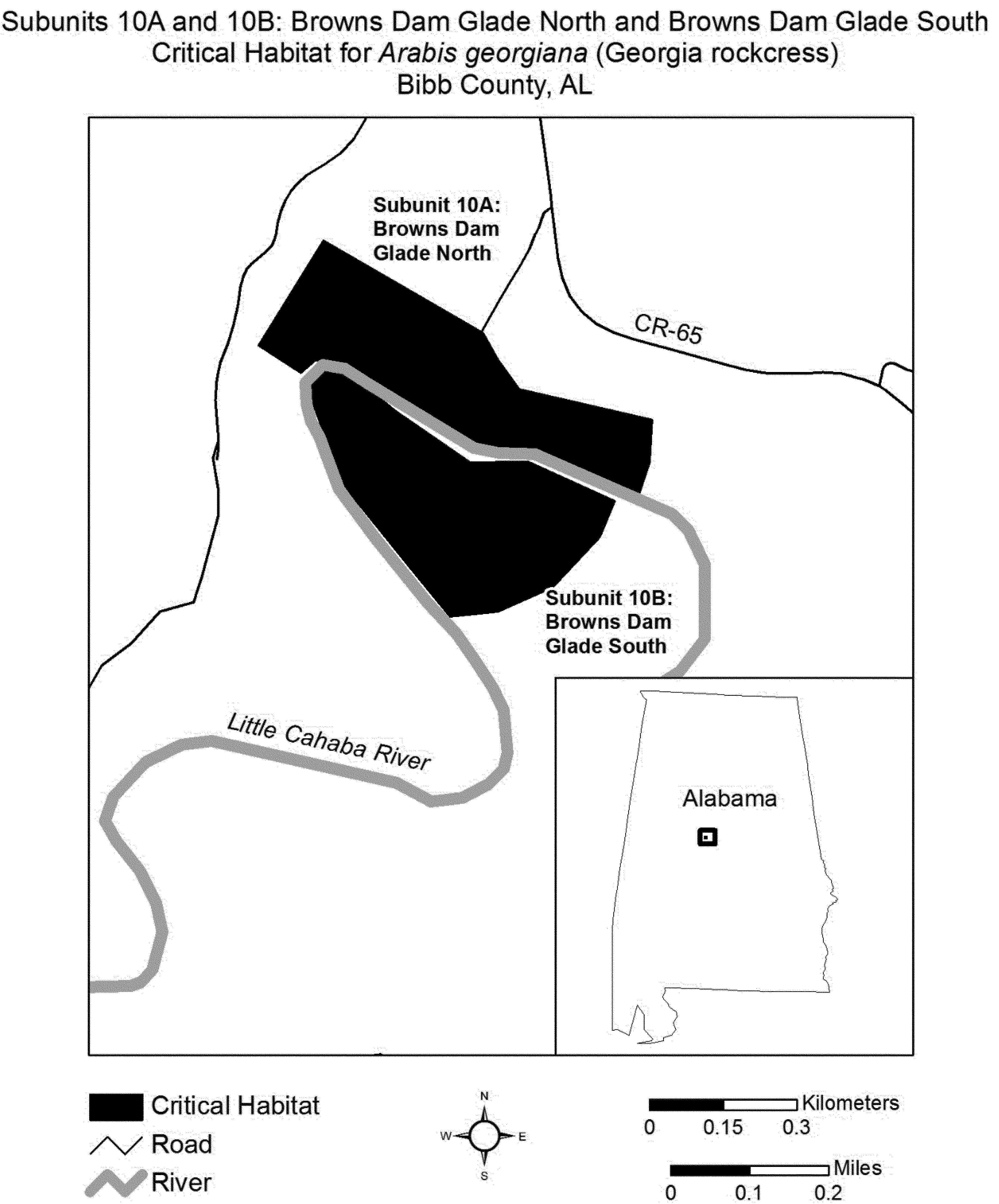
(16) Unit 11: McGuire Ford/Limestone Park, Bibb County, Alabama. Map of Unit 11 follows:
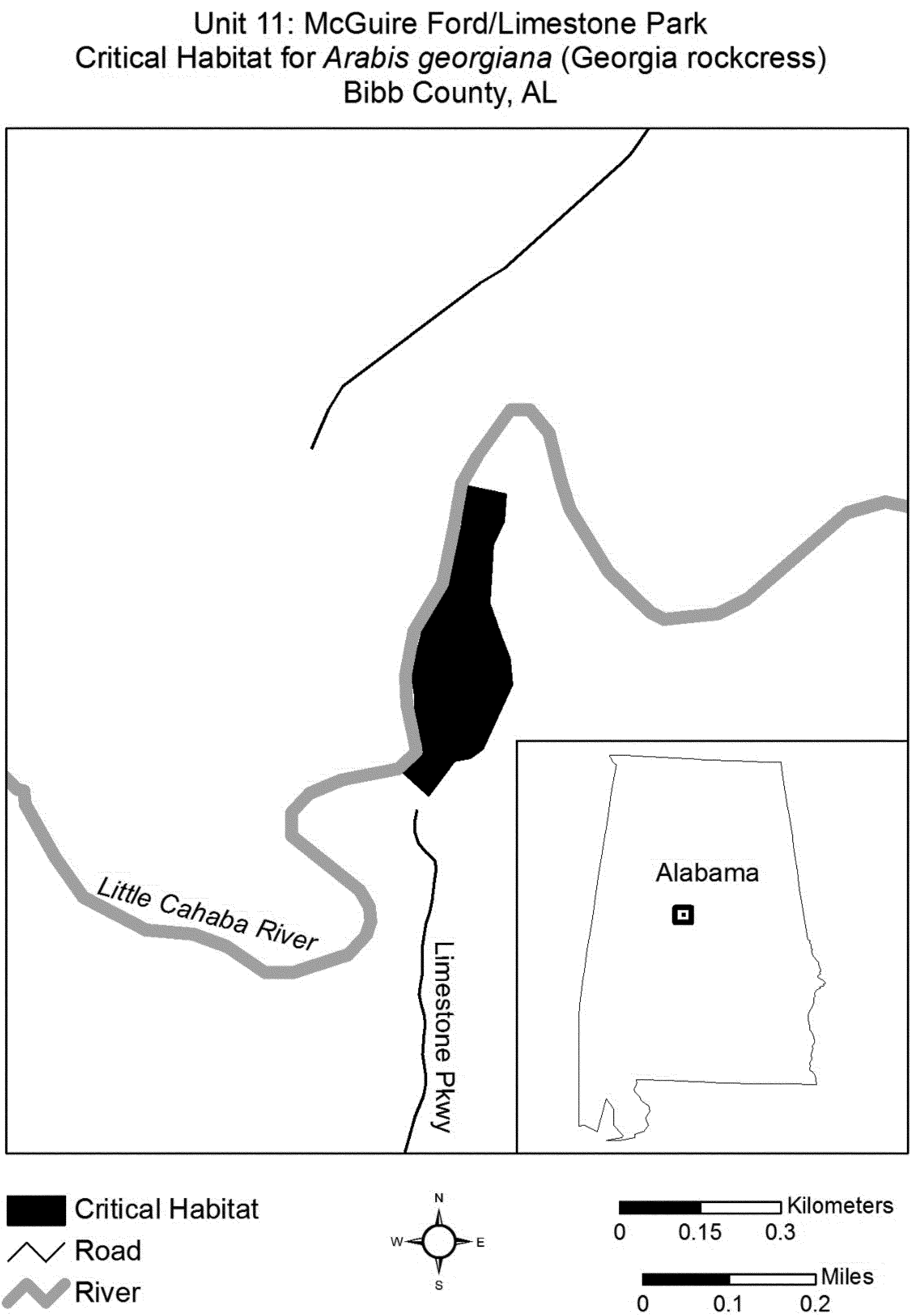
(17) Unit 12: Fort Toulouse State Park, Elmore County, Alabama. Map of Unit 12 follows:
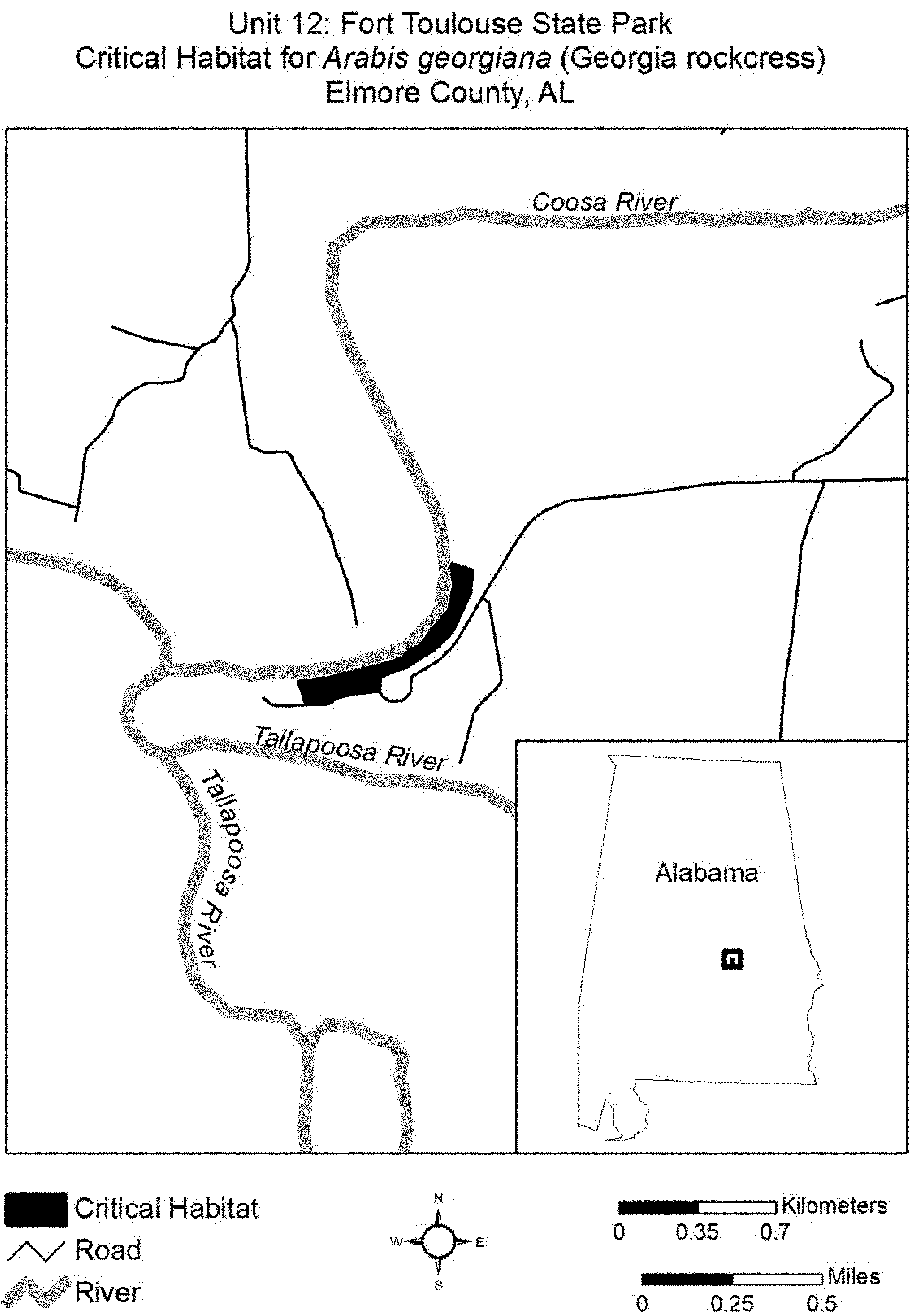
(18) Unit 13: Fort Gaines Bluff, Clay County, Georgia. Map of Unit 13 follows:
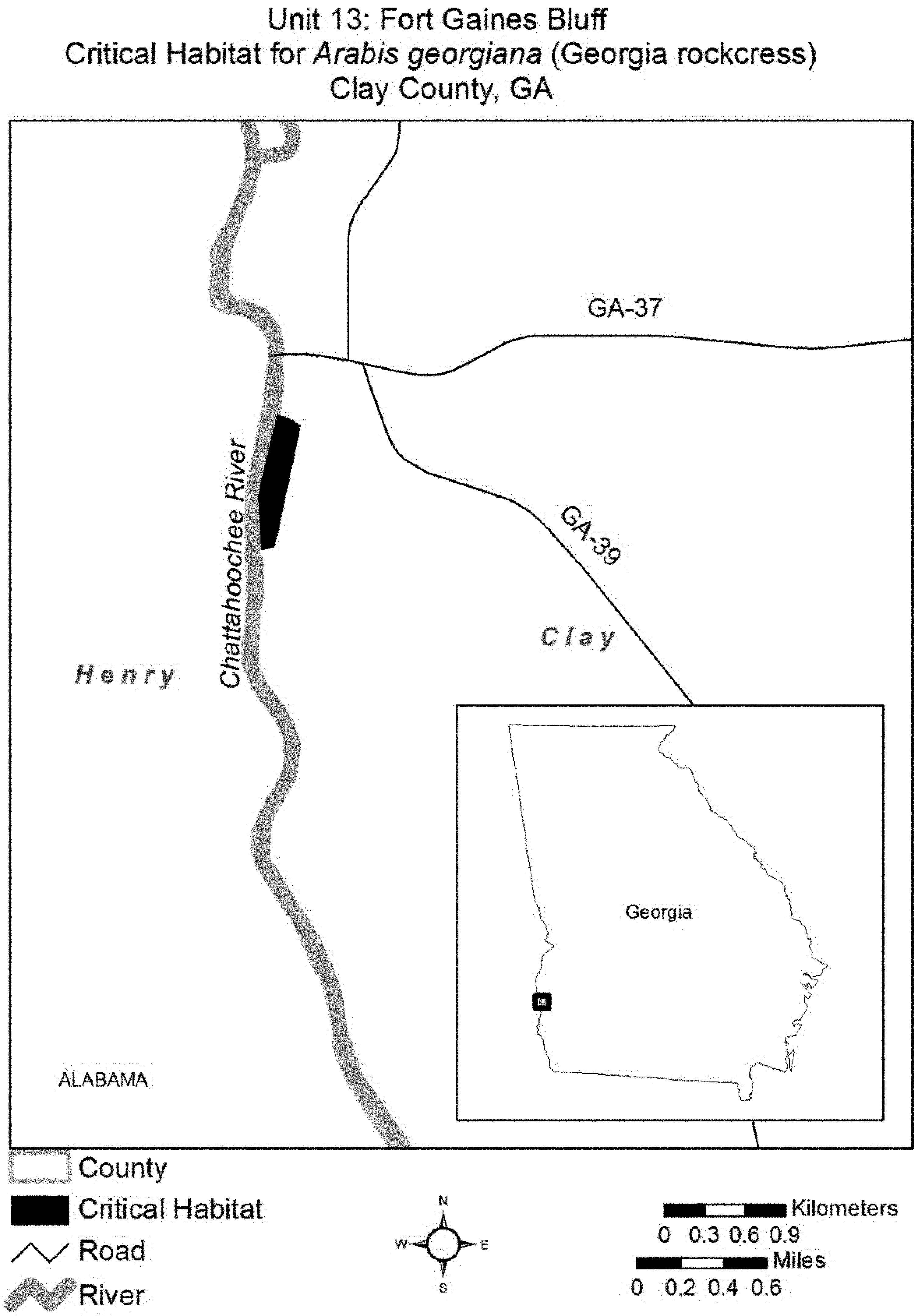
(19) Unit 14: Harris and Muscogee Counties, Georgia.
(i) Subunit 14A: Goat Rock North.
(ii) Subunit 14B: Goat Rock South.
(iii) Map of Subunits 14A and 14B follows:
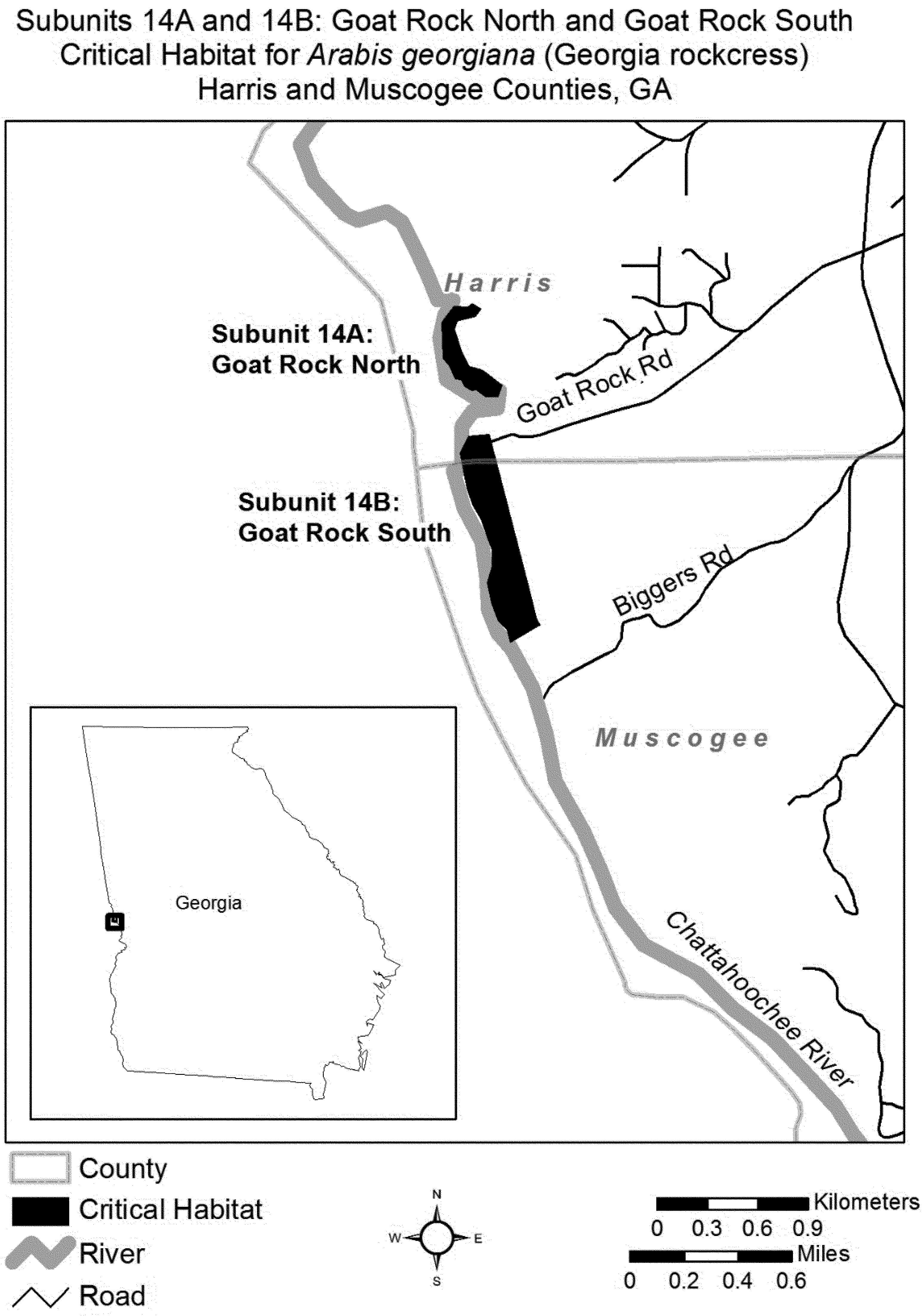
(20) Unit 15: Blacks Bluff Preserve, Floyd County, Georgia. Map of Unit 15 follows:
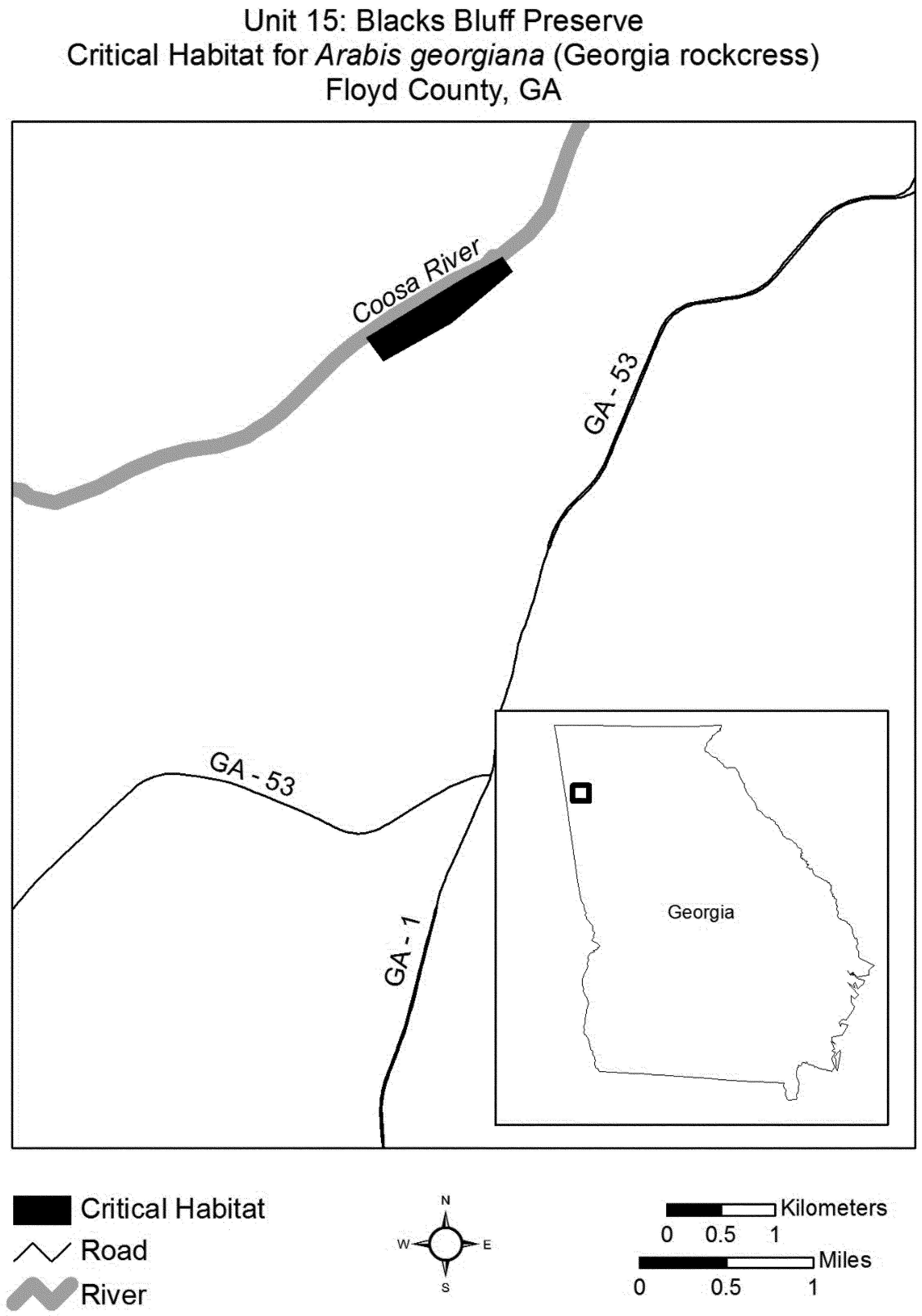
(21) Unit 16: Whitmore Bluff, Floyd County, Georgia. Map of Unit 16 follows:

(22) Unit 17: Resaca Bluffs, Gordon County, Georgia. Map of Unit 17 follows:
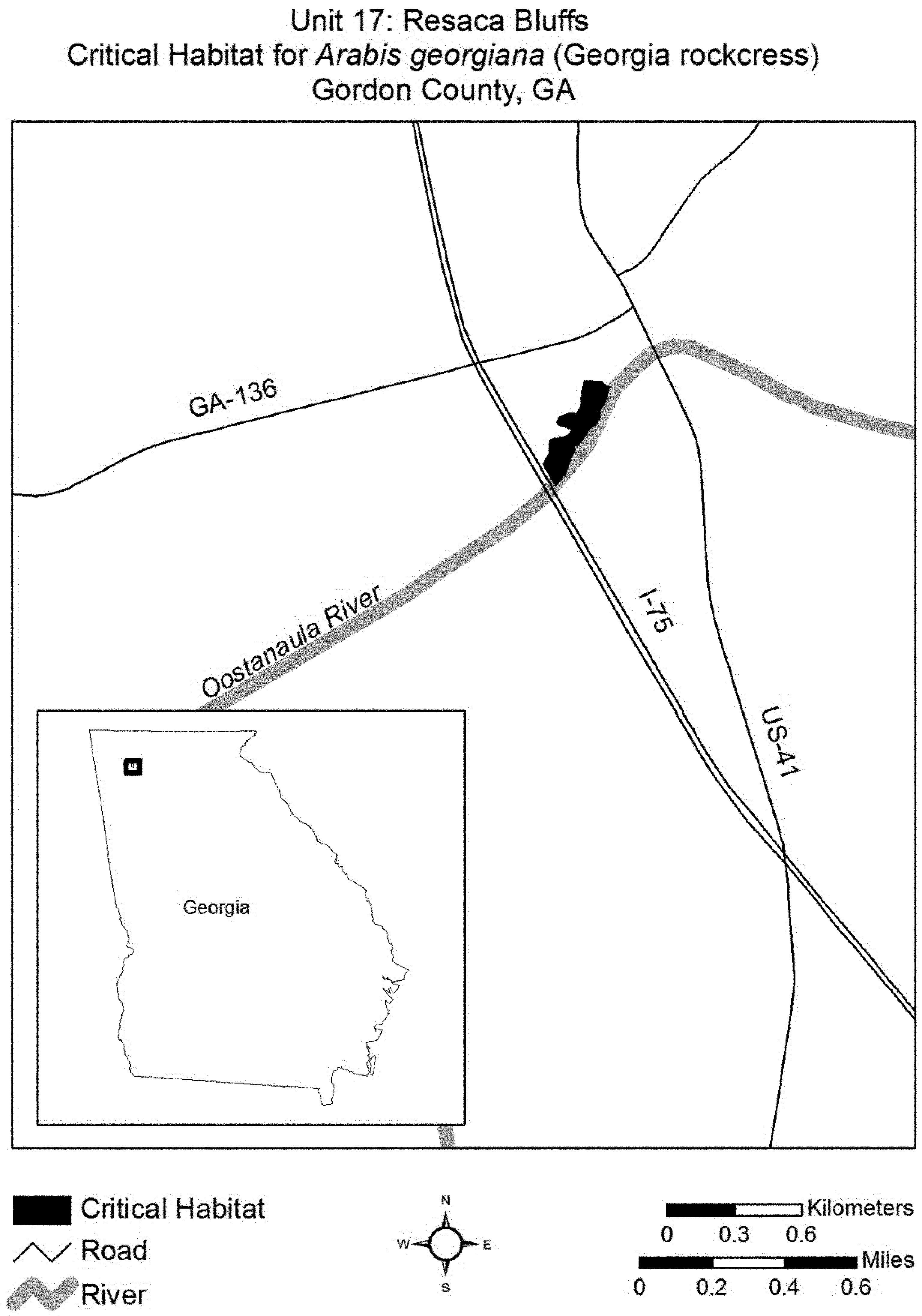
Family Brassicaceae: Arabis perstellata (Braun's rock-cress).
(1) Critical habitat units are depicted for Franklin, Henry, and Owen Counties, Kentucky, and Rutherford and Wilson Counties, Tennessee, on the maps in this entry. The maps provided are for informational purposes only.
(2) Based on the best available information, primary constituent elements essential for the conservation of Arabis perstellata are:
(i) Relatively undisturbed, closed canopy mesophytic and sub-xeric forest with large, mature trees (such as sugar maple (Acer saccharum), chinquapin oak (Quercus muhlenbergii), hackberry (Celtus occidentalis), or Ohio buckeye (Aesculus glabra)), and
(ii) Open forest floors with little herbaceous cover and leaf litter accumulation with natural disturbance to allow for Arabis perstellata germination and seedling germination, and
(iii) Areas with few introduced weed species such as Alliaria petiolata or Lonicera maackii, and
(iv) Rock outcrops on moderate to steep calcareous slopes defined by:
(A) Ordovician limestone, in particular the Grier, Tanglewood, and Macedonia Bed Members of the Lexington Limestone in Kentucky and the Lebanon, Carters, Leipers, and Catheys, and Bigby-Cannon Limestones in Tennessee; and
(B) Limestone soils such as the Fairmont Rock outcrop complexes in Kentucky and the Mimosa Rock outcrop complexes in Tennessee.
(3) Existing features and structures made by people, such as buildings, roads, railroads, airports, other paved areas, lawns, and other urban landscaped areas, do not contain one or more of the primary constituent elements and are not critical habitat. Federal actions limited to those areas, therefore, would not trigger a consultation under section 7 of the Act unless they may affect the species and/or primary constituent elements in adjacent critical habitat.
(4) Critical Habitat Map Units for Kentucky. (i) Data layers defining map units were created on a base of USGS 7.5′ quadrangles and critical habitat units were then mapped in feet using Kentucky State Plane North, NAD 83, and Tennessee State Plane, NAD 83, coordinates.
(ii) Map 1 - Index map of Critical Habitat for Braun's Rock-cress, Kentucky, follows:
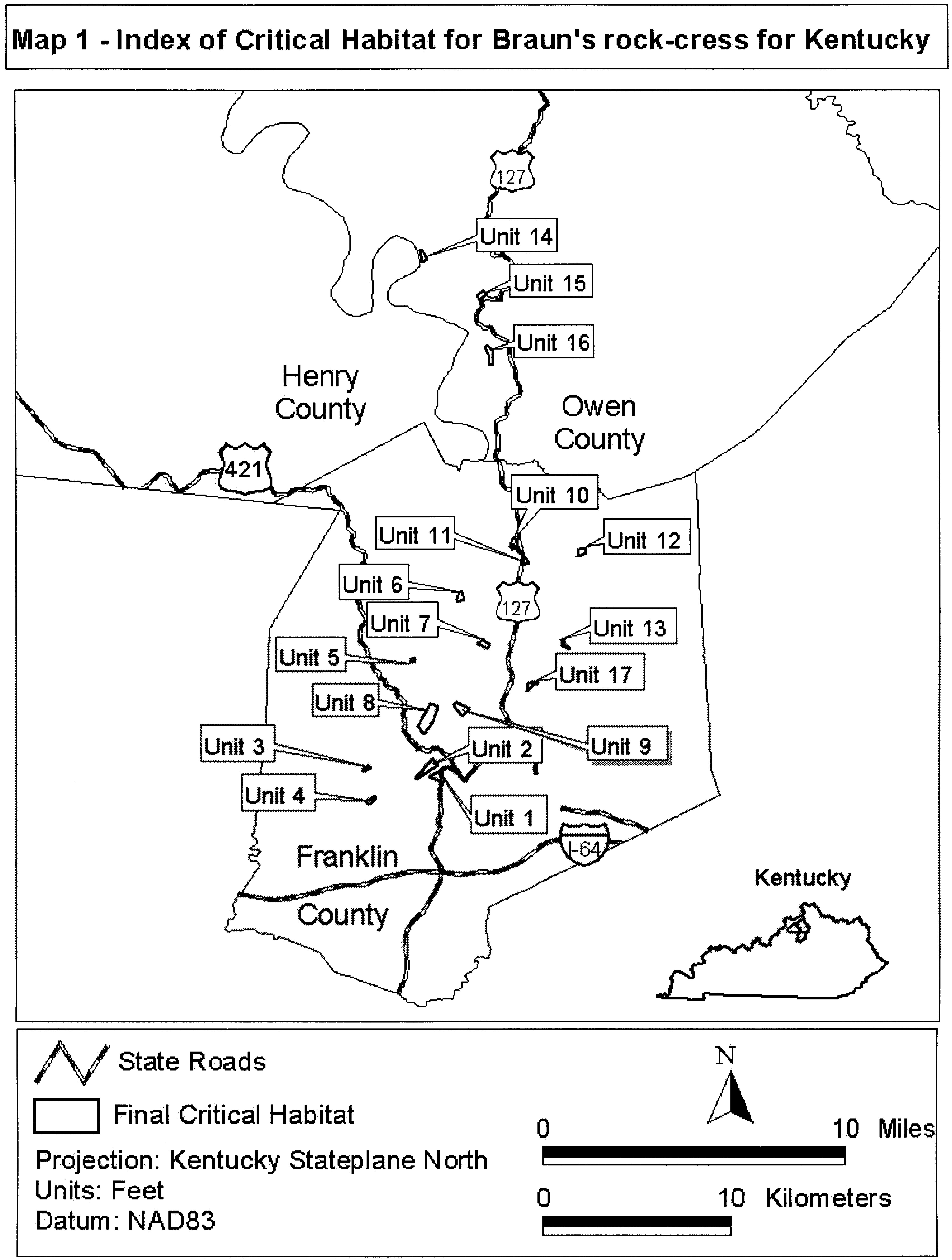
(5) Unit 1: Sky View Drive, Franklin County, Kentucky.
(i) From USGS 1:24,000 quadrangle map Frankfort West, Kentucky; land bounded by the following Kentucky State Plane North / NAD83 (Feet) coordinates: 1453158.08, 257013.95; 1455318.02, 258193.89; 1455537.40, 256159.34.
(6) Unit 2: Benson Valley Woods, Franklin County, Kentucky.
(i) From USGS 1:24,000 quadrangle map Frankfort East, Kentucky; land bounded by the following Kentucky State Plane North / NAD83 (Feet) coordinates: 1450864.02, 256869.46; 1453925.25, 260160.79; 1454705.56, 258980.31; 1451054.09, 256519.32.
(7) Unit 3: Red Bridge Road, Franklin County, Kentucky.
(i) From USGS 1:24,0000 quadrangle Frankfort West, Kentucky; land bounded by the following Kentucky State Plane North / NAD83 (Feet) coordinates: 1442614.00, 258863.10; 1443144.60, 258502.62; 1441670.26, 257801.90; 1441581.15, 258012.52.
(8) Unit 4: Tributary to South Benson Creek, Franklin County, Kentucky.
(i) From USGS 1:24,000 quadrangle map Frankfort West, Kentucky; land bounded by the following Kentucky State Plane North / NAD83 (Feet) coordinates: 1443620.37, 253609.15; 1444037.01, 253294.00; 1442925.97, 252129.54; 1442210.20, 252471.40.
(ii) Map 2 - Units 1, 2, 3, and 4, follows:
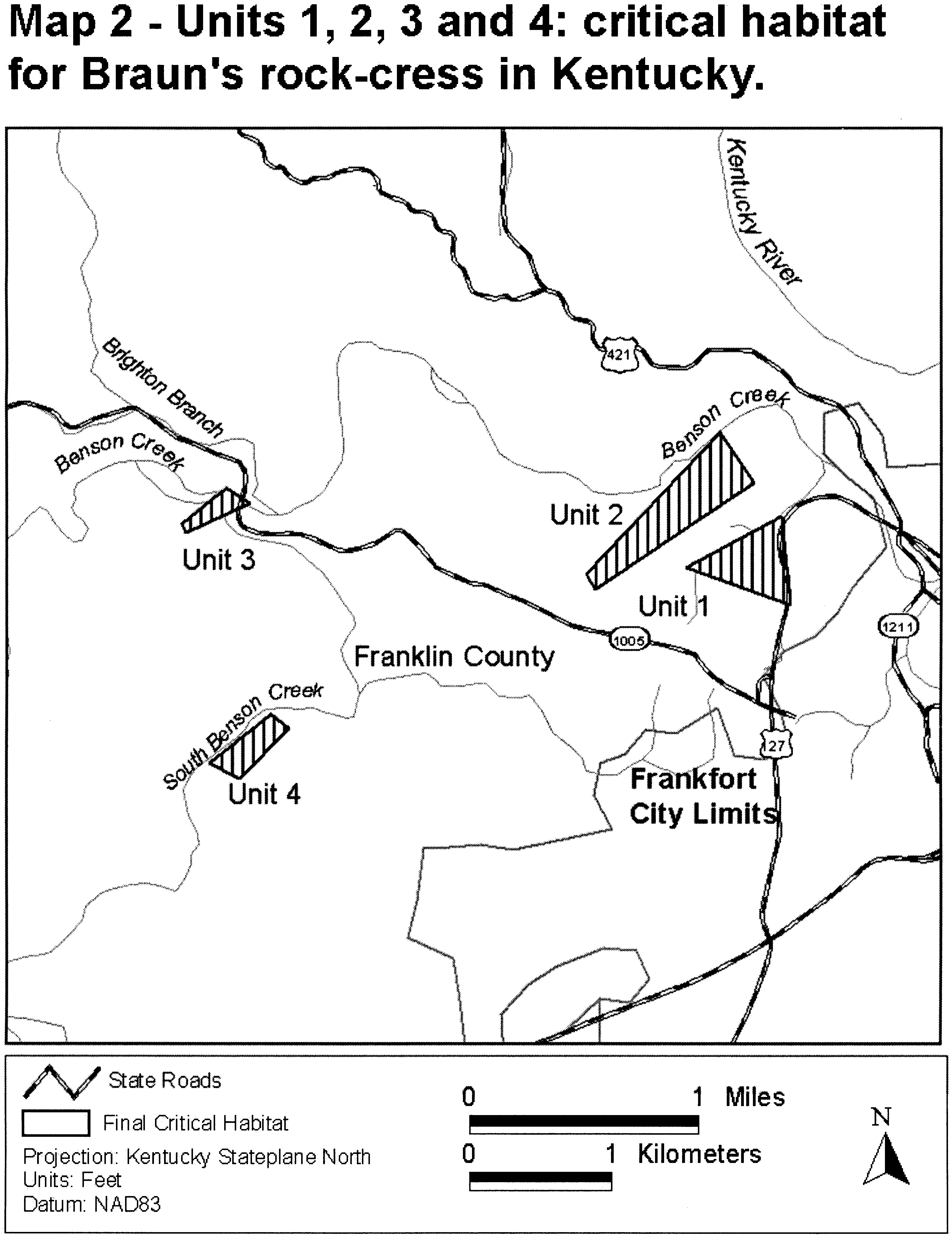
(9) Unit 5: Davis Branch, Franklin County, Kentucky.
(i) From USGS 1:24,000 quadrangle map Polsgrove, Kentucky; land bounded by the following Kentucky State Plane North / NAD83 (Feet) coordinates: 1450167.05, 277739.69; 1450767.00, 277750.87; 1450761.41, 277314.88; 1450202.46, 277180.73.
(10) Unit 6: Onans Bend, Franklin County, Kentucky.
(i) From USGS 1:24,000 quadrangle map Polsgrove, Kentucky; land bounded by the following Kentucky State Plane North / NAD83 (Feet) coordinates: 1458610.26, 289401.40; 1459066.14, 289401.50; 1459484.82, 288182.67; 1458210.30, 287759.68; 1458191.76, 288155.34.
(11) Unit 7: Shadrock Ferry Road, Franklin County, Kentucky.
(i) From USGS 1:24,0000 quadrangle Switzer, Kentucky; land bounded by the following Kentucky State Plane North / NAD83 (Feet) coordinates: 1461695.27, 280422.79; 1462823.09, 280986.70; 1463880.43, 280256.18; 1463463.90, 279506.43.
(12) Unit 8: Hoover Site, Franklin County, Kentucky.
(i) From USGS 1:24,0000 quadrangle Frankfort West, Kentucky; land bounded by the following Kentucky State Plane North / NAD83 (Feet) coordinates: 1479208.72, 296984.32; 1480548.19, 297074.83; 1480548.19, 296260.28; 1479407.83, 295690.11; 1479177.04, 295694.63.
(13) Unit 9: Longs Ravine Site, Franklin County, Kentucky.
(i) From USGS 1:24,0000 quadrangle Frankfort West, Kentucky; land bounded by the following Kentucky State Plane North / NAD83 (Feet) coordinates: 1457404.81, 269596.23; 1457959.89, 270126.46; 1460205.09, 268958.30; 1459003.79, 267607.86.
(ii) Map 3 - Units 5, 6, 7, 8, and 9, follows:
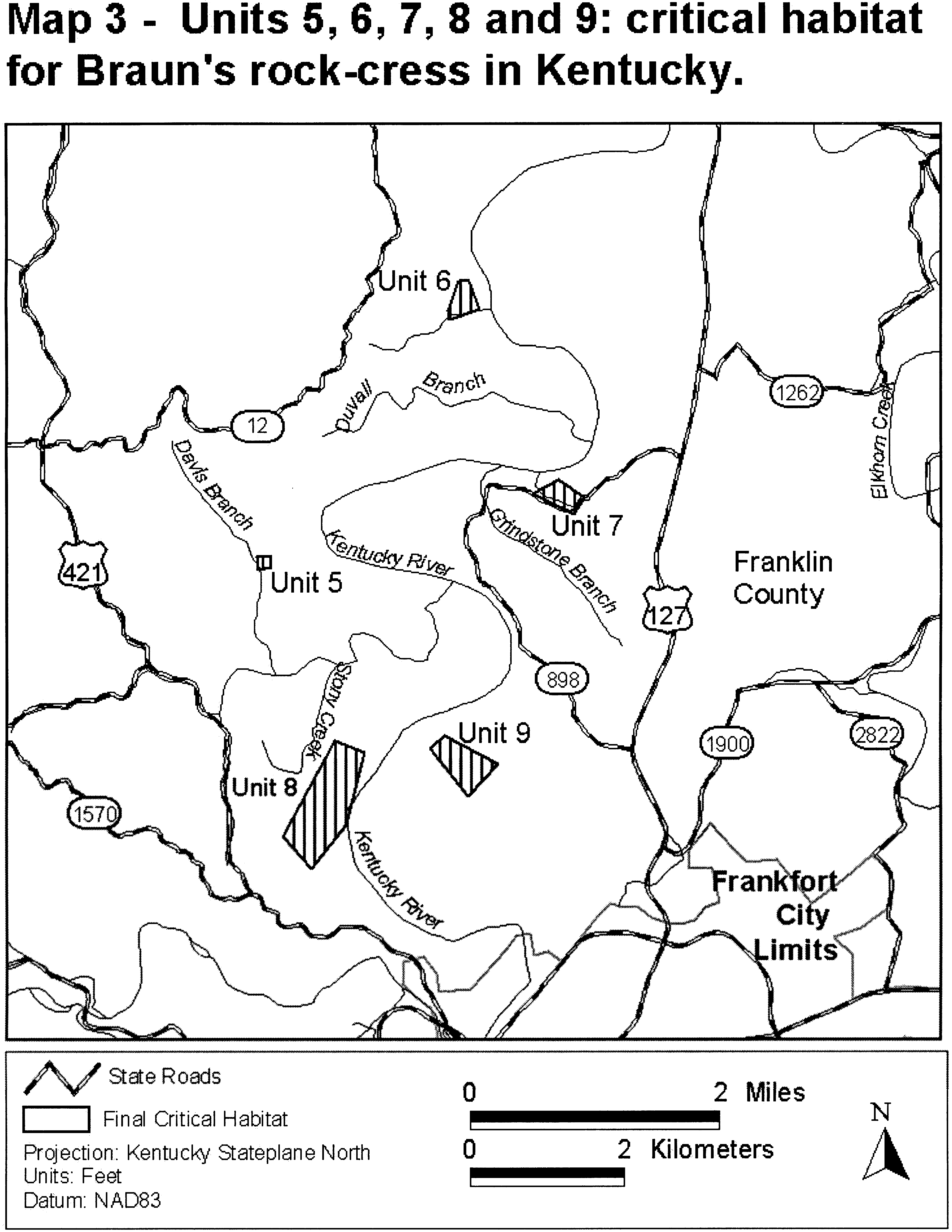
(14) Unit 10: Strohmeiers Hills, Franklin County, Kentucky.
(i) From USGS 1:24,0000 quadrangle Switzer, Kentucky; land bounded by the following Kentucky State Plane North / NAD83 (Feet) coordinates: 1467733.92, 298729.06; 1468218.13, 298978.50; 1468695.00, 297144.38; 1469854.17, 296131.94; 1469568.53, 295848.76; 1468658.32, 296498.77; 1468247.47, 297181.06; 1468056.72, 297936.72; 1467763.26, 296704.19; 1467440.46, 297415.83.
(15) Unit 11: U.S. 127, Franklin County, Kentucky.
(i) From USGS 1:24,000 quadrangle Switzer, Kentucky; land bounded by the following Kentucky State Plane North / NAD83 (Feet) coordinates: 1469164.24, 295115.19; 1469939.07, 295511.62; 1470629.82, 294466.49; 1469662.78, 294058.06.
(ii) Map 4 - Units 10 and 11, follows:
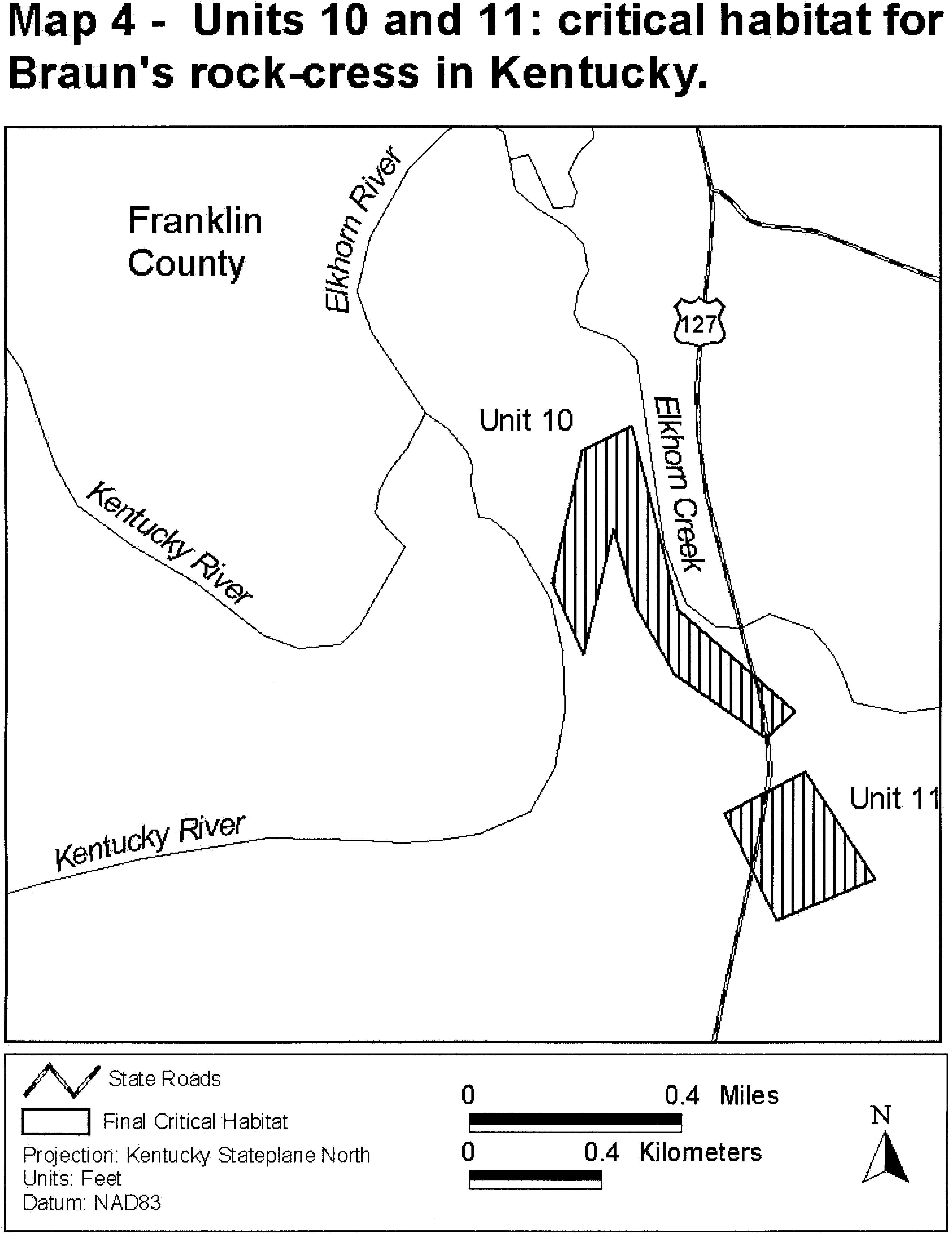
(16) Unit 12: Camp Pleasant Branch Woods, Franklin County, Kentucky.
(i) From USGS 1:24,000 quadrangle Switzer, Kentucky; land bounded by the following Kentucky State Plane North / NAD83 (Feet) coordinates: 1453446.71, 269919.75; 1454641.35, 269410.27; 1453921.05, 266476.39; 1452392.62, 264561.46; 1451250.69, 265879.07.
(17) Unit 13: Saufley, Franklin County, Kentucky.
(i) From USGS 1:24,000 quadrangle Switzer, Kentucky; land bounded by the following Kentucky State Plane North / NAD83 (Feet) coordinates: 1476234.26, 281055.05; 1476538.92, 281115.98; 1476924.83, 280171.52; 1477848.97, 279612.98; 1476538.92, 279887.17.
(ii) Map 5 - Units 12 and 13, follows:
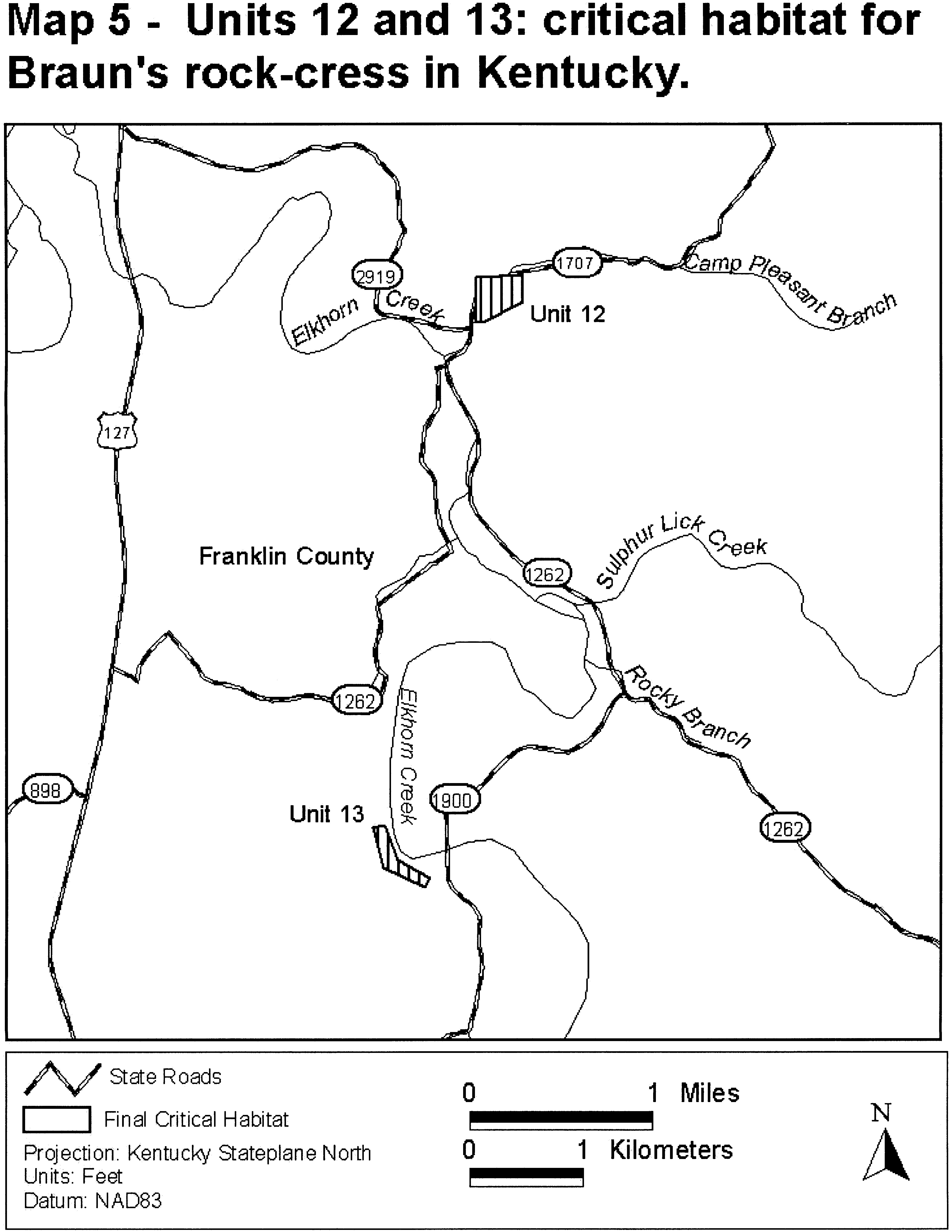
(18) Unit 14: Clements Bluff, Owen County, Kentucky.
(i) From USGS 1:24,000 quadrangle Gratz, Kentucky; land bounded by the following Kentucky State Plane North / NAD83 (Feet) coordinates: 1451615.01, 349295.36; 1452022.39, 349505.61; 1452910.30, 347908.24; 1452180.35, 347473.85.
(19) Unit 15: Monterey U.S. 127, Owen County, Kentucky.
(i) From USGS 1:24,000 quadrangle Monterey, Kentucky; land bounded by the following Kentucky State Plane North / NAD83 (Feet) coordinates: 1462791.17, 342357.03; 1463347.35, 341639.38; 1462109.41, 340778.21; 1461660.88, 341370.27.
(20) Unit 16: Craddock Bottom, Owen County, Kentucky.
(i) From USGS 1:24,000 quadrangles Frankfort East and West, Kentucky; land bounded by the following Kentucky State Plane North / NAD83 (Feet) coordinates: 1463039.86, 332602.65; 1463575.00, 332555.43; 1464377.71, 331784.20; 1464377.71, 329218.68; 1463748.13, 329202.94; 1463716.65, 330918.53.
(ii) Map 6 - Units 14, 15, and 16, follows:

(21) Unit 17: Backbone North, Franklin County, Kentucky.
(i) From USGS 1:24,000 quadrangle Frankfort East, Kentucky; land bounded by the following Kentucky State Plane North / NAD83 (Feet) coordinates: 1470487.13, 273240.06; 1471988.00, 273697.42; 1472199.59, 273279.29; 1471168.97, 272953.00; 1470516.94, 272031.81; 1470339.01, 272116.74.
(ii) Map 7 - Unit 17, follows:

(21) Critical Habitat Map Units for Tennessee. (i) Data layers defining map unit were created on a base of USGS 7.5′ quadrangles and proposed critical habitat units were then mapped in feet using Tennessee State Plane, NAD 83, coordinates.
(ii) Map 8 - Index of Critical Habitat for Braun's Rock-cress, Tennessee, follows:
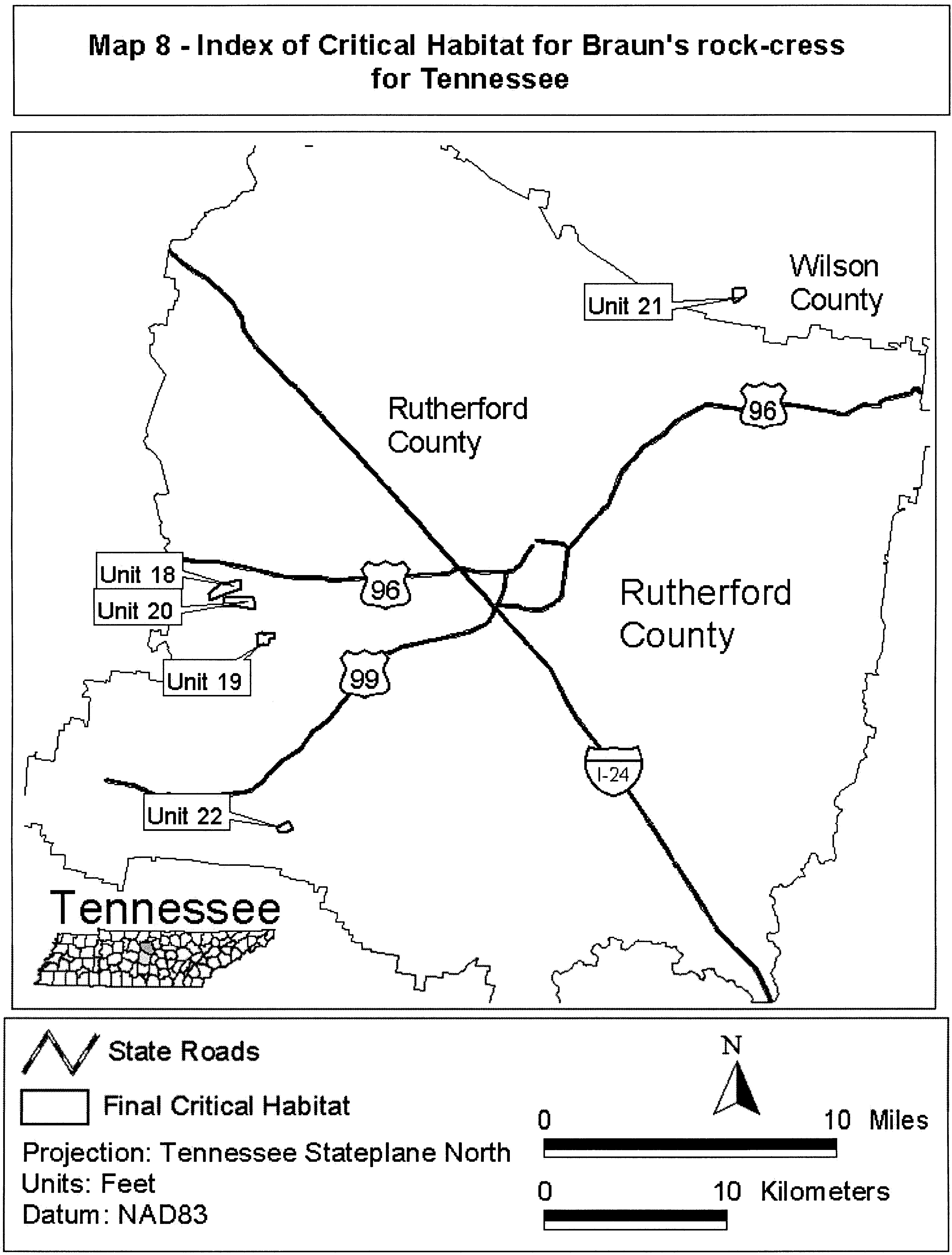
(22) Unit 18: Scales Mountain, Rutherford County, Tennessee.
(i) From USGS 1:24,000 quadrangle Rockvale, Tennessee; land bounded by the following Tennessee State Plane / NAD83 (Feet) coordinates (E,N): 1797871.97, 548892.57; 1800101.59, 549457.83; 1800070.19, 547856.27; 1797934.77, 547071.19.
(23) Unit 19: Sophie Hill, Rutherford County, Tennessee.
(i) From USGS 1:24,000 quadrangle Rockvale, Tennessee; land bounded by the following Tennessee State Plane / NAD83 (Feet) coordinates (E,N): 1804270.37, 539691.44; 1805958.29, 539809.20; 1806076.05, 538867.10; 1804427.38, 538631.58.
(24) Unit 20: Indian Mountain, Rutherford County, Tennessee.
(i) From USGS 1:24,000 quadrangle Rockvale, Tennessee; land bounded by the following Tennessee State Plane / NAD83 (Feet) coordinates (E,N): 1800305.71, 546168.35; 1802111.40, 546443.12; 1802543.19, 544794.46; 1800423.48, 544676.69.
(ii) Map 9 - Units 18, 19, and 20, follows:
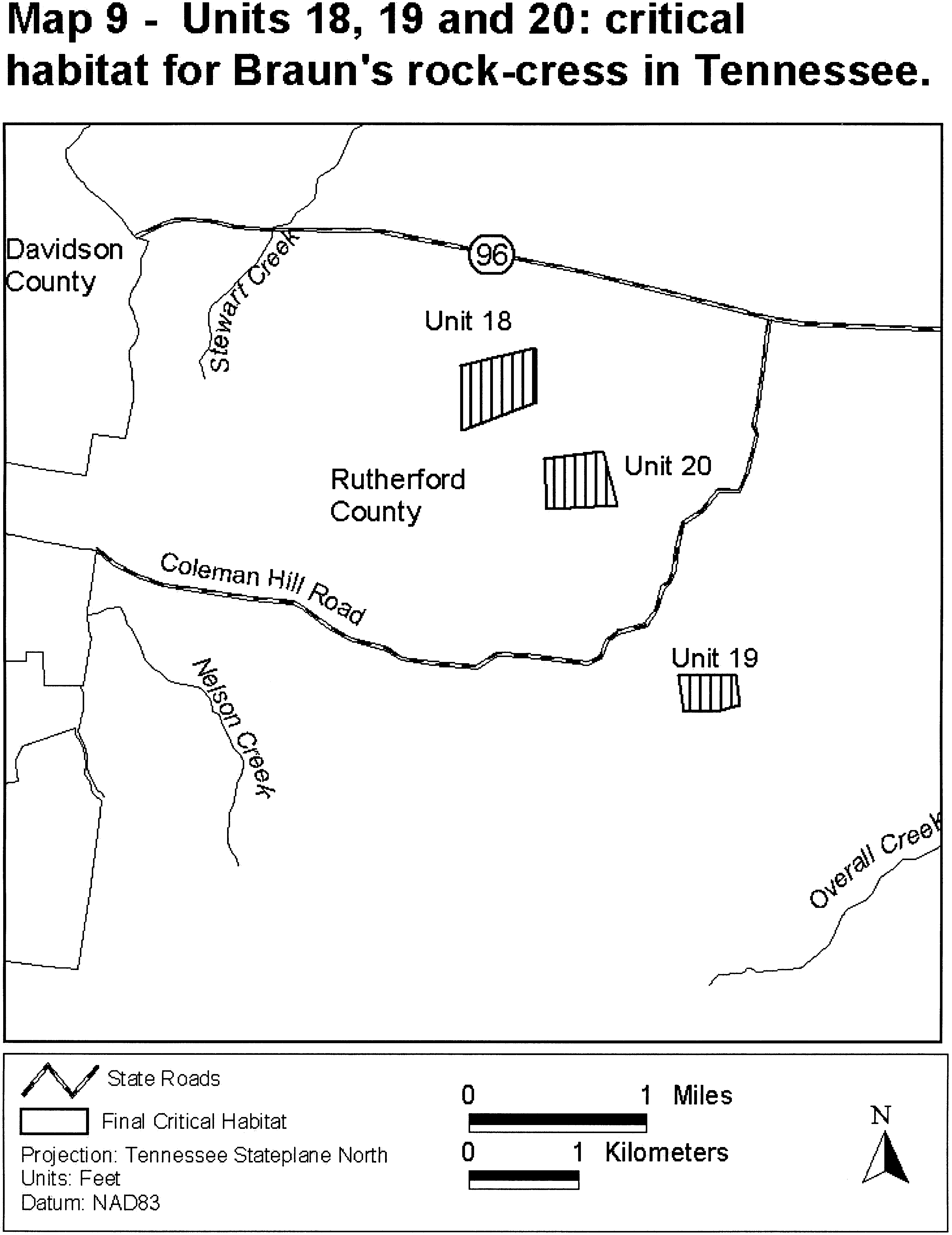
(25) Unit 21: Grandfather Knob, Wilson County, Tennessee.
(i) From USGS 1:24,000 quadrangle Lascassas, Tennessee; land bounded by the following Tennessee State Plane / NAD83 (Feet) coordinates (E,N): 1888463.64, 602182.29; 1890759.35, 602182.29; 1890842.07, 601189.55; 1889518.42, 599969.31; 1888877.28, 599638.40; 188670.46, 599638.40; 1888401.59, 600300.23.
(ii) Map 10 - Unit 21, follows:

(26) Unit 22: Versailles Knob, Rutherford County, Tennessee.
(i) From USGS 1:24,000 quadrangle Rover, Tennessee; land bounded by the following Tennessee State Plane / NAD83 (Feet) coordinates (E,N): 1806361.65, 504515.38; 1808616.22, 505711.83; 1809308.27, 504327.51; 1808517.23, 503872.66; 1807034.03, 503477.14.
(ii) Map 11 - Unit 22, follows:
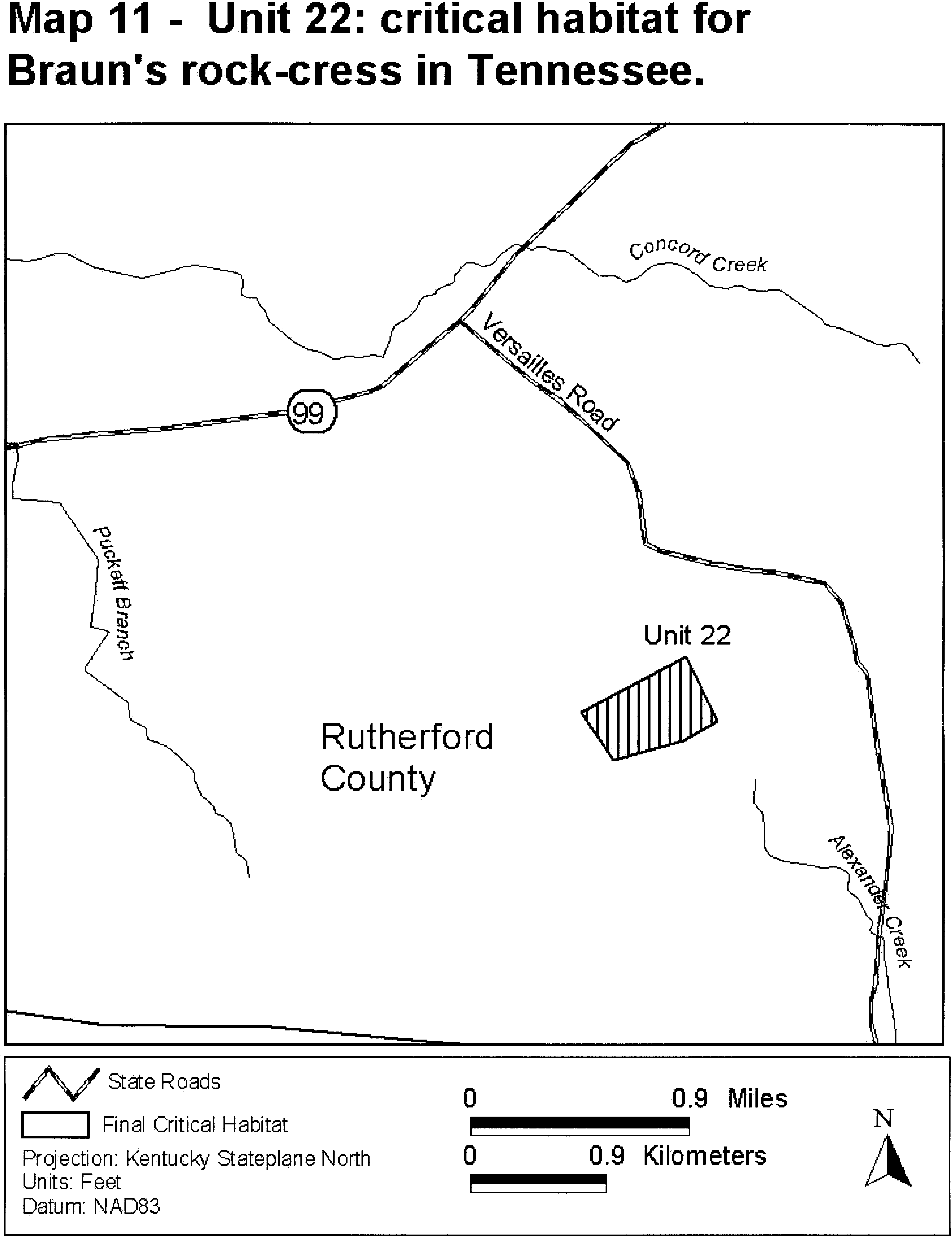
Family Brassicaceae: Erysimum capitatum var. angustatum (Contra Costa wallflower)
California. An area of land, water, and airspace in Contra Costa County, with the following components: T. 2 N. R. 2 E. SW 1⁄4 section 17, E 2⁄3 of S 1⁄3 of section 18.
Map provided is for informational purposes only. Map follows:
Family Brassicaceae: Leavenworthia crassa (fleshy-fruit gladecress)
(1) Critical habitat units are depicted for Lawrence and Morgan Counties, Alabama, on the maps below.
(2) Within these areas, the primary constituent elements of the physical or biological features essential to the conservation of fleshy-fruit gladecress consist of three components:
(i) Shallow-soiled, open areas with exposed limestone bedrock or gravel that are dominated by herbaceous vegetation characteristic of glade communities.
(ii) Open or well-lighted areas of exposed limestone bedrock or gravel that ensure fleshy-fruit gladecress plants remain unshaded for a significant portion of the day.
(iii) Glade habitat that is protected from both native and invasive, nonnative plants to minimize competition and shading of fleshy-fruit gladecress.
(3) Critical habitat does not include manmade structures (such as buildings, aqueducts, runways, roads, and other paved areas) and the land on which they are located existing within the legal boundaries on September 25, 2014.
(4) Critical habitat map units. Data layers defining map units were created on a base of Bing Maps digital aerial photography supplied by the Harris Corporation, Earthstar Geographics LLC, and the Microsoft Corporation. Critical habitat units were then mapped using the USA Contiguous Albers Equal Area Projection with a NAD 83 datum. The maps in this entry, as modified by any accompanying regulatory text, establish the boundaries of the critical habitat designation. The coordinates or plot points or both on which each map is based are available to the public at the Service's Internet site at http://www.fws.gov/cookeville, at http://www.regulations.gov at Docket No. FWS-R4-ES-2013-0086, and at the field office responsible for this designation. You may obtain field office location information by contacting one of the Service regional offices, the addresses of which are listed at 50 CFR 2.2.
(5) Index map follows:

(6) Unit 1: Bluebird Glades, Lawrence County, Alabama. Map of Units 1 and 2 follows:
(7) Unit 2: Stover Branch Glades, Lawrence County, Alabama. Map of Unit 2 is provided at paragraph (6) of this entry.
(8) Unit 3: Indian Tomb Hollow Glade, Lawrence County, Alabama. Map of Unit 3 follows:

(9) Unit 4: Cedar Plains South, Morgan County, Alabama. Map of Units 4, 5, and 6 follows:
(10) Unit 5: Cedar Plains North, Morgan County, Alabama. Map of Unit 5 is provided at paragraph (9) of this entry.
(11) Unit 6: Massey Glade, Morgan County, Alabama. Map of Unit 6 is provided at paragraph (9) of this entry.
(12) Unit 7: Hillsboro Glade, Lawrence County, Alabama. Map of Unit 7 follows:
Family Brassicaceae: Leavenworthia exigua var. lacinata (Kentucky glade cress)
(1) Critical habitat units are depicted for Bullitt and Jefferson Counties, Kentucky, on the maps below.
(2) Within these areas, the primary constituent elements of the physical or biological features essential to the conservation of L. exigua var. laciniata consist of these components:
(i) Cedar glades and gladelike areas within the range of L. exigua var. laciniata that include:
(A) Areas of rock outcrop, gravel, flagstone of Silurian dolomite or dolomitic limestone, and/or shallow (1 to 5 centimeters (0.393 to 1.97 inches)), calcareous soils;
(B) Intact cyclic hydrologic regime involving saturation and/or inundation of the area in winter and early spring, then drying quickly in the summer;
(C) Full or nearly full sunlight; and
(D) An undisturbed seed bank.
(ii) Vegetated land around glades and gladelike areas that extends up and down slope and ends at natural (e.g., stream, topographic contours) or manmade breaks (e.g., roads).
(3) Critical habitat does not include manmade structures (such as buildings, aqueducts, runways, roads, and other paved areas) and the land on which they are located existing within the legal boundaries on June 5, 2014.
(4) Critical habitat map units. Data layers defining critical habitat map units were created using a base of aerial photographs (USDA National Agricultural Imagery Program; NAIP 2010), and USA Topo Maps (National Geographic Society 2011). Critical habitat units were then mapped using Universal Transverse Mercator (UTM) Zone 16 North American Datum (NAD) 1983 coordinates. The maps in this entry, as modified by any accompanying regulatory text, establish the boundaries of the critical habitat designation. The coordinates or plot points or both on which each map is based are available to the public at the Service's Internet site, at http://www.regulations.gov at Docket No. FWS-R4-ES-2013-0015, and at the field office responsible for this designation. You may obtain field office location information by contacting one of the Service regional offices, the addresses of which are listed at 50 CFR 2.2.
(5) Index map follows:

(6) Unit 1: McNeely Lake, Jefferson County, Kentucky.
(i) Unit 1 includes 18 ac (7 ha).
(ii) Map of Unit 1 follows:

(7) Unit 2: Old Mans Run, Bullitt and Jefferson Counties, Kentucky.
(i) Unit 2 includes 1,014 ac (410 ha): Subunit A includes 102 acres (41 ha); subunit B includes 870 acres (352 ha); and subunit C includes 42 ac (17 ha).
(ii) Map of Unit 2 follows:
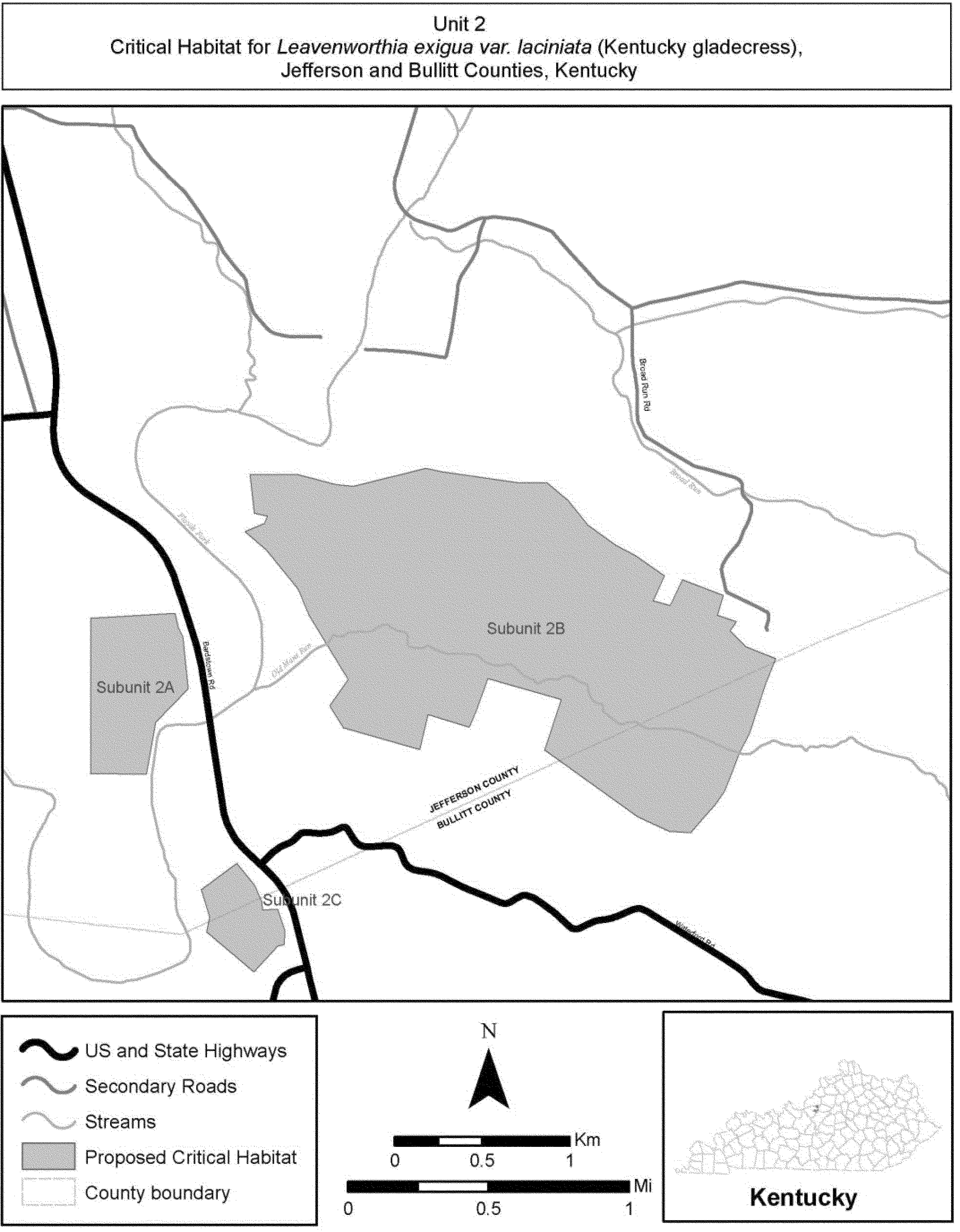
(8) Unit 3: Mount Washington, Bullitt County, Kentucky.
(i) Unit 3 contains 42 ac (17 ha): Subunit A contains 25 ac (10 ha); subunit B contains 7 ac (3 ha); and subunit C contains 10 ac (4 ha).
(ii) Map of Unit 3 follows:

(9) Unit 4: Cedar Creek, Bullitt County, Kentucky.
(i) Unit 4 contains 547 ac (221 ha): Subunit A contains 91 ac (37 ha); subunit B contains 69 ac (28 ha); subunit C contains 83 ac (34 ha); subunit D contains 46 ac (19 ha); subunit E contains 102 ac (41 ha); subunit F contains 120 ac (49 ha); subunit G contains 20 ac (8 ha); and subunit H contains 16 ac (6 ha).
(ii) Map of Unit 4 follows:
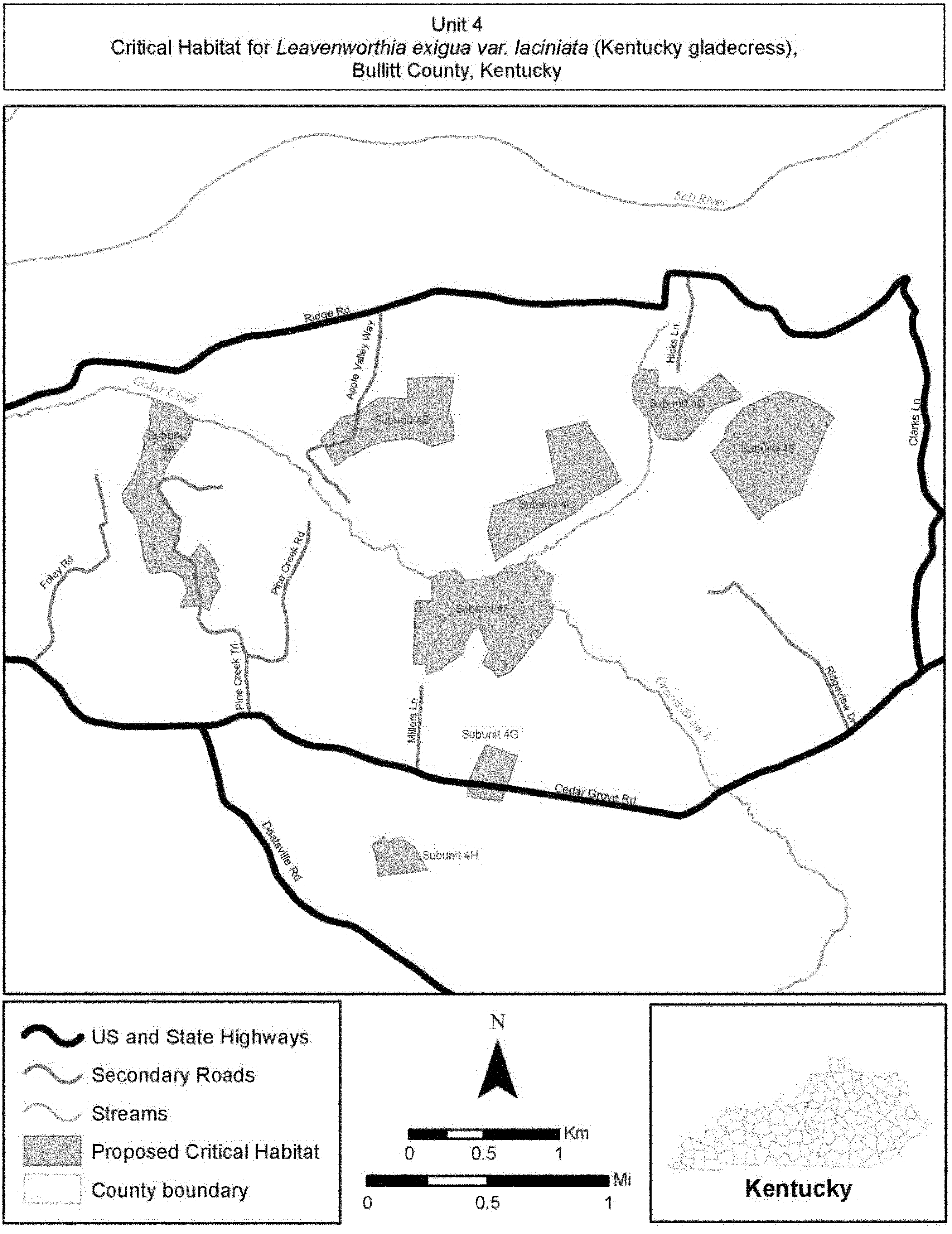
(10) Unit 5: Cox Creek, Bullitt County, Kentucky.
(i) Subunit 5 contains 58 ac (23 ha): Subunit A contains 8 ac (3 ha), and subunit B contains 50 ac (20 ha).
(ii) Map of Unit 5 follows:
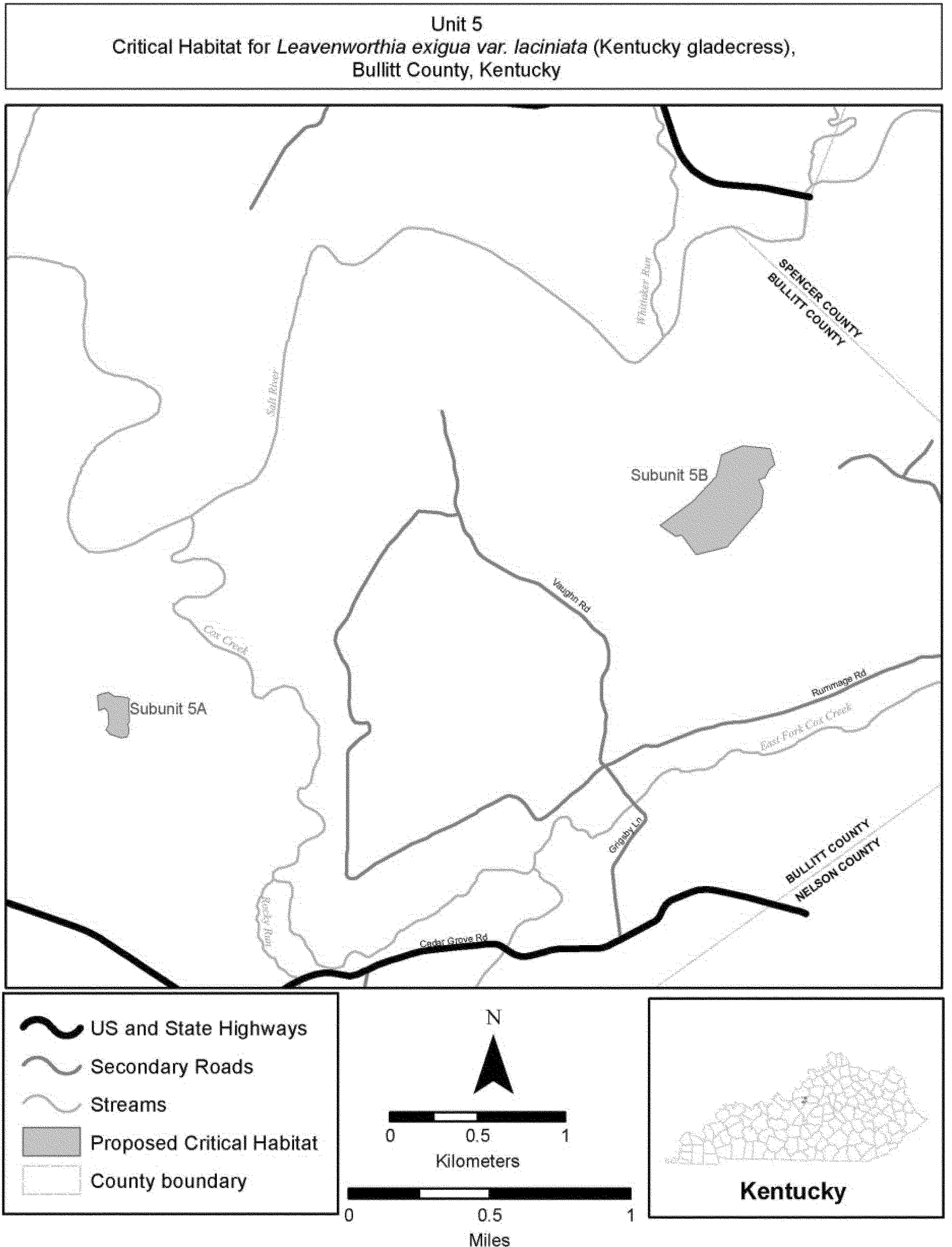
(11) Unit 6: Rocky Run, Bullitt County, Kentucky.
(i) Unit 6 contains 374 ac (151 ha).
(ii) Map of Unit 6 follows:
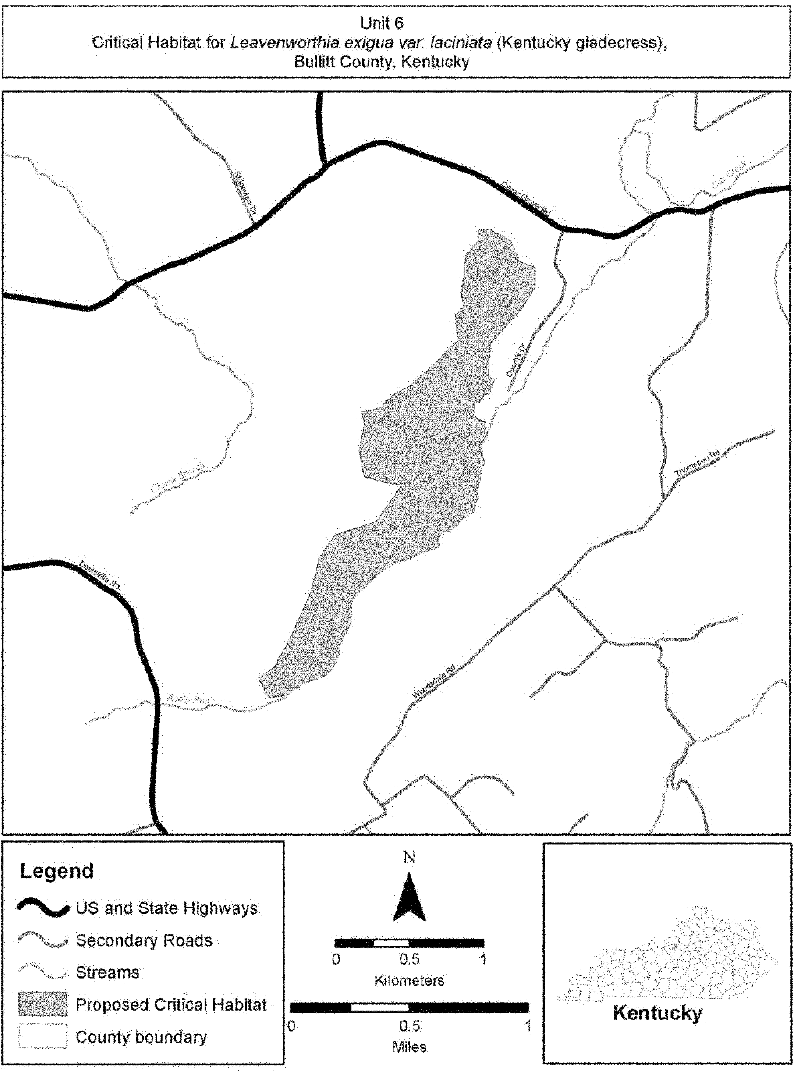
Family Brassicaceae: Leavenworthia texana (Texas golden gladecress)
(1) Critical habitat units are depicted for San Augustine and Sabine Counties, Texas, on the maps below.
(2) Within these areas, the primary constituent elements of the physical or biological features essential to the conservation of Leavenworthia texana consist of the three primary constituent elements identified for the species:
(i) Exposed outcrops of the Weches Formation within Weches prairies. Within the outcrop sites, there must be bare, exposed bedrock on top-level surfaces or rocky ledges with small depressions where rainwater or seepage can collect. The openings should support Weches Glade native herbaceous plant communities.
(ii) Thin layers of rocky, alkaline soils, underlain by glauconite clay (greenstone, ironstone, bluestone), that are found only on the Weches Formation. Appropriate soils are in the series classifications Nacogdoches clay loam, Trawick gravelly clay loam, or Bub clay loam, ranging in slope from 1-15 percent.
(iii) The outcrop ledges should occur within the glade such that Texas golden gladecress plants remain unshaded for a significant portion of the day, and trees should be far enough away from the outcrop(s) that leaves do not accumulate within the gladecress habitat. The habitat should be relatively clear of nonnative and native invasive plants, especially woody species, or with only a minimal level of invasion.
(3) Critical habitat does not include manmade structures (such as buildings, bridges, aqueducts, runways, well pads, metering stations, roads and the filled areas immediately adjacent to pavement, and other paved areas) and the land on which they are located existing within the legal boundaries on October 11, 2013.
(4) Critical habitat map units. Soil Survey Geographic Dataset (SSURGO) was used as a base map layer. The SSURGO is an updated digital version of the Natural Resources Conservation Service county soil surveys. The SSURGO uses recent digital orthophotos and fieldwork to update the original printed surveys. Data layers defining map units were created using the Texas golden gladecress' restriction to the Weches Formation and its tight association with the three soil map units: Nacogdoches clay loam 1-5 percent slope, Trawick gravelly clay loam 5-15 percent slope, or Bub clay loam 2-5 percent slope. In San Augustine and Sabine Counties, these soil types are restricted to the Weches Formation. Locations of all known gladecress populations, as well as potential glade sites, were overlaid on the three afore-named soil mapping units from the San Augustine and Sabine County's soils survey. Potential glade sites were identified using soil map units and a time series of aerial photographs that depicted changes in land cover. The maps in this entry, as modified by any accompanying regulatory text, establish the boundaries of the critical habitat designation. The coordinates or plot points or both on which each map is based are available to the public at the Service's internet site, at http://www.fws.gov/southwest/es/ElectronicLibrary/ElectronicLibrary_Main.cfm, at http://www.regulations.gov at Docket No. FWS-R2-ES-2013-0027, and at the field office responsible for this designation. You may obtain field office location information by contacting one of the Service regional offices, the addresses of which are listed at 50 CFR 2.2.
(5) Index map follows:

(6) Unit 1: Geneva Unit, Sabine County, Texas. Map of Unit 1 follows:
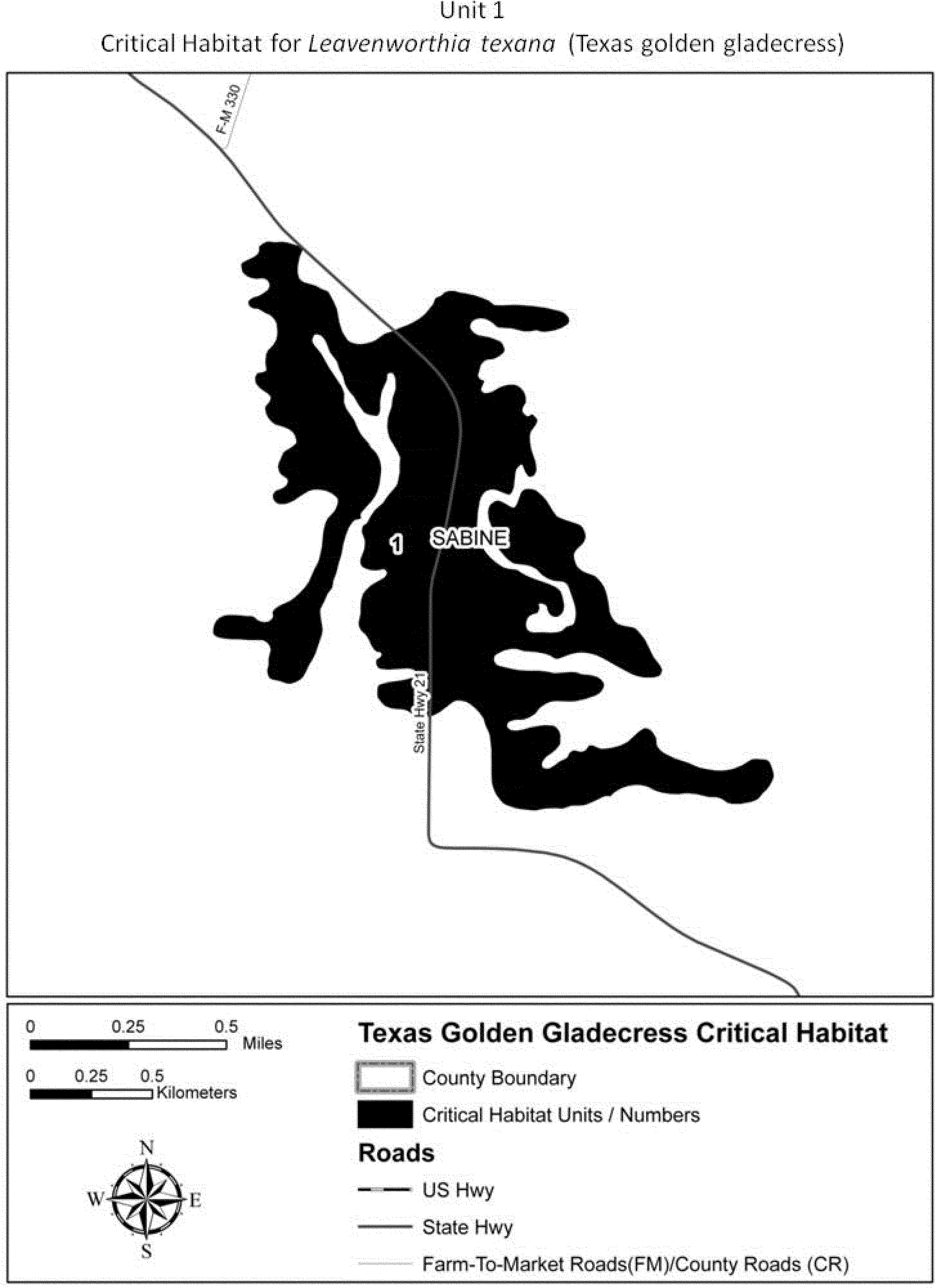
(7) Unit 2: Chapel Hill, San Augustine County. Map of Unit 2 follows:
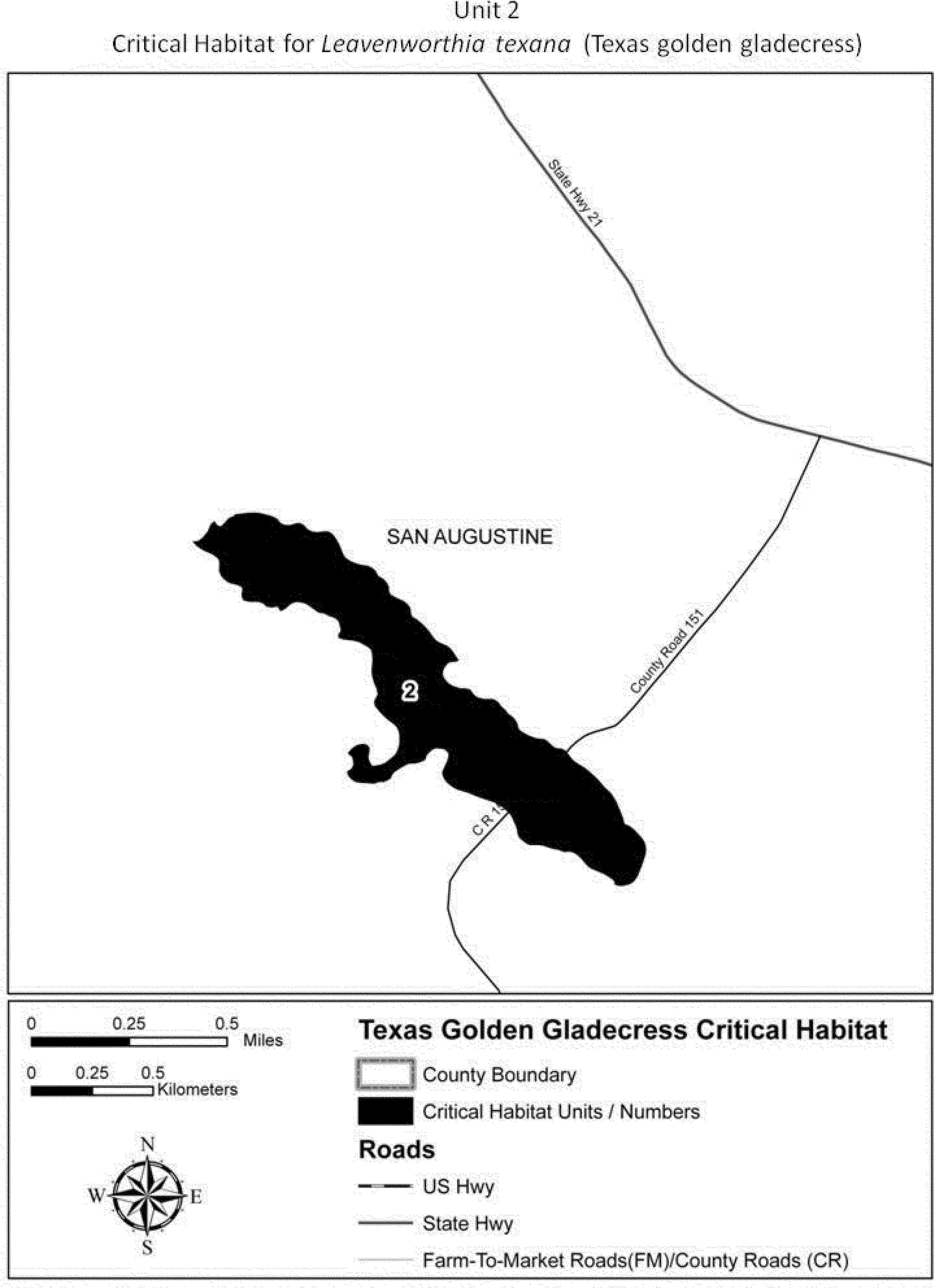
(8) Unit 3: Southeast Caney Creek Glades, San Augustine County, Texas. Map of Units 3 and 4 follows:
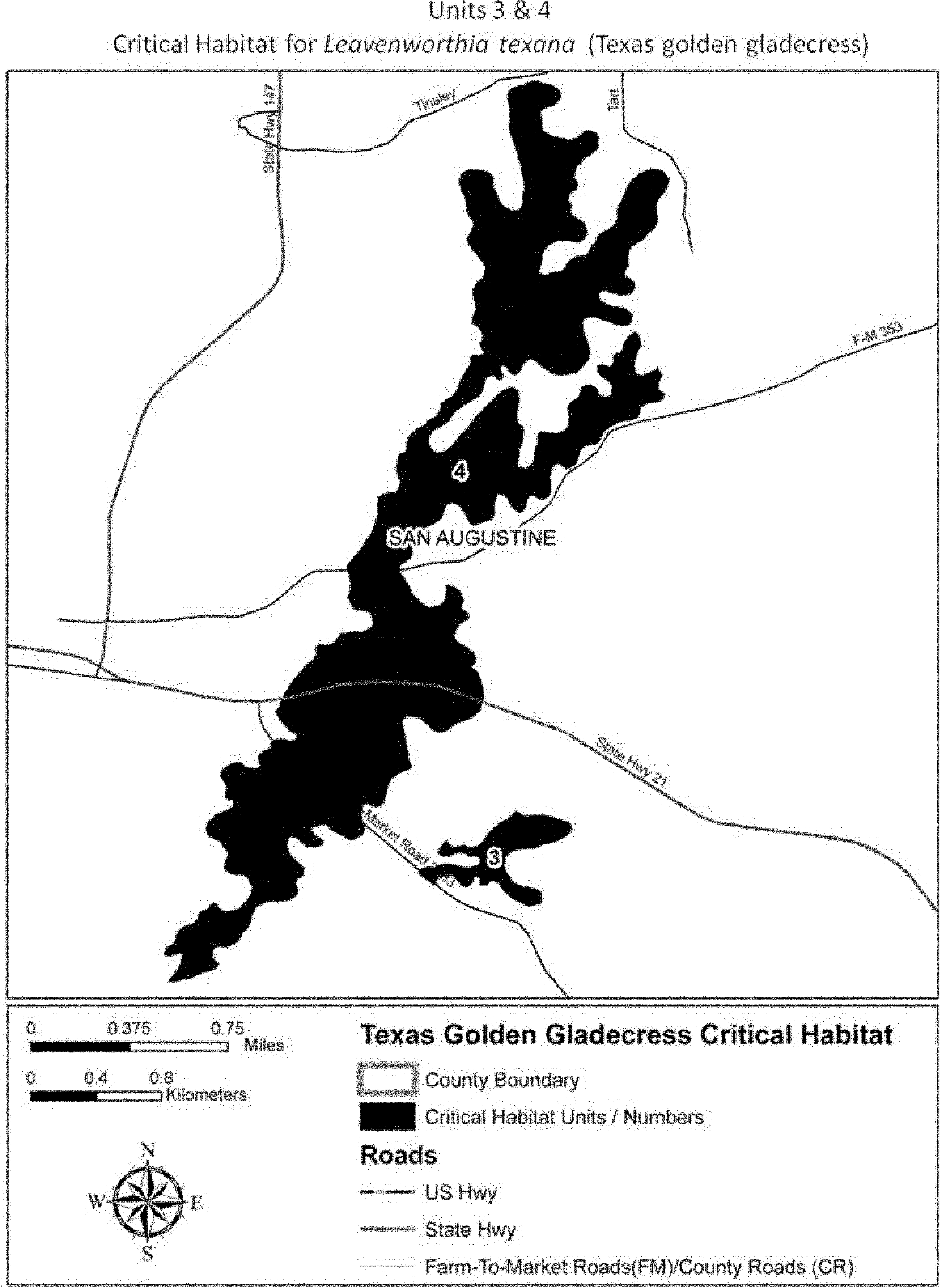
(9) Unit 4: Northwest Caney Creek Glades, San Augustine County, Texas. Map of Unit 4 is depicted in paragraph (8) of this entry.
Family Brassicaceae: Lesquerella kingii ssp. bernardina (San Bernardino Mountains bladderpod)
(1) Critical habitat units are depicted for San Bernardino County, California, on the map in this entry. The map provided is for informational purposes only.
(2) The primary constituent elements of critical habitat for Lesquerella kingii ssp. bernardina are those habitat components that are essential for the primary biological needs of the species. Based on our current knowledge of this species, the primary constituent elements of critical habitat for this species are listed below and consist of, but are not limited to:
(i) Soils derived primarily from Bonanza King Formation and Undivided Cambrian parent materials that occur on hillsides or on large rock outcrops at elevations between 2,098 and 2,700 m (6,883 and 8,800 ft);
(ii) Soils with intact, natural surfaces that have not been substantially altered by land use activities (e.g., graded, excavated, re-contoured, or otherwise altered by ground-disturbing equipment); and
(iii) Associated plant communities that have areas with an open canopy cover and little accumulation of organic material (e.g., leaf litter) on the surface of the soil.
(3) Existing features and structures, such as buildings, active mines, paved or unpaved roads, other paved or cleared areas, lawns, and other urban landscaped areas, are not likely to contain one or more of the primary constituent elements. Federal actions limited to those areas, therefore, would not trigger a section 7 consultation, unless they may affect the species or primary constituent elements in adjacent critical habitat.
(4) Bertha Ridge Unit, San Bernardino County, California.
(i) From USGS 1:24,000 quadrangle maps Fawnskin and Big Bear City, California.
(ii) Subunit 2a: Land bounded by the following UTM11 NAD27 coordinates (E, N): 510400, 3793600; 510700, 3793600; 510700, 3793500; 510800, 3793500; 510800, 3793400; 511000, 3793400; 511000, 3793100; 510900, 3793100; 510900, 3793000; 510600, 3793000; 510600, 3793100; 510500, 3793100; 510500, 3793200; 510400, 3793200; and 510400, 3793600.
(iii) Subunit 2b: Land bounded by the following UTM11 NAD27 coordinates (E, N): 511600, 3793900; 511900, 3793900; 511900, 3793800; 512000, 3793800; 512000, 3793700; 512300, 3793700; 512300, 3793600; 512400, 3793600; 512400, 3793300; 512300, 3793300; 512300, 3793200; 512100, 3793200; 512100, 3793300; 512000, 3793300; 512000, 3793200; 511600, 3793200; 511600, 3793500; 511500, 3793500; 511500, 3793800; 511600, 3793800; and 511600, 3793900.
(iv) Subunit 2c: Land bounded by the following UTM11 NAD27 coordinates (E, N): 511700, 3793100; 512000, 3793100; 512000, 3793000; 512200, 3793000; 512200, 3792700; 512100, 3792700; 512100, 3792500; 511900, 3792500; 511900, 3792300; 512600, 3792300; 512600, 3792100; 512400, 3792100; 512400, 3791400; 512100, 3791400; 512100, 3791500; 511900, 3791500; 511900, 3791400; 511700, 3791400; 511700, 3791300; 511600, 3791300; 511600, 3791200; 511200, 3791200; 511200, 3791400; 511100, 3791400; 511100, 3791500; 511200, 3791500; 511200, 3791600; 511300, 3791600; 511300, 3791700; 511600, 3791700; 511600, 3792300; 511500, 3792300; 511500, 3792500; 511600, 3792500; 511600, 3792600; 511700, 3792600; 511700, 3792700; 511600, 3792700; 511600, 3793000; 511700, 3793000; and 511700, 3793100.
(5) Sugarlump Ridge Unit, San Bernardino County, California.
(i) From USGS 1:24,000 quadrangle map Moonridge, California.
(ii) Subunit 3a: Land bounded by the following UTM11 NAD27 coordinates (E, N): 512700, 3785700; 512900, 3785700; 512900, 3785600; 513300, 3785600; 513300, 3785300; 513400, 3785300; 513400, 3785400; 513500, 3785400; 513500, 3785500; 513600, 3785500; 513600, 3785600; 513700, 3785600; 513700, 3785700; 514000, 3785700; 514000, 3785600; 514300, 3785600; 514300, 3785500; 514500, 3785500; 514500, 3785600; 514600, 3785600; 514600, 3785700; 515000, 3785700; 515000, 3785600; 515400, 3785600; 515400, 3785500; 516300, 3785500; 516300, 3785400; 516400, 3785400; 516400, 3785100; 516200, 3785100; 516200, 3785000; 515900, 3785000; 515900, 3784900; 515600, 3784900; 515600, 3785000; 515400, 3785000; 515400, 3785100; 515200, 3785100; 515200, 3785000; 514500, 3785000; 514500, 3785100; 514400, 3785100; 514400, 3785200; 514100, 3785200; 514100, 3785300; 514000, 3785300; 514000, 3785000; 513800, 3785000; 513800, 3784900; 513500, 3784900; 513500, 3785000; 513400, 3785000; 513400, 3785100; 513300, 3785100; 513300, 3785000; 513100, 3785000; 513100, 3785100; 513000, 3785100; 513000, 3785300; 512600, 3785300; 512600, 3785600; 512700, 3785600; and 512700, 3785700.
(iii) Subunit 3b: Land bounded by the following UTM11 NAD27 coordinates (E, N): 516500, 3785700; 516900, 3785700; 516900, 3785400; 516500, 3785400; and 516500, 3785700.
(iv) Note: Lesquerella kingii ssp. bernardina map follows:

Family Brassicaceae: Lesquerella thamnophila (Zapata bladderpod)
1. Critical habitat units are depicted for Starr County, Texas, on the maps below. Critical habitat includes National Wildlife Refuge tracts and one private land site. Maps are for general informational purposes only; the legal descriptions precisely define critical habitat boundaries.
2. Within these areas, the primary constituent elements include:
(a) Arid upland habitats of various soil types, including highly calcareous sandy loam to loamy sand, with low to moderate salinity levels on low sloping hills;
(b) Absence of substantial previous soil disturbance and seeding or sodding of exotic grasses; and
(c) A sparse overstory of shrub species typical of the Tamaulipan biotic province, but lacking a complete canopy as might be provided by a continuous overstory dominated by mesquite (Prosopis glandulosa).
3. Existing features and structures, such as buildings, roads, railroads, urban development, and other features not containing primary constituent elements, are not considered critical habitat.


Critical Habitat on Lower Rio Grande Valley National Wildlife Refuge Tracts, Starr County, Texas (Area measurements are approximate.):
Unit 1, Cuellar Tract (18 hectares (ha); 45 acres (ac)) - (Segment 669). Note: All bearings are based on the Texas State Plane Coordinate System, South Zone, as referenced by the National Geodetic Survey Triangulation Station “LABRA” (not found) having State plane coordinates of N = 331,881.065, E = 1,794,777.75. The scale factor used is 0.9999252, and the theta angle is −00°37′32″. All areas and distances are true surface measurements. Beginning at a standard U.S. Fish and Wildlife Service (FWS) aluminum monument set for corner on the southeasterly line of Porcion No. 59 and the northeast corner of Share 35 and stamped “Tract 669, COR. No. 1, R.P.L.S. #4303” and having a State plane coordinate value of N = 320,083.51, E = 1,799,578.77, from which triangulation station “LABRA”, bears N 22°08′38″ W, 12,737.98 feet; thence, in a southwesterly direction along the common line of Porcion 59 and 60, S 54°32′24″ W, 2,290.19 feet, to a standard FWS aluminum monument set for corner, being the common corner of Shares 35 and 26 and stamped “Tract 669, COR. No. 2, R.P.L.S. No. 4303; thence, in a northwesterly direction along the common line of Share 35 with Shares 26 and 27, N 35°27′36″ W, 640.00 feet to a standard FWS aluminum monument set for corner, being the most southerly common corner of Shares 35 and 34 and stamped “Tract 669, COR. No. 3, R.P.L.S. No. 4303”; thence, in a northeasterly direction along the common line of Shares 35 and 34; N 54°32′24″ E, 2,290.19 feet to a standard FWS aluminum monument set for corner, being the most northerly common corner of shares 35 and 34 and stamped “Tract 669, COR. No. 4, R.P.L.S. No. 4303; thence, in a southeasterly direction along the common line of Shares 35 and 36 Parcel-A; S 35°27′36″ E, 640.00 feet to the point of beginning and containing 33.648 acres of land.
(Cuellar Tract - Segment 672). Note: All bearings are based on the Texas State Plane Coordinate System, South Zone, as referenced by U.S. Fish and Wildlife Service GPS Monument No. 105 having State plane coordinates (NAD 27) of N = 311,099.90, E = 1,799,824.45. The scale factor used is 0.9999252, and the theta angle is −00°37′32″. All areas and distances are true surface measurements. Beginning at a standard FWS aluminum monument set for corner on the common line between Porcions 59 and 60, and being the northeast corner of Share 26 and stamped “Tract 672, COR. No. 1, R.P.L.S. No. 3680” and having a State plane coordinate value of N = 318,737.64, E = 1,797,725.36, from which FWS GPS Monument No. 105 bears S 15°22′02″ E, 7,920.94 feet; thence, in a southeasterly direction along the common line of Porcion 59 and 60, S 54°27′12″ W, 806.50 feet to a standard FWS aluminum monument set for corner, being the southeast corner of said north one-half (1⁄2) of Share 26, same being the northeast corner of the south one-half (1⁄2) of Share 26 and stamped “Tract 672, COR. No. 2, R.P.L.S. No. 3680”; thence, in a northwesterly direction along the common line of said north and south one-half (1⁄2) of Share 26; N 35°27′36″ W, 463.31 feet to a standard FWS aluminum monument set for corner in the common line between Shares 26 and 27 and stamped “Tract 672, COR. No. 3, R.P.L.S. No. 3680”; thence, in a northeast direction along the common line of Shares 26 and 27; N 54°32′24″ E, 806.50 feet to a standard FWS aluminum monument set for corner, being the most northerly common corner of Shares 26 and 27 in the south line of Share 35 and stamped “Tract 672, COR. No. 4, R.P.L.S. No. 3680”; thence, in a southeasterly direction along the common line of Shares 35 and 26; S 35°27′36″ E, 462.09 feet to the point of beginning and containing 8.567 acres of land.
(Cuellar Tract - Segment 673). Note: All bearings are based on the Texas State Plane Coordinate System, South Zone, as referenced by FWS GPS Monument No. 105 having State plane coordinates (NAD 27) of N = 311,099.90, E = 1,799,824.45. The scale factor used is 0.9999252, and the theta angle is −00°37′32″. All areas and distances are true surface measurements. Beginning at a standard FWS aluminum monument set for the common north corner of Shares 26 and 27, in the south line of Share 35 and stamped “Tract 672, COR. No. 4, R.P.L.S. No. 3680” and having a state plane coordinate value of N = 319,114.02, E = 1,797,457.29, from which FWS GPS Monument No. 105 bears S 16°27′21″ E, 8,356.40 feet; thence, in a southwesterly direction along the common line of Shares 26 and 27, S 54°32′24″ N, 806.50 feet to a standard FWS aluminum monument set for corner, being the southeast corner of said north one-half (1⁄2) of Share 27, same being the northeast corner of the south one-half (1⁄2) of Share 27 and stamped “Tract 672, COR. No. 3, R.P.L.S. No. 3680”; thence, in a northwesterly direction along the common line of said north and south one-half (1⁄2) of Share 27; N 35°27′36″ W, 592.30 feet to a standard FWS aluminum monument set for corner in the common line between Shares 27 and 28 and stamped “Tract 674, COR. No. 3, R.P.L.S. No. 3680”; thence, in a northeasterly direction along the common line of Shares 27 and 28, N 54°32′24″ E, 806.50 feet to a standard FWS aluminum monument set for corner, being the most northerly common corner of Shares 27 and 28 in the south line of Share 34 and stamped “Tract 674, COR. No. 2, R.P.L.S. No. 3680”; thence, in a southeasterly direction along the common line of Shares 34 and 27, S 35°27′36″ E, 592.30 feet to the point of beginning and containing 10.966 acres of land.
(Cuellar Tract - Segment 672). Note: All bearings are based on the Texas State Plane Coordinate System, South Zone, as referenced by FWS GPS Monument No. 105 having State plane coordinates (NAD 27) of N = 311,099.90, E = 1,799,824.45. The scale factor used is 0.9999252, and the theta angle is −00°37′32″. All areas and distances are true surface measurements. Beginning at a standard FWS aluminum monument set replacing a 1-inch iron pipe found for the common north corner of Shares 28 and 29, in the south line of Share 33 and stamped “Tract 674, COR. No. 1, R.P.L.S. No. 3680”; and having a state plane coordinate value of N = 320,078.90, E = 1,796,770.06, from which FWS GPS Monument No. 105 bears S 18°47′11″ E, 9,484.36 feet; thence, in a southeasterly direction along the common line of Share 28 and Shares 33 and 34, S 35°27′36″ E, 592.30 feet to a standard FWS aluminum monument set for corner, being the common northerly corner of Shares 28 and 27 and stamped “Tract 674, COR. No. 2, R.P.L.S. No. 3680”; thence, in a southwesterly direction along the common line of said Share 28 and 27; S 54°32′24″ W, 806.50 feet to a standard FWS aluminum monument set for the southeasterly corner of said north one-half (1⁄2) of Share 28, same being the northeasterly corner of the south one-half (1⁄2) of Share 28 and stamped “Tract 674, COR. No. 3, R.P.L.S. No. 3680”; thence, in a northwesterly direction along the common line of the north and south one-half (1⁄2) of Share 28, N 35°27′36″ W, 592.30 feet to a standard FWS aluminum monument set for corner in the common line between Shares 28 and 29 and stamped “Tract 674, COR. No. 4, R.P.S. No. 3680”; thence, in a northeasterly direction along the common line of Shares 28 and 29; N 54°32′24″ E, 806.50 feet to the point of beginning and containing 10.966 acres of land.

Unit 2, Chapeno Tract (28 ha; 69 ac) - (Chapeno Tract - Segment 660). Note: All bearings and distances are based on the International Boundary Commission Monuments as referenced by the U.S.C. & G.S. Triangulation Station “LABRA.” The scale factor used is 0.9999252, and the theta angle is −00°37′32″ (NAD 1927). All areas shown are true ground areas. Commencing for reference at the U.S.C. & G.S. triangulation station “LABRA,” having coordinate values: x = 1,794,777.75, y = 331,881.06; thence, S 02°08′43″ W, a distance of 9,020.47 feet to the northwesterly boundary line of said 44.900-acre tract for the northmost corner of said Share No. 17 and being corner No. 1 and the northernmost corner and place of beginning of the tract herein-described; thence, along the northeasterly boundary line of Share No. 17 and the southwesterly boundary line of a 35-foot perpetual easement, S 32°11′36″ E, 840.62 feet to the easternmost corner of said Share No. 17 and being corner No. 2 of this tract; thence, along the southeasterly boundary line of Share No. 17 and the northwesterly boundary line of Share No. 18, S 47°29′30″ W, 293.59 feet to a said point on a fence line along the southwesterly boundary line of said 44.900-acre tract for the southernmost corner of said Share No. 17 and being corner No. 3 of this tract; thence, following said fence line along the southwesterly boundary line of Share No. 17 and the southwesterly boundary line of said 44.900-acre tract, N 30°16′28″ W, 166.16 feet to a standard FWS aluminum monument stamped “Tract (660), R.P.S. No. 4731” set for a corner of said 44.900-acre tract and being corner No. 4 of this tract; thence, continuing along said fence line along the southwesterly boundary line of Share No. 17 and the southwesterly boundary line of said 44.900-acre tract, N 31°04′59″ W, 684.02 feet to a standard FWS aluminum monument stamped “Tract (660), R. P. S. No. 4731” set for the westernmost corner of said 44.900-acre tract and being corner No. 5 of this tract, thence, following a fence line along the northwesterly boundary line of Share No. 17 and the northwesterly boundary line of said 44.900-acre tract, N 48°42′36″ E, 273.46 feet to the place of beginning and containing 5.396 acres of land.
(Chapeno Tract - Segment 661). Note: All bearings and distances are based on the International Boundary Commission Monuments as referenced by the U.S.C. & G.S. triangulation station “LABRA.” The scale factor used is 00.9999252, and the theta angle is −00°37′32″ (NAD 1927). All areas shown are true ground areas. Commencing for reference at the U.S.C. & G.S. triangulation station “LABRA,” having coordinate values: x = 1,794,777.75, y = 331,881.06; thence, S 00°48′20″ E, a distance of 9,702.45 feet to the northernmost corner of said Share No. 18 and being corner No. 1 and the northernmost corner and place of beginning of the tract herein-described; thence, along the northeasterly boundary line of Share No. 18 and the southwesterly boundary line of Share No. 19, S 42°40′05″ E, 623.01 feet to a point on a fence line along the southeasterly boundary line of said 44.900-acre tract for the easternmost corner of said Share No. 18 and being corner No. 2 of this tract; thence, following said fence line along the southeasterly boundary line of Share No. 18 and the southeasterly boundary line of said 44.900-acre tract, S 54°58′43″ W, 14.82 feet to a standard FWS aluminum monument stamped “Tract (661), R. P. S. No. 4731” set for a corner of said 44.900-acre tract and being corner No. 3 of this tract; thence, continuing along said fence line along the southeasterly boundary line of Share No. 18 and the southeasterly boundary line of said 44.900-acre tract, S 54°17′40″ W, 442.61 feet to a standard FWS aluminum monument stamped “Tract (661), R. P. S. No. 4731” set for the southernmost corner of said 44.900-acre tract and being corner No. 4 of this tract; thence, following a fence line along the southwesterly boundary line of Share No. 18 and the southwesterly boundary line of said 44.900-acre tract, N 30°16′28″ W, 581.86 feet to a point for the westernmost corner of said Share No. 18 and being corner No. 5 of this tract; thence, along the southeasterly boundary line of Share No. 17 and the northwesterly boundary line of Share No. 18, N 47°29′30″ E, 329.16 feet to the place of beginning and containing 5.396 acres of land.
(Chapeno Tract - Segment 662). Note: All bearings and distances are based on the International Boundary Commission Monuments as referenced by the U.S.C. & G.S. triangulation station “LABRA.” The scale factor used is 00.9999252, and the theta angle is −00°37′32″ (NAD 1927). All areas shown are true ground areas. Commencing for reference at the U.S.C. & G.S. triangulation station “LABRA,” having coordinate values: x = 1,794,777.75, y = 331,881.06; thence, S 00°53′22″ E, a distance of 9,308.09 feet to the northernmost corner of said Share No. 19 and being corner No. 1 and the northernmost corner and the place of beginning of the tract herein-described; thence, along the northeasterly boundary line of Share No. 19 and the southwesterly boundary line of Share No. 20, S 41°14′45″ E, 941.54 feet to a point on a fence line along the southeasterly boundary line of said 44.900-acre tract for the easternmost corner of said Share No. 19 and being corner No. 2 of this tract; thence, following said fence line along the southeasterly boundary line of Share No. 19 and the southeasterly boundary line of said 44.900-acre tract, S 55°22′51″ W, 8.49 feet to a standard FWS aluminum monument stamped “Tract (662), R. P. S. No. 4731” set for a corner of said 44.900-acre tract and being corner No. 3 of this tract; thence, continuing along said fence line along the southeasterly boundary line of Share No. 19 and the southeasterly boundary line of said 44.900-acre tract, S 54°58′43″ W, 243.72 feet to the southernmost corner of Share No. 19 and being corner No. 4 of this tract; thence, along the northeasterly boundary line of Share No. 18 and the southwesterly boundary line of Share No. 19, N 42°40′05″ W, 623.01 feet to a corner of Share No. 19 and being corner No. 5 of this tract; thence, along the northeasterly boundary line of a 35-foot perpetual easement and the southwesterly boundary line of Share No. 19, N 32°08′41″ W, 293.64 feet to the westernmost corner of said Share No. 19 and being corner No. 6 of this tract; thence, along the southeasterly boundary line of a 35-ft. perpetual easement and the northwesterly boundary line of Share No. 19, N 48°23′35″ E, 219.73 feet to the place of beginning and containing 5.396 acres of land.
(Chapeno Tract - Segment 663). Note: All bearings and distances are based on the International Boundary Commission Monuments as referenced by the U.S.C. & G.S. triangulation station “LABRA.” The scale factor used is 00.9999252, and the theta angle is −00°37′32″ (NAD 1927). All areas shown are true ground areas. Commencing for reference at the U. S. C. & G. S. triangulation station “LABRA,” having coordinate values: x = 1,794,777.75, y = 331,881.06; thence, S 01°55′50″ E, a distance of 9,166.26 feet to the northernmost corner of said share No 20, and being corner No. 1, and the northernmost corner and place of beginning of the tract herein-described; thence, along the northeasterly boundary line of Share No. 20 and the southwesterly boundary line of Share No. 21, S 44°17′45″ E, 975.87 feet to a point on a fence line along the southeasterly boundary line of said 44.900-acre tract for the easternmost corner of said Share No. 20 and being corner No. 2 of this tract; thence, following said fence line along the southeasterly boundary line of Share No. 20 and the southeasterly boundary line of said 44.900-acre tract; S 55°22′51″ W, 273.48 feet to the southernmost corner of Share No. 20 and being corner No. 3 of this tract; thence, along the northeasterly boundary line of Share No. 19 and the southwesterly boundary line of Share No. 20, N 41°14′45″ W, 941.54 feet to the westernmost corner of Share No. 20 and being corner No. 4 of this tract; thence, along the southeasterly boundary line of a 35-ft. perpetual easement and the northwesterly boundary line of Share No. 20, N 48°23′35″ E, 219.73 feet to the place of beginning and containing 5.396 acres of land.
(Chapeno Tract - Segment 664). Note: All bearings and distances are based on the International Boundary Commission Monuments as referenced by the U.S.C. & G.S. triangulation station “LABRA.” The scale factor used is 00.9999252, and the theta angle is −00°37′32″ (NAD 1927). All areas shown are true ground areas. Commencing for reference at the U.S.C. & G.S. triangulation station “LABRA,” having coordinate values: x = 1,794,777.75, y = 331,881.06; thence, S 03°00′15″ E, a distance of 9,027.56 feet to the northernmost corner of said Share No. 21 and being corner No. 1 and the northernmost corner and place of beginning of the tract herein-described; thence, along the northeasterly boundary line of Share No. 21 and the southwesterly boundary line of Share No 22, S 46 °18′57″ E, 1,008.60 feet to a point on a fence line along the southeasterly boundary line of said 44.900-acre tract for the easternmost corner of Share No. 21 and being corner No. 2 of this tract; thence, following said fence line along the southeasterly boundary line of Share No. 21 and the southeasterly boundary line of said 44.900-acre tract, S 54°17′59″ W, 56.04 feet to a standard FWS aluminum monument stamped “Tract (664), R. P. S. No. 4731” set for a corner of said 44.900-acre tract and being corner No. 3 of this tract; thence, continuing along said fence line along the southeasterly boundary line of Share No. 21 and the southeasterly boundary line of said 44.900-acre tract, S 55°22′51″ W, 202.51 feet to the southernmost corner of Share No. 21 and being corner No. 4 of this tract; thence, along the northeasterly boundary line of Share No. 20 and the southwesterly boundary line of Share No. 21, N 44°17′45″ W, 975.87 feet to the westernmost corner of Share No. 21 and being corner No. 5 of this tract; thence, along the southeasterly boundary line of a 35-foot perpetual easement and the northwesterly boundary line of Share No. 21, N 48°23′35″ E, 219.73 feet to the place of beginning and containing 5.396 acres of land.
(Chapeno Tract - Segment 665). Note: All bearings and distances are based on the International Boundary Commission Monuments as referenced by the U.S.C. & G.S. Triangulation station “LABRA.” The scale factor used is 00.9999252, and the theta angle is −00°37′32″ (NAD 1927). All areas shown are true ground areas. Commencing for reference at the U.S.C. & G.S. Triangulation station “LABRA,” having coordinate values: x = 1794,777.75, y = 331,881.06; thence, S 04°06′38″ E, a distance of 8,892.12 feet to the northernmost corner of said Share No. 22 and being corner No. 1 and the northernmost corner and place of beginning of the tract herein-described; thence, following a fence line along the northeasterly boundary line of Share No. 22 and the southwesterly boundary line of Share No. 23, S 47°33′31″ E, 1,036.06 feet to a point on a fence line along the southeasterly boundary line of said 44.900-acre tract for the easternmost corner of said Share No. 22 and being corner No. 2 of this tract; thence, following said fence line along the southeasterly boundary line of Share No. 22 and the southeasterly boundary line of said 44.900-acre tract, S 54°17′59″ W, 245.67 feet to the southernmost corner of Share No. 22 and being corner No. 3 of this tract; thence, along the northeasterly boundary line of Share No. 21 and the southwesterly boundary line of Share No. 22, N 46°18′57″ W, 1,008.60 feet to the westernmost corner of Share No. 22 and being corner No. 4 of this tract; thence, along the southeasterly boundary line of a 35-foot perpetual easement and the northwesterly boundary line of Share No. 22, N 48°23′35″ E, 219.73 feet to the place of beginning and containing 5.396 acres of land.
(Chapeno Tract - Segment 666). Note: All bearings and distances are based on the International Boundary Commission Monuments as referenced by the U.S.C. & G.S. triangulation station “LABRA.” The scale factor used is 00.9999252, and the theta angle is −00°37′32″ (NAD 1927). All areas shown are true ground areas. Commencing for reference at the U.S.C. & G.S. Triangulation station “LABRA,” having coordinate values: x = 1,794,777.75, y =331,881.06; thence, S 05°15′03″ E, a distance of 8,710.10 feet to the northernmost corner of said Share No. 23 and being corner No. 1 and the northernmost corner and place of beginning of the tract herein-described; thence, following a fence line along the northeasterly boundary line of Share No. 23 and the southwesterly boundary line of said Share No. 24, S 48 °10′23″ E, 1,061.62 feet to a point on a fence line along the southeasterly boundary line of said 44.900-acre tract for the easternmost corner of Share No.23 and being corner No. 2 of this tract; thence, following said fence line along the southeasterly boundary line of Share No. 23 and the southeasterly boundary line of said 44.900-acre tract, S 54°17′59″ W, 234.95 feet to the southernmost corner of Share No.23 and being corner No. 3 of this tract; thence, along the northeasterly boundary line of Share No. 22 and the southwesterly boundary line of Share No. 23, N 47°33′31″ W, 1,036.06 feet to the westernmost corner of Share No. 23 and being corner No. 4 of this tract; thence, along the southeasterly boundary line of a 35-ft. perpetual easement and the northwesterly boundary line of Share No. 23, N 48°23′35″ E, 219.73 feet to the place of beginning and containing 5.396 acres of land.
(Chapeno Tract - Segment 667). Note: All bearings and distances are based on the International Boundary Commission Monuments as referenced by the U.S.C. & G.S. Triangulation station “LABRA.” The scale factor used is 00.9999252, and the theta angle is −00°37′32″ (NAD 1927). All areas shown are true ground areas. Commencing for reference at the U.S.C. & G.S. Triangulation station “LABRA,” having coordinate values: x = 1,794,777.75, y = 331,881.06; thence, S 06°25′32″ E, a distance of 8,631.65 feet to the northeasterly boundary line of said 44.900-acre tract for corner No. 1 and the place of beginning of the tract herein-described; thence, following a fence line along the northeasterly boundary line of share No. 24 and the northeasterly boundary line of said 44.900-acre tract, S 51°42′47″ E, 679.97 feet to a standard FWS aluminum monument stamped “Tract (667), R. P. S. No. 4731” set for a corner of said 44.900-acre tract and being corner No. 2 of this tract; thence, continuing along the fence line along the northeasterly boundary line of Share No. 24 and the northeasterly boundary line of said 44.900-acre tract, S 01°11′48″ E, 136.46 feet to a standard FWS aluminum monument stamped “Tract (667), R. P. S. No. 4731” set for a corner of said 44.900-acre tract and being corner No. 3 of this tract; thence, continuing along the fence line along the northeasterly boundary line of Share No. 24 and the northeasterly boundary line of said 44.900-acre tract, S 54°15′17″ E, 309.21 feet to a standard FWS aluminum monument stamped “Tract (667), R. P. S. No. 4731” set on a fence line for the easternmost corner of Share No. 24 and being on the southeasterly boundary line of said 44.900-acre tract and being corner No. 4 of this tract; thence, following said fence line along the southeasterly boundary line of share No. 24 and the southeasterly boundary line of said 44.900-acre tract, S 54°17′59″ W, 197.94 feet to the southernmost corner of Share No. 24 and being corner No. 5 of this tract; thence, following said fence line along the southwesterly boundary line of Share No. 24 and the northeasterly boundary line of Share No. 23, N 48°10′23″ W, 1,061.62 feet to the westernmost corner of Share No. 24 and northernmost corner of Share No. 23 and being corner No. 6 of this tract; thence, along the southeasterly boundary line of a 35-ft. perpetual easement and the northwesterly boundary line of Share No. 24, N 48°23′35″ E, 219.73 feet to the place of beginning and containing 5.396 acres of land.
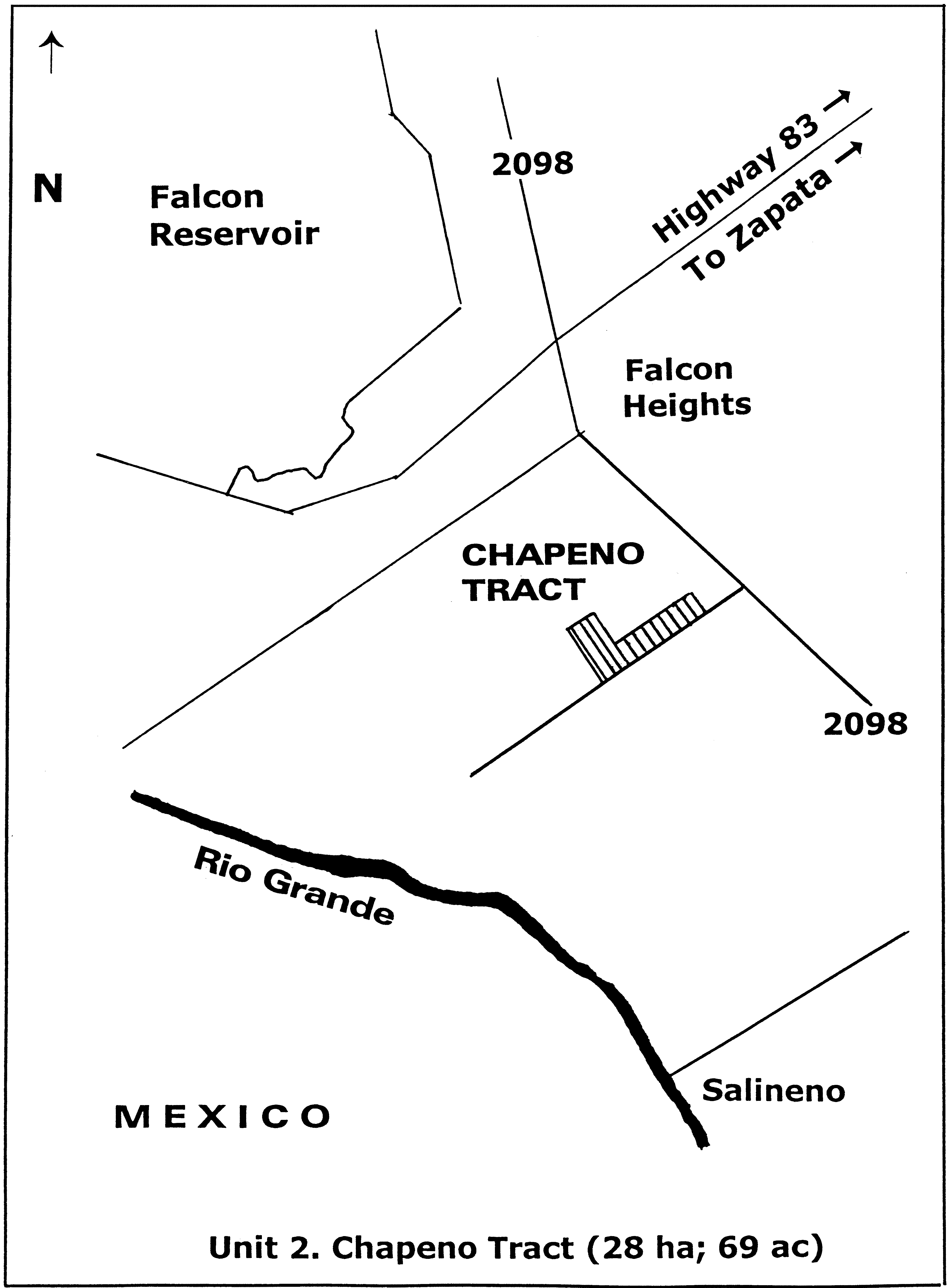
Unit 3, Arroyo Morteros Tract (41 ha; 102 ac) - Note: All bearings are based on the Texas State Plane Coordinate System, South Zone, (NAD 27), as referenced by FWS GPS Monument No. 105 having State plane coordinates of N = 311,099.90, E = 1,799,824.45. The scale factor used is 0.9999252, and the theta angle is −00°37′32″. All areas and distances are true surface measurements. Beginning at a 1⁄2-inch iron rod found for corner No. 1 on the common line between Porcions 59 and 60, and being the northwest corner of that certain 127.71-acre tract and having a State plane coordinate value of N = 315,746.07, E = 1,793,538.58, from which FWS GPS monument No. 105 bears S 53°31′49″ E, 7,816.59 feet; thence, in a northeasterly direction along the common line of Porcion 59 and 60; N 54°27′12″ E, 510.43 feet to a standard FWS aluminum monument set for corner replacing a 1⁄2-inch iron rod found, being the northwest corner of the herein described tract and stamped “Tract 670, Cor. No. 2, R. P. L. S. No. 3680”; thence, in an easterly direction through the interior of said 536.485 acre tract; S 35°20′27″ E, 3,621.01 feet to a standard FWS aluminum monument set for corner replacing a 1⁄2-inch iron rod found, being the northeast corner of the herein-described tract and stamped “Tract 670, Cor. No. 3, R.P.L.S. No. 3680”; thence, in a southerly direction continuing through the interior of said 536.485 acre tract; S 61°18′54″ W, 219.24 feet to a fence corner post found for a northwesterly corner of that certain 17.408 acre tract and being corner No. 4; thence, in an easterly direction along the common line between said 17.408 acre tract and the herein described tract; S 88°47′16″ W, 110.41 feet to a fence post found for angle point and corner No. 5; thence, in an easterly direction continuing along said common line between a 17.408 acre tract and herein described tract; N 79°11′33″ W, 67.63 feet to a fence post found for angle point and corner No. 6; thence, in an easterly direction continuing along said common line between a 17.408 acre tract and herein described tract; S 71°49′04″ W, 50.57 feet to a fence post found for angle point and corner No. 7; thence, in a southerly direction continuing along said common line between a 17.408 acre tract and herein described tract; S 15°40′49″ W, 44.43 feet to a fence post found for angle point and corner No. 8; thence, in a southerly direction continuing along said common line between a 17.408 acre tract and herein described tract; S 00°18′59″ E, 253.83 feet to a fence post found for angle point and corner No. 9; thence, in a southerly direction continuing along said common line between a 17.408 acre tract and herein described tract; S 06°36′21″ W, 182.88 feet to a fence post found for angle point and corner No. 10; thence, in a southerly direction continuing along said common line between a 17.408 acre tract and herein described tract; S 26°38′19″ W, 125.18 feet to a fence post found for angle point and corner No. 11; thence, in a southerly direction continuing along said common line between a 17.408 acre tract and herein described tract; S 67°33′26″ W, 129.76 feet to a fence post found for angle point and corner No. 12; thence, in a southerly direction continuing along said common line between a 17.408-acre tract and herein described tract; S 45°58′19″ W, 73.00 feet to a fence post found for angle point and corner No. 13; thence, in a southerly direction continuing along said common line between a 17.408 acre tract and herein described tract; S 35°10′19″ W, 113.60 feet to a fence post found for angle point and corner No. 14; thence, in a southerly direction continuing along said common line between a 17.408 acre tract and herein described tract; S 19°34′19″ W, 42.80 feet to a fence post found for angle point and corner No. 15; thence, in a southerly direction continuing along said common line between a 17.408-acre tract and herein described tract; S 15°23′41″ W, 28.84 feet to a 1⁄2-inch iron rod found on the apparent gradient boundary of the Rio Grande for the southeast corner hereof and corner No. 16; thence, in a westerly direction along said apparent gradient boundary of the Rio Grande; N 62°26′09″ W, 81.47 feet to a point on said apparent gradient boundary of the Rio Grande for corner No. 7; thence, in a northwesterly direction continuing along said apparent gradient boundary of the Rio Grande; N 36°34′14″ W, 122.63 feet to a point on said apparent gradient boundary of the Rio Grande for corner No. 18; thence, in a northerly direction continuing along said apparent gradient boundary of the Rio Grande; N 20°15′10″ W, 58.91 feet to a point on said apparent gradient boundary of the Rio Grande for corner No. 19; thence, in a northwesterly direction continuing along said apparent gradient boundary of the Rio Grande; N 34°02′20″ W, 118.95 feet to a point on said apparent gradient boundary of the Rio Grande for Corner No. 20; thence, in a westerly direction continuing along said apparent gradient boundary of the Rio Grande; S 73°36′56″ W, 17.73 feet to a point on said apparent gradient boundary of the Rio Grande for corner No. 21; thence, in a northwesterly direction continuing along said apparent gradient boundary of the Rio Grande; N 43°36′30″ W, 118.21 feet to a point on said apparent gradient boundary of the Rio Grande corner No. 22; thence, in a northerly direction continuing along said apparent gradient boundary of the Rio Grande; N 28°12′58″ W, 168.21 feet to a point on said apparent gradient boundary of the Rio Grande for corner No. 23; thence, in a northwesterly direction continuing along said apparent gradient boundary of the Rio Grande; N 49°09′29″ W, 149.82 feet to a point on said apparent gradient boundary of the Rio Grande for corner No. 24; thence, in a westerly direction continuing along said apparent gradient boundary of the Rio Grande; N 66°23′26″ W, 123.27 feet to a point on said apparent gradient boundary of the Rio Grande for corner No. 25; thence, in a westerly direction continuing along said apparent gradient boundary of the Rio Grande; N 77°18′49″ W, 240.49 feet to a point on said apparent gradient boundary of the Rio Grande for corner No. 26; thence, in a westerly direction continuing along said apparent gradient boundary of the Rio Grande; S 80°06′32″ W, 129.98 feet to a point on said apparent gradient boundary of the Rio Grande for corner No. 27; thence, in a westerly direction continuing along said apparent gradient boundary of the Rio Grande; N 79°54′48″ W, 218.17 feet to a point on said apparent gradient boundary of the Rio Grande for corner No. 28; thence, in a westerly direction continuing along said apparent gradient boundary of the Rio Grande; S 81°13′28″ W, 136.03 feet to a 1⁄2-inch iron rod found on said apparent gradient boundary of the Rio Grande for the southeast corner of the aforementioned 127.71 acre tract, same being the southwest corner hereof and corner No. 29; thence, in a northerly direction along the common line between said 127.71-acre tract and the herein described tract; N 06°09′33″ W, 237.00 feet to a fence post found for angle point and corner No. 30; thence, in a northerly direction continuing along the common line between said 127.71-acre tract and the herein described tract; N 05°51′34″ W, 198.49 feet to a fence post found for angle point and corner No. 31; thence, in a Northerly direction continuing along the common line between said 127.71-acre tract and the herein described tract; N 07°49′27″ E, 161.97 feet to a fence post found for angle point and corner No. 32; thence, in a Northerly direction continuing along the common line between said 127.71-acre tract and the herein described tract; N 07°47′00″ E, 302.39 feet to a fence post found for angle point and corner No. 33; thence, in a northerly direction continuing along the common line between said 127.71 acre tract and the herein described tract; N 07°17′37″ E, 493.82 feet to a fence post found for angle point and corner No. 34; thence, in a northeasterly direction continuing along the common line between said 127.71-acre tract and the herein described tract, as fenced; N 46°28′41″ E, 643.50 feet to a fence post found for angle point and corner No. 35; thence, in a northwesterly direction continuing along the common line between said 127.71 acre tract and the herein described tract; N 47°51′47″ W, 1,087.49 feet to a fence post found for angle point and corner No. 36; thence, in a northerly direction continuing along the common line between said 127.71-acre tract and the herein described tract; N 21°22′25″ W, 375.05 feet to the point of beginning and containing 89.90 acres of land.

Unit 4, Las Ruinas Tract (104 ha; 256 ac) - Note: All bearings are based on the Texas State Plane Coordinate System, South Zone, as referenced by National Geodetic Survey (NGS.) Triangulation Station “GORGORA” having State plane coordinates (NAD 27) of N = 275,335.73, E = 1.833,217.01. The scale factor used is 0.9999421, and the theta angle is −00°16′22″. All areas and distances are true surface measurements. Beginning at a 2-inch iron pipe having State plane coordinates of N = 280,488.40, E = 1,804,584.01 for the northerly southeast corner of the herein described tract, from which said triangulation station “GORGORA” bears S 79°47′55″ E, a distance of 29,092.93 feet, same being the southwest corner of Share 96, of said Porcion 66, and the southwest corner of a 1455.52-acre tract of land as described, same being in the north line of Share 94, of said Porcion 66, same being in the north line of Tract “K”, a 26.82-acre tract of land as described, for corner No. 1 and point of beginning of the herein described tract of land. Thence, westerly along the common line between said northerly line of tract “K” and the southerly line hereof N 80°30′29″ W, 871.09 feet to a 6′ iron pipe found for corner No. 2, same being the northwest corner of said Tract “K”; thence, southerly along the common line between the westerly line of said Tract “K” and the easterly line hereof S 09°22′35″ W, 837.18 feet, to a 13⁄4″ iron pipe found for the southwest corner of said tract “K” and the northwest corner of a 23.5131-acre tract of land at corner No. 3, thence, southerly along the common line between said 23.5131-acre tract and the most southerly easterly line hereof, S 09°22′35″ W, 540.00 feet to a standard FWS aluminum monument set, said monument being in the north line of a 56.82-acre tract of land as described for corner No. 4 and stamped “Tract 630, Ref. No. 4, RPLS 3680”; thence, westerly along the common northerly line between said 56.82 acre tract and the southerly line hereof, N 80°31′16″ W, 3295.18 feet to the apparent gradient boundary of the Rio Grande, and passing a standard FWS aluminum monument set for reference at a distance of 3,210.08 feet and stamped “Tract 630, Ref. No. 5, RPLS 3680”; thence, northerly along the apparent gradient boundary of the Rio Grande N 63°00′17″ E, 192.97 feet to a point on the apparent gradient boundary of the Rio Grande for Corner No. 6; thence, northerly continuing along said apparent gradient boundary of the Rio Grande N 62°39′49″ E, 398.99 feet to a point on the apparent gradient boundary of the Rio Grande for Corner No. 7; thence, northerly continuing along said apparent gradient boundary of the Rio Grande N 60°14′39″ E, 722.34 feet to a point on the apparent gradient boundary of the Rio Grande for corner No. 8; thence, northerly continuing along said apparent gradient boundary of the Rio Grande N 57°28′43″ E, 416.75 feet to a point on the apparent gradient boundary of the Rio Grande for corner No. 9; thence, northerly continuing along said apparent gradient boundary of the Rio Grande N 57°55′40″ E, 171.44 feet to a point on the apparent gradient boundary of the Rio Grande for corner No. 10; thence, northerly continuing along said apparent gradient boundary of the Rio Grande N 47°49′48″ E, 287.44 feet to a point on the apparent gradient boundary of the Rio Grande for corner No. 11; thence, northerly continuing along said apparent gradient boundary of the Rio Grande N 43°00′00″ E, 246.79 feet to a point on the apparent gradient boundary of the Rio Grande for corner No. 12; thence, northerly continuing along said apparent gradient boundary of the Rio Grande N 39°40′14″ E, 295.08 feet to a point on the apparent gradient boundary of the Rio Grande for corner No. 13; thence, northerly continuing along said apparent gradient boundary of the Rio Grande N 35°41′43″ E, 380.79 feet to a point on the apparent gradient boundary of the Rio Grande for corner No. 14; thence, northerly continuing along said apparent gradient boundary of the Rio Grande N 31°28′24″ E, 370.58 feet to a point on the apparent gradient boundary of the Rio Grande for corner No. 15; thence, northerly continuing along said apparent gradient boundary of the Rio Grande N 33°19′15″ E, 293.00 feet to a point on the apparent gradient boundary of the Rio Grande for corner No. 16; thence, northerly continuing along said apparent gradient boundary of the Rio Grande N 13°43′08″ E, 146.31 feet to a point on the apparent gradient boundary of the Rio Grande for corner No. 17; thence, northerly continuing along said apparent gradient boundary of the Rio Grande N 11°00′57″ E, 189.14 feet to a point on the apparent gradient boundary of the Rio Grande for corner No. 18; thence, northerly continuing along said apparent gradient boundary of the Rio Grande N 02°10′54″ W, 305.51 feet to a point on the apparent gradient boundary of the Rio Grande for corner No. 19; thence, northerly continuing along said apparent gradient boundary of the Rio Grande N 01°31′51″ W, 416.25 feet to a point on the apparent gradient boundary of the Rio Grande for corner No. 20; thence, northerly continuing along said apparent gradient boundary of the Rio Grande N 00°01′29″ W, 441.45 feet to a point on the apparent gradient boundary of the Rio Grande for corner No. 21; thence, northerly continuing along said apparent gradient boundary of the Rio Grande N 03°29′26″ E, 405.03 feet to a point on the apparent gradient boundary of the Rio Grande for corner No. 22; thence, northerly continuing along said apparent gradient boundary of the Rio Grande N 08°08′02″ E, 308.09 feet to a point on the apparent gradient boundary of the Rio Grande for corner No. 23; thence, northerly continuing along said apparent gradient boundary of the Rio Grande N 39°03′01″ E, 218.95 feet to a point on the apparent gradient boundary line of the Rio Grande, for corner No. 24 and northwest corner of this tract, same being the southwest corner of a 60.77-acre tract of land; thence, easterly along the common line between the south line of said 60.77-acre tract and the northerly line hereof S 80°31′16″ E, 1942.92 feet to a standard FWS aluminum monument set and stamped “Tract 630, Ref. No. 25, RPLS 3680” for corner No. 25, same being the southeast corner of said 60.77-acre tract, same being in the west line of Share 339 of said Porcion 66, same being in the west line of said 1,455.52-acre tract of land, and passing a standard FWS aluminum monument set for Reference at a distance of 38.95 feet and stamped “Tract 630, Ref. No. 24, RPLS 3680”; thence, southerly along the common line between the west line of said Share 339, Share 319, Share 227, Share 231, Share 230, Share 229, Share 518, Share 226, Share 225, Share 224, and said Share 96, same being the west line of said 1,455.52-acre tract and the east line hereof S 09°28′44″ W, 3,845.12 feet and passing a 2-inch iron pipe found for the southwest corner of Share 339, same being the northwest corner of Share 319 at a distance of 315.48 feet, and being 0.46 feet easterly of and perpendicular to this line, and also passing a 1- 1⁄2 inch iron pipe found for the southwest corner of Share 319, same being the northwest corner of Share 227 at a distance of 711.48 feet, and being 0.39 feet easterly of and perpendicular to this line, and also passing a 2-inch iron pipe found for the southwest corner of Share 231, same being the northwest corner of Share 230 at a distance of 1,320.71 feet, and being 0.09 feet easterly of and perpendicular to this line, to the point of beginning of the herein described tract and containing 254.42 acres of land.
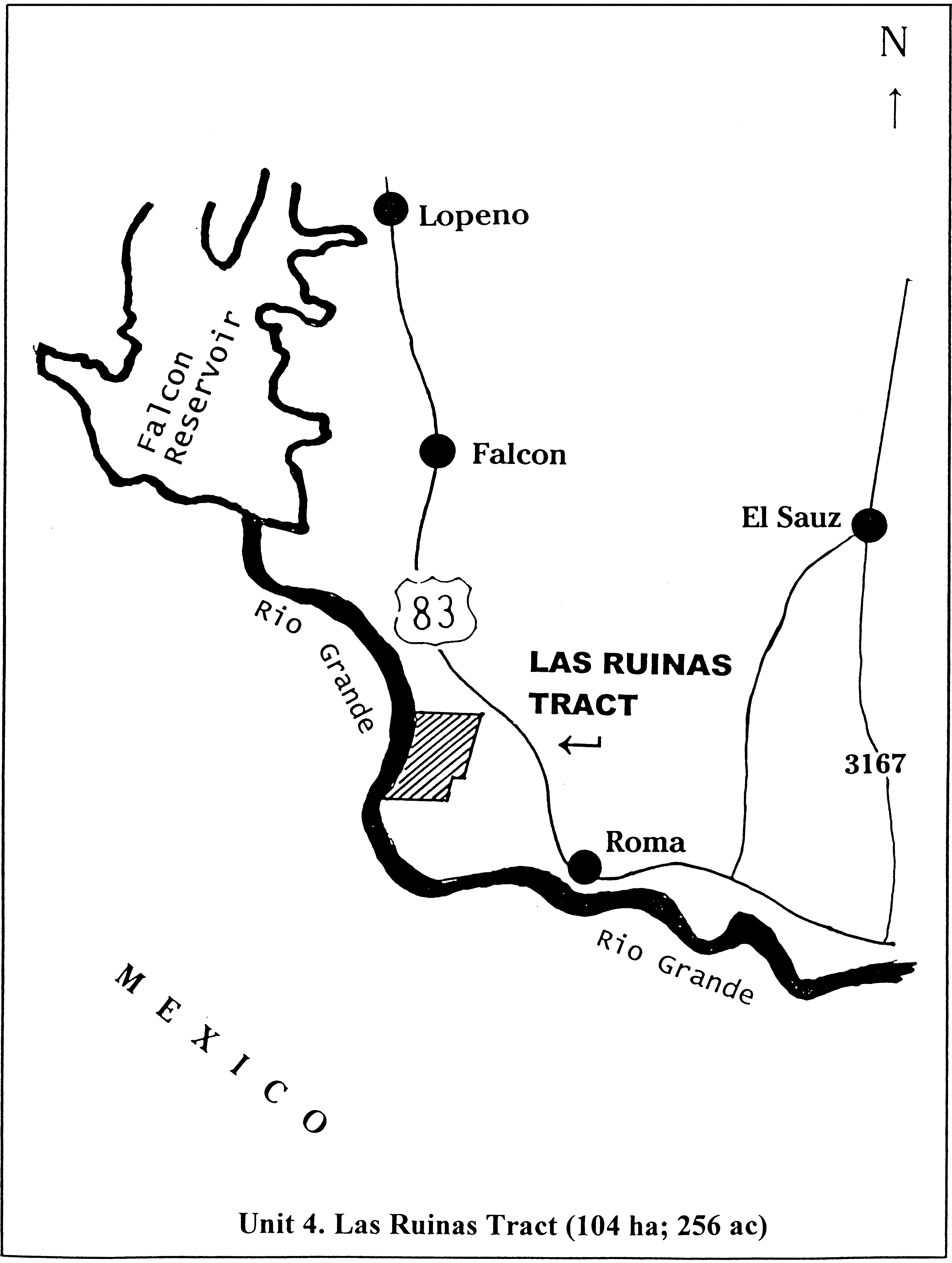
Unit 5, Arroyo Ramirez Tract (273 ha; 675 ac) - Formal surveying of the tract has not been performed. Described as, “All of Share 79, Porcion 68, Abstract 191, Former Jurisdiction of Mier, Mexico, now Starr County, Texas, and all of Share 166, Porcion 69, Abstract No. 160, Former Jurisdiction of Mier, Mexico, now Starr County, Texas. Description by approximated latitude/longitude coordinates (attached maps): Beginning at Latitude/Longitude 26°24 00.9′ N/099°03′23.9″ W, westward to Latitude/Longitude 026°24′04.7″ N/099°03′46.5″ W, northward to Lat/Long 026°24′25.2″ N/099°03′43.3″ W, westward to Lat/Long 026°24′26.0″ N/099°03′49.8″ W, northward to Lat/Long 026°25′05.5″ N/099°03′42.6″ W, eastward to Lat/Long 026°24′56.6″ N/099°02′40.3″ W to the apparent gradient boundary of the Rio Grande River.
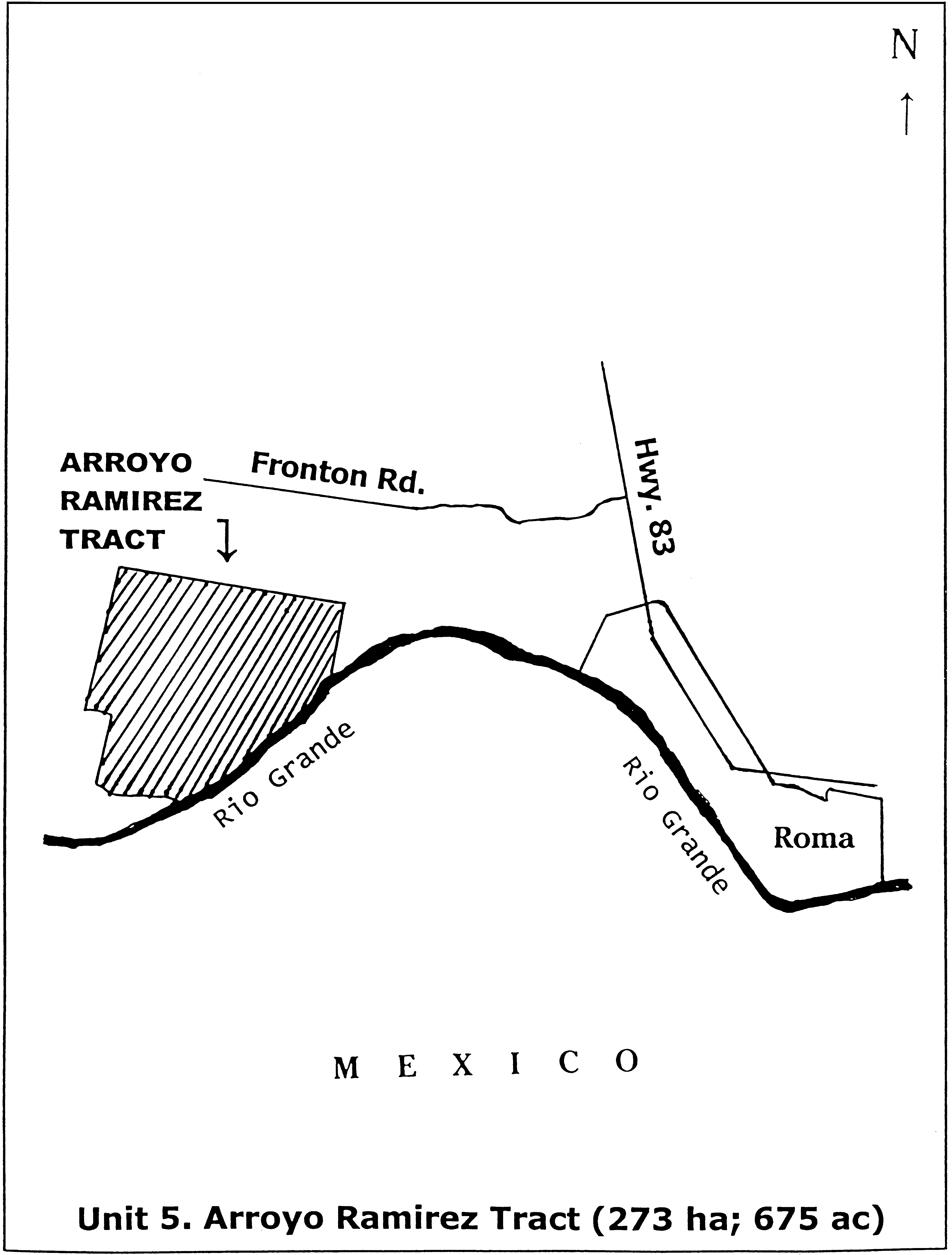
Unit 6, Los Negros Creek Tract (47 ha; 116 ac) - The following described tract of land is located in Starr County, Texas, about 1 mile northwest of the town of Roma, being 111.67 acres out of Share 13, Porcion 70, and being more particularly described as follows: Beginning at Cor. No. 1, an iron pin set for the northeast corner of Share No. 13 of Porcion No. 70 ; thence, along an old fence line and the dividing line between Share Nos. 13, 1-B and 12-A, S 09°15′ W, 2,694.00 feet to Cor. No. 2 an iron pin set on the Old High Bank of the Rio Grande and the southeast corner of this tract; thence leaving said fence line and along said Old High Bank with the following two courses, N 63°17′27″ W, 1,161.54 feet to Cor. No. 3 and N 87°10′00″ W, 612.00 feet to Cor. No. 4, a set iron pin and the southwest corner of this tract; thence leaving said Old High Bank and along the dividing line of Tract 2 and 3 of said Share 13 and an old fence line with the following three courses, N 09°15″ E, 841.30 feet to Cor. No. 5, a set iron pin; N 80°45′ W, 397.50 feet to Cor. No. 6, a set iron pin; and N 09°15′ E, 1,572.60 feet to Cor. No. 7 & iron pin set for the northwest corner of this tract; thence leaving said dividing line and along the north line of this tract and an old fence line, S 80°45′ E, 2,113.70 feet to Cor. No. 1 and the true place of beginning, containing 111.67 acres of land bounded on the West, North, and East by lands of unknown owner and on the South by the Rio Grande.

Unit 7, La Puerta Tract (1,577 ha; 3,895 ac) (Segment 590). Note: All bearings and distances are based on the Texas State Plane Coordinate System, South Zone, as referenced by National Geodetic Survey (NGS) triangulation station “Fordyce 2” and NGS triangulation station “Monument”. Scale factor used was 0.99993949; theta angle used was −00°06′15″. All areas are true ground measured areas. Beginning at corner No. 1, a standard U.S. Fish and Wildlife Service (FWS) aluminum monument stamped “TR 590 COR 1” set in the west boundary of Porcion 86, said point being at the southwest corner of the aforementioned 8,061-acre tract, and also being the northeast corner of a 160-acre tract recorded in volume 60, pages 47-48, Deed Records, Starr County, Texas, from which NGS triangulation station “Monument” bears N. 68°59′27″ W, 8,477.20 feet; thence, from corner No. 1, along the western boundary line of said 8,061-acre tract and Porcion 86, N 09°02′27″ E, 25,125.17 feet to corner No. 2, a standard FWS aluminum monument stamped “TR 590 COR 2”, set at a fence corner from which NGS triangulation station “Monument” bears S 28°34′49″ W, 24,795.18 feet; said corner No. 2 also being the northwest corner of the herein described tract, thence, from corner No. 2, departing said western boundary line, with fence, S. 78°52′36″ E, 1,889.04 feet, to corner No. 3, a standard FWS aluminum monument stamped “TR 590 COR 3” set at fence corner; thence, from corner No. 3, continuing with fence, N 06°16′07″ E, 1,007.99 feet to corner No. 4, a standard FWS aluminum monument stamped “TR 590 COR 4” set at fence corner; thence, from corner No. 4, continuing with fence, S 78°42′12″ E, 2,691.33 feet to corner No. 5, a standard FWS aluminum monument stamped “TR 590 COR 5” set for angle; thence from corner No. 5, continuing with fence, S 72°35′38″ E, 2,000.57 feet to corner No. 6, a standard FWS aluminum monument stamped “TR 590 COR 6” set at fence corner, said point being a perpendicular distance of 20.20 feet from the eastern boundary line of Porcion 87, said point also being the Northeast corner of the herein described tract; thence, from corner No. 6, continuing with fence, S 09°01′08″ W, 10,831.38 feet to corner No. 7, a standard FWS aluminum monument stamped “TR 590 COR 7” set for angle adjacent to a found 5⁄8-inch iron pin; thence, from corner No. 7, continuing with fence, S 08°56′57″ W, 10,030.04 feet, to corner No. 8, a standard FWS aluminum monument stamped “TR 590 COR 8” set for angle point, said point being at the intersection of said fence with the east boundary line of Porcion 87; thence, from corner No. 8, departing said fence, along the east boundary line of Porcion 87, S 09°02′27″ W, 4,824.69 feet to corner No. 9, a standard FWS aluminum monument stamped “TR 590 COR 9” set for corner; thence, from corner No. 9, departing said east line, N 80°47′09″ W, 6,527.80 feet to the place of beginning and containing 3,844.674 acres.
(La Puerta 590a). Note: All bearings and distances are based on the Texas State Plane Coordinate System, South Zone, (NAD 27), as referenced by the National Geodetic Survey (NGS) Triangulation Station “Monument” having a coordinate value of N = 250,167.56; E = 1,912,489.81. Scale factor applied equals 0.99993949; theta angle equals −00°06′15″. All areas are based on true ground measurements. Beginning at corner No. 1, a standard FWS aluminum monument stamped “TR 590A COR 1” set over a 2-inch iron pipe found in the west boundary line of Porcion 87, east boundary line of Porcion 86, at the northwest corner of said Lot 22, also being the northeast corner of a 2.83-acre tract as described by deed recorded in Volume 516, Page 62, Official Records, Starr County, Texas and being in the south boundary line of USA Tract (590) as described by deed recorded in Volume 608, Page 309, Official Records, Starr County, Texas said point having a coordinate value of N = 246,550.96; E = 1,923,962.74 and bearing S 72°30′13″ E, 12,029.47 feet from NGS Triangulation Station “Monument”; thence from corner No. 1, with south boundary line of said USA Tract (590), the north boundary line of said Lot 22, S 80°47′09″ E, 2,922.00 feet to corner No. 2, a standard FWS aluminum monument stamped “TR 590 COR 9” found at the southeast corner of said USA Tract (590), also being the northeast corner of said Lot 21, and being in the east boundary line of Porcion 87, west boundary line of Porcion 88 for the northeast corner of the herein-described tract of land; thence, from Corner No. 2, with the said east boundary line of Porcion 87, west boundary line of Porcion 88, and also being the east boundary line of said Lot 21, S 08°18′30″ W, 1,130.60 feet to corner No. 3, a standard FWS aluminum monument stamped “TR 590A COR 3” set in the existing north right-of-way line of U.S. Highway 83 with the intersection of said east boundary line of Porcion 87, west boundary line of Porcion 88 for the southeast corner of the herein described tract of land; thence, from corner No. 3, with and along the said existing north right-of-way line of U.S. Highway 83, N 66°14′23″ W, 18.20 feet to corner No. 4, a standard FWS aluminum monument stamped “TR 590A COR 4” set for an angle point; thence, from corner No. 4, continuing along said existing north right-of-way line, N 60°31′23″ W, 100.39 feet to corner No. 5, a standard FWS aluminum monument stamped “TR 590A COR 5” set for an angle point; thence, from corner 5, continuing along said existing north right-of-way line, N 66°14′23″ W, 499.97 feet to corner No. 6, a standard FWS aluminum monument stamped “TR 590A COR 6” set for an angle point; thence, from corner No. 6, continuing along said existing north right-of-way line, N 71°57′23″ W, 100.39 feet to a corner No. 7, a standard FWS aluminum monument stamped “TR 590A COR 7” set for an angle point; thence, from corner No. 7, continuing along said existing north right-of-way line, N 66°14′14″ W, 1,084.94 feet to corner No. 8, a 5⁄8-inch iron rod found at the intersection of the said existing north right-of-way line with the proposed north right-of-way line of U.S. Highway 83; thence, from corner No. 8, departing said existing north right-of-way line with and along the proposed north right-of-way line of U.S. Highway 83, N 60°43′04″ W, 200.90 feet to corner No. 9, a 5⁄8-inch iron rod found for an angle point; thence, from corner No. 9, continuing along said proposed north right-of-way line, N 69°54′31″ W, 300.83 feet to corner No. 10, a 5⁄8-inch iron rod found at the intersection of said proposed north right-of-way line with the existing north right-of-way line of U.S. Highway 83; thence, from corner No. 10, with the said existing north right-of-way line of U.S. Highway 83, N 66°16′51″ W, 399.70 feet to corner No.11, a standard FWS aluminum monument stamped “TR 590A COR 11” set over a 1⁄2-inch iron rod found for an angle point; thence, from corner No. 11, continuing along said existing North right-of-way line, N 64°31′54″ W, 335.45 feet to corner No.12, a standard FWS aluminum monument stamped “TR 590A COR 12” set at the intersection of said existing north right-of-way line with the west boundary line of Porcion 87, east boundary line of Porcion 86; thence, from corner No. 12, departing said existing north right-of-way line with the said west boundary line of Porcion 87, east boundary line of Porcion 86, N 08°56′59″ E, 357.90 feet to corner No.1, the point of beginning and containing 50.033 acres of land.
(La Puerta Tract - Segment 590b). Note: All bearings and distances are based on the Texas State Plane Coordinate System, South Zone, (NAD 27), as referenced by the National Geodetic Survey (NGS) Triangulation Station “Monument” having a coordinate value of N = 250,167.56′ E = 1,912,489.81. Scale factor applied equals 0.00003040; theta angle equals −00°06′15″. All areas are based on true ground measurements. Beginning at corner No. 1, a 5⁄8-inch iron rod found at the intersection of the west boundary line of Porcion 87, east boundary line of Porcion 86 with the proposed south right-of-way line of U.S. Highway 83, said point bears S 08°57′33″ W, 139.55 feet from a 5⁄8-inch iron rod found in the existing south right-of-way line of U.S. Highway 83, said point having a coordinate value of N = 245,880.85, E = 1,923,857.21 and bearing S 69°20′18″ E, 12,148.81 feet from NGS Triangulation Station “Monument”; thence, from corner No. 1, with the said proposed south right-of-way line, S 66°14′23″ E, 3,043.33 feet to corner No. 2, a 5⁄8-inch iron rod found at the intersection of the east boundary line of Porcion 87, the west boundary line of Porcion 88 and the said proposed south right-of-way line, thence, from corner No. 2, with the said east boundary line of Porcion 87, west boundary line of Porcion 88, S 08°59′29″ W, 2,925.70 feet to corner No. 3, a standard FWS aluminum monument stamped “TR 590B COR 3” set over a 1⁄2-inch iron rod found at the intersection of said east boundary line of Porcion 87, west boundary line of Porcion 88 with the north right-of-way line of the Missouri-Pacific Railroad; thence, from corner No. 3, with the said north right-of-way line of the Missouri-Pacific Railroad, N 52°58′07″ W, 3,333.49 feet to corner No. 4, a standard FWS aluminum monument stamped “TR 590B COR 4” set over a 3⁄8-inch iron rod found at the intersection of the said north right-of-way line with the said west boundary line of Porcion 87, the east boundary line of Porcion 86, said point also being the southeast corner of a 39.492-acre tract, thence from corner No. 4, with the said west boundary line of Porcion 87, east boundary line of Porcion 86, N 08°56′13″ E, 1,715.55 feet to corner No. 5, a standard FWS aluminum monument stamped “TR 590B COR 5” set over a 1⁄2-inch iron rod found at the southeast corner of a 2.0-acre tract, thence, from corner No. 5, continuing along said west boundary line of Porcion 87, east boundary line of Porcion 86, N 09°08′05″ E, 418.93 feet to corner No. 1, the point of beginning and containing 170.950 acres of land.
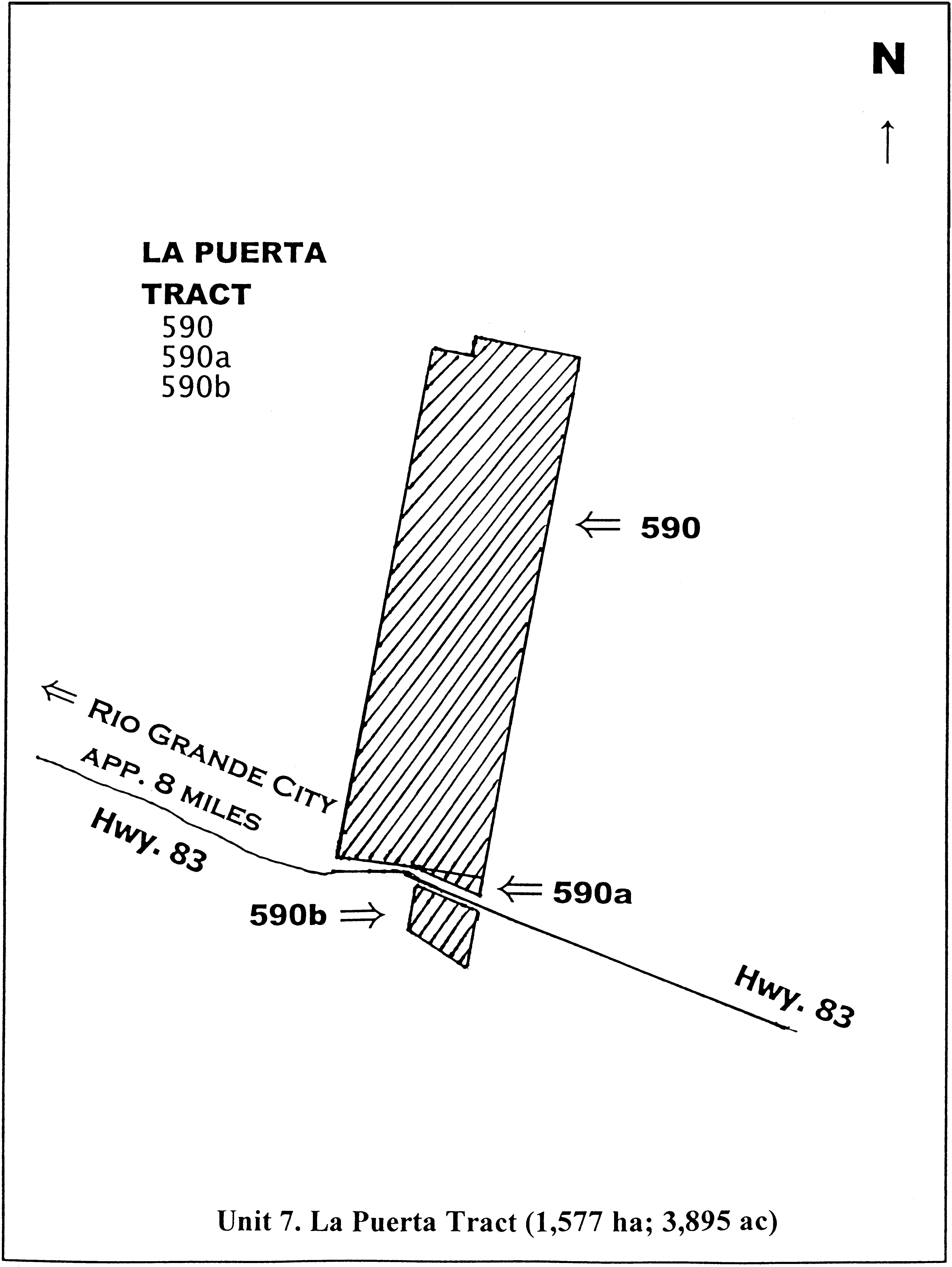
Unit 8 - Private ranch site comprises 0.552 hectares (1.36 acres) within the Universal Transverse Mercator, Zone 14 and begins at UTM 490706 E, 2929709 N; thence to 490729 E, 2929706 N; to 490748 E, 2929720 N; to 490762 E, 2929722 N; to 490767 E, 2929704 N; to 490767 E, 2929679 N; to 490769 E, 2929654 N; to 490770 E, 2929637 N; to 490770 E, 2929629 N; to 490760 E, 2929619 N; to 490743 E, 2929614 N; to 490732 E, 2929612 N; to 490720 E, 2929614 N; to 490709 E, 2929670 N; and thence to point of beginning.
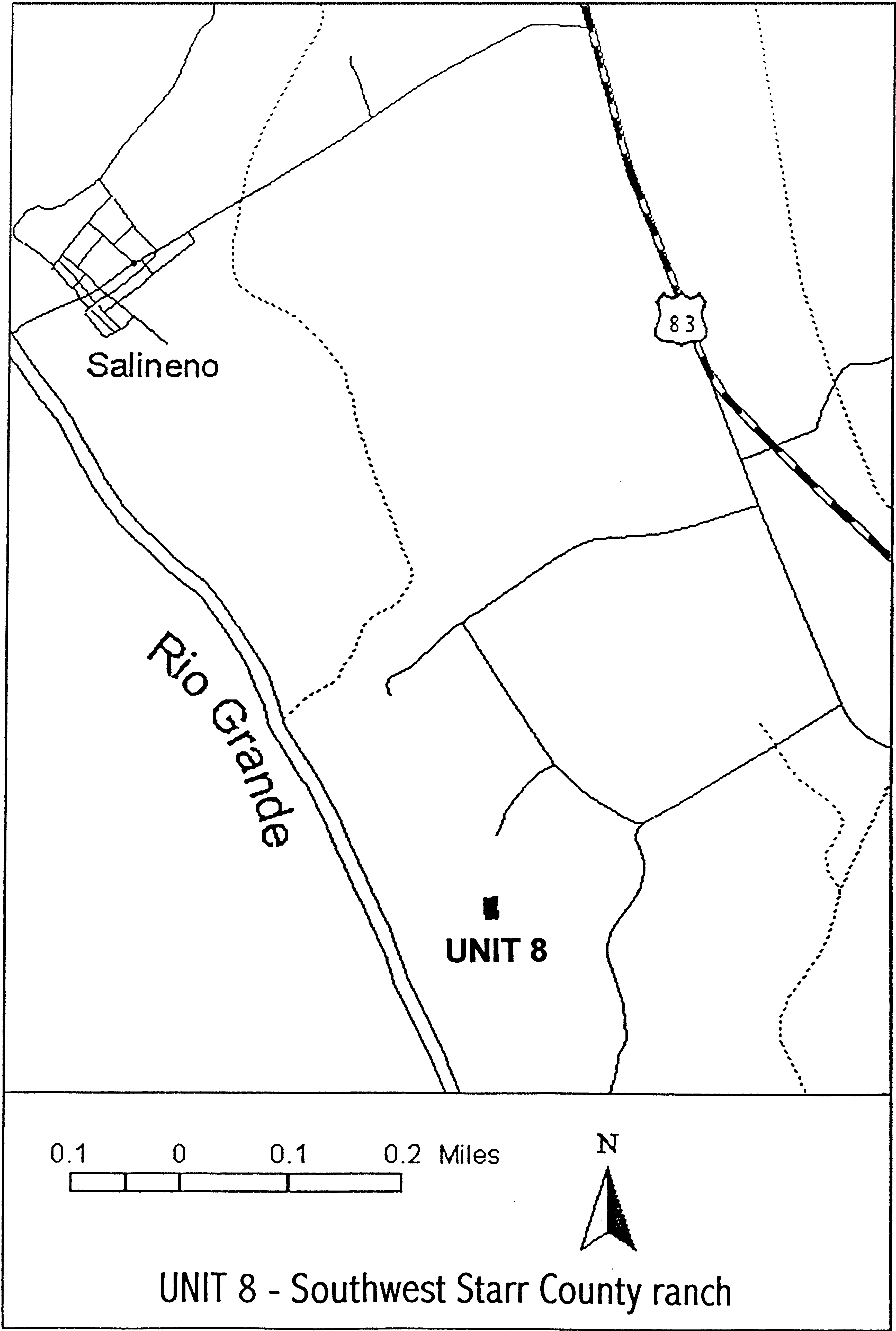
Family Brassicaceae: Physaria douglasii subsp. tuplashensis (White Bluffs bladderpod)
(1) The critical habitat unit is depicted for Franklin County, Washington, on the map at paragraph (5) of this entry.
(2) The primary constituent elements of the physical and biological features essential to the conservation of critical habitat for Physaria douglasii subsp. tuplashensis are the following:
(i) Weathered alkaline paleosols and mixed soils overlying the Ringold Formation. These soils occur within and around the exposed caliche-like cap deposits associated with the White Bluffs of the Ringold Formation, which contain a high percentage of calcium carbonate. These features occur between 210-275 m (700-900 ft) in elevation.
(ii) Sparsely vegetated habitat (less than 10-15 percent total cover), containing low amounts of nonnative or invasive plant species (less than 1 percent cover).
(iii) The presence of insect pollinator species.
(iv) The presence of native shrub steppe habitat within the effective pollinator distance (300 m (approximately 980 ft)).
(v) The presence of stable bluff formations with minimal landslide occurrence.
(3) Critical habitat does not include irrigated private lands or manmade structures (such as buildings, pavement, or other structures) and the land on which they are located existing within the legal boundaries on the effective date of this rule.
(4) This critical habitat unit was mapped using Universal Transverse Mercator, Zone 11, North American Datum 1983 (UTM NAD 83) coordinates. These coordinates establish the vertices of the unit boundaries. The map in this entry, as modified by any accompanying regulatory text, establish the boundaries of the critical habitat designation. The coordinates or plot points or both on which the map is based are available to the public at the field office internet site (http://www.fws.gov/wafwo/HanfordPlants/FLFCH.html), http://www.regulations.gov at Docket No. FWS-R1-ES-2013-0012, and at the Service's Washington Fish and Wildlife Office. You may obtain field office location information by contacting one of the Service regional offices, the addresses of which are listed at 50 CFR 2.2.
(5) Note: Map of critical habitat for Physaria douglasii subsp. tuplashensis (White Bluffs bladderpod) follows:
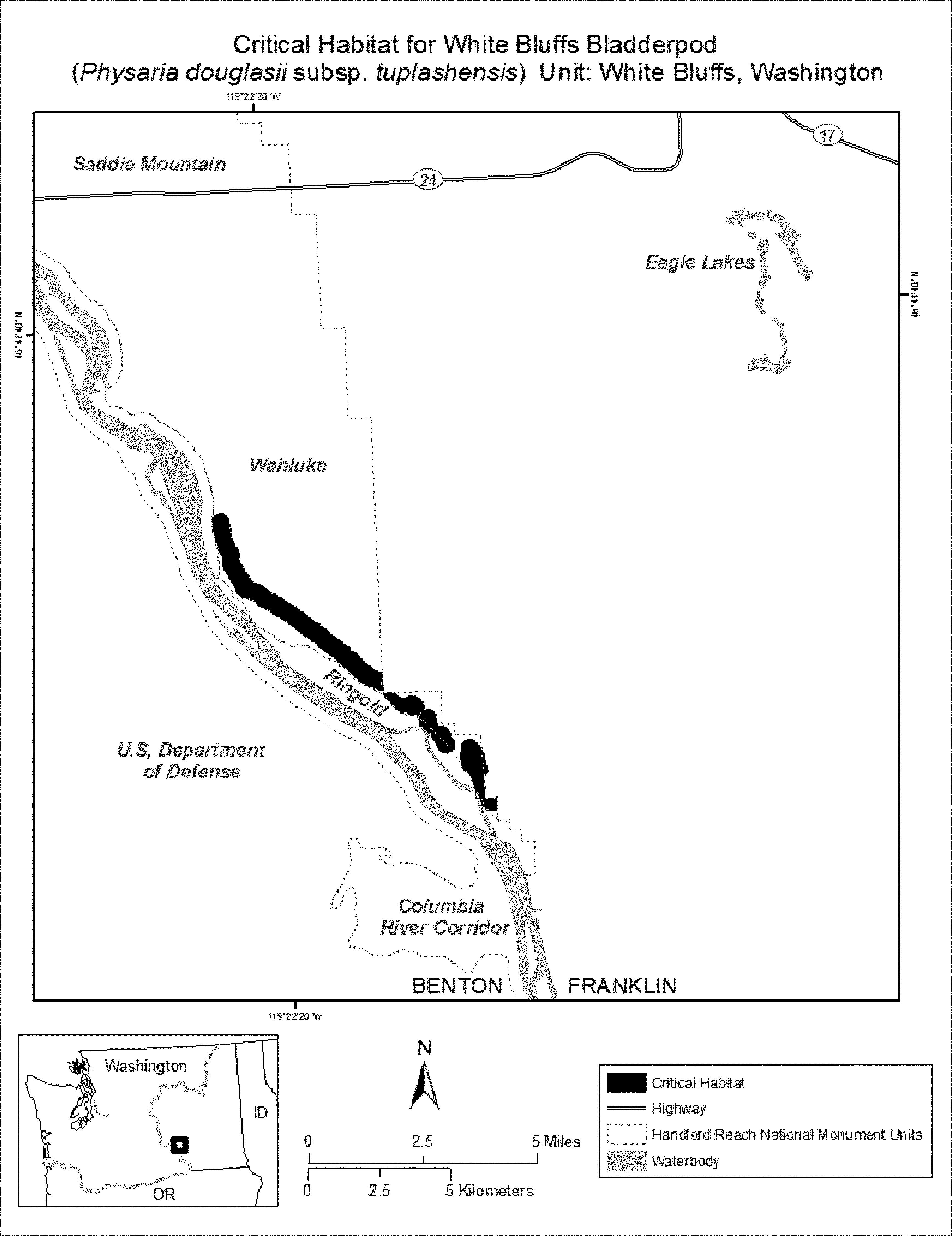
Family Brassicaceae: Physaria globosa (Short's bladderpod)
(1) Critical habitat units are depicted for Posey County, Indiana; Clark, Franklin, and Woodford Counties, Kentucky; and Cheatham, Davidson, Dickson, Jackson, Montgomery, Smith, and Trousdale Counties, Tennessee, on the maps below.
(2) Within these areas, the primary constituent elements of the physical or biological features essential to the conservation of Short's bladderpod consist of three components:
(i) Bedrock formations and outcrops of calcareous limestone, sometimes with interbedded shale or siltstone, in close proximity to the mainstem or tributaries of the Kentucky and Cumberland rivers. These outcrop sites or areas of suitable bedrock geology should be located on steeply sloped hillsides or bluffs, typically on south- to west-facing aspects.
(ii) Shallow or rocky, well-drained soils formed from the weathering of underlying calcareous bedrock formations, which are undisturbed or subjected to minimal disturbance, so as to retain habitat for ground-nesting pollinators and potential for maintenance of a soil seed bank.
(iii) Forest communities with low levels of canopy closure or openings in the canopy to provide adequate sunlight for individual and population growth. Invasive, nonnative plants must be absent or present in sufficiently low numbers not to inhibit growth or reproduction of Short's bladderpod.
(3) Critical habitat does not include manmade structures (such as buildings, aqueducts, runways, roads, and other paved areas) and the land on which they are located existing within the legal boundaries on September 25, 2014.
(4) Critical habitat map units. Data layers defining map units were created on a base of Bing Maps digital aerial photography supplied by the Harris Corporation, Earthstar Geographics LLC, and the Microsoft Corporation. Critical habitat units were then mapped using the USA Contiguous Albers Equal Area Projection with a NAD 83 datum. The maps in this entry, as modified by any accompanying regulatory text, establish the boundaries of the critical habitat designation. The coordinates or plot points or both on which each map is based are available to the public at the Service's Internet site at http://www.fws.gov/cookeville, at http://www.regulations.gov at Docket No. FWS-R4-ES-2013-0086, and at the field office responsible for this designation. You may obtain field office location information by contacting one of the Service regional offices, the addresses of which are listed at 50 CFR 2.2.
(5) Index map follows:
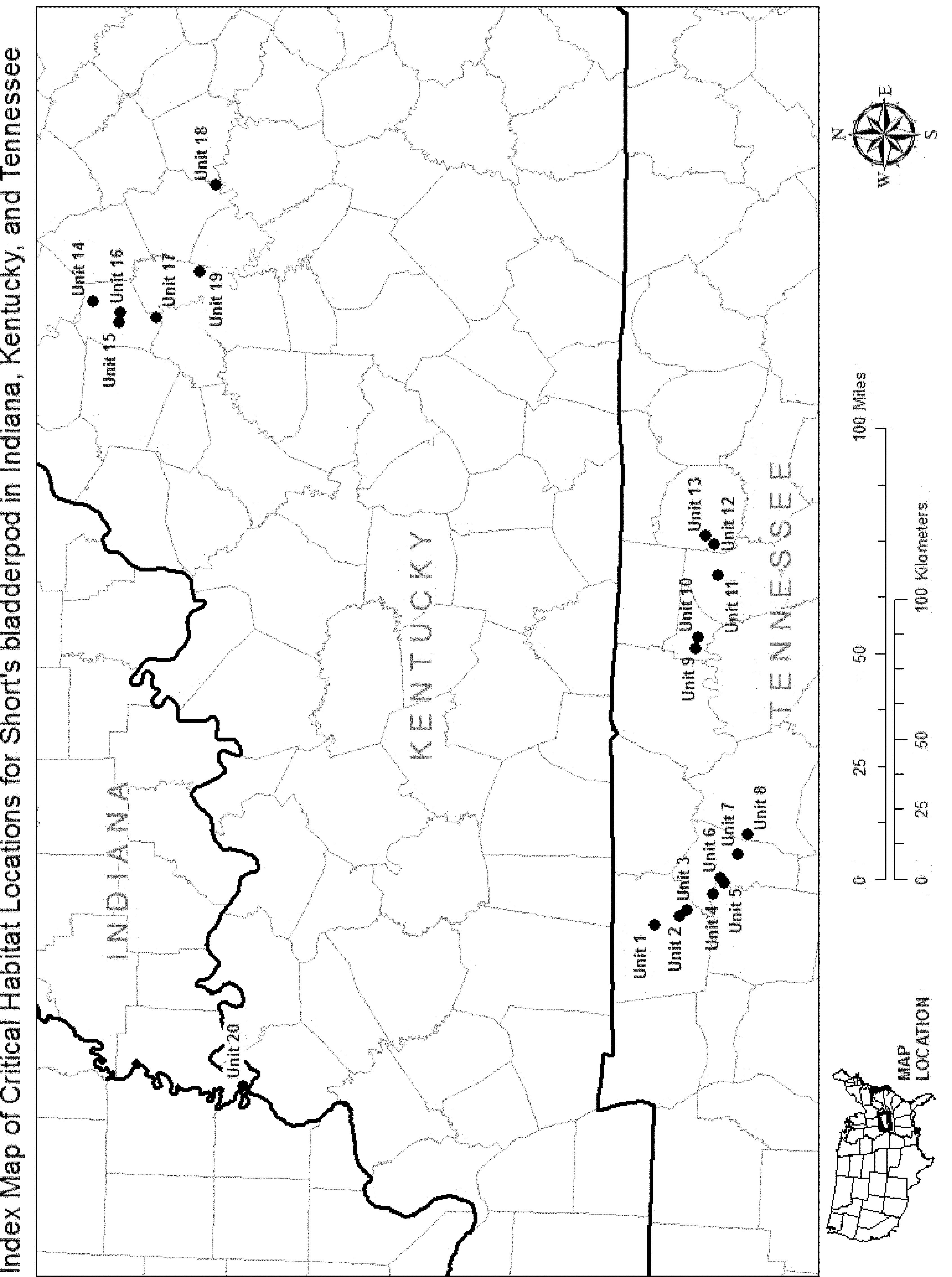
(6) Unit 1: Kings and Queens Bluff, Montgomery County, Tennessee. Map of Unit 1 follows:

(7) Unit 2: Lock B Road, Montgomery County, Tennessee. Map of Units 2 and 3 follows:
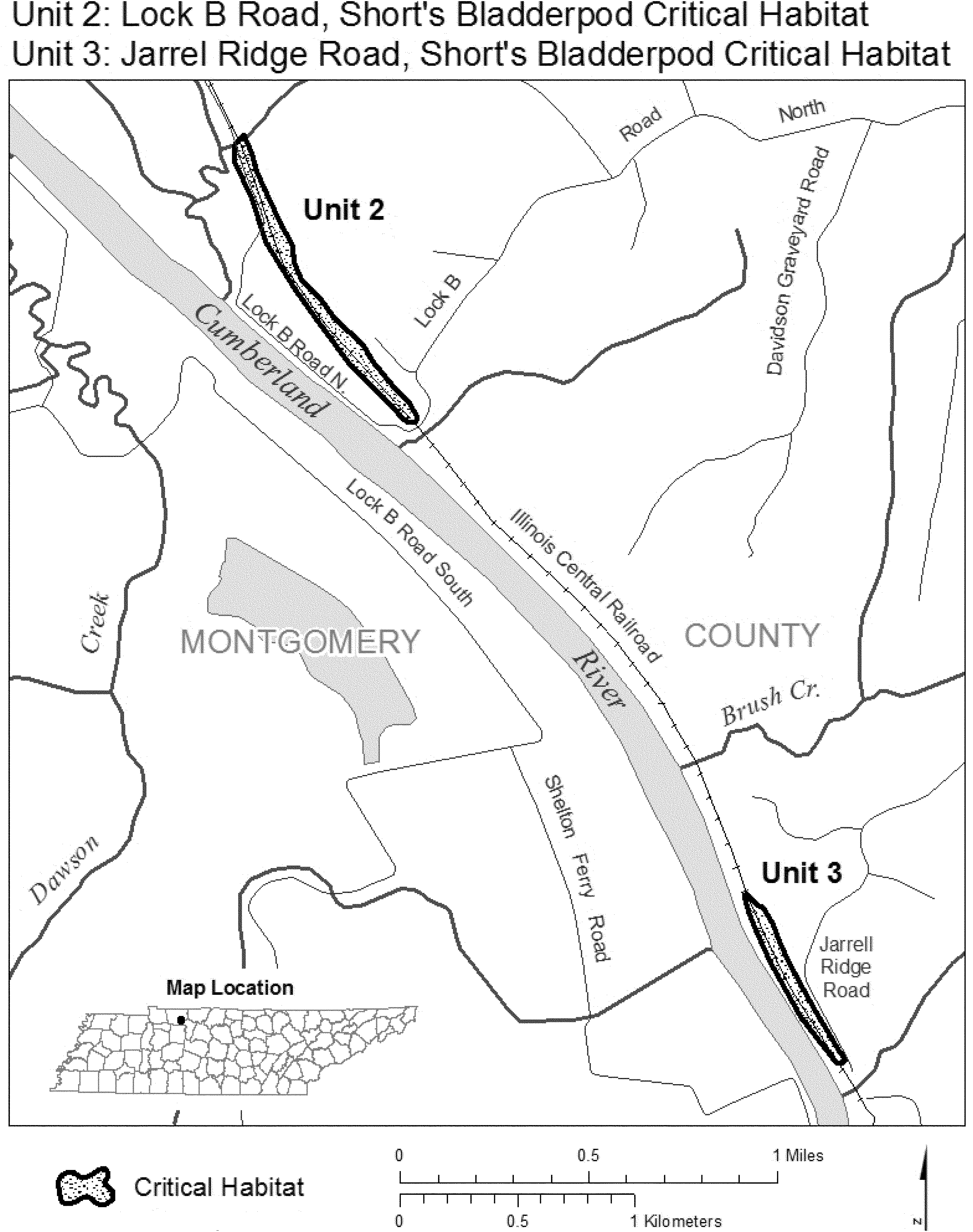
(8) Unit 3: Jarrel Ridge Road, Montgomery County, Tennessee. Map of Unit 3 is provided at paragraph (7) of this entry.
(9) Unit 4: Cheatham Lake, Cheatham County, Tennessee. Map of Unit 4 follows:

(10) Unit 5: Harpeth River, Cheatham County, Tennessee. Map of Units 5 and 6 follows:

(11) Unit 6: Montgomery Bell Bridge, Cheatham and Dickson Counties, Tennessee. Map of Unit 6 is provided at paragraph (10) of this entry.
(12) Unit 7: Nashville and Western Railroad, Cheatham County, Tennessee. Map of Unit 7 follows:
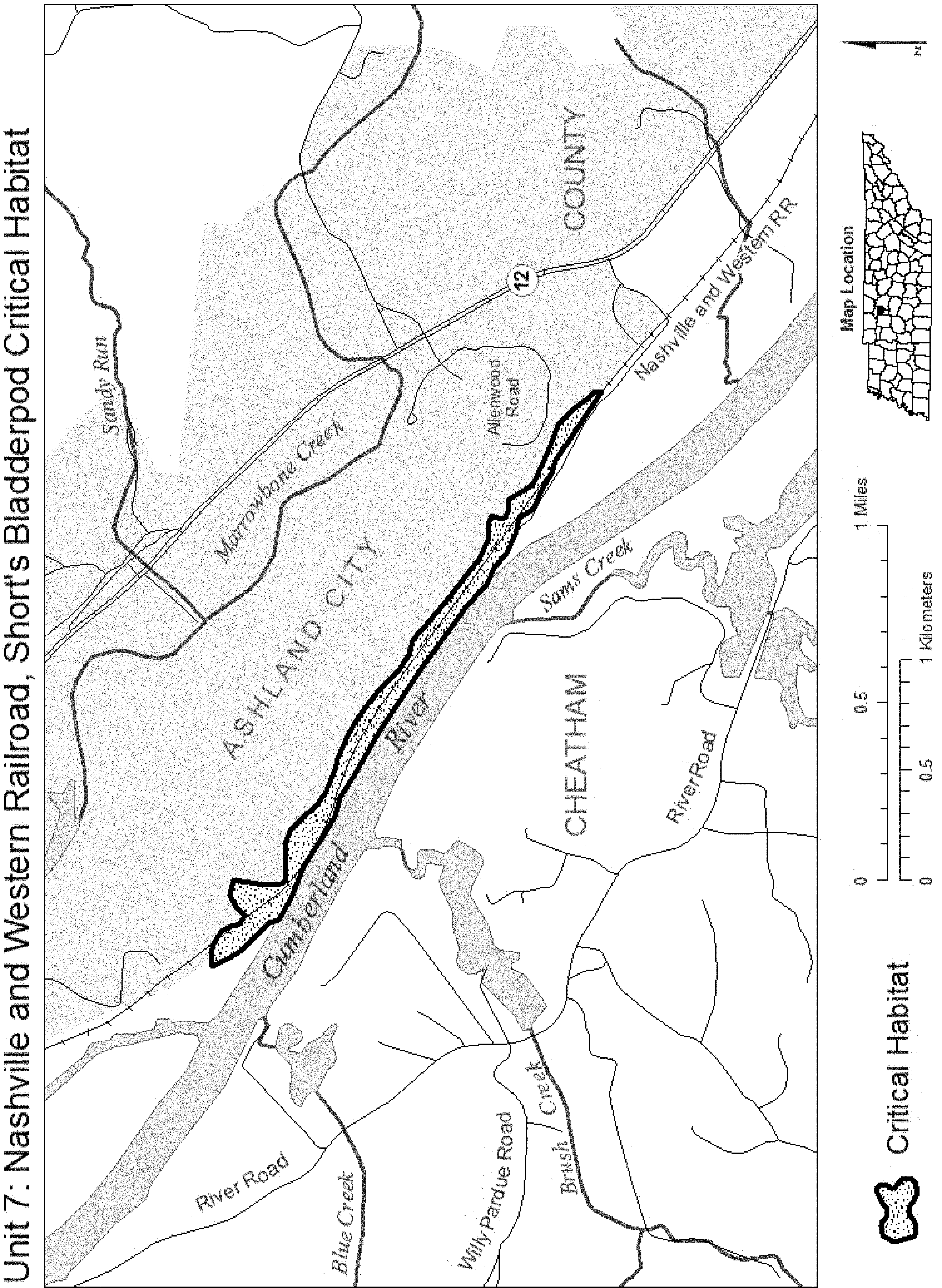
(13) Unit 8: River Trace, Cheatham and Davidson Counties, Tennessee. Map of Unit 8 follows:

(14) Unit 9: Old Hickory Lake, Trousdale County, Tennessee. Map of Units 9 and 10 follows:
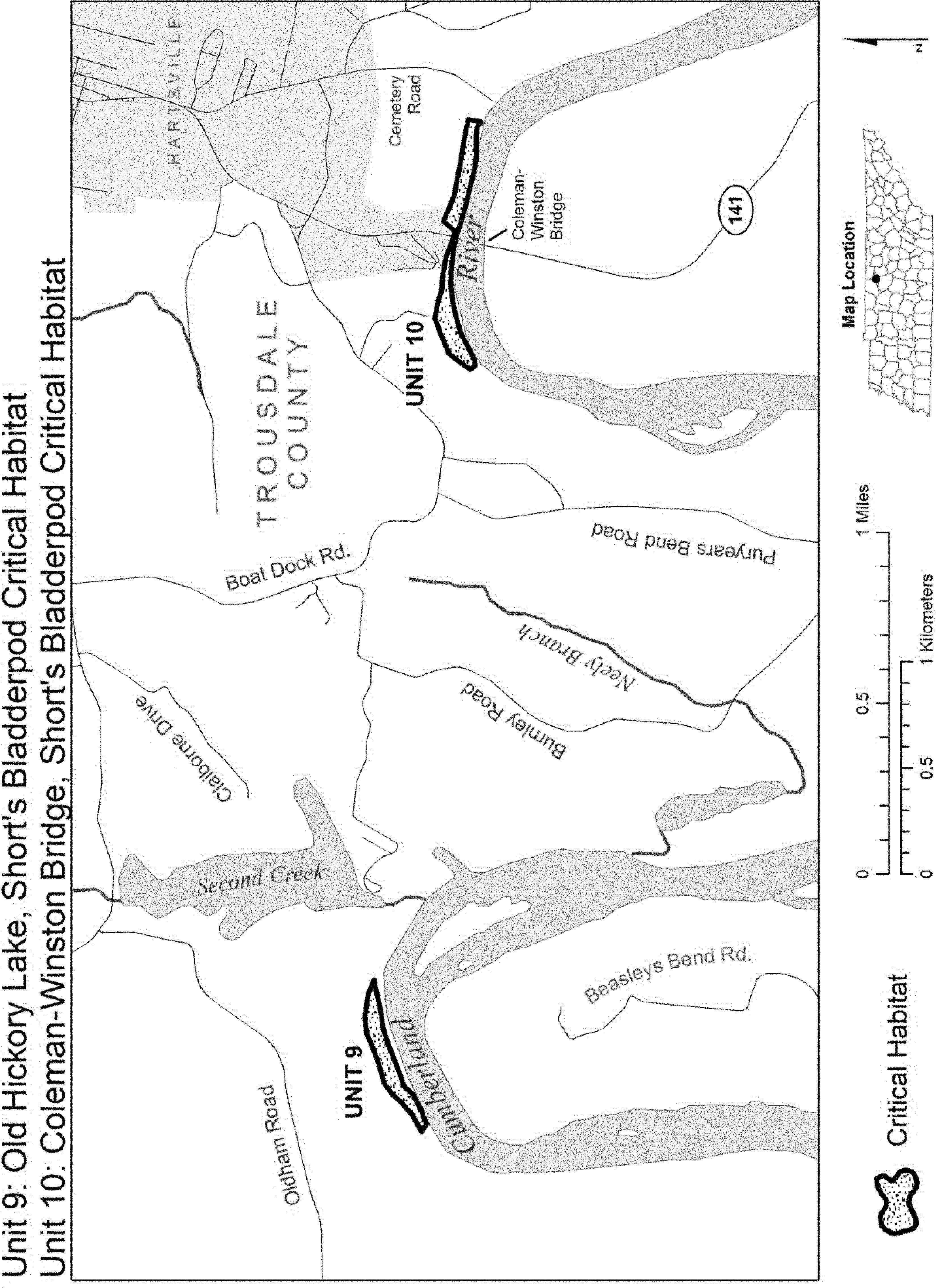
(15) Unit 10: Coleman-Winston Bridge, Trousdale County, Tennessee. Map of Unit 10 is provided at paragraph (14) of this entry.
(16) Unit 11: Cordell Hull Reservoir, Smith County, Tennessee. Map of Unit 11 follows:
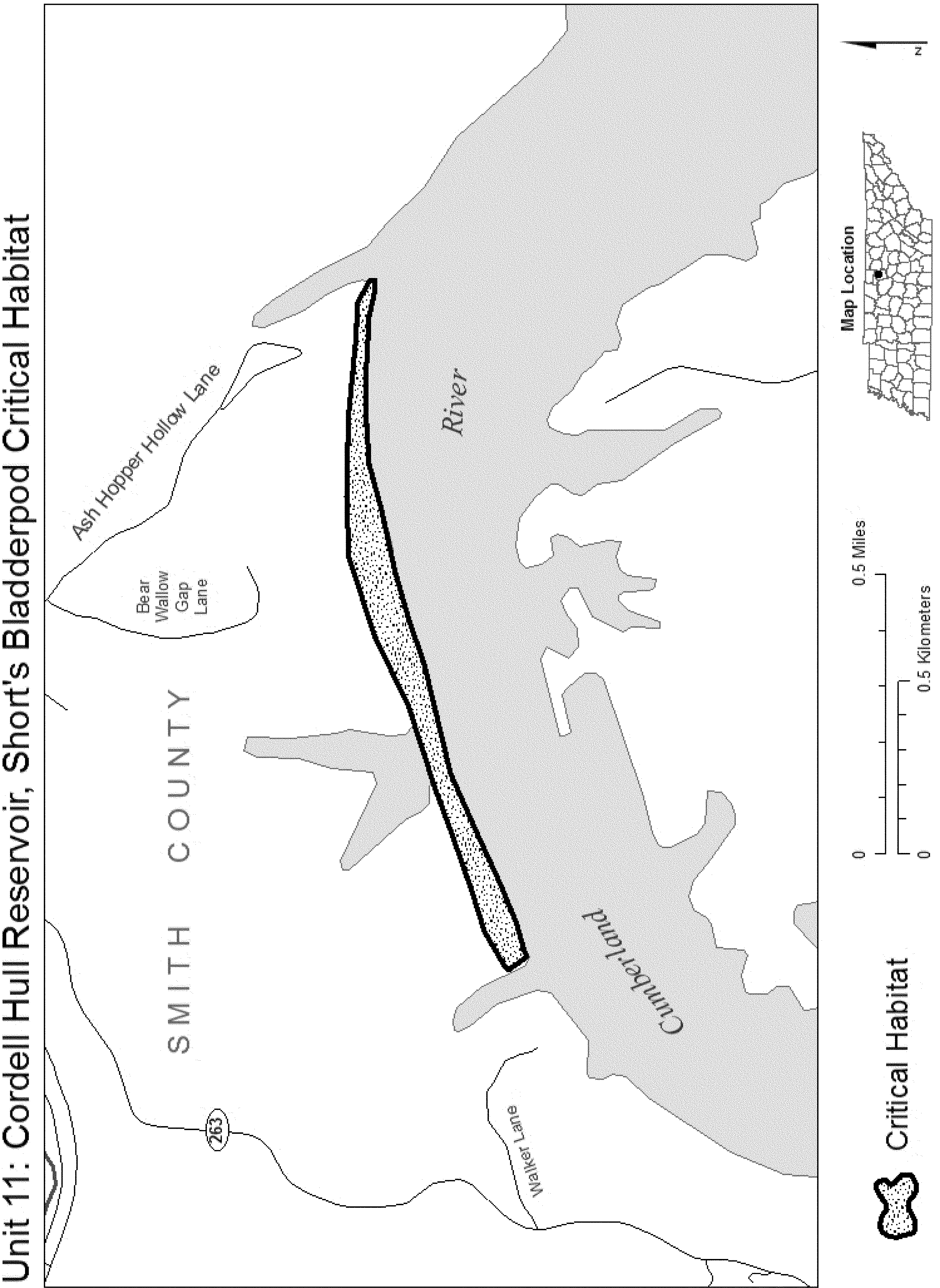
(17) Unit 12: Funns Branch, Jackson County, Tennessee. Map of Units 12 and 13 follows:
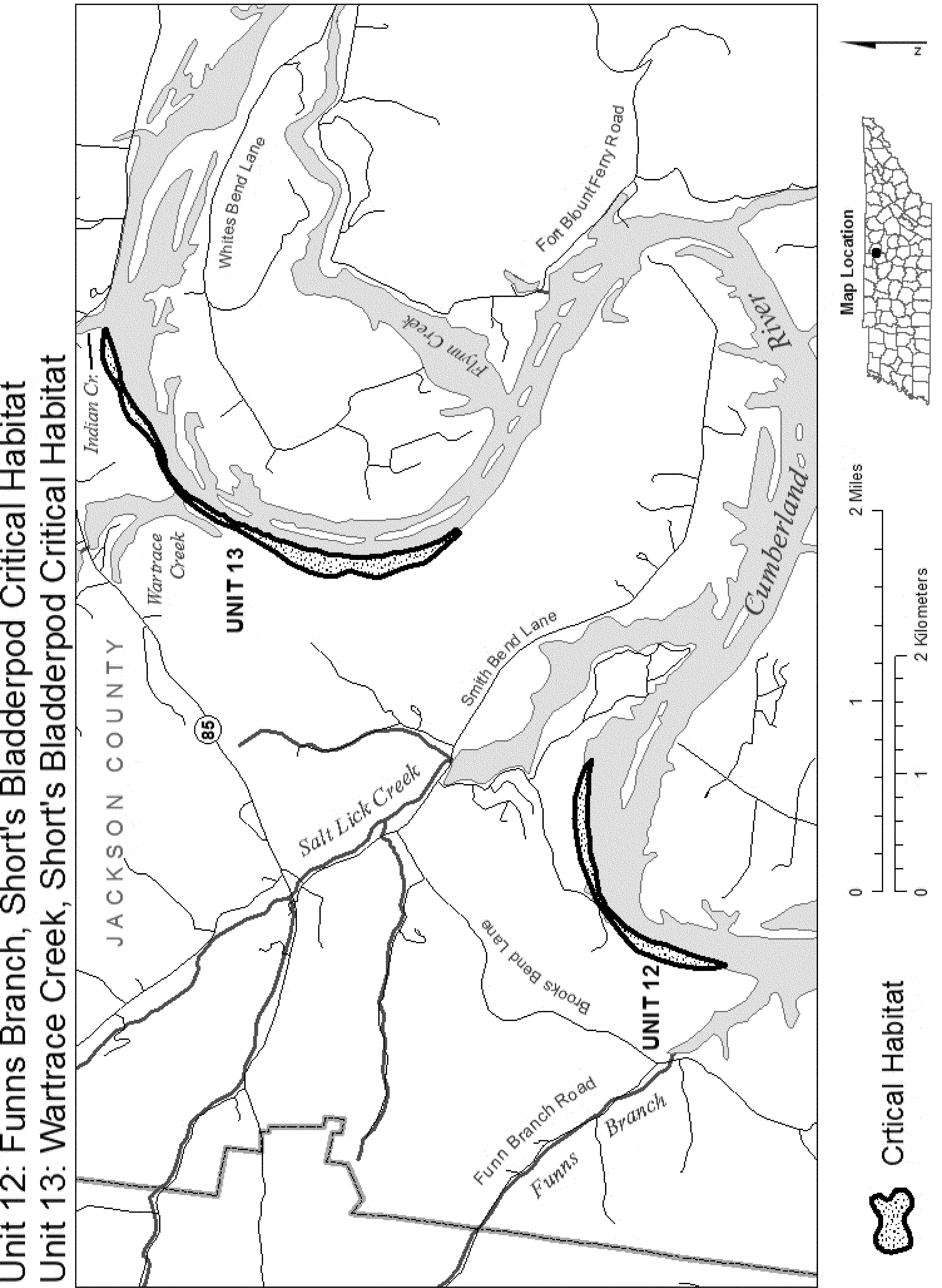
(18) Unit 13: Wartrace Creek, Jackson County, Tennessee. Map of Unit 13 is provided at paragraph (17) of this entry.
(19) Unit 14: Camp Pleasant Branch, Franklin County, Kentucky. Map of Unit 14 follows:
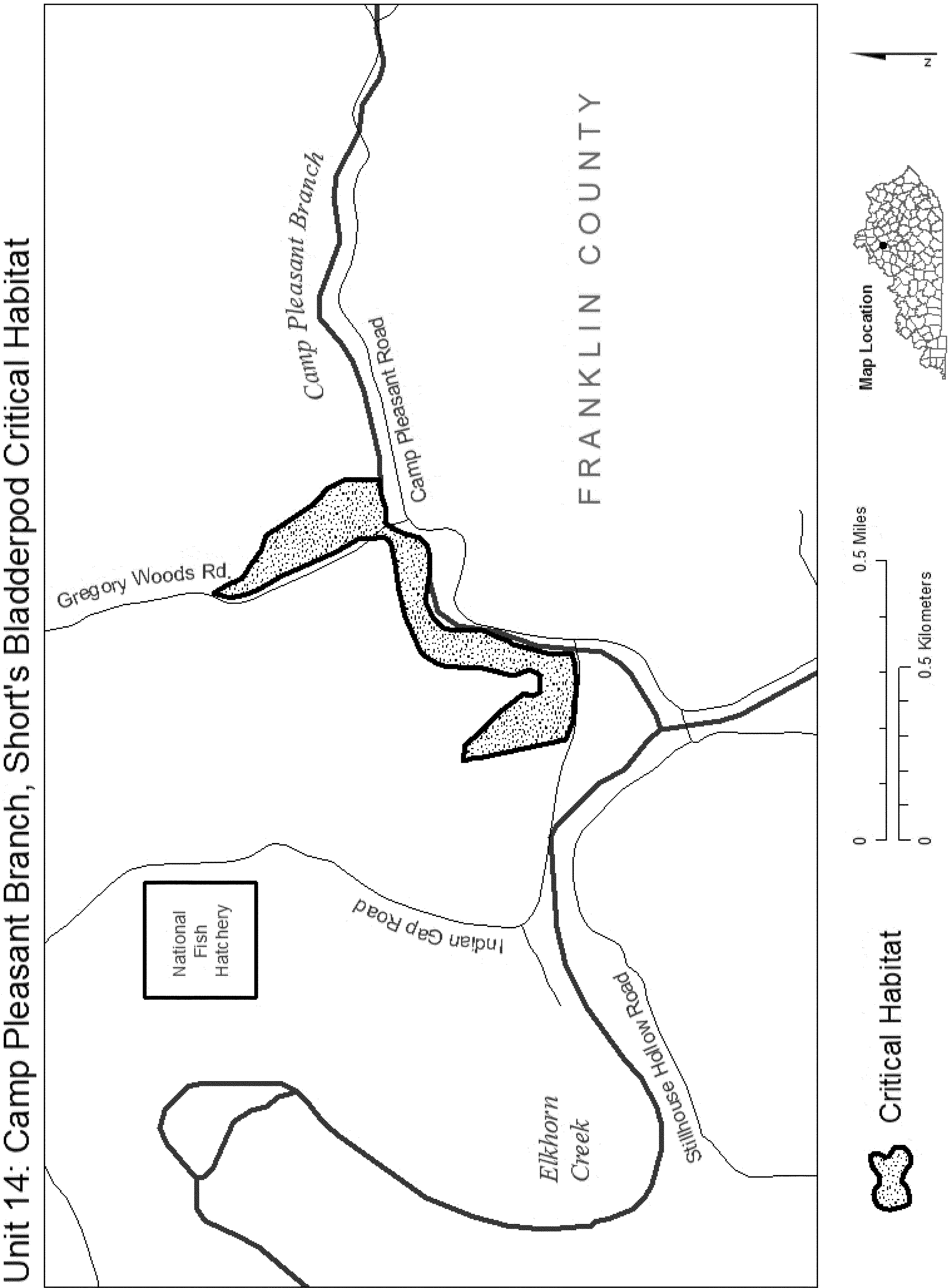
(20) Unit 15: Kentucky River, Franklin County, Kentucky. Map of Units 15 and 16 follows:

(21) Unit 16: Owenton Road, Franklin County, Kentucky. Map of Unit 16 is provided at paragraph (20) of this entry.
(22) Unit 17: Little Benson Creek, Franklin County, Kentucky. Map of Unit 17 follows:
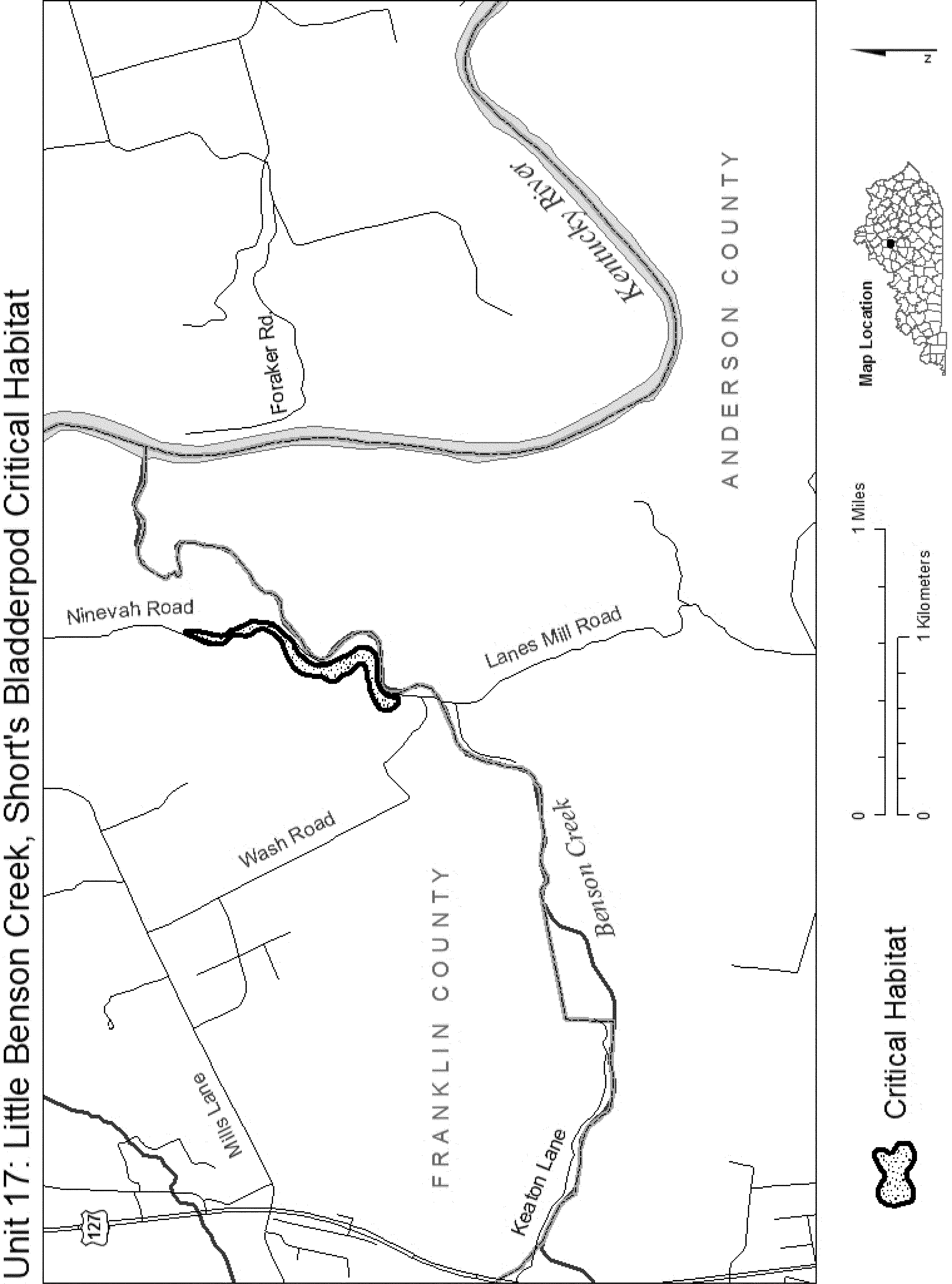
(23) Unit 18: Boone Creek, Clark County, Kentucky. Map of Unit 18 follows:

(24) Unit 19: Delaney Ferry Road, Woodford County, Kentucky. Map of Unit 19 follows:
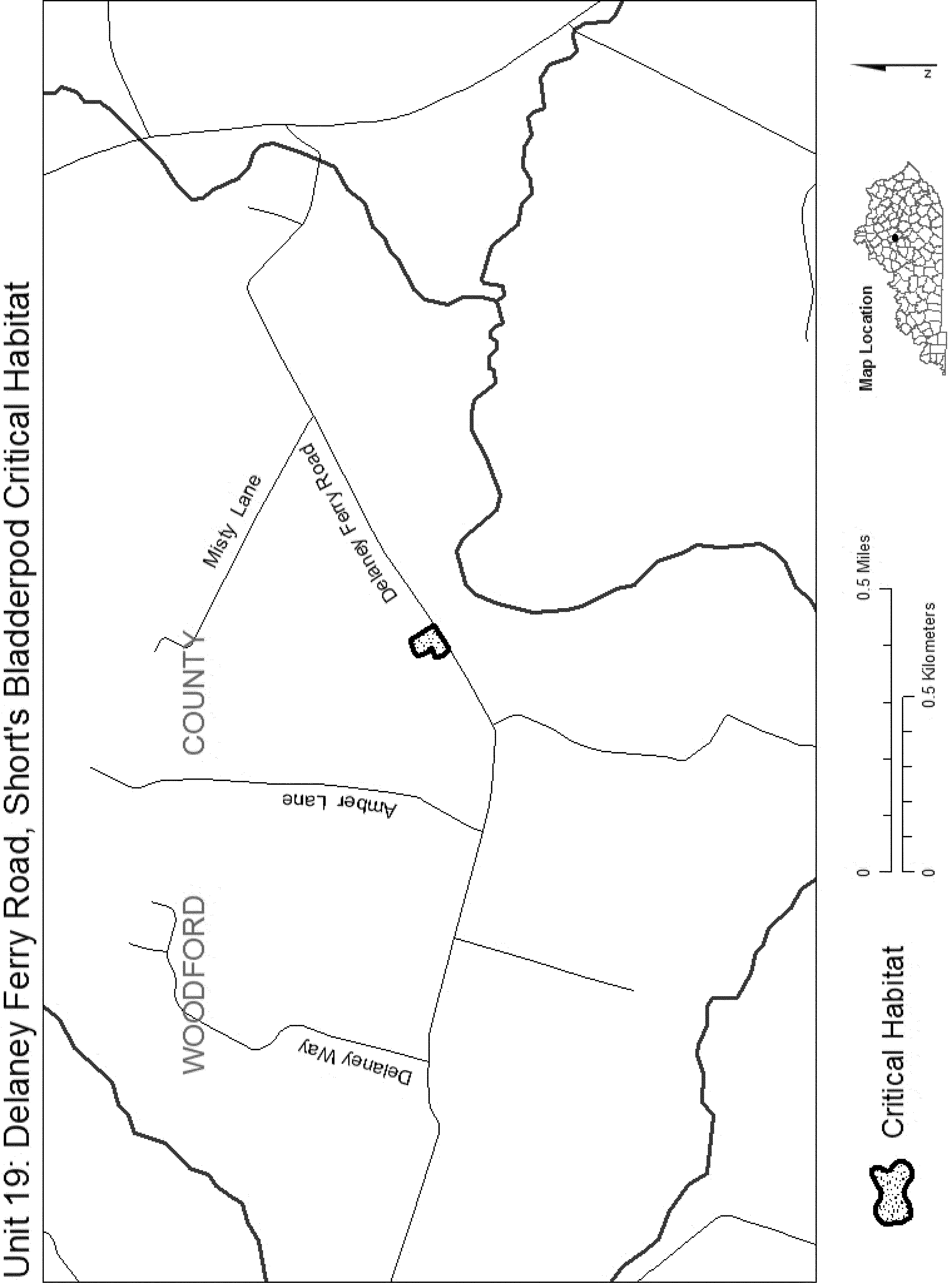
(25) Unit 20: Bonebank Road, Posey County, Indiana. Map of Unit 20 follows:

Family Brassicaceae: Thlaspi californicum (Kneeland Prairie penny-cress)
(1) A critical habitat unit is depicted for Humboldt County, California, on the map below. The map provided is for informational purposes only.
(2) The primary constituent elements of critical habitat for Thlaspi californicum are the habitat components that provide:
(i) Thin rocky soils that have developed on exposures of serpentine substrates;
(ii) Plant communities that support a relatively sparse assemblage of serpentine indicator, or facultative-serpentine indicator, species, including various native forbs and grasses, but not trees or shrubs, such that competition for space and water (both above and below ground) and light is reduced, compared to the surrounding habitats. Known associated species include the following: Festuca rubra (red fescue), Koeleria macrantha (junegrass), Elymus glaucus (blue wildrye), Eriophyllum lanatum (woolly sunflower), Lomatium macrocarpum (large-fruited lomatium), and Viola hallii (Hall's violet);
(iii) Serpentine substrates that contain 15 percent or greater (by surface area) of exposed gravels, cobbles, or larger rock fragments, which may contribute to alteration of factors of microclimate, including surface drainage and moisture availability, exposure to wind and sun, and temperature; and
(iv) Prairie grasslands and oak woodlands located within 30 m (100 ft) of the serpentine outcrop area on Ashfield Ridge. Protection of these habitats is essential to the conservation of Thlaspi californicum in that it will provide connectivity among the serpentine sites, help to maintain the hydrologic and edaphic integrity of the serpentine sites, and support populations of pollinators and seed dispersal organisms.
(3) Existing features and structures within the boundaries of mapped critical habitat units, such as buildings, roads, airports, and other paved areas will not contain one or more of the primary constituent elements. Federal actions limited to those areas, therefore, would not trigger a section 7 consultation, unless they affect the species and/or primary constituent elements in adjacent critical habitat.
(4) Critical habitat unit. Humboldt County, California.
(i) From USGS. 1:24,000 scale Iaqua Buttes quadrangle, land bounded by the following UTM Zone 10 NAD27 coordinate pairs (East, North): 421800, 4507300; 422100, 4507800; 422100, 4507300; 422200, 4507600; 421700, 4507400; 421800, 4507500; 421600, 4507500; 421800, 4507900; 421800, 4507800; 421900, 4507900
(ii) Map follows:

Family Cactaceae: Consolea corallicola (Florida semaphore cactus)
(1) Critical habitat units are depicted for Miami-Dade and Monroe Counties, Florida, on the maps below.
(2) Within these areas, the primary constituent elements of the physical or biological features essential to the conservation of Consolea corallicola are:
(i) Areas of upland habitats consisting of coastal berm, rockland hammocks, and buttonwood forest.
(A) Coastal berm habitat that contains:
(1) Open to semi-open canopy, subcanopy, and understory; and
(2) Substrate of coarse, calcareous, and storm-deposited sediment.
(B) Rockland hammock habitat that contains:
(1) Canopy gaps and edges with an open to semi-open canopy, subcanopy, and understory; and
(2) Substrate with a thin layer of highly organic soil covering limestone or organic matter that accumulates on top of the limestone.
(C) Buttonwood forest habitat that contains:
(1) Open to semi-open canopy and understory; and
(2) Substrate with calcareous marl muds, calcareous sands, or limestone rock.
(ii) A plant community of predominately native vegetation with no invasive, nonnative animal or plant species or such species in quantities low enough to have minimal effect on survival of Consolea corallicola.
(iii) A disturbance regime, due to the effects of strong winds or saltwater inundation from storm surge or infrequent tidal inundation, that creates canopy openings in coastal berm, rockland hammocks, and buttonwood forest.
(iv) Habitats that are connected and of sufficient size to sustain viable populations in coastal berm, rockland hammocks, and buttonwood forest.
(v) Habitats that provide populations of the generalist pollinators that visit the flowers of Consolea corallicola.
(3) Critical habitat does not include manmade structures (such as buildings, aqueducts, runways, roads, and other paved areas) and the land on which they are located that exists within the legal boundaries on February 22, 2016.
(4) Critical habitat map units. Data layers defining map units were developed using ESRI ArcGIS mapping software along with various spatial data layers. ArcGIS was also used to calculate area. The projection used in mapping and calculating distances and locations within the units was North American Albers Equal Area Conic, NAD 83. The maps in this entry, as modified by any accompanying regulatory text, establish the boundaries of the critical habitat designation. The coordinates, plot points, or both on which each map is based are available to the public at the Service's Internet site at http://www.fws.gov/verobeach/, at http://www.regulations.gov at Docket No. FWS-R4-ES-2014-0057, and at the field office responsible for this designation. You may obtain field office location information by contacting one of the Service regional offices, the addresses of which are listed at 50 CFR 2.2.
(5) Index map of all critical habitat units for Consolea corallicola follows:

(6) Unit FSC1: Swan Key, Biscayne National Park, Miami-Dade County, Florida.
(i) General Description: Unit FSC1 consists of 37 ac (15 ha) in Miami-Dade County. This unit is composed entirely of lands in Federal ownership, 100 percent of which are located on Swan Key within Biscayne National Park. The unit includes all upland rockland hammock habitat on Swan Key, most of which is located on the eastern side of Swan Key, surrounded by the island's mangrove fringe. A second, smaller area is located on the island's elongate western half and is also surrounded by mangroves.
(ii) Map of Unit FSC1 follows:

(7) Unit FSC2: Key Largo, Monroe County, Florida.
(i) General Description: Unit FSC2 consists of 3,434 ac (1,389 ha) in Monroe County. This unit is composed of Federal lands within Crocodile Lake National Wildlife Refuge (NWR) (702 ac (284 ha)); State lands within Dagny Johnson Botanical State Park, John Pennekamp Coral Reef State Park, and the Florida Keys Wildlife and Environmental Area (2,331 ac (943 ha)); lands owned by Monroe County (17 ac (7 ha)); and parcels in private or other ownership (384 ac (155 ha)). This unit extends from near the northern tip of Key Largo, along the length of Key Largo, beginning at the south shore of Ocean Reef Harbor near South Marina Drive and the intersection of County Road (CR) 905 and Clubhouse Road on the west side of CR 905, and between CR 905 and Old State Road 905, then extending to the shoreline south of South Harbor Drive. The unit then continues on both sides of CR 905 through the Crocodile Lake NWR, Dagny Johnson Key Largo Hammock Botanical State Park, and John Pennekamp Coral Reef State Park. The unit then terminates near the junction of U.S. 1 and CR 905 and Garden Cove Drive. The unit resumes on the east side of U.S. 1 from South Andros Road to Key Largo Elementary; then from the intersection of Taylor Drive and Pamela Street to Avenue A, then from Sound Drive to the intersection of Old Road and Valencia Road, then resumes on the east side of U.S. 1 from Hibiscus Lane and Ocean Drive. The unit continues south near the Port Largo Airport from Poisonwood Road to Bo Peep Boulevard. The unit resumes on the west side of U.S. 1 from the intersection of South Drive and Meridian Avenue to Casa Court Drive. The unit then continues on the west side of U.S. 1 from the point on the coast directly west of Peace Avenue south to Caribbean Avenue. The unit also includes a portion of the barrier island (El Radabob Key) in Largo Sound located directly east of Avenue A, extending south to a point directly east of Mahogany Drive.
(ii) Index map of Unit FSC2 follows:
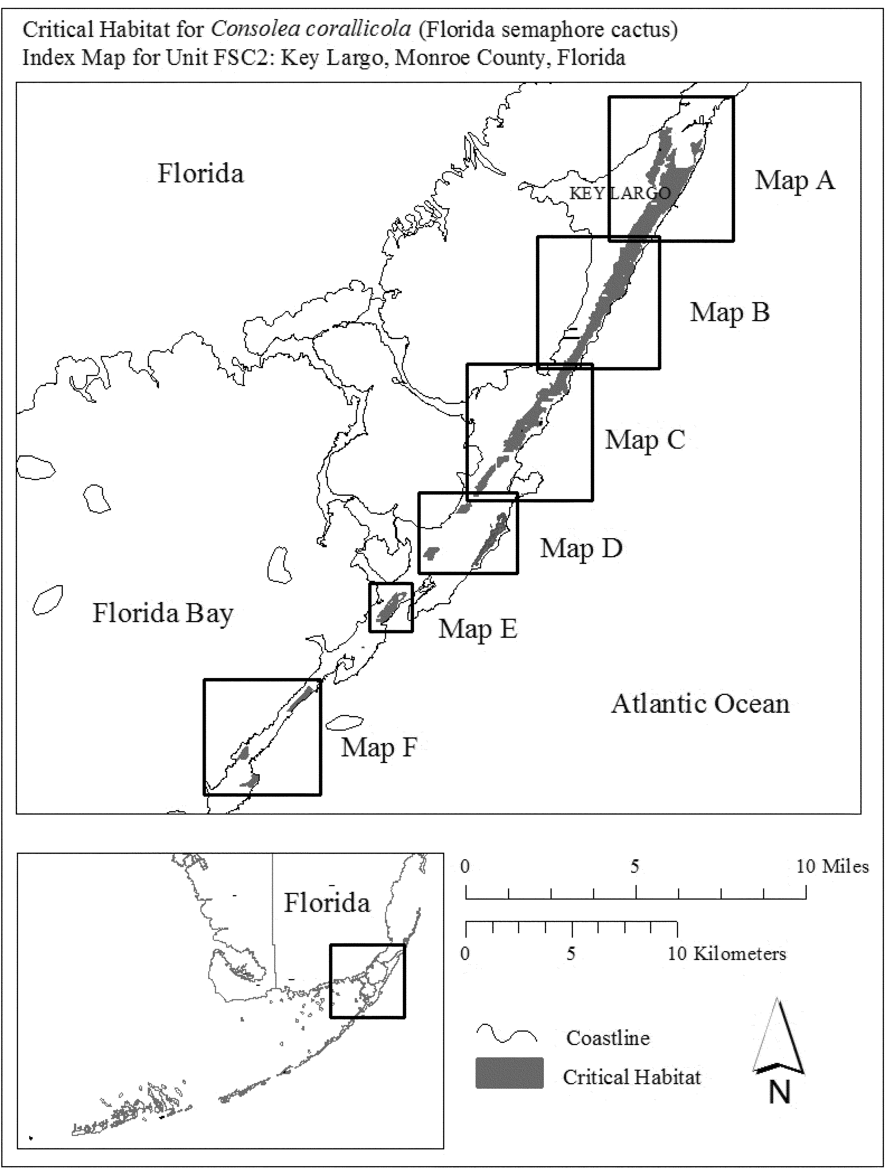
(iii) Map A of Unit FSC2 follows:

(iv) Map B of Unit FSC2 follows:
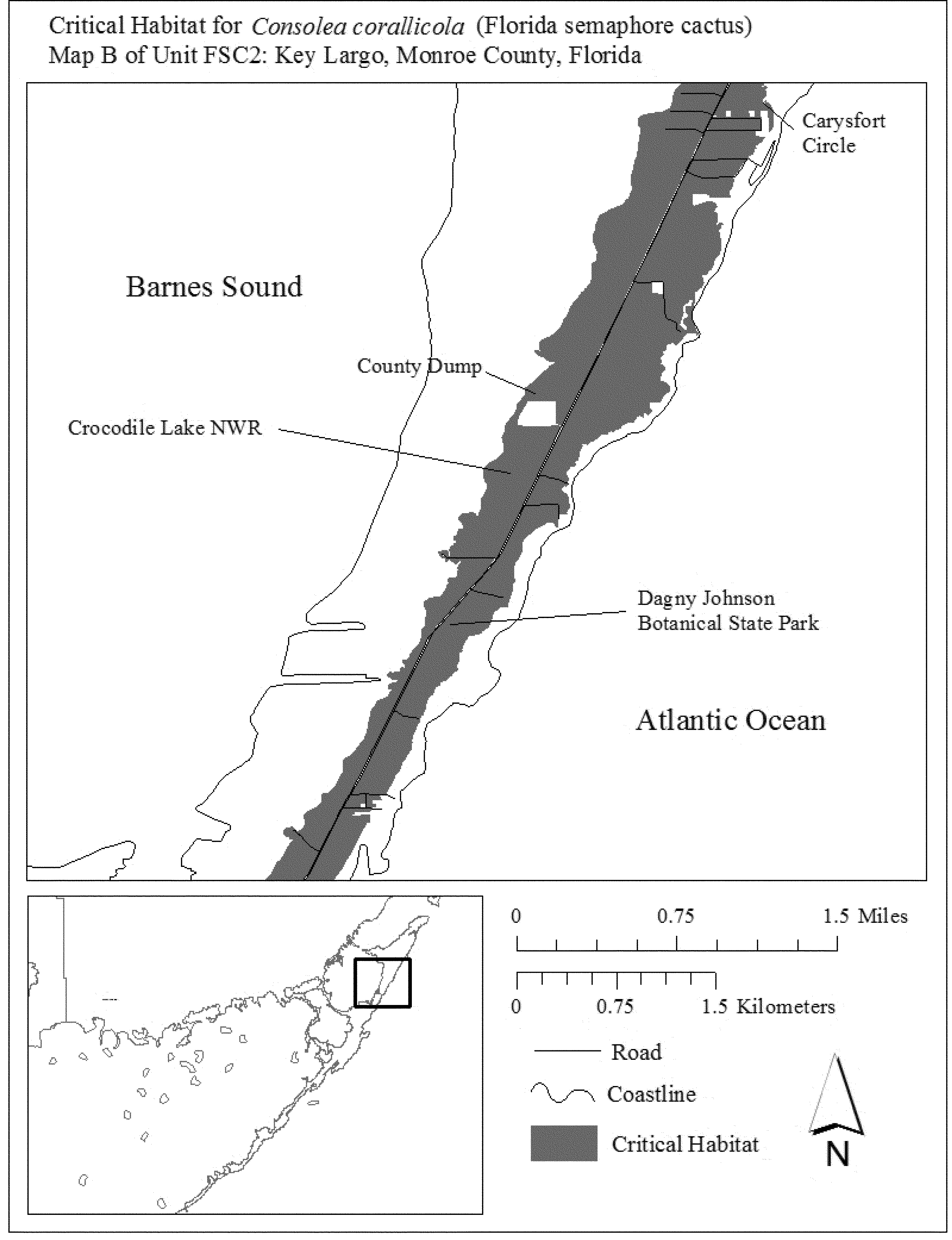
(v) Map C of Unit FSC2 follows:
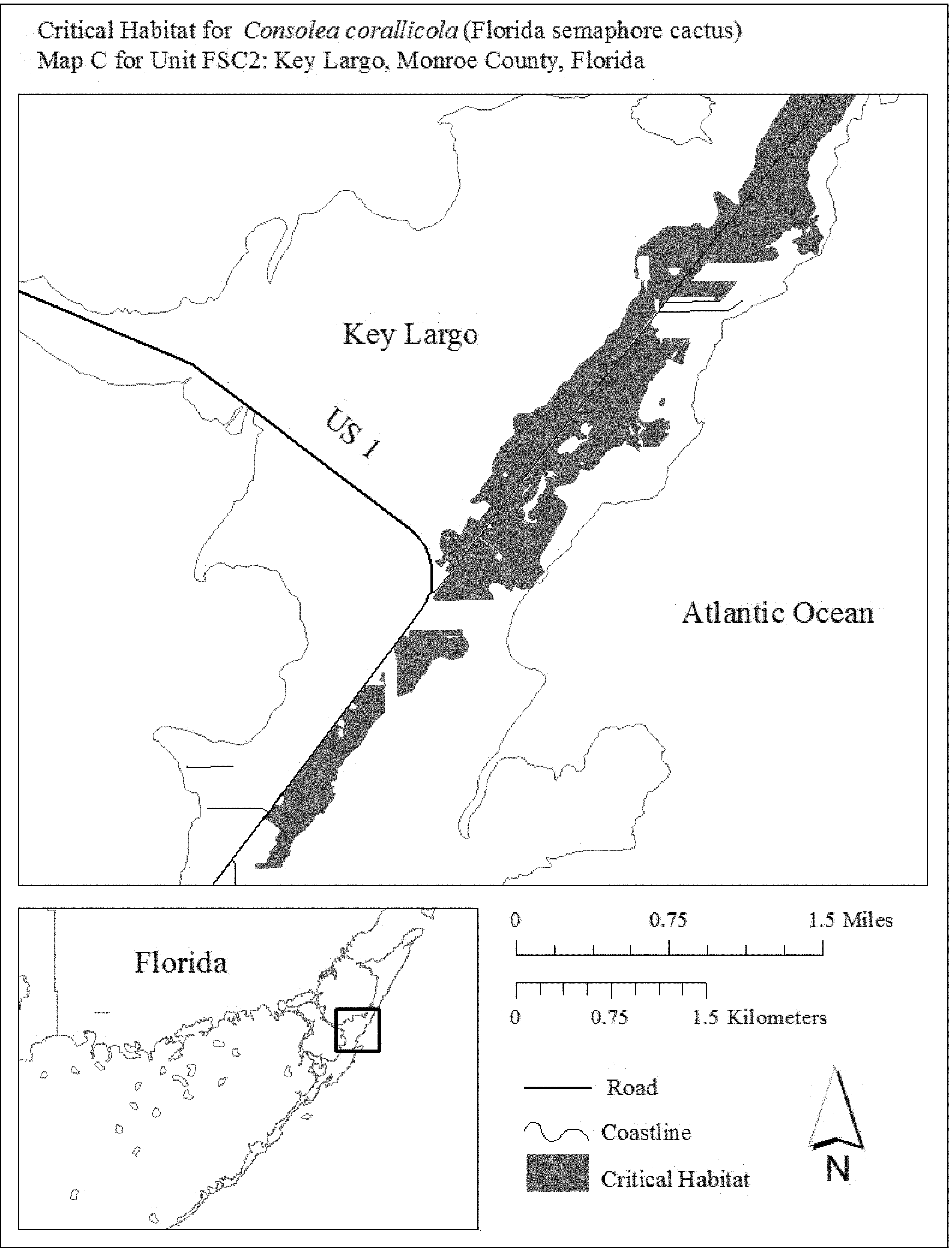
(vi) Map D of Unit FSC2 follows:
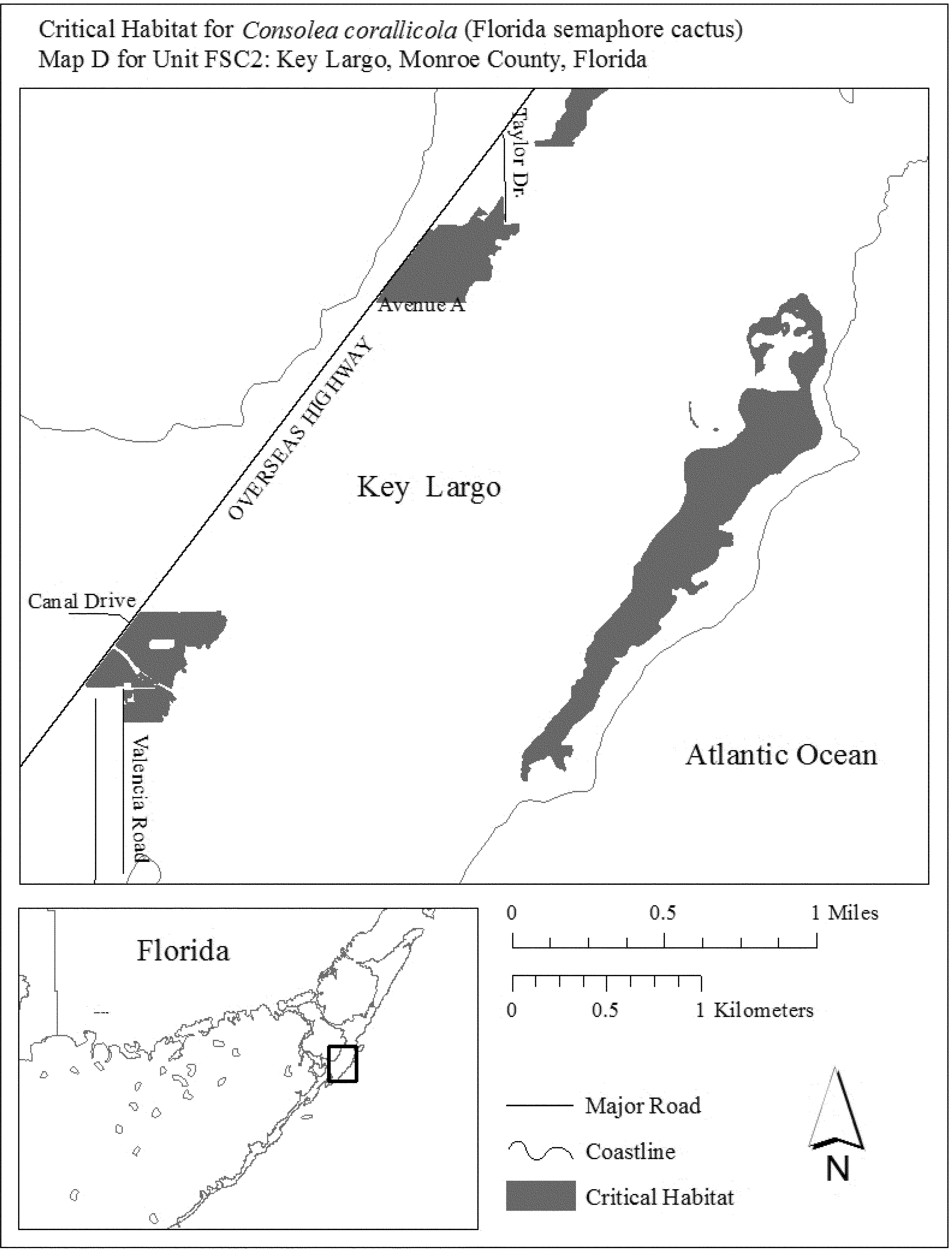
(vii) Map E of Unit FSC2 follows:
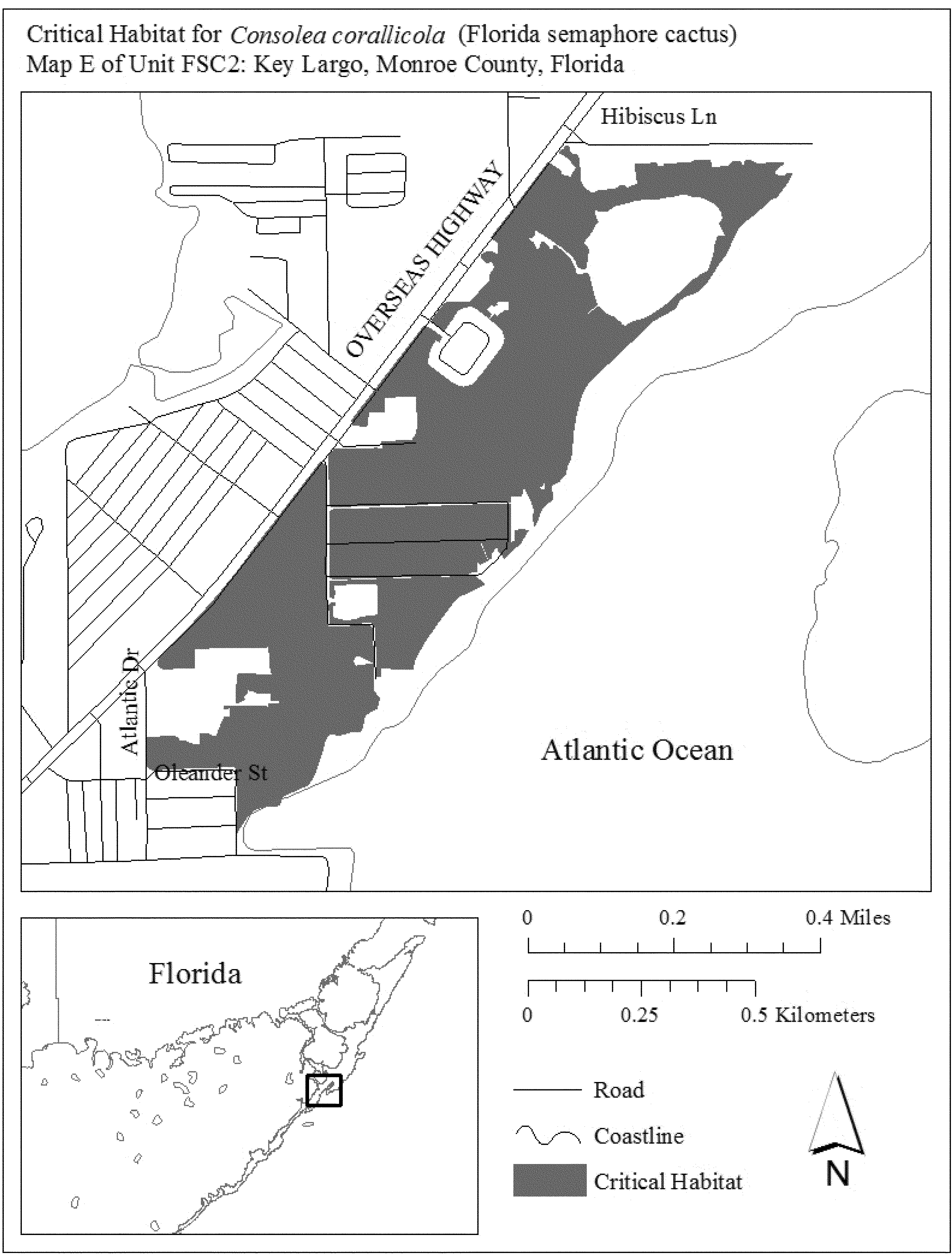
(viii) Map F of Unit FSC2 follows:
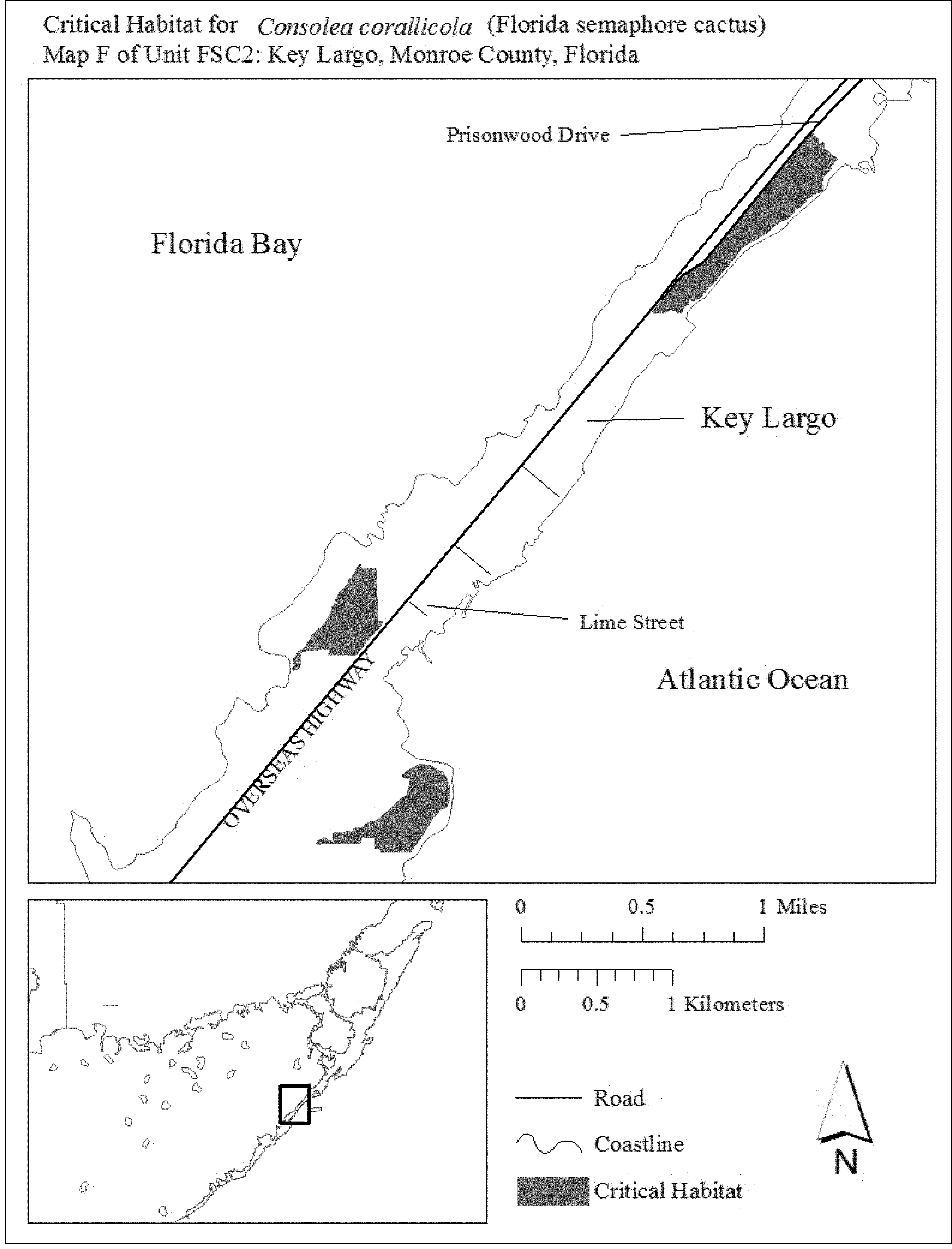
(8) Unit FSC3: Big Pine Key, Monroe County, Florida.
(i) General Description: Unit FSC3 consists of 772 ac (313 ha) in Monroe County. This unit is composed of Federal land within the National Key Deer Refuge (NKDR) (508 ac (205 ha)), State land managed as part of the NKDR (172 ac (70 ha)), lands owned by Monroe County (11 ac (5 ha)), and parcels in private or other ownership (81 ac (33 ha)). This unit extends from near the northern tip of Big Pine Key along the eastern shore to the vicinity of Hellenga Drive and Watson Road; from Gulf Boulevard south to West Shore Drive; Big Pine Avenue and Elma Avenues on the east, Coral and Yacht Club Road, and U.S. 1 on the north, and Industrial Avenue on the east from the southeastern tip of Big Pine Key to Avenue A.
(ii) Index map of Unit FSC3 follows:
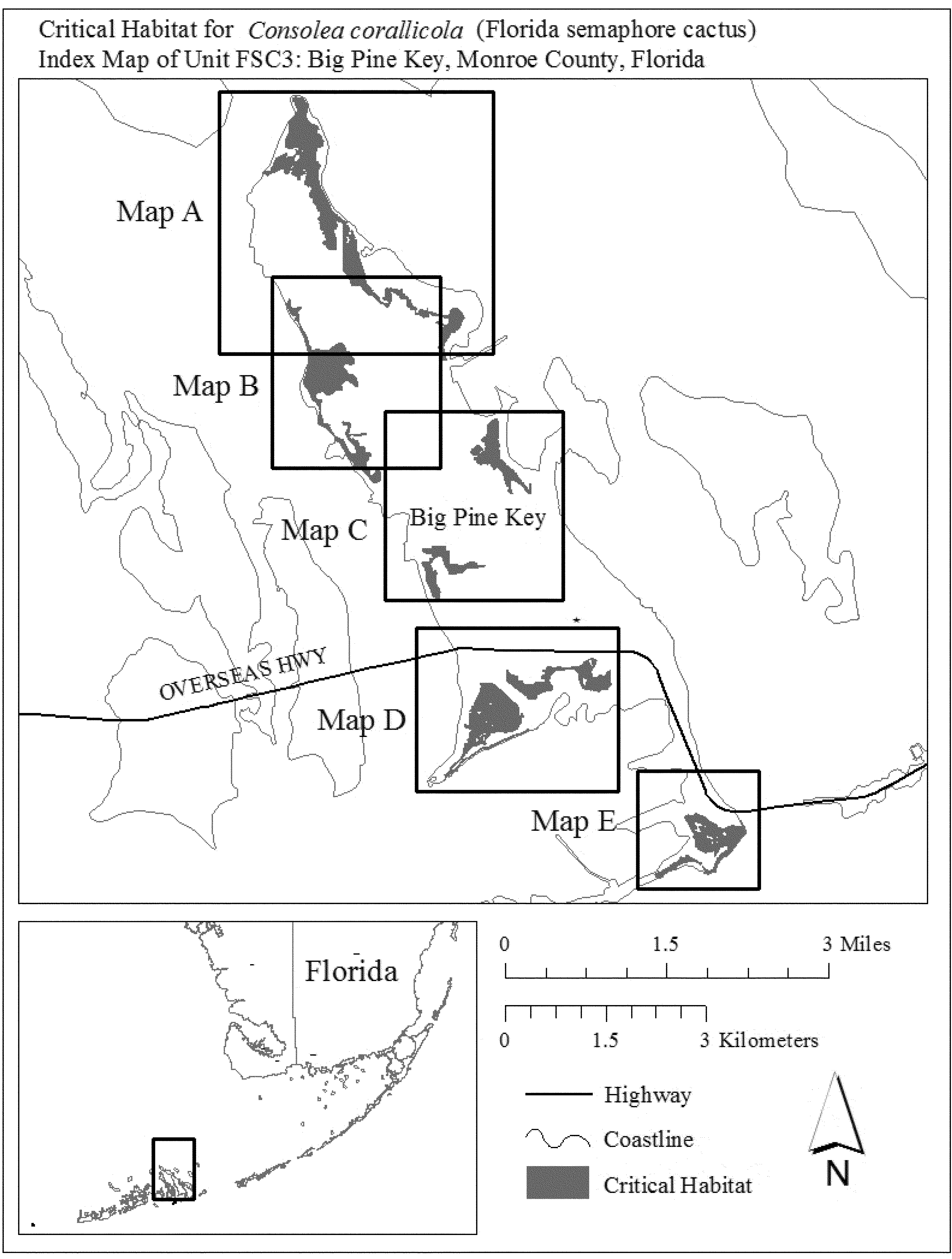
(iii) Map A of Unit FSC3 follows:
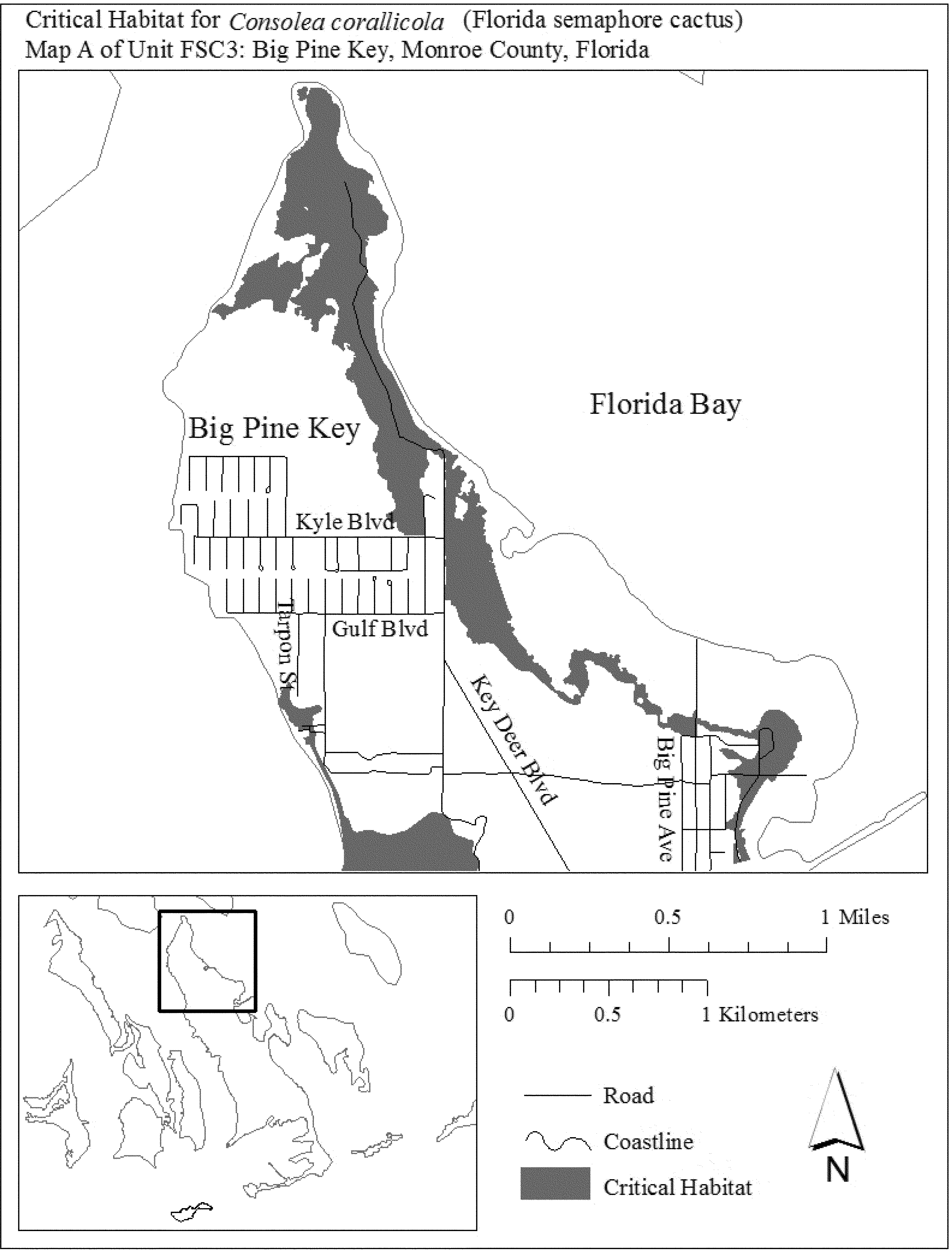
(iv) Map B of Unit FSC3 follows:

(v) Map C of Unit FSC3 follows:

(vi) Map D of Unit FSC3 follows:
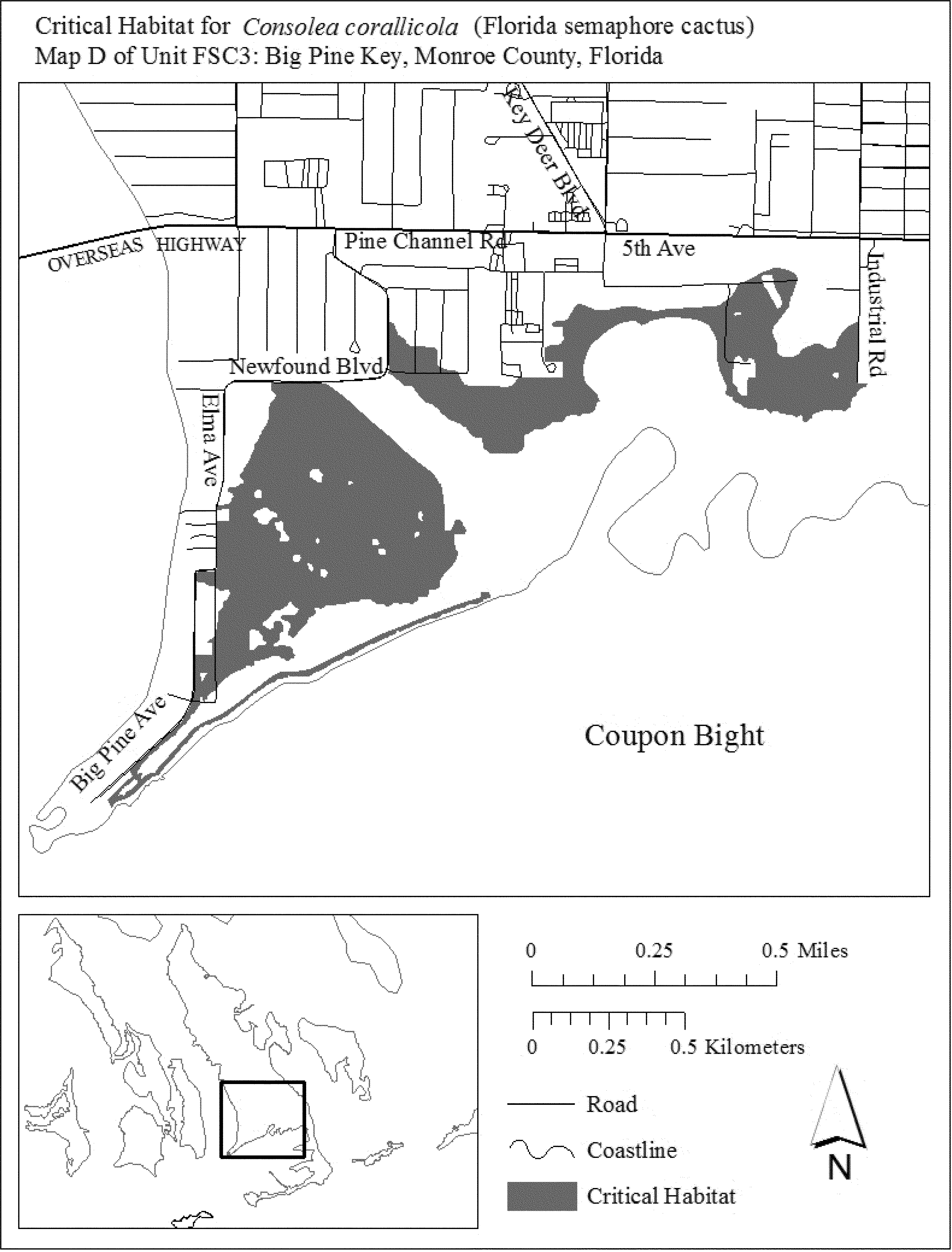
(vii) Map E of Unit FSC3 follows:
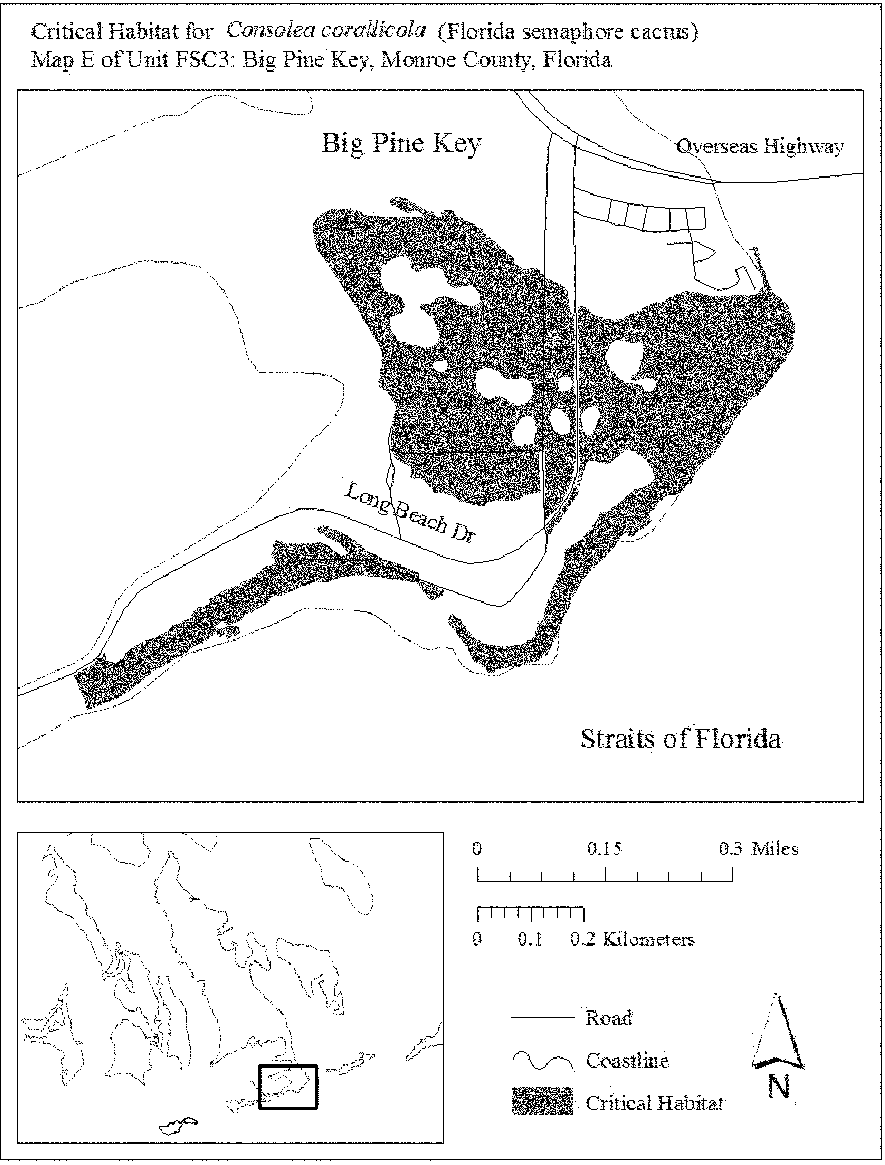
(9) Unit FSC4: Little Torch Key, Monroe County, Florida.
(i) General Description: Unit FSC4 consists of 168 ac (68 ha) in Monroe County. This unit is composed of State lands (47 ac (19 ha)), lands owned by Monroe County (10 ac (4 ha)), and parcels in private and other ownership (111 ac (45 ha)). This unit extends along State Highway 4A, from Coral Shores Road, south to County Road, resuming at Linda Street and extending south to the Overseas Highway. South of the Overseas Highway, the unit includes areas west of Kings Cove Road, and an area comprising the southern tip of Little Torch Key that includes portions of the John J. Pescatello Torchwood Hammock Preserve.
(ii) Index map of Unit FSC4 follows:
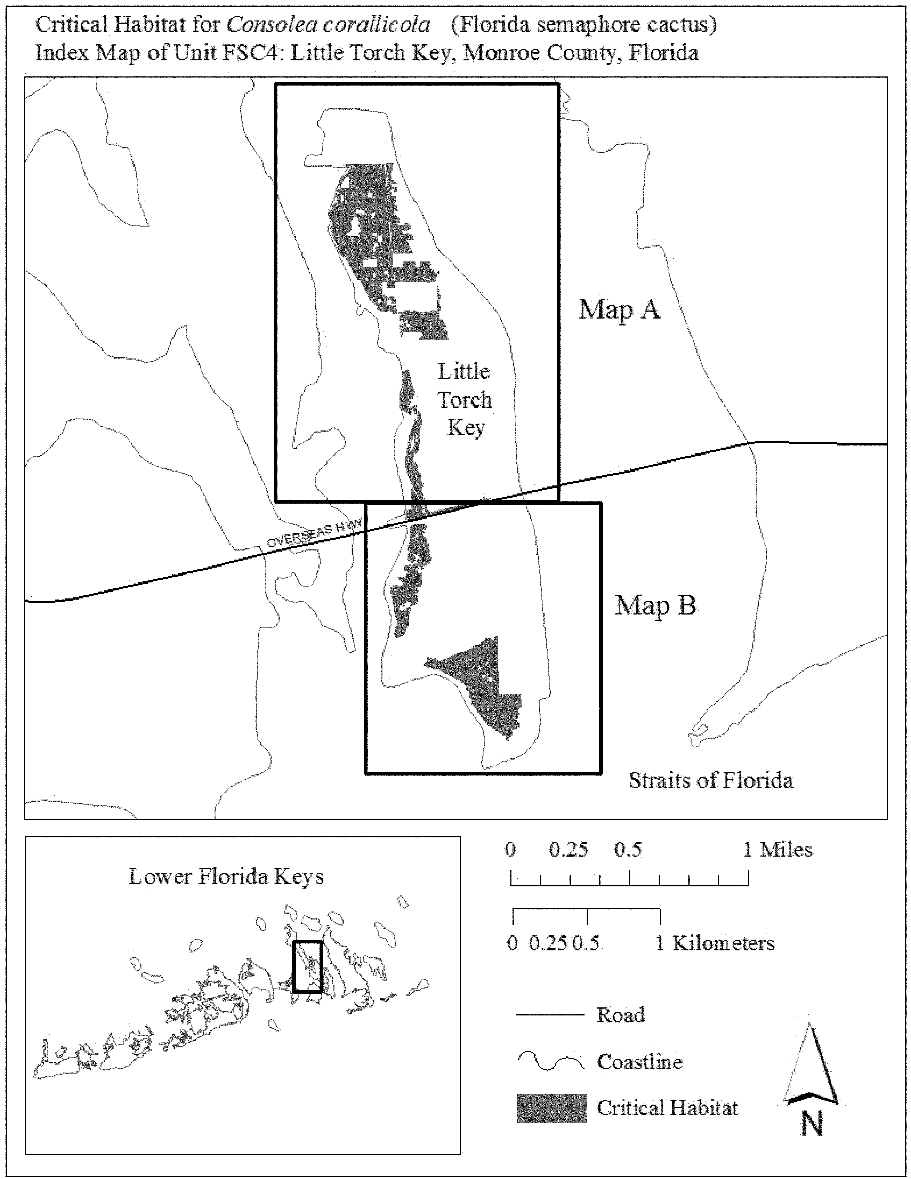
(iii) Map A of Unit FSC4 follows:

(iv) Map B of Unit FSC4 follows:
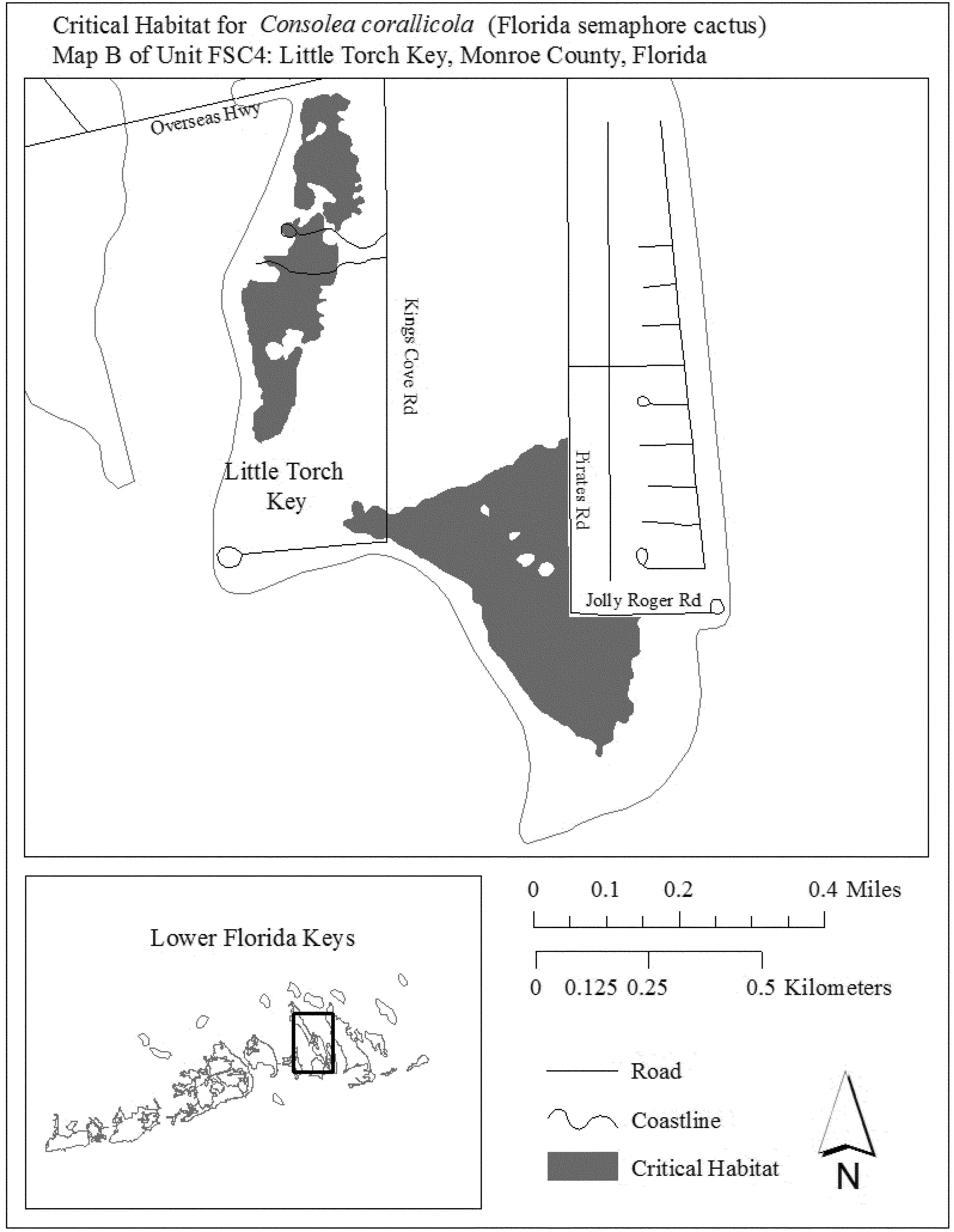
Family Cactaceae: Echinomastus erectocentrus var. acunensis (acuña cactus)
(1) Critical habitat units are depicted for Maricopa, Pima, and Pinal Counties, Arizona, on the maps below.
(2) Within these areas, the primary constituent elements of the physical or biological features essential to the conservation of the acuña cactus consist of:
(i) Native vegetation within the Paloverde-Cacti-Mixed-Scrub Series of the Arizona Upland Subdivision of the Sonoran Desert-scrub at elevations between 365 to 1,150 m (1,198 to 3,773 ft). This vegetation must contain predominantly native plant species that:
(A) Provide protection to the acuña cactus (Examples of such plants are creosote bush, ironwood, and palo verde.);
(B) Provide for pollinator habitat with a radius of 900 m (2,953 ft) around each individual reproducing acuña cactus;
(C) Allow for seed dispersal through the presence of bare soils immediately adjacent to and within 10 m (33 ft) of individual acuña cactus.
(ii) Soils overlying rhyolite, andesite, tuff, granite, granodiorite, diorite, or Cornelia quartz monzonite bedrock that are in valley bottoms, on small knolls, or on ridgetops, and are generally on slopes of less than 30 percent.
(3) Critical habitat does not include manmade structures (such as buildings, aqueducts, runways, roads, and other paved areas) and the land on which they are located existing within the legal boundaries on September 19, 2016.
(4) Critical habitat map units. Digital data layers defining map units were created using geology, topography, elevation, vegetation community, mean annual precipitation from the 1971 to 2000 period of record, and acuña cactus herbarium and site visit records from 1952 to the present; these were mapped using Universal Transverse Mercator coordinates. The maps in this entry, as modified by any accompanying regulatory text, establish the boundaries of the critical habitat designation. The coordinates or plot points or both on which each map is based are available to the public at the Service's internet site (http://www.fws.gov/southwest/es/arizona/), http://www.regulations.gov at Docket No. FWS-R2-ES-2013-0025, and at the field office responsible for this designation. You may obtain field office location information by contacting one of the Service regional offices, the addresses of which are listed at 50 CFR 2.2.
(5) Index map follows:
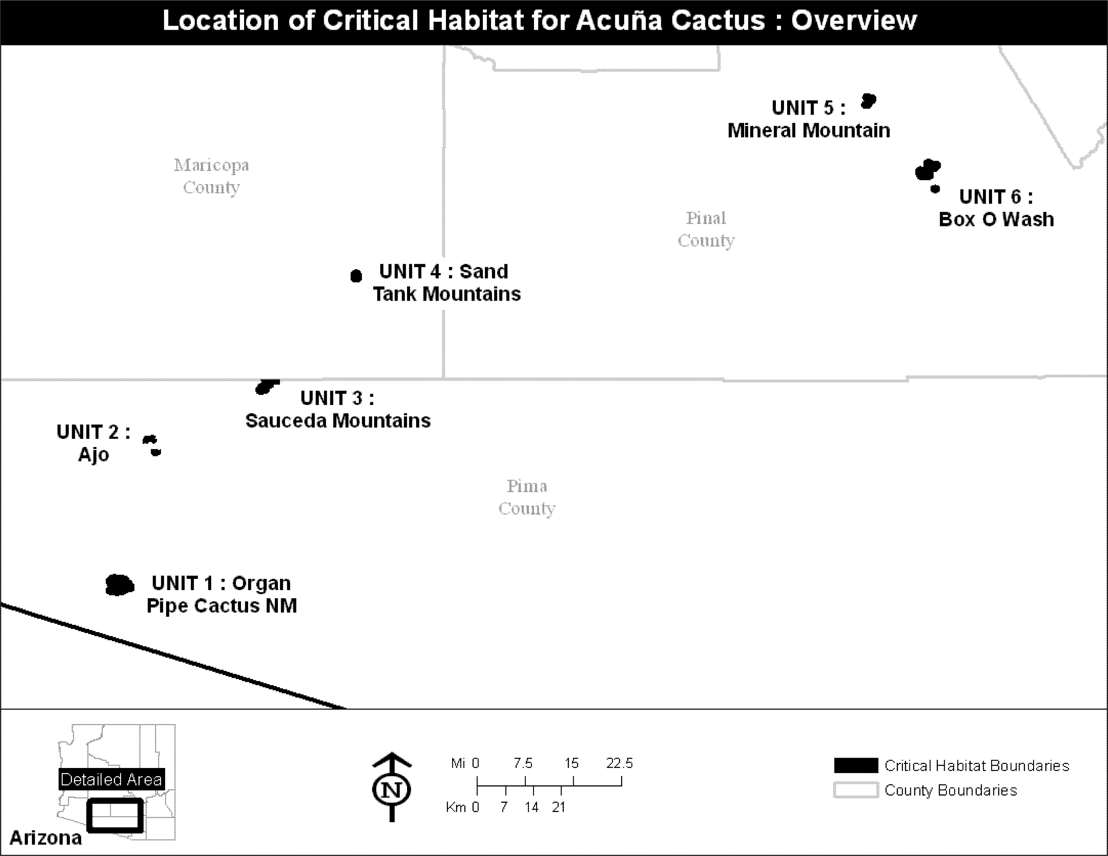
(6) Unit 1: Organ Pipe Cactus National Monument, Pima County, AZ. Map of Unit 1 follows:
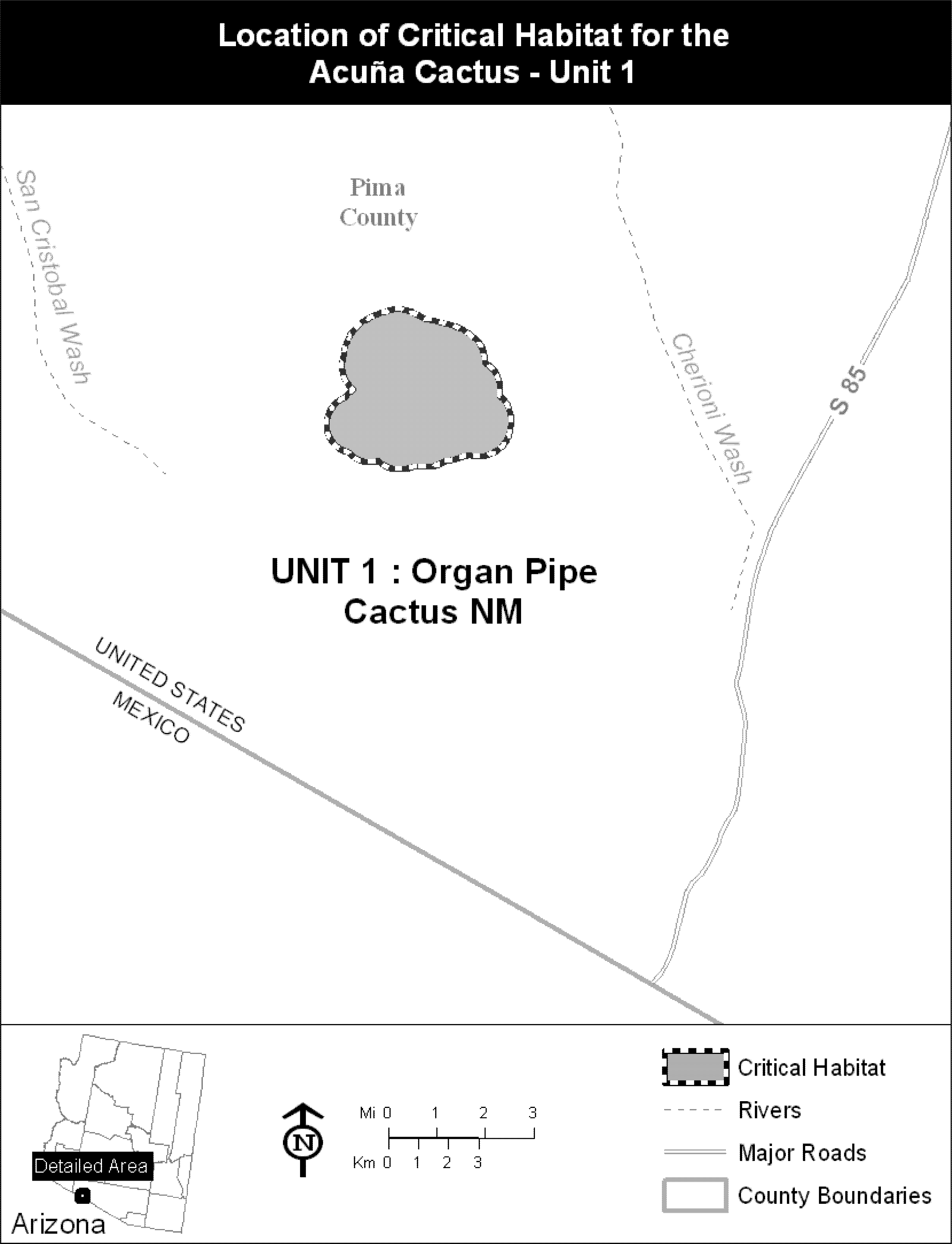
(7) Unit 2: Ajo Unit, Pima County, AZ. Map of Unit 2 follows:
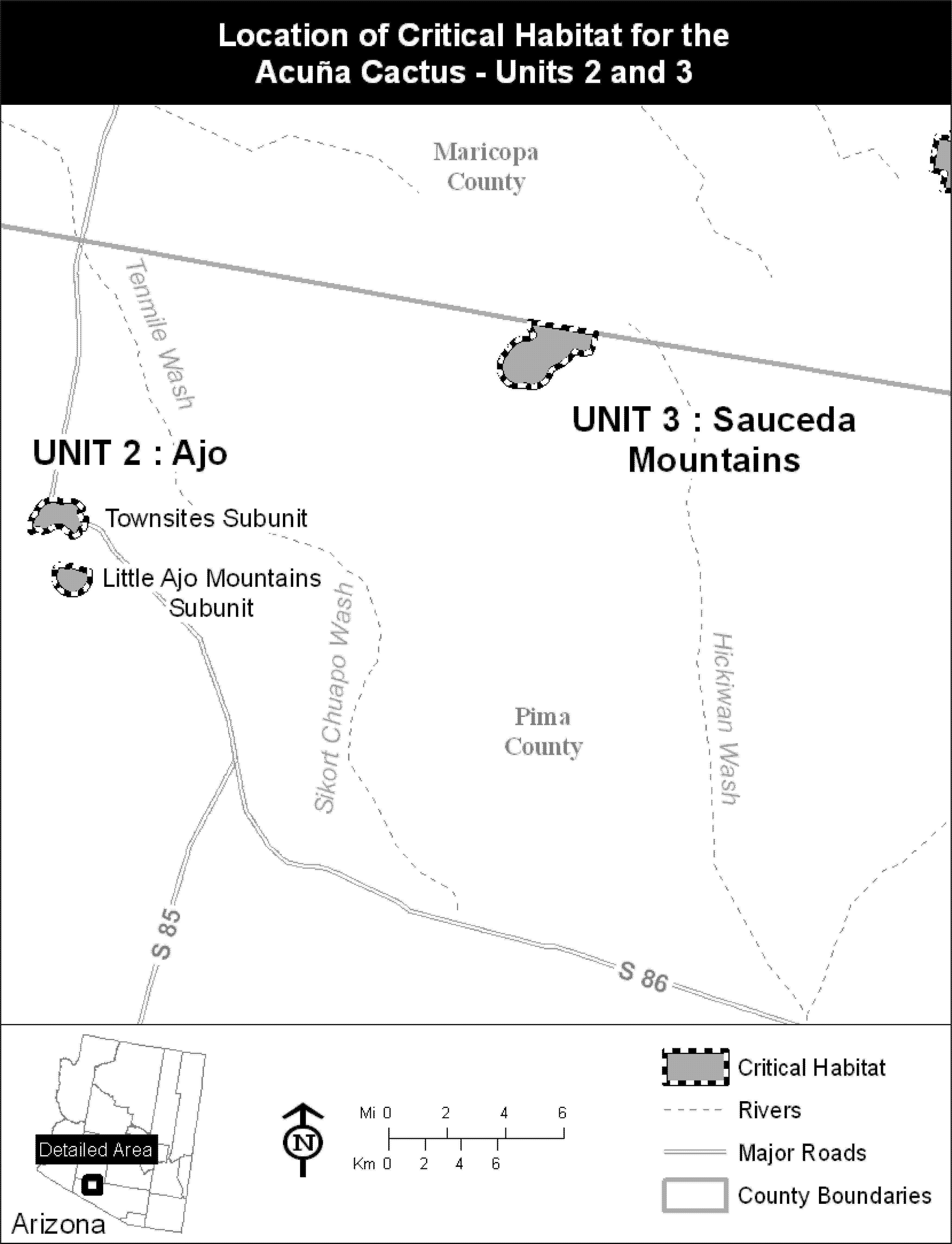
(8) Unit 3: Sauceda Mountains Unit, Maricopa and Pima Counties, AZ. Map of Unit 3 is provided at paragraph (7) of this entry.
(9) Unit 4: Sand Tank Mountains Unit, Maricopa County, AZ. Map of Unit 4 follows:
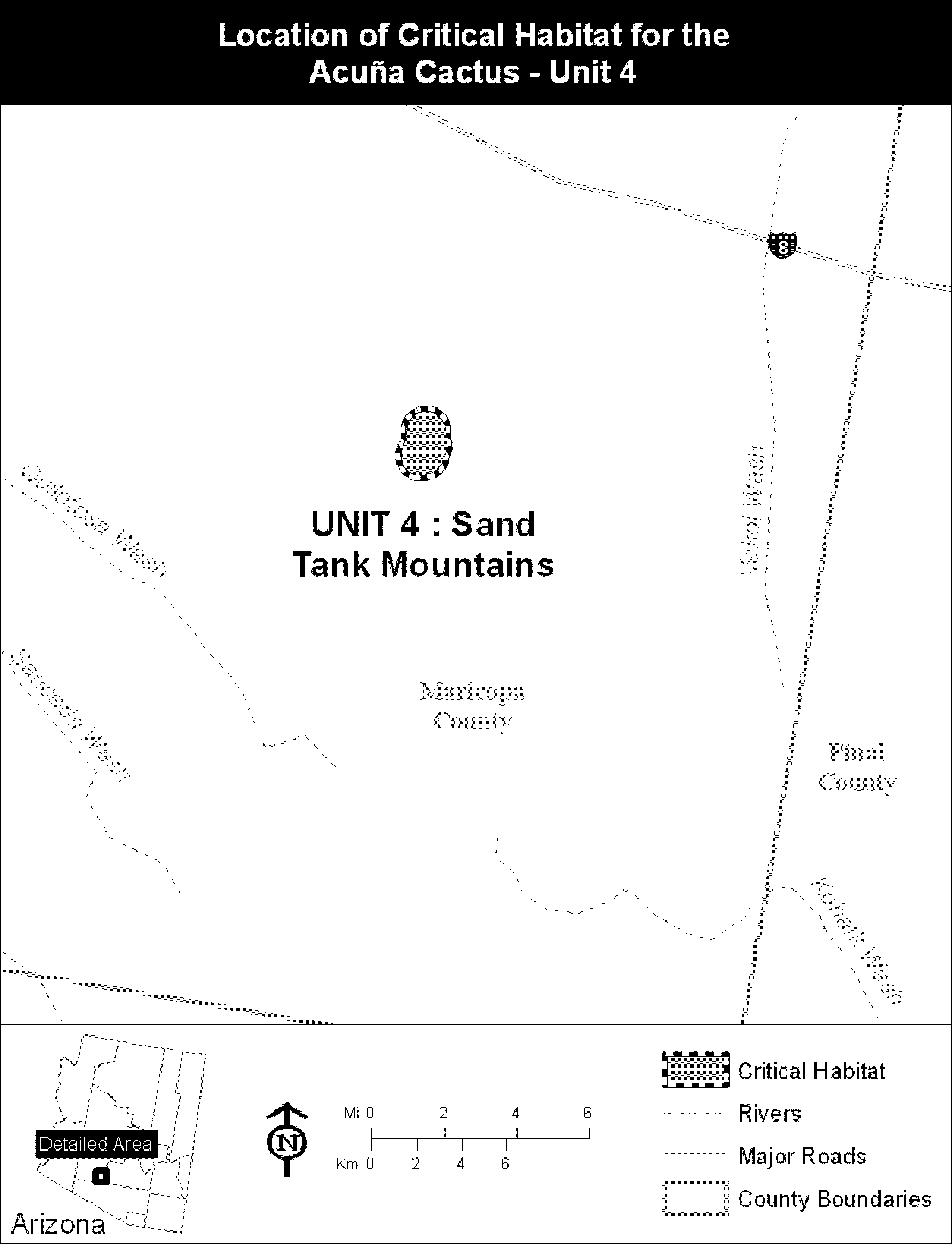
(10) Unit 5: Mineral Mountain Unit, Pinal County, AZ. Map of Units 5 and 6 follows:

(11) Unit 6: Box O Wash Unit, Pinal County, AZ. Map of Unit 6 is provided at paragraph (10) of this entry.
Family Cactaceae: Harrisia aboriginum (aboriginal prickly-apple)
(1) Critical habitat units for Harrisia aboriginum are depicted for Manatee, Charlotte, Sarasota, and Lee Counties, Florida, on the maps below.
(2) Within these areas, the primary constituent elements of the physical or biological features essential to the conservation of Harrisia aboriginum are:
(i) Areas of upland habitats consisting of coastal strand, coastal grassland, coastal berm, maritime hammocks, and shell mounds.
(A) Coastal strand habitat that contains:
(1) Open to semi-open canopy and understory, and
(2) Substrate of sand and shell fragments of stabilized coastal dunes.
(B) Coastal grassland habitat that contains:
(1) No canopy and an open understory, and
(2) Substrate of sand and shell fragments.
(C) Coastal berm habitat that contains:
(1) Open to semi-open canopy, subcanopy, and understory, and
(2) Substrate of coarse, calcareous, storm-deposited sediment.
(D) Maritime hammock habitat that contains:
(1) Canopy gaps and edges with an open to semi-open canopy, subcanopy, and understory; and
(2) Substrate of calcareous sand and shell fragments.
(E) Shell mound habitat that contains:
(1) Open to semi-open canopy and understory, and
(2) Substrate of soil derived from calcareous shells deposited by Native Americans during prehistoric times.
(ii) A plant community of predominately native vegetation with no invasive, nonnative animal or plant species or such species in quantities low enough to have minimal effect on survival of Harrisia aboriginum.
(iii) Canopy openings in coastal strand, coastal grassland, coastal berm, maritime hammock, and shell mound habitats that are created by the effects of strong winds or saltwater inundation from storm surge or infrequent tidal inundation.
(iv) Habitats that are connected and of sufficient size to sustain viable populations in coastal strand, coastal grassland, coastal berm, maritime hammock, and shell mound habitats.
(v) Habitats that provide populations of the generalist pollinators that visit the flowers of Harrisia aboriginum.
(3) Critical habitat does not include manmade structures (such as buildings, aqueducts, runways, roads, and other paved areas) and the land on which they are located that exists within the legal boundaries on February 22, 2016.
(4) Critical habitat map units. Unit maps were developed using ESRI ArcGIS mapping software along with various spatial data layers. ArcGIS was also used to calculate area. The projection used in mapping and calculating distances and locations within the units was North American Albers Equal Area Conic, NAD 83. The maps in this entry, as modified by any accompanying regulatory text, establish the boundaries of the critical habitat designation. The coordinates or plot points or both on which each map is based are available to the public at the Service's Internet site at http://www.fws.gov/verobeach/, at http://www.regulations.gov at Docket No. FWS-R4-ES-2014-0057, and at the field office responsible for this designation. You may obtain field office location information by contacting one of the Service regional offices, the addresses of which are listed at 50 CFR 2.2.
(5) Index map of all critical habitat units for Harrisia aboriginum follows:
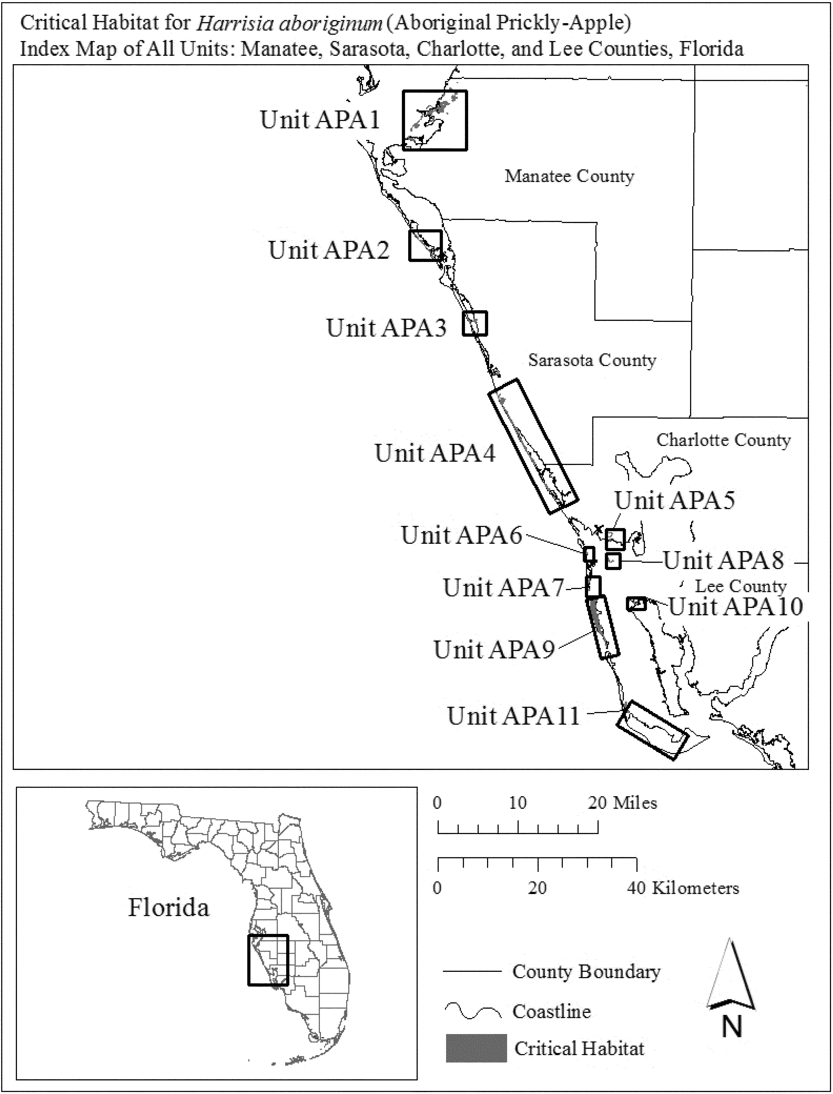
(6) Unit APA1: Terra Ceia, Manatee County, Florida.
(i) General Description: Unit APA1 consists of approximately 222 ac (90 ha) in Manatee County, Florida. This unit is composed of State lands within Madira Bickel Mound State Historical Park, Terra Ceia Preserve State Park, Cockroach Bay State Buffer Preserve, and the Tampa Bay Estuarine System (66 ac (27 ha)); Manatee County lands at Emerson Point Preserve and parcels owned by the Manatee County Port Authority (70 ac (28 ha)); and parcels in private or other ownership (87 ac (35 ha)). This unit includes lands west of Highway 41 extending from just south of South Dock Street south to Snead Island. The unit also includes areas of Harbor Key, Mariposa Key, Horseshoe Key, Joe Island, Skeet Key, Paradise Island, Ed's Key, and Rattlesnake Key.
(ii) Index map of Unit APA1 follows:

(iii) Map A of Unit APA1 follows:
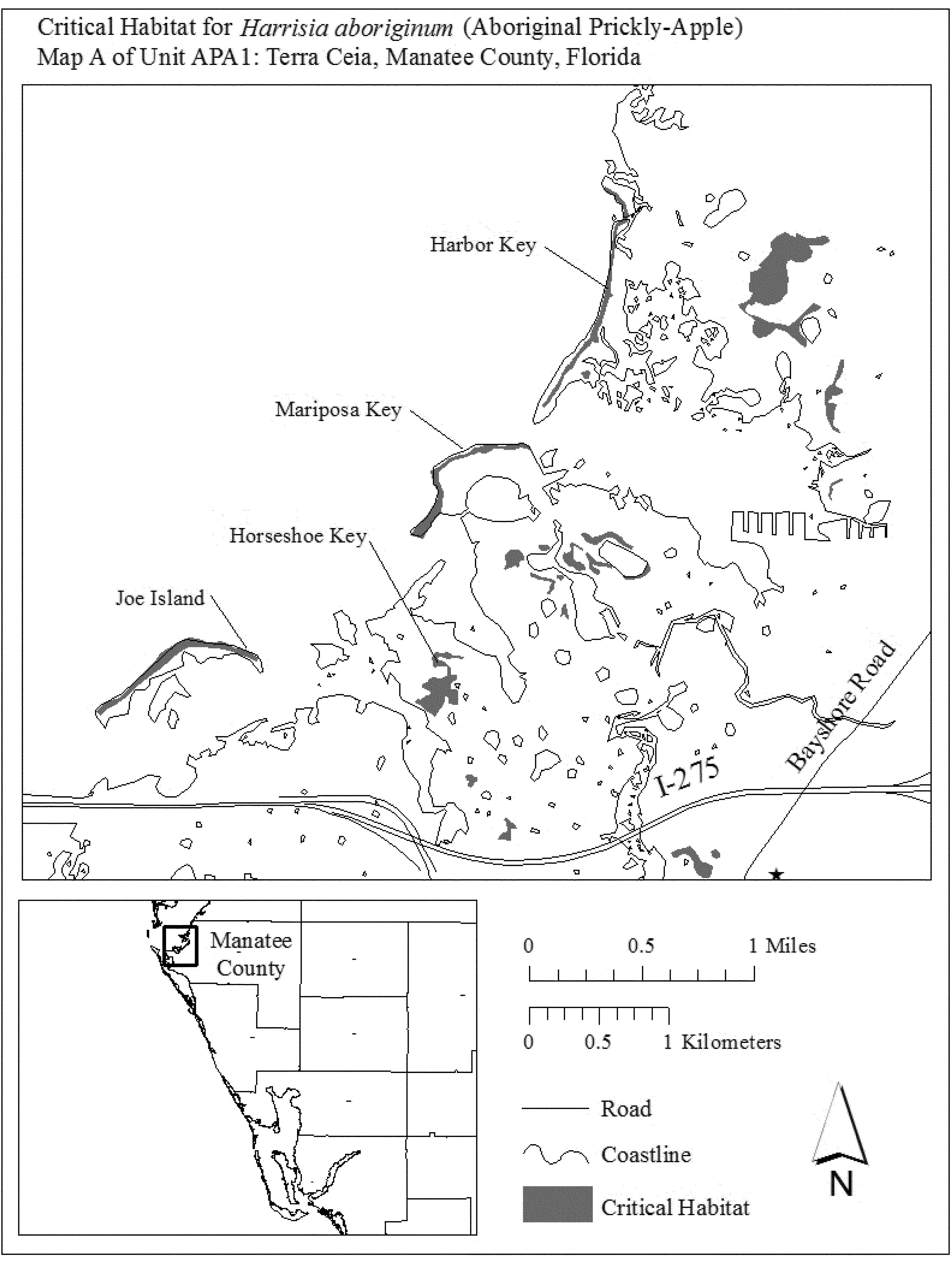
(iv) Map B of Unit APA1 follows:
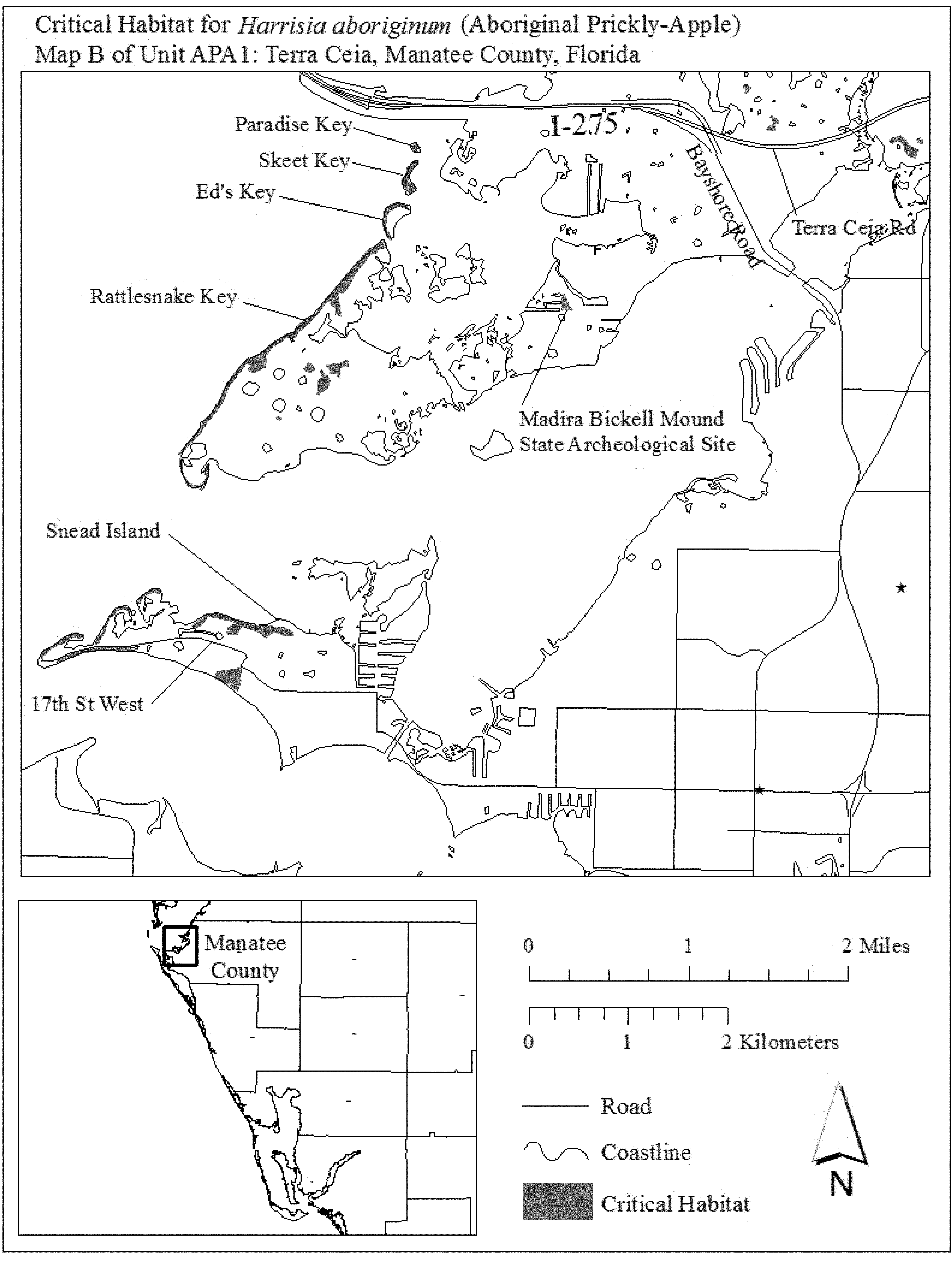
(7) Unit APA2: Longboat Key, Sarasota County, Florida.
(i) General description: Unit APA2 consists of approximately 54 ac (22 ha) in Sarasota County, Florida. This unit is composed entirely of parcels in private or other ownership. This unit includes lands west of Gulf of Mexico Drive, extending from 0.40 mi (0.6 km) south of the intersection of Bay Isles Parkway and Gulf of Mexico Drive, to the southern tip of Longboat Key. It also includes lands on the north side of Gulf of Mexico Drive, east of Longboat Club Key Drive, on the northwest tip of Longboat Key.
(ii) Map of Unit APA2 follows:
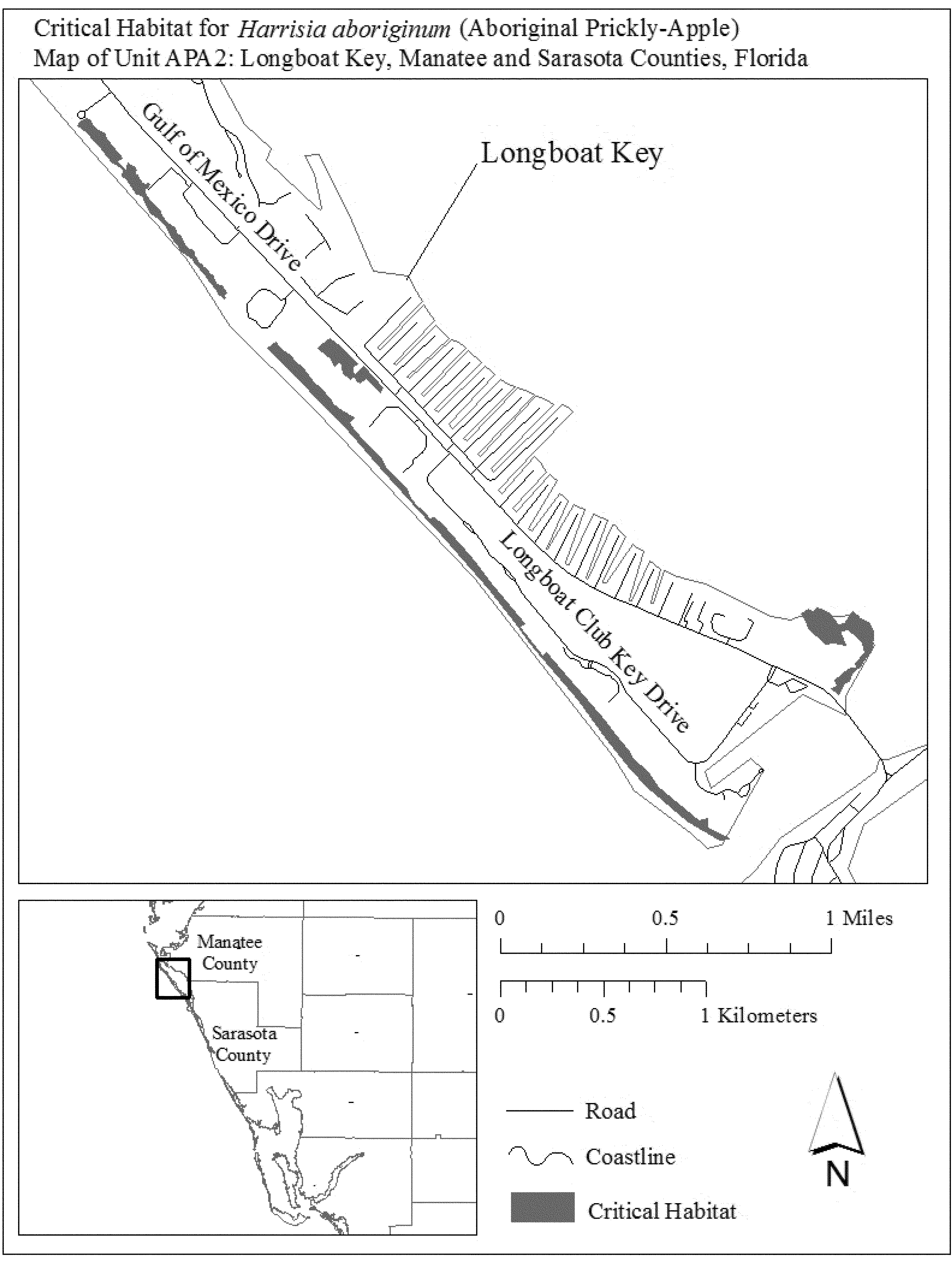
(8) Unit APA3: Osprey, Sarasota County, Florida.
(i) General Description: Unit APA3 consists of approximately 116 ac (47 ha) in Sarasota County, Florida. This unit is composed of Sarasota County lands within Palmer Point County Park (50 ac (20 ha)) and parcels in private or other ownership (66 ac (27 ha)). This unit extends along the barrier island (Casey Key) from the south terminus of Blind Pass Road, south for approximately 1.2 mi (1.9 km) along North Casey Key Road. On the mainland, the unit includes lands bordered on the north by Vamo Way, to the east by Highway 41, and to the south by Palmetto Avenue.
(ii) Map of Unit APA3 follows:

(9) Unit APA4: Manasota Key, Sarasota and Charlotte Counties, Florida.
(i) General Description: Unit APA4 consists of approximately 415 ac (168 ha) in Sarasota and Charlotte Counties, Florida. This unit is composed of State lands within Stump Pass Beach State Park (58 ac (23 ha)); County lands within Blind Pass Park, Brohard Beach and Paw Park, Manasota Beach Park, Casperson Beach Park, and Service Club Park (111 ac (45 ha)); and parcels in private or other ownership (245 ac (99 ha)). This unit extends from Beach Road in the City of Venice, south along Manasota Key to the barrier islands southern tip, including a portion of Peterson Island.
(ii) Index map of Unit APA4 follows:
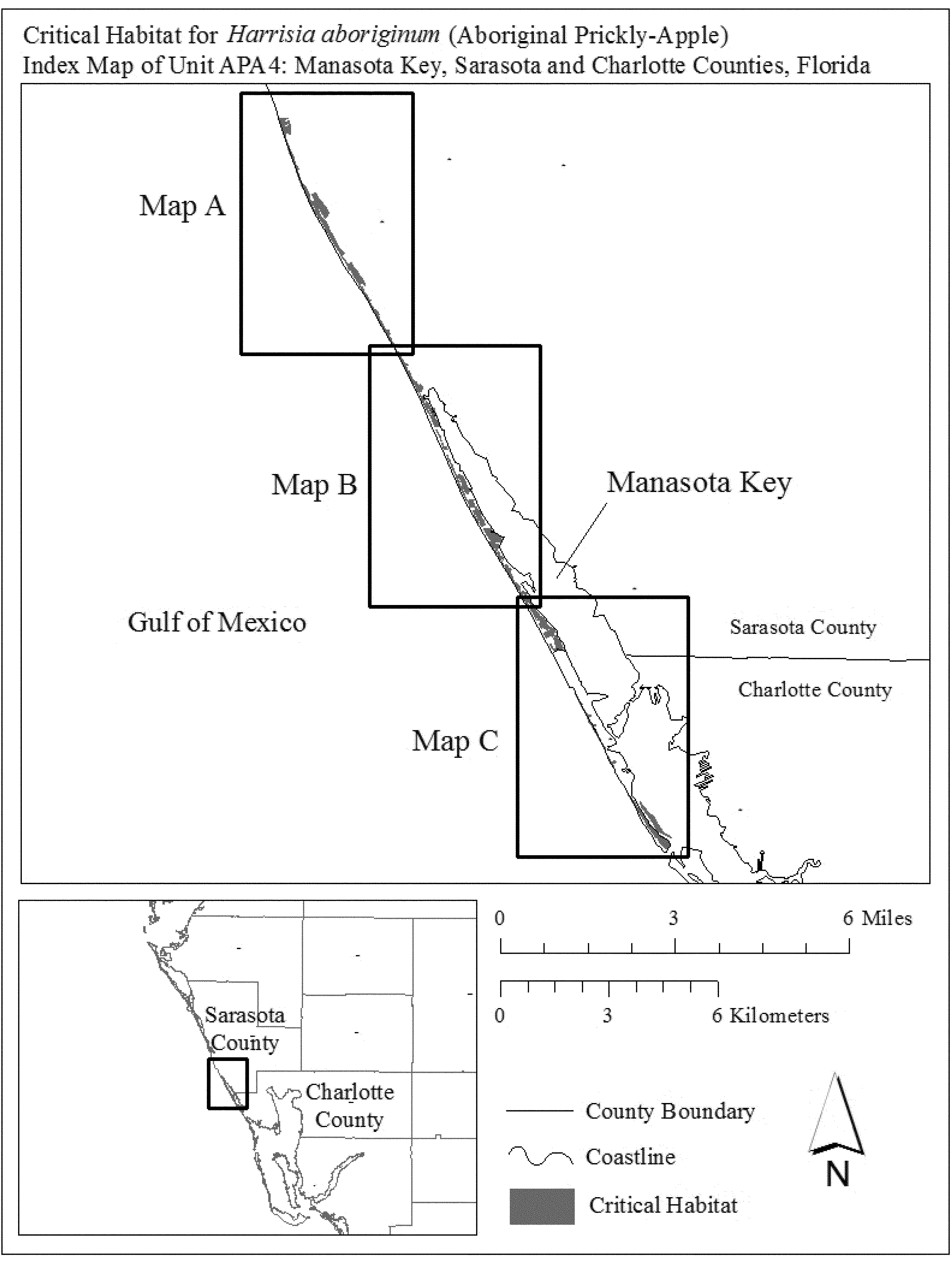
(iii) Map A of Unit APA4 follows:
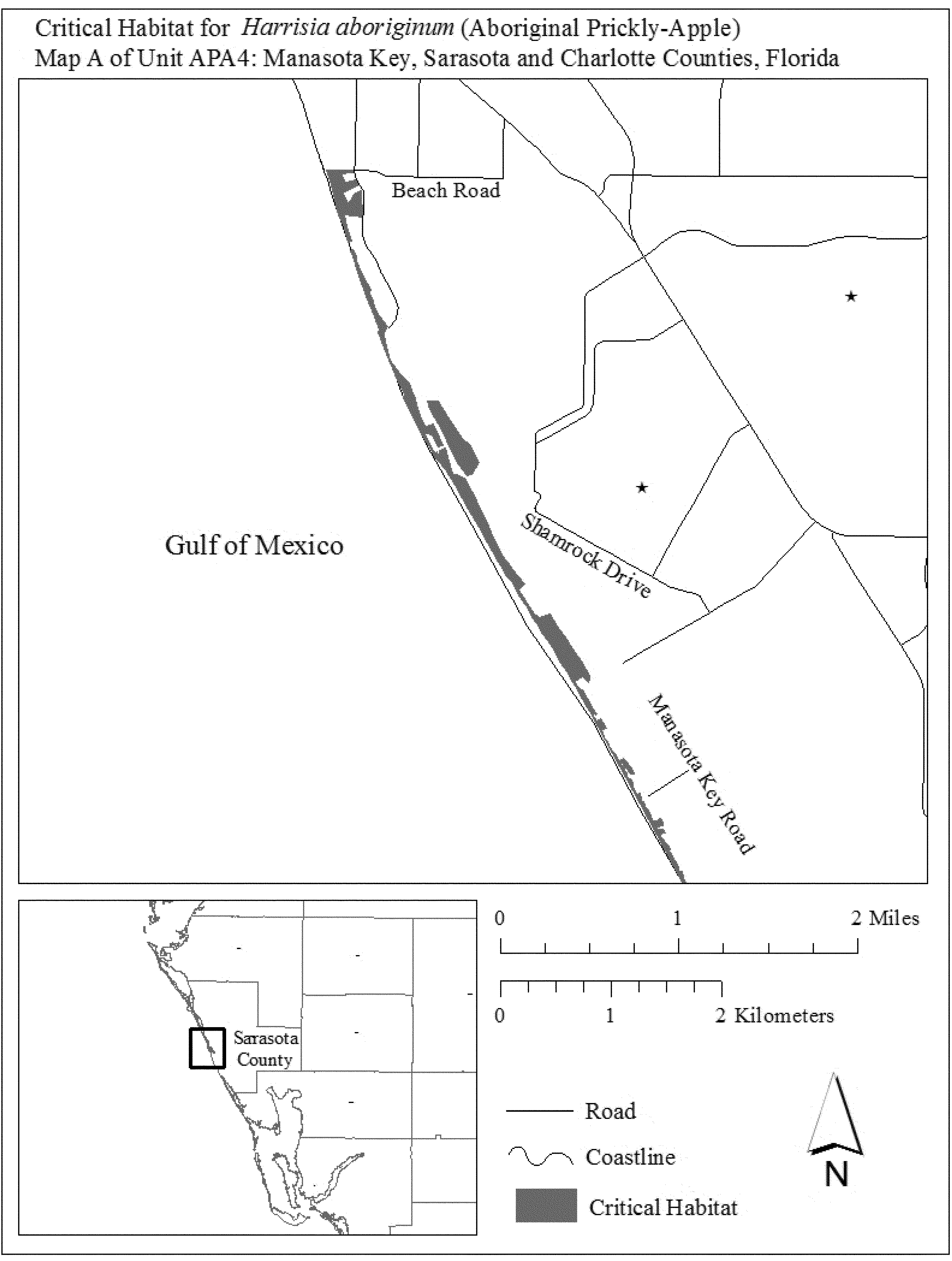
(iv) Map B of Unit APA4 follows:

(v) Map C of Unit APA4 follows:

(10) Unit APA5: Charlotte Harbor, Charlotte County, Florida.
(i) General Description: Unit APA5 consists of 51 ac (21 ha) in Charlotte County, Florida. This unit is composed entirely of State lands within the Charlotte Harbor Preserve State Park. This unit includes the Big Mound, Boggess Ridge, and a shell mound located on the east side of Charlotte Harbor, south of the City of Charlotte Park.
(ii) Map of Unit APA5 follows:

(11) Unit APA6: Gasparilla North, Charlotte and Lee Counties, Florida.
(i) General Description: Unit APA6 consists of approximately 98 ac (40 ha) in Charlotte and Lee Counties, Florida. This unit is composed of State land (0.006 ac (0.02 ha)), county land (22 ac (9 ha)), and parcels in private or other ownership (77 ac (31 ha)). This unit includes most of Kitchen Key (Live Oak Key) and the area east of Gasparilla Road, from the intersection of Grouper Hole Road and Grouper Hole Court, south to 0.15 mi (0.24 km) north of Snail Island Court, from approximately 0.10 mi (0.21 km) south of 35th Street to 23rd Street, including the small island separated from Gasparilla Island by a canal; and from 22nd Street to 20th Street.
(ii) Map of Unit APA6 follows:
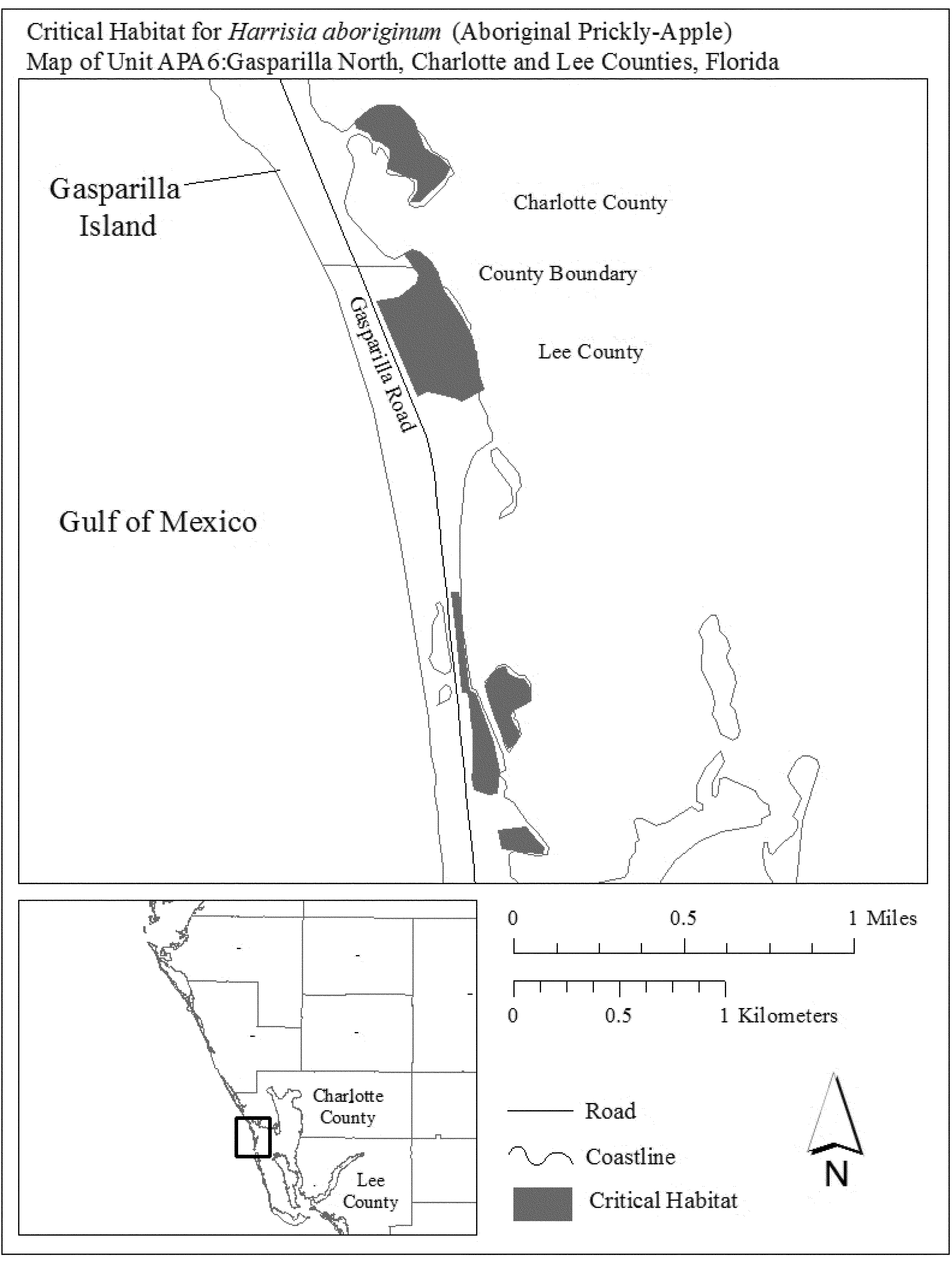
(12) Unit APA7: Gasparilla South, Lee County, Florida.
(i) General Description: Unit APA7 consists of approximately 92 ac (37 ha) in Lee County, Florida. This unit is composed of Federal land owned by the Service and Bureau of Land Management (3 ac (1 ha)), State lands within Gasparilla Island State Park (69 ac (28 ha)), Lee County lands (12 ac (5 ha), and parcels in private or other ownership (8 ac (3 ha)). This unit includes lands located from south of 1st Street to the southern tip of Gasparilla Island.
(ii) Map of Unit APA7 follows:
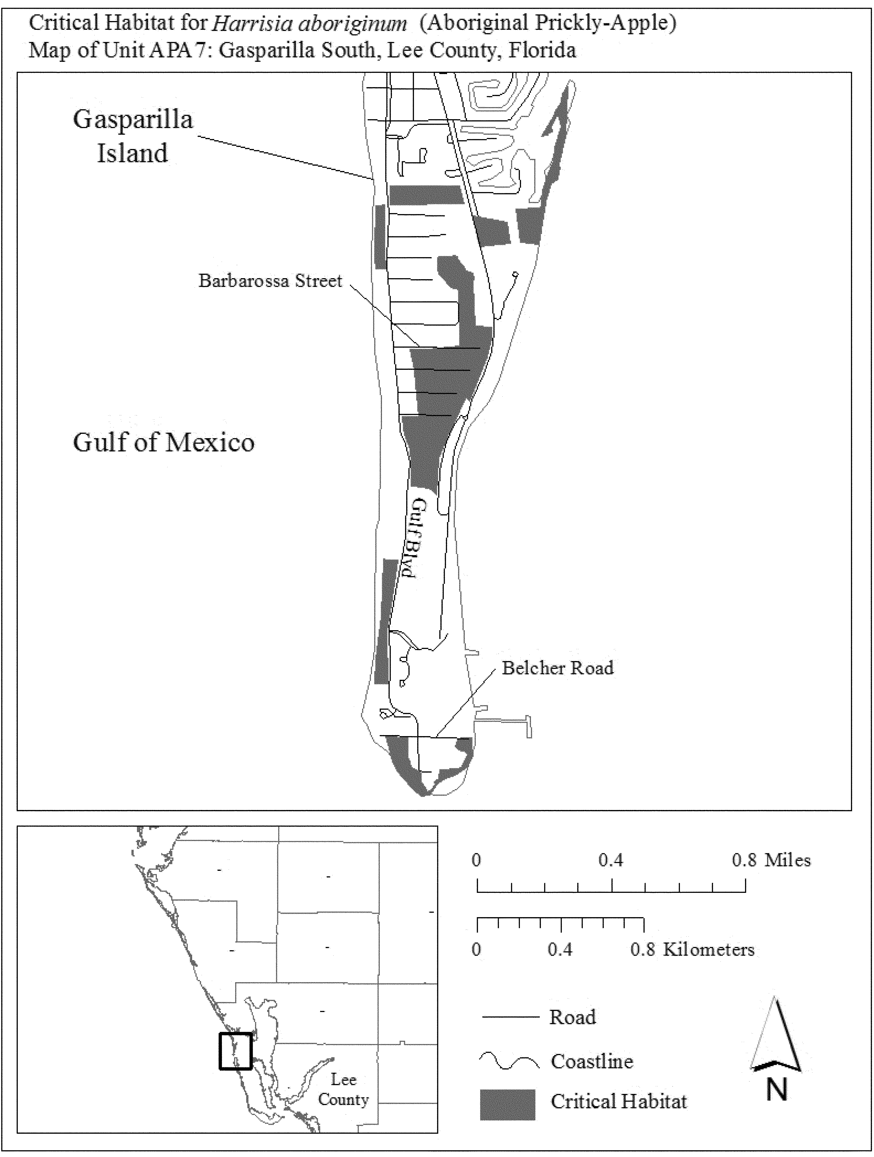
(13) Unit APA8: Cayo Pelau, Lee County, Florida.
(i) General Description: Unit APA8 consists of approximately 25 ac (10 ha) in Charlotte and Lee Counties, Florida. This unit is composed of Lee County lands within Cayo Pelau Preserve, and parcels in private or other ownership (0.6 ac (0.2 ha)). This unit includes lands located from 0.13 mi (0.21 km) south of the northern tip of Cayo Pelau, extending south to the southeastern tip of Cayo Pelau.
(ii) Map of Unit APA8 follows:

(14) Unit APA9: Cayo Costa, Lee County, Florida.
(i) General Description: Unit APA9 consists of approximately 1,702 ac (689 ha) in Lee County, Florida. This unit is composed of State lands within Cayo Costa State Park (1,379 ac (558 ha)), lands owned by Lee County (94 ac (38 ha)), and parcels in private or other ownership (230 ac (93 ha)). This unit includes lands located from the northern tip to the southern tip of Cayo Costa.
(ii) Map of Unit APA9 follows:
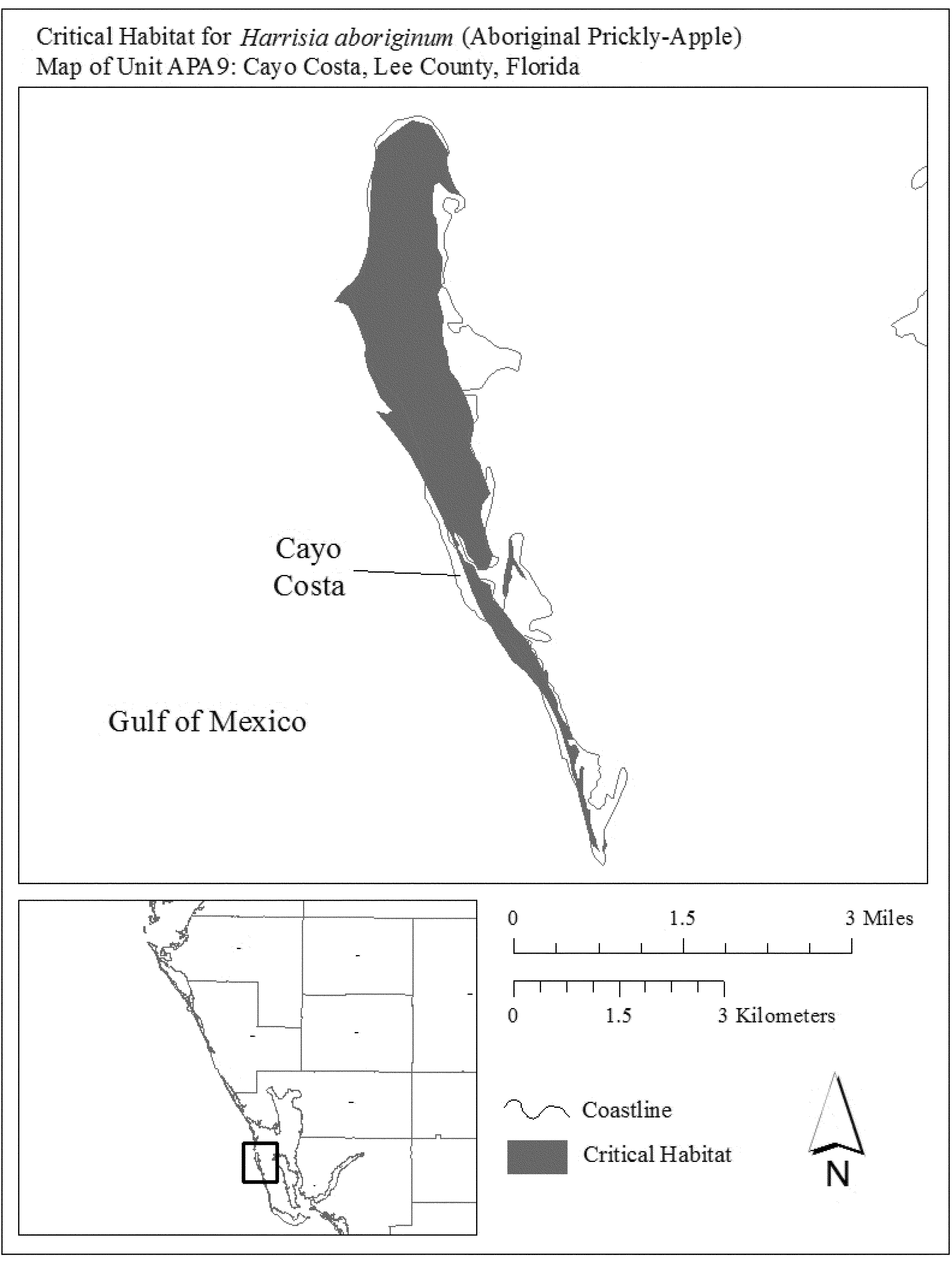
(15) Unit APA10: Bocilla, Lee County, Florida.
(i) General Description: Unit APA10 consists of approximately 33 ac (13 ha) in Lee County, Florida. This unit is composed of Lee County lands within the Bocilla Preserve (32 ac (13 ha)) and parcels in private or other ownership (0.7 ac (0.3 ha)). This unit includes lands located on the undeveloped portion of Bokeelia Island from 0.02 mi (0.03 km) west of the terminus of Ebbtide Way, extending south and west to the northwestern and southeastern corners of Bokeelia Island.
(ii) Map of Unit APA10 follows:
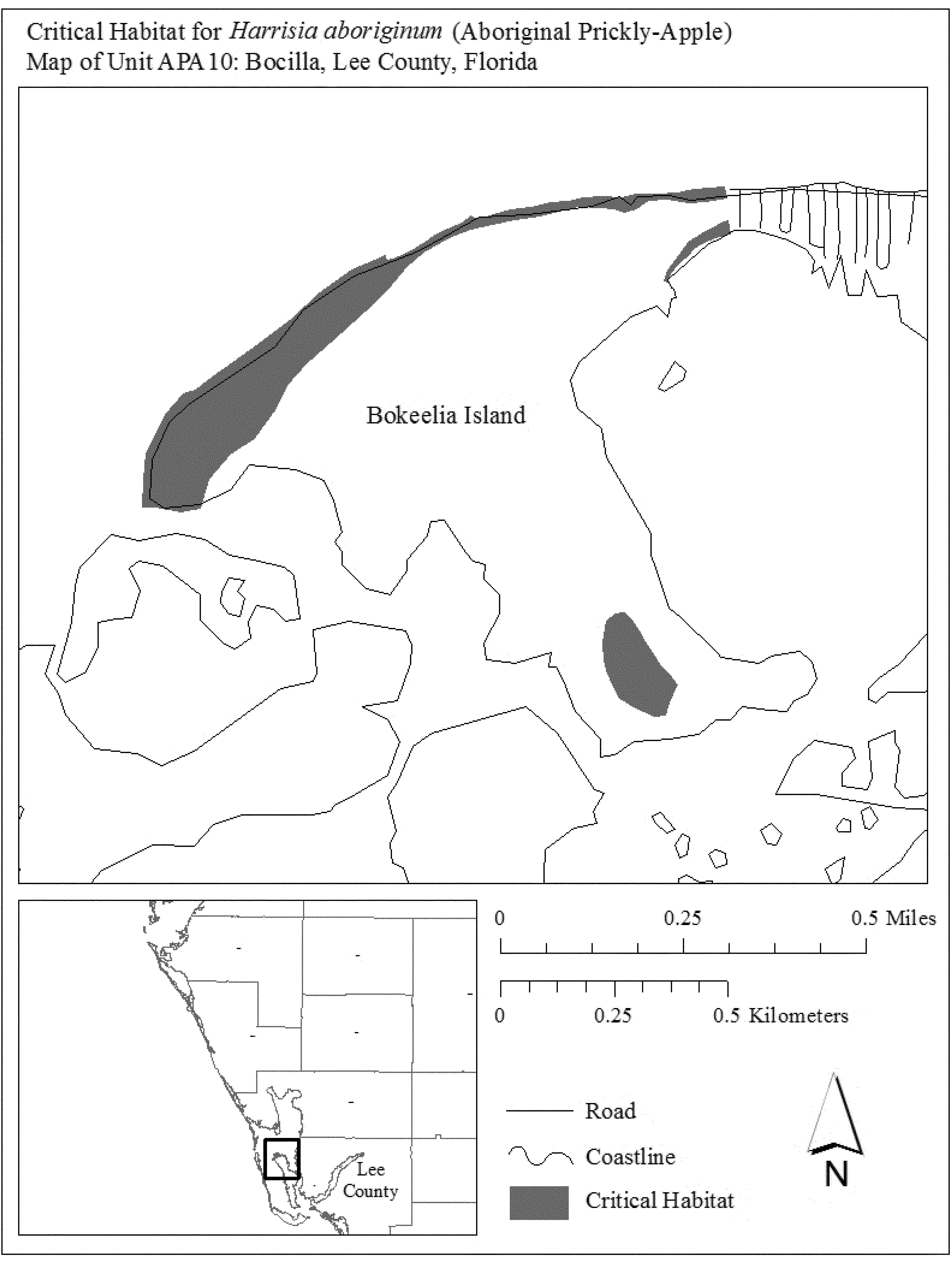
(16) Unit APA11: Sanibel Island and Buck Key, Lee County, Florida.
(i) General Description: Unit APA11 consists of approximately 635 ac (257 ha) in Lee County, Florida. This unit is composed of Federal lands owned by the Bureau of Land Management, and Service lands within the J.N. `Ding' Darling National Wildlife Refuge (NWR) (373 ac (151 ha)), State lands (47 ac (19 ha)), lands owned by Lee County (90 ac (36 ha)), and parcels in private or other ownership (126 ac (51 ha)). This unit includes lands on Buck Key, Runyan Key, and Sanibel Island. On Sanibel Island, the unit includes a portion of Bowman's Beach, from just south of Silver Key to the western terminus of Water's Edge Lane; uplands within J.N. `Ding' Darling NWR; and a shell mound located near the northern terminus of Tarpon Bay Road.
(ii) Index map of Unit APA11 follows:
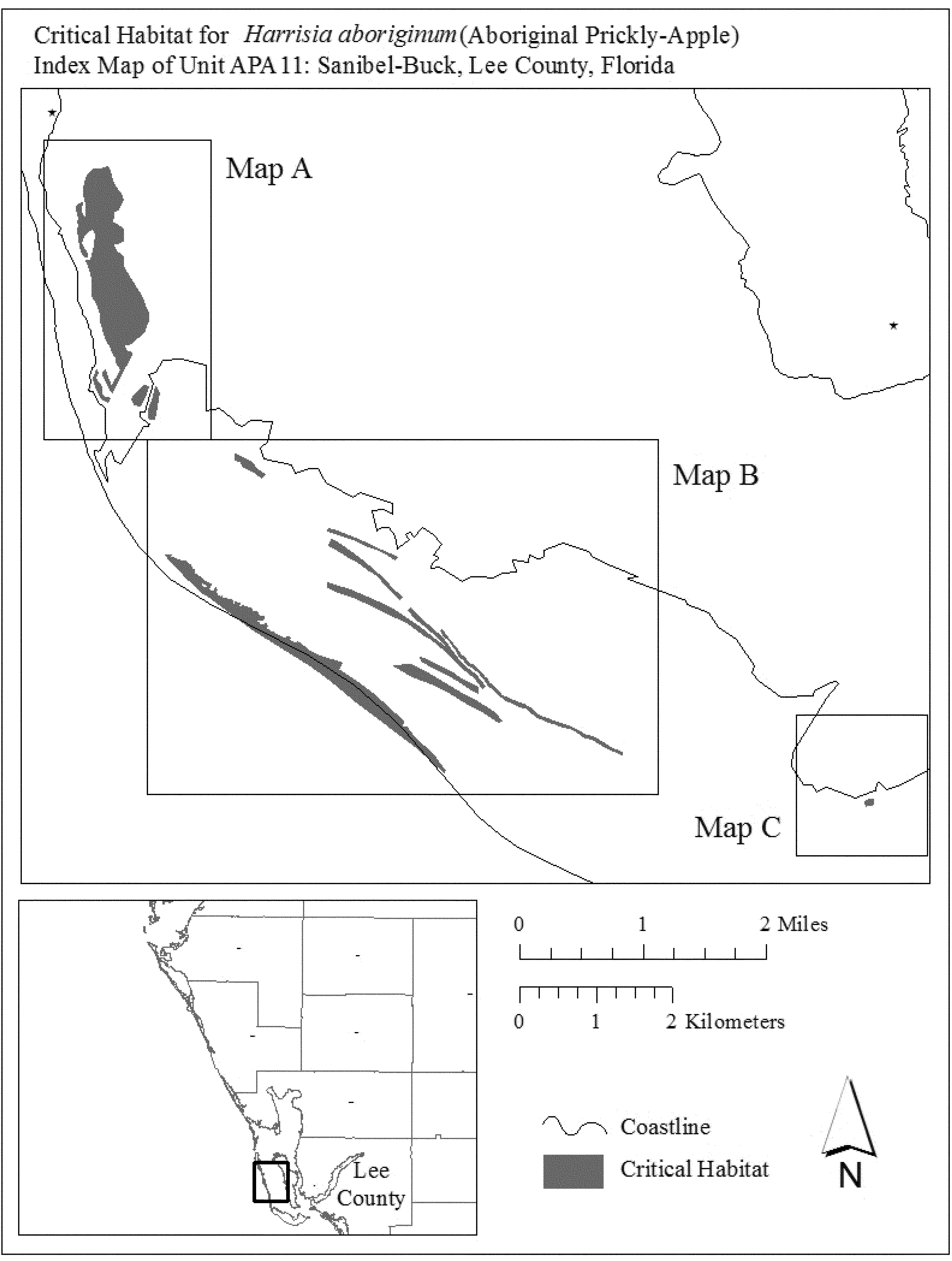
(iii) Map A of Unit APA11 follows:
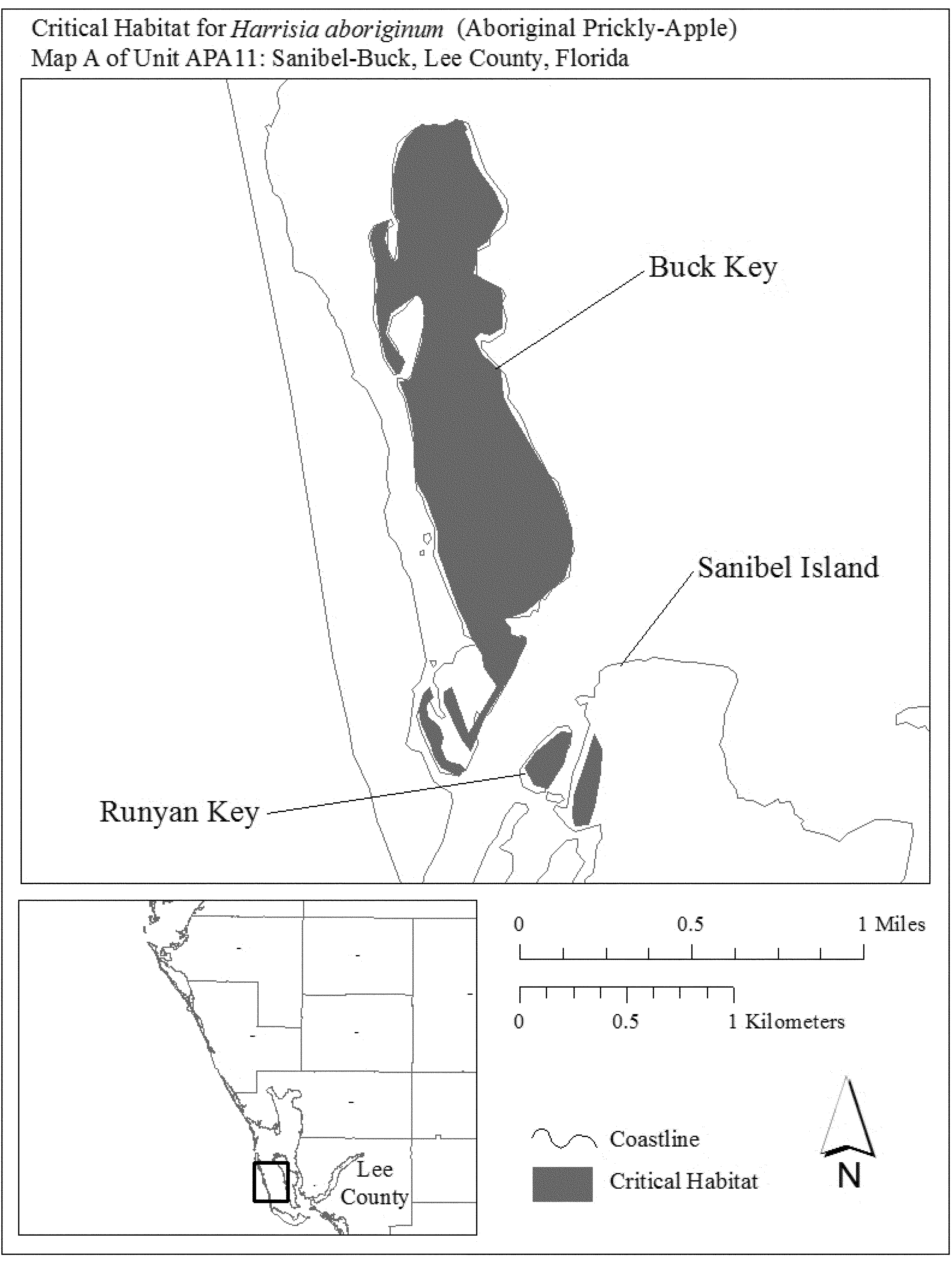
(iv) Map B of Unit APA11 follows:
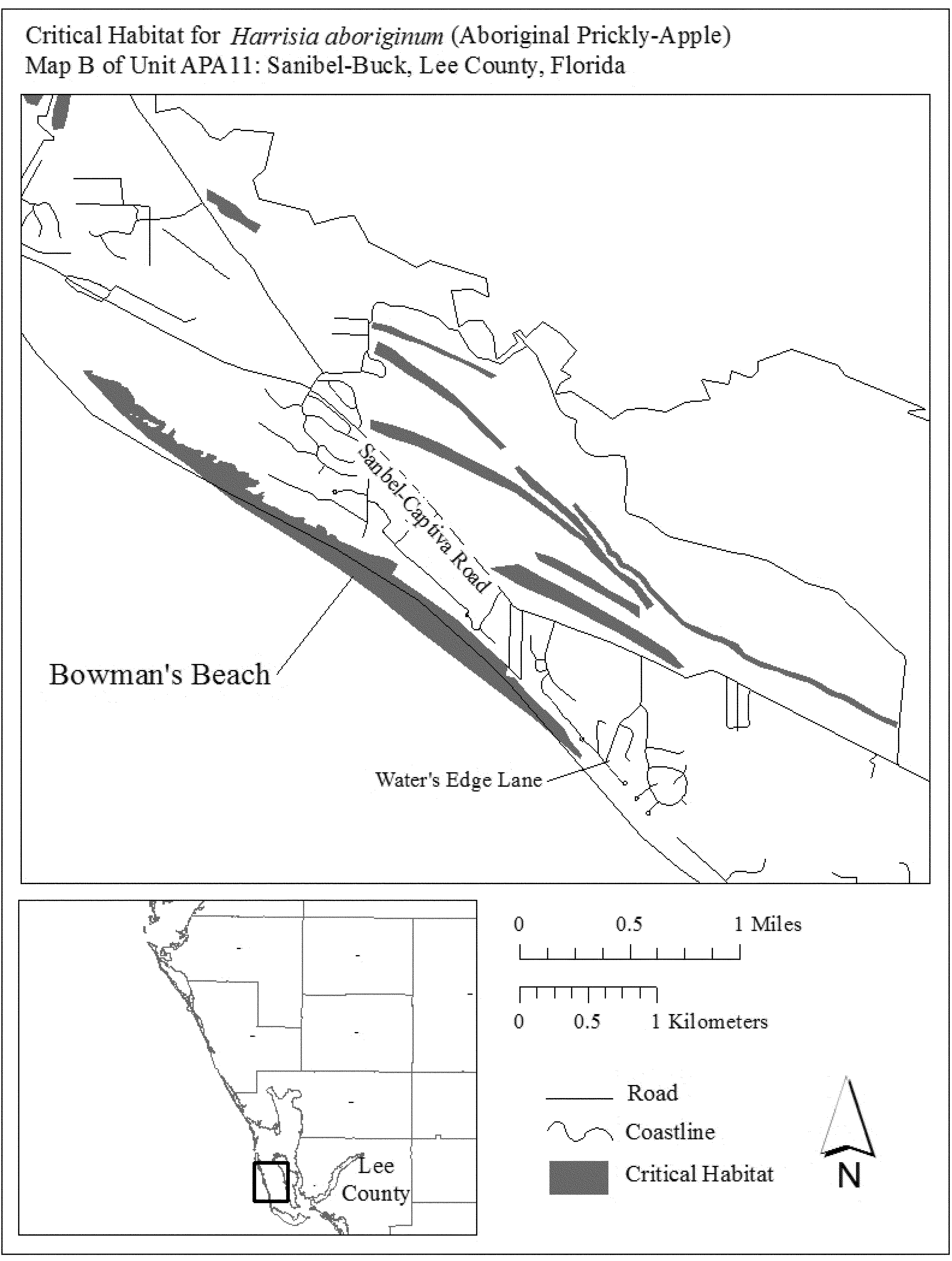
(v) Map C of Unit APA11 follows:
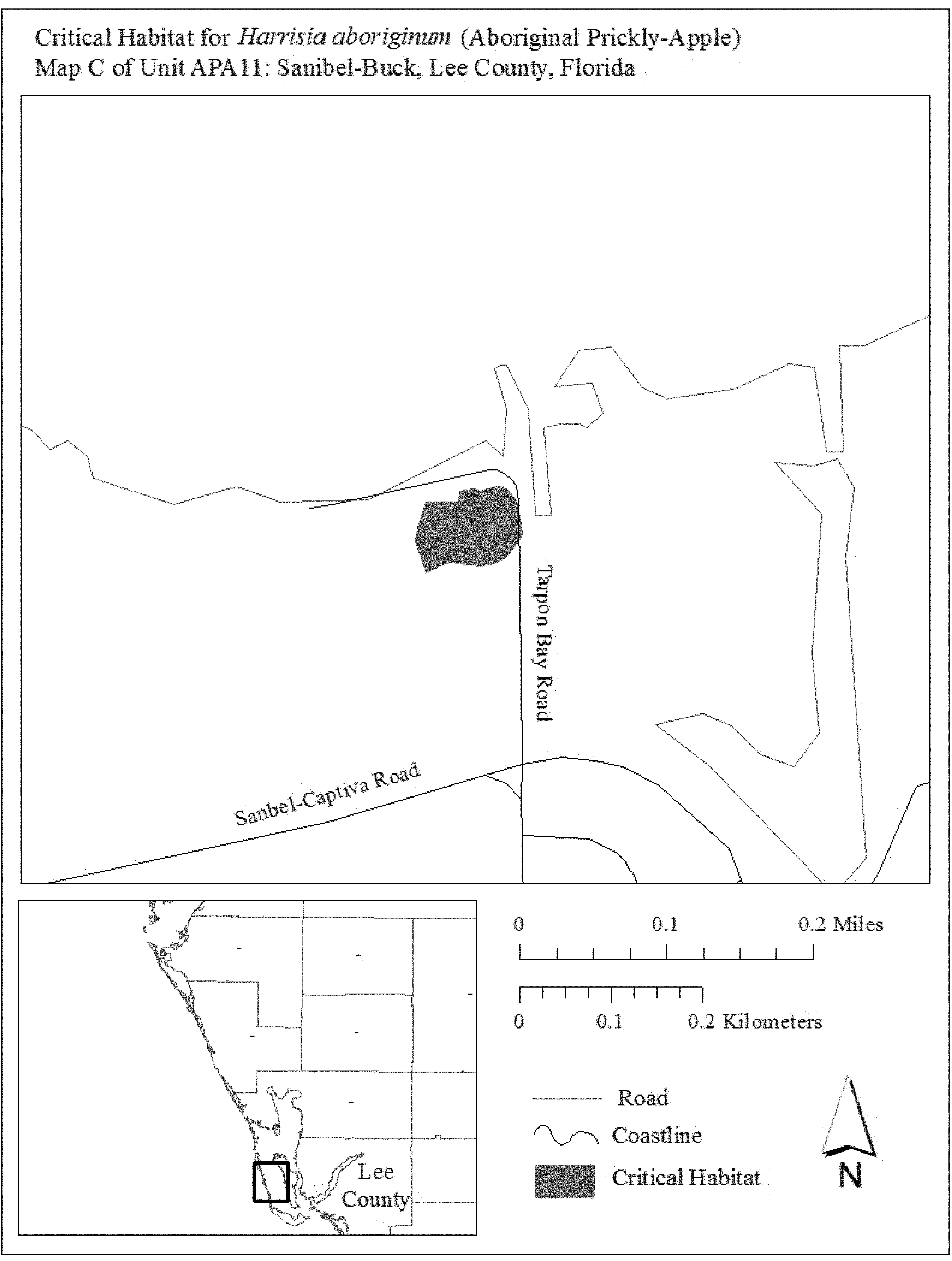
Family Cactaceae: Pediocactus peeblesianus var. fickeiseniae (Fickeisen plains cactus)
(1) Critical habitat units are depicted for Mohave and Coconino Counties, Arizona, on the maps below.
(2) Within these areas, the primary constituent elements of the physical or biological features essential to the conservation of the Fickeisen plains cactus consist of:
(i) Soils derived from limestone that are found on mesas, plateaus, terraces, the toe of gentle sloping hills with up to 20 percent slope, margins of canyon rims, and desert washes. These soils have the following features:
(A) They occur on the Colorado Plateau in Coconino and Mohave Counties of northern Arizona and are within the appropriate series found in occupied areas;
(B) They are derived from alluvium, colluvium, or eolian deposits of limestone from the Harrisburg member of the Kaibab Formation and limestone, siltstone, and sandstone of the Toroweap and Moenkopi Formations;
(C) They are nonsaline to slightly saline, gravelly, shallow to moderately deep, and well-drained with little signs of soil movement. Soil texture consists of gravelly loam, fine sandy loam, gravelly sandy loam, very gravelly sandy loam, clay loam, and cobbly loam.
(ii) Native vegetation within the Plains and Great Basin grassland and Great Basin desertscrub vegetation communities from 1,310 to 1,813 m (4,200 to 5,950 ft) in elevation that has a natural, generally intact surface and subsurface that preserves the bedrock substrate and is supportive of microbiotic soil crusts where they are naturally found.
(iii) Native vegetation that provides for habitat of identified pollinators within the effective pollinator distance of 1,000 m (3,280 ft) around each individual Fickeisen plains cactus.
(3) Critical habitat does not include manmade structures (such as buildings, aqueducts, runways, roads, and other paved areas) and the land on which they are located existing within the legal boundaries on September 19, 2016.
(4) Critical habitat map units. Data layers defining map units were created using a base of U.S. Geological Survey 7.5' quadrangle maps. Critical habitat units were then mapped using Universal Transverse Mercator zone 11, North American Datum 1983 coordinates.
(5) Note: Index map follows:
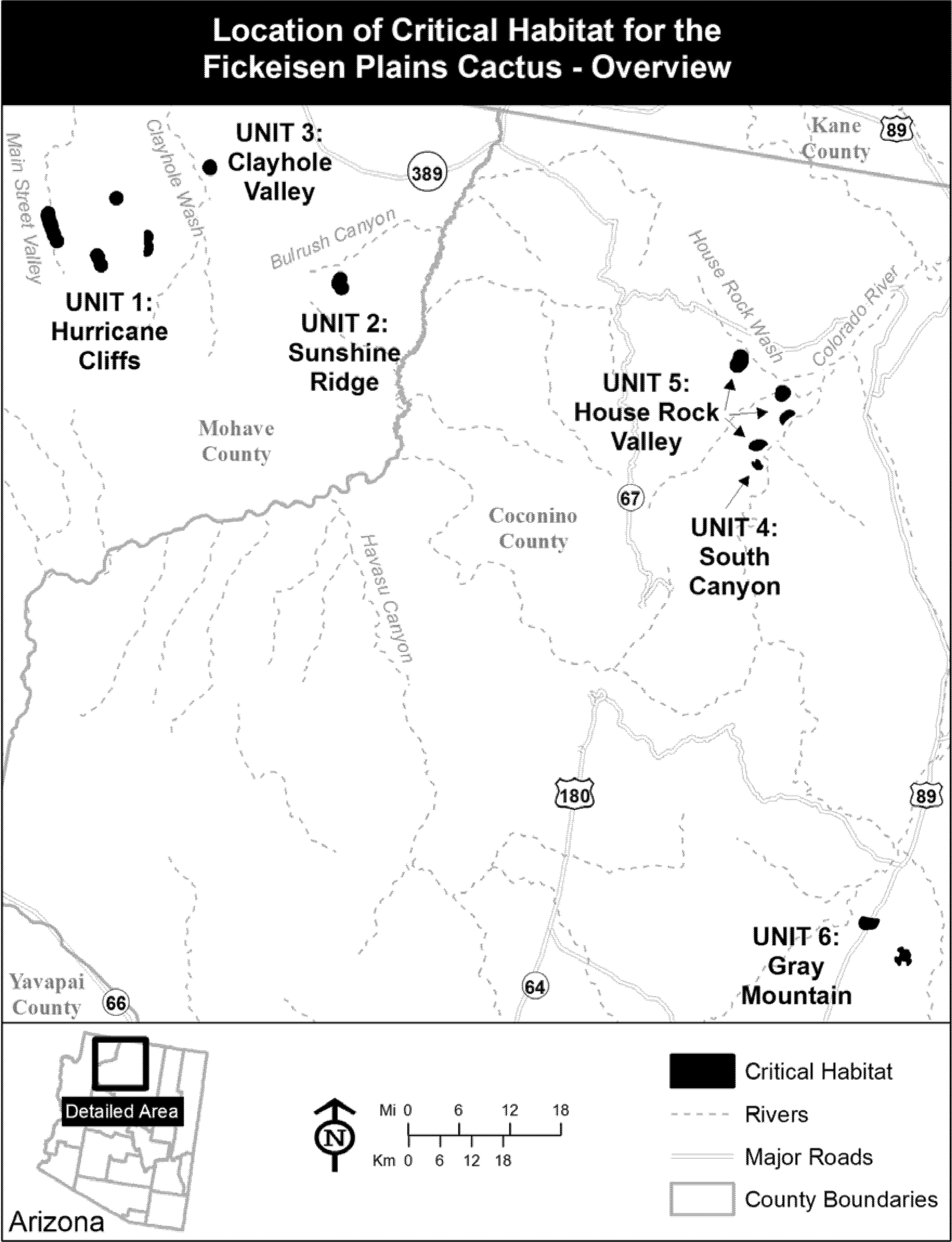
(6) Unit 1: Hurricane Cliffs Unit, Mohave County, AZ. Map of Unit 1 follows:
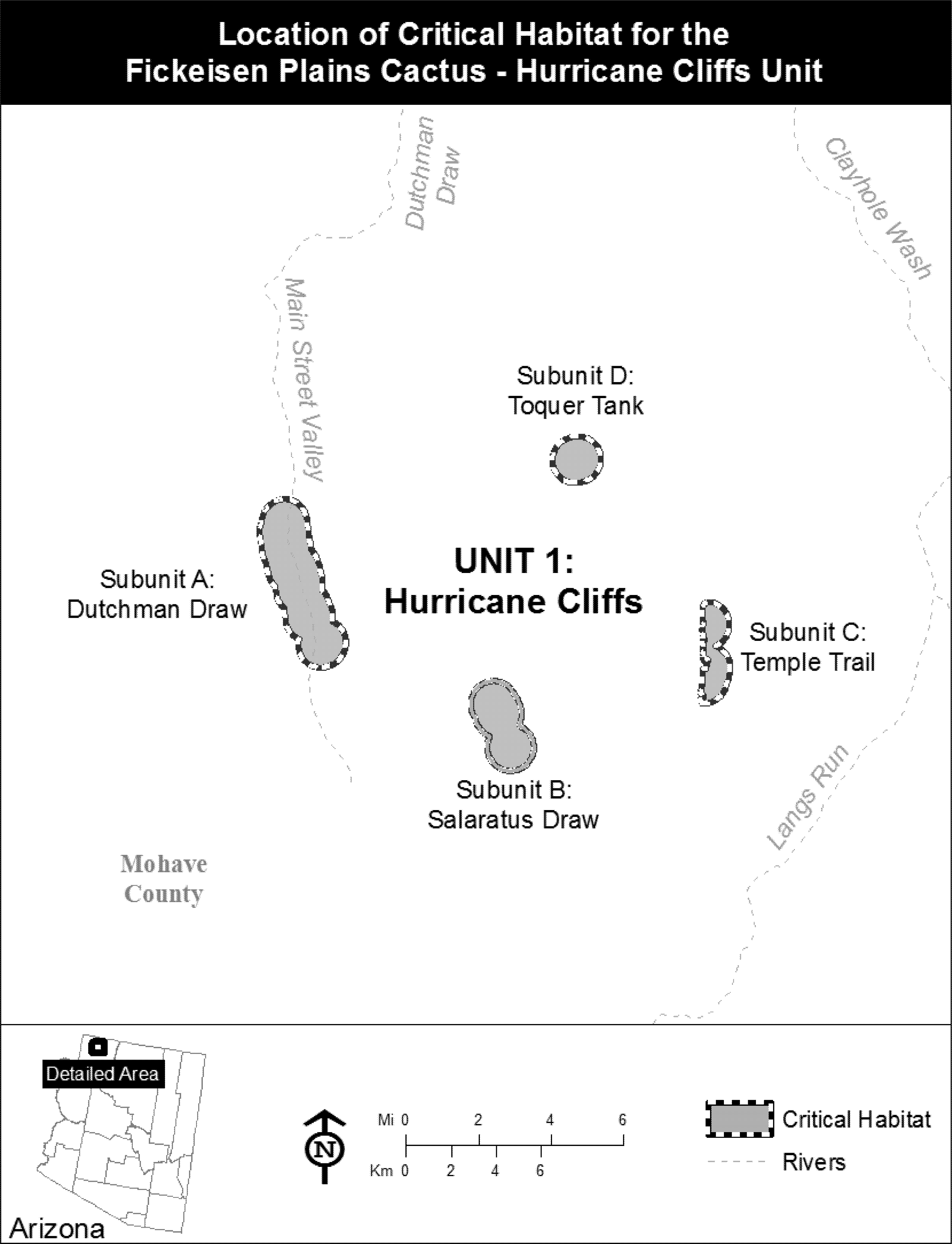
(7) Unit 2: Sunshine Ridge Unit, Mohave County, AZ. Map of Units 2 and 3 follows:

(8) Unit 3: Clayhole Valley Unit, Mohave County, AZ. Map of Unit 3 is provided at paragraph (7) of this entry.
(9) Unit 4: South Canyon Unit, Coconino County, AZ. Map of Unit 4 follows:
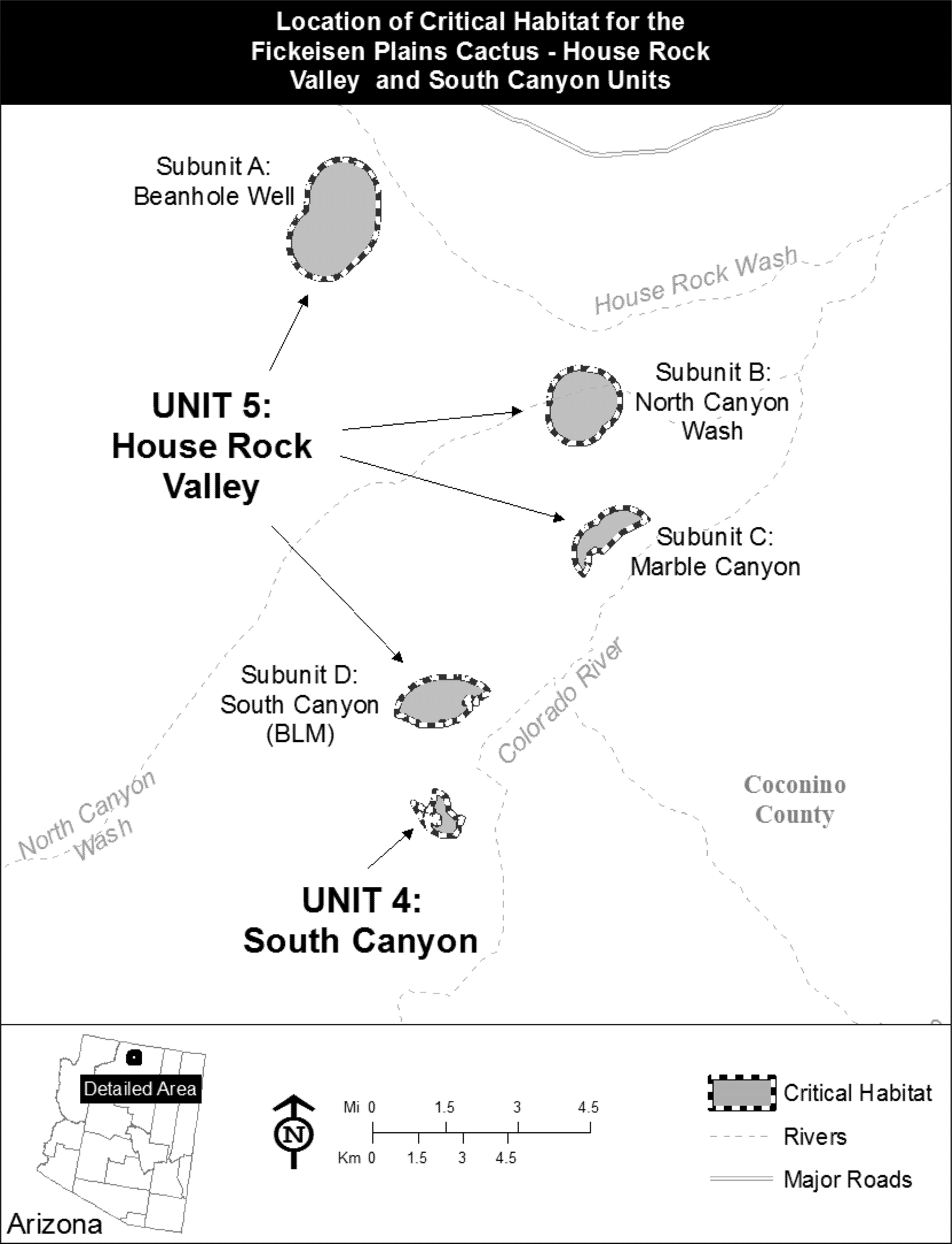
(10) Unit 5: House Rock Valley Unit, Coconino County, AZ. Map of Unit 5 is provided at paragraph (9) of this entry.
(11) Unit 6: Gray Mountain Unit, Coconino County, AZ. Map of Unit 6 follows:
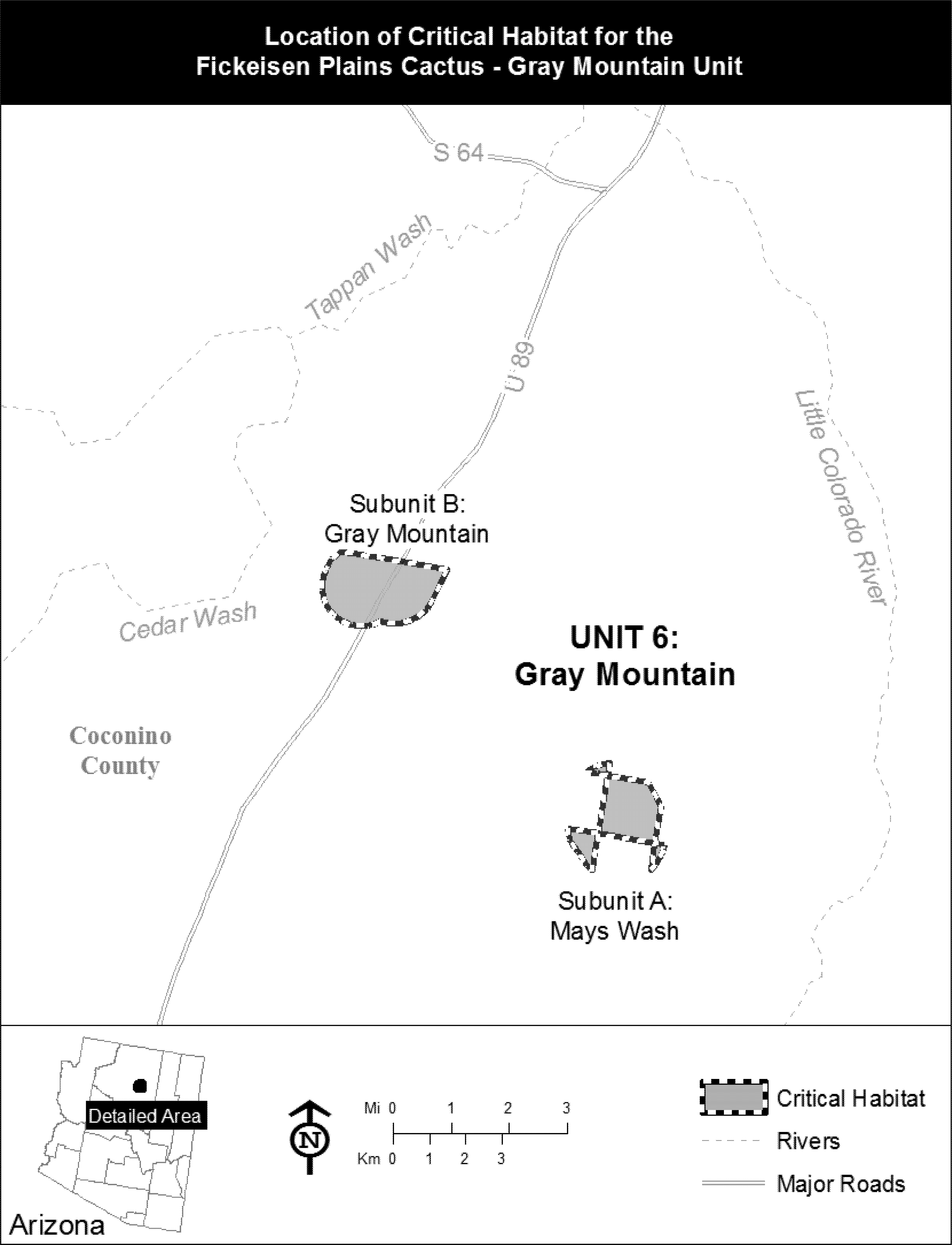
Family Caryophyllaceae: Arenaria ursina (Bear Valley sandwort)
(1) Critical habitat units for Arenaria ursina are found in San Bernardino County, California. The maps provided are for informational purposes only.
(2) The primary constituent elements of critical habitat for Arenaria ursina are the habitat components that provide:
(i) Pebble plains in dry meadow-like openings within upper montane coniferous forest, pinyon-juniper woodlands, or Great Basin sagebrush in the San Bernardino Mountains of San Bernardino County, California; at elevations between 5,900 to 9,800 ft (1,830 to 2,990 m) that provide space for individual and population growth, reproduction and dispersal; and
(ii) Seasonally wet clay, or sandy clay soils, generally containing quartzite pebbles, subject to natural hydrological processes that include water hydrating the soil and freezing in winter and drying in summer causing lifting and churning of included pebbles, that provide space for individual and population growth, reproduction and dispersal, adequate water, air, minerals, and other nutritional or physiological requirements to the species.
(3) Critical habitat does not include manmade structures (such as buildings, aqueducts, airports, roads, and other paved areas) and the land on which they are located existing on the effective date of this rule and not containing one or more of the primary constituent elements.
(4) Critical habitat map units. Data layers defining map units were created on a base of USGS 1:24,0000 maps, and critical habitat units were then mapped using Universal Transverse Mercator (UTM) coordinates.
(5) Index map (Map 1) follows:
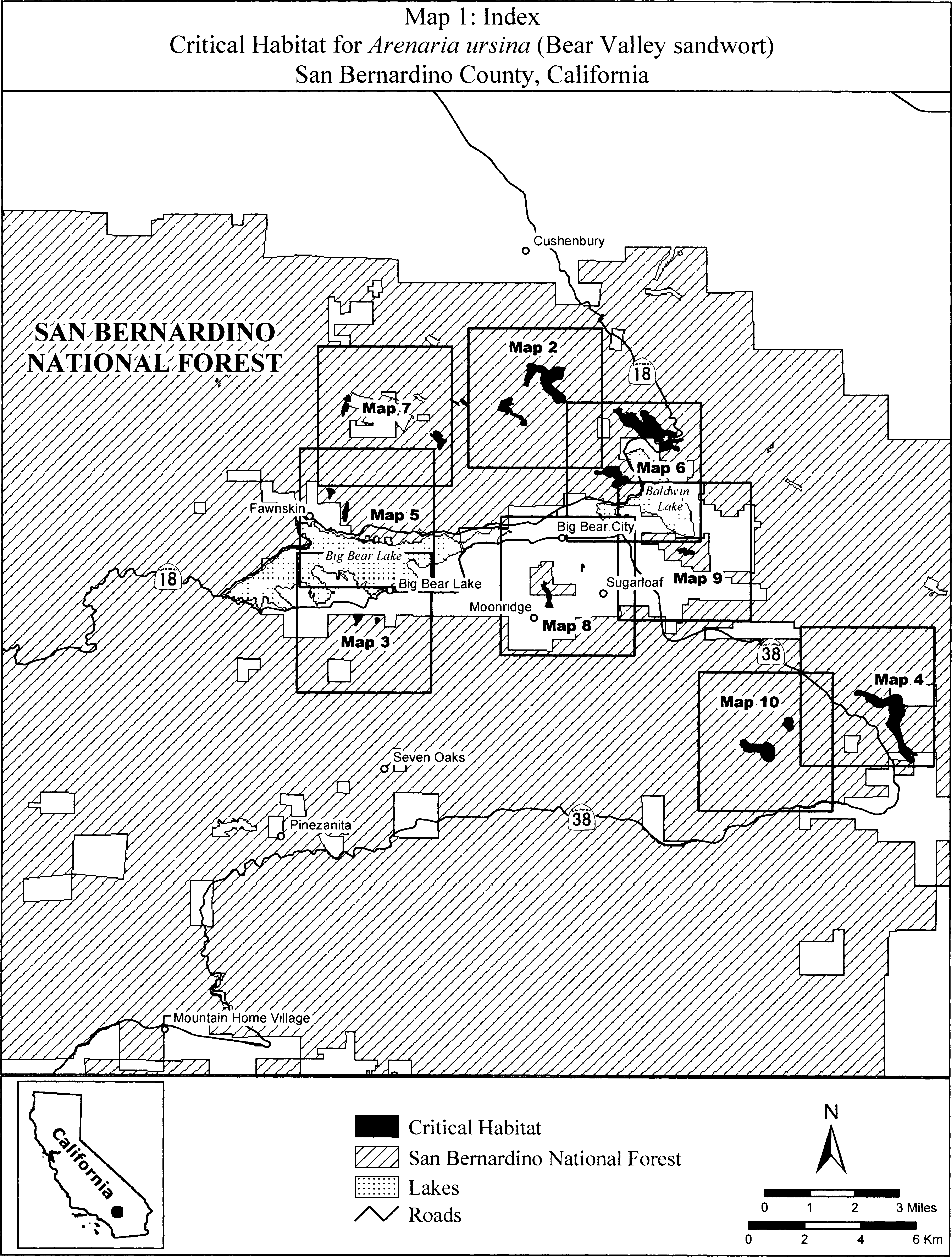
(6) Units ARUR 1 and ARUR 2. Arrastre/Union Flat, San Bernardino County, California. From USGS 1:24,000 quadrangle map Big Bear City.
(i) Unit ARUR 1. Land bounded by the following UTM NAD27 coordinates (E,N): 512434, 3795966; 512436, 3795961; 512446, 3795966; 512450, 3795966; 512469, 3795969; 512508, 3795965; 512533, 3795959; 512537, 3795959; 512539, 3795960; 512549, 3795964; 512560, 3795961; 512568, 3795954; 512573, 3795948; 512573, 3795936; 512571, 3795930; 512568, 3795927; 512565, 3795927; 512563, 3795927; 512563, 3795924; 512561, 3795914; 512556, 3795904; 512555, 3795903; 512554, 3795901; 512548, 3795879; 512535, 3795835; 512544, 3795791; 512546, 3795790; 512554, 3795787; 512568, 3795779; 512576, 3795774; 512582, 3795771; 512592, 3795764; 512595, 3795753; 512595, 3795747; 512591, 3795739; 512584, 3795732; 512581, 3795731; 512575, 3795727; 512569, 3795727; 512560, 3795728; 512552, 3795733; 512544, 3795739; 512542, 3795740; 512541, 3795739; 512540, 3795738; 512525, 3795717; 512469, 3795694; 512447, 3795680; 512445, 3795679; 512427, 3795653; 512428, 3795649; 512450, 3795617; 512476, 3795588; 512476, 3795588; 512504, 3795564; 512514, 3795552; 512541, 3795525; 512546, 3795509; 512548, 3795508; 512553, 3795501; 512554, 3795500; 512558, 3795490; 512566, 3795479; 512573, 3795468; 512584, 3795444; 512586, 3795433; 512588, 3795412; 512594, 3795398; 512601, 3795395; 512607, 3795395; 512627, 3795401; 512632, 3795400; 512641, 3795402; 512654, 3795400; 512675, 3795405; 512691, 3795401; 512699, 3795397; 512703, 3795397; 512707, 3795394; 512715, 3795393; 512718, 3795391; 512730, 3795388; 512740, 3795378; 512742, 3795374; 512746, 3795371; 512770, 3795357; 512806, 3795330; 512815, 3795317; 512837, 3795311; 512856, 3795327; 512872, 3795330; 512883, 3795343; 512886, 3795339; 512900, 3795331; 512905, 3795319; 512909, 3795312; 512913, 3795307; 512913, 3795306; 512913, 3795305; 512914, 3795303; 512920, 3795287; 512924, 3795286; 512935, 3795275; 512938, 3795270; 512944, 3795264; 512948, 3795258; 512953, 3795250; 512955, 3795245; 512954, 3795239; 512953, 3795233; 512949, 3795225; 512946, 3795221; 512949, 3795219; 512976, 3795203; 512998, 3795196; 513008, 3795189; 513014, 3795187; 513019, 3795183; 513030, 3795176; 513031, 3795173; 513048, 3795163; 513049, 3795158; 513051, 3795154; 513053, 3795150; 513053, 3795143; 513053, 3795142; 513056, 3795131; 513053, 3795122; 513053, 3795109; 513055, 3795098; 513059, 3795095; 513062, 3795091; 513066, 3795086; 513069, 3795084; 513072, 3795077; 513076, 3795073; 513079, 3795066; 513080, 3795064; 513083, 3795057; 513083, 3795052; 513083, 3795047; 513082, 3795043; 513080, 3795036; 513080, 3795034; 513079, 3795025; 513077, 3795018; 513075, 3795011; 513075, 3795007; 513072, 3794999; 513069, 3794994; 513066, 3794989; 513058, 3794982; 513053, 3794982; 513047, 3794982; 513037, 3794982; 513035, 3794981; 513017, 3794975; 513010, 3794975; 513006, 3794978; 513000, 3794981; 512993, 3794985; 512988, 3794988; 512973, 3794993; 512965, 3794993; 512960, 3794991; 512951, 3794990; 512944, 3794988; 512938, 3794987; 512934, 3794988; 512924, 3794989; 512915, 3794991; 512897, 3794997; 512886, 3795001; 512875, 3795007; 512866, 3795012; 512852, 3795026; 512850, 3795031; 512847, 3795037; 512848, 3795042; 512848, 3795045; 512856, 3795057; 512861, 3795057; 512871, 3795053; 512875, 3795052; 512883, 3795047; 512863, 3795065; 512861, 3795066; 512853, 3795072; 512853, 3795075; 512847, 3795081; 512851, 3795097; 512867, 3795120; 512875, 3795132; 512879, 3795132; 512881, 3795135; 512913, 3795143; 512919, 3795177; 512903, 3795187; 512899, 3795188; 512884, 3795190; 512840, 3795190; 512839, 3795192; 512835, 3795194; 512826, 3795195; 512825, 3795196; 512811, 3795199; 512812, 3795203; 512811, 3795204; 512811, 3795217; 512800, 3795241; 512793, 3795247; 512785, 3795251; 512778, 3795254; 512765, 3795263; 512732, 3795279; 512696, 3795299; 512648, 3795303; 512621, 3795315; 512618, 3795316; 512607, 3795318; 512601, 3795321; 512585, 3795327; 512561, 3795335; 512558, 3795344; 512555, 3795349; 512545, 3795359; 512533, 3795366; 512510, 3795373; 512508, 3795373; 512500, 3795376; 512498, 3795372; 512497, 3795370; 512495, 3795367; 512492, 3795368; 512490, 3795372; 512490, 3795379; 512489, 3795379; 512484, 3795381; 512485, 3795387; 512482, 3795398; 512482, 3795418; 512485, 3795432; 512484, 3795433; 512486, 3795443; 512486, 3795452; 512453, 3795490; 512413, 3795508; 512409, 3795509; 512408, 3795507; 512406, 3795499; 512398, 3795500; 512390, 3795509; 512386, 3795512; 512354, 3795501; 512340, 3795496; 512357, 3795495; 512366, 3795491; 512362, 3795478; 512360, 3795467; 512361, 3795466; 512364, 3795462; 512368, 3795462; 512373, 3795469; 512376, 3795462; 512392, 3795462; 512392, 3795461; 512393, 3795461; 512401, 3795463; 512406, 3795462; 512408, 3795459; 512429, 3795455; 512432, 3795454; 512437, 3795449; 512437, 3795446; 512434, 3795435; 512431, 3795430; 512434, 3795422; 512433, 3795419; 512434, 3795416; 512432, 3795410; 512433, 3795405; 512430, 3795402; 512428, 3795397; 512423, 3795395; 512421, 3795393; 512393, 3795381; 512369, 3795385; 512368, 3795386; 512367, 3795386; 512351, 3795394; 512339, 3795398; 512339, 3795414; 512342, 3795418; 512342, 3795425; 512350, 3795437; 512339, 3795449; 512324, 3795455; 512306, 3795472; 512299, 3795481; 512283, 3795473; 512264, 3795473; 512249, 3795472; 512248, 3795473; 512247, 3795473; 512237, 3795473; 512228, 3795473; 512223, 3795475; 512207, 3795477; 512189, 3795483; 512172, 3795485; 512165, 3795492; 512163, 3795493; 512156, 3795496; 512155, 3795496; 512150, 3795497; 512149, 3795498; 512135, 3795504; 512124, 3795510; 512100, 3795517; 512095, 3795519; 512080, 3795516; 512060, 3795516; 512044, 3795536; 512052, 3795560; 512056, 3795588; 512064, 3795616; 512064, 3795617; 512065, 3795620; 512081, 3795644; 512087, 3795650; 512088, 3795651; 512089, 3795652; 512101, 3795664; 512123, 3795675; 512123, 3795688; 512123, 3795695; 512122, 3795699; 512119, 3795715; 512111, 3795727; 512119, 3795747; 512125, 3795759; 512133, 3795784; 512135, 3795798; 512143, 3795822; 512155, 3795842; 512171, 3795857; 512199, 3795878; 512223, 3795886; 512228, 3795889; 512235, 3795890; 512242, 3795892; 512248, 3795895; 512282, 3795913; 512334, 3795929; 512377, 3795941; 512380, 3795941; 512383, 3795942; 512387, 3795942; 512394, 3795943; 512397, 3795947; 512412, 3795966; 512417, 3795971; 512422, 3795975; 512427, 3795979; 512430, 3795978; 512434, 3795966.
(ii) Unit ARUR 2. Land bounded by the following UTM NAD27 coordinates (E,N): 513282, 3797202; 513312, 3797195; 513346, 3797179; 513347, 3797179; 513352, 3797178; 513378, 3797155; 513382, 3797151; 513404, 3797137; 513430, 3797126; 513434, 3797122; 513438, 3797119; 513475, 3797110; 513503, 3797106; 513500, 3797115; 513500, 3797124; 513510, 3797137; 513520, 3797137; 513532, 3797131; 513545, 3797124; 513554, 3797111; 513554, 3797108; 513567, 3797110; 513599, 3797116; 513650, 3797107; 513655, 3797103; 513659, 3797103; 513666, 3797099; 513668, 3797098; 513694, 3797083; 513708, 3797069; 513727, 3797057; 513758, 3797027; 513788, 3796985; 513797, 3796978; 513801, 3796976; 513815, 3796968; 513834, 3796962; 513876, 3796962; 513926, 3796970; 513952, 3796981; 513956, 3796985; 513979, 3797000; 514002, 3797019; 514028, 3797035; 514070, 3797061; 514093, 3797069; 514129, 3797075; 514136, 3797079; 514216, 3797087; 514238, 3797082; 514329, 3797076; 514364, 3797073; 514406, 3797069; 514444, 3797046; 514455, 3797019; 514448, 3797004; 514444, 3797001; 514441, 3796991; 514418, 3796945; 514401, 3796935; 514398, 3796928; 514393, 3796914; 514396, 3796911; 514384, 3796831; 514384, 3796806; 514387, 3796798; 514383, 3796764; 514375, 3796741; 514362, 3796721; 514357, 3796709; 514343, 3796691; 514329, 3796661; 514318, 3796650; 514303, 3796631; 514288, 3796623; 514276, 3796625; 514270, 3796622; 514239, 3796625; 514197, 3796645; 514171, 3796637; 514166, 3796635; 514151, 3796626; 514106, 3796587; 514064, 3796561; 514003, 3796519; 513965, 3796488; 513946, 3796458; 513946, 3796457; 513959, 3796433; 513996, 3796392; 514005, 3796381; 514022, 3796370; 514030, 3796350; 514036, 3796343; 514043, 3796339; 514101, 3796309; 514102, 3796309; 514108, 3796307; 514111, 3796304; 514142, 3796287; 514170, 3796255; 514215, 3796208; 514291, 3796164; 514355, 3796119; 514424, 3796055; 514439, 3796024; 514451, 3796009; 514449, 3795971; 514450, 3795964; 514443, 3795894; 514441, 3795891; 514440, 3795890; 514393, 3795830; 514332, 3795801; 514321, 3795800; 514291, 3795789; 514262, 3795785; 514258, 3795783; 514231, 3795781; 514227, 3795781; 514226, 3795781; 514155, 3795776; 514144, 3795785; 514116, 3795789; 514088, 3795817; 514047, 3795891; 514018, 3795938; 514005, 3795973; 513980, 3796014; 513957, 3796046; 513948, 3796055; 513865, 3796109; 513828, 3796145; 513797, 3796168; 513780, 3796186; 513762, 3796200; 513760, 3796201; 513723, 3796230; 513687, 3796286; 513678, 3796295; 513674, 3796304; 513669, 3796313; 513661, 3796338; 513655, 3796353; 513652, 3796365; 513634, 3796408; 513630, 3796430; 513628, 3796432; 513627, 3796434; 513625, 3796439; 513622, 3796448; 513622, 3796451; 513619, 3796455; 513615, 3796461; 513612, 3796466; 513607, 3796471; 513601, 3796475; 513594, 3796479; 513581, 3796480; 513579, 3796481; 513577, 3796481; 513568, 3796491; 513563, 3796494; 513561, 3796495; 513560, 3796500; 513560, 3796506; 513560, 3796508; 513562, 3796511; 513567, 3796513; 513573, 3796517; 513578, 3796520; 513586, 3796523; 513592, 3796524; 513582, 3796530; 513580, 3796555; 513590, 3796564; 513595, 3796566; 513601, 3796566; 513598, 3796573; 513589, 3796592; 513581, 3796602; 513570, 3796605; 513551, 3796618; 513539, 3796656; 513548, 3796669; 513548, 3796676; 513571, 3796707; 513590, 3796760; 513590, 3796810; 513587, 3796851; 513586, 3796856; 513584, 3796863; 513571, 3796887; 513565, 3796881; 513546, 3796877; 513512, 3796881; 513489, 3796900; 513481, 3796923; 513481, 3796924; 513465, 3796924; 513438, 3796920; 513432, 3796923; 513431, 3796922; 513380, 3796910; 513348, 3796878; 513329, 3796849; 513326, 3796805; 513300, 3796757; 513293, 3796749; 513291, 3796739; 513275, 3796710; 513273, 3796706; 513268, 3796698; 513256, 3796676; 513232, 3796652; 513204, 3796636; 513196, 3796629; 513168, 3796629; 513162, 3796631; 513162, 3796628; 513162, 3796619; 513158, 3796609; 513155, 3796603; 513149, 3796597; 513138, 3796593; 513131, 3796584; 513128, 3796581; 513148, 3796577; 513167, 3796562; 513167, 3796528; 513152, 3796516; 513146, 3796511; 513141, 3796511; 513118, 3796501; 513119, 3796501; 513131, 3796493; 513134, 3796488; 513145, 3796482; 513149, 3796466; 513145, 3796450; 513137, 3796434; 513126, 3796434; 513115, 3796429; 513106, 3796427; 513100, 3796425; 513087, 3796427; 513085, 3796426; 513082, 3796427; 513085, 3796425; 513089, 3796424; 513094, 3796423; 513099, 3796421; 513103, 3796421; 513107, 3796420; 513109, 3796419; 513120, 3796414; 513122, 3796411; 513123, 3796407; 513123, 3796401; 513121, 3796389; 513110, 3796387; 513089, 3796387; 513085, 3796387; 513080, 3796383; 513075, 3796378; 513069, 3796376; 513065, 3796378; 513061, 3796380; 513038, 3796401; 513031, 3796403; 513022, 3796403; 513016, 3796403; 513010, 3796404; 513007, 3796408; 512998, 3796427; 512993, 3796432; 512984, 3796432; 512976, 3796431; 512967, 3796430; 512958, 3796430; 512948, 3796431; 512942, 3796435; 512942, 3796440; 512943, 3796447; 512947, 3796453; 512958, 3796458; 512968, 3796460; 512981, 3796461; 512990, 3796462; 512998, 3796461; 513002, 3796462; 513000, 3796463; 512996, 3796465; 512992, 3796472; 512986, 3796477; 512982, 3796485; 512977, 3796493; 512985, 3796499; 512986, 3796501; 512996, 3796509; 513006, 3796518; 513003, 3796519; 513001, 3796524; 513001, 3796528; 513003, 3796531; 513006, 3796533; 513013, 3796536; 513026, 3796540; 513031, 3796543; 513019, 3796558; 513004, 3796600; 513004, 3796623; 513001, 3796637; 513009, 3796690; 513024, 3796717; 513039, 3796763; 513070, 3796797; 513089, 3796843; 513096, 3796872; 513099, 3796901; 513095, 3796915; 513094, 3796917; 513076, 3796939; 513072, 3796962; 513087, 3796975; 513089, 3796980; 513123, 3797003; 513126, 3797015; 513126, 3797031; 513106, 3797069; 513087, 3797088; 513084, 3797137; 513096, 3797163; 513103, 3797175; 513141, 3797195; 513182, 3797197; 513184, 3797197; 513218, 3797201; 513240, 3797201; 513255, 3797202; 513282, 3797202.
(iii) Note: Map of Units ARUR 1 and ARUR 2 (Map 2) follows:

(7) Units ARUR 3 and ARUR 4. Big Bear Lake, San Bernardino County, California. From USGS 1:24,000 quadrangle map Big Bear Lake.
(i) Unit ARUR 3. Land bounded by the following UTM NAD27 coordinates (E,N): 506933, 3788172; 506933, 3788172; 507055, 3788172; 507058, 3788169; 507058, 3788169; 507166, 3788172; 507208, 3788170; 507213, 3788165; 507215, 3788157; 507213, 3788134; 507205, 3788104; 507197, 3788062; 507176, 3788009; 507151, 3787955; 507123, 3787915; 507111, 3787897; 507087, 3787865; 507069, 3787840; 507045, 3787831; 507043, 3787831; 507040, 3787820; 507041, 3787818; 507036, 3787807; 507036, 3787807; 507036, 3787806; 507036, 3787806; 507025, 3787783; 507009, 3787755; 507006, 3787754; 507000, 3787747; 506974, 3787747; 506974, 3787747; 506973, 3787747; 506968, 3787747; 506967, 3787748; 506954, 3787751; 506938, 3787779; 506942, 3787811; 506954, 3787842; 506966, 3787866; 506974, 3787869; 506956, 3787901; 506949, 3787935; 506941, 3787974; 506938, 3788020; 506941, 3788043; 506939, 3788042; 506926, 3788042; 506907, 3788042; 506901, 3788049; 506892, 3788058; 506885, 3788071; 506885, 3788093; 506888, 3788115; 506895, 3788135; 506911, 3788153; 506933, 3788160; 506933, 3788172.
(ii) Unit ARUR 4. Land bounded by the following UTM NAD27 coordinates (E,N): 507777, 3788001; 507780, 3787993; 507783, 3788009; 507791, 3788029; 507801, 3788015; 507806, 3788013; 507806, 3788005; 507811, 3787989; 507811, 3787973; 507811, 3787949; 507810, 3787946; 507810, 3787941; 507807, 3787932; 507806, 3787930; 507804, 3787929; 507803, 3787925; 507802, 3787925; 507790, 3787909; 507764, 3787877; 507732, 3787851; 507704, 3787839; 507688, 3787829; 507686, 3787828; 507682, 3787826; 507682, 3787827; 507678, 3787826; 507674, 3787876; 507666, 3787929; 507659, 3787975; 507659, 3788001; 507669, 3788023; 507682, 3788035; 507707, 3788042; 507729, 3788042; 507752, 3788036; 507767, 3788013; 507769, 3788006; 507777, 3788001.
(iii) Note: Map of Units ARUR 3 and ARUR 4 (Map 3) follows:
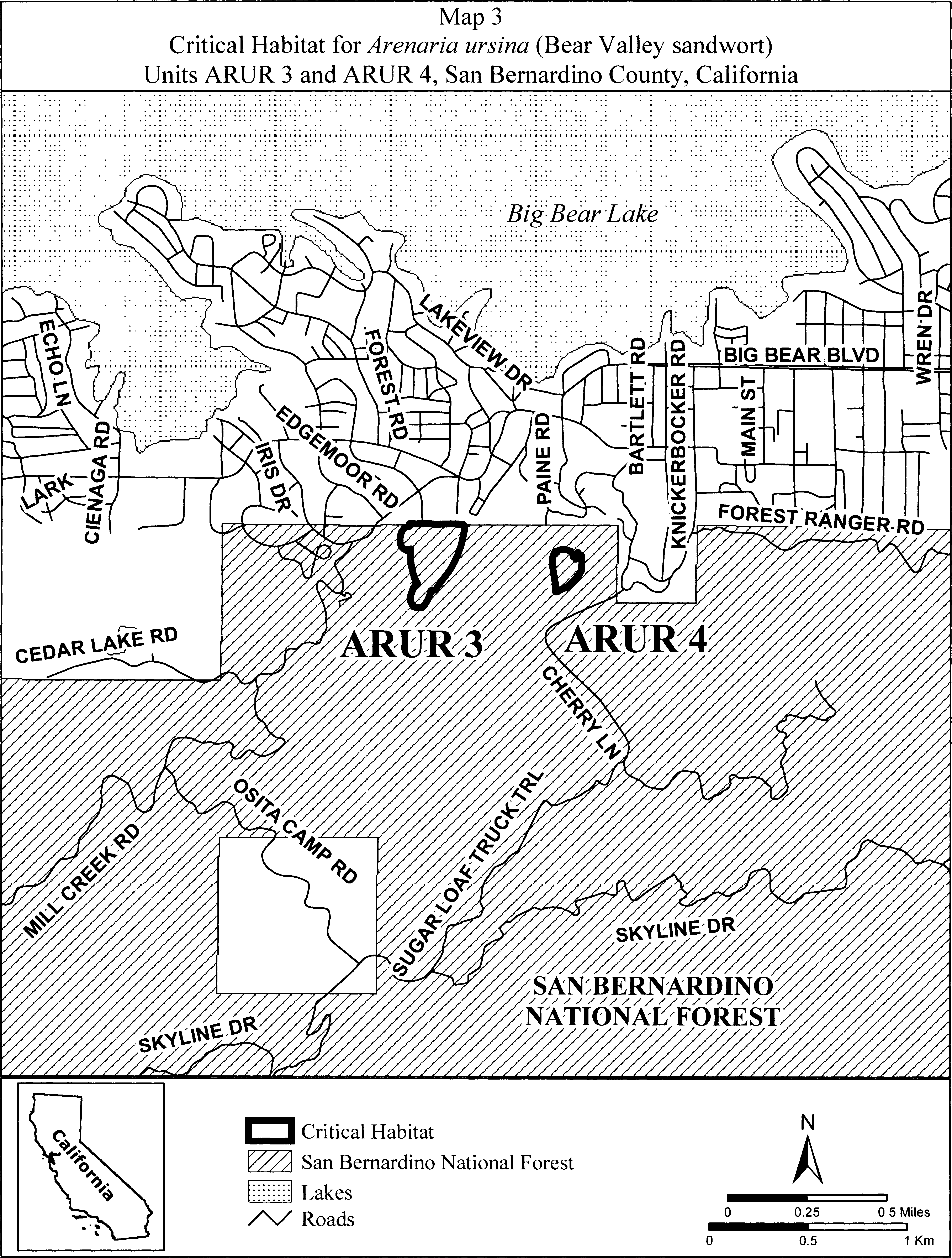
(8) Unit ARUR 5. Broom Flat, San Bernardino County, California.
(i) From USGS 1:24,000 quadrangle map Onyx Peak. Land bounded by the following UTM NAD27 coordinates (E,N): 525111, 3785431; 525155, 3785406; 525142, 3785419; 525199, 3785419; 525250, 3785412; 525307, 3785393; 525365, 3785362; 525378, 3785345; 525421, 3785349; 525497, 3785323; 525558, 3785296; 525600, 3785262; 525661, 3785220; 525706, 3785197; 525744, 3785182; 525813, 3785170; 525870, 3785170; 525950, 3785201; 526053, 3785243; 526125, 3785292; 526198, 3785323; 526247, 3785330; 526297, 3785338; 526358, 3785338; 526411, 3785327; 526457, 3785292; 526491, 3785262; 526529, 3785227; 526556, 3785170; 526556, 3785132; 526552, 3785079; 526548, 3785022; 526540, 3784978; 526562, 3784983; 526585, 3784983; 526610, 3784977; 526632, 3784967; 526642, 3784945; 526639, 3784907; 526632, 3784885; 526616, 3784847; 526604, 3784834; 526588, 3784815; 526575, 3784789; 526562, 3784774; 526617, 3784774; 526651, 3784759; 526651, 3784751; 526662, 3784735; 526662, 3784724; 526642, 3784701; 526625, 3784671; 526614, 3784655; 526626, 3784653; 526636, 3784634; 526632, 3784615; 526616, 3784593; 526604, 3784577; 526594, 3784567; 526582, 3784558; 526575, 3784548; 526562, 3784542; 526550, 3784535; 526547, 3784534; 526522, 3784488; 526509, 3784440; 526506, 3784412; 526495, 3784379; 526459, 3784332; 526457, 3784330; 526449, 3784321; 526434, 3784252; 526415, 3784229; 526418, 3784219; 526423, 3784219; 526430, 3784207; 526436, 3784191; 526442, 3784178; 526445, 3784162; 526439, 3784151; 526445, 3784130; 526476, 3784019; 526510, 3783943; 526522, 3783890; 526541, 3783795; 526567, 3783692; 526579, 3783627; 526606, 3783581; 526647, 3783490; 526680, 3783446; 526713, 3783425; 526764, 3783396; 526818, 3783371; 526861, 3783342; 526873, 3783324; 526876, 3783323; 526878, 3783320; 526913, 3783270; 526922, 3783257; 526963, 3783235; 526981, 3783233; 527032, 3783219; 527050, 3783204; 527064, 3783175; 527075, 3783143; 527071, 3783137; 527074, 3783128; 527051, 3783117; 527037, 3783121; 527006, 3783124; 526970, 3783139; 526945, 3783150; 526930, 3783150; 526898, 3783168; 526872, 3783183; 526869, 3783183; 526840, 3783163; 526840, 3783139; 526843, 3783117; 526861, 3783088; 526890, 3783052; 526911, 3783037; 526907, 3783059; 526904, 3783081; 526901, 3783107; 526917, 3783113; 526926, 3783107; 526939, 3783094; 526946, 3783072; 526955, 3783069; 526958, 3783062; 526961, 3783031; 526961, 3783008; 526960, 3783003; 526974, 3782994; 526978, 3782969; 526979, 3782968; 526979, 3782967; 526981, 3782954; 526976, 3782944; 526975, 3782934; 526937, 3782873; 526904, 3782868; 526894, 3782863; 526880, 3782865; 526853, 3782861; 526788, 3782899; 526724, 3782957; 526678, 3783010; 526653, 3783029; 526644, 3783034; 526634, 3783043; 526613, 3783059; 526600, 3783077; 526571, 3783103; 526524, 3783161; 526489, 3783206; 526476, 3783219; 526473, 3783226; 526448, 3783262; 526452, 3783284; 526470, 3783284; 526495, 3783297; 526493, 3783306; 526477, 3783327; 526441, 3783378; 526419, 3783393; 526408, 3783425; 526401, 3783469; 526394, 3783531; 526390, 3783585; 526381, 3783631; 526351, 3783704; 526339, 3783719; 526299, 3783803; 526269, 3783859; 526263, 3783867; 526261, 3783869; 526234, 3783893; 526221, 3783921; 526209, 3783936; 526113, 3784063; 526089, 3784082; 526072, 3784131; 526026, 3784168; 526012, 3784180; 525995, 3784180; 525987, 3784194; 525958, 3784212; 525951, 3784270; 525969, 3784310; 526016, 3784379; 526029, 3784402; 526038, 3784423; 526068, 3784501; 526071, 3784513; 526089, 3784575; 526109, 3784589; 526125, 3784624; 526125, 3784644; 526103, 3784691; 526089, 3784702; 526083, 3784713; 526072, 3784721; 526062, 3784751; 526049, 3784775; 526052, 3784781; 526049, 3784789; 526065, 3784836; 526067, 3784883; 526064, 3784909; 526060, 3784931; 525995, 3784927; 525944, 3784916; 525912, 3784910; 525882, 3784896; 525828, 3784881; 525786, 3784858; 525737, 3784850; 525710, 3784854; 525630, 3784865; 525573, 3784888; 525508, 3784927; 525478, 3784965; 525455, 3785003; 525382, 3785037; 525360, 3785067; 525328, 3785099; 525326, 3785095; 525301, 3785044; 525263, 3785019; 525238, 3785063; 525231, 3785120; 525206, 3785165; 525206, 3785203; 525187, 3785247; 525149, 3785273; 525072, 3785298; 524965, 3785304; 524926, 3785298; 524869, 3785292; 524799, 3785323; 524799, 3785362; 524831, 3785406; 524869, 3785444; 524876, 3785470; 524914, 3785489; 524933, 3785501; 524984, 3785495; 525022, 3785482; 525066, 3785470; 525111, 3785431.
(ii) Note: Map of Unit ARUR 5 (Map 4) follows:

(9) Unit ARUR 6 and ARUR 7. Fawnskin, San Bernardino County, California. From USGS 1:24,000 quadrangle map Fawnskin.
(i) Unit ARUR 6. Land bounded by the following UTM NAD27 coordinates (E,N): 506020, 3792309; 506020, 3792303; 506001, 3792335; 506014, 3792404; 506014, 3792468; 506001, 3792538; 505982, 3792557; 505963, 3792595; 505950, 3792639; 505937, 3792671; 505944, 3792703; 505994, 3792722; 506039, 3792722; 506109, 3792684; 506147, 3792665; 506191, 3792627; 506229, 3792582; 506217, 3792525; 506166, 3792493; 506121, 3792462; 506109, 3792442; 506109, 3792417; 506096, 3792392; 506077, 3792373; 506052, 3792335; 506020, 3792309.
(ii) Unit ARUR 7. Land bounded by the following UTM NAD27 coordinates (E,N): 506636, 3791541; 506604, 3791490; 506547, 3791496; 506534, 3791515; 506515, 3791579; 506522, 3791661; 506502, 3791757; 506490, 3791807; 506502, 3791852; 506547, 3791941; 506579, 3792017; 506610, 3792100; 506629, 3792182; 506649, 3792220; 506668, 3792233; 506687, 3792227; 506680, 3792214; 506693, 3792182; 506706, 3792138; 506712, 3792074; 506725, 3792036; 506706, 3791928; 506680, 3791846; 506674, 3791801; 506674, 3791744; 506668, 3791674; 506655, 3791623; 506636, 3791541.
(iii) Note: Map of Unit ARUR 6 and ARUR 7 (Map 5) follows:
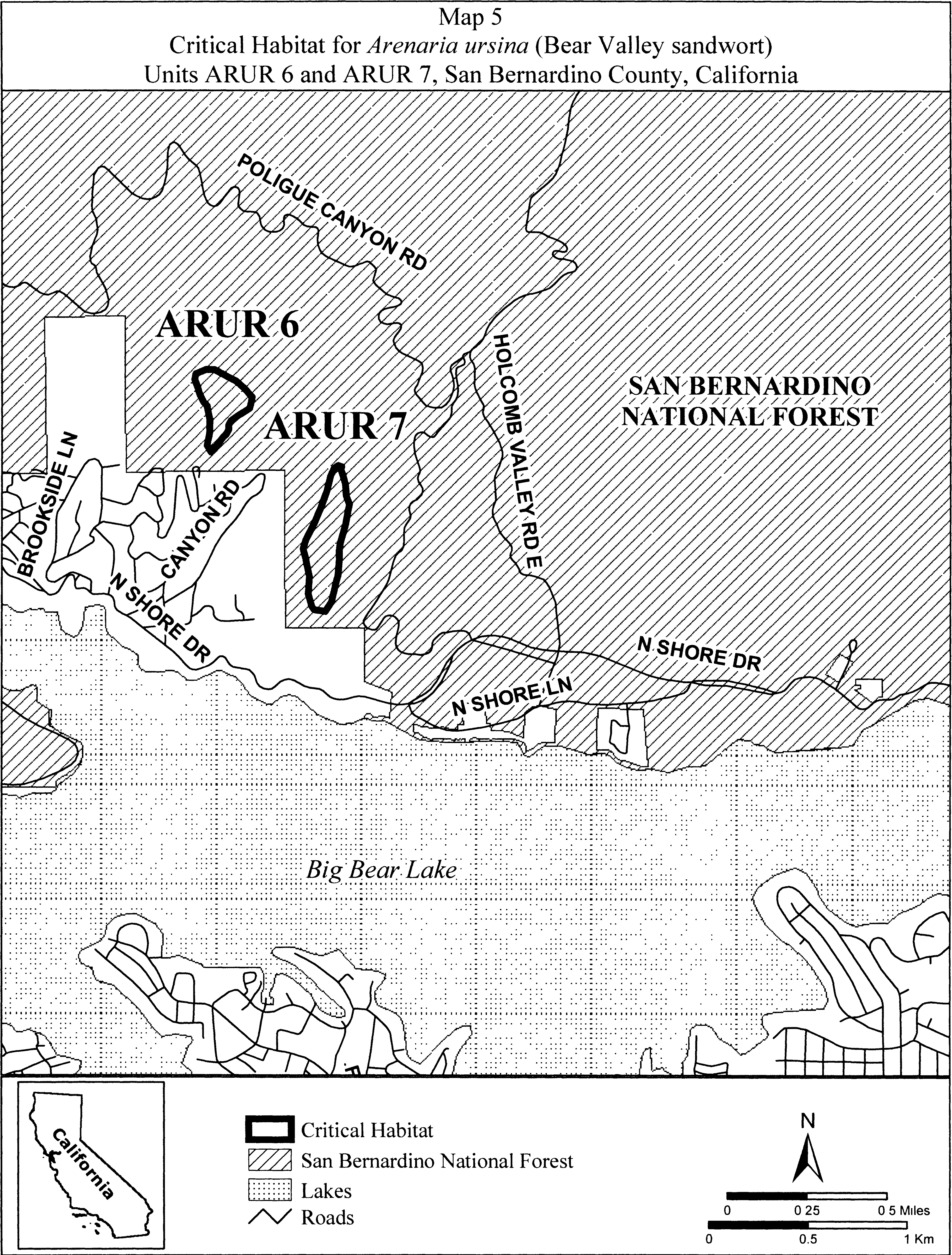
(10) Units ARUR 8, ARUR 9, and ARUR 12. Gold Mountain and North Baldwin Lake, San Bernardino County, California. From USGS 1:24,000 quadrangle map Big Bear City.
(i) Unit ARUR 8. Land bounded by the following UTM NAD27 coordinates (E,N): 516297, 3793523; 516342, 3793514; 516374, 3793491; 516405, 3793447; 516412, 3793390; 516424, 3793352; 516421, 3793333; 516437, 3793335; 516450, 3793331; 516463, 3793309; 516466, 3793281; 516465, 3793279; 516475, 3793268; 516469, 3793227; 516447, 3793207; 516421, 3793189; 516380, 3793166; 516345, 3793154; 516311, 3793139; 516272, 3793103; 516244, 3793081; 516215, 3793077; 516187, 3793090; 516206, 3793135; 516202, 3793144; 516207, 3793149; 516196, 3793141; 516172, 3793137; 516163, 3793137; 516157, 3793137; 516154, 3793135; 516147, 3793133; 516132, 3793125; 516128, 3793123; 516109, 3793112; 516096, 3793112; 516095, 3793112; 516081, 3793111; 516065, 3793105; 516045, 3793109; 516017, 3793126; 516016, 3793127; 516006, 3793132; 516003, 3793145; 515998, 3793153; 515995, 3793166; 515988, 3793165; 515980, 3793163; 515971, 3793161; 515961, 3793161; 515956, 3793162; 515943, 3793162; 515926, 3793178; 515919, 3793180; 515912, 3793182; 515905, 3793188; 515899, 3793193; 515893, 3793198; 515884, 3793209; 515881, 3793219; 515879, 3793220; 515793, 3793243; 515732, 3793233; 515685, 3793220; 515647, 3793211; 515577, 3793211; 515536, 3793230; 515507, 3793261; 515501, 3793303; 515501, 3793335; 515542, 3793357; 515586, 3793360; 515625, 3793357; 515666, 3793341; 515707, 3793335; 515761, 3793338; 515809, 3793354; 515828, 3793376; 515851, 3793399; 515851, 3793403; 515848, 3793408; 515845, 3793414; 515844, 3793417; 515842, 3793424; 515842, 3793431; 515843, 3793438; 515839, 3793448; 515845, 3793446; 515849, 3793444; 515856, 3793439; 515860, 3793433; 515872, 3793430; 515873, 3793429; 515879, 3793443; 515901, 3793468; 515904, 3793468; 515910, 3793468; 515917, 3793461; 515921, 3793461; 515935, 3793473; 515980, 3793495; 516015, 3793501; 516082, 3793514; 516132, 3793514; 516212, 3793520; 516262, 3793527; 516297, 3793523.
(ii) Unit ARUR 9. Land bounded by the following UTM NAD27 coordinates (E,N): 516768, 3792969; 516744, 3792965; 516720, 3792965; 516705, 3792961; 516685, 3792953; 516673, 3792949; 516652, 3792935; 516645, 3792926; 516642, 3792923; 516641, 3792918; 516633, 3792898; 516633, 3792891; 516633, 3792891; 516623, 3792868; 516621, 3792864; 516585, 3792863; 516581, 3792865; 516578, 3792862; 516562, 3792870; 516560, 3792871; 516556, 3792871; 516545, 3792873; 516540, 3792875; 516521, 3792875; 516510, 3792864; 516502, 3792855; 516496, 3792848; 516490, 3792840; 516477, 3792833; 516463, 3792824; 516461, 3792822; 516450, 3792804; 516447, 3792800; 516438, 3792788; 516423, 3792784; 516410, 3792780; 516377, 3792769; 516375, 3792768; 516364, 3792763; 516319, 3792740; 516318, 3792740; 516311, 3792737; 516304, 3792731; 516298, 3792731; 516283, 3792725; 516279, 3792728; 516271, 3792727; 516229, 3792731; 516176, 3792758; 516157, 3792773; 516130, 3792803; 516127, 3792815; 516119, 3792849; 516138, 3792891; 516157, 3792925; 516180, 3792952; 516203, 3792979; 516233, 3793009; 516268, 3793036; 516274, 3793041; 516275, 3793055; 516282, 3793087; 516298, 3793112; 516329, 3793125; 516364, 3793131; 516453, 3793154; 516520, 3793160; 516590, 3793166; 516610, 3793155; 516641, 3793150; 516668, 3793139; 516694, 3793116; 516717, 3793093; 516732, 3793074; 516748, 3793055; 516759, 3793039; 516770, 3793024; 516772, 3793012; 516775, 3793010; 516778, 3793004; 516778, 3793004; 516780, 3793001; 516784, 3792993; 516783, 3792989; 516783, 3792987; 516783, 3792987; 516783, 3792987; 516782, 3792985; 516780, 3792983; 516780, 3792981; 516777, 3792979; 516777, 3792978; 516775, 3792975; 516773, 3792971; 516772, 3792971; 516772, 3792971; 516771, 3792971; 516769, 3792970; 516768, 3792969.
(iii) Unit ARUR 12. Land bounded by the following UTM NAD27 coordinates (E,N): 516160, 3795525; 516163, 3795551; 516182, 3795563; 516194, 3795563; 516198, 3795566; 516240, 3795559; 516278, 3795551; 516308, 3795555; 516331, 3795578; 516396, 3795605; 516406, 3795603; 516415, 3795605; 516453, 3795601; 516491, 3795578; 516491, 3795574; 516491, 3795551; 516472, 3795525; 516466, 3795501; 516465, 3795486; 516468, 3795452; 516480, 3795422; 516486, 3795415; 516518, 3795399; 516552, 3795379; 516598, 3795380; 516649, 3795388; 516655, 3795391; 516654, 3795425; 516658, 3795442; 516685, 3795452; 516698, 3795449; 516708, 3795431; 516716, 3795406; 516765, 3795429; 516807, 3795448; 516810, 3795448; 516834, 3795456; 516857, 3795452; 516906, 3795429; 516933, 3795410; 516960, 3795383; 516971, 3795361; 516986, 3795334; 517009, 3795299; 517032, 3795262; 517063, 3795223; 517097, 3795181; 517110, 3795163; 517131, 3795140; 517165, 3795101; 517184, 3795090; 517207, 3795083; 517211, 3795082; 517269, 3795104; 517278, 3795133; 517272, 3795170; 517264, 3795193; 517230, 3795239; 517196, 3795288; 517154, 3795349; 517150, 3795370; 517146, 3795376; 517139, 3795399; 517141, 3795414; 517139, 3795425; 517146, 3795448; 517154, 3795471; 517211, 3795517; 517245, 3795521; 517314, 3795517; 517360, 3795509; 517381, 3795485; 517386, 3795479; 517388, 3795476; 517402, 3795460; 517413, 3795433; 517440, 3795387; 517460, 3795371; 517489, 3795353; 517506, 3795341; 517520, 3795334; 517584, 3795315; 517611, 3795292; 517653, 3795261; 517672, 3795219; 517699, 3795159; 517718, 3795115; 517749, 3795078; 517759, 3795070; 517786, 3795052; 517809, 3795029; 517840, 3794999; 517841, 3794997; 517851, 3794987; 517882, 3794923; 517908, 3794881; 517917, 3794871; 517939, 3794854; 517981, 3794819; 518023, 3794812; 518038, 3794812; 518095, 3794819; 518152, 3794816; 518155, 3794815; 518171, 3794816; 518202, 3794804; 518251, 3794778; 518339, 3794755; 518411, 3794732; 518461, 3794724; 518461, 3794713; 518457, 3794698; 518442, 3794683; 518439, 3794680; 518438, 3794679; 518415, 3794652; 518458, 3794642; 518462, 3794598; 518443, 3794587; 518438, 3794583; 518413, 3794573; 518371, 3794577; 518322, 3794586; 518279, 3794597; 518246, 3794608; 518230, 3794614; 518206, 3794614; 518133, 3794617; 518117, 3794619; 518097, 3794610; 518097, 3794615; 518097, 3794618; 518098, 3794621; 518069, 3794625; 518061, 3794625; 518045, 3794627; 518046, 3794602; 518045, 3794602; 518039, 3794605; 518034, 3794609; 518019, 3794610; 518017, 3794611; 518019, 3794605; 518019, 3794589; 518012, 3794567; 517993, 3794554; 517968, 3794567; 517946, 3794573; 517936, 3794560; 517920, 3794548; 517914, 3794549; 517917, 3794545; 517924, 3794535; 517931, 3794526; 517939, 3794516; 517948, 3794503; 517954, 3794493; 517959, 3794482; 517964, 3794473; 517964, 3794468; 517959, 3794461; 517950, 3794456; 517934, 3794458; 517923, 3794462; 517905, 3794469; 517892, 3794475; 517882, 3794478; 517869, 3794480; 517852, 3794480; 517859, 3794462; 517866, 3794439; 517889, 3794413; 517927, 3794397; 517988, 3794404; 518030, 3794416; 518087, 3794439; 518110, 3794450; 518141, 3794473; 518187, 3794489; 518187, 3794490; 518222, 3794509; 518263, 3794506; 518311, 3794497; 518358, 3794490; 518419, 3794490; 518476, 3794493; 518481, 3794494; 518521, 3794504; 518558, 3794517; 518564, 3794521; 518569, 3794521; 518583, 3794526; 518586, 3794527; 518612, 3794538; 518617, 3794537; 518631, 3794533; 518632, 3794534; 518633, 3794533; 518663, 3794526; 518666, 3794509; 518673, 3794503; 518666, 3794484; 518666, 3794453; 518652, 3794447; 518644, 3794435; 518627, 3794432; 518620, 3794430; 518617, 3794427; 518602, 3794424; 518587, 3794421; 518565, 3794411; 518549, 3794409; 518508, 3794396; 518507, 3794395; 518505, 3794395; 518499, 3794393; 518457, 3794385; 518453, 3794385; 518428, 3794373; 518387, 3794376; 518358, 3794379; 518338, 3794383; 518327, 3794381; 518297, 3794362; 518273, 3794328; 518272, 3794325; 518277, 3794321; 518281, 3794312; 518281, 3794302; 518281, 3794291; 518279, 3794282; 518279, 3794278; 518293, 3794271; 518316, 3794259; 518369, 3794248; 518415, 3794244; 518426, 3794242; 518442, 3794241; 518455, 3794236; 518468, 3794233; 518507, 3794221; 518533, 3794195; 518541, 3794175; 518552, 3794157; 518554, 3794145; 518560, 3794134; 518558, 3794126; 518560, 3794115; 518552, 3794092; 518539, 3794081; 518529, 3794065; 518480, 3794069; 518474, 3794071; 518446, 3794073; 518407, 3794092; 518373, 3794111; 518312, 3794145; 518305, 3794152; 518297, 3794157; 518280, 3794177; 518270, 3794183; 518251, 3794179; 518221, 3794179; 518175, 3794164; 518142, 3794157; 518099, 3794141; 518065, 3794130; 518030, 3794122; 517965, 3794115; 517927, 3794103; 517901, 3794092; 517878, 3794093; 517863, 3794088; 517830, 3794088; 517836, 3794390; 517634, 3794390; 517639, 3794589; 517192, 3794589; 517160, 3794606; 517141, 3794622; 517130, 3794635; 517123, 3794641; 517120, 3794653; 517119, 3794657; 517112, 3794663; 517070, 3794705; 517068, 3794708; 517063, 3794711; 517052, 3794723; 517046, 3794727; 517042, 3794731; 517041, 3794732; 517036, 3794736; 517030, 3794739; 517025, 3794739; 517020, 3794742; 517019, 3794742; 517014, 3794745; 517009, 3794751; 517014, 3794755; 517025, 3794753; 517041, 3794746; 517040, 3794749; 516998, 3794804; 516956, 3794839; 516952, 3794841; 516906, 3794865; 516883, 3794884; 516856, 3794905; 516851, 3794907; 516849, 3794897; 516839, 3794910; 516811, 3794919; 516735, 3794926; 516686, 3794937; 516674, 3794938; 516657, 3794947; 516643, 3794953; 516613, 3794973; 516582, 3794991; 516573, 3795005; 516567, 3795010; 516548, 3795037; 516525, 3795059; 516522, 3795063; 516487, 3795098; 516483, 3795101; 516472, 3795119; 516461, 3795136; 516443, 3795164; 516430, 3795185; 516420, 3795212; 516419, 3795216; 516396, 3795265; 516377, 3795311; 516365, 3795341; 516346, 3795368; 516304, 3795399; 516259, 3795433; 516198, 3795471; 516175, 3795494; 516167, 3795501; 516168, 3795507; 516160, 3795525.
(iv) Note: Map of Unit ARUR 8, ARUR 9, and ARUR 12 (Map 6) follows:
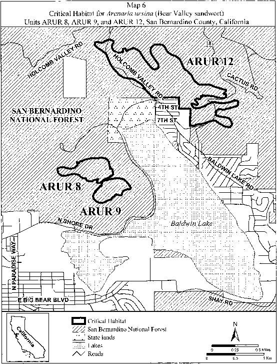
(11) Units ARUR 10 and ARUR 11. Holcomb Valley, San Bernardino County, California. From USGS 1:24,000 quadrangle map Fawnskin.
(i) Unit ARUR 10. Land bounded by the following UTM NAD27 coordinates (E,N): 506727, 3796049; 506738, 3796035; 506743, 3796031; 506761, 3796001; 506765, 3795985; 506767, 3795981; 506783, 3795942; 506785, 3795915; 506787, 3795910; 506790, 3795878; 506784, 3795872; 506782, 3795867; 506779, 3795843; 506773, 3795840; 506772, 3795835; 506767, 3795833; 506752, 3795821; 506730, 3795818; 506689, 3795818; 506663, 3795823; 506634, 3795825; 506624, 3795837; 506612, 3795847; 506606, 3795854; 506597, 3795862; 506571, 3795881; 506571, 3795883; 506557, 3795893; 506544, 3795910; 506529, 3795930; 506530, 3795930; 506528, 3795934; 506565, 3795933; 506565, 3795935; 506574, 3795964; 506600, 3795986; 506635, 3796001; 506633, 3796023; 506631, 3796041; 506632, 3796041; 506644, 3796045; 506663, 3796042; 506681, 3796042; 506707, 3796045; 506715, 3796049; 506727, 3796049. Land bounded by the following UTM NAD27 coordinates (E,N): 506666, 3795511; 506661, 3795481; 506647, 3795471; 506625, 3795463; 506622, 3795462; 506612, 3795476; 506604, 3795484; 506602, 3795500; 506591, 3795480; 506584, 3795455; 506569, 3795435; 506569, 3795428; 506562, 3795409; 506556, 3795389; 506547, 3795351; 506537, 3795317; 506532, 3795310; 506524, 3795303; 506512, 3795298; 506504, 3795291; 506495, 3795298; 506492, 3795307; 506487, 3795328; 506483, 3795347; 506477, 3795372; 506472, 3795393; 506470, 3795416; 506466, 3795433; 506463, 3795457; 506468, 3795488; 506472, 3795510; 506474, 3795533; 506477, 3795567; 506485, 3795593; 506494, 3795624; 506507, 3795657; 506517, 3795687; 506534, 3795715; 506555, 3795736; 506549, 3795747; 506552, 3795771; 506564, 3795799; 506572, 3795807; 506600, 3795819; 506616, 3795811; 506617, 3795807; 506620, 3795805; 506635, 3795794; 506639, 3795763; 506641, 3795759; 506670, 3795753; 506695, 3795750; 506705, 3795731; 506695, 3795712; 506690, 3795703; 506692, 3795687; 506687, 3795672; 506679, 3795655; 506689, 3795626; 506705, 3795598; 506708, 3795575; 506689, 3795550; 506677, 3795540; 506676, 3795537; 506666, 3795511.
(ii) Unit ARUR 11. Land bounded by the following UTM NAD27 coordinates (E,N): 509943, 3794740; 509997, 3794674; 510070, 3794623; 510076, 3794591; 510073, 3794585; 510044, 3794562; 510003, 3794556; 510054, 3794518; 510105, 3794477; 510124, 3794477; 510194, 3794473; 510219, 3794442; 510222, 3794391; 510168, 3794347; 510105, 3794283; 510067, 3794201; 510054, 3794162; 510013, 3794124; 509999, 3794124; 509999, 3794118; 509996, 3794110; 509991, 3794106; 509987, 3794102; 509981, 3794099; 509975, 3794097; 509968, 3794095; 509961, 3794096; 509955, 3794096; 509950, 3794098; 509946, 3794101; 509940, 3794109; 509940, 3794115; 509940, 3794122; 509943, 3794131; 509947, 3794139; 509911, 3794159; 509908, 3794173; 509894, 3794173; 509886, 3794181; 509874, 3794221; 509894, 3794256; 509914, 3794284; 509943, 3794302; 509943, 3794305; 509893, 3794327; 509858, 3794375; 509839, 3794404; 509807, 3794445; 509782, 3794480; 509747, 3794531; 509668, 3794579; 509639, 3794617; 509643, 3794633; 509635, 3794642; 509648, 3794660; 509649, 3794664; 509664, 3794674; 509668, 3794674; 509674, 3794667; 509680, 3794664; 509682, 3794659; 509737, 3794651; 509797, 3794623; 509800, 3794620; 509787, 3794641; 509771, 3794660; 509747, 3794684; 509743, 3794708; 509747, 3794731; 509755, 3794743; 509775, 3794743; 509791, 3794735; 509806, 3794729; 509803, 3794743; 509822, 3794772; 509902, 3794759; 509943, 3794740.
(iii) Note: Units ARUR 10 and ARUR 11 (Map 7) follows:
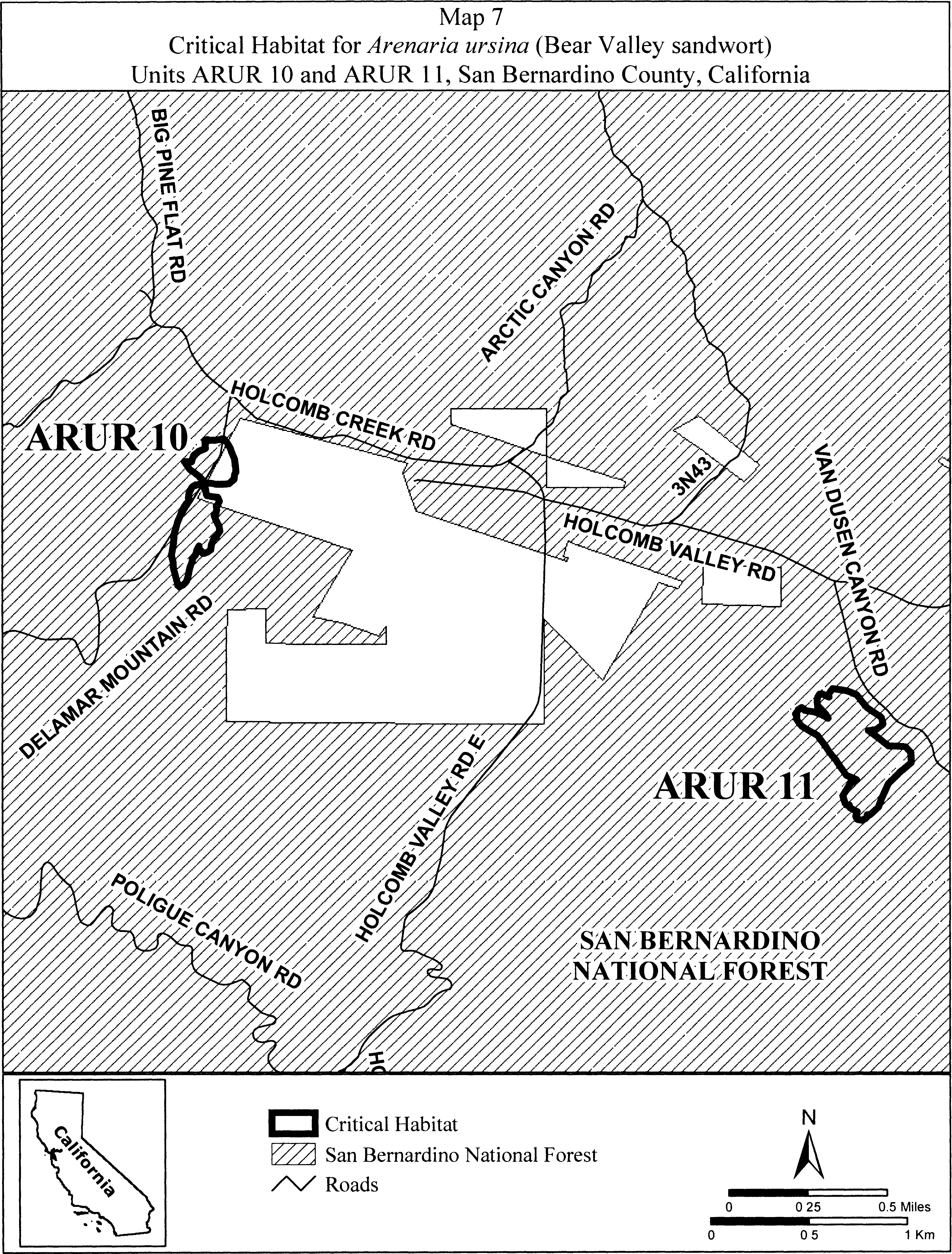
(12) Units ARUR 13 and ARUR 14. Sawmill, San Bernardino County, California. From USGS 1:24,000 quadrangle maps Big Bear City and Moonridge.
(i) Unit ARUR 13. Land bounded by the following UTM NAD27 coordinates (E,N): 514010, 3788419; 513955, 3788406; 513936, 3788404; 513891, 3788404; 513855, 3788412; 513831, 3788423; 513803, 3788431; 513777, 3788444; 513756, 3788453; 513744, 3788464; 513731, 3788473; 513761, 3788481; 513764, 3788488; 513768, 3788499; 513787, 3788551; 513781, 3788561; 513779, 3788566; 513777, 3788572; 513775, 3788579; 513777, 3788585; 513784, 3788591; 513809, 3788609; 513815, 3788611; 513820, 3788612; 513823, 3788612; 513837, 3788627; 513843, 3788649; 513843, 3788659; 513842, 3788660; 513830, 3788680; 513826, 3788709; 513821, 3788716; 513811, 3788742; 513789, 3788818; 513789, 3788865; 513789, 3788897; 513789, 3788923; 513776, 3788948; 513761, 3788973; 513742, 3788986; 513735, 3789005; 513719, 3789024; 513703, 3789050; 513697, 3789059; 513691, 3789069; 513678, 3789094; 513665, 3789113; 513653, 3789135; 513652, 3789137; 513648, 3789140; 513624, 3789156; 513620, 3789168; 513604, 3789184; 513600, 3789208; 513606, 3789220; 513606, 3789228; 513608, 3789229; 513581, 3789259; 513591, 3789262; 513601, 3789262; 513605, 3789257; 513608, 3789253; 513611, 3789247; 513621, 3789233; 513636, 3789235; 513645, 3789230; 513648, 3789234; 513652, 3789230; 513658, 3789229; 513662, 3789230; 513670, 3789236; 513674, 3789239; 513679, 3789244; 513686, 3789364; 513695, 3789377; 513704, 3789381; 513715, 3789379; 513719, 3789377; 513728, 3789372; 513730, 3789357; 513724, 3789335; 513743, 3789335; 513747, 3789335; 513763, 3789331; 513766, 3789326; 513772, 3789321; 513778, 3789313; 513781, 3789306; 513783, 3789303; 513783, 3789275; 513778, 3789268; 513778, 3789266; 513776, 3789263; 513753, 3789217; 513753, 3789214; 513750, 3789205; 513748, 3789194; 513745, 3789182; 513744, 3789171; 513744, 3789168; 513759, 3789161; 513765, 3789157; 513772, 3789154; 513780, 3789137; 513792, 3789126; 513793, 3789113; 513798, 3789111; 513804, 3789105; 513812, 3789102; 513826, 3789091; 513836, 3789093; 513846, 3789090; 513853, 3789083; 513854, 3789059; 513850, 3789053; 513878, 3789041; 513902, 3789017; 513905, 3789013; 513906, 3789010; 513913, 3789005; 513913, 3789001; 513918, 3788993; 513918, 3788973; 513923, 3788961; 513919, 3788942; 513926, 3788919; 513935, 3788882; 513948, 3788850; 513957, 3788824; 513964, 3788796; 513957, 3788729; 513945, 3788701; 513938, 3788672; 513935, 3788640; 513948, 3788599; 513964, 3788577; 513986, 3788561; 513992, 3788542; 513999, 3788507; 514008, 3788472; 514021, 3788448; 514027, 3788437; 514027, 3788419.
(ii) Unit ARUR 14. Land bounded by the following UTM NAD27 coordinates (E,N): 515023, 3789730; 515031, 3789764; 515027, 3789815; 515027, 3789875; 515029, 3789884; 515029, 3789895; 515034, 3789907; 515034, 3789909; 515035, 3789912; 515037, 3789923; 515053, 3789964; 515054, 3789966; 515058, 3789977; 515063, 3789983; 515066, 3789986; 515069, 3789988; 515077, 3789997; 515092, 3789990; 515094, 3789989; 515104, 3789979; 515113, 3789974; 515120, 3789962; 515128, 3789941; 515137, 3789925; 515140, 3789915; 515142, 3789911; 515153, 3789887; 515153, 3789881; 515156, 3789875; 515148, 3789851; 515132, 3789851; 515116, 3789851; 515113, 3789850; 515104, 3789865; 515098, 3789869; 515091, 3789873; 515089, 3789873; 515077, 3789867; 515066, 3789856; 515069, 3789834; 515073, 3789814; 515077, 3789790; 515085, 3789759; 515088, 3789732.
(iii) Note: Units ARUR 13 and ARUR 14 (Map 8) follows:

(13) Unit ARUR 15. South Baldwin Ridge/Erwin Lake, San Bernardino County, California.
(i) From USGS 1:24,000 quadrangle map Big Bear City. Land bounded by the following UTM NAD27 coordinates (E,N): 518798, 3790531; 518814, 3790499; 518836, 3790501; 518883, 3790501; 518891, 3790493; 518942, 3790490; 519022, 3790477; 519063, 3790455; 519104, 3790439; 519114, 3790429; 519108, 3790395; 519085, 3790359; 519057, 3790347; 519012, 3790344; 518955, 3790357; 518923, 3790404; 518900, 3790419; 518911, 3790389; 518923, 3790370; 518907, 3790346; 518876, 3790342; 518839, 3790342; 518822, 3790331; 518821, 3790331; 518820, 3790320; 518800, 3790313; 518797, 3790307; 518792, 3790302; 518776, 3790291; 518766, 3790295; 518764, 3790297; 518763, 3790296; 518744, 3790298; 518740, 3790308; 518737, 3790313; 518724, 3790318; 518725, 3790327; 518714, 3790333; 518716, 3790337; 518707, 3790343; 518699, 3790340; 518697, 3790342; 518695, 3790345; 518693, 3790346; 518691, 3790351; 518685, 3790353; 518683, 3790359; 518682, 3790364; 518683, 3790368; 518698, 3790377; 518704, 3790378; 518712, 3790375; 518707, 3790379; 518666, 3790392; 518637, 3790398; 518629, 3790391; 518618, 3790391; 518613, 3790387; 518613, 3790385; 518611, 3790382; 518605, 3790378; 518600, 3790374; 518591, 3790377; 518580, 3790376; 518568, 3790381; 518553, 3790380; 518545, 3790386; 518540, 3790382; 518541, 3790379; 518541, 3790375; 518542, 3790373; 518540, 3790371; 518538, 3790371; 518535, 3790374; 518533, 3790378; 518531, 3790382; 518530, 3790387; 518529, 3790392; 518530, 3790397; 518532, 3790400; 518536, 3790400; 518542, 3790399; 518550, 3790401; 518553, 3790401; 518563, 3790404; 518567, 3790405; 518568, 3790403; 518570, 3790401; 518574, 3790401; 518577, 3790399; 518583, 3790401; 518590, 3790403; 518596, 3790399; 518596, 3790397; 518597, 3790397; 518602, 3790395; 518604, 3790398; 518607, 3790400; 518609, 3790402; 518610, 3790404; 518602, 3790406; 518597, 3790409; 518586, 3790409; 518562, 3790429; 518582, 3790445; 518597, 3790453; 518595, 3790463; 518574, 3790467; 518561, 3790460; 518541, 3790453; 518503, 3790453; 518490, 3790477; 518517, 3790511; 518551, 3790531; 518632, 3790551; 518686, 3790571; 518720, 3790579; 518740, 3790579; 518764, 3790562; 518798, 3790531.
(ii) Note: Map of ARUR 15 (Map 9) follows:
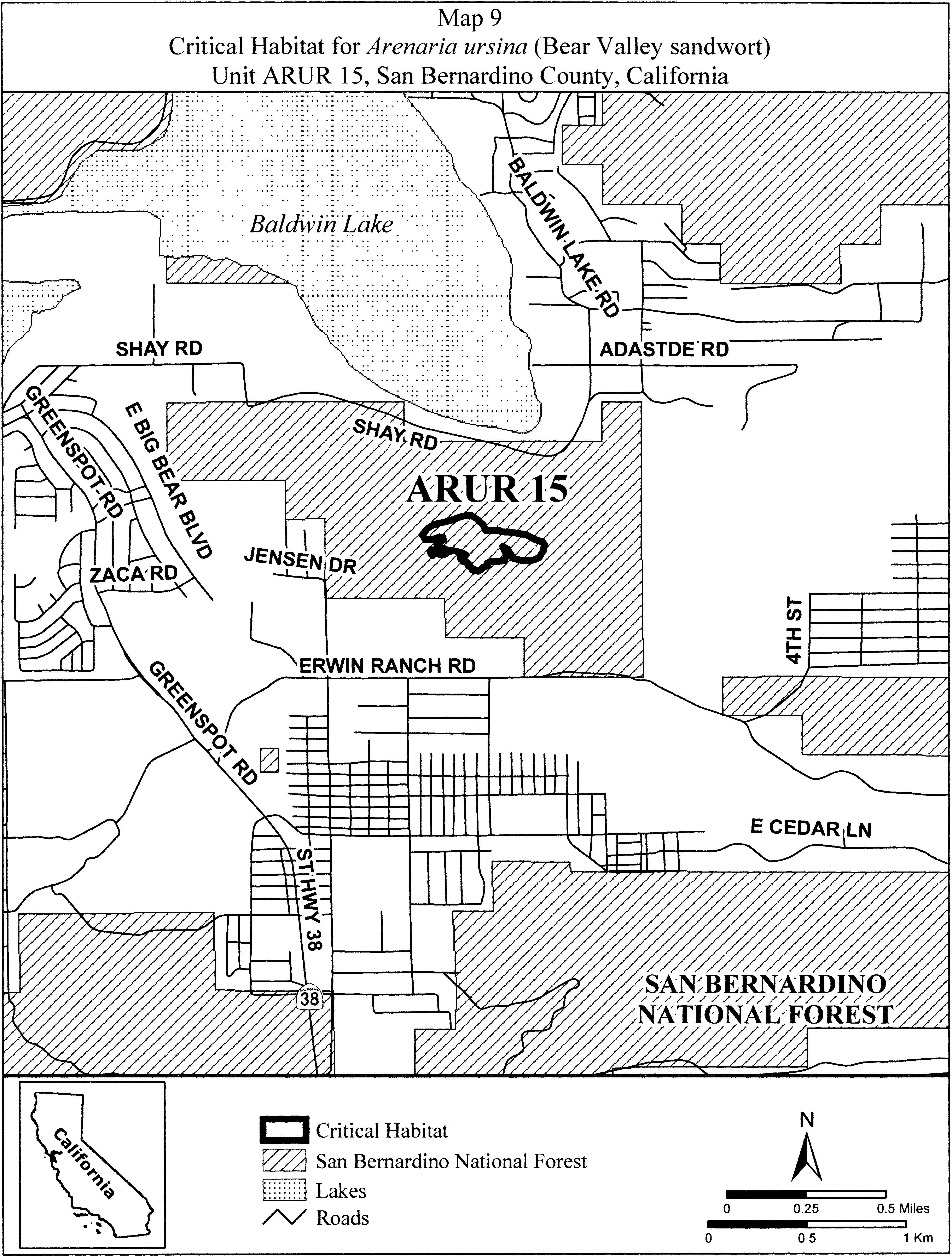
(14) Units ARUR 16 and ARUR 17. Sugarloaf Ridge, San Bernardino County, California. From USGS 1:24,000 quadrangle map Moonridge.
(i) Unit ARUR 16. Land bounded by the following UTM NAD27 coordinates (E,N): 521244, 3783525; 521340, 3783525; 521411, 3783533; 521470, 3783533; 521550, 3783517; 521601, 3783537; 521617, 3783561; 521669, 3783589; 521752, 3783569; 521824, 3783533; 521883, 3783493; 521939, 3783453; 521959, 3783406; 521971, 3783351; 521982, 3783287; 521975, 3783203; 521970, 3783181; 521967, 3783152; 521967, 3783101; 521967, 3783072; 521951, 3783015; 521939, 3782987; 521897, 3782936; 521875, 3782911; 521831, 3782891; 521793, 3782882; 521739, 3782888; 521694, 3782888; 521650, 3782911; 521624, 3782926; 521602, 3782955; 521561, 3782993; 521520, 3783066; 521485, 3783126; 521462, 3783203; 521440, 3783228; 521380, 3783237; 521323, 3783241; 521266, 3783247; 521228, 3783247; 521151, 3783237; 521075, 3783234; 521040, 3783237; 520939, 3783250; 520894, 3783257; 520859, 3783279; 520862, 3783301; 520856, 3783336; 520853, 3783371; 520852, 3783374; 520828, 3783382; 520780, 3783410; 520764, 3783453; 520776, 3783521; 520784, 3783549; 520784, 3783557; 520752, 3783628; 520764, 3783652; 520820, 3783684; 520867, 3783692; 520927, 3783688; 520955, 3783652; 520994, 3783605; 521022, 3783573; 521078, 3783549; 521109, 3783533; 521244, 3783525.
(ii) Unit ARUR 17. Land bounded by the following UTM NAD27 coordinates (E,N): 522459, 3784505; 522475, 3784502; 522490, 3784501; 522542, 3784497; 522570, 3784493; 522573, 3784489; 522582, 3784489; 522598, 3784448; 522601, 3784441; 522629, 3784382; 522640, 3784339; 522641, 3784335; 522641, 3784333; 522645, 3784318; 522637, 3784302; 522627, 3784289; 522625, 3784287; 522623, 3784285; 522621, 3784283; 522607, 3784265; 522602, 3784251; 522602, 3784227; 522613, 3784195; 522622, 3784177; 522637, 3784156; 522641, 3784144; 522640, 3784127; 522641, 3784116; 522638, 3784107; 522637, 3784097; 522633, 3784091; 522621, 3784064; 522586, 3784040; 522552, 3784021; 522534, 3784009; 522531, 3784009; 522530, 3784009; 522486, 3784009; 522455, 3784013; 522427, 3784044; 522387, 3784088; 522351, 3784135; 522347, 3784153; 522340, 3784168; 522292, 3784188; 522268, 3784200; 522258, 3784217; 522252, 3784223; 522256, 3784247; 522256, 3784255; 522280, 3784279; 522289, 3784297; 522292, 3784306; 522308, 3784366; 522308, 3784397; 522324, 3784449; 522327, 3784451; 522328, 3784454; 522339, 3784459; 522359, 3784473; 522403, 3784493; 522447, 3784505; 522455, 3784504; 522459, 3784505.
(iii) Note: Map of Units ARUR 16 and ARUR 17 (Map 10) follows:
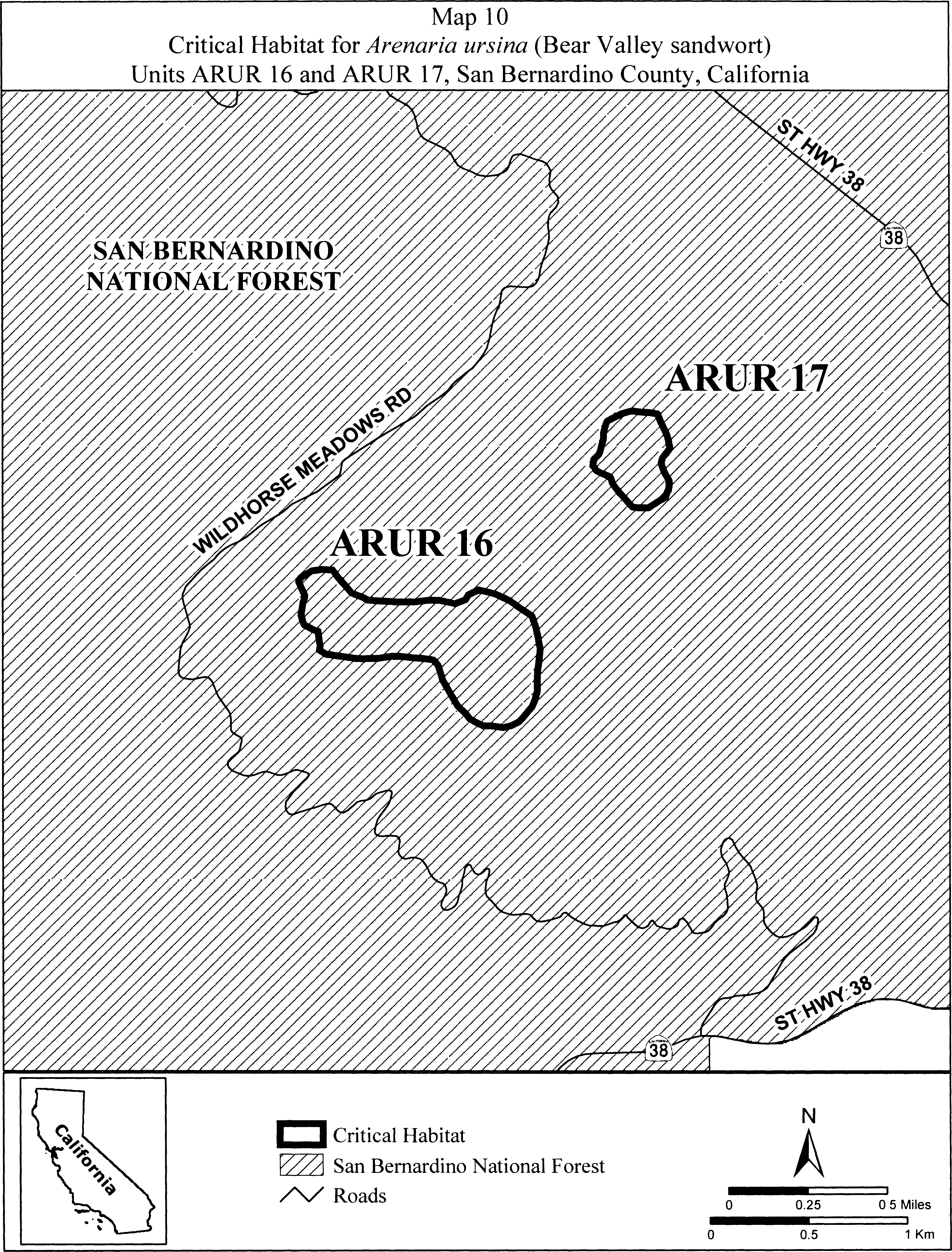
Family Chenopodiaceae: Atriplex coronata var. notatior (San Jacinto Valley crownscale)
Pursuant to section 4(b)(2) of the Act, we have excluded all areas determined to meet the definition of critical habitat under section 3(5)(A) of the Act for Atriplex coronata var. notatior. Therefore, no specific areas are designated as critical habitat for this species.
Family Chenopodiaceae: Nitrophila mohavensis (Amargosa niterwort).
California, Inyo County, Ash Meadows: W 1⁄2 sec. 5, E 1⁄2 sec. 6, NE 1⁄4 and E 1⁄2NW 1⁄4 sec. 7, NW 1⁄4 sec. 8, T25N, R6E.
Known primary constituent elements include salt-encrusted alkaline flats.
Map provided is for informational purposes only. Map follows:
Family Cistaceae: Hudsonia montana (mountain golden heather)
North Carolina; Burke County; the areas bounded by the following: on the west by the 2200′ contour; on the east by the Linville Gorge Wilderness Boundary north from the intersection of the 2200′ contour and the Shortoff Mountain Trail to where it intersects the 3400′ contour at “The chimneys” - then following the 3400′ contour north until it reintersects the Wilderness Boundary - then following the Wilderness Boundary again northward until it intersects the 3200′ contour extending west from its intersection with the Wilderness Boundary until it begins to turn south - at this point the Boundary extends due east until it intersects the 2200′ contour.
Map provided is for informational purposes only. Map follows:
Family Cyperaceae: Carex lutea (golden sedge)
(1) Critical habitat units are depicted for Onslow and Pender Counties, NC, on the maps below.
(2) The primary constituent element of the physical and biological features essential to the conservation of Carex lutea is Pine Savanna (Very Wet Clay Variant) natural plant community or ecotones that contain:
(i) Moist to completely saturated loamy fine sands, fine sands, fine sandy loams, and loamy sands soils with a pH between 5.5 and 7.2;
(ii) Open to relatively open canopy that allows full to partial sunlight to penetrate to the herbaceous layer between savannas and hardwood forests; and
(iii) Areas of bare soil immediately adjacent (within 12 inches (30 centimeters)) to mature Carex lutea plants where seeds may fall and germinate or existing plants may expand in size.
(3) Critical habitat does not include manmade structures existing on the effective date of this rule and not containing the primary constituent element, such as buildings, aqueducts, runways, roads, and other paved areas, and the land on which such structures are located.
(4) Critical habitat map units. Data layers defining map units were created using a base of aerial photographs (USDA National Agriculture Imagery Program; NAIP 2008). Critical habitat units were then mapped using Universal Transverse Mercator (UTM) zone 18 North American Datum (NAD) 1983 coordinates. These coordinates establish the vertices and endpoints of the boundaries of the units and subunits.
(5) Note: Index Map (Map 1) for critical habitat for Carex lutea in Onslow and Pender Counties, NC, follows:
(6) Unit 1, subunits A, B, and C, for Carex lutea: Watkins Savanna, Pender County, NC.
(i) Unit 1, subunits A, B, and C, for Carex lutea comprises 3.8 acres (ac) (1.5 hectares (ha)) of somewhat overgrown Pine Savanna habitat. Unit 1 is located approximately 5.1 miles (mi) (8.2 kilometers (km)) southeast of the intersection of NC 50 and NC 53, and all three subunits are on the north side of NC 50.
(ii) Map of Unit 1 (Watkins Savanna) follows:
(7) Unit 2 for Carex lutea: Haws Run Mitigation Site, Onslow County, NC.
(i) Unit 2 for Carex lutea comprises 27.1 ac (11.0 ha) of Pine Savanna. Unit 2 is located approximately 7.6 mi (12.2 km) southeast of the intersection of NC 50 and NC 53, on the south side of NC 50.
(ii) Map of Unit 2 (Haws Run Mitigation Site) follows:

(8) Unit 3 for Carex lutea: Maple Hill School Road Savanna, Pender County, NC.
(i) Unit 3 for Carex lutea comprises 27.7 ac (11.2 ha) of Pine Savanna. Unit 3 is located approximately 3.7 mi (6.0 km) southeast of the intersection of NC 50 and NC 53, east of SR 1580 and north of NC 50.
(ii) Map of Unit 3 (Maple Hill School Road Savanna) follows:
(9) Unit 4, subunits A and B, for Carex lutea: Southwest Ridge Savanna, Pender County, NC.
(i) Unit 4, subunits A and B, for Carex lutea comprises 3.3 ac (1.3 ha) of maintained power line on the edge of Pine Savanna. Unit 4 is located approximately 9.1 mi (14.7 km) southwest of the intersection of NC 50 and NC 53.
(ii) Map of Unit 4 (Southwest Ridge Savanna) follows:
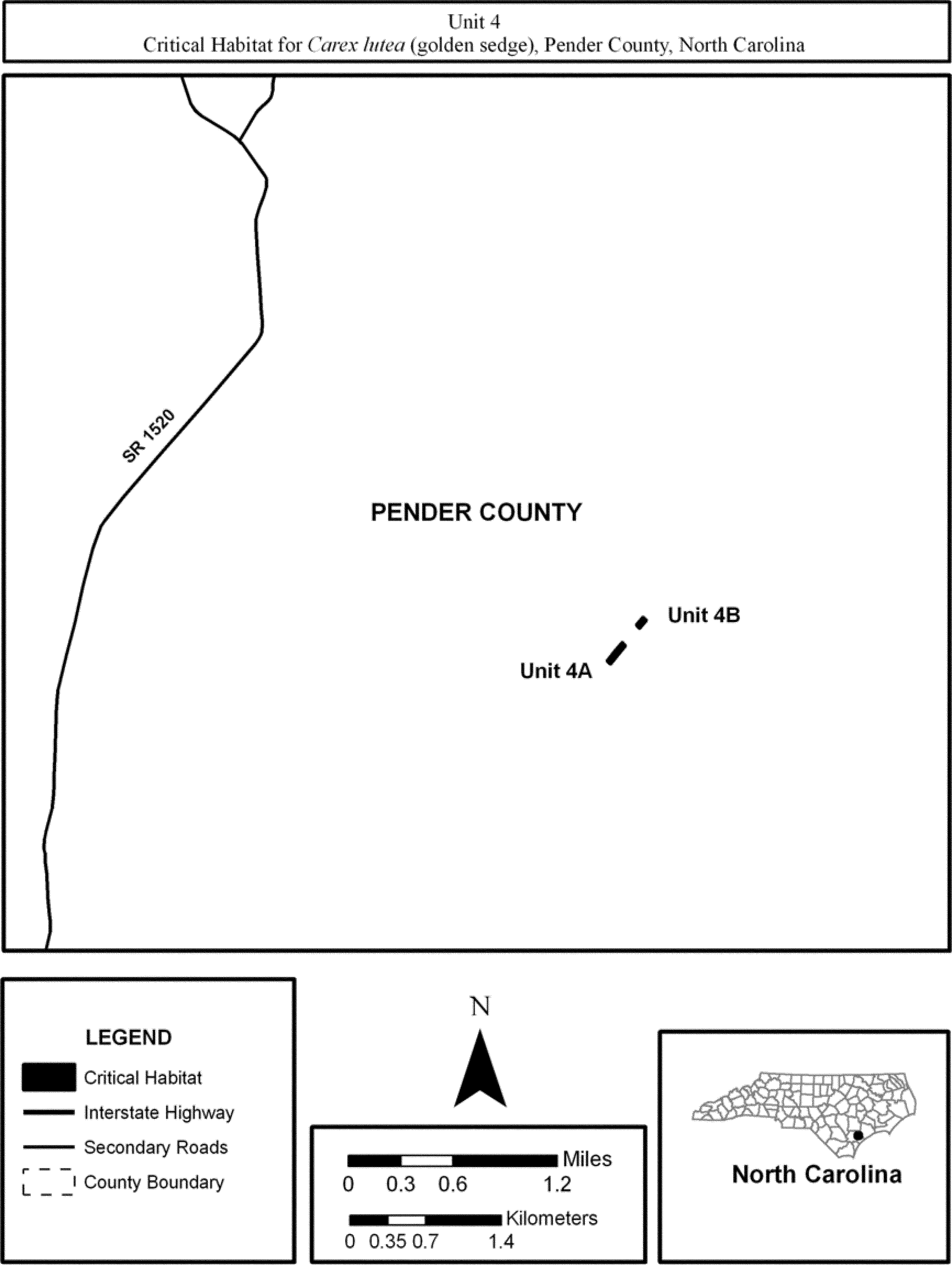
(10) Unit 5, subunits A, B, C, D and E, for Carex lutea: Sandy Run Savannas, Onslow County, NC.
(i) Unit 5, subunits A, B, C, D and E, for Carex lutea comprises 25.2 ac (10.2 ha) of power line right-of-way, ecotone and Pine Savanna habitat. Unit 5 is located approximately 7.1 mi (11.4 km) southeast of the intersection of NC 50 and NC 53. Subunit A is located in a power line corridor east of NC 50, and subunits B, C, D, and E are west of NC 50.
(ii) Map of Unit 5 (Sandy Run Savannas) follows:

(11) Unit 6, subunits A, B, and C, for Carex lutea: The Neck Savanna, Pender County, NC.
(i) Unit 6, subunits A, B, and C, for Carex lutea comprises 4.4 ac (1.8 ha) of power line right-of-way, Pine Savanna habitat. Unit 6 is located approximately 5.3 mi (8.5 km) southeast of the intersection of NC 50 and NC 53. All three subunits are located south of NC 50. Subunits 6A and 6B are located in remnant Pine Savanna ecotones southeast of SR 1532, and Subunit 6C is located along a power line right-of-way adjacent to Williams Road.
(ii) Map of Unit 6 (The Neck Savanna) follows:
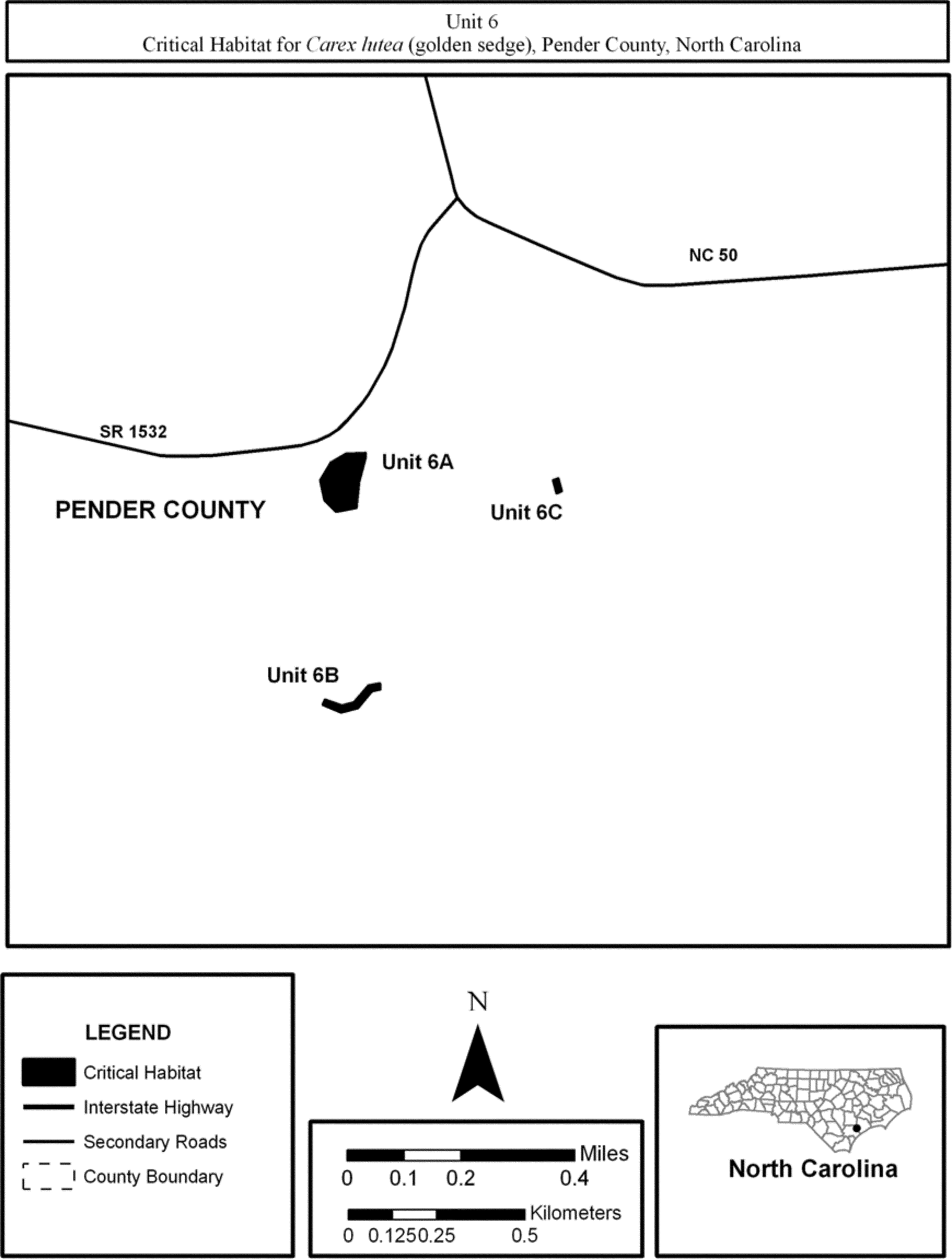
(12) Unit 7, subunits A, B, and C, for Carex lutea: Shaken Creek Savanna, Pender County, NC.
(i) Unit 7, subunits A, B, and C, for Carex lutea comprises 57.7 ac (23.4 ha) of Pine Savanna habitat. Unit 7 is located approximately 8.6 mi (13.8 km) southeast of the intersection of NC 50 and NC 53. All three subunits are located west of NC 50. Subunit 7A is immediately south side of Flo Road and east of Alligator Lake Road. Subunit 7B is immediately south of Flo Road and west of Alligator Lake Road. Subunit 7C is immediately south of Flo Road and approximately 1,800 feet (549 meters) west of Alligator Lake Road.
(ii) Map of Unit 7 (Shaken Creek Savanna) follows:

(13) Unit 8, subunits A, B, and C, for Carex lutea: McLean Savanna, Pender County, NC.
(i) Unit 8, subunits A, B, and C, for Carex lutea comprises 52.6 ac (21.3 ha) of Pine Savanna and ecotone habitat. Unit 8 is located approximately 16.4 mi (26.4 km) south of the intersection of NC 50 and NC 53 and approximately 2.1 mi (3.4 km) east of NC 210.
(ii) Map of Unit 8 (McLean Savanna) follows:
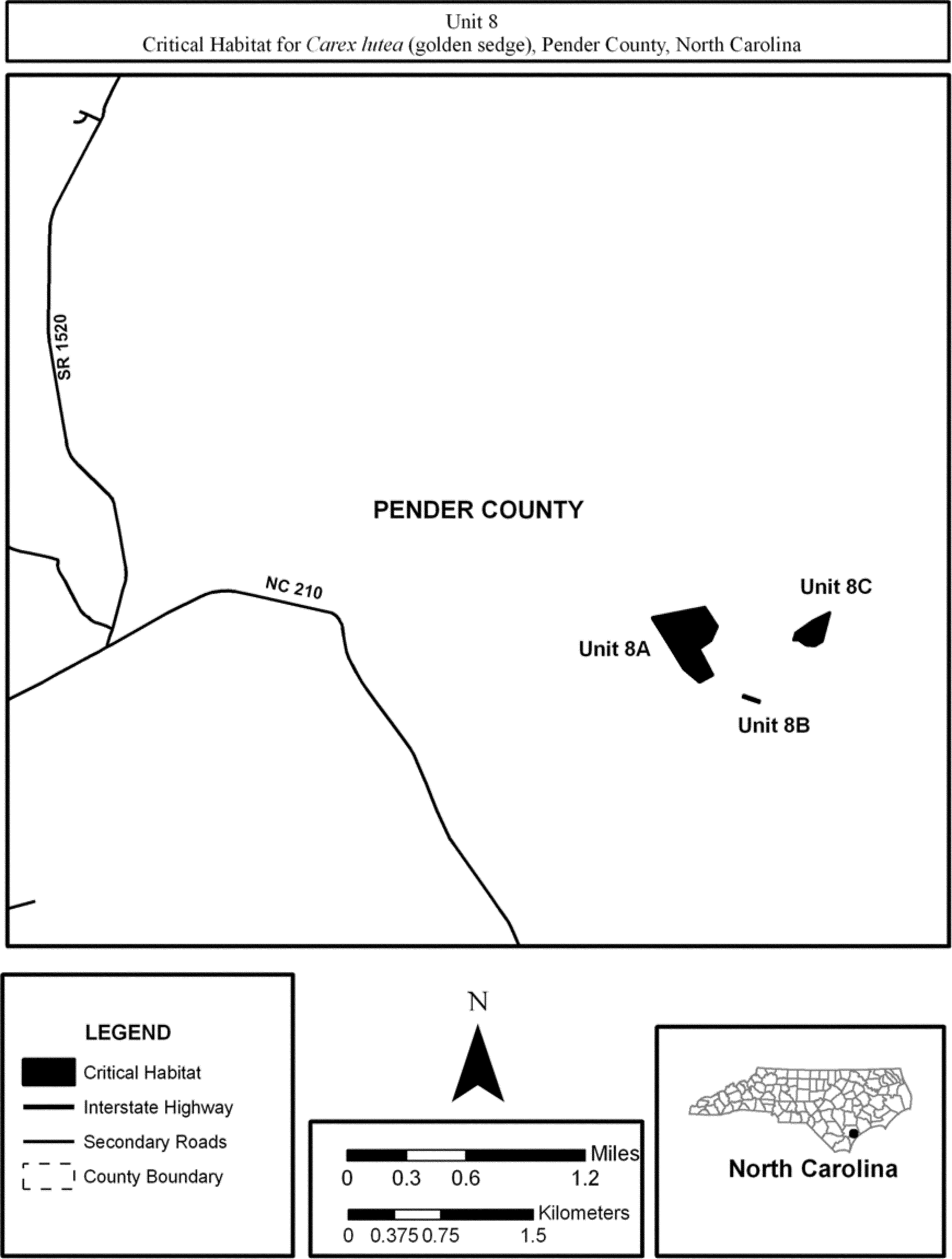
Family Cyperaceae: Carex specuicola (Navajo sedge)
Arizona: Coconino County; Navajo Indian Reservation. A 40 × 5 meter rectangular area, with its long axis in the direction of seep-spring flow, around each of the following points: (1) Latitude 36°39′53″ N, longitude 110°47′18″ W; (2) latitude 36°40′07″ N, longitude 110°47′55″ W; and (3) latitude 36°40′18″ N, longitude 110°48′15″ W. Primary constituent elements include moist sandy to silty soils at shady seep-springs within the Navajo Sandstone Formation.
Map provided is for informational purposes only. Map follows:

Family Ericaceae: Arctostaphylos franciscana (Franciscan manzanita)
(1) Critical habitat units are depicted for San Francisco County, California, on the maps below.
(2) Within these areas, the primary constituent elements of the physical or biological features essential to the conservation of Arctostaphylos franciscana consist of four components:
(i) Areas on or near bedrock outcrops often associated with ridges of serpentine or greenstone, mixed Franciscan rocks, or soils derived from these parent materials.
(ii) Areas having soils originating from parent materials identified in paragraph (2)(i) of this entry that are thin, have limited nutrient content or availability, or have large concentrations of heavy metals.
(iii) Areas within a vegetation community consisting of a mosaic of coastal scrub, serpentine maritime chaparral, or serpentine grassland as characterized as having a vegetation structure that is open, barren, or sparse with minimal overstory or understory of trees, shrubs, or plants, and that contain and exhibit a healthy fungal mycorrhizae component.
(iv) Areas that are influenced by summer fog, which limits daily and seasonal temperature ranges, provides moisture to limit drought stress, and increases humidity.
(3) Critical habitat does not include manmade structures (such as buildings, aqueducts, runways, roads, and other paved areas) and the land on which they are located existing within the legal boundaries on January 21, 2014.
(4) Critical habitat map units. Data layers defining map units were created on a base of the Natural Resource Conservation Service National Agriculture Imagery Program (NAIP 2010), and critical habitat was then mapped using North American Datum (NAD) 83, Universal Transverse Mercator Zone 10N coordinates. The maps in this entry, as modified by any accompanying regulatory text, establish the boundaries of the critical habitat designation.
(5) The coordinates for these maps are available on the Internet at http://www.regulations.gov at Docket No. FWS-R8-ES-2012-0067, at http://www.fws.gov/sacramento/, or at the Sacramento Fish and Wildlife Office. Field office location information may be obtained at the Service regional offices, the addresses of which are at 50 CFR 2.2.
(6) The index map of critical habitat units for Arctostaphylos franciscana (Franciscan manzanita) in San Francisco County, California, follows:
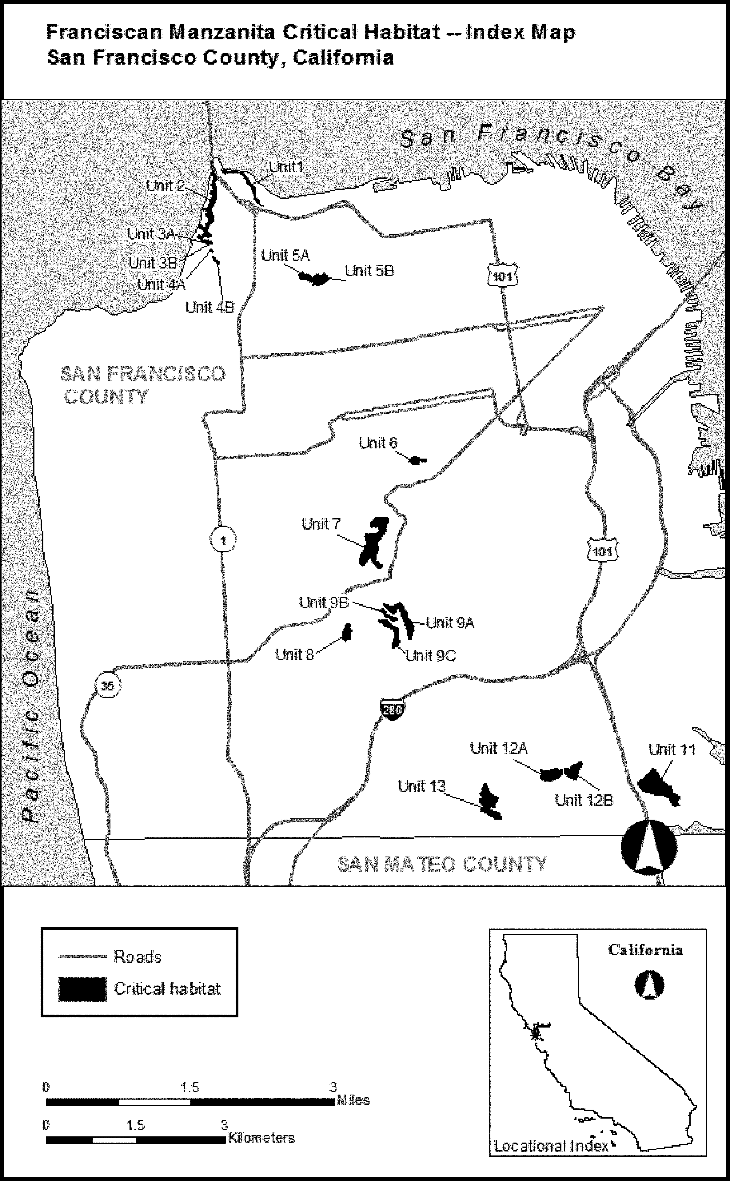
(7) Unit 1: Fort Point, San Francisco County, California. Map of Unit 1 and Unit 2 follows:

(8) Unit 2: Fort Point Rock, San Francisco County, California. Map of Unit 2 is provided at paragraph (7) of this entry.
(9) Unit 3: World War II Memorial, San Francisco, California. Map of Unit 3 and Unit 4 follows:

(10) Unit 4: Immigrant Point, San Francisco County, California. Map of Unit 4 is provided at paragraph (9) of this entry.
(11) Unit 5: Inspiration Point, San Francisco, California. Map of Unit 5 follows:
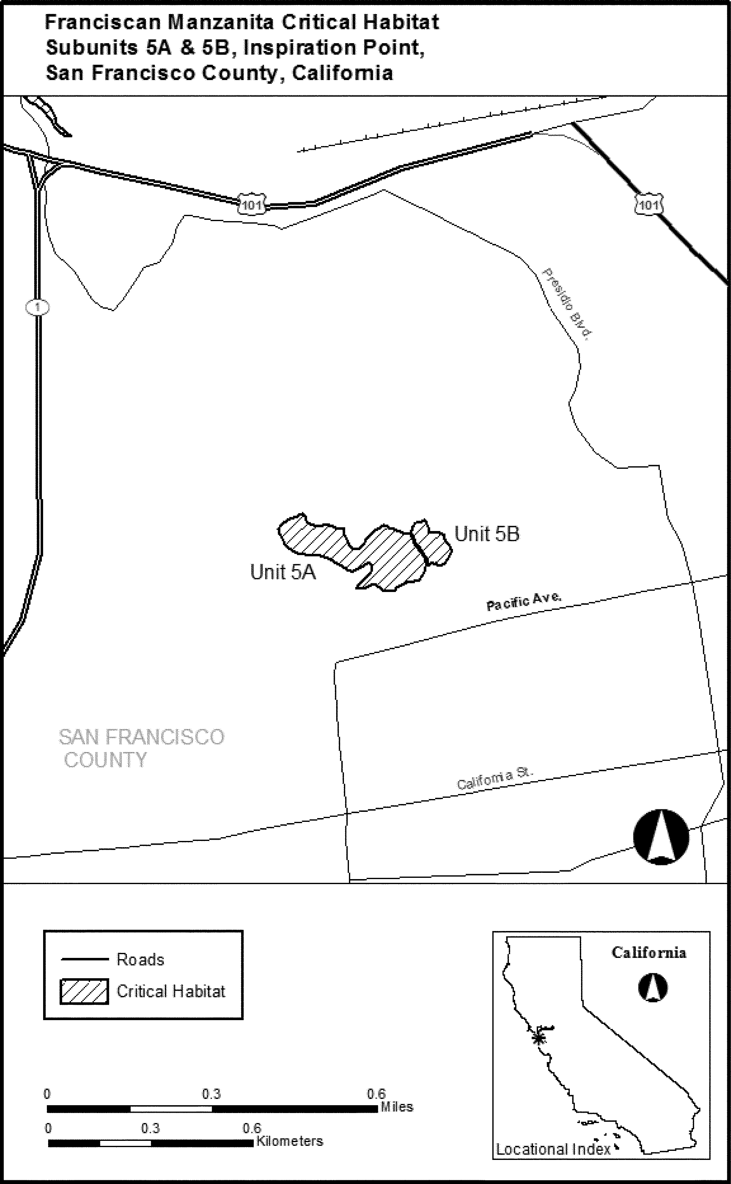
(12) Unit 6: Corona Heights, San Francisco County, California. Map of Unit 6 follows:
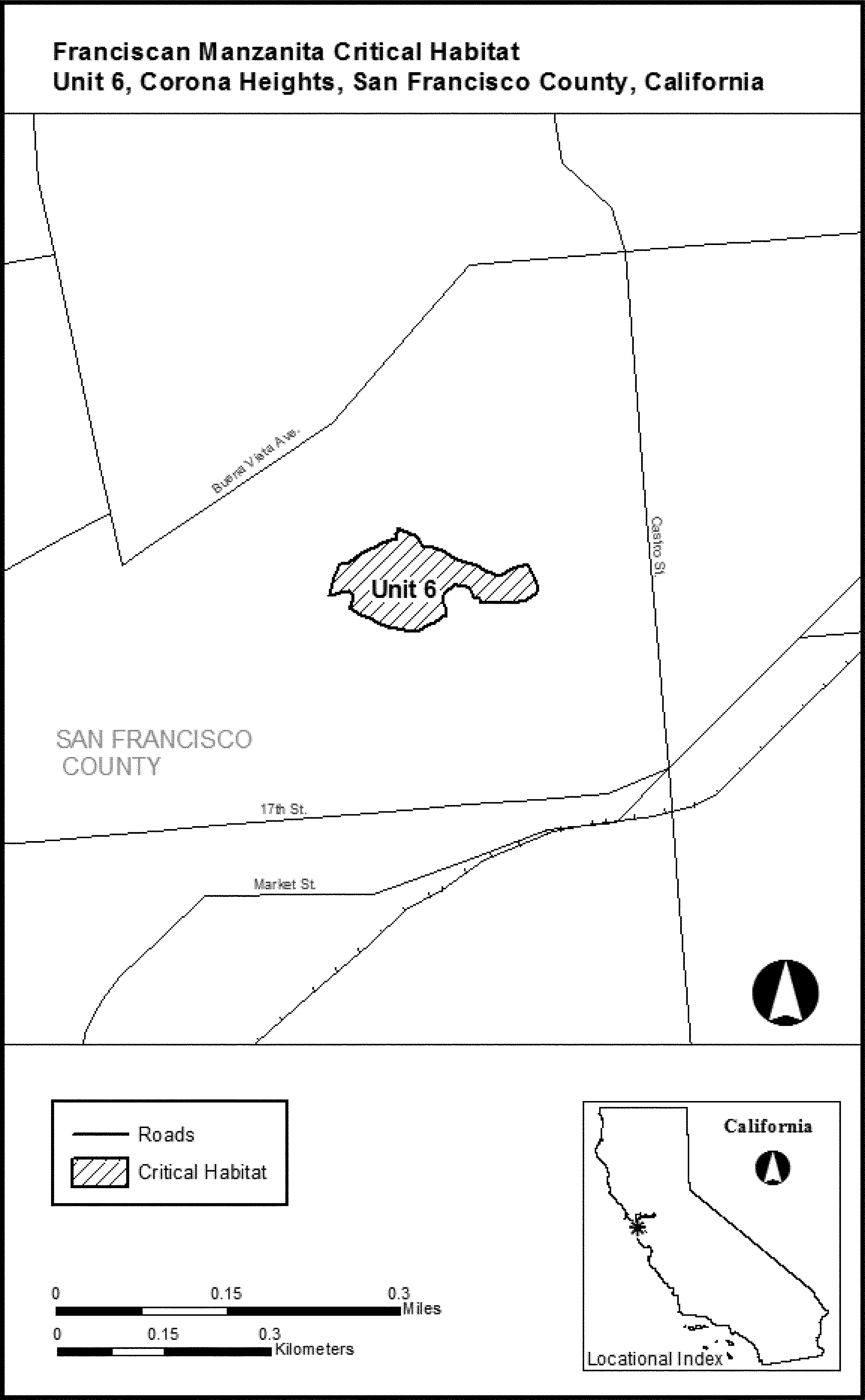
(13) Unit 7: Twin Peaks, San Francisco, California. Map of Unit 7 follows:
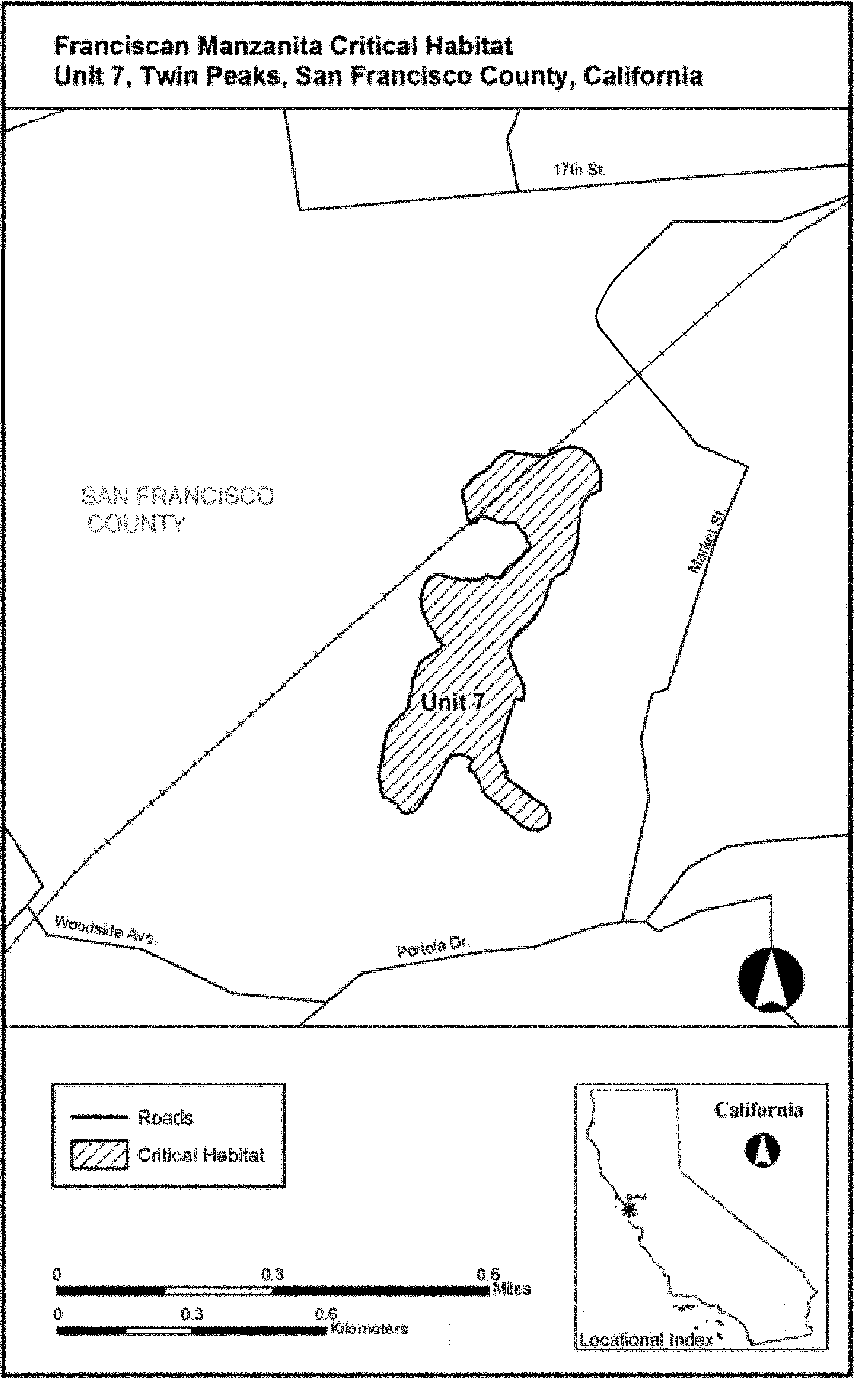
(14) Unit 8: Mount Davidson, San Francisco County, California. Map of Unit 8 follows:
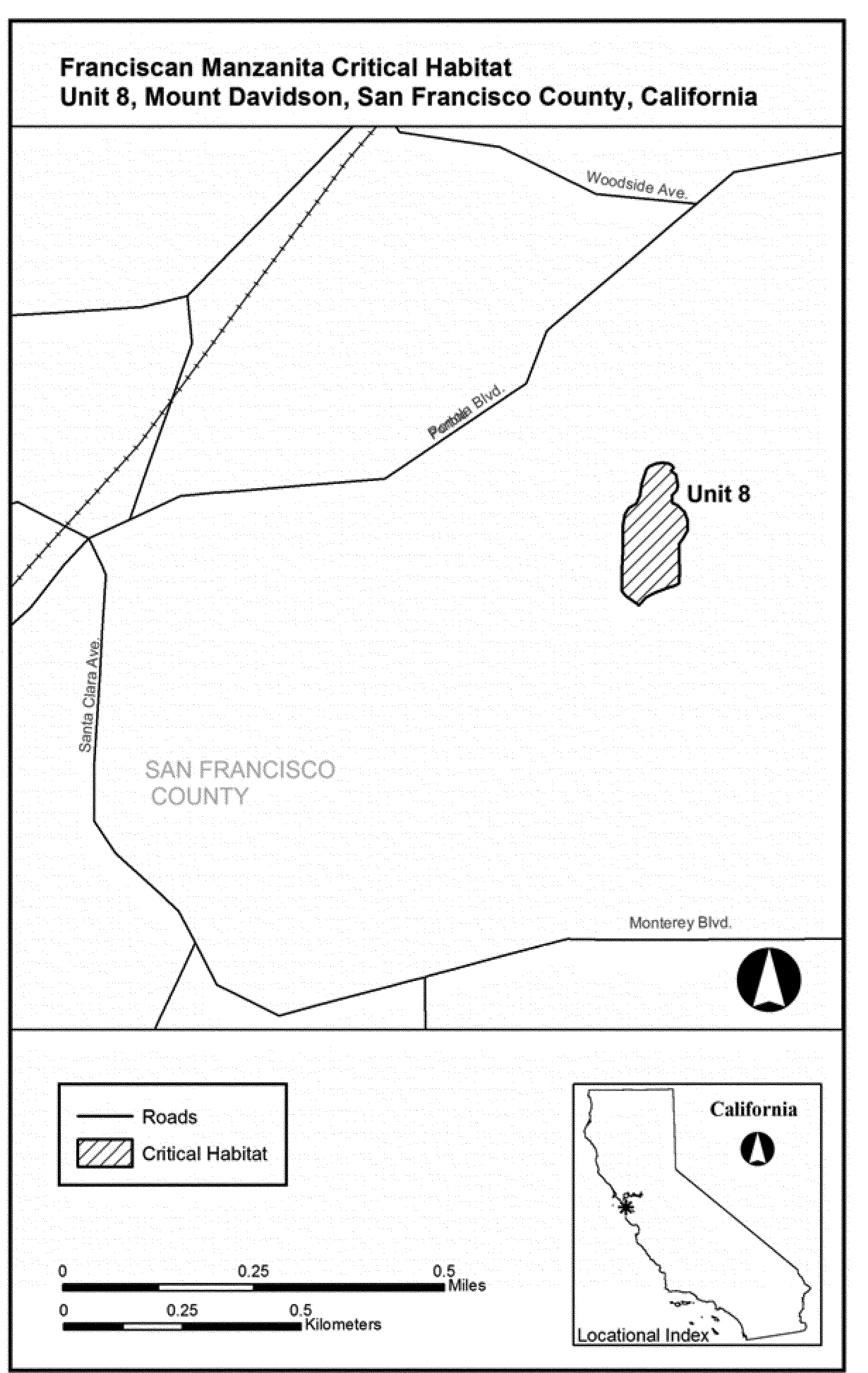
(15) Unit 9: Diamond Heights, San Francisco, California. Map of Unit 9 follows:
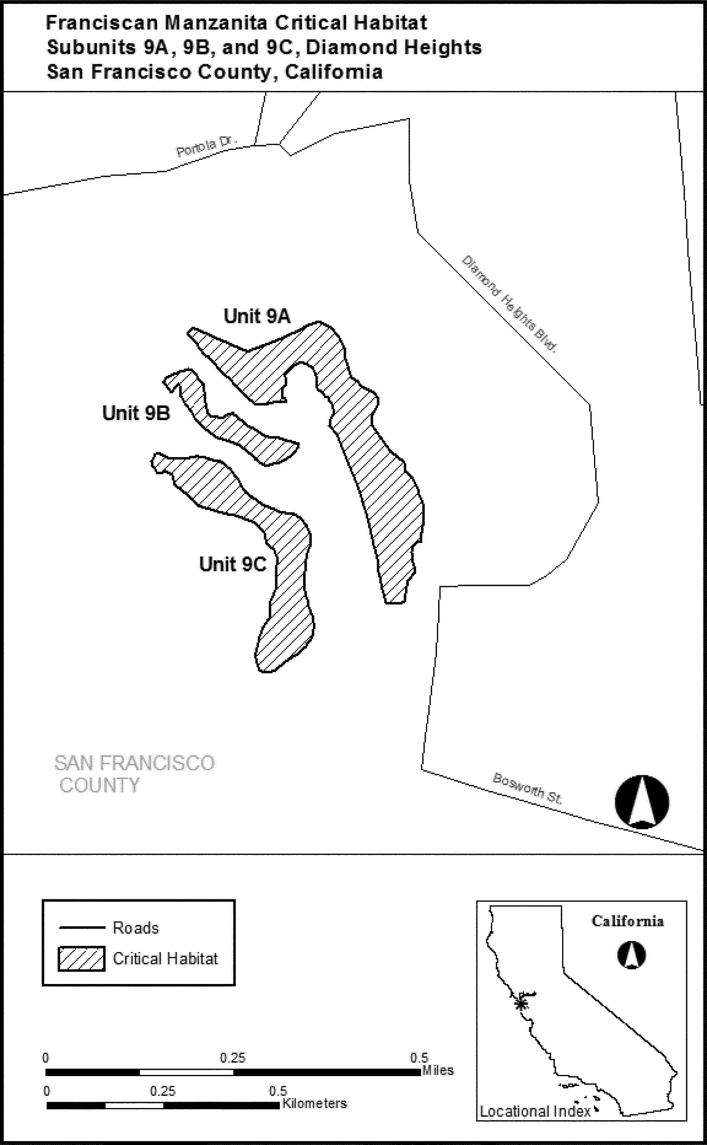
(16) Unit 11: Bayview Park, San Francisco County, California. Map of Unit 11 follows:
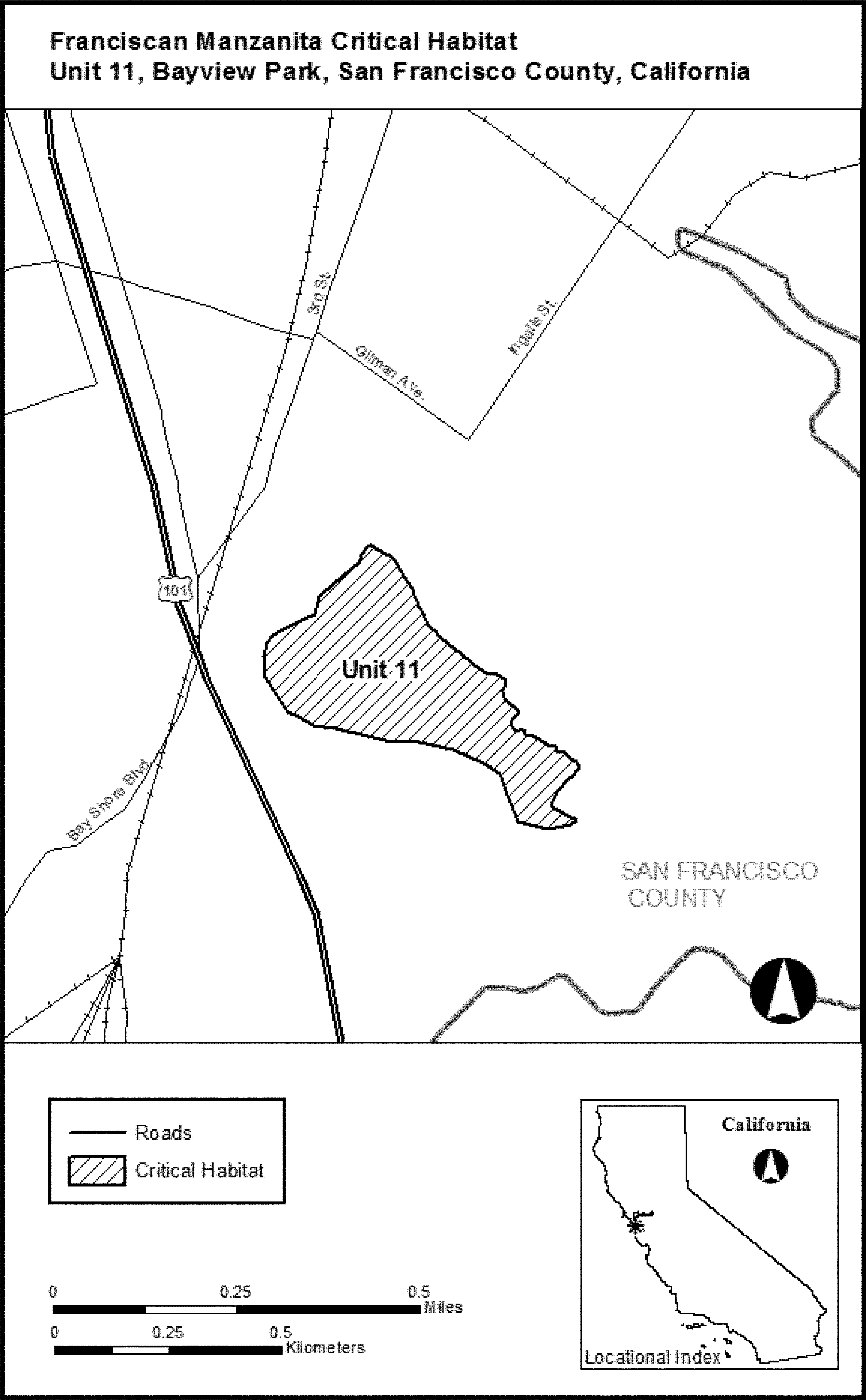
(17) Unit 12: McLaren Park East, San Francisco County, California. Map of Unit 12 follows:

(18) Unit 13: McLaren Park West, San Francisco County, California. Map of Unit 13 follows:
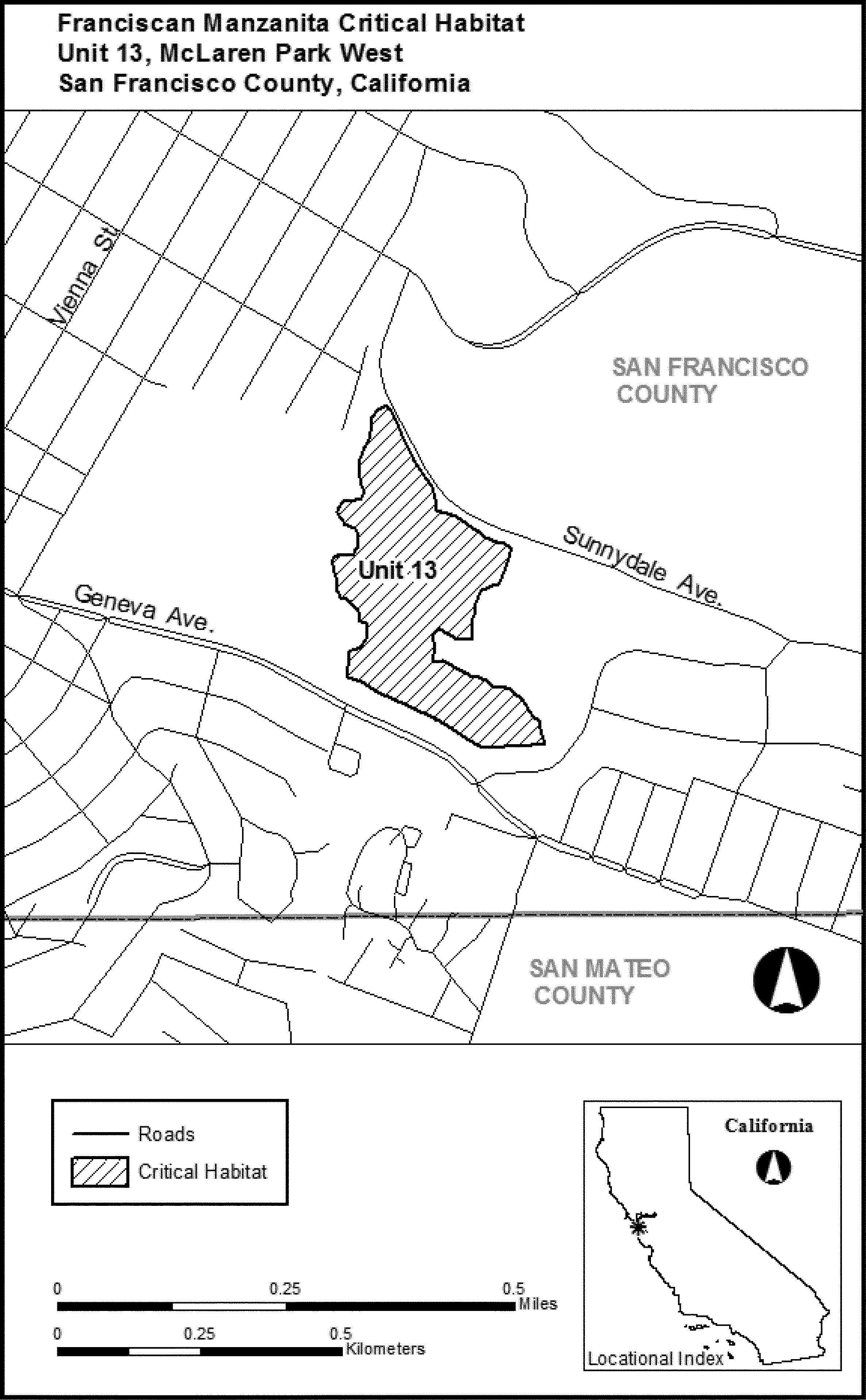
Family Ericaceae: Gonocalyx concolor
(1) Critical habitat units are depicted for the municipalities of Cayey, San Lorenzo, and Patillas, Commonwealth of Puerto Rico, on the maps in this entry.
(2) Within these areas, the primary constituent elements of the physical or biological features essential to the conservation of Gonocalyx concolor consist of these components:
(i) Elfin forest at elevations over 2,900 feet (ft) (880 meters (m)) in Cerro La Santa, Puerto Rico, which includes:
(A) Forest with single canopy layer with trees seldom exceeding 22 ft (7 m) in height.
(B) Associated native vegetation dominated by species such as Tabebuia schumanniana, Tabebuia rigida, Ocotea spathulata, Eugenia borinquensis, Clusia minor, and Prestoea acuminata var. montana, native ferns, and dense cover with epiphytes, including bromeliads and mosses.
(ii) Ausubo forest at elevations between 2,000 to 2,300 ft (620 to 720 m) in the Charco Azul, which includes:
(A) Forest with single canopy layer with trees exceeding 22 ft (7 m) in height.
(B) Plant association comprised by few species of native trees and associated native vegetation (e.g., Manilkara bidentata, Dacryodes excelsa,Guarea guidonia, and Cyrilla racemiflora), native ferns, and dense cover with epiphytes, including bromeliads and mosses.
(iii) The type locations described in paragraphs (2)(i) and (2)(ii) of this entry for this species should have mean annual precipitation of 88.7 in (225.3 cm), mean annual temperature of 72.3 °F (22.7 °C), and Los Guineos type of soil (i.e., very deep, acidic, clayey, well-drained soils on side slopes of mountains).
(3) Critical habitat does not include manmade structures (such as bridges, docks, and aqueducts) and the land on which they are located existing within the legal boundaries on October 9, 2014.
(4) Critical habitat map units. Data layers defining map units were created on a base of U.S. Geological Survey digital ortho-photo quarter-quadrangles, and critical habitat units were then mapped using aerial photos (ArcGis) to limits of the boundaries of the elfin forest and ausubo forest. Critical habitat units were then mapped using ArcMap version 10 (Environmental Systems Research Institute, Inc.), a Geographic Information Systems program. The maps in this entry, as modified by any accompanying regulatory text, establish the boundaries of the critical habitat designation. The coordinates or plot points or both on which each map is based are available to the public at the Service's Internet site at http://www.fws.gov/caribbean/es, at http://www.regulations.gov at Docket No. FWS-R4-ES-2013-0040, and at the field office responsible for this designation. You may obtain field office location information by contacting one of the Service regional offices, the addresses of which are listed at 50 CFR 2.2.
(5) Index map of critical habitat units for Gonocalyx concolor follows:
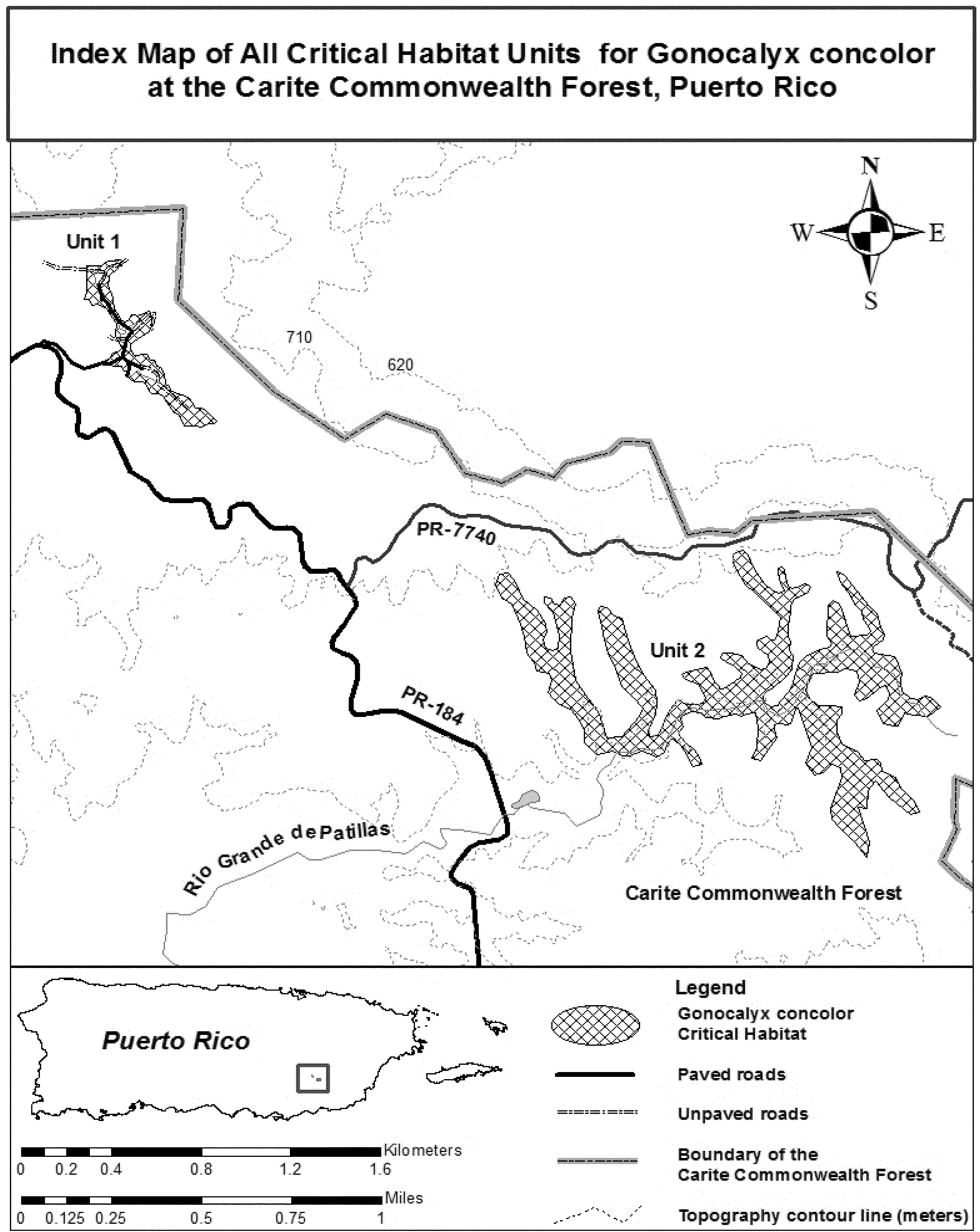
(6) Unit 1: Cerro La Santa, Carite Commonwealth Forest, Puerto Rico.
(i) Unit 1 includes 18.8 acres (ac) (7.6 hectares (ha)).
(ii) Map of Unit 1 follows:

(7) Unit 2: Charco Azul, Carite Commonwealth Forest, Puerto Rico.
(i) Unit 2 includes 179.2 ac (72.5 ha).
(ii) Map of Unit 2 follows:
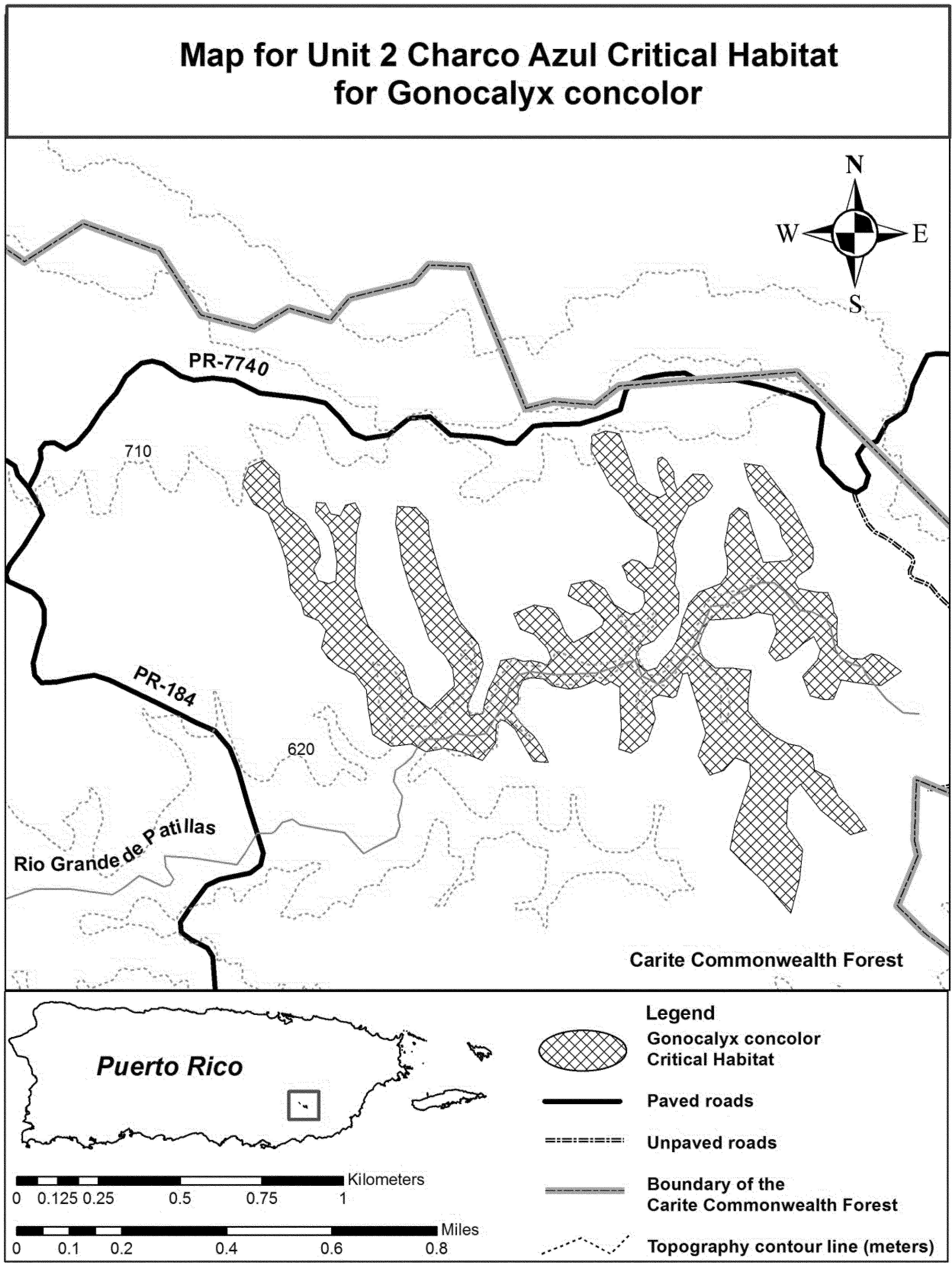
Family Euphorbiaceae: Chamaesyce hooveri (Hoover's spurge)
(1) Critical habitat units are depicted for Merced, Stanislaus, Tehama, Tulare, and Tuolumne Counties, California, on the maps below.
(2) The primary constituent elements of critical habitat for Chamaesyce hooveri (Hoover's Spurge) are the habitat components that provide:
(i) Topographic features characterized by isolated mound and intermound complex within a matrix of surrounding uplands that result in continuously, or intermittently, flowing surface water in the depressional features including swales connecting the pools described below in paragraph (2)(ii), providing for dispersal and promoting hydroperiods of adequate length in the pools;
(ii) Depressional features including isolated vernal pools with underlying restrictive soil layers that become inundated during winter rains and that continuously hold water or whose soils are saturated for a period long enough to promote germination, flowering, and seed production of predominantly annual native wetland species and typically exclude both native and nonnative upland plant species in all but the driest years. As these features are inundated on a seasonal basis, they do not promote the development of obligate wetland vegetation habitats typical of permanently flooded emergent wetlands;
(3) Existing manmade features and structures, such as buildings, roads, railroads, airports, runways, other paved areas, lawns, and other urban landscaped areas do not contain one or more of the primary constituent elements. Federal actions limited to those areas, therefore, would not trigger a consultation under section 7 of the Act unless they may affect the species and/or primary constituent elements in adjacent critical habitat.
(4) Unit 1: Tehama County, California.
(5) Unit 1 (Map 1) follows:

(6) Unit 2: Butte County, California.
(7) Unit 2 (Map 2) follows:
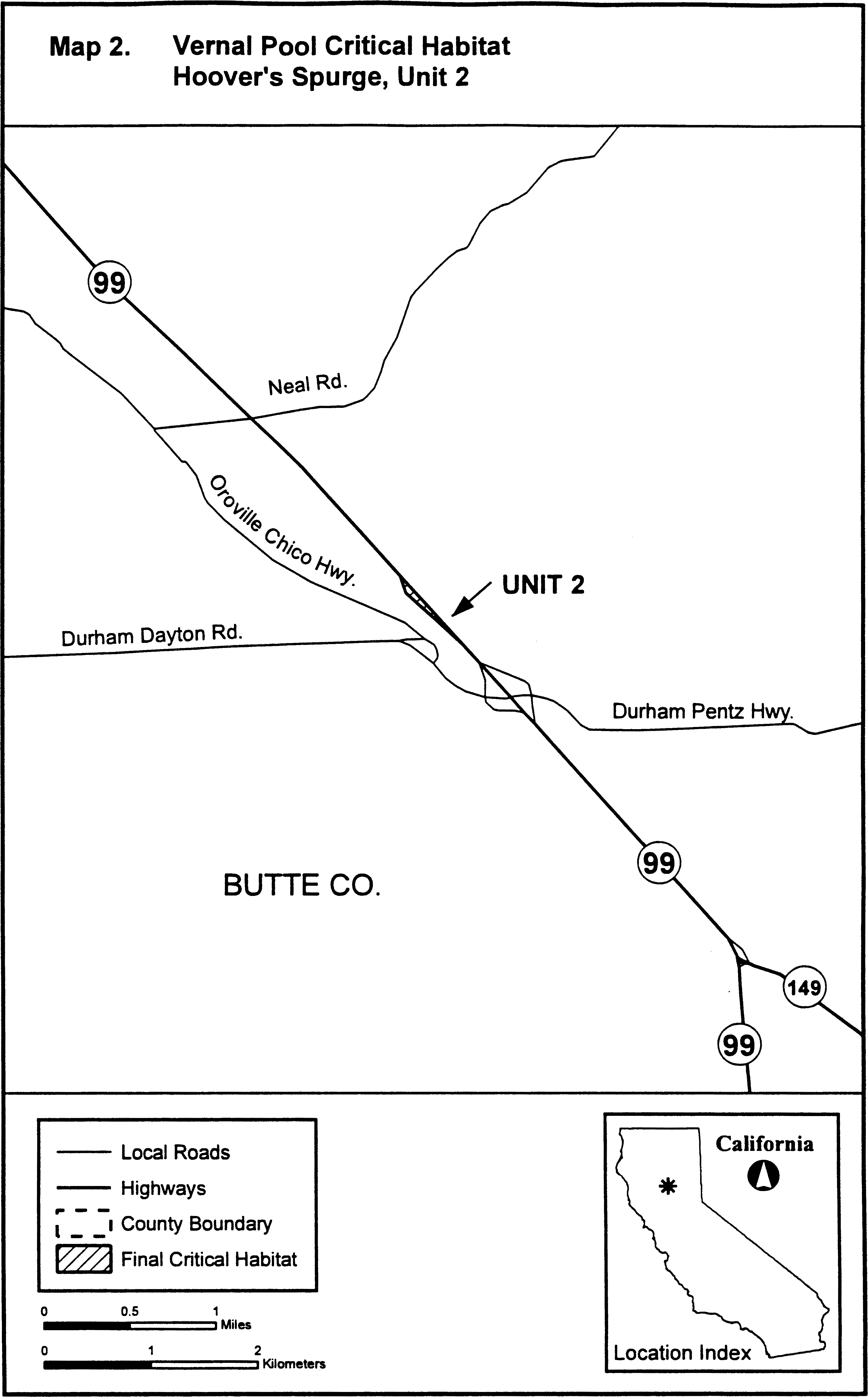
(8) Unit 3: Glenn and Colusa Counties, California. This unit was excluded from the designation pursuant to Section 4(b)(2) of the Act (see Exclusions under 4(b)(2) in the final critical habitat rule (70 FR 46924).
(9) Unit 4: Stanislaus and Tuolumne Counties. Map of Unit 4 is provided at paragraph (10)(ii) of this entry.
(10) Unit 5: Stanislaus and Merced Counties.
(i) [Reserved]
(ii) Units 4-5 (Map 3) follow:
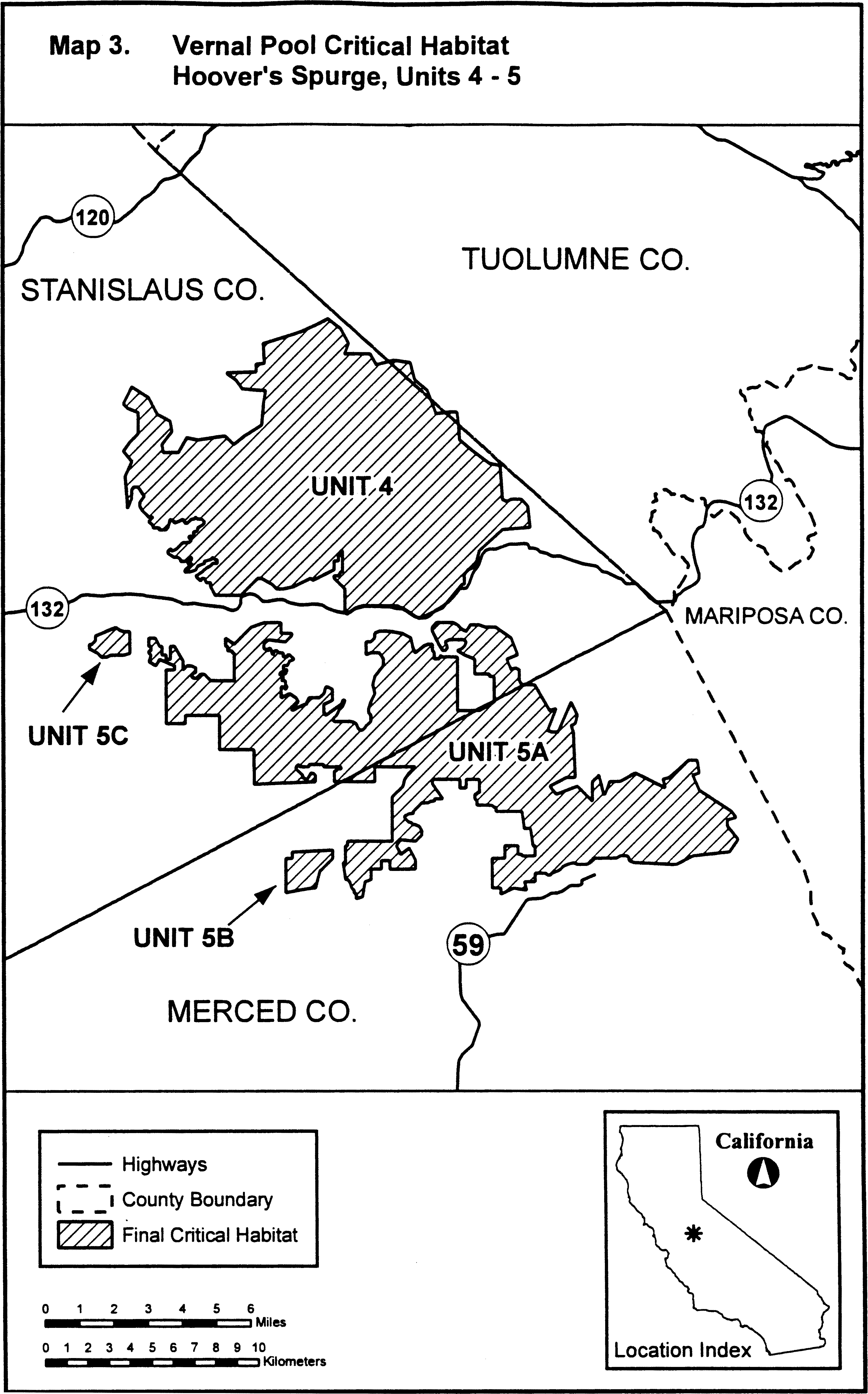
(11) Unit 6: Merced County.
(i) [Reserved]
(ii) Unit 6 (Map 4) follows:
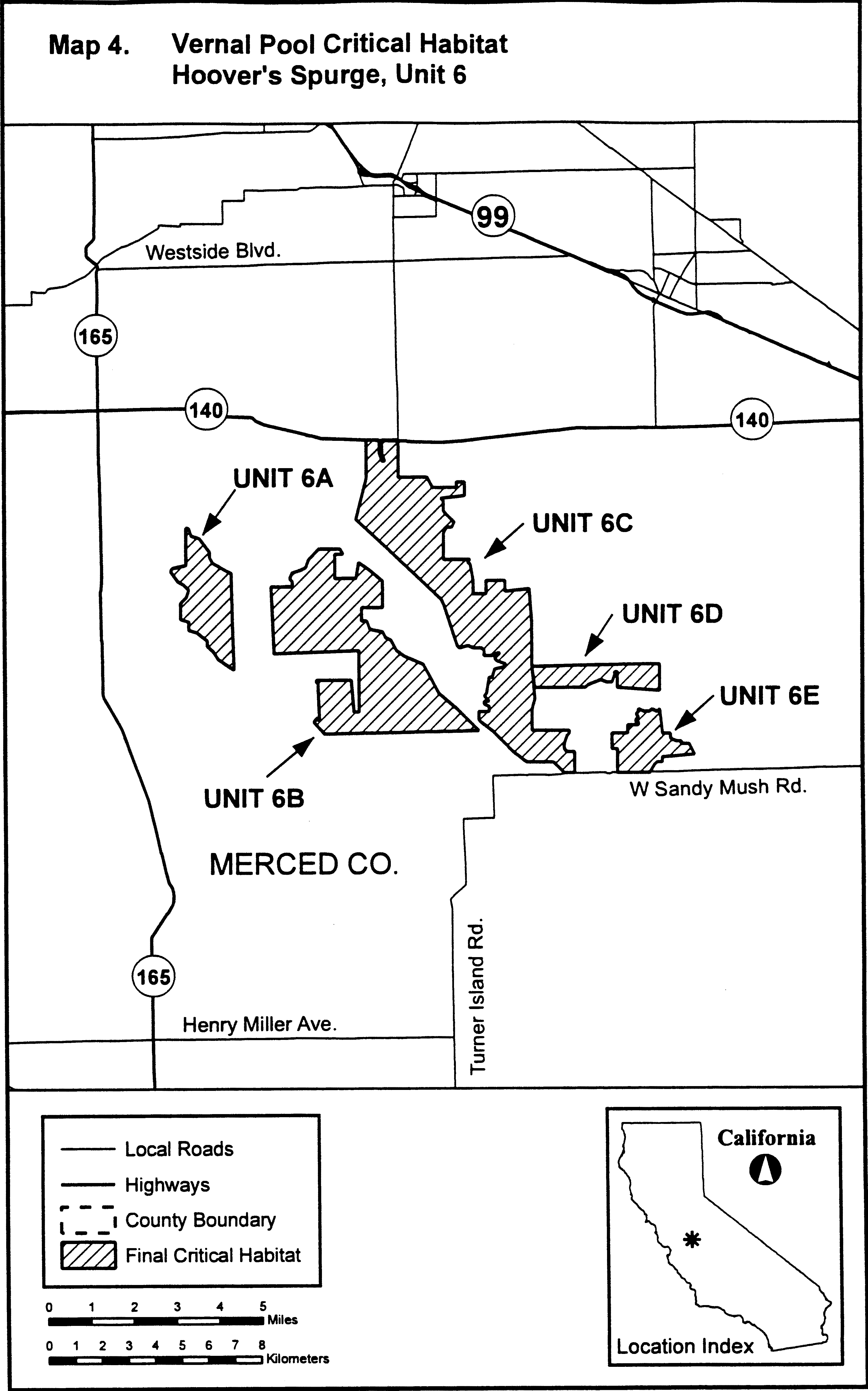
(12) Unit 7: Tulare County.
(i) [Reserved]
(ii) Unit 7 (Map 5) follows:

Family Fabaceae: Astragalus albens (Cushenbury milk-vetch)
(1) Critical habitat units are depicted for San Bernardino County, California, on the map below. The map provided is for informational purposes only.
(2) The primary constituent elements of critical habitat for Astragalus albens are those habitat components that are essential for the primary biological needs of the species. Based on our current knowledge of this species, the primary constituent elements of critical habitat for this species are listed below and consist of, but are not limited to:
(i) Soils derived primarily from the upper and middle members of the Bird Spring Formation and Undivided Cambrian parent materials that occur on hillsides or along rocky washes with limestone outwash/deposits at elevations between 1,171 and 2,013 m (3,864 and 6,604 ft);
(ii) Soils with intact, natural surfaces that have not been substantially altered by land use activities (e.g., graded, excavated, re-contoured, or otherwise altered by ground-disturbing equipment); and
(iii) Associated plant communities that have areas with an open canopy cover and little accumulation of organic material (e.g., leaf litter) on the surface of the soil.
(3) Existing features and structures, such as buildings, active mines, paved or unpaved roads, other paved or cleared areas, lawns, and other urban landscaped areas, are not likely to contain one or more of the primary constituent elements. Federal actions limited to those areas, therefore, would not trigger a section 7 consultation, unless they may affect the species or primary constituent elements in adjacent critical habitat.
(4) Northeastern Slope Unit, San Bernardino County, California.
(i) From USGS 1:24,000 quadrangle maps Fawnskin, Big Bear City, Rattlesnake Canyon, and Cougar Buttes, California.
(ii) Subunit 1a: Land bounded by the following UTM11 NAD27 coordinates (E, N): 503300, 3801900; 503600, 3801900; 503600, 3801700; 503700, 3801700; 503700, 3801600; 503800, 3801600; 503800, 3801500; 503900, 3801500; 503900, 3801200; 503800, 3801200; 503800, 3801100; 503900, 3801100; 503900, 3800900; 504000, 3800800; 504100, 3800800; 504100, 3800800; 504100, 3800500; 504000, 3800500; 504000, 3800300; 503900, 3800300; 503900, 3800200; 503500, 3800200; 503500, 3800300; 503400, 3800300; 503400, 3800400; 503300, 3800400; 503300, 3800600; 503200, 3800600; 503200, 3801800; 503300, 3801800; and 503300, 3801900.
(iii) Subunit 1b: Land bounded by the following UTM11 NAD27 coordinates (E, N): 507000, 3801600; 507400, 3801600; 507400, 3801300; 507500, 3801300; 507500, 3800900; 507600, 3800900; 507600, 3800500; 507500, 3800500; 507500, 3800400; 507400, 3800400; 507400, 3800300; 507300, 3800300; 507300, 3800200; 507200, 3800200; 507200, 3800100; 507100, 3800100; 507100, 3800200; 507000, 3800200; 507000, 3800500; 506800, 3800500; 506800, 3800600; 506700, 3800600; 506700, 3801100; 506900, 3801100; 506900, 3801000; 507100, 3801000; 507100, 3801300; 507000, 3801300; and 507000, 3801600.
(iv) Subunit 1c: Land bounded by the following UTM11 NAD27 coordinates (E, N): 513100, 3803700; 513600, 3803700; 513600, 3803100; 513500, 3803100; 513500, 3803000; 513400, 3803000; 513400, 3802900; 513300, 3802900; 513300, 3802800; 513100, 3802800; 513100, 3802900; 513000, 3802900; 513000, 3803000; 512900, 3803000; 512900, 3803400; 513000, 3803400; 513000, 3803500; 513100, 3803500; and 513100, 3803700.
(v) Subunit 1d: Land bounded by the following UTM11 NAD27 coordinates (E, N): 516000, 3803300; 516300, 3803300; 516300, 3803000; 516000, 3803000; and 516000, 3803300.
(vi) Subunit 1e: Land bounded by the following UTM11 NAD27 coordinates (E, N): 514800, 3802600; 515200, 3802600; 515200, 3802200; 515100, 3802200; 515100, 3801900; 515300, 3801900; 515300, 3802000; 515400, 3802000; 515400, 3801900; 515500, 3801900; 515500, 3801600; 515100, 3801600; 515100, 3801500; 514800, 3801500; 514800, 3801600; 514700, 3801600; 514700, 3801900; 514600, 3801900; 514600, 3802000; 514500, 3802000; 514500, 3802300; 514600, 3802300; 514600, 3802400; 514700, 3802400; 514700, 3802500; 514800, 3802500; and 514800, 3802600.
(vii) Subunit 1f: Land bounded by the following UTM11 NAD27 coordinates (E, N): 516000, 3802500; 516200, 3802500; 516200, 3802400; 516300, 3802400; 516300, 3802100; 516200, 3802100; 516200, 3801900; 515800, 3801900; 515800, 3801800; 515700, 3801800; 515700, 3801900; 515600, 3801900; 515600, 3802100; 515500, 3802100; 515500, 3802200; 515600, 3802200; 515600, 3802300; 515900, 3802300; 515900, 3802400; 516000, 3802400; and 516000, 3802500.
(viii) Subunit 1g: Land bounded by the following UTM11 NAD27 coordinates (E, N): 513700, 3800000; 514100, 3800000; 514100, 3799900; 514300, 3799900; 514300, 3799800; 514700, 3799800; 514700, 3799500; 514800, 3799500; 514800, 3799600; 515000, 3799600; 515000, 3799500; 515100, 3799500; 515100, 3799200; 515000, 3799200; 515000, 3799100; 514800, 3799100; 514800, 3799200; 514700, 3799200; 514700, 3799300; 514600, 3799300; 514600, 3799400; 514500, 3799400; 514500, 3799300; 514100, 3799300; 514100, 3799500; 514000, 3799500; 514000, 3799400; 513800, 3799400; 513800, 3799500; 513700, 3799500; and 513700, 3800000.
(ix) Subunit 1h: Land bounded by the following UTM11 NAD27 coordinates (E, N): 515200, 3801300; 515500, 3801300; 515500, 3801200; 515600, 3801200; 515600, 3800800; 515500, 3800800; 515500, 3800700; 515400, 3800700; 515400, 3800400; 515300, 3800400; 515300, 3800300; 515400, 3800300; 515400, 3800200; 515500, 3800200; 515500, 3799600; 515600, 3799600; 515600, 3799500; 515900, 3799500; 515900, 3799400; 516300, 3799400; 516300, 3799200; 516500, 3799200; 516500, 3799000; 516700, 3799000; 516700, 3799600; 517100, 3799600; 517100, 3799400; 517200, 3799400; 517200, 3799300; 517100, 3799300; 517100, 3799200; 517200, 3799200; 517200, 3798900; 517100, 3798900; 517100, 3798600; 516500, 3798600; 516500, 3798900; 516400, 3798900; 516400, 3798800; 516200, 3798800; 516200, 3798900; 515400, 3798900; 515400, 3799000; 515300, 3799000; 515300, 3799100; 515200, 3799100; 515200, 3799600; 515100, 3799600; 515100, 3799700; 515000, 3799700; 515000, 3800100; 514900, 3800100; 514900, 3800800; 514800, 3800800; 514800, 3800700; 514600, 3800700; 514600, 3800800; 514500, 3800800; 514500, 3801000; 514600, 3801000; 514600, 3801100; 514800, 3801100; 514800, 3801000; 514900, 3801000; 514900, 3801100; 515100, 3801100; 515100, 3801200; 515200, 3801200; and 515200, 3801300.
(x) Subunit 1i: Land bounded by the following UTM11 NAD27 coordinates (E, N): 517200, 3802800; 517700, 3802800; 517700, 3802400; 517600, 3802400; 517600, 3802100; 517500, 3802100; 517500, 3802000; 517400, 3802000; 517400, 3801900; 517200, 3801900; 517200, 3802000; 517100, 3802000; 517100, 3802700; 517200, 3802700; and 517200, 3802800.
(xi) Subunit 1j: Land bounded by the following UTM11 NAD27 coordinates (E, N): 517800, 3802200; 518200, 3802200; 518200, 3801900; 518100, 3801900; 518100, 3801800; 517800, 3801800; and 517800, 3802200.
(xii) Subunit 1k: Land bounded by the following UTM11 NAD27 coordinates (E, N): 517700, 3801500; 518300, 3801500; 518300, 3801200; 518200, 3801200; 518200, 3801100; 518100, 3801100; 518100, 3801000; 518000, 3801000; 518000, 3800900; 517900, 3800900; 517900, 3800800; 517800, 3800800; 517800, 3800600; 517700, 3800600; 517700, 3800500; 517800, 3800500; 517800, 3800000; 517700, 3800000; 517700, 3799900; 517300, 3799900; 517300, 3800000; 517200, 3800000; 517200, 3799900; 516800, 3799900; 516800, 3800000; 516700, 3800000; 516700, 3800200; 517100, 3800200; 517100, 3800900; 517200, 3800900; 517200, 3801000; 517400, 3801000; 517400, 3801200; 517500, 3801200; 517500, 3801400; 517700, 3801400; and 517700, 3801500.
(xiii) Subunit 1l: Land bounded by the following UTM11 NAD27 coordinates (E, N): 517800, 3799800; 518600, 3799800; 518600, 3799500; 518500, 3799500; 518500, 3799400; 518400, 3799400; 518400, 3799300; 518200, 3799300; 518200, 3799100; 517900, 3799100; 517900, 3798700; 517500, 3798700; 517500, 3798900; 517400, 3798900; 517400, 3799600; 517700, 3799600; 517700, 3799700; 517800, 3799700; and 517800, 3799800.
(xiv) Subunit 1m: Land bounded by the following UTM11 NAD27 coordinates (E, N): 520200, 3801000; 520600, 3801000; 520600, 3800700; 520500, 3800700; 520500, 3800600; 520600, 3800600; 520600, 3800500; 520800, 3800500; 520800, 3800400; 520900, 3800400; 520900, 3800300; 521100, 3800300; 521100, 3800200; 521200, 3800200; 521200, 3800000; 521100, 3800000; 521100, 3799900; 520800, 3799900; 520800, 3800100; 520300, 3800100; 520300, 3800200; 520200, 3800200; 520200, 3800300; 520100, 3800300; 520100, 3800200; 519800, 3800200; 519800, 3800700; 520100, 3800700; 520100, 3800600; 520200, 3800600; and 520200, 3801000.
(xv) Subunit 1n: Land bounded by the following UTM11 NAD27 coordinates (E, N): 519300, 3799300; 519600, 3799300; 519600, 3798900; 519300, 3798900; 519300, 3799000; 519200, 3799000; 519200, 3799200; 519300, 3799200; and 519300, 3799300.
(xvi) Subunit 1o: Land bounded by the following UTM11 NAD27 coordinates (E, N): 520100, 3800000; 520400, 3800000; 520400, 3799900; 520500, 3799900; 520500, 3799700; 520400, 3799700; 520400, 3799600; 520000, 3799600; 520000, 3799500; 520100, 3799500; 520100, 3799400; 520200, 3799400; 520200, 3799300; 520300, 3799300; 520300, 3799400; 520600, 3799400; 520600, 3799100; 520300, 3799100; 520300, 3799200; 520100, 3799200; 520100, 3799000; 520200, 3799000; 520200, 3798900; 520300, 3798900; 520300, 3798800; 520700, 3798800; 520700, 3798700; 521500, 3798700; 521500, 3798800; 521400, 3798800; 521400, 3799000; 521300, 3799000; 521300, 3799100; 521200, 3799100; 521200, 3799200; 521500, 3799200; 521500, 3799300; 521800, 3799300; 521800, 3798600; 521600, 3798600; 521600, 3798500; 521500, 3798500; 521500, 3797900; 521100, 3797900; 521100, 3798000; 521000, 3798000; 521000, 3797900; 520900, 3797900; 520900, 3797800; 520600, 3797800; 520600, 3797900; 520500, 3797900; 520500, 3798000; 520300, 3798000; 520300, 3798300; 520200, 3798300; 520200, 3798200; 519900, 3798200; 519900, 3798300; 519800, 3798300; 519800, 3798400; 519700, 3798400; 519700, 3799000; 519800, 3799000; 519800, 3799100; 519700, 3799100; 519700, 3799600; 519900, 3799600; 519900, 3799900; 520100, 3799900; and 520100, 3800000.
(xvii) Subunit 1p: Land bounded by the following UTM11 NAD27 coordinates (E, N): 521900, 3799000; 522200, 3799000; 522200, 3798600; 521900, 3798600; and 521900, 3799000.
(xviii) Subunit 1q: Land bounded by the following UTM11 NAD27 coordinates (E, N): 520100, 3797900; 520300, 3797900; 520300, 3797800; 520400, 3797800; 520400, 3797600; 520300, 3797600; 520300, 3797000; 520200, 3797000; 520200, 3796900; 519900, 3796900; 519900, 3797000; 519600, 3797000; 519600, 3796900; 519500, 3796900; 519500, 3796800; 519400, 3796800; 519400, 3796700; 519600, 3796700; 519600, 3796600; 519700, 3796600; 519700, 3795900; 519800, 3795900; 519800, 3795800; 519900, 3795800; 519900, 3795700; 520100, 3795700; 520100, 3795600; 520200, 3795600; 520200, 3795500; 520300, 3795500; 520300, 3795400; 520400, 3795400; 520400, 3795300; 520600, 3795300; 520600, 3795200; 520800, 3795200; 520800, 3795100; 520900, 3795100; 520900, 3795000; 521000, 3795000; 521000, 3794800; 521100, 3794800; 521100, 3794700; 521200, 3794700; 521200, 3794600; 521300, 3794600; 521300, 3794400; 521600, 3794400; 521600, 3794300; 521700, 3794300; 521700, 3793900; 521600, 3793900; 521600, 3793800; 521200, 3793800; 521200, 3793900; 521100, 3793900; 521100, 3794000; 521000, 3794000; 521000, 3794100; 520900, 3794100; 520900, 3794200; 520800, 3794200; 520800, 3794300; 520700, 3794300; 520700, 3794400; 520500, 3794400; 520500, 3794500; 520400, 3794500; 520400, 3794600; 520300, 3794600; 520300, 3794700; 520200, 3794700; 520200, 3794800; 520100, 3794800; 520100, 3794900; 520000, 3794900; 520000, 3795000; 519900, 3795000; 519900, 3795100; 519800, 3795100; 519800, 3795200; 519700, 3795200; 519700, 3795300; 519500, 3795300; 519500, 3795400; 519400, 3795400; 519400, 3795300; 519300, 3795300; 519300, 3795400; 519000, 3795400; 519000, 3795500; 518400, 3795500; 518400, 3795600; 518300, 3795600; 518300, 3796000; 518400, 3796000; 518400, 3796100; 518500, 3796100; 518500, 3796200; 518900, 3796200; 518900, 3796300; 519000, 3796300; 519000, 3796500; 518900, 3796500; 518900, 3796600; 518800, 3796600; 518800, 3796800; 518900, 3796800; 518900, 3796900; 519000, 3796900; 519000, 3797000; 519100, 3797000; 519100, 3797200; 519200, 3797200; 519200, 3797300; 519300, 3797300; 519300, 3797400; 519700, 3797400; 519700, 3797600; 519800, 3797600; 519800, 3797700; 519900, 3797700; 519900, 3797800; 520100, 3797800; and 520100, 3797900.
(xix) Subunit 1r: Land bounded by the following UTM11 NAD27 coordinates (E, N): 521900, 3793400; 522400, 3793400; 522400, 3793300; 522500, 3793300; 522500, 3793200; 522600, 3793200; 522600, 3793100; 522700, 3793100; 522700, 3793200; 523000, 3793200; 523000, 3793100; 523100, 3793100; 523100, 3793000; 523200, 3793000; 523200, 3792800; 523100, 3792800; 523100, 3792400; 522600, 3792400; 522600, 3792500; 522400, 3792500; 522400, 3792600; 521900, 3792600; 521900, 3792700; 521700, 3792700; 521700, 3793100; 521800, 3793100; 521800, 3793300; 521900, 3793300; and 521900, 3793400.
(xx) Subunit 1s: Land bounded by the following UTM11 NAD27 coordinates (E, N): 524100, 3792500; 524500, 3792500; 524500, 3792400; 524600, 3792400; 524600, 3792300; 524800, 3792300; 524800, 3792200; 524900, 3792200; 524900, 3791900; 524800, 3791900; 524800, 3791800; 524600, 3791800; 524600, 3791900; 524300, 3791900; 524300, 3792000; 524100, 3792000; and 524100, 3792500.
(xxi) Note: Astragalus albens map follows:

Family Fabaceae: Astragalus ampullarioides (Shivwits milk-vetch)
(1) Critical habitat units are depicted for Washington County, Utah, on the maps and as described below.
(2) Within these areas, the primary constituent elements of critical habitat for Astragalus ampullarioides are:
(i) Outcroppings of soft clay soil, which is often purplish red, within the Chinle Formation and the Dinosaur Canyon Member of the Moenave Formation, at elevations from 920 to 1,330 m (3,018 to 4,367 ft);
(ii) Topographic features/relief, including alluvial fans and fan terraces, and gently rolling to steep swales with little to moderate slope (3 to 24 percent), that are often markedly dissected by water flow pathways from seasonal precipitation; and
(iii) The presence of insect visitors or pollinators, such as Anthophora captognatha, A. damnersi, A. porterae, other Anthophora species, Eucera quadricincta, Bombus morrissonis, Hoplitis grinnelli, Osmia clarescens, O. marginata, O. titus, O. clavescens, and two types of Dialictus species.
(3) Critical habitat does not include manmade structures existing on the effective date of this rule and not containing one or more of the primary constituent elements, such as buildings, aqueducts, airports, and roads, and the land on which such structures are located.
(4) Data layers defining map units were an electronic base map of USGS 7.5′ quadrangles projected to the UTM coordinate system, Zone 12 NAD 83. Ancillary data used to help refine the unit boundaries included Digital Orthophoto Quadrangles (DOQs); National Agricultural Imagery Program (NAIP); cadastral land survey (Township, Range, and Section); soils data; and the 1:24,000 Utah water courses data set. Critical habitat units were delineated through heads-up digitizing in a Geographic Information System.
(5) Note: Index map (Map 1 - A. ampullarioides) follows:
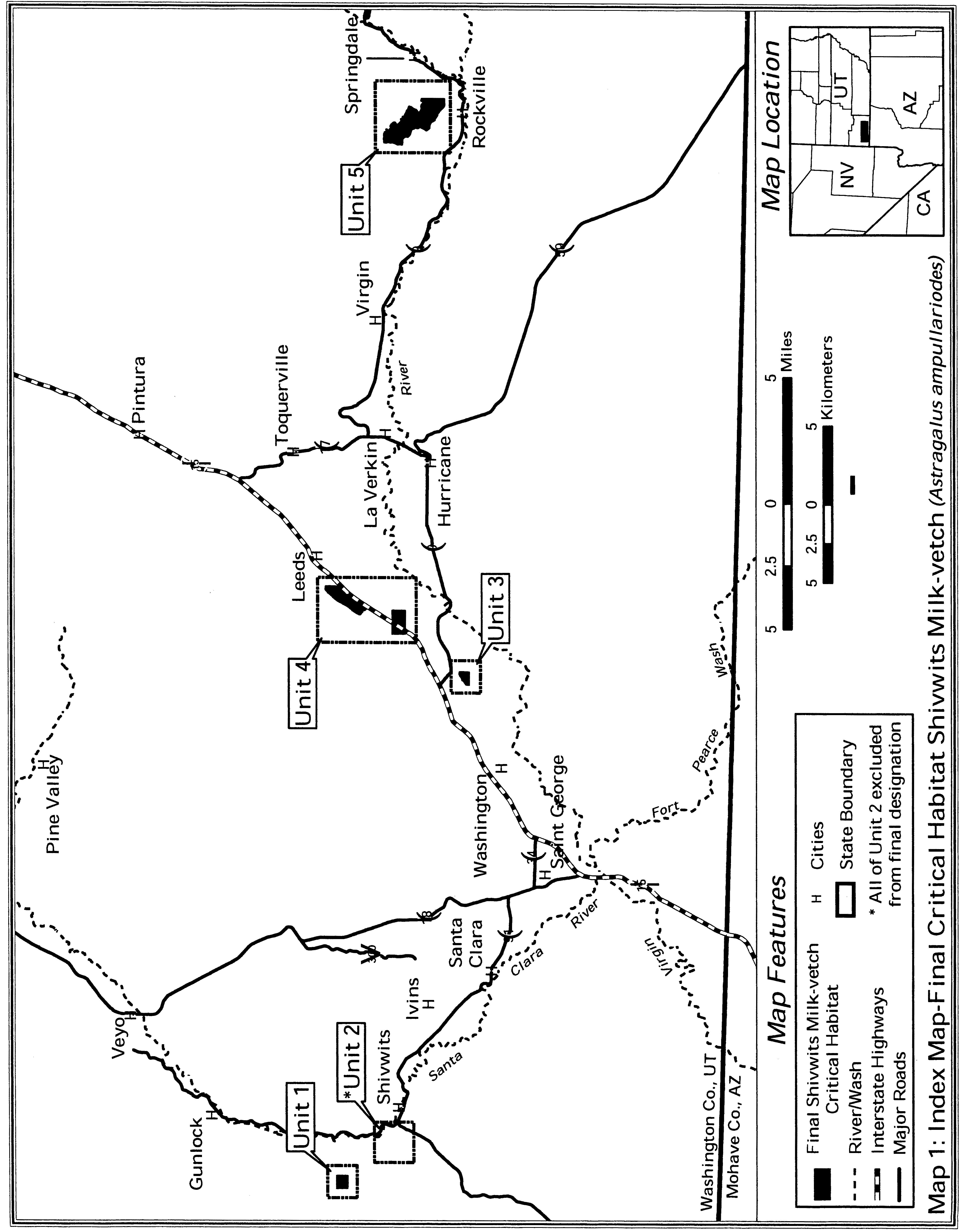
(6) Unit 1 - Pahcoon Spring Wash, Washington County, Utah.
(i) [Reserved]
(ii) Map of Unit 1 (Map 2 - A. ampullarioides) follows:
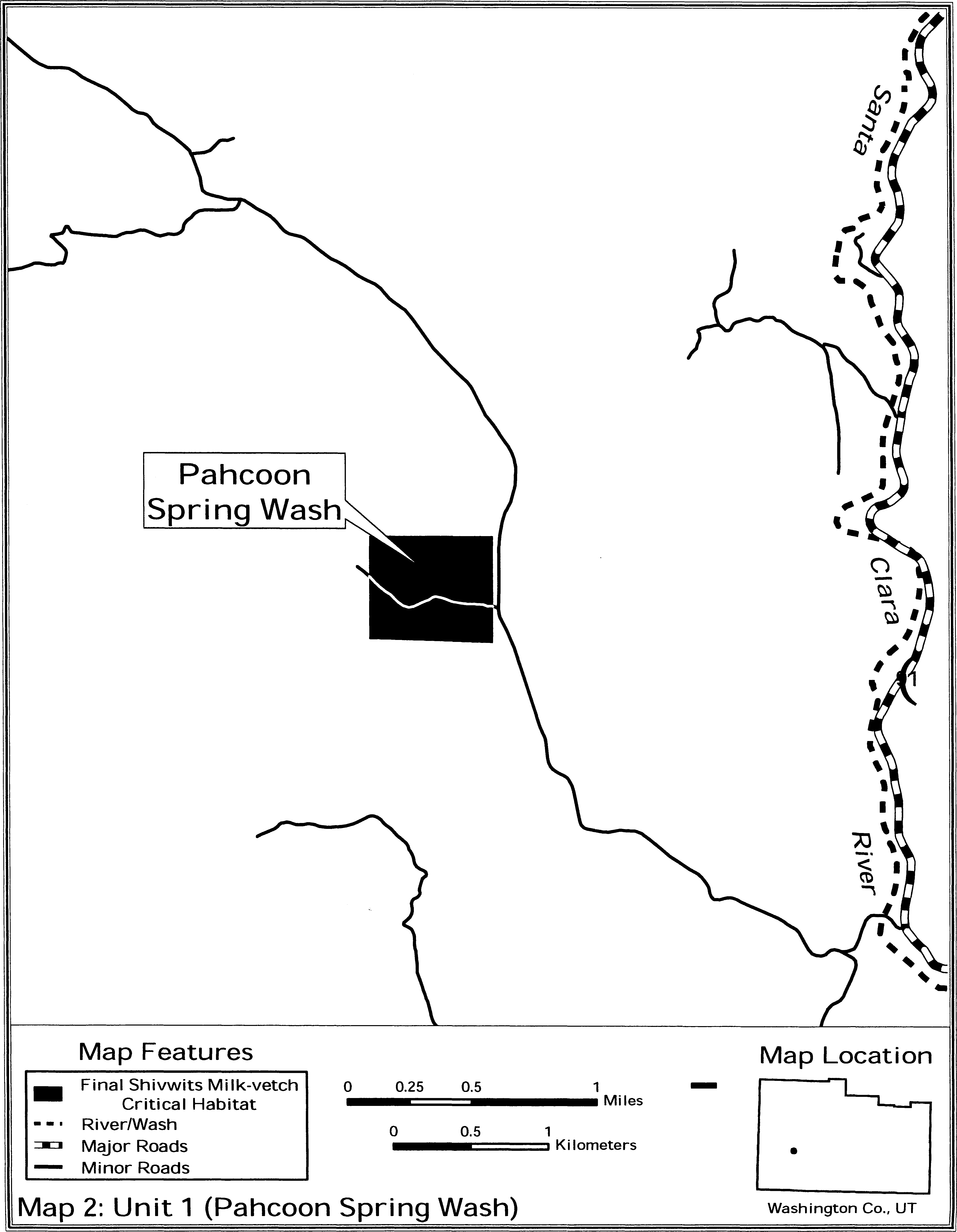
(7) Unit 3 - Coral Canyon, Washington County, Utah. Map of Unit 3 is provided at paragraph (8)(ii) of this entry.
(8) Unit 4 - Harrisburg Junction, Washington County, Utah.
(i) [Reserved]
(ii) Map of Units 3 and 4 (Map 3 - A. ampullarioides) follows:

(9) Unit 5 - Zion, Washington County, Utah.
(i) [Reserved]
(ii) Map of Unit 5 (Map 4 - A. ampullioides) follows:
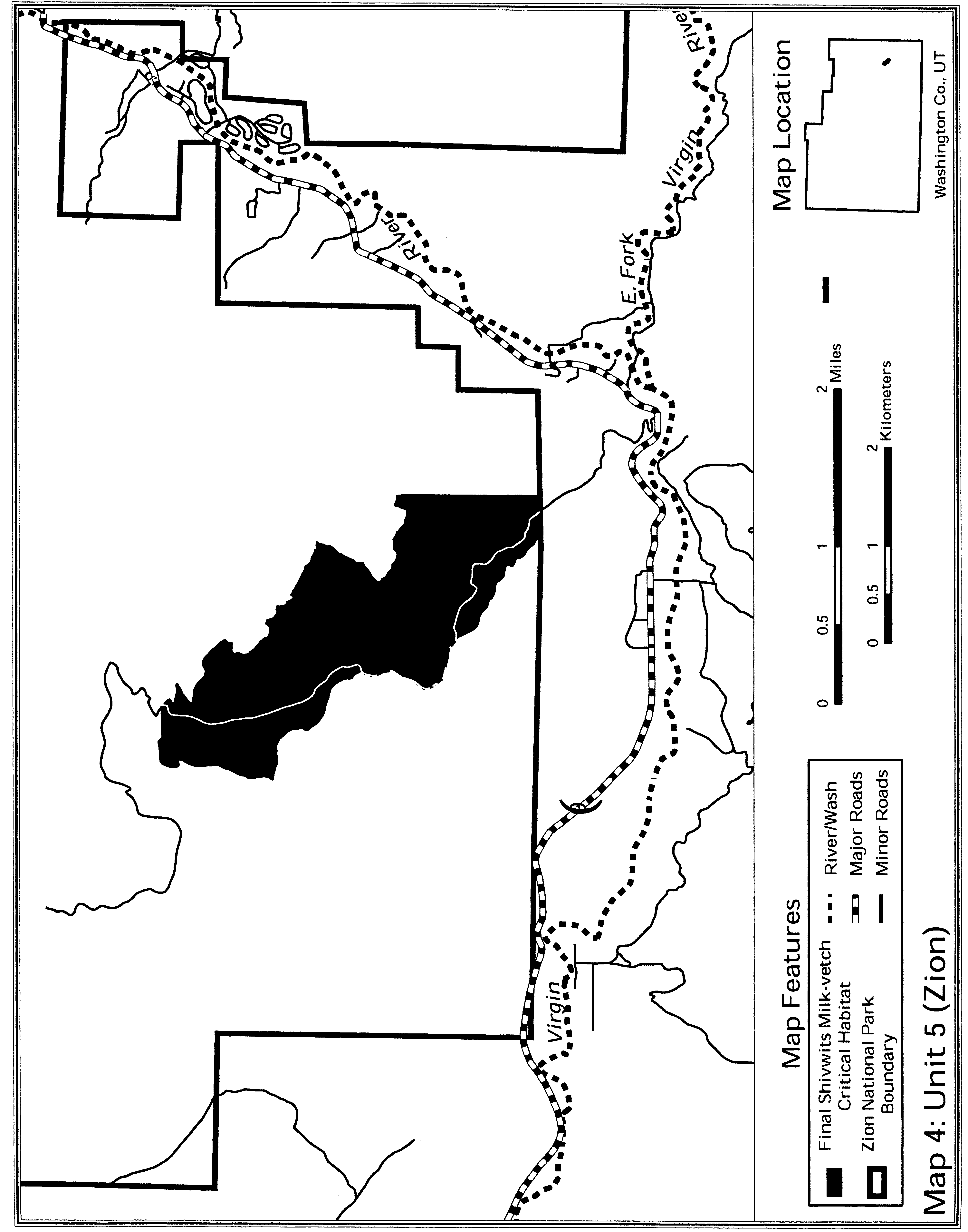
Family Fabaceae: Astragalus brauntonii (Braunton's milk-vetch).
(1) Critical habitat units are depicted for Ventura, Los Angeles, and Orange Counties, California, on the maps below.
(2) The primary constituent elements of critical habitat for Astragalus brauntonii are the habitat components that provide:
(i) Calcium carbonate soils derived from marine sediment;
(ii) Low proportion (less than 10 percent) of shrub cover directly around the plant; and
(iii) Chaparral and coastal sage scrub communities characterized by periodic disturbances that stimulate seed germination (e.g., fire, flooding, erosion) and reduce vegetative cover,
(3) Critical habitat does not include manmade structures existing on the effective date of this rule and not containing one or more of the primary constituent elements, such as buildings, aqueducts, airports, and roads, and the land on which such structures are located.
(4) Critical habitat units are described below. Data layers defining map units were created on base maps using the following aerial imagery: For eastern Ventura County, we used AirPhotoUSA, Inc., aerial imagery captured in October 2002; for western-most Los Angeles county populations, we used AirPhotoUSA, Inc., aerial imagery captured in August 1999; for populations near the City of Monrovia, in Los Angeles County, and for the population in Orange County, we used USGS Digital Orthophoto Quarter Quadrangles captured in the mid-1990's. All were projected to UTM zone 11, NAD27.
(5) Note: Index map for Astragalus brauntonii (Map 1) follows:
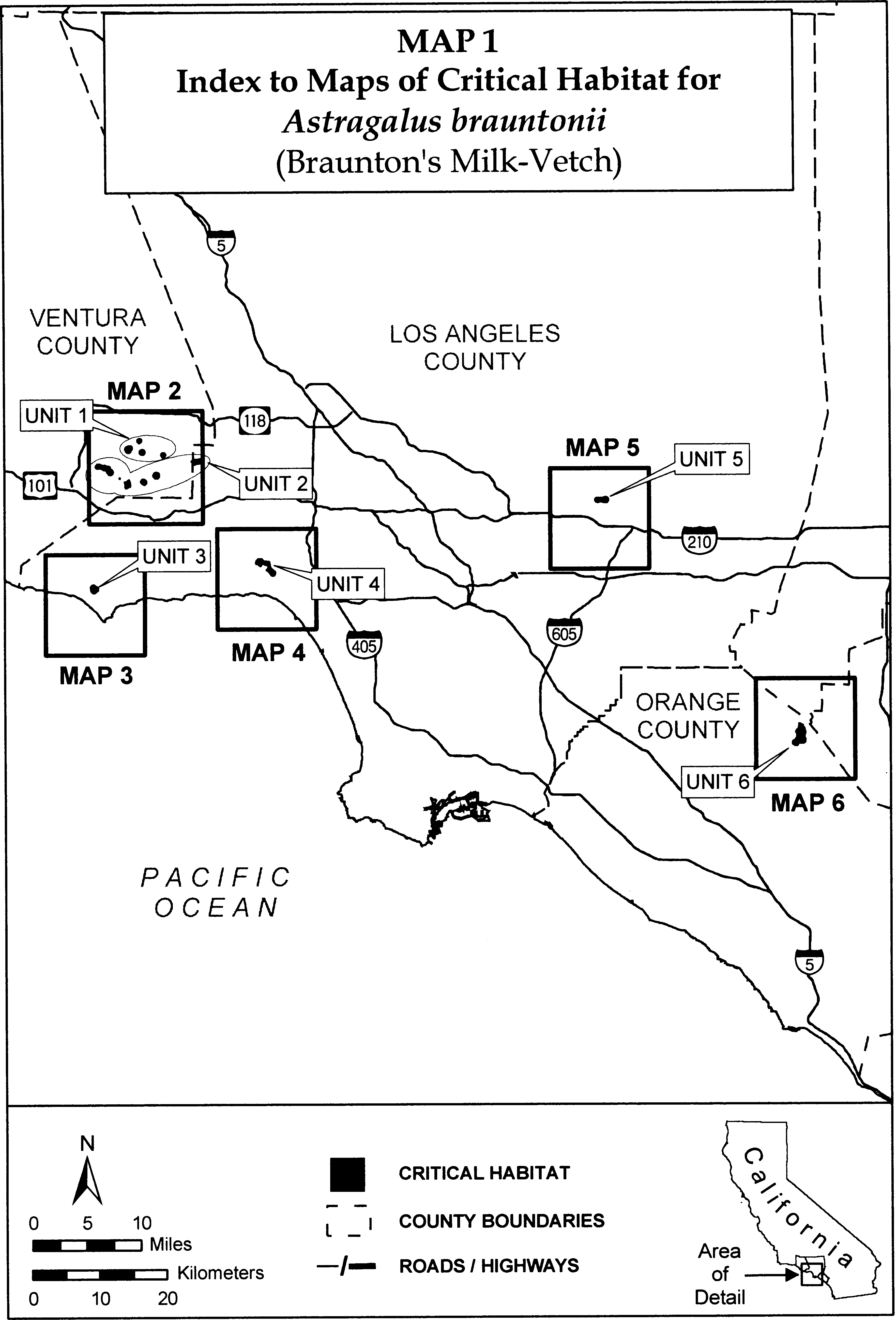
(6) Unit 1 for Astragalus brauntonii, Northern Simi Hills Unit, Ventura County, California.
(i) [Reserved]
(ii) Unit 1 for Astragalus brauntonii is depicted on Map 2 in paragraph (7)(ii) of this entry.
(7) Unit 2 for Astragalus brauntonii, Southern Simi Hills Unit, Ventura County and Los Angeles County, California.
(i) [Reserved]
(ii) Unit 2 for Astragalus brauntonii is depicted on Map 2, which follows:

(8) Unit 3 for Astragalus brauntonii, Santa Monica Mountains Unit, Los Angeles County, California.
(i) [Reserved]
(ii) Unit 3 (Map 3 for Astragalus brauntonii) follows:
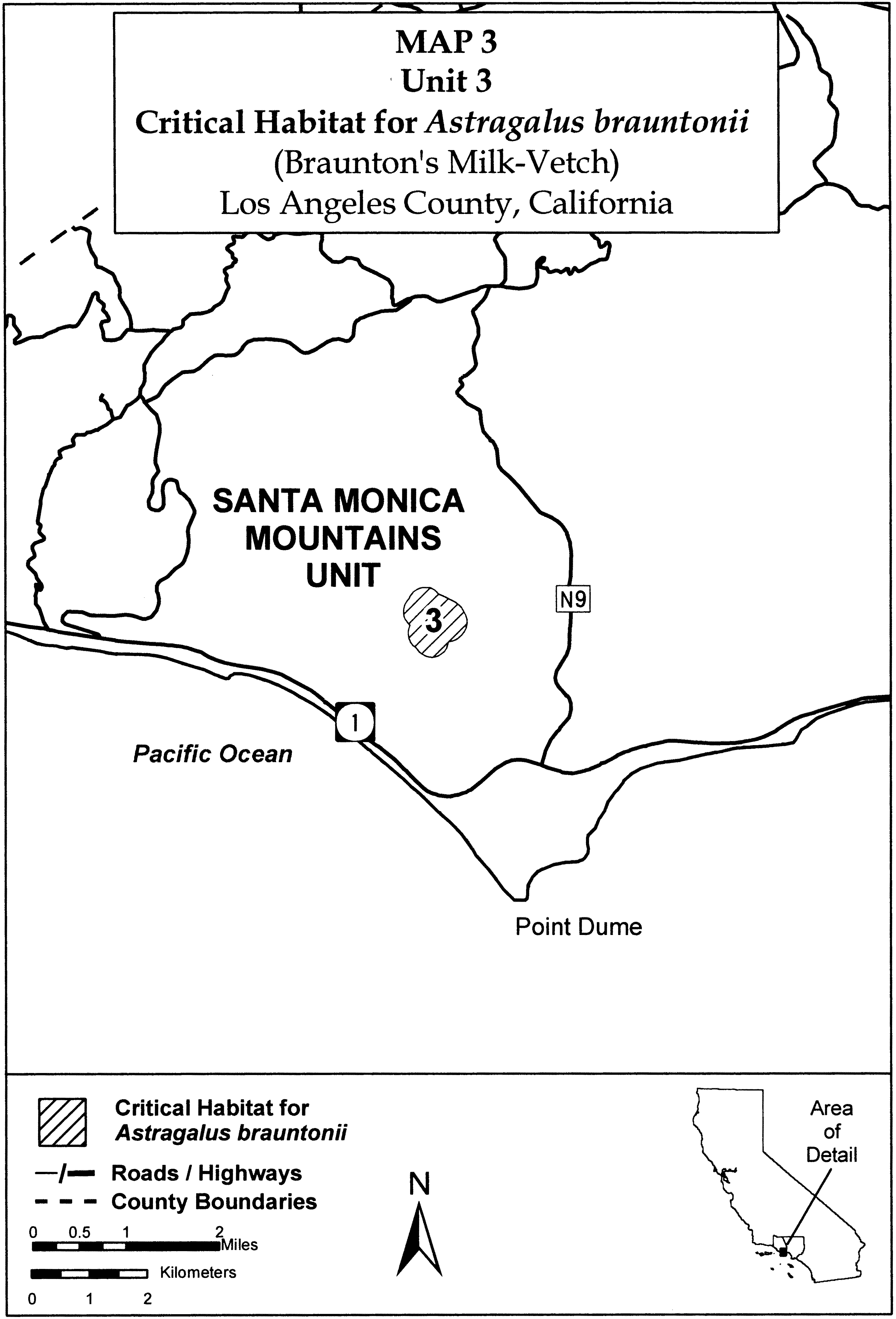
(9) Unit 4 for Astragalus brauntonii: Pacific Palisades Unit, Los Angeles County, California.
(i) [Reserved]
(ii) Unit 4 (Map 4 for Astragalus brauntonii) follows:
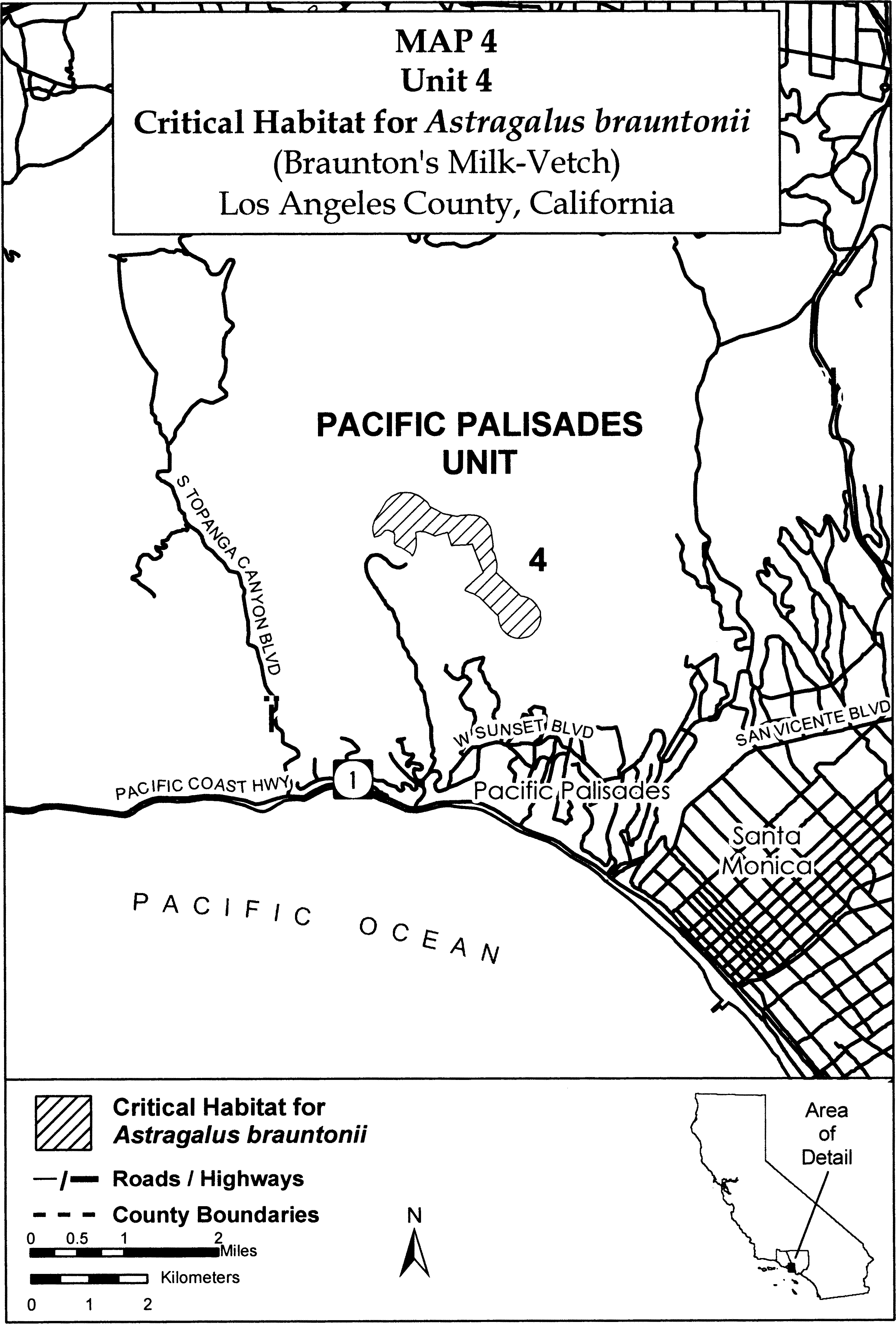
(10) Unit 5 for Astragalus brauntonii: Monrovia Unit, Los Angeles County, California.
(i) [Reserved]
(ii) Unit 5 (Map 5 for Astragalus brauntonii) follows:

(11) Unit 6 for Astragalus brauntonii, Coal Canyon Unit, Orange County, California.
(i) [Reserved]
(ii) Unit 6 (Map 6 for Astragalus brauntonii) follows:
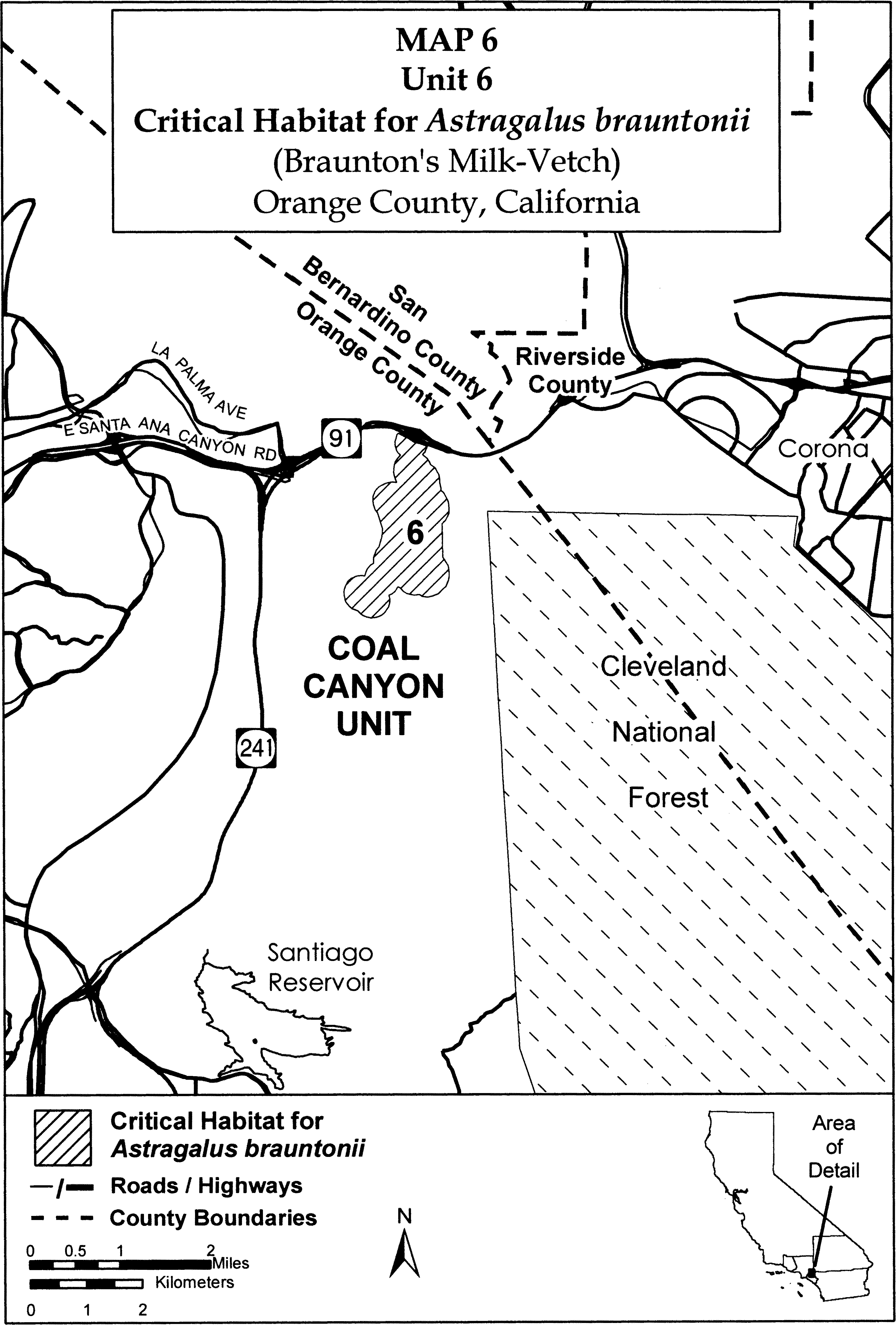
Family Fabaceae: Astragalus holmgreniorum (Holmgren milk-vetch)
(1) Critical habitat units are depicted for Mohave County, Arizona, and Washington County, Utah, on the maps and as described below.
(2) Within these areas, the primary constituent elements of critical habitat for Astragalus holmgreniorum are:
(i) Appropriate geological layers or soils that support individual Astragalus holmgreniorum plants. These include the Virgin Limestone member, middle red member, and upper red member of the Moenkopi Formation, and the Petrified Forest member of the Chinle Formation. Associated soils are Badland; Badland, very steep; Eroded land-Shalet complex, warm; Hobog-rock land association; Isom cobbly sandy loam; Ruesh very gravelly fine sandy loam; Gypill Hobog complex, 6 to 35 percent slopes; Gypill very cobbly sandy loam, 15 to 40 percent slopes; and Hobog-Grapevine complex, 2 to 35 percent slopes;
(ii) Topographic features/relief (mesas, ridge remnants, alluvial fans and fan terraces, their summits and backslopes, and gently rolling to steep swales) and the drainage areas along formation edges with little to moderate slope (0 to 20 percent); and
(iii) The presence of insect visitors or pollinators, such as Anthophora captognatha, A. damnersi, A. porterae, other Anthophora species, Eucera quadricincta, Omia titus, and two types of Dialictus species.
(3) Critical habitat does not include manmade structures existing on the effective date of this rule and not containing one or more of the primary constituent elements, such as buildings, aqueducts, airports, and roads, and the land on which such structures are located.
(4) Data layers defining map units were an electronic base map of USGS 7.5′ quadrangles projected to the UTM coordinate system, Zone 12 NAD 83. Ancillary data used to help refine the unit boundaries included Digital Orthophoto Quadrangles (DOQs); National Agricultural Imagery Program (NAIP); cadastral land survey (Township, Range, and Section); soils data; and the 1:24,000 Utah water courses data set. Critical habitat units were delineated through heads-up digitizing in a Geographic Information System.
(5) Note: Index map (Map 1 - A. holmgreniorum) follows:
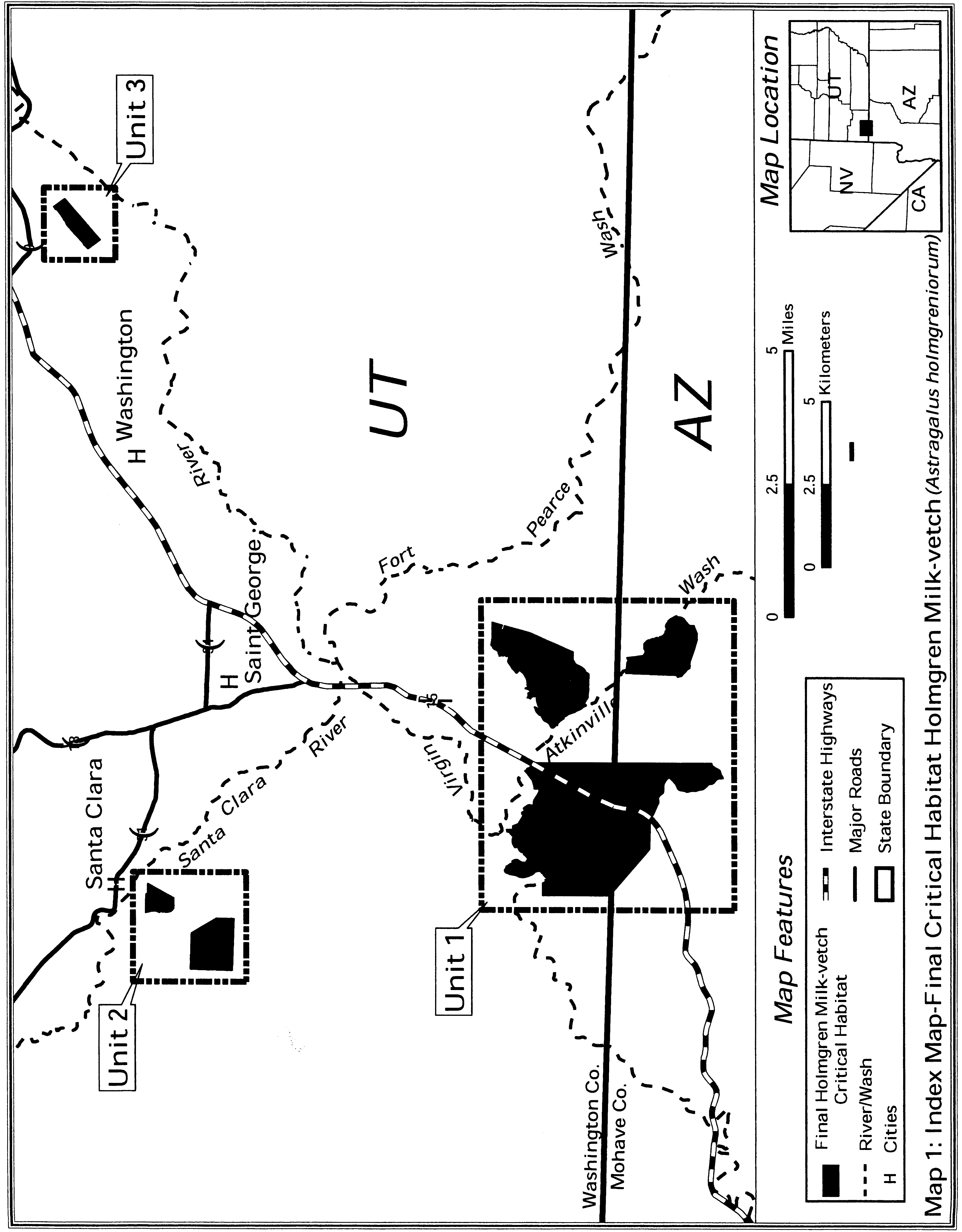
(6) Unit 1 - Utah-Arizona Border, Mohave County, Arizona, and Washington County, Utah. This unit consists of three subunits: State Line, Gardner Well, and Central Valley.
(i) [Reserved]
(ii) Map of Unit 1 (Map 2 - A. holmgreniorum) follows:

(7) Unit 2 - Santa Clara, Washington County, Utah. This unit consists of two subunits: Stucki Spring and South Hills.
(i) [Reserved]
(ii) Map of Unit 2 (Map 3 - A. holmgreniorum) follows:
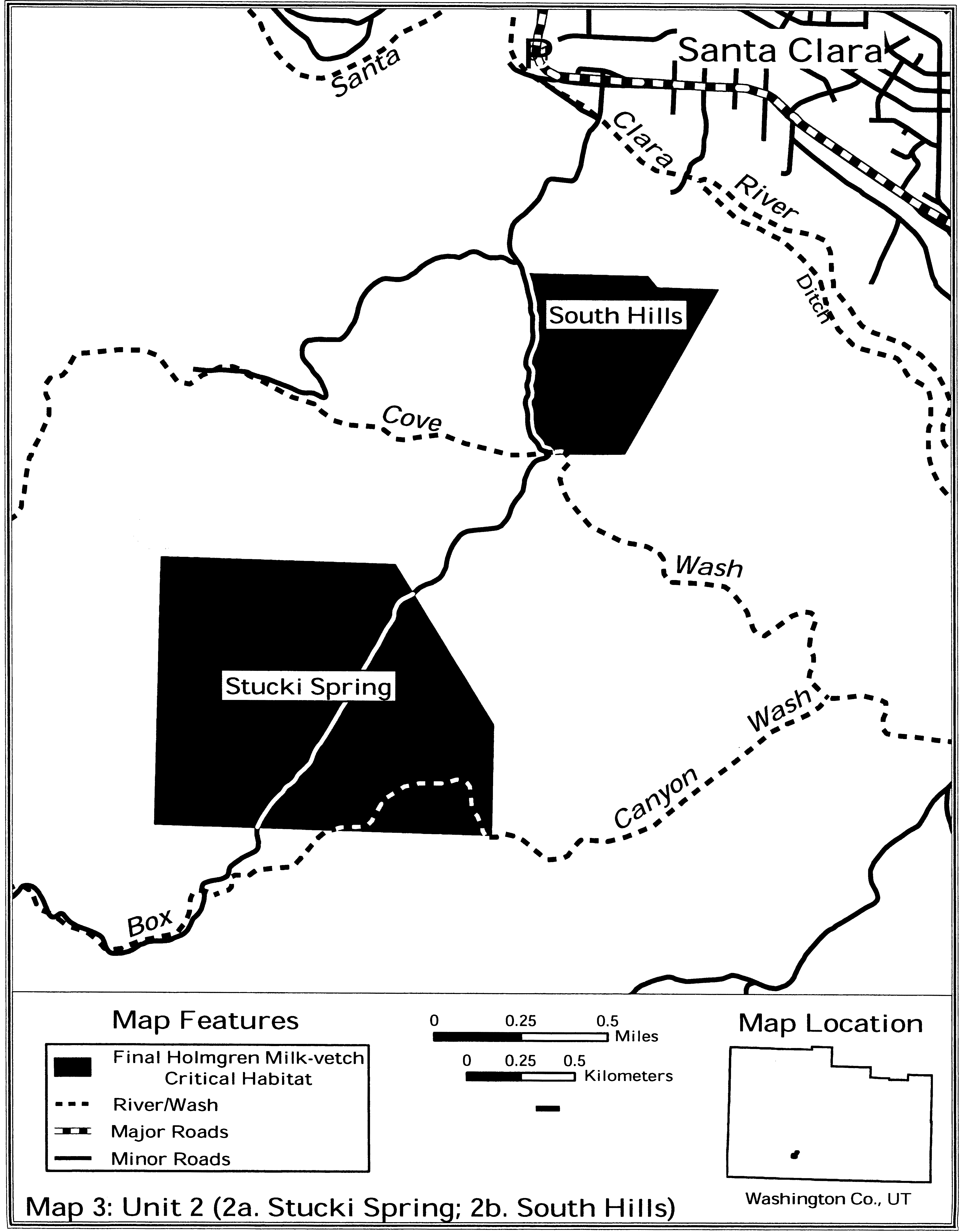
(8) Unit 3 - Purgatory Flat, Washington County, Utah.
(i) [Reserved]
(ii) Map of Unit 3 (Map 4 - A. holmgreniorum) follows:

Family Fabaceae: Astragalus jaegerianus (Lane Mountain milk-vetch)
(1) Critical habitat units are depicted for San Bernardino County, California, on the map below.
(2) Critical habitat consists of the mixed desert scrub community within the range of Astragalus jaegerianus that is characterized by the following primary constituent elements:
(i) Shallow soils at elevations between 3,100 and 4,200 ft (945 to 1,280 m) derived primarily from Jurassic or Cretaceous granitic bedrock, and less frequently on soils derived from diorite or gabbroid bedrock, or on granitic soils overlain by scattered rhyolitic cobble, gravel, and sand.
(ii) Host shrubs at elevations between 3,100 and 4,200 ft (945 to 1,280 m). The primary host shrubs include, but are not limited to: Thamnosma montana (turpentine bush), Ambrosia dumosa (burro bush), Eriogonum fasciculatum ssp. Polifolium (California buckwheat), Ericameria cooperi var. cooperi (golden bush), Ephedra nevadensis (Mormon tea), and Salazaria mexicana (paperbag bush) that are usually found in mixed desert shrub communities.
(3) Critical habitat does not include manmade structures (including, but not limited to, buildings, aqueducts, runways, roads, and other paved areas) and the land on which they are located existing within the legal boundaries on the effective date of this rule and not containing one or more of the PCEs.
(4) Critical habitat map units. These critical habitat units were mapped using Universal Transverse Mercator (UTM), Zone 10, North American Datum (NAD) 1983 (UTM NAD 83) coordinates. These coordinates establish the vertices and endpoints of the boundaries of the units.
(5) Coolgardie Unit: San Bernardino County, California. From USGS 1:24,000 quadrangle maps Lane Mountain and Mud Hills, San Bernardino County, California.
(i) [Reserved]
(ii) Map of Coolgardie Unit is provided at paragraph (6)(ii) of this entry.
(6) Paradise Unit: San Bernardino County, California. From USGS 1:24,000 quadrangle map Williams Well, San Bernardino County, California.
(i) [Reserved]
(ii) Map of Coolgardie and Paradise Units follows:
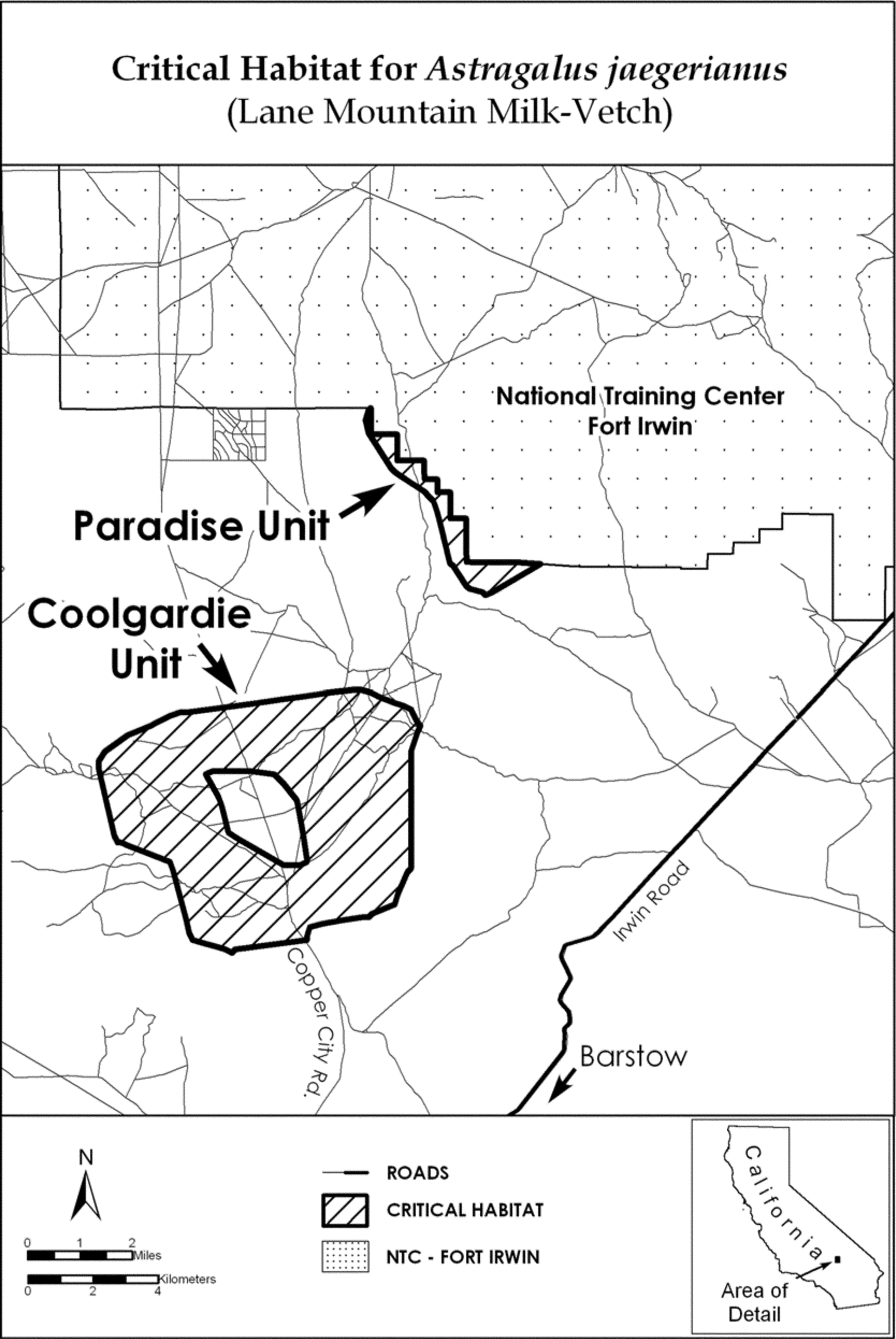
Family Fabaceae: Astragalus lentiginosus var. coachellae (Coachella Valley milk-vetch)
(1) Critical habitat units are depicted for Riverside County, on the maps below.
(2) Within these areas, the primary constituent element of the physical or biological features essential to the conservation of Astragalus lentiginosus var. coachellae consists of sand formations associated with the sand transport system in Coachella Valley, California. These sand formations have the following features:
(i) They are active sand dunes, stabilized or partially stabilized sand dunes, active or stabilized sand fields (including hummocks forming on leeward sides of shrubs), ephemeral sand fields or dunes, and fluvial sand deposits on floodplain terraces of active washes.
(ii) They are found within the fluvial sand depositional areas, and the aeolian sand source, transport, and depositional areas of the sand transport system.
(iii) They comprise sand originating in the hills surrounding Coachella Valley and alluvial deposits at the base of the Indio Hills, which is moved into the valley by water (fluvial transport) and through the valley by wind (aeolian transport).
(3) Critical habitat does not include manmade structures (such as buildings, aqueducts, runways, roads, and other paved areas) and the land on which they are located existing within the legal boundaries on March 15, 2013.
(4) Critical habitat map units. Data layers defining map units were created using a base of U.S. Geological Survey 7.5′ quadrangle maps. Critical habitat units were then mapped using Universal Transverse Mercator (UTM) zone 11, North American Datum (NAD) 1983 coordinates. The maps in this entry, as modified by any accompanying regulatory text, establish the boundaries of the critical habitat designation. The coordinates or plot points or both on which each map is based are available to the public at the Service's Internet site, http://www.fws.gov/carlsbad/GIS/CFWOGIS.html, http://www.regulations.gov at Docket No. FWS-R8-ES-2011-0064, and at the field office responsible for this designation. You may obtain field office location information by contacting one of the Service regional offices, the addresses of which are listed at 50 CFR 2.2.
(5) Note: Index map of four critical habitat units designated for Astragalus lentiginosus var. coachellae follows:

(6) Unit 1: San Gorgonio River/Snow Creek System.
(i) Note: Map of Unit 1 follows:

(7) Unit 2: Whitewater River System.
(i) Note: Map of Unit 2 follows:
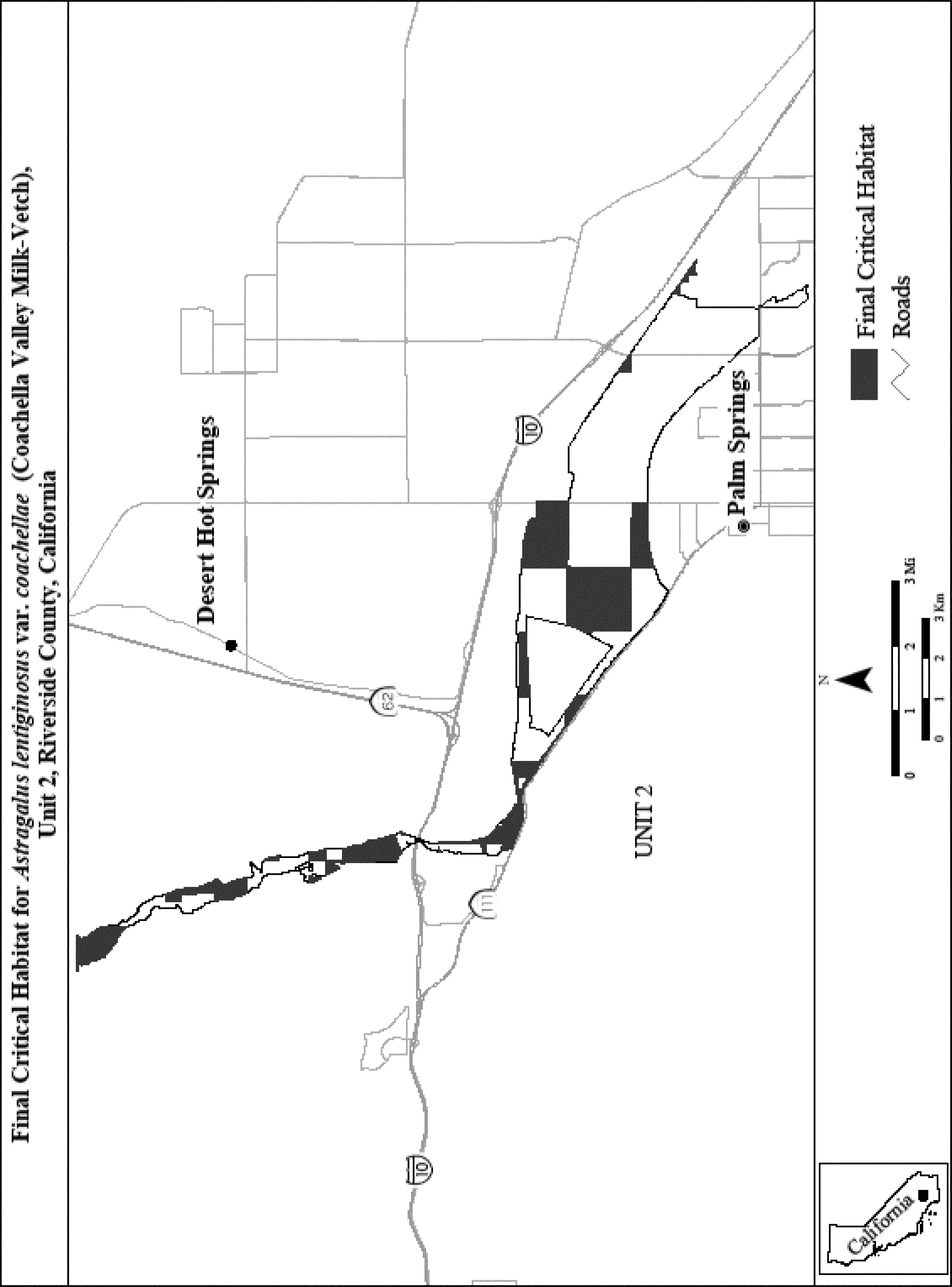
(8) Unit 3: Mission Creek/Morongo Wash System.
(i) Note: Map of Unit 3 follows:
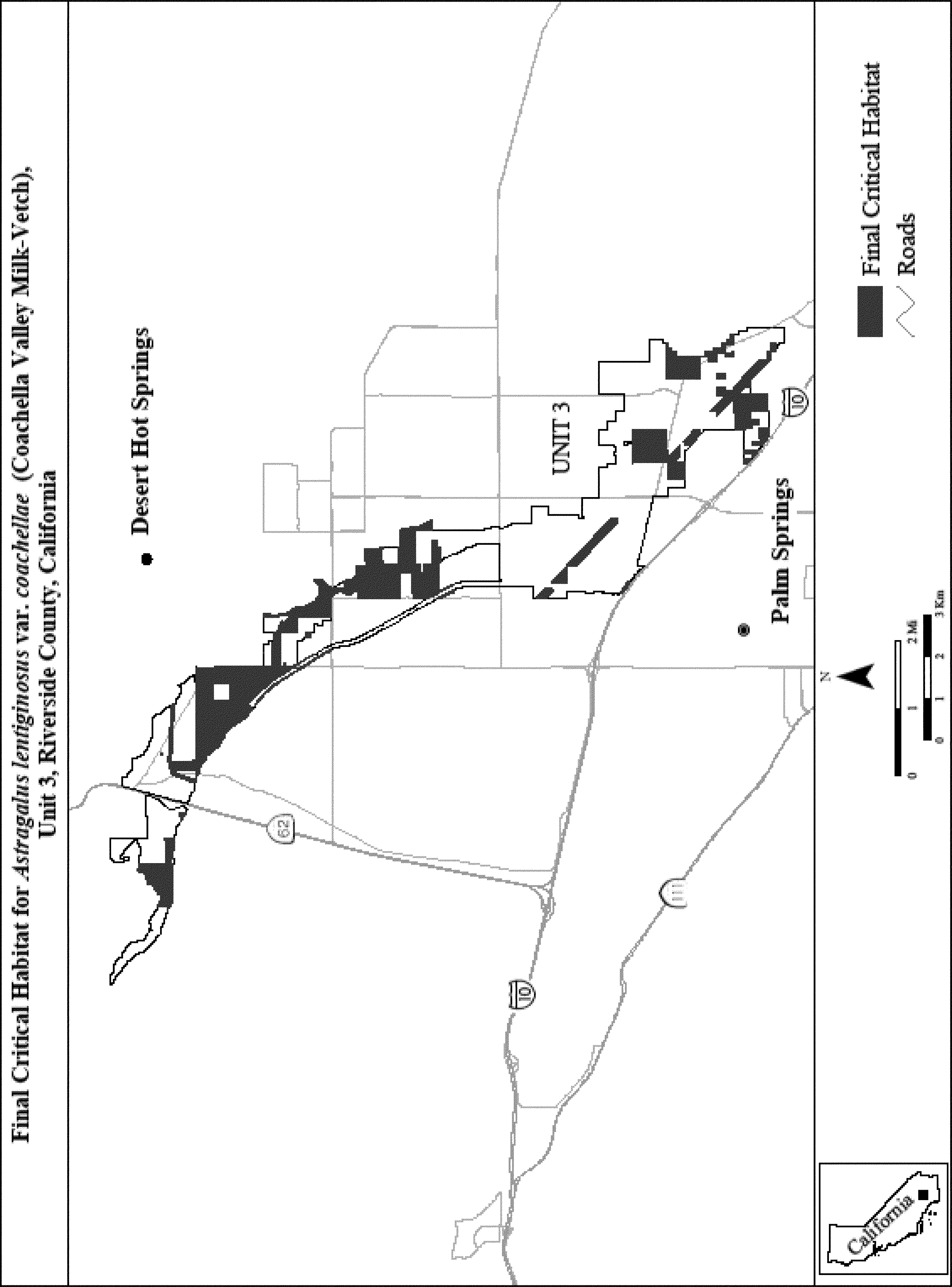
(9) Unit 4: Thousand Palms System.
(i) Note: Map of Unit 4 follows:
Family Fabaceae: Astragalus lentiginosus var. piscinensis (Fish Slough milk-vetch)
(1) The critical habitat unit is depicted for Inyo and Mono Counties, California, on the map below. The map provided is for informational purposes only.
(2) The PCEs of critical habitat for Astragalus lentiginosus var. piscinensis consist of:
(i) Alkaline soils that occur in areas with little or no slope, and which overlay a groundwater table that is 19 to 60 in (48 to 152 cm) below the land surface;
(ii) Plant associations dominated by Spartina-Sporobolis, or where a sparse amount of Chrysothamnus albidus occurs in the transition zone between Spartina-Sporobolis and Chrysothamnus albidus-Distichlis plant associations;
(iii) The presence of pollinator populations for Astragalus lentiginosus var. piscinensis; and
(iv) Hydrologic conditions that provide suitable periods of soil moisture and chemistry for Astragalus lentiginosus var. piscinensis germination, growth, reproduction, and dispersal.
(3) Critical habitat does not include the land upon which are found existing features and structures, such as buildings, roads, parking lots, and other paved surfaces, or areas not containing one or more of the primary constituent elements.
(4) Critical Habitat Map Unit.
(i) Map Unit 1: Fish Slough unit, Inyo and Mono Counties, California. From USGS 1:24,000 quadrangle maps Chidago Canyon and Fish Slough, California. Lands bounded by the following UTM Zone 11, NAD 1927 coordinates (E, N): 373700, 4149500; 373800, 4149800; 373800, 4150300; 373900, 4150700; 373900, 4151400; 374000, 4151800; 374100, 4152400; 374200, 4152700; 374400, 4153000; 374500, 4153100; 374800, 4153200; 375000, 4153300; 375100, 4153500; 375200, 4153700; 375400, 4154000; 375700, 4154200; 375800, 4154200; 376100, 4154300; 376500, 4154200; 376700, 4154100; 377000, 4153900; 377200, 4153600; 377300, 4153400; 377400, 4153100; 377400, 4152400; 377300, 4151900; 377200, 4151600; 377300, 4150200; 377200, 4149900; 377100, 4149700; 377000, 4149500; 377300, 4149100; 377400, 4148900; 377500, 4148200; 377500, 4147700; 377400, 4147100; 377300, 4146400; 377200, 4145800; 377100, 4145600; 377000, 4145300; 377000, 4145200; 376900, 4144600; 376900, 4144300; 376900, 4144200; 376800, 4144000; 376800, 4143800; 376900, 4143700; 377100, 4143600; 377500, 4143000; 377500, 4142600; thence to 377466; 4142464, where the boundary intersects the south McNally Canal. Thence westerly along the south McNally Canal to 375331, 4141934; thence northwest and following coordinates: 375200, 4142000; 375000, 4142200; 374800, 4142500; 374700, 4142900; 374600, 4143500; 374500, 4144000; 374600, 4144400; 374700, 4144600; 374700, 4145600; 374800, 4145900; 374900, 4146300; 374900, 4146900; 374800, 4147300; 374700, 4147500; 374400, 4147800; 374000, 4148600; 373800, 4149200; and returning to 373700, 4149500.
(ii) Excluding land bounded by 375700, 4143400; 375700, 4142900; 376300, 4142900; and 376300, 4143400; and returning to 375700, 4143400.
(iii) Note: Map of the critical habitat unit follows.

Family Fabaceae: Astragalus magdalenae var. peirsonii (Peirson's milk-vetch)
(1) Critical habitat units are depicted for Imperial County, California, on the maps below.
(2) The primary constituent elements of critical habitat for Astragalus magdalenae var. peirsonii are:
(i) West and/or northwest-facing sides of bowls, swales, and slopes consisting of Rositas fine sands within intact, active sand dune systems (defined as sand areas that are subject to sand-moving winds) in the existing range of the species that provide space needed for individual and population growth, including sites for germination, reproduction, seed dispersal, seed bank, and pollination;
(ii) The associated co-adapted psammophytic scrub plant community characterized by Croton wigginsii, Eriogonum deserticola, Helianthus niveus ssp. tephrodes, Palafoxia arida var. gigantea, Pholisma sonorae, Tiquilia plicata, Petalonyx thurberi, and Panicum urvilleanum that provides habitat for insect pollinators, particularly the white-faced digger bee (Habropoda pallida), required for reproduction; and
(iii) Areas within intact, active sand dune systems between occupied bowls, swales, and slopes that allow for pollinator movement and wind dispersal of fruit and seeds.
(3) Critical habitat does not include manmade structures (such as buildings, aqueducts, runways, roads, and other paved areas) and the land on which they are located existing within the legal boundaries on the effective date of this rule.
(4) Critical habitat map units. Data layers defining map units were created using U.S. Geological Survey (USGS) 1:24,000 quadrangles.
(5) Note: Index map follows:
(6) Unit 1: Mammoth Wash/North Algodones Dunes Wilderness, Imperial County, California.
(i) [Reserved]
(ii) Map of Unit 1, Mammoth Wash/North Algodones Dunes Wilderness, follows:

(7) Unit 3: Adaptive Management Area/Ogilby, Imperial County, California.
(i) [Reserved]
(ii) The map depicting Unit 3 is found at paragraph (8)(ii) of this entry.
(8) Unit 4: Buttercup, Imperial County, California.
(i) [Reserved]
(ii) Map of Units 3 and 4 follows:

Family Fabaceae: Astragalus montii (Heliotrope milk-vetch).
Utah, Sanpete County, western Heliotrope Mountain. T19S R4E, Sec. 34, SE 1⁄4 of SW 1⁄4 of SE 1⁄4 of NW 1⁄4; S 1⁄2 of SE 1⁄4 of SE 1⁄4 of NW 1⁄4; NE 1⁄4 of NW 1⁄4 of NE 1⁄4 of SW 1⁄4; NE 1⁄4 of NE 1⁄4 of SW 1⁄4; E 1⁄2 of SE 1⁄4 of NE 1⁄4 of SW 1⁄4; NE 1⁄4 of NW 1⁄4 of SE 1⁄4 of SW 1⁄4; S 1⁄2 of NW 1⁄4 of SE 1⁄4 of SW 1⁄4; NW 1⁄4 of SE 1⁄4 of SW 1⁄4; N 1⁄2 of SW 1⁄4 of SE 1⁄4 of SW 1⁄4; SW 1⁄4 of SW 1⁄4 of SE 1⁄4 of SW 1⁄4; W 1⁄2 of SE 1⁄4 of NW 1⁄4 of SE 1⁄4; NW 1⁄4 of NW 1⁄4 of SW 1⁄4 of SE 1⁄4. The primary constituent element is the white limestone barrens of the Flagstaff Formation.
Map provided is for informational purposes only. Map follows:
Family Fabaceae: Astragalus phoenix (Ash Meadows milk-vetch)
Nevada, Nye County, Ash Meadows: W 1⁄2NW 1⁄4 and SW 1⁄4SW 1⁄4 sec. 14, SW 1⁄4NE 1⁄4 and W 1⁄2SE 1⁄4 sec. 21, NE 1⁄4SE 1⁄4 sec. 22, NW 1⁄4 sec. 26, T17S, R50E. SW 1⁄4 and W 1⁄2SE 1⁄4 sec. 1, NW 1⁄4NE 1⁄4 and N 1⁄2NW 1⁄4 sec. 12, SW 1⁄4SW 1⁄4 sec. 13, W 1⁄2NW 1⁄4 sec. 24, T18S, R50E. SE 1⁄4SW 1⁄4 and SW 1⁄4SE 1⁄4 sec. 7, N 1⁄2NW 1⁄4 and E 1⁄2SW 1⁄4 sec. 18, NE 1⁄4NW 1⁄4 sec. 19, T18S, R51E.
Known primary constituent elements include dry, hard, white, barren, saline, clay flats, knolls, and slopes.
Map provided is for informational purposes only. Map follows:
Family Fabaceae: Astragalus pycnostachyus var. lanosissimus (Ventura Marsh milk-vetch)
(1) Critical habitat units are depicted for Santa Barbara and Ventura Counties, California, on the maps below. The maps provided are for informational purposes only.
(2) The primary constituent elements of critical habitat for Astragalus pycnostachyus var. lanosissimus are as follows:
(i) Vegetation cover of at least 50 percent but not exceeding 75 percent, consisting primarily of known associated native species, including but not limited to, Baccharis salicifolia, Baccharis pilularis, Salix lasiolepis, Lotus scoparius, and Ericameria ericoides;
(ii) Low densities of nonnative annual plants and shrubs;
(iii) The presence of a high water table, either fresh or brackish, as evidenced by the presence of channels, sloughs, or depressions that may support stands of Salix lasiolepis, Typha spp., and Scirpus spp.;
(iv) Soils that are fine-grained, composed primarily of sand with some clay and silt, yet are well-drained; and
(v) Soils that do not exhibit a white crystalline crust that would indicate saline or alkaline conditions.
(3) Critical habitat does not include existing features and structures, such as buildings, roads, aqueducts, railroads, airport runways and buildings, other paved areas, lawns, and other urban landscaped areas not containing one or more of the primary constituent elements.
(4) Critical Habitat Map Units. Data layers defining map units were created on a base of USGS 7.5′ quadrangles, and critical habitat units were then mapped using Universal Transverse Mercator (UTM) coordinates.
(5) McGrath and Mandalay Units. Ventura County, California.
(i) Mandalay Unit A. From USGS 1:24,000 quadrangle map Oxnard, lands bounded by the following UTM zone 11 NAD83 coordinates (E,N): 293381, 3786370; 293036, 3787170; 292994, 3787290; 292974, 3787330; 292995, 3787330; 293017, 3787330; 293122, 3787270; 293269, 3787190; 293331, 3787150; 293362, 3787140; 293399, 3787130; 293570, 3787080; 293640, 3787050; 293665, 3787040; 293686, 3787020; 293699, 3786990; 293707, 3786960; 293701, 3786620; 293713, 3786580; 293732, 3786540; 293760, 3786520; 293851, 3786460; 293903, 3786420; 293928, 3786380; 293936, 3786360; 293381, 3786370.
(ii) Mandalay Unit B. From USGS 1:24,000 quadrangle map Oxnard, lands bounded by the following UTM zone 11 NAD83 coordinates (E,N): 293352, 3786380; 293044, 3786380; 292798, 3786960; 292761, 3787040; 293070, 3787030; 293352, 3786380.
(iii) McGrath Unit. From USGS 1:24,000 quadrangle map Oxnard, lands bounded by the following UTM zone 11 NAD83 coordinates (E,N): 292406, 3788600; 292474, 3788440; 292752, 3787790; 292716, 3787780; 292704, 3787770; 292702, 3787770; 292717, 3787730; 292718, 3787720; 292715, 3787710; 292692, 3787680; 292725, 3787600; 292530, 3787600; 292415, 3787630; 292394, 3787670; 292400, 3787690; 292403, 3787710; 292407, 3787720; 292412, 3787770; 292412, 3787800; 292412, 3787820; 292409, 3787840; 292401, 3787900; 292375, 3787940; 292348, 3787960; 292338, 3787980; 292338, 3788000; 292343, 3788010; 292353, 3788030; 292358, 3788040; 292360, 3788050; 292360, 3788060; 292354, 3788070; 292338, 3788070; 292326, 3788090; 292322, 3788120; 292313, 3788150; 292310, 3788170; 292312, 3788230; 292309, 3788250; 292301, 3788260; 292302, 3788280; 292304, 3788290; 292308, 3788300; 292311, 3788320; 292307, 3788330; 292308, 3788350; 292310, 3788380; 292310, 3788390; 292310, 3788400; 292311, 3788420; 292306, 3788450; 292305, 3788480; 292301, 3788490; 292295, 3788500; 292297, 3788520; 292304, 3788550; 292306, 3788560; 292406, 3788600.
(iv) Map 1 - McGrath and Mandalay Units - follows:
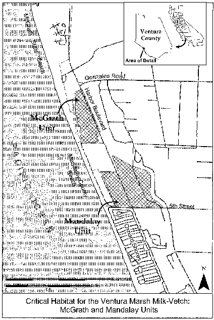
(6) Carpinteria Salt Marsh. Santa Barbara and Ventura Counties, California.
(i) Carpinteria Salt Marsh Unit A. Santa Barbara County, California. From USGS 1:24,000 quadrangle map Carpinteria, lands bounded by the following UTM zone 11 NAD83 coordinates (E,N): 266039, 3810060; 266166, 3810060; 266335, 3810050; 266449, 3810040; 266521, 3810040; 266572, 3810030; 266621, 3810010; 266711, 3809980; 266784, 3809950; 266912, 3809880; 267485, 3809530; 267463, 3809500; 267453, 3809470; 267428, 3809440; 267403, 3809390; 267381, 3809360; 267343, 3809300; 267290, 3809250; 267255, 3809190; 267243, 3809170; 267214, 3809160; 267185, 3809170; 267148, 3809200; 267094, 3809240; 267058, 3809260; 267023, 3809260; 266973, 3809260; 266932, 3809250; 266889, 3809250; 266813, 3809250; 266793, 3809260; 266772, 3809270; 266720, 3809290; 266690, 3809300; 266655, 3809310; 266644, 3809330; 266645, 3809350; 266602, 3809360; 266580, 3809380; 266544, 3809420; 266498, 3809480; 266456, 3809530; 266408, 3809590; 266356, 3809650; 266320, 3809690; 266264, 3809750; 266206, 3809810; 266162, 3809860; 266122, 3809900; 266081, 3809940; 266053, 3809960; 266042, 3809980; 266033, 3809990; 266032, 3810010; 266037, 3810060; 266039, 3810060.
(ii) Carpinteria Salt Marsh Unit B. Santa Barbara County, California. From USGS 1:24,000 quadrangle map Carpinteria, lands bounded by the following UTM zone 11 NAD83 coordinates (E,N): 267531, 3809510; 267588, 3809470; 267654, 3809440; 267708, 3809400; 267767, 3809360; 267755, 3809360; 267733, 3809360; 267710, 3809360; 267684, 3809360; 267662, 3809340; 267638, 3809310; 267621, 3809290; 267602, 3809270; 267587, 3809240; 267577, 3809220; 267563, 3809180; 267555, 3809150; 267544, 3809120; 267526, 3809100; 267504, 3809090; 267480, 3809080; 267458, 3809080; 267434, 3809090; 267413, 3809100; 267387, 3809110; 267357, 3809120; 267342, 3809130; 267318, 3809140; 267270, 3809140; 267275, 3809160; 267291, 3809170; 267303, 3809190; 267309, 3809210; 267319, 3809220; 267342, 3809240; 267365, 3809260; 267384, 3809280; 267411, 3809330; 267435, 3809360; 267454, 3809390; 267469, 3809420; 267490, 3809470; 267508, 3809490; 267531, 3809510.
(iii) Carpinteria Salt Marsh Unit C. Santa Barbara County, California. From USGS 1:24,000 quadrangle map Carpinteria, lands bounded by the following UTM zone 11 NAD83 coordinates (E,N): 267638, 3809260; 267658, 3809240; 267668, 3809240; 267775, 3809120; 267611, 3808980; 267584, 3808950; 267538, 3808970; 267516, 3808980; 267504, 3808960; 267488, 3808950; 267462, 3808960; 267437, 3808980; 267408, 3809010; 267386, 3809020; 267354, 3809040; 267344, 3809070; 267320, 3809080; 267337, 3809110; 267410, 3809070; 267443, 3809060; 267461, 3809050; 267487, 3809050; 267513, 3809060; 267532, 3809070; 267548, 3809080; 267564, 3809100; 267576, 3809120; 267600, 3809170; 267613, 3809210; 267627, 3809250; 267638, 3809260.
(iv) Carpinteria Salt Marsh Unit D. Ventura County, California. From USGS 1:24,000 quadrangle map Carpinteria, lands bounded by the following UTM zone 11 NAD83 coordinates (E,N): 266801, 3809220; 266818, 3809220; 266839, 3809220; 266859, 3809220; 266883, 3809220; 266912, 3809220; 266939, 3809230; 266960, 3809230; 266988, 3809230; 267008, 3809230; 267025, 3809220; 267044, 3809210; 267062, 3809200; 267085, 3809180; 267105, 3809170; 267127, 3809150; 267149, 3809140; 267171, 3809130; 267190, 3809120; 267211, 3809120; 267239, 3809120; 267262, 3809120; 267290, 3809120; 267312, 3809120; 267331, 3809110; 267323, 3809100; 267314, 3809090; 267305, 3809080; 267294, 3809060; 267290, 3809060; 267279, 3809060; 267271, 3809060; 267258, 3809070; 267240, 3809070; 267223, 3809070; 267208, 3809070; 267190, 3809080; 267169, 3809090; 267147, 3809100; 267125, 3809100; 267099, 3809100; 267079, 3809110; 267061, 3809120; 267047, 3809140; 267029, 3809150; 267022, 3809160; 267012, 3809170; 266993, 3809170; 266970, 3809180; 266940, 3809180; 266912, 3809180; 266883, 3809190; 266862, 3809190; 266843, 3809180; 266823, 3809180; 266810, 3809180; 266795, 3809180; 266787, 3809180; 266781, 3809190; 266775, 3809200; 266773, 3809210; 266776, 3809220; 266783, 3809220; 266791, 3809230; 266801, 3809220.
(v) Map 2 - Carpinteria Salt Marsh Unit - follows:
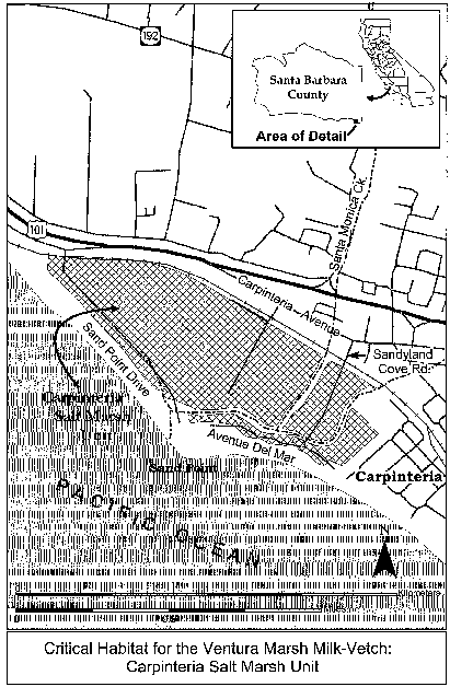
Family Fabaceae: Lupinus sulphureus ssp. kincaidii (Kincaid's lupine).
(1) Critical habitat units are depicted for Benton, Lane, Polk, and Yamhill Counties, Oregon, and Lewis County, Washington, on the maps below.
(2) The primary constituent elements of critical habitat for the Lupinus sulphureus ssp. kincaidii are the habitat components that provide:
(i) Early seral upland prairie, or oak savanna habitat with a mosaic of low-growing grasses and forbs, and spaces to establish seedlings or new vegetative growth; an absence of dense canopy vegetation; and undisturbed subsoils.
(ii) The presence of insect outcrossing pollinators, such as Bombus mixtus and B. californicus, with unrestricted movement between existing lupine patches.
(3) Critical habitat does not include man-made structures (such as buildings, aqueducts, airports, roads, and other paved areas, and the land on which such structures are located) existing on the effective date of this rule and not containing one or more of the primary constituent elements.
(4) Critical Habitat Map Units. Critical habitat units are described below. Data layers defining map units were created using USGS 24,000 scale Digital Ortho Quads captured in 2000. Critical habitat units were then mapped using UTM zone 10, NAD 1983 coordinates.
(5) Note: Map 1 (Index map for Lupinus sulphureus ssp. kincaidii) follows:

(6) Unit 1 for Lupinus sulphureus ssp. kincaidii (KL-1), Lewis County, Washington.
(i) [Reserved]
(ii) Map 2 (Unit 1 of Lupinus sulphureus ssp. kincaidii (KL-1)) follows:

(7) Unit 2 for Lupinus sulphureus ssp. kincaidii (KL-2) Yamhill County, Oregon.
(i) [Reserved]
(ii) Map 3 (Unit 2 for Lupinus sulphureus ssp. kincaidii (KL-2)) follows:

(8) Units 3 and 4 for Lupinus sulphureus ssp. kincaidii (KL-3 and KL-4), Yamhill County, Oregon.
(i) [Reserved]
(ii) Map 4 (Units 3 and 4 for Lupinus sulphureus ssp. kincaidii (KL-3 and KL-4)) follows:

(9) Units 5 and 6 for Lupinus sulphureus ssp. kincaidii (KL-5 and KL-6): Yamhill and Polk Counties, Oregon.
(i) [Reserved]
(ii) Map 5 (Units 5 and 6 for Lupinus sulphureus ssp. kincaidii (KL-5 and KL-6)) follows:
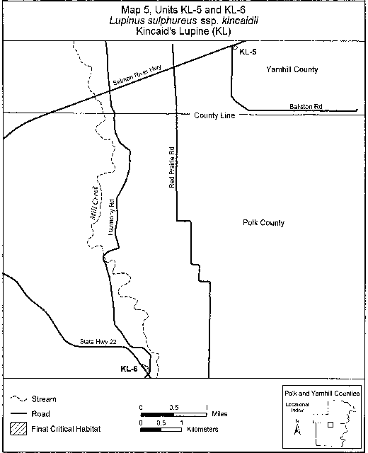
(10) Unit 7 for Lupinus sulphureus ssp. kincaidii (KL-7), Polk County, Oregon.
(i) [Reserved]
(ii) Map 6 (Unit 7 for Lupinus sulphureus ssp. kincaidii (Unit KL-7)) follows:

(11) Units 8, 9, and 10 for Lupinus sulphureus ssp. kincaidii (KL-8, KL-9, and KL-10), Benton County, Oregon.
(i) [Reserved]
(ii) Map 7 (Units 8, 9, and 10 for Lupinus sulphureus ssp. kincaidii (KL-8, KL-9, and KL-10)) follows:
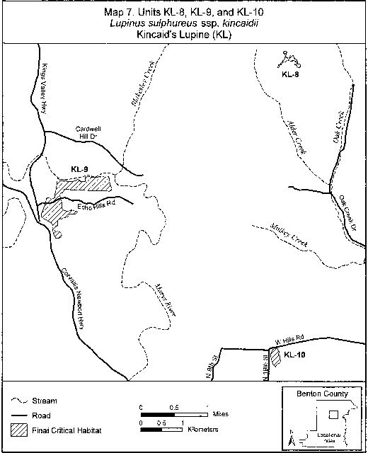
(12) Units 11 and 12 for Lupinus sulphureus ssp. kincaidii (KL-11 and KL-12), Lane County, Oregon.
(i) [Reserved]
(ii) Map 8 (Units 11 and 12 for Lupinus sulphureus ssp. kincaidii (KL-11 and KL-12)) follows:

(13) Unit 13 for Lupinus sulphureus ssp. kincaidii (KL-13), Lane County, Oregon.
(i) [Reserved]
(ii) Map 9 (Unit 13 for Lupinus sulphureus ssp. kincaidii (KL-13)) follows:
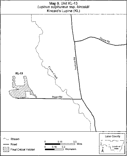
Family Gentianaceae: Centaurium namophilum (spring-loving centaury).
Nevada, Nye County, Ash Meadows: SW 1⁄4NE 1⁄4, SE 1⁄4NW 1⁄4, E 1⁄2SW 1⁄4, and W 1⁄2SE 1⁄4 sec. 21; W 1⁄2NW 1⁄4 sec. 23, NW 1⁄4NE 1⁄4 and NE 1⁄4NW 1⁄4 sec. 28, SE 1⁄4SE 1⁄4 sec. 34, SW 1⁄4SW 1⁄4 and E 1⁄2SW 1⁄4 sec. 35, T17S, R50E. SW 1⁄2 sec. 1, NE 1⁄4NW 1⁄4 and W 1⁄2NW 1⁄4 sec. 2, E 1⁄2NE 1⁄4 sec. 3, NE 1⁄4 sec. 7; SE 1⁄4SE 1⁄4 sec. 23, SE 1⁄4SW 1⁄4 sec. 24, T18S, R50E. NW 1⁄4SE 1⁄4 sec. 7, S 1⁄2NW 1⁄4 and SW 1⁄4 sec. 18, NW 1⁄4 and NE 1⁄4SE 1⁄4 sec. 19, E 1⁄2SW 1⁄4 sec. 20, N 1⁄2NW 1⁄4 sec. 29, NE 1⁄4NW 1⁄4 sec. 30, T18S, R51E.
Known primary constituent elements include moist to wet clay soils along banks of streams or in seepage areas.
Map provided is for informational purposes only. Map follows:

Family Hydrophyllaceae: Eriodictyon capitatum (Lompoc yerba santa)
(1) Critical habitat units are depicted for Santa Barbara County, California, on the map in this entry. The map provided is for informational purposes only.
(2) The primary constituent elements of critical habitat for Eriodictyon capitatum are the habitat components that provide:
(i) Soils with a large component of sand and that tend to be acidic; and
(ii) Plant communities that support associated species, including maritime chaparral, particularly where the following associated species are found: Dendromecon rigida (bush poppy), Quercus berberidifolia (California scrub oak), Quercus parvula (Santa Cruz Island scrub oak), and Ceanothus cuneatus (buck brush); and in southern bishop pine forests that intergrade with chaparral Arctostaphylos spp. (manzanita) and Salvia mellifera (black sage).
(3) Critical habitat does not include existing features and structures, such as buildings, roads, aqueducts, railroads, airports, other paved areas, lawns, and other urban landscaped areas not containing one or more of the primary constituent elements.
(4) Critical Habitat Map Units. Data layers defining map units were mapped using Universal Transverse Mercator (UTM) coordinates.
(5) Santa Ynez Mountains Unit (Lompoc yerba santa). Santa Barbara County, California
(i) From USGS 1:24,000 quadrangle maps Lompoc Hills, Point Conception, Sacate, lands bounded by the following UTM zone 10 NAD83 coordinates (E,N): 739493, 3817820; 739352, 3817850; 739008, 3817860; 738828, 3817800; 738440, 3817810; 738377, 3817820; 738294, 3817900; 738288, 3817900; 738104, 3817960; 738034, 3817960; 738028, 3817900; 738026, 3817900; 737925, 3817940; 737892, 3817950; 737726, 3817950; 737666, 3818000; 737619, 3817970; 737540, 3817910; 737423, 3817890; 737416, 3817960; 737414, 3818040; 737489, 3818070; 737612, 3818160; 737622, 3818190; 737676, 3818230; 737715, 3818280; 737744, 3818320; 737757, 3818380; 737791, 3818440; 737809, 3818500; 737838, 3818550; 737862, 3818600; 737916, 3818660; 737924, 3818710; 737903, 3818760; 737865, 3818820; 737823, 3818880; 737791, 3818950; 737804, 3819010; 737791, 3819100; 737774, 3819180; 737701, 3819270; 737662, 3819360; 737624, 3819450; 737611, 3819560; 737633, 3819670; 737661, 3819750; 737679, 3819800; 737708, 3819870; 737731, 3819930; 737729, 3820000; 737717, 3820070; 737725, 3820140; 737753, 3820210; 737777, 3820240; 737816, 3820290; 737829, 3820360; 737868, 3820430; 737942, 3820490; 738005, 3820560; 738019, 3820610; 737996, 3820700; 737947, 3820820; 737893, 3820930; 737840, 3821030; 737813, 3821090; 737897, 3821130; 738005, 3821060; 738136, 3821070; 738167, 3821060; 738214, 3821020; 738264, 3821030; 738308, 3821050; 738328, 3821090; 738373, 3821110; 738439, 3821080; 738520, 3821060; 738581, 3821060; 738652, 3821060; 738698, 3821030; 738759, 3821030; 738830, 3821010; 738891, 3821010; 738951, 3821010; 739027, 3821020; 739077, 3821020; 739111, 3821060; 739161, 3821090; 739227, 3821090; 739288, 3821070; 739384, 3821050; 739541, 3821060; 739607, 3821020; 739669, 3820990; 739714, 3821020; 739762, 3821080; 739796, 3821140; 739825, 3821180; 739969, 3821260; 740158, 3821340; 740234, 3821350; 740295, 3821320; 740387, 3821280; 740453, 3821280; 740503, 3821280; 740575, 3821270; 740631, 3821250; 740677, 3821220; 740710, 3821150; 740767, 3821070; 740784, 3821010; 740786, 3820950; 740822, 3820930; 740869, 3820870; 740917, 3820790; 740919, 3820720; 740917, 3820630; 740945, 3820540; 741007, 3820480; 741084, 3820430; 741186, 3820400; 741298, 3820400; 741383, 3820400; 741510, 3820380; 741666, 3820390; 741747, 3820400; 741808, 3820400; 741863, 3820390; 741990, 3820390; 742184, 3820310; 742250, 3820300; 742356, 3820290; 742458, 3820280; 742554, 3820270; 742604, 3820280; 742645, 3820260; 742690, 3820260; 742741, 3820260; 742817, 3820270; 742907, 3820270; 742973, 3820280; 743029, 3820250; 743100, 3820250; 743139, 3820280; 743224, 3820310; 743315, 3820320; 743406, 3820320; 743461, 3820320; 743528, 3820300; 743579, 3820260; 743632, 3820200; 743644, 3820130; 743686, 3820090; 743727, 3820040; 743779, 3819990; 743826, 3819960; 743857, 3819910; 743889, 3819860; 743926, 3819820; 743958, 3819770; 743999, 3819720; 744026, 3819680; 744028, 3819620; 744039, 3819570; 744061, 3819530; 744067, 3819490; 744074, 3819420; 744096, 3819360; 744108, 3819300; 744104, 3819260; 744146, 3819210; 744162, 3819170; 744190, 3819080; 744211, 3819050; 744228, 3819020; 744244, 3818970; 744300, 3818940; 744347, 3818910; 744373, 3818900; 744394, 3818840; 744417, 3818780; 744403, 3818730; 744383, 3818720; 744395, 3818650; 744401, 3818620; 744407, 3818580; 744388, 3818560; 744376, 3818540; 744260, 3818520; 744138, 3818530; 744059, 3818550; 743870, 3818540; 743706, 3818470; 743584, 3818440; 743363, 3818350; 743096, 3818380; 742902, 3818290; 742736, 3818260; 742563, 3818270; 742371, 3818150; 742218, 3818120; 742033, 3818130; 741925, 3818110; 741699, 3818060; 741574, 3818050; 741405, 3818040; 741236, 3817980; 741084, 3817970; 740947, 3817980; 740756, 3817980; 740697, 3817920; 740515, 3817850; 740279, 3817860; 740080, 3817930; 739907, 3817850; 739493, 3817820.
(6) Solomon Hills Unit. Santa Barbara County, California.
(i) From USGS 1:24,000 quadrangle map Orcutt, lands bounded by the following UTM zone 10 NAD83 coordinates (E,N): 737417, 3856100; 737363, 3856080; 737307, 3856040; 737239, 3856000; 737175, 3856000; 737140, 3856010; 737105, 3856070; 737059, 3856130; 736981, 3856170; 736919, 3856190; 736825, 3856180; 736785, 3856210; 736755, 3856250; 736747, 3856310; 736677, 3856370; 736618, 3856410; 736583, 3856440; 736581, 3856480; 736669, 3856620; 736664, 3856670; 736629, 3856680; 736545, 3856600; 736451, 3856570; 736373, 3856590; 736298, 3856650; 736258, 3856730; 736239, 3856830; 736217, 3856960; 736147, 3857020; 736067, 3857040; 736018, 3857030; 735919, 3856920; 735881, 3856830; 735798, 3856740; 735620, 3856630; 735534, 3856390; 735378, 3856240; 735233, 3856110; 735139, 3856060; 735052, 3856040; 734942, 3856040; 734875, 3856060; 734778, 3856160; 734716, 3856270; 734705, 3856380; 734792, 3856490; 734985, 3856680; 734902, 3856760; 734811, 3856770; 734747, 3856930; 734572, 3857050; 734549, 3857170; 734576, 3857260; 734640, 3857350; 734687, 3857490; 734576, 3857560; 734488, 3857710; 734512, 3857810; 734582, 3857880; 734687, 3857900; 734802, 3857860; 734945, 3857850; 735007, 3857890; 735042, 3857970; 735063, 3858170; 735141, 3858250; 735367, 3858250; 735539, 3858220; 735720, 3858150; 735768, 3858170; 735803, 3858200; 735870, 3858370; 735919, 3858410; 736045, 3858370; 736228, 3858140; 736354, 3858150; 736497, 3858060; 736637, 3858070; 736403, 3858210; 736363, 3858320; 736363, 3858410; 736384, 3858450; 736443, 3858460; 736494, 3858470; 736519, 3858500; 736497, 3858560; 736446, 3858650; 736287, 3858850; 736024, 3859120; 735900, 3859270; 735905, 3859310; 735935, 3859340; 735972, 3859350; 736126, 3859280; 736336, 3859170; 736524, 3859030; 736580, 3859030; 736605, 3859080; 736607, 3859190; 736683, 3859240; 736779, 3859250; 736868, 3859260; 737000, 3859190; 737102, 3859190; 737186, 3859210; 737240, 3859240; 737430, 3859200; 737572, 3859160; 737721, 3859160; 737818, 3859200; 737915, 3859040; 737934, 3858970; 738022, 3858840; 738108, 3858670; 738286, 3858510; 738364, 3858370; 738498, 3858350; 738646, 3858230; 738754, 3858160; 738859, 3858100; 738907, 3858050; 738905, 3857960; 738883, 3857860; 738810, 3857710; 738808, 3857600; 738811, 3857490; 738800, 3857370; 738770, 3857240; 738734, 3857130; 738675, 3857000; 738613, 3856960; 738509, 3856890; 738452, 3856830; 738398, 3856710; 738240, 3856630; 738188, 3856580; 738149, 3856550; 738100, 3856580; 738059, 3856570; 737904, 3856510; 737780, 3856510; 737635, 3856540; 737608, 3856510; 737632, 3856470; 737687, 3856410; 737833, 3856320; 737890, 3856260; 737928, 3856160; 737869, 3856080; 737787, 3855920; 737740, 3855950; 737651, 3856020; 737576, 3856050; 737484, 3856100; 737417, 3856100.
(ii) Note: Map 4 follows:

Family Hydrophyllaceae: Phacelia submutica (DeBeque phacelia)
(1) Critical habitat units are designated for Garfield and Mesa Counties, Colorado.
(2) The primary constituent elements of the physical and biological features essential to the conservation of Phacelia submutica consist of five components:
(i) Suitable soils and geology.
(A) Atwell Gulch and Shire members of the Wasatch formation.
(B) Within these larger formations, small areas (from 10 to 1,000 ft2 (1 to 100 m2)) on colorful exposures of chocolate to purplish brown, light to dark charcoal gray, and tan clay soils. These small areas are slightly different in texture and color than the similar surrounding soils. Occupied sites are characterized by alkaline (pH range from 7 to 8.9) soils with higher clay content than similar nearby unoccupied soils.
(C) Clay soils that shrink and swell dramatically upon drying and wetting and are likely important in the maintenance of the seed bank.
(ii) Topography. Moderately steep slopes, benches, and ridge tops adjacent to valley floors. Occupied slopes range from 2 to 42 degrees with an average of 14 degrees.
(iii) Elevation and climate.
(A) Elevations from 4,600 ft (1,400 m) to 7,450 ft (2,275 m).
(B) Climatic conditions similar to those around DeBeque, Colorado, including suitable precipitation and temperatures. Annual fluctuations in moisture (and probably temperature) greatly influences the number of Phacelia submutica individuals that grow in a given year and are thus able to set seed and replenish the seed bank.
(iv) Plant community.
(A) Small (from 10 to 1,000 ft2 (1 to 100 m2)) barren areas with less than 20 percent plant cover in the actual barren areas.
(B) Presence of appropriate associated species that can include (but are not limited to) the natives Grindelia fastigiata, Eriogonum gordonii,Monolepis nuttalliana, and Oenothera caespitosa. Some presence, or even domination by, invasive nonnative species, such as Bromus tectorum, may occur, as Phacelia submutica may still be found there.
(C) Appropriate plant communities within the greater pinyon-juniper woodlands that include:
(1) Clay badlands within the mixed salt desert scrub; or
(2) Clay badlands within big sagebrush shrublands.
(v) Maintenance of the seed bank and appropriate disturbance levels.
(A) Within suitable soil and geologies (see paragraph (2)(i) of this entry), undisturbed areas where seed banks are left undamaged.
(B) Areas with light disturbance when dry and no disturbance when wet.
(3) Critical habitat does not include manmade structures (such as buildings, aqueducts, runways, roads, and other paved areas) and the land on which they are located existing within the legal boundaries on September 12, 2012.
(4) Critical habitat map units. Data layers defining map units were created on a base of both satellite imagery (NAIP 2009) as well as USGS geospatial quadrangle maps and were mapped using NAD 83 Universal Transverse Mercator (UTM), zone 13N coordinates. Location information came from a wide array of sources. A habitat model prepared by the Colorado Natural Heritage Program also was utilized. The maps in this entry, as modified by any accompanying regulatory text, establish the boundaries of the critical habitat designation. The coordinates or plot points or both on which each map is based are available to the public on http://regulations.gov at Docket No. FWS-R6-ES-2011-0040, on our Internet site (http://www.fws.gov/mountain-prairie/species/plants/3ColoradoPlants/index.html), and at the Western Colorado Ecological Services Office, 764 Horizon Drive, Suite B, Grand Junction, CO 81506-3946.
(5) Note: Index map follows:

(6) Unit 1: Sulfur Gulch, Mesa County, Colorado. Note: Map of Unit 1 of critical habitat for Phacelia submutica is provided at paragraph (7) of this entry.
(7) Unit 2: Pyramid Rock, Garfield and Mesa Counties, Colorado. Note: Map of Units 1 and 2 of critical habitat for Phacelia submutica follows:
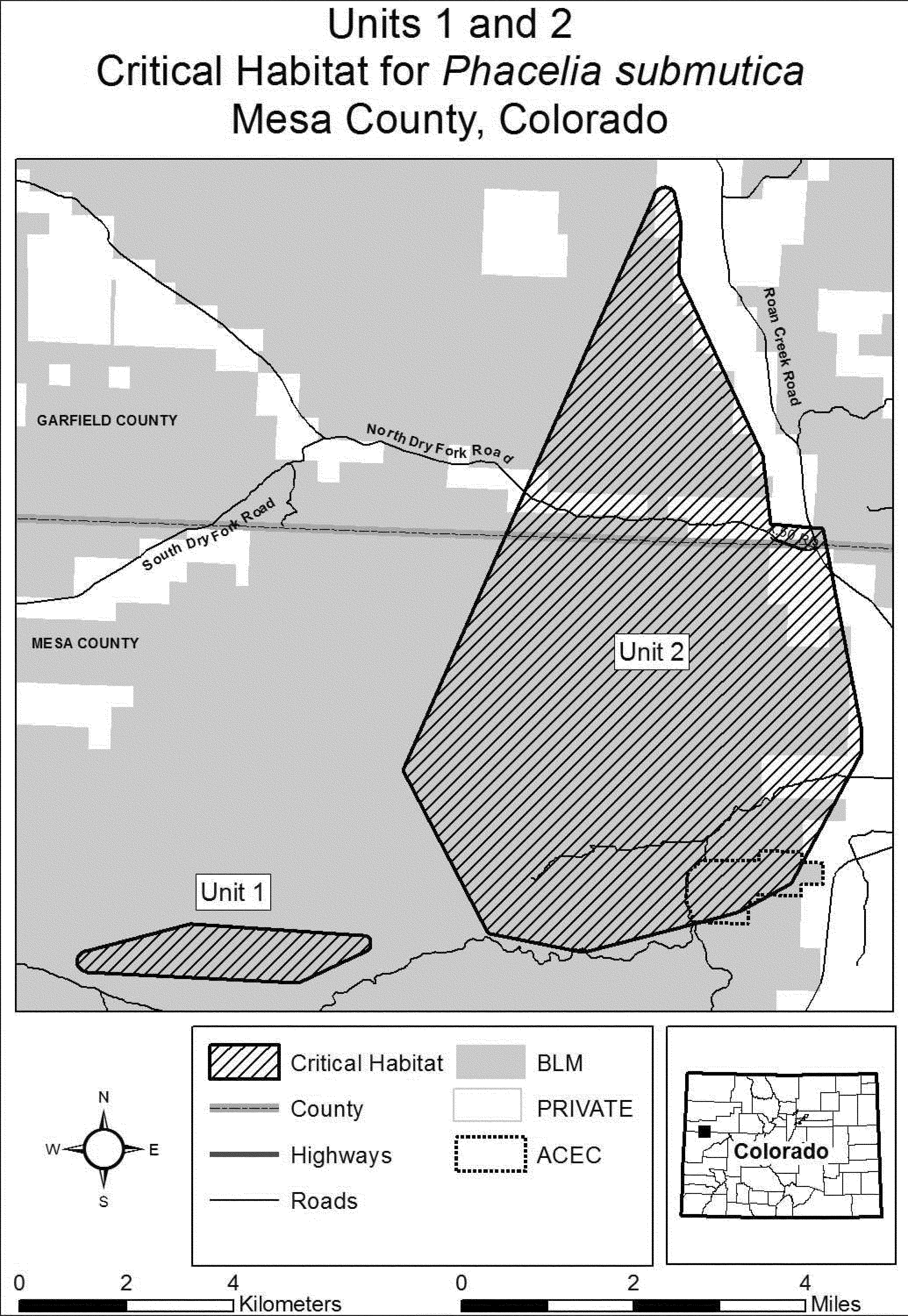
(8) Unit 3: Roan Creek, Garfield County, Colorado. Note: Map of Unit 3 of critical habitat for Phacelia submutica is provided at paragraph (10) of this entry.
(9) Unit 4: DeBeque, Mesa County, Colorado. Note: Map of Unit 4 of critical habitat for Phacelia submutica is provided at paragraph (10) of this entry.
(10) Unit 5: Mount Logan, Garfield County, Colorado. Note: Map of Units 3, 4, and 5 of critical habitat for Phacelia submutica follows:
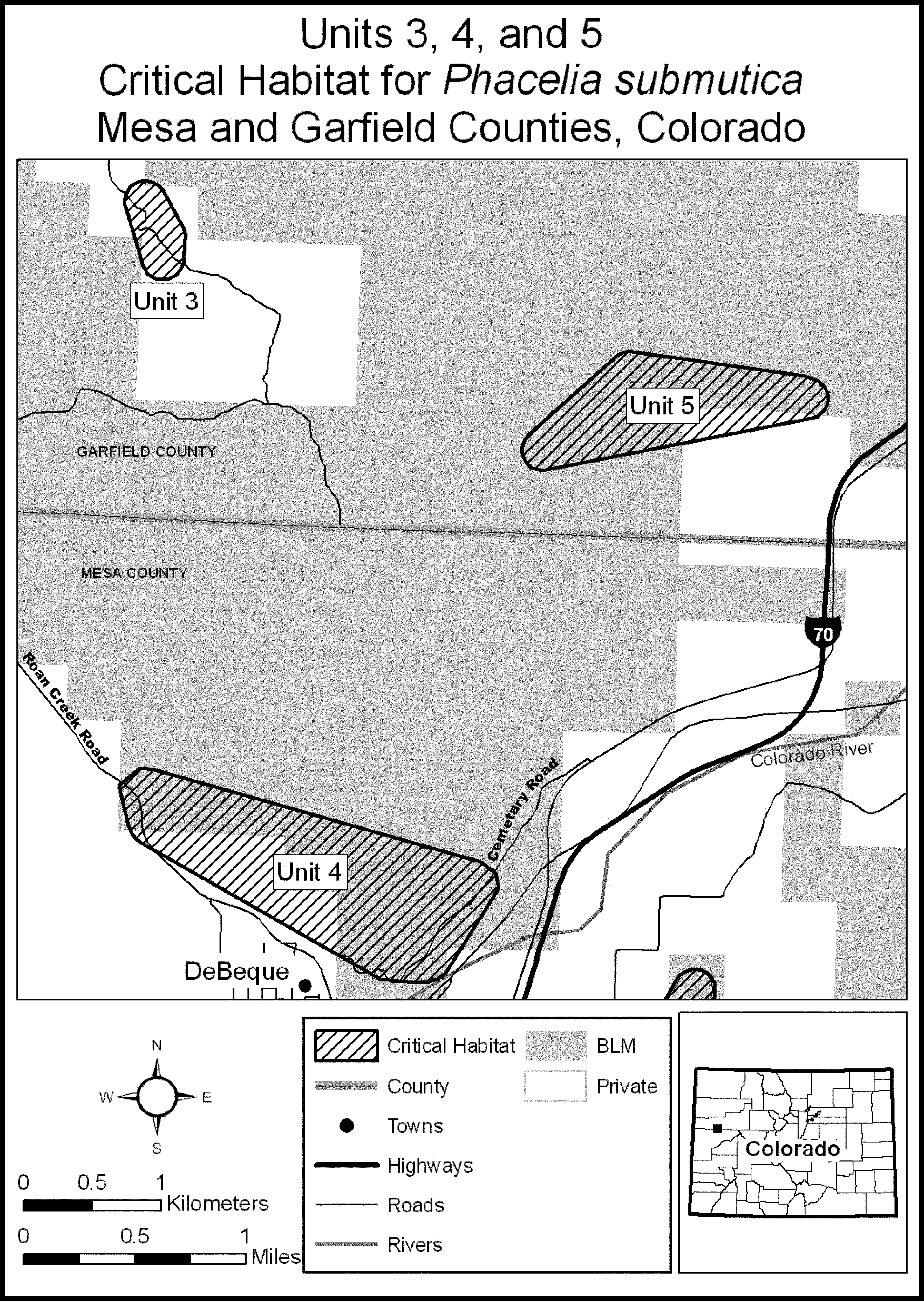
(11) Unit 6: Ashmead Draw, Mesa County, Colorado. Note: Map of Unit 6 of critical habitat for Phacelia submutica is provided at paragraph (14) of this entry.
(12) Unit 7: Baugh Reservoir, Mesa County, Colorado. Note: Map of Unit 7 of critical habitat for Phacelia submutica is provided at paragraph (14) of this entry.
(13) Unit 8: Horsethief Mountain, Mesa County, Colorado. Note: Map of Unit 8 of critical habitat for Phacelia submutica is provided at paragraph (14) of this entry.
(14) Unit 9: Anderson Gulch, Mesa County, Colorado. Note: Map of Units 6, 7, 8, and 9 of critical habitat for Phacelia submutica follows:

Family Lamiaceae: Acanthomintha ilicifolia (San Diego thornmint)
(1) Critical habitat units are depicted for San Diego County, California, on the maps below.
(2) The primary constituent element of critical habitat for Acanthomintha ilicifolia is clay lenses that provide substrate for seedling establishment and space for growth and development of Acanthomintha ilicifolia that are:
(i) Within chaparral, grassland, and coastal sage scrub;
(ii) On gentle slopes ranging from 0 to 25 degrees;
(iii) Derived from gabbro and soft calcareous sandstone substrates with a loose, crumbly structure and deep fissures (approximately 1 to 2 feet (30 to 60 cm)); and
(iv) Characterized by a low density of forbs and geophytes, and a low density or absence of shrubs.
(3) Critical habitat does not include manmade structures (such as buildings, aqueducts, airports, and roads) and the land on which such structures are located existing on the effective date of this rule.
(4) Critical habitat map units. Data layers defining map units were created using a base of U.S. Geological Survey 7.5′ quadrangle maps, and the critical habitat units were then mapped using UTM coordinates.
(5) Note: Index map of critical habitat units for Acanthomintha ilicifolia (San Diego thornmint) follows:
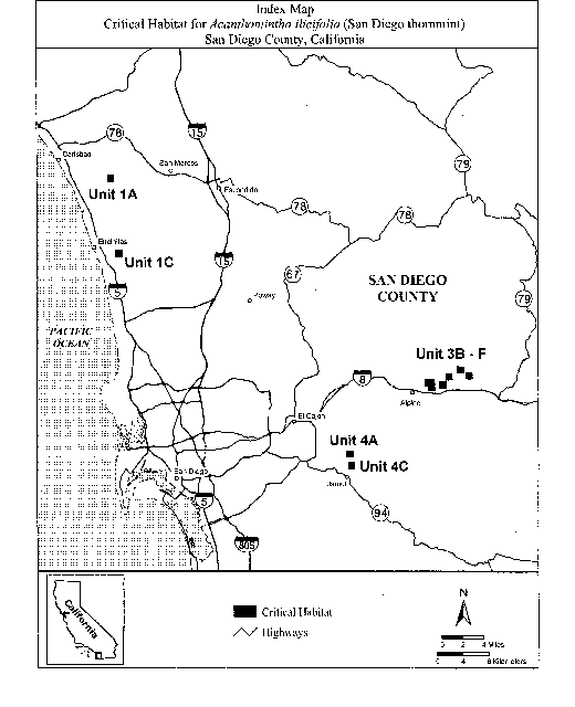
(6) Unit 1: San Diego County, California. From USGS 1:24,000 quadrangle maps San Luis Rey, San Marcos, Encinitas, and Rancho Santa Fe.
(i) [Reserved]
(ii) Map of Unit 1, Subunits 1A and 1C, follows:
(7) Unit 3: San Diego County, California. From USGS 1:24,000 quadrangle map Viejas Mountain.
(i) [Reserved]
(ii) Map of Unit 3, Subunits 3B, 3C, 3D, 3E, and 3F, follows:

(8) Unit 4: San Diego County, California. From USGS 1:24,000 quadrangle maps Alpine and Dulzura.
(i) [Reserved]
(ii) Map of Unit 4, Subunits 4A and 4C follows:

Family Lamiaceae: Hedeoma todsenii (Todsens pennyroyal).
New Mexico; Sierra County; the Critical Habitat of Hedeoma todsenii is best defined by two one-square kilometer sections on the 1000 m2 Universal Transverse Mercator Grid, Zone 13. The more northern critical habitat lies between 76 and 77,000 m N and 39 and 40,000 m E. The southern area lies between 74 and 75,000 m N and 40 and 41,000 m E. Gypsum limestone soils.
Map provided is for informational purposes only. Map follows:

Family Lamiaceae: Monardella viminea (willowy monardella)
(1) Critical habitat units are depicted for San Diego County, California, on the map below.
(2) Within these areas, the primary constituent element of the physical and biological features essential to the conservation of Monardella viminea is riparian channels with ephemeral drainages and adjacent floodplains:
(i) With a natural hydrological regime, in which:
(A) Water flows only after peak seasonal rainstorms;
(B) High runoff events periodically scour riparian vegetation and redistribute alluvial material to create new stream channels, benches, and sandbars; and
(C) Water flows for usually less than 48 hours after a rain event, without long-term standing water;
(ii) With surrounding vegetation that provides semi-open, foliar cover with:
(A) Little or no herbaceous understory;
(B) Little to no canopy cover;
(C) Open ground cover, less than half of which is herbaceous vegetation cover;
(D) Some shrub cover; and
(E) An association of other plants, including Eriogonum fasciculatum (California buckwheat) and Baccharis sarothroides (broom baccharis);
(iii) That contain ephemeral drainages that:
(A) [Reserved]
(B) Are made up of coarse, rocky, or sandy alluvium; and
(C) Contain terraced floodplains, terraced secondary benches, stabilized sandbars, channel banks, or sandy washes; and
(iv) That have soil with high sand content, typically characterized by sediment and cobble deposits, and further characterized by a high content of coarse, sandy grains and low content of silt and clay.
(3) Critical habitat does not include manmade structures (such as buildings, aqueducts, runways, roads, and other paved areas) and the land on which they are located existing within the legal boundaries on the effective date of this rule.
(4) Critical habitat map units. Data layers defining map units were created using a base of U.S. Geological Survey 7.5' quadrangle maps. Critical habitat units were then mapped using Universal Transverse Mercator (UTM) zone 11, North American Datum (NAD) 1983 coordinates.
(5) Unit 1: Sycamore Canyon, and Unit 2, West Sycamore Canyon, San Diego County, California.
(i) [Reserved]
(ii) Map of Unit 1 and Unit 2, Sycamore Canyon and West Sycamore Canyon, follows:
Family Liliaceae: Chlorogalum purpureum (purple amole)
(1) Critical habitat units are depicted for Monterey and San Luis Obispo counties, California, on the maps below. The maps provided are for informational purposes only.
(2) The primary constituent elements of critical habitat for Chlorogalum purpureum var. purpureum consist of, but are not limited to:
(i) Soils that are sandy clay to loamy clay, well-drained on the surface, and are often overlain with fine gravel; and,
(ii) Plant communities in functioning ecosystems that support associated plant and animal species (e.g., pollinators, predator-prey species, etc.), including valley and foothill grassland, blue oak woodland or oak savannahs, and open areas within shrubland communities. Within these vegetation community types, C. p. var. purpureum appears where there is little cover of other species which compete for resources available for growth and reproduction.
(3) The primary constituent elements of critical habitat for Chlorogalum purpureum var. reductum consist of, but are not limited to:
(i) Well-drained, red clay soils with a large component of gravel and pebbles on the upper soil surface; and,
(ii) Plant communities in functioning ecosystems that support associated plant and animal species (e.g., pollinators, predator-prey species, etc.), including grassland, blue oak woodland (Quercus douglasii) or oak savannahs, and open areas within shrubland communities. Within these vegetation communities C. p. var. reductum appears where there is little cover of other species which compete for resources available for growth and reproduction.
(4) Critical habitat does not include existing features and structures, such as buildings, hard-packed roads (e.g., asphalt, pavement), aqueducts, railroads, airport runways and buildings, other paved areas, lawns, and other urban landscaped areas not containing any of the primary constituent elements.
(5) Critical Habitat Map Units. Data layers defining map units were mapped using Universal Transverse Mercator (UTM) coordinates.
(6) Note: Map 1 - Index Map follows:

(7) Jolon Unit. (i) Chlorogalum purpureum var. purpureum. Monterey County, California. From USGS 1:24,000 quadrangle map Jolon. Lands bounded by UTM zone 10 NAD83 coordinates (E,N): 666471, 3985340; 666646, 3985110; 666965, 3985110; 667260, 3985130; 667281, 3984880; 667567, 3984910; 667699, 3984690; 667849, 3984770; 668125, 3984770; 668175, 3984600; 668224, 3984470; 668334, 3984260; 668086, 3984250; 668094, 3984040; 668004, 3984040; 667888, 3983960; 667891, 3983860; 668085, 3983860; 668118, 3983590; 668538, 3983430; 668526, 3983290; 668780, 3983360; 668909, 3983300; 668905, 3983060; 669317, 3983070; 669346, 3982270; 669638, 3982120; 669638, 3981950; 669463, 3981960; 669396, 3981850; 668647, 3981840; 668649, 3982250; 668435, 3982790; 668126, 3982790; 668122, 3982620; 667509, 3982620; 667426, 3982950; 667272, 3982930; 667261, 3983040; 667283, 3983420; 666998, 3983420; 666907, 3983410; 666887, 3984220; 666496, 3984220; 666471, 3985340; 669233, 3978620; 669242, 3978640; 669244, 3978640; 669255, 3978650; 669303, 3978720; 669365, 3978680; 669374, 3978620; 669441, 3978600; 669504, 3978600; 669542, 3978660; 669614, 3978730; 669639, 3978810; 669616, 3978890; 669610, 3978900; 669594, 3978940; 669654, 3978930; 670986, 3978670; 671848, 3978660; 671854, 3978560; 671879, 3978440; 671888, 3978350; 671880, 3978370; 671821, 3978350; 671804, 3978280; 671833, 3978220; 671933, 3978220; 671918, 3978130; 671922, 3978070; 671947, 3978020; 671981, 3977950; 671985, 3977900; 671964, 3977870; 671961, 3977850; 670600, 3977840; 670599, 3977640; 669239, 3978620; 669233, 3978620.
(ii) Note: See Map 2.

(8) Camatta Canyon Unit. (i) Chlorogalum purpureum var. reductum. San Luis Obispo County, California. From USGS 1:24,000 quadrangle maps Camatta Ranch, La Panza Ranch, and Pozo Summit. Lands bounded by the following UTM zone 10 NAD83 coordinates (E, N): 747763, 3918050; 747749, 3918040; 747714, 3918020; 747690, 3918000; 747683, 3917980; 747690, 3917960; 747722, 3917940; 747754, 3917900; 747749, 3917870; 747724, 3917870; 747647, 3917860; 747633, 3917860; 747616, 3917850; 747612, 3917840; 747615, 3917830; 747641, 3917820; 747727, 3917790; 747718, 3917780; 747687, 3917760; 747655, 3917750; 747635, 3917740; 747612, 3917720; 747597, 3917690; 747590, 3917660; 747598, 3917630; 747593, 3917600; 747578, 3917580; 747544, 3917560; 747530, 3917550; 747525, 3917540; 747528, 3917510; 747527, 3917470; 747521, 3917430; 747510, 3917410; 747461, 3917370; 747434, 3917370; 747411, 3917360; 747398, 3917360; 747387, 3917350; 747385, 3917330; 747396, 3917280; 747396, 3917250; 747381, 3917220; 747368, 3917180; 747366, 3917150; 747357, 3917140; 747343, 3917130; 747319, 3917130; 747285, 3917140; 747270, 3917150; 747263, 3917160; 747261, 3917190; 747256, 3917230; 747246, 3917270; 747224, 3917340; 747164, 3917470; 747106, 3917570; 747055, 3917640; 747019, 3917690; 746996, 3917700; 746972, 3917720; 746949, 3917720; 746933, 3917710; 746911, 3917700; 746889, 3917690; 746875, 3917670; 746869, 3917650; 746870, 3917640; 746875, 3917620; 746887, 3917620; 746919, 3917610; 746947, 3917600; 746960, 3917590; 746980, 3917550; 747016, 3917460; 747041, 3917370; 747064, 3917300; 747080, 3917270; 747080, 3917260; 747066, 3917250; 747048, 3917250; 746992, 3917290; 746949, 3917330; 746884, 3917390; 746860, 3917390; 746839, 3917390; 746822, 3917380; 746815, 3917380; 746811, 3917360; 746814, 3917350; 746818, 3917330; 746828, 3917320; 746854, 3917320; 746874, 3917310; 746886, 3917300; 746891, 3917290; 746884, 3917280; 746865, 3917280; 746846, 3917290; 746828, 3917290; 746823, 3917290; 746817, 3917280; 746809, 3917270; 746810, 3917260; 746804, 3917260; 746796, 3917260; 746791, 3917270; 746773, 3917290; 746728, 3917310; 746706, 3917330; 746675, 3917340; 746666, 3917350; 746659, 3917360; 746653, 3917360; 746639, 3917370; 746607, 3917380; 746587, 3917380; 746571, 3917390; 746562, 3917390; 746547, 3917400; 746539, 3917410; 746531, 3917410; 746521, 3917410; 746510, 3917410; 746494, 3917400; 746477, 3917400; 746460, 3917400; 746443, 3917400; 746422, 3917400; 746414, 3917400; 746403, 3917410; 746398, 3917420; 746398, 3917430; 746404, 3917440; 746416, 3917460; 746434, 3917460; 746465, 3917490; 746469, 3917500; 746450, 3917510; 746433, 3917520; 746394, 3917540; 746377, 3917550; 746356, 3917570; 746341, 3917580; 746288, 3917640; 746284, 3917650; 746287, 3917650; 746299, 3917660; 746312, 3917670; 746317, 3917670; 746318, 3917680; 746312, 3917690; 746297, 3917700; 746279, 3917730; 746265, 3917760; 746249, 3917770; 746238, 3917770; 746226, 3917780; 746215, 3917790; 746208, 3917790; 746200, 3917780; 746191, 3917770; 746171, 3917760; 746162, 3917750; 746155, 3917760; 746154, 3917790; 746162, 3917810; 746178, 3917830; 746191, 3917840; 746207, 3917860; 746222, 3917870; 746253, 3917890; 746283, 3917900; 746311, 3917900; 746347, 3917890; 746371, 3917890; 746409, 3917900; 746452, 3917930; 746478, 3917950; 746505, 3917980; 746506, 3917990; 746492, 3918020; 746482, 3918040; 746494, 3918070; 746513, 3918090; 746543, 3918100; 746605, 3918170; 746677, 3918220; 746752, 3918290; 746773, 3918320; 746775, 3918350; 746773, 3918390; 746755, 3918390; 746738, 3918380; 746717, 3918370; 746653, 3918360; 746627, 3918340; 746598, 3918320; 746508, 3918300; 746462, 3918280; 746412, 3918240; 746367, 3918190; 746332, 3918140; 746300, 3918110; 746253, 3918080; 746230, 3918070; 746204, 3918050; 746179, 3918040; 746171, 3917990; 746145, 3917970; 746040, 3918060; 746016, 3918070; 745994, 3918080; 745987, 3918090; 745995, 3918100; 746078, 3918120; 746104, 3918130; 746111, 3918160; 746142, 3918180; 746182, 3918200; 746219, 3918220; 746273, 3918230; 746301, 3918240; 746328, 3918250; 746361, 3918270; 746397, 3918290; 746401, 3918310; 746393, 3918330; 746373, 3918330; 746348, 3918330; 746311, 3918330; 746271, 3918340; 746230, 3918340; 746150, 3918310; 746067, 3918300; 746003, 3918290; 745960, 3918290; 745939, 3918290; 745925, 3918380; 745880, 3918460; 745864, 3918500; 745869, 3918530; 745882, 3918550; 745908, 3918590; 745958, 3918620; 746000, 3918660; 746017, 3918720; 746034, 3918730; 746127, 3918770; 746146, 3918790; 746143, 3918820; 746126, 3918840; 746053, 3918890; 745997, 3918950; 745973, 3918970; 745946, 3918990; 745922, 3919020; 745902, 3919030; 745872, 3919040; 745839, 3919050; 745790, 3919050; 745748, 3919040; 745700, 3919030; 745678, 3919030; 745661, 3919040; 745635, 3919080; 745605, 3919140; 745574, 3919200; 745554, 3919260; 745533, 3919290; 745517, 3919300; 745498, 3919300; 745493, 3919310; 745509, 3919330; 745555, 3919360; 745599, 3919390; 745632, 3919420; 745679, 3919440; 745691, 3919460; 745719, 3919480; 745709, 3919490; 745685, 3919490; 745627, 3919470; 745585, 3919490; 745548, 3919500; 745523, 3919520; 745502, 3919520; 745492, 3919530; 745495, 3919540; 745510, 3919550; 745540, 3919560; 745612, 3919560; 745672, 3919560; 745728, 3919560; 745768, 3919570; 745813, 3919580; 745850, 3919590; 745867, 3919600; 745866, 3919630; 745852, 3919670; 745833, 3919680; 745787, 3919670; 745731, 3919630; 745665, 3919610; 745611, 3919620; 745568, 3919620; 745550, 3919640; 745538, 3919660; 745536, 3919680; 745537, 3919700; 745550, 3919720; 745599, 3919740; 745647, 3919760; 745684, 3919790; 745706, 3919830; 745727, 3919870; 745752, 3919900; 745789, 3919900; 745836, 3919900; 745913, 3919900; 746019, 3919930; 746042, 3919950; 746061, 3919970; 746062, 3919990; 746051, 3920010; 746027, 3920010; 745990, 3920000; 745916, 3919980; 745896, 3919990; 745901, 3920020; 745938, 3920040; 745962, 3920060; 745971, 3920080; 745960, 3920100; 745938, 3920100; 745899, 3920110; 745874, 3920120; 745855, 3920140; 745836, 3920170; 745814, 3920180; 745776, 3920190; 745732, 3920190; 745689, 3920200; 745665, 3920230; 745641, 3920260; 745602, 3920290; 745569, 3920320; 745548, 3920340; 745546, 3920360; 745560, 3920370; 745614, 3920380; 745648, 3920390; 745661, 3920380; 745685, 3920370; 745726, 3920350; 745800, 3920340; 745838, 3920340; 745845, 3920360; 745819, 3920380; 745780, 3920440; 745740, 3920520; 745701, 3920550; 745667, 3920550; 745652, 3920560; 745665, 3920590; 745718, 3920690; 745733, 3920720; 745748, 3920780; 745761, 3920830; 745774, 3920870; 745775, 3920880; 745793, 3920890; 745817, 3920890; 745908, 3920740; 745934, 3920720; 745987, 3920700; 746068, 3920690; 746148, 3920700; 746221, 3920730; 746252, 3920750; 746293, 3920780; 746299, 3920800; 746282, 3920820; 746253, 3920830; 746153, 3920820; 746066, 3920820; 746053, 3920840; 746058, 3920870; 746076, 3920880; 746156, 3920880; 746175, 3920880; 746197, 3920880; 746275, 3920900; 746386, 3920960; 746424, 3920990; 746463, 3921030; 746508, 3921090; 746557, 3921160; 746569, 3921170; 746588, 3921180; 746606, 3921180; 746620, 3921190; 746625, 3921210; 746625, 3921240; 746612, 3921250; 746590, 3921260; 746515, 3921240; 746459, 3921240; 746425, 3921240; 746388, 3921220; 746355, 3921200; 746336, 3921160; 746327, 3921120; 746315, 3921060; 746308, 3921050; 746294, 3921050; 746281, 3921060; 746254, 3921100; 746221, 3921150; 746221, 3921170; 746228, 3921190; 746245, 3921210; 746271, 3921230; 746313, 3921250; 746333, 3921270; 746347, 3921280; 746367, 3921300; 746370, 3921320; 746367, 3921350; 746351, 3921370; 746331, 3921370; 746313, 3921380; 746292, 3921380; 746273, 3921370; 746242, 3921360; 746214, 3921350; 746189, 3921350; 746162, 3921360; 746137, 3921360; 746119, 3921380; 746104, 3921390; 746097, 3921420; 746103, 3921440; 746122, 3921460; 746144, 3921480; 746165, 3921490; 746189, 3921490; 746208, 3921480; 746256, 3921450; 746272, 3921440; 746292, 3921440; 746311, 3921440; 746410, 3921520; 746476, 3921550; 746498, 3921550; 746523, 3921550; 746538, 3921560; 746545, 3921570; 746551, 3921650; 746548, 3921670; 746538, 3921680; 746493, 3921680; 746482, 3921700; 746473, 3921710; 746475, 3921730; 746498, 3921760; 746504, 3921780; 746502, 3921800; 746473, 3921850; 746454, 3921870; 746442, 3921890; 746417, 3921910; 746384, 3921930; 746348, 3921940; 746307, 3921960; 746292, 3921970; 746283, 3922000; 746281, 3922030; 746289, 3922060; 746301, 3922090; 746317, 3922100; 746331, 3922100; 746360, 3922090; 746389, 3922090; 746414, 3922090; 746432, 3922100; 746441, 3922110; 746446, 3922140; 746442, 3922170; 746434, 3922230; 746435, 3922250; 746440, 3922270; 746453, 3922290; 746467, 3922290; 746489, 3922300; 746509, 3922310; 746525, 3922310; 746538, 3922320; 746544, 3922350; 746540, 3922390; 746527, 3922430; 746527, 3922450; 746538, 3922490; 746548, 3922520; 746547, 3922540; 746540, 3922570; 746525, 3922590; 746500, 3922650; 746493, 3922680; 746489, 3922700; 746492, 3922770; 746528, 3922910; 746530, 3922930; 746527, 3922950; 746520, 3922970; 746500, 3923000; 746490, 3923020; 746483, 3923040; 746478, 3923070; 746483, 3923090; 746493, 3923100; 746503, 3923110; 746521, 3923110; 746538, 3923100; 746559, 3923090; 746577, 3923090; 746605, 3923100; 746643, 3923110; 746706, 3923150; 746757, 3923170; 746779, 3923180; 746795, 3923200; 746798, 3923210; 746791, 3923220; 746753, 3923220; 746744, 3923230; 746742, 3923250; 746751, 3923260; 746853, 3923320; 746880, 3923330; 746913, 3923340; 746931, 3923340; 746955, 3923330; 746998, 3923330; 747041, 3923320; 747069, 3923320; 747097, 3923330; 747118, 3923340; 747136, 3923350; 747219, 3923440; 747260, 3923500; 747281, 3923540; 747298, 3923570; 747312, 3923580; 747326, 3923590; 747342, 3923590; 747356, 3923600; 747368, 3923590; 747377, 3923570; 747373, 3923530; 747358, 3923480; 747349, 3923430; 747337, 3923390; 747325, 3923340; 747307, 3923290; 747276, 3923250; 747201, 3923150; 747165, 3923110; 746995, 3922870; 746993, 3922860; 746995, 3922850; 747005, 3922840; 747020, 3922830; 747041, 3922840; 747075, 3922860; 747099, 3922880; 747146, 3922900; 747186, 3922920; 747197, 3922930; 747207, 3922950; 747216, 3922950; 747225, 3922950; 747236, 3922940; 747251, 3922900; 747264, 3922890; 747281, 3922880; 747306, 3922880; 747327, 3922880; 747370, 3923000; 747382, 3923030; 747387, 3923050; 747416, 3923120; 747428, 3923150; 747500, 3923240; 747536, 3923280; 747612, 3923330; 747636, 3923360; 747645, 3923390; 747645, 3923420; 747649, 3923440; 747657, 3923460; 747700, 3923510; 747720, 3923550; 747748, 3923590; 747770, 3923620; 747790, 3923660; 747803, 3923670; 747826, 3923670; 747887, 3923650; 747950, 3923650; 748022, 3923650; 748039, 3923650; 748041, 3923660; 748037, 3923680; 748023, 3923700; 748006, 3923720; 747990, 3923740; 747974, 3923770; 747962, 3923810; 747960, 3923840; 747970, 3923860; 747981, 3923880; 747996, 3923890; 748044, 3923900; 748071, 3923920; 748085, 3923920; 748100, 3923920; 748109, 3923910; 748118, 3923900; 748128, 3923890; 748140, 3923890; 748152, 3923900; 748211, 3923990; 748268, 3924040; 748330, 3924080; 748359, 3924090; 748388, 3924100; 748416, 3924100; 748442, 3924090; 748452, 3924080; 748454, 3924070; 748448, 3924050; 748422, 3924000; 748375, 3923900; 748341, 3923840; 748270, 3923740; 748235, 3923680; 748231, 3923670; 748237, 3923650; 748251, 3923650; 748352, 3923630; 748409, 3923610; 748431, 3923600; 748450, 3923590; 748466, 3923600; 748481, 3923620; 748520, 3923660; 748600, 3923730; 748644, 3923740; 748683, 3923740; 748707, 3923750; 748732, 3923770; 748765, 3923850; 748775, 3923880; 748774, 3923900; 748751, 3923910; 748726, 3923910; 748671, 3923890; 748636, 3923890; 748617, 3923900; 748613, 3923920; 748610, 3923950; 748623, 3923970; 748639, 3923990; 748667, 3924000; 748698, 3924000; 748722, 3923990; 748745, 3923970; 748766, 3923950; 748791, 3923940; 748819, 3923930; 748839, 3923940; 748856, 3923950; 748906, 3924030; 748920, 3924050; 748955, 3924080; 748977, 3924090; 749004, 3924100; 749019, 3924110; 749028, 3924130; 749048, 3924200; 749057, 3924210; 749072, 3924220; 749093, 3924220; 749139, 3924200; 749192, 3924180; 749241, 3924150; 749269, 3924120; 749317, 3924060; 749415, 3923900; 749435, 3923880; 749454, 3923870; 749480, 3923870; 749568, 3923900; 749642, 3923920; 749751, 3923970; 749776, 3923980; 749801, 3923970; 749815, 3923970; 749827, 3923950; 749839, 3923940; 749858, 3923930; 749886, 3923910; 749914, 3923910; 749975, 3923910; 750044, 3923920; 750067, 3923920; 750084, 3923910; 750090, 3923890; 750081, 3923870; 750070, 3923850; 750064, 3923830; 750072, 3923820; 750087, 3923820; 750116, 3923860; 750128, 3923870; 750140, 3923890; 750148, 3923910; 750159, 3923920; 750171, 3923920; 750189, 3923920; 750207, 3923910; 750226, 3923900; 750237, 3923880; 750240, 3923860; 750244, 3923840; 750256, 3923820; 750279, 3923800; 750307, 3923790; 750375, 3923770; 750398, 3923760; 750415, 3923740; 750431, 3923710; 750440, 3923520; 750441, 3923470; 750450, 3923440; 750472, 3923420; 750549, 3923350; 750595, 3923310; 750629, 3923270; 750653, 3923240; 750669, 3923210; 750677, 3923130; 750672, 3923070; 750675, 3923010; 750688, 3922960; 750712, 3922910; 750722, 3922880; 750724, 3922860; 750722, 3922840; 750711, 3922810; 750698, 3922780; 750681, 3922750; 750659, 3922720; 750636, 3922710; 750614, 3922690; 750594, 3922680; 750578, 3922670; 750574, 3922650; 750577, 3922630; 750581, 3922600; 750579, 3922590; 750575, 3922570; 750545, 3922530; 750468, 3922450; 750452, 3922440; 750441, 3922420; 750439, 3922400; 750432, 3922280; 750423, 3922250; 750405, 3922220; 750371, 3922180; 750295, 3922080; 750292, 3922070; 750296, 3922070; 750337, 3922050; 750386, 3922030; 750409, 3922020; 750418, 3921990; 750418, 3921960; 750414, 3921930; 750399, 3921910; 750382, 3921900; 750350, 3921880; 750316, 3921860; 750280, 3921850; 750267, 3921840; 750260, 3921840; 750258, 3921820; 750260, 3921810; 750277, 3921780; 750286, 3921780; 750300, 3921770; 750356, 3921770; 750401, 3921780; 750414, 3921770; 750424, 3921760; 750411, 3921690; 750373, 3921610; 750371, 3921590; 750381, 3921570; 750427, 3921410; 750429, 3921390; 750422, 3921370; 750261, 3921120; 750246, 3921100; 750229, 3921080; 750183, 3921030; 750128, 3920980; 749952, 3920750; 749915, 3920710; 749813, 3920640; 749685, 3920560; 749611, 3920530; 749582, 3920530; 749556, 3920540; 749531, 3920560; 749512, 3920560; 749493, 3920560; 749485, 3920530; 749480, 3920500; 749380, 3920480; 749352, 3920490; 749338, 3920510; 749324, 3920530; 749305, 3920530; 749300, 3920560; 749311, 3920580; 749307, 3920590; 749295, 3920600; 749255, 3920620; 749223, 3920620; 749121, 3920630; 749101, 3920630; 749090, 3920620; 749076, 3920600; 749063, 3920580; 749056, 3920550; 749057, 3920520; 749058, 3920480; 749053, 3920450; 749015, 3920410; 748981, 3920370; 748931, 3920330; 748829, 3920280; 748815, 3920290; 748807, 3920300; 748816, 3920320; 748878, 3920360; 748892, 3920390; 748897, 3920420; 748898, 3920440; 748890, 3920460; 748874, 3920470; 748855, 3920480; 748830, 3920480; 748771, 3920480; 748648, 3920490; 748619, 3920490; 748579, 3920470; 748511, 3920440; 748477, 3920390; 748451, 3920350; 748417, 3920330; 748396, 3920320; 748363, 3920330; 748330, 3920330; 748310, 3920350; 748308, 3920360; 748314, 3920380; 748333, 3920390; 748356, 3920400; 748398, 3920430; 748438, 3920460; 748459, 3920480; 748464, 3920490; 748457, 3920510; 748362, 3920610; 748332, 3920660; 748328, 3920690; 748312, 3920690; 748295, 3920690; 748283, 3920660; 748260, 3920620; 748237, 3920560; 748231, 3920520; 748216, 3920500; 748186, 3920470; 748067, 3920380; 747994, 3920310; 747954, 3920300; 747914, 3920280; 747853, 3920280; 747818, 3920270; 747778, 3920260; 747754, 3920260; 747736, 3920270; 747723, 3920290; 747719, 3920310; 747707, 3920320; 747694, 3920310; 747654, 3920270; 747640, 3920240; 747616, 3920210; 747578, 3920190; 747531, 3920160; 747501, 3920140; 747484, 3920120; 747471, 3920090; 747464, 3920070; 747460, 3920050; 747462, 3920030; 747456, 3920000; 747460, 3919980; 747466, 3919960; 747479, 3919950; 747488, 3919940; 747505, 3919940; 747521, 3919950; 747534, 3919960; 747549, 3919970; 747569, 3919990; 747588, 3919990; 747613, 3920000; 747631, 3919990; 747645, 3919980; 747652, 3919970; 747655, 3919950; 747648, 3919930; 747642, 3919900; 747629, 3919880; 747628, 3919870; 747649, 3919830; 747659, 3919810; 747658, 3919800; 747642, 3919790; 747618, 3919780; 747565, 3919760; 747534, 3919760; 747506, 3919770; 747446, 3919790; 747380, 3919820; 747335, 3919850; 747322, 3919860; 747304, 3919850; 747277, 3919830; 747253, 3919800; 747213, 3919770; 747196, 3919750; 747191, 3919730; 747196, 3919720; 747217, 3919700; 747426, 3919630; 747495, 3919610; 747519, 3919600; 747533, 3919590; 747545, 3919570; 747548, 3919550; 747545, 3919530; 747523, 3919510; 747498, 3919490; 747478, 3919480; 747442, 3919490; 747410, 3919500; 747391, 3919500; 747373, 3919500; 747363, 3919480; 747349, 3919450; 747328, 3919440; 747302, 3919440; 747282, 3919440; 747268, 3919440; 747262, 3919420; 747277, 3919340; 747295, 3919290; 747309, 3919240; 747329, 3919190; 747348, 3919140; 747360, 3919110; 747375, 3919080; 747398, 3919050; 747419, 3919000; 747435, 3918950; 747478, 3918910; 747484, 3918890; 747485, 3918870; 747470, 3918820; 747459, 3918790; 747455, 3918770; 747458, 3918740; 747457, 3918700; 747463, 3918670; 747474, 3918650; 747496, 3918640; 747524, 3918640; 747562, 3918620; 747581, 3918580; 747594, 3918540; 747600, 3918520; 747620, 3918510; 747636, 3918480; 747652, 3918460; 747659, 3918440; 747663, 3918420; 747662, 3918390; 747656, 3918370; 747656, 3918340; 747652, 3918310; 747645, 3918290; 747649, 3918270; 747670, 3918260; 747698, 3918250; 747720, 3918240; 747748, 3918220; 747777, 3918200; 747783, 3918190; 747787, 3918170; 747786, 3918140; 747790, 3918120; 747790, 3918080; 747778, 3918070; 747763, 3918050.
(ii) Note: Map 3 follows:

Family Limnanthaceae: Limnanthes floccosa ssp. californica (Butte County meadowfoam)
(1) Critical habitat units are depicted for Tehama and Butte Counties, California, on the map below.
(2) The primary constituent elements of critical habitat for Limnanthes floccosa ssp. californica (Butte County meadowfoam) are the habitat components that provide:
(i) Topographic features characterized by isolated mound and intermound complex within a matrix of surrounding uplands that result in continuously, or intermittently, flowing surface water in the depressional features including swales connecting the pools described in paragraph (2)(ii) of this section, providing for dispersal and promoting hydroperiods of adequate length in the pools; and
(ii) Depressional features including isolated vernal pools with underlying restrictive soil layers that become inundated during winter rains and that continuously hold water or whose soils are saturated for a period long enough to promote germination, flowering, and seed production of predominantly annual native wetland species and typically exclude both native and nonnative upland plant species in all but the driest years. As these features are inundated on a seasonal basis, they do not promote the development of obligate wetland vegetation habitats typical of permanently flooded emergent wetlands.
(3) Existing manmade features and structures, such as buildings, roads, railroads, airports, runways, other paved areas, lawns, and other urban landscaped areas do not contain one or more of the primary constituent elements. Federal actions limited to those areas, therefore, would not trigger a consultation under section 7 of the Act unless they may affect the species and/or primary constituent elements in adjacent critical habitat.
(4) Unit 1: Tehama and Butte Counties.
(5) Unit 2: Butte County, California. From USGS 1:24,000 scale quadrangle Richardson Springs.
(6) Unit 3: Butte County, California.
(7) Unit 4: Butte County, California.
(8) Units 1-4 (Map 1) follow:
Family Limnanthaceae: Limnanthes floccosa ssp. grandiflora (large-flowered woolly meadowfoam)
(1) Critical habitat units for Jackson County, Oregon, are depicted on the maps below.
(2) The primary constituent elements of critical habitat for Limnanthes floccosa ssp. grandiflora are the following habitat components:
(i) Vernal pools or ephemeral wetlands and the adjacent upland margins of these depressions that hold water for a sufficient length of time to sustain Limnanthes floccosa ssp. grandiflora germination, growth, and reproduction, occurring in the Rogue River Valley vernal pool landscape. These vernal pools or ephemeral wetlands are seasonally inundated during wet years but do not necessarily fill with water every year due to natural variability in rainfall, and support native plant populations. Areas of sufficient size and quality are likely to have the following characteristics:
(A) Elevations from 372 to 469 m (1,220 to 1,540 ft);
(B) Associated dominant native plants including, but not limited to: Alopecurus saccatus, Deschampsia danthonioides, Eryngium petiolatum, Lasthenia californica, Myosurus minimus, Navarretia leucocephala ssp. leucocephala, Phlox gracilis, Plagiobothrys bracteatus, Trifolium depauperatum, and Triteleia hyacinthina.
(C) A minimum area of 8 ha (20 ac) to provide intact hydrology and protection from development and weed sources.
(ii) The hydrologically and ecologically functional system of interconnected pools, ephemeral wetlands, or depressions within a matrix of surrounding uplands that together form vernal pool complexes within the greater watershed. The associated features may include the pool basin or depressions; an intact hardpan subsoil underlying the surface soils up to 0.75 m (2.5 ft) in depth; and surrounding uplands, including mound topography and other geographic and edaphic features, that support these systems of hydrologically interconnected pools and other ephemeral wetlands (which may vary in extent depending on site-specific characteristics of pool size and depth, soil type, and hardpan depth).
(iii) Silt, loam, and clay soils that are of alluvial origin, with a 0 to 3 percent slope, primarily classified as Agate-Winlo complex soils, but also including Coker clay, Carney clay, Provig-Agate complex soils, and Winlo very gravelly loam soils.
(iv) No or negligible presence of competitive, nonnative, invasive plant species. Negligible is defined for the purpose of this rule as a minimal level of nonnative plant species that will still allow Limnanthes floccosa ssp. grandiflora to continue to survive and recover.
(3) Critical habitat does not include manmade structures (including, but not limited to, buildings, aqueducts, runways, roads, and other paved areas) and the land on which they are located existing within the legal boundaries on the effective date of this rule and not containing one or more of the primary constituent elements.
(4) Critical habitat unit maps. These critical habitat units were mapped using Universal Transverse Mercator, Zone 10, North American Datum 1983 (UTM NAD 83) coordinates. These coordinates establish the vertices and endpoints of the boundaries of the units.
(5) Note: Index map for critical habitat for Limnanthes floccosa ssp. grandiflora in Jackson County, Oregon, follows:

(6) Unit RV1 for Limnanthes floccosa ssp. grandiflora: Shady Cove, Jackson County, Oregon.
(i) Unit RV1 consists of approximately 8 ha (20 ha) of intact vernal pool-mounded prairie habitat. The unit is located 460 m (1,500 ft) west of Highway 62 and parallels a 430-m (1,411-ft) stretch of the highway. The unit is 0.8 km (0.5 mi) south of Shady Cove, 1.3 km (0.8 mi) northeast of Takelma Park, and 122 m (400 ft) east of the Rogue River.
(ii) Map of Unit RV1 for Limnanthes floccosa ssp. grandiflora follows:
(7) Unit RV2 for Limnanthes floccosa ssp. grandiflora: Hammel Road, Jackson County, Oregon.
(i) Unit RV2 is composed of four subunits and comprises approximately 69 ha (169 ac) of vernal pool-mounded prairie. The unit is located 1.2 km (0.75 mi) northeast of the confluence of Reese Creek and the Rogue River, 1.3 km (0.8 mi) west of Highway 62, and 430 m (1,400 ft) east of the Rogue River.
(ii) Map of Unit RV2 for Limnanthes floccosa ssp. grandiflora follows:
(8) Unit RV3 for Limnanthes floccosa ssp. grandiflora: North Eagle Point, Jackson County, Oregon.
(i) Unit RV3 is composed of four subunits and totals 490 ha (1,210 ac) of intact vernal pool habitat. The unit is located southwest of Mosser Mountain and northeast of Long Mountain. The four subunits loosely follow a 6.9-km (4.3-mi) stretch of Hog Creek beginning at its origin. Originating 3.8 km (2.4 mi) east of Highway 62 in subunit RV3D, Hog Creek runs through RV3C, crosses Highway 62, flows between RV3B (located 100 m (328 ft) west of Highway 62) and RV3A (located 600 m (1,970 ft) west of Highway 62), before emptying into the Rogue River after 2.4 km (1.5 mi). Subunit RV3A is located 560 m (1,837 ft) southeast of the confluence of Reese Creek and the Rogue River. Subunit RV3B is located 100 m (328 ft) west of Highway 62 at the intersection of Ball Road and extends along an 835-m (2,740-ft) stretch of Hog Creek. Subunit RV3C is located 2 km (1.2 mi) north of Eagle Point (see Index map) and extends 2.6 km (1.6 mi) south of the junction of Ball Road and Reese Creek Road. Subunit RV3D is located 3.2 km (2 mi) east of Long Mountain and is 2.4 km (1.5 mi) southeast of the junction of Highway 62 and Ball Road. It extends along a 1.8-km (1.1-mi) stretch of Hog Creek.
(ii) Map of Unit RV3 for Limnanthes floccosa ssp. grandiflora follows:
(9) Unit RV4 for Limnanthes floccosa ssp. grandiflora: Rogue Plains, Jackson County, Oregon.
(i) Unit RV4 consists of 243 ha (600 ac) of partially intact vernal pool-mounded prairie habitat. The unit is located 122 m (400 ft) southeast of the junction of Highway 234 and Modoc Road. It extends 2 km (1.2 mi) south along Modoc Road from the intersection, is located 1.4 km (0.87 mi) southwest of Dodge Bridge, and is 1.0 km (0.6 mi) northwest of Rattlesnake Rapids on the Rogue River.
(ii) Map of Unit RV4 for Limnanthes floccosa ssp. grandiflora follows:
(10) Unit RV5 for Limnanthes floccosa ssp. grandiflora: Table Rock Terrace, Jackson County, Oregon.
(i) Unit RV5 includes 49 ha (122 ac) of intact vernal pool-mounded prairie habitat. The unit is located on privately owned land 670 m (2,200 ft) north of the junction of Modoc and Antioc Roads, is 1.4 km (0.9 mi) east of Upper Table Rock, and is 650 m (2,300 ft) west of the Rogue River. This unit follows along an 800-m (2,600-ft) stretch of Modoc Road to the east of the unit and along a 700-m (2,300-ft) stretch of Antioc Road to the west of the unit.
(ii) Map of Unit RV5 for Limnanthes floccosa ssp. grandiflora follows:

(11) Unit RV6 for Limnanthes floccosa ssp. grandiflora: White City, Jackson County, Oregon.
(i) Unit RV6 for Limnanthes floccosa ssp. grandiflora consists of eight subunits totaling 740 ha (1,829 ac) in size and includes intact vernal pool-mounded prairie and swale habitats. The unit is located around White City, is 1.6 km (1.0 mi) southwest of Eagle Point, and is 440 m (1,444 ft) southeast of the confluence of the Rogue River and Little Butte Creek. Subunit RV6A is located north of Whetstone Creek and is 500 m (1,200 ft) west of the junction of Highway 62 and Antelope Road. Subunits RV6B, RV6C, RV6D, and RV6E are located north of Avenue G in White City, south of Little Butte Creek, and 670 m (2,200 ft) southwest of Antelope Creek. Subunits RV6F and RV6G are located approximately 500 feet west of Dry Creek and are east of Highway 62 in White City. Subunit RV6H is located north of Whetstone Creek and south of Antelope Road. Subunit RV6H roughly encircles the Hoover Ponds, east of Highway 62, and is 850 m (2,790 ft) east of subunit RV6A.
(ii) Map of Unit RV6 for Limnanthes floccosa ssp. grandiflora follows:
(12) Unit RV7 for Limnanthes floccosa spp. grandiflora: Agate Lake, Jackson County, Oregon.
(i) Unit RV7 consists of 421 ha (1,039 ac) of intact vernal pool-mounded prairie and swale habitat. The unit is located 500 m (1,640 ft) east of the Agate Reservoir, lies along a 5.4-km (3.4-mi) stretch roughly parallel and between Dry Creek and Antelope Creek, is 330 m (1,080 ft) north of Tater Hill, and is 1.4 km (0.9 mi) southeast of the confluence of Dry Creek and Antelope Creek.
(ii) Map of Unit RV7 for Limnanthes floccosa ssp. grandiflora follows:

(13) Unit RV8 for Limnanthes floccosa ssp. grandiflora: Whetstone Creek, Jackson County, Oregon.
(i) Unit RV8 consists of 344 ha (850 ac) of intact vernal pool-mounded prairie and swale habitat. The unit is located approximately 1.4 km (0.9 mi) southeast of the confluence of the Rogue River and Whetstone Creek, 2.2 km (1.4 mi) southwest of Tou Velle State Park, and 2.9 km southeast of the confluence of Bear Creek and the Rogue River. The unit roughly parallels a 2.6-km (1.6-mi) stretch of Whetstone Creek to the south.
(ii) Map of Unit RV8 for Limnanthes floccosa ssp. grandiflora follows:

Family Linaceae: Linum carteri var. carteri (Carter's small-flowered flax)
(1) Critical habitat units for Linum carteri var. carteri are depicted for Miami-Dade County, Florida, on the maps in this entry.
(2) Within these areas, the primary constituent elements of the physical or biological features essential to the conservation of Linum carteri var. carteri are:
(i) Areas of pine rockland habitat that contain:
(A) Open canopy, semi-open subcanopy, and understory;
(B) Substrate of oolitic limestone rock; and
(C) A plant community of predominately native vegetation that may include, but is not limited to:
(1) Canopy vegetation dominated by Pinus elliottii var. densa (South Florida slash pine);
(2) Subcanopy vegetation that may include, but is not limited to, Serenoa repens (saw palmetto), Sabal palmetto (cabbage palm), Coccothrinax argentata (silver palm), Myrica cerifera (wax myrtle), Myrsine floridana (myrsine), Metopium toxiferum (poisonwood), Byrsonima lucida (locustberry), Tetrazygia bicolor (tetrazygia), Guettarda scabra (rough velvetseed), Ardisia escallonioides (marlberry), Psidium longipes (mangroveberry), Sideroxylon salicifolium (willow bustic), and Rhus copallinum (winged sumac);
(3) Short-statured shrubs that may include, but are not limited to, Quercus pumila (running oak), Randia aculeata (white indigoberry), Crossopetalum ilicifolium (Christmas berry), Morinda royoc (redgal), and Chiococca alba (snowberry); and
(4) Understory vegetation that may include, but is not limited to: Andropogon spp.; Schizachyrium gracile, S. rhizomatum, and S. sanguineum (bluestems); Aristida purpurascens (arrowfeather threeawn); Sorghastrum secundum (lopsided Indiangrass); Muhlenbergia capillaris (hairawn muhly); Rhynchospora floridensis (Florida white-top sedge); Tragia saxicola (pineland noseburn); Echites umbellata (devil's potato); Croton linearis (pineland croton); Chamaesyce spp. (sandmats); Chamaecrista deeringiania (partridge pea); Zamia integrifolia (coontie); and Anemia adiantifolia (maidenhair pineland fern).
(ii) A disturbance regime that naturally or artificially duplicates natural ecological processes (e.g., fire, hurricanes, or other weather events) and that maintains the pine rockland habitat described in paragraph (2)(i) of this entry.
(iii) Habitats that are connected and of sufficient area to sustain viable populations of Linum carteri var. carteri in the pine rockland habitat described in paragraph (2)(i) of this entry.
(3) Critical habitat does not include manmade structures (such as buildings, aqueducts, runways, roads, and other paved areas) and the land on which they are located exists within the legal boundaries on September 16, 2015.
(4) Critical habitat map units. Unit maps were developed using ESRI ArcGIS mapping software along with various spatial data layers. ArcGIS was also used to calculate the size of habitat areas. The projection used in mapping and calculating distances and locations within the units was North American Albers Equal Area Conic, NAD 83. The maps in this entry, as modified by any accompanying regulatory text, establish the boundaries of the critical habitat designation. The coordinates or plot points or both on which each map is based are available to the public at the Service's Internet site at http://www.fws.gov/verobeach/, at the Federal eRulemaking Portal (http://www.regulations.gov at Docket No. FWS-R4-ES-2013-0108), and at the field office responsible for this designation. You may obtain field office location information by contacting one of the Service regional offices, the addresses of which are listed at 50 CFR 2.2.
(5) Index map follows:

(6) Unit LCC1: Trinity Pineland and surrounding areas, Miami-Dade County, Florida. Map of Unit LCC1 follows:

(7) Unit LCC2: Nixon Smiley Pineland Preserve and surrounding areas, Miami-Dade County, Florida. Map of Unit LCC2 follows:

(8) Unit LCC3: USDA Subtropical Horticultural Research Station and surrounding areas, Miami-Dade County, Florida. Map of Unit LCC3 follows:
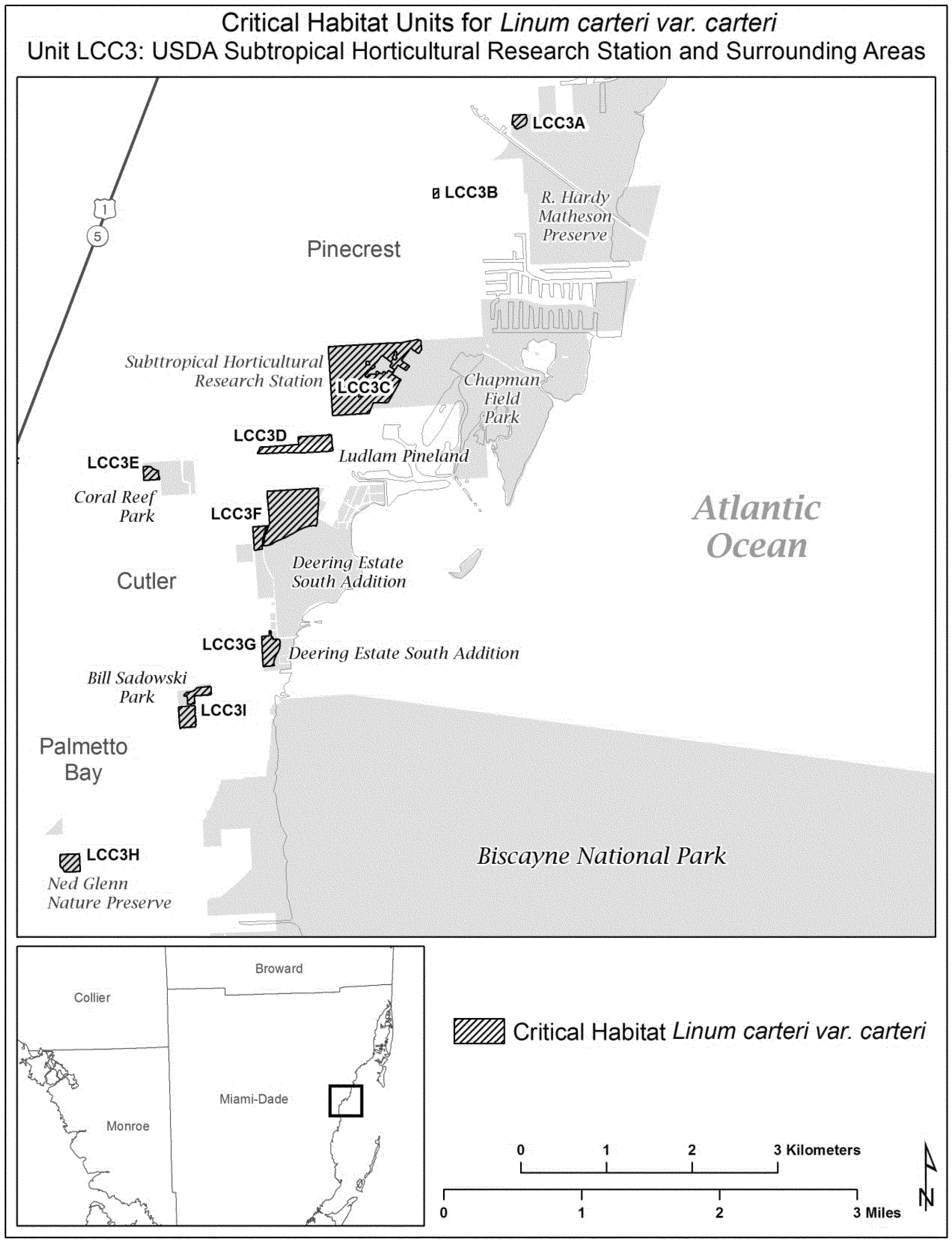
(9) Unit LCC4: Richmond Pinelands and surrounding areas, Miami-Dade County, Florida. Map of Unit LCC4 follows:

(10) Unit LCC5: Quail Roost Pineland and surrounding areas, Miami-Dade County, Florida. Map of Unit LCC5 follows:
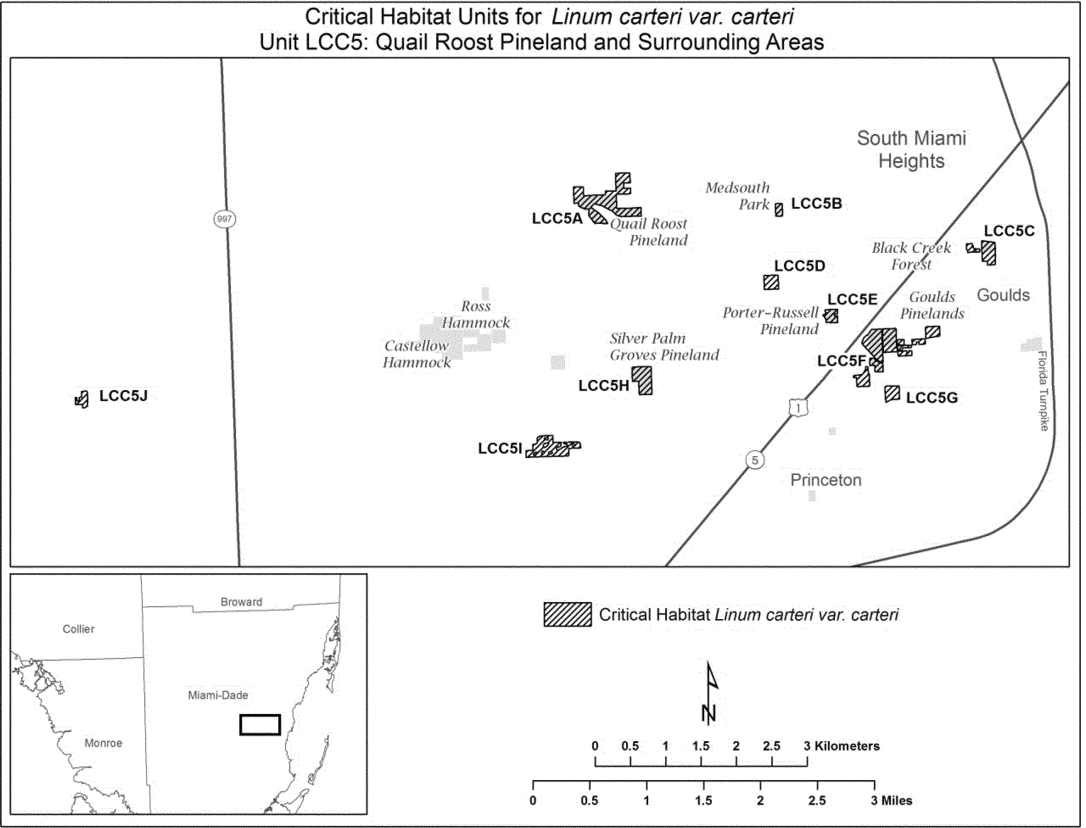
(11) Unit LCC6: Camp Owaissa Bauer and surrounding areas, Miami-Dade County, Florida. Map of Unit LCC6 follows:
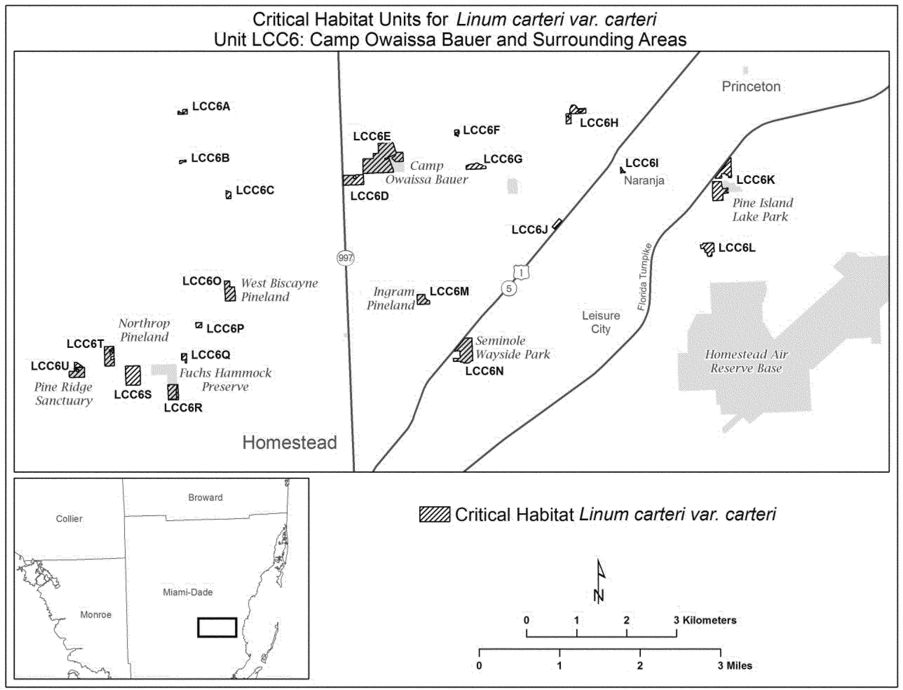
(12) Unit LCC7: Navy Wells Pineland Preserve and surrounding areas, Miami-Dade County, Florida. Map of Unit LCC7 follows:
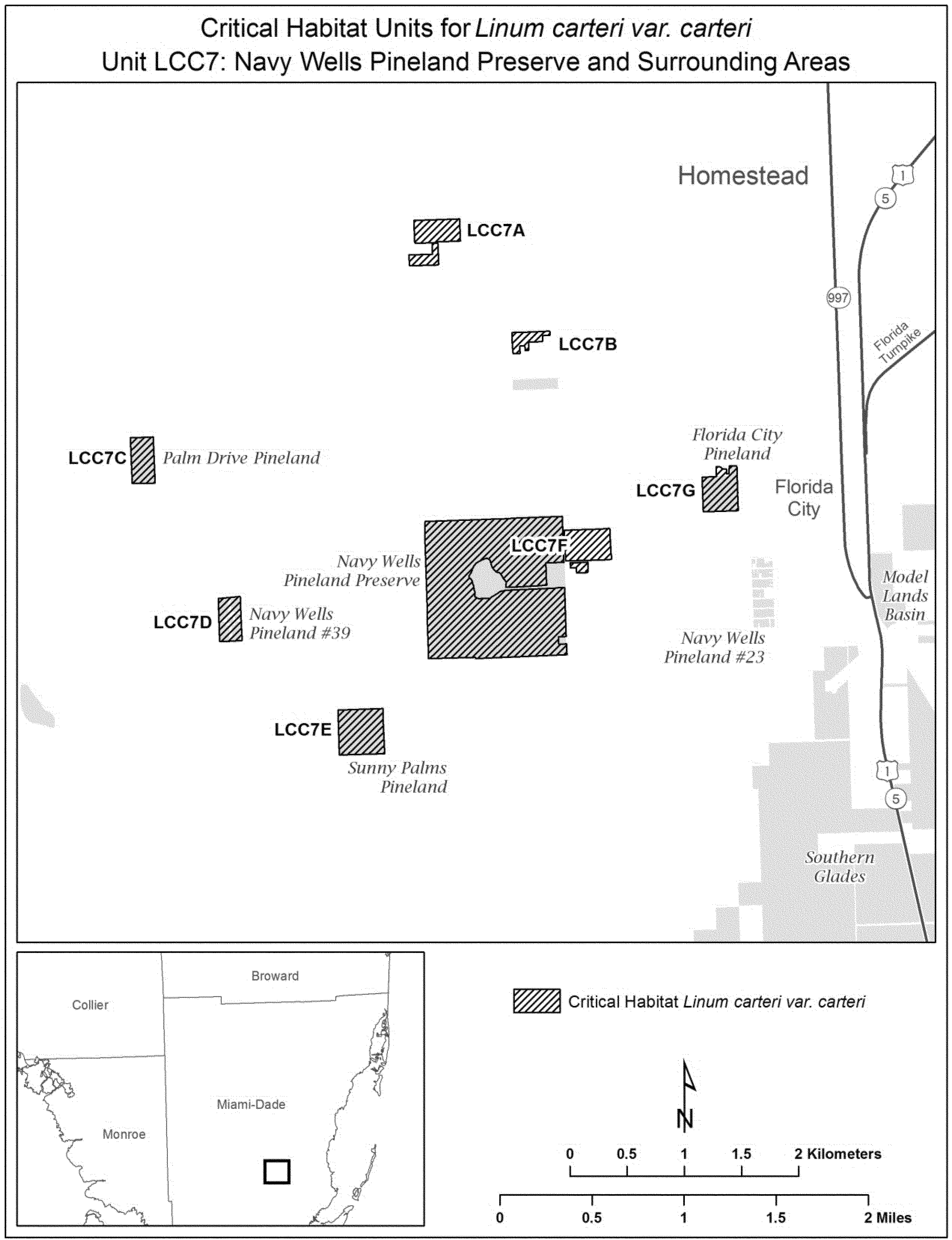
Family Loasaceae: Mentzelia leucophylla (Ash Meadows blazing star).
Nevada, Nye County, Ash Meadows: SW 1⁄4SW 1⁄4 sec. 15, S 1⁄2NE 1⁄4, N 1⁄2SE 1⁄4, and SW 1⁄4SE 1⁄4 sec. 21, NW 1⁄4NW 1⁄4, S 1⁄2NW 1⁄4, and NE 1⁄4SE 1⁄4 sec. 22, NW 1⁄4SW 1⁄4 sec. 23, NW 1⁄4NE 1⁄4 sec. 28, SE 1⁄4SW 1⁄4 and SE 1⁄4 sec. 35, SW 1⁄4SW 1⁄4 sec. 36, T17S, R50E. NW 1⁄4NW 1⁄4, SW 1⁄4SW 1⁄4, and E 1⁄2SW 1⁄4 sec. 1, NE 1⁄4NE 1⁄4 and S 1⁄2SE 1⁄4 sec. 2, N 1⁄2NE 1⁄4 sec. 11, NW 1⁄4 sec. 12, T18S, R50E.
Known primary constituent elements include sandy or saline clay soils along canyon washes and near springs and seeps.
Map provided is for informational purposes only. Map follows:

Family Malvaceae: Hibiscus dasycalyx (Neches River rose-mallow)
(1) Critical habitat units are depicted for Cherokee, Harrison, Houston, Nacogdoches, and Trinity Counties, Texas, on the maps below.
(2) Within these areas, the primary constituent element of the physical or biological features essential to the conservation of Hibiscus dasycalyx is intermittent or perennial wetlands within the Neches, Sabine, and Angelina River floodplains or Mud and Tantabogue Creek basins that contain:
(i) Hydric alluvial soils and the potential for flowing water when found in depressional sloughs, oxbows, terraces, side channels, or sand bars; and
(ii) Native woody or associated herbaceous vegetation, largely with an open canopy providing partial to full sun exposure with few to no nonnative species.
(3) Critical habitat does not include manmade structures (such as buildings; bridges; aqueducts; runways; roads; well pads; metering stations; other paved areas; unpaved roads; and the filled areas immediately adjacent to pavement) and the land on which they are located existing within the legal boundaries on October 11, 2013.
(4) Critical habitat map units. Data layers defining map units were created on a base of Strategic Mapping Program (StratMap) digital orthophoto quarter-quadrangles (DOQQs), with layers for boundaries and roads. The Service's National Wetlands Inventory maps for the appropriate USGS quads were also downloaded as layers. Critical habitat units were mapped using Geographic Coordinate System (GCS), North American, 1983. The maps in this entry, as modified by any accompanying regulatory text, establish the boundaries of the critical habitat designation. The coordinates or plot points or both on which each map is based are available to the public at the Service's internet site, at http://www.fws.gov/southwest/es/ElectronicLibrary/ElectronicLibrary_Main.cfm, at http://www.regulations.gov at Docket No. FWS-R2-ES-2013-0027, and at the field office responsible for this designation. You may obtain field office location information by contacting one of the Service regional offices, the addresses of which are listed at 50 CFR 2.2.
(5) Index map follows:

(6) Unit 1: State Highway 94 right-of-way, Trinity County, Texas. Map of Unit 1 follows:

(7) Unit 2: Harrison site, Harrison County, Texas. Map of Unit 2 follows:

(8) Unit 3: Lovelady, Houston County, Texas. Map of Unit 3 follows:
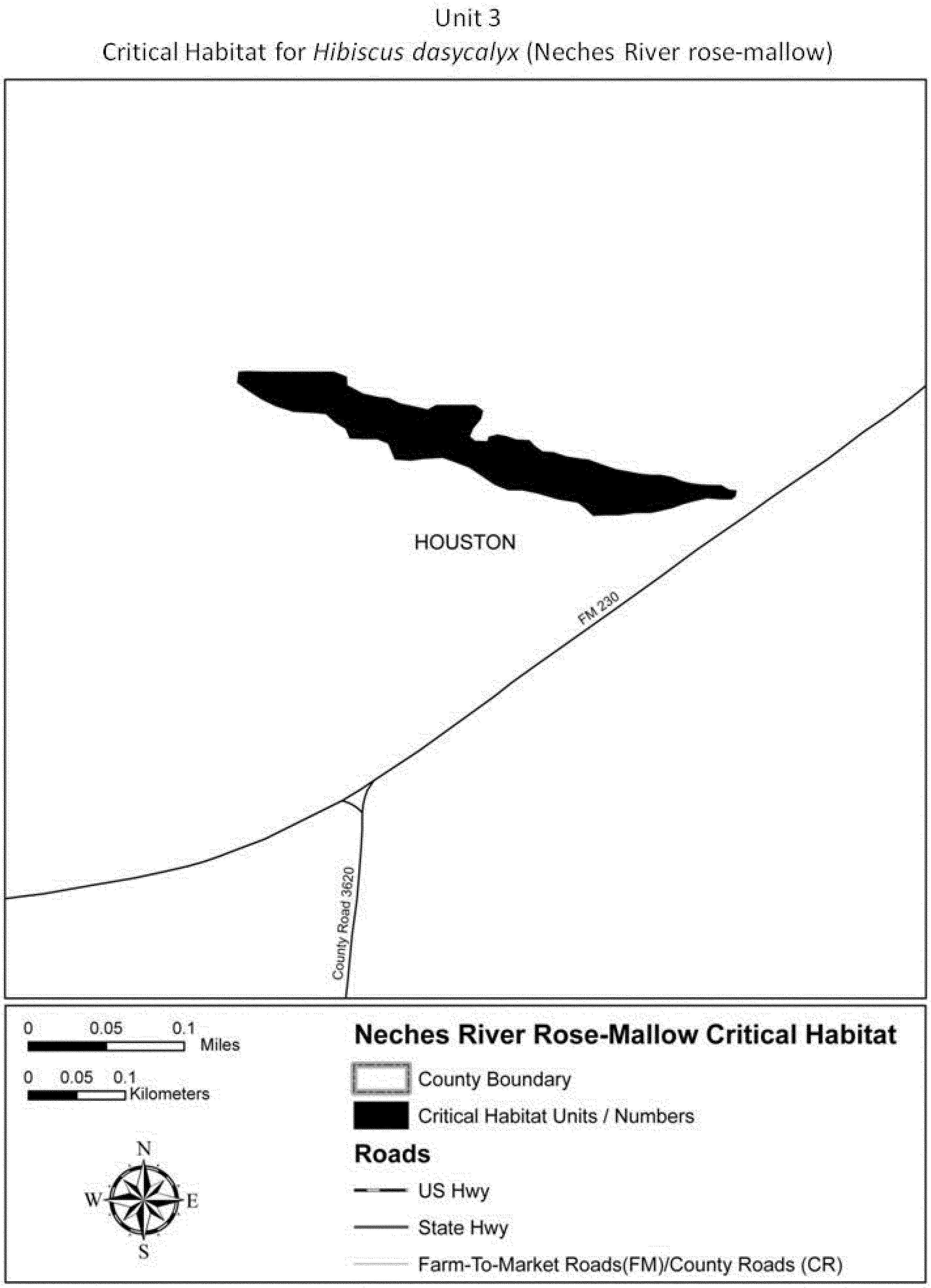
(9) Unit 4: State Highway 204 right-of-way, Cherokee County, Texas. Map of
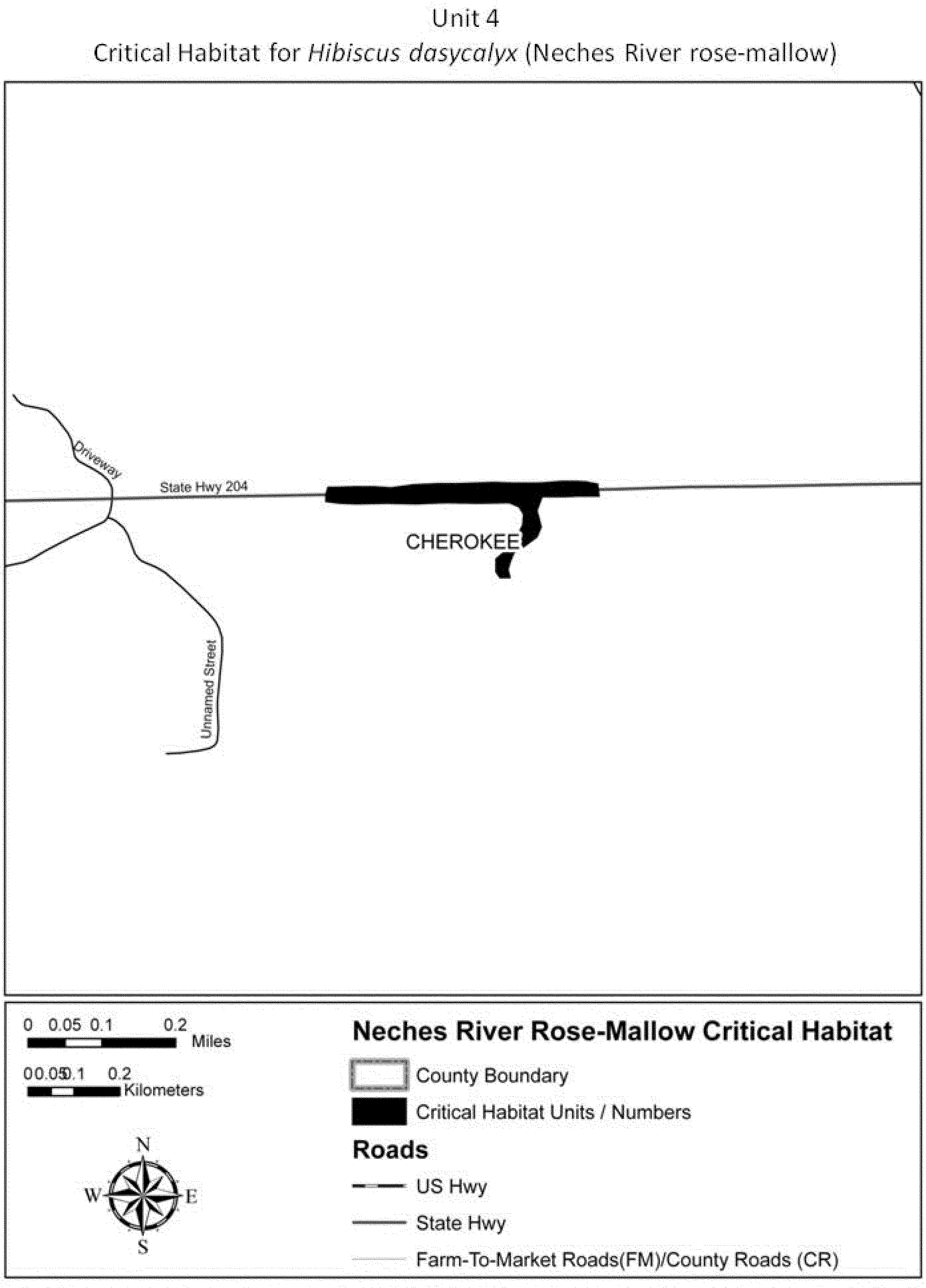
(10) Unit 5: Davy Crockett National Forest, Compartment 55, Houston County,
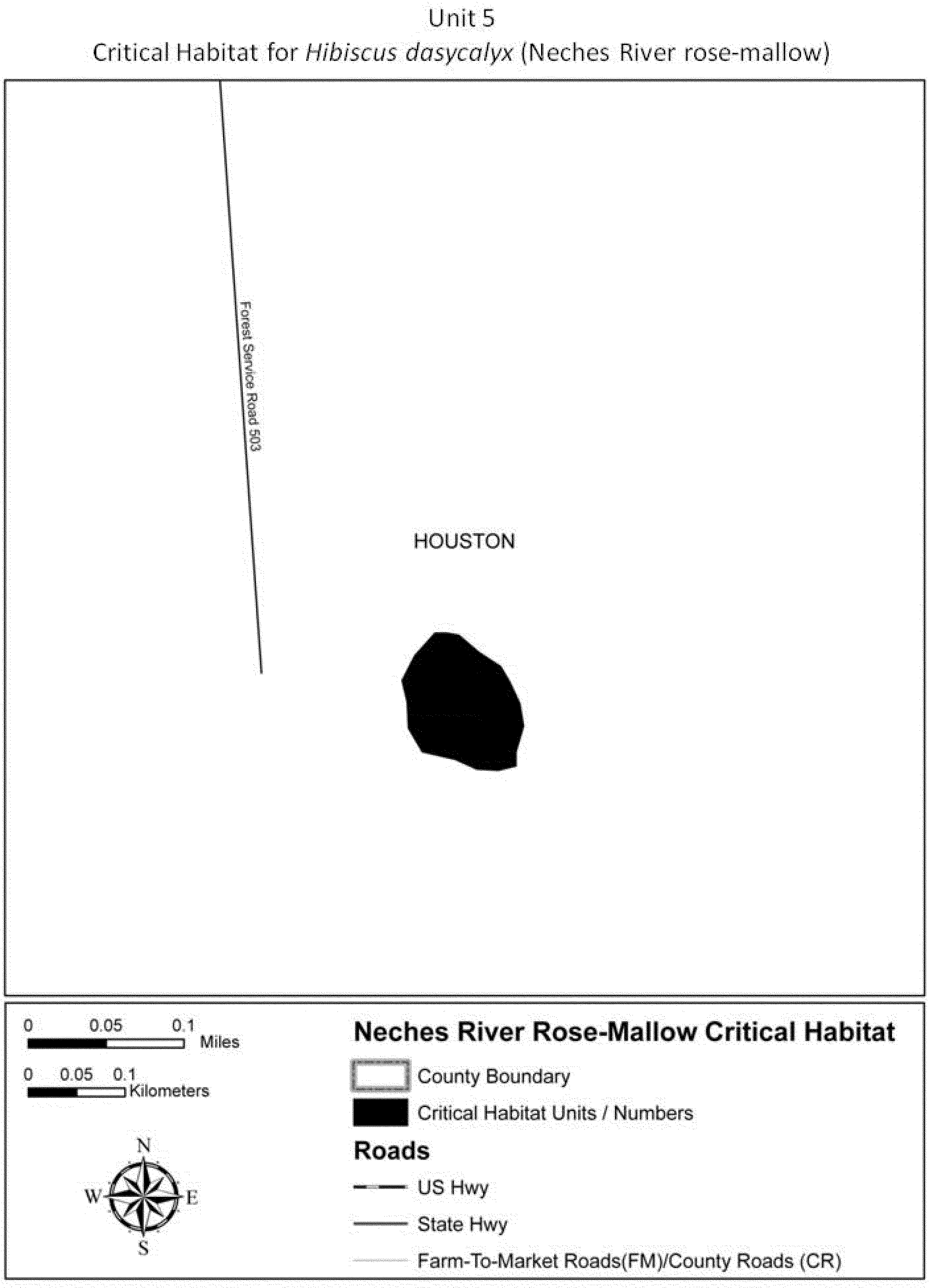
(11) Unit 6: Davy Crockett National Forest, Compartment 11, Houston County,
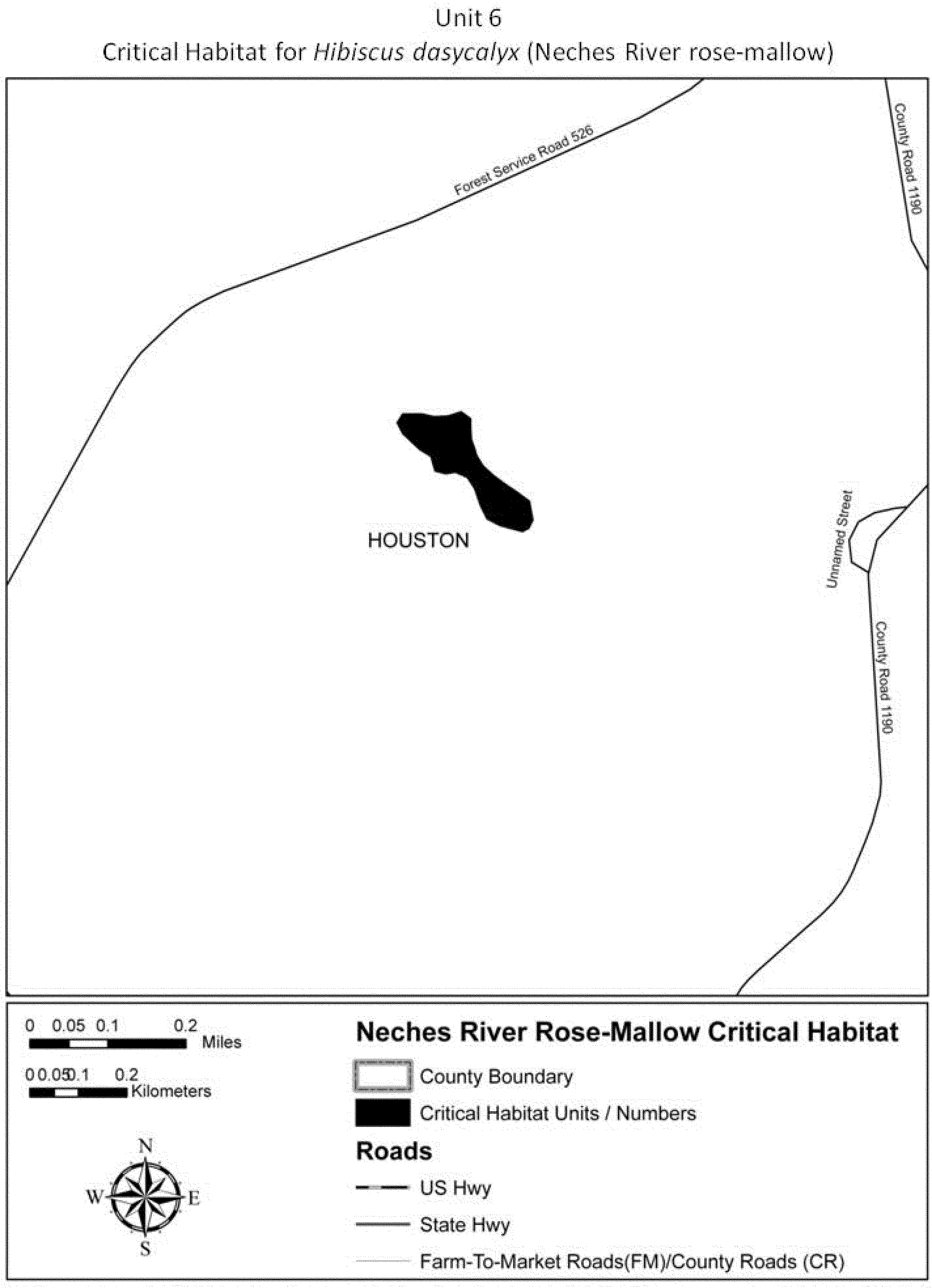
(12) Unit 7: Davy Crockett National Forest, Compartment 20, Houston County,
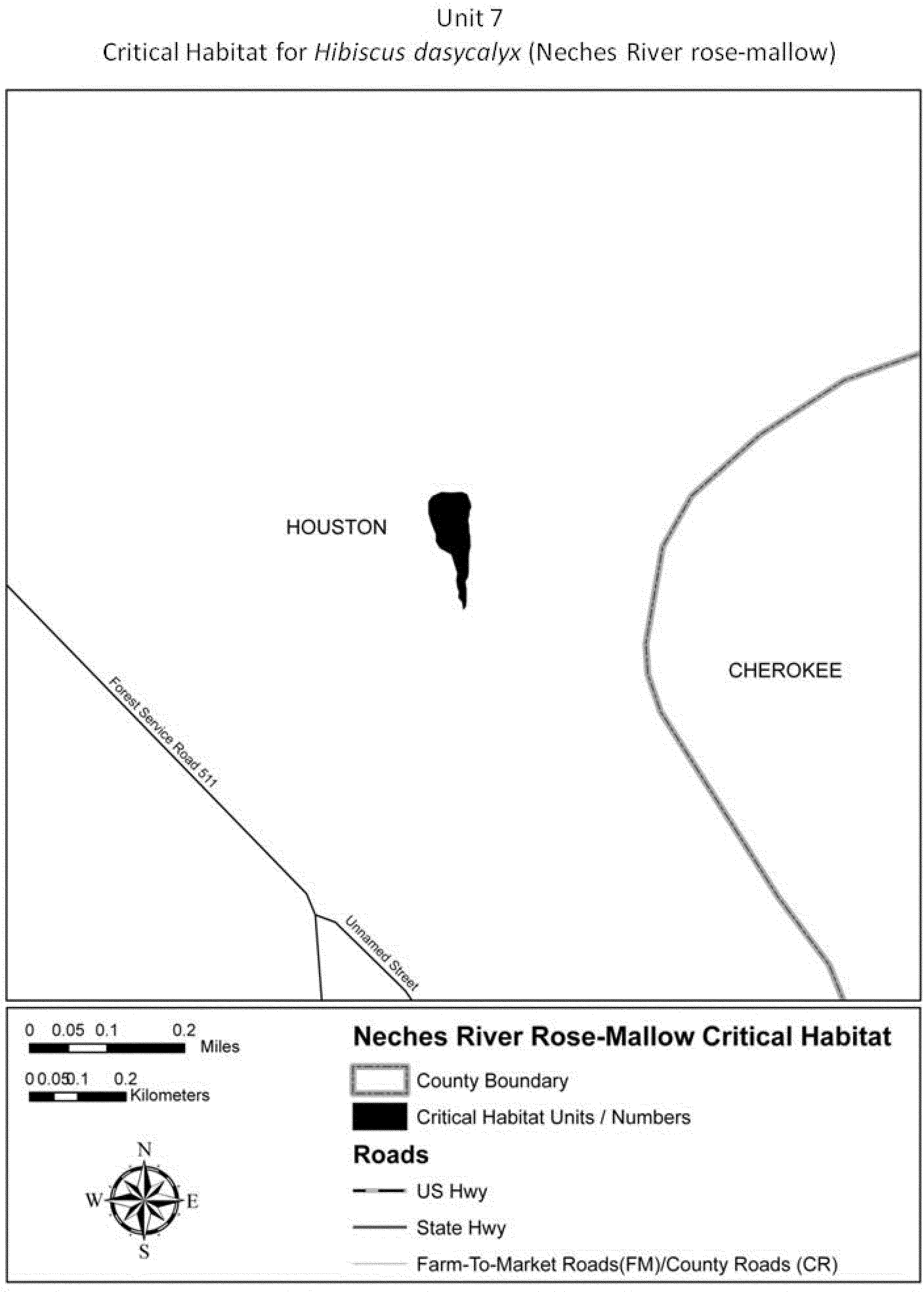
(13) Unit 8: Davy Crockett National Forest, Compartment 16, Houston County,
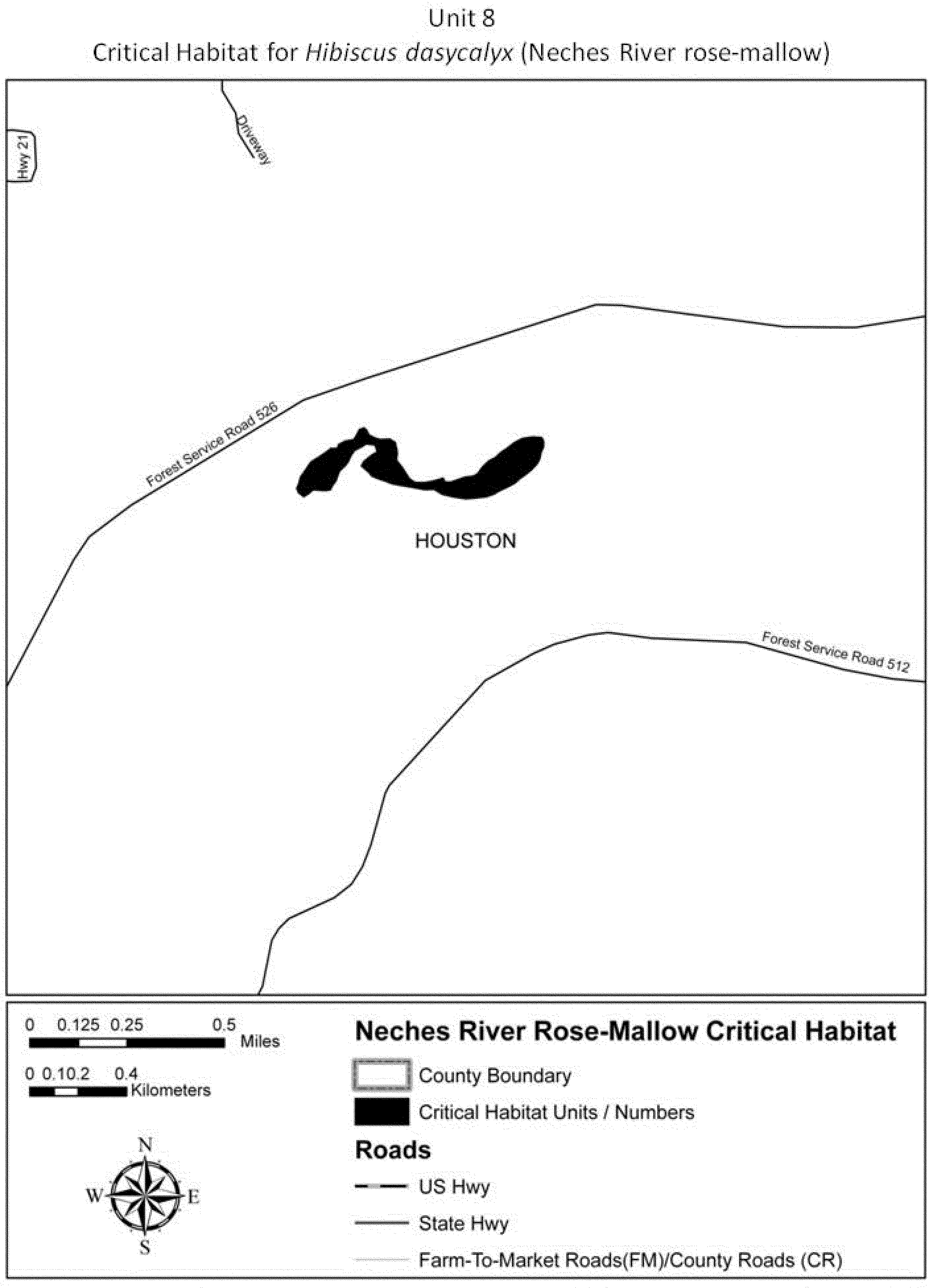
(14) Unit 9: Champion site, Trinity County, Texas. Map of Unit 9 follows:
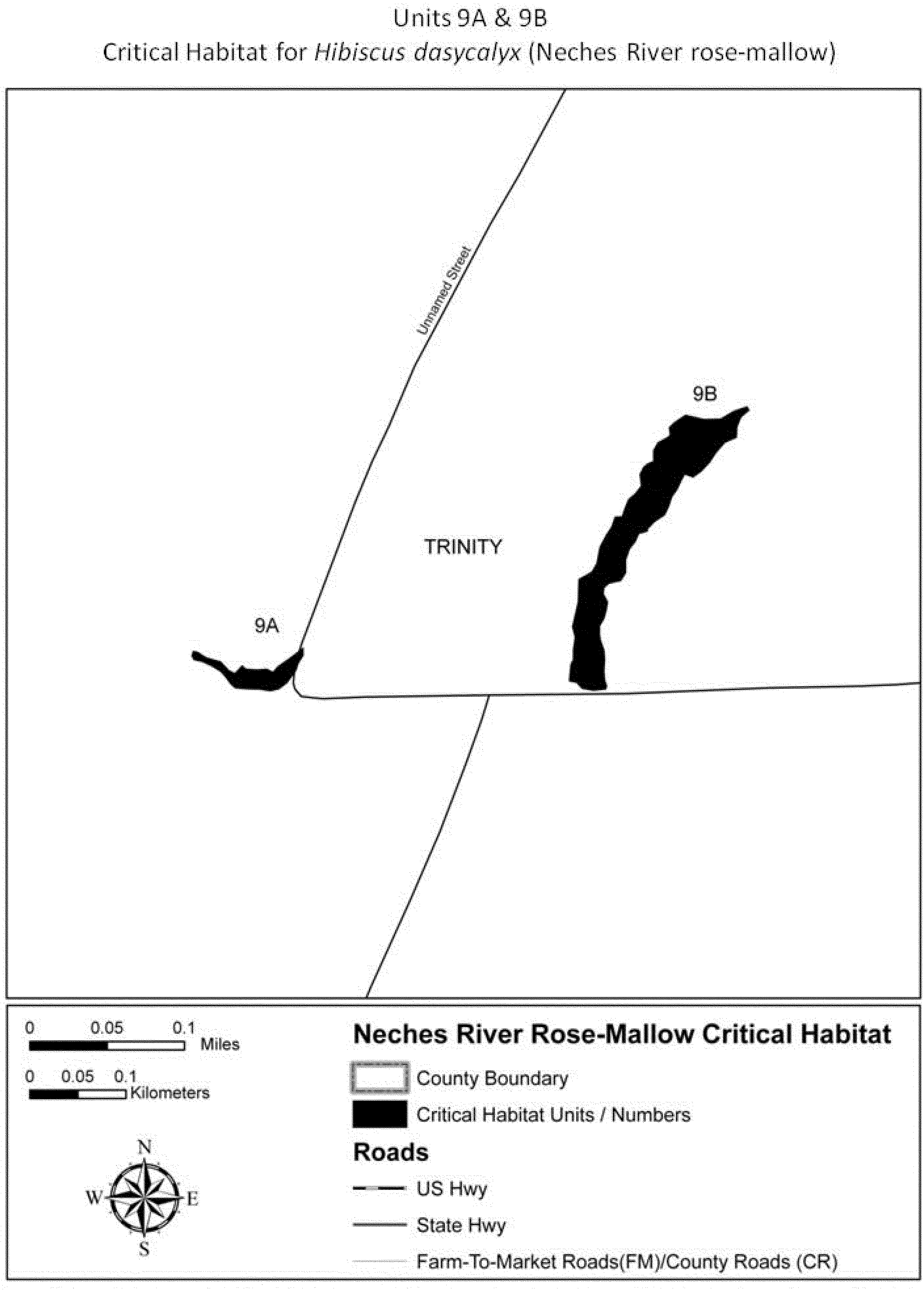
(15) Unit 10: Mill Creek Gardens, Nacogdoches County, Texas. Map of Unit 10 follows:
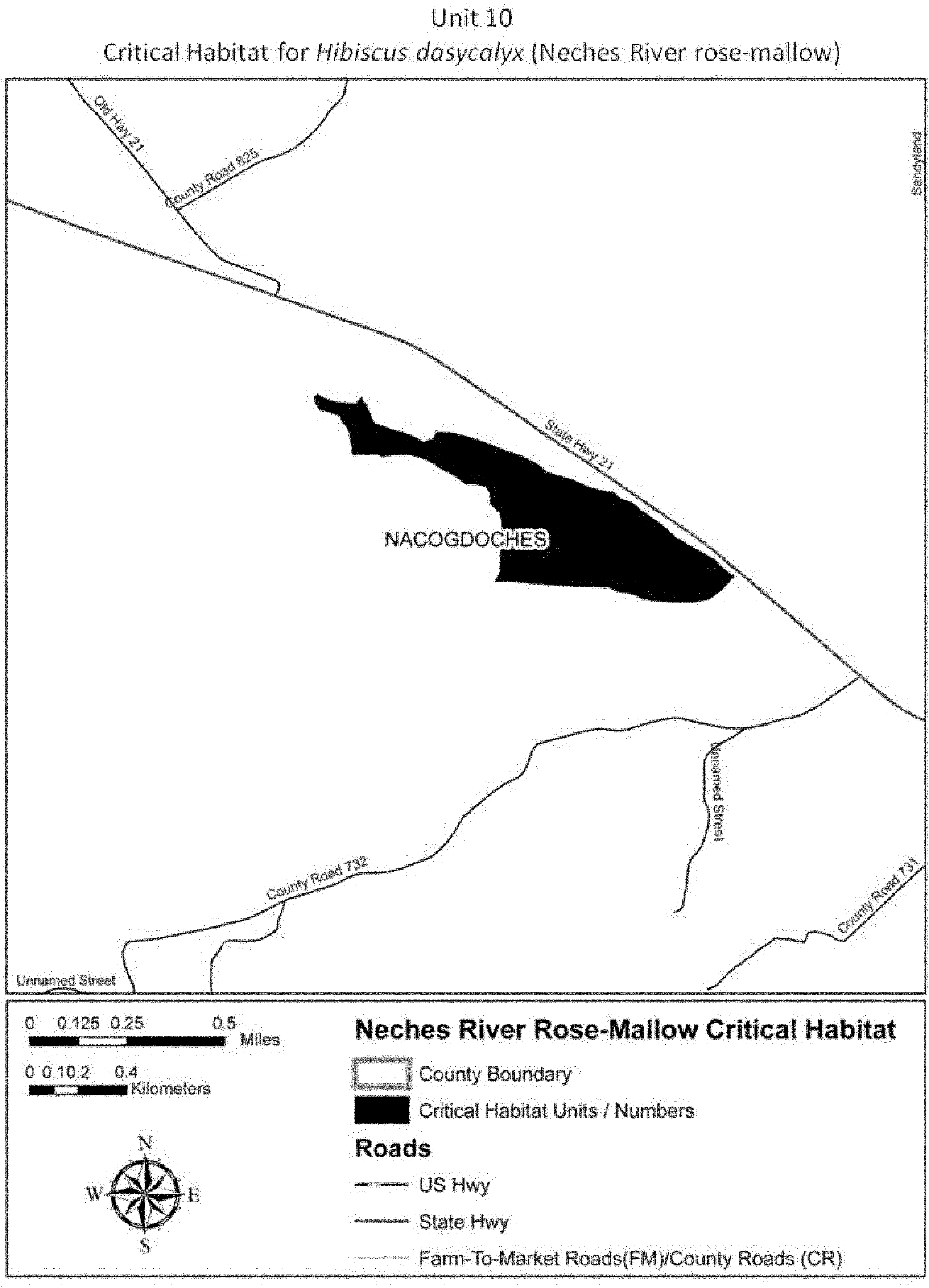
(16) Unit 11: Camp Olympia, Trinity County, Texas. Map of Unit 11 follows:

Family Malvaceae: Kokia drynarioides (koki'o). Hawaii, Island and County of Hawaii, North Kona District, three areas totaling approximately 2,600 acres.
1. Ka'upulehu Ahupua'a area, bounded as follows: from a point of origin at Universal Transverse Mercator (UTM) coordinate 925880 near or on the west boundary of the Ka'upulehu 1800-1801 lava flow (approximately at intersection of said west boundary and 2600 ft elevation contour); thence west southwesterly approximately 864 ft to UTM coordinate 914875 (also near 2600 ft elevation contour); thence north northwesterly approximately 1987 ft to UTM coordinate 909899 (near the 1400 ft elevation contour); thence east northeasterly approximately 378 ft to UTM coordinate 913900 (also near the 1400 ft elevation contour; then south southeasterly approximately 720 ft to UTM coordinate 916891; thence east northeasterly approximately 320 ft to UTM coordinate 920892 (near the said west boundary of the 1800-1801 lava flow); thence south southeasterly approximately 1140 ft to the point of origin. Included in this area is Ka'upulehu Forest Reserve, Section B.
Map provided is for informational purposes only. Map follows:

2. Ka'upulehu Ahupua'a and Pu'uwa'awa'a Ahupua'a boundary area, identified as follows: An unnamed kipuka (discontinuity) in 1800-1801 lava that straddles the boundary between Ka'upulehu and Pu'uwa'awa'a Ahupua'a and also crosses Mamalahoa Highway between 2400 and 1000 feet of elevation. Excluded is a small tongue of the said kipuka that extends south of UTM coordinate 941885 at approximately 2400 ft of elevation and above. UTM coordinate 931924 marks the low elevation end of the said kipuka.
Map provided is for informational purposes only. Map follows:

3. Pu'uwa'awa'a Ahupua'a area, identified as follows: Halepi'ula 3, Waimea Paddock of Pu'uwa'awa'a Ranch, which lies south of (upslope) and abuts Mamalahoa Highway just east of the boundary between Ka'upulehu and Pu'uwa'awa'a Ahupua'a. East boundary of the 1800-1801 Ka'upulehu lava flow is the west boundary of the paddock. The paddock corners are near UTM coordinates 948901 (NW), 985909 (NE) 973886 (SE), and 971879 (SW).
Map provided is for informational purposes only. Map follows:

Primary constituent elements of critical habitat are appropriate soil type, climate, protection from grazing damage, protection from aggressive exotic weeds, and presence of suitable pollinators.
Family Malvaceae: Sidalcea keckii (Keck's checkermallow). The maps provided are for informational purposes only.
(1) Critical habitat units are depicted for Fresno and Tulare Counties, California, on the maps below.
(2) The primary constituent elements of critical habitat for Sidalcea keckii are the habitat components that provide:
(i) Minimally shaded annual grasslands in the foothills of the Sierra Nevada Mountains containing open patches in which competing vegetation is relatively sparse; and
(ii) Serpentine soils or other soils that tend to restrict competing vegetation.
(3) Existing features and structures made by people, such as buildings, roads, railroads, airports, other paved areas, lawns, and other urban landscaped areas, do not contain one or more of the primary constituent elements. Federal actions limited to those areas, therefore, would not trigger a consultation under section 7 of the Act unless they may affect the species and/or primary constituent elements in adjacent critical habitat.
(4) Critical Habitat Map Units. (i) Data layers defining map units were created on a base of USGS 7.5' quadrangles, and critical habitat units were then mapped using Universal Transverse Mercator (UTM) coordinates.
(ii) Note: Index map follows:

(5) Unit 1: Piedra Unit, Fresno County, California.
(i) From USGS 1:24,000 quadrangle maps Piedra, and Pine Flat Dam, California; land bounded by the following UTM11 NAD83 coordinates (E,N): 288300, 4074700; 288200, 4074700; 287700, 4074900; 287000, 4075600; 287400, 4076100; 287500, 4076300; 287500, 4076700; 287800, 4077000; 288000, 4077100; 288400, 4076900; 288400, 4076600; 288500, 4076300; 288300, 4075800; 288200, 4075700; 288300, 4075300; 288200, 4075100; 288100, 4075100; 288000, 4075000; 288300, 4075000; 288300, 4074700.
(ii) Note: Unit 1 map follows:
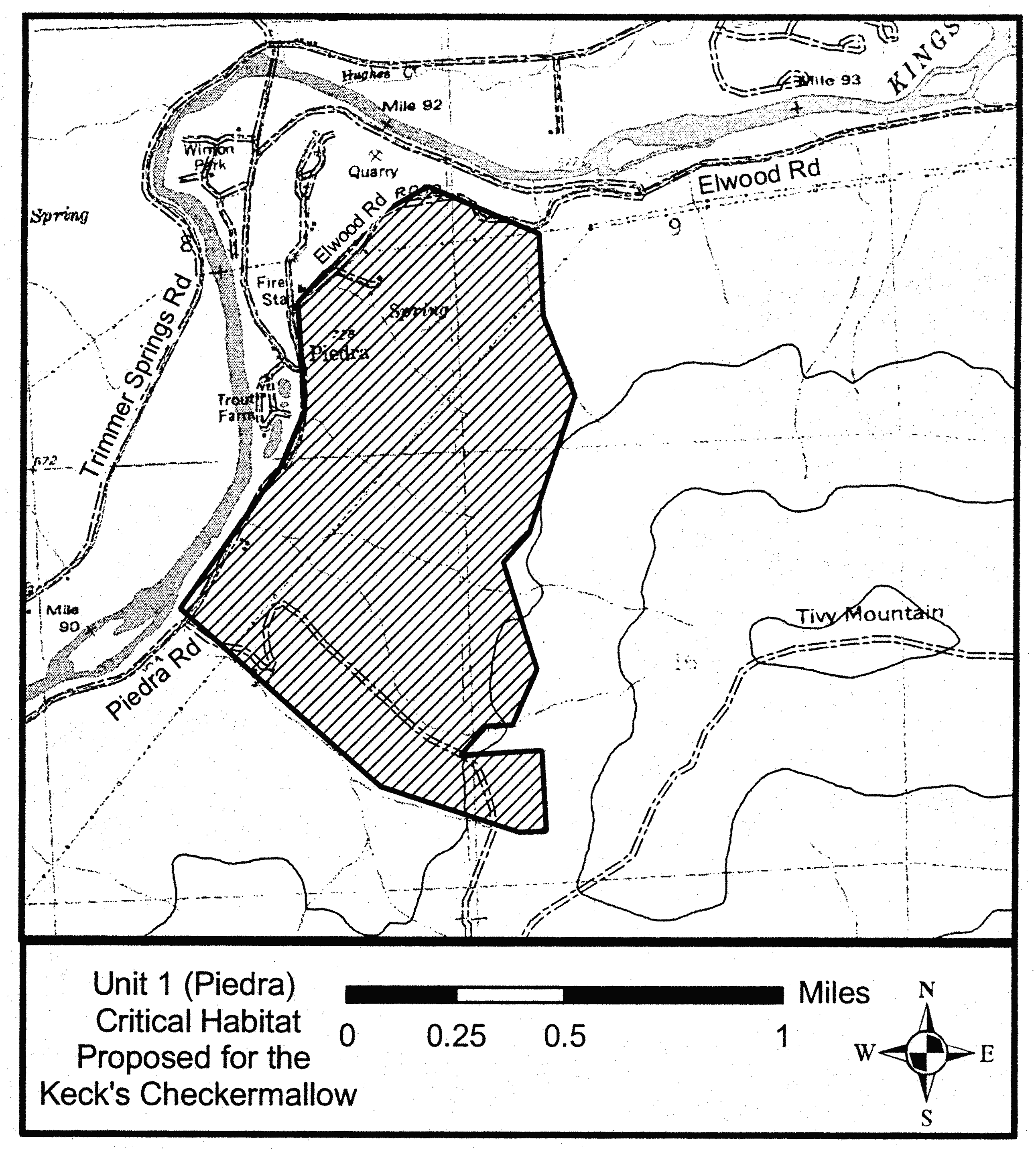
(6) Unit 2: Mine Hill Unit, Tulare County, California.
(i) From USGS 1:24,000 quadrangle maps Success Dam, California; land bounded by the following UTM11 NAD83 coordinates (E,N): 326600, 3988600; 326500, 3988600; 326200, 3988900; 326100, 3989100; 326200, 3989200; 326200, 3989300; 326300, 3989400; 326500, 3989400; 326500, 3989500; 326700, 3989600; 327300, 3989600; 327400, 3989500; 327400, 3989300; 327200, 3989000; 327100, 3988900; 326700, 3988700; 326600, 3988600.
(ii) Note: Unit 2 map follows:

(7) Unit 3: White River Unit, Tulare County, California.
(i) From USGS 1:24,000 quadrangle maps White River, California; land bounded by the following UTM11 NAD83 coordinates (E,N): 334800, 3963600; 334100, 3963800; 333900, 3964100; 333900, 3964200; 333800, 3964500; 333800, 3964700; 334000, 3964800; 334400, 3964500; 334500, 3964500; 334700, 3964600; 334900, 3964800; 335100, 3964800; 335300, 3964900; 335400, 3964700; 335300, 3964600; 335300, 3964500; 335400, 3964400; 335500, 3964400; 335500, 3964100; 335200, 3963800; 334800, 3963600.
(ii) Note: Unit 3 map follows:

Family Malvaceae: Sidalcea oregana var. calva (Wenatchee Mountains checker-mallow).
(1) Critical habitat unit is depicted for Chelan County, Washington, on the map below. The map provided is for informational purposes only.
(2) Washington, Chelan County. From USGS 7.5′ quadrangle maps Peshastin and Tip Top, Washington. T. 23 N., R 18 E., beginning at a point on Camas Creek in the NW 1⁄4 of NW 1⁄4 of section 35 at approximately 47°26′52″ N latitude and 120°38′57″ W longitude proceeding downstream (northwesterly), expanding in all directions to include the entire wetland complex that comprises the Camas Meadow Natural Area Preserve, to a point approximately 0.4 km (0.25 mi) from the confluence of Pendleton Creek and Peshastin Creek, located at 47°31′06″ and 120°37′18″ W longitude. From this last point, the western boundary of the designated critical habitat parallels Peshastin Creek to a point at the southwest of the designated area located at 47°28′46″ N latitude and 120°38′57″ W longitude. The maximum elevation of the designated critical habitat is 1,000 m (3,300 ft) and the lowest elevation is 488 m (1,600 ft). Critical habitat within this area includes watercourses and wetland habitat out to the beginning of upland vegetation.
(3) The known primary constituent elements of critical habitat for Sidalcea oregana var. calva include: surface water or saturated upper soil profiles; a wetland plant community dominated by native grasses and forbs, and generally free of woody shrubs and conifers that would produce shade and competition for Sidalcea oregana var. calva; seeps and springs on fine-textured soils (clay loams and silt loams), which contribute to the maintenance of hydrologic processes necessary to support meadows that remain moist into the early summer; and elevations of 488-1,000 m (1,600-3,300 ft).
Critical habitat does not include existing features and structures, such as buildings, roads, aqueducts, railroads, airports, other paved areas, lawns, and other rural residential landscaped areas, not containing one or more of the primary constituent elements.
Map follows:

Family Malvaceae: Sphaeralcea gierischii (Gierisch mallow)
(1) Critical habitat units are depicted for Washington County, Utah, and Mohave County, Arizona, on the maps below.
(2) Within these areas, the primary constituent elements of the physical or biological features essential to the conservation of Gierisch mallow consist of the following components:
(i) Appropriate geological layers or gypsiferous soils, in the Harrisburg Member of the Kaibab Formation, that support individual Gierisch mallow plants or their habitat, within the elevation range of 775 to 1,148 meters (2,477 to 3,766 feet). Appropriate soils are defined as:
(A) Badland,
(B) Fluvaquents and Torrifluvents,
(C) Riverwash,
(D) Cave-Harrisburg-Grapevine complex,
(E) Grapevine-Hobcan complex,
(F) Nikey-Ruesh complex,
(G) Gypill-Hobog complex,
(H) Hobog-Tidwell complex,
(I) Hobog-Grapevine complex,
(J) Grapevine-Shelly complex, and
(K) Hindu-Rock outcrop-Gypill complex.
(ii) Appropriate Mojave desert scrub plant community and associated native species for the soil types at the sites listed in paragraph (2)(i) of this entry.
(iii) Biological soil crusts within the soil types listed in paragraph (2)(i) of this entry.
(iv) The presence of insect visitors or pollinators, such as the globemallow bee and other solitary bees. To ensure the proper suite of pollinators are present, this includes habitat that provides nesting substrate for pollinators in the areas described in paragraph (2)(ii) of this entry.
(v) Areas free of disturbance and areas with low densities or absence of nonnative, invasive plants, such as red brome and cheatgrass.
(3) Critical habitat includes all gypsum soils described in paragraph (2) of this entry, as well as the appropriate Mojave desert scrub plant community and associated native species and biological soil crusts within the appropriate gypsum soils. Critical habitat also includes all pollinators and their habitat within 1,200 meters (3,937 feet) of gypsum soils occupied by Gierisch mallow. Critical habitat does not include manmade structures (such as buildings, aqueducts, runways, roads, and other paved areas) and the land on which they are located existing within the legal boundaries on September 12, 2013.
(4) Critical habitat map units. Data layers defining map units were created using Albers Equal Area (Albers) North American Datum 83 (NAD 83) coordinates. The maps in this entry, as modified by any accompanying regulatory text, establish the boundaries of the critical habitat designation. The coordinates or plot points or both on which each map is based are available to the public at the Service's internet site (http://www.fws.gov/southwest/es/Arizona/), at the Federal eRulemaking Portal (http://www.regulations.gov, at Docket No. FWS-R2-ES-2013-0018, and at the field office responsible for this designation. You may obtain field office location information by contacting one of the Service regional offices, the addresses of which are listed at 50 CFR 2.2.
(5) Index map follows:
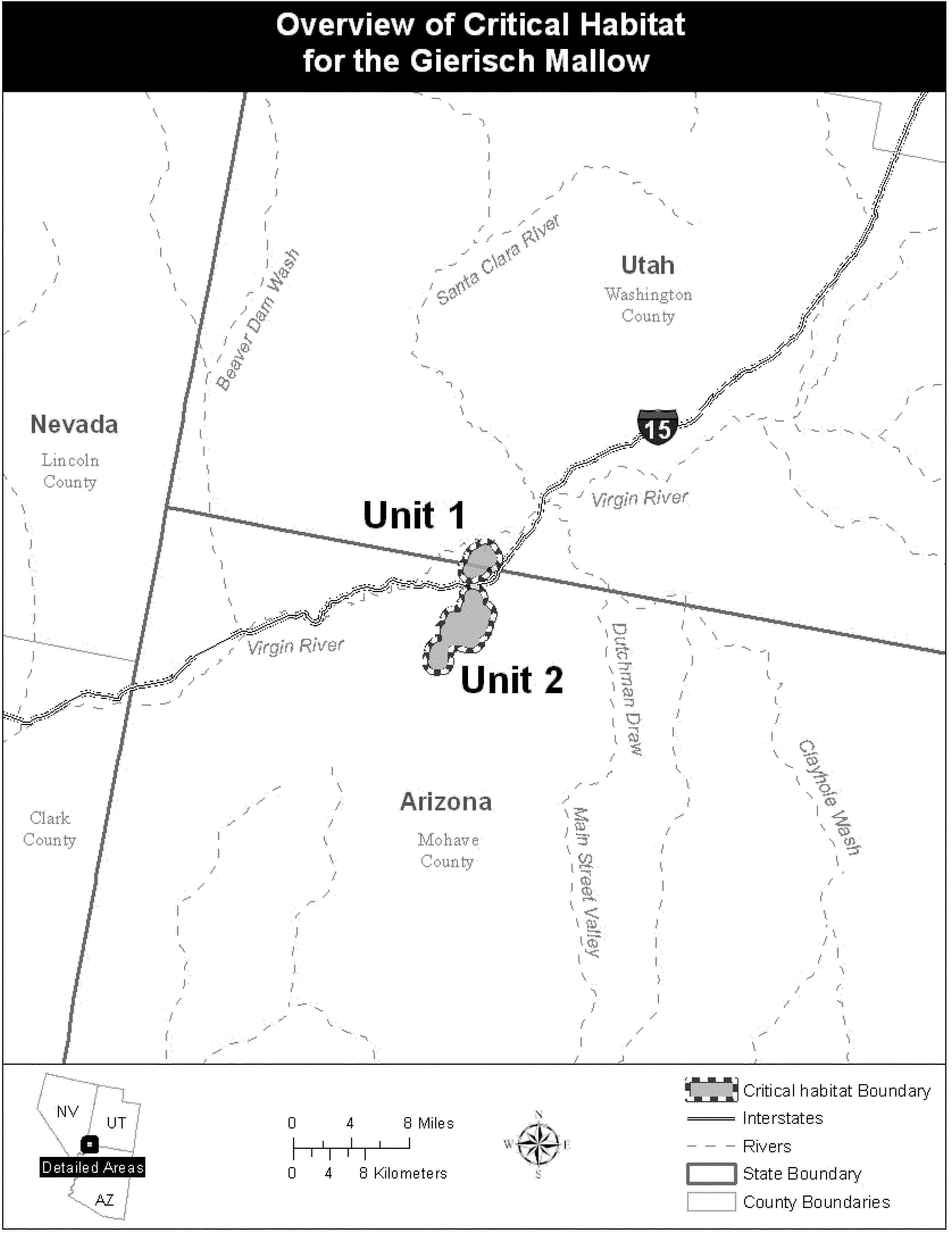
(6) Unit 1: Starvation Point Unit, Mohave County, Arizona, and Washington County, Utah. Map of Units 1 and 2 follows:
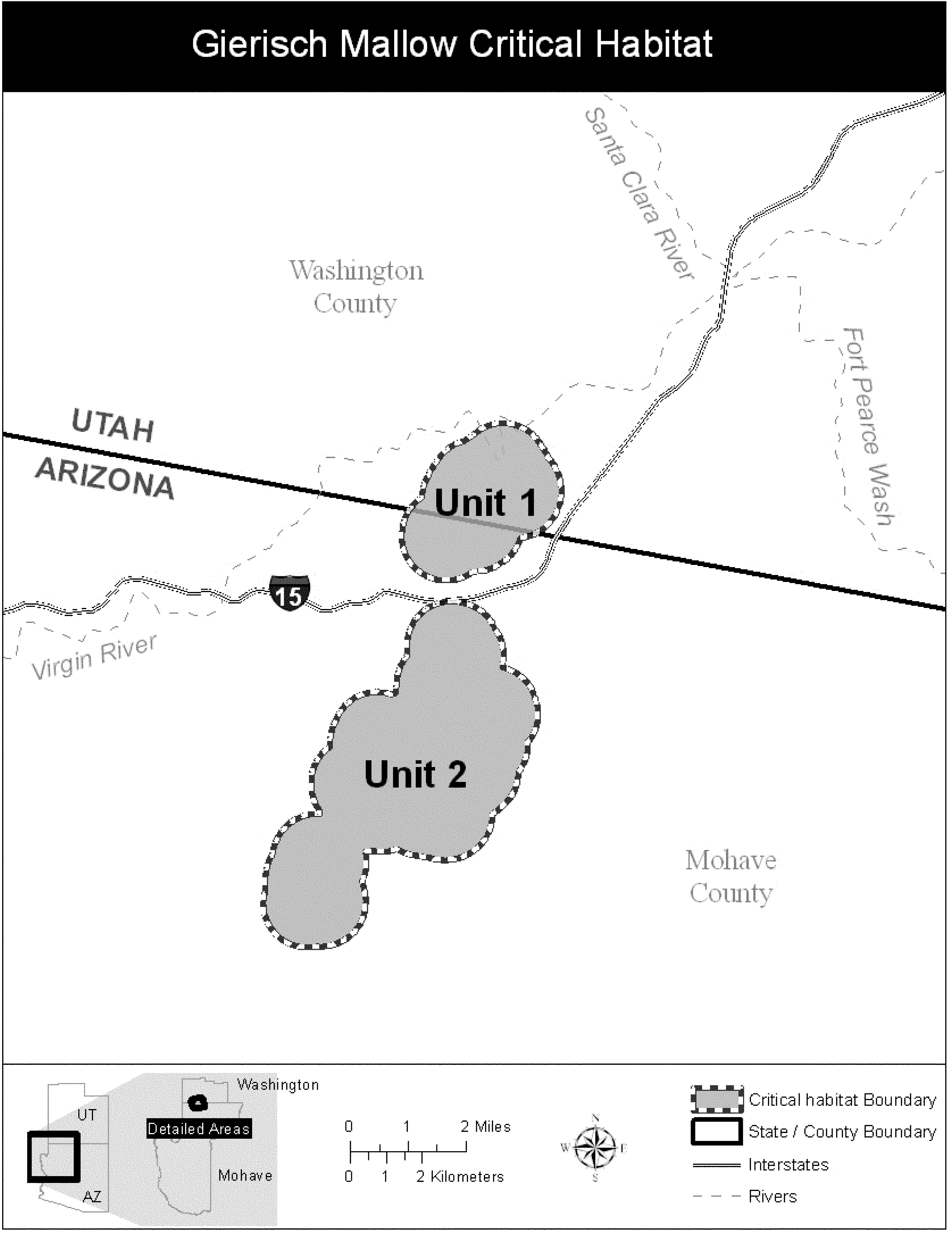
(7) Unit 2: Black Knolls Unit, Mohave County, Arizona. Map of Unit 2 is provided at paragraph (6) of this entry.
Family Onagraceae: Oenothera deltoides ssp. howellii (Antioch Dunes evening-primrose)
California. An area of land, water, and airspace in Contra Costa County with the following components: T. 2 N. R. 2 E. SW 1⁄4 section 17, E 2⁄3 of S 1⁄3 of section 18.
Map provided is for informational purposes only. Map follows:

Family Orchidaceae: Piperia yadonii (Yadon's piperia)
(1) Critical habitat units are depicted for Monterey County, California, on the maps below.
(2) The primary constituent elements of critical habitat for Piperia yadonii are the habitat components that provide:
(i) A vegetation structure providing filtered sunlight on sandy soils:
(A) Coastal pine forest (primarily Monterey pine) with a canopy cover of 20 to 70 percent, and a sparse herbaceous understory on Baywood sands, Narlon loamy fine sands, Sheridan coarse sandy loams, Tangair fine sands, Santa Lucia shaly clay loams and Chamise shaley clay loams underlain by a hardpan; or
(B) Maritime chaparral ridges with dwarfed shrubs (primarily Hooker's manzanita) on Reliz shaly clay loams, Sheridan sandy loams, Narlon sandy loams, Arnold loamy sands and soils in the Junipero-Sur complex, Rock Outcrop-Xerorthents Association, and Arnold-Santa Ynez complex, often underlain by rock outcroppings.
(ii) Presence of nocturnal, short-tongued moths in the families Pyralidae, Geometridae, Noctuidae, and Pterophoridae.
(3) Critical habitat does not include manmade structures (such as buildings, aqueducts, runways, roads, and other paved areas) and the land on which they are located existing within the legal boundaries on the effective date of this rule.
(4) Critical Habitat Map Units - Data layers defining map units were created on base maps using aerial imagery from the National Agricultural Imagery Program; aerial imagery captured June 2005. Data were project to Universal Transverse Mercator (UTM) zone 10, North American Datum (NAD) 1983.
(5) Note: Index map of critical habitat for Piperia yadonii (Map 1) follows:

(6) Unit 1: Blohm Ranch, Monterey County, California.
(i) [Reserved]
(ii) Unit 1 is depicted on Map 2 in paragraph (9)(ii) of this entry.
(7) [Reserved]
(8) Unit 2: Manzanita Park, Monterey County, California.
(i) [Reserved]
(ii) Unit 2 is depicted on Map 2 in paragraph (9)(ii) of this entry.
(9) Unit 3: Vierra Canyon, Monterey County, California.
(i) [Reserved]
(ii) Map of Units 1, 2, and 3 (Map 2) follows:

(10) Unit 4: Aguajito, Monterey County, California.
(i) [Reserved]
(ii) Unit 4 is depicted on Map 3 in paragraph (12)(ii) of this entry.
(11) Unit 5: Old Capitol, Monterey County, California.
(i) [Reserved]
(ii) Unit 5 is depicted on Map 3 in paragraph (12)(ii) of this entry.
(12) Unit 6: Monterey Peninsula, Monterey County, California.
(i) [Reserved]
(ii) Map of Units 4, 5, and 6 (Map 3) and detail map of Subunit 6a (Map 4) follow:

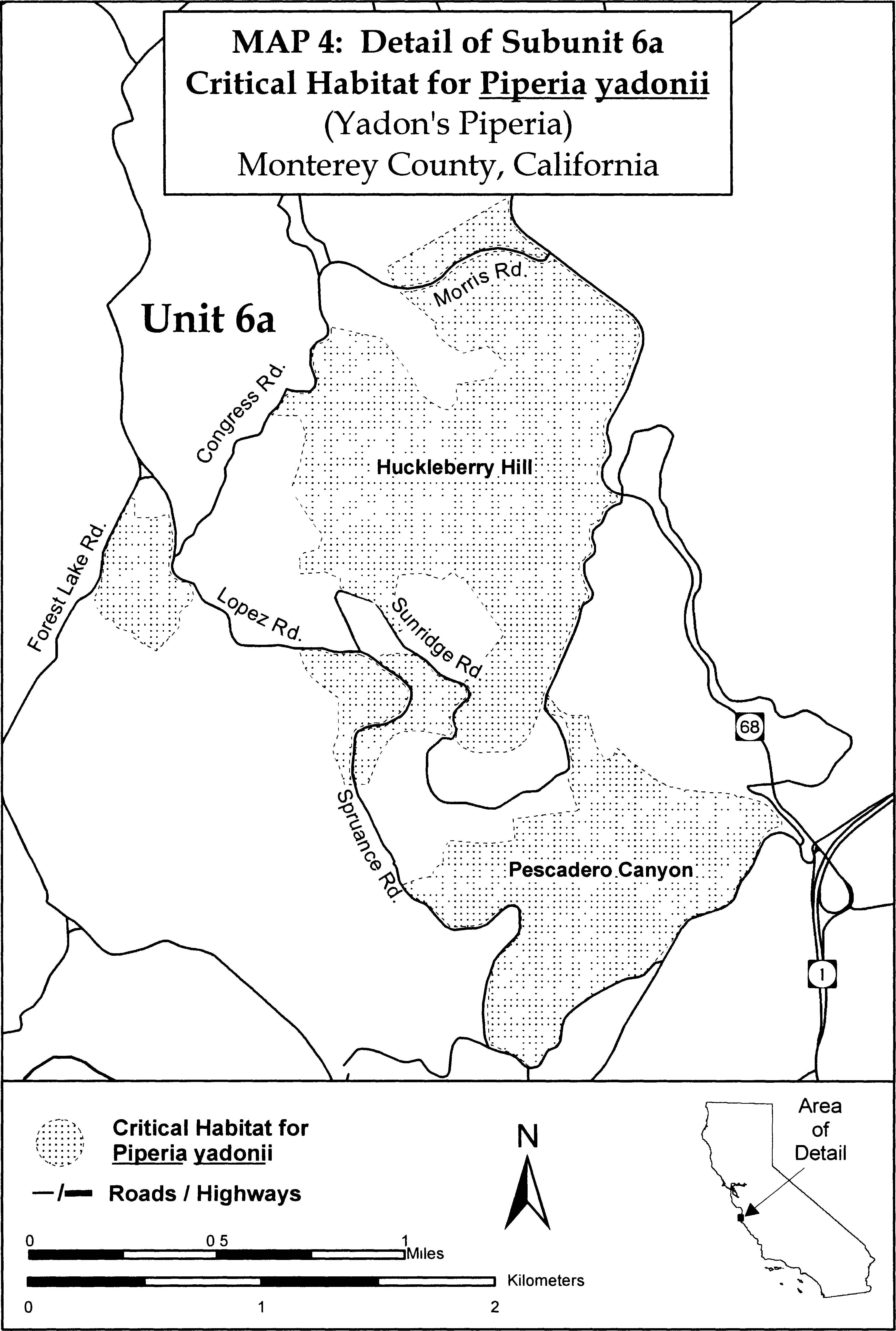
(13) Unit 7: Point Lobos Ranch, Monterey County, California.
(i) [Reserved]
(ii) Unit 7 is depicted on Map 5 in paragraph (14)(ii) of this entry.
(14) Unit 8: Palo Colorado, Monterey County, California.
(i) [Reserved]
(ii) Map of Units 7 and 8 (Map 5) follows:

Family Orobanchaceae: Castilleja cinerea (ash-gray Indian paintbrush)
(1) Critical habitat units for this species are found in San Bernardino County, California. The maps provided are for informational purposes only.
(2) The primary constituent elements of critical habitat for Castilleja cinerea are the habitat components that provide:
(i) Pebble plains in dry meadow-like openings, or non-pebble plain dry meadow margin areas, within upper montane coniferous forest, pinyon-juniper woodlands, or Great Basin sagebrush in the San Bernardino Mountains of San Bernardino County, California; at elevations between 5,900 to 9,800 ft (1,830 to 2,990 m) that provide space for individual and population growth, reproduction and dispersal;
(ii) Seasonally wet clay, or sandy clay soils, generally containing quartzite pebbles, subject to natural hydrological processes that include water hydrating the soil and freezing in winter and drying in summer causing lifting and churning of included pebbles, or seasonally wet silt or saline clay soils in non-pebble plain dry meadow margin areas that provide space for individual and population growth, reproduction and dispersal, adequate water, air, minerals, and other nutritional or physiological requirements to the species; and
(iii) The presence of one or more of its known host species such as Eriogonum kennedyi var. austromontanum, E. kennedyi. var. kennedyi, and E. wrightii var. subscaposumon in pebble plain habitat and species such as Artemisia tridentata, A. nova, and E. wrightii var. subscaposumon in pebble plain and non-pebble plain meadow margin habitat that provide some of the physiological requirements for this species.
(3) Critical habitat does not include manmade structures (such as buildings, aqueducts, airports, roads, and other paved areas) and the land on which they are located existing on the effective date of this rule and not containing one or more of the primary constituent elements.
(4) Critical habitat map units. Data layers defining map units were created on a base of USGS 1:24,0000 maps, and critical habitat units were then mapped using Universal Transverse Mercator (UTM) coordinates.
(5) Index map (Map 1) follows:
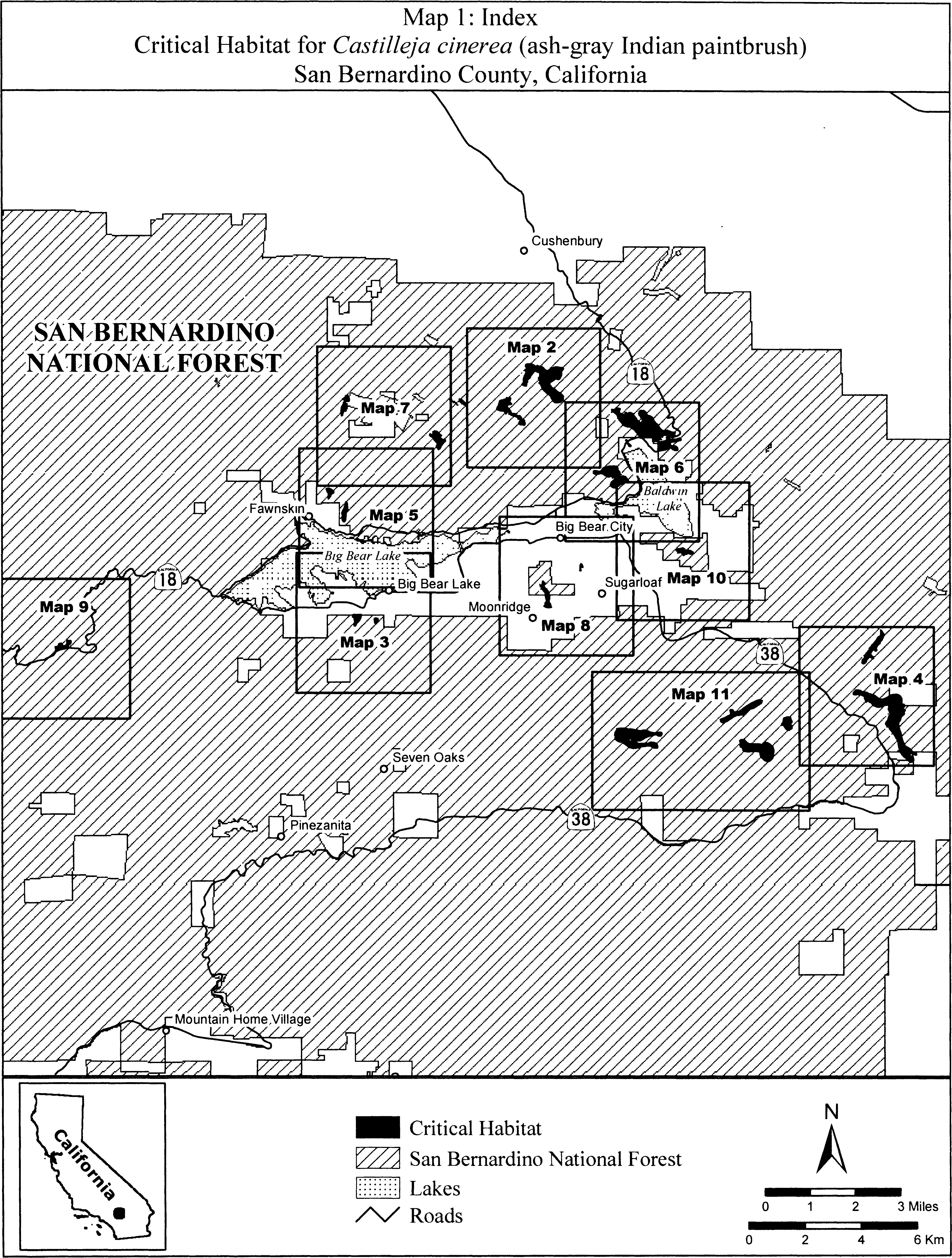
(6) Units CACI 1 and CACI 2. Arrastre/Union Flat, San Bernardino County, California. From USGS 1:24,000 quadrangle map Big Bear City.
(i) Unit CACI 1. Land bounded by the following UTM NAD27 coordinates (E,N): 512434, 3795966; 512436, 3795961; 512446, 3795966; 512450, 3795966; 512469, 3795969; 512508, 3795965; 512533, 3795959; 512537, 3795959; 512539, 3795960; 512549, 3795964; 512560, 3795961; 512568, 3795954; 512573, 3795948; 512573, 3795936; 512571, 3795930; 512568, 3795927; 512565, 3795927; 512563, 3795927; 512563, 3795924; 512561, 3795914; 512556, 3795904; 512555, 3795903; 512554, 3795901; 512548, 3795879; 512535, 3795835; 512544, 3795791; 512546, 3795790; 512554, 3795787; 512568, 3795779; 512576, 3795774; 512582, 3795771; 512592, 3795764; 512595, 3795753; 512595, 3795747; 512591, 3795739; 512584, 3795732; 512581, 3795731; 512575, 3795727; 512569, 3795727; 512560, 3795728; 512552, 3795733; 512544, 3795739; 512542, 3795740; 512541, 3795739; 512540, 3795738; 512525, 3795717; 512469, 3795694; 512447, 3795680; 512445, 3795679; 512427, 3795653; 512428, 3795649; 512450, 3795617; 512476, 3795588; 512476, 3795588; 512504, 3795564; 512514, 3795552; 512541, 3795525; 512546, 3795509; 512548, 3795508; 512553, 3795501; 512554, 3795500; 512558, 3795490; 512566, 3795479; 512573, 3795468; 512584, 3795444; 512586, 3795433; 512588, 3795412; 512594, 3795398; 512601, 3795395; 512607, 3795395; 512627, 3795401; 512632, 3795400; 512641, 3795402; 512654, 3795400; 512675, 3795405; 512691, 3795401; 512699, 3795397; 512703, 3795397; 512707, 3795394; 512715, 3795393; 512718, 3795391; 512730, 3795388; 512740, 3795378; 512742, 3795374; 512746, 3795371; 512770, 3795357; 512806, 3795330; 512815, 3795317; 512837, 3795311; 512856, 3795327; 512872, 3795330; 512883, 3795343; 512886, 3795339; 512900, 3795331; 512905, 3795319; 512909, 3795312; 512913, 3795307; 512913, 3795306; 512913, 3795305; 512914, 3795303; 512920, 3795287; 512924, 3795286; 512935, 3795275; 512938, 3795270; 512944, 3795264; 512948, 3795258; 512953, 3795250; 512955, 3795245; 512954, 3795239; 512953, 3795233; 512949, 3795225; 512946, 3795221; 512949, 3795219; 512976, 3795203; 512998, 3795196; 513008, 3795189; 513014, 3795187; 513019, 3795183; 513030, 3795176; 513031, 3795173; 513048, 3795163; 513049, 3795158; 513051, 3795154; 513053, 3795150; 513053, 3795143; 513053, 3795142; 513056, 3795131; 513053, 3795122; 513053, 3795109; 513055, 3795098; 513059, 3795095; 513062, 3795091; 513066, 3795086; 513069, 3795084; 513072, 3795077; 513076, 3795073; 513079, 3795066; 513080, 3795064; 513083, 3795057; 513083, 3795052; 513083, 3795047; 513082, 3795043; 513080, 3795036; 513080, 3795034; 513079, 3795025; 513077, 3795018; 513075, 3795011; 513075, 3795007; 513072, 3794999; 513069, 3794994; 513066, 3794989; 513058, 3794982; 513053, 3794982; 513047, 3794982; 513037, 3794982; 513035, 3794981; 513017, 3794975; 513010, 3794975; 513006, 3794978; 513000, 3794981; 512993, 3794985; 512988, 3794988; 512973, 3794993; 512965, 3794993; 512960, 3794991; 512951, 3794990; 512944, 3794988; 512938, 3794987; 512934, 3794988; 512924, 3794989; 512915, 3794991; 512897, 3794997; 512886, 3795001; 512875, 3795007; 512866, 3795012; 512852, 3795026; 512850, 3795031; 512847, 3795037; 512848, 3795042; 512848, 3795045; 512856, 3795057; 512861, 3795057; 512871, 3795053; 512875, 3795052; 512883, 3795047; 512863, 3795065; 512861, 3795066; 512853, 3795072; 512853, 3795075; 512847, 3795081; 512851, 3795097; 512867, 3795120; 512875, 3795132; 512879, 3795132; 512881, 3795135; 512913, 3795143; 512919, 3795177; 512903, 3795187; 512899, 3795188; 512884, 3795190; 512840, 3795190; 512839, 3795192; 512835, 3795194; 512826, 3795195; 512825, 3795196; 512811, 3795199; 512812, 3795203; 512811, 3795204; 512811, 3795217; 512800, 3795241; 512793, 3795247; 512785, 3795251; 512778, 3795254; 512765, 3795263; 512732, 3795279; 512696, 3795299; 512648, 3795303; 512621, 3795315; 512618, 3795316; 512607, 3795318; 512601, 3795321; 512585, 3795327; 512561, 3795335; 512558, 3795344; 512555, 3795349; 512545, 3795359; 512533, 3795366; 512510, 3795373; 512508, 3795373; 512500, 3795376; 512498, 3795372; 512497, 3795370; 512495, 3795367; 512492, 3795368; 512490, 3795372; 512490, 3795379; 512489, 3795379; 512484, 3795381; 512485, 3795387; 512482, 3795398; 512482, 3795418; 512485, 3795432; 512484, 3795433; 512486, 3795443; 512486, 3795452; 512453, 3795490; 512413, 3795508; 512409, 3795509; 512408, 3795507; 512406, 3795499; 512398, 3795500; 512390, 3795509; 512386, 3795512; 512354, 3795501; 512340, 3795496; 512357, 3795495; 512366, 3795491; 512362, 3795478; 512360, 3795467; 512361, 3795466; 512364, 3795462; 512368, 3795462; 512373, 3795469; 512376, 3795462; 512392, 3795462; 512392, 3795461; 512393, 3795461; 512401, 3795463; 512406, 3795462; 512408, 3795459; 512429, 3795455; 512432, 3795454; 512437, 3795449; 512437, 3795446; 512434, 3795435; 512431, 3795430; 512434, 3795422; 512433, 3795419; 512434, 3795416; 512432, 3795410; 512433, 3795405; 512430, 3795402; 512428, 3795397; 512423, 3795395; 512421, 3795393; 512393, 3795381; 512369, 3795385; 512368, 3795386; 512367, 3795386; 512351, 3795394; 512339, 3795398; 512339, 3795414; 512342, 3795418; 512342, 3795425; 512350, 3795437; 512339, 3795449; 512324, 3795455; 512306, 3795472; 512299, 3795481; 512283, 3795473; 512264, 3795473; 512249, 3795472; 512248, 3795473; 512247, 3795473; 512237, 3795473; 512228, 3795473; 512223, 3795475; 512207, 3795477; 512189, 3795483; 512172, 3795485; 512165, 3795492; 512163, 3795493; 512156, 3795496; 512155, 3795496; 512150, 3795497; 512149, 3795498; 512135, 3795504; 512124, 3795510; 512100, 3795517; 512095, 3795519; 512080, 3795516; 512060, 3795516; 512044, 3795536; 512052, 3795560; 512056, 3795588; 512064, 3795616; 512064, 3795617; 512065, 3795620; 512081, 3795644; 512087, 3795650; 512088, 3795651; 512089, 3795652; 512101, 3795664; 512123, 3795675; 512123, 3795688; 512123, 3795695; 512122, 3795699; 512119, 3795715; 512111, 3795727; 512119, 3795747; 512125, 3795759; 512133, 3795784; 512135, 3795798; 512143, 3795822; 512155, 3795842; 512171, 3795857; 512199, 3795878; 512223, 3795886; 512228, 3795889; 512235, 3795890; 512242, 3795892; 512248, 3795895; 512282, 3795913; 512334, 3795929; 512377, 3795941; 512380, 3795941; 512383, 3795942; 512387, 3795942; 512394, 3795943; 512397, 3795947; 512412, 3795966; 512417, 3795971; 512422, 3795975; 512427, 3795979; 512430, 3795978; 512434, 3795966.
(ii) Unit CACI 2. Land bounded by the following UTM NAD27 coordinates (E,N): 513282, 3797202; 513312, 3797195; 513346, 3797179; 513347, 3797179; 513352, 3797178; 513378, 3797155; 513382, 3797151; 513404, 3797137; 513430, 3797126; 513434, 3797122; 513438, 3797119; 513475, 3797110; 513503, 3797106; 513500, 3797115; 513500, 3797124; 513510, 3797137; 513520, 3797137; 513532, 3797131; 513545, 3797124; 513554, 3797111; 513554, 3797108; 513567, 3797110; 513599, 3797116; 513650, 3797107; 513655, 3797103; 513659, 3797103; 513666, 3797099; 513668, 3797098; 513694, 3797083; 513708, 3797069; 513727, 3797057; 513758, 3797027; 513788, 3796985; 513797, 3796978; 513801, 3796976; 513815, 3796968; 513834, 3796962; 513876, 3796962; 513926, 3796970; 513952, 3796981; 513956, 3796985; 513979, 3797000; 514002, 3797019; 514028, 3797035; 514070, 3797061; 514093, 3797069; 514129, 3797075; 514136, 3797079; 514216, 3797087; 514238, 3797082; 514329, 3797076; 514364, 3797073; 514406, 3797069; 514444, 3797046; 514455, 3797019; 514448, 3797004; 514444, 3797001; 514441, 3796991; 514418, 3796945; 514401, 3796935; 514398, 3796928; 514393, 3796914; 514396, 3796911; 514384, 3796831; 514384, 3796806; 514387, 3796798; 514383, 3796764; 514375, 3796741; 514362, 3796721; 514357, 3796709; 514343, 3796691; 514329, 3796661; 514318, 3796650; 514303, 3796631; 514288, 3796623; 514276, 3796625; 514270, 3796622; 514239, 3796625; 514197, 3796645; 514171, 3796637; 514166, 3796635; 514151, 3796626; 514106, 3796587; 514064, 3796561; 514003, 3796519; 513965, 3796488; 513946, 3796458; 513946, 3796457; 513959, 3796433; 513996, 3796392; 514005, 3796381; 514022, 3796370; 514030, 3796350; 514036, 3796343; 514043, 3796339; 514101, 3796309; 514102, 3796309; 514108, 3796307; 514111, 3796304; 514142, 3796287; 514170, 3796255; 514215, 3796208; 514291, 3796164; 514355, 3796119; 514424, 3796055; 514439, 3796024; 514451, 3796009; 514449, 3795971; 514450, 3795964; 514443, 3795894; 514441, 3795891; 514440, 3795890; 514393, 3795830; 514332, 3795801; 514321, 3795800; 514291, 3795789; 514262, 3795785; 514258, 3795783; 514231, 3795781; 514227, 3795781; 514226, 3795781; 514155, 3795776; 514144, 3795785; 514116, 3795789; 514088, 3795817; 514047, 3795891; 514018, 3795938; 514005, 3795973; 513980, 3796014; 513957, 3796046; 513948, 3796055; 513865, 3796109; 513828, 3796145; 513797, 3796168; 513780, 3796186; 513762, 3796200; 513760, 3796201; 513723, 3796230; 513687, 3796286; 513678, 3796295; 513674, 3796304; 513669, 3796313; 513661, 3796338; 513655, 3796353; 513652, 3796365; 513634, 3796408; 513630, 3796430; 513628, 3796432; 513627, 3796434; 513625, 3796439; 513622, 3796448; 513622, 3796451; 513619, 3796455; 513615, 3796461; 513612, 3796466; 513607, 3796471; 513601, 3796475; 513594, 3796479; 513581, 3796480; 513579, 3796481; 513577, 3796481; 513568, 3796491; 513563, 3796494; 513561, 3796495; 513560, 3796500; 513560, 3796506; 513560, 3796508; 513562, 3796511; 513567, 3796513; 513573, 3796517; 513578, 3796520; 513586, 3796523; 513592, 3796524; 513582, 3796530; 513580, 3796555; 513590, 3796564; 513595, 3796566; 513601, 3796566; 513598, 3796573; 513589, 3796592; 513581, 3796602; 513570, 3796605; 513551, 3796618; 513539, 3796656; 513548, 3796669; 513548, 3796676; 513571, 3796707; 513590, 3796760; 513590, 3796810; 513587, 3796851; 513586, 3796856; 513584, 3796863; 513571, 3796887; 513565, 3796881; 513546, 3796877; 513512, 3796881; 513489, 3796900; 513481, 3796923; 513481, 3796924; 513465, 3796924; 513438, 3796920; 513432, 3796923; 513431, 3796922; 513380, 3796910; 513348, 3796878; 513329, 3796849; 513326, 3796805; 513300, 3796757; 513293, 3796749; 513291, 3796739; 513275, 3796710; 513273, 3796706; 513268, 3796698; 513256, 3796676; 513232, 3796652; 513204, 3796636; 513196, 3796629; 513168, 3796629; 513162, 3796631; 513162, 3796628; 513162, 3796619; 513158, 3796609; 513155, 3796603; 513149, 3796597; 513138, 3796593; 513131, 3796584; 513128, 3796581; 513148, 3796577; 513167, 3796562; 513167, 3796528; 513152, 3796516; 513146, 3796511; 513141, 3796511; 513118, 3796501; 513119, 3796501; 513131, 3796493; 513134, 3796488; 513145, 3796482; 513149, 3796466; 513145, 3796450; 513137, 3796434; 513126, 3796434; 513115, 3796429; 513106, 3796427; 513100, 3796425; 513087, 3796427; 513085, 3796426; 513082, 3796427; 513085, 3796425; 513089, 3796424; 513094, 3796423; 513099, 3796421; 513103, 3796421; 513107, 3796420; 513109, 3796419; 513120, 3796414; 513122, 3796411; 513123, 3796407; 513123, 3796401; 513121, 3796389; 513110, 3796387; 513089, 3796387; 513085, 3796387; 513080, 3796383; 513075, 3796378; 513069, 3796376; 513065, 3796378; 513061, 3796380; 513038, 3796401; 513031, 3796403; 513022, 3796403; 513016, 3796403; 513010, 3796404; 513007, 3796408; 512998, 3796427; 512993, 3796432; 512984, 3796432; 512976, 3796431; 512967, 3796430; 512958, 3796430; 512948, 3796431; 512942, 3796435; 512942, 3796440; 512943, 3796447; 512947, 3796453; 512958, 3796458; 512968, 3796460; 512981, 3796461; 512990, 3796462; 512998, 3796461; 513002, 3796462; 513000, 3796463; 512996, 3796465; 512992, 3796472; 512986, 3796477; 512982, 3796485; 512977, 3796493; 512985, 3796499; 512986, 3796501; 512996, 3796509; 513006, 3796518; 513003, 3796519; 513001, 3796524; 513001, 3796528; 513003, 3796531; 513006, 3796533; 513013, 3796536; 513026, 3796540; 513031, 3796543; 513019, 3796558; 513004, 3796600; 513004, 3796623; 513001, 3796637; 513009, 3796690; 513024, 3796717; 513039, 3796763; 513070, 3796797; 513089, 3796843; 513096, 3796872; 513099, 3796901; 513095, 3796915; 513094, 3796917; 513076, 3796939; 513072, 3796962; 513087, 3796975; 513089, 3796980; 513123, 3797003; 513126, 3797015; 513126, 3797031; 513106, 3797069; 513087, 3797088; 513084, 3797137; 513096, 3797163; 513103, 3797175; 513141, 3797195; 513182, 3797197; 513184, 3797197; 513218, 3797201; 513240, 3797201; 513255, 3797202; 513282, 3797202.
(iii) Note: Map of Units CACI 1 and CACI 2 (Map 2) follows:
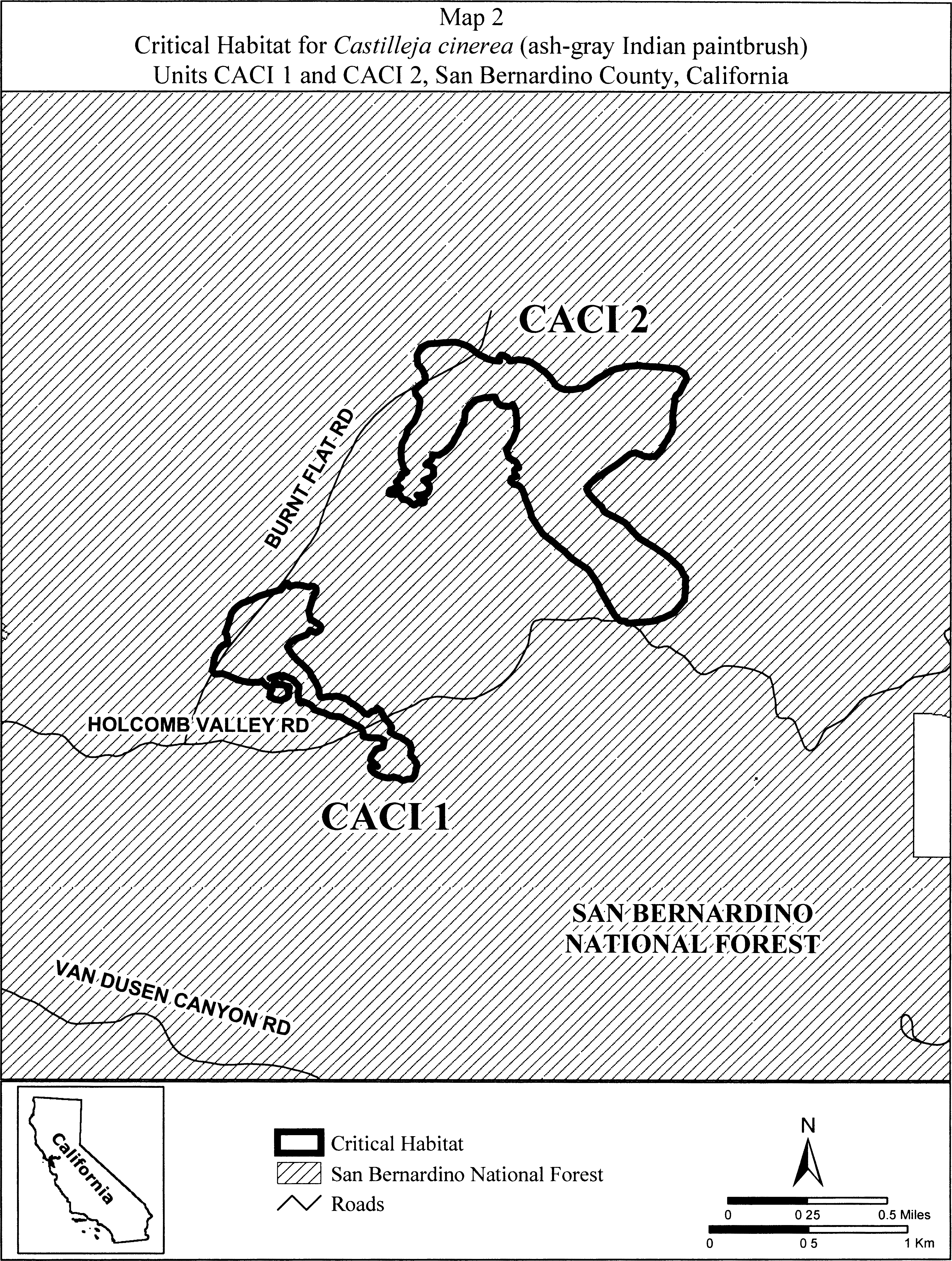
(7) Units CACI 3 and CACI 4. Big Bear Lake, San Bernardino County, California. From USGS 1:24,000 quadrangle map Big Bear Lake.
(i) Unit CACI 3. Land bounded by the following UTM NAD27 coordinates (E,N): 506933, 3788172; 506933, 3788172; 507055, 3788172; 507058, 3788169; 507058, 3788169; 507166, 3788172; 507208, 3788170; 507213, 3788165; 507215, 3788157; 507213, 3788134; 507205, 3788104; 507197, 3788062; 507176, 3788009; 507151, 3787955; 507123, 3787915; 507111, 3787897; 507087, 3787865; 507069, 3787840; 507045, 3787831; 507043, 3787831; 507040, 3787820; 507041, 3787818; 507036, 3787807; 507036, 3787807; 507036, 3787806; 507036, 3787806; 507025, 3787783; 507009, 3787755; 507006, 3787754; 507000, 3787747; 506974, 3787747; 506974, 3787747; 506973, 3787747; 506968, 3787747; 506967, 3787748; 506954, 3787751; 506938, 3787779; 506942, 3787811; 506954, 3787842; 506966, 3787866; 506974, 3787869; 506956, 3787901; 506949, 3787935; 506941, 3787974; 506938, 3788020; 506941, 3788043; 506939, 3788042; 506926, 3788042; 506907, 3788042; 506901, 3788049; 506892, 3788058; 506885, 3788071; 506885, 3788093; 506888, 3788115; 506895, 3788135; 506911, 3788153; 506933, 3788160; 506933, 3788172.
(ii) Unit CACI 4. Land bounded by the following UTM NAD27 coordinates (E,N): 507777, 3788001; 507780, 3787993; 507783, 3788009; 507791, 3788029; 507801, 3788015; 507806, 3788013; 507806, 3788005; 507811, 3787989; 507811, 3787973; 507811, 3787949; 507810, 3787946; 507810, 3787941; 507807, 3787932; 507806, 3787930; 507804, 3787929; 507803, 3787925; 507802, 3787925; 507790, 3787909; 507764, 3787877; 507732, 3787851; 507704, 3787839; 507688, 3787829; 507686, 3787828; 507682, 3787826; 507682, 3787827; 507678, 3787826; 507674, 3787876; 507666, 3787929; 507659, 3787975; 507659, 3788001; 507669, 3788023; 507682, 3788035; 507707, 3788042; 507729, 3788042; 507752, 3788036; 507767, 3788013; 507769, 3788006; 507777, 3788001.
(iii) Note: Map of Units CACI 3 and CACI 4 (Map 3) follows:
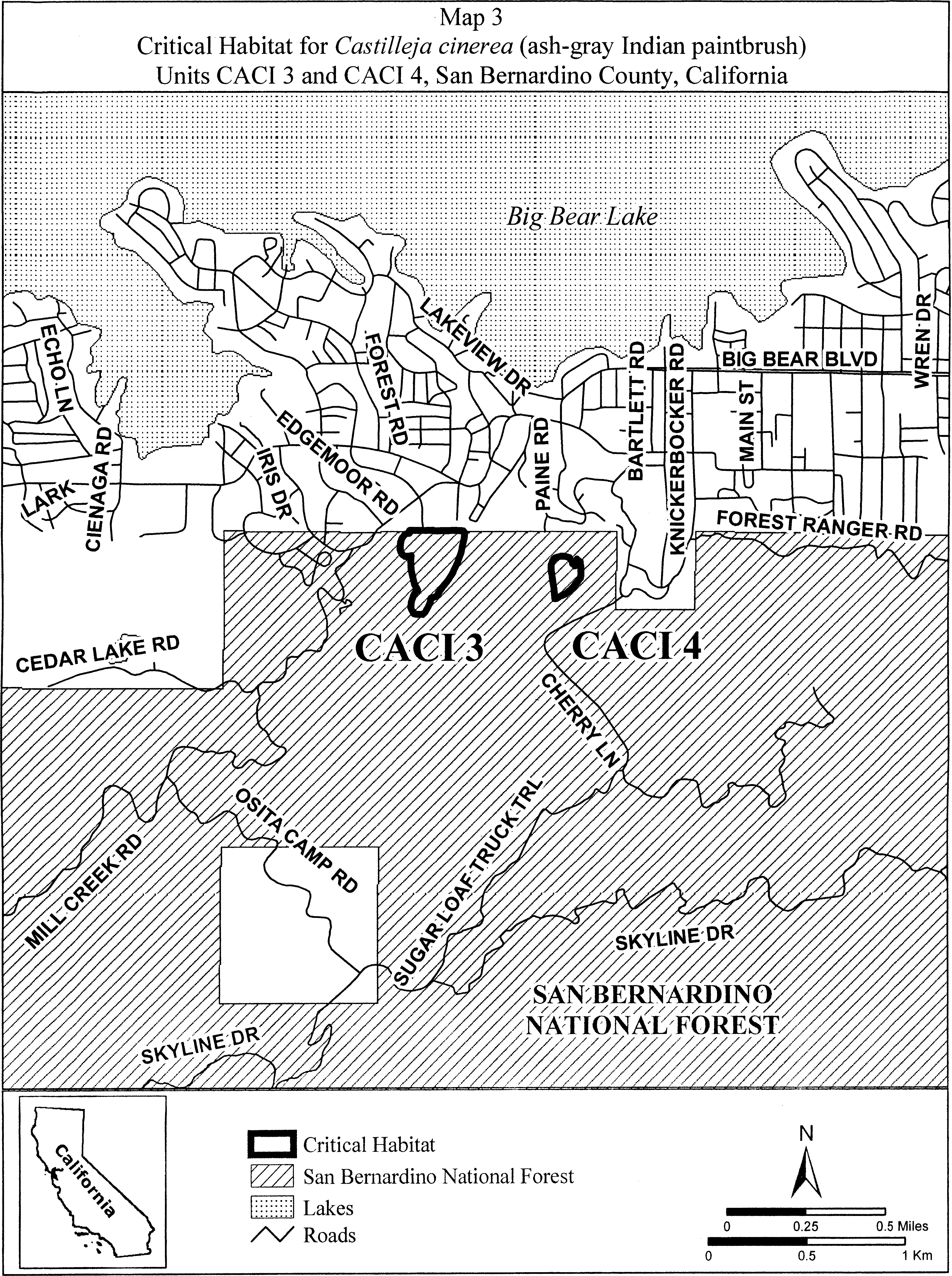
(8) Units CACI 5 and CACI 6. Broom Flat, San Bernardino County, California. From USGS 1:24,000 quadrangle map Onyx Peak.
(i) Unit CACI 5. Land bounded by the following UTM NAD27 coordinates (E,N): 525644, 3786958; 525650, 3786943; 525657, 3786886; 525619, 3786867; 525580, 3786879; 525577, 3786894; 525574, 3786905; 525542, 3786911; 525498, 3786892; 525473, 3786847; 525450, 3786817; 525440, 3786790; 525442, 3786753; 525491, 3786702; 525528, 3786682; 525545, 3786658; 525552, 3786616; 525518, 3786601; 525472, 3786618; 525418, 3786655; 525374, 3786645; 525352, 3786596; 525312, 3786569; 525288, 3786552; 525285, 3786508; 525261, 3786459; 525229, 3786435; 525185, 3786425; 525148, 3786423; 525114, 3786442; 525107, 3786462; 525112, 3786503; 525121, 3786543; 525151, 3786587; 525190, 3786606; 525202, 3786658; 525246, 3786724; 525278, 3786795; 525327, 3786873; 525374, 3786910; 525377, 3786968; 525396, 3786994; 525428, 3787032; 525469, 3787091; 525533, 3787152; 525580, 3787209; 525619, 3787254; 525644, 3787311; 525657, 3787355; 525688, 3787387; 525733, 3787419; 525746, 3787419; 525771, 3787444; 525771, 3787508; 525777, 3787565; 525771, 3787616; 525777, 3787641; 525815, 3787629; 525834, 3787597; 525860, 3787552; 525898, 3787527; 525911, 3787495; 525904, 3787457; 525904, 3787425; 525892, 3787368; 525860, 3787324; 525828, 3787260; 525784, 3787203; 525777, 3787152; 525765, 3787127; 525733, 3787121; 525688, 3787076; 525644, 3787019; 525638, 3786974; 525644, 3786958.
(ii) Unit CACI 6. Land bounded by the following UTM NAD27 coordinates (E,N): 525111, 3785431; 525155, 3785406; 525142, 3785419; 525199, 3785419; 525250, 3785412; 525307, 3785393; 525365, 3785362; 525378, 3785345; 525421, 3785349; 525497, 3785323; 525558, 3785296; 525600, 3785262; 525661, 3785220; 525706, 3785197; 525744, 3785182; 525813, 3785170; 525870, 3785170; 525950, 3785201; 526053, 3785243; 526125, 3785292; 526198, 3785323; 526247, 3785330; 526297, 3785338; 526358, 3785338; 526411, 3785327; 526457, 3785292; 526491, 3785262; 526529, 3785227; 526556, 3785170; 526556, 3785132; 526552, 3785079; 526548, 3785022; 526540, 3784978; 526562, 3784983; 526585, 3784983; 526610, 3784977; 526632, 3784967; 526642, 3784945; 526639, 3784907; 526632, 3784885; 526616, 3784847; 526604, 3784834; 526588, 3784815; 526575, 3784789; 526562, 3784774; 526617, 3784774; 526651, 3784759; 526651, 3784751; 526662, 3784735; 526662, 3784724; 526642, 3784701; 526625, 3784671; 526614, 3784655; 526626, 3784653; 526636, 3784634; 526632, 3784615; 526616, 3784593; 526604, 3784577; 526594, 3784567; 526582, 3784558; 526575, 3784548; 526562, 3784542; 526550, 3784535; 526547, 3784534; 526522, 3784488; 526509, 3784440; 526506, 3784412; 526495, 3784379; 526459, 3784332; 526457, 3784330; 526449, 3784321; 526434, 3784252; 526415, 3784229; 526418, 3784219; 526423, 3784219; 526430, 3784207; 526436, 3784191; 526442, 3784178; 526445, 3784162; 526439, 3784151; 526445, 3784130; 526476, 3784019; 526510, 3783943; 526522, 3783890; 526541, 3783795; 526567, 3783692; 526579, 3783627; 526606, 3783581; 526647, 3783490; 526680, 3783446; 526713, 3783425; 526764, 3783396; 526818, 3783371; 526861, 3783342; 526873, 3783324; 526876, 3783323; 526878, 3783320; 526913, 3783270; 526922, 3783257; 526963, 3783235; 526981, 3783233; 527032, 3783219; 527050, 3783204; 527064, 3783175; 527075, 3783143; 527071, 3783137; 527074, 3783128; 527051, 3783117; 527037, 3783121; 527006, 3783124; 526970, 3783139; 526945, 3783150; 526930, 3783150; 526898, 3783168; 526872, 3783183; 526869, 3783183; 526840, 3783163; 526840, 3783139; 526843, 3783117; 526861, 3783088; 526890, 3783052; 526911, 3783037; 526907, 3783059; 526904, 3783081; 526901, 3783107; 526917, 3783113; 526926, 3783107; 526939, 3783094; 526946, 3783072; 526955, 3783069; 526958, 3783062; 526961, 3783031; 526961, 3783008; 526960, 3783003; 526974, 3782994; 526978, 3782969; 526979, 3782968; 526979, 3782967; 526981, 3782954; 526976, 3782944; 526975, 3782934; 526937, 3782873; 526904, 3782868; 526894, 3782863; 526880, 3782865; 526853, 3782861; 526788, 3782899; 526724, 3782957; 526678, 3783010; 526653, 3783029; 526644, 3783034; 526634, 3783043; 526613, 3783059; 526600, 3783077; 526571, 3783103; 526524, 3783161; 526489, 3783206; 526476, 3783219; 526473, 3783226; 526448, 3783262; 526452, 3783284; 526470, 3783284; 526495, 3783297; 526493, 3783306; 526477, 3783327; 526441, 3783378; 526419, 3783393; 526408, 3783425; 526401, 3783469; 526394, 3783531; 526390, 3783585; 526381, 3783631; 526351, 3783704; 526339, 3783719; 526299, 3783803; 526269, 3783859; 526263, 3783867; 526261, 3783869; 526234, 3783893; 526221, 3783921; 526209, 3783936; 526113, 3784063; 526089, 3784082; 526072, 3784131; 526026, 3784168; 526012, 3784180; 525995, 3784180; 525987, 3784194; 525958, 3784212; 525951, 3784270; 525969, 3784310; 526016, 3784379; 526029, 3784402; 526038, 3784423; 526068, 3784501; 526071, 3784513; 526089, 3784575; 526109, 3784589; 526125, 3784624; 526125, 3784644; 526103, 3784691; 526089, 3784702; 526083, 3784713; 526072, 3784721; 526062, 3784751; 526049, 3784775; 526052, 3784781; 526049, 3784789; 526065, 3784836; 526067, 3784883; 526064, 3784909; 526060, 3784931; 525995, 3784927; 525944, 3784916; 525912, 3784910; 525882, 3784896; 525828, 3784881; 525786, 3784858; 525737, 3784850; 525710, 3784854; 525630, 3784865; 525573, 3784888; 525508, 3784927; 525478, 3784965; 525455, 3785003; 525382, 3785037; 525360, 3785067; 525328, 3785099; 525326, 3785095; 525301, 3785044; 525263, 3785019; 525238, 3785063; 525231, 3785120; 525206, 3785165; 525206, 3785203; 525187, 3785247; 525149, 3785273; 525072, 3785298; 524965, 3785304; 524926, 3785298; 524869, 3785292; 524799, 3785323; 524799, 3785362; 524831, 3785406; 524869, 3785444; 524876, 3785470; 524914, 3785489; 524933, 3785501; 524984, 3785495; 525022, 3785482; 525066, 3785470; 525111, 3785431.
(iii) Note: Map of Units CACI 5 and CACI 6 (Map 4) follows:
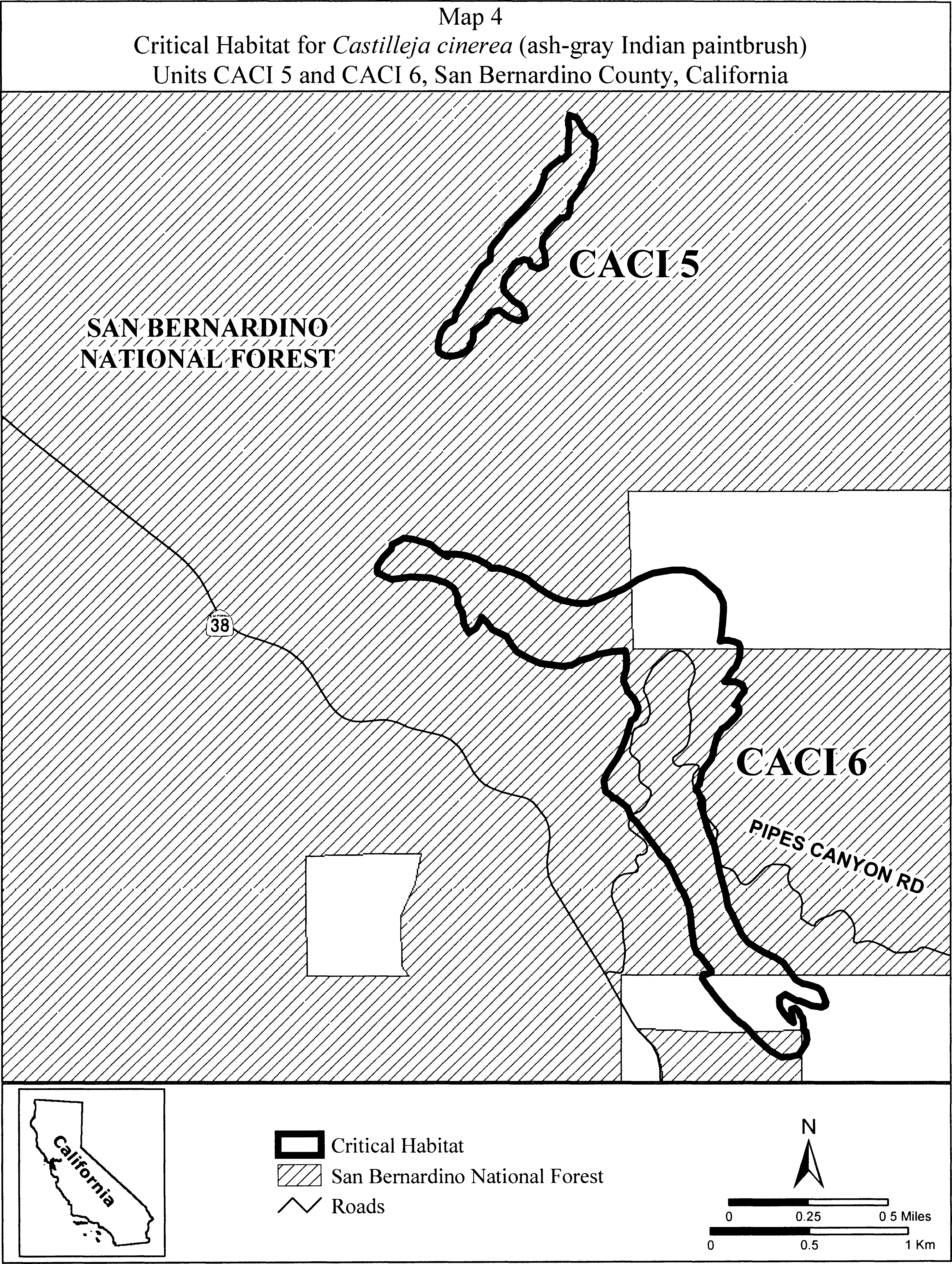
(9) Units CACI 7, CACI 8, CACI 9. Fawnskin, San Bernardino County, California. From USGS 1:24,000 quadrangle map Fawnskin.
(i) Unit CACI 7. Land bounded by the following UTM NAD27 coordinates (E,N): 506020, 3792309; 506020, 3792303; 506001, 3792335; 506014, 3792404; 506014, 3792468; 506001, 3792538; 505982, 3792557; 505963, 3792595; 505950, 3792639; 505937, 3792671; 505944, 3792703; 505994, 3792722; 506039, 3792722; 506109, 3792684; 506147, 3792665; 506191, 3792627; 506229, 3792582; 506217, 3792525; 506166, 3792493; 506121, 3792462; 506109, 3792442; 506109, 3792417; 506096, 3792392; 506077, 3792373; 506052, 3792335; 506020, 3792309.
(ii) Unit CACI 8. Land bounded by the following UTM NAD27 coordinates (E,N): 506636, 3791541; 506604, 3791490; 506547, 3791496; 506534, 3791515; 506515, 3791579; 506522, 3791661; 506502, 3791757; 506490, 3791807; 506502, 3791852; 506547, 3791941; 506579, 3792017; 506610, 3792100; 506629, 3792182; 506649, 3792220; 506668, 3792233; 506687, 3792227; 506680, 3792214; 506693, 3792182; 506706, 3792138; 506712, 3792074; 506725, 3792036; 506706, 3791928; 506680, 3791846; 506674, 3791801; 506674, 3791744; 506668, 3791674; 506655, 3791623; 506636, 3791541.
(iii) Unit CACI 9. Land bounded by the following UTM NAD27 coordinates (E,N): 509277, 3790880; 509264, 3790854; 509248, 3790857; 509229, 3790873; 509223, 3790908; 509223, 3790943; 509226, 3790972; 509232, 3790991; 509261, 3791003; 509273, 3790988; 509277, 3790969; 509273, 3790943; 509277, 3790908; 509277, 3790880.
(iv) Note: Map of Units CACI 7, CACI 8, CACI 9 (Map 5) follows:

(10) Units CACI 10, CACI 11, CACI 12, CACI 15, and CACI 16. Gold Mountain and North Baldwin Lake, San Bernardino County, California. From USGS 1:24,000 quadrangle map Big Bear City.
(i) Unit CACI 10. Land bounded by the following UTM NAD27 coordinates (E,N): 516297, 3793523; 516342, 3793514; 516374, 3793491; 516405, 3793447; 516412, 3793390; 516424, 3793352; 516421, 3793333; 516437, 3793335; 516450, 3793331; 516463, 3793309; 516466, 3793281; 516465, 3793279; 516475, 3793268; 516469, 3793227; 516447, 3793207; 516421, 3793189; 516380, 3793166; 516345, 3793154; 516311, 3793139; 516272, 3793103; 516244, 3793081; 516215, 3793077; 516187, 3793090; 516206, 3793135; 516202, 3793144; 516207, 3793149; 516196, 3793141; 516172, 3793137; 516163, 3793137; 516157, 3793137; 516154, 3793135; 516147, 3793133; 516132, 3793125; 516128, 3793123; 516109, 3793112; 516096, 3793112; 516095, 3793112; 516081, 3793111; 516065, 3793105; 516045, 3793109; 516017, 3793126; 516016, 3793127; 516006, 3793132; 516003, 3793145; 515998, 3793153; 515995, 3793166; 515988, 3793165; 515980, 3793163; 515971, 3793161; 515961, 3793161; 515956, 3793162; 515943, 3793162; 515926, 3793178; 515919, 3793180; 515912, 3793182; 515905, 3793188; 515899, 3793193; 515893, 3793198; 515884, 3793209; 515881, 3793219; 515879, 3793220; 515793, 3793243; 515732, 3793233; 515685, 3793220; 515647, 3793211; 515577, 3793211; 515536, 3793230; 515507, 3793261; 515501, 3793303; 515501, 3793335; 515542, 3793357; 515586, 3793360; 515625, 3793357; 515666, 3793341; 515707, 3793335; 515761, 3793338; 515809, 3793354; 515828, 3793376; 515851, 3793399; 515851, 3793403; 515848, 3793408; 515845, 3793414; 515844, 3793417; 515842, 3793424; 515842, 3793431; 515843, 3793438; 515839, 3793448; 515845, 3793446; 515849, 3793444; 515856, 3793439; 515860, 3793433; 515872, 3793430; 515873, 3793429; 515879, 3793443; 515901, 3793468; 515904, 3793468; 515910, 3793468; 515917, 3793461; 515921, 3793461; 515935, 3793473; 515980, 3793495; 516015, 3793501; 516082, 3793514; 516132, 3793514; 516212, 3793520; 516262, 3793527; 516297, 3793523.
(ii) Unit CACI 11. Land bounded by the following UTM NAD27 coordinates (E,N): 516768, 3792969; 516744, 3792965; 516720, 3792965; 516705, 3792961; 516685, 3792953; 516673, 3792949; 516652, 3792935; 516645, 3792926; 516642, 3792923; 516641, 3792918; 516633, 3792898; 516633, 3792891; 516633, 3792891; 516623, 3792868; 516621, 3792864; 516585, 3792863; 516581, 3792865; 516578, 3792862; 516562, 3792870; 516560, 3792871; 516556, 3792871; 516545, 3792873; 516540, 3792875; 516521, 3792875; 516510, 3792864; 516502, 3792855; 516496, 3792848; 516490, 3792840; 516477, 3792833; 516463, 3792824; 516461, 3792822; 516450, 3792804; 516447, 3792800; 516438, 3792788; 516423, 3792784; 516410, 3792780; 516377, 3792769; 516375, 3792768; 516364, 3792763; 516319, 3792740; 516318, 3792740; 516311, 3792737; 516304, 3792731; 516298, 3792731; 516283, 3792725; 516279, 3792728; 516271, 3792727; 516229, 3792731; 516176, 3792758; 516157, 3792773; 516130, 3792803; 516127, 3792815; 516119, 3792849; 516138, 3792891; 516157, 3792925; 516180, 3792952; 516203, 3792979; 516233, 3793009; 516268, 3793036; 516274, 3793041; 516275, 3793055; 516282, 3793087; 516298, 3793112; 516329, 3793125; 516364, 3793131; 516453, 3793154; 516520, 3793160; 516590, 3793166; 516610, 3793155; 516641, 3793150; 516668, 3793139; 516694, 3793116; 516717, 3793093; 516732, 3793074; 516748, 3793055; 516759, 3793039; 516770, 3793024; 516772, 3793012; 516775, 3793010; 516778, 3793004; 516778, 3793004; 516780, 3793001; 516784, 3792993; 516783, 3792989; 516783, 3792987; 516783, 3792987; 516783, 3792987; 516782, 3792985; 516780, 3792983; 516780, 3792981; 516777, 3792979; 516777, 3792978; 516775, 3792975; 516773, 3792971; 516772, 3792971; 516772, 3792971; 516771, 3792971; 516769, 3792970; 516768, 3792969.
(iii) Unit CACI 12. Land bounded by the following UTM NAD27 coordinates (E,N): 517804, 3791769; 517801, 3791754; 517782, 3791754; 517766, 3791765; 517766, 3791780; 517774, 3791792; 517782, 3791796; 517804, 3791792; 517804, 3791769.
(iv) Unit CACI 15. Land bounded by the following UTM NAD27 coordinates (E,N): 516160, 3795525; 516163, 3795551; 516182, 3795563; 516194, 3795563; 516198, 3795566; 516240, 3795559; 516278, 3795551; 516308, 3795555; 516331, 3795578; 516396, 3795605; 516406, 3795603; 516415, 3795605; 516453, 3795601; 516491, 3795578; 516491, 3795574; 516491, 3795551; 516472, 3795525; 516466, 3795501; 516465, 3795486; 516468, 3795452; 516480, 3795422; 516486, 3795415; 516518, 3795399; 516552, 3795379; 516598, 3795380; 516649, 3795388; 516655, 3795391; 516654, 3795425; 516658, 3795442; 516685, 3795452; 516698, 3795449; 516708, 3795431; 516716, 3795406; 516765, 3795429; 516807, 3795448; 516810, 3795448; 516834, 3795456; 516857, 3795452; 516906, 3795429; 516933, 3795410; 516960, 3795383; 516971, 3795361; 516986, 3795334; 517009, 3795299; 517032, 3795262; 517063, 3795223; 517097, 3795181; 517110, 3795163; 517131, 3795140; 517165, 3795101; 517184, 3795090; 517207, 3795083; 517211, 3795082; 517269, 3795104; 517278, 3795133; 517272, 3795170; 517264, 3795193; 517230, 3795239; 517196, 3795288; 517154, 3795349; 517150, 3795370; 517146, 3795376; 517139, 3795399; 517141, 3795414; 517139, 3795425; 517146, 3795448; 517154, 3795471; 517211, 3795517; 517245, 3795521; 517314, 3795517; 517360, 3795509; 517381, 3795485; 517386, 3795479; 517388, 3795476; 517402, 3795460; 517413, 3795433; 517440, 3795387; 517460, 3795371; 517489, 3795353; 517506, 3795341; 517520, 3795334; 517584, 3795315; 517611, 3795292; 517653, 3795261; 517672, 3795219; 517699, 3795159; 517718, 3795115; 517749, 3795078; 517759, 3795070; 517786, 3795052; 517809, 3795029; 517840, 3794999; 517841, 3794997; 517851, 3794987; 517882, 3794923; 517908, 3794881; 517917, 3794871; 517939, 3794854; 517981, 3794819; 518023, 3794812; 518038, 3794812; 518095, 3794819; 518152, 3794816; 518155, 3794815; 518171, 3794816; 518202, 3794804; 518251, 3794778; 518339, 3794755; 518411, 3794732; 518461, 3794724; 518461, 3794713; 518457, 3794698; 518442, 3794683; 518439, 3794680; 518438, 3794679; 518415, 3794652; 518458, 3794642; 518462, 3794598; 518443, 3794587; 518438, 3794583; 518413, 3794573; 518371, 3794577; 518322, 3794586; 518279, 3794597; 518246, 3794608; 518230, 3794614; 518206, 3794614; 518133, 3794617; 518117, 3794619; 518097, 3794610; 518097, 3794615; 518097, 3794618; 518098, 3794621; 518069, 3794625; 518061, 3794625; 518045, 3794627; 518046, 3794602; 518045, 3794602; 518039, 3794605; 518034, 3794609; 518019, 3794610; 518017, 3794611; 518019, 3794605; 518019, 3794589; 518012, 3794567; 517993, 3794554; 517968, 3794567; 517946, 3794573; 517936, 3794560; 517920, 3794548; 517914, 3794549; 517917, 3794545; 517924, 3794535; 517931, 3794526; 517939, 3794516; 517948, 3794503; 517954, 3794493; 517959, 3794482; 517964, 3794473; 517964, 3794468; 517959, 3794461; 517950, 3794456; 517934, 3794458; 517923, 3794462; 517905, 3794469; 517892, 3794475; 517882, 3794478; 517869, 3794480; 517852, 3794480; 517859, 3794462; 517866, 3794439; 517889, 3794413; 517927, 3794397; 517988, 3794404; 518030, 3794416; 518087, 3794439; 518110, 3794450; 518141, 3794473; 518187, 3794489; 518187, 3794490; 518222, 3794509; 518263, 3794506; 518311, 3794497; 518358, 3794490; 518419, 3794490; 518476, 3794493; 518481, 3794494; 518521, 3794504; 518558, 3794517; 518564, 3794521; 518569, 3794521; 518583, 3794526; 518586, 3794527; 518612, 3794538; 518617, 3794537; 518631, 3794533; 518632, 3794534; 518633, 3794533; 518663, 3794526; 518666, 3794509; 518673, 3794503; 518666, 3794484; 518666, 3794453; 518652, 3794447; 518644, 3794435; 518627, 3794432; 518620, 3794430; 518617, 3794427; 518602, 3794424; 518587, 3794421; 518565, 3794411; 518549, 3794409; 518508, 3794396; 518507, 3794395; 518505, 3794395; 518499, 3794393; 518457, 3794385; 518453, 3794385; 518428, 3794373; 518387, 3794376; 518358, 3794379; 518338, 3794383; 518327, 3794381; 518297, 3794362; 518273, 3794328; 518272, 3794325; 518277, 3794321; 518281, 3794312; 518281, 3794302; 518281, 3794291; 518279, 3794282; 518279, 3794278; 518293, 3794271; 518316, 3794259; 518369, 3794248; 518415, 3794244; 518426, 3794242; 518442, 3794241; 518455, 3794236; 518468, 3794233; 518507, 3794221; 518533, 3794195; 518541, 3794175; 518552, 3794157; 518554, 3794145; 518560, 3794134; 518558, 3794126; 518560, 3794115; 518552, 3794092; 518539, 3794081; 518529, 3794065; 518480, 3794069; 518474, 3794071; 518446, 3794073; 518407, 3794092; 518373, 3794111; 518312, 3794145; 518305, 3794152; 518297, 3794157; 518280, 3794177; 518270, 3794183; 518251, 3794179; 518221, 3794179; 518175, 3794164; 518142, 3794157; 518099, 3794141; 518065, 3794130; 518030, 3794122; 517965, 3794115; 517927, 3794103; 517901, 3794092; 517878, 3794093; 517863, 3794088; 517830, 3794088; 517836, 3794390; 517634, 3794390; 517639, 3794589; 517192, 3794589; 517160, 3794606; 517141, 3794622; 517130, 3794635; 517123, 3794641; 517120, 3794653; 517119, 3794657; 517112, 3794663; 517070, 3794705; 517068, 3794708; 517063, 3794711; 517052, 3794723; 517046, 3794727; 517042, 3794731; 517041, 3794732; 517036, 3794736; 517030, 3794739; 517025, 3794739; 517020, 3794742; 517019, 3794742; 517014, 3794745; 517009, 3794751; 517014, 3794755; 517025, 3794753; 517041, 3794746; 517040, 3794749; 516998, 3794804; 516956, 3794839; 516952, 3794841; 516906, 3794865; 516883, 3794884; 516856, 3794905; 516851, 3794907; 516849, 3794897; 516839, 3794910; 516811, 3794919; 516735, 3794926; 516686, 3794937; 516674, 3794938; 516657, 3794947; 516643, 3794953; 516613, 3794973; 516582, 3794991; 516573, 3795005; 516567, 3795010; 516548, 3795037; 516525, 3795059; 516522, 3795063; 516487, 3795098; 516483, 3795101; 516472, 3795119; 516461, 3795136; 516443, 3795164; 516430, 3795185; 516420, 3795212; 516419, 3795216; 516396, 3795265; 516377, 3795311; 516365, 3795341; 516346, 3795368; 516304, 3795399; 516259, 3795433; 516198, 3795471; 516175, 3795494; 516167, 3795501; 516168, 3795507; 516160, 3795525.
(v) Unit CACI 16. Land bounded by the following UTM NAD27 coordinates (E,N): 516869, 3794211; 516844, 3794205; 516809, 3794214; 516783, 3794239; 516764, 3794271; 516749, 3794300; 516733, 3794325; 516720, 3794347; 516710, 3794376; 516695, 3794405; 516682, 3794424; 516672, 3794449; 516669, 3794465; 516688, 3794475; 516723, 3794471; 516742, 3794449; 516739, 3794421; 516745, 3794385; 516771, 3794351; 516793, 3794329; 516822, 3794306; 516860, 3794275; 516879, 3794243; 516869, 3794211.
(vi) Note: Map of Units CACI 10, CACI 11, CACI 12, CACI 15, and CACI 16 (Map 6) follows:

(11) Units CACI 13 and CACI 14. Holcomb Valley, San Bernardino County, California. From USGS 1:24,000 quadrangle map Fawnskin.
(i) Unit CACI 13. Land bounded by the following UTM NAD27 coordinates (E,N): 506727, 3796049; 506738, 3796035; 506743, 3796031; 506761, 3796001; 506765, 3795985; 506767, 3795981; 506783, 3795942; 506785, 3795915; 506787, 3795910; 506790, 3795878; 506784, 3795872; 506782, 3795867; 506779, 3795843; 506773, 3795840; 506772, 3795835; 506767, 3795833; 506752, 3795821; 506730, 3795818; 506689, 3795818; 506663, 3795823; 506634, 3795825; 506624, 3795837; 506612, 3795847; 506606, 3795854; 506597, 3795862; 506571, 3795881; 506571, 3795883; 506557, 3795893; 506544, 3795910; 506529, 3795930; 506530, 3795930; 506528, 3795934; 506565, 3795933; 506565, 3795935; 506574, 3795964; 506600, 3795986; 506635, 3796001; 506633, 3796023; 506631, 3796041; 506632, 3796041; 506644, 3796045; 506663, 3796042; 506681, 3796042; 506707, 3796045; 506715, 3796049; 506727, 3796049. Land bounded by the following UTM NAD27 coordinates (E,N): 506666, 3795511; 506661, 3795481; 506647, 3795471; 506625, 3795463; 506622, 3795462; 506612, 3795476; 506604, 3795484; 506602, 3795500; 506591, 3795480; 506584, 3795455; 506569, 3795435; 506569, 3795428; 506562, 3795409; 506556, 3795389; 506547, 3795351; 506537, 3795317; 506532, 3795310; 506524, 3795303; 506512, 3795298; 506504, 3795291; 506495, 3795298; 506492, 3795307; 506487, 3795328; 506483, 3795347; 506477, 3795372; 506472, 3795393; 506470, 3795416; 506466, 3795433; 506463, 3795457; 506468, 3795488; 506472, 3795510; 506474, 3795533; 506477, 3795567; 506485, 3795593; 506494, 3795624; 506507, 3795657; 506517, 3795687; 506534, 3795715; 506555, 3795736; 506549, 3795747; 506552, 3795771; 506564, 3795799; 506572, 3795807; 506600, 3795819; 506616, 3795811; 506617, 3795807; 506620, 3795805; 506635, 3795794; 506639, 3795763; 506641, 3795759; 506670, 3795753; 506695, 3795750; 506705, 3795731; 506695, 3795712; 506690, 3795703; 506692, 3795687; 506687, 3795672; 506679, 3795655; 506689, 3795626; 506705, 3795598; 506708, 3795575; 506689, 3795550; 506677, 3795540; 506676, 3795537; 506666, 3795511.
(ii) Unit CACI 14. Land bounded by the following UTM NAD27 coordinates (E,N): 509943, 3794740; 509997, 3794674; 510070, 3794623; 510076, 3794591; 510073, 3794585; 510044, 3794562; 510003, 3794556; 510054, 3794518; 510105, 3794477; 510124, 3794477; 510194, 3794473; 510219, 3794442; 510222, 3794391; 510168, 3794347; 510105, 3794283; 510067, 3794201; 510054, 3794162; 510013, 3794124; 509999, 3794124; 509999, 3794118; 509996, 3794110; 509991, 3794106; 509987, 3794102; 509981, 3794099; 509975, 3794097; 509968, 3794095; 509961, 3794096; 509955, 3794096; 509950, 3794098; 509946, 3794101; 509940, 3794109; 509940, 3794115; 509940, 3794122; 509943, 3794131; 509947, 3794139; 509911, 3794159; 509908, 3794173; 509894, 3794173; 509886, 3794181; 509874, 3794221; 509894, 3794256; 509914, 3794284; 509943, 3794302; 509943, 3794305; 509893, 3794327; 509858, 3794375; 509839, 3794404; 509807, 3794445; 509782, 3794480; 509747, 3794531; 509668, 3794579; 509639, 3794617; 509643, 3794633; 509635, 3794642; 509648, 3794660; 509649, 3794664; 509664, 3794674; 509668, 3794674; 509674, 3794667; 509680, 3794664; 509682, 3794659; 509737, 3794651; 509797, 3794623; 509800, 3794620; 509787, 3794641; 509771, 3794660; 509747, 3794684; 509743, 3794708; 509747, 3794731; 509755, 3794743; 509775, 3794743; 509791, 3794735; 509806, 3794729; 509803, 3794743; 509822, 3794772; 509902, 3794759; 509943, 3794740.
(iii) Note: Units CACI 13 and CACI 14 (Map 7) follows:

(12) Units CACI 17 and CACI 18. Sawmill, San Bernardino County, California. From USGS 1:24,000 quadrangle maps Big Bear City and Moonridge.
(i) Unit CACI 17. Land bounded by the following UTM NAD27 coordinates (E,N): 514010,3788419; 513955,3788406; 513936,3788404; 513891,3788404; 513855,3788412; 513831,3788423; 513803,3788431; 513777,3788444; 513756,3788453; 513744,3788464; 513731,3788473; 513761,3788481; 513764,3788488; 513768,3788499; 513787,3788551; 513781,3788561; 513779,3788566; 513777,3788572; 513775,3788579; 513777,3788585; 513784,3788591; 513809,3788609; 513815,3788611; 513820,3788612; 513823,3788612; 513837,3788627; 513843,3788649; 513843,3788659; 513842,3788660; 513830,3788680; 513826,3788709; 513821,3788716; 513811,3788742; 513789,3788818; 513789,3788865; 513789,3788897; 513789,3788923; 513776,3788948; 513761,3788973; 513742,3788986; 513735,3789005; 513719,3789024; 513703,3789050; 513697,3789059; 513691,3789069; 513678,3789094; 513665,3789113; 513653,3789135; 513652,3789137; 513648,3789140; 513624,3789156; 513620,3789168; 513604,3789184; 513600,3789208; 513606,3789220; 513606,3789228; 513608,3789229; 513581,3789259; 513591,3789262; 513601,3789262; 513605,3789257; 513608,3789253; 513611,3789247; 513621,3789233; 513636,3789235; 513645,3789230; 513648,3789234; 513652,3789230; 513658,3789229; 513662,3789230; 513670,3789236; 513674,3789239; 513679,3789244; 513686,3789364; 513695,3789377; 513704,3789381; 513715,3789379; 513719,3789377; 513728,3789372; 513730,3789357; 513724,3789335; 513743,3789335; 513747,3789335; 513763,3789331; 513766,3789326; 513772,3789321; 513778,3789313; 513781,3789306; 513783,3789303; 513783,3789275; 513778,3789268; 513778,3789266; 513776,3789263; 513753,3789217; 513753,3789214; 513750,3789205; 513748,3789194; 513745,3789182; 513744,3789171; 513744,3789168; 513759,3789161; 513765,3789157; 513772,3789154; 513780,3789137; 513792,3789126; 513793,3789113; 513798,3789111; 513804,3789105; 513812,3789102; 513826,3789091; 513836,3789093; 513846,3789090; 513853,3789083; 513854,3789059; 513850,3789053; 513878,3789041; 513902,3789017; 513905,3789013; 513906,3789010; 513913,3789005; 513913,3789001; 513918,3788993; 513918,3788973; 513923,3788961; 513919,3788942; 513926,3788919; 513935,3788882; 513948,3788850; 513957,3788824; 513964,3788796; 513957,3788729; 513945,3788701; 513938,3788672; 513935,3788640; 513948,3788599; 513964,3788577; 513986,3788561; 513992,3788542; 513999,3788507; 514008,3788472; 514021,3788448; 514027,3788437; 514027,3788419.
(ii) Unit CACI 18. Land bounded by the following UTM NAD27 coordinates (E,N): 515023,3789730; 515031,3789764; 515027,3789815; 515027,3789875; 515029,3789884; 515029,3789895; 515034,3789907; 515034,3789909; 515035,3789912; 515037,3789923; 515053,3789964; 515054,3789966; 515058,3789977; 515063,3789983; 515066,3789986; 515069,3789988; 515077,3789997; 515092,3789990; 515094,3789989; 515104,3789979; 515113,3789974; 515120,3789962; 515128,3789941; 515137,3789925; 515140,3789915; 515142,3789911; 515153,3789887; 515153,3789881; 515156,3789875; 515148,3789851; 515132,3789851; 515116,3789851; 515113,3789850; 515104,3789865; 515098,3789869; 515091,3789873; 515089,3789873; 515077,3789867; 515066,3789856; 515069,3789834; 515073,3789814; 515077,3789790; 515085,3789759; 515088,3789732.
(iii) Note: Units CACI 17 and CACI 18 (Map 8) follows:
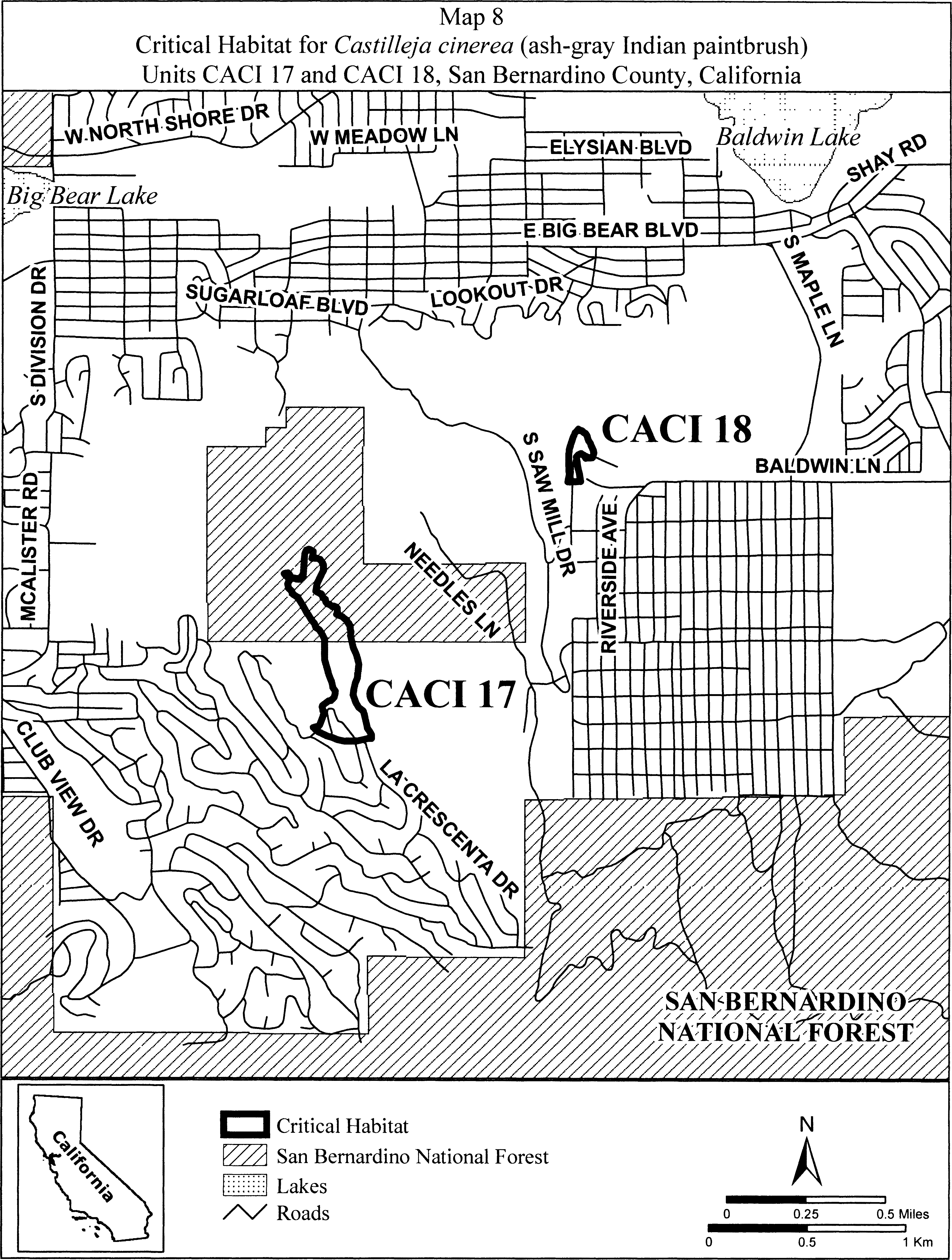
(13) Unit CACI 19. Snow Valley, San Bernardino County, California.
(i) From USGS 1:24,000 quadrangle map Keller Peak. Land bounded by the following UTM NAD27 coordinates (E,N): 496377, 3786874; 496368, 3786876; 496360, 3786876; 496349, 3786874; 496333, 3786868; 496319, 3786861; 496300, 3786853; 496289, 3786849; 496273, 3786842; 496263, 3786836; 496249, 3786830; 496241, 3786825; 496236, 3786822; 496232, 3786816; 496224, 3786804; 496222, 3786803; 496219, 3786810; 496219, 3786838; 496219, 3786840; 496235, 3786873; 496248, 3786886; 496226, 3786935; 496210, 3786983; 496232, 3787012; 496268, 3787015; 496296, 3787018; 496331, 3787041; 496338, 3787085; 496370, 3787117; 496411, 3787124; 496459, 3787124; 496464, 3787118; 496465, 3787118; 496473, 3787122; 496473, 3787120; 496476, 3787110; 496481, 3787104; 496484, 3787099; 496484, 3787098; 496484, 3787098; 496483, 3787098; 496491, 3787088; 496498, 3787069; 496500, 3787067; 496500, 3787063; 496510, 3787038; 496549, 3787038; 496559, 3787041; 496606, 3787054; 496622, 3787073; 496644, 3787133; 496638, 3787175; 496638, 3787175; 496642, 3787184; 496654, 3787213; 496666, 3787223; 496682, 3787235; 496743, 3787235; 496787, 3787226; 496797, 3787213; 496800, 3787210; 496805, 3787196; 496809, 3787184; 496809, 3787184; 496809, 3787184; 496809, 3787159; 496809, 3787159; 496809, 3787159; 496799, 3787139; 496797, 3787133; 496790, 3787111; 496782, 3787102; 496768, 3787086; 496758, 3787082; 496746, 3787076; 496717, 3787057; 496713, 3787050; 496708, 3787041; 496704, 3787032; 496701, 3787025; 496692, 3787013; 496692, 3786994; 496692, 3786994; 496692, 3786994; 496689, 3786987; 496685, 3786978; 496673, 3786968; 496644, 3786956; 496622, 3786946; 496609, 3786944; 496584, 3786940; 496568, 3786934; 496552, 3786927; 496533, 3786923; 496511, 3786917; 496479, 3786910; 496460, 3786905; 496449, 3786898; 496428, 3786886; 496404, 3786884; 496393, 3786883; 496376, 3786876; 496377, 3786875; 496376, 3786875; 496377, 3786874.
(ii) Note: Map of Unit CACI 19 (Map 9) follows:
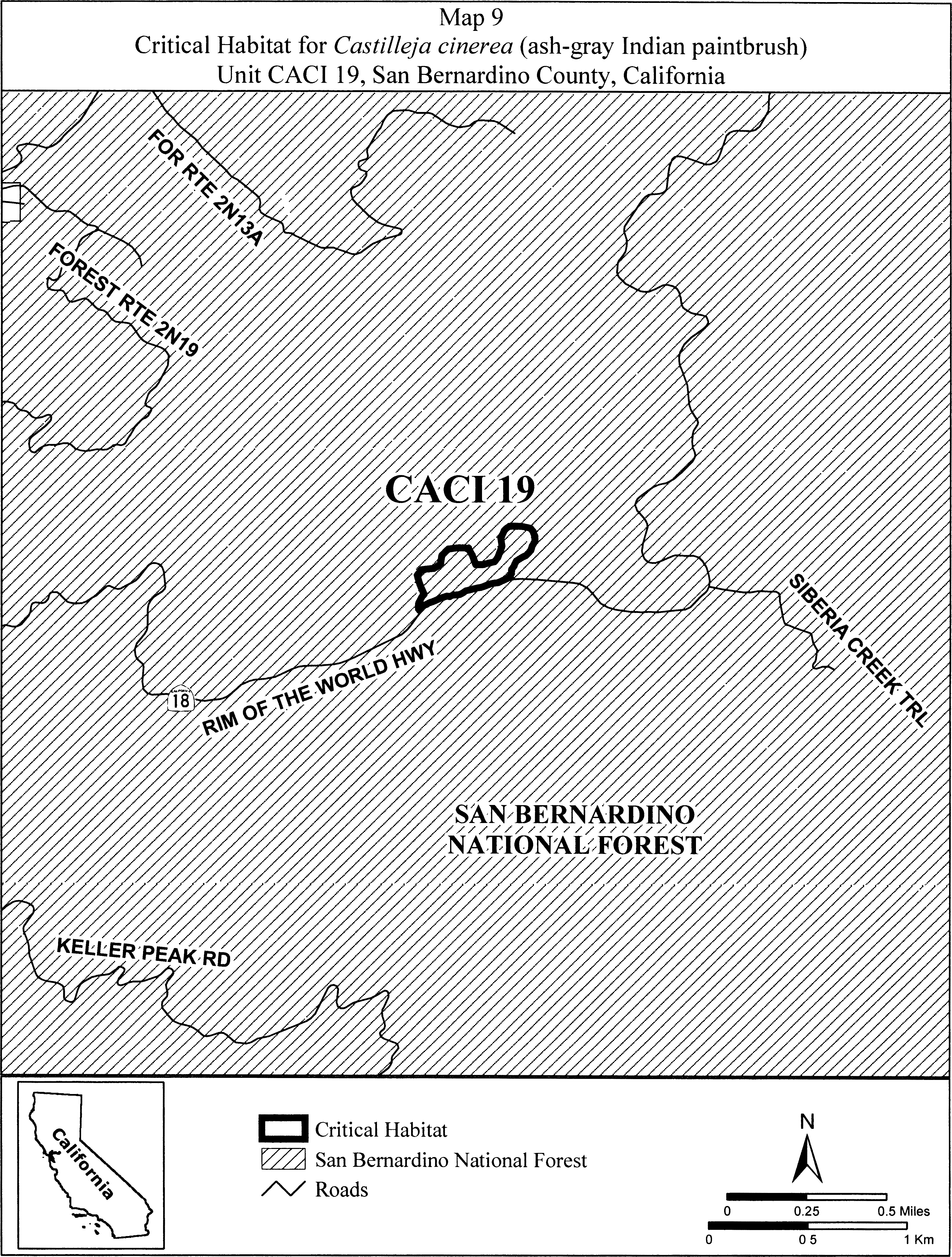
(14) Unit CACI 20: South Baldwin Ridge/Erwin Lake, San Bernardino County, California.
(i) From USGS 1:24,000 quadrangle map Big Bear City. Land bounded by the following UTM NAD27 coordinates (E,N): 518798, 3790531; 518814, 3790499; 518836, 3790501; 518883, 3790501; 518891, 3790493; 518942, 3790490; 519022, 3790477; 519063, 3790455; 519104, 3790439; 519114, 3790429; 519108, 3790395; 519085, 3790359; 519057, 3790347; 519012, 3790344; 518955, 3790357; 518923, 3790404; 518900, 3790419; 518911, 3790389; 518923, 3790370; 518907, 3790346; 518876, 3790342; 518839, 3790342; 518822, 3790331; 518821, 3790331; 518820, 3790320; 518800, 3790313; 518797, 3790307; 518792, 3790302; 518776, 3790291; 518766, 3790295; 518764, 3790297; 518763, 3790296; 518744, 3790298; 518740, 3790308; 518737, 3790313; 518724, 3790318; 518725, 3790327; 518714, 3790333; 518716, 3790337; 518707, 3790343; 518699, 3790340; 518697, 3790342; 518695, 3790345; 518693, 3790346; 518691, 3790351; 518685, 3790353; 518683, 3790359; 518682, 3790364; 518683, 3790368; 518698, 3790377; 518704, 3790378; 518712, 3790375; 518707, 3790379; 518666, 3790392; 518637, 3790398; 518629, 3790391; 518618, 3790391; 518613, 3790387; 518613, 3790385; 518611, 3790382; 518605, 3790378; 518600, 3790374; 518591, 3790377; 518580, 3790376; 518568, 3790381; 518553, 3790380; 518545, 3790386; 518540, 3790382; 518541, 3790379; 518541, 3790375; 518542, 3790373; 518540, 3790371; 518538, 3790371; 518535, 3790374; 518533, 3790378; 518531, 3790382; 518530, 3790387; 518529, 3790392; 518530, 3790397; 518532, 3790400; 518536, 3790400; 518542, 3790399; 518550, 3790401; 518553, 3790401; 518563, 3790404; 518567, 3790405; 518568, 3790403; 518570, 3790401; 518574, 3790401; 518577, 3790399; 518583, 3790401; 518590, 3790403; 518596, 3790399; 518596, 3790397; 518597, 3790397; 518602, 3790395; 518604, 3790398; 518607, 3790400; 518609, 3790402; 518610, 3790404; 518602, 3790406; 518597, 3790409; 518586, 3790409; 518562, 3790429; 518582, 3790445; 518597, 3790453; 518595, 3790463; 518574, 3790467; 518561, 3790460; 518541, 3790453; 518503, 3790453; 518490, 3790477; 518517, 3790511; 518551, 3790531; 518632, 3790551; 518686, 3790571; 518720, 3790579; 518740, 3790579; 518764, 3790562; 518798, 3790531.
(ii) Note: Map of Unit CACI 20 (Map 10) follows:
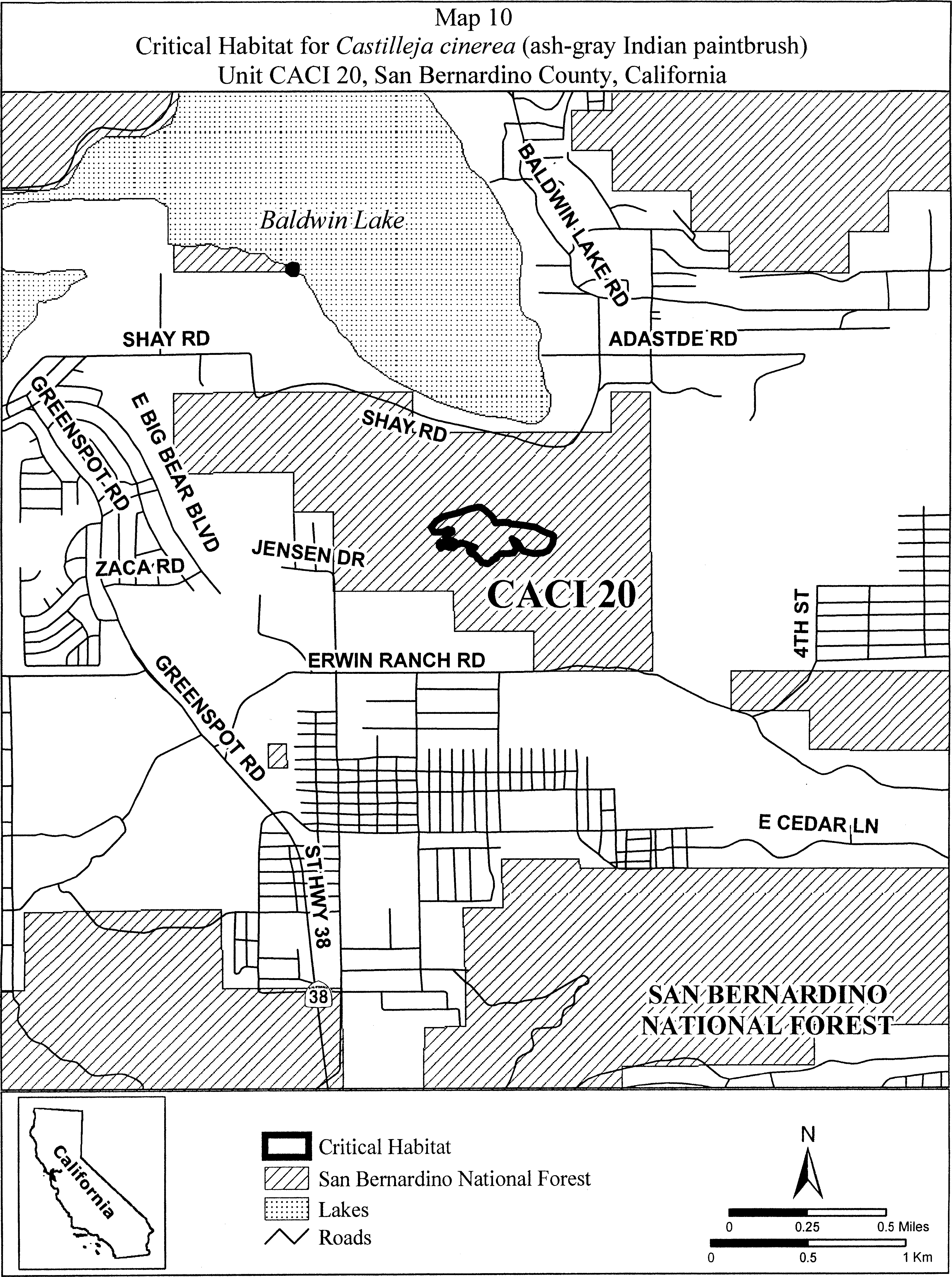
(15) Units CACI 21, CACI 22, CACI 23, and CACI 24. Sugarloaf Ridge, San Bernardino County, California. From USGS 1:24,000 quadrangle map Moonridge.
(i) Unit CACI 21. Land bounded by the following UTM NAD27 coordinates (E,N): 521244, 3783525; 521340, 3783525; 521411, 3783533; 521470, 3783533; 521550, 3783517; 521601, 3783537; 521617, 3783561; 521669, 3783589; 521752, 3783569; 521824, 3783533; 521883, 3783493; 521939, 3783453; 521959, 3783406; 521971, 3783351; 521982, 3783287; 521975, 3783203; 521970, 3783181; 521967, 3783152; 521967, 3783101; 521967, 3783072; 521951, 3783015; 521939, 3782987; 521897, 3782936; 521875, 3782911; 521831, 3782891; 521793, 3782882; 521739, 3782888; 521694, 3782888; 521650, 3782911; 521624, 3782926; 521602, 3782955; 521561, 3782993; 521520, 3783066; 521485, 3783126; 521462, 3783203; 521440, 3783228; 521380, 3783237; 521323, 3783241; 521266, 3783247; 521228, 3783247; 521151, 3783237; 521075, 3783234; 521040, 3783237; 520939, 3783250; 520894, 3783257; 520859, 3783279; 520862, 3783301; 520856, 3783336; 520853, 3783371; 520852, 3783374; 520828, 3783382; 520780, 3783410; 520764, 3783453; 520776, 3783521; 520784, 3783549; 520784, 3783557; 520752, 3783628; 520764, 3783652; 520820, 3783684; 520867, 3783692; 520927, 3783688; 520955, 3783652; 520994, 3783605; 521022, 3783573; 521078, 3783549; 521109, 3783533; 521244, 3783525.
(ii) Unit CACI 22. Land bounded by the following UTM NAD27 coordinates (E,N): 522459, 3784505; 522475, 3784502; 522490, 3784501; 522542, 3784497; 522570, 3784493; 522573, 3784489; 522582, 3784489; 522598, 3784448; 522601, 3784441; 522629, 3784382; 522640, 3784339; 522641, 3784335; 522641, 3784333; 522645, 3784318; 522637, 3784302; 522627, 3784289; 522625, 3784287; 522623, 3784285; 522621, 3784283; 522607, 3784265; 522602, 3784251; 522602, 3784227; 522613, 3784195; 522622, 3784177; 522637, 3784156; 522641, 3784144; 522640, 3784127; 522641, 3784116; 522638, 3784107; 522637, 3784097; 522633, 3784091; 522621, 3784064; 522586, 3784040; 522552, 3784021; 522534, 3784009; 522531, 3784009; 522530, 3784009; 522486, 3784009; 522455, 3784013; 522427, 3784044; 522387, 3784088; 522351, 3784135; 522347, 3784153; 522340, 3784168; 522292, 3784188; 522268, 3784200; 522258, 3784217; 522252, 3784223; 522256, 3784247; 522256, 3784255; 522280, 3784279; 522289, 3784297; 522292, 3784306; 522308, 3784366; 522308, 3784397; 522324, 3784449; 522327, 3784451; 522328, 3784454; 522339, 3784459; 522359, 3784473; 522403, 3784493; 522447, 3784505; 522455, 3784504; 522459, 3784505.
(iii) Unit CACI 23. Land bounded by the following UTM NAD27 coordinates (E,N): 520411,3784723; 520439,3784779; 520470,3784779; 520502,3784771; 520538,3784739; 520562,3784696; 520609,3784676; 520645,3784676; 520697,3784688; 520728,3784708; 520764,3784723; 520800,3784743; 520828,3784767; 520907,3784843; 520958,3784871; 521014,3784906; 521212,3785025; 521336,3785081; 521415,3785109; 521478,3785125; 521574,3785093; 521570,3785053; 521558,3785013; 521546,3784989; 521510,3784966; 521474,3784938; 521427,3784910; 521387,3784878; 521359,3784871; 521340,3784847; 521320,3784835; 521244,3784811; 521185,3784791; 521125,3784767; 521082,3784735; 521022,3784688; 520978,3784640; 520939,3784617; 520887,3784581; 520804,3784565; 520748,3784553; 520677,3784545; 520625,3784521; 520558,3784489; 520534,3784481; 520470,3784434; 520423,3784402; 520347,3784351; 520252,3784299; 520181,3784283; 520133,3784287; 520089,3784311; 520070,3784339; 520070,3784355; 520066,3784390; 520070,3784414; 520105,3784434; 520153,3784454; 520220,3784481; 520300,3784521; 520351,3784553; 520415,3784581; 520447,3784605; 520439,3784609.
(iv) Unit CACI 24. Land bounded by the following UTM NAD27 coordinates (E,N): 517371, 3784019; 517390, 3784013; 517415, 3784010; 517438, 3784001; 517485, 3783985; 517527, 3783965; 517558, 3783950; 517676, 3783937; 517720, 3783921; 517790, 3783918; 517806, 3783924; 517835, 3783934; 517876, 3783950; 517923, 3783950; 517955, 3783934; 517974, 3783915; 517981, 3783877; 517965, 3783829; 517958, 3783803; 517936, 3783791; 517892, 3783788; 517860, 3783791; 517828, 3783810; 517781, 3783829; 517733, 3783829; 517682, 3783823; 517650, 3783810; 517625, 3783803; 517562, 3783801; 517460, 3783759; 517419, 3783743; 517362, 3783715; 517311, 3783673; 517266, 3783645; 517241, 3783629; 517206, 3783619; 517082, 3783623; 517019, 3783623; 516949, 3783635; 516831, 3783683; 516774, 3783718; 516730, 3783753; 516714, 3783769; 516775, 3783688; 516815, 3783632; 516827, 3783624; 516851, 3783612; 517045, 3783597; 517061, 3783581; 517097, 3783561; 517145, 3783541; 517172, 3783537; 517224, 3783541; 517295, 3783545; 517379, 3783541; 517418, 3783545; 517482, 3783553; 517510, 3783557; 517553, 3783577; 517597, 3783585; 517641, 3783581; 517700, 3783573; 517744, 3783553; 517784, 3783513; 517815, 3783469; 517831, 3783422; 517823, 3783386; 517807, 3783366; 517716, 3783366; 517637, 3783374; 517621, 3783386; 517593, 3783410; 517549, 3783426; 517454, 3783426; 517371, 3783422; 517295, 3783414; 517220, 3783398; 517121, 3783374; 517006, 3783351; 516938, 3783351; 516803, 3783374; 516779, 3783394; 516684, 3783457; 516601, 3783525; 516549, 3783565; 516517, 3783573; 516486, 3783581; 516418, 3783589; 516363, 3783616; 516311, 3783656; 516287, 3783696; 516283, 3783727; 516314, 3783792; 516279, 3783801; 516266, 3783813; 516272, 3783857; 516282, 3783911; 516311, 3783965; 516339, 3784003; 516349, 3784073; 516399, 3784083; 516485, 3784093; 516580, 3784093; 516692, 3784073; 516796, 3784067; 516857, 3784064; 516946, 3784055; 517041, 3784023; 517095, 3784019; 517149, 3784001; 517196, 3783991; 517241, 3784007; 517295, 3784019.
(v) Note: Map of Units CACI 21, CACI 22, CACI 23, and CACI 24 (Map 11) follows:
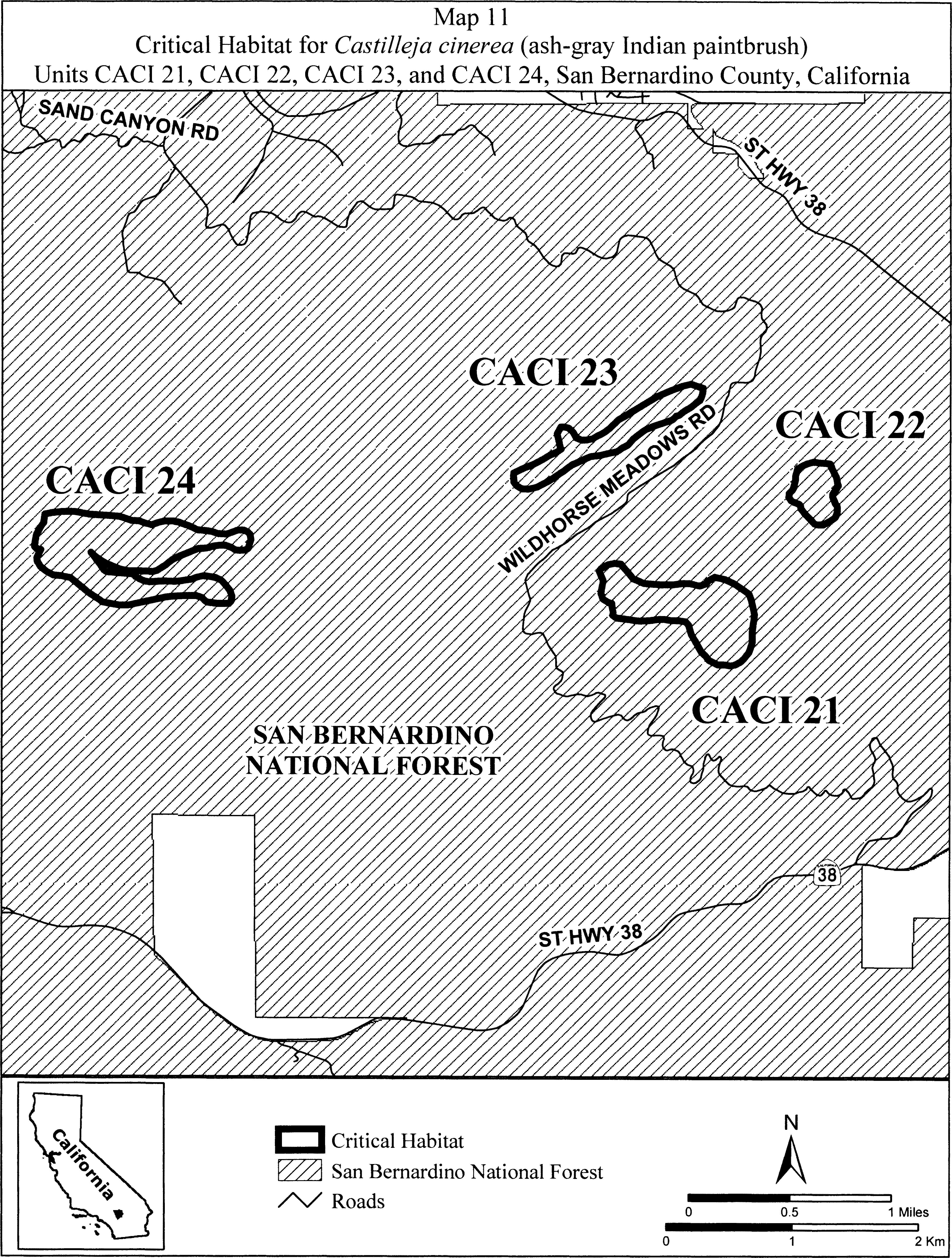
Family Phrymaceae: Diplacus vandenbergensis (Vandenberg monkeyflower)
(1) Critical habitat units are depicted for Santa Barbara County, California, on the maps below.
(2) Within these areas, the primary constituent elements of the physical or biological features essential to the conservation of Vandenberg monkeyflower consist of two components:
(i) Native maritime chaparral communities of Burton Mesa comprising maritime chaparral and maritime chaparral mixed with coastal scrub, oak woodland, and small patches of native grasslands. The mosaic structure of the native plant communities (arranged in a mosaic of dominant vegetation and sandy openings (canopy gaps)) may change spatially as a result of succession, and physical processes such as windblown sand and wildfire.
(ii) Loose sandy soils on Burton Mesa. As mapped by the Natural Resources Conservation Service (NRCS), these could include the following soil series: Arnold Sand, Marina Sand, Narlon Sand, Tangair Sand, Botella Loam, Terrace Escarpments, and Gullied Land.
(3) Critical habitat does not include manmade structures (such as buildings, aqueducts, runways, roads, and other paved areas) and the land on which they are located existing within the legal boundaries on September 10, 2015.
(4) Critical habitat map units. Data layers defining map units were created on a base of USGS 1:24,000 maps, and critical habitat units were then mapped using Universal Transverse Mercator (UTM) Zone 15N coordinates.
(5) Index map follows:

(6) Unit 1 (Vandenberg) and Unit 2 (Santa Lucia): Santa Barbara County, California.
(i) Unit 1 includes 223 ac (90 ha), and Unit 2 includes 1,484 ac (601 ha).
(ii) Map of Units 1 and 2 follows:

(7) Unit 3 (Encina) and Unit 4 (La Purisima): Santa Barbara County, California.
(i) Unit 3 includes 2,024 ac (819 ha), and Unit 4 includes 2,024 ac (819 ha).
(ii) Map of Units 3 and 4 follows:
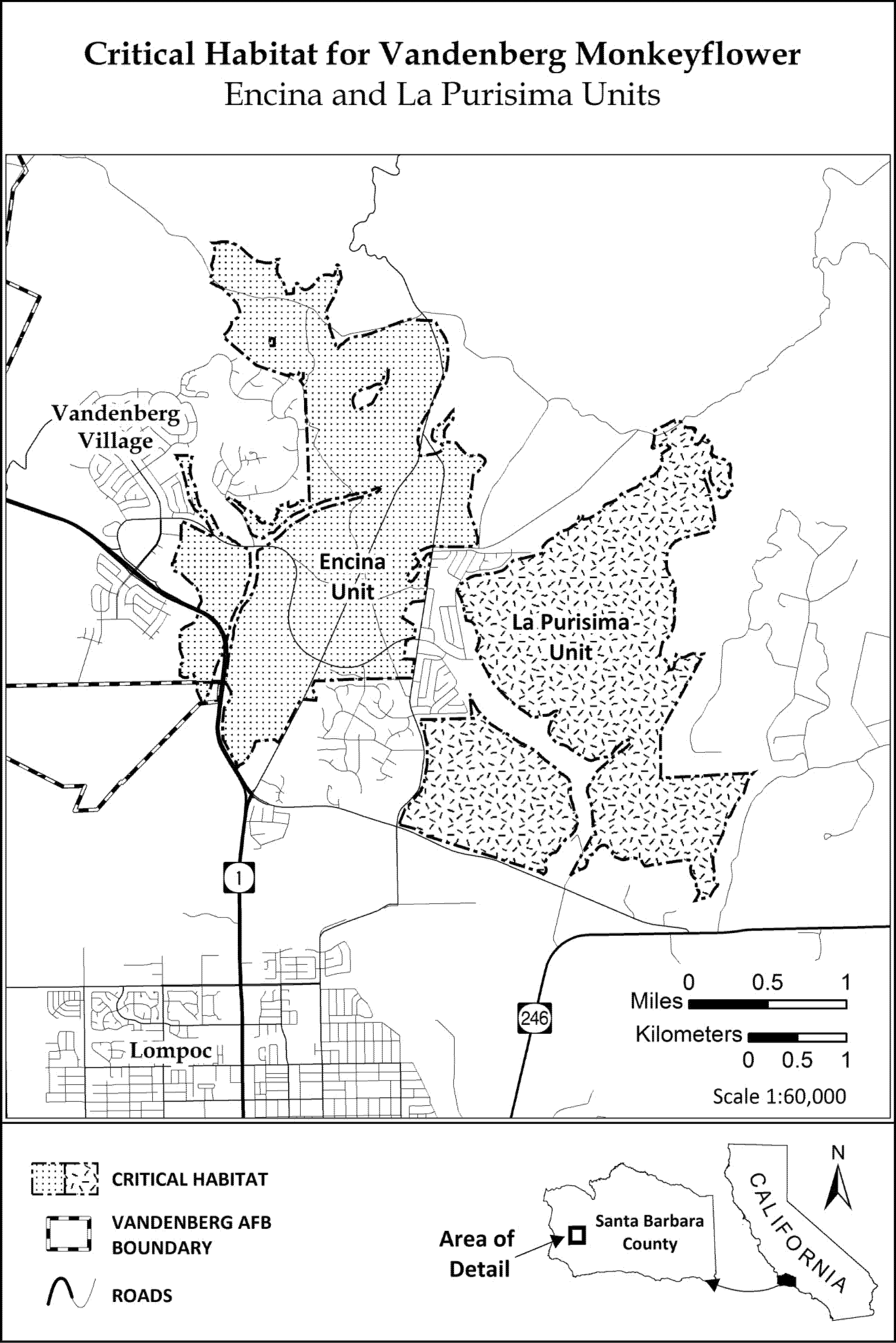
Family Plantaginaceae: Penstemon debilis (Parachute penstemon)
(1) Critical habitat units are designated for Garfield County, Colorado.
(2) The primary constituent elements of the physical and biological features essential to the conservation of Penstemon debilis consist of five components:
(i) Suitable soils and geology.
(A) Parachute Member and the Lower Part of the Green River Formation.
(B) Appropriate soil morphology characterized by a surface layer of small to moderate shale channers (small flagstones) that shift continually due to the steep slopes and below a weakly developed calcareous, sandy to loamy layer with 40 to 90 percent coarse material.
(ii) Elevation and climate. Elevations from 5,250 to 9,600 ft (1,600 to 2,920 m). Climatic conditions similar to those of the Mahogany Bench, including suitable precipitation and temperatures.
(iii) Plant community.
(A) Barren areas with less than 10 percent plant cover.
(B) Other oil shale endemics, which can include: Mentzelia rhizomata, Thalictrum heliophilum,Astragalus lutosus, Lesquerella parviflora,Penstemon osterhoutii, and Festuca dasyclada.
(C) Presence of Penstemon caespitosa for support of pollinators and connectivity between sites.
(iv) Habitat for pollinators.
(A) Pollinator ground, twig, and mud nesting areas. Nesting and foraging habitats suitable for a wide array of pollinators and their life-history and nesting requirements. A mosaic of native plant communities and habitat types generally would provide for this diversity (see paragraph (2)(iii) of this entry). These habitats can include areas outside of the soils identified in paragraph (2)(i) of this entry.
(B) Connectivity between areas allowing pollinators to move from one population to the next within units.
(C) Availability of other floral resources such as other flowering plant species that provide nectar and pollen for pollinators. Grass species do not provide resources for pollinators.
(D) A 3,280-ft (1,000-m) area beyond occupied habitat to conserve the pollinators essential for plant reproduction.
(v) High levels of natural disturbance.
(A) Very little to no soil formation.
(B) Slow to moderate but constant downward motion of the oil shale that maintains the habitat in an early successional state.
(3) Critical habitat does not include manmade structures (such as buildings, aqueducts, runways, roads, and other paved areas) and the land on which they are located existing within the legal boundaries on September 12, 2012.
(4) Critical habitat map units. Data layers defining map units were created on a base of both satellite imagery (NAIP 2009) as well as USGS geospatial quadrangle maps and were mapped using NAD 83 Universal Transverse Mercator (UTM), zone 13N coordinates. Location information came from a wide array of sources. Geology, soil, and landcover layers also were utilized. The maps in this entry, as modified by any accompanying regulatory text, establish the boundaries of the critical habitat designation. The coordinates or plot points or both on which each map is based are available to the public on http://regulations.gov at Docket No. FWS-R6-ES-2011-0040, on our Internet site (http://www.fws.gov/mountain-prairie/species/plants/3ColoradoPlants/index.html), and at the Western Colorado Ecological Services Office, 764 Horizon Drive, Suite B, Grand Junction, CO 81506-3946.
(5) Note: Index map of critical habitat for Penstemon debilis follows:
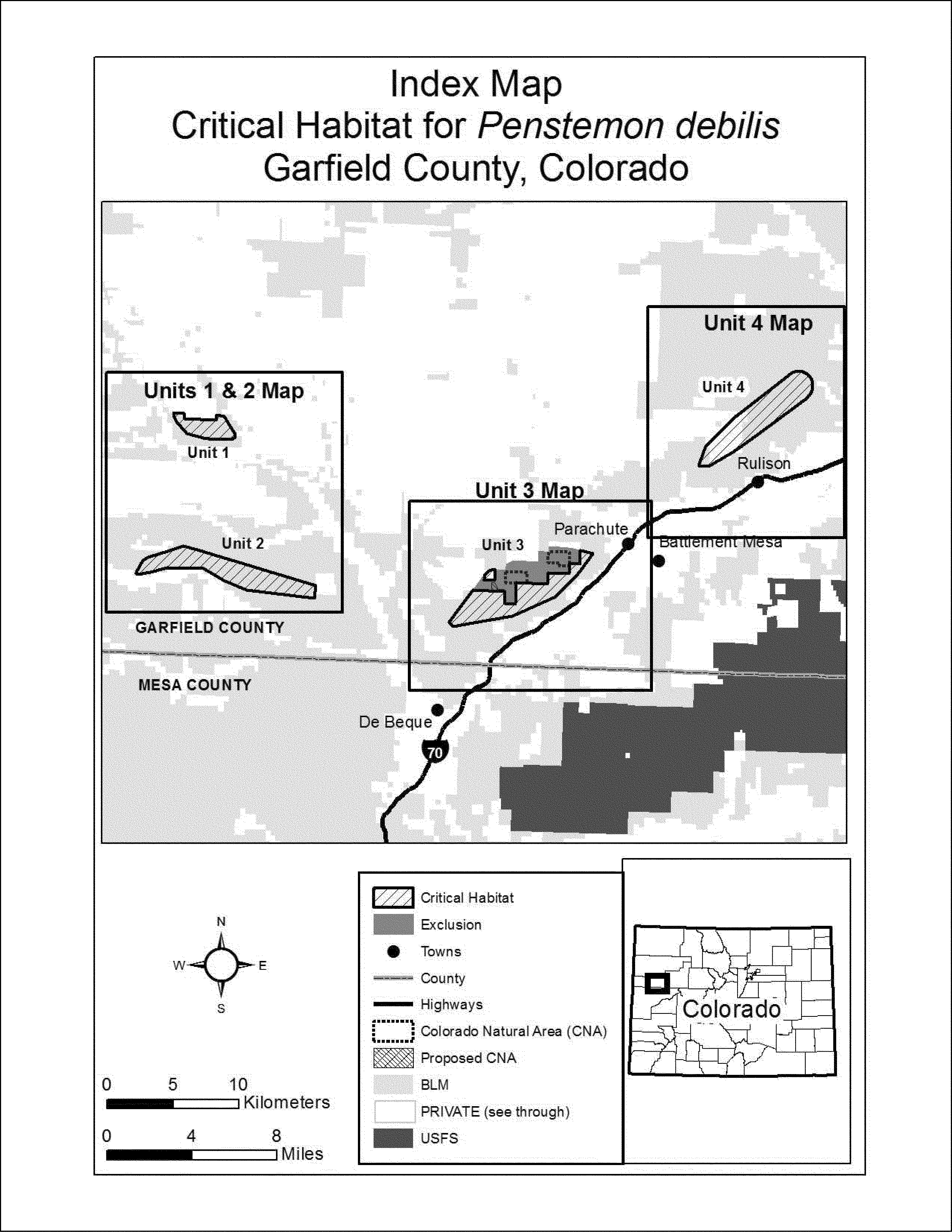
(6) Unit 1: Brush Mountain, Garfield County, Colorado. Note: Map of Unit 1 of critical habitat for Penstemon debilis is provided at paragraph (7) of this entry.
(7) Unit 2: Cow Ridge, Garfield County, Colorado. Note: Map of Units 1 and 2 of critical habitat for Penstemon debilis follows:
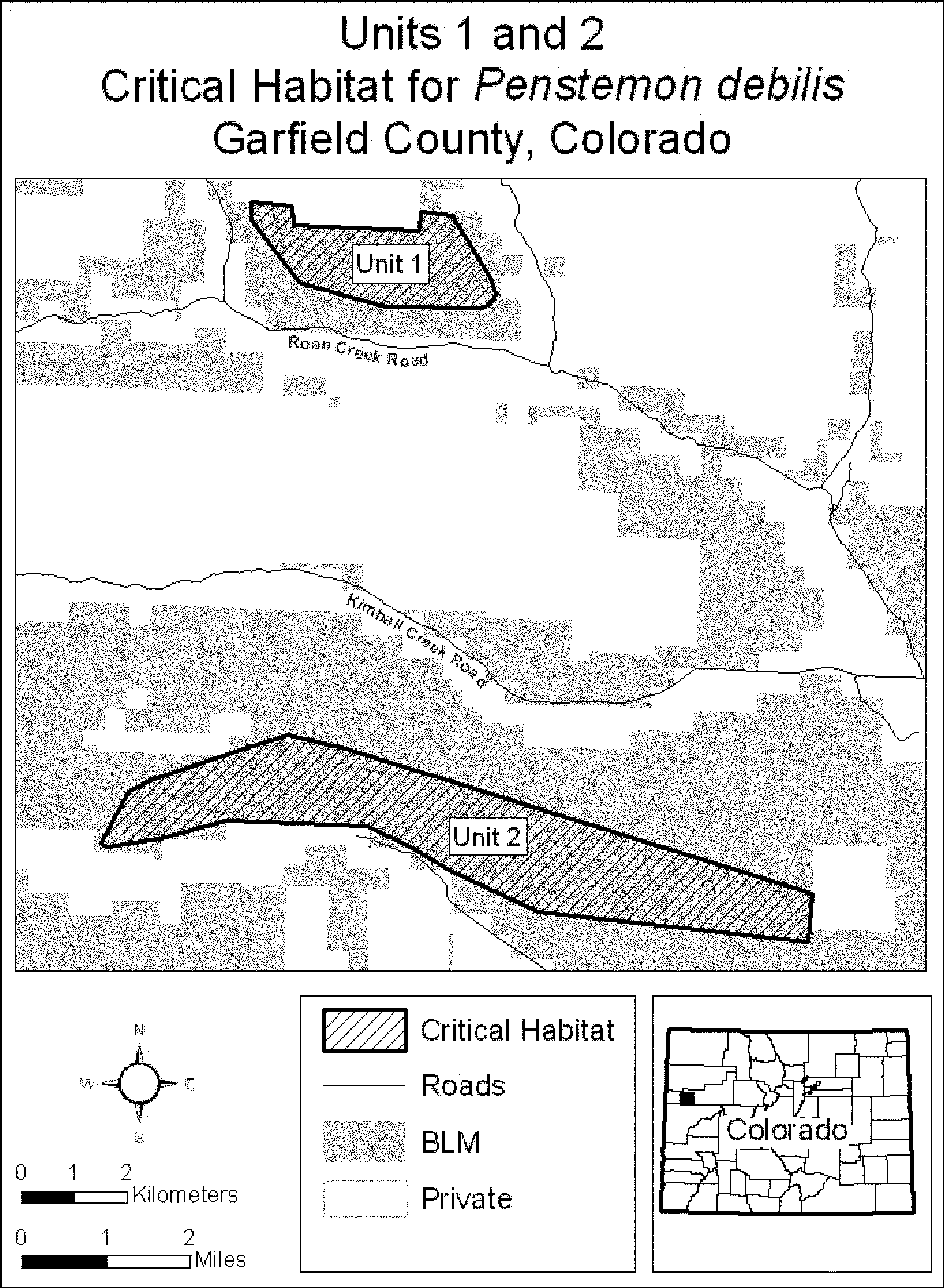
(8) Unit 3: Mount Callahan, Garfield County, Colorado. Note: Map of Unit 3 of critical habitat for Penstemon debilis follows:
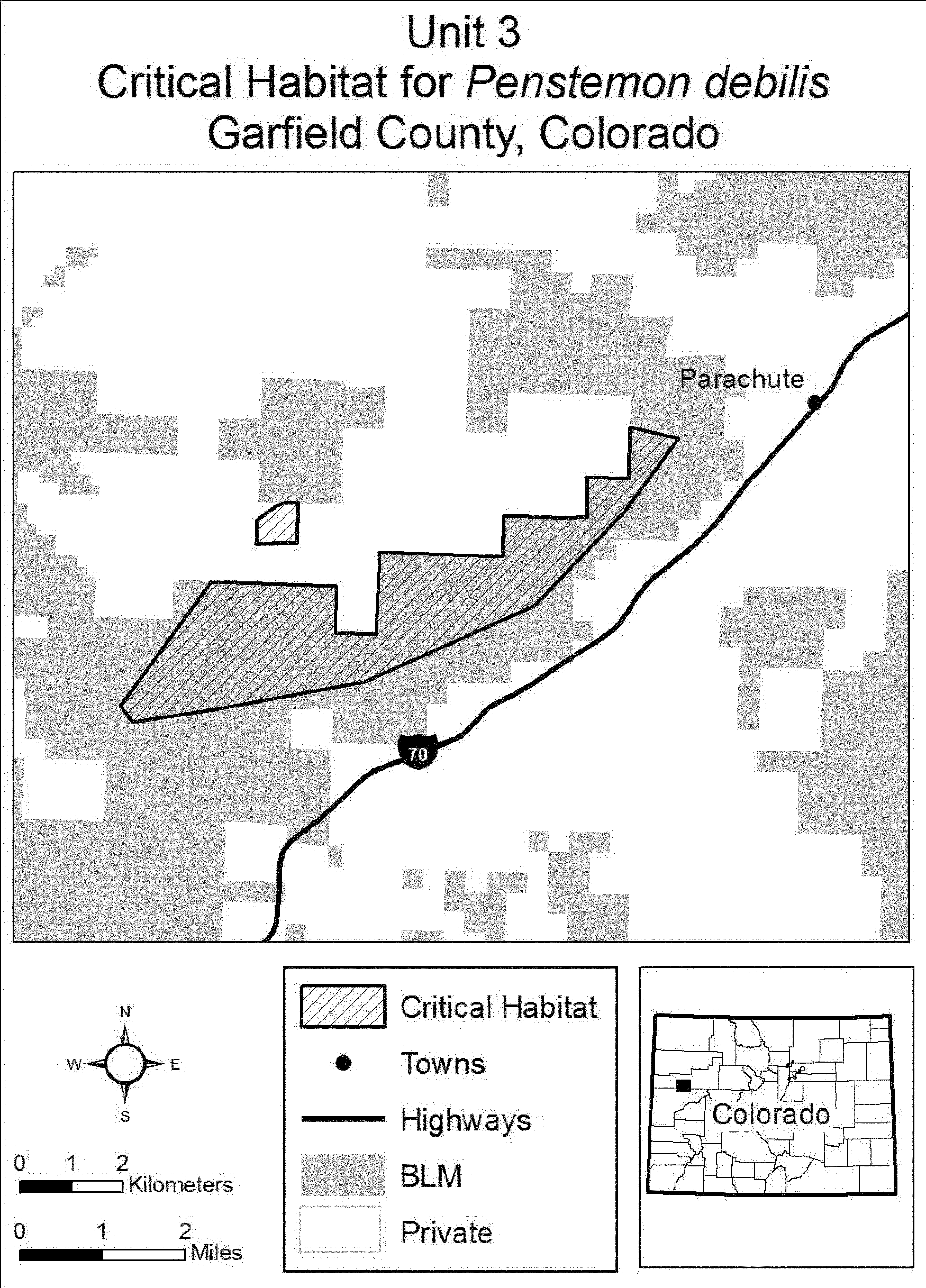
(9) Unit 4: Anvil Points, Garfield County, Colorado. Note: Map of Unit 4 of critical habitat for Penstemon debilis follows:
Family Poaceae: Festuca ligulata (Guadalupe fescue)
(1) A critical habitat unit, including five subunits, is depicted for Brewster County, Texas, on the map below.
(2) Within these areas, the physical or biological features essential to the conservation of Guadalupe fescue consist of:
(i) Areas within the Chihuahuan Desert:
(A) Above elevations of 1,800 m (5,905 ft), and
(B) That contain rocky or talus soils.
(ii) Associated vegetation characterized by relatively open stands of both conifer and oak trees in varying proportions. This vegetation may occur in areas classified as pine, conifer, pine-oak, or conifer-oak, and as forest or woodland, on available vegetation classification maps.
(3) Critical habitat does not include manmade structures (such as buildings, aqueducts, runways, roads, and other paved areas) and the land on which they are located existing within the legal boundaries on October 10, 2017.
(4) Critical habitat map units. We defined the critical habitat unit using the following Geographic Information System data layers: A Digital Elevation Model produced by the U.S. Geological Survey; and a Shapefile of vegetation classifications at Big Bend National Park, created and provided to us by Park personnel. The map in this entry, as modified by any accompanying regulatory text, establishes the boundaries of the critical habitat designation. The coordinates or plot points or both on which the map is based are available to the public at the Service's Internet site (https://www.fws.gov/southwest/es/AustinTexas/ESA_Our_species.html), at http://www.regulations.gov at Docket No. FWS-R2-ES-2016-0099 and FWS-R2-ES-2016-0100, and at the field office responsible for this designation. You may obtain field office location information by contacting one of the Service regional offices, the addresses of which are listed at 50 CFR 2.2.
(5) Map of Unit 1, Big Bend National Park, Brewster County, Texas, follows:
Family Poaceae: Neostapfia colusana (Colusa grass)
(1) Critical habitat units are depicted for Mariposa, Merced, Stanislaus, Tuolumne, and Yolo Counties, California, on the maps below. The maps provided are for informational purposes only.
(2) The primary constituent elements of critical habitat for Neostapfia colusana (Colusa grass) are the habitat components that provide:
(i) Topographic features characterized by isolated mound and intermound complex within a matrix of surrounding uplands that result in continuously, or intermittently, flowing surface water in the depressional features including swales connecting the pools described in paragraph (2)(ii) of this section, providing for dispersal and promoting hydroperiods of adequate length in the pools; and
(ii) Depressional features including isolated vernal pools with underlying restrictive soil layers that become inundated during winter rains and that continuously hold water or whose soils are saturated for a period long enough to promote germination, flowering, and seed production of predominantly annual native wetland species and typically exclude both native and nonnative upland plant species in all but the driest years. As these features are inundated on a seasonal basis, they do not promote the development of obligate wetland vegetation habitats typical of permanently flooded emergent wetlands.
(3) Existing manmade features and structures, such as buildings, roads, railroads, airports, runways, other paved areas, lawns, and other urban landscaped areas do not contain one or more of the primary constituent elements. Federal actions limited to those areas, therefore, would not trigger a consultation under section 7 of the Act unless they may affect the species and/or primary constituent elements in adjacent critical habitat.
(4) Unit 1: Yolo County, California. From USGS 1:24,000 topographic quadrangles Davis and Saxon: 615400, 4262300; 615400, 4260700; 614500, 4260700; 614500, 4261500; 614200, 4261500; 614200, 4261800; 614000, 4261800; 614000, 4262300; returning to 615400, 4262300.
(5) Note: Map Unit 1 (Map 1) follows:
(6) Unit 4: Tuolumne and Stanislaus Counties, California.
(i) Unit 4A: Tuolumne and Stanislaus Counties, California. From USGS 1:24,000 topographic quadrangles Knights Ferry and Keystone. Land bounded by the following UTM Zone 10, NAD 83 coordinates (E,N): 709919, 4186841; 709913, 4186795; 709477, 4187175; 709275, 4187351; 708435, 4188084; 708351, 4188158; 708264, 4188233; 708132, 4188349; 707999, 4188465; 707639, 4188779; 707607, 4188807; 707900, 4189100; 708400, 4189600; 708700, 4190000; 709200, 4189300; 709200, 4188600; 710100, 4188200; returning to 709919, 4186841.
(ii) Unit 4B: Stanislaus County, California. From USGS 1:24,000 topographic quadrangles Waterford and Paulsell. Land bounded by the following UTM Zone 10, NAD 83 coordinates (E,N): 701282, 4176830; 701345, 4176765; 701756, 4176778; 701600, 4176700; 701600, 4176500; 701600, 4176200; 701700, 4175900; 701800, 4175800; 702000, 4175800; 702000, 4175100; 701600, 4175100; 701600, 4174200; 701900, 4173700; 701800, 4173600; 701700, 4173500; 701700, 4173300; 701700, 4173200; 701600, 4173200; 701500, 4173100; 701500, 4173000; 701600, 4173000; 701600, 4172800; 701500, 4172600; 701300, 4172500; 701100, 4172600; 700700, 4172600; 700600, 4172600; 700500, 4172700; 700500, 4172900; 700400, 4172900; 700400, 4172800; 700100, 4172700; 699600, 4172700; 699500, 4172800; 699300, 4172800; 699100, 4172500; 698800, 4172500; 698700, 4172600; 698400, 4172400; 698100, 4172800; 698200, 4173000; 697400, 4174300; 697300, 4174300; 697300, 4174500; 697800, 4174500; 697800, 4176300; 697700, 4176300; 697700, 4176437; 698090, 4176397; 698085, 4176613; 698084, 4176642; 699300, 4176684; 700500, 4176726; 701204, 4176750; returning to 701282, 4176830.
(iii) Unit 4C: Stanislaus County, California. From USGS 1:24,000 topographic quadrangle Paulsell. Land bounded by the following UTM Zone 10, NAD 83 coordinates (E,N): 702000, 4171800; 702000, 4169800; 702200, 4169800; 702200, 4169700; 702200, 4169658; 701000, 4169612; 701000, 4169700; 700700, 4169700; 700700, 4170400; 700700, 4170500; 700550, 4170500; 700500, 4170533; 700500, 4170900; 700300, 4170900; 700300, 4171100; 700300, 4171800; 701200, 4171800; returning to 702000, 4171800.
(iv) Unit 4D: Tuolumne County Stanislaus Counties, California. From USGS 1:24,000 topographic quadrangles Paulsell, Cooperstown, La Grange, Keystone. Land bounded by the following UTM Zone 10, NAD 83 coordinates (E,N): 715600, 4180900; 715400, 4180400; 716600, 4180400; 716900, 4179900; 717482, 4180046; 717700, 4180100; 718500, 4180000; 718700, 4179200; 719300, 4178700; 719455, 4178273; 719700, 4177600; 720126, 4177671; 720300, 4177700; 720700, 4177700; 720745, 4177115; 720800, 4176400; 721400, 4175900; 722200, 4175300; 722700, 4175200; 722800, 4173600; 723000, 4173500; 723200, 4173600; 723700, 4173600; 724000, 4173300; 724100, 4172300; 722800, 4172200; 721700, 4171200; 721571, 4170643; 721500, 4170500; 721400, 4170400; 721200, 4170300; 721000, 4170100; 721000, 4169600; 720900, 4169600; 720000, 4168500; 718900, 4168000; 718700, 4168100; 718100, 4168500; 718000, 4168500; 717900, 4168600; 716200, 4168600; 715900, 4168500; 715600, 4168300; 715500, 4168200; 715400, 4168300; 715400, 4169400; 714900, 4169900; 714900, 4170000; 715100, 4170000; 715200, 4170200; 715300, 4170200; 715300, 4170400; 715300, 4170407; 715300, 4171200; 715200, 4171200; 715200, 4171000; 715100, 4171000; 715100, 4170700; 714900, 4170700; 714900, 4170300; 713900, 4169800; 713800, 4169900; 713000, 4169500; 712500, 4169400; 712200, 4169400; 712000, 4169600; 711500, 4169900; 711300, 4169900; 710500, 4169100; 709300, 4169100; 709100, 4169500; 709100, 4169700; 708900, 4169700; 708800, 4169900; 708700, 4169900; 708600, 4169800; 708500, 4169900; 708400, 4170000; 708700, 4170200; 708800, 4170300; 708900, 4170400; 709100, 4170500; 709200, 4170600; 709400, 4170600; 709400, 4170800; 709300, 4170800; 709200, 4170900; 709100, 4170800; 708800, 4170700; 708800, 4170600; 708500, 4170500; 708400, 4170300; 708100, 4170200; 707900, 4170200; 707900, 4170300; 708100, 4170500; 708200, 4170500; 708200, 4170600; 708000, 4170600; 708200, 4170800; 708200, 4170900; 708100, 4170900; 707900, 4170700; 707700, 4170700; 707700, 4170800; 707600, 4170900; 707400, 4170900; 707100, 4171100; 707100, 4171200; 707200, 4171300; 707300, 4171200; 707500, 4171300; 707800, 4171600; 707900, 4171600; 708100, 4171600; 708200, 4171700; 708100, 4171800; 708100, 4171900; 708300, 4171900; 708300, 4172100; 708400, 4172100; 708500, 4172200; 708500, 4172300; 708700, 4172400; 708800, 4172500; 708800, 4172600; 708700, 4172700; 708500, 4172700; 708400, 4172800; 708300, 4172700; 708200, 4172700; 708100, 4172600; 708000, 4172500; 707900, 4172500; 707800, 4172700; 707600, 4172600; 707400, 4172500; 707400, 4172600; 707200, 4172700; 707100, 4172300; 707000, 4172200; 706700, 4172200; 706700, 4172300; 706500, 4172300; 706400, 4172300; 706400, 4172400; 706200, 4172600; 706300, 4172700; 706400, 4172800; 706300, 4172800; 706200, 4172800; 706100, 4172900; 705900, 4173100; 705800, 4173300; 705800, 4173500; 706000, 4173800; 705900, 4173900; 705800, 4174100; 705700, 4174200; 705500, 4174200; 705400, 4174100; 705400, 4173700; 705200, 4173200; 705100, 4173200; 705100, 4172600; 704900, 4172400; 704800, 4172100; 704600, 4172100; 704500, 4171900; 704400, 4171800; 704500, 4171600; 704600, 4171400; 704700, 4171500; 704900, 4171200; 704700, 4171100; 704900, 4171000; 704800, 4170900; 704600, 4170900; 704600, 4170700; 704800, 4170200; 705100, 4170200; 705000, 4170100; 705000, 4169600; 705000, 4169500; 704900, 4169400; 704800, 4169300; 704100, 4169300; 703500, 4169500; 703400, 4169600; 703400, 4170100; 703600, 4170200; 703600, 4170300; 703500, 4170300; 703500, 4170600; 703500, 4170700; 703500, 4170800; 703400, 4170900; 703400, 4171300; 703300, 4171400; 703200, 4171500; 703400, 4171500; 703400, 4171800; 703600, 4171800; 703600, 4174000; 704300, 4174000; 704300, 4173700; 705167, 4173700; 705167, 4173700; 705100, 4174700; 705400, 4175400; 705000, 4175900; 705300, 4176300; 705700, 4176700; 705700, 4177000; 705700, 4177500; 705100, 4177500; 705000, 4177300; 704800, 4177300; 704800, 4177100; 704600, 4177100; 704500, 4177200; 704500, 4177400; 704300, 4177500; 704200, 4177300; 704000, 4177300; 703800, 4177100; 703500, 4177300; 703500, 4177650; 703661, 4177654; 703645, 4177993; 703800, 4178200; 704000, 4178200; 704100, 4178100; 704200, 4178100; 704200, 4178400; 703900, 4178400; 703900, 4178800; 703800, 4178900; 703900, 4179100; 703900, 4179200; 703588, 4179200; 703586, 4179240; 704434, 4179184; 705229, 4179481; 706142, 4179326; 708062, 4179408; 708659, 4178568; 709277, 4179043; 709879, 4179505; 709905, 4179525; 711259, 4179578; 711250, 4179933; 711628, 4179987; 711599, 4180753; 711578, 4180885; 713039, 4181325; 713440, 4181474; 714003, 4181741; 714540, 4182019; 714627, 4182073; 714700, 4182000; 715200, 4181600; returning to 715600, 4180900.
(v) Unit 4E: Stanislaus County, California. From USGS 1:24,000 topographic quadrangle Paulsell. Land bounded by the following UTM Zone 10, NAD 83 coordinates (E,N): 703100, 4177500; 703000, 4177300; 702911, 4177359; 702906, 4177503; 703100, 4177507; returning to 703100, 4177500.
(7) Unit 5: Stanislaus County, California
(i) Unit 5A: Stanislaus County, California. From USGS 1:24,000 topographic quadrangles Paulsell and Montpelier: Land bounded by the following UTM Zone 10, NAD 83 coordinates (E,N): 704200, 4166200; 704000, 4166200; 703800, 4166400; 703400, 4166600; 703400, 4166800; 703500, 4166800; 703600, 4166900; 703700, 4167000; 703700, 4167200; 704600, 4167600; 704700, 4167600; 704800, 4167500; 705000, 4167400; 705300, 4167400; 705300, 4166400; 705000, 4166300; 704400, 4166300; returning to 704200, 4166200.
(ii) Unit 5B: Stanislaus and Merced Counties, California. From USGS 1:24,000 topographic quadrangles Paulsell, Cooperstown, La Grange, Montpelier, Turlock Lake, Snelling, Merced Falls. Land bounded by the following UTM Zone 10, NAD 83 coordinates (E,N): 720900, 4167500; 721100, 4167400; 721300, 4167700; 721700, 4167700; 722000, 4167600; 722500, 4167600; 723200, 4167100; 723500, 4166300; 723000, 4166100; 723200, 4165600; 723400, 4165700; 723600, 4165600; 723600, 4165100; 723700, 4164900; 724300, 4164900; 725000, 4163700; 725300, 4163800; 724900, 4162800; 725100, 4162700; 725400, 4162700; 726000, 4164100; 726300, 4163500; 726200, 4163100; 726000, 4163000; 726100, 4162700; 726199, 4160629; 726200, 4160600; 725800, 4160600; 725000, 4160200; 725300, 4159800; 726300, 4160200; 727000, 4159500; 727000, 4160400; 727223, 4160623; 727246, 4160646; 727300, 4160700; 727312, 4160647; 727317, 4160625; 727500, 4159800; 727600, 4159800; 727800, 4160400; 728300, 4160400; 728752, 4160658; 728773, 4160670; 729000, 4160800; 729244, 4160678; 729261, 4160670; 730400, 4160100; 730300, 4160500; 730600, 4160600; 730905, 4160871; 731500, 4161400; 731900, 4161400; 732000, 4160800; 731700, 4160700; 732000, 4160000; 733500, 4159000; 733700, 4158700; 733300, 4158600; 733300, 4158300; 733800, 4157700; 733400, 4157100; 731700, 4156900; 730900, 4156500; 728900, 4156600; 728700, 4156700; 728700, 4156800; 728600, 4156900; 728300, 4156900; 728100, 4156800; 727900, 4156800; 727100, 4156800; 726900, 4156600; 726700, 4156500; 726300, 4156500; 726100, 4156600; 725800, 4156500; 725600, 4156400; 725500, 4156300; 725400, 4156200; 725100, 4156100; 725000, 4156000; 724900, 4156000; 724800, 4156100; 724300, 4156100; 724300, 4155700; 723800, 4155700; 723900, 4155300; 723300, 4155400; 722700, 4155100; 722700, 4155400; 722300, 4155400; 722300, 4156800; 722900, 4156800; 722900, 4157400; 723500, 4157400; 723500, 4157000; 723700, 4157000; 723700, 4156900; 724300, 4156900; 724300, 4157400; 724200, 4157400; 724200, 4157400; 724100, 4158200; 723800, 4158200; 723700, 4159000; 722500, 4159000; 722500, 4159200; 722400, 4159200; 722300, 4159300; 722200, 4159300; 721600, 4159300; 721600, 4159500; 721500, 4159600; 721500, 4159800; 721600, 4159800; 721600, 4159900; 721700, 4159900; 721700, 4160500; 721100, 4160500; 721100, 4160100; 720800, 4160100; 720800, 4160500; 719500, 4160500; 719500, 4160300; 720000, 4159600; 719600, 4159600; 719600, 4159500; 719500, 4159500; 719400, 4159500; 719300, 4159400; 719100, 4159400; 719000, 4159400; 718900, 4159300; 718700, 4159100; 718600, 4159000; 718600, 4158900; 718400, 4158900; 718200, 4158800; 718200, 4158700; 718300, 4158600; 718400, 4158500; 718500, 4158500; 718600, 4158400; 718700, 4158400; 718900, 4158300; 719000, 4158100; 719000, 4157900; 718700, 4157600; 718000, 4157700; 717800, 4157400; 717900, 4157200; 718000, 4157000; 718400, 4157300; 718700, 4156700; 718700, 4156300; 717500, 4156300; 717500, 4156700; 717100, 4156700; 717100, 4156300; 716600, 4156300; 716600, 4155800; 716300, 4155700; 716200, 4155000; 715900, 4154900; 715900, 4155100; 715800, 4155200; 715800, 4155300; 715700, 4155400; 715600, 4155700; 715500, 4155800; 715400, 4155800; 715300, 4156600; 715400, 4156600; 715400, 4157200; 715400, 4157400; 715500, 4157400; 715500, 4157600; 717600, 4157600; 717600, 4159700; 718100, 4160200; 718200, 4160500; 718400, 4160800; 718700, 4161100; 716800, 4161100; 716800, 4160400; 715253, 4160400; 714900, 4160400; 714900, 4160900; 715000, 4160900; 715000, 4161000; 715200, 4161000; 715200, 4161100; 714400, 4161100; 714400, 4161200; 713700, 4161200; 713700, 4161100; 713300, 4161100; 713200, 4161200; 713100, 4161100; 713100, 4161000; 713400, 4160700; 713400, 4160600; 713600, 4160500; 713800, 4160800; 713900, 4160800; 714000, 4160700; 714000, 4160400; 711133, 4160301; 711100, 4161900; 709500, 4161900; 709500, 4163500; 707900, 4163500; 707900, 4163100; 707000, 4163100; 707000, 4165600; 707400, 4165600; 707400, 4165800; 706700, 4166100; 706500, 4165800; 706200, 4166000; 706300, 4166300; 706200, 4166400; 706200, 4166500; 706300, 4166500; 706300, 4166700; 706200, 4166700; 706200, 4167100; 706500, 4167100; 706700, 4166700; 706800, 4166700; 706800, 4166300; 707000, 4166300; 707000, 4166100; 707200, 4166100; 707200, 4166700; 707400, 4166700; 707800, 4166000; 707800, 4165600; 708000, 4165800; 708200, 4165800; 708400, 4165700; 708400, 4165500; 708200, 4165400; 708200, 4165300; 708300, 4165200; 708400, 4165200; 708500, 4165300; 708600, 4165400; 708800, 4165400; 709100, 4165100; 710200, 4165100; 710200, 4166400; 710100, 4166400; 710100, 4166500; 710000, 4166500; 709900, 4166500; 709900, 4166700; 709800, 4166700; 709800, 4167100; 710200, 4166800; 711000, 4167600; 711600, 4167800; 712400, 4167800; 712400, 4167300; 712900, 4167300; 712900, 4167200; 712600, 4166900; 711800, 4167000; 711600, 4166800; 711600, 4166600; 711800, 4166500; 711800, 4166600; 711900, 4166600; 712000, 4166300; 712100, 4166500; 712200, 4166500; 712300, 4166400; 712500, 4166400; 712500, 4166200; 712700, 4166200; 712700, 4166300; 712800, 4166300; 713000, 4166100; 712923, 4166062; 712800, 4166000; 712700, 4165800; 712500, 4165800; 712500, 4165600; 712700, 4165600; 712600, 4165400; 712400, 4165500; 712300, 4165400; 712500, 4165300; 712500, 4165200; 712400, 4165100; 712600, 4165100; 712600, 4165000; 712600, 4164900; 712700, 4164800; 712600, 4164700; 712500, 4164800; 712400, 4164800; 712400, 4164300; 712800, 4164500; 713100, 4164300; 713200, 4164100; 712900, 4163800; 712900, 4163700; 713100, 4163800; 713500, 4164000; 713600, 4164000; 713600, 4164100; 713700, 4164300; 714200, 4164300; 714400, 4164500; 714500, 4164800; 714600, 4164800; 714800, 4164700; 714800, 4164200; 714400, 4164000; 714400, 4163600; 714500, 4163500; 715200, 4164000; 715300, 4164200; 715400, 4164200; 715300, 4163900; 715100, 4163700; 715000, 4163500; 714800, 4163300; 714900, 4163200; 715000, 4163200; 715700, 4163200; 715900, 4163100; 716000, 4162900; 716100, 4162800; 716200, 4162800; 716300, 4162900; 716400, 4163000; 716500, 4163100; 716600, 4163200; 716600, 4163500; 716500, 4163600; 716500, 4163800; 716600, 4164100; 716800, 4164500; 716700, 4164900; 716800, 4165300; 717200, 4165800; 717200, 4166100; 717000, 4166400; 716600, 4166400; 716400, 4166300; 716400, 4166900; 716600, 4166900; 716800, 4167100; 716800, 4167300; 717000, 4167400; 717500, 4167400; 718100, 4167300; 718500, 4167100; 718600, 4166600; 718700, 4166400; 719100, 4166700; 719300, 4166800; 719500, 4166800; 719500, 4166500; 719600, 4166400; 719600, 4166100; 719800, 4166100; 719900, 4166300; 719900, 4166200; 720700, 4166200; 720700, 4163700; 721533, 4163700; 721700, 4163700; 722400, 4164100; 722400, 4164155; 722400, 4165300; 722200, 4165300; 722200, 4165400; 721500, 4165400; 721500, 4166100; 721000, 4166300; 720700, 4166500; 720900, 4166600; 721000, 4166700; 721100, 4166900; 721000, 4167000; 720300, 4167000; 720100, 4166900; 720200, 4166700; 720200, 4166600; 720100, 4166500; 720000, 4166500; 719800, 4166800; 719500, 4167400; 719500, 4167600; 719700, 4167800; 720500, 4167800; 720700, 4167700; returning to 720900, 4167500.
(iii) Unit 5C: Merced County, California. From USGS 1:24,000 topographic quadrangle Turlock Lake. Land bounded by the following UTM Zone 10, NAD 83 coordinates (E,N): 713800, 4155400; 712600, 4155200; 712600, 4156800; 712900, 4156800; 712900, 4157100; 714800, 4157200; 714800, 4156800; 714300, 4156300; 714200, 4156200; 714000, 4155500; 714000, 4155400; returning to 713800, 4155400.
(iv) Unit 5D: Merced County, California. From USGS 1:24,000 topographic quadrangle Merced Falls. Land bounded by the following UTM Zone 10, NAD 83 coordinates (E,N): 734700, 4158000; 734500, 4157900; 734700, 4158000; 734900, 4158300; returning to 734700, 4158000.
(v) Unit 5E: Merced County, California. From USGS 1:24,000 topographic quadrangles Merced Falls. Land bounded by the following UTM Zone 10, NAD 83 coordinates (E,N): 735600, 4158100; 736171, 4157529; 735600, 4158100; returning to 735600, 4158100.
(8) Unit 6: Merced and Mariposa Counties, California. From USGS 1:24,000 topographic quadrangles Winton, Yosemite Lake, Snelling, Merced Falls, Haystack Mtn., Indian Gulch. Land bounded by the following UTM Zone 10, NAD 83 coordinates (E,N): 737800, 4155000; 738200, 4154200; 738300, 4153300; 739000, 4152800; 739100, 4152200; 740200, 4151800; 740800, 4151500; 740800, 4150300; 741100, 4149900; 741700, 4149400; 742100, 4148500; 742100, 4147100; 743400, 4146100; 744000, 4145600; 744400, 4144600; 744300, 4143900; 743900, 4142700; 744000, 4142000; 744200, 4141700; 745500, 4140300; 745504, 4139577; 745500, 4139576; 745490, 4139575; 745422, 4139619; 745281, 4139676; 745269, 4139653; 745219, 4139621; 745324, 4139603; 745368, 4139567; 745432, 4139432; 745432, 4139432; 745433, 4139429; 745469, 4139385; 745412, 4139359; 745339, 4139307; 745338, 4139306; 745334, 4139300; 745299, 4139239; 745171, 4139174; 745038, 4139064; 744922, 4139007; 744890, 4138973; 744873, 4138873; 744852, 4138807; 744854, 4138756; 744892, 4138670; 744893, 4138653; 744895, 4138606; 744895, 4138606; 744830, 4138711; 744596, 4139085; 744234, 4139637; 744233, 4139645; 744162, 4139744; 744162, 4139744; 744013, 4140002; 744013, 4140002; 743998, 4140029; 743996, 4140030; 743973, 4140072; 743907, 4140195; 743889, 4140229; 743877, 4140264; 743750, 4140609; 743388, 4140868; 743091, 4141131; 743053, 4141165; 742997, 4141268; 742771, 4141692; 742748, 4141734; 742355, 4142343; 742336, 4142368; 742271, 4142457; 742238, 4142503; 742139, 4142637; 742056, 4142749; 742002, 4142823; 741974, 4142874; 741808, 4143176; 741722, 4143360; 741419, 4144010; 741385, 4144081; 741316, 4144328; 741297, 4144395; 741245, 4144456; 741194, 4144530; 741162, 4144608; 741076, 4144820; 740864, 4144897; 740843, 4144899; 740750, 4144952; 740641, 4145056; 740535, 4145175; 740517, 4145182; 740490, 4145240; 740487, 4145263; 740386, 4145415; 740321, 4145847; 740320, 4146066; 740303, 4146114; 740276, 4146159; 740272, 4146225; 740293, 4146273; 740293, 4146303; 740370, 4146426; 740415, 4146474; 740536, 4146602; 740735, 4146722; 740825, 4146775; 741069, 4147251; 741071, 4147549; 741071, 4147576; 740982, 4147830; 740955, 4147883; 740914, 4147967; 740822, 4148059; 740772, 4148182; 740782, 4148363; 740776, 4148391; 740695, 4148831; 740617, 4149151; 740447, 4149311; 740396, 4149534; 740344, 4149561; 740303, 4149575; 740289, 4149588; 740238, 4149636; 740225, 4149666; 740057, 4149659; 739993, 4149678; 739917, 4149678; 739791, 4149621; 739705, 4149597; 739701, 4149596; 739602, 4149593; 739521, 4149560; 739443, 4149542; 739197, 4149515; 738714, 4149273; 738694, 4149252; 738674, 4149251; 738178, 4148999; 737835, 4148823; 737747, 4148772; 737044, 4148135; 736672, 4147809; 736430, 4147669; 735929, 4147379; 735716, 4147219; 735669, 4147184; 735605, 4147136; 735437, 4147009; 735223, 4146848; 735183, 4146809; 735156, 4146798; 735151, 4146778; 735022, 4146655; 734989, 4146630; 734609, 4146349; 734480, 4146255; 734012, 4145909; 733808, 4145758; 733765, 4145739; 733763, 4145732; 733370, 4145442; 732703, 4144952; 732391, 4144910; 732197, 4144885; 731993, 4144850; 731062, 4144594; 730371, 4144363; 729000, 4143905; 728736, 4143813; 728542, 4143745; 728346, 4143647; 728018, 4143482; 727340, 4143194; 726795, 4142958; 726607, 4142867; 726599, 4142856; 726577, 4142853; 725785, 4142417; 725793, 4142408; 725843, 4142361; 726002, 4142378; 726117, 4142355; 726204, 4142264; 726415, 4142046; 726420, 4141975; 726381, 4141921; 726367, 4141880; 726261, 4141732; 726182, 4141648; 725935, 4141477; 725916, 4141451; 725903, 4141379; 725914, 4141349; 725981, 4141288; 726033, 4141240; 726145, 4141137; 726156, 4141109; 726147, 4141073; 726096, 4140993; 726083, 4140896; 726089, 4140784; 726108, 4140739; 726268, 4140551; 726269, 4140436; 726283, 4140368; 726313, 4140308; 726412, 4140209; 726455, 4140025; 726457, 4140000; 726459, 4139959; 726715, 4139715; 726786, 4139647; 726804, 4139630; 726822, 4139625; 726822, 4139611; 726823, 4139582; 726809, 4139546; 726755, 4139466; 726754, 4139433; 726931, 4139179; 727174, 4138842; 727220, 4138823; 727261, 4138819; 727328, 4138864; 727331, 4138842; 727333, 4138831; 727335, 4138819; 727343, 4138816; 727396, 4138803; 727406, 4138800; 727414, 4138798; 727552, 4138779; 727711, 4138793; 727806, 4138786; 727819, 4138766; 727845, 4138644; 727858, 4138617; 727881, 4138590; 727700, 4138500; 727600, 4138400; 727400, 4138300; 727400, 4137800; 727300, 4137800; 727300, 4137600; 727400, 4137600; 727400, 4137500; 727300, 4137500; 727300, 4137400; 727400, 4137400; 727400, 4137200; 726500, 4137200; 726500, 4136500; 726400, 4136400; 725800, 4136400; 725800, 4137200; 725000, 4137200; 724900, 4138800; 725500, 4138800; 725500, 4138700; 725800, 4138700; 725800, 4138800; 725900, 4138800; 725900, 4139500; 726500, 4139500; 726500, 4139600; 725900, 4139600; 725800, 4139600; 725800, 4140200; 725900, 4140200; 725900, 4140900; 725400, 4140900; 725400, 4140800; 725100, 4140800; 725100, 4141000; 724900, 4141000; 724900, 4141200; 724100, 4141200; 724100, 4141600; 723400, 4141600; 723400, 4141100; 723200, 4141100; 723200, 4140600; 723400, 4140500; 723400, 4139500; 724000, 4139500; 724000, 4139400; 723900, 4138900; 723900, 4138700; 723500, 4138200; 723400, 4138200; 723400, 4138300; 723000, 4138300; 723000, 4138700; 723000, 4138900; 723100, 4139100; 723200, 4139400; 723300, 4139500; 722100, 4139500; 722000, 4140500; 721900, 4141100; 721900, 4141900; 721900, 4143400; 720800, 4143400; 720900, 4141800; 721000, 4141500; 721000, 4141200; 721100, 4141100; 721000, 4141000; 717800, 4140900; 717700, 4142500; 714500, 4142400; 714500, 4144900; 715500, 4144900; 715500, 4145000; 715800, 4145000; 715900, 4145000; 716000, 4145000; 716100, 4145100; 716100, 4145200; 716000, 4145200; 715900, 4145300; 715900, 4145400; 716000, 4145500; 716000, 4145600; 716100, 4145700; 717000, 4145700; 717700, 4145300; 717800, 4145300; 717800, 4145200; 717800, 4145100; 717600, 4144900; 717600, 4144800; 717600, 4144700; 717800, 4144500; 717900, 4144600; 718200, 4144600; 718400, 4144500; 718700, 4144500; 718700, 4144800; 718600, 4145000; 718700, 4145100; 718700, 4145600; 718600, 4145600; 718600, 4145700; 718700, 4145800; 718600, 4145900; 718500, 4146000; 718500, 4146100; 718600, 4146200; 718600, 4146500; 718300, 4146500; 718200, 4146600; 718200, 4146800; 718300, 4146800; 718500, 4146900; 718600, 4147000; 718600, 4147100; 718400, 4147200; 718500, 4147300; 718500, 4147600; 718700, 4147600; 718700, 4147400; 719000, 4147500; 719100, 4147700; 719300, 4147600; 719600, 4147900; 719700, 4148000; 719700, 4148100; 719800, 4148200; 720000, 4148200; 720600, 4148200; 720600, 4148300; 720700, 4148400; 720800, 4148400; 720900, 4148500; 722700, 4148500; 722700, 4148600; 722900, 4148600; 723200, 4148700; 723400, 4148700; 723200, 4148600; 723100, 4148500; 723000, 4148400; 723200, 4148200; 723400, 4148200; 723500, 4148300; 723600, 4148400; 723600, 4148500; 723800, 4148500; 723800, 4148400; 723900, 4148400; 723900, 4148500; 724000, 4148700; 724200, 4148500; 724200, 4148900; 724300, 4149000; 724300, 4149100; 724500, 4149000; 724500, 4149300; 724700, 4149400; 724900, 4149600; 725000, 4149700; 725000, 4150000; 724900, 4150100; 725000, 4150200; 725200, 4150200; 725300, 4150400; 725400, 4150500; 725400, 4150600; 725100, 4150900; 724700, 4150900; 724700, 4153400; 725000, 4153500; 725400, 4153900; 725600, 4154100; 725800, 4154200; 726000, 4154300; 726200, 4154000; 726300, 4153800; 726300, 4153700; 727800, 4153600; 727800, 4153400; 727900, 4153400; 727900, 4153500; 728400, 4153600; 728700, 4153700; 729000, 4153700; 729000, 4153600; 729100, 4153500; 729300, 4153400; 729400, 4153400; 729400, 4153300; 729300, 4153200; 729500, 4153100; 729800, 4153100; 729900, 4153200; 729900, 4154200; 730000, 4154200; 730100, 4154300; 730600, 4154300; 730700, 4154400; 731000, 4154600; 731200, 4154700; 731500, 4154700; 731800, 4154900; 732200, 4154900; 732600, 4154800; 733200, 4154500; 733400, 4154500; 733700, 4154300; 734700, 4154300; 734900, 4154600; 735100, 4154800; 735100, 4154900; 735500, 4155300; 735600, 4155300; 735800, 4155500; 736100, 4155900; 737100, 4155400; 737157, 4155367; returning to 737800, 4155000.
(9) Note: Units 4-6 (Map 2) follow:
(10) Unit 7: Merced County, California.
(i) Unit 7A: Merced County, California. From USGS 1:24,000 topographic quad Sandy Mush and El Nido. Land bounded by the following UTM Zone 10, NAD 83 coordinates (E,N): 718900, 4120900; 718900, 4120000; 719300, 4120000; 719400, 4120200; 719600, 4120100; 720200, 4120100; 720300, 4120200; 720700, 4120200; 720900, 4120000; 721500, 4120000; 721600, 4120100; 722000, 4120100; 722100, 4120000; 722200, 4120200; 722200, 4120300; 722900, 4120300; 722900, 4119600; 722100, 4119500; 722200, 4118400; 725400, 4118500; 725400, 4118578; 725400, 4118582; 726100, 4118600; 726100, 4120100; 728600, 4120100; 728600, 4119200; 727800, 4119200; 727700, 4118600; 727600, 4118500; 727500, 4118500; 727500, 4118400; 727500, 4116900; 726800, 4116900; 726700, 4116900; 726800, 4115300; 725900, 4115300; 725900, 4116900; 724300, 4116900; 724300, 4117600; 722694, 4117506; 722600, 4117600; 721800, 4117600; 721800, 4118400; 720200, 4118400; 720200, 4117600; 719400, 4117600; 719400, 4116700; 718600, 4116700; 718600, 4117100; 718200, 4117100; 718200, 4117200; 718300, 4117300; 718400, 4117400; 718600, 4117400; 718600, 4117500; 718600, 4118291; 718900, 4118300; 718900, 4118900; 718800, 4119000; 718700, 4119000; 718600, 4119100; 717700, 4119100; 717700, 4119900; 718100, 4119900; 718100, 4119950; 718500, 4120000; 718500, 4120900; returning to 718900, 4120900.
(ii) Unit 7B: Merced County, California. From USGS 1:24,000 topographic quadrangle Sandy Mush. Land bounded by the following UTM Zone 10, NAD 83 coordinates (E,N): 721300, 4120800; 720500, 4120800; 720500, 4121600; 721300, 4121600; 721300, 4121200; returning to 721300, 4120800.
(iii) Unit 7C: Merced County, California. From USGS 1:24,000 topographic quadrangle El Nido. Land bounded by the following UTM Zone 10, NAD 83 coordinates (E,N): 722900, 4121800; 721800, 4121800; 722200, 4122500; 722900, 4122500; returning to 722900, 4121800.
(iv) Unit 7D: Merced County, California. From USGS 1:24,000 topographic quadrangles Arena, and Turner Ranch: Land bounded by the following UTM Zone 10, NAD 83 coordinates (E,N): 701700, 4130600; 701700, 4129200; 701800, 4129200; 702800, 4129200; 703000, 4128800; 703300, 4128800; 703900, 4128800; 703900, 4129000; 704200, 4129000; 704200, 4128500; 703300, 4128400; 703400, 4128300; 703400, 4127900; 703500, 4127800; 703800, 4127500; 703700, 4127300; 703500, 4127300; 703400, 4127100; 703400, 4126100; 703400, 4126100; 703500, 4126100; 704400, 4126100; 704300, 4126000; 704300, 4126000; 704400, 4125900; 704500, 4125300; 704500, 4124800; 705000, 4124800; 705000, 4125300; 705700, 4125300; 705700, 4124900; 706600, 4125000; 706700, 4123700; 706700, 4122100; 706800, 4120900; 706700, 4120500; 706700, 4119700; 708100, 4119700; 708100, 4119600; 708000, 4119500; 707900, 4119200; 707900, 4119000; 708000, 4118900; 708300, 4118900; 708300, 4118100; 707900, 4118100; 707500, 4118500; 706500, 4118500; 706000, 4118900; 705600, 4119300; 705200, 4119700; 704800, 4120000; 704700, 4120100; 704700, 4120400; 705100, 4120400; 705100, 4120600; 704900, 4120700; 704900, 4120800; 705100, 4120800; 704900, 4121000; 705000, 4121100; 705100, 4121700; 705200, 4121700; 705300, 4122000; 705700, 4122100; 705700, 4122200; 705400, 4122300; 705300, 4122400; 705500, 4122600; 705400, 4122600; 705300, 4122500; 705200, 4122500; 705100, 4122500; 704900, 4122500; 704900, 4122700; 704800, 4122800; 704500, 4122800; 704300, 4122900; 704000, 4122800; 703900, 4122900; 703400, 4124400; 703300, 4124600; 701300, 4126500; 700100, 4127600; 700467, 4129067; 700500, 4129200; 700500, 4130600; 701000, 4130600; 701000, 4130100; 701100, 4129800; 701200, 4129800; 701100, 4130100; 701100, 4130600; returning to 701700, 4130600.
(v) Unit 7E: Merced County, California. USGS 24,000 topographic quadrangles Turner Ranch, and Sandy Mush. Land bounded by the following UTM Zone 10, NAD 83 coordinates (E,N): 711200, 4120500; 711400, 4120400; 711500, 4120500; 711600, 4119600; 711900, 4119600; 711900, 4119400; 712100, 4119300; 712300, 4119300; 712300, 4119200; 712600, 4119200; 712800, 4118800; 711600, 4118700; 711600, 4118500; 711400, 4118500; 711300, 4118400; 711100, 4118100; 709900, 4118100; 709900, 4118800; 709900, 4119000; 709700, 4119000; 709700, 4119600; 710300, 4119600; 710300, 4119900; 710700, 4119900; 710700, 4120000; 710600, 4120000; 710600, 4120100; 710700, 4120200; 710600, 4120300; 710700, 4120400; 710700, 4120500; 710900, 4120400; 711100, 4120400; returning to 711200, 4120500.
(vi) Unit 7F: Merced County, California. From USGS 1:24,000 topographic quadrangle Turner Ranch. Land bounded by the following UTM Zone 10, NAD 83 coordinates (E,N): 702870, 4121705; 703200, 4121100; 702800, 4121700; returning to 702870, 4121705.
(vii) Note: Unit 7 (Map 3) follows:
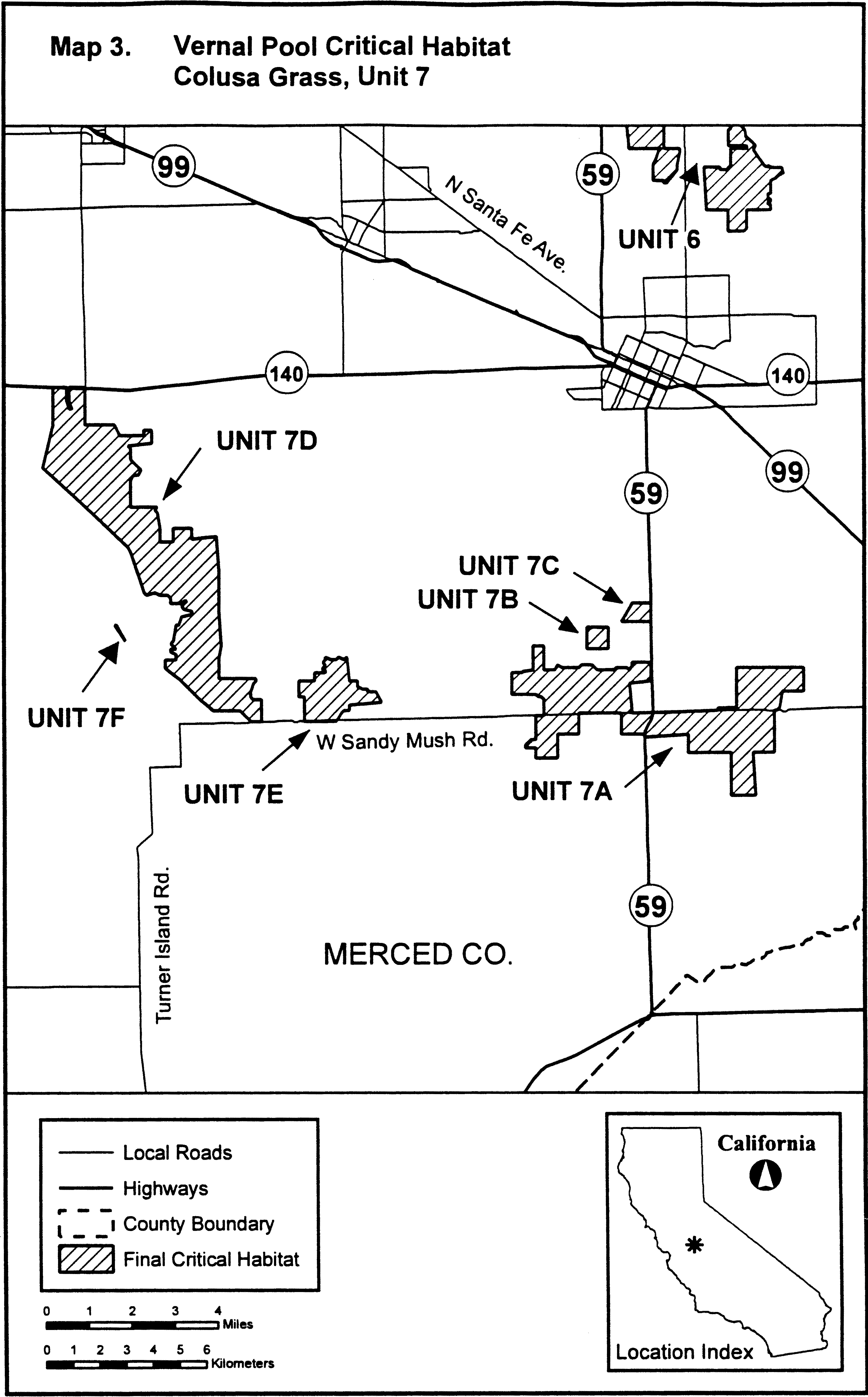
Family Poaceae: Orcuttia inaequalis (San Joaquin Valley Orcutt grass)
(1) Critical habitat units are depicted for Fresno, Madera, Mariposa, Merced, and Tulare Counties, California, on the maps below.
(2) The primary constituent elements of critical habitat for Orcuttia inaequalis (San Joaquin Valley Orcutt grass) are the habitat components that provide:
(i) Topographic features characterized by isolated mound and intermound complex within a matrix of surrounding uplands that result in continuously, or intermittently, flowing surface water in the depressional features including swales connecting the pools described in paragraph (2)(ii) of this section, providing for dispersal and promoting hydroperiods of adequate length in the pools; and
(ii) Depressional features including isolated vernal pools with underlying restrictive soil layers that become inundated during winter rains and that continuously hold water or whose soils are saturated for a period long enough to promote germination, flowering, and seed production of predominantly annual native wetland species and typically exclude both native and nonnative upland plant species in all but the driest years. As these features are inundated on a seasonal basis, they do not promote the development of obligate wetland vegetation habitats typical of permanently flooded emergent wetlands.
(3) Existing manmade features and structures, such as buildings, roads, railroads, airports, runways, other paved areas, lawns, and other urban landscaped areas do not contain one or more of the primary constituent elements. Federal actions limited to those areas, therefore, would not trigger a consultation under section 7 of the Act unless they may affect the species and/or primary constituent elements in adjacent critical habitat.
(4) Unit 1: Merced and Mariposa Counties, California. From USGS 1:24,000 topographic quadrangles Snelling, Merced Falls, Winton, Yosemite Lake, Haystack Mountain, Indian Gulch, Merced, and Owens Reservoir.
(5) Unit 1 (Map 1) follows:
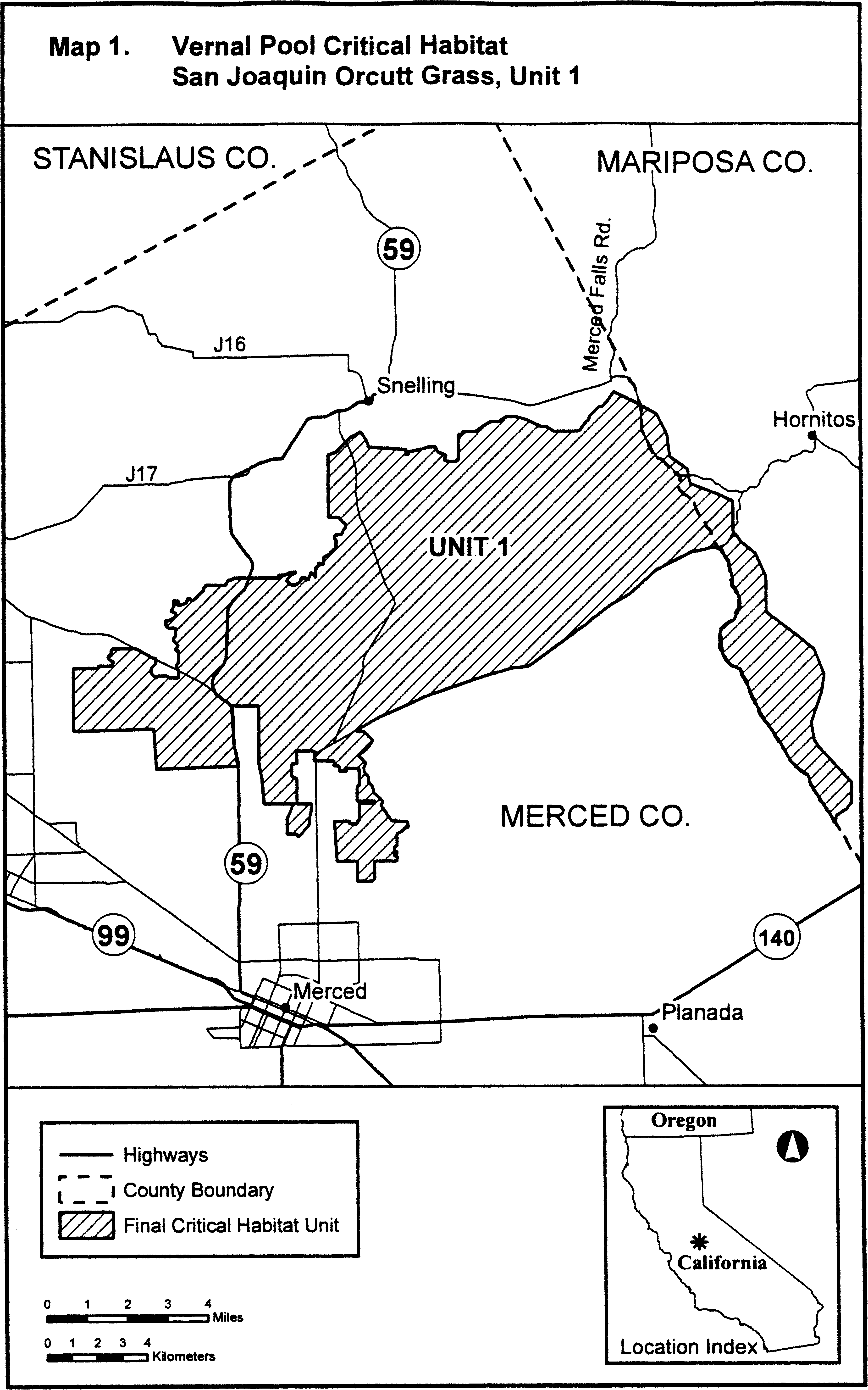
(6) Unit 2: Merced, Madera, and Mariposa Counties, California. From USGS 1:24, 000 topographic quadrangles Owens Reservoir, Plainsburg, Le Grand, and Raynor Creek.
(7) Unit 2 (Map 2) follows:

(8) Unit 3: Madera County, California.
(i) [Reserved]
(ii) Unit 3 (Map 3) follows:
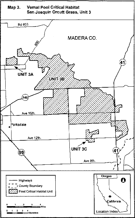
(9) Unit 4: Fresno County, California. Map of Unit 4 is provided at paragraph (10)(ii) of this entry.
(10) Unit 5: Madera County, California.
(i) [Reserved]
(ii) Units 4-5 (Map 4) follow:

(11) Unit 6: Tulare County, California.
(i) [Reserved]
(ii) Unit 6 (Map 5) follows:
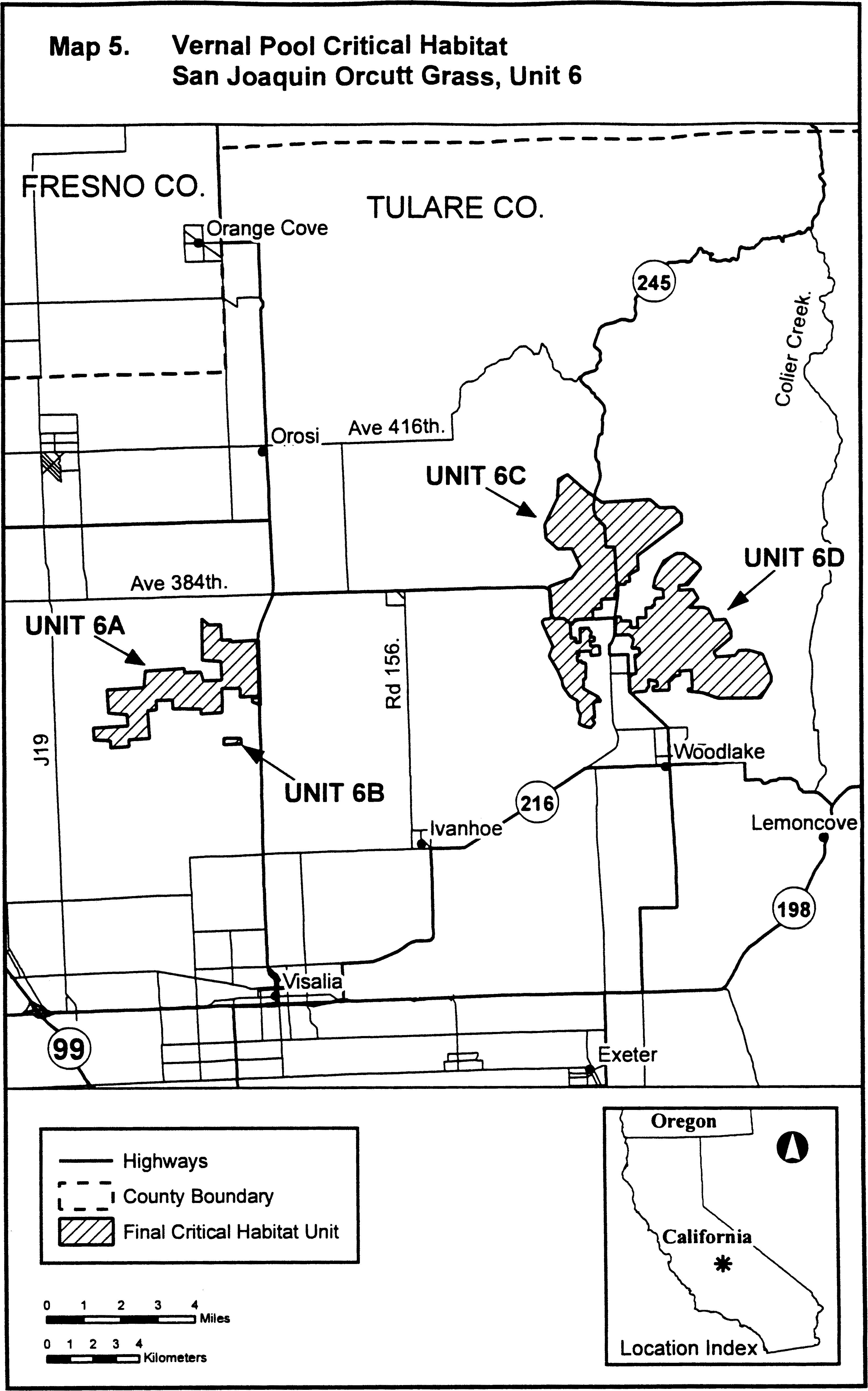
Family Poaceae: Orcuttia pilosa (hairy Orcutt grass)
(1) Critical habitat units are depicted for Butte, Fresno, Madera, Mariposa, Merced, Stanislaus, and Tehama Counties, California, on the maps below.
(2) The primary constituent elements of critical habitat for Orcuttia pilosa (hairy Orcutt grass) are the habitat components that provide:
(i) Topographic features characterized by isolated mound and intermound complex within a matrix of surrounding uplands that result in continuously, or intermittently, flowing surface water in the depressional features including swales connecting the pools described in paragraph (2)(ii) of this section, providing for dispersal and promoting hydroperiods of adequate length in the pools; and
(ii) Depressional features including isolated vernal pools with underlying restrictive soil layers that become inundated during winter rains and that continuously hold water or whose soils are saturated for a period long enough to promote germination, flowering, and seed production of predominantly annual native wetland species and typically exclude both native and nonnative upland plant species in all but the driest years. As these features are inundated on a seasonal basis, they do not promote the development of obligate wetland vegetation habitats typical of permanently flooded emergent wetlands.
(3) Existing manmade features and structures, such as buildings, roads, railroads, airports, runways, other paved areas, lawns, and other urban landscaped areas do not contain one or more of the primary constituent elements. Federal actions limited to those areas, therefore, would not trigger a consultation under section 7 of the Act unless they may affect the species and/or primary constituent elements in adjacent critical habitat.
(4) Unit 1: Tehama County, California. From USGS 1:24,000 topographic quadrangles Acorn Hollow and Richardson Springs NW.
(5) Unit 1 (Map 1) follows:
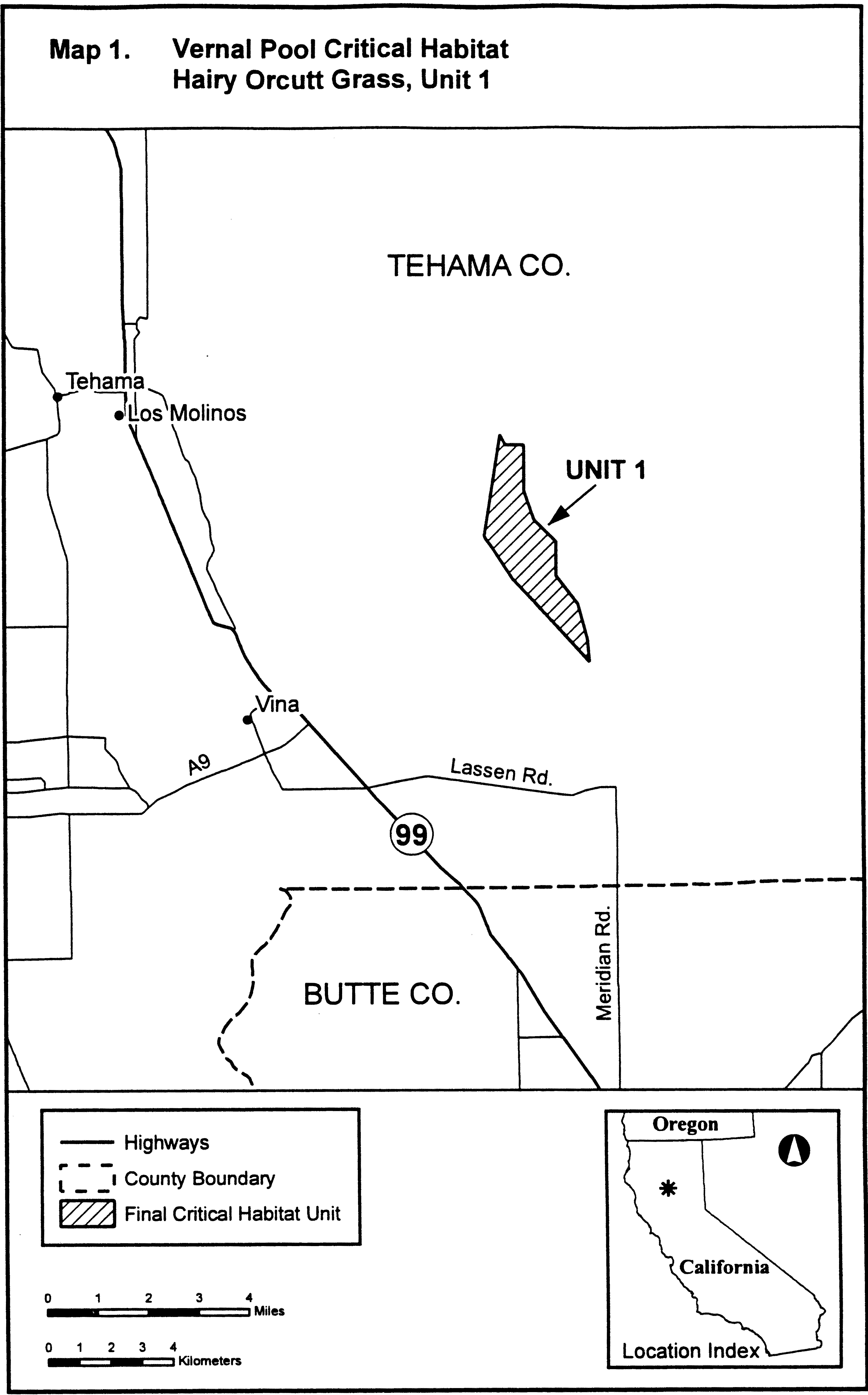
(6) Unit 2: Butte County, California. From USGS 1:24,000 topographic quadrangle Hamlin Canyon.
(7) Unit 2 (Map 2) follows:
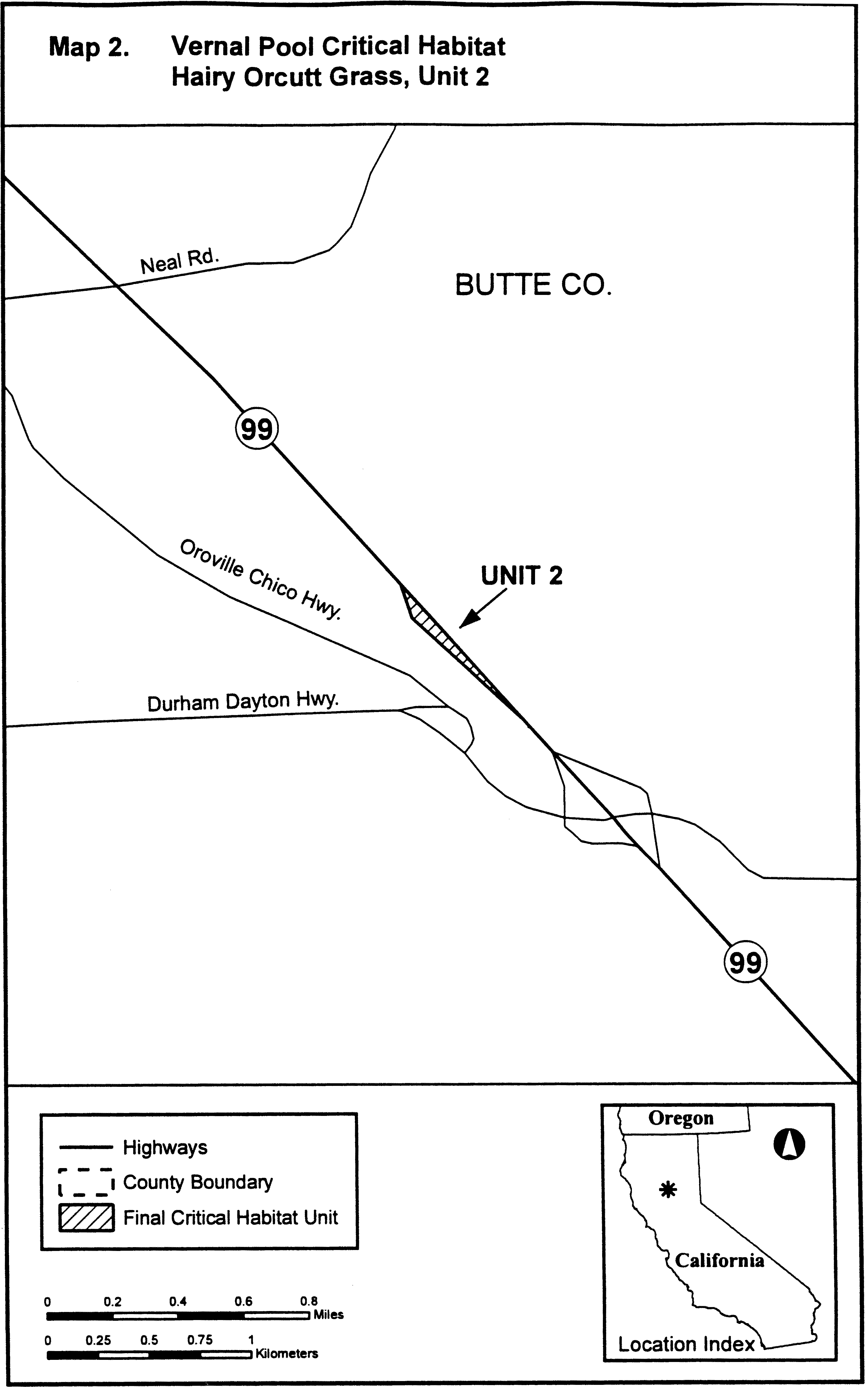
(8) Unit 4: Merced, Mariposa, and Stanislaus Counties, California.
(i) [Reserved]
(ii) Unit 4 (Map 3) follows:

(9) Unit 5: Madera County, California. Map of Unit 5 is provided at paragraph (11) of this entry.
(10) Unit 6: Madera County, California. Map of Unit 6 is provided at paragraph (11) of this entry.
(11) Units 5-6 (Map 4) follow:
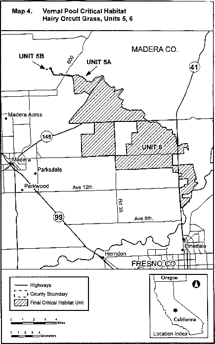
Family Poaceae: Orcuttia tenuis (slender Orcutt grass)
(1) Critical habitat units are depicted for Lake, Lassen, Modoc, Plumas, Sacramento, Shasta, Siskiyou, and Tehama Counties, California, on the maps below.
(2) The primary constituent elements of critical habitat for Orcuttia tenuis (slender Orcutt grass) are the habitat components that provide:
(i) Topographic features characterized by isolated mound and intermound complex within a matrix of surrounding uplands that result in continuously, or intermittently, flowing surface water in the depressional features including swales connecting the pools described in paragraph (2)(ii) of this section, providing for dispersal and promoting hydroperiods of adequate length in the pools; and
(ii) Depressional features including isolated vernal pools with underlying restrictive soil layers that become inundated during winter rains and that continuously hold water or whose soils are saturated for a period long enough to promote germination, flowering, and seed production of predominantly annual native wetland species and typically exclude both native and nonnative upland plant species in all but the driest years. As these features are inundated on a seasonal basis, they do not promote the development of obligate wetland vegetation habitats typical of permanently flooded emergent wetlands.
(3) Existing manmade features and structures, such as buildings, roads, railroads, airports, runways, other paved areas, lawns, and other urban landscaped areas do not contain one or more of the primary constituent elements. Federal actions limited to those areas, therefore, would not trigger a consultation under section 7 of the Act unless they may affect the species and/or primary constituent elements in adjacent critical habitat.
(4) Unit 1: Siskiyou County, California.
(i) Units 1A-1B (Map 1) follow:
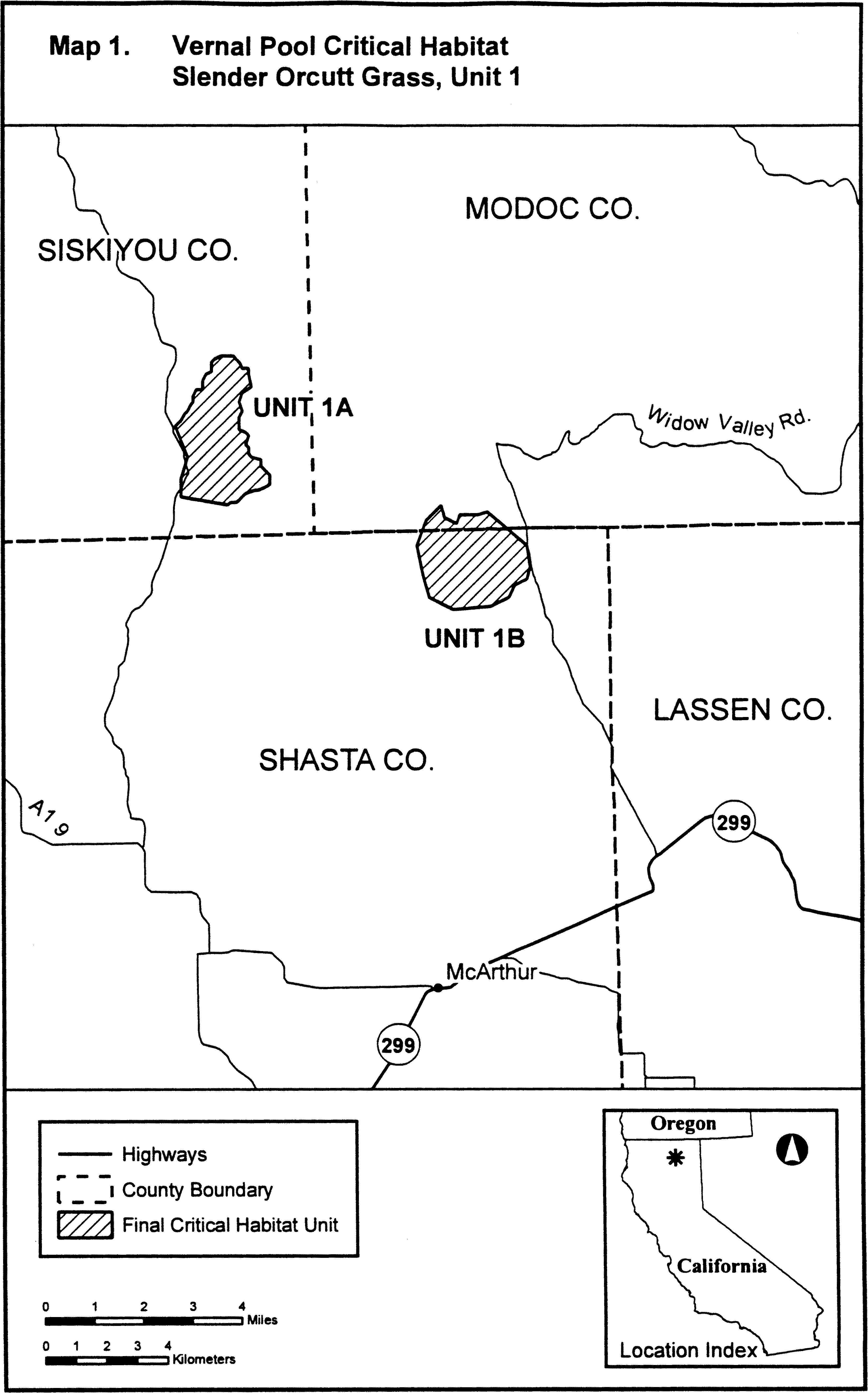
(ii) Units 1C-1E (Map 2) follow:
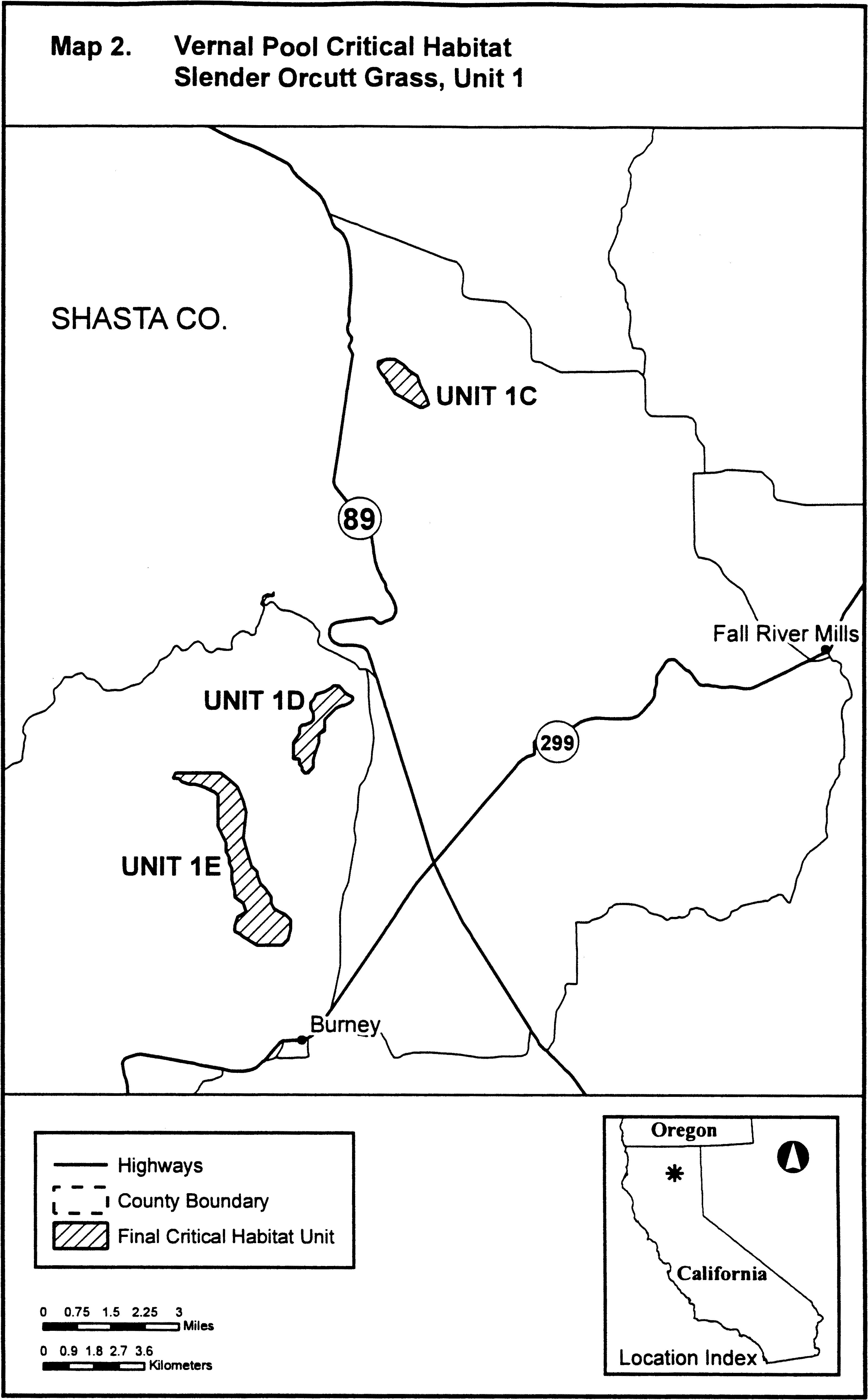
(iii) Units 1F-1J (Map 3) follow:
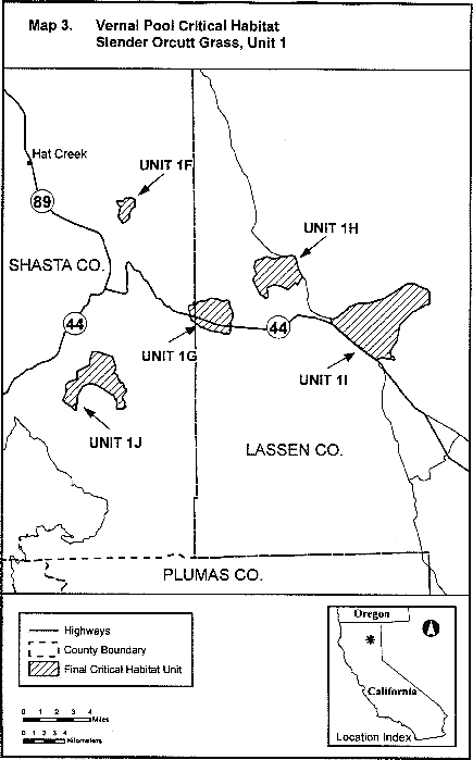
(iv) Unit 1K (Map 4) follows:
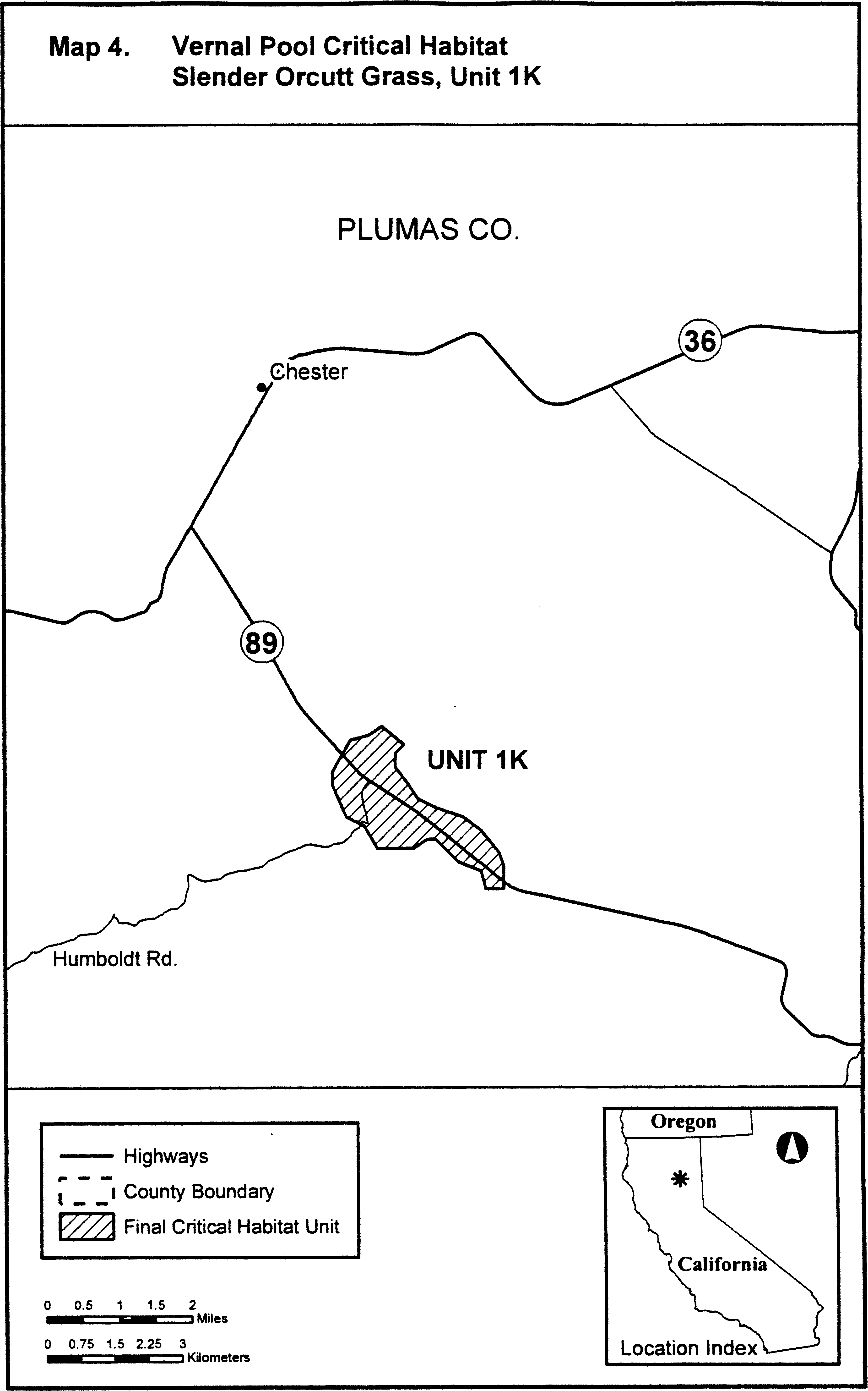
(5) Unit 2: Shasta County, California.
(i) [Reserved]
(ii) Unit 2 (Map 5) follows:
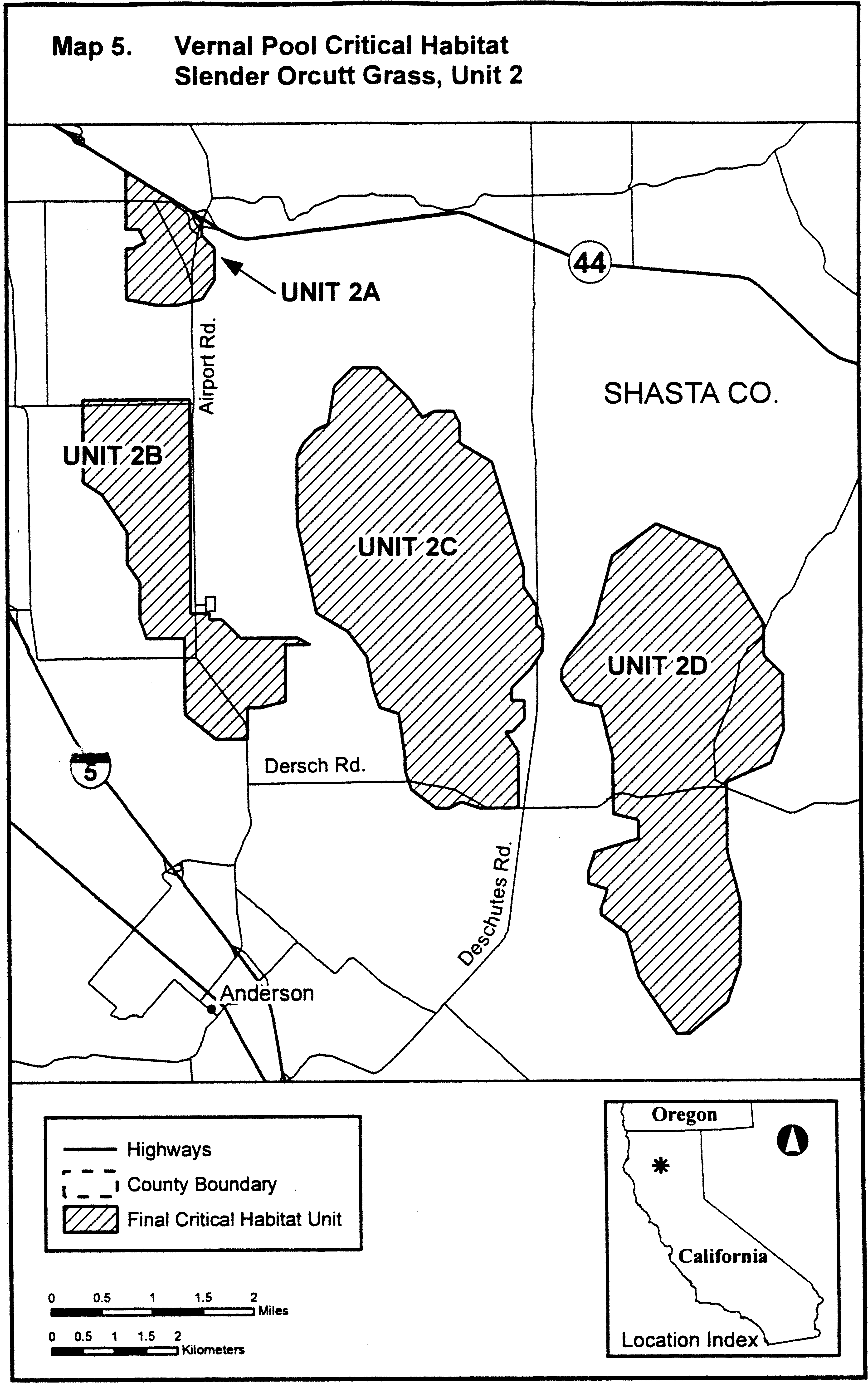
(6) Unit 3: Shasta and Tehama Counties, California.
(i) Unit 3A excludes land bounded by 579328, 4466483; 579344, 4463788; 580057, 4465659; 580132, 4465813; 580184, 4465918; 580313, 4466064; 580839, 4466455; returning to 579328, 4466483.
(ii) Unit 3 (Map 6) follows:
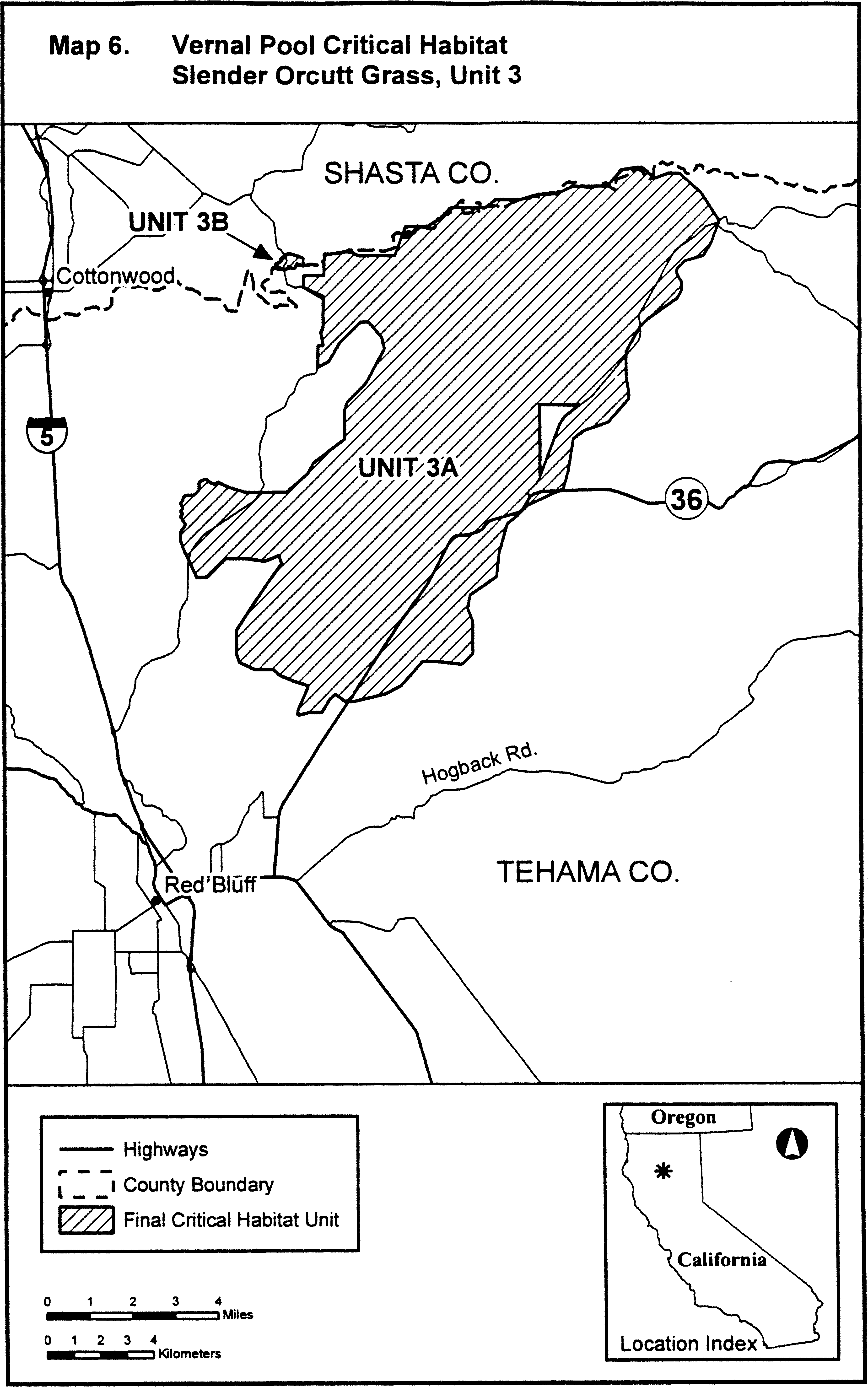
(7) Unit 4: Tehama County, California. From USGS 1:24,000 scale quadrangles Acorn Hollow and Richardson Springs NW.
(8) Unit 4 (Map 7) follows:

(9) Unit 5: Lake County, California.
(i) Unit 5A excludes land bounded by 519133, 4304515; 519186, 4304513; 519190, 4304580; 519259, 4304536; 519575, 4304594; 519707, 4304515; 519882, 4304203; 519928, 4304160; 519924, 4304114; 519785, 4304012; 519729, 4303886; 519677, 4303975; 519634, 4303917; 519639, 4303693; 519840, 4303690; 519846, 4303903; 519925, 4303879; 519937, 4303781; 519975, 4303782; 519980, 4304504; 519952, 4304510; 519944, 4304600; 519130, 4304611; returning to 519133, 4304515.
(ii) Unit 5 (Map 8) follows:

(10) Unit 6: Sacramento County, California. From USGS 1:24,000 scale quadrangle Carmichael.
(11) Unit 6 (Map 9) follows:

Family Poaceae: Orcuttia viscida (Sacramento Orcutt grass)
(1) Critical habitat units are depicted for Amador and Sacramento counties, California, on the maps below.
(2) The primary constituent elements of critical habitat for Orcuttia viscida (Sacramento Orcutt grass) are the habitat components that provide:
(i) Topographic features characterized by isolated mound and intermound complex within a matrix of surrounding uplands that result in continuously, or intermittently, flowing surface water in the depressional features including swales connecting the pools described in paragraph (2)(ii) of this section, providing for dispersal and promoting hydroperiods of adequate length in the pools; and
(ii) Depressional features including isolated vernal pools with underlying restrictive soil layers that become inundated during winter rains and that continuously hold water or whose soils are saturated for a period long enough to promote germination, flowering, and seed production of predominantly annual native wetland species and typically exclude both native and nonnative upland plant species in all but the driest years. As these features are inundated on a seasonal basis, they do not promote the development of obligate wetland vegetation habitats typical of permanently flooded emergent wetlands.
(3) Existing manmade features and structures, such as buildings, roads, railroads, airports, runways, other paved areas, lawns, and other urban landscaped areas do not contain one or more of the primary constituent elements. Federal actions limited to those areas, therefore, would not trigger a consultation under section 7 of the Act unless they may affect the species and/or primary constituent elements in adjacent critical habitat.
(4) Unit 1: Sacramento County, California. From USGS 1:24,000 topographic quadrangle Folsom.
(5) Unit 1 (Map 1) follows:
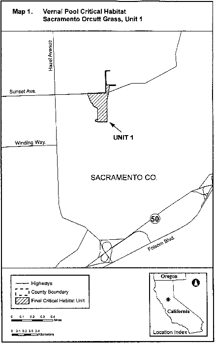
(6) Unit 2: Sacramento County, California. From USGS 1:24,000 topographic quadrangle Carmichael.
(7) Unit 2 (Map 2) follows:

(8) Unit 3: Sacramento and Amador Counties, California. From USGS 1:24,000 topographic quadrangles Sloughhouse, Carbondale, Clay, and Goose Creek.
(9) Unit 3 (Map 3) follows:
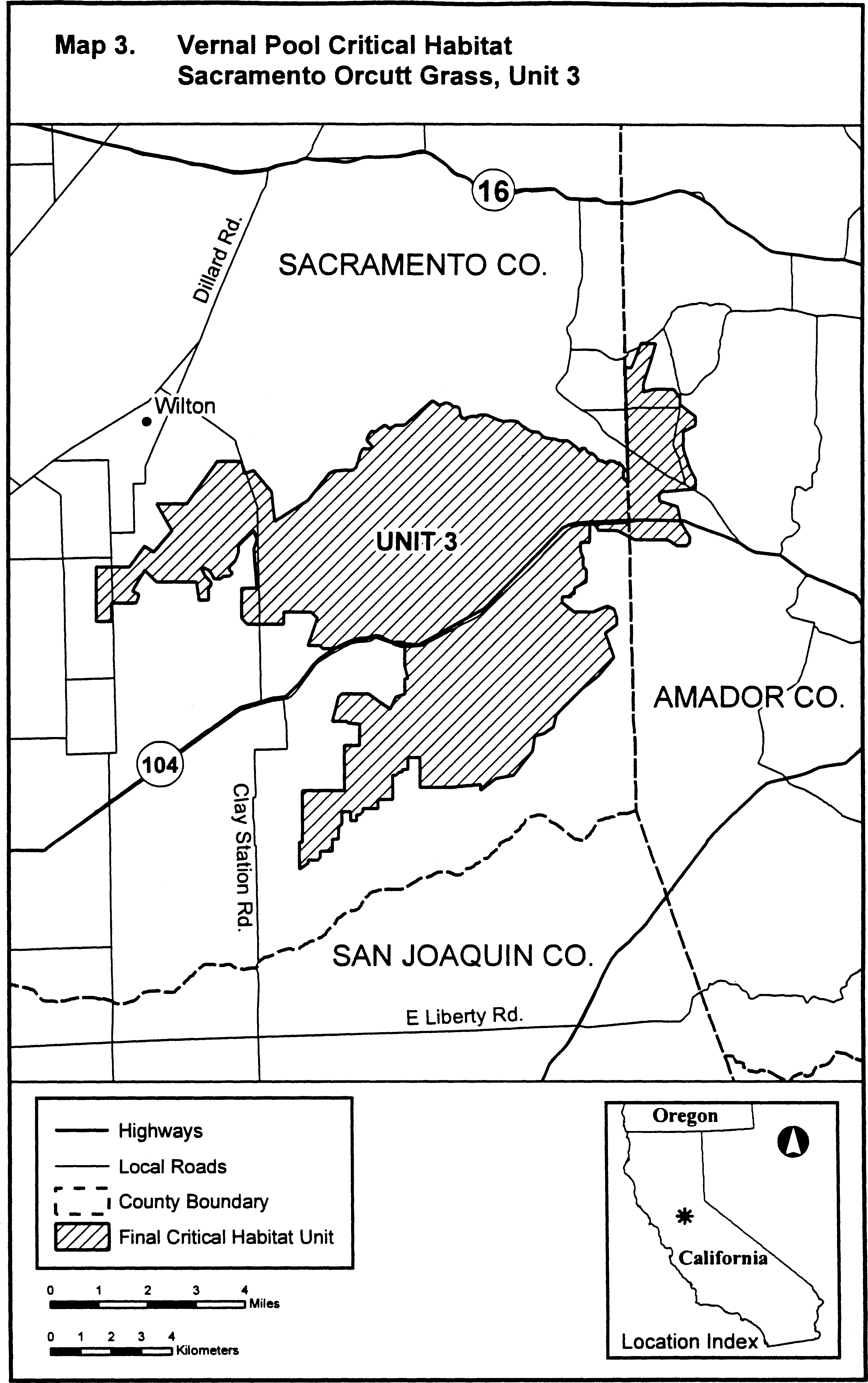
Family Poaceae: Panicum faurei var. carteri (Carter's panicgrass)
Hawaii: City and County of Honolulu: Entire island of Mokoli'i (see map).
Probable primary constituent elements include: Exposure to strong sunlight; low rainfall; exposure to sea spray; and presence of gravelly, basalt-derived soil.
Map follows:

Family Poaceae: Poa atropurpurea (San Bernardino bluegrass)
(1) Critical habitat units for this species are depicted for San Diego and San Bernardino Counties, California.
(2) The primary constituent elements of critical habitat for Poa atropurpurea are:
(i) Wet meadows subject to flooding during wet years in the San Bernardino Mountains in San Bernardino County at elevations of 6,700 to 8,100 feet (2,000 to 2,469 meters), and in the Laguna and Palomar Mountains of San Diego County at elevations of 6,000 to 7,500 feet (1,800 to 2,300 meters), that provide space for individual and population growth, reproduction, and dispersal; and
(ii) Well-drained, loamy alluvial to sandy loam soils occurring in the wet meadow system, with a 0 to 16 percent slope, to provide water, air, minerals, and other nutritional or physiological requirements to the species.
(3) Critical habitat does not include manmade structures (such as buildings, aqueducts, runways, roads, and other paved areas) and the land on which they are located existing within the legal boundaries on the effective date of this rule.
(4) Critical habitat map units. Data layers defining map units were created on a base of USGS 1:24,0000 maps, and critical habitat units were then mapped using Universal Transverse Mercator (UTM) coordinates.
(5) Note: Index map of critical habitat units for Poa atropurpurea (San Bernardino bluegrass) follows:
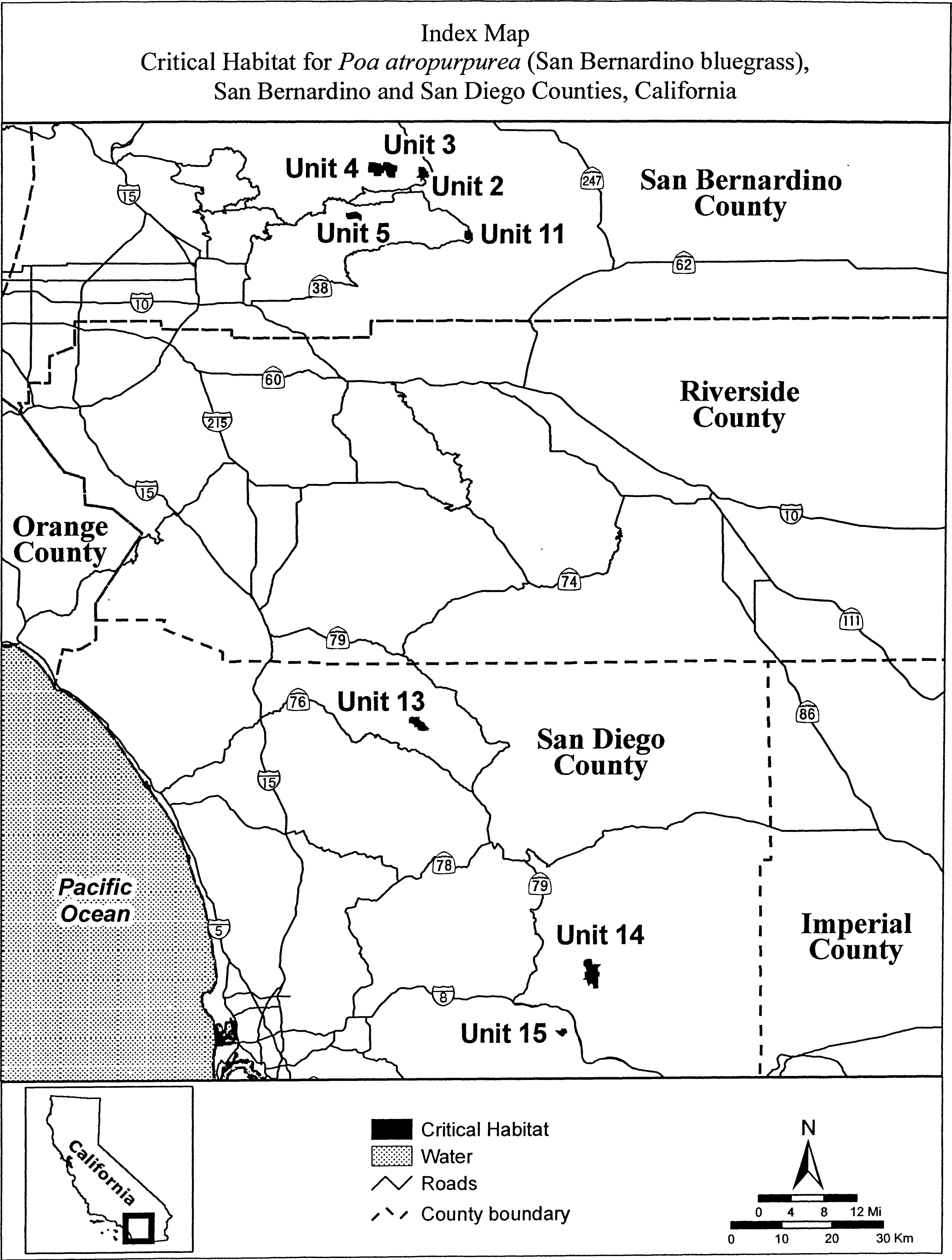
(6) Unit 2: North Baldwin Meadow, San Bernardino County, California.
[Reserved]
(ii) Map of Units 2, 3, 4, and 5 for Poa atropurpurea follows:
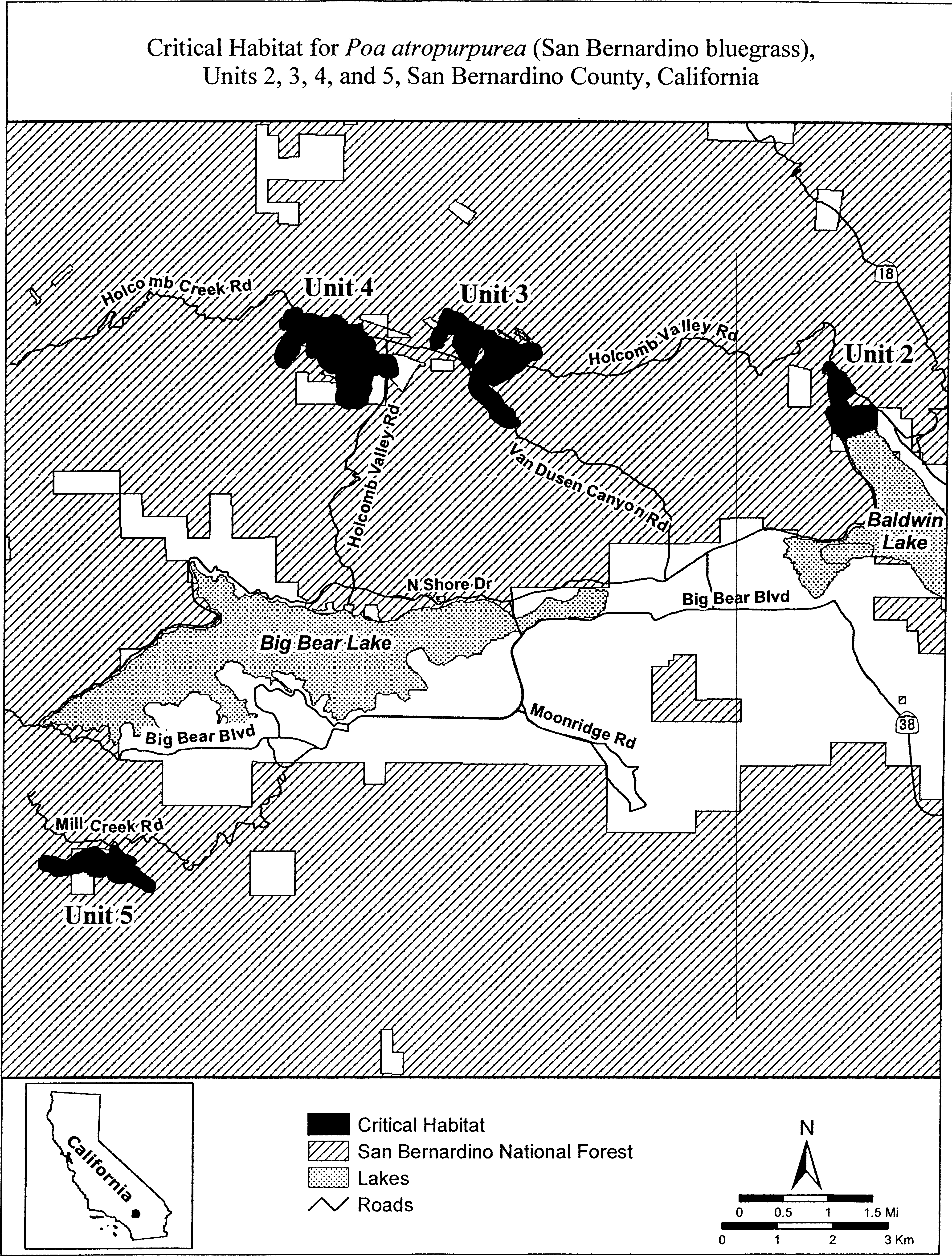
(7) Unit 3: Belleville Meadow, San Bernardino County, California.
(i) [Reserved]
(ii) Unit 3 for Poa atropurpurea is depicted on the map in paragraph (6)(ii) of this entry.
(8) Unit 4: Hitchcock Meadow, San Bernardino County, California.
(i) [Reserved]
(ii) Unit 4 for Poa atropurpurea is depicted on the map in paragraph (6)(ii) of this entry.
(9) Unit 5: Bluff Meadow, San Bernardino County, California.
(i) [Reserved]
(ii) Unit 5 for Poa atropurpurea is depicted on the map in paragraph (6)(ii) of this entry.
(10) Unit 11: Cienega Seca Meadow, San Bernardino County, California.
(i) [Reserved]
(ii) Map of Unit 11 for Poa atropurpurea follows:
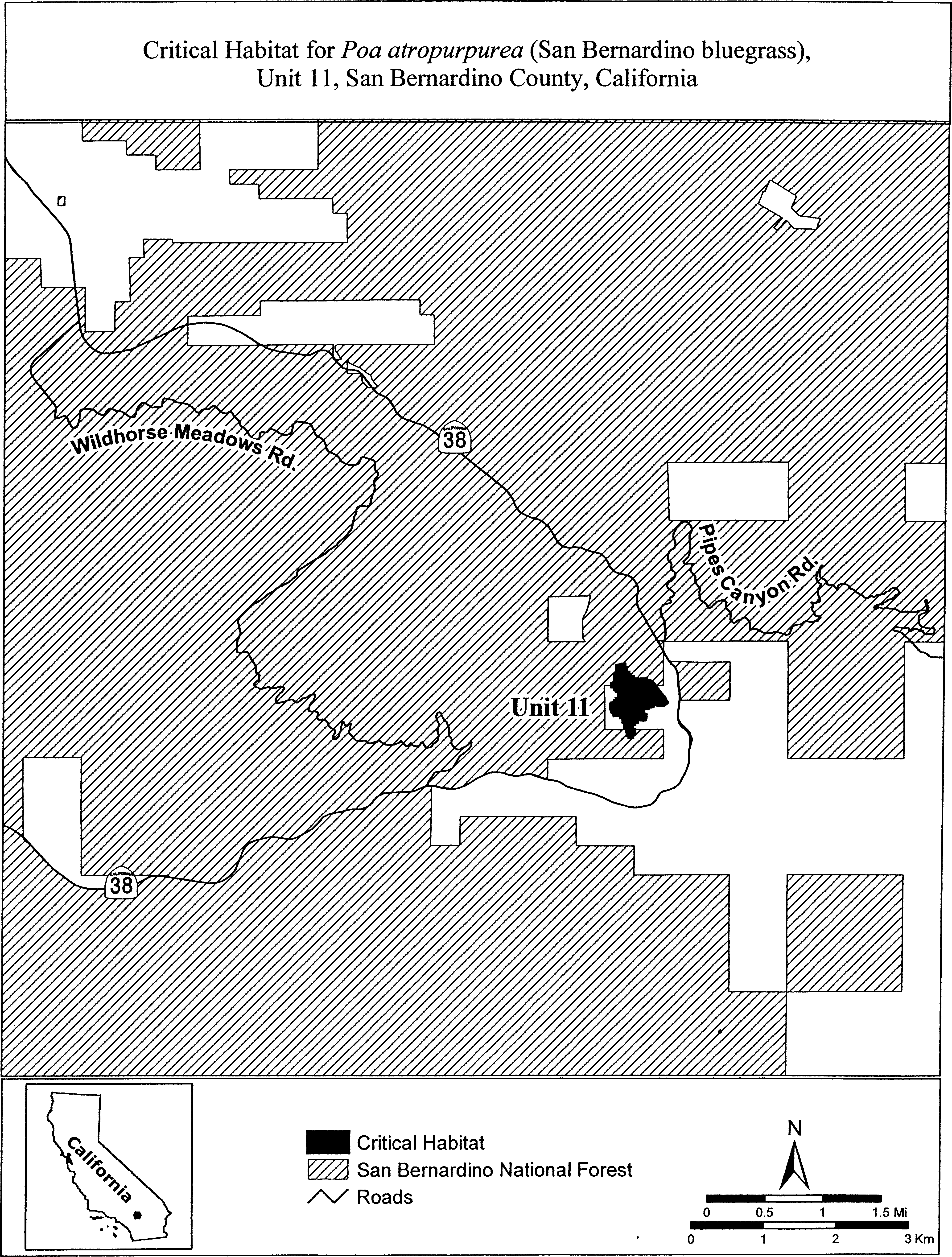
(11) Unit 13: Mendenhall Valley, San Diego County, California.
(i) [Reserved]
(ii) Map of Unit 13 for Poa atropurpurea follows:
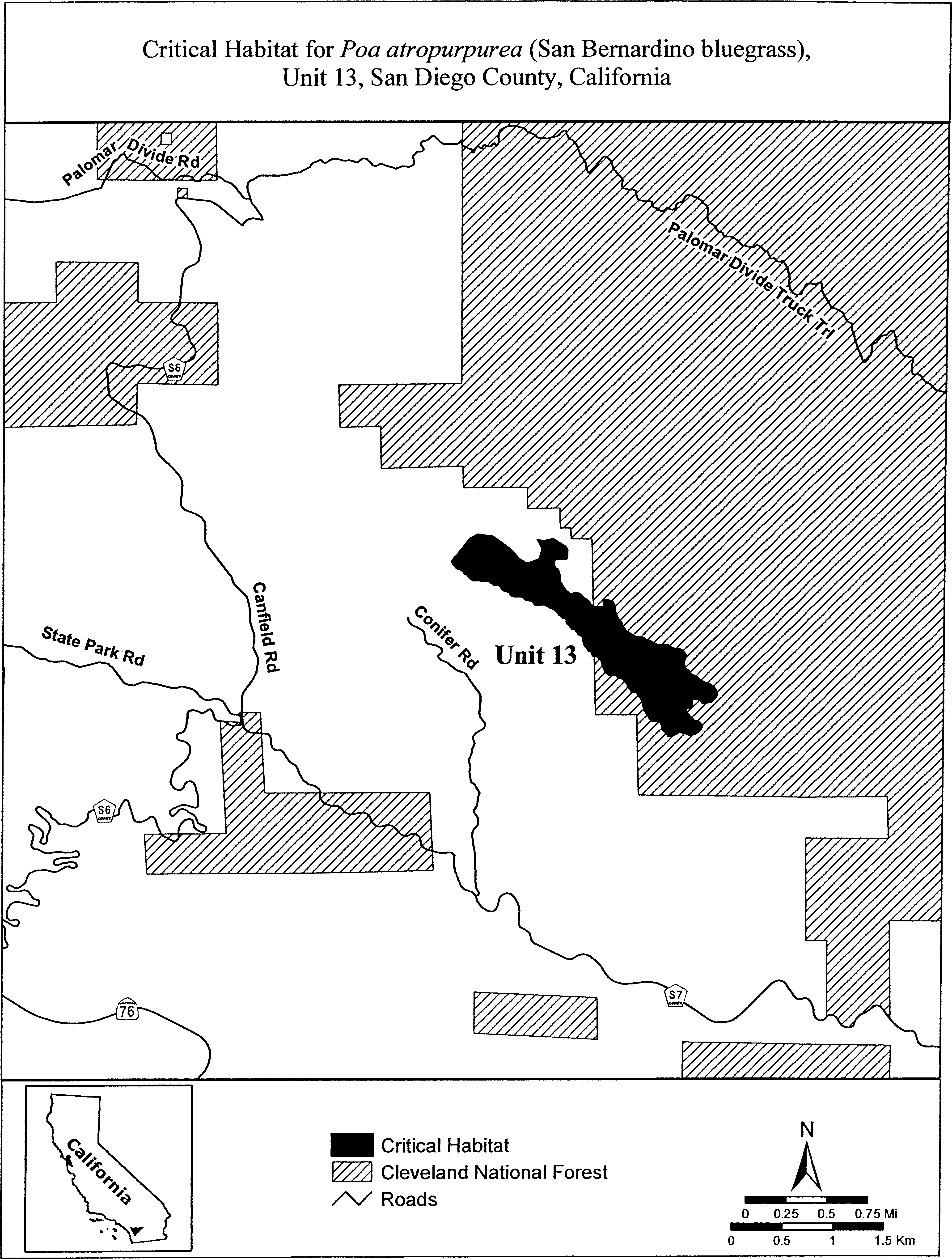
(12) Unit 14: Laguna Meadow, San Diego County, California.
(i) Unit 14 excludes land bounded by the following UTM NAD27 coordinates (E N): 550869, 3637877; 550892, 3637893; 550915, 3637910; 550939, 3637916; 550959, 3637913; 550973, 3637897; 550986, 3637895; 550983, 3637881; 550976, 3637859; 550982, 3637842; 551000, 3637820; 551017, 3637807; 551029, 3637784; 551025, 3637771; 551012, 3637769; 551011, 3637750; 551008, 3637732; 551000, 3637715; 550976, 3637723; 550955, 3637708; 550940, 3637686; 550937, 3637662; 550939, 3637658; 550948, 3637643; 550967, 3637618; 550989, 3637610; 550998, 3637595; 550987, 3637576; 550953, 3637556; 550924, 3637552; 550899, 3637554; 550882, 3637564; 550861, 3637549; 550854, 3637526; 550832, 3637523; 550793, 3637535; 550754, 3637564; 550724, 3637595; 550709, 3637624; 550686, 3637674; 550683, 3637707; 550710, 3637763; 550760, 3637826; 550800, 3637855; 550816, 3637865; 550845, 3637863; 550869, 3637877; and land bounded by 551248, 3637523; 551267, 3637518; 551283, 3637506; 551295, 3637484; 551295, 3637459; 551300, 3637428; 551303, 3637401; 551304, 3637378; 551291, 3637350; 551276, 3637341; 551265, 3637333; 551250, 3637339; 551231, 3637345; 551222, 3637325; 551208, 3637332; 551181, 3637346; 551166, 3637333; 551148, 3637324; 551131, 3637323; 551098, 3637329; 551080, 3637339; 551070, 3637355; 551074, 3637364; 551089, 3637352; 551111, 3637352; 551130, 3637365; 551148, 3637378; 551142, 3637405; 551144, 3637427; 551148, 3637460; 551158, 3637486; 551172, 3637492; 551194, 3637497; 551198, 3637512; 551215, 3637520; 551248, 3637523.
(ii) Map of Units 14 and 15 for Poa atropurpurea follows:
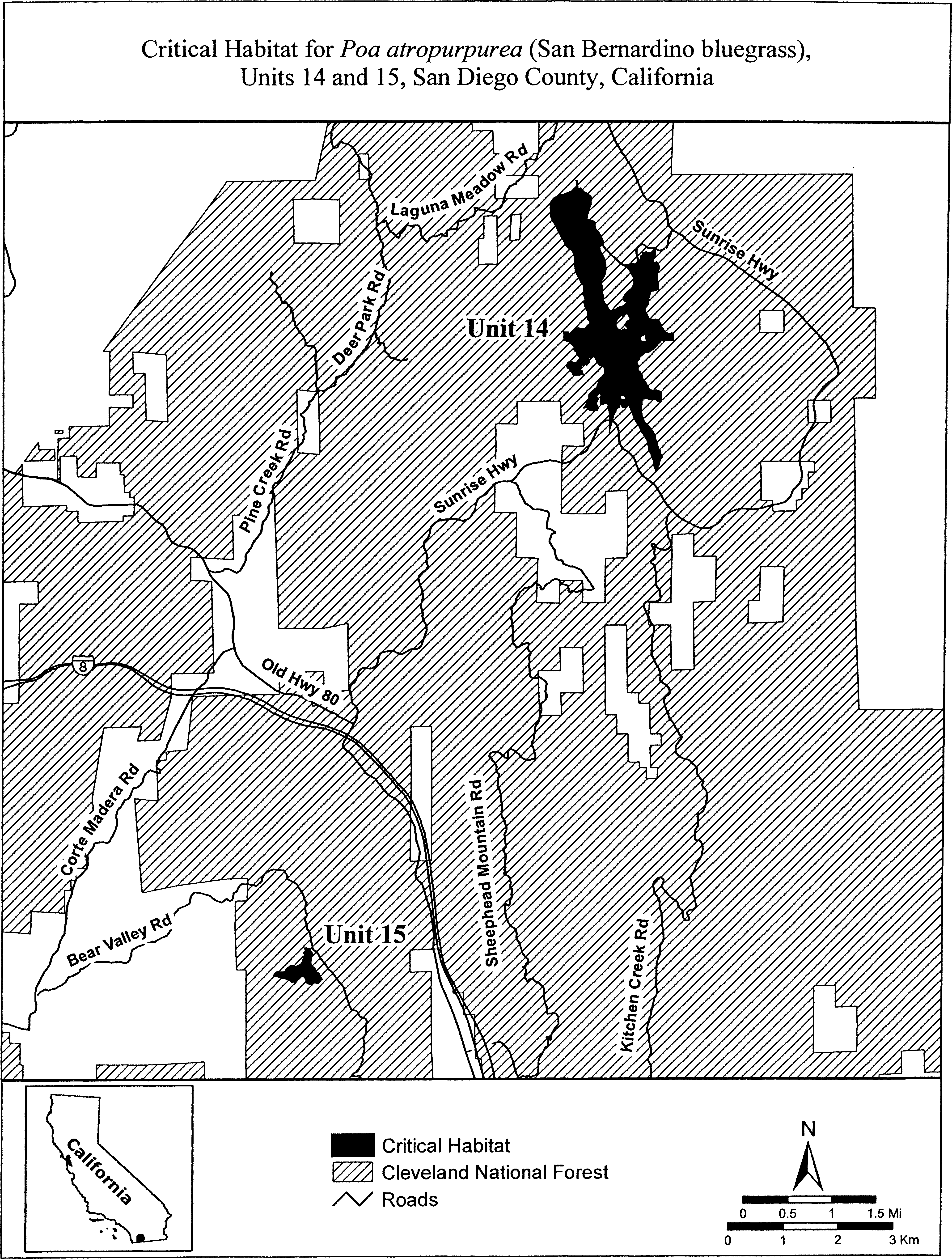
(13) Unit 15: Bear Valley, San Diego County, California.
(i) [Reserved]
(ii) Unit 15 for Poa atropurpurea is depicted on the map in paragraph (12)(ii) of this entry.
Family Poaceae: Tuctoria greenei (Greene's Tuctoria).
(1) Critical habitat units are depicted for Butte, Madera, Mariposa, Merced, Shasta, Stanislaus, Tehama, and Tuolumne counties, California, on the map below.
(2) The primary constituent elements of critical habitat for Tuctoria greenei (Greene's tuctoria) are the habitat components that provide:
(i) Topographic features characterized by isolated mound and intermound complex within a matrix of surrounding uplands that result in continuously, or intermittently, flowing surface water in the depressional features including swales connecting the pools described in paragraph (2)(ii) of this section, providing for dispersal and promoting hydroperiods of adequate length in the pools; and
(ii) Depressional features including isolated vernal pools with underlying restrictive soil layers that become inundated during winter rains and that continuously hold water or whose soils are saturated for a period long enough to promote germination, flowering, and seed production of predominantly annual native wetland species and typically exclude both native and nonnative upland plant species in all but the driest years. As these features are inundated on a seasonal basis, they do not promote the development of obligate wetland vegetation habitats typical of permanently flooded emergent wetlands.
(3) Existing manmade features and structures, such as buildings, roads, railroads, airports, runways, other paved areas, lawns, and other urban landscaped areas do not contain one or more of the primary constituent elements. Federal actions limited to those areas, therefore, would not trigger a consultation under section 7 of the Act unless they may affect the species and/or primary constituent elements in adjacent critical habitat.
(4) Unit 1: Shasta County, California. From USGS 1:24,000 scale quadrangle Murken Bench.
(5) Unit 1 (Map 1) follows:

(6) Unit 2: Tehama County, California. From USGS 1:24,000 scale quadrangles Acorn Hollow, Richardson Springs NW.
(7) Unit 2 (Map 2) follows:

(8) Unit 3: Butte County, California. From USGS 1:24,000 scale quadrangle Hamlin Canyon.
(9) Unit 3 (Map 3) follows:

(10) Unit 6: Stanislaus County, California.
(i) [Reserved]
(ii) Unit 6 (Map 4) follows:
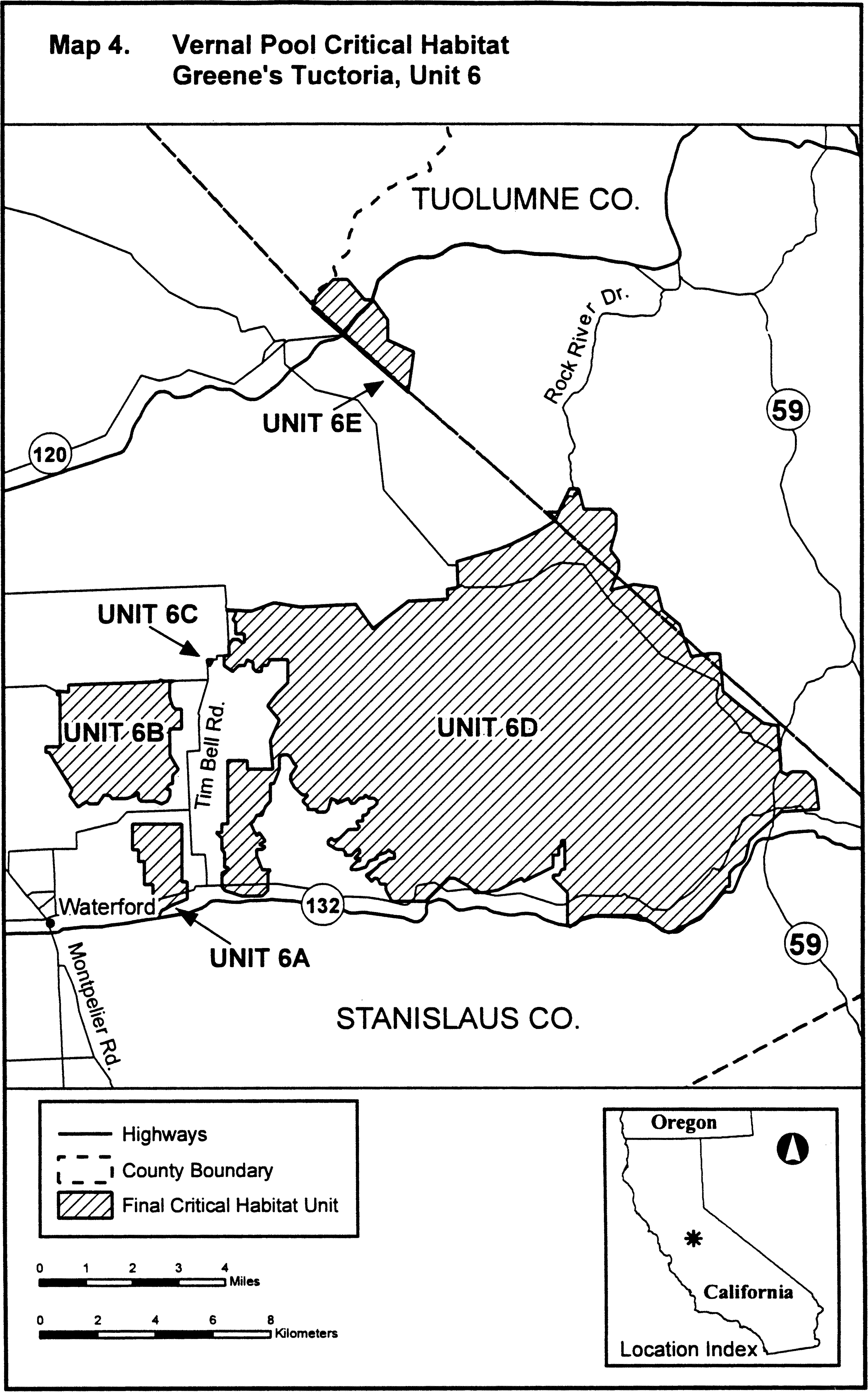
(11) Unit 7: Merced County and Mariposa County.
(12) Unit 7 (Map 5) follows:
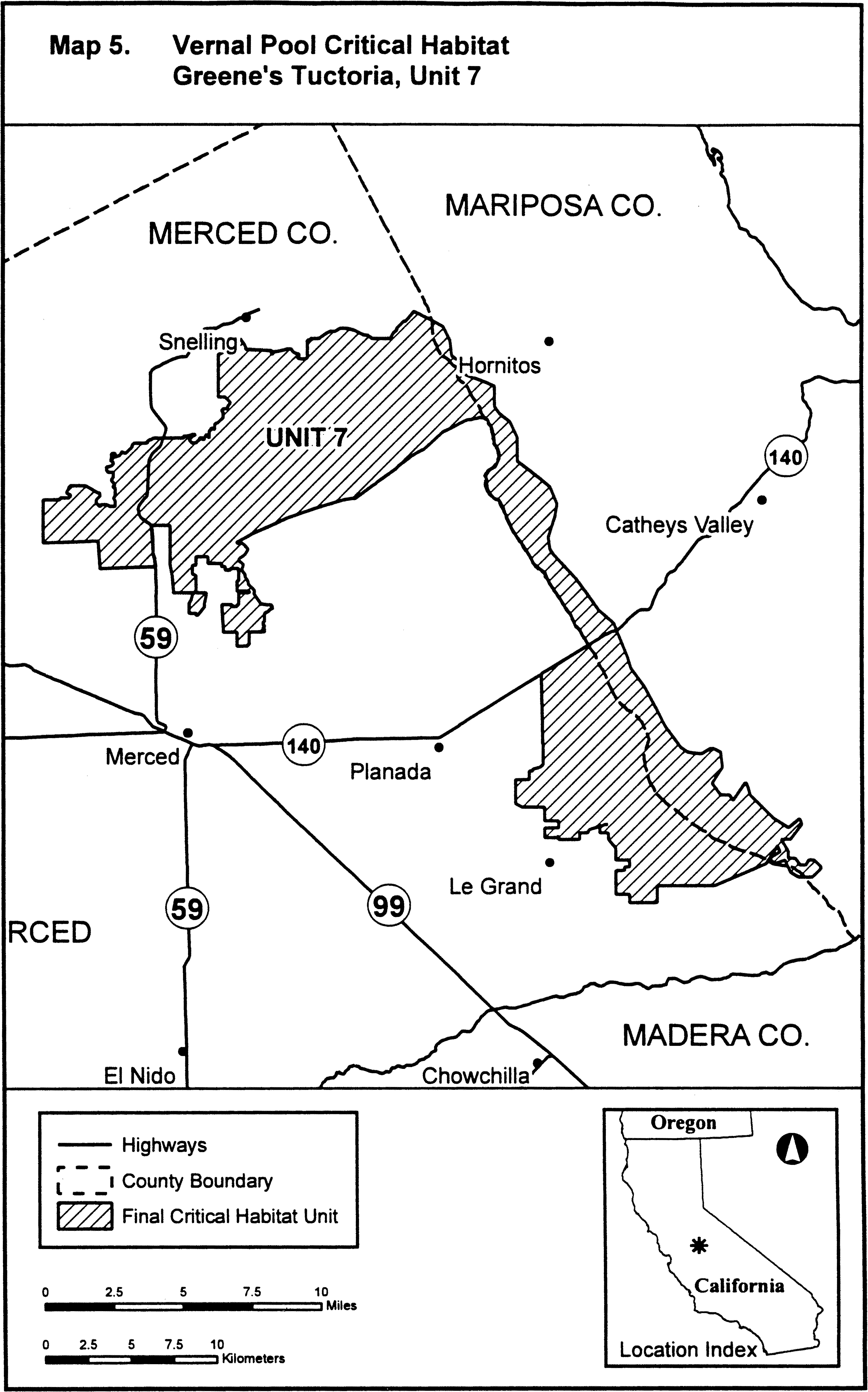
(13) Unit 8: Madera County.
(i) [Reserved]
(ii) Unit 8 (Map 6) follows:
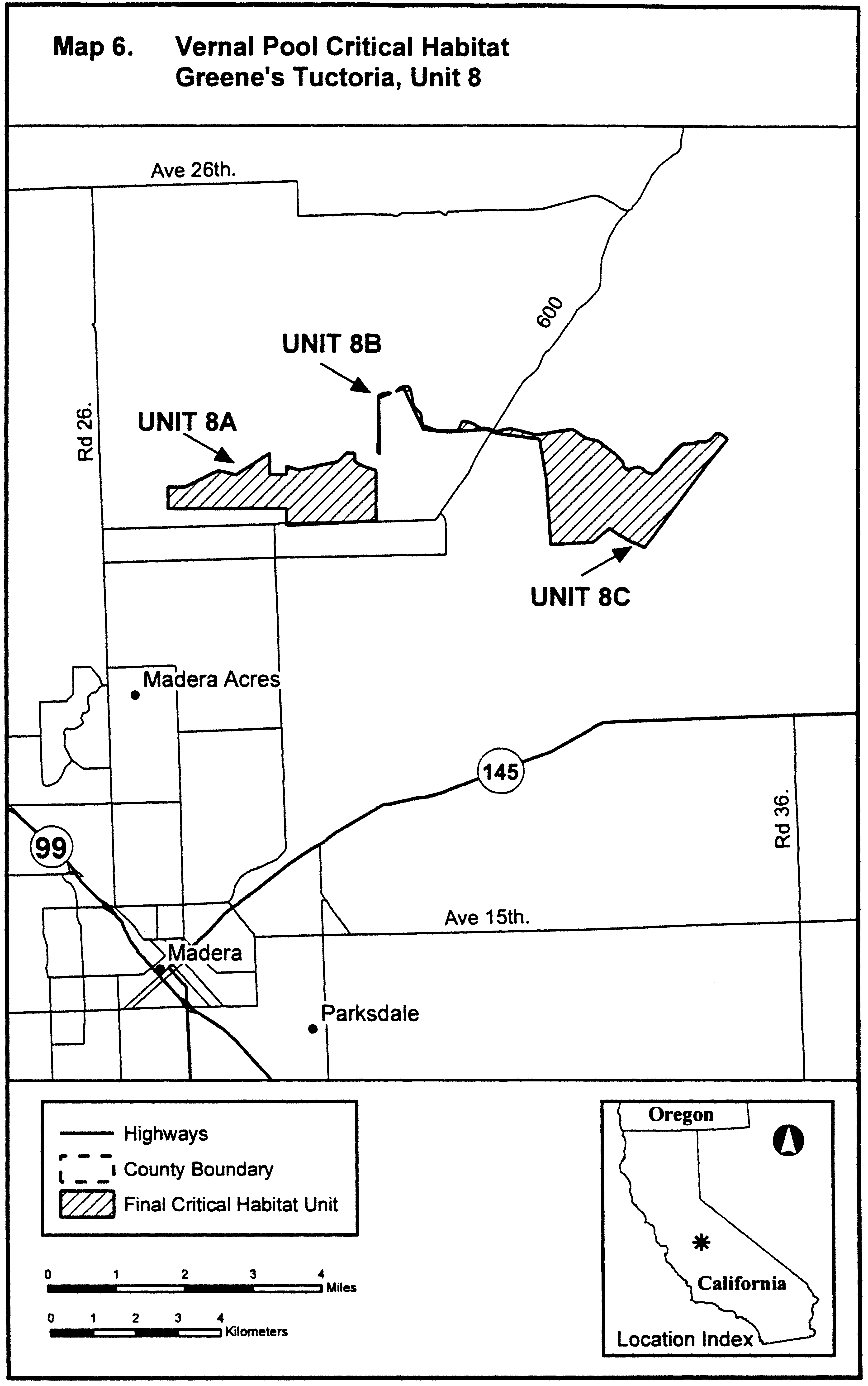
Family Poaceae: Tuctoria mucronata (Solano grass)
(1) Critical habitat units are depicted for Yolo County, California, on the map below.
(2) The primary constituent elements of critical habitat for Tuctoria mucronata (Solano grass) are the habitat components that provide:
(i) Topographic features characterized by isolated mound and intermound complex within a matrix of surrounding uplands that result in continuously, or intermittently, flowing surface water in the depressional features including swales connecting the pools described in paragraph (2)(ii) of this section, providing for dispersal and promoting hydroperiods of adequate length in the pools; and
(ii) Depressional features including isolated vernal pools with underlying restrictive soil layers that become inundated during winter rains and that continuously hold water or whose soils are saturated for a period long enough to promote germination, flowering, and seed production of predominantly annual native wetland species and typically exclude both native and nonnative upland plant species in all but the driest years. As these features are inundated on a seasonal basis, they do not promote the development of obligate wetland vegetation habitats typical of permanently flooded emergent wetlands.
(3) Existing manmade features and structures, such as buildings, roads, railroads, airports, runways, other paved areas, lawns, and other urban landscaped areas do not contain one or more of the primary constituent elements. Federal actions limited to those areas, therefore, would not trigger a consultation under section 7 of the Act unless they may affect the species and/or primary constituent elements in adjacent critical habitat.
(4) Unit 1: Yolo County, California. From USGS 1:24,000 scale quadrangles Davis, Saxon.
(5) Unit 1 (Map 1) follows:
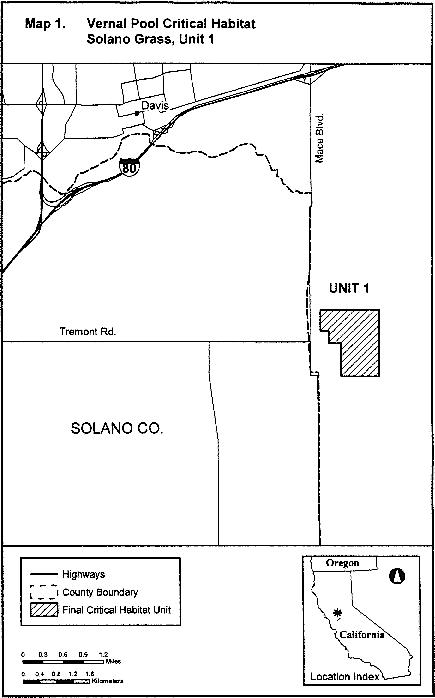
Family Poaceae: Zizania texana (Texas wild-rice)
Texas, Hays County; Spring Lake and its outflow, the San Marcos River, downstream to its confluence with the Blanco River.
The map provided is for informational purposes only. Map follows:

Family Polemoniaceae: Ipomopsis polyantha (Pagosa skyrocket)
(1) Critical habitat units are designated for Archuleta County, Colorado.
(2) The primary constituent elements of the physical and biological features essential to the conservation of Ipomopsis polyantha consist of five components:
(i) Mancos shale soils.
(ii) Elevation and climate. Elevations from 6,400 to 8,100 ft (1,950 to 2,475 m) and current climatic conditions similar to those that historically occurred around Pagosa Springs, Colorado. Climatic conditions include suitable precipitation; cold, dry springs; and winter snow.
(iii) Plant community.
(A) Suitable native plant communities (as described in paragraph (2)(iii)(B) of this entry) with small (less than 100 ft2 (10 m2)) or larger (several hectares or acres) barren areas with less than 20 percent plant cover in the actual barren areas.
(B) Appropriate native plant communities, preferably with plant communities reflective of historical community composition, or altered habitats which still contain components of native plant communities. These plant communities include:
(1) Barren shales;
(2) Open montane grassland (primarily Arizona fescue) understory at the edges of open Ponderosa pine; or
(3) Clearings within the ponderosa pine/Rocky Mountain juniper and Utah juniper/oak communities.
(iv) Habitat for pollinators.
(A) Pollinator ground and twig nesting areas. Nesting and foraging habitats suitable for a wide array of pollinators and their life-history and nesting requirements. A mosaic of native plant communities and habitat types generally would provide for this diversity.
(B) Connectivity between areas allowing pollinators to move from one site to the next within each plant population.
(C) Availability of other floral resources, such as other flowering plant species that provide nectar and pollen for pollinators. Grass species do not provide resources for pollinators.
(D) A 3,280-ft (1,000-m) area beyond occupied habitat to conserve the pollinators essential for plant reproduction.
(v) Appropriate disturbance regime.
(A) Appropriate disturbance levels - Light to moderate, or intermittent or discontinuous disturbances.
(B) Naturally maintained disturbances through soil erosion or human-maintained disturbances that can include light grazing, occasional ground clearing, and other disturbances that are not severe or continual.
(3) Critical habitat does not include manmade structures (such as buildings, aqueducts, runways, roads, and other paved areas) and the land on which they are located existing within the legal boundaries on September 12, 2012. However, because Ipomopsis polyantha is found along the edges of roads and buildings, the edges of roads and edges of structures are included in the designation.
(4) Critical habitat map units. Data layers defining map units were created on a base of both aerial imagery (NAIP 2009) as well as USGS geospatial quadrangle maps and were mapped using NAD 83 Universal Transverse Mercator (UTM), zone 13N coordinates. Location information came from a wide array of sources. The maps in this entry, as modified by any accompanying regulatory text, establish the boundaries of the critical habitat designation. The coordinates or plot points or both on which each map is based are available to the public on http://regulations.gov at Docket No. FWS-R6-ES-2011-0040, on our Internet site (http://www.fws.gov/mountain-prairie/species/plants/3ColoradoPlants/index.html), and at the Western Colorado Ecological Services Office, 764 Horizon Drive, Suite B, Grand Junction, CO 81506-3946.
(5) Note: Index map of critical habitat for Ipomopsis polyantha follows:
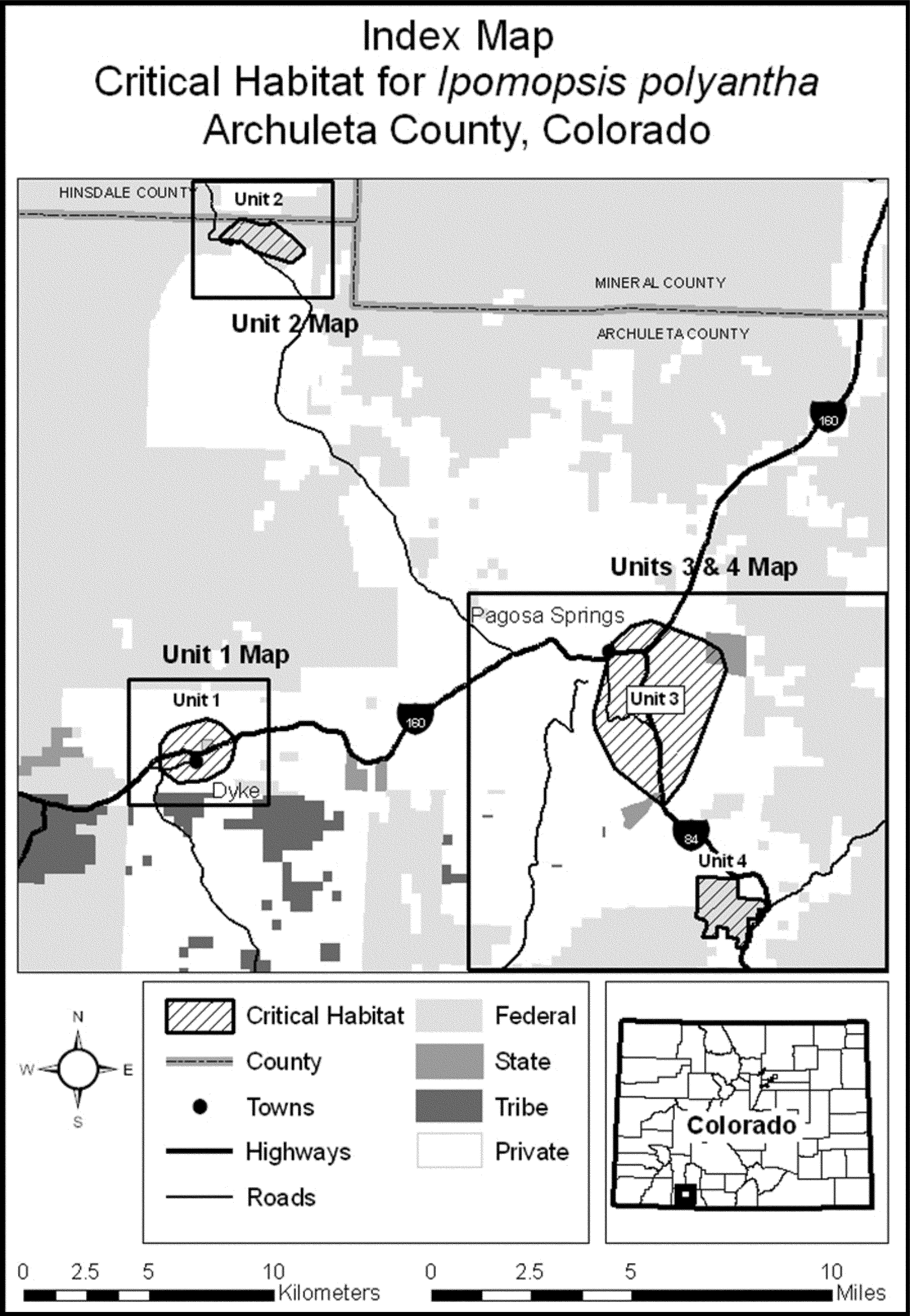
(6) Unit 1: Dyke, Archuleta County, Colorado. Note: Map of Unit 1 of critical habitat for Ipomopsis polyantha follows:

(7) Unit 2: O'Neal Hill Special Botanical Unit, Archuleta County, Colorado. Note: Map of Unit 2 of critical habitat for Ipomopsis polyantha follows:
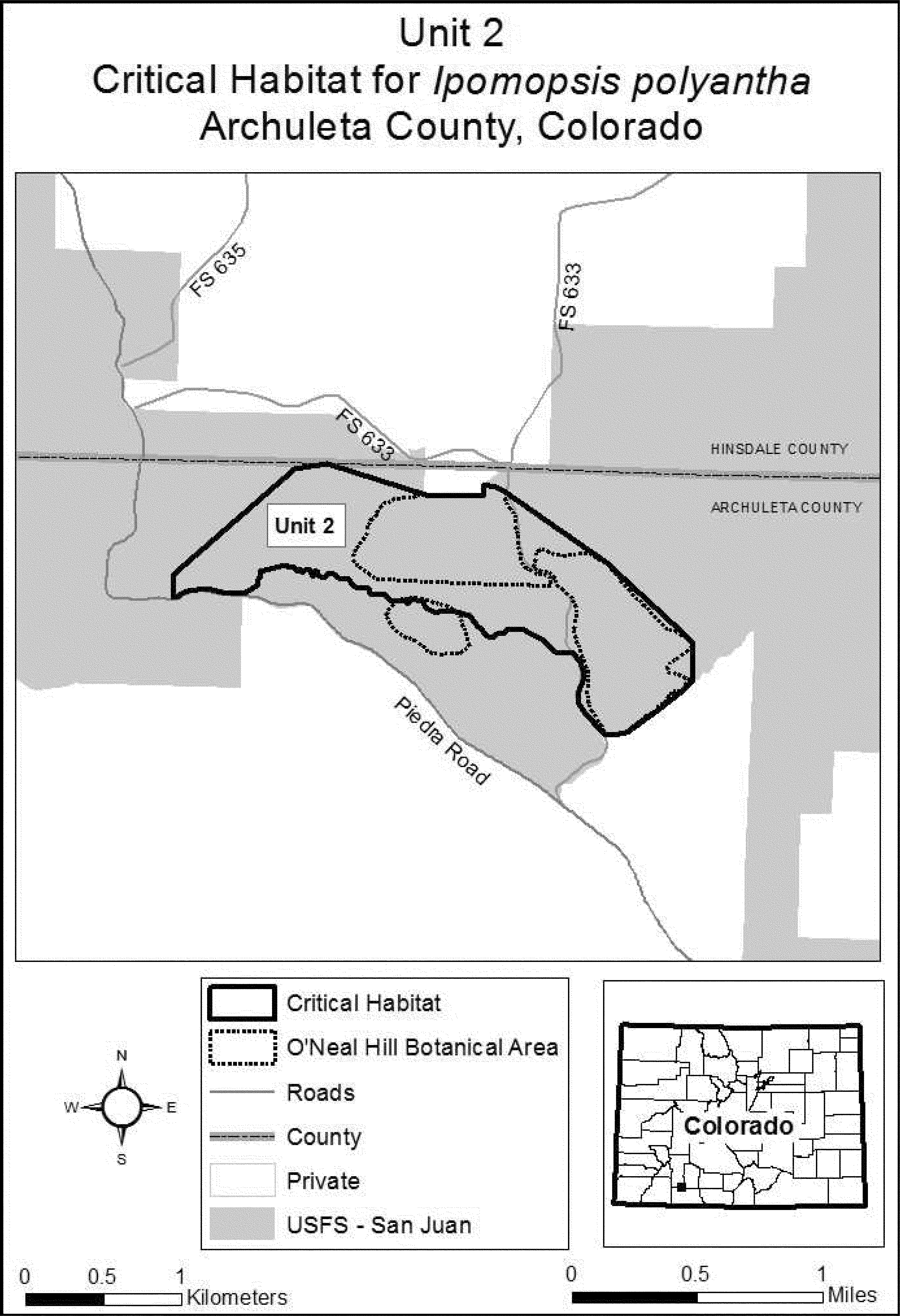
(8) Unit 3: Pagosa Springs, Archuleta County, Colorado. Note: Map of Unit 3 of critical habitat for Ipomopsis polyantha is provided at paragraph (9) of this entry.
(9) Unit 4: Eight Mile Mesa, Archuleta County, Colorado. Note: Map of Units 3 and 4 of critical habitat for Ipomopsis polyantha follows:
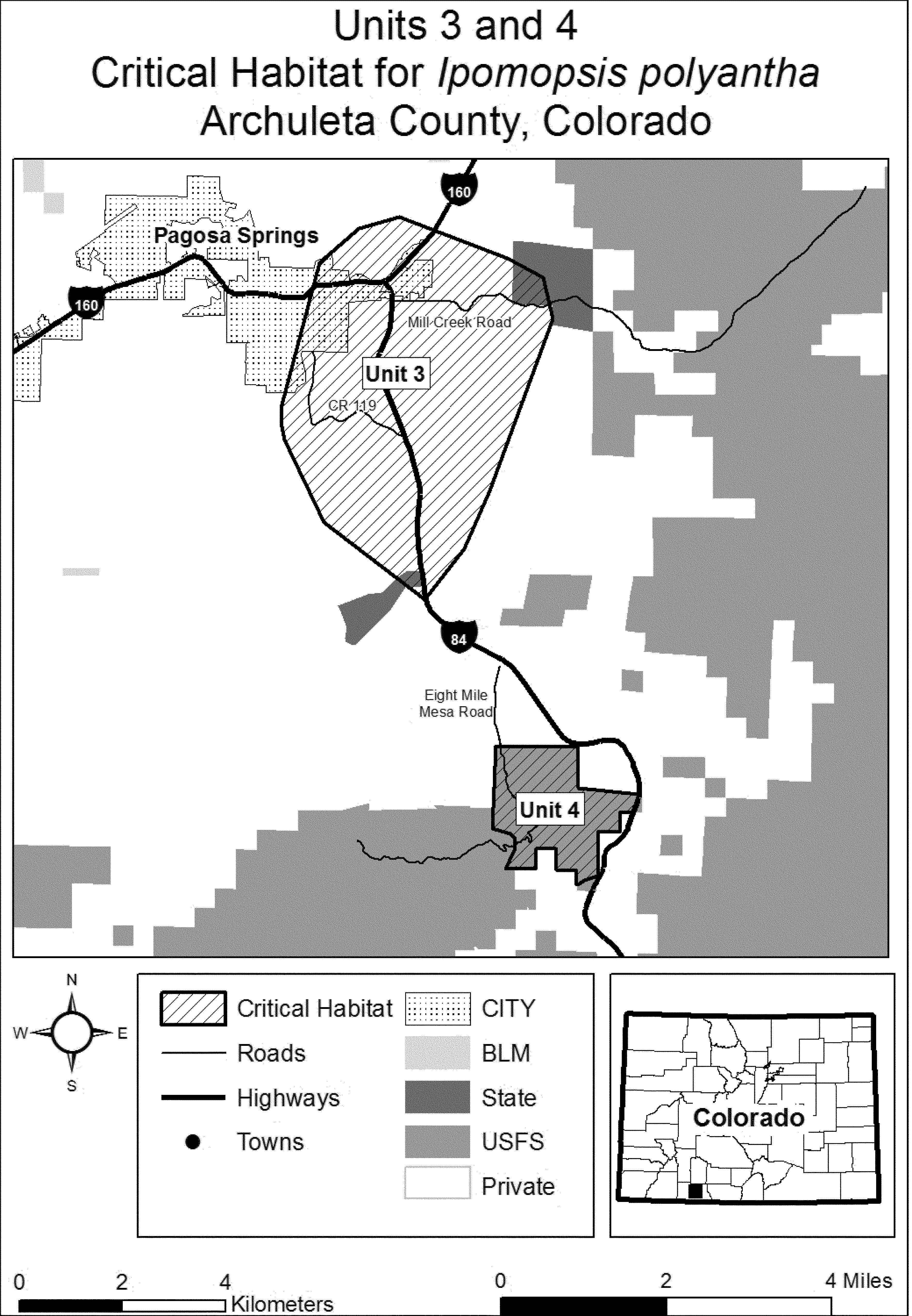
Family Polemoniaceae: Navarretia fossalis (spreading navarretia)
(1) Critical habitat units are depicted for Los Angeles, Riverside, and San Diego Counties, California, on the maps below.
(2) Within these areas, the primary constituent elements (PCEs) for Navarretia fossalis consist of three components:
(i) PCE 1 - Ephemeral wetland habitat. Vernal pools (up to 10 ac (4 ha)) and seasonally flooded alkali vernal plains that become inundated by winter rains and hold water or have saturated soils for 2 weeks to 6 months during a year with average rainfall (i.e., years where average rainfall amounts for a particular area are reached during the rainy season (between October and May)). This period of inundation is long enough to promote germination, flowering, and seed production for Navarretia fossalis and other native species typical of vernal pool and seasonally flooded alkali vernal plain habitat, but not so long that true wetland species inhabit the areas.
(ii) PCE 2 - Intermixed wetland and upland habitats that act as the local watershed. Areas characterized by mounds, swales, and depressions within a matrix of upland habitat that result in intermittently flowing surface and subsurface water in swales, drainages, and pools described in PCE 1.
(iii) PCE 3 - Soils that support ponding during winter and spring. Soils found in areas characterized in PCEs 1 and 2 that have a clay component or other property that creates an impermeable surface or subsurface layer. These soil types include, but are not limited to: Cieneba-Pismo-Caperton soils in Los Angeles County; Domino, Traver, Waukena, Chino, and Willows soils in Riverside County; and Huerhuero, Placentia, Olivenhain, Stockpen, and Redding soils in San Diego County.
(3) Critical habitat does not include manmade structures existing on the effective date of this rule and not containing one of more of the primary constituent elements, such as buildings, aqueducts, airports, and roads, and the land on which such structures are located.
(4) Critical habitat map units. Data layers defining map units were created using a base of U.S. Geological Survey 7.5' quadrangle maps. Critical habitat units were then mapped using Universal Transverse Mercator (UTM) zone 11, North American Datum (NAD) 1983 coordinates.
(5) Note: Index Map of critical habitat units for Navarretia fossalis (spreading navarretia) follows:

(6) Unit 1: Los Angeles Basin-Orange Management Area, Los Angeles County, CA. Subunit 1A: Cruzan Mesa.
(i) [Reserved]
(ii) Map of Subunit 1A (Cruzan Mesa) is provided at paragraph (7)(ii) of this entry.
(7) Unit 1: Los Angeles Basin-Orange Management Area, Los Angeles County, CA. Subunit 1B: Plum Canyon.
(i) [Reserved]
(ii) Map of Unit 1, Subunits 1A (Cruzan Mesa) and 1B (Plum Canyon) follows:

(8) Unit 2: San Diego: Northern Coastal Mesa Management Area - Poinsettia Lane Commuter Station, San Diego County, CA.
(i) [Reserved]
(ii) Map of Unit 2 (Poinsettia Lane Commuter Station) follows:

(9) Unit 3: San Diego: Central Coastal Mesa Management Area, San Diego County, CA. Subunit 3B: Carroll Canyon.
(i) [Reserved]
(ii) Map of Unit 3, Subunit 3B (Carroll Canyon) follows:

(10) Unit 3: San Diego: Central Coastal Mesa Management Area, San Diego County, CA. Subunit 3C: Nobel Drive.
(i) [Reserved]
(ii) Map of Unit 3, Subunit 3C (Nobel Drive) follows:
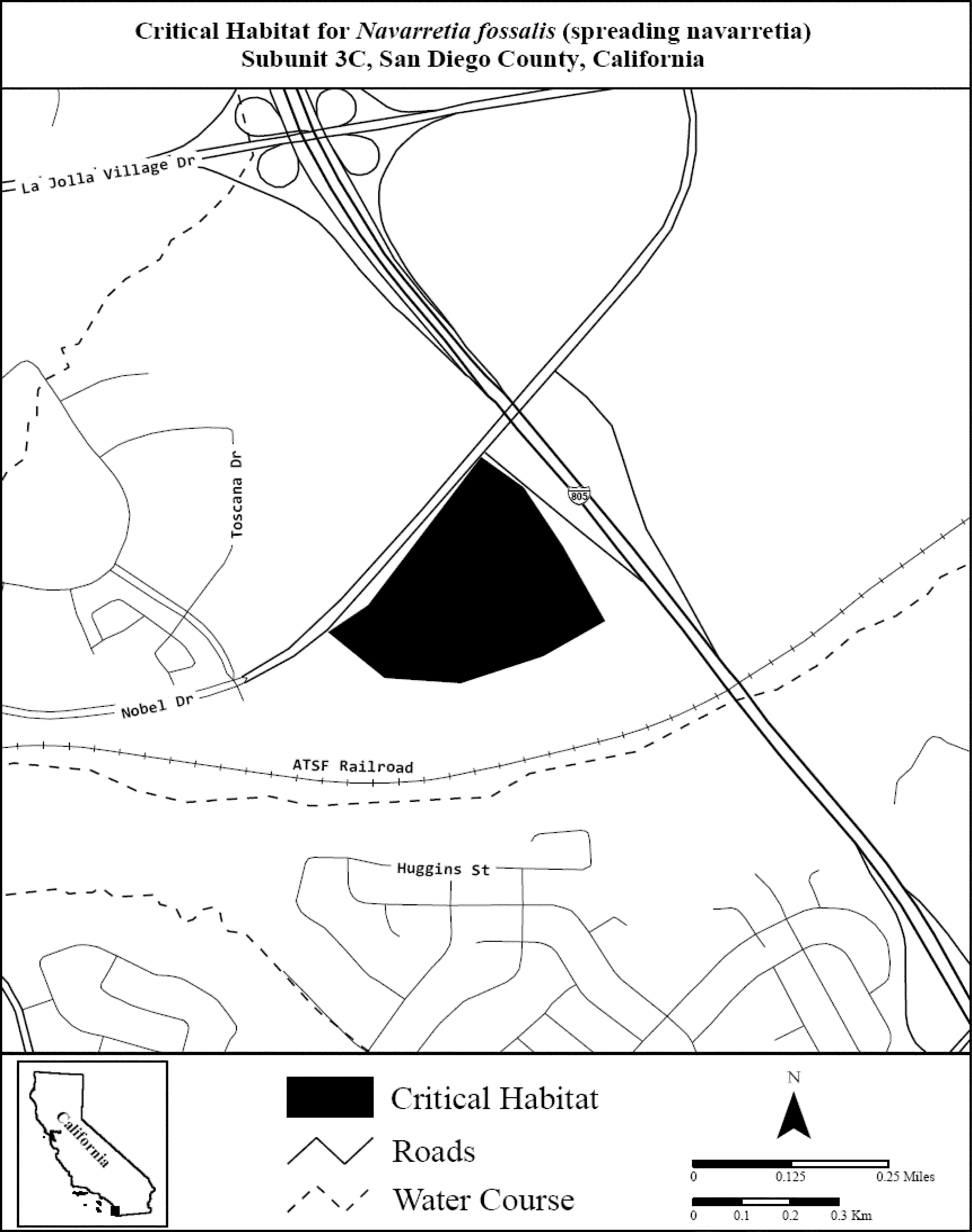
(11) Unit 3: San Diego: Central Coastal Mesa Management Area, San Diego County, CA. Subunit 3D: Montgomery Field.
(i) [Reserved]
(ii) Map of Unit 3, Subunit 3D (Montgomery Field) follows:
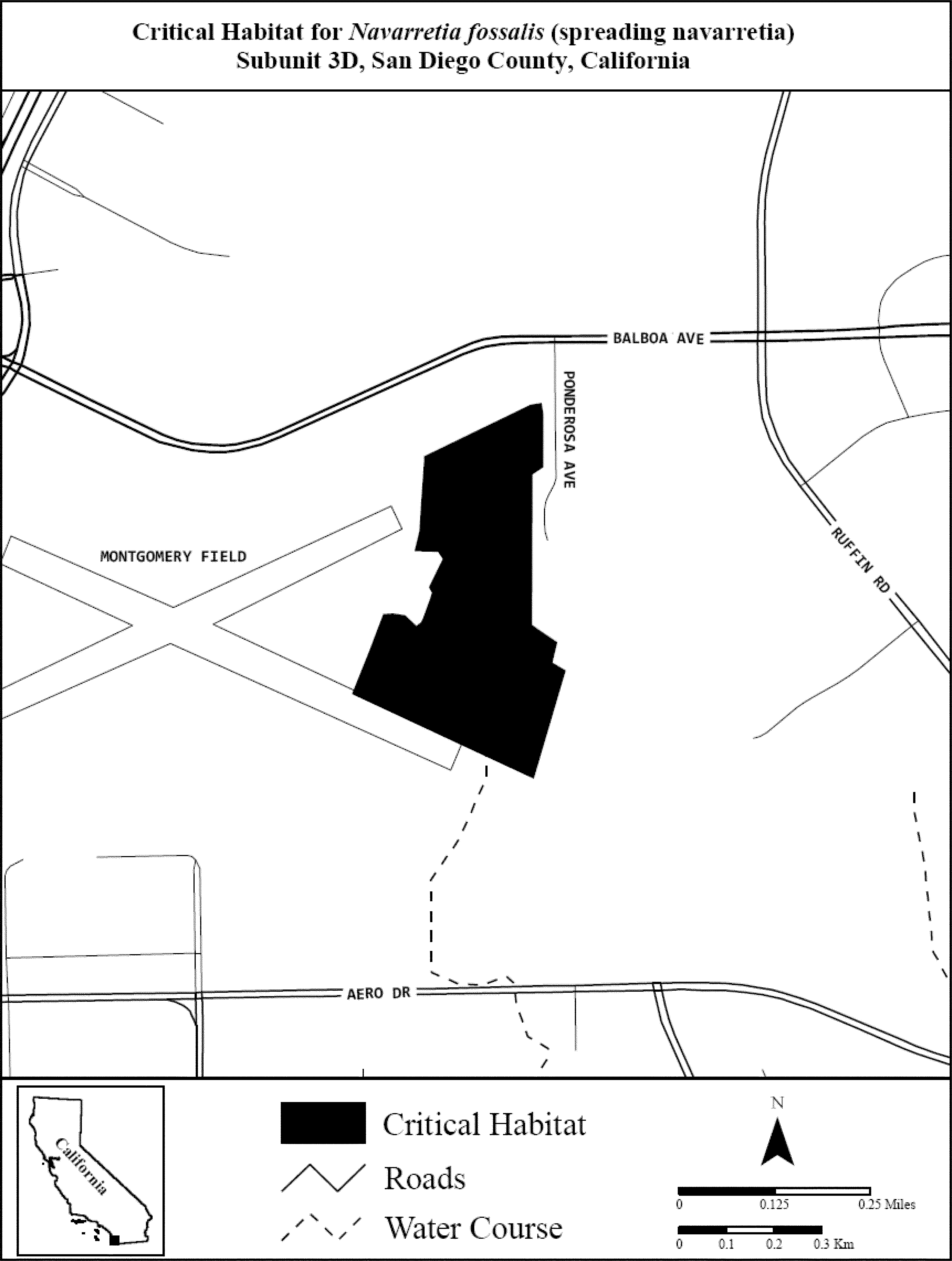
(12) Unit 4: San Diego: Inland Management Area, San Diego County, CA. Subunit 4C1: San Marcos (Upham).
(i) [Reserved]
(ii) Map of Unit 4, Subunit 4C1 is provided at paragraph (14)(ii) of this entry.
(13) Unit 4: San Diego: Inland Management Area, San Diego County, CA. Subunit 4C2: San Marcos (Universal Boot).
(i) [Reserved]
(ii) Map of Unit 4, Subunit 4C2 is provided at paragraph (14)(ii) of this entry.
(14) Unit 4: San Diego: Inland Management Area, San Diego County, CA. Subunit 4D: San Marcos (Bent Avenue).
(i) [Reserved]
(ii) Map of Unit 4, Subunits 4C1, 4C2, and 4D (San Marcos) follows:
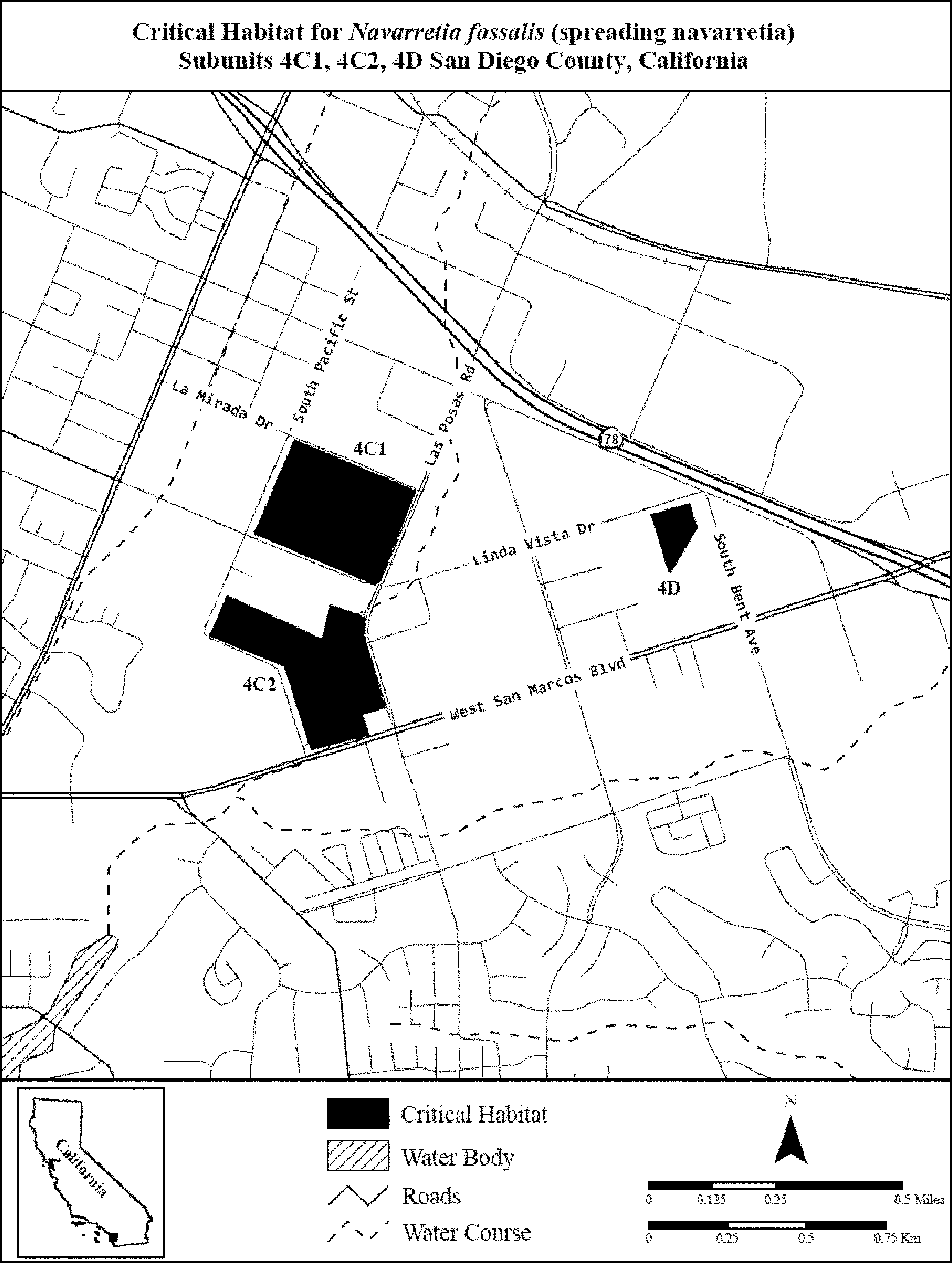
(15) Unit 4: San Diego: Inland Management Area, San Diego County, CA. Subunit 4E: Ramona.
(i) [Reserved]
(ii) Map of Unit 4, Subunit 4E (Ramona) follows:
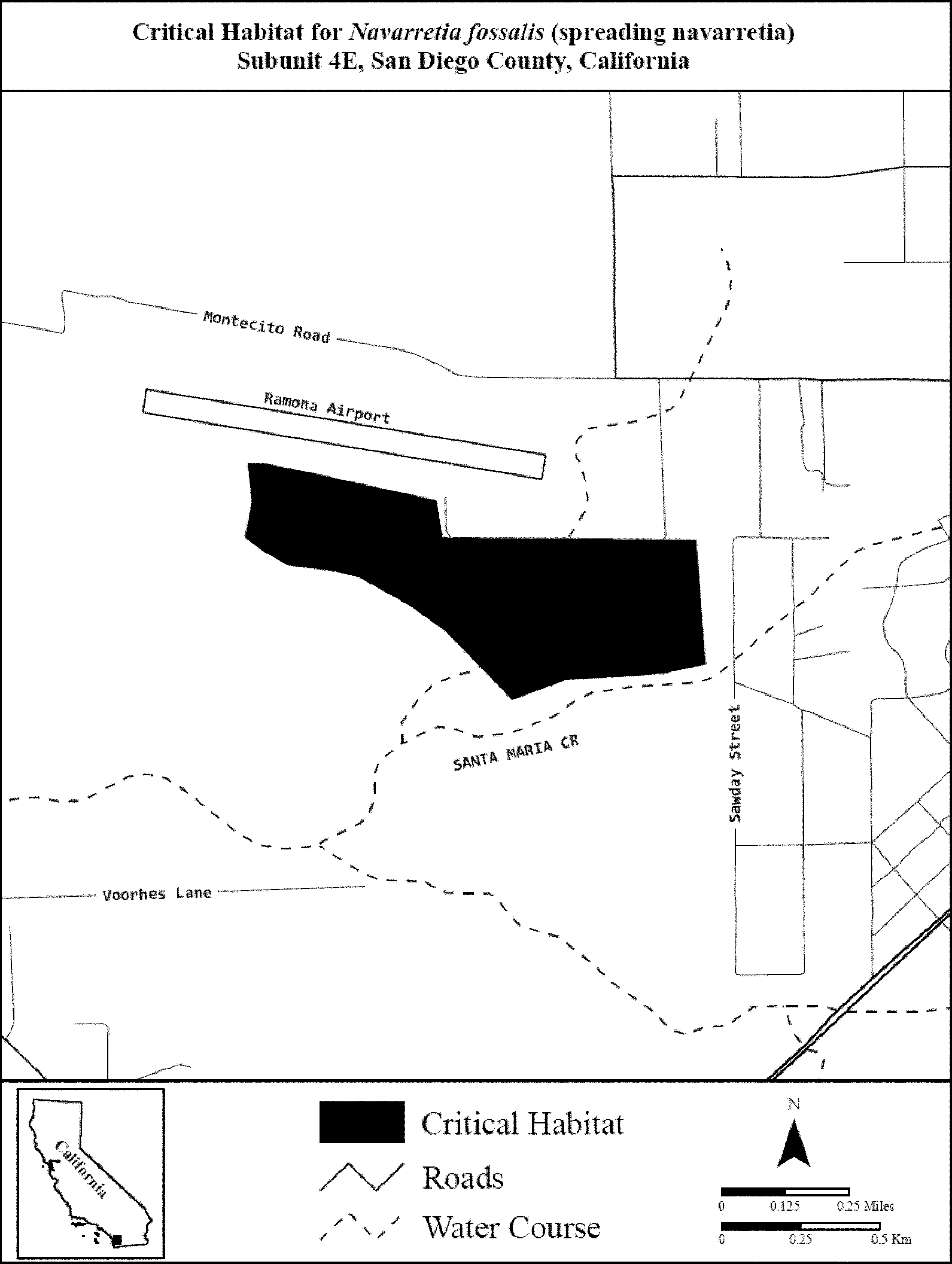
(16) Unit 5: San Diego: Southern Coastal Mesa Management Area, San Diego County, CA. Subunit 5A: Sweetwater Vernal Pools.
(i) [Reserved]
(ii) Map of Unit 5, Subunit 5A (Sweetwater Vernal Pools) follows:
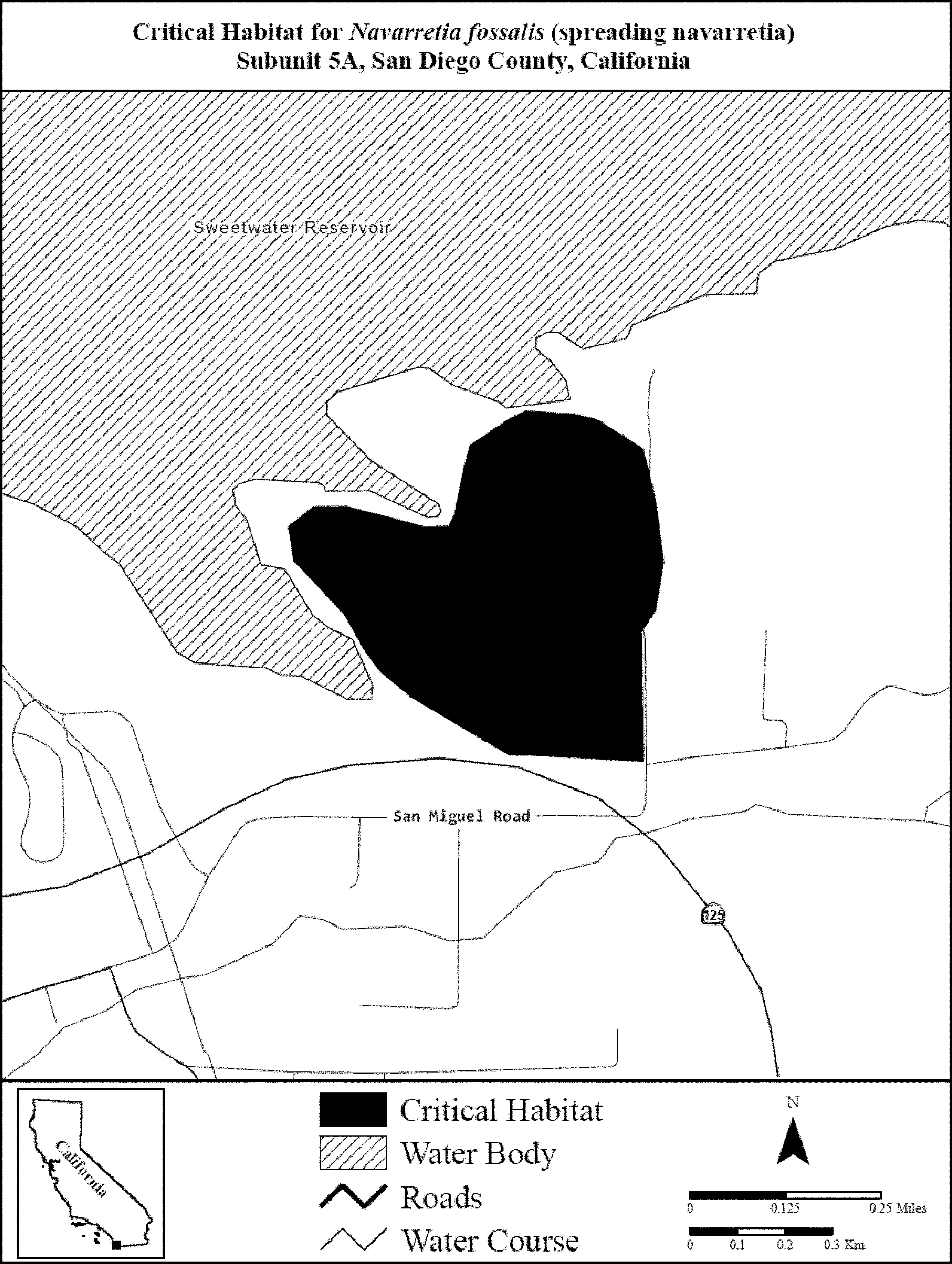
(17) Unit 5: San Diego: Southern Coastal Mesa Management Area, San Diego County, CA. Subunit 5B: Otay River Valley.
(i) [Reserved]
(ii) Map of Unit 5, Subunit 5B (Otay River Valley) follows:
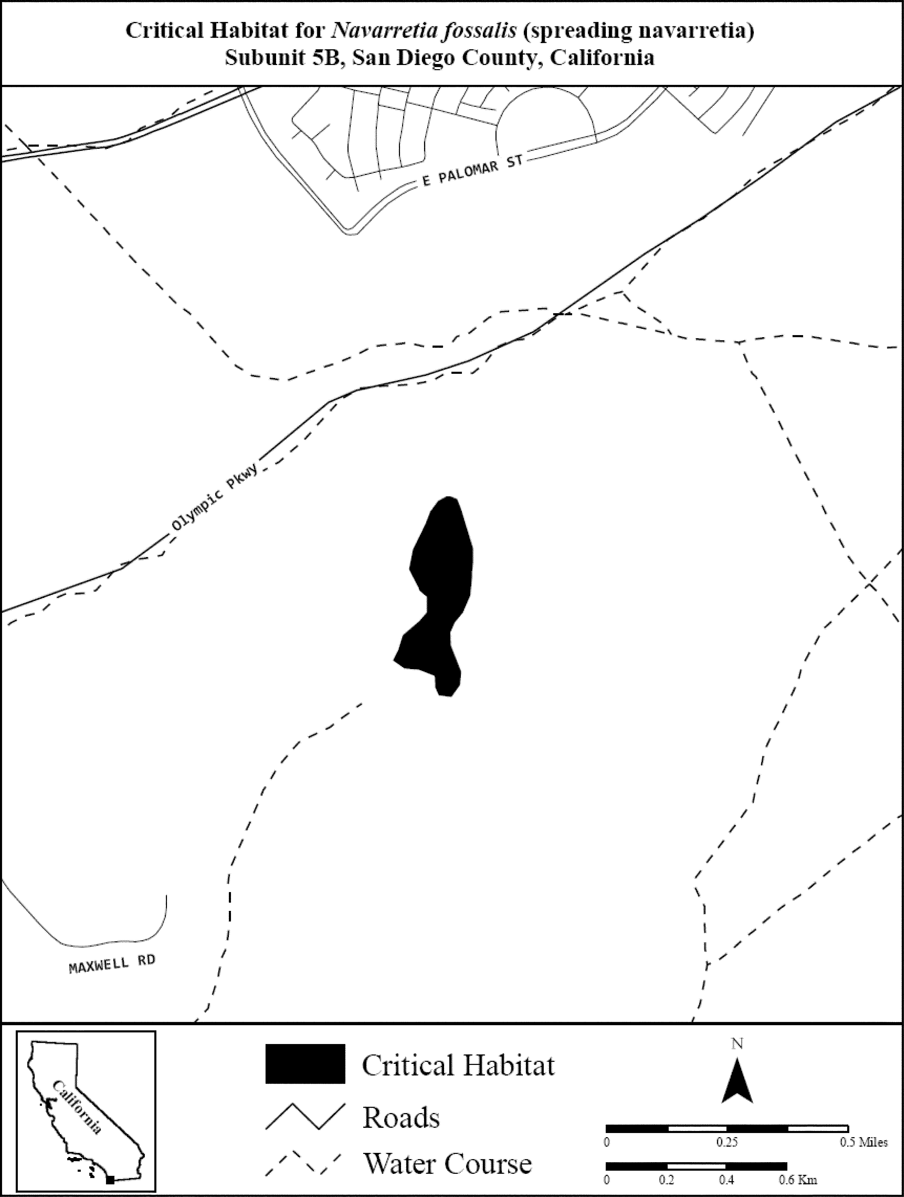
(18) Unit 5: San Diego: Southern Coastal Mesa Management Area, San Diego County, CA. Subunit 5C: Otay Mesa.
(i) [Reserved]
(ii) Map of Unit 5, Subunit 5C (Otay Mesa) follows:

(19) Unit 5: San Diego: Southern Coastal Mesa Management Area, San Diego County, CA. Subunit 5F: Proctor Valley.
(i) [Reserved]
(ii) Map of Unit 5, Subunit 5F (Proctor Valley) follows:
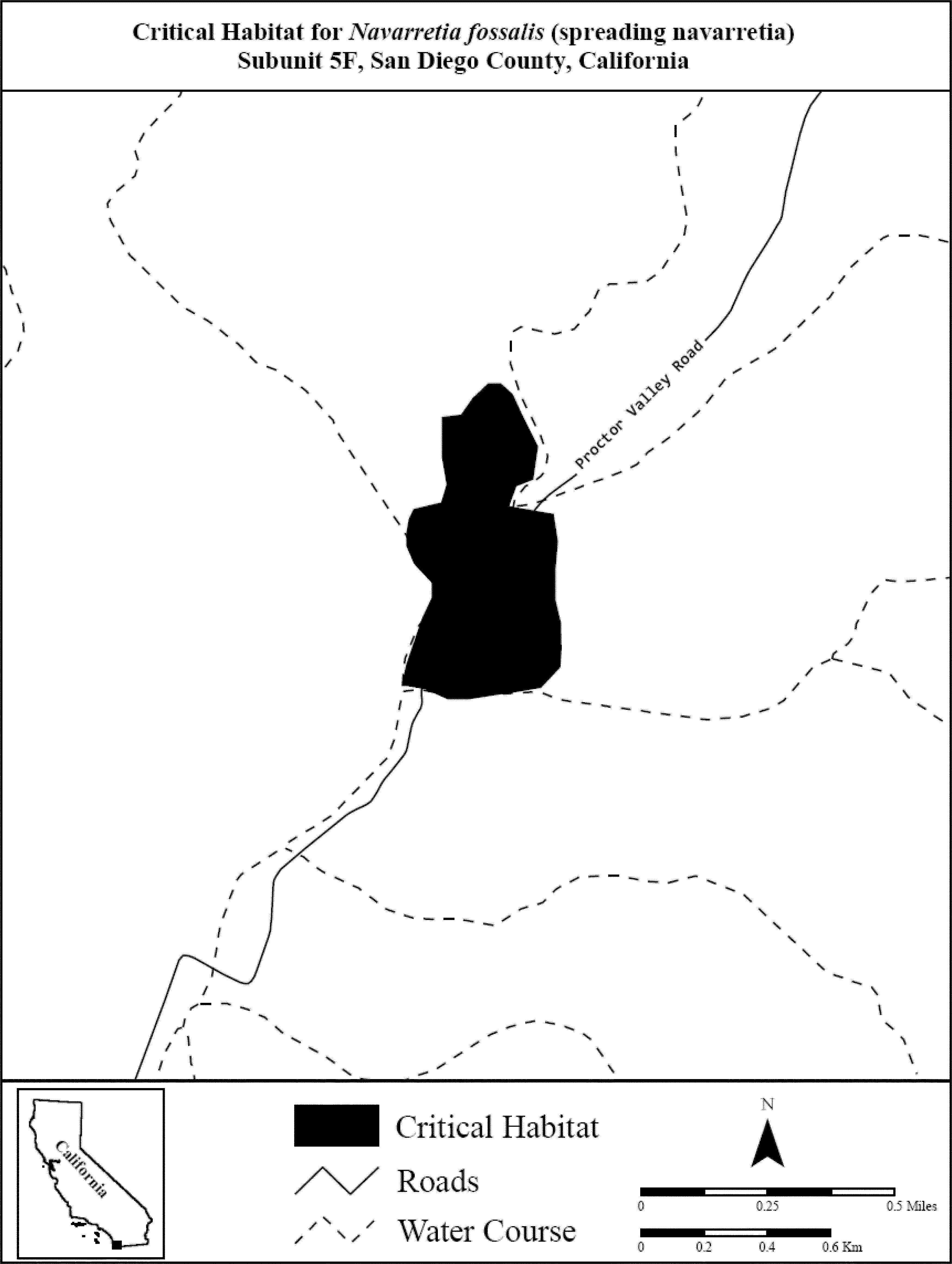
(20) Unit 5: San Diego: Southern Coastal Mesa Management Area, San Diego County, CA. Subunit 5G: Otay Lakes.
(i) [Reserved]
(ii) Map of Unit 5, Subunit 5G (Otay Lakes) follows:
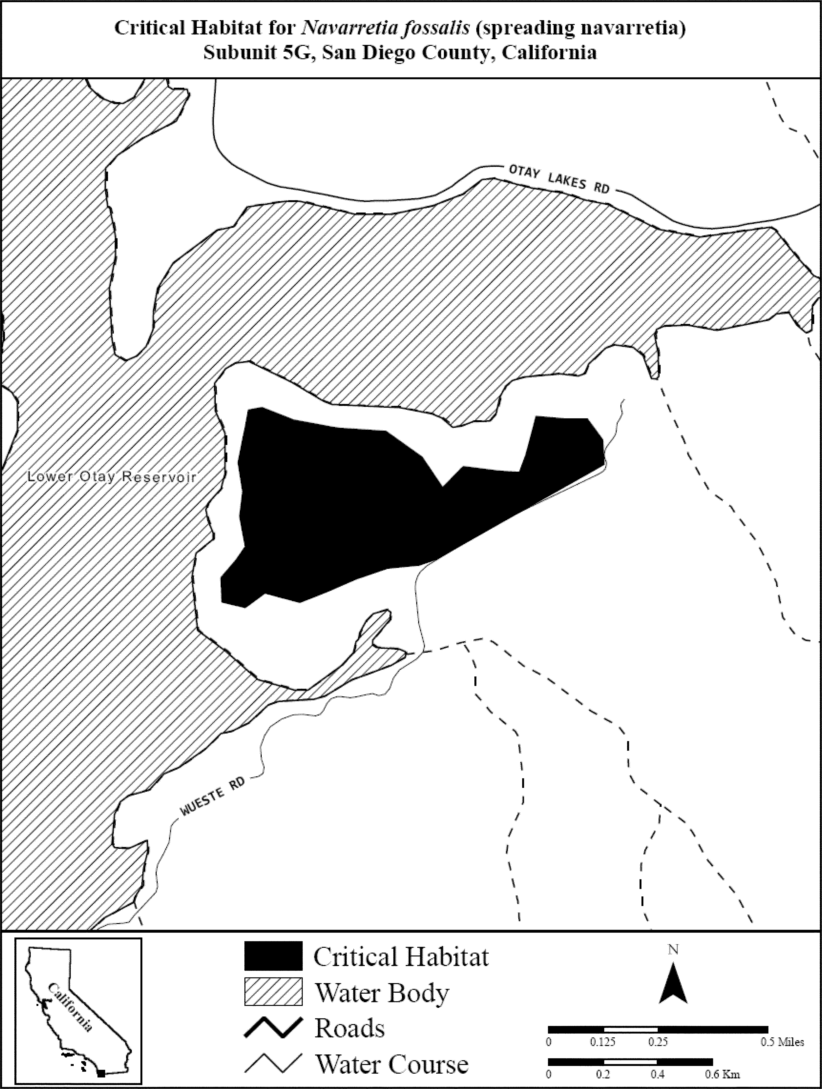
(21) Unit 5: San Diego: Southern Coastal Mesa Management Area, San Diego County, CA. Subunit 5H: Western Otay Mesa Vernal Pool Complexes.
(i) [Reserved]
(ii) Map of Unit 5, Subunit 5H (Western Otay Mesa Vernal Pool Complexes) follows:
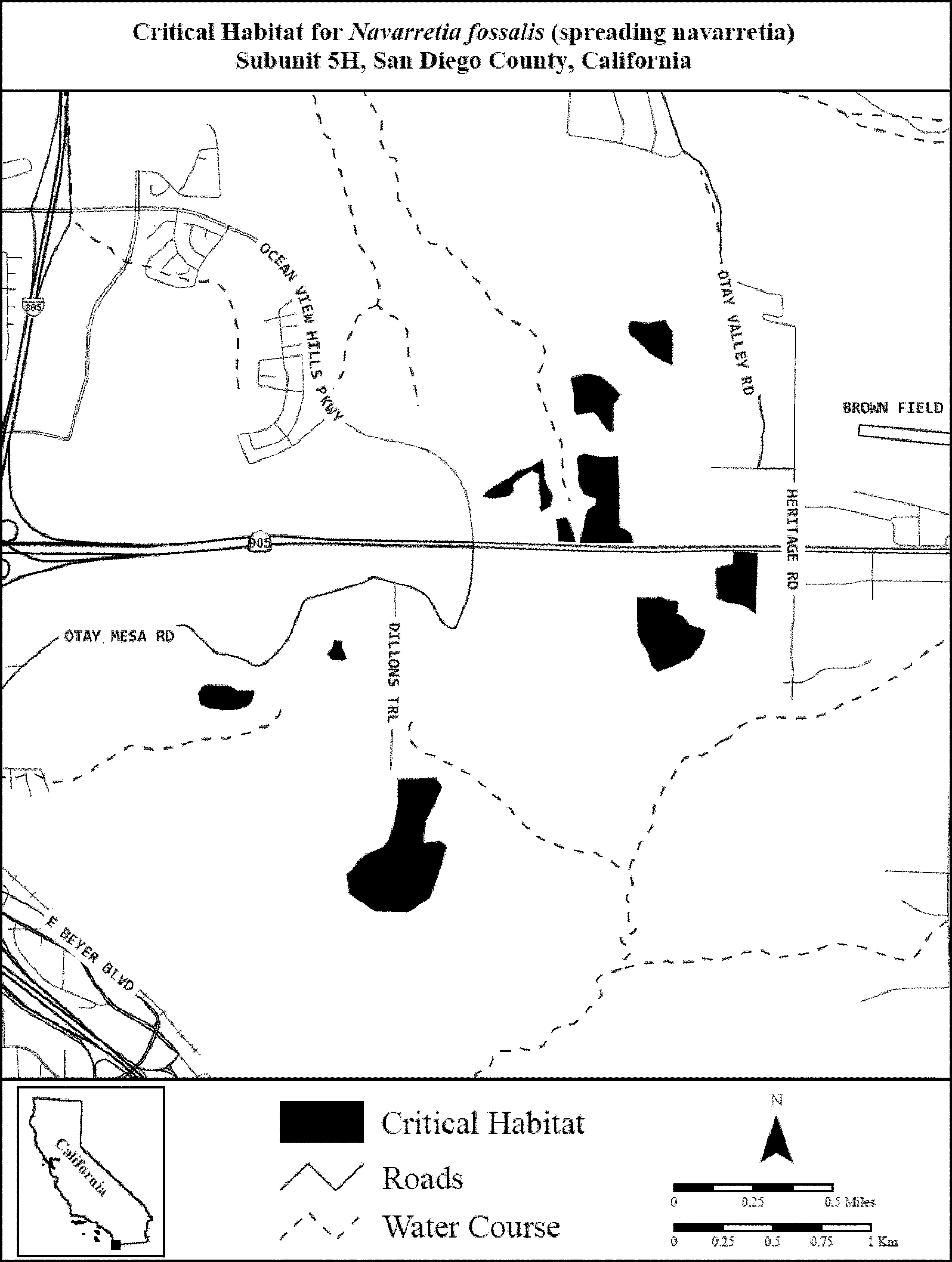
(22) Unit 5: San Diego: Southern Coastal Mesa Management Area, San Diego County, CA. Subunit 5I: Eastern Otay Mesa Vernal Pool Complexes.
(i) [Reserved]
(ii) Map of Unit 5, Subunit 5I (Eastern Otay Mesa Vernal Pool Complexes) follows:
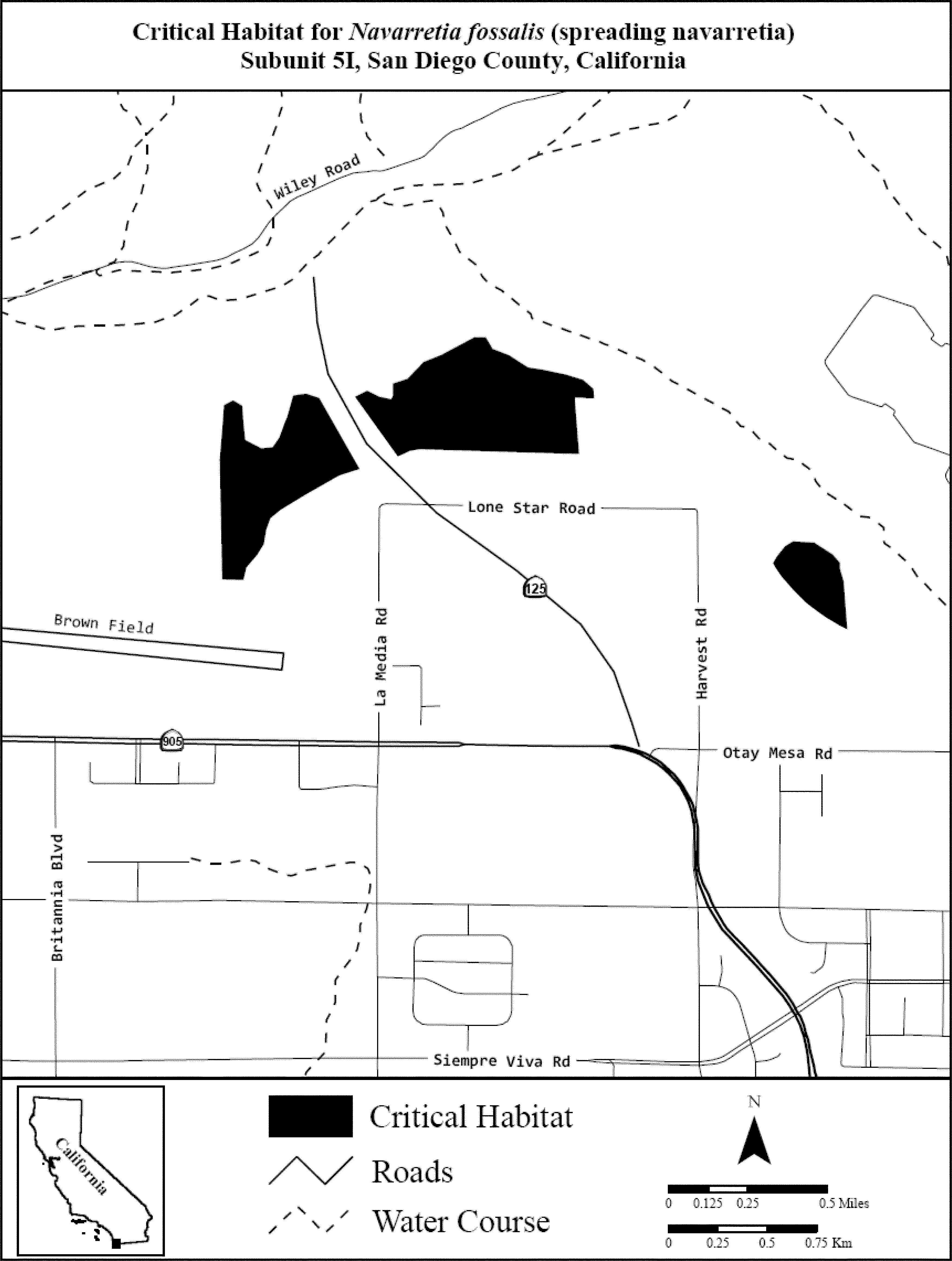
(23) Unit 6: Riverside: Riverside Management Area, Riverside County, CA. Subunit 6A: San Jacinto River.
(i) [Reserved]
(ii) Map of Unit 6, Subunit 6A (San Jacinto River) follows:
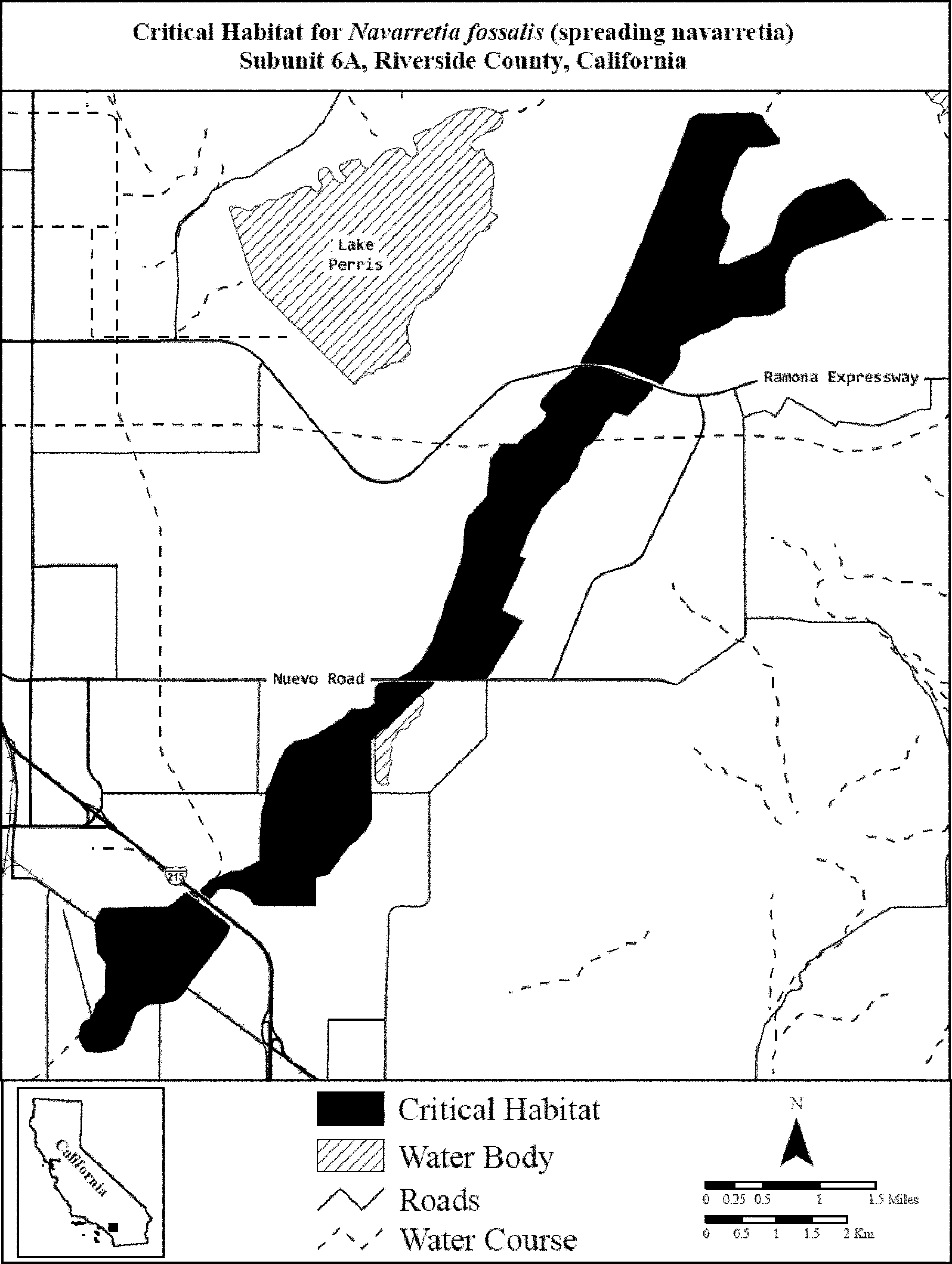
(24) Unit 6: Riverside: Riverside Management Area, Riverside County, CA. Subunit 6B: Salt Creek Seasonally Flooded Alkali Plain.
(i) [Reserved]
(ii) Map of Unit 6, Subunit 6B (Salt Creek Seasonally Flooded Alkali Plain) follows:

(25) Unit 6: Riverside: Riverside Management Area, Riverside County, CA. Subunit 6C: Wickerd and Scott Road Pools.
(i) [Reserved]
(ii) Map of Unit 6, Subunit 6C (Wickerd and Scott Road Pools) follows:
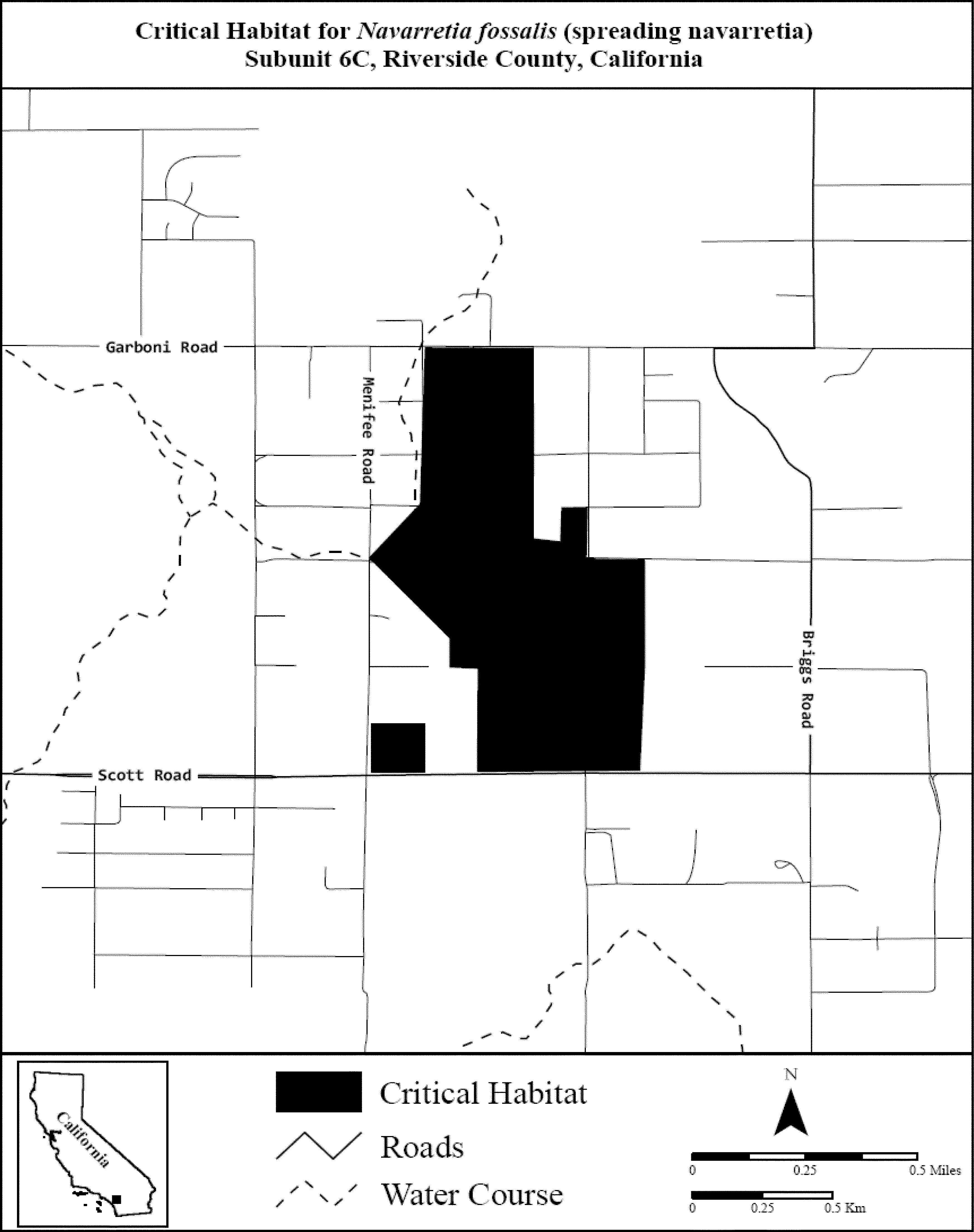
Family Polygonaceae: Chorizanthe pungens var. pungens (Monterey spineflower)
(1) Critical habitat units are depicted for Santa Cruz and Monterey Counties, California, on the maps below.
(2) The primary constituent element of critical habitat for Chorizanthe pungens var. pungens is a vegetation structure arranged in a mosaic with openings between the dominant elements (e.g., scrub, shrub, oak trees, or clumps of herbaceous vegetation) that changes in spatial position as a result of physical processes such as windblown sands and fire and that allows sunlight to reach the surface of the following sandy soils: coastal beaches, dune land, Baywood sand, Ben Lomond sandy loam, Elder sandy loam, Oceano loamy sand, Arnold loamy sand, Santa Ynez fine sandy loam, Arnold - Santa Ynez complex, Metz complex, and Metz loamy sand.
(3) Critical habitat does not include manmade structures (such as buildings, aqueducts, airports, and roads) and the land on which such structures are located, existing within the legal boundaries on the effective date of this rule.
(4) Critical habitat map units. Data layers defining map units were created on base maps using aerial imagery from the National Agricultural Imagery Program (aerial imagery captured June 2005). Data were projected to Universal Transverse Mercator (UTM) zone 11, North American Datum (NAD) 1983.
(5) Note: Index map (Map 1) follows:

(6) Unit 1: Sunset Unit, Santa Cruz County, California.
(i) [Reserved]
(ii) Map of Units 1, 5, and 6 (Map 2) follows:
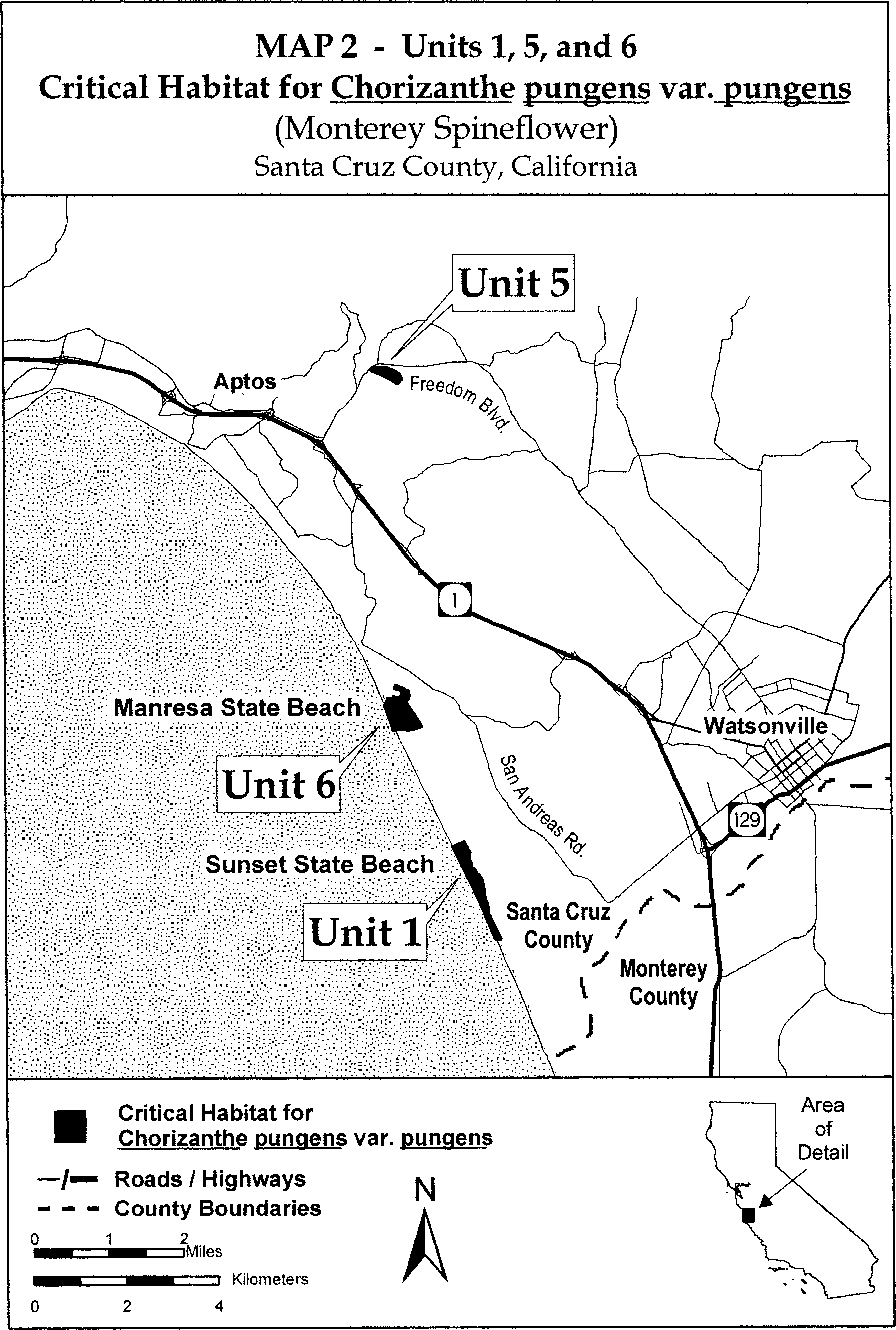
(7) Unit 2: Moss Landing Unit, Monterey County, California.
(i) [Reserved]
(ii) Map of Units 2 and 7 (Map 3) follows:
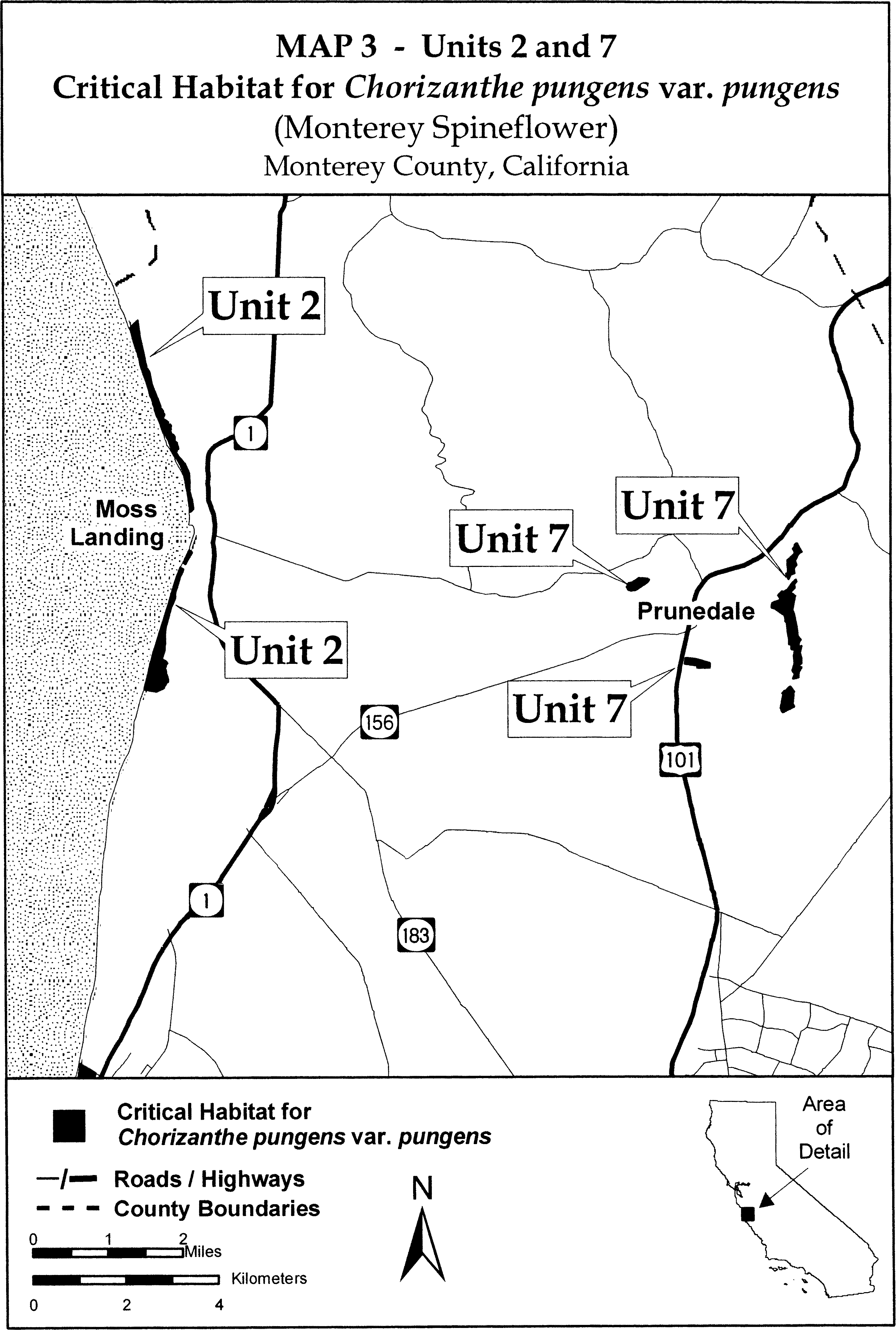
(8) Unit 3: Marina Unit, Monterey County, California.
(i) [Reserved]
(ii) Map of Units 3, 4, and 8 (Map 4) follows:
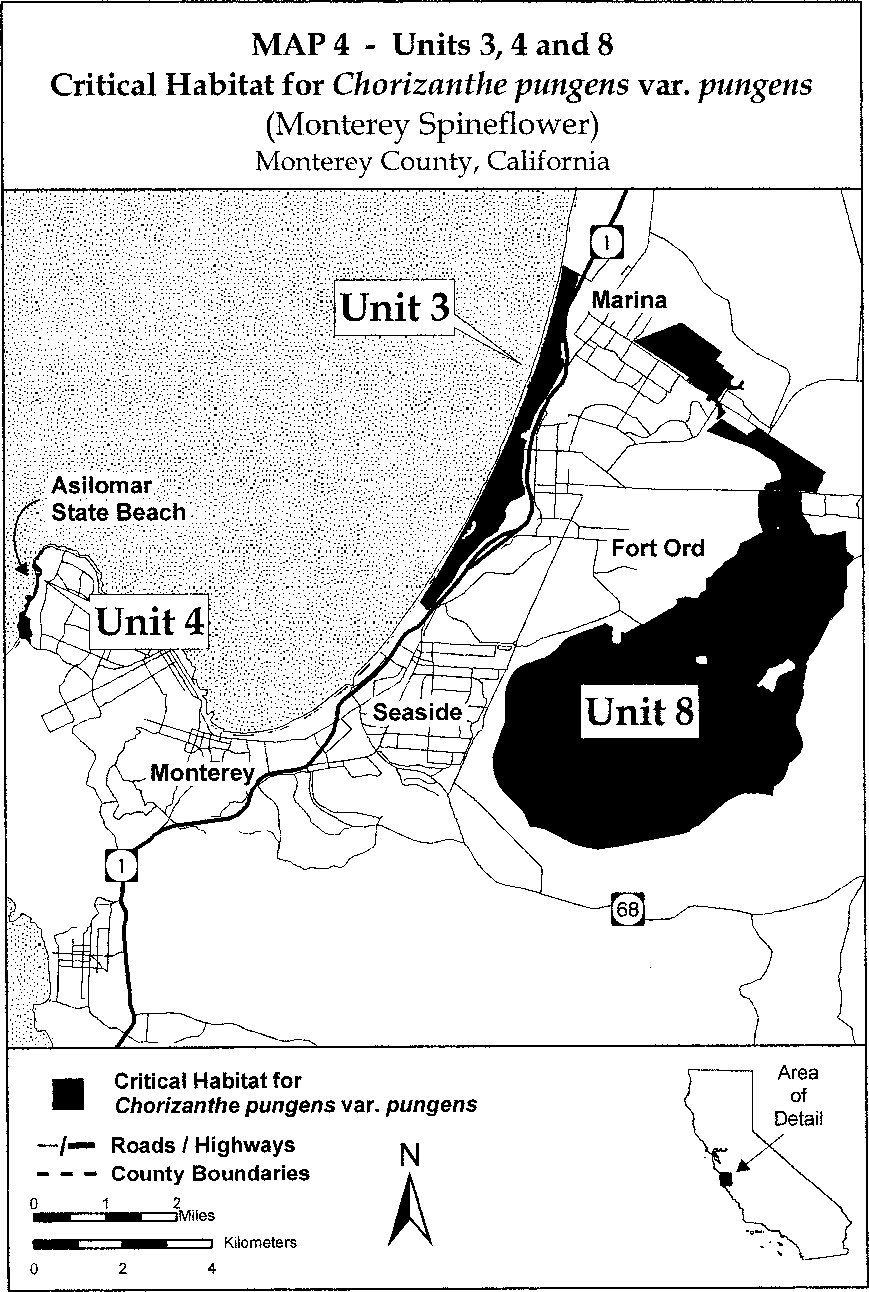
(9) Unit 4: Asilomar Unit, Monterey County, California. Map of Unit 4 is provided at paragraph (8)(ii) of this entry.
(10) Unit 5: Freedom Boulevard Unit, Monterey County, California. Map of Unit 5 is provided at paragraph (6)(ii) of this entry.
(11) Unit 6: Manresa Unit, Monterey County, California. Map of Unit 6 is provided at paragraph (6)(ii) of this entry.
(12) Unit 7: Prunedale Unit, Monterey County, California. Map of Unit 7 is provided at paragraph (7)(ii) of this entry.
(13) Unit 8: Fort Ord Unit, Monterey County, California.
(i) From USGS 1:24,000 scale quadrangle Marina, Salinas, Seaside, and Spreckles. Unit 8 excludes land bounded by the following UTM zone 10 NAD83 coordinates (E, N):
(A) 609791, 4053559; 609792, 4053420; 609833, 4053395; 609908, 4053357; 610068, 4053380; 610032, 4053598; returning to 609791, 4053559.
(B) 611172, 4052992; 611242, 4052923; 611314, 4052987; 611402, 4052913; 611442, 4052907; 611524, 4052850; 611543, 4052844; 611587, 4052866; 611607, 4052919; 611628, 4053042; 611618, 4053074; 611670, 4053189; 611761, 4053277; 612029, 4053402; 612049, 4053521; 611863, 4053644; 611727, 4053518; 611656, 4053497; 611611, 4053451; 611535, 4053431; 611438, 4053400; 611394, 4053341; 611346, 4053238; 611278, 4053122; 611230, 4053068; returning to 611172, 4052992.
(C) 611476, 4056579; 611418, 4056559; 611437, 4056500; 611496, 4056520; returning to 611476, 4056579.
(ii) Map of Unit 8 is provided at paragraph (8)(ii) of this entry.
(14) Unit 9: Soledad Unit, Monterey County, California.
(i) [Reserved]
(ii) Map of Unit 9 (Map 5) follows:
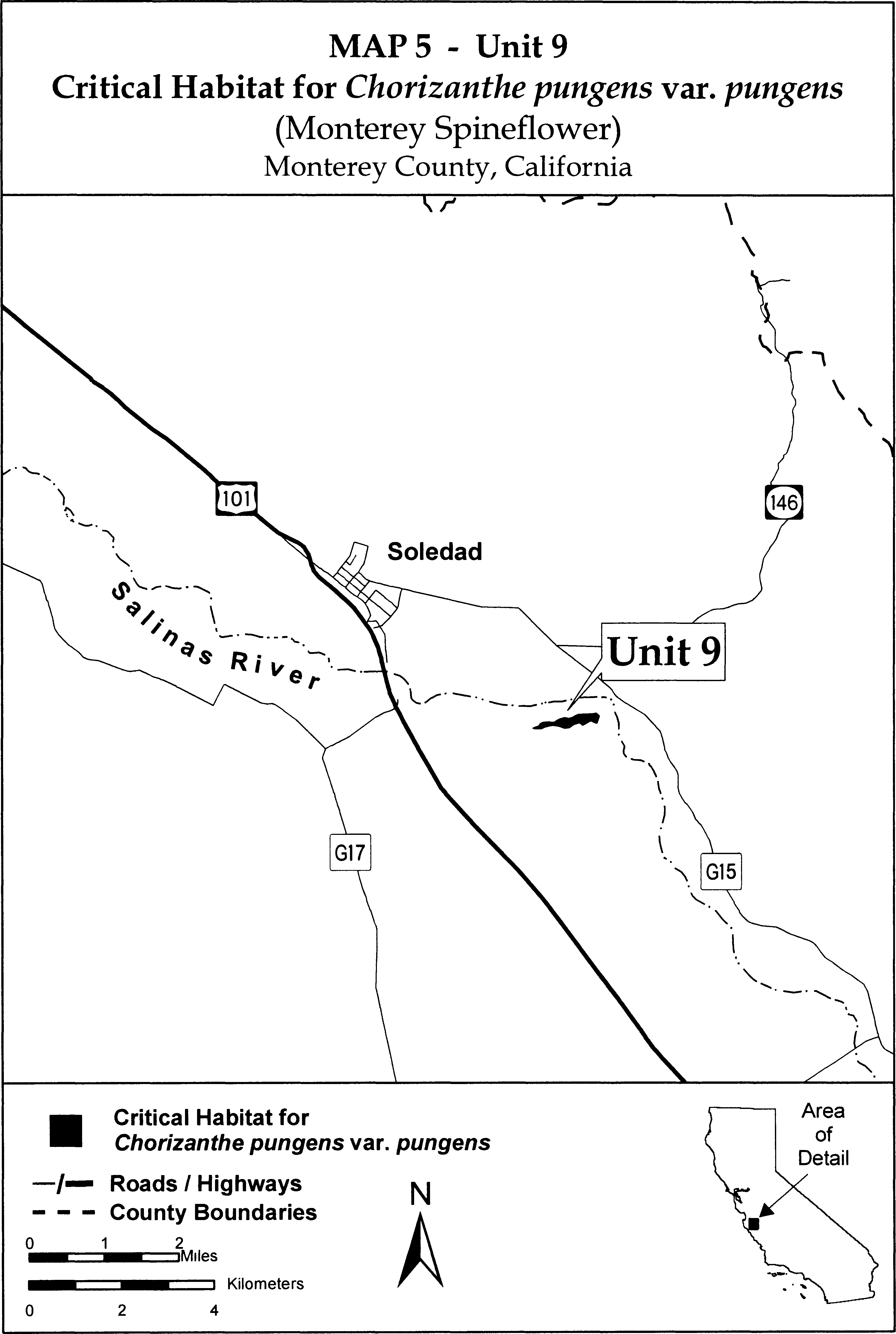
Family Polygonaceae: Chorizanthe robusta var. hartwegii (Scotts Valley spineflower)
(1) Critical habitat units are depicted for Santa Cruz County, California, on the map below. The map provided is for informational purposes only.
(2) The primary constituent elements of critical habitat for Chorizanthe robusta var. hartwegii are the habitat components that provide:
(i) Thin soils in the Bonnydoon series that have developed over outcrops of Santa Cruz mudstone and Purisima sandstone;
(ii) “Wildflower field” habitat that has developed on these thin-soiled sites;
(iii) A grassland plant community that supports the “wildflower field” habitat, that is stable over time and in which nonnative species are absent or are at a density that has little or no adverse effect on resources available for growth and reproduction of Chorizanthe robusta var. hartwegii;
(iv) Sufficient areas around each population to allow for recolonization to adjacent suitable microhabitat sites in the event of catastrophic events;
(v) Pollinator activity between existing colonies of Chorizanthe robusta var. hartwegii;
(vi) Seed dispersal mechanisms between existing colonies and other potentially suitable sites; and
(vii) Sufficient integrity of the watershed above habitat for Chorizanthe robusta var. hartwegii to maintain soil and hydrologic conditions that provide the seasonally wet substrate for growth and reproduction.
(3) Existing features and structures, such as buildings, roads, railroads, airports, other paved areas, lawns, and other urban landscaped areas, do not contain one or more of the primary constituent elements. Federal actions limited to those areas, therefore, would not trigger a consultation under section 7 of the Act unless they may affect the species and/or primary constituent elements in adjacent critical habitat.
(4) Unit 1: Santa Cruz County, California.
From USGS 7.5′ quadrangle map Felton, California, Mount. Diablo Meridian, California.
Lands bounded by the following UTM zone 10 NAD83 coordinates (E,N): 587990, 4103190; 587999, 4103220; 588021, 4103230; 588025, 4103250; 587997, 4103260; 588025, 4103280; 588035, 4103290; 588033, 4103310; 588025, 4103320; 588012, 4103330; 588014, 4103340; 588005, 4103350; 587984, 4103360; 587969, 4103370; 587962, 4103380; 587958, 4103390; 587962, 4103400; 587975, 4103410; 587992, 4103410; 588012, 4103420; 588029, 4103400; 588046, 4103410; 588058, 4103420; 588064, 4103430; 588072, 4103450; 588082, 4103480; 588088, 4103500; 588091, 4103530; 588091, 4103560; 588099, 4103570; 588115, 4103590; 588146, 4103580; 588169, 4103610; 588201, 4103630; 588272, 4103700; 588411, 4104050; 588571, 4103930; 588584, 4103940; 588589, 4103960; 588590, 4103980; 588583, 4104010; 588574, 4104030; 588559, 4104050; 588549, 4104070; 588568, 4104110; 588833, 4104150; 588827, 4104020; 588883, 4104030; 588891, 4103950; 588906, 4103920; 588931, 4103890; 588979, 4103870; 589049, 4103870; 589069, 4103680; 589061, 4103450; 589124, 4103440; 589173, 4103400; 589117, 4103050; 589062, 4103060; 589019, 4102960; 589099, 4102940; 589096, 4102920; 588612, 4103020; 588570, 4102880; 588485, 4102900; 588474, 4102960; 588452, 4102960; 588452, 4103090; 588473, 4103160; 588502, 4103270; 588504, 4103330; 588505, 4103420; 588402, 4103470; 588360, 4103480; 588292, 4103480; 588267, 4103440; 588121, 4103320; 588033, 4103080; 588352, 4103020; 588337, 4102930; 588000, 4102990; 587981, 4102940; 587900, 4102940; 587900, 4102960; 587905, 4102980; 587919, 4102970; 587931, 4102970; 587932, 4102990; 587924, 4103010; 587916, 4103040; 587915, 4103060; 587893, 4103070; 587887, 4103090; 587883, 4103100; 587885, 4103100; 587891, 4103110; 587911, 4103100; 587939, 4103130; 587942, 4103150; 587951, 4103160; 587963, 4103150; 587977, 4103160; 587990, 4103190.
(5) Unit 2: Santa Cruz County, California.
From USGS 7.5′ quadrangle map Laurel, California.
Lands bounded by the following UTM zone 10 NAD83 coordinates (E,N): 589297, 4102370; 589213, 4102420; 589164, 4102430; 589168, 4102460; 589174, 4102500; 589181, 4102550; 589189, 4102570; 589210, 4102600; 589243, 4102620; 589261, 4102630; 589274, 4102640; 589271, 4102660; 589270, 4102680; 589270, 4102690; 589289, 4102710; 589327, 4102740; 589361, 4102770; 589402, 4102790; 589435, 4102800; 589472, 4102800; 589571, 4102790; 589657, 4102780; 589762, 4102770; 589845, 4102750; 589889, 4102730; 589917, 4102690; 589932, 4102660; 589932, 4102620; 589930, 4102530; 589865, 4102440; 589732, 4102250; 589681, 4102260; 589669, 4102290; 589661, 4102300; 589642, 4102310; 589623, 4102310; 589590, 4102310; 589531, 4102320; 589297, 4102370.
(6) Critical Habitat Map for Units 1 and 2 follows:

Family Polygonaceae: Chorizanthe robusta var. robusta (robust spineflower).
(1) Critical habitat units are depicted for Santa Cruz County, California, on the maps below. The maps provided are for informational purposes only.
(2) The primary constituent elements of critical habitat for Chorizanthe robusta var. robusta include, but are not limited to, the habitat components that provide:
(i) Sandy soils associated with active coastal dunes, coastal bluffs with a deposition of windblown sand, inland sites with sandy soils, and interior floodplain dunes;
(ii) Plant communities that support associated species, including coastal dune, coastal scrub, grassland, maritime chaparral, oak woodland, and interior floodplain dune communities, and have a structure such that there are openings between the dominant elements (e.g, scrub, shrub, oak trees, clumps of herbaceous vegetation);
(iii) Plant communities that contain no or little cover by nonnative species which would complete for resources available for growth and reproduction of Chorizanthe robusta var. robusta; and
(iv) Physical processes, such as occasional soil disturbance, that support natural dune dynamics along coastal areas.
(3) Existing features and structures, such as buildings, roads, railroads, airports, other paved areas, lawns, and other urban landscaped areas, do not contain one or more of the primary constituent elements. Federal actions limited to those areas, therefore, would not trigger a consultation under section 7 of the Act unless they may affect the species and/or primary constituent elements in adjacent critical habitat.
(4) Critical Habitat Map Units - Index Map Follows

(5) Map Unit A (Pogonip): Santa Cruz County, California
From USGS 7.5′ quadrangle map Santa Cruz, California. Lands bounded by the following UTM zone 10 NAD83 coordinates (E,N): 585912, 4094380; 585909, 4094380; 585900, 4094370; 585882, 4094350; 585830, 4094330; 585798, 4094320; 585775, 4094300; 585747, 4094260; 585722, 4094230; 585688, 4094200; 585666, 4094200; 585649, 4094210; 585617, 4094230; 585571, 4094230; 585556, 4094240; 585546, 4094240; 585537, 4094250; 585505, 4094280; 585487, 4094290; 585468, 4094290; 585442, 4094290; 585393, 4094290; 585340, 4094290; 585313, 4094300; 585220, 4094330; 585162, 4094330; 585101, 4094320; 584986, 4094300; 584917, 4094290; 584886, 4094300; 584871, 4094310; 584856, 4094320; 584839, 4094340; 584828, 4094360; 584829, 4094380; 584834, 4094390; 584846, 4094400; 584853, 4094420; 584856, 4094440; 584853, 4094470; 584844, 4094500; 584811, 4094600; 584798, 4094630; 584787, 4094650; 584773, 4094670; 584762, 4094700; 584754, 4094740; 584756, 4094770; 584762, 4094790; 584772, 4094830; 584777, 4094870; 584772, 4094890; 584730, 4094960; 584729, 4094990; 584738, 4095020; 584751, 4095040; 584767, 4095050; 584781, 4095060; 584805, 4095060; 584841, 4095070; 584879, 4095080; 584901, 4095090; 584926, 4095090; 585050, 4095110; 585125, 4095110; 585174, 4095110; 585168, 4095090; 585166, 4095070; 585169, 4095000; 585182, 4094980; 585193, 4094970; 585208, 4094960; 585223, 4094950; 585244, 4094950; 585265, 4094950; 585337, 4094940; 585366, 4094940; 585388, 4094930; 585397, 4094910; 585414, 4094890; 585446, 4094870; 585480, 4094860; 585492, 4094850; 585470, 4094830; 585568, 4094740; 585606, 4094750; 585626, 4094720; 585885, 4094430; 585899, 4094410; 585907, 4094400; 585912, 4094380.
(6) Map Unit B (Branciforte): Santa Cruz County, California
(i) From USGS 7.5′ quadrangle map Santa Cruz, California. Lands bounded by the following UTM zone 10 NAD83 coordinates (E,N): 587730, 4094370; 587728, 4094390; 587865, 4094380; 587863, 4094360; 587877, 4094270; 587816, 4094080; 587738, 4094090; 587737, 4094190; 587724, 4094280; 587730, 4094370.
(ii) Map Unit A and B: Pogonip and Branciforte Map Follows.

(7) Map Unit C (Aptos): Santa Cruz County, California
Santa Cruz County, California.
Lands bounded by the following UTM zone 10 NAD83 coordinates (E,N): 599729, 4094230; 599670, 4094230; 599629, 4094230; 599577, 4094230; 599591, 4094270; 599596, 4094290; 599609, 4094340; 599623, 4094400; 599636, 4094460; 599641, 4094490; 599645, 4094530; 599647, 4094540; 599647, 4094570; 599648, 4094580; 599653, 4094640; 599655, 4094650; 599658, 4094660; 599661, 4094660; 599662, 4094660; 599701, 4094670; 599776, 4094670; 600002, 4094670; 600092, 4094680; 600199, 4094680; 600204, 4094670; 600209, 4094670; 600220, 4094670; 600225, 4094660; 600231, 4094660; 600242, 4094650; 600247, 4094640; 600272, 4094620; 600276, 4094610; 600280, 4094480; 600280, 4094480; 600278, 4094460; 600276, 4094460; 600274, 4094450; 600271, 4094440; 600270, 4094440; 600270, 4094430; 600271, 4094420; 600283, 4094380; 600287, 4094250; 600138, 4094250; 600007, 4094240; 599915, 4094240; 599729, 4094230.
(8) Map Unit D (Freedom): Santa Cruz County, California
(i) From USGS 7.5′ quadrangle map Watsonville West, California. Lands bounded by the following UTM zone 10 NAD83 coordinates (E,N): 601011, 4092690; 601113, 4092700; 601116, 4092600; 601223, 4092600; 601230, 4092400; 601122, 4092400; 601119, 4092500; 601019, 4092490; 601011, 4092690.
(ii) Map Units C and D: Aptos and Freedom Map Follows.

(9) Map Unit E (Buena Vista): Santa Cruz County, California
From USGS 7.5′ quadrangle map Watsonville West, California. Lands bounded by the following UTM zone 10 NAD83 coordinates (E,N): 604046, 4088420; 604031, 4088480; 604029, 4088530; 604036, 4088560; 604049, 4088580; 604681, 4088360; 604692, 4087930; 604701, 4087560; 604071, 4087530; 604064, 4087550; 604057, 4087580; 604053, 4087630; 604060, 4087660; 604069, 4087670; 604089, 4087690; 604101, 4087700; 604111, 4087730; 604110, 4087790; 604109, 4087820; 604116, 4087870; 604125, 4087900; 604131, 4087930; 604130, 4088020; 604119, 4088060; 604114, 4088090; 604114, 4088110; 604123, 4088170; 604125, 4088250; 604120, 4088280; 604102, 4088320; 604082, 4088350; 604046, 4088420.
(10) Map Unit F (Sunset): Santa Cruz County, California
(i) From USGS 7.5′ quadrangle map Watsonville West, California. Lands bounded by the following UTM zone 10 NAD83 coordinates (E,N): 603772, 4083610; 603885, 4083680; 603931, 4083700; 604008, 4083560; 604053, 4083490; 604059, 4083450; 604054, 4083420; 604045, 4083380; 604045, 4083350; 604080, 4083290; 604092, 4083270; 604102, 4083220; 604103, 4083180; 604109, 4083160; 604122, 4083150; 604149, 4083140; 604176, 4083120; 604202, 4083090; 604224, 4083060; 604243, 4083040; 604256, 4083020; 604279, 4083000; 604303, 4082980; 604328, 4082960; 604349, 4082920; 604373, 4082840; 604386, 4082800; 604412, 4082710; 604424, 4082670; 604425, 4082640; 604425, 4082610; 604426, 4082580; 604443, 4082530; 604449, 4082510; 604457, 4082490; 604460, 4082470; 604480, 4082440; 604492, 4082430; 604504, 4082400; 604512, 4082350; 604530, 4082300; 604546, 4082260; 604547, 4082250; 604536, 4082200; 604688, 4081900; 604847, 4081650; 604743, 4081650; 604613, 4081900; 604539, 4082040; 604449, 4082220; 604338, 4082450; 604258, 4082580; 604205, 4082690; 604132, 4082830; 604076, 4082910; 603987, 4083070; 603871, 4083280; 603804, 4083400; 603755, 4083480; 603700, 4083580; 603772, 4083610.
(ii) Map Units E and F: Buena Vista and Sunset Map Follows.

Family Polygonaceae: Eriogonum codium (Umtanum desert buckwheat)
(1) The critical habitat unit is depicted for Benton County, Washington, on the map at paragraph (5) of this entry.
(2) The primary constituent elements of the physical and biological features essential to the conservation of Eriogonum codium are the following:
(i) North- to northeast-facing, weathered basalt cliffs of the Wanapum Formation at the eastern end of Umtanum Ridge in Benton County that contain outcrops, cliff breaks, slopes, and flat or gently sloping cliff tops with exposed pebble and gravel soils.
(ii) Pebbly lithosol talus soils derived from surface weathering of the top of the Lolo Flow of the Priest Rapids Member of the Wanapum Formation.
(iii) Sparsely vegetated habitat (less than 10 percent total cover), containing low amounts of nonnative or invasive plant species (less than 1 percent cover).
(iv) The presence of insect pollinator species.
(v) The presence of native shrub steppe habitat within the effective pollinator distance (300 m (approximately 980 ft)) around the population.
(3) Critical habitat does not include manmade structures (such as buildings, pavement, or other structures) and the land on which they are located existing within the legal boundaries on the effective date of this rule.
(4) This critical habitat unit was mapped using Universal Transverse Mercator, Zone 11, North American Datum 1983 (UTM NAD 83) coordinates. These coordinates establish the vertices of the unit boundaries. The maps in this entry, as modified by any accompanying regulatory text, establish the boundaries of the critical habitat designation. The coordinates or plot points or both on which the map is based are available to the public at the field office Internet site (http://www.fws.gov/wafwo/HanfordPlants/FLFCH.html), http://www.regulations.gov at Docket No. FWS-R1-ES-2013-0012, and at the Service's Washington Fish and Wildlife Office. You may obtain field office location information by contacting one of the Service regional offices, the addresses of which are listed at 50 CFR 2.2.
(5) Note: Map of critical habitat for Eriogonum codium (Umtanum desert buckwheat) follows:
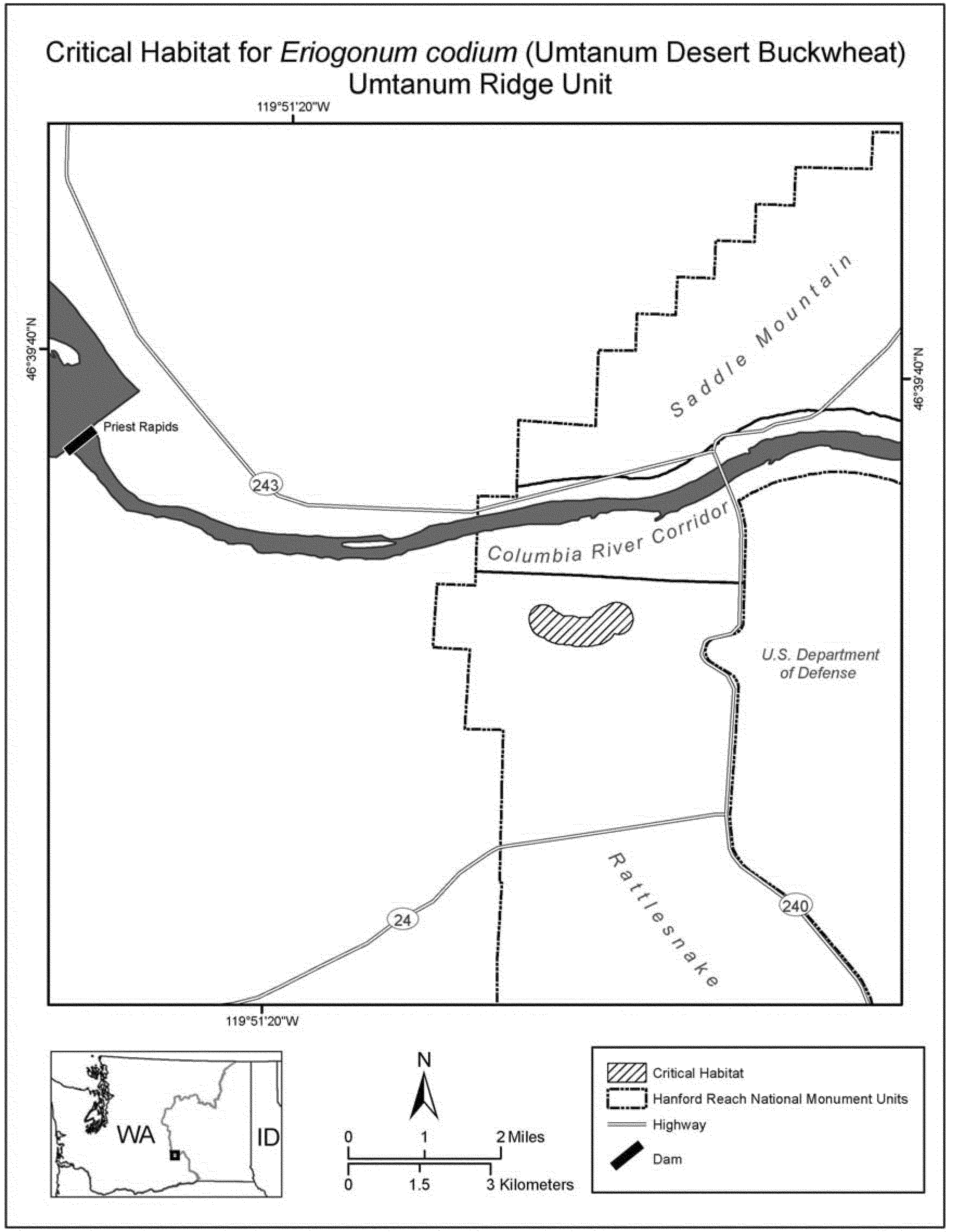
Family Polygonaceae: Eriogonum gypsophilum (gypsum wild buckwheat)
New Mexico; Eddy County; T20S, R25E, Section 19: N 1⁄2, N 1⁄2 NE 1⁄4 SE 1⁄4, N 1⁄2 NW 1⁄4 SE 1⁄4; and T20S, R24E, Section 24: N 1⁄2 NE 1⁄4, N 1⁄2 S 1⁄2 NE 1⁄4, NE 1⁄4 NW 1⁄4, N 1⁄2 SE 1⁄4 NW 1⁄4; gypsum soils.
The map provided is for informational purposes only. Map follows:

Family Polygonaceae: Eriogonum kennedyi var. austromontanum (Southern mountain wild-buckwheat)
(1) Critical habitat units for this species are found in San Bernardino County, California. The maps provided are for informational purposes only.
(2) The primary constituent elements of critical habitat for Eriogonum kennedyi var. austromontanum are the habitat components that provide:
(i) Pebble plains in dry meadow-like openings within upper montane coniferous forest, pinyon-juniper woodlands, or Great Basin sagebrush in the San Bernardino Mountains of San Bernardino County, California; at elevations between 5,900 to 9,800 ft (1,830 to 2,990 m) that provide space for individual and population growth, reproduction and dispersal; and
(ii) Seasonally wet clay, or sandy clay soils, generally containing quartzite pebbles, subject to natural hydrological processes that include water hydrating the soil and freezing in winter and drying in summer causing lifting and churning of included pebbles, that provide space for individual and population growth, reproduction and dispersal, adequate water, air, minerals, and other nutritional or physiological requirements to the species.
(3) Critical habitat does not include manmade structures (such as buildings, aqueducts, airports, roads, and other paved areas) and the land on which they are located existing on the effective date of this rule and not containing one or more of the primary constituent elements.
(4) Critical habitat map units. Data layers defining map units were created on a base of USGS 1:24,0000 maps, and critical habitat units were then mapped using Universal Transverse Mercator (UTM) coordinates.
(5) Index map (Map 1) follows:

(6) Units ERKA 1 and ERKA 2. Arrastre/Union Flat, San Bernardino County, California. From USGS 1:24,000 quadrangle map Big Bear City.
(i) Unit ERKA 1. Land bounded by the following UTM NAD27 coordinates (E,N): 512434, 3795966; 512436, 3795961; 512446, 3795966; 512450, 3795966; 512469, 3795969; 512508, 3795965; 512533, 3795959; 512537, 3795959; 512539, 3795960; 512549, 3795964; 512560, 3795961; 512568, 3795954; 512573, 3795948; 512573, 3795936; 512571, 3795930; 512568, 3795927; 512565, 3795927; 512563, 3795927; 512563, 3795924; 512561, 3795914; 512556, 3795904; 512555, 3795903; 512554, 3795901; 512548, 3795879; 512535, 3795835; 512544, 3795791; 512546, 3795790; 512554, 3795787; 512568, 3795779; 512576, 3795774; 512582, 3795771; 512592, 3795764; 512595, 3795753; 512595, 3795747; 512591, 3795739; 512584, 3795732; 512581, 3795731; 512575, 3795727; 512569, 3795727; 512560, 3795728; 512552, 3795733; 512544, 3795739; 512542, 3795740; 512541, 3795739; 512540, 3795738; 512525, 3795717; 512469, 3795694; 512447, 3795680; 512445, 3795679; 512427, 3795653; 512428, 3795649; 512450, 3795617; 512476, 3795588; 512476, 3795588; 512504, 3795564; 512514, 3795552; 512541, 3795525; 512546, 3795509; 512548, 3795508; 512553, 3795501; 512554, 3795500; 512558, 3795490; 512566, 3795479; 512573, 3795468; 512584, 3795444; 512586, 3795433; 512588, 3795412; 512594, 3795398; 512601, 3795395; 512607, 3795395; 512627, 3795401; 512632, 3795400; 512641, 3795402; 512654, 3795400; 512675, 3795405; 512691, 3795401; 512699, 3795397; 512703, 3795397; 512707, 3795394; 512715, 3795393; 512718, 3795391; 512730, 3795388; 512740, 3795378; 512742, 3795374; 512746, 3795371; 512770, 3795357; 512806, 3795330; 512815, 3795317; 512837, 3795311; 512856, 3795327; 512872, 3795330; 512883, 3795343; 512886, 3795339; 512900, 3795331; 512905, 3795319; 512909, 3795312; 512913, 3795307; 512913, 3795306; 512913, 3795305; 512914, 3795303; 512920, 3795287; 512924, 3795286; 512935, 3795275; 512938, 3795270; 512944, 3795264; 512948, 3795258; 512953, 3795250; 512955, 3795245; 512954, 3795239; 512953, 3795233; 512949, 3795225; 512946, 3795221; 512949, 3795219; 512976, 3795203; 512998, 3795196; 513008, 3795189; 513014, 3795187; 513019, 3795183; 513030, 3795176; 513031, 3795173; 513048, 3795163; 513049, 3795158; 513051, 3795154; 513053, 3795150; 513053, 3795143; 513053, 3795142; 513056, 3795131; 513053, 3795122; 513053, 3795109; 513055, 3795098; 513059, 3795095; 513062, 3795091; 513066, 3795086; 513069, 3795084; 513072, 3795077; 513076, 3795073; 513079, 3795066; 513080, 3795064; 513083, 3795057; 513083, 3795052; 513083, 3795047; 513082, 3795043; 513080, 3795036; 513080, 3795034; 513079, 3795025; 513077, 3795018; 513075, 3795011; 513075, 3795007; 513072, 3794999; 513069, 3794994; 513066, 3794989; 513058, 3794982; 513053, 3794982; 513047, 3794982; 513037, 3794982; 513035, 3794981; 513017, 3794975; 513010, 3794975; 513006, 3794978; 513000, 3794981; 512993, 3794985; 512988, 3794988; 512973, 3794993; 512965, 3794993; 512960, 3794991; 512951, 3794990; 512944, 3794988; 512938, 3794987; 512934, 3794988; 512924, 3794989; 512915, 3794991; 512897, 3794997; 512886, 3795001; 512875, 3795007; 512866, 3795012; 512852, 3795026; 512850, 3795031; 512847, 3795037; 512848, 3795042; 512848, 3795045; 512856, 3795057; 512861, 3795057; 512871, 3795053; 512875, 3795052; 512883, 3795047; 512863, 3795065; 512861, 3795066; 512853, 3795072; 512853, 3795075; 512847, 3795081; 512851, 3795097; 512867, 3795120; 512875, 3795132; 512879, 3795132; 512881, 3795135; 512913, 3795143; 512919, 3795177; 512903, 3795187; 512899, 3795188; 512884, 3795190; 512840, 3795190; 512839, 3795192; 512835, 3795194; 512826, 3795195; 512825, 3795196; 512811, 3795199; 512812, 3795203; 512811, 3795204; 512811, 3795217; 512800, 3795241; 512793, 3795247; 512785, 3795251; 512778, 3795254; 512765, 3795263; 512732, 3795279; 512696, 3795299; 512648, 3795303; 512621, 3795315; 512618, 3795316; 512607, 3795318; 512601, 3795321; 512585, 3795327; 512561, 3795335; 512558, 3795344; 512555, 3795349; 512545, 3795359; 512533, 3795366; 512510, 3795373; 512508, 3795373; 512500, 3795376; 512498, 3795372; 512497, 3795370; 512495, 3795367; 512492, 3795368; 512490, 3795372; 512490, 3795379; 512489, 3795379; 512484, 3795381; 512485, 3795387; 512482, 3795398; 512482, 3795418; 512485, 3795432; 512484, 3795433; 512486, 3795443; 512486, 3795452; 512453, 3795490; 512413, 3795508; 512409, 3795509; 512408, 3795507; 512406, 3795499; 512398, 3795500; 512390, 3795509; 512386, 3795512; 512354, 3795501; 512340, 3795496; 512357, 3795495; 512366, 3795491; 512362, 3795478; 512360, 3795467; 512361, 3795466; 512364, 3795462; 512368, 3795462; 512373, 3795469; 512376, 3795462; 512392, 3795462; 512392, 3795461; 512393, 3795461; 512401, 3795463; 512406, 3795462; 512408, 3795459; 512429, 3795455; 512432, 3795454; 512437, 3795449; 512437, 3795446; 512434, 3795435; 512431, 3795430; 512434, 3795422; 512433, 3795419; 512434, 3795416; 512432, 3795410; 512433, 3795405; 512430, 3795402; 512428, 3795397; 512423, 3795395; 512421, 3795393; 512393, 3795381; 512369, 3795385; 512368, 3795386; 512367, 3795386; 512351, 3795394; 512339, 3795398; 512339, 3795414; 512342, 3795418; 512342, 3795425; 512350, 3795437; 512339, 3795449; 512324, 3795455; 512306, 3795472; 512299, 3795481; 512283, 3795473; 512264, 3795473; 512249, 3795472; 512248, 3795473; 512247, 3795473; 512237, 3795473; 512228, 3795473; 512223, 3795475; 512207, 3795477; 512189, 3795483; 512172, 3795485; 512165, 3795492; 512163, 3795493; 512156, 3795496; 512155, 3795496; 512150, 3795497; 512149, 3795498; 512135, 3795504; 512124, 3795510; 512100, 3795517; 512095, 3795519; 512080, 3795516; 512060, 3795516; 512044, 3795536; 512052, 3795560; 512056, 3795588; 512064, 3795616; 512064, 3795617; 512065, 3795620; 512081, 3795644; 512087, 3795650; 512088, 3795651; 512089, 3795652; 512101, 3795664; 512123, 3795675; 512123, 3795688; 512123, 3795695; 512122, 3795699; 512119, 3795715; 512111, 3795727; 512119, 3795747; 512125, 3795759; 512133, 3795784; 512135, 3795798; 512143, 3795822; 512155, 3795842; 512171, 3795857; 512199, 3795878; 512223, 3795886; 512228, 3795889; 512235, 3795890; 512242, 3795892; 512248, 3795895; 512282, 3795913; 512334, 3795929; 512377, 3795941; 512380, 3795941; 512383, 3795942; 512387, 3795942; 512394, 3795943; 512397, 3795947; 512412, 3795966; 512417, 3795971; 512422, 3795975; 512427, 3795979; 512430, 3795978; 512434, 3795966.
(ii) Unit ERKA 2. Land bounded by the following UTM NAD27 coordinates (E,N): 513282, 3797202; 513312, 3797195; 513346, 3797179; 513347, 3797179; 513352, 3797178; 513378, 3797155; 513382, 3797151; 513404, 3797137; 513430, 3797126; 513434, 3797122; 513438, 3797119; 513475, 3797110; 513503, 3797106; 513500, 3797115; 513500, 3797124; 513510, 3797137; 513520, 3797137; 513532, 3797131; 513545, 3797124; 513554, 3797111; 513554, 3797108; 513567, 3797110; 513599, 3797116; 513650, 3797107; 513655, 3797103; 513659, 3797103; 513666, 3797099; 513668, 3797098; 513694, 3797083; 513708, 3797069; 513727, 3797057; 513758, 3797027; 513788, 3796985; 513797, 3796978; 513801, 3796976; 513815, 3796968; 513834, 3796962; 513876, 3796962; 513926, 3796970; 513952, 3796981; 513956, 3796985; 513979, 3797000; 514002, 3797019; 514028, 3797035; 514070, 3797061; 514093, 3797069; 514129, 3797075; 514136, 3797079; 514216, 3797087; 514238, 3797082; 514329, 3797076; 514364, 3797073; 514406, 3797069; 514444, 3797046; 514455, 3797019; 514448, 3797004; 514444, 3797001; 514441, 3796991; 514418, 3796945; 514401, 3796935; 514398, 3796928; 514393, 3796914; 514396, 3796911; 514384, 3796831; 514384, 3796806; 514387, 3796798; 514383, 3796764; 514375, 3796741; 514362, 3796721; 514357, 3796709; 514343, 3796691; 514329, 3796661; 514318, 3796650; 514303, 3796631; 514288, 3796623; 514276, 3796625; 514270, 3796622; 514239, 3796625; 514197, 3796645; 514171, 3796637; 514166, 3796635; 514151, 3796626; 514106, 3796587; 514064, 3796561; 514003, 3796519; 513965, 3796488; 513946, 3796458; 513946, 3796457; 513959, 3796433; 513996, 3796392; 514005, 3796381; 514022, 3796370; 514030, 3796350; 514036, 3796343; 514043, 3796339; 514101, 3796309; 514102, 3796309; 514108, 3796307; 514111, 3796304; 514142, 3796287; 514170, 3796255; 514215, 3796208; 514291, 3796164; 514355, 3796119; 514424, 3796055; 514439, 3796024; 514451, 3796009; 514449, 3795971; 514450, 3795964; 514443, 3795894; 514441, 3795891; 514440, 3795890; 514393, 3795830; 514332, 3795801; 514321, 3795800; 514291, 3795789; 514262, 3795785; 514258, 3795783; 514231, 3795781; 514227, 3795781; 514226, 3795781; 514155, 3795776; 514144, 3795785; 514116, 3795789; 514088, 3795817; 514047, 3795891; 514018, 3795938; 514005, 3795973; 513980, 3796014; 513957, 3796046; 513948, 3796055; 513865, 3796109; 513828, 3796145; 513797, 3796168; 513780, 3796186; 513762, 3796200; 513760, 3796201; 513723, 3796230; 513687, 3796286; 513678, 3796295; 513674, 3796304; 513669, 3796313; 513661, 3796338; 513655, 3796353; 513652, 3796365; 513634, 3796408; 513630, 3796430; 513628, 3796432; 513627, 3796434; 513625, 3796439; 513622, 3796448; 513622, 3796451; 513619, 3796455; 513615, 3796461; 513612, 3796466; 513607, 3796471; 513601, 3796475; 513594, 3796479; 513581, 3796480; 513579, 3796481; 513577, 3796481; 513568, 3796491; 513563, 3796494; 513561, 3796495; 513560, 3796500; 513560, 3796506; 513560, 3796508; 513562, 3796511; 513567, 3796513; 513573, 3796517; 513578, 3796520; 513586, 3796523; 513592, 3796524; 513582, 3796530; 513580, 3796555; 513590, 3796564; 513595, 3796566; 513601, 3796566; 513598, 3796573; 513589, 3796592; 513581, 3796602; 513570, 3796605; 513551, 3796618; 513539, 3796656; 513548, 3796669; 513548, 3796676; 513571, 3796707; 513590, 3796760; 513590, 3796810; 513587, 3796851; 513586, 3796856; 513584, 3796863; 513571, 3796887; 513565, 3796881; 513546, 3796877; 513512, 3796881; 513489, 3796900; 513481, 3796923; 513481, 3796924; 513465, 3796924; 513438, 3796920; 513432, 3796923; 513431, 3796922; 513380, 3796910; 513348, 3796878; 513329, 3796849; 513326, 3796805; 513300, 3796757; 513293, 3796749; 513291, 3796739; 513275, 3796710; 513273, 3796706; 513268, 3796698; 513256, 3796676; 513232, 3796652; 513204, 3796636; 513196, 3796629; 513168, 3796629; 513162, 3796631; 513162, 3796628; 513162, 3796619; 513158, 3796609; 513155, 3796603; 513149, 3796597; 513138, 3796593; 513131, 3796584; 513128, 3796581; 513148, 3796577; 513167, 3796562; 513167, 3796528; 513152, 3796516; 513146, 3796511; 513141, 3796511; 513118, 3796501; 513119, 3796501; 513131, 3796493; 513134, 3796488; 513145, 3796482; 513149, 3796466; 513145, 3796450; 513137, 3796434; 513126, 3796434; 513115, 3796429; 513106, 3796427; 513100, 3796425; 513087, 3796427; 513085, 3796426; 513082, 3796427; 513085, 3796425; 513089, 3796424; 513094, 3796423; 513099, 3796421; 513103, 3796421; 513107, 3796420; 513109, 3796419; 513120, 3796414; 513122, 3796411; 513123, 3796407; 513123, 3796401; 513121, 3796389; 513110, 3796387; 513089, 3796387; 513085, 3796387; 513080, 3796383; 513075, 3796378; 513069, 3796376; 513065, 3796378; 513061, 3796380; 513038, 3796401; 513031, 3796403; 513022, 3796403; 513016, 3796403; 513010, 3796404; 513007, 3796408; 512998, 3796427; 512993, 3796432; 512984, 3796432; 512976, 3796431; 512967, 3796430; 512958, 3796430; 512948, 3796431; 512942, 3796435; 512942, 3796440; 512943, 3796447; 512947, 3796453; 512958, 3796458; 512968, 3796460; 512981, 3796461; 512990, 3796462; 512998, 3796461; 513002, 3796462; 513000, 3796463; 512996, 3796465; 512992, 3796472; 512986, 3796477; 512982, 3796485; 512977, 3796493; 512985, 3796499; 512986, 3796501; 512996, 3796509; 513006, 3796518; 513003, 3796519; 513001, 3796524; 513001, 3796528; 513003, 3796531; 513006, 3796533; 513013, 3796536; 513026, 3796540; 513031, 3796543; 513019, 3796558; 513004, 3796600; 513004, 3796623; 513001, 3796637; 513009, 3796690; 513024, 3796717; 513039, 3796763; 513070, 3796797; 513089, 3796843; 513096, 3796872; 513099, 3796901; 513095, 3796915; 513094, 3796917; 513076, 3796939; 513072, 3796962; 513087, 3796975; 513089, 3796980; 513123, 3797003; 513126, 3797015; 513126, 3797031; 513106, 3797069; 513087, 3797088; 513084, 3797137; 513096, 3797163; 513103, 3797175; 513141, 3797195; 513182, 3797197; 513184, 3797197; 513218, 3797201; 513240, 3797201; 513255, 3797202; 513282, 3797202.
(iii) Note: Map of Units ERKA 1 and ERKA 2 (Map 2) follows:
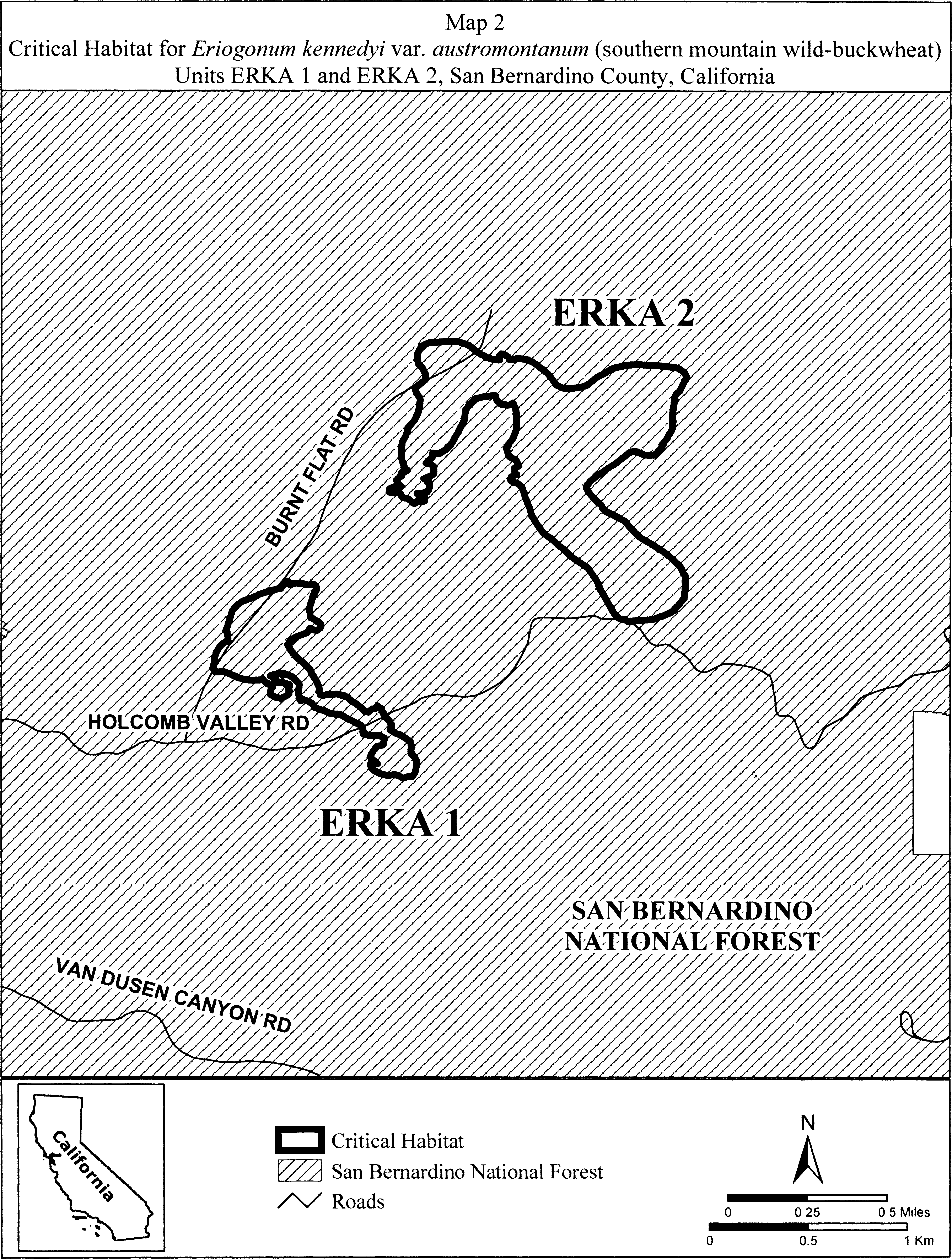
(7) Unit ERKA 3, Big Bear Lake, San Bernardino County, California.
(i) From USGS 1:24,000 quadrangle map Big Bear Lake. Land bounded by the following UTM NAD27 coordinates (E,N): 507777, 3788001; 507780, 3787993; 507783, 3788009; 507791, 3788029; 507801, 3788015; 507806, 3788013; 507806, 3788005; 507811, 3787989; 507811, 3787973; 507811, 3787949; 507810, 3787946; 507810, 3787941; 507807, 3787932; 507806, 3787930; 507804, 3787929; 507803, 3787925; 507802, 3787925; 507790, 3787909; 507764, 3787877; 507732, 3787851; 507704, 3787839; 507688, 3787829; 507686, 3787828; 507682, 3787826; 507682, 3787827; 507678, 3787826; 507674, 3787876; 507666, 3787929; 507659, 3787975; 507659, 3788001; 507669, 3788023; 507682, 3788035; 507707, 3788042; 507729, 3788042; 507752, 3788036; 507767, 3788013; 507769, 3788006; 507777, 3788001.
(ii) Note: Map of Unit ERKA 3 (Map 3) follows:
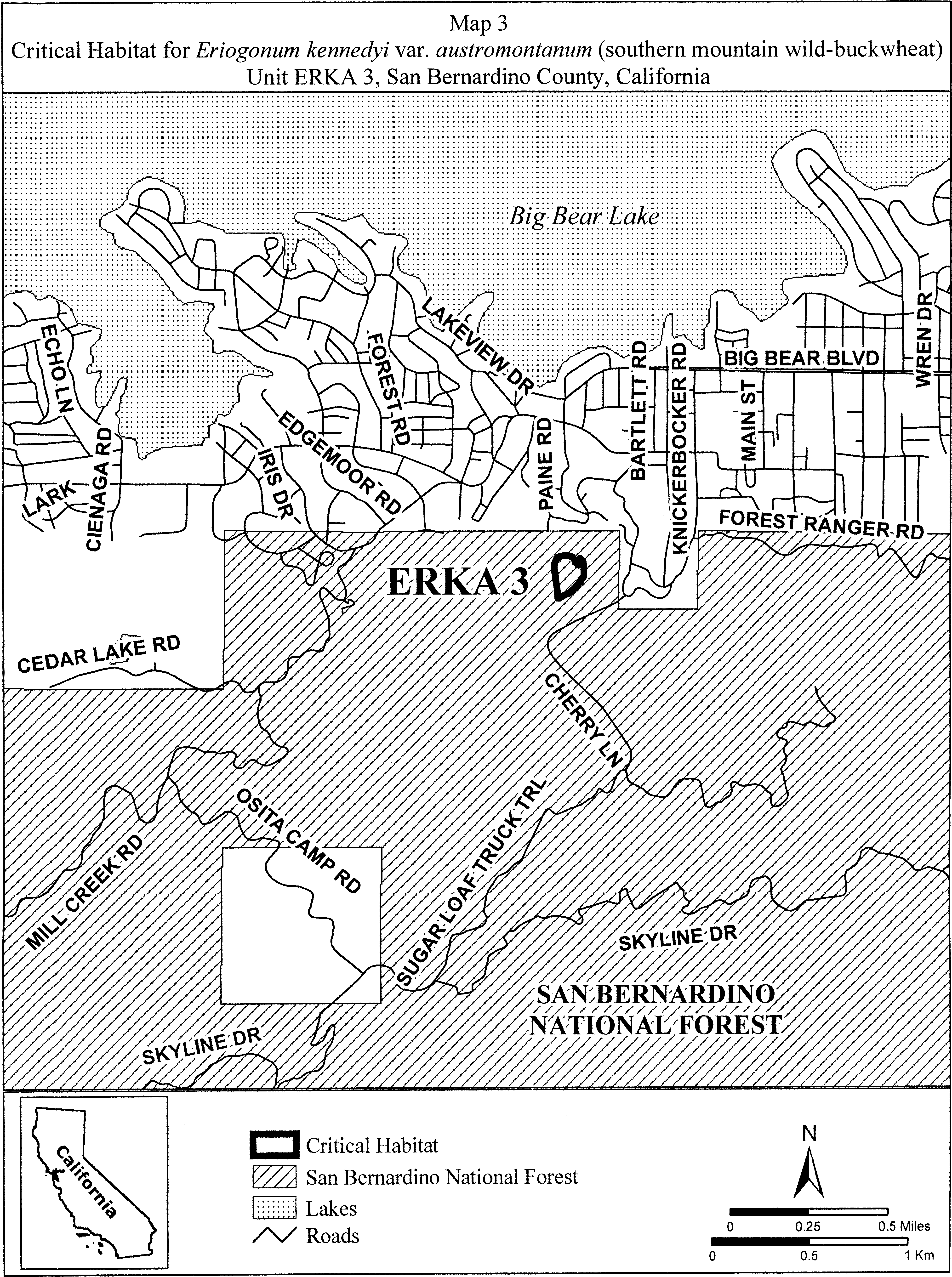
(8) Units ERKA 4 and ERKA 5. Fawnskin, San Bernardino County, California. From USGS 1:24,000 quadrangle map Fawnskin.
(i) Unit ERKA 4. Land bounded by the following UTM NAD27 coordinates (E,N): 506020, 3792309; 506020, 3792303; 506001, 3792335; 506014, 3792404; 506014, 3792468; 506001, 3792538; 505982, 3792557; 505963, 3792595; 505950, 3792639; 505937, 3792671; 505944, 3792703; 505994, 3792722; 506039, 3792722; 506109, 3792684; 506147, 3792665; 506191, 3792627; 506229, 3792582; 506217, 3792525; 506166, 3792493; 506121, 3792462; 506109, 3792442; 506109, 3792417; 506096, 3792392; 506077, 3792373; 506052, 3792335; 506020, 3792309.
(ii) Unit ERKA 5. Land bounded by the following UTM NAD27 coordinates (E,N): 506636, 3791541; 506604, 3791490; 506547, 3791496; 506534, 3791515; 506515, 3791579; 506522, 3791661; 506502, 3791757; 506490, 3791807; 506502, 3791852; 506547, 3791941; 506579, 3792017; 506610, 3792100; 506629, 3792182; 506649, 3792220; 506668, 3792233; 506687, 3792227; 506680, 3792214; 506693, 3792182; 506706, 3792138; 506712, 3792074; 506725, 3792036; 506706, 3791928; 506680, 3791846; 506674, 3791801; 506674, 3791744; 506668, 3791674; 506655, 3791623; 506636, 3791541.
(iii) Note: Map of Units ERKA 4 and ERKA 5 (Map 4) follows:
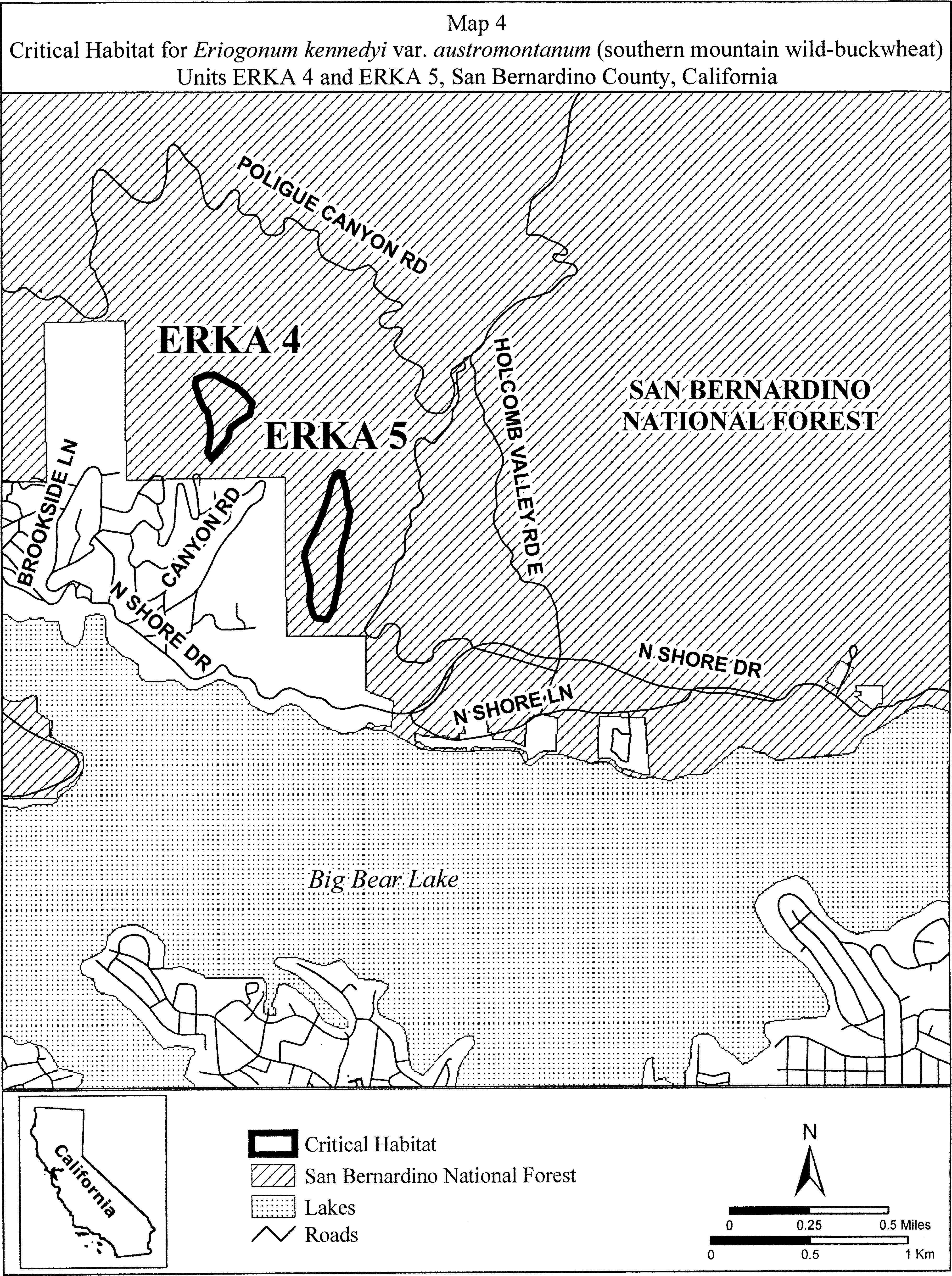
(9) Units ERKA 6, ERKA 7, and ERKA 10. Gold Mountain and North Baldwin Lake, San Bernardino County, California. From USGS 1:24,000 quadrangle map Big Bear City.
(i) Unit ERKA 6. Land bounded by the following UTM NAD27 coordinates (E,N): 516297, 3793523; 516342, 3793514; 516374, 3793491; 516405, 3793447; 516412, 3793390; 516424, 3793352; 516421, 3793333; 516437, 3793335; 516450, 3793331; 516463, 3793309; 516466, 3793281; 516465, 3793279; 516475, 3793268; 516469, 3793227; 516447, 3793207; 516421, 3793189; 516380, 3793166; 516345, 3793154; 516311, 3793139; 516272, 3793103; 516244, 3793081; 516215, 3793077; 516187, 3793090; 516206, 3793135; 516202, 3793144; 516207, 3793149; 516196, 3793141; 516172, 3793137; 516163, 3793137; 516157, 3793137; 516154, 3793135; 516147, 3793133; 516132, 3793125; 516128, 3793123; 516109, 3793112; 516096, 3793112; 516095, 3793112; 516081, 3793111; 516065, 3793105; 516045, 3793109; 516017, 3793126; 516016, 3793127; 516006, 3793132; 516003, 3793145; 515998, 3793153; 515995, 3793166; 515988, 3793165; 515980, 3793163; 515971, 3793161; 515961, 3793161; 515956, 3793162; 515943, 3793162; 515926, 3793178; 515919, 3793180; 515912, 3793182; 515905, 3793188; 515899, 3793193; 515893, 3793198; 515884, 3793209; 515881, 3793219; 515879, 3793220; 515793, 3793243; 515732, 3793233; 515685, 3793220; 515647, 3793211; 515577, 3793211; 515536, 3793230; 515507, 3793261; 515501, 3793303; 515501, 3793335; 515542, 3793357; 515586, 3793360; 515625, 3793357; 515666, 3793341; 515707, 3793335; 515761, 3793338; 515809, 3793354; 515828, 3793376; 515851, 3793399; 515851, 3793403; 515848, 3793408; 515845, 3793414; 515844, 3793417; 515842, 3793424; 515842, 3793431; 515843, 3793438; 515839, 3793448; 515845, 3793446; 515849, 3793444; 515856, 3793439; 515860, 3793433; 515872, 3793430; 515873, 3793429; 515879, 3793443; 515901, 3793468; 515904, 3793468; 515910, 3793468; 515917, 3793461; 515921, 3793461; 515935, 3793473; 515980, 3793495; 516015, 3793501; 516082, 3793514; 516132, 3793514; 516212, 3793520; 516262, 3793527; 516297, 3793523.
(ii) Unit ERKA 7. Land bounded by the following UTM NAD27 coordinates (E,N): 516768, 3792969; 516744, 3792965; 516720, 3792965; 516705, 3792961; 516685, 3792953; 516673, 3792949; 516652, 3792935; 516645, 3792926; 516642, 3792923; 516641, 3792918; 516633, 3792898; 516633, 3792891; 516633, 3792891; 516623, 3792868; 516621, 3792864; 516585, 3792863; 516581, 3792865; 516578, 3792862; 516562, 3792870; 516560, 3792871; 516556, 3792871; 516545, 3792873; 516540, 3792875; 516521, 3792875; 516510, 3792864; 516502, 3792855; 516496, 3792848; 516490, 3792840; 516477, 3792833; 516463, 3792824; 516461, 3792822; 516450, 3792804; 516447, 3792800; 516438, 3792788; 516423, 3792784; 516410, 3792780; 516377, 3792769; 516375, 3792768; 516364, 3792763; 516319, 3792740; 516318, 3792740; 516311, 3792737; 516304, 3792731; 516298, 3792731; 516283, 3792725; 516279, 3792728; 516271, 3792727; 516229, 3792731; 516176, 3792758; 516157, 3792773; 516130, 3792803; 516127, 3792815; 516119, 3792849; 516138, 3792891; 516157, 3792925; 516180, 3792952; 516203, 3792979; 516233, 3793009; 516268, 3793036; 516274, 3793041; 516275, 3793055; 516282, 3793087; 516298, 3793112; 516329, 3793125; 516364, 3793131; 516453, 3793154; 516520, 3793160; 516590, 3793166; 516610, 3793155; 516641, 3793150; 516668, 3793139; 516694, 3793116; 516717, 3793093; 516732, 3793074; 516748, 3793055; 516759, 3793039; 516770, 3793024; 516772, 3793012; 516775, 3793010; 516778, 3793004; 516778, 3793004; 516780, 3793001; 516784, 3792993; 516783, 3792989; 516783, 3792987; 516783, 3792987; 516783, 3792987; 516782, 3792985; 516780, 3792983; 516780, 3792981; 516777, 3792979; 516777, 3792978; 516775, 3792975; 516773, 3792971; 516772, 3792971; 516772, 3792971; 516771, 3792971; 516769, 3792970; 516768, 3792969.
(iii) Unit ERKA 10. Land bounded by the following UTM NAD27 coordinates (E,N): 516160, 3795525; 516163, 3795551; 516182, 3795563; 516194, 3795563; 516198, 3795566; 516240, 3795559; 516278, 3795551; 516308, 3795555; 516331, 3795578; 516396, 3795605; 516406, 3795603; 516415, 3795605; 516453, 3795601; 516491, 3795578; 516491, 3795574; 516491, 3795551; 516472, 3795525; 516466, 3795501; 516465, 3795486; 516468, 3795452; 516480, 3795422; 516486, 3795415; 516518, 3795399; 516552, 3795379; 516598, 3795380; 516649, 3795388; 516655, 3795391; 516654, 3795425; 516658, 3795442; 516685, 3795452; 516698, 3795449; 516708, 3795431; 516716, 3795406; 516765, 3795429; 516807, 3795448; 516810, 3795448; 516834, 3795456; 516857, 3795452; 516906, 3795429; 516933, 3795410; 516960, 3795383; 516971, 3795361; 516986, 3795334; 517009, 3795299; 517032, 3795262; 517063, 3795223; 517097, 3795181; 517110, 3795163; 517131, 3795140; 517165, 3795101; 517184, 3795090; 517207, 3795083; 517211, 3795082; 517269, 3795104; 517278, 3795133; 517272, 3795170; 517264, 3795193; 517230, 3795239; 517196, 3795288; 517154, 3795349; 517150, 3795370; 517146, 3795376; 517139, 3795399; 517141, 3795414; 517139, 3795425; 517146, 3795448; 517154, 3795471; 517211, 3795517; 517245, 3795521; 517314, 3795517; 517360, 3795509; 517381, 3795485; 517386, 3795479; 517388, 3795476; 517402, 3795460; 517413, 3795433; 517440, 3795387; 517460, 3795371; 517489, 3795353; 517506, 3795341; 517520, 3795334; 517584, 3795315; 517611, 3795292; 517653, 3795261; 517672, 3795219; 517699, 3795159; 517718, 3795115; 517749, 3795078; 517759, 3795070; 517786, 3795052; 517809, 3795029; 517840, 3794999; 517841, 3794997; 517851, 3794987; 517882, 3794923; 517908, 3794881; 517917, 3794871; 517939, 3794854; 517981, 3794819; 518023, 3794812; 518038, 3794812; 518095, 3794819; 518152, 3794816; 518155, 3794815; 518171, 3794816; 518202, 3794804; 518251, 3794778; 518339, 3794755; 518411, 3794732; 518461, 3794724; 518461, 3794713; 518457, 3794698; 518442, 3794683; 518439, 3794680; 518438, 3794679; 518415, 3794652; 518458, 3794642; 518462, 3794598; 518443, 3794587; 518438, 3794583; 518413, 3794573; 518371, 3794577; 518322, 3794586; 518279, 3794597; 518246, 3794608; 518230, 3794614; 518206, 3794614; 518133, 3794617; 518117, 3794619; 518097, 3794610; 518097, 3794615; 518097, 3794618; 518098, 3794621; 518069, 3794625; 518061, 3794625; 518045, 3794627; 518046, 3794602; 518045, 3794602; 518039, 3794605; 518034, 3794609; 518019, 3794610; 518017, 3794611; 518019, 3794605; 518019, 3794589; 518012, 3794567; 517993, 3794554; 517968, 3794567; 517946, 3794573; 517936, 3794560; 517920, 3794548; 517914, 3794549; 517917, 3794545; 517924, 3794535; 517931, 3794526; 517939, 3794516; 517948, 3794503; 517954, 3794493; 517959, 3794482; 517964, 3794473; 517964, 3794468; 517959, 3794461; 517950, 3794456; 517934, 3794458; 517923, 3794462; 517905, 3794469; 517892, 3794475; 517882, 3794478; 517869, 3794480; 517852, 3794480; 517859, 3794462; 517866, 3794439; 517889, 3794413; 517927, 3794397; 517988, 3794404; 518030, 3794416; 518087, 3794439; 518110, 3794450; 518141, 3794473; 518187, 3794489; 518187, 3794490; 518222, 3794509; 518263, 3794506; 518311, 3794497; 518358, 3794490; 518419, 3794490; 518476, 3794493; 518481, 3794494; 518521, 3794504; 518558, 3794517; 518564, 3794521; 518569, 3794521; 518583, 3794526; 518586, 3794527; 518612, 3794538; 518617, 3794537; 518631, 3794533; 518632, 3794534; 518633, 3794533; 518663, 3794526; 518666, 3794509; 518673, 3794503; 518666, 3794484; 518666, 3794453; 518652, 3794447; 518644, 3794435; 518627, 3794432; 518620, 3794430; 518617, 3794427; 518602, 3794424; 518587, 3794421; 518565, 3794411; 518549, 3794409; 518508, 3794396; 518507, 3794395; 518505, 3794395; 518499, 3794393; 518457, 3794385; 518453, 3794385; 518428, 3794373; 518387, 3794376; 518358, 3794379; 518338, 3794383; 518327, 3794381; 518297, 3794362; 518273, 3794328; 518272, 3794325; 518277, 3794321; 518281, 3794312; 518281, 3794302; 518281, 3794291; 518279, 3794282; 518279, 3794278; 518293, 3794271; 518316, 3794259; 518369, 3794248; 518415, 3794244; 518426, 3794242; 518442, 3794241; 518455, 3794236; 518468, 3794233; 518507, 3794221; 518533, 3794195; 518541, 3794175; 518552, 3794157; 518554, 3794145; 518560, 3794134; 518558, 3794126; 518560, 3794115; 518552, 3794092; 518539, 3794081; 518529, 3794065; 518480, 3794069; 518474, 3794071; 518446, 3794073; 518407, 3794092; 518373, 3794111; 518312, 3794145; 518305, 3794152; 518297, 3794157; 518280, 3794177; 518270, 3794183; 518251, 3794179; 518221, 3794179; 518175, 3794164; 518142, 3794157; 518099, 3794141; 518065, 3794130; 518030, 3794122; 517965, 3794115; 517927, 3794103; 517901, 3794092; 517878, 3794093; 517863, 3794088; 517830, 3794088; 517836, 3794390; 517634, 3794390; 517639, 3794589; 517192, 3794589; 517160, 3794606; 517141, 3794622; 517130, 3794635; 517123, 3794641; 517120, 3794653; 517119, 3794657; 517112, 3794663; 517070, 3794705; 517068, 3794708; 517063, 3794711; 517052, 3794723; 517046, 3794727; 517042, 3794731; 517041, 3794732; 517036, 3794736; 517030, 3794739; 517025, 3794739; 517020, 3794742; 517019, 3794742; 517014, 3794745; 517009, 3794751; 517014, 3794755; 517025, 3794753; 517041, 3794746; 517040, 3794749; 516998, 3794804; 516956, 3794839; 516952, 3794841; 516906, 3794865; 516883, 3794884; 516856, 3794905; 516851, 3794907; 516849, 3794897; 516839, 3794910; 516811, 3794919; 516735, 3794926; 516686, 3794937; 516674, 3794938; 516657, 3794947; 516643, 3794953; 516613, 3794973; 516582, 3794991; 516573, 3795005; 516567, 3795010; 516548, 3795037; 516525, 3795059; 516522, 3795063; 516487, 3795098; 516483, 3795101; 516472, 3795119; 516461, 3795136; 516443, 3795164; 516430, 3795185; 516420, 3795212; 516419, 3795216; 516396, 3795265; 516377, 3795311; 516365, 3795341; 516346, 3795368; 516304, 3795399; 516259, 3795433; 516198, 3795471; 516175, 3795494; 516167, 3795501; 516168, 3795507; 516160, 3795525.
(iv) Note: Map of Units ERKA 6, ERKA 7, and ERKA 10 (Map 5) follows:

(10) Units ERKA 8 and ERKA 9. Holcomb Valley, San Bernardino County, California. From USGS 1:24,000 quadrangle map Fawnskin.
(i) Unit ERKA 8. Land bounded by the following UTM NAD27 coordinates (E,N): 506727, 3796049; 506738, 3796035; 506743, 3796031; 506761, 3796001; 506765, 3795985; 506767, 3795981; 506783, 3795942; 506785, 3795915; 506787, 3795910; 506790, 3795878; 506784, 3795872; 506782, 3795867; 506779, 3795843; 506773, 3795840; 506772, 3795835; 506767, 3795833; 506752, 3795821; 506730, 3795818; 506689, 3795818; 506663, 3795823; 506634, 3795825; 506624, 3795837; 506612, 3795847; 506606, 3795854; 506597, 3795862; 506571, 3795881; 506571, 3795883; 506557, 3795893; 506544, 3795910; 506529, 3795930; 506530, 3795930; 506528, 3795934; 506565, 3795933; 506565, 3795935; 506574, 3795964; 506600, 3795986; 506635, 3796001; 506633, 3796023; 506631, 3796041; 506632, 3796041; 506644, 3796045; 506663, 3796042; 506681, 3796042; 506707, 3796045; 506715, 3796049; 506727, 3796049. Land bounded by the following UTM NAD27 coordinates (E,N): 506666, 3795511; 506661, 3795481; 506647, 3795471; 506625, 3795463; 506622, 3795462; 506612, 3795476; 506604, 3795484; 506602, 3795500; 506591, 3795480; 506584, 3795455; 506569, 3795435; 506569, 3795428; 506562, 3795409; 506556, 3795389; 506547, 3795351; 506537, 3795317; 506532, 3795310; 506524, 3795303; 506512, 3795298; 506504, 3795291; 506495, 3795298; 506492, 3795307; 506487, 3795328; 506483, 3795347; 506477, 3795372; 506472, 3795393; 506470, 3795416; 506466, 3795433; 506463, 3795457; 506468, 3795488; 506472, 3795510; 506474, 3795533; 506477, 3795567; 506485, 3795593; 506494, 3795624; 506507, 3795657; 506517, 3795687; 506534, 3795715; 506555, 3795736; 506549, 3795747; 506552, 3795771; 506564, 3795799; 506572, 3795807; 506600, 3795819; 506616, 3795811; 506617, 3795807; 506620, 3795805; 506635, 3795794; 506639, 3795763; 506641, 3795759; 506670, 3795753; 506695, 3795750; 506705, 3795731; 506695, 3795712; 506690, 3795703; 506692, 3795687; 506687, 3795672; 506679, 3795655; 506689, 3795626; 506705, 3795598; 506708, 3795575; 506689, 3795550; 506677, 3795540; 506676, 3795537; 506666, 3795511.
(ii) Unit ERKA 9. Land bounded by the following UTM NAD27 coordinates (E,N): 509943, 3794740; 509997, 3794674; 510070, 3794623; 510076, 3794591; 510073, 3794585; 510044, 3794562; 510003, 3794556; 510054, 3794518; 510105, 3794477; 510124, 3794477; 510194, 3794473; 510219, 3794442; 510222, 3794391; 510168, 3794347; 510105, 3794283; 510067, 3794201; 510054, 3794162; 510013, 3794124; 509999, 3794124; 509999, 3794118; 509996, 3794110; 509991, 3794106; 509987, 3794102; 509981, 3794099; 509975, 3794097; 509968, 3794095; 509961, 3794096; 509955, 3794096; 509950, 3794098; 509946, 3794101; 509940, 3794109; 509940, 3794115; 509940, 3794122; 509943, 3794131; 509947, 3794139; 509911, 3794159; 509908, 3794173; 509894, 3794173; 509886, 3794181; 509874, 3794221; 509894, 3794256; 509914, 3794284; 509943, 3794302; 509943, 3794305; 509893, 3794327; 509858, 3794375; 509839, 3794404; 509807, 3794445; 509782, 3794480; 509747, 3794531; 509668, 3794579; 509639, 3794617; 509643, 3794633; 509635, 3794642; 509648, 3794660; 509649, 3794664; 509664, 3794674; 509668, 3794674; 509674, 3794667; 509680, 3794664; 509682, 3794659; 509737, 3794651; 509797, 3794623; 509800, 3794620; 509787, 3794641; 509771, 3794660; 509747, 3794684; 509743, 3794708; 509747, 3794731; 509755, 3794743; 509775, 3794743; 509791, 3794735; 509806, 3794729; 509803, 3794743; 509822, 3794772; 509902, 3794759; 509943, 3794740.
(iii) Note: Units ERKA 8 and ERKA 9 (Map 6) follows:
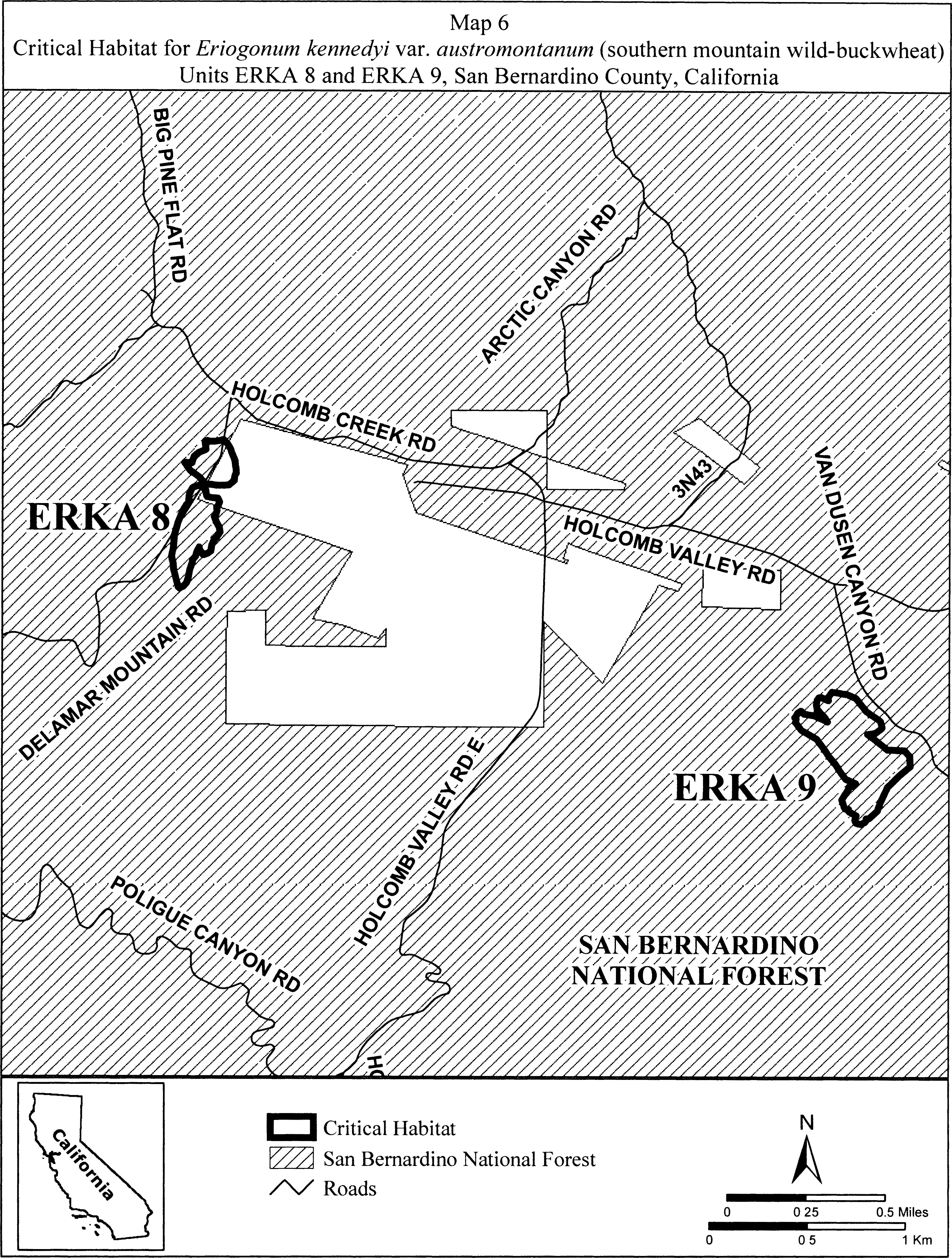
(11) Units ERKA 11 and ERKA 12. Sawmill, San Bernardino County, California. From USGS 1:24, 000 quadrangle maps Big Bear City and Moonridge.
(i) Unit ARUR 13. Land bounded by the following UTM NAD27 coordinates (E,N): 514010, 3788419; 513955, 3788406; 513936, 3788404; 513891, 3788404; 513855, 3788412; 513831, 3788423; 513803, 3788431; 513777, 3788444; 513756, 3788453; 513744, 3788464; 513731, 3788473; 513761, 3788481; 513764, 3788488; 513768, 3788499; 513787, 3788551; 513781, 3788561; 513779, 3788566; 513777, 3788572; 513775, 3788579; 513777, 3788585; 513784, 3788591; 513809, 3788609; 513815, 3788611; 513820, 3788612; 513823, 3788612; 513837, 3788627; 513843, 3788649; 513843, 3788659; 513842, 3788660; 513830, 3788680; 513826, 3788709; 513821, 3788716; 513811, 3788742; 513789, 3788818; 513789, 3788865; 513789, 3788897; 513789, 3788923; 513776, 3788948; 513761, 3788973; 513742, 3788986; 513735, 3789005; 513719, 3789024; 513703, 3789050; 513697, 3789059; 513691, 3789069; 513678, 3789094; 513665, 3789113; 513653, 3789135; 513652, 3789137; 513648, 3789140; 513624, 3789156; 513620, 3789168; 513604, 3789184; 513600, 3789208; 513606, 3789220; 513606, 3789228; 513608, 3789229; 513581, 3789259; 513591, 3789262; 513601, 3789262; 513605, 3789257; 513608, 3789253; 513611, 3789247; 513621, 3789233; 513636, 3789235; 513645, 3789230; 513648, 3789234; 513652, 3789230; 513658, 3789229; 513662, 3789230; 513670, 3789236; 513674, 3789239; 513679, 3789244; 513686, 3789364; 513695, 3789377; 513704, 3789381; 513715, 3789379; 513719, 3789377; 513728, 3789372; 513730, 3789357; 513724, 3789335; 513743, 3789335; 513747, 3789335; 513763, 3789331; 513766, 3789326; 513772, 3789321; 513778, 3789313; 513781, 3789306; 513783, 3789303; 513783, 3789275; 513778, 3789268; 513778, 3789266; 513776, 3789263; 513753, 3789217; 513753, 3789214; 513750, 3789205; 513748, 3789194; 513745, 3789182; 513744, 3789171; 513744, 3789168; 513759, 3789161; 513765, 3789157; 513772, 3789154; 513780, 3789137; 513792, 3789126; 513793, 3789113; 513798, 3789111; 513804, 3789105; 513812, 3789102; 513826, 3789091; 513836, 3789093; 513846, 3789090; 513853, 3789083; 513854, 3789059; 513850, 3789053; 513878, 3789041; 513902, 3789017; 513905, 3789013; 513906, 3789010; 513913, 3789005; 513913, 3789001; 513918, 3788993; 513918, 3788973; 513923, 3788961; 513919, 3788942; 513926, 3788919; 513935, 3788882; 513948, 3788850; 513957, 3788824; 513964, 3788796; 513957, 3788729; 513945, 3788701; 513938, 3788672; 513935, 3788640; 513948, 3788599; 513964, 3788577; 513986, 3788561; 513992, 3788542; 513999, 3788507; 514008, 3788472; 514021, 3788448; 514027, 3788437; 514027, 3788419.
(ii) Unit ARUR 14. Land bounded by the following UTM NAD27 coordinates (E,N): 515023, 3789730; 515031, 3789764; 515027, 3789815; 515027, 3789875; 515029, 3789884; 515029, 3789895; 515034, 3789907; 515034, 3789909; 515035, 3789912; 515037, 3789923; 515053, 3789964; 515054, 3789966; 515058, 3789977; 515063, 3789983; 515066, 3789986; 515069, 3789988; 515077, 3789997; 515092, 3789990; 515094, 3789989; 515104, 3789979; 515113, 3789974; 515120, 3789962; 515128, 3789941; 515137, 3789925; 515140, 3789915; 515142, 3789911; 515153, 3789887; 515153, 3789881; 515156, 3789875; 515148, 3789851; 515132, 3789851; 515116, 3789851; 515113, 3789850; 515104, 3789865; 515098, 3789869; 515091, 3789873; 515089, 3789873; 515077, 3789867; 515066, 3789856; 515069, 3789834; 515073, 3789814; 515077, 3789790; 515085, 3789759; 515088, 3789732.
(iii) Note: Units ERKA 11 and ERKA 12 (Map 7) follows:
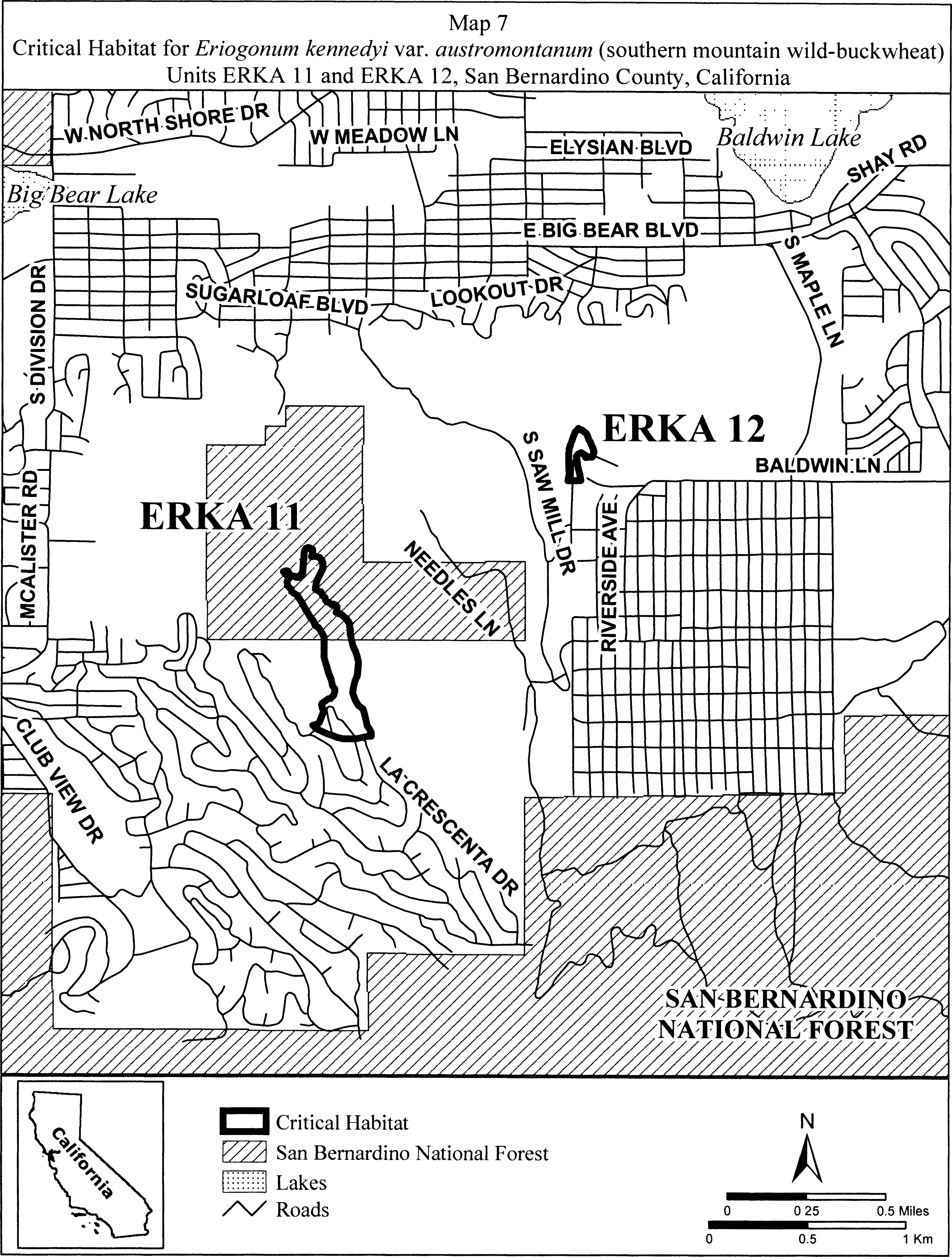
(12) Unit ERKA 13. South Baldwin Ridge/Erwin Lake, San Bernardino County, California.
(i) From USGS 1:24,000 quadrangle map Big Bear City. Land bounded by the following UTM NAD27 coordinates (E,N): 518798, 3790531; 518814, 3790499; 518836, 3790501; 518883, 3790501; 518891, 3790493; 518942, 3790490; 519022, 3790477; 519063, 3790455; 519104, 3790439; 519114, 3790429; 519108, 3790395; 519085, 3790359; 519057, 3790347; 519012, 3790344; 518955, 3790357; 518923, 3790404; 518900, 3790419; 518911, 3790389; 518923, 3790370; 518907, 3790346; 518876, 3790342; 518839, 3790342; 518822, 3790331; 518821, 3790331; 518820, 3790320; 518800, 3790313; 518797, 3790307; 518792, 3790302; 518776, 3790291; 518766, 3790295; 518764, 3790297; 518763, 3790296; 518744, 3790298; 518740, 3790308; 518737, 3790313; 518724, 3790318; 518725, 3790327; 518714, 3790333; 518716, 3790337; 518707, 3790343; 518699, 3790340; 518697, 3790342; 518695, 3790345; 518693, 3790346; 518691, 3790351; 518685, 3790353; 518683, 3790359; 518682, 3790364; 518683, 3790368; 518698, 3790377; 518704, 3790378; 518712, 3790375; 518707, 3790379; 518666, 3790392; 518637, 3790398; 518629, 3790391; 518618, 3790391; 518613, 3790387; 518613, 3790385; 518611, 3790382; 518605, 3790378; 518600, 3790374; 518591, 3790377; 518580, 3790376; 518568, 3790381; 518553, 3790380; 518545, 3790386; 518540, 3790382; 518541, 3790379; 518541, 3790375; 518542, 3790373; 518540, 3790371; 518538, 3790371; 518535, 3790374; 518533, 3790378; 518531, 3790382; 518530, 3790387; 518529, 3790392; 518530, 3790397; 518532, 3790400; 518536, 3790400; 518542, 3790399; 518550, 3790401; 518553, 3790401; 518563, 3790404; 518567, 3790405; 518568, 3790403; 518570, 3790401; 518574, 3790401; 518577, 3790399; 518583, 3790401; 518590, 3790403; 518596, 3790399; 518596, 3790397; 518597, 3790397; 518602, 3790395; 518604, 3790398; 518607, 3790400; 518609, 3790402; 518610, 3790404; 518602, 3790406; 518597, 3790409; 518586, 3790409; 518562, 3790429; 518582, 3790445; 518597, 3790453; 518595, 3790463; 518574, 3790467; 518561, 3790460; 518541, 3790453; 518503, 3790453; 518490, 3790477; 518517, 3790511; 518551, 3790531; 518632, 3790551; 518686, 3790571; 518720, 3790579; 518740, 3790579; 518764, 3790562; 518798, 3790531.
(ii) Note: Map of Unit ERKA 13 (Map 8) follows:
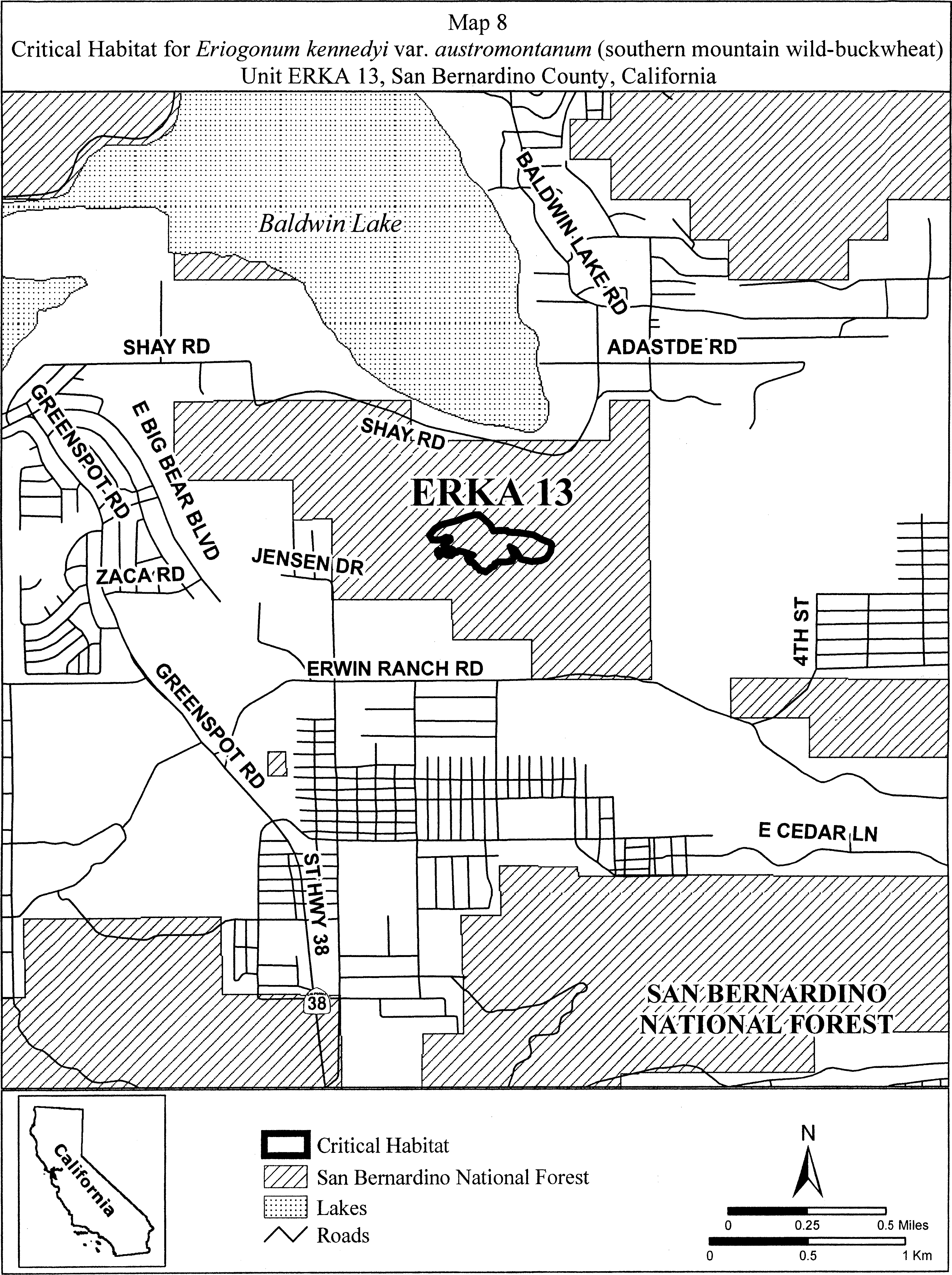
Family Polygonaceae: Eriogonum ovalifolium var. vineum (Cushenbury buckwheat)
(1) Critical habitat units are depicted for San Bernardino County, California, on the map below. The map provided is for informational purposes only.
(2) The primary constituent elements of critical habitat for Eriogonum ovalifolium var. vineum are those habitat components that are essential for the primary biological needs of the species. Based on our current knowledge of this species, the primary constituent elements of critical habitat for this species are listed below and consist of, but are not limited to:
(i) Soils derived primarily from the upper and middle members of the Bird Spring Formation and Bonanza King Formation parent materials that occur on hillsides at elevations between 1,400 and 2,400 m (4,600 and 7,900 ft);
(ii) Soils with intact, natural surfaces that have not been substantially altered by land use activities (e.g., graded, excavated, re-contoured, or otherwise altered by ground-disturbing equipment); and
(iii) Associated plant communities that have areas with an open canopy cover (generally less than 15 percent cover) and little accumulation of organic material (e.g., leaf litter) on the surface of the soil.
(3) Existing features and structures, such as buildings, active mines, paved or unpaved roads, other paved or cleared areas, lawns, and other urban landscaped areas, are not likely to contain one or more of the primary constituent elements. Federal actions limited to those areas, therefore, would not trigger a section 7 consultation, unless they may affect the species or primary constituent elements in adjacent critical habitat.
(4) Northeastern Slope Unit, San Bernardino County, California.
(i) From USGS 1:24,000 quadrangle maps Fawnskin, Big Bear City, Rattlesnake Canyon, Butler Peak, and Onyx Peak, California.
(ii) Subunit 1a: Land bounded by the following UTM11 NAD27 coordinates (E, N): 497000, 3803000; 497200, 3803000; 497200, 3802900; 497300, 3802900; 497300, 3802500; 497000, 3802500; 497000, 3802600; 496900, 3802600; 496900, 3802900; 497000, 3802900; and 497000, 3803000.
(iii) Subunit 1b: Land bounded by the following UTM11 NAD27 coordinates (E, N): 498000, 3800800; 498600, 3800800; 498600, 3800400; 498200, 3800400; 498200, 3800500; 498000, 3800500; and 498000, 3800800.
(iv) Subunit 1c: Land bounded by the following UTM11 NAD27 coordinates (E, N): 503400, 3801200; 503700, 3801200; 503700, 3801100; 503900, 3801100; 503900, 3800800; 504000, 3800800; 504000, 3800400; 503900, 3800400; 503900, 3800300; 503700, 3800300; 503700, 3800400; 503400, 3800400; 503400, 3800600; 503300, 3800600; 503300, 3800700; 503200, 3800700; 503200, 3801000; 503300, 3801000; 503300, 3801100; 503400, 3801100; and 503400, 3801200.
(v) Subunit 1d: Land bounded by the following UTM11 NAD27 coordinates (E, N): 505200, 3800400; 505500, 3800400; 505500, 3800300; 506000, 3800300; 506000, 3800200; 506100, 3800200; 506100, 3799900; 506000, 3799900; 506000, 3800000; 505700, 3800000; 505700, 3799900; 505600, 3799900; 505600, 3799600; 505200, 3799600; 505200, 3800100; 505100, 3800100; 505100, 3800300; 505200, 3800300; and 505200, 3800400.
(vi) Subunit 1e: Land bounded by the following UTM11 NAD27 coordinates (E, N): 506800, 3799900; 507000, 3799900; 507000, 3799800; 507100, 3799800; 507100, 3799600; 506900, 3799600; 506900, 3799200; 507200, 3799200; 507200, 3799300; 507500, 3799300; 507500, 3799200; 507600, 3799200; 507600, 3799000; 507500, 3799000; 507500, 3798900; 507400, 3798900; 507400, 3798700; 507300, 3798700; 507300, 3798600; 506800, 3798600; 506800, 3798800; 506200, 3798800; 506200, 3799200; 506500, 3799200; 506500, 3799300; 506600, 3799300; 506600, 3799500; 506700, 3799500; 506700, 3799800; 506800, 3799800; and 506800, 3799900.
(vii) Subunit 1f: Land bounded by the following UTM11 NAD27 coordinates (E, N): 506800, 3798100; 507000, 3798100; 507000, 3798000; 507500, 3798000; 507500, 3797700; 507600, 3797700; 507600, 3797400; 507500, 3797400; 507500, 3797300; 507400, 3797300; 507400, 3797200; 507000, 3797200; 507000, 3797300; 506800, 3797300; 506800, 3797600; 506700, 3797600; 506700, 3798000; 506800, 3798000; and 506800, 3798100.
(viii) Subunit 1g: Land bounded by the following UTM11 NAD27 coordinates (E, N): 508100, 3798200; 508300, 3798200; 508300, 3798100; 508400, 3798100; 508400, 3797900; 508300, 3797900; 508300, 3797800; 508000, 3797800; 508000, 3798100; 508100, 3798100; and 508100, 3798200.
(ix) Subunit 1h: Land bounded by the following UTM11 NAD27 coordinates (E, N): 507900, 3797600; 508400, 3797600; 508400, 3797200; 508300, 3797200; 508300, 3797100; 508200, 3797100; 508200, 3796800; 507800, 3796800; 507800, 3797100; 507700, 3797100; 507700, 3797500; 507900, 3797500; and 507900, 3797600.
(x) Subunit 1i: Land bounded by the following UTM11 NAD27 coordinates (E, N): 508400, 3797200; 508700, 3797200; 508700, 3796900; 508400, 3796900; and 508400, 3797200.
(xi) Subunit 1j: Land bounded by the following UTM11 NAD27 coordinates (E, N): 508300, 3800600; 508600, 3800600; 508600, 3800500; 508700, 3800500; 508700, 3800200; 508600, 3800200; 508600, 3800100; 508100, 3800100; 508100, 3800500; 508300, 3800500; and 508300, 3800600.
(xii) Subunit 1k: Land bounded by the following UTM11 NAD27 coordinates (E, N): 508100, 3799800; 508500, 3799800; 508500, 3799400; 508400, 3799400; 508400, 3799300; 508200, 3799300; 508200, 3799400; 508000, 3799400; 508000, 3799700; 508100, 3799700; and 508100, 3799800.
(xiii) Subunit 1l: Land bounded by the following UTM11 NAD27 coordinates (E, N): 508700, 3799400; 509200, 3799400; 509200, 3799100; 509100, 3799100; 509100, 3798900; 508700, 3798900; and 508700, 3799400.
(xiv) Subunit 1m: Land bounded by the following UTM11 NAD27 coordinates (E, N): 509400, 3800700; 509700, 3800700; 509700, 3800600; 509800, 3800600; 509800, 3800500; 510300, 3800500; 510300, 3800400; 510400, 3800400; 510400, 3800300; 510600, 3800300; 510600, 3800100; 510200, 3800100; 510200, 3800300; 510100, 3800300; 510100, 3800400; 509900, 3800400; 509900, 3800200; 509500, 3800200; 509500, 3800100; 509200, 3800100; 509200, 3800300; 509100, 3800300; 509100, 3800500; 509200, 3800500; 509200, 3800600; 509400, 3800600; and 509400, 3800700.
(xv) Subunit 1n: Land bounded by the following UTM11 NAD27 coordinates (E, N): 510500, 3801200; 510700, 3801200; 510700, 3800900; 510500, 3800900; 510500, 3800800; 510400, 3800800; 510400, 3800700; 510600, 3800700; 510600, 3800600; 510300, 3800600; 510300, 3800700; 510200, 3800700; 510200, 3800800; 510300, 3800800; 510300, 3801000; 510400, 3801000; 510400, 3801100; 510500, 3801100; and 510500, 3801200.
(xvi) Subunit 1o: Land bounded by the following UTM11 NAD27 coordinates (E, N): 510900, 3800700; 511300, 3800700; 511300, 3800500; 510900, 3800500; and 510900, 3800700.
(xvii) Subunit 1p: Land bounded by the following UTM11 NAD27 coordinates (E, N): 511900, 3801000; 512200, 3801000; 512200, 3800800; 512300, 3800800; 512300, 3800700; 512500, 3800700; 512500, 3800600; 512700, 3800600; 512700, 3800800; 513000, 3800800; 513000, 3800300; 512900, 3800300; 512900, 3800100; 512800, 3800100; 512800, 3799900; 512900, 3799900; 512900, 3799800; 513000, 3799800; 513000, 3799700; 513100, 3799700; 513100, 3799500; 513000, 3799500; 513000, 3799400; 512700, 3799400; 512700, 3799500; 512500, 3799500; 512500, 3799600; 512300, 3799600; 512300, 3799700; 512200, 3799700; 512200, 3799800; 512100, 3799800; 512100, 3799600; 512200, 3799600; 512200, 3799500; 512300, 3799500; 512300, 3799200; 511800, 3799200; 511800, 3799500; 511700, 3799500; 511700, 3799400; 511400, 3799400; 511400, 3799500; 511300, 3799500; 511300, 3799600; 511200, 3799600; 511200, 3799700; 511100, 3799700; 511100, 3799800; 511000, 3799800; 511000, 3800100; 511200, 3800100; 511200, 3800000; 511300, 3800000; 511300, 3799900; 511700, 3799900; 511700, 3799800; 511800, 3799800; 511800, 3799900; 512000, 3799900; 512000, 3800100; 511900, 3800100; 511900, 3800500; 512000, 3800500; 512000, 3800700; 511900, 3800700; and 511900, 3801000.
(xviii) Subunit 1q: Land bounded by the following UTM11 NAD27 coordinates (E, N): 513200, 3800300; 513500, 3800300; 513500, 3800200; 513900, 3800200; 513900, 3800100; 514000, 3800100; 514000, 3800000; 514100, 3800000; 514100, 3799900; 514200, 3799900; 514200, 3800000; 514600, 3800000; 514600, 3799800; 514500, 3799800; 514500, 3799300; 514100, 3799300; 514100, 3799600; 514000, 3799600; 514000, 3799400; 513700, 3799400; 513700, 3799500; 513500, 3799500; 513500, 3799400; 513600, 3799400; 513600, 3799300; 513900, 3799300; 513900, 3799200; 514000, 3799200; 514000, 3798900; 513600, 3798900; 513600, 3798800; 513500, 3798800; 513500, 3798700; 513300, 3798700; 513300, 3798800; 513200, 3798800; 513200, 3799000; 513100, 3799000; 513100, 3799500; 513200, 3799500; 513200, 3799800; 513400, 3799800; 513400, 3799900; 513100, 3799900; 513100, 3800200; 513200, 3800200; and 513200, 3800300.
(xix) Subunit 1r: Land bounded by the following UTM11 NAD27 coordinates (E, N): 514200, 3800800; 514500, 3800800; 514500, 3800500; 514200, 3800500; and 514200, 3800800.
(xx) Subunit 1s: Land bounded by the following UTM11 NAD27 coordinates (E, N): 515500, 3802100; 515900, 3802100; 515900, 3801900; 516000, 3801900; 516000, 3801800; 516100, 3801800; 516100, 3801600; 516000, 3801600; 516000, 3801500; 516500, 3801500; 516500, 3801200; 516400, 3801200; 516400, 3801100; 516200, 3801100; 516200, 3800900; 516100, 3800900; 516100, 3800800; 516000, 3800800; 516000, 3800700; 515800, 3800700; 515800, 3800600; 516200, 3800600; 516200, 3800700; 516500, 3800700; 516500, 3799800; 516400, 3799800; 516400, 3799700; 516300, 3799700; 516300, 3799800; 516100, 3799800; 516100, 3799900; 515800, 3799900; 515800, 3799800; 515600, 3799800; 515600, 3799700; 515300, 3799700; 515300, 3799800; 515000, 3799800; 515000, 3799900; 514900, 3799900; 514900, 3800100; 515000, 3800100; 515000, 3800200; 515300, 3800200; 515300, 3800100; 515400, 3800100; 515400, 3800200; 515500, 3800200; 515500, 3800300; 515600, 3800300; 515600, 3800200; 515800, 3800200; 515800, 3800300; 515700, 3800300; 515700, 3800600; 515600, 3800600; 515600, 3800800; 515100, 3800800; 515100, 3800700; 515200, 3800700; 515200, 3800400; 515100, 3800400; 515100, 3800300; 514700, 3800300; 514700, 3800400; 514600, 3800400; 514600, 3800800; 514500, 3800800; 514500, 3800900; 514400, 3800900; 514400, 3801100; 514500, 3801100; 514500, 3801200; 514600, 3801200; 514600, 3801300; 514800, 3801300; 514800, 3801400; 515200, 3801400; 515200, 3801300; 515700, 3801300; 515700, 3801500; 515600, 3801500; 515600, 3801600; 515500, 3801600; 515500, 3801700; 515400, 3801700; 515400, 3802000; 515500, 3802000; and 515500, 3802100.
(xxi) Subunit 1t: Land bounded by the following UTM11 NAD27 coordinates (E, N): 514800, 3799600; 515000, 3799600; 515000, 3799500; 515100, 3799500; 515100, 3799200; 515000, 3799200; 515000, 3799100; 514800, 3799100; 514800, 3799200; 514700, 3799200; 514700, 3799300; 514600, 3799300; 514600, 3799400; 514700, 3799400; 514700, 3799500; 514800, 3799500; and 514800, 3799600.
(xxii) Subunit 1u: Land bounded by the following UTM11 NAD27 coordinates (E, N): 516700, 3799700; 516900, 3799700; 516900, 3799600; 517100, 3799600; 517100, 3799500; 517200, 3799500; 517200, 3799000; 517300, 3799000; 517300, 3798700; 516800, 3798700; 516800, 3798600; 516400, 3798600; 516400, 3798700; 516300, 3798700; 516300, 3798600; 516100, 3798600; 516100, 3798700; 516000, 3798700; 516000, 3798800; 515900, 3798800; 515900, 3798900; 515700, 3798900; 515700, 3799000; 515400, 3799000; 515400, 3799100; 515300, 3799100; 515300, 3799500; 516000, 3799500; 516000, 3799400; 516300, 3799400; 516300, 3799300; 516400, 3799300; 516400, 3799600; 516700, 3799600; and 516700, 3799700.
(xxiii) Subunit 1v: Land bounded by the following UTM11 NAD27 coordinates (E, N): 516700, 3800500; 517100, 3800500; 517100, 3800300; 517200, 3800300; 517200, 3800000; 517100, 3800000; 517100, 3799900; 516700, 3799900; 516700, 3800000; 516600, 3800000; 516600, 3800400; 516700, 3800400; and 516700, 3800500.
(xxiv) Subunit 1w: Land bounded by the following UTM11 NAD27 coordinates (E, N): 518600, 3799900; 519100, 3799900; 519100, 3799600; 519000, 3799600; 519000, 3799500; 518700, 3799500; 518700, 3799400; 518500, 3799400; 518500, 3799200; 518400, 3799200; 518400, 3799100; 518300, 3799100; 518300, 3799000; 518200, 3799000; 518200, 3799100; 517900, 3799100; 517900, 3798900; 517800, 3798900; 517800, 3798800; 517600, 3798800; 517600, 3798900; 517500, 3798900; 517500, 3799000; 517400, 3799000; 517400, 3799300; 517300, 3799300; 517300, 3799700; 517500, 3799700; 517500, 3799800; 518100, 3799800; 518100, 3799700; 518400, 3799700; 518400, 3799800; 518600, 3799800; and 518600, 3799900.
(xxv) Subunit 1x: Land bounded by the following UTM11 NAD27 coordinates (E, N): 515400, 3797400; 515800, 3797400; 515800, 3797300; 516300, 3797300; 516300, 3797200; 516400, 3797200; 516400, 3796900; 515500, 3796900; 515500, 3797000; 515400, 3797000; and 515400, 3797400.
(xxvi) Subunit 1y: Land bounded by the following UTM11 NAD27 coordinates (E, N): 519100, 3797200; 519400, 3797200; 519400, 3797100; 519500, 3797100; 519500, 3796900; 519700, 3796900; 519700, 3796000; 519600, 3796000; 519600, 3795900; 519500, 3795900; 519500, 3795700; 519100, 3795700; 519100, 3796100; 519000, 3796100; 519000, 3796300; 518900, 3796300; 518900, 3796600; 518800, 3796600; 518800, 3796800; 518900, 3796800; 518900, 3797000; 519000, 3797000; 519000, 3797100; 519100, 3797100; and 519100, 3797200.
(xxvii) Subunit 1z: Land bounded by the following UTM11 NAD27 coordinates (E, N): 519600, 3797600; 519800, 3797600; 519800, 3797500; 520300, 3797500; 520300, 3797100; 520200, 3797100; 520200, 3797000; 519800, 3797000; 519800, 3797100; 519700, 3797100; 519700, 3797200; 519500, 3797200; 519500, 3797500; 519600, 3797500; and 519600, 3797600.
(xxviii) Subunit 1aa: Land bounded by the following UTM11 NAD27 coordinates (E, N): 519700, 3800600; 520200, 3800600; 520200, 3800200; 520100, 3800200; 520100, 3800100; 519700, 3800100; and 519700, 3800600.
(xxix) Subunit 1ab: Land bounded by the following UTM11 NAD27 coordinates (E, N): 520000, 3800000; 520700, 3800000; 520700, 3799900; 520800, 3799900; 520800, 3799500; 520400, 3799500; 520400, 3799600; 519900, 3799600; 519900, 3799900; 520000, 3799900; and 520000, 3800000.
(xxx) Subunit 1ac: Land bounded by the following UTM11 NAD27 coordinates (E, N): 521000, 3800000; 521500, 3800000; 521500, 3799700; 521400, 3799700; 521400, 3799500; 520900, 3799500; 520900, 3799800; 521000, 3799800; and 521000, 3800000.
(xxxi) Subunit 1ad: Land bounded by the following UTM11 NAD27 coordinates (E, N): 520000, 3799400; 520500, 3799400; 520500, 3799300; 520600, 3799300; 520600, 3799100; 520300, 3799100; 520300, 3799200; 520200, 3799200; 520200, 3799100; 520000, 3799100; 520000, 3799000; 520200, 3799000; 520200, 3798800; 520100, 3798800; 520100, 3798700; 519700, 3798700; 519700, 3799100; 519900, 3799100; 519900, 3799300; 520000, 3799300; and 520000, 3799400.
(xxxii) Subunit 1ae: Land bounded by the following UTM11 NAD27 coordinates (E, N): 521400, 3799000; 522000, 3799000; 522000, 3798600; 521600, 3798600; 521600, 3798500; 521500, 3798500; 521500, 3798400; 521300, 3798400; 521300, 3798300; 521200, 3798300; 521200, 3798200; 520900, 3798200; 520900, 3798300; 520700, 3798300; 520700, 3798000; 520300, 3798000; 520300, 3798300; 520400, 3798300; 520400, 3798400; 520600, 3798400; 520600, 3798500; 520400, 3798500; 520400, 3798700; 520500, 3798700; 520500, 3798800; 520700, 3798800; 520700, 3798700; 520800, 3798700; 520800, 3798800; 521100, 3798800; 521100, 3798700; 521400, 3798700; 521400, 3798800; 521300, 3798800; 521300, 3798900; 521400, 3798900; and 521400, 3799000.
(xxxiii) Subunit 1af: Land bounded by the following UTM11 NAD27 coordinates (E, N): 519800, 3794600; 520100, 3794600; 520100, 3794200; 519800, 3794200; and 519800, 3794600.
(xxxiv) Subunit 1ag: Land bounded by the following UTM11 NAD27 coordinates (E, N): 520400, 3794200; 521100, 3794200; 521100, 3793900; 521000, 3793900; 521000, 3793800; 520700, 3793800; 520700, 3793700; 520400, 3793700; 520400, 3793800; 520300, 3793800; 520300, 3793700; 520000, 3793700; 520000, 3793800; 519900, 3793800; 519900, 3794000; 520000, 3794000; 520000, 3794100; 520400, 3794100; and 520400, 3794200.
(xxxv) Subunit 1ah: Land bounded by the following UTM11 NAD27 coordinates (E, N): 521600, 3794700; 521800, 3794700; 521800, 3794600; 521900, 3794600; 521900, 3794300; 521800, 3794300; 521800, 3794200; 521400, 3794200; 521400, 3794500; 521500, 3794500; 521500, 3794600; 521600, 3794600; and 521600, 3794700.
(xxxvi) Subunit 1ai: Land bounded by the following UTM11 NAD27 coordinates (E, N): 521300, 3793300; 521700, 3793300; 521700, 3793200; 521800, 3793200; 521800, 3793000; 521900, 3793000; 521900, 3793100; 522400, 3793100; 522400, 3793000; 522600, 3793000; 522600, 3792900; 522800, 3792900; 522800, 3792800; 523000, 3792800; 523000, 3792500; 523100, 3792500; 523100, 3792400; 523400, 3792400; 523400, 3792300; 523500, 3792300; 523500, 3791900; 523400, 3791900; 523400, 3791800; 523200, 3791800; 523200, 3791900; 523100, 3791900; 523100, 3792000; 522800, 3792000; 522800, 3792100; 522700, 3792100; 522700, 3792200; 522400, 3792200; 522400, 3792300; 522200, 3792300; 522200, 3792400; 522000, 3792400; 522000, 3792600; 521900, 3792600; 521900, 3792500; 521800, 3792500; 521800, 3792600; 521700, 3792600; 521700, 3792700; 521400, 3792700; 521400, 3792900; 521200, 3792900; 521200, 3793200; 521300, 3793200; and 521300, 3793300.
(xxxvii) Subunit 1aj: Land bounded by the following UTM11 NAD27 coordinates (E, N): 524100, 3792500; 524300, 3792500; 524300, 3792400; 524500, 3792400; 524500, 3792300; 524700, 3792300; 524700, 3792200; 524800, 3792200; 524800, 3792100; 524900, 3792100; 524900, 3792200; 525300, 3792200; 525300, 3792100; 525400, 3792100; 525400, 3791800; 525300, 3791800; 525300, 3791600; 525500, 3791600; 525500, 3791500; 525600, 3791500; 525600, 3791300; 525700, 3791300; 525700, 3791200; 525800, 3791200; 525800, 3791500; 526200, 3791500; 526200, 3791300; 526300, 3791300; 526300, 3791200; 526500, 3791200; 526500, 3791100; 526700, 3791100; 526700, 3791000; 526800, 3791000; 526800, 3791100; 527100, 3791100; 527100, 3791000; 527200, 3791000; 527200, 3790900; 527400, 3790900; 527400, 3790600; 527500, 3790600; 527500, 3790100; 527000, 3790100; 527000, 3790200; 526900, 3790200; 526900, 3790400; 526600, 3790400; 526600, 3790500; 526500, 3790500; 526500, 3790200; 526400, 3790200; 526400, 3790100; 526300, 3790100; 526300, 3790000; 526000, 3790000; 526000, 3790500; 525700, 3790500; 525700, 3790400; 525600, 3790400; 525600, 3790500; 525500, 3790500; 525500, 3790600; 525400, 3790600; 525400, 3790700; 525300, 3790700; 525300, 3791000; 525100, 3791000; 525100, 3791200; 524800, 3791200; 524800, 3791300; 524700, 3791300; 524700, 3791200; 524300, 3791200; 524300, 3791300; 524200, 3791300; 524200, 3791400; 524000, 3791400; 524000, 3791500; 523800, 3791500; 523800, 3791900; 524200, 3791900; 524200, 3792100; 524000, 3792100; 524000, 3792400; 524100, 3792400; and 524100, 3792500; excluding land bounded by 525900, 3791100; 525900, 3790900; 526000, 3790900; 526000, 3791100; and 525900, 3791100.
(xxxviii) Subunit 1ak: Land bounded by the following UTM11 NAD27 coordinates (E, N): 527600, 3790400; 527900, 3790400; 527900, 3790300; 528000, 3790300; 528000, 3790100; 527900, 3790100; 527900, 3790000; 527600, 3790000; and 527600, 3790400.
(xxxix) Subunit 1al: Land bounded by the following UTM11 NAD27 coordinates (E, N): 527900, 3789600; 528200, 3789600; 528200, 3789300; 527800, 3789300; 527800, 3789500; 527900, 3789500; and 527900, 3789600.
(xl) Subunit 1am: Land bounded by the following UTM11 NAD27 coordinates (E, N): 526900, 3789400; 527100, 3789400; 527100, 3789300; 527200, 3789300; 527200, 3789100; 527400, 3789100; 527400, 3789200; 527700, 3789200; 527700, 3789100; 527800, 3789100; 527800, 3789000; 528000, 3789000; 528000, 3789100; 528400, 3789100; 528400, 3789000; 528500, 3789000; 528500, 3788900; 528600, 3788900; 528600, 3788700; 528700, 3788700; 528700, 3788600; 528800, 3788600; 528800, 3788400; 528900, 3788400; 528900, 3788300; 529000, 3788300; 529000, 3788100; 528900, 3788100; 528900, 3788000; 528700, 3788000; 528700, 3788100; 528100, 3788100; 528100, 3788300; 527900, 3788300; 527900, 3788400; 527800, 3788400; 527800, 3788500; 527700, 3788500; 527700, 3788600; 527600, 3788600; 527600, 3788500; 527200, 3788500; 527200, 3788700; 527100, 3788700; 527100, 3788600; 526800, 3788600; 526800, 3788700; 526600, 3788700; 526600, 3788900; 526700, 3788900; 526700, 3789000; 526900, 3789000; and 526900, 3789400.
(xli) Subunit 1an: Land bounded by the following UTM11 NAD27 coordinates (E, N): 529200, 3788100; 529500, 3788100; 529500, 3787700; 529400, 3787700; 529400, 3787600; 529100, 3787600; 529100, 3788000; 529200, 3788000; and 529200, 3788100.
(xlii) Subunit 1ao: Land bounded by the following UTM11 NAD27 coordinates (E, N): 530200, 3788000; 531100, 3788000; 531100, 3787600; 530800, 3787600; 530800, 3787500; 530900, 3787500; 530900, 3787200; 530200, 3787200; 530200, 3787300; 530100, 3787300; 530100, 3787500; 530200, 3787500; and 530200, 3788000.
(xliii) Subunit 1ap: Land bounded by the following UTM11 NAD27 coordinates (E, N): 527700, 3786500; 528000, 3786500; 528000, 3786400; 528100, 3786400; 528100, 3786200; 528200, 3786200; 528200, 3785900; 528100, 3785900; 528100, 3785800; 527800, 3785800; 527800, 3785900; 527700, 3785900; 527700, 3786100; 527600, 3786100; 527600, 3786300; 527700, 3786300; and 527700, 3786500.
(5) Bertha Ridge Unit, San Bernardino County, California.
(i) From USGS 1:24,000 quadrangle maps Fawnskin and Big Bear City, California, land bounded by the following UTM11 NAD27 coordinates (E, N): 512000, 3793000; 512700, 3793000; 512700, 3792900; 512900, 3792900; 512900, 3792700; 513400, 3792700; 513400, 3792400; 513300, 3792400; 513300, 3792300; 513100, 3792300; 513100, 3792400; 513000, 3792400; 513000, 3792500; 512900, 3792500; 512900, 3792600; 512800, 3792600; 512800, 3792500; 512400, 3792500; 512400, 3792300; 512300, 3792300; 512300, 3791900; 512200, 3791900; 512200, 3791800; 512000, 3791800; 512000, 3791600; 511900, 3791600; 511900, 3791400; 511500, 3791400; 511500, 3791800; 511600, 3791800; 511600, 3792000; 511500, 3792000; 511500, 3792100; 511400, 3792100; 511400, 3792500; 511500, 3792500; 511500, 3792600; 511600, 3792600; 511600, 3792700; 511800, 3792700; 511800, 3792900; 512000, 3792900; and 512000, 3793000.
(ii) Note: Eriogonum ovalifolium var. vineum map follows:

Family Polygonaceae: Eriogonum pelinophilum (clay-loving wild-buckwheat).
Colorado, Delta County. About 3 miles east of Austin near Highway 92. T14S, R94W 6th P.M. Section 26 - west 225 feet of Section 26 lying south of State Highway 92 (5.6 acres). Section 27 - that part of the SE 1⁄4SE 1⁄4 lying south of State Highway 92 (35.6 acres). Section 34 - an area bounded by a line beginning at the northeast corner of Section 34, thence south along the section line 200 feet to a point; thence southwesterly to a point 1050 feet south and 550 feet west of the northeast corner of Section 34; thence southwesterly to a point 700 feet north and 900 feet east of center 1⁄4 corner of Section 34; thence westerly 900 feet to the north-south 1⁄4 line; thence northerly 600 feet along the 1⁄4 line to a point; thence northeasterly to a point of the east 1⁄16 line; thence northerly along the 1⁄16 line 300 feet to the north section line of Section 34; thence easterly along the north section line to the point of beginning (65.0 acres). Section 35 - north 200 feet of the west 225 feet (1.0 acres). Section 27 - west 200 feet of Section 27 lying south of State Highway 92 (4.3 acres). Section 28 - east 400 feet of Section 28 lying south of State Highway 92 (8.3 acres). Total 119.8 acres. The primary constituent elements include those factors associated with the whitish alkaline clay soils within the sparsely vegetated badlands of Mancos shale.
The map provided is for informational purposes only. Map follows:
Family Polygonaceae: Oxytheca parishii var. goodmaniana (Cushenbury oxytheca)
(1) Critical habitat units are depicted for San Bernardino County, California, on the map below. The map provided is for informational purposes only.
(2) The primary constituent elements of critical habitat for Oxytheca parishii var. goodmaniana are those habitat components that are essential for the primary biological needs of the species. Based on our current knowledge of this species, the primary constituent elements of critical habitat for this species are listed below and consist of, but are not limited to:
(i) Soils derived primarily from upslope limestone, a mixture of limestone and dolomite, or limestone talus substrates with parent materials that include Bird Spring Formation, Bonanza King Formation, middle and lower members of the Monte Cristo Limestone, and the Crystal Pass member of the Sultan Limestone Formation at elevations between 1,440 and 2,372 m (4,724 and 7,782 ft);
(ii) Soils with intact, natural surfaces that have not been substantially altered by land use activities (e.g., graded, excavated, re-contoured, or otherwise altered by ground-disturbing equipment); and
(iii) Associated plant communities that have areas with a moderately open canopy cover (generally between 25 and 53 percent (Neel 2000)).
(3) Existing features and structures, such as buildings, active mines, paved or unpaved roads, other paved or cleared areas, lawns, and other urban landscaped areas, are not likely to contain one or more of the primary constituent elements. Federal actions limited to those areas, therefore, would not trigger a section 7 consultation, unless they may affect the species or primary constituent elements in adjacent critical habitat.
(4) Northeastern Slope Unit, San Bernardino County, California.
(i) From USGS 1:24,000 quadrangle maps Butler Peak, Fawnskin, Big Bear City, Rattlesnake Canyon, and Onyx Peak, California.
(ii) Subunit 1a: Land bounded by the following UTM11 NAD27 coordinates (E, N): 498200, 3801600; 498500, 3801600; 498500, 3801500; 498600, 3801500; 498600, 3801200; 498300, 3801200; 498300, 3801300; 498200, 3801300; and 498200, 3801600.
(iii) Subunit 1b: Land bounded by the following UTM11 NAD27 coordinates (E, N): 498800, 3801200; 499400, 3801200; 499400, 3800900; 499500, 3800900; 499500, 3800800; 499600, 3800800; 499600, 3800600; 499500, 3800600; 499500, 3800500; 499400, 3800500; 499400, 3800400; 499100, 3800400; 499100, 3800300; 499000, 3800300; 499000, 3800000; 498900, 3800000; 498900, 3799900; 498700, 3799900; 498700, 3799600; 498300, 3799600; 498300, 3800000; 498400, 3800000; 498400, 3800100; 498600, 3800100; 498600, 3800300; 498500, 3800300; 498500, 3800400; 498200, 3800400; 498200, 3800500; 498000, 3800500; 498000, 3800800; 498400, 3800800; 498400, 3800900; 498700, 3800900; 498700, 3801100; 498800, 3801100; and 498800, 3801200.
(iv) Subunit 1c: Land bounded by the following UTM11 NAD27 coordinates (E, N): 500200, 3799900; 500600, 3799900; 500600, 3799800; 500700, 3799800; 500700, 3799600; 500600, 3799600; 500600, 3799500; 500300, 3799500; 500300, 3799600; 500200, 3799600; and 500200, 3799900.
(v) Subunit 1d: Land bounded by the following UTM11 NAD27 coordinates (E, N): 502800, 3797400; 503400, 3797400; 503400, 3797200; 503500, 3797200; 503500, 3797000; 503400, 3797000; 503400, 3796900; 502900, 3796900; 502900, 3797000; 502800, 3797000; and 502800, 3797400.
(vi) Subunit 1e: Land bounded by the following UTM11 NAD27 coordinates (E, N): 503600, 3799300; 504000, 3799300; 504000, 3798600; 504300, 3798600; 504300, 3798500; 504400, 3798500; 504400, 3798400; 505300, 3798400; 505300, 3798300; 505500, 3798300; 505500, 3798000; 505300, 3798000; 505300, 3797700; 505100, 3797700; 505100, 3797800; 505000, 3797800; 505000, 3798000; 504500, 3798000; 504500, 3797900; 504300, 3797900; 504300, 3798000; 504000, 3798000; 504000, 3798100; 503900, 3798100; 503900, 3798300; 503800, 3798300; 503800, 3798100; 503500, 3798100; 503500, 3798000; 503100, 3798000; 503100, 3798400; 503200, 3798400; 503200, 3798500; 503700, 3798500; 503700, 3798600; 503600, 3798600; and 503600, 3799300.
(vii) Subunit 1f: Land bounded by the following UTM11 NAD27 coordinates (E, N): 506700, 3799500; 506900, 3799500; 506900, 3799200; 507200, 3799200; 507200, 3799300; 507500, 3799300; 507500, 3799200; 507600, 3799200; 507600, 3799000; 507500, 3799000; 507500, 3798900; 507400, 3798900; 507400, 3798800; 506900, 3798800; 506900, 3798900; 506700, 3798900; 506700, 3798800; 506000, 3798800; 506000, 3799200; 506600, 3799200; 506600, 3799400; 506700, 3799400; and 506700, 3799500.
(viii) Subunit 1g: Land bounded by the following UTM11 NAD27 coordinates (E, N): 506800, 3798100; 507300, 3798100; 507300, 3797800; 507400, 3797800; 507400, 3797700; 507600, 3797700; 507600, 3797600; 507900, 3797600; 507900, 3797500; 508000, 3797500; 508000, 3797400; 508100, 3797400; 508100, 3797200; 508200, 3797200; 508200, 3797000; 508300, 3797000; 508300, 3796700; 508400, 3796700; 508400, 3796600; 508500, 3796600; 508500, 3796200; 508200, 3796200; 508200, 3796100; 507700, 3796100; 507700, 3796500; 507800, 3796500; 507800, 3796600; 507900, 3796600; 507900, 3796700; 507800, 3796700; 507800, 3796800; 507700, 3796800; 507700, 3797000; 507600, 3797000; 507600, 3797400; 507500, 3797400; 507500, 3797300; 507400, 3797300; 507400, 3797200; 507000, 3797200; 507000, 3797300; 506900, 3797300; 506900, 3797400; 506800, 3797400; 506800, 3797600; 506700, 3797600; 506700, 3798000; 506800, 3798000; and 506800, 3798100.
(ix) Subunit 1h: Land bounded by the following UTM11 NAD27 coordinates (E, N): 508800, 3799300; 509000, 3799300; 509000, 3799200; 509100, 3799200; 509100, 3798800; 509000, 3798800; 509000, 3798700; 508800, 3798700; 508800, 3798800; 508700, 3798800; 508700, 3799100; 508800, 3799100; and 508800, 3799300.
(x) Subunit 1i: Land bounded by the following UTM11 NAD27 coordinates (E, N): 509300, 3801000; 509600, 3801000; 509600, 3800800; 509700, 3800800; 509700, 3800700; 509800, 3800700; 509800, 3800500; 510100, 3800500; 510100, 3800400; 510300, 3800400; 510300, 3800300; 510500, 3800300; 510500, 3800000; 509900, 3800000; 509900, 3800100; 509500, 3800100; 509500, 3800400; 509600, 3800400; 509600, 3800500; 509500, 3800500; 509500, 3800600; 509400, 3800600; 509400, 3800800; 509300, 3800800; and 509300, 3801000.
(xi) Subunit 1j: Land bounded by the following UTM11 NAD27 coordinates (E, N): 511000, 3800100; 511200, 3800100; 511200, 3800000; 511300, 3800000; 511300, 3799900; 511500, 3799900; 511500, 3799800; 511600, 3799800; 511600, 3799600; 511500, 3799600; 511500, 3799500; 511300, 3799500; 511300, 3799600; 511200, 3799600; 511200, 3799800; 511100, 3799800; 511100, 3799900; 511000, 3799900; and 511000, 3800100.
(xii) Subunit 1k: Land bounded by the following UTM11 NAD27 coordinates (E, N): 512300, 3800600; 512600, 3800600; 512600, 3800500; 512700, 3800500; 512700, 3800100; 512600, 3800100; 512600, 3799900; 512700, 3799900; 512700, 3799600; 512300, 3799600; 512300, 3799700; 512100, 3799700; 512100, 3799600; 511700, 3799600; 511700, 3799800; 511900, 3799800; 511900, 3799900; 512000, 3799900; 512000, 3799800; 512100, 3799800; 512100, 3800000; 511900, 3800000; 511900, 3800100; 511800, 3800100; 511800, 3800500; 512300, 3800500; and 512300, 3800600.
(xiii) Subunit 1l: Land bounded by the following UTM11 NAD27 coordinates (E, N): 513300, 3799300; 513600, 3799300; 513600, 3799200; 513700, 3799200; 513700, 3798900; 513600, 3798900; 513600, 3798800; 513400, 3798800; 513400, 3798900; 513200, 3798900; 513200, 3799200; 513300, 3799200; and 513300, 3799300.
(xiv) Subunit 1m: Land bounded by the following UTM11 NAD27 coordinates (E, N): 513300, 3800400; 513500, 3800400; 513500, 3800200; 513700, 3800200; 513700, 3800100; 513800, 3800100; 513800, 3800000; 514000, 3800000; 514000, 3799900; 514100, 3799900; 514100, 3799700; 513800, 3799700; 513800, 3799800; 513700, 3799800; 513700, 3799900; 513300, 3799900; 513300, 3800000; 513200, 3800000; 513200, 3800300; 513300, 3800300; and 513300, 3800400.
(xv) Subunit 1n: Land bounded by the following UTM11 NAD27 coordinates (E, N): 514200, 3800800; 514400, 3800800; 514400, 3800700; 514500, 3800700; 514500, 3800500; 514200, 3800500; and 514200, 3800800.
(xvi) Subunit 1o: Land bounded by the following UTM11 NAD27 coordinates (E, N): 514800, 3801300; 515000, 3801300; 515000, 3801200; 515100, 3801200; 515100, 3801000; 515000, 3801000; 515000, 3800900; 514700, 3800900; 514700, 3801200; 514800, 3801200; and 514800, 3801300.
(xvii) Subunit 1p: Land bounded by the following UTM11 NAD27 coordinates (E, N): 514600, 3799700; 514900, 3799700; 514900, 3799400; 514600, 3799400; and 514600, 3799700.
(xviii) Subunit 1q: Land bounded by the following UTM11 NAD27 coordinates (E, N): 515900, 3802200; 516200, 3802200; 516200, 3801900; 516100, 3801900; 516100, 3801800; 515900, 3801800; 515900, 3801900; 515800, 3801900; 515800, 3802100; 515900, 3802100; and 515900, 3802200.
(xix) Subunit 1r: Land bounded by the following UTM11 NAD27 coordinates (E, N): 516100, 3801400; 516400, 3801400; 516400, 3801000; 516100, 3801000; 516100, 3801100; 516000, 3801100; 516000, 3801300; 516100, 3801300; and 516100, 3801400.
(xx) Subunit 1s: Land bounded by the following UTM11 NAD27 coordinates (E, N): 515300, 3800400; 515600, 3800400; 515600, 3800300; 515700, 3800300; 515700, 3799800; 515600, 3799800; 515600, 3799700; 515300, 3799700; and 515300, 3800400.
(xxi) Subunit 1t: Land bounded by the following UTM11 NAD27 coordinates (E, N): 515700, 3800600; 516100, 3800600; 516100, 3800500; 516400, 3800500; 516400, 3800400; 516500, 3800400; 516500, 3799800; 516400, 3799800; 516400, 3799700; 516300, 3799700; 516300, 3799800; 516100, 3799800; 516100, 3800000; 516000, 3800000; 516000, 3800100; 515800, 3800100; 515800, 3800300; 515700, 3800300; and 515700, 3800600.
(xxii) Subunit 1u: Land bounded by the following UTM11 NAD27 coordinates (E, N): 516800, 3800400; 517100, 3800400; 517100, 3800300; 517200, 3800300; 517200, 3800000; 516800, 3800000; and 516800, 3800400.
(xxiii) Subunit 1v: Land bounded by the following UTM11 NAD27 coordinates (E, N): 515500, 3799600; 515900, 3799600; 515900, 3799500; 516000, 3799500; 516000, 3799400; 516400, 3799400; 516400, 3799300; 516500, 3799300; 516500, 3799100; 516700, 3799100; 516700, 3799200; 516600, 3799200; 516600, 3799400; 516700, 3799400; 516700, 3799500; 517000, 3799500; 517000, 3799300; 517100, 3799300; 517100, 3799100; 517200, 3799100; 517200, 3798700; 516500, 3798700; 516500, 3798800; 516300, 3798800; 516300, 3798900; 516200, 3798900; 516200, 3799000; 516100, 3799000; 516100, 3799100; 515900, 3799100; 515900, 3799000; 515700, 3799000; 515700, 3798900; 515400, 3798900; 515400, 3799000; 515300, 3799000; 515300, 3799300; 515400, 3799300; 515400, 3799500; 515500, 3799500; and 515500, 3799600.
(xxiv) Subunit 1w: Land bounded by the following UTM11 NAD27 coordinates (E, N): 517500, 3799800; 518000, 3799800; 518000, 3799700; 518300, 3799700; 518300, 3799800; 518600, 3799800; 518600, 3799700; 518800, 3799700; 518800, 3799400; 518600, 3799400; 518600, 3799300; 518700, 3799300; 518700, 3798900; 518300, 3798900; 518300, 3799000; 518200, 3799000; 518200, 3799100; 517900, 3799100; 517900, 3798800; 517800, 3798800; 517800, 3798700; 517500, 3798700; 517500, 3799000; 517400, 3799000; 517400, 3799300; 517500, 3799300; and 517500, 3799800.
(xxv) Subunit 1x: Land bounded by the following UTM11 NAD27 coordinates (E, N): 520900, 3798700; 521200, 3798700; 521200, 3798600; 521300, 3798600; 521300, 3798300; 521200, 3798300; 521200, 3798100; 520800, 3798100; 520800, 3798200; 520700, 3798200; 520700, 3798600; 520900, 3798600; and 520900, 3798700.
(xxvi) Subunit 1y: Land bounded by the following UTM11 NAD27 coordinates (E, N): 526700, 3791000; 527000, 3791000; 527000, 3790900; 527300, 3790900; 527300, 3790800; 527400, 3790800; 527400, 3790600; 527000, 3790600; 527000, 3790400; 526600, 3790400; 526600, 3790700; 526700, 3790700; and 526700, 3791000.
(xxvii) Subunit 1z: Land bounded by the following UTM11 NAD27 coordinates (E, N): 527800, 3790700; 528200, 3790700; 528200, 3790300; 528000, 3790300; 528000, 3790200; 527800, 3790200; 527800, 3790300; 527700, 3790300; 527700, 3790600; 527800, 3790600; and 527800, 3790700.
(xxviii) Subunit 1aa: Land bounded by the following UTM11 NAD27 coordinates (E, N): 527800, 3789600; 528200, 3789600; 528200, 3789200; 527700, 3789200; 527700, 3789500; 527800, 3789500; and 527800, 3789600.
(xxix) Subunit 1ab: Land bounded by the following UTM11 NAD27 coordinates (E, N): 528400, 3790100; 528600, 3790100; 528600, 3790000; 528800, 3790000; 528800, 3789600; 528400, 3789600; 528400, 3789700; 528300, 3789700; 528300, 3790000; 528400, 3790000; and 528400, 3790100.
(xxx) Subunit 1ac: Land bounded by the following UTM11 NAD27 coordinates (E, N): 530300, 3788100; 530500, 3788100; 530500, 3788000; 530600, 3788000; 530600, 3787400; 530300, 3787400; 530300, 3787600; 530200, 3787600; 530200, 3788000; 530300, 3788000; and 530300, 3788100.
(xxxi) Note: Oxytheca parishii var. goodmaniana map follows:

Family Polygonaceae: Polygonum hickmanii (Scotts Valley polygonum)
(1) Critical habitat units are depicted for Santa Cruz County, California, on the map below. The map provided is for informational purposes only.
(2) The primary constituent elements of critical habitat for Polygonum hickmanii are the habitat components that provide:
(i) Thin soils in the Bonnydoon series that have developed over outcrops of Santa Cruz mudstone and Purisima sandstone;
(ii) “Wildflower field” habitat that has developed on these thin-soiled sites;
(iii) A grassland plant community that supports the “wildflower field” habitat and that supports the pollinator activity and seed dispersal mechanisms that typically occur within the grassland plant community;
(iv) Areas around each colony to allow for recolonization to adjacent suitable microhabitat sites; and
(v) Habitat within the subwatersheds upslope to the ridgelines to maintain the edaphic and hydrologic conditions and slope stability that provide the seasonally wet substrate for growth and reproduction of Polygonum hickmanii.
(3) Existing features and structures, such as buildings, roads, railroads, airports, other paved areas, lawns, and other urban landscaped areas, do not contain one or more of the primary constituent elements. Federal actions limited to those areas, therefore, would not trigger a consultation under section 7 of the Act unless they may affect the species and/or primary constituent elements in adjacent critical habitat.
(4) Unit 1: Santa Cruz County, California. From USGS 7.5′ quadrangle map Felton, California, Mount Diablo Meridian, California. Lands bounded by the following UTM zone 10 NAD83 coordinates (E,N): 587990, 4103190; 587999, 4103220; 588021, 4103230; 588025, 4103250; 587997, 4103260; 588025, 4103280; 588035, 4103290; 588033, 4103310; 588025, 4103320; 588012, 4103330; 588014, 4103340; 588005, 4103350; 587984, 4103360; 587969, 4103370; 587962, 4103380; 587958, 4103390; 587962, 4103400; 587975, 4103410; 587992, 4103410; 588012, 4103420; 588029, 4103400; 588046, 4103410; 588058, 4103420; 588064, 4103430; 588072, 4103450; 588082, 4103480; 588088, 4103500; 588091, 4103530; 588091, 4103560; 588099, 4103570; 588115, 4103590; 588146, 4103580; 588169, 4103610; 588201, 4103630; 588272, 4103700; 588411, 4104050; 588571, 4103930; 588584, 4103940; 588589, 4103960; 588590, 4103980; 588583, 4104010; 588574, 4104030; 588559, 4104050; 588549, 4104070; 588568, 4104110; 588833, 4104150; 588827, 4104020; 588883, 4104030; 588891, 4103950; 588906, 4103920; 588931, 4103890; 588979, 4103870; 589049, 4103870; 589069, 4103680; 589061, 4103450; 589124, 4103440; 589173, 4103400; 589117, 4103050; 589062, 4103060; 589019, 4102960; 589099, 4102940; 589096, 4102920; 588612, 4103020; 588570, 4102880; 588485, 4102900; 588474, 4102960; 588452, 4102960; 588452, 4103090; 588473, 4103160; 588502, 4103270; 588504, 4103330; 588505, 4103420; 588402, 4103470; 588360, 4103480; 588292, 4103480; 588267, 4103440; 588121, 4103320; 588033, 4103080; 588352, 4103020; 588337, 4102930; 588000, 4102990; 587981, 4102940; 587900, 4102940; 587900, 4102960; 587905, 4102980; 587919, 4102970; 587931, 4102970; 587932, 4102990; 587924, 4103010; 587916, 4103040; 587915, 4103060; 587893, 4103070; 587887, 4103090; 587883, 4103100; 587885, 4103100; 587891, 4103110; 587911, 4103100; 587939, 4103130; 587942, 4103150; 587951, 4103160; 587963, 4103150; 587977, 4103160; 587990, 4103190.
(5) Unit 2: Santa Cruz County, California. From USGS 7.5′ quadrangle map Laurel, California, Mount Diablo Meridian, California. Lands bounded by the following UTM zone 10 NAD83 coordinates (E,N): 589297, 4102370; 589213, 4102420; 589164, 4102430; 589168, 4102460; 589174, 4102500; 589181, 4102550; 589189, 4102570; 589210, 4102600; 589243, 4102620; 589261, 4102630; 589274, 4102640; 589271, 4102660; 589270, 4102680; 589270, 4102690; 589289, 4102710; 589327, 4102740; 589361, 4102770; 589402, 4102790; 589435, 4102800; 589472, 4102800; 589571, 4102790; 589657, 4102780; 589762, 4102770; 589845, 4102750; 589889, 4102730; 589917, 4102690; 589932, 4102660; 589932, 4102620; 589930, 4102530; 589865, 4102440; 589732, 4102250; 589681, 4102260; 589669, 4102290; 589661, 4102300; 589642, 4102310; 589623, 4102310; 589590, 4102310; 589531, 4102320; 589297, 4102370.
(6) Map for Units 1 and 2 follows:

Family Ranunculaceae: Delphinium bakeri (Baker's larkspur)
(1) Critical habitat units are depicted for Sonoma and Marin counties, California, on the maps below. The maps provided are for informational purposes only.
(2) The primary constituent elements of critical habitat for Delphinium bakeri are the habitat components that provide:
(i) Soils that are derived from decomposed shale;
(ii) Plant communities that support associated species, including, but not limited to: Umbellularia californica (California bay), Aesculus californica (California buckeye), Quercus agrifolia (coastal live oak), Baccharis pulularis ssp. consanguinea (coyotebrush), Symphorcarpos cf. rivularis (snowberry), Rubus ursinus (California blackberry), Pteridium aqulinum (braken fern), Polystichum munitum (Sword fern), Pityrogramma triangularis (goldback fern), Dryopteris arguta (coastal woodfern), Adiantum jordanii (maidenhair fern), Polypodium glycyrrhiza (licorice fern), Toxicodendron diversilobum (poison oak), Ceanothus thyrsiflorus (blueblossom ceanothus), Lithophragma affine (woodland star), and Holodiscus discolor (oceanspray); and
(iii) Mesic conditions on extensive north-facing slopes.
(3) Critical habitat does not include existing features and structures made by people, such as buildings, roads and other paved areas, lawns, and developed areas not containing one or more of the primary constituent elements.
(4) Critical Habitat Map Units. (i) Data layers defining map units were created on a base of USGS 7.5′ quadrangles obtained from the State of California's Stephen P. Teale Data Center. Proposed critical habitat units were then mapped using Universal Transverse Mercator (UTM) coordinates.
(ii) Map 1 - Index map for Delphinium bakeri follows:

(5) Unit B1: Sonoma County, California.
(i) From USGS 1:24,000 quadrangle maps Camp Meeker and Duncan Hills, California, land bounded by the following UTM10 NAD83 coordinates (E,N): 498360, 4249440; 498030, 4249650; 498040, 4249990; 498160, 4250150; 498430, 4250320; 498420, 4250440; 499140, 4250680; 499380, 4250710; 499510, 4250490; 499840, 4250710; 499880, 4250840; 500250, 4250840; 500580, 4250770; 500730, 4250780; 501020, 4250950; 501080, 4251070; 501360, 4251270; 501520, 4251370; 501730, 4251520; 502100, 4251370; 502190, 4251180; 502120, 4251090; 501830, 4251060; 501570, 4250750; 501380, 4250720; 501400, 4250360; 501230, 4250330; 501090, 4250220; 501070, 4250030; 500720, 4249960; 500550, 4249990; 500220, 4249930; 500190, 4249700; 499680, 4249760; 499520, 4249850; 499250, 4249830; 499210, 4249730; 498880, 4249750; 498620, 4250050; 498600, 4249490; 498360, 4249440.
(ii) Map 2 - Unit B1 for Delphinium bakeri follows:

(6) Unit B2: Marin County, California.
(i) From USGS 1:24,000 quadrangle maps Petaluma and Point Reyes NE, California, land bounded by the following UTM10 NAD83 coordinates (E,N): 521780, 4222900; 521560, 4223000; 521350, 4223070; 521230, 4223130; 520980, 4223320; 520890, 4223460; 520680, 4223430; 520220, 4223440; 520100, 4223460; 519940, 4223460; 519870, 4223360; 519720, 4223280; 519510, 4223340; 519400, 4223480; 519350, 4223630; 519360, 4223760; 519410, 4223800; 519530, 4223970; 519640, 4224090; 519830, 4224140; 519980, 4224160; 520440, 4224100; 520760, 4224100; 520990, 4224170; 521130, 4224160; 521460, 4224080; 521740, 4223960; 521820, 4223870; 521960, 4223770; 522130, 4223810; 522290, 4224000; 522320, 4224070; 522480, 4224160; 522550, 4224310; 522830, 4224380; 523160, 4224240; 523340, 4224250; 523470, 4224360; 523660, 4224430; 523750, 4224480; 523920, 4224510; 524070, 4224620; 524460, 4224710; 524860, 4224530; 525010, 4224370; 525030, 4224250; 524690, 4224190; 524590, 4224200; 524360, 4224100; 524280, 4223950; 524050, 4223780; 523920, 4223650; 523700, 4223480; 523600, 4223640; 523480, 4223720; 523210, 4223700; 522880, 4223510; 522650, 4223450; 522370, 4223230; 522170, 4223120; 522050, 4223080; 521860, 4222980; 521780, 4222900.
(ii) Map 3 - Unit B2 for Delphinium bakeri follows:

Family Ranunculaceae: Delphinium luteum (yellow larkspur)
(1) Critical habitat units are depicted for Sonoma and Marin counties, California, on the maps below. The maps provided are for informational purposes only.
(2) The primary constituent elements of critical habitat for Delphinium luteum are the habitat components that provide:
(i) Plant communities, including north coastal scrub or coastal prairie communities, including but not limited to: Arabis blepharophylla (rose rockcress), Calochortus tolmei (Tolmei startulip), Mimulus aurantiacus (orange bush monkeyflower), Dudleya caespitosa (sea lettuce), Polypodium californicum (California polyploidy), Eriogonum parviflorum (sea cliff buckwheat), Toxicodendron diversilobum (poison oak), Romanzoffia californica (California mistmaiden), Hesperevax sparsiflora (evax), Pentagramma triangularis (goldenback fern), and Sedum spathulifolium (broadleaf stonecrop);
(ii) Relatively steep sloped soils (30 percent or greater) derived from sandstone or shale, with rapid runoff and high erosion potential, such as Kneeland or Yorkville series soils;
(iii) Generally north aspected areas; and
(iv) Habitat upslope and downslope from known populations to maintain disturbance such as occasional rock slides or soil slumping that the species appears to require.
(3) Critical habitat does not include existing features and structures made by people, such as buildings, roads and other paved areas, lawns, and other developed areas not containing one or more of the primary constituent elements.
(4) Critical Habitat Map Units.(i) Data layers defining map units were created on a base of USGS 7.5' quadrangles obtained from the State of California's Stephen P. Teale Data Center. Proposed critical habitat units were then mapped using Universal Transverse Mercator (UTM) coordinates.
(i) Map 4-Index map for Delphinium luteum follows:

(5) Unit L1: Bodega Bay, Sonoma County, California.
(i) From USGS 1:24,000 quadrangle map Bodega Head. Lands bounded by the following UTM10 NAD83 coordinates (E,N): 496820, 4241560; 496870, 4241690; 497130, 4241990; 497110, 4242130; 497170, 4242240; 497250, 4242220; 497470, 4242550; 497440, 4242700; 497930, 4242940; 498340, 4242940; 498430, 4243040; 498640, 4242960; 498720, 4243080; 499110, 4243090; 499410, 4242960; 499690, 4242760; 499650, 4242560; 500250, 4242210; 500030, 4241880; 500140, 4241320; 499900, 4240730; 499750, 4240650; 498690, 4240750; 498220, 4241010; 497940, 4241050; 497590, 4241010; 497450, 4241220; 497500, 4241630; 497750, 4241830; 497760, 4241970; 497720, 4242010; 497630, 4242010; 497520, 4241940; 497480, 4241850; 497320, 4241860; 497170, 4241680; 497100, 4241500; 497030, 4241410; 496910, 4241440; 496820, 4241560.
(ii) Map for Unit L1 is set forth below.
(6) Unit L2: Estero Americano, Marin County, California.
(i) From USGS 1:24,000 quadrangle map Valley Ford. Lands bounded by the following UTM10 NAD83 coordinates (E,N): 499970, 4238100; 500010, 4238150; 500010, 4238240; 499870, 4238480; 500010, 4238710; 500140, 4238860; 500280, 4238940; 500470, 4238970; 500580, 4239030; 500630, 4239070; 500720, 4239040; 500850, 4238840; 500890, 4238860; 500970, 4238830; 501050, 4238740; 501170, 4238740; 501180, 4238650; 501300, 4238460; 501440, 4238320; 501510, 4238120; 501340, 4238000; 501270, 4238010; 501190, 4238000; 501120, 4238010; 500900, 4237990; 500870, 4237960; 500860, 4237860; 500730, 4237850; 500570, 4237760; 500470, 4237800; 500380, 4237730; 500250, 4237890; 500240, 4237940; 500180, 4237980; 499990, 4238060; 499970, 4238100.
(ii) Map 5 - Units L1 and L2 for Delphinium luteum follows:

(7) Unit L3: Estero de San Antonio, Marin County, California.
(i) From USGS 1:24,000 quadrangle map Valley Ford. Lands bounded by the following UTM10 NAD83 coordinates (E,N): 502060, 4235600; 502110, 4235750; 502230, 4235770; 502300, 4235840; 502350, 4235930; 502370, 4236030; 502410, 4236100; 502510, 4236150; 502700, 4236150; 502900, 4235910; 503010, 4235860; 502900, 4236160; 502870, 4236120; 502700, 4236260; 502880, 4236400; 503060, 4236370; 503130, 4236240; 503070, 4236180; 503090, 4236010; 503200, 4235950; 503260, 4235990; 503170, 4236090; 503280, 4236180; 503410, 4236100; 503470, 4236040; 503430, 4235810; 503460, 4235720; 503600, 4235580; 503800, 4235490; 503950, 4235300; 504020, 4235010; 504030, 4234810; 504000, 4234630; 503920, 4234390; 503780, 4234410; 503780, 4234890; 503710, 4234990; 503610, 4234970; 503520, 4234840; 503560, 4234620; 503580, 4234470; 503520, 4234440; 503350, 4234580; 503360, 4234710; 503250, 4234860; 502990, 4234970; 502950, 4235100; 502700, 4235170; 502710, 4235260; 502810, 4235330; 502800, 4235510; 502580, 4235480; 502510, 4235510; 502530, 4235580; 502390, 4235560; 502310, 4235470; 502200, 4235470; 502060, 4235600.
(ii) Map for Unit L3 is set forth below.
(8) Unit L4: Tomales, Marin County, California.
(i) From USGS 1:24,000 quadrangle map Tomales. Lands bounded by the following UTM10 NAD83 coordinates (E,N): 506200, 4229650; 506000, 4229960; 506040, 4230020; 506330, 4230130; 506450, 4230630; 506550, 4230640; 506760, 4230830; 506840, 4231090; 507070, 4231150; 507230, 4231260; 507340, 4231460; 507170, 4231740; 507270, 4231860; 507400, 4231820; 507550, 4231930; 507660, 4231930; 507780, 4232080; 507810, 4232220; 507870, 4232340; 507990, 4232290; 508250, 4232250; 508320, 4232050; 508110, 4231810; 508090, 4231660; 507960, 4231700; 507920, 4231670; 507950, 4231580; 507630, 4231410; 507520, 4231200; 507560, 4230830; 507560, 4230620; 507510, 4230590; 507490, 4230470; 507440, 4230300; 507440, 4230220; 507330, 4230050; 507300, 4229930; 507320, 4229820; 507310, 4229770; 507230, 4229730; 507060, 4229730; 506960, 4229740; 506780, 4229830; 506710, 4229840; 506580, 4229790; 506600, 4229860; 506720, 4230150; 506770, 4230340; 506640, 4230230; 506460, 4230020; 506200, 4229650.
(ii) Map 6 - Units L3 and L4 for Delphinium luteum follows:

Family Rhamnaceae: Ceanothus ophiochilus (Vail Lake ceanothus).
(1) Critical habitat units are depicted for Riverside County, California, on the maps below.
(2) The primary constituent elements (PCEs) of critical habitat for Ceanothus ophiochilus are the habitat components that provide:
(i) Flat to gently sloping north to northeast facing ridge tops with slopes in the range of 0 to 40 percent slope that provide the appropriate solar exposure for seedling establishment and growth.
(ii) Soils formed from metavolcanic and ultra-basic parent materials and deeply weathered gabbro or pyroxenite-rich outcrops that provide nutrients and space for growth and reproduction. Specifically in the areas that Ceanothus ophiochilus is found, the soils are:
(A) Ramona, Cienaba, Las Posas, and Vista series in the Agua Tibia Wilderness; and
(B) Cajalco series in the vicinity of Vail Lake.
(iii) Chamise chaparral or mixed chamise-ceanothus-arctostaphylos chaparral at elevations of 2,000 feet to 3,000 feet (610 meters to 914 meters) that provide the appropriate canopy cover and elevation requirements for growth and reproduction.
(3) Critical habitat does not include man-made structures existing on the effective date of this rule and not containing one or more of the primary constituent elements, such as buildings, aqueducts, airports, and roads, and the land on which such structures are located.
(4) Data layers defining map units were created on a base of USGS 1:24,0000 maps, and critical habitat units were then mapped using Universal Transverse Mercator (UTM) coordinates.
(5) Unit 1.
(i) [Reserved]
(ii) Map of Unit 1, subunit 1B (Map 1) follows:

Family Rosaceae: Invesia kingii var. eremica (Ash Meadows invesia)
Nevada, Nye County, Ash Meadows: SW 1⁄4NE 1⁄4 and W 1⁄2SE 1⁄4 sec. 21, S 1⁄2SW 1⁄4 and SW 1⁄4SE 1⁄4 sec. 35, T17S, R50E. SW 1⁄4 sec. 1, N 1⁄2NW 1⁄4 and SW 1⁄4SW 1⁄4 sec. 2, NE 1⁄4NE 1⁄4 sec. 3, NW 1⁄4NE 1⁄4 sec. 12, N 1⁄2NE 1⁄4 and SE 1⁄4NE 1⁄4 sec. 23, N 1⁄2NW 1⁄4, SW 1⁄4NW 1⁄4, and NW 1⁄4SW 1⁄4 sec. 24, T18S, R50E.
Known primary constituent elements include saline seep areas of light colored clay uplands.
The map provided is for informational purposes only. Map follows:

Family Rosaceae: Ivesia webberi (Webber's ivesia)
(1) Critical habitat units are depicted for Plumas, Lassen, and Sierra Counties, California, and Washoe and Douglas Counties, Nevada, on the maps below.
(2) Within these areas, the primary constituent elements of the physical or biological features essential to the conservation of Ivesia webberi consist of four components:
(i) Plant community.
(A) Open to sparsely vegetated areas composed of generally short-statured associated plant species.
(B) Presence of appropriate associated species that can include (but are not limited to): Antennaria dimorpha, Artemisia arbuscula, Balsamorhiza hookeri, Elymus elymoides, Erigeron bloomeri, Lewisia rediviva, Poa secunda, and Viola beckwithii.
(C) An intact assemblage of appropriate associated species to attract the floral visitors that may be acting as pollinators of Ivesia webberi.
(ii) Topography. Flats, benches, or terraces that are generally above or adjacent to large valleys. Occupied sites vary from slightly concave to slightly convex or gently sloped (0-15°) and occur on all aspects.
(iii) Elevation. Elevations between 4,475 and 6,237 feet (1,364 and 1,901 meters).
(iv) Suitable soils and hydrology.
(A) Vernally moist soils with an argillic horizon that shrink and swell upon drying and wetting; these soil conditions are characteristic of known Ivesia webberi populations and are likely important in the maintenance of the seedbank and population recruitment.
(B) Suitable soils that can include (but are not limited to): Reno - a fine, smectitic, mesic Abruptic Xeric Argidurid; Xman - a clayey, smectitic, mesic, shallow Xeric Haplargids; Aldi - a clayey, smectitic, frigid Lithic Ultic Argixerolls; and Barshaad - a fine, smectitic, mesic Aridic Palexeroll.
(3) Critical habitat does not include manmade structures (such as buildings, aqueducts, runways, roads, and other paved areas) and the land on which they are located existing within the legal boundaries on July 3, 2014.
(4) Critical habitat map units. Data layers defining map units were created on the base of both satellite imagery (ESRI ArcGIS Imagery Basemap) as well as USGS geospatial quadrangle maps and were mapped using NAD 83 Universal Transverse Mercator (UTM), zone 11N coordinates. The maps in this entry, as modified by any accompanying regulatory text, establish the boundaries of the critical habitat designation. The coordinates or plot points or both on which each map is based are available to the public at http://www.regulations.gov at Docket No. FWS-R8-ES-2013-0080, and at the field office responsible for this designation (i.e., Nevada Fish and Wildlife Office (http://www.fws.gov/nevada/)). You may obtain field office location information by contacting one of the Service regional offices, the addresses of which are listed at 50 CFR 2.2.
(5) Index map follows:

(6) Unit 1: Sierra Valley, Plumas County, California.
(i) Unit 1 includes 274 ac (111 ha).
(ii) Map of Unit 1 follows:
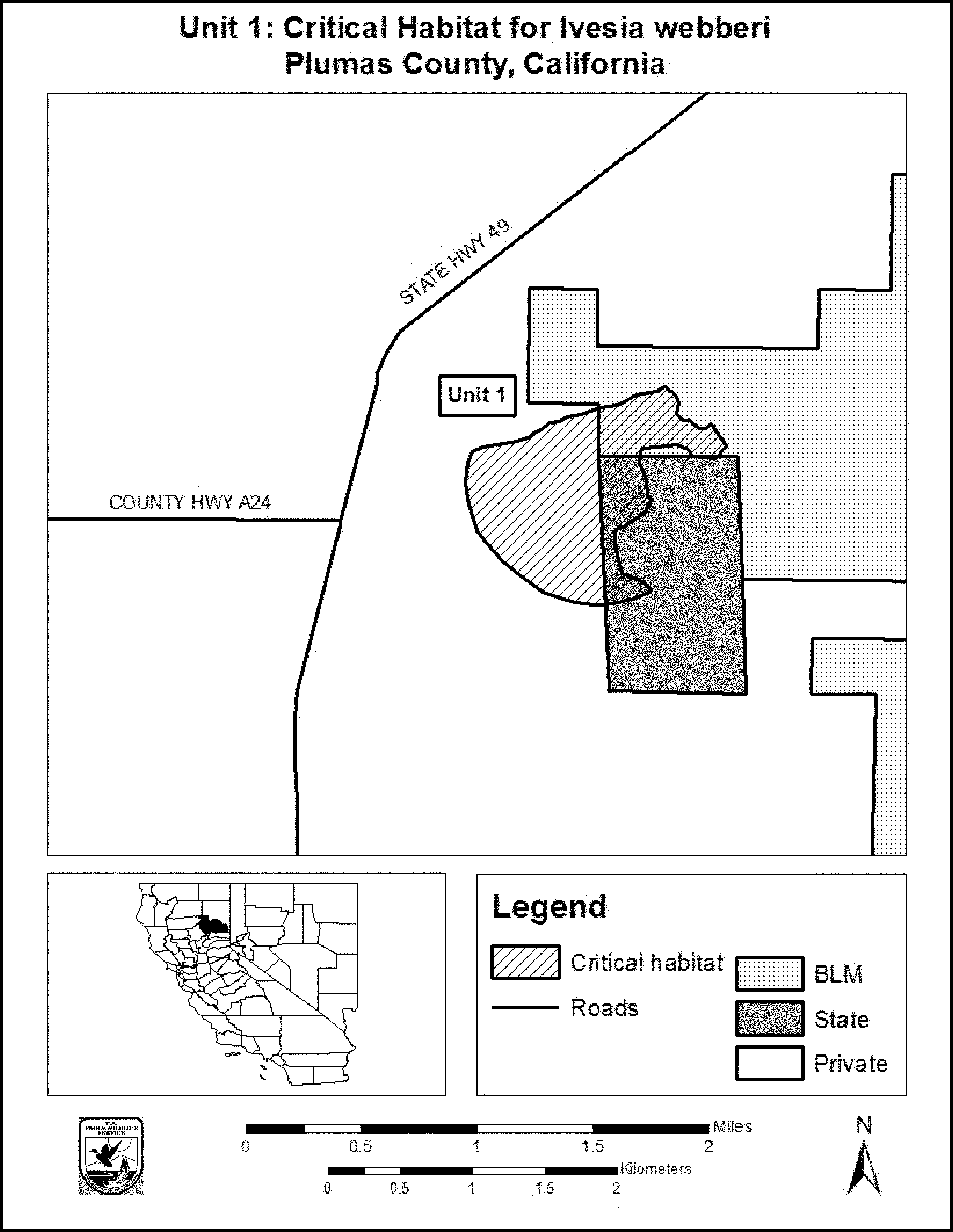
(7) Unit 2: Constantia, Lassen County, California.
(i) Unit 2 includes 155 ac (63 ha).
(ii) Map of Unit 2 follows:

(8) Unit 3: East of Hallelujah Junction Wildlife Area, Evans Canyon; Lassen County, California.
(i) Unit 3 includes 122 ac (49 ha).
(ii) Map of Units 3 and 4 follows:

(9) Unit 4: Hallelujah Junction Wildlife Area, Sierra County, California.
(i) Unit 4 includes 69 ac (28 ha).
(ii) Map of Unit 4 is provided at paragraph (8)(ii) of this entry.
(10) Unit 5: Subunit 5a, Dog Valley Meadow, and Subunit 5b, Upper Dog Valley; Sierra County, California.
(i) Subunit 5a includes 386 ac (156 ha), and subunit 5b includes 29 ac (12 ha). Combined, Unit 5 includes 415 ac (168 ha).
(ii) Map of Unit 5 (Subunits 5a and 5b) follows:
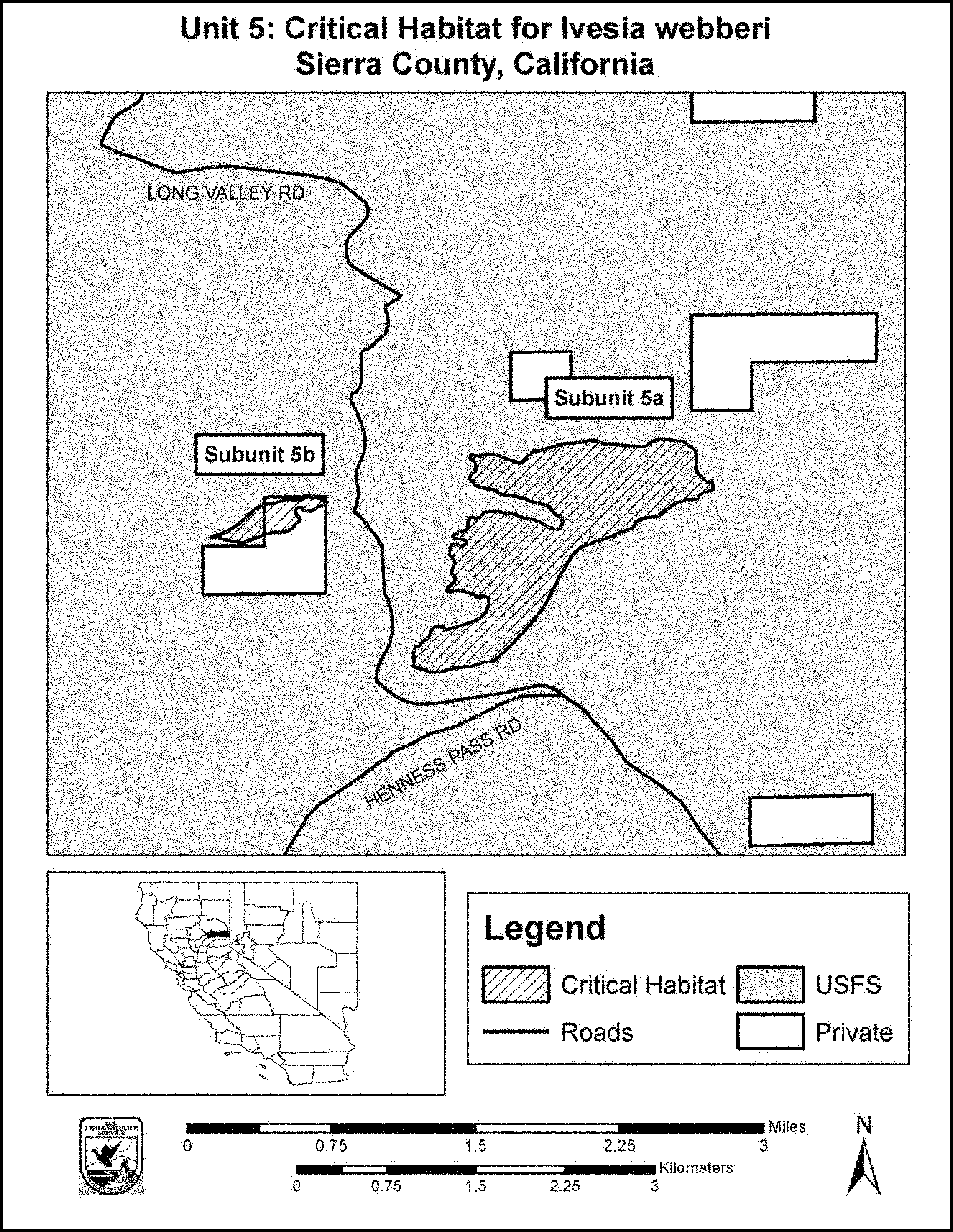
(11) Unit 6: White Lake Overlook, Sierra County, California.
(i) Unit 6 includes 109 ac (44 ha).
(ii) Map of Units 6, 7, 8, 9, and 10 follows:
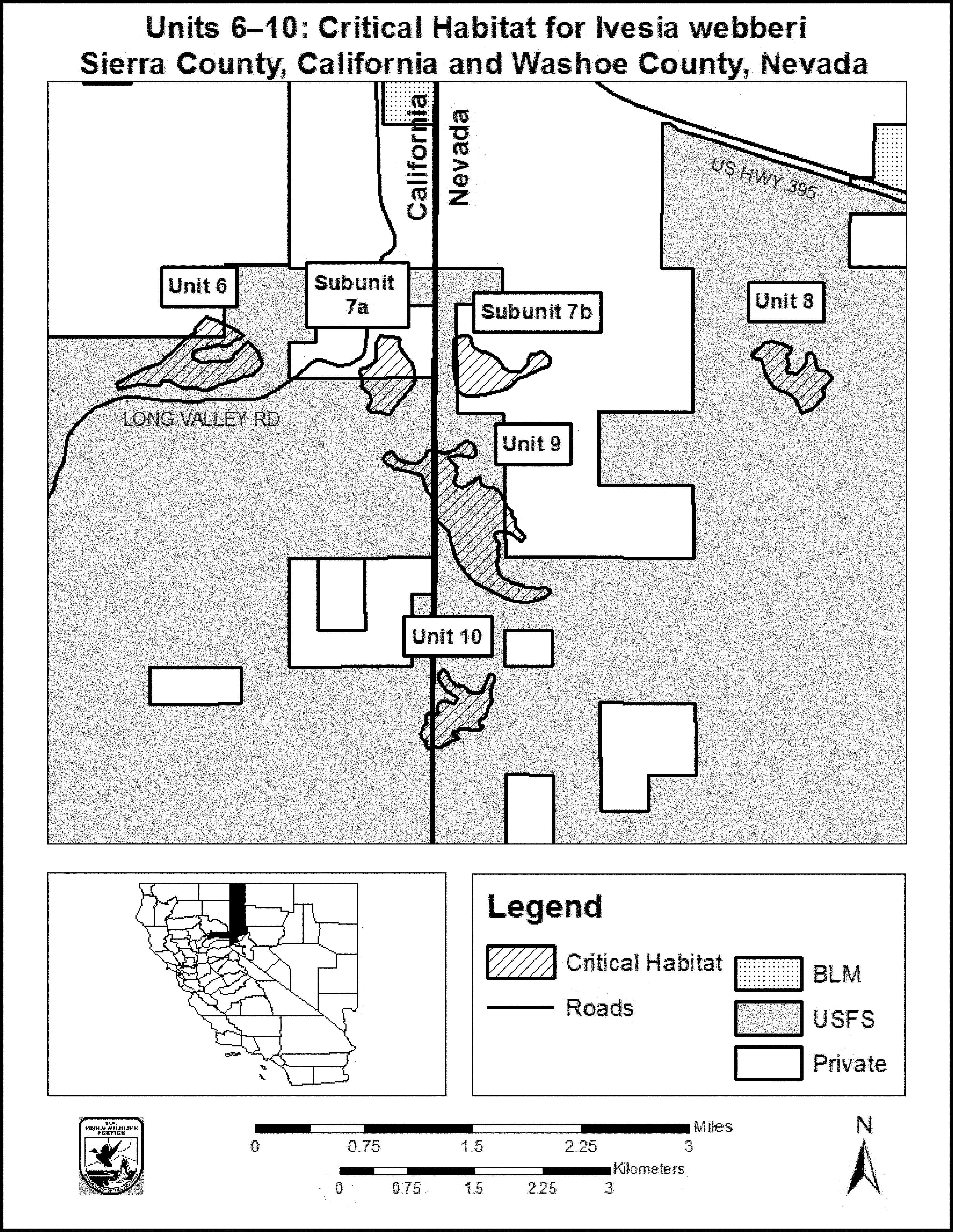
(12) Unit 7: Subunit 7a, Mules Ear Flat, Sierra County, California; Subunit 7b, Three Pine Flat and Jeffery Pine Saddle, Washoe County, Nevada.
(i) Subunit 7a includes 65 ac (27 ha), and subunit 7b includes 68 ac (27 ha).
(ii) Map of Unit 7 is provided at paragraph (11)(ii) of this entry.
(13) Unit 8: Ivesia Flat, Washoe County, Nevada.
(i) Unit 8 includes 62 ac (25 ha).
(ii) Map of Unit 8 is provided at paragraph (11)(ii) of this entry.
(14) Unit 9: Stateline Road 1, Sierra County, California, and Washoe County, Nevada.
(i) Unit 9 includes 193 ac (78 ha).
(ii) Map of Unit 9 is provided at paragraph (11)(ii) of this entry.
(15) Unit 10: Stateline Road 2, Sierra County, California, and Washoe County, Nevada.
(i) Unit 10 includes 66 ac (27 ha).
(ii) Map of Unit 10 is provided at paragraph (11)(ii) of this entry.
(16) Unit 11: Hungry Valley, Washoe County, Nevada.
(i) Unit 11 includes 56 ac (23 ha).
(ii) Map of Unit 11 follows:
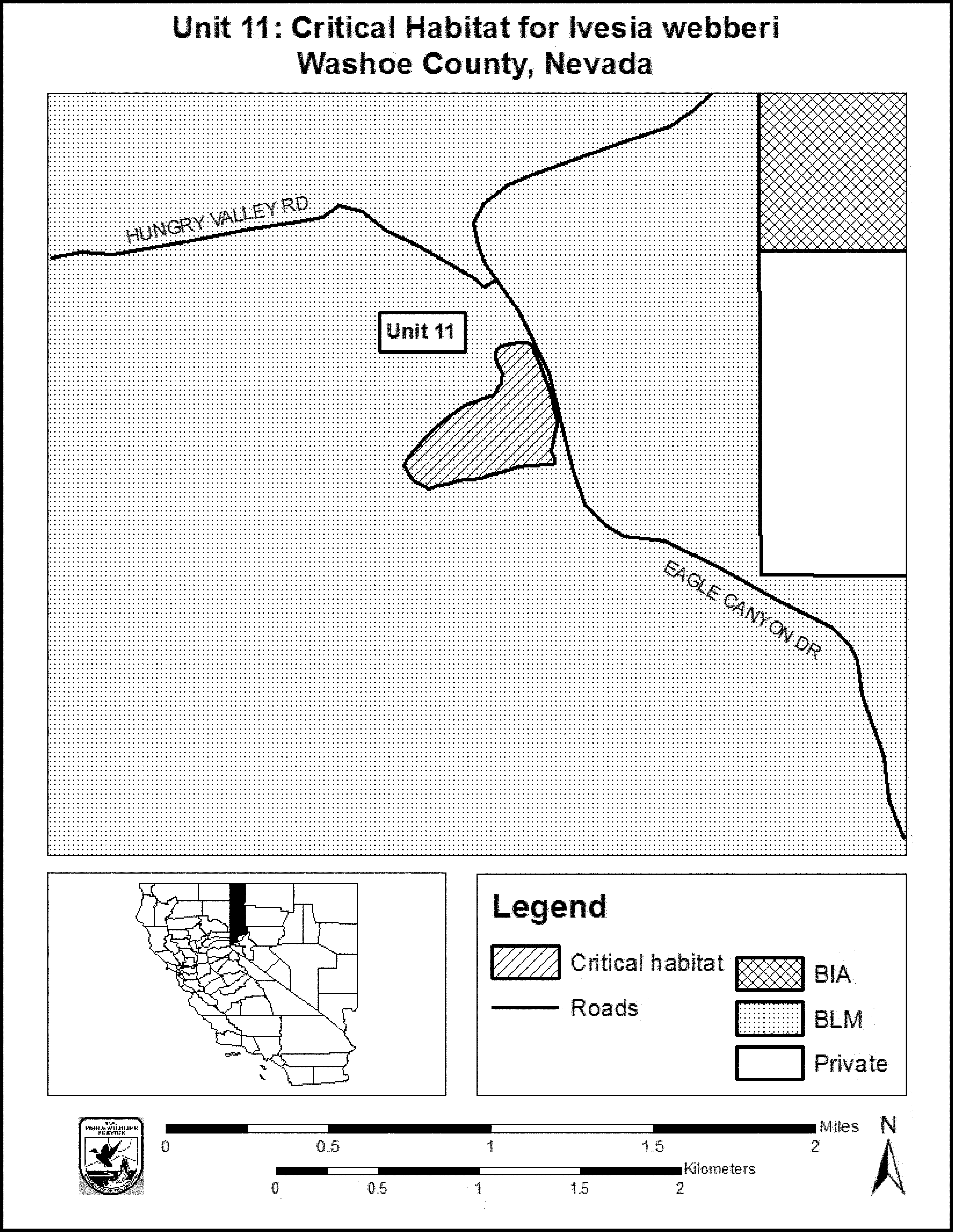
(17) Unit 12: Black Springs, Washoe County, Nevada.
(i) Unit 12 includes 163 ac (66 ha).
(ii) Map of Units 12 and 13 follows:

(18) Unit 13: Raleigh Heights, Washoe County, Nevada.
(i) Unit 13 includes 253 ac (103 ha).
(ii) Map of Unit 13 is provided at paragraph (17)(ii) of this entry.
(19) Unit 14: Dutch Louie Flat, Washoe County, Nevada.
(i) Unit 14 includes 54 ac (22 ha).
(ii) Map of Units 14 and 15 follows:
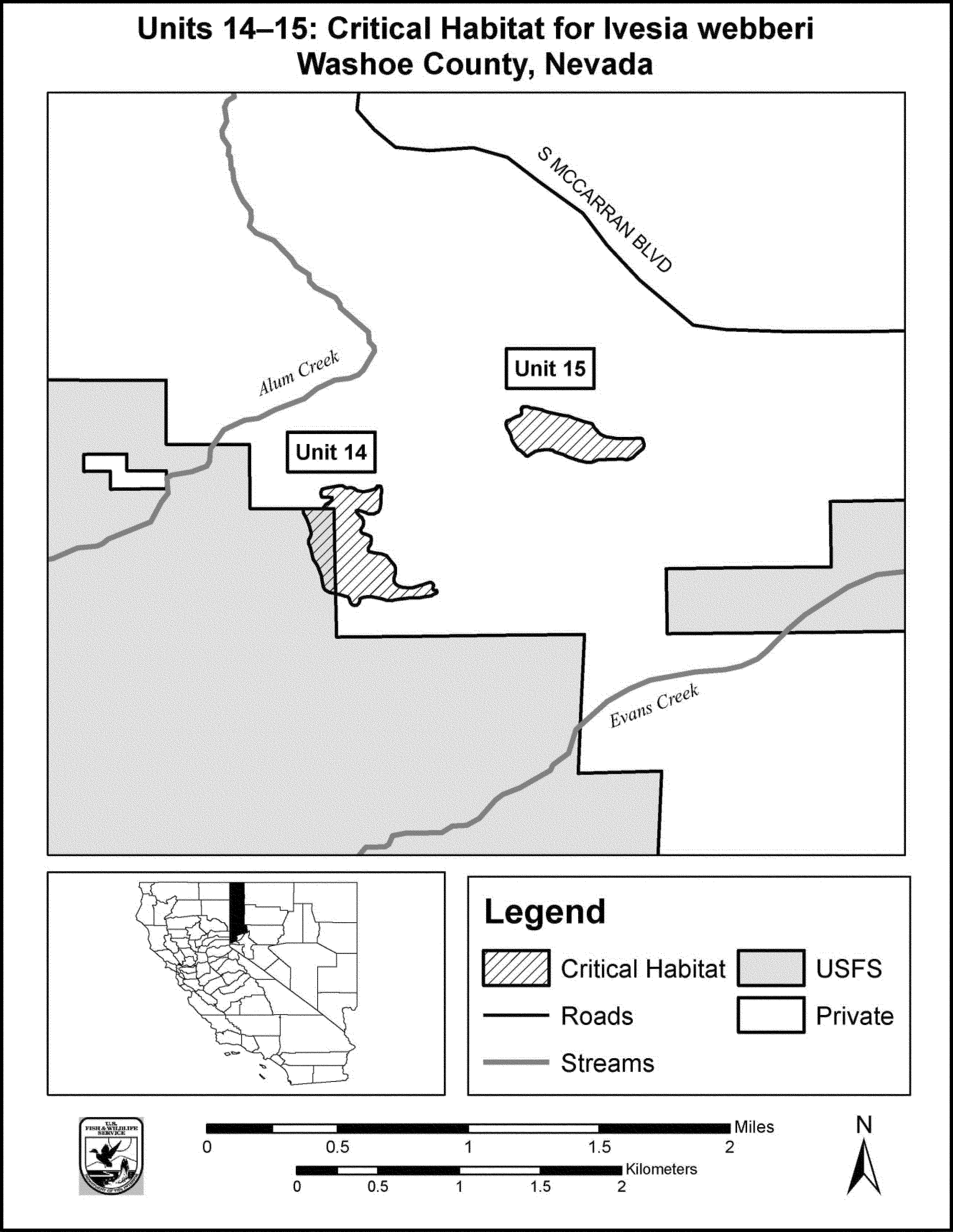
(20) Unit 15: The Pines Powerline, Washoe County, Nevada.
(i) Unit 15 includes 32 ac (13 ha).
(ii) Map of Unit 15 is provided at paragraph (19)(ii) of this entry.
(21) Unit 16: Dante Mine Road, Douglas County, Nevada.
(i) Unit 16 includes 14 ac (6 ha).
(ii) Map of Unit 16 follows:
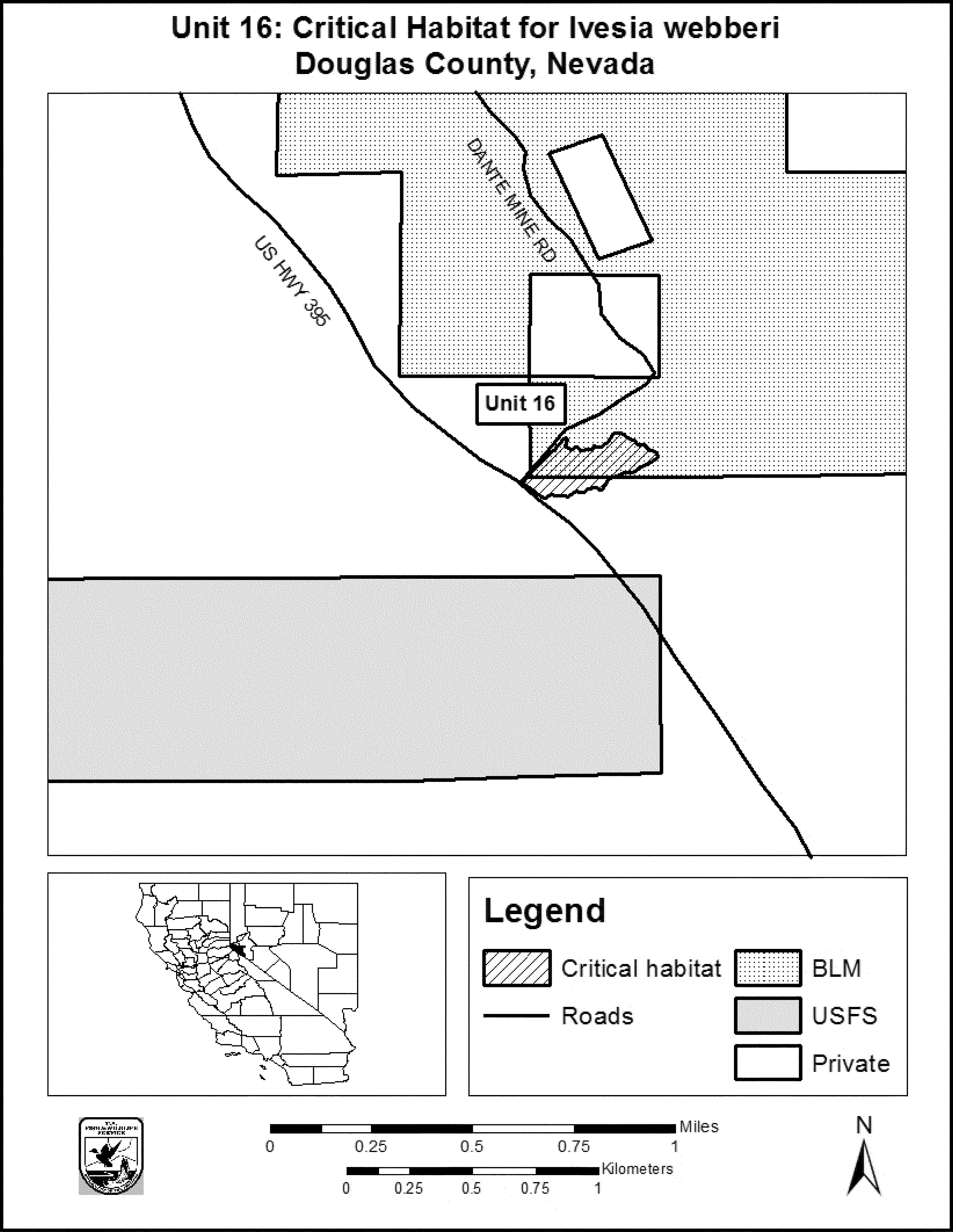
Family Rubiaceae: Catesbaea melanocarpa (no common name)
(1) Critical habitat is depicted on the map below for Halfpenny Bay, St. Croix, U.S. Virgin Islands.
(2) The primary constituent elements (PCEs) of critical habitat for Catesbaea melanocarpa are the habitat components that provide:
(i) Single-layered canopy forest with little ground cover and open forest floor that supports patches of dry vegetation with grasses, and
(ii) Well to excessively drained limestone and serpentine-derived soils (including soils of the San Germán, Nipe, and Rosario series and Glynn and Hogensborg series).
(3) Critical habitat does not include manmade structures (such as buildings, aqueducts, airports, roads, and other paved areas) and the land on which they are located existing on the effective date of this rule and not containing one or more of the primary constituent elements.
(4) Critical habitat map. Data layers were created by overlaying habitats that contain at least two of the PCEs, as defined in paragraph (2) of this section, on U.S. Geological Survey (USGS) topographic maps (UTM 20, NAD 27).
(5) Critical Habitat unit: Halfpenny Bay, St. Croix, U.S. Virgin Islands.
(i) General description: The Halfpenny Bay unit consists of approximately 10.5 ac (4.3 ha) on privately owned property located about 2.48 mi (4 km) south of Christiansted, St. Croix, U.S. Virgin Islands. The designated unit is located east of South Shore Road, approximately 342 m (1,122 ft) south of Road 62, approximately 600 m (1,968 ft) north of the Halfpenny Bay coast, and 70 m (230 ft) west of a local road to Halfpenny Bay. This unit encompasses the habitat features essential to the conservation of Catesbaea melanocarpa within Estate Granard, Christiansted, St. Croix, and does not contain any manmade structures.
(ii) Map of Halfpenny Bay follows:

Family Scrophulariaceae: Castilleja campestris ssp. succulenta (fleshy owl's-clover)
(1) Critical habitat units are depicted for Fresno, Madera, Mariposa, Merced, San Joaquin, Stanislaus, and Tuolumne Counties, California, on the map below.
(2) The primary constituent elements of critical habitat for Castilleja campestris ssp. succulenta (Fleshy owl's-clover) are the habitat components that provide:
(i) Topographic features characterized by isolated mound and intermound complex within a matrix of surrounding uplands that result in continuously, or intermittently, flowing surface water in the depressional features including swales connecting the pools described in paragraph (2)(ii) of this section, providing for dispersal and promoting hydroperiods of adequate length in the pools; and
(ii) Depressional features including isolated vernal pools with underlying restrictive soil layers that become inundated during winter rains and that continuously hold water or whose soils are saturated for a period long enough to promote germination, flowering, and seed production of predominantly annual native wetland species and typically exclude both native and nonnative upland plant species in all but the driest years. As these features are inundated on a seasonal basis, they do not promote the development of obligate wetland vegetation habitats typical of permanently flooded emergent wetlands.
(3) Existing manmade features and structures, such as buildings, roads, railroads, airports, runways, other paved areas, lawns, and other urban landscaped areas do not contain one or more of the primary constituent elements. Federal actions limited to those areas, therefore, would not trigger a consultation under section 7 of the Act unless they may affect the species and/or primary constituent elements in adjacent critical habitat.
(4) Unit 1: Sacramento and San Joaquin Counties, California. From USGS 1:24,000 scale quadrangles Clay and Lockeford.
(5) Unit 1 (Map 1) follows:

(6) Unit 2: Tuolumne and Stanislaus Counties, California. From USGS 1:24,000 scale quadrangles Keystone, La Grange, Cooperstown and Paulsell.
(7) Unit 2 (Map 2) follows:

(8) Unit 3: Mariposa and Merced Counties, California.
(i) [Reserved]
(ii) Unit 3 (Map 3) follows:

(9) Unit 4: Madera and Merced Counties, California.
(i) Units 4A and 4B (Map 4) follow:

(ii) Unit 4C (Map 5) follows:

(10) Unit 5: Fresno County, California.
(i) [Reserved]
(ii) Unit 5 (Map 6) follows:

(11) Unit 6: Fresno County, California.
(i) [Reserved]
(ii) Unit 6 (Map 7) follows:

Family Scrophulariaceae: Cordylanthus mollis ssp. mollis (soft bird's-beak)
(1) Critical habitat units are depicted for Contra Costa, Napa, and Solano Counties, California, on the maps below
(2) The primary constituent elements of critical habitat for Cordylanthus mollis ssp. mollis are:
(i) Persistent emergent, intertidal, estuarine wetland at or above the mean high-water line (as extended directly across any intersecting channels);
(ii) Rarity or absence of plants that naturally die in late spring (winter annuals); and
(iii) Partially open spring canopy cover (approximately 790 nMol/m2/s) at ground level, with many small openings to facilitate seedling germination.
(3) Critical habitat does not include manmade structures (such as buildings, aqueducts, runways, roads, and other paved areas) and the land on which they are located existing within the legal boundaries on the effective date of this rule.
(4) Critical habitat map units. Data layers defining Contra Costa, Napa, and Solano Counties map units were created on a base map using California Spatial Information Library black and white 1:24,000 scale digital orthophoto quarter quadrangles captured June/July 1993. Critical habitat units were then mapped using UTM zone 10, NAD 1983 coordinates.
(5) Note: Map of index for Cordylanthus mollis ssp. mollis (Map 1) follows:

(6) Unit 1 for Cordylanthus mollis ssp. mollis: Fagan Slough Marsh, Napa County, California.
(i) [Reserved]
(ii) Map of Unit 1 for Cordylanthus mollis ssp. mollis (Map 2) follows:

(7) Unit 2 for Cordylanthus mollis ssp. mollis: Hill Slough Marsh, Solano County, California.
(i) [Reserved]
(ii) Unit 2 for Cordylanthus mollis ssp. mollis is depicted on Map 4 in paragraph (9)(ii) of this entry.
(8) Unit 3 for Cordylanthus mollis ssp. mollis: Point Pinole Shoreline, Contra Costa County, California.
(i) [Reserved]
(ii) Map of Unit 3 for Cordylanthus mollis ssp. mollis (Map 3) follows:

(9) Unit 4 for Cordylanthus mollis ssp. mollis: Rush Ranch/Grizzly Island Wildlife Area, Solano County, California.
(i) [Reserved]
(ii) Map of Units 2 and 4 for Cordylanthus mollis ssp. mollis (Map 4) follows:

(10) Unit 5 for Cordylanthus mollis ssp. mollis: Southampton Marsh, Solano County, California.
(i) [Reserved]
(ii) Map of Unit 5 for Cordylanthus mollis ssp. mollis (Map 5) follows:

Family Sterculiaceae: Fremontodendron mexicanum (Mexican flannelbush).
(1) Critical habitat units are depicted for San Diego County, California, on the maps below.
(2) The primary constituent elements of critical habitat for Fremontodendron mexicanum are the habitat components that provide:
(i) Alluvial terraces, benches, and associated slopes within 500 feet (152 meters) of streams, creeks, and ephemeral drainages where water flows primarily after peak seasonal rains with a gradient ranging from 3 to 7 percent; and stabilized north- to east-facing slopes associated with steep (9 to 70 percent) slopes and canyons that provide space for growth and reproduction.
(ii) Silty loam soils derived from metavolcanic and metabasic bedrock, mapped as San Miguel - Exchequer Association soil series that provides the nutrients and substrate with adequate drainage to support seedling establishment and growth.
(iii) Open Cupressus forbesii and Platanus racemosa stands at elevations of 900 feet (274 meters) to 3,000 feet (914 meters) within a matrix of chaparral (such as Dendromecon rigida ssp. rigida and Malosma laurina) and riparian vegetation that provides adequate space for growth and reproduction.
(3) Critical habitat does not include manmade structures existing on the effective date of this rule and not containing one or more of the primary constituent elements, such as buildings, aqueducts, airports, and roads, and the land on which such structures are located.
(4) Data layers defining map units were created on a base of USGS 1:24,000 maps, and critical habitat units were then mapped using Universal Transverse Mercator (UTM) coordinates.
(5) Unit 1.
(i) [Reserved]
(ii) Map of Subunits 1A and 1B follows:

Family Themidaceae: Brodiaea filifolia (thread-leaved brodiaea)
(1) Critical habitat units are depicted for Los Angeles, San Bernardino, Riverside, Orange, and San Diego Counties, California, on the maps below.
(2) Within these areas, the primary constituent elements (PCE) for Brodiaea filifolia consist of two components:
(i) PCE 1 - Appropriate soil series at a range of elevations and in a variety of plant communities, specifically:
(A) Clay soil series of various origins (such as Alo, Altamont, Auld, or Diablo), clay lenses found as unmapped inclusions in other soils series, or loamy soils series underlain by a clay subsoil (such as Fallbrook, Huerhuero, or Las Flores) occurring between the elevations of 100 and 2,500 ft (30 and 762 m).
(B) Soils (such as Cieneba-rock outcrop complex and Ramona family-Typic Xerothents soils) altered by hydrothermal activity occurring between the elevations of 1,000 and 2,500 ft (305 and 762 m).
(C) Silty loam soil series underlain by a clay subsoil or caliche that are generally poorly drained, moderately to strongly alkaline, granitic in origin (such as Domino, Grangeville, Traver, Waukena, or Willows) occurring between the elevations of 600 and 1,800 ft (183 and 549 m).
(D) Clay loam soil series (such as Murrieta) underlain by heavy clay loams or clays derived from olivine basalt lava flows occurring between the elevations of 1,700 and 2,500 ft (518 and 762 m).
(E) Sandy loam soils derived from basalt and granodiorite parent materials; deposits of gravel, cobble, and boulders; or hydrologically fractured, weathered granite in intermittent streams and seeps occurring between 1,800 and 2,500 ft (549 and 762 m).
(ii) PCE 2 - Areas with a natural, generally intact surface and subsurface soil structure, not permanently altered by anthropogenic land use activities (such as deep, repetitive discing, or grading), extending out up to 820 ft (250 m) from mapped occurrences of Brodiaea filifolia to provide for space for individual population growth, and space for pollinators.
(3) Critical habitat does not include manmade structures existing on the effective date of this rule and not containing one or more of the primary constituent elements, such as buildings, aqueducts, airports, and roads, and the land on which such structures are located.
(4) Critical habitat map units. Data layers defining map units were created using a base of U.S. Geological Survey 7.5' quadrangle maps. Critical habitat units were then mapped using Universal Transverse Mercator (UTM) zone 11, North American Datum (NAD) 1983 coordinates.
(5) Note: Index map of critical habitat units for Brodiaea filifolia (thread-leaved brodiaea) follows:

(6) Unit 1: Los Angeles County. From USGS 1:24,000 quadrangle map Glendora, Los Angeles County, California.
(i) [Reserved]
(ii) Map of Unit 1, Los Angeles County, follows:

(7) Unit 2: San Bernardino County. From USGS 1:24,000 quadrangle map San Bernardino North, San Bernardino County, California.
(i) [Reserved]
(ii) Map of Unit 2, San Bernardino County, follows:

(8) Unit 3: Central Orange County. From USGS 1:24,000 quadrangle map San Juan Capistrano, Orange County, California.
(i) [Reserved]
(ii) Map of Unit 3, Central Orange County, follows:

(9) Unit 4: Southern Orange County. From USGS 1:24,000 quadrangle map Cañada Gobernadora, Orange County, California.
(i) [Reserved]
(ii) Map of Unit 4, Southern Orange County, follows:

(10) Unit 5: Northern San Diego County. From USGS 1:24,000 quadrangle maps Fallbrook and Margarita Peak, San Diego County, California.
(i) [Reserved]
(ii) Map of Unit 5, Northern San Diego County, follows:

(11) Unit 6: Oceanside, San Diego County, California. From USGS 1:24,000 quadrangle map San Luis Rey, San Diego County, California.
(i) [Reserved]
(ii) Map of Unit 6, Oceanside, follows:

(12) Unit 7: Carlsbad, San Diego County, California.
(i) [Reserved]
(ii) Map of Unit 7, Carlsbad, follows:

(13) Unit 8: San Marcos and Vista. From USGS 1:24,000 quadrangle map San Marcos, San Diego County, California.
(i) [Reserved]
(ii) Map of Unit 8, San Marcos and Vista, follows:

(14) Unit 11: Western Riverside County, Riverside County, California.
(i) Map of Unit 11, Western Riverside County, Subunits a, b, c, d, and e, follows:

(ii) Map of Unit 11, Western Riverside County, Subunit 11f, follows:

(15) Unit 12: San Diego County. From USGS 1:24,000 quadrangle map Rancho Santa Fe, San Diego County, California.
(i) Unit 12 excludes land bounded by the following UTM NAD83 coordinates (E, N):
(A) 485555, 3652857; 485555, 3652822; 485572, 3652827; 485610, 3652827; 485613, 3652829; 485651, 3652882; 485667, 3652882; 485667, 3652899; 485556, 3652899; 485555, 3652857; and
(B) 485629, 3652710; 485749, 3652710; 485749, 3652807; 485746, 3652807; 485745, 3652820; 485744, 3652822; 485723, 3652822; 485717, 3652810; 485708, 3652806; 485690, 3652791; 485679, 3652788; 485671, 3652784; 485670, 3652780; 485665, 3652765; 485663, 3652761; 485649, 3652754; 485648, 3652750; 485635, 3652718; 485629, 3652710.
(ii) Map of Unit 12, San Diego County, follows:

(b) [Reserved]
§§ 17.97-17.98 [Reserved]
§ 17.99 Critical habitat; plants on the Hawaiian Islands.
(a) Maps and critical habitat unit descriptions for the islands of Kauai and Niihau, HI. The following paragraphs contain the legal descriptions of the critical habitat units designated for the Hawaiian Islands of Kauai and Niihau. Existing manmade features and structures within the boundaries of the mapped areas, such as buildings; roads; aqueducts and other water system features, including but not limited to pumping stations, irrigation ditches, pipelines, siphons, tunnels, water tanks, gaging stations, intakes, reservoirs, diversions, flumes, and wells; existing trails; campgrounds and their immediate surrounding landscaped area; scenic lookouts; remote helicopter landing sites; existing fences; telecommunications equipment towers and associated structures and equipment; electrical power transmission lines and distribution, and communication facilities and regularly maintained associated rights-of-way and access ways; radars, telemetry antennas; missile launch sites; arboreta and gardens; heiau (indigenous places of worship or shrines), and other archaeological sites; airports; other paved areas; and lawns and other rural residential landscaped areas do not contain one or more of the primary constituent elements described for each species in paragraph (b) of this section and therefore are not included in the critical habitat designations.
(1) Kauai. Critical habitat units are described below. Coordinates are in UTM Zone 4 with units in meters using North American Datum of 1983 (NAD83). The following map shows the general locations of the critical habitat units designated on the island of Kauai.
(i) Note: Map 1 - Index map follows:

(ii) Kauai 1 - Ischaemum byrone - a (1 ha; .4 ac)
(A) [Reserved]
(B) Map 2 follows:

(iii) Kauai 2 - Ischaemum byrone - b (6 ha; 14 ac)
(A) [Reserved]
(B) Map 3 follows:

(iv) Kauai 3 - Ischaemum byrone - c (7 ha; 17 ac)
(A) [Reserved]
(B) Map 4 follows:

(v) Kauai 4 - Adenophorus periens - a (237 ha; 585 ac)
(A) [Reserved]
(B) Map 5 follows:

(vi) Kauai 4-Chamaesyce remyi var. kauaiensis-a
(A) This is a unit of the Wet Cliff ecosystem and consists of 38 ac (15.4 ha). This unit is also critical habitat for Kauai 4-Chamaesyce remyi var. remyi-a, Kauai 4-Cyanea dolichopoda-a, Kauai 4-Cyrtandra oenobarba-a, Kauai 4-Cyrtandra paliku-a, Kauai 4-Dubautia plantaginea ssp. magnifolia-a, Kauai 4-Lysimachia iniki-a, Kauai 4-Lysimachia pendens-a, Kauai 4- Lysimachia venosa-a, and Kauai 4-Platydesma rostrata-a (see paragraphs (a)(1)(vii), (a)(1)(ix), (a)(1)(xvi), (a)(1)(xvii), (a)(1)(xviii), (a)(1)(xxv), (a)(1)(xxvi), (a)(1)(xxvii), and (a)(1)(xxix), respectively, of this section).
(B) Map 5a follows:

(vii) Kauai 4-Chamaesyce remyi var. remyi-a
(A) [Reserved]
(B) See paragraph (a)(1)(vi)(B) of this section for the map of this unit.
(viii) Kauai 4 - Cyanea asarifolia - a (654 ha; 1,616 ac)
(A) [Reserved]
(B) Map 6 follows:

(ix) Kauai 4-Cyanea dolichopoda-a
(A) [Reserved]
(B) See paragraph (a)(1)(vi)(B) of this section for the map of this unit.
(x) Kauai 4 - Cyanea recta - a (252 ha; 622 ac)
(A) [Reserved]
(B) Map 7 follows:

(xi) Kauai 4 - Cyanea recta - b (351 ha; 868 ac)
(A) [Reserved]
(B) Map 8 follows:

(xii) Kauai 4 - Cyanea remyi - a (353 ha; 873 ac)
(A) [Reserved]
(B) Map 9 follows:

(xiii) Kauai 4 - Cyrtandra cyaneoides - a (376 ha; 928 ac)
(A) [Reserved]
(B) Map 10 follows:

(xiv) Kauai 4 - Cyrtandra limahuliensis - a (501 ha; 1,237 ac)
(A) [Reserved]
(B) Map 11 follows:

(xv) Kauai 4 - Cyrtandra limahuliensis - b (353 ha; 873 ac)
(A) [Reserved]
(B) Map 12 follows:

(xvi) Kauai 4-Cyrtandra oenobarba-a
(A) [Reserved]
(B) See paragraph (a)(1)(vi)(B) of this section for the map of this unit.
(xvii) Kauai 4-Cyrtandra paliku-a
(A) [Reserved]
(B) See paragraph (a)(1)(vi)(B) of this section for the map of this unit.
(xviii) Kauai 4-Dubautia plantaginea ssp. magnifolia-a
(A) [Reserved]
(B) See paragraph (a)(1)(vi)(B) of this section for the map of this unit.
(xix) Kauai 4 - Hibiscus clayi - a (4 ha; 9 ac)
(A) [Reserved]
(B) Map 13 follows:

(xx) Kauai 4 - Hibiscus clayi - b (85 ha; 210 ac)
(A) [Reserved]
(B) Map 14 follows:

(xxi) Kauai 4 - Hibiscus clayi - c (590 ha; 1,458 ac)
(A) [Reserved]
(B) Map 15 follows:

(xxii) Kauai 4 - Hibiscus clayi - d (48 ha; 119 ac)
(A) [Reserved]
(B) Map 16 follows:

(xxiii) Kauai 4 - Hibiscus clayi - e (19 ha; 47 ac)
(A) [Reserved]
(B) Map 17 follows:

(xxiv) Kauai 4 - Labordia lydgatei - a (588 ha; 1,453 ac)
(A) [Reserved]
(B) Map 18 follows:

(xxv) Kauai 4-Lysimachia iniki-a
(A) [Reserved]
(B) See paragraph (a)(1)(vi)(B) of this section for the map of this unit.
(xxvi) Kauai 4-Lysimachia pendens-a
(A) [Reserved]
(B) See paragraph (a)(1)(vi)(B) of this section for the map of this unit.
(xxvii) Kauai 4- Lysimachia venosa-a
(A) [Reserved]
(B) See paragraph (a)(1)(vi)(B) of this section for the map of this unit.
(xxviii) Kauai 4 - Phyllostegia wawrana - a (352 ha; 869 ac)
(A) [Reserved]
(B) Map 19 follows:

(xxix) Kauai 4-Platydesma rostrata-a
(A) [Reserved]
(B) See paragraph (a)(1)(vi)(B) of this section for the map of this unit.
(xxx) Kauai 5 - Hibiscus clayi - f (60 ha; 148 ac)
(A) [Reserved]
(B) Map 20 follows:

(xxxi) Kauai 5 - Munroidendron racemosum - a (60 ha; 148 ac)
(A) [Reserved]
(B) Map 21 follows:

(xxxii) Kauai 6 - Brighamia insignis - a (63 ha; 156 ac)
(A) [Reserved]
(B) Map 22 follows:

(xxxiii) Kauai 7 - Brighamia insignis - b (341 ha; 842 ac)
(A) [Reserved]
(B) Map 23 follows:

(xxxiv) Kauai 7-Canavalia napaliensis-a (37 ac; 15 ha)
(A) This is a unit of the Lowland Mesic ecosystem and consists of 37 ac (15 ha). This unit is also critical habitat for Kauai 7-Chamaesyce eleanoriae-a, Kauai 7-Chamaesyce remyi var. remyi-b, Kauai 7-Charpentiera densiflora-a, Kauai 7-Doryopteris angelica-a, Kauai 7-Dubautia kenwoodii-a, Kauai 7-Labordia helleri-a, Kauai 7-Pittosporum napaliense-a, Kauai 7-Platydesma rostrata-b, Kauai 7-Psychotria hobdyi-a, and Kauai 7-Tetraplasandra bisattenuata-a (see paragraphs (a)(1)(xxxv), (a)(1)(xxxvi), (a)(1)(xxxvii), (a)(1)(xxxix), (a)(1)(xl), (a)(1)(xlii), (a)(1)(xlviii), (a)(1)(xlix), (a)(1)(l), and (a)(1)(liii), respectively, of this section).
(B) Map 23a follows:

(xxxv) Kauai 7-Chamaesyce eleanoriae-a
(A) [Reserved]
(B) See paragraph (a)(1)(xxxiv)(B) of this section for the map of this unit.
(xxxvi) Kauai 7-Chamaesyce remyi var. remyi-b
(A) [Reserved]
(B) See paragraph (a)(1)(xxxiv)(B) of this section for the map of this unit.
(xxxvii) Kauai 7-Charpentiera densiflora-a
(A) [Reserved]
(B) See paragraph (a)(1)(xxxiv)(B) of this section for the map of this unit.
(xxxviii) Kauai 7 - Delissea rhytidosperma - a (221 ha; 545 ac)
(A) [Reserved]
(B) Map 24 follows:

(xxxix) Kauai 7-Doryopteris angelica-a
(A) [Reserved]
(B) See paragraph (a)(1)(xxxiv)(B) of this section for the map of this unit.
(xl) Kauai 7-Dubautia kenwoodii-a
(A) [Reserved]
(B) See paragraph (a)(1)(xxxiv)(B) of this section for the map of this unit.
(xli) Kauai 7 - Isodendrion longifolium - a (337 ha; 833 ac)
(A) [Reserved]
(B) Map 25 follows:

(xlii) Kauai 7-Labordia helleri-a
(A) [Reserved]
(B) See paragraph (a)(1)(xxxiv)(B) of this section for the map of this unit.
(xliii) Kauai 7 - Lipochaeta micrantha - a (341 ha; 842 ac)
(A) [Reserved]
(B) Map 26 follows:

(xliv) Kauai 7 - Melicope haupuensis - a (330 ha; 816 ac)
(A) [Reserved]
(B) Map 27 follows:

(xlv) Kauai 7 - Munroidendron racemosum - b (50 ha; 123 ac)
(A) [Reserved]
(B) Map 28 follows:

(xlvi) Kauai 7 - Myrsine linearifolia - a (334 ha; 826 ac)
(A) [Reserved]
(B) Map 29 follows:

(xlvii) Kauai 7 - Peucedanum sandwicense - a (21 ha; 52 ac)
(A) [Reserved]
(B) Map 30 follows:

(xlviii) Kauai 7-Pittosporum napaliense-a
(A) [Reserved]
(B) See paragraph (a)(1)(xxxiv)(B) of this section for the map of this unit.
(xlix) Kauai 7-Platydesma rostrata-b
(A) [Reserved]
(B) See paragraph (a)(1)(xxxiv)(B) of this section for the map of this unit.
(l) Kauai 7-Psychotria hobdyi-a
(A) [Reserved]
(B) See paragraph (a)(1)(xxxiv)(B) of this section for the map of this unit.
(li) Kauai 7 - Pteralyxia kauaiensis - a (346 ha; 854 ac)
(A) [Reserved]
(B) Map 31 follows:

(lii) Kauai 7 - Schiedea nuttallii - a (282 ha; 697 ac)
(A) [Reserved]
(B) Map 32 follows:

(liii) Kauai 7-Tetraplasandra bisattenuata-a
(A) [Reserved]
(B) See paragraph (a)(1)(xxxiv)(B) of this section for the map of this unit.
(liv) Kauai 8 - Sesbania tomentosa - a (47 ha; 117 ac)
(A) [Reserved]
(B) Map 33 follows:

(lv) Kauai 9 - Schiedea spergulina var. leiopoda - a (5 ha; 11 ac)
(A) [Reserved]
(B) Map 34 follows:

(lvi) Kauai 10 - Adenophorus periens - b (491 ha; 1,215 ac)
(A) [Reserved]
(B) Map 35 follows:

(lvii) Kauai 10 - Astelia waialealae - a
(A) This is a unit of the Montane Wet ecosystem and consists of 99 ac (40 ha). This unit is also critical habitat for Kauai 10-Chamaesyce remyi var. remyi-c, Kauai 10-Dryopteris crinalis var. podosorus-a, Kauai 10-Dubautia kalalauensis-a, Kauai 10-Dubautia waialealae-a, Kauai 10-Geranium kauaiense-a, Kauai 10-Keysseria erici-a, Kauai 10-Keysseria helenae-a, Kauai 10-Labordia helleri-b, Kauai 10-Labordia pumila-a, Kauai 10-Lysimachia daphnoides-a, Kauai 10-Melicope degeneri-a, Kauai 10-Melicope puberula-a, Kauai 10-Myrsine mezii-a, Kauai 10-Phyllostegia renovans-a, Kauai 10-Platydesma rostrata-c, Kauai 10-Psychotria grandiflora-a, and Kauai 10-Tetraplasandra flynnii-a (see paragraphs (a)(1)(lxi), (a)(1)(lxxvi), (a)(1)(lxxviii), (a)(1)(lxxxi), (a)(1)(lxxxiii), (a)(1)(lxxxvi), (a)(1)(lxxxvii), (a)(1)(lxxxviii), (a)(1)(xci), (a)(1)(xciii), (a)(1)(xcviii), (a)(1)(c), (a)(1)(ciii), (a)(1)(cv), (a)(1)(cviii), (a)(1)(cxi), and (a)(1)(cxv), respectively, of this section).
(B) Map 35a follows:

(lviii) Kauai 10 - Bonamia menziesii - a (421 ha; 1,039 ac)
(A) [Reserved]
(B) Map 36 follows:

(lix) Kauai 10-Chamaesyce remyi var. kauaiensis-b
(A) This is a unit of the Lowland Wet ecosystem and consists of 2,330 ac (943 ha). This unit is also critical habitat for Kauai 10-Chamaesyce remyi var. remyi-d, Kauai 10-Charpentiera densiflora-b, Kauai 10-Cyanea eleeleensis-a, Kauai 10-Cyanea kolekoleensis-a, Kauai 10-Cyanea kuhihewa-a, Kauai 10-Cyrtandra oenobarba-b, Kauai 10-Dubautia imbricata ssp. imbricata-a, Kauai 10-Labordia helleri-c, Kauai 10-Melicope paniculata-a, Kauai 10-Melicope puberula-b, Kauai 10-Phyllostegia renovans-b, Kauai 10-Platydesma rostrata-d, Kauai 10-Stenogyne kealiae-a, Kauai 10-Tetraplasandra bisattenuata-b, and Kauai 10-Tetraplasandra flynii-b, (see paragraphs (a)(1)(lxii), (a)(1)(lxiv), (a)(1)(lxvii), (a)(1)(lxviii), (a)(1)(lxix), (a)(1)(lxxiii), (a)(1)(lxxvii), (a)(1)(lxxxix), (a)(1)(xcix), (a)(1)(ci), (a)(1)(cvi), (a)(1)(cix), (a)(1)(cxiii), (a)(1)(cxiv), and (a)(1)(cxvi), respectively, of this section).
(B) Map 36a follows:

(lx) Kauai 10-Chamaesyce remyi var. kauaiensis-c
(A) This is a unit of the Wet Cliff ecosystem and consists of 489 ac (198 ha). This unit is also critical habitat for Kauai 10-Chamaesyce remyi var. remyi-e, Kauai 10-Cyanea dolichopoda-b, Kauai 10-Cyrtandra oenobarba-c, Kauai 10-Cyrtandra paliku-b, Kauai 10-Dubautia plantaginea ssp. magnifolia-b, Kauai 10-Lysimachia iniki-b, Kauai 10-Lysimachia pendens-b, Kauai 10-Lysimachia venosa-b, and Kauai 10-Platydesma rostrata-e (see paragraphs (a)(1)(lxiii), (a)(1)(lxvi), (a)(1)(lxxiv), (a)(1)(lxxv), (a)(1)(lxxx), (a)(1)(xcv), (a)(1)(xcvi), (a)(1)(xcvii), and (a)(1)(cx), respectively, of this section).
(B) Map 36b follows:

(lxi) Kauai 10-Chamaesyce remyi var. remyi-c
(A) [Reserved]
(B) See paragraph (a)(1)(lvii)(B) of this section for the map of this unit.
(lxii) Kauai 10-Chamaesyce remyi var. remyi-d
(A) [Reserved]
(B) See paragraph (a)(1)(lix)(B) of this section for the map of this unit.
(lxiii) Kauai 10-Chamaesyce remyi var. remyi-e
(A) [Reserved]
(B) See paragraph (a)(1)(lx)(B) of this section for the map of this unit.
(lxiv) Kauai 10-Charpentiera densiflora-b
(A) [Reserved]
(B) See paragraph (a)(1)(lix)(B) of this section for the map of this unit.
(lxv) Kauai 10 - Cyanea asarifolia - b (903 ha; 2,232 ac)
(A) [Reserved]
(B) Map 37 follows:

(lxvi) Kauai 10-Cyanea dolichopoda-b
(A) [Reserved]
(B) See paragraph (a)(1)(lx)(B) of this section for the map of this unit.
(lxvii) Kauai 10-Cyanea eleeleensis-a
(A) [Reserved]
(B) See paragraph (a)(1)(lix)(B) of this section for the map of this unit.
(lxviii) Kauai 10-Cyanea kolekoleensis-a
(A) [Reserved]
(B) See paragraph (a)(1)(lix)(B) of this section for the map of this unit.
(lxix) Kauai 10-Cyanea kuhihewa-a
(A) [Reserved]
(B) See paragraph (a)(1)(lix)(B) of this section for the map of this unit.
(lxx) Kauai 10 - Cyanea remyi - b (1,904 ha; 4,705 ac)
(A) [Reserved]
(B) Map 38 follows:

(lxxi) Kauai 10 - Cyanea undulata - a (1,005 ha; 2,484 ac)
(A) [Reserved]
(B) Map 39 follows:

(lxxii) Kauai 10 - Cyrtandra limahuliensis - c (2,013 ha; 4,975 ac)
(A) [Reserved]
(B) Map 40 follows:

(lxxiii) Kauai 10-Cyrtandra oenobarba-b
(A) [Reserved]
(B) See paragraph (a)(1)(lix)(B) of this section for the map of this unit.
(lxxiv) Kauai 10-Cyrtandra oenobarba-c
(A) [Reserved]
(B) See paragraph (a)(1)(lx)(B) of this section for the map of this unit.
(lxxv) Kauai 10-Cyrtandra paliku-b
(A) [Reserved]
(B) See paragraph (a)(1)(lx)(B) of this section for the map of this unit.
(lxxvi) Kauai 10-Dryopteris crinalis var. podosorus-a
(A) [Reserved]
(B) See paragraph (a)(1)(lvii)(B) of this section for the map of this unit.
(lxxvii) Kauai 10-Dubautia imbricata ssp. imbricata-a
(A) [Reserved]
(B) See paragraph (a)(1)(lix)(B) of this section for the map of this unit.
(lxxviii) Kauai 10-Dubautia kalalauensis-a
(A) [Reserved]
(B) See paragraph (a)(1)(lvii)(B) of this section for the map of this unit.
(lxxix) Kauai 10 - Dubautia pauciflorula - a (814 ha; 2,012 ac)
(A) [Reserved]
(B) Map 41 follows:

(lxxx) Kauai 10-Dubautia plantaginea ssp. magnifolia-b
(A) [Reserved]
(B) See paragraph (a)(1)(lx)(B) of this section for the map of this unit.
(lxxxi) Kauai 10-Dubautia waialealae-a
(A) [Reserved]
(B) See paragraph (a)(1)(lvii)(B) of this section for the map of this unit.
(lxxxii) Kauai 10 - Exocarpos luteolus - a (401 ha; 991 ac)
(A) [Reserved]
(B) Map 42 follows:

(lxxxiii) Kauai 10-Geranium kauaiense-a
(A) [Reserved]
(B) See paragraph (a)(1)(lvii)(B) of this section for the map of this unit.
(lxxxiv) Kauai 10 - Hesperomannia lydgatei - a (646 ha; 1,596 ac)
(A) [Reserved]
(B) Map 43 follows:

(lxxxv) Kauai 10 - Isodendrion longifolium - b (142 ha; 350 ac)
(A) [Reserved]
(B) Map 44 follows:

(lxxxvi) Kauai 10-Keysseria erici-a
(A) [Reserved]
(B) See paragraph (a)(1)(lvii)(B) of this section for the map of this unit.
(lxxxvii) Kauai 10-Keysseria helenae-a
(A) [Reserved]
(B) See paragraph (a)(1)(lvii)(B) of this section for the map of this unit.
(lxxxviii) Kauai 10-Labordia helleri-b
(A) [Reserved]
(B) See paragraph (a)(1)(lvii)(B) of this section for the map of this unit.
(lxxxix) Kauai 10-Labordia helleri-c
(A) [Reserved]
(B) See paragraph (a)(1)(lix)(B) of this section for the map of this unit.
(xc) Kauai 10 - Labordia lydgatei - b (1,035 ha; 2,558 ac)
(A) [Reserved]
(B) Map 45 follows:

(xci) Kauai 10-Labordia pumila-a
(A) [Reserved]
(B) See paragraph (a)(1)(lvii)(B) of this section for the map of this unit.
(xcii) Kauai 10 - Labordia tinifolia var. wahiawaensis - a (913 ha; 2,255 ac)
(A) [Reserved]
(B) Map 46 follows:

(xciii) Kauai 10-Lysimachia daphnoides-a
(A) [Reserved]
(B) See paragraph (a)(1)(lvii)(B) of this section for the map of this unit.
(xciv) Kauai 10 - Lysimachia filifolia - a (995 ha; 2,458 ac)
(A) [Reserved]
(B) Map 47 follows:

(xcv) Kauai 10-Lysimachia iniki-b
(A) [Reserved]
(B) See paragraph (a)(1)(lx)(B) of this section for the map of this unit.
(xcvi) Kauai 10-Lysimachia pendens-b
(A) [Reserved]
(B) See paragraph (a)(1)(lx)(B) of this section for the map of this unit.
(xcvii) Kauai 10-Lysimachia venosa-b
(A) [Reserved]
(B) See paragraph (a)(1)(lx)(B) of this section for the map of this unit.
(xcviii) Kauai 10-Melicope degeneri-a
(A) [Reserved]
(B) See paragraph (a)(1)(lvii)(B) of this section for the map of this unit.
(xcix) Kauai 10-Melicope paniculata-a
(A) [Reserved]
(B) See paragraph (a)(1)(lix)(B) of this section for the map of this unit.
(c) Kauai 10-Melicope puberula-a
(A) [Reserved]
(B) See paragraph (a)(1)(lvii)(B) of this section for the map of this unit.
(ci) Kauai 10-Melicope puberula-b
(A) [Reserved]
(B) See paragraph (a)(1)(lix)(B) of this section for the map of this unit.
(cii) Kauai 10 - Myrsine linearifolia - b (167 ha; 413 ac)
(A) [Reserved]
(B) Map 48 follows:

(ciii) Kauai 10-Myrsine mezii-a
(A) [Reserved]
(B) See paragraph (a)(1)(lvii)(B) of this section for the map of this unit.
(civ) Kauai 10 - Huperzia nutans - a (620 ha; 1,533 ac)
(A) [Reserved]
(B) Map 49 follows:

(cv) Kauai 10-Phyllostegia renovans-a
(A) [Reserved]
(B) See paragraph (a)(1)(lvii)(B) of this section for the map of this unit.
(cvi) Kauai 10-Phyllostegia renovans-b
(A) [Reserved]
(B) See paragraph (a)(1)(lix)(B) of this section for the map of this unit.
(cvii) Kauai 10 - Plantago princeps - a (276 ha; 683 ac)
(A) [Reserved]
(B) Map 50 follows:

(cviii) Kauai 10-Platydesma rostrata-c
(A) [Reserved]
(B) See paragraph (a)(1)(lvii)(B) of this section for the map of this unit.
(cix) Kauai 10-Platydesma rostrata-d
(A) [Reserved]
(B) See paragraph (a)(1)(lix)(B) of this section for the map of this unit.
(cx) Kauai 10-Platydesma rostrata-e
(A) [Reserved]
(B) See paragraph (a)(1)(lx)(B) of this section for the map of this unit.
(cxi) Kauai 10-Psychotria grandiflora-a
(A) [Reserved]
(B) See paragraph (a)(1)(lvii)(B) of this section for the map of this unit.
(cxii) Kauai 10 - Pteralyxia kauaiensis - b (304 ha; 751 ac)
(A) [Reserved]
(B) Map 51 follows:

(cxiii) Kauai 10-Stenogyne kealiae-a
(A) [Reserved]
(B) See paragraph (a)(1)(lix)(B) of this section for the map of this unit.
(cxiv) Kauai 10-Tetraplasandra bisattenuata-b
(A) [Reserved]
(B) See paragraph (a)(1)(lix)(B) of this section for the map of this unit.
(cxv) Kauai 10-Tetraplasandra flynnii-a
(A) [Reserved]
(B) See paragraph (a)(1)(lvii)(B) of this section for the map of this unit.
(cxvi) Kauai 10-Tetraplasandra flynnii-b
(A) [Reserved]
(B) See paragraph (a)(1)(lix)(B) of this section for the map of this unit.
(cxvii) Kauai 10 - Viola helenae - a (611 ha; 1,510 ac)
(A) [Reserved]
(B) Map 52 follows:

(cxviii) Kauai 10 - Viola kauaiensis var. wahiawaensis - a (657 ha; 1,623 ac)
(A) [Reserved]
(B) Map 53 follows:

(cxix) Kauai 11 - Adenophorus periens - c (469 ha; 1,158 ac)
(A) [Reserved]
(B) Map 54 follows:

(cxx) Kauai 11 - Adenophorus periens - d (1,006 ha; 2,485 ac)
(A) [Reserved]
(B) Map 55 follows:

(cxxi) Kauai 11 - Alectryon macrococcus - a (382 ha; 943 ac)
(A) [Reserved]
(B) Excluding 2 areas:
(1) Bounded by the following 3 points (1 ha; 3 ac): Start at 435132, 2442248; 435160, 2442164; 434848, 2442098; return to starting point; and
(2) Bounded by the following 4 points: (0 ha; 1 ac): Start at 435151, 2442425; 435215, 2442393; 435195, 2442353; 435128, 2442379; return to starting point.
(C) Map 56 follows:

(cxxii) Kauai 11 - Alectryon macrococcus - b (90 ha; 222 ac)
(A) [Reserved]
(B) Map 57 follows:

(cxxiii) Kauai 11 - Alsinidendron lychnoides - a (993 ha; 2,455 ac)
(A) [Reserved]
(B) Map 58 follows:

(cxxiv) Kauai 11 - Alsinidendron lychnoides - b (138 ha; 340 ac)
(A) [Reserved]
(B) Map 59 follows:

(cxxv) Kauai 11 - Alsinidendron lychnoides - c (55 ha; 136 ac)
(A) [Reserved]
(B) Map 60 follows:

(cxxvi) Kauai 11 - Alsinidendron viscosum - a (736 ha; 1,819 ac)
(A) [Reserved]
(B) Map 61 follows:

(cxxvii) Kauai 11 - Alsinidendron viscosum - b (17 ha; 42 ac)
(A) [Reserved]
(B) Map 62 follows:

(cxxviii) Kauai 11 - Alsinidendron viscosum - c (22 ha; 55 ac)
(A) [Reserved]
(B) Map 63 follows:

(cxxix) Kauai 11 - Alsinidendron viscosum - d (61 ha; 150 ac)
(A) [Reserved]
(B) Map 64 follows:

(cxxx) Kauai 11 - Astelia waialealae - b
(A) This is a unit of the Montane Wet ecosystem and consists of 14,096 ac (5,704 ha). This unit is also critical habitat for Kauai 11-Chamaesyce remyi var. remyi-f, Kauai 11-Dryopteris crinalis var. podosorus-b, Kauai 11-Dubautia kalalauensis-b, Kauai 11-Dubautia waialealae-b, Kauai 11-Geranium kauaiense-b, Kauai 11-Keysseria erici-b, Kauai 11-Keysseria helenae-b, Kauai 11-Labordia helleri-d, Kauai 11-Labordia pumila-b, Kauai 11-Lysimachia daphnoides-b, Kauai 11-Melicope degeneri-b, Kauai 11-Melicope puberula-c, Kauai 11-Myrsine mezii-b, Kauai 11-Phyllostegia renovans-c, Kauai 11-Platydesma rostrata-f, Kauai 11-Psychotria grandiflora-b, and Kauai 11-Tetraplasandra flynnii-c (see paragraphs (a)(1)(cxlii), (a)(1)(clxxvii), (a)(1)(clxxix), (a)(1)(clxxxv), (a)(1)(cxcix), (a)(1)(ccxvi), (a)(1)(ccxvii), (a)(1)(ccxxii), (a)(1)(ccxxix), (a)(1)(ccxxxv), (a)(1)(ccxli), (a)(1)(ccxlix), (a)(1)(cclviii), (a)(1)(cclxvi), (a)(1)(cclxxvii), (a)(1)(ccxc), and (a)(1)(cccxxxiv), respectively, of this section).
(B) Map 64a follows:

(cxxxi) Kauai 11 - Bonamia menziesii - b (93 ha; 229 ac)
(A) [Reserved]
(B) Map 65 follows:

(cxxxii) Kauai 11 - Brighamia insignis - c (1,645 ha; 4,066 ac)
(A) [Reserved]
(B) Map 66 follows:

(cxxxiii) Kauai 11-Canavalia napaliensis-b
(A) This is a unit of the Lowland Mesic ecosystem and consists of 2,590 ac (1,048 ha). This unit is also critical habitat for Kauai 11-Chamaesyce eleanoriae-b, Kauai 11-Chamaesyce remyi var. remyi-g, Kauai 11-Charpentiera densiflora-c, Kauai 11-Doryopteris angelica-b, Kauai 11-Dubautia kenwoodii-b, Kauai 11-Labordia helleri-e, Kauai 11-Pittosporum napaliense-b, Kauai 11-Platydesma rostrata-g, Kauai 11-Psychotria hobdyi-b, and Kauai 11-Tetraplasandra bisattenuata-c (see paragraphs (a)(1)(cxxxv), (a)(1)(cxliii), (a)(1)(cxlvii), (a)(1)(clxxvi), (a)(1)(clxxx), (a)(1)(ccxxiii), (a)(1)(cclxxii), (a)(1)(cclxxviii), (a)(1)(ccxcii), and (a)(1)(cccxxxii), respectively, of this section).
(B) Map 66a follows:

(cxxxiv) Kauai 11 - Schenkia sebaeoides - a (157 ha; 389 ac)
(A) [Reserved]
(B) Map 67 follows:

(cxxxv) Kauai 11-Chamaesyce eleanoriae-b
(A) [Reserved]
(B) See paragraph (a)(1)(cxxxiii)(B) of this section for the map of this unit.
(cxxxvi) Kauai 11-Chamaesyce eleanoriae-c
(A) This is a unit of the Dry Cliff ecosystem and consists of 712 ac (288 ha). This unit is also critical habitat for Kauai 11-Lysimachia scopulensis-a, Kauai 11-Schiedea attenuata-a, and Kauai 11-Stenogyne kealiae-b (see paragraphs (a)(1)(ccxxxviii), (a)(1)(cccix), and (a)(1)(cccxxix), respectively, of this section).
(B) Map 67a follows:

(cxxxvii) Kauai 11 - Chamaesyce halemanui - a (108 ha; 267 ac)
(A) [Reserved]
(B) Map 68 follows:

(cxxxviii) Kauai 11 - Chamaesyce halemanui - b (17 ha; 43 ac)
(A) [Reserved]
(B) Map 69 follows:

(cxxxix) Kauai 11 - Chamaesyce halemanui - c (1,283 ha; 3,171 ac)
(A) [Reserved]
(B) Map 70 follows:

(cxl) Kauai 11-Chamaesyce remyi var. kauaiensis-d
(A) This is a unit of the Lowland Wet ecosystem and consists of 2,618 ac (1,060 ha). This unit is also critical habitat for Kauai 11-Chamaesyce remyi var. remyi-h, Kauai 11-Charpentiera densiflora-d, Kauai 11-Cyanea eleeleensis-b, Kauai 11-Cyanea kolekoleensis-b, Kauai 11-Cyanea kuhihewa-b, Kauai 11-Cyrtandra oenobarba-d, Kauai 11-Dubautia imbricata ssp. imbricata-b, Kauai 11-Labordia helleri-f, Kauai 11-Melicope paniculata-b, Kauai 11-Melicope puberula-d, Kauai 11-Phyllostegia renovans-d, Kauai 11-Platydesma rostrata-h, Kauai 11-Stenogyne kealiae-c, Kauai 11-Tetraplasandra bisattenuata-d, and Kauai 11-Tetraplasandra flynii-d (see paragraphs (a)(1)(cxliv), (a)(1)(cxlviii), (a)(1)(cli), (a)(1)(clii), (a)(1)(cliii), (a)(1)(clxiii), (a)(1)(clxxviii), (a)(1)(ccxxiv), (a)(1)(ccxlviii), (a)(1)(ccl), (a)(1)(cclxvii), (a)(1)(cclxxix), (a)(1)(cccxxx), (a)(1)(cccxxxiii), and (a)(1)(cccxxxv) respectively, of this section).
(B) Map 70a follows:

(cxli) Kauai 11-Chamaesyce remyi var. kauaiensis-e
(A) This is a unit of the Wet Cliff ecosystem and consists of 190 ac; 77 ha. This unit is also critical habitat for Kauai 11-Chamaesyce remyi var. remyi-i, Kauai 11-Cyanea dolichopoda-c, Kauai 11-Cyrtandra oenobarba-e, Kauai 11-Cyrtandra paliku-c, Kauai 11-Dubautia plantaginea ssp. magnifolia-c, Kauai 11-Lysimachia iniki-c, Kauai 11-Lysimachia pendens-c, Kauai 11- Lysimachia venosa-c, and Kauai 11-Platydesma rostrata-i (see paragraphs (a)(1)(cxlv), (a)(1)(cl), (a)(1)(clxiv), (a)(1)(clxv), (a)(1)(clxxxiv), (a)(1)(ccxxxvi), (a)(1)(ccxxxvii), (a)(1)(ccxxxix), and (a)(1)(cclxxx), respectively, of this section).
(B) Map 70b follows:

(cxlii) Kauai 11-Chamaesyce remyi var. remyi-f
(A) [Reserved]
(B) See paragraph (a)(1)(cxxx)(B) of this section for the map of this unit.
(cxliii) Kauai 11-Chamaesyce remyi var. remyi-g
(A) [Reserved]
(B) See paragraph (a)(1)(cxxxiii)(B) of this section for the map of this unit.
(cxliv) Kauai 11-Chamaesyce remyi var. remyi-h
(A) [Reserved]
(B) See paragraph (a)(1)(cxl)(B) of this section for the map of this unit.
(cxlv) Kauai 11-Chamaesyce remyi var. remyi-i
(A) [Reserved]
(B) See paragraph (a)(1)(cxli)(B) of this section for the map of this unit.
(cxlvi) Kauai 11-Chamaesyce remyi var. remyi-j
(A) This is a unit of the Montane Mesic ecosystem and consists of 2,790 ac (1,129 ha). This unit is also critical habitat for Kauai 11-Diellia mannii-a, Kauai 11-Labordia helleri-g, Kauai 11-Myrsine knudsenii-a, Kauai 11-Myrsine mezii-c, Kauai 11-Platydesma rostrata-j, Kauai 11-Psychotria grandiflora-c, Kauai 11-Stenogyne kealiae-d, and Kauai 11-Tetraplasandra flynnii-e (see paragraphs (a)(1)(clxxii), (a)(1)(ccxxv), (a)(1)(ccliii), (a)(1)(cclix), (a)(1)(cclxxxi), (a)(1)(ccxci), (a)(1)(ccxxxi), and (a)(1)(cccxxxvi), respectively, of this section).
(B) Map 70c follows:

(cxlvii) Kauai 11-Charpentiera densiflora-c
(A) [Reserved]
(B) See paragraph (a)(1)(cxxxiii)(B) of this section for the map of this unit.
(cxlviii) Kauai 11-Charpentiera densiflora-d
(A) [Reserved]
(B) See paragraph (a)(1)(cxl)(B) of this section for the map of this unit.
(cxlix) Kauai 11 - Ctenitis squamigera - a (735 ha; 1,817 ac)
(A) [Reserved]
(B) Map 71 follows:

(cl) Kauai 11-Cyanea dolichopoda-c
(A) [Reserved]
(B) See paragraph (a)(1)(cxli)(B) of this section for the map of this unit.
(cli) Kauai 11-Cyanea eleeleensis-b
(A) [Reserved]
(B) See paragraph (a)(1)(cxl)(B) of this section for the map of this unit.
(clii) Kauai 11-Cyanea kolekoleensis-b
(A) [Reserved]
(B) See paragraph (a)(1)(cxl)(B) of this section for the map of this unit.
(cliii) Kauai 11-Cyanea kuhihewa-b
(A) [Reserved]
(B) See paragraph (a)(1)(cxl)(B) of this section for the map of this unit.
(cliv) Kauai 11 - Cyanea recta - c (553 ha; 1,367 ac)
(A) [Reserved]
(B) Map 72 follows:

(clv) Kauai 11 - Cyanea recta - d (397 ha; 981 ac)
(A) [Reserved]
(B) Map 73 follows:

(clvi) Kauai 11 - Cyanea remyi - c (365 ha; 901 ac)
(A) [Reserved]
(B) Map 74 follows:

(clvii) Kauai 11 - Cyanea remyi - d (663 ha; 1,638 ac)
(A) [Reserved]
(B) Map 75 follows:

(clviii) Kauai 11 - Cyperus trachysanthos - a (434 ha; 1,071 ac)
(A) [Reserved]
(B) Map 76 follows:

(clix) Kauai 11 - Cyrtandra cyaneoides - b (848 ha; 2,095 ac)
(A) [Reserved]
(B) Map 77 follows:

(clx) Kauai 11 - Cyrtandra cyaneoides - c (1,118 ha; 2,763 ac)
(A) [Reserved]
(B) Map 78 follows:

(clxi) Kauai 11 - Cyrtandra limahuliensis - d (816 ha; 2,016 ac)
(A) [Reserved]
(B) Map 79 follows:

(clxii) Kauai 11 - Cyrtandra limahuliensis - e (693 ha; 1,712 ac)
(A) [Reserved]
(B) Map 80 follows:

(clxiii) Kauai 11-Cyrtandra oenobarba-d
(A) [Reserved]
(B) See paragraph (a)(1)(cxl)(B) of this section for the map of this unit.
(clxiv) Kauai 11-Cyrtandra oenobarba-e
(A) [Reserved]
(B) See paragraph (a)(1)(cxli)(B) of this section for the map of this unit.
(clxv) Kauai 11-Cyrtandra paliku-c
(A) [Reserved]
(B) See paragraph (a)(1)(cxli)(B) of this section for the map of this unit.
(clxvi) Kauai 11 - Delissea rhytidosperma - b (258 ha; 638 ac)
(A) [Reserved]
(B) Map 81 follows:

(clxvii) Kauai 11 - Delissea rhytidosperma - c (103 ha; 254 ac)
(A) [Reserved]
(B) Map 82 follows:

(clxviii) Kauai 11 - Delissea rivularis - a (850 ha; 2,100 ac)
(A) [Reserved]
(B) Map 83 follows:

(clxix) Kauai 11 - Delissea undulata - a (257 ha; 635 ac)
(A) [Reserved]
(B) Map 84 follows:

(clxx) Kauai 11 - Delissea undulata - b (532 ha; 1,314 ac)
(A) [Reserved]
(B) Map 85 follows:

(clxxi) Kauai 11 - Asplenium dielerectum - a (364 ha; 901 ac)
(A) [Reserved]
(B) Map 86 follows:

(clxxii) Kauai 11-Diellia mannii-a
(A) [Reserved]
(B) See paragraph (a)(1)(cxlvi)(B) of this section for the map of this unit.
(clxxiii) Kauai 11 - Diellia pallida - a (601 ha; 1,485 ac)
(A) [Reserved]
(B) Map 87 follows:

(clxxiv) Kauai 11 - Diellia pallida - b (55 ha; 136 ac)
(A) [Reserved]
(B) Map 88 follows:

(clxxv) Kauai 11 - Diplazium molokaiense - a (430 ha; 1,062 ac)
(A) [Reserved]
(B) Map 89 follows:

(clxxvi) Kauai 11-Doryopteris angelica-b
(A) [Reserved]
(B) See paragraph (a)(1)(cxxxiii)(B) of this section for the map of this unit.
(clxxvii) Kauai 11-Dryopteris crinalis var. podosorus-b
(A) [Reserved]
(B) See paragraph (a)(1)(cxxx)(B) of this section for the map of this unit.
(clxxviii) Kauai 11-Dubautia imbricata ssp. imbricata-b
(A) [Reserved]
(B) See paragraph (a)(1)(cxl)(B) of this section for the map of this unit.
(clxxix) Kauai 11-Dubautia kalalauensis-b
(A) [Reserved]
(B) See paragraph (a)(1)(cxxx)(B) of this section for the map of this unit.
(clxxx) Kauai 11-Dubautia kenwoodii-b
(A) [Reserved]
(B) See paragraph (a)(1)(cxxxiii)(B) of this section for the map of this unit.
(clxxxi) Kauai 11 - Dubautia latifolia - a (31 ha; 76 ac)
(A) [Reserved]
(B) Map 90 follows:

(clxxxii) Kauai 11 - Dubautia latifolia - b (1,522 ha; 3,761 ac)
(A) [Reserved]
(B) Excluding 1 area bounded by the following 4 points (3 ha, 8 ac): Start at 433109, 2447775; 432932, 2447668; 432827, 2447751; 433094, 2447922; return to starting point.
(C) Map 91 follows:

(clxxxiii) Kauai 11 - Dubautia latifolia - c (809 ha; 1,999 ac)
(A) [Reserved]
(B) Map 92 follows:

(clxxxiv) Kauai 11-Dubautia plantaginea ssp. magnifolia-c
(A) [Reserved]
(B) See paragraph (a)(1)(cxli)(B) of this section for the map of this unit.
(clxxxv) Kauai 11-Dubautia waialealae-b
(A) [Reserved]
(B) See paragraph (a)(1)(cxxx)(B) of this section for the map of this unit.
(clxxxvi) Kauai 11 - Euphorbia haeleeleana - a (263 ha; 649 ac)
(A) [Reserved]
(B) Map 93 follows:

(clxxxvii) Kauai 11 - Euphorbia haeleeleana - b (192 ha; 476 ac)
(A) [Reserved]
(B) Map 94 follows:

(clxxxviii) Kauai 11 - Euphorbia haeleeleana - c (204 ha; 505 ac)
(A) [Reserved]
(B) Excluding 1 area bounded by the following 4 points (0 ha, 1 ac): Start at 435151, 2442425; 435215, 2442393; 435195, 2442353; 435128, 2442379; return to starting point.
(C) Map 95 follows:

(clxxxix) Kauai 11 - Exocarpos luteolus - b (3,799 ha; 9,387 ac)
(A) [Reserved]
(B) Map 96 follows:

(cxc) Kauai 11 - Exocarpos luteolus - c (177 ha; 438 ac)
(A) [Reserved]
(B) Map 97 follows:

(cxci) Kauai 11 - Exocarpos luteolus - d (83 ha; 206 ac)
(A) [Reserved]
(B) Map 98 follows:

(cxcii) Kauai 11 - Exocarpos luteolus - e (523 ha; 1,290 ac)
(A) [Reserved]
(B) Excluding 1 area bounded by the following 10 points (3 ha, 8 ac): Start at 433368, 2449292; 433367, 2449352; 433448, 2449426; 433546, 2449412; 433567, 2449398; 433589, 2449323; 433612, 2449262; 433588, 2449244; 433567, 2449260; 433369, 2449255; return to starting point.
(C) Map 99 follows:

(cxciii) Kauai 11 - Flueggea neowawraea - a (51 ha; 126 ac)
(A) [Reserved]
(B) Map 100 follows:

(cxciv) Kauai 11 - Flueggea neowawraea - b (47 ha; 117 ac)
(A) [Reserved]
(B) Map 101 follows:

(cxcv) Kauai 11 - Flueggea neowawraea - c (152 ha; 376 ac)
(A) [Reserved]
(B) Map 102 follows:

(cxcvi) Kauai 11 - Flueggea neowawraea - d (77 ha; 191 ac)
(A) [Reserved]
(B) Map 103 follows:

(cxcvii) Kauai 11 - Flueggea neowawraea - e (27 ha; 67 ac)
(A) [Reserved]
(B) Map 104 follows:

(cxcviii) Kauai 11 - Flueggea neowawraea - f (240 ha; 594 ac)
(A) [Reserved]
(B) Map 105 follows:

(cxcix) Kauai 11-Geranium kauaiense-b
(A) [Reserved]
(B) See paragraph (a)(1)(cxxx)(B) of this section for the map of this unit.
(cc) Kauai 11 - Gouania meyenii - a (443 ha; 1,094 ac)
(A) [Reserved]
(B) Map 106 follows:

(cci) Kauai 11 - Gouania meyenii - b (128 ha; 316 ac)
(A) [Reserved]
(B) Map 107 follows:

(ccii) Kauai 11 - Gouania meyenii - c (215 ha; 532 ac)
(A) [Reserved]
(B) Map 108 follows:

(cciii) Kauai 11 - Hedyotis cookiana - a (771 ha; 1,905 ac)
(A) [Reserved]
(B) Map 109 follows:

(cciv) Kauai 11 - Hedyotis st. johnii - a (240 ha; 593 ac)
(A) [Reserved]
(B) Map 110 follows:

(ccv) Kauai 11 - Hesperomannia lydgatei - b (913 ha; 2,257 ac)
(A) [Reserved]
(B) Map 111 follows:

(ccvi) Kauai 11 - Hesperomannia lydgatei - c (180 ha; 444 ac)
(A) [Reserved]
(B) Map 112 follows:

(ccvii) Kauai 11 - Hibiscadelphus woodii - a (278 ha; 686 ac)
(A) [Reserved]
(B) Map 113 follows:

(ccviii) Kauai 11 - Hibiscadelphus woodii - b (72 ha; 177 ac)
(A) [Reserved]
(B) Map 114 follows:

(ccix) Kauai 11 - Hibiscus waimeae ssp. hannerae - a (1,119 ha; 2,765 ac)
(A) [Reserved]
(B) Map 115 follows:

(ccx) Kauai 11 - Ischaemum byrone - d (45 ha; 111 ac)
(A) [Reserved]
(B) Map 116 follows:

(ccxi) Kauai 11 - Isodendrion laurifolium - a (401 ha; 991 ac)
(A) [Reserved]
(B) Map 117 follows:

(ccxii) Kauai 11 - Isodendrion laurifolium - b (400 ha; 988 ac)
(A) [Reserved]
(B) Map 118 follows:

(ccxiii) Kauai 11 - Isodendrion longifolium - c (59 ha; 146 ac)
(A) [Reserved]
(B) Map 119 follows:

(ccxiv) Kauai 11 - Isodendrion longifolium - d (493 ha; 1,218 ac)
(A) [Reserved]
(B) Map 120 follows:

(ccxv) Kauai 11 - Isodendrion longifolium - e (381 ha; 941 ac)
(A) [Reserved]
(B) Map 121 follows:

(ccxvi) Kauai 11-Keysseria erici-b
(A) [Reserved]
(B) See paragraph (a)(1)(cxxx)(B) of this section for the map of this unit.
(ccxvii) Kauai 11-Keysseria helenae-b
(A) [Reserved]
(B) See paragraph (a)(1)(cxxx)(B) of this section for the map of this unit.
(ccxviii) Kauai 11 - Kokia kauaiensis - a (155 ha; 384 ac)
(A) [Reserved]
(B) Map 122 follows:

(ccxix) Kauai 11 - Kokia kauaiensis - b (30 ha; 74 ac)
(A) [Reserved]
(B) Map 123 follows:

(ccxx) Kauai 11 - Kokia kauaiensis - c (667 ha; 1,647 ac)
(A) [Reserved]
(B) Map 124 follows:

(ccxxi) Kauai 11 - Kokia kauaiensis - d (126 ha; 312 ac)
(A) [Reserved]
(B) Map 125 follows:

(ccxxii) Kauai 11-Labordia helleri-d
(A) [Reserved]
(B) See paragraph (a)(1)(cxxx)(B) of this section for the map of this unit.
(ccxxiii) Kauai 11-Labordia helleri-e
(A) [Reserved]
(B) See paragraph (a)(1)(cxxxiii)(B) of this section for the map of this unit.
(ccxxiv) Kauai 11-Labordia helleri-f
(A) [Reserved]
(B) See paragraph (a)(1)(cxl)(B) of this section for the map of this unit.
(ccxxv) Kauai 11-Labordia helleri-g
(A) [Reserved]
(B) See paragraph (a)(1)(cxlvi)(B) of this section for the map of this unit.
(ccxxvi) Kauai 11 - Labordia lydgatei - c (325 ha; 803 ac)
(A) [Reserved]
(B) Map 126 follows:

(ccxxvii) Kauai 11 - Labordia lydgatei - d (82 ha; 203 ac)
(A) [Reserved]
(B) Map 127 follows:

(ccxxviii) Kauai 11 - Labordia lydgatei - e (117 ha; 290 ac)
(A) [Reserved]
(B) Map 128 follows:

(ccxxix) Kauai 11-Labordia pumila-b
(A) [Reserved]
(B) See paragraph (a)(1)(cxxx)(B) of this section for the map of this unit.
(ccxxx) Kauai 11 - Lipochaeta fauriei - a (106 ha; 262 ac)
(A) [Reserved]
(B) Map 129 follows:

(ccxxxi) Kauai 11 - Lipochaeta fauriei - b (545 ha; 1,347 ac)
(A) [Reserved]
(B) Map 130 follows:

(ccxxxii) Kauai 11 - Lipochaeta micrantha - b (212 ha; 523 ac)
(A) [Reserved]
(B) Map 131 follows:

(ccxxxiii) Kauai 11 - Lobelia niihauensis - a (89 ha; 220 ac)
(A) [Reserved]
(B) Map 132 follows:

(ccxxxiv) Kauai 11 - Lobelia niihauensis - b (2,001 ha; 4,945 ac)
(A) [Reserved]
(B) Map 133 follows:

(ccxxxv) Kauai 11-Lysimachia daphnoides-b
(A) [Reserved]
(B) See paragraph (a)(1)(cxxx)(B) of this section for the map of this unit.
(ccxxxvi) Kauai 11-Lysimachia iniki-c
(A) [Reserved]
(B) See paragraph (a)(1)(cxli)(B) of this section for the map of this unit.
(ccxxxvii) Kauai 11-Lysimachia pendens-c
(A) [Reserved]
(B) See paragraph (a)(1)(cxli)(B) of this section for the map of this unit.
(ccxxxviii) Kauai 11-Lysimachia scopulensis-a
(A) [Reserved]
(B) See paragraph (a)(1)(cxxxvi)(B) of this section for the map of this unit.
(ccxxxix) Kauai 11-Lysimachia venosa-c
(A) [Reserved]
(B) See paragraph (a)(1)(cxli)(B) of this section for the map of this unit.
(ccxl) Kauai 11 - Cyperus pennatiformis - a (1,003 ha; 2,479 ac)
(A) [Reserved]
(B) Map 134 follows:

(ccxli) Kauai 11-Melicope degeneri-b
(A) [Reserved]
(B) See paragraph (a)(1)(cxxx)(B) of this section for the map of this unit.
(ccxlii) Kauai 11 - Melicope haupuensis - b (574 ha; 1,418 ac)
(A) [Reserved]
(B) Map 135 follows:

(ccxliii) Kauai 11 - Melicope haupuensis - c (290 ha; 716 ac)
(A) [Reserved]
(B) Map 136 follows:

(ccxliv) Kauai 11 - Melicope knudsenii - a (966 ha; 2,388 ac)
(A) [Resserved]
(B) Map 137 follows:

(ccxlv) Kauai 11 - Melicope knudsenii - b (374 ha; 922 ac)
(A) [Reserved]
(B) Excluding 2 areas:
(1) Bounded by the following 3 points (1 ha, 3 ac): Start at 435132, 2442248; 435160, 2442164; 434848, 2442098; return to starting point; and
(2) Bounded by the following 4 points (0 ha, 1 ac): Start at 435151, 2442425; 435215, 2442393; 435195, 2442353; 435128, 2442379; return to starting point.
(C) Map 138 follows:

(ccxlvi) Kauai 11 - Melicope pallida - a (143 ha, 353 ac)
(A) [Reserved]
(B) Map 139 follows:

(ccxlvii) Kauai 11 - Melicope pallida - b (310 ha; 765 ac)
(A) [Reserved]
(B) Map 140 follows:

(ccxlviii) Kauai 11-Melicope paniculata-b
(A) [Reserved]
(B) See paragraph (a)(1)(cxl)(B) of this section for the map of this unit.
(ccxlix) Kauai 11-Melicope puberula-c
(A) [Reserved]
(B) See paragraph (a)(1)(cxxx)(B) of this section for the map of this unit.
(ccl) Kauai 11-Melicope puberula-d
(A) [Reserved]
(B) See paragraph (a)(1)(cxl)(B) of this section for the map of this unit.
(ccli) Kauai 11 - Munroidendron racemosum - c (1,950 ha; 4,819 ac)
(A) [Reserved]
(B) Map 141 follows:

(cclii) Kauai 11 - Munroidendron racemosum - d (153 ha; 379 ac)
(A) [Reserved]
(B) Map 142 follows:

(ccliii) Kauai 11-Myrsine knudsenii-a
(A) [Reserved]
(B) See paragraph (a)(1)(cxlvi)(B) of this section for the map of this unit.
(ccliv) Kauai 11 - Myrsine linearifolia - c (684 ha; 1,691 ac)
(A) [Reserved]
(B) Map 143 follows:

(cclv) Kauai 11 - Myrsine linearifolia - d (286 ha; 707 ac)
(A) [Reserved]
(B) Map 144 follows:

(cclvi) Kauai 11 - Myrsine linearifolia - e (346 ha; 854 ac)
(A) [Reserved]
(B) Excluding 1 area bounded by the following 11 points (<1 ha, 1 ac): Start at 434908, 2449290; 434890, 2449251; 434848, 2449239; 434839, 2449258; 434834, 2449277; 434833, 2449281; 434881, 2449297; 435011, 2449352; 435005, 2449310; 434948, 2449300; 434908, 2449290; return to starting point.
(C) Map 145 follows:

(cclvii) Kauai 11 - Myrsine linearifolia - f (135 ha; 334 ac)
(A) [Reserved]
(B) Map 146 follows:

(cclviii) Kauai 11-Myrsine mezii-b
(A) [Reserved]
(B) See paragraph (a)(1)(cxxx)(B) of this section for the map of this unit.
(cclix) Kauai 11-Myrsine mezii-c
(A) [Reserved]
(B) See paragraph (a)(1)(cxlvi)(B) of this section for the map of this unit.
(cclx) Kauai 11 - Nothocestrum peltatum - a (427 ha; 1,056 ac)
(A) [Reserved]
(B) Map 147 follows:

(cclxi) Kauai 11 - Nothocestrum peltatum - b (1,464 ha; 3,617 ac)
(A) [Reserved]
(B) Excluding 1 area bounded by the following 4 points (3 ha, 8 ac): Start at 433109, 2447775; 432932, 2447668; 432827, 2447751; 433094, 2447922; return to starting point.
(C) Map 148 follows:

(cclxii) Kauai 11 - Nothocestrum peltatum - c (80 ha; 198 ac)
(A) [Reserved]
(B) Map 149 follows:

(cclxiii) Kauai 11 - Peucedanum sandwicense - b (579 ha; 1,430 ac)
(A) [Reserved]
(B) Map 150 follows:

(cclxiv) Kauai 11 - Peucedanum sandwicense - c (181 ha; 447 ac)
(A) [Reserved]
(B) Map 151 follows:

(cclxv) Kauai 11 - Phyllostegia knudsenii - a (297 ha, 735 ac)
(A) [Reserved]
(B) Map 152 follows:

(cclxvi) Kauai 11-Phyllostegia renovans-c
(A) [Reserved]
(B) See paragraph (a)(1)(cxxx)(B) of this section for the map of this unit.
(cclxvii) Kauai 11-Phyllostegia renovans-d
(A) [Reserved]
(B) See paragraph (a)(1)(cxl)(B) of this section for the map of this unit.
(cclxviii) Kauai 11 - Phyllostegia waimeae - a (364 ha; 901 ac)
(A) [Reserved]
(B) Map 153 follows:

(cclxix) Kauai 11 - Phyllostegia wawrana - b (1,037 ha; 2,562 ac)
(A) [Reserved]
(B) Map 154 follows:

(cclxx) Kauai 11 - Phyllostegia wawrana - c (108 ha; 268 ac)
(A) [Reserved]
(B) Map 155 follows:

(cclxxi) Kauai 11 - Phyllostegia wawrana - d (251 ha; 619 ac)
(A) [Reserved]
(B) Excluding 1 area bounded by the following 10 points (3 ha, 8 ac): Start at 433368, 2449292; 433367, 2449352; 433448, 2449426; 433546, 2449412; 433567, 2449398; 433589, 2449323; 433612, 2449262; 433588, 2449244; 433567, 2449260; 433369, 2449255; return to starting point.
(C) Map 156 follows:

(cclxxii) Kauai 11-Pittosporum napaliense-b
(A) [Reserved]
(B) See paragraph (a)(1)(cxxxiii)(B) of this section for the map of this unit.
(cclxxiii) Kauai 11 - Plantago princeps - b (126 ha; 312 ac)
(A) [Reserved]
(B) Map 157 follows:

(cclxxiv) Kauai 11 - Plantago princeps - c (244 ha; 603 ac)
(A) [Reserved]
(B) Map 158 follows:

(cclxxv) Kauai 11 - Plantago princeps - d (77 ha; 189 ac)
(A) [Reserved]
(B) Map 159 follows:

(cclxxvi) Kauai 11 - Platanthera holochila - a (4,149 ha; 10,253 ac)
(A) [Reserved]
(B) Map 160 follows:

(cclxxvii) Kauai 11-Platydesma rostrata-f
(A) [Reserved]
(B) See paragraph (a)(1)(cxxx)(B) of this section for the map of this unit.
(cclxxviii) Kauai 11-Platydesma rostrata-g
(A) [Reserved]
(B) See paragraph (a)(1)(cxxxiii)(B) of this section for the map of this unit.
(cclxxix) Kauai 11-Platydesma rostrata-h
(A) [Reserved]
(B) See paragraph (a)(1)(cxl)(B) of this section for the map of this unit.
(cclxxx) Kauai 11-Platydesma rostrata-i
(A) [Reserved]
(B) See paragraph (a)(1)(cxli)(B) of this section for the map of this unit.
(cclxxxi) Kauai 11-Platydesma rostrata-j
(A) [Reserved]
(B) See paragraph (a)(1)(cxlvi)(B) of this section for the map of this unit.
(cclxxxii) Kauai 11 - Poa mannii - a (1,871 ha; 4,624 ac)
(A) [Reserved]
(B) Map 161 follows:

(cclxxxiii) Kauai 11 - Poa mannii - b (677 ha; 1,673 ac)
(A) [Reserved]
(B) Map 162 follows:

(cclxxxiv) Kauai 11 - Poa mannii - c (155 ha; 382 ac)
(A) [Reserved]
(B) Map 163 follows:

(cclxxxv) Kauai 11 - Poa mannii - d (307 ha; 758 ac)
(A) [Reserved]
(B) Map 164 follows:

(cclxxxvi) Kauai 11 - Poa sandvicensis - a (1,111 ha; 2,745 ac)
(A) [Reserved]
(B) Map 165 follows:

(cclxxxvii) Kauai 11 - Poa sandvicensis - b (52 ha; 129 ac)
(A) [Reserved]
(B) Map 166 follows:

(cclxxxviii) Kauai 11 - Poa siphonoglossa - a (1,621 ha; 4,006 ac)
(A) [Reserved]
(B) Excluding 3 areas:
(1) Bounded by the following 10 points (3 ha, 8 ac): Start at 433368, 2449292; 433367, 2449352; 433448, 2449426; 433546, 2449412; 433567, 2449398; 433589, 2449323; 433612, 2449262; 433588, 2449244; 433567, 2449260; 433369, 2449255; return to starting point; and
(2) Bounded by the following 9 points (1 ha, 2 ac): Start at 433484, 2449703; 433480, 2449629; 433457, 2449622; 433440, 2449604; 433426, 2449556; 433419, 2449599; 433399, 2449709; 433436, 2449707; 433460, 2449707; return to starting point; and
(3) Bounded by the following 11 points (1 ha, 1 ac): Start at 434908, 2449290; 434890, 2449251; 434848, 2449239; 434839, 2449258; 434834, 2449277; 434833, 2449281; 434881, 2449297; 435011, 2449352; 435005, 2449310; 434948, 2449300; 434908, 2449290; return to starting point.
(C) Map 167 follows:

(cclxxxix) Kauai 11 - Poa siphonoglossa - b (2,190 ha; 5,411 ac)
(A) [Reserved]
(B) Map 168 follows:

(ccxc) Kauai 11-Psychotria grandiflora-b
(A) [Reserved]
(B) See paragraph (a)(1)(cxxx)(B) of this section for the map of this unit.
(ccxci) Kauai 11-Psychotria grandiflora-c
(A) [Reserved]
(B) See paragraph (a)(1)(cxlvi)(B) of this section for the map of this unit.
(ccxcii) Kauai 11-Psychotria hobdyi-b
(A) [Reserved]
(B) See paragraph (a)(1)(cxxxiii)(B) of this section for the map of this unit.
(ccxciii) Kauai 11 - Pteralyxia kauaiensis - c (209 ha; 516 ac)
(A) [Reserved]
(B) Map 169 follows:

(ccxciv) Kauai 11 - Pteralyxia kauaiensis - d (57 ha; 141 ac)
(A) [Reserved]
(B) Map 170 follows:

(ccxcv) Kauai 11 - Pteralyxia kauaiensis - e (353 ha; 872 ac)
(A) [Reserved]
(B) Map 171 follows:

(ccxcvi) Kauai 11 - Pteralyxia kauaiensis - f (589 ha; 1,453 ac)
(A) [Reserved]
(B) Excluding 2 areas:
(1) Bounded by the following 3 points (1 ha; 3 ac): Start at 435132, 2442248; 435160, 2442164; 434848, 2442098; return to starting point; and
(2) Bounded by the following 4 points (0 ha; 1 ac): Start at 435151, 2442425; 435215, 2442393; 435195, 2442353; 435128, 2442379; return to starting point.
(C) Map 172 follows:

(ccxcvii) Kauai 11 - Pteralyxia kauaiensis - g (445 ha; 1,100 ac)
(A) [Reserved]
(B) Map 173 follows:

(ccxcviii) Kauai 11 - Remya kauaiensis - a (172 ha; 426 ac)
(A) [Reserved]
(B) Map 174 follows:

(ccxcix) Kauai 11 - Remya kauaiensis - b (66 ha; 163 ac)
(A) [Reserved]
(B) Map 175 follows:

(ccc) Kauai 11 - Remya kauaiensis - c (886 ha; 2,190 ac)
(A) [Reserved]
(B) Map 176 follows:

(ccci) Kauai 11 - Remya kauaiensis - d (47 ha; 115 ac)
(A) [Reserved]
(B) Map 177 follows:

(cccii) Kauai 11 - Remya kauaiensis - e (66 ha, 163 ac)
(A) [Reserved]
(B) Map 178 follows:

(ccciii) Kauai 11 - Remya montgomeryi - a (69 ha; 171 ac)
(A) [Reserved]
(B) Map 179 follows:

(ccciv) Kauai 11 - Remya montgomeryi - b (1,010 ha; 2,496 ac)
(A) [Reserved]
(B) Map 180 follows:

(cccv) Kauai 11 - Remya montgomeryi - c (435 ha; 1,076 ac)
(A) [Reserved]
(B) Map 181 follows:

(cccvi) Kauai 11 - Schiedea apokremnos - a (170 ha; 420 ac)
(A) [Reserved]
(B) Map 182 follows:

(cccvii) Kauai 11 - Schiedea apokremnos - b (187 ha; 463 ac)
(A) [Reserved]
(B) Map 183 follows:

(cccviii) Kauai 11 - Schiedea apokremnos - c (295 ha; 730 ac)
(A) [Reserved]
(B) Map 184 follows:

(cccix) Kauai 11-Schiedea attenuata-a
(A) [Reserved]
(B) See paragraph (a)(1)(cxxxvi)(B) of this section for the map of this unit.
(cccx) Kauai 11 - Schiedea helleri - a (485 ha; 1,198 ac)
(A) [Reserved]
(B) Map 185 follows:

(cccxi) Kauai 11 - Schiedea helleri - b (154 ha; 381 ac)
(A) [Reserved]
(B) Map 186 follows:

(cccxii) Kauai 11 - Schiedea helleri - c (172 ha; 426 ac)
(A) [Reserved]
(B) Map 187 follows:

(cccxiii) Kauai 11 - Schiedea kauaiensis - a (12 ha; 29 ac)
(A) [Reserved]
(B) Map 188 follows:

(cccxiv) Kauai 11 - Schiedea kauaiensis - b (394 ha; 974 ac)
(A) [Reserved]
(B) Map 189 follows:

(cccxv) Kauai 11 - Schiedea kauaiensis - c (510 ha; 1,260 ac)
(A) [Reserved]
(B) Map 190 follows:

(cccxvi) Kauai 11 - Schiedea kauaiensis - d (11 ha; 28 ac)
(A) [Reserved]
(B) Map 191 follows:

(cccxvii) Kauai 11 - Schiedea membranacea - a (251 ha; 620 ac)
(A) [Reserved]
(B) Map 192 follows:

(cccxviii) Kauai 11 - Schiedea membranacea - b (234 ha; 579 ac)
(A) [Reserved]
(B) Map 193 follows:

(cccxix) Kauai 11 - Schiedea membranacea - c (527 ha; 1,303 ac)
(A) [Reserved]
(B) Map 194 follows:

(cccxx) Kauai 11 - Schiedea membranacea - d (327 ha; 809 ac)
(A) [Reserved]
(B) Map 195 follows:

(cccxxi) Kauai 11 - Schiedea spergulina var. spergulina - a (131 ha; 323 ac)
(A) [Reserved]
(B) Map 196 follows:

(cccxxii) Kauai 11 - Schiedea spergulina var. spergulina - b (78 ha; 191 ac)
(A) [Reserved]
(B) Excluding 1 area bounded by the following 4 points (0 ha, 1 ac): Start at 435151, 2442425; 435215, 2442393; 435195, 2442353; 435128, 2442379; return to starting point.
(C) Map 197 follows:

(cccxxiii) Kauai 11 - Schiedea stellarioides - a (1,260 ha; 3,112 ac)
(A) [Reserved]
(B) Excluding 2 areas:
(1) Bounded by the following 3 points (1 ha; 3 ac): Start at 435132, 2442248; 435160, 2442164; 434848, 2442098; return to starting point; and
(2) Bounded by the following 4 points (0 ha; 1 ac): Start at 435151, 2442425; 435215, 2442393; 435195, 2442353; 435128, 2442379; return to starting point.
(C) Map 198 follows:

(cccxxiv) Kauai 11 - Schiedea stellarioides - b (129 ha; 320 ac)
(A) [Reserved]
(B) Map 199 follows:

(cccxxv) Kauai 11 - Solanum sandwicense - a (2,398 ha; 5,924 ac)
(A) [Reserved]
(B) Excluding 3 areas:
(1) Bounded by the following 10 points (3 ha; 8 ac): Start at 433368, 2449292; 433367, 2449352; 433448, 2449426; 433546, 2449412; 433567, 2449398; 433589, 2449323; 433612, 2449262; 433588, 2449244; 433567, 2449260; 433369, 2449255; return to starting point;
(2) Bounded by the following 4 points (3 ha; 8 ac): Start at 433109, 2447775; 432932, 2447668; 432827, 2447751; 433094, 2447922; return to starting point; and
(3) Bounded by the following 9 points (1 ha; 2ac): Start at 433484, 2449703; 433480, 2449629; 433457, 2449622; 433440, 2449604; 433426, 2449556; 433419, 2449599; 433399, 2449709; 433436, 2449707; 433460, 2449707; return to starting point.
(C) Map 200 follows:

(cccxxvi) Kauai 11 - Solanum sandwicense - b (249 ha; 614 ac)
(A) [Reserved]
(B) Map 201 follows:

(cccxxvii) Kauai 11 - Spermolepis hawaiiensis - a (96 ha; 237 ac)
(A) [Reserved]
(B) Map 202 follows:

(cccxxviii) Kauai 11 - Stenogyne campanulata - a (425 ha; 1,050 ac)
(A) [Reserved]
(B) Map 203 follows:

(cccxxix) Kauai 11-Stenogyne kealiae-b
(A) [Reserved]
(B) See paragraph (a)(1)(cxxxvi)(B) of this section for the map of this unit.
(cccxxx) Kauai 11-Stenogyne kealiae-c
(A) [Reserved]
(B) See paragraph (a)(1)(cxl)(B) of this section for the map of this unit.
(cccxxxi) Kauai 11-Stenogyne kealiae-d
(A) [Reserved]
(B) See paragraph (a)(1)(cxlvi)(B) of this section for the map of this unit.
(cccxxxii) Kauai 11-Tetraplasandra bisattenuata-c
(A) [Reserved]
(B) See paragraph (a)(1)(cxxxiii)(B) of this section for the map of this unit.
(cccxxxiii) Kauai 11-Tetraplasandra bisattenuata-d
(A) [Reserved]
(B) See paragraph (a)(1)(cxl)(B) of this section for the map of this unit.
(cccxxxiv) Kauai 11-Tetraplasandra flynnii-c
(A) [Reserved]
(B) See paragraph (a)(1)(cxxx)(B) of this section for the map of this unit.
(cccxxxv) Kauai 11-Tetraplasandra flynnii-d
(A) [Reserved]
(B) See paragraph (a)(1)(cxl)(B) of this section for the map of this unit.
(cccxxxvi) Kauai 11-Tetraplasandra flynnii-e
(A) [Reserved]
(B) See paragraph (a)(1)(cxlvi)(B) of this section for the map of this unit.
(cccxxxvii) Kauai 11 - Wilkesia hobdyi - a (775 ha; 1,914 ac)
(A) [Reserved]
(B) Map 204 follows:

(cccxxxviii) Kauai 11 - Xylosma crenatum - a (840 ha; 2,076 ac)
(A) [Reserved]
(B) Map 205 follows:

(cccxxxix) Kauai 11 - Zanthoxylum hawaiiense - a (523 ha; 1,292 ac)
(A) [Reserved]
(B) Excluding 2 areas:
(1) Bounded by the following 3 points (1 ha, 3 ac): Start at 435132, 2442248; 435160, 2442164; 434848, 2442098; return to starting point; and
(2) Bounded by the following 4 points (0 ha, 1 ac): Start at 435151, 2442425; 435215, 2442393; 435195, 2442353; 435128, 2442379; return to starting point.
(C) Map 206 follows:

(cccxl) Kauai 12 - Nothocestrum peltatum - d (162 ha; 400 ac)
(A) [Reserved]
(B) Map 207 follows:

(cccxli) Kauai 12 - Remya kauaiensis - f (52 ha; 128 ac)
(A) [Reserved]
(B) Map 208 follows:

(cccxlii) Kauai 12 - Xylosma crenatum - b (52 ha; 128 ac)
(A) [Reserved]
(B) Map 209 follows:

(cccxliii) Kauai 13 - Lipochaeta waimeaensis - a (56 ha; 139 ac)
(A) [Reserved]
(B) Map 210 follows:

(cccxliv) Kauai 13 - Schiedea spergulina var. spergulina - c (221 ha; 545 ac)
(A) [Reserved]
(B) Map 211 follows:

(cccxlv) Kauai 13 - Spermolepis hawaiiensis - b (87 ha; 215 ac)
(A) [Reserved]
(B) Map 212 follows:

(cccxlvi) Kauai 14 - Panicum niihauense - a (120 ha; 297 ac)
(A) [Reserved]
(B) Map 213 follows:

(cccxlvii) Kauai 14 - Sesbania tomentosa - b (44 ha; 110 ac)
(A) [Reserved]
(B) Map 214 follows:

(cccxlviii) Kauai 15 - Panicum niihauense - b (16 ha; 39 ac)
(A) [Reserved]
(B) Map 215 follows:

(cccxlix) Kauai 16 - Panicum niihauense - c (11 ha; 28 ac)
(A) [Reserved]
(B) Map 216 follows:

(cccl) Kauai 17 - Panicum niihauense - d (28 ha; 68 ac)
(A) [Reserved]
(B) Map 217 follows:

(cccli) Kauai 18 - Chamaesyce remyi var. kauaiensis-f
(A) This is a unit of the Wet Cliff ecosystem and consists of 296 ac (120 ha). This unit is also critical habitat for Kauai 18-Chamaesyce remyi var. remyi-k, Kauai 18-Cyanea dolichopoda-d, Kauai 18-Cyrtandra oenobarba-f, Kauai 18-Cyrtandra paliku-d, Kauai 18-Dubautia plantaginea ssp. magnifolia-d, Kauai 18-Lysimachia iniki-d, Kauai 18-Lysimachia pendens-d, Kauai 18- Lysimachia venosa-d, and Kauai 18-Platydesma rostrata-k (see paragraphs (a)(1)(ccclii), (a)(1)(cccliii), (a)(1)(cccliv), (a)(1)(ccclv), (a)(1)(ccclvi), (a)(1)(ccclvii), (a)(1)(ccclviii), (a)(1)(ccclix), and (a)(1)(ccclx), respectively, of this section).
(B) Map 217a follows:

(ccclii) Kauai 18-Chamaesyce remyi var. remyi-k
(A) [Reserved]
(B) See paragraph (a)(1)(cccli)(B) of this section for the map of this unit.
(cccliii) Kauai 18-Cyanea dolichopoda-d
(A) [Reserved]
(B) See paragraph (a)(1)(cccli)(B) of this section for the map of this unit.
(cccliv) Kauai 18-Cyrtandra oenobarba-f
(A) [Reserved]
(B) See paragraph (a)(1)(cccli)(B) of this section for the map of this unit.
(ccclv) Kauai 18-Cyrtandra paliku-d
(A) [Reserved]
(B) See paragraph (a)(1)(cccli)(B) of this section for the map of this unit.
(ccclvi) Kauai 18-Dubautia plantaginea ssp. magnifolia-d
(A) [Reserved]
(B) See paragraph (a)(1)(cccli)(B) of this section for the map of this unit.
(ccclvii) Kauai 18-Lysimachia iniki-d
(A) [Reserved]
(B) See paragraph (a)(1)(cccli)(B) of this section for the map of this unit.
(ccclviii) Kauai 18-Lysimachia pendens-d
(A) [Reserved]
(B) See paragraph (a)(1)(cccli)(B) of this section for the map of this unit.
(ccclix) Kauai 18-Lysimachia venosa-d
(A) [Reserved]
(B) See paragraph (a)(1)(cccli)(B) of this section for the map of this unit.
(ccclx) Kauai 18-Platydesma rostrata-k
(A) [Reserved]
(B) See paragraph (a)(1)(cccli)(B) of this section for the map of this unit.
(ccclxi) Kauai 19-Chamaesyce remyi var. kauaiensis-g
(A) This is a unit of the Wet Cliff ecosystem and consists of 23 ac (9 ha). This unit is also critical habitat for Kauai 19-Chamaesyce remyi var. remyi-l, Kauai 19-Cyanea dolichopoda-e, Kauai 19-Cyrtandra oenobarba-g, Kauai 19-Cyrtandra paliku-e, Kauai 19-Dubautia plantaginea ssp. magnifolia-e, Kauai 19-Lysimachia iniki-e, Kauai 19-Lysimachia pendens-e, Kauai 19-Lysimachia venosa-e, and Kauai 19-Platydesma rostrata-l (see paragraphs (a)(1)(ccclxii), (a)(1)(ccclxiii), (a)(1)(ccclxiv), (a)(1)(ccclxv), (a)(1)(ccclxvi), (a)(1)(ccclxvii), (a)(1)(ccclxviii), (a)(1)(ccclxix), and (a)(1)(ccclxx), respectively, of this section).
(B) Map 217b follows:

(ccclxii) Kauai 19-Chamaesyce remyi var. remyi-l
(A) [Reserved]
(B) See paragraph (a)(1)(ccclxi)(B) of this section for the map of this unit.
(ccclxiii) Kauai 19-Cyanea dolichopoda-e
(A) [Reserved]
(B) See paragraph (a)(1)(ccclxi)(B) of this section for the map of this unit.
(ccclxiv) Kauai 19-Cyrtandra oenobarba-g
(A) [Reserved]
(B) See paragraph (a)(1)(ccclxi)(B) of this section for the map of this unit.
(ccclxv) Kauai 19-Cyrtandra paliku-e
(A) [Reserved]
(B) See paragraph (a)(1)(ccclxi)(B) of this section for the map of this unit.
(ccclxvi) Kauai 19-Dubautia plantaginea ssp. magnifolia-e
(A) [Reserved]
(B) See paragraph (a)(1)(ccclxi)(B) of this section for the map of this unit.
(ccclxvii) Kauai 19-Lysimachia iniki-e
(A) [Reserved]
(B) See paragraph (a)(1)(ccclxi)(B) of this section for the map of this unit.
(ccclxviii) Kauai 19-Lysimachia pendens-e
(A) [Reserved]
(B) See paragraph (a)(1)(ccclxi)(B) of this section for the map of this unit.
(ccclxix) Kauai 19-Lysimachia venosa-e
(A) [Reserved]
(B) See paragraph (a)(1)(ccclxi)(B) of this section for the map of this unit.
(ccclxx) Kauai 19-Platydesma rostrata-l
(A) [Reserved]
(B) See paragraph (a)(1)(ccclxi)(B) of this section for the map of this unit.
(ccclxxi) Kauai 20-Chamaesyce remyi var. kauaiensis-h
(A) This is a unit of the Lowland Wet ecosystem and consists of 65 ac (26 ha). This unit is also critical habitat for Kauai 20-Chamaesyce remyi var. remyi-m, Kauai 20-Charpentiera densiflora-e, Kauai 20-Cyanea eleeleensis-c, Kauai 20-Cyanea kolekoleensis-c, Kauai 20-Cyanea kuhihewa-c, Kauai 20-Cyrtandra oenobarba-h, Kauai 20-Dubautia imbricata ssp. imbricata-c, Kauai 20-Labordia helleri-h, Kauai 20-Melicope paniculata-c, Kauai 20-Melicope puberula-e, Kauai 20-Phyllostegia renovans-e, Kauai 20-Platydesma rostrata-m, Kauai 20-Stenogyne kealiae-e, Kauai 20-Tetraplasandra bisattenuata-e, and Kauai 20-Tetraplasandra flynnii-f, (see paragraphs (a)(1)(ccclxxii), (a)(1)(ccclxxiii), (a)(1)(ccclxxiv), (a)(1)(ccclxxv), (a)(1)(ccclxxvi), (a)(1)(ccclxxvii), (a)(1)(ccclxxviii), (a)(1)(ccclxxix), (a)(1)(ccclxxx), (a)(1)(ccclxxxi), (a)(1)(ccclxxxii), (a)(1)(ccclxxxiii), (a)(1)(ccclxxxiv), (a)(1)(ccclxxxv), and (a)(1)(ccclxxxvi), respectively, of this section).
(B) Map 217c follows:

(ccclxxii) Kauai 20-Chamaesyce remyi var. remyi-m
(A) [Reserved]
(B) See paragraph (a)(1)(ccclxxi)(B) of this section for the map of this unit.
(ccclxxiii) Kauai 20-Charpentiera densiflora-e
(A) [Reserved]
(B) See paragraph (a)(1)(ccclxxi)(B) of this section for the map of this unit.
(ccclxxiv) Kauai 20-Cyanea eleeleensis-c
(A) [Reserved]
(B) See paragraph (a)(1)(ccclxxi)(B) of this section for the map of this unit.
(ccclxxv) Kauai 20-Cyanea kolekoleensis-c
(A) [Reserved]
(B) See paragraph (a)(1)(ccclxxi)(B) of this section for the map of this unit.
(ccclxxvi) Kauai 20-Cyanea kuhihewa-c
(A) [Reserved]
(B) See paragraph (a)(1)(ccclxxi)(B) of this section for the map of this unit.
(ccclxxvii) Kauai 20-Cyrtandra oenobarba-h
(A) [Reserved]
(B) See paragraph (a)(1)(ccclxxi)(B) of this section for the map of this unit.
(ccclxxviii) Kauai 20-Dubautia imbricata ssp. imbricata-c
(A) [Reserved]
(B) See paragraph (a)(1)(ccclxxi)(B) of this section for the map of this unit.
(ccclxxix) Kauai 20-Labordia helleri-h
(A) [Reserved]
(B) See paragraph (a)(1)(ccclxxi)(B) of this section for the map of this unit.
(ccclxxx) Kauai 20-Melicope paniculata-c
(A) [Reserved]
(B) See paragraph (a)(1)(ccclxxi)(B) of this section for the map of this unit.
(ccclxxxi) Kauai 20-Melicope puberula-e
(A) [Reserved]
(B) See paragraph (a)(1)(ccclxxi)(B) of this section for the map of this unit.
(ccclxxxii) Kauai 20-Phyllostegia renovans-e
(A) [Reserved]
(B) See paragraph (a)(1)(ccclxxi)(B) of this section for the map of this unit.
(ccclxxxiii) Kauai 20-Platydesma rostrata-m
(A) [Reserved]
(B) See paragraph (a)(1)(ccclxxi)(B) of this section for the map of this unit.
(ccclxxxiv) Kauai 20-Stenogyne kealiae-e
(A) [Reserved]
(B) See paragraph (a)(1)(ccclxxi)(B) of this section for the map of this unit.
(ccclxxxv) Kauai 20-Tetraplasandra bisattenuata-e
(A) [Reserved]
(B) See paragraph (a)(1)(ccclxxi)(B) of this section for the map of this unit.
(ccclxxxvi) Kauai 20-Tetraplasandra flynnii-f
(A) [Reserved]
(B) See paragraph (a)(1)(ccclxxi)(B) of this section for the map of this unit.
(ccclxxxvii) Kauai 21-Chamaesyce remyi var. remyi-n
(A) This is a unit of the Montane Mesic ecosystem and consists of 8 ac (3 ha). This unit is also critical habitat for Kauai 21-Diellia mannii-b, Kauai 21-Labordia helleri-i, Kauai 21-Myrsine knudsenii-b, Kauai 21-Myrsine mezii-d, Kauai 21-Platydesma rostrata-n, Kauai 21-Psychotria grandiflora-d, Kauai 21-Stenogyne kealiae-f, and Kauai 21-Tetraplasandra flynnii-g (see paragraphs (a)(1)(ccclxxxviii), (a)(1)(ccclxxxix), (a)(1)(cccxc), (a)(1)(cccxci), (a)(1)(cccxcii), (a)(1)(cccxciii), (a)(1)(cccxciv), and (a)(1)(cccxcv), respectively, of this section).
(B) Map 217d follows:

(ccclxxxviii) Kauai 21-Diellia mannii-b
(A) [Reserved]
(B) See paragraph (a)(1)(ccclxxxvii)(B) of this section for the map of this unit.
(ccclxxxix) Kauai 21-Labordia helleri-i
(A) [Reserved]
(B) See paragraph (a)(1)(ccclxxxvii)(B) of this section for the map of this unit.
(cccxc) Kauai 21-Myrsine knudsenii-b
(A) [Reserved]
(B) See paragraph (a)(1)(ccclxxxvii)(B) of this section for the map of this unit.
(cccxci) Kauai 21-Myrsine mezii-d
(A) [Reserved]
(B) See paragraph (a)(1)(ccclxxxvii)(B) of this section for the map of this unit.
(cccxcii) Kauai 21-Platydesma rostrata-o
(A) [Reserved]
(B) See paragraph (a)(1)(ccclxxxvii)(B) of this section for the map of this unit.
(cccxciii) Kauai 21-Psychotria grandiflora-d
(A) [Reserved]
(B) See paragraph (a)(1)(ccclxxxvii)(B) of this section for the map of this unit.
(cccxciv) Kauai 21-Stenogyne kealiae-f
(A) [Reserved]
(B) See paragraph (a)(1)(ccclxxxvii)(B) of this section for the map of this unit.
(cccxcv) Kauai 21-Tetraplasandra flynnii-g
(A) [Reserved]
(B) See paragraph (a)(1)(ccclxxxvii)(B) of this section for the map of this unit.
(cccxcvi) Kauai 22-Chamaesyce remyi var. remyi-o
(A) This is a unit of the Montane Mesic ecosystem and consists of 139 ac (56 ha). This unit is also critical habitat for Kauai 22-Diellia mannii-c, Kauai 22-Labordia helleri-j, Kauai 22-Myrsine knudsenii-c, Kauai 22-Myrsine mezii-e, Kauai 22-Platydesma rostrata-o, Kauai 22-Psychotria grandiflora-e, Kauai 22-Stenogyne kealiae-g, and Kauai 22-Tetraplasandra flynnii-h (see paragraphs (a)(1)(cccxcvii), (a)(1)(cccxcviii), (a)(1)(cccxcix), (a)(1)(cd), (a)(1)(cdi), (a)(1)(cdii), (a)(1)(cdiii), and (a)(1)(cdiv), respectively, of this section).
(B) Map 217e follows:

(cccxcvii) Kauai 22-Diellia mannii-c
(A) [Reserved]
(B) See paragraph (a)(1)(cccxcvi)(B) of this section for the map of this unit.
(cccxcviii) Kauai 22-Labordia helleri-j
(A) [Reserved]
(B) See paragraph (a)(1)(cccxcvi)(B) of this section for the map of this unit.
(cccxcix) Kauai 22-Myrsine knudsenii-c
(A) [Reserved]
(B) See paragraph (a)(1)(cccxcvi)(B) of this section for the map of this unit.
(cd) Kauai 22-Myrsine mezii-e
(A) [Reserved]
(B) See paragraph (a)(1)(cccxcvi)(B) of this section for the map of this unit.
(cdi) Kauai 22-Platydesma rostrata-o
(A) [Reserved]
(B) See paragraph (a)(1)(cccxcvi)(B) of this section for the map of this unit.
(cdii) Kauai 22-Psychotria grandiflora-e
(A) [Reserved]
(B) See paragraph (a)(1)(cccxcvi)(B) of this section for the map of this unit.
(cdiii) Kauai 22-Stenogyne kealiae-g
(A) [Reserved]
(B) See paragraph (a)(1)(cccxcvi)(B) of this section for the map of this unit.
(cdiv) Kauai 22-Tetraplasandra flynnii-h
(A) [Reserved]
(B) See paragraph (a)(1)(cccxcvi)(B) of this section for the map of this unit.
(cdv) Kauai 23-Astelia waialealae-c
(A) This is a unit of the Montane Wet ecosystem and consists of 0.4 ac (0.2 ha). This unit is also critical habitat for Kauai 23-Chamaesyce remyi var. remyi-p, Kauai 23-Dryopteris crinalis var. podosorus-c, Kauai 23-Dubautia kalalauensis-c, Kauai 23-Dubautia waialealae-c, Kauai 23-Geranium kauaiense-c, Kauai 23-Keysseria erici-c, Kauai 23-Keysseria helenae-c, Kauai 23-Labordia helleri-k, Kauai 23-Labordia pumila-c, Kauai 23-Lysimachia daphnoides-c, Kauai 23-Melicope degeneri-c, Kauai 23-Melicope puberula-f, Kauai 23-Myrsine mezii-f, Kauai 23-Phyllostegia renovans-f, Kauai 23-Platydesma rostrata-p, Kauai 23-Psychotria grandiflora-f, and Kauai 23-Tetraplasandra flynnii-i (see paragraphs (a)(1)(cdvi), (a)(1)(cdvii), (a)(1)(cdviii), (a)(1)(cdix), (a)(1)(cdx), (a)(1)(cdxi), (a)(1)(cdxii), (a)(1)(cdxiii), (a)(1)(cdxiv), (a)(1)(cdxv), (a)(1)(cdxvi), (a)(1)(cdxvii), (a)(1)(cdxviii), (a)(1)(cdxix), (a)(1)(cdxx), (a)(1)(cdxxi), and (a)(1)(cdxxii), respectively, of this section).
(B) Map 217f follows:

(cdvi) Kauai 23-Chamaesyce remyi var. remyi-p
(A) [Reserved]
(B) See paragraph (a)(1)(cdv)(B) of this section for the map of this unit.
(cdvii) Kauai 23-Dryopteris crinalis var. podosorus-c
(A) [Reserved]
(B) See paragraph (a)(1)(cdv)(B) of this section for the map of this unit.
(cdviii) Kauai 23-Dubautia kalalauensis-c
(A) [Reserved]
(B) See paragraph (a)(1)(cdv)(B) of this section for the map of this unit.
(cdix) Kauai 23-Dubautia waialealae-c
(A) [Reserved]
(B) See paragraph (a)(1)(cdv)(B) of this section for the map of this unit.
(cdx) Kauai 23-Geranium kauaiense-c
(A) [Reserved]
(B) See paragraph (a)(1)(cdv)(B) of this section for the map of this unit.
(cdxi) Kauai 23-Keysseria erici-c
(A) [Reserved]
(B) See paragraph (a)(1)(cdv)(B) of this section for the map of this unit.
(cdxii) Kauai 23-Keysseria helenae-c
(A) [Reserved]
(B) See paragraph (a)(1)(cdv)(B) of this section for the map of this unit.
(cdxiii) Kauai 23-Labordia helleri-k
(A) [Reserved]
(B) See paragraph (a)(1)(cdv)(B) of this section for the map of this unit.
(cdxiv) Kauai 23-Labordia pumila-c
(A) [Reserved]
(B) See paragraph (a)(1)(cdv)(B) of this section for the map of this unit.
(cdxv) Kauai 23-Lysimachia daphnoides-c
(A) [Reserved]
(B) See paragraph (a)(1)(cdv)(B) of this section for the map of this unit.
(cdxvi) Kauai 23-Melicope degeneri-c
(A) [Reserved]
(B) See paragraph (a)(1)(cdv)(B) of this section for the map of this unit.
(cdxvii) Kauai 23-Melicope puberula-f
(A) [Reserved]
(B) See paragraph (a)(1)(cdv)(B) of this section for the map of this unit.
(cdxviii) Kauai 23-Myrsine mezii-f
(A) [Reserved]
(B) See paragraph (a)(1)(cdv)(B) of this section for the map of this unit.
(cdxix) Kauai 23-Phyllostegia renovans-f
(A) [Reserved]
(B) See paragraph (a)(1)(cdv)(B) of this section for the map of this unit.
(cdxx) Kauai 23-Platydesma rostrata-p
(A) [Reserved]
(B) See paragraph (a)(1)(cdv)(B) of this section for the map of this unit.
(cdxxi) Kauai 23-Psychotria grandiflora-f
(A) [Reserved]
(B) See paragraph (a)(1)(cdv)(B) of this section for the map of this unit.
(cdxxii) Kauai 23-Tetraplasandra flynnii-i
(A) [Reserved]
(B) See paragraph (a)(1)(cdv)(B) of this section for the map of this unit.
(cdxxiii) Kauai 24-Astelia waialealae-d
(A) This is a unit of the Montane Wet ecosystem and consists of 0.04 ac (0.01 ha). This unit is also critical habitat for Kauai 24-Chamaesyce remyi var. remyi-q, Kauai 24-Dryopteris crinalis var. podosorus-d, Kauai 24-Dubautia kalalauensis-d, Kauai 24-Dubautia waialealae-d, Kauai 24-Geranium kauaiense-d, Kauai 24-Keysseria erici-d, Kauai 24-Keysseria helenae-d, Kauai 24-Labordia helleri-l, Kauai 24-Labordia pumila-d, Kauai 24-Lysimachia daphnoides-d, Kauai 24-Melicope degeneri-d, Kauai 24-Melicope puberula-g, Kauai 24-Myrsine mezii-g, Kauai 24-Phyllostegia renovans-g, Kauai 24-Platydesma rostrata-q, Kauai 24-Psychotria grandiflora-g, and Kauai 24-Tetraplasandra flynnii-j (see paragraphs (a)(1)(cdxxiv), (a)(1)(cdxxv), (a)(1)(cdxxvi), (a)(1)(cdxxvii), (a)(1)(cdxxviii), (a)(1)(cdxxix), (a)(1)(cdxxx), (a)(1)(cdxxxi), (a)(1)(cdxxxii), (a)(1)(cdxxxiii), (a)(1)(cdxxxiv), (a)(1)(cdxxxv), (a)(1)(cdxxxvi), (a)(1)(cdxxxvii), (a)(1)(cdxxxviii), (a)(1)(cdxxxix), and (a)(1)(cdxl), respectively, of this section).
(B) Map 217g follows:

(cdxxiv) Kauai 24-Chamaesyce remyi var. remyi-q
(A) [Reserved]
(B) See paragraph (a)(1)(cdxxiii)(B) of this section for the map of this unit.
(cdxxv) Kauai 24-Dryopteris crinalis var. podosorus-d
(A) [Reserved]
(B) See paragraph (a)(1)(cdxxiii)(B) of this section for the map of this unit.
(cdxxvi) Kauai 24-Dubautia kalalauensis-d
(A) [Reserved]
(B) See paragraph (a)(1)(cdxxiii)(B) of this section for the map of this unit.
(cdxxvii) Kauai 24-Dubautia waialealae-d
(A) [Reserved]
(B) See paragraph (a)(1)(cdxxiii)(B) of this section for the map of this unit.
(cdxxviii) Kauai 24-Geranium kauaiense-e
(A) [Reserved]
(B) See paragraph (a)(1)(cdxxiii)(B) of this section for the map of this unit.
(cdxxix) Kauai 24-Keysseria erici-d
(A) [Reserved]
(B) See paragraph (a)(1)(cdxxiii)(B) of this section for the map of this unit.
(cdxxx) Kauai 24-Keysseria helenae-d
(A) [Reserved]
(B) See paragraph (a)(1)(cdxxiii)(B) of this section for the map of this unit.
(cdxxxi) Kauai 24-Labordia helleri-l
(A) [Reserved]
(B) See paragraph (a)(1)(cdxxiii)(B) of this section for the map of this unit.
(cdxxxii) Kauai 24-Labordia pumila-d
(A) [Reserved]
(B) See paragraph (a)(1)(cdxxiii)(B) of this section for the map of this unit.
(cdxxxiii) Kauai 24-Lysimachia daphnoides-d
(A) [Reserved]
(B) See paragraph (a)(1)(cdxxiii)(B) of this section for the map of this unit.
(cdxxxiv) Kauai 24-Melicope degeneri-d
(A) [Reserved]
(B) See paragraph (a)(1)(cdxxiii)(B) of this section for the map of this unit.
(cdxxxv) Kauai 24-Melicope puberula-g
(A) [Reserved]
(B) See paragraph (a)(1)(cdxxiii)(B) of this section for the map of this unit.
(cdxxxvi) Kauai 24-Myrsine mezii-g
(A) [Reserved]
(B) See paragraph (a)(1)(cdxxiii)(B) of this section for the map of this unit.
(cdxxxvii) Kauai 24-Phyllostegia renovans-g
(A) [Reserved]
(B) See paragraph (a)(1)(cdxxiii)(B) of this section for the map of this unit.
(cdxxxviii) Kauai 24-Platydesma rostrata-q
(A) [Reserved]
(B) See paragraph (a)(1)(cdxxiii)(B) of this section for the map of this unit.
(cdxxxix) Kauai 24-Psychotria grandiflora-g
(A) [Reserved]
(B) See paragraph (a)(1)(cdxxiii)(B) of this section for the map of this unit.
(cdxl) Kauai 24-Tetraplasandra flynnii-j
(A) [Reserved]
(B) See paragraph (a)(1)(cdxxiii)(B) of this section for the map of this unit.
(cdxli) Kauai 25-Astelia waialealae-e
(A) This is a unit of the Montane Wet ecosystem and consists of 64 ac (26 ha). This unit is also critical habitat for Kauai 25-Chamaesyce remyi var. remyi-r, Kauai 25-Dryopteris crinalis var. podosorus-e, Kauai 25-Dubautia kalalauensis-e, Kauai 25-Dubautia waialealae-e, Kauai 25-Geranium kauaiense-e, Kauai 25-Keysseria erici-e, Kauai 25-Keysseria helenae-e, Kauai 25-Labordia helleri-m, Kauai 25-Labordia pumila-e, Kauai 25-Lysimachia daphnoides-e, Kauai 25-Melicope degeneri-e, Kauai 25-Melicope puberula-h, Kauai 25-Myrsine mezii-h, Kauai 25-Phyllostegia renovans-h, Kauai 25-Platydesma rostrata-r, Kauai 25-Psychotria grandiflora-h, and Kauai 25-Tetraplasandra flynnii-k (see paragraphs (a)(1)(cdxlii), (a)(1)(cdxliii), (a)(1)(cdxliv), (a)(1)(cdxlv), (a)(1)(cdxlvi), (a)(1)(cdxlvii), (a)(1)(cdxlviii), (a)(1)(cdxlix), (a)(1)(cdl), (a)(1)(cdli), (a)(1)(cdlii), (a)(1)(cdliii), (a)(1)(cdliv), (a)(1)(cdlv), (a)(1)(cdlvi), (a)(1)(cdlvii), and (a)(1)(cdlviii), respectively, of this section).
(B) Map 217h follows:

(cdxlii) Kauai 25-Chamaesyce remyi var. remyi-r
(A) [Reserved]
(B) See paragraph (a)(1)(cdxli)(B) of this section for the map of this unit.
(cdxliii) Kauai 25-Dryopteris crinalis var. podosorus-e
(A) [Reserved]
(B) See paragraph (a)(1)(cdxli)(B) of this section for the map of this unit.
(cdxliv) Kauai 25-Dubautia kalalauensis-d
(A) [Reserved]
(B) See paragraph (a)(1)(cdxli)(B) of this section for the map of this unit.
(cdxlv) Kauai 25-Dubautia waialealae-e
(A) [Reserved]
(B) See paragraph (a)(1)(cdxli)(B) of this section for the map of this unit.
(cdxlvi) Kauai 25-Geranium kauaiense-f
(A) [Reserved]
(B) See paragraph (a)(1)(cdxli)(B) of this section for the map of this unit.
(cdxlvii) Kauai 25-Keysseria erici-e
(A) [Reserved]
(B) See paragraph (a)(1)(cdxli)(B) of this section for the map of this unit.
(cdxlviii) Kauai 25-Keysseria helenae-e
(A) [Reserved]
(B) See paragraph (a)(1)(cdxli)(B) of this section for the map of this unit.
(cdxlix) Kauai 25-Labordia helleri-m
(A) [Reserved]
(B) See paragraph (a)(1)(cdxli)(B) of this section for the map of this unit.
(cdl) Kauai 25-Labordia pumila-e
(A) [Reserved]
(B) See paragraph (a)(1)(cdxli)(B) of this section for the map of this unit.
(cdli) Kauai 25-Lysimachia daphnoides-e
(A) [Reserved]
(B) See paragraph (a)(1)(cdxli)(B) of this section for the map of this unit.
(cdlii) Kauai 25-Melicope degeneri-e
(A) [Reserved]
(B) See paragraph (a)(1)(cdxli)(B) of this section for the map of this unit.
(cdliii) Kauai 25-Melicope puberula-h
(A) [Reserved]
(B) See paragraph (a)(1)(cdxli)(B) of this section for the map of this unit.
(cdliv) Kauai 25-Myrsine mezii-h
(A) [Reserved]
(B) See paragraph (a)(1)(cdxli)(B) of this section for the map of this unit.
(cdlv) Kauai 25-Phyllostegia renovans-h
(A) [Reserved]
(B) See paragraph (a)(1)(cdxli)(B) of this section for the map of this unit.
(cdlvi) Kauai 25-Platydesma rostrata-r
(A) [Reserved]
(B) See paragraph (a)(1)(cdxli)(B) of this section for the map of this unit.
(cdlvii) Kauai 25-Psychotria grandiflora-h
(A) [Reserved]
(B) See paragraph (a)(1)(cdxli)(B) of this section for the map of this unit.
(cdlviii) Kauai 25-Tetraplasandra flynnii-k
(A) [Reserved]
(B) See paragraph (a)(1)(cdxli)(B) of this section for the map of this unit.
(cdlix) Table of Protected Species Within Each Critical Habitat Unit for Kauai
| Unit name | Species occupied | Species unoccupied |
|---|---|---|
| Kauai 1 - Ischaemum byrone - a | Ischaemum byrone | |
| Kauai 2 - Ischaemum byrone - b | Ischaemum byrone | |
| Kauai 3 - Ischaemum byrone - c | Ischaemum byrone | |
| Kauai 4 - Adenophorus periens - a | Adenophorus periens | |
| Kauai 4 - Chamaesyce remyi var. kauaiensis - a | Chamaesyce remyi var. kauaiensis | |
| Kauai 4 - Chamaesyce remyi var. remyi - a | Chamaesyce remyi var. remyi | |
| Kauai 4 - Cyanea asarifolia - a | Cyanea asarifolis | |
| Kauai 4 - Cyanea dolichopoda - a | Cyanea dolichopoda | |
| Kauai 4 - Cyanea recta - a | Cyanea recta | |
| Kauai 4 - Cyanea recta - b | Cyanea recta | |
| Kauai 4 - Cyanea remyi - a | Cyanea remyi | |
| Kauai 4 - Cyrtandra cyaneoides - a | Cyrtandra cyaneoides | |
| Kauai 4 - Cyrtandra limahuliensis - a | Cyrtandra limahuliensis | |
| Kauai 4 - Cyrtandra limahuliensis - b | Cyrtandra limahuliensis | |
| Kauai 4 - Cyrtandra oenobarba-a | Cyrtandra oenobarba | |
| Kauai 4 - Cyrtandra paliku-a | Cyrtandra paliku | Cyrtandra paliku |
| Kauai 4 - Dubautia plantaginea ssp. magnifolia-a | Dubautia plantaginea ssp. magnifolia | |
| Kauai 4 - Hibiscus clayi - a | Hibiscus clayi | |
| Kauai 4 - Hibiscus clayi - b | Hibiscus clayi | |
| Kauai 4 - Hibiscus clayi - c | Hibiscus clayi | |
| Kauai 4 - Hibiscus clayi - d | Hibiscus clayi | |
| Kauai 4 - Hibiscus clayi - e | Hibiscus clayi | |
| Kauai 4 - Labordia lydgatei - a | Labordia lydgatei | |
| Kauai 4 - Lysimachia iniki-a | Lysimachia iniki | |
| Kauai 4 - Lysimachia pendens-a | Lysimachia pendens | |
| Kauai 4 - Lysimachia venosa-a | Lysimachia venosa | |
| Kauai 4 - Phyllostegia wawrana - a | Phyllostegia wawrana | |
| Kauai 4 - Platydesma rostrata-a | Platydesma rostrata | |
| Kauai 5 - Hibiscus clayi - f | Hibiscus clayi | |
| Kauai 5 - Munroidendron racemosum - a | Munroidendron racemosum | |
| Kauai 6 - Brighamia insignis - a | Brighamia insignis | |
| Kauai 7 - Brighamia insignis - b | Brighamia insignis | |
| Kauai 7 - Canavalia napaliensis-a | Canavalia napaliensis | |
| Kauai 7 - Chamaesyce eleanoriae-a | Chamaesyce eleanoriae | |
| Kauai 7 - Chamaesyce remyi var. remyi-b | Chamaesyce remyi var. remyi | Chamaesyce remyi var. remyi |
| Kauai 7 - Charpentiera densiflora-a | Charpentiera densiflora | |
| Kauai 7 - Delissea rhytidosperma - a | Delissea rhytidosperma | |
| Kauai 7 - Doryopteris angelica-a | Doryopteris angelica | |
| Kauai 7 - Dubautia kenwoodii-a | Dubautia kenwoodii | |
| Kauai 7 - Isodendrion longifolium - a | Isodendrion longifolium | |
| Kauai 7 - Labordia helleri-a | Labordia helleri | |
| Kauai 7 - Lipochaeta micrantha - a | Lipochaeta micrantha | |
| Kauai 7 - Melicope haupuensis - a | Melicope haupuensis | |
| Kauai 7 - Munroidendron racemosum - b | Munroidendron racemosum | |
| Kauai 7 - Myrsine linearifolia - a | Myrsine linearifolia | |
| Kauai 7 - Peucedanum sandwicense - a | Peucedanum sandwicense | |
| Kauai 7 - Pittosporum napaliense-a | Pittosporum napaliense | |
| Kauai 7 - Platydesma rostrata-b | Platydesma rostrata | |
| Kauai 7 - Psychotria hobdyi-a | Psychotria hobdyi | |
| Kauai 7 - Pteralyxia kauaiensis - a | Pteralyxia kauaiensis | |
| Kauai 7 - Schiedea nuttallii - a | Schiedea nuttallii | |
| Kauai 7 - Tetraplasandra bisattenuata-a | Tetraplasandra bisattenuata | Tetraplasandra bisattenuata |
| Kauai 8 - Sesbania tomentosa - a | Sesbania tomentosa | |
| Kauai 9 - Schiedea spergulina var. leiopoda - a | Schiedea spergulina var. leiopoda | |
| Kauai 10 - Adenophorus periens - b | Adenophorus periens | |
| Kauai 10 - Astelia waialealae-a | Astelia waialealae | Astelia waialealae |
| Kauai 10 - Bonamia menziesii - a | Bonamia menziesii | |
| Kauai 10 - Chamaesyce remyi var. kauaiensis-b | Chamaesyce remyi var. kauaiensis | |
| Kauai 10 - Chamaesyce remyi var. kauaiensis-c | Chamaesyce remyi var. kauaiensis | Chamaesyce remyi var. kauaiensis |
| Kauai 10 - Chamaesyce remyi var. remyi-c | Chamaesyce remyi var. remyi | Chamaesyce remyi var. remyi |
| Kauai 10 - Chamaesyce remyi var. remyi-d | Chamaesyce remyi var. remyi | Chamaesyce remyi var. remyi |
| Kauai 10 - Chamaesyce remyi var. remyi-e | Chamaesyce remyi var. remyi | |
| Kauai 10 - Charpentiera densiflora-b | Charpentiera densiflora | |
| Kauai 10 - Cyanea asarifolia - b | Cyanea asarifolia | |
| Kauai 10 - Cyanea dolichopoda-b | Cyanea dolichopoda | |
| Kauai 10 - Cyanea eleeleensis-a | Cyanea eleeleensis | |
| Kauai 10 - Cyanea kolekoleensis-a | Cyanea kolekoleensis | |
| Kauai 10 - Cyanea kuhihewa-a | Cyanea kuhihewa | |
| Kauai 10 - Cyanea remyi - b | Cyanea remyi | |
| Kauai 10 - Cyanea undulata - a | Cyanea undulata | |
| Kauai 10 - Cyrtandra limahuliensis - c | Cyrtandra limahuliensis | |
| Kauai 10 - Cyrtandra oenobarba-b | Cyrtandra oenobarba | Cyrtandra oenobarba |
| Kauai 10 - Cyrtandra oenobarba-c | Cyrtandra oenobarba | Cyrtandra oenobarba |
| Kauai 10 - Cyrtandra paliku-b | Cyrtandra paliku | |
| Kauai 10 - Dryopteris crinalis var. podosorus-a | Dryopteris crinalis var. podosorus | Dryopteris crinalis var. podosorus |
| Kauai 10 - Dubautia imbricata ssp. imbricata-a | Dubautia imbricata ssp. imbricata | Dubautia imbricata ssp. imbricata |
| Kauai 10 - Dubautia kalalauensis-a | Dubautia kalalauensis | |
| Kauai 10 - Dubautia pauciflorula - a | Dubautia pauciflorula | |
| Kauai 10 - Dubautia plantaginea ssp. magnifolia-b | Dubautia plantaginea ssp. magnifolia | Dubautia plantaginea ssp. magnifolia |
| Kauai 10 - Dubautia waialealae-a | Dubautia waialealae | Dubautia waialealae |
| Kauai 10 - Exocarpos luteolus - a | Exocarpos luteolus | |
| Kauai 10 - Geranium kauaiense-a | Geranium kauaiense | Geranium kauaiense |
| Kauai 10 - Hesperomannia lydgatei - a | Hesperomannia lydgatei | |
| Kauai 10 - Isodendrion longifolium - b | Isodendrion longifolium | |
| Kauai 10 - Keysseria erici-a | Keysseria erici | Keysseria erici |
| Kauai 10 - Keysseria helenae-a | Keysseria helenae | Keysseria helenae |
| Kauai 10 - Labordia helleri-b | Labordia helleri | Labordia helleri |
| Kauai 10 - Labordia helleri-c | Labordia helleri | |
| Kauai 10 - Labordia lydgatei - b | Labordia lydgatei | |
| Kauai 10 - Labordia pumila-a | Labordia pumila | Labordia pumila |
| Kauai 10 - Labordia tinifolia var. wahiawaensis - a | Labordia tinifolia var. wahiawaensis | |
| Kauai 10 - Lysimachia daphnoides-a | Lysimachia daphnoides | Lysimachia daphnoides |
| Kauai 10 - Lysimachia filifolia - a | Lysimachia filifolia | |
| Kauai 10 - Lysimachia iniki-b | Lysimachia iniki | Lysimachia iniki |
| Kauai 10 - Lysimachia pendens-b | Lysimachia pendens | Lysimachia pendens |
| Kauai 10 - Lysimachia venosa-b | Lysimachia venosa | |
| Kauai 10 - Melicope degeneri-a | Melicope paniculata | Melicope paniculata |
| Kauai 10 - Melicope paniculata-a | Melicope paniculata | Melicope paniculata |
| Kauai 10 - Melicope puberula-a | Melicope puberula | Melicope puberula |
| Kauai 10 - Melicope puberula-b | Melicope puberula | |
| Kauai 10 - Myrsine linearifolia - b | Myrsine linearifolia | |
| Kauai 10 - Myrsine mezii-a | Myrsine mezii | Myrsine mezii |
| Kauai 10 - Huperzia nutans - a | Huperzia nutans | |
| Kauai 10 - Phyllostegia renovans-a | Phyllostegia renovans | Phyllostegia renovans |
| Kauai 10 - Phyllostegia renovans-b | Phyllostegia renovans | Phyllostegia renovans |
| Kauai 10 - Plantago princeps - a | Plantago princeps | |
| Kauai 10 - Platydesma rostrata-c | Platydesma rostrata | Platydesma rostrata |
| Kauai 10 - Platydesma rostrata-d | Platydesma rostrata | Platydesma rostrata |
| Kauai 10 - Platydesma rostrata-e | Platydesma rostrata | Platydesma rostrata |
| Kauai 10 - Psychotria grandiflora-a | Psychotria grandiflora | |
| Kauai 10 - Pteralyxia kauaiensis - b | Pteralyxia kauaiensis | |
| Kauai 10 - Stenogyne kealiae-a | Stenogyne kealiae | |
| Kauai 10 - Tetraplasandra bisattenuata-b | Tetraplasandra bisattenuata | Tetraplasandra bisattenuata |
| Kauai 10 - Tetraplasandra flynnii-a | Tetraplasandra flynnii | |
| Kauai 10 - Tetraplasandra flynnii-b | Tetraplasandra flynnii | |
| Kauai 10 - Viola helenae - a | Viola helenae | |
| Kauai 10 - Viola kauaiensis var. wahiawaensis - a | Viola kauaiensis var. wahiawaensis | |
| Kauai 11 - Adenophorus periens - c | Adenophorus periens | |
| Kauai 11 - Adenophorus periens - d | Adenophorus periens | |
| Kauai 11 - Alectryon macrococcus - a | Alectryon macrococcus | |
| Kauai 11 - Alectryon macrococcus - b | Alectryon macrococcus | |
| Kauai 11 - Alsinidendron lychnoides - a | Alsinidendron lychnoides | |
| Kauai 11 - Alsinidendron lychnoides - b | 11 - Alsinidendron lychnoides - a | |
| Kauai 11 - Alsinidendron lychnoides - c | Alsinidendron lychnoides | |
| Kauai 11 - Alsinidendron viscosum - a | Alsinidendron viscosum | |
| Kauai 11 - Alsinidendron viscosum - b | Alsinidendron viscosum | |
| Kauai 11 - Alsinidendron viscosum - c | Alsinidendron viscosum | |
| Kauai 11 - Alsinidendron viscosum - d | Alsinidendron viscosum | |
| Kauai 11 - Astelia waialealae-b | Astelia waialealae | Astelia waialealae |
| Kauai 11 - Bonamia menziesii - b | Bonamia menziesii | |
| Kauai 11 - Brighamia insignis - c | Brighamia insignis | |
| Kauai 11 - Canavalia napaliensis-b | Canavalia napaliensis | Canavalia napaliensis |
| Kauai 11 - Schenkia sebaeoides - a | Schenkia sebaeoides | |
| Kauai 11 - Chamaesyce eleanoriae-b | Chamaesyce eleanoriae | Chamaesyce eleanoriae |
| Kauai 11 - Chamaesyce eleanoriae-c | Chamaesyce eleanoriae | Chamaesyce eleanoriae |
| Kauai 11 - Chamaesyce halemanui - a | Chamaesyce halemanui | |
| Kauai 11 - Chamaesyce halemanui - b | Chamaesyce halemanui | |
| Kauai 11 - Chamaesyce halemanui - c | Chamaesyce halemanui | |
| Kauai 11 - Chamaesyce remyi var. kauaiensis-d | Chamaesyce remyi var. kauaiensis | Chamaesyce remyi var. kauaiensis |
| Kauai 11 - Chamaesyce remyi var. kauaiensis-e | Chamaesyce remyi var. kauaiensis | |
| Kauai 11 - Chamaesyce remyi var. remyi-f | Chamaesyce remyi var. remyi | Chamaesyce remyi var. remyi |
| Kauai 11 - Chamaesyce remyi var. remyi-g | Chamaesyce remyi var. remyi | Chamaesyce remyi var. remyi |
| Kauai 11 - Chamaesyce remyi var. remyi-h | Chamaesyce remyi var. remyi | Chamaesyce remyi var. remyi |
| Kauai 11 - Chamaesyce remyi var. remyi-i | Chamaesyce remyi var. remyi | Chamaesyce remyi var. remyi |
| Kauai 11 - Chamaesyce remyi var. remyi-j | Chamaesyce remyi var. remyi | Chamaesyce remyi var. remyi |
| Kauai 11 - Charpentiera densiflora-c | Charpentiera densiflora | Charpentiera densiflora |
| Kauai 11 - Charpentiera densiflora-d | Charpentiera densiflora | Charpentiera densiflora |
| Kauai 11 - Ctenitis squamigera - a | Ctenitis squamigera | |
| Kauai 11 - Cyanea dolichopoda-c | Cyanea dolichopoda | |
| Kauai 11 - Cyanea eleeleensis-b | Cyanea eleeleensis | |
| Kauai 11 - Cyanea kolekoleensis-b | Cyanea kolekoleensis | |
| Kauai 11 - Cyanea kuhihewa-b | Cyanea kuhihewa | |
| Kauai 11 - Cyanea recta - c | Cyanea recta | |
| Kauai 11 - Cyanea recta - d | Cyanea recta | |
| Kauai 11 - Cyanea remyi - c | Cyanea remyi | |
| Kauai 11 - Cyanea remyi - d | Cyanea remyi | |
| Kauai 11 - Cyperus trachysanthos - a | Cyperus trachysanthos | |
| Kauai 11 - Cyrtandra cyaneoides - b | Cyrtandra cyaneoides | |
| Kauai 11 - Cyrtandra cyaneoides - c | Cyrtandra cyaneoides | |
| Kauai 11 - Cyrtandra limahuliensis - d | Cyrtandra limahuliensis | |
| Kauai 11 - Cyrtandra limahuliensis - e | Cyrtandra limahuliensis | |
| Kauai 11 - Cyrtandra oenobarba-d | Cyrtandra oenobarba | Cyrtandra oenobarba |
| Kauai 11 - Cyrtandra oenobarba-e | Cyrtandra oenobarba | |
| Kauai 11 - Cyrtandra paliku-c | Cyrtandra paliku | |
| Kauai 11 - Delissea rhytidosperma - b | Delissea rhytidosperma | |
| Kauai 11 - Delissea rhytidosperma - c | Delissea rhytidosperma | |
| Kauai 11 - Delissea rivularis - a | Delissea rivularis | |
| Kauai 11 - Delissea undulata - a | Delissea undulata | |
| Kauai 11 - Delissea undulata - b | Delissea undulata | |
| Kauai 11 - Asplenium dielerectum - a | Asplenium dielerectum | |
| Kauai 11 - Diellia mannii-a | Diellia mannii | Diellia mannii |
| Kauai 11 - Diellia pallida - a | Diellia pallida | |
| Kauai 11 - Diellia pallida - b | Diellia pallida | |
| Kauai 11 - Diplazium molokaiense - a | Diplazium molokaiense | |
| Kauai 11 - Doryopteris angelica-b | Doryopteris angelica | Doryopteris angelica |
| Kauai 11 - Dryopteris crinalis var. podosorus-b | Dryopteris crinalis var. podosorus | Dryopteris crinalis var. podosorus |
| Kauai 11 - Dubautia imbricata ssp. imbricata-b | Dubautia imbricata ssp. imbricata | |
| Kauai 11 - Dubautia kalalauensis-b | Dubautia kalalauensis | Dubautia kalalauensis |
| Kauai 11 - Dubautia kenwoodii-b | Dubautia kenwoodii | |
| Kauai 11 - Dubautia latifolia - 1 | Dubautia latifolia | |
| Kauai 11 - Dubautia latifolia - b | Dubautia latifolia | |
| Kauai 11 - Dubautia latifolia - c | Dubautia latifolia | |
| Kauai 11 - Dubautia plantaginea ssp. magnifolia-c | Dubautia plantaginea ssp. magnifolia | |
| Kauai 11 - Dubautia waialealae-b | Dubautia waialealae | Dubautia waialealae |
| Kauai 11 - Euphorbia haeleeleana - a | Euphorbia haeleeleana | |
| Kauai 11 - Euphorbia haeleeleana - b | Euphorbia haeleeleana | |
| Kauai 11 - Euphorbia haeleeleana - c | Euphorbia haeleeleana | |
| Kauai 11 - Exocarpos luteolus - b | Exocarpos luteolus | |
| Kauai 11 - Exocarpos luteolus - c | Exocarpos luteolus | |
| Kauai 11 - Exocarpos luteolus - d | Exocarpos luteolus | |
| Kauai 11 - Exocarpos luteolus - e | Exocarpos luteolus | |
| Kauai 11 - Flueggea neowawraea - a | Flueggea neowawraea | |
| Kauai 11 - Flueggea neowawraea - b | Flueggea neowawraea | |
| Kauai 11 - Flueggea neowawraea - c | Flueggea neowawraea | |
| Kauai 11 - Flueggea neowawraea - d | Flueggea neowawraea | |
| Kauai 11 - Flueggea neowawraea - e | Flueggea neowawraea | |
| Kauai 11 - Flueggea neowawraea - f | Flueggea neowawraea | |
| Kauai 11 - Geranium kauaiense-b | Geranium kauaiense | Geranium kauaiense |
| Kauai 11 - Gouania meyenii - a | Gouania meyenii | |
| Kauai 11 - Gouania meyenii - b | Gouania meyenii | |
| Kauai 11 - Gouania meyenii - c | Gouania meyenii | |
| Kauai 11 - Hedyotis cookiana - a | Hedyotis cookiana | |
| Kauai 11 - Heduptos st.-johnii - a | Heduptos st.-johnii | |
| Kauai 11 - Hesperomannia lydgatei - b | Hesperomannia lydgatei | |
| Kauai 11 - Hesperomannia lydgatei - e | Hesperomannia lydgatei | |
| Kauai 11 - Hibiscadelphus woodii - a | Hibiscadelphus woodii | |
| Kauai 11 - Hibiscadelphus woodii - b | Hibiscadelphus woodii | |
| Kauai 11 - Hibiscus waimeae ssp. hannerae - a | Hibiscus waimeae ssp. hannerae | |
| Kauai 11 - Ischaemum byrone - d | Ischaemum byrone | |
| Kauai 11 - Isodendrion laurifolium - a | Isodendrion laurifolium | |
| Kauai 11 - Isodendrion laurifolium - b | Isodendrion laurifolium | |
| Kauai 11 - Isodendrion longifolium - c | Isodendrion longifolium | |
| Kauai 11 - Isodendrion longifolium - d | Isodendrion longifolium | |
| Kauai 11 - Isodendrion longifolium - e | Isodendrion longifolium | |
| Kauai 11 - Keysseria erici-b | Keysseria erici | Keysseria erici |
| Kauai 11 - Keysseria helenae-b | Keysseria helenae | Keysseria helenae |
| Kauai 11 - Kokia kauaiensis - a | Kokia kauaiensis | |
| Kauai 11 - Kokia kauaiensis - b | Kokia kauaiensis | |
| Kauai 11 - Kokia kauaiensis - c | Kokia kauaiensis | |
| Kauai 11 - Kokia kauaiensis - d | Kokia kauaiensis | |
| Kauai 11 - Labordia helleri-d | Labordia helleri | Labordia helleri |
| Kauai 11 - Labordia helleri-e | Labordia helleri | Labordia helleri |
| Kauai 11 - Labordia helleri-f | Labordia helleri | Labordia helleri |
| Kauai 11 - Labordia helleri-g | Labordia helleri | Labordia helleri |
| Kauai 11 - Labordia lydgatei - c | Labordia lydgatei | |
| Kauai 11 - Labordia lydgatei - d | Labordia lydgatei | |
| Kauai 11 - Labordia lydgatei - e | Labordia lydgatei | |
| Kauai 11 - Labordia pumila-b | Labordia pumila | Labordia pumila |
| Kauai 11 - Lipochaeta fauriei - a | Lipochaeta fauriei | |
| Kauai 11 - Lipochaeta fauriei - b | Lipochaeta fauriei | |
| Kauai 11 - Lipochaeta micrantha - b | Lipochaeta micrantha | |
| Kauai 11 - Lobelia niihauensis - a | Lobelia niihauensis | |
| Kauai 11 - Lobelia niihauensis - b | Lobelia niihauensis | |
| Kauai 11 - Lysimachia daphnoides-b | Lysimachia daphnoides | Lysimachia daphnoides |
| Kauai 11 - Lysimachia iniki-c | Lysimachia iniki | |
| Kauai 11 - Lysimachia pendens-c | Lysimachia pendens | |
| Kauai 11 - Lysimachia scopulensis-a | Lysimachia scopulensis | Lysimachia scopulensis |
| Kauai 11 - Lysimachia venosa-c | Lysimachia venosa | |
| Kauai 11 - Cyperus pennatiformis - a | Cyperus pennatiformis | |
| Kauai 11 - Melicope degeneri-b | Melicope degeneri | Melicope degeneri |
| Kauai 11 - Melicope haupuensis - b | Melicope haupuensis | |
| Kauai 11 - Melicope haupuensis - c | Melicope haupuensis | |
| Kauai 11 - Melicope knudsenii - a | Melicope knudsenii | |
| Kauai 11 - Melicope knudsenii - b | Melicope knudsenii | |
| Kauai 11 - Melicope pallida - a | Melicope pallida | |
| Kauai 11 - Melicope pallida - b | Melicope pallida | |
| Kauai 11 - Melicope paniculata-b | Melicope paniculata | Melicope paniculata |
| Kauai 11 - Melicope puberula-c | Melicope puberula | Melicope puberula |
| Kauai 11 - Melicope puberula-d | Melicope puberula | Melicope puberula |
| Kauai 11 - Munroidendron racemosum - c | Munroidendron racemosum | |
| Kauai 11 - Munroidendron racemosum - d | Munroidendron racemosum | |
| Kauai 11 - Myrsine knudsenii-a | Myrsine knudsenii | Myrsine knudsenii |
| Kauai 11 - Myrsine linearifolia - c | Myrsine linearifolia | |
| Kauai 11 - Myrsine linearifolia - d | Myrsine linearifolia | |
| Kauai 11 - Myrsine linearifolia - e | Myrsine linearifolia | |
| Kauai 11 - Myrsine linearifolia - f | Myrsine linearifolia | |
| Kauai 11 - Myrsine mezii-b | Myrsine mezii | Myrsine mezii |
| Kauai 11 - Myrsine mezii-c | Myrsine mezii | |
| Kauai 11 - Nothocestrum peltatum - a | Nothocestrum peltatum | |
| Kauai 11 - Nothocestrum peltatum - b | Nothocestrum peltatum | |
| Kauai 11 - Nothocestrum peltatum - c | Nothocestrum peltatum | |
| Kauai 11 - Peucedanum sandwicense - b | Peucedanum sandwicense | |
| Kauai 11 - Peucedanum sandwicense - c | Peucedanum sandwicense | |
| Kauai 11 - Phyllostegia knudsenii - a | Phyllostegia knudsenii | |
| Kauai 11 - Phyllostegia renovans-c | Phyllostegia renovans | Phyllostegia renovans |
| Kauai 11 - Phyllostegia renovans-d | Phyllostegia renovans | Phyllostegia renovans |
| Kauai 11 - Phyllostegia waimeae - a | Phyllostegia waimeae | |
| Kauai 11 - Phyllostegia wawrana - b | Phyllostegia wawrana | |
| Kauai 11 - Phyllostegia wawrana - c | Phyllostegia wawrana | |
| Kauai 11 - Phyllostegia wawrana - d | Phyllostegia wawrana | |
| Kauai 11 - Pittosporum napaliense-b | Pittosporum napaliense | Pittosporum napaliense |
| Kauai 11 - Plantago princeps - b | Plantago princeps | |
| Kauai 11 - Plantago princeps - c | Plantago princeps | |
| Kauai 11 - Plantago princeps - d | Plantago princeps | |
| Kauai 11 - Platanthera holochila - a | Platanthera holochila | |
| Kauai 11 - Platydesma rostrata-f | Platydesma rostrata | Platydesma rostrata |
| Kauai 11 - Platydesma rostrata-g | Platydesma rostrata | Platydesma rostrata |
| Kauai 11 - Platydesma rostrata-h | Platydesma rostrata | Platydesma rostrata |
| Kauai 11 - Platydesma rostrata-i | Platydesma rostrata | |
| Kauai 11 - Platydesma rostrata-j | Platydesma rostrata | Platydesma rostrata |
| Kauai 11 - Poa mannii - a | Poa mannii | |
| Kauai 11 - Poa mannii - b | Poa mannii | |
| Kauai 11 - Poa mannii - c | Poa mannii | |
| Kauai 11 - Poa mannii - d | Poa mannii | |
| Kauai 11 - Poa sandvicensis - a | Poa sandvicensis | |
| Kauai 11 - Poa sandvicensis - b | Poa sandvicensis | |
| Kauai 11 - Poa siphonoglossa - a | Poa siphonoglossa | |
| Kauai 11 - Poa siphonoglossa - b | Poa siphonoglossa | |
| Kauai 11 - Psychotria grandiflora-b | Psychotria grandiflora | Psychotria grandiflora |
| Kauai 11 - Psychotria grandiflora-c | Psychotria grandiflora | Psychotria grandiflora |
| Kauai 11 - Psychotria hobdyi-b | Psychotria hobdyi | Psychotria hobdyi |
| Kauai 11 - Pteralyxia kauaiensis - c | Pteralyxia kauaiensis | |
| Kauai 11 - Pteralyxia kauaiensis - d | Pteralyxia kauaiensis | |
| Kauai 11 - Pteralyxia kauaiensis - e | Pteralyxia kauaiensis | |
| Kauai 11 - Pteralyxia kauaiensis - f | Pteralyxia kauaiensis | |
| Kauai 11 - Pteralyxia kauaiensis - g | Pteralyxia kauaiensis | |
| Kauai 11 - Remya kauaiensis - a | Remya kauaiensis | |
| Kauai 11 - Remya kauaiensis - b | Remya kauaiensis | |
| Kauai 11 - Remya kauaiensis - c | Remya kauaiensis | |
| Kauai 11 - Remya kauaiensis - d | Remya kauaiensis | |
| Kauai 11 - Remya kauaiensis - e | Remya kauaiensis | |
| Kauai 11 - Remya montgomeryi - a | Remya montgomeryi | |
| Kauai 11 - Remya montgomeryi - b | Remya montgomeryi | |
| Kauai 11 - Remya montgomeryi - c | Remya montgomeryi | |
| Kauai 11 - Schiedea apokremnos - a | Schiedea apokremnos | |
| Kauai 11 - Schiedea apokremnos - b | Schiedea apokremnos | |
| Kauai 11 - Schiedea apokremnos - c | Schiedea apokremnos | |
| Kauai 11 - Schiedea attenuata-a | Schiedea attenuata | Schiedea attenuata |
| Kauai 11 - Schiedea helleri - a | Schiedea helleri | |
| Kauai 11 - Schiedea helleri - b | Schiedea helleri | |
| Kauai 11 - Schiedea helleri - c | Schiedea helleri | |
| Kauai 11 - Schiedea kauaiensis - a | Schiedea kauaiensis | |
| Kauai 11 - Schiedea kauaiensis - c | Schiedea kauaiensis | |
| Kauai 11 - Schiedea kauaiensis - c | Schiedea kauaiensis | |
| Kauai 11 - Schiedea kauaiensis - d | Schiedea kauaiensis | |
| Kauai 11 - Schiedea membranacea - a | Schiedea membranacea | |
| Kauai 11 - Schiedea membranacea - b | Schiedea membranacea | |
| Kauai 11 - Schiedea membranacea - c | Schiedea membranacea | |
| Kauai 11 - Schiedea membranacea - d | Schiedea membranacea | |
| Kauai 11 - Schiedea spergulina var. spergulina - a | Schiedea spergulina var. spergulina | |
| Kauai 11 - Schiedea spergulina var. spergulina - b | Schiedea spergulina var. spergulina | |
| Kauai 11 - Schiedea stellarioides - a | Schiedea stellarioides | |
| Kauai 11 - Schiedea stellarioides - b | Schiedea stellarioides | |
| Kauai 11 - Solanum sandwicense - a | Solanum sandwicense | |
| Kauai 11 - Solanum sandwicense - b | Solanum sandwicense | |
| Kauai 11 - Spermolepis hawaiiensis - a | Spermolepis hawaiiensis | |
| Kauai 11 - Stenogyne campanulata - a | Stenogyne campanulata | |
| Kauai 11 - Stenogyne kealiae-b | Stenogyne kealiae | Stenogyne kealiae |
| Kauai 11 - Stenogyne kealiae-c | Stenogyne kealiae | Stenogyne kealiae |
| Kauai 11 - Stenogyne kealiae-d | Stenogyne kealiae | Stenogyne kealiae |
| Kauai 11 - Tetraplasandra bisattenuata-c | Tetraplasandra bisattenuata | |
| Kauai 11 - Tetraplasandra bisattenuata-d | Tetraplasandra bisattenuata | |
| Kauai 11 - Tetraplasandra flynnii-c | Tetraplasandra flynnii | Tetraplasandra flynnii |
| Kauai 11 - Tetraplasandra flynnii-d | Tetraplasandra flynnii | |
| Kauai 11 - Tetraplasandra flynnii-e | Tetraplasandra flynnii | Tetraplasandra flynnii |
| Kauai 11 - Wilkesia hobdyi - a | Wilkesia hobdyi | |
| Kauai 11 - Xylosma crenatum - a | Xylosma crenatum | |
| Kauai 11 - Zanthoxylum hawaiiense - a | Zanthoxylum hawaiiense | |
| Kauai 12 - Nothocestrum peltatum - d | Nothocestrum peltatum | |
| Kauai 12 - Remya kauaiensis - f | Remya kauaiensis | |
| Kauai 12 - Xylosma crenatum - b | Xylosma crenatum | |
| Kauai 13 - Lipochaeta waimeaensis - a | Lipochaeta waimeaensis | |
| Kauai 13 - Schiedea spergulina var. spergulina - c | Schiedea spergulina var. spergulina | |
| Kauai 13 - Spermolepis hawaiiensis - b | Spermolepis hawaiiensis | |
| Kauai 14 - Panicum niihauense - a | Panicum niihauense | |
| Kauai 14 - Sesbania tomentosa - b | Sesbania tomentosa | |
| Kauai 15 - Panicum niihauense - b | Panicum niihauense | |
| Kauai 16 - Panicum niihauense - c | Panicum niihauense | |
| Kauai 17 - Panicum niihauense - d | Panicum niihauense | |
| Kauai 18 - Chamaesyce remyi var. kauaiensis-f | Chamaesyce remyi var. kauaiensis | Chamaesyce remyi var. kauaiensis |
| Kauai 18 - Chamaesyce remyi var. remyi-k | Chamaesyce remyi var. remyi | |
| Kauai 18 - Cyanea dolichopoda-d | Cyanea dolichopoda | |
| Kauai 18 - Cyrtandra oenobarba-f | Cyrtandra oenobarba | Cyrtandra oenobarba |
| Kauai 18 - Cyrtandra paliku-d | Cyrtandra paliku | |
| Kauai 18 - Dubautia plantaginea ssp. magnifolia-d | Dubautia plantaginea ssp. magnifolia | Dubautia plantaginea ssp. magnifolia |
| Kauai 18 - Lysimachia iniki-d | Lysimachia iniki | Lysimachia iniki |
| Kauai 18 - Lysimachia pendens-d | Lysimachia pendens | Lysimachia pendens |
| Kauai 18 - Lysimachia venosa-d | Lysimachia venosa | |
| Kauai 18 - Platydesma rostrata-k | Platydesma rostrata | Platydesma rostrata |
| Kauai 19 - Chamaesyce remyi var. kauaiensis-g | Chamaesyce remyi var. kauaiensis | |
| Kauai 19 - Chamaesyce remyi var. remyi-l | Chamaesyce remyi var. remyi | |
| Kauai 19 - Cyanea dolichopoda-e | Cyanea dolichopoda | |
| Kauai 19 - Cyrtandra oenobarba-g | Cyrtandra oenobarba | |
| Kauai 19 - Cyrtandra paliku-e | Cyrtandra paliku | Cyrtandra paliku |
| Kauai 19 - Dubautia plantaginea ssp. magnifolia-e | Dubautia plantaginea ssp. magnifolia | |
| Kauai 19 - Lysimachia iniki-e | Lysimachia iniki | |
| Kauai 19 - Lysimachia pendens-e | Lysimachia pendens | |
| Kauai 19 - Lysimachia venosa-e | Lysimachia venosa | |
| Kauai 19 - Platydesma rostrata-l | Platydesma rostrata | |
| Kauai 20 - Chamaesyce remyi var. kauaiensis-h | Chamaesyce remyi var. kauaiensis | |
| Kauai 20 - Chamaesyce remyi var. remyi-m | Chamaesyce remyi var. remyi | Chamaesyce remyi var. remyi |
| Kauai 20 - Charpentiera densiflora-e | Charpentiera densiflora | Charpentiera densiflora |
| Kauai 20 - Cyanea eleeleensis-c | Cyanea eleeleensis | |
| Kauai 20 - Cyanea kolekoleensis-c | Cyanea kolekoleensis | |
| Kauai 20 - Cyanea kuhihewa-c | Cyanea kuhihewa | |
| Kauai 20 - Cyrtandra oenobarba-h | Cyrtandra oenobarba | |
| Kauai 20 - Dubautia imbricata ssp. imbricata-c | Dubautia imbricata ssp. imbricata | Dubautia imbricata ssp. imbricata |
| Kauai 20 - Labordia helleri-h | Labordia helleri | Labordia helleri |
| Kauai 20 - Melicope paniculata-c | Melicope paniculata | |
| Kauai 20 - Melicope puberula-e | Melicope puberula | |
| Kauai 20 - Phyllostegia renovans-e | Phyllostegia renovans | Phyllostegia renovans |
| Kauai 20 - Platydesma rostrata-m | Platydesma rostrata | |
| Kauai 20 - Stenogyne kealiae-e | Stenogyne kealiae | |
| Kauai 20 - Tetraplasandra bisattenuata-e | Tetraplasandra bisattenuata | |
| Kauai 20 - Tetraplasandra flynii-f | Tetraplasandra flynii | |
| Kauai 21 - Chamaesyce remyi var. remyi-n | Chamaesyce remyi var. remyi | |
| Kauai 21 - Diellia mannii-b | Diellia mannii | Diellia mannii |
| Kauai 21 - Labordia helleri-i | Labordia helleri | |
| Kauai 21 - Myrsine knudsenii-b | Myrsine knudsenii | |
| Kauai 21 - Myrsine mezii-d | Myrsine mezii | |
| Kauai 21 - Platydesma rostrata-n | Platydesma rostrata | |
| Kauai 21 - Psychotria grandiflora-d | Psychotria grandiflora | |
| Kauai 21 - Stenogyne kealiae-f | Stenogyne kealiae | |
| Kauai 21 - Tetraplasandra flynnii-g | Tetraplasandra flynnii | |
| Kauai 22 - Chamaesyce remyi var. remyi-o | Chamaesyce remyi var. remyi | |
| Kauai 22 - Diellia mannii-c | Diellia mannii | |
| Kauai 22 - Labordia helleri-j | Labordia helleri | |
| Kauai 22 - Myrsine knudsenii-c | Myrsine knudsenii | |
| Kauai 22 - Myrsine mezii-e | Myrsine mezii | Myrsine mezii |
| Kauai 22 - Platydesma rostrata-o | Platydesma rostrata | |
| Kauai 22 - Psychotria grandiflora-e | Psychotria grandiflora | |
| Kauai 22 - Stenogyne kealiae-g | Stenogyne kealiae | |
| Kauai 22 - Tetraplasandra flynnii-h | Tetraplasandra flynnii | |
| Kauai 23 - Astelia waialealae-c | Astelia waialealae | Astelia waialealae |
| Kauai 23 - Chamaesyce remyi var. remyi-p | Chamaesyce remyi var. remyi | Chamaesyce remyi var. remyi |
| Kauai 23 - Dryopteris crinalis var. podosorus-c | Dryopteris crinalis var. podosorus | Dryopteris crinalis var. podosorus |
| Kauai 23 - Dubautia kalalauensis-c | Dubautia kalalauensis | |
| Kauai 23 - Dubautia waialealae-c | Dubautia waialealae | Dubautia waialealae |
| Kauai 23 - Geranium kauaiense-c | Geranium kauaiense | Geranium kauaiense |
| Kauai 23 - Keysseria erici-c | Keysseria erici | Keysseria erici |
| Kauai 23 - Keysseria helenae-c | Keysseria helenae | Keysseria helenae |
| Kauai 23 - Labordia helleri-k | Labordia helleri | Labordia helleri |
| Kauai 23 - Labordia pumila-c | Labordia pumila | Labordia pumila |
| Kauai 23 - Lysimachia daphnoides-c | Lysimachia daphnoides | Lysimachia daphnoides |
| Kauai 23 - Melicope degeneri-c | Melicope degeneri | Melicope degeneri |
| Kauai 23 - Melicope puberula-f | Melicope puberula | Melicope puberula |
| Kauai 23 - Myrsine mezii-f | Myrsine mezii | Myrsine mezii |
| Kauai 23 - Phyllostegia renovans-f | Phyllostegia renovans | Phyllostegia renovans |
| Kauai 23 - Platydesma rostrata-p | Platydesma rostrata | Platydesma rostrata |
| Kauai 23 - Psychotria grandiflora-f | Psychotria grandiflora | |
| Kauai 23 - Tetraplasandra flynnii-i | Tetraplasandra flynnii | |
| Kauai 24 - Astelia waialealae-d | Astelia waialealae | Astelia waialealae |
| Kauai 24 - Chamaesyce remyi var. remyi-q | Chamaesyce remyi var. remyi | Chamaesyce remyi var. remyi |
| Kauai 24 - Dryopteris crinalis var. podosorus-d | Dryopteris crinalis var. podosorus | Dryopteris crinalis var. podosorus |
| Kauai 24 - Dubautia kalalauensis-d | Dubautia kalalauensis | |
| Kauai 24 - Dubautia waialealae-d | Dubautia waialealae | Dubautia waialealae |
| Kauai 24 - Geranium kauaiense-d | Geranium kauaiense | Geranium kauaiense |
| Kauai 24 - Keysseria erici-d | Keysseria erici | Keysseria erici |
| Kauai 24 - Keysseria helenae-d | Keysseria helenae | Keysseria helenae |
| Kauai 24 - Labordia helleri-l | Labordia helleri | Labordia helleri |
| Kauai 24 - Labordia pumila-d | Labordia pumila | Labordia pumila |
| Kauai 24 - Lysimachia daphnoides-d | Lysimachia daphnoides | Lysimachia daphnoides |
| Kauai 24 - Melicope degeneri-d | Melicope degeneri | Melicope degeneri |
| Kauai 24 - Melicope puberula-g | Melicope puberula | Melicope puberula |
| Kauai 24 - Myrsine mezii-g | Myrsine mezii | Myrsine mezii |
| Kauai 24 - Phyllostegia renovans-g | Phyllostegia renovans | Phyllostegia renovans |
| Kauai 24 - Platydesma rostrata-q | Platydesma rostrata | Platydesma rostrata |
| Kauai 24 - Psychotria grandiflora-g | Psychotria grandiflora | |
| Kauai 24 - Tetraplasandra flynnii-j | Tetraplasandra flynnii | |
| Kauai 25 - Astelia waialealae-e | Astelia waialealae | Astelia waialealae |
| Kauai 25 - Chamaesyce remyi var. remyi-r | Chamaesyce remyi var. remyi | Chamaesyce remyi var. remyi |
| Kauai 25 - Dryopteris crinalis var. podosorus-e | Dryopteris crinalis var. podosorus | Dryopteris crinalis var. podosorus |
| Kauai 25 - Dubautia kalalauensis-e | Dubautia kalalauensis | |
| Kauai 25 - Dubautia waialealae-e | Dubautia waialealae | Dubautia waialealae |
| Kauai 25 - Geranium kauaiense-e | Geranium kauaiense | Geranium kauaiense |
| Kauai 25 - Keysseria erici-e | Keysseria erici | Keysseria erici |
| Kauai 25 - Keysseria helenae-e | Keysseria helenae | Keysseria helenae |
| Kauai 25 - Labordia helleri-m | Labordia helleri | Labordia helleri |
| Kauai 25 - Labordia pumila-e | Labordia pumila | Labordia pumila |
| Kauai 25 - Lysimachia daphnoides-e | Lysimachia daphnoides | Lysimachia daphnoides |
| Kauai 25 - Melicope degeneri-e | Melicope degeneri | Melicope degeneri |
| Kauai 25 - Melicope puberula-h | Melicope puberula | Melicope puberula |
| Kauai 25 - Myrsine mezii-h | Myrsine mezii | Myrsine mezii |
| Kauai 25 - Phyllostegia renovans-h | Phyllostegia renovans | Phyllostegia renovans |
| Kauai 25 - Platydesma rostrata-r | Platydesma rostrata | Platydesma rostrata |
| Kauai 25 - Psychotria grandiflora-h | Psychotria grandiflora | |
| Kauai 25 - Tetraplasandra flynnii-k | Tetraplasandra flynnii |
(2) Niihau. Critical habitat units are described below. Coordinates in UTM Zone 4 with units in meters using North American Datum of 1983 (NAD83). The following map shows the general location of the one critical habitat unit designated on the island of Niihau.
(i) Niihau 1 - Brighamia insignis - a (144 ha; 357 ac)
(A) [Reserved]
(B) Map 218 follows:

(ii) Table of Protected Species Within Each Critical Habitat Unit for Niihau
| Unit name | Species occupied | Species unoccupied |
|---|---|---|
| Niihau 1 - Brighamia insignis - a | Brighamia insignis |
(b) Plants on Kauai and Niihau; Constituent elements. (1) Flowering plants.
Family Amaranathaceae: Charpentiera densiflora (papala)
Kauai 7-Charpentiera densiflora-a, Kauai 10-Charpentiera densiflora-b, Kauai 11-Charpentiera densiflora-c, Kauai 11-Charpentiera densiflora-d, and Kauai 20-Charpentiera densiflora-e, identified in the legal descriptions in paragraph (a)(1) of this section, constitute critical habitat for Charpentiera densiflora on Kauai.
(i) In units Kauai 7-Charpentiera densiflora-a, and Kauai 11-Charpentiera densiflora-c, the primary constituent elements of critical habitat are:
(A) Elevation: Less than 3,000 ft (914 m).
(B) Annual precipitation: 50 to 75 inches (127 to 190 centimeters).
(C) Substrate: Shallow soils, little to no herbaceous layer.
(D) Canopy: Acacia, Diospyros, Metrosideros, Myrsine, Pouteria, Santalum.
(E) Subcanopy: Dodonaea, Freycinetia, Leptecophylla, Melanthera, Osteomeles, Pleomele, Psydrax.
(F) Understory: Carex, Dicranopteris, Diplazium, Elaphoglossum, Peperomia.
(ii) In units Kauai 10-Charpentiera densiflora-b, Kauai 11-Charpentiera densiflora-d, and Kauai 20-Charpentiera densiflora-e, the primary constituent elements of critical habitat are:
(A) Elevation: Less than 3,000 ft (914 m).
(B) Annual precipitation: Greater than 75 inches (190 centimeters).
(C) Substrate: Clays, ashbeds, deep well-drained soils, lowland bogs.
(D) Canopy: Antidesma, Metrosideros, Myrsine, Pisonia, Psychotria.
(E) Subcanopy: Cibotium, Claoxylon, Kadua, Melicope.
(F) Understory: Alyxia, Cyrtandra, Dicranopteris, Diplazium, Machaerina, Microlepia.
Family Apiaceae: Peucedanum sandwicense (makou)
Kauai 7 - Peucedanum sandwicense - a, Kauai 11 - Peucedanum sandwicense - b, and Kauai 11 - Peucedanum sandwicense - c, identified in the legal descriptions in paragraph (a)(1) of this section, constitute critical habitat for Peucedanum sandwicense on Kauai. Within these units, the currently known primary constituent elements of critical habitat include, but are not limited to, the habitat components provided by:
(i) Cliff habitats in mixed shrub coastal dry cliff communities or diverse mesic forest and containing one or more of the following associated native plant species: Acacia koa, Artemisia australis, Bidens spp., Brighamia insignis, Carex meyenii, Chamaesyce celastroides, Diospyros spp., Dodonaea viscosa, Eragrostis variabilis, Hibiscus kokio, Lobelia niihauensis, Metrosideros polymorpha, Panicum lineale, Psydrax odorata, Psychotria spp., or Wilkesia spp.; and
(ii) Elevations between 119 and 1,232 m (391 and 4,041 ft).
Family Apiaceae: Spermolepis hawaiiensis (NCN)
Kauai 11 - Spermolepis hawaiiensis - a, Kauai 13 - Spermolepis hawaiiensis - b, and Kauai 13 - Spermolepis hawaiiensis - c, identified in the legal descriptions in paragraph (a)(1) of this section, constitute critical habitat for Spermolepis hawaiiensis on Kauai. Within these units, the currently known primary constituent elements of critical habitat include, but are not limited to, the habitat components provided by:
(i) Metrosideros polymorpha forests or Dodonaea viscosa lowland dry shrubland and containing one or more of the following associated plant species: Bidens sandvicensis, Doryopteris spp., Eragrostis variabilis, Erythrina sandwicensis, Lipochaeta spp., Schiedea spergulina, or Sida fallax; and
(ii) Elevations between 56 and 662 m (184 and 2,172 ft).
Family Apocynaceae: Pteralyxia kauaiensis (kaulu)
Kauai 7 - Pteralyxia kauaiensis - a, Kauai 10 - Pteralyxia kauaiensis - b, Kauai 11 - Pteralyxia kauaiensis - c, Kauai 11 - Pteralyxia kauaiensis - d, Kauai 11 - Pteralyxia kauaiensis - e, Kauai 11 - Pteralyxia kauaiensis - f, and Kauai 11 - Pteralyxia kauaiensis - g, identified in the legal descriptions in paragraph (a)(1) of this section, constitute critical habitat for Pteralyxia kauaiensis on Kauai. Within these units, the currently known primary constituent elements of critical habitat include, but are not limited to, the habitat components provided by:
(i) Diverse mesic or Diospyros sandwicensis mixed mesic forests with Pisonia spp. and containing one or more of the following associated plant species: Acacia koa, Alectryon macrococcus, Alphitonia ponderosa, Antidesma platyphyllum var. hillebrandii, Bobea brevipes, Carex spp., Charpentiera elliptica, Claoxylon sandwicense, Cyanea spp., Dianella sandwicensis, Diospyros spp., Dodonaea viscosa, Diplazium sandwichianum, Euphorbia haeleeleana, Freycinetia arborea, Gahnia spp., Gardenia remyi, Hedyotis terminalis, Hibiscus kokio, Kokia kauaiensis, Leptecophylla tameiameiae, Metrosideros polymorpha, Myrsine lanaiensis, Neraudia spp., Nesoluma polynesicum, Nestegis sandwicensis, Peperomia spp., Pisonia sandwicensis, Pipturus spp., Pleomele aurea, Poa sandvicensis, Pouteria sandwicensis, Pritchardia spp., Psydrax odorata, Psychotria spp., Rauvolfia sandwicensis, Santalum freycinetianum var. pyrularium, Schiedea spp., Syzygium sandwicensis, Tetraplasandra spp., Xylosma hawaiiense, or Zanthoxylum dipetalum; and
(ii) Elevations between 127 and 1,563 m (418 and 5,128 ft).
Family Araliaceae: Munroidendron racemosum (NCN)
Kauai 5 - Munroidendron racemosum - a, Kauai 7 - Munroidendron racemosum - b, Kauai 11 - Munroidendron racemosum - c, and Kauai 11 - Munroidendron racemosum - d, identified in the legal descriptions in paragraph (a)(1) of this section, constitute critical habitat for Munroidendron racemosum on Kauai. Within these units the currently known primary constituent elements of critical habitat include, but are not limited to, the habitat components provided by:
(i) Steep exposed cliffs or ridge slopes in coastal or lowland mesic forest and containing one or more of the following associated plant species: Bobea brevipes, Brighamia insignis, Canavalia napaliensis, Diospyros sandwicensis, Diospyros hillebrandii, Nestegis sandwicensis, Pisonia sandwicensis, Pisonia umbellifera, Pleomele aurea, Pouteria sandwicensis, Psychotria spp., Psydrax odorata, Rauvolfia sandwicensis, Schiedea spp., Sida fallax, or Tetraplasandra spp.; and
(ii) Elevations between 11 and 938 m (37 and 3,077 ft).
Family Araliaceae: Tetraplasandra bisattenuata (NCN)
Kauai 7-Tetraplasandra bisattenuata-a, Kauai 10-Tetraplasandra bisattenuata-b, Kauai 11-Tetraplasandra bisattenuata-c, Kauai 11-Tetraplasandra bisattenuata-d, and Kauai 20-Tetraplasandra bisattenuata-e, identified in the legal descriptions in paragraph (a)(1) of this section, constitute critical habitat for Tetraplasandra bisattenuata on Kauai.
(i) In units Kauai 7-Tetraplasandra bisattenuata-a, and Kauai 11-Tetraplasandra bisattenuata-c, the primary constituent elements of critical habitat are:
(A) Elevation: Less than 3,000 ft (914 m).
(B) Annual precipitation: 50 to 75 inches (127 to 190 centimeters).
(C) Substrate: Shallow soils, little to no herbaceous layer.
(D) Canopy: Acacia, Diospyros, Metrosideros, Myrsine, Pouteria, Santalum.
(E) Subcanopy: Dodonaea, Freycinetia, Leptecophylla, Melanthera, Osteomeles, Pleomele, Psydrax.
(F) Understory: Carex, Dicranopteris, Diplazium, Elaphoglossum, Peperomia.
(ii) In units Kauai 10-Tetraplasandra bisattenuata-b, Kauai 11-Tetraplasandra bisattenuata-d, and Kauai 20-Tetraplasandra bisattenuata-e, the primary constituent elements of critical habitat are:
(A) Elevation: Less than 3,000 ft (914 m).
(B) Annual precipitation: Greater than 75 inches (190 centimeters).
(C) Substrate: Clays, ashbeds, deep well-drained soils, lowland bogs.
(D) Canopy: Antidesma, Metrosideros, Myrsine, Pisonia, Psychotria.
(E) Subcanopy: Cibotium, Claoxylon, Kadua, Melicope.
(F) Understory: Alyxia, Cyrtandra, Dicranopteris, Diplazium, Machaerina, Microlepia.
Family Araliaceae: Tetraplasandra flynnii (NCN)
Kauai 10-Tetraplasandra flynnii-a, Kauai 10-Tetraplasandra flynnii-b, Kauai 11-Tetraplasandra flynnii-c, Kauai 11-Tetraplasandra flynnii-d, Kauai 11-Tetraplasandra flynnii-e, Kauai 20-Tetraplasandra flynnii-f, Kauai 21-Tetraplasandra flynnii-g, Kauai 22-Tetraplasandra flynnii-h, Kauai 23-Tetraplasandra flynnii-i, Kauai 24-Tetraplasandra flynnii-j, and Kauai 25-Tetraplasandra flynnii-k, identified in the legal descriptions in paragraph (a)(1) of this section, constitute critical habitat for Tetraplasandra flynnii on Kauai.
(i) In units Kauai 11-Tetraplasandra flynnii-e, Kauai 21-Tetraplasandra flynnii-g, and Kauai 22-Tetraplasandra flynnii-h, the primary constituent elements of critical habitat are:
(A) Elevation: 3,000 to 5,243 ft (914 to 1,598 m).
(B) Annual precipitation: 50 to 75 inches (127 to 190 centimeters).
(C) Substrate: Weathered aa lava flows, rocky mucks, thin silty loams, deep volcanic ash soils.
(D) Canopy: Acacia, Metrosideros, Psychotria, Tetraplasandra, Zanthoxylum.
(E) Subcanopy: Cheirodendron, Coprosma, Kadua, Ilex, Myoporum, Myrsine.
(F) Understory: Bidens, Dryopteris, Leptecophylla, Poa, Scaevola, Sophora.
(ii) In units Kauai 10-Tetraplasandra flynnii-a, Kauai 11-Tetraplasandra flynnii-c, Kauai 23-Tetraplasandra flynnii-i, Kauai 24-Tetraplasandra flynnii-j, and Kauai 25-Tetraplasandra flynnii-k, the primary constituent elements of critical habitat are:
(A) Elevation: 3,000 to 5,243 ft (914 to 1,598 m).
(B) Annual precipitation: Greater than 75 inches (190 centimeters).
(C) Substrate: Well-developed soils, montane bogs.
(D) Canopy: Acacia, Charpentiera, Cheirodendron, Metrosideros.
(E) Subcanopy: Broussaisia, Cibotium, Eurya, Ilex, Myrsine.
(F) Understory: Ferns, Carex, Coprosma, Leptecophylla, Oreobolus, Rhynchospora, Vaccinium.
(iii) In units Kauai 10-Tetraplasandra flynii-b, Kauai 11-Tetraplasandra flynii-d, and Kauai 20-Tetraplasandra flynnii-f, the primary constituent elements of critical habitat are:
(A) Elevation: Less than 3,000 ft (914 m).
(B) Annual precipitation: Greater than 75 inches (190 centimeters).
(C) Substrate: Clays, ashbeds, deep well-drained soils, lowland bogs.
(D) Canopy: Antidesma, Metrosideros, Myrsine, Pisonia, Psychotria.
(E) Subcanopy: Cibotium, Claoxylon, Kadua, Melicope.
(F) Understory: Alyxia, Cyrtandra, Dicranopteris, Diplazium, Machaerina, Microlepia.
Family Asteliaceae: Astelia waialealae (painiu)
Kauai 10-Astelia waialealae-a, Kauai 11-Astelia waialealae-b, Kauai 23-Astelia waialealae-c, Kauai 24-Astelia waialealae-d, and Kauai 25-Astelia waialealae-e, identified in the legal descriptions in paragraph (a)(1) of this section, constitute critical habitat for Astelia waialealae on Kauai. Within these units, the primary constituent elements of critical habitat are:
(i) Elevation: 3,000 to 5,243 ft (914 to 1,598 m).
(ii) Annual precipitation: Greater than 75 inches (190 centimeters).
(iii) Substrate: Well-developed soils, montane bogs.
(iv) Canopy: Acacia, Charpentiera, Cheirodendron, Metrosideros.
(v) Subcanopy: Broussaisia, Cibotium, Eurya, Ilex, Myrsine.
(vi) Understory: Ferns, Carex, Coprosma, Leptecophylla, Oreobolus, Rhynchospora, Vaccinium.
(vii) Hummocks in bogs.
Family Asteraceae: Dubautia imbricata ssp. imbricata (naenae)
Kauai 10-Dubautia imbricata ssp. imbricata-a, Kauai 11-Dubautia imbricata ssp. imbricata-b, and Kauai 20-Dubautia imbricata ssp. imbricata-c, identified in the legal descriptions in paragraph (a)(1) of this section, constitute critical habitat for Dubautia imbricata ssp. imbricata on Kauai. Within these units, the primary constituent elements of critical habitat are:
(i) Elevation: Less than 3,000 ft (914 m).
(ii) Annual precipitation: Greater than 75 inches (190 centimeters).
(iii) Substrate: Clays, ashbeds, deep well-drained soils, lowland bogs.
(iv) Canopy: Antidesma, Metrosideros, Myrsine, Pisonia, Psychotria.
(v) Subcanopy: Cibotium, Claoxylon, Kadua, Melicope.
(vi) Understory: Alyxia, Cyrtandra, Dicranopteris, Diplazium, Machaerina, Microlepia.
Family Asteraceae: Dubautia kalalauensis (naenae)
Kauai 10-Dubautia kalalauensis-a, Kauai 11-Dubautia kalalauensis-b, Kauai 23-Dubautia kalalauensis-c, Kauai 24-Dubautia kalalauensis-d, and Kauai 25-Dubautia kalalauensis-e, identified in the legal descriptions in paragraph (a)(1) of this section, constitute critical habitat for Dubautia kalalauensis on Kauai. Within these units, the primary constituent elements of critical habitat are:
(i) Elevation: 3,000 to 5,243 ft (914 to 1,598 m).
(ii) Annual precipitation: Greater than 75 inches (190 centimeters).
(iii) Substrate: Well-developed soils, montane bogs.
(iv) Canopy: Acacia, Charpentiera, Cheirodendron, Metrosideros.
(v) Subcanopy: Broussaisia, Cibotium, Eurya, Ilex, Myrsine.
(vi) Understory: Ferns, Carex, Coprosma, Leptecophylla, Oreobolus, Rhynchospora, Vaccinium.
Family Asteraceae: Dubautia kenwoodii (naenae)
Kauai 7-Dubautia kenwoodii-a and Kauai 11-Dubautia kenwoodii-b, identified in the legal descriptions in paragraph (a)(1) of this section, constitute critical habitat for Dubautia kenwoodii on Kauai. Within these units, the primary constituent elements of critical habitat are:
(i) Elevation: Less than 3,000 ft (914 m).
(ii) Annual precipitation: 50 to 75 inches (127 to 190 centimeters).
(iii) Substrate: Shallow soils, little to no herbaceous layer.
(iv) Canopy: Acacia, Diospyros, Metrosideros, Myrsine, Pouteria, Santalum.
(v) Subcanopy: Dodonaea, Freycinetia, Leptecophylla, Melanthera, Osteomeles, Pleomele, Psydrax.
(vi) Understory: Carex, Dicranopteris, Diplazium, Elaphoglossum, Peperomia.
Family Asteraceae: Dubautia latifolia (naenae)
Kauai 11 - Dubautia latifolia - a, Kauai 11 - Dubautia latifolia - b, and Kauai 11 - Dubautia latifolia - c, identified in the legal descriptions in paragraph (a)(1) of this section, constitute critical habitat for Dubautia latifolia on Kauai. Within these units, the currently known primary constituent elements of critical habitat include, but are not limited to, the habitat components provided by:
(i) Gentle or steep slopes on well drained soil in semi-open or closed, diverse montane mesic forest dominated by Acacia koa and/or Metrosideros polymorpha and containing one or more of the following native plant species: Alphitonia ponderosa, Antidesma platyphyllum, Bobea spp., Claoxylon sandwicense, Coprosma waimeae, Cyrtandra spp., Dicranopteris linearis, Diplazium sandwichianum, Dodonaea viscosa, Elaeocarpus bifidus, Hedyotis terminalis, Ilex anomala, Melicope anisata, Nestegis sandwicensis, Pleomele aurea, Pouteria sandwicensis, Psychotria mariniana, Scaevola spp., or Xylosma spp.; and
(ii) Elevations between 545 and 1,277 m (1,786 and 4,189 ft).
Family Asteraceae: Dubautia pauciflorula (naenae)
Kauai 10 - Dubautia pauciflorul - a, identified in the legal description in paragraph (a)(1) of this section, constitutes critical habitat for Dubautia pauciflorula on Kauai. Within this unit, the currently known primary constituent elements of critical habitat include, but are not limited to, the habitat components provided by:
(i) Metrosideros polymorpha-Dicranopteris linearis lowland wet forest within stream drainages containing one or more of the following associated native plant species: Antidesma platyphyllum, Broussaisia arguta, Cheirodendron spp., Dubautia laxa, Embelia pacifica, Hesperomannia lydgatei, Labordia waialealae, Melicope spp., Nothoperanema rubiginosa, Pritchardia spp., Psychotria spp., Sadleria spp., Scaevola mollis, Syzygium sandwicensis, or Tetraplasandra spp.; and
(ii) Elevations between 564 and 1,094 m (1,849 and 3,587 ft).
Family Asteraceae: Dubautia plantaginea ssp. magnifolia (naenae)
Kauai 4-Dubautia plantaginea ssp. magnifolia-a, Kauai 10-Dubautia plantaginea ssp. magnifolia-b, Kauai 11-Dubautia plantaginea ssp. magnifolia-c, Kauai 18-Dubautia plantaginea ssp. magnifolia-d, and Kauai 19-Dubautia plantaginea ssp. magnifolia-e, identified in the legal descriptions in paragraph (a)(1) of this section, constitute critical habitat for Dubautia plantaginea ssp. magnifolia on Kauai. Within these units, the primary constituent elements of critical habitat are:
(i) Annual precipitation: Greater than 75 inches (190 centimeters).
(ii) Substrate: Greater than 65 degree slope, shallow soils, weathered lava.
(iii) Subcanopy: Broussaisia, Cheirodendron, Leptecophylla, Metrosideros.
(iv) Understory: Ferns, Bryophytes, Coprosoma, Dubautia, Kadua, Peperomia.
Family Asteraceae: Dubautia waialealae (naenae)
Kauai 10-Dubautia waialealae-a, Kauai 11-Dubautia waialealae-b, Kauai 23-Dubautia waialealae-c, Kauai 24-Dubautia waialealae-d, and Kauai 25-Dubautia waialealae-e, identified in the legal descriptions in paragraph (a)(1) of this section, constitute critical habitat for Dubautia waialealae on Kauai. Within these units, the primary constituent elements of critical habitat are:
(i) Elevation: 3,000 to 5,243 ft (914 to 1,598 m).
(ii) Annual precipitation: Greater than 75 inches (190 centimeters).
(iii) Substrate: Well-developed soils, montane bogs.
(iv) Canopy: Acacia, Charpentiera, Cheirodendron, Metrosideros.
(v) Subcanopy: Broussaisia, Cibotium, Eurya, Ilex, Myrsine.
(vi) Understory: Ferns, Carex, Coprosma, Leptecophylla, Oreobolus, Rhynchospora, Vaccinium.
(vii) Bogs.
Family Asteraceae: Hesperomannia lydgatei (NCN)
Kauai 10 - Hesperomannia lydgatei - a, Kauai 11 - Hesperomannia lydgatei - b, and Kauai 11 - Hesperomannia lydgatei - c, identified in the legal descriptions in paragraph (a)(1) of this section, constitute critical habitat for Hesperomannia lydgatei on Kauai. Within these units, the currently known primary constituent elements of critical habitat include, but are not limited to, the habitat components provided by:
(i) Stream banks and forested slopes in rich brown soil and silty clay in Metrosideros polymorpha or Metrosideros polymorpha-Dicranopteris linearis lowland wet forest and containing one or more of the following associated native plant species: Adenophorus periens, Antidesma platyphyllum, Broussaisia arguta, Cheirodendron spp., Cyanea spp., Dubautia knudsenii, Dubautia laxa, Dubautia pauciflorula, Dubautia raillardioides, Elaphoglossum spp., Freycinetia arborea, Hedyotis terminalis, Labordia lydgatei, Machaerina angustifolia, Peperomia spp., Pritchardia spp., Psychotria hexandra, or Syzygium sandwicensis; and
(ii) Elevations between 207 and 1,344 m (680 and 4,409 ft).
Family Asteraceae: Keysseria erici (NCN)
Kauai 10-Keysseria erici-a, Kauai 11-Keysseria erici-b, Kauai 23-Keysseria erici-c, Kauai 24-Keysseria erici-d, and Kauai 25-Keysseria erici-e, identified in the legal descriptions in paragraph (a)(1) of this section, constitute critical habitat for Keysseria erici on Kauai. Within these units, the primary constituent elements of critical habitat are:
(i) Elevation: 3,000 to 5,243 ft (914 to 1,598 m).
(ii) Annual precipitation: Greater than 75 inches (190 centimeters).
(iii) Substrate: Well-developed soils, montane bogs.
(iv) Canopy: Acacia, Charpentiera, Cheirodendron, Metrosideros.
(v) Subcanopy: Broussaisia, Cibotium, Eurya, Ilex, Myrsine.
(vi) Understory: Ferns, Carex, Coprosma, Leptecophylla, Oreobolus, Rhynchospora, Vaccinium.
(vii) Bogs.
Family Asteraceae: Keysseria helenae (NCN)
Kauai 10-Keysseria helenae-a, Kauai 11-Keysseria helenae-b, Kauai 23-Keysseria helenae-c, Kauai 24-Keysseria helenae-d, and Kauai 25-Keysseria helenae-e, identified in the legal descriptions in paragraph (a)(1) of this section, constitute critical habitat for Keysseria helenae on Kauai. Within these units, the primary constituent elements of critical habitat are:
(i) Elevation: 3,000 to 5,243 ft (914 to 1,598 m).
(ii) Annual precipitation: Greater than 75 inches (190 centimeters).
(iii) Substrate: Well-developed soils, montane bogs.
(iv) Canopy: Acacia, Charpentiera, Cheirodendron, Metrosideros.
(v) Subcanopy: Broussaisia, Cibotium, Eurya, Ilex, Myrsine.
(vi) Understory: Ferns, Carex, Coprosma, Leptecophylla, Oreobolus, Rhynchospora, Vaccinium.
(vii) Bogs.
Family Asteraceae: Lipochaeta fauriei (nehe)
Kauai 11 - Lipochaeta fauriei - a, and Kauai 11 - Lipochaeta fauriei - b, identified in the legal descriptions in paragraph (a)(1) of this section, constitute critical habitat for Lipochaeta fauriei on Kauai. Within these units, the currently known primary constituent elements of critical habitat include, but are not limited to, the habitat components provided by:
(i) Moderate shade to full sun on the sides of steep gulches in diverse lowland mesic forests and containing one or more of the following native species: Acacia koa, Carex meyenii, Carex wahuensis, Dicranopteris linearis, Diospyros spp., Dodonaea viscosa, Euphorbia haeleeleana, Hibiscus waimeae, Kokia kauaiensis, Myrsine lanaiensis, Nestegis sandwicensis, Pleomele aurea, Psychotria greenwelliae, Psychotria mariniana, or Sapindus oahuensis; and
(ii) Elevations between 438 and 948 m (1,438 and 3,108 ft).
Family Asteraceae: Lipochaeta micrantha (nehe)
Kauai 7 - Lipochaeta micrantha - a, and Kauai 11 - Lipochaeta micrantha - b, identified in the legal descriptions in paragraph (a)(1) of this section, constitute critical habitat for Lipochaeta micrantha on Kauai. Within these units the currently known primary constituent elements of critical habitat for Lipochaeta micrantha are the habitat components provided by:
(i) Cliffs, ridges, stream banks, or slopes in mesic to wet mixed communities and containing one or more of the following associated native plant species: Acacia koa, Antidesma spp., Artemisia australis, Bidens sandvicensis, Bobea spp., Chamaesyce celastroides var. hanapepensis, Diospyros spp., Dodonaea viscosa, Eragrostis grandis, Eragrostis variabilis, Hibiscus kokio, Lepidium bidentatum, Lobelia niihauensis, Melicope spp., Metrosideros polymorpha, Neraudia kauaiensis, Nototrichium spp., Pipturus spp., Plectranthus parviflorus, Pleomele aurea, Psydrax odorata, Rumex albescens, Sida fallax, or Xylosma hawaiiense; and
(ii) Elevations between 127 and 1,090 m (418 and 3,574 ft).
Family Asteraceae: Lipochaeta waimeaensis (nehe)
Kauai 13 - Lipochaeta waimeaensis - a, identified in the legal description in paragraph (a)(1) of this section, constitutes critical habitat for Lipochaeta waimeaensis on Kauai. Within this unit, the currently known primary constituent elements of critical habitat include, but are not limited to, the habitat components provided by:
(i) Precipitous, shrub-covered gulches in diverse lowland forest and containing one or more of the following associated native plant species: Artemisia australis, Chamaesyce celastroides, Dodonaea viscosa, Lipochaeta connata, Santalum freycinetianum, Schiedea spergulina, or Panicum spp.; and
(ii) Elevations between 44 and 409 m (145 and 1,340 ft).
Family Asteraceae: Remya kauaiensis (NCN)
Kauai 11 - Remya kauaiensis - a, Kauai 11 - Remya kauaiensis - b, Kauai 11 - Remya kauaiensis - c, Kauai 11 - Remya kauaiensis - d, Kauai 11 - Remya kauaiensis - e, and Kauai 12 - Remya kauaiensis - f, identified in the legal descriptions in paragraph (a)(1) of this section, constitute critical habitat for Remya kauaiensis on Kauai. Within these units, the currently known primary constituent elements of critical habitat include, but are not limited to, the habitat components provided by:
(i) Steep, north or northeast-facing slopes in Acacia koa-Metrosideros polymorpha lowland mesic forest and containing one or more of the following associated native plant species: Chamaesyce spp., Claoxylon sandwicense, Dianella sandwicensis, Diospyros spp., Dodonaea viscosa, Hedyotis terminalis, Melicope spp., Nestegis sandwicensis, Pouteria sandwicensis, Psychotria spp., Schiedea spp., or Tetraplasandra spp.; and
(ii) Elevations between 560 and 1,249 m (1,836 and 4,097 ft).
Family Asteraceae: Remya montgomeryi (NCN)
Kauai 11 - Remya montgomeryi - a, Kauai 11 - Remya montgomeryi - b, and Kauai 11 - Remya montgomeryi - c, identified in the legal descriptions in paragraph (a)(1) of this section, constitute critical habitat for Remya montgomeryi on Kauai. Within these units, the currently known primary constituent elements of critical habitat include, but are not limited to, the habitat components provided by:
(i) Steep, north or northeast-facing slopes or cliffs in transitional wet or Metrosideros polymorpha-dominated mixed mesic forest and containing one or more of the following associated native plant species: Artemisia australis, Bobea spp., Boehmeria grandis, Cheirodendron spp., Claoxylon sandwicense, Cyrtandra spp., Dubautia spp., Ilex anomala, Lepidium serra, Lysimachia spp., Myrsine linearifolia, Nototrichium spp., Pleomele aurea, Poa mannii, Sadleria spp., Scaevola spp., Stenogyne campanulata, Tetraplasandra spp., or Zanthoxylum dipetalum; and
(ii) Elevations between 336 and 1,345 m (1,102 and 4,411 ft).
Family Asteraceae: Wilkesia hobdyi (dwarf iliau)
Kauai 11 - Wilkesia hobdyi - a, identified in the legal description in paragraph (a)(1) of this section, constitutes critical habitat for Wilkesia hobdyi on Kauai. Within this unit, the currently known primary constituent elements of critical habitat include, but are not limited to, the habitat components provided by:
(i) Coastal dry cliffs or very dry ridges containing one or more of the following associated native plant species: Artemisia australis, Dodonaea viscosa, Eragrostis variabilis, Hibiscus kokio ssp. saint johnianus, Lipochaeta connata, Lobelia niihauensis, Myoporum sandwicense, Peperomia blanda, Peperomia spp., Peperomia tetraphylla, Peucedanum sandwicense, Psydrax odorata, Sida fallax, Waltheria indica, or Wilkesia gymnoxiphium; and
(ii) Elevations between 12 and 685 m (40 and 2,246 ft).
Family Campanulaceae: Brighamia insignis (olulu)
Kauai 6 - Brighamia insignis - a, Kauai 7 - Brighamia insignis - b, and Kauai 11 - Brighamia insignis - c identified in the legal descriptions in paragraph (a)(1) of this section, and Niihau 1 - Brighamia insignis - a, identified in the legal description in paragraph (a)(2) of this section, constitute critical habitat for Brighamia insignis on Kauai and Niihau. Within these units, the currently known primary constituent elements of critical habitat include, but are not limited to, the habitat components provided by:
(i) Rocky ledges with little soil or steep sea cliffs in lowland dry grasslands or shrublands with annual rainfall that is usually less than 170 cm (65 in) and containing one or more of the following native plant species: Artemisia australis, Chamaesyce celastroides, Eragrostis variabilis, Heteropogon contortus, Hibiscus kokio, Hibiscus kokio ssp. saintjohnianus, Lepidium serra, Lipochaeta succulenta, Munroidendron racemosum, or Sida fallax; and
(ii) Elevations between 0 and 748 m (0 and 2,453 ft).
Family Campanulaceae: Cyanea asarifolia (haha)
Kauai 4 - Cyanea asarifolia - a, and Kauai 10 - Cyanea asarifolia - b, identified in the legal descriptions in paragraph (a)(1) of this section, constitute critical habitat for Cyanea asarifolia on Kauai. Within these units, the currently known primary constituent elements of critical habitat include, but are not limited to, the habitat components provided by:
(i) Pockets of soil on sheer wet rock cliffs and waterfalls in lowland wet forests and containing one or more of the following native plant species: Bidens spp., Dubautia plantaginea, Hedyotis centranthoides, Hedyotis elatior, Lysimachia filifolia, Machaerina angustifolia, Metrosideros polymorpha, or Panicum lineale; and
(ii) Elevations between 182 and 1,212 m (597 and 3,976 ft).
Family Campanulaceae: Cyanea dolichopoda (haha)
Kauai 4-Cyanea dolichopoda-a, Kauai 10-Cyanea dolichopoda-b, Kauai 11-Cyanea dolichopoda-c, Kauai 18-Cyanea dolichopoda-d, and Kauai 19-Cyanea dolichopoda-e, identified in the legal descriptions in paragraph (a)(1) of this section, constitute critical habitat for Cyanea dolichopoda on Kauai. Within these units, the primary constituent elements of critical habitat are:
(i) Annual precipitation: Greater than 75 inches (190 centimeters).
(ii) Substrate: Greater than 65 degree slope, shallow soils, weathered lava.
(iii) Subcanopy: Broussaisia, Cheirodendron, Leptecophylla, Metrosideros.
(iv) Understory: Ferns, Bryophytes, Coprosoma, Dubautia, Kadua, Peperomia.
Family Campanulaceae: Cyanea eleeleensis (haha)
Kauai 10-Cyanea eleeleensis-a, Kauai 11-Cyanea eleeleensis-b, and Kauai 20-Cyanea eleeleensis-c, identified in the legal descriptions in paragraph (a)(1) of this section, constitute critical habitat for Cyanea eleeleensis on Kauai. Within these units, the primary constituent elements of critical habitat are:
(i) Elevation: Less than 3,000 ft (914 m).
(ii) Annual precipitation: Greater than 75 inches (190 centimeters).
(iii) Substrate: Clays, ashbeds, deep well-drained soils, lowland bogs.
(iv) Canopy: Antidesma, Metrosideros, Myrsine, Pisonia, Psychotria.
(v) Subcanopy: Cibotium, Claoxylon, Kadua, Melicope.
(vi) Understory: Alyxia, Cyrtandra, Dicranopteris, Diplazium, Machaerina, Microlepia.
Family Campanulaceae: Cyanea kolekoleensis (haha)
Kauai 10-Cyanea kolekoleensis-a, Kauai 11-Cyanea kolekoleensis-b, and Kauai 20-Cyanea kolekoleensis-c, identified in the legal descriptions in paragraph (a)(1) of this section, constitute critical habitat for Cyanea kolekoleensis on Kauai. Within these units, the primary constituent elements of critical habitat are:
(i) Elevation: Less than 3,000 ft (914 m).
(ii) Annual precipitation: Greater than 75 inches (190 centimeters).
(iii) Substrate: Clays, ashbeds, deep well-drained soils, lowland bogs.
(iv) Canopy: Antidesma, Metrosideros, Myrsine, Pisonia, Psychotria.
(v) Subcanopy: Cibotium, Claoxylon, Kadua, Melicope.
(vi) Understory: Alyxia, Cyrtandra, Dicranopteris, Diplazium, Machaerina, Microlepia.
Family Campanulaceae: Cyanea kuhihewa (haha)
Kauai 10-Cyanea kuhihewa-a, Kauai 11-Cyanea kuhihewa-b, and Kauai 20-Cyanea kuhihewa-c, identified in the legal descriptions in paragraph (a)(1) of this section, constitute critical habitat for Cyanea kuhihewa on Kauai. Within these units, the primary constituent elements of critical habitat are:
(i) Elevation: Less than 3,000 ft (914 m).
(ii) Annual precipitation: Greater than 75 inches (190 centimeters).
(iii) Substrate: Clays, ashbeds, deep well-drained soils, lowland bogs.
(iv) Canopy: Antidesma, Metrosideros, Myrsine, Pisonia, Psychotria.
(v) Subcanopy: Cibotium, Claoxylon, Kadua, Melicope.
(vi) Understory: Alyxia, Cyrtandra, Dicranopteris, Diplazium, Machaerina, Microlepia.
Family Campanulaceae: Cyanea recta (haha)
Kauai 4 - Cyanea recta - a, Kauai 4 - Cyanea recta - b, Kauai 11 - Cyanea recta - c, and Kauai 11 - Cyanea recta - d, identified in the legal descriptions in paragraph (a)(1) of this section, constitute critical habitat for Cyanea recta on Kauai. Within these units, the currently known primary constituent elements of critical habitat include, but are not limited to, the habitat components provided by:
(i) Gulches or slopes in lowland wet or mesic Metrosideros polymorpha forest or shrubland and containing one or more of the following native plant species: Antidesma platyphyllum, Cheirodendron platyphyllum, Cibotium spp., Dicranopteris linearis, Diplazium spp., or Psychotria spp.; and
(ii) Elevations between 297 and 1,345 m (975 and 4,411 ft).
Family Campanulaceae: Cyanea remyi (haha)
Kauai 4 - Cyanea remyi - a, Kauai 10 - Cyanea remyi - b, Kauai 11 - Cyanea remyi - c, and Kauai 11 - Cyanea remyi - d, identified in the legal descriptions in paragraph (a)(1) of this section, constitute critical habitat for Cyanea remyi on Kauai. Within these units, the currently known primary constituent elements of critical habitat include, but are not limited to, the habitat components provided by:
(i) Narrow drainages and wet stream banks in lowland wet forest or shrubland and containing one or more of the following native plant species: various grammitid and filmy ferns (Grammitidaceae and Hymenophyllaceae), Adenophorus spp., Antidesma platyphyllum, Bidens spp., Broussaisia arguta, Cheirodendron spp., Cyrtandra spp., Diplazium sandwichianum, Eragrostis grandis, Freycinetia arborea, Hedyotis terminalis, Machaerina angustifolia, Metrosideros polymorpha, Perrottetia sandwicensis, Pipturus spp., Psychotria hexandra, Syzygium sandwicensis, Thelypteris spp., Touchardia latifolia, or Urera glabra; and
(ii) Elevations between 219 and 1,089 m (719 and 3,571 ft).
Family Campanulaceae: Cyanea undulata (haha)
Kauai 10 - Cyanea undulata - a, identified in the legal description in paragraph (a)(1) of this section, constitutes critical habitat for Cyanea undulata on Kauai. Within this unit, the currently known primary constituent elements of critical habitat include, but are not limited to, the habitat components provided by:
(i) Narrow drainages and wet stream banks in Metrosideros polymorpha dry to montane wet forest or shrubland and containing one or more of the following associated native species: various grammitid and filmy ferns (Grammitidaceae and Hymenophyllaceae), Adenophorus spp., Antidesma platyphyllum, Bidens spp., Broussaisia arguta, Cheirodendron spp., Diplazium sandwichianum, Dryopteris glabra, Eragrostis grandis, Freycinetia arborea, Machaerina angustifolia, Mariscus spp., Melicope feddei, Perrottetia sandwicensis, Pipturus spp., Psychotria hexandra, Psychotria mariniana, Sadleria pallida, Sadleria squarrosa, Smilax melastomifolia, Sphenomeris chinensis, Syzygium sandwicensis, or Thelypteris spp.; and
(ii) Elevations between 375 and 1,046 m (1,231 and 3,430 ft).
Family Campanulaceae: Delissea rhytidosperma (no common name)
Kauai 7 - Delissea rhytidosperma - a, Kauai 11 - Delissea rhytidosperma - b, and Kauai 11 - Delissea rhytidosperma - c, identified in the legal descriptions in paragraph (a)(1) of this section, constitute critical habitat for Delissea rhytidosperma on Kauai. Within these units, the currently known primary constituent elements of critical habitat include, but are not limited to, the habitat components provided by:
(i) Well-drained soils with medium or fine-textured subsoil in Diospyros diverse lowland mesic forests or diverse Metrosideros polymorpha-Acacia koa forests and containing one or more of the following native species: Adenophorus spp., Cyanea spp., Dianella sandwicensis, Diospyros sandwicensis, Dodonaea viscosa, Doodia kunthiana, Euphorbia haeleeleana, grammitid ferns (Grammitidaceae), Hedyotis spp., Leptecophylla tameiameiae, Microlepia strigosa, Nestegis sandwicensis, Pisonia spp., Psychotria hobdyi, or Pteralyxia kauaiensis; and
(ii) Elevations between 167 and 895 m (547 and 2,935 ft).
Family Campanulaceae: Delissea rivularis (oha)
Kauai 11 - Delissea rivularis - a, identified in the legal description in paragraph (a)(1) of this section, constitutes critical habitat for Delissea rivularis on Kauai. Within this unit, the currently known primary constituent elements of critical habitat include, but are not limited to, the habitat components provided by:
(i) Steep slopes near streams in Metrosideros polymorpha-Cheirodendron trigynum montane wet or mesic forest and containing one or more of the following native plant species: Boehmeria grandis, Broussaisia arguta, Carex spp., Coprosma spp., Diplazium sandwichianum, Dubautia knudsenii, Hedyotis foggiana, Ilex anomala, Machaerina angustifolia, Melicope anisata, Melicope clusiifolia, Pipturus spp., Psychotria hexandra, or Sadleria spp.; and
(ii) Elevations between 823 and 1,307 m (2,701 and 4,286 ft).
Family Campanulaceae: Delissea undulata (NCN)
Kauai 11 - Delissea undulata - a, and Kauai 11 - Delissea undulata - b, identified in the legal descriptions in paragraph (a)(1) of this section, constitute critical habitat for Delissea undulata on Kauai. Within these units, the currently known primary constituent elements of critical habitat include, but are not limited to, the habitat components provided by:
(i) Dry or open Acacia koa-Metrosideros polymorpha mesic forests or Alphitonia ponderosa montane forest and containing one or more of the following native plant species: Diospyros sandwicensis, Dodonaea viscosa, Doodia kunthiana, Eragrostis variabilis, Euphorbia haeleeleana, Kokia kauaiensis, Microlepia strigosa, Panicum spp., Pleomele aurea, Psychotria mariniana, Psychotria greenwelliae, or Santalum freycinetianum; and
(ii) Elevations between 139 and 1,006 m (456 and 3,299 ft).
Family Campanulaceae: Lobelia niihauensis (NCN)
Kauai 11 - Lobelia niihauensis - a, and Kauai 11 - Lobelia niihauensis - b, identified in the legal descriptions in paragraph (a)(1) of this section, constitute critical habitat for Lobelia niihauensis on Kauai. Within these units, the currently known primary constituent elements of critical habitat include, but are not limited to, the habitat components provided by:
(i) Exposed mesic mixed shrubland or coastal dry cliffs and containing one or more of the following associated native plant species: Artemisia australis, Bidens sandvicensis, Chamaesyce celastroides, Charpentiera spp., Eragrostis variabilis, Hibiscus kokio ssp. saint-johnianus, Lipochaeta connata var. acris, Lythrum spp., Nototrichium spp., Plectranthus parviflorus, Schiedea apokremnos, or Wilkesia hobdyi; and
(ii) Elevations between 36 and 888 m (117 and 2,911 ft).
Family Caryophyllaceae: Alsinidendron lychnoides (kuawawaenohu)
Kauai 11 - Alsinidendron lychnoides - a, Kauai 11 - Alsinidendron lychnoides - b, and Kauai 11 - Alsinidendron lychnoides - c, identified in the legal descriptions in paragraph (a)(1) of this section, constitute critical habitat for Alsinidendron lychnoides on Kauai. Within these units, the currently known primary constituent elements of critical habitat include, but are not limited to, the habitat components provided by:
(i) Steep riparian clay or silty soil banks in montane wet forests dominated by Metrosideros polymorpha and Cheirodendron spp., or by Metrosideros polymorpha and Dicranopteris linearis and containing one or more of the following native plant species: Asplenium spp., Astelia spp., Broussaisia arguta, Carex spp., Cyrtandra spp., Diplazium sandwichianum, Elaphoglossum spp., Hedyotis terminalis, Machaerina spp., Peperomia spp., or Vaccinium spp.; and
(ii) Elevations between 828 and 1,344 m (2,715 and 4,408 ft).
Family Caryophyllaceae: Alsinidendron viscosum (NCN)
Kauai 11 - Alsinidendron viscosum - a, Kauai 11 - Alsinidendron viscosum - b, Kauai 11 - Alsinidendron viscosum - c, and Kauai 11 - Alsinidendron viscosum - d, identified in the legal descriptions in paragraph (a)(1) of this section, constitute critical habitat for Alsinidendron viscosum on Kauai. Within these units, the currently known primary constituent elements of critical habitat include, but are not limited to, the habitat components provided by:
(i) Steep slopes in Acacia koa-Metrosideros polymorpha lowland and montane mesic forest and containing one or more of the following native plant species: Alyxia oliviformis, Asplenium polyodon, Bidens cosmoides, Bobea spp., Carex meyenii, Carex wahuensis, Coprosma spp., Dianella sandwicensis, Dodonaea viscosa, Doodia kunthiana, Dryopteris glabra, Dryopteris unidentata, Dryopteris wallichiana, Dubautia laevigata, Gahnia spp., Ilex anomala, Melicope spp., Panicum nephelophilum, Pleomele aurea, Psychotria spp., Pteridium aquilinum var. decompositum, Schiedea stellarioides, or Vaccinium dentatum; and
(ii) Elevations between 754 and 1,224 m (2,474 and 4,016 ft).
Family Caryophyllaceae: Schiedea apokremnos (maolioli)
Kauai 11 - Schiedea apokremnos - a, Kauai 11 - Schiedea apokremnos - b, and Kauai 11 - Schiedea apokremnos - c, identified in the legal descriptions in paragraph (a)(1) of this section, constitute critical habitat for Schiedea apokremnos on Kauai. Within these units, the currently known primary constituent elements of critical habitat include, but are not limited to, the habitat components provided by:
(i) Crevices of near-vertical basalt coastal cliff faces in sparse dry coastal cliff shrub vegetation and containing one or more of the following associated native plant species: Artemisia australis, Bidens spp., Carex meyenii, Chamaesyce celastroides, Eragrostis variabilis, Lepidium serra, Lipochaeta connata, Lobelia niihauensis, Myoporum sandwicense, Peperomia spp., Pleomele aurea, Psydrax odorata, or Wilkesia spp.; and
(ii) Elevations between 11 and 538 m (35 and 1,765 ft).
Family Caryophyllaceae: Schiedea attenuata (NCN)
Kauai 11-Schiedea attenuata-a, identified in the legal description in paragraph (a)(1) of this section, constitutes critical habitat for Schiedea attenuata on Kauai. Within this unit, the primary constituent elements of critical habitat are:
(i) Annual precipitation: Less than 75 inches (190 centimeters).
(ii) Substrate: Greater than 65 degree slope, rocky talus.
(iii) Subcanopy: Antidesma, Chamaesyce, Diospyros, Dodonaea.
(iv) Understory: Bidens, Eragrostis, Melanthera, Schiedea.
Family Caryophyllaceae: Schiedea helleri (NCN)
Kauai 11 - Schiedea helleri - a, Kauai 11 - Schiedea helleri - b, and Kauai 11 - Schiedea helleri - c, identified in the legal descriptions in paragraph (a)(1) of this section, constitute critical habitat for Schiedea helleri on Kauai. Within these units, the currently known primary constituent elements of critical habitat include, but are not limited to, the habitat components provided by:
(i) Ridges and steep cliffs in closed Metrosideros polymorpha-Dicranopteris linearis montane wet forest, M. polymorpha-Cheirodendron spp. montane wet forest, or Acacia koa-M. polymorpha montane mesic forest and containing one or more of the following associated native plant species: Broussaisia arguta, Cheirodendron spp., Cibotium spp., Cyanea spp., Dianella sandwicensis, Dubautia spp., Elaeocarpus bifidus, Hedyotis terminalis, Melicope spp., Myrsine spp., Poa sandvicensis, Scaevola procera, Syzygium sandwicensis, or Viola wailenalenae; and
(ii) Elevations between 664 and 1,361 m (2,178 and 4,464 ft).
Family Caryophyllaceae: Schiedea kauaiensis (NCN)
Kauai 11 - Schiedea kauaiensis - a, Kauai 11 - Schiedea kauaiensis - b, Kauai 11 - Schiedea kauaiensis - c, and Kauai 11 - Schiedea kauaiensis - d, identified in the legal descriptions in paragraph (a)(1) of this section, constitute critical habitat for Schiedea kauaiensis on Kauai. Within these units, the currently known primary constituent elements of critical habitat include, but are not limited to, the habitat components provided by:
(i) Steep slopes in diverse mesic to wet Acacia koa-Metrosideros polymorpha forest and containing one or more of the following associated plant species: Alphitonia ponderosa, Cryptocarya mannii, Diospyros spp., Dodonaea viscosa, Euphorbia haeleeleana, Exocarpos luteolus, Leptocophylla tameiameiae, Microlepia strigosa, Nestegis sandwicensis, Peucedanum sandwicense, Pisonia spp., Psychotria spp., or Psydrax odorata; and
(ii) Elevations between 117 and 1,290 m (385 and 4,232 ft).
Family Caryophyllaceae: Schiedea membranacea (NCN)
Kauai 11 - Schiedea membranacea - a, Kauai 11 - Schiedea membranacea - b, Kauai 11 - Schiedea membranacea - c, and Kauai 11 - Schiedea membranacea - d, identified in the legal descriptions in paragraph (a)(1) of this section, constitute critical habitat for Schiedea membranacea on Kauai. Within these units, the currently known primary constituent elements of critical habitat include, but are not limited to, the habitat components provided by:
(i) Cliffs or cliff bases in mesic or wet habitats in lowland or montane shrubland or forest communities dominated by Acacia koa, Pipturus spp. and Metrosideros polymorpha or Urticaceae shrubland on talus slopes and containing one or more of the following associated native plant species: Alphitonia ponderosa, Alyxia oliviformis, Asplenium spp., Athyrium sandwicensis, Bobea brevipes, Boehmeria grandis, Cyrtandra spp., Diplazium sandwichianum, Dodonaea viscosa, Eragrostis variabilis, Hedyotis terminalis, Hibiscus waimeae, Joinvillea ascendens ssp. ascendens, Labordia helleri, Lepidium serra, Lysimachia kalalauensis, Machaerina angustifolia, Mariscus pennatiformis, Melicope spp., Myrsine spp., Perrottetia sandwicensis, Pisonia spp., Pleomele aurea, Poa mannii, Poa sandvicensis, Pouteria sandwicensis, Psychotria spp., Psydrax odorata, Remya kauaiensis, Sadleria cyatheoides, Scaevola procera, Thelypteris cyatheoides, Thelypteris sandwicensis, or Touchardia latifolia; and
(ii) Elevations between 423 and 1,259 m (1,386 and 4,131 ft).
Family Caryophyllaceae: Schiedea nuttallii (NCN)
Kauai 7 - Schiedea nuttallii - a, identified in the legal description in paragraph (a)(1) of this section, constitutes critical habitat for Schiedea nuttallii on Kauai. Within this unit, the currently known primary constituent elements of critical habitat include, but are not limited to, the habitat components provided by:
(i) Cliffs in lowland diverse mesic forest dominated by Metrosideros polymorpha and containing one or more of the following associated native plant species: Antidesma platyphyllum var. hillebrandii, Bidens valida, Chamaesyce celastroides, Eragrostis variabilis, Hedyotis acuminata, Hedyotis fluviatilis, Heteropogon contortus, Lepidium spp., Lobelia niihauensis, Psychotria spp., Perrottetia sandwicensis, or Pisonia spp.; and
(ii) Elevations between 127 and 702 m (418 and 2,303 ft).
Family Caryophyllaceae: Schiedea spergulina var. leiopoda (NCN)
Kauai 9 - Schiedea spergulina var. leiopoda - a, identified in the legal description in paragraph (a)(1) of this section, constitutes critical habitat for Schiedea spergulina var. leiopoda on Kauai. Within this unit, the currently known primary constituent elements of critical habitat include, but are not limited to, the habitat components provided by:
(i) Bare rock outcrops or sparsely vegetated portions of rocky cliff faces or cliff bases in diverse lowland dry to mesic forests and containing one or more of the following native plant species: Acacia koa, Artemisia australis, Bidens sandvicensis, Carex meyenii, Chamaesyce celastroides, Dianella sandwicensis, Doryopteris spp., Eragrostis variabilis, Erythrina sandwicensis, Gahnia spp., Heliotropium spp., Lepidium serra, Lipochaeta connata, Microlepia strigosa, Nestegis sandwicensis, Nototrichium sandwicense, Panicum lineale, Peucedanum sandwicense, or Wilkesia gymnoxiphium; and
(ii) Elevations between 21 and 90 m (69 and 294 ft).
Family Caryophyllaceae: Schiedea spergulina var. spergulina (NCN)
Kauai 11 - Schiedea spergulina var. spergulina - a, Kauai 11 - Schiedea spergulina var. spergulina - b, and Kauai 13 - Schiedea spergulina var. spergulina - c, identified in the legal descriptions in paragraph (a)(1) of this section, constitute critical habitat for Schiedea spergulina var. spergulina on Kauai. Within these units, the currently known primary constituent elements of critical habitat include, but are not limited to, the habitat components provided by:
(i) Bare rock outcrops or sparsely vegetated portions of rocky cliff faces or cliff bases in diverse lowland dry to mesic forests and containing one or more of the following associated plant species: Acacia koa, Artemisia australis, Bidens sandvicensis, Carex meyenii, Chamaesyce celastroides, Dianella sandwicensis, Doryopteris spp., Eragrostis variabilis, Erythrina sandwicensis, Gahnia spp., Heliotropium spp., Lepidium serra, Lipochaeta connata, Microlepia strigosa, Nestegis sandwicensis, Nototrichium sandwicense, Panicum lineale, Peucedanum sandwicense, or Wilkesia gymnoxiphium; and
(ii) Elevations between 145 and 829 m (474 and 2,718 ft).
Family Caryophyllaceae: Schiedea stellarioides (laulihilihi (=maolioli))
Kauai 11 - Schiedea stellarioides - a, and Kauai 11 - Schiedea stellarioides - b, identified in the legal descriptions in paragraph (a)(1) of this section, constitute critical habitat for Schiedea stellarioides on Kauai. Within these units, the currently known primary constituent elements of critical habitat include, but are not limited to, the habitat components provided by:
(i) Steep slopes in closed Acacia koa-Metrosideros polymorpha lowland or montane mesic forest or shrubland and containing one or more of the following native plant species: Alsinidendron viscosum, Artemisia australis, Bidens cosmoides, Chenopodium spp., Dianella sandwicensis, Dodonaea viscosa, Mariscus spp., Melicope spp., Nototrichium sandwicense, Pipturus spp., Leptecophylla tameiameiae, Syzygium sandwicensis, or Zanthoxylum dipetalum; and
(ii) Elevations between 376 and 1,251 m (1,135 and 4,102 ft).
Family Convolvulaceae: Bonamia menziesii (NCN)
Kauai 10 - Bonamia menziesii - a, and Kauai 11 - Bonamia menziesii - b, identified in the legal descriptions in paragraph (a)(1) of this section, constitute critical habitat for Bonamia menziesii on Kauai. Within these units, the currently known primary constituent elements of critical habitat include, but are not limited to, the habitat components provided by:
(i) Dry, mesic, or wet Metrosideros polymorpha-Cheirodendron-Dicranopteris forest and containing one or more of the following native plant species: Antidesma platyphyllum, Alphitonia ponderosa, Acacia koa, Cyanea spp., Cyrtandra pickeringii, Cyrtandra limahuliensis, Dianella sandwicensis, Diospyros sandwicensis, Dodonaea viscosa, Dubautia knudsenii, Hedyotis terminalis, Isodendrion longifolium, Labordia hirtella, Melicope anisata, Melicope barbigera, Myoporum sandwicense, Nestegis sandwicensis, Pisonia spp., Pittosporum spp., Pouteria sandwicensis, Psychotria mariniana, Psychotria hexandra, Psydrax odorata, Sapindus oahuensis, Scaevola procera, or Syzygium sandwicensis; and
(ii) Elevations between 566 and 1,127 m (1,858 and 3,695 ft).
Family Cyperaceae: Cyperus trachysanthos (puukaa)
Kauai 11 - Cyperus trachysanthos - a, identified in the legal description in paragraph (a)(1) of this section, constitutes critical habitat for Cyperus trachysanthos on Kauai. Within this unit, the currently known primary constituent elements of critical habitat include, but are not limited to, the habitat components provided by:
(i) Wet sites (mud flats, wet clay soil, or wet cliff seeps) on seepy flats or talus slopes and containing the native plant species Talipariti tiliaceum; and
(ii) Elevations between 0 and 235 m (0 and 771 ft).
Family Cyperaceae: Cyperus pennatiformis (NCN)
Kauai 11 - Cyperus pennatiformis - a, identified in the legal description in paragraph (a)(1) of this section, constitutes critical habitat for Cyperus pennatiformis on Kauai. Within this unit, the currently known primary constituent elements of critical habitat include, but are not limited to, the habitat components provided by:
(i) Open sites in Metrosideros polymorpha-Acacia koa mixed mesic forest and containing one or more of the following associated native plant species: Alsinidendron viscosum, Antidesma platyphyllum var. hillebrandii, Carex alligata, Cyperus laevigatus, Dianella sandwicensis, Diospyros hillebrandii, Diospyros sandwicensis, Dodonaea viscosa, Leptecophylla tameiameiae, Myrsine linearifolia, Nestegis sandwicensis, Panicum nephelophilum, Poa sandvicensis, Psydrax odorata, Schiedea stellarioides, or endemic ferns; and
(ii) Elevations between 605 and 1,065 m (1,983 and 3,493 ft).
Family Euphorbiaceae: Chamaesyce eleanoriae (akoko)
Kauai 7-Chamaesyce eleanoriae-a, Kauai 11-Chamaesyce eleanoriae-b, and Kauai 11-Chamaesyce eleanoriae-c, identified in the legal descriptions in paragraph (a)(1) of this section, constitute critical habitat for Chamaesyce eleanoriae on Kauai.
(i) In units Kauai 7-Chamaesyce eleanoriae-a and Kauai 11-Chamaesyce eleanoriae-b, the primary constituent elements of critical habitat are:
(A) Elevation: Less than 3,000 ft (914 m).
(B) Annual precipitation: 50 to 75 inches (127 to 190 centimeters).
(C) Substrate: Shallow soils, little to no herbaceous layer.
(D) Canopy: Acacia, Diospyros, Metrosideros, Myrsine, Pouteria, Santalum.
(E) Subcanopy: Dodonaea, Freycinetia, Leptecophylla, Melanthera, Osteomeles, Pleomele, Psydrax.
(F) Understory: Carex, Dicranopteris, Diplazium, Elaphoglossum, Peperomia.
(ii) In unit Kauai 11-Chamaesyce eleanoriae-c, the primary constituent elements of critical habitat are:
(A) Annual precipitation: Less than 75 inches (190 centimeters).
(B) Substrate: Greater than 65 degree slope, rocky talus.
(C) Subcanopy: Antidesma, Chamaesyce, Diospyros, Dodonaea.
(D) Understory: Bidens, Eragrostis, Melanthera, Schiedea.
Family Euphorbiaceae: Chamaesyce halemanui (NCN)
Kauai 11 - Chamaesyce halemanui - a, Kauai 11 - Chamaesyce halemanui - b, and Kauai 11 - Chamaesyce halemanui - c, identified in the legal descriptions in paragraph (a)(1) of this section, constitute critical habitat for Chamaesyce halemanui on Kauai. Within these units, the currently known primary constituent elements of critical habitat include, but are not limited to, the habitat components provided by:
(i) Steep slopes of gulches in mesic Acacia koa forests and containing one or more of the following native plant species: Asplenium spp., Alphitonia ponderosa, Antidesma platyphyllum, Bobea brevipes, Carex meyenii, Carex wahuensis, Cheirodendron trigynum, Coprosma spp., Diospyros sandwicensis, Dodonaea viscosa, Elaeocarpus bifidus, Hedyotis terminalis, Kokia kauaiensis, Leptecophylla tameiameiae, Microlepia strigosa, Melicope haupuensis, Metrosideros polymorpha, Panicum nephelophilum, Pisonia spp., Pittosporum spp., Pleomele aurea, Psychotria greenwelliae, Psychotria mariniana, Pouteria sandwicensis, or Santalum freycinetianum; and
(ii) Elevations between 556 and 1,249 m (1,825 and 4,097 ft).
Family Euphorbiaceae: Chamaesyce remyi var. kauaiensis (akoko)
Kauai 4-Chamaesyce remyi var. kauaiensis-a, Kauai 10-Chamaesyce remyi var. kauaiensis-b, Kauai 10-Chamaesyce remyi var. kauaiensis-c, Kauai 11-Chamaesyce remyi var. kauaiensis-d, Kauai 11-Chamaesyce remyi var. kauaiensis-e, Kauai 18-Chamaesyce remyi var. kauaiensis-f, Kauai 19-Chamaesyce remyi var. kauaiensis-g, and Kauai 20-Chamaesyce remyi var. kauaiensis-h, identified in the legal descriptions in paragraph (a)(1) of this section, constitute critical habitat for Chamaesyce remyi var. kauaiensis on Kauai.
(i) In units Kauai 10-Chamaesyce remyi var. kauaiensis-b, Kauai 11-Chamaesyce remyi var. kauaiensis-d, and Kauai 20-Chamaesyce remyi var. kauaiensis-h, the primary constituent elements of critical habitat are:
(A) Elevation: Less than 3,000 ft (914 m).
(B) Annual precipitation: Greater than 75 inches (190 centimeters).
(C) Substrate: Clays, ashbeds, deep well-drained soils, lowland bogs.
(D) Canopy: Antidesma, Metrosideros, Myrsine, Pisonia, Psychotria.
(E) Subcanopy: Cibotium, Claoxylon, Kadua, Melicope.
(F) Understory: Alyxia, Cyrtandra, Dicranopteris, Diplazium, Machaerina, Microlepia.
(ii) In units Kauai 4-Chamaesyce remyi var. kauaiensis-a, Kauai 10-Chamaesyce remyi var. kauaiensis-c, Kauai 11-Chamaesyce remyi var. kauaiensis-e, Kauai 18-Chamaesyce remyi var. kauaiensis-f, and Kauai 19-Chamaesyce remyi var. kauaiensis-g, the primary constituent elements of critical habitat are:
(A) Annual precipitation: Greater than 75 inches (190 centimeters).
(B) Substrate: Greater than 65 degree slope, shallow soils, weathered lava.
(C) Subcanopy: Broussaisia, Cheirodendron, Leptecophylla, Metrosideros.
(D) Understory: Ferns, Bryophytes, Coprosoma, Dubautia, Kadua, Peperomia.
Family Euphorbiaceae: Chamaesyce remyi var. remyi (akoko)
Kauai 4-Chamaesyce remyi var. remyi-a, Kauai 7-Chamaesyce remyi var. remyi-b, Kauai 10-Chamaesyce remyi var. remyi-c, Kauai 10-Chamaesyce remyi var. remyi-d, Kauai 10-Chamaesyce remyi var. remyi-e, Kauai 11-Chamaesyce remyi var. remyi-f, Kauai 11-Chamaesyce remyi var. remyi-g, Kauai 11-Chamaesyce remyi var. remyi-h, Kauai 11-Chamaesyce remyi var. remyi-i, Kauai 11-Chamaesyce remyi var. remyi-j, Kauai 18-Chamaesyce remyi var. remyi-k, Kauai 19-Chamaesyce remyi var. remyi-l, Kauai 20-Chamaesyce remyi var. remyi-m, Kauai 21-Chamaesyce remyi var. remyi-n, Kauai 22-Chamaesyce remyi var. remyi-o, Kauai 23-Chamaesyce remyi var. remyi-p, Kauai 24-Chamaesyce remyi var. remyi-q, and Kauai 25-Chamaesyce remyi var. remyi-r, identified in the legal descriptions in paragraph (a)(1) of this section, constitute critical habitat for Chamaesyce remyi var. remyi on Kauai.
(i) In units Kauai 7-Chamaesyce remyi var. remyi-b and Kauai 11-Chamaesyce remyi var. remyi-g, the primary constituent elements of critical habitat are:
(A) Elevation: Less than 3,000 ft (914 m).
(B) Annual precipitation: 50 to 75 inches (127 to 190 centimeters).
(C) Substrate: Shallow soils, little to no herbaceous layer.
(D) Canopy: Acacia, Diospyros, Metrosideros, Myrsine, Pouteria, Santalum.
(E) Subcanopy: Dodonaea, Freycinetia, Leptecophylla, Melanthera, Osteomeles, Pleomele, Psydrax.
(F) Understory: Carex, Dicranopteris, Diplazium, Elaphoglossum, Peperomia.
(ii) In units Kauai 10-Chamaesyce remyi var. remyi-d, Kauai 11-Chamaesyce remyi var. remyi-h, and Kauai 20-Chamaesyce remyi var. remyi-m, the primary constituent elements of critical habitat are:
(A) Elevation: Less than 3,000 ft (914 m).
(B) Annual precipitation: Greater than 75 inches (190 centimeters).
(C) Substrate: Clays, ashbeds, deep well-drained soils, lowland bogs.
(D) Canopy: Antidesma, Metrosideros, Myrsine, Pisonia, Psychotria.
(E) Subcanopy: Cibotium, Claoxylon, Kadua, Melicope.
(F) Understory: Alyxia, Cyrtandra, Dicranopteris, Diplazium, Machaerina, Microlepia.
(iii) In units Kauai 11-Chamaesyce remyi var. remyi-j, Kauai 21-Chamaesyce remyi var. remyi-n, and Kauai 22-Chamaesyce remyi var. remyi-o, the primary constituent elements of critical habitat are:
(A) Elevation: 3,000 to 5,243 ft (914 to 1,598 m).
(B) Annual precipitation: 50 to 75 inches (127 to 190 centimeters).
(C) Substrate: Weathered aa lava flows, rocky mucks, thin silty loams, deep volcanic ash soils.
(D) Canopy: Acacia, Metrosideros, Psychotria, Tetraplasandra, Zanthoxylum.
(E) Subcanopy: Cheirodendron, Coprosma, Kadua, Ilex, Myoporum, Myrsine.
(F) Understory: Bidens, Dryopteris, Leptecophylla, Poa, Scaevola, Sophora.
(iv) In units Kauai 10-Chamaesyce remyi var. remyi-c, Kauai 11-Chamaesyce remyi var. remyi-f, Kauai 23-Chamaesyce remyi var. remyi-p, Kauai 24-Chamaesyce remyi var. remyi-q, and Kauai 25-Chamaesyce remyi var. remyi-r, the primary constituent elements of critical habitat are:
(A) Elevation: 3,000 to 5,243 ft (914 to 1,598 m).
(B) Annual precipitation: Greater than 75 inches (190 centimeters).
(C) Substrate: Well-developed soils, montane bogs.
(D) Canopy: Acacia, Charpentiera, Cheirodendron, Metrosideros.
(E) Subcanopy: Broussaisia, Cibotium, Eurya, Ilex, Myrsine.
(F) Understory: Ferns, Carex, Coprosma, Leptecophylla, Oreobolus, Rhynchospora, Vaccinium.
(v) In units Kauai 4-Chamaesyce remyi var. remyi-a, Kauai 10-Chamaesyce remyi var. remyi-e, Kauai 11-Chamaesyce remyi var. remyi-i, Kauai 18-Chamaesyce remyi var. remyi-k, and Kauai 19-Chamaesyce remyi var. remyi-l, the primary constituent elements of critical habitat are:
(A) Annual precipitation: Greater than 75 inches (190 centimeters).
(B) Substrate: Greater than 65 degree slope, shallow soils, weathered lava.
(C) Subcanopy: Broussaisia, Cheirodendron, Leptecophylla, Metrosideros.
(D) Understory: Ferns, Bryophytes, Coprosoma, Dubautia, Kadua, Peperomia.
Family Euphorbiaceae: Euphorbia haeleeleana (akoko)
Kauai 11 - Euphorbia haeleeleana - a, Kauai 11 - Euphorbia haeleeleana - b, and Kauai 11 - Euphorbia haeleeleana - c, identified in the legal descriptions in paragraph (a)(1) of this section, constitute critical habitat for Euphorbia haeleeleana on Kauai. Within these units, the currently known primary constituent elements of critical habitat include, but are not limited to, the habitat components provided by:
(i) Lowland mixed mesic or dry Diospyros forest that is often codominated by Metrosideros polymorpha and Alphitonia ponderosa and containing one or more of the following native plant species: Acacia koaia, Antidesma platyphyllum, Carex meyenii, Carex wahuensis, Claoxylon sandwicense, Diplazium sandwichianum, Dodonaea viscosa, Erythrina sandwicensis, Kokia kauaiensis, Pisonia sandwicensis, Pleomele aurea, Pouteria sandwicensis, Psychotria greenwelliae, Psychotria mariniana, Pteralyxia kauaiensis, Rauvolfia sandwicensis, Sapindus oahuensis, Tetraplasandra kavaiensis, or Xylosma spp.; and
(ii) Elevations between 284 and 1,179 m (931 and 3,866 ft).
Family Euphorbiaceae: Flueggea neowawraea (mehamehame)
Kauai 11 - Flueggea neowawraea - a, Kauai 11 - Flueggea neowawraea - b, Kauai 11 - Flueggea neowawraea - c, Kauai 11 - Flueggea neowawraea - d, Kauai 11 - Flueggea neowawraea - e, and Kauai 11 - Flueggea neowawraea - f, identified in the legal descriptions in paragraph (a)(1) of this section, constitute critical habitat for Flueggea neowawraea on Kauai. Within these units, the currently known primary constituent elements of critical habitat include, but are not limited to, the habitat components provided by:
(i) Dry or mesic forests containing one or more of the following native plant species: Alectryon macrococcus, Antidesma platyphyllum, Bidens sandvicensis, Bobea timonioides, Caesalpinia kavaiensis, Charpentiera spp., Diospyros spp., Diplazium sandwichianum, Freycinetia arborea, Hibiscus spp., Isodendrion laurifolium, Kokia kauaiensis, Melicope spp., Metrosideros polymorpha, Munroidendron racemosum, Myrsine lanaiensis, Nesoluma polynesicum, Nestegis sandwicensis, Pittosporum spp., Pouteria sandwicensis, Pritchardia minor, Psychotria spp., Psydrax odorata, Pteralyxia kauaiensis, Rauvolfia sandwicensis, Streblus pendulinus, Tetraplasandra spp., Xylosma crenatum, or Xylosma hawaiiense; and
(ii) Elevations between 210 and 1,178 m (689 and 3,865 ft).
Family Fabaceae: Canavalia napaliensis (awikiwiki)
Kauai 7-Canavalia napaliensis-a and Kauai 11-Canavalia napaliensis-b, identified in the legal descriptions in paragraph (a)(1) of this section, constitute critical habitat for Canavalia napaliensis on Kauai. Within these units, the primary constituent elements of critical habitat are:
(i) Elevation: Less than 3,000 ft (914 m).
(ii) Annual precipitation: 50 to 75 inches (127 to 190 centimeters).
(iii) Substrate: Shallow soils, little to no herbaceous layer.
(iv) Canopy: Acacia, Diospyros, Metrosideros, Myrsine, Pouteria, Santalum.
(v) Subcanopy: Dodonaea, Freycinetia, Leptecophylla, Melanthera, Osteomeles, Pleomele, Psydrax.
(vi) Understory: Carex, Dicranopteris, Diplazium, Elaphoglossum, Peperomia.
Family Fabaceae: Sesbania tomentosa (ohai)
Kauai 8 - Sesbania tomentosa - a, and Kauai 14 - Sesbania tomentosa - b, identified in the legal descriptions in paragraph (a)(1) of this section, constitute critical habitat for Sesbania tomentosa on Kauai. Within these units, the currently known primary constituent elements of critical habitat include, but are not limited to, the habitat components provided by:
(i) Sandy beaches, dunes, or pond margins in coastal dry shrublands or mixed coastal dry cliffs, and containing one or more of the following associated native plant species: Chamaesyce celastroides, Cuscuta sandwichiana, Dodonaea viscosa, Heteropogon contortus, Myoporum sandwicense, Nama sandwicensis, Scaevola sericea, Sida fallax, Sporobolus virginicus, Vitex rotundifolia, or Waltheria indica; and
(ii) Elevations between 0 and 130 m (0 and 427 ft).
Family Flacourtiaceae: Xylosma crenatum (NCN)
Kauai 11 - Xylosma crenatum - a, and Kauai 12 - Xylosma crenatum - b, identified in the legal descriptions in paragraph (a)(1) of this section, constitute critical habitat for Xylosma crenatum on Kauai. Within these units, the currently known primary constituent elements of critical habitat include, but are not limited to, the habitat components provided by:
(i) Diverse Acacia koa-Metrosideros polymorpha montane mesic or wet forest, or Metrosideros polymorpha-Dicranopteris linearis montane wet forest, and containing one or more of the following associated native plant species: Athyrium sandwicensis, Cheirodendron spp., Claoxylon sandwicense, Coprosma spp., Cyanea spp., Diplazium sandwichianum, Dubautia knudsenii, Hedyotis spp., Ilex anomala, Lobelia yuccoides, Myrsine spp., Nestegis sandwicensis, Perrottetia sandwicensis, Pleomele aurea, Poa sandvicensis, Pouteria sandwicensis, Psychotria spp., Scaevola procera, Streblus pendulinus, Tetraplasandra spp., Touchardia latifolia, or Zanthoxylum dipetalum; and
(ii) Elevations between 941 and 1,284 m (3,086 and 4,212 ft).
Family Gentianaceae: Schenkia sebaeoides (awiwi)
Kauai 11 - Schenkia sebaeoides - a, identified in the legal description in paragraph (a)(1) of this section, constitutes critical habitat for Schenkia sebaeoides on Kauai. Within this unit, the currently known primary constituent elements of critical habitat include, but are not limited to, the habitat components provided by:
(i) Volcanic or clay soils or on cliffs in arid coastal areas and containing one or more of the following native plant species: Artemisia spp., Bidens spp., Chamaesyce celastroides, Cyperus phleoides, Dodonaea viscosa, Fimbristylis cymosa, Heteropogon contortus, Jacquemontia ovalifolia, Lipochaeta spp., Lycium sandwicense, Lysimachia mauritiana, Melanthera integrifolia, Panicum fauriei, Panicum torridum, Scaevola sericea, Sida fallax, or Wikstroemia uva-ursi; and
(ii) Elevations between 0 and 147 m (0 and 483 ft).
Family Geraniaceae: Geranium kauaiense (nohoanu)
Kauai 10-Geranium kauaiense-a, Kauai 11-Geranium kauaiense-b, Kauai 23-Geranium kauaiense-c, Kauai 24-Geranium kauaiense-d, and Kauai 25-Geranium kauaiense-e, identified in the legal descriptions in paragraph (a)(1) of this section, constitute critical habitat for Geranium kauaiense on Kauai. Within these units, the primary constituent elements of critical habitat are:
(i) Elevation: 3,000 to 5,243 ft (914 to 1,598 m).
(ii) Annual precipitation: Greater than 75 inches (190 centimeters).
(iii) Substrate: Well-developed soils, montane bogs.
(iv) Canopy: Acacia, Charpentiera, Cheirodendron, Metrosideros.
(v) Subcanopy: Broussaisia, Cibotium, Eurya, Ilex, Myrsine.
(vi) Understory: Ferns, Carex, Coprosma, Leptecophylla, Oreobolus, Rhynchospora, Vaccinium.
(vii) Bogs.
Family Gesneriaceae: Cyrtandra cyaneoides (mapele)
Kauai 4 - Cyrtandra cyaneoides - a, Kauai 11 - Cyrtandra cyaneoides - b, and Kauai 11 - Cyrtandra cyaneoides - c, identified in the legal descriptions in paragraph (a)(1) of this section, constitute critical habitat for Cyrtandra cyaneoides on Kauai. Within these units, the currently known primary constituent elements of critical habitat include, but are not limited to, the habitat components provided by:
(i) Talus rubble on steep slopes or cliffs with water seeps running below, near streams or waterfalls in lowland or montane wet forest or shrubland dominated by Metrosideros polymorpha or a mixture of Metrosideros polymorpha, Cheirodendron spp., and Dicranopteris linearis and containing one or more of the following native species: Bidens spp., Boehmeria grandis, Coprosma spp., Cyanea spp., Cyrtandra kauaiensis, Cyrtandra limahuliensis, Cyrtandra longifolia, Diplazium sandwichianum, Freycinetia arborea, Gunnera kauaiensis, Hedyotis terminalis, Hedyotis tryblium, Machaerina spp., Melicope clusiifolia, Melicope puberula, Perrottetia sandwicensis, Pipturus spp., Psychotria spp., Pritchardia spp., or Stenogyne purpurea; and
(ii) Elevations between 157 and 1,407 m (514 and 4,614 ft).
Family Gesneriaceae: Cyrtandra limahuliensis (haiwale)
Kauai 4 - Cyrtandra limahuliensis - a, Kauai 4 - Cyrtandra limahuliensis - b, Kauai 10 - Cyrtandra limahuliensis - c, Kauai 11 - Cyrtandra limahuliensis - d, and Kauai 11 - Cyrtandra limahuliensis - e, identified in the legal descriptions in paragraph (a)(1) of this section, constitute critical habitat for Cyrtandra limahuliensis on Kauai. Within these units, the currently known primary constituent elements of critical habitat include, but are not limited to, the habitat components provided by:
(i) Stream banks in lowland wet forests containing one or more of the following native plant species: Antidesma platyphyllum, Bidens spp., Boehmeria grandis, Charpentiera spp., Cibotium glaucum, Cyanea spp., Cyrtandra kealiae, Dicranopteris linearis, Diplazium sandwichianum, Dubautia spp., Eugenia reinwardtiana, Gunnera kauaiensis, Hedyotis terminalis, Hibiscus waimeae, Metrosideros polymorpha, Perrottetia sandwicensis, Pisonia spp., Pipturus spp., Pritchardia spp., Psychotria spp., or Touchardia latifolia; and
(ii) Elevations between 208 and 1,591 m (681 and 5,217 ft).
Family Gesneriaceae: Cyrtandra oenobarba (haiwale)
Kauai 4-Cyrtandra oenobarba-a, Kauai 10-Cyrtandra oenobarba-b, Kauai 10-Cyrtandra oenobarba-c, Kauai 11-Cyrtandra oenobarba-d, Kauai 11-Cyrtandra oenobarba-e, Kauai 18-Cyrtandra oenobarba-f, Kauai 19-Cyrtandra oenobarba-g, and Kauai 20-Cyrtandra oenobarba-h, identified in the legal descriptions in paragraph (a)(1) of this section, constitute critical habitat for Cyrtandra oenobarba on Kauai.
(i) In units Kauai 10-Cyrtandra oenobarba-b, Kauai 11-Cyrtandra oenobarba-d, and Kauai 20-Cyrtandra oenobarba-h, the primary constituent elements of critical habitat are:
(A) Elevation: Less than 3,000 ft (914 m).
(B) Annual precipitation: Greater than 75 inches (190 centimeters).
(C) Substrate: Clays, ashbeds, deep well-drained soils, lowland bogs.
(D) Canopy: Antidesma, Metrosideros, Myrsine, Pisonia, Psychotria.
(E) Subcanopy: Cibotium, Claoxylon, Kadua, Melicope.
(F) Understory: Alyxia, Cyrtandra, Dicranopteris, Diplazium, Machaerina, Microlepia.
(ii) In units Kauai 4-Cyrtandra oenobarba-a, Kauai 10-Cyrtandra oenobarba-c, Kauai 11-Cyrtandra oenobarba-e, Kauai 18-Cyrtandra oenobarba-f, and Kauai 19-Cyrtandra oenobarba-g, the primary constituent elements of critical habitat are:
(A) Annual precipitation: Greater than 75 inches (190 centimeters).
(B) Substrate: Greater than 65 degree slope, shallow soils, weathered lava.
(C) Subcanopy: Broussaisia, Cheirodendron, Leptecophylla, Metrosideros.
(D) Understory: Ferns, Bryophytes, Coprosoma, Dubautia, Kadua, Peperomia.
Family Gesneriaceae: Cyrtandra paliku (haiwale)
Kauai 4-Cyrtandra paliku-a, Kauai 10-Cyrtandra paliku-b, Kauai 11-Cyrtandra paliku-c, Kauai 18-Cyrtandra paliku-d, and Kauai 19-Cyrtandra paliku-e, identified in the legal descriptions in paragraph (a)(1) of this section, constitute critical habitat for Cyrtandra paliku on Kauai. Within these units, the primary constituent elements of critical habitat are:
(i) Annual precipitation: Greater than 75 inches (190 centimeters).
(ii) Substrate: Greater than 65 degree slope, shallow soils, weathered lava.
(iii) Subcanopy: Broussaisia, Cheirodendron, Leptecophylla, Metrosideros.
(iv) Understory: Ferns, Bryophytes, Coprosoma, Dubautia, Kadua, Peperomia.
Family Lamiaceae: Phyllostegia knudsenii (NCN)
Kauai 11 - Phyllostegia knudsenii - a, identified in the legal description in paragraph (a)(1) of this section, constitutes critical habitat for Phyllostegia knudsenii on Kauai. Within this unit, the currently known primary constituent elements of critical habitat include, but are not limited to, the habitat components provided by:
(i) Metrosideros polymorpha lowland mesic or wet forest containing one or more of the following associated native plant species: Bobea timonioides, Claoxylon sandwicense, Cryptocarya mannii, Cyrtandra kauaiensis, Cyrtandra paludosa, Diospyros sandwicensis, Elaeocarpus bifidus, Ilex anomala, Myrsine linearifolia, Perrottetia sandwicensis, Pittosporum kauaiense, Pouteria sandwicensis, Pritchardia minor, Selaginella arbuscula, Tetraplasandra oahuensis, or Zanthoxylum dipetalum; and
(ii) Elevations between 401 and 1,059 m (1,315 and 3,475 ft).
Family Lamiaceae: Phyllostegia renovans (NCN)
Kauai 10-Phyllostegia renovans-a, Kauai 10-Phyllostegia renovans-b, Kauai 11-Phyllostegia renovans-c, Kauai 11-Phyllostegia renovans-d, Kauai 20-Phyllostegia renovans-e, Kauai 23-Phyllostegia renovans-f, Kauai 24-Phyllostegia renovans-g, and Kauai 25-Phyllostegia renovans-h, identified in the legal descriptions in paragraph (a)(1) of this section, constitute critical habitat for Phyllostegia renovans on Kauai.
(i) In units Kauai 10-Phyllostegia renovans-b, Kauai 11-Phyllostegia renovans-d, and Kauai 20-Phyllostegia renovans-e, the primary constituent elements of critical habitat are:
(A) Elevation: Less than 3,000 ft (914 m).
(B) Annual precipitation: Greater than 75 inches (190 centimeters).
(C) Substrate: Clays, ashbeds, deep well-drained soils, lowland bogs.
(D) Canopy: Antidesma, Metrosideros, Myrsine, Pisonia, Psychotria.
(E) Subcanopy: Cibotium, Claoxylon, Kadua, Melicope.
(F) Understory: Alyxia, Cyrtandra, Dicranopteris, Diplazium, Machaerina, Microlepia.
(ii) In units Kauai 10-Phyllostegia renovans-a, Kauai 11-Phyllostegia renovans-c, Kauai 23-Phyllostegia renovans-f, Kauai 24-Phyllostegia renovans-g, and Kauai 25-Phyllostegia renovans-h, the primary constituent elements of critical habitat are:
(A) Elevation: 3,000 to 5,243 ft (914 to 1,598 m).
(B) Annual precipitation: Greater than 75 inches (190 centimeters).
(C) Substrate: Well-developed soils, montane bogs.
(D) Canopy: Acacia, Charpentiera, Cheirodendron, Metrosideros.
(E) Subcanopy: Broussaisia, Cibotium, Eurya, Ilex, Myrsine.
(F) Understory: Ferns, Carex, Coprosma, Leptecophylla, Oreobolus, Rhynchospora, Vaccinium.
Family Lamiaceae: Phyllostegia waimeae (no common name)
Kauai 11 - Phyllostegia waimeae - a, and Kauai 11 - Phyllostegia waimeae - b, identified in the legal descriptions in paragraph (a)(1) of this section, constitute critical habitat for Phyllostegia waimeae on Kauai. Within these units, the currently known primary constituent elements of critical habitat include, but are not limited to, the habitat components provided by:
(i) Acacia koa-Metrosideros polymorpha dominated wet or mixed mesic forest with Cheirodendron spp. or Dicranopteris linearis as co-dominants and containing one or more of the following associated native plant species: Broussaisia arguta, Claoxylon sandwicense, Diplazium sandwichianum, Dubautia knudsenii, Elaphoglossum spp., Gunnera kauaiensis, Hedyotis spp., Myrsine lanaiensis, Pleomele aurea, Psychotria spp., Sadleria spp., Scaevola procera, Syzygium sandwicensis, or Vaccinium spp.; and
(ii) Elevations between 655 and 1,224 m (2,149 and 4,016 ft).
Family Lamiaceae: Phyllostegia wawrana (no common name)
Kauai 4 - Phyllostegia wawrana - a, Kauai 11 - Phyllostegia wawrana - b, Kauai 11 - Phyllostegia wawrana - c, and Kauai 11 - Phyllostegia wawrana - d, identified in the legal descriptions in paragraph (a)(1) of this section, constitute critical habitat for Phyllostegia wawrana on Kauai. Within these units, the currently known primary constituent elements of critical habitat include, but are not limited to, the habitat components provided by:
(i) Acacia koa-Metrosideros polymorpha-Cheirodendron mixed mesic forest containing one or more of the following associated native plant species: Alectryon macrococcus, Asplenium polyodon, Athyrium microphyllum, Carex spp., Claoxylon sandwicense, Cyanea fissa, Delissea rivularis, Dianella sandwicensis, Diplazium sandwichianum, Dodonaea viscosa, Doodia kunthiana, Dryopteris wallichiana, Dubautia knudsenii, Dubautia laevigata, Hedyotis tryblium, Machaerina angustifolia, Panicum nephelophilum, Peperomia spp., Perrottetia sandwicensis, Poa sandvicensis, Pleomele aurea, Pteridium aquilinum var. decompositum, Sadleria pallida, Scaevola procera, Schiedea stellarioides, Syzygium sandwicensis, Touchardia latifolia, or Vaccinium dentatum; and
(ii) Elevations between 400 and 1,284 m (1,311 and 4,212 ft).
Family Lamiaceae: Stenogyne campanulata (NCN)
Kauai 11 - Stenogyne campanulata - a, identified in the legal description in paragraph (a)(1) of this section, constitutes critical habitat for Stenogyne campanulata on Kauai. Within this unit, the currently known primary constituent elements of critical habitat include, but are not limited to, the habitat components provided by:
(i) Rock faces of nearly vertical, north-facing cliffs in diverse lowland or montane mesic forest and containing one or more of the following associated native plant species: Lepidium serra, Lobelia niihauensis, Lysimachia spp., Melicope pallida, Metrosideros polymorpha, Neraudia kauaiensis, Nototrichium divaricatum, Poa mannii, Remya montgomeryi, or Wilkesia gymnoxiphium; and
(ii) Elevations between 335 and 1,290 (1,100 and 4,232 ft).
Family Lamiaceae: Stenogyne kealiae (NCN)
Kauai 10-Stenogyne kealiae-a, Kauai 11-Stenogyne kealiae-b, Kauai 11-Stenogyne kealiae-c, Kauai 11-Stenogyne kealiae-d, Kauai 20-Stenogyne kealiae-e, Kauai 21-Stenogyne kealiae-f, and Kauai 22-Stenogyne kealiae-g, identified in the legal descriptions in paragraph (a)(1) of this section, constitute critical habitat for Stenogyne kealiae on Kauai.
(i) In units Kauai 10-Stenogyne kealiae-a, Kauai 11-Stenogyne kealiae-c, and Kauai 20-Stenogyne kealiae-e, the primary constituent elements of critical habitat are:
(A) Elevation: Less than 3,000 ft (914 m).
(B) Annual precipitation: Greater than 75 inches (190 centimeters).
(C) Substrate: Clays, ashbeds, deep well-drained soils, lowland bogs.
(D) Canopy: Antidesma, Metrosideros, Myrsine, Pisonia, Psychotria.
(E) Subcanopy: Cibotium, Claoxylon, Kadua, Melicope.
(F) Understory: Alyxia, Cyrtandra, Dicranopteris, Diplazium, Machaerina, Microlepia.
(ii) In units Kauai 11-Stenogyne kealiae-d, Kauai 21-Stenogyne kealiae-f, and Kauai 22-Stenogyne kealiae-g, the primary constituent elements of critical habitat are:
(A) Elevation: 3,000 to 5,243 ft (914 to 1,598 m).
(B) Annual precipitation: 50 to 75 inches (127 to 190 centimeters).
(C) Substrate: Weathered aa lava flows, rocky mucks, thin silty loams, deep volcanic ash soils.
(D) Canopy: Acacia, Metrosideros, Psychotria, Tetraplasandra, Zanthoxylum.
(E) Subcanopy: Cheirodendron, Coprosma, Kadua, Ilex, Myoporum, Myrsine.
(F) Understory: Bidens, Dryopteris, Leptecophylla, Poa, Scaevola, Sophora.
(iii) In unit Kauai 11-Stenogyne kealiae-b, the primary constituent elements of critical habitat are:
(A) Annual precipitation: Less than 75 inches (190 centimeters).
(B) Substrate: Greater than 65 degree slope, rocky talus.
(C) Subcanopy: Antidesma, Chamaesyce, Diospyros, Dodonaea.
(D) Understory: Bidens, Eragrostis, Melanthera, Schiedea.
Family Loganiaceae: Labordia helleri (kamakahala)
Kauai 7-Labordia helleri-a, Kauai 10-Labordia helleri-b, Kauai 10-Labordia helleri-c, Kauai 11-Labordia helleri-d, Kauai 11-Labordia helleri-e, Kauai 11-Labordia helleri-f, Kauai 11-Labordia helleri-g, Kauai 20-Labordia helleri-h, Kauai 21-Labordia helleri-i, Kauai 22-Labordia helleri-j, Kauai 23-Labordia helleri-k, Kauai 24-Labordia helleri-l, and Kauai 25-Labordia helleri-m, identified in the legal descriptions in paragraph (a)(1) of this section, constitute critical habitat for Labordia helleri on Kauai.
(i) In units Kauai 7-Labordia helleri-a and Kauai 11-Labordia helleri-e, the primary constituent elements of critical habitat are:
(A) Elevation: Less than 3,000 ft (914 m).
(B) Annual precipitation: 50 to 75 inches (127 to 190 centimeters).
(C) Substrate: Shallow soils, little to no herbaceous layer.
(D) Canopy: Acacia, Diospyros, Metrosideros, Myrsine, Pouteria, Santalum.
(E) Subcanopy: Dodonaea, Freycinetia, Leptecophylla, Melanthera, Osteomeles, Pleomele, Psydrax.
(F) Understory: Carex, Dicranopteris, Diplazium, Elaphoglossum, Peperomia.
(ii) In units Kauai 10-Labordia helleri-c, Kauai 11-Labordia helleri-f, and Kauai 20-Labordia helleri-h, the primary constituent elements of critical habitat are:
(A) Elevation: Less than 3,000 ft (914 m).
(B) Annual precipitation: Greater than 75 inches (190 centimeters).
(C) Substrate: Clays, ashbeds, deep well-drained soils, lowland bogs.
(D) Canopy: Antidesma, Metrosideros, Myrsine, Pisonia, Psychotria.
(E) Subcanopy: Cibotium, Claoxylon, Kadua, Melicope.
(F) Understory: Alyxia, Cyrtandra, Dicranopteris, Diplazium, Machaerina, Microlepia.
(iii) In units Kauai 11-Labordia helleri-g, Kauai 21-Labordia helleri-i, and Kauai 22-Labordia helleri-j, the primary constituent elements of critical habitat are:
(A) Elevation: 3,000 to 5,243 ft (914 to 1,598 m).
(B) Annual precipitation: 50 to 75 inches (127 to 190 centimeters).
(C) Substrate: Weathered aa lava flows, rocky mucks, thin silty loams, deep volcanic ash soils.
(D) Canopy: Acacia, Metrosideros, Psychotria, Tetraplasandra, Zanthoxylum.
(E) Subcanopy: Cheirodendron, Coprosma, Kadua, Ilex, Myoporum, Myrsine.
(F) Understory: Bidens, Dryopteris, Leptecophylla, Poa, Scaevola, Sophora.
(iv) In units Kauai 10-Labordia helleri-b, Kauai 11-Labordia helleri-d, Kauai 23-Labordia helleri-k, Kauai 24-Labordia helleri-l, and Kauai 25-Labordia helleri-m, the primary constituent elements of critical habitat are:
(A) Elevation: 3,000 to 5,243 ft (914 to 1,598 m).
(B) Annual precipitation: Greater than 75 inches (190 centimeters).
(C) Substrate: Well-developed soils, montane bogs.
(D) Canopy: Acacia, Charpentiera, Cheirodendron, Metrosideros.
(E) Subcanopy: Broussaisia, Cibotium, Eurya, Ilex, Myrsine.
(F) Understory: Ferns, Carex, Coprosma, Leptecophylla, Oreobolus, Rhynchospora, Vaccinium.
Family Loganiaceae: Labordia lydgatei (kamakahala)
Kauai 4 - Labordia lydgatei - a, Kauai 10 - Labordia lydgatei - b, Kauai 11 - Labordia lydgatei - c, Kauai 11 - Labordia lydgatei - d, and Kauai 11 - Labordia lydgatei - e, identified in the legal descriptions in paragraph (a)(1) of this section, constitute critical habitat for Labordia lydgatei on Kauai. Within these units, the currently known primary constituent elements of critical habitat include, but are not limited to, the habitat components provided by:
(i) Streambanks in Metrosideros polymorpha-Dicranopteris linearis lowland wet forest containing one or more of the following associated native plant species: Antidesma platyphyllum var. hillebrandii, Cyanea spp., Cyrtandra spp., Dubautia knudsenii, Hedyotis terminalis, Ilex anomala, Labordia hirtella, Psychotria spp., or Syzygium sandwicensis; and
(ii) Elevations between 182 and 1,148 m (597 and 3,737 ft).
Family Loganiaceae: Labordia pumila (kamahala)
Kauai 10-Labordia pumila-a, Kauai 11-Labordia pumila-b, Kauai 23-Labordia pumila-c, Kauai 24-Labordia pumila-d, and Kauai 25-Labordia pumila-e, identified in the legal descriptions in paragraph (a)(1) of this section, constitute critical habitat for Labordia pumila on Kauai. Within these units, the primary constituent elements of critical habitat are:
(i) Elevation: 3,000 to 5,243 ft (914 to 1,598 m).
(ii) Annual precipitation: Greater than 75 inches (190 centimeters).
(iii) Substrate: Well-developed soils, montane bogs.
(iv) Canopy: Acacia, Charpentiera, Cheirodendron, Metrosideros.
(v) Subcanopy: Broussaisia, Cibotium, Eurya, Ilex, Myrsine.
(vi) Understory: Ferns, Carex, Coprosma, Leptecophylla, Oreobolus, Rhynchospora, Vaccinium.
(vii) Bogs.
Family Loganiaceae: Labordia tinifolia var. wahiawaensis (kamakahala)
Kauai 10 - Labordia tinifolia var. wahiawaensis - a, identified in the legal description in paragraph (a)(1) of this section, constitutes critical habitat for Labordia tinifolia var. wahiawaensis on Kauai. Within this unit, the currently known primary constituent elements of critical habitat include, but are not limited to, the habitat components provided by:
(i) Streambanks in lowland wet forests dominated by Metrosideros polymorpha and containing one or more of the following associated species: Antidesma platyphyllum, Athyrium microphyllum, Cheirodendron spp., Cyrtandra spp., Dicranopteris linearis, Hedyotis terminalis, or Psychotria spp.; and
(ii) Elevations between 458 and 1,006 m (1,502 and 3,301 ft).
Family Malvaceae: Hibiscadelphus woodii (hau kuahiwi)
Kauai 11 - Hibiscadelphus woodii - a, and Kauai 11 - Hibiscadelphus woodii - b, identified in the legal descriptions in paragraph (a)(1) of this section, constitute critical habitat for Hibiscadelphus woodii on Kauai. Within these units, the currently known primary constituent elements of critical habitat include, but are not limited to, the habitat components provided by:
(i) Basalt talus or cliff walls in Metrosideros polymorpha montane mesic forest and containing one or more of the following associated native plant species: Artemisia australis, Bidens sandvicensis, Carex meyenii, Chamaesyce celastroides var. hanapepensis, Dubautia spp., Hedyotis spp., Lepidium serra, Lipochaeta spp., Lobelia niihauensis, Lysimachia glutinosa, Melicope pallida, Myrsine spp., Nototrichium spp., Panicum lineale, Poa mannii, or Stenogyne campanulata; and
(ii) Elevations between 219 and 1,197 m (717 and 3,926 ft).
Family Malvaceae: Hibiscus clayi (Clay's hibiscus)
Kauai 4 - Hibiscus clayi - a, Kauai 4 - Hibiscus clayi - b, Kauai 4 - Hibiscus clayi - c, Kauai 4 - Hibiscus clayi - d, Kauai 4 - Hibiscus clayi - e, and Kauai 5 - Hibiscus clayi - f, identified in the legal descriptions in paragraph (a)(1) of this section, constitute critical habitat for Hibiscus clayi on Kauai. Within these units, the currently known primary constituent elements of critical habitat include, but are not limited to, the habitat components provided by:
(i) Slopes in Acacia koa or Diospyros spp.-Pisonia spp.-Metrosideros polymorpha lowland dry or mesic forest and containing one or more of the following associated native plant species: Artemisia australis, Bidens spp., Cyanea hardyi, Gahnia spp., Hedyotis acuminata, Munroidendron racemosum, Pandanus tectorius, Panicum tenuifolium, Pleomele aurea, Pipturus spp., Psychotria spp., or Psydrax odorata; and
(ii) Elevations between 121 and 765 m (396 and 2,509 ft).
Family Malvaceae: Hibiscus waimeae ssp. hannerae (kokio keokeo)
Kauai 11 - Hibiscus waimeae ssp. hannerae - a, identified in the legal description in paragraph (a)(1) of this section, constitutes critical habitat for Hibiscus waimeae ssp. hannerae on Kauai. Within this unit, the currently known primary constituent elements of critical habitat include, but are not limited to, the habitat components provided by:
(i) Metrosideros polymorpha-Dicranopteris linearis or Pisonia spp.-Charpentiera elliptica lowland wet or mesic forest and containing one or more of the following associated native plant species: Antidesma spp., Bidens spp., Bobea spp., Cibotium spp., Cyanea spp., Cyrtandra spp., Perrottetia sandwicensis, Pipturus spp., Psychotria spp., Sadleria spp., or Syzygium sandwicensis; and
(ii) Elevations between 174 and 1,155 m (570 and 3,787 ft).
Family Malvaceae: Kokia kauaiensis (kokio)
Kauai 11 - Kokia kauaiensis - a, Kauai 11 - Kokia kauaiensis - b, Kauai 11 - Kokia kauaiensis - c, and Kauai 11 - Kokia kauaiensis - d, identified in the legal descriptions in paragraph (a)(1) of this section, constitute critical habitat for Kokia kauaiensis on Kauai. Within these units, the currently known primary constituent elements of critical habitat include, but are not limited to, the habitat components provided by:
(i) Diverse mesic forest containing one or more of the following associated native plant species: Acacia koa, Alyxia oliviformis, Antidesma spp., Bobea spp., Chamaesyce celastroides, Claoxylon sandwicense, Dicranopteris linearis, Diellia pallida, Diospyros hillebrandii, Diospyros sandwicensis, Dodonaea viscosa, Flueggea neowawraea, Hedyotis spp., Hibiscus spp., Isodendrion laurifolium, Lipochaeta fauriei, Melicope spp., Metrosideros polymorpha, Nestegis sandwicensis, Nototrichium spp., Pisonia spp., Pleomele aurea, Pouteria sandwicensis, Psydrax odorata, Pteralyxia kauaiensis, Rauvolfia sandwicensis, Santalum freycinetianum var. pyrularium, Streblus pendulinus, Syzygium sandwicensis, Tetraplasandra spp., or Xylosma spp.; and
(ii) Elevations between 300 and 1,049 m (984 and 3,441 ft).
Family Myrsinaceae: Lysimachia daphnoides (lehua makanoe)
Kauai 10-Lysimachia daphnoides-a, Kauai 11-Lysimachia daphnoides-b, Kauai 23-Lysimachia daphnoides-c, Kauai 24-Lysimachia daphnoides-d, and Kauai 25-Lysimachia daphnoides-e, identified in the legal descriptions in paragraph (a)(1) of this section, constitute critical habitat for Lysimachia daphnoides on Kauai. Within these units, the primary constituent elements of critical habitat are:
(i) Elevation: 3,000 to 5,243 ft (914 to 1,598 m).
(ii) Annual precipitation: Greater than 75 inches (190 centimeters).
(iii) Substrate: Well-developed soils, montane bogs.
(iv) Canopy: Acacia, Charpentiera, Cheirodendron, Metrosideros.
(v) Subcanopy: Broussaisia, Cibotium, Eurya, Ilex, Myrsine.
(vi) Understory: Ferns, Carex, Coprosma, Leptecophylla, Oreobolus, Rhynchospora, Vaccinium.
(vii) Hummocks in bogs.
Family Myrsinaceae: Lysimachia iniki (NCN)
Kauai 4-Lysimachia iniki-a, Kauai 10-Lysimachia iniki-b, Kauai 11-Lysimachia iniki-c, Kauai 18-Lysimachia iniki-d, and Kauai 19-Lysimachia iniki-e, identified in the legal descriptions in paragraph (a)(1) of this section, constitute critical habitat for Lysimachia iniki on Kauai. Within these units, the primary constituent elements of critical habitat are:
(i) Annual precipitation: Greater than 75 inches (190 centimeters).
(ii) Substrate: Greater than 65 degree slope, shallow soils, weathered lava.
(iii) Subcanopy: Broussaisia, Cheirodendron, Leptecophylla, Metrosideros.
(iv) Understory: Ferns, Bryophytes, Coprosoma, Dubautia, Kadua, Peperomia.
Family Myrsinaceae: Lysimachia pendens (NCN)
Kauai 4-Lysimachia pendens-a, Kauai 10-Lysimachia pendens-b, Kauai 11-Lysimachia pendens-c, Kauai 18-Lysimachia pendens-d, and Kauai 19-Lysimachia pendens-e, identified in the legal descriptions in paragraph (a)(1) of this section, constitute critical habitat for Lysimachia pendens on Kauai. Within these units, the primary constituent elements of critical habitat are:
(i) Annual precipitation: Greater than 75 inches (190 centimeters).
(ii) Substrate: Greater than 65 degree slope, shallow soils, weathered lava.
(iii) Subcanopy: Broussaisia, Cheirodendron, Leptecophylla, Metrosideros.
(iv) Understory: Ferns, Bryophytes, Coprosoma, Dubautia, Kadua, Peperomia.
Family Myrsinaceae: Lysimachia scopulensis (NCN)
Kauai 11-Lysimachia scopulensis-a, identified in the legal description in paragraph (a)(1) of this section, constitutes critical habitat for Lysimachia scopulensis on Kauai. Within this unit, the primary constituent elements of critical habitat are:
(i) Annual precipitation: Less than 75 inches (190 centimeters).
(ii) Substrate: Greater than 65 degree slope, rocky talus.
(iii) Subcanopy: Antidesma, Chamaesyce, Diospyros, Dodonaea.
(iv) Understory: Bidens, Eragrostis, Melanthera, Schiedea.
Family Myrsinaceae: Lysimachia venosa (NCN)
Kauai 4-Lysimachia venosa-a, Kauai 10-Lysimachia venosa-b, Kauai 11-Lysimachia venosa-c, Kauai 18-Lysimachia venosa-d, and Kauai 19-Lysimachia venosa-e, identified in the legal descriptions in paragraph (a)(1) of this section, constitute critical habitat for Lysimachia venosa on Kauai. Within these units, the primary constituent elements of critical habitat are:
(i) Annual precipitation: Greater than 75 inches (190 centimeters).
(ii) Substrate: Greater than 65 degree slope, shallow soils, weathered lava.
(iii) Subcanopy: Broussaisia, Cheirodendron, Leptecophylla, Metrosideros.
(iv) Understory: Ferns, Bryophytes, Coprosoma, Dubautia, Kadua, Peperomia.
Family Myrsinaceae: Myrsine knudsenii (KOLEA)
Kauai 11-Myrsine knudsenii-a, Kauai 21-Myrsine knudsenii-b, and Kauai 22-Myrsine knudsenii-c, identified in the legal descriptions in paragraph (a)(1) of this section, constitute critical habitat for Myrsine knudsenii on Kauai. Within these units, the primary constituent elements of critical habitat are:
(i) Elevation: 3,000 to 5,243 ft (914 to 1,598 m).
(ii) Annual precipitation: 50 to 75 inches (127 to 190 centimeters).
(iii) Substrate: Weathered aa lava flows, rocky mucks, thin silty loams, deep volcanic ash soils.
(iv) Canopy: Acacia, Metrosideros, Psychotria, Tetraplasandra, Zanthoxylum.
(v) Subcanopy: Cheirodendron, Coprosma, Kadua, Ilex, Myoporum, Myrsine.
(vi) Understory: Bidens, Dryopteris, Leptecophylla, Poa, Scaevola, Sophora.
Family Myrsinaceae: Myrsine linearifolia (kolea)
Kauai 7 - Myrsine linearifolia - a, Kauai 10 - Myrsine linearifolia - b, Kauai 11 - Myrsine linearifolia - c, Kauai 11 - Myrsine linearifolia - d, Kauai 11 - Myrsine linearifolia - e, and Kauai 11 - Myrsine linearifolia - f, identified in the legal descriptions in paragraph (a)(1) of this section, constitute critical habitat for Myrsine linearifolia on Kauai. Within these units, the currently known primary constituent elements of critical habitat include, but are not limited to, the habitat components provided by:
(i) Diverse mesic or wet lowland or montane Metrosideros polymorpha forest with Cheirodendron spp. or Dicranopteris linearis as co-dominant species, and containing one or more of the following associated native plant species: Bobea brevipes, Cryptocarya mannii, Dubautia spp., Eurya sandwicensis, Freycinetia arborea, Hedyotis terminalis, Lysimachia glutinosa, Machaerina angustifolia, Melicope spp., Myrsine spp., Nothocestrum spp., Psychotria spp., Sadleria pallida, or Syzygium sandwicensis; and
(ii) Elevations between 129 and 1,345 m (424 and 4,411 ft).
Family Myrsinaceae: Myrsine mezii (kolea)
Kauai 10-Myrsine mezii-a, Kauai 11-Myrsine mezii-b, Kauai 11-Myrsine mezii-c, Kauai 21-Myrsine mezii-d, Kauai 22-Myrsine mezii-e, Kauai 23-Myrsine mezii-f, Kauai 24-Myrsine mezii-g, and Kauai 25-Myrsine mezii-h, identified in the legal descriptions in paragraph (a)(1) of this section, constitute critical habitat for Myrsine mezii on Kauai.
(i) In units Kauai 11-Myrsine mezii-c, Kauai 21-Myrsine mezii-d, and Kauai 22-Myrsine mezii-e, the primary constituent elements of critical habitat are:
(A) Elevation: 3,000 to 5,243 ft (914 to 1,598 m).
(B) Annual precipitation: 50 to 75 inches (127 to 190 centimeters).
(C) Substrate: Weathered aa lava flows, rocky mucks, thin silty loams, deep volcanic ash soils.
(D) Canopy: Acacia, Metrosideros, Psychotria, Tetraplasandra, Zanthoxylum.
(E) Subcanopy: Cheirodendron, Coprosma, Kadua, Ilex, Myoporum, Myrsine.
(F) Understory: Bidens, Dryopteris, Leptecophylla, Poa, Scaevola, Sophora.
(ii) In units Kauai 10-Myrsine mezii-a, Kauai 11-Myrsine mezii-b, Kauai 23-Myrsine mezii-f, Kauai 24-Myrsine mezii-g, and Kauai 25-Myrsine mezii-h, the primary constituent elements of critical habitat are:
(A) Elevation: 3,000 to 5,243 ft (914 to 1,598 m).
(B) Annual precipitation: Greater than 75 inches (190 centimeters).
(C) Substrate: Well-developed soils, montane bogs.
(D) Canopy: Acacia, Charpentiera, Cheirodendron, Metrosideros.
(E) Subcanopy: Broussaisia, Cibotium, Eurya, Ilex, Myrsine.
(F) Understory: Ferns, Carex, Coprosma, Leptecophylla, Oreobolus, Rhynchospora, Vaccinium.
Family Orchidaceae: Platanthera holochila (NCN)
Kauai 11 - Platanthera holochila - a, identified in the legal description in paragraph (a)(1) of this section, constitutes critical habitat for Platanthera holochila on Kauai. Within this unit, the currently known primary constituent elements of critical habitat include, but are not limited to, the habitat components provided by:
(i) Montane Metrosideros polymorpha - Dicranopteris linearis wet forest or M. polymorpha mixed bog and containing one or more of the following associated native plant species: Carex montis-eeka, Cibotium spp., Clermontia fauriei, Coprosma elliptica, Dichanthelium spp., grammitid ferns (Grammitidaceae), Leptecophylla tameiameiae, Lobelia kauaensis, Machaerina angustifolia, Myrsine denticulata, Oreobolus furcatus, Rhynchospora spp., Vaccinium spp., or Viola kauaensis; and
(ii) Elevations between 861 and 1,453 m (2,825 and 4,766 ft).
Family Pittosporaceae: Pittosporum napaliense (hoawa)
Kauai 7-Pittosporum napaliense-a and Kauai 11-Pittosporum napaliense-b, identified in the legal descriptions in paragraph (a)(1) of this section, constitute critical habitat for Pittosporum napaliense on Kauai. Within these units, the primary constituent elements of critical habitat are:
(i) Elevation: Less than 3,000 ft (914 m).
(ii) Annual precipitation: 50 to 75 inches (127 to 190 centimeters).
(iii) Substrate: Shallow soils, little to no herbaceous layer.
(iv) Canopy: Acacia, Diospyros, Metrosideros, Myrsine, Pouteria, Santalum.
(v) Subcanopy: Dodonaea, Freycinetia, Leptecophylla, Melanthera, Osteomeles, Pleomele, Psydrax.
(vi) Understory: Carex, Dicranopteris, Diplazium, Elaphoglossum, Peperomia.
Family Plantaginaceae: Plantago princeps (laukahi kuahiwi)
Kauai 10 - Plantago princeps - a, Kauai 11 - Plantago princeps - b, Kauai 11 - Plantago princeps - c, and Kauai 11 - Plantago princeps - d, identified in the legal descriptions in paragraph (a)(1) of this section, constitute critical habitat for Plantago princeps on Kauai. Within these units, the currently known primary constituent elements of critical habitat include, but are not limited to, the habitat components provided by:
(i) Windswept areas near waterfalls in Metrosideros polymorpha-Cheirodendron montane wet forest with riparian vegetation or Metrosideros polymorpha lowland to montane transitional wet forest on cliffs and ridges, growing on basalt rocky outcrops, and containing one or more of the following associated native plant species: Antidesma platyphyllum var. hillebrandii, Bidens forbesii, Bidens sandvicensis, Bobea elatior, Boehmeria grandis, Carex meyenii, Carex wahuensis, Charpentiera elliptica, Cyrtandra spp., Diplazium sandwichianum, Freycinetia arborea, Gunnera kauaiensis, Hedyotis spp., Huperzia spp. Isachne pallens, Lipochaeta connata, Lysimachia glutinosa, Lysimachia kalalauensis, Machaerina angustifolia, Melicope spp., Myrsine linearifolia, Perrottetia sandwicensis, Pilea peploides, Pipturus spp., Poa mannii, Sadleria cyatheoides, Tetraplasandra spp., or Wilkesia gymnoxiphium; and
(ii) Elevations between 434 and 1,563 m (1,424 and 5,128 ft).
Family Poaceae: Ischaemum byrone (Hilo ischaemum)
Kauai 1 - Ischaemum byrone - a, Kauai 2 - Ischaemum byrone - b, Kauai 3 - Ischaemum byrone - c, and Kauai 11 - Ischaemum byrone - d, identified in the legal descriptions in paragraph (a)(1) of this section, constitute critical habitat for Ischaemum byrone on Kauai. Within these units, the currently known primary constituent elements of critical habitat include, but are not limited to, the habitat components provided by:
(i) Coastal shrubland near the ocean among rocks and seepy cliffs and containing one or more of the following associated native plant species: Bidens spp., Chamaesyce celastroides, Fimbristylis cymosa, Lipochaeta succulenta, Lysimachia mauritiana, or Scaevola sericea; and
(ii) Elevations between 0 and 159 m (0 and 523 ft).
Family Poaceae: Panicum niihauense (lau ehu)
Kauai 14 - Panicum niihauense - a, Kauai 15 - Panicum niihauense - b, Kauai 16 - Panicum niihauense - c, and Kauai 17 - Panicum niihauense - d, identified in the legal descriptions in paragraph (a)(1) of this section, constitute critical habitat for Panicum niihauense on Kauai. Within these units, the currently known primary constituent elements of critical habitat include, but are not limited to, the habitat components provided by:
(i) Sand dunes in coastal shrubland and containing one or more of the following associated native plant species: Cassytha filiformis, Chamaesyce celastroides, Dodonaea viscosa, Nama sandwicensis, Ophioglossum pendulum ssp. falcatum, Scaevola sericea, Sida fallax, Sporobolus virginicus, or Vitex rotundifolia; and
(ii) Elevations between 0 and 29 m (0 and 95 ft).
Family Poaceae: Poa mannii (Mann's bluegrass)
Kauai 11 - Poa mannii - a, Kauai 11 - Poa mannii - b, Kauai 11 - Poa mannii - c, and Kauai 11 - Poa mannii - d, identified in the legal descriptions in paragraph (a)(1) of this section, constitute critical habitat for Poa mannii on Kauai. Within these units, the currently known primary constituent elements of critical habitat include, but are not limited to, the habitat components provided by:
(i) Cliffs or rock faces in lowland or montane mesic Metrosideros polymorpha or Acacia koa-Metrosideros polymorpha forest and containing one or more of the following associated native plant species: Antidesma platyphyllum, Artemisia australis, Bidens cosmoides, Bidens sandvicensis, Carex meyenii, Carex wahuensis, Chamaesyce celastroides var. hanapepensis, Cyperus phleoides, Diospyros sandwicensis, Dodonaea viscosa, Eragrostis variabilis, Hedyotis terminalis, Lobelia niihauensis, Lobelia yuccoides, Luzula hawaiiensis, Melicope anisata, Melicope barbigera, Melicope pallida, Nototrichium spp., Panicum lineale, Pleomele aurea, Pouteria sandwicensis, Psychotria greenwelliae, Psychotria mariniana, Schiedea spp., or Wilkesia gymnoxiphium; and
(ii) Elevations between 327 and 1,222 m (1,072 and 4,009 ft).
Family Poaceae: Poa sandvicensis (Hawaiian bluegrass)
Kauai 11 - Poa sandvicensis - a, and Kauai 11 - Poa sandvicensis - b, identified in the legal descriptions in paragraph (a)(1) of this section, constitute critical habitat for Poa sandvicensis on Kauai. Within these units, the currently known primary constituent elements of critical habitat include, but are not limited to, the habitat components provided by:
(i) Wet, shaded, gentle to steep slopes, ridges, and rock ledges of stream banks in semi-open to closed, wet, diverse Acacia koa-Metrosideros polymorpha montane forest and containing one or more of the following associated native species: Alyxia oliviformis, Bidens sandvicensis, Cheirodendron spp., Claoxylon sandwicense, Coprosma spp., Dianella sandwicensis, Dicranopteris linearis, Dodonaea viscosa, Dubautia spp., Hedyotis spp., Melicope spp., Peperomia spp., Psychotria spp., Scaevola procera, Schiedea stellarioides, or Syzygium sandwicensis; and
(ii) Elevations between 473 and 1,270 m (1,553 and 4,165 ft).
Family Poaceae: Poa siphonoglossa (NCN)
Kauai 11 - Poa siphonoglossa - a, and Kauai 11 - Poa siphonoglossa - b, identified in the legal descriptions in paragraph (a)(1) of this section, constitute critical habitat for Poa siphonoglossa on Kauai. Within these units, the currently known primary constituent elements of critical habitat include, but are not limited to, the habitat components provided by:
(i) Shady banks on steep slopes in mesic Metrosideros polymorpha-Acacia koa forests and containing one or more of the following associated native plant species: Alphitonia ponderosa, Alyxia oliviformis, Bobea brevipes, Carex meyenii, Carex wahuensis, Coprosma waimeae, Dianella sandwicensis, Dodonaea viscosa, Dubautia spp., Hedyotis spp., Leptecophylla tameiameiae, Lobelia yuccoides, Melicope spp., Microlepia strigosa, Myrsine spp., Panicum nephelophilum, Poa sandvicensis, Psychotria spp., Scaevola procera, Tetraplasandra kavaiensis, Vaccinium spp., Wilkesia gymnoxiphium, Xylosma spp., or Zanthoxylum dipetalum; and
(ii) Elevations between 480 and 1,296 m (1,573 and 4,251 ft).
Family Primulaceae: Lysimachia filifolia (no common name)
Kauai 10 - Lysimachia filifolia - a, identified in the legal description in paragraph (a)(1) of this section, constitutes critical habitat for Lysimachia filifolia on Kauai. Within this unit, the currently known primary constituent elements of critical habitat include, but are not limited to, the habitat components provided by:
(i) Mossy banks at the base of cliff faces within the spray zone of waterfalls or along streams in lowland wet forests and containing one or more of the following associated native plant species: Antidesma platyphyllum, Bidens valida, Bobea elatior, Chamaesyce remyi var kauaiensis, Cyanea asarifolia, Dubautia plantaginea ssp. magnifolia, Eragrostis variabilis, Machaerina angustifolia, Melicope spp., Metrosideros polymorpha, or Panicum lineale; and
(ii) Elevations between 454 and 1,308 m (1,490 and 4,290 ft).
Family Rhamnaceae: Gouania meyenii (NCN)
Kauai 11 - Gouania meyenii - a, Kauai 11 - Gouania meyenii - b, and Kauai 11 - Gouania meyenii - c, identified in the legal descriptions in paragraph (a)(1) of this section, constitute critical habitat for Gouania meyenii on Kauai. Within these units, the currently known primary constituent elements of critical habitat include, but are not limited to, the habitat components provided by:
(i) Rocky ledges, cliff faces, and ridge tops in dry shrubland or Metrosideros polymorpha lowland diverse mesic forest and containing one or more of the following native plant species: Bidens spp., Carex meyenii, Chamaesyce spp., Dodonaea viscosa, Diospyros spp., Eragrostis variabilis, Euphorbia haeleeleana, Hedyotis spp., Hibiscadelphus spp., Lysimachia spp., Melicope pallida, Neraudia kauaiensis, Nestegis sandwicensis, Nototrichium divaricatum, Panicum lineale, Poa mannii, Psychotria spp., Senna gaudichaudii, or Wilkesia gymnoxiphium; and
(ii) Elevations between 375 and 1,179 m (1,231 and 3,867 ft).
Family Rubiaceae: Hedyotis cookiana (awiwi)
Kauai 11 - Hedyotis cookiana - a, identified in the legal description in paragraph (a)(1) of this section, constitutes critical habitat for Hedyotis cookiana on Kauai. Within this unit, the currently known primary constituent elements of critical habitat include, but are not limited to, the habitat components provided by:
(i) Streambeds or steep cliffs close to water sources in relict Metrosideros polymorpha lowland mesic and lowland wet forest communities containing one or more of the following associated native plant species: Boehmeria grandis, Chamaesyce celastroides var. hanapepensis, Hibiscus kokio ssp. saintjohnianus, Machaerina angustifolia, Nototrichium sandwicense, Pipturus kauaiensis, Pleomele aurea, Pouteria sandwicensis, Psydrax odorata, or Rauvolfia sandwicensis; and
(ii) Elevations between 120 and 553 m (392 and 1,814 ft).
Family Rubiaceae: Hedyotis st.-johnii (Na Pali beach hedyotis)
Kauai 11 - Hedyotis st.-johnii - a, identified in the legal description in paragraph (a)(1) of this section, constitutes critical habitat for Hedyotis st.-johnii on Kauai. Within this unit, the currently known primary constituent elements of critical habitat include, but are not limited to, the habitat components provided by:
(i) Crevices of north-facing, near-vertical coastal cliff faces within the spray zone in sparse dry coastal shrubland and containing one or more of the following native plant species: Artemisia australis, Bidens spp., Capparis sandwichiana, Chamaesyce celastroides, Eragrostis variabilis, Heteropogon contortus, Lipochaeta connata, Lycium sandwicense, Myoporum sandwicense, Nototrichium sandwicense, or Schiedea apokremnos; and
(ii) Elevations between 0 and 187 m (0 and 613 ft).
Family Rubiaceae: Psychotria grandiflora (kopiko)
Kauai 10-Psychotria grandiflora-a, Kauai 11-Psychotria grandiflora-b, Kauai 11-Psychotria grandiflora-c, Kauai 21-Psychotria grandiflora-d, Kauai 22-Psychotria grandiflora-e, Kauai 23-Psychotria grandiflora-f, Kauai 24-Psychotria grandiflora-g, and Kauai 25-Psychotria grandiflora-h, identified in the legal descriptions in paragraph (a)(1) of this section, constitute critical habitat for Psychotria grandiflora on Kauai.
(i) In units Kauai 11-Psychotria grandiflora-c, Kauai 21-Psychotria grandiflora-d, and Kauai 22-Psychotria grandiflora-e, the primary constituent elements of critical habitat are:
(A) Elevation: 3,000 to 5,243 ft (914 to 1,598 m).
(B) Annual precipitation: 50 to 75 inches (127 to 190 centimeters).
(C) Substrate: Weathered aa lava flows, rocky mucks, thin silty loams, deep volcanic ash soils.
(D) Canopy: Acacia, Metrosideros, Psychotria, Tetraplasandra, Zanthoxylum.
(E) Subcanopy: Cheirodendron, Coprosma, Kadua, Ilex, Myoporum, Myrsine.
(F) Understory: Bidens, Dryopteris, Leptecophylla, Poa, Scaevola, Sophora.
(ii) In units Kauai 10-Psychotria grandiflora-a, Kauai 11-Psychotria grandiflora-b, Kauai 23-Psychotria grandiflora-f, Kauai 24-Psychotria grandiflora-g, and Kauai 25-Psychotria grandiflora-h, the primary constituent elements of critical habitat are:
(A) Elevation: 3,000 to 5,243 ft (914 to 1,598 m).
(B) Annual precipitation: Greater than 75 inches (190 centimeters).
(C) Substrate: Well-developed soils, montane bogs.
(D) Canopy: Acacia, Charpentiera, Cheirodendron, Metrosideros.
(E) Subcanopy: Broussaisia, Cibotium, Eurya, Ilex, Myrsine.
(F) Understory: Ferns, Carex, Coprosma, Leptecophylla, Oreobolus, Rhynchospora, Vaccinium.
Family Rubiaceae: Psychotria hobdyi (kopiko)
Kauai 7-Psychotria hobdyi-a and Kauai 11-Psychotria hobdyi-b, identified in the legal descriptions in paragraph (a)(1) of this section, constitute critical habitat for Psychotria hobdyi on Kauai. Within these units, the primary constituent elements of critical habitat are:
(i) Elevation: Less than 3,000 ft (914 m).
(ii) Annual precipitation: 50 to 75 inches (127 to 190 centimeters).
(iii) Substrate: Shallow soils, little to no herbaceous layer.
(iv) Canopy: Acacia, Diospyros, Metrosideros, Myrsine, Pouteria, Santalum.
(v) Subcanopy: Dodonaea, Freycinetia, Leptecophylla, Melanthera, Osteomeles, Pleomele, Psydrax.
(vi) Understory: Carex, Dicranopteris, Diplazium, Elaphoglossum, Peperomia.
Family Rutaceae: Melicope degeneri (alani)
Kauai 10-Melicope degeneri-a, Kauai 11-Melicope degeneri-b, Kauai 23-Melicope degeneri-c, Kauai 24-Melicope degeneri-d, and Kauai 25-Melicope degeneri-e, identified in the legal descriptions in paragraph (a)(1) of this section, constitute critical habitat for Melicope degeneri on Kauai. Within these units, the primary constituent elements of critical habitat are:
(i) Elevation: 3,000 to 5,243 ft (914 to 1,598 m).
(ii) Annual precipitation: Greater than 75 inches (190 centimeters).
(iii) Substrate: Well-developed soils, montane bogs.
(iv) Canopy: Acacia, Charpentiera, Cheirodendron, Metrosideros.
(v) Subcanopy: Broussaisia, Cibotium, Eurya, Ilex, Myrsine.
(vi) Understory: Ferns, Carex, Coprosma, Leptecophylla, Oreobolus, Rhynchospora, Vaccinium.
Family Rutaceae: Melicope haupuensis (alani)
Kauai 7 - Melicope haupuensis - a, Kauai 11 - Melicope haupuensis - b, and Kauai 11 - Melicope haupuensis - c, identified in the legal descriptions in paragraph (a)(1) of this section, constitute critical habitat for Melicope haupuensis on Kauai. Within these units, the currently known primary constituent elements of critical habitat include, but are not limited to, the habitat components provided by:
(i) Moist talus slopes in Metrosideros polymorpha-dominated lowland mesic forests or Metrosideros polymorpha-Acacia koa montane mesic forest and containing one or more of the following associated native plant species: Antidesma platyphyllum var. hillebrandii, Bobea brevipes, Cheirodendron trigynum, Claoxylon sandwicense, Cryptocarya mannii, Dianella sandwicensis, Diospyros hillebrandii, Diospyros sandwicensis, Dodonaea viscosa, Elaeocarpus bifidus, Hedyotis terminalis, Melicope anisata, Melicope barbigera, Melicope ovata, Pleomele aurea, Pouteria sandwicensis, Pritchardia minor, Psychotria greenwelliae, Psychotria mariniana, Tetraplasandra waimeae, or Zanthoxylum dipetalum; and
(ii) Elevations between 125 and 1,249 m (410 and 4,097 ft).
Family Rutaceae: Melicope knudsenii (alani)
Kauai 11 - Melicope knudsenii - a, and Kauai 11 - Melicope knudsenii - b, identified in the legal descriptions in paragraph (a)(1) of this section, constitute critical habitat for Melicope knudsenii on Kauai. Within these units, the currently known primary constituent elements of critical habitat include, but are not limited to, the habitat components provided by:
(i) Forested flats with brown granular soil in lowland dry to montane mesic forests and containing one or more of the following associated native plant species: Alectryon macrococcus, Antidesma platyphylla, Bobea brevipes, Carex meyenii, Cryptocarya mannii, Diospyros sandwicensis, Diplazium sandwichianum, Dodonaea viscosa, Euphorbia haeleeleana, Gahnia beecheyi, Hedyotis spp., Hibiscus waimeae, Isodendrion laurifolium, Leptecophylla tameiameiae, Melicope spp., Metrosideros polymorpha, Myrsine lanaiensis, Nestegis sandwicensis, Panicum nephelophilum, Peucedanum sandwicense, Pisonia sandwicensis, Pittosporum kauaiensis, Pleomele aurea, Pouteria sandwicensis, Pritchardia minor, Psychotria hobdyi, Psydrax odorata, Rauvolfia sandwicensis, Remya kauaiensis, Scaevola procera, or Xylosma hawaiiense; and
(ii) Elevations between 346 and 1,065 m (1,135 and 3,492 ft).
Family Rutaceae: Melicope pallida (alani)
Kauai 11 - Melicope pallida - a, and Kauai 11 - Melicope pallida - b, identified in the legal descriptions in paragraph (a)(1) of this section, constitute critical habitat for Melicope pallida on Kauai. Within these units, the currently known primary constituent elements of critical habitat include, but are not limited to, the habitat components provided by:
(i) Steep rock faces in lowland to montane mesic to wet forests or shrubland and containing one or more of the following associated native plant species: Alyxia oliviformis, Artemisia australis, Boehmeria grandis, Carex meyenii, Chamaesyce celastroides var. hanapepensis, Coprosma kauensis, Coprosma waimeae, Dodonaea viscosa, Dryopteris spp., Hedyotis terminalis, Lepidium serra, Melicope spp., Metrosideros polymorpha, Nototrichium spp., Pipturus albidus, Pleomele aurea, Poa mannii, Psychotria mariniana, Pritchardia minor, Sapindus oahuensis, Schiedea membranacea, Tetraplasandra waialealae, or Xylosma hawaiiense; and
(ii) Elevations between 418 and 1,081 m (1,371 and 3,546 ft).
Family Rutaceae: Melicope paniculata (alani)
Kauai 10-Melicope paniculata-a, Kauai 11-Melicope paniculata-b, and Kauai 20-Melicope paniculata-c, identified in the legal descriptions in paragraph (a)(1) of this section, constitute critical habitat for Melicope paniculata on Kauai. Within these units, the primary constituent elements of critical habitat are:
(i) Elevation: Less than 3,000 ft (914 m).
(ii) Annual precipitation: Greater than 75 inches (190 centimeters).
(iii) Substrate: Clays, ashbeds, deep well-drained soils, lowland bogs.
(iv) Canopy: Antidesma, Metrosideros, Myrsine, Pisonia, Psychotria.
(v) Subcanopy: Cibotium, Claoxylon, Kadua, Melicope.
(vi) Understory: Alyxia, Cyrtandra, Dicranopteris, Diplazium, Machaerina, Microlepia.
Family Rutaceae: Melicope puberula (alani)
Kauai 10-Melicope puberula-a, Kauai 10-Melicope puberula-b, Kauai 11-Melicope puberula-c, Kauai 11-Melicope puberula-d, Kauai 20-Melicope puberula-e, Kauai 23-Melicope puberula-f, Kauai 24-Melicope puberula-g, and Kauai 25-Melicope puberula-h, identified in the legal descriptions in paragraph (a)(1) of this section, constitute critical habitat for Melicope puberula on Kauai.
(i) In units Kauai 10-Melicope puberula-b, Kauai 11-Melicope puberula-d, and Kauai 20-Melicope puberula-e, the primary constituent elements of critical habitat are:
(A) Elevation: Less than 3,000 ft (914 m).
(B) Annual precipitation: Greater than 75 inches (190 centimeters).
(C) Substrate: Clays, ashbeds, deep well-drained soils, lowland bogs.
(D) Canopy: Antidesma, Metrosideros, Myrsine, Pisonia, Psychotria.
(E) Subcanopy: Cibotium, Claoxylon, Kadua, Melicope.
(F) Understory: Alyxia, Cyrtandra, Dicranopteris, Diplazium, Machaerina, Microlepia.
(ii) In units Kauai 10-Melicope puberula-a, Kauai 11-Melicope puberula-c, Kauai 23-Melicope puberula-f, Kauai 24-Melicope puberula-g, and Kauai 25-Melicope puberula-h, the primary constituent elements of critical habitat are:
(A) Elevation: 3,000 to 5,243 ft (914 to 1,598 m).
(B) Annual precipitation: Greater than 75 inches (190 centimeters).
(C) Substrate: Well-developed soils, montane bogs.
(D) Canopy: Acacia, Charpentiera, Cheirodendron, Metrosideros.
(E) Subcanopy: Broussaisia, Cibotium, Eurya, Ilex, Myrsine.
(F) Understory: Ferns, Carex, Coprosma, Leptecophylla, Oreobolus, Rhynchospora, Vaccinium.
Family Rutaceae: Platydesma rostrata (pilo kea lau lii)
Kauai 4-Platydesma rostrata-a, Kauai 7-Platydesma rostrata-b, Kauai 10-Platydesma rostrata-c, Kauai 10-Platydesma rostrata-d, Kauai 10-Platydesma rostrata-e, Kauai 11-Platydesma rostrata-f, Kauai 11-Platydesma rostrata-g, Kauai 11-Platydesma rostrata-h, Kauai 11-Platydesma rostrata-i, Kauai 11-Platydesma rostrata-j, Kauai 18-Platydesma rostrata-k, Kauai 19-Platydesma rostrata-l, Kauai 20-Platydesma rostrata-m, Kauai 21-Platydesma rostrata-n, Kauai 22-Platydesma rostrata-o, Kauai 23-Platydesma rostrata-p, Kauai 24-Platydesma rostrata-q, and Kauai 25-Platydesma rostrata-r, identified in the legal descriptions in paragraph (a)(1) of this section, constitute critical habitat for Platydesma rostrata on Kauai.
(i) In units Kauai 7-Platydesma rostrata-b and Kauai 11-Platydesma rostrata-g, the primary constituent elements of critical habitat are:
(A) Elevation: Less than 3,000 ft (914 m).
(B) Annual precipitation: 50 to 75 inches (127 to 190 centimeters).
(C) Substrate: Shallow soils, little to no herbaceous layer.
(D) Canopy: Acacia, Diospyros, Metrosideros, Myrsine, Pouteria, Santalum.
(E) Subcanopy: Dodonaea, Freycinetia, Leptecophylla, Melanthera, Osteomeles, Pleomele, Psydrax.
(F) Understory: Carex, Dicranopteris, Diplazium, Elaphoglossum, Peperomia.
(ii) In units Kauai 10-Platydesma rostrata-d, Kauai 11-Platydesma rostrata-h, and Kauai 20-Platydesma rostrata-m, the primary constituent elements of critical habitat are:
(A) Elevation: Less than 3,000 ft (914 m).
(B) Annual precipitation: Greater than 75 inches (190 centimeters).
(C) Substrate: Clays, ashbeds, deep well-drained soils, lowland bogs.
(D) Canopy: Antidesma, Metrosideros, Myrsine, Pisonia, Psychotria.
(E) Subcanopy: Cibotium, Claoxylon, Kadua, Melicope.
(F) Understory: Alyxia, Cyrtandra, Dicranopteris, Diplazium, Machaerina, Microlepia.
(iii) In units Kauai 11-Platydesma rostrata-j, Kauai 21-Platydesma rostrata-n, and Kauai 22-Platydesma rostrata-o, the primary constituent elements of critical habitat are:
(A) Elevation: 3,000 to 5,243 ft (914 to 1,598 m).
(B) Annual precipitation: 50 to 75 inches (127 to 190 centimeters).
(C) Substrate: Weathered aa lava flows, rocky mucks, thin silty loams, deep volcanic ash soils.
(D) Canopy: Acacia, Metrosideros, Psychotria, Tetraplasandra, Zanthoxylum.
(E) Subcanopy: Cheirodendron, Coprosma, Kadua, Ilex, Myoporum, Myrsine.
(F) Understory: Bidens, Dryopteris, Leptecophylla, Poa, Scaevola, Sophora.
(iv) In units Kauai 10-Platydesma rostrata-c, Kauai 11-Platydesma rostrata-f, Kauai 23-Platydesma rostrata-p, Kauai 24-Platydesma rostrata-q, and Kauai 25-Platydesma rostrata-r, the primary constituent elements of critical habitat are:
(A) Elevation: 3,000 to 5,243 ft (914 to 1,598 m).
(B) Annual precipitation: Greater than 75 inches (190 centimeters).
(C) Substrate: Well-developed soils, montane bogs.
(D) Canopy: Acacia, Charpentiera, Cheirodendron, Metrosideros.
(E) Subcanopy: Broussaisia, Cibotium, Eurya, Ilex, Myrsine.
(F) Understory: Ferns, Carex, Coprosma, Leptecophylla, Oreobolus, Rhynchospora, Vaccinium.
(v) In units Kauai 4-Platydesma rostrata-a, Kauai 10-Platydesma rostrata-e, Kauai 11-Platydesma rostrata-i, Kauai 18-Platydesma rostrata-k, and Kauai 19-Platydesma rostrata-l, the primary constituent elements of critical habitat are:
(A) Annual precipitation: Greater than 75 inches (190 centimeters).
(B) Substrate: Greater than 65 degree slope, shallow soils, weathered lava.
(C) Subcanopy: Broussaisia, Cheirodendron, Leptecophylla, Metrosideros.
(D) Understory: Ferns, Bryophytes, Coprosoma, Dubautia, Kadua, Peperomia.
Family Rutaceae: Zanthoxylum hawaiiense (ae)
Kauai 11 - Zanthoxylum hawaiiense - a, identified in the legal description in paragraph (a)(1) of this section, constitutes critical habitat for Zanthoxylum hawaiiense on Kauai. Within this unit, the currently known primary constituent elements of critical habitat include, but are not limited to, the habitat components provided by:
(i) Lowland dry or mesic forests dominated by Metrosideros polymorpha or Diospyros sandwicensis, and containing one or more of the following associated plant species: Alectryon macrococcus, Antidesma platyphyllum, Charpentiera elliptica, Dodonaea viscosa, Melicope spp., Myrsine lanaiensis, Pisonia spp., Pleomele aurea, Streblus pendulinus, or Zanthoxylum dipetalum; and
(ii) Elevations between 332 and 1,151 m (1,089 and 3,774 ft).
Family Santalaceae: Exocarpos luteolus (heau)
Kauai 10 - Exocarpos luteolus - a, Kauai 11 - Exocarpos luteolus - b, Kauai 11 - Exocarpos luteolus - c, Kauai 11 - Exocarpos luteolus - d, and Kauai 11 - Exocarpos luteolus - e, identified in the legal descriptions in paragraph (a)(1) of this section, constitute critical habitat for Exocarpos luteolus on Kauai. Within these units, the currently known primary constituent elements of critical habitat include, but are not limited to, the habitat components provided by:
(i) Wet places bordering swamps or open bogs or on open or dry ridges in lowland or montane mesic Acacia koa-Metrosideros polymorpha-dominated forest communities with Dicranopteris linearis and containing one or more of the following native plant species: Bobea brevipes, Cheirodendron trigynum, Claoxylon sandwicense, Dianella sandwicensis, Dodonaea viscosa, Dubautia laevigata, Elaeocarpus bifidus, Hedyotis terminalis, Leptecophylla tameiameiae, Melicope haupuensis, Peperomia spp., Pleomele aurea, Poa sandvicensis, Pouteria sandwicensis, Psychotria greenwelliae, Psychotria mariniana, Santalum freycinetianum, or Schiedea stellarioides; and
(ii) Elevations between 416 and 1,453 m (1,364 and 4,766 ft).
Family Sapindaceae: Alectryon macrococcus (mahoe)
Kauai 11 - Alectryon macrococcus - a, and Kauai 11 - Alectryon macrococcus - b, identified in the legal descriptions in paragraph (a)(1) of this section, constitute critical habitat for Alectryon macrococcus on Kauai. Within these units, the currently known primary constituent elements of critical habitat include, but are not limited to, the habitat components provided by:
(i) Dry slopes or gulches in Diospyros spp.-Metrosideros polymorpha lowland mesic forest, Metrosideros polymorpha mixed mesic forest, or Diospyros spp. mixed mesic forest, and containing one or more of the following native plant species: Acacia koa, Alyxia oliviformis, Antidesma spp., Bobea timonioides, Caesalpinia kavaiense, Canavalia spp., Carex meyenii, Carex wahuensis, Doodia kunthiana, Hibiscus waimeae, Kokia kauaiensis, Melicope knudsenii, Microlepia strigosa, Munroidendron racemosum, Myrsine lanaiensis, Nesoluma polynesicum, Nestegis sandwicensis, Pisonia spp., Pleomele aurea, Pouteria sandwicensis, Psychotria spp., Psydrax odorata, Pteralyxia kauaiensis, Rauvolfia sandwicensis, Streblus pendulinus, Tetraplasandra spp., Xylosma spp., or Zanthoxylum spp.; and
(ii) Elevations between 343 and 954 m (1,126 and 3,129 ft).
Family Solanaceae: Nothocestrum peltatum (aiea)
Kauai 11 - Nothocestrum peltatum - a, Kauai 11 - Nothocestrum peltatum - b, Kauai 11 - Nothocestrum peltatum - c, and Kauai 12 - Nothocestrum peltatum - d, identified in the legal descriptions in paragraph (a)(1) of this section, constitute critical habitat for Nothocestrum peltatum on Kauai. Within these units, the currently known primary constituent elements of critical habitat include, but are not limited to, the habitat components provided by:
(i) Rich soil on steep slopes in mesic or wet forest dominated by Acacia koa or a mixture of Acacia koa and Metrosideros polymorpha and containing one or more of the following associated native plant species: Alphitonia ponderosa, Antidesma spp., Bobea brevipes, Broussaisia arguta, Cheirodendron trigynum, Claoxylon sandwicense, Coprosma spp., Cryptocarya mannii, Dianella sandwicensis, Dicranopteris linearis, Diplazium sandwichianum, Dodonaea viscosa, Elaeocarpus bifidus, Hedyotis terminalis, Ilex anomala, Melicope anisata, Melicope barbigera, Melicope haupuensis, Perrottetia sandwicensis, Pleomele aurea, Pouteria sandwicensis, Psychotria mariniana, Psychotria greenwelliae, Tetraplasandra kavaiensis, or Xylosma spp.; and
(ii) Elevations between 581 and 1,290 m (1,906 and 4,232 ft).
Family Solanaceae: Solanum sandwicense (aiakeakua, popolo)
Kauai 11 - Solanum sandwicense - a, and Kauai 11 - Solanum sandwicense - b, identified in the legal descriptions in paragraph (a)(1) of this section, constitute critical habitat for Solanum sandwicense on Kauai. Within these units, the currently known primary constituent elements of critical habitat include, but are not limited to, the habitat components provided by:
(i) Under forest canopies in diverse lowland or montane Acacia koa or Acacia koa-Metrosideros polymorpha mesic or wet forests and containing one or more of the following associated plant species: Alphitonia ponderosa, Athyrium sandwicensis, Bidens spp., Carex meyenii, Coprosma spp., Cryptocarya mannii, Dianella sandwicensis, Dicranopteris linearis, Dubautia spp., Hedyotis spp., Ilex anomala, Melicope spp., Poa spp., Pouteria sandwicensis, Psychotria spp., Syzygium sandwicensis, or Xylosma hawaiiense; and
(ii) Elevations between 540 and 1,290 m (1,770 and 4,232 ft).
Family Violaceae: Isodendrion laurifolium (aupaka)
Kauai 11 - Isodendrion laurifolium - a, and Kauai 11 - Isodendrion laurifolium - b, identified in the legal descriptions in paragraph (a)(1) of this section, constitute critical habitat for Isodendrion laurifolium on Kauai. Within these units, the currently known primary constituent elements of critical habitat include, but are not limited to, the habitat components provided by:
(i) Diverse mesic forest dominated by Metrosideros polymorpha, Acacia koa or Diospyros spp. and containing one or more of the following associated native plant species: Alphitonia ponderosa, Antidesma spp., Claoxylon sandwicense, Dodonaea viscosa, Dubautia spp., Elaeocarpus bifidus, Euphorbia haeleeleana, Hedyotis terminalis, Kokia kauaiensis, Melicope anisata, Melicope barbigera, Melicope ovata, Melicope peduncularis, Myrsine lanaiensis, Nestegis sandwicensis, Pisonia spp., Pittosporum glabrum, Pleomele aurea, Pouteria sandwicensis, Psydrax odorata, Streblus pendulinus, or Xylosma hawaiiense; and
(ii) Elevations between 397 and 1,164 m (1,303 and 3,817 ft).
Family Violaceae: Isodendrion longifolium (aupaka)
Kauai 7 - Isodendrion longifolium - a, Kauai 10 - Isodendrion longifolium - b, Kauai 11 - Isodendrion longifolium - c, Kauai 11 - Isodendrion longifolium - d, and Kauai 11 - Isodendrion longifolium - e, identified in the legal descriptions in paragraph (a)(1) of this section, constitute critical habitat for Isodendrion longifolium on Kauai. Within these units, the currently known primary constituent elements of critical habitat include, but are not limited to, the habitat components provided by:
(i) Steep slopes, gulches, or streambanks and flats in undisturbed areas, in mesic or wet Metrosideros polymorpha-Acacia koa forests and containing one or more of the following native species: Antidesma spp., Bidens spp., Bobea brevipes, Cheirodendron spp., Cibotium spp., Cyanea hardyi, Cyrtandra spp., Dicranopteris linearis, Diospyros spp., Eugenia reinwardtiana, Hedyotis spp., Ilex anomala, Melicope spp., Nestegis sandwicensis, Peperomia spp., Perrottetia sandwicensis, Pipturus spp., Pittosporum spp., Pritchardia spp., Psychotria spp., Psydrax odorata, or Syzygium sandwicensis; and
(ii) Elevations between 127 and 1,295 m (418 and 4,246 ft).
Family Violaceae: Viola helenae (NCN)
Kauai 10 - Viola helenae - a, identified in the legal description in paragraph (a)(1) of this section, constitutes critical habitat for Viola helenae on Kauai. Within this unit, the currently known primary constituent elements of critical habitat include, but are not limited to, the habitat components provided by:
(i) Stream drainage banks or adjacent valley bottoms in light to moderate shade in Metrosideros polymorpha-Dicranopteris linearis lowland wet forest or Metrosideros polymorpha-Cheirodendron wet forest and containing one or more of the following native plant species: Antidesma platyphyllum var. hillebrandii, Broussaisia arguta, Dicranopteris linearis, Diplazium sandwichianum, Dubautia spp., Freycinetia arborea, Hesperomannia lydgatei, Melicope spp., or Pritchardia spp.; and
(ii) Elevations between 522 and 1,006 m (1,712 and 3,301 ft).
Family Violaceae: Viola kauaiensis var. wahiawaensis (nani waialeale)
Kauai 10 - Viola kauaiensis var. wahiawaensis - a, identified in the legal description in paragraph (a)(1) of this section, constitutes critical habitat for Viola kauaiensis var. wahiawaensis on Kauai. Within this unit, the currently known primary constituent elements of critical habitat include, but are not limited to, the habitat components provided by:
(i) Machaerina angustifolia-Rhynchospora rugosa lowland bog or mixed wet shrubland and adjacent Metrosideros polymorpha wet forest and containing one or more of the following native plant species: Antidesma platyphyllum var. hillebrandii, Bidens forbesii, Chamaesyce remyi, Chamaesyce sparsiflora, Coprosma spp., Cyanea fissa, Dicranopteris linearis, Diplopterygium pinnatum, Dubautia imbricata, Dubautia raillardioides, Gahnia vitiensis, Leptechophylla tameiameiae, Lobelia kauaensis, Machaerina angustifolia, Machaerina mariscoides, Melicope spp., Psychotria wawrae, Sadleria pallida, Scaevola gaudichaudii, Sphenomeris chinensis, Syzygium sandwicensis, Tetraplasandra oahuensis, or Vaccinium dentatum; and
(ii) Elevations between 394 and 1,006 (1,291 and 3,301 ft).
(2) Ferns and allies.
Family Aspleniaceae: Asplenium dielerectum (asplenium-leaved diellia
Kauai 11 - Asplenium dielerectum - a, identified in the legal description in paragraph (a)(1) of this section, constitutes critical habitat for Asplenium dielerectum - on Kauai. Within this unit, the currently known primary constituent elements of critical habitat include, but are not limited to, the habitat components provided by:
(i) Brown granular soil with leaf litter and occasional terrestrial moss on north-facing slopes in deep shade on steep slopes or gulch bottoms in Metrosideros polymorpha-Dicranopteris linearis wet forest or Metrosideros polymorpha mixed mesic forest with Acacia koa and Acacia koaia as co-dominants and containing one or more of the following native plant species: Asplenium aethiopicum, Asplenium contiguum, Asplenium macraei, Coprosma spp., Dodonaea viscosa, Dryopteris fusco-atra, Dryopteris unidentata, Hedyotis terminalis, Leptecophylla tameiameiae, Melicope spp., Microlepia strigosa, Myrsine spp., Nestegis sandwicensis, Psychotria spp., Syzygium sandwicensis, or Wikstroemia spp.; and
(ii) Elevations between 655 and 1,224 m (2,149 and 4,016 ft).
Family Aspleniaceae: Diellia mannii (NCN)
Kauai 11-Diellia mannii-a, Kauai 21-Diellia mannii-b, and Kauai 22-Diellia mannii-c, identified in the legal descriptions in paragraph (a)(1) of this section, constitute critical habitat for Diellia mannii on Kauai. Within these units, the primary constituent elements of critical habitat are:
(i) Elevation: 3,000 to 5,243 ft (914 to 1,598 m).
(ii) Annual precipitation: 50 to 75 inches (127 to 190 centimeters).
(iii) Substrate: Weathered aa lava flows, rocky mucks, thin silty loams, deep volcanic ash soils.
(iv) Canopy: Acacia, Metrosideros, Psychotria, Tetraplasandra, Zanthoxylum.
(v) Subcanopy: Cheirodendron, Coprosma, Kadua, Ilex, Myoporum, Myrsine.
(vi) Understory: Bidens, Dryopteris, Leptecophylla, Poa, Scaevola, Sophora.
Family Aspleniaceae: Diellia pallida (no common name)
Kauai 11 - Diellia pallida - a, and Kauai 11 - Diellia pallida - b, identified in the legal descriptions in paragraph (a)(1) of this section, constitute critical habitat for Diellia pallida on Kauai. Within these units, the currently known primary constituent elements of critical habitat include, but are not limited to, the habitat components provided by:
(i) Bare granular soil with dry to mesophytic leaf litter with a pH of 6.9 to 7.9 on steep talus slopes in lowland mesic forests and containing one or more of the following native plant species: Acacia koa, Alectryon macrococcus, Alphitonia ponderosa, Alyxia oliviformis, Antidesma platyphyllum, Asplenium spp., Carex meyenii, Diospyros hillebrandii, Diospyros sandwicensis, Doodia kunthiana, Hedyotis knudsenii, Leptecophylla tameiameiae, Metrosideros polymorpha, Microlepia strigosa, Myrsine lanaiensis, Nestegis sandwicensis, Psychotria mariniana, Psydrax odorata, Pteralyxia kauaiensis, Rauvolfia sandwicensis, Tetraplasandra kavaiensis, Wilkesia gymnoxiphium, or Zanthoxylum dipetalum; and
(ii) Elevations between 445 and 1,028 m (1,461 and 3,371 ft).
Family Aspleniaceae: Diplazium molokaiense (NCN)
Kauai 11 - Diplazium molokaiense - a, identified in the legal description in paragraph (a)(1) of this section, constitutes critical habitat for Diplazium molokaiense on Kauai. Within this unit, the currently known primary constituent elements of critical habitat include, but are not limited to, the habitat components provided by:
(i) Brown soil with basalt outcrops near waterfalls in lowland or montane mesic Metrosideros polymorpha-Acacia koa forest; and
(ii) Elevations between 624 and 1,234 m (2,048 and 4,048 ft).
Family Aspleniaceae: Ctenitis squamigera (pauoa)
Kauai 11 - Ctenitis squamigera - a, identified in the legal description in paragraph (a)(1) of this section, constitutes critical habitat for Ctenitis squamigera on Kauai. Within this unit, the currently known primary constituent elements of critical habitat include, but are not limited to, the habitat components provided by:
(i) Rock faces in gulches in the understory of Metrosideros polymorpha-Diospyros spp. mesic forest and diverse mesic forest and containing one or more of the following native plant species: Myrsine spp., Psychotria spp., or Xylosma spp.; and
(ii) Elevations between 538 and 1,069 m (1,765 and 3,507 ft).
Family Dryopteridaceae: Dryopteris crinalis var. podosorus (palapalai aumakua)
Kauai 10-Dryopteris crinalis var. podosorus-a, Kauai 11-Dryopteris crinalis var. podosorus-b, Kauai 23-Dryopteris crinalis var. podosorus-c, Kauai 24-Dryopteris crinalis var. podosorus-d, and Kauai 25-Dryopteris crinalis var. podosorus-e, identified in the legal descriptions in paragraph (a)(1) of this section, constitute critical habitat for Dryopteris crinalis var. podosorus on Kauai. Within these units, the primary constituent elements of critical habitat are:
(i) Elevation: 3,000 to 5,243 ft (914 to 1,598 m).
(ii) Annual precipitation: Greater than 75 inches (190 centimeters).
(iii) Substrate: Well-developed soils, montane bogs.
(iv) Canopy: Acacia, Charpentiera, Cheirodendron, Metrosideros.
(v) Subcanopy: Broussaisia, Cibotium, Eurya, Ilex, Myrsine.
(vi) Understory: Ferns, Carex, Coprosma, Leptecophylla, Oreobolus, Rhynchospora, Vaccinium.
Family Grammitidaceae: Adenophorus periens (pendent kihi fern)
Kauai 4 - Adenophorus periens - a, Kauai 10 - Adenophorus periens - b, Kauai 11 - Adenophorus periens - c, and Kauai 11 - Adenophorus periens - d, identified in the legal descriptions in paragraph (a)(1) of this section, constitute critical habitat for Adenophorus periens on Kauai. Within these units, the currently known primary constituent elements of critical habitat include, but are not limited to, the habitat components provided by:
(i) On Metrosideros polymorpha trunks, in riparian banks of stream systems in well-developed, closed canopy that provides deep shade or high humidity in Metrosideros polymorpha-Cibotium glaucum lowland wet forests, open Metrosideros polymorpha montane wet forest, or Metrosideros polymorpha-Dicranopteris linearis lowland wet forest and containing one or more of the following native plant species: Antidesma platyphyllum, Athyrium sandwichianum, Broussaisia arguta, Cheirodendron trigynum, Cyanea spp., Cyrtandra spp., Dicranopteris linearis, Freycinetia arborea, Hedyotis terminalis, Labordia hirtella, Machaerina angustifolia, Psychotria spp., Syzygium sandwicensis, or Tetraplasandra oahuensis; and
(ii) Elevations between 169 and 1,345 m (553 and 4,411 ft).
Family Lycopodiaceae: Huperzia nutans (wawaeiole)
Kauai 10 - Huperzia nutans - a, identified in the legal description in paragraph (a)(1) of this section, constitutes critical habitat for Huperzia nutans on Kauai. Within this unit, the currently known primary constituent elements of critical habitat include, but are not limited to, the habitat components provided by:
(i) Tree trunks, usually on open ridges and slopes in Metrosideros polymorpha-Dicranopteris linearis wet or mesic forests and containing one or more of the following associated native plant species: Antidesma platyphyllum, Broussaisia arguta, Cheirodendron fauriei, Cibotium spp., Diplopterygium pinnatum, Hedyotis terminalis, Hibiscus kokio ssp. kokio, Melicope waialealae, Perrottetia sandwicensis, Psychotria hexandra, Psychotria mariniana, Psychotria wawrae, Scaevola gaudichaudii, or Syzygium sandwicensis; and
(ii) Elevations between 615 and 1,591 m (2,016 and 5,217 ft).
Family Pteridaceae: Doryopteris angelica (NCN)
Kauai 7-Doryopteris angelica-a and Kauai 11-Doryopteris angelica-b, identified in the legal descriptions in paragraph (a)(1) of this section, constitute critical habitat for Doryopteris angelica on Kauai. Within these units, the primary constituent elements of critical habitat are:
(i) Elevation: Less than 3,000 ft (914 m).
(ii) Annual precipitation: 50 to 75 inches (127 to 190 centimeters).
(iii) Substrate: Shallow soils, little to no herbaceous layer.
(iv) Canopy: Acacia, Diospyros, Metrosideros, Myrsine, Pouteria, Santalum.
(v) Subcanopy: Dodonaea, Freycinetia, Leptecophylla, Melanthera, Osteomeles, Pleomele, Psydrax.
(vi) Understory: Carex, Dicranopteris, Diplazium, Elaphoglossum, Peperomia.
(c) Maps and critical habitat unit descriptions for the island of Molokai, HI. Critical habitat units are described below. Coordinates are in UTM Zone 4 with units in meters using North American Datum of 1983 (NAD83). The following map shows the locations of the critical habitat units designated on the island of Molokai. Existing manmade features and structures, such as buildings, roads, railroads, airports, runways, other paved areas, lawns, and other urban landscaped areas, do not contain one or more of the physical and biological features. Federal actions limited to those areas, therefore, would not trigger a consultation under section 7 of the Act unless they may affect the species or physical or biological features in adjacent critical habitat.
(1) NOTE: Map 1 - Index map follows:

(2) Molokai - Coastal - Unit 1 (125 ac, 50 ha) and Molokai - Coastal - Unit 2 (977 ac, 396 ha).
(i) These units are critical habitat for Bidens wiebkei, Brighamia rockii, Canavalia molokaiensis, Hibiscus arnottianus ssp. immaculatus, Hibiscus brackenridgei, Ischaemum byrone, Marsilea villosa, Peucedanum sandwicense, Pittosporum halophilum, Schenkia sebaeoides, Sesbania tomentosa, and Tetramolopium rockii.
(ii) Map of Molokai - Coastal - Unit 1 and Molokai - Coastal - Unit 2 (Map 2) follows:

(3) Molokai - Coastal - Unit 3 (805 ac, 325 ha), Molokai - Coastal - Unit 4 (10 ac, 4 ha), and Molokai - Coastal - Unit 5 (1 ac, 0.5 ha).
(i) These units are critical habitat for Bidens wiebkei, Brighamia rockii, Canavalia molokaiensis, Hibiscus arnottianus ssp. immaculatus, Hibiscus brackenridgei, Ischaemum byrone, Marsilea villosa, Peucedanum sandwicense, Pittosporum halophilum, Schenkia sebaeoides,Sesbania tomentosa, and Tetramolopium rockii.
(ii) Map of Molokai - Coastal - Unit 3, Molokai - Coastal - Unit 4, and Molokai - Coastal - Unit 5 (Map 3) follows:

(4) Molokai - Coastal - Unit 6 (1,884 ac, 762 ha) and Molokai - Coastal - Unit 7 (49 ac, 24 ha).
(i) These units are critical habitat for Bidens wiebkei, Brighamia rockii, Canavalia molokaiensis, Hibiscus arnottianus ssp. immaculatus, Hibiscus brackenridgei, Ischaemum byrone, Marsilea villosa, Peucedanum sandwicense, Pittosporum halophilum, Schenkia sebaeoides,Sesbania tomentosa, and Tetramolopium rockii.
(ii) Map of Molokai - Coastal - Unit 6 and Molokai - Coastal - Unit 7 (Map 4) follows:

(5) Molokai - Lowland Dry - Unit 1 (24 ac, 10 ha).
(i) This unit is critical habitat for Bonamia menziesii, Cyperus trachysanthos, Eugenia koolauensis, Hibiscus brackenridgei, Kokia cookei, and Sesbania tomentosa.
(ii) Map of Molokai - Lowland Dry - Unit 1 (Map 5) follows:

(6) Molokai - Lowland Dry - Unit 2 (589 ac, 238 ha)
(i) This unit is critical habitat for Bonamia menziesii, Cyperus trachysanthos, Eugenia koolauensis, Hibiscus brackenridgei, Kokia cookei, and Sesbania tomentosa.
(ii) Map of Molokai - Lowland Dry - Unit 2 (Map 6) follows:

(7) Molokai - Lowland Mesic - Unit 1 (8,770 ac, 3,549 ha).
(i) This unit is critical habitat for Alectryon macrococcus, Asplenium dielerectum, Bonamia menziesii, Canavalia molokaiensis, Clermontia oblongifolia ssp. brevipes, Ctenitis squamigera, Cyanea dunbariae, Cyanea mannii, Cyanea procera, Cyanea profuga, Cyanea solanacea, Cyperus fauriei, Cyrtandra filipes, Diplazium molokaiense, Festuca molokaiensis, Flueggea neowawraea, Gouania hillebrandii, Isodendrion pyrifolium, Kadua laxiflora, Labordia triflora, Melicope mucronulata, Melicope munroi, Melicope reflexa, Neraudia sericea, Phyllostegia haliakalae, Phyllostegia mannii, Phyllostegia pilosa, Santalum haleakalae var. lanaiense, Schiedea lydgatei, Schiedea sarmentosa, Sesbania tomentosa, Silene alexandri, Silene lanceolata, Spermolepis hawaiiensis, Stenogyne bifida, Vigna o-wahuensis, and Zanthoxylum hawaiiense.
(ii) Map of Molokai - Lowland Mesic - Unit 1 (Map 7) follows:

(8) Molokai - Lowland Wet - Unit 1 (2,949 ac, 1,193 ha), Molokai - Lowland Wet - Unit 2 (1,950 ac, 789 ha), and Molokai - Lowland Wet - Unit 3 (3,219 ac, 1,303 ha).
(i) These units are critical habitat for Asplenium dielerectum, Bidens wiebkei, Canavalia molokaiensis, Clermontia oblongifolia ssp. brevipes, Cyanea dunbariae, Cyanea grimesiana ssp. grimesiana, Cyanea solanacea, Cyrtandra filipes, Lysimachia maxima, Melicope reflexa, Peucedanum sandwicense, Phyllostegia hispida, Phyllostegia mannii, Plantago princeps, Stenogyne bifida, and Zanthoxylum hawaiiense.
(ii) Map of Molokai - Lowland Wet - Unit 1, Molokai - Lowland Wet - Unit 2, and Molokai - Lowland Wet - Unit 3 (Map 8) follows

(9) Molokai - Montane Wet - Unit 1 (3,397 ac, 1,375 ha), Molokai - Montane Wet - Unit 2 (910 ac, 368 ha), and Molokai - Montane Wet - Unit 3 (803 ac, 325 ha).
(i) These units are critical habitat for Adenophorus periens, Bidens wiebkei, Clermontia oblongifolia ssp. brevipes, Cyanea mannii, Cyanea procera, Cyanea profuga, Cyanea solanacea, Hesperomannia arborescens, Lysimachia maxima, Melicope reflexa, Phyllostegia hispida, Phyllostegia mannii, Phyllostegia pilosa, Platanthera holochila, Pteris lidgatei, Schiedea laui, Stenogyne bifida, and Zanthoxylum hawaiiense.
(ii) Map of Molokai - Montane Wet - Unit 1, Molokai - Montane Wet - Unit 2, and Molokai - Montane Wet - Unit 3 (Map 9) follows:

(10) Molokai - Montane Mesic - Unit 1 (816 ac, 330 ha).
(i) This unit is critical habitat for Alectryon macrococcus, Asplenium dielerectum, Bidens wiebkei, Cyanea dunbariae, Cyanea mannii, Cyanea procera, Cyanea solanacea, Cyperus fauriei, Kadua laxiflora, Melicope mucronulata, Neraudia sericea, Plantago princeps, Santalum haleakalae var. lanaiense, Spermolepis hawaiiensis, and Stenogyne bifida.
(ii) Map of Molokai-Montane Mesic - Unit 1 (Map 10) follows:

(11) Molokai - Wet Cliff - Unit 1 (1,607 ac, 651 ha), Molokai - Wet Cliff - Unit 2 (1,268 ac, 513 ha), and Molokai - Wet Cliff - Unit 3 (1,362 ac, 551 ha).
(i) This unit is critical habitat for Brighamia rockii, Canavalia molokaiensis, Clermontia oblongifolia ssp. brevipes, Cyanea grimesiana ssp. grimesiana, Cyanea munroi, Hesperomannia arborescens, Hibiscus arnottianus ssp. immaculatus, Phyllostegia hispida, Pteris lidgatei, and Stenogyne bifida.
(ii) Map of Molokai - Wet Cliff - Unit 1, Molokai - Wet Cliff - Unit 2, and Molokai - Wet Cliff - Unit 3 (Map 11) follows:

(12) Occupancy of Species by Designated Critical Habitat Units for Molokai
| Unit | Species occupied | Species unoccupied |
|---|---|---|
| Molokai - Coastal - Unit 1 | Bidens wiebkei. | |
| Brighamia rockii. | ||
| Canavalia molokaiensis. | ||
| Hibiscus arnottianus ssp. immaculatus. | ||
| Hibiscus brackenridgei. | ||
| Ischaemum byrone. | ||
| Marsilea villosa | ||
| Peucedanum sandwicense. | ||
| Pittosporum halophilum. | ||
| Schenkia sebaeoides. | ||
| Sesbania tomentosa. | ||
| Tetramolopium rockii. | ||
| Molokai-Coastal - Unit 2 | Bidens wiebkei. | |
| Brighamia rockii. | ||
| Canavalia molokaiensis. | ||
| Hibiscus arnottianus ssp. immaculatus. | ||
| Hibiscus brackenridgei. | ||
| Ischaemum byrone. | ||
| Marsilea villosa | ||
| Peucedanum sandwicense. | ||
| Pittosporum halophilum. | ||
| Schenkia sebaeoides. | ||
| Sesbania tomentosa. | ||
| Tetramolopium rockii. | ||
| Molokai - Coastal - Unit 3 | Bidens wiebkei. | |
| Brighamia rockii. | ||
| Canavalia molokaiensis. | ||
| Hibiscus arnottianus ssp. immaculatus. | ||
| Hibiscus brackenridgei. | ||
| Ischaemum byrone. | ||
| Marsilea villosa. | ||
| Peucedanum sandwicense. | ||
| Pittosporum halophilum | ||
| Schenkia sebaeoides | ||
| Sesbania tomentosa. | ||
| Tetramolopium rockii | ||
| Molokai - Coastal - Unit 4 | Bidens wiebkei. | |
| Brighamia rockii. | ||
| Canavalia molokaiensis. | ||
| Hibiscus arnottianus ssp. immaculatus. | ||
| Hibiscus brackenridgei. | ||
| Ischaemum byrone. | ||
| Marsilea villosa. | ||
| Peucedanum sandwicense | ||
| Pittosporum halophilum | ||
| Schenkia sebaeoides. | ||
| Sesbania tomentosa. | ||
| Tetramolopium rockii. | ||
| Molokai - Coastal - Unit 5 | Bidens wiebkei. | |
| Brighamia rockii | ||
| Canavalia molokaiensis. | ||
| Hibiscus arnottianus ssp. immaculatus. | ||
| Hibiscus brackenridgei. | ||
| Ischaemum byrone. | ||
| Marsilea villosa. | ||
| Peucedanum sandwicense | ||
| Pittosporum halophilum | ||
| Schenkia sebaeoides. | ||
| Sesbania tomentosa. | ||
| Tetramolopium rockii. | ||
| Molokai - Coastal - Unit 6 | Bidens wiebkei | |
| Brighamia rockii. | ||
| Canavalia molokaiensis | ||
| Hibiscus arnottianus ssp. immaculatus | ||
| Hibiscus brackenridgei. | ||
| Ischaemum byrone | ||
| Marsilea villosa. | ||
| Peucedanum sandwicense. | ||
| Pittosporum halophilum. | ||
| Schenkia sebaeoides. | ||
| Sesbania tomentosa. | ||
| Tetramolopium rockii. | ||
| Molokai - Coastal - Unit 7 | Bidens wiebkei. | |
| Brighamia rockii. | ||
| Canavalia molokaiensis. | ||
| Hibiscus arnottianus ssp. immaculatus. | ||
| Hibiscus brackenridgei. | ||
| Ischaemum byrone. | ||
| Marsilea villosa. | ||
| Peucedanum sandwicense. | ||
| Pittosporum halophilum. | ||
| Schenkia sebaeoides. | ||
| Sesbania tomentosa. | ||
| Tetramolopium rockii. | ||
| Molokai - Lowland Dry - Unit 1 | Bonamia menziesii. | |
| Cyperus trachysanthos. | ||
| Eugenia koolauensis. | ||
| Hibiscus brackenridgei. | ||
| Kokia cookei. | ||
| Sesbania tomentosa. | ||
| Molokai - Lowland Dry - Unit 2 | Bonamia menziesii. | |
| Cyperus trachysanthos. | ||
| Eugenia koolauensis. | ||
| Hibiscus brackenridgei. | ||
| Kokia cookei. | ||
| Sesbania tomentosa. | ||
| Molokai - Lowland Mesic - Unit 1 | Alectryon macrococcus | |
| Asplenium dielerectum. | ||
| Bonamia menziesii. | ||
| Canavalia molokaiensis. | ||
| Clermontia oblongifolia ssp. brevipes. | ||
| Ctenitis squamigera | ||
| Cyanea dunbariae | ||
| Cyanea mannii | ||
| Cyanea procera. | ||
| Cyanea profuga | ||
| Cyanea solanacea. | ||
| Cyperus fauriei | ||
| Cyrtandra filipes | ||
| Diplazium molokaiense. | ||
| Festuca molokaiensis. | ||
| Flueggea neowawraea. | ||
| Gouania hillebrandii | ||
| Isodendrion pyrifolium. | ||
| Kadua laxiflora. | ||
| Labordia triflora | ||
| Melicope mucronulata. | ||
| Melicope munroi. | ||
| Melicope reflexa. | ||
| Neraudia sericea | ||
| Phyllostegia haliakalae. | ||
| Phyllostegia mannii. | ||
| Phyllostegia pilosa. | ||
| Santalum haleakalae var. lanaiense | ||
| Schiedea lydgatei | ||
| Schiedea sarmentosa | ||
| Sesbania tomentosa. | ||
| Silene alexandri | ||
| Silene lanceolata | ||
| Spermolepis hawaiiensis | ||
| Stenogyne bifida. | ||
| Vigna o-wahuensis. | ||
| Zanthoxylum hawaiiense | ||
| Molokai - Lowland Wet - Unit 1 | Asplenium dielerectum. | |
| Bidens wiebkei. | ||
| Canavalia molokaiensis. | ||
| Clermontia oblongifolia ssp. brevipes. | ||
| Cyanea dunbariae. | ||
| Cyanea grimesiana ssp. grimesiana. | ||
| Cyanea solanacea. | ||
| Cyrtandra filipes | ||
| Lysimachia maxima. | ||
| Melicope reflexa. | ||
| Peucedanum sandwicense. | ||
| Phyllostegia hispida. | ||
| Phyllostegia mannii. | ||
| Plantago princeps. | ||
| Stenogyne bifida. | ||
| Zanthoxylum hawaiiense. | ||
| Molokai - Lowland Wet - Unit 2 | Asplenium dielerectum. | |
| Bidens wiebkei. | ||
| Canavalia molokaiensis. | ||
| Clermontia oblongifolia ssp. brevipes. | ||
| Cyanea dunbariae. | ||
| Cyanea grimesiana ssp. grimesiana. | ||
| Cyanea solanacea. | ||
| Cyrtandra filipes. | ||
| Lysimachia maxima | ||
| Melicope reflexa. | ||
| Peucedanum sandwicense. | ||
| Phyllostegia hispida. | ||
| Phyllostegia mannii. | ||
| Plantago princeps. | ||
| Stenogyne bifida. | ||
| Zanthoxylum hawaiiense. | ||
| Molokai - Lowland Wet - Unit 3 | Asplenium dielerectum. | |
| Bidens wiebkei. | ||
| Canavalia molokaiensis. | ||
| Clermontia oblongifolia ssp. brevipes. | ||
| Cyanea dunbariae. | ||
| Cyanea grimesiana ssp. grimesiana. | ||
| Cyanea solanacea. | ||
| Cyrtandra filipes. | ||
| Lysimachia maxima. | ||
| Melicope reflexa. | ||
| Peucedanum sandwicense. | ||
| Phyllostegia hispida. | ||
| Phyllostegia mannii. | ||
| Plantago princeps. | ||
| Stenogyne bifida. | ||
| Zanthoxylum hawaiiense. | ||
| Molokai - Montane Wet - Unit 1 | Adenophorus periens | |
| Bidens wiebkei | ||
| Clermontia oblongifolia ssp. brevipes | ||
| Cyanea mannii | ||
| Cyanea procera. | ||
| Cyanea profuga | ||
| Cyanea solanacea. | ||
| Hesperomannia arborescens. | ||
| Lysimachia maxima. | ||
| Melicope reflexa. | ||
| Phyllostegia hispida | ||
| Phyllostegia mannii. | ||
| Phyllostegia pilosa. | ||
| Platanthera holochila. | ||
| Pteris lidgatei | ||
| Schiedea laui. | ||
| Stenogyne bifida. | ||
| Zanthoxylum hawaiiense. | ||
| Molokai - Montane Wet - Unit 2 | Adenophorus periens. | |
| Bidens wiebkei. | ||
| Clermontia oblongifolia ssp. brevipes. | ||
| Cyanea mannii. | ||
| Cyanea procera. | ||
| Cyanea profuga. | ||
| Cyanea solanacea. | ||
| Hesperomannia arborescens. | ||
| Lysimachia maxima. | ||
| Melicope reflexa. | ||
| Phyllostegia hispida. | ||
| Phyllostegia mannii. | ||
| Phyllostegia pilosa. | ||
| Platanthera holochila. | ||
| Pteris lidgatei. | ||
| Schiedea laui. | ||
| Stenogyne bifida. | ||
| Zanthoxylum hawaiiense. | ||
| Molokai - Montane Wet - Unit 3 | Adenophorus periens. | |
| Bidens wiebkei. | ||
| Clermontia oblongifolia ssp. brevipes. | ||
| Cyanea mannii. | ||
| Cyanea procera. | ||
| Cyanea profuga. | ||
| Cyanea solanacea. | ||
| Hesperomannia arborescens. | ||
| Lysimachia maxima. | ||
| Melicope reflexa | ||
| Phyllostegia hispida. | ||
| Phyllostegia mannii. | ||
| Phyllostegia pilosa. | ||
| Platanthera holochila. | ||
| Pteris lidgatei. | ||
| Schiedea laui. | ||
| Stenogyne bifida. | ||
| Zanthoxylum hawaiiense. | ||
| Molokai - Montane Mesic - Unit 1 | Alectryon macrococcus | |
| Asplenium dielerectum. | ||
| Bidens wiebkei | ||
| Cyanea dunbariae. | ||
| Cyanea mannii. | ||
| Cyanea procera. | ||
| Cyanea solanacea. | ||
| Cyperus fauriei. | ||
| Kadua laxiflora. | ||
| Melicope mucronulata. | ||
| Neraudia sericea. | ||
| Plantago princeps. | ||
| Santalum haleakalae var. lanaiense | ||
| Spermolepis hawaiiensis | ||
| Stenogyne bifida. | ||
| Molokai - Wet Cliff - Unit 1 | Brighamia rockii | |
| Canavalia molokaiensis | ||
| Clermontia oblongifolia ssp. brevipes | ||
| Cyanea grimesiana ssp. grimesiana. | ||
| Cyanea munroi | ||
| Hesperomannia arborescens. | ||
| Hibiscus arnottianus ssp. immaculatus | ||
| Phyllostegia hispida. | ||
| Pteris lidgatei. | ||
| Stenogyne bifida. | ||
| Molokai - Wet Cliff - Unit 2 | Brighamia rockii. | |
| Canavalia molokaiensis. | ||
| Clermontia oblongifolia ssp. brevipes | ||
| Cyanea grimesiana ssp. grimesiana. | ||
| Cyanea munroi. | ||
| Hesperomannia arborescens. | ||
| Hibiscus arnottianus ssp. immaculatus. | ||
| Phyllostegia hispida | ||
| Pteris lidgatei. | ||
| Stenogyne bifida. | ||
| Molokai - Wet Cliff - Unit 3 | Brighamia rockii. | |
| Canavalia molokaiensis. | ||
| Clermontia oblongifolia ssp. brevipes. | ||
| Cyanea grimesiana ssp. grimesiana. | ||
| Cyanea munroi. | ||
| Hesperomannia arborescens. | ||
| Hibiscus arnottianus ssp. immaculatus. | ||
| Phyllostegia hispida. | ||
| Pteris lidgatei. | ||
| Stenogyne bifida. |
(d) Plants on Molokai; Constituent elements.
(1) Flowering plants.
Family Apiaceae
Peucedanum sandwicense (MAKOU)
Molokai - Coastal - Unit 1, Molokai - Coastal - Unit 2, Molokai - Coastal - Unit 3, Molokai - Coastal - Unit 4, Molokai - Coastal - Unit 5, Molokai - Coastal - Unit 6, Molokai - Coastal - Unit 7, Molokai - Lowland Wet - Unit 1, Molokai - Lowland Wet - Unit 2, and Molokai - Lowland Wet - Unit 3, identified in the legal descriptions in paragraph (c) of this section, constitute critical habitat for Peucedanum sandwicense on Molokai.
(i) In units Molokai - Coastal - Unit 1, Molokai - Coastal - Unit 2, Molokai - Coastal - Unit 3, Molokai - Coastal - Unit 4, Molokai - Coastal - Unit 5, Molokai - Coastal - Unit 6, and Molokai - Coastal - Unit 7, the physical and biological features of critical habitat are:
(A) Elevation: Less than 980 ft (300 m).
(B) Annual precipitation: Less than 20 in (50 cm).
(C) Substrate: Well-drained, calcareous, talus slopes; dunes; weathered clay soils; ephemeral pools; mudflats.
(D) Canopy: Hibiscus, Myoporum, Santalum, Scaevola.
(E) Subcanopy: Gossypium, Sida, Vitex.
(F) Understory: Eragrostis, Jacquemontia, Lyceum, Nama, Sesuvium, Sporobolus, Vigna.
(ii) In units Molokai - Lowland Wet - Unit 1, Molokai - Lowland Wet - Unit 2, and Molokai - Lowland Wet - Unit 3, the physical and biological features of critical habitat are:
(A) Elevation: Less than 3,300 ft (1,000 m).
(B) Annual precipitation: Greater than 75 in (190 cm).
(C) Substrate: Clays; ashbeds; deep, well-drained soils; lowland bogs.
(D) Canopy: Antidesma, Metrosideros, Myrsine, Pisonia, Psychotria.
(E) Subcanopy: Cibotium, Claoxylon, Kadua, Melicope.
(F) Understory: Alyxia, Cyrtandra, Dicranopteris, Diplazium, Machaerina, Microlepia.
Spermolepis hawaiiensis (NCN)
Molokai - Lowland Mesic - Unit 1 and Molokai - Montane Mesic - Unit 1, identified in the legal descriptions in paragraph (c) of this section, constitute critical habitat for Spermolepis hawaiiensis on Molokai.
(i) In unit Molokai - Lowland Mesic - Unit 1, the physical and biological features of critical habitat are:
(A) Elevation: Less than 3,300 ft (1,000 m).
(B) Annual precipitation: 50 to 75 in (130 to 190 cm).
(C) Substrate: Shallow soils, little to no herbaceous layer.
(D) Canopy: Acacia, Diospyros, Metrosideros, Myrsine, Pouteria, Santalum.
(E) Subcanopy: Dodonaea, Freycinetia, Leptecophylla, Melanthera, Osteomeles, Pleomele, Psydrax.
(F) Understory: Carex, Dicranopteris, Diplazium, Elaphoglossum, Peperomia.
(ii) In unit Molokai - Montane Mesic - Unit 1, the physical and biological features of critical habitat are:
(A) Elevation: 3,300 to 6,500 ft (1,000 to 2,000 m).
(B) Annual precipitation: 50 to 75 in (130 to 190 cm).
(C) Substrate: Deep ash deposits, thin silty loams.
(D) Canopy: Acacia, Ilex, Metrosideros, Myrsine, Nestegis, Nothocestrum, Pisonia, Pittosporum, Psychotria, Sophora, Zanthoxylum.
(E) Subcanopy: Alyxia, Charpentiera, Coprosma, Dodonaea, Kadua, Labordia, Leptecophylla, Phyllostegia, Vaccinium.
(F) Understory: Ferns, Carex, Peperomia.
Family Asteraceae
Bidens wiebkei (KOOKOOLAU)
Molokai - Coastal - Unit 1, Molokai - Coastal - Unit 2, Molokai - Coastal - Unit 3, Molokai - Coastal - Unit 4, Molokai - Coastal - Unit 5, Molokai - Coastal - Unit 6, Molokai - Coastal - Unit 7, Molokai - Lowland Wet - Unit 1, Molokai - Lowland Wet - Unit 2, Molokai - Lowland Wet - Unit 3, Molokai - Montane Wet - Unit 1, Molokai - Montane Wet - Unit 2, Molokai - Montane Wet - Unit 3, and Molokai - Montane Mesic - Unit 1, identified in the legal descriptions in paragraph (c) of this section, constitute critical habitat for Bidens wiebkei on Molokai.
(i) In units Molokai - Coastal - Unit 1, Molokai - Coastal - Unit 2, Molokai - Coastal - Unit 3, Molokai - Coastal - Unit 4, Molokai - Coastal - Unit 5, Molokai - Coastal - Unit 6, and Molokai - Coastal - Unit 7, the physical and biological features of critical habitat are:
(A) Elevation: Less than 980 ft (300 m).
(B) Annual precipitation: Less than 20 in (50 cm).
(C) Substrate: Well-drained, calcareous, talus slopes; dunes; weathered clay soils; ephemeral pools; mudflats.
(D) Canopy: Hibiscus, Myoporum, Santalum, Scaevola.
(E) Subcanopy: Gossypium, Sida, Vitex.
(F) Understory: Eragrostis, Jacquemontia, Lyceum, Nama, Sesuvium, Sporobolus, Vigna.
(ii) In units Molokai - Lowland Wet - Unit 1, Molokai - Lowland Wet - Unit 2, and Molokai - Lowland Wet - Unit 3, the physical and biological features of critical habitat are:
(A) Elevation: Less than 3,300 ft (1,000 m).
(B) Annual precipitation: Greater than 75 in (190 cm).
(C) Substrate: Clays; ashbeds; deep, well-drained soils; lowland bogs.
(D) Canopy: Antidesma, Metrosideros, Myrsine, Pisonia, Psychotria.
(E) Subcanopy: Cibotium, Claoxylon, Kadua, Melicope.
(F) Understory: Alyxia, Cyrtandra, Dicranopteris, Diplazium, Machaerina, Microlepia.
(iii) In units Molokai - Montane Wet - Unit 1, Molokai - Montane Wet - Unit 2, and Molokai - Montane Wet - Unit 3, the physical and biological features of critical habitat are:
(A) Elevation: 3,300 to 6,500 ft (1,000 to 2,000 m).
(B) Annual precipitation: Greater than 75 in (190 cm).
(C) Substrate: Well-developed soils, montane bogs.
(D) Canopy: Acacia, Charpentiera,Cheirodendron, Metrosideros.
(E) Subcanopy: Broussaisia, Cibotium,Eurya, Ilex,Myrsine.
(F) Understory: Ferns, Carex, Coprosma,Leptecophylla, Oreobolus,Rhynchospora, Vaccinium.
(iv) In unit Molokai - Montane Mesic - Unit 1, the physical and biological features of critical habitat are:
(A) Elevation: 3,300 to 6,500 ft (1,000 to 2,000 m).
(B) Annual precipitation: 50 to 75 in (130 to 190 cm).
(C) Substrate: Deep ash deposits, thin silty loams.
(D) Canopy: Acacia, Ilex, Metrosideros, Myrsine, Nestegis, Nothocestrum, Pisonia, Pittosporum, Psychotria, Sophora, Zanthoxylum.
(E) Subcanopy: Alyxia, Charpentiera, Coprosma, Dodonaea, Kadua, Labordia, Leptecophylla, Phyllostegia, Vaccinium.
(F) Understory: Ferns, Carex, Peperomia.
Hesperomannia arborescens (NCN)
Molokai - Montane Wet - Unit 1, Molokai - Montane Wet - Unit 2, Molokai - Montane Wet - Unit 3, Molokai - Wet Cliff - Unit 1, Molokai - Wet Cliff - Unit 2, and Molokai - Wet Cliff - Unit 3, identified in the legal descriptions in paragraph (c) of this section, constitute critical habitat for Hesperomannia arborescens on Molokai.
(i) In units Molokai - Montane Wet - Unit 1, Molokai - Montane Wet - Unit 2, and Molokai - Montane Wet - Unit 3, the physical and biological features of critical habitat are:
(A) Elevation: 3,300 to 6,500 ft (1,000 to 2,000 m).
(B) Annual precipitation: Greater than 75 in (190 cm).
(C) Substrate: Well-developed soils, montane bogs.
(D) Canopy: Acacia, Charpentiera,Cheirodendron, Metrosideros.
(E) Subcanopy: Broussaisia, Cibotium,Eurya, Ilex,Myrsine.
(F) Understory: Ferns, Carex, Coprosma,Leptecophylla, Oreobolus,Rhynchospora, Vaccinium.
(ii) In units Molokai - Wet Cliff - Unit 1, Molokai - Wet Cliff - Unit 2, and Molokai - Wet Cliff - Unit 3, the physical and biological features of critical habitat are:
(A) Elevation: Unrestricted.
(B) Annual precipitation: Greater than 75 in (190 cm).
(C) Substrate: Greater than 65 degree slope, shallow soils, weathered lava.
(D) Canopy: None.
(E) Subcanopy: Broussaisia, Cheirodendron, Leptecophylla, Metrosideros.
(F) Understory: Bryophytes, ferns, Coprosma, Dubautia, Kadua, Peperomia.
Tetramolopium rockii (NCN)
Molokai - Coastal - Unit 1, Molokai - Coastal - Unit 2, Molokai - Coastal - Unit 3, Molokai - Coastal - Unit 4, Molokai - Coastal - Unit 5, Molokai - Coastal - Unit 6, and Molokai - Coastal - Unit 7, identified in the legal descriptions in paragraph (c) of this section, constitute critical habitat for Tetramolopium rockii on Molokai. In units Molokai - Coastal - Unit 1, Molokai - Coastal - Unit 2, Molokai - Coastal - Unit 3, Molokai - Coastal - Unit 4, Molokai - Coastal - Unit 5, Molokai - Coastal - Unit 6, and Molokai - Coastal - Unit 7, the physical and biological features of critical habitat are:
(i) Elevation: Less than 980 ft (300 m).
(ii) Annual precipitation: Less than 20 in (50 cm).
(iii) Substrate: Well-drained, calcareous, talus slopes; dunes; weathered clay soils; ephemeral pools; mudflats.
(iv) Canopy: Hibiscus, Myoporum, Santalum, Scaevola.
(v) Subcanopy: Gossypium, Sida, Vitex.
(vi) Understory: Eragrostis, Jacquemontia, Lyceum, Nama, Sesuvium, Sporobolus, Vigna.
Family Campanulaceae
Brighamia rockii (PUA ALA)
Molokai - Coastal - Unit 1, Molokai - Coastal - Unit 2, Molokai - Coastal - Unit 3, Molokai - Coastal - Unit 4, Molokai - Coastal - Unit 5, Molokai - Coastal - Unit 6, Molokai - Coastal - Unit 7, Molokai - Wet Cliff - Unit 1, Molokai - Wet Cliff - Unit 2, and Molokai - Wet Cliff - Unit 3, identified in the legal descriptions in paragraph (c) of this section, constitute critical habitat for Brighamia rockii on Molokai.
(i) In units Molokai - Coastal - Unit 1, Molokai - Coastal - Unit 2, Molokai - Coastal - Unit 3, Molokai - Coastal - Unit 4, Molokai - Coastal - Unit 5, Molokai - Coastal - Unit 6, and Molokai - Coastal - Unit 7, the physical and biological features of critical habitat are:
(A) Elevation: Less than 980 ft (300 m).
(B) Annual precipitation: Less than 20 in (50 cm).
(C) Substrate: Well-drained, calcareous, talus slopes; dunes; weathered clay soils; ephemeral pools; mudflats.
(D) Canopy: Hibiscus, Myoporum, Santalum, Scaevola.
(E) Subcanopy: Gossypium, Sida, Vitex.
(F) Understory: Eragrostis, Jacquemontia, Lyceum, Nama, Sesuvium, Sporobolus, Vigna.
(ii) In units Molokai - Wet Cliff - Unit 1, Molokai - Wet Cliff - Unit 2, and Molokai - Wet Cliff - Unit 3, the physical and biological features of critical habitat are:
(A) Elevation: Unrestricted.
(B) Annual precipitation: Greater than 75 in (190 cm).
(C) Substrate: Greater than 65 degree slope, shallow soils, weathered lava.
(D) Canopy: None.
(E) Subcanopy: Broussaisia, Cheirodendron, Leptecophylla, Metrosideros.
(F) Understory: Bryophytes, ferns, Coprosma, Dubautia, Kadua, Peperomia.
Clermontia oblongifolia ssp. brevipes (OHA WAI)
Molokai - Lowland Mesic - Unit 1, Molokai - Lowland Wet - Unit 1, Molokai - Lowland Wet - Unit 2, Molokai - Lowland Wet - Unit 3, Molokai - Montane Wet - Unit 1, Molokai - Montane Wet - Unit 2, Molokai - Montane Wet - Unit 3, Molokai - Wet Cliff - Unit 1, Molokai - Wet Cliff - Unit 2, and Molokai - Wet Cliff - Unit 3, identified in the legal descriptions in paragraph (c) of this section, constitute critical habitat for Clermontia oblongifolia ssp. brevipes on Molokai.
(i) In unit Molokai - Lowland Mesic - Unit 1, the physical and biological features of critical habitat are:
(A) Elevation: Less than 3,300 ft (1,000 m).
(B) Annual precipitation: 50 to 75 in (130 to 190 cm).
(C) Substrate: Shallow soils, little to no herbaceous layer.
(D) Canopy: Acacia, Diospyros, Metrosideros, Myrsine, Pouteria, Santalum.
(E) Subcanopy: Dodonaea, Freycinetia, Leptecophylla, Melanthera, Osteomeles, Pleomele, Psydrax.
(F) Understory: Carex, Dicranopteris, Diplazium, Elaphoglossum, Peperomia.
(ii) In units Molokai - Lowland Wet - Unit 1, Molokai - Lowland Wet - Unit 2, and Molokai - Lowland Wet - Unit 3, the physical and biological features of critical habitat are:
(A) Elevation: Less than 3,300 ft (1,000 m).
(B) Annual precipitation: Greater than 75 in (190 cm).
(C) Substrate: Clays; ashbeds; deep, well-drained soils; lowland bogs.
(D) Canopy: Antidesma, Metrosideros, Myrsine, Pisonia, Psychotria.
(E) Subcanopy: Cibotium, Claoxylon, Kadua, Melicope.
(F) Understory: Alyxia, Cyrtandra, Dicranopteris, Diplazium, Machaerina, Microlepia.
(iii) In units Molokai - Montane Wet - Unit 1, Molokai - Montane Wet - Unit 2, and Molokai - Montane Wet - Unit 3, the physical and biological features of critical habitat are:
(A) Elevation: 3,300 to 6,500 ft (1,000 to 2,000 m).
(B) Annual precipitation: Greater than 75 in (190 cm).
(C) Substrate: Well-developed soils, montane bogs.
(D) Canopy: Acacia, Charpentiera,Cheirodendron, Metrosideros.
(E) Subcanopy: Broussaisia, Cibotium,Eurya, Ilex,Myrsine.
(F) Understory: Ferns, Carex, Coprosma,Leptecophylla, Oreobolus,Rhynchospora, Vaccinium.
(iv) In units Molokai - Wet Cliff - Unit 1, Molokai - Wet Cliff - Unit 2, and Molokai - Wet Cliff - Unit 3, the physical and biological features of critical habitat are:
(A) Elevation: Unrestricted.
(B) Annual precipitation: Greater than 75 in (190 cm).
(C) Substrate: Greater than 65 degree slope, shallow soils, weathered lava.
(D) Canopy: None.
(E) Subcanopy: Broussaisia, Cheirodendron, Leptecophylla, Metrosideros.
(F) Understory: Bryophytes, ferns, Coprosma, Dubautia, Kadua, Peperomia.
Cyanea dunbariae (HAHA)
Molokai - Lowland Mesic - Unit 1, Molokai - Lowland Wet - Unit 1, Molokai - Lowland Wet - Unit 2, Molokai - Lowland Wet - Unit 3, and Molokai - Montane Mesic - Unit 1, identified in the legal descriptions in paragraph (c) of this section, constitute critical habitat for Cyanea dunbariae on Molokai.
(i) In unit Molokai - Lowland Mesic - Unit 1, the physical and biological features of critical habitat are:
(A) Elevation: Less than 3,300 ft (1,000 m).
(B) Annual precipitation: 50 to 75 in (130 to 190 cm).
(C) Substrate: Shallow soils, little to no herbaceous layer.
(D) Canopy: Acacia, Diospyros, Metrosideros, Myrsine, Pouteria, Santalum.
(E) Subcanopy: Dodonaea, Freycinetia, Leptecophylla, Melanthera, Osteomeles, Pleomele, Psydrax.
(F) Understory: Carex, Dicranopteris, Diplazium, Elaphoglossum, Peperomia.
(ii) In units Molokai - Lowland Wet - Unit 1, Molokai - Lowland Wet - Unit 2, and Molokai - Lowland Wet - Unit 3, the physical and biological features of critical habitat are:
(A) Elevation: Less than 3,300 ft (1,000 m).
(B) Annual precipitation: Greater than 75 in (190 cm).
(C) Substrate: Clays; ashbeds; deep, well-drained soils; lowland bogs.
(D) Canopy: Antidesma, Metrosideros, Myrsine, Pisonia, Psychotria.
(E) Subcanopy: Cibotium, Claoxylon, Kadua, Melicope.
(F) Understory: Alyxia, Cyrtandra, Dicranopteris, Diplazium, Machaerina, Microlepia.
(iii) In unit Molokai - Montane Mesic - Unit 1, the physical and biological features of critical habitat are:
(A) Elevation: 3,300 to 6,500 ft (1,000 to 2,000 m).
(B) Annual precipitation: 50 to 75 in (130 to 190 cm).
(C) Substrate: Deep ash deposits, thin silty loams.
(D) Canopy: Acacia, Ilex, Metrosideros, Myrsine, Nestegis, Nothocestrum, Pisonia, Pittosporum, Psychotria, Sophora, Zanthoxylum.
(E) Subcanopy: Alyxia, Charpentiera, Coprosma, Dodonaea, Kadua, Labordia, Leptecophylla, Phyllostegia, Vaccinium.
(F) Understory: Ferns, Carex, Peperomia.
Cyanea grimesiana ssp. grimesiana (HAHA)
Molokai - Lowland Wet - Unit 1, Molokai - Lowland Wet - Unit 2, Molokai - Lowland Wet - Unit 3, Molokai - Wet Cliff - Unit 1, Molokai - Wet Cliff - Unit 2, and Molokai - Wet Cliff - Unit 3, identified in the legal descriptions in paragraph (c) of this section, constitute critical habitat for Cyanea grimesiana ssp. grimesiana on Molokai.
(i) In units Molokai - Lowland Wet - Unit 1, Molokai - Lowland Wet - Unit 2, and Molokai - Lowland Wet - Unit 3, the physical and biological features of critical habitat are:
(A) Elevation: Less than 3,300 ft (1,000 m).
(B) Annual precipitation: Greater than 75 in (190 cm).
(C) Substrate: Clays; ashbeds; deep, well-drained soils; lowland bogs.
(D) Canopy: Antidesma, Metrosideros, Myrsine, Pisonia, Psychotria.
(E) Subcanopy: Cibotium, Claoxylon, Kadua, Melicope.
(F) Understory: Alyxia, Cyrtandra, Dicranopteris, Diplazium, Machaerina, Microlepia.
(ii) In units Molokai - Wet Cliff - Unit 1, Molokai - Wet Cliff - Unit 2, and Molokai - Wet Cliff - Unit 3, the physical and biological features of critical habitat are:
(A) Elevation: Unrestricted.
(B) Annual precipitation: Greater than 75 in (190 cm).
(C) Substrate: Greater than 65 degree slope, shallow soils, weathered lava.
(D) Canopy: None.
(E) Subcanopy: Broussaisia, Cheirodendron, Leptecophylla, Metrosideros.
(F) Understory: Bryophytes, ferns, Coprosma, Dubautia, Kadua, Peperomia.
Cyanea mannii (HAHA)
Molokai - Lowland Mesic - Unit 1, Molokai - Montane Wet - Unit 1, Molokai - Montane Wet - Unit 2, Molokai - Montane Wet - Unit 3, and Molokai - Montane Mesic - Unit 1, identified in the legal descriptions in paragraph (c) of this section, constitute critical habitat for Cyanea mannii on Molokai.
(i) In unit Molokai - Lowland Mesic - Unit 1, the physical and biological features of critical habitat are:
(A) Elevation: Less than 3,300 ft (1,000 m).
(B) Annual precipitation: 50 to 75 in (130 to 190 cm).
(C) Substrate: Shallow soils, little to no herbaceous layer.
(D) Canopy: Acacia, Diospyros, Metrosideros, Myrsine, Pouteria, Santalum.
(E) Subcanopy: Dodonaea, Freycinetia, Leptecophylla, Melanthera, Osteomeles, Pleomele, Psydrax.
(F) Understory: Carex, Dicranopteris, Diplazium, Elaphoglossum, Peperomia.
(ii) In units Molokai - Montane Wet - Unit 1, Molokai - Montane Wet - Unit 2, and Molokai - Montane Wet - Unit 3, the physical and biological features of critical habitat are:
(A) Elevation: 3,300 to 6,500 ft (1,000 to 2,000 m).
(B) Annual precipitation: Greater than 75 in (190 cm).
(C) Substrate: Well-developed soils, montane bogs.
(D) Canopy: Acacia, Charpentiera,Cheirodendron, Metrosideros.
(E) Subcanopy: Broussaisia, Cibotium,Eurya, Ilex,Myrsine.
(F) Understory: Ferns, Carex, Coprosma,Leptecophylla, Oreobolus,Rhynchospora, Vaccinium.
(iii) In unit Molokai - Montane Mesic - Unit 1, the physical and biological features of critical habitat are:
(A) Elevation: 3,300 to 6,500 ft (1,000 to 2,000 m).
(B) Annual precipitation: 50 to 75 in (130 to 190 cm).
(C) Substrate: Deep ash deposits, thin silty loams.
(D) Canopy: Acacia, Ilex, Metrosideros, Myrsine, Nestegis, Nothocestrum, Pisonia, Pittosporum, Psychotria, Sophora, Zanthoxylum.
(E) Subcanopy: Alyxia, Charpentiera, Coprosma, Dodonaea, Kadua, Labordia, Leptecophylla, Phyllostegia, Vaccinium.
(F) Understory: Ferns, Carex, Peperomia.
Cyanea munroi (HAHA)
Molokai - Wet Cliff - Unit 1, Molokai - Wet Cliff - Unit 2, and Molokai - Wet Cliff - Unit 3, identified in the legal descriptions in paragraph (c) of this section, constitute critical habitat for Cyanea munroi on Molokai. In units Molokai - Wet Cliff - Unit 1, Molokai - Wet Cliff - Unit 2, and Molokai - Wet Cliff - Unit 3, the physical and biological features of critical habitat are:
(i) Elevation: Unrestricted.
(ii) Annual precipitation: Greater than 75 in (190 cm).
(iii) Substrate: Greater than 65 degree slope, shallow soils, weathered lava.
(iv) Canopy: None.
(v) Subcanopy: Broussaisia, Cheirodendron, Leptecophylla, Metrosideros.
(vi) Understory: Bryophytes, ferns, Coprosma, Dubautia, Kadua, Peperomia.
Cyanea procera (HAHA)
Molokai - Lowland Mesic - Unit 1, Molokai - Montane Wet - Unit 1, Molokai - Montane Wet - Unit 2, Molokai - Montane Wet - Unit 3, and Molokai - Montane Mesic - Unit 1, identified in the legal descriptions in paragraph (c) of this section, constitute critical habitat for Cyanea procera on Molokai.
(i) In unit Molokai - Lowland Mesic - Unit 1, the physical and biological features of critical habitat are:
(A) Elevation: Less than 3,300 ft (1,000 m).
(B) Annual precipitation: 50 to 75 in (130 to 190 cm).
(C) Substrate: Shallow soils, little to no herbaceous layer.
(D) Canopy: Acacia, Diospyros, Metrosideros, Myrsine, Pouteria, Santalum.
(E) Subcanopy: Dodonaea, Freycinetia, Leptecophylla, Melanthera, Osteomeles, Pleomele, Psydrax.
(F) Understory: Carex, Dicranopteris, Diplazium, Elaphoglossum, Peperomia.
(ii) In units Molokai - Montane Wet - Unit 1, Molokai - Montane Wet - Unit 2, and Molokai - Montane Wet - Unit 3, the physical and biological features of critical habitat are:
(A) Elevation: 3,300 to 6,500 ft (1,000 to 2,000 m).
(B) Annual precipitation: Greater than 75 in (190 cm).
(C) Substrate: Well-developed soils, montane bogs.
(D) Canopy: Acacia, Charpentiera,Cheirodendron, Metrosideros.
(E) Subcanopy: Broussaisia, Cibotium,Eurya, Ilex,Myrsine.
(F) Understory: Ferns, Carex, Coprosma,Leptecophylla, Oreobolus,Rhynchospora, Vaccinium.
(iii) In unit Molokai - Montane Mesic - Unit 1, the physical and biological features of critical habitat are:
(A) Elevation: 3,300 to 6,500 ft (1,000 to 2,000 m).
(B) Annual precipitation: 50 to 75 in (130 to 190 cm).
(C) Substrate: Deep ash deposits, thin silty loams.
(D) Canopy: Acacia, Ilex, Metrosideros, Myrsine, Nestegis, Nothocestrum, Pisonia, Pittosporum, Psychotria, Sophora, Zanthoxylum.
(E) Subcanopy: Alyxia, Charpentiera, Coprosma, Dodonaea, Kadua, Labordia, Leptecophylla, Phyllostegia, Vaccinium.
(F) Understory: Fern, Carex, Peperomia.
Cyanea profuga (HAHA)
Molokai - Lowland Mesic - Unit 1, Molokai - Montane Wet - Unit 1, Molokai - Montane Wet - Unit 2, and Molokai - Montane Wet - Unit 3, identified in the legal descriptions in paragraph (c) of this section, constitute critical habitat for Cyanea profuga on Molokai.
(i) In unit Molokai - Lowland Mesic - Unit 1, the physical and biological features of critical habitat are:
(A) Elevation: Less than 3,300 ft (1,000 m).
(B) Annual precipitation: 50 to 75 in (130 to 190 cm).
(C) Substrate: Shallow soils, little to no herbaceous layer.
(D) Canopy: Acacia, Diospyros, Metrosideros, Myrsine, Pouteria, Santalum.
(E) Subcanopy: Dodonaea, Freycinetia, Leptecophylla, Melanthera, Osteomeles, Pleomele, Psydrax.
(F) Understory: Carex, Dicranopteris, Diplazium, Elaphoglossum, Peperomia.
(ii) In units Molokai - Montane Wet - Unit 1, Molokai - Montane Wet - Unit 2, and Molokai - Montane Wet - Unit 3, the physical and biological features of critical habitat are:
(A) Elevation: 3,300 to 6,500 ft (1,000 to 2,000 m).
(B) Annual precipitation: Greater than 75 in (190 cm).
(C) Substrate: Well-developed soils, montane bogs.
(D) Canopy: Acacia, Charpentiera,Cheirodendron, Metrosideros.
(E) Subcanopy: Broussaisia, Cibotium,Eurya, Ilex,Myrsine.
(F) Understory: Ferns, Carex, Coprosma,Leptecophylla, Oreobolus,Rhynchospora, Vaccinium.
Cyanea solanacea (POPOLO, HAHA NUI)
Molokai - Lowland Mesic - Unit 1, Molokai - Lowland Wet - Unit 1, Molokai - Lowland Wet - Unit 2, Molokai - Lowland Wet - Unit 3, Molokai - Montane Wet - Unit 1, Molokai - Montane Wet - Unit 2, Molokai - Montane Wet - Unit 3, and Molokai - Montane Mesic - Unit 1, identified in the legal descriptions in paragraph (c) of this section, constitute critical habitat for Cyanea solanacea on Molokai.
(i) In unit Molokai - Lowland Mesic - Unit 1, the physical and biological features of critical habitat are:
(A) Elevation: Less than 3,300 ft (1,000 m).
(B) Annual precipitation: 50 to 75 in (130 to 190 cm).
(C) Substrate: Shallow soils, little to no herbaceous layer.
(D) Canopy: Acacia, Diospyros, Metrosideros, Myrsine, Pouteria, Santalum.
(E) Subcanopy: Dodonaea, Freycinetia, Leptecophylla, Melanthera, Osteomeles, Pleomele, Psydrax.
(F) Understory: Carex, Dicranopteris, Diplazium, Elaphoglossum, Peperomia.
(ii) In units Molokai - Lowland Wet - Unit 1, Molokai - Lowland Wet - Unit 2, and Molokai - Lowland Wet - Unit 3, the physical and biological features of critical habitat are:
(A) Elevation: Less than 3,300 ft (1,000 m).
(B) Annual precipitation: Greater than 75 in (190 cm).
(C) Substrate: Clays; ashbeds; deep, well-drained soils; lowland bogs.
(D) Canopy: Antidesma, Metrosideros, Myrsine, Pisonia, Psychotria.
(E) Subcanopy: Cibotium, Claoxylon, Kadua, Melicope.
(F) Understory: Alyxia, Cyrtandra, Dicranopteris, Diplazium, Machaerina, Microlepia.
(iii) In units Molokai - Montane Wet - Unit 1, Molokai - Montane Wet - Unit 2, and Molokai - Montane Wet - Unit 3, the physical and biological features of critical habitat are:
(A) Elevation: 3,300 to 6,500 ft (1,000 to 2,000 m).
(B) Annual precipitation: Greater than 75 in (190 cm).
(C) Substrate: Well-developed soils, montane bogs.
(D) Canopy: Acacia, Charpentiera,Cheirodendron, Metrosideros.
(E) Subcanopy: Broussaisia, Cibotium,Eurya, Ilex,Myrsine.
(F) Understory: Ferns, Carex, Coprosma,Leptecophylla, Oreobolus,Rhynchospora, Vaccinium.
(iv) In unit Molokai - Montane Mesic - Unit 1, the physical and biological features of critical habitat are:
(A) Elevation: 3,300 to 6,500 ft (1,000 to 2,000 m).
(B) Annual precipitation: 50 to 75 in (130 to 190 cm).
(C) Substrate: Deep ash deposits, thin silty loams.
(D) Canopy: Acacia, Ilex, Metrosideros, Myrsine, Nestegis, Nothocestrum, Pisonia, Pittosporum, Psychotria, Sophora, Zanthoxylum.
(E) Subcanopy: Alyxia, Charpentiera, Coprosma, Dodonaea, Kadua, Labordia, Leptecophylla, Phyllostegia, Vaccinium.
(F) Understory: Ferns, Carex, Peperomia.
Family Caryophyllaceae
Schiedea laui (NCN)
Molokai - Montane Wet - Unit 1, Molokai - Montane Wet - Unit 2, and Molokai - Montane Wet - Unit 3, identified in the legal descriptions in paragraph (c) of this section, constitute critical habitat for Schiedea laui on Molokai. In units Molokai - Montane Wet - Unit 1, Molokai - Montane Wet - Unit 2, and Molokai - Montane Wet - Unit 3, the physical and biological features of critical habitat are:
(i) Elevation: 3,300 to 6,500 ft (1,000 to 2,000 m).
(ii) Annual precipitation: Greater than 75 in (190 cm).
(iii) Substrate: Well-developed soils, montane bogs.
(iv) Canopy: Acacia, Charpentiera,Cheirodendron, Metrosideros.
(v) Subcanopy: Broussaisia, Cibotium,Eurya, Ilex,Myrsine.
(vi) Understory: Ferns, Carex, Coprosma,Leptecophylla, Oreobolus,Rhynchospora, Vaccinium.
Schiedea lydgatei (NCN)
Molokai - Lowland Mesic - Unit 1, identified in the legal descriptions in paragraph (c) of this section, constitutes critical habitat for Schiedea lydgatei on Molokai. In unit Molokai - Lowland Mesic - Unit 1, the physical and biological features of critical habitat are:
(i) Elevation: Less than 3,300 ft (1,000 m).
(ii) Annual precipitation: 50 to 75 in (130 to 190 cm).
(iii) Substrate: Shallow soils, little to no herbaceous layer.
(iv) Canopy: Acacia, Diospyros, Metrosideros, Myrsine, Pouteria, Santalum.
(v) Subcanopy: Dodonaea, Freycinetia, Leptecophylla, Melanthera, Osteomeles, Pleomele, Psydrax.
(vi) Understory: Carex, Dicranopteris, Diplazium, Elaphoglossum, Peperomia.
Schiedea sarmentosa (NCN)
Molokai - Lowland Mesic - Unit 1, identified in the legal descriptions in paragraph (c) of this section, constitutes critical habitat for Schiedea sarmentosa on Molokai. In unit Molokai - Lowland Mesic - Unit 1, the physical and biological features of critical habitat are:
(i) Elevation: Less than 3,300 ft (1,000 m).
(ii) Annual precipitation: 50 to 75 in (130 to 190 cm).
(iii) Substrate: Shallow soils, little to no herbaceous layer.
(iv) Canopy: Acacia, Diospyros, Metrosideros, Myrsine, Pouteria, Santalum.
(v) Subcanopy: Dodonaea, Freycinetia, Leptecophylla, Melanthera, Osteomeles, Pleomele, Psydrax.
(vi) Understory: Carex, Dicranopteris, Diplazium, Elaphoglossum, Peperomia.
Silene alexandri (NCN)
Molokai - Lowland Mesic - Unit 1, identified in the legal descriptions in paragraph (c) of this section, constitutes critical habitat for Silene alexandri on Molokai. In unit Molokai - Lowland Mesic - Unit 1, the physical and biological features of critical habitat are:
(i) Elevation: Less than 3,300 ft (1,000 m).
(ii) Annual precipitation: 50 to 75 in (130 to 190 cm).
(iii) Substrate: Shallow soils, little to no herbaceous layer.
(iv) Canopy: Acacia, Diospyros, Metrosideros, Myrsine, Pouteria, Santalum.
(v) Subcanopy: Dodonaea, Freycinetia, Leptecophylla, Melanthera, Osteomeles, Pleomele, Psydrax.
(vi) Understory: Carex, Dicranopteris, Diplazium, Elaphoglossum, Peperomia.
Silene lanceolata (NCN)
Molokai - Lowland Mesic - Unit 1, identified in the legal descriptions in paragraph (c) of this section, constitutes critical habitat for Silene lanceolata on Molokai. In unit Molokai - Lowland Mesic - Unit 1, the physical and biological features of critical habitat are:
(i) Elevation: Less than 3,300 ft (1,000 m).
(ii) Annual precipitation: 50 to 75 in (130 to 190 cm).
(iii) Substrate: Shallow soils, little to no herbaceous layer.
(iv) Canopy: Acacia, Diospyros, Metrosideros, Myrsine, Pouteria, Santalum.
(v) Subcanopy: Dodonaea, Freycinetia, Leptecophylla, Melanthera, Osteomeles, Pleomele, Psydrax.
(vi) Understory: Carex, Dicranopteris, Diplazium, Elaphoglossum, Peperomia.
Family Convolvulaceae
Bonamia menziesii (NCN)
Molokai - Lowland Dry - Unit 1, Molokai - Lowland Dry - Unit 2, and Molokai - Lowland Mesic - Unit 1, identified in the legal descriptions in paragraph (c) of this section, constitute critical habitat for Bonamia menziesii on Molokai.
(i) In units Molokai - Lowland Dry - Unit 1 and Molokai - Lowland Dry - Unit 2, the physical and biological features of critical habitat are:
(A) Elevation: Less than 3,300 ft (1,000 m).
(B) Annual precipitation: Less than 50 in (130 cm).
(C) Substrate: Weathered silty loams to stony clay, rocky ledges, little-weathered lava.
(D) Canopy: Diospyros, Myoporum, Pleomele, Santalum.
(E) Subcanopy: Chamaesyce, Dodonaea, Leptecophylla, Osteomeles, Psydrax, Scaevola, Wikstroemia.
(F) Understory: Alyxia, Artemisia, Bidens, Chenopodium, Nephrolepis, Peperomia, Sicyos.
(ii) In unit Molokai - Lowland Mesic - Unit 1, the physical and biological features of critical habitat are:
(A) Elevation: Less than 3,300 ft (1,000 m).
(B) Annual precipitation: 50 to 75 in (130 to 190 cm).
(C) Substrate: Shallow soils, little to no herbaceous layer.
(D) Canopy: Acacia, Diospyros, Metrosideros, Myrsine, Pouteria, Santalum.
(E) Subcanopy: Dodonaea, Freycinetia, Leptecophylla, Melanthera, Osteomeles, Pleomele, Psydrax.
(F) Understory: Carex, Dicranopteris, Diplazium, Elaphoglossum, Peperomia.
Family Cyperaceae
Cyperus fauriei (NCN)
Molokai - Lowland Mesic - Unit 1 and Molokai - Montane Mesic - Unit 1, identified in the legal descriptions in paragraph (c) of this section, constitute critical habitat for Cyperus fauriei on Molokai.
(i) In unit Molokai - Lowland Mesic - Unit 1, the physical and biological features of critical habitat are:
(A) Elevation: Less than 3,300 ft (1,000 m).
(B) Annual precipitation: 50 to 75 in (130 to 190 cm).
(C) Substrate: Shallow soils, little to no herbaceous layer.
(D) Canopy: Acacia, Diospyros, Metrosideros, Myrsine, Pouteria, Santalum.
(E) Subcanopy: Dodonaea, Freycinetia, Leptecophylla, Melanthera, Osteomeles, Pleomele, Psydrax.
(F) Understory: Carex, Dicranopteris, Diplazium, Elaphoglossum, Peperomia.
(ii) In unit Molokai - Montane Mesic - Unit 1, the physical and biological features of critical habitat are:
(A) Elevation: 3,300 to 6,500 ft (1,000 to 2,000 m).
(B) Annual precipitation: 50 to 75 in (130 to 190 cm).
(C) Substrate: Deep ash deposits, thin silty loams.
(D) Canopy: Acacia, Ilex, Metrosideros, Myrsine, Nestegis, Nothocestrum, Pisonia, Pittosporum, Psychotria, Sophora, Zanthoxylum.
(E) Subcanopy: Alyxia, Charpentiera, Coprosma, Dodonaea, Kadua, Labordia, Leptecophylla, Phyllostegia, Vaccinium.
(F) Understory: Ferns, Carex, Peperomia.
Cyperus trachysanthos (PUUKAA)
Molokai - Lowland Dry - Unit 1 and Molokai - Lowland Dry - Unit 2, identified in the legal descriptions in paragraph (c) of this section, constitute critical habitat for Cyperus trachysanthos on Molokai. In units Molokai - Lowland Dry - Unit 1 and Molokai - Lowland Dry - Unit 2, the physical and biological features of critical habitat are:
(i) Elevation: Less than 3,300 ft (1,000 m).
(ii) Annual precipitation: Less than 50 in (130 cm).
(iii) Substrate: Weathered silty loams to stony clay, rocky ledges, little-weathered lava.
(iv) Canopy: Diospyros, Myoporum, Pleomele, Santalum.
(v) Subcanopy: Chamaesyce, Dodonaea, Leptecophylla, Osteomeles, Psydrax, Scaevola, Wikstroemia.
(vi) Understory: Alyxia, Artemisia, Bidens, Chenopodium, Nephrolepis, Peperomia, Sicyos.
Family Euphorbiaceae
Flueggea neowawraea (MEHAMEHAME)
Molokai - Lowland Mesic - Unit 1, identified in the legal descriptions in paragraph (c) of this section, constitutes critical habitat for Flueggea neowawraea on Molokai. In unit Molokai - Lowland Mesic - Unit 1, the physical and biological features of critical habitat are:
(i) Elevation: Less than 3,300 ft (1,000 m).
(ii) Annual precipitation: 50 to 75 in (130 to 190 cm).
(iii) Substrate: Shallow soils, little to no herbaceous layer.
(iv) Canopy: Acacia, Diospyros, Metrosideros, Myrsine, Pouteria, Santalum.
(v) Subcanopy: Dodonaea, Freycinetia, Leptecophylla, Melanthera, Osteomeles, Pleomele, Psydrax.
(vi) Understory: Carex, Dicranopteris, Diplazium, Elaphoglossum, Peperomia.
Family Fabaceae
Canavalia molokaiensis (AWIKIWIKI)
Molokai - Coastal - Unit 1, Molokai - Coastal - Unit 2, Molokai - Coastal - Unit 3, Molokai - Coastal - Unit 4, Molokai - Coastal - Unit 5, Molokai - Coastal - Unit 6, Molokai - Coastal - Unit 7, Molokai - Lowland Mesic - Unit 1, Molokai - Lowland Wet - Unit 1, Molokai - Lowland Wet - Unit 2, Molokai - Lowland Wet - Unit 3, Molokai - Wet Cliff - Unit 1, Molokai - Wet Cliff - Unit 2, and Molokai - Wet Cliff - Unit 3, identified in the legal descriptions in paragraph (c) of this section, constitute critical habitat for Canavalia molokaiensis on Molokai.
(i) In units Molokai - Coastal - Unit 1, Molokai - Coastal - Unit 2, Molokai - Coastal - Unit 3, Molokai - Coastal - Unit 4, Molokai - Coastal - Unit 5, Molokai - Coastal - Unit 6, and Molokai - Coastal - Unit 7, the physical and biological features of critical habitat are:
(A) Elevation: Less than 980 ft (300 m).
(B) Annual precipitation: Less than 20 in (50 cm).
(C) Substrate: Well-drained, calcareous, talus slopes; dunes; weathered clay soils; ephemeral pools; mudflats.
(D) Canopy: Hibiscus, Myoporum, Santalum, Scaevola.
(E) Subcanopy: Gossypium, Sida, Vitex.
(F) Understory: Eragrostis, Jacquemontia, Lyceum, Nama, Sesuvium, Sporobolus, Vigna.
(ii) In unit Molokai - Lowland Mesic - Unit 1, the physical and biological features of critical habitat are:
(A) Elevation: Less than 3,300 ft (1,000 m).
(B) Annual precipitation: 50 to 75 in (130 to 190 cm).
(C) Substrate: Shallow soils, little to no herbaceous layer.
(D) Canopy: Acacia, Diospyros, Metrosideros, Myrsine, Pouteria, Santalum.
(E) Subcanopy: Dodonaea, Freycinetia, Leptecophylla, Melanthera, Osteomeles, Pleomele, Psydrax.
(F) Understory: Carex, Dicranopteris, Diplazium, Elaphoglossum, Peperomia.
(iii) In units Molokai - Lowland Wet - Unit 1, Molokai - Lowland Wet - Unit 2, and Molokai - Lowland Wet - Unit 3, the physical and biological features of critical habitat are:
(A) Elevation: Less than 3,300 ft (1,000 m).
(B) Annual precipitation: Greater than 75 in (190 cm).
(C) Substrate: Clays; ashbeds; deep, well-drained soils; lowland bogs.
(D) Canopy: Antidesma, Metrosideros, Myrsine, Pisonia, Psychotria.
(E) Subcanopy: Cibotium, Claoxylon, Kadua, Melicope.
(F) Understory: Alyxia, Cyrtandra, Dicranopteris, Diplazium, Machaerina, Microlepia.
(iv) In units Molokai - Wet Cliff - Unit 1, Molokai - Wet Cliff - Unit 2, and Molokai - Wet Cliff - Unit 3, the physical and biological features of critical habitat are:
(A) Elevation: Unrestricted.
(B) Annual precipitation: Greater than 75 in (190 cm).
(C) Substrate: Greater than 65 degree slope, shallow soils, weathered lava.
(D) Canopy: None.
(E) Subcanopy: Broussaisia, Cheirodendron, Leptecophylla, Metrosideros.
(F) Understory: Bryophytes, ferns, Coprosma, Dubautia, Kadua, Peperomia.
Sesbania tomentosa (OHAI)
Molokai - Coastal - Unit 1, Molokai - Coastal - Unit 2, Molokai - Coastal - Unit 3, Molokai - Coastal - Unit 4, Molokai - Coastal - Unit 5, Molokai - Coastal - Unit 6, Molokai - Coastal - Unit 7, Molokai - Lowland Dry - Unit 1, Molokai - Lowland Dry - Unit 2, and Molokai - Lowland Mesic - Unit 1, identified in the legal descriptions in paragraph (c) of this section, constitute critical habitat for Sesbania tomentosa on Molokai.
(i) In units Molokai - Coastal - Unit 1, Molokai - Coastal - Unit 2, Molokai - Coastal - Unit 3, Molokai - Coastal - Unit 4, Molokai - Coastal - Unit 5, Molokai - Coastal - Unit 6, and Molokai - Coastal - Unit 7, the physical and biological features of critical habitat are:
(A) Elevation: Less than 980 ft (300 m).
(B) Annual precipitation: Less than 20 in (50 cm).
(C) Substrate: Well-drained, calcareous, talus slopes; dunes; weathered clay soils; ephemeral pools; mudflats.
(D) Canopy: Hibiscus, Myoporum, Santalum, Scaevola.
(E) Subcanopy: Gossypium, Sida, Vitex.
(F) Understory: Eragrostis, Jacquemontia, Lyceum, Nama, Sesuvium, Sporobolus, Vigna.
(ii) In units Molokai - Lowland Dry - Unit 1 and Molokai - Lowland Dry - Unit 2, the physical and biological features of critical habitat are:
(A) Elevation: Less than 3,300 ft (1,000 m).
(B) Annual precipitation: Less than 50 in (130 cm).
(C) Substrate: Weathered silty loams to stony clay, rocky ledges, little-weathered lava.
(D) Canopy: Diospyros, Myoporum, Pleomele, Santalum.
(E) Subcanopy: Chamaesyce, Dodonaea, Leptecophylla, Osteomeles, Psydrax, Scaevola, Wikstroemia.
(F) Understory: Alyxia, Artemisia, Bidens, Chenopodium, Nephrolepis, Peperomia, Sicyos.
(iii) In unit Molokai - Lowland Mesic - Unit 1, the physical and biological features of critical habitat are:
(A) Elevation: Less than 3,300 ft (1,000 m).
(B) Annual precipitation: 50 to 75 in (130 to 190 cm).
(C) Substrate: Shallow soils, little to no herbaceous layer.
(D) Canopy: Acacia, Diospyros, Metrosideros, Myrsine, Pouteria, Santalum.
(E) Subcanopy: Dodonaea, Freycinetia, Leptecophylla, Melanthera, Osteomeles, Pleomele, Psydrax.
(F) Understory: Carex, Dicranopteris, Diplazium, Elaphoglossum, Peperomia.
Vigna o-wahuensis (NCN)
Molokai - Lowland Mesic - Unit 1, identified in the legal descriptions in paragraph (c) of this section, constitutes critical habitat for Vigna o-wahuensis on Molokai. In unit Molokai - Lowland Mesic - Unit 1, the physical and biological features of critical habitat are:
(i) Elevation: Less than 3,300 ft (1,000 m).
(ii) Annual precipitation: 50 to 75 in (130 to 190 cm).
(iii) Substrate: Shallow soils, little to no herbaceous layer.
(iv) Canopy: Acacia, Diospyros, Metrosideros, Myrsine, Pouteria, Santalum.
(v) Subcanopy: Dodonaea, Freycinetia, Leptecophylla, Melanthera, Osteomeles, Pleomele, Psydrax.
(vi) Understory: Carex, Dicranopteris, Diplazium, Elaphoglossum, Peperomia.
Family Gentianaceae
Schenkia sebaeoides (AWIWI)
Molokai - Coastal - Unit 1, Molokai - Coastal - Unit 2, Molokai - Coastal - Unit 3, Molokai - Coastal - Unit 4, Molokai - Coastal - Unit 5, Molokai - Coastal - Unit 6, and Molokai - Coastal - Unit 7, identified in the legal descriptions in paragraph (c) of this section, constitute critical habitat for Schenkia sebaeoides on Molokai. In units Molokai - Coastal - Unit 1, Molokai - Coastal - Unit 2, Molokai - Coastal - Unit 3, Molokai - Coastal - Unit 4, Molokai - Coastal - Unit 5, Molokai - Coastal - Unit 6, and Molokai - Coastal - Unit 7, the physical and biological features of critical habitat are:
(i) Elevation: Less than 980 ft (300 m).
(ii) Annual precipitation: Less than 20 in (50 cm).
(iii) Substrate: Well-drained, calcareous, talus slopes; dunes; weathered clay soils; ephemeral pools; mudflats.
(iv) Canopy: Hibiscus, Myoporum, Santalum, Scaevola.
(v) Subcanopy: Gossypium, Sida, Vitex.
(vi) Understory: Eragrostis, Jacquemontia, Lyceum, Nama, Sesuvium, Sporobolus, Vigna.
Family Gesneriaceae
Cyrtandra filipes (HAIWALE)
Molokai - Lowland Mesic - Unit 1, Molokai - Lowland Wet - Unit 1, Molokai - Lowland Wet - Unit 2, and Molokai - Lowland Wet - Unit 3, identified in the legal descriptions in paragraph (c) of this section, constitute critical habitat for Cyrtandra filipes on Molokai.
(i) In unit Molokai - Lowland Mesic - Unit 1, the physical and biological features of critical habitat are:
(A) Elevation: Less than 3,300 ft (1,000 m).
(B) Annual precipitation: 50 to 75 in (130 to 190 cm).
(C) Substrate: Shallow soils, little to no herbaceous layer.
(D) Canopy: Acacia, Diospyros, Metrosideros, Myrsine, Pouteria, Santalum.
(E) Subcanopy: Dodonaea, Freycinetia, Leptecophylla, Melanthera, Osteomeles, Pleomele, Psydrax.
(F) Understory: Carex, Dicranopteris, Diplazium, Elaphoglossum, Peperomia.
(ii) In units Molokai - Lowland Wet - Unit 1, Molokai - Lowland Wet - Unit 2, and Molokai - Lowland Wet - Unit 3, the physical and biological features of critical habitat are:
(A) Elevation: Less than 3,300 ft (1,000 m).
(B) Annual precipitation: Greater than 75 in (190 cm).
(C) Substrate: Clays; ashbeds; deep, well-drained soils; lowland bogs.
(D) Canopy: Antidesma, Metrosideros, Myrsine, Pisonia, Psychotria.
(E) Subcanopy: Cibotium, Claoxylon, Kadua, Melicope.
(F) Understory: Alyxia, Cyrtandra, Dicranopteris, Diplazium, Machaerina, Microlepia.
Family Lamiaceae
Phyllostegia haliakalae (NCN)
Molokai - Lowland Mesic - Unit 1, identified in the legal descriptions in paragraph (c) of this section, constitutes critical habitat for Phyllostegia haliakalae on Molokai. In unit Molokai - Lowland Mesic - Unit 1, the physical and biological features of critical habitat are:
(i) Elevation: Less than 3,300 ft (1,000 m).
(ii) Annual precipitation: 50 to 75 in (130 to 190 cm).
(iii) Substrate: Shallow soils, little to no herbaceous layer.
(iv) Canopy: Acacia, Diospyros, Metrosideros, Myrsine, Pouteria, Santalum.
(v) Subcanopy: Dodonaea, Freycinetia, Leptecophylla, Melanthera, Osteomeles, Pleomele, Psydrax.
(vi) Understory: Carex, Dicranopteris, Diplazium, Elaphoglossum, Peperomia.
Phyllostegia hispida (NCN)
Molokai - Lowland Wet - Unit 1, Molokai - Lowland Wet - Unit 2, Molokai - Lowland Wet - Unit 3, Molokai - Montane Wet - Unit 1, Molokai - Montane Wet - Unit 2, Molokai - Montane Wet - Unit 3, Molokai - Wet Cliff - Unit 1, Molokai - Wet Cliff - Unit 2, and Molokai - Wet Cliff - Unit 3, identified in the legal descriptions in paragraph (c) of this section, constitute critical habitat for Phyllostegia hispida on Molokai.
(i) In units Molokai - Lowland Wet - Unit 1, Molokai - Lowland Wet - Unit 2, and Molokai - Lowland Wet - Unit 3, the physical and biological features of critical habitat are:
(A) Elevation: Less than 3,300 ft (1,000 m).
(B) Annual precipitation: Greater than 75 in (190 cm).
(C) Substrate: Clays; ashbeds; deep, well-drained soils; lowland bogs.
(D) Canopy: Antidesma, Metrosideros, Myrsine, Pisonia, Psychotria.
(E) Subcanopy: Cibotium, Claoxylon, Kadua, Melicope.
(F) Understory: Alyxia, Cyrtandra, Dicranopteris, Diplazium, Machaerina, Microlepia.
(ii) In units Molokai - Montane Wet - Unit 1, Molokai - Montane Wet - Unit 2, and Molokai - Montane Wet - Unit 3, the physical and biological features of critical habitat are:
(A) Elevation: 3,300 to 6,500 ft (1,000 to 2,000 m).
(B) Annual precipitation: Greater than 75 in (190 cm).
(C) Substrate: Well-developed soils, montane bogs.
(D) Canopy: Acacia, Charpentiera,Cheirodendron, Metrosideros.
(E) Subcanopy: Broussaisia, Cibotium,Eurya, Ilex,Myrsine.
(F) Understory: Ferns, Carex, Coprosma,Leptecophylla, Oreobolus,Rhynchospora, Vaccinium.
(iii) In units Molokai - Wet Cliff - Unit 1, Molokai - Wet Cliff - Unit 2, and Molokai - Wet Cliff - Unit 3, the physical and biological features of critical habitat are:
(A) Elevation: Unrestricted.
(B) Annual precipitation: Greater than 75 in (190 cm).
(C) Substrate: Greater than 65 degree slope, shallow soils, weathered lava.
(D) Canopy: None.
(E) Subcanopy: Broussaisia, Cheirodendron, Leptecophylla, Metrosideros.
(F) Understory: Bryophytes, ferns, Coprosma, Dubautia, Kadua, Peperomia.
Phyllostegia mannii (NCN)
Molokai - Lowland Mesic - Unit 1, Molokai - Lowland Wet - Unit 1, Molokai - Lowland Wet - Unit 2, Molokai - Lowland Wet - Unit 3, Molokai - Montane Wet - Unit 1, Molokai - Montane Wet - Unit 2, and Molokai - Montane Wet - Unit 3, identified in the legal descriptions in paragraph (c) of this section, constitute critical habitat for Phyllostegia mannii on Molokai.
(i) In unit Molokai - Lowland Mesic - Unit 1, the physical and biological features of critical habitat are:
(A) Elevation: Less than 3,300 ft (1,000 m).
(B) Annual precipitation: 50 to 75 in (130 to 190 cm).
(C) Substrate: Shallow soils, little to no herbaceous layer.
(D) Canopy: Acacia, Diospyros, Metrosideros, Myrsine, Pouteria, Santalum.
(E) Subcanopy: Dodonaea, Freycinetia, Leptecophylla, Melanthera, Osteomeles, Pleomele, Psydrax.
(F) Understory: Carex, Dicranopteris, Diplazium, Elaphoglossum, Peperomia.
(ii) In units Molokai - Lowland Wet - Unit 1, Molokai - Lowland Wet - Unit 2, and Molokai - Lowland Wet - Unit 3, the physical and biological features of critical habitat are:
(A) Elevation: Less than 3,300 ft (1,000 m).
(B) Annual precipitation: Greater than 75 in (190 cm).
(C) Substrate: Clays; ashbeds; deep, well-drained soils; lowland bogs.
(D) Canopy: Antidesma, Metrosideros, Myrsine, Pisonia, Psychotria.
(E) Subcanopy: Cibotium, Claoxylon, Kadua, Melicope.
(F) Understory: Alyxia, Cyrtandra, Dicranopteris, Diplazium, Machaerina, Microlepia.
(iii) In units Molokai--Montane Wet - Unit 1, Molokai--Montane Wet--Unit 2, Molokai--Montane Wet--Unit 3, the physical and biological features of critical habitat are:
(A) Elevation: 3,300 to 6,500 ft (1,000 to 2,000 m).
(B) Annual precipitation: Greater than 75 in (190 cm).
(C) Substrate: Well-developed soils, montane bogs.
(D) Canopy: Acacia, Charpentiera,Cheirodendron, Metrosideros.
(E) Subcanopy: Broussaisia, Cibotium,Eurya, Ilex,Myrsine.
(F) Understory: Ferns, Carex, Coprosma,Leptecophylla, Oreobolus,Rhynchospora, Vaccinium.
Phyllostegia pilosa (NCN)
Molokai--Lowland Mesic--Unit 1, Molokai--Montane Wet--Unit 1, Molokai--Montane Wet--Unit 2, and Molokai--Montane Wet--Unit 3, identified in the legal descriptions in paragraph (c) of this section, constitute critical habitat for Phyllostegia pilosa on Molokai.
(i) In unit Molokai--Lowland Mesic - Unit 1, the physical and biological features of critical habitat are:
(A) Elevation: Less than 3,300 ft (1,000 m).
(B) Annual precipitation: 50 to 75 in (130 to 190 cm).
(C) Substrate: Shallow soils, little to no herbaceous layer.
(D) Canopy: Acacia, Diospyros, Metrosideros, Myrsine, Pouteria, Santalum.
(E) Subcanopy: Dodonaea, Freycinetia, Leptecophylla, Melanthera, Osteomeles, Pleomele, Psydrax.
(F) Understory: Carex, Dicranopteris, Diplazium, Elaphoglossum, Peperomia.
(ii) In units Molokai--Montane Wet - Unit 1, Molokai--Montane Wet--Unit 2, and Molokai--Montane Wet--Unit 3, the physical and biological features of critical habitat are:
(A) Elevation: 3,300 to 6,500 ft (1,000 to 2,000 m).
(B) Annual precipitation: Greater than 75 in (190 cm).
(C) Substrate: Well-developed soils, montane bogs.
(D) Canopy: Acacia, Charpentiera,Cheirodendron, Metrosideros.
(E) Subcanopy: Broussaisia, Cibotium,Eurya, Ilex,Myrsine.
(F) Understory: Ferns, Carex, Coprosma,Leptecophylla, Oreobolus, Rhynchospora, Vaccinium.
Stenogyne bifida (NCN)
Molokai--Lowland Mesic--Unit 1, Molokai--Lowland Wet--Unit 1, Molokai--Lowland Wet--Unit 2, Molokai--Lowland Wet--Unit 3, Molokai--Montane Wet--Unit 1, Molokai--Montane Wet--Unit 2, Molokai--Montane Wet--Unit 3, Molokai--Montane Mesic--Unit 1, Molokai--Wet Cliff--Unit 1, Molokai--Wet Cliff--Unit 2, and Molokai--Wet Cliff--Unit 3, identified in the legal descriptions in paragraph (c) of this section, constitute critical habitat for Stenogyne bifida on Molokai.
(i) In unit Molokai--Lowland Mesic - Unit 1, the physical and biological features of critical habitat are:
(A) Elevation: Less than 3,300 ft (1,000 m).
(B) Annual precipitation: 50 to 75 in (130 to 190 cm).
(C) Substrate: Shallow soils, little to no herbaceous layer.
(D) Canopy: Acacia, Diospyros, Metrosideros, Myrsine, Pouteria, Santalum.
(E) Subcanopy: Dodonaea, Freycinetia, Leptecophylla, Melanthera, Osteomeles, Pleomele, Psydrax.
(F) Understory: Carex, Dicranopteris, Diplazium, Elaphoglossum, Peperomia.
(ii) In units Molokai--Lowland Wet - Unit 1, Molokai--Lowland Wet--Unit 2, and Molokai--Lowland Wet--Unit 3, the physical and biological features of critical habitat are:
(A) Elevation: Less than 3,300 ft (1,000 m).
(B) Annual precipitation: Greater than 75 in (190 cm).
(C) Substrate: Clays; ashbeds; deep, well-drained soils; lowland bogs.
(D) Canopy: Antidesma, Metrosideros, Myrsine, Pisonia, Psychotria.
(E) Subcanopy: Cibotium, Claoxylon, Kadua, Melicope.
(F) Understory: Alyxia, Cyrtandra, Dicranopteris, Diplazium, Machaerina, Microlepia.
(iii) In units Molokai--Montane Wet - Unit 1, Molokai--Montane Wet--Unit 2, and Molokai--Montane Wet--Unit 3, the physical and biological features of critical habitat are:
(A) Elevation: 3,300 to 6,500 ft (1,000 to 2,000 m).
(B) Annual precipitation: Greater than 75 in (190 cm).
(C) Substrate: Well-developed soils, montane bogs.
(D) Canopy: Acacia, Charpentiera,Cheirodendron, Metrosideros.
(E) Subcanopy: Broussaisia, Cibotium,Eurya, Ilex,Myrsine.
(F) Understory: Ferns, Carex, Coprosma,Leptecophylla, Oreobolus,Rhynchospora, Vaccinium.
(iv) In unit Molokai--Montane Mesic--Unit 1, the physical and biological features of critical habitat are:
(A) Elevation: 3,300 to 6,500 ft (1,000 to 2,000 m).
(B) Annual precipitation: 50 to 75 in (130 to 190 cm).
(C) Substrate: Deep ash deposits, thin silty loams.
(D) Canopy: Acacia, Ilex, Metrosideros, Myrsine, Nestegis, Nothocestrum, Pisonia, Pittosporum, Psychotria, Sophora, Zanthoxylum.
(E) Subcanopy: Alyxia, Charpentiera, Coprosma, Dodonaea, Kadua, Labordia, Leptecophylla, Phyllostegia, Vaccinium.
(F) Understory: Ferns, Carex, Peperomia.
(v) In units Molokai--Wet Cliff--Unit 1, Molokai--Wet Cliff--Unit 2, and Molokai--Wet Cliff--Unit 3, the physical and biological features of critical habitat are:
(A) Elevation: Unrestricted.
(B) Annual precipitation: Greater than 75 in (190 cm).
(C) Substrate: Greater than 65 degree slope, shallow soils, weathered lava.
(D) Canopy: None.
(E) Subcanopy: Broussaisia, Cheirodendron, Leptecophylla, Metrosideros.
(F) Understory: Bryophytes, ferns, Coprosma, Dubautia, Kadua, Peperomia.
Family Loganiaceae
Labordia triflora (KAMAKAHALA)
Molokai - Lowland Mesic - Unit 1, identified in the legal descriptions in paragraph (c) of this section, constitutes critical habitat for Labordia triflora on Molokai. In unit Molokai - Lowland Mesic - Unit 1, the physical and biological features of critical habitat are:
(i) Elevation: Less than 3,300 ft (1,000 m).
(ii) Annual precipitation: 50 to 75 in (130 to 190 cm).
(iii) Substrate: Shallow soils, little to no herbaceous layer.
(iv) Canopy: Acacia, Diospyros, Metrosideros, Myrsine, Pouteria, Santalum.
(v) Subcanopy: Dodonaea, Freycinetia, Leptecophylla, Melanthera, Osteomeles, Pleomele, Psydrax.
(vi) Understory: Carex, Dicranopteris, Diplazium, Elaphoglossum, Peperomia.
Family Malvaceae
Hibiscus arnottianus ssp. immaculatus (KOKIO KEOKEO)
Molokai - Coastal - Unit 1, Molokai - Coastal - Unit 2, Molokai - Coastal - Unit 3, Molokai - Coastal - Unit 4, Molokai - Coastal - Unit 5, Molokai - Coastal - Unit 6, Molokai - Coastal - Unit 7, Molokai - Wet Cliff - Unit 1, Molokai - Wet Cliff - Unit 2, and Molokai - Wet Cliff - Unit 3, identified in the legal descriptions in paragraph (c) of this section, constitute critical habitat for Hibiscus arnottianus ssp. immaculatus on Molokai.
(i) In units Molokai - Coastal - Unit 1, Molokai - Coastal - Unit 2, Molokai - Coastal - Unit 3, Molokai - Coastal - Unit 4, Molokai - Coastal - Unit 5, Molokai - Coastal - Unit 6, and Molokai - Coastal - Unit 7, the physical and biological features of critical habitat are:
(A) Elevation: Less than 980 ft (300 m).
(B) Annual precipitation: Less than 20 in (50 cm).
(C) Substrate: Well-drained, calcareous, talus slopes; dunes; weathered clay soils; ephemeral pools; mudflats.
(D) Canopy: Hibiscus, Myoporum, Santalum, Scaevola.
(E) Subcanopy: Gossypium, Sida, Vitex.
(F) Understory: Eragrostis, Jacquemontia, Lyceum, Nama, Sesuvium, Sporobolus, Vigna.
(ii) In units Molokai - Wet Cliff - Unit 1, Molokai - Wet Cliff - Unit 2, and Molokai - Wet Cliff - Unit 3, the physical and biological features of critical habitat are:
(A) Elevation: Unrestricted.
(B) Annual precipitation: Greater than 75 in (190 cm).
(C) Substrate: Greater than 65 degree slope, shallow soils, weathered lava.
(D) Canopy: None.
(E) Subcanopy: Broussaisia, Cheirodendron, Leptecophylla, Metrosideros.
(F) Understory: Bryophytes, ferns, Coprosma, Dubautia, Kadua, Peperomia.
Hibiscus brackenridgei (MAO HAU HELE)
Molokai - Coastal - Unit 1, Molokai - Coastal - Unit 2, Molokai - Coastal - Unit 3, Molokai - Coastal - Unit 4, Molokai - Coastal - Unit 5, Molokai - Coastal - Unit 6, Molokai - Coastal - Unit 7, Molokai - Lowland Dry - Unit 1, and Molokai - Lowland Dry - Unit 2, identified in the legal descriptions in paragraph (c) of this section, constitute critical habitat for Hibiscus brackenridgei on Molokai.
(i) In units Molokai - Coastal - Unit 1, Molokai - Coastal - Unit 2, Molokai - Coastal - Unit 3, Molokai - Coastal - Unit 4, Molokai - Coastal - Unit 5, Molokai - Coastal - Unit 6, and Molokai - Coastal - Unit 7, the physical and biological features of critical habitat are:
(A) Elevation: Less than 980 ft (300 m).
(B) Annual precipitation: Less than 20 in (50 cm).
(C) Substrate: Well-drained, calcareous, talus slopes; dunes; weathered clay soils; ephemeral pools; mudflats.
(D) Canopy: Hibiscus, Myoporum, Santalum, Scaevola.
(E) Subcanopy: Gossypium, Sida, Vitex.
(F) Understory: Eragrostis, Jacquemontia, Lyceum, Nama, Sesuvium, Sporobolus, Vigna.
(ii) In units Molokai - Lowland Dry - Unit 1 and Molokai - Lowland Dry - Unit 2, the physical and biological features of critical habitat are:
(A) Elevation: Less than 3,300 ft (1,000 m).
(B) Annual precipitation: Less than 50 in (130 cm).
(C) Substrate: Weathered silty loams to stony clay, rocky ledges, little-weathered lava.
(D) Canopy: Diospyros, Myoporum, Pleomele, Santalum.
(E) Subcanopy: Chamaesyce, Dodonaea, Leptecophylla, Osteomeles, Psydrax, Scaevola, Wikstroemia.
(F) Understory: Alyxia, Artemisia, Bidens, Chenopodium, Nephrolepis, Peperomia, Sicyos.
Kokia cookei (COOKE'S KOKIO)
Molokai - Lowland Dry - Unit 1 and Molokai - Lowland Dry - Unit 2, identified in the legal descriptions in paragraph (c) of this section, constitute critical habitat for Kokia cookei on Molokai. In units Molokai - Lowland Dry - Unit 1 and Molokai - Lowland Dry - Unit 2, the physical and biological features of critical habitat are:
(i) Elevation: Less than 3,300 ft (1,000 m).
(ii) Annual precipitation: Less than 50 in (130 cm).
(iii) Substrate: Weathered silty loams to stony clay, rocky ledges, little-weathered lava.
(iv) Canopy: Diospyros, Myoporum, Pleomele, Santalum.
(v) Subcanopy: Chamaesyce, Dodonaea, Leptecophylla, Osteomeles, Psydrax, Scaevola, Wikstroemia.
(vi) Understory: Alyxia, Artemisia, Bidens, Chenopodium, Nephrolepis, Peperomia, Sicyos.
Family Myrtaceae
Eugenia koolauensis (NIOI)
Molokai - Lowland Dry - Unit 1 and Molokai - Lowland Dry - Unit 2, identified in the legal descriptions in paragraph (c) of this section, constitute critical habitat for Eugenia koolauensis on Molokai. In units Molokai - Lowland Dry - Unit 1 and Molokai - Lowland Dry - Unit 2, the physical and biological features of critical habitat are:
(i) Elevation: Less than 3,300 ft (1,000 m).
(ii) Annual precipitation: Less than 50 in (130 cm).
(iii) Substrate: Weathered silty loams to stony clay, rocky ledges, little-weathered lava.
(iv) Canopy: Diospyros, Myoporum, Pleomele, Santalum.
(v) Subcanopy: Chamaesyce, Dodonaea, Leptecophylla, Osteomeles, Psydrax, Scaevola, Wikstroemia.
(vi) Understory: Alyxia, Artemisia, Bidens, Chenopodium, Nephrolepis, Peperomia, Sicyos.
Family Orchidaceae
Platanthera holochila (NCN)
Molokai - Montane Wet - Unit 1, Molokai - Montane Wet - Unit 2, and Molokai - Montane Wet - Unit 3, identified in the legal descriptions in paragraph (c) of this section, constitute critical habitat for Platanthera holochila on Molokai. In units Molokai - Montane Wet - Unit 1, Molokai - Montane Wet - Unit 2, and Molokai - Montane Wet - Unit 3, the physical and biological features of critical habitat are:
(i) Elevation: 3,300 to 6,500 ft (1,000 to 2,000 m).
(ii) Annual precipitation: Greater than 75 in (190 cm).
(iii) Substrate: Well-developed soils, montane bogs.
(iv) Canopy: Acacia, Charpentiera, Cheirodendron, Metrosideros.
(v) Subcanopy: Broussaisia, Cibotium, Eurya, Ilex, Myrsine.
(vi) Understory: Ferns, Carex, Coprosma, Leptecophylla, Oreobolus, Rhynchospora, Vaccinium.
Family Pittosporaceae
Pittosporum halophilum (HOAWA)
Molokai - Coastal - Unit 1, Molokai - Coastal - Unit 2, Molokai - Coastal - Unit 3, Molokai - Coastal - Unit 4, Molokai - Coastal - Unit 5, Molokai - Coastal - Unit 6, and Molokai - Coastal - Unit 7, identified in the legal descriptions in paragraph (c) of this section, constitute critical habitat for Pittosporum halophilum on Molokai. In units Molokai - Coastal - Unit 1, Molokai - Coastal - Unit 2, Molokai - Coastal - Unit 3, Molokai - Coastal - Unit 4, Molokai - Coastal - Unit 5, Molokai - Coastal - Unit 6, and Molokai - Coastal - Unit 7, the physical and biological features of critical habitat are:
(i) Elevation: Less than 980 ft (300 m).
(ii) Annual precipitation: Less than 20 in (50 cm).
(iii) Substrate: Well-drained, calcareous, talus slopes; dunes; weathered clay soils; ephemeral pools; mudflats.
(iv) Canopy: Hibiscus, Myoporum, Santalum, Scaevola.
(v) Subcanopy: Gossypium, Sida, Vitex.
(vi) Understory: Eragrostis, Jacquemontia, Lyceum, Nama, Sesuvium, Sporobolus, Vigna.
Family Plantaginaceae
Plantago princeps (LAUKAHI KUAHIWI)
Molokai - Lowland Wet - Unit 1, Molokai - Lowland Wet - Unit 2, Molokai - Lowland Wet - Unit 3, and Molokai - Montane Mesic - Unit 1, identified in the legal descriptions in paragraph (c) of this section, constitute critical habitat for Plantago princeps on Molokai.
(i) In units Molokai - Lowland Wet - Unit 1, Molokai - Lowland Wet - Unit 2, and Molokai - Lowland Wet - Unit 3, the physical and biological features of critical habitat are:
(A) Elevation: Less than 3,300 ft (1,000 m).
(B) Annual precipitation: Greater than 75 in (190 cm).
(C) Substrate: Clays; ashbeds; deep, well-drained soils; lowland bogs.
(D) Canopy: Antidesma, Metrosideros, Myrsine, Pisonia, Psychotria.
(E) Subcanopy: Cibotium, Claoxylon, Kadua, Melicope.
(F) Understory: Alyxia, Cyrtandra, Dicranopteris, Diplazium, Machaerina, Microlepia.
(ii) In unit Molokai - Montane Mesic - Unit 1, the physical and biological features of critical habitat are:
(A) Elevation: 3,300 to 6,500 ft (1,000 to 2,000 m).
(B) Annual precipitation: 50 to 75 in (130 to 190 cm).
(C) Substrate: Deep ash deposits, thin silty loams.
(D) Canopy: Acacia, Ilex, Metrosideros, Myrsine, Nestegis, Nothocestrum, Pisonia, Pittosporum, Psychotria, Sophora, Zanthoxylum.
(E) Subcanopy: Alyxia, Charpentiera, Coprosma, Dodonaea, Kadua, Labordia, Leptecophylla, Phyllostegia, Vaccinium.
(F) Understory: Ferns, Carex, Peperomia.
Family Poaceae
Festuca molokaiensis (NCN)
Molokai - Lowland Mesic - Unit 1, identified in the legal descriptions in paragraph (c) of this section, constitutes critical habitat for Festuca molokaiensis on Molokai. In unit Molokai - Lowland Mesic - Unit 1, the physical and biological features of critical habitat are:
(i) Elevation: Less than 3,300 ft (1,000 m).
(ii) Annual precipitation: 50 to 75 in (130 to 190 cm).
(iii) Substrate: Shallow soils, little to no herbaceous layer.
(iv) Canopy: Acacia, Diospyros, Metrosideros, Myrsine, Pouteria, Santalum.
(v) Subcanopy: Dodonaea, Freycinetia, Leptecophylla, Melanthera, Osteomeles, Pleomele, Psydrax.
(vi) Understory: Carex, Dicranopteris, Diplazium, Elaphoglossum, Peperomia.
Ischaemum byrone (HILO ISCHAEMUM)
Molokai - Coastal - Unit 1, Molokai - Coastal - Unit 2, Molokai - Coastal - Unit 3, Molokai - Coastal - Unit 4, Molokai - Coastal - Unit 5, Molokai - Coastal - Unit 6, and Molokai - Coastal - Unit 7, identified in the legal descriptions in paragraph (c) of this section, constitute critical habitat for Ischaemum byrone on Molokai. In units Molokai - Coastal - Unit 1, Molokai - Coastal - Unit 2, Molokai - Coastal - Unit 3, Molokai - Coastal - Unit 4, Molokai - Coastal - Unit 5, Molokai - Coastal - Unit 6, and Molokai - Coastal - Unit 7, the physical and biological features of critical habitat are:
(i) Elevation: Less than 980 ft (300 m).
(ii) Annual precipitation: Less than 20 in (50 cm).
(iii) Substrate: Well-drained, calcareous, talus slopes; dunes; weathered clay soils; ephemeral pools; mudflats.
(iv) Canopy: Hibiscus, Myoporum, Santalum, Scaevola.
(v) Subcanopy: Gossypium, Sida, Vitex.
(vi) Understory: Eragrostis, Jacquemontia, Lyceum, Nama, Sesuvium, Sporobolus, Vigna.
Family Primulaceae
Lysimachia maxima (NCN)
Molokai - Lowland Wet - Unit 1, Molokai - Lowland Wet - Unit 2, Molokai - Lowland Wet - Unit 3, Molokai - Montane Wet - Unit 1, Molokai - Montane Wet - Unit 2, and Molokai - Montane Wet - Unit 3, identified in the legal descriptions in paragraph (c) of this section, constitute critical habitat for Lysimachia maxima on Molokai.
(i) In units Molokai - Lowland Wet - Unit 1, Molokai - Lowland Wet - Unit 2, and Molokai - Lowland Wet - Unit 3, the physical and biological features of critical habitat are:
(A) Elevation: Less than 3,300 ft (1,000 m).
(B) Annual precipitation: Greater than 75 in (190 cm).
(C) Substrate: Clays; ashbeds; deep, well-drained soils; lowland bogs.
(D) Canopy: Antidesma, Metrosideros, Myrsine, Pisonia, Psychotria.
(E) Subcanopy: Cibotium, Claoxylon, Kadua, Melicope.
(F) Understory: Alyxia, Cyrtandra, Dicranopteris, Diplazium, Machaerina, Microlepia.
(ii) In units Molokai - Montane Wet - Unit 1, Molokai - Montane Wet - Unit 2, and Molokai - Montane Wet - Unit 3, the physical and biological features of critical habitat are:
(A) Elevation: 3,300 to 6,500 ft (1,000 to 2,000 m).
(B) Annual precipitation: Greater than 75 in (190 cm).
(C) Substrate: Well-developed soils, montane bogs.
(D) Canopy: Acacia, Charpentiera, Cheirodendron, Metrosideros.
(E) Subcanopy: Broussaisia, Cibotium, Eurya, Ilex, Myrsine.
(F) Understory: Ferns, Carex, Coprosma, Leptecophylla, Oreobolus, Rhynchospora, Vaccinium.
Family Rhamnaceae
Gouania hillebrandii (NCN)
Molokai - Lowland Mesic - Unit 1, identified in the legal descriptions in paragraph (c) of this section, constitutes critical habitat for Gouania hillebrandii on Molokai. In unit Molokai - Lowland Mesic - Unit 1, the physical and biological features of critical habitat are:
(i) Elevation: Less than 3,300 ft (1,000 m).
(ii) Annual precipitation: 50 to 75 in (130 to 190 cm).
(iii) Substrate: Shallow soils, little to no herbaceous layer.
(iv) Canopy: Acacia, Diospyros, Metrosideros, Myrsine, Pouteria, Santalum.
(v) Subcanopy: Dodonaea, Freycinetia, Leptecophylla, Melanthera, Osteomeles, Pleomele, Psydrax.
(vi) Understory: Carex, Dicranopteris, Diplazium, Elaphoglossum, Peperomia.
Family Rubiaceae
Kadua laxiflora (PILO)
Molokai - Lowland Mesic - Unit 1 and Molokai - Montane Mesic - Unit 1, identified in the legal descriptions in paragraph (c) of this section, constitute critical habitat for Kadua laxiflora on Molokai.
(i) In unit Molokai - Lowland Mesic - Unit 1, the physical and biological features of critical habitat are:
(A) Elevation: Less than 3,300 ft (1,000 m).
(B) Annual precipitation: 50 to 75 in (130 to 190 cm).
(C) Substrate: Shallow soils, little to no herbaceous layer.
(D) Canopy: Acacia, Diospyros, Metrosideros, Myrsine, Pouteria, Santalum.
(E) Subcanopy: Dodonaea, Freycinetia, Leptecophylla, Melanthera, Osteomeles, Pleomele, Psydrax.
(F) Understory: Carex, Dicranopteris, Diplazium, Elaphoglossum, Peperomia.
(ii) In unit Molokai - Montane Mesic - Unit 1, the physical and biological features of critical habitat are:
(A) Elevation: 3,300 to 6,500 ft (1,000 to 2,000 m).
(B) Annual precipitation: 50 to 75 in (130 to 190 cm).
(C) Substrate: Deep ash deposits, thin silty loams.
(D) Canopy: Acacia, Ilex, Metrosideros, Myrsine, Nestegis, Nothocestrum, Pisonia, Pittosporum, Psychotria, Sophora, Zanthoxylum.
(E) Subcanopy: Alyxia, Charpentiera, Coprosma, Dodonaea, Kadua, Labordia, Leptecophylla, Phyllostegia, Vaccinium.
(F) Understory: Ferns, Carex, Peperomia.
Family Rutaceae
Melicope mucronulata (ALANI)
Molokai - Lowland Mesic - Unit 1 and Molokai - Montane Mesic - Unit 1, identified in the legal descriptions in paragraph (c) of this section, constitute critical habitat for Melicope mucronulata on Molokai.
(i) In unit Molokai - Lowland Mesic - Unit 1, the physical and biological features of critical habitat are:
(A) Elevation: Less than 3,300 ft (1,000 m).
(B) Annual precipitation: 50 to 75 in (130 to 190 cm).
(C) Substrate: Shallow soils, little to no herbaceous layer.
(D) Canopy: Acacia, Diospyros, Metrosideros, Myrsine, Pouteria, Santalum.
(E) Subcanopy: Dodonaea, Freycinetia, Leptecophylla, Melanthera, Osteomeles, Pleomele, Psydrax.
(F) Understory: Carex, Dicranopteris, Diplazium, Elaphoglossum, Peperomia.
(ii) In unit Molokai - Montane Mesic - Unit 1, the physical and biological features of critical habitat are:
(A) Elevation: 3,300 to 6,500 ft (1,000 to 2,000 m).
(B) Annual precipitation: 50 to 75 in (130 to 190 cm).
(C) Substrate: Deep ash deposits, thin silty loams.
(D) Canopy: Acacia, Ilex, Metrosideros, Myrsine, Nestegis, Nothocestrum, Pisonia, Pittosporum, Psychotria, Sophora, Zanthoxylum.
(E) Subcanopy: Alyxia, Charpentiera, Coprosma, Dodonaea, Kadua, Labordia, Leptecophylla, Phyllostegia, Vaccinium.
(F) Understory: Ferns, Carex, Peperomia.
Melicope munroi (ALANI)
Molokai - Lowland Mesic - Unit 1, identified in the legal descriptions in paragraph (c) of this section, constitutes critical habitat for Melicope munroi on Molokai. In unit Molokai - Lowland Mesic - Unit 1, the physical and biological features of critical habitat are:
(i) Elevation: Less than 3,300 ft (1,000 m).
(ii) Annual precipitation: 50 to 75 in (130 to 190 cm).
(iii) Substrate: Shallow soils, little to no herbaceous layer.
(iv) Canopy: Acacia, Diospyros, Metrosideros, Myrsine, Pouteria, Santalum.
(v) Subcanopy: Dodonaea, Freycinetia, Leptecophylla, Melanthera, Osteomeles, Pleomele, Psydrax.
(vi) Understory: Carex, Dicranopteris, Diplazium, Elaphoglossum, Peperomia.
Melicope reflexa (ALANI)
Molokai - Lowland Mesic - Unit 1, Molokai - Lowland Wet - Unit 1, Molokai - Lowland Wet - Unit 2, Molokai - Lowland Wet - Unit 3, Molokai - Montane Wet - Unit 1, Molokai - Montane Wet - Unit 2, and Molokai - Montane Wet - Unit 3, identified in the legal descriptions in paragraph (c) of this section, constitute critical habitat for Melicope reflexa on Molokai.
(i) In unit Molokai - Lowland Mesic - Unit 1, the physical and biological features of critical habitat are:
(A) Elevation: Less than 3,300 ft (1,000 m).
(B) Annual precipitation: 50 to 75 in (130 to 190 cm).
(C) Substrate: Shallow soils, little to no herbaceous layer.
(D) Canopy: Acacia, Diospyros, Metrosideros, Myrsine, Pouteria, Santalum.
(E) Subcanopy: Dodonaea, Freycinetia, Leptecophylla, Melanthera, Osteomeles, Pleomele, Psydrax.
(F) Understory: Carex, Dicranopteris, Diplazium, Elaphoglossum, Peperomia.
(ii) In units Molokai - Lowland Wet - Unit 1, Molokai - Lowland Wet - Unit 2, and Molokai - Lowland Wet - Unit 3, the physical and biological features of critical habitat are:
(A) Elevation: Less than 3,300 ft (1,000 m).
(B) Annual precipitation: Greater than 75 in (190 cm).
(C) Substrate: Clays; ashbeds; deep, well-drained soils; lowland bogs.
(D) Canopy: Antidesma, Metrosideros, Myrsine, Pisonia, Psychotria.
(E) Subcanopy: Cibotium, Claoxylon, Kadua, Melicope.
(F) Understory: Alyxia, Cyrtandra, Dicranopteris, Diplazium, Machaerina, Microlepia.
(iii) In units Molokai - Montane Wet - Unit 1, Molokai - Montane Wet - Unit 2, and Molokai - Montane Wet - Unit 3, the physical and biological features of critical habitat are:
(A) Elevation: 3,300 to 6,500 ft (1,000 to 2,000 m).
(B) Annual precipitation: Greater than 75 in (190 cm).
(C) Substrate: Well-developed soils, montane bogs.
(D) Canopy: Acacia, Charpentiera,Cheirodendron, Metrosideros.
(E) Subcanopy: Broussaisia, Cibotium,Eurya, Ilex,Myrsine.
(F) Understory: Ferns, Carex, Coprosma,Leptecophylla, Oreobolus,Rhynchospora, Vaccinium.
Zanthoxylum hawaiiense (AE)
Molokai - Lowland Mesic - Unit 1, Molokai - Lowland Wet - Unit 1, Molokai - Lowland Wet - Unit 2, Molokai - Lowland Wet - Unit 3, Molokai - Montane Wet - Unit 1, Molokai - Montane Wet - Unit 2, and Molokai - Montane Wet - Unit 3, identified in the legal descriptions in paragraph (c) of this section, constitute critical habitat for Zanthoxylum hawaiiense on Molokai.
(i) In unit Molokai - Lowland Mesic - Unit 1, the physical and biological features of critical habitat are:
(A) Elevation: Less than 3,300 ft (1,000 m).
(B) Annual precipitation: 50 to 75 in (130 to 190 cm).
(C) Substrate: Shallow soils, little to no herbaceous layer.
(D) Canopy: Acacia, Diospyros, Metrosideros, Myrsine, Pouteria, Santalum.
(E) Subcanopy: Dodonaea, Freycinetia, Leptecophylla, Melanthera, Osteomeles, Pleomele, Psydrax.
(F) Understory: Carex, Dicranopteris, Diplazium, Elaphoglossum, Peperomia.
(ii) In units Molokai - Lowland Wet - Unit 1, Molokai - Lowland Wet - Unit 2, and Molokai - Lowland Wet - Unit 3, the physical and biological features of critical habitat are:
(A) Elevation: Less than 3,300 ft (1,000 m).
(B) Annual precipitation: Greater than 75 in (190 cm).
(C) Substrate: Clays; ashbeds; deep, well-drained soils; lowland bogs.
(D) Canopy: Antidesma, Metrosideros, Myrsine, Pisonia, Psychotria.
(E) Subcanopy: Cibotium, Claoxylon, Kadua, Melicope.
(F) Understory: Alyxia, Cyrtandra, Dicranopteris, Diplazium, Machaerina, Microlepia.
(iii) In units Molokai - Montane Wet - Unit 1, Molokai - Montane Wet - Unit 2, and Molokai - Montane Wet - Unit 3, the physical and biological features of critical habitat are:
(A) Elevation: 3,300 to 6,500 ft (1,000 to 2,000 m).
(B) Annual precipitation: Greater than 75 in (190 cm).
(C) Substrate: Well-developed soils, montane bogs.
(D) Canopy: Acacia, Charpentiera, Cheirodendron, Metrosideros.
(E) Subcanopy: Broussaisia, Cibotium, Eurya, Ilex, Myrsine.
(F) Understory: Ferns, Carex, Coprosma, Leptecophylla, Oreobolus, Rhynchospora, Vaccinium.
Family Santalaceae
Santalum haleakalae var. lanaiense (LANAI SANDALWOOD, ILIAHI)
Molokai - Lowland Mesic - Unit 1 and Molokai - Montane Mesic - Unit 1, identified in the legal descriptions in paragraph (c) of this section, constitute critical habitat for Santalum haleakalae var. lanaiense on Molokai.
(i) In unit Molokai - Lowland Mesic - Unit 1, the physical and biological features of critical habitat are:
(A) Elevation: Less than 3,300 ft (1,000 m).
(B) Annual precipitation: 50 to 75 in (130 to 190 cm).
(C) Substrate: Shallow soils, little to no herbaceous layer.
(D) Canopy: Acacia, Diospyros, Metrosideros, Myrsine, Pouteria, Santalum.
(E) Subcanopy: Dodonaea, Freycinetia, Leptecophylla, Melanthera, Osteomeles, Pleomele, Psydrax.
(F) Understory: Carex, Dicranopteris, Diplazium, Elaphoglossum, Peperomia.
(ii) In unit Molokai - Montane Mesic - Unit 1, the physical and biological features of critical habitat are:
(A) Elevation: 3,300 to 6,500 ft (1,000 to 2,000 m).
(B) Annual precipitation: 50 to 75 in (130 to 190 cm).
(C) Substrate: Deep ash deposits, thin silty loams.
(D) Canopy: Acacia, Ilex, Metrosideros, Myrsine, Nestegis, Nothocestrum, Pisonia, Pittosporum, Psychotria, Sophora, Zanthoxylum.
(E) Subcanopy: Alyxia, Charpentiera, Coprosma, Dodonaea, Kadua, Labordia, Leptecophylla, Phyllostegia, Vaccinium.
(F) Understory: Ferns, Carex, Peperomia.
Family Sapindaceae
Alectryon macrococcus (MAHOE)
Molokai - Lowland Mesic - Unit 1 and Molokai - Montane Mesic - Unit 1, identified in the legal descriptions in paragraph (c) of this section, constitute critical habitat for Alectryon macrococcus on Molokai.
(i) In unit Molokai - Lowland Mesic - Unit 1, the physical and biological features of critical habitat are:
(A) Elevation: Less than 3,300 ft (1,000 m).
(B) Annual precipitation: 50 to 75 in (130 to 190 cm).
(C) Substrate: Shallow soils, little to no herbaceous layer.
(D) Canopy: Acacia, Diospyros, Metrosideros, Myrsine, Pouteria, Santalum.
(E) Subcanopy: Dodonaea, Freycinetia, Leptecophylla, Melanthera, Osteomeles, Pleomele, Psydrax.
(F) Understory: Carex, Dicranopteris, Diplazium, Elaphoglossum, Peperomia.
(ii) In unit Molokai - Montane Mesic - Unit 1, the physical and biological features of critical habitat are:
(A) Elevation: 3,300 to 6,500 ft (1,000 to 2,000 m).
(B) Annual precipitation: 50 to 75 in (130 to 190 cm).
(C) Substrate: Deep ash deposits, thin silty loams.
(D) Canopy: Acacia, Ilex, Metrosideros, Myrsine, Nestegis, Nothocestrum, Pisonia, Pittosporum, Psychotria, Sophora, Zanthoxylum.
(E) Subcanopy: Alyxia, Charpentiera, Coprosma, Dodonaea, Kadua, Labordia, Leptecophylla, Phyllostegia, Vaccinium.
(F) Understory: Ferns, Carex, Peperomia.
Family Urticaceae
Neraudia sericea (NCN)
Molokai - Lowland Mesic - Unit 1 and Molokai - Montane Mesic - Unit 1, identified in the legal descriptions in paragraph (c) of this section, constitute critical habitat for Neraudia sericea on Molokai.
(i) In unit Molokai - Lowland Mesic - Unit 1, the physical and biological features of critical habitat are:
(A) Elevation: Less than 3,300 (1,000 m).
(B) Annual precipitation: 50 to 75 in (130 to 190 cm).
(C) Substrate: Shallow soils, little to no herbaceous layer.
(D) Canopy: Acacia, Diospyros, Metrosideros, Myrsine, Pouteria, Santalum.
(E) Subcanopy: Dodonaea, Freycinetia, Leptecophylla, Melanthera, Osteomeles, Pleomele, Psydrax.
(F) Understory: Carex, Dicranopteris, Diplazium, Elaphoglossum, Peperomia.
(ii) In unit Molokai - Montane Mesic - Unit 1, the physical and biological features of critical habitat are:
(A) Elevation: 3,300 to 6,500 ft (1,000 to 2,000 m).
(B) Annual precipitation: 50 to 75 in (130 to 190 cm).
(C) Substrate: Deep ash deposits, thin silty loams.
(D) Canopy: Acacia, Ilex, Metrosideros, Myrsine, Nestegis, Nothocestrum, Pisonia, Pittosporum, Psychotria, Sophora, Zanthoxylum.
(E) Subcanopy: Alyxia, Charpentiera, Coprosma, Dodonaea, Kadua, Labordia, Leptecophylla, Phyllostegia, Vaccinium.
(F) Understory: Ferns, Carex, Peperomia.
Family Violaceae
Isodendrion pyrifolium (WAHINE NOHO KULA)
Molokai - Lowland Mesic - Unit 1, identified in the legal descriptions in paragraph (c) of this section, constitutes critical habitat for Isodendrion pyrifolium on Molokai. In unit Molokai - Lowland Mesic - Unit 1, the physical and biological features of critical habitat are:
(i) Elevation: Less than 3,300 ft (1,000 m).
(ii) Annual precipitation: 50 to 75 in (130 to 190 cm).
(iii) Substrate: Shallow soils, little to no herbaceous layer.
(iv) Canopy: Acacia, Diospyros, Metrosideros, Myrsine, Pouteria, Santalum.
(v) Subcanopy: Dodonaea, Freycinetia, Leptecophylla, Melanthera, Osteomeles, Pleomele, Psydrax.
(vi) Understory: Carex, Dicranopteris, Diplazium, Elaphoglossum, Peperomia.
(2) Ferns and fern allies.
Family Adiantaceae
Pteris lidgatei (NCN)
Molokai - Montane Wet - Unit 1, Molokai - Montane Wet - Unit 2, Molokai - Montane Wet - Unit 3, Molokai - Wet Cliff - Unit 1, Molokai - Wet Cliff - Unit 2, and Molokai - Wet Cliff - Unit 3, identified in the legal descriptions in paragraph (c) of this section, constitute critical habitat for Pteris lidgatei on Molokai.
(i) In units Molokai - Montane Wet - Unit 1, Molokai - Montane Wet - Unit 2, and Molokai - Montane Wet - Unit 3, the physical and biological features of critical habitat are:
(A) Elevation: 3,300 to 6,500 ft (1,000 to 2,000 m).
(B) Annual precipitation: Greater than 75 in (190 cm).
(C) Substrate: Well-developed soils, montane bogs.
(D) Canopy: Acacia, Charpentiera,Cheirodendron, Metrosideros.
(E) Subcanopy: Broussaisia, Cibotium,Eurya, Ilex,Myrsine.
(F) Understory: Ferns, Carex, Coprosma,Leptecophylla, Oreobolus,Rhynchospora, Vaccinium.
(ii) In units Molokai - Wet Cliff - Unit 1, Molokai - Wet Cliff - Unit 2, and Molokai - Wet Cliff - Unit 3, the physical and biological features of critical habitat are:
(A) Elevation: Unrestricted.
(B) Annual precipitation: Greater than 75 in (190 cm).
(C) Substrate: Greater than 65 degree slope, shallow soils, weathered lava.
(D) Canopy: None.
(E) Subcanopy: Broussaisia, Cheirodendron, Leptecophylla, Metrosideros.
(F) Understory: Bryophytes, ferns, Coprosma, Dubautia, Kadua, Peperomia.
Family Aspleniaceae
Asplenium dielerectum (ASPLENIUM-LEAVED DIELLIA)
Molokai - Lowland Mesic - Unit 1, Molokai - Lowland Wet - Unit 1, Molokai - Lowland Wet - Unit 2, Molokai - Lowland Wet - Unit 3, and Molokai - Montane Mesic - Unit 1, identified in the legal descriptions in paragraph (c) of this section, constitute critical habitat for Asplenium dielerectum on Molokai.
(i) In unit Molokai - Lowland Mesic - Unit 1, the physical and biological features of critical habitat are:
(A) Elevation: Less than 3,300 ft (1,000 m).
(B) Annual precipitation: 50 to 75 in (130 to 190 cm).
(C) Substrate: Shallow soils, little to no herbaceous layer.
(D) Canopy: Acacia, Diospyros, Metrosideros, Myrsine, Pouteria, Santalum.
(E) Subcanopy: Dodonaea, Freycinetia, Leptecophylla, Melanthera, Osteomeles, Pleomele, Psydrax.
(F) Understory: Carex, Dicranopteris, Diplazium, Elaphoglossum, Peperomia.
(ii) In units Molokai - Lowland Wet - Unit 1, Molokai - Lowland Wet - Unit 2, and Molokai - Lowland Wet - Unit 3, the physical and biological features of critical habitat are:
(A) Elevation: Less than 3,300 ft (1,000 m).
(B) Annual precipitation: Greater than 75 in (190 cm).
(C) Substrate: Clays; ashbeds; deep, well-drained soils; lowland bogs.
(D) Canopy: Antidesma, Metrosideros, Myrsine, Pisonia, Psychotria.
(E) Subcanopy: Cibotium, Claoxylon, Kadua, Melicope.
(F) Understory: Alyxia, Cyrtandra, Dicranopteris, Diplazium, Machaerina, Microlepia.
(iii) In unit Molokai - Montane Mesic - Unit 1, the physical and biological features of critical habitat are:
(A) Elevation: 3,300 to 6,500 ft (1,000 to 2,000 m).
(B) Annual precipitation: 50 to 75 in (130 to 190 cm).
(C) Substrate: Deep ash deposits, thin silty loams.
(D) Canopy: Acacia, Ilex, Metrosideros, Myrsine, Nestegis, Nothocestrum, Pisonia, Pittosporum, Psychotria, Sophora, Zanthoxylum.
(E) Subcanopy: Alyxia, Charpentiera, Coprosma, Dodonaea, Kadua, Labordia, Leptecophylla, Phyllostegia, Vaccinium.
(F) Understory: Ferns, Carex, Peperomia.
Ctenitis squamigera (PAUOA)
Molokai - Lowland Mesic - Unit 1, identified in the legal descriptions in paragraph (c) of this section, constitutes critical habitat for Ctenitis squamigera on Molokai. In unit Molokai - Lowland Mesic - Unit 1, the physical and biological features of critical habitat are:
(i) Elevation: Less than 3,300 ft (1,000 m).
(ii) Annual precipitation: 50 to 75 in (130 to 190 cm).
(iii) Substrate: Shallow soils, little to no herbaceous layer.
(iv) Canopy: Acacia, Diospyros, Metrosideros, Myrsine, Pouteria, Santalum.
(v) Subcanopy: Dodonaea, Freycinetia, Leptecophylla, Melanthera, Osteomeles, Pleomele, Psydrax.
(vi) Understory: Carex, Dicranopteris, Diplazium, Elaphoglossum, Peperomia.
Diplazium molokaiense (NCN)
Molokai - Lowland Mesic - Unit 1, identified in the legal descriptions in paragraph (c) of this section, constitutes critical habitat for Diplazium molokaiense on Molokai. In unit Molokai - Lowland Mesic - Unit 1, the physical and biological features of critical habitat are:
(i) Elevation: Less than 3,300 ft (1,000 m).
(ii) Annual precipitation: 50 to 75 in (130 to 190 cm).
(iii) Substrate: Shallow soils, little to no herbaceous layer.
(iv) Canopy: Acacia, Diospyros, Metrosideros, Myrsine, Pouteria, Santalum.
(v) Subcanopy: Dodonaea, Freycinetia, Leptecophylla, Melanthera, Osteomeles, Pleomele, Psydrax.
(vi) Understory: Carex, Dicranopteris, Diplazium, Elaphoglossum, Peperomia.
Family Grammitidaceae
Adenophorus periens (PENDANT KIHI FERN)
Molokai - Montane Wet - Unit 1, Molokai--Montane Wet--Unit 2, and Molokai--Montane Wet--Unit 3, identified in the legal descriptions in paragraph (c) of this section, constitute critical habitat for Adenophorus periens on Molokai. In units Molokai--Montane Wet--Unit 1, Molokai--Montane Wet--Unit 2, and Molokai--Montane Wet--Unit 3, the physical and biological features of critical habitat are:
(i) Elevation: 3,300 to 6,500 ft (1,000 to 2,000 m).
(ii) Annual precipitation: Greater than 75 in (190 cm).
(iii) Substrate: Well-developed soils, montane bogs.
(iv) Canopy: Acacia, Charpentiera,Cheirodendron, Metrosideros.
(v) Subcanopy: Broussaisia, Cibotium,Eurya, Ilex,Myrsine.
(vi) Understory: Ferns, Carex, Coprosma,Leptecophylla, Oreobolus,Rhynchospora, Vaccinium.
Family Marsileaceae
Marsilea villosa (IHI IHI)
Molokai--Coastal--Unit 1, Molokai--Coastal--Unit 2, Molokai--Coastal--Unit 3, Molokai--Coastal--Unit 4, Molokai--Coastal--Unit 5, Molokai--Coastal--Unit 6, and Molokai--Coastal - Unit 7, identified in the legal descriptions in paragraph (c) of this section, constitute critical habitat for Marsilea villosa on Molokai. In units Molokai--Coastal--Unit 1, Molokai--Coastal--Unit 2, Molokai--Coastal--Unit 3, Molokai--Coastal--Unit 4, Molokai--Coastal--Unit 5, Molokai--Coastal--Unit 6, and Molokai--Coastal - Unit 7, the physical and biological features of critical habitat are:
(i) Elevation: Less than 980 ft (300 m).
(ii) Annual precipitation: Less than 20 in (50 cm).
(iii) Substrate: Well-drained, calcareous, talus slopes; dunes; weathered clay soils; ephemeral pools; mudflats.
(iv) Canopy: Hibiscus, Myoporum, Santalum, Scaevola.
(v) Subcanopy: Gossypium, Sida, Vitex.
(vi) Understory: Eragrostis, Jacquemontia, Lyceum, Nama, Sesuvium, Sporobolus, Vigna.
(e) Maps and critical habitat unit descriptions for the islands of Maui and Kahoolawe, HI.
(1) Maui. Critical habitat units are described below. Coordinates are in UTM Zone 4 with units in meters using North American Datum of 1983 (NAD83). The following maps show the locations of the critical habitat units designated on the island of Maui. Existing manmade features and structures, such as buildings, roads, railroads, airports, runways, other paved areas, lawns, and other urban landscaped areas, do not contain one or more of the physical and biological features. Federal actions limited to those areas, therefore, would not trigger a consultation under section 7 of the Act unless they may affect the species or physical or biological features in adjacent critical habitat.
(i) NOTE: Map 1 - East Maui Index map follows:


(ii) NOTE: Map 2 - West Maui Index map follow:
(iii) Maui--Coastal--Unit 1 (2 ac, 1 ha), Maui--Coastal--Unit 2 (25 ac, 10 ha), Maui--Coastal--Unit 3 (10 ac, 4 ha), and Maui--Coastal--Unit 4 (74 ac, 30 ha).
(A) These units are critical habitat for Brighamia rockii, Cyperus pennatiformis, Ischaemum byrone, Peucedanum sandwicense, and Vigna o-wahuensis.
(B) Map of Maui--Coastal--Unit 1, Maui--Coastal--Unit 2, Maui--Coastal--Unit 3, and Maui--Coastal--Unit 4 (Map 3) follows:

(iv) Maui--Coastal--Unit 5 (26 ac, 11 ha).
(A) This unit is critical habitat for Brighamia rockii, Cyperus pennatiformis, Ischaemum byrone, Peucedanum sandwicense, and Vigna o-wahuensis.
(B) Map of Maui--Coastal--Unit 5 (Map 4) follows:

(v) Maui--Coastal--Unit 6 (356 ac, 144 ha).
(A) This unit is critical habitat for Brighamia rockii, Cyperus pennatiformis, Ischaemum byrone, Peucedanum sandwicense, and Vigna o-wahuensis.
(B) Map of Maui--Coastal--Unit 6 (Map 5) follows:

(vi) Maui--Coastal--Unit 7 (46 ac, 19 ha).
(A) This unit is critical habitat for Brighamia rockii, Cyperus pennatiformis, Ischaemum byrone, Peucedanum sandwicense, and Vigna o-wahuensis.
(B) Map of Maui--Coastal--Unit 7 (Map 6) follows:

(vii) Maui--Coastal--Unit 8 (493 ac, 200 ha).
(A) This unit is critical habitat for Brighamia rockii, Cyperus pennatiformis, Ischaemum byrone, Peucedanum sandwicense, and Vigna o-wahuensis.
(B) Map of Maui--Coastal--Unit 8 (Map 7) follows:

(viii) Maui--Coastal--Unit 9 (170 ac, 69 ha), Maui--Coastal--Unit 10 (173 ac, 70 ha), and Maui--Coastal--Unit 11 (6 ac, 3 ha).
(A) These units are critical habitat for Brighamia rockii, Schenkia sebaeoides, and Sesbania tomentosa.
(B) Map of Maui--Coastal--Unit 9, Maui--Coastal--Unit 10, and Maui--Coastal--Unit 11 (Map 8) follows:

(ix) Maui--Lowland Dry--Unit 1 (13,537 ac, 5,478 ha).
(A) This unit is critical habitat for Alectryon macrococcus, Bidens micrantha ssp. kalealaha, Bonamia menziesii, Canavalia pubescens, Cenchrus agrimonioides, Colubrina oppositifolia, Ctenitis squamigera, Flueggea neowawraea, Hibiscus brackenridgei,Melanthera kamolensis, Melicope adscendens, Melicope mucronulata, Neraudia sericea, Nototrichium humile, Santalum haleakalae var. lanaiense, Sesbania tomentosa, Solanum incompletum, Spermolepis hawaiiensis, and Zanthoxylum hawaiiense.
(B) Map of Maui--Lowland Dry--Unit 1 (Map 9) follows:

(x) Maui - Lowland Dry - Unit 2 (1,851 ac, 749 ha), Maui - Lowland Dry - Unit 3 (188 ac, 76 ha), and Maui - Lowland Dry - Unit 4 (1,266 ac, 512 ha).
(A) Maui - Lowland Dry - Unit 2 is critical habitat for Alectryon macrococcus, Bidens micrantha ssp. kalealaha, Bonamia menziesii, Canavalia pubescens, Cenchrus agrimonioides, Colubrina oppositifolia, Ctenitis squamigera, Flueggea neowawraea, Hibiscus brackenridgei,Melanthera kamolensis, Melicope mucronulata, Neraudia sericea, Nototrichium humile, Santalum haleakalae var. lanaiense, Sesbania tomentosa, Solanum incompletum, Spermolepis hawaiiensis, and Zanthoxylum hawaiiense.
(B) Maui - Lowland Dry - Unit 3 and Maui - Lowland Dry - Unit 4 are critical habitat for Bidens micrantha ssp. kalealaha, Bonamia menziesii, Canavalia pubescens, Cenchrus agrimonioides, Colubrina oppositifolia, Ctenitis squamigera, Flueggea neowawraea, Hibiscus brackenridgei,Melanthera kamolensis, Melicope mucronulata, Neraudia sericea, Nototrichium humile, Santalum haleakalae var. lanaiense, Sesbania tomentosa, Solanum incompletum, Spermolepis hawaiiensis, and Zanthoxylum hawaiiense.
(C) Map of Maui - Lowland Dry - Unit 2, Maui - Lowland Dry - Unit 3, and Maui - Lowland Dry - Unit 4 (Map 10) follows:

(xi) Maui - Lowland Dry - Unit 5 (3,658 ac, 1,480 ha) and Maui - Lowland Dry - Unit 6 (240 ac, 97 ha).
(A) These units are critical habitat for Asplenium dielerectum, Bidens campylotheca ssp. pentamera, Cenchrus agrimonioides, Ctenitis squamigera, Cyanea obtusa, Gouania hillebrandii, Hesperomannia arbuscula, Hibiscus brackenridgei, Kadua coriacea, Lysimachia lydgatei, Neraudia sericea, Remya mauiensis, Santalum haleakalae var. lanaiense, Schiedea salicaria, Sesbania tomentosa, Spermolepis hawaiiensis, Tetramolopium capillare, and Tetramolopium remyi.
(B) Map of Maui - Lowland Dry - Unit 5 and Maui - Lowland Dry - Unit 6 (Map 11) follows:

(xii) Maui - Lowland Mesic - Unit 1 (1,882 ac, 762 ha).
(A) This unit is critical habitat for Ctenitis squamigera, Cyanea asplenifolia, Cyanea copelandii ssp. haleakalaensis, Huperzia mannii, and Solanum incompletum.
(B) Map of Maui - Lowland Mesic--Unit 1 (Map 12) follows:

(xiii) Maui--Lowland Mesic--Unit 2 (1,147 ac, 464 ha) and Maui--Lowland Mesic--Unit 3 (477 ac, 193 ha).
(A) These units are critical habitat for Asplenium dielerectum, Bidens campylotheca ssp. pentamera, Colubrina oppositifolia, Ctenitis squamigera, Remya mauiensis, Santalum haleakalae var. lanaiense, and Zanthoxylum hawaiiense.
(B) Map of Maui--Lowland Mesic--Unit 2 and Maui--Lowland Mesic--Unit 3 (Map 13) follows:

(xiv) Maui--Lowland Wet--Unit 1 (16,079 ac, 6,507 ha).
(A) This unit is critical habitat for Bidens campylotheca ssp. waihoiensis, Clermontia oblongifolia ssp. mauiensis, Clermontia peleana, Clermontia samuelii, Cyanea asplenifolia, Cyanea copelandii ssp. haleakalaensis, Cyanea duvalliorum, Cyanea hamatiflora ssp. hamatiflora, Cyanea kunthiana, Cyanea maritae, Cyanea mceldowneyi, Huperzia mannii, Melicope balloui, Melicope ovalis, Mucuna sloanei var. persericea, Phyllostegia haliakalae, and Wikstroemia villosa.
(B) Map of Maui--Lowland Wet--Unit 1 (Map 14) follows:

(xv) Maui--Lowland Wet--Unit 2 (65 ac, 26 ha), Maui--Lowland Wet--Unit 3 (1,247 ac, 505 ha), Maui--Lowland Wet--Unit 4 (864 ac, 350 ha), and Maui--Lowland Wet--Unit 6 (136 ac, 55 ha).
(A) This unit is critical habitat for Alectryon macrococcus, Asplenium dielerectum, Bidens conjuncta, Bidens micrantha ssp. kalealaha, Clermontia oblongifolia ssp. mauiensis, Ctenitis squamigera, Cyanea asplenifolia, Cyanea glabra, Cyanea kunthiana, Cyanea lobata, Cyanea magnicalyx, Cyrtandra filipes, Cyrtandra munroi, Diplazium molokaiense, Hesperomannia arborescens, Hesperomannia arbuscula, Huperzia mannii, Isodendrion pyrifolium, Kadua laxiflora, Peucedanum sandwicense, Phyllostegia bracteata, Pteris lidgatei, Remya mauiensis, Santalum haleakalae var. lanaiense, and Wikstroemia villosa.
(B) Map of Maui--Lowland Wet--Unit 2, Maui--Lowland Wet--Unit 3, Maui---Lowland Wet--Unit 4, and Maui--Lowland Wet--Unit 6 (Map 15) follows:

(xvi) Maui--Lowland Wet--Unit 5 (30 ac, 12 ha), Maui--Lowland Wet--Unit 7 (898 ac, 364 ha), and Maui--Lowland Wet--Unit 8 (230 ac, 93 ha).
(A) These units are critical habitat for Alectryon macrococcus, Asplenium dielerectum, Bidens conjuncta, Bidens micrantha ssp. kalealaha, Clermontia oblongifolia ssp. mauiensis, Ctenitis squamigera, Cyanea asplenifolia, Cyanea glabra, Cyanea kunthiana, Cyanea lobata, Cyanea magnicalyx, Cyrtandra filipes, Cyrtandra munroi, Diplazium molokaiense, Hesperomannia arborescens, Hesperomannia arbuscula, Huperzia mannii, Isodendrion pyrifolium, Kadua laxiflora, Peucedanum sandwicense, Phyllostegia bracteata, Pteris lidgatei, Remya mauiensis, Santalum haleakalae var. lanaiense, and Wikstroemia villosa.
(B) Map of Maui--Lowland Wet--Unit 5, Maui--Lowland Wet--Unit 7, and Maui--Lowland Wet--Unit 8 (Map 16) follows:

(A) This unit is critical habitat for Adenophorus periens, Asplenium peruvianum var. insulare, Bidens campylotheca ssp. pentamera, Bidens campylotheca ssp. waihoiensis, Clermontia oblongifolia ssp. mauiensis, Clermontia samuelii, Cyanea copelandii ssp. haleakalaensis, Cyanea duvalliorum, Cyanea glabra, Cyanea hamatiflora ssp. hamatiflora, Cyanea horrida, Cyanea kunthiana, Cyanea maritae, Cyanea mceldowneyi, Cyrtandra ferripilosa, Diplazium molokaiense, Geranium hanaense, Geranium multiflorum, Huperzia mannii, Melicope balloui, Melicope ovalis, Peperomia subpetiolata, Phyllostegia bracteata, Phyllostegia haliakalae, Phyllostegia mannii, Phyllostegia pilosa, Platanthera holochila, Schiedea jacobii, and Wikstroemia villosa.
(B) Map of Maui--Montane Wet--Unit 1, Maui--Montane Wet--Unit 2, Maui--Montane Wet--Unit 3, Maui--Montane Wet--Unit 4, and Maui--Montane Wet--Unit 5 (Map 17) follows:

(xviii) Maui--Montane Wet--Unit 6 (1,399 ac, 566 ha), and Maui--Montane Wet--Unit 7 (80 ac, 32 ha).
(A) These units are critical habitat for Acaena exigua, Bidens conjuncta, Calamagrostis hillebrandii, Cyanea kunthiana, Cyrtandra oxybapha, Geranium hillebrandii, Huperzia mannii, Myrsine vaccinioides, Phyllostegia bracteata, Platanthera holochila, and Sanicula purpurea.
(B) Map of Maui--Montane Wet--Unit 6 and Maui--Montane Wet--Unit 7 (Map 18) follows:

(xix) Maui--Montane Mesic--Unit 1 (10,972 ac, 4,440 ha).
(A) This unit is critical habitat for Alectryon macrococcus, Argyroxiphium sandwicense ssp. macrocephalum, Asplenium dielerectum, Asplenium peruvianum var. insulare, Bidens campylotheca ssp. pentamera, Bidens micrantha ssp. kalealaha, Clermontia lindseyana, Cyanea glabra, Cyanea hamatiflora ssp. hamatiflora, Cyanea horrida, Cyanea kunthiana, Cyanea mceldowneyi, Cyanea obtusa, Cyrtandra ferripilosa, Cyrtandra oxybapha, Diplazium molokaiense, Geranium arboreum, Geranium multiflorum, Huperzia mannii, Melicope adscendens, Neraudia sericea, Phyllostegia bracteata, Phyllostegia mannii, Santalum haleakalae var. lanaiense, Wikstroemia villosa, and Zanthoxylum hawaiiense.
(B) Map of Maui--Montane Mesic--Unit 1 (Map 19) follows:

(xx) Maui - Montane Mesic - Unit 2 (124 ac, 50 ha), Maui - Montane Mesic - Unit 3 (174 ac; 70 ha), Maui - Montane Mesic - Unit 4 (72 ac, 29 ha), and Maui - Montane Mesic - Unit 5 (170 ac, 69 ha).
(A) These units are critical habitat for Ctenitis squamigera, Cyanea magnicalyx, Diplazium molokaiense, Geranium hillebrandii, Huperzia mannii, Lysimachia lydgatei, Remya mauiensis, Santalum haleakalae var. lanaiense, Stenogyne kauaulaensis, and Zanthoxylum hawaiiense.
(B) Map of Maui--Montane Mesic--Unit 2, Maui--Montane Mesic--Unit 3, Maui--Montane Mesic--Unit 4, and Maui--Montane Mesic--Unit 5 (Map 20) follows:

(xxi) Maui - Montane Dry--Unit 1 (3,524 ac, 1,426 ha).
(A) This unit is critical habitat for Alectryon macrococcus, Geranium arboreum, Melicope knudsenii, Melicope mucronulata, Santalum haleakalae var. lanaiense, and Zanthoxylum hawaiiense.
(B) Map of Maui--Montane Dry--Unit 1 (Map 21) follows:

(xxii) Maui--Subalpine--Unit 1 (15,975 ac, 6,465 ha) and Maui--Subalpine--Unit 2 (9,886 ac, 4,001 ha).
(A) These units are critical habitat for Argyroxiphium sandwicense ssp. macrocephalum, Asplenium peruvianum var. insulare, Bidens micrantha ssp. kalealaha, Geranium arboreum, Geranium multiflorum, Phyllostegia bracteata, Schiedea haleakalensis, and Zanthoxylum hawaiiense.
(B) Map of Maui--Subalpine--Unit 1 and Maui--Subalpine--Unit 2 (Map 22) follows:

(xxiii) Maui--Alpine--Unit 1 (1,797 ac, 727 ha).
(A) This unit is critical habitat for Argyroxiphium sandwicense ssp. macrocephalum.
(B) Map of Maui--Alpine--Unit 1 (Map 23) follows:

(xxiv) Maui - Dry Cliff--Unit 1 (755 ac, 305 ha), Maui--Dry Cliff - Unit 2 (688 ac, 279 ha), Maui - Dry Cliff--Unit 3 (200 ac, 81 ha), and Maui - ;Dry Cliff - Unit 4 (315 ac, 127 ha).
(A) These units are critical habitat for Argyroxiphium sandwicense ssp. macrocephalum, Bidens campylotheca ssp. pentamera, Bidens micrantha ssp. kalealaha, Diplazium molokaiense, Geranium multiflorum, Plantago princeps, and Schiedea haleakalensis.
(B) Map of Maui--Dry Cliff--Unit 1, Maui--Dry Cliff--Unit 2, Maui--Dry Cliff--Unit 3, and Maui--Dry Cliff--Unit 4 (Map 24) follows:

(xxv) Maui--Dry Cliff--Unit 5 (1,298 ac, 525 ha) and Maui--Dry Cliff--Unit 6 (279 ac, 113 ha).
(A) These units are critical habitat for Bonamia menziesii, Diplazium molokaiense, Hesperomannia arbuscula, Isodendrion pyrifolium, Kadua laxiflora, Neraudia sericea, and Tetramolopium capillare.
(B) Map of Maui--Dry Cliff--Unit 5 and Maui--Dry Cliff--Unit 6 (Map 25) follows:

(xxvi) Maui--Wet Cliff--Unit 1 (290 ac, 117 ha).
(A) This unit is critical habitat for Bidens campylotheca ssp. pentamera, Bidens campylotheca ssp. waihoiensis, Cyanea copelandii ssp. haleakalaensis, Cyanea horrida, Melicope ovalis, Phyllostegia bracteata, Phyllostegia haliakalae, and Plantago princeps.
(B) Map of Maui--Wet Cliff--Unit 1 (Map 26) follows:

(xxvii) Maui--Wet Cliff--Unit 2 (1,407 ac, 569 ha), Maui--Wet Cliff--Unit 3 (438 ac, 177 ha), and Maui--Wet Cliff--Unit 4 (184 ac, 75 ha).
(A) These units are critical habitat for Bidens campylotheca ssp. pentamera, Bidens campylotheca ssp. waihoiensis, Cyanea copelandii ssp. haleakalaensis, Cyanea horrida, Melicope ovalis, Phyllostegia bracteata, Phyllostegia haliakalae, and Plantago princeps.
(D) Map of Maui--Wet Cliff--Unit 2, Maui--Wet Cliff--Unit 3, and Maui--Wet Cliff--Unit 4 (Map 27) follows:

(xxviii) Maui--Wet Cliff--Unit 6 (2,111 ac, 854 ha), Maui--Wet Cliff--Unit 7 (557 ac, 225 ha), and Maui--Wet Cliff--Unit 8 (337 ac, 137 ha).
(A) These units are critical habitat for Alectryon macrococcus, Bidens campylotheca ssp. pentamera, Bidens conjuncta, Bonamia menziesii, Ctenitis squamigera, Cyanea glabra, Cyanea lobata, Cyanea magnicalyx, Cyrtandra filipes, Cyrtandra munroi, Dubautia plantaginea ssp. humilis, Gouania vitifolia, Hesperomannia arborescens, Hesperomannia arbuscula, Isodendrion pyrifolium, Kadua laxiflora, Lysimachia lydgatei, Plantago princeps, Platanthera holochila, Pteris lidgatei, Remya mauiensis, Santalum haleakalae var. lanaiense, and Tetramolopium capillare.
(B) Maui--Wet Cliff--Unit 6, Maui--Wet Cliff--Unit 7, and Maui--Wet Cliff--Unit 8 (Map 28) follows:

(xxix) OCCUPANCY OF SPECIES BY DESIGNATED CRITICAL HABITAT UNITS FOR MAUI
| Unit name | Species occupied | Species unoccupied |
|---|---|---|
| Maui - Coastal - Unit 1 | Brighamia rockii. | |
| Cyperus pennatiformis. | ||
| Ischaemum byrone. | ||
| Peucedanum sandwicense | ||
| Vigna o-wahuensis. | ||
| Maui - Coastal - Unit 2 | Brighamia rockii. | |
| Cyperus pennatiformis. | ||
| Ischaemum byrone. | ||
| Peucedanum sandwicense. | ||
| Vigna o-wahuensis. | ||
| Maui - Coastal - Unit 3 | Brighamia rockii. | |
| Cyperus pennatiformis. | ||
| Ischaemum byrone | ||
| Peucedanum sandwicense. | ||
| Vigna o-wahuensis. | ||
| Maui - Coastal - Unit 4 | Brighamia rockii. | |
| Cyperus pennatiformis | ||
| Ischaemum byrone. | ||
| Peucedanum sandwicense. | ||
| Vigna o-wahuensis. | ||
| Maui - Coastal - Unit 5 | Brighamia rockii. | |
| Cyperus pennatiformis. | ||
| Ischaemum byrone | ||
| Peucedanum sandwicense. | ||
| Vigna o-wahuensis. | ||
| Maui - Coastal - Unit 6 | Brighamia rockii. | |
| Cyperus pennatiformis. | ||
| Ischaemum byrone. | ||
| Peucedanum sandwicense. | ||
| Vigna o-wahuensis | ||
| Maui - Coastal - Unit 7 | Brighamia rockii. | |
| Cyperus pennatiformis. | ||
| Ischaemum byrone. | ||
| Peucedanum sandwicense. | ||
| Vigna o-wahuensis. | ||
| Maui - Coastal - Unit 8 | Brighamia rockii. | |
| Cyperus pennatiformis. | ||
| Ischaemum byrone. | ||
| Peucedanum sandwicense. | ||
| Vigna o-wahuensis. | ||
| Maui - Coastal - Unit 9 | Brighamia rockii. | |
| Schenkia sebaeoides | ||
| Sesbania tomentosa | ||
| Maui - Coastal - Unit 10 | Brighamia rockii. | |
| Schenkia sebaeoides | ||
| Sesbania tomentosa. | ||
| Maui - Coastal - Unit 11 | Brighamia rockii. | |
| Schenkia sebaeoides. | ||
| Sesbania tomentosa. | ||
| Maui - Lowland Dry - Unit 1 | Alectryon macrococcus. | |
| Bidens micrantha ssp. kalealaha. | ||
| Bonamia menziesii | ||
| Canavalia pubescens. | ||
| Cenchrus agrimonioides | ||
| Colubrina oppositifolia. | ||
| Ctenitis squamigera. | ||
| Flueggea neowawraea | ||
| Hibiscus brackenridgei. | ||
| Melanthera kamolensis. | ||
| Melicope adscendens | ||
| Melicope mucronulata. | ||
| Neraudia sericea. | ||
| Nototrichium humile. | ||
| Santalum haleakalae var. lanaiense | ||
| Sesbania tomentosa. | ||
| Solanum incompletum. | ||
| Spermolepis hawaiiensis | ||
| Zanthoxylum hawaiiense. | ||
| Maui - Lowland Dry - Unit 2 | Alectryon macrococcus. | |
| Bidens micrantha ssp. kalealaha. | ||
| Bonamia menziesii | ||
| Canavalia pubescens | ||
| Cenchrus agrimonioides. | ||
| Colubrina oppositifolia. | ||
| Ctenitis squamigera. | ||
| Flueggea neowawraea. | ||
| Hibiscus brackenridgei | ||
| Melanthera kamolensis. | ||
| Melicope mucronulata. | ||
| Neraudia sericea. | ||
| Nototrichium humile. | ||
| Santalum haleakalae var. lanaiense. | ||
| Sesbania tomentosa. | ||
| Solanum incompletum. | ||
| Spermolepis hawaiiensis. | ||
| Zanthoxylum hawaiiense. | ||
| Maui - Lowland Dry - Unit 3 | Bidens micrantha ssp. kalealaha. | |
| Bonamia menziesii. | ||
| Canavalia pubescens | ||
| Cenchrus agrimonioides. | ||
| Colubrina oppositifolia. | ||
| Ctenitis squamigera. | ||
| Flueggea neowawraea. | ||
| Hibiscus brackenridgei. | ||
| Melanthera kamolensis. | ||
| Melicope mucronulata. | ||
| Neraudia sericea. | ||
| Nototrichium humile. | ||
| Santalum haleakalae var. lanaiense. | ||
| Sesbania tomentosa. | ||
| Solanum incompletum. | ||
| Spermolepis hawaiiensis. | ||
| Zanthoxylum hawaiiense. | ||
| Maui - Lowland Dry - Unit 4 | Bidens micrantha ssp. kalealaha. | |
| Bonamia menziesii. | ||
| Canavalia pubescens. | ||
| Cenchrus agrimonioides. | ||
| Colubrina oppositifolia. | ||
| Ctenitis squamigera. | ||
| Flueggea neowawraea. | ||
| Hibiscus brackenridgei. | ||
| Melanthera kamolensis. | ||
| Melicope mucronulata. | ||
| Neraudia sericea. | ||
| Nototrichium humile. | ||
| Santalum haleakalae var. lanaiense. | ||
| Sesbania tomentosa. | ||
| Solanum incompletum. | ||
| Spermolepis hawaiiensis. | ||
| Zanthoxylum hawaiiense. | ||
| Maui - Lowland Dry - Unit 5 | Asplenium dielerectum | |
| Bidens campylotheca ssp. pentamera | ||
| Cenchrus agrimonioides | ||
| Ctenitis squamigera. | ||
| Cyanea obtusa. | ||
| Gouania hillebrandii | ||
| Hesperomannia arbuscula. | ||
| Hibiscus brackenridgei. | ||
| Kadua coriacea | ||
| Lysimachia lydgatei. | ||
| Neraudia sericea. | ||
| Remya mauiensis | ||
| Santalum haleakalae var. lanaiense | ||
| Schiedea salicaria. | ||
| Sesbania tomentosa. | ||
| Spermolepis hawaiiensis | ||
| Tetramolopium capillare | ||
| Tetramolopium remyi. | ||
| Maui - Lowland Dry - Unit 6 | Asplenium dielerectum. | |
| Bidens campylotheca ssp. pentamera. | ||
| Cenchrus agrimonioides. | ||
| Ctenitis squamigera. | ||
| Cyanea obtusa. | ||
| Gouania hillebrandii. | ||
| Hesperomannia arbuscula. | ||
| Hibiscus brackenridgei | ||
| Kadua coriacea. | ||
| Lysimachia lydgatei. | ||
| Neraudia sericea. | ||
| Remya mauiensis. | ||
| Santalum haleakalae var. lanaiense. | ||
| Schiedea salicaria | ||
| Sesbania tomentosa. | ||
| Spermolepis hawaiiensis. | ||
| Tetramolopium capillare. | ||
| Tetramolopium remyi. | ||
| Maui - Lowland Mesic - Unit 1 | Ctenitis squamigera. | |
| Cyanea asplenifolia | ||
| Cyanea copelandii ssp. haleakalaensis | ||
| Huperzia mannii | ||
| Solanum incompletum. | ||
| Maui - Lowland Mesic - Unit 2 | Asplenium dielerectum. | |
| Bidens campylotheca ssp. pentamera. | ||
| Colubrina oppositifolia. | ||
| Ctenitis squamigera | ||
| Remya mauiensis | ||
| Santalum haleakalae var. lanaiense | ||
| Zanthoxylum hawaiiense | ||
| Maui - Lowland Mesic - Unit 3 | Asplenium dielerectum. | |
| Bidens campylotheca ssp. pentamera. | ||
| Colubrina oppositifolia. | ||
| Ctenitis squamigera. | ||
| Remya mauiensis. | ||
| Santalum haleakalae var. lanaiense. | ||
| Zanthoxylum hawaiiense. | ||
| Maui - Lowland Wet - Unit 1 | Bidens campylotheca ssp. waihoiensis | |
| Clermontia oblongifolia ssp. mauiensis. | ||
| Clermontia peleana. | ||
| Clermontia samuelii | ||
| Cyanea asplenifolia | ||
| Cyanea copelandii ssp. haleakalaensis | ||
| Cyanea duvalliorum | ||
| Cyanea hamatiflora ssp. hamatiflora | ||
| Cyanea kunthiana | ||
| Cyanea maritae | ||
| Cyanea mceldowneyi | ||
| Huperzia mannii | ||
| Melicope balloui | ||
| Melicope ovalis | ||
| Mucuna sloanei var. persericea. | ||
| Phyllostegia haliakalae. | ||
| Wikstroemia villosa. | ||
| Maui - Lowland Wet - Unit 2 | Alectryon macrococcus. | |
| Asplenium dielerectum. | ||
| Bidens conjuncta. | ||
| Bidens micrantha ssp. kalealaha. | ||
| Clermontia oblongifolia ssp. mauiensis. | ||
| Ctenitis squamigera. | ||
| Cyanea asplenifolia. | ||
| Cyanea glabra. | ||
| Cyanea kunthiana. | ||
| Cyanea lobata. | ||
| Cyanea magnicalyx. | ||
| Cyrtandra filipes. | ||
| Cyrtandra munroi. | ||
| Diplazium molokaiense. | ||
| Hesperomannia arborescens. | ||
| Hesperomannia arbuscula. | ||
| Huperzia mannii. | ||
| Isodendrion pyrifolium. | ||
| Kadua laxiflora. | ||
| Peucedanum sandwicense. | ||
| Phyllostegia bracteata. | ||
| Pteris lidgatei. | ||
| Remya mauiensis. | ||
| Santalum haleakalae var. lanaiense | ||
| Wikstroemia villosa. | ||
| Maui - Lowland Wet - Unit 3 | Alectryon macrococcus. | |
| Asplenium dielerectum. | ||
| Bidens conjuncta | ||
| Bidens micrantha ssp. kalealaha. | ||
| Clermontia oblongifolia ssp. mauiensis. | ||
| Ctenitis squamigera. | ||
| Cyanea asplenifolia | ||
| Cyanea glabra. | ||
| Cyanea kunthiana. | ||
| Cyanea lobata. | ||
| Cyanea magnicalyx. | ||
| Cyrtandra filipes. | ||
| Cyrtandra munroi. | ||
| Diplazium molokaiense. | ||
| Hesperomannia arborescens. | ||
| Hesperomannia arbuscula. | ||
| Huperzia mannii. | ||
| Isodendrion pyrifolium. | ||
| Kadua laxiflora. | ||
| Peucedanum sandwicense. | ||
| Phyllostegia bracteata. | ||
| Pteris lidgatei | ||
| Remya mauiensis. | ||
| Santalum haleakalae var. lanaiense. | ||
| Wikstroemia villosa. | ||
| Maui - Lowland Wet - Unit 4 | Alectryon macrococcus. | |
| Asplenium dielerectum. | ||
| Bidens conjuncta. | ||
| Bidens micrantha ssp. kalealaha. | ||
| Clermontia oblongifolia ssp. mauiensis. | ||
| Ctenitis squamigera. | ||
| Cyanea asplenifolia | ||
| Cyanea glabra. | ||
| Cyanea kunthiana. | ||
| Cyanea lobata. | ||
| Cyanea magnicalyx. | ||
| Cyrtandra filipes. | ||
| Cyrtandra munroi. | ||
| Diplazium molokaiense. | ||
| Hesperomannia arborescens. | ||
| Hesperomannia arbuscula. | ||
| Huperzia mannii. | ||
| Isodendrion pyrifolium. | ||
| Kadua laxiflora. | ||
| Peucedanum sandwicense. | ||
| Phyllostegia bracteata. | ||
| Pteris lidgatei. | ||
| Remya mauiensis. | ||
| Santalum haleakalae var. lanaiense. | ||
| Wikstroemia villosa. | ||
| Maui - Lowland Wet - Unit 5 | Alectryon macrococcus. | |
| Asplenium dielerectum. | ||
| Bidens conjuncta. | ||
| Bidens micrantha ssp. kalealaha. | ||
| Clermontia oblongifolia ssp. mauiensis. | ||
| Ctenitis squamigera. | ||
| Cyanea asplenifolia. | ||
| Cyanea glabra. | ||
| Cyanea kunthiana. | ||
| Cyanea lobata. | ||
| Cyanea magnicalyx. | ||
| Cyrtandra filipes. | ||
| Cyrtandra munroi. | ||
| Diplazium molokaiense. | ||
| Hesperomannia arborescens. | ||
| Hesperomannia arbuscula. | ||
| Huperzia mannii. | ||
| Isodendrion pyrifolium. | ||
| Kadua laxiflora. | ||
| Peucedanum sandwicense. | ||
| Phyllostegia bracteata. | ||
| Pteris lidgatei. | ||
| Remya mauiensis. | ||
| Santalum haleakalae var. lanaiense. | ||
| Wikstroemia villosa. | ||
| Maui - Lowland Wet - Unit 6 | Alectryon macrococcus. | |
| Asplenium dielerectum. | ||
| Bidens conjuncta. | ||
| Bidens micrantha ssp. kalealaha. | ||
| Clermontia oblongifolia ssp. mauiensis. | ||
| Ctenitis squamigera. | ||
| Cyanea asplenifolia. | ||
| Cyanea glabra. | ||
| Cyanea kunthiana. | ||
| Cyanea lobata. | ||
| Cyanea magnicalyx. | ||
| Cyrtandra filipes. | ||
| Cyrtandra munroi. | ||
| Diplazium molokaiense. | ||
| Hesperomannia arborescens. | ||
| Hesperomannia arbuscula. | ||
| Huperzia mannii. | ||
| Isodendrion pyrifolium. | ||
| Kadua laxiflora. | ||
| Peucedanum sandwicense. | ||
| Phyllostegia bracteata. | ||
| Pteris lidgatei. | ||
| Remya mauiensis. | ||
| Santalum haleakalae var. lanaiense | ||
| Wikstroemia villosa. | ||
| Maui - Lowland Wet - Unit 7 | Alectryon macrococcus | |
| Asplenium dielerectum. | ||
| Bidens conjuncta. | ||
| Bidens micrantha ssp. kalealaha. | ||
| Clermontia oblongifolia ssp. mauiensis. | ||
| Ctenitis squamigera. | ||
| Cyanea asplenifolia. | ||
| Cyanea glabra. | ||
| Cyanea kunthiana. | ||
| Cyanea lobata. | ||
| Cyanea magnicalyx. | ||
| Cyrtandra filipes. | ||
| Cyrtandra munroi. | ||
| Diplazium molokaiense. | ||
| Hesperomannia arborescens. | ||
| Hesperomannia arbuscula. | ||
| Huperzia mannii. | ||
| Isodendrion pyrifolium. | ||
| Kadua laxiflora. | ||
| Peucedanum sandwicense. | ||
| Phyllostegia bracteata. | ||
| Pteris lidgatei. | ||
| Remya mauiensis. | ||
| Santalum haleakalae var. lanaiense. | ||
| Wikstroemia villosa. | ||
| Maui - Lowland Wet - Unit 8 | Alectryon macrococcus. | |
| Asplenium dielerectum. | ||
| Bidens conjuncta. | ||
| Bidens micrantha ssp. kalealaha. | ||
| Clermontia oblongifolia ssp. mauiensis. | ||
| Ctenitis squamigera. | ||
| Cyanea asplenifolia. | ||
| Cyanea glabra. | ||
| Cyanea kunthiana. | ||
| Cyanea lobata. | ||
| Cyanea magnicalyx. | ||
| Cyrtandra filipes. | ||
| Cyrtandra munroi. | ||
| Diplazium molokaiense. | ||
| Hesperomannia arborescens. | ||
| Hesperomannia arbuscula. | ||
| Huperzia mannii. | ||
| Isodendrion pyrifolium. | ||
| Kadua laxiflora. | ||
| Peucedanum sandwicense. | ||
| Phyllostegia bracteata. | ||
| Pteris lidgatei. | ||
| Remya mauiensis. | ||
| Santalum haleakalae var. lanaiense. | ||
| Wikstroemia villosa. | ||
| Maui - Montane Wet - Unit 1 | Adenophorus periens. | |
| Asplenium peruvianum var. insulare. | ||
| Bidens campylotheca ssp. pentamera. | ||
| Bidens campylotheca ssp. waihoiensis. | ||
| Clermontia oblongifolia ssp. mauiensis. | ||
| Clermontia samuelii. | ||
| Cyanea copelandii ssp. haleakalaensis. | ||
| Cyanea duvalliorum | ||
| Cyanea glabra. | ||
| Cyanea hamatiflora ssp. hamatiflora. | ||
| Cyanea horrida. | ||
| Cyanea kunthiana. | ||
| Cyanea maritae | ||
| Cyanea mceldowneyi | ||
| Cyrtandra ferripilosa. | ||
| Diplazium molokaiense. | ||
| Geranium hanaense. | ||
| Geranium multiflorum. | ||
| Huperzia mannii | ||
| Melicope balloui | ||
| Melicope ovalis. | ||
| Peperomia subpetiolata. | ||
| Phyllostegia bracteata. | ||
| Phyllostegia haliakalae. | ||
| Phyllostegia mannii. | ||
| Phyllostegia pilosa | ||
| Platanthera holochila. | ||
| Schiedea jacobii. | ||
| Wikstroemia villosa. | ||
| Maui - Montane Wet - Unit 2 | Adenophorus periens. | |
| Asplenium peruvianum var. insulare. | ||
| Bidens campylotheca ssp. pentamera | ||
| Bidens campylotheca ssp. waihoiensis. | ||
| Clermontia oblongifolia ssp. mauiensis. | ||
| Clermontia samuelii | ||
| Cyanea copelandii ssp. haleakalaensis | ||
| Cyanea duvalliorum | ||
| Cyanea glabra. | ||
| Cyanea hamatiflora ssp. hamatiflora | ||
| Cyanea horrida | ||
| Cyanea kunthiana | ||
| Cyanea maritae. | ||
| Cyanea mceldowneyi | ||
| Cyrtandra ferripilosa. | ||
| Diplazium molokaiense. | ||
| Geranium hanaense | ||
| Geranium multiflorum | ||
| Huperzia mannii. | ||
| Melicope balloui. | ||
| Melicope ovalis. | ||
| Peperomia subpetiolata. | ||
| Phyllostegia bracteata. | ||
| Phyllostegia haliakalae. | ||
| Phyllostegia mannii. | ||
| Phyllostegia pilosa. | ||
| Platanthera holochila. | ||
| Schiedea jacobii. | ||
| Wikstroemia villosa | ||
| Maui - Montane Wet - Unit 3 | Adenophorus periens. | |
| Asplenium peruvianum var. insulare. | ||
| Bidens campylotheca ssp. pentamera | ||
| Bidens campylotheca ssp. waihoiensis | ||
| Clermontia oblongifolia ssp. mauiensis. | ||
| Clermontia samuelii. | ||
| Cyanea copelandii ssp. haleakalaensis | ||
| Cyanea duvalliorum. | ||
| Cyanea glabra. | ||
| Cyanea hamatiflora ssp. hamatiflora | ||
| Cyanea horrida. | ||
| Cyanea kunthiana. | ||
| Cyanea maritae | ||
| Cyanea mceldowneyi. | ||
| Cyrtandra ferripilosa. | ||
| Diplazium molokaiense. | ||
| Geranium hanaense. | ||
| Geranium multiflorum. | ||
| Huperzia mannii. | ||
| Melicope balloui. | ||
| Melicope ovalis | ||
| Peperomia subpetiolata. | ||
| Phyllostegia bracteata. | ||
| Phyllostegia haliakalae. | ||
| Phyllostegia mannii. | ||
| Phyllostegia pilosa. | ||
| Platanthera holochila. | ||
| Schiedea jacobii. | ||
| Wikstroemia villosa. | ||
| Maui - Montane Wet - Unit 4 | Adenophorus periens. | |
| Asplenium peruvianum var. insulare. | ||
| Bidens campylotheca ssp. pentamera. | ||
| Bidens campylotheca ssp. waihoiensis. | ||
| Clermontia oblongifolia ssp. mauiensis. | ||
| Clermontia samuelii | ||
| Cyanea copelandii ssp. haleakalaensis | ||
| Cyanea duvalliorum. | ||
| Cyanea glabra. | ||
| Cyanea hamatiflora ssp. hamatiflora | ||
| Cyanea horrida | ||
| Cyanea kunthiana | ||
| Cyanea maritae | ||
| Cyanea mceldowneyi. | ||
| Cyrtandra ferripilosa | ||
| Diplazium molokaiense. | ||
| Geranium hanaense. | ||
| Geranium multiflorum. | ||
| Huperzia mannii | ||
| Melicope balloui. | ||
| Melicope ovalis. | ||
| Peperomia subpetiolata. | ||
| Phyllostegia bracteata. | ||
| Phyllostegia haliakalae. | ||
| Phyllostegia mannii. | ||
| Phyllostegia pilosa. | ||
| Platanthera holochila. | ||
| Schiedea jacobii. | ||
| Wikstroemia villosa. | ||
| Maui - Montane Wet - Unit 5 | Adenophorus periens. | |
| Asplenium peruvianum var. insulare. | ||
| Bidens campylotheca ssp. pentamera | ||
| Bidens campylotheca ssp. waihoiensis. | ||
| Clermontia oblongifolia ssp. mauiensis. | ||
| Clermontia samuelii. | ||
| Cyanea copelandii ssp. haleakalaensis. | ||
| Cyanea duvalliorum. | ||
| Cyanea glabra. | ||
| Cyanea hamatiflora ssp. hamatiflora. | ||
| Cyanea horrida. | ||
| Cyanea kunthiana. | ||
| Cyanea maritae. | ||
| Cyanea mceldowneyi. | ||
| Cyrtandra ferripilosa. | ||
| Diplazium molokaiense. | ||
| Geranium hanaense. | ||
| Geranium multiflorum. | ||
| Huperzia mannii. | ||
| Melicope balloui. | ||
| Melicope ovalis. | ||
| Peperomia subpetiolata. | ||
| Phyllostegia bracteata. | ||
| Phyllostegia haliakalae. | ||
| Phyllostegia mannii. | ||
| Phyllostegia pilosa. | ||
| Platanthera holochila. | ||
| Schiedea jacobii. | ||
| Wikstroemia villosa. | ||
| Maui - Montane Wet - Unit 6 | Acaena exigua. | |
| Bidens conjuncta | ||
| Calamagrostis hillebrandii | ||
| Cyanea kunthiana | ||
| Cyrtandra oxybapha. | ||
| Geranium hillebrandii | ||
| Huperzia mannii. | ||
| Myrsine vaccinioides | ||
| Phyllostegia bracteata. | ||
| Platanthera holochila. | ||
| Sanicula purpurea | ||
| Maui - Montane Wet - Unit 7 | Acaena exigua. | |
| Bidens conjuncta. | ||
| Calamagrostis hillebrandii. | ||
| Cyanea kunthiana. | ||
| Cyrtandra oxybapha | ||
| Geranium hillebrandii. | ||
| Huperzia mannii. | ||
| Myrsine vaccinioides. | ||
| Phyllostegia bracteata. | ||
| Platanthera holochila | ||
| Sanicula purpurea. | ||
| Maui - Montane Mesic - Unit 1 | Alectryon macrococcus. | |
| Argyroxiphium sandwicense ssp. macrocephalum | ||
| Asplenium dielerectum | ||
| Asplenium peruvianum var. insulare | ||
| Bidens campylotheca ssp. pentamera. | ||
| Bidens micrantha ssp. kalealaha. | ||
| Clermontia lindseyana | ||
| Cyanea glabra. | ||
| Cyanea hamatiflora ssp. hamatiflora. | ||
| Cyanea horrida | ||
| Cyanea kunthiana. | ||
| Cyanea mceldowneyi. | ||
| Cyanea obtusa | ||
| Cyrtandra ferripilosa | ||
| Cyrtandra oxybapha | ||
| Diplazium molokaiense | ||
| Geranium arboreum | ||
| Geranium multiflorum | ||
| Huperzia mannii | ||
| Melicope adscendens | ||
| Neraudia sericea | ||
| Phyllostegia bracteata. | ||
| Phyllostegia mannii. | ||
| Santalum haleakalae var. lanaiense. | ||
| Wikstroemia villosa. | ||
| Zanthoxylum hawaiiense. | ||
| Maui - Montane Mesic - Unit 2 | Ctenitis squamigera | |
| Cyanea magnicalyx | ||
| Diplazium molokaiense | ||
| Geranium hillebrandii. | ||
| Huperzia mannii. | ||
| Lysimachia lydgatei | ||
| Remya mauiensis | ||
| Santalum haleakalae var. lanaiense | ||
| Stenogyne kauaulaensis. | ||
| Zanthoxylum hawaiiense. | ||
| Maui - Montane Mesic - Unit 3 | Ctenitis squamigera. | |
| Cyanea magnicalyx. | ||
| Diplazium molokaiense. | ||
| Geranium hillebrandii | ||
| Huperzia mannii. | ||
| Lysimachia lydgatei. | ||
| Remya mauiensis. | ||
| Santalum haleakalae var. lanaiense. | ||
| Stenogyne kauaulaensis. | ||
| Zanthoxylum hawaiiense. | ||
| Maui - Montane Mesic - Unit 4 | Ctenitis squamigera. | |
| Cyanea magnicalyx. | ||
| Diplazium molokaiense. | ||
| Geranium hillebrandii. | ||
| Huperzia mannii. | ||
| Lysimachia lydgatei. | ||
| Remya mauiensis. | ||
| Santalum haleakalae var. lanaiense. | ||
| Stenogyne kauaulaensis. | ||
| Zanthoxylum hawaiiense. | ||
| Maui - Montane Mesic - Unit 5 | Ctenitis squamigera. | |
| Cyanea magnicalyx. | ||
| Diplazium molokaiense. | ||
| Geranium hillebrandii. | ||
| Huperzia mannii. | ||
| Lysimachia lydgatei. | ||
| Remya mauiensis | ||
| Santalum haleakalae var. lanaiense | ||
| Stenogyne kauaulaensis. | ||
| Zanthoxylum hawaiiense. | ||
| Maui - Montane Dry - Unit 1 | Alectryon macrococcus. | |
| Geranium arboreum. | ||
| Melicope knudsenii. | ||
| Melicope mucronulata. | ||
| Santalum haleakalae var. lanaiense. | ||
| Zanthoxylum hawaiiense. | ||
| Maui - Subalpine - Unit 1 | Argyroxiphium sandwicense ssp. macrocephalum. | |
| Asplenium peruvianum var. insulare. | ||
| Bidens micrantha ssp. kalealaha | ||
| Geranium arboreum | ||
| Geranium multiflorum. | ||
| Phyllostegia bracteata. | ||
| Schiedea haleakalensis. | ||
| Zanthoxylum hawaiiense. | ||
| Maui - Subalpine - Unit 2 | Argyroxiphium sandwicense ssp. macrocephalum | |
| Asplenium peruvianum var. insulare. | ||
| Bidens micrantha ssp. kalealaha. | ||
| Geranium arboreum. | ||
| Geranium multiflorum | ||
| Phyllostegia bracteata. | ||
| Schiedea haleakalensis | ||
| Zanthoxylum hawaiiense. | ||
| Maui - Alpine - Unit 1 | Argyroxiphium sandwicense ssp. macrocephalum | |
| Maui - Dry Cliff - Unit 1 | Argyroxiphium sandwicense ssp. macrocephalum. | |
| Bidens campylotheca ssp. pentamera. | ||
| Bidens micrantha ssp. kalealaha. | ||
| Diplazium molokaiense. | ||
| Geranium multiflorum. | ||
| Plantago princeps. | ||
| Schiedea haleakalensis. | ||
| Maui - Dry Cliff - Unit 2 | Argyroxiphium sandwicense ssp. macrocephalum | |
| Bidens campylotheca ssp. pentamera. | ||
| Bidens micrantha ssp. kalealaha. | ||
| Diplazium molokaiense. | ||
| Geranium multiflorum | ||
| Plantago princeps | ||
| Schiedea haleakalensis | ||
| Maui - Dry Cliff - Unit 3 | Argyroxiphium sandwicense ssp. macrocephalum. | |
| Bidens campylotheca ssp. pentamera. | ||
| Bidens micrantha ssp. kalealaha. | ||
| Diplazium molokaiense. | ||
| Geranium multiflorum. | ||
| Plantago princeps. | ||
| Schiedea haleakalensis. | ||
| Maui - Dry Cliff - Unit 4 | Argyroxiphium sandwicense ssp. macrocephalum. | |
| Bidens campylotheca ssp. pentamera. | ||
| Bidens micrantha ssp. kalealaha. | ||
| Diplazium molokaiense. | ||
| Geranium multiflorum. | ||
| Plantago princeps. | ||
| Schiedea haleakalensis. | ||
| Maui - Dry Cliff - Unit 5 | Bonamia menziesii. | |
| Diplazium molokaiense. | ||
| Hesperomannia arbuscula. | ||
| Isodendrion pyrifolium. | ||
| Kadua laxiflora. | ||
| Neraudia sericea. | ||
| Tetramolopium capillare | ||
| Maui - Dry Cliff - Unit 6 | Bonamia menziesii. | |
| Diplazium molokaiense. | ||
| Hesperomannia arbuscula. | ||
| Isodendrion pyrifolium. | ||
| Kadua laxiflora. | ||
| Neraudia sericea. | ||
| Tetramolopium capillare. | ||
| Maui - Wet Cliff - Unit 1 | Bidens campylotheca ssp. pentamera. | |
| Bidens campylotheca ssp. waihoiensis. | ||
| Cyanea copelandii ssp. haleakalaensis. | ||
| Cyanea horrida. | ||
| Melicope ovalis. | ||
| Phyllostegia bracteata. | ||
| Phyllostegia haliakalae. | ||
| Plantago princeps. | ||
| Maui - Wet Cliff - Unit 2 | Bidens campylotheca ssp. pentamera. | |
| Bidens campylotheca ssp. waihoiensis | ||
| Cyanea copelandii ssp. haleakalaensis | ||
| Cyanea horrida. | ||
| Melicope ovalis | ||
| Phyllostegia bracteata | ||
| Phyllostegia haliakalae. | ||
| Plantago princeps | ||
| Maui - Wet Cliff - Unit 3 | Bidens campylotheca ssp. pentamera. | |
| Bidens campylotheca ssp. waihoiensis. | ||
| Cyanea copelandii ssp. haleakalaensis. | ||
| Cyanea horrida. | ||
| Melicope ovalis. | ||
| Phyllostegia bracteata. | ||
| Phyllostegia haliakalae. | ||
| Plantago princeps. | ||
| Maui - Wet Cliff - Unit 4 | Bidens campylotheca ssp. pentamera | |
| Bidens campylotheca ssp. waihoiensis | ||
| Cyanea copelandii ssp. haleakalaensis. | ||
| Cyanea horrida. | ||
| Melicope ovalis. | ||
| Phyllostegia bracteata. | ||
| Phyllostegia haliakalae. | ||
| Plantago princeps. | ||
| Maui - Wet Cliff - Unit 6 | Alectryon macrococcus | |
| Bidens campylotheca ssp. pentamera. | ||
| Bidens conjuncta. | ||
| Bonamia menziesii. | ||
| Ctenitis squamigera | ||
| Cyanea glabra. | ||
| Cyanea lobata. | ||
| Cyanea magnicalyx. | ||
| Cyrtandra filipes. | ||
| Cyrtandra munroi | ||
| Dubautia plantaginea ssp. humilis. | ||
| Gouania vitifolia. | ||
| Hesperomannia arborescens. | ||
| Hesperomannia arbuscula. | ||
| Isodendrion pyrifolium. | ||
| Kadua laxiflora. | ||
| Lysimachia lydgatei. | ||
| Plantago princeps. | ||
| Platanthera holochila. | ||
| Pteris lidgatei. | ||
| Remya mauiensis | ||
| Santalum haleakalae var. lanaiense | ||
| Tetramolopium capillare. | ||
| Maui - Wet Cliff - Unit 7 | Alectryon macrococcus. | |
| Bidens campylotheca ssp. pentamera. | ||
| Bidens conjuncta. | ||
| Bonamia menziesii. | ||
| Ctenitis squamigera. | ||
| Cyanea glabra. | ||
| Cyanea lobata. | ||
| Cyanea magnicalyx. | ||
| Cyrtandra filipes | ||
| Cyrtandra munroi | ||
| Dubautia plantaginea ssp. humilis. | ||
| Gouania vitifolia. | ||
| Hesperomannia arborescens. | ||
| Hesperomannia arbuscula. | ||
| Isodendrion pyrifolium. | ||
| Kadua laxiflora. | ||
| Lysimachia lydgatei. | ||
| Plantago princeps. | ||
| Platanthera holochila. | ||
| Pteris lidgatei. | ||
| Remya mauiensis. | ||
| Santalum haleakalae var. lanaiense. | ||
| Tetramolopium capillare. | ||
| Maui - Wet Cliff - Unit 8 | Alectryon macrococcus. | |
| Bidens campylotheca ssp. pentamera. | ||
| Bidens conjuncta. | ||
| Bonamia menziesii. | ||
| Ctenitis squamigera. | ||
| Cyanea glabra. | ||
| Cyanea lobata. | ||
| Cyanea magnicalyx. | ||
| Cyrtandra filipes. | ||
| Cyrtandra munroi. | ||
| Dubautia plantaginea ssp. humilis. | ||
| Gouania vitifolia. | ||
| Hesperomannia arborescens. | ||
| Hesperomannia arbuscula. | ||
| Isodendrion pyrifolium. | ||
| Kadua laxiflora. | ||
| Lysimachia lydgatei. | ||
| Plantago princeps. | ||
| Platanthera holochila. | ||
| Pteris lidgatei. | ||
| Remya mauiensis. | ||
| Santalum haleakalae var. lanaiense. | ||
| Tetramolopium capillare. |
(2) Kahoolawe. Critical habitat units are described below. Coordinates are in UTM Zone 4 with units in meters using North American Datum of 1983 (NAD83). The following maps shows the locations of the critical habitat units designated on the island of Kahoolawe. Existing manmade features and structures, such as buildings, roads, railroads, airports, runways, other paved areas, lawns, and other urban landscaped areas, do not contain one or more of the physical and biological features. Federal actions limited to those areas, therefore, would not trigger a consultation under section 7 of the Act unless they may affect the species or physical or biological features in adjacent critical habitat.
(i) NOTE: Map 29, Kahoolawe Index Map, follows:

(ii) Kahoolawe--Coastal--Unit 1 (1,516 ac, 613 ha) and Kahoolawe--Coastal--Unit 2 (12 ac, 5 ha).
(A) These units are critical habitat for Kanaloa kahoolawensis, Sesbania tomentosa, and Vigna o-wahuensis.
(B) Map of Kahoolawe--Coastal--Unit 1 and Kahoolawe--Coastal--Unit 2 (Map 30) follows:

(iii) Kahoolawe--Coastal--Unit 3 (189 ac, 76 ha).
(A) This unit is critical habitat for Kanaloa kahoolawensis, Sesbania tomentosa, and Vigna o-wahuensis.
(B) Map of Kahoolawe--Coastal--Unit 3 (Map 31) follows:

(iv) Kahoolawe--Lowland Dry--Unit 1 (1,220 ac, 494 ha).
(A) This unit is critical habitat for Gouania hillebrandii, Hibiscus brackenridgei, Kanaloa kahoolawensis, Neraudia sericea, Sesbania tomentosa, and Vigna o-wahuensis.
(B) Map of Kahoolawe--Lowland Dry--Unit 1 (Map 32) follows:

(v) Kahoolawe--Lowland Dry--Unit 2 (3,205 ac, 1,297 ha).
(A) This unit is critical habitat for Gouania hillebrandii, Hibiscus brackenridgei, Kanaloa kahoolawensis, Neraudia sericea, Sesbania tomentosa, and Vigna o-wahuensis.
(B) Map of Kahoolawe--Lowland Dry--Unit 2 (Map 33) follows:

(vi) Occupancy of Species by Designated Critical Habitat Units for Kahoolawe
| Unit name | Species occupied | Species unoccupied |
|---|---|---|
| Kahoolawe - Coastal - Unit 1 | Kanaloa kahoolawensis | |
| Sesbania tomentosa. | ||
| Vigna o-wahuensis. | ||
| Kahoolawe - Coastal - Unit 2 | Kanaloa kahoolawensis. | |
| Sesbania tomentosa | ||
| Vigna o-wahuensis. | ||
| Kahoolawe - Coastal - Unit 3 | Kanaloa kahoolawensis. | |
| Sesbania tomentosa. | ||
| Vigna o-wahuensis. | ||
| Kahoolawe - Lowland Dry - Unit 1 | Gouania hillebrandii. | |
| Hibiscus brackenridgei. | ||
| Kanaloa kahoolawensis. | ||
| Neraudia sericea. | ||
| Sesbania tomentosa. | ||
| Vigna o-wahuensis. | ||
| Kahoolawe - Lowland Dry - Unit 2 | Gouania hillebrandii. | |
| Hibiscus brackenridgei. | ||
| Kanaloa kahoolawensis. | ||
| Neraudia sericea. | ||
| Sesbania tomentosa. | ||
| Vigna o-wahuensis. |
(f) Plants on Maui and Kahoolawe; Constituent elements - (1) Flowering plants.
Family Amaranthaceae
Nototrichium humile (KULUI)
Maui - Lowland Dry - Unit 1, Maui - Lowland Dry - Unit 2, Maui - Lowland Dry - Unit 3, and Maui - Lowland Dry - Unit 4, identified in the legal descriptions in paragraph (e)(1) of this section, constitute critical habitat for Nototrichium humile on Maui. In units Maui - Lowland Dry - Unit 1, Maui - Lowland Dry - Unit 2, Maui - Lowland Dry - Unit 3, and Maui - Lowland Dry - Unit 4, the physical and biological features of critical habitat are:
(i) Elevation: Less than 3,300 ft (1,000 m).
(ii) Annual precipitation: Less than 50 in (130 cm).
(iii) Substrate: Weathered silty loams to stony clay, rocky ledges, little-weathered lava.
(iv) Canopy: Diospyros, Myoporum, Pleomele, Santalum.
(v) Subcanopy: Chamaesyce, Dodonaea, Leptecophylla, Osteomeles, Psydrax, Scaevola, Wikstroemia.
(vi) Understory: Alyxia, Artemisia, Bidens, Chenopodium, Nephrolepis, Peperomia, Sicyos.
Family Apiaceae
Peucedanum sandwicense (MAKOU)
Maui - Coastal - Unit 1, Maui - Coastal - Unit 2, Maui - Coastal - Unit 3, Maui - Coastal - Unit 4, Maui - Coastal - Unit 5, Maui - Coastal - Unit 6, Maui - Coastal - Unit 7, Maui - Coastal - Unit 8, Maui - Lowland Wet - Unit 2, Maui - Lowland Wet - Unit 3, Maui - Lowland Wet - Unit 4, Maui - Lowland Wet - Unit 5, Maui - Lowland Wet - Unit 6, Maui - Lowland Wet - Unit 7, and Maui - Lowland Wet - Unit 8, identified in the legal descriptions in paragraph (e)(1) of this section, constitute critical habitat for Peucedanum sandwicense on Maui.
(i) In units Maui - Coastal - Unit 1, Maui - Coastal - Unit 2, Maui - Coastal - Unit 3, Maui - Coastal - Unit 4, Maui - Coastal - Unit 5, Maui - Coastal - Unit 6, Maui - Coastal - Unit 7, and Maui - Coastal - Unit 8, the physical and biological features of critical habitat are:
(A) Elevation: Less than 980 ft (300 m).
(B) Annual precipitation: Less than 20 in (50 cm).
(C) Substrate: Well-drained, calcareous, talus slopes; dunes; weathered clay soils; ephemeral pools; mudflats.
(D) Canopy: Hibiscus, Myoporum, Santalum, Scaevola.
(E) Subcanopy: Gossypium, Sida, Vitex.
(F) Understory: Eragrostis, Jacquemontia, Lyceum, Nama, Sesuvium, Sporobolus, Vigna.
(ii) In units Maui - Lowland Wet - Unit 2, Maui - Lowland Wet - Unit 3, Maui - Lowland Wet - Unit 4, Maui - Lowland Wet - Unit 5, Maui - Lowland Wet - Unit 6, Maui - Lowland Wet - Unit 7, and Maui - Lowland Wet - Unit 8, the physical and biological features of critical habitat are:
(A) Elevation: Less than 3,300 ft (1,000 m).
(B) Annual precipitation: Greater than 75 in (190 cm).
(C) Substrate: Clays; ashbeds; deep, well-drained soils; lowland bogs.
(D) Canopy: Antidesma, Metrosideros, Myrsine, Pisonia, Psychotria.
(E) Subcanopy: Cibotium, Claoxylon, Kadua, Melicope.
(F) Understory: Alyxia, Cyrtandra, Dicranopteris, Diplazium, Machaerina, Microlepia.
Sanicula purpurea (NCN)
Maui - Montane Wet - Unit 6 and Maui - Montane Wet - Unit 7, identified in the legal descriptions in paragraph (e)(1) of this section, constitute critical habitat for Sanicula purpurea on Maui. In units Maui - Montane Wet - Unit 6 and Maui - Montane Wet - Unit 7, the physical and biological features of critical habitat are:
(i) Elevation: 3,300 to 6,500 ft (1,000 to 2,000 m).
(ii) Annual precipitation: Greater than 75 in (190 cm).
(iii) Substrate: Well-developed soils, montane bogs.
(iv) Canopy: Acacia, Charpentiera, Cheirodendron, Metrosideros.
(v) Subcanopy: Broussaisia, Cibotium, Eurya, Ilex, Myrsine.
(vi) Understory: Ferns, Carex, Coprosma, Leptecophylla, Oreobolus, Rhynchospora, Vaccinium.
Spermolepis hawaiiensis (NCN)
Maui - Lowland Dry - Unit 1, Maui - Lowland Dry - Unit 2, Maui - Lowland Dry - Unit 3, Maui - Lowland Dry - Unit 4, Maui - Lowland Dry - Unit 5, and Maui - Lowland Dry - Unit 6, identified in the legal descriptions in paragraph (e)(1) of this section, constitute critical habitat for Spermolepis hawaiiensis on Maui. In units Maui - Lowland Dry - Unit 1, Maui - Lowland Dry - Unit 2, Maui - Lowland Dry - Unit 3, Maui - Lowland Dry - Unit 4, Maui - Lowland Dry - Unit 5, and Maui - Lowland Dry - Unit 6, the physical and biological features of critical habitat are:
(i) Elevation: Less than 3,300 ft (1,000 m).
(ii) Annual precipitation: Less than 50 in (130 cm).
(iii) Substrate: Weathered silty loams to stony clay, rocky ledges, little-weathered lava.
(iv) Canopy: Diospyros, Myoporum, Pleomele, Santalum.
(v) Subcanopy: Chamaesyce, Dodonaea, Leptecophylla, Osteomeles, Psydrax, Scaevola, Wikstroemia.
(vi) Understory: Alyxia, Artemisia, Bidens, Chenopodium, Nephrolepis, Peperomia, Sicyos.
Family Asteraceae
Argyroxiphium sandwicense ssp.macrocephalum(AHINAHINA)
Maui - Montane Mesic - Unit 1, Maui - Subalpine - Unit 1, Maui - Subalpine - Unit 2, Maui - Alpine - Unit 1, Maui - Dry Cliff - Unit 1, Maui - Dry Cliff - Unit 2, Maui - Dry Cliff - Unit 3, and Maui - Dry Cliff - Unit 4, identified in the legal descriptions in paragraph (e)(1) of this section, constitute critical habitat for Argyroxiphium sandwicense ssp. macrocephalum on Maui.
(i) In unit Maui - Montane Mesic - Unit 1, the physical and biological features of critical habitat are:
(A) Elevation: 3,300 to 6,500 ft (1,000 to 2,000 m).
(B) Annual precipitation: 50 to 75 in (130 to 190 cm).
(C) Substrate: Deep ash deposits, thin silty loams.
(D) Canopy: Acacia, Ilex, Metrosideros, Myrsine, Nestegis, Nothocestrum, Pisonia, Pittosporum, Psychotria, Sophora, Zanthoxylum.
(E) Subcanopy: Alyxia, Charpentiera, Coprosma, Dodonaea, Kadua, Labordia, Leptecophylla, Phyllostegia, Vaccinium.
(F) Understory: Ferns, Carex, Peperomia.
(ii) In units Maui - Subalpine - Unit 1 and Maui - Subalpine - Unit 2, the physical and biological features of critical habitat are:
(A) Elevation: 6,500 to 9,800 ft (2,000 to 3,000 m).
(B) Annual precipitation: 15 to 40 in (38 to 100 cm).
(C) Substrate: Dry ash; sandy loam; rocky, undeveloped soils; weathered lava.
(D) Canopy: Chamaesyce, Chenopodium, Metrosideros, Myoporum, Santalum, Sophora.
(E) Subcanopy: Coprosma, Dodonaea, Dubautia, Geranium, Leptecophylla, Vaccinium, Wikstroemia.
(F) Understory: Ferns, Bidens, Carex, Deschampsia, Eragrostis, Gahnia, Luzula, Panicum, Pseudognaphalium, Sicyos, Tetramolopium.
(iii) In unit Maui - Alpine-Unit 1, the physical and biological features of critical habitat are:
(A) Elevation: Greater than 9,800 ft (3,000 m).
(B) Annual precipitation: 30 to 50 in (75 to 125 cm).
(C) Substrate: Barren gravel, debris, cinders.
(D) Canopy: None.
(E) Subcanopy: Argyroxiphium, Dubautia, Silene, Tetramolopium.
(F) Understory: None.
(iv) In units Maui - Dry Cliff - Unit 1, Maui - Dry Cliff - Unit 2, Maui - Dry Cliff - Unit 3, and Maui - Dry Cliff - Unit 4, the physical and biological features of critical habitat are:
(A) Elevation: Unrestricted.
(B) Annual precipitation: Less than 75 in (190 cm).
(C) Substrate: Greater than 65 degree slope, rocky talus.
(D) Canopy: None.
(E) Subcanopy: Antidesma, Chamaesyce, Diospyros, Dodonaea.
(F) Understory: Bidens, Eragrostis, Melanthera, Schiedea.
Bidens campylotheca ssp.pentamera(KOOKOOLAU)
Maui - Lowland Dry - Unit 5, Maui - Lowland Dry - Unit 6, Maui - Lowland Mesic - Unit 2, Maui - Lowland Mesic - Unit 3, Maui - Montane Wet - Unit 1, Maui - Montane Wet - Unit 2, Maui - Montane Wet - Unit 3, Maui - Montane Wet - Unit 4, Maui - Montane Wet - Unit 5, Maui - Montane Mesic - Unit 1, Maui - Dry Cliff - Unit 1, Maui - Dry Cliff - Unit 2, Maui - Dry Cliff - Unit 3, Maui - Dry Cliff - Unit 4, Maui - Wet Cliff - Unit 1, Maui - Wet Cliff - Unit 2, Maui - Wet Cliff - Unit 3, Maui - Wet Cliff - Unit 4, Maui - Wet Cliff - Unit 6, Maui - Wet Cliff - Unit 7, and Maui - Wet Cliff - Unit 8, identified in the legal descriptions in paragraph (e)(1) of this section, constitute critical habitat for Bidens campylotheca ssp. pentamera on Maui.
(i) In units Maui - Lowland Dry - Unit 5 and Maui - Lowland Dry - Unit 6, the physical and biological features of critical habitat are:
(A) Elevation: Less than 3,300 ft (1,000 m).
(B) Annual precipitation: Less than 50 in (130 cm).
(C) Substrate: Weathered silty loams to stony clay, rocky ledges, little-weathered lava.
(D) Canopy: Diospyros, Myoporum, Pleomele, Santalum.
(E) Subcanopy: Chamaesyce, Dodonaea, Leptecophylla, Osteomeles, Psydrax, Scaevola, Wikstroemia.
(F) Understory: Alyxia, Artemisia, Bidens, Chenopodium, Nephrolepis, Peperomia, Sicyos.
(ii) In units Maui - Lowland Mesic - Unit 2 and Maui - Lowland Mesic - Unit 3, the physical and biological features of critical habitat are:
(A) Elevation: Less than 3,300 ft (1,000 m).
(B) Annual precipitation: 50 to 75 in (130 to 190 cm).
(C) Substrate: Shallow soils, little to no herbaceous layer.
(D) Canopy: Acacia, Diospyros, Metrosideros, Myrsine, Pouteria, Santalum.
(E) Subcanopy: Dodonaea, Freycinetia, Leptecophylla, Melanthera, Osteomeles, Pleomele, Psydrax.
(F) Understory: Carex, Dicranopteris, Diplazium, Elaphoglossum, Peperomia.
(iii) In units Maui - Montane Wet - Unit 1, Maui - Montane Wet - Unit 2, Maui - Montane Wet - Unit 3, Maui - Montane Wet - Unit 4, and Maui - Montane Wet - Unit 5, the physical and biological features of critical habitat are:
(A) Elevation: 3,300 to 6,500 ft (1,000 to 2,000 m).
(B) Annual precipitation: Greater than 75 in (190 cm).
(C) Substrate: Well-developed soils, montane bogs.
(D) Canopy: Acacia, Charpentiera,Cheirodendron, Metrosideros.
(E) Subcanopy: Broussaisia, Cibotium,Eurya, Ilex,Myrsine.
(F) Understory: Ferns, Carex, Coprosma,Leptecophylla, Oreobolus,Rhynchospora, Vaccinium.
(iv) In unit Maui - Montane Mesic - Unit 1, the physical and biological features of critical habitat are:
(A) Elevation: 3,300 to 6,500 ft (1,000 to 2,000 m).
(B) Annual precipitation: 50 to 75 in (130 to 190 cm).
(C) Substrate: Deep ash deposits, thin silty loams.
(D) Canopy: Acacia, Ilex, Metrosideros, Myrsine, Nestegis, Nothocestrum, Pisonia, Pittosporum, Psychotria, Sophora, Zanthoxylum.
(E) Subcanopy: Alyxia, Charpentiera, Coprosma, Dodonaea, Kadua, Labordia, Leptecophylla, Phyllostegia, Vaccinium.
(F) Understory: Ferns, Carex, Peperomia.
(v) In units Maui - Dry Cliff - Unit 1, Maui - Dry Cliff - Unit 2, Maui - Dry Cliff - Unit 3, and Maui - Dry Cliff - Unit 4, the physical and biological features of critical habitat are:
(A) Elevation: Unrestricted.
(B) Annual precipitation: Less than 75 in (190 cm).
(C) Substrate: Greater than 65 degree slope, rocky talus.
(D) Canopy: None.
(E) Subcanopy: Antidesma, Chamaesyce, Diospyros, Dodonaea.
(F) Understory: Bidens, Eragrostis, Melanthera, Schiedea.
(vi) In units Maui - Wet Cliff - Unit 1, Maui - Wet Cliff - Unit 2, Maui - Wet Cliff - Unit 3, Maui - Wet Cliff - Unit 4, Maui - Wet Cliff - Unit 6, Maui-Wet Cliff - Unit 7, and Maui - Wet Cliff-Unit 8, the physical and biological features of critical habitat are:
(A) Elevation: Unrestricted.
(B) Annual precipitation: Greater than 75 in (190 cm).
(C) Substrate: Greater than 65 degree slope, shallow soils, weathered lava.
(D) Canopy: None.
(E) Subcanopy: Broussaisia, Cheirodendron, Leptecophylla, Metrosideros.
(F) Understory: Bryophytes, ferns, Coprosma, Dubautia, Kadua, Peperomia.
Bidens campylotheca ssp. waihoiensis (KOOKOOLAU)
Maui-Lowland Wet - Unit 1, Maui - Montane Wet - Unit 1, Maui - Montane Wet - Unit 2, Maui - Montane Wet - Unit 3, Maui - Montane Wet - Unit 4, Maui - Montane Wet - Unit 5, Maui - Wet Cliff - Unit 1, Maui - Wet Cliff - Unit 2, Maui - Wet Cliff - Unit 3, and Maui - Wet Cliff - Unit 4, identified in the legal descriptions in paragraph (e)(1) of this section, constitute critical habitat for Bidens campylotheca ssp. waihoiensis on Maui.
(i) In unit Maui - Lowland Wet - Unit 1, the physical and biological features of critical habitat are:
(A) Elevation: Less than 3,300 ft (1,000 m).
(B) Annual precipitation: Greater than 75 in (190 cm).
(C) Substrate: Clays; ashbeds; deep, well-drained soils; lowland bogs.
(D) Canopy: Antidesma, Metrosideros, Myrsine, Pisonia, Psychotria.
(E) Subcanopy: Cibotium, Claoxylon, Kadua, Melicope.
(F) Understory: Alyxia, Cyrtandra, Dicranopteris, Diplazium, Machaerina, Microlepia.
(ii) In units Maui - Montane Wet - Unit 1, Maui - Montane Wet - Unit 2, Maui - Montane Wet - Unit 3, Maui - Montane Wet - Unit 4, and Maui - Montane Wet - Unit 5, and the physical and biological features of critical habitat are:
(A) Elevation: 3,300 to 6,500 ft (1,000 to 2,000 m).
(B) Annual precipitation: Greater than 75 in (190 cm).
(C) Substrate: Well-developed soils, montane bogs.
(D) Canopy: Acacia, Charpentiera,Cheirodendron, Metrosideros.
(E) Subcanopy: Broussaisia, Cibotium,Eurya, Ilex,Myrsine.
(F) Understory: Ferns, Carex, Coprosma,Leptecophylla, Oreobolus,Rhynchospora, Vaccinium.
(iii) In units Maui - Wet Cliff - Unit 1, Maui - Wet Cliff - Unit 2, Maui - Wet Cliff - Unit 3, and Maui - Wet Cliff - Unit 4, the physical and biological features of critical habitat are:
(A) Elevation: Unrestricted.
(B) Annual precipitation: Greater than 75 in (190 cm).
(C) Substrate: Greater than 65 degree slope, shallow soils, weathered lava.
(D) Canopy: None.
(E) Subcanopy: Broussaisia, Cheirodendron, Leptecophylla, Metrosideros.
(F) Understory: Bryophytes, ferns, Coprosma, Dubautia, Kadua, Peperomia.
Bidens conjuncta (KOOKOOLAU)
Maui - Lowland Wet - Unit 2, Maui - Lowland Wet - Unit 3, Maui - Lowland Wet - Unit 4, Maui - Lowland Wet - Unit 5, Maui - Lowland Wet - Unit 6, Maui - Lowland Wet - Unit 7, Maui - Lowland Wet - Unit 8, Maui - Montane Wet - Unit 6, Maui - Montane Wet - Unit 7, Maui - Wet Cliff - Unit 6, Maui - Wet Cliff - Unit 7, and Maui - Wet Cliff - Unit 8, identified in the legal descriptions in paragraph (e)(1) of this section, constitute critical habitat for Bidens conjuncta on Maui.
(i) In units Maui - Lowland Wet - Unit 2, Maui - Lowland Wet - Unit 3, Maui - Lowland Wet - Unit 4, Maui - Lowland Wet - Unit 5, Maui - Lowland Wet - Unit 6, Maui - Lowland Wet - Unit 7, and Maui - Lowland Wet - Unit 8, the physical and biological features of critical habitat are:
(A) Elevation: Less than 3,300 ft (1,000 m).
(B) Annual precipitation: Greater than 75 in (190 cm).
(C) Substrate: Clays; ashbeds; deep, well-drained soils; lowland bogs.
(D) Canopy: Antidesma, Metrosideros, Myrsine, Pisonia, Psychotria.
(E) Subcanopy: Cibotium, Claoxylon, Kadua, Melicope.
(F) Understory: Alyxia, Cyrtandra, Dicranopteris, Diplazium, Machaerina, Microlepia.
(ii) In units Maui - Montane Wet - Unit 6 and Maui - Montane Wet - Unit 7, the physical and biological features of critical habitat are:
(A) Elevation: 3,300 to 6,500 ft (1,000 to 2,000 m).
(B) Annual precipitation: Greater than 75 in (190 cm).
(C) Substrate: Well-developed soils, montane bogs.
(D) Canopy: Acacia, Charpentiera,Cheirodendron, Metrosideros.
(E) Subcanopy: Broussaisia, Cibotium,Eurya, Ilex,Myrsine.
(F) Understory: Ferns, Carex, Coprosma,Leptecophylla, Oreobolus,Rhynchospora, Vaccinium.
(iii) In units Maui - Wet Cliff - Unit 6, Maui - Wet Cliff - Unit 7, and Maui - Wet Cliff - Unit 8, the physical and biological features of critical habitat are:
(A) Elevation: Unrestricted.
(B) Annual precipitation: Greater than 75 in (190 cm).
(C) Substrate: Greater than 65 degree slope, shallow soils, weathered lava.
(D) Canopy: None.
(E) Subcanopy: Broussaisia, Cheirodendron, Leptecophylla, Metrosideros.
(F) Understory: Bryophytes, ferns, Coprosma, Dubautia, Kadua, Peperomia.
Bidens micrantha ssp. kalealaha (KOOKOOLAU)
Maui - Lowland Dry - Unit 1, Maui - Lowland Dry - Unit 2, Maui - Lowland Dry - Unit 3, Maui - Lowland Dry - Unit 4, Maui - Lowland Wet - Unit 2, Maui - Lowland Wet - Unit 3, Maui - Lowland Wet - Unit 4, Maui - Lowland Wet - Unit 5, Maui - Lowland Wet - Unit 6, Maui - Lowland Wet - Unit 7, Maui - Lowland Wet - Unit 8, Maui - Montane Mesic - Unit 1, Maui - Subalpine - Unit 1, Maui - Subalpine - Unit 2, Maui - Dry Cliff - Unit 1, Maui - Dry Cliff - Unit 2, Maui - Dry Cliff - Unit 3, and Maui - Dry Cliff - Unit 4, identified in the legal descriptions in paragraph (e)(1) of this section, constitute critical habitat for Bidens micrantha ssp. kalealaha on Maui.
(i) In units Maui - Lowland Dry - Unit 1, Maui - Lowland Dry - Unit 2, Maui - Lowland Dry - Unit 3, and Maui - Lowland Dry - Unit 4, the physical and biological features of critical habitat are:
(A) Elevation: Less than 3,300 ft (1,000 m).
(B) Annual precipitation: Less than 50 in (130 cm).
(C) Substrate: Weathered silty loams to stony clay, rocky ledges, little-weathered lava.
(D) Canopy: Diospyros, Myoporum, Pleomele, Santalum.
(E) Subcanopy: Chamaesyce, Dodonaea, Leptecophylla, Osteomeles, Psydrax, Scaevola, Wikstroemia.
(F) Understory: Alyxia, Artemisia, Bidens, Chenopodium, Nephrolepis, Peperomia, Sicyos.
(ii) In units Maui - Lowland Wet - Unit 2, Maui - Lowland Wet - Unit 3, Maui - Lowland Wet - Unit 4, Maui - Lowland Wet - Unit 5, Maui - Lowland Wet - Unit 6, Maui - Lowland Wet - Unit 7, and Maui - Lowland Wet - Unit 8, the physical and biological features of critical habitat are:
(A) Elevation: Less than 3,300 ft (1,000 m).
(B) Annual precipitation: Greater than 75 in (190 cm).
(C) Substrate: Clays; ashbeds; deep, well-drained soils; lowland bogs.
(D) Canopy: Antidesma, Metrosideros, Myrsine, Pisonia, Psychotria.
(E) Subcanopy: Cibotium, Claoxylon, Kadua, Melicope.
(F) Understory: Alyxia, Cyrtandra, Dicranopteris, Diplazium, Machaerina, Microlepia.
(iii) In unit Maui - Montane Mesic - Unit 1, the physical and biological features of critical habitat are:
(A) Elevation: 3,300 to 6,500 ft (1,000 to 2,000 m).
(B) Annual precipitation: 50 to 75 in (130 to 190 cm).
(C) Substrate: Deep ash deposits, thin silty loams.
(D) Canopy: Acacia, Ilex, Metrosideros, Myrsine, Nestegis, Nothocestrum, Pisonia, Pittosporum, Psychotria, Sophora, Zanthoxylum.
(E) Subcanopy: Alyxia, Charpentiera, Coprosma, Dodonaea, Kadua, Labordia, Leptecophylla, Phyllostegia, Vaccinium.
(F) Understory: Ferns, Carex, Peperomia.
(iv) In units Maui - Subalpine - Unit 1 and Maui - Subalpine - Unit 2, the physical and biological features of critical habitat are:
(A) Elevation: 6,500 to 9,800 ft (2,000 to 3,000 m).
(B) Annual precipitation: 15 to 40 in (38 to 100 cm).
(C) Substrate: Dry ash; sandy loam; rocky, undeveloped soils; weathered lava.
(D) Canopy: Chamaesyce, Chenopodium, Metrosideros, Myoporum, Santalum, Sophora.
(E) Subcanopy: Coprosma, Dodonaea, Dubautia, Geranium, Leptecophylla, Vaccinium, Wikstroemia.
(F) Understory: Ferns, Bidens, Carex, Deschampsia, Eragrostis, Gahnia, Luzula, Panicum, Pseudognaphalium, Sicyos, Tetramolopium.
(v) In units Maui - Dry Cliff - Unit 1, Maui - Dry Cliff - Unit 2, Maui - Dry Cliff - Unit 3, and Maui - Dry Cliff - Unit 4, the physical and biological features of critical habitat are:
(A) Elevation: Unrestricted.
(B) Annual precipitation: Less than 75 in (190 cm).
(C) Substrate: Greater than 65 degree slope, rocky talus.
(D) Canopy: None.
(E) Subcanopy: Antidesma, Chamaesyce, Diospyros, Dodonaea.
(F) Understory: Bidens, Eragrostis, Melanthera, Schiedea.
Dubautia plantaginea ssp. humilis (NAENAE)
Maui - Wet Cliff-Unit 6, Maui - Wet Cliff - Unit 7, and Maui - Wet Cliff - Unit 8, identified in the legal descriptions in paragraph (e)(1) of this section, constitute critical habitat for Dubautia plantaginea ssp. humilis on Maui. In units Maui - Wet Cliff - Unit 6, Maui - Wet Cliff - Unit 7, and Maui - Wet Cliff - Unit 8, the physical and biological features of critical habitat are:
(i) Elevation: Unrestricted.
(ii) Annual precipitation: Greater than 75 in (190 cm).
(iii) Substrate: Greater than 65 degree slope, shallow soils, weathered lava.
(iv) Canopy: None.
(v) Subcanopy: Broussaisia, Cheirodendron, Leptecophylla, Metrosideros.
(vi) Understory: Bryophytes, ferns, Coprosma, Dubautia, Kadua, Peperomia.
Hesperomannia arborescens (NCN)
Maui - Lowland Wet - Unit 2, Maui - Lowland Wet - Unit 3, Maui - Lowland Wet - Unit 4, Maui - Lowland Wet - Unit 5, Maui - Lowland Wet - Unit 6, Maui - Lowland Wet - Unit 7, Maui - Lowland Wet - Unit 8, Maui - Wet Cliff - Unit 6, Maui - Wet Cliff - Unit 7, and Maui - Wet Cliff - Unit 8, identified in the legal descriptions in paragraph (e)(1) of this section, constitute critical habitat for Hesperomannia arborescens on Maui.
(i) In units Maui - Lowland Wet - Unit 2, Maui - Lowland Wet - Unit 3, Maui - Lowland Wet - Unit 4, Maui - Lowland Wet - Unit 5, Maui - Lowland Wet - Unit 6, Maui - Lowland Wet - Unit 7, and Maui - Lowland Wet - Unit 8, the physical and biological features of critical habitat are:
(A) Elevation: Less than 3,300 ft (1,000 m).
(B) Annual precipitation: Greater than 75 in (190 cm).
(C) Substrate: Clays; ashbeds; deep, well-drained soils; lowland bogs.
(D) Canopy: Antidesma, Metrosideros, Myrsine, Pisonia, Psychotria.
(E) Subcanopy: Cibotium, Claoxylon, Kadua, Melicope.
(F) Understory: Alyxia, Cyrtandra, Dicranopteris, Diplazium, Machaerina, Microlepia.
(ii) In units Maui - Wet Cliff - Unit 6, Maui - Wet Cliff - Unit 7, and Maui - Wet Cliff - Unit 8, the physical and biological features of critical habitat are:
(A) Elevation: Unrestricted.
(B) Annual precipitation: Greater than 75 in (190 cm).
(C) Substrate: Greater than 65 degree slope, shallow soils, weathered lava.
(D) Canopy: None.
(E) Subcanopy: Broussaisia, Cheirodendron, Leptecophylla, Metrosideros.
(F) Understory: Bryophytes, ferns, Coprosma, Dubautia, Kadua, Peperomia.
Hesperomannia arbuscula (NCN)
Maui - Lowland Dry - Unit 5, Maui - Lowland Dry - Unit 6, Maui - Lowland Wet - Unit 2, Maui - Lowland Wet - Unit 3, Maui - Lowland Wet - Unit 4, Maui - Lowland Wet - Unit 5, Maui - Lowland Wet - Unit 6, Maui - Lowland Wet - Unit 7, Maui - Lowland Wet - Unit 8, Maui - Dry Cliff - Unit 5, Maui - Dry Cliff - Unit 6, Maui - Wet Cliff - Unit 6, Maui - Wet Cliff - Unit 7, and Maui - Wet Cliff - Unit 8, identified in the legal descriptions in paragraph (e)(1) of this section, constitute critical habitat for Hesperomannia arbuscula on Maui.
(i) In units Maui - Lowland Dry - Unit 5 and Maui - Lowland Dry - Unit 6, the physical and biological features of critical habitat are:
(A) Elevation: Less than 3,300 ft (1,000 m).
(B) Annual precipitation: Less than 50 in (130 cm).
(C) Substrate: Weathered silty loams to stony clay, rocky ledges, little-weathered lava.
(D) Canopy: Diospyros, Myoporum, Pleomele, Santalum.
(E) Subcanopy: Chamaesyce, Dodonaea, Leptecophylla, Osteomeles, Psydrax, Scaevola, Wikstroemia.
(F) Understory: Alyxia, Artemisia, Bidens, Chenopodium, Nephrolepis, Peperomia, Sicyos.
(ii) In units Maui - Lowland Wet - Unit 2, Maui - Lowland Wet - Unit 3, Maui - Lowland Wet - Unit 4, Maui - Lowland Wet - Unit 5, Maui - Lowland Wet - Unit 6, Maui - Lowland Wet - Unit 7, and Maui - Lowland Wet - Unit 8, the physical and biological features of critical habitat are:
(A) Elevation: Less than 3,300 ft (1,000 m).
(B) Annual precipitation: Greater than 75 in (190 cm).
(C) Substrate: Clays; ashbeds; deep, well-drained soils; lowland bogs.
(D) Canopy: Antidesma, Metrosideros, Myrsine, Pisonia, Psychotria.
(E) Subcanopy: Cibotium, Claoxylon, Kadua, Melicope.
(F) Understory: Alyxia, Cyrtandra, Dicranopteris, Diplazium, Machaerina, Microlepia.
(iii) In units Maui - Dry Cliff - Unit 5 and Maui - Dry Cliff - Unit 6, the physical and biological features of critical habitat are:
(A) Elevation: Unrestricted.
(B) Annual precipitation: Less than 75 in (190 cm).
(C) Substrate: Greater than 65 degree slope, rocky talus.
(D) Canopy: None.
(E) Subcanopy: Antidesma, Chamaesyce, Diospyros, Dodonaea.
(F) Understory: Bidens, Eragrostis, Melanthera, Schiedea.
(iv) In units Maui - Wet Cliff - Unit 6, Maui - Wet Cliff - Unit 7, and Maui - Wet Cliff - Unit 8, the physical and biological features of critical habitat are:
(A) Elevation: Unrestricted.
(B) Annual precipitation: Greater than 75 in (190 cm).
(C) Substrate: Greater than 65 degree slope, shallow soils, weathered lava.
(D) Canopy: None.
(E) Subcanopy: Broussaisia, Cheirodendron, Leptecophylla, Metrosideros.
(F) Understory: Bryophytes, ferns, Coprosma, Dubautia, Kadua, Peperomia.
Melanthera kamolensis (NEHE)
Maui - Lowland Dry - Unit 1, Maui - Lowland Dry - Unit 2, Maui - Lowland Dry - Unit 3, and Maui - Lowland Dry - Unit 4, identified in the legal descriptions in paragraph (e)(1) of this section, constitute critical habitat for Melanthera kamolensis on Maui. In units Maui - Lowland Dry - Unit 1, Maui - Lowland Dry - Unit 2, Maui - Lowland Dry - Unit 3, and Maui - Lowland Dry - Unit 4, the physical and biological features of critical habitat are:
(i) Elevation: Less than 3,300 ft (1,000 m).
(ii) Annual precipitation: Less than 50 in (130 cm).
(iii) Substrate: Weathered silty loams to stony clay, rocky ledges, little-weathered lava.
(iv) Canopy: Diospyros, Myoporum, Pleomele, Santalum.
(v) Subcanopy: Chamaesyce, Dodonaea, Leptecophylla, Osteomeles, Psydrax, Scaevola, Wikstroemia.
(vi) Understory: Alyxia, Artemisia, Bidens, Chenopodium, Nephrolepis, Peperomia, Sicyos.
Remya mauiensis (MAUI REMYA)
Maui - Lowland Dry - Unit 5, Maui - Lowland Dry - Unit 6, Maui - Lowland Mesic - Unit 2, Maui - Lowland Mesic - Unit 3, Maui - Lowland Wet - Unit 2, Maui - Lowland Wet - Unit 3, Maui - Lowland Wet - Unit 4, Maui - Lowland Wet - Unit 5, Maui - Lowland Wet - Unit 6, Maui - Lowland Wet - Unit 7, Maui - Lowland Wet - Unit 8, Maui - Montane Mesic - Unit 2, Maui - Montane Mesic - Unit 3, Maui - Montane Mesic - Unit 4, Maui - Montane Mesic - Unit 5, Maui - Wet Cliff - Unit 6, Maui - Wet Cliff - Unit 7, and Maui - Wet Cliff - Unit 8, identified in the legal descriptions in paragraph (e)(1) of this section, constitute critical habitat for Remya mauiensis on Maui.
(i) In units Maui - Lowland Dry - Unit 5 and Maui - Lowland Dry - Unit 6, the physical and biological features of critical habitat are:
(A) Elevation: Less than 3,300 ft (1,000 m).
(B) Annual precipitation: Less than 50 in (130 cm).
(C) Substrate: Weathered silty loams to stony clay, rocky ledges, little-weathered lava.
(D) Canopy: Diospyros, Myoporum, Pleomele, Santalum.
(E) Subcanopy: Chamaesyce, Dodonaea, Leptecophylla, Osteomeles, Psydrax, Scaevola, Wikstroemia.
(F) Understory: Alyxia, Artemisia, Bidens, Chenopodium, Nephrolepis, Peperomia, Sicyos.
(ii) In units Maui - Lowland Mesic - Unit 2 and Maui - Lowland Mesic - Unit 3, the physical and biological features of critical habitat are:
(A) Elevation: Less than 3,300 ft (1,000 m).
(B) Annual precipitation: 50 to 75 in (130 to 190 cm).
(C) Substrate: Shallow soils, little to no herbaceous layer.
(D) Canopy: Acacia, Diospyros, Metrosideros, Myrsine, Pouteria, Santalum.
(E) Subcanopy: Dodonaea, Freycinetia, Leptecophylla, Melanthera, Osteomeles, Pleomele, Psydrax.
(F) Understory: Carex, Dicranopteris, Diplazium, Elaphoglossum, Peperomia.
(iii) In units Maui - Lowland Wet - Unit 2, Maui - Lowland Wet - Unit 3, Maui - Lowland Wet - Unit 4, Maui - Lowland Wet - Unit 5, Maui - Lowland Wet - Unit 6, Maui - Lowland Wet - Unit 7, and Maui - Lowland Wet - Unit 8, the physical and biological features of critical habitat are:
(A) Elevation: Less than 3,300 ft (1,000 m).
(B) Annual precipitation: Greater than 75 in (190 cm).
(C) Substrate: Clays; ashbeds; deep, well-drained soils; lowland bogs.
(D) Canopy: Antidesma, Metrosideros, Myrsine, Pisonia, Psychotria.
(E) Subcanopy: Cibotium, Claoxylon, Kadua, Melicope.
(F) Understory: Alyxia, Cyrtandra, Dicranopteris, Diplazium, Machaerina, Microlepia.
(iv) In units Maui - Montane Mesic - Unit 2, Maui - Montane Mesic - Unit 3, Maui - Montane Mesic - Unit 4, and Maui-Montane Mesic - Unit 5, the physical and biological features of critical habitat are:
(A) Elevation: 3,300 to 6,500 ft (1,000 to 2,000 m).
(B) Annual precipitation: 50 to 75 in (130 to 190 cm).
(C) Substrate: Deep ash deposits, thin silty loams.
(D) Canopy: Acacia, Ilex, Metrosideros, Myrsine, Nestegis, Nothocestrum, Pisonia, Pittosporum, Psychotria, Sophora, Zanthoxylum.
(E) Subcanopy: Alyxia, Charpentiera, Coprosma, Dodonaea, Kadua, Labordia, Leptecophylla, Phyllostegia, Vaccinium.
(F) Understory: Ferns, Carex, Peperomia.
(v) In units Maui - Wet Cliff - Unit 6, Maui - Wet Cliff - Unit 7, and Maui - Wet Cliff - Unit 8, the physical and biological features of critical habitat are:
(A) Elevation: Unrestricted.
(B) Annual precipitation: Greater than 75 in (190 cm).
(C) Substrate: Greater than 65 degree slope, shallow soils, weathered lava.
(D) Canopy: None.
(E) Subcanopy: Broussaisia, Cheirodendron, Leptecophylla, Metrosideros.
(F) Understory: Bryophytes, ferns, Coprosma, Dubautia, Kadua, Peperomia.
Tetramolopium capillare (PAMAKANI)
Maui - Lowland Dry - Unit 5, Maui - Lowland Dry - Unit 6, Maui - Dry Cliff - Unit 5, Maui - Dry Cliff - Unit 6, Maui - Wet Cliff - Unit 6, Maui - Wet Cliff - Unit 7, and Maui - Wet Cliff - Unit 8, identified in the legal descriptions in paragraph (e)(1) of this section, constitute critical habitat for Tetramolopium capillare on Maui.
(i) In units Maui - Lowland Dry - Unit 5 and Maui - Lowland Dry - Unit 6, the physical and biological features of critical habitat are:
(A) Elevation: Less than 3,300 ft (1,000 m).
(B) Annual precipitation: Less than 50 in (130 cm).
(C) Substrate: Weathered silty loams to stony clay, rocky ledges, little-weathered lava.
(D) Canopy: Diospyros, Myoporum, Pleomele, Santalum.
(E) Subcanopy: Chamaesyce, Dodonaea, Leptecophylla, Osteomeles, Psydrax, Scaevola, Wikstroemia.
(F) Understory: Alyxia, Artemisia, Bidens, Chenopodium, Nephrolepis, Peperomia, Sicyos.
(ii) In units Maui - Dry Cliff - Unit 5 and Maui - Dry Cliff - Unit 6, the physical and biological features of critical habitat are:
(A) Elevation: Unrestricted.
(B) Annual precipitation: Less than 75 in (190 cm).
(C) Substrate: Greater than 65 degree slope, rocky talus.
(D) Canopy: None.
(E) Subcanopy: Antidesma, Chamaesyce, Diospyros, Dodonaea.
(F) Understory: Bidens, Eragrostis, Melanthera, Schiedea.
(iii) In units Maui - Wet Cliff - Unit 6, Maui - Wet Cliff - Unit 7, and Maui - Wet Cliff - Unit 8, the physical and biological features of critical habitat are:
(A) Elevation: Unrestricted.
(B) Annual precipitation: Greater than 75 in (190 cm).
(C) Substrate: Greater than 65 degree slope, shallow soils, weathered lava.
(D) Canopy: None.
(E) Subcanopy: Broussaisia, Cheirodendron, Leptecophylla, Metrosideros.
(F) Understory: Bryophytes, ferns, Coprosma, Dubautia, Kadua, Peperomia.
Tetramolopium remyi (NCN)
Maui - Lowland Dry - Unit 5 and Maui - Lowland Dry - Unit 6, identified in the legal descriptions in paragraph (e)(1) of this section, constitute critical habitat for Tetramolopium remyi on Maui. In units Maui - Lowland Dry - Unit 5 and Maui - Lowland Dry - Unit 6, the physical and biological features of critical habitat are:
(i) Elevation: Less than 3,300 ft (1,000 m).
(ii) Annual precipitation: Less than 50 in (130 cm).
(iii) Substrate: Weathered silty loams to stony clay, rocky ledges, little-weathered lava.
(iv) Canopy: Diospyros, Myoporum, Pleomele, Santalum.
(v) Subcanopy: Chamaesyce, Dodonaea, Leptecophylla, Osteomeles, Psydrax, Scaevola, Wikstroemia.
(vi) Understory: Alyxia, Artemisia, Bidens, Chenopodium, Nephrolepis, Peperomia, Sicyos.
Family Campanulaceae:
Brighamia rockii (PUA ALA)
Maui - Coastal - Unit 1, Maui - Coastal - Unit 2, Maui - Coastal - Unit 3, Maui - Coastal - Unit 4, Maui - Coastal - Unit 5, Maui - Coastal - Unit 6, Maui - Coastal - Unit 7, Maui - Coastal - Unit 8, Maui - Coastal - Unit 9, Maui - Coastal - Unit 10, and Maui - Coastal - Unit 11, identified in the legal descriptions in paragraph (e)(1) of this section, constitute critical habitat for Brighamia rockii on Maui. In units Maui - Coastal - Unit 1, Maui - Coastal - Unit 2, Maui - Coastal - Unit 3, Maui - Coastal - Unit 4, Maui - Coastal - Unit 5, Maui - Coastal - Unit 6, Maui - Coastal - Unit 7, Maui - Coastal - Unit 8, Maui - Coastal - Unit 9, Maui - Coastal - Unit 10, and Maui - Coastal - Unit 11, the physical and biological features of critical habitat are:
(i) Elevation: Less than 980 ft (300 m).
(ii) Annual precipitation: Less than 20 in (50 cm).
(iii) Substrate: Well-drained, calcareous, talus slopes; dunes; weathered clay soils; ephemeral pools; mudflats.
(iv) Canopy: Hibiscus, Myoporum, Santalum, Scaevola.
(v) Subcanopy: Gossypium, Sida, Vitex.
(vi) Understory: Eragrostis, Jacquemontia, Lyceum, Nama, Sesuvium, Sporobolus, Vigna.
Clermontia lindseyana (OHA WAI)
Maui - Montane Mesic - Unit 1, identified in the legal descriptions in paragraph (e)(1) of this section, constitutes critical habitat for Clermontia lindseyana on Maui. In unit Maui - Montane Mesic - Unit 1, the physical and biological features of critical habitat are:
(i) Elevation: 3,300 to 6,500 ft (1,000 to 2,000 m).
(ii) Annual precipitation: 50 to 75 in (130 to 190 cm).
(ii) Substrate: Deep ash deposits, thin silty loams.
(iv) Canopy: Acacia, Ilex, Metrosideros, Myrsine, Nestegis, Nothocestrum, Pisonia, Pittosporum, Psychotria, Sophora, Zanthoxylum.
(v) Subcanopy: Alyxia, Charpentiera, Coprosma, Dodonaea, Kadua, Labordia, Leptecophylla, Phyllostegia, Vaccinium.
(vi) Understory: Ferns, Carex, Peperomia.
Clermontia oblongifolia ssp. mauiensis (OHA WAI)
Maui - Lowland Wet - Unit 1, Maui - Lowland Wet - Unit 2, Maui - Lowland Wet - Unit 3, Maui - Lowland Wet - Unit 4, Maui - Lowland Wet - Unit 5, Maui - Lowland Wet - Unit 6, Maui - Lowland Wet - Unit 7, Maui - Lowland Wet - Unit 8, Maui - Montane Wet - Unit 1, Maui - Montane Wet - Unit 2, Maui - Montane Wet - Unit 3, Maui - Montane Wet - Unit 4, and Maui - Montane Wet - Unit 5, identified in the legal descriptions in paragraph (e)(1) of this section, constitute critical habitat for Clermontia oblongifolia ssp. mauiensis on Maui.
(i) In units Maui - Lowland Wet-Unit 1, Maui - Lowland Wet - Unit 2, Maui - Lowland Wet - Unit 3, Maui - Lowland Wet - Unit 4, Maui - Lowland Wet - Unit 5, Maui - Lowland Wet - Unit 6, Maui - Lowland Wet - Unit 7, and Maui - Lowland Wet - Unit 8, the physical and biological features of critical habitat are:
(A) Elevation: Less than 3,300 ft (1,000 m).
(B) Annual precipitation: Greater than 75 in (190 cm).
(C) Substrate: Clays; ashbeds; deep, well-drained soils; lowland bogs.
(D) Canopy: Antidesma, Metrosideros, Myrsine, Pisonia, Psychotria.
(E) Subcanopy: Cibotium, Claoxylon, Kadua, Melicope.
(F) Understory: Alyxia, Cyrtandra, Dicranopteris, Diplazium, Machaerina, Microlepia.
(ii) In units Maui - Montane Wet - Unit 1, Maui - Montane Wet - Unit 2, Maui-Montane Wet - Unit 3, Maui - Montane Wet - Unit 4, and Maui - Montane Wet - Unit 5, the physical and biological features of critical habitat are:
(A) Elevation: 3,300 to 6,500 ft (1,000 to 2,000 m).
(B) Annual precipitation: Greater than 75 in (190 cm).
(C) Substrate: Well-developed soils, montane bogs.
(D) Canopy: Acacia, Charpentiera,Cheirodendron, Metrosideros.
(E) Subcanopy: Broussaisia, Cibotium,Eurya, Ilex,Myrsine.
(F) Understory: Ferns, Carex, Coprosma, Leptecophylla, Oreobolus, Rhynchospora, Vaccinium.
Clermontia peleana (OHA WAI)
Maui - Lowland Wet - Unit 1, identified in the legal descriptions in paragraph (e)(1) of this section, constitutes critical habitat for Clermontia peleana on Maui. In unit Maui - Lowland Wet - Unit 1, the physical and biological features of critical habitat are:
(i) Elevation: Less than 3,300 ft (1,000 m).
(ii) Annual precipitation: Greater than 75 in (190 cm).
(iii) Substrate: Clays; ashbeds; deep, well-drained soils; lowland bogs.
(iv) Canopy: Antidesma, Metrosideros, Myrsine, Pisonia, Psychotria.
(v) Subcanopy: Cibotium, Claoxylon, Kadua, Melicope.
(vi) Understory: Alyxia, Cyrtandra, Dicranopteris, Diplazium, Machaerina, Microlepia.
Clermontia samuelii (OHA WAI)
Maui - Lowland Wet - Unit 1, Maui - Montane Wet - Unit 1, Maui - Montane Wet - Unit 2, Maui - Montane Wet - Unit 3, Maui - Montane Wet - Unit 4, and Maui - Montane Wet - Unit 5, identified in the legal descriptions in paragraph (e)(1) of this section, constitute critical habitat for Clermontia samuelii on Maui.
(i) In unit Maui - Lowland Wet - Unit 1, the physical and biological features of critical habitat are:
(A) Elevation: Less than 3,300 ft (1,000 m).
(B) Annual precipitation: Greater than 75 in (190 cm).
(C) Substrate: Clays; ashbeds; deep, well-drained soils; lowland bogs.
(D) Canopy: Antidesma, Metrosideros, Myrsine, Pisonia, Psychotria.
(E) Subcanopy: Cibotium, Claoxylon, Kadua, Melicope.
(F) Understory: Alyxia, Cyrtandra, Dicranopteris, Diplazium, Machaerina, Microlepia.
(ii) In units Maui - Montane Wet - Unit 1, Maui - Montane Wet - Unit 2, Maui - Montane Wet - Unit 3, Maui - Montane Wet - Unit 4, and Maui - Montane Wet - Unit 5, the physical and biological features of critical habitat are:
(A) Elevation: 3,300 to 6,500 ft (1,000 to 2,000 m).
(B) Annual precipitation: Greater than 75 in (190 cm).
(C) Substrate: Well-developed soils, montane bogs.
(D) Canopy: Acacia, Charpentiera,Cheirodendron, Metrosideros.
(E) Subcanopy: Broussaisia, Cibotium,Eurya, Ilex,Myrsine.
(F) Understory: Ferns, Carex, Coprosma,Leptecophylla, Oreobolus,Rhynchospora, Vaccinium.
Cyanea asplenifolia (HAHA)
Maui - Lowland Mesic - Unit 1, Maui - Lowland Wet - Unit 1, Maui - Lowland Wet - Unit 2, Maui - Lowland Wet - Unit 3, Maui - Lowland Wet - Unit 4, Maui - Lowland Wet - Unit 5, Maui - Lowland Wet - Unit 6, Maui - Lowland Wet - Unit 7, and Maui - Lowland Wet - Unit 8, identified in the legal descriptions in paragraph (e)(1) of this section, constitute critical habitat for Cyanea asplenifolia on Maui.
(i) In unit Maui - Lowland Mesic - Unit 1, the physical and biological features of critical habitat are:
(A) Elevation: Less than 3,300 ft (1,000 m).
(B) Annual precipitation: 50 to 75 in (130 to 190 cm).
(C) Substrate: Shallow soils, little to no herbaceous layer.
(D) Canopy: Acacia, Diospyros, Metrosideros, Myrsine, Pouteria, Santalum.
(E) Subcanopy: Dodonaea, Freycinetia, Leptecophylla, Melanthera, Osteomeles, Pleomele, Psydrax.
(F) Understory: Carex, Dicranopteris, Diplazium, Elaphoglossum, Peperomia.
(ii) In units Maui - Lowland Wet - Unit 1, Maui - Lowland Wet - Unit 2, Maui - Lowland Wet - Unit 3, Maui - Lowland Wet - Unit 4, Maui - Lowland Wet - Unit 5, Maui - Lowland Wet - Unit 6, Maui - Lowland Wet - Unit 7, and Maui - Lowland Wet - Unit 8, the physical and biological features of critical habitat are:
(A) Elevation: Less than 3,300 ft (1,000 m).
(B) Annual precipitation: Greater than 75 in (190 cm).
(C) Substrate: Clays; ashbeds; deep, well-drained soils; lowland bogs.
(D) Canopy: Antidesma, Metrosideros, Myrsine, Pisonia, Psychotria.
(E) Subcanopy: Cibotium, Claoxylon, Kadua, Melicope.
(F) Understory: Alyxia, Cyrtandra, Dicranopteris, Diplazium, Machaerina, Microlepia.
Cyanea copelandii ssp. haleakalaensis (HAHA)
Maui - Lowland Mesic - Unit 1, Maui - Lowland Wet - Unit 1, Maui - Montane Wet - Unit 1, Maui - Montane Wet - Unit 2, Maui - Montane Wet - Unit 3, Maui - Montane Wet - Unit 4, Maui - Montane Wet - Unit 5, Maui - Wet Cliff - Unit 1, Maui - Wet Cliff - Unit 2, Maui - Wet Cliff - Unit 3, and Maui - Wet Cliff - Unit 4, identified in the legal descriptions in paragraph (e)(1) of this section, constitute critical habitat for Cyanea copelandii ssp. haleakalaensis on Maui.
(i) In unit Maui - Lowland Mesic - Unit 1, the physical and biological features of critical habitat are:
(A) Elevation: Less than 3,300 ft (1,000 m).
(B) Annual precipitation: 50 to 75 in (130 to 190 cm).
(C) Substrate: Shallow soils, little to no herbaceous layer.
(D) Canopy: Acacia, Diospyros, Metrosideros, Myrsine, Pouteria, Santalum.
(E) Subcanopy: Dodonaea, Freycinetia, Leptecophylla, Melanthera, Osteomeles, Pleomele, Psydrax.
(F) Understory: Carex, Dicranopteris, Diplazium, Elaphoglossum, Peperomia.
(ii) In unit Maui - Lowland Wet - Unit 1, the physical and biological features of critical habitat are:
(A) Elevation: Less than 3,300 ft (1,000 m).
(B) Annual precipitation: Greater than 75 in (190 cm).
(C) Substrate: Clays; ashbeds; deep, well-drained soils; lowland bogs.
(D) Canopy: Antidesma, Metrosideros, Myrsine, Pisonia, Psychotria.
(E) Subcanopy: Cibotium, Claoxylon, Kadua, Melicope.
(F) Understory: Alyxia, Cyrtandra, Dicranopteris, Diplazium, Machaerina, Microlepia.
(iii) In units Maui - Montane Wet - Unit 1, Maui - Montane Wet - Unit 2, Maui - Montane Wet - Unit 3, Maui - Montane Wet - Unit 4, and Maui - Montane Wet - Unit 5, the physical and biological features of critical habitat are:
(A) Elevation: 3,300 to 6,500 ft (1,000 to 2,000 m).
(B) Annual precipitation: Greater than 75 in (190 cm).
(C) Substrate: Well-developed soils, montane bogs.
(D) Canopy: Acacia, Charpentiera,Cheirodendron, Metrosideros.
(E) Subcanopy: Broussaisia, Cibotium,Eurya, Ilex,Myrsine.
(F) Understory: Ferns, Carex, Coprosma,Leptecophylla, Oreobolus,Rhynchospora, Vaccinium.
(iv) In units Maui - Wet Cliff - Unit 1, Maui - Wet Cliff - Unit 2, Maui - Wet Cliff - Unit 3, and Maui - Wet Cliff - Unit 4, the physical and biological features of critical habitat are:
(A) Elevation: Unrestricted.
(B) Annual precipitation: Greater than 75 in (190 cm).
(C) Substrate: Greater than 65 degree slope, shallow soils, weathered lava.
(D) Canopy: None.
(E) Subcanopy: Broussaisia, Cheirodendron, Leptecophylla, Metrosideros.
(F) Understory: Bryophytes, ferns, Coprosma, Dubautia, Kadua, Peperomia.
Cyanea duvalliorum (HAHA)
Maui - Lowland Wet - Unit 1, Maui - Montane Wet - Unit 1, Maui - Montane Wet - Unit 2, Maui - Montane Wet - Unit 3, Maui - Montane Wet - Unit 4, and Maui - Montane Wet - Unit 5, identified in the legal descriptions in paragraph (e)(1) of this section, constitute critical habitat for Cyanea duvalliorum on Maui.
(i) In unit Maui - Lowland Wet - Unit 1, the physical and biological features of critical habitat are:
(A) Elevation: Less than 3,300 ft (1,000 m).
(B) Annual precipitation: Greater than 75 in (190 cm).
(C) Substrate: Clays; ashbeds; deep, well-drained soils; lowland bogs.
(D) Canopy: Antidesma, Metrosideros, Myrsine, Pisonia, Psychotria.
(E) Subcanopy: Cibotium, Claoxylon, Kadua, Melicope.
(F) Understory: Alyxia, Cyrtandra, Dicranopteris, Diplazium, Machaerina, Microlepia.
(ii) In units Maui - Montane Wet - Unit 1, Maui - Montane Wet - Unit 2, Maui - Montane Wet - Unit 3, Maui - Montane Wet - Unit 4, and Maui - Montane Wet - Unit 5, the physical and biological features of critical habitat are:
(A) Elevation: 3,300 to 6,500 ft (1,000 to 2,000 m).
(B) Annual precipitation: Greater than 75 in (190 cm).
(C) Substrate: Well-developed soils, montane bogs.
(D) Canopy: Acacia, Charpentiera,Cheirodendron, Metrosideros.
(E) Subcanopy: Broussaisia, Cibotium,Eurya, Ilex,Myrsine.
(F) Understory: Ferns, Carex, Coprosma,Leptecophylla, Oreobolus,Rhynchospora, Vaccinium.
Cyanea glabra (HAHA)
Maui - Lowland Wet - Unit 2, Maui - Lowland Wet - Unit 3, Maui - Lowland Wet - Unit 4, Maui - Lowland Wet - Unit 5, Maui - Lowland Wet - Unit 6, Maui - Lowland Wet - Unit 7, Maui - Lowland Wet - Unit 8, Maui - Montane Wet - Unit 1, Maui - Montane Wet - Unit 2, Maui - Montane Wet - Unit 3, Maui - Montane Wet - Unit 4, Maui - Montane Wet - Unit 5, Maui - Montane Mesic - Unit 1, Maui - Wet Cliff - Unit 6, Maui - Wet Cliff - Unit 7, and Maui - Wet Cliff - Unit 8, identified in the legal descriptions in paragraph (e)(1) of this section, constitute critical habitat for Cyanea glabra on Maui.
(i) In units Maui - Lowland Wet - Unit 2, Maui - Lowland Wet - Unit 3, Maui - Lowland Wet - Unit 4, Maui - Lowland Wet - Unit 5, Maui - Lowland Wet - Unit 6, Maui - Lowland Wet - Unit 7, and Maui - Lowland Wet - Unit 8, the physical and biological features of critical habitat are:
(A) Elevation: Less than 3,300 ft (1,000 m).
(B) Annual precipitation: Greater than 75 in (190 cm).
(C) Substrate: Clays; ashbeds; deep, well-drained soils; lowland bogs.
(D) Canopy: Antidesma, Metrosideros, Myrsine, Pisonia, Psychotria.
(E) Subcanopy: Cibotium, Claoxylon, Kadua, Melicope.
(F) Understory: Alyxia, Cyrtandra, Dicranopteris, Diplazium, Machaerina, Microlepia.
(ii) In units Maui - Montane Wet - Unit 1, Maui - Montane Wet - Unit 2, Maui - Montane Wet - Unit 3, Maui - Montane Wet - Unit 4, and Maui - Montane Wet - Unit 5, the physical and biological features of critical habitat are:
(A) Elevation: 3,300 to 6,500 ft (1,000 to 2,000 m).
(B) Annual precipitation: Greater than 75 in (190 cm).
(C) Substrate: Well-developed soils, montane bogs.
(D) Canopy: Acacia, Charpentiera,Cheirodendron, Metrosideros.
(E) Subcanopy: Broussaisia, Cibotium,Eurya, Ilex,Myrsine.
(F) Understory: Ferns, Carex, Coprosma,Leptecophylla, Oreobolus,Rhynchospora, Vaccinium.
(iii) In unit Maui - Montane Mesic - Unit 1, the physical and biological features of critical habitat are:
(A) Elevation: 3,300 to 6,500 ft (1,000 to 2,000 m).
(B) Annual precipitation: 50 to 75 in (130 to 190 cm).
(C) Substrate: Deep ash deposits, thin silty loams.
(D) Canopy: Acacia, Ilex, Metrosideros, Myrsine, Nestegis, Nothocestrum, Pisonia, Pittosporum, Psychotria, Sophora, Zanthoxylum.
(E) Subcanopy: Alyxia, Charpentiera, Coprosma, Dodonaea, Kadua, Labordia, Leptecophylla, Phyllostegia, Vaccinium.
(F) Understory: Ferns, Carex, Peperomia.
(iv) In units Maui - Wet Cliff - Unit 6, Maui - Wet Cliff - Unit 7, and Maui - Wet Cliff - Unit 8, the physical and biological features of critical habitat are:
(A) Elevation: Unrestricted.
(B) Annual precipitation: Greater than 75 in (190 cm).
(C) Substrate: Greater than 65 degree slope, shallow soils, weathered lava.
(D) Canopy: None.
(E) Subcanopy: Broussaisia, Cheirodendron, Leptecophylla, Metrosideros.
(F) Understory: Bryophytes, ferns, Coprosma, Dubautia, Kadua, Peperomia.
Cyanea hamatiflora ssp. hamatiflora (HAHA)
Maui - Lowland Wet - Unit 1, Maui - Montane Wet - Unit 1, Maui - Montane Wet - Unit 2, Maui - Montane Wet - Unit 3, Maui - Montane Wet - Unit 4, Maui - Montane Wet - Unit 5, and Maui - Montane Mesic - Unit 1, identified in the legal descriptions in paragraph (e)(1) of this section, constitute critical habitat for Cyanea hamatiflora ssp. hamatiflora on Maui.
(i) In unit Maui - Lowland Wet - Unit 1, the physical and biological features of critical habitat are:
(A) Elevation: Less than 3,300 ft (1,000 m).
(B) Annual precipitation: Greater than 75 in (190 cm).
(C) Substrate: Clays; ashbeds; deep, well-drained soils; lowland bogs.
(D) Canopy: Antidesma, Metrosideros, Myrsine, Pisonia, Psychotria.
(E) Subcanopy: Cibotium, Claoxylon, Kadua, Melicope.
(F) Understory: Alyxia, Cyrtandra, Dicranopteris, Diplazium, Machaerina, Microlepia.
(ii) In units Maui - Montane Wet - Unit 1, Maui - Montane Wet - Unit 2, Maui - Montane Wet - Unit 3, Maui - Montane Wet - Unit 4, and Maui - Montane Wet - Unit 5, the physical and biological features of critical habitat are:
(A) Elevation: 3,300 to 6,500 ft (1,000 to 2,000 m).
(B) Annual precipitation: Greater than 75 in (190 cm).
(C) Substrate: Well-developed soils, montane bogs.
(D) Canopy: Acacia, Charpentiera,Cheirodendron, Metrosideros.
(E) Subcanopy: Broussaisia, Cibotium,Eurya, Ilex,Myrsine.
(F) Understory: Ferns, Carex, Coprosma,Leptecophylla, Oreobolus,Rhynchospora, Vaccinium.
(iii) In unit Maui - Montane Mesic - Unit 1, the physical and biological features of critical habitat are:
(A) Elevation: 3,300 to 6,500 ft (1,000 to 2,000 m).
(B) Annual precipitation: 50 to 75 in (130 to 190 cm).
(C) Substrate: Deep ash deposits, thin silty loams.
(D) Canopy: Acacia, Ilex, Metrosideros, Myrsine, Nestegis, Nothocestrum, Pisonia, Pittosporum, Psychotria, Sophora, Zanthoxylum.
(E) Subcanopy: Alyxia, Charpentiera, Coprosma, Dodonaea, Kadua, Labordia, Leptecophylla, Phyllostegia, Vaccinium.
(F) Understory: Ferns, Carex, Peperomia.
Cyanea horrida (HAHA NUI)
Maui - Montane Wet - Unit 1, Maui - Montane Wet - Unit 2, Maui - Montane Wet - Unit 3, Maui - Montane Wet - Unit 4, Maui - Montane Wet - Unit 5, Maui - Montane Mesic - Unit 1, Maui - Wet Cliff - Unit 1, Maui - Wet Cliff - Unit 2, Maui - Wet Cliff - Unit 3, and Maui - Wet Cliff - Unit 4, identified in the legal descriptions in paragraph (e)(1) of this section, constitute critical habitat for Cyanea horrida on Maui.
(i) In units Maui - Montane Wet - Unit 1, Maui - Montane Wet - Unit 2, Maui - Montane Wet - Unit 3, Maui - Montane Wet - Unit 4, and Maui - Montane Wet - Unit 5, the physical and biological features of critical habitat are:
(A) Elevation: 3,300 to 6,500 ft (1,000 to 2,000 m).
(B) Annual precipitation: Greater than 75 in (190 cm).
(C) Substrate: Well-developed soils, montane bogs.
(D) Canopy: Acacia, Charpentiera,Cheirodendron, Metrosideros.
(E) Subcanopy: Broussaisia, Cibotium,Eurya, Ilex,Myrsine.
(F) Understory: Ferns, Carex, Coprosma,Leptecophylla, Oreobolus,Rhynchospora, Vaccinium.
(ii) In unit Maui - Montane Mesic - Unit 1, the physical and biological features of critical habitat are:
(A) Elevation: 3,300 to 6,500 ft (1,000 to 2,000 m).
(B) Annual precipitation: 50 to 75 in (130 to 190 cm).
(C) Substrate: Deep ash deposits, thin silty loams.
(D) Canopy: Acacia, Ilex, Metrosideros, Myrsine, Nestegis, Nothocestrum, Pisonia, Pittosporum, Psychotria, Sophora, Zanthoxylum.
(E) Subcanopy: Alyxia, Charpentiera, Coprosma, Dodonaea, Kadua, Labordia, Leptecophylla, Phyllostegia, Vaccinium.
(F) Understory: Ferns, Carex, Peperomia.
(iii) In units Maui - Wet Cliff - Unit 1, Maui - Wet Cliff - Unit 2, Maui - Wet Cliff - Unit 3, and Maui - Wet Cliff - Unit 4, the physical and biological features of critical habitat are:
(A) Elevation: Unrestricted.
(B) Annual precipitation: Greater than 75 in (190 cm).
(C) Substrate: Greater than 65 degree slope, shallow soils, weathered lava.
(D) Canopy: None.
(E) Subcanopy: Broussaisia, Cheirodendron, Leptecophylla, Metrosideros.
(F) Understory: Bryophytes, ferns, Coprosma, Dubautia, Kadua, Peperomia.
Cyanea kunthiana (HAHA)
Maui - Lowland Wet - Unit 1, Maui - Lowland Wet - Unit 2, Maui - Lowland Wet - Unit 3, Maui - Lowland Wet - Unit 4, Maui - Lowland Wet - Unit 5, Maui - Lowland Wet - Unit 6, Maui - Lowland Wet - Unit 7, Maui - Lowland Wet - Unit 8, Maui - Montane Wet - Unit 1, Maui - Montane Wet - Unit 2, Maui - Montane Wet - Unit 3, Maui - Montane Wet - Unit 4, Maui - Montane Wet - Unit 5, Maui - Montane Wet - Unit 6, Maui - Montane Wet - Unit 7, and Maui - Montane Mesic - Unit 1, identified in the legal descriptions in paragraph (e)(1) of this section, constitute critical habitat for Cyanea kunthiana on Maui.
(i) In units Maui - Lowland Wet - Unit 1, Maui - Lowland Wet - Unit 2, Maui - Lowland Wet - Unit 3, Maui - Lowland Wet - Unit 4, Maui - Lowland Wet - Unit 5, Maui - Lowland Wet - Unit 6, Maui - Lowland Wet - Unit 7, and Maui - Lowland Wet - Unit 8, the physical and biological features of critical habitat are:
(A) Elevation: Less than 3,300 ft (1,000 m).
(B) Annual precipitation: Greater than 75 in (190 cm).
(C) Substrate: Clays; ashbeds; deep, well-drained soils; lowland bogs.
(D) Canopy: Antidesma, Metrosideros, Myrsine, Pisonia, Psychotria.
(E) Subcanopy: Cibotium, Claoxylon, Kadua, Melicope.
(F) Understory: Alyxia, Cyrtandra, Dicranopteris, Diplazium, Machaerina, Microlepia.
(ii) In units Maui - Montane Wet - Unit 1, Maui - Montane Wet - Unit 2, Maui - Montane Wet - Unit 3, Maui - Montane Wet - Unit 4, Maui - Montane Wet - Unit 5, Maui - Montane Wet - Unit 6, and Maui - Montane Wet - Unit 7, the physical and biological features of critical habitat are:
(A) Elevation: 3,300 to 6,500 ft (1,000 to 2,000 m).
(B) Annual precipitation: Greater than 75 in (190 cm).
(C) Substrate: Well-developed soils, montane bogs.
(D) Canopy: Acacia, Charpentiera,Cheirodendron, Metrosideros.
(E) Subcanopy: Broussaisia, Cibotium,Eurya, Ilex,Myrsine.
(F) Understory: Ferns, Carex, Coprosma,Leptecophylla, Oreobolus,Rhynchospora, Vaccinium.
(iii) In unit Maui - Montane Mesic - Unit 1, the physical and biological features of critical habitat are:
(A) Elevation: 3,300 to 6,500 ft (1,000 to 2,000 m).
(B) Annual precipitation: 50 to 75 in (130 to 190 cm).
(C) Substrate: Deep ash deposits, thin silty loams.
(D) Canopy: Acacia, Ilex, Metrosideros, Myrsine, Nestegis, Nothocestrum, Pisonia, Pittosporum, Psychotria, Sophora, Zanthoxylum.
(E) Subcanopy: Alyxia, Charpentiera, Coprosma, Dodonaea, Kadua, Labordia, Leptecophylla, Phyllostegia, Vaccinium.
(F) Understory: Ferns, Carex, Peperomia.
Cyanea lobata (HAHA)
Maui - Lowland Wet - Unit 2, Maui - Lowland Wet - Unit 3, Maui - Lowland Wet - Unit 4, Maui - Lowland Wet - Unit 5, Maui - Lowland Wet - Unit 6, Maui - Lowland Wet - Unit 7, Maui - Lowland Wet - Unit 8, Maui - Wet Cliff - Unit 6, Maui - Wet Cliff - Unit 7, and Maui - Wet Cliff - Unit 8, identified in the legal descriptions in paragraph (e)(1) of this section, constitute critical habitat for Cyanea lobata on Maui.
(i) In units Maui - Lowland Wet - Unit 2, Maui - Lowland Wet - Unit 3, Maui - Lowland Wet - Unit 4, Maui - Lowland Wet - Unit 5, Maui - Lowland Wet - Unit 6, Maui - Lowland Wet - Unit 7, and Maui - Lowland Wet - Unit 8, the physical and biological features of critical habitat are:
(A) Elevation: Less than 3,300 ft (1,000 m).
(B) Annual precipitation: Greater than 75 in (190 cm).
(C) Substrate: Clays; ashbeds; deep, well-drained soils; lowland bogs.
(D) Canopy: Antidesma, Metrosideros, Myrsine, Pisonia, Psychotria.
(E) Subcanopy: Cibotium, Claoxylon, Kadua, Melicope.
(F) Understory: Alyxia, Cyrtandra, Dicranopteris, Diplazium, Machaerina, Microlepia.
(ii) In units Maui - Wet Cliff - Unit 6, Maui - Wet Cliff - Unit 7, and Maui - Wet Cliff - Unit 8, the physical and biological features of critical habitat are:
(A) Elevation: Unrestricted.
(B) Annual precipitation: Greater than 75 in (190 cm).
(C) Substrate: Greater than 65 degree slope, shallow soils, weathered lava.
(D) Canopy: None.
(E) Subcanopy: Broussaisia, Cheirodendron, Leptecophylla, Metrosideros.
(F) Understory: Bryophytes, ferns, Coprosma, Dubautia, Kadua, Peperomia.
Cyanea magnicalyx (HAHA)
Maui - Lowland Wet - Unit 2, Maui - Lowland Wet - Unit 3, Maui - Lowland Wet - Unit 4, Maui - Lowland Wet - Unit 5, Maui - Lowland Wet - Unit 6, Maui - Lowland Wet - Unit 7, Maui - Lowland Wet - Unit 8, Maui - Montane Mesic - Unit 2, Maui - Montane Mesic - Unit 3, Maui - Montane Mesic - Unit 4, Maui - Montane Mesic - Unit 5, Maui - Wet Cliff - Unit 6, Maui - Wet Cliff - Unit 7, and Maui - Wet Cliff - Unit 8, identified in the legal descriptions in paragraph (e)(1) of this section, constitute critical habitat for Cyanea magnicalyx on Maui.
(i) In units Maui - Lowland Wet - Unit 2, Maui - Lowland Wet - Unit 3, Maui - Lowland Wet - Unit 4, Maui - Lowland Wet - Unit 5, Maui - Lowland Wet - Unit 6, Maui - Lowland Wet - Unit 7, and Maui - Lowland Wet - Unit 8, the physical and biological features of critical habitat are:
(A) Elevation: Less than 3,300 ft (1,000 m).
(B) Annual precipitation: Greater than 75 in (190 cm).
(C) Substrate: Clays; ashbeds; deep, well-drained soils; lowland bogs.
(D) Canopy: Antidesma, Metrosideros, Myrsine, Pisonia, Psychotria.
(E) Subcanopy: Cibotium, Claoxylon, Kadua, Melicope.
(F) Understory: Alyxia, Cyrtandra, Dicranopteris, Diplazium, Machaerina, Microlepia.
(ii) In units Maui--Montane Mesic--Unit 2, Maui--Montane Mesic--Unit 3, Maui--Montane Mesic--Unit 4, and Maui--Montane Mesic--Unit 5, the physical and biological features of critical habitat are:
(A) Elevation: 3,300 to 6,500 ft (1,000 to 2,000 m).
(B) Annual precipitation: 50 to 75 in (130 to 190 cm).
(C) Substrate: Deep ash deposits, thin silty loams.
(D) Canopy: Acacia, Ilex, Metrosideros, Myrsine, Nestegis, Nothocestrum, Pisonia, Pittosporum, Psychotria, Sophora, Zanthoxylum.
(E) Subcanopy: Alyxia, Charpentiera, Coprosma, Dodonaea, Kadua, Labordia, Leptecophylla, Phyllostegia, Vaccinium.
(F) Understory: Ferns, Carex, Peperomia.
(iii) In units Maui--Wet Cliff--Unit 6, Maui--Wet Cliff--Unit 7, and Maui--Wet Cliff--Unit 8, the physical and biological features of critical habitat are:
(A) Elevation: Unrestricted.
(B) Annual precipitation: Greater than 75 in (190 cm).
(C) Substrate: Greater than 65 degree slope, shallow soils, weathered lava.
(D) Canopy: None.
(E) Subcanopy: Broussaisia, Cheirodendron, Leptecophylla, Metrosideros.
(F) Understory: Bryophytes, ferns, Coprosma, Dubautia, Kadua, Peperomia.
Cyanea maritae (HAHA)
Maui--Lowland Wet--Unit 1, Maui--Montane Wet--Unit 1, Maui--Montane Wet--Unit 2, Maui--Montane Wet--Unit 3, Maui--Montane Wet--Unit 4, and Maui--Montane Wet--Unit 5, identified in the legal descriptions in paragraph (e)(1) of this section, constitute critical habitat for Cyanea maritae on Maui.
(i) In unit Maui--Lowland Wet--Unit 1, the physical and biological features of critical habitat are:
(A) Elevation: Less than 3,300 ft (1,000 m).
(B) Annual precipitation: Greater than 75 in (190 cm).
(C) Substrate: Clays; ashbeds; deep, well-drained soils; lowland bogs.
(D) Canopy: Antidesma, Metrosideros, Myrsine, Pisonia, Psychotria.
(E) Subcanopy: Cibotium, Claoxylon, Kadua, Melicope.
(F) Understory: Alyxia, Cyrtandra, Dicranopteris, Diplazium, Machaerina, Microlepia.
(ii) In units Maui--Montane Wet--Unit 1, Maui--Montane Wet--Unit 2, Maui--Montane Wet--Unit 3, Maui--Montane Wet--Unit 4, and Maui--Montane Wet--Unit 5, the physical and biological features of critical habitat are:
(A) Elevation: 3,300 to 6,500 ft (1,000 to 2,000 m).
(B) Annual precipitation: Greater than 75 in (190 cm).
(C) Substrate: Well-developed soils, montane bogs.
(D) Canopy: Acacia, Charpentiera,Cheirodendron, Metrosideros.
(E) Subcanopy: Broussaisia, Cibotium,Eurya, Ilex,Myrsine.
(F) Understory: Ferns, Carex, Coprosma,Leptecophylla, Oreobolus,Rhynchospora, Vaccinium.
Cyanea mceldowneyi (HAHA)
Maui--Lowland Wet--Unit 1, Maui - Montane Wet--Unit 1, Maui--Montane Wet--Unit 2, Maui--Montane Wet--Unit 3, Maui--Montane Wet--Unit 4, Maui--Montane Wet--Unit 5, and Maui--Montane Mesic--Unit 1, identified in the legal descriptions in paragraph (e)(1) of this section, constitute critical habitat for Cyanea mceldowneyi on Maui.
(i) In unit Maui--Lowland Wet--Unit 1, the physical and biological features of critical habitat are:
(A) Elevation: Less than 3,300 ft (1,000 m).
(B) Annual precipitation: Greater than 75 in (190 cm).
(C) Substrate: Clays; ashbeds; deep, well-drained soils; lowland bogs.
(D) Canopy: Antidesma, Metrosideros, Myrsine, Pisonia, Psychotria.
(E) Subcanopy: Cibotium, Claoxylon, Kadua, Melicope.
(F) Understory: Alyxia, Cyrtandra, Dicranopteris, Diplazium, Machaerina, Microlepia.
(ii) In units Maui--Montane Wet--Unit 1, Maui--Montane Wet--Unit 2, Maui--Montane Wet--Unit 3, Maui--Montane Wet--Unit 4, and Maui--Montane Wet--Unit 5, the physical and biological features of critical habitat are:
(A) Elevation: 3,300 to 6,500 ft (1,000 to 2,000 m).
(B) Annual precipitation: Greater than 75 in (190 cm).
(C) Substrate: Well-developed soils, montane bogs.
(D) Canopy: Acacia, Charpentiera,Cheirodendron, Metrosideros.
(E) Subcanopy: Broussaisia, Cibotium,Eurya, Ilex,Myrsine.
(F) Understory: Ferns, Carex, Coprosma,Leptecophylla, Oreobolus,Rhynchospora, Vaccinium.
(iii) In unit Maui--Montane Mesic--Unit 1, the physical and biological features of critical habitat are:
(A) Elevation: 3,300 to 6,500 ft (1,000 to 2,000 m).
(B) Annual precipitation: 50 to 75 in (130 to 190 cm).
(C) Substrate: Deep ash deposits, thin silty loams.
(D) Canopy: Acacia, Ilex, Metrosideros, Myrsine, Nestegis, Nothocestrum, Pisonia, Pittosporum, Psychotria, Sophora, Zanthoxylum.
(E) Subcanopy: Alyxia, Charpentiera, Coprosma, Dodonaea, Kadua, Labordia, Leptecophylla, Phyllostegia, Vaccinium.
(F) Understory: Ferns, Carex, Peperomia.
Cyanea obtusa (HAHA)
Maui--Lowland Dry--Unit 5, Maui--Lowland Dry--Unit 6, and Maui--Montane Mesic--Unit 1, identified in the legal descriptions in paragraph (e)(1) of this section, constitute critical habitat for Cyanea obtusa on Maui.
(i) In units Maui--Lowland Dry--Unit 5 and Maui--Lowland Dry--Unit 6, the physical and biological features of critical habitat are:
(A) Elevation: Less than 3,300 ft (1,000 m).
(B) Annual precipitation: Less than 50 in (130 cm).
(C) Substrate: Weathered silty loams to stony clay, rocky ledges, little-weathered lava.
(D) Canopy: Diospyros, Myoporum, Pleomele, Santalum.
(E) Subcanopy: Chamaesyce, Dodonaea, Leptecophylla, Osteomeles, Psydrax, Scaevola, Wikstroemia.
(F) Understory: Alyxia, Artemisia, Bidens, Chenopodium, Nephrolepis, Peperomia, Sicyos.
(ii) In unit Maui--Montane Mesic--Unit 1, the physical and biological features of critical habitat are:
(A) Elevation: 3,300 to 6,500 ft (1,000 to 2,000 m).
(B) Annual precipitation: 50 to 75 in (130 to 190 cm).
(C) Substrate: Deep ash deposits, thin silty loams.
(D) Canopy: Acacia, Ilex, Metrosideros, Myrsine, Nestegis, Nothocestrum, Pisonia, Pittosporum, Psychotria, Sophora, Zanthoxylum.
(E) Subcanopy: Alyxia, Charpentiera, Coprosma, Dodonaea, Kadua, Labordia, Leptecophylla, Phyllostegia, Vaccinium.
(F) Understory: Ferns, Carex, Peperomia.
Family Caryophyllaceae
Schiedea haleakalensis (NCN)
Maui--Subalpine--Unit 1, Maui--Subalpine--Unit 2, Maui--Dry Cliff--Unit 1, Maui--Dry Cliff--Unit 2, Maui--Dry Cliff--Unit 3, and Maui--Dry Cliff--Unit 4, identified in the legal descriptions in paragraph (e)(1) of this section, constitute critical habitat for Schiedea haleakalensis on Maui.
(i) In units Maui--Subalpine--Unit 1 and Maui--Subalpine--Unit 2, the physical and biological features of critical habitat are:
(A) Elevation: 6,500 to 9,800 ft (2,000 to 3,000 m).
(B) Annual precipitation: 15 to 40 in (38 to 100 cm).
(C) Substrate: Dry ash; sandy loam; rocky, undeveloped soils; weathered lava.
(D) Canopy: Chamaesyce, Chenopodium, Metrosideros, Myoporum, Santalum, Sophora.
(E) Subcanopy: Coprosma, Dodonaea, Dubautia, Geranium, Leptecophylla, Vaccinium, Wikstroemia.
(F) Understory: Ferns, Bidens, Carex, Deschampsia, Eragrostis, Gahnia, Luzula, Panicum, Pseudognaphalium, Sicyos, Tetramolopium.
(ii) In units Maui--Dry Cliff--Unit 1, Maui--Dry Cliff--Unit 2, Maui--Dry Cliff--Unit 3, and Maui--Dry Cliff--Unit 4, the physical and biological features of critical habitat are:
(A) Elevation: Unrestricted.
(B) Annual precipitation: Less than 75 in (190 cm).
(C) Substrate: Greater than 65 degree slope, rocky talus.
(D) Canopy: None.
(E) Subcanopy: Antidesma, Chamaesyce, Diospyros, Dodonaea.
(F) Understory: Bidens, Eragrostis, Melanthera, Schiedea.
Schiedea jacobii (NCN)
Maui--Montane Wet--Unit 1, Maui--Montane Wet--Unit 2, Maui--Montane Wet--Unit 3, Maui--Montane Wet--Unit 4, and Maui--Montane Wet--Unit 5, identified in the legal descriptions in paragraph (e)(1) of this section, constitute critical habitat for Schiedea jacobii on Maui. In units Maui--Montane Wet--Unit 1, Maui--Montane Wet--Unit 2, Maui--Montane Wet--Unit 3, Maui--Montane Wet--Unit 4, and Maui--Montane Wet--Unit 5, the physical and biological features of critical habitat are:
(i) Elevation: 3,300 to 6,500 ft (1,000 to 2,000 m).
(ii) Annual precipitation: Greater than 75 in (190 cm).
(iii) Substrate: Well-developed soils, montane bogs.
(iv) Canopy: Acacia, Charpentiera,Cheirodendron, Metrosideros.
(v) Subcanopy: Broussaisia, Cibotium,Eurya, Ilex,Myrsine.
(vi) Understory: Ferns, Carex, Coprosma,Leptecophylla, Oreobolus,Rhynchospora, Vaccinium.
Schiedea salicaria (NCN)
Maui--Lowland Dry--Unit 5 and Maui--Lowland Dry--Unit 6, identified in the legal descriptions in paragraph (e)(1) of this section, constitute critical habitat for Schiedea salicaria on Maui. In units Maui--Lowland Dry--Unit 5 and Maui--Lowland Dry--Unit 6, the physical and biological features of critical habitat are:
(i) Elevation: Less than 3,300 ft (1,000 m).
(ii) Annual precipitation: Less than 50 in (130 cm).
(iii) Substrate: Weathered silty loams to stony clay, rocky ledges, little-weathered lava.
(iv) Canopy: Diospyros, Myoporum, Pleomele, Santalum.
(v) Subcanopy: Chamaesyce, Dodonaea, Leptecophylla, Osteomeles, Psydrax, Scaevola, Wikstroemia.
(vi) Understory: Alyxia, Artemisia, Bidens, Chenopodium, Nephrolepis, Peperomia, Sicyos.
Family Convolvulaceae
Bonamia menziesii (NCN)
Maui--Lowland Dry--Unit 1, Maui--Lowland Dry--Unit 2, Maui--Lowland Dry--Unit 3, Maui--Lowland Dry--Unit 4, Maui--Dry Cliff--Unit 5, Maui--Dry Cliff--Unit 6, Maui--Wet Cliff--Unit 6, Maui--Wet Cliff--Unit 7, and Maui--Wet Cliff--Unit 8, identified in the legal descriptions in paragraph (e)(1) of this section, constitute critical habitat for Bonamia menziesii on Maui.
(i) In units Maui--Lowland Dry--Unit 1, Maui--Lowland Dry--Unit 2, Maui--Lowland Dry--Unit 3, and Maui--Lowland Dry--Unit 4, the physical and biological features of critical habitat are:
(A) Elevation: Less than 3,300 ft (1,000 m).
(B) Annual precipitation: Less than 50 in (130 cm).
(C) Substrate: Weathered silty loams to stony clay, rocky ledges, little-weathered lava.
(D) Canopy: Diospyros, Myoporum, Pleomele, Santalum.
(E) Subcanopy: Chamaesyce, Dodonaea, Leptecophylla, Osteomeles, Psydrax, Scaevola, Wikstroemia.
(F) Understory: Alyxia, Artemisia, Bidens, Chenopodium, Nephrolepis, Peperomia, Sicyos.
(ii) In units Maui--Dry Cliff--Unit 5 and Maui--Dry Cliff--Unit 6, the physical and biological features of critical habitat are:
(A) Elevation: Unrestricted.
(B) Annual precipitation: Less than 75 in (190 cm).
(C) Substrate: Greater than 65 degree slope, rocky talus.
(D) Canopy: None.
(E) Subcanopy: Antidesma, Chamaesyce, Diospyros, Dodonaea.
(F) Understory: Bidens, Eragrostis, Melanthera, Schiedea.
(iii) In units Maui--Wet Cliff--Unit 6, Maui--Wet Cliff--Unit 7, and Maui--Wet Cliff--Unit 8, the physical and biological features of critical habitat are:
(A) Elevation: Unrestricted.
(B) Annual precipitation: Greater than 75 in (190 cm).
(C) Substrate: Greater than 65 degree slope, shallow soils, weathered lava.
(D) Canopy: None.
(E) Subcanopy: Broussaisia, Cheirodendron, Leptecophylla, Metrosideros.
(F) Understory: Bryophytes, ferns, Coprosma, Dubautia, Kadua, Peperomia.
Family Cyperaceae
Cyperus pennatiformis (NCN)
Maui--Coastal--Unit 1, Maui--Coastal--Unit 2, Maui--Coastal--Unit 3, Maui--Coastal--Unit 4, Maui--Coastal--Unit 5, Maui--Coastal--Unit 6, Maui--Coastal--Unit 7, and Maui--Coastal--Unit 8, identified in the legal descriptions in paragraph (e)(1) of this section, constitute critical habitat for Cyperus pennatiformis on Maui. In units Maui--Coastal--Unit 1, Maui--Coastal--Unit 2, Maui--Coastal--Unit 3, Maui--Coastal--Unit 4, Maui--Coastal--Unit 5, Maui--Coastal--Unit 6, Maui--Coastal--Unit 7, and Maui--Coastal--Unit 8, the physical and biological features of critical habitat are:
(i) Elevation: Less than 980 ft (300 m).
(ii) Annual precipitation: Less than 20 in (50 cm).
(iii) Substrate: Well-drained, calcareous, talus slopes; dunes; weathered clay soils; ephemeral pools; mudflats.
(iv) Canopy: Hibiscus, Myoporum, Santalum, Scaevola.
(v) Subcanopy: Gossypium, Sida, Vitex.
(vi) Understory: Eragrostis, Jacquemontia, Lyceum, Nama, Sesuvium, Sporobolus, Vigna.
Family Euphorbiaceae
Flueggea neowawraea (MEHAMEHAME)
Maui--Lowland Dry--Unit 1, Maui--Lowland Dry--Unit 2, Maui--Lowland Dry--Unit 3, and Maui--Lowland Dry - Unit 4, identified in the legal descriptions in paragraph (e)(1) of this section, constitute critical habitat for Flueggea neowawraea on Maui. In units Maui--Lowland Dry--Unit 1, Maui--Lowland Dry--Unit 2, Maui--Lowland Dry--Unit 3, and Maui--Lowland Dry - Unit 4, the physical and biological features of critical habitat are:
(i) Elevation: Less than 3,300 ft (1,000 m).
(ii) Annual precipitation: Less than 50 in (130 cm).
(iii) Substrate: Weathered silty loams to stony clay, rocky ledges, little-weathered lava.
(iv) Canopy: Diospyros, Myoporum, Pleomele, Santalum..
(v) Subcanopy: Chamaesyce, Dodonaea, Leptecophylla, Osteomeles, Psydrax, Scaevola, Wikstroemia.
(vi) Understory: Alyxia, Artemisia, Bidens, Chenopodium, Nephrolepis, Peperomia, Sicyos.
Family Fabaceae
Canavalia pubescens (AWIKIWIKI)
Maui--Lowland Dry--Unit 1, Maui--Lowland Dry--Unit 2, Maui--Lowland Dry--Unit 3, and Maui--Lowland Dry - Unit 4, identified in the legal descriptions in paragraph (e)(1) of this section, constitute critical habitat for Canavalia pubescens on Maui. In units Maui--Lowland Dry--Unit 1, Maui--Lowland Dry--Unit 2, Maui--Lowland Dry--Unit 3, and Maui--Lowland Dry - Unit 4, the physical and biological features of critical habitat are:
(i) Elevation: Less than 3,300 ft (1,000 m).
(ii) Annual precipitation: Less than 50 in (130 cm).
(iii) Substrate: Weathered silty loams to stony clay, rocky ledges, little-weathered lava.
(iv) Canopy: Diospyros, Myoporum, Pleomele, Santalum..
(v) Subcanopy: Chamaesyce, Dodonaea, Leptecophylla, Osteomeles, Psydrax, Scaevola, Wikstroemia.
(vi) Understory: Alyxia, Artemisia, Bidens, Chenopodium, Nephrolepis, Peperomia, Sicyos.
Kanaloa kahoolawensis (KOHE MALAMA MALAMA O KANALOA)
Kahoolawe--Coastal--Unit 1, Kahoolawe--Coastal--Unit 2, Kahoolawe--Coastal--Unit 3, Kahoolawe--Lowland Dry--Unit 1, and Kahoolawe--Lowland Dry--Unit 2, identified in the legal descriptions in paragraph (e)(2) of this section, constitute critical habitat for Kanaloa kahoolawensis on Kahoolawe.
(i) In units Kahoolawe--Coastal--Unit 1, Kahoolawe--Coastal--Unit 2, and Kahoolawe--Coastal--Unit 3, the physical and biological features of critical habitat are:
(A) Elevation: Less than 980 ft (300 m).
(B) Annual precipitation: Less than 20 in (50 cm).
(C) Substrate: Well-drained, calcareous, talus slopes; dunes; weathered clay soils; ephemeral pools; mudflats.
(D) Canopy: Hibiscus, Myoporum, Santalum, Scaevola.
(E) Subcanopy: Gossypium, Sida, Vitex.
(F) Understory: Eragrostis, Jacquemontia, Lyceum, Nama, Sesuvium, Sporobolus, Vigna.
(ii) In units Kahoolawe--Lowland Dry--Unit 1 and Kahoolawe--Lowland Dry--Unit 2, the physical and biological features of critical habitat are:
(A) Elevation: Less than 3,300 ft (1,000 m).
(B) Annual precipitation: Less than 50 in (130 cm).
(C) Substrate: Weathered silty loams to stony clay, rocky ledges, little-weathered lava.
(D) Canopy: Diospyros, Myoporum, Pleomele, Santalum.
(E) Subcanopy: Chamaesyce, Dodonaea, Leptecophylla, Osteomeles, Psydrax, Scaevola, Wikstroemia.
(F) Understory: Alyxia, Artemisia, Bidens, Chenopodium, Nephrolepis, Peperomia, Sicyos.
Mucuna sloanei var. persericea (SEA BEAN)
Maui--Lowland Wet--Unit 1, identified in the legal descriptions in paragraph (e)(1) of this section, constitutes critical habitat for Mucuna sloanei var. persericea on Maui. In unit Maui--Lowland Wet--Unit 1, the physical and biological features of critical habitat are:
(i) Elevation: Less than 3,300 ft (1,000 m).
(ii) Annual precipitation: Greater than 75 in (190 cm).
(iii) Substrate: Clays; ashbeds; deep, well-drained soils; lowland bogs.
(iv) Canopy: Antidesma, Metrosideros, Myrsine, Pisonia, Psychotria.
(v) Subcanopy: Cibotium, Claoxylon, Kadua, Melicope.
(vi) Understory: Alyxia, Cyrtandra, Dicranopteris, Diplazium, Machaerina, Microlepia.
Sesbania tomentosa (OHAI)
Maui--Coastal--Unit 9, Maui--Coastal--Unit 10, Maui--Coastal--Unit 11, Kahoolawe--Coastal--Unit 1, Kahoolawe--Coastal--Unit 2, Kahoolawe-Coastal--Unit 3, Maui--Lowland Dry--Unit 1, Maui--Lowland Dry--Unit 2, Maui--Lowland Dry--Unit 3, Maui--Lowland Dry--Unit 4, Maui--Lowland Dry--Unit 5, Maui--Lowland Dry-Unit 6, Kahoolawe--Lowland Dry-Unit 1, and Kahoolawe-Lowland Dry--Unit 2, identified in the legal descriptions in paragraphs (e)(1) and (e)(2) of this section, constitute critical habitat for Sesbania tomentosa on Maui and Kahoolawe.
(i) In units Maui--Coastal--Unit 9, Maui--Coastal-Unit 10, Maui--Coastal--Unit 11, Kahoolawe--Coastal--Unit 1, Kahoolawe--Coastal--Unit 2, and Kahoolawe--Coastal--Unit 3, the physical and biological features of critical habitat are:
(A) Elevation: Less than 980 ft (300 m).
(B) Annual precipitation: Less than 20 in (50 cm).
(C) Substrate: Well-drained, calcareous, talus slopes; dunes; weathered clay soils; ephemeral pools; mudflats.
(D) Canopy: Hibiscus, Myoporum, Santalum, Scaevola.
(E) Subcanopy: Gossypium, Sida, Vitex.
(F) Understory: Eragrostis, Jacquemontia, Lyceum, Nama, Sesuvium, Sporobolus, Vigna.
(ii) In units Maui--Lowland Dry--Unit 1, Maui--Lowland Dry--Unit 2, Maui--Lowland Dry--Unit 3, Maui--Lowland Dry--Unit 4, Maui--Lowland Dry--Unit 5, Maui--Lowland Dry--Unit 6, Kahoolawe--Lowland Dry--Unit 1, and Kahoolawe--Lowland Dry--Unit 2, the physical and biological features of critical habitat are:
(A) Elevation: Less than 3,300 ft (1,000 m).
(B) Annual precipitation: Less than 50 in (130 cm).
(C) Substrate: Weathered silty loams to stony clay, rocky ledges, little-weathered lava.
(D) Canopy: Diospyros, Myoporum, Pleomele, Santalum.
(E) Subcanopy: Chamaesyce, Dodonaea, Leptecophylla, Osteomeles, Psydrax, Scaevola, Wikstroemia.
(F) Understory: Alyxia, Artemisia, Bidens, Chenopodium, Nephrolepis, Peperomia, Sicyos.
Vigna o-wahuensis (NCN)
Maui--Coastal--Unit 1, Maui--Coastal--Unit 2, Maui--Coastal--Unit 3, Maui--Coastal--Unit 4, Maui--Coastal--Unit 5, Maui--Coastal--Unit 6, Maui--Coastal--Unit 7, Maui--Coastal--Unit 8, Kahoolawe--Coastal--Unit 1, Kahoolawe--Coastal--Unit 2, Kahoolawe--Coastal--Unit 3, Kahoolawe--Lowland Dry--Unit 1, and Kahoolawe--Lowland Dry--Unit 2, identified in the legal descriptions in paragraphs (e)(1) and (e)(2) of this section, constitute critical habitat for Vigna o-wahuensis on Maui and Kahoolawe.
(i) In units Maui--Coastal--Unit 1, Maui--Coastal--Unit 2, Maui--Coastal--Unit 3, Maui--Coastal--Unit 4, Maui--Coastal--Unit 5, Maui--Coastal--Unit 6, Maui--Coastal--Unit 7, Maui--Coastal--Unit 8, Kahoolawe-Coastal-Unit 1, Kahoolawe-Coastal-Unit 2, and Kahoolawe-Coastal-Unit 3, the physical and biological features of critical habitat are:
(A) Elevation: Less than 980 ft (300 m).
(B) Annual precipitation: Less than 20 in (50 cm).
(C) Substrate: Well-drained, calcareous, talus slopes; dunes; weathered clay soils; ephemeral pools; mudflats.
(D) Canopy: Hibiscus, Myoporum, Santalum, Scaevola.
(E) Subcanopy: Gossypium, Sida, Vitex.
(F) Understory: Eragrostis, Jacquemontia, Lyceum, Nama, Sesuvium, Sporobolus, Vigna.
(ii) In units Kahoolawe--Lowland Dry--Unit 1 and Kahoolawe--Lowland Dry--Unit 2, the physical and biological features of critical habitat are:
(A) Elevation: Less than 3,300 ft (1,000 m).
(B) Annual precipitation: Less than 50 in (130 cm).
(C) Substrate: Weathered silty loams to stony clay, rocky ledges, little-weathered lava.
(D) Canopy: Diospyros, Myoporum, Pleomele, Santalum..
(E) Subcanopy: Chamaesyce, Dodonaea, Leptecophylla, Osteomeles, Psydrax, Scaevola, Wikstroemia.
(F) Understory: Alyxia, Artemisia, Bidens, Chenopodium, Nephrolepis, Peperomia, Sicyos.
Family Gentianaceae
Schenkia sebaeoides (AWIWI)
Maui--Coastal--Unit 9, Maui--Coastal--Unit 10, and Maui--Coastal--Unit 11, identified in the legal descriptions in paragraph (e)(1) of this section, constitute critical habitat for Schenkia sebaeoides on Maui. In units Maui--Coastal--Unit 9, Maui--Coastal--Unit 10, and Maui-Coastal--Unit--11, the physical and biological features of critical habitat are:
(i) Elevation: Less than 980 ft (300 m).
(ii) Annual precipitation: Less than 20 in (50 cm).
(iii) Substrate: Well-drained, calcareous, talus slopes; dunes; weathered clay soils; ephemeral pools; mudflats.
(iv) Canopy: Hibiscus, Myoporum, Santalum, Scaevola.
(v) Subcanopy: Gossypium, Sida, Vitex.
(vi) Understory: Eragrostis, Jacquemontia, Lyceum, Nama, Sesuvium, Sporobolus, Vigna.
Family Geraniaceae
Geranium arboreum (HAWAIIAN RED-FLOWERED GERANIUM)
Maui--Montane Mesic--Unit 1, Maui--Montane Dry--Unit 1, Maui--Subalpine--Unit 1, and Maui--Subalpine--Unit 2, identified in the legal descriptions in paragraph (e)(1) of this section, constitute critical habitat for Geranium arboreum on Maui.
(i) In unit Maui--Montane Mesic--Unit 1, the physical and biological features of critical habitat are:
(A) Elevation: 3,300 to 6,500 ft (1,000 to 2,000 m).
(B) Annual precipitation: 50 to 75 in (130 to 190 cm).
(C) Substrate: Deep ash deposits, thin silty loams.
(D) Canopy: Acacia, Ilex, Metrosideros, Myrsine, Nestegis, Nothocestrum, Pisonia, Pittosporum, Psychotria, Sophora, Zanthoxylum.
(E) Subcanopy: Alyxia, Charpentiera, Coprosma, Dodonaea, Kadua, Labordia, Leptecophylla, Phyllostegia, Vaccinium.
(F) Understory: Ferns, Carex, Peperomia.
(ii) In unit Maui--Montane Dry--Unit 1, the physical and biological features of critical habitat are:
(A) Elevation: 3,300 to 6,500 ft (1,000 to 2,000 m).
(B) Annual precipitation: Less than 50 in (130 cm).
(C) Substrate: Dry cinder or ash soils, loamy volcanic sands, blocky lava, rock outcroppings.
(D) Canopy: Acacia, Metrosideros, Myoporum, Santalum, Sophora.
(E) Subcanopy: Chamaesyce, Coprosma, Dodonaea, Dubautia, Leptecophylla, Osteomeles, Wikstroemia.
(F) Understory: Bidens, Eragrostis, Melanthera, Vaccinium.
(iii) In units Maui--Subalpine--Unit 1 and Maui--Subalpine--Unit 2, the physical and biological features of critical habitat are:
(A) Elevation: 6,500 to 9,800 ft (2,000 to 3,000 m).
(B) Annual precipitation: 15 to 40 in (38 to 100 cm).
(C) Substrate: Dry ash; sandy loam; rocky, undeveloped soils; weathered lava.
(D) Canopy: Chamaesyce, Chenopodium, Metrosideros, Myoporum, Santalum, Sophora.
(E) Subcanopy: Coprosma, Dodonaea, Dubautia, Geranium, Leptecophylla, Vaccinium, Wikstroemia.
(F) Understory: Ferns, Bidens, Carex, Deschampsia, Eragrostis, Gahnia, Luzula, Panicum, Pseudognaphalium, Sicyos, Tetramolopium.
Geranium hanaense (NOHOANU)
Maui--Montane Wet--Unit 1, Maui - Montane Wet--Unit 2, Maui--Montane Wet--Unit 3, Maui--Montane Wet--Unit 4, and Maui--Montane Wet - Unit 5, identified in the legal descriptions in paragraph (e)(1) of this section, constitute critical habitat for Geranium hanaense on Maui. In units Maui--Montane Wet--Unit 1, Maui--Montane Wet--Unit 2, Maui--Montane Wet--Unit 3, Maui--Montane Wet--Unit 4, and Maui--Montane Wet--Unit 5, the physical and biological features of critical habitat are:
(i) Elevation: 3,300 to 6,500 ft (1,000 to 2,000 m).
(ii) Annual precipitation: Greater than 75 in (190 cm).
(iii) Substrate: Well-developed soils, montane bogs.
(iv) Canopy: Acacia, Charpentiera,Cheirodendron, Metrosideros.
(v) Subcanopy: Broussaisia, Cibotium,Eurya, Ilex,Myrsine.
(vi) Understory: Ferns, Carex, Coprosma,Leptecophylla, Oreobolus,Rhynchospora, Vaccinium.
Geranium hillebrandii (NOHOANU)
Maui--Montane Wet--Unit 6, Maui - Montane Wet--Unit 7, Maui--Montane Mesic--Unit 2, Maui--Montane Mesic--Unit 3, Maui--Montane Mesic--Unit 4, and Maui--Montane Mesic--Unit 5, identified in the legal descriptions in paragraph (e)(1) of this section, constitute critical habitat for Geranium hillebrandii on Maui.
(i) In units Maui--Montane Wet--Unit 6 and Maui--Montane Wet--Unit 7, the physical and biological features of critical habitat are:
(A) Elevation: 3,300 to 6,500 ft (1,000 to 2,000 m).
(B) Annual precipitation: Greater than 75 in (190 cm).
(C) Substrate: Well-developed soils, montane bogs.
(D) Canopy: Acacia, Charpentiera,Cheirodendron, Metrosideros.
(E) Subcanopy: Broussaisia, Cibotium,Eurya, Ilex,Myrsine.
(F) Understory: Ferns, Carex, Coprosma,Leptecophylla, Oreobolus,Rhynchospora, Vaccinium.
(ii) In units Maui--Montane Mesic--Unit 2, Maui--Montane Mesic--Unit 3, Maui--Montane Mesic--Unit 4, and Maui--Montane Mesic--Unit 5, the physical and biological features of critical habitat are:
(A) Elevation: 3,300 to 6,500 ft (1,000 to 2,000 m).
(B) Annual precipitation: 50 to 75 in (130 to 190 cm).
(C) Substrate: Deep ash deposits, thin silty loams.
(D) Canopy: Acacia, Ilex, Metrosideros, Myrsine, Nestegis, Nothocestrum, Pisonia, Pittosporum, Psychotria, Sophora, Zanthoxylum.
(E) Subcanopy: Alyxia, Charpentiera, Coprosma, Dodonaea, Kadua, Labordia, Leptecophylla, Phyllostegia, Vaccinium.
(F) Understory: Ferns, Carex, Peperomia.
Geranium multiflorum (NOHOANU)
Maui--Montane Wet - Unit 1, Maui - Montane Wet--Unit 2, Maui--Montane Wet--Unit 3, Maui--Montane Wet--Unit 4, Maui--Montane Wet--Unit 5, Maui--Montane Mesic--Unit 1, Maui--Subalpine--Unit 1, Maui--Subalpine--Unit 2, Maui--Dry Cliff--Unit 1, Maui--Dry Cliff--Unit 2, Maui--Dry Cliff - Unit 3, and Maui--Dry Cliff--Unit 4, identified in the legal descriptions in paragraph (e)(1) of this section, constitute critical habitat for Geranium multiflorum on Maui.
(i) In units Maui - Montane Wet--Unit 1, Maui--Montane Wet--Unit 2, Maui--Montane Wet--Unit 3, Maui--Montane Wet--Unit 4, and Maui--Montane Wet--Unit 5, the physical and biological features of critical habitat are:
(A) Elevation: 3,300 to 6,500 ft (1,000 to 2,000 m).
(B) Annual precipitation: Greater than 75 in (190 cm).
(C) Substrate: Well-developed soils, montane bogs.
(D) Canopy: Acacia, Charpentiera,Cheirodendron, Metrosideros.
(E) Subcanopy: Broussaisia, Cibotium,Eurya, Ilex,Myrsine.
(F) Understory: Ferns, Carex, Coprosma,Leptecophylla, Oreobolus,Rhynchospora, Vaccinium.
(ii) In unit Maui--Montane Mesic--Unit 1, the physical and biological features of critical habitat are:
(A) Elevation: 3,300 to 6,500 ft (1,000 to 2,000 m).
(B) Annual precipitation: 50 to 75 in (130 to 190 cm).
(C) Substrate: Deep ash deposits, thin silty loams.
(D) Canopy: Acacia, Ilex, Metrosideros, Myrsine, Nestegis, Nothocestrum, Pisonia, Pittosporum, Psychotria, Sophora, Zanthoxylum.
(E) Subcanopy: Alyxia, Charpentiera, Coprosma, Dodonaea, Kadua, Labordia, Leptecophylla, Phyllostegia, Vaccinium.
(F) Understory: Ferns, Carex, Peperomia.
(iii) In units Maui--Subalpine--Unit 1 and Maui--Subalpine--Unit 2, the physical and biological features of critical habitat are:
(A) Elevation: 6,500 to 9,800 ft (2,000 to 3,000 m).
(B) Annual precipitation: 15 to 40 in (38 to 100 cm).
(C) Substrate: Dry ash; sandy loam; rocky, undeveloped soils; weathered lava.
(D) Canopy: Chamaesyce, Chenopodium, Metrosideros, Myoporum, Santalum, Sophora.
(E) Subcanopy: Coprosma, Dodonaea, Dubautia, Geranium, Leptecophylla, Vaccinium, Wikstroemia.
(F) Understory: Ferns, Bidens, Carex, Deschampsia, Eragrostis, Gahnia, Luzula, Panicum, Pseudognaphalium, Sicyos, Tetramolopium.
(iv) In units Maui--Dry Cliff--Unit 1, Maui--Dry Cliff--Unit 2, Maui--Dry Cliff--Unit 3, and Maui--Dry Cliff--Unit 4, the physical and biological features of critical habitat are:
(A) Elevation: Unrestricted.
(B) Annual precipitation: Less than 75 in (190 cm).
(C) Substrate: Greater than 65 degree slope, rocky talus.
(D) Canopy: None.
(E) Subcanopy: Antidesma, Chamaesyce, Diospyros, Dodonaea.
(F) Understory: Bidens, Eragrostis, Melanthera, Schiedea.
Family Gesneriaceae
Cyrtandra ferripilosa (HAIWALE)
Maui--Montane Wet--Unit 1, Maui - Montane Wet--Unit 2, Maui--Montane Wet--Unit 3, Maui--Montane Wet--Unit 4, Maui--Montane Wet--Unit 5, and Maui--Montane Mesic--Unit 1, identified in the legal descriptions in paragraph (e)(1) of this section, constitute critical habitat for Cyrtandra ferripilosa on Maui.
(i) In units Maui--Montane Wet--Unit 1, Maui--Montane Wet--Unit 2, Maui--Montane Wet--Unit 3, Maui--Montane Wet--Unit 4, and Maui--Montane Wet--Unit 5, the physical and biological features of critical habitat are:
(A) Elevation: 3,300 to 6,500 ft (1,000 to 2,000 m).
(B) Annual precipitation: Greater than 75 in (190 cm).
(C) Substrate: Well-developed soils, montane bogs.
(D) Canopy: Acacia, Charpentiera,Cheirodendron, Metrosideros.
(E) Subcanopy: Broussaisia, Cibotium,Eurya, Ilex,Myrsine.
(F) Understory: Ferns, Carex, Coprosma,Leptecophylla, Oreobolus,Rhynchospora, Vaccinium.
(ii) In unit Maui--Montane Mesic--Unit 1, the physical and biological features of critical habitat are:
(A) Elevation: 3,300 to 6,500 ft (1,000 to 2,000 m).
(B) Annual precipitation: 50 to 75 in (130 to 190 cm).
(C) Substrate: Deep ash deposits, thin silty loams.
(D) Canopy: Acacia, Ilex, Metrosideros, Myrsine, Nestegis, Nothocestrum, Pisonia, Pittosporum, Psychotria, Sophora, Zanthoxylum.
(E) Subcanopy: Alyxia, Charpentiera, Coprosma, Dodonaea, Kadua, Labordia, Leptecophylla Vaccinium.
(F) Understory: Ferns, Carex, Peperomia.
Cyrtandra filipes (HAIWALE)
Maui--Lowland Wet--Unit 2, Maui - Lowland Wet--Unit 3, Maui--Lowland Wet--Unit 4, Maui--Lowland Wet--Unit 5, Maui--Lowland Wet--Unit 6, Maui--Lowland Wet--Unit 7, Maui--Lowland Wet--Unit 8, Maui--Wet Cliff--Unit 6, Maui--Wet Cliff--Unit 7, and Maui--Wet Cliff--Unit 8, identified in the legal descriptions in paragraph (e)(1) of this section, constitute critical habitat for Cyrtandra filipes on Maui.
(i) In units Maui--Lowland Wet--Unit 2, Maui--Lowland Wet--Unit 3, Maui--Lowland Wet--Unit 4, Maui--Lowland Wet--Unit 5, Maui--Lowland Wet--Unit 6, Maui--Lowland Wet--Unit 7, and Maui--Lowland Wet--Unit 8, the physical and biological features of critical habitat are:
(A) Elevation: Less than 3,300 ft (1,000 m).
(B) Annual precipitation: Greater than 75 in (190 cm).
(C) Substrate: Clays; ashbeds; deep, well-drained soils; lowland bogs.
(D) Canopy: Antidesma, Metrosideros, Myrsine, Pisonia, Psychotria.
(E) Subcanopy: Cibotium, Claoxylon, Kadua, Melicope.
(F) Understory: Alyxia, Cyrtandra, Dicranopteris, Diplazium, Machaerina, Microlepia.
(ii) In units Maui--Wet Cliff--Unit 6, Maui--Wet Cliff--Unit 7, and Maui--Wet Cliff--Unit 8, the physical and biological features of critical habitat are:
(A) Elevation: Unrestricted.
(B) Annual precipitation: Greater than 75 in (190 cm).
(C) Substrate: Greater than 65 degree slope, shallow soils, weathered lava.
(D) Canopy: None.
(E) Subcanopy: Broussaisia, Cheirodendron, Leptecophylla, Metrosideros.
(F) Understory: Bryophytes, ferns, Coprosma, Dubautia, Kadua, Peperomia.
Cyrtandra munroi (HAIWALE)
Maui--Lowland Wet--Unit 2, Maui - Lowland Wet--Unit 3, Maui--Lowland Wet--Unit 4, Maui--Lowland Wet--Unit 5, Maui--Lowland Wet--Unit 6, Maui--Lowland Wet--Unit 7, Maui--Lowland Wet--Unit 8, Maui--Wet Cliff--Unit 6, Maui--Wet Cliff--Unit 7, and Maui--Wet Cliff--Unit 8, identified in the legal descriptions in paragraph (e)(1) of this section, constitute critical habitat for Cyrtandra munroi on Maui.
(i) In units Maui--Lowland Wet--Unit 2, Maui--Lowland Wet--Unit 3, Maui--Lowland Wet--Unit 4, Maui--Lowland Wet--Unit 5, Maui--Lowland Wet--Unit 6, Maui--Lowland Wet--Unit 7, and Maui--Lowland Wet--Unit 8, the physical and biological features of critical habitat are:
(A) Elevation: Less than 3,300 ft (1,000 m).
(B) Annual precipitation: Greater than 75 in (190 cm).
(C) Substrate: Clays; ashbeds; deep, well-drained soils; lowland bogs.
(D) Canopy: Antidesma, Metrosideros, Myrsine, Pisonia, Psychotria.
(E) Subcanopy: Cibotium, Claoxylon, Kadua, Melicope.
(F) Understory: Alyxia, Cyrtandra, Dicranopteris, Diplazium, Machaerina, Microlepia.
(ii) In units Maui--Wet Cliff--Unit 6, Maui--Wet Cliff--Unit 7, and Maui--Wet Cliff--Unit 8, the physical and biological features of critical habitat are:
(A) Elevation: Unrestricted.
(B) Annual precipitation: Greater than 75 in (190 cm).
(C) Substrate: Greater than 65 degree slope, shallow soils, weathered lava.
(D) Canopy: None.
(E) Subcanopy: Broussaisia, Cheirodendron, Leptecophylla, Metrosideros.
(F) Understory: Bryophytes, ferns, Coprosma, Dubautia, Kadua, Peperomia.
Cyrtandra oxybapha (HAIWALE)
Maui--Montane Wet--Unit 6, Maui - Montane Wet--Unit 7, and Maui--Montane Mesic--Unit 1, identified in the legal descriptions in paragraph (e)(1) of this section, constitute critical habitat for Cyrtandra oxybapha on Maui.
(i) In units Maui--Montane Wet--Unit 6 and Maui--Montane Wet--Unit 7, the physical and biological features of critical habitat are:
(A) Elevation: 3,300 to 6,500 ft (1,000 to 2,000 m).
(B) Annual precipitation: Greater than 75 in (190 cm).
(C) Substrate: Well-developed soils, montane bogs.
(D) Canopy: Acacia, Charpentiera,Cheirodendron, Metrosideros.
(E) Subcanopy: Broussaisia, Cibotium,Eurya, Ilex,Myrsine.
(F) Understory: Ferns, Carex, Coprosma,Leptecophylla, Oreobolus,Rhynchospora, Vaccinium.
(ii) In unit Maui--Montane Mesic--Unit 1, the physical and biological features of critical habitat are:
(A) Elevation: 3,300 to 6,500 ft (1,000 to 2,000 m).
(B) Annual precipitation: 50 to 75 in (130 to 190 cm).
(C) Substrate: Deep ash deposits, thin silty loams.
(D) Canopy: Acacia, Ilex, Metrosideros, Myrsine, Nestegis, Nothocestrum, Pisonia, Pittosporum, Psychotria, Sophora, Zanthoxylum.
(E) Subcanopy: Alyxia, Charpentiera, Coprosma, Dodonaea, Kadua, Labordia, Leptecophylla, Phyllostegia, Vaccinium.
(F) Understory: Ferns, Carex, Peperomia.
Family Lamiaceae
Phyllostegia bracteata (NCN)
Maui--Lowland Wet--Unit 2, Maui - Lowland Wet--Unit 3, Maui--Lowland Wet--Unit 4, Maui--Lowland Wet--Unit 5, Maui--Lowland Wet--Unit 6, Maui--Lowland Wet--Unit 7, Maui--Lowland Wet--Unit 8, Maui--Montane Wet--Unit 1, Maui--Montane Wet--Unit 2, Maui--Montane Wet--Unit 3, Maui--Montane Wet--Unit 4, Maui--Montane Wet--Unit 5, Maui--Montane Wet--Unit 6, Maui--Montane Wet---Unit 7, Maui--Montane Mesic - Unit 1, Maui--Subalpine--Unit 1, Maui--Subalpine--Unit 2, Maui--Wet Cliff--Unit 1, Maui--Wet Cliff--Unit 2, Maui--Wet Cliff--Unit 3, and Maui--Wet Cliff--Unit 4, identified in the legal descriptions in paragraph (e)(1) of this section, constitute critical habitat for Phyllostegia bracteata on Maui.
(i) In units Maui--Lowland Wet--Unit 2, Maui--Lowland Wet--Unit 3, Maui--Lowland Wet--Unit 4, Maui--Lowland Wet--Unit 5, Maui--Lowland Wet--Unit 6, Maui--Lowland Wet--Unit 7, and Maui--Lowland Wet--Unit 8, the physical and biological features of critical habitat are:
(A) Elevation: Less than 3,300 ft (1,000 m).
(B) Annual precipitation: Greater than 75 in (190 cm).
(C) Substrate: Clays; ashbeds; deep, well-drained soils; lowland bogs.
(D) Canopy: Antidesma, Metrosideros, Myrsine, Pisonia, Psychotria.
(E) Subcanopy: Cibotium, Claoxylon, Kadua, Melicope.
(F) Understory: Alyxia, Cyrtandra, Dicranopteris, Diplazium, Machaerina, Microlepia.
(ii) In units Maui--Montane Wet--Unit 1, Maui--Montane Wet--Unit 2, Maui--Montane Wet--Unit 3, Maui--Montane Wet--Unit 4, Maui--Montane Wet--Unit 5, Maui--Montane Wet--Unit 6, and Maui--Montane Wet--Unit 7, the physical and biological features of critical habitat are:
(A) Elevation: 3,300 to 6,500 ft (1,000 to 2,000 m).
(B) Annual precipitation: Greater than 75 in (190 cm).
(C) Substrate: Well-developed soils, montane bogs.
(D) Canopy: Acacia, Charpentiera,Cheirodendron, Metrosideros.
(E) Subcanopy: Broussaisia, Cibotium,Eurya, Ilex,Myrsine.
(F) Understory: Ferns, Carex, Coprosma,Leptecophylla, Oreobolus,Rhynchospora, Vaccinium.
(iii) In unit Maui--Montane Mesic--Unit 1, the physical and biological features of critical habitat are:
(A) Elevation: 3,300 to 6,500 ft (1,000 to 2,000 m).
(B) Annual precipitation: 50 to 75 in (130 to 190 cm).
(C) Substrate: Deep ash deposits, thin silty loams.
(D) Canopy: Acacia, Ilex, Metrosideros, Myrsine, Nestegis, Nothocestrum, Pisonia, Pittosporum, Psychotria, Sophora, Zanthoxylum.
(E) Subcanopy: Alyxia, Charpentiera, Coprosma, Dodonaea, Kadua, Labordia, Leptecophylla, Phyllostegia, Vaccinium.
(F) Understory: Ferns, Carex, Peperomia.
(iv) In units Maui--Subalpine--Unit 1 and Maui--Subalpine--Unit 2, the physical and biological features of critical habitat are:
(A) Elevation: 6,500 to 9,800 ft (2,000 to 3,000 m).
(B) Annual precipitation: 15 to 40 in (38 to 100 cm).
(C) Substrate: Dry ash; sandy loam; rocky, undeveloped soils; weathered lava.
(D) Canopy: Chamaesyce, Chenopodium, Metrosideros, Myoporum, Santalum, Sophora.
(E) Subcanopy: Coprosma, Dodonaea, Dubautia, Geranium, Leptecophylla, Vaccinium, Wikstroemia.
(F) Understory: Ferns, Bidens, Carex, Deschampsia, Eragrostis, Gahnia, Luzula, Panicum, Pseudognaphalium, Sicyos, Tetramolopium.
(v) In units Maui--Wet Cliff--Unit 1, Maui--Wet Cliff--Unit 2, Maui--Wet Cliff--Unit 3, and Maui--Wet Cliff--Unit 4, the physical and biological features of critical habitat are:
(A) Elevation: Unrestricted.
(B) Annual precipitation: Greater than 75 in (190 cm).
(C) Substrate: Greater than 65 degree slope, shallow soils, weathered lava.
(D) Canopy: None.
(E) Subcanopy: Broussaisia, Cheirodendron, Leptecophylla, Metrosideros.
(F) Understory: Bryophytes, ferns, Coprosma, Dubautia, Kadua, Peperomia.
Phyllostegia haliakalae (NCN)
Maui--Lowland Wet--Unit 1, Maui - Montane Wet--Unit 1, Maui--Montane Wet--Unit 2, Maui--Montane Wet--Unit 3, Maui--Montane Wet--Unit 4, Maui--Montane Wet--Unit 5, Maui--Wet Cliff--Unit 1, Maui--Wet Cliff--Unit 2, Maui--Wet Cliff--Unit 3, and Maui--Wet Cliff--Unit 4, identified in the legal descriptions in paragraph (e)(1) of this section, constitute critical habitat for Phyllostegia haliakalae on Maui.
(i) In unit Maui--Lowland Wet--Unit 1, the physical and biological features of critical habitat are:
(A) Elevation: Less than 3,300 ft (1,000 m).
(B) Annual precipitation: Greater than 75 in (190 cm).
(C) Substrate: Clays; ashbeds; deep, well-drained soils; lowland bogs.
(D) Canopy: Antidesma, Metrosideros, Myrsine, Pisonia, Psychotria.
(E) Subcanopy: Cibotium, Claoxylon, Kadua, Melicope.
(F) Understory: Alyxia, Cyrtandra, Dicranopteris, Diplazium, Machaerina, Microlepia.
(ii) In units Maui--Montane Wet--Unit 1, Maui--Montane Wet--Unit 2, Maui--Montane Wet--Unit 3, Maui--Montane Wet--Unit 4, and Maui--Montane Wet--Unit 5, the physical and biological features of critical habitat are:
(A) Elevation: 3,300 to 6,500 ft (1,000 to 2,000 m).
(B) Annual precipitation: Greater than 75 in (190 cm).
(C) Substrate: Well-developed soils, montane bogs.
(D) Canopy: Acacia, Charpentiera,Cheirodendron, Metrosideros.
(E) Subcanopy: Broussaisia, Cibotium,Eurya, Ilex,Myrsine.
(F) Understory: Ferns, Carex, Coprosma,Leptecophylla, Oreobolus,Rhynchospora, Vaccinium.
(iii) In units Maui--Wet Cliff--Unit 1, Maui--Wet Cliff--Unit 2, Maui--Wet Cliff--Unit 3, and Maui--Wet Cliff--Unit 4, the physical and biological features of critical habitat are:
(A) Elevation: Unrestricted.
(B) Annual precipitation: Greater than 75 in (190 cm).
(C) Substrate: Greater than 65 degree slope, shallow soils, weathered lava.
(D) Canopy: None.
(E) Subcanopy: Broussaisia, Cheirodendron, Leptecophylla, Metrosideros.
(F) Understory: Bryophytes, ferns, Coprosma, Dubautia, Kadua, Peperomia.
Phyllostegia mannii (NCN)
Maui--Montane Wet--Unit 1, Maui - Montane Wet--Unit 2, Maui--Montane Wet--Unit 3, Maui--Montane Wet--Unit 4, Maui--Montane Wet--Unit 5, and Maui--Montane Mesic--Unit 1, identified in the legal descriptions in paragraph (e)(1) of this section, constitute critical habitat for Phyllostegia mannii on Maui.
(i) In units Maui--Montane Wet--Unit 1, Maui--Montane Wet--Unit 2, Maui--Montane Wet--Unit 3, Maui--Montane Wet--Unit 4, and Maui--Montane Wet--Unit 5, the physical and biological features of critical habitat are:
(A) Elevation: 3,300 to 6,500 ft (1,000 to 2,000 m).
(B) Annual precipitation: Greater than 75 in (190 cm).
(C) Substrate: Well-developed soils, montane bogs.
(D) Canopy: Acacia, Charpentiera,Cheirodendron, Metrosideros.
(E) Subcanopy: Broussaisia, Cibotium,Eurya, Ilex,Myrsine.
(F) Understory: Ferns, Carex, Coprosma,Leptecophylla, Oreobolus,Rhynchospora, Vaccinium.
(ii) In unit Maui--Montane Mesic--Unit 1, the physical and biological features of critical habitat are:
(A) Elevation: 3,300 to 6,500 ft (1,000 to 2,000 m).
(B) Annual precipitation: 50 to 75 in (130 to 190 cm).
(C) Substrate: Deep ash deposits, thin silty loams.
(D) Canopy: Acacia, Ilex, Metrosideros, Myrsine, Nestegis, Nothocestrum, Pisonia, Pittosporum, Psychotria, Sophora, Zanthoxylum.
(E) Subcanopy: Alyxia, Charpentiera, Coprosma, Dodonaea, Kadua, Labordia, Leptecophylla, Phyllostegia, Vaccinium.
(F) Understory: Ferns, Carex, Peperomia.
Phyllostegia pilosa (NCN)
Maui--Montane Wet--Unit 1, Maui - Montane Wet--Unit 2, Maui--Montane Wet--Unit 3, Maui--Montane Wet--Unit 4, and Maui--Montane Wet - Unit 5, identified in the legal descriptions in paragraph (e)(1) of this section, constitute critical habitat for Phyllostegia pilosa on Maui. In units Maui--Montane Wet--Unit 1, Maui--Montane Wet--Unit 2, Maui--Montane Wet--Unit 3, Maui--Montane Wet--Unit 4, and Maui--Montane Wet--Unit 5, the physical and biological features of critical habitat are:
(i) Elevation: 3,300 to 6,500 ft (1,000 to 2,000 m).
(ii) Annual precipitation: Greater than 75 in (190 cm).
(iii) Substrate: Well-developed soils, montane bogs.
(iv) Canopy: Acacia, Charpentiera,Cheirodendron, Metrosideros.
(v) Subcanopy: Broussaisia, Cibotium,Eurya, Ilex,Myrsine.
(vi) Understory: Ferns, Carex, Coprosma,Leptecophylla, Oreobolus,Rhynchospora, Vaccinium.
Stenogyne kauaulaensis (NCN)
Maui--Montane Mesic--Unit 2, Maui - Montane Mesic--Unit 3, Maui--Montane Mesic--Unit 4, and Maui--Montane Mesic--Unit 5, identified in the legal descriptions in paragraph (e)(1) of this section, constitute critical habitat for Stenogyne kauaulaensis on Maui. In unit Maui--Montane Mesic--Unit 2, Maui--Montane Mesic--Unit 3, Maui - Montane Mesic--Unit 4, and Maui--Montane Mesic--Unit 5, the physical and biological features of critical habitat are:
(i) Elevation: 3,300 to 6,500 ft (1,000 to 2,000 m).
(ii) Annual precipitation: 50 to 75 in (130 to 190 cm).
(iii) Substrate: Deep ash deposits, thin silty loams.
(iv) Canopy: Acacia, Ilex, Metrosideros, Myrsine, Nestegis, Nothocestrum, Pisonia, Pittosporum, Psychotria, Sophora, Zanthoxylum.
(v) Subcanopy: Alyxia, Charpentiera, Coprosma, Dodonaea, Kadua, Labordia, Leptecophylla, Phyllostegia, Vaccinium.
(vi) Understory: Ferns, Carex, Peperomia.
Family Malvaceae:
Hibiscus brackenridgei (MAO HAU HELE)
Maui - Lowland Dry - Unit 1, Maui - Lowland Dry - Unit 2, Maui - Lowland Dry - Unit 3, Maui - Lowland Dry - Unit 4, Maui - Lowland Dry - Unit 5, Maui - Lowland Dry - Unit 6, Kahoolawe - Lowland Dry - Unit 1, and Kahoolawe - Lowland Dry - Unit 2, identified in the legal descriptions in paragraphs (e)(1) and (e)(2) of this section, constitute critical habitat for Hibiscus brackenridgei on Maui and Kahoolawe. In units Maui - Lowland Dry - Unit 1, Maui - Lowland Dry - Unit 2, Maui - Lowland Dry - Unit 3, Maui - Lowland Dry - Unit 4, Maui - Lowland Dry - Unit 5, Maui - Lowland Dry - Unit 6, Kahoolawe - Lowland Dry - Unit 1, and Kahoolawe - Lowland Dry - Unit 2, the physical and biological features of critical habitat are:
(i) Elevation: Less than 3,300 ft (1,000 m).
(ii) Annual precipitation: Less than 50 in (130 cm).
(iii) Substrate: Weathered silty loams to stony clay, rocky ledges, little-weathered lava.
(iv) Canopy: Diospyros, Myoporum, Pleomele, Santalum.
(v) Subcanopy: Chamaesyce, Dodonaea, Leptecophylla, Osteomeles, Psydrax, Scaevola, Wikstroemia.
(vi) Understory: Alyxia, Artemisia, Bidens, Chenopodium, Nephrolepis, Peperomia, Sicyos.
Family Myrsinaceae
Myrsine vaccinioides (KOLEA)
Maui - Montane Wet - Unit 6 and Maui - Montane Wet - Unit 7, identified in the legal descriptions in paragraph (e)(1) of this section, constitute critical habitat for Myrsine vaccinioides on Maui. In units Maui - Montane Wet - Unit 6 and Maui - Montane Wet - Unit 7, the physical and biological features of critical habitat are:
(i) Elevation: 3,300 to 6,500 ft (1,000 to 2,000 m).
(ii) Annual precipitation: Greater than 75 in (190 cm).
(iii) Substrate: Well-developed soils, montane bogs.
(iv) Canopy: Acacia, Charpentiera,Cheirodendron, Metrosideros.
(v) Subcanopy: Broussaisia, Cibotium,Eurya, Ilex,Myrsine.
(vi) Understory: Ferns, Carex, Coprosma,Leptecophylla, Oreobolus,Rhynchospora, Vaccinium.
Family Orchidaceae
Platanthera holochila (NCN)
Maui - Montane Wet - Unit 1, Maui - Montane Wet - Unit 2, Maui - Montane Wet - Unit 3, Maui - Montane Wet - Unit 4, Maui - Montane Wet - Unit 5, Maui - Montane Wet - Unit 6, Maui - Montane Wet - Unit 7, Maui - Wet Cliff - Unit 6, Maui - Wet Cliff - Unit 7, and Maui - Wet Cliff - Unit 8, identified in the legal descriptions in paragraph (e)(1) of this section, constitute critical habitat for Platanthera holochila on Maui.
(i) In units Maui - Montane Wet - Unit 1, Maui - Montane Wet - Unit 2, Maui - Montane Wet - Unit 3, Maui - Montane Wet - Unit 4, Maui - Montane Wet - Unit 5, Maui - Montane Wet - Unit 6, and Maui - Montane Wet - Unit 7, the physical and biological features of critical habitat are:
(A) Elevation: 3,300 to 6,500 ft (1,000 to 2,000 m).
(B) Annual precipitation: Greater than 75 in (190 cm).
(C) Substrate: Well-developed soils, montane bogs.
(D) Canopy: Acacia, Charpentiera,Cheirodendron, Metrosideros.
(E) Subcanopy: Broussaisia, Cibotium,Eurya, Ilex,Myrsine.
(F) Understory: Ferns, Carex, Coprosma,Leptecophylla, Oreobolus,Rhynchospora, Vaccinium.
(ii) In units Maui - Wet Cliff - Unit 6, Maui - Wet Cliff - Unit 7, and Maui - Wet Cliff - Unit 8, the physical and biological features of critical habitat are:
(A) Elevation: Unrestricted.
(B) Annual precipitation: Greater than 75 in (190 cm).
(C) Substrate: Greater than 65 degree slope, shallow soils, weathered lava.
(D) Canopy: None.
(E) Subcanopy: Broussaisia, Cheirodendron, Leptecophylla, Metrosideros.
(F) Understory: Bryophytes, ferns, Coprosma, Dubautia, Kadua, Peperomia.
Family Piperaceae
Peperomia subpetiolata (ALAALA WAI NUI)
Maui - Montane Wet - Unit 1, Maui - Montane Wet - Unit 2, Maui - Montane Wet - Unit 3, Maui - Montane Wet - Unit 4, and Maui - Montane Wet - Unit 5, identified in the legal descriptions in paragraph (e)(1) of this section, constitute critical habitat for Peperomia subpetiolata on Maui. In units Maui - Montane Wet - Unit 1, Maui - Montane Wet - Unit 2, Maui - Montane Wet - Unit 3, Maui - Montane Wet - Unit 4, and Maui - Montane Wet - Unit 5, the physical and biological features of critical habitat are:
(i) Elevation: 3,300 to 6,500 ft (1,000 to 2,000 m).
(ii) Annual precipitation: Greater than 75 in (190 cm).
(iii) Substrate: Well-developed soils, montane bogs.
(iv) Canopy: Acacia, Charpentiera,Cheirodendron, Metrosideros.
(v) Subcanopy: Broussaisia, Cibotium,Eurya, Ilex,Myrsine.
(vi) Understory: Ferns, Carex, Coprosma,Leptecophylla, Oreobolus,Rhynchospora, Vaccinium.
Family Plantaginaceae
Plantago princeps (LAUKAHI KUAHIWI)
Maui - Dry Cliff - Unit 1, Maui - Dry Cliff - Unit 2, Maui - Dry Cliff - Unit 3, Maui - Dry Cliff - Unit 4, Maui - Wet Cliff - Unit 1, Maui - Wet Cliff - Unit 2, Maui - Wet Cliff - Unit 3, Maui - Wet Cliff - Unit 4, Maui - Wet Cliff - Unit 6, Maui - Wet Cliff - Unit 7, and Maui - Wet Cliff - Unit 8, identified in the legal descriptions in paragraph (e)(1) of this section, constitute critical habitat for Plantago princeps on Maui.
(i) In units Maui - Dry Cliff - Unit 1, Maui - Dry Cliff - Unit 2, Maui - Dry Cliff - Unit 3, and Maui - Dry Cliff - Unit 4, the physical and biological features of critical habitat are:
(A) Elevation: Unrestricted.
(B) Annual precipitation: Less than 75 in (190 cm).
(C) Substrate: Greater than 65 degree slope, rocky talus.
(D) Canopy: None.
(E) Subcanopy: Antidesma, Chamaesyce, Diospyros, Dodonaea.
(F) Understory: Bidens, Eragrostis, Melanthera, Schiedea.
(ii) In units Maui - Wet Cliff - Unit 1, Maui - Wet Cliff - Unit 2, Maui - Wet Cliff - Unit 3, Maui - Wet Cliff - Unit 4, Maui - Wet Cliff - Unit 6, Maui - Wet Cliff - Unit 7, and Maui - Wet Cliff - Unit 8, the physical and biological features of critical habitat are:
(A) Elevation: Unrestricted.
(B) Annual precipitation: Greater than 75 in (190 cm).
(C) Substrate: Greater than 65 degree slope, shallow soils, weathered lava.
(D) Canopy: None.
(E) Subcanopy: Broussaisia, Cheirodendron, Leptecophylla, Metrosideros.
(F) Understory: Bryophytes, ferns, Coprosma, Dubautia, Kadua, Peperomia.
Family Poaceae
Calamagrostis hillebrandii (NCN)
Maui - Montane Wet - Unit 6 and Maui - Montane Wet - Unit 7, identified in the legal descriptions in paragraph (e)(1) of this section, constitute critical habitat for Calamagrostis hillebrandii on Maui. In units Maui - Montane Wet - Unit 6 and Maui - Montane Wet - Unit 7, the physical and biological features of critical habitat are:
(i) Elevation: 3,300 to 6,500 ft (1,000 to 2,000 m).
(ii) Annual precipitation: Greater than 75 in (190 cm).
(iii) Substrate: Well-developed soils, montane bogs.
(iv) Canopy: Acacia, Charpentiera,Cheirodendron, Metrosideros.
(v) Subcanopy: Broussaisia, Cibotium,Eurya, Ilex,Myrsine.
(vi) Understory: Ferns, Carex, Coprosma,Leptecophylla, Oreobolus,Rhynchospora, Vaccinium.
Cenchrus agrimonioides (KAMANOMANO (= SANDBUR, AGRIMONY))
Maui - Lowland Dry - Unit 1, Maui - Lowland Dry - Unit 2, Maui - Lowland Dry - Unit 3, Maui - Lowland Dry - Unit 4, Maui - Lowland Dry - Unit 5, and Maui - Lowland Dry - Unit 6, identified in the legal descriptions in paragraph (e)(1) of this section, constitute critical habitat for Cenchrus agrimonioides on Maui. In units Maui - Lowland Dry - Unit 1, Maui - Lowland Dry - Unit 2, Maui - Lowland Dry - Unit 3, Maui - Lowland Dry - Unit 4, Maui - Lowland Dry - Unit 5, and Maui - Lowland Dry - Unit 6, the physical and biological features of critical habitat are:
(i) Elevation: Less than 3,300 ft (1,000 m).
(ii) Annual precipitation: Less than 50 in (130 cm).
(iii) Substrate: Weathered silty loams to stony clay, rocky ledges, little-weathered lava.
(iv) Canopy: Diospyros, Myoporum, Pleomele, Santalum.
(v) Subcanopy: Chamaesyce, Dodonaea, Leptecophylla, Osteomeles, Psydrax, Scaevola, Wikstroemia.
(vi) Understory: Alyxia, Artemisia, Bidens, Chenopodium, Nephrolepis, Peperomia, Sicyos.
Ischaemum byrone (HILO ISCHAEMUM)
Maui - Coastal - Unit 1, Maui - Coastal - Unit 2, Maui - Coastal - Unit 3, Maui - Coastal - Unit 4, Maui - Coastal - Unit 5, Maui - Coastal - Unit 6, Maui - Coastal - Unit 7, and Maui - Coastal - Unit 8, identified in the legal descriptions in paragraph (e)(1) of this section, constitute critical habitat for Ischaemum byrone on Maui. In units Maui - Coastal - Unit 1, Maui - Coastal - Unit 2, Maui - Coastal - Unit 3, Maui - Coastal - Unit 4, Maui - Coastal - Unit 5, Maui - Coastal - Unit 6, Maui - Coastal - Unit 7, and Maui - Coastal - Unit 8, the physical and biological features of critical habitat are:
(i) Elevation: Less than 980 ft (300 m).
(ii) Annual precipitation: Less than 20 in (50 cm).
(iii) Substrate: Well-drained, calcareous, talus slopes; dunes; weathered clay soils; ephemeral pools; mudflats.
(iv) Canopy: Hibiscus, Myoporum, Santalum, Scaevola.
(v) Subcanopy: Gossypium, Sida, Vitex.
(vi) Understory: Eragrostis, Jacquemontia, Lyceum, Nama, Sesuvium, Sporobolus, Vigna.
Family Primulaceae
Lysimachia lydgatei (NCN)
Maui - Lowland Dry - Unit 5, Maui - Lowland Dry - Unit 6, Maui - Montane Mesic - Unit 2, Maui - Montane Mesic - Unit 3, Maui - Montane Mesic - Unit 4, Maui - Montane Mesic - Unit 5, Maui - Wet Cliff - Unit 6, Maui - Wet Cliff - Unit 7, and Maui - Wet Cliff - Unit 8, identified in the legal descriptions in paragraph (e)(1) of this section, constitute critical habitat for Lysimachia lydgatei on Maui.
(i) In units Maui - Lowland Dry - Unit 5 and Maui - Lowland Dry - Unit 6, the physical and biological features of critical habitat are:
(A) Elevation: Less than 3,300 ft (1,000 m).
(B) Annual precipitation: Less than 50 in (130 cm).
(C) Substrate: Weathered silty loams to stony clay, rocky ledges, little-weathered lava.
(D) Canopy: Diospyros, Myoporum, Pleomele, Santalum.
(E) Subcanopy: Chamaesyce, Dodonaea, Leptecophylla, Osteomeles, Psydrax, Scaevola, Wikstroemia.
(F) Understory: Alyxia, Artemisia, Bidens, Chenopodium, Nephrolepis, Peperomia, Sicyos.
(ii) In units Maui - Montane Mesic - Unit 2, Maui - Montane Mesic - Unit 3, Maui - Montane Mesic - Unit 4, and Maui - Montane Mesic - Unit 5, the physical and biological features of critical habitat are:
(A) Elevation: 3,300 to 6,500 ft (1,000 to 2,000 m).
(B) Annual precipitation: 50 to 75 in (130 to 190 cm).
(C) Substrate: Deep ash deposits, thin silty loams.
(D) Canopy: Acacia, Ilex, Metrosideros, Myrsine, Nestegis, Nothocestrum, Pisonia, Pittosporum, Psychotria, Sophora, Zanthoxylum.
(E) Subcanopy: Alyxia, Charpentiera, Coprosma, Dodonaea, Kadua, Labordia, Leptecophylla, Phyllostegia, Vaccinium.
(F) Understory: Ferns, Carex, Peperomia.
(iii) In units Maui - Wet Cliff - Unit 6, Maui - Wet Cliff-Unit 7, and Maui-Wet Cliff - Unit 8, the physical and biological features of critical habitat are:
(A) Elevation: Unrestricted.
(B) Annual precipitation: Greater than 75 in (190 cm).
(C) Substrate: Greater than 65 degree slope, shallow soils, weathered lava.
(D) Canopy: None.
(E) Subcanopy: Broussaisia, Cheirodendron, Leptecophylla, Metrosideros.
(F) Understory: Bryophytes, ferns, Coprosma, Dubautia, Kadua, Peperomia.
Family Rhamnaceae
Colubrina oppositifolia (KAUILA)
Maui - Lowland Dry - Unit 1, Maui - Lowland Dry - Unit 2, Maui - Lowland Dry - Unit 3, Maui - Lowland Dry - Unit 4, Maui - Lowland Mesic - Unit 2, and Maui - Lowland Mesic - Unit 3, identified in the legal descriptions in paragraph (e)(1) of this section, constitute critical habitat for Colubrina oppositifolia on Maui.
(i) In units Maui - Lowland Dry - Unit 1, Maui - Lowland Dry - Unit 2, Maui - Lowland Dry - Unit 3, and Maui - Lowland Dry - Unit 4, the physical and biological features of critical habitat are:
(A) Elevation: Less than 3,300 ft (1,000 m).
(B) Annual precipitation: Less than 50 in (130 cm).
(C) Substrate: Weathered silty loams to stony clay, rocky ledges, little-weathered lava.
(D) Canopy: Diospyros, Myoporum, Pleomele, Santalum.
(E) Subcanopy: Chamaesyce, Dodonaea, Leptecophylla, Osteomeles, Psydrax, Scaevola, Wikstroemia.
(F) Understory: Alyxia, Artemisia, Bidens, Chenopodium, Nephrolepis, Peperomia, Sicyos.
(ii) In units Maui - Lowland Mesic - Unit 2 and Maui - Lowland Mesic - Unit 3, the physical and biological features of critical habitat are:
(A) Elevation: Less than 3,300 ft (1,000 m).
(B) Annual precipitation: 50 to 75 in (130 to 190 cm).
(C) Substrate: Shallow soils, little to no herbaceous layer.
(D) Canopy: Acacia, Diospyros, Metrosideros, Myrsine, Pouteria, Santalum.
(E) Subcanopy: Dodonaea, Freycinetia, Leptecophylla, Melanthera, Osteomeles, Pleomele, Psydrax.
(F) Understory: Carex, Dicranopteris, Diplazium, Elaphoglossum, Peperomia.
Gouania hillebrandii (NCN)
Maui - Lowland Dry - Unit 5, Maui - Lowland Dry - Unit 6, Kahoolawe - Lowland Dry - Unit 1, and Kahoolawe - Lowland Dry - Unit 2, identified in the legal descriptions in paragraphs (e)(1) and (e)(2) of this section, constitute critical habitat for Gouania hillebrandii on Maui and Kahoolawe. In units Maui - Lowland Dry - Unit 5, Maui - Lowland Dry - Unit 6, Kahoolawe - Lowland Dry - Unit 1, and Kahoolawe - Lowland Dry - Unit 2, the physical and biological features of critical habitat are:
(i) Elevation: Less than 3,300 ft (1,000 m).
(ii) Annual precipitation: Less than 50 in (130 cm).
(iii) Substrate: Weathered silty loams to stony clay, rocky ledges, little-weathered lava.
(iv) Canopy: Diospyros, Myoporum, Pleomele, Santalum.
(v) Subcanopy: Chamaesyce, Dodonaea, Leptecophylla, Osteomeles, Psydrax, Scaevola, Wikstroemia.
(vi) Understory: Alyxia, Artemisia, Bidens, Chenopodium, Nephrolepis, Peperomia, Sicyos.
Gouania vitifolia (NCN)
Maui - Wet Cliff - Unit 6, Maui - Wet Cliff - Unit 7, and Maui - Wet Cliff - Unit 8, identified in the legal descriptions in paragraph (e)(1) of this section, constitute critical habitat for Gouania vitifolia on Maui. In units Maui - Wet Cliff - Unit 6, Maui - Wet Cliff - Unit 7, and Maui - Wet Cliff - Unit 8, the physical and biological features of critical habitat are:
(i) Elevation: Unrestricted.
(ii) Annual precipitation: Greater than 75 in (190 cm).
(iii) Substrate: Greater than 65 degree slope, shallow soils, weathered lava.
(iv) Canopy: None.
(v) Subcanopy: Broussaisia, Cheirodendron, Leptecophylla, Metrosideros.
(vi) Understory: Bryophytes, ferns, Coprosma, Dubautia, Kadua, Peperomia.
Family Rosaceae
Acaena exigua (LILIWAI)
Maui - Montane Wet - Unit 6 and Maui - Montane Wet - Unit 7, identified in the legal descriptions in paragraph (e)(1) of this section, constitute critical habitat for Acaena exigua on Maui. In units Maui - Montane Wet - Unit 6 and Maui - Montane Wet - Unit 7, the physical and biological features of critical habitat are:
(i) Elevation: 3,300 to 6,500 ft (1,000 to 2,000 m).
(ii) Annual precipitation: Greater than 75 in (190 cm).
(iii) Substrate: Well-developed soils, montane bogs.
(iv) Canopy: Acacia, Charpentiera,Cheirodendron, Metrosideros.
(v) Subcanopy: Broussaisia, Cibotium,Eurya, Ilex,Myrsine.
(vi) Understory: Ferns, Carex, Coprosma,Leptecophylla, Oreobolus,Rhynchospora, Vaccinium.
Family Rubiaceae
Kadua coriacea (KIOELE)
Maui - Lowland Dry - Unit 5 and Maui - Lowland Dry - Unit 6, identified in the legal descriptions in paragraph (e)(1) of this section, constitute critical habitat for Kadua coriacea on Maui. In units Maui - Lowland Dry - Unit 5 and Maui - Lowland Dry - Unit 6, the physical and biological features of critical habitat are:
(i) Elevation: Less than 3,300 ft (1,000 m).
(ii) Annual precipitation: Less than 50 in (130 cm).
(iii) Substrate: Weathered silty loams to stony clay, rocky ledges, little-weathered lava.
(iv) Canopy: Diospyros, Myoporum, Pleomele, Santalum..
(v) Subcanopy: Chamaesyce, Dodonaea, Leptecophylla, Osteomeles, Psydrax, Scaevola, Wikstroemia.
(vi) Understory: Alyxia, Artemisia, Bidens, Chenopodium, Nephrolepis, Peperomia, Sicyos.
Kadua laxiflora (PILO)
Maui - Lowland Wet - Unit 2, Maui - Lowland Wet - Unit 3, Maui - Lowland Wet - Unit 4, Maui - Lowland Wet - Unit 5, Maui - Lowland Wet - Unit 6, Maui - Lowland Wet - Unit 7, Maui - Lowland Wet - Unit 8, Maui - Dry Cliff - Unit 5, Maui - Dry Cliff - Unit 6, Maui - Wet Cliff - Unit 6, Maui - Wet Cliff - Unit 7, and Maui - Wet Cliff - Unit 8, identified in the legal descriptions in paragraph (e)(1) of this section, constitute critical habitat for Kadua laxiflora on Maui.
(i) In units Maui - Lowland Wet - Unit 2, Maui - Lowland Wet - Unit 3, Maui - Lowland Wet - Unit 4, Maui - Lowland Wet - Unit 5, Maui - Lowland Wet - Unit 6, Maui - Lowland Wet - Unit 7, and Maui - Lowland Wet - Unit 8, the physical and biological features of critical habitat are:
(A) Elevation: Less than 3,300 ft (1,000 m).
(B) Annual precipitation: Greater than 75 in (190 cm).
(C) Substrate: Clays; ashbeds; deep, well-drained soils; lowland bogs.
(D) Canopy: Antidesma, Metrosideros, Myrsine, Pisonia, Psychotria.
(E) Subcanopy: Cibotium, Claoxylon, Kadua, Melicope.
(F) Understory: Alyxia, Cyrtandra, Dicranopteris, Diplazium, Machaerina, Microlepia.
(ii) In units Maui - Dry Cliff - Unit 5 and Maui - Dry Cliff - Unit 6, the physical and biological features of critical habitat are:
(A) Elevation: Unrestricted.
(B) Annual precipitation: Less than 75 in (190 cm).
(C) Substrate: Greater than 65 degree slope, rocky talus.
(D) Canopy: None.
(E) Subcanopy: Antidesma, Chamaesyce, Diospyros, Dodonaea.
(F) Understory: Bidens, Eragrostis, Melanthera, Schiedea.
(iii) In units Maui - Wet Cliff - Unit 6, Maui - Wet Cliff - Unit 7, and Maui - Wet Cliff - Unit 8, the physical and biological features of critical habitat are:
(A) Elevation: Unrestricted.
(B) Annual precipitation: Greater than 75 in (190 cm).
(C) Substrate: Greater than 65 degree slope, shallow soils, weathered lava.
(D) Canopy: None.
(E) Subcanopy: Broussaisia, Cheirodendron, Leptecophylla, Metrosideros.
(F) Understory: Bryophytes, ferns, Coprosma, Dubautia, Kadua, Peperomia.
Family Rutaceae
Melicope adscendens (ALANI)
Maui - Lowland Dry - Unit 1 and Maui - Montane Mesic - Unit 1, identified in the legal descriptions in paragraph (e)(1) of this section, constitute critical habitat for Melicope adscendens on Maui.
(i) In unit Maui - Lowland Dry - Unit 1, the physical and biological features of critical habitat are:
(A) Elevation: Less than 3,300 ft (1,000 m), but greater than 3,200 ft (914 m).
(B) Annual precipitation: Less than 50 in (130 cm).
(C) Substrate: Weathered silty loams to stony clay, rocky ledges, little-weathered lava.
(D) Canopy: Diospyros, Myoporum, Pleomele, Santalum.
(E) Subcanopy: Chamaesyce, Dodonaea, Leptecophylla, Osteomeles, Psydrax, Scaevola, Wikstroemia.
(F) Understory: Alyxia, Artemisia, Bidens, Chenopodium, Nephrolepis, Peperomia, Sicyos.
(ii) In unit Maui - Montane Mesic - Unit 1, the physical and biological features of critical habitat are:
(A) Elevation: 3,300 to 6,500 ft (1,000 to 2,000 m).
(B) Annual precipitation: 50 to 75 in (130 to 190 cm).
(C) Substrate: Deep ash deposits, thin silty loams.
(D) Canopy: Acacia, Ilex, Metrosideros, Myrsine, Nestegis, Nothocestrum, Pisonia, Pittosporum, Psychotria, Sophora, Zanthoxylum.
(E) Subcanopy: Alyxia, Charpentiera, Coprosma, Dodonaea, Kadua, Labordia, Leptecophylla, Phyllostegia, Vaccinium.
(F) Understory: Ferns, Carex, Peperomia.
Melicope balloui (ALANI)
Maui - Lowland Wet - Unit 1, Maui - Montane Wet - Unit 1, Maui - Montane Wet - Unit 2, Maui - Montane Wet - Unit 3, Maui - Montane Wet - Unit 4, and Maui - Montane Wet - Unit 5, identified in the legal descriptions in paragraph (e)(1) of this section, constitute critical habitat for Melicope balloui on Maui.
(i) In unit Maui - Lowland Wet - Unit 1, the physical and biological features of critical habitat are:
(A) Elevation: Less than 3,300 ft (1,000 m).
(B) Annual precipitation: Greater than 75 in (190 cm).
(C) Substrate: Clays; ashbeds; deep, well-drained soils; lowland bogs.
(D) Canopy: Antidesma, Metrosideros, Myrsine, Pisonia, Psychotria.
(E) Subcanopy: Cibotium, Claoxylon, Kadua, Melicope.
(F) Understory: Alyxia, Cyrtandra, Dicranopteris, Diplazium, Machaerina, Microlepia.
(ii) In units Maui - Montane Wet - Unit 1, Maui - Montane Wet - Unit 2, Maui - Montane Wet - Unit 3, Maui - Montane Wet - Unit 4, and Maui - Montane Wet - Unit 5, the physical and biological features of critical habitat are:
(A) Elevation: 3,300 to 6,500 ft (1,000 to 2,000 m).
(B) Annual precipitation: Greater than 75 in (190 cm).
(C) Substrate: Well-developed soils, montane bogs.
(D) Canopy: Acacia, Charpentiera, Cheirodendron, Metrosideros.
(E) Subcanopy: Broussaisia, Cibotium, Eurya, Ilex, Myrsine.
(F) Understory: Ferns, Carex, Coprosma, Leptecophylla, Oreobolus, Rhynchospora, Vaccinium.
Melicope knudsenii (ALANI)
Maui - Montane Dry - Unit 1, identified in the legal descriptions in paragraph (e)(1) of this section, constitutes critical habitat for Melicope knudsenii on Maui. In unit Maui - Montane Dry - Unit 1, the physical and biological features of critical habitat are:
(i) Elevation: 3,300 to 6,500 ft (1,000 to 2,000 m).
(ii) Annual precipitation: Less than 50 in (130 cm).
(ii) Substrate: Dry cinder or ash soils, loamy volcanic sands, blocky lava, rock outcroppings.
(iv) Canopy: Acacia, Metrosideros, Myoporum, Santalum, Sophora.
(v) Subcanopy: Chamaesyce, Coprosma, Dodonaea, Dubautia, Leptecophylla, Osteomeles, Wikstroemia.
(vi) Understory: Bidens, Eragrostis, Melanthera, Vaccinium.
Melicope mucronulata (ALANI)
Maui - Lowland Dry - Unit 1, Maui - Lowland Dry - Unit 2, Maui - Lowland Dry - Unit 3, Maui - Lowland Dry - Unit 4, and Maui - Montane Dry - Unit 1, identified in the legal descriptions in paragraph (e)(1) of this section, constitute critical habitat for Melicope mucronulata on Maui.
(i) In units Maui - Lowland Dry - Unit 1, Maui - Lowland Dry - Unit 2, Maui - Lowland Dry - Unit 3, and Maui - Lowland Dry - Unit 4, the physical and biological features of critical habitat are:
(A) Elevation: Less than 3,300 ft (1,000 m).
(B) Annual precipitation: Less than 50 in (130 cm).
(C) Substrate: Weathered silty loams to stony clay, rocky ledges, little-weathered lava.
(D) Canopy: Diospyros, Myoporum, Pleomele, Santalum..
(E) Subcanopy: Chamaesyce, Dodonaea, Leptecophylla, Osteomeles, Psydrax, Scaevola, Wikstroemia.
(F) Understory: Alyxia, Artemisia, Bidens, Chenopodium, Nephrolepis, Peperomia, Sicyos.
(ii) In unit Maui - Montane Dry - Unit 1, the physical and biological features of critical habitat are:
(A) Elevation: 3,300 to 6,500 ft (1,000 to 2,000 m).
(B) Annual precipitation: Less than 50 in (130 cm).
(C) Substrate: Dry cinder or ash soils, loamy volcanic sands, blocky lava, rock outcroppings.
(D) Canopy: Acacia, Metrosideros, Myoporum, Santalum, Sophora.
(E) Subcanopy: Chamaesyce, Coprosma, Dodonaea, Dubautia, Leptecophylla, Osteomeles, Wikstroemia.
(F) Understory: Bidens, Eragrostis, Melanthera, Vaccinium.
Melicope ovalis (ALANI)
Maui - Lowland Wet - Unit 1, Maui - Montane Wet - Unit 1, Maui - Montane Wet - Unit 2, Maui - Montane Wet - Unit 3, Maui - Montane Wet - Unit 4, Maui - Montane Wet - Unit 5, Maui - Wet Cliff - Unit 1, Maui - Wet Cliff - Unit 2, Maui - Wet Cliff - Unit 3, and Maui - Wet Cliff - Unit 4, identified in the legal descriptions in paragraph (e)(1) of this section, constitute critical habitat for Melicope ovalis on Maui.
(i) In unit Maui - Lowland Wet - Unit 1, the physical and biological features of critical habitat are:
(A) Elevation: Less than 3,300 ft (1,000 m).
(B) Annual precipitation: Greater than 75 in (190 cm).
(C) Substrate: Clays; ashbeds; deep, well-drained soils; lowland bogs.
(D) Canopy: Antidesma, Metrosideros, Myrsine, Pisonia, Psychotria.
(E) Subcanopy: Cibotium, Claoxylon, Kadua, Melicope.
(F) Understory: Alyxia, Cyrtandra, Dicranopteris, Diplazium, Machaerina, Microlepia.
(ii) In units Maui - Montane Wet - Unit 1, Maui - Montane Wet - Unit 2, Maui - Montane Wet - Unit 3, Maui - Montane Wet - Unit 4, and Maui - Montane Wet - Unit 5, the physical and biological features of critical habitat are:
(A) Elevation: 3,300 to 6,500 ft (1,000 to 2,000 m).
(B) Annual precipitation: Greater than 75 in (190 cm).
(C) Substrate: Well-developed soils, montane bogs.
(D) Canopy: Acacia, Charpentiera, Cheirodendron, Metrosideros.
(E) Subcanopy: Broussaisia, Cibotium, Eurya, Ilex, Myrsine.
(F) Understory: Ferns, Carex, Coprosma, Leptecophylla, Oreobolus, Rhynchospora, Vaccinium.
(iii) In units Maui - Wet Cliff - Unit 1, Maui - Wet Cliff - Unit 2, Maui - Wet Cliff - Unit 3, and Maui - Wet Cliff - Unit 4, the physical and biological features of critical habitat are:
(A) Elevation: Unrestricted.
(B) Annual precipitation: Greater than 75 in (190 cm).
(C) Substrate: Greater than 65 degree slope, shallow soils, weathered lava.
(D) Canopy: None.
(E) Subcanopy: Broussaisia, Cheirodendron, Leptecophylla, Metrosideros.
(F) Understory: Bryophytes, ferns, Coprosma, Dubautia, Kadua, Peperomia.
Zanthoxylum hawaiiense (AE)
Maui - Lowland Dry - Unit 1, Maui - Lowland Dry - Unit 2, Maui - Lowland Dry - Unit 3, Maui - Lowland Dry - Unit 4, Maui - Lowland Mesic - Unit 2, Maui - Lowland Mesic - Unit 3, Maui - Montane Mesic - Unit 1, Maui - Montane Mesic - Unit 2, Maui - Montane Mesic - Unit 3, Maui - Montane Mesic - Unit 4, Maui - Montane Mesic - Unit 5, Maui - Montane Dry - Unit 1, Maui - Subalpine - Unit 1, and Maui - Subalpine - Unit 2, identified in the legal descriptions in paragraph (e)(1) of this section, constitute critical habitat for Zanthoxylum hawaiiense on Maui.
(i) In units Maui - Lowland Dry - Unit 1, Maui - Lowland Dry - Unit 2, Maui - Lowland Dry - Unit 3, and Maui - Lowland Dry - Unit 4, the physical and biological features of critical habitat are:
(A) Elevation: Less than 3,300 ft (1,000 m).
(B) Annual precipitation: Less than 50 in (130 cm).
(C) Substrate: Weathered silty loams to stony clay, rocky ledges, little-weathered lava.
(D) Canopy: Diospyros, Myoporum, Pleomele, Santalum.
(E) Subcanopy: Chamaesyce, Dodonaea, Leptecophylla, Osteomeles, Psydrax, Scaevola, Wikstroemia.
(F) Understory: Alyxia, Artemisia, Bidens, Chenopodium, Nephrolepis, Peperomia, Sicyos.
(ii) In units Maui - Lowland Mesic - Unit 2 and Maui - Lowland Mesic - Unit 3, the physical and biological features of critical habitat are:
(A) Elevation: Less than 3,300 ft (1,000 m).
(B) Annual precipitation: 50 to 75 in (130 to 190 cm).
(C) Substrate: Shallow soils, little to no herbaceous layer.
(D) Canopy: Acacia, Diospyros, Metrosideros, Myrsine, Pouteria, Santalum.
(E) Subcanopy: Dodonaea, Freycinetia, Leptecophylla, Melanthera, Osteomeles, Pleomele, Psydrax.
(F) Understory: Carex, Dicranopteris, Diplazium, Elaphoglossum, Peperomia.
(iii) In units Maui - Montane Mesic - Unit 1, Maui - Montane Mesic - Unit 2, Maui - Montane Mesic - Unit 3, Maui - Montane Mesic - Unit 4, and Maui - Montane Mesic - Unit 5, the physical and biological features of critical habitat are:
(A) Elevation: 3,300 to 6,500 ft (1,000 to 2,000 m).
(B) Annual precipitation: 50 to 75 in (130 to 190 cm).
(C) Substrate: Deep ash deposits, thin silty loams.
(D) Canopy: Acacia, Ilex, Metrosideros, Myrsine, Nestegis, Nothocestrum, Pisonia, Pittosporum, Psychotria, Sophora, Zanthoxylum.
(E) Subcanopy: Alyxia, Charpentiera, Coprosma, Dodonaea, Kadua, Labordia, Leptecophylla, Phyllostegia, Vaccinium.
(F) Understory: Ferns, Carex, Peperomia.
(iv) In unit Maui - Montane Dry - Unit 1, the physical and biological features of critical habitat are:
(A) Elevation: 3,300 to 6,500 ft (1,000 to 2,000 m).
(B) Annual precipitation: Less than 50 in (130 cm).
(C) Substrate: Dry cinder or ash soils, loamy volcanic sands, blocky lava, rock outcroppings.
(D) Canopy: Acacia, Metrosideros, Myoporum, Santalum, Sophora.
(E) Subcanopy: Chamaesyce, Coprosma, Dodonaea, Dubautia, Leptecophylla, Osteomeles, Wikstroemia.
(F) Understory: Bidens, Eragrostis, Melanthera, Vaccinium.
(v) In units Maui - Subalpine - Unit 1 and Maui - Subalpine - Unit 2, the physical and biological features of critical habitat are:
(A) Elevation: 6,500 to 9,800 ft (2,000 to 3,000 m).
(B) Annual precipitation: 15 to 40 in (38 to 100 cm).
(C) Substrate: Dry ash; sandy loam; rocky, undeveloped soils; weathered lava.
(D) Canopy: Chamaesyce, Chenopodium, Metrosideros, Myoporum, Santalum, Sophora.
(E) Subcanopy: Coprosma, Dodonaea, Dubautia, Geranium, Leptecophylla, Vaccinium, Wikstroemia.
(F) Understory: Ferns, Bidens, Carex, Deschampsia, Eragrostis, Gahnia, Luzula, Panicum, Pseudognaphalium, Sicyos, Tetramolopium.
Family Santalaceae
Santalum haleakalae var. lanaiense (LANAI SANDALWOOD, ILIAHI)
Maui - Lowland Dry - Unit 1, Maui - Lowland Dry - Unit 2, Maui - Lowland Dry - Unit 3, Maui - Lowland Dry - Unit 4, Maui - Lowland Dry - Unit 5, Maui - Lowland Dry - Unit 6, Maui - Lowland Mesic - Unit 2, Maui - Lowland Mesic - Unit 3, Maui - Lowland Wet - Unit 2, Maui - Lowland Wet - Unit 3, Maui - Lowland Wet - Unit 4, Maui - Lowland Wet - Unit 5, Maui - Lowland Wet - Unit 6, Maui - Lowland Wet - Unit 7, Maui - Lowland Wet - Unit 8, Maui - Montane Mesic - Unit 1, Maui - Montane Mesic - Unit 2, Maui - Montane Mesic - Unit 3, Maui - Montane Mesic - Unit 4, Maui - Montane Mesic - Unit 5, Maui - Montane Dry - Unit 1, Maui - Wet Cliff - Unit 6, Maui - Wet Cliff - Unit 7, and Maui - Wet Cliff - Unit 8, identified in the legal descriptions in paragraph (e)(1) of this section, constitute critical habitat for Santalum haleakalae var. lanaiense on Maui.
(i) In units Maui - Lowland Dry - Unit 1, Maui - Lowland Dry - Unit 2, Maui - Lowland Dry - Unit 3, Maui - Lowland Dry - Unit 4, Maui - Lowland Dry - Unit 5, and Maui - Lowland Dry - Unit 6, the physical and biological features of critical habitat are:
(A) Elevation: Less than 3,300 ft (1,000 m).
(B) Annual precipitation: Less than 50 in (130 cm).
(C) Substrate: Weathered silty loams to stony clay, rocky ledges, little-weathered lava.
(D) Canopy: Diospyros, Myoporum, Pleomele, Santalum
(E) Subcanopy: Chamaesyce, Dodonaea, Leptecophylla, Osteomeles, Psydrax, Scaevola, Wikstroemia.
(F) Understory: Alyxia, Artemisia, Bidens, Chenopodium, Nephrolepis, Peperomia, Sicyos.
(ii) In units Maui - Lowland Mesic - Unit 2 and Maui - Lowland Mesic - Unit 3, the physical and biological features of critical habitat are:
(A) Elevation: Less than 3,300 ft (1,000 m).
(B) Annual precipitation: 50 to 75 in (130 to 190 cm).
(C) Substrate: Shallow soils, little to no herbaceous layer.
(D) Canopy: Acacia, Diospyros, Metrosideros, Myrsine, Pouteria, Santalum.
(E) Subcanopy: Dodonaea, Freycinetia, Leptecophylla, Melanthera, Osteomeles, Pleomele, Psydrax.
(F) Understory: Carex, Dicranopteris, Diplazium, Elaphoglossum, Peperomia.
(iii) In units Maui - Lowland Wet - Unit 2, Maui - Lowland Wet - Unit 3, Maui - Lowland Wet - Unit 4, Maui - Lowland Wet - Unit 5, Maui - Lowland Wet - Unit 6, Maui - Lowland Wet - Unit 7, and Maui - Lowland Wet - Unit 8, the physical and biological features of critical habitat are:
(A) Elevation: Less than 3,300 ft (1,000 m).
(B) Annual precipitation: Greater than 75 in (190 cm).
(C) Substrate: Clays; ashbeds; deep, well-drained soils; lowland bogs.
(D) Canopy: Antidesma, Metrosideros, Myrsine, Pisonia, Psychotria.
(E) Subcanopy: Cibotium, Claoxylon, Kadua, Melicope.
(F) Understory: Alyxia, Cyrtandra, Dicranopteris, Diplazium, Machaerina, Microlepia.
(iv) In units Maui - Montane Mesic - Unit 1, Maui - Montane Mesic - Unit 2, Maui - Montane Mesic - Unit 3, Maui - Montane Mesic - Unit 4, and Maui - Montane Mesic - Unit 5, the physical and biological features of critical habitat are:
(A) Elevation: 3,300 to 6,500 ft (1,000 to 2,000 m).
(B) Annual precipitation: 50 to 75 in (130 to 190 cm).
(C) Substrate: Deep ash deposits, thin silty loams.
(D) Canopy: Acacia, Ilex, Metrosideros, Myrsine, Nestegis, Nothocestrum, Pisonia, Pittosporum, Psychotria, Sophora, Zanthoxylum.
(E) Subcanopy: Alyxia, Charpentiera, Coprosma, Dodonaea, Kadua, Labordia, Leptecophylla, Phyllostegia, Vaccinium.
(F) Understory: Ferns, Carex, Peperomia.
(v) In unit Maui - Montane Dry - Unit 1, the physical and biological features of critical habitat are:
(A) Elevation: 3,300 to 6,500 ft (1,000 to 2,000 m).
(B) Annual precipitation: Less than 50 in (130 cm).
(C) Substrate: Dry cinder or ash soils, loamy volcanic sands, blocky lava, rock outcroppings.
(D) Canopy: Acacia, Metrosideros, Myoporum, Santalum, Sophora.
(E) Subcanopy: Chamaesyce, Coprosma, Dodonaea, Dubautia, Leptecophylla, Osteomeles, Wikstroemia.
(F) Understory: Bidens, Eragrostis, Melanthera, Vaccinium.
(vi) In units Maui - Wet Cliff - Unit 6, Maui - Wet Cliff - Unit 7, and Maui - Wet Cliff - Unit 8, the physical and biological features of critical habitat are:
(A) Elevation: Unrestricted.
(B) Annual precipitation: Greater than 75 in (190 cm).
(C) Substrate: Greater than 65 degree slope, shallow soils, weathered lava.
(D) Canopy: None.
(E) Subcanopy: Broussaisia, Cheirodendron, Leptecophylla, Metrosideros.
(F) Understory: Bryophytes, ferns, Coprosma, Dubautia, Kadua, Peperomia.
Family Sapindaceae
Alectryon macrococcus (MAHOE)
Maui - Lowland Dry - Unit 1, Maui - Lowland Dry - Unit 2, Maui - Lowland Mesic - Unit 1, Maui - Lowland Wet - Unit 2, Maui - Lowland Wet - Unit 3, Maui - Lowland Wet - Unit 4, Maui - Lowland Wet - Unit 5, Maui - Lowland Wet - Unit 6, Maui - Lowland Wet - Unit 7, Maui - Lowland Wet - Unit 8, Maui - Montane Mesic - Unit 1, Maui - Montane Dry - Unit 1, Maui - Wet Cliff - Unit 6, Maui - Wet Cliff - Unit 7, and Maui - Wet Cliff - Unit 8, identified in the legal descriptions in paragraph (e)(1) of this section, constitute critical habitat for Alectryon macrococcus on Maui.
(i) In units Maui - Lowland Dry - Unit 1 and Maui - Lowland Dry - Unit 2, the physical and biological features of critical habitat are:
(A) Elevation: Less than 3,300 ft (1,000 m).
(B) Annual precipitation: Less than 50 in (130 cm).
(C) Substrate: Weathered silty loams to stony clay, rocky ledges, little-weathered lava.
(D) Canopy: Diospyros, Myoporum, Pleomele, Santalum.
(E) Subcanopy: Chamaesyce, Dodonaea, Leptecophylla, Osteomeles, Psydrax, Scaevola, Wikstroemia.
(F) Understory: Alyxia, Artemisia, Bidens, Chenopodium, Nephrolepis, Peperomia, Sicyos.
(ii) In unit Maui - Lowland Mesic - Unit 1, the physical and biological features of critical habitat are:
(A) Elevation: Less than 3,300 ft (1,000 m).
(B) Annual precipitation: 50 to 75 in (130 to 190 cm).
(C) Substrate: Shallow soils, little to no herbaceous layer.
(D) Canopy: Acacia, Diospyros, Metrosideros, Myrsine, Pouteria, Santalum.
(E) Subcanopy: Dodonaea, Freycinetia, Leptecophylla, Melanthera, Osteomeles, Pleomele, Psydrax.
(iii) In units Maui - Lowland Wet - Unit 2, Maui - Lowland Wet - Unit 3, Maui - Lowland Wet - Unit 4, Maui - Lowland Wet - Unit 5, Maui - Lowland Wet - Unit 6, Maui - Lowland Wet - Unit 7, and Maui - Lowland Wet - Unit 8, the physical and biological features of critical habitat are:
(A) Elevation: Less than 3,300 ft (1,000 m).
(B) Annual precipitation: Greater than 75 in (190 cm).
(C) Substrate: Clays; ashbeds; deep, well-drained soils; lowland bogs.
(D) Canopy: Antidesma, Metrosideros, Myrsine, Pisonia, Psychotria.
(E) Subcanopy: Cibotium, Claoxylon, Kadua, Melicope.
(F) Understory: Alyxia, Cyrtandra, Dicranopteris, Diplazium, Machaerina, Microlepia.
(iv) In unit Maui - Montane Mesic - Unit 1, the physical and biological features of critical habitat are:
(A) Elevation: 3,300 to 6,500 ft (1,000 to 2,000 m).
(B) Annual precipitation: 50 to 75 in (130 to 190 cm).
(C) Substrate: Deep ash deposits, thin silty loams.
(D) Canopy: Acacia, Ilex, Metrosideros, Myrsine, Nestegis, Nothocestrum, Pisonia, Pittosporum, Psychotria, Sophora, Zanthoxylum.
(E) Subcanopy: Alyxia, Charpentiera, Coprosma, Dodonaea, Kadua, Labordia, Leptecophylla, Phyllostegia, Vaccinium.
(F) Understory: Ferns, Carex, Peperomia.
(v) In unit Maui - Montane Dry - Unit 1, the physical and biological features of critical habitat are:
(A) Elevation: 3,300 to 6,500 ft (1,000 to 2,000 m).
(B) Annual precipitation: Less than 50 in (130 cm).
(C) Substrate: Dry cinder or ash soils, loamy volcanic sands, blocky lava, rock outcroppings.
(D) Canopy: Acacia, Metrosideros, Myoporum, Santalum, Sophora.
(E) Subcanopy: Chamaesyce, Coprosma, Dodonaea, Dubautia, Leptecophylla, Osteomeles, Wikstroemia.
(F) Understory: Bidens, Eragrostis, Melanthera, Vaccinium.
(vi) In units Maui - Wet Cliff - Unit 6, Maui - Wet Cliff - Unit 7, and Maui - Wet Cliff - Unit 8, the physical and biological features of critical habitat are:
(A) Elevation: Unrestricted.
(B) Annual precipitation: Greater than 75 in (190 cm).
(C) Substrate: Greater than 65 degree slope, shallow soils, weathered lava.
(D) Canopy: None.
(E) Subcanopy: Broussaisia, Cheirodendron, Leptecophylla, Metrosideros.
(F) Understory: Bryophytes, ferns, Coprosma, Dubautia, Kadua, Peperomia.
Family Solanaceae
Solanum incompletum (POPOLO KU MAI)
Maui - Lowland Dry - Unit 1, Maui - Lowland Dry - Unit 2, Maui - Lowland Dry - Unit 3, Maui - Lowland Dry - Unit 4, and Maui - Lowland Mesic - Unit 1, identified in the legal descriptions in paragraph (e)(1) of this section, constitute critical habitat for Solanum incompletum on Maui.
(i) In units Maui - Lowland Dry - Unit 1, Maui - Lowland Dry - Unit 2, Maui - Lowland Dry - Unit 3, and Maui - Lowland Dry - Unit 4, the physical and biological features of critical habitat are:
(A) Elevation: Less than 3,300 ft (1,000 m).
(B) Annual precipitation: Less than 50 in (130 cm).
(C) Substrate: Weathered silty loams to stony clay, rocky ledges, little-weathered lava.
(D) Canopy: Diospyros, Myoporum, Pleomele, Santalum.
(E) Subcanopy: Chamaesyce, Dodonaea, Leptecophylla, Osteomeles, Psydrax, Scaevola, Wikstroemia.
(F) Understory: Alyxia, Artemisia, Bidens, Chenopodium, Nephrolepis, Peperomia, Sicyos.
(ii) In unit Maui--Lowland Mesic--Unit 1, the physical and biological features of critical habitat are:
(A) Elevation: Less than 3,300 ft (1,000 m).
(B) Annual precipitation: 50 to 75 in (130 to 190 cm).
(C) Substrate: Shallow soils, little to no herbaceous layer.
(D) Canopy: Acacia, Diospyros, Metrosideros, Myrsine, Pouteria, Santalum.
(E) Subcanopy: Dodonaea, Freycinetia, Leptecophylla, Melanthera, Osteomeles, Pleomele, Psydrax.
(F) Understory: Carex, Dicranopteris, Diplazium, Elaphoglossum, Peperomia.
Family Thymelaeaceae
Wikstroemia villosa (AKIA)
Maui - Lowland Wet - Unit 1, Maui - Lowland Wet - Unit 2, Maui - Lowland Wet - Unit 3, Maui - Lowland Wet - Unit 4, Maui - Lowland Wet - Unit 5, Maui - Lowland Wet - Unit 6, Maui - Lowland Wet - Unit 7, Maui - Lowland Wet - Unit 8, Maui - Montane Wet - Unit 1, Maui - Montane Wet - Unit 2, Maui - Montane Wet - Unit 3, Maui - Montane Wet - Unit 4, Maui - Montane Wet - Unit 5, and Maui - Montane Mesic - Unit 1, identified in the legal descriptions in paragraph (e)(1) of this section, constitute critical habitat for Wikstroemia villosa on Maui.
(i) In units Maui - Lowland Wet - Unit 1, Maui - Lowland Wet - Unit 2, Maui - Lowland Wet - Unit 3, Maui - Lowland Wet - Unit 4, Maui - Lowland Wet - Unit 5, Maui - Lowland Wet - Unit 6, Maui - Lowland Wet - Unit 7, and Maui - Lowland Wet - Unit 8, the physical and biological features of critical habitat are:
(A) Elevation: Less than 3,300 ft (1,000 m).
(B) Annual precipitation: Greater than 75 in (190 cm).
(C) Substrate: Clays; ashbeds; deep, well-drained soils; lowland bogs.
(D) Canopy: Antidesma, Metrosideros, Myrsine, Pisonia, Psychotria.
(E) Subcanopy: Cibotium, Claoxylon, Kadua, Melicope.
(F) Understory: Alyxia, Cyrtandra, Dicranopteris, Diplazium, Machaerina, Microlepia.
(ii) In units Maui - Montane Wet - Unit 1, Maui - Montane Wet - Unit 2, Maui - Montane Wet - Unit 3, Maui - Montane Wet - Unit 4, and Maui - Montane Wet - Unit 5, the physical and biological features of critical habitat are:
(A) Elevation: 3,300 to 6,500 ft (1,000 to 2,000 m).
(B) Annual precipitation: Greater than 75 in (190 cm).
(C) Substrate: Well-developed soils, montane bogs.
(D) Canopy: Acacia, Charpentiera,Cheirodendron, Metrosideros.
(E) Subcanopy: Broussaisia, Cibotium,Eurya, Ilex,Myrsine.
(F) Understory: Ferns, Carex, Coprosma,Leptecophylla, Oreobolus, Rhynchospora, Vaccinium.
(iii) In unit Maui - Montane Mesic - Unit 1, the physical and biological features of critical habitat are:
(A) Elevation: 3,300 to 6,500 ft (1,000 to 2,000 m).
(B) Annual precipitation: 50 to 75 in (130 to 190 cm).
(C) Substrate: Deep ash deposits, thin silty loams.
(D) Canopy: Acacia, Ilex, Metrosideros, Myrsine, Nestegis, Nothocestrum, Pisonia, Pittosporum, Psychotria, Sophora, Zanthoxylum.
(E) Subcanopy: Alyxia, Charpentiera, Coprosma, Dodonaea, Kadua, Labordia, Leptecophylla, Phyllostegia, Vaccinium.
(F) Understory: Ferns, Carex, Peperomia.
Family Urticaceae
Neraudia sericea (NCN)
Maui - Lowland Dry - Unit 1, Maui - Lowland Dry - Unit 2, Maui - Lowland Dry - Unit 3, Maui - Lowland Dry - Unit 4, Maui - Lowland Dry - Unit 5, Maui - Lowland Dry - Unit 6, Kahoolawe - Lowland Dry - Unit 1, Kahoolawe - Lowland Dry - Unit 2, Maui - Montane Mesic - Unit 1, Maui - Dry Cliff - Unit 5, and Maui - Dry Cliff - Unit 6, identified in the legal descriptions in paragraphs (e)(1) and (e)(2) of this section, constitute critical habitat for Neraudia sericea on Maui and Kahoolawe.
(i) In units Maui - Lowland Dry - Unit 1, Maui - Lowland Dry - Unit 2, Maui - Lowland Dry - Unit 3, Maui - Lowland Dry - Unit 4, Maui - Lowland Dry - Unit 5, Maui - Lowland Dry - Unit 6, Kahoolawe - Lowland Dry - Unit 1, and Kahoolawe - Lowland Dry - Unit 2, the physical and biological features of critical habitat are:
(A) Elevation: Less than 3,300 ft (1,000 m).
(B) Annual precipitation: Less than 50 in (130 cm).
(C) Substrate: Weathered silty loams to stony clay, rocky ledges, little-weathered lava.
(D) Canopy: Diospyros, Myoporum, Pleomele, Santalum.
(E) Subcanopy: Chamaesyce, Dodonaea, Leptecophylla, Osteomeles, Psydrax, Scaevola, Wikstroemia.
(F) Understory: Alyxia, Artemisia, Bidens, Chenopodium, Nephrolepis, Peperomia, Sicyos.
(ii) In unit Maui - Montane Mesic - Unit 1, the physical and biological features of critical habitat are:
(A) Elevation: 3,300 to 6,500 ft (1,000 to 2,000 m).
(B) Annual precipitation: 50 to 75 in (130 to 190 cm).
(C) Substrate: Deep ash deposits, thin silty loams.
(D) Canopy: Acacia, Ilex, Metrosideros, Myrsine, Nestegis, Nothocestrum, Pisonia, Pittosporum, Psychotria, Sophora, Zanthoxylum.
(E) Subcanopy: Alyxia, Charpentiera, Coprosma, Dodonaea, Kadua, Labordia, Leptecophylla, Phyllostegia, Vaccinium.
(F) Understory: Ferns, Carex, Peperomia.
(iii) In units Maui--Dry Cliff--Unit 5 and Maui--Dry Cliff--Unit 6, the physical and biological features of critical habitat are:
(A) Elevation: Unrestricted.
(B) Annual precipitation: Less than 75 in (190 cm).
(C) Substrate: Greater than 65 degree slope, rocky talus.
(D) Canopy: None.
(E) Subcanopy: Antidesma, Chamaesyce, Diospyros, Dodonaea.
(F) Understory: Bidens, Eragrostis, Melanthera, Schiedea.
Family Violaceae
Isodendrion pyrifolium (WAHINE NOHO KULA)
Maui - Lowland Wet - Unit 2, Maui - Lowland Wet - Unit 3, Maui - Lowland Wet - Unit 4, Maui - Lowland Wet - Unit 5, Maui - Lowland Wet - Unit 6, Maui - Lowland Wet - Unit 7, Maui - Lowland Wet - Unit 8, Maui - Dry Cliff - Unit 5, Maui - Dry Cliff - Unit 6, Maui - Wet Cliff - Unit 6, Maui - Wet Cliff - Unit 7, and Maui - Wet Cliff - Unit 8, identified in the legal descriptions in paragraph (e)(1) of this section, constitute critical habitat for Isodendrion pyrifolium on Maui.
(i) In units Maui - Lowland Wet - Unit 2, Maui - Lowland Wet - Unit 3, Maui - Lowland Wet - Unit 4, Maui - Lowland Wet - Unit 5, Maui - Lowland Wet - Unit 6, Maui - Lowland Wet - Unit 7, and Maui - Lowland Wet - Unit 8, the physical and biological features of critical habitat are:
(A) Elevation: Less than 3,300 ft (1,000 m).
(B) Annual precipitation: Greater than 75 in (190 cm).
(C) Substrate: Clays; ashbeds; deep, well-drained soils; lowland bogs.
(D) Canopy: Antidesma, Metrosideros, Myrsine, Pisonia, Psychotria.
(E) Subcanopy: Cibotium, Claoxylon, Kadua, Melicope.
(F) Understory: Alyxia, Cyrtandra, Dicranopteris, Diplazium, Machaerina, Microlepia.
(ii) In units Maui - Dry Cliff - Unit 5 and Maui - Dry Cliff - Unit 6, the physical and biological features of critical habitat are:
(A) Elevation: Unrestricted.
(B) Annual precipitation: Less than 75 in (190 cm).
(C) Substrate: Greater than 65 degree slope, rocky talus.
(D) Canopy: None.
(E) Subcanopy: Antidesma, Chamaesyce, Diospyros, Dodonaea.
(F) Understory: Bidens, Eragrostis, Melanthera, Schiedea.
(iii) In units Maui - Wet Cliff - Unit 6, Maui - Wet Cliff - Unit 7, and Maui - Wet Cliff - Unit 8, the physical and biological features of critical habitat are:
(A) Elevation: Unrestricted.
(B) Annual precipitation: Greater than 75 in (190 cm).
(C) Substrate: Greater than 65 degree slope, shallow soils, weathered lava.
(D) Canopy: None.
(E) Subcanopy: Broussaisia, Cheirodendron, Leptecophylla, Metrosideros.
(F) Understory: Bryophytes, ferns, Coprosma, Dubautia, Kadua, Peperomia.
(2) Ferns and allies.
Family Adiantaceae
Pteris lidgatei (NCN)
Maui - Lowland Wet - Unit 2, Maui - Lowland Wet - Unit 3, Maui - Lowland Wet - Unit 4, Maui - Lowland Wet - Unit 5, Maui - Lowland Wet - Unit 6, Maui - Lowland Wet - Unit 7, Maui - Lowland Wet - Unit 8, Maui - Wet Cliff - Unit 6, Maui - Wet Cliff - Unit 7, and Maui - Wet Cliff - Unit 8, identified in the legal descriptions in paragraph (e)(1) of this section, constitute critical habitat for Pteris lidgatei on Maui.
(i) In units Maui - Lowland Wet - Unit 2, Maui - Lowland Wet - Unit 3, Maui - Lowland Wet - Unit 4, Maui - Lowland Wet - Unit 5, Maui - Lowland Wet - Unit 6, Maui - Lowland Wet - Unit 7, and Maui - Lowland Wet - Unit 8, the physical and biological features of critical habitat are:
(A) Elevation: Less than 3,300 ft (1,000 m).
(B) Annual precipitation: Greater than 75 in (190 cm).
(C) Substrate: Clays; ashbeds; deep, well-drained soils; lowland bogs.
(D) Canopy: Antidesma, Metrosideros, Myrsine, Pisonia, Psychotria.
(E) Subcanopy: Cibotium, Claoxylon, Kadua, Melicope.
(F) Understory: Alyxia, Cyrtandra, Dicranopteris, Diplazium, Machaerina, Microlepia.
(ii) In units Maui - Wet Cliff - Unit 6, Maui - Wet Cliff - Unit 7, and Maui - Wet Cliff - Unit 8, the physical and biological features of critical habitat are:
(A) Elevation: Unrestricted.
(B) Annual precipitation: Greater than 75 in (190 cm).
(C) Substrate: Greater than 65 degree slope, shallow soils, weathered lava.
(D) Canopy: None.
(E) Subcanopy: Broussaisia, Cheirodendron, Leptecophylla, Metrosideros.
(F) Understory: Bryophytes, ferns, Coprosma, Dubautia, Kadua, Peperomia.
Family Aspleniaceae
Asplenium dielerectum (ASPLENIUM-LEAVED DIELLIA)
Maui - Lowland Dry - Unit 5, Maui - Lowland Dry - Unit 6, Maui - Lowland Mesic - Unit 2, Maui - Lowland Mesic - Unit 3, Maui - Lowland Wet - Unit 2, Maui - Lowland Wet - Unit 3, Maui - Lowland Wet - Unit 4, Maui - Lowland Wet - Unit 5, Maui - Lowland Wet - Unit 6, Maui - Lowland Wet - Unit 7, Maui - Lowland Wet - Unit 8, and Maui - Montane Mesic - Unit 1, identified in the legal descriptions in paragraph (e)(1) of this section, constitute critical habitat for Asplenium dielerectum on Maui.
(i) In units Maui - Lowland Dry - Unit 5 and Maui - Lowland Dry - Unit 6, the physical and biological features of critical habitat are:
(A) Elevation: Less than 3,300 ft (1,000 m).
(B) Annual precipitation: Less than 50 in (130 cm).
(C) Substrate: Weathered silty loams to stony clay, rocky ledges, little-weathered lava.
(D) Canopy: Diospyros, Myoporum, Pleomele, Santalum.
(E) Subcanopy: Chamaesyce, Dodonaea, Leptecophylla, Osteomeles, Psydrax, Scaevola, Wikstroemia.
(F) Understory: Alyxia, Artemisia, Bidens, Chenopodium, Nephrolepis, Peperomia, Sicyos.
(ii) In units Maui--Lowland Mesic--Unit 2 and Maui--Lowland Mesic--Unit 3, the physical and biological features of critical habitat are:
(A) Elevation: Less than 3,300 ft (1,000 m).
(B) Annual precipitation: 50 to 75 in (130 to 190 cm).
(C) Substrate: Shallow soils, little to no herbaceous layer.
(D) Canopy: Acacia, Diospyros, Metrosideros, Myrsine, Pouteria, Santalum.
(E) Subcanopy: Dodonaea, Freycinetia, Leptecophylla, Melanthera, Osteomeles, Pleomele, Psydrax.
(F) Understory: Carex, Dicranopteris, Diplazium, Elaphoglossum, Peperomia.
(iii) In units Maui - Lowland Wet - Unit 2, Maui - Lowland Wet - Unit 3, Maui - Lowland Wet - Unit 4, Maui - Lowland Wet - Unit 5, Maui - Lowland Wet - Unit 6, Maui - Lowland Wet - Unit 7, and Maui - Lowland Wet - Unit 8, the physical and biological features of critical habitat are:
(A) Elevation: Less than 3,300 ft (1,000 m).
(B) Annual precipitation: Greater than 75 in (190 cm).
(C) Substrate: Clays; ashbeds; deep, well-drained soils; lowland bogs.
(D) Canopy: Antidesma, Metrosideros, Myrsine, Pisonia, Psychotria.
(E) Subcanopy: Cibotium, Claoxylon, Kadua, Melicope.
(F) Understory: Alyxia, Cyrtandra, Dicranopteris, Diplazium, Machaerina, Microlepia.
(iv) In unit Maui - Montane Mesic - Unit 1, the physical and biological features of critical habitat are:
(A) Elevation: 3,300 to 6,500 ft (1,000 to 2,000 m).
(B) Annual precipitation: 50 to 75 in (130 to 190 cm).
(C) Substrate: Deep ash deposits, thin silty loams.
(D) Canopy: Acacia, Ilex, Metrosideros, Myrsine, Nestegis, Nothocestrum, Pisonia, Pittosporum, Psychotria, Sophora, Zanthoxylum.
(E) Subcanopy: Alyxia, Charpentiera, Coprosma, Dodonaea, Kadua, Labordia, Leptecophylla, Phyllostegia, Vaccinium.
(F) Understory: Ferns, Carex, Peperomia.
Asplenium peruvianum var. insulare (NCN)
Maui - Montane Wet - Unit 1, Maui - Montane Wet - Unit 2, Maui - Montane Wet - Unit 3, Maui - Montane Wet - Unit 4, Maui - Montane Wet - Unit 5, Maui - Montane Mesic - Unit 1, Maui - Subalpine - Unit 1, and Maui - Subalpine - Unit 2, identified in the legal descriptions in paragraph (e)(1) of this section, constitute critical habitat for Asplenium peruvianum var. insulare on Maui.
(i) In units Maui - Montane Wet - Unit 1, Maui - Montane Wet - Unit 2, Maui - Montane Wet - Unit 3, Maui - Montane Wet - Unit 4, and Maui - Montane Wet - Unit 5, the physical and biological features of critical habitat are:
(A) Elevation: 3,300 to 6,500 ft (1,000 to 2,000 m).
(B) Annual precipitation: Greater than 75 in (190 cm).
(C) Substrate: Well-developed soils, montane bogs.
(D) Canopy: Acacia, Charpentiera,Cheirodendron, Metrosideros.
(E) Subcanopy: Broussaisia, Cibotium,Eurya, Ilex,Myrsine.
(F) Understory: Ferns, Carex, Coprosma,Leptecophylla, Oreobolus,Rhynchospora, Vaccinium.
(ii) In unit Maui - Montane Mesic - Unit 1, the physical and biological features of critical habitat are:
(A) Elevation: 3,300 to 6,500 ft (1,000 to 2,000 m).
(B) Annual precipitation: 50 to 75 in (130 to 190 cm).
(C) Substrate: Deep ash deposits, thin silty loams.
(D) Canopy: Acacia, Ilex, Metrosideros, Myrsine, Nestegis, Nothocestrum, Pisonia, Pittosporum, Psychotria, Sophora, Zanthoxylum.
(E) Subcanopy: Alyxia, Charpentiera, Coprosma, Dodonaea, Kadua, Labordia, Leptecophylla, Phyllostegia, Vaccinium.
(F) Understory: Ferns, Carex, Peperomia.
(iii) In units Maui - Subalpine - Unit 1 and Maui - Subalpine - Unit 2, the physical and biological features of critical habitat are:
(A) Elevation: 6,500 to 9,800 ft (2,000 to 3,000 m).
(B) Annual precipitation: 15 to 40 in (38 to 100 cm).
(C) Substrate: Dry ash; sandy loam; rocky, undeveloped soils; weathered lava.
(D) Canopy: Chamaesyce, Chenopodium, Metrosideros, Myoporum, Santalum, Sophora.
(E) Subcanopy: Coprosma, Dodonaea, Dubautia, Geranium, Leptecophylla, Vaccinium, Wikstroemia.
(F) Understory: Ferns, Bidens, Carex, Deschampsia, Eragrostis, Gahnia, Luzula, Panicum, Pseudognaphalium, Sicyos, Tetramolopium.
Ctenitis squamigera (PAUOA)
Maui - Lowland Dry - Unit 1, Maui - Lowland Dry - Unit 2, Maui - Lowland Dry - Unit 3, Maui - Lowland Dry - Unit 4, Maui - Lowland Dry - Unit 5, Maui - Lowland Dry - Unit 6, Maui - Lowland Mesic - Unit 1, Maui - Lowland Mesic - Unit 2, Maui - Lowland Mesic - Unit 3, Maui - Lowland Wet - Unit 2, Maui - Lowland Wet - Unit 3, Maui - Lowland Wet - Unit 4, Maui - Lowland Wet - Unit 5, Maui - Lowland Wet - Unit 6, Maui - Lowland Wet - Unit 7, Maui - Lowland Wet - Unit 8, Maui - Montane Mesic - Unit 2, Maui - Montane Mesic - Unit 3, Maui - Montane Mesic - Unit 4, Maui - Montane Mesic - Unit 5, Maui - Wet Cliff - Unit 6, Maui - Wet Cliff - Unit 7, and Maui - Wet Cliff - Unit 8, identified in the legal descriptions in paragraph (e)(1) of this section, constitute critical habitat for Ctenitis squamigera on Maui.
(i) In units Maui - Lowland Dry - Unit 1, Maui - Lowland Dry - Unit 2, Maui - Lowland Dry - Unit 3, Maui - Lowland Dry - Unit 4, Maui - Lowland Dry - Unit 5, and Maui - Lowland Dry - Unit 6, the physical and biological features of critical habitat are:
(A) Elevation: Less than 3,300 ft (1,000 m).
(B) Annual precipitation: Less than 50 in (130 cm).
(C) Substrate: Weathered silty loams to stony clay, rocky ledges, little-weathered lava.
(D) Canopy: Diospyros, Myoporum, Pleomele, Santalum.
(E) Subcanopy: Chamaesyce, Dodonaea, Leptecophylla, Osteomeles, Psydrax, Scaevola, Wikstroemia.
(F) Understory: Alyxia, Artemisia, Bidens, Chenopodium, Nephrolepis, Peperomia, Sicyos.
(ii) In units Maui - Lowland Mesic - Unit 1, Maui - Lowland Mesic - Unit 2, and Maui - Lowland Mesic - Unit 3, the physical and biological features of critical habitat are:
(A) Elevation: Less than 3,300 ft (1,000 m).
(B) Annual precipitation: 50 to 75 in (130 to 190 cm).
(C) Substrate: Shallow soils, little to no herbaceous layer.
(D) Canopy: Acacia, Diospyros, Metrosideros, Myrsine, Pouteria, Santalum.
(E) Subcanopy: Dodonaea, Freycinetia, Leptecophylla, Melanthera, Osteomeles, Pleomele, Psydrax.
(F) Understory: Carex, Dicranopteris, Diplazium, Elaphoglossum, Peperomia.
(iii) In units Maui - Lowland Wet - Unit 2, Maui - Lowland Wet - Unit 3, Maui - Lowland Wet - Unit 4, Maui - Lowland Wet - Unit 5, Maui - Lowland Wet - Unit 6, Maui - Lowland Wet - Unit 7, and Maui - Lowland Wet - Unit 8, the physical and biological features of critical habitat are:
(A) Elevation: Less than 3,300 ft (1,000 m).
(B) Annual precipitation: Greater than 75 in (190 cm).
(C) Substrate: Clays; ashbeds; deep, well-drained soils; lowland bogs.
(D) Canopy: Antidesma, Metrosideros, Myrsine, Pisonia, Psychotria.
(E) Subcanopy: Cibotium, Claoxylon, Kadua, Melicope.
(F) Understory: Alyxia, Cyrtandra, Dicranopteris, Diplazium, Machaerina, Microlepia.
(iv) In units Maui - Montane Mesic - Unit 2, Maui - Montane Mesic - Unit 3, Maui - Montane Mesic - Unit 4, and Maui - Montane Mesic - Unit 5, the physical and biological features of critical habitat are:
(A) Elevation: 3,300 to 6,500 ft (1,000 to 2,000 m).
(B) Annual precipitation: 50 to 75 in (130 to 190 cm).
(C) Substrate: Deep ash deposits, thin silty loams.
(D) Canopy: Acacia, Ilex, Metrosideros, Myrsine, Nestegis, Nothocestrum, Pisonia, Pittosporum, Psychotria, Sophora, Zanthoxylum.
(E) Subcanopy: Alyxia, Charpentiera, Coprosma, Dodonaea, Kadua, Labordia, Leptecophylla, Phyllostegia, Vaccinium.
(F) Understory: Ferns, Carex, Peperomia.
(v) In units Maui - Wet Cliff - Unit 6, Maui - Wet Cliff - Unit 7, and Maui - Wet Cliff - Unit 8, the physical and biological features of critical habitat are:
(A) Elevation: Unrestricted.
(B) Annual precipitation: Greater than 75 in (190 cm).
(C) Substrate: Greater than 65 degree slope, shallow soils, weathered lava.
(D) Canopy: None.
(E) Subcanopy: Broussaisia, Cheirodendron, Leptecophylla, Metrosideros.
(F) Understory: Bryophytes, ferns, Coprosma, Dubautia, Kadua, Peperomia.
Diplazium molokaiense (NCN)
Maui - Lowland Wet - Unit 2, Maui - Lowland Wet - Unit 3, Maui - Lowland Wet - Unit 4, Maui - Lowland Wet - Unit 5, Maui - Lowland Wet - Unit 6, Maui - Lowland Wet - Unit 7, Maui - Lowland Wet - Unit 8, Maui - Montane Wet - Unit 1, Maui - Montane Wet - Unit 2, Maui - Montane Wet - Unit 3, Maui - Montane Wet - Unit 4, Maui - Montane Wet - Unit 5, Maui - Montane Mesic - Unit 1, Maui - Montane Mesic - Unit 2, Maui - Montane Mesic - Unit 3, Maui - Montane Mesic - Unit 4, Maui - Montane Mesic - Unit 5, Maui - Dry Cliff - Unit 1, Maui - Dry Cliff - Unit 2, Maui - Dry Cliff - Unit 3, Maui - Dry Cliff - Unit 4, Maui - Dry Cliff - Unit 5, and Maui - Dry Cliff - Unit 6, identified in the legal descriptions in paragraph (e)(1) of this section, constitute critical habitat for Diplazium molokaiense on Maui.
(i) In units Maui - Lowland Wet - Unit 2, Maui - Lowland Wet - Unit 3, Maui - Lowland Wet - Unit 4, Maui - Lowland Wet - Unit 5, Maui - Lowland Wet - Unit 6, Maui - Lowland Wet - Unit 7, and Maui - Lowland Wet - Unit 8, the physical and biological features of critical habitat are:
(A) Elevation: Less than 3,300 ft (1,000 m).
(B) Annual precipitation: Greater than 75 in (190 cm).
(C) Substrate: Clays; ashbeds; deep, well-drained soils; lowland bogs.
(D) Canopy: Antidesma, Metrosideros, Myrsine, Pisonia, Psychotria.
(E) Subcanopy: Cibotium, Claoxylon, Kadua, Melicope.
(F) Understory: Alyxia, Cyrtandra, Dicranopteris, Diplazium, Machaerina, Microlepia.
(ii) In units Maui - Montane Wet - Unit 1, Maui - Montane Wet - Unit 2, Maui - Montane Wet - Unit 3, Maui - Montane Wet - Unit 4, and Maui - Montane Wet - Unit 5, the physical and biological features of critical habitat are:
(A) Elevation: 3,300 to 6,500 ft (1,000 to 2,000 m).
(B) Annual precipitation: Greater than 75 in (190 cm).
(C) Substrate: Well-developed soils, montane bogs.
(D) Canopy: Acacia, Charpentiera,Cheirodendron, Metrosideros.
(E) Subcanopy: Broussaisia, Cibotium,Eurya, Ilex,Myrsine.
(F) Understory: Ferns, Carex, Coprosma,Leptecophylla, Oreobolus,Rhynchospora, Vaccinium.
(iii) In units Maui - Montane Mesic - Unit 1, Maui - Montane Mesic - Unit 2, Maui - Montane Mesic - Unit 3, Maui - Montane Mesic - Unit 4, and Maui - Montane Mesic - Unit 5, the physical and biological features of critical habitat are:
(A) Elevation: 3,300 to 6,500 ft (1,000 to 2,000 m).
(B) Annual precipitation: 50 to 75 in (130 to 190 cm).
(C) Substrate: Deep ash deposits, thin silty loams.
(D) Canopy: Acacia, Ilex, Metrosideros, Myrsine, Nestegis, Nothocestrum, Pisonia, Pittosporum, Psychotria, Sophora, Zanthoxylum.
(E) Subcanopy: Alyxia, Charpentiera, Coprosma, Dodonaea, Kadua, Labordia, Leptecophylla, Phyllostegia, Vaccinium.
(F) Understory: Ferns, Carex, Peperomia.
(iv) In units Maui - Dry Cliff - Unit 1, Maui - Dry Cliff - Unit 2, Maui - Dry Cliff - Unit 3, Maui - Dry Cliff - Unit 4, Maui - Dry Cliff - Unit 5, and Maui - Dry Cliff - Unit 6, the physical and biological features of critical habitat are:
(A) Elevation: Unrestricted.
(B) Annual precipitation: Less than 75 in (190 cm).
(C) Substrate: Greater than 65 degree slope, rocky talus.
(D) Canopy: None.
(E) Subcanopy: Antidesma, Chamaesyce, Diospyros, Dodonaea.
(F) Understory: Bidens, Eragrostis, Melanthera, Schiedea.
Family Grammitidaceae
Adenophorus periens (PENDANT KIHI FERN)
Maui - Montane Wet - Unit 1, Maui - Montane Wet - Unit 2, Maui - Montane Wet - Unit 3, Maui - Montane Wet - Unit 4, and Maui - Montane Wet - Unit 5, identified in the legal descriptions in paragraph (e)(1) of this section, constitute critical habitat for Adenophorus periens on Maui. In units Maui - Montane Wet - Unit 1, Maui - Montane Wet - Unit 2, Maui - Montane Wet - Unit 3, Maui - Montane Wet - Unit 4, and Maui - Montane Wet - Unit 5, the physical and biological features of critical habitat are:
(i) Elevation: 3,300 to 6,500 ft (1,000 to 2,000 m).
(ii) Annual precipitation: Greater than 75 in (190 cm).
(iii) Substrate: Well-developed soils, montane bogs.
(iv) Canopy: Acacia, Charpentiera,Cheirodendron, Metrosideros.
(v) Subcanopy: Broussaisia, Cibotium,Eurya, Ilex,Myrsine.
(vi) Understory: Ferns, Carex, Coprosma,Leptecophylla, Oreobolus,Rhynchospora, Vaccinium.
Family Lycopodiaceae
Huperzia mannii (WAWAEIOLE)
Maui - Lowland Mesic - Unit 1, Maui - Lowland Wet - Unit 1, Maui - Lowland Wet - Unit 2, Maui - Lowland Wet - Unit 3, Maui - Lowland Wet - Unit 4, Maui - Lowland Wet - Unit 5, Maui - Lowland Wet - Unit 6, Maui - Lowland Wet - Unit 7, Maui - Lowland Wet - Unit 8, Maui - Montane Wet - Unit 1, Maui - Montane Wet - Unit 2, Maui - Montane Wet - Unit 3, Maui - Montane Wet - Unit 4, Maui - Montane Wet - Unit 5, Maui - Montane Wet - Unit 6, Maui - Montane Wet - Unit 7, Maui - Montane Mesic - Unit 1, Maui - Montane Mesic - Unit 2, Maui - Montane Mesic - Unit 3, Maui - Montane Mesic - Unit 4, and Maui - Montane Mesic - Unit 5, identified in the legal descriptions in paragraph (e)(1) of this section, constitute critical habitat for Huperzia mannii on Maui.
(i) In unit Maui - Lowland Mesic - Unit 1, the physical and biological features of critical habitat are:
(A) Elevation: Less than 3,300 ft (1,000 m).
(B) Annual precipitation: 50 to 75 in (130 to 190 cm).
(C) Substrate: Shallow soils, little to no herbaceous layer.
(D) Canopy: Acacia, Diospyros, Metrosideros, Myrsine, Pouteria, Santalum.
(E) Subcanopy: Dodonaea, Freycinetia, Leptecophylla, Melanthera, Osteomeles, Pleomele, Psydrax.
(F) Understory: Carex, Dicranopteris, Diplazium, Elaphoglossum, Peperomia.
(ii) In units Maui - Lowland Wet - Unit 1, Maui - Lowland Wet - Unit 2, Maui - Lowland Wet - Unit 3, Maui - Lowland Wet - Unit 4, Maui - Lowland Wet - Unit 5, Maui - Lowland Wet - Unit 6, Maui - Lowland Wet - Unit 7, and Maui - Lowland Wet - Unit 8, the physical and biological features of critical habitat are:
(A) Elevation: Less than 3,300 ft (1,000 m).
(B) Annual precipitation: Greater than 75 in (190 cm).
(C) Substrate: Clays; ashbeds; deep, well-drained soils; lowland bogs.
(D) Canopy: Antidesma, Metrosideros, Myrsine, Pisonia, Psychotria.
(E) Subcanopy: Cibotium, Claoxylon, Kadua, Melicope.
(F) Understory: Alyxia, Cyrtandra, Dicranopteris, Diplazium, Machaerina, Microlepia.
(iii) In units Maui - Montane Wet - Unit 1, Maui - Montane Wet - Unit 2, Maui - Montane Wet - Unit 3, Maui - Montane Wet - Unit 4, Maui - Montane Wet - Unit 5, Maui - Montane Wet - Unit 6, and Maui - Montane Wet - Unit 7, the physical and biological features of critical habitat are:
(A) Elevation: 3,300 to 6,500 ft (1,000 to 2,000 m).
(B) Annual precipitation: Greater than 75 in (190 cm).
(C) Substrate: Well-developed soils, montane bogs.
(D) Canopy: Acacia, Charpentiera, Cheirodendron, Metrosideros.
(E) Subcanopy: Broussaisia, Cibotium, Eurya, Ilex, Myrsine.
(F) Understory: Ferns, Carex, Coprosma, Leptecophylla, Oreobolus, Rhynchospora, Vaccinium.
(iv) In units Maui--Montane Mesic-Unit 1, Maui--Montane Mesic--Unit 2, Maui--Montane Mesic--Unit 3, Maui - Montane Mesic--Unit 4, and Maui--Montane Mesic--Unit 5, the physical and biological features of critical habitat are:
(A) Elevation: 3,300 to 6,500 ft (1,000 to 2,000 m).
(B) Annual precipitation: 50 to 75 in (130 to 190 cm).
(C) Substrate: Deep ash deposits, thin silty loams.
(D) Canopy: Acacia, Ilex, Metrosideros, Myrsine, Nestegis, Nothocestrum, Pisonia, Pittosporum, Psychotria, Sophora, Zanthoxylum.
(E) Subcanopy: Alyxia, Charpentiera, Coprosma, Dodonaea, Kadua, Labordia, Leptecophylla, Phyllostegia, Vaccinium.
(F) Understory: Ferns, Carex, Peperomia.
(g) Maps and critical habitat unit descriptions for the Northwestern Hawaiian Islands. The following paragraphs contain the legal descriptions of the critical habitat units designated for the Northwestern Hawaiian Islands. Existing manmade features within boundaries of the mapped areas, such as water features, telecommunications equipment, arboreta and gardens, and heiau (indigenous places of worship or shrines) and other archaeological sites do not contain one or more of the primary constituent elements described for each species in paragraphs (h) of this section and therefore are not included in the critical habitat designations. Coordinates are in WGS84 datum. See Map 1 for the general locations of the seven critical habitat units designated for the islands of Laysan, Nihoa, and Necker.
(1) Index map - Map 1 - follows:

(2) Nihoa 1 - Amaranthus brownii - entire island (approximately 69 ha; 171 ac).
(i) Nihoa Island is located between 23°3′ N. and 23°4′ N. and between 161°54′ W. and 161°56′ W.
(ii) Note: Map 2 follows:

(3) Nihoa 2 - Pritchardia remota - entire island (approximately 69 ha; 171 ac).
(i) Nihoa Island is located between 23°3′ N. and 23°4′ N. and between 161°54′ W. and 161°56′ W.
(ii) Note: Map 3 follows:

(4) Nihoa 3 - Schiedea verticillata - entire island (approximately 69 ha; 171 ac).
(i) Nihoa Island is located between 23°3′ N. and 23°4′ N. and between 161°54′ W. and 161°56′ W.
(ii) Note: Map 4 follows:

(5) Nihoa 4 - Sesbania tomentosa - entire island (approximately 69 ha; 171 ac).
(i) Nihoa Island is located between 23°3′ N. and 23°4′ N. and between 161°54′ W. and 161°56′ W.
(ii) Note: Map 5 follows:

(6) Necker 1 - Sesbania tomentosa - entire island (approximately 18 ha; 46 ac).
(i) Necker Island is located between 23°34′ N. and 23°35′ N. and between 164°41′ W. and 164°43′ W.
(ii) Note: Map 6 follows:

(7) Laysan 1 - Cyperus pennatiformis - entire island (approximately 405 ha; 1,219 ac).
(i) Laysan Island is located between 25°45′ N. and 25°47′ N. and between 171°43′ W. and 171°45′ W.
(ii) Note: Map 7 follows:

(8) Laysan 2 - Pritchardia remota - entire island (approximately 405 ha; 1,219 ac).
(i) Laysan Island is located between 25°45′ N. and 25°47′ N. and between 171°43′ W. and 171°45′ W.
(ii) Note: Map 8 follows:

(9) Table of protected species within each critical habitat unit for the Northwestern Hawaiian Islands.
| Island | Species - Occupied | Species - Unoccupied |
|---|---|---|
| Laysan | Cyperus pennatiformis | Pritchardia remota |
| Necker | Sesbania tomentosa. | |
| Nihoa | Pritchardia remota, Schiedea verticillata, Sesbania tomentosa | Amaranthus brownii |
(h) Plants on the Northwestern Hawaiian Islands; Constituent elements.
Family Amaranthaceae: Amaranthus brownii (NCN)
Nihoa 1 - Amaranthus brownii, identified in the legal description in paragraph (g) of this section, constitutes critical habitat for Amaranthus brownii. On Nihoa, the currently known primary constituent elements of critical habitat include, but are not limited to, the habitat components provided by:
(1) Shallow soil in fully exposed locations on rocky outcrops and containing one or more of the following associated native plant species: Chenopodium oahuense, Eragrostis variabilis, Ipomoea indica, Ipomoea pes-caprae ssp. brasiliensis, Panicum torridum, Scaevola sericea, Schiedea verticillata, Sicyos pachycarpus, Sida fallax, or Solanum nelsonii; and (2) Elevations between 30 and 242 m (100 and 800 ft).
Family Arecaceae: Pritchardia remota (loulu)
Nihoa 2 - Pritchardia remota, and Laysan 2 - Pritchardia remota, identified in the legal descriptions in paragraph (g) of this section, consitute critical habitat for Pritchardia remota.
(1) On Nihoa, the currently known primary constituent elements of critical habitat include, but are not limited to, the habitat components provided by:
(i) Pritchardia remota coastal forest community and containing one or more of the following associated native plant species: Chenopodium oahuense, Sesbania tomentosa, Sida fallax, or Solanum nelsonii; and
(ii) Elevations between sea level and 151 m (500 ft).
(2) On Laysan Island, the currently known primary constituent elements of critical habitat include, but are not limited to, the habitat components provided by:
(i) Coastal strand habitat with Chenopodium oahuensee and Solanum nelsonii; and
(ii) Elevations between sea level to 12 m (0 to 40 ft).
Family Caryophyllaceae: Schiedea verticillata (NCN)
Nihoa 3 - Schiedea verticillata, identified in the legal description in paragraph (g) of this section, constitutes critical habitat for Schiedea verticillata. On Nihoa, the currently known primary constituent elements of critical habitat for Schiedea verticillata include, but are not limited to, the habitat components provided by:
(1) Rocky scree, soil pockets, and cracks on coastal cliff faces and in Pritchardia remota coastal mesic forest and containing one or more of the following associated native plant species: Eragrostis variabilis, Rumex albescens, Tribulus cistoides, or lichens; and
(2) Elevations between 30 and 242 m (100 and 800 ft).
Family Cyperaceae: Cyperus pennatiformis (NCN)
Laysan 1 - Cyperus pennatiformis, identified in the legal description in paragraph (g) of this section, constitutes critical habitat for Cyperus pennatiformis. On Laysan Island, the currently known primary constituent elements of critical habitat for Cyperus pennatiformis include, but are not limited to, habitat components provided by:
(1) Coastal sandy substrate containing one or more of the following associated native plant species: Cyperus laevigatus, Eragrostis variabilis, or Ipomoea sp.; and
(2) Elevation of 5 m (16 ft).
Family Fabaceae: Sesbania tomentosa (ohai)
Nihoa 4 - Sesbania tomentosa, and Necker 1 - Sesbania tomentosa, identified in the legal descriptions in paragraph (g) of this section, constitute critical habitat for Sesbania tomentosa. On Nihoa and Necker, the currently known primary constituent elements of critical habitat for Sesbania tomentosa include, but are not limited to, habitat components provided by:
(1) Shallow soil on sandy beaches and dunes in Chenopodium oahuense coastal dry shrubland or mixed coastal dry cliffs and containing one or more of the following associated native plant species: Pritchardia remota, Scaevola sericea, Sida fallax, or Solanum nelsonii; and
(2) Elevations between sea level and 84 m (0 and 276 ft).
(i) Oahu. Critical habitat units are described below. Maps were created in GIS, with coordinates in UTM Zone 4 with units in meters using North American Datum of 1983 (NAD83). The maps in this entry, as modified by any accompanying regulatory text, establish the boundaries of the critical habitat designation. The coordinates or plot points or both on which each map is based are available to the public at the Service's Internet site, http://www.fws.gov/pacificislands; at http://www.regulations.gov at Docket No. FWS-R1-ES-2010-0043; and at the field office responsible for the designation. You may obtain field office location information by contacting one of the Service regional offices, the addresses of which are listed at 50 CFR 2.2. Existing manmade features and structures, such as buildings, roads, railroads, airports, runways, other paved areas, lawns, and other urban landscaped areas, existing trails, campgrounds and their immediate surrounding landscaped area, scenic lookouts, remote helicopter landing sites, and existing fences are not included in the critical habitat designation. Federal actions limited to those areas, therefore, would not trigger a consultation under section 7 of the Act unless they may affect the species or physical or biological features in adjacent critical habitat.
(1) Map 1 - Index map follows:

(2) Oahu - Coastal - Unit 1 (958 ac; 388 ha).
(i) This unit is critical habitat for Achyranthes splendens var. rotundata, Bidens amplectens, Schenkia sebaeoides, Chamaesyce celastroides var. kaenana, Schiedea kealiae, Sesbania tomentosa, and Vigna o-wahuensis.
(ii) Map of Oahu - Coastal - Unit 1 (Map 2) follows:

(3) Oahu - Coastal - Unit 2 (12 ac; 5 ha).
(i) This unit is critical habitat for Schenkia sebaeoides, Chamaesyce kuwaleana, Sesbania tomentosa, and Vigna o-wahuensis.
(ii) Map of Oahu - Coastal - Unit 2 (Map 3) follows:

(4) Oahu - Coastal - Unit 3 (15 ac; 6 ha) and Oahu-Coastal-Unit 4 (3 ac; 1 ha).
(i) These units are critical habitat for Schenkia sebaeoides, Chamaesyce kuwaleana, Sesbania tomentosa, and Vigna o-wahuensis.
(ii) Map of Oahu - Coastal - Unit 3 and Oahu - Coastal - Unit 4 (Map 4) follows:

(5) Oahu - Coastal - Unit 5 (12 ac; 5 ha) and Oahu - Coastal - Unit 6 (9 ac; 4 ha).
(i) These units are critical habitat for Schenkia sebaeoides, Chamaesyce kuwaleana, Sesbania tomentosa, and Vigna o-wahuensis.
(ii) Map of Oahu - Coastal - Unit 5 and Oahu - Coastal - Unit 6 (Map 5) follows:

(6) Oahu - Coastal - Unit 7 (67 ac; 27 ha), Oahu - Coastal - Unit 8 (10 ac; 4 ha), and Oahu - Coastal - Unit 9 (80 ac; 33 ha).
(i) These units are critical habitat for, Schenkia sebaeoides, Chamaesyce kuwaleana, Sesbania tomentosa, and Vigna o-wahuensis.
(ii) Map of Oahu - Coastal - Unit 7, Oahu - Coastal - Unit 8, and Oahu - Coastal - Unit 9 (Map 6) follows:

(7) Oahu - Coastal - Unit 10 (74 ac; 30 ha), Oahu - Coastal - Unit 11 (20 ac; 8 ha), and Oahu - Coastal - Unit 12 (11 ac; 5 ha).
(i) Oahu - Coastal - Unit 10 is critical habitat for Schenkia sebaeoides, Chamaesyce kuwaleana, Sesbania tomentosa, and Vigna o-wahuensis.
(ii) Oahu - Coastal - Unit 11 and Oahu - Coastal - Unit 12 are critical habitat for Schenkia sebaeoides, Chamaesyce kuwaleana, Cyperus trachysanthos, Marsilea villosa, Sesbania tomentosa, and Vigna o-wahuensis.
(iii) Map of Oahu - Coastal - Unit 10, Oahu - Coastal - Unit 11, and Oahu - Coastal - Unit 12 (Map 7) follows:

(8) Oahu - Coastal - Unit 13 (23 ac; 10 ha), Oahu - Coastal - Unit 14 (4 ac; 2 ha), and Oahu - Coastal - Unit 15 (33 ac; 13 ha).
(i) These units are critical habitat for Achyranthes splendens var. rotundata, Bidens amplectens, Schenkia sebaeoides, Chamaesyce celastroides var. kaenana, Schiedea kealiae, Sesbania tomentosa, and Vigna o-wahuensis.
(ii) Map of Oahu - Coastal - Unit 13, Oahu - Coastal - Unit 14, and Oahu - Coastal - Unit 15 (Map 8) follows:

(9) Oahu - Lowland Dry - Unit 1 (102 ac; 41 ha) and Oahu - Lowland Dry - Unit 2 (29 ac; 12).
(i) These units are critical habitat for Achyranthes splendens var. rotundata, Bidens amplectens, Bonamia menziesii, Chamaesyce celastroides var. kaenana, Euphorbia haeleeleana, Gouania meyenii, Gouania vitifolia, Hibiscus brackenridgei, Isodendrion pyrifolium, Melanthera tenuifolia, Neraudia angulata, Nototrichium humile, Pleomele forbesii, Schiedea hookeri, Schiedea kealiae, and Spermolepis hawaiiensis.
(ii) Map of Oahu - Lowland Dry - Unit 1 and Oahu - Lowland Dry - Unit 2 (Map 9) follows:

(10) [Reserved]
(11) Oahu - Lowland Dry - Unit 6 (287 ac; 116 ha) and Oahu - Lowland Dry - Unit 7 (15 ac; 6 ha).
(i) Oahu - Lowland Dry - Unit 6 is critical habitat for Doryopteris takeuchii, Gouania meyenii, and Spermolepis hawaiiensis.
(ii) Oahu - Lowland Dry - Unit 7 is critical habitat for Cyperus trachysanthos, Doryopteris takeuchii, Gouania meyenii, Marsilea villosa, and Spermolepis hawaiiensis.
(iii) Map of Oahu - Lowland Dry - Unit 6 and Oahu - Lowland Dry - Unit 7 (Map 10) follows:

(12) Oahu - Lowland Dry - Unit 8 (99 ac; 40 ha), Oahu - Lowland Dry - Unit 9 (37 ac; 15 ha), Oahu - Lowland Dry - Unit 10 (43 ac; 17 ha), and Oahu - Lowland Dry - Unit 11 (166 ac; 67 ha).
(i) These units are critical habitat for Achyranthes splendens var. rotundata, Bidens amplectens, Bonamia menziesii, Chamaesyce celastroides var. kaenana, Chamaesyce skottsbergii var. skottsbergii, Euphorbia haeleeleana, Gouania meyenii, Gouania vitifolia, Hibiscus brackenridgei, Isodendrion pyrifolium, Melanthera tenuifolia, Neraudia angulata, Nototrichium humile, Schiedea hookeri, Schiedea kealiae, and Spermolepis hawaiiensis.
(ii) Map of Oahu - Lowland Dry - Unit 8, Oahu - Lowland Dry - Unit 9, Oahu - Lowland Dry - Unit 10, and Oahu - Lowland Dry - Unit 11 (Map 11) follows:

(13) Oahu - Lowland Mesic - Unit 1 (4,448 ac; 1,800 ha).
(i) This unit is critical habitat for Abutilon sandwicense, Alectryon macrococcus, Bonamia menziesii, Cenchrus agrimonioides, Chamaesyce celastroides var. kaenana, Chamaesyce herbstii, Colubrina oppositifolia, Ctenitis squamigera, Cyanea acuminata, Cyanea calycina, Cyanea grimesiana ssp. grimesiana, Cyanea grimesiana ssp. obatae, Cyanea longiflora, Cyanea pinnatifida, Cyanea superba, Cyperus pennatiformis, Cyrtandra dentata, Delissea subcordata, Diellia falcata, Diellia unisora, Diplazium molokaiense, Dubautia herbstobatae, Eragrostis fosbergii, Eugenia koolauensis, Euphorbia haeleeleana, Flueggea neowawraea, Gardenia mannii, Gouania meyenii, Gouania vitifolia, Hesperomannia arborescens, Hesperomannia arbuscula, Hibiscus brackenridgei, Isodendrion laurifolium, Isodendrion longifolium, Kadua coriacea, Kadua degeneri, Kadua parvula, Labordia cyrtandrae, Lobelia niihauensis, Melanthera tenuifolia, Melicope makahae, Melicope pallida, Melicope saint-johnii, Neraudia angulata, Nototrichium humile, Phyllostegia hirsuta, Phyllostegia kaalaensis, Phyllostegia mollis, Phyllostegia parviflora var. lydgatei, Plantago princeps var. princeps, Platydesma cornuta var. decurrens, Pleomele forbesii, Pteralyxia macrocarpa, Sanicula mariversa, Schiedea hookeri, Schiedea kaalae, Schiedea nuttallii, Schiedea obovata, Silene perlmanii, Solanum sandwicense, Stenogyne kanehoana, Tetramolopium lepidotum ssp. lepidotum, Urera kaalae, and Viola chamissoniana ssp. chamissoniana. Map of Oahu - Lowland Mesic - Unit 1 (Map 12) follows:

(14) Oahu - Lowland Mesic - Unit 2 (1,063 ac; 430 ha).
(i) This unit is critical habitat for Abutilon sandwicense, Alectryon macrococcus, Bonamia menziesii, Cenchrus agrimonioides, Chamaesyce celastroides var. kaenana, Chamaesyce herbstii, Colubrina oppositifolia, Ctenitis squamigera, Cyanea acuminata, Cyanea calycina, Cyanea grimesiana ssp. grimesiana, Cyanea grimesiana ssp. obatae, Cyanea longiflora, Cyanea pinnatifida, Cyanea superba, Cyperus pennatiformis, Cyrtandra dentata, Delissea subcordata, Diellia falcata, Diellia unisora, Diplazium molokaiense, Dubautia herbstobatae, Eragrostis fosbergii, Eugenia koolauensis, Euphorbia haeleeleana, Flueggea neowawraea, Gardenia mannii, Gouania meyenii, Gouania vitifolia, Hesperomannia arborescens, Hesperomannia arbuscula, Hibiscus brackenridgei, Isodendrion laurifolium, Isodendrion longifolium, Kadua coriacea, Kadua degeneri, Kadua parvula, Labordia cyrtandrae, Lobelia niihauensis, Melanthera tenuifolia, Melicope makahae, Melicope pallida, Melicope saint-johnii, Neraudia angulata, Nototrichium humile, Phyllostegia hirsuta, Phyllostegia kaalaensis, Phyllostegia mollis, Phyllostegia parviflora var. lydgatei, Plantago princeps var. princeps, Platydesma cornuta var. decurrens, Pleomele forbesii, Pteralyxia macrocarpa, Sanicula mariversa, Schiedea hookeri, Schiedea kaalae, Schiedea nuttallii, Schiedea obovata, Silene perlmanii, Solanum sandwicense, Stenogyne kanehoana, Tetramolopium lepidotum ssp. lepidotum, Urera kaalae, and Viola chamissoniana ssp. chamissoniana.
(ii) Map of Oahu - Lowland Mesic - Unit 2 (Map 13) follows:

(15) Oahu - Lowland Mesic - Unit 3 (353 ac; 143 ha).
(i) This unit is critical habitat for Abutilon sandwicense, Alectryon macrococcus, Bonamia menziesii, Cenchrus agrimonioides, Chamaesyce celastroides var. kaenana, Chamaesyce herbstii, Colubrina oppositifolia, Ctenitis squamigera, Cyanea acuminata, Cyanea calycina, Cyanea grimesiana ssp. grimesiana, Cyanea grimesiana ssp. obatae, Cyanea longiflora, Cyanea pinnatifida, Cyanea superba, Cyperus pennatiformis, Cyrtandra dentata, Delissea subcordata, Diellia falcata, Diellia unisora, Diplazium molokaiense, Dubautia herbstobatae, Eragrostis fosbergii, Eugenia koolauensis, Euphorbia haeleeleana, Flueggea neowawraea, Gardenia mannii, Gouania meyenii, Gouania vitifolia, Hesperomannia arborescens, Hesperomannia arbuscula, Hibiscus brackenridgei, Isodendrion longifolium, Kadua coriacea, Kadua degeneri, Kadua parvula, Labordia cyrtandrae, Lobelia niihauensis, Melanthera tenuifolia, Melicope makahae, Melicope pallida, Melicope saint-johnii, Neraudia angulata, Nototrichium humile, Phyllostegia hirsuta, Phyllostegia kaalaensis, Phyllostegia mollis, Phyllostegia parviflora var. lydgatei, Plantago princeps var. princeps, Platydesma cornuta var. decurrens, Pleomele forbesii, Pteralyxia macrocarpa, Sanicula mariversa, Schiedea hookeri, Schiedea kaalae, Schiedea nuttallii, Schiedea obovata, Silene perlmanii, Solanum sandwicense, Stenogyne kanehoana, Tetramolopium lepidotum ssp. lepidotum, Urera kaalae, and Viola chamissoniana ssp. chamissoniana.
(ii) Map of Oahu - Lowland Mesic - Unit 3 (Map 14) follows:

(16) Oahu - Lowland Mesic - Unit 4 (20 ac; 8 ha) and Oahu - Lowland Mesic - Unit 5 (29 ac; 12 ha).
(i) These units are critical habitat for Alectryon macrococcus, Bonamia menziesii, Chamaesyce celastroides var. kaenana, Ctenitis squamigera, Cyanea acuminata, Cyanea. calycina, Cyanea crispa, Cyanea grimesiana ssp. grimesiana, Cyanea lanceolata, Cyanea longiflora, Cyanea truncata, Cyrtandra dentata, Cyrtandra polyantha, Delissea subcordata, Asplenium dielerectum, Diellia falcata, Eugenia koolauensis, Gardenia mannii, Hesperomannia arborescens, Isodendrion laurifolium, Isodendrion longifolium, Kadua coriacea, Labordia cyrtandrae, Lobelia monostachya, Melicope lydgatei, Melicope saint-johnii, Phyllostegia hirsuta, Phyllostegia mollis, Phyllostegia parviflora var. parviflora, Plantago princeps var. princeps, Pleomele forbesii, Pteralyxia macrocarpa, Schiedea kaalae, Schiedea nuttallii, Solanum sandwicense, Tetraplasandra gymnocarpa, and Tetraplasandra lydgatei.
(ii) Map of Oahu - Lowland Mesic - Unit 4 and Oahu - Lowland Mesic - Unit 5 (Map 15) follows:

(17) Oahu - Lowland Mesic - Unit 6 (247 ac; 100 ha).
(i) This unit is critical habitat for Alectryon macrococcus, Bonamia menziesii, Chamaesyce celastroides var. kaenana, Ctenitis squamigera, Cyanea acuminata, Cyanea calycina, Cyanea crispa, Cyanea grimesiana ssp. grimesiana, Cyanea lanceolata, Cyanea longiflora, Cyanea truncata, Cyrtandra dentata, Cyrtandra polyantha, Delissea subcordata, Asplenium dielerectum, Diellia falcata, Eugenia koolauensis, Gardenia mannii, Hesperomannia arborescens, Isodendrion laurifolium, Isodendrion longifolium, Kadua coriacea, Labordia cyrtandrae, Lobelia monostachya, Melicope lydgatei, Melicope saint-johnii, Phyllostegia hirsuta, Phyllostegia mollis, Phyllostegia parviflora var. parviflora, Plantago princeps var. princeps, Pleomele forbesii, Pteralyxia macrocarpa, Schiedea kaalae, Schiedea nuttallii, Solanum sandwicense, Tetraplasandra gymnocarpa, and Tetraplasandra lydgatei.
(ii) Map of Oahu - Lowland Mesic - Unit 6 (Map 16) follows:

(18) Oahu - Lowland Mesic - Unit 7 (1,669 ac; 676 ha).
(i) This unit is critical habitat for Alectryon macrococcus, Bonamia menziesii, Chamaesyce celastroides var. kaenana, Ctenitis squamigera, Cyanea acuminata, Cyanea calycina, Cyanea crispa, Cyanea grimesiana ssp. grimesiana, Cyanea lanceolata, Cyanea longiflora, Cyanea truncata, Cyrtandra dentata, Cyrtandra polyantha, Delissea subcordata, Asplenium dielerectum, Diellia falcata, Eugenia koolauensis, Gardenia mannii, Hesperomannia arborescens, Isodendrion laurifolium, Isodendrion longifolium, Kadua coriacea, Labordia cyrtandrae, Lobelia monostachya, Melicope lydgatei, Melicope saint-johnii, Phyllostegia hirsuta, Phyllostegia mollis, Phyllostegia parviflora var. parviflora, Plantago princeps var. princeps, Pleomele forbesii, Pteralyxia macrocarpa, Schiedea kaalae, Schiedea nuttallii, Solanum sandwicense, Tetraplasandra gymnocarpa, and Tetraplasandra lydgatei.
(ii) Map of Oahu - Lowland Mesic - Unit 7 (Map 17) follows:

(19) Oahu - Lowland Wet - Unit 1 (541 ac; 219 ha).
(i) This unit is critical habitat for Cyanea acuminata, Cyanea calycina, Cyanea grimesiana ssp. grimesiana, Cyanea grimesiana ssp. obatae, Cyrtandra dentata, Diplazium molokaiense, Gardenia mannii, Gouania vitifolia, Hesperomannia arbuscula, Isodendrion longifolium, Labordia cyrtandrae, Lobelia oahuensis, Phyllostegia hirsuta, Phyllostegia mollis, Plantago princeps var. princeps, Pteralyxia macrocarpa, Schiedea hookeri, Schiedea kaalae, and Urera kaalae.
(ii) Map of Oahu - Lowland Wet - Unit 1 (Map 18) follows:

(20) Oahu - Lowland Wet - Unit 2 (20 ac; 8 ha), Oahu - Lowland Wet - Unit 3 (29 ac; 12 ha), and Oahu - Lowland Wet - Unit 4 (27 ac; 11 ha).
(i) These units are critical habitat for Cyanea acuminata, Cyanea calycina, Cyanea grimesiana ssp. grimesiana, Cyanea grimesiana ssp. obatae, Cyrtandra dentata, Diplazium molokaiense, Gardenia mannii, Gouania vitifolia, Hesperomannia arbuscula, Isodendrion longifolium, Labordia cyrtandrae, Lobelia oahuensis, Phyllostegia hirsuta, Phyllostegia mollis, Plantago princeps var. princeps, Pteralyxia macrocarpa, Schiedea hookeri, Schiedea kaalae, and Urera kaalae.
(ii) Map of Oahu - Lowland Wet - Unit 2, Oahu - Lowland Wet - Unit 3, and Oahu - Lowland Wet - Unit 4 (Map 19) follows:

(21) Oahu - Lowland Wet - Unit 5 (74 ac; 30 ha).
(i) This unit is critical habitat for Cyanea acuminata, Cyanea calycina, Cyanea grimesiana ssp. grimesiana, Cyanea grimesiana ssp. obatae, Cyrtandra dentata, Diplazium molokaiense, Gardenia mannii, Gouania vitifolia, Hesperomannia arbuscula, Isodendrion longifolium, Labordia cyrtandrae, Lobelia oahuensis, Phyllostegia hirsuta, Phyllostegia mollis, Plantago princeps var. princeps, Pteralyxia macrocarpa, Schiedea hookeri, Schiedea kaalae, and Urera kaalae.
(ii) Map of Oahu - Lowland Wet - Unit 5 (Map 20) follows:

(22) Oahu - Lowland Wet - Unit 6 (790 ac; 320 ha), Oahu - Lowland Wet - Unit 7 (1,787 ac; 723 ha), and Oahu - Lowland Wet - Unit 8 (3,041 ac; 1,231 ha).
(i) These units are critical habitat for Adenophorus periens, Chamaesyce rockii, Cyanea acuminata, Cyanea calycina, Cyanea crispa, Cyanea grimesiana ssp. grimesiana, Cyanea humboldtiana, Cyanea koolauensis, Cyanea lanceolata, Cyanea purpurellifolia, Cyanea st.-johnii, Cyanea truncata, Cyrtandra dentata, Cyrtandra gracilis, Cyrtandra kaulantha, Cyrtandra polyantha, Cyrtandra sessilis, Cyrtandra subumbellata, Cyrtandra viridiflora, Cyrtandra waiolani, Gardenia mannii, Hesperomannia arborescens, Huperzia nutans, Isodendrion longifolium, Labordia cyrtandrae, Lobelia gaudichaudii ssp. koolauensis, Lobelia oahuensis, Melicope hiiakae, Melicope lydgatei, Myrsine juddii, Phyllostegia hirsuta, Phyllostegia parviflora var. parviflora, Plantago princeps var. longibracteata, Plantago princeps var. princeps, Platanthera holochila, Platydesma cornuta var. cornuta, Psychotria hexandra ssp. oahuensis, Pteralyxia macrocarpa, Pteris lidgatei, Sanicula purpurea, Tetraplasandra gymnocarpa, Trematolobelia singularis, Viola oahuensis, and Zanthoxylum oahuense.
(ii) Map of Oahu - Lowland Wet - Unit 6, Oahu - Lowland Wet - Unit 7, and Oahu - Lowland Wet - Unit 8 (Map 21) follows:

(23) Oahu - Lowland Wet - Unit 9 (15,728 ac; 6,365 ha).
(i) This unit is critical habitat for Adenophorus periens, Chamaesyce rockii, Cyanea acuminata, Cyanea calycina, Cyanea crispa, Cyanea grimesiana ssp. grimesiana, Cyanea humboldtiana, Cyanea koolauensis, Cyanea lanceolata, Cyanea purpurellifolia, Cyanea st.-johnii, Cyanea truncata, Cyrtandra dentata, Cyrtandra gracilis, Cyrtandra kaulantha, Cyrtandra polyantha, Cyrtandra sessilis, Cyrtandra subumbellata, Cyrtandra viridiflora, Cyrtandra waiolani, Gardenia mannii, Hesperomannia arborescens, Huperzia nutans, Isodendrion longifolium, Labordia cyrtandrae, Lobelia gaudichaudii ssp. koolauensis, Lobelia oahuensis, Melicope hiiakae, Melicope lydgatei, Myrsine juddii, Phyllostegia hirsuta, Phyllostegia parviflora var. parviflora, Plantago princeps var. longibracteata, Plantago princeps var. princeps, Platanthera holochila, Platydesma cornuta var. cornuta, Psychotria hexandra ssp. oahuensis, Pteralyxia macrocarpa, Pteris lidgatei, Sanicula purpurea, Tetraplasandra gymnocarpa, Trematolobelia singularis, Viola oahuensis, and Zanthoxylum oahuense.
(ii) Map of Oahu - Lowland Wet - Unit 9 (Map 22) follows:

(24) Oahu - Lowland Wet - Unit 10 (124 ac; 50 ha), Oahu - Lowland Wet - Unit 11 (124 ac; 50 ha), and Oahu - Lowland Wet - Unit 12 (53 ac; 21 ha).
(i) These units are critical habitat for Adenophorus periens, Chamaesyce rockii, Cyanea acuminata, Cyanea calycina, Cyanea crispa, Cyanea grimesiana ssp. grimesiana, Cyanea humboldtiana, Cyanea koolauensis, Cyanea lanceolata, Cyanea purpurellifolia, Cyanea st.-johnii, Cyanea truncata, Cyrtandra dentata, Cyrtandra gracilis, Cyrtandra kaulantha, Cyrtandra polyantha, Cyrtandra sessilis, Cyrtandra subumbellata, Cyrtandra viridiflora, Cyrtandra waiolani, Gardenia mannii, Hesperomannia arborescens, Huperzia nutans, Isodendrion longifolium, Labordia cyrtandrae, Lobelia gaudichaudii ssp. koolauensis, Lobelia oahuensis, Melicope hiiakae, Melicope lydgatei, Myrsine juddii, Phyllostegia hirsuta, Phyllostegia parviflora var. parviflora, Plantago princeps var. longibracteata, Plantago princeps var. princeps, Platanthera holochila, Platydesma cornuta var. cornuta, Psychotria hexandra ssp. oahuensis, Pteralyxia macrocarpa, Pteris lidgatei, Sanicula purpurea, Tetraplasandra gymnocarpa, Trematolobelia singularis, Viola oahuensis, and Zanthoxylum oahuense.
(ii) Map of Oahu - Lowland Wet - Unit 10, Oahu - Lowland Wet - Unit 11, and Oahu - Lowland Wet - Unit 12 (Map 23) follows:

(25) Oahu - Lowland Wet - Unit 13 (75 ac; 30 ha), Oahu - Lowland Wet - Unit 14 (478 ac; 193 ha), Oahu - Lowland Wet - Unit 15 (407 ac; 165 ha), and Oahu - Lowland Wet - Unit 16 (2,507 ac; 1,014 ha).
(i) These units are critical habitat for Adenophorus periens, Chamaesyce rockii, Cyanea acuminata, Cyanea calycina, Cyanea crispa, Cyanea grimesiana ssp. grimesiana, Cyanea humboldtiana, Cyanea koolauensis, Cyanea lanceolata, Cyanea purpurellifolia, Cyanea st.-johnii, Cyanea truncata, Cyrtandra dentata, Cyrtandra gracilis, Cyrtandra kaulantha, Cyrtandra polyantha, Cyrtandra sessilis, Cyrtandra subumbellata, Cyrtandra viridiflora, Cyrtandra waiolani, Gardenia mannii, Hesperomannia arborescens, Huperzia nutans, Isodendrion longifolium, Labordia cyrtandrae, Lobelia gaudichaudii ssp. koolauensis, Lobelia oahuensis, Melicope hiiakae, Melicope lydgatei, Myrsine juddii, Phyllostegia hirsuta, Phyllostegia parviflora var. parviflora, Plantago princeps var. longibracteata, Plantago princeps var. princeps, Platanthera holochila, Platydesma cornuta var. cornuta, Psychotria hexandra ssp. oahuensis, Pteralyxia macrocarpa, Pteris lidgatei, Sanicula purpurea, Tetraplasandra gymnocarpa, Trematolobelia singularis, Viola oahuensis, and Zanthoxylum oahuense.
(ii) Map of Oahu - Lowland Wet - Unit 13, Oahu - Lowland Wet - Unit 14, Oahu - Lowland Wet - Unit 15, and Oahu - Lowland Wet - Unit 16 (Map 24) follows:

(26) Oahu - Montane Wet - Unit 1 (370 ac; 150 ha).
(i) This unit is critical habitat for Alectryon macrococcus, Cyanea acuminata, Cyanea calycina, Labordia cyrtandrae, Lobelia oahuensis, Melicope christophersenii, Phyllostegia hirsuta, and Schiedea trinervis.
(ii) Map of Oahu - Montane Wet - Unit 1 (Map 25) follows:

(27) Oahu - Dry Cliff - Unit 1 (49 ac; 20 ha), Oahu - Dry Cliff - Unit 2 (412 ac; 167 ha), and Oahu - Dry Cliff - Unit 3 (450 ac; 182 ha).
(i) These units are critical habitat for Abutilon sandwicense, Achyranthes splendens var. rotundata, Alectryon macrococcus, Bonamia menziesii, Cenchrus agrimonioides, Chamaesyce herbstii, Chamaesyce kuwaleana, Cyanea grimesiana ssp. obatae, Cyrtandra dentata, Diellia falcata, Diellia unisora, Dubautia herbstobatae, Eragrostis fosbergii, Flueggea neowawraea, Gouania meyenii, Gouania vitifolia, Isodendrion laurifolium, Isodendrion pyrifolium, Kadua degeneri, Kadua parvula, Korthalsella degeneri, Lepidium arbuscula, Lipochaeta lobata var. leptophylla, Lobelia niihauensis, Melanthera tenuifolia, Melicope makahae, Melicope saint-johnii, Neraudia angulata, Nototrichium humile, Peucedanum sandwicense, Phyllostegia kaalaensis, Plantago princeps var. princeps, Platydesma cornuta var. decurrens, Pleomele forbesii, Pteralyxia macrocarpa, Sanicula mariversa, Schiedea hookeri, Schiedea obovata, Schiedea trinervis, Silene lanceolata, Silene perlmanii, Spermolepis hawaiiensis, Tetramolopium filiforme, Tetramolopium lepidotum ssp. lepidotum, and Viola chamissoniana ssp. chamissoniana.
(ii) Map of Oahu - Dry Cliff - Unit 1, Oahu - Dry Cliff - Unit 2, and Oahu - Dry Cliff - Unit 3 (Map 26) follows:

(28) Oahu - Dry Cliff - Unit 4 (24 ac; 10 ha) and Oahu - Dry Cliff - Unit 6 (149 ac; 60 ha).
(i) These units are critical habitat for Abutilon sandwicense, Achyranthes splendens var. rotundata, Alectryon macrococcus, Bonamia menziesii, Cenchrus agrimonioides, Chamaesyce herbstii, Chamaesyce kuwaleana, Cyanea grimesiana ssp. obatae, Cyrtandra dentata, Diellia falcata, Diellia unisora, Dubautia herbstobatae, Eragrostis fosbergii, Flueggea neowawraea, Gouania meyenii, Gouania vitifolia, Isodendrion laurifolium, Isodendrion pyrifolium, Kadua degeneri, Kadua parvula, Korthalsella degeneri, Lepidium arbuscula, Lipochaeta lobata var. leptophylla, Lobelia niihauensis, Melanthera tenuifolia, Melicope makahae, Melicope saint-johnii, Neraudia angulata, Nototrichium humile, Peucedanum sandwicense, Phyllostegia kaalaensis, Plantago princeps var. princeps, Platydesma cornuta var. decurrens, Pleomele forbesii, Pteralyxia macrocarpa, Sanicula mariversa, Schiedea hookeri, Schiedea obovata, Schiedea trinervis, Silene lanceolata, Silene perlmanii, Spermolepis hawaiiensis, Tetramolopium filiforme, Tetramolopium lepidotum ssp. lepidotum, and Viola chamissoniana ssp. chamissoniana.
(ii) Map of Oahu - Dry Cliff - Unit 4 and Oahu - Dry Cliff - Unit 6 (Map 27) follows:

(29) Oahu - Dry Cliff - Unit 7a (68 ac; 27 ha), Oahu - Dry Cliff - Unit 7b (38 ac; 16 ha), and Oahu - Dry Cliff - Unit 8 (259 ac; 105 ha).
(i) These units are critical habitat for Abutilon sandwicense, Achyranthes splendens var. rotundata, Alectryon macrococcus, Bonamia menziesii, Cenchrus agrimonioides, Chamaesyce herbstii, Chamaesyce kuwaleana, Cyanea grimesiana ssp. obatae, Cyrtandra dentata, Diellia falcata, Diellia unisora, Dubautia herbstobatae, Eragrostis fosbergii, Flueggea neowawraea, Gouania meyenii, Gouania vitifolia, Isodendrion laurifolium, Isodendrion pyrifolium, Kadua degeneri, Kadua parvula, Korthalsella degeneri, Lepidium arbuscula, Lipochaeta lobata var. leptophylla, Lobelia niihauensis, Melanthera tenuifolia, Melicope makahae, Melicope saint-johnii, Neraudia angulata, Nototrichium humile, Peucedanum sandwicense, Phyllostegia kaalaensis, Plantago princeps var. princeps, Platydesma cornuta var. decurrens, Pleomele forbesii, Pteralyxia macrocarpa, Sanicula mariversa, Schiedea hookeri, Schiedea obovata, Schiedea trinervis, Silene lanceolata, Silene perlmanii, Spermolepis hawaiiensis, Tetramolopium filiforme, Tetramolopium lepidotum ssp. lepidotum, and Viola chamissoniana ssp. chamissoniana.
(ii) Map of Oahu - Dry Cliff - Unit 7a, Oahu - Dry Cliff - Unit 7b, and Oahu - Dry Cliff - Unit 8 (Map 28) follows:

(30) Oahu - Wet Cliff - Unit 1 (235 ac; 95 ha).
(i) This unit is critical habitat for Cyanea acuminata, Cyanea calycina, Labordia cyrtandrae, Lobelia oahuensis, Melicope christophersenii, Phyllostegia hirsuta, Pteralyxia macrocarpa, Schiedea hookeri, Schiedea kaalae, and Schiedea trinervis.
(ii) Map of Oahu - Wet Cliff - Unit 1 (Map 29) follows:

(31) Oahu - Wet Cliff - Unit 2 (3 ac; 1 ha), Oahu - Wet Cliff - Unit 3 (16 ac; 6 ha), and Oahu - Wet Cliff - Unit 4 (23 ac; 9 ha).
(i) These units are critical habitat for Cyanea acuminata, Cyanea calycina, Labordia cyrtandrae, Lobelia oahuensis, Melicope christophersenii, Phyllostegia hirsuta, Pteralyxia macrocarpa, Schiedea hookeri, Schiedea kaalae, and Schiedea trinervis.
(ii) Map of Oahu - Wet Cliff - Unit 2, Oahu - Wet Cliff - Unit 3, and Oahu - Wet Cliff - Unit 4 (Map 30) follows:

(32) Oahu - Wet Cliff - Unit 5 (31 ac; 13 ha).
(i) This unit is critical habitat for Cyanea acuminata, Cyanea calycina, Labordia cyrtandrae, Lobelia oahuensis, Melicope christophersenii, Phyllostegia hirsuta, Pteralyxia macrocarpa, Schiedea hookeri, Schiedea kaalae, and Schiedea trinervis.
(ii) Map of Oahu - Wet Cliff - Unit 5 (Map 31) follows:

(33) Oahu - Wet Cliff - Unit 6 (151 ac; 61 ha) and Oahu - Wet Cliff - Unit 7 (144 ac; 58 ha).
(i) These units are critical habitat for Adenophorus periens, Chamaesyce deppeana, Chamaesyce rockii, Cyanea acuminata, Cyanea calycina, Cyanea crispa, Cyanea humboldtiana, Cyanea purpurellifolia, Cyanea st.-johnii, Cyanea truncata, Cyrtandra kaulantha, Cyrtandra sessilis, Cyrtandra subumbellata, Cyrtandra viridiflora, Huperzia nutans, Labordia cyrtandrae, Lobelia oahuensis, Lysimachia filifolia, Phyllostegia hirsuta, Phyllostegia parviflora var. parviflora, Plantago princeps var. princeps, Psychotria hexandra ssp. oahuensis, Pteralyxia macrocarpa, Sanicula purpurea, Schiedea kaalae, Tetraplasandra gymnocarpa, Trematolobelia singularis, and Viola oahuensis.
(ii) Map of Oahu - Wet Cliff - Unit 6 and Oahu - Wet Cliff - Unit 7 (Map 32) follows:

(34) Oahu - Wet Cliff - Unit 8 (4,649 ac; 1,881 ha).
(i) This unit is critical habitat for Adenophorus periens, Chamaesyce deppeana, Chamaesyce rockii, Cyanea acuminata, Cyanea calycina, Cyanea crispa, Cyanea humboldtiana, Cyanea purpurellifolia, Cyanea st.-johnii, Cyanea truncata, Cyrtandra kaulantha, Cyrtandra sessilis, Cyrtandra subumbellata, Cyrtandra viridiflora, Huperzia nutans, Labordia cyrtandrae, Lobelia oahuensis, Lysimachia filifolia, Phyllostegia hirsuta, Phyllostegia parviflora var. parviflora, Plantago princeps var. princeps, Psychotria hexandra ssp. oahuensis, Pteralyxia macrocarpa, Sanicula purpurea, Schiedea kaalae, Tetraplasandra gymnocarpa, Trematolobelia singularis, and Viola oahuensis.
(ii) Map of Oahu - Wet Cliff - Unit 8 (Map 33) follows:

(35) Table of Protected Species Within Each Critical Habitat Unit for Oahu
| Unit name | Species occupied | Species unoccupied |
|---|---|---|
| Oahu - Coastal - Unit 1 | ||
| Achyranthes splendens var. rotundata | Achyranthes splendens var. rotundata | |
| Bidens amplectens | ||
| Schenkia sebaeoides | ||
| Chamaesyce celastroides var. kaenana | Chamaesyce celastroides var. kaenana | |
| Schiedea kealiae | ||
| Sesbania tomentosa | Sesbania tomentosa | |
| Vigna o-wahuensis | ||
| Oahu - Coastal - Unit 2 | ||
| Schenkia sebaeoides | ||
| Chamaesyce kuwaleana | ||
| Sesbania tomentosa | ||
| Vigna o-wahuensis | ||
| Oahu - Coastal - Unit 3 | ||
| Schenkia sebaeoides | ||
| Chamaesyce kuwaleana | ||
| Sesbania tomentosa | ||
| Vigna o-wahuensis | ||
| Oahu - Coastal - Unit 4 | ||
| Schenkia sebaeoides | ||
| Chamaesyce kuwaleana | ||
| Sesbania tomentosa | ||
| Vigna o-wahuensis | ||
| Oahu - Coastal - Unit 5 | ||
| Schenkia sebaeoides | ||
| Chamaesyce kuwaleana | ||
| Sesbania tomentosa | ||
| Vigna o-wahuensis | ||
| Oahu - Coastal - Unit 6 | ||
| Schenkia sebaeoides | ||
| Chamaesyce kuwaleana | ||
| Sesbania tomentosa | ||
| Vigna o-wahuensis | ||
| Oahu - Coastal - Unit 7 | ||
| Schenkia sebaeoides | ||
| Chamaesyce kuwaleana | ||
| Sesbania tomentosa | ||
| Vigna o-wahuensis | ||
| Oahu - Coastal - Unit 8 | ||
| Schenkia sebaeoides | ||
| Chamaesyce kuwaleana | ||
| Sesbania tomentosa | Sesbania tomentosa | |
| Vigna o-wahuensis | ||
| Oahu - Coastal - Unit 9 | ||
| Schenkia sebaeoides | ||
| Chamaesyce kuwaleana | ||
| Cyperus trachysanthos | Cyperus trachysanthos | |
| Marsilea villosa | Marsilea villosa | |
| Sesbania tomentosa | ||
| Vigna o-wahuensis | ||
| Oahu - Coastal - Unit 10 | ||
| Schenkia sebaeoides | Schenkia sebaeoides | |
| Chamaesyce kuwaleana | ||
| Sesbania tomentosa | ||
| Vigna o-wahuensis | ||
| Oahu - Coastal - Unit 11 | ||
| Schenkia sebaeoides | ||
| Chamaesyce kuwaleana | ||
| Cyperus trachysanthos | ||
| Marsilea villosa | Marsilea villosa | |
| Sesbania tomentosa | ||
| Vigna o-wahuensis | ||
| Oahu - Coastal - Unit 12 | ||
| Schenkia sebaeoides | ||
| Chamaesyce kuwaleana | ||
| Cyperus trachysanthos | ||
| Marsilea villosa | Marsilea villosa | |
| Sesbania tomentosa | ||
| Vigna o-wahuensis | ||
| Oahu - Coastal - Unit 13 | ||
| Achyranthes splendens var. rotundata | Achyranthes splendens var. rotundata | |
| Bidens amplectens | ||
| Schenkia sebaeoides | ||
| Chamaesyce celastroides var. kaenana | ||
| Schiedea kealiae | ||
| Sesbania tomentosa | ||
| Vigna o-wahuensis | ||
| Oahu - Coastal - Unit 14 | ||
| Achyranthes splendens var. rotundata | Achyranthes splendens var. rotundata | |
| Bidens amplectens | ||
| Schenkia sebaeoides | ||
| Chamaesyce celastroides var. kaenana | ||
| Schiedea kealiae | ||
| Sesbania tomentosa | ||
| Vigna o-wahuensis | ||
| Oahu - Coastal - Unit 15 | ||
| Achyranthes splendens var. rotundata | Achyranthes splendens var. rotundata | |
| Bidens amplectens | ||
| Schenkia sebaeoides | ||
| Chamaesyce celastroides var. kaenana | ||
| Schiedea kealiae | ||
| Sesbania tomentosa | ||
| Vigna o-wahuensis | ||
| Oahu - Lowland Dry - Unit 1 | ||
| Achyranthes splendens var. rotundata | ||
| Bidens amplectens | Bidens amplectens | |
| Bonamia menziesii | ||
| Chamaesyce celastroides var. kaenana | ||
| Euphorbia haeleeleana | ||
| Gouania meyenii | ||
| Gouania vitifolia | ||
| Hibiscus brackenridgei | Hibiscus brackenridgei | |
| Isodendrion pyrifolium | ||
| Melanthera tenuifolia | ||
| Neraudia angulata | ||
| Nototrichium humile | Nototrichium humile | |
| Pleomele forbesii | ||
| Schiedea hookeri | ||
| Schiedea kealiae | Schiedea kealiae | |
| Spermolepis hawaiiensis | ||
| Oahu - Lowland Dry - Unit 2 | ||
| Achyranthes splendens var. rotundata | ||
| Bidens amplectens | ||
| Bonamia menziesii | Bonamia menziesii | |
| Chamaesyce celastroides var. kaenana | ||
| Euphorbia haeleeleana | ||
| Gouania meyenii | ||
| Gouania vitifolia | ||
| Hibiscus brackenridgei | ||
| Isodendrion pyrifolium | ||
| Melanthera tenuifolia | Melanthera tenuifolia | |
| Neraudia angulata | ||
| Nototrichium humile | Nototrichium humile | |
| Pleomele forbesii | Pleomele forbesii | |
| Schiedea hookeri | ||
| Schiedea kealiae | ||
| Spermolepis hawaiiensis | ||
| Oahu - Lowland Dry - Unit 6 | ||
| Doryopteris takeuchii | Doryopteris takeuchii | |
| Gouania meyenii | ||
| Spermolepis hawaiiensis | Spermolepis hawaiiensis | |
| Oahu - Lowland Dry - Unit 7 | ||
| Cyperus trachysanthos | Cyperus trachysanthos | |
| Doryopteris takeuchii | ||
| Gouania meyenii | ||
| Marsilea villosa | ||
| Spermolepis hawaiiensis | ||
| Oahu - Lowland Dry - Unit 8 | ||
| Achyranthes splendens var. rotundata | ||
| Bidens amplectens | ||
| Bonamia menziesii | ||
| Chamaesyce celastroides var. kaenana | ||
| Chamaesyce skottsbergii var. skottsbergii | ||
| Euphorbia haeleeleana | ||
| Gouania meyenii | ||
| Gouania vitifolia | ||
| Hibiscus brackenridgei | ||
| Isodendrion pyrifolium | ||
| Melanthera tenuifolia | ||
| Neraudia angulata | ||
| Nototrichium humile | ||
| Schiedea hookeri | ||
| Schiedea kealiae | ||
| Spermolepis hawaiiensis | ||
| Oahu - Lowland Dry - Unit 9 | ||
| Achyranthes splendens var. rotundata | Achyranthes splendens var. rotundata | |
| Bidens amplectens | ||
| Bonamia menziesii | ||
| Chamaesyce celastroides var. kaenana | ||
| Chamaesyce skottsbergii var. skottsbergii | ||
| Euphorbia haeleeleana | ||
| Gouania meyenii | ||
| Gouania vitifolia | ||
| Hibiscus brackenridgei | ||
| Isodendrion pyrifolium | ||
| Melanthera tenuifolia | ||
| Neraudia angulata | ||
| Nototrichium humile | ||
| Schiedea hookeri | ||
| Schiedea kealiae | ||
| Spermolepis hawaiiensis | ||
| Oahu - Lowland Dry - Unit 10 | ||
| Achyranthes splendens var. rotundata | ||
| Bidens amplectens | ||
| Bonamia menziesii | ||
| Chamaesyce celastroides var. kaenana | ||
| Chamaesyce skottsbergii var. skottsbergii | Chamaesyce skottsbergii var. skottsbergii | |
| Euphorbia haeleeleana | ||
| Gouania meyenii | ||
| Gouania vitifolia | ||
| Hibiscus brackenridgei | ||
| Isodendrion pyrifolium | ||
| Melanthera tenuifolia | ||
| Neraudia angulata | ||
| Nototrichium humile | ||
| Schiedea hookeri | ||
| Schiedea kealiae | ||
| Spermolepis hawaiiensis | ||
| Oahu - Lowland Dry - Unit 11 | ||
| Achyranthes splendens var. rotundata | ||
| Bidens amplectens | ||
| Bonamia menziesii | ||
| Chamaesyce celastroides var. kaenana | ||
| Chamaesyce skottsbergii var. skottsbergii | Chamaesyce skottsbergii var. skottsbergii | |
| Euphorbia haeleeleana | ||
| Gouania meyenii | ||
| Gouania vitifolia | ||
| Hibiscus brackenridgei | ||
| Isodendrion pyrifolium | ||
| Melanthera tenuifolia | ||
| Neraudia angulata | ||
| Nototrichium humile | ||
| Schiedea hookeri | ||
| Schiedea kealiae | ||
| Spermolepis hawaiiensis | ||
| Oahu - Lowland Mesic - Unit 1 | ||
| Abutilon sandwicense | Abutilon sandwicense | |
| Alectryon macrococcus | Alectryon macrococcus | |
| Bonamia menziesii | Bonamia menziesii | |
| Cenchrus agrimonioides | Cenchrus agrimonioides | |
| Chamaesyce celastroides var. kaenana | ||
| Chamaesyce herbstii | Chamaesyce herbstii | |
| Colubrina oppositifolia | Colubrina oppositifolia | |
| Ctenitis squamigera | Ctenitis squamigera | |
| Cyanea acuminate | Cyanea acuminata | |
| Cyanea calycina | Cyanea calycina | |
| Cyanea grimesiana ssp. Grimesiana | Cyanea grimesiana ssp. grimesiana | |
| Cyanea grimesiana ssp. Obatae | Cyanea grimesiana ssp. obatae | |
| Cyanea longiflora | Cyanea longiflora | |
| Cyanea pinnatifida | ||
| Cyanea superba | Cyanea superba | |
| Cyperus pennatiformis | ||
| Cyrtandra dentate | Cyrtandra dentata | |
| Delissea subcordata | Delissea subcordata | |
| Diellia falcate | Diellia falcata | |
| Diellia unisora | ||
| Diplazium molokaiense | ||
| Dubautia herbstobatae | Dubautia herbstobatae | |
| Eragrostis fosbergii | Eragrostis fosbergii | |
| Eugenia koolauensis | ||
| Euphorbia haeleeleana | Euphorbia haeleeleana | |
| Flueggea neowawraea | Flueggea neowawraea | |
| Gardenia mannii | ||
| Gouania meyenii | ||
| Gouania vitifolia | ||
| Hesperomannia arborescens | Hesperomannia arborescens | |
| Hesperomannia arbuscula | Hesperomannia arbuscula | |
| Hibiscus brackenridgei | Hibiscus brackenridgei | |
| Isodendrion laurifolium | Isodendrion laurifolium | |
| Isodendrion longifolium | Isodendrion longifolium | |
| Kadua coriacea | ||
| Kadua degeneri | Kadua degeneri | |
| Kadua parvula | ||
| Labordia cyrtandrae | ||
| Lobelia niihauensis | Lobelia niihauensis | |
| Melanthera tenuifolia | Melanthera tenuifolia | |
| Melicope makahae | Melicope makahae | |
| Melicope pallida | Melicope pallida | |
| Melicope saint-johnii | ||
| Neraudia angulate | Neraudia angulata | |
| Nototrichium humile | Nototrichium humile | |
| Phyllostegia hirsuta | ||
| Phyllostegia kaalaensis | Phyllostegia kaalaensis | |
| Phyllostegia mollis | ||
| Phyllostegia parviflora | ||
| Plantago princeps | ||
| Platydesma cornuta var. decurrens | Platydesma cornuta var. decurrens | |
| Pleomele forbesii | Pleomele forbesii | |
| Pteralyxia macrocarpa | Pteralyxia macrocarpa | |
| Sanicula mariversa | ||
| Schiedea hookeri | Schiedea hookeri | |
| Schiedea kaalae | Schiedea kaalae | |
| Schiedea nuttallii | Schiedea nuttallii | |
| Schiedea obovata | Schiedea obovata | |
| Silene perlmanii | ||
| Solanum sandwicense | ||
| Stenogyne kanehoana | ||
| Tetramolopium lepidotum ssp. lepidotum | ||
| Urera kaalae | ||
| Viola chamissoniana ssp. Chamissoniana | Viola chamissoniana ssp. chamissoniana | |
| Oahu - Lowland Mesic - Unit 2 | ||
| Abutilon sandwicense | Abutilon sandwicense | |
| Alectryon macrococcus | Alectryon macrococcus | |
| Bonamia menziesii | ||
| Cenchrus agrimonioides | Cenchrus agrimonioides | |
| Chamaesyce celastroides var. kaenana | ||
| Chamaesyce herbstii | Chamaesyce herbstii | |
| Colubrina oppositifolia | ||
| Ctenitis squamigera | ||
| Cyanea acuminata | ||
| Cyanea calycina | Cyanea calycina | |
| Cyanea grimesiana ssp. grimesiana | ||
| Cyanea grimesiana ssp. Obatae | Cyanea grimesiana ssp. obatae | |
| Cyanea longiflora | ||
| Cyanea pinnatifida | ||
| Cyanea superba | ||
| Cyperus pennatiformis | ||
| Cyrtandra dentata | ||
| Delissea subcordata | Delissea subcordata | |
| Diellia falcate | Diellia falcata | |
| Diellia unisora | ||
| Diplazium molokaiense | ||
| Dubautia herbstobatae | ||
| Eragrostis fosbergii | ||
| Eugenia koolauensis | ||
| Euphorbia haeleeleana | ||
| Flueggea neowawraea | ||
| Gardenia mannii | Gardenia mannii | |
| Gouania meyenii | ||
| Gouania vitifolia | ||
| Hesperomannia arborescens | ||
| Hesperomannia arbuscula | ||
| Hibiscus brackenridgei | ||
| Isodendrion laurifolium | ||
| Isodendrion longifolium | ||
| Kadua coriacea | ||
| Kadua degeneri | ||
| Kadua parvula | ||
| Labordia cyrtandrae | ||
| Lobelia niihauensis | ||
| Melanthera tenuifolia | ||
| Melicope makahae | ||
| Melicope pallida | ||
| Melicope saint-johnii | ||
| Neraudia angulata | ||
| Nototrichium humile | ||
| Phyllostegia hirsute | Phyllostegia hirsuta | |
| Phyllostegia kaalaensis | Phyllostegia kaalaensis | |
| Phyllostegia mollis | Phyllostegia mollis | |
| Phyllostegia parviflora | ||
| Plantago princeps | ||
| Platydesma cornuta var. decurrens | Platydesma cornuta var. decurrens | |
| Pleomele forbesii | Pleomele forbesii | |
| Pteralyxia macrocarpa | Pteralyxia macrocarpa | |
| Sanicula mariversa | ||
| Schiedea hookeri | Schiedea hookeri | |
| Schiedea kaalae | Schiedea kaalae | |
| Schiedea nuttallii | ||
| Schiedea obovata | ||
| Silene perlmanii | ||
| Solanum sandwicense | Solanum sandwicense | |
| Stenogyne kanehoana | Stenogyne kanehoana | |
| Tetramolopium lepidotum ssp. lepidotum | ||
| Urera kaalae | Urera kaalae | |
| Viola chamissoniana ssp. chamissoniana | ||
| Oahu - Lowland Mesic - Unit 3 | ||
| Abutilon sandwicense | ||
| Alectryon macrococcus | Alectryon macrococcus | |
| Bonamia menziesii | ||
| Cenchrus agrimonioides | Cenchrus agrimonioides | |
| Chamaesyce celastroides var. kaenana | ||
| Chamaesyce herbstii | ||
| Colubrina oppositifolia | ||
| Ctenitis squamigera | ||
| Cyanea acuminata | ||
| Cyanea calycina | ||
| Cyanea grimesiana ssp. grimesiana | ||
| Cyanea grimesiana ssp. obatae | ||
| Cyanea longiflora | ||
| Cyanea pinnatifida | ||
| Cyanea superba | ||
| Cyperus pennatiformis | ||
| Cyrtandra dentata | ||
| Delissea subcordata | Delissea subcordata | |
| Diellia falcate | Diellia falcata | |
| Diellia unisora | Diellia unisora | |
| Diplazium molokaiense | ||
| Dubautia herbstobatae | ||
| Eragrostis fosbergii | ||
| Eugenia koolauensis | ||
| Euphorbia haeleeleana | ||
| Flueggea neowawraea | ||
| Gardenia mannii | ||
| Gouania meyenii | ||
| Gouania vitifolia | ||
| Hesperomannia arborescens | ||
| Hesperomannia arbuscula | Hesperomannia arbuscula | |
| Hibiscus brackenridgei | ||
| Isodendrion laurifolium | ||
| Isodendrion longifolium | ||
| Kadua coriacea | ||
| Kadua degeneri | ||
| Kadua parvula | ||
| Labordia cyrtandrae | ||
| Lobelia niihauensis | ||
| Melanthera tenuifolia | ||
| Melicope makahae | ||
| Melicope pallida | ||
| Melicope saint-johnii | Melicope saint-johnii | |
| Neraudia angulata | ||
| Nototrichium humile | ||
| Phyllostegia hirsuta | ||
| Phyllostegia kaalaensis | ||
| Phyllostegia mollis | Phyllostegia mollis | |
| Phyllostegia parviflora | Phyllostegia parviflora | |
| Plantago princeps | Plantago princeps | |
| Platydesma cornuta var. decurrens | ||
| Pleomele forbesii | Pleomele forbesii | |
| Pteralyxia macrocarpa | Pteralyxia macrocarpa | |
| Sanicula mariversa | ||
| Schiedea hookeri | ||
| Schiedea kaalae | Schiedea kaalae | |
| Schiedea nuttallii | ||
| Schiedea obovata | ||
| Silene perlmanii | Silene perlmanii | |
| Solanum sandwicense | ||
| Stenogyne kanehoana | ||
| Tetramolopium lepidotum ssp. lepidotum | ||
| Urera kaalae | Urera kaalae | |
| Viola chamissoniana ssp. chamissoniana | ||
| Oahu - Lowland Mesic - Unit 4 | ||
| Alectryon macrococcus | ||
| Bonamia menziesii | ||
| Chamaesyce celastroides var. kaenana | ||
| Ctenitis squamigera | ||
| Cyanea acuminata | ||
| Cyanea calycina | ||
| Cyanea crispa | ||
| Cyanea grimesiana ssp. grimesiana | ||
| Cyanea lanceolata | ||
| Cyanea longiflora | ||
| Cyanea truncata | ||
| Cyrtandra dentata | ||
| Cyrtandra polyantha | ||
| Delissea subcordata | ||
| Diellia erecta | ||
| Diellia falcata | ||
| Eugenia koolauensis | ||
| Gardenia mannii | ||
| Hesperomannia arborescens | ||
| Isodendrion laurifolium | ||
| Isodendrion longifolium | ||
| Kadua coriacea | ||
| Labordia cyrtandrae | ||
| Lobelia monostachya | ||
| Melicope lydgatei | ||
| Melicope saint-johnii | ||
| Phyllostegia hirsuta | ||
| Phyllostegia mollis | ||
| Phyllostegia parviflora | ||
| Plantago princeps | ||
| Pleomele forbesii | ||
| Pteralyxia macrocarpa | ||
| Schiedea kaalae | ||
| Schiedea nuttallii | ||
| Solanum sandwicense | ||
| Tetraplasandra gymnocarpa | ||
| Tetraplasandra lydgatei | ||
| Oahu - Lowland Mesic - Unit 5 | ||
| Alectryon macrococcus | ||
| Bonamia menziesii | ||
| Chamaesyce celastroides var. kaenana | ||
| Ctenitis squamigera | ||
| Cyanea acuminata | ||
| Cyanea calycina | ||
| Cyanea crispa | ||
| Cyanea grimesiana ssp. grimesiana | ||
| Cyanea lanceolata | ||
| Cyanea longiflora | ||
| Cyanea truncata | ||
| Cyrtandra dentata | ||
| Cyrtandra polyantha | ||
| Delissea subcordata | ||
| Diellia erecta | ||
| Diellia falcata | ||
| Eugenia koolauensis | ||
| Gardenia mannii | ||
| Hesperomannia arborescens | ||
| Isodendrion laurifolium | ||
| Isodendrion longifolium | ||
| Kadua coriacea | ||
| Labordia cyrtandrae | ||
| Lobelia monostachya | ||
| Melicope lydgatei | ||
| Melicope saint-johnii | ||
| Phyllostegia hirsuta | ||
| Phyllostegia mollis | ||
| Phyllostegia parviflora | ||
| Plantago princeps | ||
| Pleomele forbesii | ||
| Pteralyxia macrocarpa | ||
| Schiedea kaalae | ||
| Schiedea nuttallii | ||
| Solanum sandwicense | ||
| Tetraplasandra gymnocarpa | ||
| Tetraplasandra lydgatei | ||
| Oahu - Lowland Mesic - Unit 6 | ||
| Alectryon macrococcus | ||
| Bonamia menziesii | ||
| Chamaesyce celastroides var. kaenana | ||
| Ctenitis squamigera | ||
| Cyanea acuminate | Cyanea acuminata | |
| Cyanea calycina | ||
| Cyanea crispa | Cyanea crispa | |
| Cyanea grimesiana ssp. grimesiana | ||
| Cyanea lanceolata | ||
| Cyanea longiflora | ||
| Cyanea truncate | Cyanea truncata | |
| Cyrtandra dentata | ||
| Cyrtandra polyantha | ||
| Delissea subcordata | ||
| Diellia erecta | ||
| Diellia falcata | ||
| Eugenia koolauensis | ||
| Gardenia mannii | Gardenia mannii | |
| Hesperomannia arborescens | ||
| Isodendrion laurifolium | ||
| Isodendrion longifolium | ||
| Kadua coriacea | ||
| Labordia cyrtandrae | ||
| Lobelia monostachya | ||
| Melicope lydgatei | ||
| Melicope saint-johnii | ||
| Phyllostegia hirsuta | ||
| Phyllostegia mollis | ||
| Phyllostegia parviflora | ||
| Plantago princeps | ||
| Pleomele forbesii | ||
| Pteralyxia macrocarpa | Pteralyxia macrocarpa | |
| Schiedea kaalae | Schiedea kaalae | |
| Schiedea nuttallii | ||
| Solanum sandwicense | ||
| Tetraplasandra gymnocarpa | ||
| Tetraplasandra lydgatei | ||
| Oahu - Lowland Mesic - Unit 7 | ||
| Alectryon macrococcus | ||
| Bonamia menziesii | Bonamia menziesii | |
| Chamaesyce celastroides var. kaenana | ||
| Ctenitis squamigera | ||
| Cyanea acuminate | Cyanea acuminata | |
| Cyanea calycina | ||
| Cyanea crispa | ||
| Cyanea grimesiana ssp. Grimesiana | Cyanea grimesiana ssp. grimesiana | |
| Cyanea lanceolata | Cyanea lanceolata | |
| Cyanea longiflora | ||
| Cyanea truncata | ||
| Cyrtandra dentata | ||
| Cyrtandra polyantha | Cyrtandra polyantha | |
| Delissea subcordata | ||
| Diellia erecta | Diellia erecta | |
| Diellia falcata | ||
| Eugenia koolauensis | ||
| Gardenia mannii | ||
| Hesperomannia arborescens | ||
| Isodendrion laurifolium | ||
| Isodendrion longifolium | ||
| Kadua coriacea | ||
| Labordia cyrtandrae | ||
| Lobelia monostachya | Lobelia monostachya | |
| Melicope lydgatei | ||
| Melicope saint-johnii | ||
| Phyllostegia hirsuta | ||
| Phyllostegia mollis | ||
| Phyllostegia parviflora | ||
| Plantago princeps | ||
| Pleomele forbesii | Pleomele forbesii | |
| Pteralyxia macrocarpa | Pteralyxia macrocarpa | |
| Schiedea kaalae | ||
| Schiedea nuttallii | ||
| Solanum sandwicense | ||
| Tetraplasandra gymnocarpa | ||
| Tetraplasandra lydgatei | Tetraplasandra lydgatei | |
| Oahu - Lowland Wet - Unit 1 | ||
| Cyanea acuminata | ||
| Cyanea calycina | ||
| Cyanea grimesiana ssp. grimesiana | ||
| Cyanea grimesiana ssp. obatae | ||
| Cyrtandra dentata | ||
| Diplazium molokaiense | ||
| Gardenia mannii | ||
| Gouania vitifolia | Gouania vitifolia | |
| Hesperomannia arbuscula | ||
| Isodendrion longifolium | ||
| Labordia cyrtandrae | ||
| Lobelia oahuensis | ||
| Phyllostegia hirsuta | ||
| Phyllostegia mollis | ||
| Plantago princeps | ||
| Pteralyxia macrocarpa | ||
| Schiedea hookeri | Schiedea hookeri | |
| Schiedea kaalae | ||
| Urera kaalae | Urera kaalae | |
| Oahu - Lowland Wet - Unit 2 | ||
| Cyanea acuminata | ||
| Cyanea calycina | ||
| Cyanea grimesiana ssp. grimesiana | ||
| Cyanea grimesiana ssp. obatae | ||
| Cyrtandra dentata | ||
| Diplazium molokaiense | ||
| Gardenia mannii | ||
| Gouania vitifolia | ||
| Hesperomannia arbuscula | ||
| Isodendrion longifolium | ||
| Labordia cyrtandrae | ||
| Lobelia oahuensis | ||
| Phyllostegia hirsute | Phyllostegia hirsuta | |
| Phyllostegia mollis | Phyllostegia mollis | |
| Plantago princeps | ||
| Pteralyxia macrocarpa | ||
| Schiedea hookeri | ||
| Schiedea kaalae | ||
| Urera kaalae | Urera kaalae | |
| Oahu - Lowland Wet - Unit 3 | ||
| Cyanea acuminata | ||
| Cyanea calycina | ||
| Cyanea grimesiana ssp. grimesiana | ||
| Cyanea grimesiana ssp. obatae | ||
| Cyrtandra dentata | ||
| Diplazium molokaiense | ||
| Gardenia mannii | ||
| Gouania vitifolia | ||
| Hesperomannia arbuscula | ||
| Isodendrion longifolium | ||
| Labordia cyrtandrae | ||
| Lobelia oahuensis | ||
| Phyllostegia hirsute | Phyllostegia hirsuta | |
| Phyllostegia mollis | Phyllostegia mollis | |
| Plantago princeps | ||
| Pteralyxia macrocarpa | ||
| Schiedea hookeri | Schiedea hookeri | |
| Schiedea kaalae | ||
| Urera kaalae | ||
| Oahu - Lowland Wet - Unit 4 | ||
| Cyanea acuminata | ||
| Cyanea calycina | ||
| Cyanea grimesiana ssp. grimesiana | ||
| Cyanea grimesiana ssp. obatae | ||
| Cyrtandra dentata | ||
| Diplazium molokaiense | ||
| Gardenia mannii | ||
| Gouania vitifolia | ||
| Hesperomannia arbuscula | ||
| Isodendrion longifolium | ||
| Labordia cyrtandrae | ||
| Lobelia oahuensis | ||
| Phyllostegia hirsuta | ||
| Phyllostegia mollis | Phyllostegia mollis | |
| Plantago princeps | ||
| Pteralyxia macrocarpa | ||
| Schiedea hookeri | ||
| Schiedea kaalae | ||
| Urera kaalae | ||
| Oahu - Lowland Wet - Unit 5 | ||
| Cyanea acuminata | ||
| Cyanea calycina | Cyanea calycina | |
| Cyanea grimesiana ssp. grimesiana | ||
| Cyanea grimesiana ssp. Obatae | Cyanea grimesiana ssp. obatae | |
| Cyrtandra dentata | ||
| Diplazium molokaiense | ||
| Gardenia mannii | ||
| Gouania vitifolia | ||
| Hesperomannia arbuscula | Hesperomannia arbuscula | |
| Isodendrion longifolium | ||
| Labordia cyrtandrae | ||
| Lobelia oahuensis | ||
| Phyllostegia hirsuta | ||
| Phyllostegia mollis | ||
| Plantago princeps | ||
| Pteralyxia macrocarpa | ||
| Schiedea hookeri | ||
| Schiedea kaalae | Schiedea kaalae | |
| Urera kaalae | ||
| Oahu - Lowland Wet - Unit 6 | ||
| Adenophorus periens | ||
| Chamaesyce rockii | ||
| Cyanea acuminata | ||
| Cyanea calycina | ||
| Cyanea crispa | ||
| Cyanea grimesiana ssp. grimesiana | ||
| Cyanea humboldtiana | ||
| Cyanea koolauensis | ||
| Cyanea lanceolata | ||
| Cyanea purpurellifolia | ||
| Cyanea st.-johnii | ||
| Cyanea truncata | ||
| Cyrtandra dentata | ||
| Cyrtandra gracilis | ||
| Cyrtandra kaulantha | ||
| Cyrtandra polyantha | ||
| Cyrtandra sessilis | ||
| Cyrtandra subumbellata | ||
| Cyrtandra viridiflora | ||
| Cyrtandra waiolani | ||
| Gardenia mannii | ||
| Hesperomannia arborescens | Hesperomannia arborescens | |
| Huperzia nutans | ||
| Isodendrion longifolium | ||
| Labordia cyrtandrae | ||
| Lobelia gaudichaudii ssp. koolauensis | ||
| Lobelia oahuensis | ||
| Melicope hiiakae | ||
| Melicope lydgatei | ||
| Myrsine juddii | ||
| Phyllostegia hirsuta | ||
| Phyllostegia parviflora | ||
| Plantago princeps | ||
| Platanthera holochila | ||
| Platydesma cornuta var. cornuta | ||
| Psychotria hexandra ssp. oahuensis | ||
| Pteralyxia macrocarpa | ||
| Pteris lidgatei | ||
| Sanicula purpurea | ||
| Tetraplasandra gymnocarpa | ||
| Trematolobelia singularis | ||
| Viola oahuensis | ||
| Zanthoxylum oahuense | ||
| Oahu - Lowland Wet - Unit 7 | ||
| Adenophorus periens | ||
| Chamaesyce rockii | Chamaesyce rockii | |
| Cyanea acuminate | Cyanea acuminata | |
| Cyanea calycina | Cyanea calycina | |
| Cyanea crispa | ||
| Cyanea grimesiana ssp. grimesiana | ||
| Cyanea humboldtiana | Cyanea humboldtiana | |
| Cyanea koolauensis | ||
| Cyanea lanceolata | ||
| Cyanea purpurellifolia | Cyanea purpurellifolia | |
| Cyanea st.-johnii | ||
| Cyanea truncate | Cyanea truncata | |
| Cyrtandra dentata | ||
| Cyrtandra gracilis | ||
| Cyrtandra kaulantha | ||
| Cyrtandra polyantha | ||
| Cyrtandra sessilis | ||
| Cyrtandra subumbellata | ||
| Cyrtandra viridiflora | Cyrtandra viridiflora | |
| Cyrtandra waiolani | ||
| Gardenia mannii | Gardenia mannii | |
| Hesperomannia arborescens | Hesperomannia arborescens | |
| Huperzia nutans | Huperzia nutans | |
| Isodendrion longifolium | ||
| Labordia cyrtandrae | ||
| Lobelia gaudichaudii ssp. koolauensis | ||
| Lobelia oahuensis | ||
| Melicope hiiakae | ||
| Melicope lydgatei | ||
| Myrsine juddii | Myrsine juddii | |
| Phyllostegia hirsute | Phyllostegia hirsuta | |
| Phyllostegia parviflora | ||
| Plantago princeps | ||
| Platanthera holochila | ||
| Platydesma cornuta var. cornuta | Platydesma cornuta var. cornuta | |
| Psychotria hexandra ssp. oahuensis | ||
| Pteralyxia macrocarpa | Pteralyxia macrocarpa | |
| Pteris lidgatei | Pteris lidgatei | |
| Sanicula purpurea | ||
| Tetraplasandra gymnocarpa | Tetraplasandra gymnocarpa | |
| Trematolobelia singularis | ||
| Viola oahuensis | Viola oahuensis | |
| Zanthoxylum oahuense | Zanthoxylum oahuense | |
| Oahu - Lowland Wet - Unit 8 | ||
| Adenophorus periens | ||
| Chamaesyce rockii | ||
| Cyanea acuminata | ||
| Cyanea calycina | ||
| Cyanea crispa | ||
| Cyanea grimesiana ssp. grimesiana | ||
| Cyanea humboldtiana | ||
| Cyanea koolauensis | ||
| Cyanea lanceolata | ||
| Cyanea purpurellifolia | ||
| Cyanea st.-johnii | ||
| Cyanea truncata | ||
| Cyrtandra dentata | ||
| Cyrtandra gracilis | ||
| Cyrtandra kaulantha | Cyrtandra kaulantha | |
| Cyrtandra polyantha | ||
| Cyrtandra sessilis | ||
| Cyrtandra subumbellata | ||
| Cyrtandra viridiflora | ||
| Cyrtandra waiolani | ||
| Gardenia mannii | ||
| Hesperomannia arborescens | ||
| Huperzia nutans | ||
| Isodendrion longifolium | ||
| Labordia cyrtandrae | ||
| Lobelia gaudichaudii ssp. koolauensis | ||
| Lobelia oahuensis | ||
| Melicope hiiakae | ||
| Melicope lydgatei | ||
| Myrsine juddii | ||
| Phyllostegia hirsuta | ||
| Phyllostegia parviflora | ||
| Plantago princeps | ||
| Platanthera holochila | ||
| Platydesma cornuta var. cornuta | ||
| Psychotria hexandra ssp. oahuensis | ||
| Pteralyxia macrocarpa | ||
| Pteris lidgatei | ||
| Sanicula purpurea | ||
| Tetraplasandra gymnocarpa | ||
| Trematolobelia singularis | ||
| Viola oahuensis | ||
| Zanthoxylum oahuense | ||
| Oahu - Lowland Wet - Unit 9 | ||
| Adenophorus periens | ||
| Chamaesyce rockii | Chamaesyce rockii | |
| Cyanea acuminata | ||
| Cyanea calycina | Cyanea calycina | |
| Cyanea crispa | ||
| Cyanea grimesiana ssp. grimesiana | ||
| Cyanea humboldtiana | Cyanea humboldtiana | |
| Cyanea koolauensis | Cyanea koolauensis | |
| Cyanea lanceolata | ||
| Cyanea purpurellifolia | ||
| Cyanea st.-johnii | Cyanea st.-johnii | |
| Cyanea truncata | ||
| Cyrtandra dentata | ||
| Cyrtandra gracilis | ||
| Cyrtandra kaulantha | ||
| Cyrtandra polyantha | ||
| Cyrtandra sessilis | ||
| Cyrtandra subumbellata | ||
| Cyrtandra viridiflora | Cyrtandra viridiflora | |
| Cyrtandra waiolani | ||
| Gardenia mannii | Gardenia mannii | |
| Hesperomannia arborescens | Hesperomannia arborescens | |
| Huperzia nutans | ||
| Isodendrion longifolium | ||
| Labordia cyrtandrae | Labordia cyrtandrae | |
| Lobelia gaudichaudii ssp. koolauensis | ||
| Lobelia oahuensis | Lobelia oahuensis | |
| Melicope hiiakae | Melicope hiiakae | |
| Melicope lydgatei | Melicope lydgatei | |
| Myrsine juddii | ||
| Phyllostegia hirsute | Phyllostegia hirsuta | |
| Phyllostegia parviflora | Phyllostegia parviflora | |
| Plantago princeps | Plantago princeps | |
| Platanthera holochila | ||
| Platydesma cornuta var. cornuta | Platydesma cornuta var. cornuta | |
| Psychotria hexandra ssp. oahuensis | ||
| Pteralyxia macrocarpa | ||
| Pteris lidgatei | Pteris lidgatei | |
| Sanicula purpurea | ||
| Tetraplasandra gymnocarpa | Tetraplasandra gymnocarpa | |
| Trematolobelia singularis | ||
| Viola oahuensis | Viola oahuensis | |
| Zanthoxylum oahuense | Zanthoxylum oahuense | |
| Oahu - Lowland Wet - Unit 10 | ||
| Adenophorus periens | ||
| Chamaesyce rockii | ||
| Cyanea acuminata | ||
| Cyanea calycina | ||
| Cyanea crispa | ||
| Cyanea grimesiana ssp. grimesiana | ||
| Cyanea humboldtiana | ||
| Cyanea koolauensis | ||
| Cyanea lanceolata | ||
| Cyanea purpurellifolia | ||
| Cyanea st.-johnii | ||
| Cyanea truncata | ||
| Cyrtandra dentata | ||
| Cyrtandra gracilis | ||
| Cyrtandra kaulantha | ||
| Cyrtandra polyantha | ||
| Cyrtandra sessilis | ||
| Cyrtandra subumbellata | ||
| Cyrtandra viridiflora | ||
| Cyrtandra waiolani | ||
| Gardenia mannii | ||
| Hesperomannia arborescens | ||
| Huperzia nutans | ||
| Isodendrion longifolium | ||
| Labordia cyrtandrae | ||
| Lobelia gaudichaudii ssp. koolauensis | ||
| Lobelia oahuensis | ||
| Melicope hiiakae | ||
| Melicope lydgatei | ||
| Myrsine juddii | ||
| Phyllostegia hirsuta | ||
| Phyllostegia parviflora | ||
| Plantago princeps | ||
| Platanthera holochila | ||
| Platydesma cornuta var. cornuta | ||
| Psychotria hexandra ssp. oahuensis | ||
| Pteralyxia macrocarpa | ||
| Pteris lidgatei | ||
| Sanicula purpurea | ||
| Tetraplasandra gymnocarpa | ||
| Trematolobelia singularis | ||
| Viola oahuensis | ||
| Zanthoxylum oahuense | ||
| Oahu - Lowland Wet - Unit 11 | ||
| Adenophorus periens | ||
| Chamaesyce rockii | ||
| Cyanea acuminata | ||
| Cyanea calycina | ||
| Cyanea crispa | ||
| Cyanea grimesiana ssp. grimesiana | ||
| Cyanea humboldtiana | ||
| Cyanea koolauensis | ||
| Cyanea lanceolata | ||
| Cyanea purpurellifolia | ||
| Cyanea st.-johnii | ||
| Cyanea truncata | ||
| Cyrtandra dentata | ||
| Cyrtandra gracilis | ||
| Cyrtandra kaulantha | ||
| Cyrtandra polyantha | ||
| Cyrtandra sessilis | ||
| Cyrtandra subumbellata | ||
| Cyrtandra viridiflora | ||
| Cyrtandra waiolani | ||
| Gardenia mannii | ||
| Hesperomannia arborescens | ||
| Huperzia nutans | ||
| Isodendrion longifolium | ||
| Labordia cyrtandrae | ||
| Lobelia gaudichaudii ssp. koolauensis | ||
| Lobelia oahuensis | ||
| Melicope hiiakae | ||
| Melicope lydgatei | ||
| Myrsine juddii | ||
| Phyllostegia hirsuta | ||
| Phyllostegia parviflora | ||
| Plantago princeps | ||
| Platanthera holochila | ||
| Platydesma cornuta var. cornuta | ||
| Psychotria hexandra ssp. oahuensis | ||
| Pteralyxia macrocarpa | ||
| Pteris lidgatei | ||
| Sanicula purpurea | ||
| Tetraplasandra gymnocarpa | ||
| Trematolobelia singularis | ||
| Viola oahuensis | ||
| Zanthoxylum oahuense | ||
| Oahu - Lowland Wet - Unit 12 | ||
| Adenophorus periens | ||
| Chamaesyce rockii | ||
| Cyanea acuminata | ||
| Cyanea calycina | ||
| Cyanea crispa | ||
| Cyanea grimesiana ssp. grimesiana | ||
| Cyanea humboldtiana | ||
| Cyanea koolauensis | ||
| Cyanea lanceolata | ||
| Cyanea purpurellifolia | ||
| Cyanea st.-johnii | ||
| Cyanea truncata | ||
| Cyrtandra dentata | ||
| Cyrtandra gracilis | ||
| Cyrtandra kaulantha | ||
| Cyrtandra polyantha | ||
| Cyrtandra sessilis | ||
| Cyrtandra subumbellata | ||
| Cyrtandra viridiflora | ||
| Cyrtandra waiolani | ||
| Gardenia mannii | ||
| Hesperomannia arborescens | ||
| Huperzia nutans | ||
| Isodendrion longifolium | ||
| Labordia cyrtandrae | ||
| Lobelia gaudichaudii ssp. koolauensis | ||
| Lobelia oahuensis | ||
| Melicope hiiakae | ||
| Melicope lydgatei | ||
| Myrsine juddii | ||
| Phyllostegia hirsuta | ||
| Phyllostegia parviflora | ||
| Plantago princeps | ||
| Platanthera holochila | ||
| Platydesma cornuta var. cornuta | ||
| Psychotria hexandra ssp. oahuensis | ||
| Pteralyxia macrocarpa | ||
| Pteris lidgatei | ||
| Sanicula purpurea | ||
| Tetraplasandra gymnocarpa | ||
| Trematolobelia singularis | ||
| Viola oahuensis | ||
| Zanthoxylum oahuense | ||
| Oahu - Lowland Wet - Unit 13 | ||
| Adenophorus periens | ||
| Chamaesyce rockii | ||
| Cyanea acuminata | ||
| Cyanea calycina | ||
| Cyanea crispa | ||
| Cyanea grimesiana ssp. grimesiana | ||
| Cyanea humboldtiana | ||
| Cyanea koolauensis | ||
| Cyanea lanceolata | ||
| Cyanea purpurellifolia | ||
| Cyanea st.-johnii | ||
| Cyanea truncata | ||
| Cyrtandra dentata | ||
| Cyrtandra gracilis | ||
| Cyrtandra kaulantha | ||
| Cyrtandra polyantha | ||
| Cyrtandra sessilis | ||
| Cyrtandra subumbellata | ||
| Cyrtandra viridiflora | ||
| Cyrtandra waiolani | ||
| Gardenia mannii | ||
| Hesperomannia arborescens | ||
| Huperzia nutans | ||
| Isodendrion longifolium | ||
| Labordia cyrtandrae | ||
| Lobelia gaudichaudii ssp. koolauensis | ||
| Lobelia oahuensis | ||
| Melicope hiiakae | ||
| Melicope lydgatei | ||
| Myrsine juddii | ||
| Phyllostegia hirsuta | ||
| Phyllostegia parviflora | ||
| Plantago princeps | ||
| Platanthera holochila | ||
| Platydesma cornuta var. cornuta | ||
| Psychotria hexandra ssp. oahuensis | ||
| Pteralyxia macrocarpa | ||
| Pteris lidgatei | ||
| Sanicula purpurea | ||
| Tetraplasandra gymnocarpa | ||
| Trematolobelia singularis | ||
| Viola oahuensis | ||
| Zanthoxylum oahuense | ||
| Oahu - Lowland Wet - Unit 14 | ||
| Adenophorus periens | ||
| Chamaesyce rockii | ||
| Cyanea acuminata | ||
| Cyanea calycina | ||
| Cyanea crispa | ||
| Cyanea grimesiana ssp. grimesiana | ||
| Cyanea humboldtiana | ||
| Cyanea koolauensis | Cyanea koolauensis | |
| Cyanea lanceolata | ||
| Cyanea purpurellifolia | ||
| Cyanea st.-johnii | ||
| Cyanea truncata | ||
| Cyrtandra dentata | ||
| Cyrtandra gracilis | ||
| Cyrtandra kaulantha | ||
| Cyrtandra polyantha | ||
| Cyrtandra sessilis | ||
| Cyrtandra subumbellata | ||
| Cyrtandra viridiflora | ||
| Cyrtandra waiolani | ||
| Gardenia mannii | ||
| Hesperomannia arborescens | ||
| Huperzia nutans | ||
| Isodendrion longifolium | ||
| Labordia cyrtandrae | ||
| Lobelia gaudichaudii ssp. koolauensis | ||
| Lobelia oahuensis | ||
| Melicope hiiakae | ||
| Melicope lydgatei | ||
| Myrsine juddii | ||
| Phyllostegia hirsuta | ||
| Phyllostegia parviflora | ||
| Plantago princeps | ||
| Platanthera holochila | ||
| Platydesma cornuta var. cornuta | ||
| Psychotria hexandra ssp. oahuensis | ||
| Pteralyxia macrocarpa | ||
| Pteris lidgatei | ||
| Sanicula purpurea | ||
| Tetraplasandra gymnocarpa | ||
| Trematolobelia singularis | ||
| Viola oahuensis | ||
| Zanthoxylum oahuense | ||
| Oahu - Lowland Wet - Unit 15 | ||
| Adenophorus periens | ||
| Chamaesyce rockii | ||
| Cyanea acuminata | ||
| Cyanea calycina | ||
| Cyanea crispa | Cyanea crispa | |
| Cyanea grimesiana ssp. grimesiana | ||
| Cyanea humboldtiana | ||
| Cyanea koolauensis | ||
| Cyanea lanceolata | ||
| Cyanea purpurellifolia | ||
| Cyanea st.-johnii | ||
| Cyanea truncata | ||
| Cyrtandra dentata | ||
| Cyrtandra gracilis | ||
| Cyrtandra kaulantha | ||
| Cyrtandra polyantha | ||
| Cyrtandra sessilis | ||
| Cyrtandra subumbellata | ||
| Cyrtandra viridiflora | ||
| Cyrtandra waiolani | ||
| Gardenia mannii | ||
| Hesperomannia arborescens | ||
| Huperzia nutans | ||
| Isodendrion longifolium | ||
| Labordia cyrtandrae | ||
| Lobelia gaudichaudii ssp. koolauensis | ||
| Lobelia oahuensis | ||
| Melicope hiiakae | ||
| Melicope lydgatei | ||
| Myrsine juddii | ||
| Phyllostegia hirsuta | ||
| Phyllostegia parviflora | ||
| Plantago princeps | ||
| Platanthera holochila | ||
| Platydesma cornuta var. cornuta | ||
| Psychotria hexandra ssp. oahuensis | ||
| Pteralyxia macrocarpa | ||
| Pteris lidgatei | ||
| Sanicula purpurea | ||
| Tetraplasandra gymnocarpa | ||
| Trematolobelia singularis | ||
| Viola oahuensis | ||
| Zanthoxylum oahuense | ||
| Oahu - Lowland Wet - Unit 16 | ||
| Adenophorus periens | ||
| Chamaesyce rockii | ||
| Cyanea acuminate | Cyanea acuminata | |
| Cyanea calycina | Cyanea calycina | |
| Cyanea crispa | Cyanea crispa | |
| Cyanea grimesiana ssp. grimesiana | ||
| Cyanea humboldtiana | Cyanea humboldtiana | |
| Cyanea koolauensis | Cyanea koolauensis | |
| Cyanea lanceolata | Cyanea lanceolata | |
| Cyanea purpurellifolia | ||
| Cyanea st.-johnii | Cyanea st.-johnii | |
| Cyanea truncata | ||
| Cyrtandra dentata | ||
| Cyrtandra gracilis | Cyrtandra gracilis | |
| Cyrtandra kaulantha | ||
| Cyrtandra polyantha | Cyrtandra polyantha | |
| Cyrtandra sessilis | Cyrtandra sessilis | |
| Cyrtandra subumbellata | ||
| Cyrtandra viridiflora | ||
| Cyrtandra waiolani | ||
| Gardenia mannii | Gardenia mannii | |
| Hesperomannia arborescens | Hesperomannia arborescens | |
| Huperzia nutans | ||
| Isodendrion longifolium | ||
| Labordia cyrtandrae | ||
| Lobelia gaudichaudii ssp. koolauensis | ||
| Lobelia oahuensis | ||
| Melicope hiiakae | ||
| Melicope lydgatei | ||
| Myrsine juddii | ||
| Phyllostegia hirsuta | ||
| Phyllostegia parviflora | ||
| Plantago princeps | ||
| Platanthera holochila | ||
| Platydesma cornuta var. cornuta | Platydesma cornuta var. cornuta | |
| Psychotria hexandra ssp. oahuensis | ||
| Pteralyxia macrocarpa | ||
| Pteris lidgatei | ||
| Sanicula purpurea | Sanicula purpurea | |
| Tetraplasandra gymnocarpa | Tetraplasandra gymnocarpa | |
| Trematolobelia singularis | ||
| Viola oahuensis | ||
| Zanthoxylum oahuense | ||
| Oahu - Montane Wet - Unit 1 | ||
| Alectryon macrococcus var. macrococcus | ||
| Cyanea acuminate | Cyanea acuminata | |
| Cyanea calycina | Cyanea calycina | |
| Labordia cyrtandrae | Labordia cyrtandrae | |
| Lobelia oahuensis | ||
| Melicope christophersenii | Melicope christophersenii | |
| Phyllostegia hirsuta | ||
| Schiedea trinervis | Schiedea trinervis | |
| Oahu - Dry Cliff - Unit 1 | ||
| Abutilon sandwicense | ||
| Achyranthes splendens var. rotundata | ||
| Alectryon macrococcus | Alectryon macrococcus | |
| Bonamia menziesii | ||
| Cenchrus agrimonioides | Cenchrus agrimonioides | |
| Chamaesyce herbstii | Chamaesyce herbstii | |
| Chamaesyce kuwaleana | ||
| Cyanea grimesiana ssp. Obatae | Cyanea grimesiana ssp. obatae | |
| Cyrtandra dentate | Cyrtandra dentata | |
| Diellia falcata | ||
| Diellia unisora | ||
| Dubautia herbstobatae | ||
| Eragrostis fosbergii | ||
| Flueggea neowawraea | ||
| Gouania meyenii | ||
| Gouania vitifolia | ||
| Isodendrion laurifolium | ||
| Isodendrion pyrifolium | ||
| Kadua degeneri | Kadua degeneri | |
| Kadua parvula | ||
| Korthalsella degeneri | ||
| Lepidium arbuscula | ||
| Lipochaeta lobata var. leptophylla | ||
| Lobelia niihauensis | ||
| Melanthera tenuifolia | ||
| Melicope makahae | ||
| Melicope saint-johnii | ||
| Neraudia angulata | ||
| Nototrichium humile | ||
| Peucedanum sandwicense | ||
| Phyllostegia kaalaensis | ||
| Plantago princeps | Plantago princeps | |
| Platydesma cornuta var. decurrens | ||
| Pleomele forbesii | ||
| Pteralyxia macrocarpa | ||
| Sanicula mariversa | ||
| Schiedea hookeri | ||
| Schiedea obovata | Schiedea obovata | |
| Schiedea trinervis | ||
| Silene lanceolata | ||
| Silene perlmanii | ||
| Spermolepis hawaiiensis | ||
| Tetramolopium filiforme | ||
| Tetramolopium lepidotum ssp. lepidotum | ||
| Viola chamissoniana ssp. chamissoniana | ||
| Oahu - Dry Cliff - Unit 2 | ||
| Abutilon sandwicense | Abutilon sandwicense | |
| Achyranthes splendens var. rotundata | ||
| Alectryon macrococcus | Alectryon macrococcus | |
| Bonamia menziesii | ||
| Cenchrus agrimonioides | ||
| Chamaesyce herbstii | ||
| Chamaesyce kuwaleana | ||
| Cyanea grimesiana ssp. obatae | ||
| Cyrtandra dentata | ||
| Diellia falcata | ||
| Diellia unisora | ||
| Dubautia herbstobatae | Dubautia herbstobatae | |
| Eragrostis fosbergii | ||
| Flueggea neowawraea | ||
| Gouania meyenii | ||
| Gouania vitifolia | Gouania vitifolia | |
| Isodendrion laurifolium | ||
| Isodendrion pyrifolium | ||
| Kadua degeneri | ||
| Kadua parvula | Kadua parvula | |
| Korthalsella degeneri | ||
| Lepidium arbuscula | Lepidium arbuscula | |
| Lipochaeta lobata var. leptophylla | ||
| Lobelia niihauensis | Lobelia niihauensis | |
| Melanthera tenuifolia | Melanthera tenuifolia | |
| Melicope makahae | Melicope makahae | |
| Melicope saint-johnii | ||
| Neraudia angulata | ||
| Nototrichium humile | Nototrichium humile | |
| Peucedanum sandwicense | Peucedanum sandwicense | |
| Phyllostegia kaalaensis | ||
| Plantago princeps | ||
| Platydesma cornuta var. decurrens | Platydesma cornuta var. decurrens | |
| Pleomele forbesii | Pleomele forbesii | |
| Pteralyxia macrocarpa | ||
| Sanicula mariversa | Sanicula mariversa | |
| Schiedea hookeri | Schiedea hookeri | |
| Schiedea obovata | ||
| Schiedea trinervis | ||
| Silene lanceolata | ||
| Silene perlmanii | ||
| Spermolepis hawaiiensis | ||
| Tetramolopium filiforme | Tetramolopium filiforme | |
| Tetramolopium lepidotum ssp. lepidotum | ||
| Viola chamissoniana ssp. Chamissoniana | Viola chamissoniana ssp. chamissoniana | |
| Oahu - Dry Cliff - Unit 3 | ||
| Abutilon sandwicense | Abutilon sandwicense | |
| Achyranthes splendens var. rotundata | ||
| Alectryon macrococcus | Alectryon macrococcus | |
| Bonamia menziesii | Bonamia menziesii | |
| Cenchrus agrimonioides | ||
| Chamaesyce herbstii | ||
| Chamaesyce kuwaleana | ||
| Cyanea grimesiana ssp. obatae | ||
| Cyrtandra dentata | ||
| Diellia falcate | Diellia falcata | |
| Diellia unisora | ||
| Dubautia herbstobatae | Dubautia herbstobatae | |
| Eragrostis fosbergii | Eragrostis fosbergii | |
| Flueggea neowawraea | Flueggea neowawraea | |
| Gouania meyenii | Gouania meyenii | |
| Gouania vitifolia | ||
| Isodendrion laurifolium | Isodendrion laurifolium | |
| Isodendrion pyrifolium | ||
| Kadua degeneri | ||
| Kadua parvula | ||
| Korthalsella degeneri | Korthalsella degeneri | |
| Lepidium arbuscula | Lepidium arbuscula | |
| Lipochaeta lobata var. leptophylla | Lipochaeta lobata var. leptophylla | |
| Lobelia niihauensis | Lobelia niihauensis | |
| Melanthera tenuifolia | Melanthera tenuifolia | |
| Melicope makahae | Melicope makahae | |
| Melicope saint-johnii | ||
| Neraudia angulate | Neraudia angulata | |
| Nototrichium humile | Nototrichium humile | |
| Peucedanum sandwicense | Peucedanum sandwicense | |
| Phyllostegia kaalaensis | Phyllostegia kaalaensis | |
| Plantago princeps | ||
| Platydesma cornuta var. decurrens | ||
| Pleomele forbesii | Pleomele forbesii | |
| Pteralyxia macrocarpa | Pteralyxia macrocarpa | |
| Sanicula mariversa | ||
| Schiedea hookeri | Schiedea hookeri | |
| Schiedea obovata | ||
| Schiedea trinervis | ||
| Silene lanceolata | Silene lanceolata | |
| Silene perlmanii | ||
| Spermolepis hawaiiensis | ||
| Tetramolopium filiforme | Tetramolopium filiforme | |
| Tetramolopium lepidotum ssp. lepidotum | ||
| Viola chamissoniana ssp. Chamissoniana | Viola chamissoniana ssp. chamissoniana | |
| Oahu - Dry Cliff - Unit 4 | ||
| Abutilon sandwicense | ||
| Achyranthes splendens var. rotundata | ||
| Alectryon macrococcus | Alectryon macrococcus | |
| Bonamia menziesii | ||
| Cenchrus agrimonioides | ||
| Chamaesyce herbstii | ||
| Chamaesyce kuwaleana | Chamaesyce kuwaleana | |
| Cyanea grimesiana ssp. obatae | ||
| Cyrtandra dentata | ||
| Diellia falcata | ||
| Diellia unisora | ||
| Dubautia herbstobatae | ||
| Eragrostis fosbergii | ||
| Flueggea neowawraea | ||
| Gouania meyenii | ||
| Gouania vitifolia | ||
| Isodendrion laurifolium | ||
| Isodendrion pyrifolium | ||
| Kadua degeneri | ||
| Kadua parvula | ||
| Korthalsella degeneri | ||
| Lepidium arbuscula | ||
| Lipochaeta lobata var. leptophylla | ||
| Lobelia niihauensis | ||
| Melanthera tenuifolia | ||
| Melicope makahae | ||
| Melicope saint-johnii | ||
| Neraudia angulata | ||
| Nototrichium humile | ||
| Peucedanum sandwicense | ||
| Phyllostegia kaalaensis | ||
| Plantago princeps | ||
| Platydesma cornuta var. decurrens | ||
| Pleomele forbesii | ||
| Pteralyxia macrocarpa | ||
| Sanicula mariversa | ||
| Schiedea hookeri | ||
| Schiedea obovata | ||
| Schiedea trinervis | ||
| Silene lanceolata | ||
| Silene perlmanii | ||
| Spermolepis hawaiiensis | Spermolepis hawaiiensis | |
| Tetramolopium filiforme | ||
| Tetramolopium lepidotum ssp. lepidotum | ||
| Viola chamissoniana ssp. chamissoniana | ||
| Oahu - Dry Cliff - Unit 6 | ||
| Abutilon sandwicense | ||
| Achyranthes splendens var. rotundata | ||
| Alectryon macrococcus | ||
| Bonamia menziesii | ||
| Cenchrus agrimonioides | Cenchrus agrimonioides | |
| Chamaesyce herbstii | ||
| Chamaesyce kuwaleana | ||
| Cyanea grimesiana ssp. obatae | ||
| Cyrtandra dentata | ||
| Diellia falcata | ||
| Diellia unisora | Diellia unisora | |
| Dubautia herbstobatae | ||
| Eragrostis fosbergii | ||
| Flueggea neowawraea | Flueggea neowawraea | |
| Gouania meyenii | ||
| Gouania vitifolia | ||
| Isodendrion laurifolium | ||
| Isodendrion pyrifolium | ||
| Kadua degeneri | ||
| Kadua parvula | ||
| Korthalsella degeneri | ||
| Lepidium arbuscula | Lepidium arbuscula | |
| Lipochaeta lobata var. leptophylla | ||
| Lobelia niihauensis | Lobelia niihauensis | |
| Melanthera tenuifolia | ||
| Melicope makahae | ||
| Melicope saint-johnii | Melicope saint-johnii | |
| Neraudia angulate | Neraudia angulata | |
| Nototrichium humile | ||
| Peucedanum sandwicense | ||
| Phyllostegia kaalaensis | ||
| Plantago princeps | Plantago princeps | |
| Platydesma cornuta var. decurrens | ||
| Pleomele forbesii | Pleomele forbesii | |
| Pteralyxia macrocarpa | Pteralyxia macrocarpa | |
| Sanicula mariversa | ||
| Schiedea hookeri | ||
| Schiedea obovata | ||
| Schiedea trinervis | ||
| Silene lanceolata | ||
| Silene perlmanii | ||
| Spermolepis hawaiiensis | ||
| Tetramolopium filiforme | ||
| Tetramolopium lepidotum ssp. Lepidotum | Tetramolopium lepidotum ssp. lepidotum | |
| Viola chamissoniana ssp. chamissoniana | ||
| Oahu - Dry Cliff - Unit 7a | ||
| Abutilon sandwicense | ||
| Achyranthes splendens var. rotundata | ||
| Alectryon macrococcus | ||
| Bonamia menziesii | ||
| Cenchrus agrimonioides | ||
| Chamaesyce herbstii | ||
| Chamaesyce kuwaleana | ||
| Cyanea grimesiana ssp. obatae | ||
| Cyrtandra dentata | ||
| Diellia falcata | ||
| Diellia unisora | ||
| Dubautia herbstobatae | ||
| Eragrostis fosbergii | ||
| Flueggea neowawraea | Flueggea neowawraea | |
| Gouania meyenii | ||
| Gouania vitifolia | ||
| Isodendrion laurifolium | ||
| Isodendrion pyrifolium | ||
| Kadua degeneri | ||
| Kadua parvula | Kadua parvula | |
| Korthalsella degeneri | ||
| Lepidium arbuscula | ||
| Lipochaeta lobata var. leptophylla | ||
| Lobelia niihauensis | ||
| Melanthera tenuifolia | ||
| Melicope makahae | ||
| Melicope saint-johnii | Melicope saint-johnii | |
| Neraudia angulata | ||
| Nototrichium humile | ||
| Peucedanum sandwicense | ||
| Phyllostegia kaalaensis | ||
| Plantago princeps | Plantago princeps | |
| Platydesma cornuta var. decurrens | Platydesma cornuta var. decurrens | |
| Pleomele forbesii | Pleomele forbesii | |
| Pteralyxia macrocarpa | ||
| Sanicula mariversa | ||
| Schiedea hookeri | ||
| Schiedea obovata | ||
| Schiedea trinervis | ||
| Silene lanceolata | ||
| Silene perlmanii | Silene perlmanii | |
| Spermolepis hawaiiensis | ||
| Tetramolopium filiforme | ||
| Tetramolopium lepidotum ssp. lepidotum | ||
| Viola chamissoniana ssp. Chamissoniana | Viola chamissoniana ssp. chamissoniana | |
| Oahu - Dry Cliff - Unit 7b | ||
| Abutilon sandwicense | ||
| Achyranthes splendens var. rotundata | ||
| Alectryon macrococcus | ||
| Bonamia menziesii | ||
| Cenchrus agrimonioides | ||
| Chamaesyce herbstii | ||
| Chamaesyce kuwaleana | ||
| Cyanea grimesiana ssp. obatae | ||
| Cyrtandra dentata | ||
| Diellia falcata | ||
| Diellia unisora | ||
| Dubautia herbstobatae | ||
| Eragrostis fosbergii | ||
| Flueggea neowawraea | ||
| Gouania meyenii | ||
| Gouania vitifolia | ||
| Isodendrion laurifolium | ||
| Isodendrion pyrifolium | ||
| Kadua degeneri | ||
| Kadua parvula | ||
| Korthalsella degeneri | ||
| Lepidium arbuscula | ||
| Lipochaeta lobata var. leptophylla | ||
| Lobelia niihauensis | ||
| Melanthera tenuifolia | ||
| Melicope makahae | ||
| Melicope saint-johnii | ||
| Neraudia angulata | ||
| Nototrichium humile | ||
| Peucedanum sandwicense | ||
| Phyllostegia kaalaensis | ||
| Plantago princeps | ||
| Platydesma cornuta var. decurrens | ||
| Pleomele forbesii | ||
| Pteralyxia macrocarpa | ||
| Sanicula mariversa | ||
| Schiedea hookeri | ||
| Schiedea obovata | ||
| Schiedea trinervis | ||
| Silene lanceolata | ||
| Silene perlmanii | ||
| Spermolepis hawaiiensis | ||
| Tetramolopium filiforme | ||
| Tetramolopium lepidotum ssp. lepidotum | ||
| Viola chamissoniana ssp. chamissoniana | ||
| Oahu - Dry Cliff - Unit 8 | ||
| Abutilon sandwicense | Abutilon sandwicense | |
| Achyranthes splendens var. rotundata | ||
| Alectryon macrococcus | ||
| Bonamia menziesii | Bonamia menziesii | |
| Cenchrus agrimonioides | ||
| Chamaesyce herbstii | ||
| Chamaesyce kuwaleana | ||
| Cyanea grimesiana ssp. obatae | ||
| Cyrtandra dentata | ||
| Diellia falcata | ||
| Diellia unisora | ||
| Dubautia herbstobatae | ||
| Eragrostis fosbergii | ||
| Flueggea neowawraea | Flueggea neowawraea | |
| Gouania meyenii | ||
| Gouania vitifolia | ||
| Isodendrion laurifolium | ||
| Isodendrion pyrifolium | ||
| Kadua degeneri | ||
| Kadua parvula | ||
| Korthalsella degeneri | ||
| Lepidium arbuscula | ||
| Lipochaeta lobata var. leptophylla | ||
| Lobelia niihauensis | Lobelia niihauensis | |
| Melanthera tenuifolia | ||
| Melicope makahae | ||
| Melicope saint-johnii | ||
| Neraudia angulate | Neraudia angulata | |
| Nototrichium humile | Nototrichium humile | |
| Peucedanum sandwicense | ||
| Phyllostegia kaalaensis | ||
| Plantago princeps | ||
| Platydesma cornuta var. decurrens | ||
| Pleomele forbesii | Pleomele forbesii | |
| Pteralyxia macrocarpa | ||
| Sanicula mariversa | ||
| Schiedea hookeri | ||
| Schiedea obovata | ||
| Schiedea trinervis | ||
| Silene lanceolata | ||
| Silene perlmanii | ||
| Spermolepis hawaiiensis | ||
| Tetramolopium filiforme | ||
| Tetramolopium lepidotum ssp. lepidotum | ||
| Viola chamissoniana ssp. chamissoniana | ||
| Oahu - Wet Cliff - Unit 1 | ||
| Cyanea acuminata | ||
| Cyanea calycina | Cyanea calycina | |
| Labordia cyrtandrae | ||
| Lobelia oahuensis | ||
| Melicope christophersenii | Melicope christophersenii | |
| Phyllostegia hirsuta | ||
| Pteralyxia macrocarpa | ||
| Schiedea hookeri | ||
| Schiedea kaalae | ||
| Schiedea trinervis | Schiedea trinervis | |
| Oahu - Wet Cliff - Unit 2 | ||
| Cyanea acuminata | ||
| Cyanea calycina | Cyanea calycina | |
| Labordia cyrtandrae | ||
| Lobelia oahuensis | ||
| Melicope christophersenii | Melicope christophersenii | |
| Phyllostegia hirsuta | ||
| Pteralyxia macrocarpa | ||
| Schiedea hookeri | ||
| Schiedea kaalae | ||
| Schiedea trinervis | ||
| Oahu - Wet Cliff - Unit 3 | ||
| Cyanea acuminata | ||
| Cyanea calycina | ||
| Labordia cyrtandrae | ||
| Lobelia oahuensis | ||
| Melicope christophersenii | ||
| Phyllostegia hirsuta | ||
| Pteralyxia macrocarpa | ||
| Schiedea hookeri | ||
| Schiedea kaalae | ||
| Schiedea trinervis | ||
| Oahu - Wet Cliff - Unit 4 | ||
| Cyanea acuminata | ||
| Cyanea calycina | ||
| Labordia cyrtandrae | ||
| Lobelia oahuensis | ||
| Melicope christophersenii | ||
| Phyllostegia hirsute | Phyllostegia hirsuta | |
| Pteralyxia macrocarpa | ||
| Schiedea hookeri | Schiedea hookeri | |
| Schiedea kaalae | ||
| Schiedea trinervis | ||
| Oahu - Wet Cliff - Unit 5 | ||
| Cyanea acuminata | ||
| Cyanea calycina | ||
| Labordia cyrtandrae | ||
| Lobelia oahuensis | ||
| Melicope christophersenii | ||
| Phyllostegia hirsuta | ||
| Pteralyxia macrocarpa | ||
| Schiedea hookeri | ||
| Schiedea kaalae | ||
| Schiedea trinervis | ||
| Oahu - Wet Cliff - Unit 6 | ||
| Adenophorus periens | ||
| Chamaesyce deppeana | ||
| Chamaesyce rockii | ||
| Cyanea acuminata | ||
| Cyanea calycina | ||
| Cyanea crispa | Cyanea crispa | |
| Cyanea humboldtiana | ||
| Cyanea purpurellifolia | ||
| Cyanea st.-johnii | ||
| Cyanea truncata | ||
| Cyrtandra kaulantha | ||
| Cyrtandra sessilis | ||
| Cyrtandra subumbellata | ||
| Cyrtandra viridiflora | ||
| Huperzia nutans | Huperzia nutans | |
| Labordia cyrtandrae | ||
| Lobelia oahuensis | ||
| Lysimachia filifolia | ||
| Phyllostegia hirsuta | ||
| Phyllostegia parviflora | ||
| Plantago princeps | ||
| Psychotria hexandra ssp. oahuensis | ||
| Pteralyxia macrocarpa | Pteralyxia macrocarpa | |
| Sanicula purpurea | ||
| Schiedea kaalae | Schiedea kaalae | |
| Tetraplasandra gymnocarpa | ||
| Trematolobelia singularis | ||
| Viola oahuensis | ||
| Oahu - Wet Cliff - Unit 7 | ||
| Adenophorus periens | ||
| Chamaesyce deppeana | ||
| Chamaesyce rockii | ||
| Cyanea acuminata | ||
| Cyanea calycina | ||
| Cyanea crispa | Cyanea crispa | |
| Cyanea humboldtiana | ||
| Cyanea purpurellifolia | ||
| Cyanea st.-johnii | ||
| Cyanea truncata | ||
| Cyrtandra kaulantha | ||
| Cyrtandra sessilis | ||
| Cyrtandra subumbellata | ||
| Cyrtandra viridiflora | ||
| Huperzia nutans | ||
| Labordia cyrtandrae | ||
| Lobelia oahuensis | ||
| Lysimachia filifolia | ||
| Phyllostegia hirsuta | ||
| Phyllostegia parviflora | ||
| Plantago princeps | ||
| Psychotria hexandra ssp. Oahuensis | Psychotria hexandra ssp. oahuensis | |
| Pteralyxia macrocarpa | ||
| Sanicula purpurea | ||
| Schiedea kaalae | Schiedea kaalae | |
| Tetraplasandra gymnocarpa | ||
| Trematolobelia singularis | ||
| Viola oahuensis | ||
| Oahu - Wet Cliff - Unit 8 | ||
| Adenophorus periens | ||
| Chamaesyce deppeana | ||
| Chamaesyce rockii | ||
| Cyanea acuminate | Cyanea acuminata | |
| Cyanea calycina | Cyanea calycina | |
| Cyanea crispa | ||
| Cyanea humboldtiana | Cyanea humboldtiana | |
| Cyanea purpurellifolia | Cyanea purpurellifolia | |
| Cyanea st.-johnii | Cyanea st.-johnii | |
| Cyanea truncata | ||
| Cyrtandra kaulantha | Cyrtandra kaulantha | |
| Cyrtandra sessilis | Cyrtandra sessilis | |
| Cyrtandra subumbellata | Cyrtandra subumbellata | |
| Cyrtandra viridiflora | Cyrtandra viridiflora | |
| Huperzia nutans | Huperzia nutans | |
| Labordia cyrtandrae | Labordia cyrtandrae | |
| Lobelia oahuensis | Lobelia oahuensis | |
| Lysimachia filifolia | Lysimachia filifolia | |
| Phyllostegia hirsute | Phyllostegia hirsuta | |
| Phyllostegia parviflora | Phyllostegia parviflora | |
| Plantago princeps | Plantago princeps | |
| Psychotria hexandra ssp. oahuensis | ||
| Pteralyxia macrocarpa | Pteralyxia macrocarpa | |
| Sanicula purpurea | Sanicula purpurea | |
| Schiedea kaalae | ||
| Tetraplasandra gymnocarpa | Tetraplasandra gymnocarpa | |
| Trematolobelia singularis | Trematolobelia singularis | |
| Viola oahuensis | Viola oahuensis |
(j) Plants on Oahu; Constituent elements - (1) Flowering plants.
FAMILY AMARANTHACEAE
Achyranthes splendens var. rotundata (round-leaved chaff flower)
Oahu - Coastal - Unit 1, Oahu - Coastal - Unit 13, Oahu - Coastal - Unit 14, Oahu - Coastal - Unit 15, Oahu - Lowland Dry - Unit 1, Oahu - Lowland Dry - Unit 2, Oahu - Lowland Dry - Unit 8, Oahu - Lowland Dry - Unit 9, Oahu - Lowland Dry - Unit 10, Oahu - Lowland Dry - Unit 11, Oahu - Dry Cliff - Unit 1, Oahu - Dry Cliff - Unit 2, Oahu - Dry Cliff - Unit 3, Oahu - Dry Cliff - Unit 4, Oahu - Dry Cliff - Unit 6, Oahu - Dry Cliff - Unit 7a, Oahu - Dry Cliff - Unit 7b, and Oahu - Dry Cliff - Unit 8, identified in the legal descriptions in paragraph (i) of this section, constitute critical habitat for Achyranthes splendens var. rotundata on Oahu.
(i) In units Oahu - Coastal - Unit 1, Oahu - Coastal - Unit 13, Oahu - Coastal - Unit 14, and Oahu - Coastal - Unit 15, the physical and biological features of critical habitat are:
(A) Elevation: Less than 980 ft (300 m).
(B) Annual precipitation: Less than 20 in (50 cm).
(C) Substrate: Well-drained, calcareous, talus slopes; weathered clay soils; ephemeral pools; mudflats.
(D) Canopy: Hibiscus, Myoporum, Santalum, Scaevola.
(E) Subcanopy: Gossypium, Sida, Vitex.
(F) Understory: Eragrostis, Jacquemontia, Lyceum, Nama, Sesuvium, Sporobolus, Vigna.
(ii) In Oahu - Lowland Dry - Unit 1, Oahu - Lowland Dry - Unit 2, Oahu - Lowland Dry - Unit 8, Oahu - Lowland Dry - Unit 9, Oahu - Lowland Dry - Unit 10, and Oahu - Lowland Dry - Unit 11, the physical and biological features of critical habitat are:
(A) Elevation: Less than 3,300 ft (1,000 m).
(B) Annual precipitation: Less than 50 in (130 cm).
(C) Substrate: Weathered silty loams to stony clay, rocky ledges, little-weathered lava.
(D) Canopy: Diospyros, Myoporum, Pleomele, Santalum, Sapindus.
(E) Subcanopy: Chamaesyce, Dodonaea, Leptecophylla, Osteomeles, Psydrax, Scaevola, Wikstroemia.
(F) Understory: Alyxia, Artemisia, Bidens, Chenopodium, Nephrolepis, Peperomia, Plumbago, Sicyos, Sida, Waltheria.
(iii) In units Oahu - Dry Cliff - Unit 1, Oahu - Dry Cliff - Unit 2, Oahu - Dry Cliff - Unit 3, Oahu - Dry Cliff - Unit 4, Oahu - Dry Cliff - Unit 6, Oahu - Dry Cliff - Unit 7a, Oahu - Dry Cliff - Unit 7b, and Oahu - Dry Cliff - Unit 8, the physical and biological features of critical habitat are:
(A) Elevation: Unrestricted.
(B) Annual precipitation: Less than 75 in (190 cm).
(C) Substrate: Greater than 65 degree slope, rocky talus.
(D) Canopy: None.
(E) Subcanopy: Antidesma, Chamaesyce, Diospyros, Dodonaea.
(F) Understory: Bidens, Eragrostis, Melanthera, Schiedea.
Nototrichium humile (KULUI)
Oahu - Lowland Dry - Unit 1, Oahu - Lowland Dry - Unit 2, Oahu - Lowland Dry - Unit 8, Oahu - Lowland Dry - Unit 9, Oahu - Lowland Dry - Unit 10, Oahu - Lowland Dry - Unit 11, Oahu - Lowland Mesic - Unit 1, Oahu - Lowland Mesic - Unit 2, Oahu - Lowland Mesic - Unit 3, Oahu - Dry Cliff - Unit 1, Oahu - Dry Cliff - Unit 2, Oahu - Dry Cliff - Unit 3, Oahu - Dry Cliff - Unit 4, Oahu - Dry Cliff - Unit 6, Oahu - Dry Cliff - Unit 7a, Oahu - Dry Cliff - Unit 7b, and Oahu - Dry Cliff - Unit 8, identified in the legal descriptions in paragraph (i) of this section, constitute critical habitat for Nototrichium humile on Oahu.
(i) In units Oahu - Lowland Dry - Unit 1, Oahu - Lowland Dry - Unit 2, Oahu - Lowland Dry - Unit 8, Oahu - Lowland Dry - Unit 9, Oahu - Lowland Dry - Unit 10, and Oahu - Lowland Dry - Unit 11, the physical and biological features of critical habitat are:
(A) Elevation: Less than 3,300 ft (1,000 m).
(B) Annual precipitation: Less than 50 in (130 cm).
(C) Substrate: Weathered silty loams to stony clay, rocky ledges, little-weathered lava.
(D) Canopy: Diospyros, Myoporum, Pleomele, Santalum, Sapindus.
(E) Subcanopy: Chamaesyce, Dodonaea, Leptecophylla, Osteomeles, Psydrax, Scaevola, Wikstroemia.
(F) Understory: Alyxia, Artemisia, Bidens, Chenopodium, Nephrolepis, Peperomia, Plumbago, Sicyos, Sida, Waltheria.
(ii) In units Oahu - Lowland Mesic - Unit 1, Oahu - Lowland Mesic - Unit 2, and Oahu - Lowland Mesic - Unit 3, the physical and biological features of critical habitat are:
(A) Elevation: Less than 3,300 ft (1,000 m).
(B) Annual precipitation: 50 to 75 in (130 to 190 cm).
(C) Substrate: Shallow soils, little to no herbaceous layer.
(D) Canopy: Acacia, Diospyros, Metrosideros, Myrsine, Pouteria, Santalum.
(E) Subcanopy: Dodonaea, Freycinetia, Leptecophylla, Melanthera, Osteomeles, Pleomele, Psydrax.
(F) Understory: Carex, Dicranopteris, Diplazium, Elaphoglossum, Peperomia.
(iii) In units Oahu - Dry Cliff - Unit 1, Oahu - Dry Cliff - Unit 2, Oahu - Dry Cliff - Unit 3, Oahu - Dry Cliff - Unit 4, Oahu - Dry Cliff - Unit 6, Oahu - Dry Cliff - Unit 7a, Oahu - Dry Cliff - Unit 7b, and Oahu - Dry Cliff - Unit 8, the physical and biological features of critical habitat are:
(A) Elevation: Unrestricted.
(B) Annual precipitation: Less than 75 in (190 cm).
(C) Substrate: Greater than 65 degree slope, rocky talus.
(D) Canopy: None.
(E) Subcanopy: Antidesma, Chamaesyce, Diospyros, Dodonaea.
(F) Understory: Bidens, Eragrostis, Melanthera, Schiedea.
FAMILY APIACEAE
Peucedanum sandwicense (MAKOU)
Oahu - Dry Cliff - Unit 1, Oahu - Dry Cliff - Unit 2, Oahu - Dry Cliff - Unit 3, Oahu - Dry Cliff - Unit 4, Oahu - Dry Cliff - Unit 6, Oahu - Dry Cliff - Unit 7a, Oahu - Dry Cliff - Unit 7b, and Oahu - Dry Cliff - Unit 8, identified in the legal descriptions in paragraph (i) of this section, constitute critical habitat for Peucedanum sandwicense on Oahu. Within these units, the physical and biological features of critical habitat are:
(i) Elevation: Unrestricted.
(ii) Annual precipitation: Less than 75 in (190 cm).
(iii) Substrate: Greater than 65 degree slope, rocky talus.
(iv) Canopy: None.
(v) Subcanopy: Antidesma, Chamaesyce, Diospyros, Dodonaea.
(vi) Understory: Bidens, Eragrostis, Melanthera, Schiedea.
Sanicula mariversa (NCN)
Oahu - Lowland Mesic - Unit 1, Oahu - Lowland Mesic - Unit 2, Oahu - Lowland Mesic - Unit 3, Oahu - Dry Cliff - Unit 1, Oahu - Dry Cliff - Unit 2, Oahu - Dry Cliff - Unit 3, Oahu - Dry Cliff - Unit 4, Oahu - Dry Cliff - Unit 6, Oahu - Dry Cliff - Unit 7a, Oahu - Dry Cliff - Unit 7b, and Oahu - Dry Cliff - Unit 8, identified in the legal descriptions in paragraph (i) of this section, constitute critical habitat for Sanicula mariversa on Oahu.
(i) In units Oahu - Lowland Mesic - Unit 1, Oahu - Lowland Mesic - Unit 2, and Oahu - Lowland Mesic - Unit 3, the physical and biological features of critical habitat are:
(A) Elevation: Less than 3,300 ft (1,000 m).
(B) Annual precipitation: 50 to 75 in (130 to 190 cm).
(C) Substrate: Shallow soils, little to no herbaceous layer.
(D) Canopy: Acacia, Diospyros, Metrosideros, Myrsine, Pouteria, Santalum.
(E) Subcanopy: Dodonaea, Freycinetia, Leptecophylla, Melanthera, Osteomeles, Pleomele, Psydrax.
(F) Understory: Carex, Dicranopteris, Diplazium, Elaphoglossum, Peperomia.
(ii) In units Oahu - Dry Cliff - Unit 1, Oahu - Dry Cliff - Unit 2, Oahu - Dry Cliff - Unit 3, Oahu - Dry Cliff - Unit 4, Oahu - Dry Cliff - Unit 6, Oahu - Dry Cliff - Unit 7a, Oahu - Dry Cliff - Unit 7b, and Oahu - Dry Cliff - Unit 8, the physical and biological features of critical habitat are:
(A) Elevation: Unrestricted.
(B) Annual precipitation: Less than 75 in (190 cm).
(C) Substrate: Greater than 65 degree slope, rocky talus.
(D) Canopy: None.
(E) Subcanopy: Antidesma, Chamaesyce, Diospyros, Dodonaea.
(F) Understory: Bidens, Eragrostis, Melanthera, Schiedea.
Sanicula purpurea (NCN)
Oahu - Lowland Wet - Unit 6, Oahu - Lowland Wet - Unit 7, Oahu - Lowland Wet - Unit 8, Oahu - Lowland Wet - Unit 9, Oahu - Lowland Wet - Unit 10, Oahu - Lowland Wet - Unit 11, Oahu - Lowland Wet - Unit 12, Oahu - Lowland Wet - Unit 13, Oahu - Lowland Wet - Unit 14, Oahu - Lowland Wet - Unit 15, Oahu - Lowland Wet - Unit 16, Oahu - Wet Cliff - Unit 6, Oahu - Wet Cliff - Unit 7, and Oahu - Wet Cliff - Unit 8, identified in the legal descriptions in paragraph (i) of this section, constitute critical habitat for Sanicula purpurea on Oahu.
(i) In units Oahu - Lowland Wet - Unit 6, Oahu - Lowland Wet - Unit 7, Oahu - Lowland Wet - Unit 8, Oahu - Lowland Wet - Unit 9, Oahu - Lowland Wet - Unit 10, Oahu - Lowland Wet - Unit 11, Oahu - Lowland Wet - Unit 12, Oahu - Lowland Wet - Unit 13, Oahu - Lowland Wet - Unit 14, Oahu - Lowland Wet - Unit 15, and Oahu - Lowland Wet - Unit 16, the physical and biological features of critical habitat are:
(A) Elevation: Less than 3,300 ft (1,000 m).
(B) Annual precipitation: Greater than 75 in (190 cm).
(C) Substrate: Clays; ashbeds; deep, well-drained soils; lowland bogs.
(D) Canopy: Antidesma, Metrosideros, Myrsine, Pisonia, Psychotria.
(E) Subcanopy: Cibotium, Claoxylon, Kadua, Melicope.
(F) Understory: Alyxia, Cyrtandra, Dicranopteris, Diplazium, Machaerina, Microlepia.
(ii) In units Oahu - Wet Cliff - Unit 6, Oahu - Wet Cliff - Unit 7, and Oahu - Wet Cliff - Unit 8, the physical and biological features of critical habitat are:
(A) Elevation: Unrestricted.
(B) Annual precipitation: Greater than 75 in (190 cm).
(C) Substrate: Greater than 65 degree slope, shallow soils, weathered lava, bogs.
(D) Canopy: None.
(E) Subcanopy: Broussaisia, Cheirodendron, Leptecophylla, Metrosideros.
(F) Understory: Ferns, Bryophytes, Coprosma, Dubautia, Kadua, Peperomia.
Spermolepis hawaiiensis (NCN)
Oahu - Lowland Dry - Unit 1, Oahu - Lowland Dry - Unit 2, Oahu - Lowland Dry - Unit 6, Oahu - Lowland Dry - Unit 7, Oahu - Lowland Dry - Unit 8, Oahu - Lowland Dry - Unit 9, Oahu - Lowland Dry - Unit 10, Oahu - Lowland Dry - Unit 11, Oahu - Dry Cliff - Unit 1, Oahu - Dry Cliff - Unit 2, Oahu - Dry Cliff - Unit 3, Oahu - Dry Cliff - Unit 4, Oahu - Dry Cliff - Unit 6, Oahu - Dry Cliff - Unit 7a, Oahu - Dry Cliff - Unit 7b, and Oahu - Dry Cliff - Unit 8, identified in the legal descriptions in paragraph (i) of this section, constitute critical habitat for Spermolepis hawaiiensis on Oahu.
(i) In units Oahu - Lowland Dry - Unit 1, Oahu - Lowland Dry - Unit 2, Oahu - Lowland Dry - Unit 6, Oahu - Lowland Dry - Unit 7, Oahu - Lowland Dry - Unit 8, Oahu - Lowland Dry - Unit 9, Oahu - Lowland Dry - Unit 10, and Oahu - Lowland Dry - Unit 11, the physical or biological features of critical habitat are:
(A) Elevation: Less than 3,300 ft (1,000 m).
(B) Annual precipitation: Less than 50 in (130 cm).
(C) Substrate: Weathered silty loams to stony clay, rocky ledges, little-weathered lava.
(D) Canopy: Diospyros, Myoporum, Pleomele, Santalum, Sapindus.
(E) Subcanopy: Chamaesyce, Dodonaea, Leptecophylla, Osteomeles, Psydrax, Scaevola, Wikstroemia.
(F) Understory: Alyxia, Artemisia, Bidens, Chenopodium, Nephrolepis, Peperomia, Plumbago, Sicyos, Sida, Waltheria.
(ii) In units Oahu - Dry Cliff - Unit 1, Oahu - Dry Cliff - Unit 2, Oahu - Dry Cliff - Unit 3, Oahu - Dry Cliff - Unit 4, Oahu - Dry Cliff - Unit 6, Oahu - Dry Cliff - Unit 7a, Oahu - Dry Cliff - Unit 7b, and Oahu - Dry Cliff - Unit 8, the physical and biological features of critical habitat are:
(A) Elevation: Unrestricted.
(B) Annual precipitation: Less than 75 in (190 cm).
(C) Substrate: Greater than 65 degree slope, rocky talus.
(D) Canopy: None.
(E) Subcanopy: Antidesma, Chamaesyce, Diospyros, Dodonaea.
(F) Understory: Bidens, Eragrostis, Melanthera, Schiedea.
FAMILY APOCYNACEAE
Pteralyxia macrocarpa (KAULU)
Oahu - Lowland Mesic - Unit 1, Oahu - Lowland Mesic - Unit 2, Oahu - Lowland Mesic - Unit 3, Oahu - Lowland Mesic - Unit 4, Oahu - Lowland Mesic - Unit 5, Oahu - Lowland Mesic - 6, Oahu - Lowland Mesic - Unit 7, Oahu - Lowland Wet - Unit 1, Oahu - Lowland Wet - Unit 2, Oahu - Lowland Wet - Unit 3, Oahu - Lowland Wet - Unit 4, Oahu - Lowland Wet - Unit 5, Oahu - Lowland Wet - Unit 6, Oahu - Lowland Wet - Unit 7, Oahu - Lowland Wet - Unit 8, Oahu - Lowland Wet - Unit 9, Oahu - Lowland Wet - Unit 10, Oahu - Lowland Wet - Unit 11, Oahu - Lowland Wet - Unit 12, Oahu - Lowland Wet - Unit 13, Oahu - Lowland Wet - Unit 14, Oahu - Lowland Wet - Unit 15, Oahu - Lowland Wet - Unit 16, Oahu - Dry Cliff - Unit 1, Oahu - Dry Cliff - Unit 2, Oahu - Dry Cliff - Unit 3, Oahu - Dry Cliff - Unit 4, Oahu - Dry Cliff - Unit 6, Oahu - Dry Cliff - Unit 7a, Oahu - Dry Cliff - Unit 7b, Oahu - Dry Cliff - Unit 8, Oahu - Wet Cliff - Unit 1, Oahu - Wet Cliff - Unit 2, Oahu - Wet Cliff - Unit 3, Oahu - Wet Cliff - Unit 4, Oahu - Wet Cliff - Unit 5, Oahu - Wet Cliff - Unit 6, Oahu - Wet Cliff - Unit 7, and Oahu - Wet Cliff - Unit 8, identified in the legal descriptions in paragraph (i) of this section, constitute critical habitat for Pteralyxia macrocarpa on Oahu.
(i) In units Oahu - Lowland Mesic - Unit 1, Oahu - Lowland Mesic - Unit 2, Oahu - Lowland Mesic - Unit 3, Oahu - Lowland Mesic - Unit 4, Oahu - Lowland Mesic - Unit 5, Oahu - Lowland Mesic - 6, and Oahu - Lowland Mesic - Unit 7, the physical and biological features of critical habitat are:
(A) Elevation: Less than 3,300 ft (1,000 m).
(B) Annual precipitation: 50 to 75 in (130 to 190 cm).
(C) Substrate: Shallow soils, little to no herbaceous layer.
(D) Canopy: Acacia, Diospyros, Metrosideros, Myrsine, Pouteria, Santalum.
(E) Subcanopy: Dodonaea, Freycinetia, Leptecophylla, Melanthera, Osteomeles, Pleomele, Psydrax.
(F) Understory: Carex, Dicranopteris, Diplazium, Elaphoglossum, Peperomia.
(ii) In units Oahu - Lowland Wet - Unit 1, Oahu - Lowland Wet - Unit 2, Oahu - Lowland Wet - Unit 3, Oahu - Lowland Wet - Unit 4, Oahu - Lowland Wet - Unit 5, Oahu - Lowland Wet - Unit 6, Oahu - Lowland Wet - Unit 7, Oahu - Lowland Wet - Unit 8, Oahu - Lowland Wet - Unit 9, Oahu - Lowland Wet - Unit 10, Oahu - Lowland Wet - Unit 11, Oahu - Lowland Wet - Unit 12, Oahu - Lowland Wet - Unit 13, Oahu - Lowland Wet - Unit 14, Oahu - Lowland Wet - Unit 15, and Oahu - Lowland Wet - Unit 16, the physical and biological features of critical habitat are:
(A) Elevation: Less than 3,300 ft (1,000 m).
(B) Annual precipitation: Greater than 75 in (190 cm).
(C) Substrate: Clays; ashbeds; deep, well-drained soils; lowland bogs.
(D) Canopy: Antidesma, Metrosideros, Myrsine, Pisonia, Psychotria.
(E) Subcanopy: Cibotium, Claoxylon, Kadua, Melicope.
(F) Understory: Alyxia, Cyrtandra, Dicranopteris, Diplazium, Machaerina, Microlepia.
(iii) In units Oahu - Dry Cliff - Unit 1, Oahu - Dry Cliff - Unit 2, Oahu - Dry Cliff - Unit 3, Oahu - Dry Cliff - Unit 4, Oahu - Dry Cliff - Unit 6, Oahu - Dry Cliff - Unit 7a, Oahu - Dry Cliff - Unit 7b, and Oahu - Dry Cliff - Unit 8, the physical and biological features of critical habitat are:
(A) Elevation: Unrestricted.
(B) Annual precipitation: Less than 75 in (190 cm).
(C) Substrate: Greater than 65 degree slope, rocky talus.
(D) Canopy: None.
(E) Subcanopy: Antidesma, Chamaesyce, Diospyros, Dodonaea.
(F) Understory: Bidens, Eragrostis, Melanthera, Schiedea.
(iv) In units Oahu - Wet Cliff - Unit 1, Oahu - Wet Cliff - Unit 2, Oahu - Wet Cliff - Unit 3, Oahu - Wet Cliff - Unit 4, Oahu - Wet Cliff - Unit 5, Oahu - Wet Cliff - Unit 6, Oahu - Wet Cliff - Unit 7, and Oahu - Wet Cliff - Unit 8, the physical and biological features of critical habitat are:
(A) Elevation: Unrestricted.
(B) Annual precipitation: Greater than 75 in (190 cm).
(C) Substrate: Greater than 65 degree slope, shallow soils, weathered lava.
(D) Canopy: None.
(E) Subcanopy: Broussaisia, Cheirodendron, Leptecophylla, Metrosideros.
(F) Understory: Ferns, Bryophytes, Coprosma, Dubautia, Kadua, Peperomia.
FAMILY ARALIACEAE
Tetraplasandra gymnocarpa (OHE OHE)
Oahu - Lowland Mesic - Unit 4, Oahu - Lowland Mesic - Unit 5, Oahu - Lowland Mesic - Unit 6, Oahu - Lowland Mesic - Unit 7, Oahu - Lowland Wet - Unit 6, Oahu - Lowland Wet - Unit 7, Oahu - Lowland Wet - Unit 8, Oahu - Lowland Wet - Unit 9, Oahu - Lowland Wet - Unit 10, Oahu - Lowland Wet - Unit 11, Oahu - Lowland Wet - Unit 12, Oahu - Lowland Wet - Unit 13, Oahu - Lowland Wet - Unit 14, Oahu - Lowland Wet - Unit 15, Oahu - Lowland Wet - Unit 16, Oahu - Wet Cliff - Unit 6, Oahu - Wet Cliff - Unit 7, and Oahu - Wet Cliff - Unit 8, identified in the legal descriptions in paragraph (i) of this section, constitute critical habitat for Tetraplasandra gymnocarpa on Oahu.
(i) In units Oahu - Lowland Mesic - Unit 4, Oahu - Lowland Mesic - Unit 5, Oahu - Lowland Mesic - Unit 6, and Oahu - Lowland Mesic - Unit 7, the physical and biological features of critical habitat are:
(A) Elevation: Less than 3,300 ft (1,000 m).
(B) Annual precipitation: 50 to 75 in (130 to 190 cm).
(C) Substrate: Shallow soils, little to no herbaceous layer.
(D) Canopy: Acacia, Diospyros, Metrosideros, Myrsine, Pouteria, Santalum.
(E) Subcanopy: Dodonaea, Freycinetia, Leptecophylla, Melanthera, Osteomeles, Pleomele, Psydrax.
(F) Understory: Carex, Dicranopteris, Diplazium, Elaphoglossum, Peperomia.
(ii) In units Oahu - Lowland Wet - Unit 6, Oahu - Lowland Wet - Unit 7, Oahu - Lowland Wet - Unit 8, Oahu - Lowland Wet - Unit 9, Oahu - Lowland Wet - Unit 10, Oahu - Lowland Wet - Unit 11, Oahu - Lowland Wet - Unit 12, Oahu - Lowland Wet - Unit 13, Oahu - Lowland Wet - Unit 14, Oahu - Lowland Wet - Unit 15, and Oahu - Lowland Wet - Unit 16, the physical and biological features of critical habitat are:
(A) Elevation: Less than 3,300 ft (1,000 m).
(B) Annual precipitation: Greater than 75 in (190 cm).
(C) Substrate: Clays; ashbeds; deep, well-drained soils; lowland bogs.
(D) Canopy: Antidesma, Metrosideros, Myrsine, Pisonia, Psychotria.
(E) Subcanopy: Cibotium, Claoxylon, Kadua, Melicope.
(F) Understory: Alyxia, Cyrtandra, Dicranopteris, Diplazium, Machaerina, Microlepia.
(iii) In units Oahu - Wet Cliff - Unit 6, Oahu - Wet Cliff - Unit 7, and Oahu - Wet Cliff - Unit 8, the physical and biological features of critical habitat are:
(A) Elevation: Unrestricted.
(B) Annual precipitation: Greater than 75 in (190 cm).
(C) Substrate: Greater than 65 degree slope, shallow soils, weathered lava.
(D) Canopy: None.
(E) Subcanopy: Broussaisia, Cheirodendron, Leptecophylla, Metrosideros.
(F) Understory: Ferns, Bryophytes, Coprosma, Dubautia, Kadua, Peperomia.
Tetraplasandra lydgatei (NCN)
Oahu - Lowland Mesic - Unit 4, Oahu - Lowland Mesic - Unit 5, Oahu - Lowland Mesic - Unit 6, and Oahu - Lowland Mesic - Unit 7, identified in the legal descriptions in paragraph (i) of this section, constitute critical habitat for Tetraplasandra lydgatei on Oahu. Within these units, the physical and biological features of critical habitat are:
(i) Elevation: Less than 3,300 ft (1,000 m).
(ii) Annual precipitation: 50 to 75 in (130 to 190 cm).
(iii) Substrate: Shallow soils, little to no herbaceous layer.
(iv) Canopy: Acacia, Diospyros, Metrosideros, Myrsine, Pouteria, Santalum.
(v) Subcanopy: Dodonaea, Freycinetia, Leptecophylla, Melanthera, Osteomeles, Pleomele, Psydrax.
(vi) Understory: Carex, Dicranopteris, Diplazium, Elaphoglossum, Peperomia.
FAMILY ASPARAGACEAE
Pleomele forbesii (HALA PEPE)
Oahu - Lowland Dry - Unit 1, Oahu - Lowland Dry - Unit 2, Oahu - Lowland Mesic - Unit 1, Oahu - Lowland Mesic - Unit 2, Oahu - Lowland Mesic - Unit 3, Oahu - Lowland Mesic - Unit 4, Oahu - Lowland Mesic - Unit 5, Oahu - Lowland Mesic - Unit 6, Oahu - Lowland Mesic - Unit 7, Oahu - Dry Cliff - Unit 1, Oahu - Dry Cliff - Unit 2, Oahu - Dry Cliff - Unit 3, Oahu - Dry Cliff - Unit 4, Oahu - Dry Cliff - Unit 6, Oahu - Dry Cliff - Unit 7a, Oahu - Dry Cliff - Unit 7b, and Oahu - Dry Cliff - Unit 8, identified in the legal descriptions in paragraph (i) of this section, constitute critical habitat for Pleomele forbesii on Oahu.
(i) In units Oahu - Lowland Dry - Unit 1 and Oahu - Lowland Dry - Unit 2, the physical and biological features of critical habitat are:
(A) Elevation: Less than 3,300 ft (1,000 m).
(B) Annual precipitation: Less than 50 in (130 cm).
(C) Substrate: Weathered silty loams to stony clay, rocky ledges, little-weathered lava.
(D) Canopy: Diospyros, Myoporum, Pleomele, Santalum, Sapindus.
(E) Subcanopy: Chamaesyce, Dodonaea, Leptecophylla, Osteomeles, Psydrax Scaevola, Wikstroemia.
(F) Understory: Alyxia, Artemisia, Bidens, Chenopodium, Nephrolepis, Peperomia, Plumbago, Sicyos, Sida, Waltheria.
(ii) In units Oahu - Lowland Mesic - Unit 1, Oahu - Lowland Mesic - Unit 2, Oahu - Lowland Mesic - Unit 3, Oahu - Lowland Mesic - Unit 4, Oahu - Lowland Mesic - Unit 5, Oahu - Lowland Mesic - Unit 6, and Oahu - Lowland Mesic - Unit 7, the physical and biological features of critical habitat are:
(A) Elevation: Less than 3,300 ft (1,000 m).
(B) Annual precipitation: 50 to 75 in (130 to 190 cm).
(C) Substrate: Shallow soils, little to no herbaceous layer.
(D) Canopy: Acacia, Diospyros, Metrosideros, Myrsine, Pouteria, Santalum.
(E) Subcanopy: Dodonaea, Freycinetia, Leptecophylla, Melanthera, Osteomeles, Pleomele, Psydrax.
(F) Understory: Carex, Dicranopteris, Diplazium, Elaphoglossum, Peperomia.
(iii) In units Oahu - Dry Cliff - Unit 1, Oahu - Dry Cliff - Unit 2, Oahu - Dry Cliff - Unit 3, Oahu - Dry Cliff - Unit 4, Oahu - Dry Cliff - Unit 6, Oahu - Dry Cliff - Unit 7a, Oahu - Dry Cliff - Unit 7b, and Oahu - Dry Cliff - Unit 8, the physical and biological features of critical habitat are:
(A) Elevation: Unrestricted.
(B) Annual precipitation: Less than 75 in (190 cm).
(C) Substrate: Greater than 65 degree slope, rocky talus.
(D) Canopy: None.
(E) Subcanopy: Antidesma, Chamaesyce, Diospyros, Dodonaea.
(F) Understory: Bidens, Eragrostis, Melanthera, Schiedea.
FAMILY ASTERACEAE
Bidens amplectens (KOOKOOLAU)
Oahu - Coastal - Unit 1, Oahu - Coastal - Unit 13, Oahu - Coastal - Unit 14, Oahu - Coastal - Unit 15, Oahu - Lowland Dry - Unit 1, Oahu - Lowland Dry - Unit 2, Oahu - Lowland Dry - Unit 8, Oahu - Lowland Dry - Unit 9, Oahu - Lowland Dry - Unit 10, and Oahu - Lowland Dry - Unit 11, identified in the legal descriptions in paragraph (i) of this section, constitute critical habitat for Bidens amplectens on Oahu.
(i) In units Oahu - Coastal - Unit 1, Oahu - Coastal - Unit 13, Oahu - Coastal - Unit 14, and Oahu - Coastal - Unit 15, the physical and biological features of critical habitat are:
(A) Elevation: Less than 980 ft (300 m).
(B) Annual precipitation: Less than 20 in (50 cm).
(C) Substrate: Well-drained, calcareous, talus slopes; weathered clay soils; ephemeral pools; mudflats.
(D) Canopy: Hibiscus, Myoporum, Santalum, Scaevola.
(E) Subcanopy: Gossypium, Sida, Vitex.
(F) Understory: Eragrostis, Jacquemontia, Lyceum, Nama, Sesuvium, Sporobolus, Vigna.
(ii) In units Oahu - Lowland Dry - Unit 1, Oahu - Lowland Dry - Unit 2, Oahu - Lowland Dry - Unit 8, Oahu - Lowland Dry - Unit 9, Oahu - Lowland Dry - Unit 10, and Oahu - Lowland Dry - Unit 11, the physical and biological features of critical habitat are:
(A) Elevation: Less than 3,300 ft (1,000 m).
(B) Annual precipitation: Less than 50 in (130 cm).
(C) Substrate: Weathered silty loams to stony clay, rocky ledges, little-weathered lava.
(D) Canopy: Diospyros, Myoporum, Pleomele, Santalum, Sapindus.
(E) Subcanopy: Chamaesyce, Dodonaea, Leptecophylla, Osteomeles, Psydrax, Scaevola, Wikstroemia.
(F) Understory: Alyxia, Artemisia, Bidens, Chenopodium, Nephrolepis, Peperomia, Plumbago, Sicyos, Sida, Waltheria.
Dubautia herbstobatae (NAENAE)
Oahu - Lowland Mesic - Unit 1, Oahu - Lowland Mesic - Unit 2, Oahu - Lowland Mesic - Unit 3, Oahu - Dry Cliff - Unit 1, Oahu - Dry Cliff - Unit 2, Oahu - Dry Cliff - Unit 3, Oahu - Dry Cliff - Unit 4, Oahu - Dry Cliff - Unit 6, Oahu - Dry Cliff - Unit 7a, Oahu - Dry Cliff - Unit 7b, and Oahu - Dry Cliff - Unit 8, identified in the legal descriptions in paragraph (i) of this section, constitute critical habitat for Dubautia herbstobatae on Oahu.
(i) In units Oahu - Lowland Mesic - Unit 1, Oahu - Lowland Mesic - Unit 2, and Oahu - Lowland Mesic - Unit 3, the physical and biological features of critical habitat are:
(A) Elevation: Less than 3,300 ft (1,000 m).
(B) Annual precipitation: 50 to 75 in (130 to 190 cm).
(C) Substrate: Shallow soils, little to no herbaceous layer.
(D) Canopy: Acacia, Diospyros, Metrosideros, Myrsine, Pouteria, Santalum.
(E) Subcanopy: Dodonaea, Freycinetia, Leptecophylla, Melanthera, Osteomeles, Pleomele, Psydrax.
(F) Understory: Carex, Dicranopteris, Diplazium, Elaphoglossum, Peperomia.
(ii) In units Oahu - Dry Cliff - Unit 1, Oahu - Dry Cliff - Unit 2, Oahu - Dry Cliff - Unit 3, Oahu - Dry Cliff - Unit 4, Oahu - Dry Cliff - Unit 6, Oahu - Dry Cliff - Unit 7a, Oahu - Dry Cliff - Unit 7b, and Oahu - Dry Cliff - Unit 8, the physical and biological features of critical habitat are:
(A) Elevation: Unrestricted.
(B) Annual precipitation: Less than 75 in (190 cm).
(C) Substrate: Greater than 65 degree slope, rocky talus.
(D) Canopy: None.
(E) Subcanopy: Antidesma, Chamaesyce, Diospyros, Dodonaea.
(F) Understory: Bidens, Eragrostis, Melanthera, Schiedea.
Hesperomannia arborescens (NCN)
Oahu - Lowland Mesic - Unit 1, Oahu - Lowland Mesic - Unit 2, Oahu - Lowland Mesic - Unit 3, Oahu - Lowland Mesic - Unit 4, Oahu - Lowland Mesic - Unit 5, Oahu - Lowland Mesic - Unit 6, Oahu - Lowland Mesic - Unit 7, Oahu - Lowland Wet - Unit 6, Oahu - Lowland Wet - Unit 7, Oahu - Lowland Wet - Unit 8, Oahu - Lowland Wet - Unit 9, Oahu - Lowland Wet - Unit 10, Oahu - Lowland Wet - Unit 11, Oahu - Lowland Wet - Unit 12, Oahu - Lowland Wet - Unit 13, Oahu - Lowland Wet - Unit 14, Oahu - Lowland Wet - Unit 15, and Oahu - Lowland Wet - Unit 16, identified in the legal descriptions in paragraph (i) of this section, constitute critical habitat for Hesperomannia arborescens on Oahu.
(i) In units Oahu - Lowland Mesic - Unit 1, Oahu - Lowland Mesic - Unit 2, Oahu - Lowland Mesic - Unit 3, Oahu - Lowland Mesic - Unit 4, Oahu - Lowland Mesic - Unit 5, Oahu - Lowland Mesic - Unit 6, and Oahu - Lowland Mesic - Unit 7, the physical and biological features of critical habitat are:
(A) Elevation: Less than 3,300 ft (1,000 m).
(B) Annual precipitation: 50 to 75 in (130 to 190 cm).
(C) Substrate: Shallow soils, little to no herbaceous layer.
(D) Canopy: Acacia, Diospyros, Metrosideros, Myrsine, Pouteria, Santalum.
(E) Subcanopy: Dodonaea, Freycinetia, Leptecophylla, Melanthera, Osteomeles, Pleomele, Psydrax.
(F) Understory: Carex, Dicranopteris, Diplazium, Elaphoglossum, Peperomia.
(ii) In units Oahu - Lowland Wet - Unit 6, Oahu - Lowland Wet - Unit 7, Oahu - Lowland Wet - Unit 8, Oahu - Lowland Wet - Unit 9, Oahu - Lowland Wet - Unit 10, Oahu - Lowland Wet - Unit 11, Oahu - Lowland Wet - Unit 12, Oahu - Lowland Wet - Unit 13, Oahu - Lowland Wet - Unit 14, Oahu - Lowland Wet - Unit 15, and Oahu - Lowland Wet - Unit 16, the physical and biological features of critical habitat are:
(A) Elevation: Less than 3,300 ft (1,000 m).
(B) Annual precipitation: Greater than 75 in (190 cm).
(C) Substrate: Clays; ashbeds; deep, well-drained soils; lowland bogs.
(D) Canopy: Antidesma, Metrosideros, Myrsine, Pisonia, Psychotria.
(E) Subcanopy: Cibotium, Claoxylon, Kadua, Melicope.
(F) Understory: Alyxia, Cyrtandra, Dicranopteris, Diplazium, Machaerina, Microlepia.
Hesperomannia arbuscula (NCN)
Oahu - Lowland Mesic - Unit 1, Oahu - Lowland Mesic - Unit 2, Oahu - Lowland Mesic - Unit 3, Oahu - Lowland Wet - Unit 1, Oahu - Lowland Wet - Unit 2, Oahu - Lowland Wet - Unit 3, Oahu - Lowland Wet - Unit 4, and Oahu - Lowland Wet - Unit 5, identified in the legal descriptions in paragraph (i) of this section, constitute critical habitat for Hesperomannia arbuscula on Oahu.
(i) In units Oahu - Lowland Mesic - Unit 1, Oahu - Lowland Mesic - Unit 2, and Oahu - Lowland Mesic - Unit 3, the physical and biological features of critical habitat are:
(A) Elevation: Less than 3,300 ft (1,000 m).
(B) Annual precipitation: 50 to 75 in (130 to 190 cm).
(C) Substrate: Shallow soils, little to no herbaceous layer.
(D) Canopy: Acacia, Diospyros, Metrosideros, Myrsine, Pouteria, Santalum.
(E) Subcanopy: Dodonaea, Freycinetia, Leptecophylla, Melanthera, Osteomeles, Pleomele, Psydrax.
(F) Understory: Carex, Dicranopteris, Diplazium, Elaphoglossum, Peperomia.
(ii) In units Oahu - Lowland Wet - Unit 1, Oahu - Lowland Wet - Unit 2, Oahu - Lowland Wet - Unit 3, Oahu - Lowland Wet - Unit 4, and Oahu - Lowland Wet - Unit 5, the physical and biological features of critical habitat are:
(A) Elevation: Less than 3,300 ft (1,000 m).
(B) Annual precipitation: Greater than 75 in (190 cm).
(C) Substrate: Clays; ashbeds; deep, well-drained soils; lowland bogs.
(D) Canopy: Antidesma, Metrosideros, Myrsine, Pisonia, Psychotria.
(E) Subcanopy: Cibotium, Claoxylon, Kadua, Melicope.
(F) Understory: Alyxia, Cyrtandra, Dicranopteris, Diplazium, Machaerina, Microlepia.
Lipochaeta lobata var. leptophylla (NEHE)
Oahu - Dry Cliff - Unit 1, Oahu - Dry Cliff - Unit 2, Oahu - Dry Cliff - Unit 3, Oahu - Dry Cliff - Unit 4, Oahu - Dry Cliff - Unit 6, Oahu - Dry Cliff - Unit 7a, Oahu - Dry Cliff - Unit 7b, and Oahu - Dry Cliff - Unit 8, identified in the legal descriptions in paragraph (i) of this section, constitute critical habitat for Lipochaeta lobata var. leptophylla on Oahu. Within these units, the physical and biological features of critical habitat are:
(i) Elevation: Unrestricted.
(ii) Annual precipitation: Less than 75 in (190 cm).
(iii) Substrate: Greater than 65 degree slope, rocky talus.
(iv) Canopy: None.
(v) Subcanopy: Antidesma, Chamaesyce, Diospyros, Dodonaea.
(vi) Understory: Bidens, Eragrostis, Melanthera, Schiedea.
Melanthera tenuifolia (NEHE)
Oahu - Lowland Dry - Unit 1, Oahu - Lowland Dry - Unit 2, Oahu - Lowland Dry - Unit 8, Oahu - Lowland Dry - Unit 9, Oahu - Lowland Dry - Unit 10, Oahu - Lowland Dry - Unit 11, Oahu - Lowland Mesic - Unit 1, Oahu - Lowland Mesic - Unit 2, Oahu - Lowland Mesic - Unit 3, Oahu - Dry Cliff - Unit 1, Oahu - Dry Cliff - Unit 2, Oahu - Dry Cliff - Unit 3, Oahu - Dry Cliff - Unit 4, Oahu - Dry Cliff - Unit 6, Oahu - Dry Cliff - Unit 7a, Oahu - Dry Cliff - Unit 7b, and Oahu - Dry Cliff - Unit 8, identified in the legal descriptions in paragraph (i) of this section, constitute critical habitat for Melanthera tenuifolia on Oahu.
(i) In units Oahu - Lowland Dry - Unit 1, Oahu - Lowland Dry - Unit 2, Oahu - Lowland Dry - Unit 8, Oahu - Lowland Dry - Unit 9, Oahu - Lowland Dry - Unit 10, and Oahu - Lowland Dry - Unit 11, the physical and biological features of critical habitat are:
(A) Elevation: Less than 3,300 ft (1,000 m).
(B) Annual precipitation: Less than 50 in (130 cm).
(C) Substrate: Weathered silty loams to stony clay, rocky ledges, little-weathered lava.
(D) Canopy: Diospyros, Myoporum, Pleomele, Santalum, Sapindus.
(E) Subcanopy: Chamaesyce, Dodonaea, Leptecophylla, Osteomeles, Psydrax, Scaevola, Wikstroemia.
(F) Understory: Alyxia, Artemisia, Bidens, Chenopodium, Nephrolepis, Peperomia, Plumbago, Sicyos, Sida, Waltheria.
(ii) In units Oahu - Lowland Mesic - Unit 1, Oahu - Lowland Mesic - Unit 2, and Oahu - Lowland Mesic - Unit 3, the physical and biological features of critical habitat are:
(A) Elevation: Less than 3,300 ft (1,000 m).
(B) Annual precipitation: 50 to 75 in (130 to 190 cm).
(C) Substrate: Shallow soils, little to no herbaceous layer.
(D) Canopy: Acacia, Diospyros, Metrosideros, Myrsine, Pouteria, Santalum.
(E) Subcanopy: Dodonaea, Freycinetia, Leptecophylla, Melanthera, Osteomeles, Pleomele, Psydrax.
(F) Understory: Carex, Dicranopteris, Diplazium, Elaphoglossum, Peperomia.
(iii) In units Oahu - Dry Cliff - Unit 1, Oahu - Dry Cliff - Unit 2, Oahu - Dry Cliff - Unit 3, Oahu - Dry Cliff - Unit 4, Oahu - Dry Cliff - Unit 6, Oahu - Dry Cliff - Unit 7a, Oahu - Dry Cliff - Unit 7b, and Oahu - Dry Cliff - Unit 8, the physical and biological features of critical habitat are:
(A) Elevation: Unrestricted.
(B) Annual precipitation: Less than 75 in (190 cm).
(C) Substrate: Greater than 65 degree slope, rocky talus.
(D) Canopy: None.
(E) Subcanopy: Antidesma, Chamaesyce, Diospyros, Dodonaea.
(F) Understory: Bidens, Eragrostis, Melanthera, Schiedea.
Tetramolopium filiforme (NCN)
Oahu-Dry Cliff-Unit 1, Oahu-Dry Cliff-Unit 2, Oahu-Dry Cliff-Unit 3, Oahu-Dry Cliff-Unit 4, Oahu-Dry Cliff-Unit 6, Oahu-Dry Cliff-Unit 7a, Oahu-Dry Cliff-Unit 7b, and Oahu-Dry Cliff-Unit 8, identified in the legal descriptions in paragraph (i) of this section, constitute critical habitat for Tetramolopium filiforme on Oahu. Within these units, the physical and biological features of critical habitat are:
(i) Elevation: Unrestricted.
(ii) Annual precipitation: Less than 75 in (190 cm).
(iii) Substrate: Greater than 65 degree slope, rocky talus.
(iv) Canopy: None.
(v) Subcanopy: Antidesma, Chamaesyce, Diospyros, Dodonaea.
(vi) Understory: Bidens, Eragrostis, Melanthera, Schiedea.
Tetramolopium lepidotum ssp. lepidotum (NCN)
Oahu - Lowland Mesic - Unit 1, Oahu - Lowland Mesic - Unit 2, Oahu - Lowland Mesic - Unit 3, Oahu - Dry Cliff - Unit 1, Oahu - Dry Cliff - Unit 2, Oahu - Dry Cliff - Unit 3, Oahu - Dry Cliff - Unit 4, Oahu - Dry Cliff - Unit 6, Oahu - Dry Cliff - Unit 7a, Oahu - Dry Cliff - Unit 7b, and Oahu - Dry Cliff - Unit 8, identified in the legal descriptions in paragraph (i) of this section, constitute critical habitat for Tetramolopium lepidotum ssp. lepidotum on Oahu.
(i) In units Oahu - Lowland Mesic - Unit 1, Oahu - Lowland Mesic - Unit 2, and Oahu - Lowland Mesic - Unit 3, the physical and biological features of critical habitat are:
(A) Elevation: Less than 3,300 ft (1,000 m).
(B) Annual precipitation: 50 to 75 in (130 to 190 cm).
(C) Substrate: Shallow soils, little to no herbaceous layer.
(D) Canopy: Acacia, Diospyros, Metrosideros, Myrsine, Pouteria, Santalum.
(E) Subcanopy: Dodonaea, Freycinetia, Leptecophylla, Melanthera, Osteomeles, Pleomele, Psydrax.
(F) Understory: Carex, Dicranopteris, Diplazium, Elaphoglossum, Peperomia.
(ii) In units Oahu - Dry Cliff - Unit 1, Oahu - Dry Cliff - Unit 2, Oahu - Dry Cliff - Unit 3, Oahu - Dry Cliff - Unit 4, Oahu - Dry Cliff - Unit 6, Oahu - Dry Cliff - Unit 7a, Oahu - Dry Cliff - Unit 7b, and Oahu - Dry Cliff - Unit 8, the physical and biological features of critical habitat are:
(A) Elevation: Unrestricted.
(B) Annual precipitation: Less than 75 in (190 cm).
(C) Substrate: Greater than 65 degree slope, rocky talus.
(D) Canopy: None.
(E) Subcanopy: Antidesma, Chamaesyce, Diospyros, Dodonaea.
(F) Understory: Bidens, Eragrostis, Melanthera, Schiedea.
FAMILY BRASSICACEAE
Lepidium arbuscula (ANAUNAU)
Oahu - Dry Cliff - Unit 1, Oahu - Dry Cliff - Unit 2, Oahu - Dry Cliff - Unit 3, Oahu - Dry Cliff - Unit 4, Oahu - Dry Cliff - Unit 6, Oahu - Dry Cliff - Unit 7a, Oahu - Dry Cliff - Unit 7b, and Oahu - Dry Cliff - Unit 8, identified in the legal descriptions in paragraph (i) of this section, constitute critical habitat for Lepidium arbuscula on Oahu. Within these units, the physical and biological features of critical habitat are:
(i) Elevation: Unrestricted.
(ii) Annual precipitation: Less than 75 in (190 cm).
(iii) Substrate: Greater than 65 degree slope, rocky talus.
(iv) Canopy: None.
(v) Subcanopy: Antidesma, Chamaesyce, Diospyros, Dodonaea.
(vi) Understory: Bidens, Eragrostis, Melanthera, Schiedea.
FAMILY CAMPANULACEAE
Cyanea acuminata (HAHA)
Oahu - Lowland Mesic - Unit 1, Oahu - Lowland Mesic - Unit 2, Oahu - Lowland Mesic - Unit 3, Oahu - Lowland Mesic - Unit 4, Oahu - Lowland Mesic - Unit 5, Oahu - Lowland Mesic - Unit 6, Oahu - Lowland Mesic - Unit 7, Oahu - Lowland Wet - Unit 1, Oahu - Lowland Wet - Unit 2, Oahu - Lowland Wet - Unit 3, Oahu - Lowland Wet - Unit 4, Oahu - Lowland Wet - Unit 5, Oahu - Lowland Wet - Unit 6, Oahu - Lowland Wet - Unit 7, Oahu - Lowland Wet - Unit 8, Oahu - Lowland Wet - Unit 9, Oahu - Lowland Wet - Unit 10, Oahu - Lowland Wet - Unit 11, Oahu - Lowland Wet - Unit 12, Oahu - Lowland Wet - Unit 13, Oahu - Lowland Wet - Unit 14, Oahu - Lowland Wet - Unit 15, Oahu - Lowland Wet - Unit 16, Oahu - Montane Wet - Unit 1, Oahu - Wet Cliff - Unit 1, Oahu - Wet Cliff - Unit 2, Oahu - Wet Cliff - Unit 3, Oahu - Wet Cliff - Unit 4, Oahu - Wet Cliff - Unit 5, Oahu - Wet Cliff - Unit 6, Oahu - Wet Cliff - Unit 7, and Oahu - Wet Cliff - Unit 8, identified in the legal descriptions in paragraph (i) of this section, constitute critical habitat for Cyanea acuminata on Oahu.
(i) In units Oahu - Lowland Mesic - Unit 1, Oahu - Lowland Mesic - Unit 2, Oahu - Lowland Mesic - Unit 3, Oahu - Lowland Mesic - Unit 4, Oahu - Lowland Mesic - Unit 5, Oahu - Lowland Mesic - Unit 6, and Oahu - Lowland Mesic - Unit 7, the physical and biological features of critical habitat are:
(A) Elevation: Less than 3,300 ft (1,000 m).
(B) Annual precipitation: 50 to 75 in (130 to 190 cm).
(C) Substrate: Shallow soils, little to no herbaceous layer.
(D) Canopy: Acacia, Diospyros, Metrosideros, Myrsine, Pouteria, Santalum.
(E) Subcanopy: Dodonaea, Freycinetia, Leptecophylla, Melanthera, Osteomeles, Pleomele, Psydrax.
(F) Understory: Carex, Dicranopteris, Diplazium, Elaphoglossum, Peperomia.
(ii) In units Oahu - Lowland Wet - Unit 1, Oahu - Lowland Wet - Unit 2, Oahu - Lowland Wet - Unit 3, Oahu - Lowland Wet - Unit 4, Oahu - Lowland Wet - Unit 5, Oahu - Lowland Wet - Unit 6, Oahu - Lowland Wet - Unit 7, Oahu - Lowland Wet - Unit 8, Oahu - Lowland Wet - Unit 9, Oahu - Lowland Wet - Unit 10, Oahu - Lowland Wet - Unit 11, Oahu - Lowland Wet - Unit 12, Oahu - Lowland Wet - Unit 13, Oahu - Lowland Wet - Unit 14, Oahu - Lowland Wet - Unit 15, and Oahu - Lowland Wet - Unit 16, the physical and biological features of critical habitat are:
(A) Elevation: Less than 3,300 ft (1,000 m).
(B) Annual precipitation: Greater than 75 in (190 cm).
(C) Substrate: Clays; ashbeds; deep, well-drained soils; lowland bogs.
(D) Canopy: Antidesma, Metrosideros, Myrsine, Pisonia, Psychotria.
(E) Subcanopy: Cibotium, Claoxylon, Kadua, Melicope.
(F) Understory: Alyxia, Cyrtandra, Dicranopteris, Diplazium, Machaerina, Microlepia.
(iii) In unit Oahu - Montane Wet - Unit 1, the physical and biological features of critical habitat are:
(A) Elevation: 3,300 to 6,600 ft (1,000 to 2,000 m).
(B) Annual precipitation: Greater than 75 in (190 cm).
(C) Substrate: Well-developed soils, montane bogs.
(D) Canopy: Acacia, Charpentiera, Cheirodendron, Metrosideros.
(E) Subcanopy: Broussaisia, Cibotium, Eurya, Ilex, Myrsine.
(F) Understory: Ferns, Carex, Coprosma, Leptecophylla, Oreobolus, Rhynchospora, Vaccinium.
(iv) In units Oahu - Wet Cliff - Unit 1, Oahu - Wet Cliff - Unit 2, Oahu - Wet Cliff - Unit 3, Oahu - Wet Cliff - Unit 4, Oahu - Wet Cliff - Unit 5, Oahu - Wet Cliff - Unit 6, Oahu - Wet Cliff - Unit 7, and Oahu - Wet Cliff - Unit 8, the physical and biological features of critical habitat are:
(A) Elevation: Unrestricted.
(B) Annual precipitation: Greater than 75 in (190 cm).
(C) Substrate: Greater than 65 degree slope, shallow soils, weathered lava.
(D) Canopy: None.
(E) Subcanopy: Broussaisia, Cheirodendron, Leptecophylla, Metrosideros.
(F) Understory: Ferns, Bryophytes, Coprosma, Dubautia, Kadua, Peperomia.
Cyanea calycina (HAHA)
Oahu - Lowland Mesic - Unit 1, Oahu - Lowland Mesic - Unit 2, Oahu - Lowland Mesic - Unit 3, Oahu - Lowland Mesic - Unit 4, Oahu - Lowland Mesic - Unit 5, Oahu - Lowland Mesic - Unit 6, Oahu - Lowland Mesic - Unit 7, Oahu - Lowland Wet - Unit 1, Oahu - Lowland Wet - Unit 2, Oahu - Lowland Wet - Unit 3, Oahu - Lowland Wet - Unit 4, Oahu - Lowland Wet - Unit 5, Oahu - Lowland Wet - Unit 6, Oahu - Lowland Wet - Unit 7, Oahu - Lowland Wet - Unit 8, Oahu - Lowland Wet - Unit 9, Oahu - Lowland Wet - Unit 10, Oahu - Lowland Wet - Unit 11, Oahu - Lowland Wet - Unit 12, Oahu - Lowland Wet - Unit 13, Oahu - Lowland Wet - Unit 14, Oahu - Lowland Wet - Unit 15, Oahu - Lowland Wet - Unit 16, Oahu - Montane Wet - Unit 1, Oahu - Wet Cliff - Unit 1, Oahu - Wet Cliff - Unit 2, Oahu - Wet Cliff - Unit 3, Oahu - Wet Cliff - Unit 4, Oahu - Wet Cliff - Unit 5, Oahu - Wet Cliff - Unit 6, Oahu - Wet Cliff - Unit 7, and Oahu - Wet Cliff - Unit 8, identified in the legal descriptions in paragraph (i) of this section, constitute critical habitat for Cyanea calycina on Oahu.
(i) In units Oahu - Lowland Mesic - Unit 1, Oahu - Lowland Mesic - Unit 2, Oahu - Lowland Mesic - Unit 3, Oahu - Lowland Mesic - Unit 4, Oahu - Lowland Mesic - Unit 5, Oahu - Lowland Mesic - Unit 6, and Oahu - Lowland Mesic - Unit 7, the physical and biological features of critical habitat are:
(A) Elevation: Less than 3,300 ft (1,000 m).
(B) Annual precipitation: 50 to 75 in (130 to 190 cm).
(C) Substrate: Shallow soils, little to no herbaceous layer.
(D) Canopy: Acacia, Diospyros, Metrosideros, Myrsine, Pouteria, Santalum.
(E) Subcanopy: Dodonaea, Freycinetia, Leptecophylla, Melanthera, Osteomeles, Pleomele, Psydrax.
(F) Understory: Carex, Dicranopteris, Diplazium, Elaphoglossum, Peperomia.
(ii) In units Oahu - Lowland Wet - Unit 1, Oahu - Lowland Wet - Unit 2, Oahu - Lowland Wet - Unit 3, Oahu - Lowland Wet - Unit 4, Oahu - Lowland Wet - Unit 5, Oahu - Lowland Wet - Unit 6, Oahu - Lowland Wet - Unit 7, Oahu - Lowland Wet - Unit 8, Oahu - Lowland Wet - Unit 9, Oahu - Lowland Wet - Unit 10, Oahu - Lowland Wet - Unit 11, Oahu - Lowland Wet - Unit 12, Oahu - Lowland Wet - Unit 13, Oahu - Lowland Wet - Unit 14, Oahu - Lowland Wet - Unit 15, and Oahu - Lowland Wet - Unit 16, the physical and biological features of critical habitat are:
(A) Elevation: Less than 3,300 ft (1,000 m).
(B) Annual precipitation: Greater than 75 in (190 cm).
(C) Substrate: Clays; ashbeds; deep, well-drained soils; lowland bogs.
(D) Canopy: Antidesma, Metrosideros, Myrsine, Pisonia, Psychotria.
(E) Subcanopy: Cibotium, Claoxylon, Kadua, Melicope.
(F) Understory: Alyxia, Cyrtandra, Dicranopteris, Diplazium, Machaerina, Microlepia.
(iii) In unit Oahu - Montane Wet - Unit 1, the physical and biological features of critical habitat are:
(A) Elevation: 3,300 to 6,600 ft (1,000 to 2,000 m).
(B) Annual precipitation: Greater than 75 in (190 cm).
(C) Substrate: Well-developed soils, montane bogs.
(D) Canopy: Acacia, Charpentiera, Cheirodendron, Metrosideros.
(E) Subcanopy: Broussaisia, Cibotium, Eurya, Ilex, Myrsine.
(F) Understory: Ferns, Carex, Coprosma, Leptecophylla, Oreobolus, Rhynchospora, Vaccinium.
(iv) In units Oahu - Wet Cliff - Unit 1, Oahu - Wet Cliff - Unit 2, Oahu - Wet Cliff - Unit 3, Oahu - Wet Cliff - Unit 4, Oahu - Wet Cliff - Unit 5, Oahu - Wet Cliff - Unit 6, Oahu - Wet Cliff - Unit 7, and Oahu - Wet Cliff - Unit 8, the physical and biological features of critical habitat are:
(A) Elevation: Unrestricted.
(B) Annual precipitation: Greater than 75 in (190 cm).
(C) Substrate: Greater than 65 degree slope, shallow soils, weathered lava.
(D) Canopy: None.
(E) Subcanopy: Broussaisia, Cheirodendron, Leptecophylla, Metrosideros.
(F) Understory: Bryophytes, Ferns, Coprosma, Dubautia, Kadua, Peperomia.
Cyanea crispa (NCN)
Oahu - Lowland Mesic - Unit 4, Oahu - Lowland Mesic - Unit 5, Oahu - Lowland Mesic - Unit 6, Oahu - Lowland Mesic - Unit 7, Oahu - Lowland Wet - Unit 6, Oahu - Lowland Wet - Unit 7, Oahu - Lowland Wet - Unit 8, Oahu - Lowland Wet - Unit 9, Oahu - Lowland Wet - Unit 10, Oahu - Lowland Wet - Unit 11, Oahu - Lowland Wet - Unit 12, Oahu - Lowland Wet - Unit 13, Oahu - Lowland Wet - Unit 14, Oahu - Lowland Wet - Unit 15, Oahu - Lowland Wet - Unit 16, Oahu - Wet Cliff - Unit 6, Oahu - Wet Cliff - Unit 7, and Oahu - Wet Cliff - Unit 8, identified in the legal descriptions in paragraph (i) of this section, constitute critical habitat for Cyanea crispa on Oahu.
(i) In units Oahu - Lowland Mesic - Unit 4, Oahu - Lowland Mesic - Unit 5, Oahu - Lowland Mesic - Unit 6, and Oahu - Lowland Mesic - Unit 7, the physical and biological features of critical habitat are:
(A) Elevation: Less than 3,300 ft (1,000 m).
(B) Annual precipitation: 50 to 75 in (130 to 190 cm).
(C) Substrate: Shallow soils, little to no herbaceous layer.
(D) Canopy: Acacia, Diospyros, Metrosideros, Myrsine, Pouteria, Santalum.
(E) Subcanopy: Dodonaea, Freycinetia, Leptecophylla, Melanthera, Osteomeles, Pleomele, Psydrax.
(F) Understory: Carex, Dicranopteris, Diplazium, Elaphoglossum, Peperomia.
(ii) In units Oahu - Lowland Wet - Unit 6, Oahu - Lowland Wet - Unit 7, Oahu - Lowland Wet - Unit 8, Oahu - Lowland Wet - Unit 9, Oahu - Lowland Wet - Unit 10, Oahu - Lowland Wet - Unit 11, Oahu - Lowland Wet - Unit 12, Oahu - Lowland Wet - Unit 13, Oahu - Lowland Wet - Unit 14, Oahu - Lowland Wet - Unit 15, and Oahu - Lowland Wet - Unit 16, the physical and biological features of critical habitat are:
(A) Elevation: Less than 3,300 ft (1,000 m).
(B) Annual precipitation: Greater than 75 in (190 cm).
(C) Substrate: Clays; ashbeds; deep, well-drained soils; lowland bogs.
(D) Canopy: Antidesma, Metrosideros, Myrsine, Pisonia, Psychotria.
(E) Subcanopy: Cibotium, Claoxylon, Kadua, Melicope.
(F) Understory: Alyxia, Cyrtandra, Dicranopteris, Diplazium, Machaerina, Microlepia.
(iii) In units Oahu - Wet Cliff - Unit 6, Oahu - Wet Cliff - Unit 7, and Oahu - Wet Cliff - Unit 8, the physical and biological features of critical habitat are:
(A) Elevation: Unrestricted.
(B) Annual precipitation: Greater than 75 in (190 cm).
(C) Substrate: Greater than 65 degree slope, shallow soils, weathered lava.
(D) Canopy: None.
(E) Subcanopy: Broussaisia, Cheirodendron, Leptecophylla, Metrosideros.
(F) Understory: Bryophytes, Ferns, Coprosma, Dubautia, Kadua, Peperomia.
Cyanea grimesiana ssp. grimesiana (HAHA)
Oahu - Lowland Mesic - Unit 1, Oahu - Lowland Mesic - Unit 2, Oahu - Lowland Mesic - Unit 3, Oahu - Lowland Mesic - Unit 4, Oahu - Lowland Mesic - Unit 5, Oahu - Lowland Mesic - Unit 6, Oahu - Lowland Mesic - Unit 7, Oahu - Lowland Wet - Unit 1, Oahu - Lowland Wet - Unit 2, Oahu - Lowland Wet - Unit 3, Oahu - Lowland Wet - Unit 4, Oahu - Lowland Wet - Unit 5, Oahu - Lowland Wet - Unit 6, Oahu - Lowland Wet - Unit 7, Oahu - Lowland Wet - Unit 8, Oahu - Lowland Wet - Unit 9, Oahu - Lowland Wet - Unit 10, Oahu - Lowland Wet - Unit 11, Oahu - Lowland Wet - Unit 12, Oahu - Lowland Wet - Unit 13, Oahu - Lowland Wet - Unit 14, Oahu - Lowland Wet - Unit 15, and Oahu - Lowland Wet - Unit 16, identified in the legal descriptions in paragraph (i) of this section, constitute critical habitat for Cyanea grimesiana ssp. grimesiana on Oahu.
(i) In units Oahu - Lowland Mesic - Unit 1, Oahu - Lowland Mesic - Unit 2, Oahu - Lowland Mesic - Unit 3, Oahu - Lowland Mesic - Unit 4, Oahu - Lowland Mesic - Unit 5, Oahu - Lowland Mesic - Unit 6, and Oahu - Lowland Mesic - Unit 7, the physical and biological features of critical habitat are:
(A) Elevation: Less than 3,300 ft (1,000 m).
(B) Annual precipitation: 50 to 75 in (130 to 190 cm).
(C) Substrate: Shallow soils, little to no herbaceous layer.
(D) Canopy: Acacia, Diospyros, Metrosideros, Myrsine, Pouteria, Santalum.
(E) Subcanopy: Dodonaea, Freycinetia, Leptecophylla, Melanthera, Osteomeles, Pleomele, Psydrax.
(F) Understory: Carex, Dicranopteris, Diplazium, Elaphoglossum, Peperomia.
(ii) In units Oahu - Lowland Wet - Unit 1, Oahu - Lowland Wet - Unit 2, Oahu - Lowland Wet - Unit 3, Oahu - Lowland Wet - Unit 4, Oahu - Lowland Wet - Unit 5, Oahu - Lowland Wet - Unit 6, Oahu - Lowland Wet - Unit 7, Oahu - Lowland Wet - Unit 8, Oahu - Lowland Wet - Unit 9, Oahu - Lowland Wet - Unit 10, Oahu - Lowland Wet - Unit 11, Oahu - Lowland Wet - Unit 12, Oahu - Lowland Wet - Unit 13, Oahu - Lowland Wet - Unit 14, Oahu - Lowland Wet - Unit 15, and Oahu - Lowland Wet - Unit 16, the physical and biological features of critical habitat are:
(A) Elevation: Less than 3,300 ft (1,000 m).
(B) Annual precipitation: Greater than 75 in (190 cm).
(C) Substrate: Clays; ashbeds; deep, well-drained soils; lowland bogs.
(D) Canopy: Antidesma, Metrosideros, Myrsine, Pisonia, Psychotria.
(E) Subcanopy: Cibotium, Claoxylon, Kadua, Melicope.
(F) Understory: Alyxia, Cyrtandra, Dicranopteris, Diplazium, Machaerina, Microlepia.
Cyanea grimesiana ssp. obatae (HAHA)
Oahu - Lowland Mesic - Unit 1, Oahu - Lowland Mesic - Unit 2, Oahu - Lowland Mesic - Unit 3, Oahu - Lowland Wet - Unit 1, Oahu - Lowland Wet - Unit 2, Oahu - Lowland Wet - Unit 3, Oahu - Lowland Wet - Unit 4, Oahu - Lowland Wet - Unit 5, Oahu - Dry Cliff - Unit 1, Oahu - Dry Cliff - Unit 2, Oahu - Dry Cliff - Unit 3, Oahu - Dry Cliff - Unit 4, Oahu - Dry Cliff - Unit 6, Oahu - Dry Cliff - Unit 7a, Oahu - Dry Cliff - Unit 7b, and Oahu - Dry Cliff - Unit 8, identified in the legal descriptions in paragraph (i) of this section, constitute critical habitat for Cyanea grimesiana ssp. obatae on Oahu.
(i) In units Oahu - Lowland Mesic - Unit 1, Oahu - Lowland Mesic - Unit 2, and Oahu - Lowland Mesic - Unit 3, the physical and biological features of critical habitat are:
(A) Elevation: Less than 3,300 ft (1,000 m).
(B) Annual precipitation: 50 to 75 in (130 to 190 cm).
(C) Substrate: Shallow soils, little to no herbaceous layer.
(D) Canopy: Acacia, Diospyros, Metrosideros, Myrsine, Pouteria, Santalum.
(E) Subcanopy: Dodonaea, Freycinetia, Leptecophylla, Melanthera, Osteomeles, Pleomele, Psydrax.
(F) Understory: Carex, Dicranopteris, Diplazium, Elaphoglossum, Peperomia.
(ii) In units Oahu - Lowland Wet - Unit 1, Oahu - Lowland Wet - Unit 2, Oahu - Lowland Wet - Unit 3, Oahu - Lowland Wet - Unit 4, and Oahu - Lowland Wet - Unit 5, the physical and biological features of critical habitat are:
(A) Elevation: Less than 3,300 ft (1,000 m).
(B) Annual precipitation: Greater than 75 in (190 cm).
(C) Substrate: Clays; ashbeds; deep, well-drained soils; lowland bogs.
(D) Canopy: Antidesma, Metrosideros, Myrsine, Pisonia, Psychotria.
(E) Subcanopy: Cibotium, Claoxylon, Kadua, Melicope.
(F) Understory: Alyxia, Cyrtandra, Dicranopteris, Diplazium, Machaerina, Microlepia.
(iii) In units Oahu - Dry Cliff - Unit 1, Oahu - Dry Cliff - Unit 2, Oahu - Dry Cliff - Unit 3, Oahu - Dry Cliff - Unit 4, Oahu - Dry Cliff - Unit 6, Oahu - Dry Cliff - Unit 7a, Oahu - Dry Cliff - Unit 7b, and Oahu - Dry Cliff - Unit 8, the physical and biological features of critical habitat are:
(A) Elevation: Unrestricted.
(B) Annual precipitation: Less than 75 in (190 cm).
(C) Substrate: Greater than 65 degree slope, rocky talus.
(D) Canopy: None.
(E) Subcanopy: Antidesma, Chamaesyce, Diospyros, Dodonaea.
(F) Understory: Bidens, Eragrostis, Melanthera, Schiedea.
Cyanea humboldtiana (HAHA)
Oahu - Lowland Wet - Unit 6, Oahu - Lowland Wet - Unit 7, Oahu - Lowland Wet - Unit 8, Oahu - Lowland Wet - Unit 9, Oahu - Lowland Wet - Unit 10, Oahu - Lowland Wet - Unit 11, Oahu - Lowland Wet - Unit 12, Oahu - Lowland Wet - Unit 13, Oahu - Lowland Wet - Unit 14, Oahu - Lowland Wet - Unit 15, Oahu - Lowland Wet - Unit 16, Oahu - Wet Cliff - Unit 6, Oahu - Wet Cliff - Unit 7, and Oahu - Wet Cliff - Unit 8, identified in the legal descriptions in paragraph (i) of this section, constitute critical habitat for Cyanea humboldtiana on Oahu.
(i) In units Oahu - Lowland Wet - Unit 6, Oahu - Lowland Wet - Unit 7, Oahu - Lowland Wet - Unit 8, Oahu - Lowland Wet - Unit 9, Oahu - Lowland Wet - Unit 10, Oahu - Lowland Wet - Unit 11, Oahu - Lowland Wet - Unit 12, Oahu - Lowland Wet - Unit 13, Oahu - Lowland Wet - Unit 14, Oahu - Lowland Wet - Unit 15, and Oahu - Lowland Wet - Unit 16, the physical and biological features of critical habitat are:
(A) Elevation: Less than 3,300 ft (1,000 m).
(B) Annual precipitation: Greater than 75 in (190 cm).
(C) Substrate: Clays; ashbeds; deep, well-drained soils; lowland bogs.
(D) Canopy: Antidesma, Metrosideros, Myrsine, Pisonia, Psychotria.
(E) Subcanopy: Cibotium, Claoxylon, Kadua, Melicope.
(F) Understory: Alyxia, Cyrtandra, Dicranopteris, Diplazium, Machaerina, Microlepia.
(ii) In units Oahu - Wet Cliff - Unit 6, Oahu - Wet Cliff - Unit 7, and Oahu - Wet Cliff - Unit 8, the physical and biological features of critical habitat are:
(A) Elevation: Unrestricted.
(B) Annual precipitation: Greater than 75 in (190 cm).
(C) Substrate: Greater than 65 degree slope, shallow soils, weathered lava.
(D) Canopy: None.
(E) Subcanopy: Broussaisia, Cheirodendron, Leptecophylla, Metrosideros.
(F) Understory: Bryophytes, Ferns, Coprosma, Dubautia, Kadua, Peperomia.
Cyanea koolauensis (HAHA)
Oahu - Lowland Wet - Unit 6, Oahu - Lowland Wet - Unit 7, Oahu - Lowland Wet - Unit 8, Oahu - Lowland Wet - Unit 9, Oahu - Lowland Wet - Unit 10, Oahu - Lowland Wet - Unit 11, Oahu - Lowland Wet - Unit 12, Oahu - Lowland Wet - Unit 13, Oahu - Lowland Wet - Unit 14, Oahu - Lowland Wet - Unit 15, and Oahu - Lowland Wet - Unit 16, identified in the legal descriptions in paragraph (i) of this section, constitute critical habitat for Cyanea koolauensis on Oahu. Within these units, the physical and biological features of critical habitat are:
(i) Elevation: Less than 3,300 ft (1,000 m).
(ii) Annual precipitation: Greater than 75 in (190 cm).
(iii) Substrate: Clays; ashbeds; deep, well-drained soils; lowland bogs.
(iv) Canopy: Antidesma, Metrosideros, Myrsine, Pisonia, Psychotria.
(v) Subcanopy: Cibotium, Claoxylon, Kadua, Melicope.
(vi) Understory: Alyxia, Cyrtandra, Dicranopteris, Diplazium, Machaerina, Microlepia.
Cyanea lanceolata (HAHA)
Oahu - Lowland Mesic - Unit 4, Oahu - Lowland Mesic - Unit 5, Oahu - Lowland Mesic - Unit 6, Oahu - Lowland Mesic - Unit 7, Oahu - Lowland Wet - Unit 6, Oahu - Lowland Wet - Unit 7, Oahu - Lowland Wet - Unit 8, Oahu - Lowland Wet - Unit 9, Oahu - Lowland Wet - Unit 10, Oahu - Lowland Wet - Unit 11, Oahu - Lowland Wet - Unit 12, Oahu - Lowland Wet - Unit 13, Oahu - Lowland Wet - Unit 14, Oahu - Lowland Wet - Unit 15, and Oahu - Lowland Wet - Unit 16, identified in the legal descriptions in paragraph (i) of this section, constitute critical habitat for Cyanea lanceolata on Oahu.
(i) In units Oahu - Lowland Mesic - Unit 4, Oahu - Lowland Mesic - Unit 5, Oahu - Lowland Mesic - Unit 6, and Oahu - Lowland Mesic - Unit 7, the physical and biological features of critical habitat are:
(A) Elevation: Less than 3,300 ft (1,000 m).
(B) Annual precipitation: 50 to 75 in (130 to 190 cm).
(C) Substrate: Shallow soils, little to no herbaceous layer.
(D) Canopy: Acacia, Diospyros, Metrosideros, Myrsine, Pouteria, Santalum.
(E) Subcanopy: Dodonaea, Freycinetia, Leptecophylla, Melanthera, Osteomeles, Pleomele, Psydrax.
(F) Understory: Carex, Dicranopteris, Diplazium, Elaphoglossum, Peperomia.
(ii) In units Oahu - Lowland Wet - Unit 6, Oahu - Lowland Wet - Unit 7, Oahu - Lowland Wet - Unit 8, Oahu - Lowland Wet - Unit 9, Oahu - Lowland Wet - Unit 10, Oahu - Lowland Wet - Unit 11, Oahu - Lowland Wet - Unit 12, Oahu - Lowland Wet - Unit 13, Oahu - Lowland Wet - Unit 14, Oahu - Lowland Wet - Unit 15, and Oahu - Lowland Wet - Unit 16, the physical and biological features of critical habitat are:
(A) Elevation: Less than 3,300 ft (1,000 m).
(B) Annual precipitation: Greater than 75 in (190 cm).
(C) Substrate: Clays; ashbeds; deep, well-drained soils; lowland bogs.
(D) Canopy: Antidesma, Metrosideros, Myrsine, Pisonia, Psychotria.
(E) Subcanopy: Cibotium, Claoxylon, Kadua, Melicope.
(F) Understory: Alyxia, Cyrtandra, Dicranopteris, Diplazium, Machaerina, Microlepia.
Cyanea longiflora (HAHA)
Oahu - Lowland Mesic - Unit 1, Oahu - Lowland Mesic - Unit 2, Oahu - Lowland Mesic - Unit 3, Oahu - Lowland Mesic - Unit 4, Oahu - Lowland Mesic - Unit 5, Oahu - Lowland Mesic - Unit 6, and Oahu - Lowland Mesic - Unit 7, identified in the legal descriptions in paragraph (i) of this section, constitute critical habitat for Cyanea longiflora on Oahu. Within these units, the physical and biological features of critical habitat are:
(i) Elevation: Less than 3,300 ft (1,000 m).
(ii) Annual precipitation: 50 to 75 in (130 to 190 cm).
(iii) Substrate: Shallow soils, little to no herbaceous layer.
(iv) Canopy: Acacia, Diospyros, Metrosideros, Myrsine, Pouteria, Santalum.
(v) Subcanopy: Dodonaea, Freycinetia, Leptecophylla, Melanthera, Osteomeles, Pleomele, Psydrax.
(vi) Understory: Carex, Dicranopteris, Diplazium, Elaphoglossum, Peperomia.
Cyanea pinnatifida (HAHA)
Oahu - Lowland Mesic - Unit 1, Oahu - Lowland Mesic - Unit 2, and Oahu - Lowland Mesic - Unit 3, identified in the legal descriptions in paragraph (i) of this section, constitute critical habitat for Cyanea pinnatifida on Oahu. Within these units, the physical and biological features of critical habitat are:
(i) Elevation: Less than 3,300 ft (1,000 m).
(ii) Annual precipitation: 50 to 75 in (130 to 190 cm).
(iii) Substrate: Shallow soils, little to no herbaceous layer.
(iv) Canopy: Acacia, Diospyros, Metrosideros, Myrsine, Pouteria, Santalum.
(v) Subcanopy: Dodonaea, Freycinetia, Leptecophylla, Melanthera, Osteomeles, Pleomele, Psydrax.
(vi) Understory: Carex, Dicranopteris, Diplazium, Elaphoglossum, Peperomia.
Cyanea purpurellifolia (HAHA)
Oahu - Lowland Wet - Unit 6, Oahu - Lowland Wet - Unit 7, Oahu - Lowland Wet - Unit 8, Oahu - Lowland Wet - Unit 9, Oahu - Lowland Wet - Unit 10, Oahu - Lowland Wet - Unit 11, Oahu - Lowland Wet - Unit 12, Oahu - Lowland Wet - Unit 13, Oahu - Lowland Wet - Unit 14, Oahu - Lowland Wet - Unit 15, Oahu - Lowland Wet - Unit 16, Oahu - Wet Cliff - Unit 6, Oahu - Wet Cliff - Unit 7, and Oahu - Wet Cliff - Unit 8, identified in the legal descriptions in paragraph (i) of this section, constitute critical habitat for Cyanea purpurellifolia on Oahu.
(i) In units Oahu - Lowland Wet - Unit 6, Oahu - Lowland Wet - Unit 7, Oahu - Lowland Wet - Unit 8, Oahu - Lowland Wet - Unit 9, Oahu - Lowland Wet - Unit 10, Oahu - Lowland Wet - Unit 11, Oahu - Lowland Wet - Unit 12, Oahu - Lowland Wet - Unit 13, Oahu - Lowland Wet - Unit 14, Oahu - Lowland Wet - Unit 15, and Oahu - Lowland Wet - Unit 16, the physical and biological features of critical habitat are:
(A) Elevation: Less than 3,300 ft (1,000 m).
(B) Annual precipitation: Greater than 75 in (190 cm).
(C) Substrate: Clays; ashbeds; deep, well-drained soils; lowland bogs.
(D) Canopy: Antidesma, Metrosideros, Myrsine, Pisonia, Psychotria.
(E) Subcanopy: Cibotium, Claoxylon, Kadua, Melicope.
(F) Understory: Alyxia, Cyrtandra, Dicranopteris, Diplazium, Machaerina, Microlepia.
(ii) In units Oahu - Wet Cliff - Unit 6, Oahu - Wet Cliff - Unit 7, and Oahu - Wet Cliff - Unit 8, the physical or biological features of critical habitat are:
(A) Elevation: Unrestricted.
(B) Annual precipitation: Greater than 75 in (190 cm).
(C) Substrate: Greater than 65 degree slope, shallow soils, weathered lava.
(D) Canopy: None.
(E) Subcanopy: Broussaisia, Cheirodendron, Leptecophylla, Metrosideros.
(F) Understory: Bryophytes, Ferns, Coprosma, Dubautia, Kadua, Peperomia.
Cyanea st.-johnii (HAHA)
Oahu - Lowland Wet - Unit 6, Oahu - Lowland Wet - Unit 7, Oahu - Lowland Wet - Unit 8, Oahu - Lowland Wet - Unit 9, Oahu - Lowland Wet - Unit 10, Oahu - Lowland Wet - Unit 11, Oahu - Lowland Wet - Unit 12, Oahu - Lowland Wet - Unit 13, Oahu - Lowland Wet - Unit 14, Oahu - Lowland Wet - Unit 15, Oahu - Lowland Wet - Unit 16, Oahu - Wet Cliff - Unit 6, Oahu - Wet Cliff - Unit 7, and Oahu - Wet Cliff - Unit 8, identified in the legal descriptions in paragraph (i) of this section, constitute critical habitat for Cyanea st.-johnii on Oahu.
(i) In units Oahu - Lowland Wet - Unit 6, Oahu - Lowland Wet - Unit 7, Oahu - Lowland Wet - Unit 8, Oahu - Lowland Wet - Unit 9, Oahu - Lowland Wet - Unit 10, Oahu - Lowland Wet - Unit 11, Oahu - Lowland Wet - Unit 12, Oahu - Lowland Wet - Unit 13, Oahu - Lowland Wet - Unit 14, Oahu - Lowland Wet - Unit 15, and Oahu - Lowland Wet - Unit 16, the physical and biological features of critical habitat are:
(A) Elevation: Less than 3,300 ft (1,000 m).
(B) Annual precipitation: Greater than 75 in (190 cm).
(C) Substrate: Clays; ashbeds; deep, well-drained soils; lowland bogs.
(D) Canopy: Antidesma, Metrosideros, Myrsine, Pisonia, Psychotria.
(E) Subcanopy: Cibotium, Claoxylon, Kadua, Melicope.
(F) Understory: Alyxia, Cyrtandra, Dicranopteris, Diplazium, Machaerina, Microlepia.
(ii) In units Oahu - Wet Cliff - Unit 6, Oahu - Wet Cliff - Unit 7, and Oahu - Wet Cliff - Unit 8, the physical and biological features of critical habitat are:
(A) Elevation: Unrestricted.
(B) Annual precipitation: Greater than 75 in (190 cm).
(C) Substrate: Greater than 65 degree slope, shallow soils, weathered lava.
(D) Canopy: None.
(E) Subcanopy: Broussaisia, Cheirodendron, Leptecophylla, Metrosideros.
(F) Understory: Bryophytes, Ferns, Coprosma, Dubautia, Kadua, Peperomia.
Cyanea superba (NCN)
Oahu - Lowland Mesic - Unit 1, Oahu - Lowland Mesic - Unit 2, and Oahu - Lowland Mesic - Unit 3, identified in the legal descriptions in paragraph (i) of this section, constitute critical habitat for Cyanea superba on Oahu. Within these units, the physical and biological features of critical habitat are:
(i) Elevation: Less than 3,300 ft (1,000 m).
(ii) Annual precipitation: 50 to 75 in (130 to 190 cm).
(iii) Substrate: Shallow soils, little to no herbaceous layer.
(iv) Canopy: Acacia, Diospyros, Metrosideros, Myrsine, Pouteria, Santalum.
(v) Subcanopy: Dodonaea, Freycinetia, Leptecophylla, Melanthera, Osteomeles, Pleomele, Psydrax.
(vi) Understory: Carex, Dicranopteris, Diplazium, Elaphoglossum, Peperomia.
Cyanea truncata (HAHA)
Oahu - Lowland Mesic - Unit 4, Oahu - Lowland Mesic - Unit 5, Oahu - Lowland Mesic - Unit 6, Oahu - Lowland Mesic - Unit 7, Oahu - Lowland Wet - Unit 6, Oahu - Lowland Wet - Unit 7, Oahu - Lowland Wet - Unit 8, Oahu - Lowland Wet - Unit 9, Oahu - Lowland Wet - Unit 10, Oahu - Lowland Wet - Unit 11, Oahu - Lowland Wet - Unit 12, Oahu - Lowland Wet - Unit 13, Oahu - Lowland Wet - Unit 14, Oahu - Lowland Wet - Unit 15, Oahu - Lowland Wet - Unit 16, Oahu - Wet Cliff - Unit 6, Oahu - Wet Cliff - Unit 7, and Oahu - Wet Cliff - Unit 8, identified in the legal descriptions in paragraph (i) of this section, constitute critical habitat for Cyanea truncata on Oahu.
(i) In units Oahu - Lowland Mesic - Unit 4, Oahu - Lowland Mesic - Unit 5, Oahu - Lowland Mesic - Unit 6, and Oahu - Lowland Mesic - Unit 7, the physical and biological features of critical habitat are:
(A) Elevation: Less than 3,300 ft (1,000 m).
(B) Annual precipitation: 50 to 75 in (130 to 190 cm).
(C) Substrate: Shallow soils, little to no herbaceous layer.
(D) Canopy: Acacia, Diospyros, Metrosideros, Myrsine, Pouteria, Santalum.
(E) Subcanopy: Dodonaea, Freycinetia, Leptecophylla, Melanthera, Osteomeles, Pleomele, Psydrax.
(F) Understory: Carex, Dicranopteris, Diplazium, Elaphoglossum, Peperomia.
(ii) In units Oahu - Lowland Wet - Unit 6, Oahu - Lowland Wet - Unit 7, Oahu - Lowland Wet - Unit 8, Oahu - Lowland Wet - Unit 9, Oahu - Lowland Wet - Unit 10, Oahu - Lowland Wet - Unit 11, Oahu - Lowland Wet - Unit 12, Oahu - Lowland Wet - Unit 13, Oahu - Lowland Wet - Unit 14, Oahu - Lowland Wet - Unit 15, and Oahu - Lowland Wet - Unit 16, the physical and biological features of critical habitat are:
(A) Elevation: Less than 3,300 ft (1,000 m).
(B) Annual precipitation: Greater than 75 in (190 cm).
(C) Substrate: Clays; ashbeds; deep, well-drained soils; lowland bogs.
(D) Canopy: Antidesma, Metrosideros, Myrsine, Pisonia, Psychotria.
(E) Subcanopy: Cibotium, Claoxylon, Kadua, Melicope.
(F) Understory: Alyxia, Cyrtandra, Dicranopteris, Diplazium, Machaerina, Microlepia.
(iii) In units Oahu - Wet Cliff - Unit 6, Oahu - Wet Cliff - Unit 7, and Oahu - Wet Cliff - Unit 8, the physical and biological features of critical habitat are:
(A) Elevation: Unrestricted.
(B) Annual precipitation: Greater than 75 in (190 cm).
(C) Substrate: Greater than 65 degree slope, shallow soils, weathered lava.
(D) Canopy: None.
(E) Subcanopy: Broussaisia, Cheirodendron, Leptecophylla, Metrosideros.
(F) Understory: Bryophytes, Ferns, Coprosma, Dubautia, Kadua, Peperomia.
Delissea subcordata (OHA)
Oahu - Lowland Mesic - Unit 1, Oahu - Lowland Mesic - Unit 2, Oahu - Lowland Mesic - Unit 3, Oahu - Lowland Mesic - Unit 4, Oahu - Lowland Mesic - Unit 5, Oahu - Lowland Mesic - Unit 6, and Oahu - Lowland Mesic - Unit 7, identified in the legal descriptions in paragraph (i) of this section, constitute critical habitat for Delissea subcordata on Oahu. Within these units, the physical and biological features of critical habitat are:
(i) Elevation: Less than 3,300 ft (1,000 m).
(ii) Annual precipitation: 50 to 75 in (130 to 190 cm).
(iii) Substrate: Shallow soils, little to no herbaceous layer.
(iv) Canopy: Acacia, Diospyros, Metrosideros, Myrsine, Pouteria, Santalum.
(v) Subcanopy: Dodonaea, Freycinetia, Leptecophylla, Melanthera, Osteomeles, Pleomele, Psydrax.
(vi) Understory: Carex, Dicranopteris, Diplazium, Elaphoglossum, Peperomia.
Lobelia gaudichaudii ssp. koolauensis (NCN)
Oahu - Lowland Wet - Unit 6, Oahu - Lowland Wet - Unit 7, Oahu - Lowland Wet - Unit 8, Oahu - Lowland Wet - Unit 9, Oahu - Lowland Wet - Unit 10, Oahu - Lowland Wet - Unit 11, Oahu - Lowland Wet - Unit 12, Oahu - Lowland Wet - Unit 13, Oahu - Lowland Wet - Unit 14, Oahu - Lowland Wet - Unit 15, and Oahu - Lowland Wet - Unit 16, identified in the legal descriptions in paragraph (i) of this section, constitute critical habitat for Lobelia gaudichaudii ssp. koolauensis on Oahu. Within these units, the physical and biological features of critical habitat are:
(i) Elevation: Less than 3,300 ft (1,000 m).
(ii) Annual precipitation: Greater than 75 in (190 cm).
(iii) Substrate: Clays; ashbeds; deep, well-drained soils; lowland bogs.
(iv) Canopy: Antidesma, Metrosideros, Myrsine, Pisonia, Psychotria.
(v) Subcanopy: Cibotium, Claoxylon, Kadua, Melicope.
(vi) Understory: Alyxia, Cyrtandra, Dicranopteris, Diplazium, Machaerina, Microlepia.
Lobelia monostachya (NCN)
Oahu - Lowland Mesic - Unit 4, Oahu - Lowland Mesic - Unit 5, Oahu - Lowland Mesic - Unit 6, and Oahu - Lowland Mesic - Unit 7, identified in the legal descriptions in paragraph (i) of this section, constitute critical habitat for Lobelia monostachya on Oahu. Within these units, the physical and biological features of critical habitat are:
(i) Elevation: Less than 3,300 ft (1,000 m).
(ii) Annual precipitation: 50 to 75 in (130 to 190 cm).
(iii) Substrate: Shallow soils, little to no herbaceous layer.
(iv) Canopy: Acacia, Diospyros, Metrosideros, Myrsine, Pouteria, Santalum.
(v) Subcanopy: Dodonaea, Freycinetia, Leptecophylla, Melanthera, Osteomeles, Pleomele, Psydrax.
(vi) Understory: Carex, Dicranopteris, Diplazium, Elaphoglossum, Peperomia.
Lobelia niihauensis (NCN)
Oahu - Lowland Mesic - Unit 1, Oahu - Lowland Mesic - Unit 2, Oahu - Lowland Mesic - Unit 3, Oahu - Dry Cliff - Unit 1, Oahu - Dry Cliff - Unit 2, Oahu - Dry Cliff - Unit 3, Oahu - Dry Cliff - Unit 4, Oahu - Dry Cliff - Unit 6, Oahu - Dry Cliff - Unit 7a, Oahu - Dry Cliff - Unit 7b, and Oahu - Dry Cliff - Unit 8, identified in the legal descriptions in paragraph (i) of this section, constitute critical habitat for Lobelia niihauensis on Oahu.
(i) In units Oahu - Lowland Mesic - Unit 1, Oahu - Lowland Mesic - Unit 2, and Oahu - Lowland Mesic - Unit 3, the physical and biological features of critical habitat are:
(A) Elevation: Less than 3,300 ft (1,000 m).
(B) Annual precipitation: 50 to 75 in (130 to 190 cm).
(C) Substrate: Shallow soils, little to no herbaceous layer.
(D) Canopy: Acacia, Diospyros, Metrosideros, Myrsine, Pouteria, Santalum.
(E) Subcanopy: Dodonaea, Freycinetia, Leptecophylla, Melanthera, Osteomeles, Psydrax, Pleomele.
(F) Understory: Carex, Dicranopteris, Diplazium, Elaphoglossum, Peperomia.
(ii) In units Oahu - Dry Cliff - Unit 1, Oahu - Dry Cliff - Unit 2, Oahu - Dry Cliff - Unit 3, Oahu - Dry Cliff - Unit 4, Oahu - Dry Cliff - Unit 6, Oahu - Dry Cliff - Unit 7a, Oahu - Dry Cliff - Unit 7b, and Oahu - Dry Cliff - Unit 8, the physical and biological features of critical habitat are:
(A) Elevation: Unrestricted.
(B) Annual precipitation: Less than 75 in (190 cm).
(C) Substrate: Greater than 65 degree slope, rocky talus.
(D) Canopy: None.
(E) Subcanopy: Antidesma, Chamaesyce, Diospyros, Dodonaea.
(F) Understory: Bidens, Eragrostis, Melanthera, Schiedea.
Lobelia oahuensis (NCN)
Oahu - Lowland Wet - Unit 1, Oahu - Lowland Wet - Unit 2, Oahu - Lowland Wet - Unit 3, Oahu - Lowland Wet - Unit 4, Oahu - Lowland Wet - Unit 5, Oahu - Lowland Wet - Unit 6, Oahu - Lowland Wet - Unit 7, Oahu - Lowland Wet - Unit 8, Oahu - Lowland Wet - Unit 9, Oahu - Lowland Wet - Unit 10, Oahu - Lowland Wet - Unit 11, Oahu - Lowland Wet - Unit 12, Oahu - Lowland Wet - Unit 13, Oahu - Lowland Wet - Unit 14, Oahu - Lowland Wet - Unit 15, Oahu - Lowland Wet - Unit 16, Oahu - Montane Wet - Unit 1, Oahu - Wet Cliff - Unit 1, Oahu - Wet Cliff - Unit 2, Oahu - Wet Cliff - Unit 3, Oahu - Wet Cliff - Unit 4, Oahu - Wet Cliff - Unit 5, Oahu - Wet Cliff - Unit 6, Oahu - Wet Cliff - Unit 7, and Oahu - Wet Cliff - Unit 8, identified in the legal descriptions in paragraph (i) of this section, constitute critical habitat for Lobelia oahuensis on Oahu.
(i) In units Oahu - Lowland Wet - Unit 1, Oahu - Lowland Wet - Unit 2, Oahu - Lowland Wet - Unit 3, Oahu - Lowland Wet - Unit 4, Oahu - Lowland Wet - Unit 5, Oahu - Lowland Wet - Unit 6, Oahu - Lowland Wet - Unit 7, Oahu - Lowland Wet - Unit 8, Oahu - Lowland Wet - Unit 9, Oahu - Lowland Wet - Unit 10, Oahu - Lowland Wet - Unit 11, Oahu - Lowland Wet - Unit 12, Oahu - Lowland Wet - Unit 13, Oahu - Lowland Wet - Unit 14, Oahu - Lowland Wet - Unit 15, and Oahu - Lowland Wet - Unit 16, the physical and biological features of critical habitat are:
(A) Elevation: Less than 3,300 ft (1,000 m).
(B) Annual precipitation: Greater than 75 in (190 cm).
(C) Substrate: Clays; ashbeds; deep, well-drained soils; lowland bogs.
(D) Canopy: Antidesma, Metrosideros, Myrsine, Pisonia, Psychotria.
(E) Subcanopy: Cibotium, Claoxylon, Kadua, Melicope.
(F) Understory: Alyxia, Cyrtandra, Dicranopteris, Diplazium, Machaerina, Microlepia.
(ii) In unit Oahu - Montane Wet - Unit 1, the physical and biological features of critical habitat are:
(A) Elevation: 3,300 to 6,600 ft (1,000 to 2,000 m).
(B) Annual precipitation: Greater than 75 in (190 cm).
(C) Substrate: Well-developed soils, montane bogs.
(D) Canopy: Acacia, Charpentiera, Cheirodendron, Metrosideros.
(E) Subcanopy: Broussaisia, Cibotium, Eurya, Ilex, Myrsine.
(F) Understory: Ferns, Carex, Coprosma, Leptecophylla, Oreobolus, Rhynchospora, Vaccinium.
(iii) In units Oahu - Wet Cliff - Unit 1, Oahu - Wet Cliff - Unit 2, Oahu - Wet Cliff - Unit 3, Oahu - Wet Cliff - Unit 4, Oahu - Wet Cliff - Unit 5, Oahu - Wet Cliff - Unit 6, Oahu - Wet Cliff - Unit 7, and Oahu - Wet Cliff - Unit 8, the physical and biological features of critical habitat are:
(A) Elevation: Unrestricted.
(B) Annual precipitation: Greater than 75 in (190 cm).
(C) Substrate: Greater than 65 degree slope, shallow soils, weathered lava.
(D) Canopy: None.
(E) Subcanopy: Broussaisia, Cheirodendron, Leptecophylla, Metrosideros.
(F) Understory: Bryophytes, Ferns, Coprosma, Dubautia, Kadua, Peperomia.
Trematolobelia singularis (NCN)
Oahu - Lowland Wet - Unit 6, Oahu - Lowland Wet - Unit 7, Oahu - Lowland Wet - Unit 8, Oahu - Lowland Wet - Unit 9, Oahu - Lowland Wet - Unit 10, Oahu - Lowland Wet - Unit 11, Oahu - Lowland Wet - Unit 12, Oahu - Lowland Wet - Unit 13, Oahu - Lowland Wet - Unit 14, Oahu - Lowland Wet - Unit 15, Oahu - Lowland Wet - Unit 16, Oahu - Wet Cliff - Unit 6, Oahu - Wet Cliff - Unit 7, and Oahu - Wet Cliff - Unit 8, identified in the legal descriptions in paragraph (i) of this section, constitute critical habitat for Trematolobelia singularis on Oahu.
(i) In units Oahu - Lowland Wet - Unit 6, Oahu - Lowland Wet - Unit 7, Oahu - Lowland Wet - Unit 8, Oahu - Lowland Wet - Unit 9, Oahu - Lowland Wet - Unit 10, Oahu - Lowland Wet - Unit 11, Oahu - Lowland Wet - Unit 12, Oahu - Lowland Wet - Unit 13, Oahu - Lowland Wet - Unit 14, Oahu - Lowland Wet - Unit 15, and Oahu - Lowland Wet - Unit 16, the physical and biological features of critical habitat are:
(A) Elevation: Less than 3,300 ft (1,000 m).
(B) Annual precipitation: Greater than 75 in (190 cm).
(C) Substrate: Clays; ashbeds; deep, well-drained soils; lowland bogs.
(D) Canopy: Antidesma, Metrosideros, Myrsine, Pisonia, Psychotria.
(E) Subcanopy: Cibotium, Claoxylon, Kadua, Melicope.
(F) Understory: Alyxia, Cyrtandra, Dicranopteris, Diplazium, Machaerina, Microlepia.
(ii) In units Oahu - Wet Cliff - Unit 6, Oahu - Wet Cliff - Unit 7, and Oahu - Wet Cliff - Unit 8, the physical or biological features of critical habitat are:
(A) Elevation: Unrestricted.
(B) Annual precipitation: Greater than 75 in (190 cm).
(C) Substrate: Greater than 65 degree slope, shallow soils, weathered lava.
(D) Canopy: None.
(E) Subcanopy: Broussaisia, Cheirodendron, Leptecophylla, Metrosideros.
(F) Understory: Bryophytes, Ferns, Coprosma, Dubautia, Kadua, Peperomia.
FAMILY CARYOPHYLLACEAE
Schiedea hookeri (NCN)
Oahu - Lowland Dry - Unit 1, Oahu - Lowland Dry - Unit 2, Oahu - Lowland Dry - Unit 8, Oahu - Lowland Dry - Unit 9, Oahu - Lowland Dry - Unit 10, Oahu - Lowland Dry - Unit 11, Oahu - Lowland Mesic - Unit 1, Oahu - Lowland Mesic - Unit 2, Oahu - Lowland Mesic - Unit 3, Oahu - Lowland Wet - Unit 1, Oahu - Lowland Wet - Unit 2, Oahu - Lowland Wet - Unit 3, Oahu - Lowland Wet - Unit 4, Oahu - Lowland Wet - Unit 5, Oahu - Dry Cliff - Unit 1, Oahu - Dry Cliff - Unit 2, Oahu - Dry Cliff - Unit 3, Oahu - Dry Cliff - Unit 4, Oahu - Dry Cliff - Unit 6, Oahu - Dry Cliff - Unit 7a, Oahu - Dry Cliff - Unit 7b, Oahu - Dry Cliff - Unit 8, Oahu - Wet Cliff - Unit 1, Oahu - Wet Cliff - Unit 2, Oahu - Wet Cliff - Unit 3, Oahu - Wet Cliff - Unit 4, and Oahu - Wet Cliff - Unit 5, identified in the legal descriptions in paragraph (i) of this section, constitute critical habitat for Schiedea hookeri on Oahu.
(i) In units Oahu - Lowland Dry - Unit 1, Oahu - Lowland Dry - Unit 2, Oahu - Lowland Dry - Unit 8, Oahu - Lowland Dry - Unit 9, Oahu - Lowland Dry - Unit 10, and Oahu - Lowland Dry - Unit 11, the physical and biological features of critical habitat are:
(A) Elevation: Less than 3,300 ft (1,000 m).
(B) Annual precipitation: Less than 50 in (130 cm).
(C) Substrate: Weathered silty loams to stony clay, rocky ledges, little-weathered lava.
(D) Canopy: Diospyros, Myoporum, Pleomele, Santalum, Sapindus.
(E) Subcanopy: Chamaesyce, Dodonaea, Leptecophylla, Osteomeles, Psydrax, Scaevola, Wikstroemia.
(F) Understory: Alyxia, Artemisia, Bidens, Chenopodium, Nephrolepis, Peperomia, Sicyos.
(ii) In units Oahu - Lowland Mesic - Unit 1, Oahu - Lowland Mesic - Unit 2, and Oahu - Lowland Mesic - Unit 3, the physical and biological features of critical habitat are:
(A) Elevation: Less than 3,300 ft (1,000 m).
(B) Annual precipitation: 50 to 75 in (130 to 190 cm).
(C) Substrate: Shallow soils, little to no herbaceous layer.
(D) Canopy: Acacia, Diospyros, Metrosideros, Myrsine, Pouteria, Santalum.
(E) Subcanopy: Dodonaea, Freycinetia, Leptecophylla, Melanthera, Osteomeles, Pleomele, Psydrax.
(F) Understory: Carex, Dicranopteris, Diplazium, Elaphoglossum, Peperomia.
(iii) In units Oahu - Lowland Wet - Unit 1, Oahu - Lowland Wet - Unit 2, Oahu - Lowland Wet - Unit 3, Oahu - Lowland Wet - Unit 4, and Oahu - Lowland Wet - Unit 5, the physical and biological features of critical habitat are:
(A) Elevation: Less than 3,300 ft (1,000 m).
(B) Annual precipitation: Greater than 75 in (190 cm).
(C) Substrate: Clays; ashbeds; deep, well-drained soils; lowland bogs.
(D) Canopy: Antidesma, Metrosideros, Myrsine, Pisonia, Psychotria.
(E) Subcanopy: Cibotium, Claoxylon, Kadua, Melicope.
(F) Understory: Alyxia, Cyrtandra, Dicranopteris, Diplazium, Machaerina, Microlepia.
(iv) In units Oahu - Dry Cliff - Unit 1, Oahu - Dry Cliff - Unit 2, Oahu - Dry Cliff - Unit 3, Oahu - Dry Cliff - Unit 4, Oahu - Dry Cliff - Unit 6, Oahu - Dry Cliff - Unit 7a, Oahu - Dry Cliff - Unit 7b, and Oahu - Dry Cliff - Unit 8, the physical and biological features of critical habitat are:
(A) Elevation: Unrestricted.
(B) Annual precipitation: Less than 75 in (190 cm).
(C) Substrate: Greater than 65 degree slope, rocky talus.
(D) Canopy: None.
(E) Subcanopy: Antidesma, Chamaesyce, Diospyros, Dodonaea.
(F) Understory: Bidens, Eragrostis, Melanthera, Schiedea.
(v) In units Oahu - Wet Cliff - Unit 1, Oahu - Wet Cliff - Unit 2, Oahu - Wet Cliff - Unit 3, Oahu - Wet Cliff - Unit 4, and Oahu - Wet Cliff - Unit 5, the physical and biological features of critical habitat are:
(A) Elevation: Unrestricted.
(B) Annual precipitation: Greater than 75 in (190 cm).
(C) Substrate: Greater than 65 degree slope, shallow soils, weathered lava.
(D) Canopy: None.
(E) Subcanopy: Broussaisia, Cheirodendron, Leptecophylla, Metrosideros.
(F) Understory: Bryophytes, Ferns, Coprosma, Dubautia, Kadua, Peperomia.
Schiedea kaalae (NCN)
Oahu - Lowland Mesic - Unit 1, Oahu - Lowland Mesic - Unit 2, Oahu - Lowland Mesic - Unit 3, Oahu - Lowland Mesic - Unit 4, Oahu - Lowland Mesic - Unit 5, Oahu - Lowland Mesic - Unit 6, Oahu - Lowland Mesic - Unit 7, Oahu - Lowland Wet - Unit 1, Oahu - Lowland Wet - Unit 2, Oahu - Lowland Wet - Unit 3, Oahu - Lowland Wet - Unit 4, Oahu - Lowland Wet - Unit 5, Oahu - Wet Cliff - Unit 1, Oahu - Wet Cliff - Unit 2, Oahu - Wet Cliff - Unit 3, Oahu - Wet Cliff - Unit 4, Oahu - Wet Cliff - Unit 5, Oahu - Wet Cliff - Unit 6, Oahu - Wet Cliff - Unit 7, and Oahu - Wet Cliff - Unit 8, identified in the legal descriptions in paragraph (i) of this section, constitute critical habitat for Schiedea kaalae on Oahu.
(i) In units Oahu - Lowland Mesic - Unit 1, Oahu - Lowland Mesic - Unit 2, Oahu - Lowland Mesic - Unit 3, Oahu - Lowland Mesic - Unit 4, Oahu - Lowland Mesic - Unit 5, Oahu - Lowland Mesic - Unit 6, and Oahu - Lowland Mesic - Unit 7, the physical and biological features of critical habitat are:
(A) Elevation: Less than 3,300 ft (1,000 m).
(B) Annual precipitation: 50 to 75 in (130 to 190 cm).
(C) Substrate: Shallow soils, little to no herbaceous layer.
(D) Canopy: Acacia, Diospyros, Metrosideros, Myrsine, Pouteria, Santalum.
(E) Subcanopy: Dodonaea, Freycinetia, Leptecophylla, Melanthera, Osteomeles, Pleomele, Psydrax.
(F) Understory: Carex, Dicranopteris, Diplazium, Elaphoglossum, Peperomia.
(ii) In units Oahu - Lowland Wet - Unit 1, Oahu - Lowland Wet - Unit 2, Oahu - Lowland Wet - Unit 3, Oahu - Lowland Wet - Unit 4, and Oahu - Lowland Wet - Unit 5, the physical and biological features of critical habitat are:
(A) Elevation: Less than 3,300 ft (1,000 m).
(B) Annual precipitation: Greater than 75 in (190 cm).
(C) Substrate: Clays; ashbeds; deep, well-drained soils; lowland bogs.
(D) Canopy: Antidesma, Metrosideros, Myrsine, Pisonia, Psychotria.
(E) Subcanopy: Cibotium, Claoxylon, Kadua, Melicope.
(F) Understory: Alyxia, Cyrtandra, Dicranopteris, Diplazium, Machaerina, Microlepia.
(iii) In units Oahu - Wet Cliff - Unit 1, Oahu - Wet Cliff - Unit 2, Oahu - Wet Cliff - Unit 3, Oahu - Wet Cliff - Unit 4, Oahu - Wet Cliff - Unit 5, Oahu - Wet Cliff - Unit 6, Oahu - Wet Cliff - Unit 7, and Oahu - Wet Cliff - Unit 8, the physical and biological features of critical habitat are:
(A) Elevation: Unrestricted.
(B) Annual precipitation: Greater than 75 in (190 cm).
(C) Substrate: Greater than 65 degree slope, shallow soils, weathered lava.
(D) Canopy: None.
(E) Subcanopy: Broussaisia, Cheirodendron, Leptecophylla, Metrosideros.
(F) Understory: Bryophytes, Ferns, Coprosma, Dubautia, Kadua, Peperomia.
Schiedea kealiae (MAOLIOLI)
Oahu - Coastal - Unit 1, Oahu - Coastal - Unit 13, Oahu - Coastal - Unit 14, Oahu - Coastal - Unit 15, Oahu - Lowland Dry - Unit 1, Oahu - Lowland Dry - Unit 2, Oahu - Lowland Dry - Unit 8, Oahu - Lowland Dry - Unit 9, Oahu - Lowland Dry - Unit 10, and Oahu - Lowland Dry - Unit 11, identified in the legal descriptions in paragraph (i) of this section, constitute critical habitat for Schiedea kealiae on Oahu.
(i) In unit Oahu - Coastal - Unit 1, Oahu - Coastal - Unit 13, Oahu - Coastal - Unit 14, and Oahu - Coastal - Unit 15, the physical and biological features of critical habitat are:
(A) Elevation: Less than 980 ft (300 m).
(B) Annual precipitation: Less than 20 in (50 cm).
(C) Substrate: Well-drained, calcareous, talus slopes; weathered clay soils; ephemeral pools; mudflats.
(D) Canopy: Hibiscus, Myoporum, Santalum, Scaevola.
(E) Subcanopy: Gossypium, Sida, Vitex.
(F) Understory: Eragrostis, Jacquemontia, Lyceum, Nama, Sesuvium, Sporobolus, Vigna.
(ii) In units Oahu - Lowland Dry - Unit 1, Oahu - Lowland Dry - Unit 2, Oahu - Lowland Dry - Unit 8, Oahu - Lowland Dry - Unit 9, Oahu - Lowland Dry - Unit 10, and Oahu - Lowland Dry - Unit 11, the physical and biological features of critical habitat are:
(A) Elevation: Less than 3,300 ft (1,000 m).
(B) Annual precipitation: Less than 50 in (130 cm).
(C) Substrate: Weathered silty loams to stony clay, rocky ledges, little-weathered lava.
(D) Canopy: Diospyros, Myoporum, Pleomele, Santalum, Sapindus.
(E) Subcanopy: Chamaesyce, Dodonaea, Leptecophylla, Osteomeles, Psydrax, Scaevola, Wikstroemia.
(F) Understory: Alyxia, Artemisia, Bidens, Chenopodium, Nephrolepis, Peperomia, Plumbago, Sicyos, Sida, Waltheria.
Schiedea nuttallii (NCN)
Oahu - Lowland Mesic - Unit 1, Oahu - Lowland Mesic - Unit 2, Oahu - Lowland Mesic - Unit 3, Oahu - Lowland Mesic - Unit 4, Oahu - Lowland Mesic - Unit 5, Oahu - Lowland Mesic - Unit 6, and Oahu - Lowland Mesic - Unit 7, identified in the legal descriptions in paragraph (i) of this section, constitute critical habitat for Schiedea nuttallii on Oahu. Within these units, the physical and biological features of critical habitat are:
(i) Elevation: Less than 3,300 ft (1,000 m).
(ii) Annual precipitation: 50 to 75 in (130 to 190 cm).
(iii) Substrate: Shallow soils, little to no herbaceous layer.
(iv) Canopy: Acacia, Diospyros, Metrosideros, Myrsine, Pouteria, Santalum.
(v) Subcanopy: Dodonaea, Freycinetia, Leptecophylla, Melanthera, Osteomeles, Pleomele, Psydrax.
(vi) Understory: Carex, Dicranopteris, Diplazium, Elaphoglossum, Peperomia.
Schiedea obovata (NCN)
Oahu - Lowland Mesic - Unit 1, Oahu - Lowland Mesic - Unit 2, Oahu - Lowland Mesic - Unit 3, Oahu - Dry Cliff - Unit 1, Oahu - Dry Cliff - Unit 2, Oahu - Dry Cliff - Unit 3, Oahu - Dry Cliff - Unit 4, Oahu - Dry Cliff - Unit 6, Oahu - Dry Cliff - Unit 7a, Oahu - Dry Cliff - Unit 7b, and Oahu - Dry Cliff - Unit 8, identified in the legal descriptions in paragraph (i) of this section, constitute critical habitat for Schiedea obovata on Oahu.
(i) In units Oahu - Lowland Mesic - Unit 1, Oahu - Lowland Mesic - Unit 2, and Oahu - Lowland Mesic - Unit 3, the physical and biological features of critical habitat are:
(A) Elevation: Less than 3,300 ft (1,000 m).
(B) Annual precipitation: 50 to 75 in (130 to 190 cm).
(C) Substrate: Shallow soils, little to no herbaceous layer.
(D) Canopy: Acacia, Diospyros, Metrosideros, Myrsine, Pouteria, Santalum.
(E) Subcanopy: Dodonaea, Freycinetia, Leptecophylla, Melanthera, Osteomeles, Pleomele, Psydrax.
(F) Understory: Carex, Dicranopteris, Diplazium, Elaphoglossum, Peperomia.
(ii) In units Oahu - Dry Cliff - Unit 1, Oahu - Dry Cliff - Unit 2, Oahu - Dry Cliff - Unit 3, Oahu - Dry Cliff - Unit 4, Oahu - Dry Cliff - Unit 6, Oahu - Dry Cliff - Unit 7a, Oahu - Dry Cliff - Unit 7b, and Oahu - Dry Cliff - Unit 8, the physical and biological features of critical habitat are:
(A) Elevation: Unrestricted.
(B) Annual precipitation: Less than 75 in (190 cm).
(C) Substrate: Greater than 65 degree slope, rocky talus.
(D) Canopy: None.
(E) Subcanopy: Antidesma, Chamaesyce, Diospyros, Dodonaea.
(F) Understory: Bidens, Eragrostis, Melanthera, Schiedea.
Schiedea trinervis (NCN)
Oahu - Montane Wet - Unit 1, Oahu - Dry Cliff - Unit 1, Oahu - Dry Cliff - Unit 2, Oahu - Dry Cliff - Unit 3, Oahu - Dry Cliff - Unit 4, Oahu - Dry Cliff - Unit 6, Oahu - Dry Cliff - Unit 7a, Oahu - Dry Cliff - Unit 7b, Oahu - Dry Cliff - Unit 8, Oahu - Wet Cliff - Unit 1, Oahu - Wet Cliff - Unit 2, Oahu - Wet Cliff - Unit 3, Oahu - Wet Cliff - Unit 4, and Oahu - Wet Cliff - Unit 5, identified in the legal descriptions in paragraph (i) of this section, constitute critical habitat for Schiedea trinervis on Oahu.
(i) In unit Oahu - Montane Wet - Unit 1, the physical and biological features of critical habitat are:
(A) Elevation: 3,300 to 6,600 ft (1,000 to 2,000 m).
(B) Annual precipitation: Greater than 75 in (190 cm).
(C) Substrate: Well-developed soils, montane bogs.
(D) Canopy: Acacia, Charpentiera, Cheirodendron, Metrosideros.
(E) Subcanopy: Broussaisia, Cibotium, Eurya, Ilex, Myrsine.
(F) Understory: Ferns, Carex, Coprosma, Leptecophylla, Oreobolus, Rhynchospora, Vaccinium.
(ii) In units Oahu - Dry Cliff - Unit 1, Oahu - Dry Cliff - Unit 2, Oahu - Dry Cliff - Unit 3, Oahu - Dry Cliff - Unit 4, Oahu - Dry Cliff - Unit 6, Oahu - Dry Cliff - Unit 7a, Oahu - Dry Cliff - Unit 7b, and Oahu - Dry Cliff - Unit 8, the physical and biological features of critical habitat are:
(A) Elevation: Unrestricted.
(B) Annual precipitation: Less than 75 in (190 cm).
(C) Substrate: Greater than 65 degree slope, rocky talus.
(D) Canopy: None.
(E) Subcanopy: Antidesma, Chamaesyce, Diospyros, Dodonaea.
(F) Understory: Bidens, Eragrostis, Melanthera, Schiedea.
(iii) In units Oahu - Wet Cliff - Unit 1, Oahu - Wet Cliff - Unit 2, Oahu - Wet Cliff - Unit 3, Oahu - Wet Cliff - Unit 4, and Oahu - Wet Cliff - Unit 5, the physical and biological features of critical habitat are:
(A) Elevation: Unrestricted.
(B) Annual precipitation: Greater than 75 in (190 cm).
(C) Substrate: Greater than 65 degree slope, shallow soils, weathered lava.
(D) Canopy: None.
(E) Subcanopy: Broussaisia, Cheirodendron, Leptecophylla, Metrosideros.
(F) Understory: Bryophytes, Ferns, Coprosma, Dubautia, Kadua, Peperomia.
Silene lanceolata (NCN)
Oahu - Dry Cliff - Unit 1, Oahu - Dry Cliff - Unit 2, Oahu - Dry Cliff - Unit 3, Oahu - Dry Cliff - Unit 4, Oahu - Dry Cliff - Unit 6, Oahu - Dry Cliff - Unit 7a, Oahu - Dry Cliff - Unit 7b, and Oahu - Dry Cliff - Unit 8, identified in the legal descriptions in paragraph (i) of this section, constitute critical habitat for Silene lanceolata on Oahu. Within these units, the physical and biological features of critical habitat are:
(i) Elevation: Unrestricted.
(ii) Annual precipitation: Less than 75 in (190 cm).
(iii) Substrate: Greater than 65 degree slope, rocky talus.
(iv) Canopy: None.
(v) Subcanopy: Antidesma, Chamaesyce, Diospyros, Dodonaea.
(vi) Understory: Bidens, Eragrostis, Melanthera, Schiedea.
Silene perlmanii (NCN)
Oahu - Lowland Mesic - Unit 1, Oahu - Lowland Mesic - Unit 2, Oahu - Lowland Mesic - Unit 3, Oahu - Dry Cliff - Unit 1, Oahu - Dry Cliff - Unit 2, Oahu - Dry Cliff - Unit 3, Oahu - Dry Cliff - Unit 4, Oahu - Dry Cliff - Unit 6, Oahu - Dry Cliff - Unit 7a, Oahu - Dry Cliff - Unit 7b, and Oahu - Dry Cliff - Unit 8, identified in the legal descriptions in paragraph (i) of this section, constitute critical habitat for Silene perlmanii on Oahu.
(i) In units Oahu - Lowland Mesic - Unit 1, Oahu - Lowland Mesic - Unit 2, and Oahu - Lowland Mesic - Unit 3, the physical or biological features of critical habitat are:
(A) Elevation: Less than 3,300 ft (1,000 m).
(B) Annual precipitation: 50 to 75 in (130 to 190 cm).
(C) Substrate: Shallow soils, little to no herbaceous layer.
(D) Canopy: Acacia, Diospyros, Metrosideros, Myrsine, Pouteria, Santalum.
(E) Subcanopy: Dodonaea, Freycinetia, Leptecophylla, Melanthera, Osteomeles, Pleomele, Psydrax.
(F) Understory: Carex, Dicranopteris, Diplazium, Elaphoglossum, Peperomia.
(ii) In units Oahu - Dry Cliff - Unit 1, Oahu - Dry Cliff - Unit 2, Oahu - Dry Cliff - Unit 3, Oahu - Dry Cliff - Unit 4, Oahu - Dry Cliff - Unit 6, Oahu - Dry Cliff - Unit 7a, Oahu - Dry Cliff - Unit 7b, and Oahu - Dry Cliff - Unit 8, the physical and biological features of critical habitat are:
(A) Elevation: Unrestricted.
(B) Annual precipitation: Less than 75 in (190 cm).
(C) Substrate: Greater than 65 degree slope, rocky talus.
(D) Canopy: None.
(E) Subcanopy: Antidesma, Chamaesyce, Diospyros, Dodonaea.
(F) Understory: Bidens, Eragrostis, Melanthera, Schiedea.
FAMILY CONVOLVULACEAE
Bonamia menziesii (NCN)
Oahu - Lowland Dry - Unit 1, Oahu - Lowland Dry - Unit 2, Oahu - Lowland Dry - Unit 8, Oahu - Lowland Dry - Unit 9, Oahu - Lowland Dry - Unit 10, Oahu - Lowland Dry - Unit 11, Oahu - Lowland Mesic - Unit 1, Oahu - Lowland Mesic - Unit 2, Oahu - Lowland Mesic - Unit 3, Oahu - Lowland Mesic - Unit 4, Oahu - Lowland Mesic - Unit 5, Oahu - Lowland Mesic - Unit 6, Oahu - Lowland Mesic - Unit 7, Oahu - Dry Cliff - Unit 1, Oahu - Dry Cliff - Unit 2, Oahu - Dry Cliff - Unit 3, Oahu - Dry Cliff - Unit 4, Oahu - Dry Cliff - Unit 6, Oahu - Dry Cliff - Unit 7a, Oahu - Dry Cliff - Unit 7b, and Oahu - Dry Cliff - Unit 8, identified in the legal descriptions in paragraph (i) of this section, constitute critical habitat for Bonamia menziesii on Oahu.
(i) In units Oahu - Lowland Dry - Unit 1, Oahu - Lowland Dry - Unit 2, Oahu - Lowland Dry - Unit 8, Oahu - Lowland Dry - Unit 9, Oahu - Lowland Dry - Unit 10, and Oahu - Lowland Dry - Unit 11, the physical and biological features of critical habitat are:
(A) Elevation: Less than 3,300 ft (1,000 m).
(B) Annual precipitation: Less than 50 in (130 cm).
(C) Substrate: Weathered silty loams to stony clay, rocky ledges, little-weathered lava.
(D) Canopy: Diospyros, Myoporum, Pleomele, Santalum, Sapindus.
(E) Subcanopy: Chamaesyce, Dodonaea, Leptecophylla, Osteomeles, Psydrax, Scaevola, Wikstroemia.
(F) Understory: Alyxia, Artemisia, Bidens, Chenopodium, Nephrolepis, Peperomia, Plumbago, Sicyos, Sida, Waltheria.
(ii) In units Oahu - Lowland Mesic - Unit 1, Oahu - Lowland Mesic - Unit 2, Oahu - Lowland Mesic - Unit 3, Oahu - Lowland Mesic - Unit 4, Oahu - Lowland Mesic - Unit 5, Oahu - Lowland Mesic - Unit 6, and Oahu - Lowland Mesic - Unit 7, the physical and biological features of critical habitat are:
(A) Elevation: Less than 3,300 ft (1,000 m).
(B) Annual precipitation: 50 to 75 in (130 to 190 cm).
(C) Substrate: Shallow soils, little to no herbaceous layer.
(D) Canopy: Acacia, Diospyros, Metrosideros, Myrsine, Pouteria, Santalum.
(E) Subcanopy: Dodonaea, Freycinetia, Leptecophylla, Melanthera, Osteomeles, Pleomele, Psydrax.
(F) Understory: Carex, Dicranopteris, Diplazium, Elaphoglossum, Peperomia.
(iii) In units Oahu - Dry Cliff - Unit 1, Oahu - Dry Cliff - Unit 2, Oahu - Dry Cliff - Unit 3, Oahu - Dry Cliff - Unit 4, Oahu - Dry Cliff - Unit 6, Oahu - Dry Cliff - Unit 7a, Oahu - Dry Cliff - Unit 7b, and Oahu - Dry Cliff - Unit 8, the physical and biological features of critical habitat are:
(A) Elevation: Unrestricted.
(B) Annual precipitation: Less than 75 in (190 cm).
(C) Substrate: Greater than 65 degree slope, rocky talus.
(D) Canopy: None.
(E) Subcanopy: Antidesma, Chamaesyce, Diospyros, Dodonaea.
(F) Understory: Bidens, Eragrostis, Melanthera, Schiedea.
FAMILY CYPERACEAE
Cyperus pennatiformis (NCN)
Oahu - Lowland Mesic - Unit 1, Oahu - Lowland Mesic - Unit 2, and Oahu - Lowland Mesic - Unit 3, identified in the legal descriptions in paragraph (i) of this section, constitute critical habitat for Cyperus pennatiformis on Oahu. Within these units, the physical and biological features of critical habitat are:
(i) Elevation: Less than 3,300 ft (1,000 m).
(ii) Annual precipitation: 50 to 75 in (130 to 190 cm).
(iii) Substrate: Shallow soils, little to no herbaceous layer.
(iv) Canopy: Acacia, Diospyros, Metrosideros, Myrsine, Pouteria, Santalum.
(v) Subcanopy: Dodonaea, Freycinetia, Leptecophylla, Melanthera, Osteomeles, Pleomele, Psydrax.
(vi) Understory: Carex, Dicranopteris, Diplazium, Elaphoglossum, Peperomia.
Cyperus trachysanthos (PUUKAA)
Oahu - Coastal - Unit 9, Oahu - Coastal - Unit 11, Oahu - Coastal - Unit 12, and Oahu - Lowland Dry - Unit 7, identified in the legal descriptions in paragraph (i) of this section, constitute critical habitat for Cyperus trachysanthos on Oahu.
(i) In units Oahu - Coastal - Unit 9, Oahu - Coastal - Unit 11, and Oahu - Coastal - Unit 12, the physical and biological features of critical habitat are:
(A) Elevation: Less than 980 ft (300 m).
(B) Annual precipitation: Less than 20 in (50 cm).
(C) Substrate: Well-drained, calcareous, talus slopes; weathered clay soils; seasonal wetlands; mudflats.
(D) Canopy: Hibiscus, Myoporum, Santalum, Scaevola.
(E) Subcanopy: Gossypium, Sida, Vitex.
(F) Understory: Eragrostis, Jacquemontia, Lyceum, Nama, Sesuvium, Sporobolus, Vigna.
(ii) In unit Oahu - Lowland Dry - Unit 7, the physical and biological features of critical habitat are:
(A) Elevation: Less than 3,300 ft (1,000 m).
(B) Annual precipitation: Less than 50 in (130 cm).
(C) Substrate: Weathered silty loams to stony clay, rocky ledges, little-weathered lava, seasonal wetlands.
(D) Canopy: Diospyros, Myoporum, Pleomele, Santalum, Sapindus.
(E) Subcanopy: Chamaesyce, Dodonaea, Leptecophylla, Osteomeles, Psydrax, Scaevola, Wikstroemia.
(F) Understory: Alyxia, Artemisia, Bidens, Chenopodium, Nephrolepis, Peperomia, Plumbago, Sicyos, Sida, Waltheria.
FAMILY EUPHORBIACEAE
Chamaesyce celastroides var. kaenana (AKOKO)
Oahu - Coastal - Unit 1, Oahu - Coastal - Unit 13, Oahu - Coastal - Unit 14, Oahu - Coastal - Unit 15, Oahu - Lowland Dry - Unit 1, Oahu - Lowland Dry - Unit 2, Oahu - Lowland Dry - Unit 8, Oahu - Lowland Dry - Unit 9, Oahu - Lowland Dry - Unit 10, Oahu - Lowland Dry - Unit 11, Oahu - Lowland Mesic - Unit 1, Oahu - Lowland Mesic - Unit 2, Oahu - Lowland Mesic - Unit 3, Oahu - Lowland Mesic - Unit 4, Oahu - Lowland Mesic - Unit 5, Oahu - Lowland Mesic - Unit 6, and Oahu - Lowland Mesic - Unit 7, identified in the legal descriptions in paragraph (i) of this section, constitute critical habitat for Chamaesyce celastroides var. kaenana on Oahu.
(i) In units Oahu - Coastal - Unit 1, Oahu - Coastal - Unit 13, Oahu - Coastal - Unit 14, and Oahu - Coastal - Unit 15, the physical and biological features of critical habitat are:
(A) Elevation: Less than 980 ft (300 m).
(B) Annual precipitation: Less than 20 in (50 cm).
(C) Substrate: Well-drained, calcareous, talus slopes; weathered clay soils; ephemeral pools; mudflats.
(D) Canopy: Hibiscus, Myoporum, Santalum, Scaevola.
(E) Subcanopy: Gossypium, Sida, Vitex.
(F) Understory: Eragrostis, Jacquemontia, Lyceum, Nama, Sesuvium, Sporobolus, Vigna.
(ii) In units Oahu - Lowland Dry - Unit 1, Oahu - Lowland Dry - Unit 2, Oahu - Lowland Dry - Unit 8, Oahu - Lowland Dry - Unit 9, Oahu - Lowland Dry - Unit 10, and Oahu - Lowland Dry - Unit 11, the physical and biological features of critical habitat are:
(A) Elevation: Less than 3,300 ft (1,000 m).
(B) Annual precipitation: Less than 50 in (130 cm).
(C) Substrate: Weathered silty loams to stony clay, rocky ledges, little-weathered lava.
(D) Canopy: Diospyros, Myoporum, Pleomele, Santalum, Sapindus.
(E) Subcanopy: Chamaesyce, Dodonaea, Leptecophylla, Osteomeles, Psydrax, Scaevola, Wikstroemia.
(F) Understory: Alyxia, Artemisia, Bidens, Chenopodium, Nephrolepis, Peperomia, Plumbago, Sicyos, Sida, Waltheria.
(iii) In units Oahu - Lowland Mesic - Unit 1, Oahu - Lowland Mesic - Unit 2, Oahu - Lowland Mesic - Unit 3, Oahu - Lowland Mesic - Unit 4, Oahu - Lowland Mesic - Unit 5, Oahu - Lowland Mesic - Unit 6, and Oahu - Lowland Mesic - Unit 7, the physical and biological features of critical habitat are:
(A) Elevation: Less than 3,300 ft (1,000 m).
(B) Annual precipitation: 50 to 75 in (130 to 190 cm).
(C) Substrate: Shallow soils, little to no herbaceous layer.
(D) Canopy: Acacia, Diospyros, Metrosideros, Myrsine, Pouteria, Santalum.
(E) Subcanopy: Dodonaea, Freycinetia, Leptecophylla, Melanthera, Osteomeles, Pleomele, Psydrax.
(F) Understory: Carex, Dicranopteris, Diplazium, Elaphoglossum, Peperomia.
Chamaesyce deppeana (AKOKO)
Oahu - Wet Cliff - Unit 6, Oahu - Wet Cliff - Unit 7, and Oahu - Wet Cliff - Unit 8, identified in the legal descriptions in paragraph (i) of this section, constitute critical habitat for Chamaesyce deppeana on Oahu. Within these units, the physical and biological features of critical habitat are:
(i) Elevation: Unrestricted.
(ii) Annual precipitation: Greater than 75 in (190 cm).
(iii) Substrate: Greater than 65 degree slope, shallow soils, weathered lava.
(iv) Canopy: None.
(v) Subcanopy: Broussaisia, Cheirodendron, Leptecophylla, Metrosideros.
(vi) Understory: Bryophytes, Ferns, Coprosma, Dubautia, Kadua, Peperomia.
Chamaesyce herbstii (AKOKO)
Oahu - Lowland Mesic - Unit 1, Oahu - Lowland Mesic - Unit 2, Oahu - Lowland Mesic - Unit 3, Oahu - Dry Cliff - Unit 1, Oahu - Dry Cliff - Unit 2, Oahu - Dry Cliff - Unit 3, Oahu - Dry Cliff - Unit 4, Oahu - Dry Cliff - Unit 6, Oahu - Dry Cliff - Unit 7a, Oahu - Dry Cliff - Unit 7b, and Oahu - Dry Cliff - Unit 8, identified in the legal descriptions in paragraph (i) of this section, constitute critical habitat for Chamaesyce herbstii on Oahu.
(i) In units Oahu - Lowland Mesic - Unit 1, Oahu - Lowland Mesic - Unit 2, and Oahu - Lowland Mesic - Unit 3, the physical and biological features of critical habitat are:
(A) Elevation: Less than 3,300 ft (1,000 m).
(B) Annual precipitation: 50 to 75 in (130 to 190 cm).
(C) Substrate: Shallow soils, little to no herbaceous layer.
(D) Canopy: Acacia, Diospyros, Metrosideros, Myrsine, Pouteria, Santalum.
(E) Subcanopy: Dodonaea, Freycinetia, Leptecophylla, Melanthera, Osteomeles, Pleomele, Psydrax.
(F) Understory: Carex, Dicranopteris, Diplazium, Elaphoglossum, Peperomia.
(ii) In units Oahu - Dry Cliff - Unit 1, Oahu - Dry Cliff - Unit 2, Oahu - Dry Cliff - Unit 3, Oahu - Dry Cliff - Unit 4, Oahu - Dry Cliff - Unit 6, Oahu - Dry Cliff - Unit 7a, Oahu - Dry Cliff - Unit 7b, and Oahu - Dry Cliff - Unit 8, the physical and biological features of critical habitat are:
(A) Elevation: Unrestricted.
(B) Annual precipitation: Less than 75 in (190 cm).
(C) Substrate: Greater than 65 degree slope, rocky talus.
(D) Canopy: None.
(E) Subcanopy: Antidesma, Chamaesyce, Diospyros, Dodonaea.
(F) Understory: Bidens, Eragrostis, Melanthera, Schiedea.
Chamaesyce kuwaleana (AKOKO)
Oahu - Coastal - Unit 2, Oahu - Coastal - Unit 3, Oahu - Coastal - Unit 4, Oahu - Coastal - Unit 5, Oahu - Coastal - Unit 6, Oahu - Coastal - Unit 7, Oahu - Coastal - Unit 8, Oahu - Coastal - Unit 9, Oahu - Coastal - Unit 10, Oahu - Coastal - Unit 11, Oahu - Coastal - Unit 12, Oahu - Dry Cliff - Unit 1, Oahu - Dry Cliff - Unit 2, Oahu - Dry Cliff - Unit 3, Oahu - Dry Cliff - Unit 4, Oahu - Dry Cliff - Unit 6, Oahu - Dry Cliff - Unit 7a, Oahu - Dry Cliff - Unit 7b, and Oahu - Dry Cliff - Unit 8, identified in the legal descriptions in paragraph (i) of this section, constitute critical habitat for Chamaesyce kuwaleana on Oahu.
(i) In units Oahu - Coastal - Unit 2, Oahu - Coastal - Unit 3, Oahu - Coastal - Unit 4, Oahu - Coastal - Unit 5, Oahu - Coastal - Unit 6, Oahu - Coastal - Unit 7, Oahu - Coastal - Unit 8, Oahu - Coastal - Unit 9, Oahu - Coastal - Unit 10, Oahu - Coastal - Unit 11, and Oahu - Coastal - Unit 12, the physical and biological features of critical habitat are:
(A) Elevation: Less than 980 ft (300 m).
(B) Annual precipitation: Less than 20 in (50 cm).
(C) Substrate: Well-drained, calcareous, talus slopes; weathered clay soils; ephemeral pools; mudflats.
(D) Canopy: Hibiscus, Myoporum, Santalum, Scaevola.
(E) Subcanopy: Gossypium, Sida, Vitex.
(F) Understory: Eragrostis, Jacquemontia, Lyceum, Nama, Sesuvium, Sporobolus, Vigna.
(ii) In units Oahu - Dry Cliff - Unit 1, Oahu - Dry Cliff - Unit 2, Oahu - Dry Cliff - Unit 3, Oahu - Dry Cliff - Unit 4, Oahu - Dry Cliff - Unit 6, Oahu - Dry Cliff - Unit 7a, Oahu - Dry Cliff - Unit 7b, and Oahu - Dry Cliff - Unit 8, the physical and biological features of critical habitat are:
(A) Elevation: Unrestricted.
(B) Annual precipitation: Less than 75 in (190 cm).
(C) Substrate: Greater than 65 degree slope, rocky talus.
(D) Canopy: None.
(E) Subcanopy: Antidesma, Chamaesyce, Diospyros, Dodonaea.
(F) Understory: Bidens, Eragrostis, Melanthera, Schiedea.
Chamaesyce rockii (AKOKO)
Oahu - Lowland Wet - Unit 6, Oahu - Lowland Wet - Unit 7, Oahu - Lowland Wet - Unit 8, Oahu - Lowland Wet - Unit 9, Oahu - Lowland Wet - Unit 10, Oahu - Lowland Wet - Unit 11, Oahu - Lowland Wet - Unit 12, Oahu - Lowland Wet - Unit 13, Oahu - Lowland Wet - Unit 14, Oahu - Lowland Wet - Unit 15, Oahu - Lowland Wet - Unit 16, Oahu - Wet Cliff - Unit 6, Oahu - Wet Cliff - Unit 7, and Oahu - Wet Cliff - Unit 8, identified in the legal descriptions in paragraph (i) of this section, constitute critical habitat for Chamaesyce rockii on Oahu.
(i) In units Oahu - Lowland Wet - Unit 6, Oahu - Lowland Wet - Unit 7, Oahu - Lowland Wet - Unit 8, Oahu - Lowland Wet - Unit 9, Oahu - Lowland Wet - Unit 10, Oahu - Lowland Wet - Unit 11, Oahu - Lowland Wet - Unit 12, Oahu - Lowland Wet - Unit 13, Oahu - Lowland Wet - Unit 14, Oahu - Lowland Wet - Unit 15, and Oahu - Lowland Wet - Unit 16, the physical and biological features of critical habitat are:
(A) Elevation: Less than 3,300 ft (1,000 m).
(B) Annual precipitation: Greater than 75 in (190 cm).
(C) Substrate: Clays; ashbeds; deep, well-drained soils; lowland bogs.
(D) Canopy: Antidesma, Metrosideros, Myrsine, Pisonia, Psychotria.
(E) Subcanopy: Cibotium, Claoxylon, Kadua, Melicope.
(F) Understory: Alyxia, Cyrtandra, Dicranopteris, Diplazium, Machaerina, Microlepia.
(ii) In units Oahu - Wet Cliff - Unit 6, Oahu - Wet Cliff - Unit 7, and Oahu - Wet Cliff - Unit 8, the physical and biological features of critical habitat are:
(A) Elevation: Unrestricted.
(B) Annual precipitation: Greater than 75 in (190 cm).
(C) Substrate: Greater than 65 degree slope, shallow soils, weathered lava.
(D) Canopy: None.
(E) Subcanopy: Broussaisia, Cheirodendron, Leptecophylla, Metrosideros.
(F) Understory: Bryophytes, Ferns, Coprosma, Dubautia, Kadua, Peperomia.
Chamaesyce skottsbergii var. skottsbergii (EWA PLAINS AKOKO)
Oahu - Lowland Dry - Unit 8, Oahu - Lowland Dry - Unit 9, Oahu - Lowland Dry - Unit 10, and Oahu - Lowland Dry - Unit 11, identified in the legal descriptions in paragraph (i) of this section, constitute critical habitat for Chamaesyce skottsbergii var. skottsbergii on Oahu. Within these units, the physical and biological features of critical habitat are:
(i) Elevation: Less than 3,300 ft (1,000 m).
(ii) Annual precipitation: Less than 50 in (130 cm).
(iii) Substrate: Weathered silty loams to stony clay, rocky ledges, little-weathered lava.
(iv) Canopy: Diospyros, Myoporum, Pleomele, Santalum, Sapindus.
(v) Subcanopy: Chamaesyce, Dodonaea, Leptecophylla, Osteomeles, Psydrax, Scaevola, Wikstroemia.
(vi) Understory: Alyxia, Artemisia, Bidens, Chenopodium, Nephrolepis, Peperomia, Plumbago, Sicyos, Sida, Waltheria.
(vii) Coral outcrop substrate.
Euphorbia haeleeleana (AKOKO)
Oahu - Lowland Dry - Unit 1, Oahu - Lowland Dry - Unit 2, Oahu - Lowland Dry - Unit 8, Oahu - Lowland Dry - Unit 9, Oahu - Lowland Dry - Unit 10, Oahu - Lowland Dry - Unit 11, Oahu - Lowland Mesic - Unit 1, Oahu - Lowland Mesic - Unit 2, and Oahu - Lowland Mesic - Unit 3, identified in the legal descriptions in paragraph (i) of this section, constitute critical habitat for Euphorbia haeleeleana on Oahu.
(i) In units Oahu - Lowland Dry - Unit 1, Oahu - Lowland Dry - Unit 2, Oahu - Lowland Dry - Unit 8, Oahu - Lowland Dry - Unit 9, Oahu - Lowland Dry - Unit 10, and Oahu - Lowland Dry - Unit 11, the physical and biological features of critical habitat are:
(A) Elevation: Less than 3,300 ft (1,000 m).
(B) Annual precipitation: Less than 50 in (130 cm).
(C) Substrate: Weathered silty loams to stony clay, rocky ledges, little-weathered lava.
(D) Canopy: Diospyros, Myoporum, Pleomele, Santalum, Sapindus.
(E) Subcanopy: Chamaesyce, Dodonaea, Leptecophylla, Osteomeles, Psydrax, Scaevola, Wikstroemia.
(F) Understory: Alyxia, Artemisia, Bidens, Chenopodium, Nephrolepis, Peperomia, Plumbago, Sicyos, Sida, Waltheria.
(ii) In units Oahu - Lowland Mesic - Unit 1, Oahu - Lowland Mesic - Unit 2, and Oahu - Lowland Mesic - Unit 3, the physical and biological features of critical habitat are:
(A) Elevation: Less than 3,300 ft (1,000 m).
(B) Annual precipitation: 50 to 75 in (130 to 190 cm).
(C) Substrate: Shallow soils, little to no herbaceous layer.
(D) Canopy: Acacia, Diospyros, Metrosideros, Myrsine, Pouteria, Santalum.
(E) Subcanopy: Dodonaea, Freycinetia, Leptecophylla, Melanthera, Osteomeles, Pleomele, Psydrax.
(F) Understory: Carex, Dicranopteris, Diplazium, Elaphoglossum, Peperomia.
Flueggea neowawraea (MEHAMEHAME)
Oahu - Lowland Mesic - Unit 1, Oahu - Lowland Mesic - Unit 2, Oahu - Lowland Mesic - Unit 3, Oahu - Dry Cliff - Unit 1, Oahu - Dry Cliff - Unit 2, Oahu - Dry Cliff - Unit 3, Oahu - Dry Cliff - Unit 4, Oahu - Dry Cliff - Unit 6, Oahu - Dry Cliff - Unit 7a, Oahu - Dry Cliff - Unit 7b, and Oahu - Dry Cliff - Unit 8, identified in the legal descriptions in paragraph (i) of this section, constitute critical habitat for Flueggea neowawraea on Oahu.
(i) In units Oahu - Lowland Mesic - Unit 1, Oahu - Lowland Mesic - Unit 2, and Oahu - Lowland Mesic - Unit 3, the physical and biological features of critical habitat are:
(A) Elevation: Less than 3,300 ft (1,000 m).
(B) Annual precipitation: 50 to 75 in (130 to 190 cm).
(C) Substrate: Shallow soils, little to no herbaceous layer.
(D) Canopy: Acacia, Diospyros, Metrosideros, Myrsine, Pouteria, Santalum.
(E) Subcanopy: Dodonaea, Freycinetia, Leptecophylla, Melanthera, Osteomeles, Pleomele, Psydrax.
(F) Understory: Carex, Dicranopteris, Diplazium, Elaphoglossum, Peperomia.
(ii) In units Oahu - Dry Cliff - Unit 1, Oahu - Dry Cliff - Unit 2, Oahu - Dry Cliff - Unit 3, Oahu - Dry Cliff - Unit 4, Oahu - Dry Cliff - Unit 6, Oahu - Dry Cliff - Unit 7a, Oahu - Dry Cliff - Unit 7b, and Oahu - Dry Cliff - Unit 8, the physical and biological features of critical habitat are:
(A) Elevation: Unrestricted.
(B) Annual precipitation: Less than 75 in (190 cm).
(C) Substrate: Greater than 65 degree slope, rocky talus.
(D) Canopy: None.
(E) Subcanopy: Antidesma, Chamaesyce, Diospyros, Dodonaea.
(F) Understory: Bidens, Eragrostis, Melanthera, Schiedea.
FAMILY FABACEAE
Sesbania tomentosa (OHAI)
Oahu - Coastal - Unit 1, Oahu - Coastal - Unit 2, Oahu - Coastal - Unit 3, Oahu - Coastal - Unit 4, Oahu - Coastal - Unit 5, Oahu - Coastal - Unit 6, Oahu - Coastal - Unit 7, Oahu - Coastal - Unit 8, Oahu - Coastal - Unit 9, Oahu - Coastal - Unit 10, Oahu - Coastal - Unit 11, Oahu - Coastal - Unit 12, Oahu - Coastal - Unit 13, Oahu - Coastal - Unit 14, and Oahu - Coastal - Unit 15, identified in the legal descriptions in paragraph (i) of this section, constitute critical habitat for Sesbania tomentosa on Oahu. Within these units, the physical and biological features of critical habitat are:
(i) Elevation: Less than 980 ft (300 m).
(ii) Annual precipitation: Less than 20 in (50 cm).
(iii) Substrate: Well-drained, calcareous, talus slopes; weathered clay soils; ephemeral pools; mudflats.
(iv) Canopy: Hibiscus, Myoporum, Santalum, Scaevola.
(v) Subcanopy: Gossypium, Sida, Vitex.
(vi) Understory: Eragrostis, Jacquemontia, Lyceum, Nama, Sesuvium, Sporobolus, Vigna.
Vigna o-wahuensis (NCN)
Oahu - Coastal - Unit 1, Oahu - Coastal - Unit 2, Oahu - Coastal - Unit 3, Oahu - Coastal - Unit 4, Oahu - Coastal - Unit 5, Oahu - Coastal - Unit 6, Oahu - Coastal - Unit 7, Oahu - Coastal - Unit 8, Oahu - Coastal - Unit 9, Oahu - Coastal - Unit 10, Oahu - Coastal - Unit 11, Oahu - Coastal - Unit 12, Oahu - Coastal - Unit 13, Oahu - Coastal - Unit 14, and Oahu - Coastal - Unit 15, identified in the legal descriptions in paragraph (i) of this section, constitute critical habitat for Vigna o-wahuensis on Oahu. Within these units, the physical and biological features of critical habitat are:
(i) Elevation: Less than 980 ft (300 m).
(ii) Annual precipitation: Less than 20 in (50 cm).
(iii) Substrate: Well-drained, calcareous, talus slopes; weathered clay soils; ephemeral pools; mudflats.
(iv) Canopy: Hibiscus, Myoporum, Santalum, Scaevola.
(v) Subcanopy: Gossypium, Sida, Vitex.
(vi) Understory: Eragrostis, Jacquemontia, Lyceum, Nama, Sesuvium, Sporobolus, Vigna.
FAMILY GENTIANACEAE
Schenkia sebaeoides (AWIWI)
Oahu - Coastal - Unit 1, Oahu - Coastal - Unit 2, Oahu - Coastal - Unit 3, Oahu - Coastal - Unit 4, Oahu - Coastal - Unit 5, Oahu - Coastal - Unit 6, Oahu - Coastal - Unit 7, Oahu - Coastal - Unit 8, Oahu - Coastal - Unit 9, Oahu - Coastal - Unit 10, Oahu - Coastal - Unit 11, Oahu - Coastal - Unit 12, Oahu - Coastal - Unit 13, Oahu - Coastal - Unit 14, and Oahu - Coastal - Unit 15, identified in the legal descriptions in paragraph (i) of this section, constitute critical habitat for Schenkia sebaeoides on Oahu. Within these units, the physical and biological features of critical habitat are:
(i) Elevation: Less than 980 ft (300 m).
(ii) Annual precipitation: Less than 20 in (50 cm).
(iii) Substrate: Well-drained, calcareous, talus slopes; weathered clay soils; ephemeral pools; mudflats.
(iv) Canopy: Hibiscus, Myoporum, Santalum, Scaevola.
(v) Subcanopy: Gossypium, Sida, Vitex.
(vi) Understory: Eragrostis, Jacquemontia, Lyceum, Nama, Sesuvium, Sporobolus, Vigna.
FAMILY GESNERIACEAE
Cyrtandra dentata (HAIWALE)
Oahu - Lowland Mesic - Unit 1, Oahu - Lowland Mesic - Unit 2, Oahu - Lowland Mesic - Unit 3, Oahu - Lowland Mesic - Unit 4, Oahu - Lowland Mesic - Unit 5, Oahu - Lowland Mesic - Unit 6, Oahu - Lowland Mesic - Unit 7, Oahu - Lowland Wet - Unit 1, Oahu - Lowland Wet - Unit 2, Oahu - Lowland Wet - Unit 3, Oahu - Lowland Wet - Unit 4, Oahu - Lowland Wet - Unit 5, Oahu - Lowland Wet - Unit 6, Oahu - Lowland Wet - Unit 7, Oahu - Lowland Wet - Unit 8, Oahu - Lowland Wet - Unit 9, Oahu - Lowland Wet - Unit 10, Oahu - Lowland Wet - Unit 11, Oahu - Lowland Wet - Unit 12, Oahu - Lowland Wet - Unit 13, Oahu - Lowland Wet - Unit 14, Oahu - Lowland Wet - Unit 15, Oahu - Lowland Wet - Unit 16, Oahu - Dry Cliff - Unit 1, Oahu - Dry Cliff - Unit 2, Oahu - Dry Cliff - Unit 3, Oahu - Dry Cliff - Unit 4, Oahu - Dry Cliff - Unit 6, Oahu - Dry Cliff - Unit 7a, Oahu - Dry Cliff - Unit 7b, and Oahu - Dry Cliff - Unit 8, identified in the legal descriptions in paragraph (i) of this section, constitute critical habitat for Cyrtandra dentata on Oahu.
(i) In units Oahu - Lowland Mesic - Unit 1, Oahu - Lowland Mesic - Unit 2, Oahu - Lowland Mesic - Unit 3, Oahu - Lowland Mesic - Unit 4, Oahu - Lowland Mesic - Unit 5, Oahu - Lowland Mesic - Unit 6, and Oahu - Lowland Mesic - Unit 7, the physical and biological features of critical habitat are:
(A) Elevation: Less than 3,300 ft (1,000 m).
(B) Annual precipitation: 50 to 75 in (130 to 190 cm).
(C) Substrate: Shallow soils, little to no herbaceous layer.
(D) Canopy: Acacia, Diospyros, Metrosideros, Myrsine, Pouteria, Santalum.
(E) Subcanopy: Dodonaea, Freycinetia, Leptecophylla, Melanthera, Osteomeles, Pleomele, Psydrax.
(F) Understory: Carex, Dicranopteris, Diplazium, Elaphoglossum, Peperomia.
(ii) In units Oahu - Lowland Wet - Unit 1, Oahu - Lowland Wet - Unit 2, Oahu - Lowland Wet - Unit 3, Oahu - Lowland Wet - Unit 4, Oahu - Lowland Wet - Unit 5, Oahu - Lowland Wet - Unit 6, Oahu - Lowland Wet - Unit 7, Oahu - Lowland Wet - Unit 8, Oahu - Lowland Wet - Unit 9, Oahu - Lowland Wet - Unit 10, Oahu - Lowland Wet - Unit 11, Oahu - Lowland Wet - Unit 12, Oahu - Lowland Wet - Unit 13, Oahu - Lowland Wet - Unit 14, Oahu - Lowland Wet - Unit 15, and Oahu - Lowland Wet - Unit 16, the physical and biological features of critical habitat are:
(A) Elevation: Less than 3,300 ft (1,000 m).
(B) Annual precipitation: Greater than 75 in (190 cm).
(C) Substrate: Clays; ashbeds; deep, well-drained soils; lowland bogs.
(D) Canopy: Antidesma, Metrosideros, Myrsine, Pisonia, Psychotria.
(E) Subcanopy: Cibotium, Claoxylon, Kadua, Melicope.
(F) Understory: Alyxia, Cyrtandra, Dicranopteris, Diplazium, Machaerina, Microlepia.
(iii) In units Oahu - Dry Cliff - Unit 1, Oahu - Dry Cliff - Unit 2, Oahu - Dry Cliff - Unit 3, Oahu - Dry Cliff - Unit 4, Oahu - Dry Cliff - Unit 6, Oahu - Dry Cliff - Unit 7a, Oahu - Dry Cliff - Unit 7b, and Oahu - Dry Cliff - Unit 8, the physical and biological features of critical habitat are:
(A) Elevation: Unrestricted.
(B) Annual precipitation: Less than 75 in (190 cm).
(C) Substrate: Greater than 65 degree slope, rocky talus.
(D) Canopy: None.
(E) Subcanopy: Antidesma, Chamaesyce, Diospyros, Dodonaea.
(F) Understory: Bidens, Eragrostis, Melanthera, Schiedea.
Cyrtandra gracilis (HAIWALE)
Oahu - Lowland Wet - Unit 6, Oahu - Lowland Wet - Unit 7, Oahu - Lowland Wet - Unit 8, Oahu - Lowland Wet - Unit 9, Oahu - Lowland Wet - Unit 10, Oahu - Lowland Wet - Unit 11, Oahu - Lowland Wet - Unit 12, Oahu - Lowland Wet - Unit 13, Oahu - Lowland Wet - Unit 14, Oahu - Lowland Wet - Unit 15, and Oahu - Lowland Wet - Unit 16, identified in the legal descriptions in paragraph (i) of this section, constitute critical habitat for Cyrtandra gracilis on Oahu. Within these units, the physical and biological features of critical habitat are:
(i) Elevation: Less than 3,300 ft (1,000 m).
(ii) Annual precipitation: Greater than 75 in (190 cm).
(iii) Substrate: Clays; ashbeds; deep, well-drained soils; lowland bogs.
(iv) Canopy: Antidesma, Metrosideros, Myrsine, Pisonia, Psychotria.
(v) Subcanopy: Cibotium, Claoxylon, Kadua, Melicope.
(vi) Understory: Alyxia, Cyrtandra, Dicranopteris, Diplazium, Machaerina, Microlepia.
Cyrtandra kaulantha (HAIWALE)
Oahu - Lowland Wet - Unit 6, Oahu - Lowland Wet - Unit 7, Oahu - Lowland Wet - Unit 8, Oahu - Lowland Wet - Unit 9, Oahu - Lowland Wet - Unit 10, Oahu - Lowland Wet - Unit 11, Oahu - Lowland Wet - Unit 12, Oahu - Lowland Wet - Unit 13, Oahu - Lowland Wet - Unit 14, Oahu - Lowland Wet - Unit 15, Oahu - Lowland Wet - Unit 16, Oahu - Wet Cliff - Unit 6, Oahu - Wet Cliff - Unit 7, and Oahu - Wet Cliff - Unit 8, identified in the legal descriptions in paragraph (i) of this section, constitute critical habitat for Cyrtandra kaulantha on Oahu.
(i) In units Oahu - Lowland Wet - Unit 6, Oahu - Lowland Wet - Unit 7, Oahu - Lowland Wet - Unit 8, Oahu - Lowland Wet - Unit 9, Oahu - Lowland Wet - Unit 10, Oahu - Lowland Wet - Unit 11, Oahu - Lowland Wet - Unit 12, Oahu - Lowland Wet - Unit 13, Oahu - Lowland Wet - Unit 14, Oahu - Lowland Wet - Unit 15, and Oahu - Lowland Wet - Unit 16, the physical and biological features of critical habitat are:
(A) Elevation: Less than 3,300 ft (1,000 m).
(B) Annual precipitation: Greater than 75 in (190 cm).
(C) Substrate: Clays; ashbeds; deep, well-drained soils; lowland bogs.
(D) Canopy: Antidesma, Metrosideros, Myrsine, Pisonia, Psychotria.
(E) Subcanopy: Cibotium, Claoxylon, Kadua, Melicope.
(F) Understory: Alyxia, Cyrtandra, Dicranopteris, Diplazium, Machaerina, Microlepia.
(ii) In units Oahu - Wet Cliff - Unit 6, Oahu - Wet Cliff - Unit 7, and Oahu - Wet Cliff - Unit 8, the physical and biological features of critical habitat are:
(A) Elevation: Unrestricted.
(B) Annual precipitation: Greater than 75 in (190 cm).
(C) Substrate: Greater than 65 degree slope, shallow soils, weathered lava.
(D) Canopy: None.
(E) Subcanopy: Broussaisia, Cheirodendron, Leptecophylla, Metrosideros.
(F) Understory: Bryophytes, Ferns, Coprosma, Dubautia, Kadua, Peperomia.
Cyrtandra polyantha (HAIWALE)
Oahu - Lowland Mesic - Unit 4, Oahu - Lowland Mesic - Unit 5, Oahu - Lowland Mesic - Unit 6, Oahu - Lowland Mesic - Unit 7, Oahu - Lowland Wet - Unit 6, Oahu - Lowland Wet - Unit 7, Oahu - Lowland Wet - Unit 8, Oahu - Lowland Wet - Unit 9, Oahu - Lowland Wet - Unit 10, Oahu - Lowland Wet - Unit 11, Oahu - Lowland Wet - Unit 12, Oahu - Lowland Wet - Unit 13, Oahu - Lowland Wet - Unit 14, Oahu - Lowland Wet - Unit 15, and Oahu - Lowland Wet - Unit 16, identified in the legal descriptions in paragraph (i) of this section, constitute critical habitat for Cyrtandra polyantha on Oahu.
(i) In units Oahu - Lowland Mesic - Unit 4, Oahu - Lowland Mesic - Unit 5, Oahu - Lowland Mesic - Unit 6, and Oahu - Lowland Mesic - Unit 7, the physical and biological features of critical habitat are:
(A) Elevation: Less than 3,300 ft (1,000 m).
(B) Annual precipitation: 50 to 75 in (130 to 190 cm).
(C) Substrate: Shallow soils, little to no herbaceous layer.
(D) Canopy: Acacia, Diospyros, Metrosideros, Myrsine, Pouteria, Santalum.
(E) Subcanopy: Dodonaea, Freycinetia, Leptecophylla, Melanthera, Osteomeles, Pleomele, Psydrax.
(F) Understory: Carex, Dicranopteris, Diplazium, Elaphoglossum, Peperomia.
(ii) In units Oahu - Lowland Wet - Unit 6, Oahu - Lowland Wet - Unit 7, Oahu - Lowland Wet - Unit 8, Oahu - Lowland Wet - Unit 9, Oahu - Lowland Wet - Unit 10, Oahu - Lowland Wet - Unit 11, Oahu - Lowland Wet - Unit 12, Oahu - Lowland Wet - Unit 13, Oahu - Lowland Wet - Unit 14, Oahu - Lowland Wet - Unit 15, and Oahu - Lowland Wet - Unit 16, the physical and biological features of critical habitat are:
(A) Elevation: Less than 3,300 ft (1,000 m).
(B) Annual precipitation: Greater than 75 in (190 cm).
(C) Substrate: Clays; ashbeds; deep, well-drained soils; lowland bogs.
(D) Canopy: Antidesma, Metrosideros, Myrsine, Pisonia, Psychotria.
(E) Subcanopy: Cibotium, Claoxylon, Kadua, Melicope.
(F) Understory: Alyxia, Cyrtandra, Dicranopteris, Diplazium, Machaerina, Microlepia.
Cyrtandra sessilis (HAIWALE)
Oahu - Lowland Wet - Unit 6, Oahu - Lowland Wet - Unit 7, Oahu - Lowland Wet - Unit 8, Oahu - Lowland Wet - Unit 9, Oahu - Lowland Wet - Unit 10, Oahu - Lowland Wet - Unit 11, Oahu - Lowland Wet - Unit 12, Oahu - Lowland Wet - Unit 13, Oahu - Lowland Wet - Unit 14, Oahu - Lowland Wet - Unit 15, Oahu - Lowland Wet - Unit 16, Oahu - Wet Cliff - Unit 6, Oahu - Wet Cliff - Unit 7, and Oahu - Wet Cliff - Unit 8, identified in the legal descriptions in paragraph (i) of this section, constitute critical habitat for Cyrtandra sessilis Oahu.
(i) In units Oahu - Lowland Wet - Unit 6, Oahu - Lowland Wet - Unit 7, Oahu - Lowland Wet - Unit 8, Oahu - Lowland Wet - Unit 9, Oahu - Lowland Wet - Unit 10, Oahu - Lowland Wet - Unit 11, Oahu - Lowland Wet - Unit 12, Oahu - Lowland Wet - Unit 13, Oahu - Lowland Wet - Unit 14, Oahu - Lowland Wet - Unit 15, and Oahu - Lowland Wet - Unit 16, the physical and biological features of critical habitat are:
(A) Elevation: Less than 3,300 ft (1,000 m).
(B) Annual precipitation: Greater than 75 in (190 cm).
(C) Substrate: Clays; ashbeds; deep, well-drained soils, lowland bogs.
(D) Canopy: Antidesma, Metrosideros, Myrsine, Pisonia, Psychotria.
(E) Subcanopy: Cibotium, Claoxylon, Kadua, Melicope.
(F) Understory: Alyxia, Cyrtandra, Dicranopteris, Diplazium, Machaerina, Microlepia.
(ii) In units Oahu - Wet Cliff - Unit 6, Oahu - Wet Cliff - Unit 7, and Oahu - Wet Cliff - Unit 8, the physical and biological features of critical habitat are:
(A) Elevation: Unrestricted.
(B) Annual precipitation: Greater than 75 in (190 cm).
(C) Substrate: Greater than 65 degree slope, shallow soils, weathered lava.
(D) Canopy: None.
(E) Subcanopy: Broussaisia, Cheirodendron, Leptecophylla, Metrosideros.
(F) Understory: Bryophytes, Ferns, Coprosma, Dubautia, Kadua, Peperomia.
Cyrtandra subumbellata (HAIWALE)
Oahu - Lowland Wet - Unit 6, Oahu - Lowland Wet - Unit 7, Oahu - Lowland Wet - Unit 8, Oahu - Lowland Wet - Unit 9, Oahu - Lowland Wet - Unit 10, Oahu - Lowland Wet - Unit 11, Oahu - Lowland Wet - Unit 12, Oahu - Lowland Wet - Unit 13, Oahu - Lowland Wet - Unit 14, Oahu - Lowland Wet - Unit 15, Oahu - Lowland Wet - Unit 16, Oahu - Wet Cliff - Unit 6, Oahu - Wet Cliff - Unit 7, and Oahu - Wet Cliff - Unit 8, identified in the legal descriptions in paragraph (i) of this section, constitute critical habitat for Cyrtandra subumbellata on Oahu.
(i) In units Oahu - Lowland Wet - Unit 6, Oahu - Lowland Wet - Unit 7, Oahu - Lowland Wet - Unit 8, Oahu - Lowland Wet - Unit 9, Oahu - Lowland Wet - Unit 10, Oahu - Lowland Wet - Unit 11, Oahu - Lowland Wet - Unit 12, Oahu - Lowland Wet - Unit 13, Oahu - Lowland Wet - Unit 14, Oahu - Lowland Wet - Unit 15, and Oahu - Lowland Wet - Unit 16, the physical and biological features of critical habitat are:
(A) Elevation: Less than 3,300 ft (1,000 m).
(B) Annual precipitation: Greater than 75 in (190 cm).
(C) Substrate: Clays; ashbeds; deep, well-drained soils; lowland bogs.
(D) Canopy: Antidesma, Metrosideros, Myrsine, Pisonia, Psychotria.
(E) Subcanopy: Cibotium, Claoxylon, Kadua, Melicope.
(F) Understory: Alyxia, Cyrtandra, Dicranopteris, Diplazium, Machaerina, Microlepia.
(ii) In units Oahu - Wet Cliff - Unit 6, Oahu - Wet Cliff - Unit 7, and Oahu - Wet Cliff - Unit 8, the physical and biological features of critical habitat are:
(A) Elevation: Unrestricted.
(B) Annual precipitation: Greater than 75 in (190 cm).
(C) Substrate: Greater than 65 degree slope, shallow soils, weathered lava.
(D) Canopy: None.
(E) Subcanopy: Broussaisia, Cheirodendron, Leptecophylla, Metrosideros.
(F) Understory: Bryophytes, Ferns, Coprosma, Dubautia, Kadua, Peperomia.
Cyrtandra viridiflora (HAIWALE)
Oahu - Lowland Wet - Unit 6, Oahu - Lowland Wet - Unit 7, Oahu - Lowland Wet - Unit 8, Oahu - Lowland Wet - Unit 9, Oahu - Lowland Wet - Unit 10, Oahu - Lowland Wet - Unit 11, Oahu - Lowland Wet - Unit 12, Oahu - Lowland Wet - Unit 13, Oahu - Lowland Wet - Unit 14, Oahu - Lowland Wet - Unit 15, Oahu - Lowland Wet - Unit 16, Oahu - Wet Cliff - Unit 6, Oahu - Wet Cliff - Unit 7, and Oahu - Wet Cliff - Unit 8, identified in the legal descriptions in paragraph (i) of this section, constitute critical habitat for Cyrtandra viridiflora on Oahu.
(i) In units Oahu - Lowland Wet - Unit 6, Oahu - Lowland Wet - Unit 7, Oahu - Lowland Wet - Unit 8, Oahu - Lowland Wet - Unit 9, Oahu - Lowland Wet - Unit 10, Oahu - Lowland Wet - Unit 11, Oahu - Lowland Wet - Unit 12, Oahu - Lowland Wet - Unit 13, Oahu - Lowland Wet - Unit 14, Oahu - Lowland Wet - Unit 15, and Oahu - Lowland Wet - Unit 16, the physical and biological features of critical habitat are:
(A) Elevation: Less than 3,300 ft (1,000 m).
(B) Annual precipitation: Greater than 75 in (190 cm).
(C) Substrate: Clays; ashbeds; deep, well-drained soils; lowland bogs.
(D) Canopy: Antidesma, Metrosideros, Myrsine, Pisonia, Psychotria.
(E) Subcanopy: Cibotium, Claoxylon, Kadua, Melicope.
(F) Understory: Alyxia, Cyrtandra, Dicranopteris, Diplazium, Machaerina, Microlepia.
(ii) In units Oahu - Wet Cliff - Unit 6, Oahu - Wet Cliff - Unit 7, and Oahu - Wet Cliff - Unit 8, the physical and biological features of critical habitat are:
(A) Elevation: Unrestricted.
(B) Annual precipitation: Greater than 75 in (190 cm).
(C) Substrate: Greater than 65 degree slope, shallow soils, weathered lava.
(D) Canopy: None.
(E) Subcanopy: Broussaisia, Cheirodendron, Leptecophylla, Metrosideros.
(F) Understory: Bryophytes, Ferns, Coprosma, Dubautia, Kadua, Peperomia.
Cyrtandra waiolani (HAIWALE)
Oahu - Lowland Wet - Unit 6, Oahu - Lowland Wet - Unit 7, Oahu - Lowland Wet - Unit 8, Oahu - Lowland Wet - Unit 9, Oahu - Lowland Wet - Unit 10, Oahu - Lowland Wet - Unit 11, Oahu - Lowland Wet - Unit 12, Oahu - Lowland Wet - Unit 13, Oahu - Lowland Wet - Unit 14, Oahu - Lowland Wet - Unit 15, and Oahu - Lowland Wet - Unit 16, identified in the legal descriptions in paragraph (i) of this section, constitute critical habitat for Cyrtandra waiolani on Oahu. Within these units, the physical and biological features of critical habitat are:
(i) Elevation: Less than 3,300 ft (1,000 m).
(ii) Annual precipitation: Greater than 75 in (190 cm).
(iii) Substrate: Clays; ashbeds; deep, well-drained soils; lowland bogs.
(iv) Canopy: Antidesma, Metrosideros, Myrsine, Pisonia, Psychotria.
(v Subcanopy: Cibotium, Claoxylon, Kadua, Melicope.
(vi) Understory: Alyxia, Cyrtandra, Dicranopteris, Diplazium, Machaerina, Microlepia.
FAMILY LAMIACEAE
Phyllostegia hirsuta (NCN)
Oahu - Lowland Mesic - Unit 1, Oahu - Lowland Mesic - Unit 2, Oahu - Lowland Mesic - Unit 3, Oahu - Lowland Mesic - Unit 4, Oahu - Lowland Mesic - Unit 5, Oahu - Lowland Mesic - Unit 6, Oahu - Lowland Mesic - Unit 7, Oahu - Lowland Wet - Unit 1, Oahu - Lowland Wet - Unit 2, Oahu - Lowland Wet - Unit 3, Oahu - Lowland Wet - Unit 4, Oahu - Lowland Wet - Unit 5, Oahu - Lowland Wet - Unit 6, Oahu - Lowland Wet - Unit 7, Oahu - Lowland Wet - Unit 8, Oahu - Lowland Wet - Unit 9, Oahu - Lowland Wet - Unit 10, Oahu - Lowland Wet - Unit 11, Oahu - Lowland Wet - Unit 12, Oahu - Lowland Wet - Unit 13, Oahu - Lowland Wet - Unit 14, Oahu - Lowland Wet - Unit 15, Oahu - Lowland Wet - Unit 16, Oahu - Montane Wet - Unit 1, Oahu - Wet Cliff - Unit 1, Oahu - Wet Cliff - Unit 2, Oahu - Wet Cliff - Unit 3, Oahu - Wet Cliff - Unit 4, Oahu - Wet Cliff - Unit 5, Oahu - Wet Cliff - Unit 6, Oahu - Wet Cliff - Unit 7, and Oahu - Wet Cliff - Unit 8, identified in the legal descriptions in paragraph (i) of this section, constitute critical habitat for Phyllostegia hirsuta on Oahu.
(i) In units Oahu - Lowland Mesic - Unit 1, Oahu - Lowland Mesic - Unit 2, Oahu - Lowland Mesic - Unit 3, Oahu - Lowland Mesic - Unit 4, Oahu - Lowland Mesic - Unit 5, Oahu - Lowland Mesic - Unit 6, and Oahu - Lowland Mesic - Unit 7, the physical and biological features of critical habitat are:
(A) Elevation: Less than 3,300 ft (1,000 m).
(B) Annual precipitation: 50 to 75 in (130 to 190 cm).
(C) Substrate: Shallow soils, little to no herbaceous layer.
(D) Canopy: Acacia, Diospyros, Metrosideros, Myrsine, Pouteria, Santalum.
(E) Subcanopy: Dodonaea, Freycinetia, Leptecophylla, Melanthera, Osteomeles, Pleomele, Psydrax.
(F) Understory: Carex, Dicranopteris, Diplazium, Elaphoglossum, Peperomia.
(ii) In units Oahu - Lowland Wet - Unit 1, Oahu - Lowland Wet - Unit 2, Oahu - Lowland Wet - Unit 3, Oahu - Lowland Wet - Unit 4, Oahu - Lowland Wet - Unit 5, Oahu - Lowland Wet - Unit 6, Oahu - Lowland Wet - Unit 7, Oahu - Lowland Wet - Unit 8, Oahu - Lowland Wet - Unit 9, Oahu - Lowland Wet - Unit 10, Oahu - Lowland Wet - Unit 11, Oahu - Lowland Wet - Unit 12, Oahu - Lowland Wet - Unit 13, Oahu - Lowland Wet - Unit 14, Oahu - Lowland Wet - Unit 15, and Oahu - Lowland Wet - Unit 16, the physical and biological features of critical habitat are:
(A) Elevation: Less than 3,300 ft (1,000 m).
(B) Annual precipitation: Greater than 75 in (190 cm).
(C) Substrate: Clays; ashbeds; deep, well-drained soils; lowland bogs.
(D) Canopy: Antidesma, Metrosideros, Myrsine, Pisonia, Psychotria.
(E) Subcanopy: Cibotium, Claoxylon, Kadua, Melicope.
(F) Understory: Alyxia, Cyrtandra, Dicranopteris, Diplazium, Machaerina, Microlepia.
(iii) In unit Oahu - Montane Wet - Unit 1, the physical and biological features of critical habitat are:
(A) Elevation: 3,300 to 6,600 ft (1,000 to 2,000 m).
(B) Annual precipitation: Greater than 75 in (190 cm).
(C) Substrate: Well-developed soils, montane bogs.
(D) Canopy: Acacia, Charpentiera, Cheirodendron, Metrosideros.
(E) Subcanopy: Broussaisia, Cibotium, Eurya, Ilex, Myrsine.
(F) Understory: Ferns, Carex, Coprosma, Leptecophylla, Oreobolus, Rhynchospora, Vaccinium.
(iv) In units Oahu - Wet Cliff - Unit 1, Oahu - Wet Cliff - Unit 2, Oahu - Wet Cliff - Unit 3, Oahu - Wet Cliff - Unit 4, Oahu - Wet Cliff - Unit 5, Oahu - Wet Cliff - Unit 6, Oahu - Wet Cliff - Unit 7, and Oahu - Wet Cliff - Unit 8, the physical and biological features of critical habitat are:
(A) Elevation: Unrestricted.
(B) Annual precipitation: Greater than 75 in (190 cm).
(C) Substrate: Greater than 65 degree slope, shallow soils, weathered lava.
(D) Canopy: None.
(E) Subcanopy: Broussaisia, Cheirodendron, Leptecophylla, Metrosideros.
(F) Understory: Bryophytes, Ferns, Coprosma, Dubautia, Kadua, Peperomia.
Phyllostegia kaalaensis (NCN)
Oahu - Lowland Mesic - Unit 1, Oahu - Lowland Mesic - Unit 2, Oahu - Lowland Mesic - Unit 3, Oahu - Dry Cliff - Unit 1, Oahu - Dry Cliff - Unit 2, Oahu - Dry Cliff - Unit 3, Oahu - Dry Cliff - Unit 4, Oahu - Dry Cliff - Unit 6, Oahu - Dry Cliff - Unit 7a, Oahu - Dry Cliff - Unit 7b, and Oahu - Dry Cliff - Unit 8, identified in the legal descriptions in paragraph (i) of this section, constitute critical habitat for Phyllostegia kaalaensis on Oahu.
(i) In units Oahu - Lowland Mesic - Unit 1, Oahu - Lowland Mesic - Unit 2, and Oahu - Lowland Mesic - Unit 3, the physical and biological features of critical habitat are:
(A) Elevation: Less than 3,300 ft (1,000 m).
(B) Annual precipitation: 50 to 75 in (130 to 190 cm).
(C) Substrate: Shallow soils, little to no herbaceous layer.
(D) Canopy: Acacia, Diospyros, Metrosideros, Myrsine, Pouteria, Santalum.
(E) Subcanopy: Dodonaea, Freycinetia, Leptecophylla, Melanthera, Osteomeles, Pleomele, Psydrax.
(F) Understory: Carex, Dicranopteris, Diplazium, Elaphoglossum, Peperomia.
(ii) In units Oahu - Dry Cliff - Unit 1, Oahu - Dry Cliff - Unit 2, Oahu - Dry Cliff - Unit 3, Oahu - Dry Cliff - Unit 4, Oahu - Dry Cliff - Unit 6, Oahu - Dry Cliff - Unit 7a, Oahu - Dry Cliff - Unit 7b, and Oahu - Dry Cliff - Unit 8, the physical and biological features of critical habitat are:
(A) Elevation: Unrestricted.
(B) Annual precipitation: Less than 75 in (190 cm).
(C) Substrate: Greater than 65 degree slope, rocky talus.
(D) Canopy: None.
(E) Subcanopy: Antidesma, Chamaesyce, Diospyros, Dodonaea.
(F) Understory: Bidens, Eragrostis, Melanthera, Schiedea.
Phyllostegia mollis (NCN)
Oahu - Lowland Mesic - Unit 1, Oahu - Lowland Mesic - Unit 2, Oahu - Lowland Mesic - Unit 3, Oahu - Lowland Mesic - Unit 4, Oahu - Lowland Mesic - Unit 5, Oahu - Lowland Mesic - Unit 6, Oahu - Lowland Mesic - Unit 7, Oahu - Lowland Wet - Unit 1, Oahu - Lowland Wet - Unit 2, Oahu - Lowland Wet - Unit 3, Oahu - Lowland Wet - Unit 4, and Oahu - Lowland Wet - Unit 5, identified in the legal descriptions in paragraph (i) of this section, constitute critical habitat for Phyllostegia mollis on Oahu.
(i) In units Oahu - Lowland Mesic - Unit 1, Oahu - Lowland Mesic - Unit 2, Oahu - Lowland Mesic - Unit 3, Oahu - Lowland Mesic - Unit 4, Oahu - Lowland Mesic - Unit 5, Oahu - Lowland Mesic - Unit 6, and Oahu - Lowland Mesic - Unit 7, the physical and biological features of critical habitat are:
(A) Elevation: Less than 3,300 ft (1,000 m).
(B) Annual precipitation: 50 to 75 in (130 to 190 cm).
(C) Substrate: Shallow soils, little to no herbaceous layer.
(D) Canopy: Acacia, Diospyros, Metrosideros, Myrsine, Pouteria, Santalum.
(E) Subcanopy: Dodonaea, Freycinetia, Leptecophylla, Melanthera, Osteomeles, Pleomele, Psydrax.
(F) Understory: Carex, Dicranopteris, Diplazium, Elaphoglossum, Peperomia.
(ii) In units Oahu - Lowland Wet - Unit 1, Oahu - Lowland Wet - Unit 2, Oahu - Lowland Wet - Unit 3, Oahu - Lowland Wet - Unit 4, and Oahu - Lowland Wet - Unit 5, the physical and biological features of critical habitat are:
(A) Elevation: Less than 3,300 ft (1,000 m).
(B) Annual precipitation: Greater than 75 in (190 cm).
(C) Substrate: Clays; ashbeds; deep, well-drained soils; lowland bogs.
(D) Canopy: Antidesma, Metrosideros, Myrsine, Pisonia, Psychotria.
(E) Subcanopy: Cibotium, Claoxylon, Kadua, Melicope.
(F) Understory: Alyxia, Cyrtandra, Dicranopteris, Diplazium, Machaerina, Microlepia.
Phyllostegia parviflora (NCN)
Oahu - Lowland Mesic - Unit 1, Oahu - Lowland Mesic - Unit 2, Oahu - Lowland Mesic - Unit 3, Oahu - Lowland Mesic - Unit 4, Oahu - Lowland Mesic - Unit 5, Oahu - Lowland Mesic - Unit 6, Oahu - Lowland Mesic - Unit 7, Oahu - Lowland Wet - Unit 6, Oahu - Lowland Wet - Unit 7, Oahu - Lowland Wet - Unit 8, Oahu - Lowland Wet - Unit 9, Oahu - Lowland Wet - Unit 10, Oahu - Lowland Wet - Unit 11, Oahu - Lowland Wet - Unit 12, Oahu - Lowland Wet - Unit 13, Oahu - Lowland Wet - Unit 14, Oahu - Lowland Wet - Unit 15, Oahu - Lowland Wet - Unit 16, Oahu - Wet Cliff - Unit 6, Oahu - Wet Cliff - Unit 7, and Oahu - Wet Cliff - Unit 8, identified in the legal descriptions in paragraph (i) of this section, constitute critical habitat for Phyllostegia parviflora on Oahu.
(i) In units Oahu - Lowland Mesic - Unit 1, Oahu - Lowland Mesic - Unit 2, and Oahu - Lowland Mesic - Unit 3, the physical and biological features of critical habitat for Phyllostegia parviflora var. lydgatei are:
(A) Elevation: Less than 3,300 ft (1,000 m).
(B) Annual precipitation: 50 to 75 in (130 to 190 cm).
(C) Substrate: Shallow soils, little to no herbaceous layer.
(D) Canopy: Acacia, Diospyros, Metrosideros, Myrsine, Pouteria, Santalum.
(E) Subcanopy: Dodonaea, Freycinetia, Leptecophylla, Melanthera, Osteomeles, Pleomele, Psydrax.
(F) Understory: Carex, Dicranopteris, Diplazium, Elaphoglossum, Peperomia. (ii) In units Oahu - Lowland Mesic - Unit 4, Oahu - Lowland Mesic - Unit 5, Oahu - Lowland Mesic - Unit 6, and Oahu - Lowland Mesic - Unit 7, the physical and biological features of critical habitat for Phyllostegia parviflora var. parviflora are:
(A) Elevation: Less than 3,300 ft (1,000 m).
(B) Annual precipitation: 50 to 75 in (130 to 190 cm).
(C) Substrate: Shallow soils, little to no herbaceous layer.
(D) Canopy: Acacia, Diospyros, Metrosideros, Myrsine, Pouteria, Santalum.
(E) Subcanopy: Dodonaea, Freycinetia, Leptecophylla, Melanthera, Osteomeles, Pleomele, Psydrax.
(F) Understory: Carex, Dicranopteris, Diplazium, Elaphoglossum, Peperomia.
(iii) In units Oahu - Lowland Wet - Unit 6, Oahu - Lowland Wet - Unit 7, Oahu - Lowland Wet - Unit 8, Oahu - Lowland Wet - Unit 9, Oahu - Lowland Wet - Unit 10, Oahu - Lowland Wet - Unit 11, Oahu - Lowland Wet - Unit 12, Oahu - Lowland Wet - Unit 13, Oahu - Lowland Wet - Unit 14, Oahu - Lowland Wet - Unit 15, and Oahu - Lowland Wet - Unit 16, the physical and biological features of critical habitat for Phyllostegia parviflora var. parviflora are:
(A) Elevation: Less than 3,300 ft (1,000 m).
(B) Annual precipitation: Greater than 75 in (190 cm).
(C) Substrate: Clays; ashbeds; deep, well-drained soils; lowland bogs.
(D) Canopy: Antidesma, Metrosideros, Myrsine, Pisonia, Psychotria.
(E) Subcanopy: Cibotium, Claoxylon, Kadua, Melicope.
(F) Understory: Alyxia, Cyrtandra, Dicranopteris, Diplazium, Machaerina, Microlepia.
(iv) In units Oahu - Wet Cliff - Unit 6, Oahu - Wet Cliff - Unit 7, and Oahu - Wet Cliff - Unit 8, the physical and biological features of critical habitat for Phyllostegia parviflora var. parviflora are:
(A) Elevation: Unrestricted.
(B) Annual precipitation: Greater than 75 in (190 cm).
(C) Substrate: Greater than 65 degree slope, shallow soils, weathered lava.
(D) Canopy: None.
(E) Subcanopy: Broussaisia, Cheirodendron, Leptecophylla, Metrosideros.
(F) Understory: Bryophytes, Ferns, Coprosma, Dubautia, Kadua, Peperomia.
Stenogyne kanehoana (NCN)
Oahu - Lowland Mesic - Unit 1, Oahu - Lowland Mesic - Unit 2, and Oahu - Lowland Mesic - Unit 3, identified in the legal descriptions in paragraph (i) of this section, constitute critical habitat for Stenogyne kanehoana on Oahu. Within these units, the physical and biological features of critical habitat are:
(i) Elevation: Less than 3,300 ft (1,000 m).
(ii) Annual precipitation: 50 to 75 in (130 to 190 cm).
(iii) Substrate: Shallow soils, little to no herbaceous layer.
(iv) Canopy: Acacia, Diospyros, Metrosideros, Myrsine, Pouteria, Santalum.
(v) Subcanopy: Dodonaea, Freycinetia, Leptecophylla, Melanthera, Osteomeles, Pleomele, Psydrax.
(vi) Understory: Carex, Dicranopteris, Diplazium, Elaphoglossum, Peperomia.
FAMILY LOGANIACEAE
Labordia cyrtandrae (KAMAKAHALA)
Oahu - Lowland Mesic - Unit 1, Oahu - Lowland Mesic - Unit 2, Oahu - Lowland Mesic - Unit 3, Oahu - Lowland Mesic - Unit 4, Oahu - Lowland Mesic - Unit 5, Oahu - Lowland Mesic - Unit 6, Oahu - Lowland Mesic - Unit 7, Oahu - Lowland Wet - Unit 1, Oahu - Lowland Wet - Unit 2, Oahu - Lowland Wet - Unit 3, Oahu - Lowland Wet - Unit 4, Oahu - Lowland Wet - Unit 5, Oahu - Lowland Wet - Unit 6, Oahu - Lowland Wet - Unit 7, Oahu - Lowland Wet - Unit 8, Oahu - Lowland Wet - Unit 9, Oahu - Lowland Wet - Unit 10, Oahu - Lowland Wet - Unit 11, Oahu - Lowland Wet - Unit 12, Oahu - Lowland Wet - Unit 13, Oahu - Lowland Wet - Unit 14, Oahu - Lowland Wet - Unit 15, Oahu - Lowland Wet - Unit 16, Oahu - Montane Wet - Unit 1, Oahu - Wet Cliff - Unit 1, Oahu - Wet Cliff - Unit 2, Oahu - Wet Cliff - Unit 3, Oahu - Wet Cliff - Unit 4, Oahu - Wet Cliff - Unit 5, Oahu - Wet Cliff - Unit 6, Oahu - Wet Cliff - Unit 7, and Oahu - Wet Cliff - Unit 8, identified in the legal descriptions in paragraph (i) of this section, constitute critical habitat for Labordia cyrtandrae on Oahu.
(i) In units Oahu - Lowland Mesic - Unit 1, Oahu - Lowland Mesic - Unit 2, Oahu - Lowland Mesic - Unit 3, Oahu - Lowland Mesic - Unit 4, Oahu - Lowland Mesic - Unit 5, Oahu - Lowland Mesic - Unit 6, and Oahu - Lowland Mesic - Unit 7, the physical and biological features of critical habitat are:
(A) Elevation: Less than 3,300 ft (1,000 m).
(B) Annual precipitation: 50 to 75 in (130 to 190 cm).
(C) Substrate: Shallow soils, little to no herbaceous layer.
(D) Canopy: Acacia, Diospyros, Metrosideros, Myrsine, Pouteria, Santalum.
(E) Subcanopy: Dodonaea, Freycinetia, Leptecophylla, Melanthera, Osteomeles, Pleomele, Psydrax.
(F) Understory: Carex, Dicranopteris, Diplazium, Elaphoglossum, Peperomia.
(ii) In units Oahu - Lowland Wet - Unit 1, Oahu - Lowland Wet - Unit 2, Oahu - Lowland Wet - Unit 3, Oahu - Lowland Wet - Unit 4, Oahu - Lowland Wet - Unit 5, Oahu - Lowland Wet - Unit 6, Oahu - Lowland Wet - Unit 7, Oahu - Lowland Wet - Unit 8, Oahu - Lowland Wet - Unit 9, Oahu - Lowland Wet - Unit 10, Oahu - Lowland Wet - Unit 11, Oahu - Lowland Wet - Unit 12, Oahu - Lowland Wet - Unit 13, Oahu - Lowland Wet - Unit 14, Oahu - Lowland Wet - Unit 15, and Oahu - Lowland Wet - Unit 16, the physical and biological features of critical habitat are:
(A) Elevation: Less than 3,300 ft (1,000 m).
(B) Annual precipitation: Greater than 75 in (190 cm).
(C) Substrate: Clays; ashbeds; deep, well-drained soils; lowland bogs.
(D) Canopy: Antidesma, Metrosideros, Myrsine, Pisonia, Psychotria.
(E) Subcanopy: Cibotium, Claoxylon, Kadua, Melicope.
(F) Understory: Alyxia, Cyrtandra, Dicranopteris, Diplazium, Machaerina, Microlepia.
(iii) In unit Oahu - Montane Wet - Unit 1, the physical and biological features of critical habitat are:
(A) Elevation: 3,300 to 6,600 ft (1,000 to 2,000 m).
(B) Annual precipitation: Greater than 75 in (190 cm).
(C) Substrate: Well-developed soils, montane bogs.
(D) Canopy: Acacia, Charpentiera, Cheirodendron, Metrosideros.
(E) Subcanopy: Broussaisia, Cibotium, Eurya, Ilex, Myrsine.
(F) Understory: Ferns, Carex, Coprosma, Leptecophylla, Oreobolus Rhynchospora, Vaccinium.
(iv) In units Oahu - Wet Cliff - Unit 1, Oahu - Wet Cliff - Unit 2, Oahu - Wet Cliff - Unit 3, Oahu - Wet Cliff - Unit 4, Oahu - Wet Cliff - Unit 5, Oahu - Wet Cliff - Unit 6, Oahu - Wet Cliff - Unit 7, and Oahu - Wet Cliff - Unit 8, the physical and biological features of critical habitat are:
(A) Elevation: Unrestricted.
(B) Annual precipitation: Greater than 75 in (190 cm).
(C) Substrate: Greater than 65 degree slope, shallow soils, weathered lava.
(D) Canopy: None.
(E) Subcanopy: Broussaisia, Cheirodendron, Leptecophylla, Metrosideros.
(F) Understory: Bryophytes, Ferns, Coprosma, Dubautia, Kadua, Peperomia.
FAMILY MALVACEAE
Abutilon sandwicense (NCN)
Oahu - Lowland Mesic - Unit 1, Oahu - Lowland Mesic - Unit 2, Oahu - Lowland Mesic - Unit 3, Oahu - Dry Cliff - Unit 1, Oahu - Dry Cliff - Unit 2, Oahu - Dry Cliff - Unit 3, Oahu - Dry Cliff - Unit 4, Oahu - Dry Cliff - Unit 6, Oahu - Dry Cliff - Unit 7a, Oahu - Dry Cliff - Unit 7b, and Oahu - Dry Cliff - Unit 8, identified in the legal descriptions in paragraph (i) of this section, constitute critical habitat for Abutilon sandwicense on Oahu.
(i) In units Oahu - Lowland Mesic - Unit 1, Oahu - Lowland Mesic - Unit 2, and Oahu - Lowland Mesic - Unit 3, the physical and biological features of critical habitat are:
(A) Elevation: Less than 3,300 ft (1,000 m).
(B) Annual precipitation: 50 to 75 in (130 to 190 cm).
(C) Substrate: Shallow soils, little to no herbaceous layer.
(D) Canopy: Acacia, Diospyros, Metrosideros, Myrsine, Pouteria, Santalum.
(E) Subcanopy: Dodonaea, Freycinetia, Leptecophylla, Melanthera, Osteomeles, Pleomele, Psydrax.
(F) Understory: Carex, Dicranopteris, Diplazium, Elaphoglossum, Peperomia.
(ii) In units Oahu - Dry Cliff - Unit 1, Oahu - Dry Cliff - Unit 2, Oahu - Dry Cliff - Unit 3, Oahu - Dry Cliff - Unit 4, Oahu - Dry Cliff - Unit 6, Oahu - Dry Cliff - Unit 7a, Oahu - Dry Cliff - Unit 7b, and Oahu - Dry Cliff - Unit 8, the physical and biological features of critical habitat are:
(A) Elevation: Unrestricted.
(B) Annual precipitation: Less than 75 in (190 cm).
(C) Substrate: Greater than 65 degree slope, rocky talus.
(D) Canopy: None.
(E) Subcanopy: Antidesma, Chamaesyce, Diospyros, Dodonaea.
(F) Understory: Bidens, Eragrostis, Melanthera, Schiedea.
Hibiscus brackenridgei (MAO HAU HELE)
Oahu - Lowland Dry - Unit 1, Oahu - Lowland Dry - Unit 2, Oahu - Lowland Dry - Unit 8, Oahu - Lowland Dry - Unit 9, Oahu - Lowland Dry - Unit 10, Oahu - Lowland Dry - Unit 11, Oahu - Lowland Mesic - Unit 1, Oahu - Lowland Mesic - Unit 2, and Oahu - Lowland Mesic - Unit 3, identified in the legal descriptions in paragraph (i) of this section, constitute critical habitat for Hibiscus brackenridgei var. mokuleianus and Hibiscus brackenridgei var. molokaiana on Oahu.
(i) In units Oahu - Lowland Dry - Unit 1, Oahu - Lowland Dry - Unit 2, Oahu - Lowland Dry - Unit 8, Oahu - Lowland Dry - Unit 9, Oahu - Lowland Dry - Unit 10, and Oahu - Lowland Dry - Unit 11, the physical and biological features of critical habitat for Hibiscus brackenridgei var. mokuleianus and Hibiscus brackenridgei var. molokaiana are:
(A) Elevation: Less than 3,300 ft (1,000 m).
(B) Annual precipitation: Less than 50 in (130 cm).
(C) Substrate: Weathered silty loams to stony clay, rocky ledges, little-weathered lava.
(D) Canopy: Diospyros, Myoporum, Pleomele, Santalum, Sapindus.
(E) Subcanopy: Chamaesyce, Dodonaea, Leptecophylla, Osteomeles, Psydrax, Scaevola, Wikstroemia.
(F) Understory: Alyxia, Artemisia, Bidens, Chenopodium, Nephrolepis, Peperomia, Plumbago, Sicyos, Sida, Waltheria.
(ii) In units Oahu - Lowland Mesic - Unit 1, Oahu - Lowland Mesic - Unit 2, and Oahu - Lowland Mesic - Unit 3, the physical and biological features of critical habitat for Hibiscus brackenridgei var. mokuleianus and Hibiscus brackenridgei var. molokaiana are:
(A) Elevation: Less than 3,300 ft (1,000 m).
(B) Annual precipitation: 50 to 75 in (130 to 190 cm).
(C) Substrate: Shallow soils, little to no herbaceous layer.
(D) Canopy: Acacia, Diospyros, Metrosideros, Myrsine, Pouteria, Santalum.
(E) Subcanopy: Dodonaea, Freycinetia, Leptecophylla, Melanthera, Osteomeles, Pleomele, Psydrax.
(F) Understory: Carex, Dicranopteris, Diplazium, Elaphoglossum, Peperomia.
FAMILY MYRSINACEAE
Myrsine juddii (KOLEA)
Oahu - Lowland Wet - Unit 6, Oahu - Lowland Wet - Unit 7, Oahu - Lowland Wet - Unit 8, Oahu - Lowland Wet - Unit 9, Oahu - Lowland Wet - Unit 10, Oahu - Lowland Wet - Unit 11, Oahu - Lowland Wet - Unit 12, Oahu - Lowland Wet - Unit 13, Oahu - Lowland Wet - Unit 14, Oahu - Lowland Wet - Unit 15, and Oahu - Lowland Wet - Unit 16, identified in the legal descriptions in paragraph (i) of this section, constitute critical habitat for Myrsine juddii on Oahu. Within these units, the physical and biological features of critical habitat are:
(i) Elevation: Less than 3,300 ft (1,000 m).
(ii) Annual precipitation: Greater than 75 in (190 cm).
(iii) Substrate: Clays; ashbeds; deep, well-drained soils; lowland bogs.
(iv) Canopy: Antidesma, Metrosideros, Myrsine, Pisonia, Psychotria.
(v) Subcanopy: Cibotium, Claoxylon, Kadua, Melicope.
(vi) Understory: Alyxia, Cyrtandra, Dicranopteris, Diplazium, Machaerina, Microlepia.
FAMILY MYRTACEAE
Eugenia koolauensis (NIOI)
Oahu - Lowland Mesic - Unit 1, Oahu - Lowland Mesic - Unit 2, Oahu - Lowland Mesic - Unit 3, Oahu - Lowland Mesic - Unit 4, Oahu - Lowland Mesic - Unit 5, Oahu - Lowland Mesic - Unit 6, and Oahu - Lowland Mesic - Unit 7, identified in the legal descriptions in paragraph (i) of this section, constitute critical habitat for Eugenia koolauensis on Oahu. Within these units, the physical and biological features of critical habitat are:
(i) Elevation: Less than 3,300 ft (1,000 m).
(ii) Annual precipitation: 50 to 75 in (130 to 190 cm).
(iii) Substrate: Shallow soils, little to no herbaceous layer.
(iv) Canopy: Acacia, Diospyros, Metrosideros, Myrsine, Pouteria, Santalum.
(v) Subcanopy: Dodonaea, Freycinetia, Leptecophylla, Melanthera, Osteomeles, Pleomele, Psydrax.
(vi) Understory: Carex, Dicranopteris, Diplazium, Elaphoglossum, Peperomia.
FAMILY ORCHIDACEAE
Platanthera holochila (NCN)
Oahu - Lowland Wet - Unit 6, Oahu - Lowland Wet - Unit 7, Oahu - Lowland Wet - Unit 8, Oahu - Lowland Wet - Unit 9, Oahu - Lowland Wet - Unit 10, Oahu - Lowland Wet - Unit 11, Oahu - Lowland Wet - Unit 12, Oahu - Lowland Wet - Unit 13, Oahu - Lowland Wet - Unit 14, Oahu - Lowland Wet - Unit 15, and Oahu - Lowland Wet - Unit 16, identified in the legal descriptions in paragraph (i) of this section, constitute critical habitat for Platanthera holochila on Oahu. Within these units, the physical and biological features of critical habitat are:
(i) Elevation: Less than 3,300 ft (1,000 m).
(ii) Annual precipitation: Greater than 75 in (190 cm).
(iii) Substrate: Clays; ashbeds; deep, well-drained soils; lowland bogs and bog hummocks.
(iv) Canopy: Antidesma, Metrosideros, Myrsine, Pisonia, Psychotria.
(v) Subcanopy: Cibotium, Claoxylon, Kadua, Melicope.
(vi) Understory: Alyxia, Cyrtandra, Dicranopteris, Diplazium, Machaerina, Microlepia.
FAMILY PLANTAGINACEAE
Plantago princeps (LAUKAHI KUAHIWI)
Oahu - Lowland Mesic - Unit 1, Oahu - Lowland Mesic - Unit 2, Oahu - Lowland Mesic - Unit 3, Oahu - Lowland Mesic - Unit 4, Oahu - Lowland Mesic - Unit 5, Oahu - Lowland Mesic - Unit 6, Oahu - Lowland Mesic - Unit 7, Oahu - Lowland Wet - Unit 1, Oahu - Lowland Wet - Unit 2, Oahu - Lowland Wet - Unit 3, Oahu - Lowland Wet - Unit 4, Oahu - Lowland Wet - Unit 5, Oahu - Lowland Wet - Unit 6, Oahu - Lowland Wet - Unit 7, Oahu - Lowland Wet - Unit 8, Oahu - Lowland Wet - Unit 9, Oahu - Lowland Wet - Unit 10, Oahu - Lowland Wet - Unit 11, Oahu - Lowland Wet - Unit 12, Oahu - Lowland Wet - Unit 13, Oahu - Lowland Wet - Unit 14, Oahu - Lowland Wet - Unit 15, Oahu - Lowland Wet - Unit 16, Oahu - Dry Cliff - Unit 1, Oahu - Dry Cliff - Unit 2, Oahu - Dry Cliff - Unit 3, Oahu - Dry Cliff - Unit 4, Oahu - Dry Cliff - Unit 6, Oahu - Dry Cliff - Unit 7a, Oahu - Dry Cliff - Unit 7b, Oahu - Dry Cliff - Unit 8, Oahu - Wet Cliff - Unit 6, Oahu - Wet Cliff - Unit 7, and Oahu - Wet Cliff - Unit 8, identified in the legal descriptions in paragraph (i) of this section, constitute critical habitat for Plantago princeps on Oahu.
(i) In units Oahu - Lowland Mesic - Unit 1, Oahu - Lowland Mesic - Unit 2, Oahu - Lowland Mesic - Unit 3, Oahu - Lowland Mesic - Unit 4, Oahu - Lowland Mesic - Unit 5, Oahu - Lowland Mesic - Unit 6, and Oahu - Lowland Mesic - Unit 7, the physical and biological features of critical habitat for Plantago princeps var. princeps are:
(A) Elevation: Less than 3,300 ft (1,000 m).
(B) Annual precipitation: 50 to 75 in (130 to 190 cm).
(C) Substrate: Shallow soils, little to no herbaceous layer.
(D) Canopy: Acacia, Diospyros, Metrosideros, Myrsine, Pouteria, Santalum.
(E) Subcanopy: Dodonaea, Freycinetia, Leptecophylla, Melanthera, Osteomeles, Pleomele, Psydrax.
(F) Understory: Carex, Dicranopteris, Diplazium, Elaphoglossum, Peperomia.
(ii) In units Oahu - Lowland Wet - Unit 6, Oahu - Lowland Wet - Unit 7, Oahu - Lowland Wet - Unit 8, Oahu - Lowland Wet - Unit 9, Oahu - Lowland Wet - Unit 10, Oahu - Lowland Wet - Unit 11, Oahu - Lowland Wet - Unit 12, Oahu - Lowland Wet - Unit 13, Oahu - Lowland Wet - Unit 14, Oahu - Lowland Wet - Unit 15, and Oahu - Lowland Wet - Unit 16, the physical and biological features of critical habitat for Plantago princeps var. longibracteata are:
(A) Elevation: Less than 3,300 ft (1,000 m).
(B) Annual precipitation: Greater than 75 in (190 cm).
(C) Substrate: Clays; ashbeds; deep, well-drained soils; lowland bogs.
(D) Canopy: Antidesma, Metrosideros, Myrsine, Pisonia, Psychotria.
(E) Subcanopy: Cibotium, Claoxylon, Kadua, Melicope.
(F) Understory: Alyxia, Cyrtandra, Dicranopteris, Diplazium, Machaerina, Microlepia.
(iii) In units Oahu - Lowland Wet - Unit 1, Oahu - Lowland Wet - Unit 2, Oahu - Lowland Wet - Unit 3, Oahu - Lowland Wet - Unit 4, Oahu - Lowland Wet - Unit 5, Oahu - Lowland Wet - Unit 6, Oahu - Lowland Wet - Unit 7, Oahu - Lowland Wet - Unit 8, Oahu - Lowland Wet - Unit 9, Oahu - Lowland Wet - Unit 10, Oahu - Lowland Wet - Unit 11, Oahu - Lowland Wet - Unit 12, Oahu - Lowland Wet - Unit 13, Oahu - Lowland Wet - Unit 14, Oahu - Lowland Wet - Unit 15, and Oahu - Lowland Wet - Unit 16, the physical and biological features of critical habitat for Plantago princeps var. princeps are:
(A) Elevation: Less than 3,300 ft (1,000 m).
(B) Annual precipitation: Greater than 75 in (190 cm).
(C) Substrate: Clays; ashbeds; deep, well-drained soils; lowland bogs.
(D) Canopy: Antidesma, Metrosideros, Myrsine, Pisonia, Psychotria.
(E) Subcanopy: Cibotium, Claoxylon, Kadua, Melicope.
(F) Understory: Alyxia, Cyrtandra, Dicranopteris, Diplazium, Machaerina, Microlepia.
(iv) In units Oahu - Dry Cliff - Unit 1, Oahu - Dry Cliff - Unit 2, Oahu - Dry Cliff - Unit 3, Oahu - Dry Cliff - Unit 4, Oahu - Dry Cliff - Unit 6, Oahu - Dry Cliff - Unit 7a, Oahu - Dry Cliff - Unit 7b, and Oahu - Dry Cliff - Unit 8, the physical and biological features of critical habitat for Plantago princeps var. princeps are:
(A) Elevation: Unrestricted.
(B) Annual precipitation: Less than 75 in (190 cm).
(C) Substrate: Greater than 65 degree slope, rocky talus.
(D) Canopy: None.
(E) Subcanopy: Antidesma, Chamaesyce, Diospyros, Dodonaea.
(F) Understory: Bidens, Eragrostis, Melanthera, Schiedea.
(v) In units Oahu - Wet Cliff - Unit 6, Oahu - Wet Cliff - Unit 7, and Oahu - Wet Cliff - Unit 8, the physical and biological features of critical habitat for Plantago princeps var. princeps are:
(A) Elevation: Unrestricted.
(B) Annual precipitation: Greater than 75 in (190 cm).
(C) Substrate: Greater than 65 degree slope, shallow soils, weathered lava.
(D) Canopy: None.
(E) Subcanopy: Broussaisia, Cheirodendron, Leptecophylla, Metrosideros.
(F) Understory: Bryophytes, Ferns, Coprosma, Dubautia, Kadua, Peperomia.
FAMILY POACEAE
Cenchrus agrimonioides (KAMANOMANO)
Oahu - Lowland Mesic - Unit 1, Oahu - Lowland Mesic - Unit 2, Oahu - Lowland Mesic - Unit 3, Oahu - Dry Cliff - Unit 1, Oahu - Dry Cliff - Unit 2, Oahu - Dry Cliff - Unit 3, Oahu - Dry Cliff - Unit 4, Oahu - Dry Cliff - Unit 6, Oahu - Dry Cliff - Unit 7a, Oahu - Dry Cliff - Unit 7b, and Oahu - Dry Cliff - Unit 8, identified in the legal descriptions in paragraph (i) of this section, constitute critical habitat for Cenchrus agrimonioides on Oahu.
(i) In units Oahu - Lowland Mesic - Unit 1, Oahu - Lowland Mesic - Unit 2, and Oahu - Lowland Mesic - Unit 3, the physical and biological features of critical habitat are:
(A) Elevation: Less than 3,300 ft (1,000 m).
(B) Annual precipitation: 50 to 75 in (130 to 190 cm).
(C) Substrate: Shallow soils, little to no herbaceous layer.
(D) Canopy: Acacia, Diospyros, Metrosideros, Myrsine, Pouteria, Santalum.
(E) Subcanopy: Dodonaea, Freycinetia, Leptecophylla, Melanthera, Osteomeles, Pleomele, Psydrax.
(F) Understory: Carex, Dicranopteris, Diplazium, Elaphoglossum, Peperomia.
(ii) In units Oahu - Dry Cliff - Unit 1, Oahu - Dry Cliff - Unit 2, Oahu - Dry Cliff - Unit 3, Oahu - Dry Cliff - Unit 4, Oahu - Dry Cliff - Unit 6, Oahu - Dry Cliff - Unit 7a, Oahu - Dry Cliff - Unit 7b, and Oahu - Dry Cliff - Unit 8, the physical and biological features of critical habitat are:
(A) Elevation: Unrestricted.
(B) Annual precipitation: Less than 75 in (190 cm).
(C) Substrate: Greater than 65 degree slope, rocky talus.
(D) Canopy: None.
(E) Subcanopy: Antidesma, Chamaesyce, Diospyros, Dodonaea.
(F) Understory: Bidens, Eragrostis, Melanthera, Schiedea.
Eragrostis fosbergii (FOSBERG'S LOVE GRASS)
Oahu - Lowland Mesic - Unit 1, Oahu - Lowland Mesic - Unit 2, Oahu - Lowland Mesic - Unit 3, Oahu - Dry Cliff - Unit 1, Oahu - Dry Cliff - Unit 2, Oahu - Dry Cliff - Unit 3, Oahu - Dry Cliff - Unit 4, Oahu - Dry Cliff - Unit 6, Oahu - Dry Cliff - Unit 7a, Oahu - Dry Cliff - Unit 7b, and Oahu - Dry Cliff - Unit 8, identified in the legal descriptions in paragraph (i) of this section, constitute critical habitat for Eragrostis fosbergii on Oahu.
(i) In units Oahu - Lowland Mesic - Unit 1, Oahu - Lowland Mesic - Unit 2, and Oahu - Lowland Mesic - Unit 3, the physical and biological features of critical habitat are:
(A) Elevation: Less than 3,300 ft (1,000 m).
(B) Annual precipitation: 50 to 75 in (130 to 190 cm).
(C) Substrate: Shallow soils, little to no herbaceous layer.
(D) Canopy: Acacia, Diospyros, Metrosideros, Myrsine, Pouteria, Santalum.
(E) Subcanopy: Dodonaea, Freycinetia, Leptecophylla, Melanthera, Osteomeles, Pleomele, Psydrax.
(F) Understory: Carex, Dicranopteris, Diplazium, Elaphoglossum, Peperomia.
(ii) In units Oahu - Dry Cliff - Unit 1, Oahu - Dry Cliff - Unit 2, Oahu - Dry Cliff - Unit 3, Oahu - Dry Cliff - Unit 4, Oahu - Dry Cliff - Unit 6, Oahu - Dry Cliff - Unit 7a, Oahu - Dry Cliff - Unit 7b, and Oahu - Dry Cliff - Unit 8, the physical and biological features of critical habitat are:
(A) Elevation: Unrestricted.
(B) Annual precipitation: Less than 75 in (190 cm).
(C) Substrate: Greater than 65 degree slope, rocky talus.
(D) Canopy: None.
(E) Subcanopy: Antidesma, Chamaesyce, Diospyros, Dodonaea.
(F) Understory: Bidens, Eragrostis, Melanthera, Schiedea.
FAMILY PRIMULACEAE
Lysimachia filifolia (NCN)
Oahu - Wet Cliff - Unit 6, Oahu - Wet Cliff - Unit 7, and Oahu - Wet Cliff - Unit 8, identified in the legal descriptions in paragraph (i) of this section, constitute critical habitat for Lysimachia filifolia on Oahu. Within these units, the physical and biological features of critical habitat are:
(i) Elevation: Unrestricted.
(ii) Annual precipitation: Greater than 75 in (190 cm).
(iii) Substrate: Greater than 65 degree slope, shallow soils, weathered lava.
(iv) Canopy: None.
(v) Subcanopy: Broussaisia, Cheirodendron, Leptecophylla, Metrosideros.
(vi) Understory: Bryophytes, Ferns, Coprosma, Dubautia, Kadua, Peperomia.
FAMILY RHAMNACEAE
Colubrina oppositifolia (KAUILA)
Oahu - Lowland Mesic - Unit 1, Oahu - Lowland Mesic - Unit 2, and Oahu - Lowland Mesic - Unit 3, identified in the legal descriptions in paragraph (i) of this section, constitute critical habitat for Colubrina oppositifolia on Oahu. Within these units, the physical and biological features of critical habitat are:
(i) Elevation: Less than 3,300 ft (1,000 m).
(ii) Annual precipitation: 50 to 75 in (130 to 190 cm).
(iii) Substrate: Shallow soils, little to no herbaceous layer.
(iv) Canopy: Acacia, Diospyros, Metrosideros, Myrsine, Pouteria, Santalum.
(v) Subcanopy: Dodonaea, Freycinetia, Leptecophylla, Melanthera, Osteomeles, Pleomele, Psydrax.
(vi) Understory: Carex, Dicranopteris, Diplazium, Elaphoglossum, Peperomia.
Gouania meyenii (NCN)
Oahu - Lowland Dry - Unit 1, Oahu - Lowland Dry - Unit 2, Oahu - Lowland Dry - Unit 6, Oahu - Dry Cliff - Unit 7a, Oahu - Dry Cliff - Unit 7b, Oahu - Lowland Dry - Unit 8, Oahu - Lowland Dry - Unit 9, Oahu - Lowland Dry - Unit 10, Oahu - Lowland Dry - Unit 11, Oahu - Lowland Mesic - Unit 1, Oahu - Lowland Mesic - Unit 2, Oahu - Lowland Mesic - Unit 3, Oahu - Dry Cliff - Unit 1, Oahu - Dry Cliff - Unit 2, Oahu - Dry Cliff - Unit 3, Oahu - Dry Cliff - Unit 4, Oahu - Dry Cliff - Unit 6, Oahu - Dry Cliff - Unit 7a, Oahu - Dry Cliff - Unit 7b, and Oahu - Dry Cliff - Unit 8, identified in the legal descriptions in paragraph (i) of this section, constitute critical habitat for Gouania meyenii on Oahu.
(i) In units Oahu - Lowland Dry - Unit 1, Oahu - Lowland Dry - Unit 2, Oahu - Lowland Dry - Unit 6, Oahu - Lowland Dry - Unit 7, Oahu - Lowland Dry - Unit 8, Oahu - Lowland Dry - Unit 9, Oahu - Lowland Dry - Unit 10, and Oahu - Lowland Dry - Unit 11, the physical and biological features of critical habitat are:
(A) Elevation: Less than 3,300 ft (1,000 m).
(B) Annual precipitation: Less than 50 in (130 cm).
(C) Substrate: Weathered silty loams to stony clay, rocky ledges, little-weathered lava.
(D) Canopy: Diospyros, Myoporum, Pleomele, Santalum, Sapindus.
(E) Subcanopy: Chamaesyce, Dodonaea, Leptecophylla, Osteomeles, Psydrax, Scaevola, Wikstroemia.
(F) Understory: Alyxia, Artemisia, Bidens, Chenopodium, Nephrolepis, Peperomia, Sicyos.
(ii) In units Oahu - Lowland Mesic - Unit 1, Oahu - Lowland Mesic - Unit 2, and Oahu - Lowland Mesic - Unit 3, the physical and biological features of critical habitat are:
(A) Elevation: Less than 3,300 ft (1,000 m).
(B) Annual precipitation: 50 to 75 in (130 to 190 cm).
(C) Substrate: Shallow soils, little to no herbaceous layer.
(D) Canopy: Acacia, Diospyros, Metrosideros, Myrsine, Pouteria, Santalum.
(E) Subcanopy: Dodonaea, Freycinetia, Leptecophylla, Melanthera, Osteomeles, Pleomele, Psydrax.
(F) Understory: Carex, Dicranopteris, Diplazium, Elaphoglossum, Peperomia.
(iii) In units Oahu - Dry Cliff - Unit 1, Oahu - Dry Cliff - Unit 2, Oahu - Dry Cliff - Unit 3, Oahu - Dry Cliff - Unit 4, Oahu - Dry Cliff - Unit 6, Oahu - Dry Cliff - Unit 7a, Oahu - Dry Cliff - Unit 7b, and Oahu - Dry Cliff - Unit 8, the physical and biological features of critical habitat are:
(A) Elevation: Unrestricted.
(B) Annual precipitation: Less than 75 in (190 cm).
(C) Substrate: Greater than 65 degree slope, rocky talus.
(D) Canopy: None.
(E) Subcanopy: Antidesma, Chamaesyce, Diospyros, Dodonaea.
(F) Understory: Bidens, Eragrostis, Melanthera, Schiedea.
Gouania vitifolia (NCN)
Oahu - Lowland Dry - Unit 1, Oahu - Lowland Dry - Unit 2, Oahu - Lowland Dry - Unit 8, Oahu - Lowland Dry - Unit 9, Oahu - Lowland Dry - Unit 10, Oahu - Lowland Dry - Unit 11, Oahu - Lowland Mesic - Unit 1, Oahu - Lowland Mesic - Unit 2, Oahu - Lowland Mesic - Unit 3, Oahu - Lowland Wet - Unit 1, Oahu - Lowland Wet - Unit 2, Oahu - Lowland Wet - Unit 3, Oahu - Lowland Wet - Unit 4, Oahu - Lowland Wet - Unit 5, Oahu - Dry Cliff - Unit 1, Oahu - Dry Cliff - Unit 2, Oahu - Dry Cliff - Unit 3, Oahu - Dry Cliff - Unit 4, Oahu - Dry Cliff - Unit 6, Oahu - Dry Cliff - Unit 7a, Oahu - Dry Cliff - Unit 7b, and Oahu - Dry Cliff - Unit 8, identified in the legal descriptions in paragraph (i) of this section, constitute critical habitat for Gouania vitifolia on Oahu.
(i) In units Oahu - Lowland Dry - Unit 1, Oahu - Lowland Dry - Unit 2, Oahu - Lowland Dry - Unit 8, Oahu - Lowland Dry - Unit 9, Oahu - Lowland Dry - Unit 10, and Oahu - Lowland Dry - Unit 11, the physical and biological features of critical habitat are:
(A) Elevation: Less than 3,300 ft (1,000 m).
(B) Annual precipitation: Less than 50 in (130 cm).
(C) Substrate: Weathered silty loams to stony clay, rocky ledges, little-weathered lava.
(D) Canopy: Diospyros, Myoporum, Pleomele, Santalum, Sapindus.
(E) Subcanopy: Chamaesyce, Dodonaea, Leptecophylla, Osteomeles, Psydrax, Scaevola, Wikstroemia.
(F) Understory: Alyxia, Artemisia, Bidens, Chenopodium, Nephrolepis, Peperomia, Sicyos.
(ii) In units Oahu - Lowland Mesic - Unit 1, Oahu - Lowland Mesic - Unit 2, and Oahu - Lowland Mesic - Unit 3, the physical and biological features of critical habitat are:
(A) Elevation: Less than 3,300 ft (1,000 m).
(B) Annual precipitation: 50 to 75 in (130 to 190 cm).
(C) Substrate: Shallow soils, little to no herbaceous layer.
(D) Canopy: Acacia, Diospyros, Metrosideros, Myrsine, Pouteria, Santalum.
(E) Subcanopy: Dodonaea, Freycinetia, Leptecophylla, Melanthera, Osteomeles, Pleomele, Psydrax.
(F) Understory: Carex, Dicranopteris, Diplazium, Elaphoglossum, Peperomia.
(iii) In units Oahu - Lowland Wet - Unit 1, Oahu - Lowland Wet - Unit 2, Oahu - Lowland Wet - Unit 3, Oahu - Lowland Wet - Unit 4, and Oahu - Lowland Wet - Unit 5, the physical and biological features of critical habitat are:
(A) Elevation: Less than 3,300 ft (1,000 m).
(B) Annual precipitation: Greater than 75 in (190 cm).
(C) Substrate: Clays; ashbeds; deep, well-drained soils; lowland bogs.
(D) Canopy: Antidesma, Metrosideros, Myrsine, Pisonia, Psychotria.
(E) Subcanopy: Cibotium, Claoxylon, Kadua, Melicope.
(F) Understory: Alyxia, Cyrtandra, Dicranopteris, Diplazium, Machaerina, Microlepia.
(iv) In units Oahu - Dry Cliff - Unit 1, Oahu - Dry Cliff - Unit 2, Oahu - Dry Cliff - Unit 3, Oahu - Dry Cliff - Unit 4, Oahu - Dry Cliff - Unit 6, Oahu - Dry Cliff - Unit 7a, Oahu - Dry Cliff - Unit 7b, and Oahu - Dry Cliff - Unit 8, the physical and biological features of critical habitat are:
(A) Elevation: Unrestricted.
(B) Annual precipitation: Less than 75 in (190 cm).
(C) Substrate: Greater than 65 degree slope, rocky talus.
(D) Canopy: None.
(E) Subcanopy: Antidesma, Chamaesyce, Diospyros, Dodonaea.
(F) Understory: Bidens, Eragrostis, Melanthera, Schiedea.
FAMILY RUBIACEAE
Gardenia mannii (NANU)
Oahu - Lowland Mesic - Unit 1, Oahu - Lowland Mesic - Unit 2, Oahu - Lowland Mesic - Unit 3, Oahu - Lowland Mesic - Unit 4, Oahu - Lowland Mesic - Unit 5, Oahu - Lowland Mesic - Unit 6, Oahu - Lowland Mesic - Unit 7, Oahu - Lowland Wet - Unit 1, Oahu - Lowland Wet - Unit 2, Oahu - Lowland Wet - Unit 3, Oahu - Lowland Wet - Unit 4, Oahu - Lowland Wet - Unit 5, Oahu - Lowland Wet - Unit 6, Oahu - Lowland Wet - Unit 7, Oahu - Lowland Wet - Unit 8, Oahu - Lowland Wet - Unit 9, Oahu - Lowland Wet - Unit 10, Oahu - Lowland Wet - Unit 11, Oahu - Lowland Wet - Unit 12, Oahu - Lowland Wet - Unit 13, Oahu - Lowland Wet - Unit 14, Oahu - Lowland Wet - Unit 15, and Oahu - Lowland Wet - Unit 16, identified in the legal descriptions in paragraph (i) of this section, constitute critical habitat for Gardenia mannii on Oahu.
(i) In units Oahu - Lowland Mesic - Unit 1, Oahu - Lowland Mesic - Unit 2, Oahu - Lowland Mesic - Unit 3, Oahu - Lowland Mesic - Unit 4, Oahu - Lowland Mesic - Unit 5, Oahu - Lowland Mesic - Unit 6, and Oahu - Lowland Mesic - Unit 7, the physical and biological features of critical habitat are:
(A) Elevation: Less than 3,300 ft (1,000 m).
(B) Annual precipitation: 50 to 75 in (130 to 190 cm).
(C) Substrate: Shallow soils, little to no herbaceous layer.
(D) Canopy: Acacia, Diospyros, Metrosideros, Myrsine, Pouteria, Santalum.
(E) Subcanopy: Dodonaea, Freycinetia, Leptecophylla, Melanthera, Osteomeles, Pleomele, Psydrax.
(F) Understory: Carex, Dicranopteris, Diplazium, Elaphoglossum, Peperomia.
(ii) In units Oahu - Lowland Wet - Unit 1, Oahu - Lowland Wet - Unit 2, Oahu - Lowland Wet - Unit 3, Oahu - Lowland Wet - Unit 4, Oahu - Lowland Wet - Unit 5, Oahu - Lowland Wet - Unit 6, Oahu - Lowland Wet - Unit 7, Oahu - Lowland Wet - Unit 8, Oahu - Lowland Wet - Unit 9, Oahu - Lowland Wet - Unit 10, Oahu - Lowland Wet - Unit 11, Oahu - Lowland Wet - Unit 12, Oahu - Lowland Wet - Unit 13, Oahu - Lowland Wet - Unit 14, Oahu - Lowland Wet - Unit 15, and Oahu - Lowland Wet - Unit 16, the physical and biological features of critical habitat are:
(A) Elevation: Less than 3,300 ft (1,000 m).
(B) Annual precipitation: Greater than 75 in (190 cm).
(C) Substrate: Clays; ashbeds; deep, well-drained soils; lowland bogs.
(D) Canopy: Antidesma, Metrosideros, Myrsine, Pisonia, Psychotria.
(E) Subcanopy: Cibotium, Claoxylon, Kadua, Melicope.
(F) Understory: Alyxia, Cyrtandra, Dicranopteris, Diplazium, Machaerina, Microlepia.
Kadua coriacea (KIOELE)
Oahu - Lowland Mesic - Unit 1, Oahu - Lowland Mesic - Unit 2, Oahu - Lowland Mesic - Unit 3, Oahu - Lowland Mesic - Unit 4, Oahu - Lowland Mesic - Unit 5, Oahu - Lowland Mesic - Unit 6, and Oahu - Lowland Mesic - Unit 7, identified in the legal descriptions in paragraph (i) of this section, constitute critical habitat for Kadua coriacea on Oahu. Within these units, the physical and biological features of critical habitat are:
(i) Elevation: Less than 3,300 ft (1,000 m).
(ii) Annual precipitation: 50 to 75 in (130 to 190 cm).
(iii) Substrate: Shallow soils, little to no herbaceous layer.
(iv) Canopy: Acacia, Diospyros, Metrosideros, Myrsine, Pouteria, Santalum.
(v) Subcanopy: Dodonaea, Freycinetia, Leptecophylla, Melanthera, Osteomeles, Pleomele, Psydrax.
(vi) Understory: Carex, Dicranopteris, Diplazium, Elaphoglossum, Peperomia.
Kadua degeneri (NCN)
Oahu - Lowland Mesic - Unit 1, Oahu - Lowland Mesic - Unit 2, Oahu - Lowland Mesic - Unit 3, Oahu - Dry Cliff - Unit 1, Oahu - Dry Cliff - Unit 2, Oahu - Dry Cliff - Unit 3, Oahu - Dry Cliff - Unit 4, Oahu - Dry Cliff - Unit 6, Oahu - Dry Cliff - Unit 7a, Oahu - Dry Cliff - Unit 7b, and Oahu - Dry Cliff - Unit 8, identified in the legal descriptions in paragraph (i) of this section, constitute critical habitat for Kadua degeneri on Oahu.
(i) In units Oahu - Lowland Mesic - Unit 1, Oahu - Lowland Mesic - Unit 2, and Oahu - Lowland Mesic - Unit 3, the physical and biological features of critical habitat are:
(A) Elevation: Less than 3,300 ft (1,000 m).
(B) Annual precipitation: 50 to 75 in (130 to 190 cm).
(C) Substrate: Shallow soils, little to no herbaceous layer.
(D) Canopy: Acacia, Diospyros, Metrosideros, Myrsine, Pouteria, Santalum.
(E) Subcanopy: Dodonaea, Freycinetia, Leptecophylla, Melanthera, Osteomeles, Pleomele, Psydrax.
(F) Understory: Carex, Dicranopteris, Diplazium, Elaphoglossum, Peperomia.
(ii) In units Oahu - Dry Cliff - Unit 1, Oahu - Dry Cliff - Unit 2, Oahu - Dry Cliff - Unit 3, Oahu - Dry Cliff - Unit 4, Oahu - Dry Cliff - Unit 6, Oahu - Dry Cliff - Unit 7a, Oahu - Dry Cliff - Unit 7b, and Oahu - Dry Cliff - Unit 8, the physical and biological features of critical habitat are:
(A) Elevation: Unrestricted.
(B) Annual precipitation: Less than 75 in (190 cm).
(C) Substrate: Greater than 65 degree slope, rocky talus.
(D) Canopy: None.
(E) Subcanopy: Antidesma, Chamaesyce, Diospyros, Dodonaea.
(F) Understory: Bidens, Eragrostis, Melanthera, Schiedea.
Kadua parvula (NCN)
Oahu - Lowland Mesic - Unit 1, Oahu - Lowland Mesic - Unit 2, Oahu - Lowland Mesic - Unit 3, Oahu - Dry Cliff - Unit 1, Oahu - Dry Cliff - Unit 2, Oahu - Dry Cliff - Unit 3, Oahu - Dry Cliff - Unit 4, Oahu - Dry Cliff - Unit 6, Oahu - Dry Cliff - Unit 7a, Oahu - Dry Cliff - Unit 7b, and Oahu - Dry Cliff - Unit 8, identified in the legal descriptions in paragraph (i) of this section, constitute critical habitat for Kadua parvula on Oahu.
(i) In units Oahu - Lowland Mesic - Unit 1, Oahu - Lowland Mesic - Unit 2, and Oahu - Lowland Mesic - Unit 3, the physical and biological features of critical habitat are:
(A) Elevation: Less than 3,300 ft (1,000 m).
(B) Annual precipitation: 50 to 75 in (130 to 190 cm).
(C) Substrate: Shallow soils, little to no herbaceous layer.
(D) Canopy: Acacia, Diospyros, Metrosideros, Myrsine, Pouteria, Santalum.
(E) Subcanopy: Dodonaea, Freycinetia, Leptecophylla, Melanthera, Osteomeles, Pleomele, Psydrax.
(F) Understory: Carex, Dicranopteris, Diplazium, Elaphoglossum, Peperomia.
(ii) In units Oahu - Dry Cliff - Unit 1, Oahu - Dry Cliff - Unit 2, Oahu - Dry Cliff - Unit 3, Oahu - Dry Cliff - Unit 4, Oahu - Dry Cliff - Unit 6, Oahu - Dry Cliff - Unit 7a, Oahu - Dry Cliff - Unit 7b, and Oahu - Dry Cliff - Unit 8, the physical and biological features of critical habitat are:
(A) Elevation: Unrestricted.
(B) Annual precipitation: Less than 75 in (190 cm).
(C) Substrate: Greater than 65 degree slope, rocky talus.
(D) Canopy: None.
(E) Subcanopy: Antidesma, Chamaesyce, Diospyros, Dodonaea.
(F) Understory: Bidens, Eragrostis, Melanthera, Schiedea.
Psychotria hexandra ssp. oahuensis (KOPIKO)
Oahu - Lowland Wet - Unit 6, Oahu - Lowland Wet - Unit 7, Oahu - Lowland Wet - Unit 8, Oahu - Lowland Wet - Unit 9, Oahu - Lowland Wet - Unit 10, Oahu - Lowland Wet - Unit 11, Oahu - Lowland Wet - Unit 12, Oahu - Lowland Wet - Unit 13, Oahu - Lowland Wet - Unit 14, Oahu - Lowland Wet - Unit 15, Oahu - Lowland Wet - Unit 16, Oahu - Wet Cliff - Unit 6, Oahu - Wet Cliff - Unit 7, and Oahu - Wet Cliff - Unit 8, identified in the legal descriptions in paragraph (i) of this section, constitute critical habitat for Psychotria hexandra ssp. oahuensis on Oahu.
(i) In units Oahu - Lowland Wet - Unit 6, Oahu - Lowland Wet - Unit 7, Oahu - Lowland Wet - Unit 8, Oahu - Lowland Wet - Unit 9, Oahu - Lowland Wet - Unit 10, Oahu - Lowland Wet - Unit 11, Oahu - Lowland Wet - Unit 12, Oahu - Lowland Wet - Unit 13, Oahu - Lowland Wet - Unit 14, Oahu - Lowland Wet - Unit 15, and Oahu - Lowland Wet - Unit 16, the physical and biological features of critical habitat are:
(A) Elevation: Less than 3,300 ft (1,000 m).
(B) Annual precipitation: Greater than 75 in (190 cm).
(C) Substrate: Clays; ashbeds; deep, well-drained soils; lowland bogs.
(D) Canopy: Antidesma, Metrosideros, Myrsine, Pisonia, Psychotria.
(E) Subcanopy: Cibotium, Claoxylon, Kadua, Melicope.
(F) Understory: Alyxia, Cyrtandra, Dicranopteris, Diplazium, Machaerina, Microlepia.
(ii) In units Oahu - Wet Cliff - Unit 6, Oahu - Wet Cliff - Unit 7, and Oahu - Wet Cliff - Unit 8, the physical and biological features of critical habitat are:
(A) Elevation: Unrestricted.
(B) Annual precipitation: Greater than 75 in (190 cm).
(C) Substrate: Greater than 65 degree slope, shallow soils, weathered lava.
(D) Canopy: None.
(E) Subcanopy: Broussaisia, Cheirodendron, Leptecophylla, Metrosideros.
(F) Understory: Bryophytes, Ferns, Coprosma, Dubautia, Kadua, Peperomia.
FAMILY RUTACEAE
Melicope christophersenii (ALANI)
Oahu - Montane Wet - Unit 1, Oahu - Wet Cliff - Unit 1, Oahu - Wet Cliff - Unit 2, Oahu - Wet Cliff - Unit 3, Oahu - Wet Cliff - Unit 4, and Oahu - Wet Cliff - Unit 5, identified in the legal descriptions in paragraph (i) of this section, constitute critical habitat for Melicope christophersenii on Oahu.
(i) In unit Oahu - Montane Wet - Unit 1, the physical and biological features of critical habitat are:
(A) Elevation: 3,300 to 6,600 ft (1,000 to 2,000 m).
(B) Annual precipitation: Greater than 75 in (190 cm).
(C) Substrate: Well-developed soils, montane bogs.
(D) Canopy: Acacia, Charpentiera, Cheirodendron, Metrosideros.
(E) Subcanopy: Broussaisia, Cibotium, Eurya, Ilex, Myrsine.
(F) Understory: Ferns, Carex, Coprosma, Leptecophylla, Oreobolus, Rhynchospora, Vaccinium.
(ii) In unit Oahu - Wet Cliff - Unit 1, Oahu - Wet Cliff - Unit 2, Oahu - Wet Cliff - Unit 3, Oahu - Wet Cliff - Unit 4, and Oahu - Wet Cliff - Unit 5, the physical and biological features of critical habitat are:
(A) Elevation: Unrestricted.
(B) Annual precipitation: Greater than 75 in (190 cm).
(C) Substrate: Greater than 65 degree slope, shallow soils, weathered lava.
(D) Canopy: None.
(E) Subcanopy: Broussaisia, Cheirodendron, Leptecophylla, Metrosideros.
(F) Understory: Bryophytes, Ferns, Coprosma, Dubautia, Kadua, Peperomia.
Melicope hiiakae (ALANI)
Oahu - Lowland Wet - Unit 6, Oahu - Lowland Wet - Unit 7, Oahu - Lowland Wet - Unit 8, Oahu - Lowland Wet - Unit 9, Oahu - Lowland Wet - Unit 10, Oahu - Lowland Wet - Unit 11, Oahu - Lowland Wet - Unit 12, Oahu - Lowland Wet - Unit 13, Oahu - Lowland Wet - Unit 14, Oahu - Lowland Wet - Unit 15, and Oahu - Lowland Wet - Unit 16, identified in the legal descriptions in paragraph (i) of this section, constitute critical habitat for Melicope hiiakae on Oahu. Within these units, the physical and biological features of critical habitat are:
(i) Elevation: Less than 3,300 ft (1,000 m).
(ii) Annual precipitation: Greater than 75 in (190 cm).
(iii) Substrate: Clays; ashbeds; deep, well-drained soils; lowland bogs.
(iv) Canopy: Antidesma, Metrosideros, Myrsine, Pisonia, Psychotria.
(v) Subcanopy: Cibotium, Claoxylon, Kadua, Melicope.
(vi) Understory: Alyxia, Cyrtandra, Dicranopteris, Diplazium, Machaerina, Microlepia.
Melicope lydgatei (ALANI)
Oahu - Lowland Mesic - Unit 4, Oahu - Lowland Mesic - Unit 5, Oahu - Lowland Mesic - Unit 6, Oahu - Lowland Mesic - Unit 7, Oahu - Lowland Wet - Unit 6, Oahu - Lowland Wet - Unit 7, Oahu - Lowland Wet - Unit 8, Oahu - Lowland Wet - Unit 9, Oahu - Lowland Wet - Unit 10, Oahu - Lowland Wet - Unit 11, Oahu - Lowland Wet - Unit 12, Oahu - Lowland Wet - Unit 13, Oahu - Lowland Wet - Unit 14, Oahu - Lowland Wet - Unit 15, and Oahu - Lowland Wet - Unit 16, identified in the legal descriptions in paragraph (i) of this section, constitute critical habitat for Melicope lydgatei on Oahu.
(i) In units Oahu - Lowland Mesic - Unit 4, Oahu - Lowland Mesic - Unit 5, Oahu - Lowland Mesic - Unit 6, and Oahu - Lowland Mesic - Unit 7, the physical and biological features of critical habitat are:
(A) Elevation: Less than 3,300 ft (1,000 m).
(B) Annual precipitation: 50 to 75 in (130 to 190 cm).
(C) Substrate: Shallow soils, little to no herbaceous layer.
(D) Canopy: Acacia, Diospyros, Metrosideros, Myrsine, Pouteria, Santalum.
(E) Subcanopy: Dodonaea, Freycinetia, Leptecophylla, Melanthera, Osteomeles, Pleomele, Psydrax.
(F) Understory: Carex, Dicranopteris, Diplazium, Elaphoglossum, Peperomia.
(ii) In units Oahu - Lowland Wet - Unit 6, Oahu - Lowland Wet - Unit 7, Oahu - Lowland Wet - Unit 8, Oahu - Lowland Wet - Unit 9, Oahu - Lowland Wet - Unit 10, Oahu - Lowland Wet - Unit 11, Oahu - Lowland Wet - Unit 12, Oahu - Lowland Wet - Unit 13, Oahu - Lowland Wet - Unit 14, Oahu - Lowland Wet - Unit 15, and Oahu - Lowland Wet - Unit 16, the physical and biological features of critical habitat are:
(A) Elevation: Less than 3,300 ft (1,000 m).
(B) Annual precipitation: Greater than 75 in (190 cm).
(C) Substrate: Clays; ashbeds; deep, well-drained soils; lowland bogs.
(D) Canopy: Antidesma, Metrosideros, Myrsine, Pisonia, Psychotria.
(E) Subcanopy: Cibotium, Claoxylon, Kadua, Melicope.
(F) Understory: Alyxia, Cyrtandra, Dicranopteris, Diplazium, Machaerina, Microlepia.
Melicope makahae (ALANI)
Oahu - Lowland Mesic - Unit 1, Oahu - Lowland Mesic - Unit 2, Oahu - Lowland Mesic - Unit 3, Oahu - Dry Cliff - Unit 1, Oahu - Dry Cliff - Unit 2, Oahu - Dry Cliff - Unit 3, Oahu - Dry Cliff - Unit 4, Oahu - Dry Cliff - Unit 6, Oahu - Dry Cliff - Unit 7a, Oahu - Dry Cliff - Unit 7b, and Oahu - Dry Cliff - Unit 8, identified in the legal descriptions in paragraph (i) of this section, constitute critical habitat for Melicope makahae on Oahu.
(i) In units Oahu Oahu - Lowland Mesic - Unit 1, Oahu - Lowland Mesic - Unit 2, and Oahu - Lowland Mesic - Unit 3, the physical and biological features of critical habitat are:
(A) Elevation: Less than 3,300 ft (1,000 m).
(B) Annual precipitation: 50 to 75 in (130 to 190 cm).
(C) Substrate: Shallow soils, little to no herbaceous layer.
(D) Canopy: Acacia, Diospyros, Metrosideros, Myrsine, Pouteria, Santalum.
(E) Subcanopy: Dodonaea, Freycinetia, Leptecophylla, Melanthera, Osteomeles, Pleomele, Psydrax.
(F) Understory: Carex, Dicranopteris, Diplazium, Elaphoglossum, Peperomia.
(ii) In units Oahu - Dry Cliff - Unit 1, Oahu - Dry Cliff - Unit 2, Oahu - Dry Cliff - Unit 3, Oahu - Dry Cliff - Unit 4, Oahu - Dry Cliff - Unit 6, Oahu - Dry Cliff - Unit 7a, Oahu - Dry Cliff - Unit 7b, and Oahu - Dry Cliff - Unit 8, the physical and biological features of critical habitat are:
(A) Elevation: Unrestricted.
(B) Annual precipitation: Less than 75 in (190 cm).
(C) Substrate: Greater than 65 degree slope, rocky talus.
(D) Canopy: None.
(E) Subcanopy: Antidesma, Chamaesyce, Diospyros, Dodonaea.
(F) Understory: Bidens, Eragrostis, Melanthera, Schiedea.
Melicope pallida (ALANI)
Oahu - Lowland Mesic - Unit 1, Oahu - Lowland Mesic - Unit 2, and Oahu - Lowland Mesic - Unit 3, identified in the legal descriptions in paragraph (i) of this section, constitute critical habitat for Melicope pallida on Oahu. Within these units, the physical and biological features of critical habitat are:
(i) Elevation: Less than 3,300 ft (1,000 m).
(ii) Annual precipitation: 50 to 75 in (130 to 190 cm).
(iii) Substrate: Shallow soils, little to no herbaceous layer.
(iv) Canopy: Acacia, Diospyros, Metrosideros, Myrsine, Pouteria, Santalum.
(v) Subcanopy: Dodonaea, Freycinetia, Leptecophylla, Melanthera, Osteomeles, Pleomele, Psydrax.
(vi) Understory: Carex, Dicranopteris, Diplazium, Elaphoglossum, Peperomia.
Melicope saint-johnii (ALANI)
Oahu - Lowland Mesic - Unit 1, Oahu - Lowland Mesic - Unit 2, Oahu - Lowland Mesic - Unit 3, Oahu - Lowland Mesic - Unit 4, Oahu - Lowland Mesic - Unit 5, Oahu - Lowland Mesic - Unit 6, Oahu - Lowland Mesic - Unit 7, Oahu - Dry Cliff - Unit 1, Oahu - Dry Cliff - Unit 2, Oahu - Dry Cliff - Unit 3, Oahu - Dry Cliff - Unit 4, Oahu - Dry Cliff - Unit 6, Oahu - Dry Cliff - Unit 7a, Oahu - Dry Cliff - Unit 7b, and Oahu - Dry Cliff - Unit 8, identified in the legal descriptions in paragraph (i) of this section, constitute critical habitat for Melicope saint-johnii on Oahu.
(i) In units Oahu - Lowland Mesic - Unit 1, Oahu - Lowland Mesic - Unit 2, Oahu - Lowland Mesic - Unit 3, Oahu - Lowland Mesic - Unit 4, Oahu - Lowland Mesic - Unit 5, Oahu - Lowland Mesic - Unit 6, and Oahu - Lowland Mesic - Unit 7, the physical and biological features of critical habitat are:
(A) Elevation: Less than 3,300 ft (1,000 m).
(B) Annual precipitation: 50 to 75 in (130 to 190 cm).
(C) Substrate: Shallow soils, little to no herbaceous layer.
(D) Canopy: Acacia, Diospyros, Metrosideros, Myrsine, Pouteria, Santalum.
(E) Subcanopy: Dodonaea, Freycinetia, Leptecophylla, Melanthera, Osteomeles, Pleomele, Psydrax.
(F) Understory: Carex, Dicranopteris, Diplazium, Elaphoglossum, Peperomia.
(ii) In units Oahu - Dry Cliff - Unit 1, Oahu - Dry Cliff - Unit 2, Oahu - Dry Cliff - Unit 3, Oahu - Dry Cliff - Unit 4, Oahu - Dry Cliff - Unit 6, Oahu - Dry Cliff - Unit 7a, Oahu - Dry Cliff - Unit 7b, and Oahu - Dry Cliff - Unit 8, the physical and biological features of critical habitat are:
(A) Elevation: Unrestricted.
(B) Annual precipitation: Less than 75 in (190 cm).
(C) Substrate: Greater than 65 degree slope, rocky talus.
(D) Canopy: None.
(E) Subcanopy: Antidesma, Chamaesyce, Diospyros, Dodonaea.
(F) Understory: Bidens, Eragrostis, Melanthera, Schiedea.
Platydesma cornuta var. cornuta (NCN)
Oahu - Lowland Wet - Unit 6, Oahu - Lowland Wet - Unit 7, Oahu - Lowland Wet - Unit 8, Oahu - Lowland Wet - Unit 9, Oahu - Lowland Wet - Unit 10, Oahu - Lowland Wet - Unit 11, Oahu - Lowland Wet - Unit 12, Oahu - Lowland Wet - Unit 13, Oahu - Lowland Wet - Unit 14, Oahu - Lowland Wet - Unit 15, and Oahu - Lowland Wet - Unit 16, identified in the legal descriptions in paragraph (i) of this section, constitute critical habitat for Platydesma cornuta var. cornuta on Oahu. Within these units, the physical and biological features of critical habitat are:
(i) Elevation: Less than 3,300 ft (1,000 m).
(ii) Annual precipitation: Greater than 75 in (190 cm).
(iii) Substrate: Clays; ashbeds; deep, well-drained soils; lowland bogs.
(iv) Canopy: Antidesma, Metrosideros, Myrsine, Pisonia, Psychotria.
(v) Subcanopy: Cibotium, Claoxylon, Kadua, Melicope.
(vi) Understory: Alyxia, Cyrtandra, Dicranopteris, Diplazium, Machaerina, Microlepia.
Platydesma cornuta var. decurrens (NCN)
Oahu - Lowland Mesic - Unit 1, Oahu - Lowland Mesic - Unit 2, Oahu - Lowland Mesic - Unit 3, Oahu - Dry Cliff - Unit 1, Oahu - Dry Cliff - Unit 2, Oahu - Dry Cliff - Unit 3, Oahu - Dry Cliff - Unit 4, Oahu - Dry Cliff - Unit 6, Oahu - Dry Cliff - Unit 7a, Oahu - Dry Cliff - Unit 7b, and Oahu - Dry Cliff - Unit 8, identified in the legal descriptions in paragraph (i) of this section, constitute critical habitat for Platydesma cornuta var. decurrens on Oahu.
(i) In units Oahu - Lowland Mesic - Unit 1, Oahu - Lowland Mesic - Unit 2, and Oahu - Lowland Mesic - Unit 3, the physical and biological features of critical habitat are:
(A) Elevation: Less than 3,300 ft (1,000 m).
(B) Annual precipitation: 50 to 75 in (130 to190 cm).
(C) Substrate: Shallow soils, little to no herbaceous layer.
(D) Canopy: Acacia, Diospyros, Metrosideros, Myrsine, Pouteria, Santalum.
(E) Subcanopy: Dodonaea, Freycinetia, Leptecophylla, Melanthera, Osteomeles, Pleomele, Psydrax.
(F) Understory: Carex, Dicranopteris, Diplazium, Elaphoglossum, Peperomia.
(ii) In units Oahu - Dry Cliff - Unit 1, Oahu - Dry Cliff - Unit 2, Oahu - Dry Cliff - Unit 3, Oahu - Dry Cliff - Unit 4, Oahu - Dry Cliff - Unit 6, Oahu - Dry Cliff - Unit 7a, Oahu - Dry Cliff - Unit 7b, and Oahu - Dry Cliff - Unit 8, the physical and biological features of critical habitat are:
(A) Elevation: Unrestricted.
(B) Annual precipitation: Less than 75 in (190 cm).
(C) Substrate: Greater than 65 degree slope, rocky talus.
(D) Canopy: None.
(E) Subcanopy: Antidesma, Chamaesyce, Diospyros, Dodonaea.
(F) Understory: Bidens, Eragrostis, Melanthera, Schiedea.
Zanthoxylum oahuense (AE)
Oahu - Lowland Wet - Unit 6, Oahu - Lowland Wet - Unit 7, Oahu - Lowland Wet - Unit 8, Oahu - Lowland Wet - Unit 9, Oahu - Lowland Wet - Unit 10, Oahu - Lowland Wet - Unit 11, Oahu - Lowland Wet - Unit 12, Oahu - Lowland Wet - Unit 13, Oahu - Lowland Wet - Unit 14, Oahu - Lowland Wet - Unit 15, and Oahu - Lowland Wet - Unit 16, identified in the legal descriptions in paragraph (i) of this section, constitute critical habitat for Zanthoxylum oahuense on Oahu. Within these units, the physical and biological features of critical habitat are:
(i) Elevation: Less than 3,300 ft (1,000 m).
(ii) Annual precipitation: Greater than 75 in (190 cm).
(iii) Substrate: Clays; ashbeds; deep, well-drained soils; lowland bogs.
(iv) Canopy: Antidesma, Metrosideros, Myrsine, Pisonia, Psychotria.
(v) Subcanopy: Cibotium, Claoxylon, Kadua, Melicope.
(vi) Understory: Alyxia, Cyrtandra, Dicranopteris, Diplazium, Machaerina, Microlepia.
FAMILY SAPINDACEAE
Alectryon macrococcus (MAHOE)
Oahu - Lowland Mesic - Unit 1, Oahu - Lowland Mesic - Unit 2, Oahu - Lowland Mesic - Unit 3, Oahu - Lowland Mesic - Unit 4, Oahu - Lowland Mesic - Unit 5, Oahu - Lowland Mesic - Unit 6, Oahu - Lowland Mesic - Unit 7, Oahu - Montane Wet - Unit 1, Oahu - Dry Cliff - Unit 1, Oahu - Dry Cliff - Unit 2, Oahu - Dry Cliff - Unit 3, Oahu - Dry Cliff - Unit 4, Oahu - Dry Cliff - Unit 6, Oahu - Dry Cliff - Unit 7a, Oahu - Dry Cliff - Unit 7b, and Oahu - Dry Cliff - Unit 8, identified in the legal descriptions in paragraph (i) of this section, constitute critical habitat for Alectryon macrococcus var. macrococcus on Oahu.
(i) In units Oahu - Lowland Mesic - Unit 1, Oahu - Lowland Mesic - Unit 2, Oahu - Lowland Mesic - Unit 3, Oahu - Lowland Mesic - Unit 4, Oahu - Lowland Mesic - Unit 5, Oahu - Lowland Mesic - Unit 6, and Oahu - Lowland Mesic - Unit 7, the physical and biological features of critical habitat are:
(A) Elevation: Less than 3,300 ft (1,000 m).
(B) Annual precipitation: 50 to 75 in (130 to 190 cm).
(C) Substrate: Shallow soils, little to no herbaceous layer.
(D) Canopy: Acacia, Diospyros, Metrosideros, Myrsine, Pouteria, Santalum.
(E) Subcanopy: Dodonaea, Freycinetia, Leptecophylla, Melanthera, Osteomeles, Pleomele, Psydrax.
(F) Understory: Carex, Dicranopteris, Diplazium, Elaphoglossum, Peperomia.
(ii) In unit Oahu - Montane Wet - Unit 1, the physical and biological features of critical habitat are:
(A) Elevation: 3,300 to 6,600 ft (1,000 to 2,000 m).
(B) Annual precipitation: Greater than 75 in (190 cm).
(C) Substrate: Well-developed soils, montane bogs.
(D) Canopy: Acacia, Charpentiera, Cheirodendron, Metrosideros.
(E) Subcanopy: Broussaisia, Cibotium, Eurya, Ilex, Myrsine.
(F) Understory: Ferns, Carex, Coprosma, Leptecophylla, Oreobolus, Rhynchospora, Vaccinium.
(iii) In units Oahu - Dry Cliff - Unit 1, Oahu - Dry Cliff - Unit 2, Oahu - Dry Cliff - Unit 3, Oahu - Dry Cliff - Unit 4, Oahu - Dry Cliff - Unit 6, Oahu - Dry Cliff - Unit 7a, Oahu - Dry Cliff - Unit 7b, and Oahu - Dry Cliff - Unit 8, the physical and biological features of critical habitat are:
(A) Elevation: Unrestricted.
(B) Annual precipitation: Less than 75 in (190 cm).
(C) Substrate: Greater than 65 degree slope, rocky talus.
(D) Canopy: None.
(E) Subcanopy: Antidesma, Chamaesyce, Diospyros, Dodonaea.
(F) Understory: Bidens, Eragrostis, Melanthera, Schiedea.
FAMILY SOLANACEAE
Solanum sandwicense (POPOLO, AIAKEAKUA)
Oahu - Lowland Mesic - Unit 1, Oahu - Lowland Mesic - Unit 2, Oahu - Lowland Mesic - Unit 3, Oahu - Lowland Mesic - Unit 4, Oahu - Lowland Mesic - Unit 5, Oahu - Lowland Mesic - Unit 6, and Oahu - Lowland Mesic - Unit 7, identified in the legal descriptions in paragraph (i) of this section, constitute critical habitat for Solanum sandwicense on Oahu. Within these units, the physical and biological features of critical habitat are:
(i) Elevation: Less than 3,300 ft (1,000 m).
(ii) Annual precipitation: 50 to 75 in (130 to 190 cm).
(iii) Substrate: Shallow soils, little to no herbaceous layer.
(iv) Canopy: Acacia, Diospyros, Metrosideros, Myrsine, Pouteria, Santalum.
(v) Subcanopy: Dodonaea, Freycinetia, Leptecophylla, Melanthera, Osteomeles, Pleomele, Psydrax.
(vi) Understory: Carex, Dicranopteris, Diplazium, Elaphoglossum, Peperomia.
FAMILY URTICACEAE
Neraudia angulata (NCN)
Oahu - Lowland Dry - Unit 1, Oahu - Lowland Dry - Unit 2, Oahu - Lowland Dry - Unit 8, Oahu - Lowland Dry - Unit 9, Oahu - Lowland Dry - Unit 10, Oahu - Lowland Dry - Unit 11, Oahu - Lowland Mesic - Unit 1, Oahu - Lowland Mesic - Unit 2, Oahu - Lowland Mesic - Unit 3, Oahu - Dry Cliff - Unit 1, Oahu - Dry Cliff - Unit 2, Oahu - Dry Cliff - Unit 3, Oahu - Dry Cliff - Unit 4, Oahu - Dry Cliff - Unit 6, Oahu - Dry Cliff - Unit 7a, Oahu - Dry Cliff - Unit 7b, and Oahu - Dry Cliff - Unit 8, identified in the legal descriptions in paragraph (i) of this section, constitute critical habitat for Neraudia angulata on Oahu.
(i) In units Oahu - Lowland Dry - Unit 1, Oahu - Lowland Dry - Unit 2, Oahu - Lowland Dry - Unit 8, Oahu - Lowland Dry - Unit 9, Oahu - Lowland Dry - Unit 10, and Oahu - Lowland Dry - Unit 11, the physical and biological features of critical habitat for Neraudia angulata var. angulata and Neraudia angulata var. dentata are:
(A) Elevation: Less than 3,300 ft (1,000 m).
(B) Annual precipitation: Less than 50 in (130 cm).
(C) Substrate: Weathered silty loams to stony clay, rocky ledges, little-weathered lava.
(D) Canopy: Diospyros, Myoporum, Pleomele, Santalum, Sapindus.
(E) Subcanopy: Chamaesyce, Dodonaea, Leptecophylla, Osteomeles, Psydrax, Scaevola, Wikstroemia.
(F) Understory: Alyxia, Artemisia, Bidens, Chenopodium, Nephrolepis, Peperomia, Sicyos.
(ii) In units Oahu - Lowland Mesic - Unit 1, Oahu - Lowland Mesic - Unit 2, and Oahu - Lowland Mesic - Unit 3, the physical and biological features of critical habitat for Neraudia angulata var. angulata and Neraudia angulata var. dentata are:
(A) Elevation: Less than 3,300 ft (1,000 m).
(B) Annual precipitation: 50 to 75 in (130 to 190 cm).
(C) Substrate: Shallow soils, little to no herbaceous layer.
(D) Canopy: Acacia, Diospyros, Metrosideros, Myrsine, Pouteria, Santalum.
(E) Subcanopy: Dodonaea, Freycinetia, Leptecophylla, Melanthera, Osteomeles, Pleomele, Psydrax.
(F) Understory: Carex, Dicranopteris, Diplazium, Elaphoglossum, Peperomia.
(iii) In units Oahu - Dry Cliff - Unit 1, Oahu - Dry Cliff - Unit 2, Oahu - Dry Cliff - Unit 3, Oahu - Dry Cliff - Unit 4, Oahu - Dry Cliff - Unit 6, Oahu - Dry Cliff - Unit 7a, Oahu - Dry Cliff - Unit 7b, and Oahu - Dry Cliff - Unit 8, the physical and biological features of critical habitat for Neraudia angulata var. angulata and Neraudia angulata var. dentata are:
(A) Elevation: Unrestricted.
(B) Annual precipitation: Less than 75 in (190 cm).
(C) Substrate: Greater than 65 degree slope, rocky talus.
(D) Canopy: None.
(E) Subcanopy: Antidesma, Chamaesyce, Diospyros, Dodonaea.
(F) Understory: Bidens, Eragrostis, Melanthera, Schiedea.
Urera kaalae (OPUHE)
Oahu - Lowland Mesic - Unit 1, Oahu - Lowland Mesic - Unit 2, Oahu - Lowland Mesic - Unit 3, Oahu - Lowland Wet - Unit 1, Oahu - Lowland Wet - Unit 2, Oahu - Lowland Wet - Unit 3, Oahu - Lowland Wet - Unit 4, and Oahu - Lowland Wet - Unit 5, identified in the legal descriptions in paragraph (i) of this section, constitute critical habitat for Urera kaalae on Oahu.
(i) In units Oahu - Lowland Mesic - Unit 1, Oahu - Lowland Mesic - Unit 2, and Oahu - Lowland Mesic - Unit 3, the physical and biological features of critical habitat are:
(A) Elevation: Less than 3,300 ft (1,000 m).
(B) Annual precipitation: 50 to 75 in (130 to 190 cm).
(C) Substrate: Shallow soils, little to no herbaceous layer.
(D) Canopy: Acacia, Diospyros, Metrosideros, Myrsine, Pouteria, Santalum.
(E) Subcanopy: Dodonaea, Freycinetia, Leptecophylla, Melanthera, Osteomeles, Pleomele, Psydrax.
(F) Understory: Carex, Dicranopteris, Diplazium, Elaphoglossum, Peperomia.
(ii) In units Oahu - Lowland Wet - Unit 1, Oahu - Lowland Wet - Unit 2, Oahu - Lowland Wet - Unit 3, Oahu - Lowland Wet - Unit 4, and Oahu - Lowland Wet - Unit 5, the physical and biological features of critical habitat are:
(A) Elevation: Less than 3,300 ft (1,000 m).
(B) Annual precipitation: Greater than 75 in (190 cm).
(C) Substrate: Clays; ashbeds; deep, well-drained soils; lowland bogs.
(D) Canopy: Antidesma, Metrosideros, Myrsine, Pisonia, Psychotria.
(E) Subcanopy: Cibotium, Claoxylon, Kadua, Melicope.
(F) Understory: Alyxia, Cyrtandra, Dicranopteris, Diplazium, Machaerina, Microlepia.
FAMILY VIOLACEAE
Isodendrion laurifolium (AUPAKA)
Oahu - Lowland Mesic - Unit 1, Oahu - Lowland Mesic - Unit 2, Oahu - Lowland Mesic - Unit 3, Oahu - Lowland Mesic - Unit 4, Oahu - Lowland Mesic - Unit 5, Oahu - Lowland Mesic - Unit 6, Oahu - Lowland Mesic - Unit 7, Oahu - Dry Cliff - Unit 1, Oahu - Dry Cliff - Unit 2, Oahu - Dry Cliff - Unit 3, Oahu - Dry Cliff - Unit 4, Oahu - Dry Cliff - Unit 6, Oahu - Dry Cliff - Unit 7a, Oahu - Dry Cliff - Unit 7b, and Oahu - Dry Cliff - Unit 8, identified in the legal descriptions in paragraph (i) of this section, constitute critical habitat for Isodendrion laurifolium on Oahu.
(i) In units Oahu - Lowland Mesic - Unit 1, Oahu - Lowland Mesic - Unit 2, Oahu - Lowland Mesic - Unit 3, Oahu - Lowland Mesic - Unit 4, Oahu - Lowland Mesic - Unit 5, Oahu - Lowland Mesic - Unit 6, and Oahu - Lowland Mesic - Unit 7, the physical and biological features of critical habitat are:
(A) Elevation: Less than 3,300 ft (1,000 m).
(B) Annual precipitation: 50 to 75 in (130 to 190 cm).
(C) Substrate: Shallow soils, little to no herbaceous layer.
(D) Canopy: Acacia, Diospyros, Metrosideros, Myrsine, Pouteria, Santalum.
(E) Subcanopy: Dodonaea, Freycinetia, Leptecophylla, Melanthera, Osteomeles, Pleomele, Psydrax.
(F) Understory: Carex, Dicranopteris, Diplazium, Elaphoglossum, Peperomia.
(ii) In units Oahu - Dry Cliff - Unit 1, Oahu - Dry Cliff - Unit 2, Oahu - Dry Cliff - Unit 3, Oahu - Dry Cliff - Unit 4, Oahu - Dry Cliff - Unit 6, Oahu - Dry Cliff - Unit 7a, Oahu - Dry Cliff - Unit 7b, and Oahu - Dry Cliff - Unit 8, the physical and biological features of critical habitat are:
(A) Elevation: Unrestricted.
(B) Annual precipitation: Less than 75 in (190 cm).
(C) Substrate: Greater than 65 degree slope, rocky talus.
(D) Canopy: None.
(E) Subcanopy: Antidesma, Chamaesyce, Diospyros, Dodonaea.
(F) Understory: Bidens, Eragrostis, Melanthera, Schiedea.
Isodendrion longifolium (AUPAKA)
Oahu - Lowland Mesic - Unit 1, Oahu - Lowland Mesic - Unit 2, Oahu - Lowland Mesic - Unit 3, Oahu - Lowland Mesic - Unit 4, Oahu - Lowland Mesic - Unit 5, Oahu - Lowland Mesic - Unit 6, Oahu - Lowland Mesic - Unit 7, Oahu - Lowland Wet - Unit 1, Oahu - Lowland Wet - Unit 2, Oahu - Lowland Wet - Unit 3, Oahu - Lowland Wet - Unit 4, Oahu - Lowland Wet - Unit 5, Oahu - Lowland Wet - Unit 6, Oahu - Lowland Wet - Unit 7, Oahu - Lowland Wet - Unit 8, Oahu - Lowland Wet - Unit 9, Oahu - Lowland Wet - Unit 10, Oahu - Lowland Wet - Unit 11, Oahu - Lowland Wet - Unit 12, Oahu - Lowland Wet - Unit 13, Oahu - Lowland Wet - Unit 14, Oahu - Lowland Wet - Unit 15, and Oahu - Lowland Wet - Unit 16, identified in the legal descriptions in paragraph (i) of this section, constitute critical habitat for Isodendrion longifolium on Oahu.
(i) In units Oahu - Lowland Mesic - Unit 1, Oahu - Lowland Mesic - Unit 2, Oahu - Lowland Mesic - Unit 3, Oahu - Lowland Mesic - Unit 4, Oahu - Lowland Mesic - Unit 5, Oahu - Lowland Mesic - Unit 6, and Oahu - Lowland Mesic - Unit 7, the physical and biological features of critical habitat are:
(A) Elevation: Less than 3,300 ft (1,000 m).
(B) Annual precipitation: 50 to 75 in (130 to 190 cm).
(C) Substrate: Shallow soils, little to no herbaceous layer.
(D) Canopy: Acacia, Diospyros, Metrosideros, Myrsine, Pouteria, Santalum.
(E) Subcanopy: Dodonaea, Freycinetia, Leptecophylla, Melanthera, Osteomeles, Pleomele, Psydrax.
(F) Understory: Carex, Dicranopteris, Diplazium, Elaphoglossum, Peperomia.
(ii) In units Oahu - Lowland Wet - Unit 1, Oahu - Lowland Wet - Unit 2, Oahu - Lowland Wet - Unit 3, Oahu - Lowland Wet - Unit 4, Oahu - Lowland Wet - Unit 5, Oahu - Lowland Wet - Unit 6, Oahu - Lowland Wet - Unit 7, Oahu - Lowland Wet - Unit 8, Oahu - Lowland Wet - Unit 9, Oahu - Lowland Wet - Unit 10, Oahu - Lowland Wet - Unit 11, Oahu - Lowland Wet - Unit 12, Oahu - Lowland Wet - Unit 13, Oahu - Lowland Wet - Unit 14, Oahu - Lowland Wet - Unit 15, and Oahu - Lowland Wet - Unit 16, the physical and biological features of critical habitat are:
(A) Elevation: Less than 3,300 ft (1,000 m).
(B) Annual precipitation: Greater than 75 in (190 cm).
(C) Substrate: Clays; ashbeds; deep, well-drained soils; lowland bogs.
(D) Canopy: Antidesma, Metrosideros, Myrsine, Pisonia, Psychotria.
(E) Subcanopy: Cibotium, Claoxylon, Kadua, Melicope.
(F) Understory: Alyxia, Cyrtandra, Dicranopteris, Diplazium, Machaerina, Microlepia.
Isodendrion pyrifolium (WAHINE NOHO KULA)
Oahu - Lowland Dry - Unit 1, Oahu - Lowland Dry - Unit 2, Oahu - Lowland Dry - Unit 8, Oahu - Lowland Dry - Unit 9, Oahu - Lowland Dry - Unit 10, Oahu - Lowland Dry - Unit 11, Oahu - Dry Cliff - Unit 1, Oahu - Dry Cliff - Unit 2, Oahu - Dry Cliff - Unit 3, Oahu - Dry Cliff - Unit 4, Oahu - Dry Cliff - Unit 6, Oahu - Dry Cliff - Unit 7a, Oahu - Dry Cliff - Unit 7b, and Oahu - Dry Cliff - Unit 8, identified in the legal descriptions in paragraph (i) of this section, constitute critical habitat for Isodendrion pyrifolium on Oahu.
(i) In units Oahu - Lowland Dry - Unit 1, Oahu - Lowland Dry - Unit 2, Oahu - Lowland Dry - Unit 8, Oahu - Lowland Dry - Unit 9, Oahu - Lowland Dry - Unit 10, and Oahu - Lowland Dry - Unit 11, the physical and biological features of critical habitat are:
(A) Elevation: Less than 3,300 ft (1,000 m).
(B) Annual precipitation: Less than 50 in (130 cm).
(C) Substrate: Weathered silty loams to stony clay, rocky ledges, little-weathered lava.
(D) Canopy: Diospyros, Myoporum, Pleomele, Santalum, Sapindus.
(E) Subcanopy: Chamaesyce, Dodonaea, Leptecophylla, Osteomeles, Psydrax, Scaevola, Wikstroemia.
(F) Understory: Alyxia, Artemisia, Bidens, Chenopodium, Nephrolepis, Peperomia, Sicyos.
(ii) In units Oahu - Dry Cliff - Unit 1, Oahu - Dry Cliff - Unit 2, Oahu - Dry Cliff - Unit 3, Oahu - Dry Cliff - Unit 4, Oahu - Dry Cliff - Unit 6, Oahu - Dry Cliff - Unit 7a, Oahu - Dry Cliff - Unit 7b, and Oahu - Dry Cliff - Unit 8, the physical and biological features of critical habitat are:
(A) Elevation: Unrestricted.
(B) Annual precipitation: Less than 75 in (190 cm).
(C) Substrate: Greater than 65 degree slope, rocky talus.
(D) Canopy: None.
(E) Subcanopy: Antidesma, Chamaesyce, Diospyros, Dodonaea.
(F) Understory: Bidens, Eragrostis, Melanthera, Schiedea.
Viola chamissoniana ssp. chamissoniana (PAMAKANI)
Oahu - Lowland Mesic - Unit 1, Oahu - Lowland Mesic - Unit 2, Oahu - Lowland Mesic - Unit 3, Oahu - Dry Cliff - Unit 1, Oahu - Dry Cliff - Unit 2, Oahu - Dry Cliff - Unit 3, Oahu - Dry Cliff - Unit 4, Oahu - Dry Cliff - Unit 6, Oahu - Dry Cliff - Unit 7a, Oahu - Dry Cliff - Unit 7b, and Oahu - Dry Cliff - Unit 8, identified in the legal descriptions in paragraph (i) of this section, constitute critical habitat for Viola chamissoniana ssp. chamissoniana on Oahu.
(i) In units Oahu - Lowland Mesic - Unit 1, Oahu - Lowland Mesic - Unit 2, and Oahu - Lowland Mesic - Unit 3, the physical and biological features of critical habitat are:
(A) Elevation: Less than 3,300 ft (1,000 m).
(B) Annual precipitation: 50 to 75 in (130 to 190 cm).
(C) Substrate: Shallow soils, little to no herbaceous layer.
(D) Canopy: Acacia, Diospyros, Metrosideros, Myrsine, Pouteria, Santalum.
(E) Subcanopy: Dodonaea, Freycinetia, Leptecophylla, Melanthera, Osteomeles, Pleomele, Psydrax.
(F) Understory: Carex, Dicranopteris, Diplazium, Elaphoglossum, Peperomia.
(ii) In units Oahu - Dry Cliff - Unit 1, Oahu - Dry Cliff - Unit 2, Oahu - Dry Cliff - Unit 3, Oahu - Dry Cliff - Unit 4, Oahu - Dry Cliff - Unit 6, Oahu - Dry Cliff - Unit 7a, Oahu - Dry Cliff - Unit 7b, and Oahu - Dry Cliff - Unit 8, the physical and biological features of critical habitat are:
(A) Elevation: Unrestricted.
(B) Annual precipitation: Less than 75 in (190 cm).
(C) Substrate: Greater than 65 degree slope, rocky talus.
(D) Canopy: None.
(E) Subcanopy: Antidesma, Chamaesyce, Diospyros, Dodonaea.
(F) Understory: Bidens, Eragrostis, Melanthera, Schiedea.
Viola oahuensis (NCN)
Oahu - Lowland Wet - Unit 6, Oahu - Lowland Wet - Unit 7, Oahu - Lowland Wet - Unit 8, Oahu - Lowland Wet - Unit 9, Oahu - Lowland Wet - Unit 10, Oahu - Lowland Wet - Unit 11, Oahu - Lowland Wet - Unit 12, Oahu - Lowland Wet - Unit 13, Oahu - Lowland Wet - Unit 14, Oahu - Lowland Wet - Unit 15, Oahu - Lowland Wet - Unit 16, Oahu - Wet Cliff - Unit 6, Oahu - Wet Cliff - Unit 7, and Oahu - Wet Cliff - Unit 8, identified in the legal descriptions in paragraph (i) of this section, constitute critical habitat for Viola oahuensis on Oahu.
(i) In units Oahu - Lowland Wet - Unit 6, Oahu - Lowland Wet - Unit 7, Oahu - Lowland Wet - Unit 8, Oahu - Lowland Wet - Unit 9, Oahu - Lowland Wet - Unit 10, Oahu - Lowland Wet - Unit 11, Oahu - Lowland Wet - Unit 12, Oahu - Lowland Wet - Unit 13, Oahu - Lowland Wet - Unit 14, Oahu - Lowland Wet - Unit 15, and Oahu - Lowland Wet - Unit 16, the physical and biological features of critical habitat are:
(A) Elevation: Less than 3,300 ft (1,000 m).
(B) Annual precipitation: Greater than 75 in (190 cm).
(C) Substrate: Clays; ashbeds; deep, well-drained soils; lowland bogs.
(D) Canopy: Antidesma, Metrosideros, Myrsine, Pisonia, Psychotria.
(E) Subcanopy: Cibotium, Claoxylon, Kadua, Melicope.
(F) Understory: Alyxia, Cyrtandra, Dicranopteris, Diplazium, Machaerina, Microlepia.
(ii) In units Oahu - Wet Cliff - Unit 6, Oahu - Wet Cliff - Unit 7, and Oahu - Wet Cliff - Unit 8, the physical and biological features of critical habitat are:
(A) Elevation: Unrestricted.
(B) Annual precipitation: Greater than 75 in (190 cm).
(C) Substrate: Greater than 65 degree slope, shallow soils, weathered lava.
(D) Canopy: None.
(E) Subcanopy: Broussaisia, Cheirodendron, Leptecophylla, Metrosideros.
(F) Understory: Bryophytes, Ferns, Coprosma, Dubautia, Kadua, Peperomia.
FAMILY VISCACEAE
Korthalsella degeneri (HULUMOA)
Oahu - Dry Cliff - Unit 1, Oahu - Dry Cliff - Unit 2, Oahu - Dry Cliff - Unit 3, Oahu - Dry Cliff - Unit 4, Oahu - Dry Cliff - Unit 6, Oahu - Dry Cliff - Unit 7a, Oahu - Dry Cliff - Unit 7b, and Oahu - Dry Cliff - Unit 8, identified in the legal descriptions in paragraph (i) of this section, constitute critical habitat for Korthalsella degeneri on Oahu. Within these units, the physical and biological features of critical habitat are:
(i) Elevation: Unrestricted.
(ii) Annual precipitation: Less than 75 in (190 cm).
(iii) Substrate: Greater than 65 degree slope, rocky talus.
(iv) Canopy: None.
(v) Subcanopy: Antidesma, Chamaesyce, Diospyros, Dodonaea.
(vi) Understory: Bidens, Eragrostis, Melanthera, Schiedea.
(vii) Host plants Sapindus oahuensis and Nestigis sandwicensis.
(2) Ferns and allies.
FAMILY ADIANTACEAE
Pteris lidgatei (NCN)
Oahu - Lowland Wet - Unit 6, Oahu - Lowland Wet - Unit 7, Oahu - Lowland Wet - Unit 8, Oahu - Lowland Wet - Unit 9, Oahu - Lowland Wet - Unit 10, Oahu - Lowland Wet - Unit 11, Oahu - Lowland Wet - Unit 12, Oahu - Lowland Wet - Unit 13, Oahu - Lowland Wet - Unit 14, Oahu - Lowland Wet - Unit 15, and Oahu - Lowland Wet - Unit 16, identified in the legal descriptions in paragraph (i) of this section, constitute critical habitat for Pteris lidgatei on Oahu. Within these units, the physical and biological features of critical habitat are:
(i) Elevation: Less than 3,300 ft (1,000 m).
(ii) Annual precipitation: Greater than 75 in (190 cm).
(iii) Substrate: Clays; ashbeds; deep, well-drained soils; lowland bogs.
(iv) Canopy: Antidesma, Metrosideros, Myrsine, Pisonia, Psychotria.
(v) Subcanopy: Cibotium, Claoxylon, Kadua, Melicope.
(vi) Understory: Alyxia, Cyrtandra, Dicranopteris, Diplazium, Machaerina, Microlepia.
FAMILY ASPLENIACEAE
Ctenitis squamigera (PAUOA)
Oahu - Lowland Mesic - Unit 1, Oahu - Lowland Mesic - Unit 2, Oahu - Lowland Mesic - Unit 3, Oahu - Lowland Mesic - Unit 4, Oahu - Lowland Mesic - Unit 5, Oahu - Lowland Mesic - Unit 6, and Oahu - Lowland Mesic - Unit 7, identified in the legal descriptions in paragraph (i) of this section, constitute critical habitat for Ctenitis squamigera on Oahu. Within these units, the physical and biological features of critical habitat are:
(i) Elevation: Less than 3,300 ft (1,000 m).
(ii) Annual precipitation: 50 to 75 in (130 to 190 cm).
(iii) Substrate: Shallow soils, little to no herbaceous layer.
(iv) Canopy: Acacia, Diospyros, Metrosideros, Myrsine, Pouteria, Santalum.
(v) Subcanopy: Dodonaea, Freycinetia, Leptecophylla, Melanthera, Osteomeles, Pleomele, Psydrax.
(vi) Understory: Carex, Dicranopteris, Diplazium, Elaphoglossum, Peperomia.
Asplenium dielerectum (ASPLENIUM-LEAVED DIELLIA)
Oahu - Lowland Mesic - Unit 4, Oahu - Lowland Mesic - Unit 5, Oahu - Lowland Mesic - Unit 6, and Oahu - Lowland Mesic - Unit 7, identified in the legal descriptions in paragraph (i) of this section, constitute critical habitat for Asplenium dielerectum on Oahu. Within these units, the physical and biological features of critical habitat are:
(i) Elevation: Less than 3,300 ft (1,000 m).
(ii) Annual precipitation: 50 to 75 in (130 to 190 cm).
(iii) Substrate: Shallow soils, little to no herbaceous layer.
(iv) Canopy: Acacia, Diospyros, Metrosideros, Myrsine, Pouteria, Santalum.
(v) Subcanopy: Dodonaea, Freycinetia, Leptecophylla, Melanthera, Osteomeles, Pleomele, Psydrax.
(vi) Understory: Carex, Dicranopteris, Diplazium, Elaphoglossum, Peperomia.
Diellia falcata (NCN)
Oahu - Lowland Mesic - Unit 1, Oahu - Lowland Mesic - Unit 2, Oahu - Lowland Mesic - Unit 3, Oahu - Lowland Mesic - Unit 4, Oahu - Lowland Mesic - Unit 5, Oahu - Lowland Mesic - Unit 6, Oahu - Lowland Mesic - Unit 7, Oahu - Dry Cliff - Unit 1, Oahu - Dry Cliff - Unit 2, Oahu - Dry Cliff - Unit 3, Oahu - Dry Cliff - Unit 4, Oahu - Dry Cliff - Unit 6, Oahu - Dry Cliff - Unit 7a, Oahu - Dry Cliff - Unit 7b, and Oahu - Dry Cliff - Unit 8, identified in the legal descriptions in paragraph (i) of this section, constitute critical habitat for Diellia falcata on Oahu.
(i) In units Oahu - Lowland Mesic - Unit 1, Oahu - Lowland Mesic - Unit 2, Oahu - Lowland Mesic - Unit 3, Oahu - Lowland Mesic - Unit 4, Oahu - Lowland Mesic - Unit 5, Oahu - Lowland Mesic - Unit 6, and Oahu - Lowland Mesic - Unit 7, the physical and biological features of critical habitat are:
(A) Elevation: Less than 3,300 ft (1,000 m).
(B) Annual precipitation: 50 to 75 in (130 to 190 cm).
(C) Substrate: Shallow soils, little to no herbaceous layer.
(D) Canopy: Acacia, Diospyros, Metrosideros, Myrsine, Pouteria, Santalum.
(E) Subcanopy: Dodonaea, Freycinetia, Leptecophylla, Melanthera, Osteomeles, Pleomele, Psydrax.
(F) Understory: Carex, Dicranopteris, Diplazium, Elaphoglossum, Peperomia.
(ii) In units Oahu - Dry Cliff - Unit 1, Oahu - Dry Cliff - Unit 2, Oahu - Dry Cliff - Unit 3, Oahu - Dry Cliff - Unit 4, Oahu - Dry Cliff - Unit 6, Oahu - Dry Cliff - Unit 7a, Oahu - Dry Cliff - Unit 7b, and Oahu - Dry Cliff - Unit 8, the physical and biological features of critical habitat are:
(A) Elevation: Unrestricted.
(B) Annual precipitation: Less than 75 in (190 cm).
(C) Substrate: Greater than 65 degree slope, rocky talus.
(D) Canopy: None.
(E) Subcanopy: Antidesma, Chamaesyce, Diospyros, Dodonaea.
(F) Understory: Bidens, Eragrostis, Melanthera, Schiedea.
Diellia unisora (NCN)
Oahu - Lowland Mesic - Unit 1, Oahu - Lowland Mesic - Unit 2, Oahu - Lowland Mesic - Unit 3, Oahu - Dry Cliff - Unit 1, Oahu - Dry Cliff - Unit 2, Oahu - Dry Cliff - Unit 3, Oahu - Dry Cliff - Unit 4, Oahu - Dry Cliff - Unit 6, Oahu - Dry Cliff - Unit 7a, Oahu - Dry Cliff - Unit 7b, and Oahu - Dry Cliff - Unit 8, identified in the legal descriptions in paragraph (i) of this section, constitute critical habitat for Diellia unisora on Oahu.
(i) In units Oahu - Lowland Mesic - Unit 1, Oahu - Lowland Mesic - Unit 2, and Oahu - Lowland Mesic - Unit 3, the physical and biological features of critical habitat are:
(A) Elevation: Less than 3,300 ft (1,000 m).
(B) Annual precipitation: 50 to 75 in (130 to 190 cm).
(C) Substrate: Shallow soils, little to no herbaceous layer.
(D) Canopy: Acacia, Diospyros, Metrosideros, Myrsine, Pouteria, Santalum.
(E) Subcanopy: Dodonaea, Freycinetia, Leptecophylla, Melanthera, Osteomeles, Pleomele, Psydrax.
(F) Understory: Carex, Dicranopteris, Diplazium, Elaphoglossum, Peperomia.
(ii) In units Oahu - Dry Cliff - Unit 1, Oahu - Dry Cliff - Unit 2, Oahu - Dry Cliff - Unit 3, Oahu - Dry Cliff - Unit 4, Oahu - Dry Cliff - Unit 6, Oahu - Dry Cliff - Unit 7a, Oahu - Dry Cliff - Unit 7b, and Oahu - Dry Cliff - Unit 8, the physical and biological features of critical habitat are:
(A) Elevation: Unrestricted.
(B) Annual precipitation: Less than 75 in (190 cm).
(C) Substrate: Greater than 65 degree slope, rocky talus.
(D) Canopy: None.
(E) Subcanopy: Antidesma, Chamaesyce, Diospyros, Dodonaea.
(F) Understory: Bidens, Eragrostis, Melanthera, Schiedea.
Diplazium molokaiense (NCN)
Oahu - Lowland Mesic - Unit 1, Oahu - Lowland Mesic - Unit 2, Oahu - Lowland Mesic - Unit 3, Oahu - Lowland Wet - Unit 1, Oahu - Lowland Wet - Unit 2, Oahu - Lowland Wet - Unit 3, Oahu - Lowland Wet - Unit 4, and Oahu - Lowland Wet - Unit 5, identified in the legal descriptions in paragraph (i) of this section, constitute critical habitat for Diplazium molokaiense on Oahu.
(i) In units Oahu - Lowland Mesic - Unit 1, Oahu - Lowland Mesic - Unit 2, and Oahu - Lowland Mesic - Unit 3, the physical and biological features of critical habitat are:
(A) Elevation: Less than 3,300 ft (1,000 m).
(B) Annual precipitation: 50 to 75 in (130 to 190 cm).
(C) Substrate: Shallow soils, little to no herbaceous layer.
(D) Canopy: Acacia, Diospyros, Metrosideros, Myrsine, Pouteria, Santalum.
(E) Subcanopy: Dodonaea, Freycinetia, Leptecophylla, Melanthera, Osteomeles, Pleomele, Psydrax.
(F) Understory: Carex, Dicranopteris, Diplazium, Elaphoglossum, Peperomia.
(ii) In units Oahu - Lowland Wet - Unit 1, Oahu - Lowland Wet - Unit 2, Oahu - Lowland Wet - Unit 3, Oahu - Lowland Wet - Unit 4, and Oahu - Lowland Wet - Unit 5, the physical and biological features of critical habitat are:
(A) Elevation: Less than 3,300 ft (1,000 m).
(B) Annual precipitation: Greater than 75 in (190 cm).
(C) Substrate: Clays; ashbeds; deep, well-drained soils; lowland bogs.
(D) Canopy: Antidesma, Metrosideros, Myrsine, Pisonia, Psychotria.
(E) Subcanopy: Cibotium, Claoxylon, Kadua, Melicope.
(F) Understory: Alyxia, Cyrtandra, Dicranopteris, Diplazium, Machaerina, Microlepia.
FAMILY GRAMMITIDACEAE
Adenophorus periens (PENDANT KIHI FERN)
Oahu - Lowland Wet - Unit 6, Oahu - Lowland Wet - Unit 7, Oahu - Lowland Wet - Unit 8, Oahu - Lowland Wet - Unit 9, Oahu - Lowland Wet - Unit 10, Oahu - Lowland Wet - Unit 11, Oahu - Lowland Wet - Unit 12, Oahu - Lowland Wet - Unit 13, Oahu - Lowland Wet - Unit 14, Oahu - Lowland Wet - Unit 15, Oahu - Lowland Wet - Unit 16, Oahu - Wet Cliff - Unit 6, Oahu - Wet Cliff - Unit 7, and Oahu - Wet Cliff - Unit 8, identified in the legal descriptions in paragraph (i) of this section, constitute critical habitat for Adenophorus periens on Oahu.
(i) In units Oahu - Lowland Wet - Unit 6, Oahu - Lowland Wet - Unit 7, Oahu - Lowland Wet - Unit 8, Oahu - Lowland Wet - Unit 9, Oahu - Lowland Wet - Unit 10, Oahu - Lowland Wet - Unit 11, Oahu - Lowland Wet - Unit 12, Oahu - Lowland Wet - Unit 13, Oahu - Lowland Wet - Unit 14, Oahu - Lowland Wet - Unit 15, and Oahu - Lowland Wet - Unit 16, the physical and biological features of critical habitat are:
(A) Elevation: Less than 3,300 ft (1,000 m).
(B) Annual precipitation: Greater than 75 in (190 cm).
(C) Substrate: Clays; ashbeds; deep, well-drained soils; lowland bogs.
(D) Canopy: Antidesma, Metrosideros, Myrsine, Pisonia, Psychotria.
(E) Subcanopy: Cibotium, Claoxylon, Kadua, Melicope.
(F) Understory: Alyxia, Cyrtandra, Dicranopteris, Diplazium, Machaerina, Microlepia.
(ii) In units Oahu - Wet Cliff - Unit 6, Oahu - Wet Cliff - Unit 7, and Oahu - Wet Cliff - Unit 8, the physical and biological features of critical habitat are:
(A) Elevation: Unrestricted.
(B) Annual precipitation: Greater than 75 in (190 cm).
(C) Substrate: Greater than 65 degree slope, shallow soils, weathered lava.
(D) Canopy: None.
(E) Subcanopy: Broussaisia, Cheirodendron, Leptecophylla, Metrosideros.
(F) Understory: Bryophytes, Ferns, Coprosma, Dubautia, Kadua, Peperomia.
FAMILY LYCOPODIACEAE
Huperzia nutans (WAWAEIOLE)
Oahu - Lowland Wet - Unit 6, Oahu - Lowland Wet - Unit 7, Oahu - Lowland Wet - Unit 8, Oahu - Lowland Wet - Unit 9, Oahu - Lowland Wet - Unit 10, Oahu - Lowland Wet - Unit 11, Oahu - Lowland Wet - Unit 12, Oahu - Lowland Wet - Unit 13, Oahu - Lowland Wet - Unit 14, Oahu - Lowland Wet - Unit 15, Oahu - Lowland Wet - Unit 16, Oahu - Wet Cliff - Unit 6, Oahu - Wet Cliff - Unit 7, and Oahu - Wet Cliff - Unit 8, identified in the legal descriptions in paragraph (i) of this section, constitute critical habitat for Huperzia nutans on Oahu.
(i) In units Oahu - Lowland Wet - Unit 6, Oahu - Lowland Wet - Unit 7, Oahu - Lowland Wet - Unit 8, Oahu - Lowland Wet - Unit 9, Oahu - Lowland Wet - Unit 10, Oahu - Lowland Wet - Unit 11, Oahu - Lowland Wet - Unit 12, Oahu - Lowland Wet - Unit 13, Oahu - Lowland Wet - Unit 14, Oahu - Lowland Wet - Unit 15, and Oahu - Lowland Wet - Unit 16, the physical and biological features of critical habitat are:
(A) Elevation: Less than 3,300 ft (1,000 m).
(B) Annual precipitation: Greater than 75 in (190 cm).
(C) Substrate: Clays; ashbeds; deep, well-drained soils; lowland bogs.
(D) Canopy: Antidesma, Metrosideros, Myrsine, Pisonia, Psychotria.
(E) Subcanopy: Cibotium, Claoxylon, Kadua, Melicope.
(F) Understory: Alyxia, Cyrtandra, Dicranopteris, Diplazium, Machaerina, Microlepia.
(ii) In units Oahu - Wet Cliff - Unit 6, Oahu - Wet Cliff - Unit 7, and Oahu - Wet Cliff - Unit 8, the physical and biological features of critical habitat are:
(A) Elevation: Unrestricted.
(B) Annual precipitation: Greater than 75 in (190 cm).
(C) Substrate: Greater than 65 degree slope, shallow soils, weathered lava.
(D) Canopy: None.
(E) Subcanopy: Broussaisia, Cheirodendron, Leptecophylla, Metrosideros.
(F) Understory: Bryophytes, Ferns, Coprosma, Dubautia, Kadua, Peperomia.
FAMILY MARSILEACEAE
Marsilea villosa (IHI IHI)
Oahu - Coastal - Unit 9, Oahu - Coastal - Unit 11, Oahu - Coastal - Unit 12, and Oahu - Lowland Dry - Unit 7, identified in the legal descriptions in paragraph (i) of this section, constitute critical habitat for Marsilea villosa on Oahu.
(i) In units Oahu - Coastal - Unit 9, Oahu - Coastal - Unit 11, and Oahu - Coastal - Unit 12, the physical and biological features of critical habitat are:
(A) Elevation: Less than 980 ft (300 m).
(B) Annual precipitation: Less than 20 in (50 cm).
(C) Substrate: Well-drained, calcareous, talus slopes; weathered clay soils; seasonal wetlands; mudflats.
(D) Canopy: Hibiscus, Myoporum, Santalum, Scaevola.
(E) Subcanopy: Gossypium, Sida, Vitex.
(F) Understory: Eragrostis, Jacquemontia, Lyceum, Nama, Sesuvium, Sporobolus, Vigna.
(ii) In unit Oahu - Lowland Dry - Unit 7, the physical and biological features of critical habitat are:
(A) Elevation: Less than 3,300 ft (1,000 m).
(B) Annual precipitation: Less than 50 in (130 cm).
(C) Substrate: Weathered silty loams to stony clay, rocky ledges, little-weathered lava, seasonal wetlands.
(D) Canopy: Diospyros, Myoporum, Pleomele, Santalum, Sapindus.
(E) Subcanopy: Chamaesyce, Dodonaea, Leptecophylla, Osteomeles, Psydrax, Scaevola, Wikstroemia.
(F) Understory: Alyxia, Artemisia, Bidens, Chenopodium, Nephrolepis, Peperomia, Sicyos.
FAMILY PTERIDACEAE
Doryopteris takeuchii (NCN)
Oahu - Lowland Dry - Unit 6 and Oahu - Lowland Dry - Unit 7, identified in the legal descriptions in paragraph (i) of this section, constitute critical habitat for Doryopteris takeuchii on Oahu. Within these units, the physical and biological features of critical habitat are:
(i) Elevation: Less than 3,300 ft (1,000 m).
(ii) Annual precipitation: Less than 50 in (130 cm).
(iii) Substrate: Weathered silty loams to stony clay, rocky ledges, little-weathered lava.
(iv) Canopy: Diospyros, Myoporum, Pleomele, Santalum, Sapindus.
(v) Subcanopy: Chamaesyce, Dodonaea, Leptecophylla, Osteomeles, Psydrax, Scaevola, Wikstroemia.
(vi) Understory: Alyxia, Artemisia, Bidens, Chenopodium, Nephrolepis, Peperomia, Sicyos.
(k) Maps and critical habitat unit descriptions for the island of Hawaii, HI. Critical habitat units are described below. Coordinates are in UTM Zone 4 with units in meters using North American Datum of 1983 (NAD83). The following map shows the general locations of the critical habitat units designated on the island of Hawaii. Existing manmade features and structures, such as buildings, roads, railroads, airports, runways, utility facilities and infrastructure and their designated and maintained rights-of-way, other paved areas, lawns, and other urban landscaped areas are not included in the critical habitat designation. Federal actions limited to those areas, therefore, would not trigger a consultation under section 7 of the Act unless they may affect the species or physical or biological features in adjacent critical habitat.
(1) Note: Map 1, Index map, follows:

(2) Hawaii 1 - Clermontia lindseyana - a (1,337 ha, 3,303 ac)
(i) [Reserved]
(ii) Map 2 follows:

(3) Hawaii 1 - Clermontia peleana - a (4,704 ha, 11,624 ac)
(i) [Reserved]
(ii) Map 3 follows:

(4) Hawaii 1 - Clermontia pyrularia - a (1,378 ha, 3,405 ac)
(i) [Reserved]
(ii) Map 4 follows:

(5) Hawaii 1 - Cyanea shipmanii - a (1,577 ha, 3,898 ac)
(i) [Reserved]
(ii) Map 5 follows:

(6) Hawaii 1 - Phyllostegia racemosa - a (938 ha, 2,317 ac)
(i) [Reserved]
(ii) Map 6 follows:

(7) Hawaii 2 - Clermontia lindseyana - b (1,262 ha, 3,119 ac)
(i) [Reserved]
(ii) Map 7 follows:

(8) Hawaii 2 - Clermontia pyrularia - b (1,383 ha, 3,418 ac)
(i) [Reserved]
(ii) Map 8 follows:

(9) Hawaii 2 - Phyllostegia racemosa - b (1,683 ha, 4,158 ac)
(i) [Reserved]
(ii) Map 9 follows:

(10) Hawaii 3 - Clermontia peleana - b (4,098 ha, 10,126 ac)
(i) [Reserved]
(ii) Map 10 follows:

(11) Hawaii 3 - Cyanea platyphylla - a (1,403 ha, 3,467 ac)
(i) [Reserved]
(ii) Map 11 follows:

(12) Hawaii 3 - Cyrtandra giffardii - a (1,510 ha, 3,731 ac)
(i) [Reserved]
(ii) Map 12 follows:

(13) Hawaii 3 - Cyrtandra tintinnabula - a (2,322 ha, 5,738 ac)
(i) [Reserved]
(ii) Map 13 follows:

(14) Hawaii 3 - Phyllostegia warshaueri - a (2,471 ha, 6,105 ac)
(i) [Reserved]
(ii) Map 14 follows:

(15) Hawaii 4 - Isodendrion hosakae - a (49 ha, 121 ac)
(i) [Reserved]
(ii) Map 15 follows:

(16) Hawaii 4 - Isodendrion hosakae - b (35 ha, 87 ac)
(i) [Reserved]
(ii) Map 16 follows:

(17) Hawaii 4 - Isodendrion hosakae - c (49 ha, 121 ac)
(i) [Reserved]
(ii) Map 17 follows:

(18) Hawaii 4 - Isodendrion hosakae - d (49 ha, 121 ac)
(i) [Reserved]
(ii) Map 18 follows:

(19) Hawaii 4 - Isodendrion hosakae - e (11 ha, 26 ac)
(i) [Reserved]
(ii) Map 19 follows:

(20) Hawaii 4 - Isodendrion hosakae - f (51 ha, 127 ac)
(i) [Reserved]
(ii) Map 20 follows:

(21) Hawaii 4 - Vigna o-wahuensis - a (49 ha, 121 ac)
(i) [Reserved]
(ii) Map 21 follows:

(22) Hawaii 4 - Vigna o-wahuensis - b (35 ha, 87 ac)
(i) [Reserved]
(ii) Map 22 follows:

(23) Hawaii 4 - Vigna o-wahuensis - c (51 ha, 127 ac)
(i) [Reserved]
(ii) Map 23 follows:
(24) Hawaii 5 - Nothocestrum breviflorum - a (403 ha, 995 ac)
(i) [Reserved]
(ii) Map 24 follows:

(25) Hawaii 6 - Nothocestrum breviflorum - b (1,113 ha, 2,750 ac)
(i) [Reserved]
(ii) Map 25 follows:

(26) Hawaii 7 - Pleomele hawaiiensis - a (677 ha, 1,673 ac)
(i) [Reserved]
(ii) Map 26 follows:

(27) Hawaii 8 - Clermontia drepanomorpha - a (1,906 ha, 4,709 ac)
(i) [Reserved]
(ii) Map 27 follows:

(28) Hawaii 8 - Phyllostegia warshaueri - b (1,177 ha, 2,908 ac)
(i) [Reserved]
(ii) Map 28 follows:

(29) Hawaii 9 - Achyranthes mutica - a (63 ha, 157 ac)
(i) [Reserved]
(ii) Excluding one area bounded by the following 31 points (8 ha, 19 ac): Start at 211235, 2224062; 211172, 2224016; 211129, 2224012; 211093, 2223986; 211042, 2223992; 210945, 2223954; 210872, 2223952; 210792, 2223885; 210751, 2223908; 210770, 2223960; 210841, 2223994; 210870, 2224063; 210928, 2224102; 210992, 2224116; 211080, 2224094; 211174, 2224135; 211293, 2224156; 211335, 2224196; 211345, 2224253; 211373, 2224282; 211439, 2224272; 211501, 2224297; 211562, 2224404; 211619, 2224407; 211657, 2224425; 211731, 2224441; 211766, 2224436; 211506, 2224267; 211403, 2224240; 211340, 2224159; 211274, 2224128; return to starting point.
(iii) Map 29 follows:

(30) Hawaii 9 - Achyranthes mutica - b (124 ha, 306 ac)
(i) [Reserved]
(ii) Excluding one area bounded by the following five points (<1 ha, <1 ac): Start at 211099, 2222496; 211109, 2222499; 211114, 2222499; 211118, 2222497; 211103, 2222479; return to starting point.
(iii) Map 30 follows:

(31) Hawaii 9 - Achyranthes mutica - c (67 ha, 166 ac)
(i) [Reserved]
(ii) Map 31 follows:

(32) Hawaii 9 - Achyranthes mutica - d (58 ha, 143 ac)
(i) [Reserved]
(ii) Map 32 follows:

(33) Hawaii 9 - Achyranthes mutica - e (96 ha, 238 ac)
(i) [Reserved]
(ii) Excluding two areas:
(A) Bounded by the following seven points (1 ha, 1 ac): Start at 214223, 2220569; 214237, 2220545; 214219, 2220515; 214216, 2220461; 214146, 2220412; 214161, 2220500; 214199, 2220523; return to starting point.
(B) Bounded by the following 42 points (38 ha, 94 ac): Start at 214049, 2220213; 214008, 2220110; 213892, 2219916; 213877, 2219786; 213826, 2219614; 213823, 2219491; 213696, 2219433; 213663, 2219365; 213649, 2219307; 213619, 2219275; 213591, 2219218; 213434, 2219056; 213440, 2218923; 213385, 2218816; 213302, 2218748; 213232, 2218602; 213126, 2218523; 213033, 2218514; 212998, 2218479; 212834, 2218368; 212794, 2218356; 212809, 2218402; 212825, 2218431; 212855, 2218461; 212888, 2218485; 212953, 2218499; 212996, 2218545; 213022, 2218636; 213007, 2218725; 213013, 2218754; 213131, 2218887; 213194, 2219087; 213261, 2219149; 213346, 2219306; 213394, 2219361; 213412, 2219449; 213602, 2219700; 213668, 2219734; 213820, 2219870; 213852, 2219933; 213913, 2219992; 214024, 2220195; return to starting point.
(iii) Map 33 follows:

(34) Hawaii 9 - Achyranthes mutica - f (43 ha, 105 ac)
(i) [Reserved]
(ii) Map 34 follows:

(35) Hawaii 9 - Achyranthes mutica - g (37 ha, 92 ac)
(i) [Reserved]
(ii) Map 35 follows:

(36) Hawaii 9 - Achyranthes mutica - h (51 ha, 127 ac)
(i) [Reserved]
(ii) Map 36 follows:

(37) Hawaii 9 - Achyranthes mutica - i (31 ha, 76 ac)
(i) [Reserved]
(ii) Map 37 follows:

(38) Hawaii 9 - Achyranthes mutica - j (33 ha, 81 ac)
(i) [Reserved]
(ii) Map 38 follows:

(39) Hawaii 10 - Argyroxiphium kauense - a (349 ha, 861 ac)
(i) [Reserved]
(ii) Map 39 follows:

(40) Hawaii 10 - Bidens micrantha ssp. ctenophylla - a (1,179 ha; 2,914 ac).
(i) This unit is also critical habitat for Hawaii 10 - Isodendrion pyrifolium - a and Hawaii 10 - Mezoneuron kavaiense - a (see paragraphs (k)(46) and (47), respectively, of this section).
(ii) Map 39a follows:

(41) Hawaii 10 - Bonamia menziesii - a (163 ha, 402 ac)
(i) [Reserved]
(ii) Map 40 follows:

(42) Hawaii 10 - Colubrina oppositifolia - a (1,918 ha, 4,740 ac)
(i) [Reserved]
(ii) Map 41 follows:

(43) Hawaii 10 - Delissea undulata - a (92 ha, 227 ac)
(i) [Reserved]
(ii) Map 42 follows:

(44) Hawaii 10 - Delissea undulata - b (379 ha, 938 ac)
(i) [Reserved]
(ii) Map 43 follows:

(45) Hawaii 10 - Hibiscadelphus hualalaiensis - a (3,979 ha, 9,831 ac)
(i) [Reserved]
(ii) Excluding one area bounded by the following 12 points (15 ha, 38 ac): Start at 202034, 2189562; 202141, 2189566; 202153, 2189649; 202308, 2189645; 202298, 2189564; 202339, 2189548; 202329, 2189219; 202193, 2189187; 202230, 2189088; 202042, 2189024; 202020, 2189151; 202024, 2189554; return to starting point.
(iii) Map 44 follows:

(46) Hawaii 10 - Isodendrion pyrifolium - a (1,179 ha; 2,914 ac). See paragraph (k)(40)(ii) of this section for the map of this unit.
(47) Hawaii 10 - Mezoneuron kavaiense - a (1,179 ha; 2,914 ac). See paragraph (k)(40)(ii) of this section for the map of this unit.
(48) Hawaii 10 - Hibiscus brackenridgei - a (196 ha, 485 ac)
(i) [Reserved]
(ii) Map 45 follows:

(49) Hawaii 10 - Neraudia ovata - a (1,859 ha, 4,593 ac)
(i) [Reserved]
(ii) Map 46 follows:

(50) Hawaii 10 - Nothocestrum breviflorum - c (3,627 ha, 8,964 ac)
(i) [Reserved]
(ii) Map 47 follows:

(51) Hawaii 10 - Pleomele hawaiiensis - b (1,338 ha, 3,306 ac)
(i) [Reserved]
(ii) Map 48 follows:

(52) Hawaii 10 - Solanum incompletum - a (705 ha, 1,741 ac)
(i) [Reserved]
(ii) Map 49 follows:

(53) Hawaii 10 - Zanthoxylum dipetalum ssp. tomentosum - a (1,685 ha, 4,164 ac)
(i) [Reserved]
(ii) Map 50 follows:

(54) Hawaii 11 - Cyanea hamatiflora ssp. carlsonii - a (92 ha, 227 ac)
(i) [Reserved]
(ii) Map 51 follows:

(55) Hawaii 11 - Solanum incompletum - b (57 ha, 141 ac)
(i) [Reserved]
(ii) Map 52 follows:

(56) [Reserved]
(57) Hawaii 14 - Cyanea hamatiflora ssp. carlsonii - b (597 ha, 1,475 ac)
(i) [Reserved]
(ii) Map 57 follows:

(58) Hawaii 15 - Cyanea hamatiflora ssp. carlsonii - c (1,045 ha, 2,583 ac)
(i) [Reserved]
(ii) Map 58 follows:

(59) Hawaii 15 - Cyanea stictophylla - a (685 ha, 1,693 ac)
(i) [Reserved]
(ii) Map 59 follows:

(60) Hawaii 16 - Cyanea hamatiflora ssp. carlsonii - d (186 ha, 459 ac)
(i) [Reserved]
(ii) Map 60 follows:

(61) Hawaii 16 - Cyanea stictophylla - b (327 ha, 809 ac)
(i) [Reserved]
(ii) Map 61 follows:

(62) Hawaii 17 - Asplenium dielerectum - a (329 ha, 814 ac)
(i) [Reserved]
(ii) Map 62 follows:

(63) Hawaii 17 - Flueggea neowawraea - a (327 ha, 807 ac)
(i) [Reserved]
(ii) Map 63 follows:

(64) Hawaii 18 - Colubrina oppositifolia - b (2,717 ha, 6,713 ac)
(i) [Reserved]
(ii) Map 64 follows:

(65) Hawaii 18 - Asplenium dielerectum - b (1,615 ha, 3,992 ac)
(i) [Reserved]
(ii) Map 65 follows:

(66) Hawaii 18 - Flueggea neowawraea - b (1,148 ha, 2,838 ac)
(i) [Reserved]
(ii) Map 66 follows:

(67) Hawaii 18 - Gouania vitifolia - a (1,785 ha, 4,412 ac)
(i) [Reserved]
(ii) Map 67 follows:

(68) Hawaii 18 - Neraudia ovata - d (1,134 ha, 2,801 ac)
(i) [Reserved]
(ii) Map 68 follows:

(69) Hawaii 18 - Pleomele hawaiiensis - c (1,997 ha, 4,934 ac)
(i) [Reserved]
(ii) Map 69 follows:

(70) Hawaii 19 - Cyperus fauriei - a (127 ha, 313 ac)
(i) [Reserved]
(ii) Map 70 follows:

(71) Hawaii 20 - Sesbania tomentosa - a (486 ha, 1,201 ac)
(i) [Reserved]
(ii) Map 71 follows:

(72) Hawaii 21 - Ischaemum byrone - a (206 ha, 510 ac)
(i) [Reserved]
(ii) Map 72 follows:

(73) Hawaii 22 - Ischaemum byrone - b (159 ha, 393 ac)
(i) [Reserved]
(ii) Map 73 follows:

(74) Hawaii 23 - Pleomele hawaiiensis - d (8,943 ha, 22,097 ac)
(i) [Reserved]
(ii) Map 74 follows:

(75) Hawaii 23 - Sesbania tomentosa - b (803 ha, 1,984 ac)
(i) [Reserved]
(ii) Map 75 follows:

(76) Hawaii 24 - Argyroxiphium kauense - b (7,795 ha, 19,261 ac)
(i) [Reserved]
(ii) Map 76 follows:

(77) Hawaii 24 - Asplenium peruvianum var. insulare - a (907 ha, 2,241 ac)
(i) [Reserved]
(ii) Map 77 follows:

(78) Hawaii 24 - Cyanea stictophylla - c (584 ha, 1,443 ac)
(i) [Reserved]
(ii) Map 78 follows:

(79) Hawaii 24 - Melicope zahlbruckneri - a (434 ha, 1,072 ac)
(i) [Reserved]
(ii) Map 79 follows:

(80) Hawaii 24 - Phyllostegia velutina - a (2,466 ha, 6,093 ac)
(i) [Reserved]
(ii) Map 80 follows:

(81) Hawaii 24 - Plantago hawaiensis - a (1,348 ha, 3,330 ac)
(i) [Reserved]
(ii) Map 81 follows:

(82) Hawaii 25 - Argyroxiphium kauense - c (2,006 ha, 4,957 ac)
(i) [Reserved]
(ii) Map 82 follows:

(83) Hawaii 25 - Plantago hawaiensis - b (1,522 ha, 3,762 ac)
(i) [Reserved]
(ii) Map 83 follows:

(84) Hawaii 25 - Silene hawaiiensis - a (854 ha, 2,110 ac)
(i) [Reserved]
(ii) Map 84 follows:

(85) Hawaii 26 - Hibiscadelphus giffardianus - a (149 ha, 367 ac)
(i) [Reserved]
(ii) Map 85 follows:

(86) Hawaii 26 - Melicope zahlbruckneri - b (495 ha, 1,224 ac)
(i) [Reserved]
(ii) Map 86 follows:

(87) Hawaii 27 - Portulaca sclerocarpa - a (4,390 ha, 10,848 ac)
(i) [Reserved]
(ii) Map 87 follows:

(88) Hawaii 27 - Silene hawaiiensis - b (1,942 ha, 4,798 ac)
(i) [Reserved]
(ii) Map 88 follows:

(89) Hawaii 28 - Adenophorus periens - a (2,733 ha, 6,754 ac)
(i) [Reserved]
(ii) Map 89 follows:

(90) Hawaii 29 - Clermontia peleana - c (6,845 ha, 16,914 ac)
(i) [Reserved]
(ii) Map 90 follows:

(91) Hawaii 29 - Cyanea platyphylla - b (1,524 ha, 3,767 ac)
(i) [Reserved]
(ii) Map 91 follows:

(92) Hawaii 29 - Cyrtandra giffardii - b (938 ha, 2,319 ac)
(i) [Reserved]
(ii) Map 92 follows:

(93) Hawaii 29 - Cyrtandra tintinnabula - b (378 ha, 934 ac)
(i) [Reserved]
(ii) Map 93 follows:

(94) Hawaii 30 - Argyroxiphium kauense - d (4,281 ha, 10,578 ac)
(i) [Reserved]
(ii) Map 94 follows:

(95) Hawaii 30 - Clermontia lindseyana - c (1,634 ha, 4,037 ac)
(i) [Reserved]
(ii) Map 95 follows:

(96) Hawaii 30 - Cyanea shipmanii - b (62 ha, 152 ac)
(i) [Reserved]
(ii) Map 96 follows:

(97) Hawaii 30 - Cyanea shipmanii - c (825 ha, 2,038 ac)
(i) [Reserved]
(ii) Note: Map 97 follows:

(98) Hawaii 30 - Cyanea stictophylla - d (623 ha, 1,539 ac)
(i) [Reserved]
(ii) Map 98 follows:

(99) Hawaii 30 - Cyrtandra giffardii - c (3,872 ha, 9,567 ac)
(i) [Reserved]
(ii) Map 99 follows:

(100) Hawaii 30 - Phyllostegia racemosa - c (267 ha, 659 ac).
(i) [Reserved]
(ii) Note: Map 100 follows:

(101) Hawaii 30 - Phyllostegia velutina - b (1,180 ha, 2,916 ac).
(i) [Reserved]
(ii) Note: Map 101 follows:

(102) Hawaii 30 - Plantago hawaiensis - c (1,219 ha, 3,012 ac).
(i) [Reserved]
(ii) Note: Map 102 follows:

(103) Hawaii 30 - Sicyos alba - a (6,266 ha, 15,483 ac)
(i) [Reserved]
(ii) Map 103 follows:

(104) Hawaii 31 - Bidens micrantha ssp. ctenophylla - b (2,860 ha; 7,066 ac).
(i) This unit is also critical habitat for Hawaii 31 - Isodendrion pyrifolium - b and Hawaii 31 - Mezoneuron kavaiense - b (see paragraphs (k)(105) and (106), respectively, of this section).
(ii) Note: Map 104 follows:

(105) Hawaii 31 - Isodendrion pyrifolium - b (2,860 ha; 7,066 ac). See paragraph (k)(104)(ii) of this section for the map of this unit.
(106) Hawaii 31 - Mezoneuron kavaiense - b (2,860 ha; 7,066 ac). See paragraph (k)(104)(ii) of this section for the map of this unit.
(107) Hawaii 33 - Bidens micrantha ssp. ctenophylla - d (400 ha; 989 ac).
(i) This unit is also critical habitat for Hawaii 33-Isodendrion pyrifolium - d and Hawaii 33 - Mezoneuron kavaiense - d (see paragraphs (k)(108) and (109), respectively, of this section).
(ii) Note: Map 105 follows:

(108) Hawaii 33 - Isodendrion pyrifolium - d (400 ha; 989 ac). See paragraph (k)(107)(ii) of this section for the map of this unit.
(109) Hawaii 33 - Mezoneuron kavaiense - d (400 ha; 989 ac). See paragraph (k)(107)(ii) of this section for the map of this unit.
(110) Hawaii 34 - Bidens micrantha ssp. ctenophylla - e (371 ha; 917 ac).
(i) This unit is also critical habitat for Hawaii 34 - Isodendrion pyrifolium - e and Hawaii 34 - Mezoneuron kavaiense - e (see paragraphs (k)(111) and (112), respectively, of this section).
(ii) See paragraph (k)(107)(ii) of this section for the map of this unit.
(111) Hawaii 34 - Isodendrion pyrifolium - e (371 ha; 917 ac). See paragraph (k)(107)(ii) of this section for the map of this unit.
(112) Hawaii 34 - Mezoneuron kavaiense - e (371 ha; 917 ac). See paragraph (k)(107)(ii) of this section for the map of this unit.
(113) Hawaii 36 - Bidens micrantha ssp. ctenophylla - g (163 ha; 402 ac).
(i) This unit is also critical habitat for Hawaii 36 - Isodendrion pyrifolium - g (see paragraph (k)(114) of this section).
(ii) See paragraph (k)(107)(ii) of this section for the map of this unit.
(114) Hawaii 36 - Isodendrion pyrifolium - g (163 ha; 402 ac). See paragraph (k)(107)(ii) of this section for the map of this unit.
(115) Table of Protected Species Within Each Critical Habitat Unit for the Island of Hawaii.
| Unit name | Species occupied | Species unoccupied |
|---|---|---|
| Hawaii 1 - Clermontia lindseyana - a | Clermontia lindseyana | Clermontia lindseyana. |
| Hawaii 1 - Clermontia peleana - a | Clermontia peleana | Clermontia peleana. |
| Hawaii 1 - Clermontia pyrularia - a | Clermontia pyrularia. | |
| Hawaii 1 - Cyanea shipmanii - a | Cyanea shipmanii | Cyanea shipmanii. |
| Hawaii 1 - Phyllostegia racemosa - a | Phyllostegia racemosa | Phyllostegia racemosa. |
| Hawaii 2 - Clermontia lindseyana - b | Clermontia lindseyana | Clermontia lindseyana. |
| Hawaii 2 - Clermontia pyrularia - b | Clermontia pyrularia | Clermontia pyrularia. |
| Hawaii 2 - Phyllostegia racemosa - b | Phyllostegia racemosa | Phyllostegia racemosa. |
| Hawaii 3 - Clermontia peleana - b | Clermontia peleana | Clermontia peleana. |
| Hawaii 3 - Cyanea platyphylla - a | Cyanea platyphylla | Cyanea platyphylla. |
| Hawaii 3 - Cyrtandra giffardii - a | Cyrtandra giffardii | Cyrtandra giffardii. |
| Hawaii 3 - Cyrtandra tintinnabula - a | Cyrtandra tintinnabula | Cyrtandra tintinnabula. |
| Hawaii 3 - Phyllostegia warshaueri - a | Phyllostegia warshaueri | Phyllostegia warshaueri. |
| Hawaii 4 - Isodendrion hosakae - a | Isodendrion hosakae. | |
| Hawaii 4 - Isodendrion hosakae - b | Isodendrion hosakae. | |
| Hawaii 4 - Isodendrion hosakae - c | Isodendrion hosakae. | |
| Hawaii 4 - Isodendrion hosakae - d | Isodendrion hosakae. | |
| Hawaii 4 - Isodendrion hosakae - e | Isodendrion hosakae. | |
| Hawaii 4 - Isodendrion hosakae - f | Isodendrion hosakae | Isodendrion hosakae. |
| Hawaii 4 - Vigna o-wahuensis - a | Vigna o-wahuensis. | |
| Hawaii 4 - Vigna o-wahuensis - b | Vigna o-wahuensis. | |
| Hawaii 4 - Vigna o-wahuensis - c | Vigna o-wahuensis. | |
| Hawaii 5 - Nothocestrum breviflorum - a | Nothocestrum breviflorum. | |
| Hawaii 6 - Nothocestrum breviflorum - b | Nothocestrum breviflorum | Nothocestrum breviflorum. |
| Hawaii 7 - Pleomele hawaiiensis - a | Pleomele hawaiiensis | Pleomele hawaiiensis. |
| Hawaii 8 - Clermontia drepanomorpha - a | Clermontia drepanomorpha | Clermontia drepanomorpha. |
| Hawaii 8 - Phyllostegia warshaueri - b | Phyllostegia warshaueri | Phyllostegia warshaueri. |
| Hawaii 9 - Achyranthes mutica - a | Achyranthes mutica. | |
| Hawaii 9 - Achyranthes mutica - b | Achyranthes mutica | Achyranthes mutica. |
| Hawaii 9 - Achyranthes mutica - c | Achyranthes mutica. | |
| Hawaii 9 - Achyranthes mutica - d | Achyranthes mutica. | |
| Hawaii 9 - Achyranthes mutica - e | Achyranthes mutica. | |
| Hawaii 9 - Achyranthes mutica - f | Achyranthes mutica. | |
| Hawaii 9 - Achyranthes mutica - g | Achyranthes mutica. | |
| Hawaii 9 - Achyranthes mutica - h | Achyranthes mutica. | |
| Hawaii 9 - Achyranthes mutica - i | Achyranthes mutica. | |
| Hawaii 9 - Achyranthes mutica - j | Achyranthes mutica. | |
| Hawaii 10 - Argyroxiphium kauense - a | Argyroxiphium kauense. | |
| Hawaii 10 - Bidens micrantha ssp. ctenophylla - a | Bidens micrantha ssp. ctenophylla. | |
| Hawaii 10 - Bonamia menziesii - a | Bonamia menziesii. | |
| Hawaii 10 - Colubrina oppositifolia - a | Colubrina oppositifolia | Colubrina oppositifolia. |
| Hawaii 10 - Delissea undulata - a | Delissea undulata. | |
| Hawaii 10 - Delissea undulata - b | Delissea undulata | Delissea undulata. |
| Hawaii 10 - Hibiscadelphus hualalaiensis - a | Hibiscadelphus hualalaiensis | Hibiscadelphus hualalaiensis. |
| Hawaii 10 - Hibiscus brackenridgei - a | Hibiscus brackenridgei | Hibiscus brackenridgei. |
| Hawaii 10 - Isodendrion pyrifolium - a | Isodendrion pyrifolium. | |
| Hawaii 10 - Mezoneuron kavaiense - a | Mezoneuron kavaiense | Mezoneuron kavaiense. |
| Hawaii 10 - Neraudia ovata - a | Neraudia ovata. | |
| Hawaii 10 - Nothocestrum breviflorum - c | Nothocestrum breviflorum | Nothocestrum breviflorum. |
| Hawaii 10 - Pleomele hawaiiensis - b | Pleomele hawaiiensis | Pleomele hawaiiensis. |
| Hawaii 10 - Solanum incompletum - a | Solanum incompletum. | |
| Hawaii 10 - Zanthoxylum dipetalum ssp. tomentosum - a | Zanthoxylum dipetalum ssp. tomentosum | Zanthoxylum dipetalum ssp. tomentosum. |
| Hawaii 11 - Cyanea hamatiflora ssp. carlsonii - a | Cyanea hamatiflora ssp. carlsonii | Cyanea hamatiflora ssp. carlsonii. |
| Hawaii 11 - Solanum incompletum - b | Solanum incompletum. | |
| Hawaii 14 - Cyanea hamatiflora ssp. carlsonii - b | Cyanea hamatiflora ssp. carlsonii. | |
| Hawaii 15 - Cyanea hamatiflora ssp. carlsonii - c | Cyanea hamatiflora ssp. carlsonii. | |
| Hawaii 15 - Cyanea stictophylla - a | Cyanea stictophylla | Cyanea stictophylla. |
| Hawaii 16 - Cyanea hamatiflora ssp. carlsonii - d | Cyanea hamatiflora ssp. carlsonii | Cyanea hamatiflora ssp. carlsonii. |
| Hawaii 16 - Cyanea stictophylla - b | Cyanea stictophylla | Cyanea stictophylla. |
| Hawaii 17 - Diellia erecta - a | Diellia erecta | Diellia erecta. |
| Hawaii 17 - Flueggea neowawraea - a | Flueggea neowawraea | Flueggea neowawraea. |
| Hawaii 18 - Colubrina oppositifolia - b | Colubrina oppositifolia | Colubrina oppositifolia. |
| Hawaii 18 - Diellia erecta - b | Diellia erecta | Diellia erecta. |
| Hawaii 18 - Flueggea neowawraea - b | Flueggea neowawraea | Flueggea neowawraea. |
| Hawaii 18 - Gouania vitifolia - a | Gouania vitifolia | Gouania vitifolia. |
| Hawaii 18 - Neraudia ovata - d | Neraudia ovata | Neraudia ovata. |
| Hawaii 18 - Pleomele hawaiiensis - c | Pleomele hawaiiensis | Pleomele hawaiiensis. |
| Hawaii 19 - Mariscus fauriei - a | Mariscus fauriei | Mariscus fauriei. |
| Hawaii 20 - Sesbania tomentosa - a | Sesbania tomentosa | Sesbania tomentosa. |
| Hawaii 21 - Ischaemum byrone - a | Ischaemum byrone. | |
| Hawaii 22 - Ischaemum byrone - b | Ischaemum byrone | Ischaemum byrone. |
| Hawaii 23 - Pleomele hawaiiensis - d | Pleomele hawaiiensis | Pleomele hawaiiensis. |
| Hawaii 23 - Sesbania tomentosa - b | Sesbania tomentosa | Sesbania tomentosa. |
| Hawaii 24 - Argyroxiphium kauense - b | Argyroxiphium kauense | Argyroxiphium kauense. |
| Hawaii 24 - Asplenium fragile var. insulare - a | Asplenium fragile var. insulare | Asplenium fragile var. insulare. |
| Hawaii 24 - Cyanea stictophylla - c | Cyanea stictophylla. | |
| Hawaii 24 - Melicope zahlbruckneri - a | Melicope zahlbruckneri. | |
| Hawaii 24 - Phyllostegia velutina - a | Phyllostegia velutina | Phyllostegia velutina. |
| Hawaii 24 - Plantago hawaiensis - a | Plantago hawaiensis | Plantago hawaiensis. |
| Hawaii 25 - Argyroxiphium kauense - c | Argyroxiphium kauense | Argyroxiphium kauense. |
| Hawaii 25 - Plantago hawaiensis - b | Plantago hawaiensis | Plantago hawaiensis. |
| Hawaii 25 - Silene hawaiiensis - a | Silene hawaiiensis | Silene hawaiiensis. |
| Hawaii 26 - Hibiscadelphus giffardianus - a | Hibiscadelphus giffardianus | Hibiscadelphus giffardianus. |
| Hawaii 26 - Melicope zahlbruckneri - b | Melicope zahlbruckneri | Melicope zahlbruckneri. |
| Hawaii 27 - Portulaca sclerocarpa - a | Portulaca sclerocarpa | Portulaca sclerocarpa. |
| Hawaii 27 - Silene hawaiiensis - b | Silene hawaiiensis | Silene hawaiiensis. |
| Hawaii 28 - Adenophorus periens - a | Adenophorus periens | Adenophorus periens. |
| Hawaii 29 - Clermontia peleana - c | Clermontia peleana | Clermontia peleana. |
| Hawaii 29 - Cyanea platyphylla - b | Cyanea platyphylla | Cyanea platyphylla. |
| Hawaii 29 - Cyrtandra giffardii - b | Cyrtandra giffardii. | |
| Hawaii 29 - Cyrtandra tintinnabula - b | Cyrtandra tintinnabula. | |
| Hawaii 30 - Argyroxiphium kauense - d | Argyroxiphium kauense | Argyroxiphium kauense. |
| Hawaii 30 - Clermontia lindseyana - c | Clermontia lindseyana | Clermontia lindseyana. |
| Hawaii 30 - Cyanea shipmanii - b | Cyanea shipmanii | Cyanea shipmanii. |
| Hawaii 30 - Cyanea shipmanii - c | Cyanea shipmanii. | |
| Hawaii 30 - Cyanea stictophylla - d | Cyanea stictophylla. | |
| Hawaii 30 - Cyrtandra giffardii - c | Cyrtandra giffardii | Cyrtandra giffardii. |
| Hawaii 30 - Phyllostegia racemosa - c | Phyllostegia racemosa. | |
| Hawaii 30 - Phyllostegia velutina - b | Phyllostegia velutina | Phyllostegia velutina. |
| Hawaii 30 - Plantago hawaiensis - c | Plantago hawaiensis | Plantago hawaiensis. |
| Hawaii 30 - Sicyos alba - a | Sicyos alba | Sicyos alba. |
| Hawaii 31 - Bidens micrantha ssp. ctenophylla - b | Bidens micrantha ssp. ctenophylla. | |
| Hawaii 31 - Isodendrion pyrifolium - b | Isodendrion pyrifolium. | |
| Hawaii 31 - Mezoneuron kavaiense - b | Mezoneuron kavaiense | Mezoneuron kavaiense. |
| Hawaii 33 - Bidens micrantha ssp. ctenophylla - d | Bidens micrantha ssp. ctenophylla. | |
| Hawaii 33 - Isodendrion pyrifolium - d | Isodendrion pyrifolium. | |
| Hawaii 33 - Mezoneuron kavaiense - d | Mezoneuron kavaiense. | |
| Hawaii 34 - Bidens micrantha ssp. ctenophylla - e | Bidens micrantha ssp. ctenophylla. | |
| Hawaii 34 - Isodendrion pyrifolium - e | Isodendrion pyrifolium. | |
| Hawaii 34 - Mezoneuron kavaiense - e | Mezoneuron kavaiense. | |
| Hawaii 36 - Bidens micrantha ssp. ctenophylla - g | Bidens micrantha ssp. ctenophylla | Bidens micrantha ssp. ctenophylla. |
| Hawaii 36 - -Isodendrion pyrifolium - g | Isodendrion pyrifolium. |
(116) Critical habitat unit descriptions and maps, and a description of primary constituent elements, for Family Malvaceae: Kokia drynariodes on the island of Hawaii is provided in 50 CFR 17.96(a).
(l) Plants on the island of Hawaii; Constituent elements - (1) Flowering plants.
Family Amaranthaceae: Achyranthes mutica (NCN)
Hawaii 9 - Achyranthes mutica - a, Hawaii 9 - Achyranthes mutica - b, Hawaii 9 - Achyranthes mutica - c, Hawaii 9 - Achyranthes mutica - d, Hawaii 9 - Achyranthes mutica - e, Hawaii 9 - Achyranthes mutica - f, Hawaii 9 - Achyranthes mutica - g, Hawaii 9 - Achyranthes mutica - h, Hawaii 9 - Achyranthes mutica - i, Hawaii 9 - Achyranthes mutica - j, identified in the legal descriptions in paragraph (k) of this section, constitute critical habitat for Achyranthes mutica on Hawaii. Within these units, the currently known primary constituent elements of critical habitat include, but are not limited to, the habitat components provided by:
(i) Acacia koaia lowland dry forest, primarily in gulches but also in remnant stands of forest, and containing one or more of the following associated native plant species: Dodonaea viscosa, Erythrina sandwicensis, Metrosideros polymorpha, Myoporum sandwicense, Osteomeles anthyllidifolia, Nestegis sandwicensis, Santalum ellipticum, or Sophora chrysophylla; and
(ii) Elevations between 646 and 1,509 m (2,120 and 4,949 ft).
Family Asteraceae: Argyroxiphium kauense (Mauna Loa silversword)
Hawaii 10 - Argyroxiphium kauense - a, Hawaii 24 - Argyroxiphium kauense - b, Hawaii 25 - Argyroxiphium kauense - c, and Hawaii 30 - Argyroxiphium kauense - d, identified in the legal descriptions in paragraph (k) of this section, constitute critical habitat for Argyroxiphium kauense on Hawaii. Within these units, the currently known primary constituent elements of critical habitat include, but are not limited to, the habitat components provided by:
(i) Moist, open forest; subalpine mesic shrubland; bogs; and weathered, old pahoehoe (smooth) or aa (rough) lava with well-developed pockets of soil, and containing one or more of the following associated native plant species: Asplenium peruvianum var. insulare, Carex alligata, Carex sp., Coprosma ernodeoides, Coprosma montana, Deschampsia nubigena, Dodonaea viscosa, Dubautia ciliolata, Gahnia gahniiformis, Geranium cuneatum, Leptecophylla tameiameiae, Metrosideros polymorpha, Plantago hawaiensis, Rhynchospora chinensis, Silene hawaiiensis, or Vaccinium reticulatum; and
(ii) Elevations between 1,583 and 2,246 m (5,193 and 8,024 ft).
Family Asteraceae: Bidens micrantha ssp. ctenophylla (KOOKOOLAU)
Hawaii 10 - Bidens micrantha ssp. ctenophylla - a, Hawaii 31 - Bidens micrantha ssp. ctenophylla - b, Hawaii 33 - Bidens micrantha ssp. ctenophylla - d, Hawaii 34 - Bidens micrantha ssp. ctenophylla - e, and Hawaii 36 - Bidens micrantha ssp. ctenophylla - g, identified in the legal descriptions in paragraph (k) of this section, constitute critical habitat for Bidens micrantha ssp. ctenophylla on Hawaii Island. In units Hawaii 10 - Bidens micrantha ssp. ctenophylla - a, Hawaii 31 - Bidens micrantha ssp. ctenophylla - b, Hawaii 33 - Bidens micrantha ssp. ctenophylla - d, Hawaii 34 - Bidens micrantha ssp. ctenophylla - e, and Hawaii 36 - Bidens micrantha ssp. ctenophylla - g, the physical and biological features of critical habitat are:
(i) Elevation: Less than 3,300 ft (1,000 m).
(ii) Annual precipitation: Less than 50 in (130 cm).
(iii) Substrate: Weathered silty loams to stony clay, rocky ledges, little-weathered lava.
(iv) Canopy: Diospyros, Erythrina,Metrosideros, Myoporum, Pleomele, Santalum, Sapindus.
(v) Subcanopy: Chamaesyce, Dodonaea, Osteomeles, Psydrax, Scaevola, Wikstroemia.
(vi) Understory: Alyxia, Artemisia, Bidens, Capparis, Chenopodium, Nephrolepis, Peperomia, Sicyos.
Family Campanulaceae: Clermontia drepanomorpha (oha wai)
Hawaii 8 - Clermontia drepanomorpha - a, identified in the legal description in paragraph (k) of this section, constitutes critical habitat for Clermontia drepanomorpha on Hawaii. Within this unit, the currently known primary constituent elements of critical habitat include, but are not limited to, the habitat components provided by:
(i) Metrosideros polymorpha, Cheirodendron trigynum, and Cibotium glaucum dominated montane wet forests, containing one or more of the following native plant species: Astelia menziesiana, Carex alligata, Coprosma sp., Cyanea pilosa, Leptecophylla tameiameiae, Melicope clusiifolia, and Rubus hawaiiensis, or sphagnum moss; and
(ii) Elevations between 1,106 and 1,676 m (3,627 and 5,459 ft).
Family Campanulaceae: Clermontia lindseyana (oha wai)
Hawaii 1 - Clermontia lindseyana - a, Hawaii 2 - Clermontia lindseyana - b, and Hawaii 30 - Clermontia lindseyana - c, identified in the legal descriptions in paragraph (k) of this section, constitute critical habitat for Clermontia lindseyana on Hawaii. Within these units, the currently known primary constituent elements of critical habitat include, but are not limited to, the habitat components provided by:
(i) Slightly open forest cover in wet and mesic Metrosideros polymorpha-Acacia koa forest, M. polymorpha forest, and mixed montane mesic M. polymorpha-Acacia koa forest and containing one or more of the following associated native plant species: Athyrium sp., Cheirodendron trigynum, Coprosma sp., Leptecophylla tameiameiae, Peperomia sp., or Rubus hawaiiensis; and
(ii) Elevations between 1,495 and 1,953 m (4,906 and 6,407 ft).
Family Campanulaceae: Clermontia peleana (oha wai)
Hawaii 1 - Clermontia peleana - a, Hawaii 3 - Clermontia peleana - b, and Hawaii 29 - Clermontia peleana - c, identified in the legal descriptions in paragraph (k) of this section, constitute critical habitat for Clermontia peleana on Hawaii. Within these units, the currently known primary constituent elements of critical habitat include, but are not limited to, the habitat components provided by:
(i) Montane, wet Metrosideros-Cibotium forest containing one or more of the following associated native plant species: Cheirodendron trigynum, Cibotium chamissoi, Cibotium menziesii, Clermontia hawaiiensis, Coprosma pubens, Cyrtandra platyphylla, Ilex anomala, or Sadleria spp.; and
(ii) Elevations between 663 and 1,622 m (2,175 and 5,321 ft).
Family Campanulaceae: Clermontia pyrularia (oha wai)
Hawaii 1 - Clermontia pyrularia - a and Hawaii 2 - Clermontia pyrularia - b, identified in the legal descriptions in paragraph (k) of this section, constitute critical habitat for Clermontia pyrularia on Hawaii. Within these units, the currently known primary constituent elements of critical habitat include, but are not limited to, the habitat components provided by:
(i) Wet and mesic montane forest dominated by Acacia koa or Metrosideros polymorpha, and subalpine dry forest dominated by M. polymorpha, and containing one or more of the following associated native plant species: Coprosma sp., Dryopteris wallichiana, Hedyotis sp., or Rubus hawaiensis; and
(ii) Elevations between 1,652 and 2,026 m (5,416 to 6,646 ft).
Family Campanulaceae: Cyanea hamatiflora ssp. carlsonii (haha)
Hawaii 11 - Cyanea hamatiflora ssp. carlsonii - a, Hawaii 14 - Cyanea hamatiflora ssp. carlsonii - b, Hawaii 15 - Cyanea hamatiflora ssp. carlsonii - c, and Hawaii 16 - Cyanea hamatiflora ssp. carlsonii - d, identified in the legal descriptions in paragraph (k) of this section, constitute critical habitat for Cyanea hamatiflora ssp. carlsonii on Hawaii. Within these units, the currently known primary constituent elements of critical habitat include, but are not limited to, the habitat components provided by:
(i) Mesic montane forest dominated by Acacia koa or Metrosideros polymorpha, and containing one or more of the following associated native plant species: Athyrium sp., Cibotium spp., Clermontia clermontioides, Coprosma sp., Dryopteris sp., Hedyotis sp., Ilex anomala, Myoporum sandwicense, or Sophora chrysophylla; and
(ii) Elevations between 1,366 and 1,755 m (4,482 and 5,759 ft).
Family Campanulaceae: Cyanea platyphylla (haha)
Hawaii 3 - Cyanea platyphylla - a and Hawaii 29 - Cyanea platyphylla - b, identified in the legal descriptions in paragraph (k) of this section, constitute critical habitat for Cyanea platyphylla on Hawaii. Within these units, the currently known primary constituent elements of critical habitat include, but are not limited to, the habitat components provided by:
(i) Metrosideros polymorpha-Acacia koa lowland and montane wet forests, containing one or more of the following associated native plant species: Antidesma platyphyllum, Cibotium sp., Clermontia spp., Coprosma sp., Cyrtandra spp., Hedyotis sp., Perrottetia sandwicensis, Psychotria hawaiiensis, or Scaevola spp.; and
(ii) Elevations between 615 and 1,082 m (2,017 and 3,551 ft).
Family Campanulaceae: Cyanea shipmanii (haha)
Hawaii 1 - Cyanea shipmanii - a, Hawaii 30 - Cyanea shipmanii - b, and Hawaii 30 - Cyanea shipmanii - c, identified in the legal descriptions in paragraph (k) of this section, constitute critical habitat for Cyanea shipmanii on Hawaii. Within these units, the currently known primary constituent elements of critical habitat include, but are not limited to, the habitat components provided by:
(i) Montane mesic forest dominated by Acacia koa-Metrosideros polymorpha and containing one or more of the following associated native plant species: Cheirodendron trigynum, Ilex anomala, or Myrsine lessertiana; and
(ii) Elevations between 1,629 and 2,025 m (5,345 and 6,645 ft).
Family Campanulaceae: Cyanea stictophylla (haha)
Hawaii 15 - Cyanea stictophylla - a, Hawaii 16 - Cyanea stictophylla - b, Hawaii 24 - Cyanea stictophylla - c, and Hawaii 30 - Cyanea stictophylla - d, identified in the legal descriptions in paragraph (k) of this section, constitute critical habitat for Cyanea stictophylla on Hawaii. Within these units, the currently known primary constituent elements of critical habitat include, but are not limited to, the habitat components provided by:
(i) Acacia koa or wet Metrosideros polymorpha forests, containing one or more of the following associated native plant species: Cibotium sp., Melicope spp., or Urera glabra; and
(ii) Between elevations of 1,056 and 1,917 m (3,466 and 6,288 ft).
Family Campanulaceae: Delissea undulata (NCN)
Hawaii 10 - Delissea undulata - a and Hawaii 10 - Delissea undulata - b, identified in the legal descriptions in paragraph (k) of this section, constitute critical habitat for Delissea undulata on Hawaii. Within these units, the currently known primary constituent elements of critical habitat include, but are not limited to, the habitat components provided by:
(i) Dry cinder cones and open Metrosideros polymorpha and Sophora chrysophylla forest, and containing one or more of the following associated native plant species: Acacia koa, Diospyros sandwicensis, Dodonaea viscosa, Nothocestrum breviflorum, Psychotria spp., Santalum paniculatum, or Sophora chrysophylla; and
(ii) Elevations between 893 to 1,734 m (2,928 to 5,690 ft).
Family Caryophyllaceae: Silene hawaiiensis (NCN)
Hawaii 25 - Silene hawaiiensis - a and Hawaii 27 - Silene hawaiiensis - b, identified in the legal descriptions in paragraph (k) of this section, constitute critical habitat for Silene hawaiiensis on Hawaii. Within these units, the currently known primary constituent elements of critical habitat include, but are not limited to, the habitat components provided by:
(i) Weathered lava or variously aged lava flows and cinder substrates in montane and subalpine dry shrubland containing one or more of the following associated native plant species: Dodonaea viscosa, Leptecophylla tameiameiae, Metrosideros polymorpha, Rumex giganteus, Sophora chrysophylla, or Vaccinium reticulatum; and
(ii) Elevations between 1,022 and 2,413 m (3,352 and 7,915 ft).
Family Convolvulaceae: Bonamia menziesii (NCN)
Hawaii 10 - Bonamia menziesii - a, identified in the legal description in paragraph (k) of this section, constitutes critical habitat for Bonamia menziesii on Hawaii. Within this unit, the currently known primary constituent elements of critical habitat include, but are not limited to, the habitat components provided by:
(i) Dry forest, containing one or more of the following associated native plant species: Argemone glauca, Canavalia hawaiiensis, Chenopodium oahuense, Diospyros sandwicensis, Dodonaea viscosa, Erythrina sandwicensis, Metrosideros polymorpha, Myrsine lanaiensis, Nototrichium sandwicense, Osteomeles anthyllidifolia, Peperomia blanda var. floribunda, Pouteria sandwicensis, Psilotum nudum, Santalum paniculatum, Sapindus saponaria, Senna gaudichaudii, Sida fallax, Sophora chrysophylla, or Xylosma hawaiiense; and
(ii) Elevations between 492 and 697 m (1,614 and 2,285 ft).
Family Cucurbitaceae: Sicyos alba (anunu)
Hawaii 30 - Sicyos alba - a, identified in the legal description in paragraph (k) of this section, constitutes critical habitat for Sicyos alba on Hawaii. Within this unit, the currently known primary constituent elements of critical habitat include, but are not limited to, the habitat components provided by:
(i) Metrosideros polymorpha-Cibotium glaucum dominated montane wet forests, containing one or more of the following associated native plant species: Astelia menziesiana, Athyrium microphyllum and other ferns, Broussaisia arguta, Cheirodendron trigynum, Coprosma sp., Cyanea tritomantha, Cyrtandra lysiosepala, Perrottetia sandwicensis, Platydesma spathulata, Pritchardia beccariana, Psychotria sp., or Stenogyne sp.; and
(ii) Elevations between 966 and 1,546 m (3,170 and 5,072 ft).
Family Cyperaceae: Cyperaceae fauriei (NCN)
Hawaii 19 - Cyperus fauriei - a, identified in the legal description in paragraph (k) of this section, constitutes critical habitat for Mariscus fauriei on Hawaii. Within this unit, the currently known primary constituent elements of critical habitat include, but are not limited to, the habitat components provided by:
(i) Diospyros sandwicensis-Metrosideros polymorpha-Sapindus saponaria dominated lowland dry forests, often on a lava substrate, and containing one or more of the following associated native plant species: Myoporum sandwicense, Osteomeles anthyllidifolia, Peperomia blanda var. floribunda, Psydrax odorata, Rauvolfia sandwicensis, or Sophora chrysophylla; and
(ii) Elevations between 278 and 342 m (913 and 1,123 ft).
Family Euphorbiaceae: Flueggea neowawraea (mehamehame)
Hawaii 17 - Flueggea neowawraea - a and Hawaii 18 - Flueggea neowawraea - b, identified in the legal descriptions in paragraph (k) of this section, constitute critical habitat for Flueggea neowawraea on Hawaii. Within these units, the currently known primary constituent elements of critical habitat include, but are not limited to, the habitat components provided by:
(i) Mesic Metrosideros polymorpha forest, containing one or more of the following associated native plant species: Antidesma platyphyllum, Antidesma pulvinatum, Diospyros sandwicensis, Nephrolepis spp., Nestegis sandwicensis, Pipturus albidus, Pisonia spp., Pittosporum hosmeri, Psychotria hawaiiensis, or Psydrax odorata; and
(ii) Elevations between 499 and 818 m (1,637 and 2,684 ft).
Family Fabaceae: Mezoneuron kavaiense (uhiuhi)
Hawaii 10 - Mezoneuron kavaiense - a, Hawaii 31 - Mezoneuron kavaiense - b, Hawaii 33 - Mezoneuron kavaiense - d, and Hawaii 34 - Mezoneuron kavaiense - e, identified in the legal descriptions in paragraph (k) of this section, constitute critical habitat for Mezoneuron kavaiense on Hawaii Island. In units Hawaii 10 - Mezoneuron kavaiense - a, Hawaii 31 - Mezoneuron kavaiense - b, Hawaii 33 - Mezoneuron kavaiense - d, and Hawaii 34 - Mezoneuron kavaiense - e, the physical and biological features of critical habitat are:
(i) Elevation: Less than 3,300 ft (1,000 m).
(ii) Annual precipitation: Less than 50 in (130 cm).
(iii) Substrate: Weathered silty loams to stony clay, rocky ledges, little-weathered lava.
(iv) Canopy: Diospyros, Erythrina,Metrosideros, Myoporum, Pleomele, Santalum, Sapindus.
(v) Subcanopy: Chamaesyce, Dodonaea, Osteomeles, Psydrax, Scaevola, Wikstroemia.
(vi) Understory: Alyxia, Artemisia, Bidens, Capparis, Chenopodium, Nephrolepis, Peperomia, Sicyos.
Family Fabaceae: Sesbania tomentosa (ohai)
Hawaii 20 - Sesbania tomentosa - a and Hawaii 23 - Sesbania tomentosa - b, identified in the legal descriptions in paragraph (k) of this section, constitute critical habitat for Sesbania tomentosa on Hawaii. Within these units, the currently known primary constituent elements of critical habitat include, but are not limited to, the habitat components provided by:
(i) Open, dry Metrosideros polymorpha forest with mixed native grasses, Scaevola taccada coastal dry shrubland on windswept slopes, and weathered basaltic slopes, and containing one or more of the following associated native plant species: Dodonaea viscosa, Fimbristylis hawaiiensis, Ipomoea pes-caprae, Jacquemontia ovalifolia ssp. sandwicensis, Leptecophylla tameiameiae, Melanthera integrifolia, Myoporum sandwicense, Sida fallax, Sporobolus virginicus, or Waltheria indica; and
(ii) Elevations between sea level and 922 m (0 and 3,025 ft).
Family Fabaceae: Vigna o-wahuensis (NCN)
Hawaii 4 - Vigna o-wahuensis - a, Hawaii 4 - Vigna o-wahuensis - b, and Hawaii 4 - Vigna o-wahuensis - c, identified in the legal descriptions in paragraph (k) of this section, constitute critical habitat for Vigna o-wahuensis on Hawaii. Within these units, the currently known primary constituent elements of critical habitat include, but are not limited to, the habitat components provided by:
(i) Dodonaea viscosa lowland dry shrubland, containing one or more of the following associated native plant species: Chenopodium oahuense, Dodonaea viscosa, Osteomeles anthyllidifolia, Sida fallax, or Wikstroemia sp.; and
(ii) Elevations between 717 and 993 m (2,352 and 3,259 ft).
Family Gesneriaceae: Cyrtandra giffardii (haiwale)
Hawaii 3 - Cyrtandra giffardii - a, Hawaii 29 - Cyrtandra giffardii - b, and Hawaii 30 - Cyrtandra giffardii - c, identified in the legal descriptions in paragraph (k) of this section, constitute critical habitat for Cyrtandra giffardii on Hawaii. Within these units, the currently known primary constituent elements of critical habitat include, but are not limited to, the habitat components provided by:
(i) Wet montane forest dominated by Cibotium sp. or Metrosideros polymorpha, and Metrosideros polymorpha-Acacia koa lowland wet forests, and containing one or more of the following associated native plant species: Astelia menziesiana, Diplazium sandwichianum, Hedyotis terminalis, Perrottetia sandwicensis, or other species of Cyrtandra; and
(ii) Between elevations of 654 and 1,440 m (2,146 and 4,723 ft).
Family Gesneriaceae: Cyrtandra tintinnabula (haiwale)
Hawaii 3 - Cyrtandra tintinnabula - a and Hawaii 29 - Cyrtandra tintinnabula - b, identified in the legal descriptions in paragraph (k) of this section, constitute critical habitat for Cyrtandra tintinnabula on Hawaii. Within these units, the currently known primary constituent elements of critical habitat include, but are not limited to, the habitat components provided by:
(i) Lowland wet forest dominated by dense Acacia koa, Metrosideros polymorpha, and Cibotium spp. and containing one or more of the following associated native plant species: Cyrtandra spp. or Hedyotis spp.; and
(ii) Between elevations 641 and 1,391 m (2,102 and 4,565 ft).
Family Lamiaceae: Phyllostegia racemosa (kiponapona)
Hawaii 1 - Phyllostegia racemosa - a, Hawaii 2 - Phyllostegia racemosa - b, and Hawaii 30 - Phyllostegia racemosa - c, identified in the legal descriptions in paragraph (k) of this section, constitute critical habitat for Phyllostegia racemosa on Hawaii. Within these units, the currently known primary constituent elements of critical habitat include, but are not limited to, the habitat components provided by:
(i) Tree trunks in Acacia koa, Metrosideros polymorpha, and Cibotium sp. dominated montane mesic or wet forests and containing one or more of the following associated native plant species: Dryopteris wallichiana, Rubus hawaiiensis, or Vaccinium calycinum; and
(ii) Elevations between 1,371 and 1,935 m (4,498 and 6,349 ft).
Family Lamiaceae: Phyllostegia velutina (NCN)
Hawaii 24 - Phyllostegia velutina - a and Hawaii 30 - Phyllostegia velutina - b, identified in the legal descriptions in paragraph (k) of this section, constitute critical habitat for Phyllostegia velutina on Hawaii. Within these units, the currently known primary constituent elements of critical habitat include, but are not limited to, the habitat components provided by:
(i) Metrosideros polymorpha-Acacia koa dominated montane mesic and wet forests containing one or more of the following native plant species: Athyrium microphyllum and other native wet forest terrestrial ferns, Cheirodendron trigynum, Cibotium spp., Coprosma sp., Dryopteris wallichiana, Ilex anomala, Myrsine lessertiana, Pipturus albidus, Rubus hawaiiensis, or Vaccinium calycinum; and
(ii) Elevations between 966 and 1,881 m (3,168 and 6,170 ft).
Family Lamiaceae: Phyllostegia warshaueri (NCN)
Hawaii 3 - Phyllostegia warshaueri - a and Hawaii 8 - Phyllostegia warshaueri - b, identified in the legal descriptions in paragraph (k) of this section, constitute critical habitat for Phyllostegia warshaueri on Hawaii. Within these units, the currently known primary constituent elements of critical habitat include, but are not limited to, the habitat components provided by:
(i) Metrosideros polymorpha and Cibotium montane and lowland wet forest, in which Acacia koa or Cheirodendron trigynum may co-dominate, and containing one or more of the following associated native plant species: Antidesma platyphyllum, Athyrium sandwicensis, Broussaisia arguta, Clermontia parviflora, Coprosma sp., Cyanea pilosa, Cyanea spp., Hedyotis sp., Machaerina angustifolia, Pipturus albidus, Psychotria hawaiiensis, or Sadleria pallida; and
(ii) Elevations between 681 and 1,411 m (2,234 and 4,629 ft).
Family Liliaceae: Pleomele hawaiiensis (hala pepe)
Hawaii 7 - Pleomele hawaiiensis - a, Hawaii 10 - Pleomele hawaiiensis - b, Hawaii 18 - Pleomele hawaiiensis - c, and Hawaii 23 - Pleomele hawaiiensis - d, identified in the legal descriptions in paragraph (k) of this section, constitute critical habitat for Pleomele hawaiiensis on Hawaii. Within these units, the currently known primary constituent elements of critical habitat include, but are not limited to, the habitat components provided by:
(i) Open aa lava in diverse lowland dry forests and Metrosideros-Diospyros lowland dry forest, and containing one or more of the following associated native plant species: Bidens micrantha ssp. ctenophylla, Bobea timonioides, Caesalpinia kavaiensis, Cocculus trilobus, Colubrina oppositifolia, Diospyros sandwicensis, Dodonaea viscosa, Erythrina sandwicensis, Kokia drynarioides, Metrosideros polymorpha, Myoporum sandwicense, Neraudia ovata, Nestegis sandwicensis, Nothocestrum breviflorum, Nototrichium sandwicense, Osteomeles anthyllidifolia, Psydrax odorata, Reynoldsia sandwicensis, Santalum paniculatum, Sida fallax, or Sophora chrysophylla; and
(ii) Elevations between 86 and 892 m (281 and 2,925 ft).
Family Malvaceae: Hibiscadelphus giffardianus (hau kuahiwi)
Hawaii 26 - Hibiscadelphus giffardianus - a, identified in the legal description in paragraph (k) of this section, constitutes critical habitat for Hibiscadelphus giffardianus on Hawaii. Within this unit, the currently known primary constituent elements of critical habitat include, but are not limited to, the habitat components provided by:
(i) Mixed montane mesic forest containing one or more of the following native plant species: Acacia koa, Coprosma rhynchocarpa, Dodonaea viscosa, Melicope spp., Metrosideros polymorpha, Myoporum sandwicense, Nestegis sandwicensis, Pipturus albidus, Psychotria sp., or Sapindus saponaria; and
(ii) Elevations between 1,193 and 1,274 m (3,914 and 4,181 ft).
Family Malvaceae: Hibiscadelphus hualalaiensis (hau kuahiwi)
Hawaii 10 - Hibiscadelphus hualalaiensis - a, identified in the legal description in paragraph (k) of this section, constitutes critical habitat for Hibiscadelphus hualalaiensis on Hawaii. Within this unit, the currently known primary constituent elements of critical habitat include, but are not limited to, the habitat components provided by:
(i) Dry-mesic to dry Metrosideros forest on rocky substrate in deep soils and containing one or more of the following native plant species: Acacia koa, Coprosma rhynchocarpa, Dodonaea viscosa, Melicope spp., Metrosideros polymorpha, Myoporum sandwicense, Nestegis sandwicensis, Pipturus albidus, Psychotria sp., or Sapindus saponaria; and
(ii) Between elevations 512 and 1,223 m (1,679 and 4,012 ft).
Family Malvaceae: Hibiscus brackenridgei (mao hau hele)
Hawaii 10 - Hibiscus brackenridgei - a, identified in the legal description in paragraph (k) of this section, constitutes critical habitat for Hibiscus brackenridgei on Hawaii. Within this unit, the currently known primary constituent elements of critical habitat include, but are not limited to, the habitat components provided by:
(i) Acacia koa lowland mesic forest containing one or more of the following native plants species: Reynoldsia sandwicensis or Sida fallax; and
(ii) Elevations between 649 and 847 (2,130 and 2,779 ft).
Family Plantaginaceae: Plantago hawaiensis (laukahi kuahiwi)
Hawaii 24 - Plantago hawaiensis - a, Hawaii 25 - Plantago hawaiensis - b, and Hawaii 30 - Plantago hawaiensis - c, identified in the legal descriptions in paragraph (k) of this section, constitute critical habitat for Plantago hawaiensis on Hawaii. Within these units, the currently known primary constituent elements of critical habitat include, but are not limited to, the habitat components provided by:
(i) Montane wet sedge land (often in damp cracks of pahoehoe lava) with mixed sedges and grasses, montane mesic forest, dry subalpine woodland, or Metrosideros polymorpha and native shrub, and containing one or more of the following associated native plant species: Acacia koa, Coprosma ernodeoides, Coprosma montana, Dodonaea viscosa, Leptecophylla tameiameiae, Metrosideros polymorpha, or Vaccinium reticulatum; and
(ii) Elevations between 1,584 and 2,513 m (5,198 and 8,243 ft).
Family Poaceae: Ischaemum byrone (Hilo ischaemum)
Hawaii 21 - Ischaemum byrone - a and Hawaii 22 - Ischaemum byrone - b, identified in the legal descriptions in paragraph (k) of this section, constitute critical habitat for Ischaemum byrone on Hawaii. Within these units, the currently known primary constituent elements of critical habitat include, but are not limited to, the habitat components provided by:
(i) Coastal wet to dry shrubland, near the ocean, rocks or pahoehoe lava in cracks and holes, and containing one or more of the following associated native plant species: Fimbristylis cymosa, or Scaevola taccada; and
(ii) Elevations between sea level and 28 m (0 and 91 ft).
Family Portulacaceae: Portulaca sclerocarpa (poe)
Hawaii 27 - Portulaca sclerocarpa - a, identified in the legal description in paragraph (k) of this section, constitutes critical habitat for Portulaca sclerocarpa on Hawaii. Within this unit, the currently known primary constituent elements of critical habitat include, but are not limited to, the habitat components provided by:
(i) Weathered Mauna Kea soils, cinder cones, or geologically young lavas, in montane dry shrubland, often on bare cinder, near steam vents, or in open Metrosideros polymorpha dominated woodlands, and containing one or more of the following associated native plant species: Dodonaea viscosa,Melanthera venosa, or Sophora chrysophylla; and
(ii) Elevations between 941 and 1,634 m (3,087 to 5,360 ft).
Family Rhamnaceae: Colubrina oppositifolia (kauila)
Hawaii 10 - Colubrina oppositifolia - a and Hawaii 18 - Colubrina oppositifolia - b, identified in the legal descriptions in paragraph (k) of this section, constitute critical habitat for Colubrina oppositifolia on Hawaii. Within these units, the currently known primary constituent elements of critical habitat include, but are not limited to, the habitat components provided by:
(i) Lowland dry and mesic forests dominated by Diospyros sandwicensis or Metrosideros polymorpha and containing one or more of the following associated native plant species: Bobea timonioides, Erythrina sandwicensis, Leptecophylla tameiameiae, Nestegis sandwicensis, Nothocestrum breviflorum, Nototrichium sandwicense, Peperomia sp., Pleomele hawaiiensis, Psydrax odorata, Rauvolfia sandwicensis, Reynoldsia sandwicensis, or Sophora chrysophylla; and
(ii) Elevations between 177 and 927 m (580 and 3,042 ft).
Family Rhamnaceae: Gouania vitifolia (NCN)
Hawaii 18 - Gouania vitifolia - a, identified in the legal description in paragraph (k) of this section, constitutes critical habitat for Gouania vitifolia on Hawaii. Within this unit, the currently known primary constituent elements of critical habitat include, but are not limited to, the habitat components provided by:
(i) Dry, rocky ridges and slopes in dry shrubland or dry to mesic Nestegis-Metrosideros forests on old substrate kipuka and containing one or more of the following associated native plant species: Nephrolepis spp., Nestegis sandwicensis, Pipturus albidus, Wikstroemia phillyreifolia, or W. sandwicensis; and
(ii) Elevations between 536 and 1,020 m (1,757 and 3,346 ft).
Family Rubiaceae: Melicope zahlbruckneri (alani)
Hawaii 24 - Melicope zahlbruckneri - a and Hawaii 26 - Melicope zahlbruckneri - b, identified in the legal descriptions in paragraph (k) of this section, constitute critical habitat for Melicope zahlbruckneri on Hawaii. Within these units, the currently known primary constituent elements of critical habitat include, but are not limited to, the habitat components provided by:
(i) Acacia koa-Metrosideros polymorpha dominated montane mesic forest containing one or more of the following associated native plant species: Coprosma rhynchocarpa, Melicope spp., Myoporum sandwicense, Nestegis sandwicensis, Pipturus albidus, Pisonia brunoniana, Psychotria hawaiiensis, Sapindus saponaria, or Zanthoxylum dipetalum; and
(ii) Elevations between 1,060 and 1,336 m (3,476 and 4,383 ft).
Family Rutaceae: Zanthoxylum dipetalum var. tomentosum (ae)
Hawaii 10 - Zanthoxylum dipetalum ssp. tomentosum - a, identified in the legal description in paragraph (k) of this section, constitutes critical habitat for Zanthoxylum dipetalum var. tomentosum on Hawaii. Within this unit, the currently known primary constituent elements of critical habitat include, but are not limited to, the habitat components provided by:
(i) Metrosideros polymorpha dominated montane mesic forest, often on aa lava, and containing one or more of the following associated native plant species: Diospyros sandwicensis, Myrsine sp., Pouteria sandwicensis, Psychotria sp., Reynoldsia sandwicensis, Santalum paniculatum, or Sophora chrysophylla; and
(ii) Elevations between 874 and 1,208 m (2,867 and 3,964 ft).
Family Solanaceae: Nothocestrum breviflorum (aiea)
Hawaii 5 - Nothocestrum breviflorum - a, Hawaii 6 - Nothocestrum breviflorum - b, and Hawaii 10 - Nothocestrum breviflorum - c, identified in the legal descriptions in paragraph (k) of this section, constitute critical habitat for Nothocestrum breviflorum on Hawaii. Within these units, the currently known primary constituent elements of critical habitat include, but are not limited to, the habitat components provided by:
(i) Lowland dry forest, montane dry forest, or montane mesic forest dominated by Acacia koa, Diospyros sandwicensis, or Metrosideros polymorpha on aa lava substrates, and containing one or more of the following associated native plant species: Bidens micrantha ssp. ctenophylla,Caesalpinia kavaiensis,Colubrina oppositifolia, Delissea undulata, Dodonaea viscosa, Erythrina sandwicensis, Hibiscadelphus hualalaiensis, Kokia drynarioides, Myoporum sandwicense, Osteomeles anthyllidifolia, Psydrax odorata, Reynoldsia sandwicensis, Santalum ellipticum, Santalum paniculatum, or Sophora chrysophylla; and
(ii) Elevations between 45 and 1,236 m (146 and 4,055 ft).
Family Solanaceae: Solanum incompletum (popolo ku mai)
Hawaii 10 - Solanum incompletum - a and Hawaii 11 - Solanum incompletum - b, identified in the legal descriptions in paragraph (k) of this section, constitute critical habitat for Solanum incompletum on Hawaii. Within these units, the currently known primary constituent elements of critical habitat include, but are not limited to, the habitat components provided by:
(i) Dry to mesic forest, diverse mesic forest, or subalpine forest, and containing one or more of the following associated native plant species: Myoporum sandwicense, Myrsine lanaiensis, or Sophora chrysophylla; and
(ii) Elevations between 1,185 and 2,169 m (3,887 and 7,115 ft).
Family Urticaceae: Neraudia ovata (NCN)
Hawaii 10 - Neraudia ovata - a and Hawaii 18 - Neraudia ovata - d, identified in the legal descriptions in paragraph (k) of this section, constitute critical habitat for Neraudia ovata on Hawaii. Within these units, the currently known primary constituent elements of critical habitat include, but are not limited to, the habitat components provided by:
(i) Open Metrosideros polymorpha-Sophora chrysophylla dominated lowlands, montane dry forests, or Metrosideros-shrub woodland, and containing one or more of the following associated native plant species: Bidens micrantha ssp. ctenophylla, Capparis sandwichiana, Cocculus orbiculatus, Fimbristylis hawaiiensis, Myoporum sandwicense, Myrsine lanaiensis, Myrsine lessertiana, Nothocestrum breviflorum, Pleomele hawaiiensis, or Reynoldsia sandwicensis; and
(ii) Elevations between 28 and 1,526 m (93 to 5,005 ft).
Family Violaceae: Isodendrion hosakae (aupaka)
Hawaii 4 - Isodendrion hosakae - a, Hawaii 4 - Isodendrion hosakae - b, Hawaii 4 - Isodendrion hosakae - c, Hawaii 4 - Isodendrion hosakae - d, Hawaii 4 - Isodendrion hosakae - e, and Hawaii 4 - Isodendrion hosakae - f, identified in the legal descriptions in paragraph (k) of this section, constitute critical habitat for Isodendrion hosakae on Hawaii. Within these units, the currently known primary constituent elements of critical habitat include, but are not limited to, the habitat components provided by:
(i) Cinder cones with montane dry shrubland and containing one or more of the following associated native plant species: Bidens menziesii, Dodonaea viscosa, Dubautia linearis, Leptecophylla tameiameiae, Melanthera venosa, Osteomeles anthyllidifolia, Santalum ellipticum, Sophora chrysophylla, or Wikstroemia pulcherrima; and
(ii) Elevations between 717 and 1,242 m (2,352 and 4,074 ft).
Family Violaceae: Isodendrion pyrifolium (WAHINE NOHO KULA)
Hawaii 10 - Isodendrion pyrifolium - a, Hawaii 31 - Isodendrion pyrifolium - b, Hawaii 33 - -Isodendrion pyrifolium - d, Hawaii 34 - Isodendrion pyrifolium - e, and Hawaii 36 - Isodendrion pyrifolium - g, identified in the legal descriptions in paragraph (k) of this section, constitute critical habitat for Isodendrion pyrfolium on Hawaii Island. In units Hawaii 10 - Isodendrion pyrifolium - a, Hawaii 31 - Isodendrion pyrifolium - b, Hawaii 33 - -Isodendrion pyrifolium - d, Hawaii 34 - Isodendrion pyrifolium - e, and Hawaii 36 - Isodendrion pyrifolium - g, the physical and biological features of critical habitat are:
(i) Elevation: Less than 3,300 ft (1,000 m).
(ii) Annual precipitation: Less than 50 in (130 cm).
(iii) Substrate: Weathered silty loams to stony clay, rocky ledges, little-weathered lava.
(iv) Canopy: Diospyros, Erythrina,Metrosideros, Myoporum, Pleomele, Santalum, Sapindus.
(v) Subcanopy: Chamaesyce, Dodonaea, Osteomeles, Psydrax, Scaevola, Wikstroemia.
(vi) Understory: Alyxia, Artemisia, Bidens, Capparis, Chenopodium, Nephrolepis, Peperomia, Sicyos.
Family Aspleniaceae: Asplenium peruvianum var. insulare (NCN)
Hawaii 24 - Asplenium peruvianum var. insulare - a, identified in the legal description in paragraph (k) of this section, constitutes critical habitat for Asplenium peruvianum var. insulare on Hawaii. Within this unit, the currently known primary constituent elements of critical habitat include, but are not limited to, the habitat components provided by:
(i) Metrosideros polymorpha dry montane forest; Dodonaea viscosa dry montane shrubland; Myoporum sandwicense-Sophora chrysophylla dry montane forest; Metrosideros polymorpha-Acacia koa forest; or subalpine dry forest and shrubland with large, moist lava tubes (3.05 to 4.6 m (10 to 15 ft) in diameter), pits, deep cracks, and lava tree molds that have at least a moderate soil or ash accumulation or that are at the interface between younger aa lava flows and much older pahoehoe lava or ash deposits with a fairly consistent microhabitat (areas that are moist and dark); and containing one or more of the following associated native plant species: Leptecophylla tameiameiae, Phyllostegia ambigua, Vaccinium reticulatum, mosses, or liverworts; and
(ii) Elevations between 1,313 and 2,194 m (4,306 and 7,198 ft).
Family Aspleniaceae: Diellia erecta (asplenium-leaved diellia)
Hawaii 17 - Asplenium dielerectum - a and Hawaii 18 - Asplenium dielerectum - b, identified in the legal descriptions in paragraph (k) of this section, constitute critical habitat for Asplenium dielerectum on Hawaii. Within these units, the currently known primary constituent elements of critical habitat include, but are not limited to, the habitat components provided by:
(i) Metrosideros polymorpha-Nestegis sandwicensis lowland mesic forest containing one or more of the following associated native plant species: Antidesma platyphyllum, A. pulvinatum, Diospyros sandwicensis, Microlepia sp., Nephrolepis spp. Nestegis sandwicensis, Psydrax odorata, Wikstroemia phillyreifolia, or Wikstroemia sandwicensis; and
(ii) Elevations between 510 and 981 m (1,672 and 3,217 ft).
Family Grammitidaceae: Adenophorus periens (pendent kihi fern)
Hawaii 28 - Adenophorus periens - a, identified in the legal description in paragraph (k) of this section, constitutes critical habitat for Adenophorus periens on Hawaii. Within this unit, the currently known primary constituent elements of critical habitat include but are not limited to, the habitat components provided by:
(i) Epiphytic on Metrosideros polymorpha or Ilex anomala, or possibly other native tree trunks, in Metrosideros polymorpha-Cibotium glaucum lowland wet forest containing one or more of the following associated native plant species: Broussasia arguta, Cheirodendron trigynum, Cyanea sp., Cyrtandra sp., Dicranopteris linearis, Freycinetia arborea, Hedyotis terminalis, Labordia hirtella, Machaerina angustifolia, Psychotria hawaiiensis, or Psychotria sp.; and
(ii) Elevations between 675 and 921 m (2,215 and 3,021 ft).
[68 FR 9241, Feb. 27, 2003, as amended at 68 FR 13055, Mar. 18, 2003; 68 FR 26038, May 14, 2003; 68 FR 28072, May 22, 2003; 68 FR 36080, June 17, 2003; 68 FR 39704, July 2, 2003; 75 FR 19097, Apr. 13, 2010; 77 FR 57767, Sept. 18, 2012. Redesignated at 85 FR 82388, Dec. 18, 2020]
Subpart K - Manatee Protection Areas
Source:
44 FR 60964, Oct. 22, 1979. Redesignated at 85 FR 82388, Dec. 18, 2020.
§ 17.100 Purpose.
This subpart provides a means for establishing manatee protection areas without waters under the jurisdiction of the United States, including coastal waters adjacent to and inland waters within the several States, within which certain waterborne activities will be restricted or prohibited for the purpose of preventing the taking of manatees.
§ 17.101 Scope.
This subpart applies to the West Indian manatee (Trichechus manatus), also known as the Florida manatee and as the sea cow. The provisions of this subpart are in addition to, and not in lieu of, other regulations contained in this chapter I which may require a permit or prescribe additional restrictions on the importation, exportation, transportation, or taking of wildlife, and the regulations contained in title 33, CFR, which regulate the use of navigable waters.
§ 17.102 Definitions.
In addition to definitions contained in the Acts, part 10 of this subchapter, and § 17.3 of this part, and unless the context otherwise requires, in this subpart:
Acts means the Endangered Species Act of 1973, as amended (87 Stat. 884, 16 U.S.C. 1531-1543) and the Marine Mammal Protection Act of 1972, as amended (86 Stat. 1027, 16 U.S.C. 1361-1407);
Authorized officer means any commissioned, warrant, or petty officer of the U.S. Coast Guard, or any officer or agent designated by the Director of the U.S. Fish and Wildlife Service, the Secretary of the Interior, the Secretary of Commerce, or the Secretary of the Treasury, or any officer designated by the head of a Federal or State agency which has entered into an agreement with the Secretary of the Interior, Secretary of Commerce, Secretary of the Treasury, or Secretary of Transportation to enforce the Acts, or any Coast Guard personnel accompanying and acting under the direction of a person included above in this definition;
Idle speed is defined as the minimum speed needed to maintain steerage (direction) of the vessel;
Manatee protection area means a manatee refuge or a manatee sanctuary;
Manatee refuge means an area in which the Director has determined that certain waterborne activity would result in the taking of one or more manatees, or that certain waterborne activity must be restricted to prevent the taking of one or more manatees, including but not limited to a taking by harassment;
Manatee sanctuary means an area in which the Director has determined that any waterborne activity would result in a taking of one or more manatees, including but not limited to a taking by harassment;
Planing means riding on or near the water's surface as a result of the hydrodynamic forces on a water vehicle's hull, sponsons, foils, or other surfaces. A water vehicle is considered on plane when it is being operated at or above the speed necessary to keep the vessel planing;
Slow speed is defined as the speed at which a water vehicle proceeds when it is fully off plane and completely settled in the water. Due to the different speeds at which water vehicles of different sizes and configurations may travel while in compliance with this definition, no specific speed is assigned to slow speed. A water vehicle is not proceeding at slow speed if it is: on a plane; in the process of coming up on or coming off of plane; or creating an excessive wake. A water vehicle is proceeding at slow speed if it is fully off plane and completely settled in the water, not creating an excessive wake;
Slow speed (channel exempt) means that the slow-speed designation does not apply to those waters within the maintained, marked channel;
Slow speed (channel included) means that the slow-speed designation applies both within and outside the designated channel;
Wake means all changes in the vertical height of the water's surface caused by the passage of a water vehicle, including a vessel's bow wave, stern wave, and propeller wash, or a combination thereof;
Waterborne activity includes, but is not limited to, swimming, diving (including skin and scuba diving), snorkeling, water skiing, surfing, fishing, the use of water vehicles, and dredging and filling operations;
Water vehicle, watercraft, and vessel include, but are not limited to, boats (whether powered by engine, wind, or other means), ships (whether powered by engine, wind, or other means), barges, surfboards, personal watercraft, water skis, or any other device or mechanism the primary or an incidental purpose of which is locomotion on, or across, or underneath the surface of the water.
[44 FR 60964, Oct. 22, 1979, as amended at 67 FR 693, Jan. 7, 2002]
§ 17.103 Establishment of protection areas.
The Director may, by regulation issued in accordance with 5 U.S.C. 553 and 43 CFR part 14, establish manatee protection areas whenever there is substantial evidence showing such establishment is necessary to prevent the taking of one or more manatees. Any regulation establishing a manatee protection area shall state the following information:
(a) Whether the area is to be a manatee sanctuary or refuge.
(1) If the area is to be a manatee sanctuary, the regulation shall state that all waterborne activities are prohibited.
(2) If the area is to be a manatee refuge, the regulation shall state which, if any, waterborne activities are prohibited, and it shall state the applicable restrictions, if any, on permitted waterborne activities.
(b) A description of the area sufficient enough so that its location and dimensions can be readily ascertained without resort to means other than published maps, natural or man-made physical reference points, and posted signs.
(c) Whether the designation is to remain in effect year-round, and if not, the time of year it is to remain in effect.
§ 17.104 Prohibitions.
Except as provided in § 17.105,
(a) Manatee sanctuary. It is unlawful for any person to engage in any waterborne activity within a manatee sanctuary.
(b) Manatee refuge. It is unlawful for any person within a particular manatee refuge to engage in any waterborne activity which has been specifically prohibited within that refuge, or to engage in any waterborne activity in a manner contrary to that permitted by regulation within that area. Any take of manatees under the Acts (see § 18.3 of this chapter for a definition of “take” in regard to marine mammals), including take by harassment, is prohibited wherever it may occur.
(c) State law. It is unlawful for any person to engage in any waterborne activity prohibited by, or to engage in any waterborne activity in a manner contrary to that permitted by, any State law or regulation the primary purpose of which is the protection of manatees: Provided: that such State law or regulation has been issued as part of a program which is determined to be in accordance with the Endangered Species Act of 1973, pursuant to section 6(c) of that Act (16 U.S.C. 1535(c)) or has been approved as consistent with the Marine Mammal Protection Act of 1972 in accordance with section 109 of that Act (16 U.S.C. 1379) and 50 CFR 18.53.[1]
[44 FR 60964, Oct. 22, 1979, as amended at 77 FR 15631, Mar. 16, 2012]
§ 17.105 Permits and exceptions.
(a) The Director may issue permits allowing the permittee to engage in any activity otherwise prohibited by this subpart. Such permits shall be issued in accordance with the provisions of § 17.22 of this part. Such permits shall be issued only for scientific purposes or for the enhancement of propagation or survival. All of the provisions of § 17.22 shall apply to the issuance of such permits, including those provisions which incorporate other sections by reference. Compliance with this paragraph does not by itself constitute compliance with any applicable requirements of part 18.
(b) Any authorized officer may engage in any activity otherwise prohibited by this subpart if:
(1) The officer is acting in the performance of his or her official duties; and
(2) The activity is being conducted to directly protect any manatees, to enhance the propagation or survival of manatees, or is reasonably required to enforce the other provisions of this subpart.
(c) Any person may engage in any activity otherwise prohibited by this subpart if such activity is reasonably necessary to prevent the loss of life or property due to weather conditions or other reasonably unforeseen circumstances, or to render necessary assistance to persons or property.
(d) Any waterborne activity which would otherwise be prohibited by this subpart may be engaged in if it is conducted by or under a contract with a Federal agency and if the Secretary of Defense, in accordance with section 7(j) of the Endangered Species Act of 1973 (16 U.S.C. 1536(j)) makes a finding that such activity is necessary for reasons of national security. Such a finding must be made prior to the beginning of the activity or the designation of the protection area, whichever occurs later; except that in the case of an emergency establishment of a protection area under § 17.106, the finding must be made within 10 days after the beginning of the activity or the designation of the protection area, whichever occurs later.
§ 17.106 Emergency establishment of protection areas.
(a) The Director may establish a manatee protection area under the provisions of paragraphs (b) and (c) of this section at any time he determines there is substantial evidence that there is imminent danger of a taking of one or more manatees, and that such establishment is necessary to prevent such a taking.
(b) The establishment of a manatee protection area under this section shall become effective immediately upon completion of the following requirements:
(1) Publication of a notice containing the information required by § 17.103 of this section in a newspaper of general circulation in each county, if any, in which the protection area lies; and
(2) Posting of the protection area with signs clearly marking its boundaries.
(c) Simultaneously with the publication required by paragraph (b) of this section, the Director shall publish the same notice in the Federal Register. If simultaneous publication is impractical, because of the time involved or the nature of a particular emergency situation, failure to publish notice in the Federal Register simultaneously shall not delay the effective date of the emergency establishment. In such a case, notice shall be published in the Federal Register as soon as possible.
(d) No emergency establishment of a protection area shall be effective for more than 120 days. Termination of an emergency establishment of a protection area shall be accomplished by publishing notice of the termination in the Federal Register and in a newspaper of general circulation in each county, if any, in which the protection area lies.
(e) Within 10 days after establishing a protection area in accordance with this section, the Director shall commence proceedings to establish the area in accordance with § 17.103.
§ 17.107 Facilitating enforcement.
Water vehicles operating in manatee sanctuary or refuge waters are subject to boarding and inspection for the purpose of enforcing the Acts and these regulations.
(a) The operator of a water vehicle shall immediately comply with instructions issued by authorized officers to facilitate boarding and inspection of the water vehicle.
(b) Upon being approached by an authorized officer, the operator of a water vehicle shall be alert for signals conveying enforcement instructions.
(c) A water vehicle signaled for boarding shall:
(1) Guard channel 16, VHF-FM, if equipped with a VHF-FM radio;
(2) Stop immediately and lay to or maneuver in such a manner as to facilitate boarding by the authorized officer and his or her party;
(3) When necessary to facilitate the boarding, provide a safe ladder, manrope, safety line and illumination of the ladder; and
(4) Take such other actions as may be necessary to ensure the safety of the authorized officer and his or her party and to facilitate the boarding and inspection.
(d) It is unlawful for any person to assault, resist, oppose, impede, intimidate, or interfere with any authorized officer or member of his or her party.
§ 17.108 List of designated manatee protection areas.
(a) Manatee sanctuaries. The following areas are designated as manatee sanctuaries. All waterborne activities are prohibited in these areas during the period November 15-March 31 of each year. The areas which will be posted are described as follows:
(1) That part of Kings Bay, Crystal River, Citrus County, within T. 18 S., R. 17 E., Tallahassee Meridian; located in SW 1⁄4 fractional section 28, more particularly described as follows:
Beginning at Corner 1 (N-1,653,459/E-308,915) Florida Coordinate System, West Zone, a point on the shoreline of Kings Bay near the southwest corner of Lot 9 as accepted on a plat by the Department of the Interior, General Land Office, dated January 10, 1928; thence easterly, along said shoreline, approximately 1240 feet to Corner 2 (N-1,653,762/E/309,641) a point; thence S. 56°58′11″ W., across open water, 776.49 feet to Corner 3 (N-1,653,339/E-308,990) a point; thence N. 32°03′07″ W., across open water, 142.26 feet to the point of beginning, containing 3.41 acres, more or less, to be known as the Banana Island Sanctuary.
(2) That part of Kings Bay, Crystal River, Citrus County, Florida, within T. 18 S., R. 17 E., Tallahassee Meridian; located in SW 1⁄4 fractional section 28, more particularly described as follows:
Beginning at Corner 1 (N-1,652,684/E-309,396) Florida Coordinate System, West Zone, a point on the shoreline of Kings Bay, said point being the northwest corner of Lot 31 Sunset Shores Addition to Woodward Park (Plat Book 2, page 140 Citrus County Property Appraiser's Office); thence N. 35°05′33″ W., across open water, 439.10 feet to Corner 2 (N-1,653,043/E-309,144) a point; thence N. 67°23′28″ E., across open water, 873.45 feet to Corner 3, a point on the shoreline of Kings Bay said point also being a corner in the northerly boundary line of Lot 21 in said subdivision; thence southwesterly along said shoreline and the northerly boundary of Lots 21-31, including a canal, approximately 920 feet to the point of beginning, containing 5.62 acres, more or less, to be known as the Sunset Shores Sanctuary.
(3) A tract of submerged land, lying in Sections 21 and 28, Township 18 South, Range 17 East in Citrus County, Florida, more particularly described as follows: All of the submerged land lying within the mean high water line of a canal bordering the western, northern, and eastern sides of Paradise Isle Subdivision, as recorded in Plat Book 3, Page 88 of the Public Records of Citrus County, Florida; bounded at the western exit by a line drawn between the southwestern corner of Lot 7 of said Paradise Isle Subdivision and the southeastern corner of Lot 22 of Springs O'Paradise Subdivision, Unit No. 3, as recorded in Plat Book 3, Page 70 of said Public Records; and bounded at the eastern exit by an easterly extension of the south boundary of said Paradise Isle Subdivision; Containing 3.4 acres, more or less, to be known as the Magnolia Springs Manatee Sanctuary.
(4) A tract of submerged land, lying in Sections 28 and 29, Township 18 South, Range 17 East in Citrus County, Florida, more particularly described as follows: For a point of reference, commence at the southwest corner of said Section 28; Then go N 06°01′23″ W for 4466.90 feet to a 10-inch diameter concrete monument marking the Point of Beginning; Then go N 10°05′38″ W for 477.32 feet to a 10-inch diameter concrete monument with an attached buoy; Then go N 37°34′41″ E for 651.07 feet to a 10-inch diameter concrete monument with an attached buoy; Then go S 73°26′46″ E for 634.10 feet to a 10-inch diameter concrete monument with an attached buoy; Then go S 17°50′16″ E for 1691.53 feet to a 10-inch diameter concrete monument with an attached buoy; Then go S 71°48′58″ W for 117.87 feet to a 10-inch diameter concrete monument with an attached buoy; Then continue S 71°48′58″ W for 5 feet more or less to the mean high water line of Buzzard Island; Then follow said mean high water line northerly and westerly to a point lying S 10°05′38″ E of the point of beginning; Then go N 10°05′38″ W for 5 feet more or less to the point of beginning; Containing 18.0 acres, more or less, to be known as the Buzzard Island Manatee Sanctuary.
(5) A tract of submerged land, lying in Section 28, Township 18 South, Range 17 East in Citrus County, Florida, more particularly described as follows: For a point of reference, commence at the southwest corner of said Section 28; Then go N 28°55′06″ E for 2546.59 feet to a 4-inch diameter iron pipe marking the Point of Beginning; Then go N 44°23′41″ W for 282.45 feet to a 10-inch diameter concrete monument with an attached buoy; Then go N 33°53′16″ E for 764.07 feet to a 10-inch diameter concrete monument with an attached buoy; Then go S 31°51′55″ E for 333.22 feet to a 4-inch diameter iron pipe; Then continue S 31°51′55″ E for 5 feet more or less to the mean high water line of Banana Island; Then go westerly along said main high water line to a point lying S 44°23′41″ E from the point of beginning; Then go N 44°23′41″ W for 5 feet more or less to the point of beginning; Containing 4.6 acres, more or less, to be known as the Tarpon Springs Manatee Sanctuary.
(6) A tract of submerged land, lying in Section 28, Township 18 South, Range 17 East in Citrus County, Florida, more particularly described as follows: For a point of reference, commence at the southwest corner of said Section 28; Then go N 06°43′00″ E for 1477.54 feet to a 10-inch diameter concrete monument marking the Point of Beginning; Then go N 06°24′59″ W for 251.66 feet to a 10-inch diameter concrete monument with an attached buoy; Then go N 65°41′12″ E for 637.83 feet to a 10-inch diameter concrete monument with an attached buoy; Then go S 55°40′52″ E for 272.86 feet to a 10-inch diameter concrete monument; Then continue S 65°15′06″ W for 857.22 feet to the point of beginning; Containing 4.0 acres, more or less, to be known as the Warden Key Manatee Sanctuary.
(7) A tract of submerged land, lying in Section 28, Township 18 South, Range 17 East, Tallahassee Meridian, Citrus County, Florida, more particularly described as follows: For a point of reference, commence at the southwest corner of said Section 28 (N-1651797.56 E-463846.96) Florida Coordinate System, West Zone, NAD 1983, N.G.S. adjustment of 1990 (expressed in U.S. survey feet); thence N. 40°08′47″ E., 5551.65 feet (5551.57 feet grid distance) to an aluminum monument stamped “PSM 3341 1998” (N1656009.01 E-467449.35) marking the Point of Beginning; thence N. 77°06′49″ E., 71.84 feet to an aluminum monument stamped “PSM3341 1998” (N-1656025.04, N-467519.38); thence S. 04°37′09″ W., 29.88 feet to an aluminum monument stamped “PSM 3341 1998” (N-1655995.26 E-467516.98); thence N. 78°29′57″ W., 69.01 feet to the point of beginning; to be known as the Three Sisters Spring Sanctuary.
Map for paragraphs (a)(1) through (a)(7) follows:
(8) That part of the Homosassa River, Homosassa, Citrus County, Florida, within Section 28, Township 19 South, Range 17 East, described as the headwaters of the Homosassa River (adjacent to the Homosassa Springs State Wildlife Park), including the spring run at the point where the run enters the northeast fork of the river along the southeastern shore and an area opposite this site along the southern shoreline; containing approximately 0.67 ha (1.66 acres). Map follows (see Blue Waters Manatee Sanctuary):

(9) That part of Tampa Bay, St. Petersburg, Pinellas County, Florida, within Sections 16 and 21, Township 30 South, Range 17 East, described as the warm-water outflow of the Bartow Electric Generating Plant located on the northern shore of Weedon Island, encircling that point where the discharge enters receiving waters along the western shore of Old Tampa Bay; to be known as the Bartow Electric Generating Plant Manatee Sanctuary, containing approximately 12.07 ha (29.82 acres). Map follows (see Bartow Electric Generating Plant Manatee Sanctuary):

(10) That part of Tampa Bay, Tampa, Hillsborough County, Florida, within Sections 10 and 15, Township 31 South, Range 19 East, described as the waters in and around the warm-water outflow of the Tampa Electric Company Big Bend Electric Generating Station located west of Jackson Branch and including the Big Bend area of eastern Tampa Bay, to be known as the Tampa Electric Company Big Bend Manatee Sanctuary, containing approximately 12.08 ha (29.85 acres). Map follows (See TECO Big Bend Manatee Sanctuary):

(11) That part of Tampa Bay, Tampa, Hillsborough County, Florida, lying within Section 4, Township 30 South, Range 19 East, described as the warm-water outflow of the Tampa Electric Company Gannon Electric Generating Station, to be known as the Port Sutton Manatee Sanctuary, containing approximately 1.1 ha (2.7 acres). Map follows (see Port Sutton Manatee Sanctuary):

(b) Exceptions.
(1) Adjoining property owners, their guests, employees, and their designees (including but not limited to contractors and lessees) may engage in watercraft access and property maintenance activities through manatee sanctuaries (set forth in paragraphs (a)(1) through (a)(11) of this section) and designated “no-entry areas” in the Kings Bay Manatee Refuge (set forth in paragraph (c)(14) of this section). Use of sanctuary and no-entry area waters is restricted to authorized individuals accessing adjoining properties, storing watercraft, and maintaining property and waterways. Maintenance activities include those actions necessary to maintain property and waterways, subject to any Federal, State, and local government permitting requirements.
(2) Authorized individuals must obtain a sticker or letter of authorization from the U.S. Fish and Wildlife Service identifying them as individuals authorized to enter no-entry areas that adjoin their property. Stickers must be placed in a conspicuous location to readily identify authorized watercraft. Individuals with a letter of authorization must have a valid letter in their possession when accessing no-entry areas.
(3) Authorized individuals must conduct any authorized boating activity within these areas at idle or no-wake speeds.
(c) Manatee refuges. The following areas are designated as manatee refuges. For each manatee refuge, we will state on appropriate signs which, if any, waterborne activities are prohibited, and state the applicable restrictions, if any, on permitted waterborne activities. The areas that will be posted are described as follows:
(1) The Barge Canal Manatee Refuge.
(i) The Barge Canal Manatee Refuge is described as all waters lying within the banks of the Barge Canal, Brevard County, Florida, including all waters lying within the marked channel in the Banana River that lie between the east entrance of the Barge Canal and the Canaveral Locks; containing approximately 276.3 ha (682.7 acres).
(ii) Watercraft are required to proceed at slow speed (channel included) all year. The use of watercraft at speeds greater than slow speed is prohibited throughout the Barge Canal Manatee Refuge.
(iii) Map of the Barge Canal Manatee Refuge follows:

(2) The Sykes Creek Manatee Refuge.
(i) The Sykes Creek Manatee Refuge is described as all waters, including the marked channel in Sykes Creek, Brevard County, Florida. In particular, the portion of Sykes Creek southerly of the southern boundary of that portion of the creek commonly known as the “S” curve (said boundary being a line bearing east from a point on the western shoreline of Sykes Creek at approximate latitude 28 degrees 23′24″ N, approximate longitude 80 degrees 41′27″ W) and northerly of the Sykes Creek Parkway; containing approximately 342.3 ha (845.8 acres).
(ii) Watercraft are required to proceed at slow speed (channel included) all year. The use of watercraft at speeds greater than slow speed is prohibited throughout the Sykes Creek Manatee Refuge.
(iii) Map of the Sykes Creek Manatee Refuge follows:

(3) The Tampa Electric Company's Big Bend Manatee Refuge.
(i) The Tampa Electric Company's Big Bend Manatee Refuge is described as the entrance channel and those waters south of the manatee sanctuary at the Tampa Electric Company's Big Bend Electric Generating Station within Hillsborough County, Florida; containing approximately 89.35 ha (220.79 acres).
(ii) Watercraft are required to operate at idle speed from November 15 through March 31. Watercraft are prohibited from operating at speeds greater than idle speed from November 15 through March 31, inclusive.
(iii) Map of the Tampa Electric Company's Big Bend Manatee Refuge follows (see TECO Big Bend Manatee Refuge):

(4) The Port Sutton Manatee Refuge.
(i) The Port Sutton Manatee Refuge is described as those waters surrounding the Port Sutton Manatee Sanctuary, including all waters within Port Sutton, Hillsborough County, Florida; containing approximately 39.2 ha (96.9 acres).
(ii) Watercraft are required to operate at idle speed from November 15 through March 31, inclusive. Watercraft are prohibited from operating at speeds greater than idle speed from November 15 through March 31, inclusive.
(iii) Map of Port Sutton Manatee Refuge follows (see Port Sutton Manatee Refuge):

(iv) Map showing the relative locations of the Bartow, TECO Big Bend, and Port Sutton areas of Tampa Bay follows (see Tampa Bay Manatee Sanctuaries and Refuges):

(5) The Little Sarasota Bay Manatee Refuge.
(i) The Little Sarasota Bay Manatee Refuge is described as those waters lying southerly of a line that bears north 90 degrees 00′00″ E (true) and runs through the southerly tip of the first unnamed island south of Red Intracoastal Waterway Channel Marker “40” (latitude 27 degrees 10′07″ N, longitude 82 degrees 30′05″ W) and those waters lying northerly of the Blackburn Point Bridge, Sarasota County, Florida; containing approximately 214.2 ha (529.40 acres).
(ii) Watercraft are required to proceed at slow speed, 40 kilometers per hour (25 miles per hour) within the channel, year-round. Watercraft are prohibited from operating in excess of slow speed outside of the channel and operating at speeds in excess of 40 kilometers per hour (25 miles per hour) within the channel, year-round.
(iii) Map of the Little Sarasota Bay Manatee Refuge follows (see Little Sarasota Bay Manatee Refuge):

(6) The Lemon Bay Manatee Refuge.
(i) The Lemon Bay Manatee Refuge is described as those waters of Lemon Bay lying south of the Sarasota/Charlotte County, Florida, boundary and north of a line north 60 degrees 14′00″ E (true) parallel with a series of small islands approximately 1.6 kilometer (1 mile) south of the Bay Road Bridge; containing approximately 383.61 ha (948.06 acres).
(ii) Watercraft are required to proceed at slow speed, 40 kilometers per hour (25 miles per hour) within the channel, year-round. Watercraft are prohibited from operating in excess of slow speed outside of the channel and operating at speeds in excess of 40 kilometers per hour (25 miles per hour) within the channel, year-round.
(iii) Map of the Lemon Bay Manatee Refuge follows (see Lemon Bay Manatee Refuge):

(7) The Peace River Manatee Refuge.
(i) The Peace River Manatee Refuge is described as all waters of the Peace River and certain associated water bodies north and east of the U.S. Highway 41, Charlotte and De Soto Counties, Florida; containing approximately 1.698.11 ha (4,196.11 acres).
(ii) In the Peace River in Charlotte County, watercraft are required to travel at slow speed within a posted shoreline buffer between the US Highway 41 and I-75 bridges. The buffer is approximately 300 meters (1,000 feet) from shore except in a slightly larger area north and west of I-75 to be consistent with recently adopted Florida Fish and Wildlife Conservation Commission's regulations. Watercraft are allowed to travel at a maximum speed of 40 kilometers per hour (25 miles per hour) year-round outside the buffer. Watercraft are prohibited from traveling in excess of slow speed within the posted shoreline buffer between the U.S. Highway 41 and I-75 bridges and are further prohibited from operating in excess of 40 kilometers per hour (25 miles per hour) outside the buffer throughout the year.
(iii) In the Peace River within Charlotte County and upstream of I-75 to red channel marker “14,” watercraft are required to travel at slow speed outside of the marked navigation channel. Watercraft are allowed to travel at a maximum speed of 40 kilometers per hour (25 miles per hour) year-round inside the marked navigation channel. Watercraft are prohibited from traveling in excess of slow speed in areas outside of the navigation channel and are further prohibited from traveling in excess of 40 kilometers per hour (25 miles per hour) inside the marked navigation channel, year-round.
(iv) In the waters of the Peace River in Charlotte and De Soto Counties upstream of red channel marker “14,” watercraft are allowed to travel at a maximum speed of 40 kilometers per hour (25 miles per hour) year-round. Watercraft are prohibited from traveling in excess of 40 kilometers per hour (25 miles per hour), year-round, in this area.
(v) Within the waters of Jim Long Lake and Hunter Creek in Charlotte and De Soto Counties, watercraft are required to travel at slow speed year-round. Watercraft are prohibited from traveling in excess of slow speed in this area, year-round.
(vi) Within the waters of Deep Creek in Charlotte and De Soto Counties, watercraft are required to travel at slow speed year-round. Watercraft are prohibited from traveling in excess of slow speed in this area, year-round.
(vii) Within the waters of Shell Creek in Charlotte County, watercraft are required to travel at slow speed year-round with the following exception. Should a U.S. Coast Guard or State of Florida approved marked navigation channel be established in that portion of Shell Creek approximately 1.6 kilometers (1 mile) downstream of the Seaboard Railroad trestles, watercraft will be allowed to travel at a maximum speed of 40 kilometers per hour (25 miles per hour) in this section of Shell Creek upon posting by the Fish and Wildlife Service or the Florida Fish and Wildlife Conservation Commission. Watercraft are prohibited from traveling in excess of slow speed in this area, year-round.
(viii) Map of the Peace River Manatee Refuge follows (see Peace River Manatee Refuge):

(8) The Shell Island Manatee Refuge.
(i) The Shell Island Manatee Refuge is described as all waters within the marked Intracoastal Waterway channel between Green Marker “99” (approximate latitude 26 degrees 31′00″ N, approximate longitude 82 degrees 00′52″ W) and Green Marker “93” (approximate latitude 26 degrees 31′37″ N, approximate longitude 81 degrees 59′46″ W), Lee County, Florida; containing approximately 32.6 ha (80.5 acres).
(ii) Watercraft are required to proceed at slow speed (channel included) year-round. Watercraft are prohibited from traveling in excess of slow speed in this area, year-round.
(iii) Map of the Shell Island Manatee Refuge follows (see Shell Island Manatee Refuge):

(9) The Haulover Canal Manatee Refuge.
(i) The Haulover Canal Manatee Refuge is described as all waters lying within Haulover Canal in Brevard County, Florida; containing approximately 8.95 ha (22.11 acres).
(ii) Watercraft are required to proceed at slow speed (channel included) year-round. Watercraft are prohibited from traveling in excess of slow speed in this area, year-round.
(iii) Map of the Haulover Canal Manatee Refuge follows (see Haulover Canal Manatee Refuge):

(10) The Caloosahatchee River—San Carlos Bay Manatee Refuge.
(i) The Caloosahatchee River—San Carlos Bay Manatee Refuge is described as all waters of the Caloosahatchee River and San Carlos Bay downstream of the Seaboard Coastline trestle at Beautiful Island to Channel Marker “93” and from Channel Marker “99” to the Sanibel Causeway, in Lee County. A map showing the refuge and four maps showing specific areas in the refuge are at paragraph (10)(x) of this section.
(ii) From the Seaboard Coastline Railroad trestle at Beautiful Island, downstream to Channel Marker “25”, a distance of approximately 1.6 kilometers (1 mile), watercraft are required to proceed at slow speed in the marked navigation channel from November 15 to March 31 and at not more than 40 kilometers per hour (km/h) (25 miles per hour) in the channel from April 1 to November 14. See map of “Edison Bridge Area” in paragraph (10)(x) of this section.
(iii) From a point 152 meters (500 feet) east of the Edison Bridge downstream to a point 152 meters (500 feet) west of the Caloosahatchee Bridge, approximately 1.1 kilometers (0.7 mile) in length, shoreline-to-shoreline (including the marked navigation channel), watercraft are required to proceed at slow speed (channel included), year-round. See map of “Edison Bridge Area” in paragraph (10)(x) of this section.
(iv) From a point 152 meters (500 feet) west of the Caloosahatchee Bridge downstream to a point 152 meters (500 feet) northeast of the Cape Coral Bridge, a distance of approximately 10.9 kilometers (6.8 miles), watercraft are required to proceed year-round at slow speed, while traveling within shoreline buffers extending out from the shore to a minimum distance of approximately 402 meters (1,320 feet), as marked. Watercraft, with the exception of seaplanes, are required to proceed at not more than 40 km/h (25 miles per hour) throughout the year between these buffers (including the marked navigation channel where not more restrictively designated). See map of “Cape Coral Bridge Area” in paragraph (10)(x) of this section.
(v) From a point 152 meters (500 feet) northeast of the Cape Coral Bridge downstream to a point 152 meters (500 feet) southwest of the Cape Coral Bridge, a distance of approximately 0.4 kilometer (0.25 mile), shoreline-to-shoreline (excluding the marked navigation channel), watercraft are required to proceed at slow speed, year-round. In the marked navigation channel, watercraft are required to proceed at not more than 40 km/h (25 miles per hour) throughout the year. See map of “Cape Coral Bridge Area” in paragraph (10)(x) of this section.
(vi) From a point 152 meters (500 feet) southwest of the Cape Coral Bridge to Channel Marker “72,” a distance of approximately 1.9 kilometers (1.2 miles), watercraft are required to proceed year-round at slow speed, while traveling within shoreline buffers extending out from the shore to a minimum distance of approximately 402 meters (1,320 feet), as marked. Watercraft are required to proceed at not more than 40 km/h (25 miles per hour) throughout the year between these buffers (including the marked navigation channel where not more restrictively designated). See map of “Redfish Point Area” in paragraph (10)(x) of this section.
(vii) From Channel Marker “72” to Channel Marker “76” (in the vicinity of Redfish Point), for a distance of approximately 1.8 kilometers (1.1 miles) in length, shoreline-to-shoreline (including the marked navigation channel), watercraft are required to proceed at slow speed, year-round. See map of “Redfish Point Area” in paragraph (10)(x) of this section.
(viii) From Channel Marker “76” to Channel Marker “93,” a distance of approximately 5.2 kilometers (3.2 miles) in length, watercraft are required to proceed year-round at slow speed, while traveling within shoreline buffers extending out from the shore to a minimum distance of approximately 402 meters (1,320 feet), as marked. Watercraft are required to proceed at not more than 40 km/h (25 miles per hour) throughout the year between these buffers (including the marked navigation channel where not more restrictively designated). See map of “Redfish Point Area” in paragraph (10)(x) of this section.
(ix) Except as described below and as marked, from Channel Marker “99” to the Sanibel Causeway, watercraft are required to proceed at slow speed year-round in San Carlos Bay within the following limits: A northern boundary described by the southern edge of the marked navigation channel, a line approximately 2.9 kilometers (1.8 miles) in length; a southern boundary described by the Sanibel Causeway (approximately 1.9 kilometers (1.2 miles) in length); a western boundary described by a line that connects the western end of the easternmost Sanibel Causeway island and extending northwest to Channel Marker “7” (approximately 2.9 kilometers (1.8 miles) in length); and the eastern boundary includes the western limit of the State-designated manatee protection area (68C-22.005) near Punta Rassa (approximately 2.9 kilometers (1.8 miles) in length). However this area excludes the marked navigation channel from Channel Marker “99” to the Sanibel Causeway and adjacent waters, as marked. See map of “San Carlos Bay” in paragraph (10)(x) of this section.
(x) Five maps of the Caloosahatchee River—San Carlos Bay Manatee Refuge follow:


(11) The Lower St. Johns River Manatee Refuge.
(i) The Lower St. Johns River Manatee Refuge is described as portions of the St. Johns River and adjacent waters in Duval, Clay, and St. Johns Counties from Sandfly Point (the intersection of the right descending bank of the Trout River and the left descending bank of the St. Johns River) and Reddie Point, as marked, upstream to the mouth of Peter's Branch, including Doctors Lake, in Clay County on the western shore, and to the southern shore of the mouth of Julington Creek in St. Johns County on the eastern shore. A map showing the refuge and two maps showing specific areas of the refuge are at paragraph (11)(vi) of this section.
(ii) In the St. Johns River from Sandfly Point on the left descending bank of the St. Johns River and Reddie Point on the right descending bank of the St. Johns River, upstream to the Hart Bridge, a distance of approximately 5.5 miles (8.8 km), watercraft are required to proceed at slow speed, year-round, within 300 feet (91 m) of the shoreline on the left descending bank of the St. Johns River and within a buffer as marked, typically about 1,000 feet (305 m) from the shoreline along the right descending bank of the river. The slow speed designation also includes that portion of the river between Exchange Island and the right descending bank, a marked buffer approximately 300 feet (91 m) along the west (channel-ward) shoreline of Exchange Island, and a portion of the Arlington River as marked. Watercraft are also required to proceed at not more than 25 miles per hour (40 km/h), year round, in the area posted as such between these slow speed shoreline buffers. See map of “St. Johns River Bridges Area” in paragraph (11)(vi) of this section.
(iii) From the Hart Bridge to the Main Street Bridge, a distance of approximately 2 miles (3.2 km), watercraft are required to proceed at slow speed, year-round, outside the marked navigation channel and at speeds of not more than 25 miles per hour (40 km/h) in the marked channel (from Channel Marker “81” to the Main Street Bridge, the channel is defined as the line of sight extending west from Channel Markers “81” and “82” to the fenders of the Main Street Bridge). See map of “St. Johns River Bridges Area” in paragraph (11)(vi) of this section.
(iv) From the Main Street Bridge to the Fuller Warren Bridge, a distance of approximately 1 mile (1.6 km), shoreline to shoreline, watercraft are required to proceed at slow speed (channel included), year-round. See map of “St. Johns River Bridges Area” in paragraph (11)(vi) of this section.
(v) Upstream of the Fuller Warren Bridge: for a distance of approximately 19.3 miles (31.1 km) along the left descending bank of the St. Johns River, watercraft are required to proceed at slow speed, year-round, in a 700-foot (213 m) to 1,000-foot (305 m) as-marked, shoreline buffer from the Fuller Warren Bridge to the south bank of the mouth of Peter's Branch in Clay County; for a distance of approximately 20.2 miles (32.5 km) along the right descending bank of the St. Johns River, watercraft are required to proceed at slow speed, year round, in a 700-foot (213 m) to 1,000-foot (305 m) as marked, shoreline buffer from the Fuller Warren Bridge to the south bank of the mouth of Julington Creek in St. Johns County (defined as a line north of a western extension of the Nature's Hammock Road North); and in Doctors Lake in Clay County watercraft are required to proceed at slow speed, year-round, in a 700-foot (213 m) to 900-foot (274 m) as-marked, shoreline buffer (approximately 12.9 miles (20.8 km)). See map of “Lower St. Johns River” in paragraph (11)(vi) of this section.
(vi) Three maps of the Lower St. Johns River Manatee Refuge follow:


(12) The Halifax and Tomoka Rivers Manatee Refuge.
(i) The Halifax and Tomoka Rivers Manatee Refuge is described as the Halifax River and associated waterbodies in Volusia County, from the Volusia County—Flagler County line to New Smyrna Beach. A map showing the refuge and eight maps showing specific areas in the refuge are at paragraph (12)(xii) of this section.
(ii) From the Volusia County—Flagler County line at Halifax Creek south to Channel Marker “9,” a distance of approximately 11.3 kilometers (7.0 miles) in length, watercraft are required to proceed at not more than 40 km/h (km/h)(25 miles per hour) in the channel. See maps of “Halifax Creek” and “Tomoka River Basin” in paragraph (12)(xii) of this section.
(iii) From Channel Marker “9” to a point 152 meters (500 feet) north of the Granada Bridge (State Road 40) (including the Tomoka Basin), a distance of approximately 5.0 km (3.1 miles) in length, watercraft are required to proceed at not more than 40 km/h (25 mph) in areas between the existing 91-meter (300-foot) buffers (and including the marked navigation channel). See maps of “Tomoka River Basin” and “Tomoka River” in paragraph (12)(xii) of this section.
(iv) In the Tomoka River, from the I-95 Bridge to Alligator Island, as marked, a distance of approximately 1.6 kilometers (1 mile), watercraft are required to proceed at slow speed, shoreline to shoreline, from April 1 to August 31. See map of “Tomoka River” in paragraph (12)(xii) of this section.
(v) From 152 meters (500 feet) north to 305 meters (1,000 feet) south of the Granada Bridge (State Road 40), a distance of approximately 0.5 kilometers (0.3 miles) in length, watercraft are required to proceed at slow speed, year-round, shoreline to shoreline. See map of “Halifax River A” in paragraph (12)(xii) of this section.
(vi) From a point 305 meters (1,000 feet) south of the Granada Bridge (State Road 40) to a point 152 meters (500 feet) north of the Seabreeze Bridge, a distance of approximately 6.4 km (4.0 miles) in length, watercraft are required to proceed at not more than 40 km/h (25 mph) in areas between the existing 91-meter (300-foot) buffers (and including the marked navigation channel). See map of “Halifax River A” in paragraph (12)(xii) of this section.
(vii) As marked, from 152 meters (500 feet) north of the Seabreeze Bridge, to 152 meters (500 feet) north of the Main Street bridge, a distance of approximately 1 kilometer (1 mile) in length, watercraft are required to proceed at slow speed (channel included), year-round. See map of “Halifax River B” in paragraph (12)(xii) of this section.
(viii) From Channel Marker “40” to a point a minimum of 152 meters (500 feet) north, as marked, of the Dunlawton Bridge, a distance of approximately 14.5 kilometers (9 miles) in length, watercraft are required to proceed at not more than 40 km/h (25 mph) in areas between the existing 91-meter (300-foot) buffers (and including the marked navigation channel). See map of “Halifax River B” in paragraph (12)(xii) of this section.
(ix) As marked, a minimum of 152 meters (500 feet) north to 152 meters (500 feet) south of the Dunlawton Bridge, a distance of approximately 0.3 kilometers (0.2 miles) in length, watercraft are required to proceed at slow speed (channel included), year-round, shoreline to shoreline; and adjacent to the western shoreline of the Halifax River north of the Dunlawton Bridge for a distance of approximately 640 meters (2,100 feet), and a minimum of 91 meters (300 feet) from shore, as marked, watercraft are required to proceed at slow speed, year-round. See map of “Halifax River B” in paragraph (12)(xii) of this section.
(x) As marked, from a minimum of 152 meters (500 feet) south of the Dunlawton Bridge to Redland Canal, a distance of approximately 10.5 kilometers (6.5 miles) in length, watercraft are required to proceed at not more than 40 km/h (25 mph) in waters not more restrictively designated; along the western shore of the Halifax River, a distance of approximately 3.1 km (1.95 miles), watercraft are required to proceed at not more than 40 km/h (25 mph) in the waters not more restrictively designated; in Rose Bay, a distance of approximately 2.7 km (1.7 miles), watercraft are required to proceed at not more than 40 km/h (25 mph) in waters not more restrictively designated; in Turnbull Bay, a distance of approximately 3.9 km (2.4 miles), watercraft are required to proceed at not more than 40 km/h (25 mph) in waters not more restrictively designated. See maps of “Ponce Inlet Area A,” “Ponce Inlet Area B,” and “Ponce Inlet Area C” in paragraph (12)(xii) of this section.
(xi) As marked, in the Intracoastal Waterway and adjacent waters from Redland Canal to the A1A Bridge (New Smyrna Beach, for a distance of approximately 5.3 kilometers (3.3 miles) in length, watercraft are required to proceed at slow speed (channel included), year-round. See map of “Ponce Inlet Area B” in paragraph (12)(xii) of this section.
(xii) Nine maps of the Halifax and Tomoka Rivers Manatee Refuge follow:


(13) The Pine Island-Estero Bay Manatee Refuge.
(i) Watercraft are required to proceed at slow speed all year in all waters of Matlacha Pass, south of a line that bears 90° and 270° from Matlacha Pass Green Channel Marker 77 (approximate latitude 26°40′00″ North, approximate longitude 82°06′00″ West), and north of Pine Island Road (State Road 78), excluding:
(A) The portion of the marked channel otherwise designated in paragraph (c)(13)(iii) of this section;
(B) All waters of Buzzard Bay east and northeast of a line beginning at a point (approximate latitude 26°40′00″ North, approximate longitude 82°05′20″ West) on the southwest shoreline of an unnamed mangrove island east of Matlacha Pass Green Channel Marker 77 and bearing 219° to the northeasternmost point (approximate latitude 26°39′58″ North, approximate longitude 82°05′23″ West) of another unnamed mangrove island, then running along the eastern shoreline of said island to its southeasternmost point (approximate latitude 26°39′36″ North, approximate longitude 82°05′09″ West), then bearing 115° to the westernmost point (approximate latitude 26°39′34″ North, approximate longitude 82°05′05″ West) of the unnamed mangrove island to the southeast, then running along the western shoreline of said island to its southwesternmost point (approximate latitude 26°39′22″ North, approximate longitude 82°04′53″ West), then bearing 123° to the northwesternmost point (approximate latitude 26°39′21″ North, approximate longitude 82°04′52″ West) of an unnamed mangrove island, then running along the western shoreline of said island to its southeasternmost point (approximate latitude 26°39′09″ North, approximate longitude 82°04′44″ West), then bearing 103° to the northwesternmost point (approximate latitude 26°39′08″ North, approximate longitude 82°04′41″ West) of a peninsula on the unnamed mangrove island to the southeast, then running along the southwestern shoreline of said island to its southeasternmost point (approximate latitude 26°38′51″ North, approximate longitude 82°04′18″ West), then bearing 99° to the southernmost point (approximate latitude 26°38′50″ North, approximate longitude 82°04′03″ West) of the unnamed mangrove island to the east, then bearing 90° to the line's terminus at a point (approximate latitude 26°38′50″ North, approximate longitude 82°03′55″ West) on the eastern shoreline of Matlacha Pass; and
(C) All waters of Pine Island Creek and Matlacha Pass north of Pine Island Road (State Road 78) and west and southwest of a line beginning at a point (approximate latitude 26°39′29″ North, approximate longitude 82°06′29″ West) on the western shoreline of Matlacha Pass and bearing 160° to the westernmost point (approximate latitude 26°39′25″ North, approximate longitude 82°06′28″ West) of an unnamed island, then running along the western shoreline of said island to its southernmost point (approximate latitude 26°39′18″ North, approximate longitude 82°06′24″ West), then bearing 128° to the northernmost point (approximate latitude 26°39′12″ North, approximate longitude 82°06′17″ West) of an unnamed mangrove island to the south, then running along the eastern shoreline of said island to its southeasternmost point (approximate latitude 26°39′00″ North, approximate longitude 82°06′09″ West), then bearing 138° to a point (approximate latitude 26°38′45″ North, approximate longitude 82°05′53″ West) on the northern shoreline of Bear Key, then running along the northern shoreline of Bear Key to its easternmost point (approximate latitude 26°38′44″ North, approximate longitude 82°05′46″ West), then bearing 85° to the westernmost point (approximate latitude 26°38′45″ North, approximate longitude 82°05′32″ West) of Deer Key, then running along the northern shoreline of Deer Key to its easternmost point (approximate latitude 26°38′46″ North, approximate longitude 82°05′22″ West), then bearing 103° to the northwesternmost point (approximate latitude 26°38′45″ North, approximate longitude 82°05′17″ West) of the unnamed mangrove island to the east, then running along the western shoreline of said island to its southernmost point (approximate latitude 26°38′30″ North, approximate longitude 82°05′04″ West), then bearing 106° to the westernmost point (approximate latitude 26°38′30″ North, approximate longitude 82°04′57″ West) of the unnamed island to the southeast, then running along the northern and eastern shorelines of said island to a point (approximate latitude 26°38′23″ North, approximate longitude 82°04′51″ West) on its eastern shoreline, then bearing 113° to the northernmost point of West Island (approximate latitude 26°38′21″ North, approximate longitude 82°04′37″ West), then running along the western shoreline of West Island to the point where the line intersects Pine Island Road (State Road 78).
(ii) Watercraft are required to proceed at slow speed all year in all waters of Matlacha Pass, St. James Creek, and San Carlos Bay, south of Pine Island Road (State Road 78), north of a line 500 feet northwest of and parallel to the main marked channel of the Intracoastal Waterway, west of a line that bears 302° from Intracoastal Waterway Green Channel Marker 99 (approximate latitude 26°31′00″ North, approximate longitude 82°00′52″ West), and east of a line that bears 360° from Intracoastal Waterway Red Channel Marker 10 (approximate latitude 26°29′16″ North, approximate longitude 82°03′35″ West), excluding:
(A) The portions of the marked channels otherwise designated in paragraphs (c)(15)(iv) and (v) of this section;
(B) All waters of Matlacha Pass south of Pine Island Road (State Road 78) and west of the western shoreline of West Island and a line beginning at the southernmost point (approximate latitude 26°37′25″ North, approximate longitude 82°04′17″ West) of West Island and bearing 149° to the northernmost point (approximate latitude 26°37′18″ North, approximate longitude 82°04′12″ West) of the unnamed mangrove island to the south, then running along the eastern shoreline of said island to its southernmost point (approximate latitude 26°36′55″ North, approximate longitude 82°04′02″ West), then bearing 163° to the line's terminus at a point (approximate latitude 26°36′44″ North, approximate longitude 82°03′58″ West) on the eastern shoreline of Little Pine Island;
(C) All waters of Matlacha Pass, Pontoon Bay, and associated embayments south of Pine Island Road (State Road 78) and east of a line beginning at a point (approximate latitude 26°38′12″ North, approximate longitude 82°03′46″ West) on the northwestern shoreline of the embayment on the east side of Matlacha Pass, immediately south of Pine Island Road and then running along the eastern shoreline of the unnamed island to the south to its southeasternmost point (approximate latitude 26°37′30″ North, approximate longitude 82°03′22″ West), then bearing 163° to the northwesternmost point of the unnamed island to the south, then running along the western shoreline of said island to its southernmost point (approximate latitude 26°37′15″ North, approximate longitude 82°03′15″ West), then bearing 186° to the line's terminus at a point (approximate latitude 26°37′10″ North, approximate longitude 82°03′16″ West) on the eastern shoreline of Matlacha Pass;
(D) All waters of Pine Island Creek south of Pine Island Road (State Road 78); and all waters of Matlacha Pass, Rock Creek, and the Mud Hole, west of a line beginning at a point (approximate latitude 26°33′52″ North, approximate longitude 82°04′53″ West) on the western shoreline of Matlacha Pass and bearing 22° to a point (approximate latitude 26°34′09″ North, approximate longitude 82°04′45″ West) on the southern shoreline of the unnamed island to the northeast, then running along the southern and eastern shorelines of said island to a point (approximate latitude 26°34′15″ North, approximate longitude 82°04′39″ West) on its northeastern shoreline, then bearing 24° to a point (approximate latitude 26°34′21″ North, approximate longitude 82°04′36″ West) on the southern shoreline of the large unnamed island to the north, then running along the southern and eastern shorelines of said island to a point (approximate latitude 26°34′31″ North, approximate longitude 82°04′29″ West) on its eastern shoreline, then bearing 41° to the southernmost point (approximate latitude 26°34′39″ North, approximate longitude 82°04′22″ West) of another unnamed island to the northeast, then running along the eastern shoreline of said island to its northwesternmost point (approximate latitude 26°35′22″ North, approximate longitude 82°04′07″ West), then bearing 2° to the southernmost point (approximate latitude 26°35′32″ North, approximate longitude 82°04′07″ West) of the unnamed island to the north, then running along the eastern shoreline of said island to its northernmost point (approximate latitude 26°35′51″ North, approximate longitude 82°03′59″ West), then bearing 353° to the line's terminus at a point (approximate latitude 26°36′08″ North, approximate longitude 82°04′01″ West) on the eastern shoreline of Little Pine Island; and
(E) All waters of Punta Blanca Bay and Punta Blanca Creek, east of the eastern shoreline of Matlacha Pass and east and north of the eastern and northern shorelines of San Carlos Bay.
(iii) Watercraft may not exceed 25 miles per hour, all year, in all waters within the main marked channel in Matlacha Pass south of Green Channel Marker 77 (approximate latitude 26°40′00″ North, approximate longitude 82°06′00″ West) and north of a line perpendicular to the channel at a point in the channel 1⁄4 mile northwest of the Pine Island Road Bridge (State Road 78).
(iv) Watercraft may not exceed 25 miles per hour, all year, in all waters within the main marked channel in Matlacha Pass south of a line perpendicular to the channel at a point in the channel 1⁄4 mile southeast of the Pine Island Road Bridge (State Road 78), and north of a line 500 feet northwest of and parallel to the main marked channel of the Intracoastal Waterway (just north of Green Channel Marker 1).
(v) Watercraft may not exceed 25 miles per hour, all year, in all waters within the marked channel in Matlacha Pass that intersects the main Matlacha Pass channel near Green Channel Marker 15 (approximate latitude 26°31′57″ North, approximate longitude 82°03′38″ West) and intersects the main marked channel of the Intracoastal Waterway near Green Channel Marker 101 (approximate latitude 26°30′39″ North, approximate longitude 82°01′00″ West).
(vi) Watercraft are required to proceed at slow speed from April 1 through November 15 in all canals and boat basins of St. James City and the waters known as Long Cut and Short Cut; and all waters of Pine Island Sound and San Carlos Bay south of a line beginning at the southernmost tip (approximate latitude 26°31′28″ North, approximate longitude 82°06′19″ West) of a mangrove peninsula on the western shore of Pine Island approximately 2200 feet north of Galt Island and bearing 309° to the southeasternmost point (approximate latitude 26°31′32″ North, approximate longitude 82°06′25″ West) of another mangrove peninsula, then running along the southern shoreline of said peninsula to its southwesternmost point (approximate latitude 26°31′40″ North, approximate longitude 82°06′38″ West), then bearing 248° to a point (approximate latitude 26°31′40″ North, approximate longitude 82°06′39″ West) on the eastern shoreline of an unnamed mangrove island, then running along the southern shoreline of said island to its southwesternmost point (approximate latitude 26°31′39″ North, approximate longitude 82°06′44″ West), then bearing 206° to the line's terminus at the northernmost point of the Mac Keever Keys (approximate latitude 26°31′09″ North, approximate longitude 82°07′09″ West), east of a line beginning at said northernmost point of the Mac Keever Keys and running along and between the general contour of the western shorelines of said keys to a point (approximate latitude 26°30′27″ North, approximate longitude 82°07′08″ West) on the southernmost of the Mac Keever Keys, then bearing 201° to a point (approximate latitude 26°30′01″ North, approximate longitude 82°07′19″ West) approximately 150 feet due east of the southeasternmost point of Chino Island, then bearing approximately 162° to Red Intracoastal Waterway Channel Marker 22 (approximate latitude 26°28′57″ North, approximate longitude 82°06′55″ West), then bearing approximately 117° to the line's terminus at Red Intracoastal Waterway Channel Marker 20 (approximate latitude 26°28′45″ North, approximate longitude 82°06′38″ West), north of a line beginning at said Red Intracoastal Waterway Channel Marker 20 and bearing 86° to a point (approximate latitude 26°28′50″ North, approximate longitude 82°05′48″ West) 1⁄4 mile south of York Island, then running parallel to and 1⁄4 mile south of the general contour of the southern shorelines of York Island and Pine Island to the line's terminus at a point on a line bearing 360° from Red Intracoastal Waterway Channel Marker 10 (approximate latitude 26°29′16″ North, approximate longitude 82°03′35″ West), and west and southwest of the general contour of the western and southern shorelines of Pine Island and a line that bears 360° from said Red Intracoastal Waterway Channel Marker 10, excluding the portion of the marked channel otherwise designated in paragraph (c)(13)(vii) of this section.
(vii) Watercraft may not exceed 25 miles per hour from April 1 through November 15 in all waters of the marked channel that runs north of the power lines from the Cherry Estates area of St. James City into Pine Island Sound, east of the western boundary of the zone designated in 17.108(c)(13)(vi), and west of a line perpendicular to the power lines that begins at the easternmost point (approximate latitude 26°30′25″ North, approximate longitude 82°06′15″ West) of the mangrove island on the north side of the power lines approximately 1,800 feet southwest of the Galt Island Causeway.
(viii) Watercraft are required to proceed at slow speed all year in all waters of San Carlos Bay and Punta Rassa Cove east of a line that bears 352° from the northernmost tip of the northern peninsula on Punta Rassa (approximate latitude 26°29′44″ North, approximate longitude 82°00′33″ West), and south of a line that bears 122° from Intracoastal Waterway Green Channel Marker 99 (approximate latitude 26°31′00″ North, approximate longitude 82°00′52″ West), including all waters of Shell Creek and associated waterways.
(ix) Watercraft are required to proceed at slow speed all year in all waters of San Carlos Bay and the Caloosahatchee River, including the residential canals of Cape Coral, northeast of a line that bears 302° and 122° from Intracoastal Waterway Green Channel Marker 99 (approximate latitude 26°31′00″ North, approximate longitude 82°00′52″ West), west of a line that bears 346° from Intracoastal Waterway Green Channel Marker 93 (approximate latitude 26°31′37″ North, approximate longitude 81°59′46″ West), and north and northwest of the general contour of the northwestern shoreline of Shell Point and a line that bears approximately 74° from the northernmost tip (approximate latitude 26°31′31″ North, approximate longitude 81°59′57″ West) of Shell Point to said Intracoastal Waterway Green Channel Marker 93, excluding the Intracoastal Waterway between markers 93 and 99 (which is already designated as a Federal manatee protection area, requiring watercraft to proceed at slow speed, and is not impacted by this rule).
(x) Watercraft are required to proceed at slow speed from April 1 through November 15 and at not more than 25 miles per hour the remainder of the year in all waters of Hell Peckney Bay southeast of Hurricane Bay, northeast of the northern shorelines of Julies Island and the unnamed island immediately northwest of Julies Island and a line that bears 312° from the northwesternmost point of Julies Island (approximate latitude 26°26′37″ North, approximate longitude 81°54′57″ West), northwest of Estero Bay, and southwest of a line beginning at the southernmost point (approximate latitude 26°27′23″ North, approximate longitude 81°55′11″ West) of an unnamed mangrove peninsula in northwest Hell Peckney Bay and bearing 191° to the northernmost point (approximate latitude 26°27′19″ North, approximate longitude 81°55′11″ West) of an unnamed mangrove island, then running along the northern shoreline of said island to its southeasternmost point (approximate latitude 26°27′11″ North, approximate longitude 81°55′05″ West), then bearing 115° to a point (approximate latitude 26°27′03″ North, approximate longitude 81°54′47″ West) on the northwest shoreline of an unnamed mangrove island, then running along the northern shoreline of said island to its northeasternmost point (approximate latitude 26°27′02″ North, approximate longitude 81°54′33″ West), and then bearing 37° to the line's terminus at the westernmost point of an unnamed mangrove peninsula in eastern Hell Peckney Bay.
(xi) Watercraft are required to proceed at slow speed from April 1 through November 15 and at not more than 25 miles per hour the remainder of the year in all waters of Hendry Creek south of a line that bears 270° from a point (approximate latitude 26°28′40″ North, approximate longitude 81°52′56″ West) on the eastern shoreline of Hendry Creek; and all waters of Estero Bay southeast and east of Hell Peckney Bay, a line that bears 340° from a point (approximate latitude 26°25′56″ North, approximate longitude 81°54′25″ West) on the northern tip of an unnamed mangrove peninsula on the northeastern shoreline of Estero Island, and the northern shoreline of Estero Island, south of Hendry Creek and a line that bears 135° and 315° from Red Channel Marker 18 (approximate latitude 26°27′46″ North, approximate longitude 81°52′00″ West) in Mullock Creek, and north of a line that bears 72° from the northernmost point (approximate latitude 26°24′22″ North, approximate longitude 81°52′34″ West) of Black Island, including the waters of Buccaneer Lagoon at the southern end of Estero Island, but excluding:
(A) The portions of the marked channels otherwise designated in paragraph (c)(13)(xiii) of this section;
(B) The Estero River; and
(C) To waters of Big Carlos Pass east of a line beginning at a point (approximate latitude 26°24′34″ North, approximate longitude 81°53′05″ West) on the eastern shoreline of Estero Island and bearing 36° to a point (approximate latitude 26°24′40″ North, approximate longitude 81°53′00″ West) on the southern shoreline of Coon Key, south of a line beginning at a point (approximate latitude 26°24′36″ North, approximate longitude 81°52′30″ West) on the eastern shoreline of Coon Key and bearing 106° to a point (approximate latitude 26°24′39″ North, approximate longitude 81°52′34″ West) on the southwestern shoreline of the unnamed mangrove island north of Black Island, and west of a line beginning at a point (approximate latitude 26°24′36″ North, approximate longitude 81°52′30″ West) on the southern shoreline of said unnamed mangrove island north of Black Island and bearing 192° to the northernmost point (approximate latitude 26°24′22″ North, approximate longitude 81°52′34″ West) of Black Island.
(xii) Watercraft are required to proceed at slow speed from April 1 through November 15 and at not more than 25 miles per hour the remainder of the year in all waters of Estero Bay and Big Hickory Bay south of a line that bears 72° from the northernmost point (approximate latitude 26°24′22″ North, approximate longitude 81°52′34″ West) of Black Island, east of the centerline of State Road 865 (but including the waters of the embayment on the eastern side of Black Island and the waters inshore of the mouth of Big Hickory Pass that are west of State Road 865), and north of a line that bears 90° from a point (approximate latitude 26°20′51″ North, approximate longitude 81°50′33″ West) on the eastern shoreline of Little Hickory Island, excluding Spring Creek and the portions of the marked channels otherwise designated under 17.108(c)(13)(xiii) and the portion of Hickory Bay designated in paragraph (c)(13)(xiii) of this section.
(xiii) Watercraft may not exceed 25 miles per hour all year in:
(A) All waters of Big Hickory Bay north of a line that bears 90° from a point (approximate latitude 26°20′51” North, approximate longitude 81°50′33″ West) on the eastern shoreline of Little Hickory Island, west of a line beginning at a point (approximate latitude 26°20′48″ North, approximate longitude 81°50′24″ West) on the southern shoreline of Big Hickory Bay and bearing 338° to a point (approximate latitude 26°21′39″ North, approximate longitude 81°50′48″ West) on the water in the northwestern end of Big Hickory Bay near the eastern end of Broadway Channel, south of a line beginning at said point on the water in the northwestern end of Big Hickory Bay and bearing 242° to the northernmost point (approximate latitude 26°21′39″ North, approximate longitude 81°50′50″ West) of the unnamed mangrove island south of Broadway Channel, and east of the eastern shoreline of said mangrove island and a line beginning at the southernmost point of said island (approximate latitude 26°21′07″ North, approximate longitude 81°50′58″ West) and bearing 167° to a point on Little Hickory Island (approximate latitude 26°21′03″ North, approximate longitude 81°50′57″ West);
(B) All waters of the main marked North-South channel in northern Estero Bay from Green Channel Marker 37 (approximate latitude 26°26′02 North, approximate longitude 81°54′29″ West) to Green Channel Marker 57 (approximate latitude 26°25′08″ North, approximate longitude 81°53′29″ West);
(C) All waters of the main marked North-South channel in southern Estero Bay south of a line beginning at a point (approximate latitude 26°24′36″ North, approximate longitude 81°52′30″ West) on the southern shoreline of the unnamed mangrove island north of Black Island and bearing 192° to the northernmost point (approximate latitude 26°24′22″ North, approximate longitude 81°52′34″ West) of Black Island, and north and east of Red Channel Marker 62 (approximate latitude 26°21′31″ North, approximate longitude 81°51′20″ West) in Broadway Channel;
(D) All waters within the portion of the marked channel leading to the Gulf of Mexico through New Pass, west of the North-South channel and east of State Road 865; all waters of the marked channel leading to Mullock Creek north of a line beginning at a point (approximate latitude 26°24′36″ North, approximate longitude 81°52′30″ West) on the eastern shoreline of Coon Key and bearing 106° to a point (approximate latitude 26°24′39″ North, approximate longitude 81°52′34″ West) on the southwestern shoreline of the unnamed mangrove island north of Black Island, and south of Red Channel Marker 18 (approximate latitude 26°27′46″ North, approximate longitude 81°52′00″ West);
(E) All waters of the marked channel leading from the Mullock Creek Channel to the Estero River, west of the mouth of the Estero River. (This designation only applies if a channel is marked in accordance with permits issued by all applicable State and federal authorities. In the absence of a properly permitted channel, this area is as designated under paragraph (c)(13)(xi) of this section);
(F) All waters of the marked channel commonly known as Alternate Route Channel, with said channel generally running between Channel Marker 1 (approximate latitude 26°24′29″ North, approximate longitude 81°51′53″ West) and Channel Marker 10 (approximate latitude 26°24′00″ North, approximate longitude 81°51′09″ West);
(G) All waters of the marked channel commonly known as Coconut Channel, with said channel generally running between Channel Marker 1 (approximate latitude 26°23′44″ North, approximate longitude 81°50′55″ West) and Channel Marker 23 (approximate latitude 26°24′00″ North, approximate longitude 81°50′30″ West);
(H) All waters of the marked channel commonly known as Southern Passage Channel, with said channel generally running between Channel Marker 1 (approximate latitude 26°22′58″ North, approximate longitude 81°51′57″ West) and Channel Marker 22 (approximate latitude 26°23′27″ North, approximate longitude 81°50′46″ West); and
(I) All waters of the marked channel leading from the Southern Passage Channel to Spring Creek, west of the mouth of Spring Creek.
(xiv) Maps of the Pine Island-Estero Bay Manatee Refuge follow:


(14) The Kings Bay Manatee Refuge. A tract of submerged land that includes all waters of Kings Bay, including all tributaries and adjoining waterbodies, upstream of the confluence of Kings Bay and Crystal River, described by a line that bears North 53°00′00″ East (True) from the northeasternmost point of an island on the southwesterly shore of Crystal River (approximate latitude 28°53′32″ North, approximate longitude 82°36′23″ West) to the southwesternmost point of a peninsula of Magnolia Shores (approximate latitude 28°53′38″ North, approximate longitude 82°36′16″ West).
(i) Area covered. The Kings Bay Manatee Refuge encompasses existing manatee protection areas as described in paragraphs (a)(1) through (a)(7) of this section, and areas outside these sections as depicted on the map in paragraph (c)(14)(ii) of this section.
(ii) Particular areas. The following springs fall within the boundaries of the Kings Bay Manatee Refuge. A map showing the entire refuge, including these springs, follows:

(A) Three Sisters Springs. A tract of submerged land, lying in Section 28, Township 18 South, Range 17 East, Tallahassee Meridian, Citrus County, Florida, more particularly described as follows: For a point of reference, commence at the northwest corner of said Section 28 in an east southeast direction to the canal that begins on the west side of Southeast Cutler Spur Boulevard and runs west-northwest to Kings Bay. The spring is north and east of the northern terminus of Southeast Paradise Avenue along the northern shore of said canal. Three Sisters Springs includes three main and numerous smaller spring vents and a spring run that connects the vents to said canal in Crystal River, Citrus County, Florida. This area is not the same as set forth in paragraph (a)(7) of this section. This area is behind the sanctuary (north from the mouth of the channel) as set forth in paragraph (a)(7) of this section.
(1) All waterborne activities in this specific area are prohibited from sunset to sunrise from November 15 through March 31 exclusive of the provisions of paragraph (c)(14)(v) of this section.
(2) Scuba diving and fishing (including but not limited to fishing by hook and line, by cast net, and by spear) are also prohibited in this specific area from November 15 through March 31 exclusive of the provisions of paragraph (c)(14)(v) of this section.
(3) If the provisions of paragraph (c)(14)(vi) of this section are put in effect, all waterborne activities are prohibited in this specific area for the duration established under paragraph (c)(14)(vi) of this section.
(B) House Spring. A tract of submerged land, lying in Section 21, Township 18 South, Range 17 East, Tallahassee Meridian, Citrus County, Florida, more particularly described as follows: For a point of reference, commence at the southwest corner of said Section 21 in an east-northeast direction to the northeasternmost corner of Hunter Spring Run. The spring is immediately west of and adjacent to Northeast 2nd Court in Crystal River, Citrus County, Florida.
(C) Jurassic Spring. A tract of submerged land, lying in Section 21, Township 18 South, Range 17 East, Tallahassee Meridian, Citrus County, Florida, more particularly described as follows: For a point of reference, commence at the southwest corner of said Section 21 in an east northeast direction to the eastern shore of Hunter Spring Run. The spring is immediately west of the western terminus of Bayshore Drive in Crystal River, Citrus County, Florida.
(D) Idiot's Delight Number 2 Spring. A tract of submerged land, lying in Section 28, Township 18 South, Range 17 East, Tallahassee Meridian, Citrus County, Florida, more particularly described as follows: For a point of reference, commence at the northwest corner of said Section 28 in an east southeast direction to the canal that begins on the west side of Southeast Cutler Spur Boulevard and runs west-northwest to Kings Bay. The spring is north and east of the northern terminus of Southeast Paradise Avenue along the northern shore of said canal just east of the southern terminus of the Three Sisters Springs run in Crystal River, Citrus County, Florida.
(iii) Speed and anchoring restrictions.
(A) Throughout the entire year, watercraft speeds are restricted to slow speed throughout the manatee refuge with the following exceptions:
(1) A posted area generally north of Buzzard Island, exclusive of shoreline slow-speed buffer zones, where watercraft may travel at speeds up to 25 miles per hour during daylight hours (sunrise to sunset) from June 1 through August 15;
(2) Those areas where access is precluded (manatee sanctuaries, no-entry areas); or
(3) Areas where more restrictive speed restrictions are in effect.
(B) From June 1 through August 15, anchorage (other than emergency anchorage) of watercraft is prohibited in the posted high speed (25 miles per hour) area around Buzzard Island referenced in paragraph (c)(14)(iii)(A) of this section.
(iv) Time and area prohibitions. When the provisions of paragraphs (c)(14)(v) or (vi) of this section are in effect (November 15 through March 31 and April 1 through November 14, respectively), all waterborne activities, including swimming, diving (including skin and scuba diving), snorkeling, water skiing, surfing, fishing (including with hook and line, by cast net, or spear), and the use of water vehicles (including but not limited to boats powered by engine, wind, or other means; ships powered by engine, wind, or other means; barges, surfboards, personal watercraft, water skis, and any other devices or mechanisms capable of locomotion on, across, or underneath the surface of the water) are prohibited in areas that are adjacent to and within specified distances from the existing manatee sanctuaries located in Kings Bay (defined in paragraphs (a)(1) through (a)(7) of this section) and the springs defined in paragraph (c)(14)(ii) of this section: Three Sisters Springs, House Spring, Jurassic Spring, and Idiot's Delight Number 2 Spring.
(v) Expanded temporary no-entry area (November 15 through March 31). When manatees exceed the capacity of an existing manatee sanctuary or shift usage around an existing manatee sanctuary or shift usage to Three Sisters Springs, House Spring, Jurassic Spring, and Idiot's Delight Number 2 Spring, due to water or weather or other conditions, we will designate “no-entry” areas from November 15 through March 31 as appropriate and necessary around any of these sites. The determination to designate and subsequently remove no-entry areas around existing manatee sanctuaries and Three Sisters Springs, House Spring, Jurassic Spring, and Idiot's Delight Number 2 Spring within the Kings Bay Manatee Refuge will be based on aerial survey observations of manatees using the existing sanctuary sites, current weather information, and other sources of credible, relevant information. We will designate no-entry areas within Kings Bay Manatee Refuge and outside of existing sanctuaries as follows:
(A) For the sanctuaries set forth in paragraphs (a)(1) through (a)(6) of this section, to a distance not to exceed 100 feet from the existing sanctuary boundary.
(B) For the Three Sisters Springs Sanctuary, to a distance not to exceed 400 feet from the existing boundary. We do not intend to completely mark off the manmade channel. Expansions could occur directly around the existing sanctuary and north into the area locally known as Three Sisters Springs.
(C) For House Spring and Jurassic Spring, an area that does not exceed 100 feet from the associated spring vents.
(D) For Idiot's Delight Number 2 Spring, an area that does not exceed 25 feet from the associated spring vent. Any temporary designation will be configured to avoid the manmade channel in the canal and will not block access into Three Sisters Springs.
(vi) Temporary no-entry areas (April 1 through November 14). Temporary no-entry area designations may be made in the existing manatee sanctuaries located in Kings Bay defined in paragraphs (a)(1) through (a)(7) and paragraphs (c)(14)(v)(A) through (D) of this section prior to November 15 and after March 31 during cold fronts when manatees are present. Designations will remain in effect for the duration of a cold front and only when there is regular manatee use; temporary no-entry area designations will remain in effect for no longer than 14 consecutive days.
(vii) Posting of temporary no-entry areas designated in accordance with paragraph (c)(14)(v) or (vi) of this section. Additional temporary protection areas will be posted to distances as described in paragraph (c)(14)(v) of this section and identified by the following devices: buoys, float lines, signs, advisories from onsite Service employees and their designees, or other methods.
(viii) Notifications of temporary no-entry areas designated in accordance with paragraph (c)(14)(v) or (vi) of this section. When we determine that the provisions of paragraph (c)(14)(v) or (vi) of this section are appropriate, the temporary protection areas will be designated and posted to distances as described in paragraph (c)(14)(v) of this section. No-entry area designations will occur immediately. We will advise the public of designations through public notice(s) announcing and describing the measures in a local newspaper and other media, including but not limited to, local television and radio broadcasts, Web sites and other news outlets, as soon as time permits. Onsite Service employees and their designees, when present, may also inform waterway users of designations.
(ix) Prohibited activities (year-round). We specifically identify and prohibit the activities set forth in this paragraph to prevent the take of one or more manatees by individuals engaged in waterborne activities while in the water, in boats, or on-shore within the Kings Bay Manatee Refuge. In regard to these prohibited activities, we consider a resting manatee to be a mostly motionless manatee that rises to breathe from the water bottom, in the water column, or on the water's surface. While resting, a manatee may make minor changes in its posture and may slightly shift its position. Minor changes in posture occur when resting manatees breathe or roll. Resting manatees may also make slight movements with their flippers or tail to compensate for drift, etc. Prohibited activities include:
(A) Chasing or pursuing manatee(s).
(B) Disturbing or touching a resting or feeding manatee(s).
(C) Diving from the surface on to a resting or feeding manatee(s).
(D) Cornering or surrounding or attempting to corner or surround a manatee(s).
(E) Riding, holding, grabbing, or pinching or attempting to ride, hold, grab, or pinch a manatee(s).
(F) Poking, prodding, or stabbing or attempting to poke, prod, or stab a manatee(s) with anything, including your hands and feet.
(G) Standing on or attempting to stand on manatee(s).
(H) Separating a mother and calf or attempting to separate a mother and calf.
(I) Separating manatee(s) from a group or attempting to separate manatee(s) from a group.
(J) Giving manatee(s) anything to eat or drink or attempting to give manatee(s) anything to eat or drink.
(K) Actively initiating contact with belted or tagged manatee(s) and associated gear, including any belts, harnesses, tracking devices, or antennae.
(L) Interfering with rescue and research activities.
[45 FR 74881, Nov. 12, 1980, as amended at 57 FR 5990, Feb. 19, 1992; 59 FR 24658, May 12, 1994; 63 FR 55556, Oct. 16, 1998; 67 FR 693, Jan. 7, 2002; 67 FR 66473, Nov. 8, 2002; 68 FR 46898, Aug. 6, 2003; 69 FR 40805, July 7, 2004; 70 FR 17874, Apr. 7, 2005; 70 FR 21969, Apr. 28, 2005; 70 FR 29458, May 23, 2005; 77 FR 15631, Mar. 16, 2012]